

My research into the Outer Hebredies was rather limited. The known history of the archipeligo starts in the Mesolithic era leaving a diversity of important prehistoric sites. The Outer Hebrides, sometimes known as the Long Isle or Long Island (Scottish Gaelic: an t-Eilean Fada), is an island chain off the west coast of mainland Scotland. The islands form part of the archipelago of the Hebrides, separated from the Scottish mainland and from the Inner Hebrides by the waters of the Minch, the Little Minch, and the Sea of the Hebrides. The Outer Hebrides are considered to be the traditional heartland of the Gaelic language. Since 1998 the Council has used only the Gaelic form of its name, including in English language contexts. The council area is called Na h-Eileanan an Iar (‘the Western Isles’) and its council is Comhairle nan Eilean Siar (‘Council of the Western Isles’). There are 19 inhabited islands having an estimated population of 26,020 in 2024, and there are more than 50 substantial uninhabited islands.
The Romans appear to have had sporadic settlements on the islands but little other impact. The Western Isles became part of the Norse kingdom lasting for over 400 years. The ill-fated 1263 expedition of Haakon IV of Norway, resulted in the Outer Hebrides along with the Isle of Man, being yielded to the Kingdom of Scotland a result of the 1266 Treaty of Perth. The archaeological record of the Norse period is very limited with the best known find from this time being the Lewis chessmen, which date from the mid 12th century. With the Treaty of Union with England in 1707, the islands came under the control of Great Britain. Much of the land is now under local control, and commercial activity is based on tourism, crofting, fishing, and weaving.
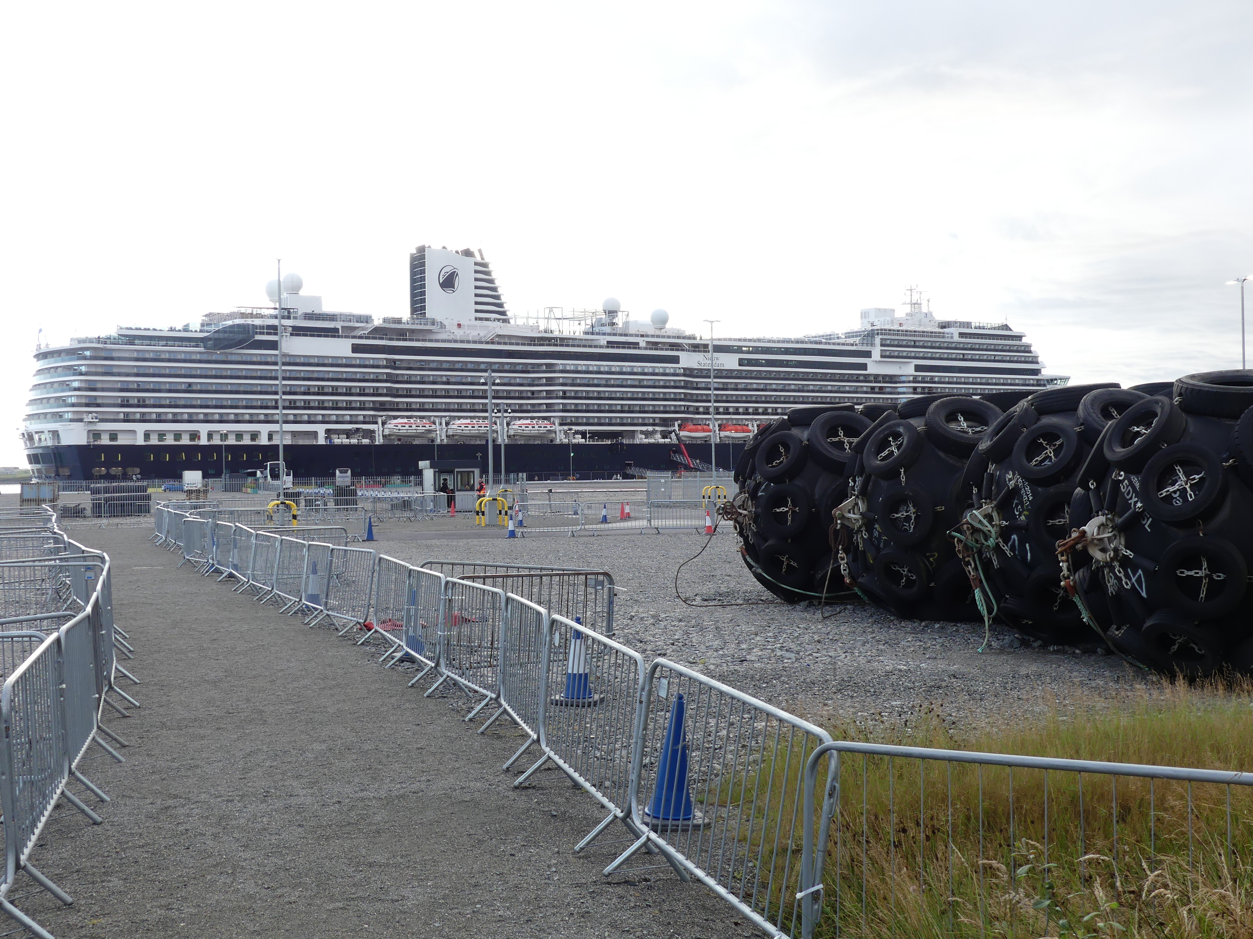
When we awoke we were met by an austere vision of what we might expect in Stornoway. I have added the tourists Map of Stornoway which will make sense of my tale of exploration. The first photo is the barren “Deepwater terminal”. The absense of residences and human activity had us puzzled.
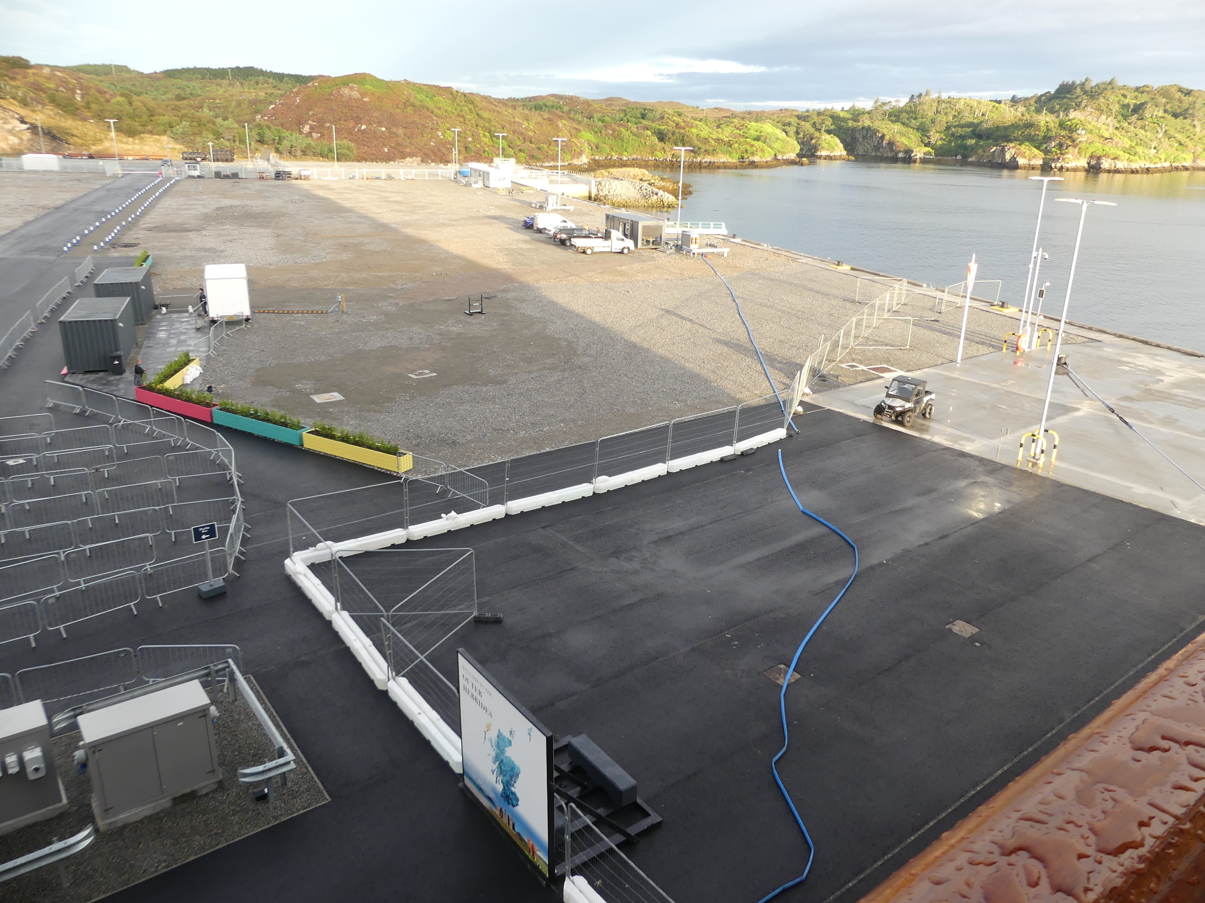


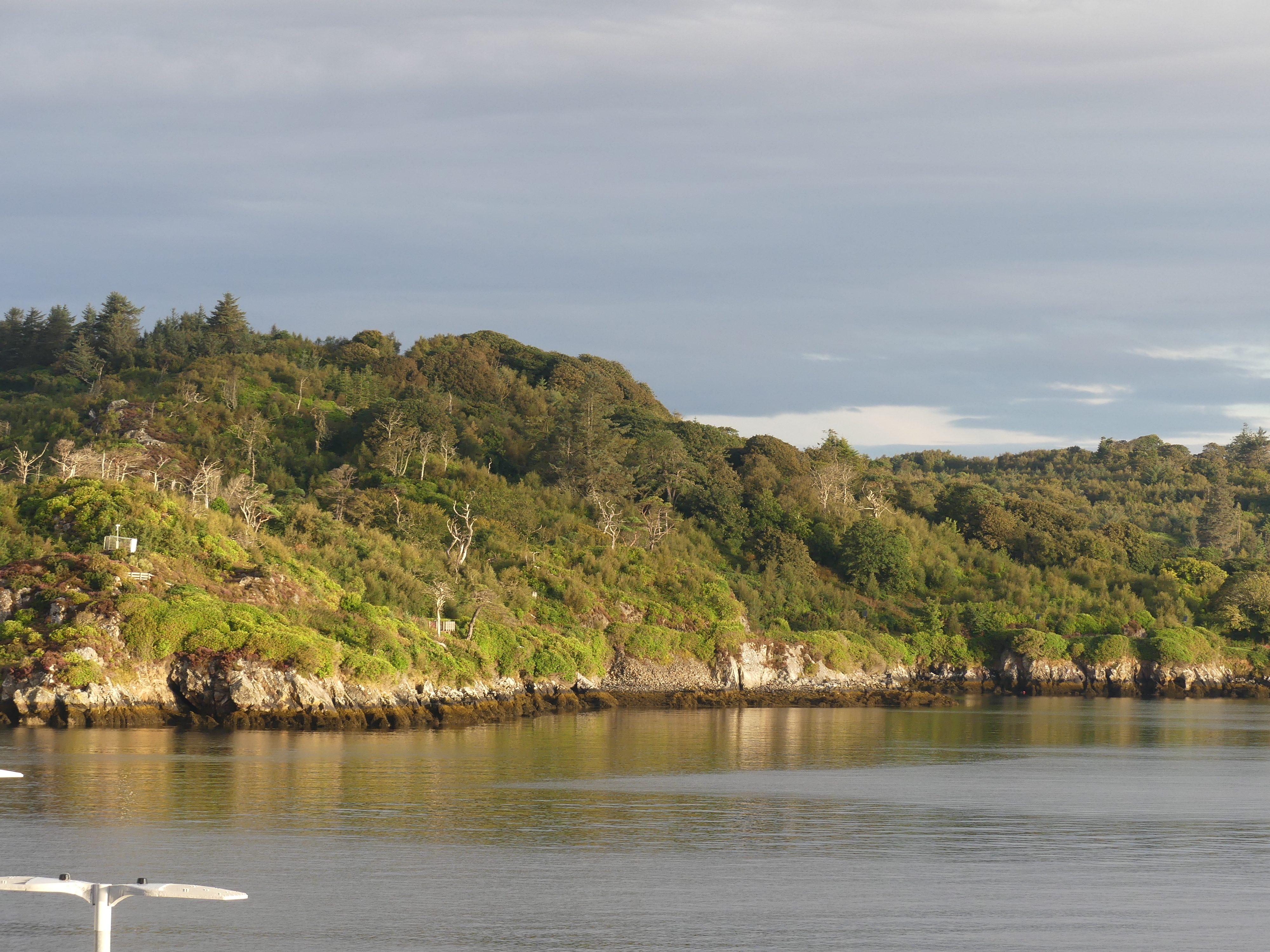
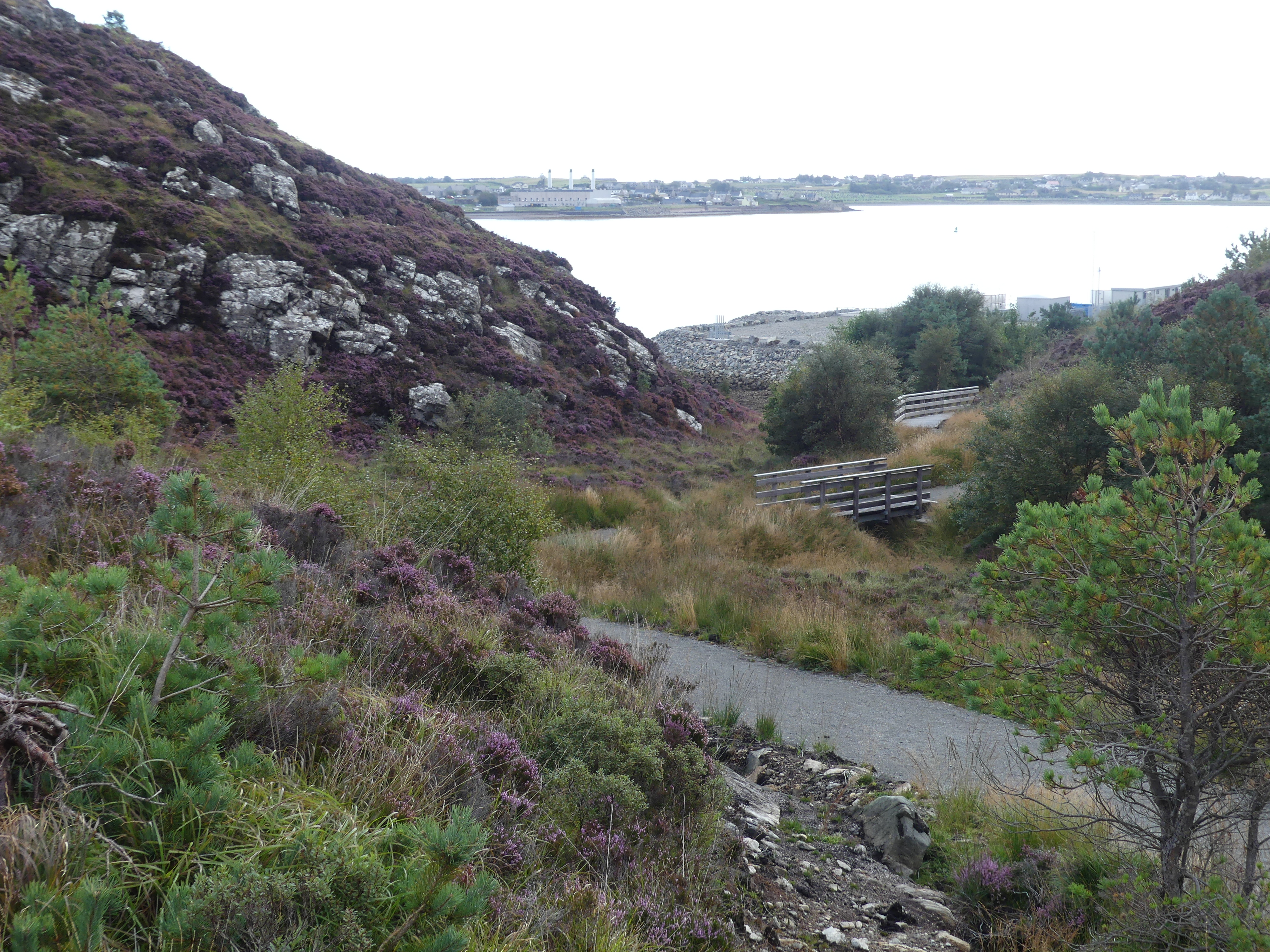
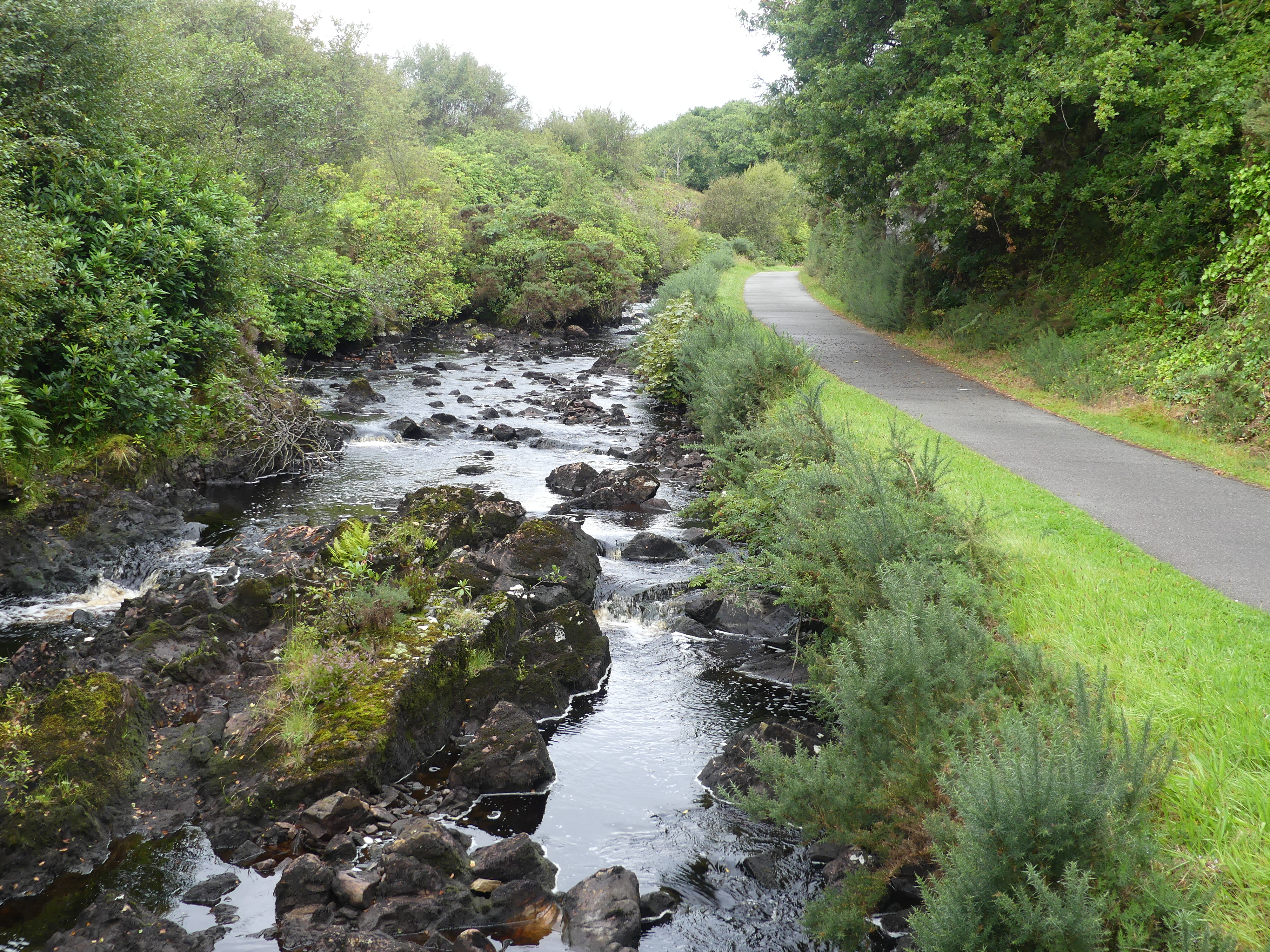
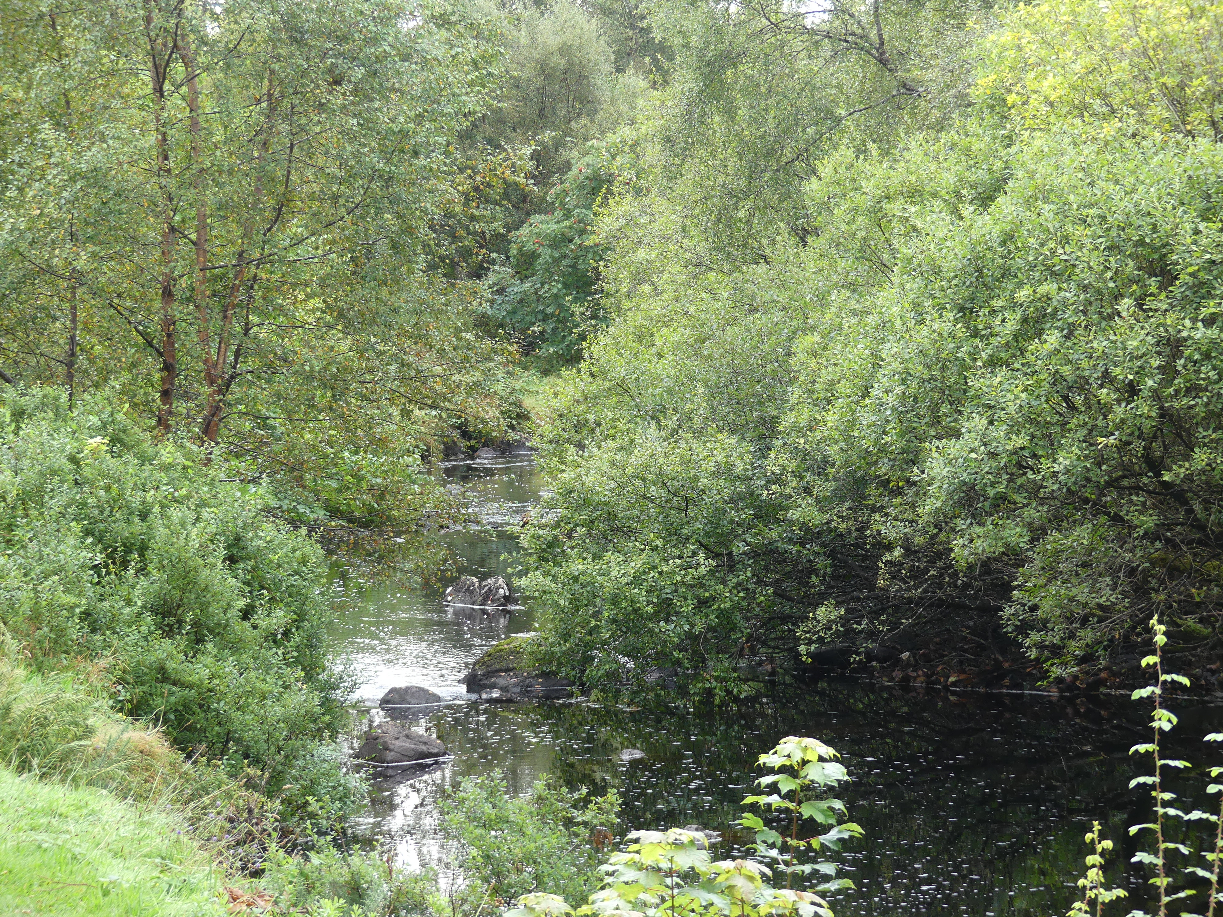
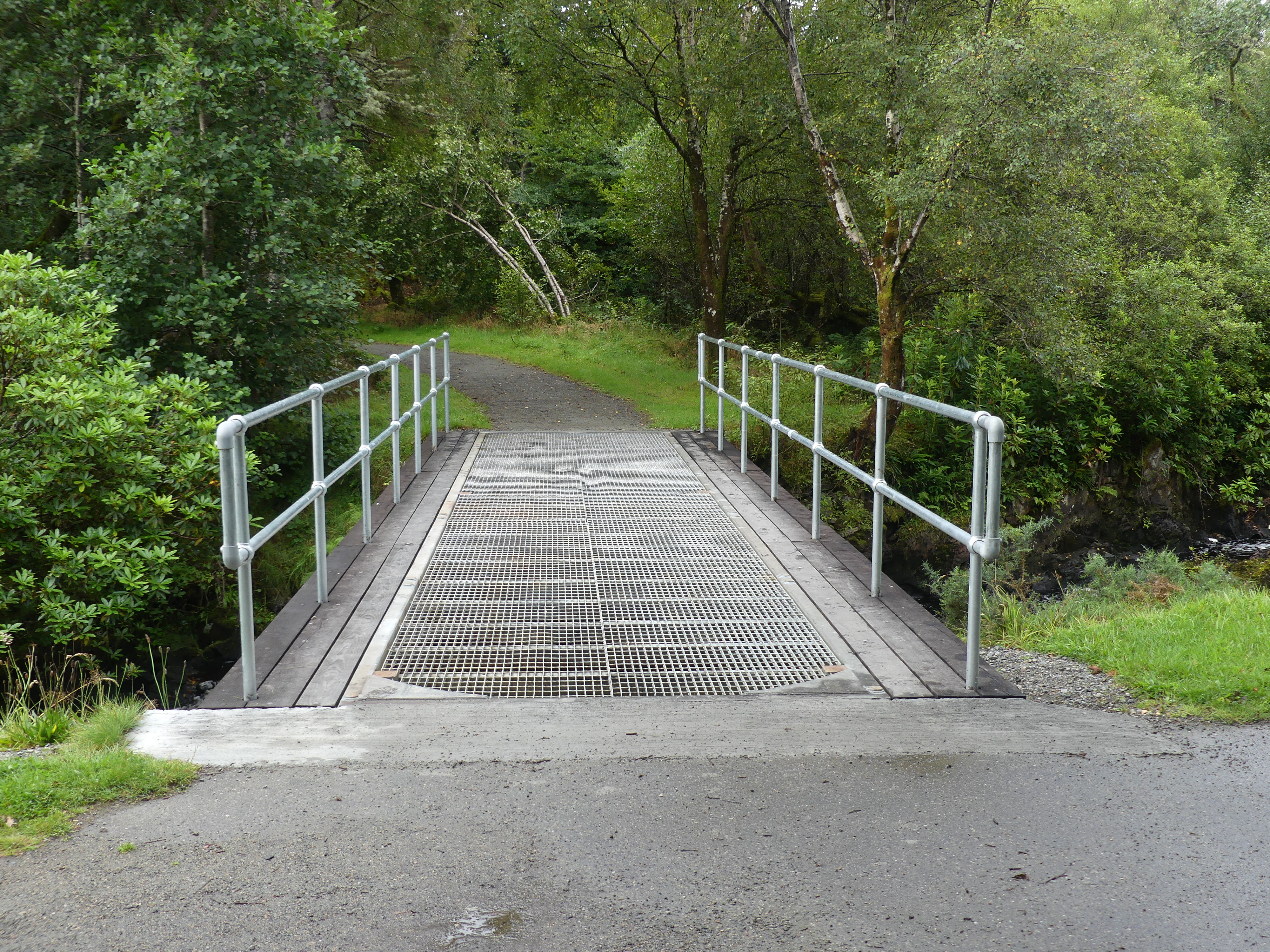
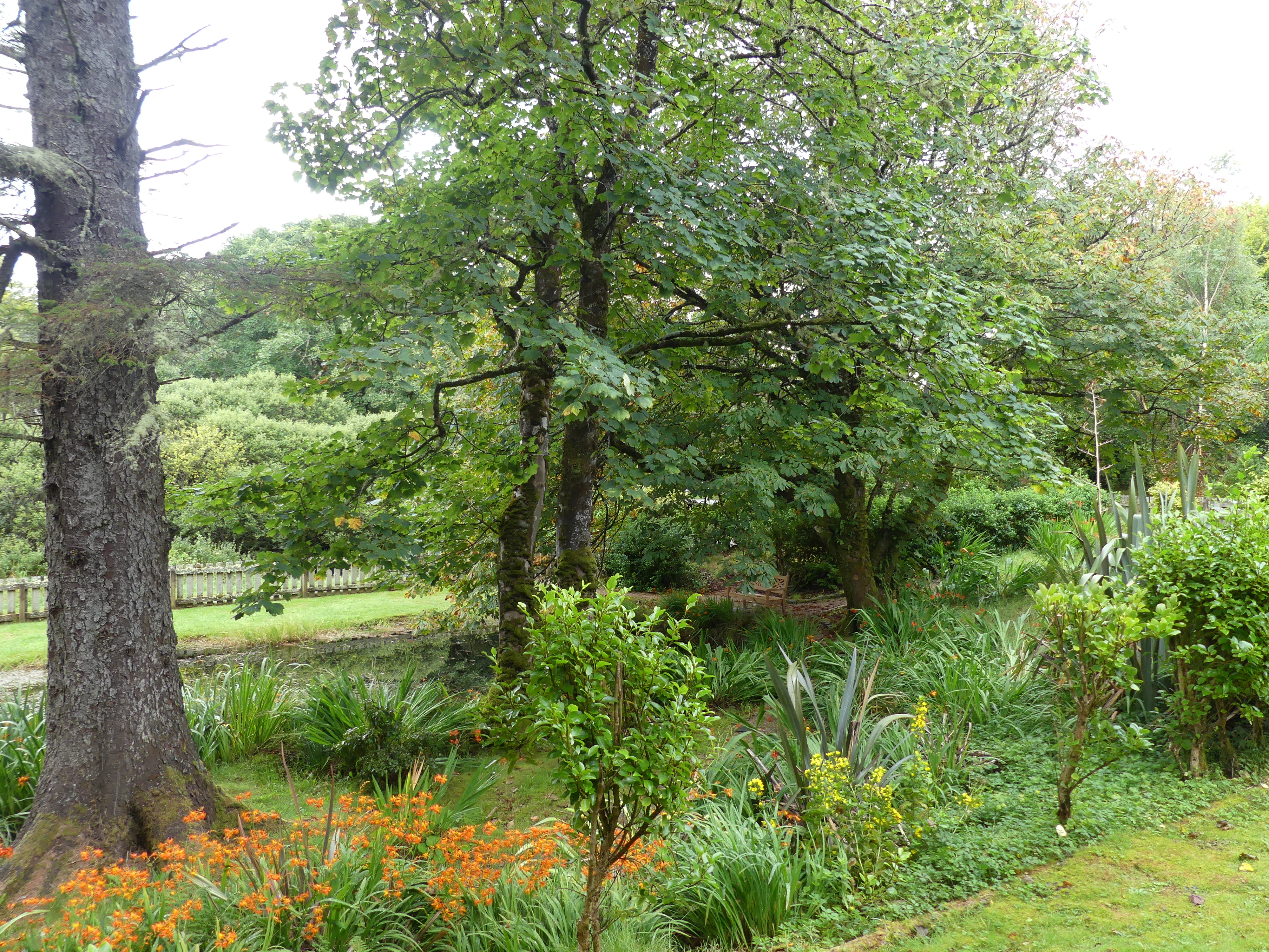
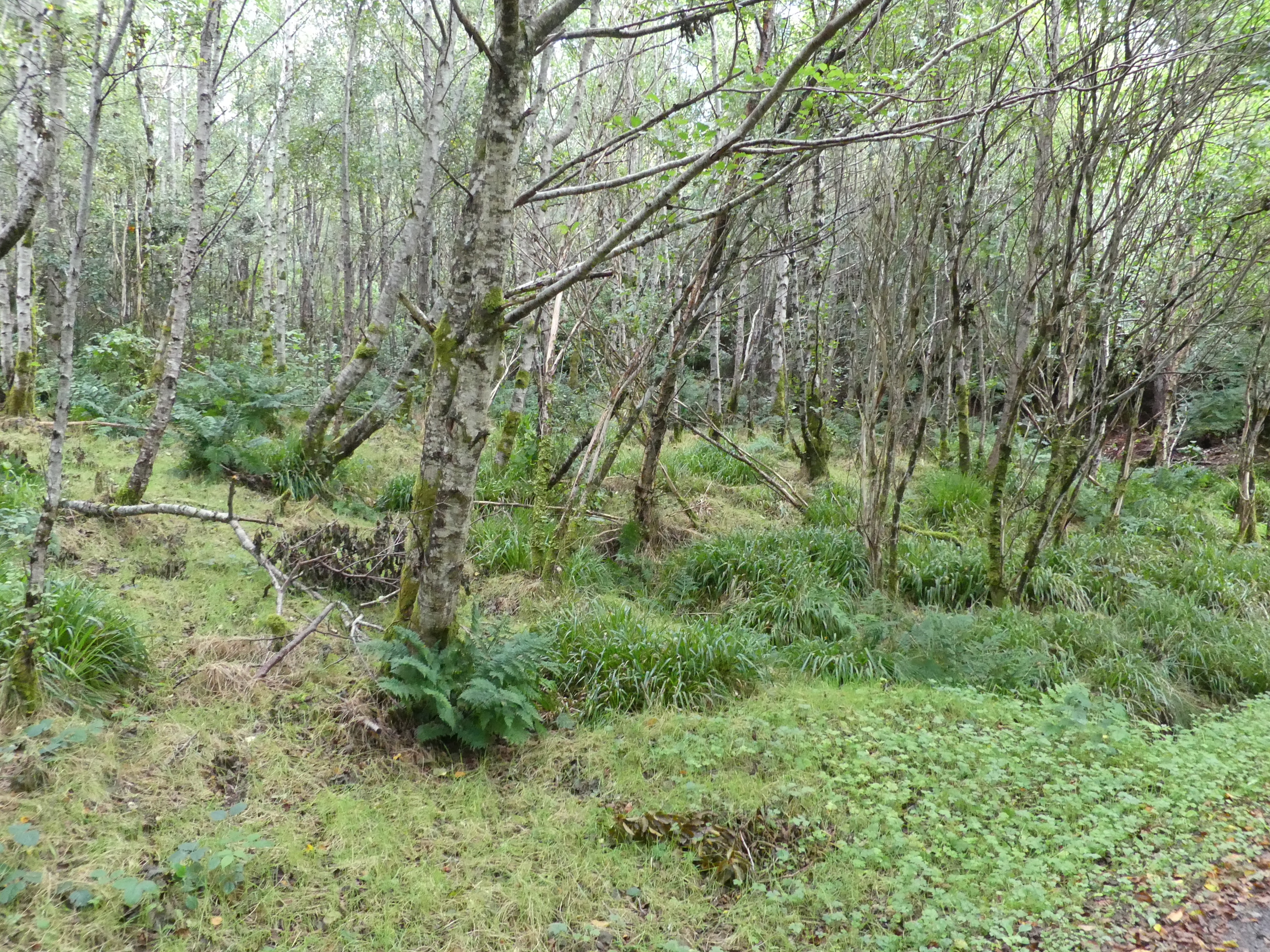
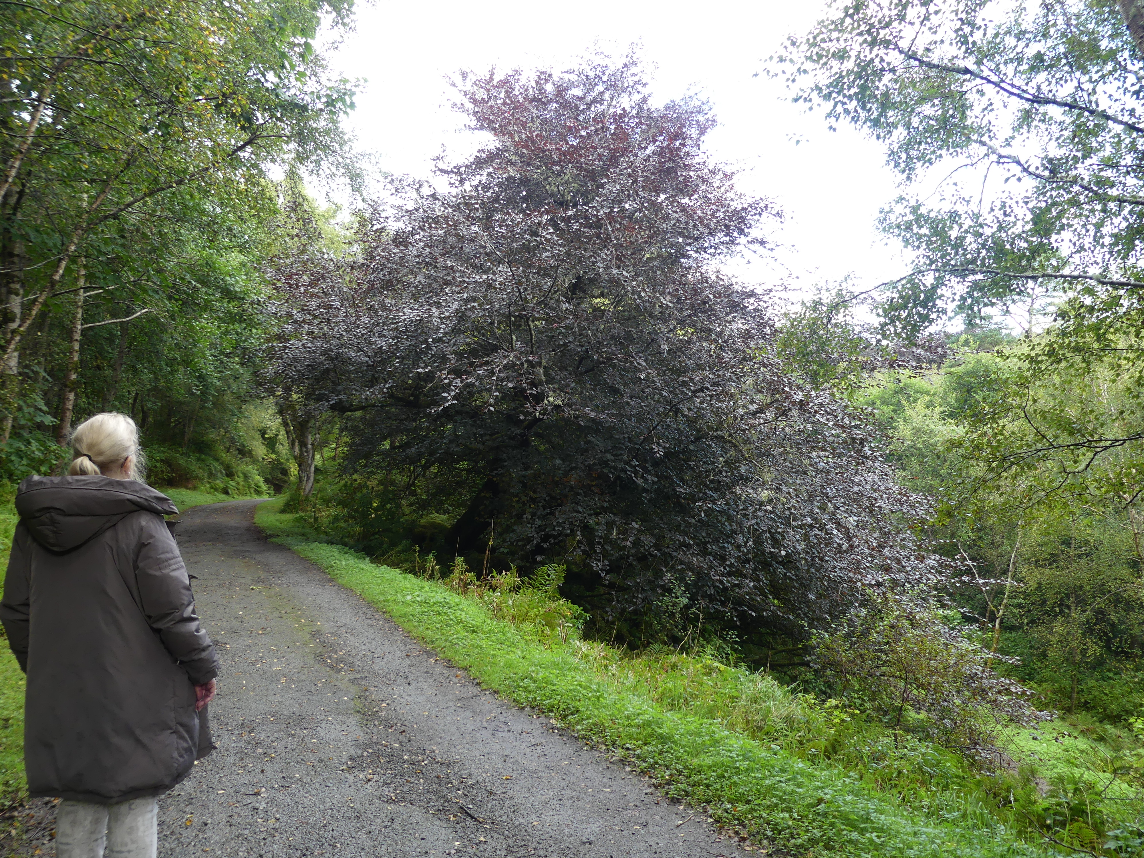
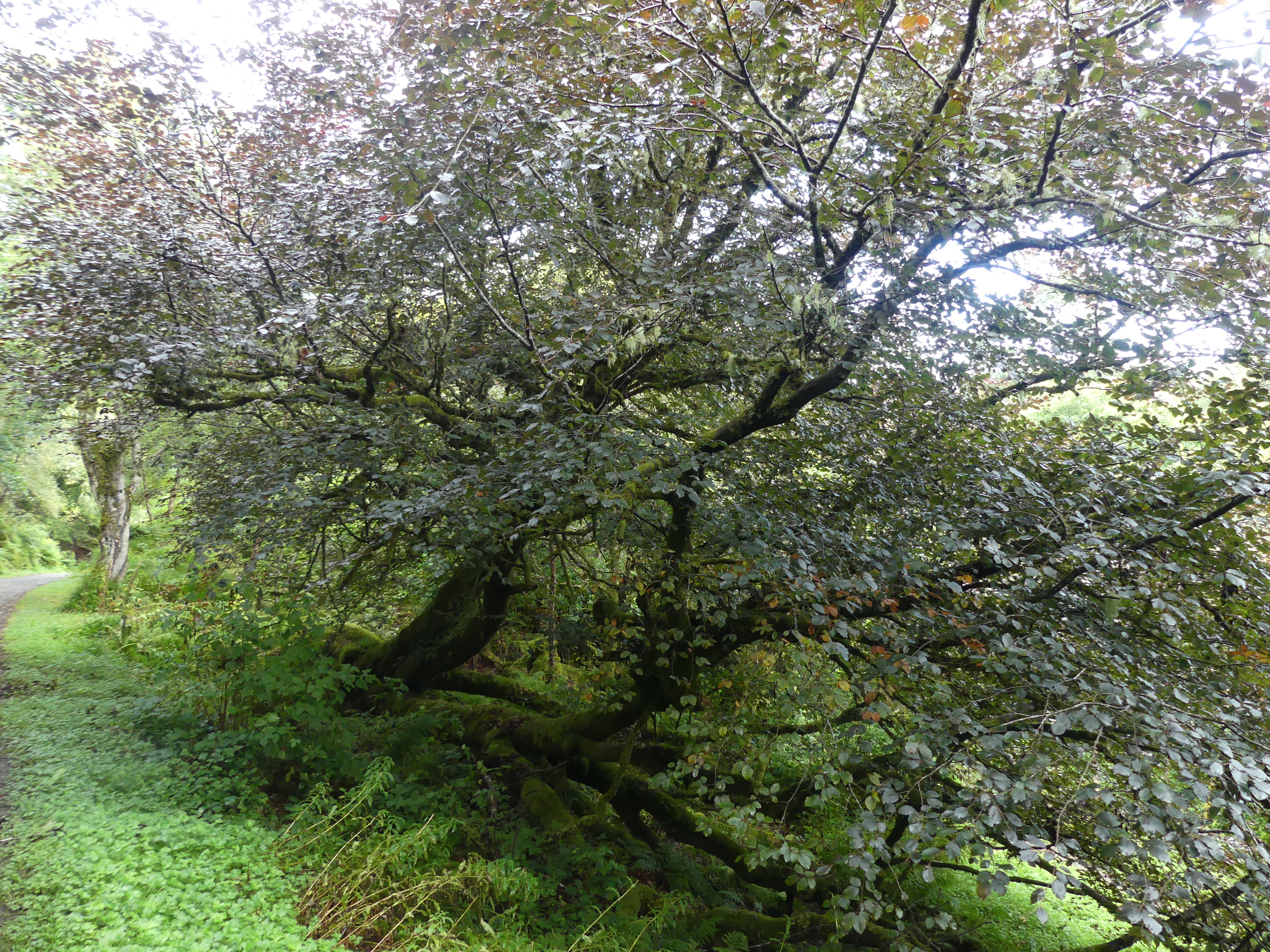
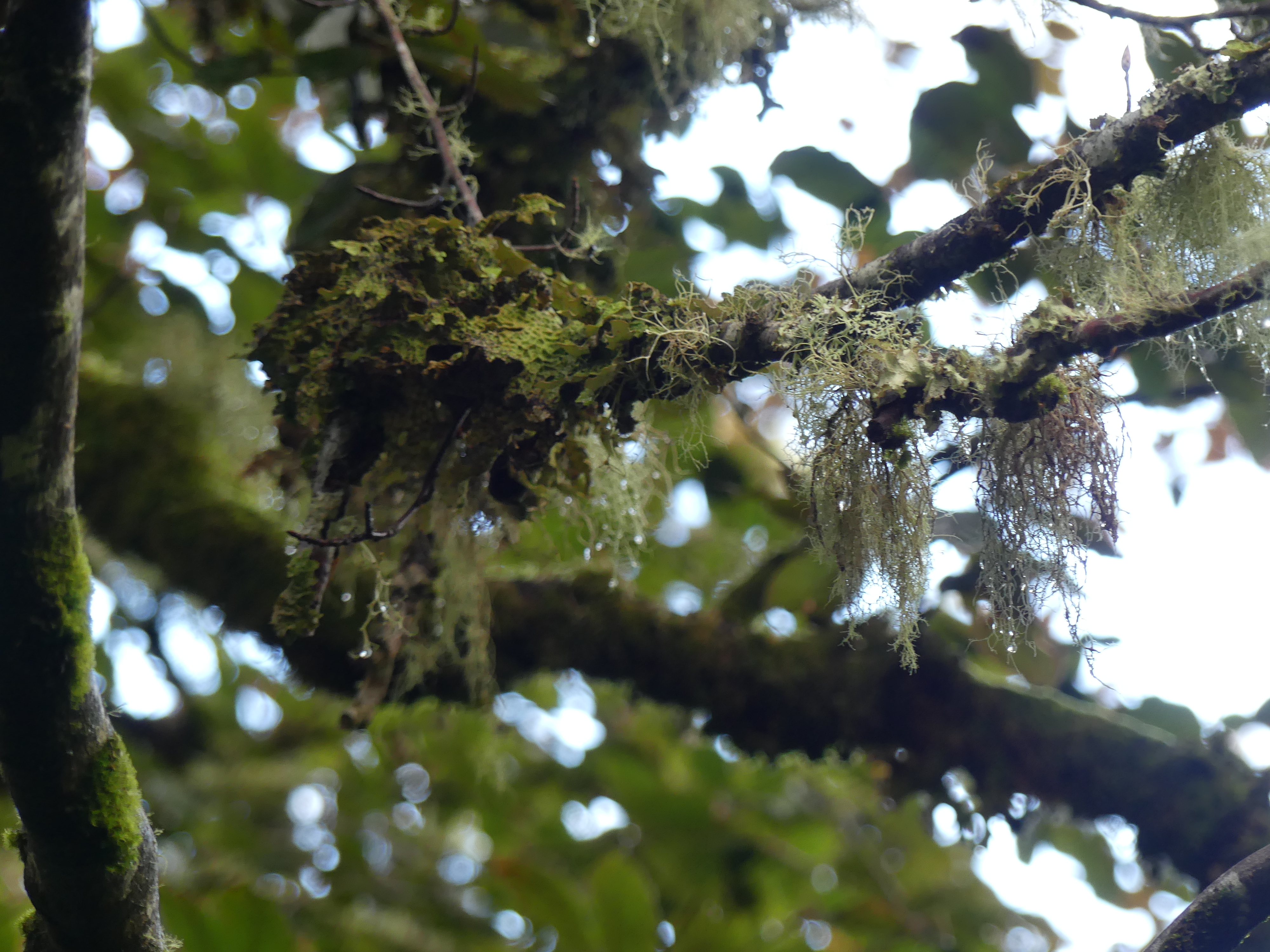
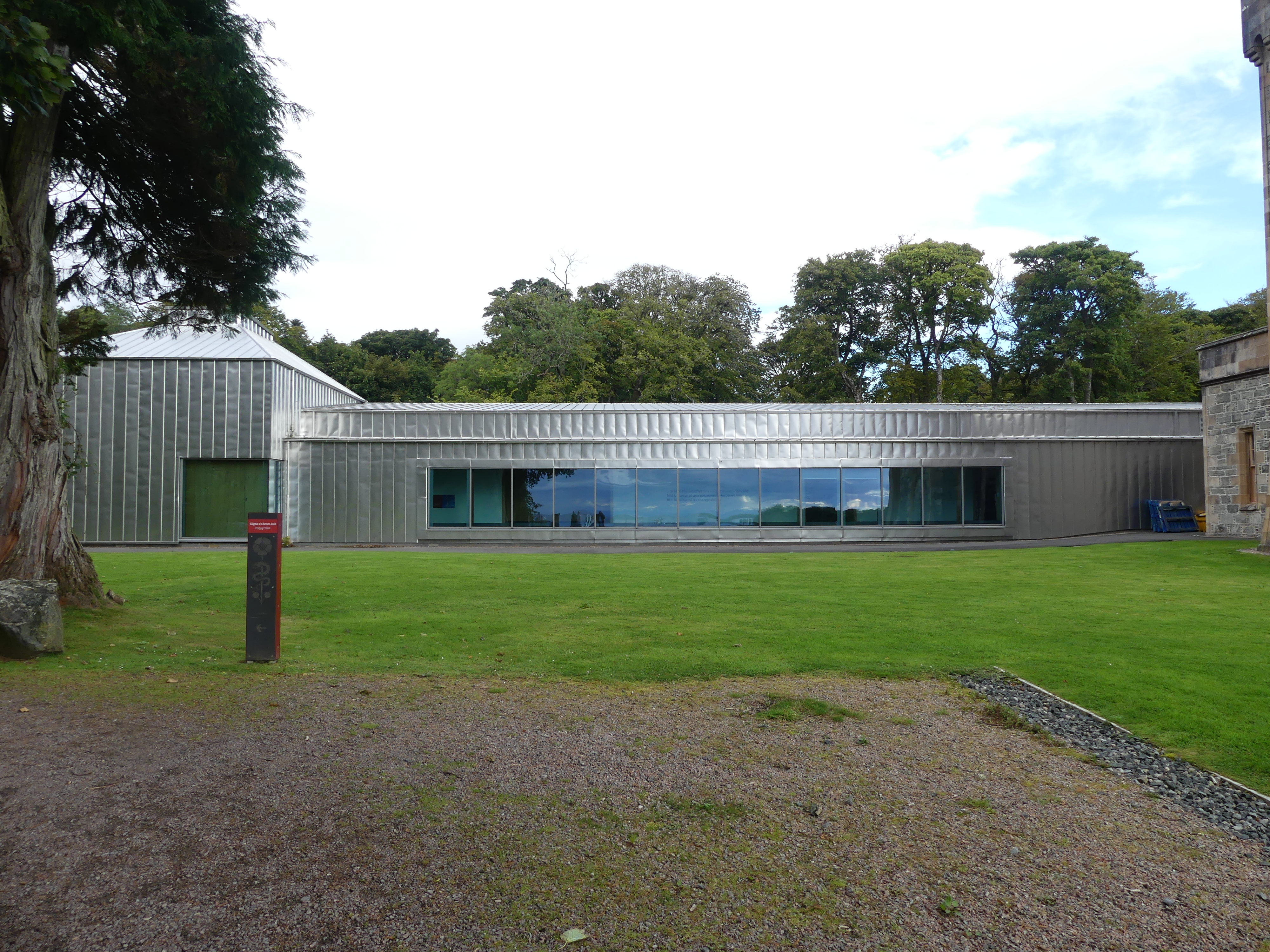
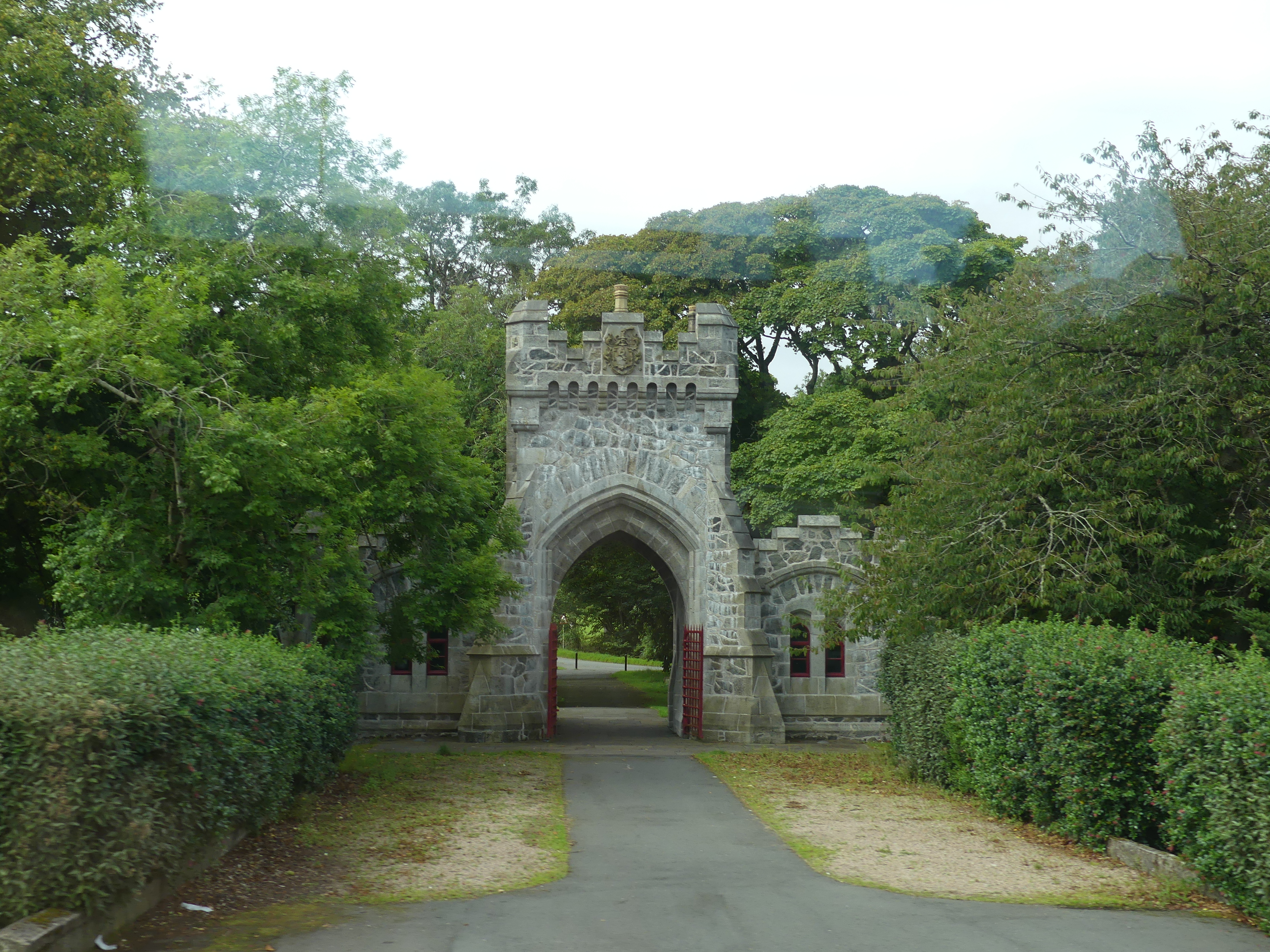
Map 1 shows the location of the terminal at which we had docked. At that time by means of gossip amongst the passengers, we learned that there was a path to follow through the woods to reach the town or there was the shuttle bus. We elected for the path. Map 2 shows you where the path ended. We walked through Castle Lews (which was closed for a private function) into the harbour of the town.
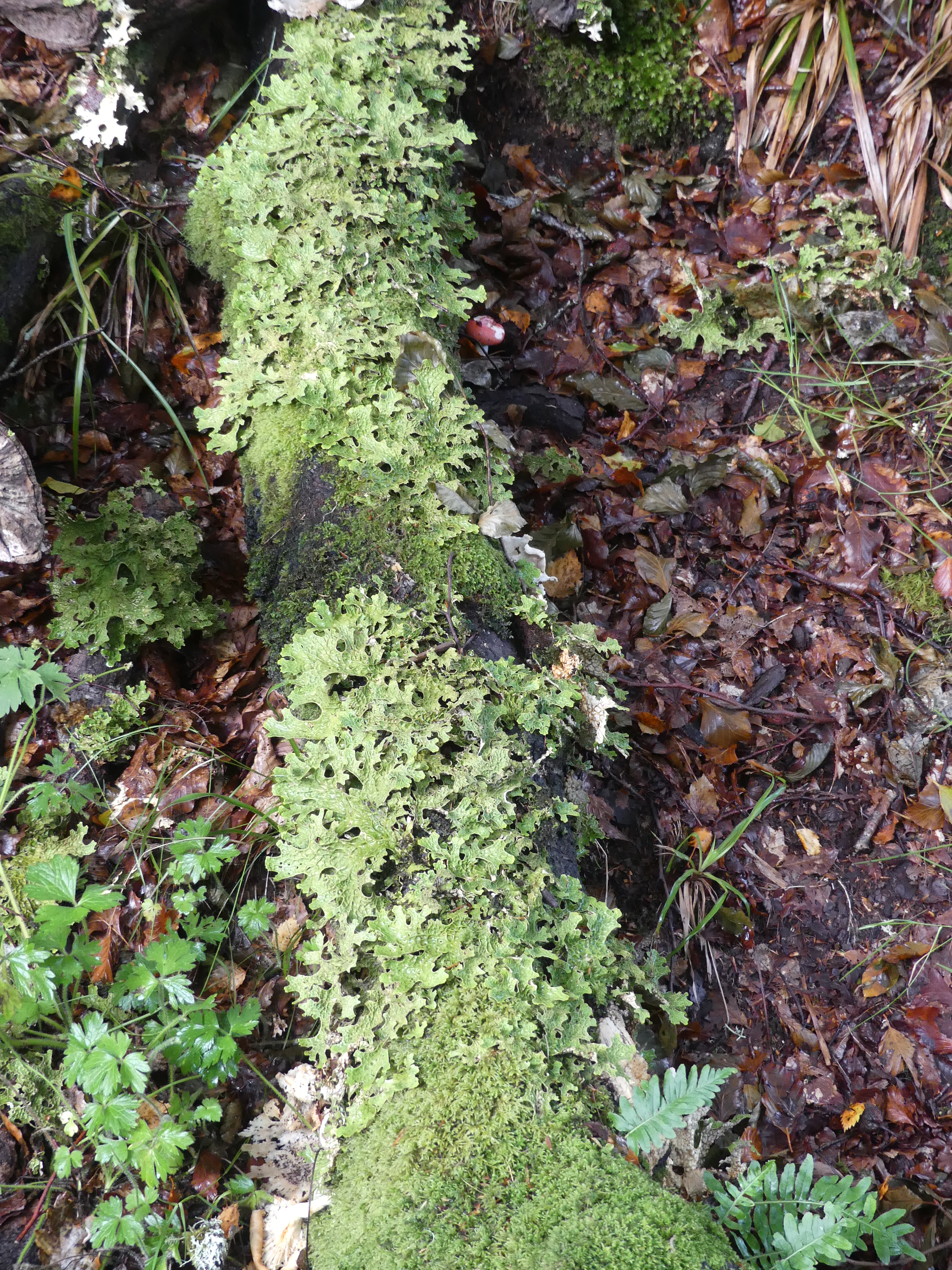
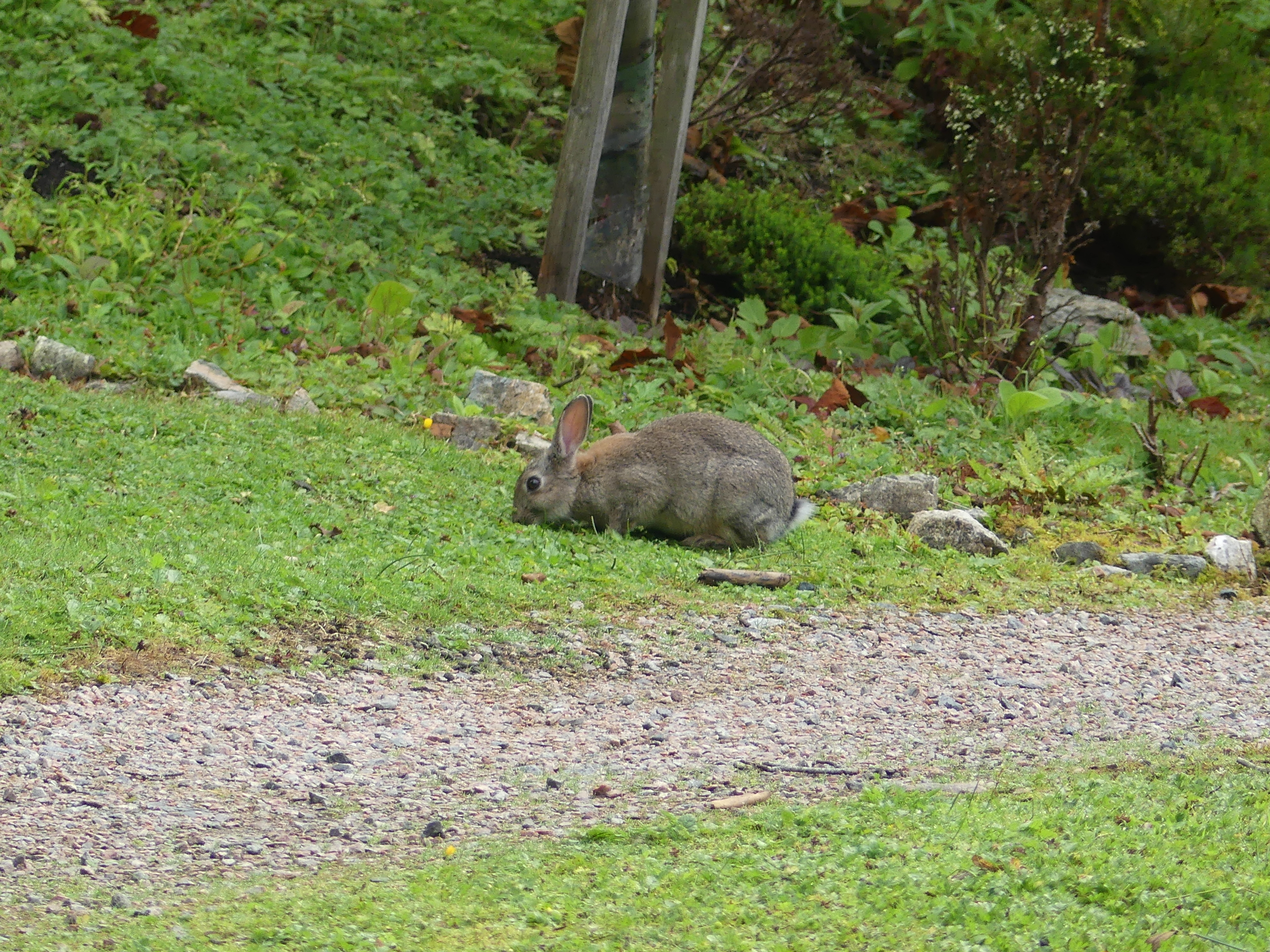
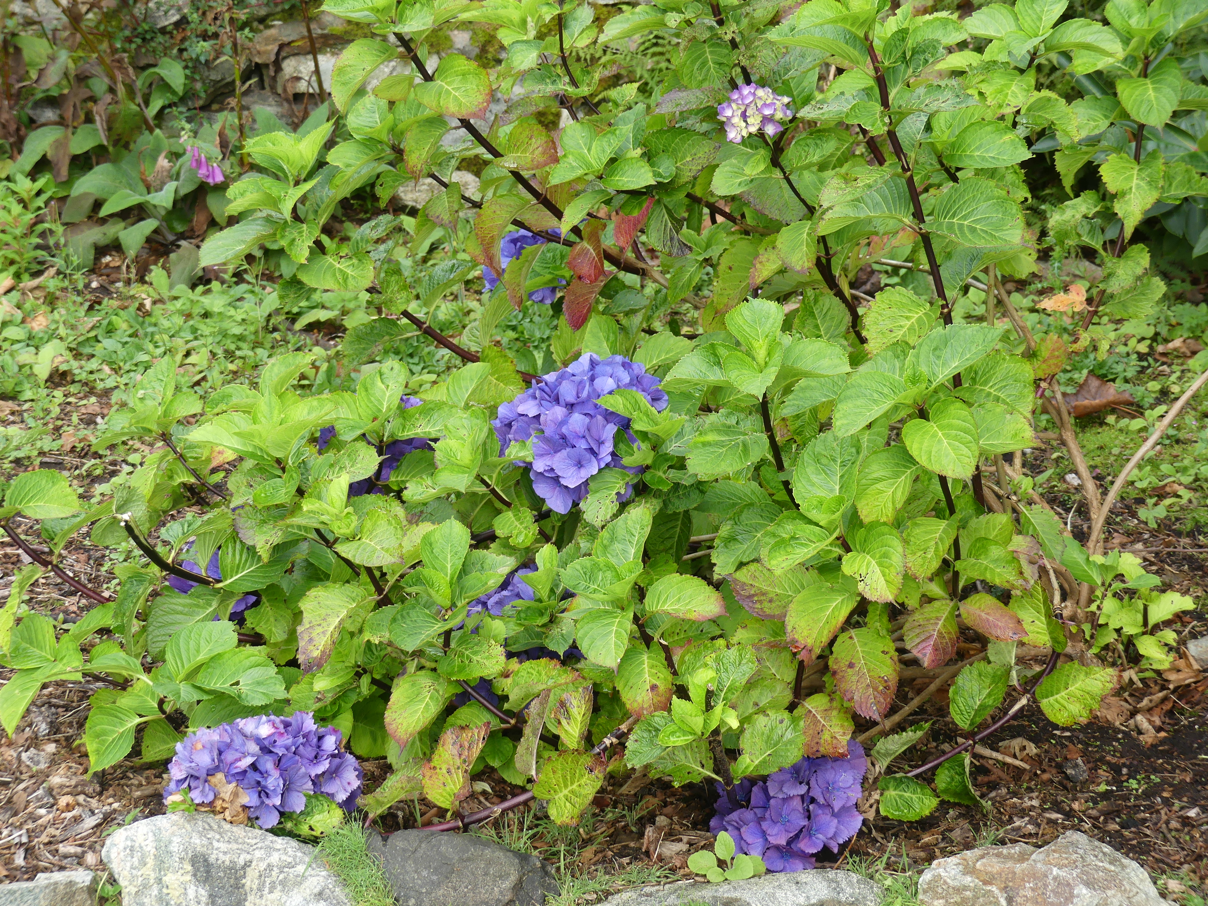
My photos of the walk through the woods to Castle Lews and then into Stornoway follow.


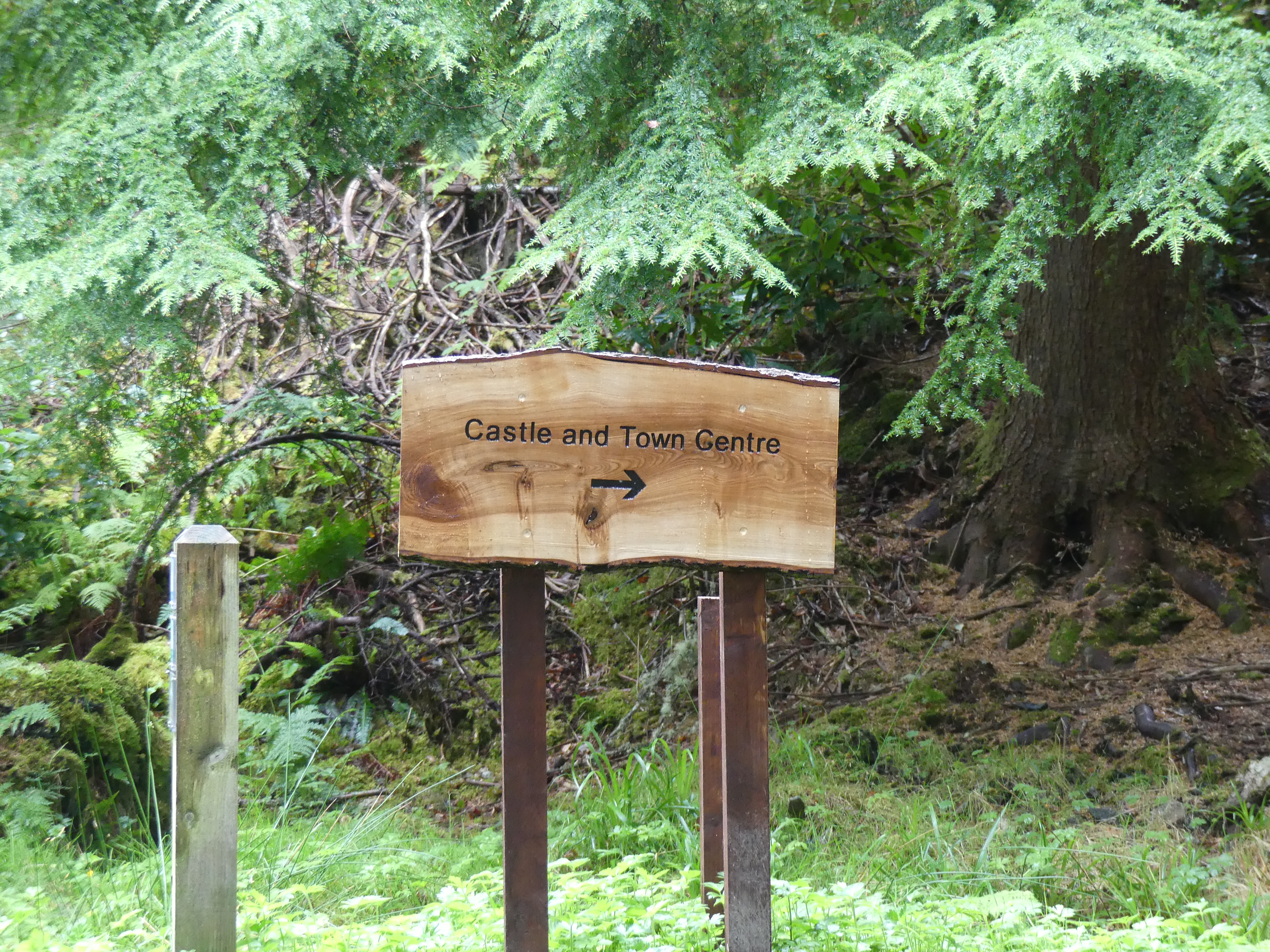

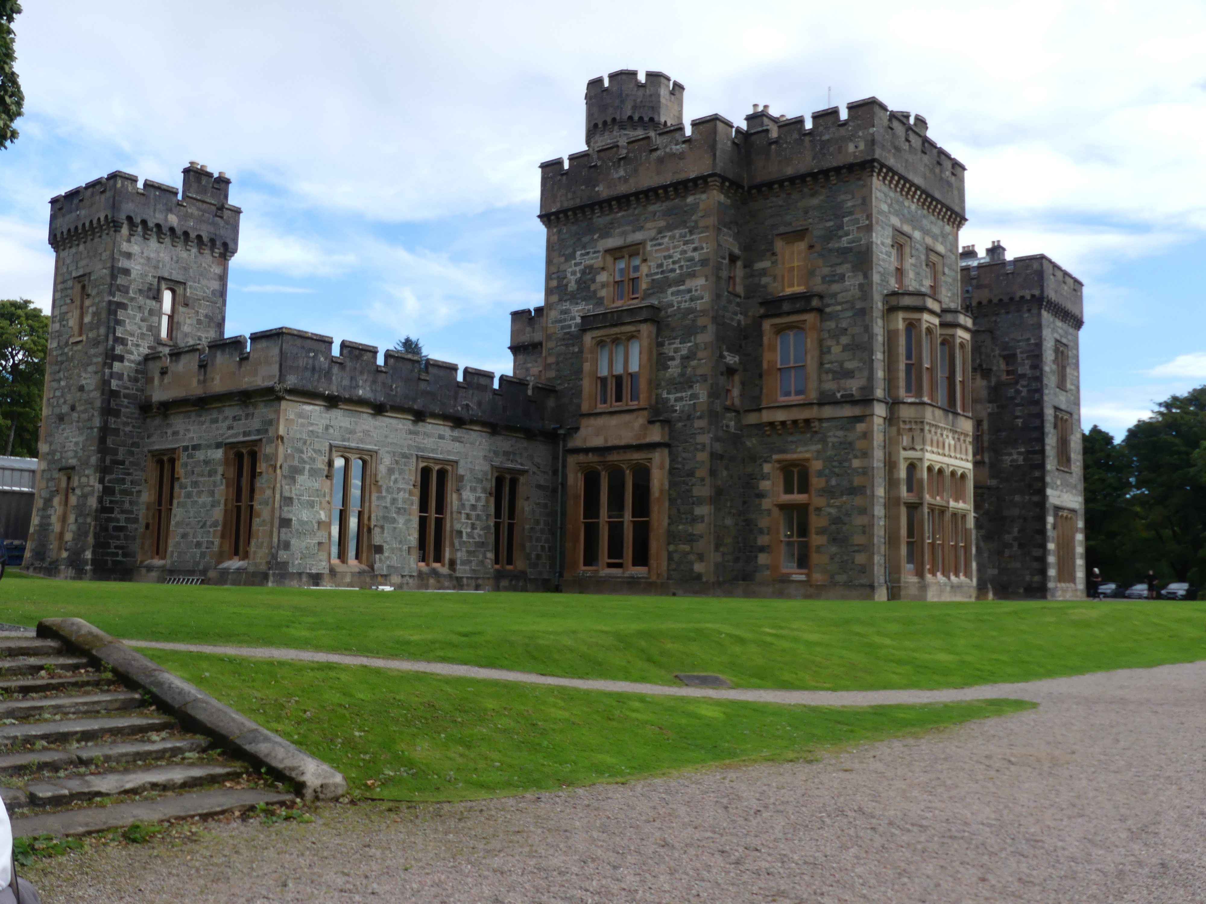
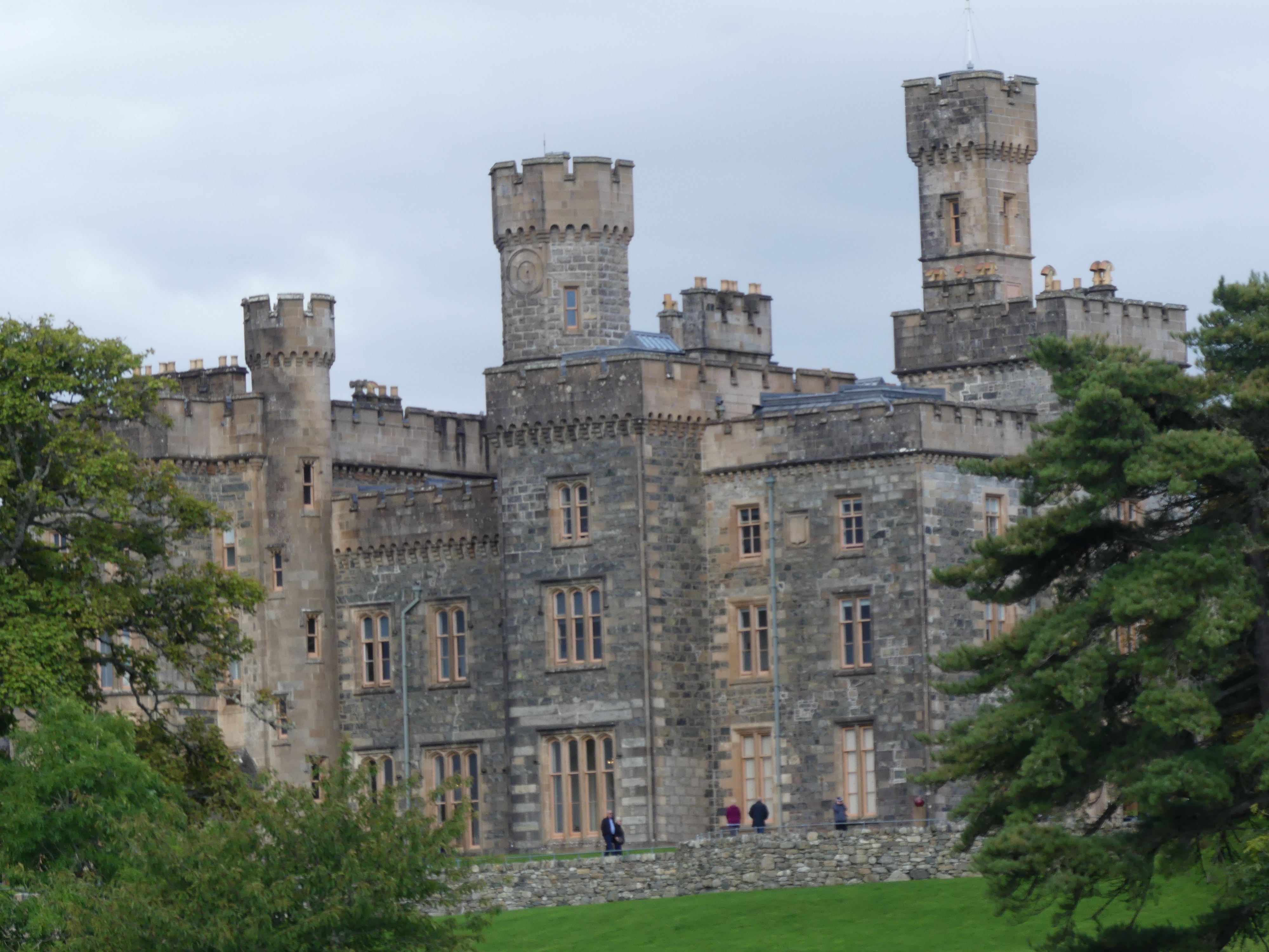
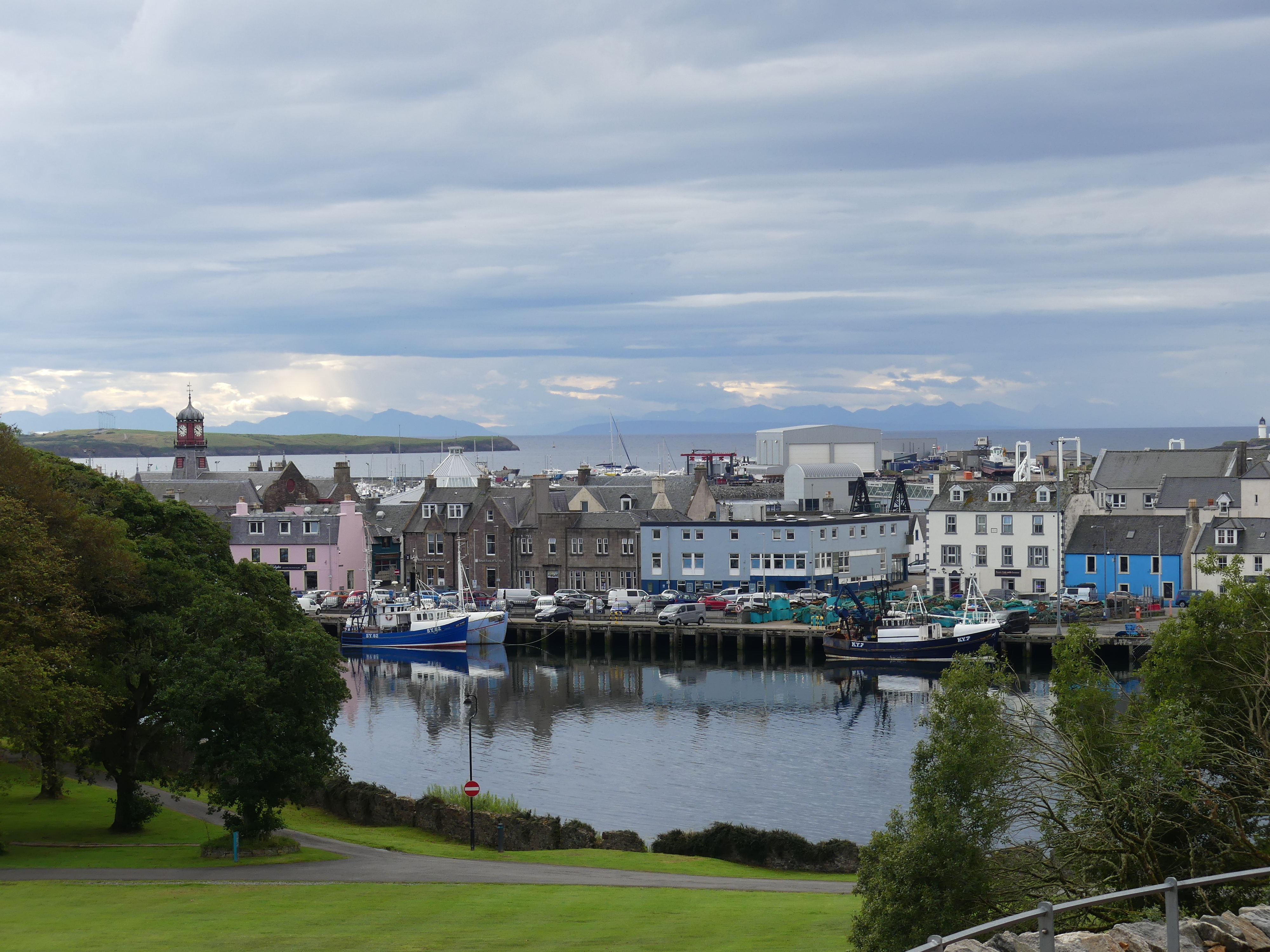
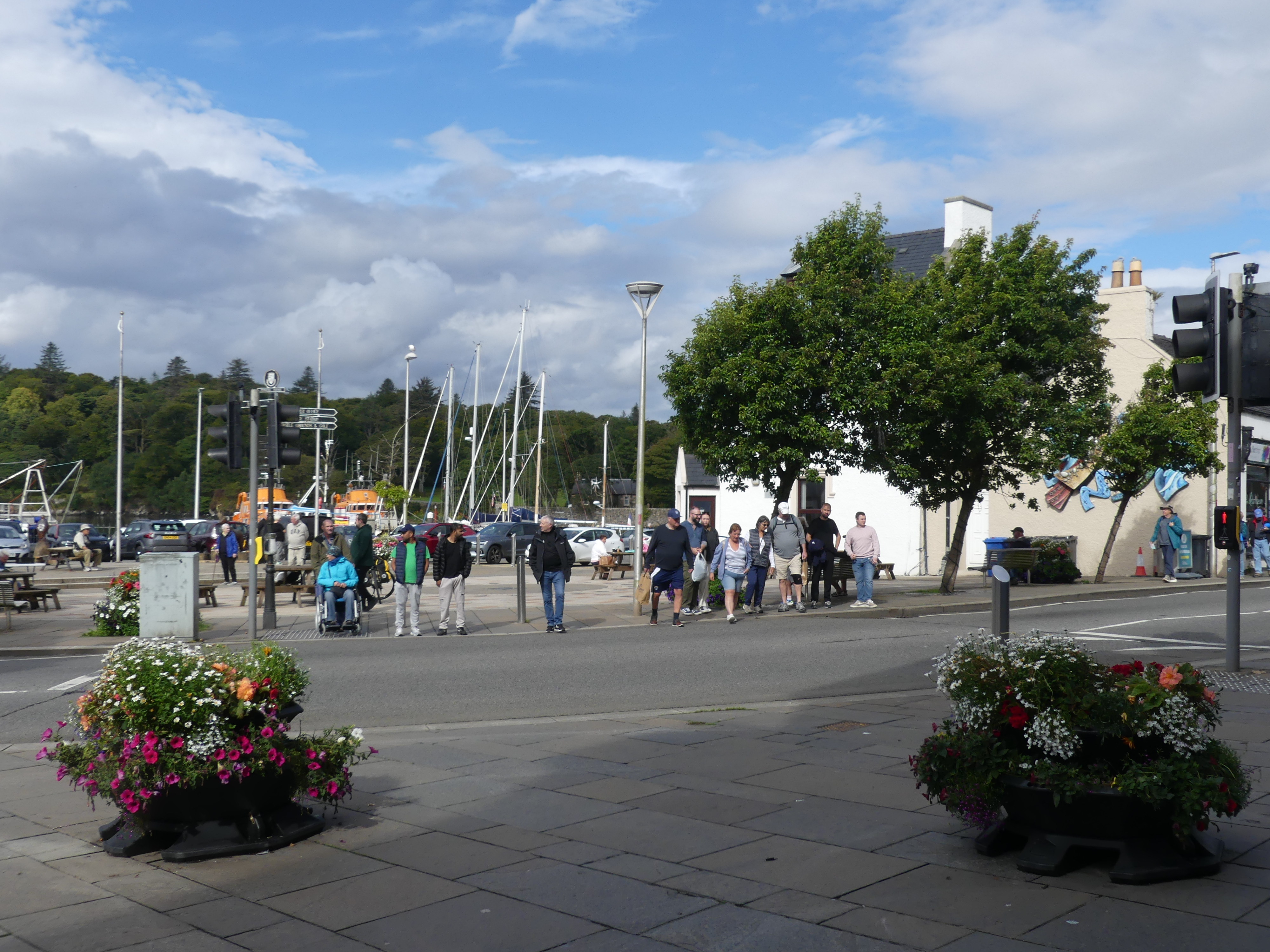
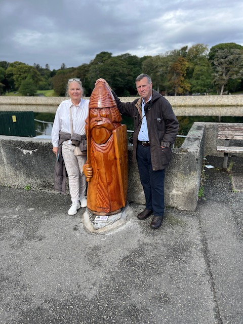
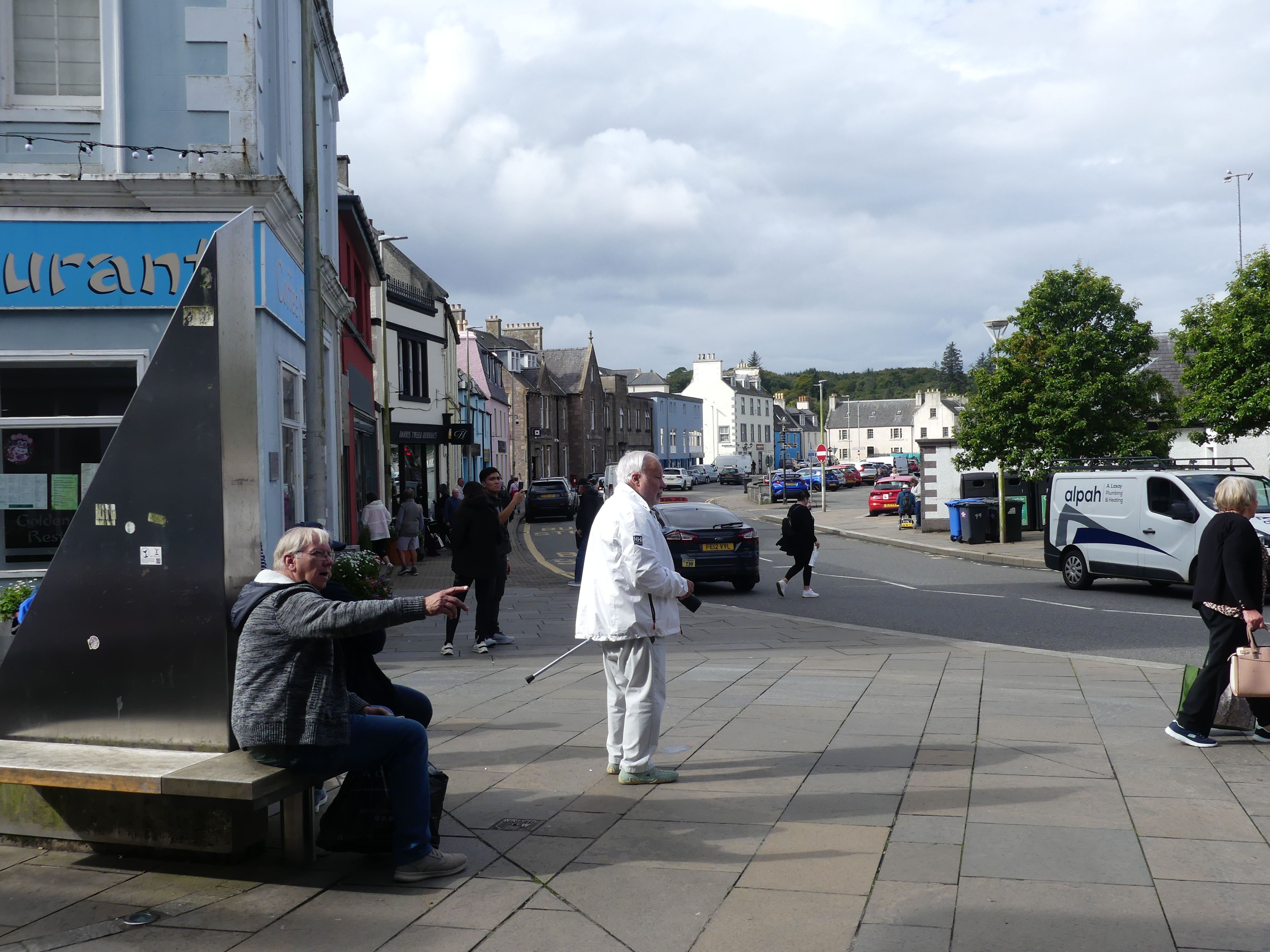
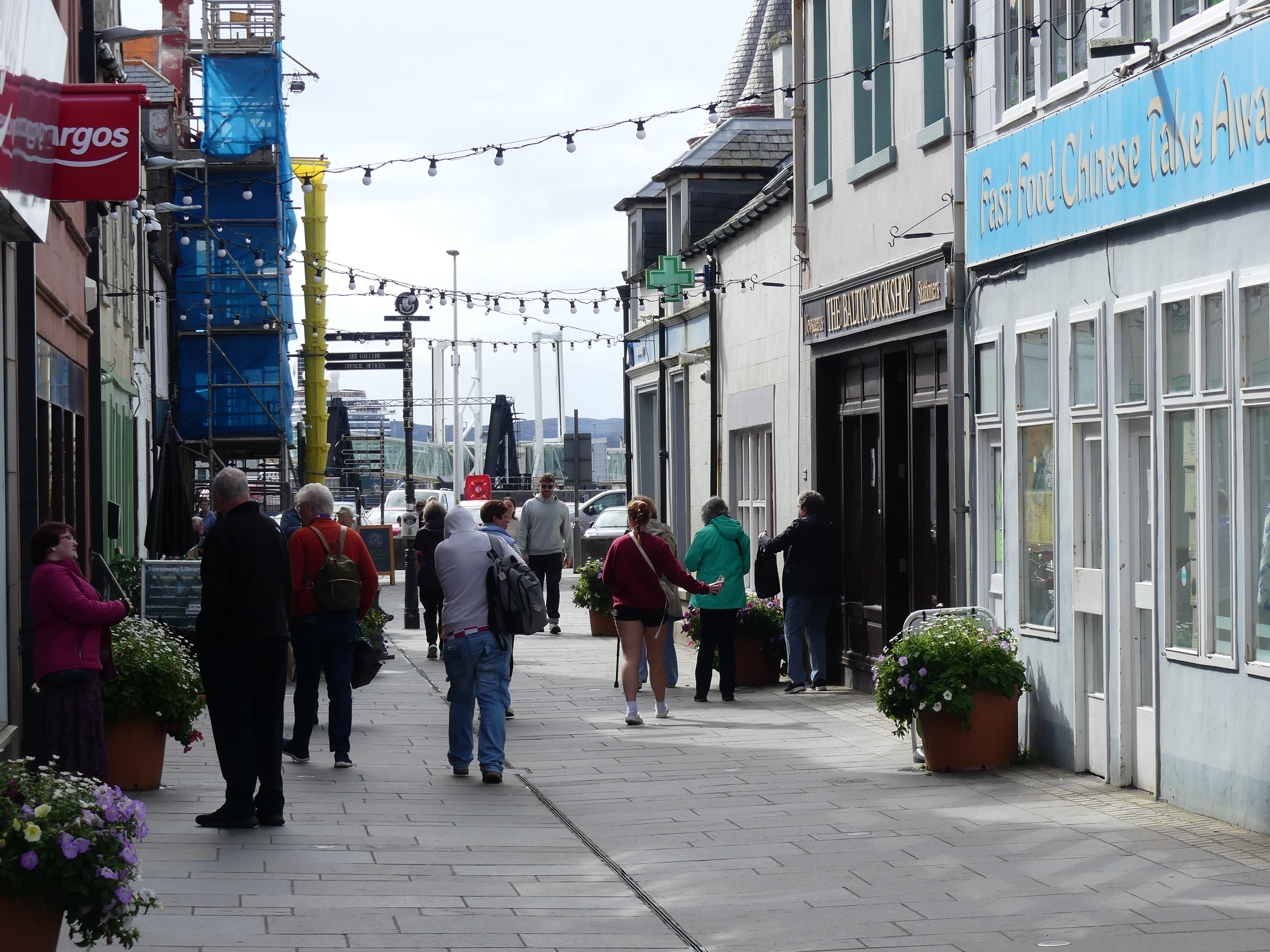
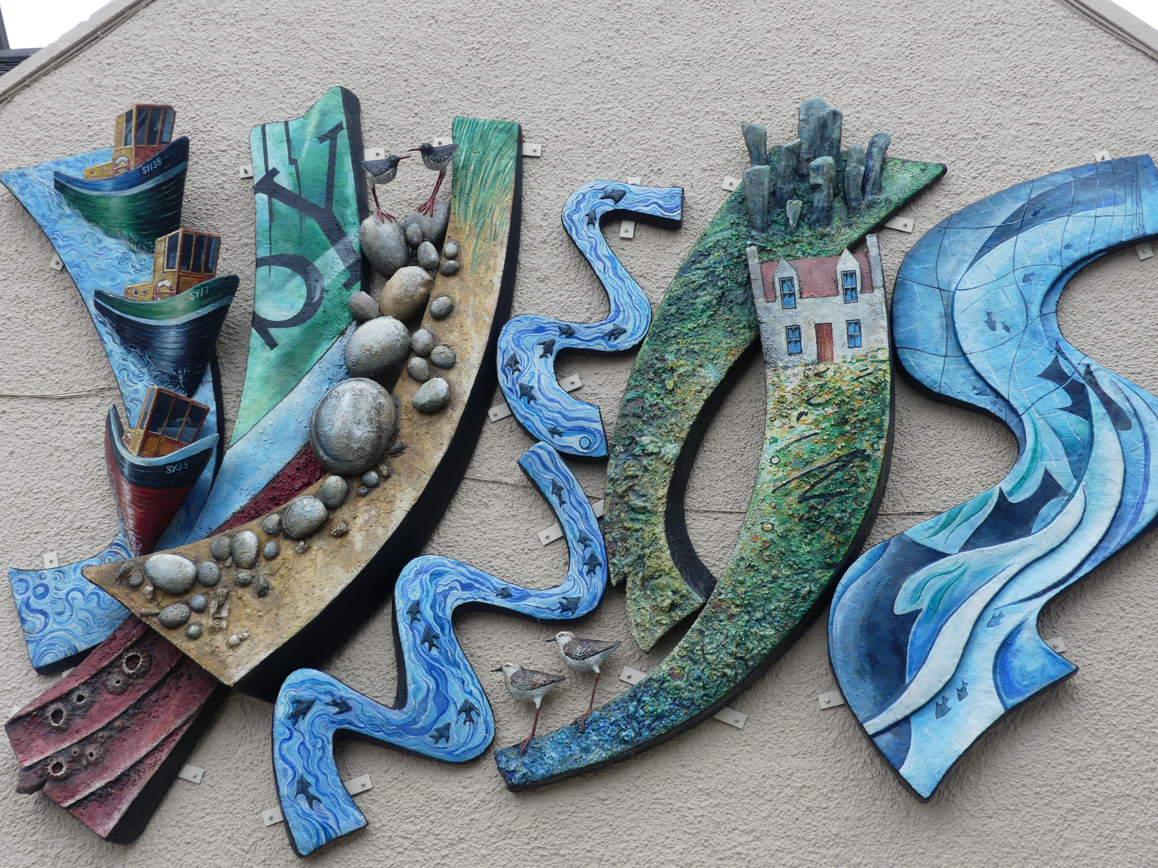
As we came to the end of the walk, we encountered people from the cruise boat visiting the castle and we became the bearers of the sad news that it was closed for a private function – glad we didn’t pay for that excursion. Crossing the bridge to enter the town we encountered a sculpture of a chessman one of the few Nordic reminders of the past. We strolled into town and found it to be a thriving village. With the back drop of the harbour and the Castle over the inlet it was romantic to walk the waterfront then head into the main street.

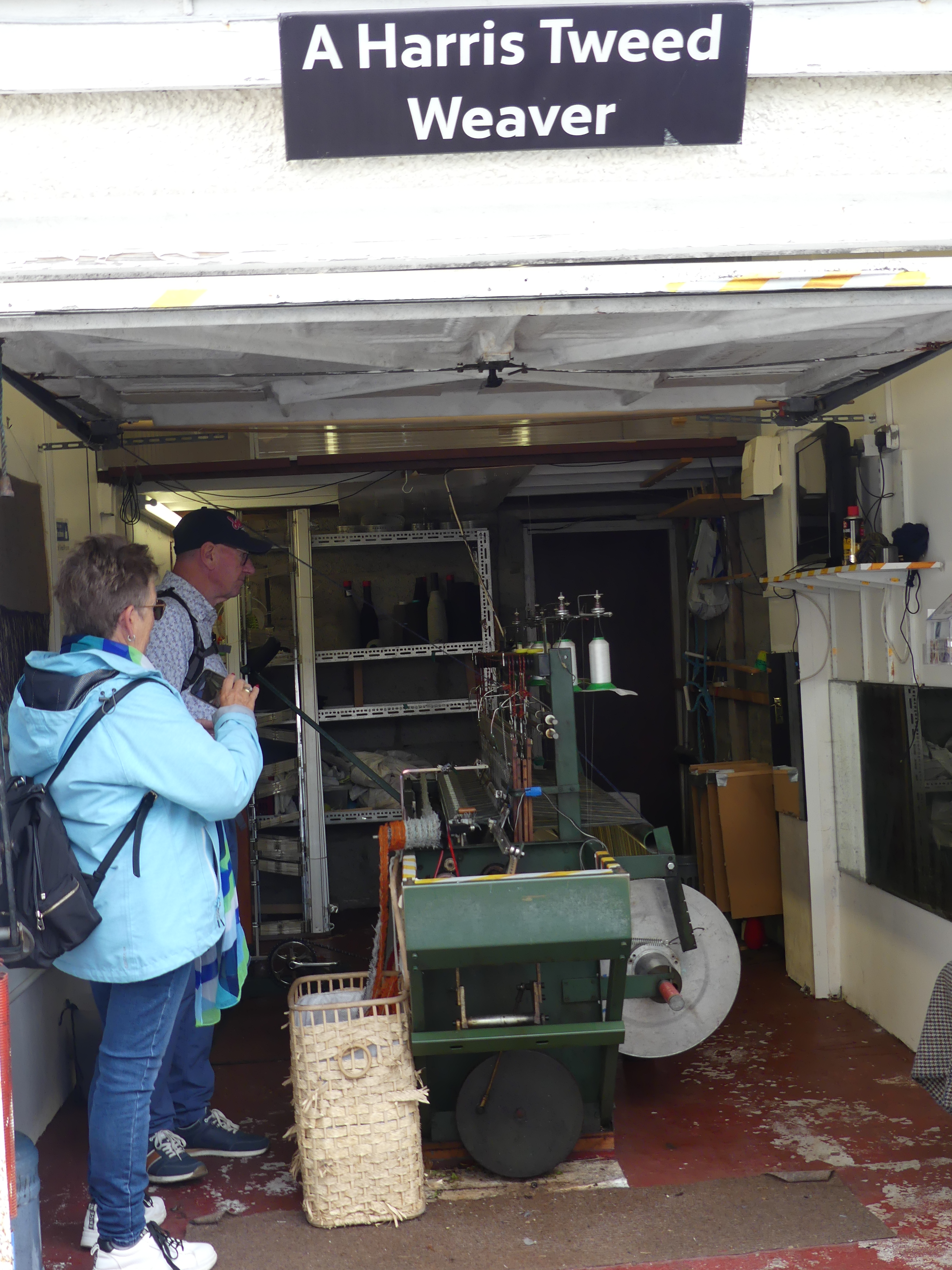
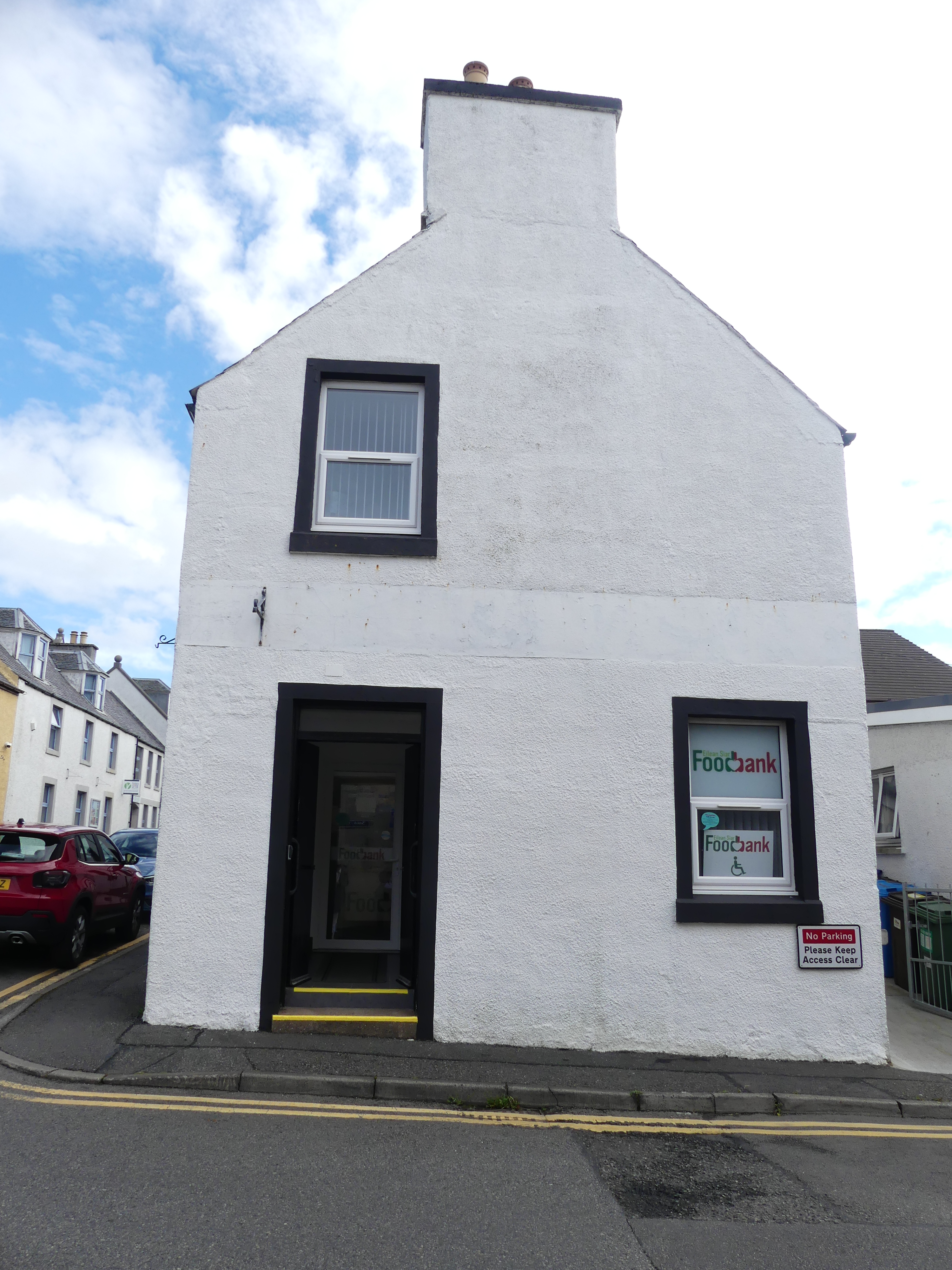
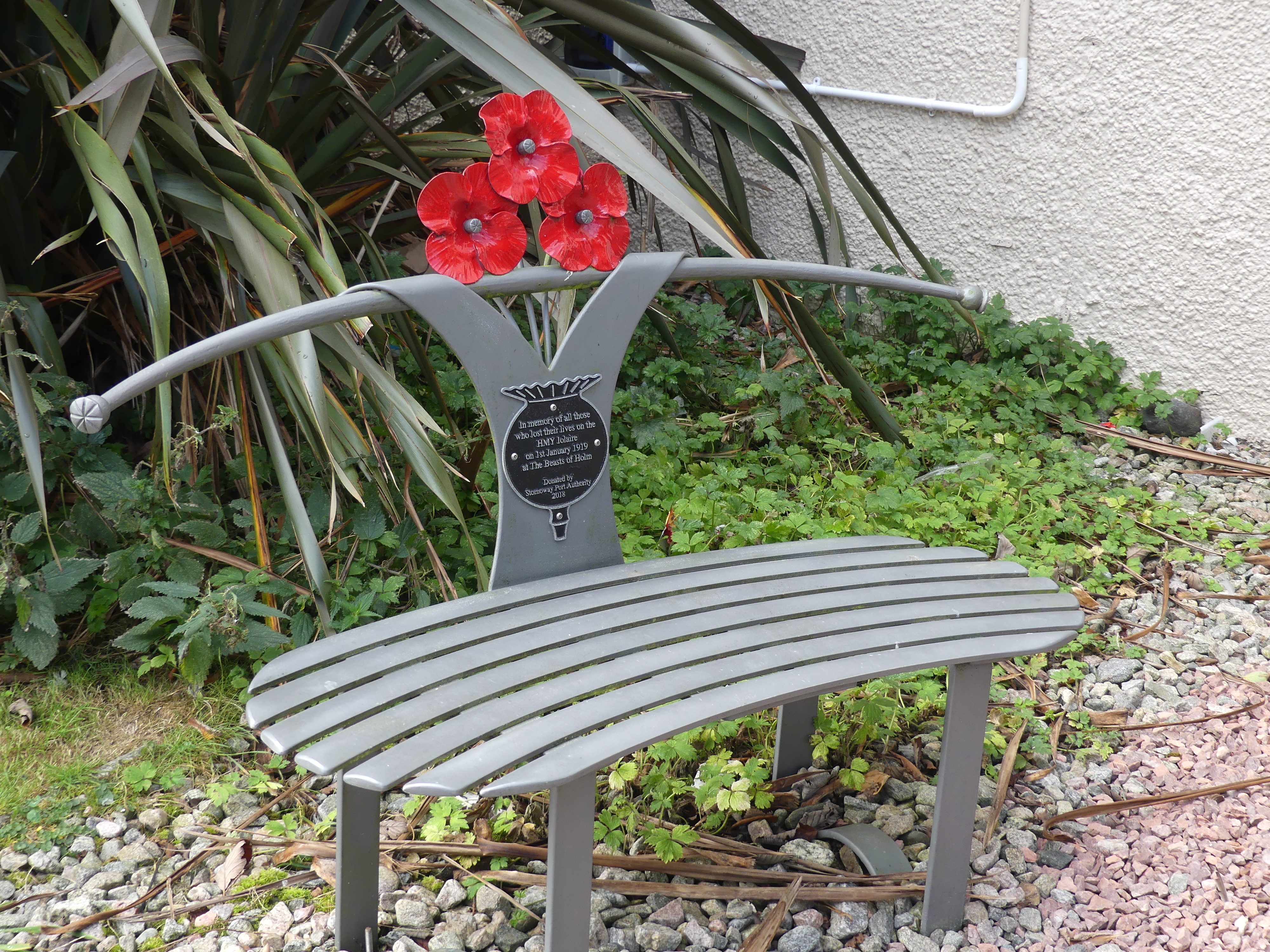
We moved into some of the semi-residential areas just on the edge of the town and discocered tha Harris Tweed weaver working in his shed (former garage attached to his house – not really a throw back to the shed outside the croft). And we found a reminder of home – the Foodbank office (Rotary obtains prepared meals for its Community Table in our Senior Citizens Hall kitchen with the meals being provided by FareShare at Morningside heated, packed and delivered by Rotary Brisbane South-East). We also found a memorial to soldiers lost in war and another stylish memorial chair as we saw in Kirkwell.
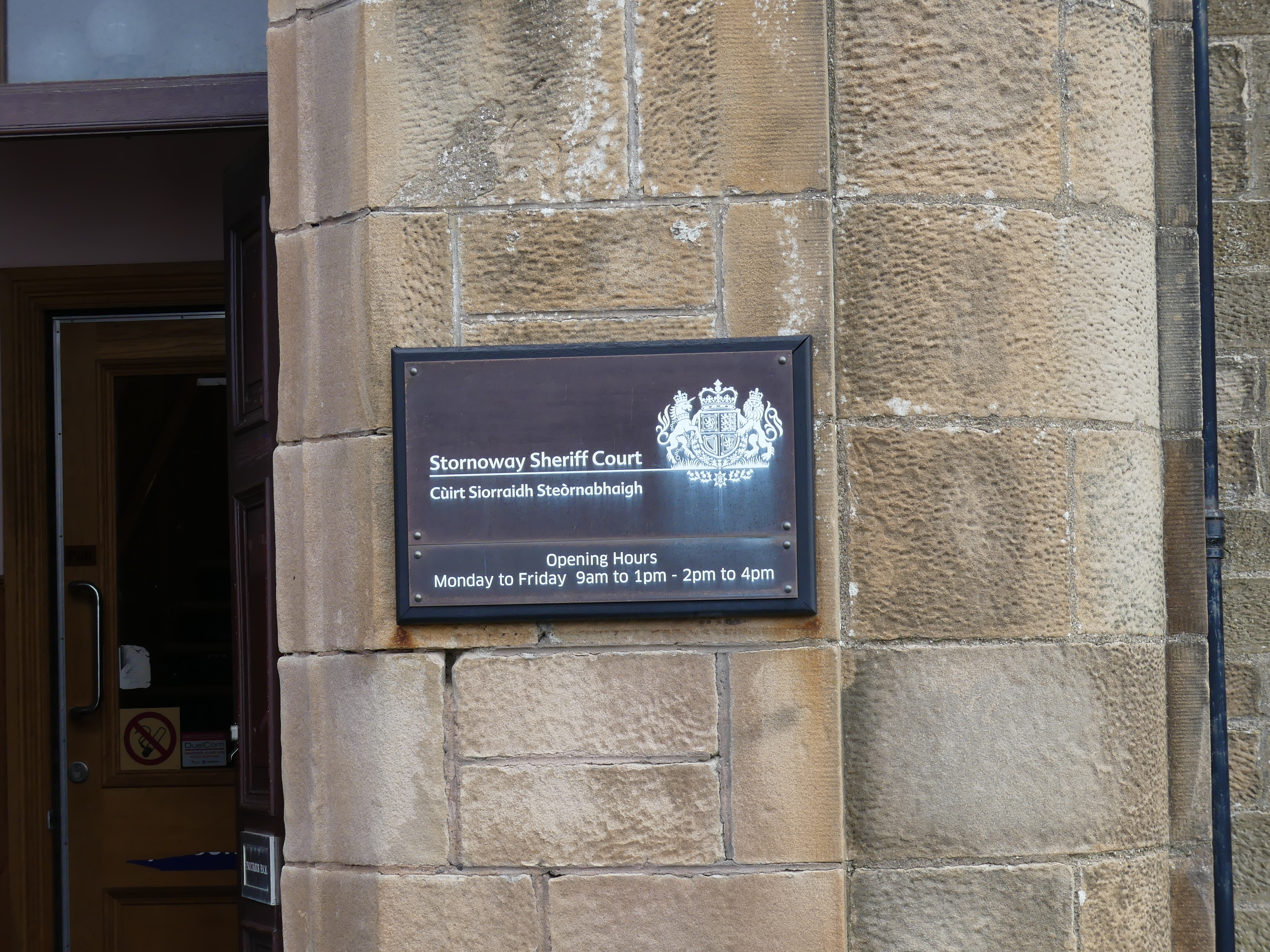
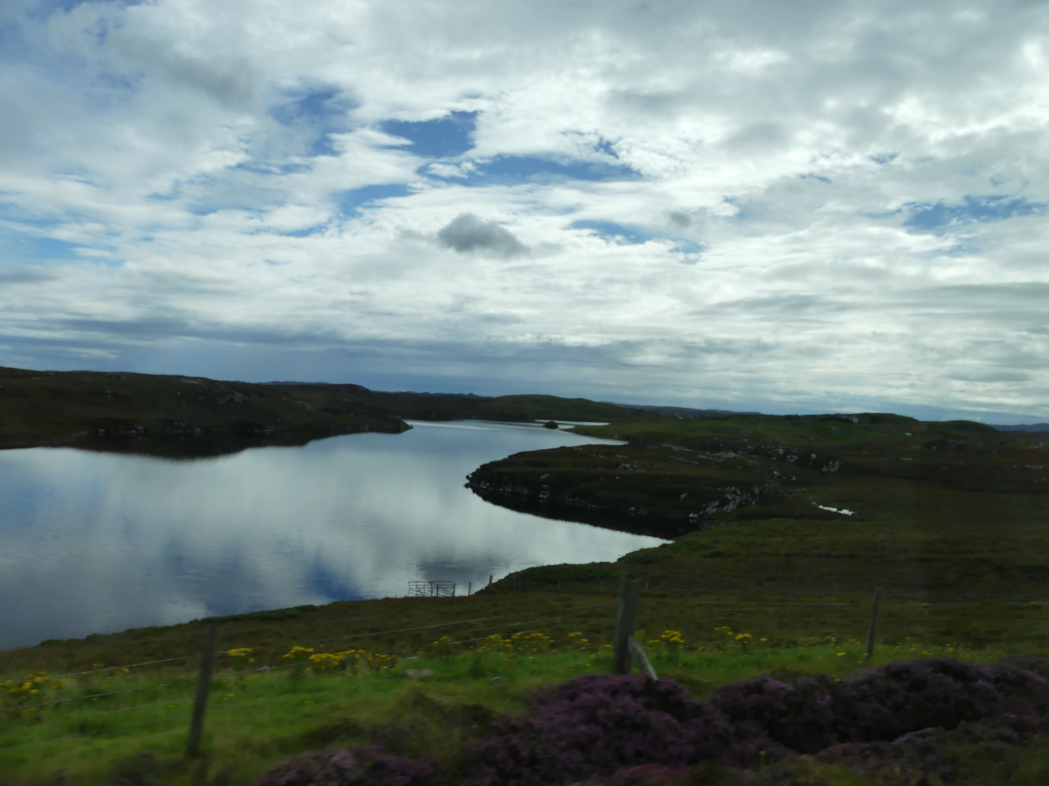
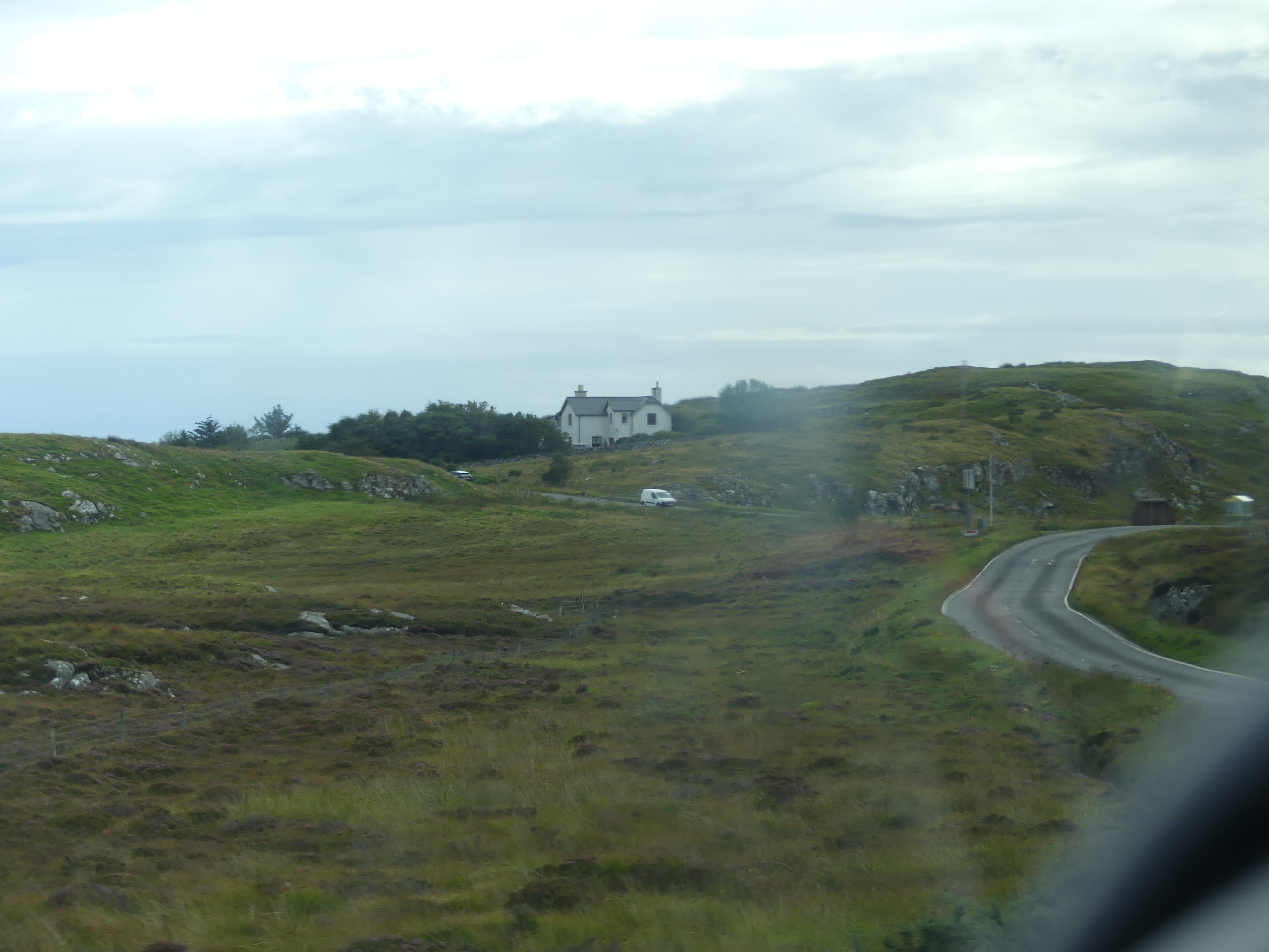
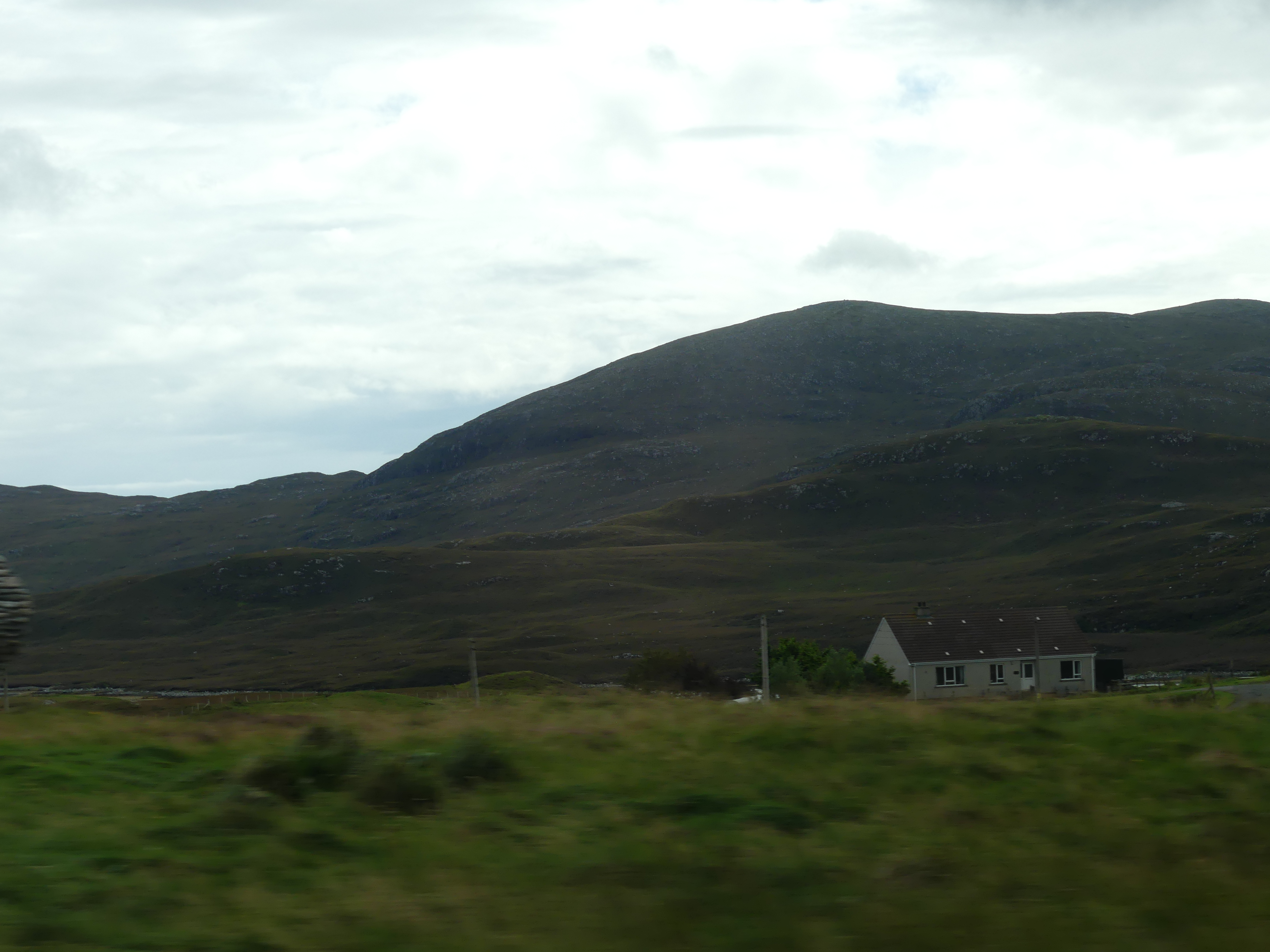
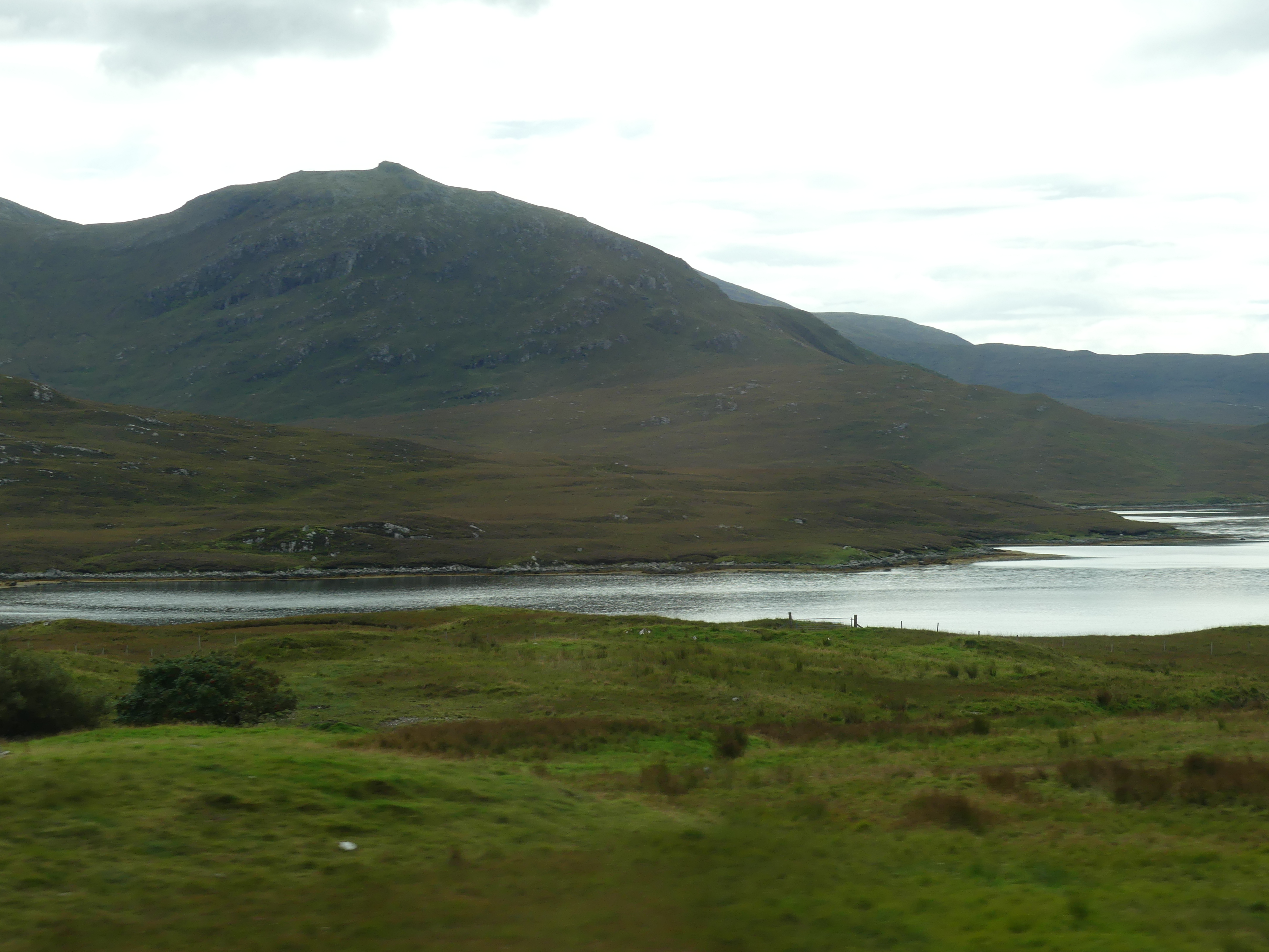
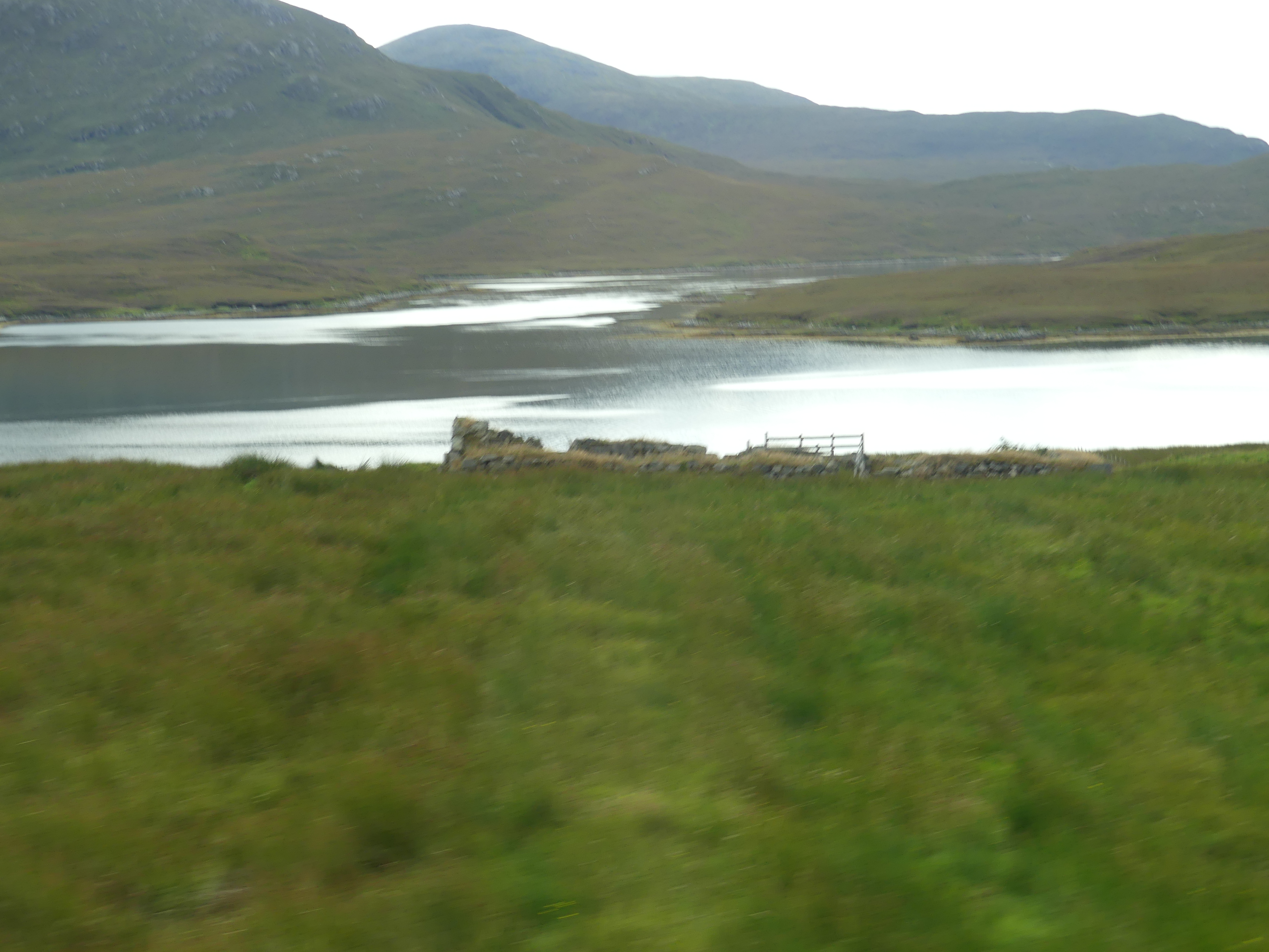
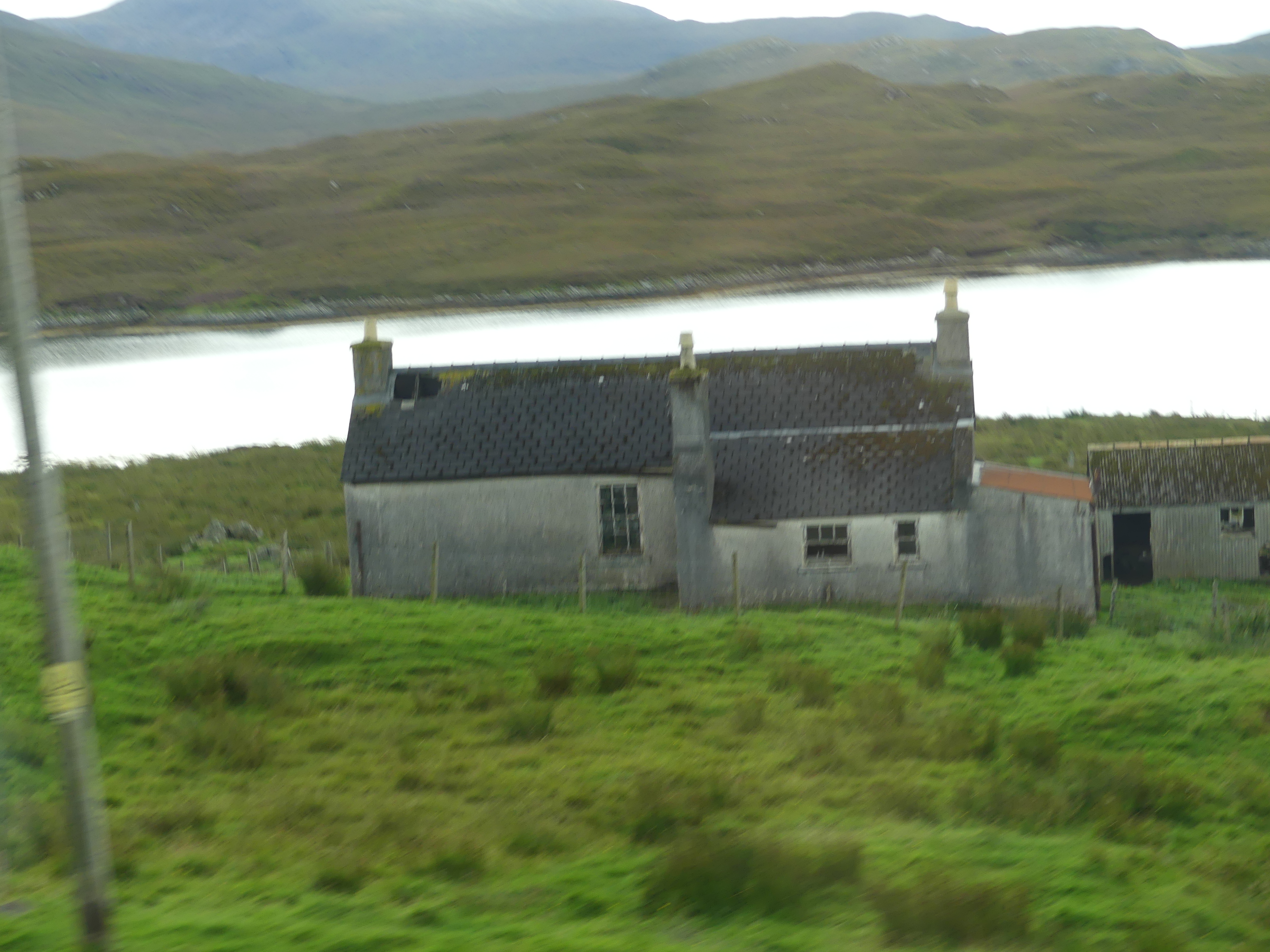
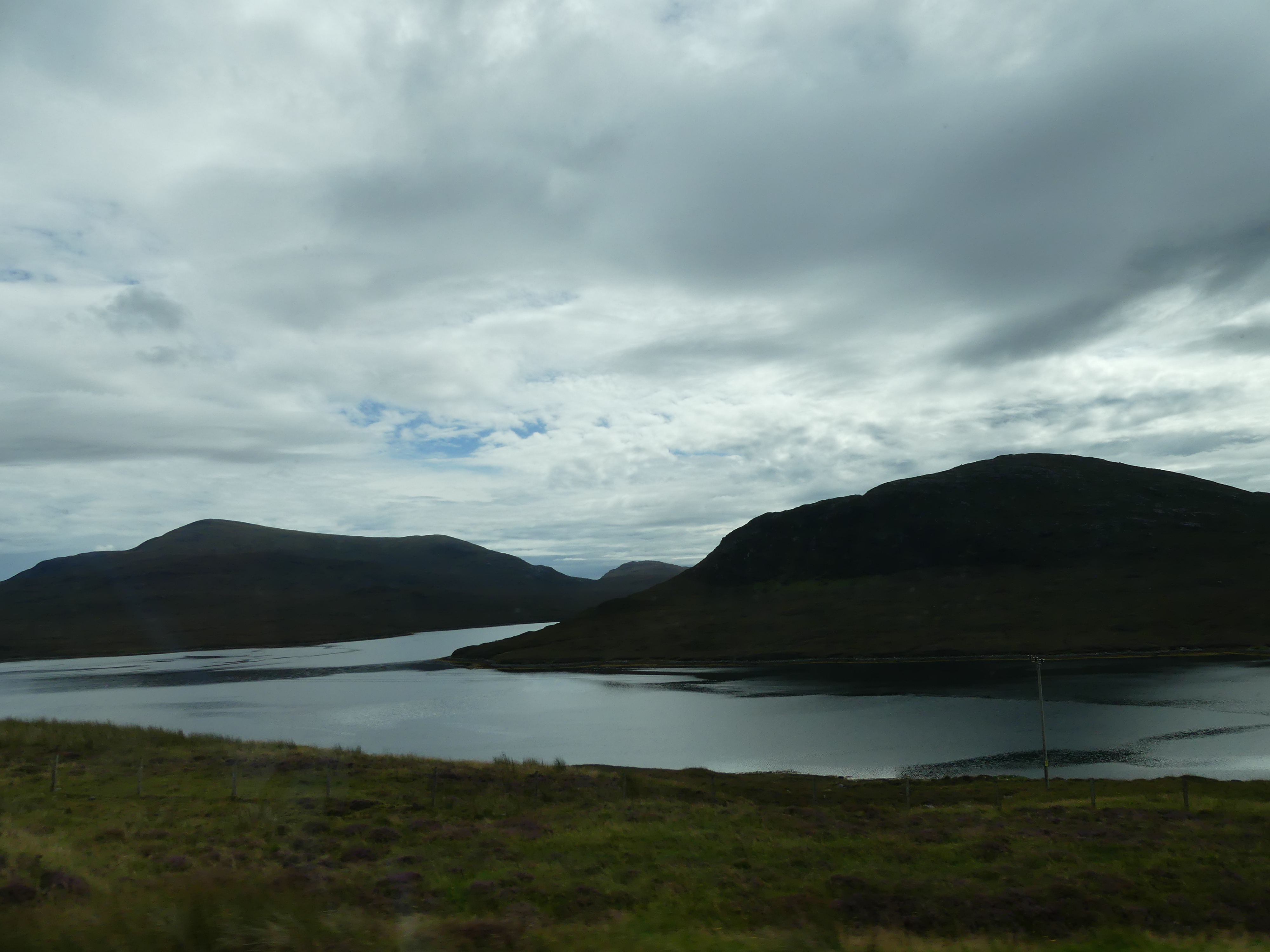
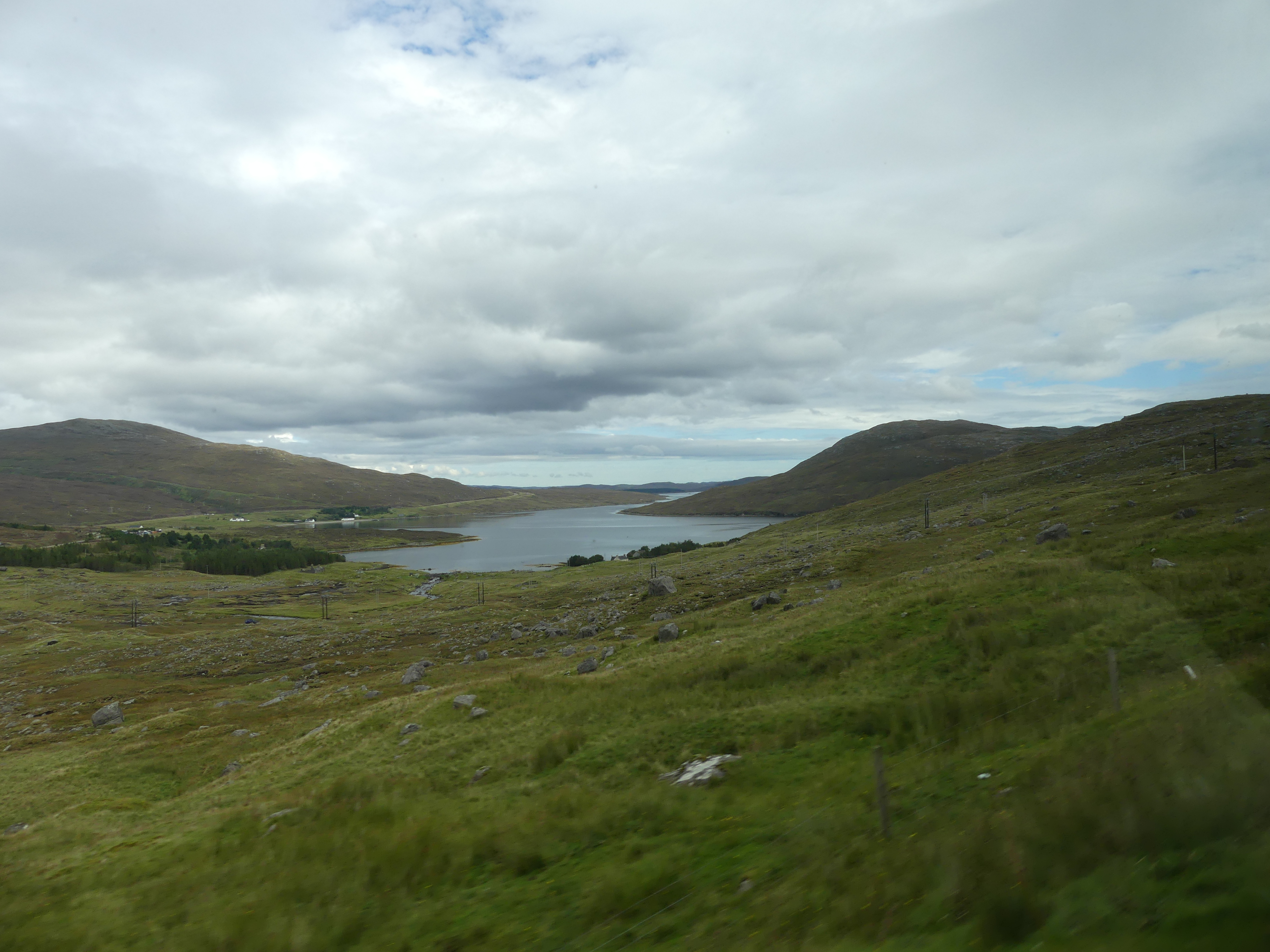
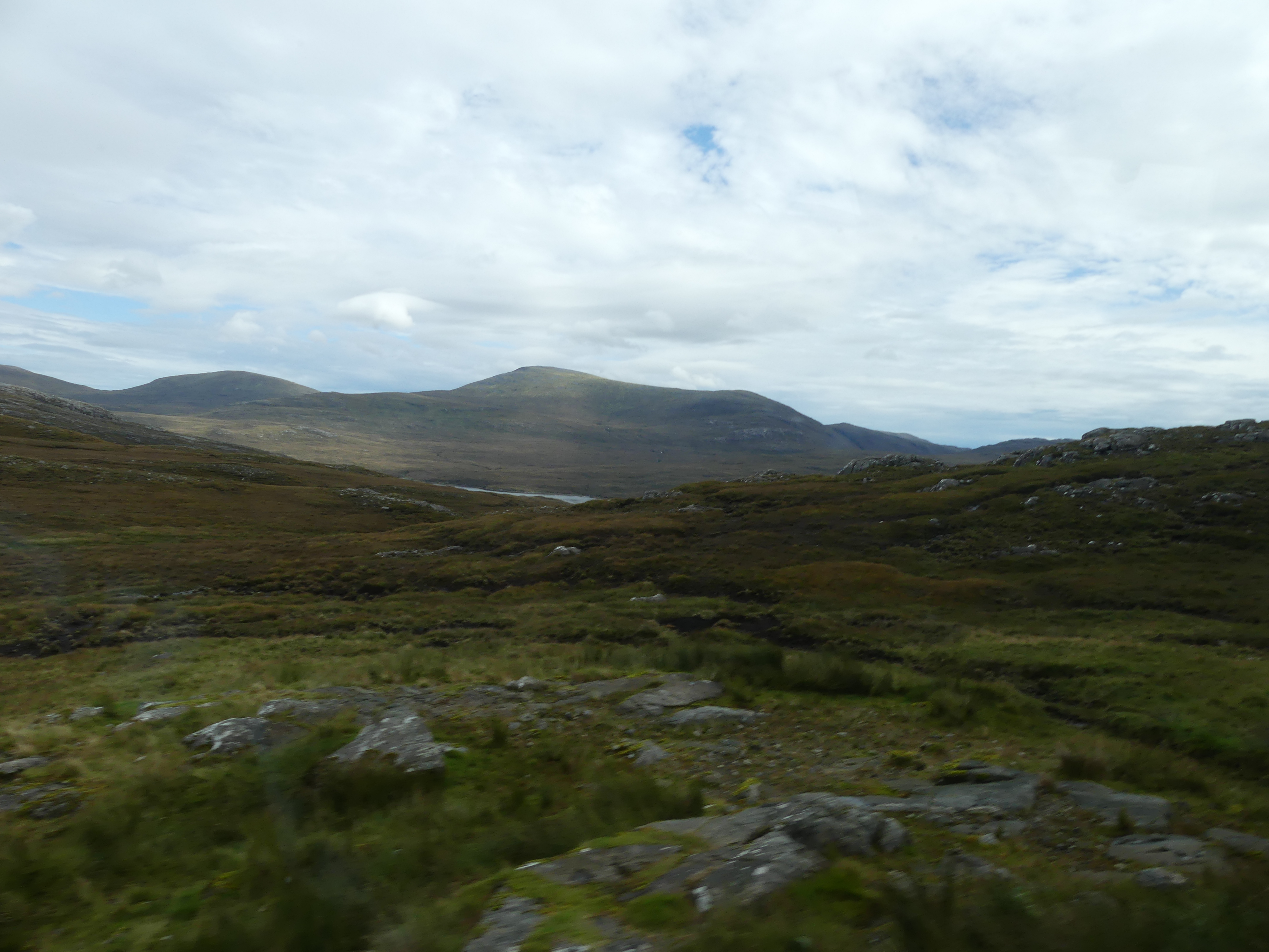
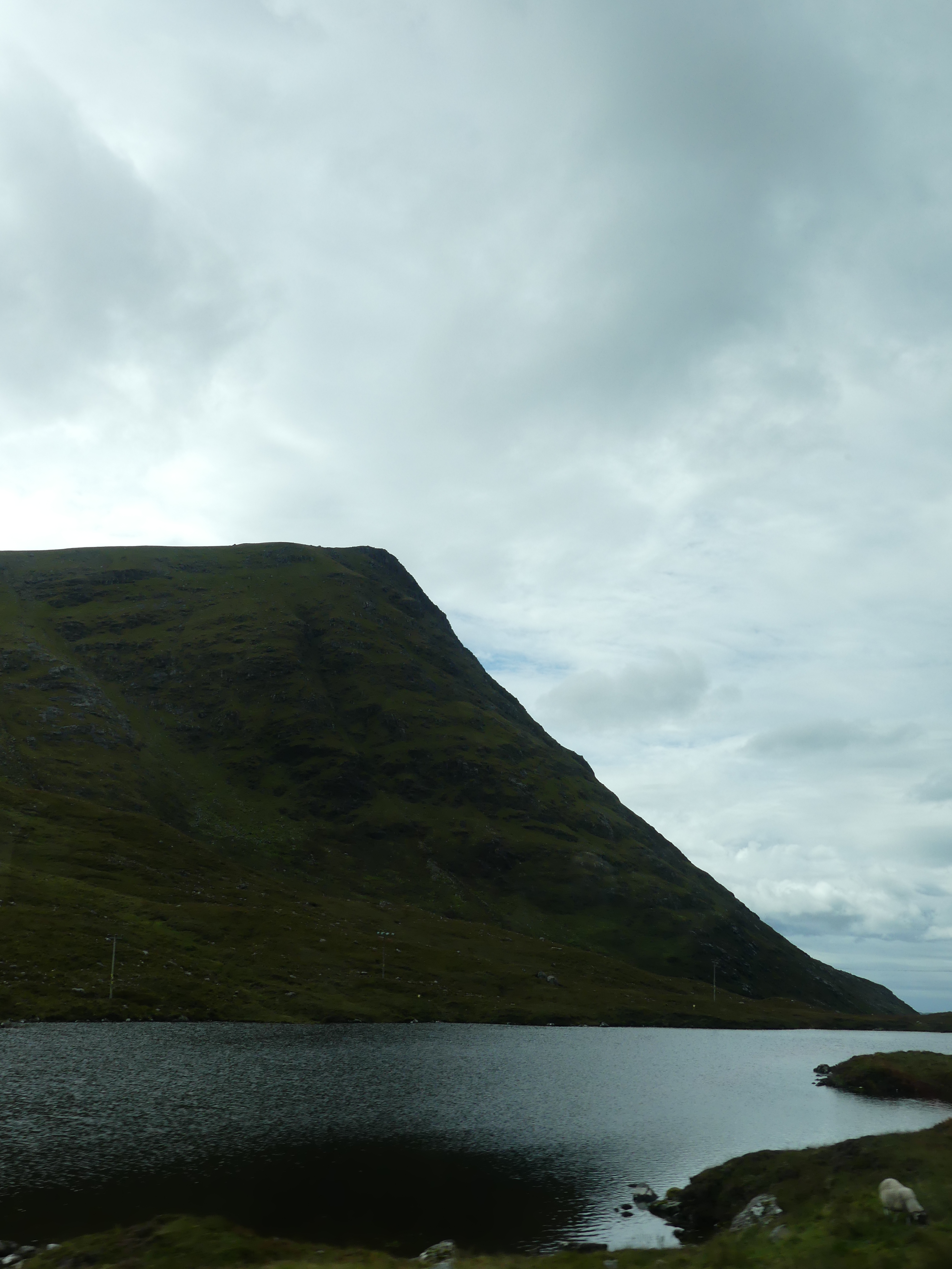
We also found the Sheriff Court and the bus station. We had decided that we would take the local bus over to the township of Harris. It was not difficult and they buses ran fairly regularly. Leaving Stornoway we passed the gate to the castle and soon we were into the countryside. Remote and wild, it took sometime to cross the island
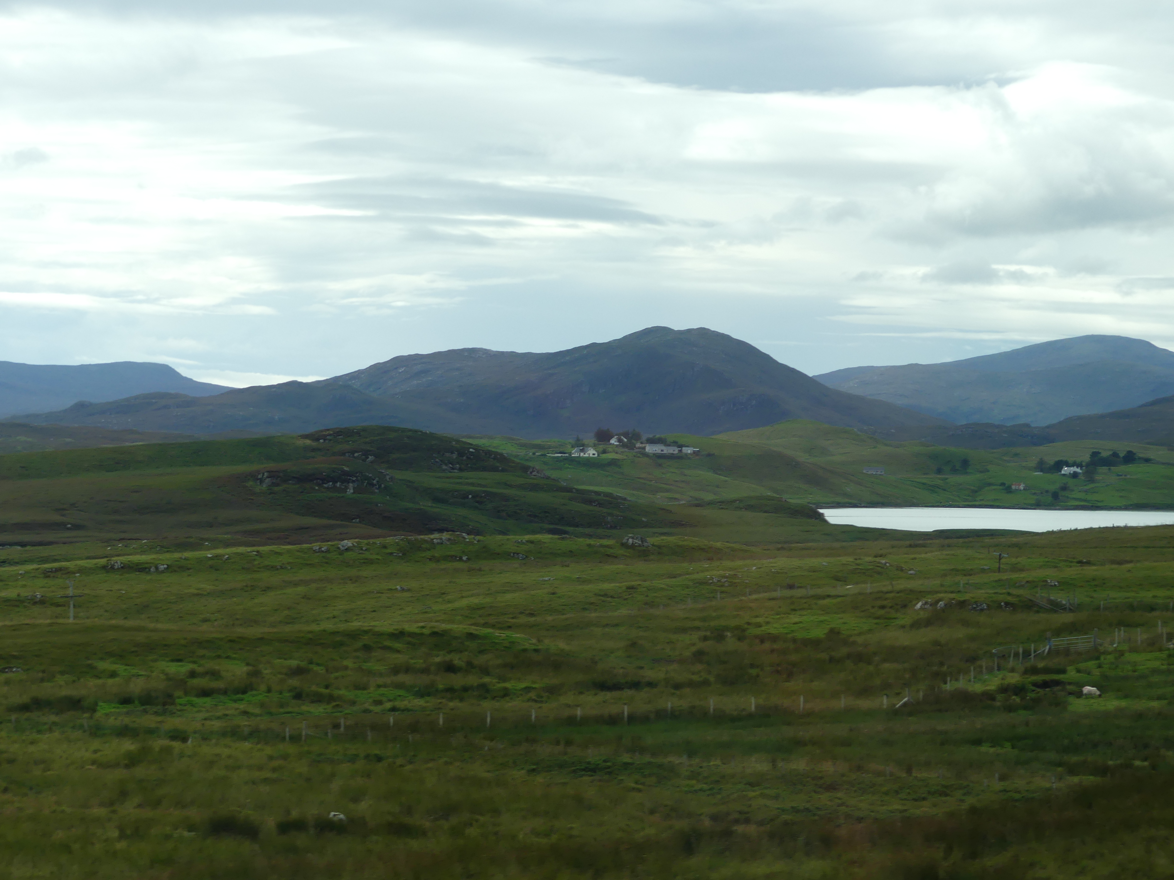


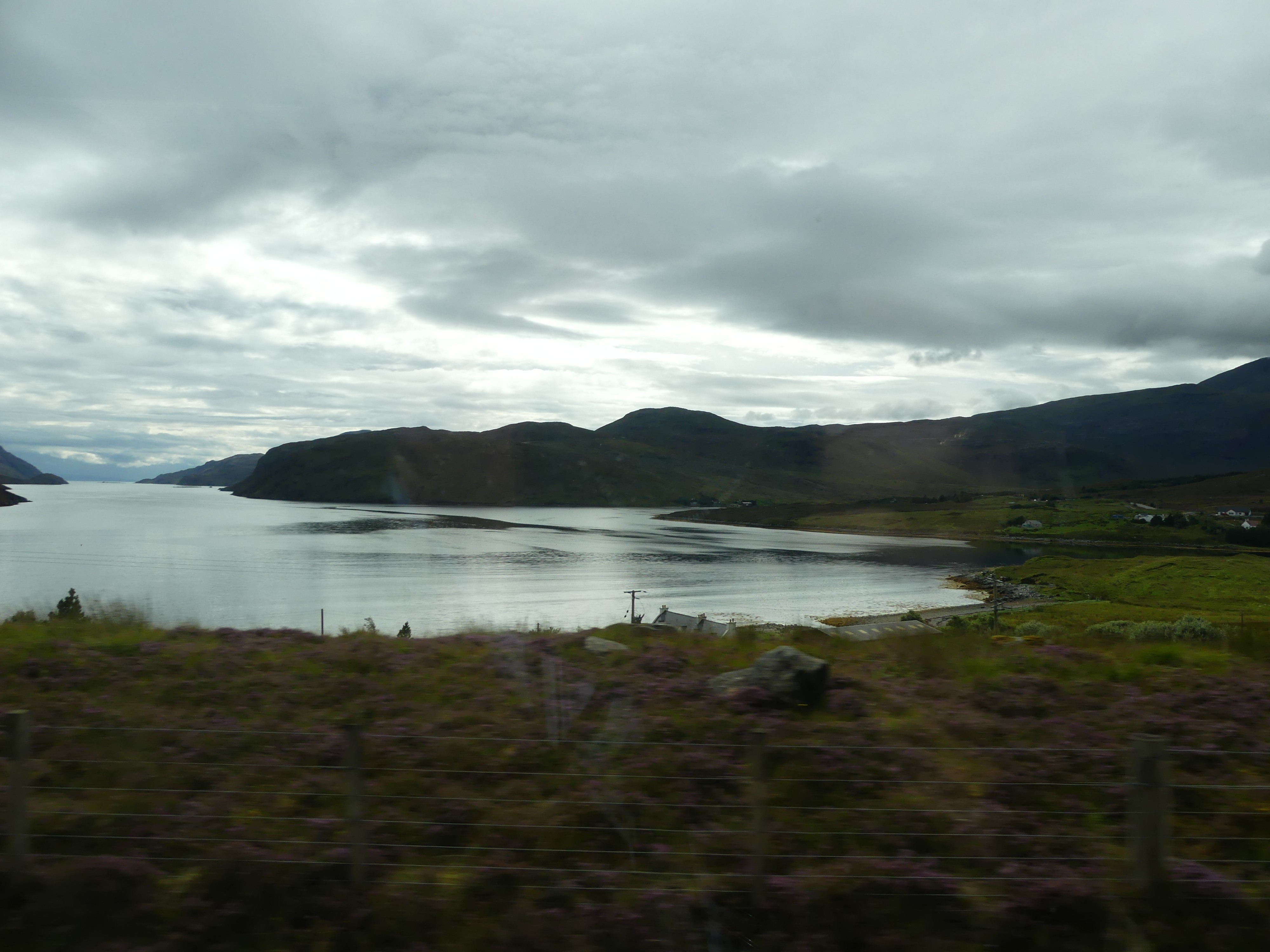
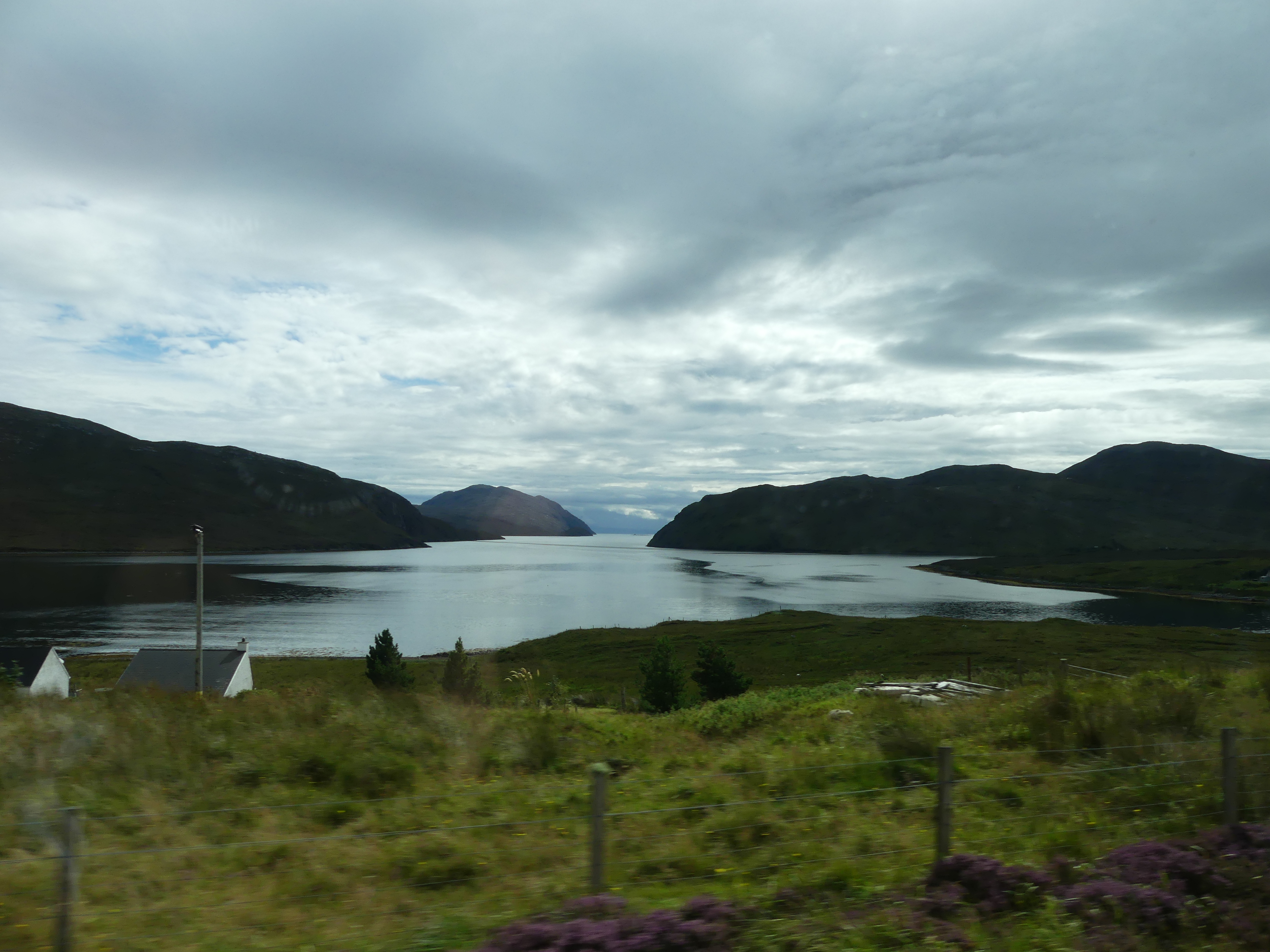
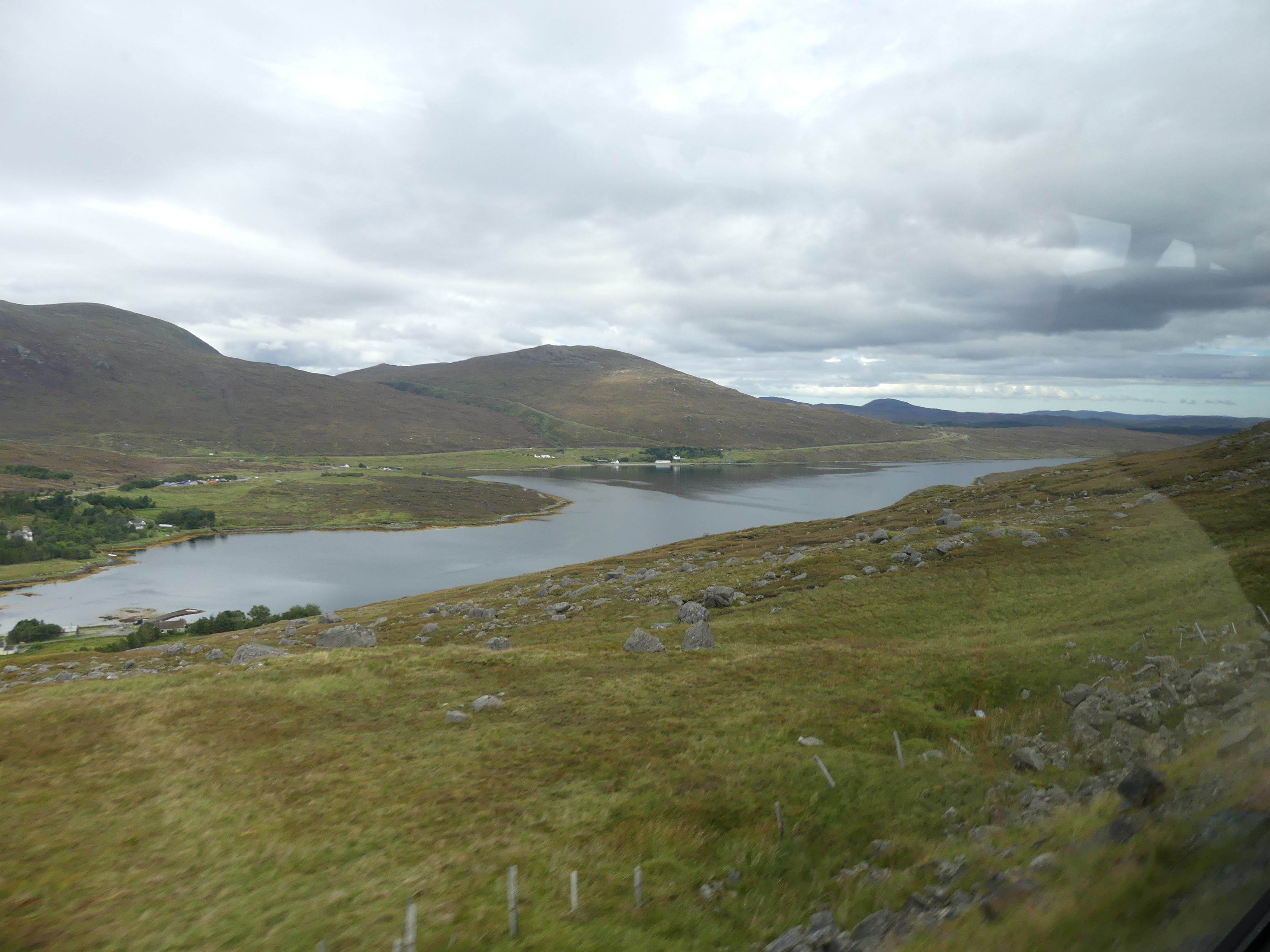

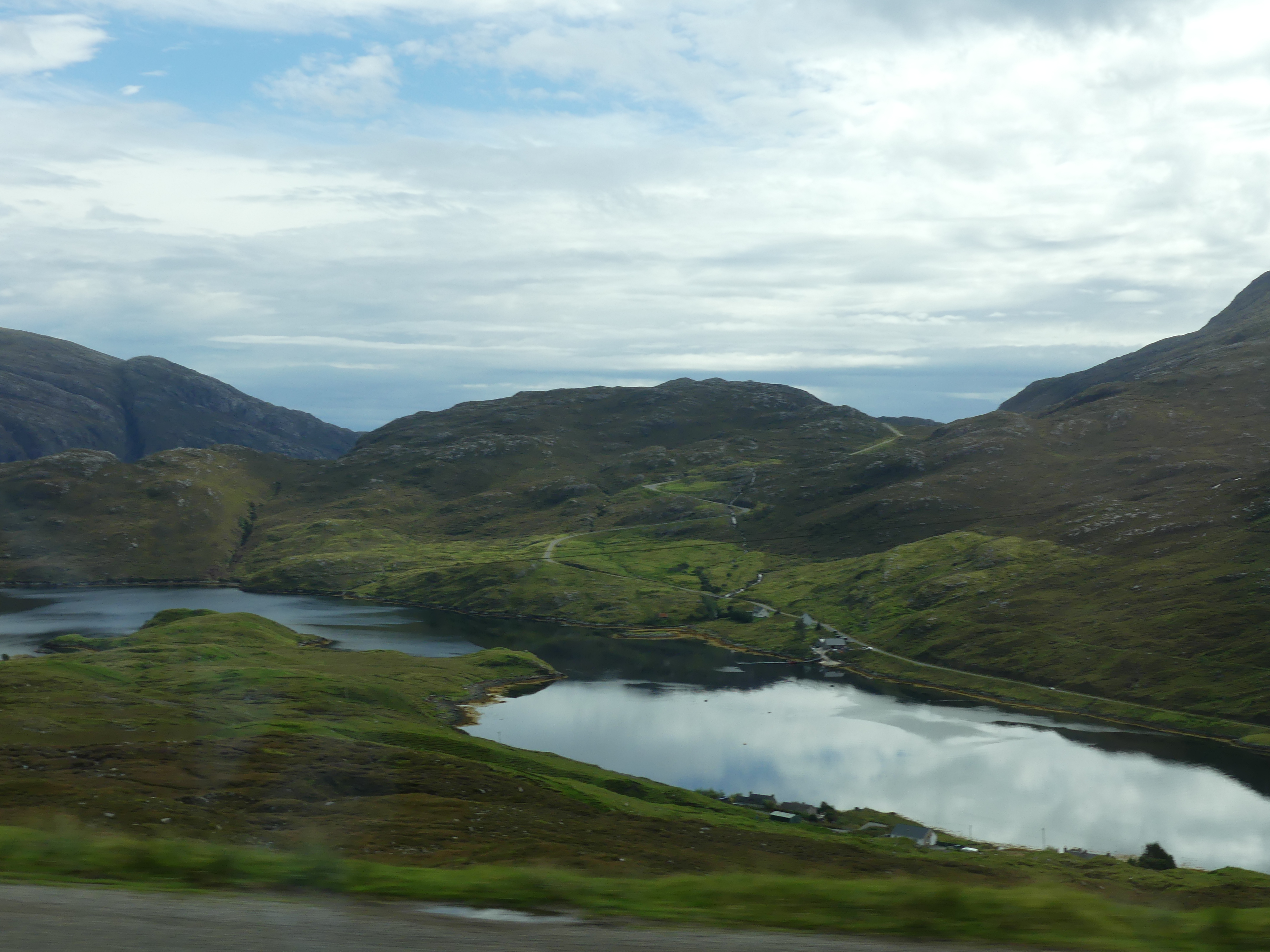
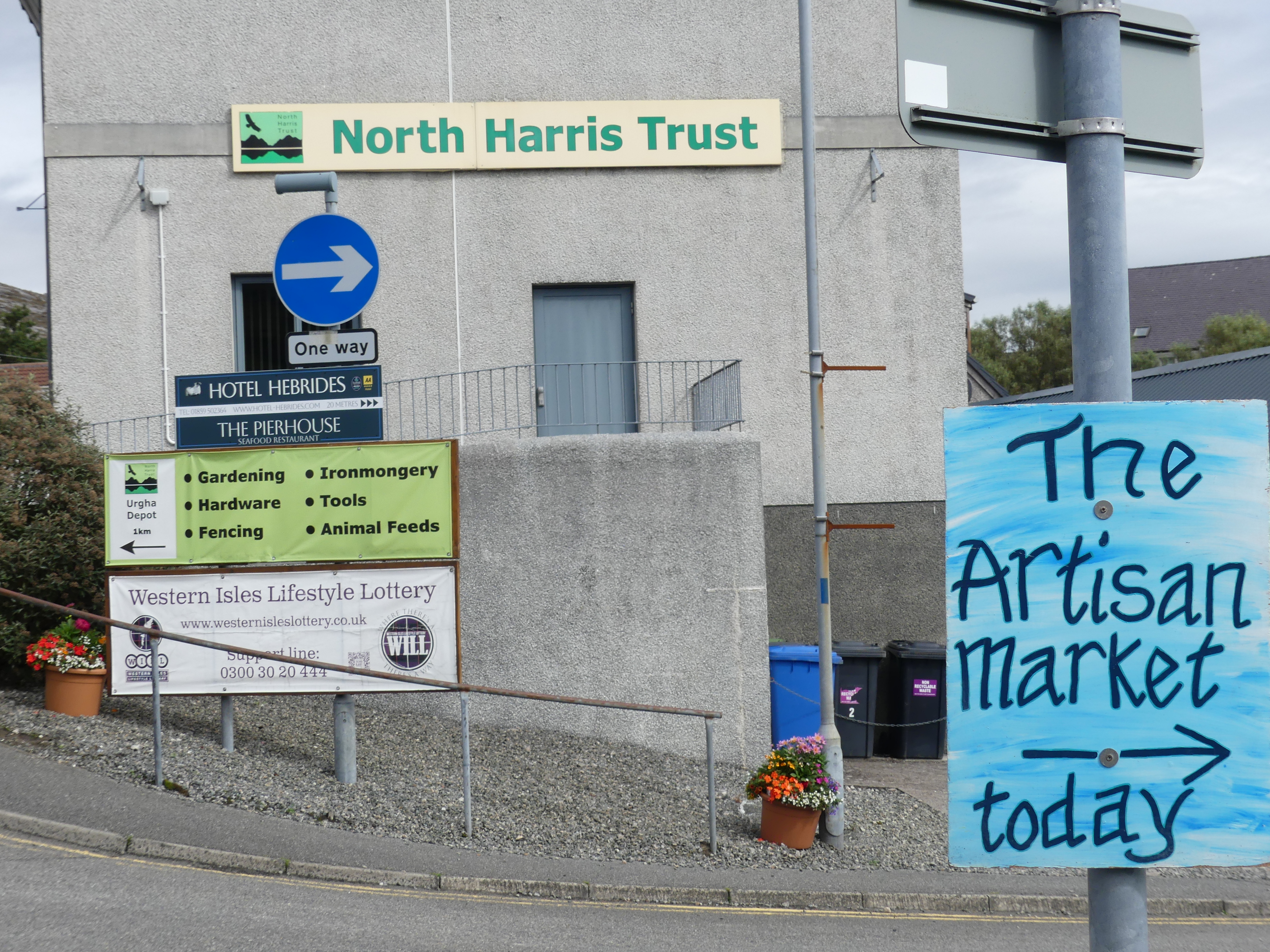
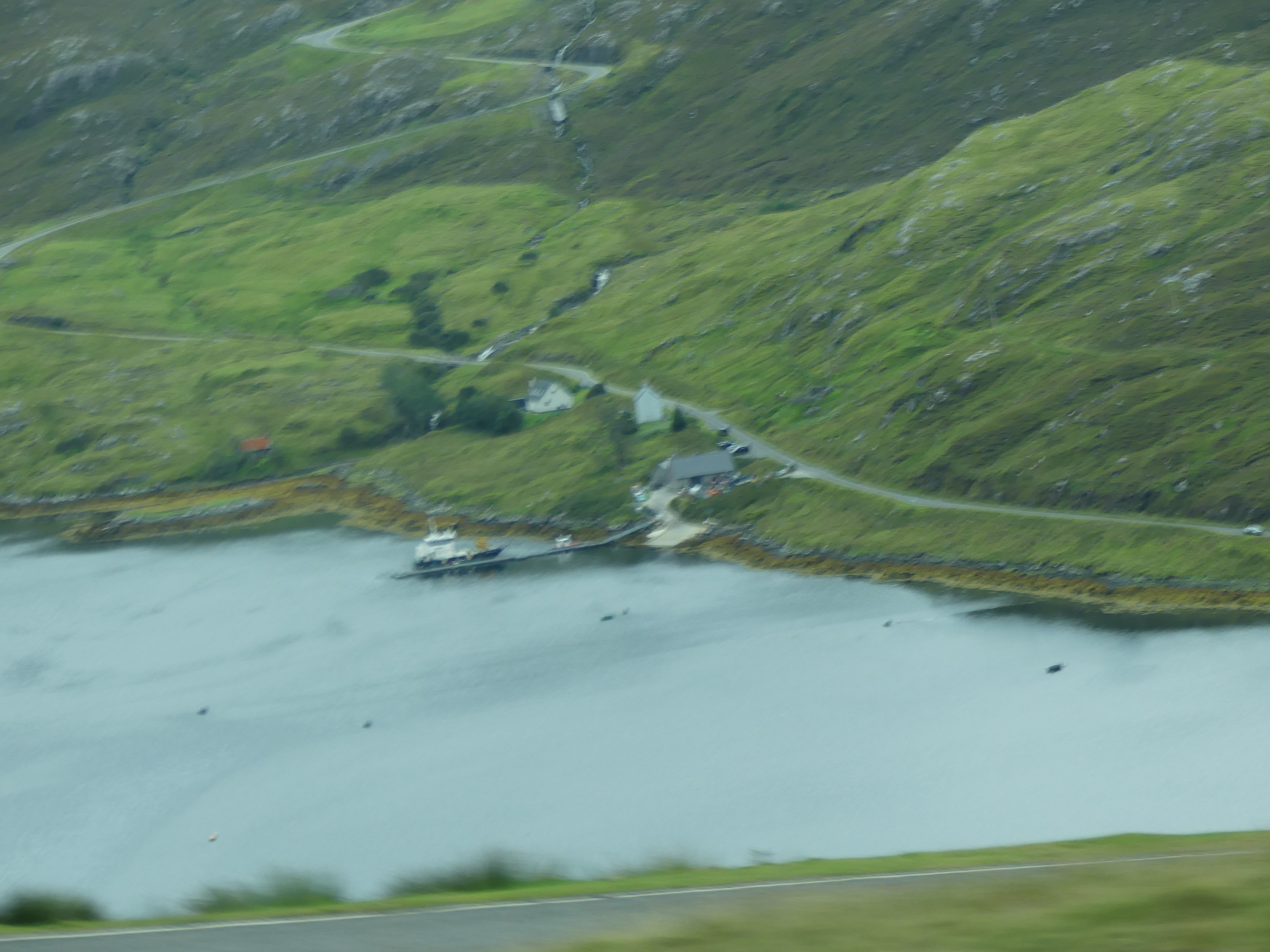
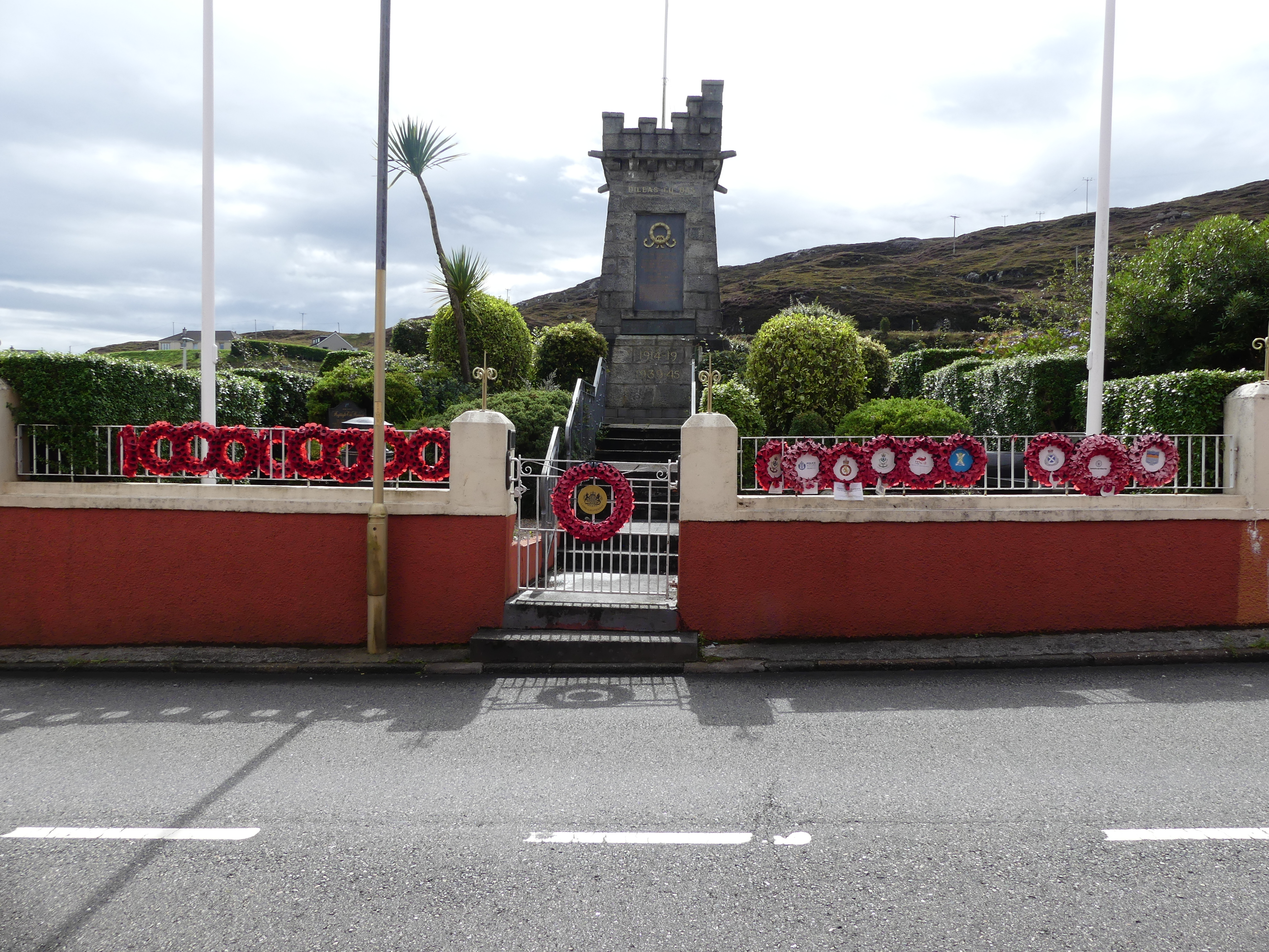
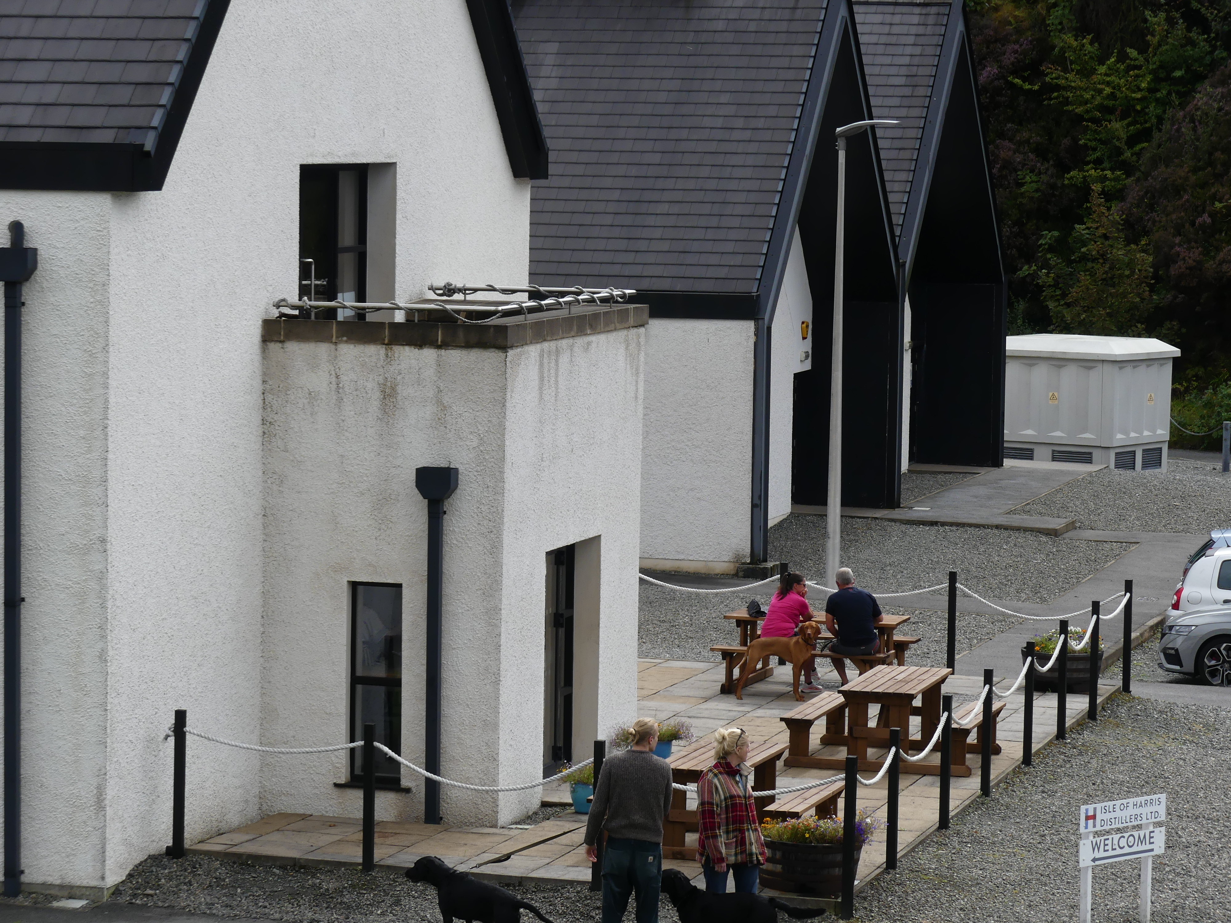
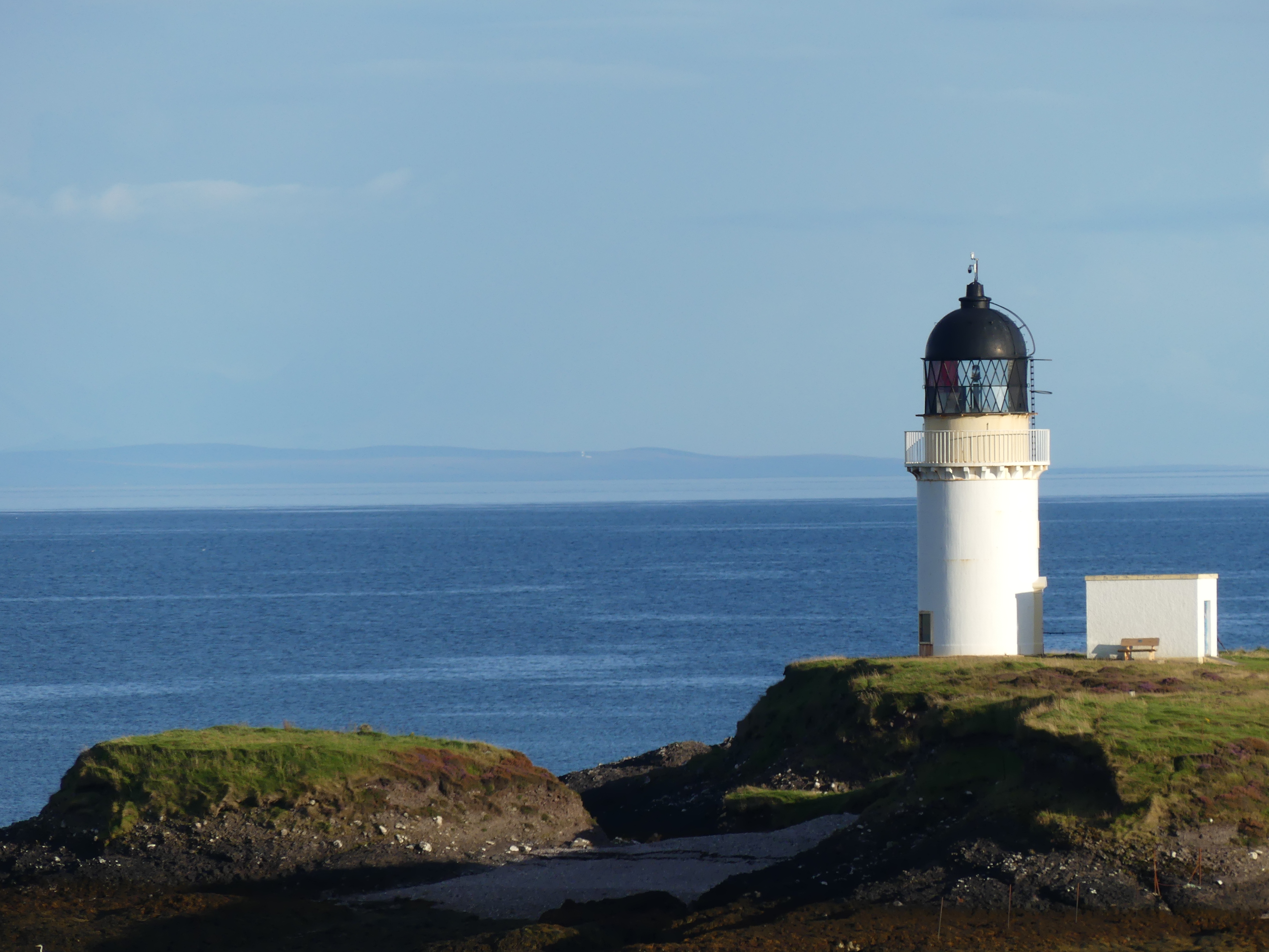
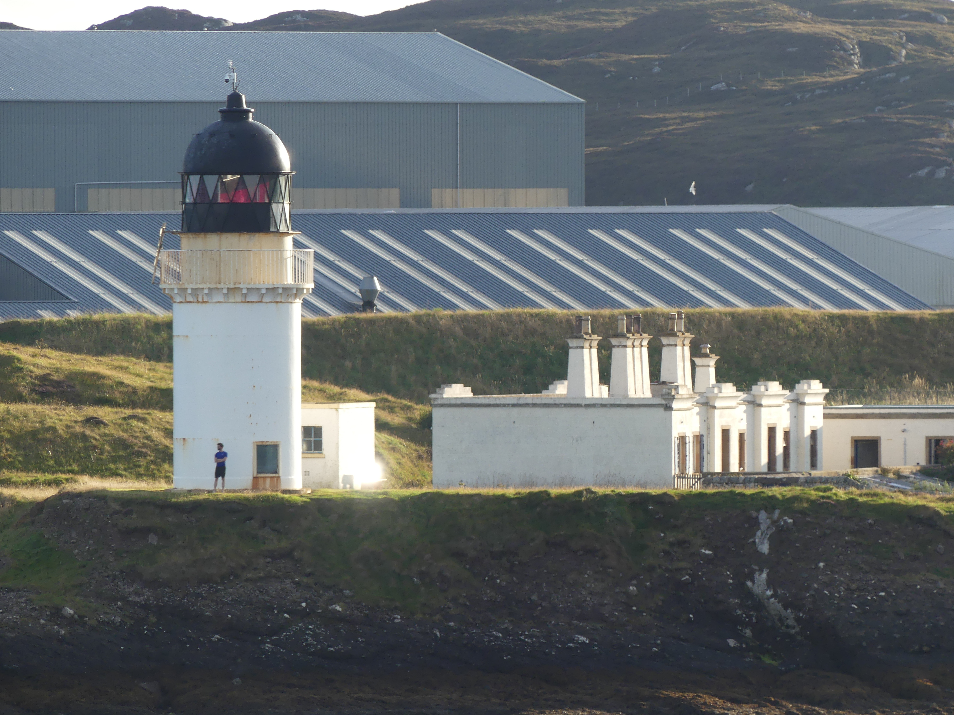
Just as we were beginning to lose hope that we would get to the terminus, it happened – we arrived in North Harris. Perched on the side of a hill over an inlet the village of North Harris was celebrating with an Artisan Market. Set up in the community hall all the hand made crafts to be found on the island were on display. The first stall had wool not pulled into any shape but we had seen the off cuts in the Weavers shed. The stall holder told us she was having trouble obtaining the offcuts due to the decline in small weavers. As it happened I had picked up the business card for A. Harris Tweed Weaver in Stornoway and I passed it onto her. Not only was she grateful but couldn’t believe that a tourist knew more than she did on her subject. Other things of note were the inlet below, the war memorial perched on the very edge of the rock face of the inlet, the distillery and lighthouse below. Not a traffic light to be seen in the village.

Our bus had return to take us back to Stornoway and our ship to continue our adventure. The next port would be Belfast. We had spent sometime in Belfast a few years back when driving around Ireland (North and Eire) so we wondered what we might do. Lean about our decision when reading my next blog “THE RETIREES GO AROUND THE WORLD – DAY 6 SS NIEUW STATENDAM – Outer Hebredies – Belfast Northern Ireland”
