19TH MAY TO 10TH JUNE 2026
Day 14 Christchurch to Greymouth
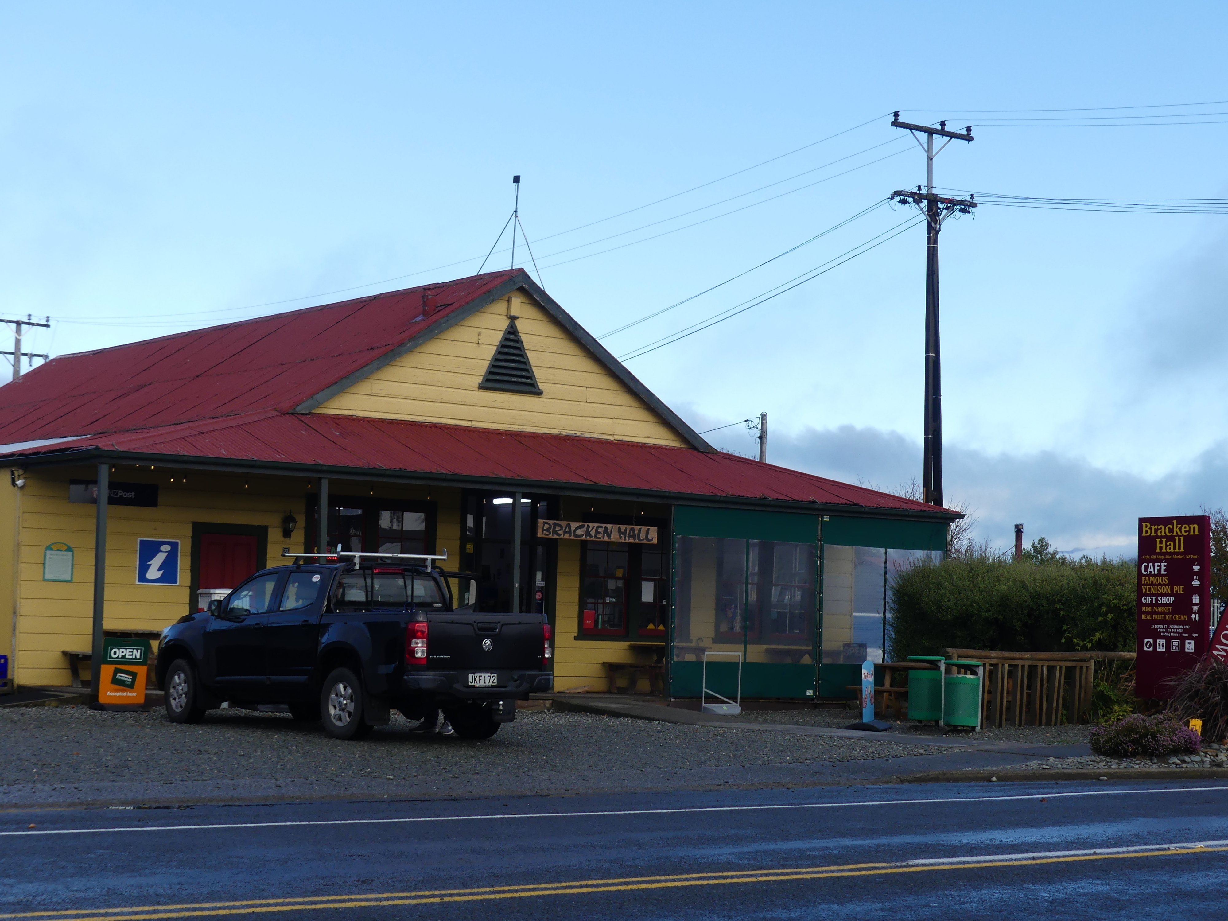
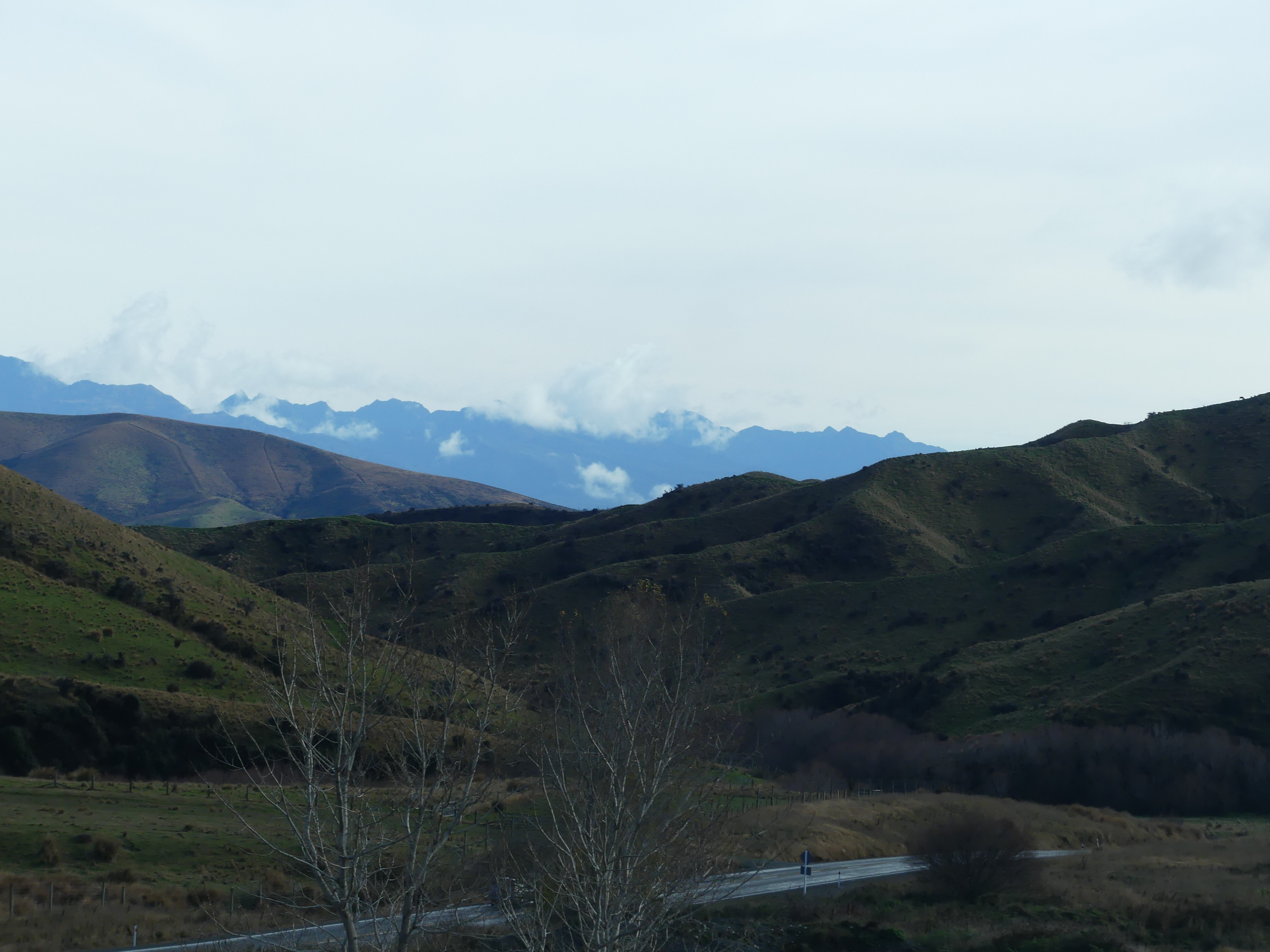
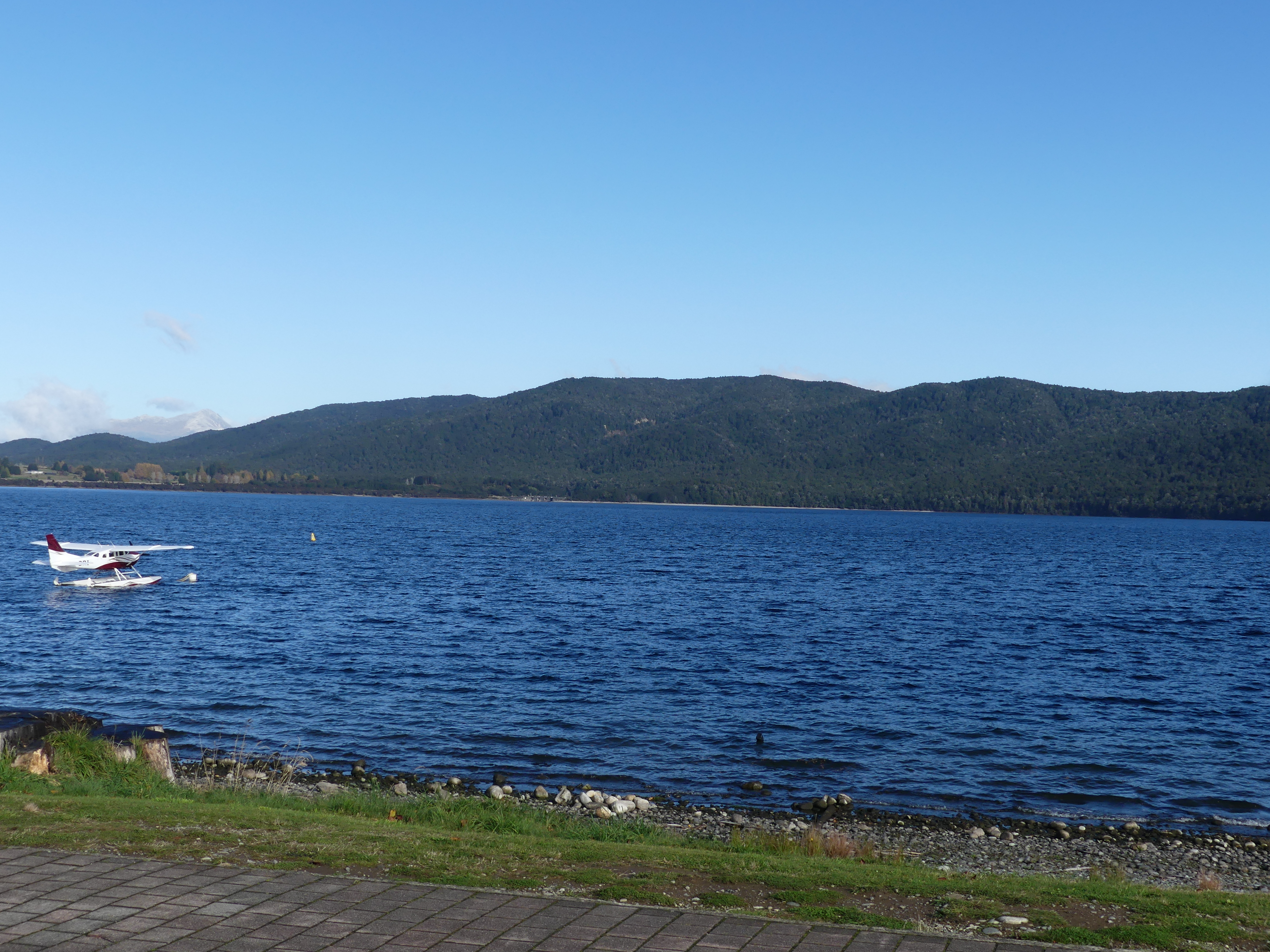
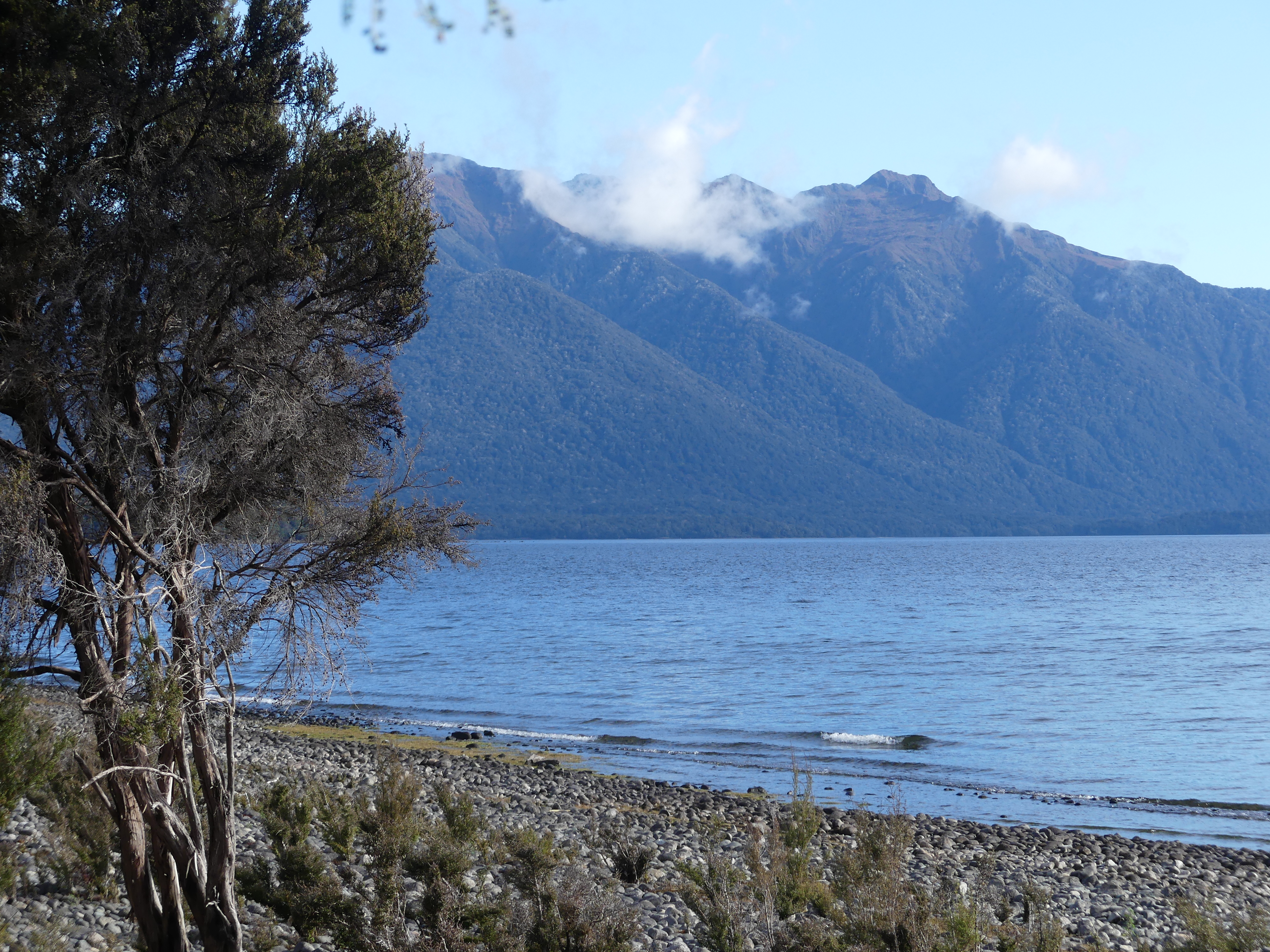
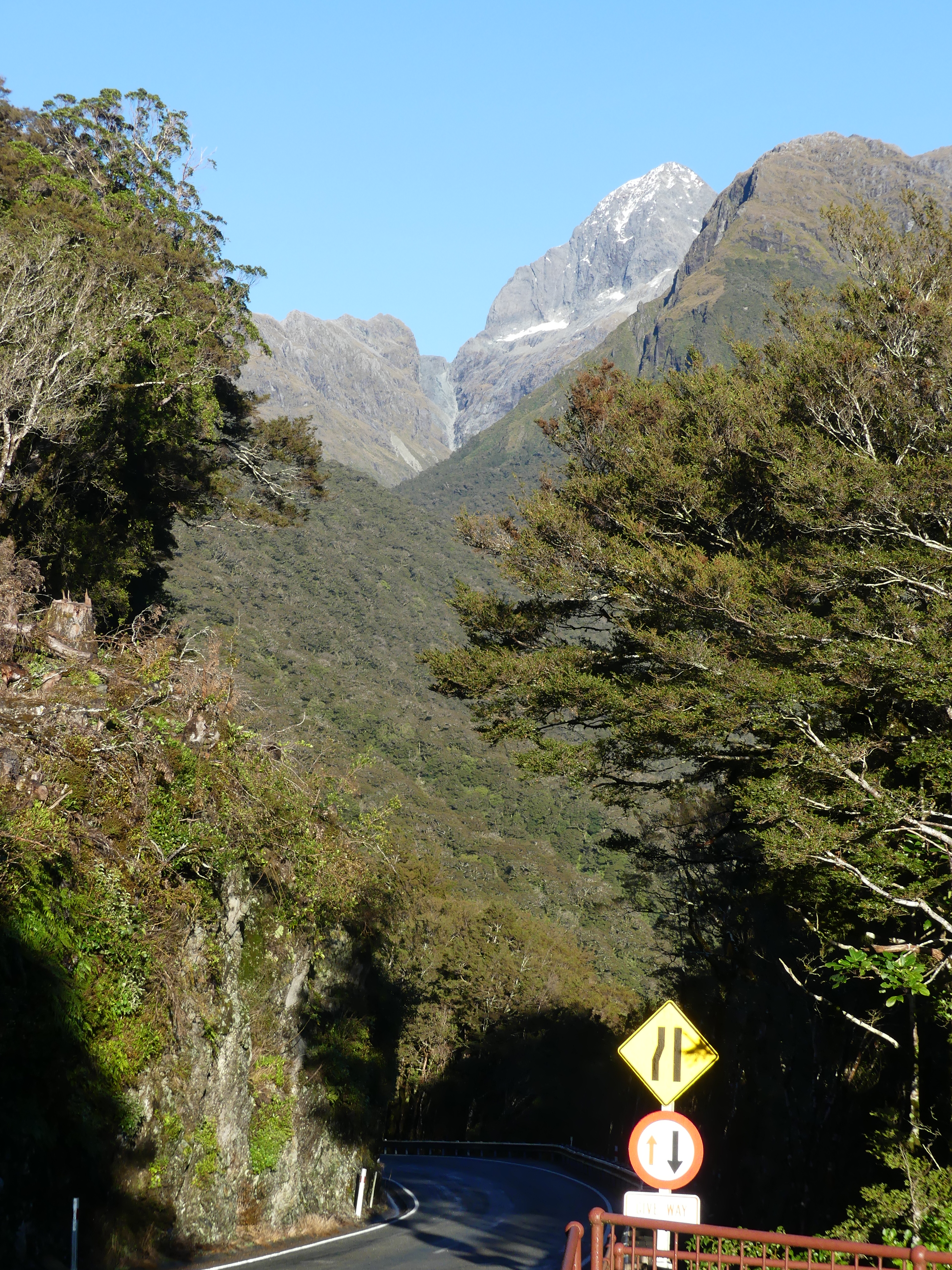
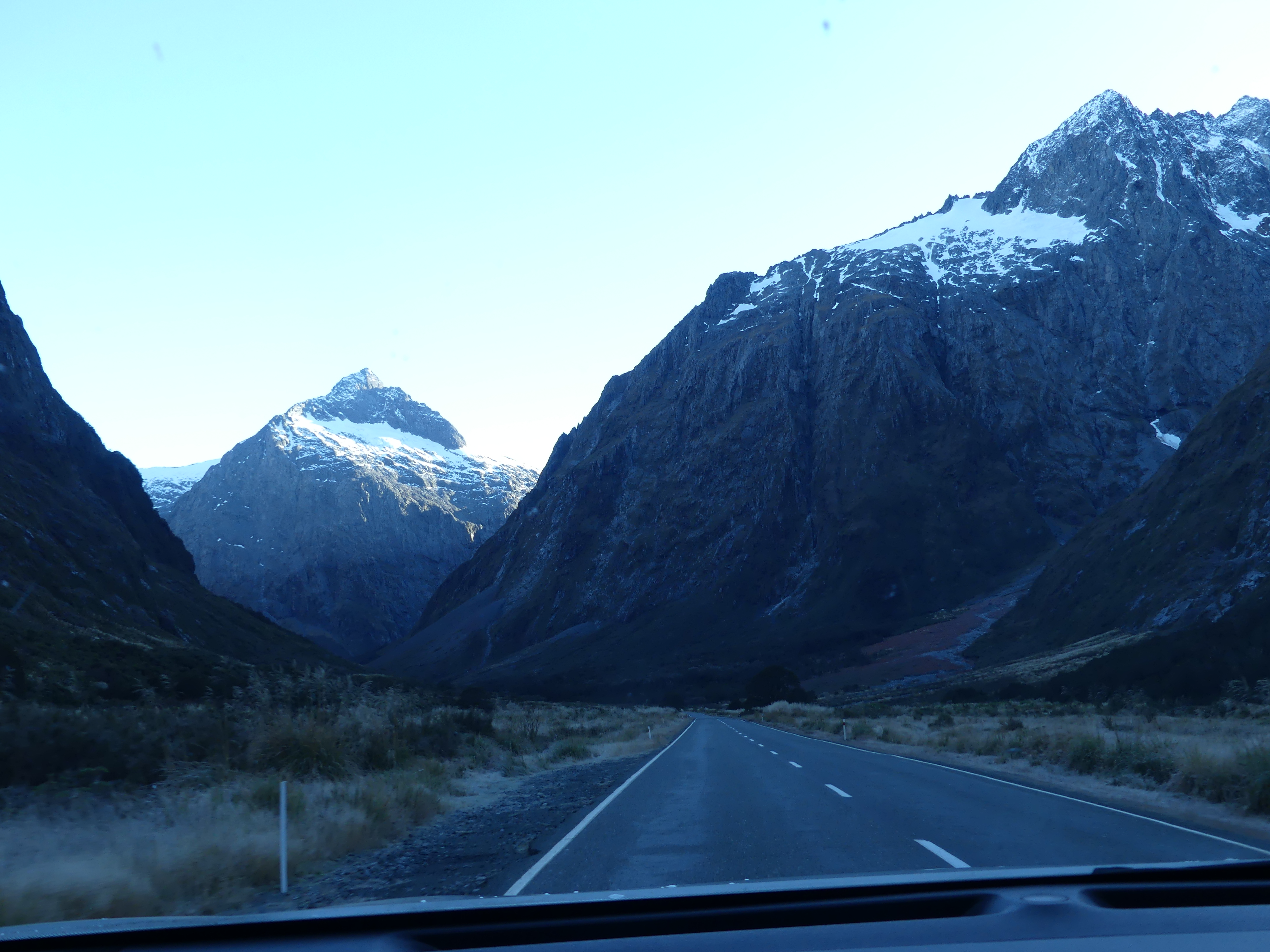
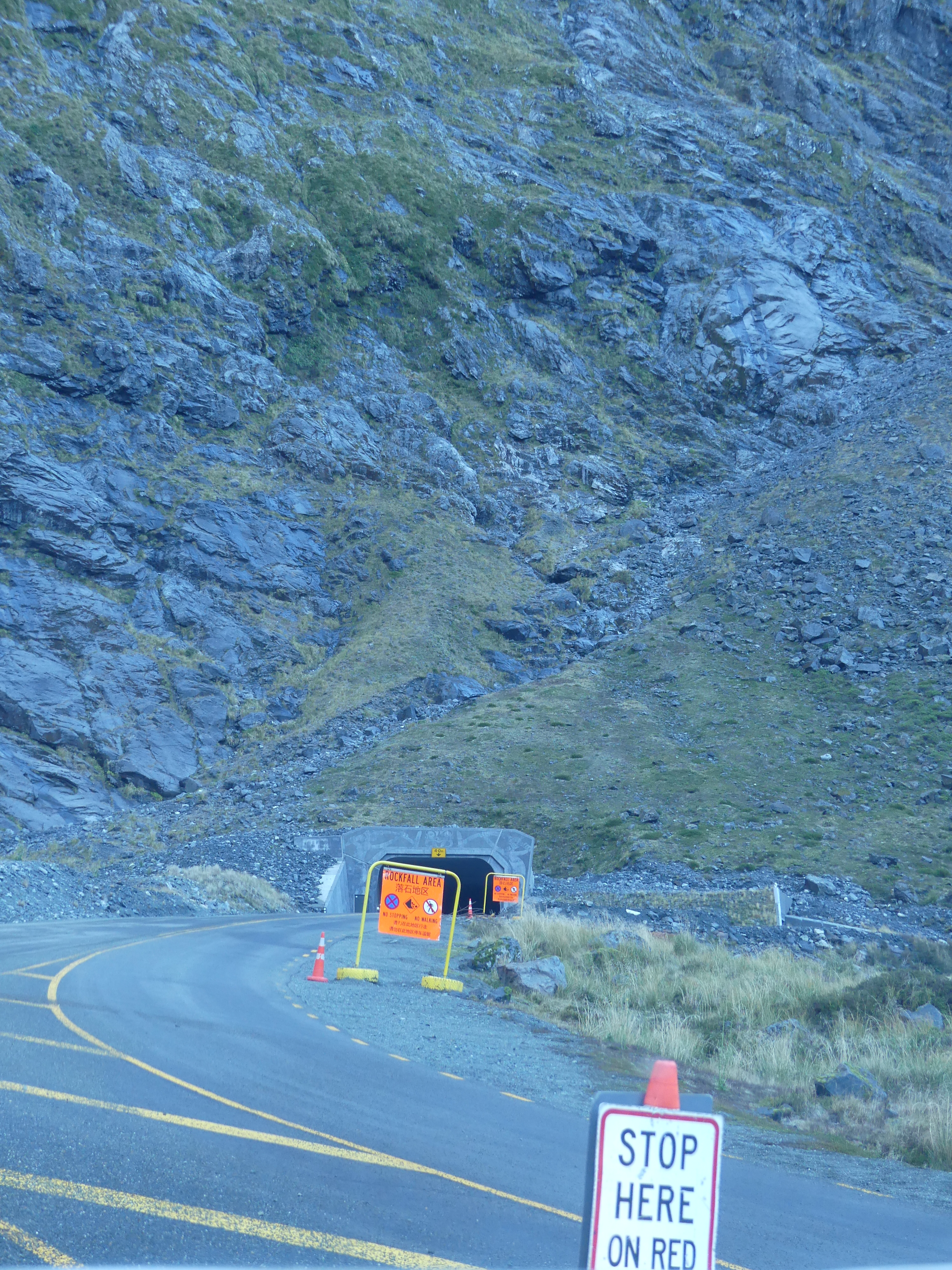
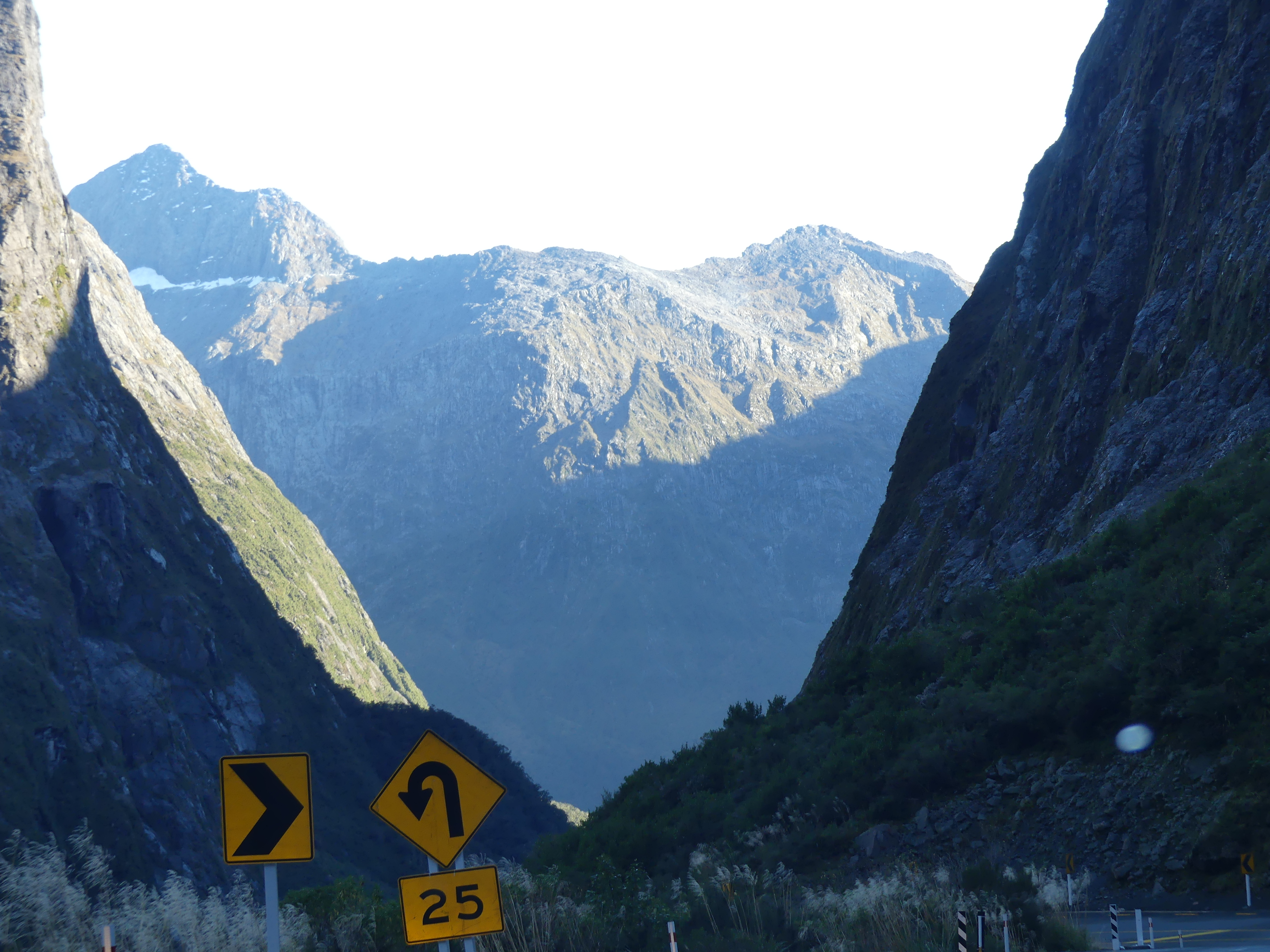
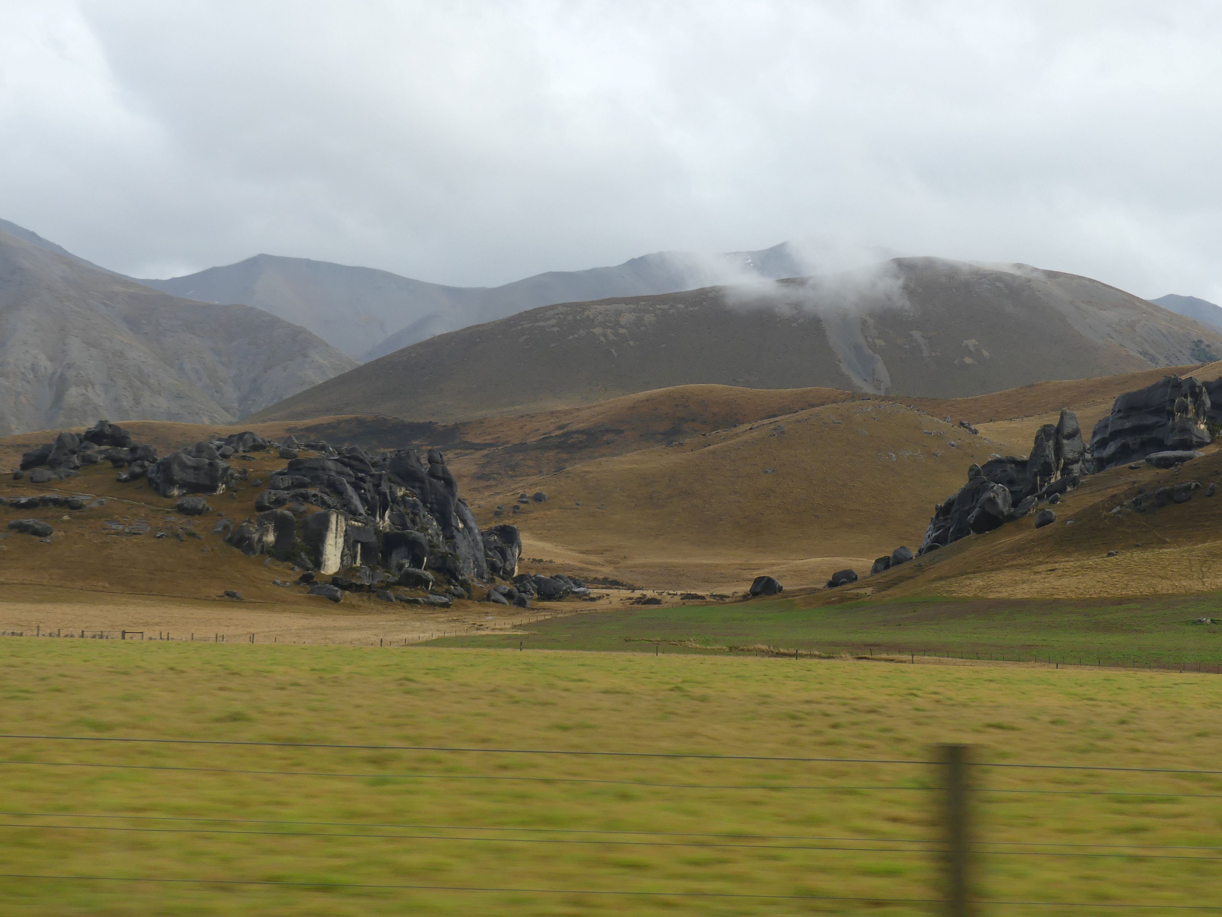
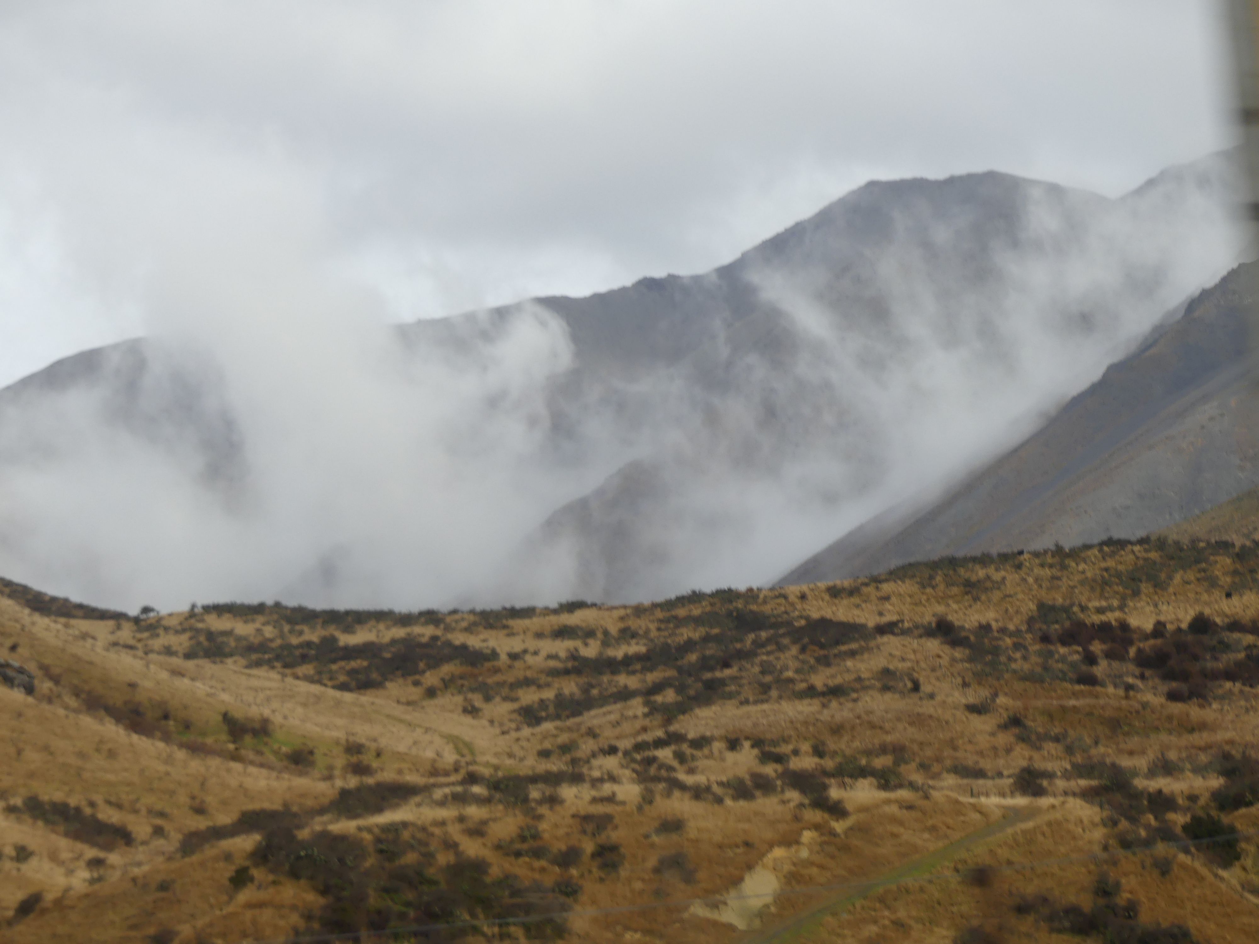
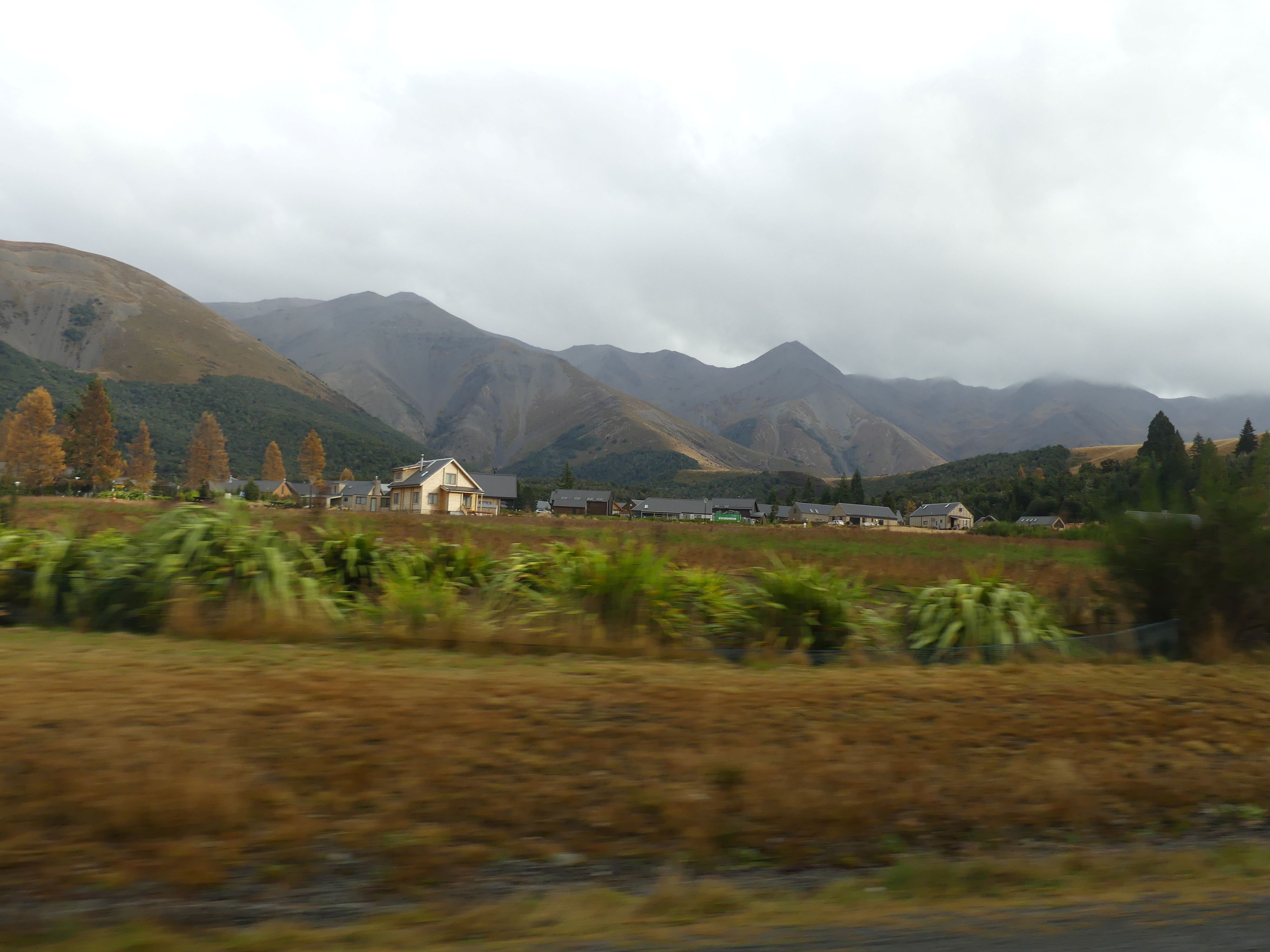
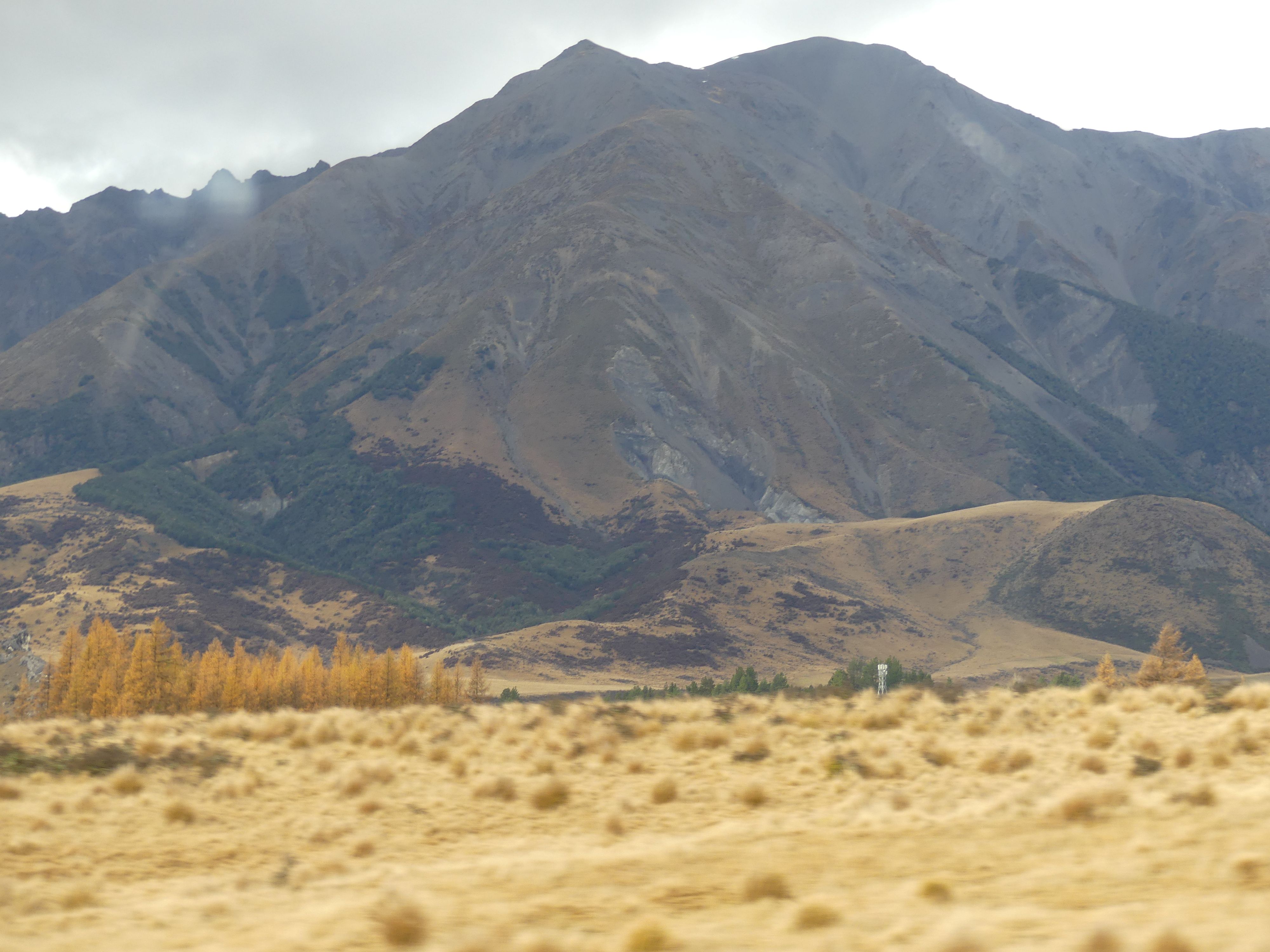
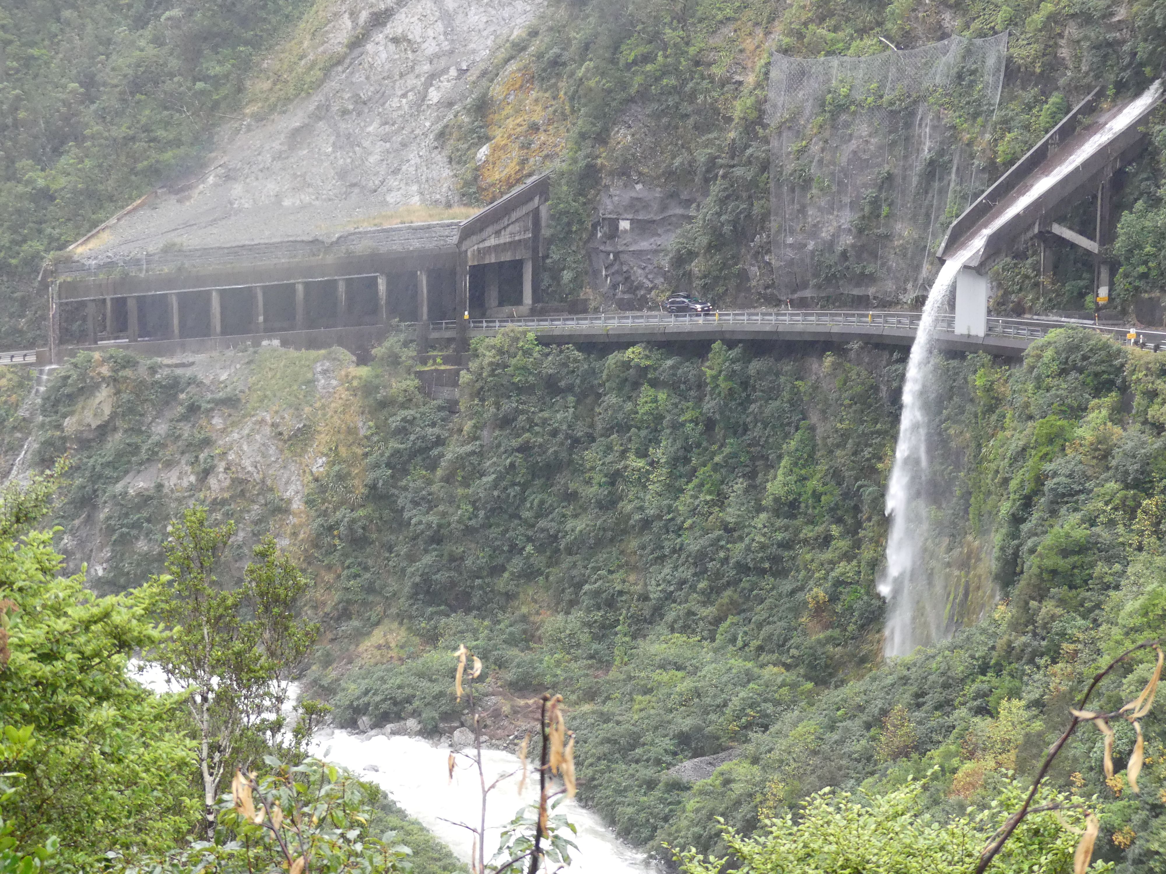
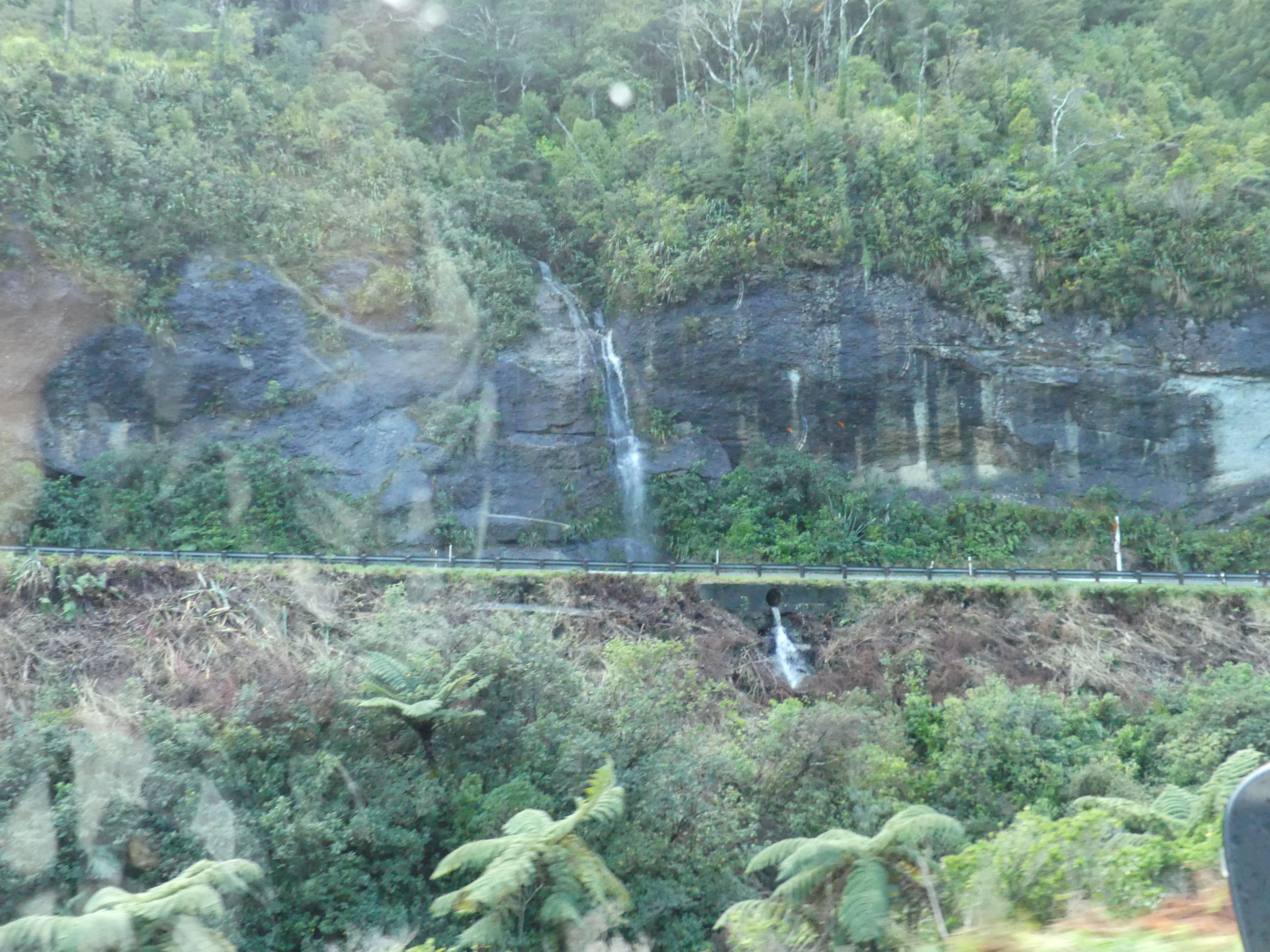
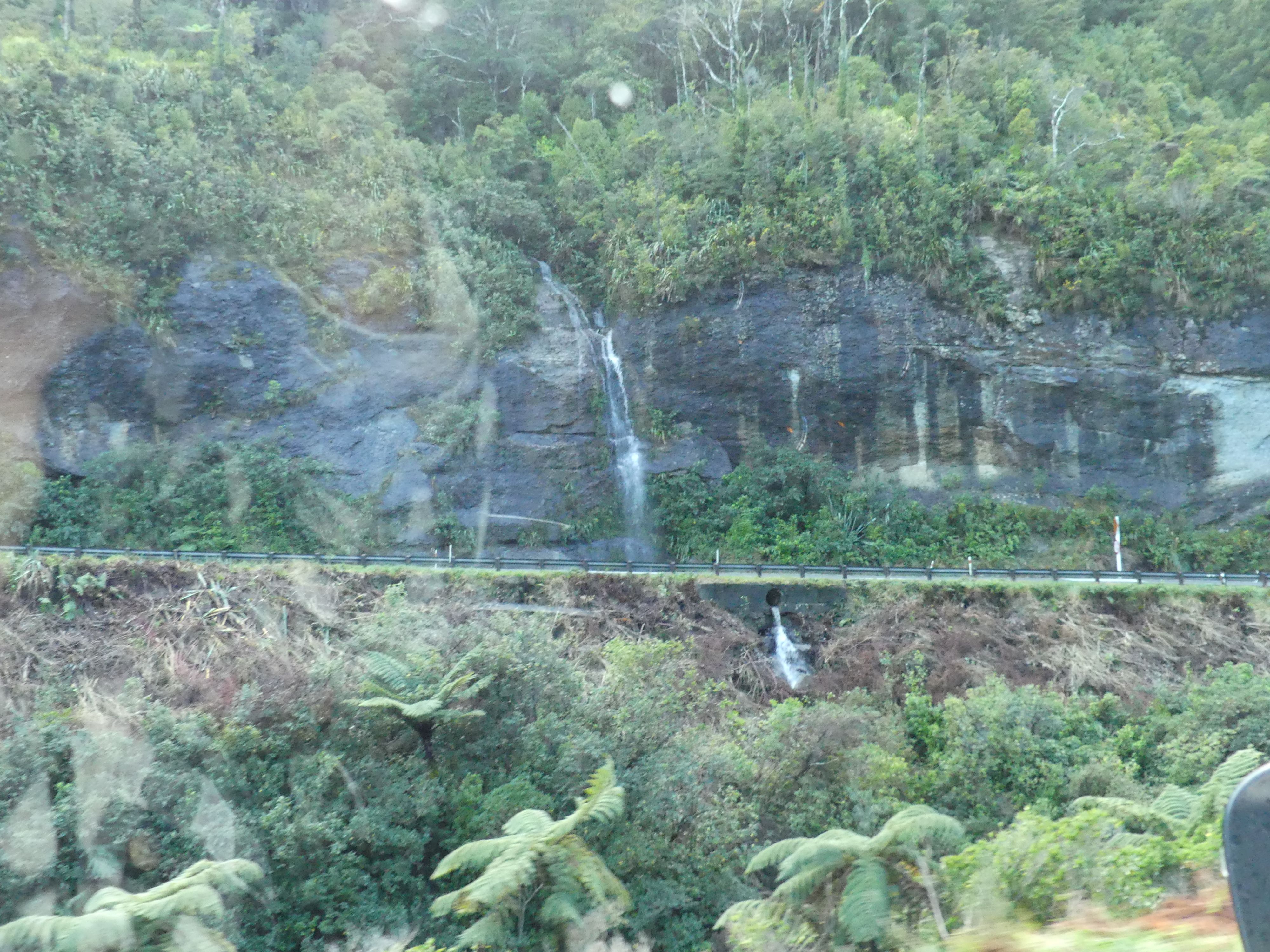
We were booked in to stay at a quaintly named Apostles View Motel in Coal Creek Greymouth but to get there we had to travel through Arthur’s Pass. Unfortunately, it rained all day, so the journey was not as picturesque as we anticipated. The mountain pass was grand in scale and Roaring Meg lived up to her name. More about Meg later.
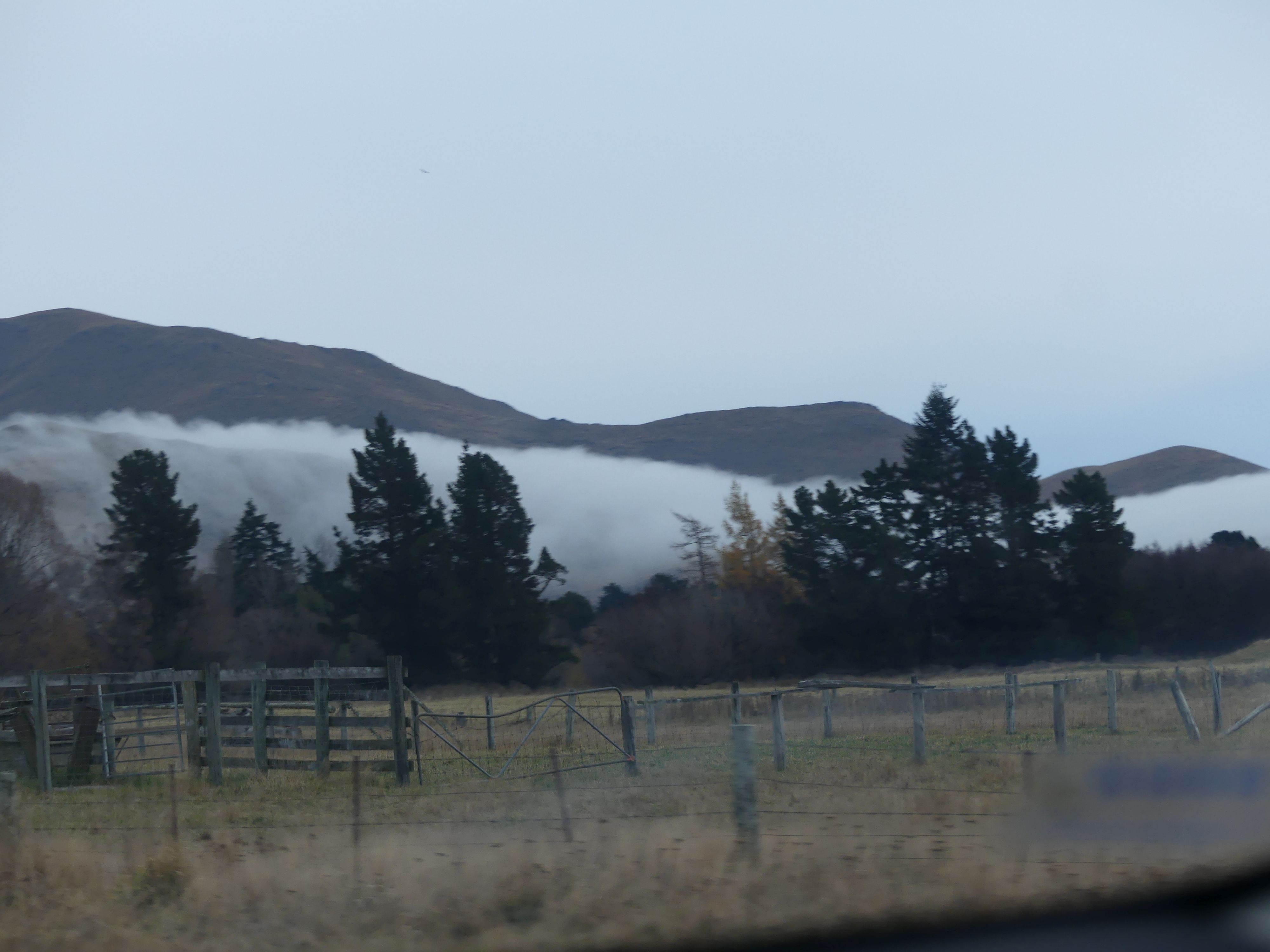
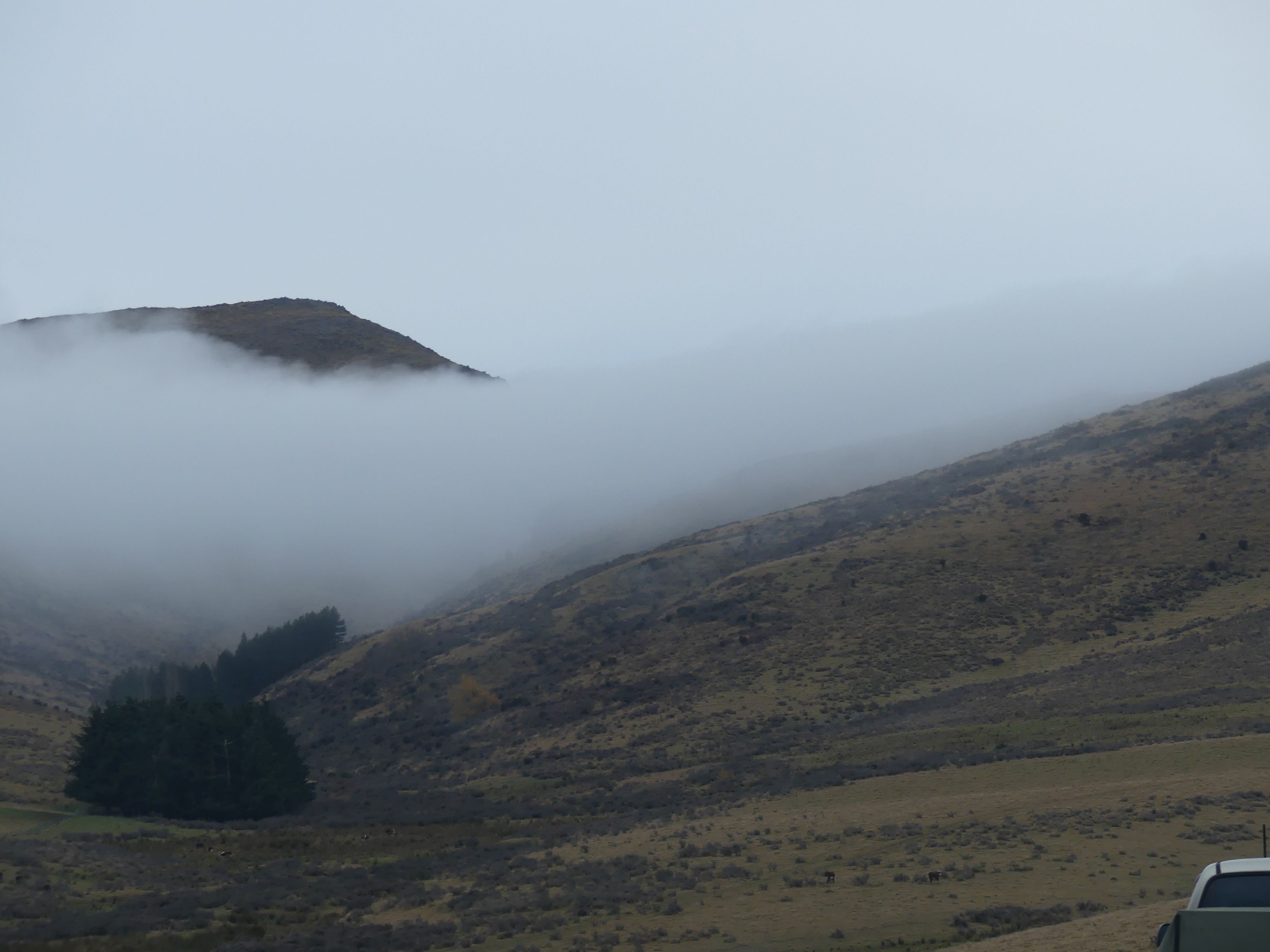
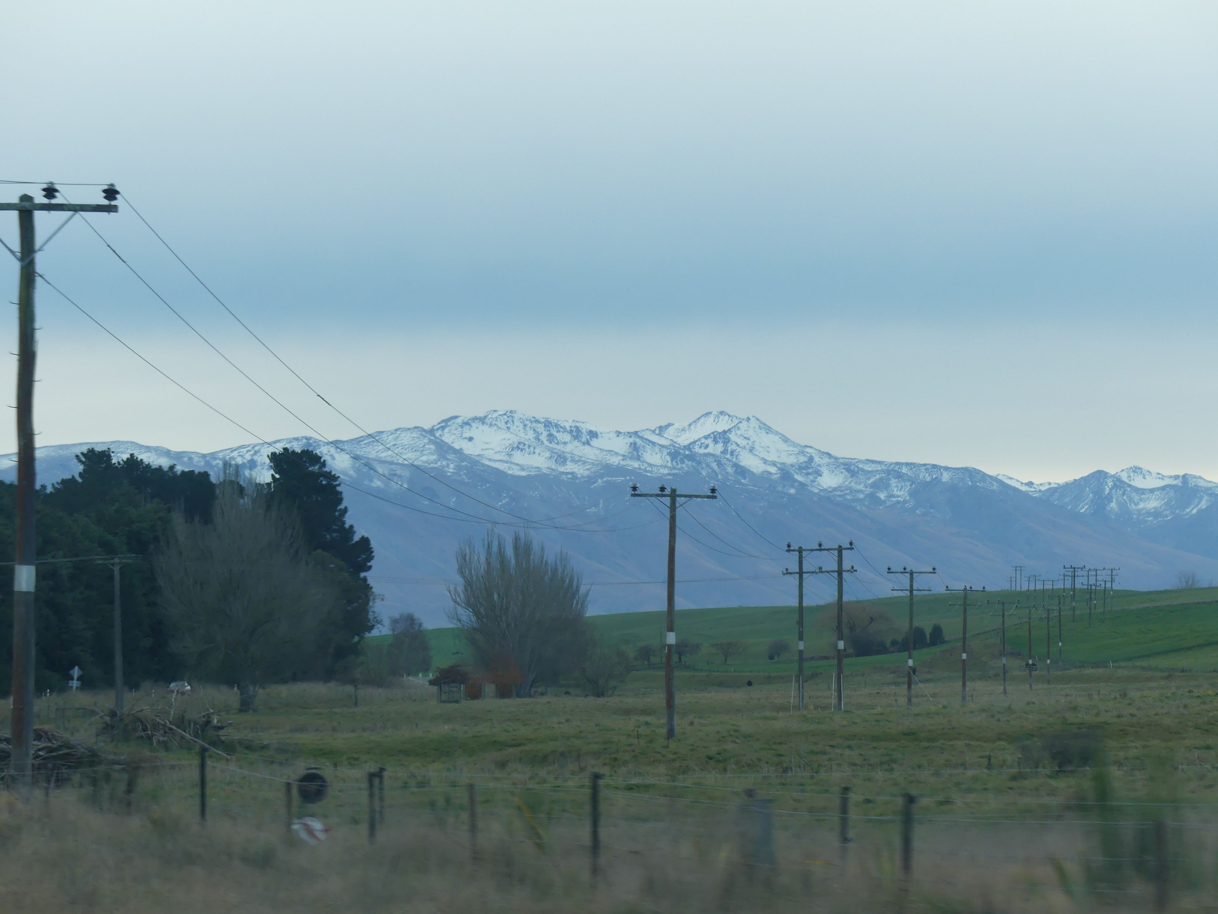
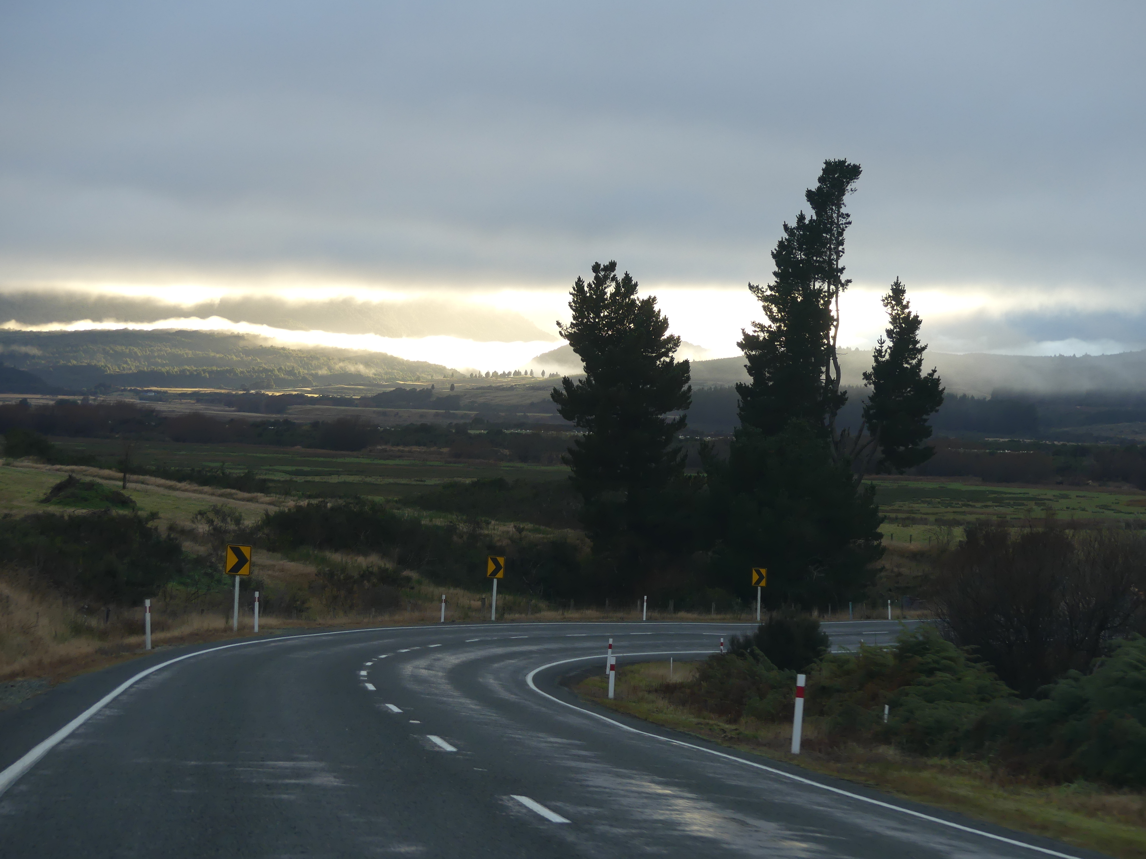
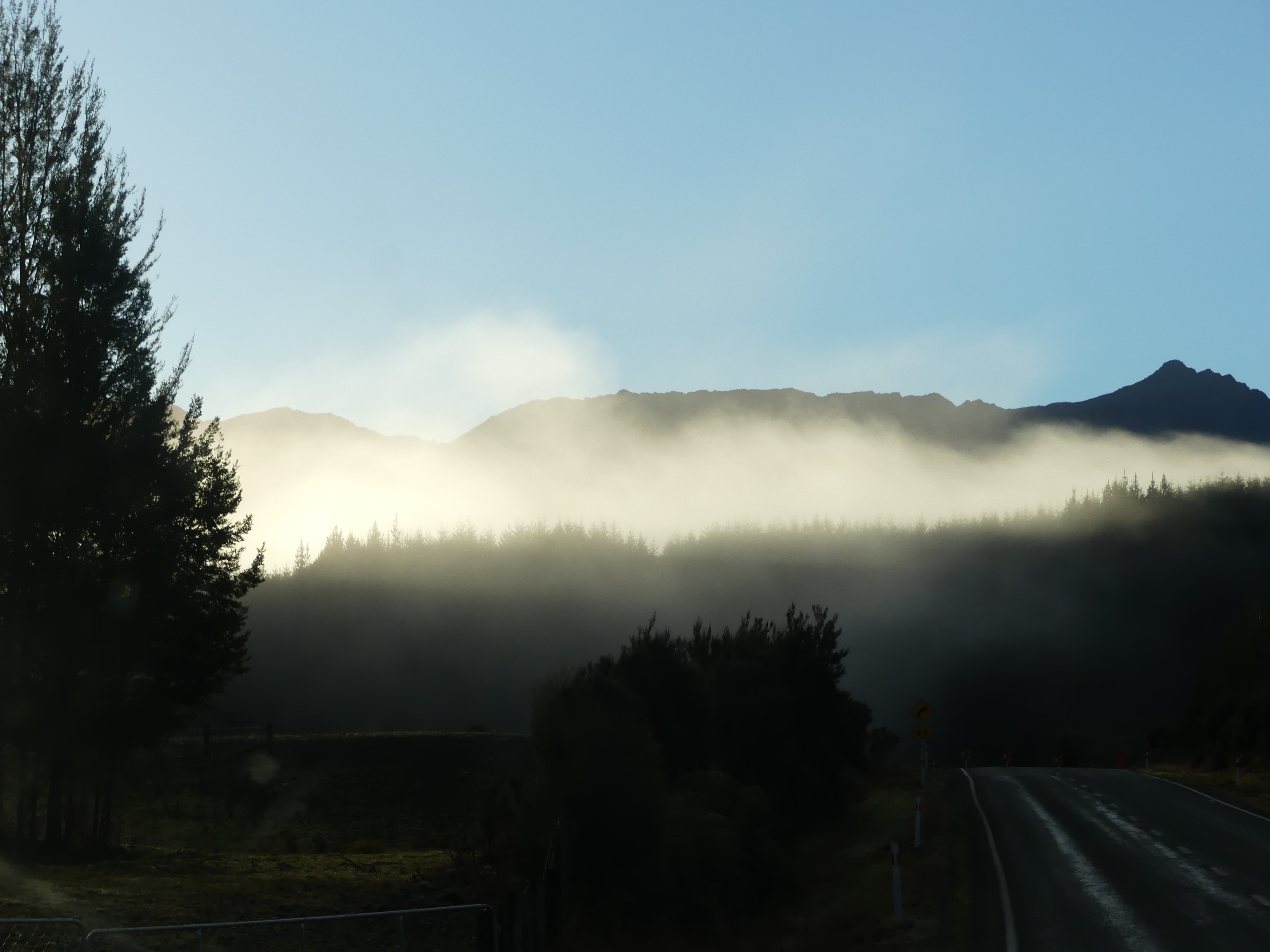
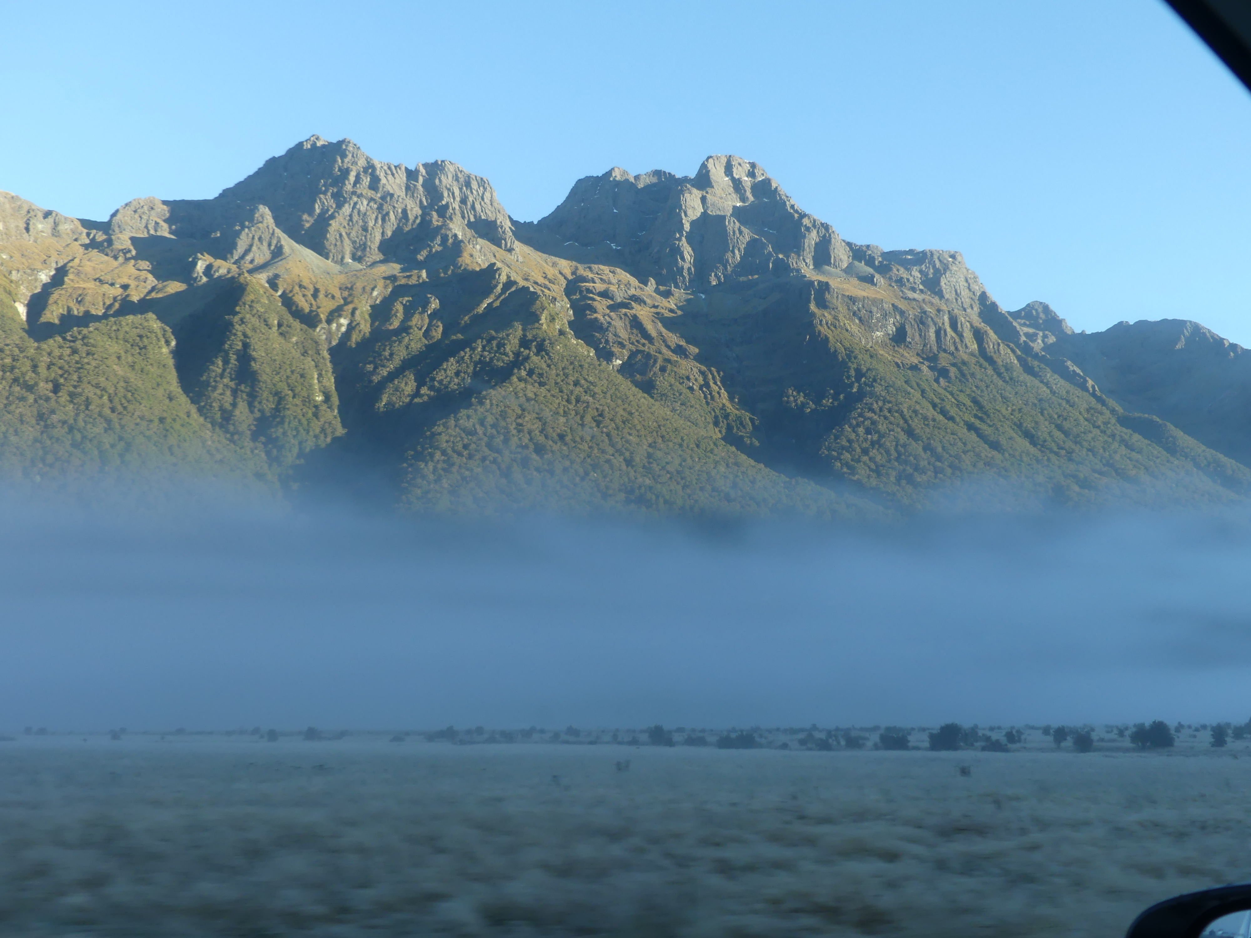
Photos of the scenery through the Pass
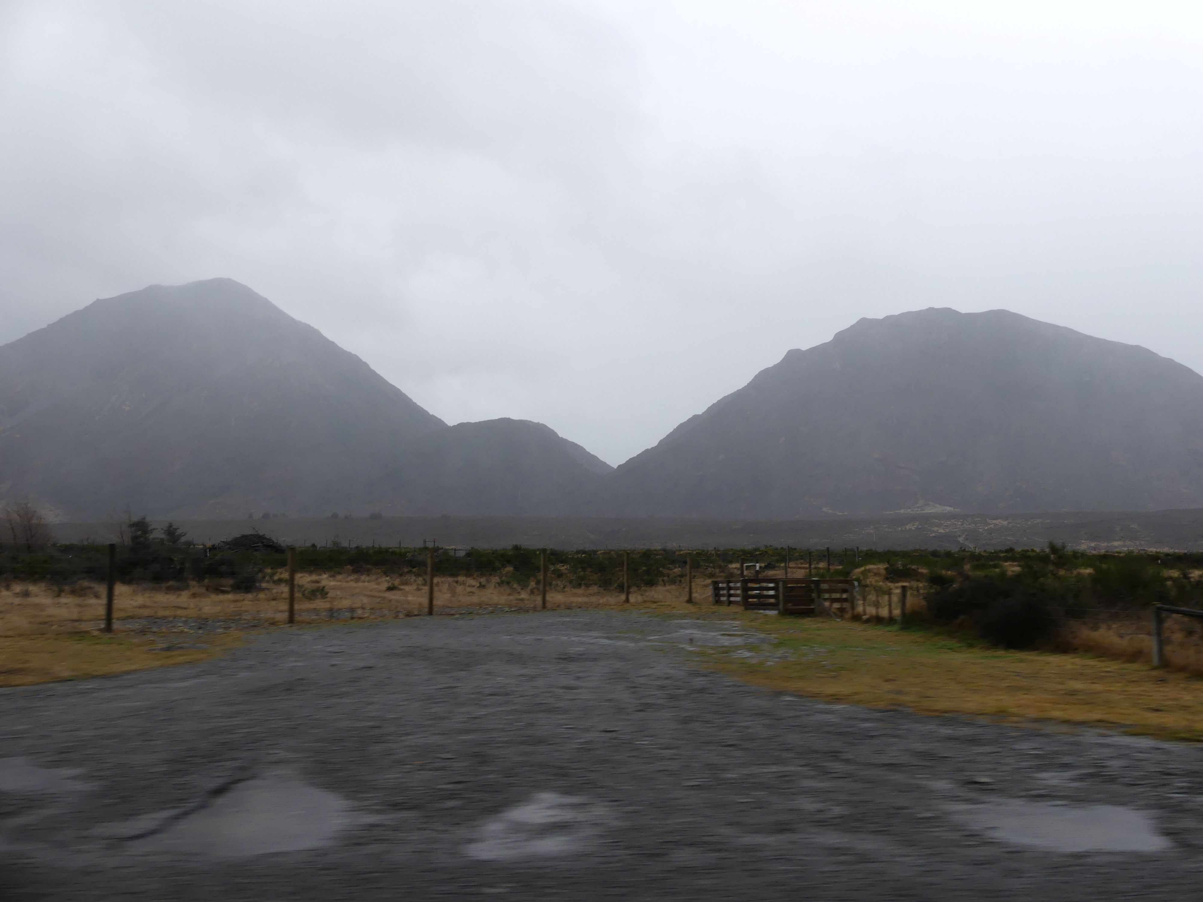
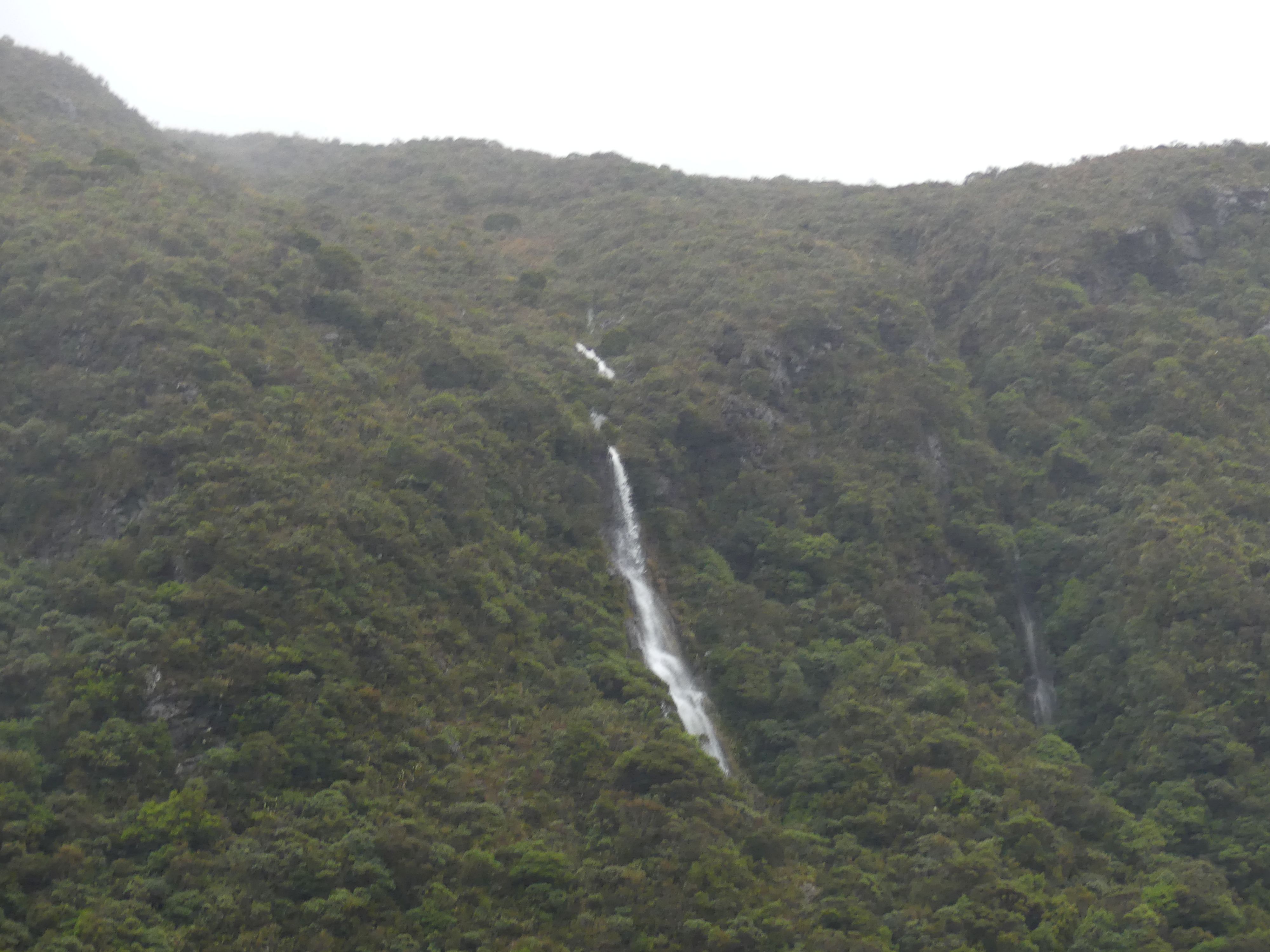
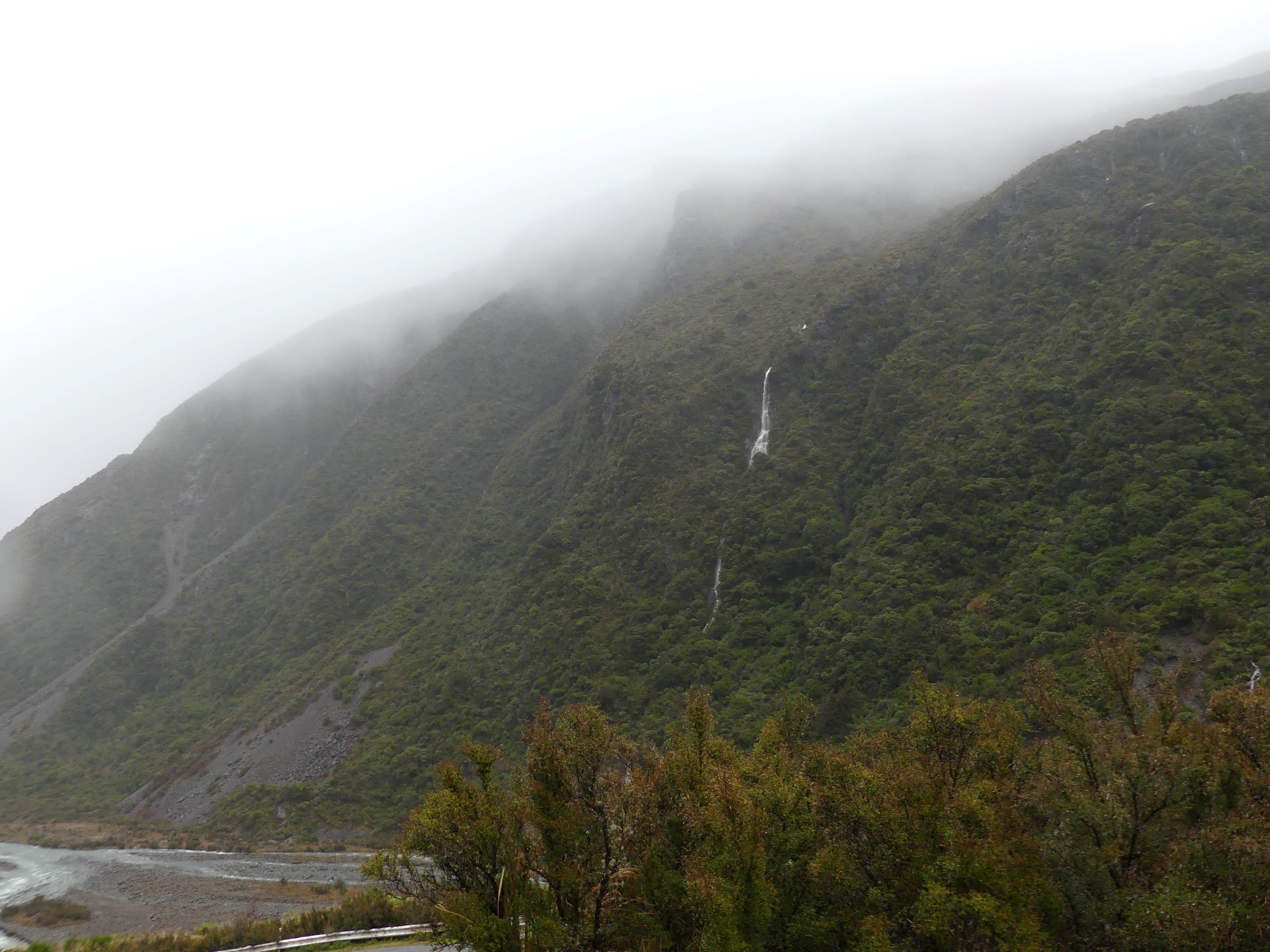
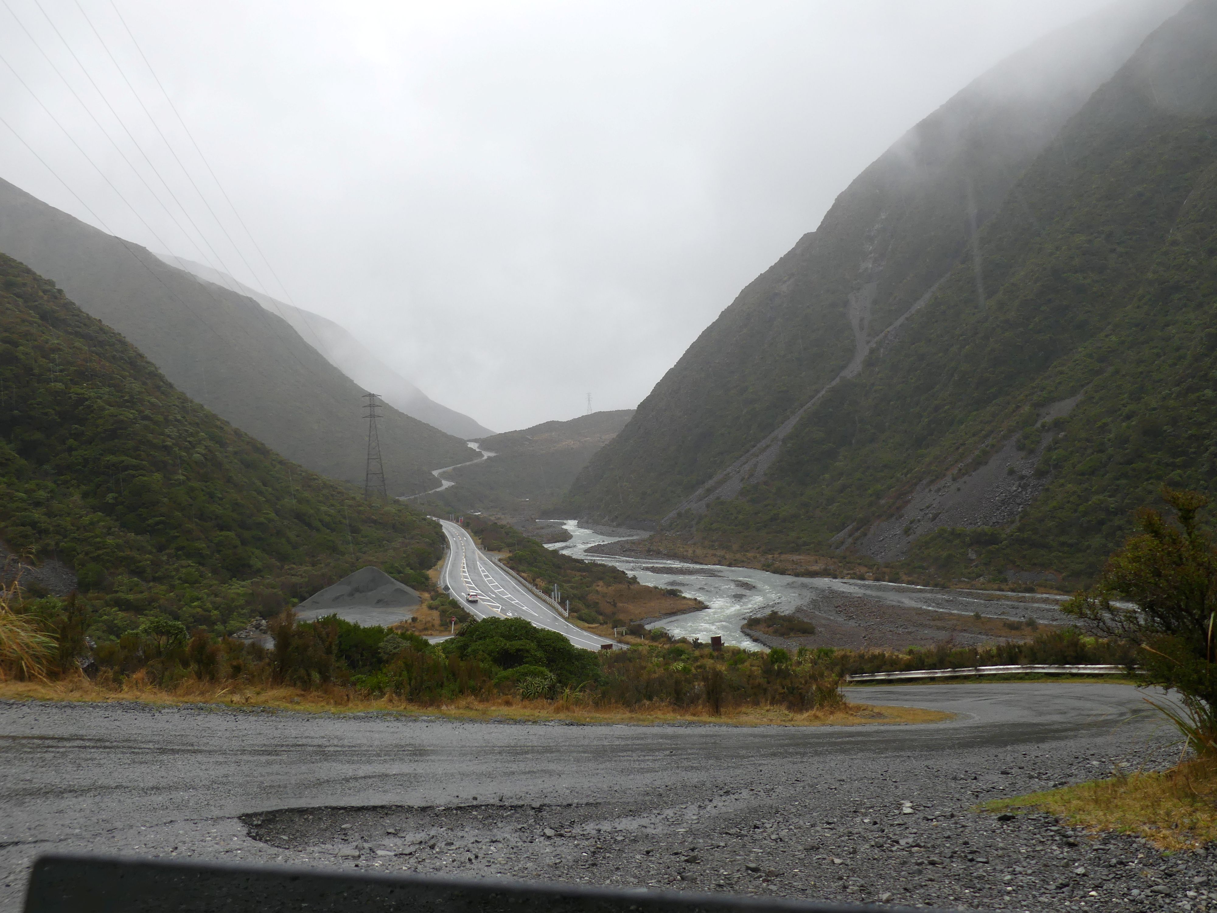
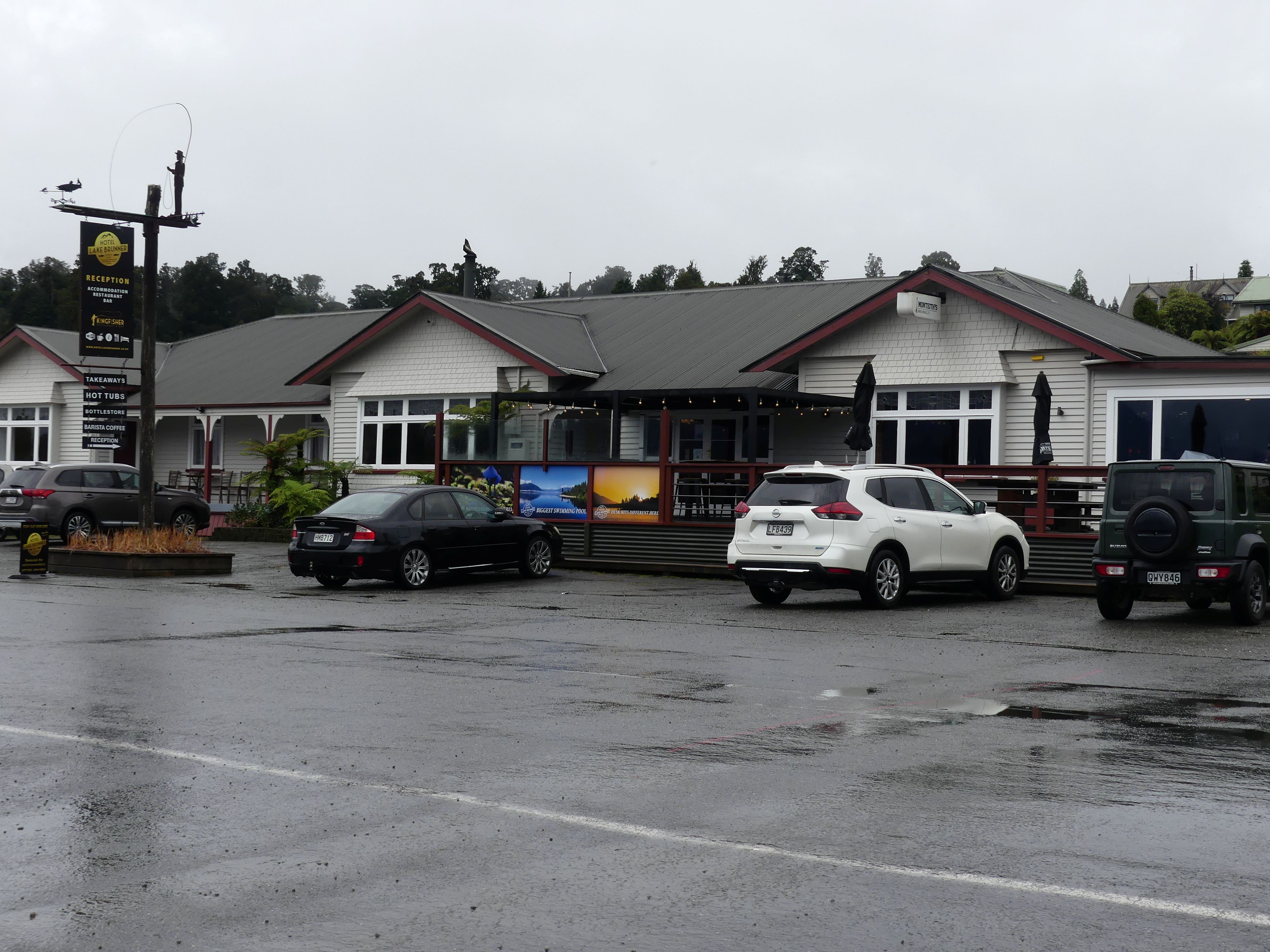
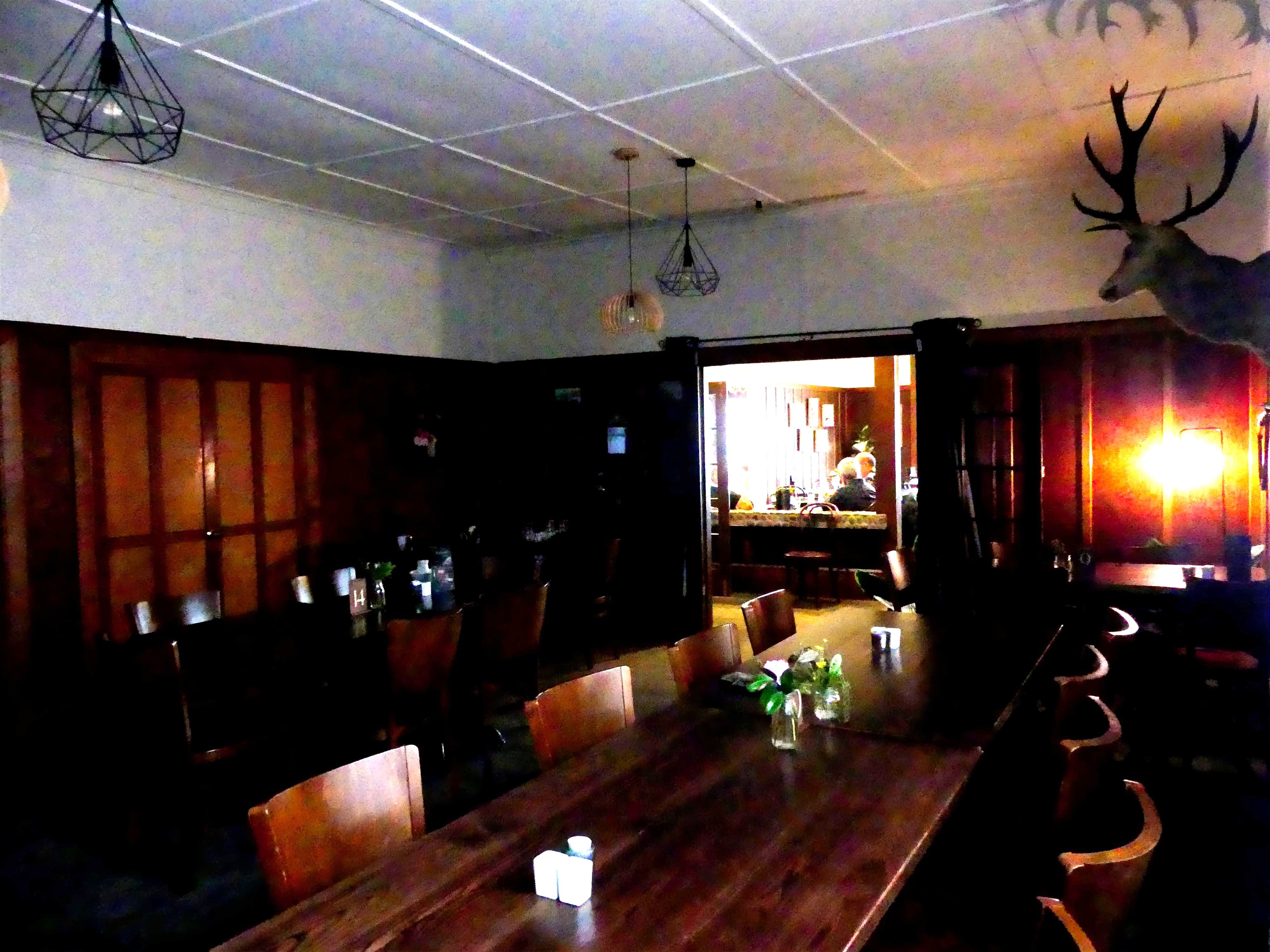
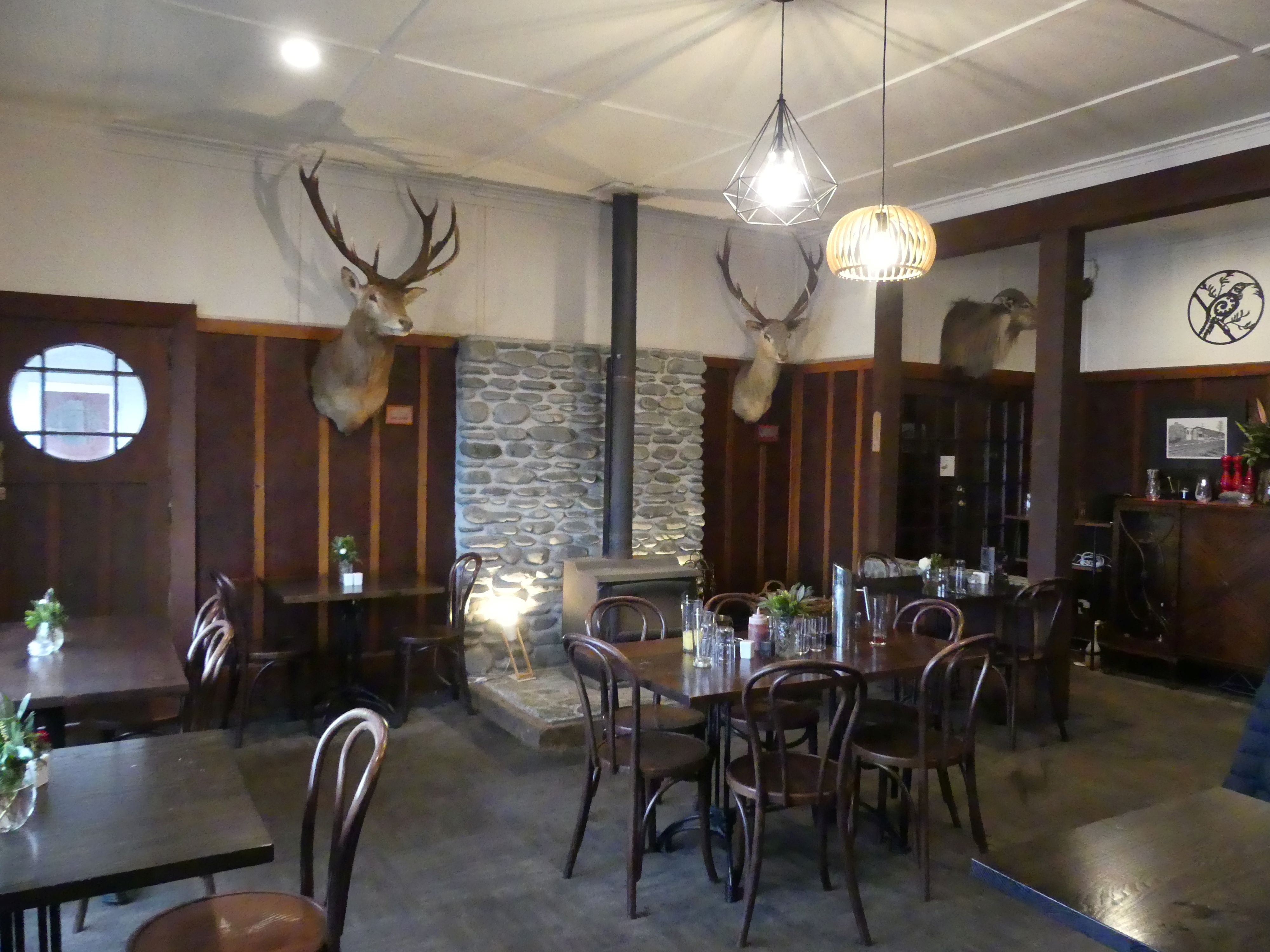
Our first stop was at Moana on Lake Brunner and the Lake Brunner Hotel. Hotel Lake Brunner acts as a central hub for the Moana village. There was a jolly young fellow sitting drinking under cover in the beer garden who greeted us to the hotel. He is a local and driven under shelter by the rain (and the love of a cold beer I would bet). Inside was old fashion English country home style with taxidermy stag heads on the wall and wood panelling. As I recall we shared pizza and took a doggy bag home: good pizza.
Photos of the hotel and it’s dining rooms.
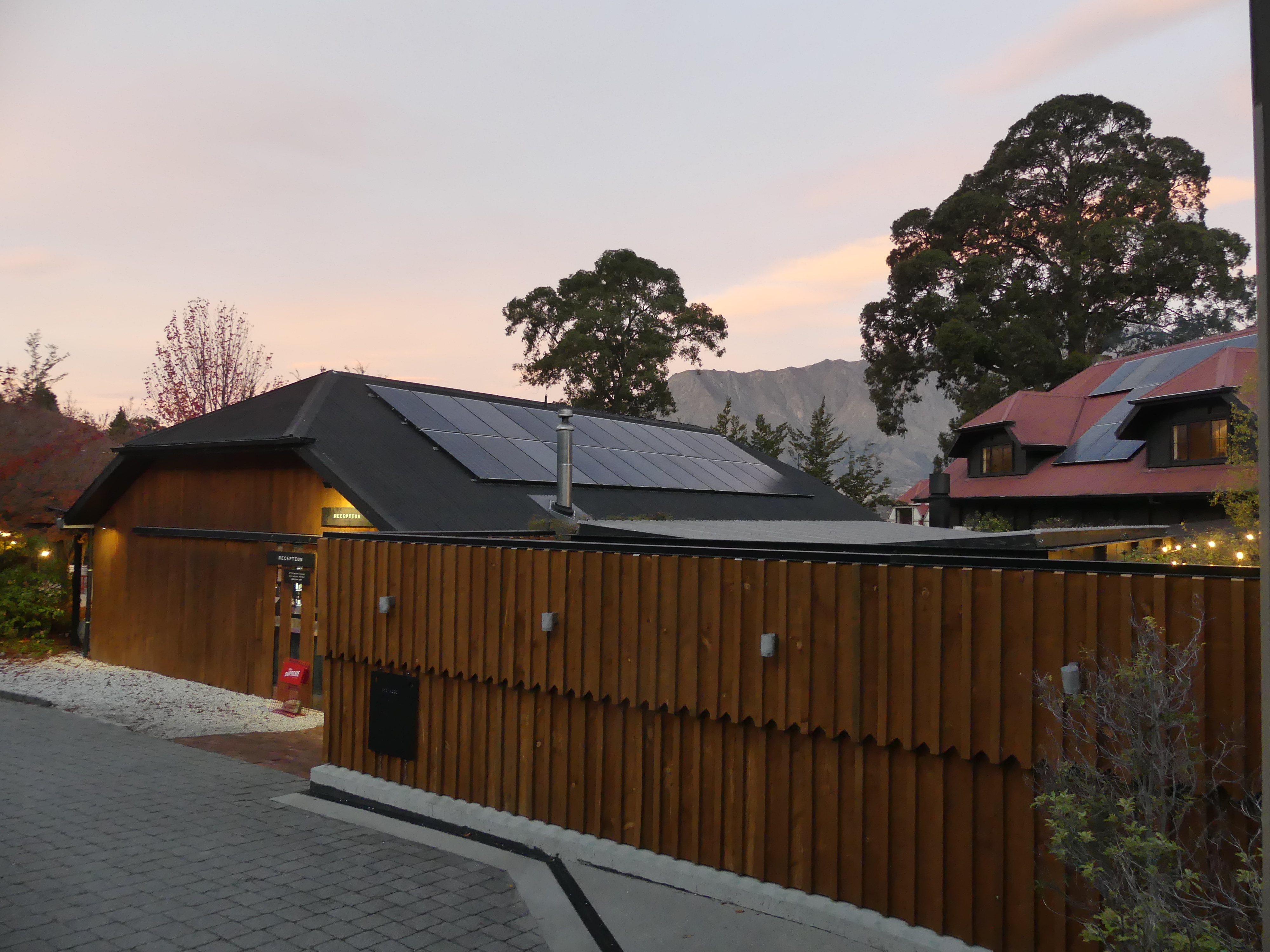
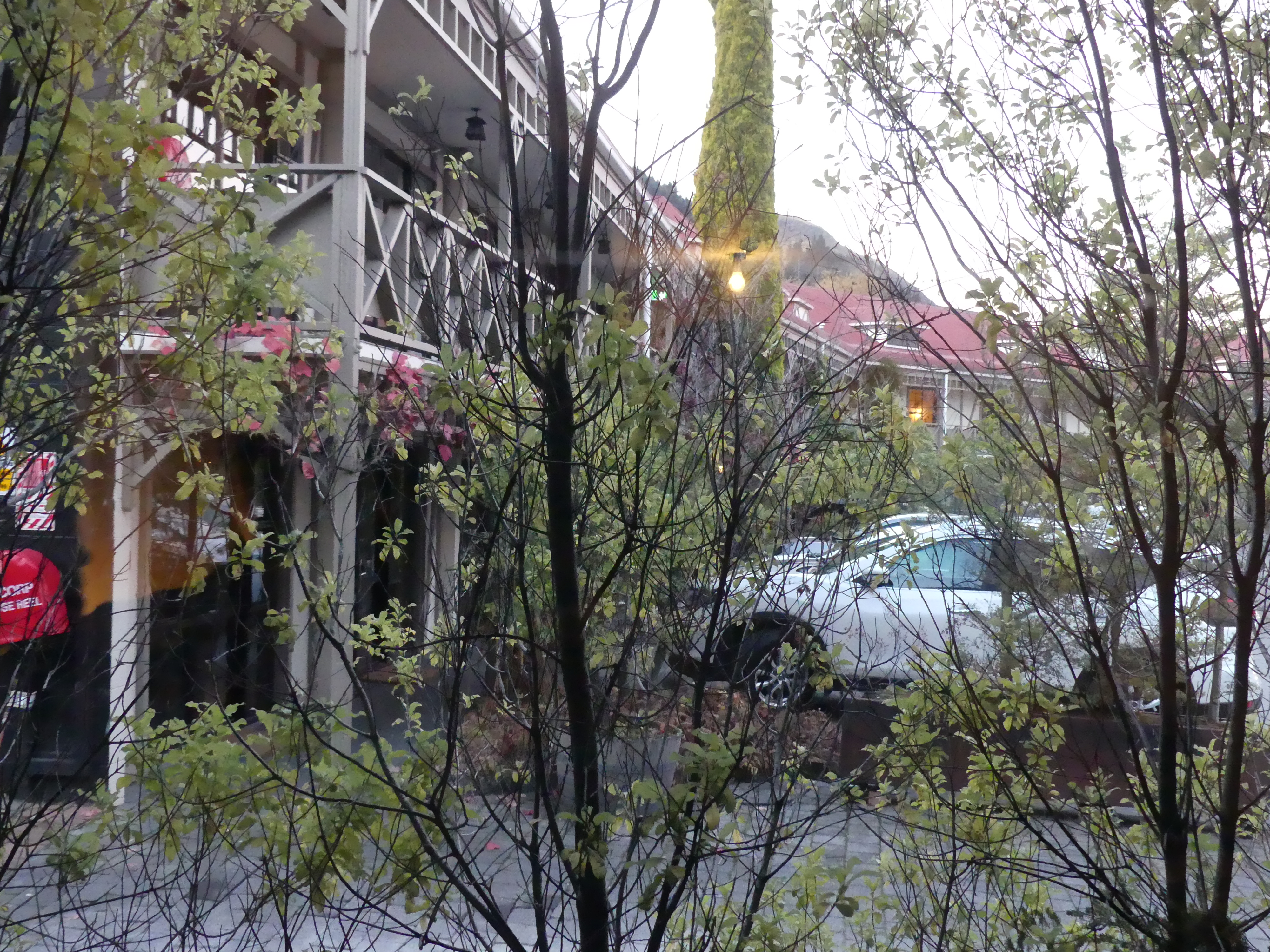
We continued into Greymouth, but Coal Creek was not there but nearby. However the entrance was no longer the entrance and the bridge across the creek was unsafe. We found a notice on the former reception directing us to the new reception approx. 200m back the way we had come (no sign on the entry to tell us that the reception had moved). Having solved the puzzle of how to register we drove back to the former reception to find our accommodation. Two conjoined flats. Comfortable and commodious with disabled bathrooms – go figure.
Photos – Apostles View Motel
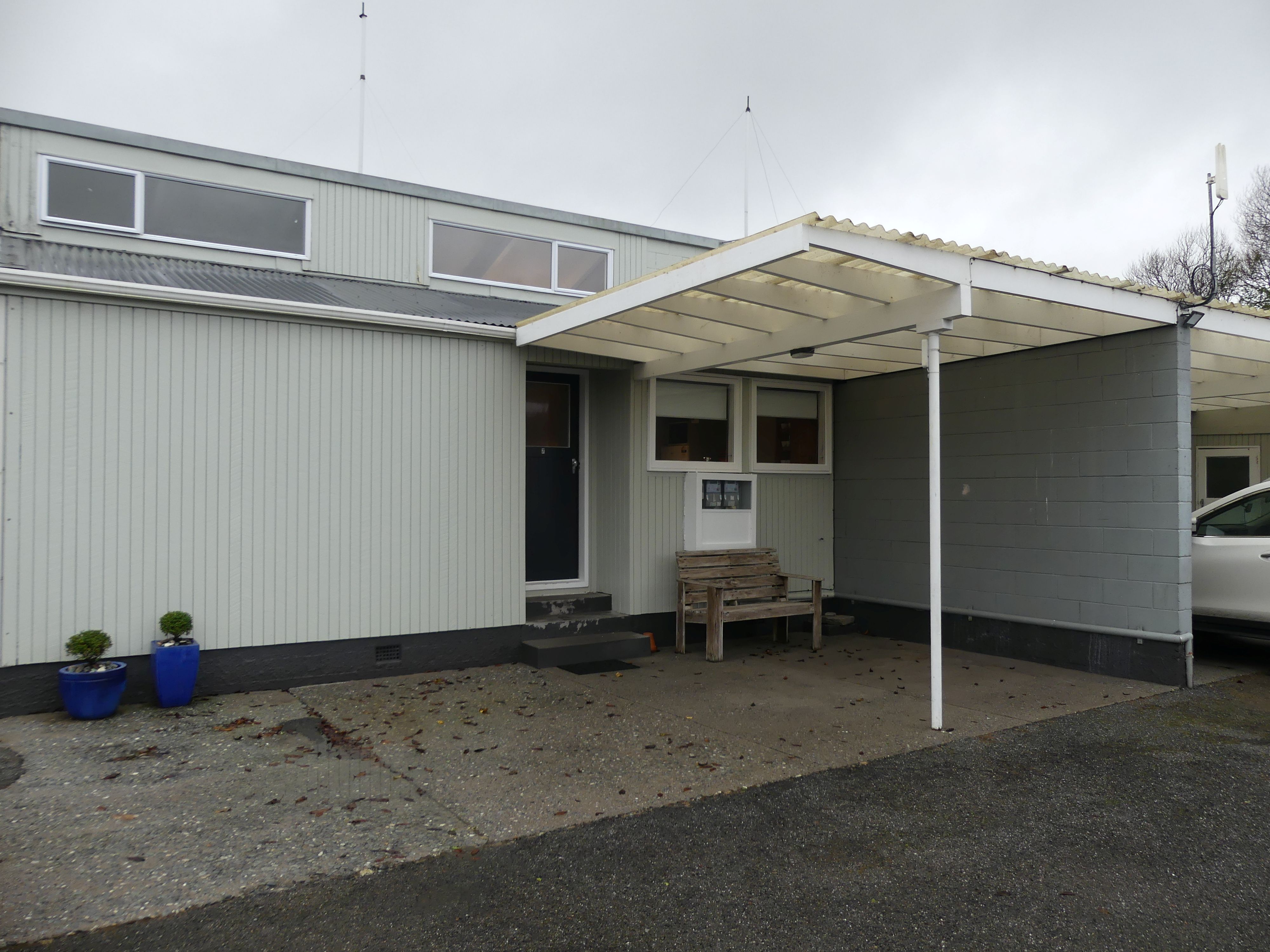
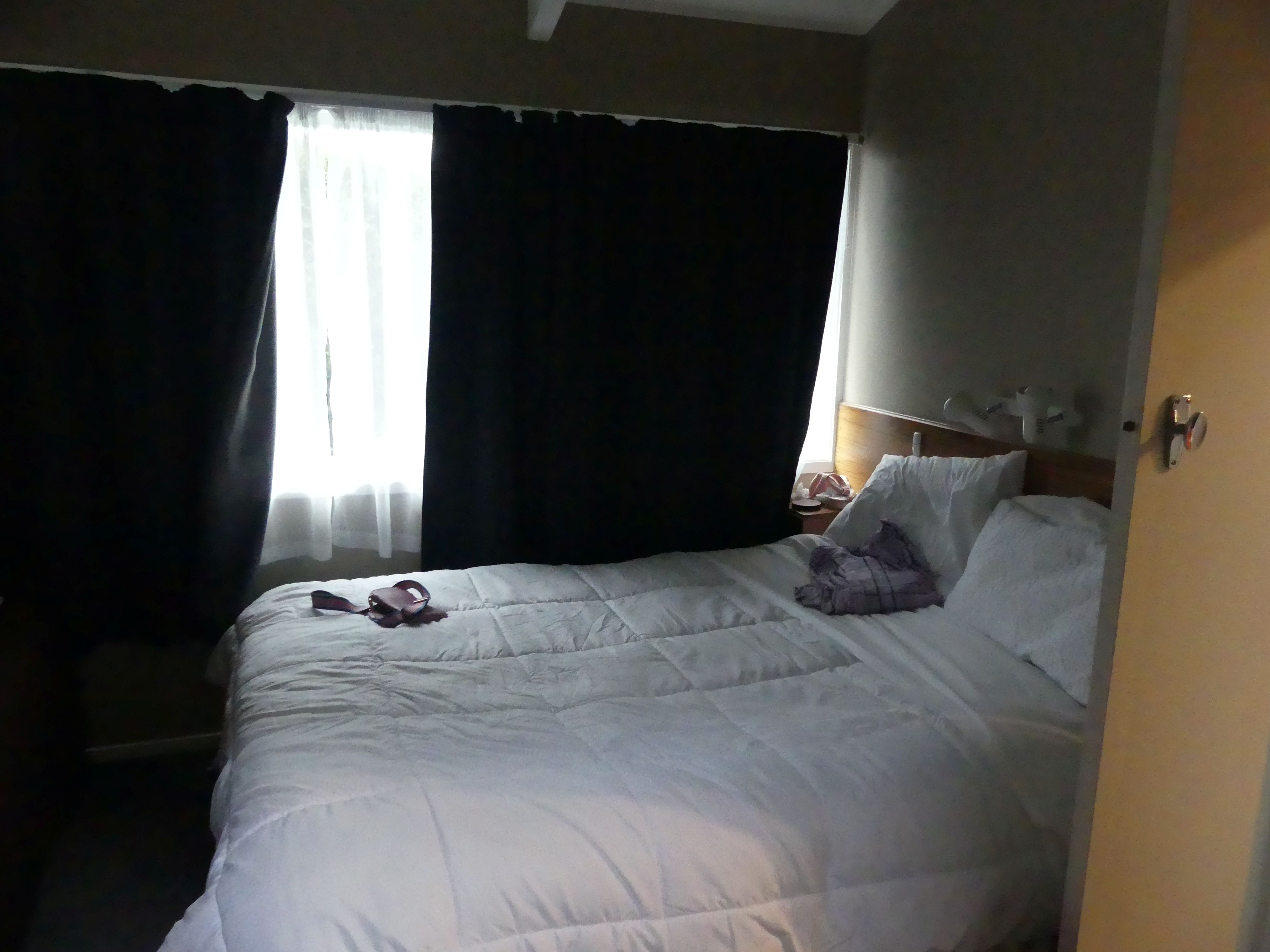
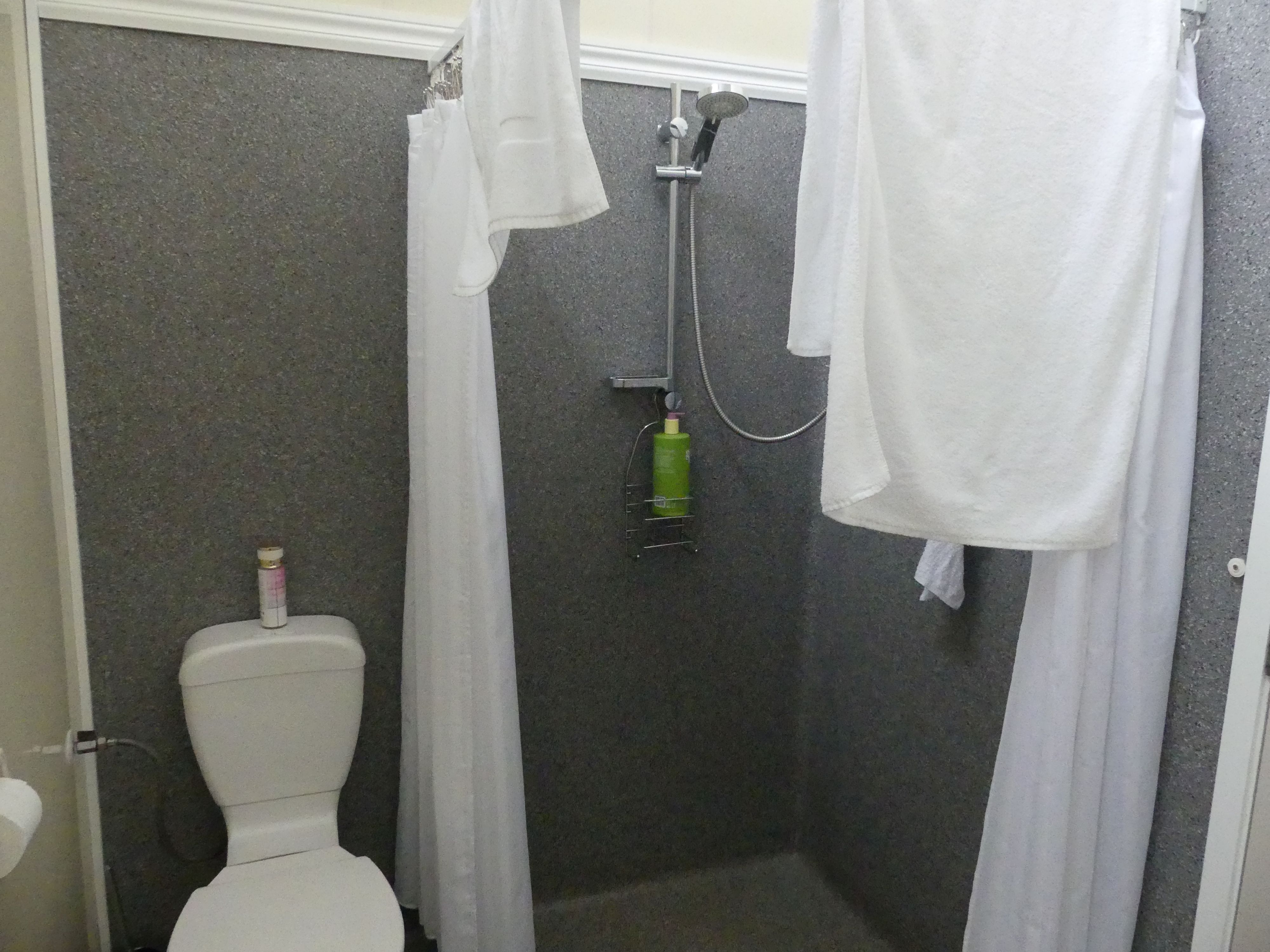
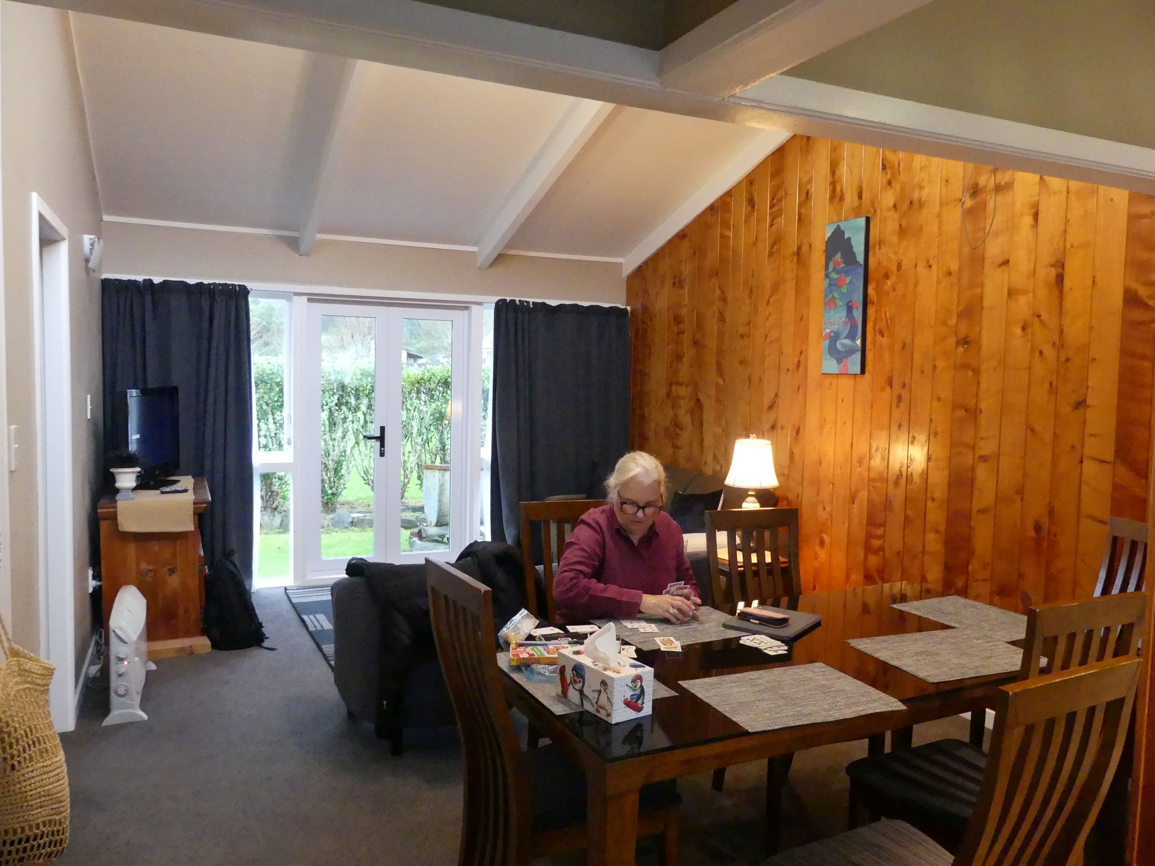
The weather was not flash, and the forecast didn’t promise any change. After dinner we settled into playing cards with a glass of wine then to bed. We also discussed a change of plans as there seemed no point going to Franz Joesph glacier or Mt Cook in this weather.
Day 15 Drive to Hokitika
Hokitika jumped out as the place to go. It is a town in the West Coast region, 40 kilometres south of Greymouth, and close to the mouth of the Hokitika River. On a clear day Aoraki / Mount Cook can clearly be seen from Hokitika’s main street. It also claims to be the National Kiwi Centre, and that was appealing to see wild kiwis. So, we boarded our wagon and proceeded to Hokitika. The National Kiwi Centre took a bit of finding and it was not particularly appealing from the outside. As the proclaimed national centre, I was expecting something more auspicious but instead it was rambling and untidy and even dirty. It appeared to be running on an oily rag. AND there was 1 lonely kiwi exhibited in a glass cage and it was impossible to take a photos due to reflection. All of the other exhibits and there were plenty of them were interesting, but we came to see the national fauna emblem of NZ. I think it needs a sustainable source of funding to improve.
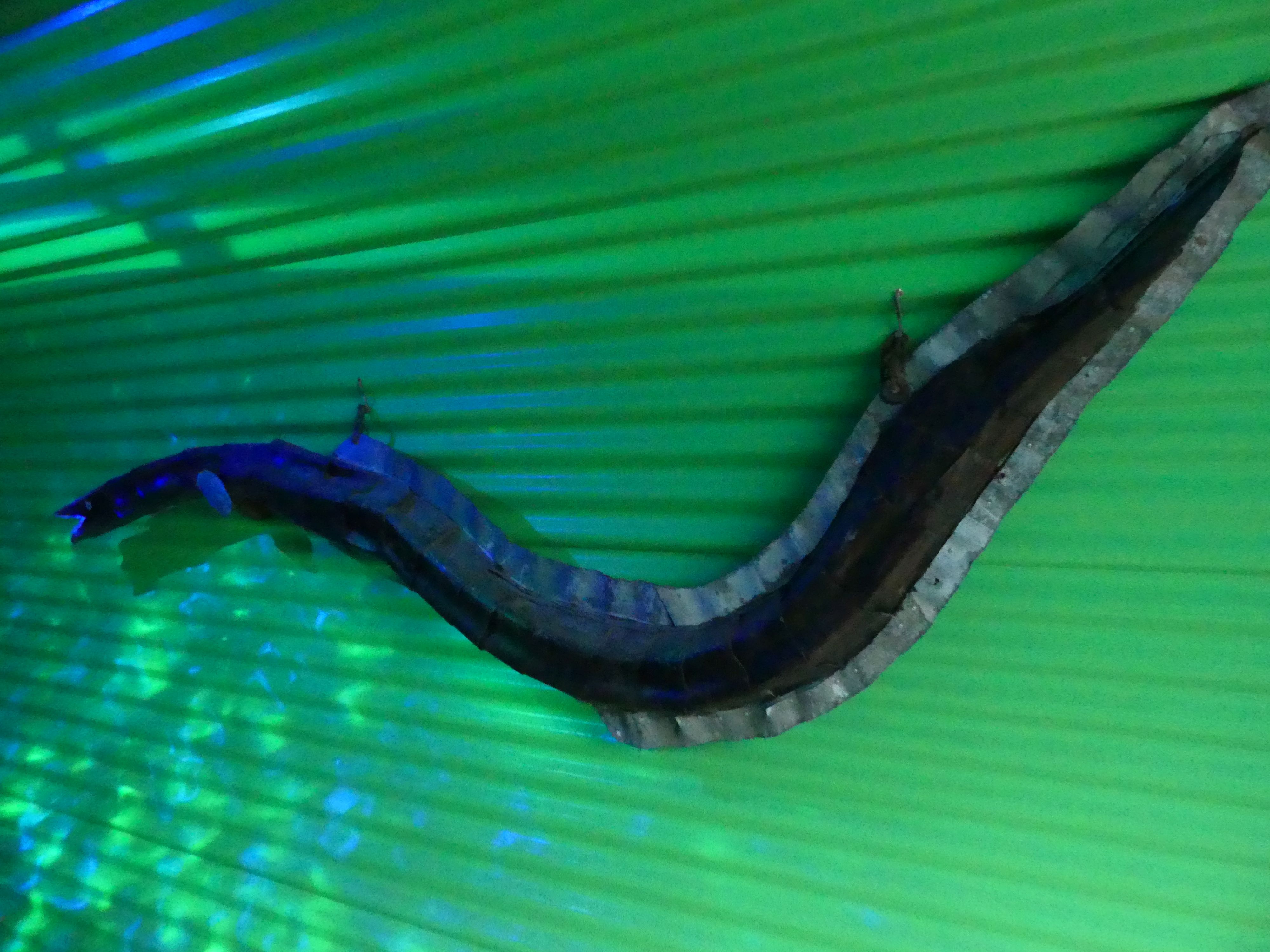
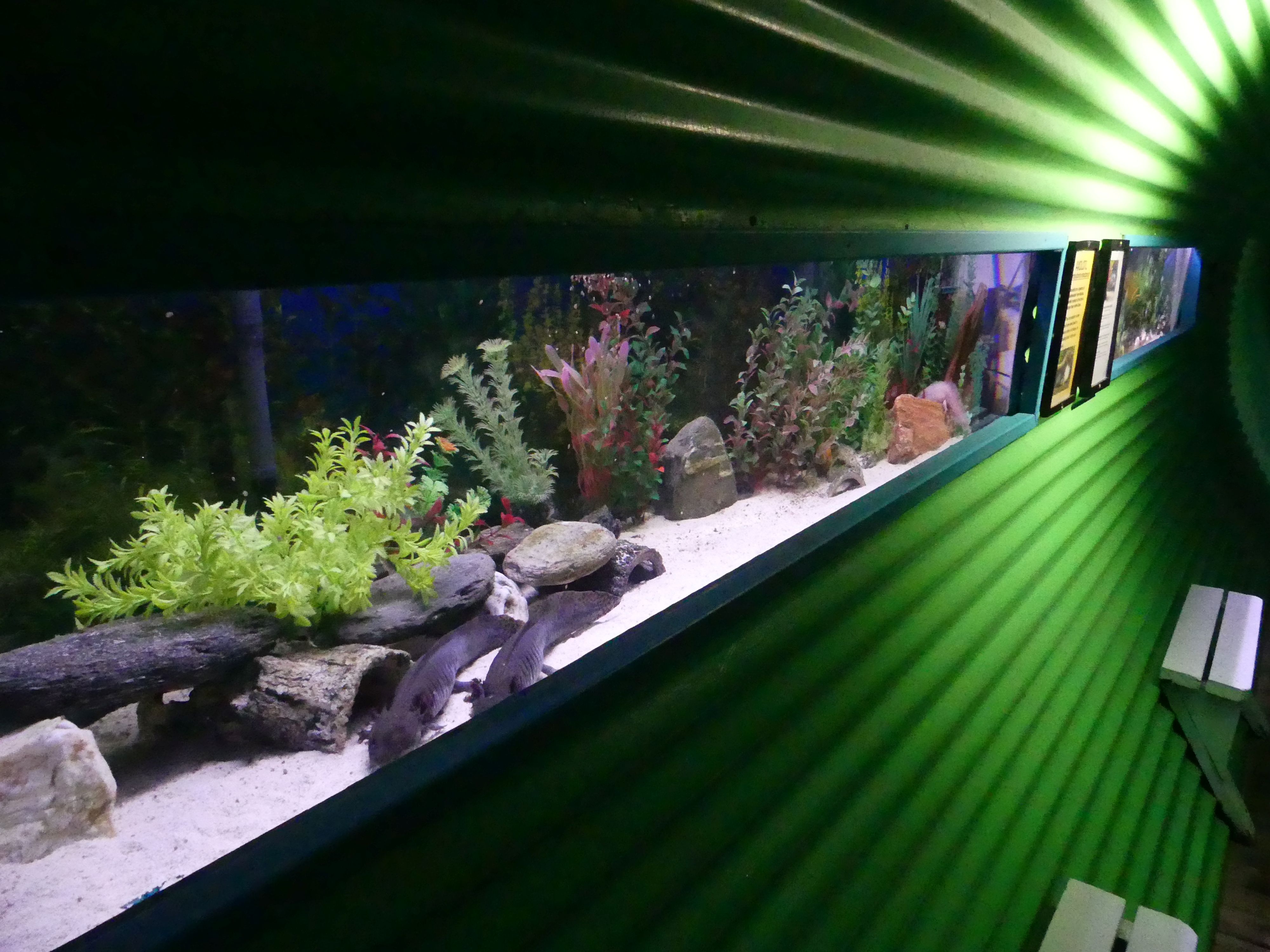
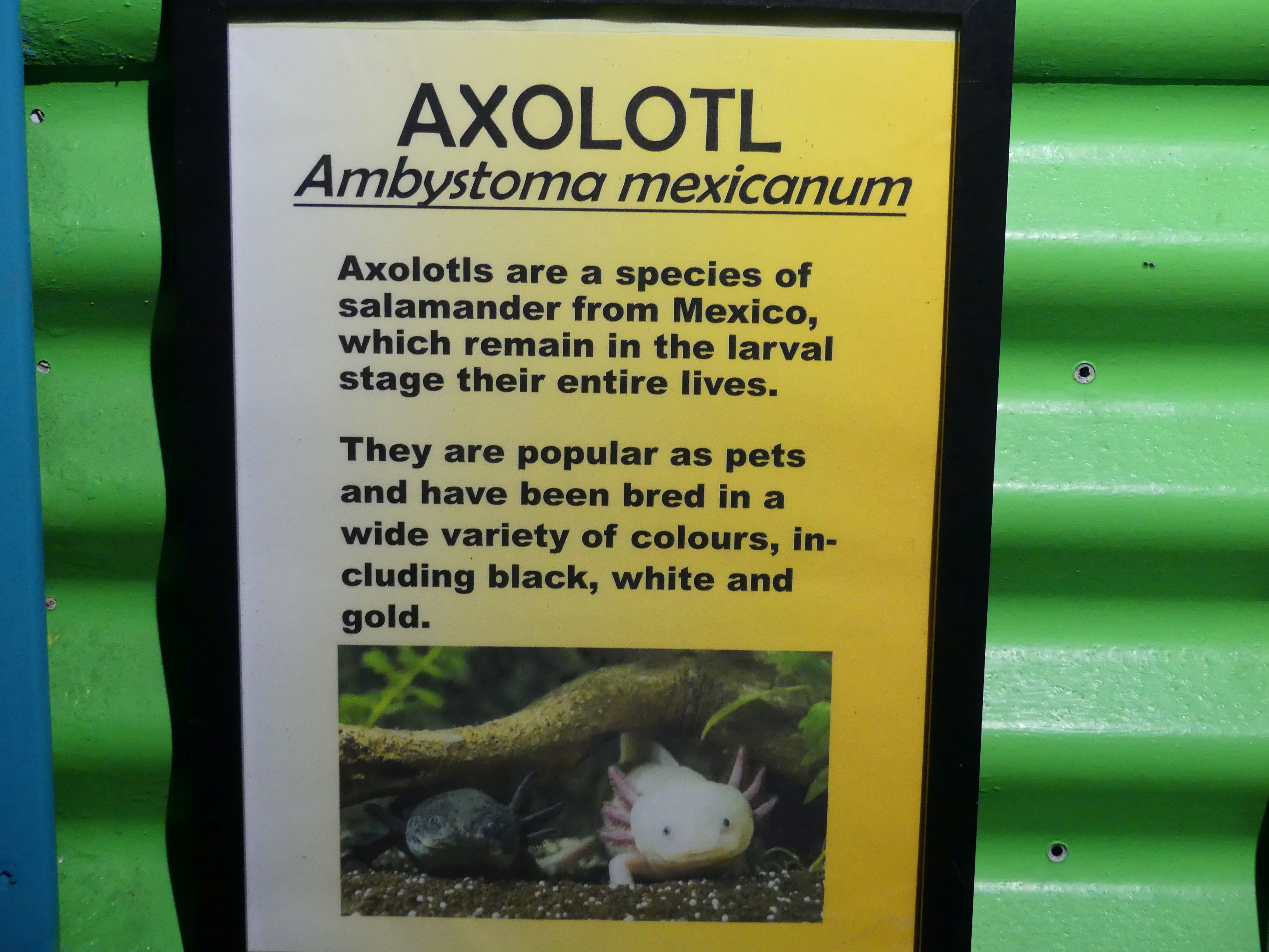
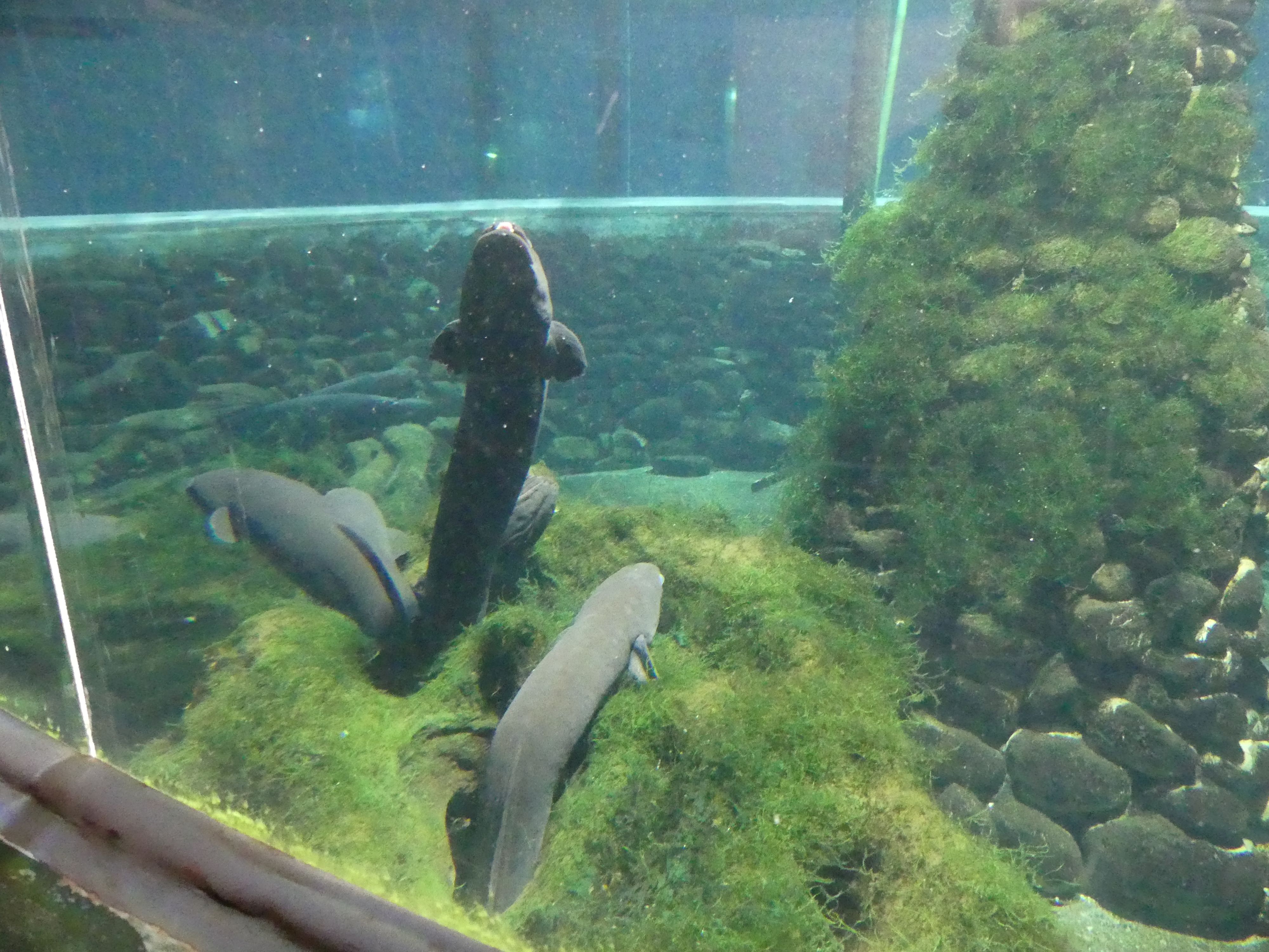
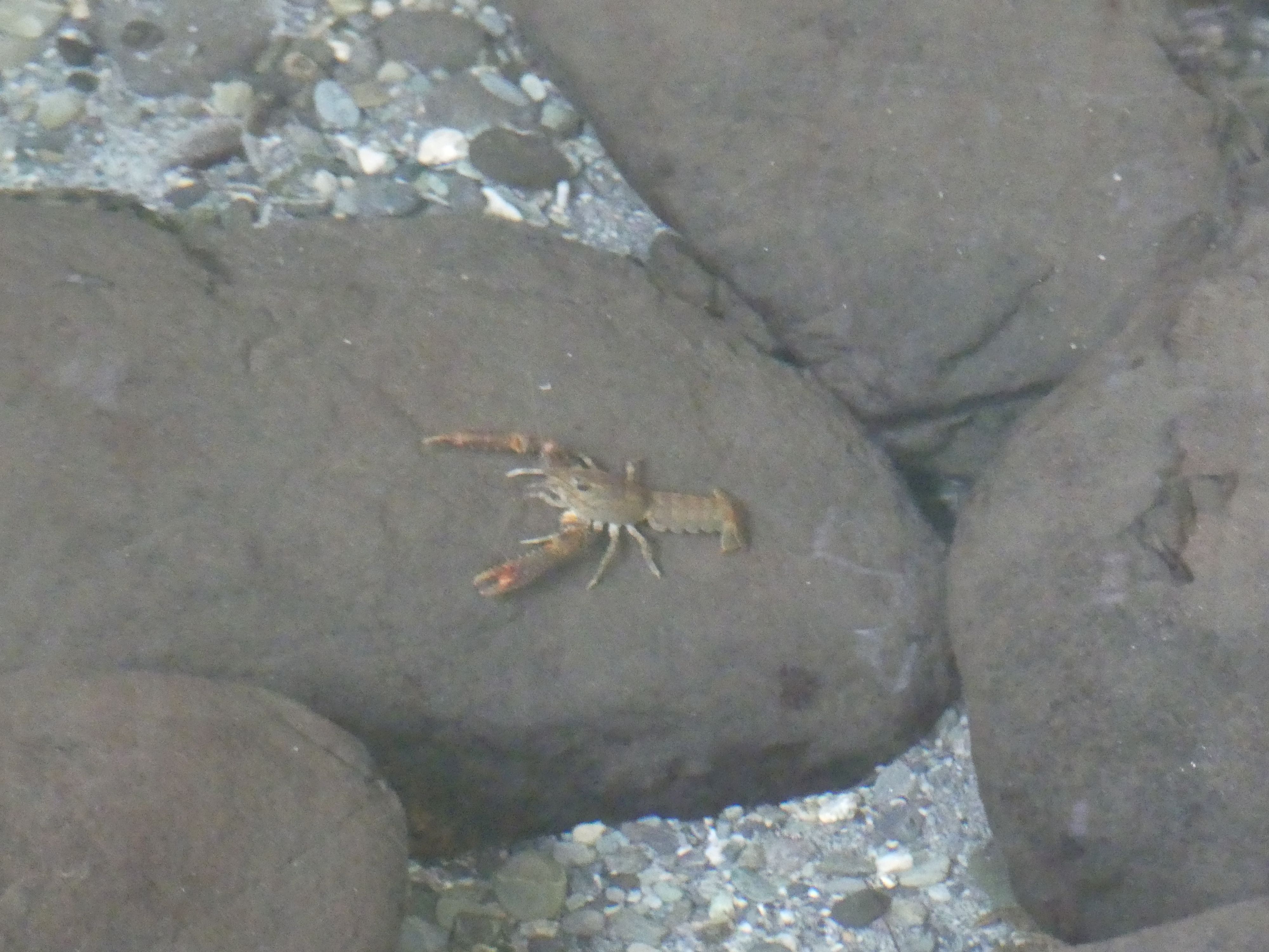
Photos of Inside the national Kiwi Centre, Dead eel and live eels, Axolotl from Mexico, and freshwater lobbies (crayfish) – no Kiwi
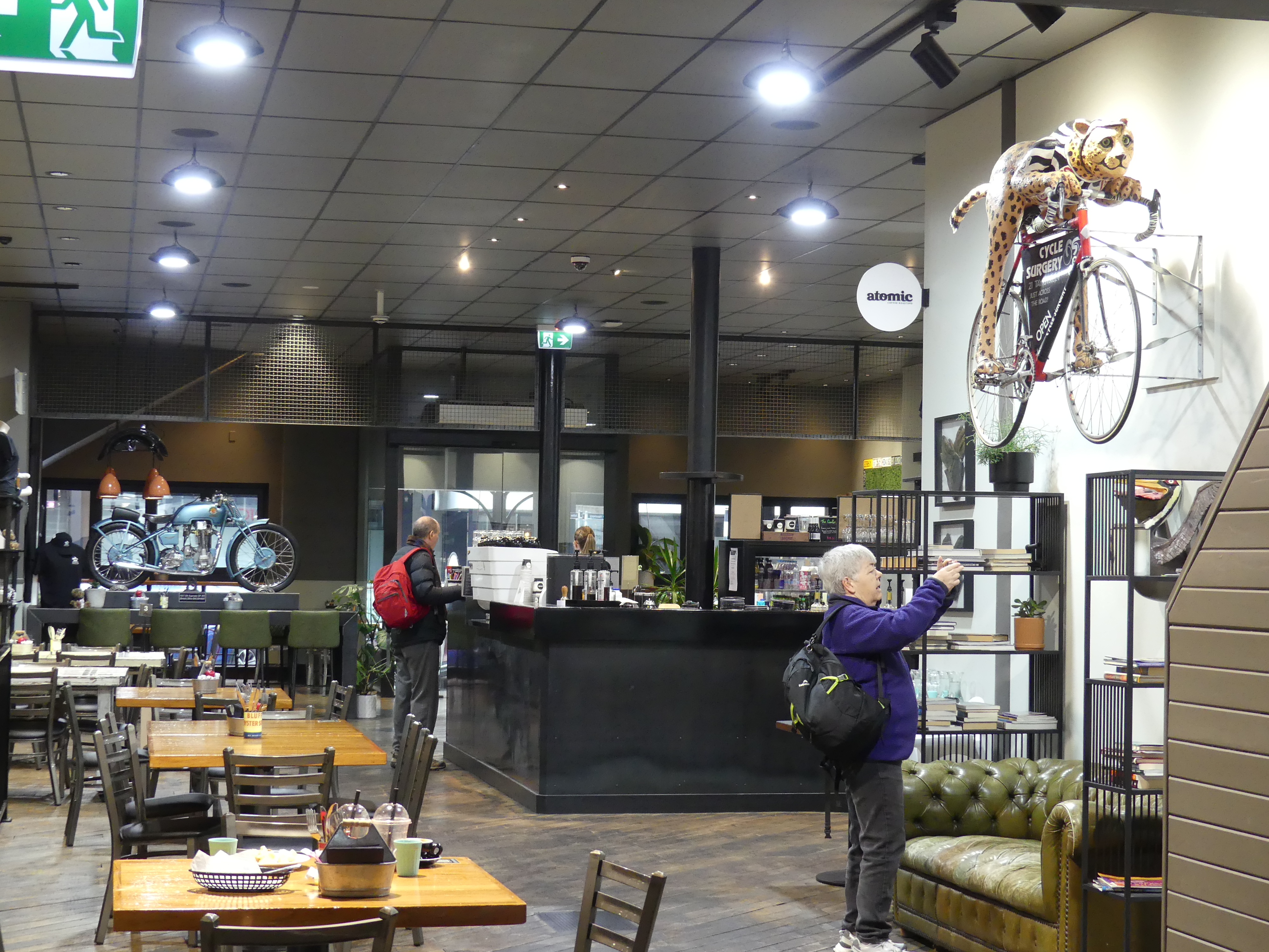
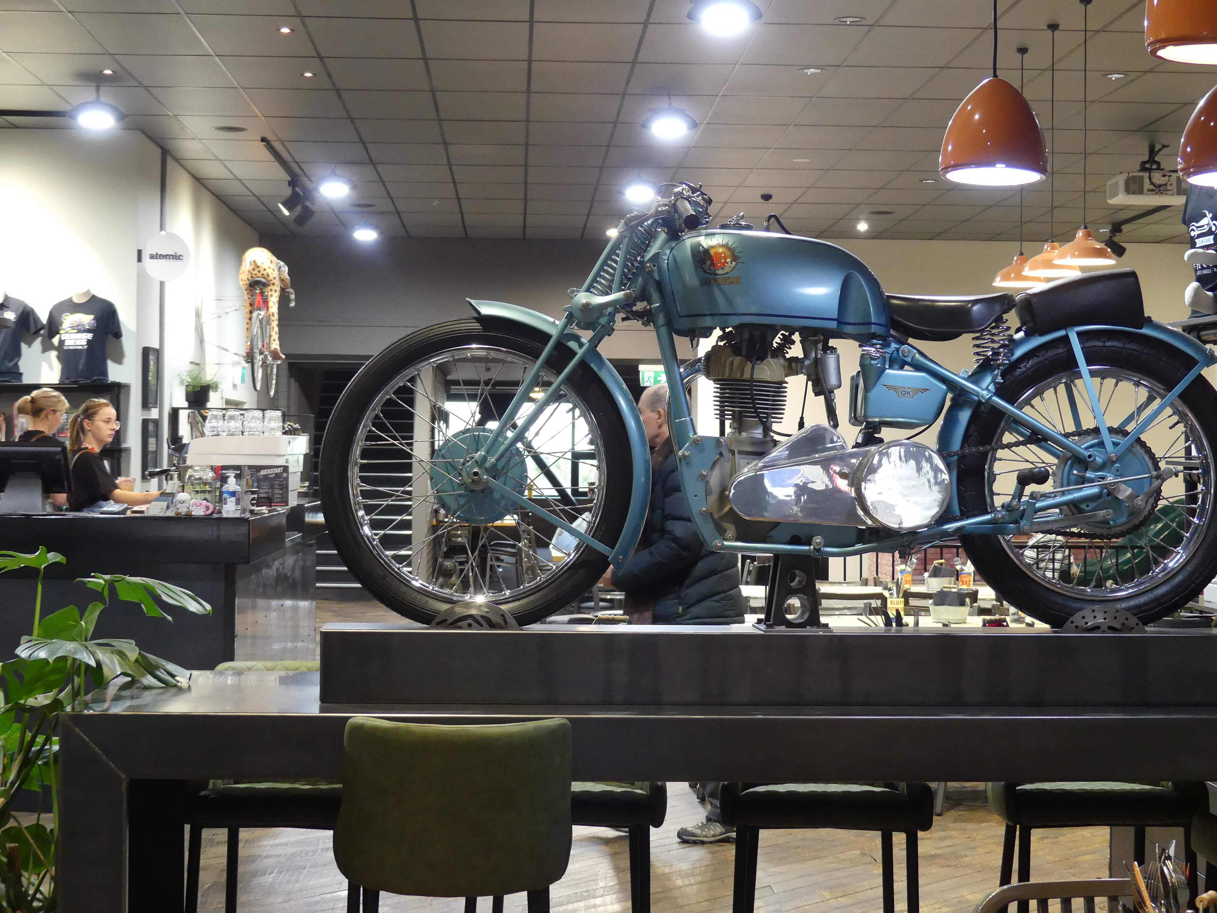
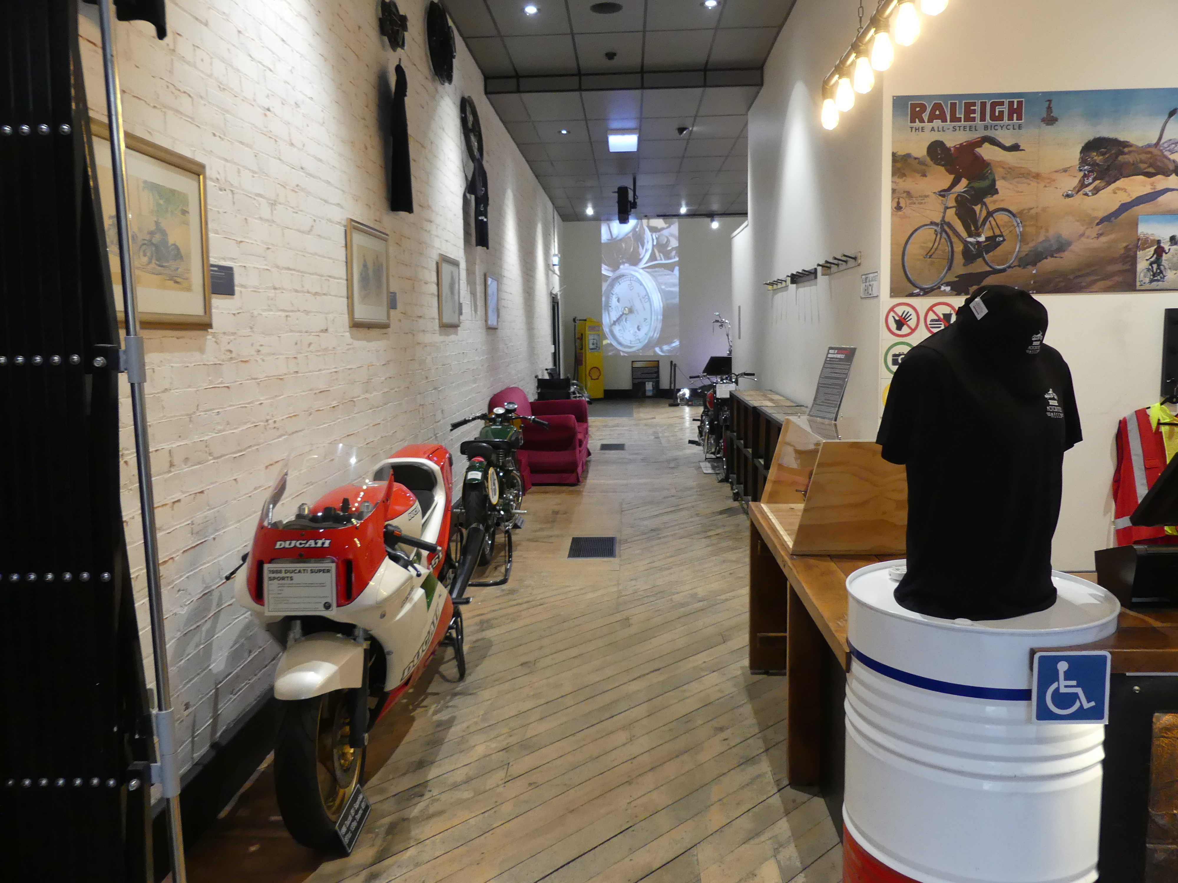
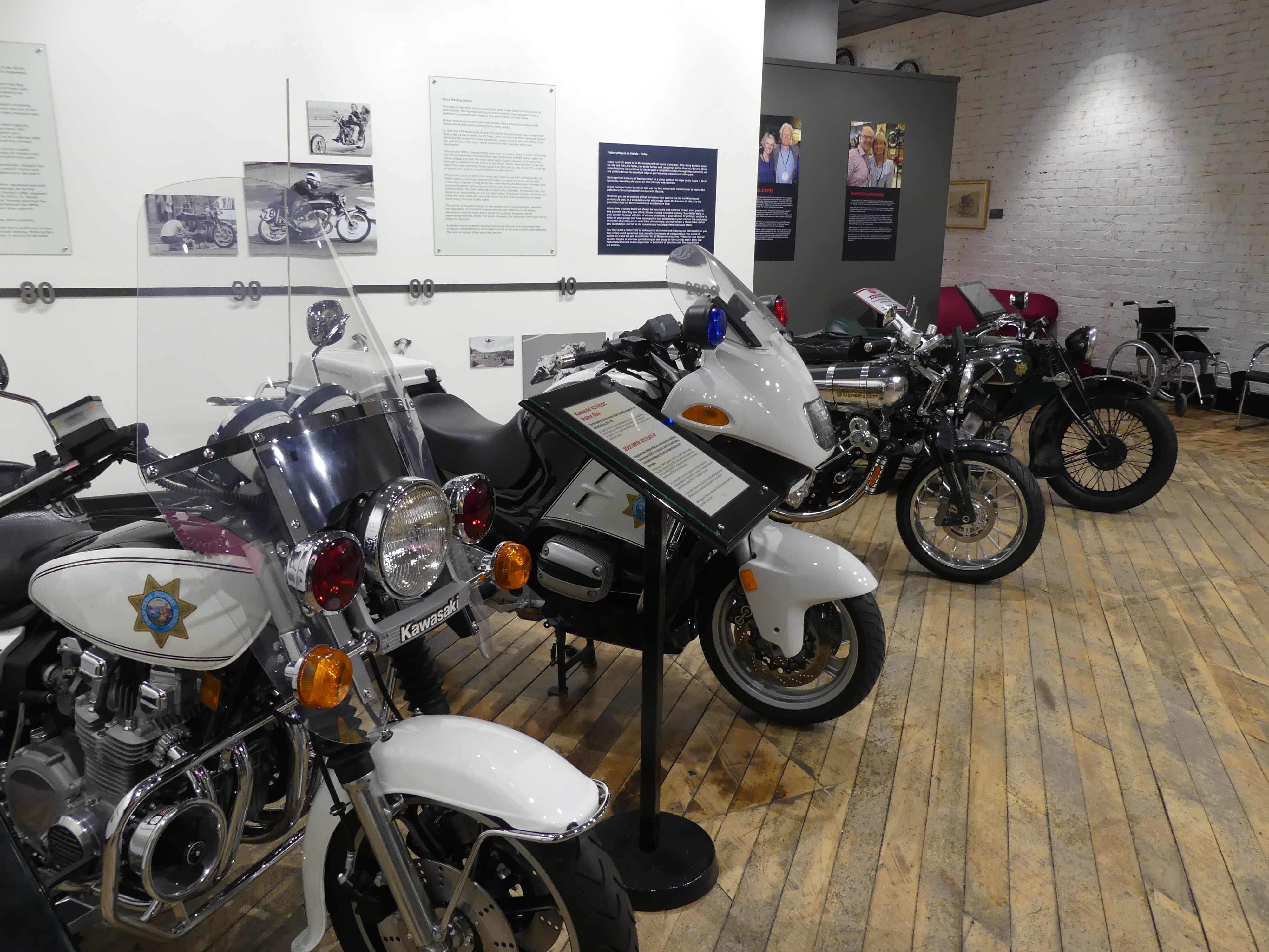
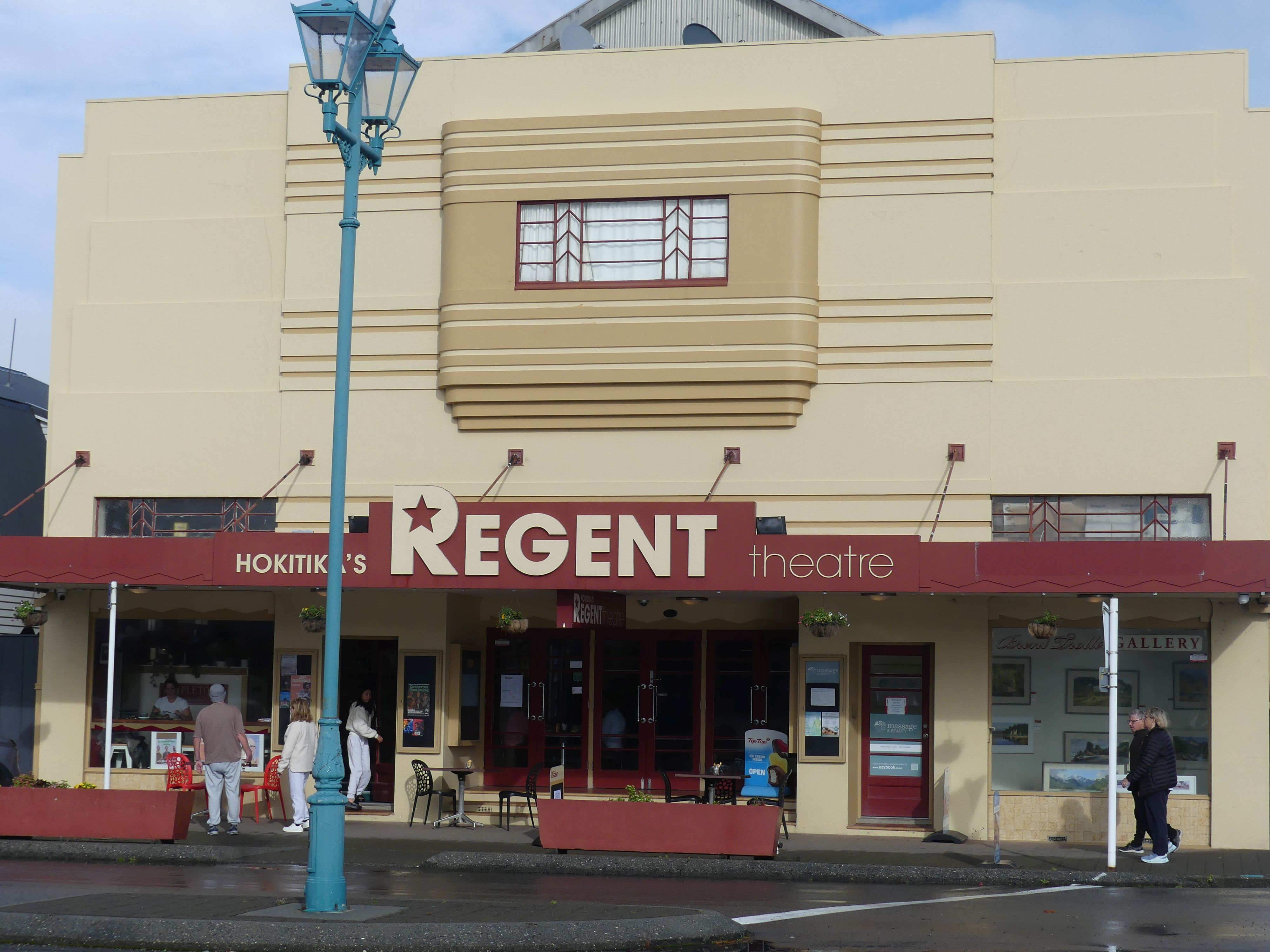
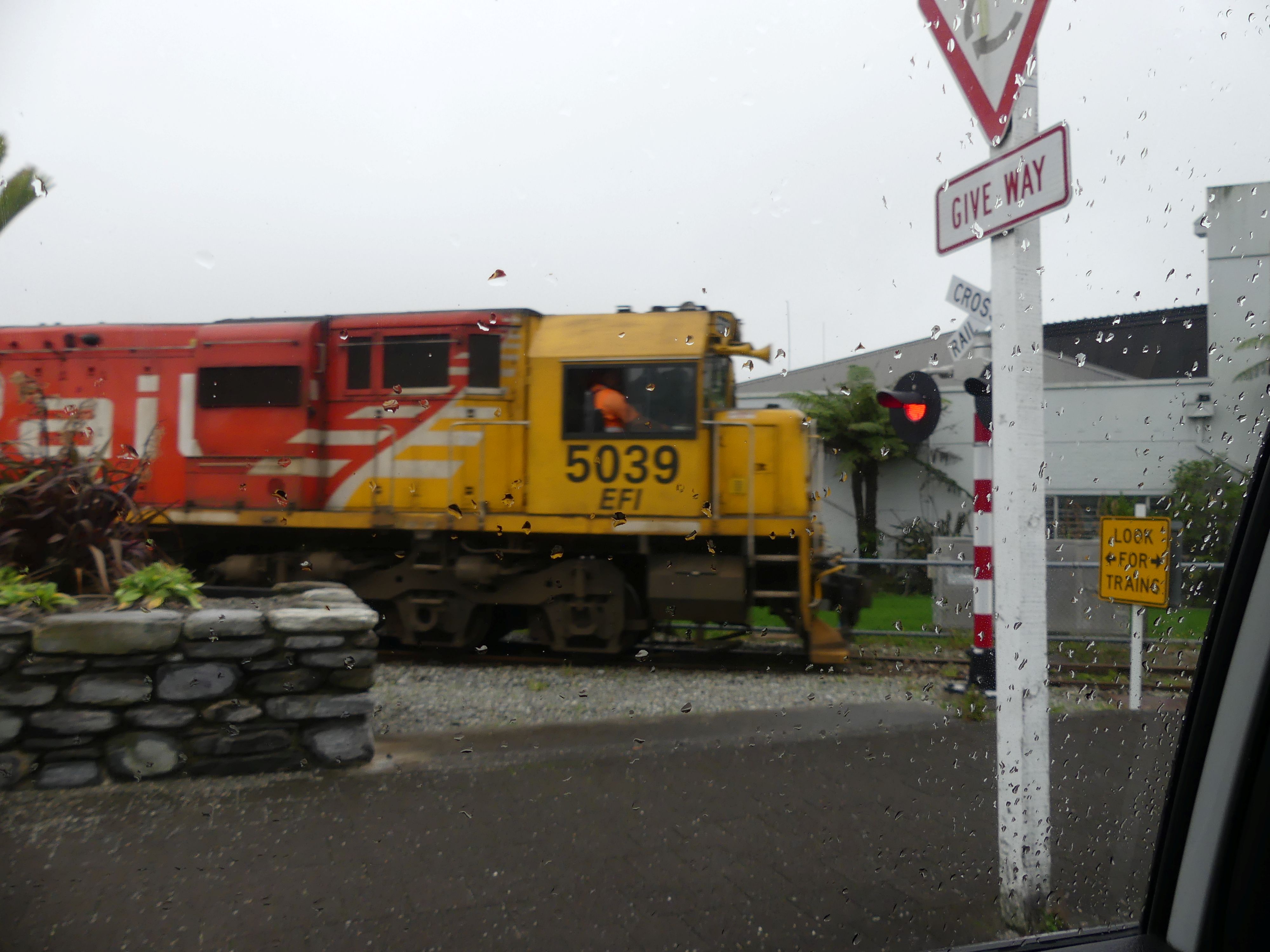
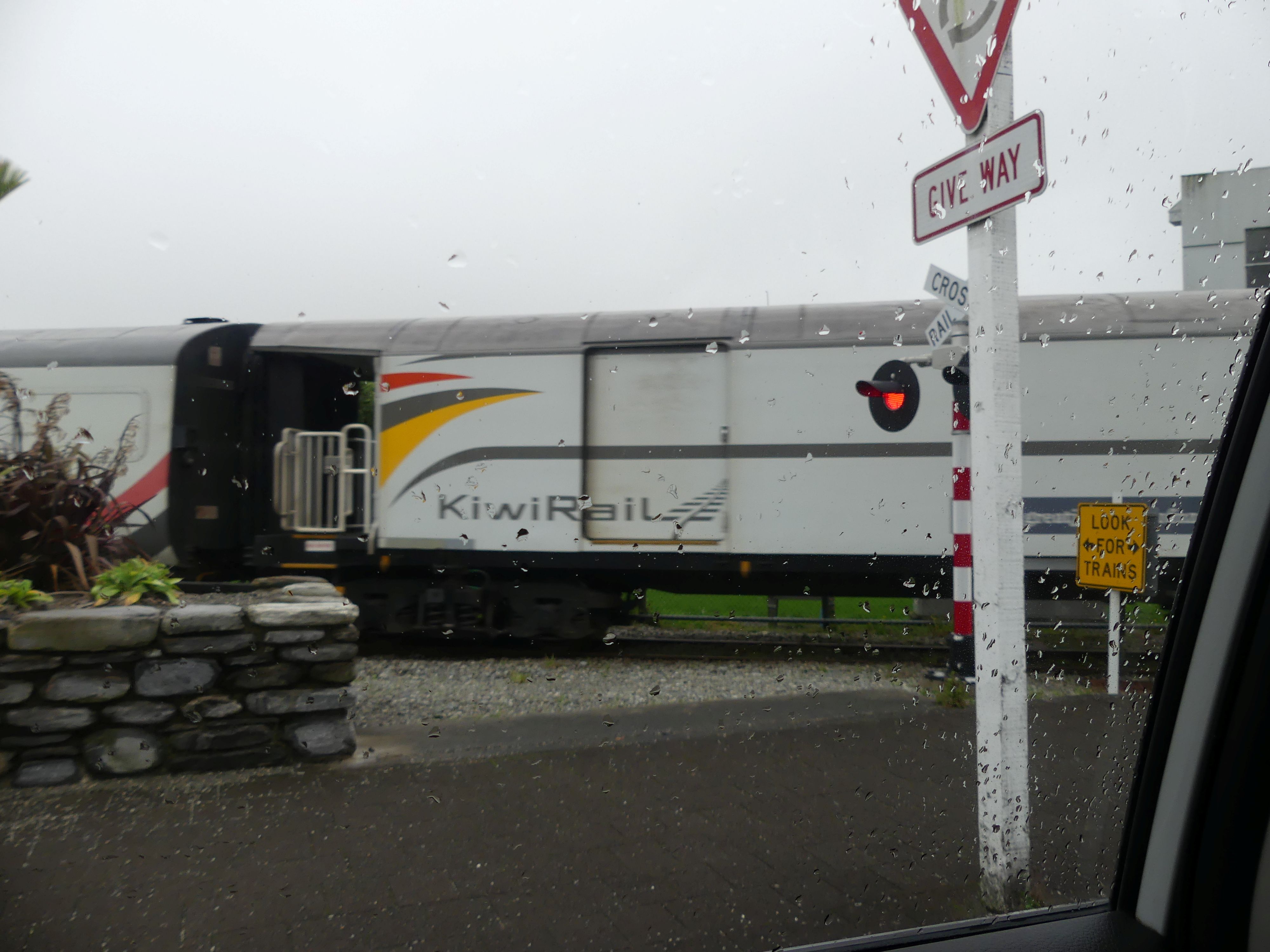
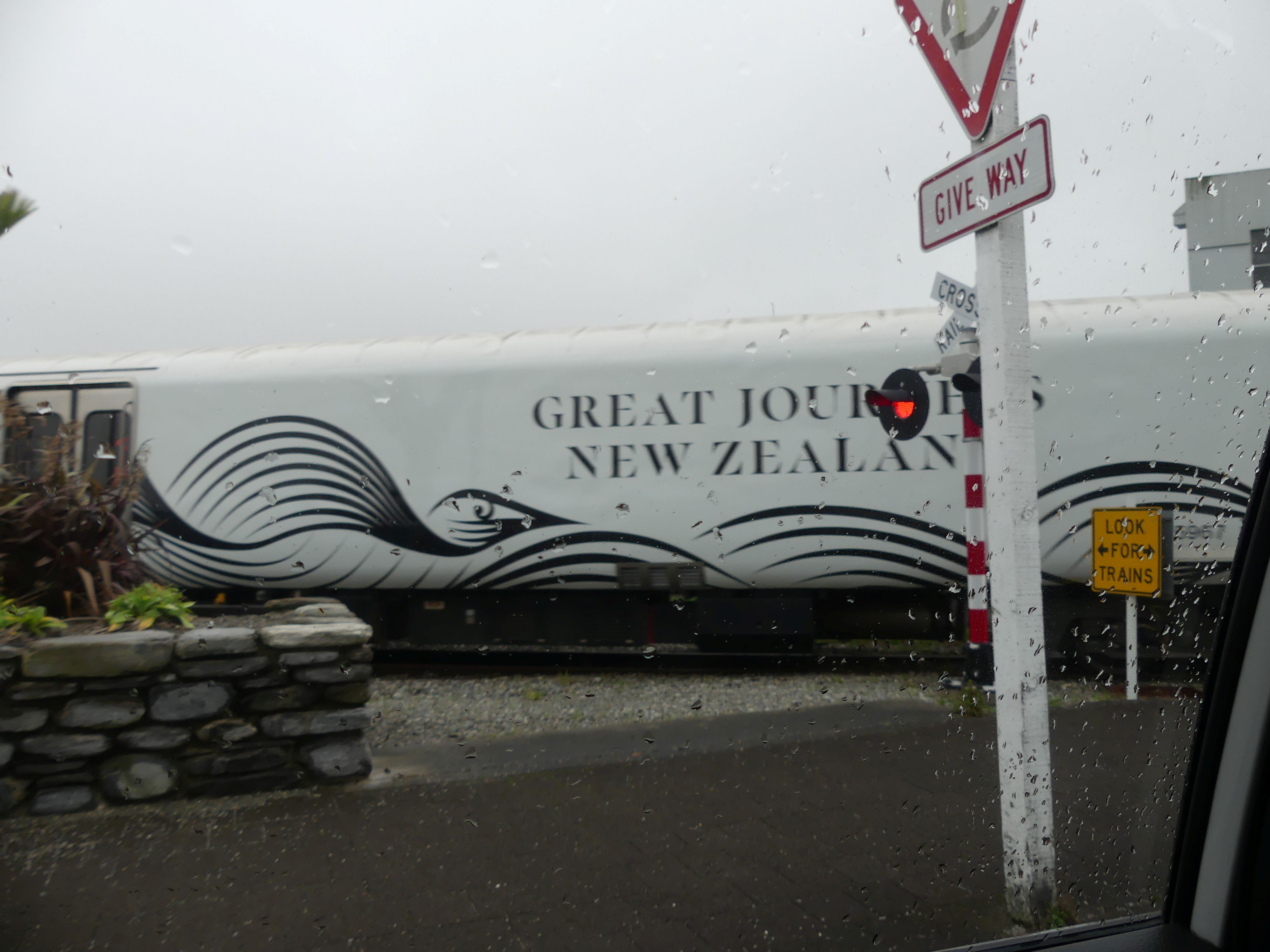
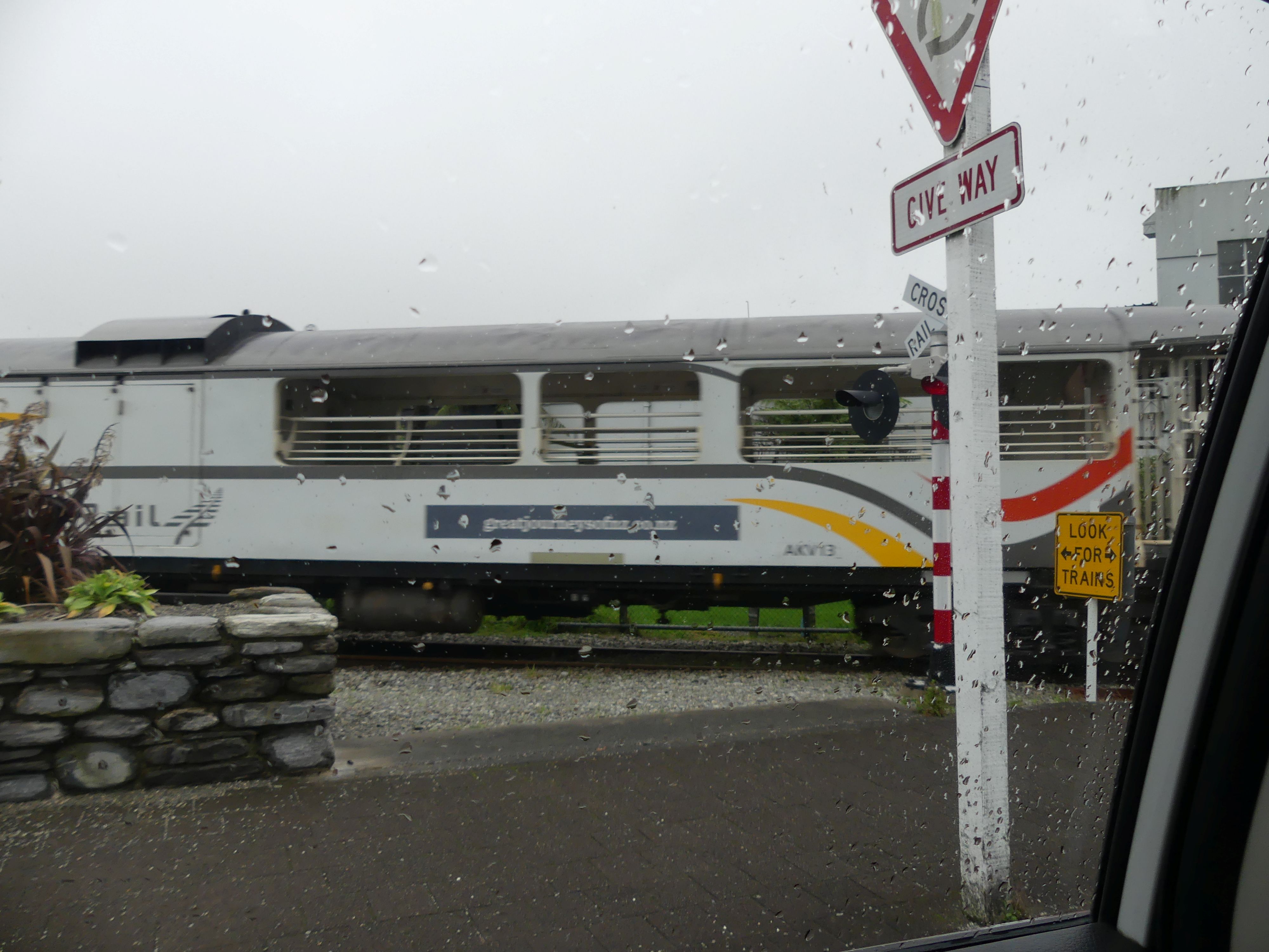
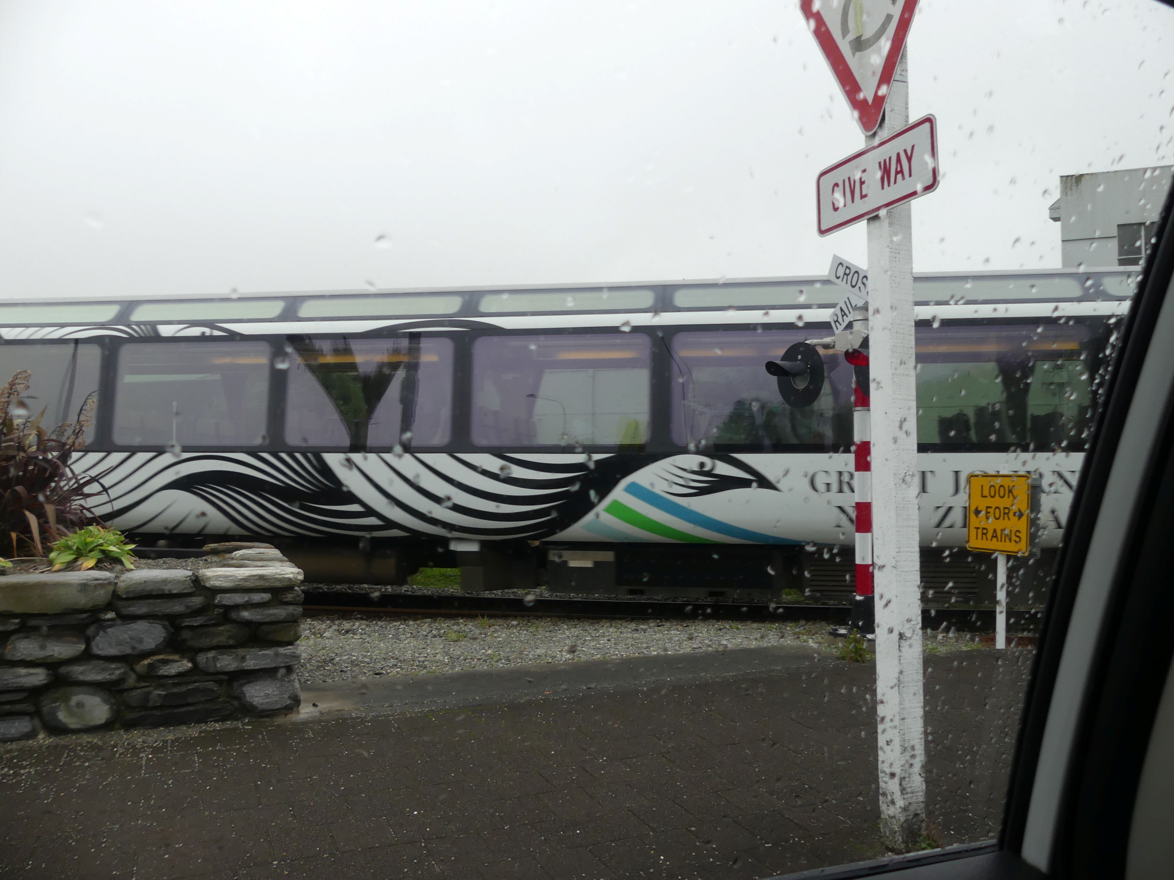
Now it was past 10.00 o’clock and no café at this place so off we went walking in hunt of the coffee bean. Found it in the Regent theatre. Coffee shop theatre and museum all in one. Our thirst sated, we stepped into sunshine: not the damp and overcast weather forecast. Our eyes turned to Mt Cook; it was still concealed in cloud cover. A view up Tancred St and a memorial to the Pioneers of Westland District; the place looked fairly quiet. Furthe along the street, a glass maker was busy at work before the furnace and whilst their work was good and the articles produced had some novelty, we both decided we had enough trinkets and not enough space in our luggage. Back to the car and leaving town, we came to a rail crossing. Normally there is no action on the line but not now today the Great Journeys of New Zealand train was crossing. As you will see in the photos the rain had returned.
Regents Theatre and Tancred St, Great Train Journeys
Day 16 Greymouth to Nelson
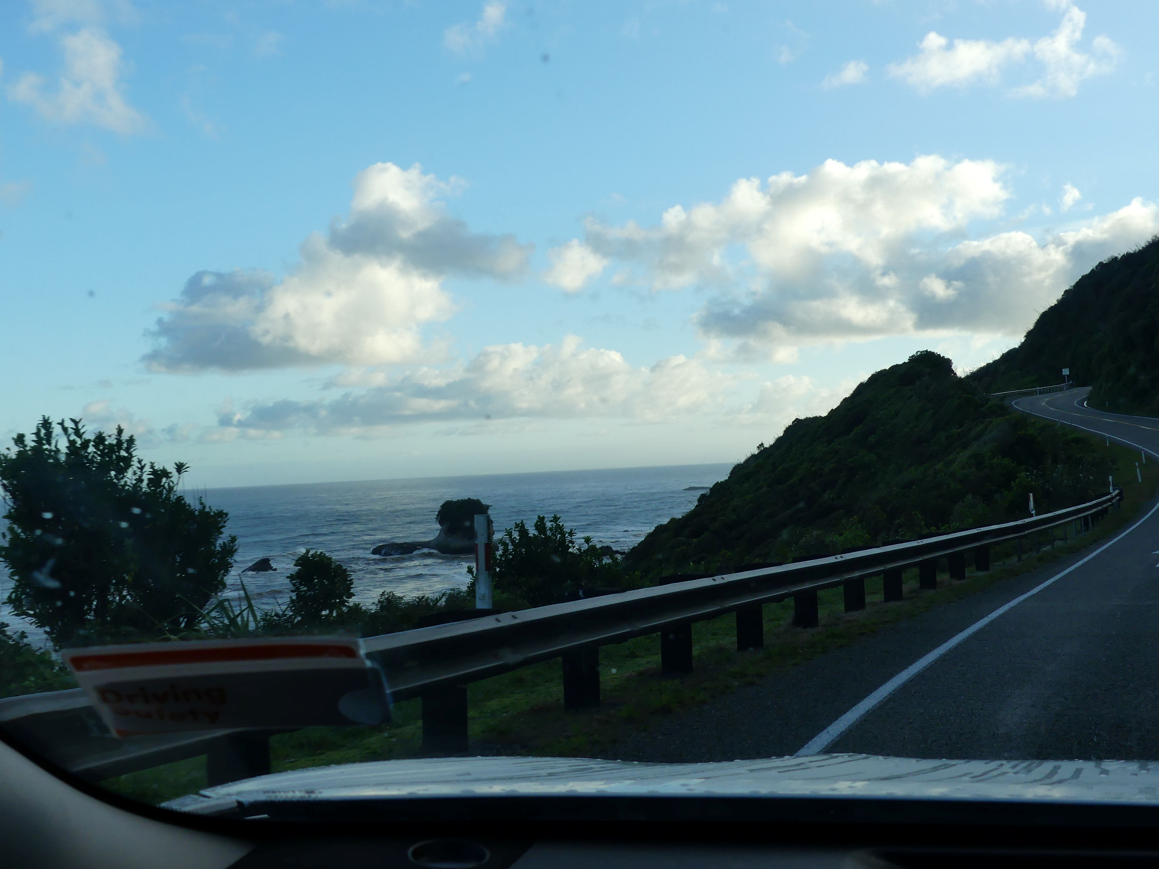
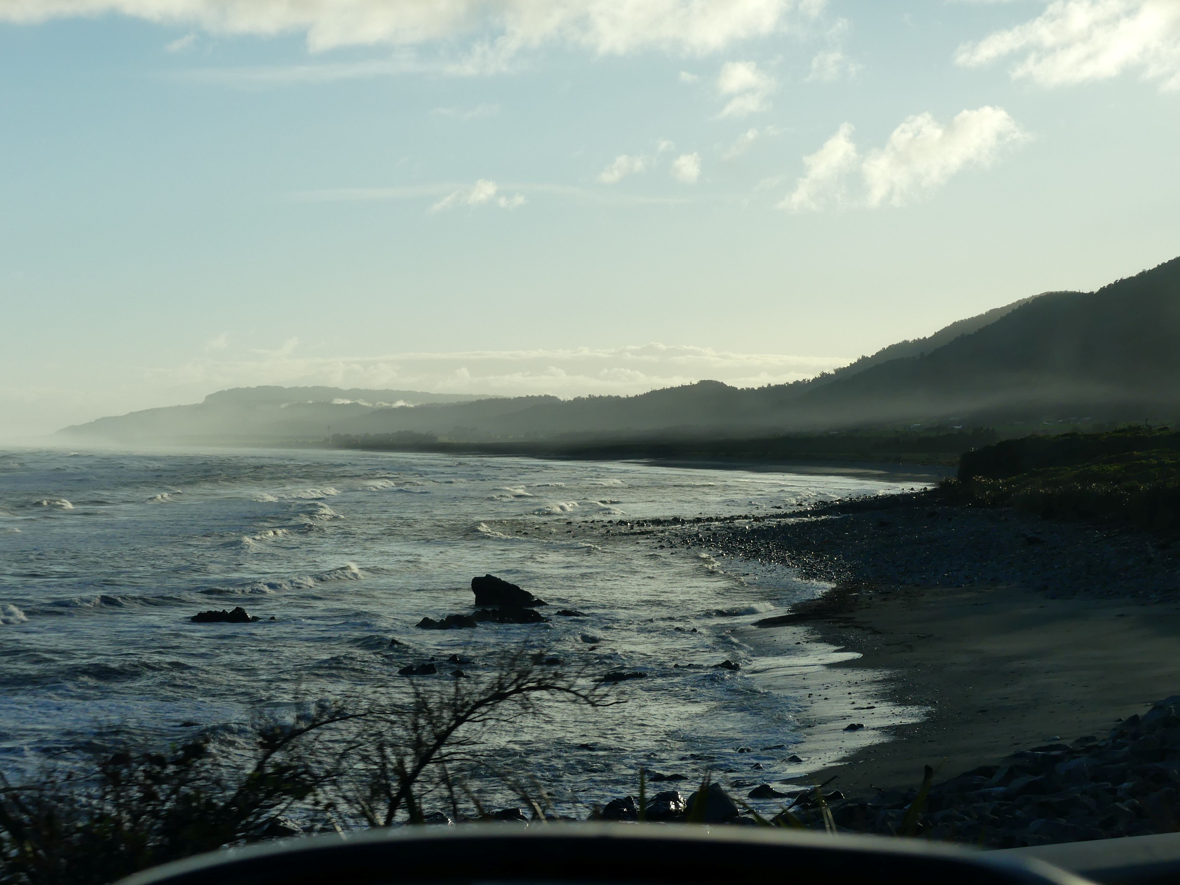
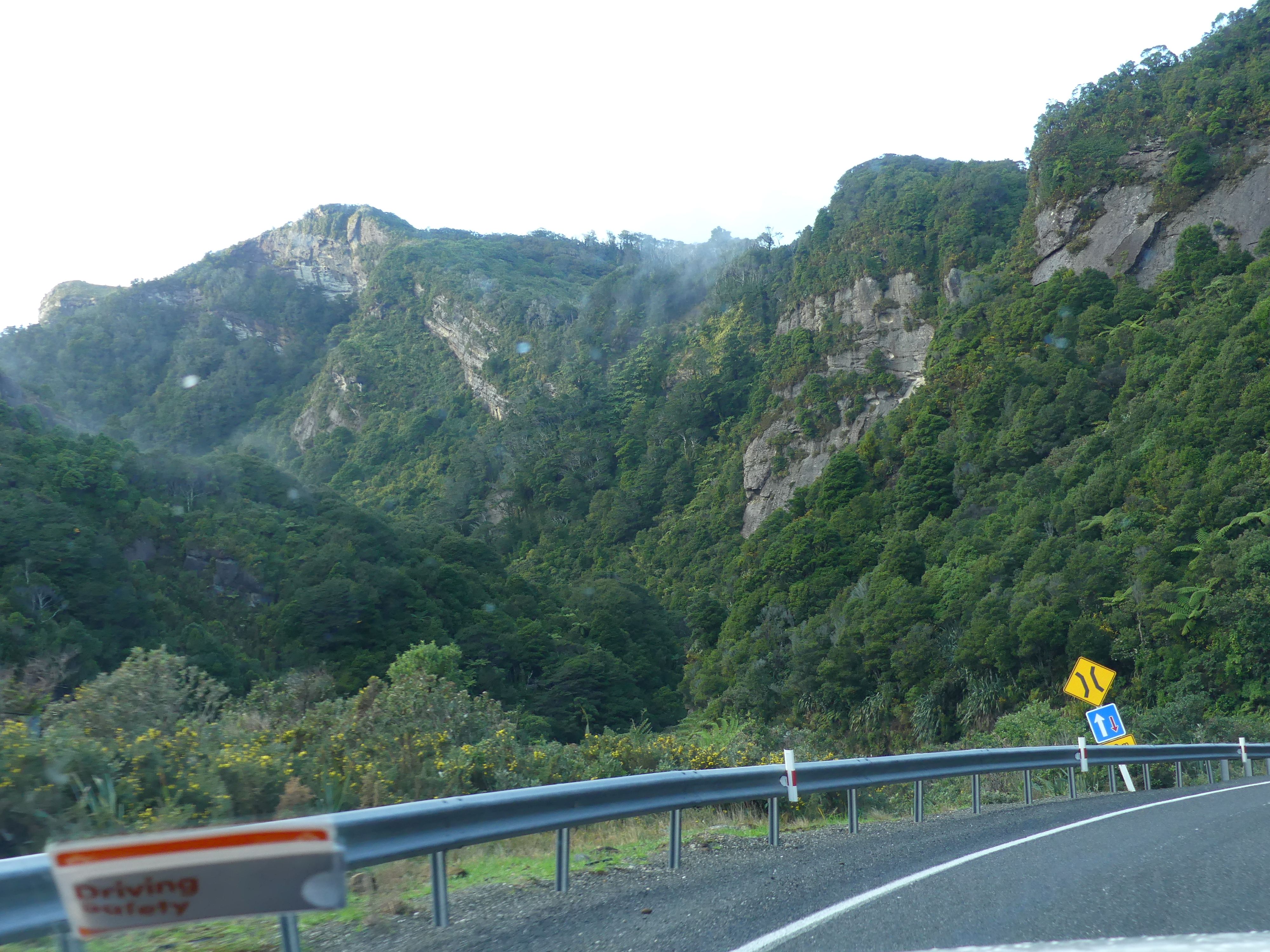
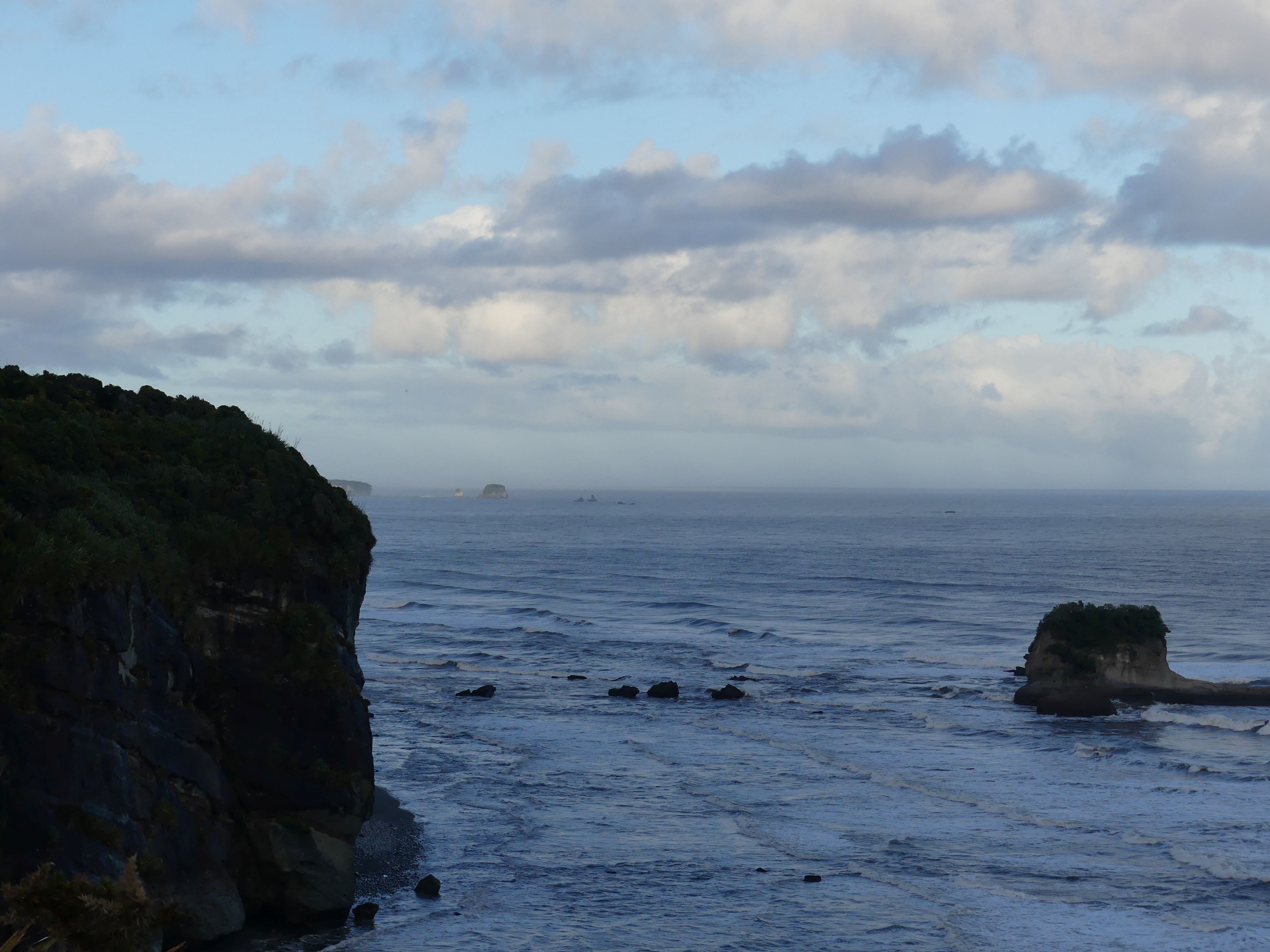
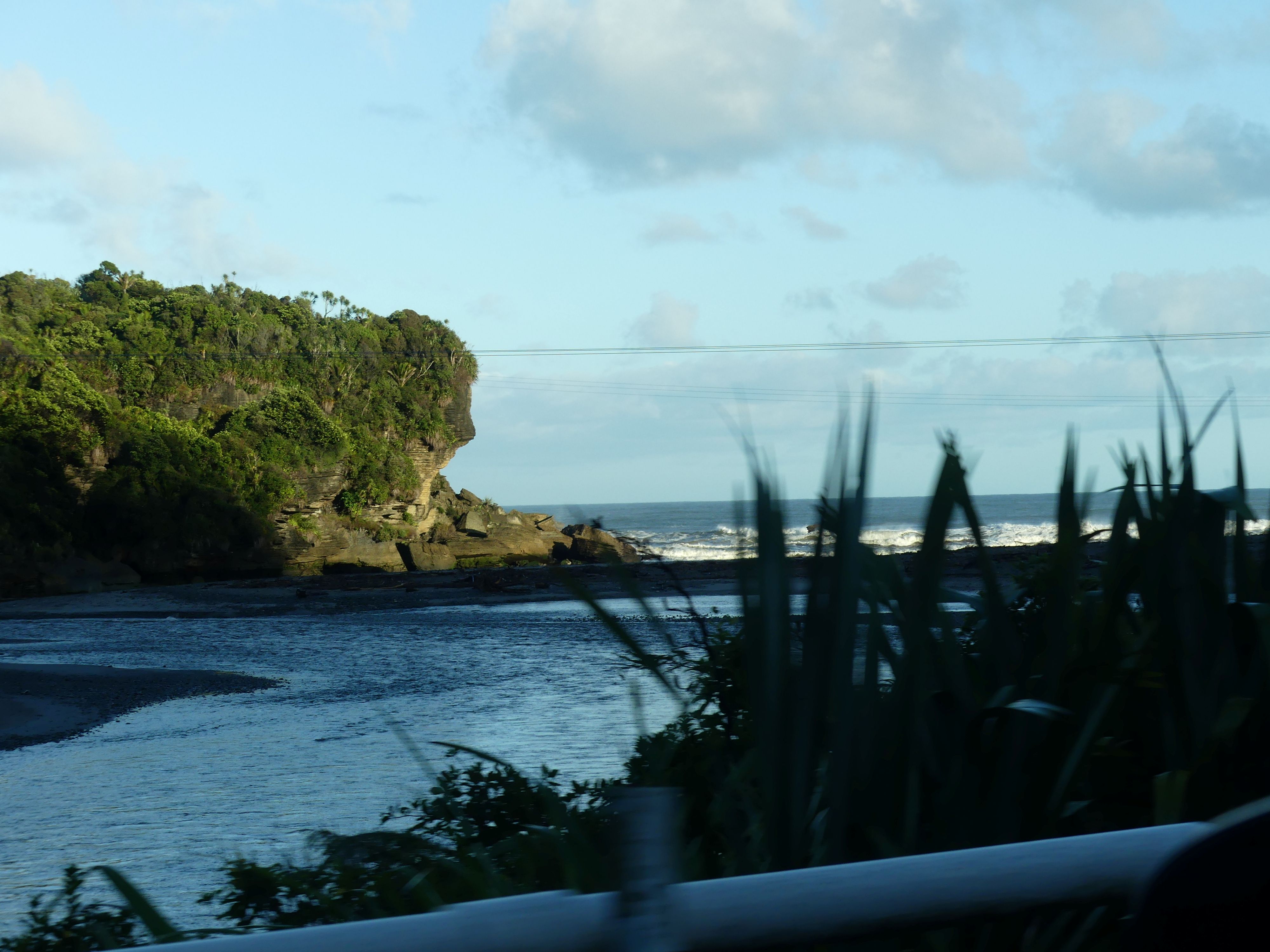
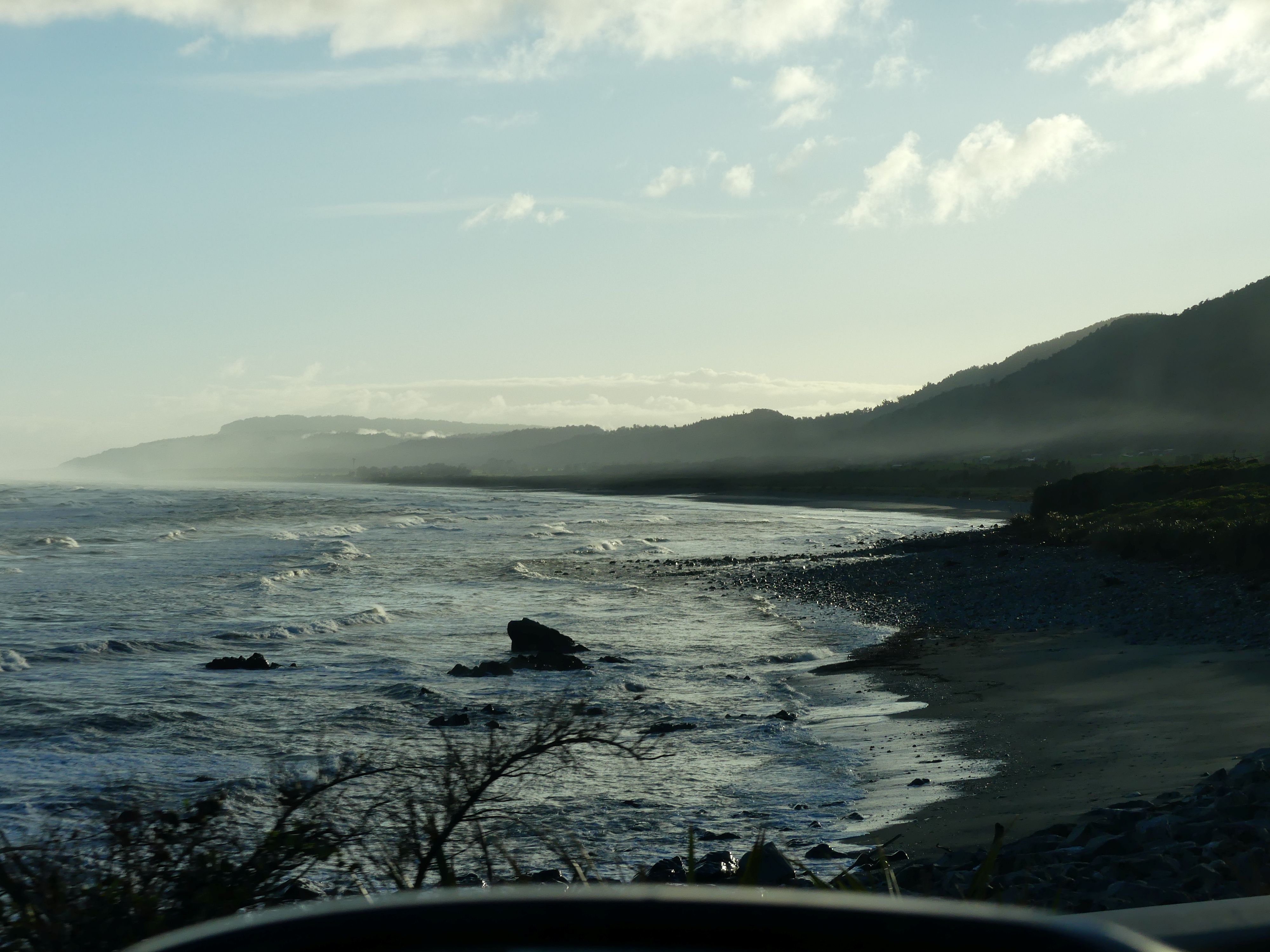
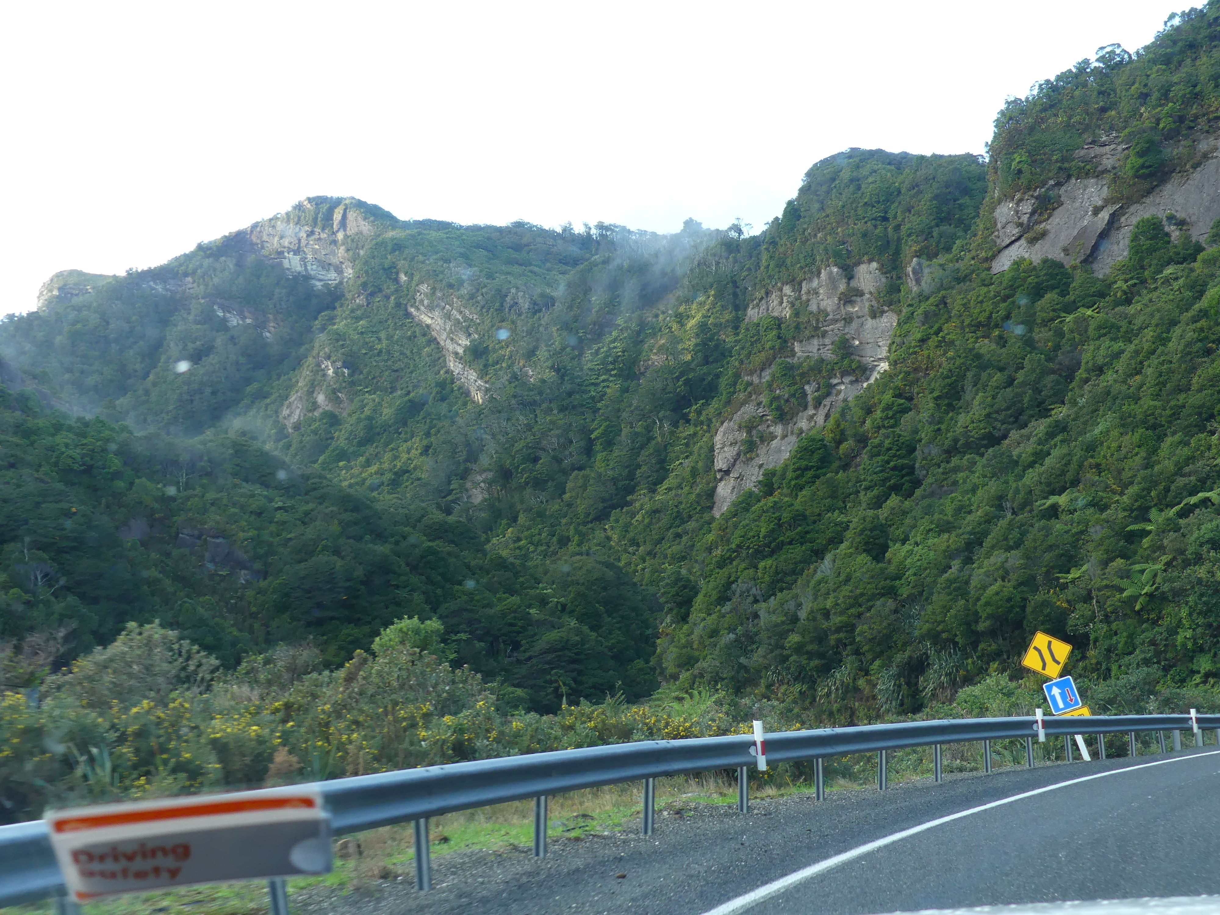
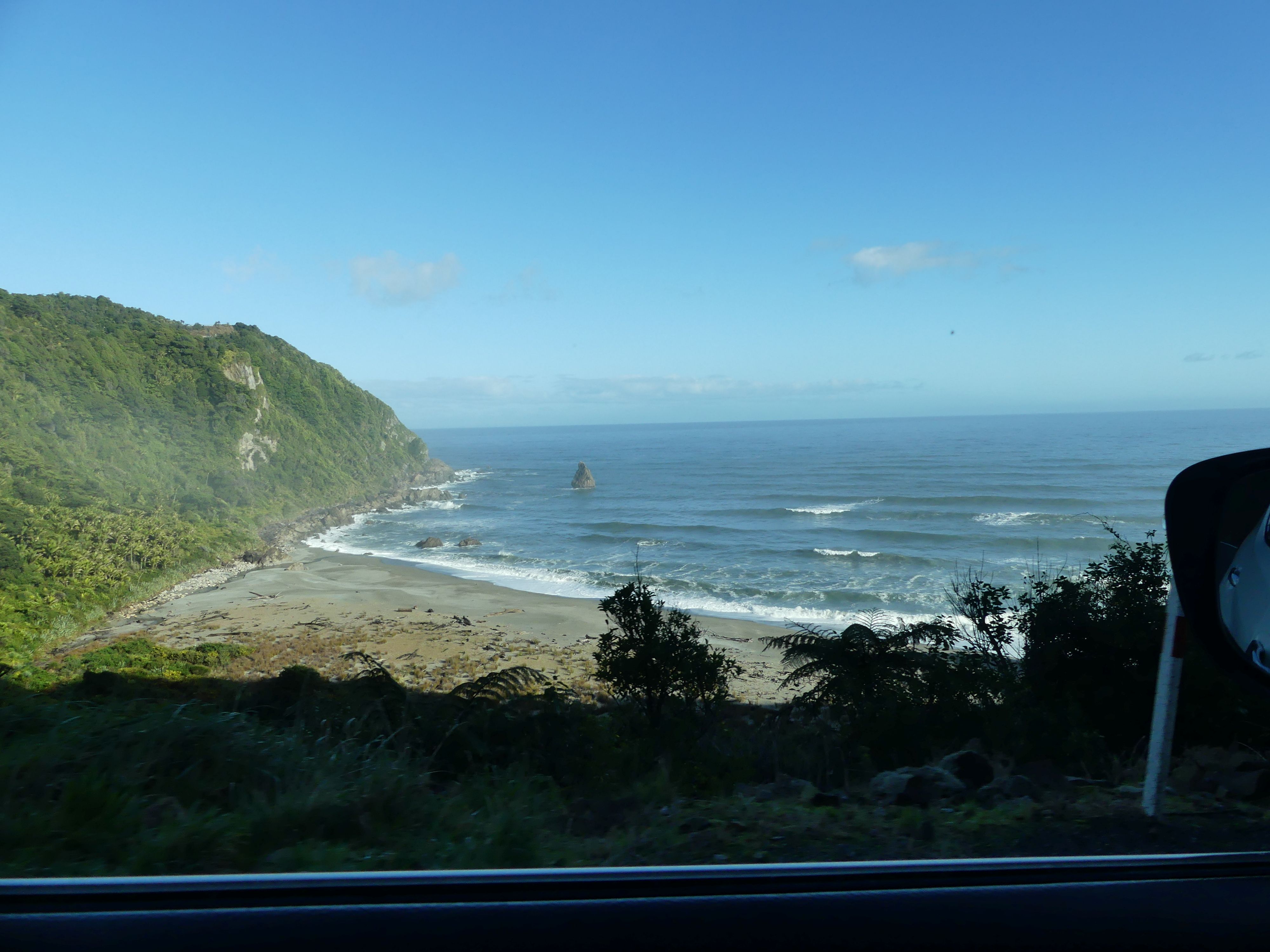
Rising early on day 16 we planned our trip to Nelson in the northern end of the Southern Island. It was a 4-hour drive to Nelson, and we decided to break the journey with visits to the Pancake Blowholes and the Buller Gorge swing bridge. We were about to drive what is said to be the most beautiful scenery of the West Coast of South Island. Ocean views beaches and towering mountains.
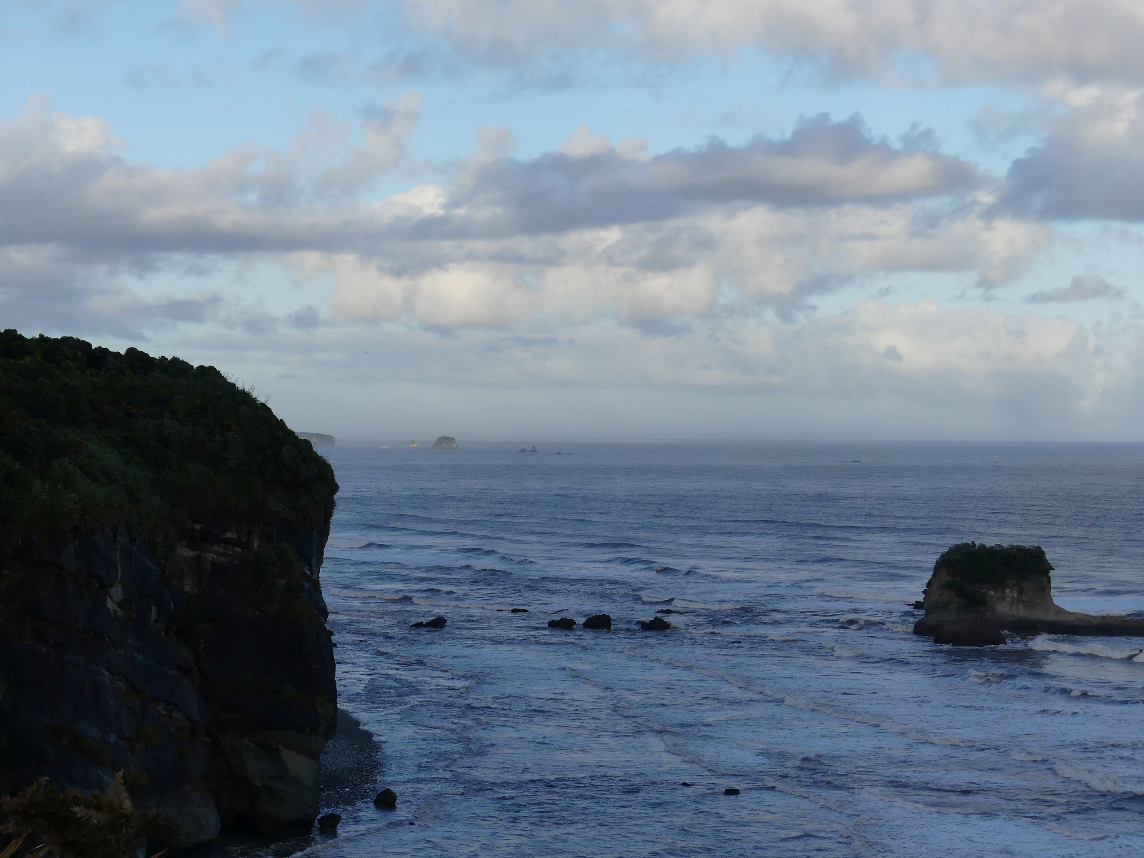
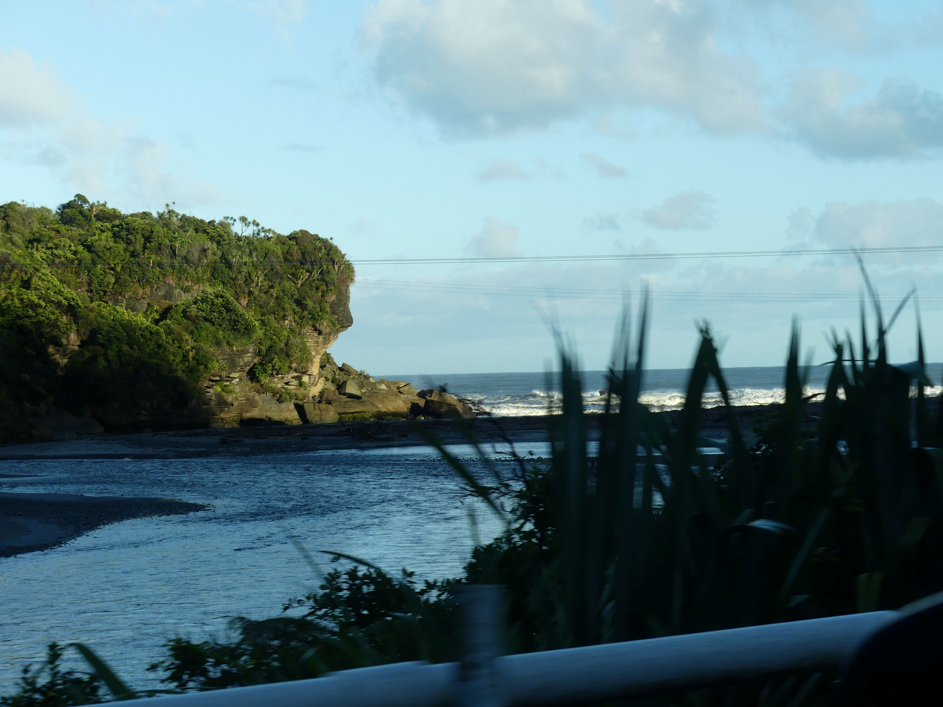
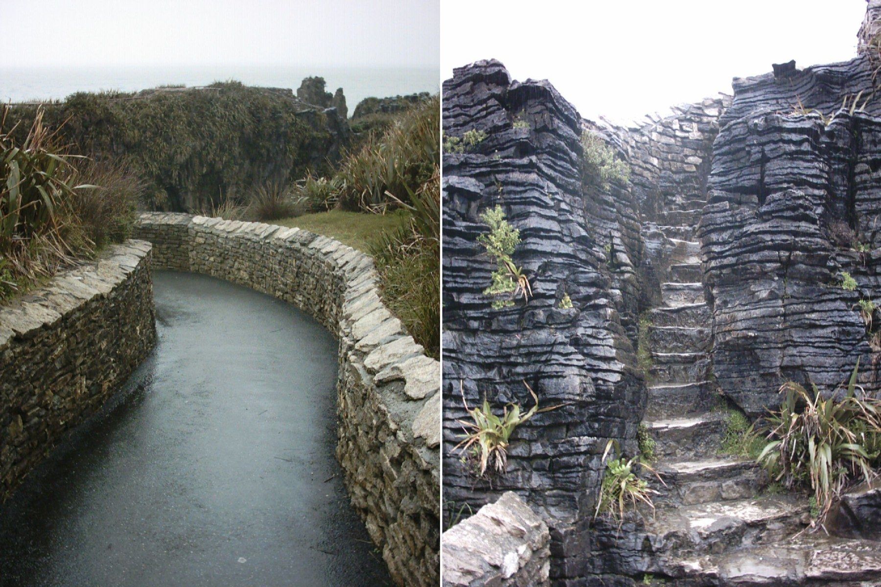
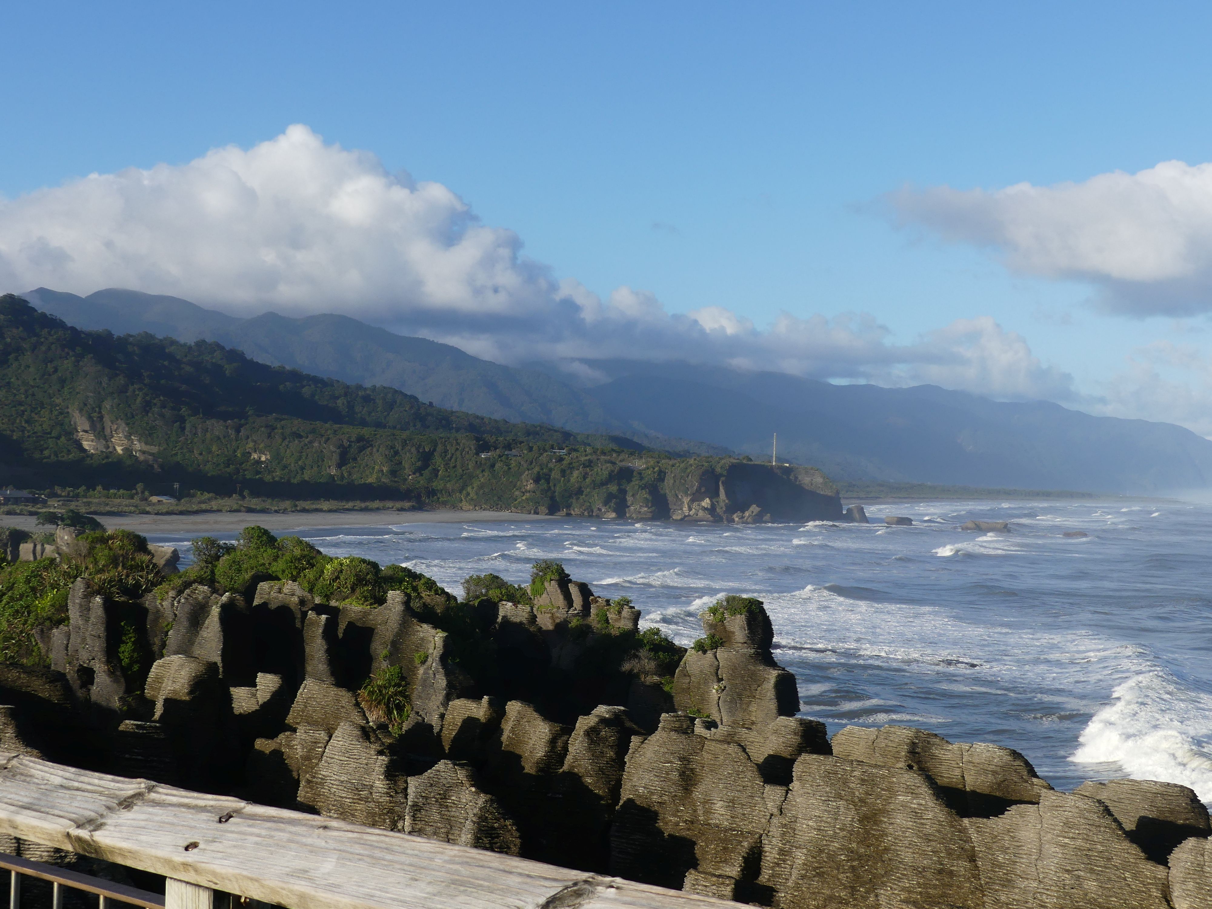
Scenery Greymouth to Pancake Blowholes
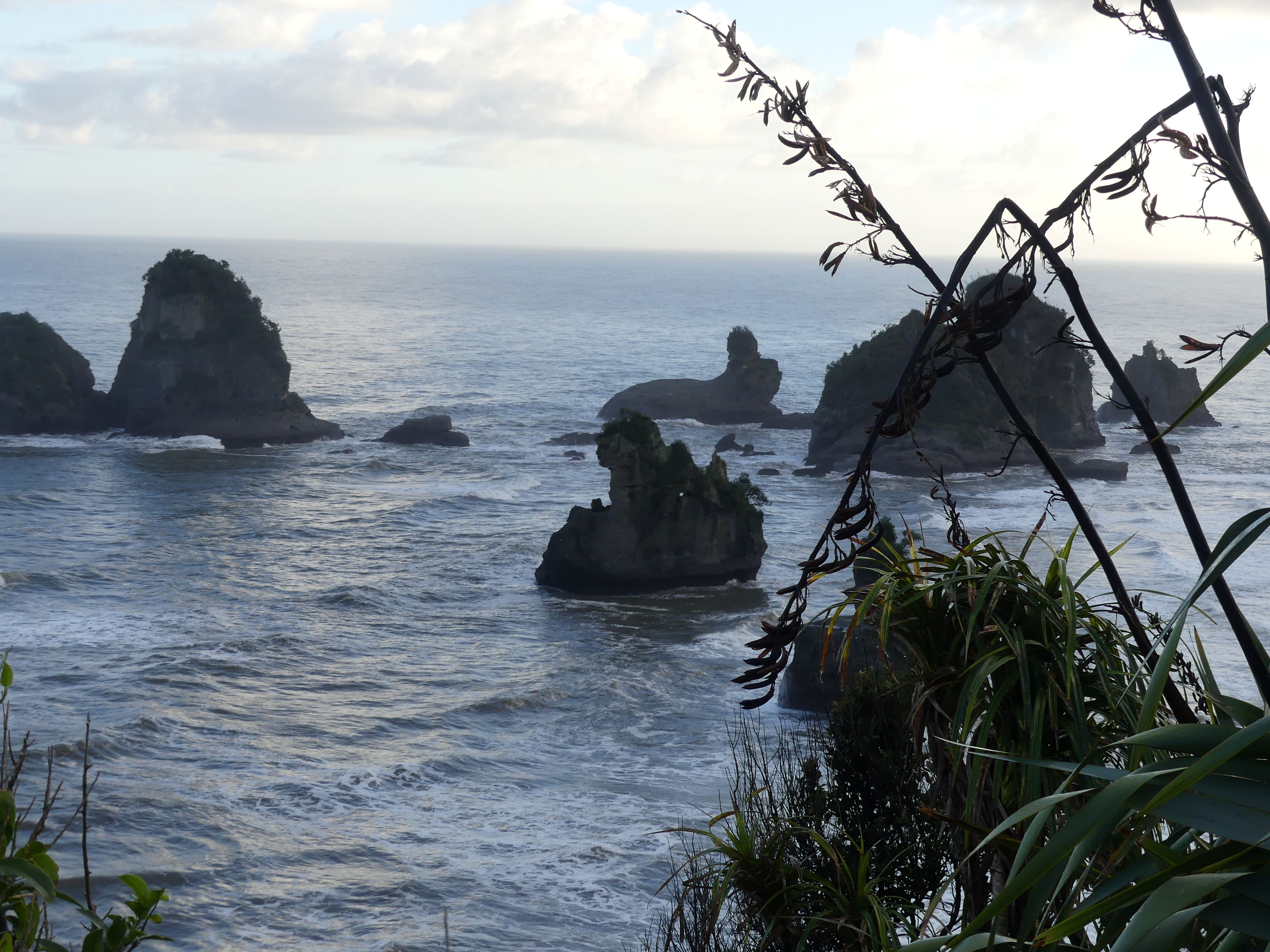
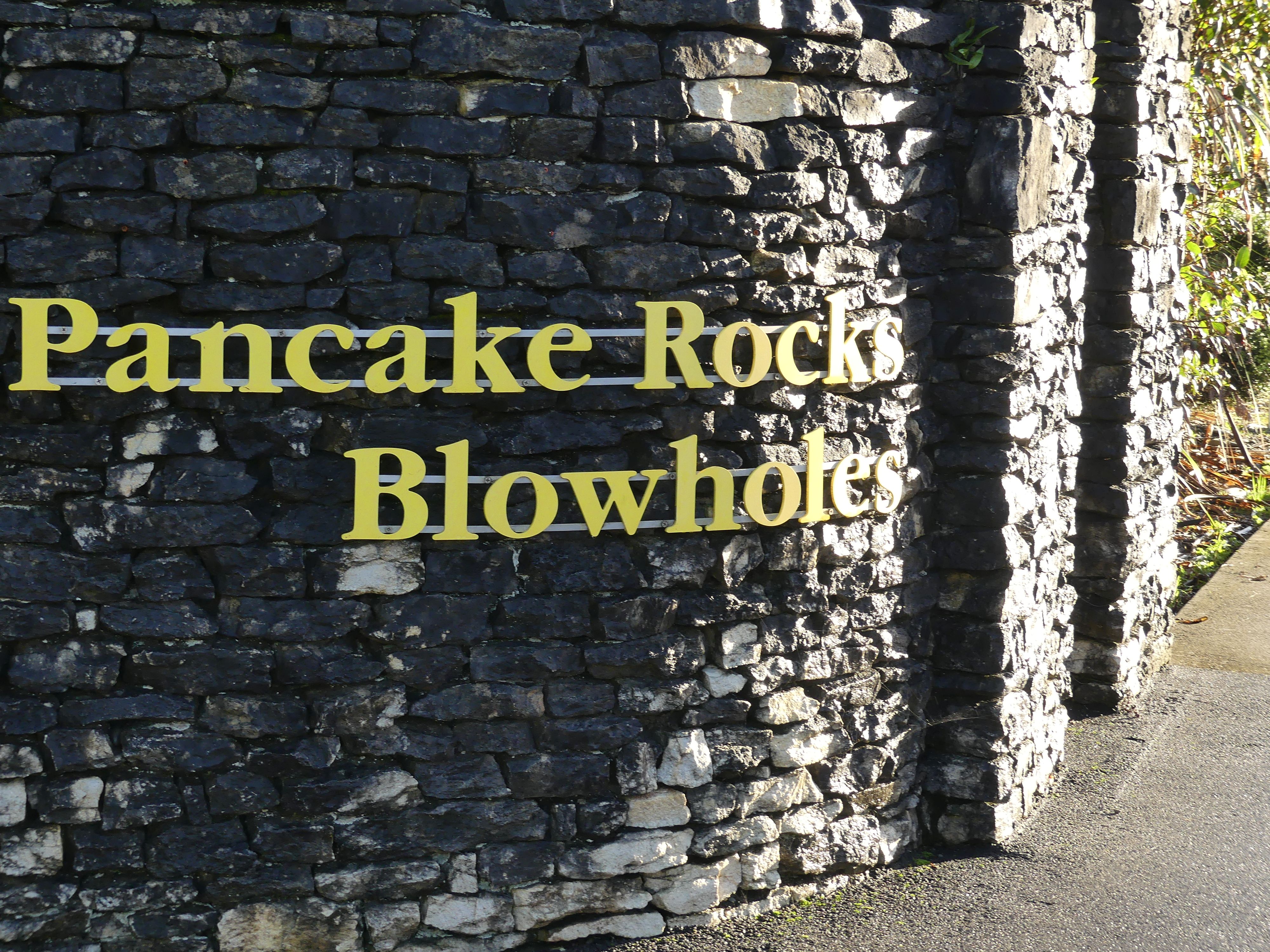
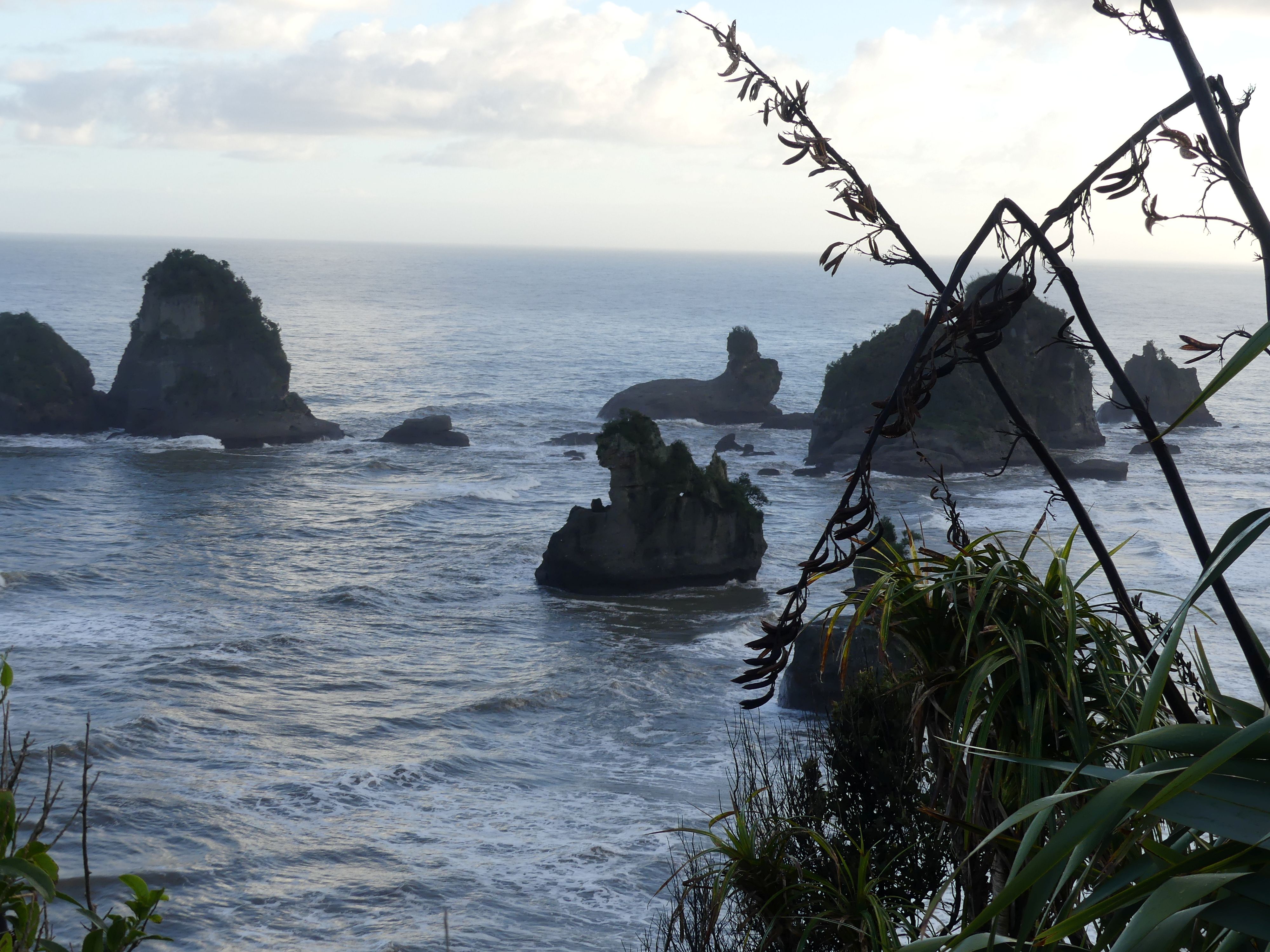
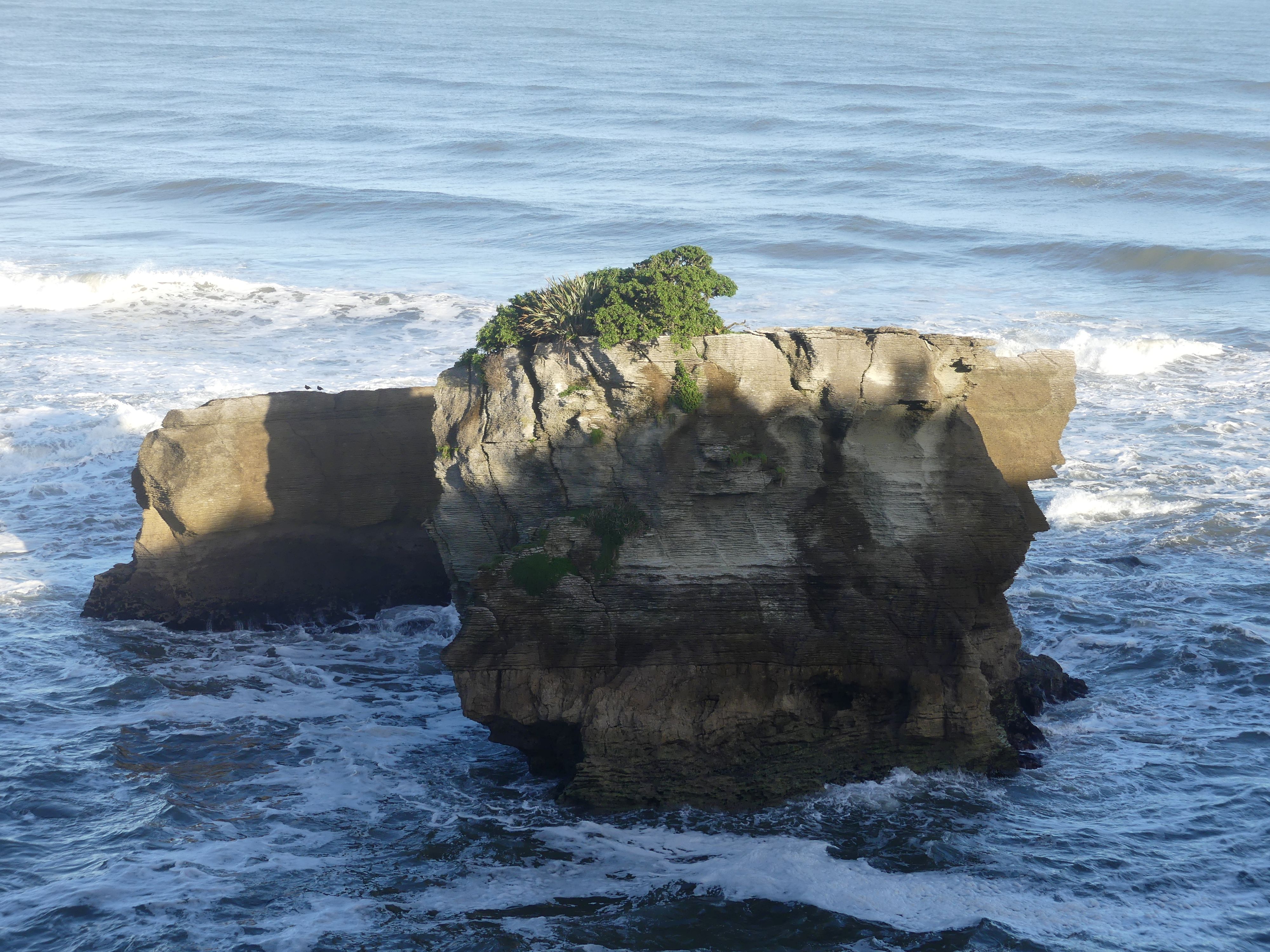
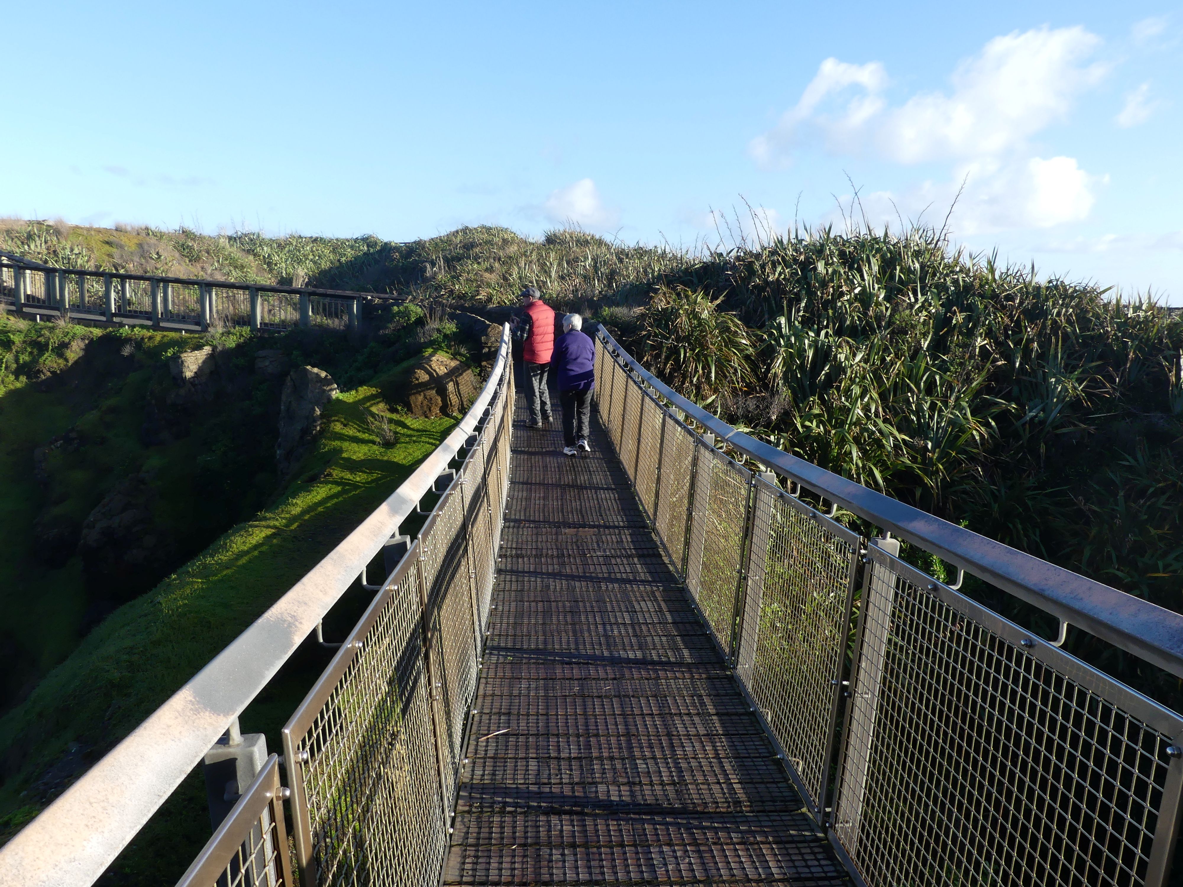
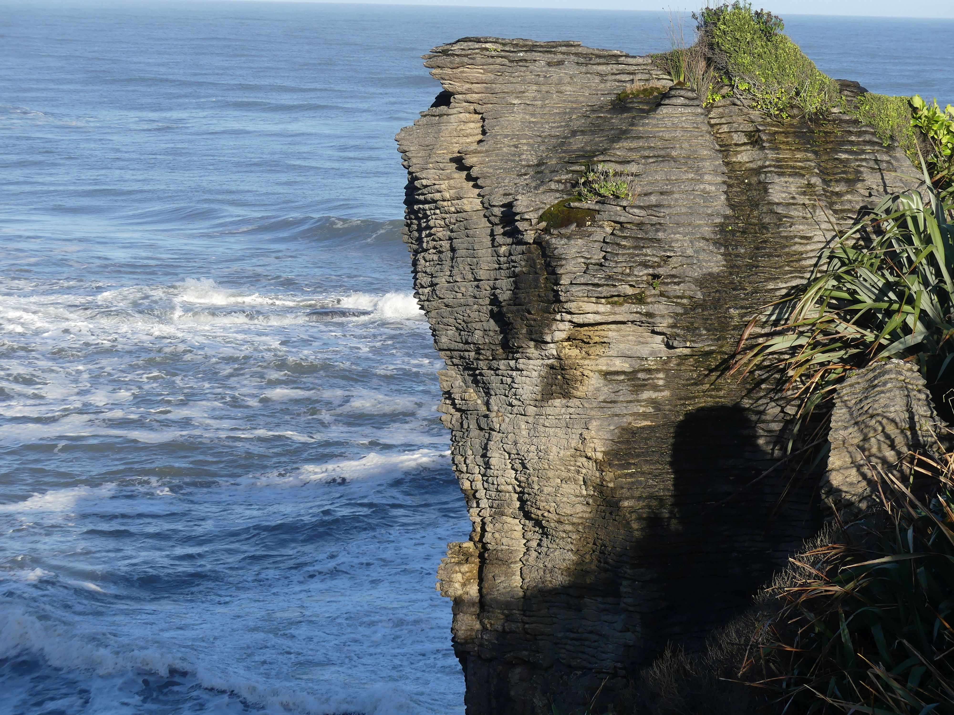
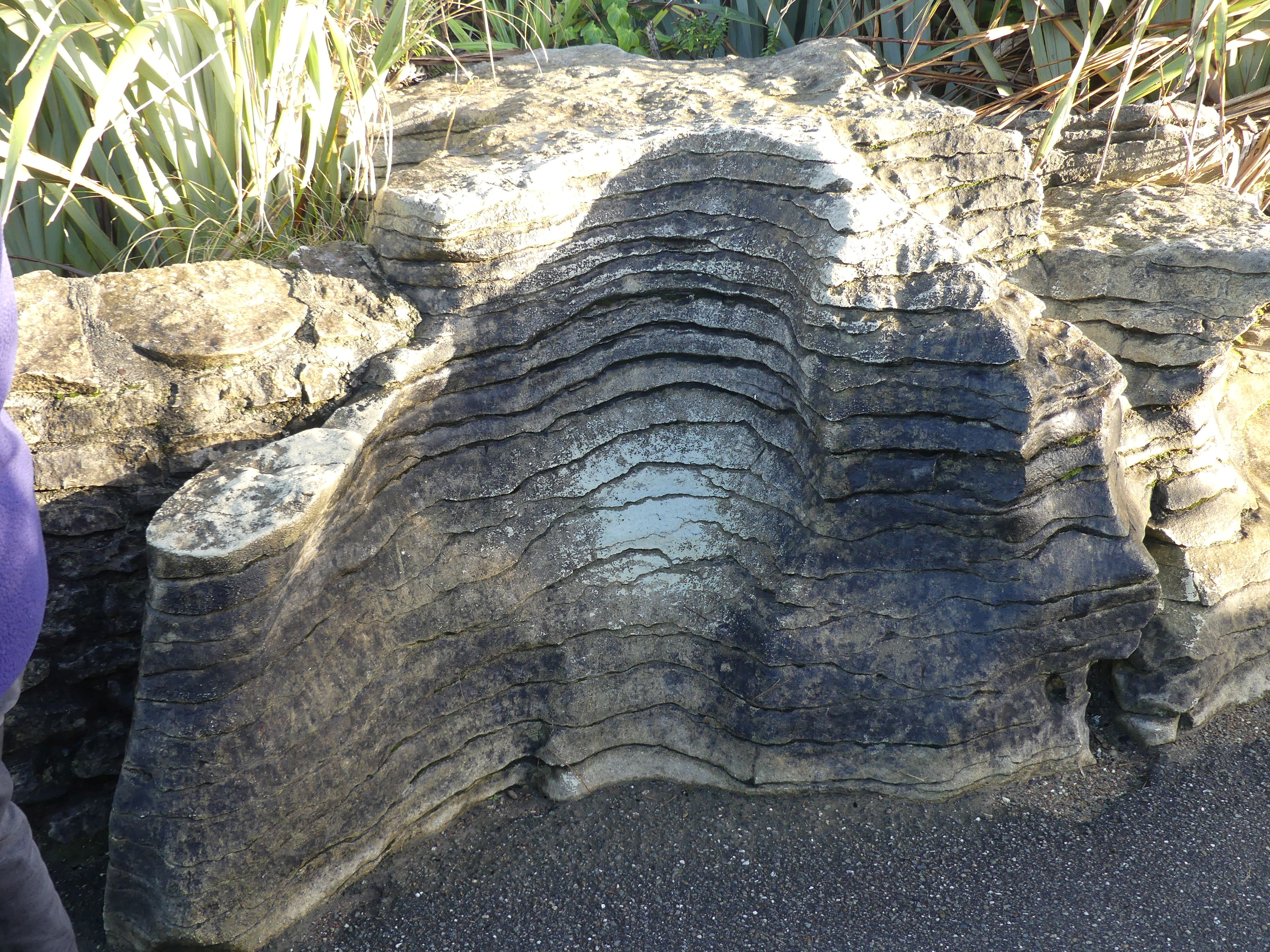
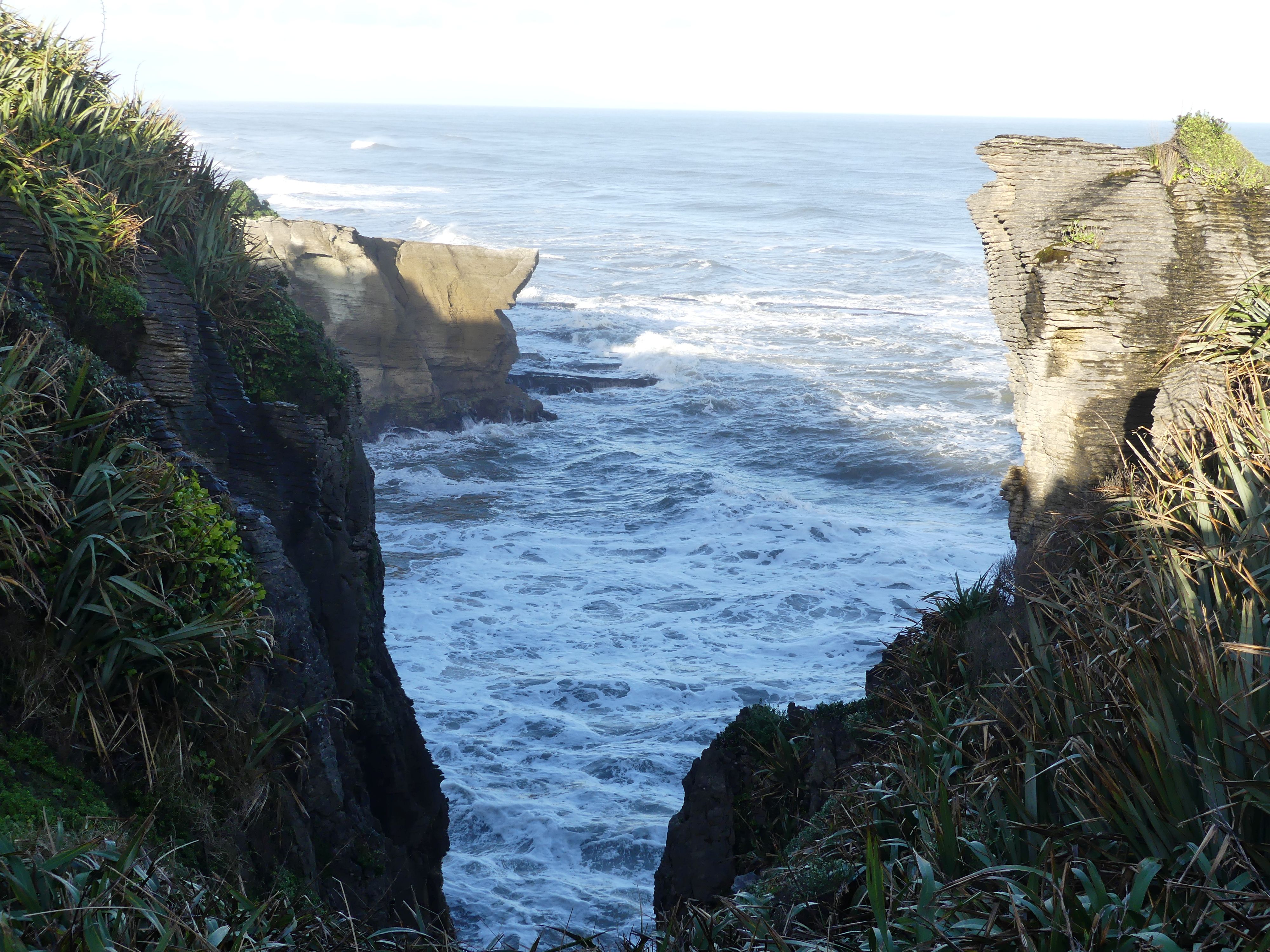
Rising from the sea at Dolomite Point, the Pancake Rocks are part of a heavily eroded limestone area where the sea bursts through underwater channels and escapes via vertical blowholes. The easy Pancake Rocks Track is a 20-minute loop but double (or triple) that to leave enough time to view the blowhole action. It’s most impressive at high tide. You can check the tide times at the Department of Conservation visitor centre opposite the entrance. Well worth a visit for coffee and cake. The Pancake Rocks and Blowholes are immediately adjacent to the village of Punakaiki, in an area that is protected and forms part of the Paparoa National Park. The limestone of the Pancake Rocks has been uplifted by geologic forces and then eroded into the current landforms by a combination of two processes – karst erosion (a slow process where chemical erosion of the limestone occurs through the action of water flowing in joints and caverns), and coastal erosion (including the collapse of caverns).
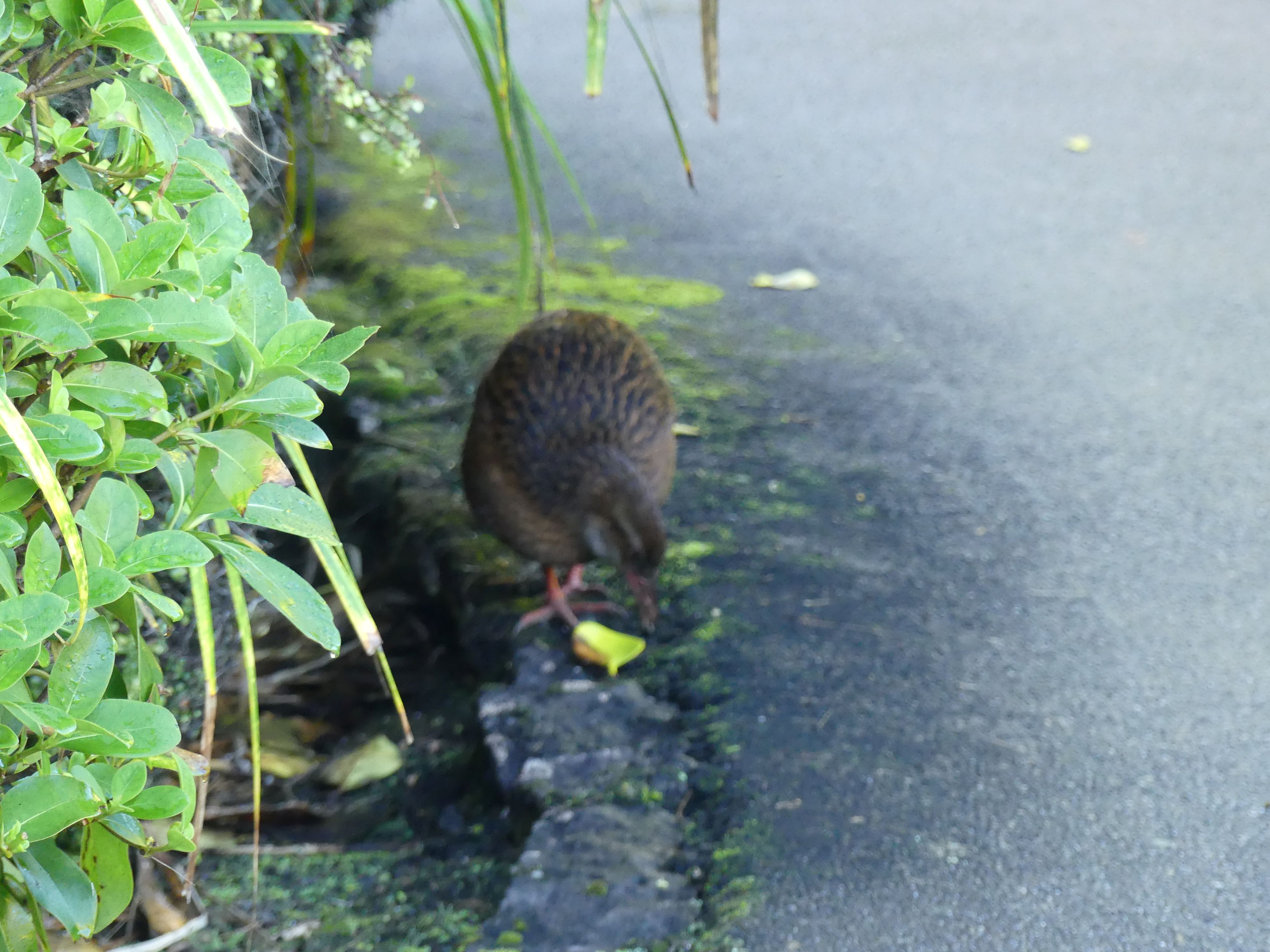
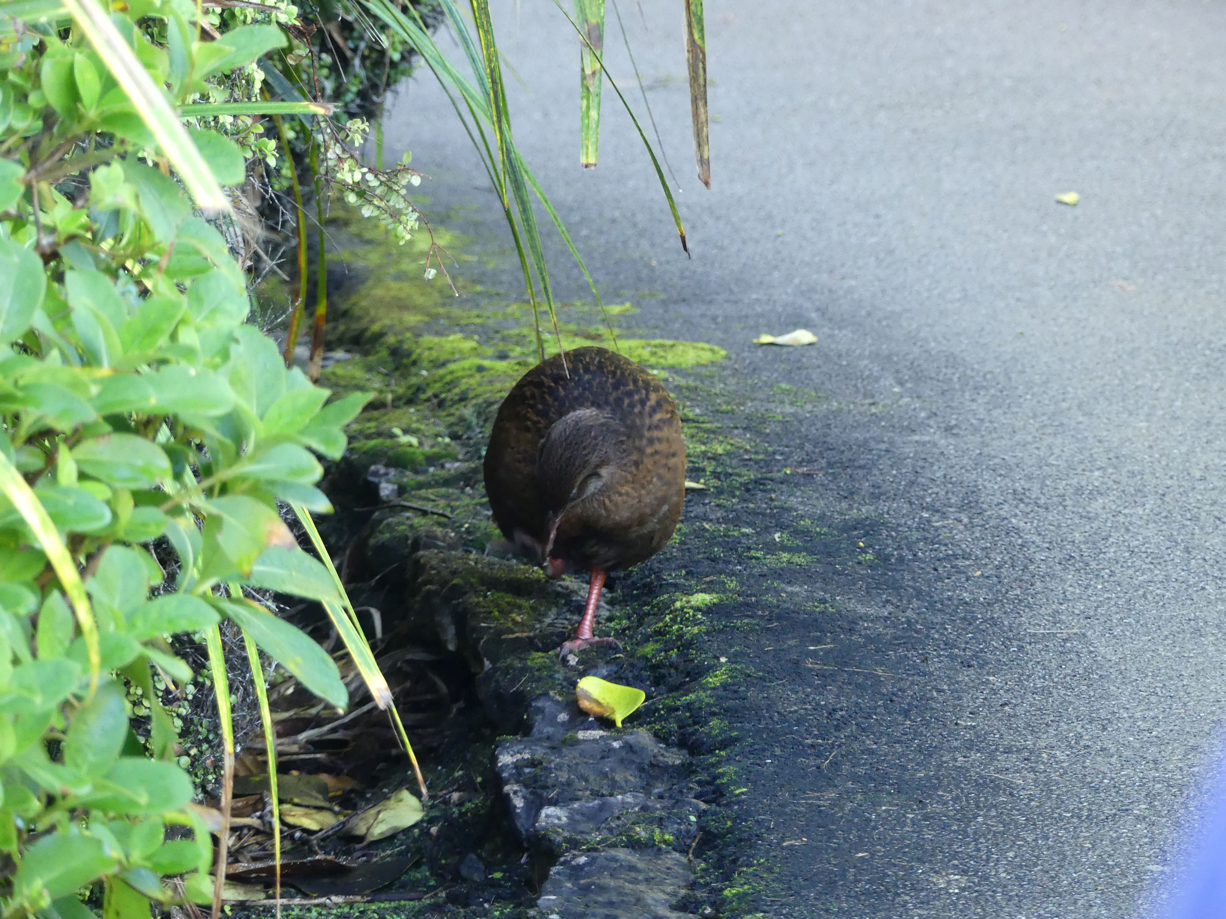
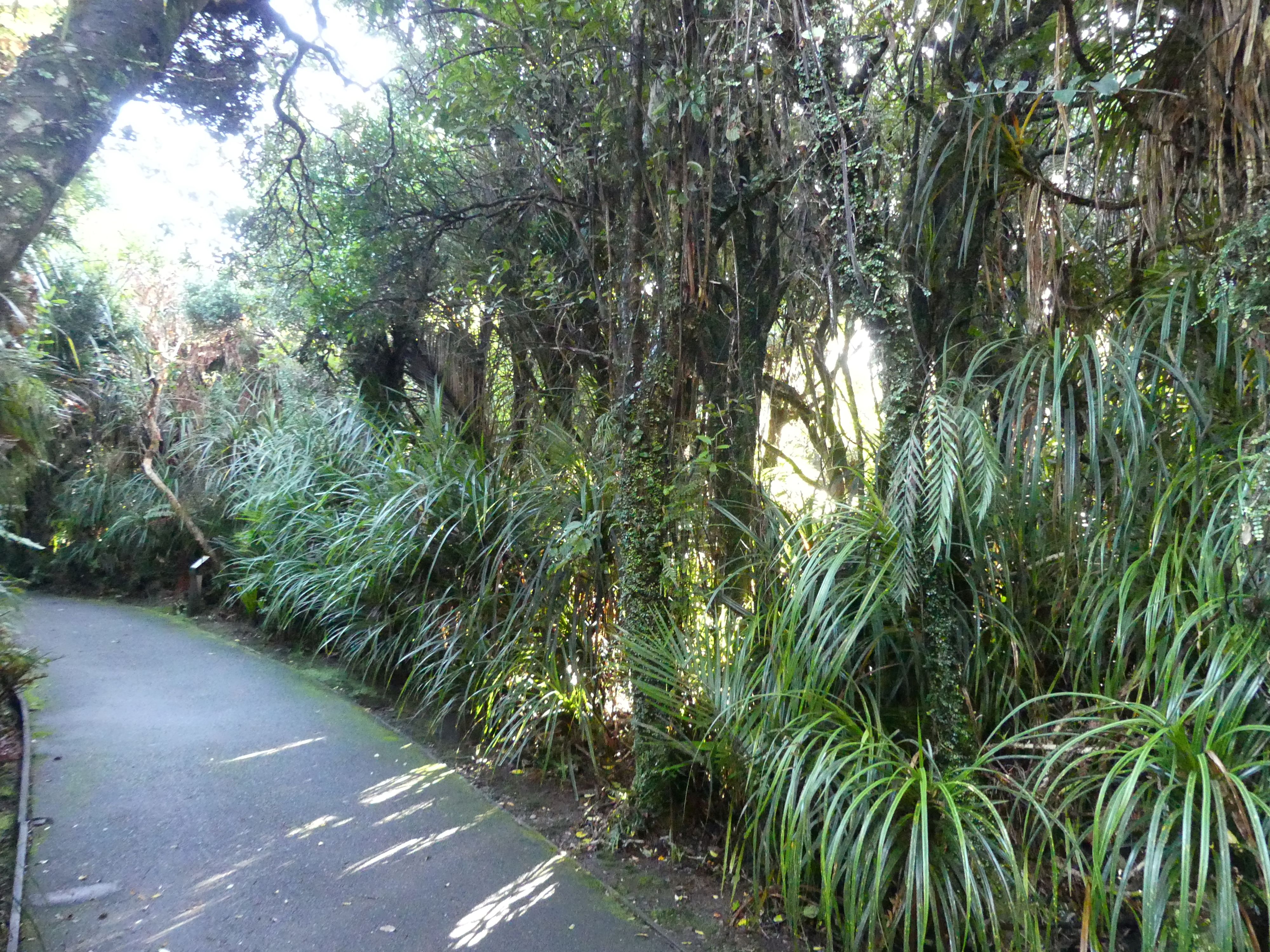
The scenery, the walk, the tracks and feathered friends
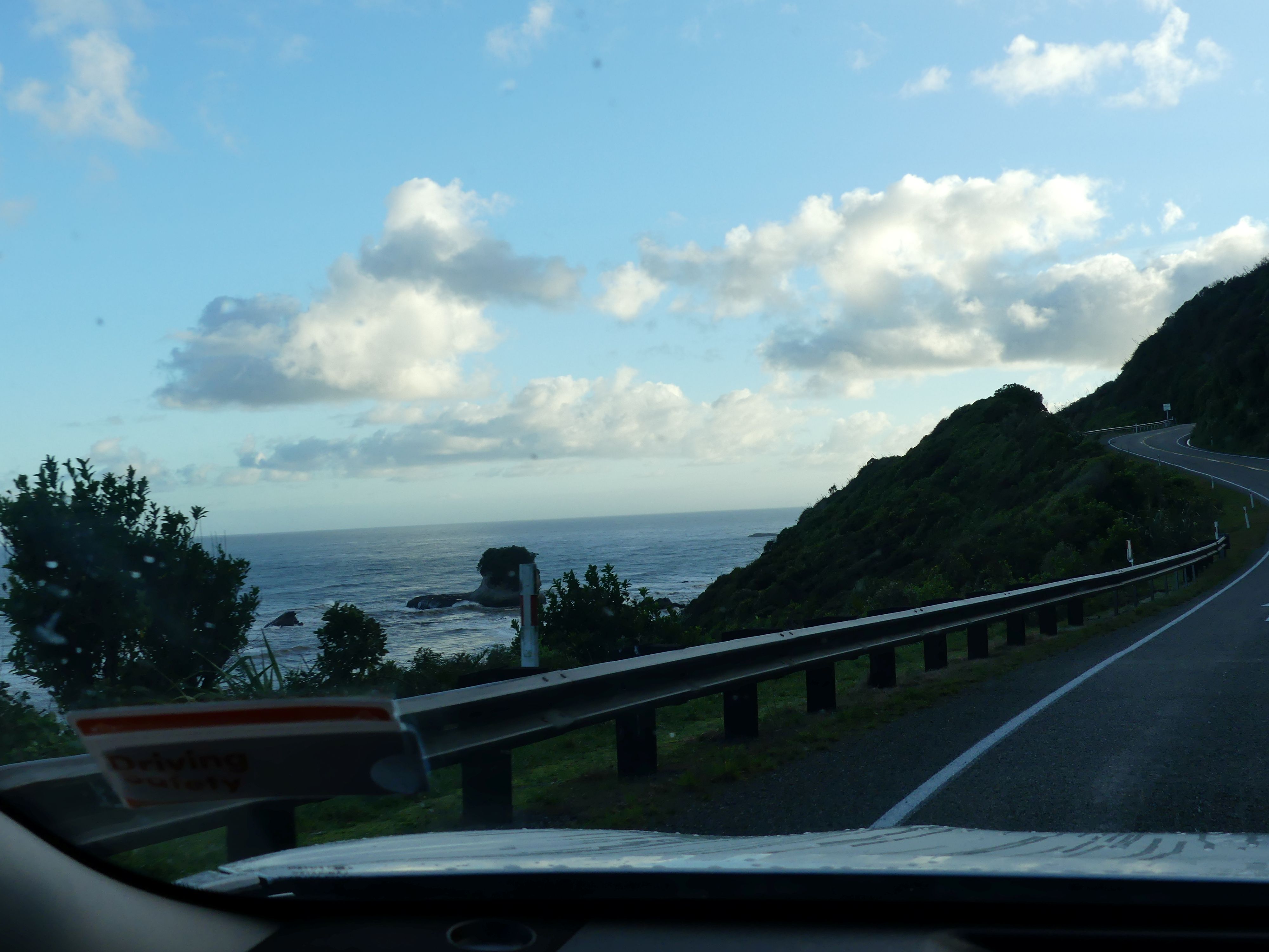
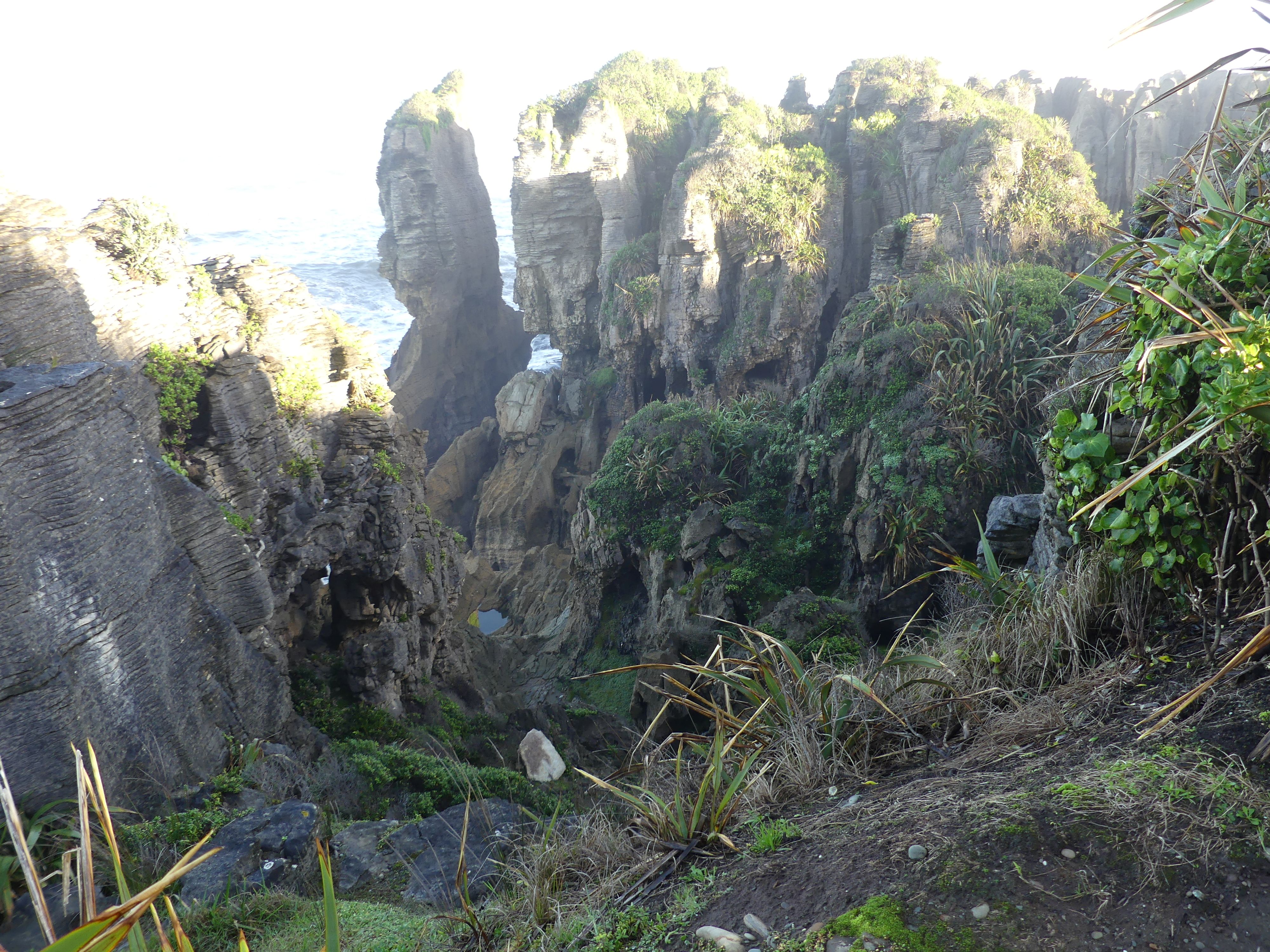
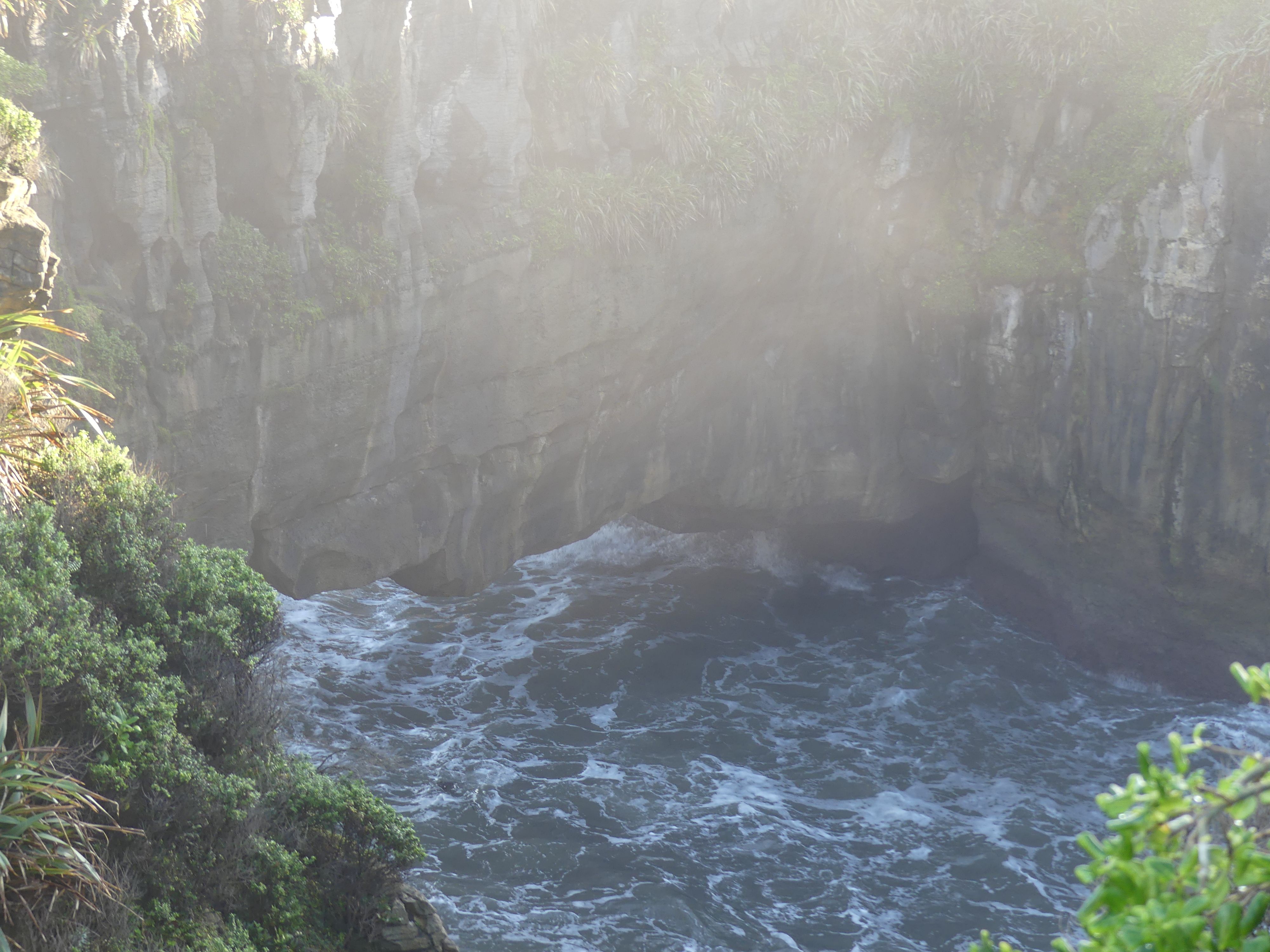
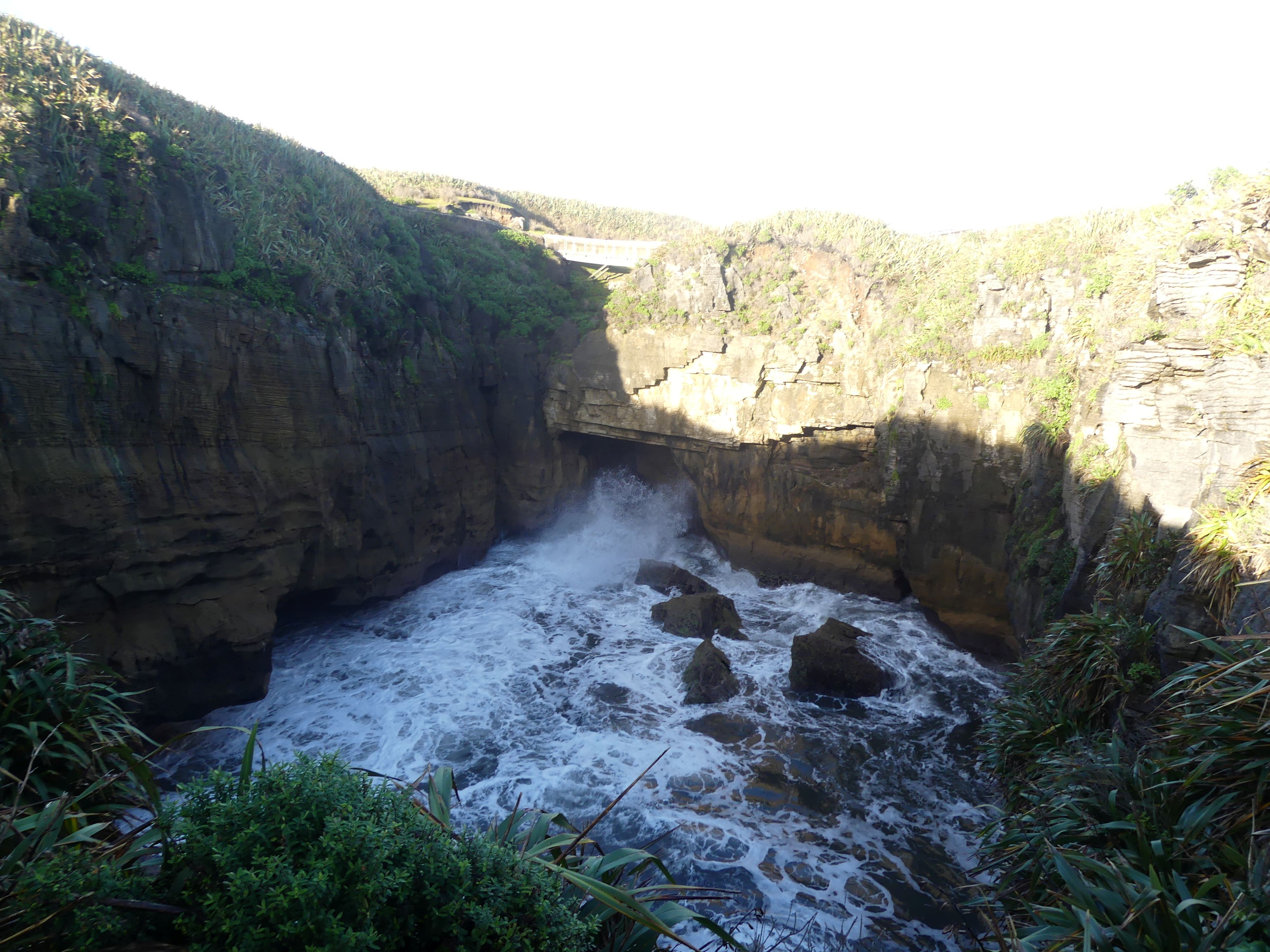
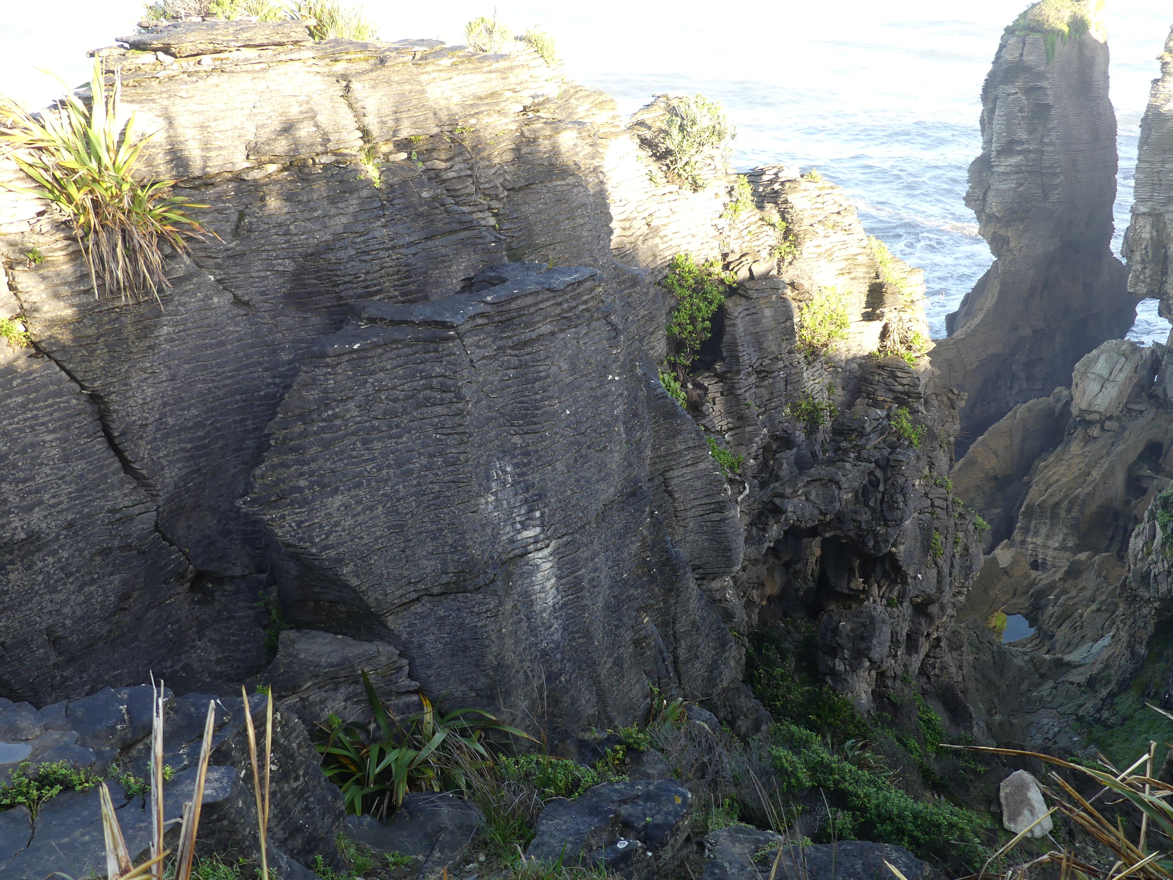
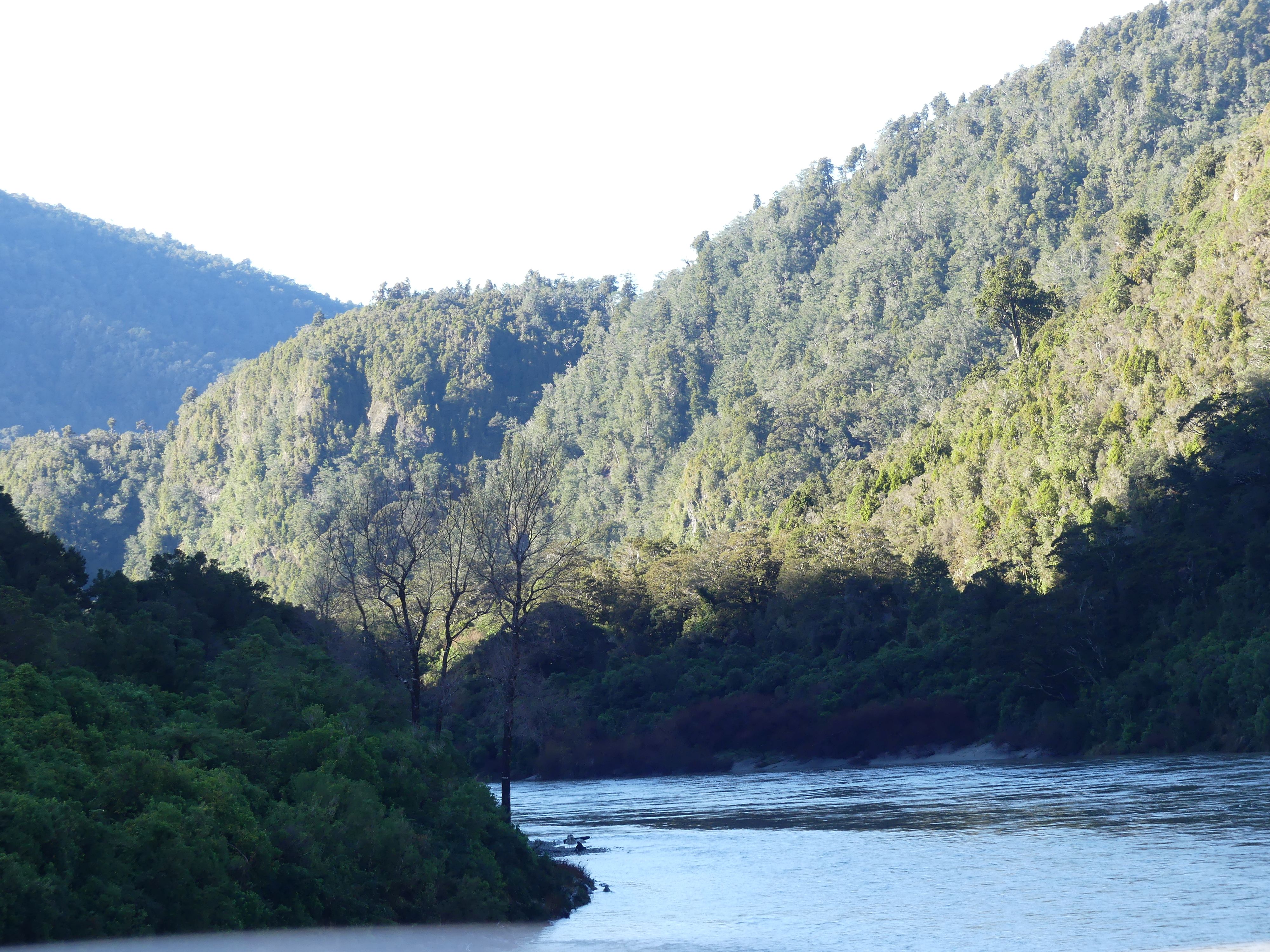
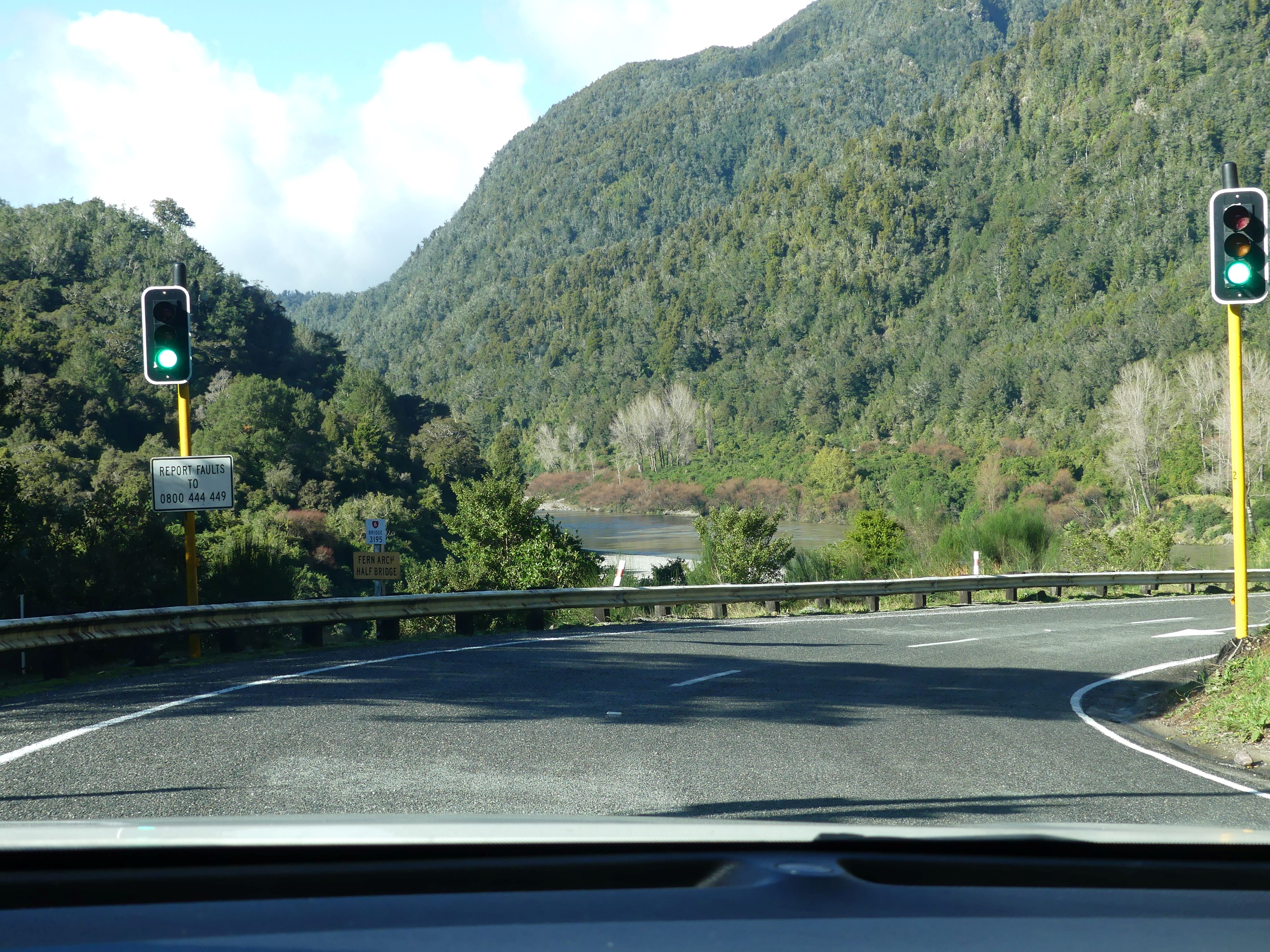
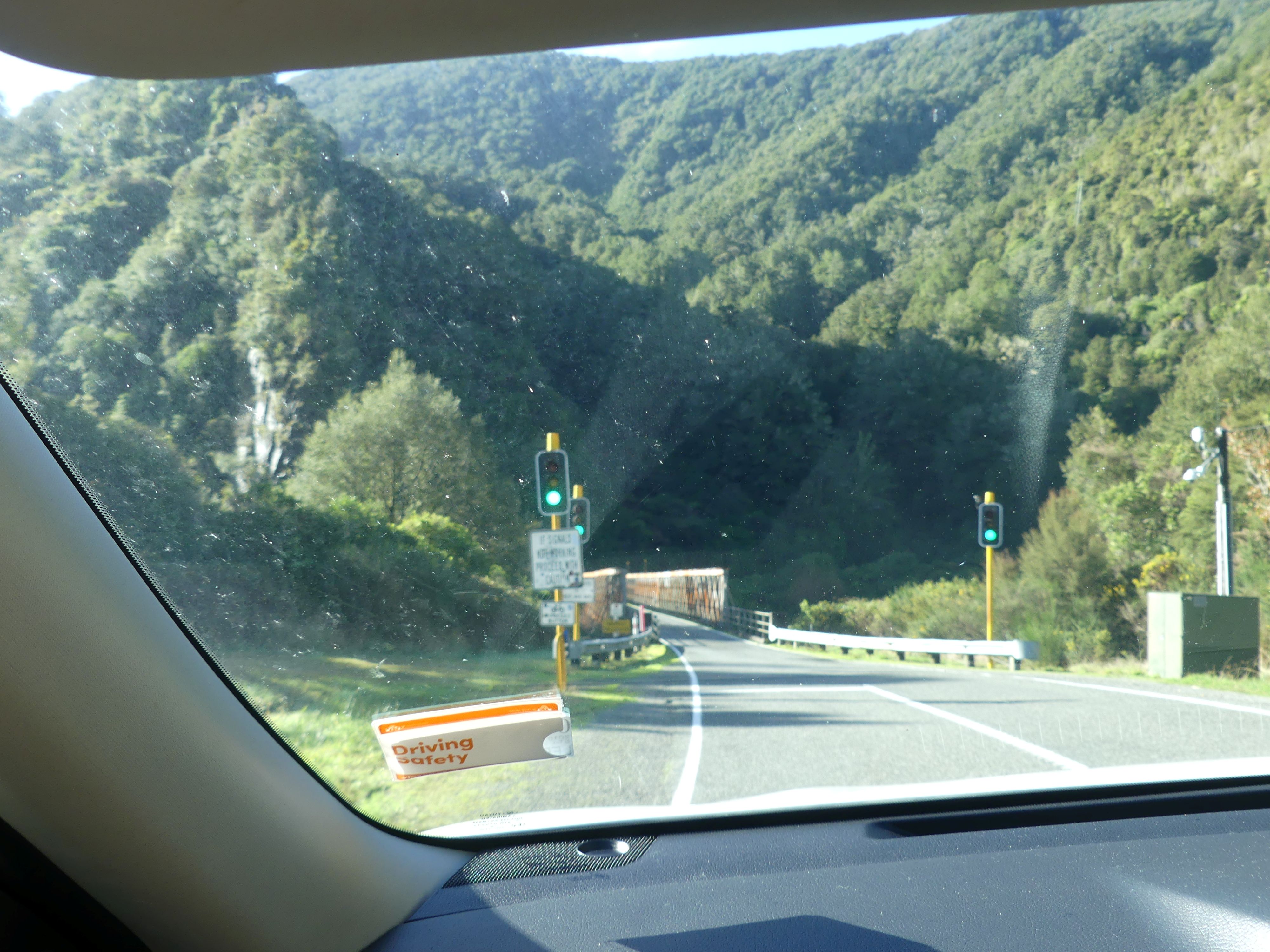
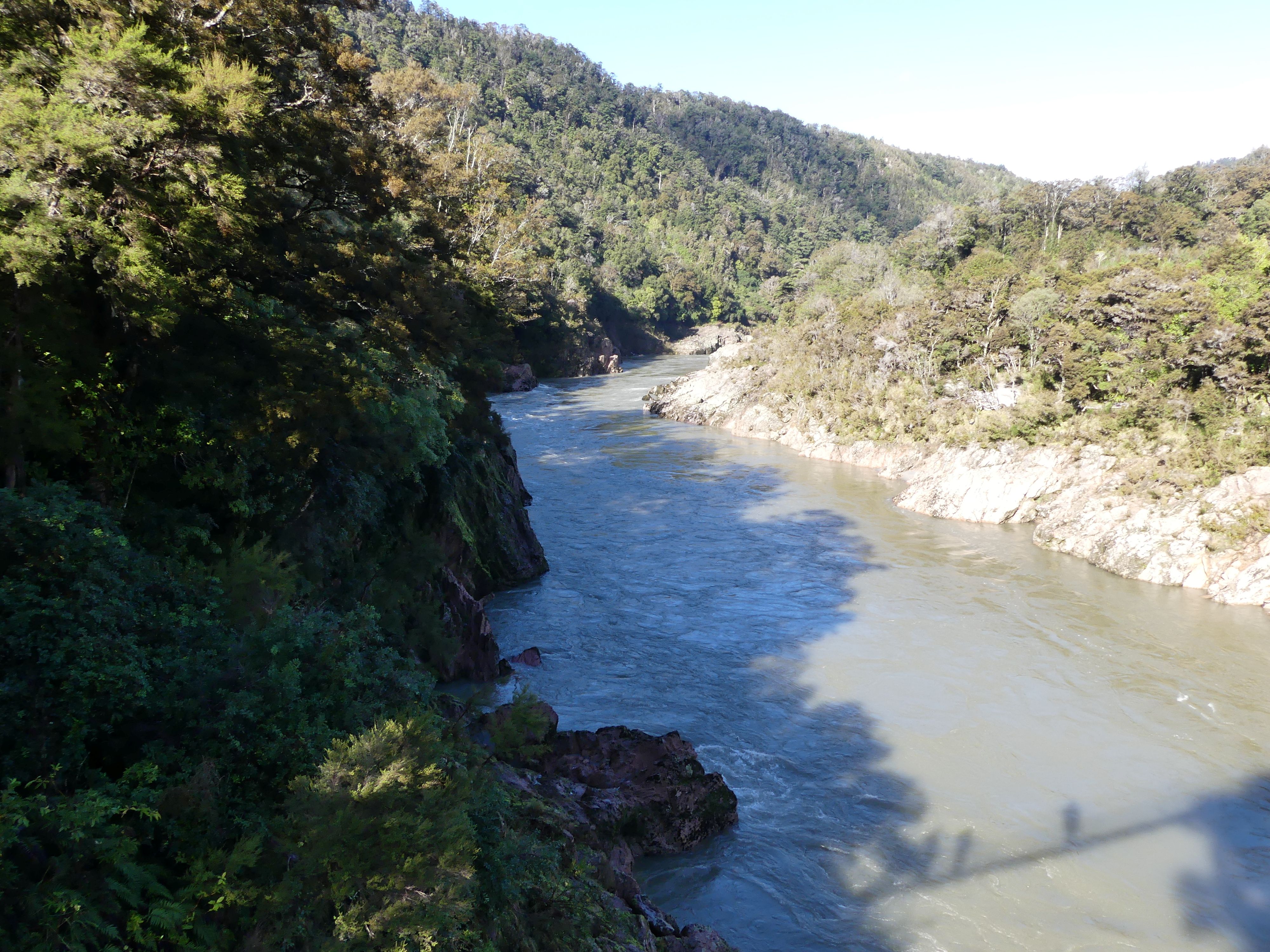
Yes, we did stop for coffee and enjoyable it was. Moving on from the Pancakes we headed inland to Buller Gorge. It is located in the northwest of the South Island. The Buller River flows through the deep canyon between Murchison and Westport. Land Information New Zealand lists two sections for the gorge, Upper Buller Gorge and Lower Buller Gorge. State Highway 6 runs alongside, but considerably above, the river through the gorge. The Stillwater – Westport Line railway also runs through the gorge. On many occassions we encountered single lane birdges and mountain roads – on a few occassions they came with traffic lights.
The road trip – turning off the coast and along the river and gorge
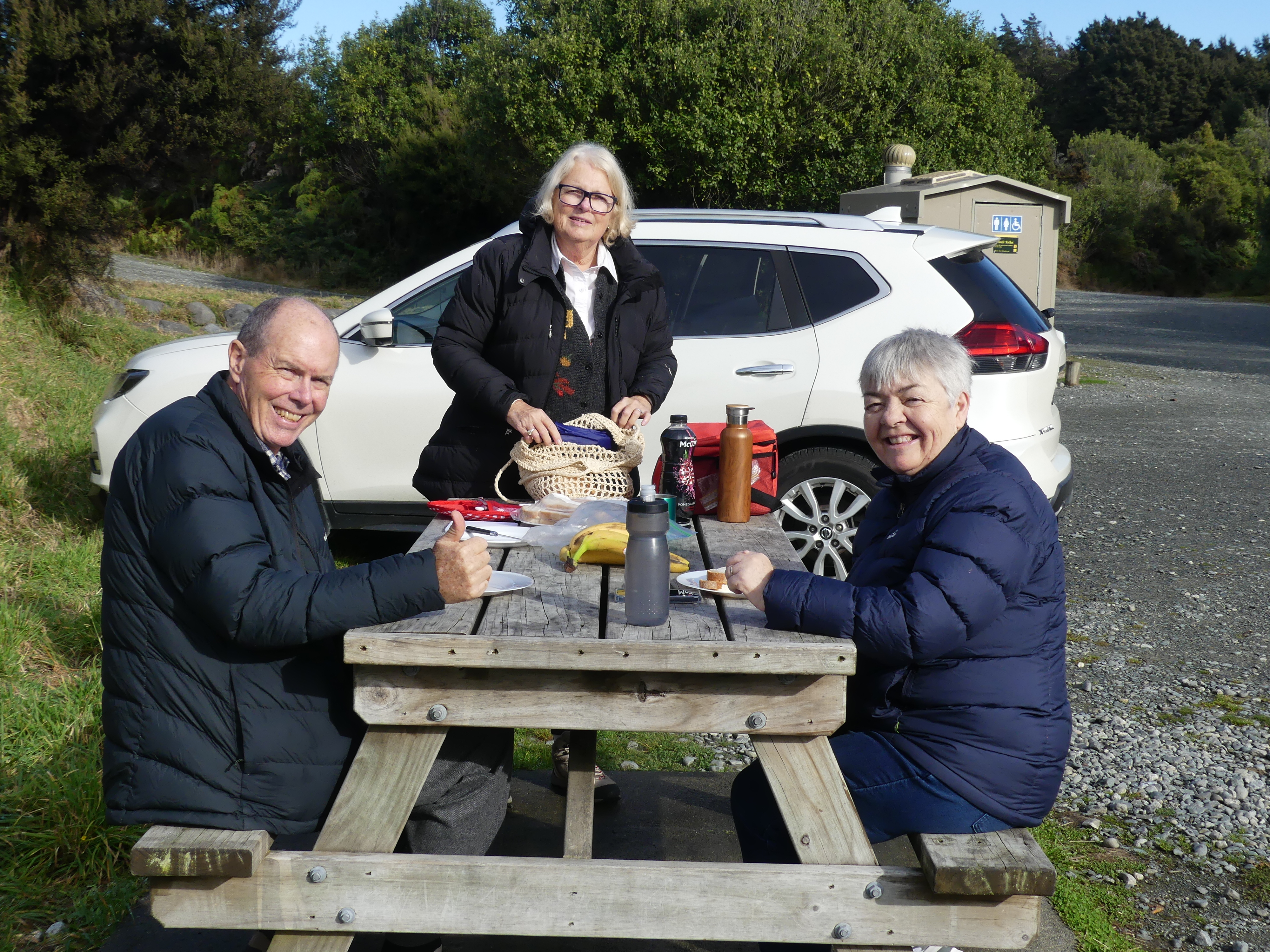
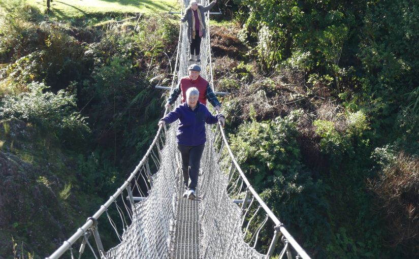
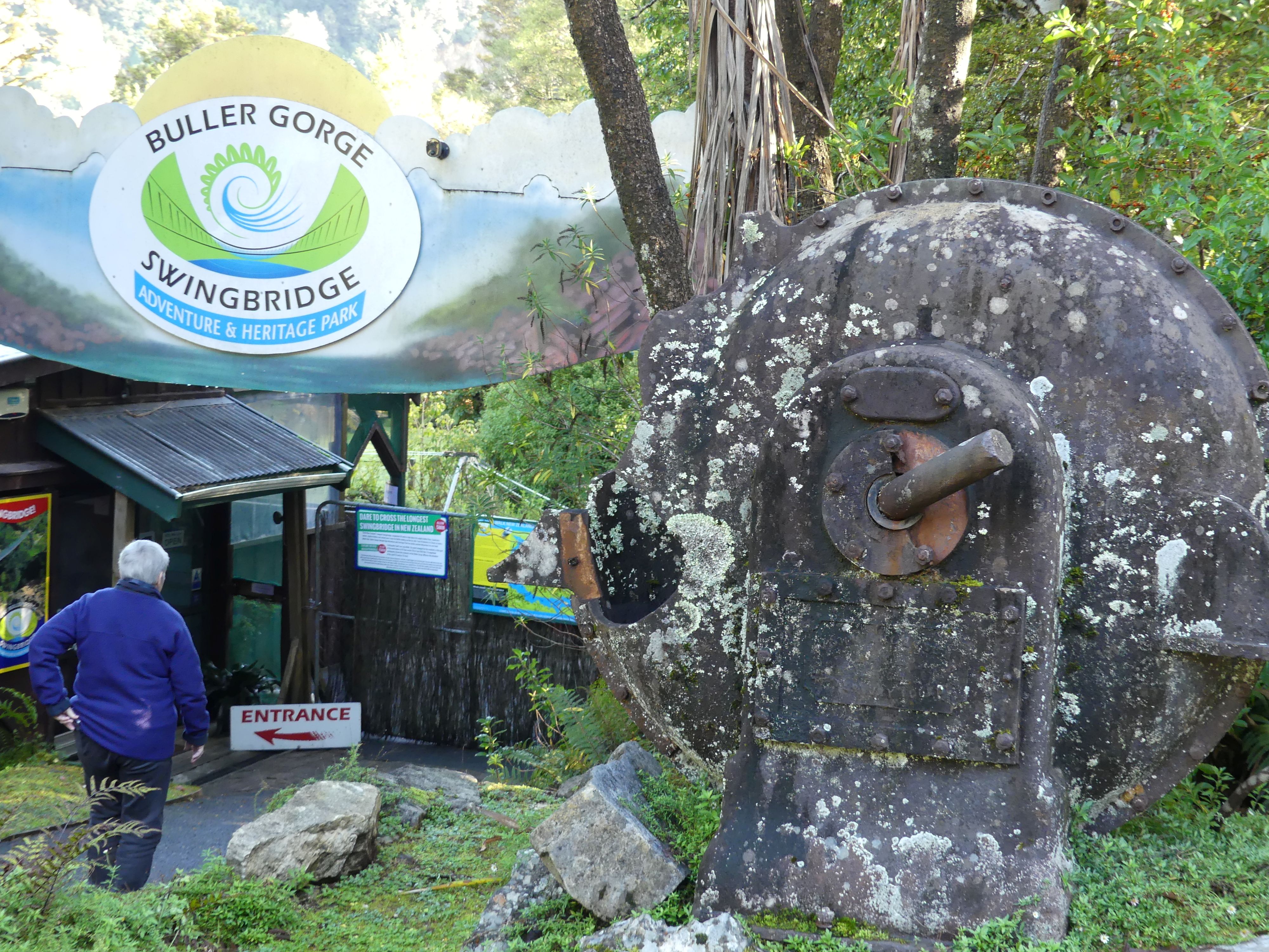
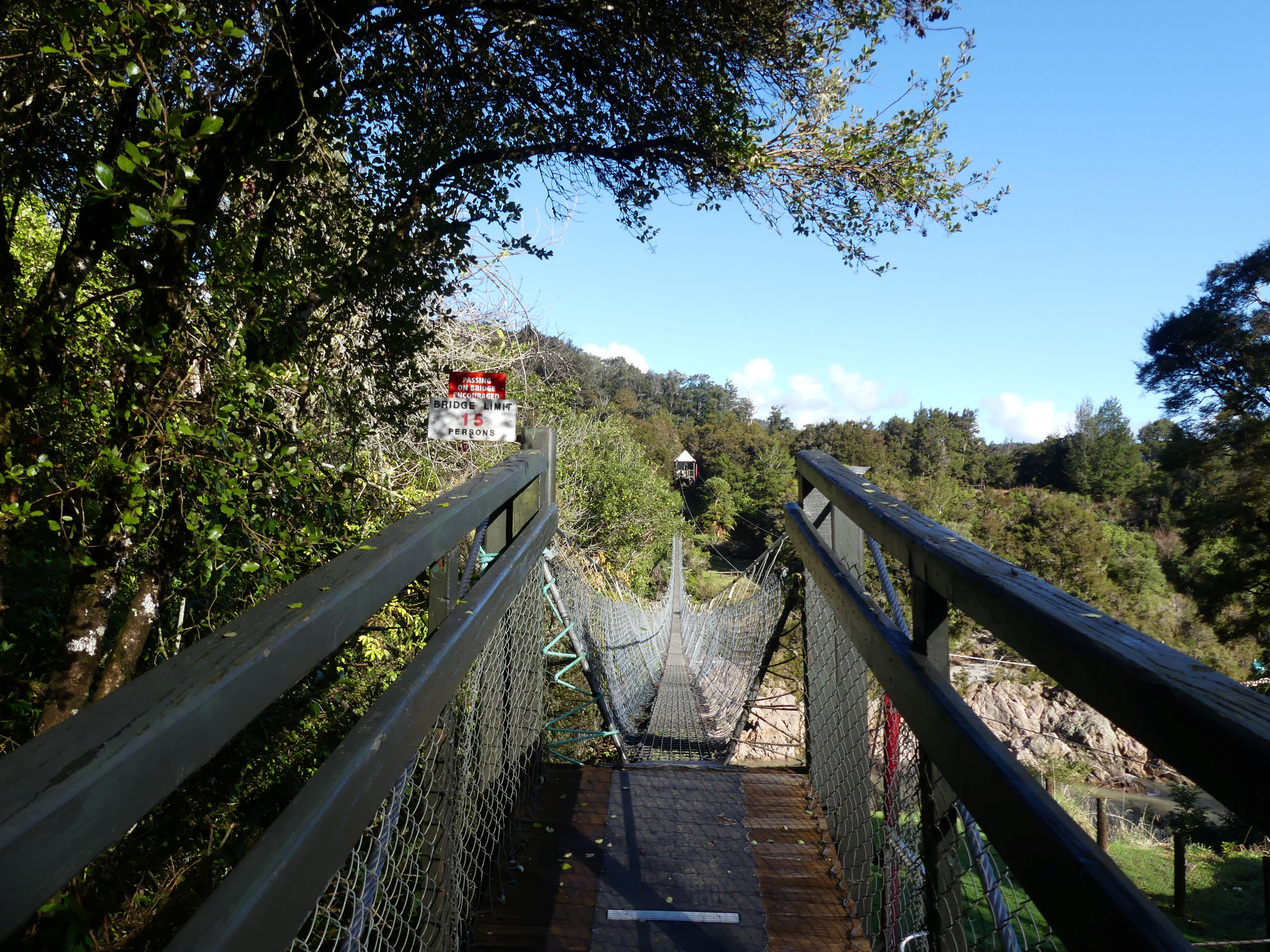
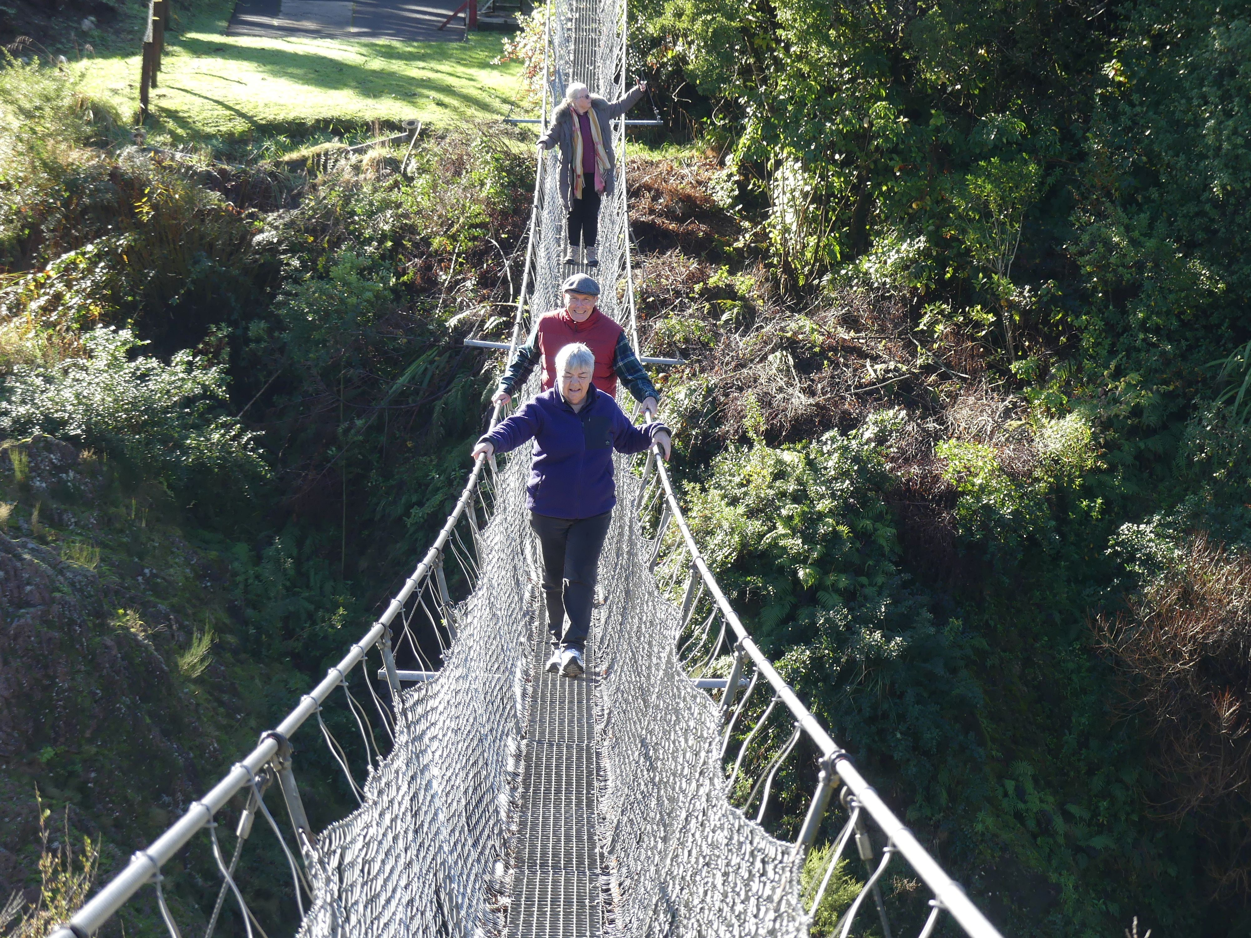
We were headed for Buller Gorge Swingbridge Adventure and Heritage Park – the Swingbridge is New Zealand’s longest Swingbridge at 110 metres (360 ft) in length spanning the Buller River 14 kilometres west of Murchison. The park also offers rides on a zip-line across the gorge as well as several short bush walks. We turned into the carpark finding it empty bar 1 car. The entrance displayed a water pump of a past era. The sole person in the reception took our money and reminded us that it is the beginning of winter hence not a soul in sight. The reception and in fact the whole park was damp and it wasn’t until we were crossing the bridge that we saw the sun. Crossing the swingbridge was a little hair raising but having got to the other side the ground was very damp and slippery. We decided to take the loop walk (see map below) turning right at the bottom of the foot of the bridge (no we were not going zip lining today) and making our way to the stone stacks where we found the “White Creek Fault Line”.
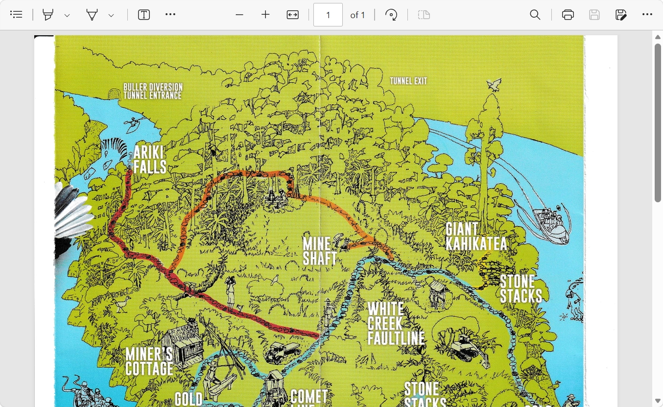
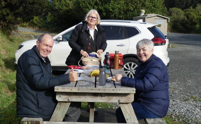
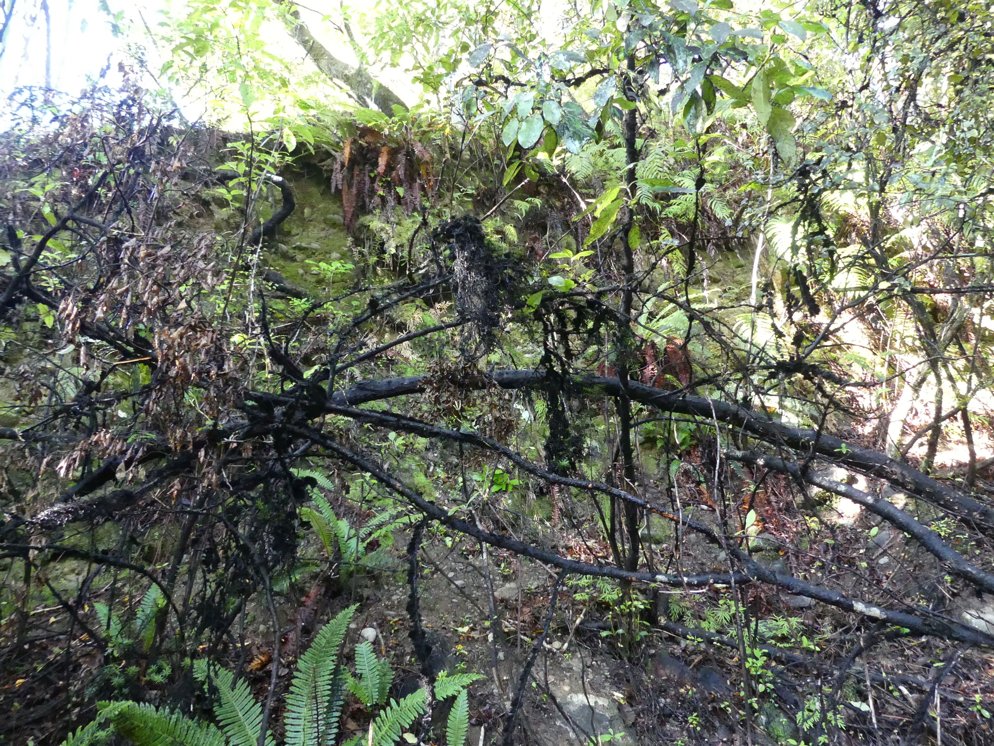
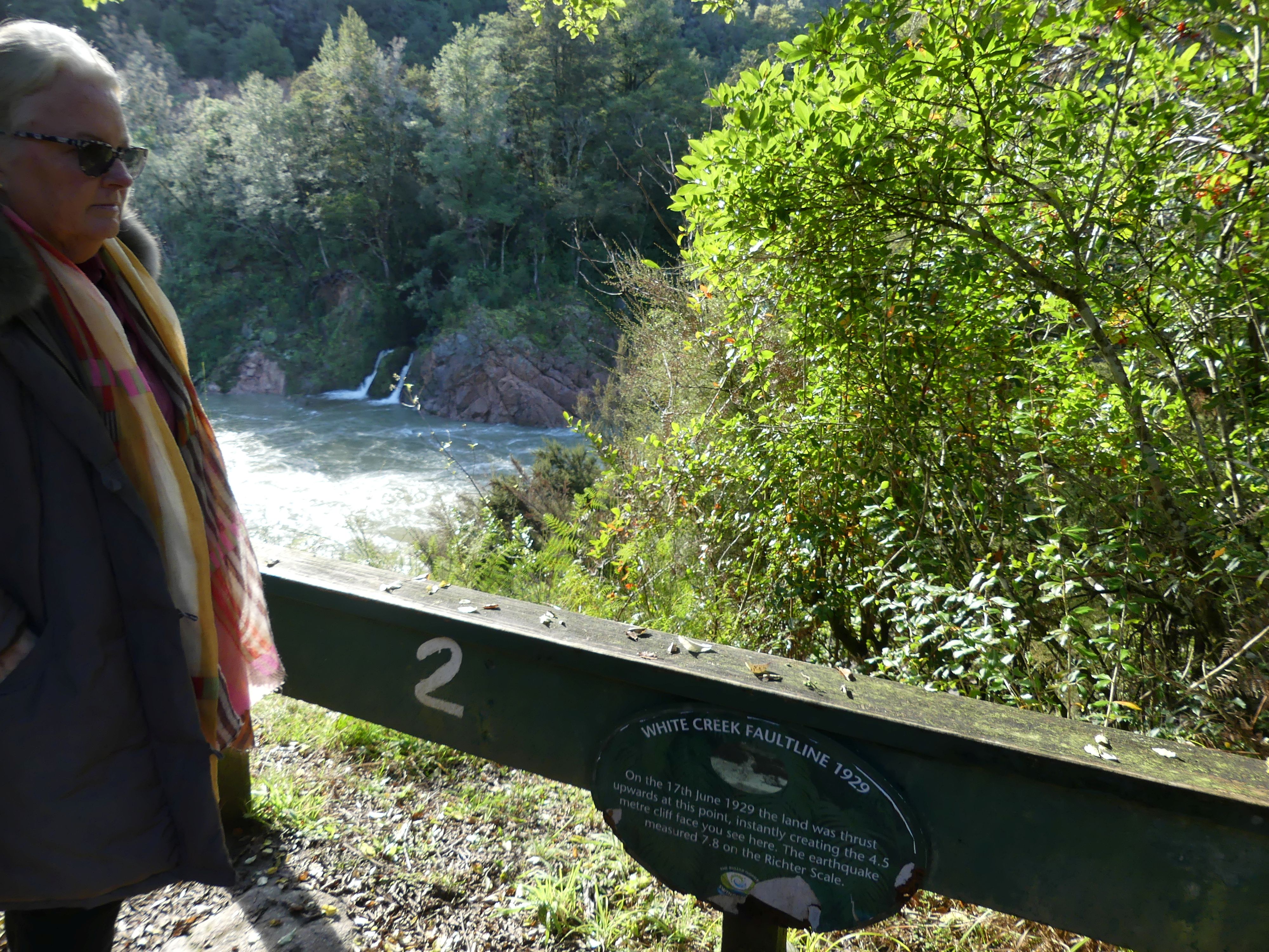
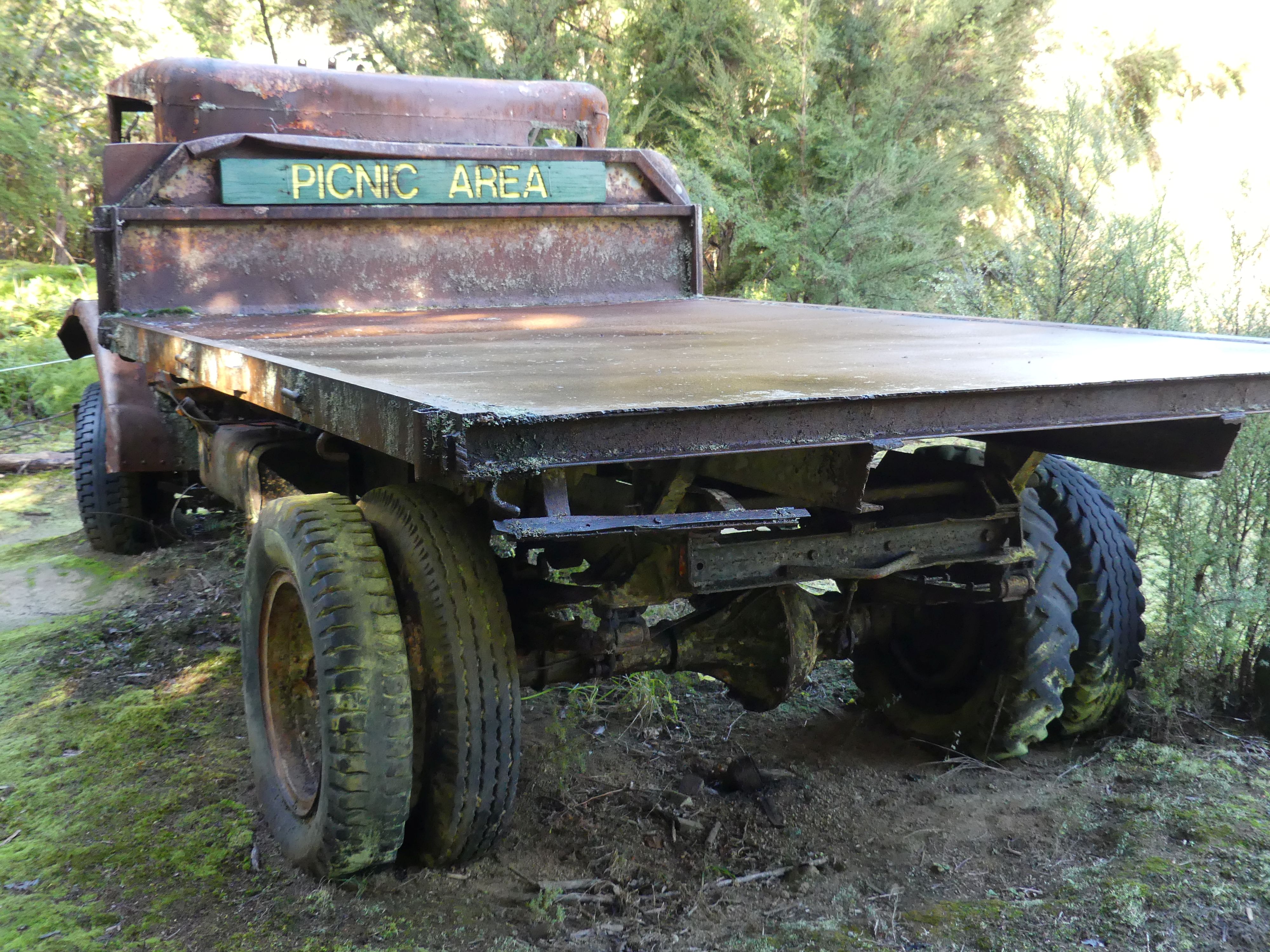
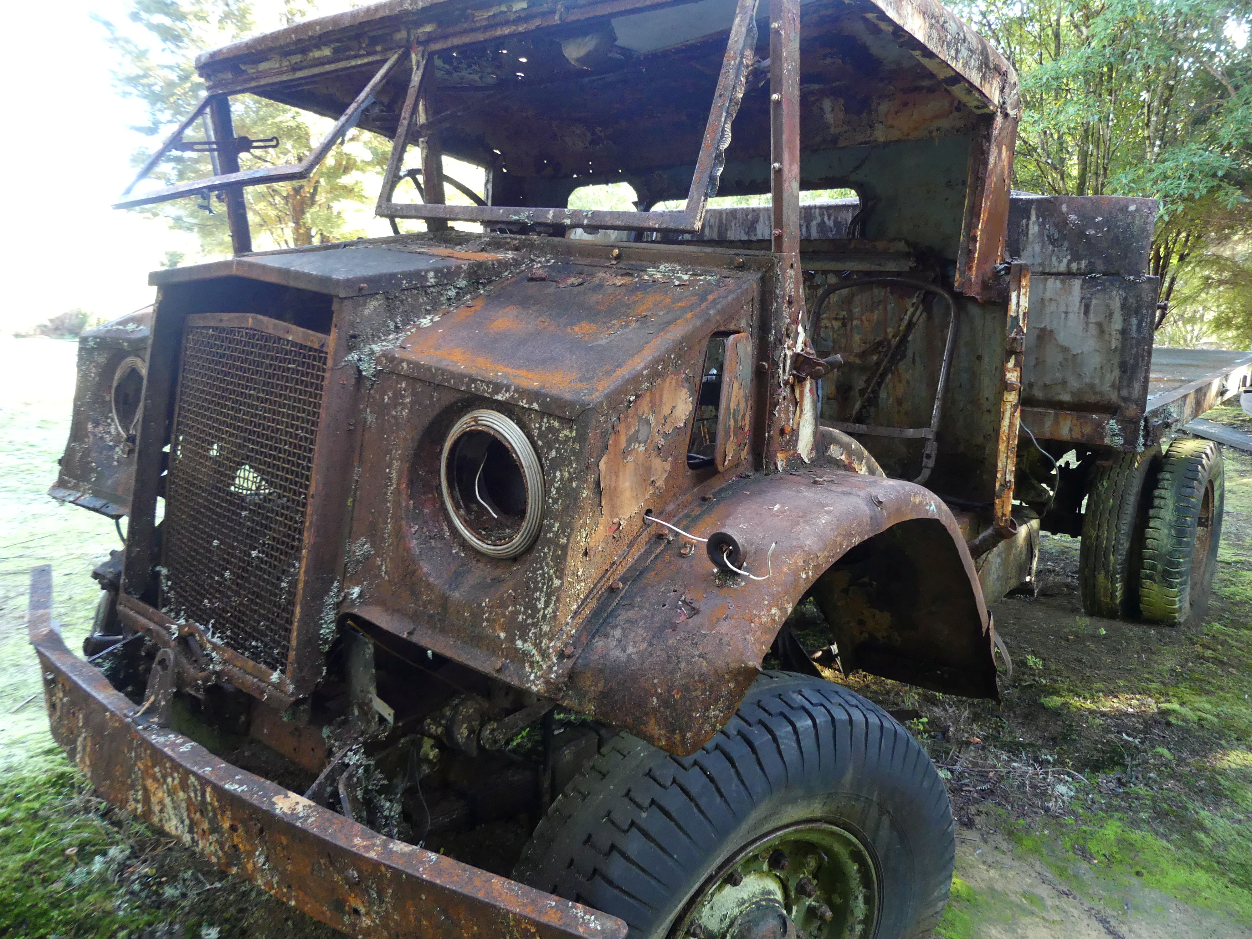
The information sign at this point told us that the White Creek Fault is an active geological fault located in the Upper Buller Gorge near Murchison in the South Island of New Zealand. It is famous for the 4.5-meter (15-foot) high vertical fault scarp—a towering rock face—created when a section of the fault ruptured during the massive 7.3 magnitude 1929 Murchison earthquake. We all felt a bit shaky, but it was probably the uneven and wet track not an earthquake. On a warm summer day, we could have stopped at the gold panning site, but this was not summer, but we did note the flood marker showing the height of the river in 2010 and 2012 was more than 2m over our heads. The slip along the fault line could still be seen with a sudden drop in the ground level. We continued the Loop and came upon a relic of a past time – the rusting 2nd world war relic with its sign “picnic area” – the back of the truck was the only dry spot on the Loop this day. There was not much to see at the Miners cottage so we returned to the swing bridge with luch waiting on the other side of the river. The return across the bridge was uneventful and a warm change with pleasant sunshine. Time for lunch so we served up the sandwiches and coffee then hit the road.
Having finished our picnic it was Nelson here we come. As we approached Nelson around about afternoon teatime, we pulled into a roadside café for coffee. They we just closing but were kind enough to serve us then load us up with the unused products from their display cabinet. We had arrived on the outskirts of Nelson. Our accommodation was at a motel called “Admirals Nelson” in Waimea Rd., a few blocks from the CBD. Our apartments were on the ground floor and quite large. We organised some dinner and then settled into a game of cards before bed.
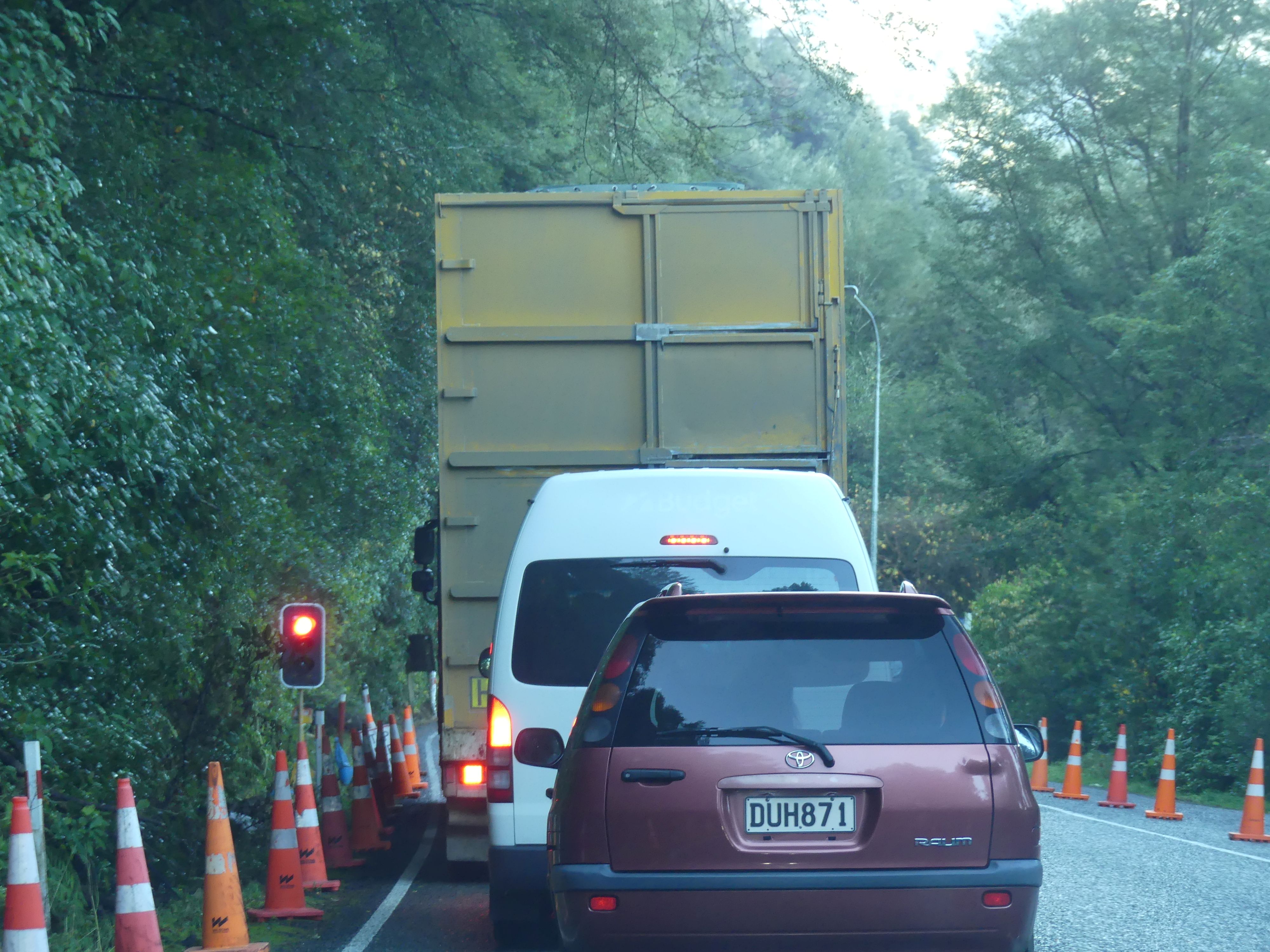
Leaving the swingbridge another narrow bridge queue and arriving in Nelson
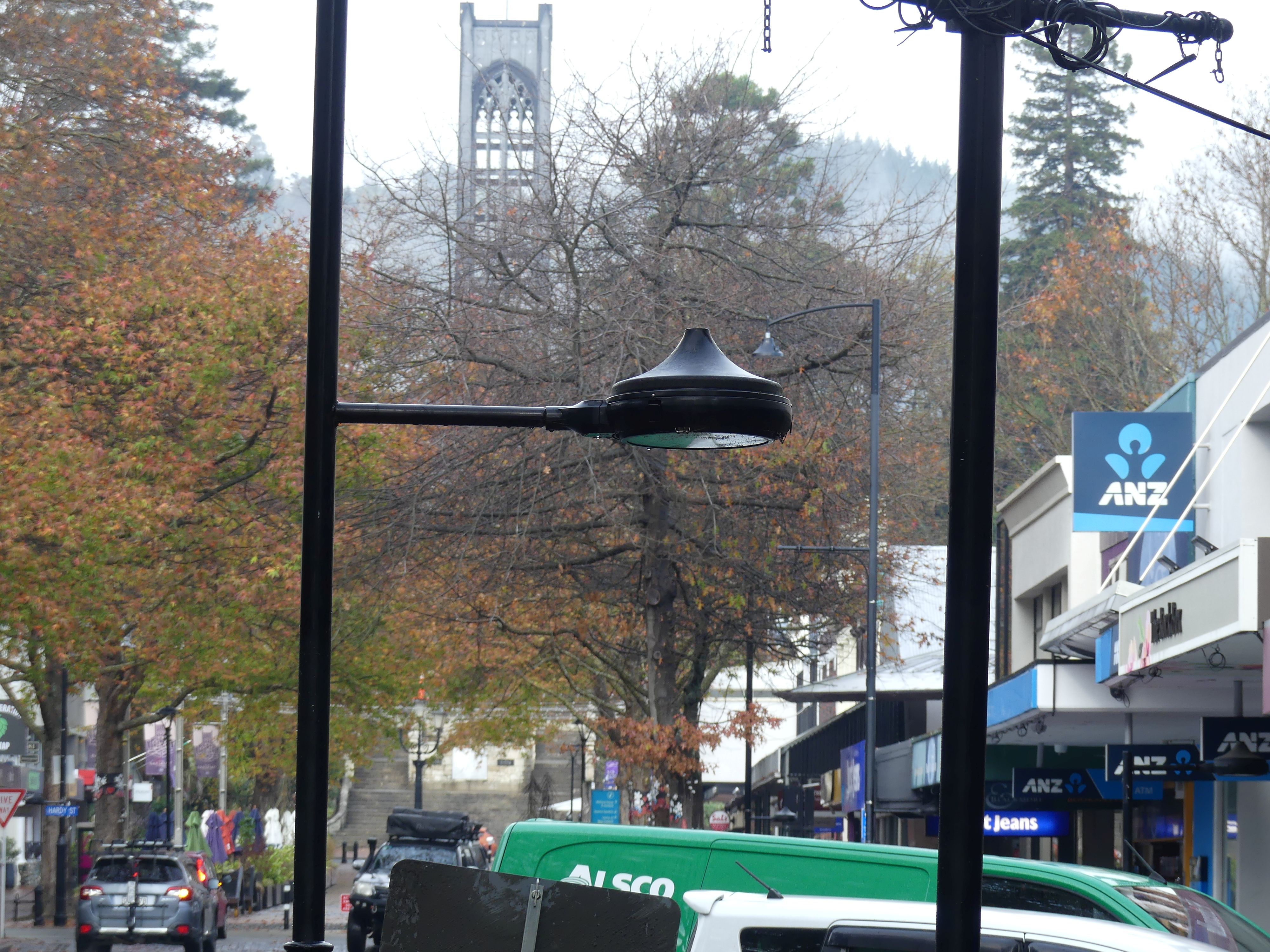
We located our motel and were quite pleased with its location and amenities. It had been a long day and some dinner was needed. We found a takeaway nearby and returned to the motel for our feast and a game of cards. So up bright and early for the THE RETIREES VISIT THE SOUTH ISLAND ACROSS THE DITCH blog 495 Episode 7 as I am off to get a coffee. Cheers!