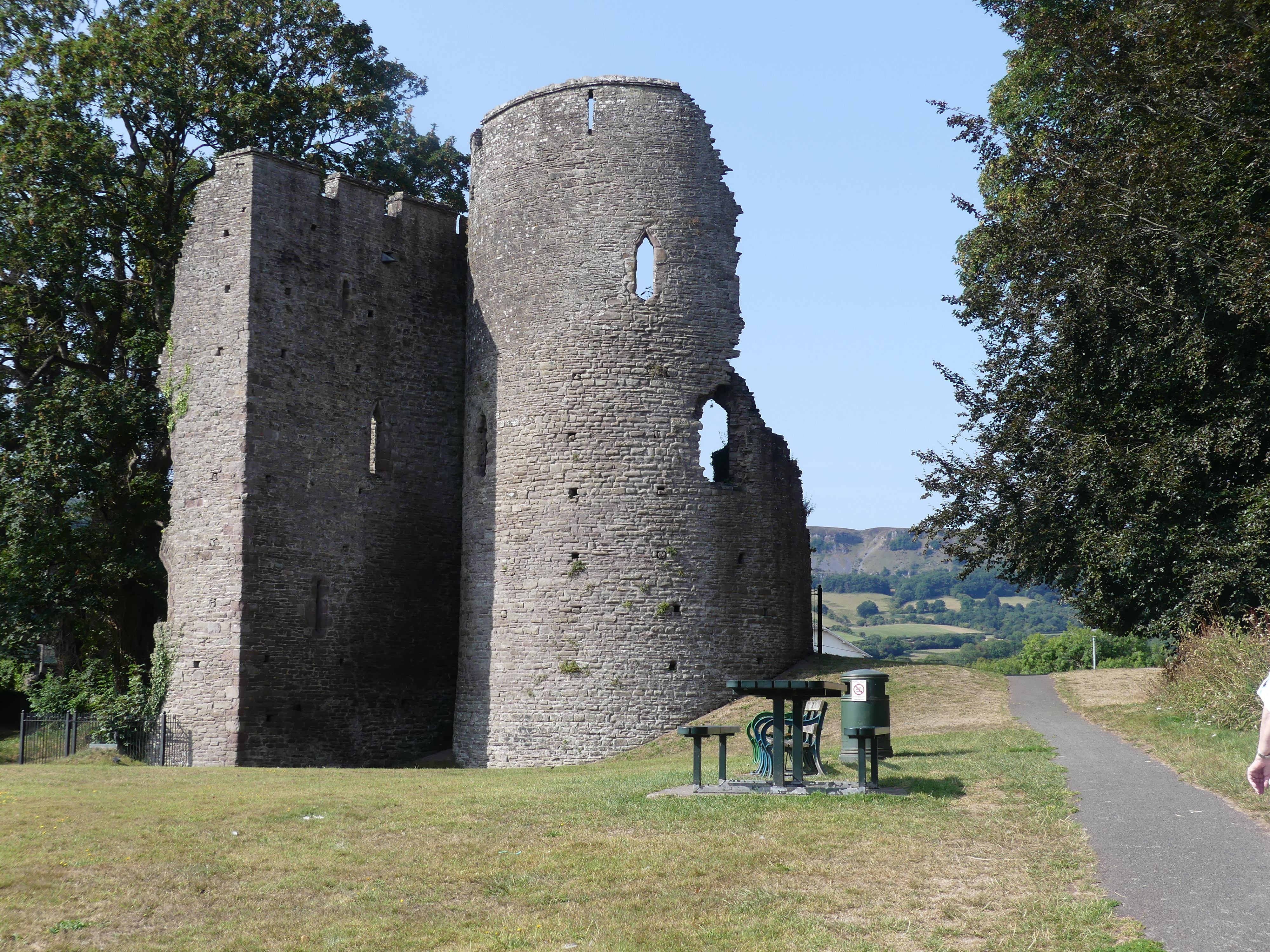
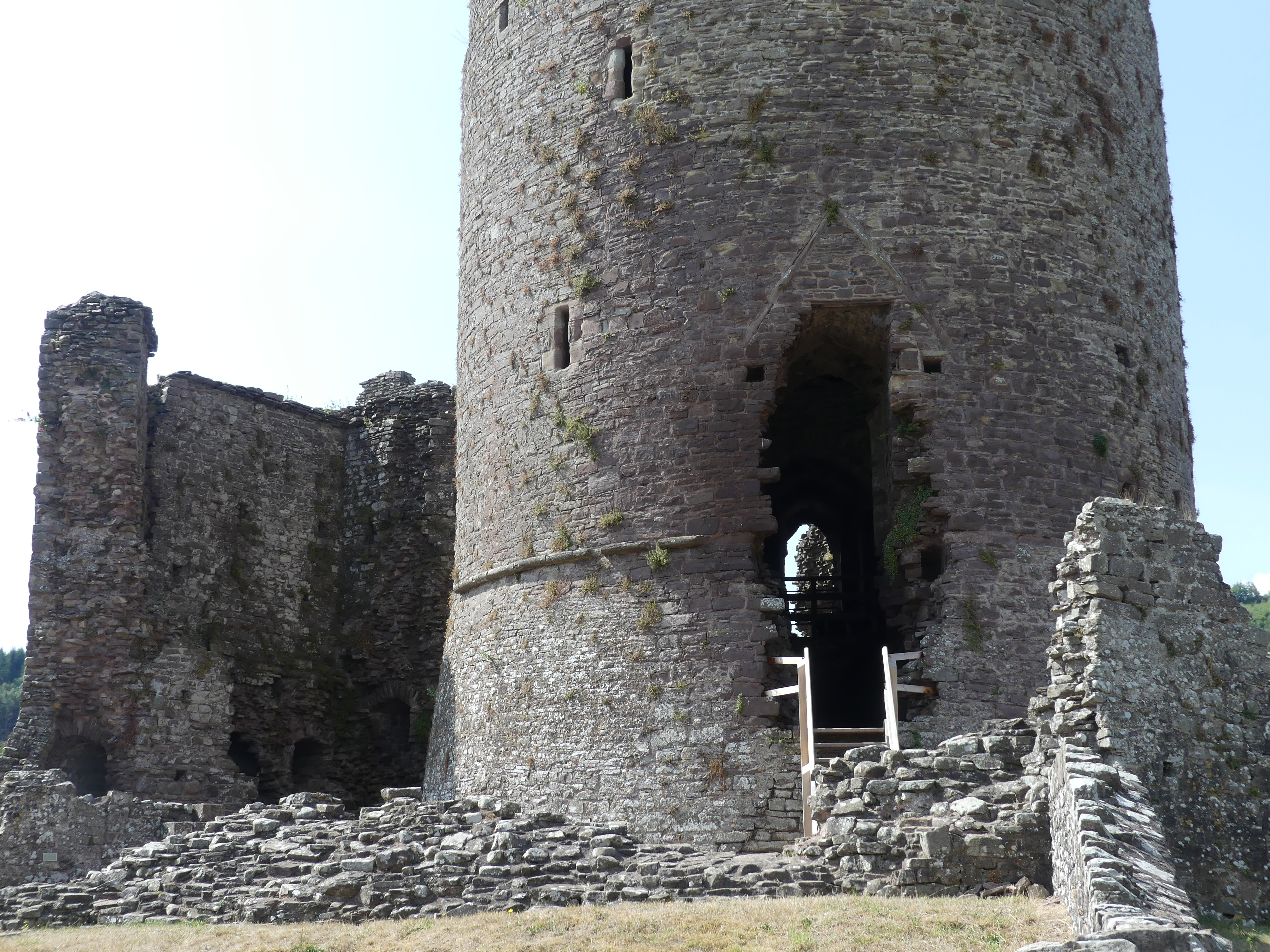
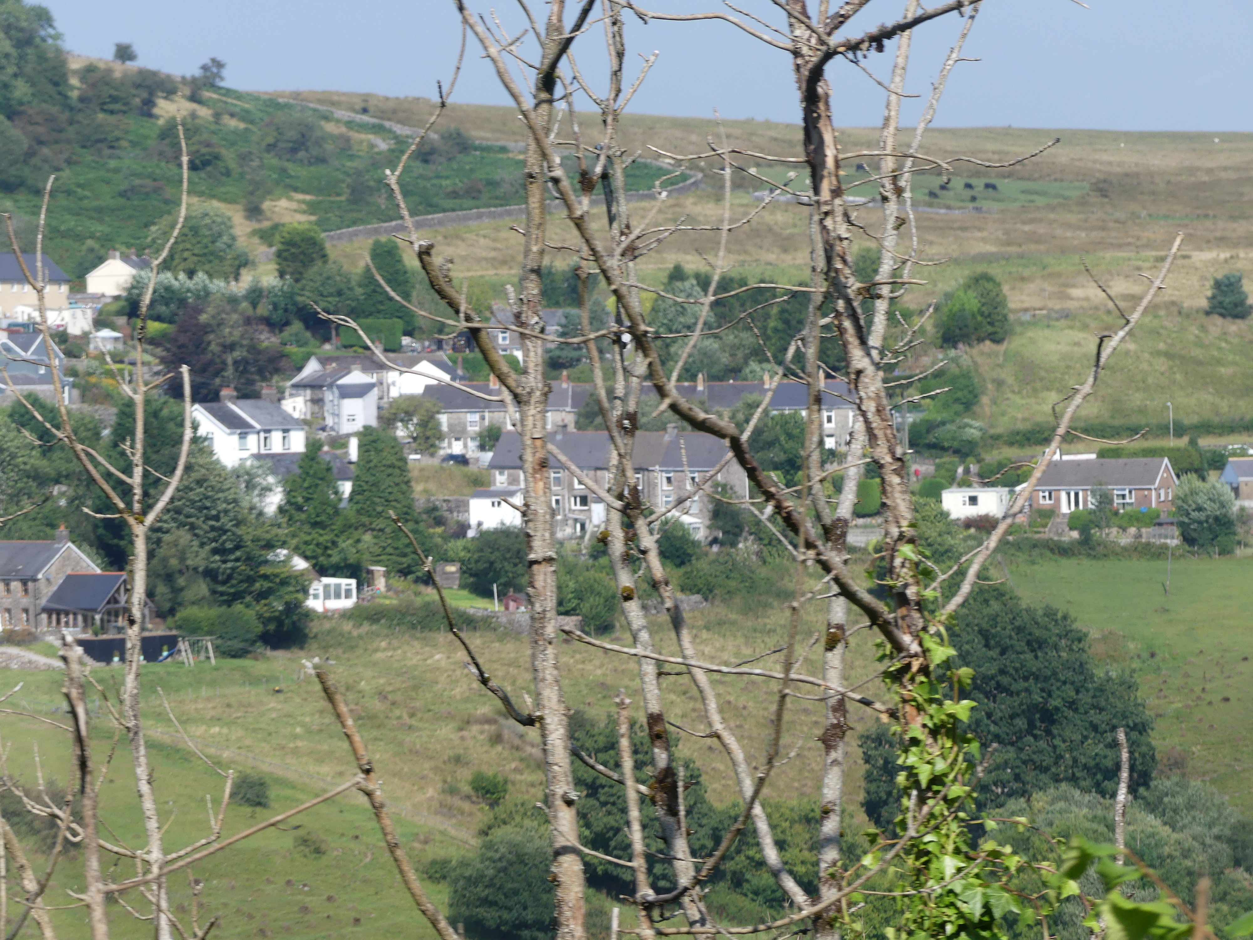
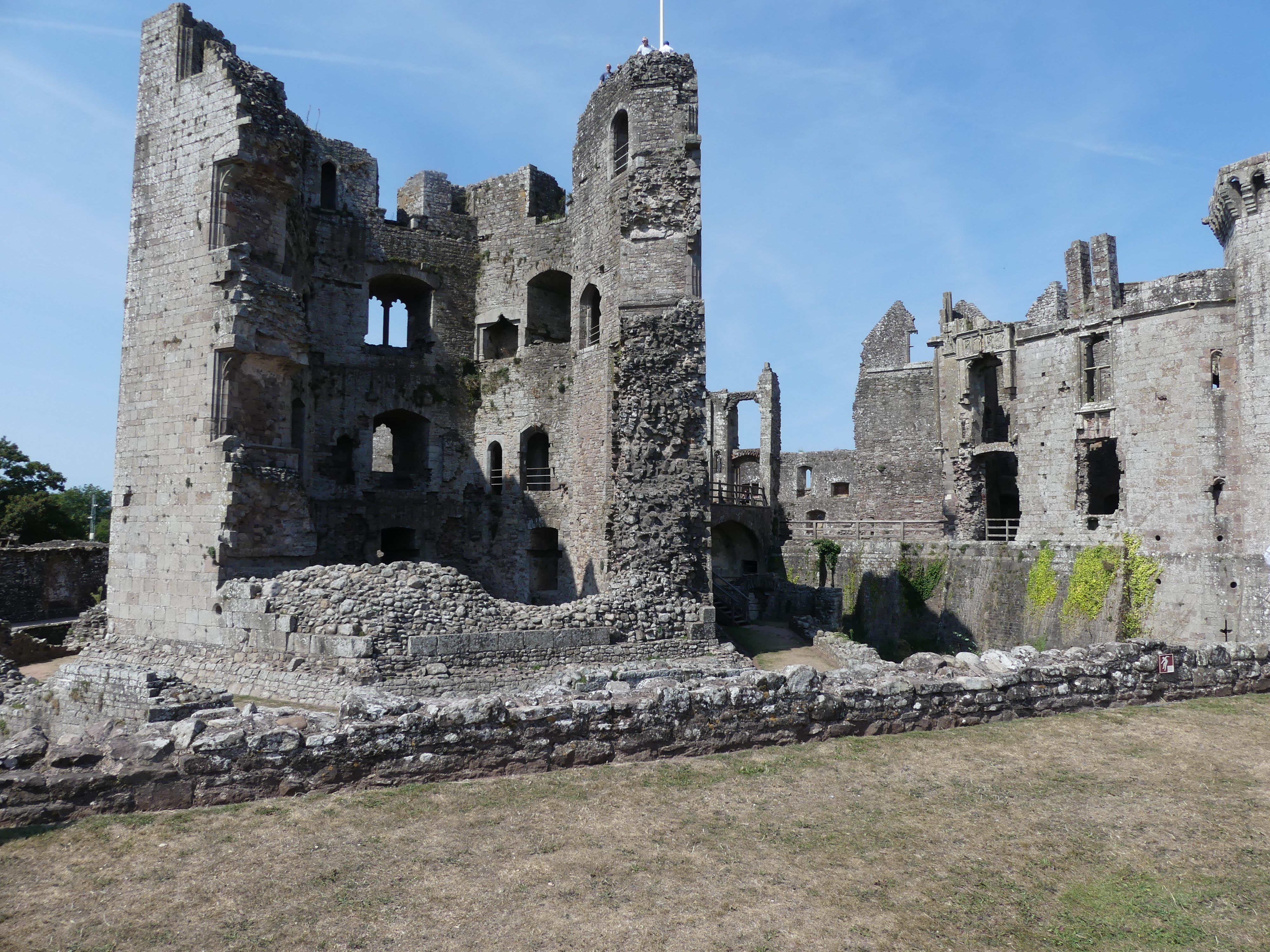
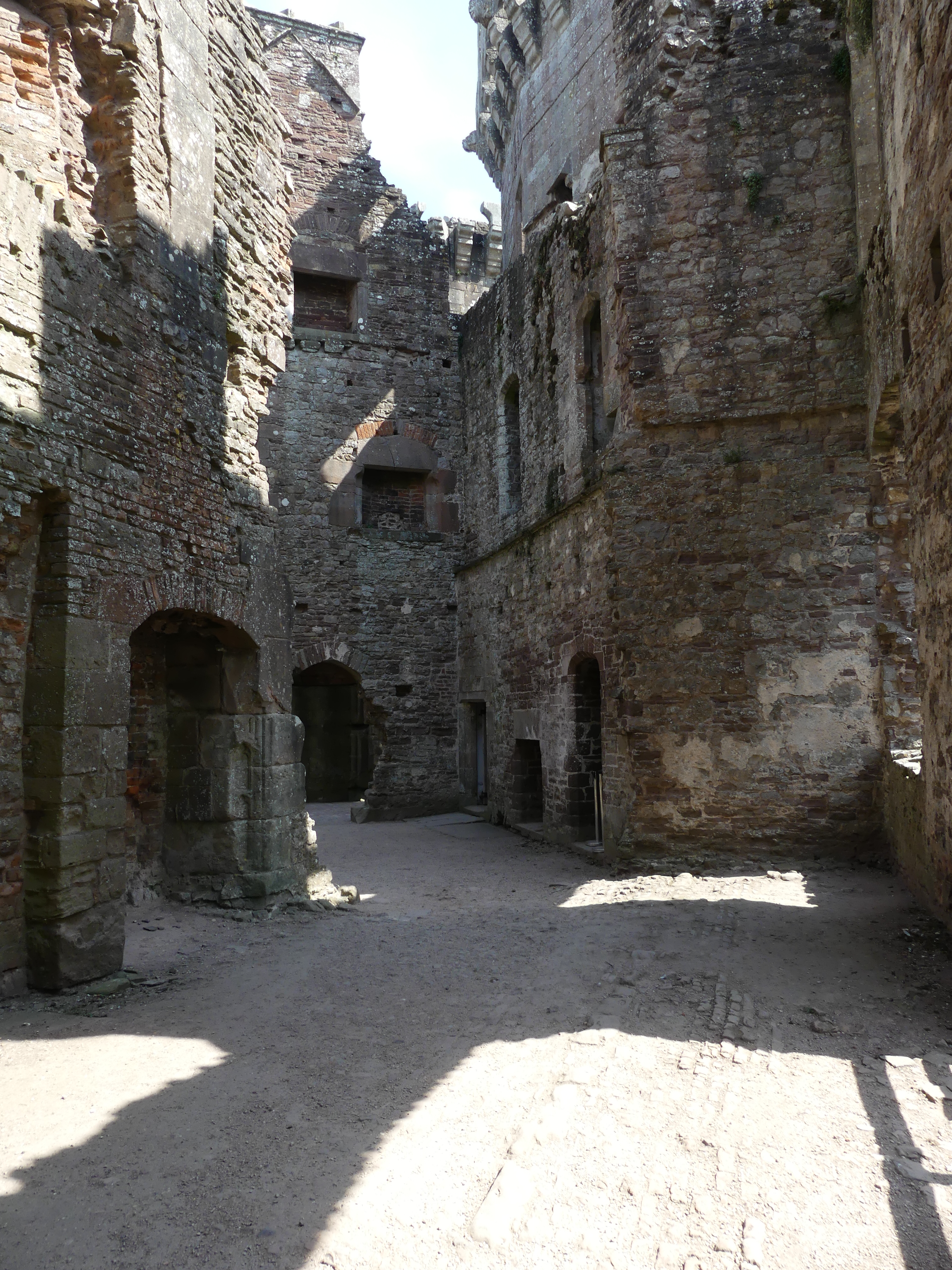
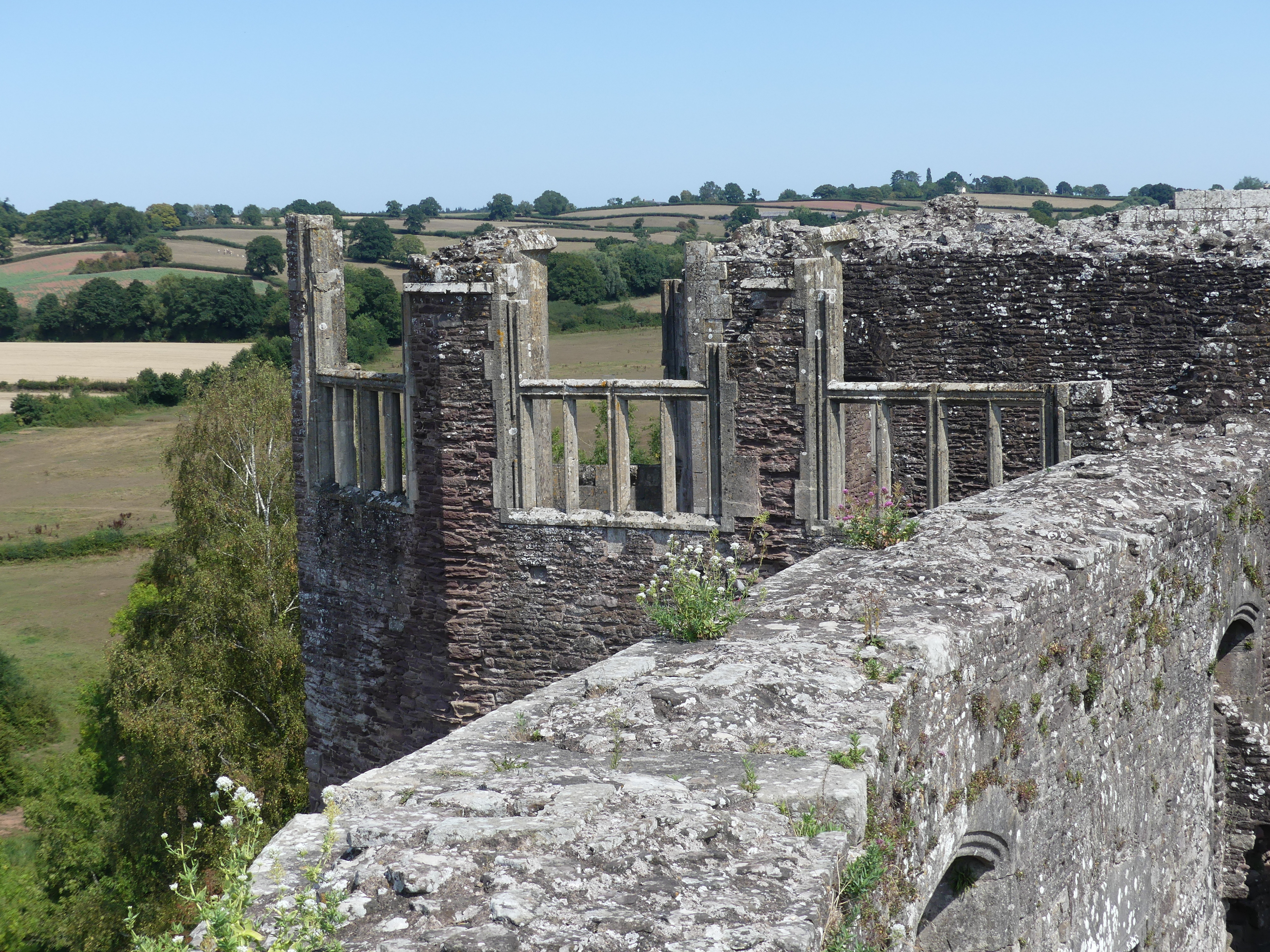
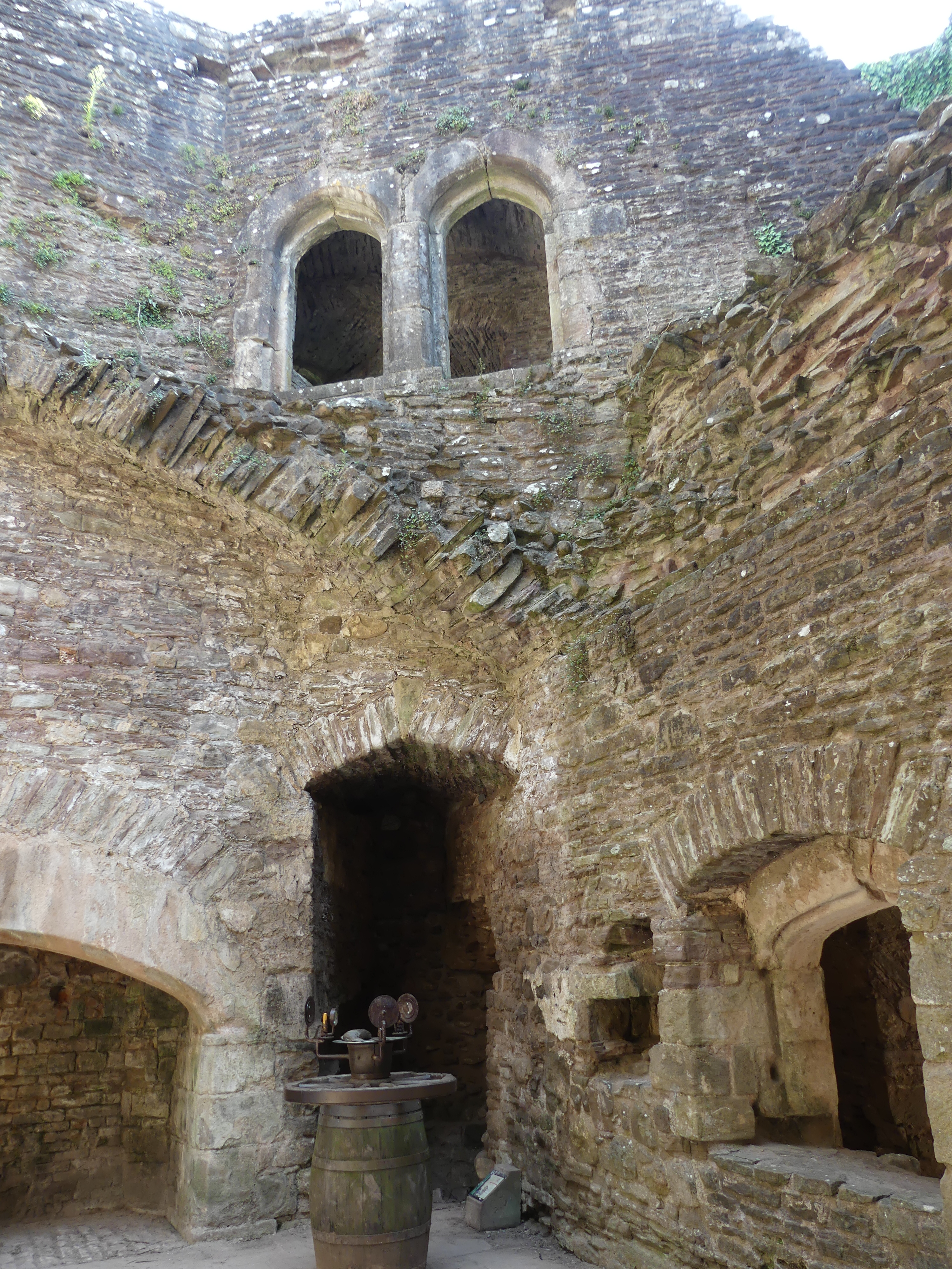
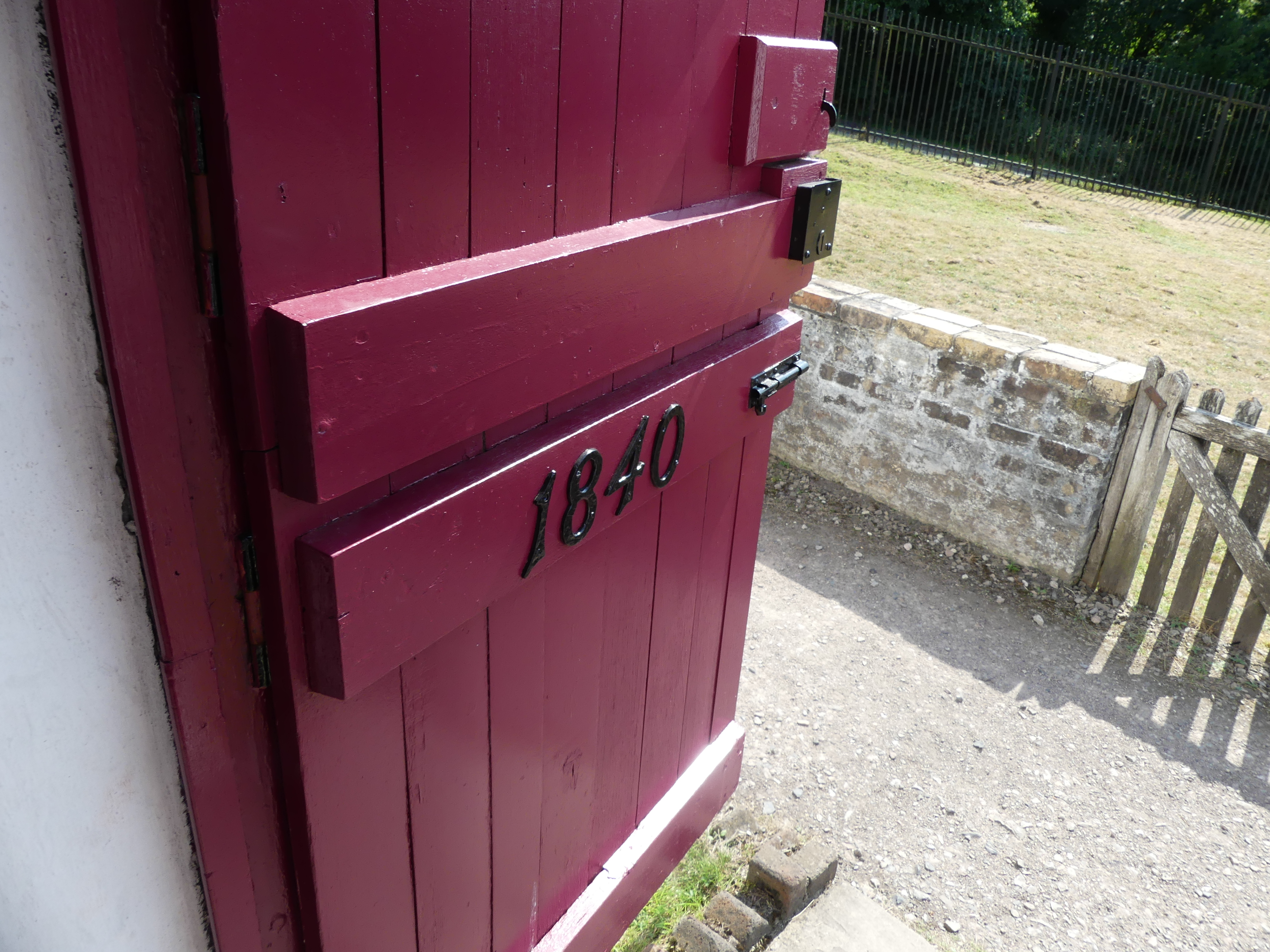
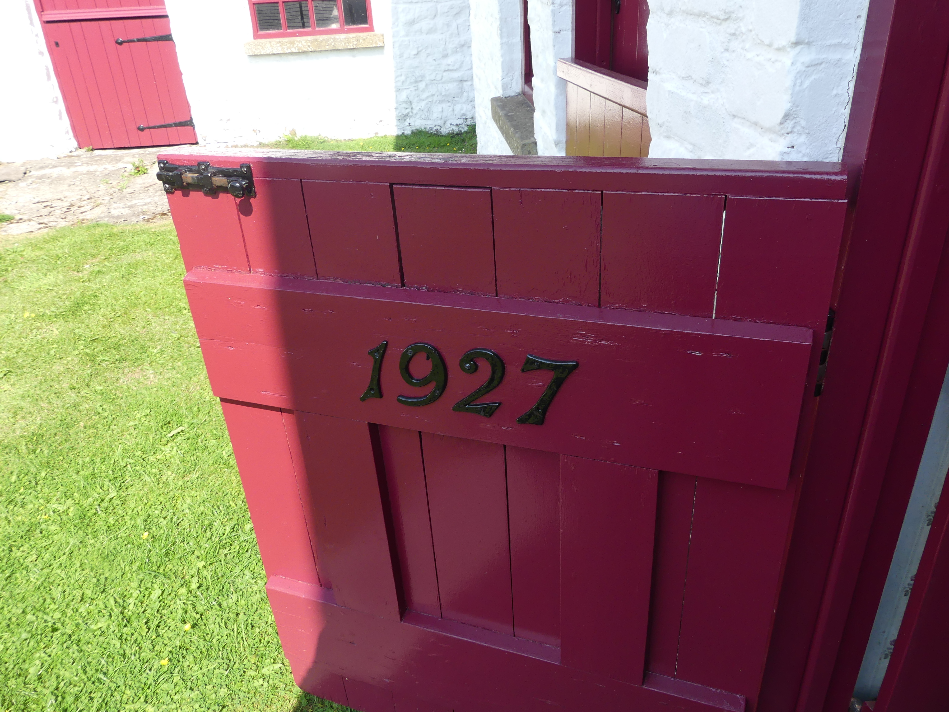
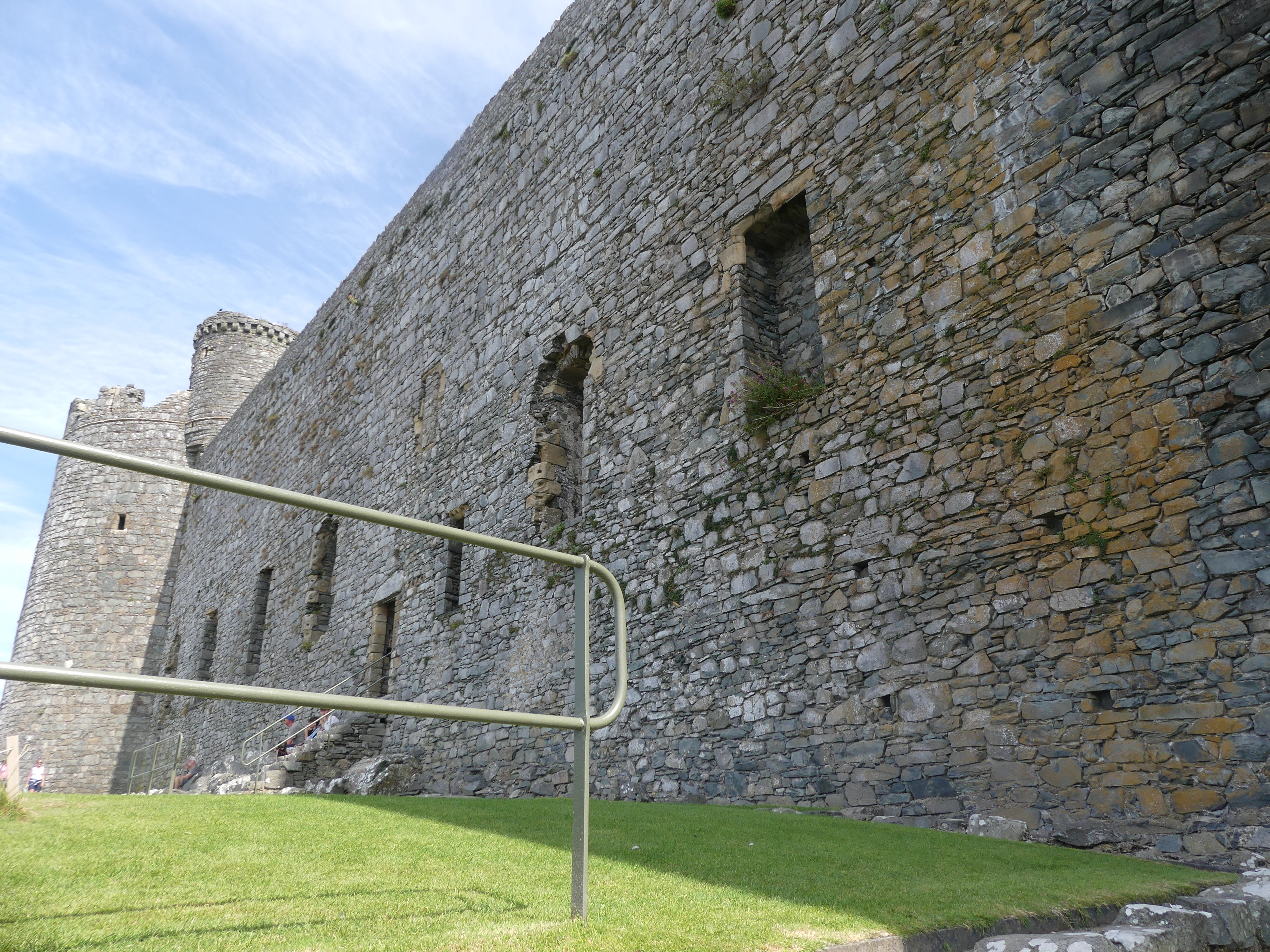
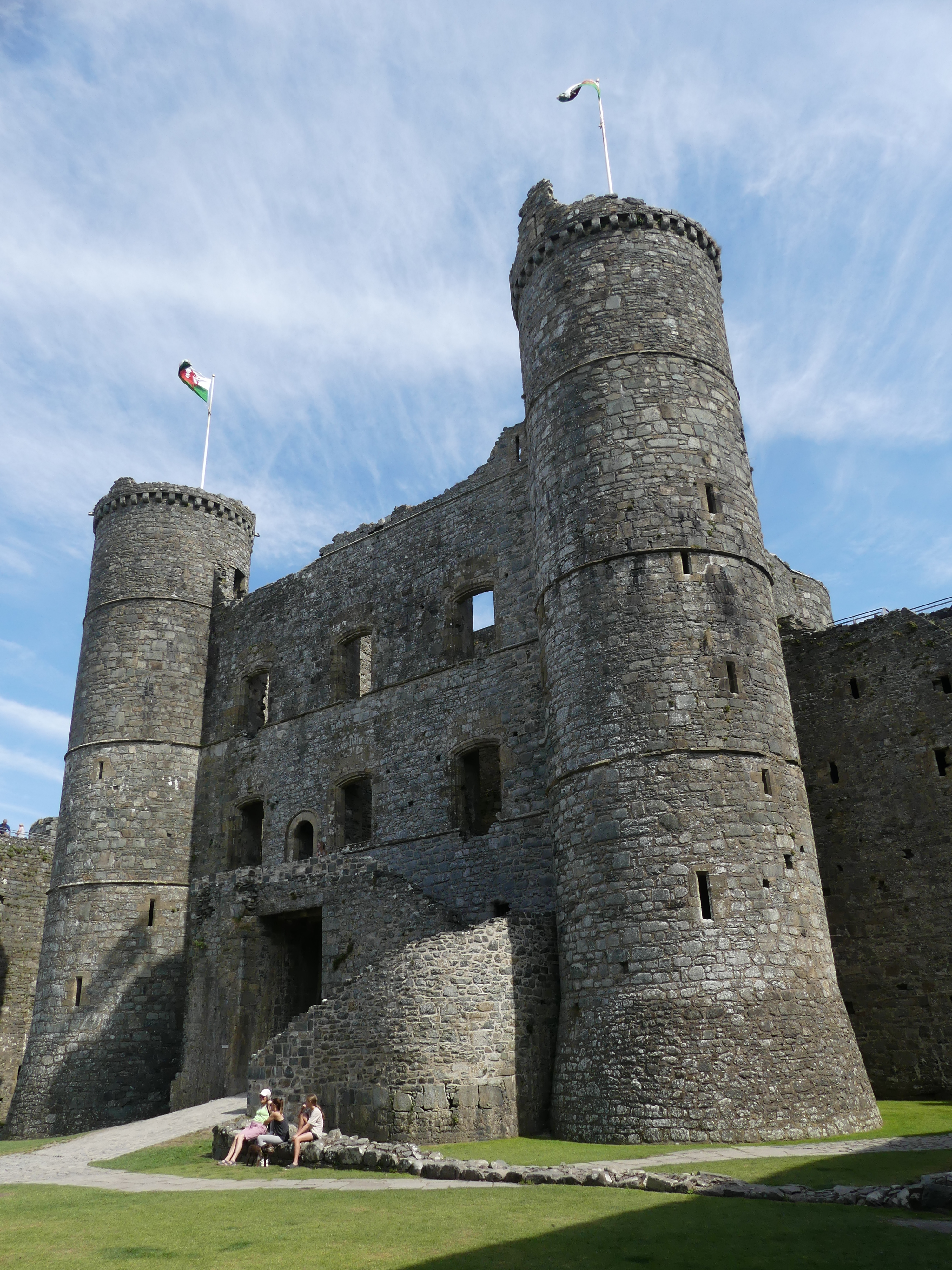
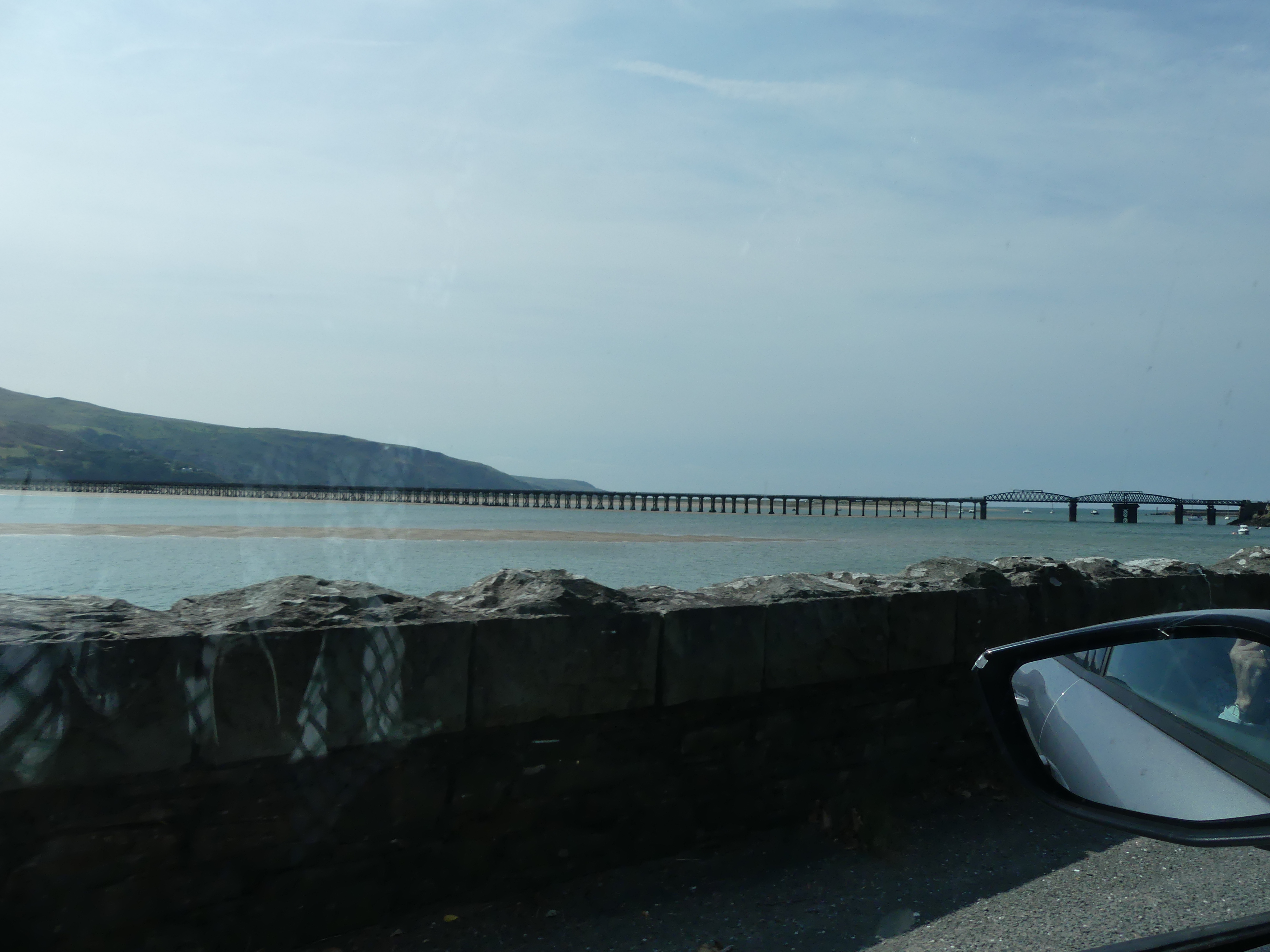
The drive to Chateau Rhianfa on the isle of Anglesey took us past Harlech Castle in Harlech, Gwynedd, Wales, a Grade I listed medieval fortification built onto a rocky knoll which years ago was close to the Irish Sea. A Seagate and stairs to the former landing area remains today but is nowhere near the present coast. It was built by Edward I during his invasion of Wales between 1282 and 1289. Over the next few centuries, the castle played an important part in several wars, withstanding the siege of Madog ap Llywelyn between 1294 and 1295, but falling to Prince Owain Glyndŵr in 1404. It then became Glyndŵr’s residence and military headquarters for the remainder of the uprising until being recaptured by English forces in 1409. During the 15th-century Wars of the Roses, Harlech was held by the Lancastrians for seven years, before Yorkist troops forced its surrender in 1468, a siege memorialised in the song “Men of Harlech”. Following the outbreak of the English Civil War in 1642, the castle was held by forces loyal to Charles I, holding out until 1647 when it became the last fortification to surrender to the Parliamentary armies. In the 21st century the ruined castle is managed by Cadw, the Welsh Government’s historic environment service, as a tourist attraction. As my photos below show the castle is well defended by its environment and provides excellent views of the surrounding village. I have also attached the Cadw brochure.


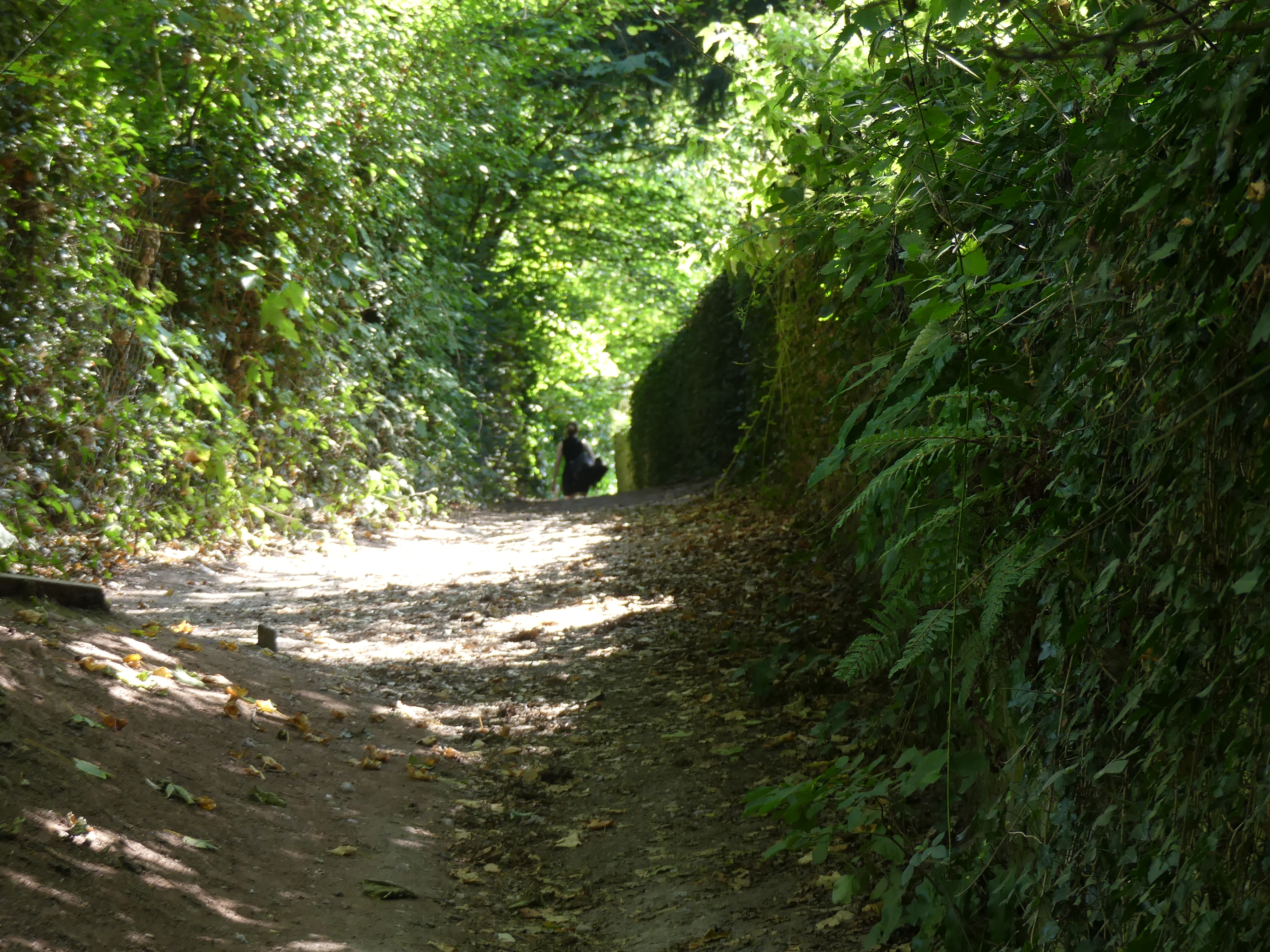
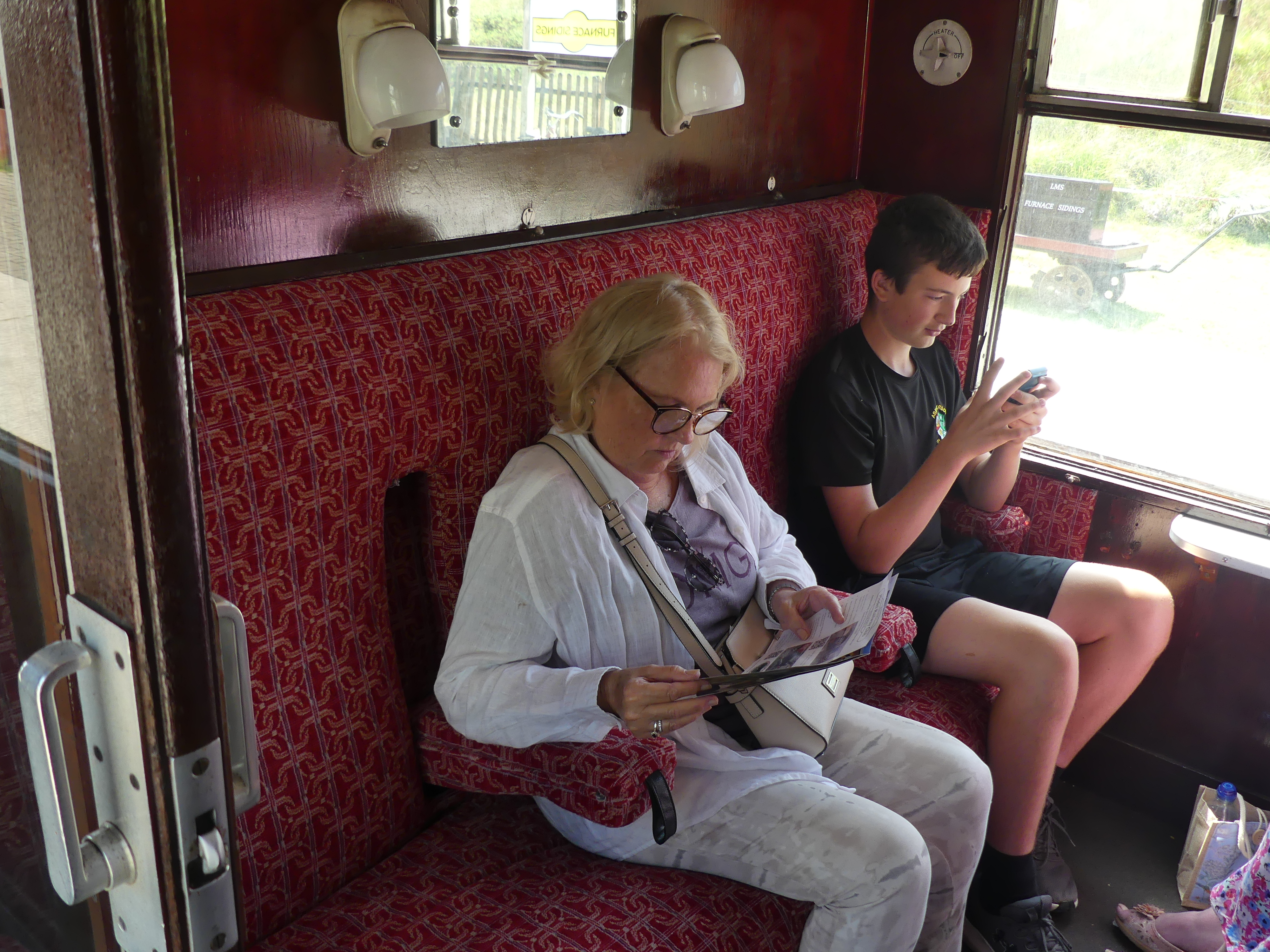
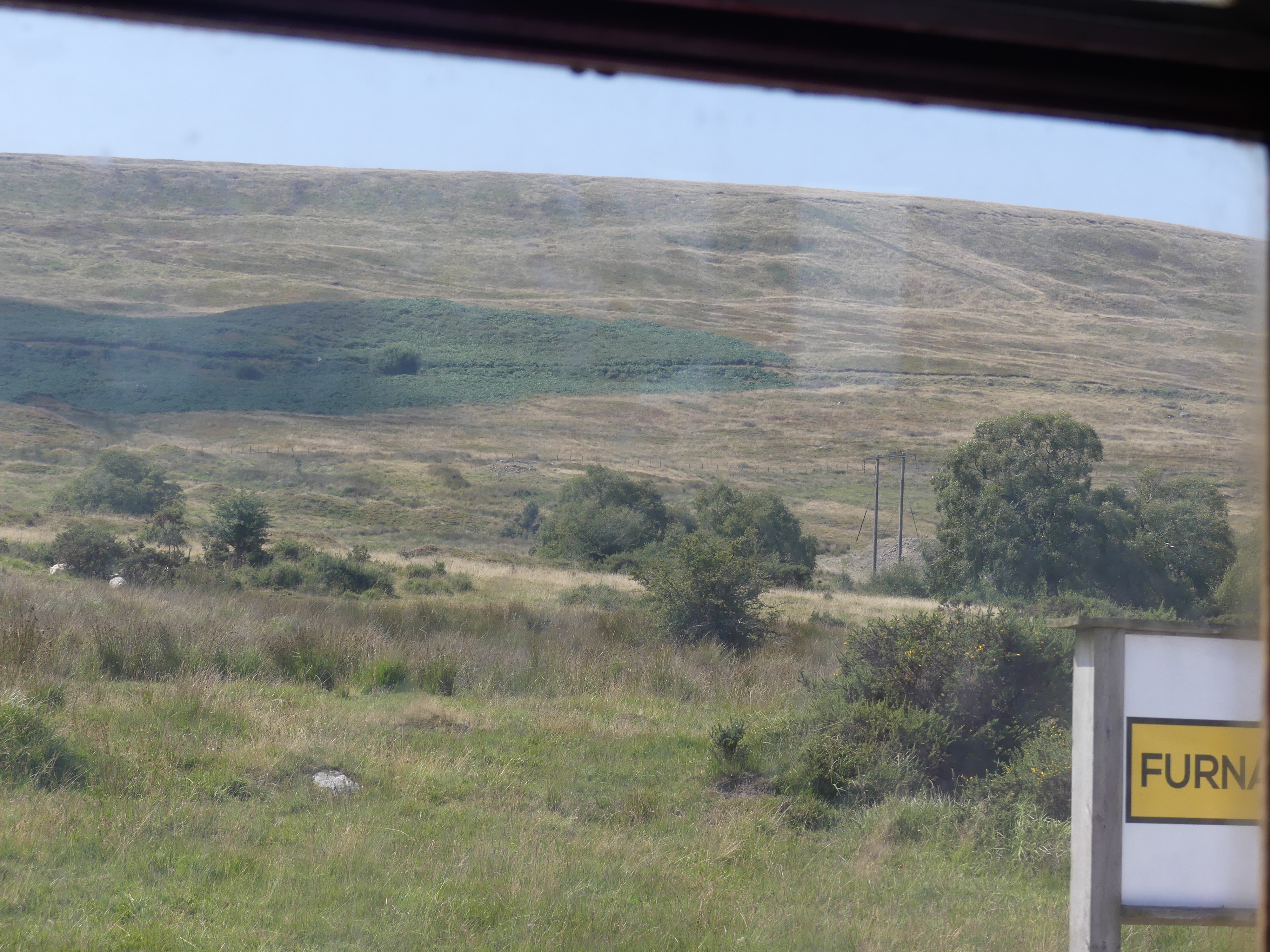
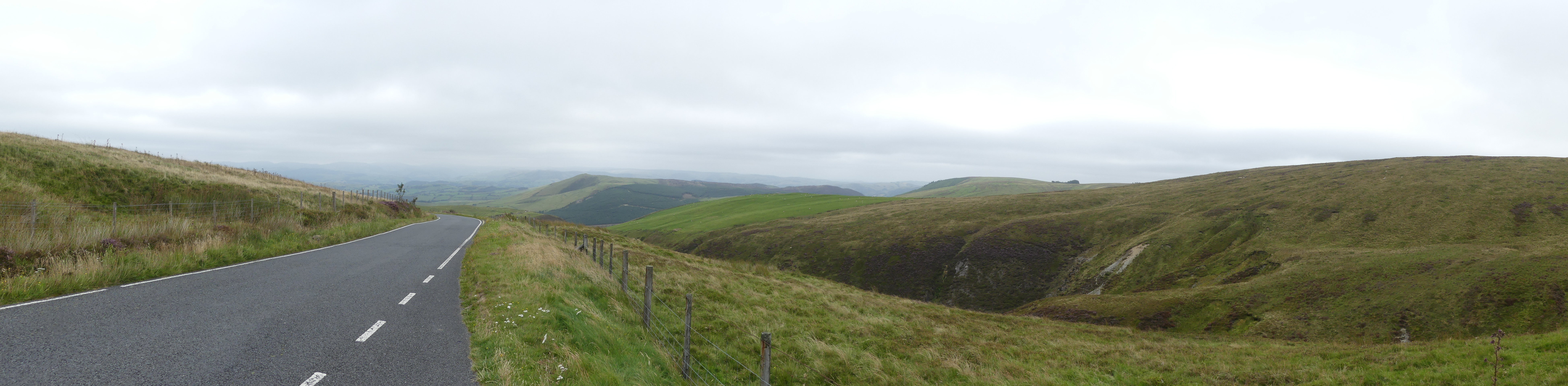
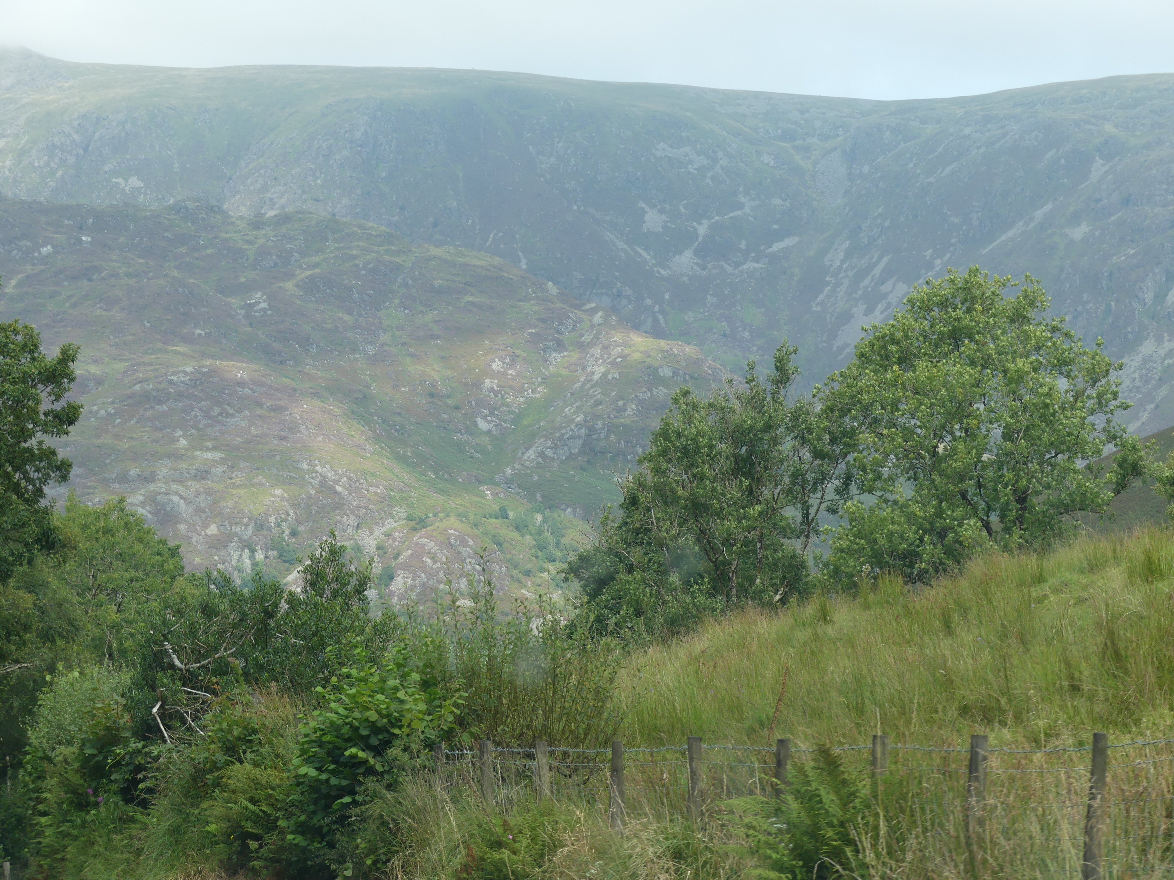
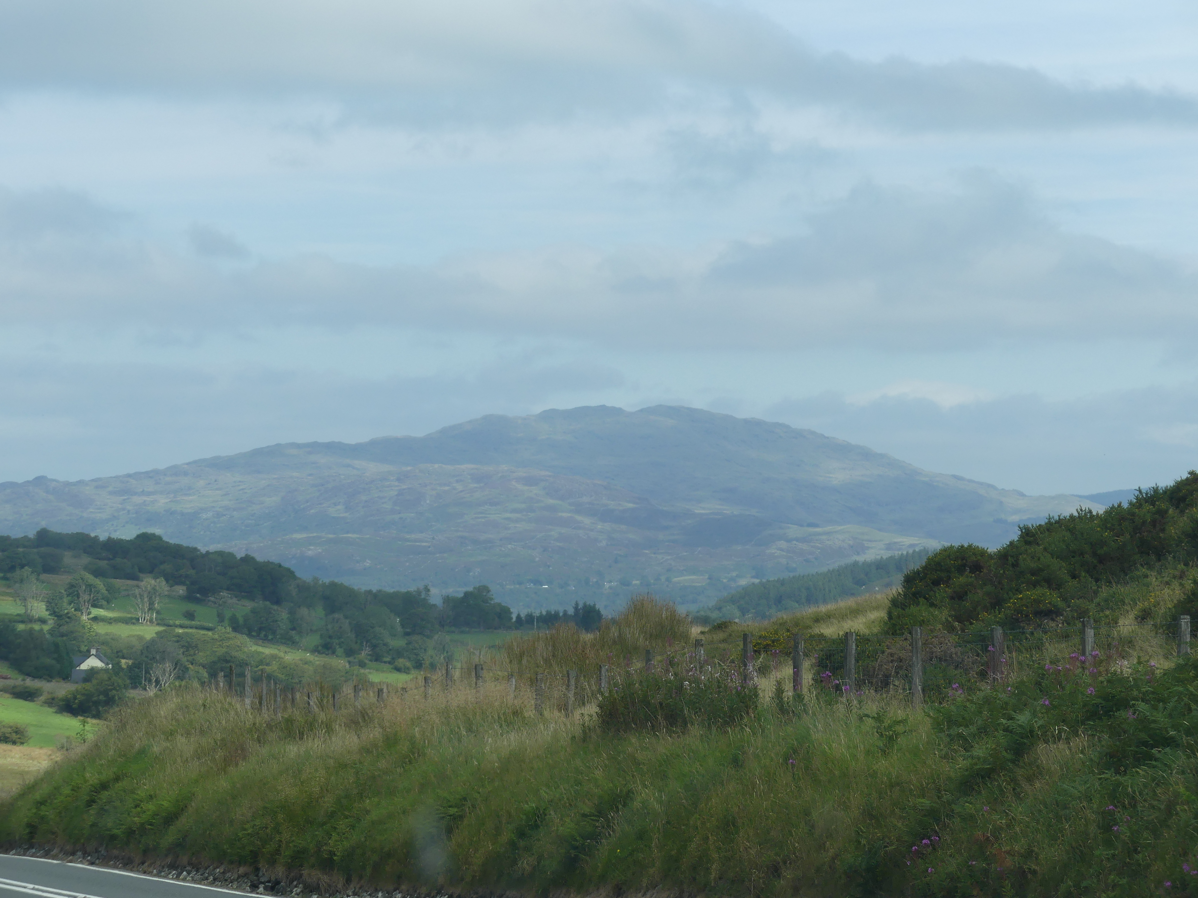
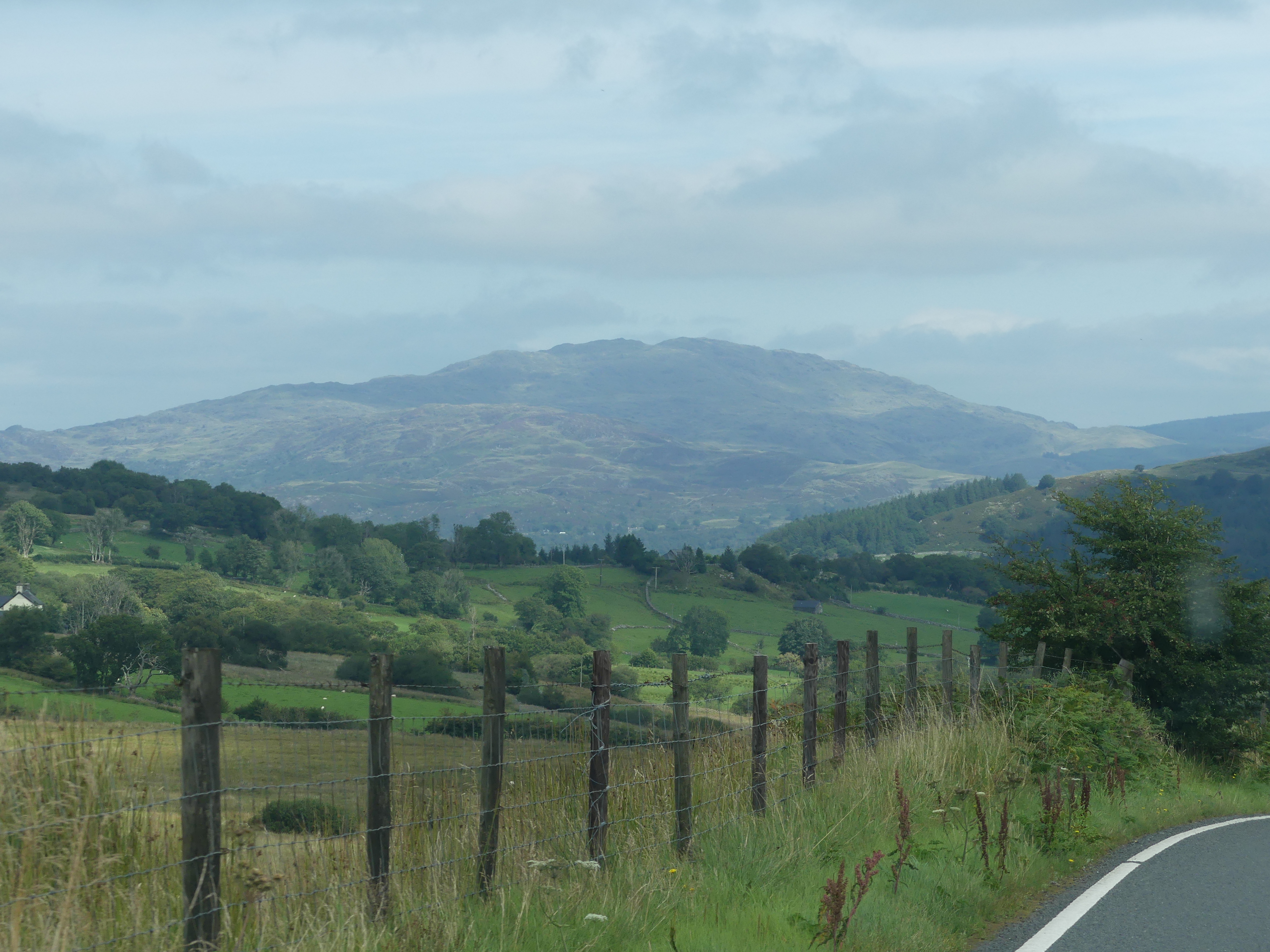
The drive to Harlech was very picturesque and I could not put my camera down.


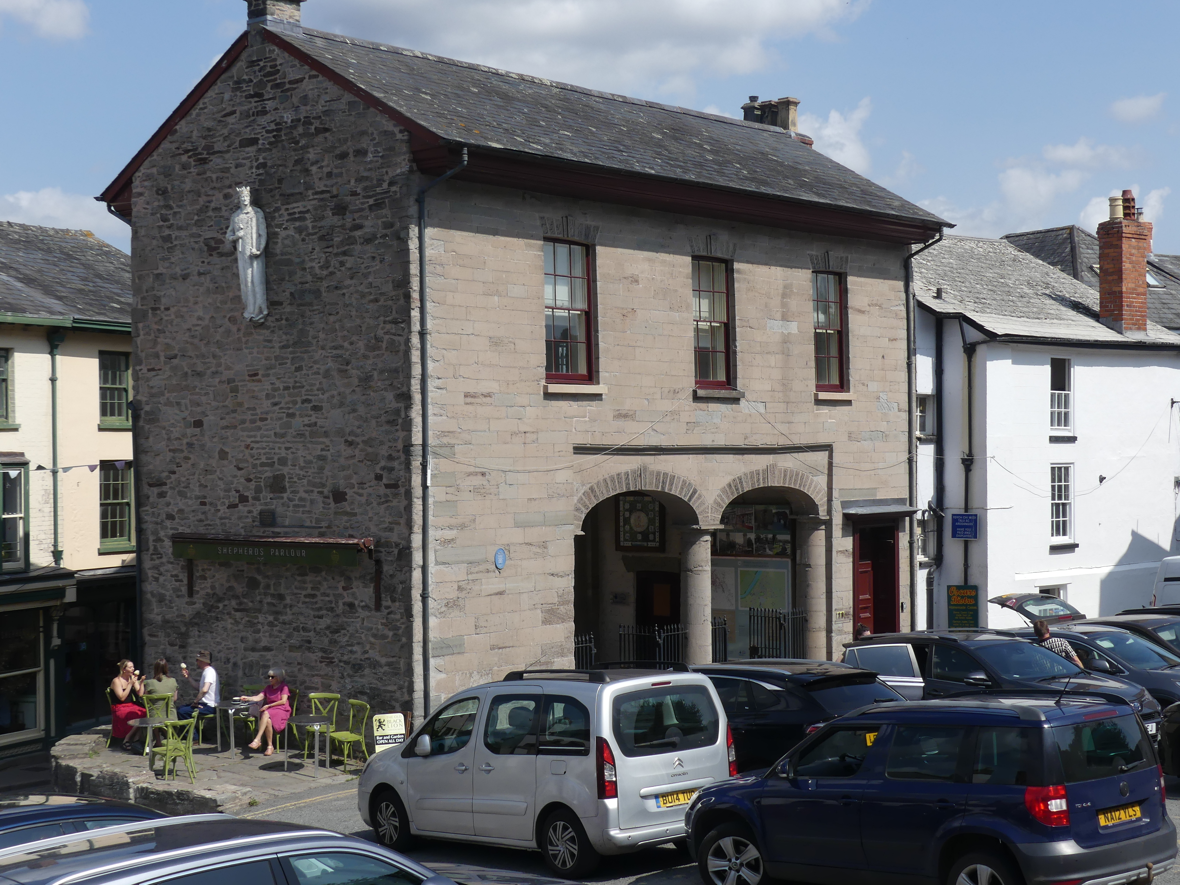
CHATEAU RHIANFA PLAS RHIANFA
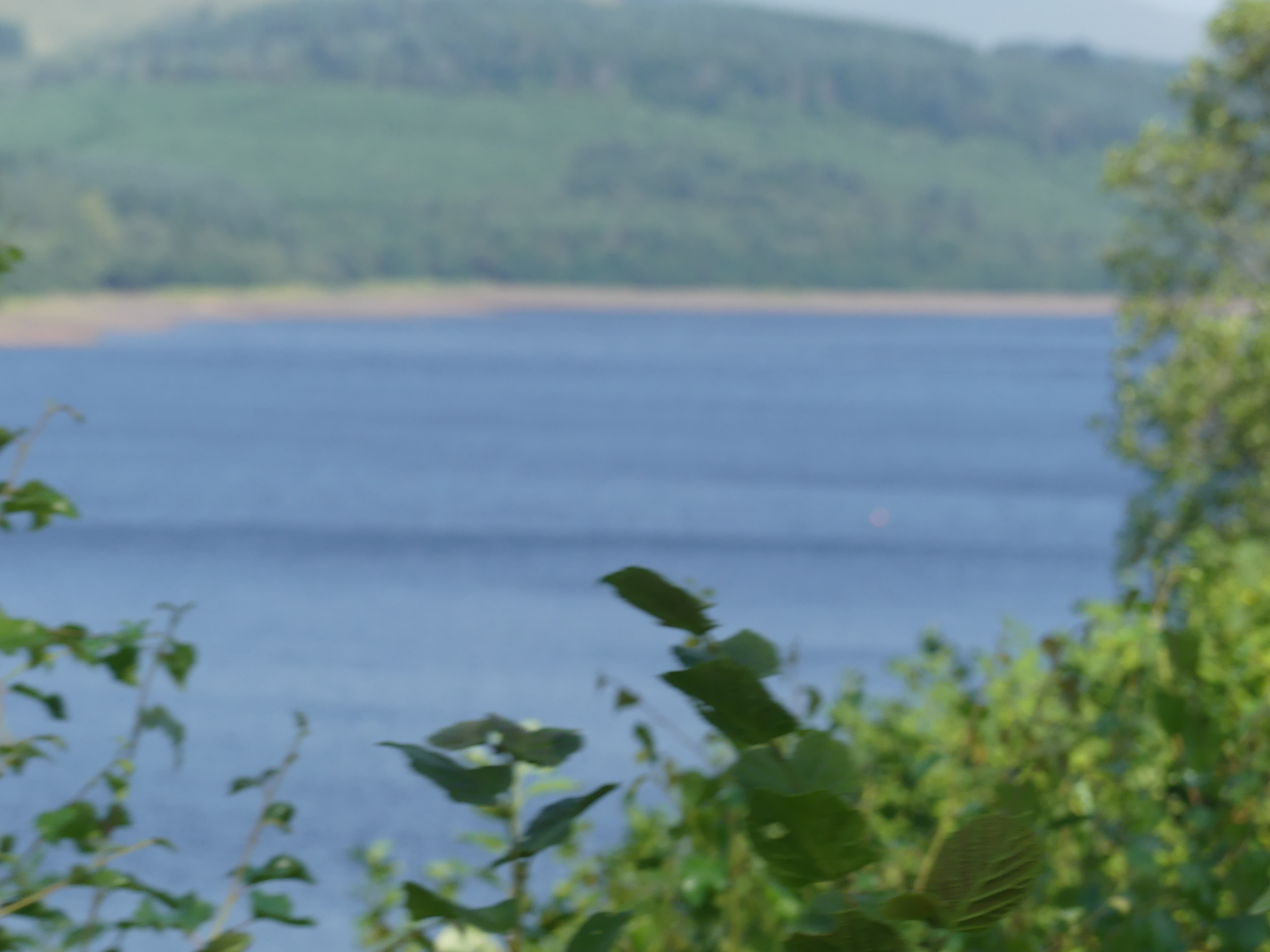
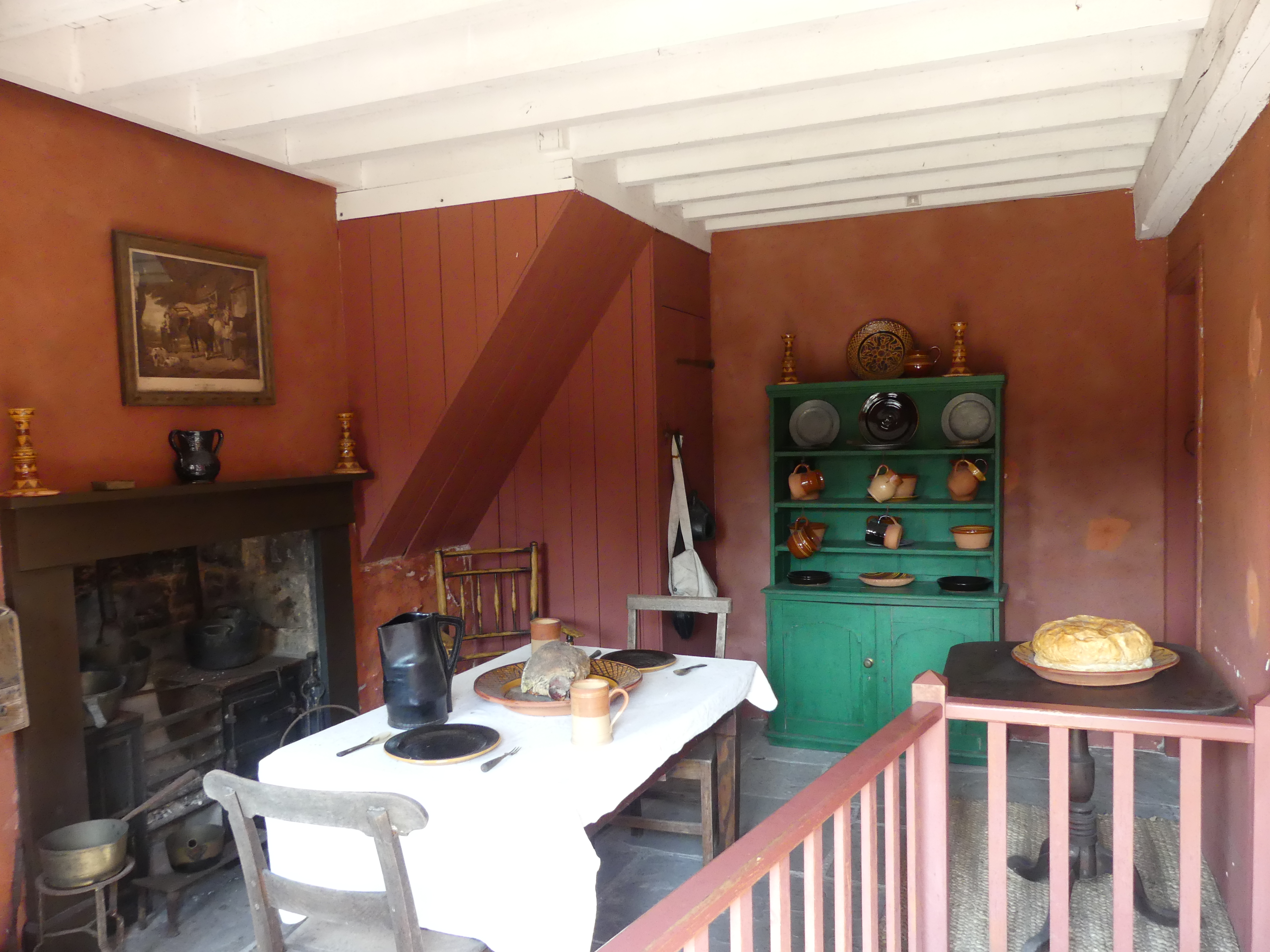
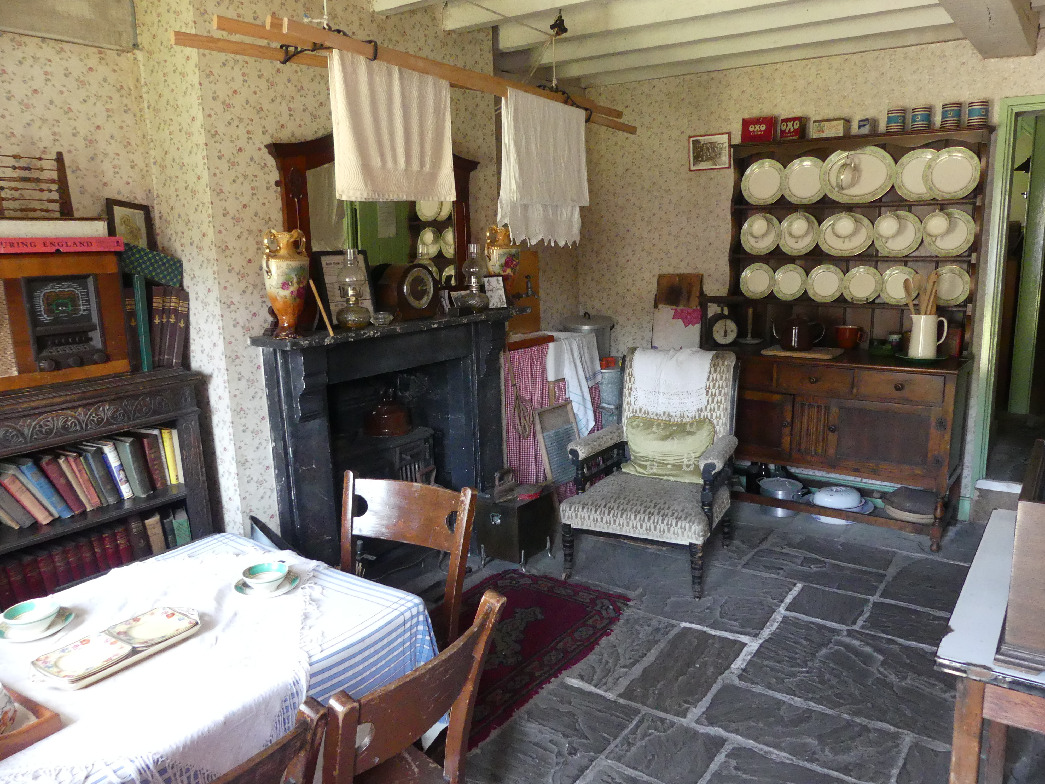
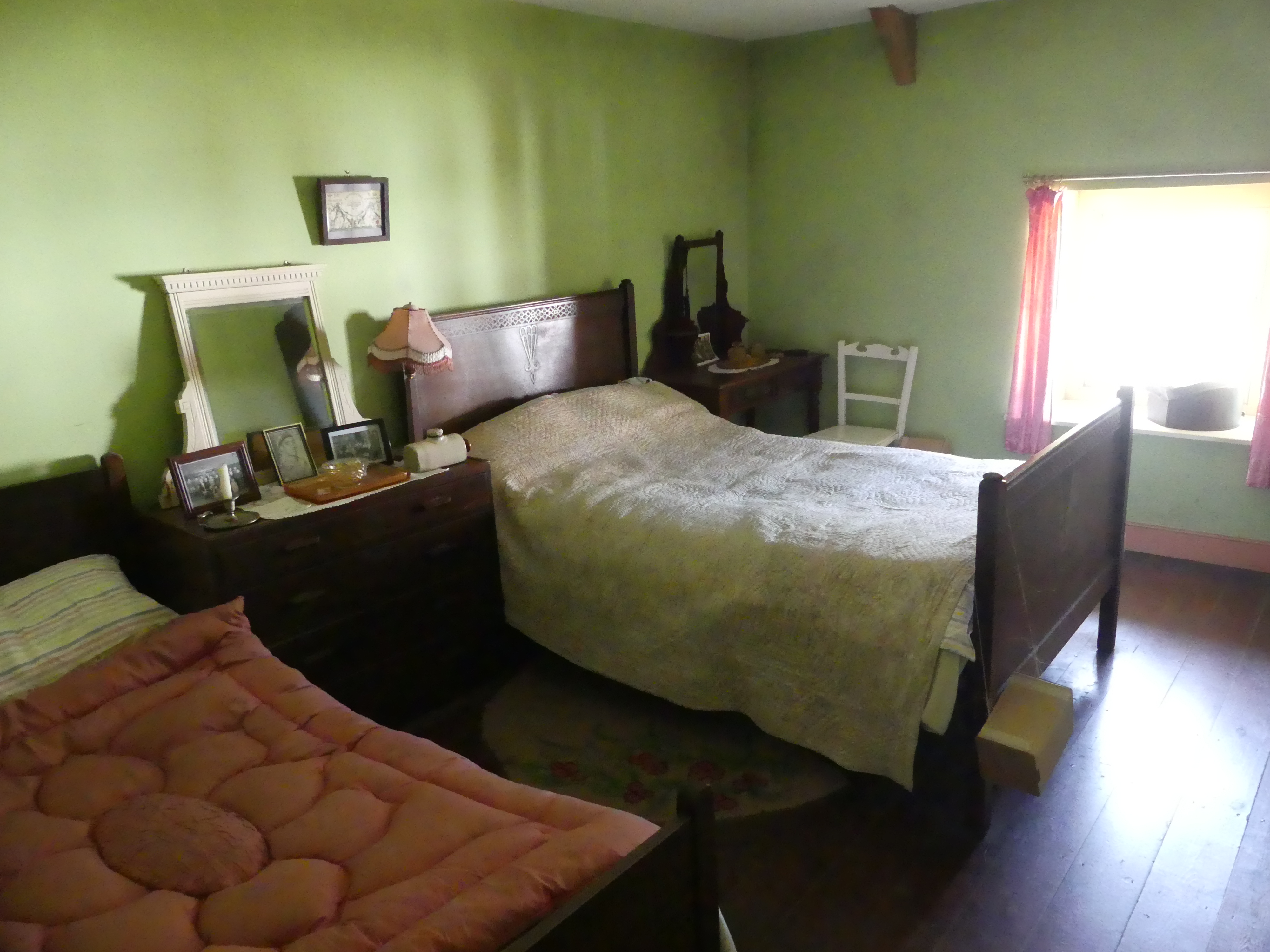
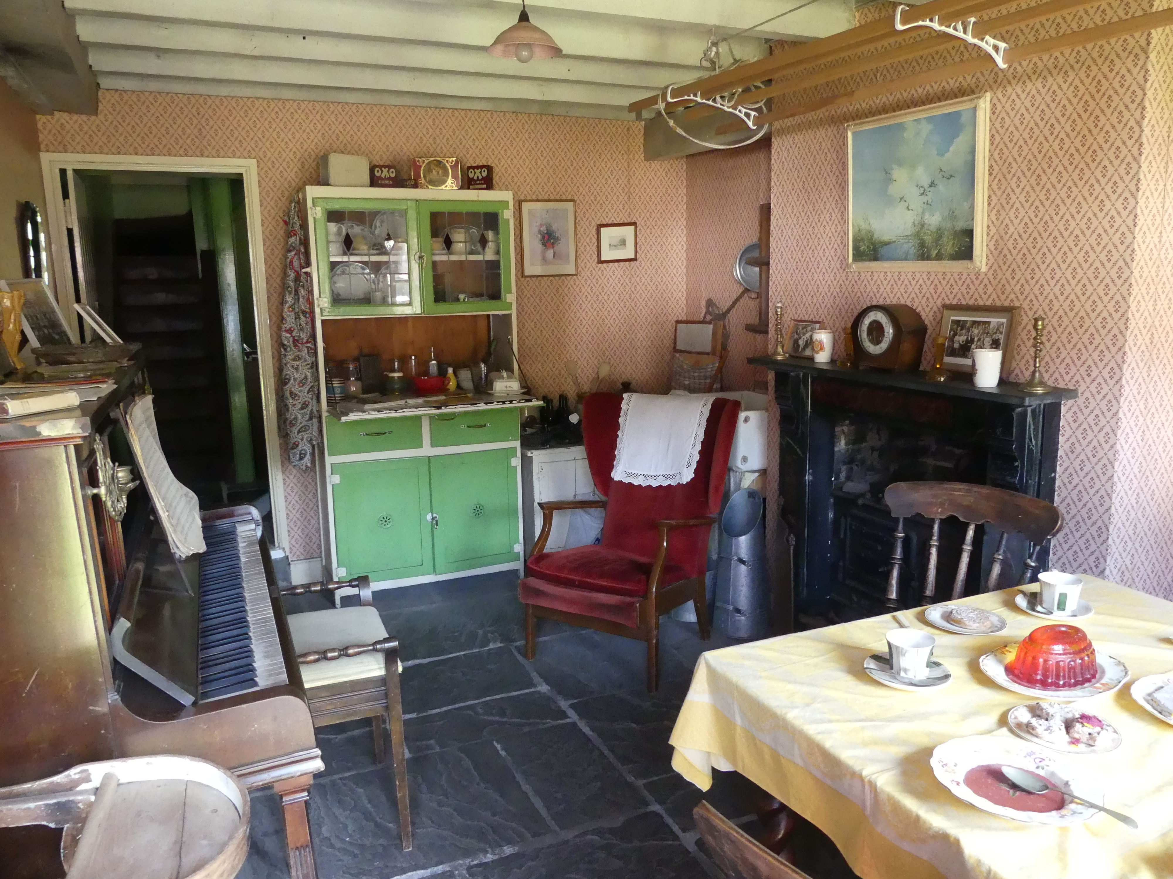
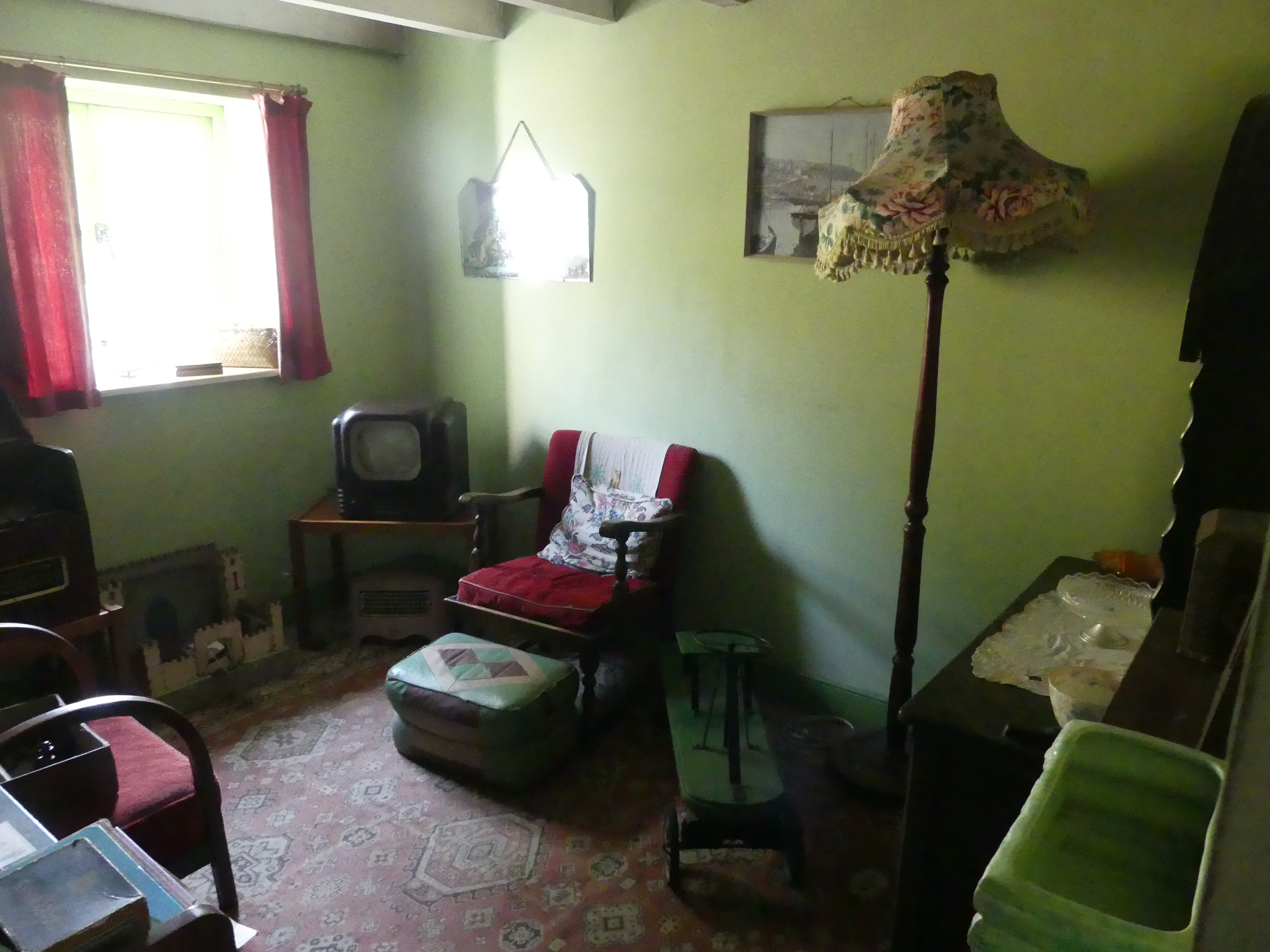
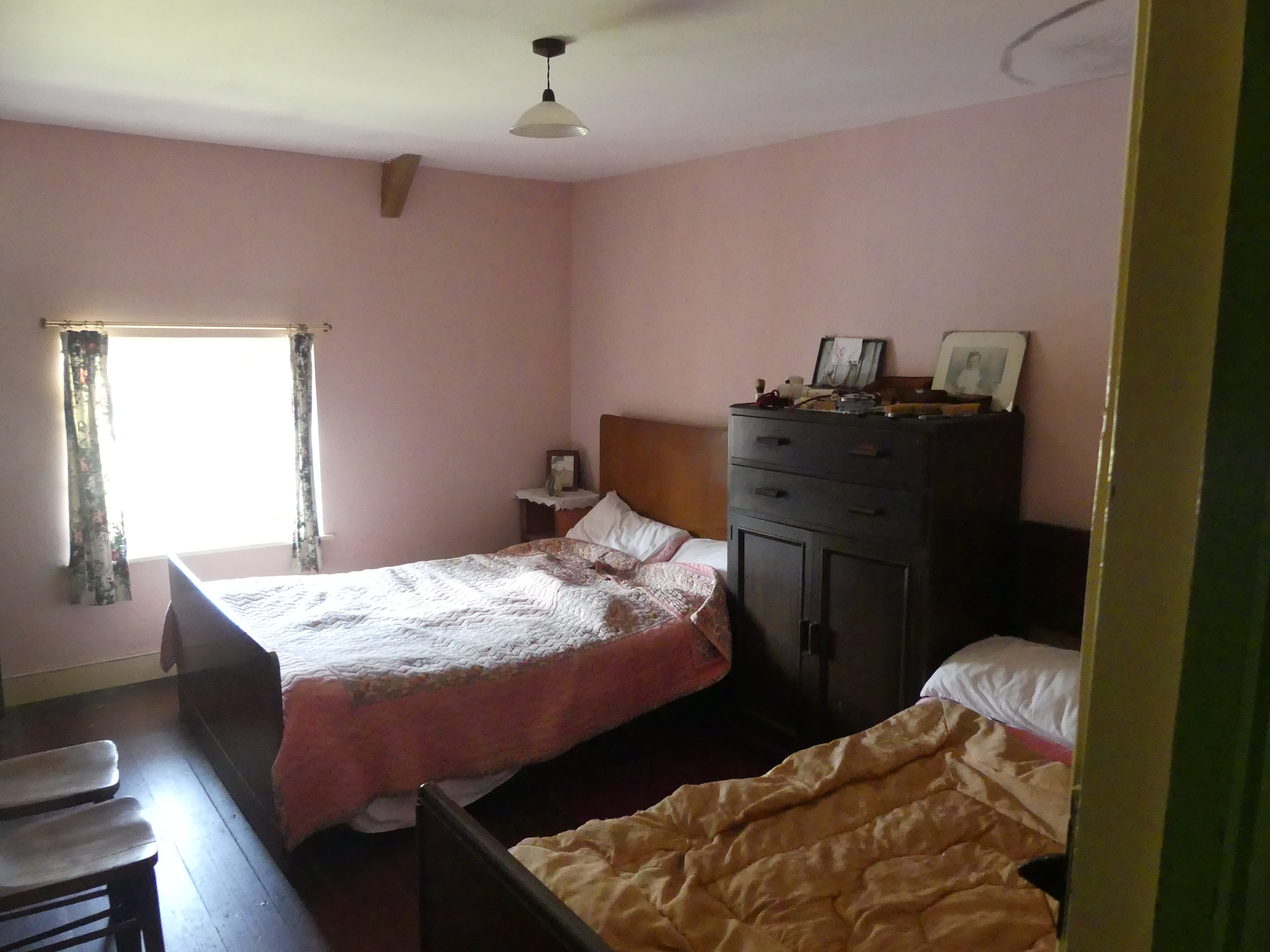
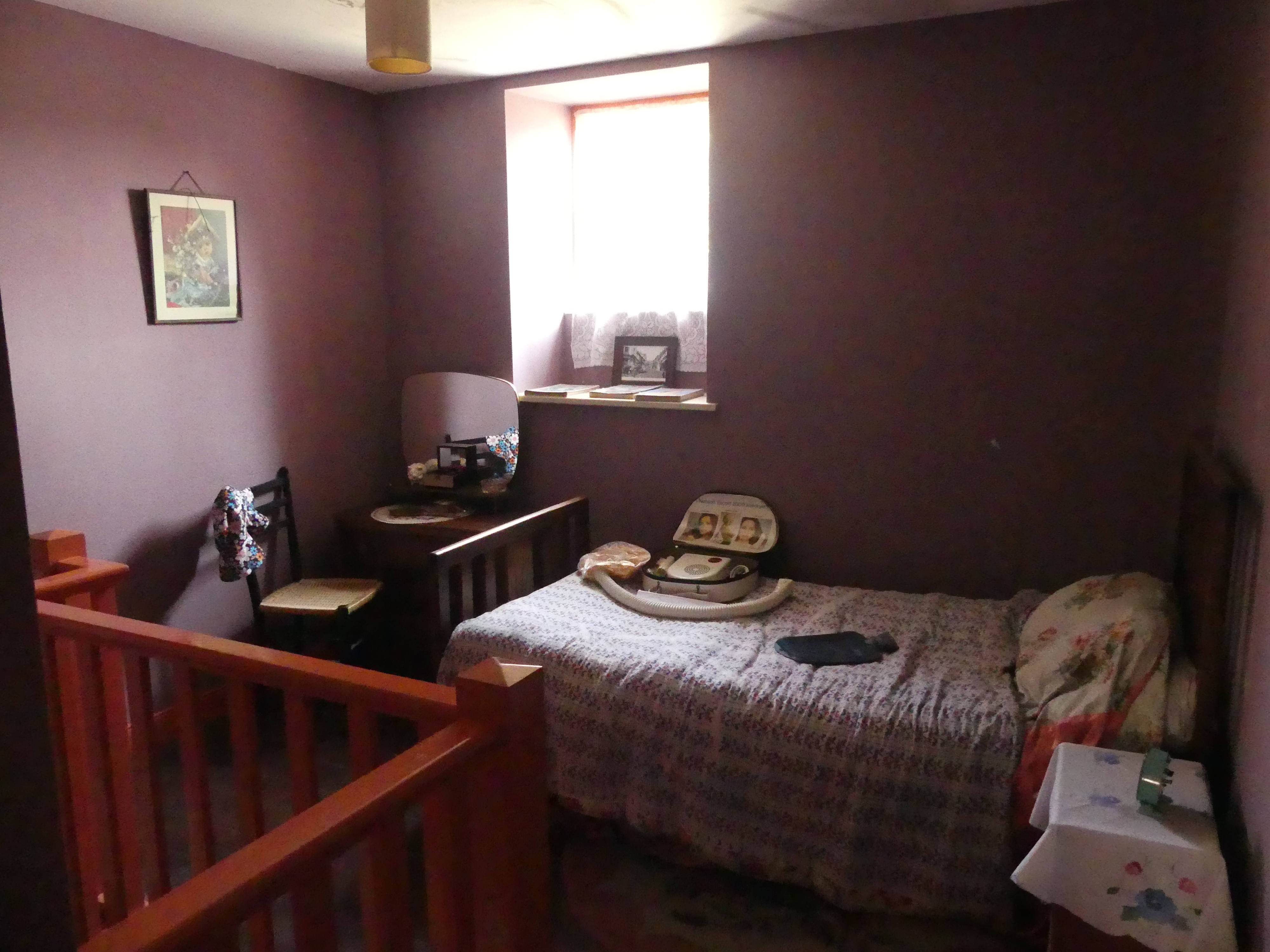
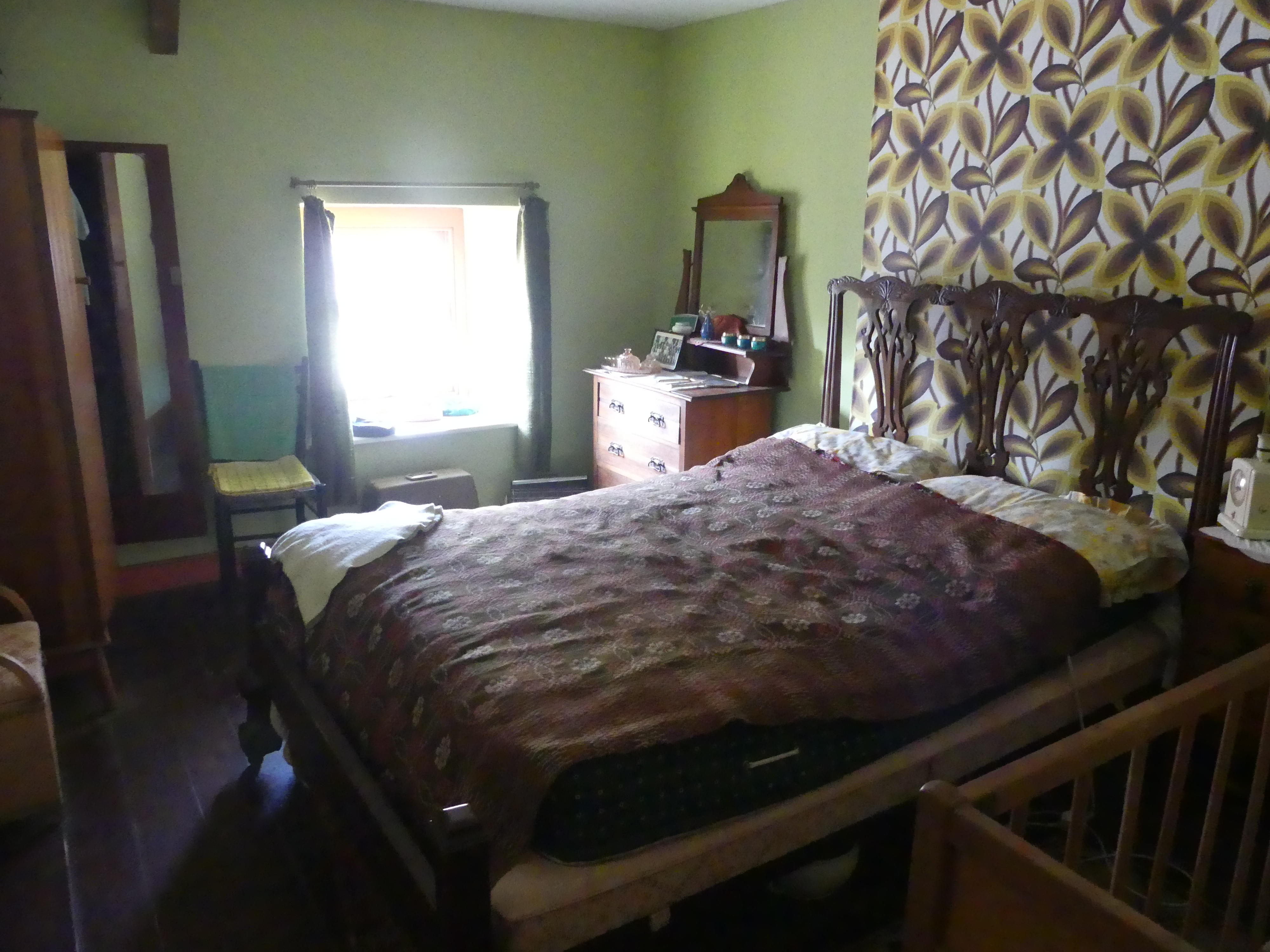
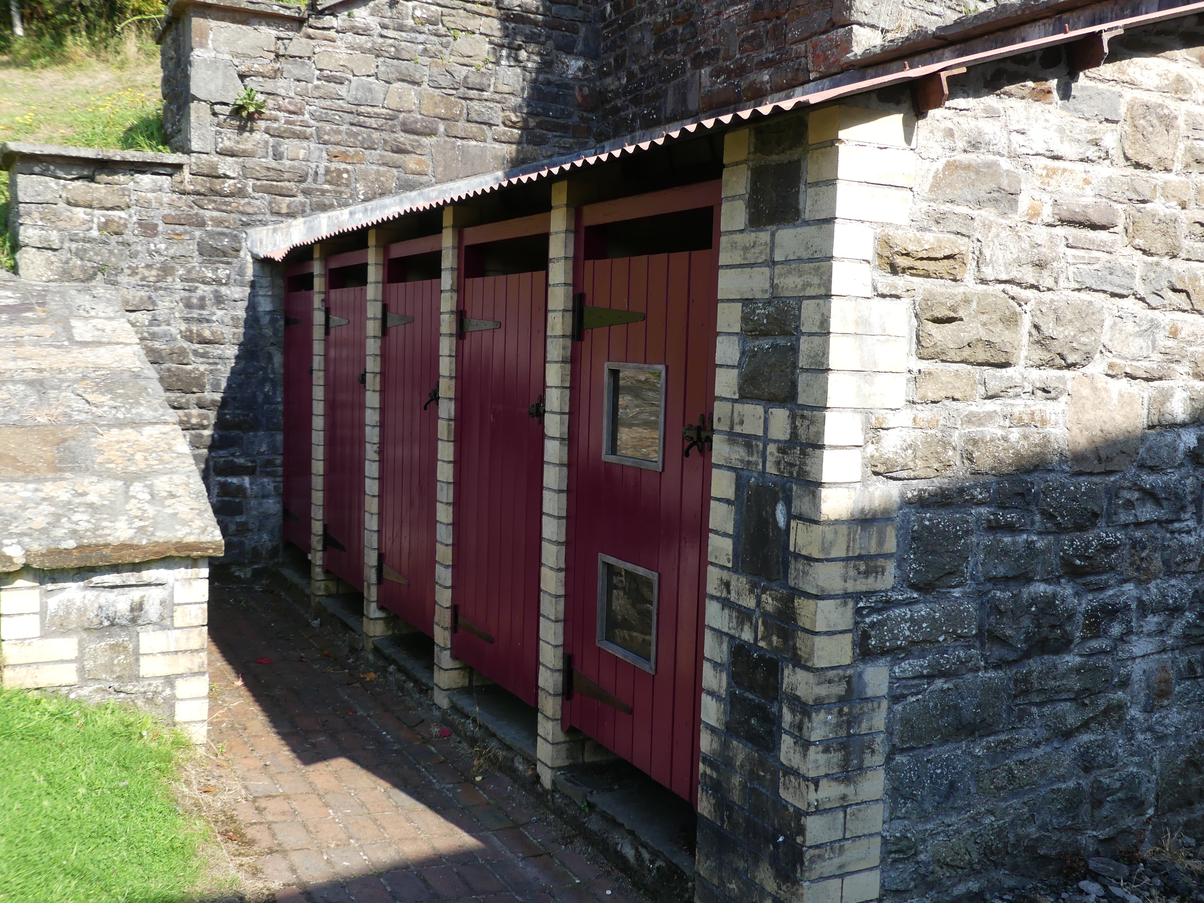
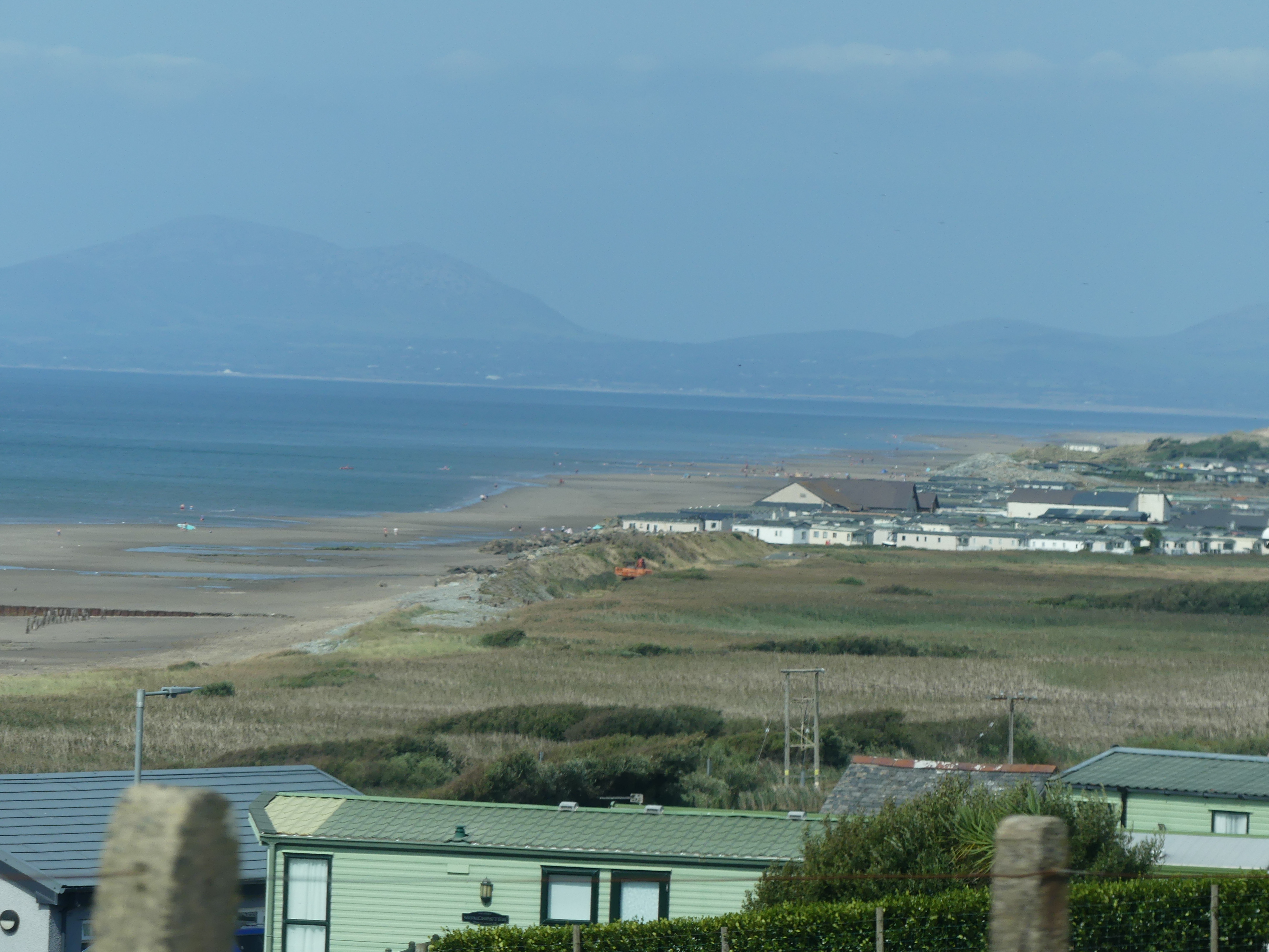
We arrived in Angelsey about mid afternoon and crossed the Menai Bridge. We proceeded along the road following the bay until we noted the entrance – a sharp right-hand turn into a crowded driveway. Chateau Rhianfa, is located on Menai, between Menai Bridge and Beaumaris. The house was built for Sir John Hay-Williams, 2nd Baronet of Bodelwyddan, and his wife Lady Sarah Elizabeth Hay-Williams with construction commencing in 1849 and completed in 1851. The house remained in the possession of the Williams family until 1957 when it was sold and converted into several apartments. Most of the land surrounding the house was also sold, leaving three acres attached to the estate. In 2012 the building reopened as a hotel, with three cottages within the estate converted into guest houses. My photos below show our bedroom – first round bed that I can recall and it was not all that comfortable. It proved to be unusual to sleep in. The bar was quaint but did not seem to be used regularly. Down on the waterfront we looked back to the mainland. The wind was constant and quite cool. The last photo of the exterior of the hotel showing a tower is in fact a view of our bedroom from the outside of the building.


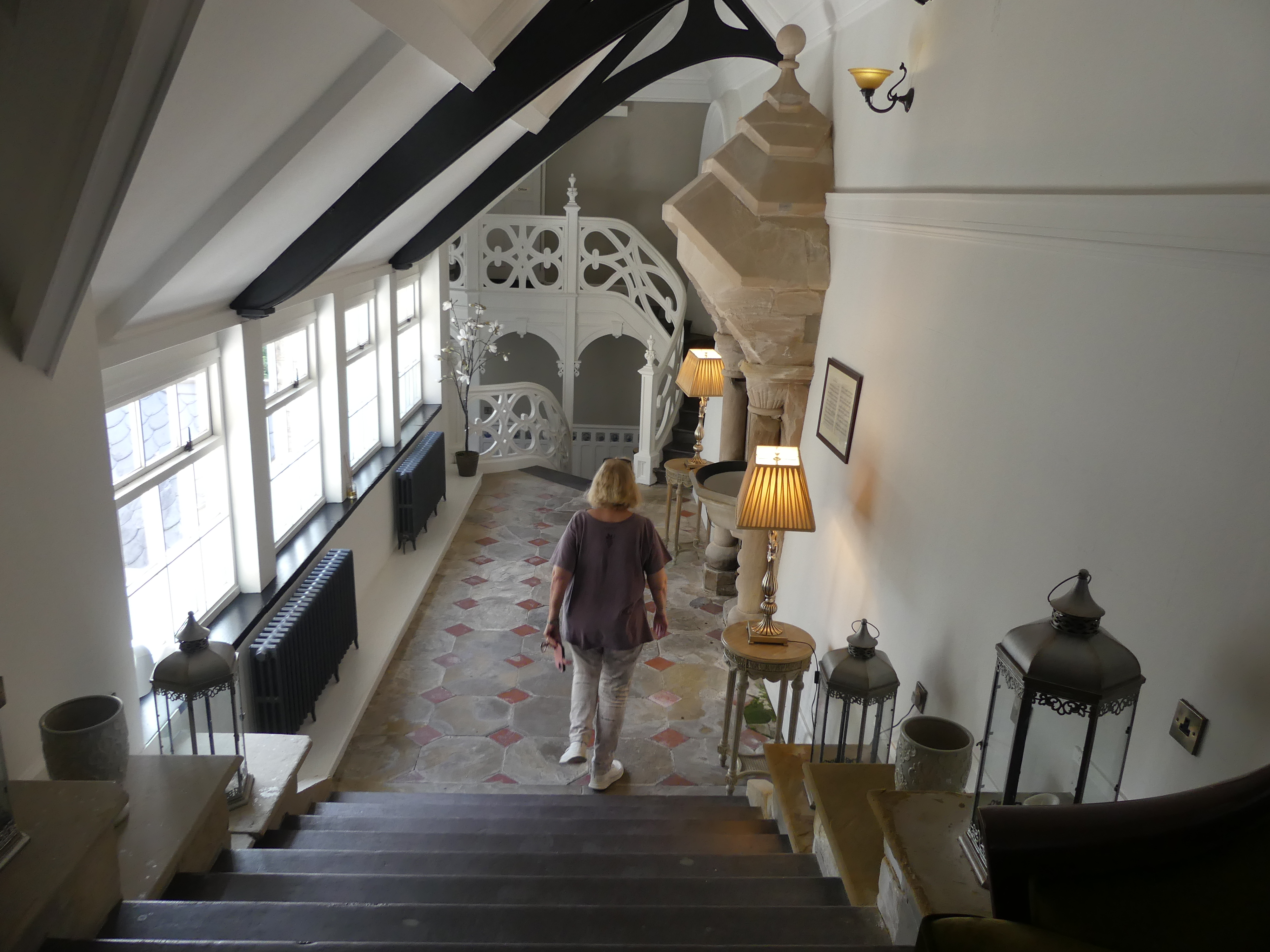
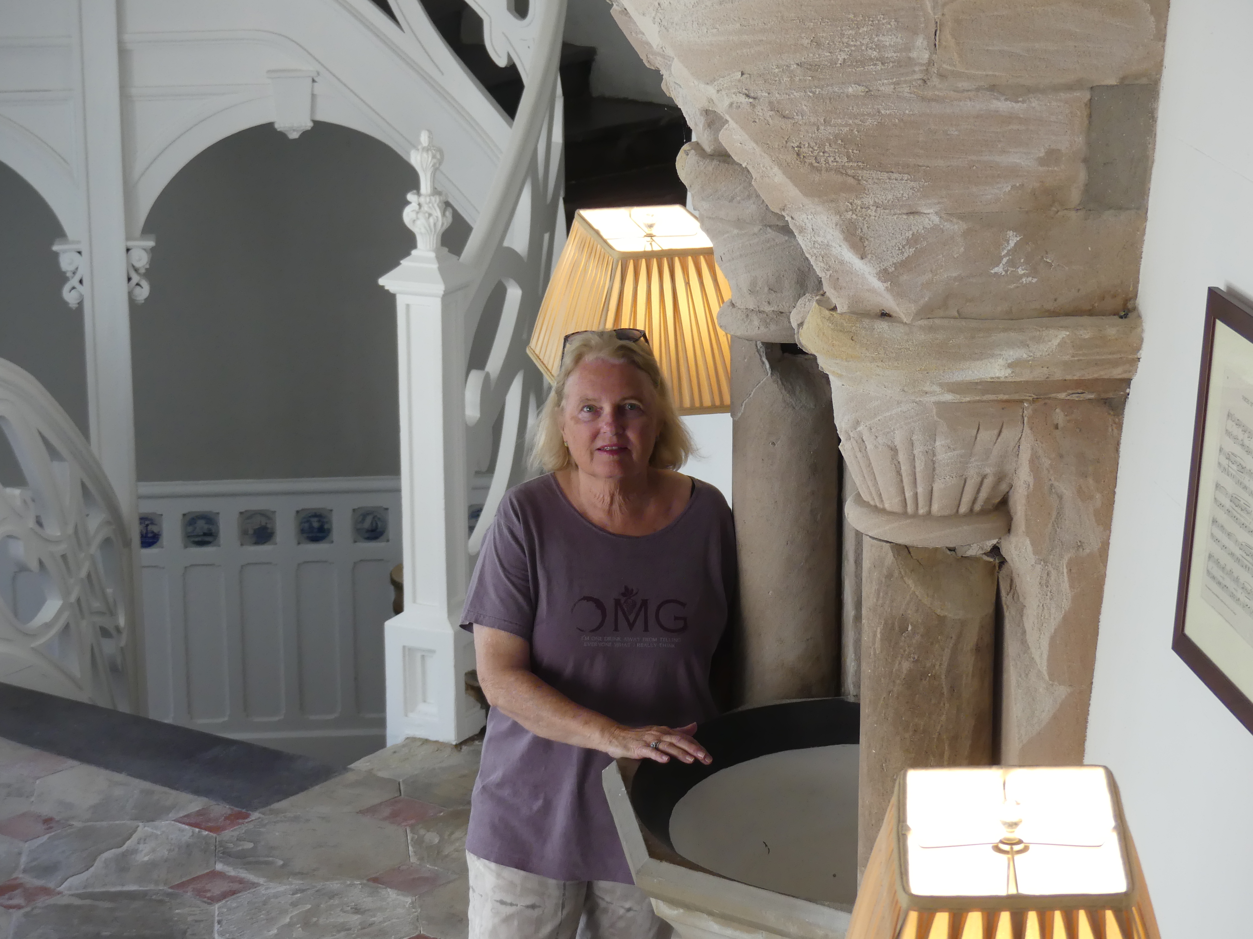


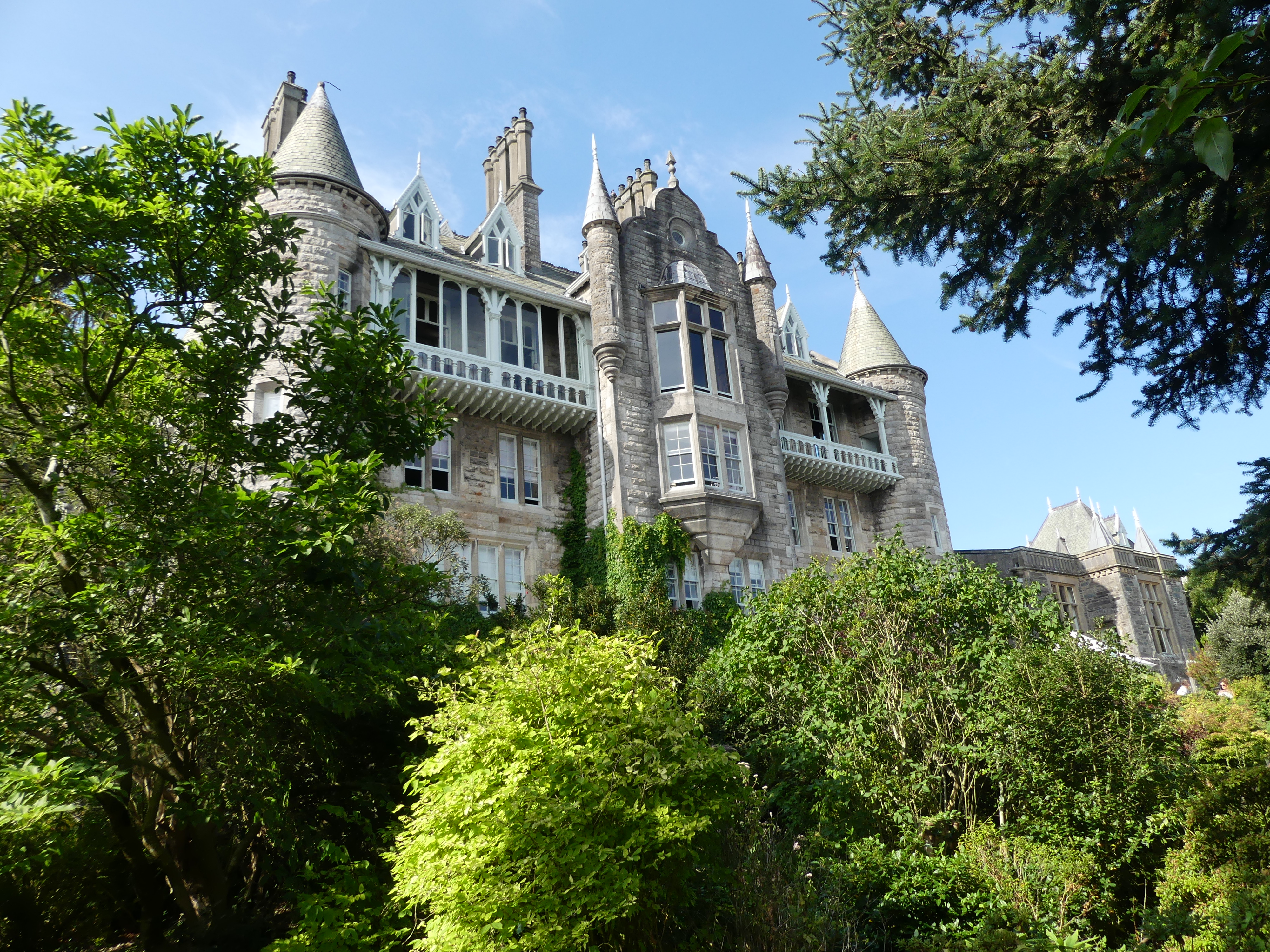

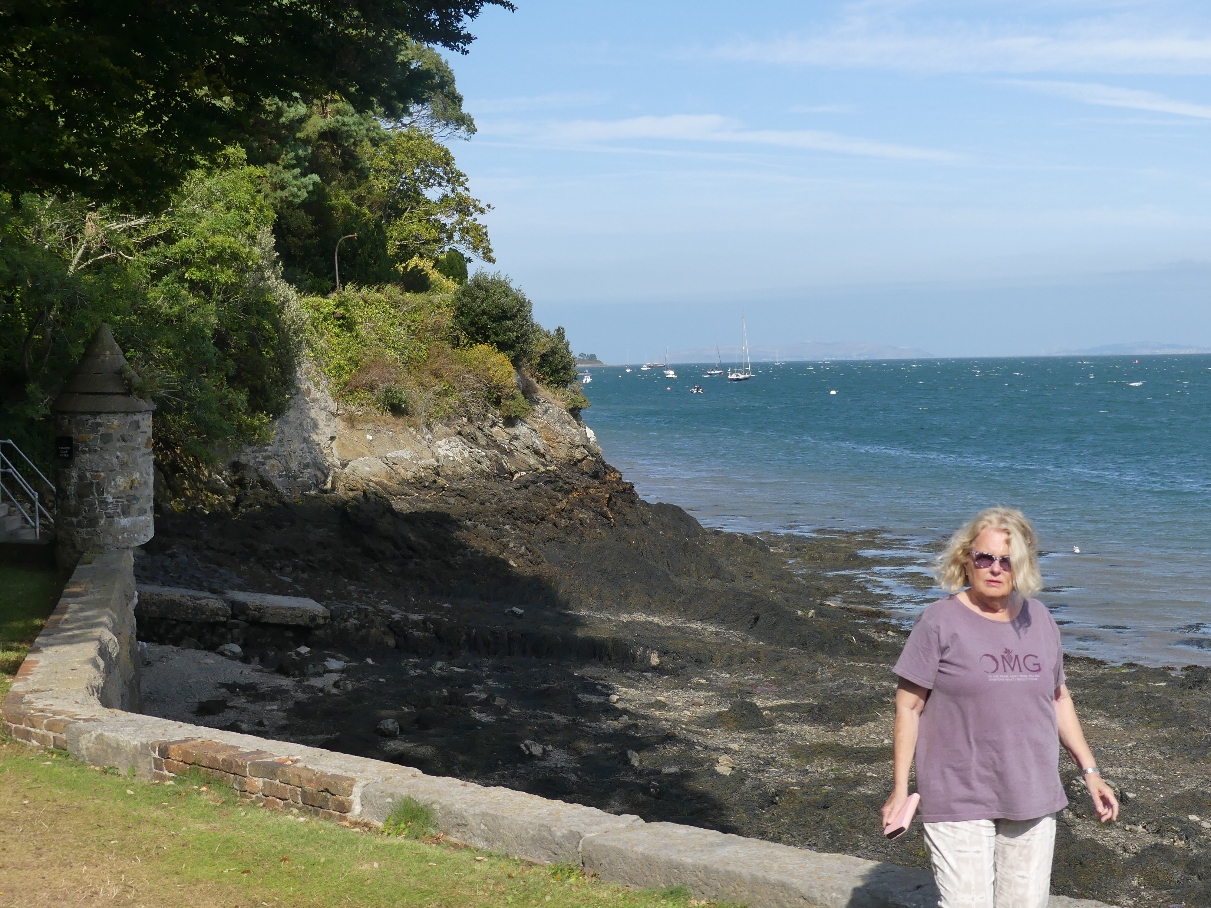


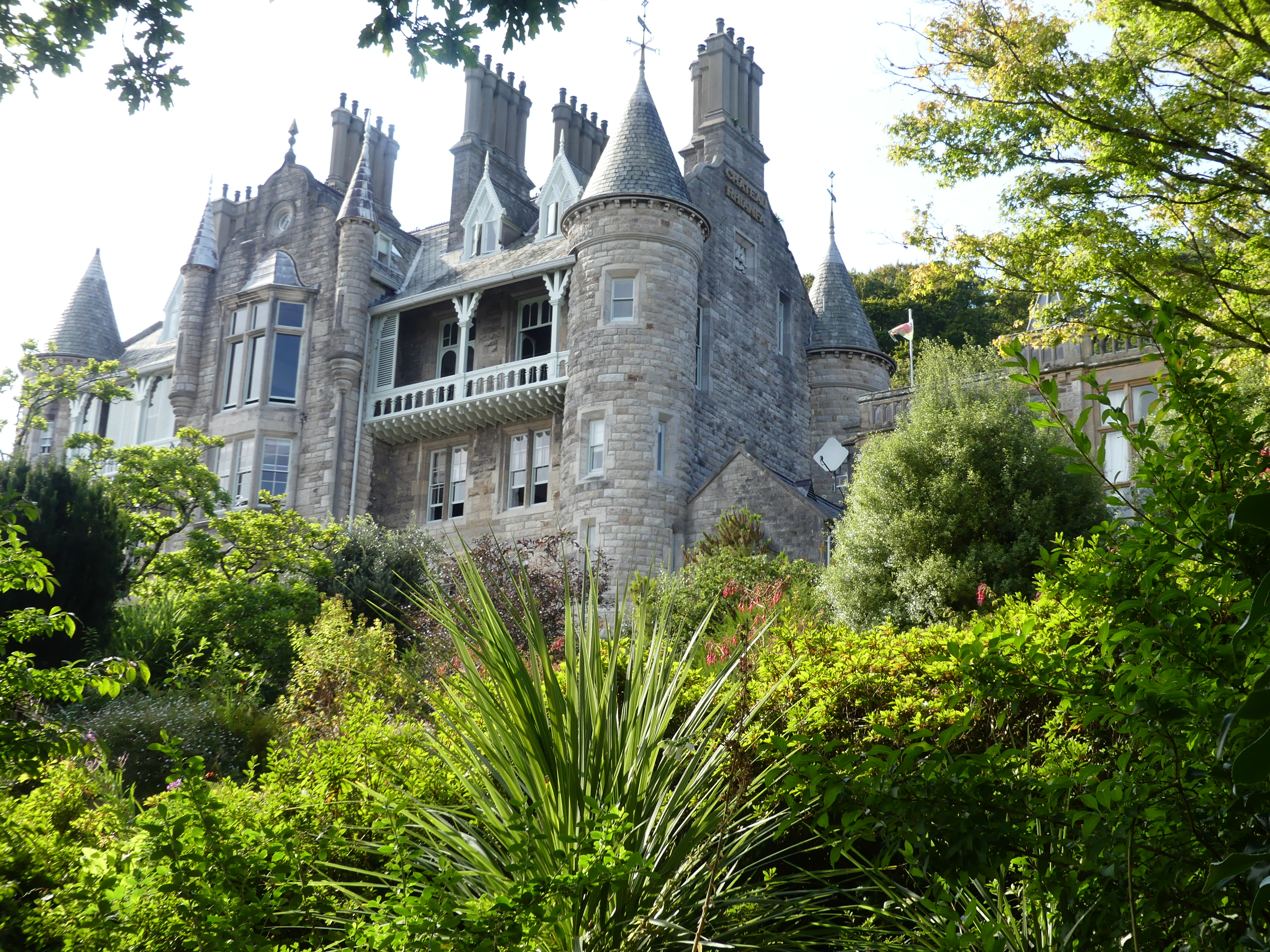

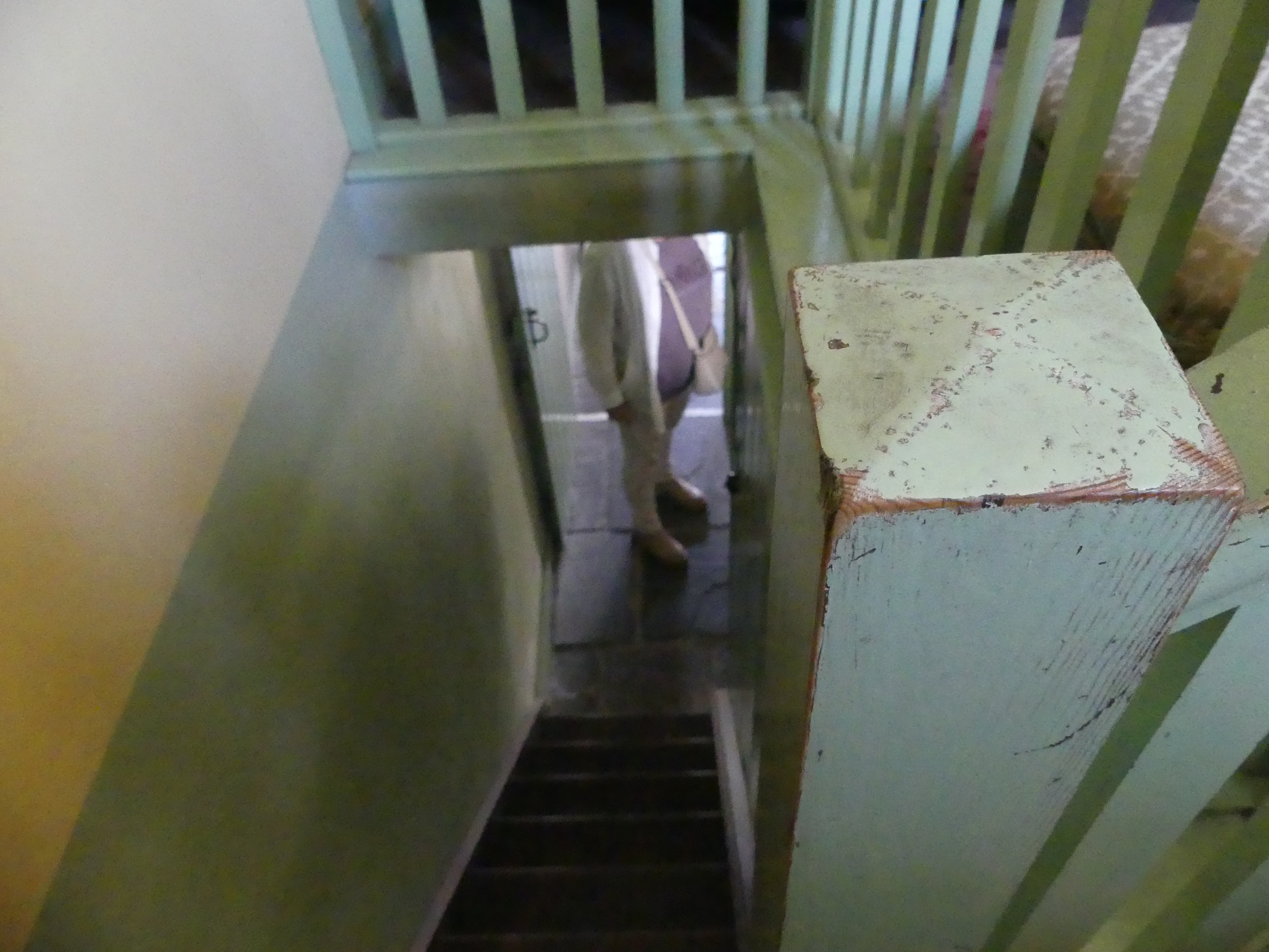
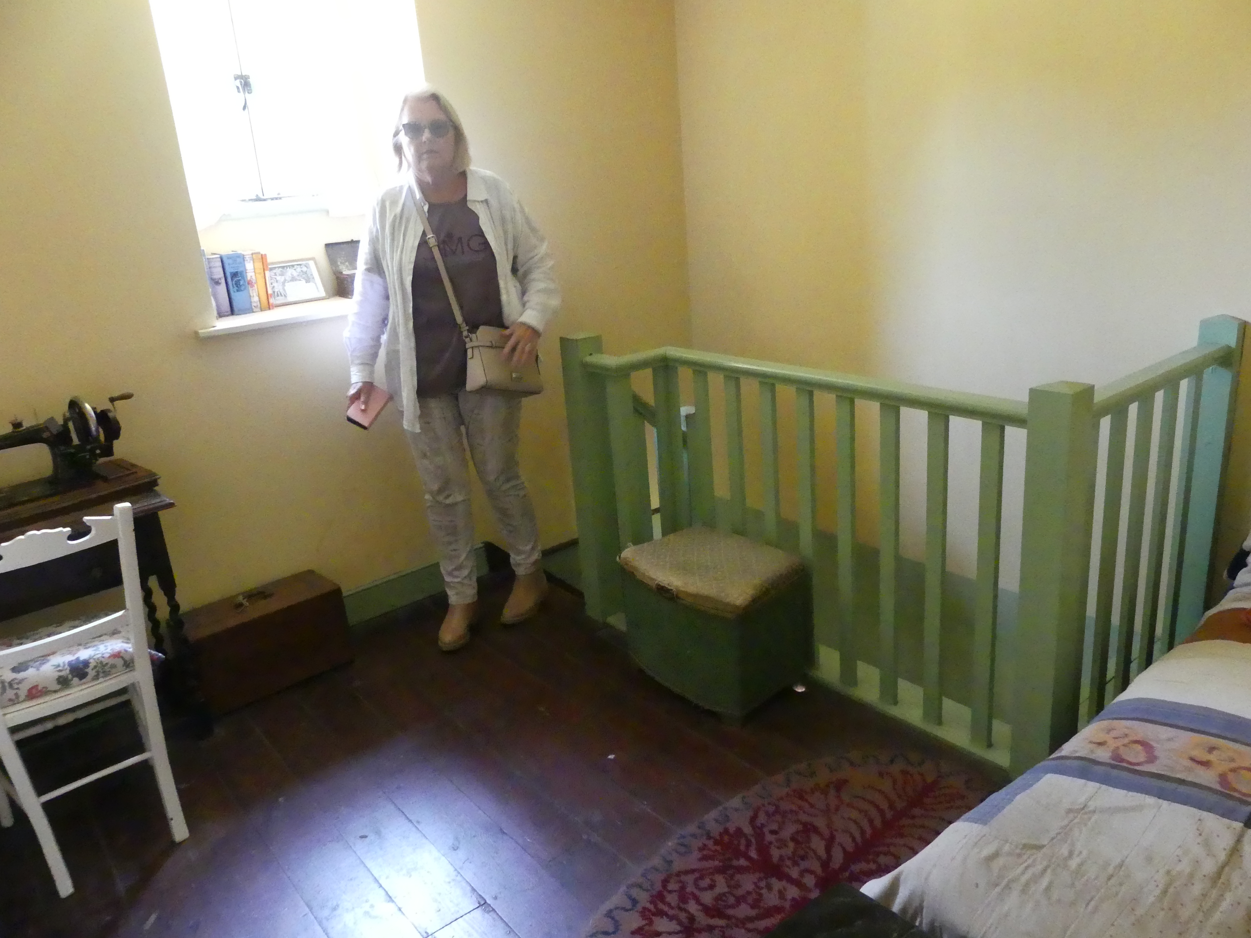
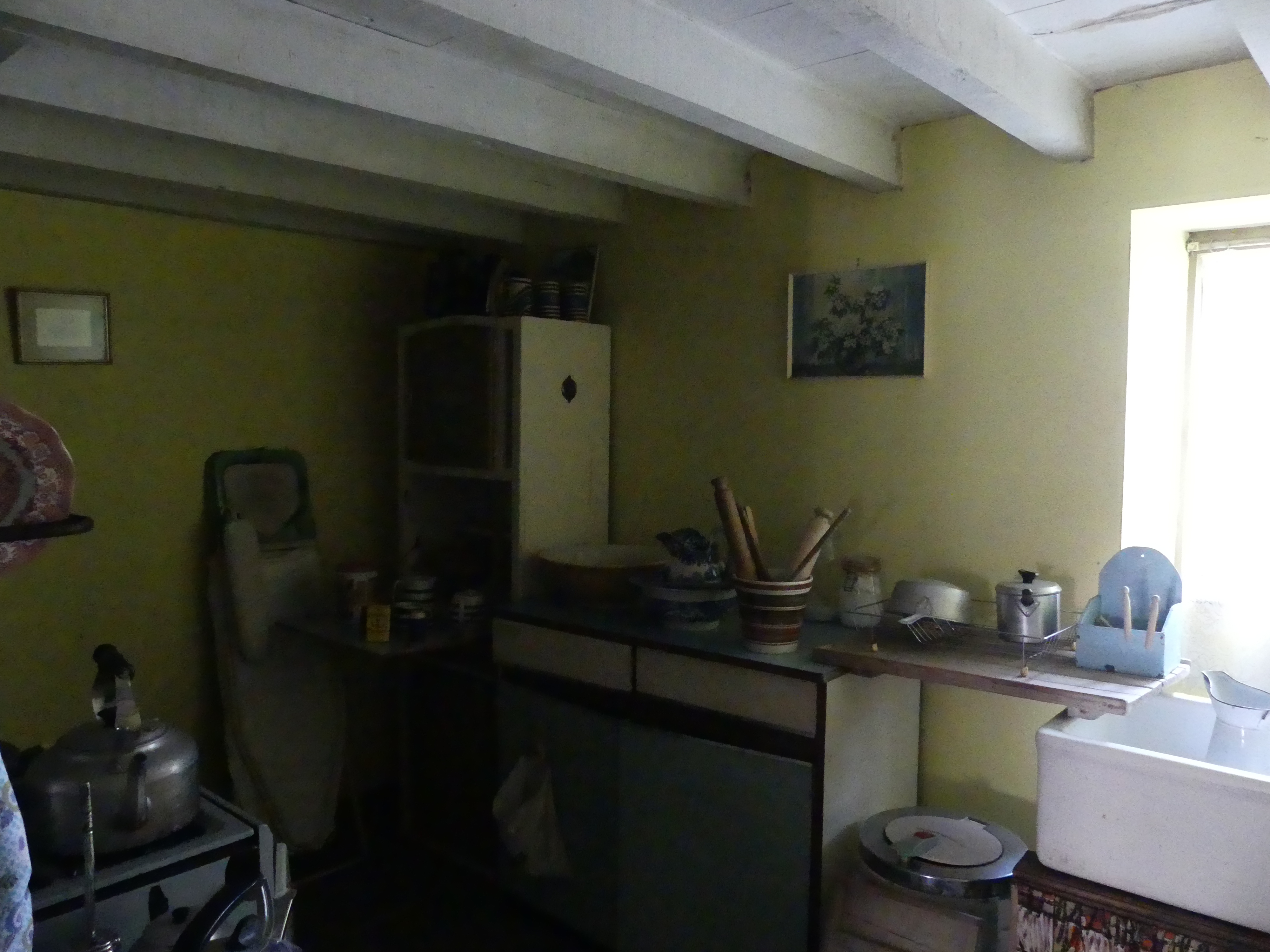
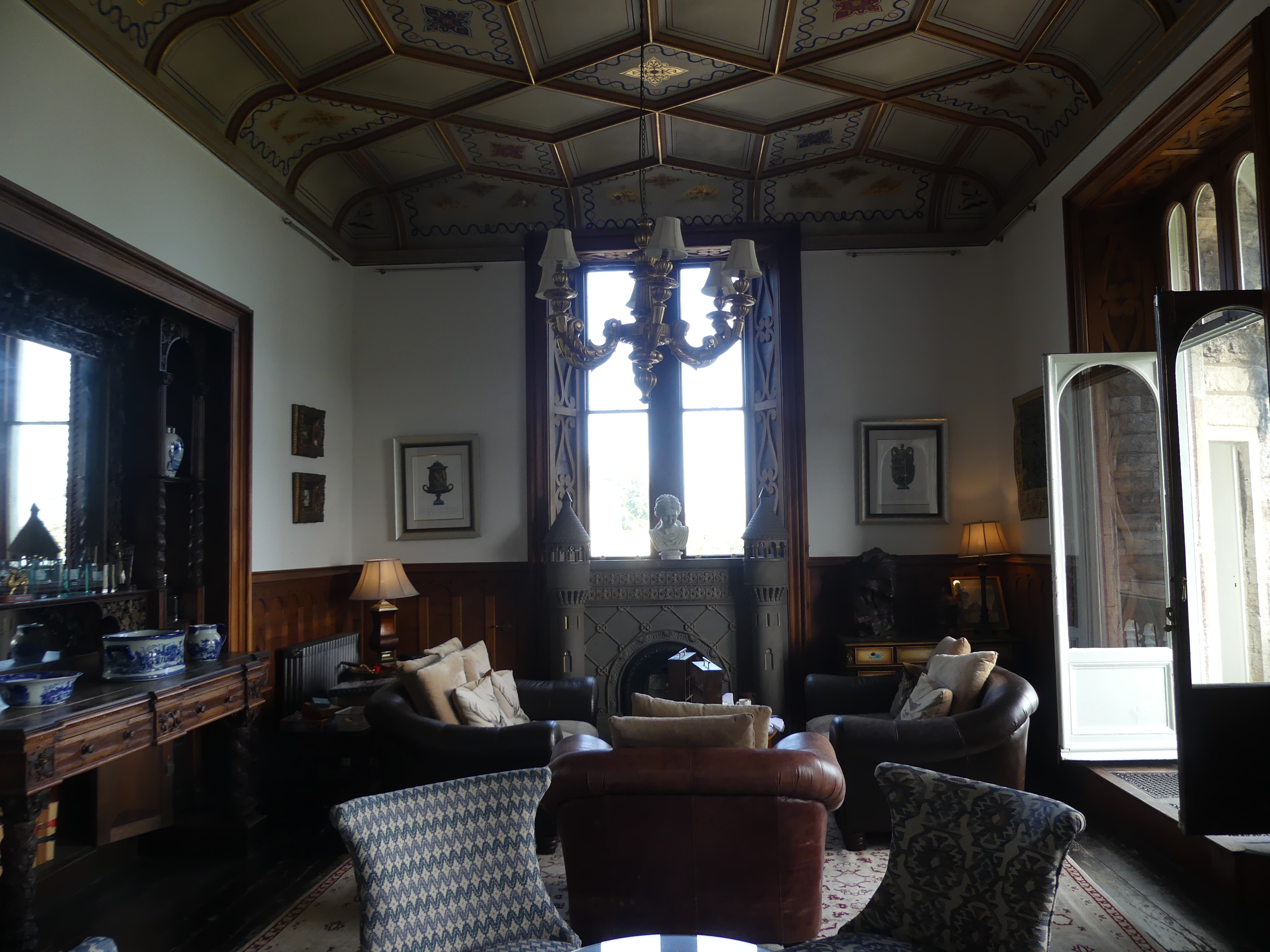
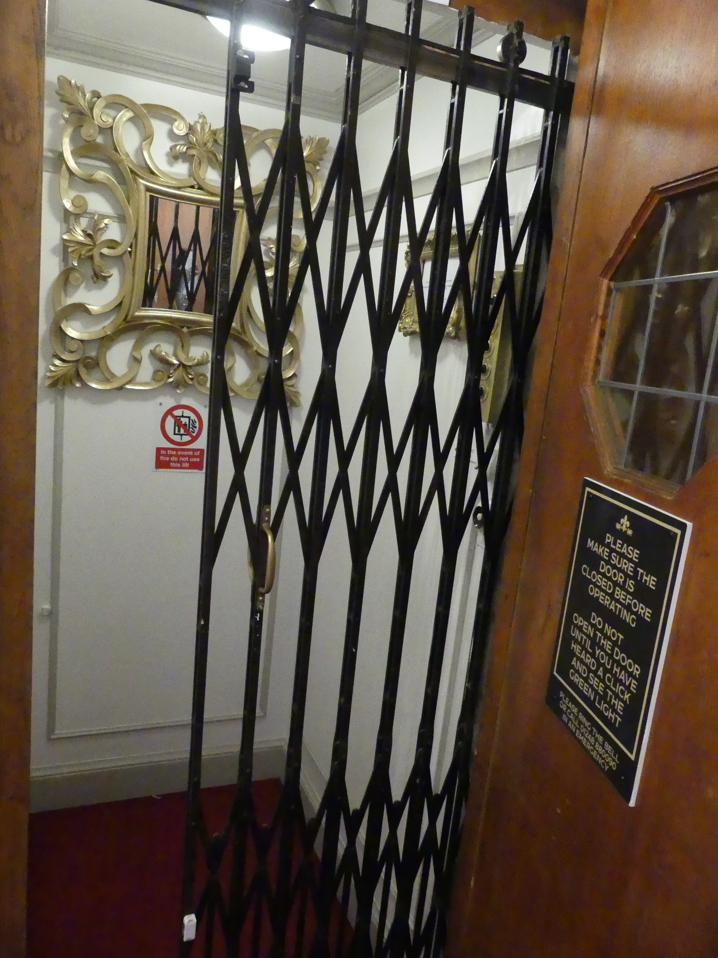
The hotel has been appointed with luxurious furniture and fittings in accord with the style of the building. It is surrounded by gardens and fronts the Menai Strait. The layout of the hotel was quirky but that appeals to us and makes it more interesting. It has an elevator which we gave a lot of use while we were there. Our photos give you a tour of the hotel, Menai Strait on a windy day and the elevator. The following day we had time to move through the many rooms of the hotel starting from the carpark at the entrance then the 3 lounges overlooking the waters of Menai Strait, the corner day bed on the verandah on the first floor, the top of the stairs and the chairs for the elderly to rest after the climb, some wild flowers sprung up in the garden and then the famous lift.


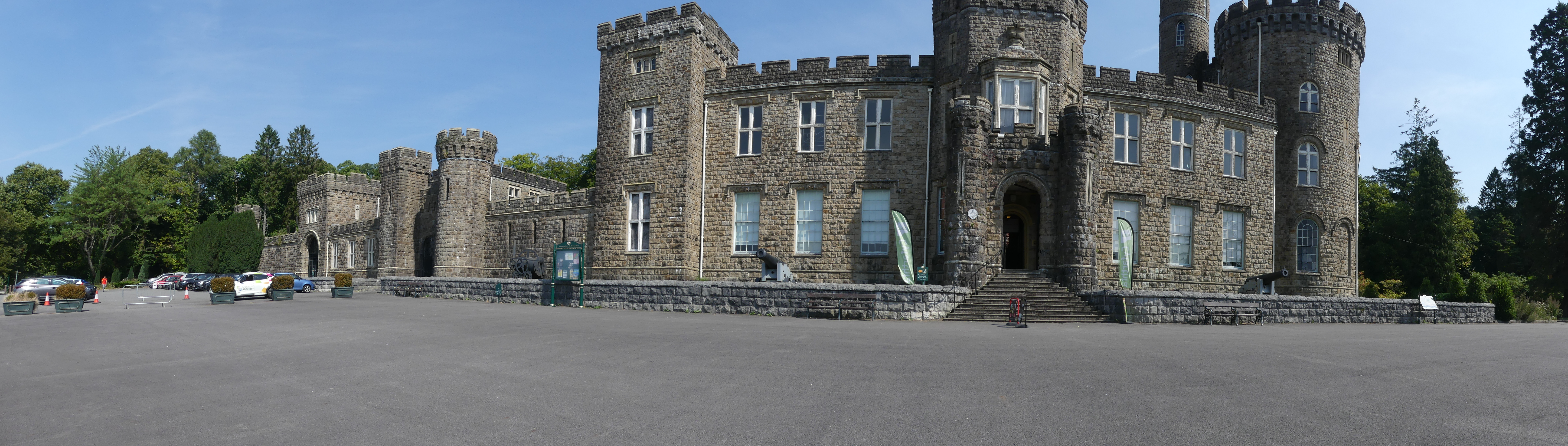
CAERNARFON AND ITS CASTLE
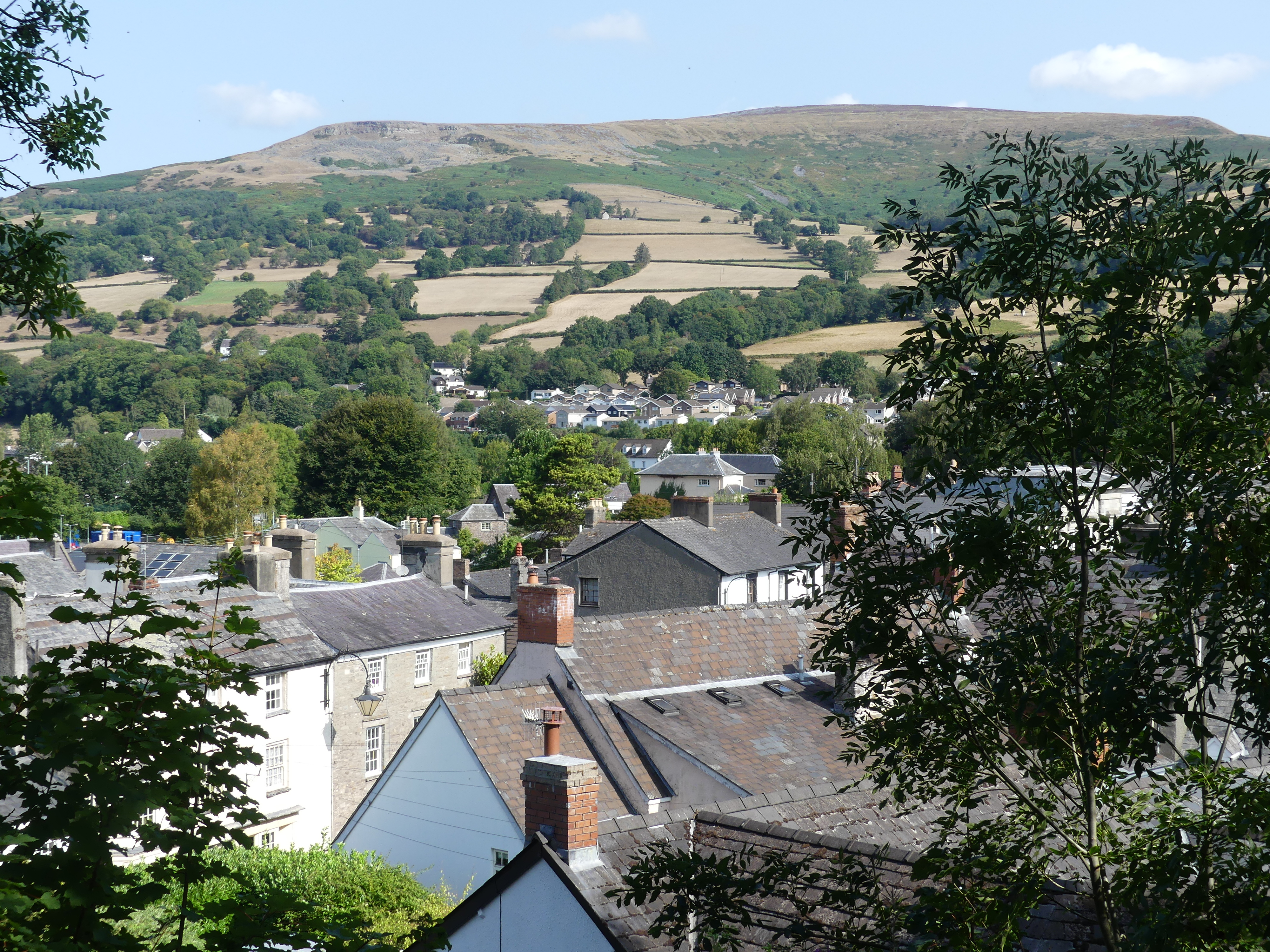
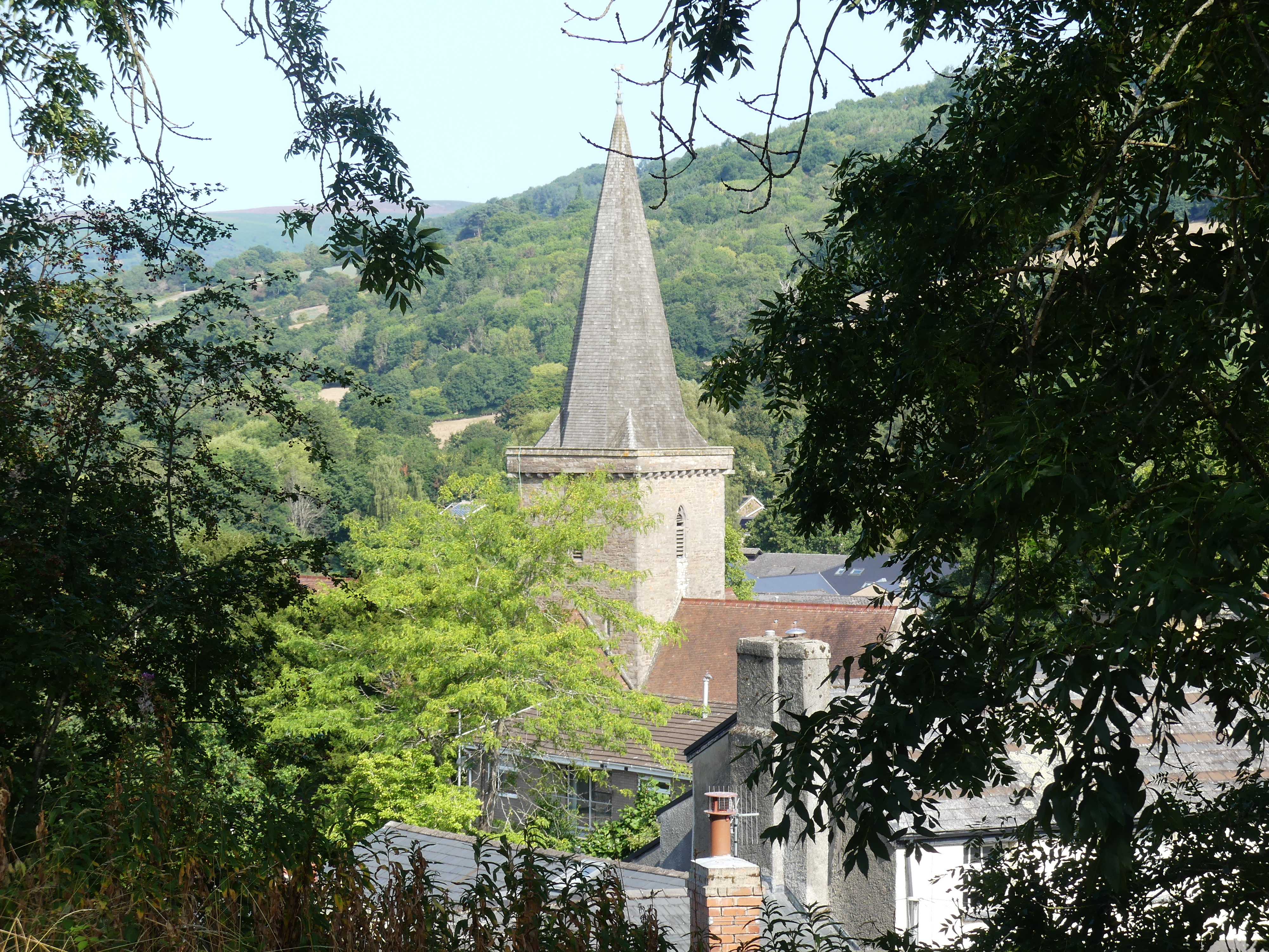
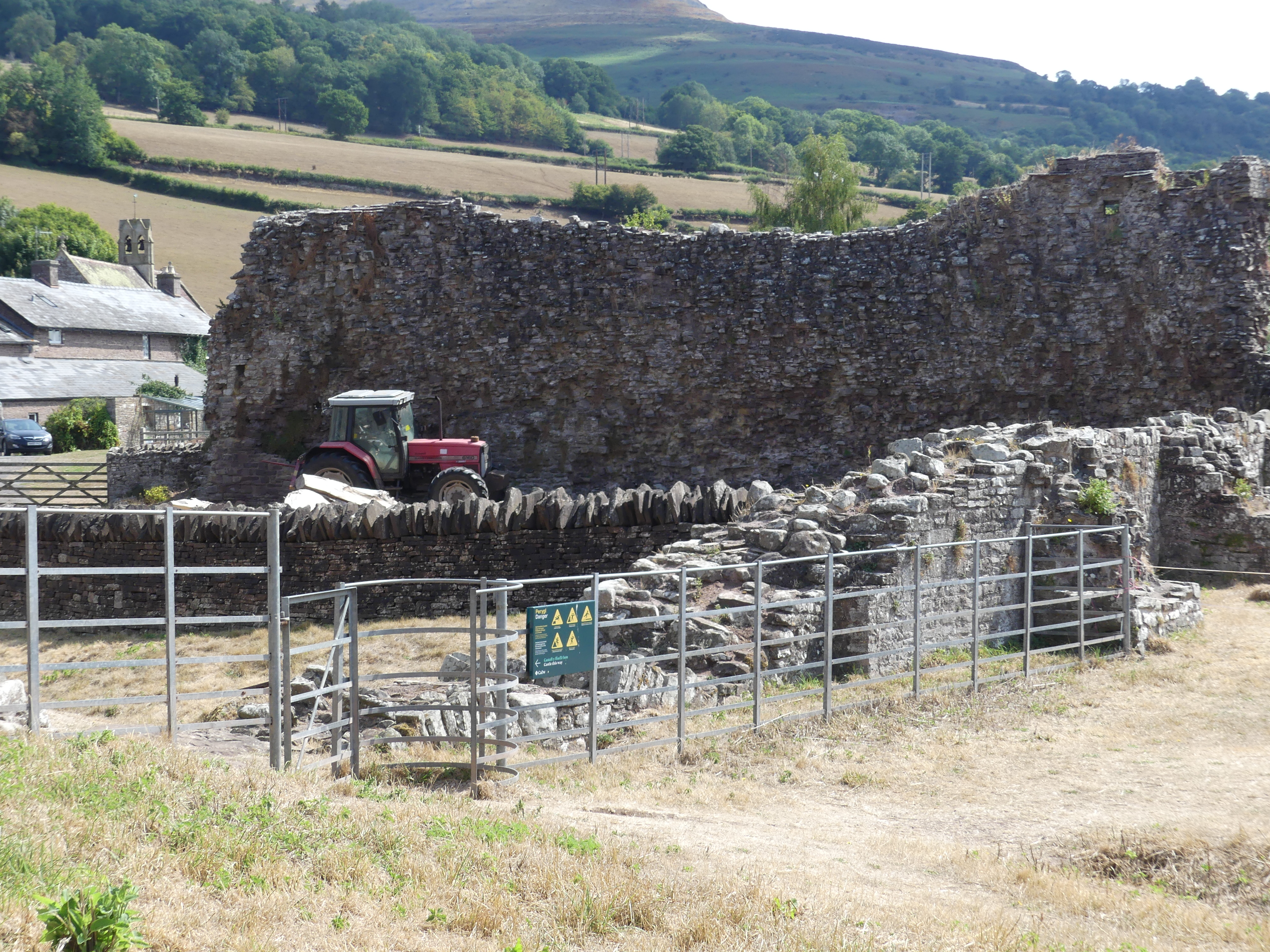
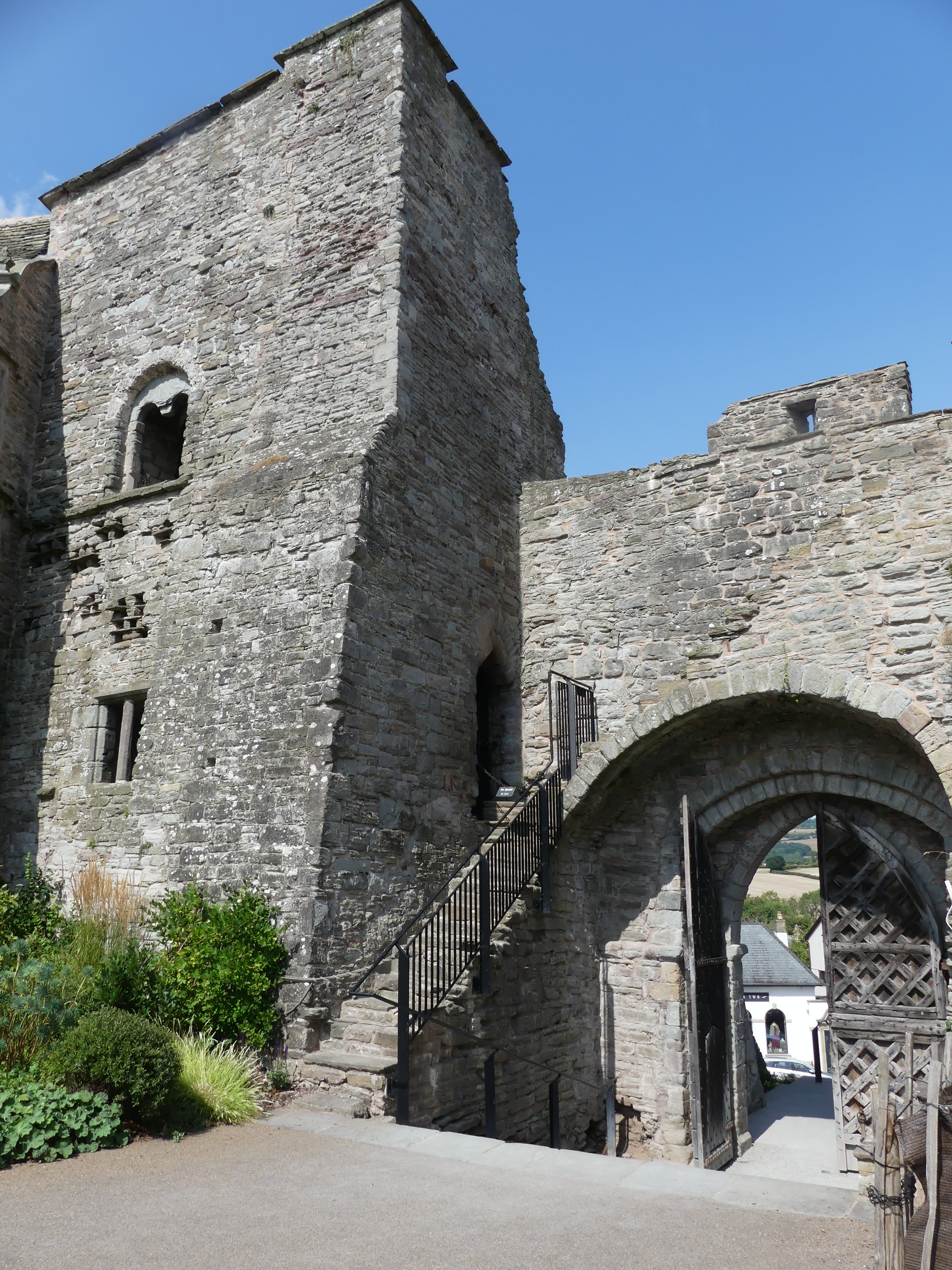
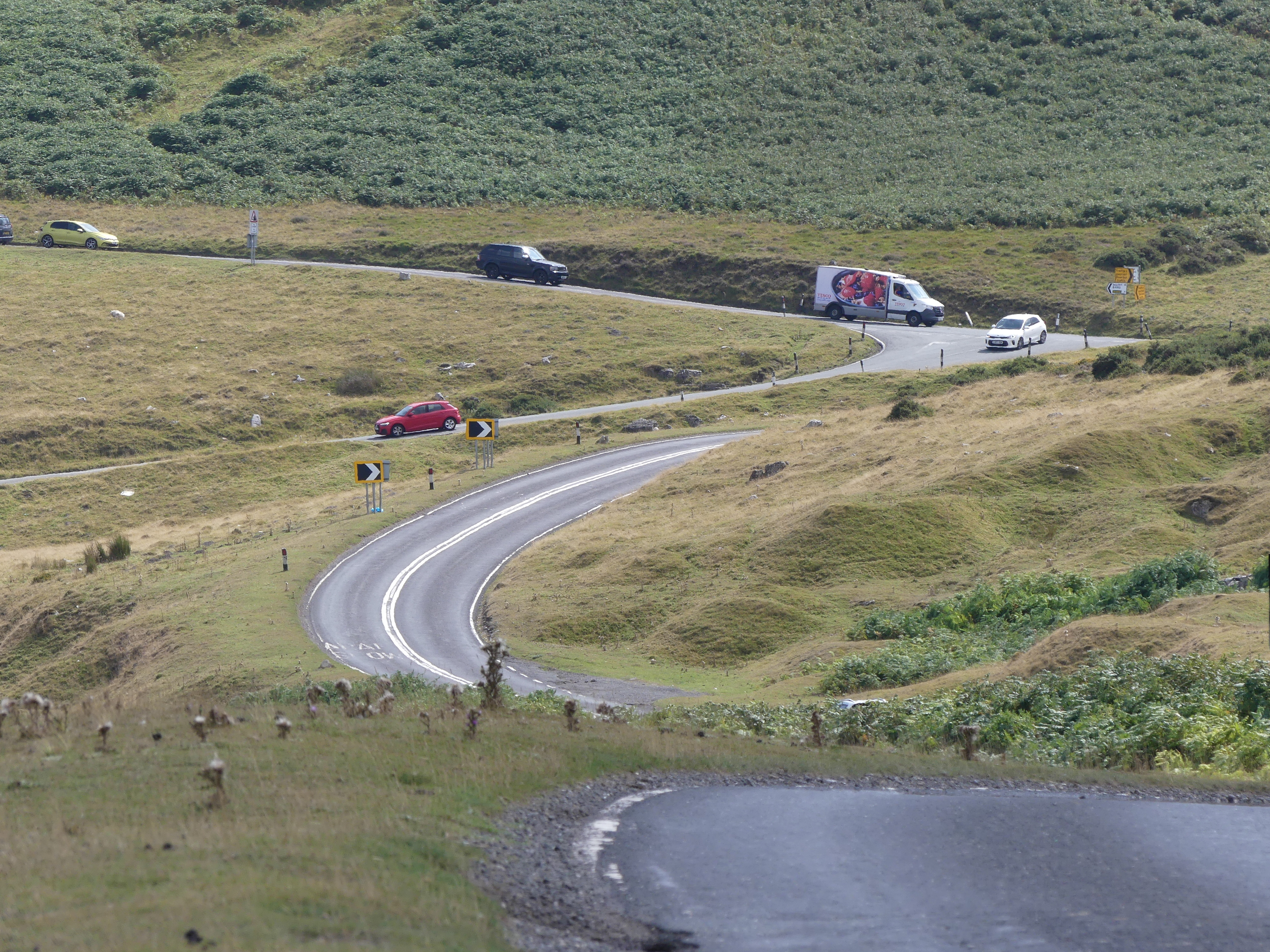
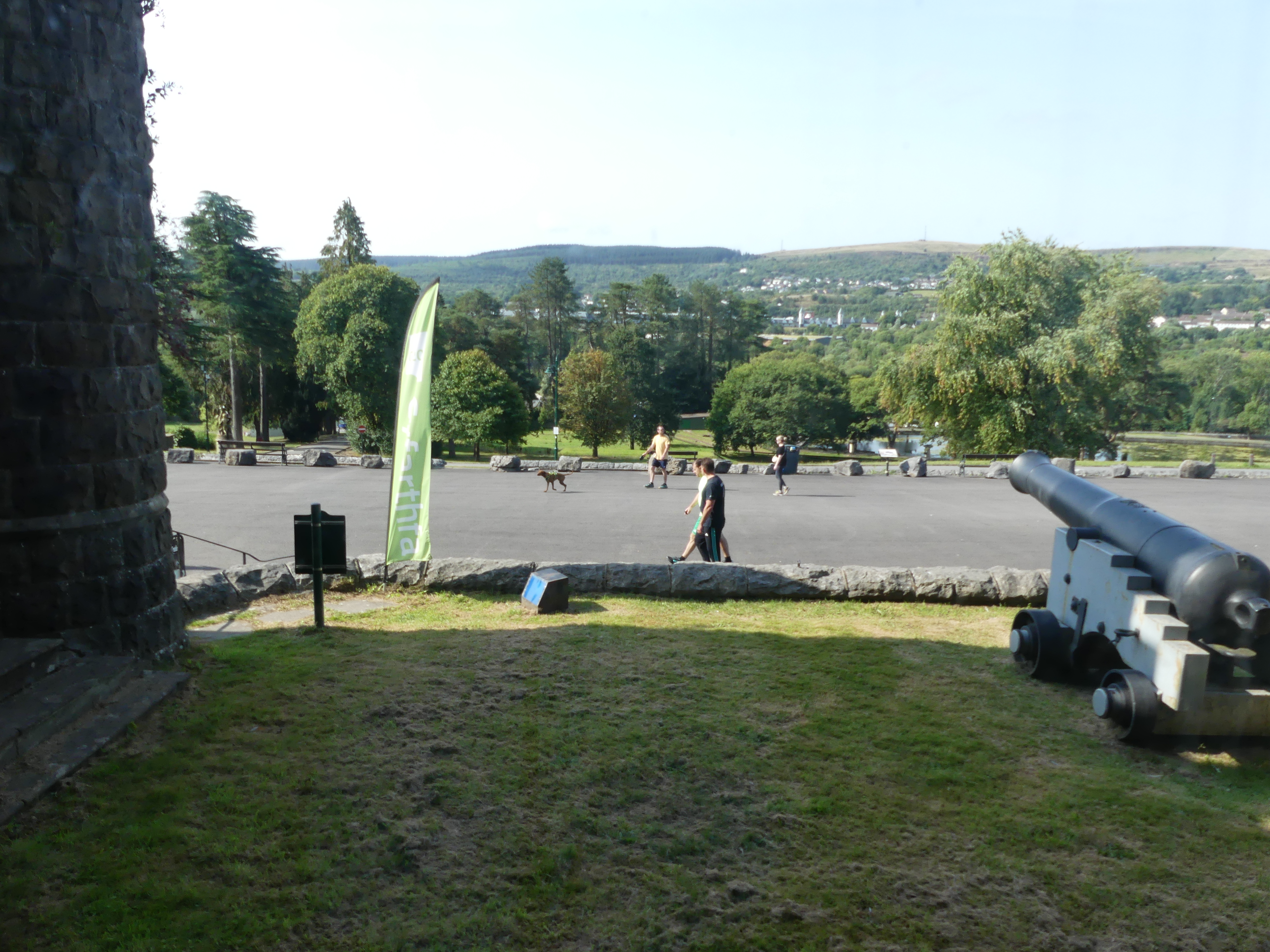
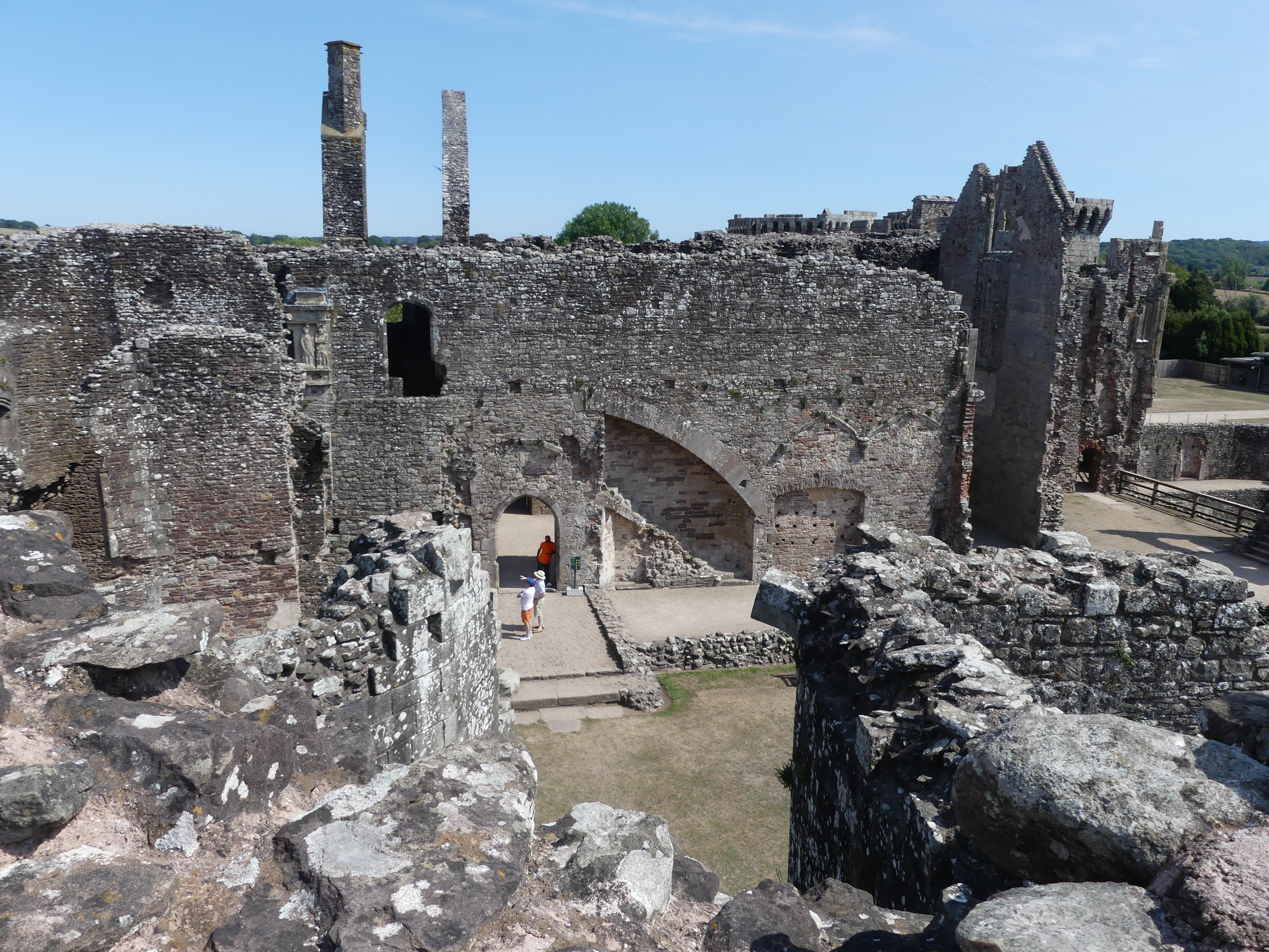
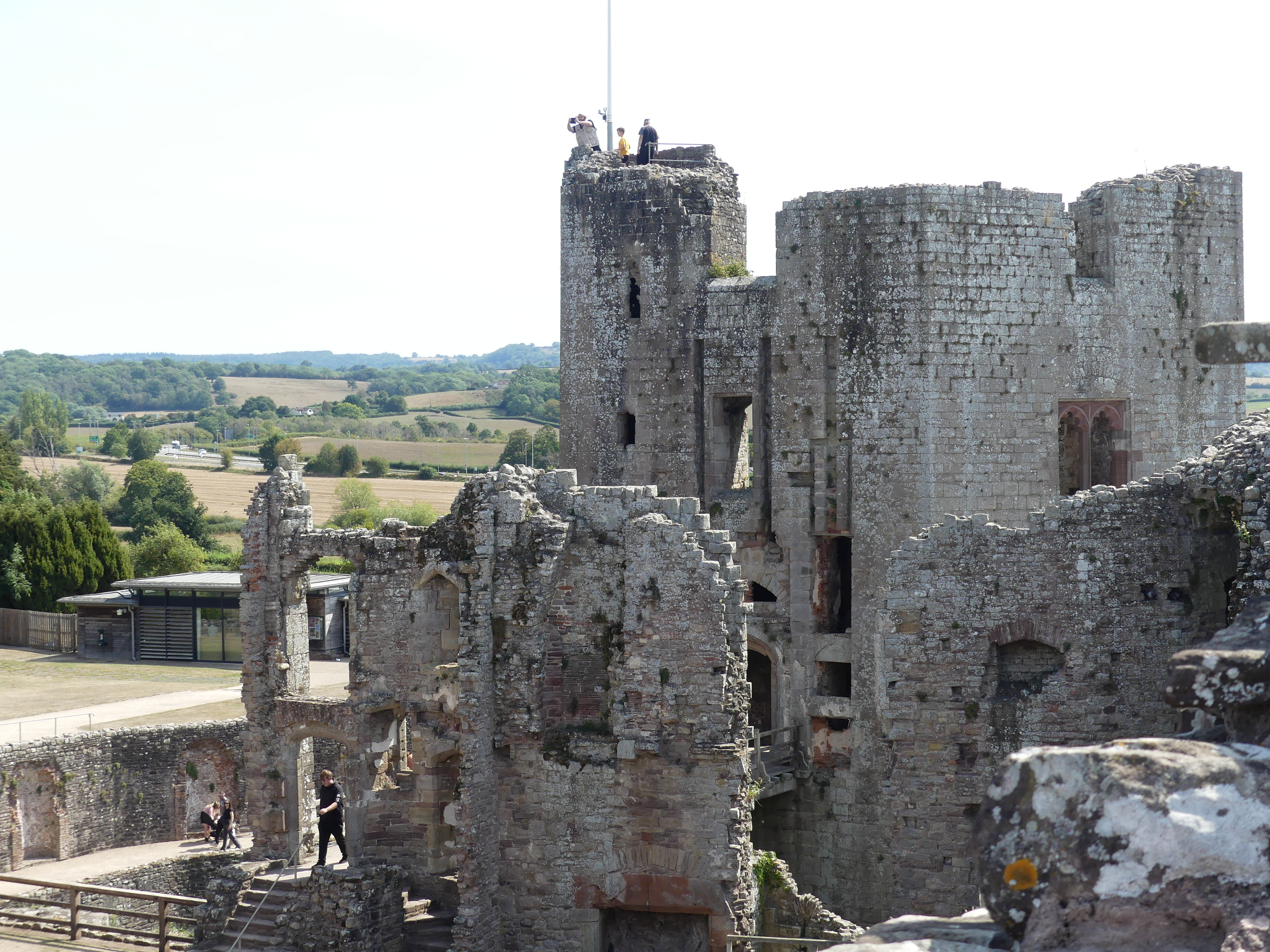
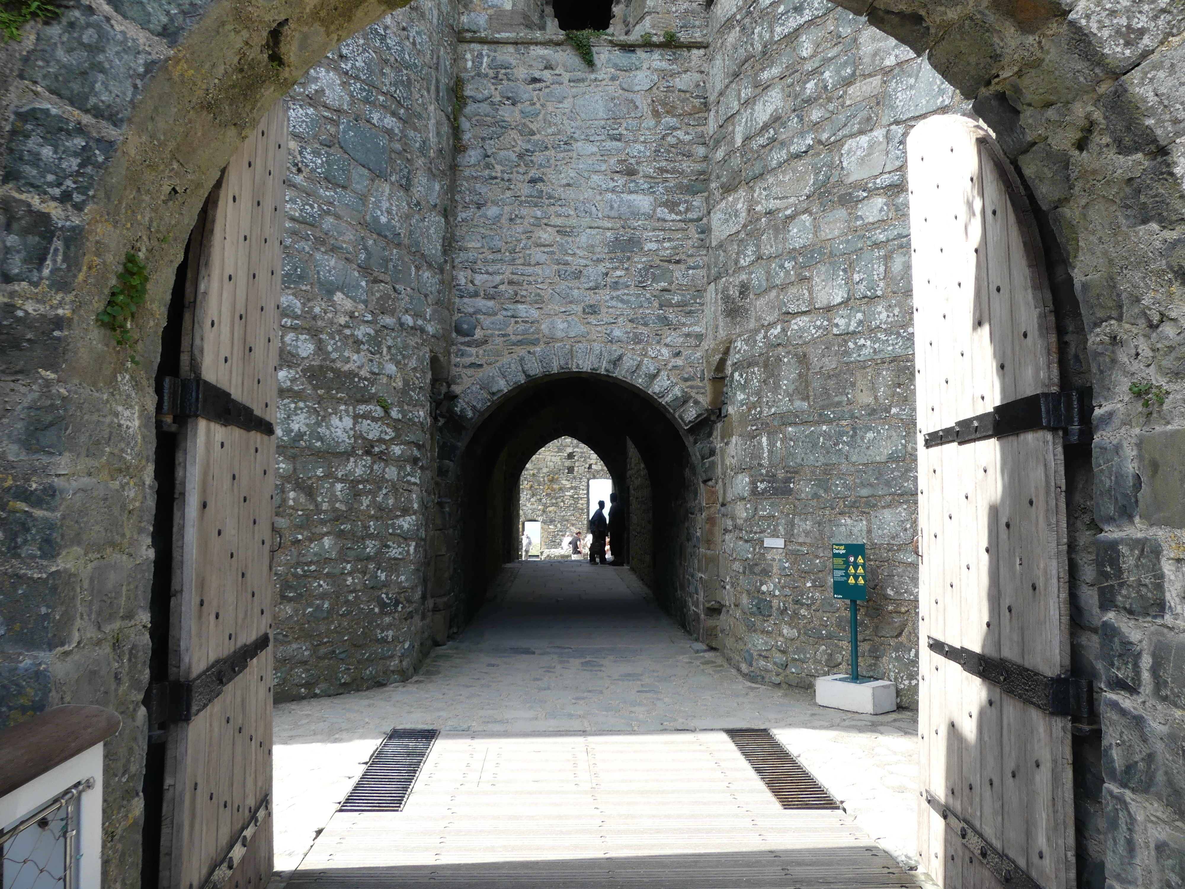
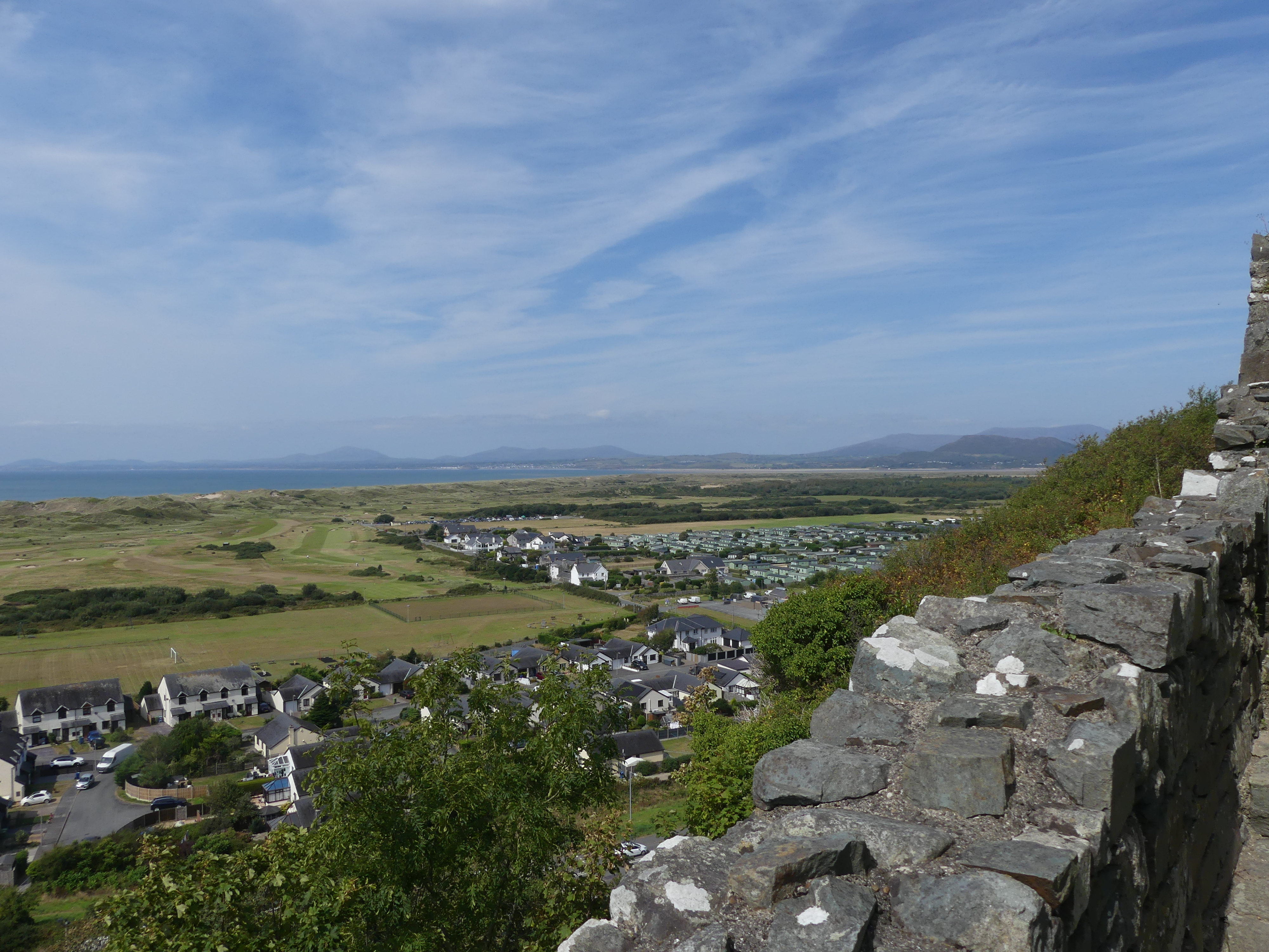
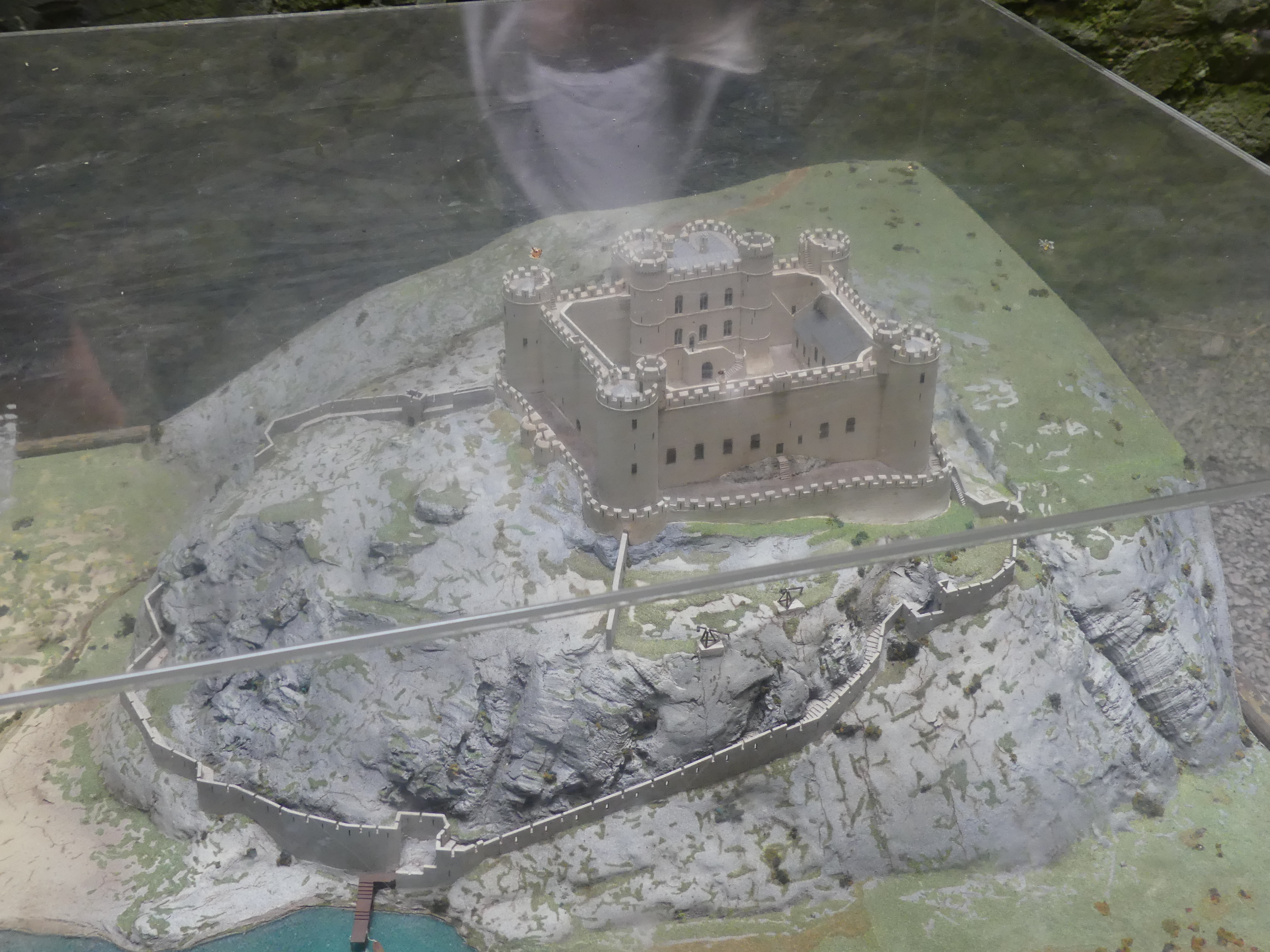
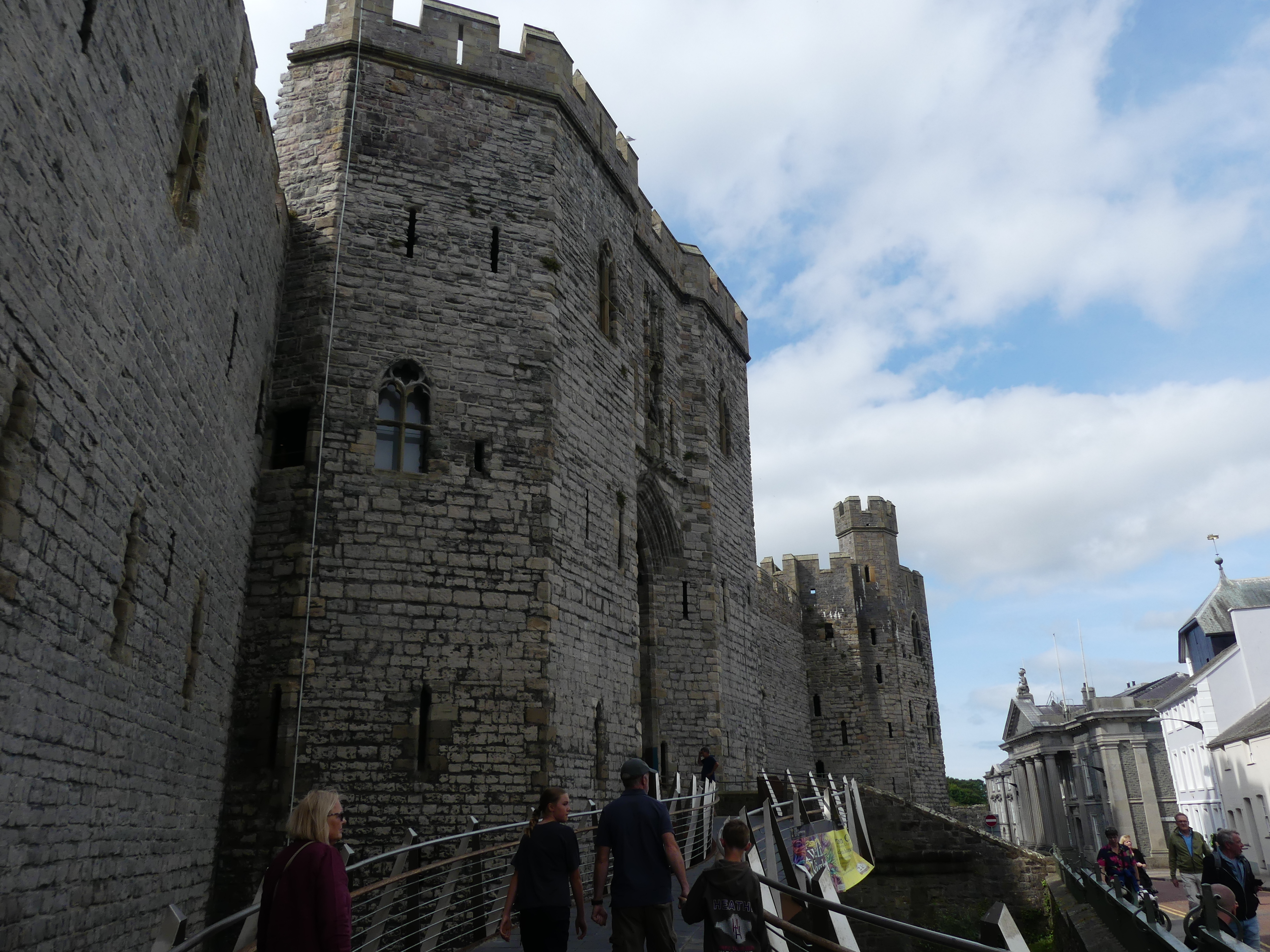
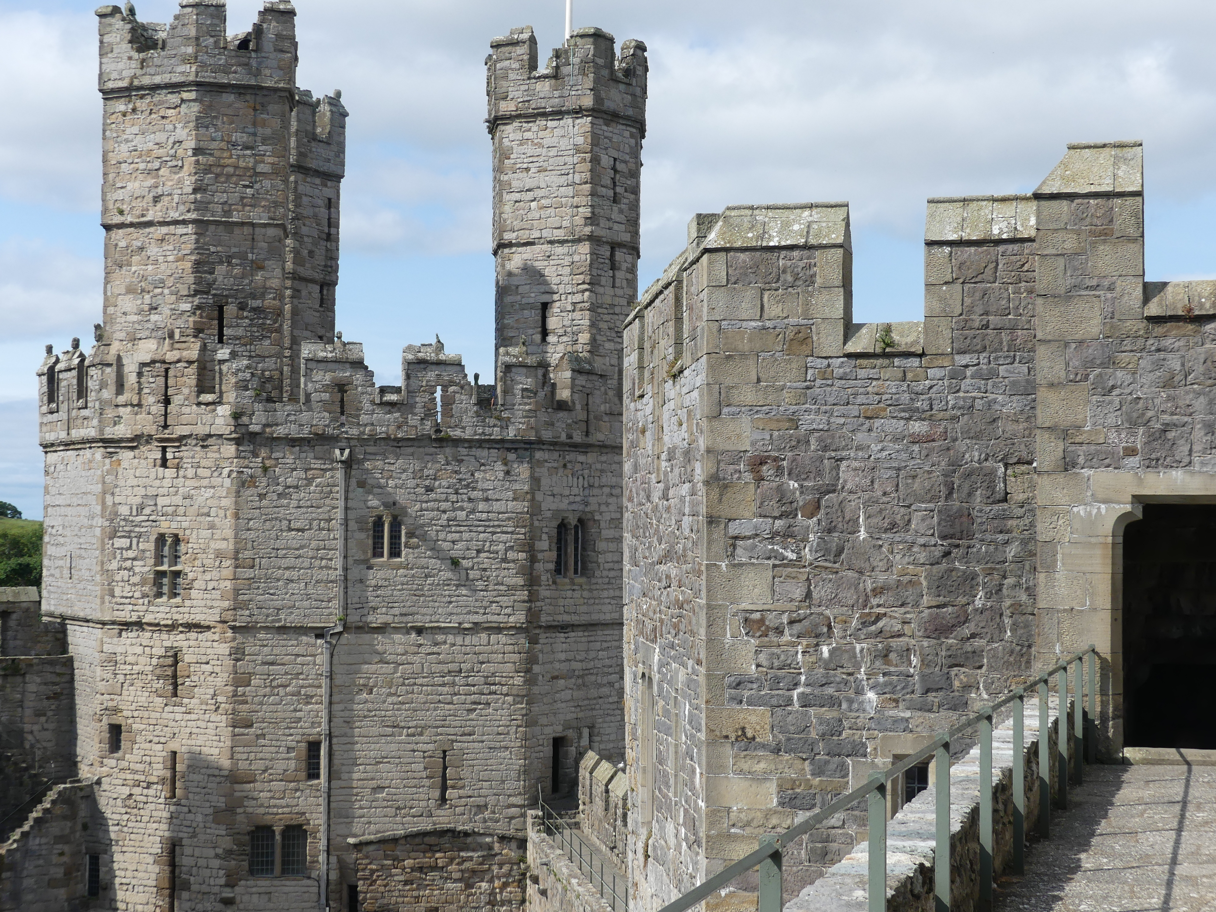
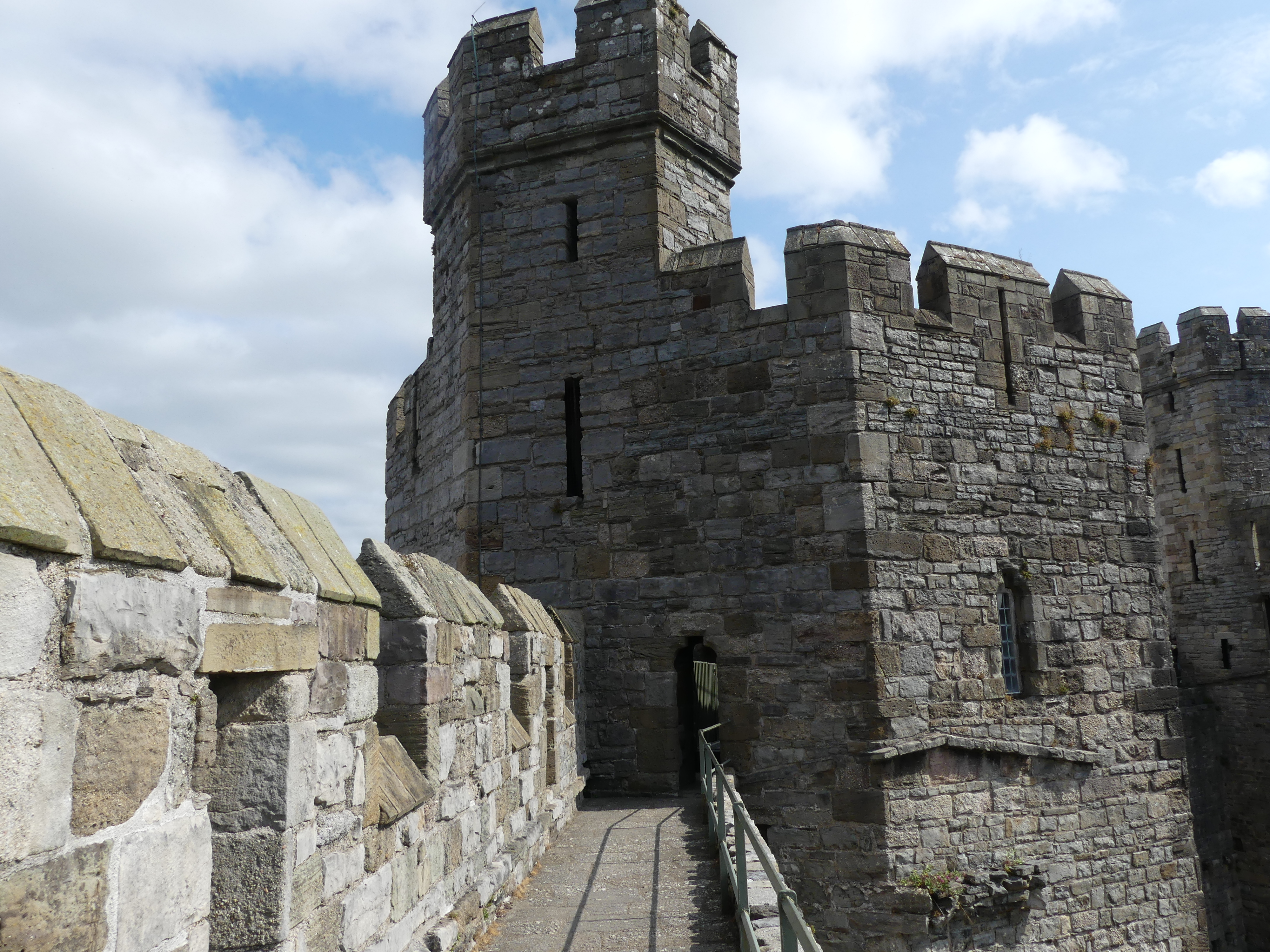
One of the attractions for me in visiting Anglesey was Caernarfon Castle. Although it is located in Caernarfon some 20 minutes drive away, I was keen to visit the castle which has maintained some of its medieval history. One of the best things about travel by road in the UK is their postal system where every residence, business, Government Office and castle has an individual post code and the g.p.s. system on my phone or in the car operated to locate and direct us to where we wanted to be. So locating the castle – no problem. Finding parking – always a bloody headache and this occasion was no exception. When you do find public parking it was different in every village and it took some time to understand what had to be done to avoid a fine – nerve wracking.
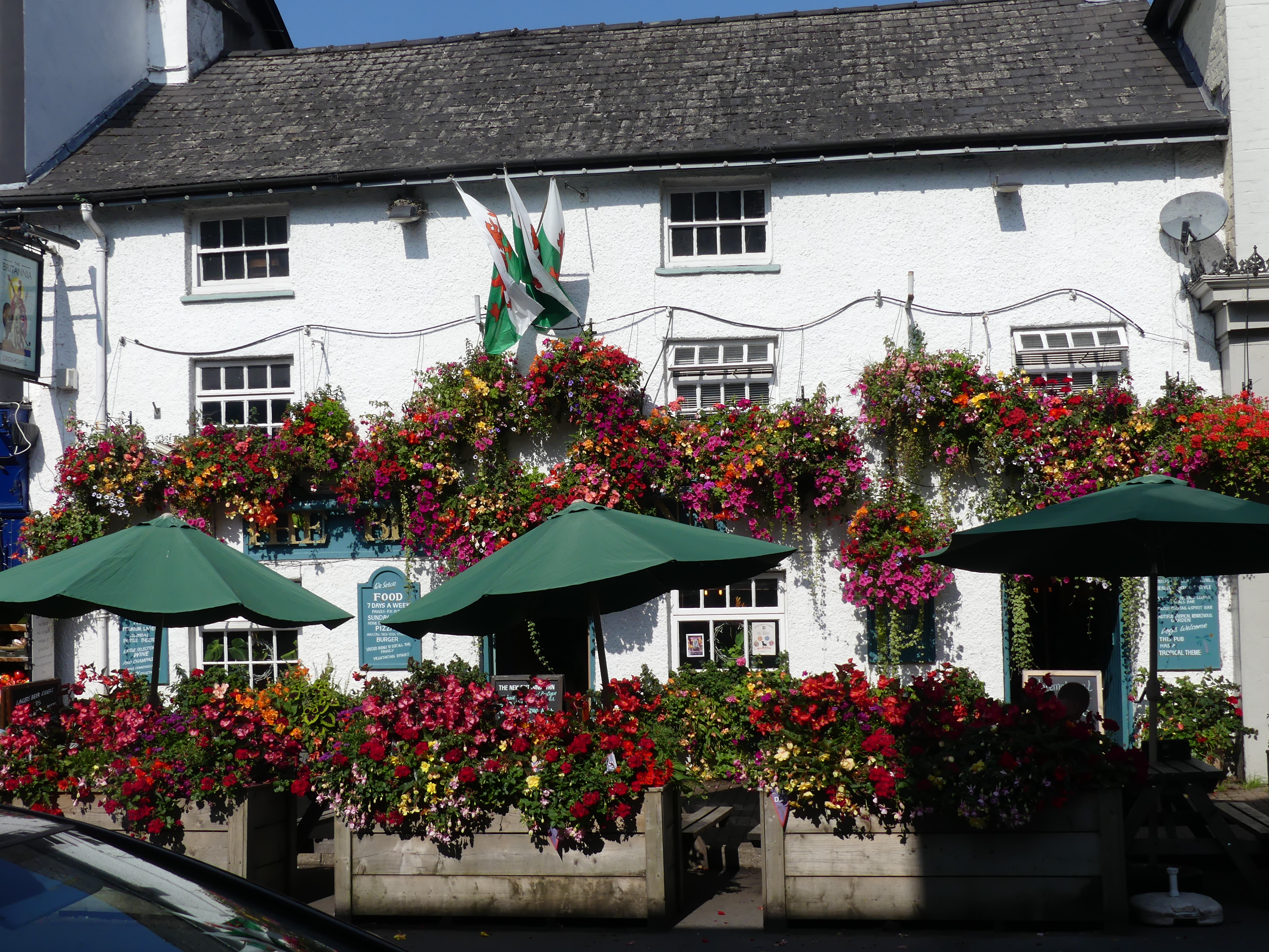
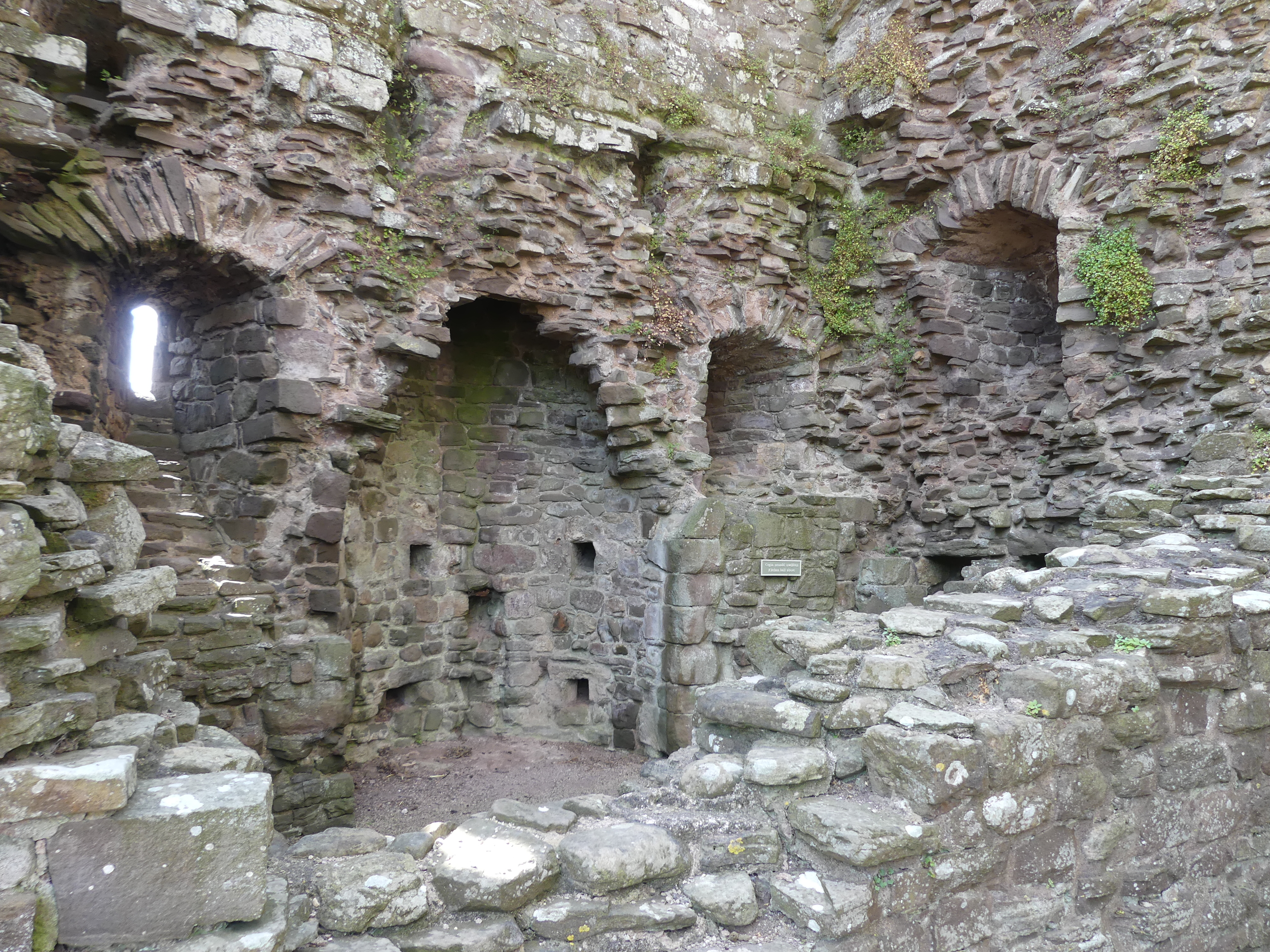
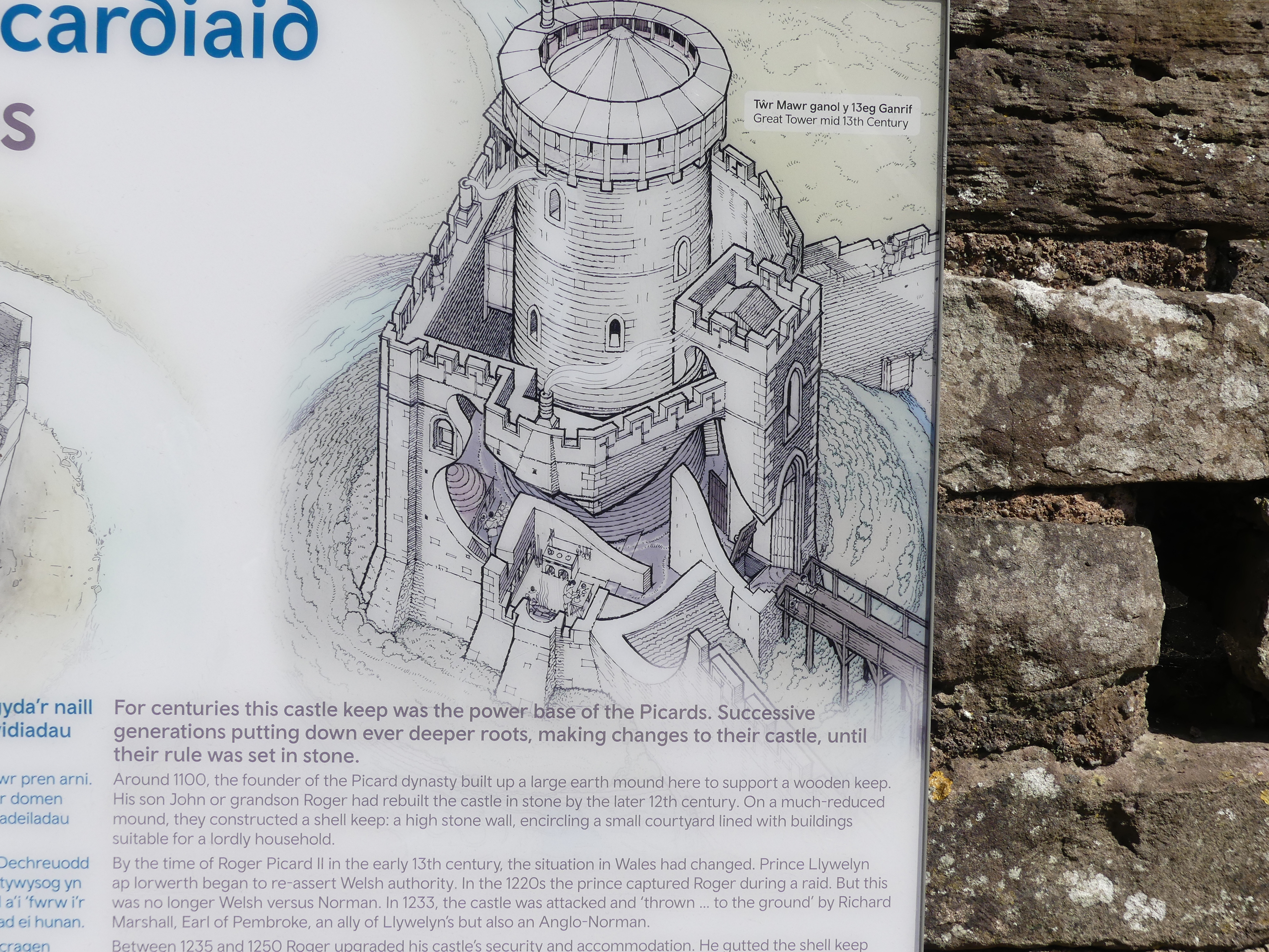
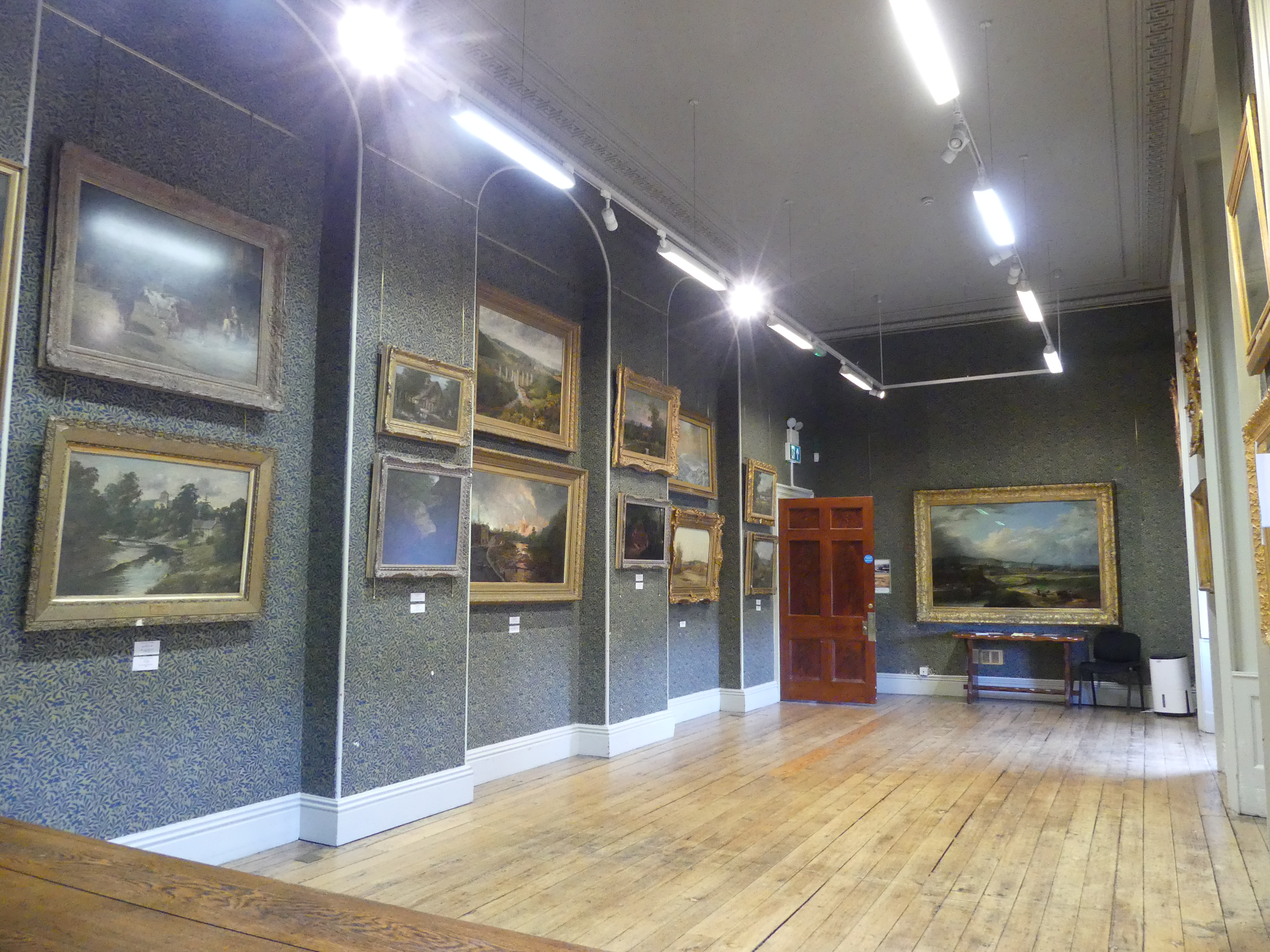
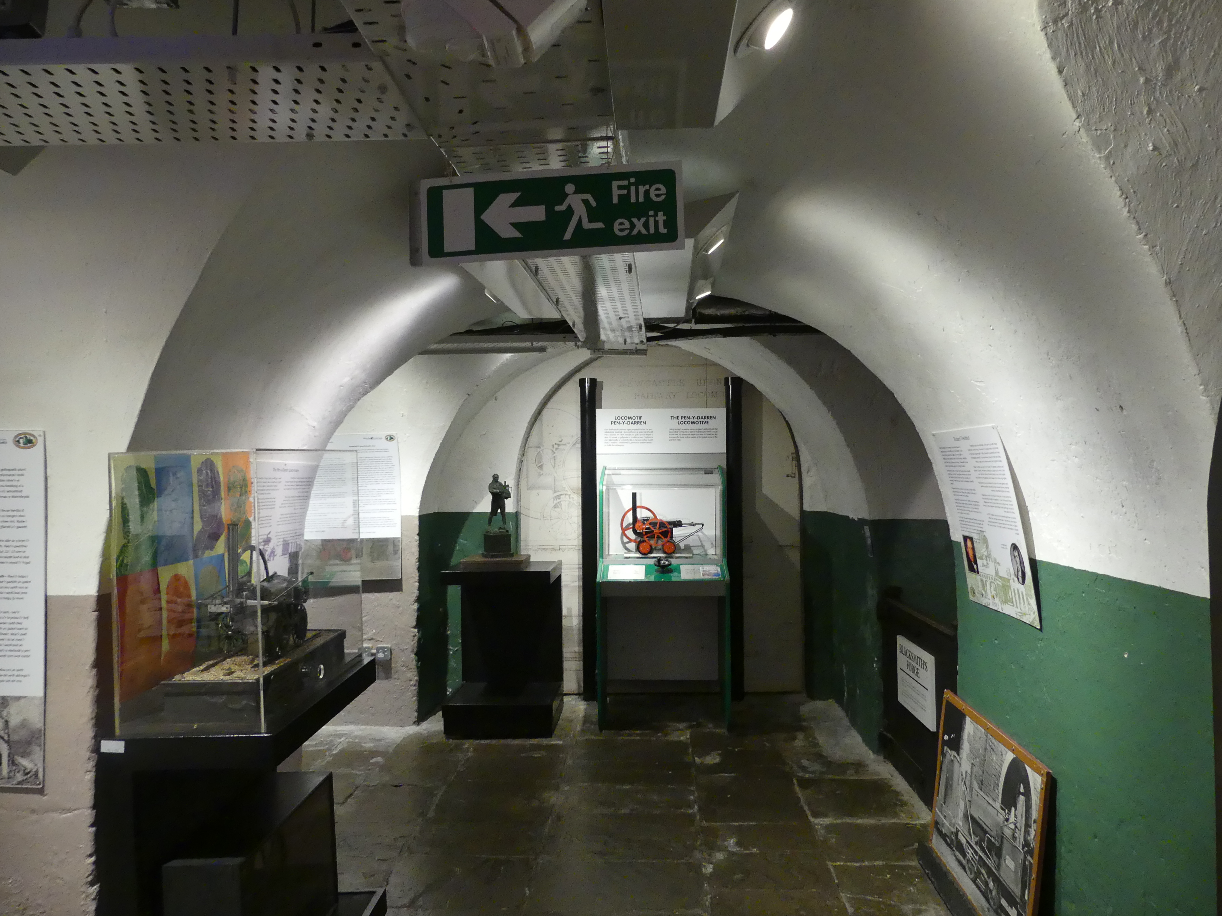
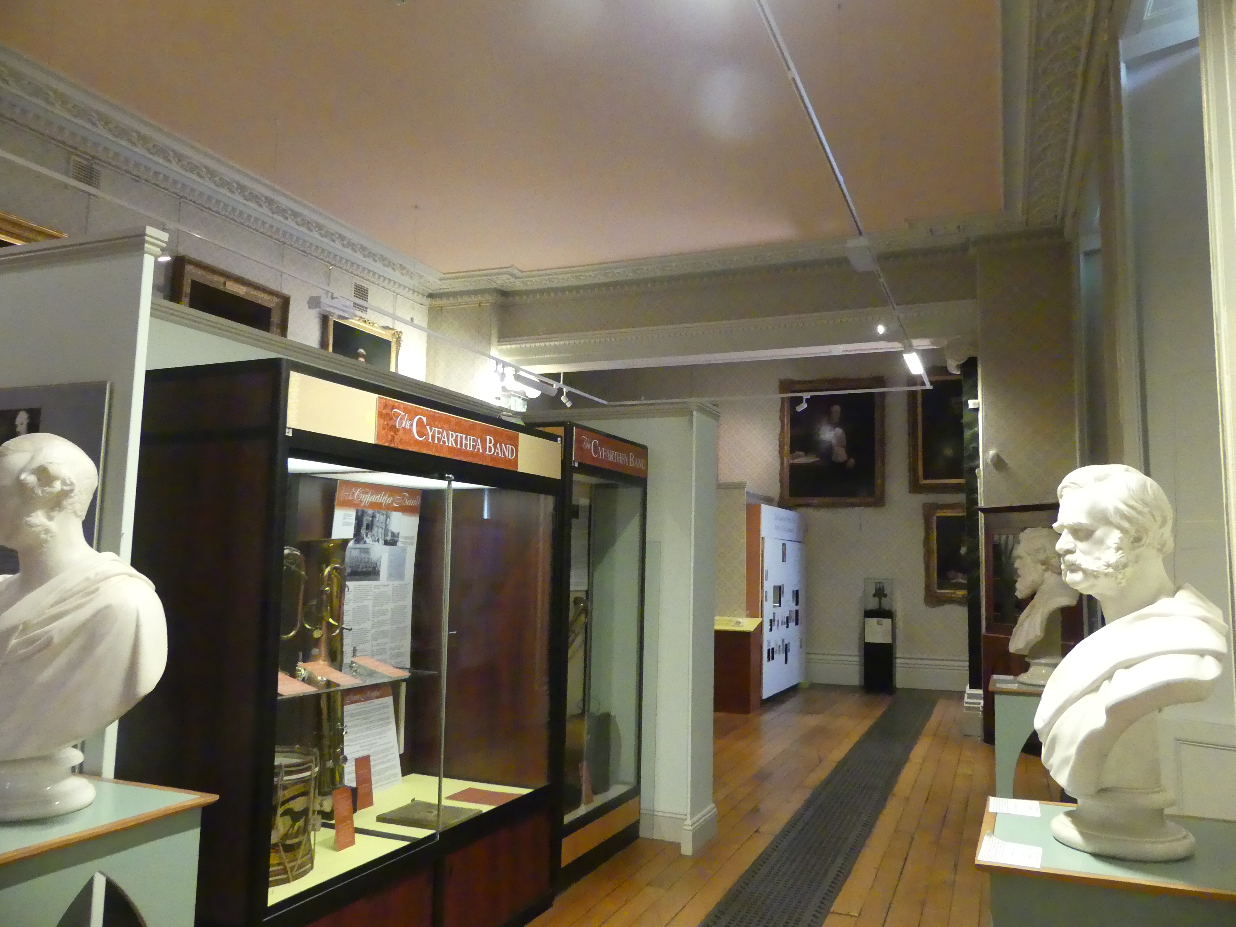
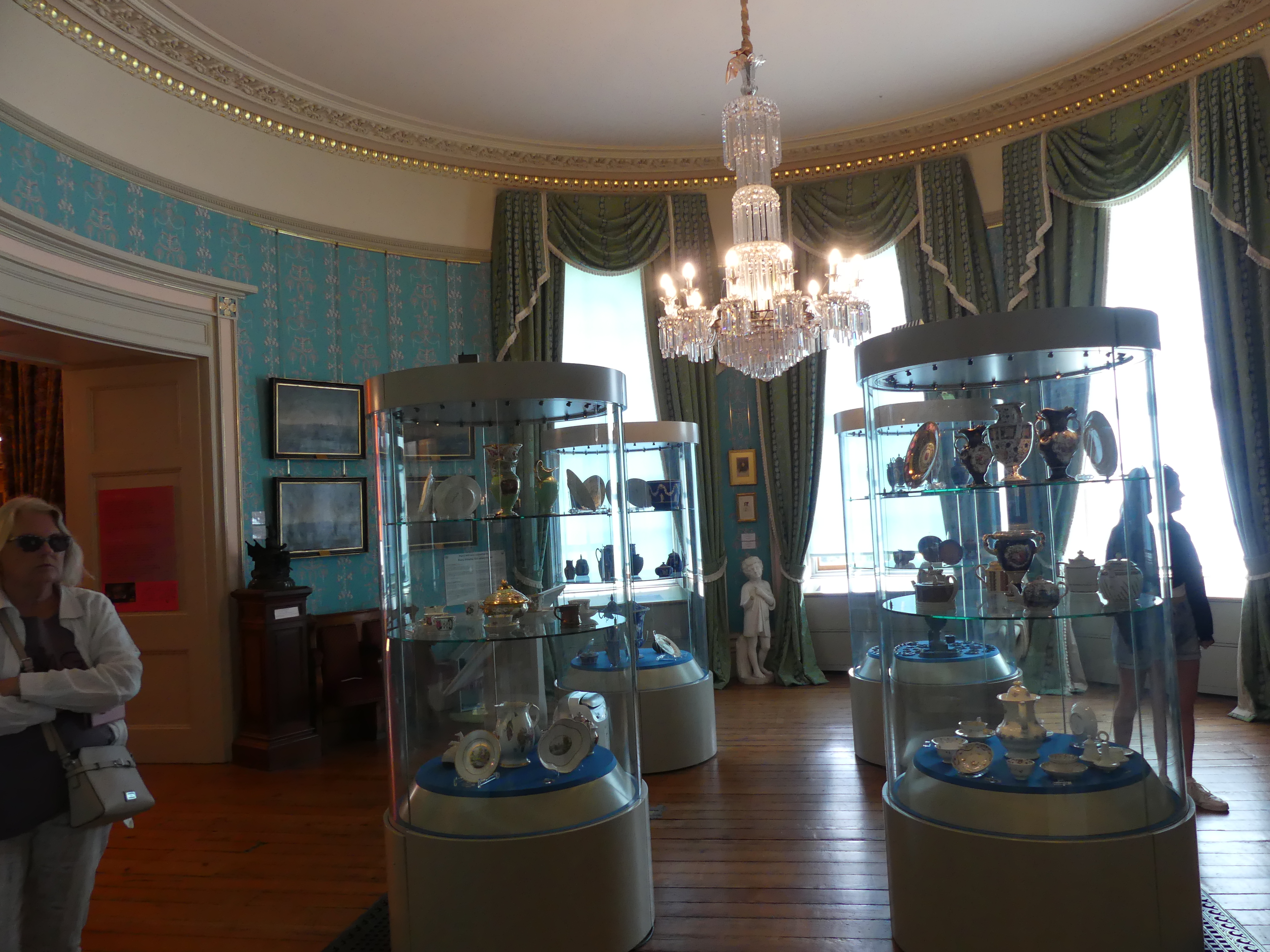
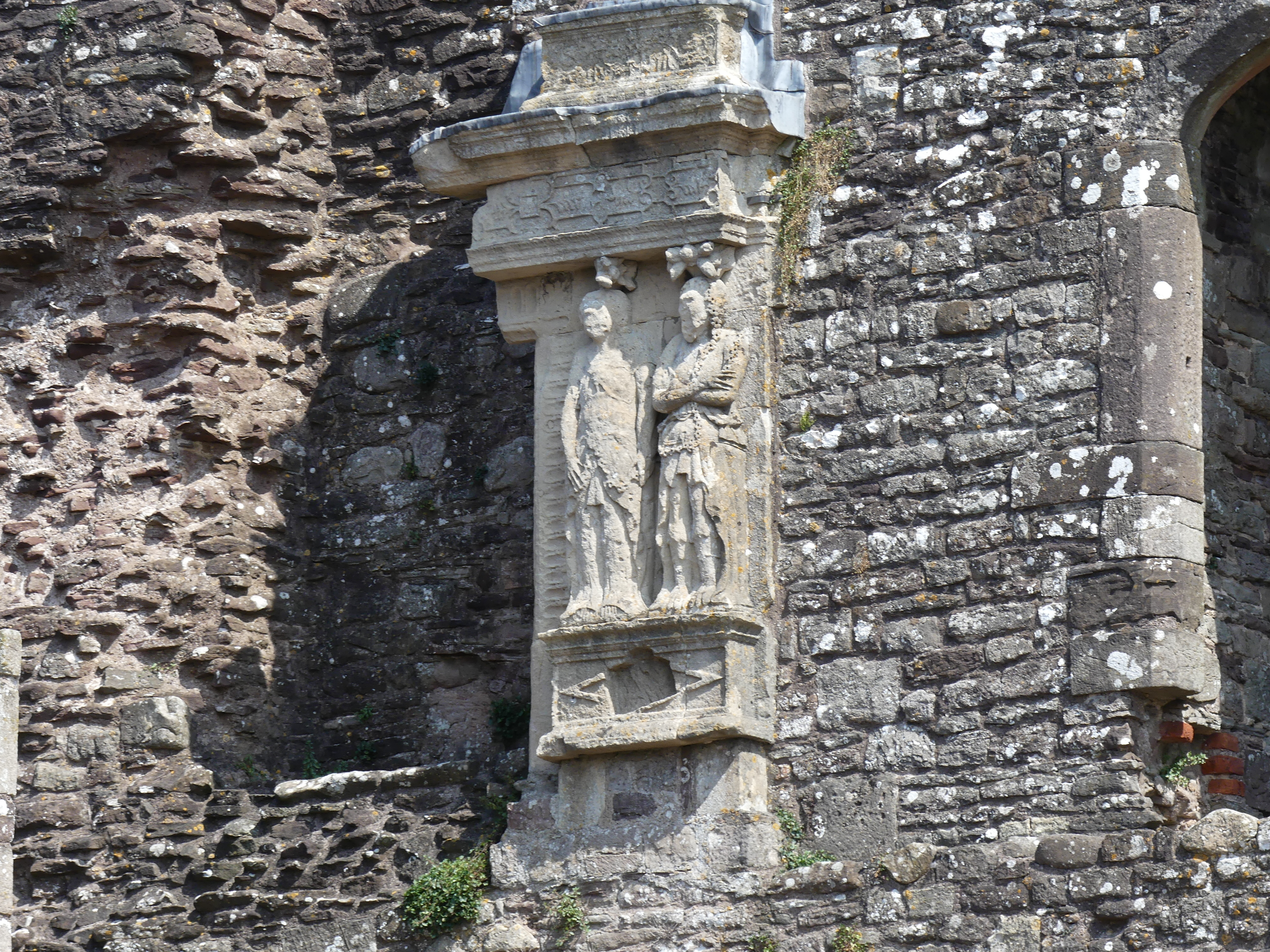
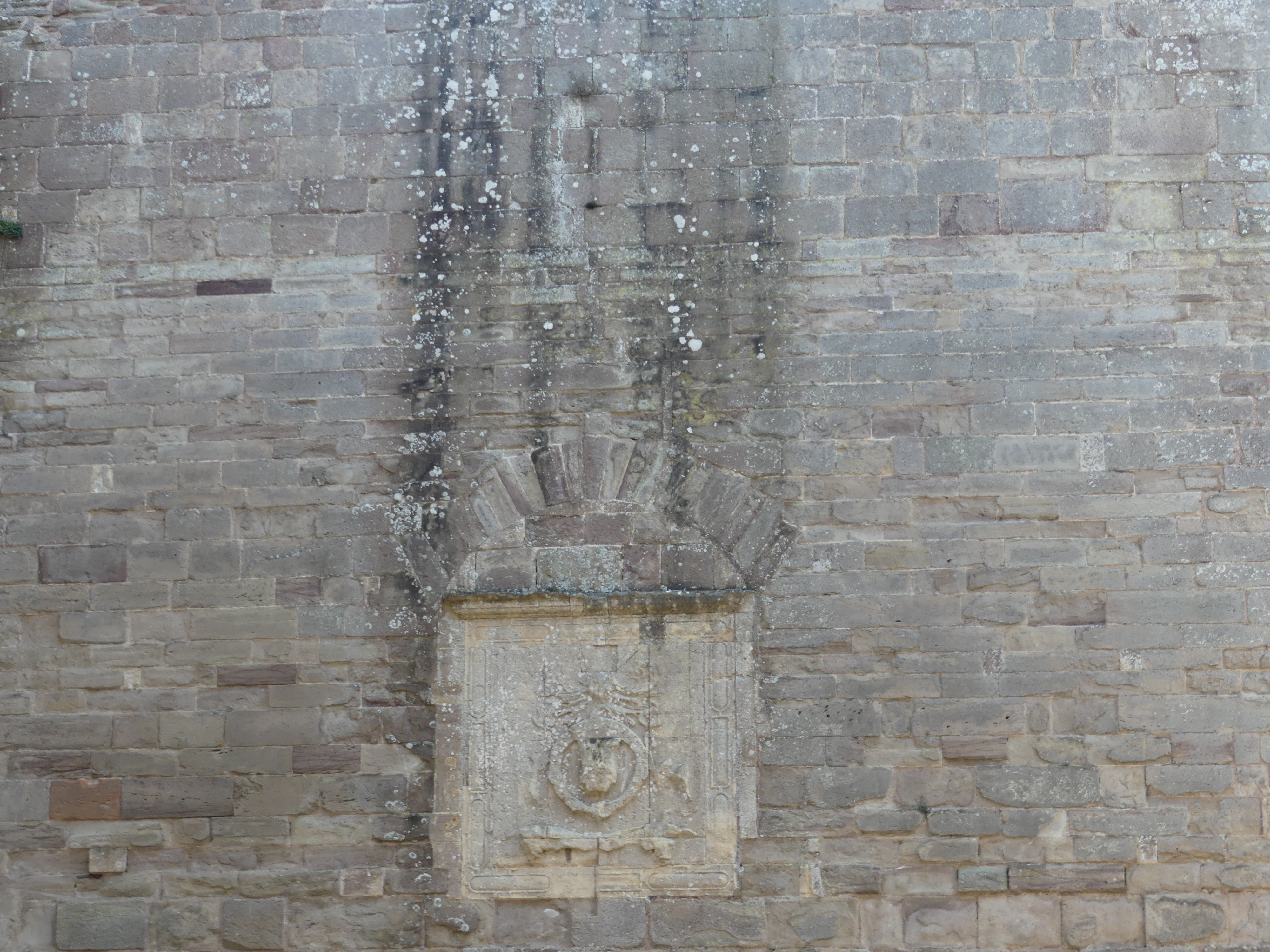
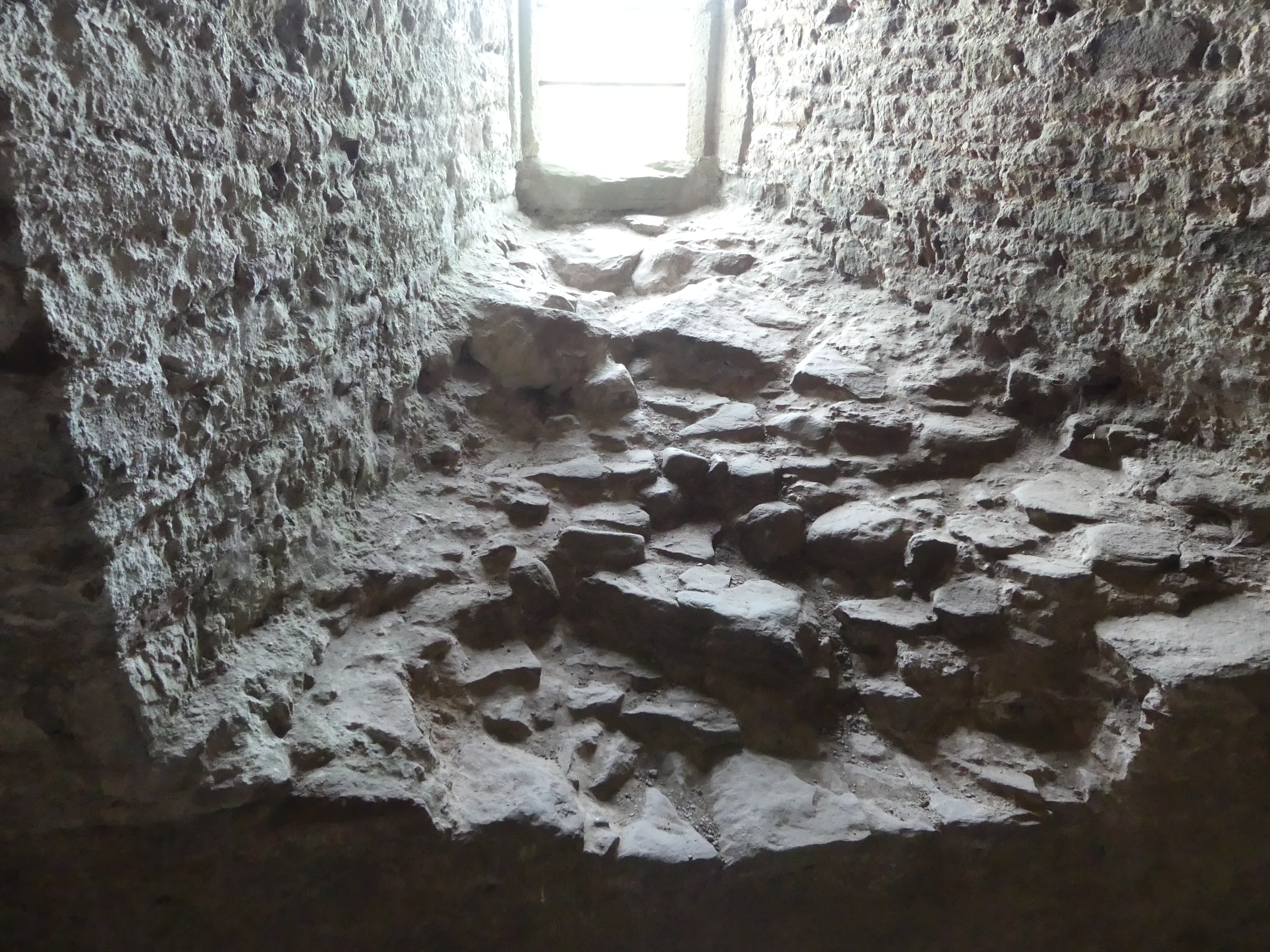
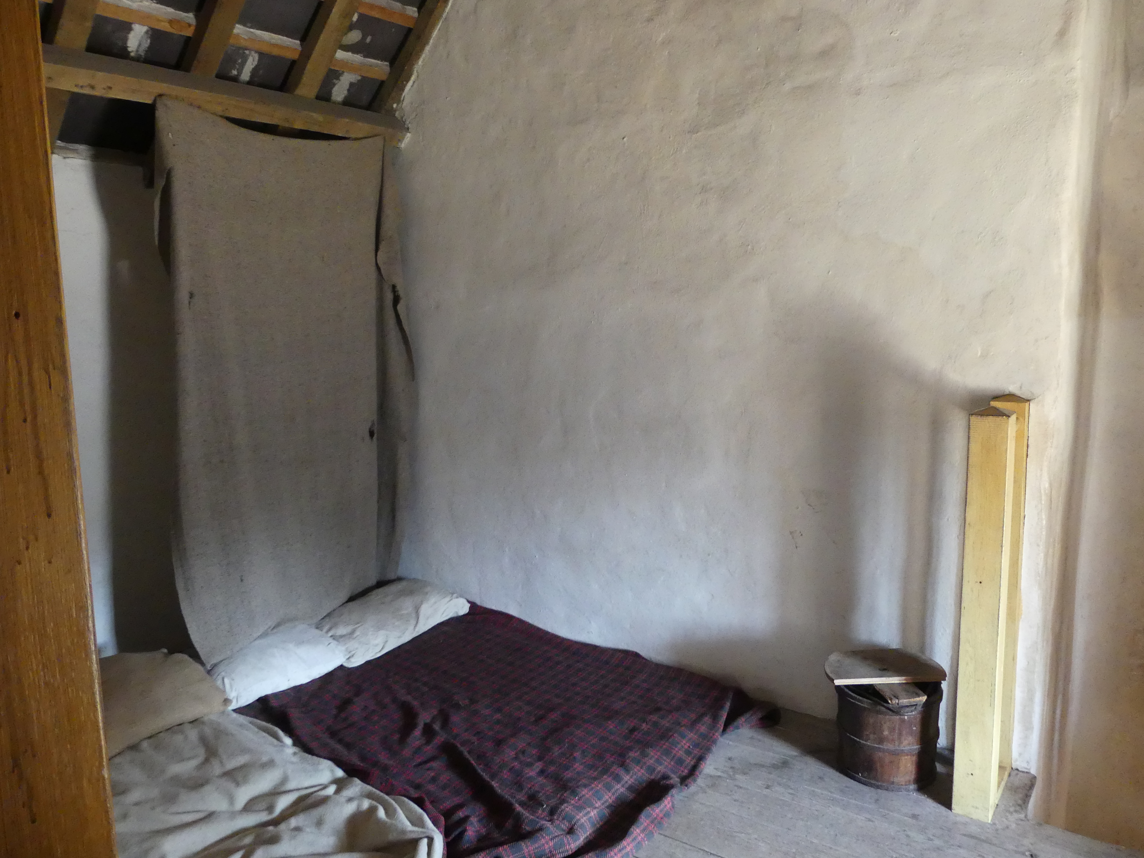
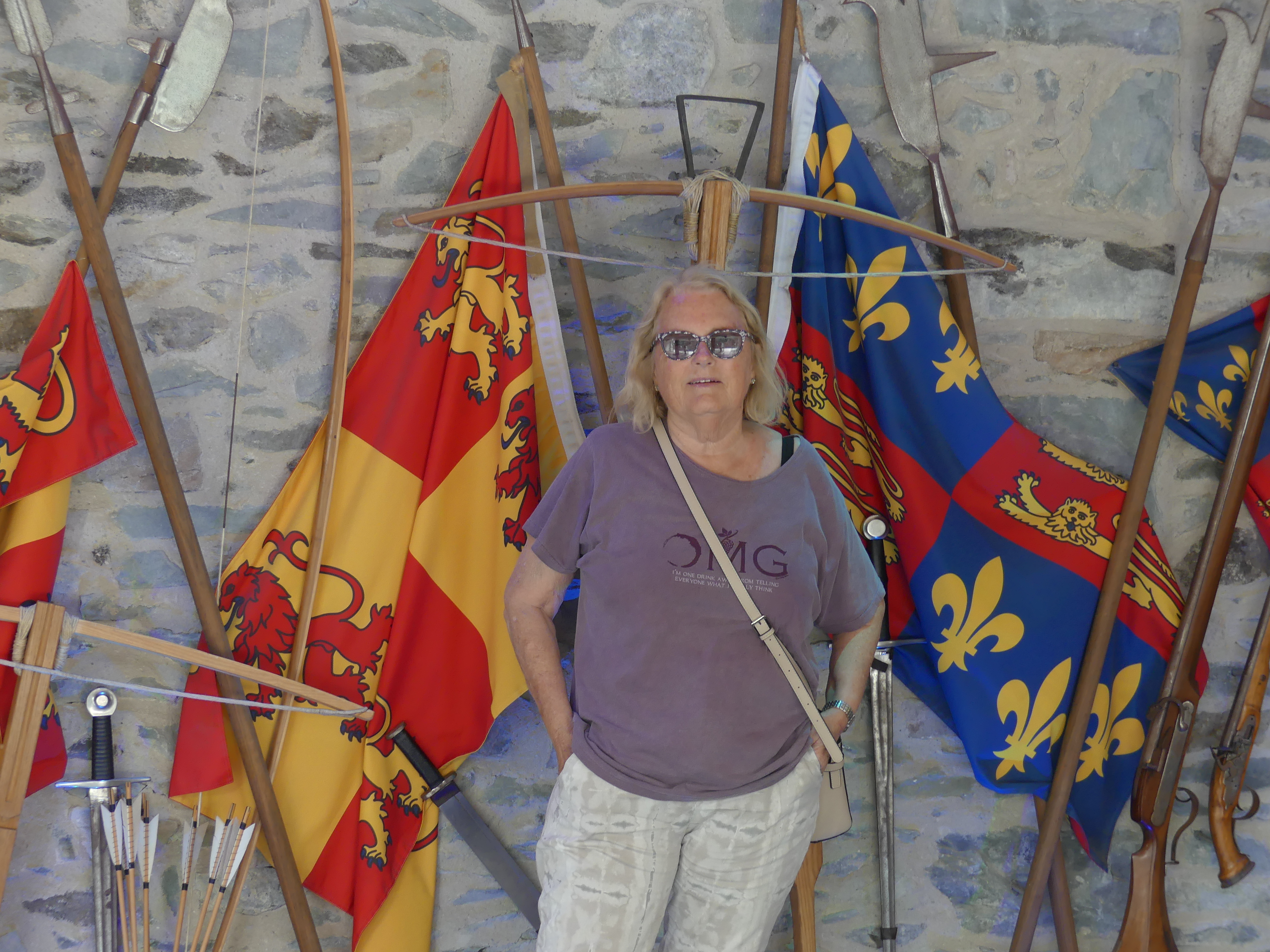
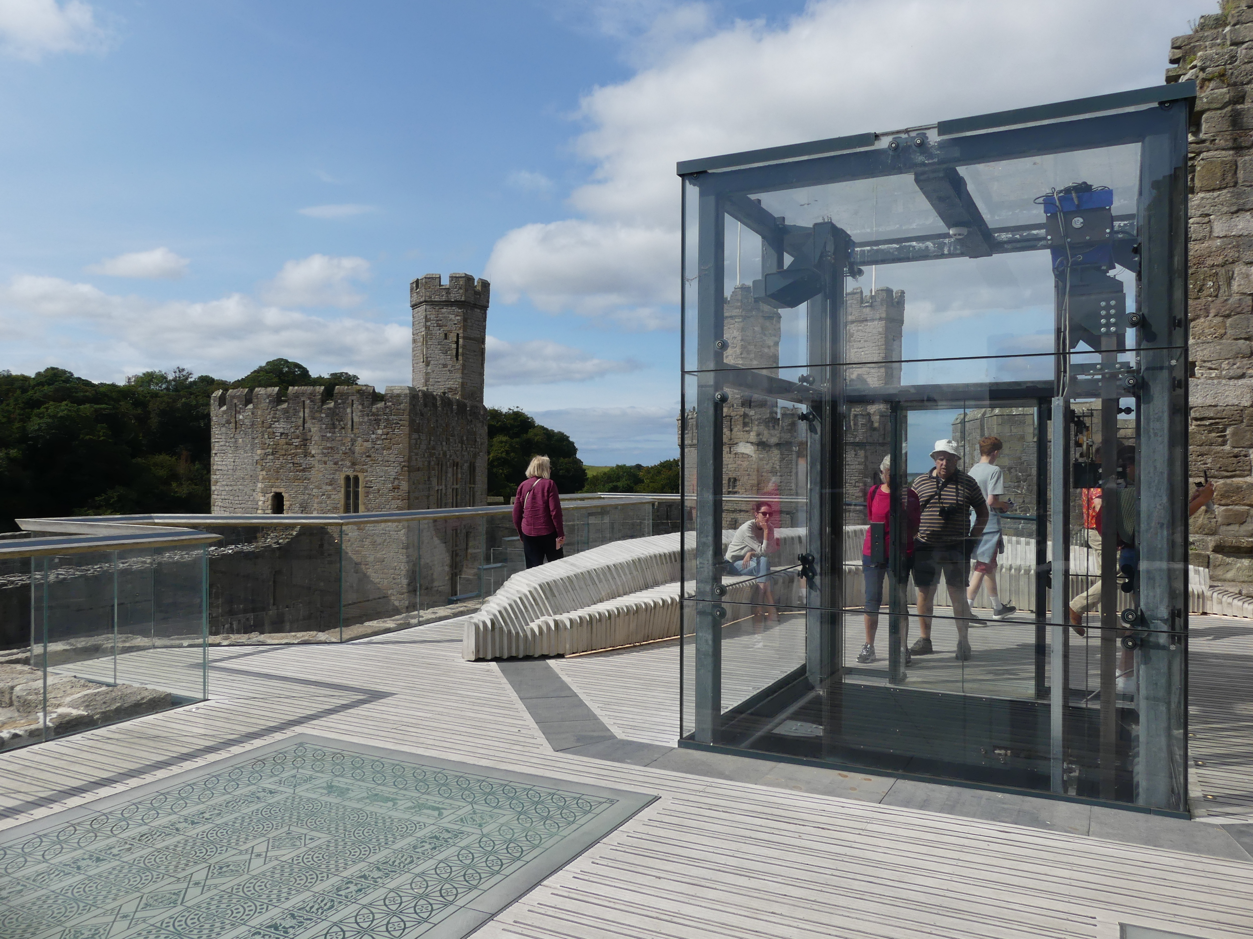
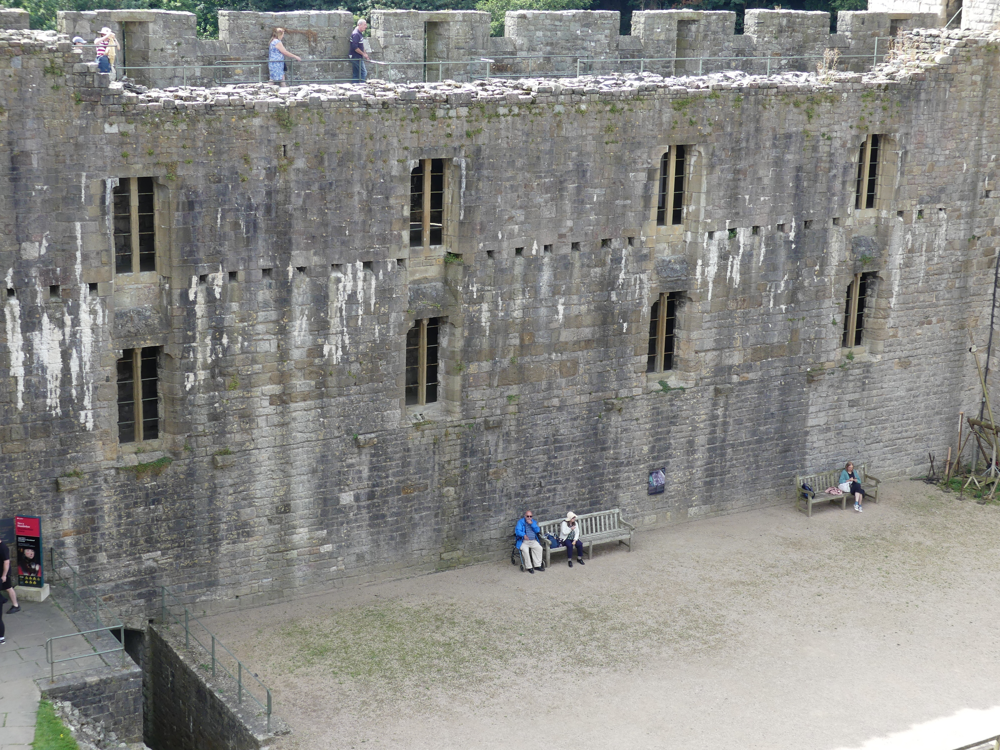
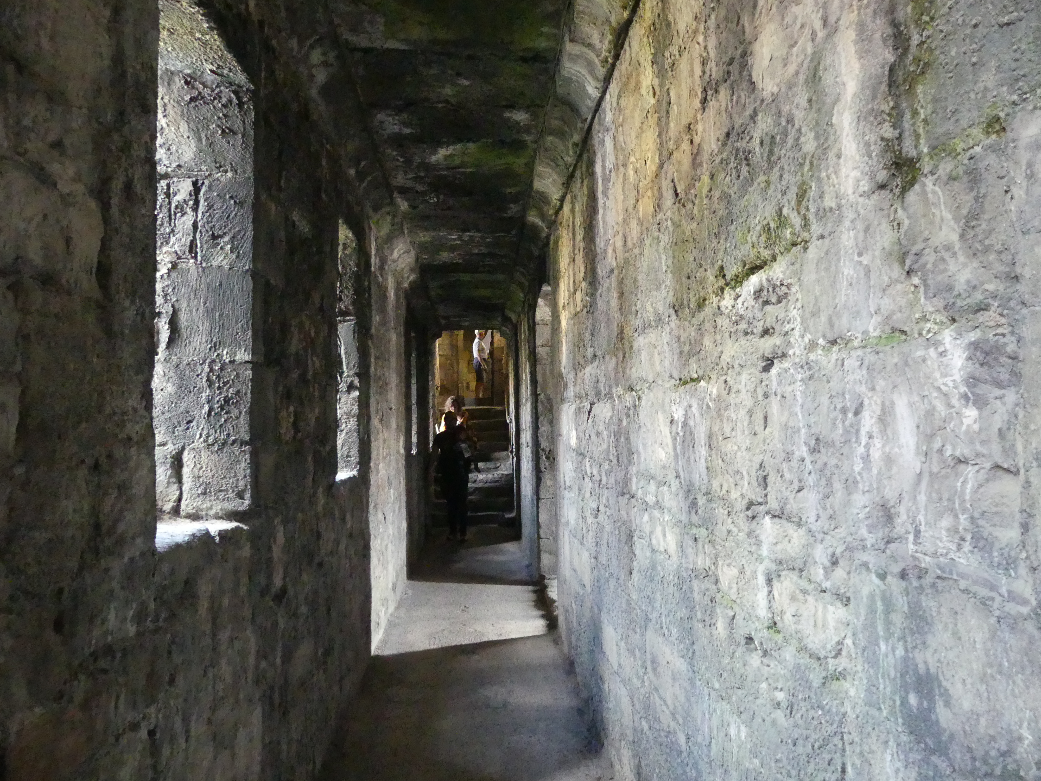
We found the public parking, determined the manner for payment and walked off with fingers crossed. We found one of the gates in the remaining walls of the castle and inside those gates was the streets and businesses given the protection of those walls. Like the “Black Boy Inn” and there did not appear to be any offense taken by the residents. After progressing through to the inner keep, we came to the ticket office and once again our 7 days Cadw pass gained us free entry. That pass saved us a huge sum of entry fees. Inside the inner sanctum of the castle was a mixture of medieval and modern. For the first time the castle had an elevator of modern design and faultless operation. Our photos show that this was a strongly fortified and important place. It was large as castles go and you could well imagine the comfort it afforded the residents living and working in the outer keep. One of the towers had been fitted out to tell some of the stories of the castle – one was a chess set with the key players shown as Kings Queens Knights Bishops and Pawns and the other concerning Edward I and Eleanor of Castile, his queen, particularly how Eleanor retained power after Edwards death.


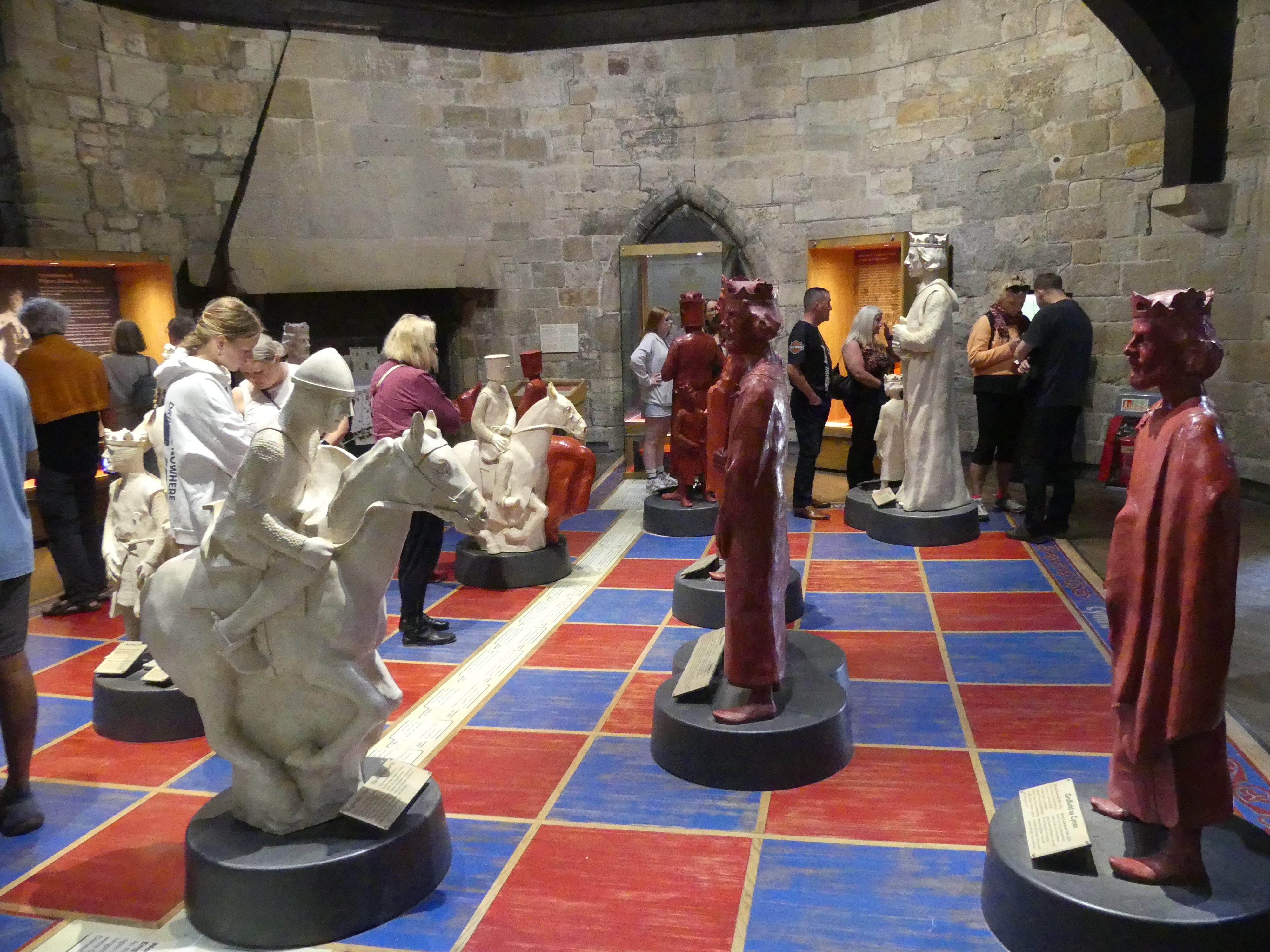

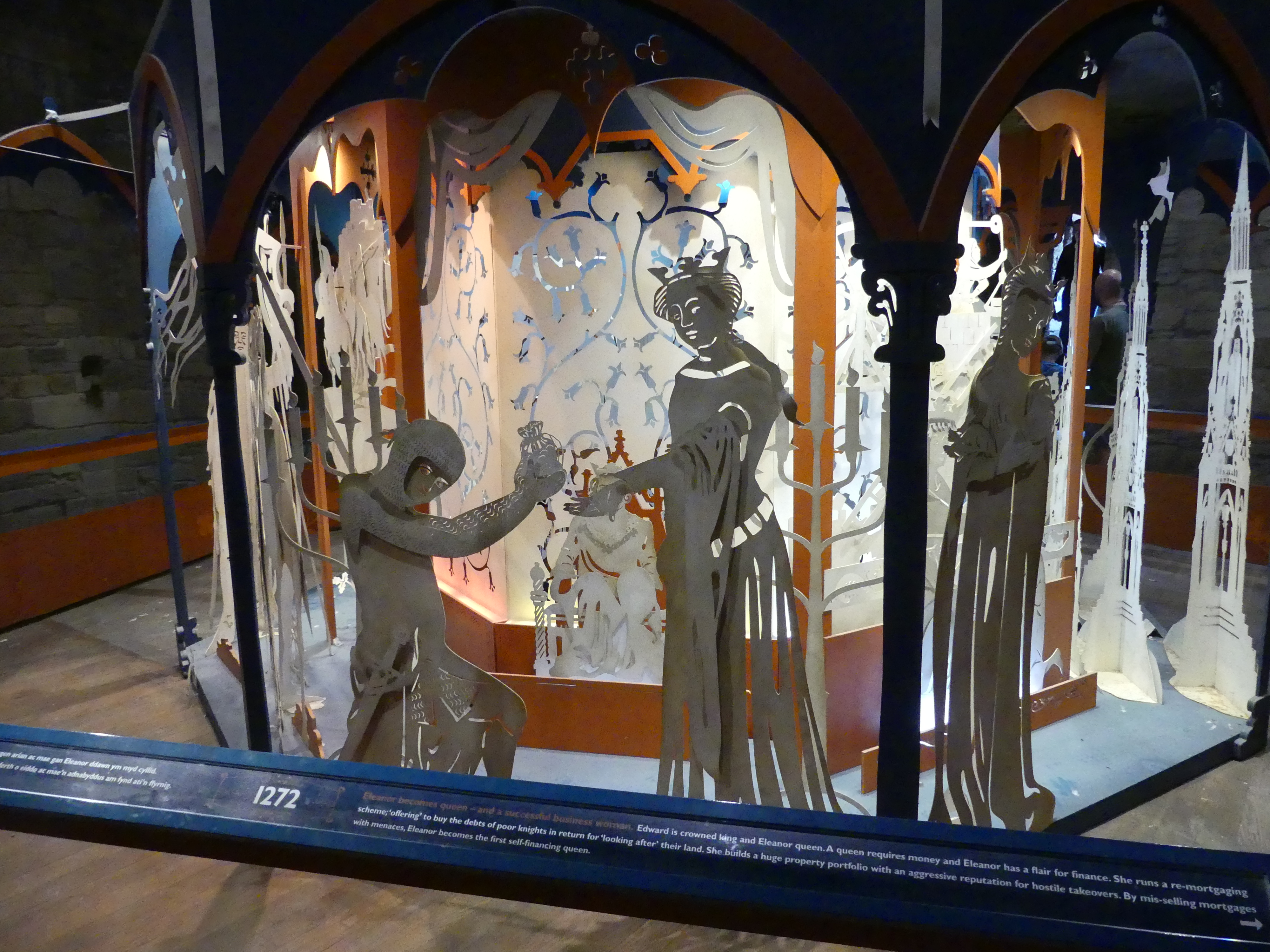


Her story is told in the collage shown in my pictures above. Eleanor of Castile (1241 – 28 November 1290) was Queen of England as the first wife of Edward I. She also ruled as Countess of Ponthieu in her own right from 1279. Her marriage was to secure and affirm English sovereignty over Gascony. As a 13-year-old, Eleanor was married to Edward on 1 November 1254. She is believed to have birthed a child not long after.
Simon de Montfort’s government imprisoned her in Westminster Palace. Eleanor took an active role in Edward’s reign as he began to take control of Henry III’s post-war government. The marriage was particularly close; Edward and Eleanor traveled together extensively, including the Ninth Crusade. In her lifetime, Eleanor was disliked for her property dealings and the supposed exploitation of Jews, bringing her into conflict with the church. Eleanor died at Harby near Lincoln in late 1290; following her death, Edward built a stone cross at each stopping place on the journey to London, ending at Charing Cross, known as Eleanor crosses.
Notwithstanding the sources of her wealth, Eleanor’s financial independence had a lasting impact on the institutional standing of English queens, establishing their future independence of action. After her death, Eleanor’s reputation was shaped by conflicting fictitious accounts – both positive and negative – portraying her as either the dedicated companion of Edward I or as a scheming Spaniard. These accounts influenced the fate of the Eleanor crosses, for which she is probably best known today.
Below is the Cadw brochure for the Castle
HOLYHEAD
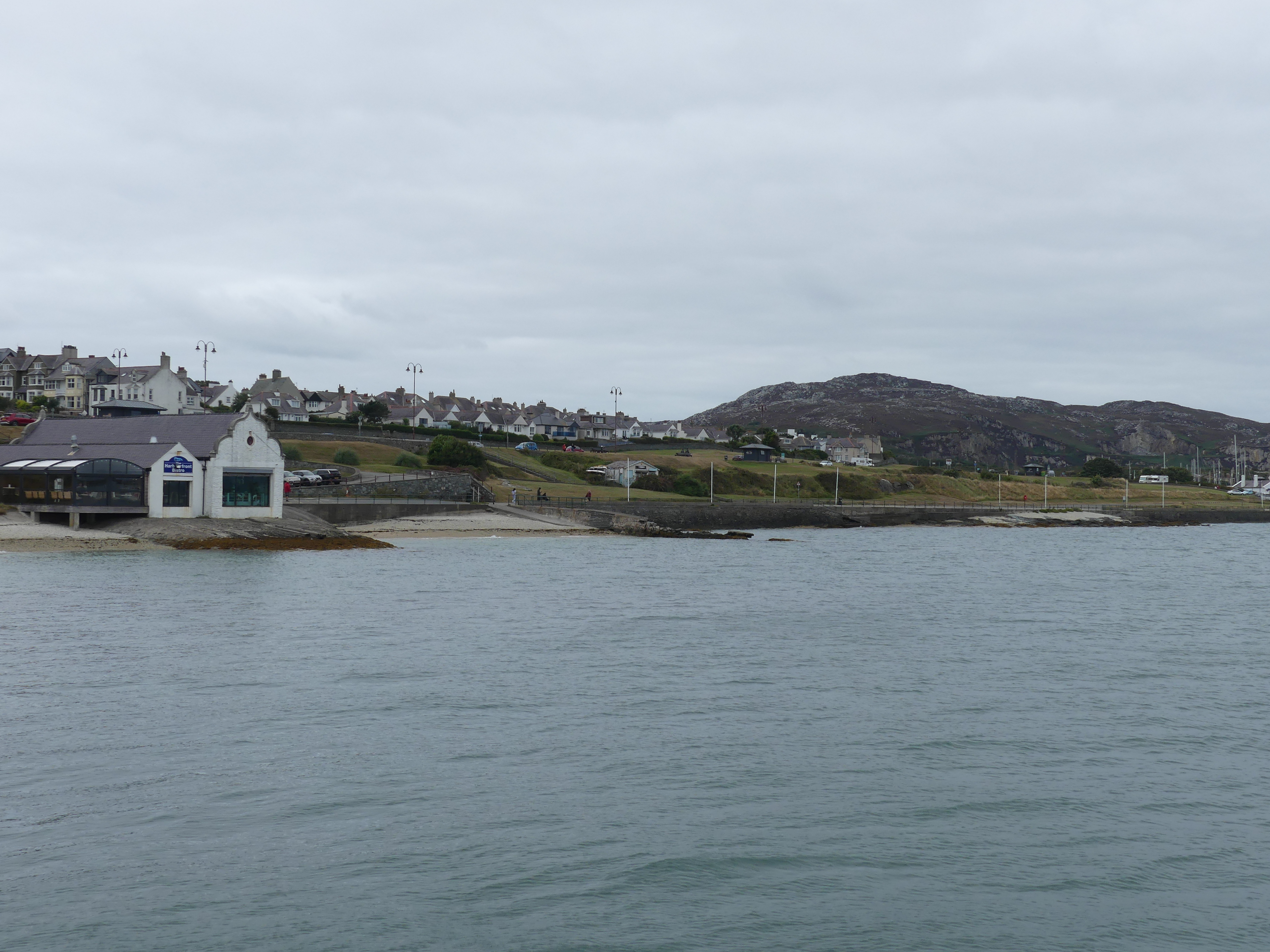
The port of Holyhead is the busiest UK Irish ferry port and is home to the largest seagoing ferry in the world. The origins of Holyhead (Caergybi) date from 450AD, when Celtic King Caswallon defeated Irish invaders on Holy Island. It is a historic port town, and is the largest town and a community in the county of the Isle of Anglesey, Wales. Holyhead is on Holy Island, bounded by the Irish Sea to the north, and is separated from Anglesey island by the narrow Cymyran Strait, having originally been connected to Anglesey via the Four Mile Bridge. For us it was just on the other side of the island.
We had no idea what to expect. The only thing we knew is that you caught the ferry to Ireland from Holyhead. On arrival at the ferry terminal the first thing we noticed is there is dedicated parking and no charge. In the distance we could see what looked like a passenger ship which turned out to be the ferry.
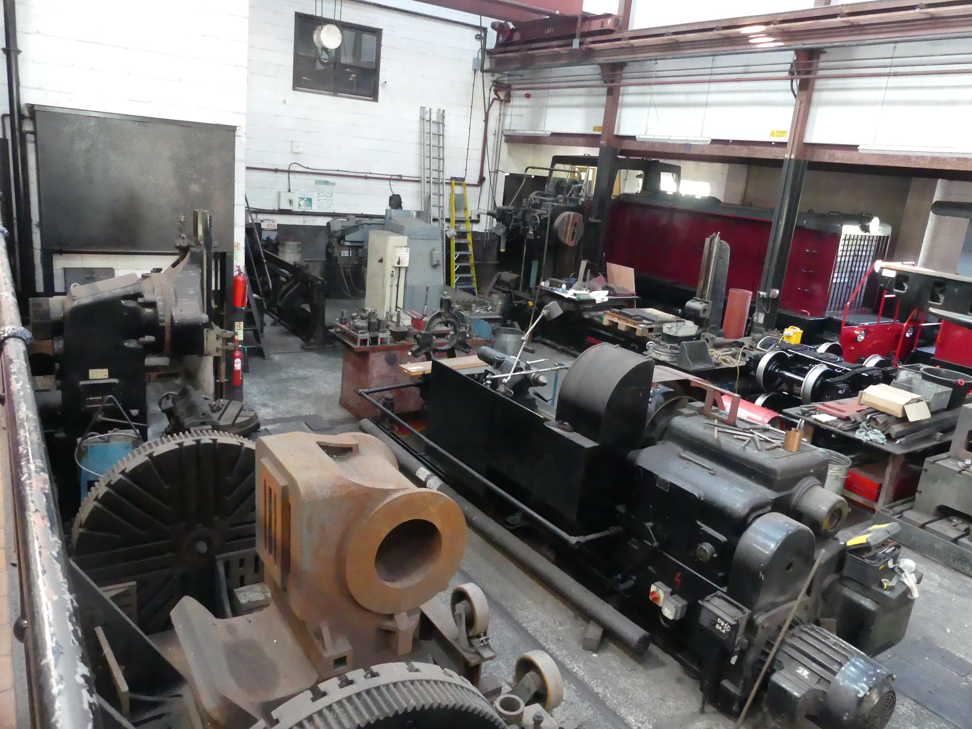
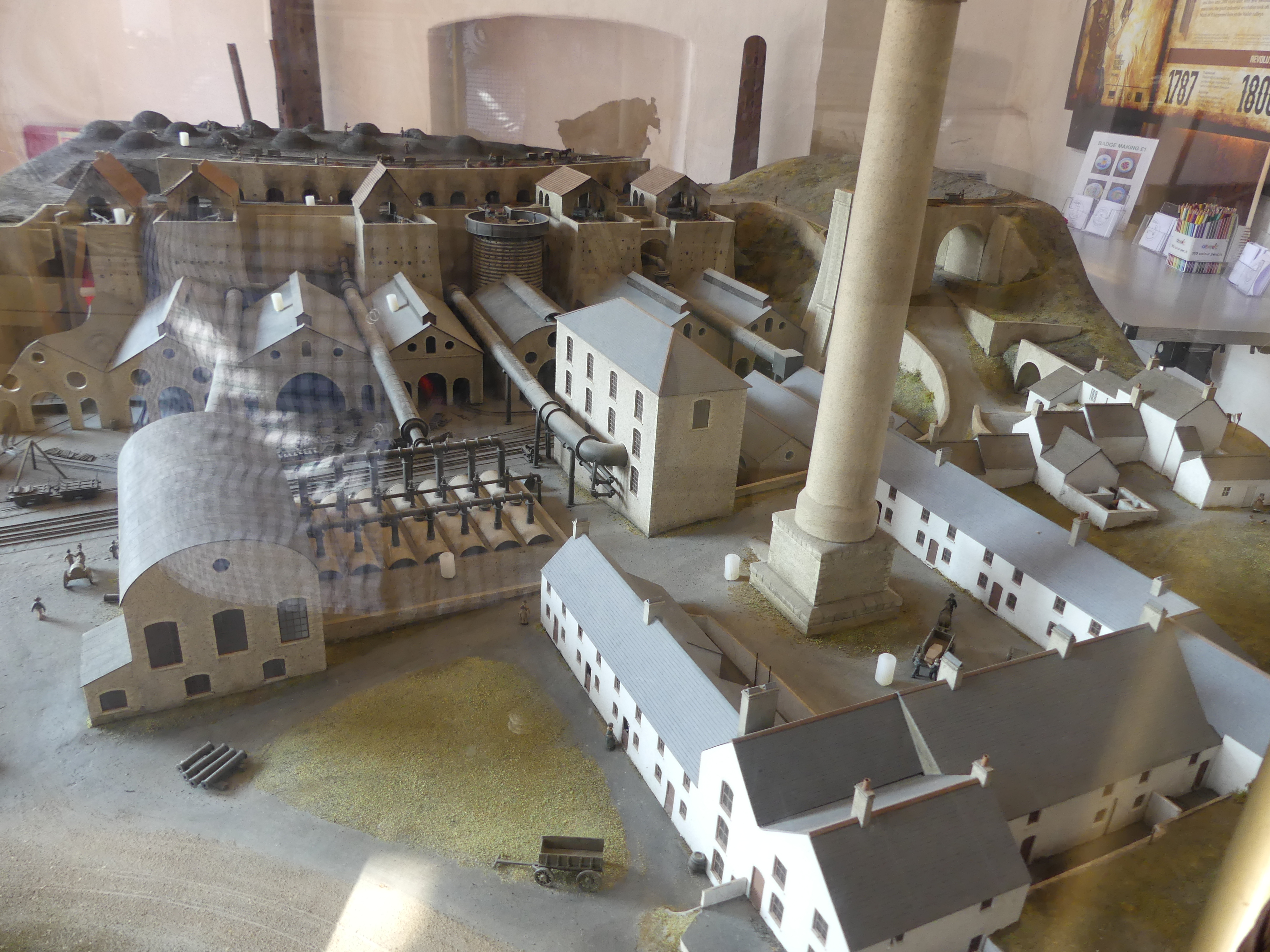
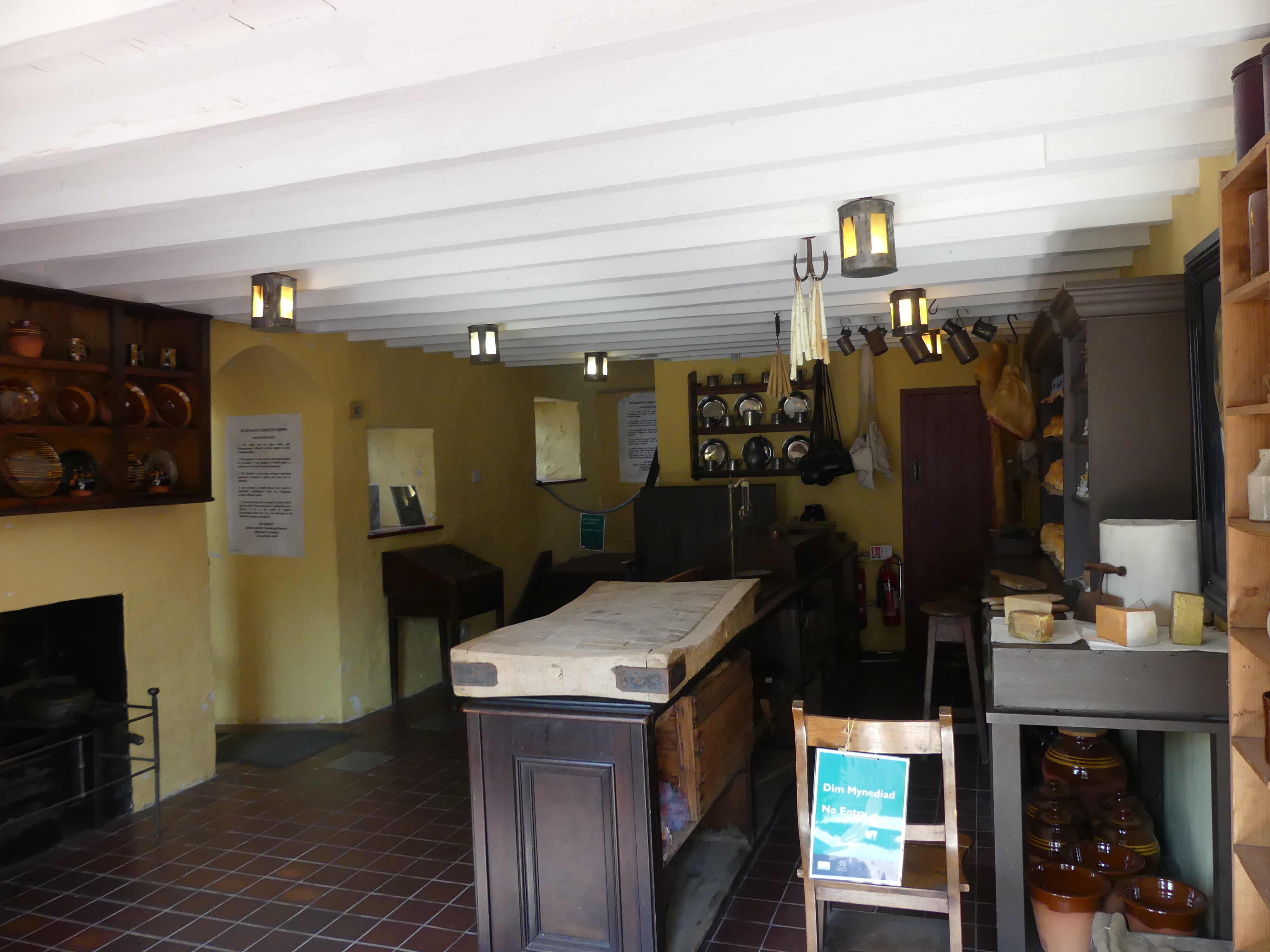
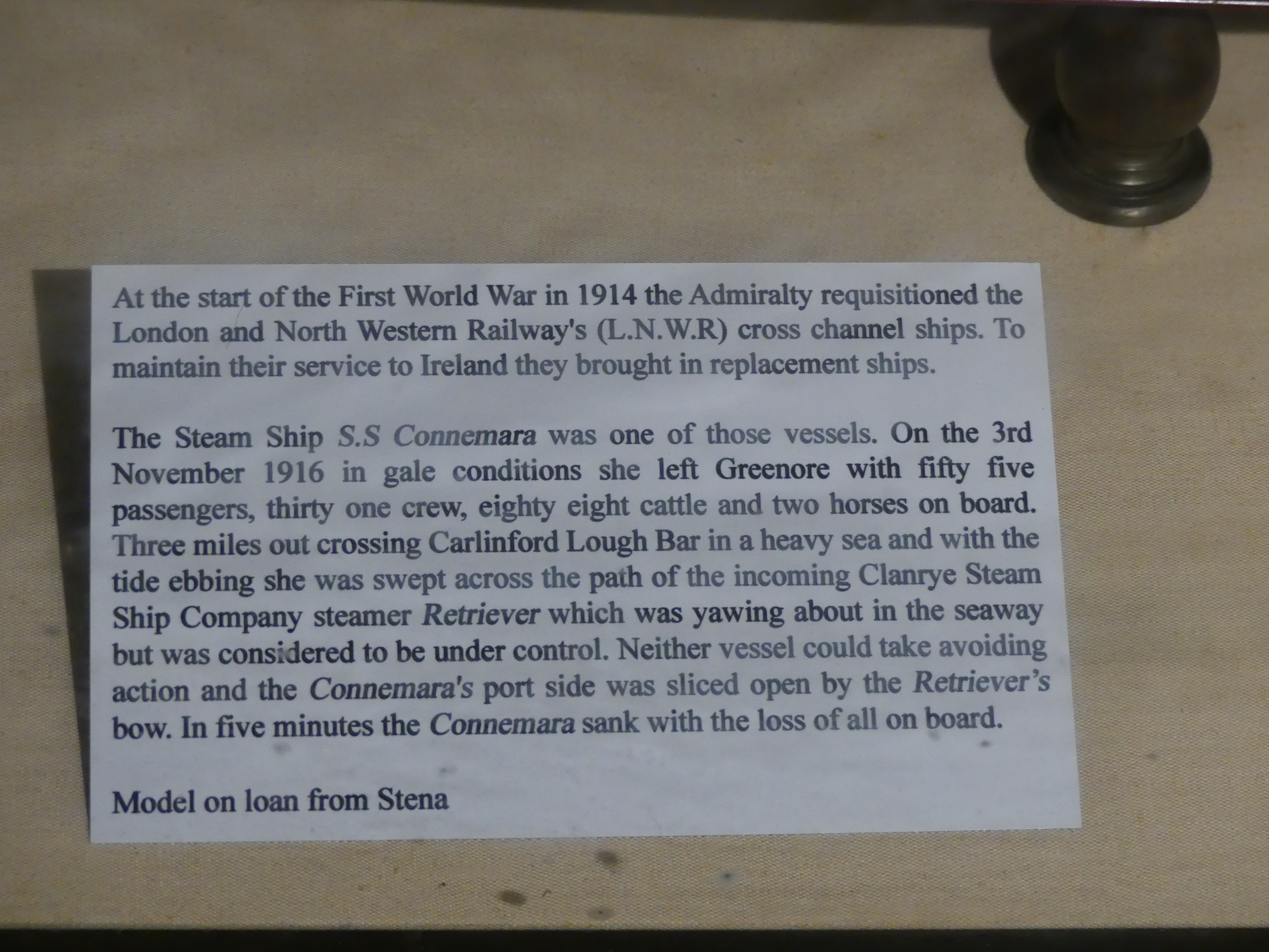
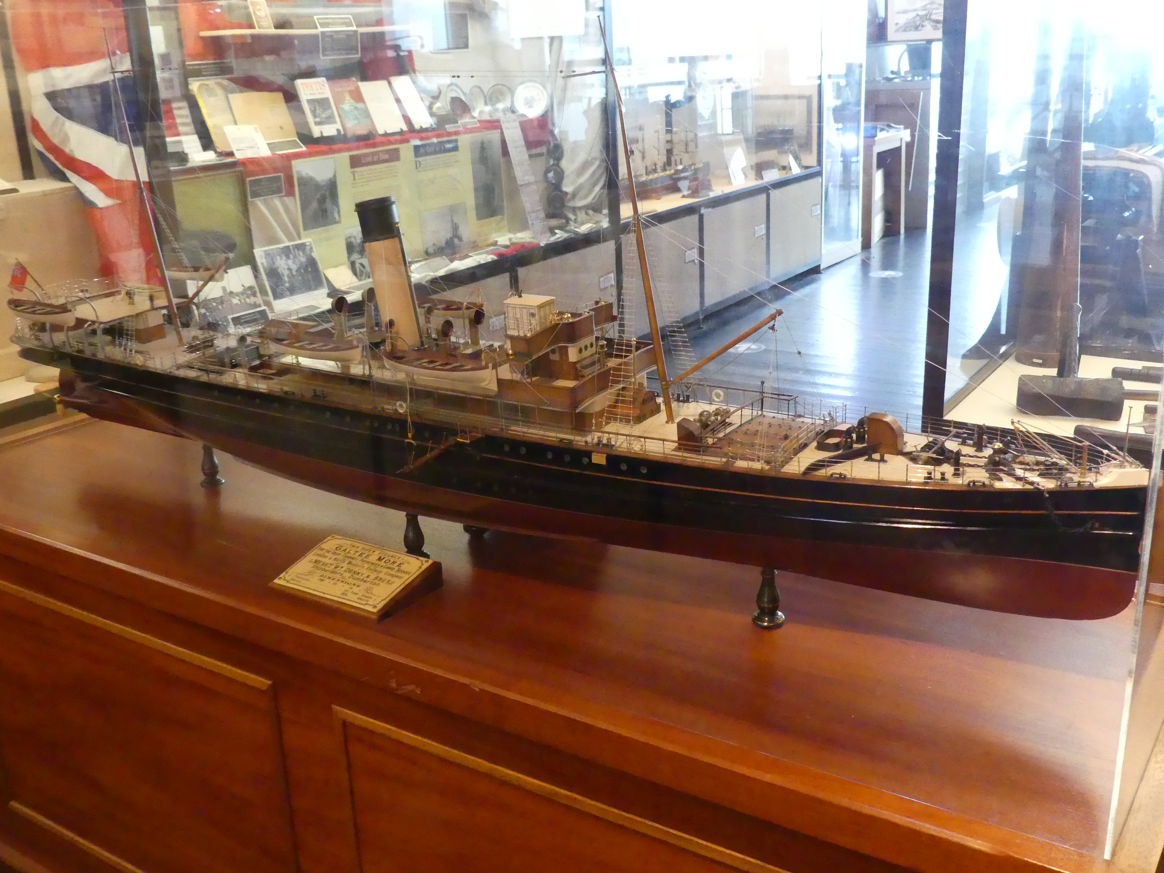
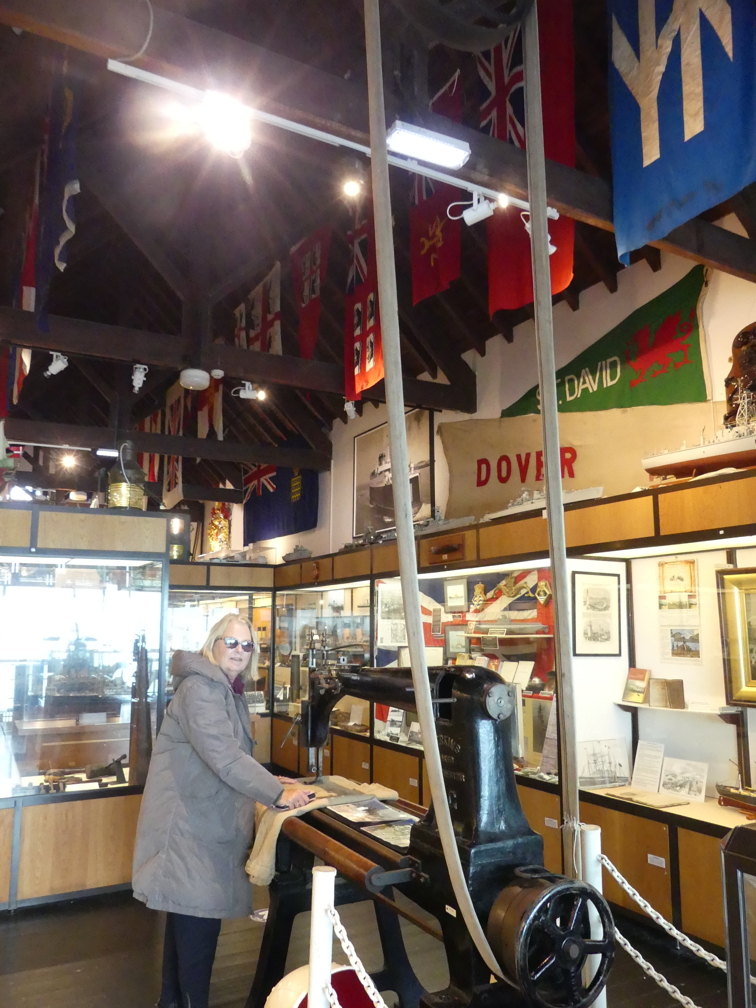
The weather was gray and cold and there was little to see. The thing that caught my eye was a maritime museum sited on the edge of the Bay with a nearby coffee shop and the rails of a former Rescue shed for launching of boats. There was a small entry fee but the volunteers manning the museum were quite prepared to show us around and give us the history of the museum and the displays in the museum. Our photos show the larger building which is the museum with the smaller coffee shop beside it. Kerry found a sewing machine which fascinated her. It was a sail makers machine which once upon a time was driven by steam power and 3 times the size of her industrial machines. Outside of the museum was a brick bomb shelter used during the Wars as Holyhead was a target for enemy planes. It was fitted out as though expecting a raid any moment. After completing our visit we adjourned to the coffee shop and found it was open from lunch only but just for us served us with coffee and cake with the ferry sitting against the wharf.


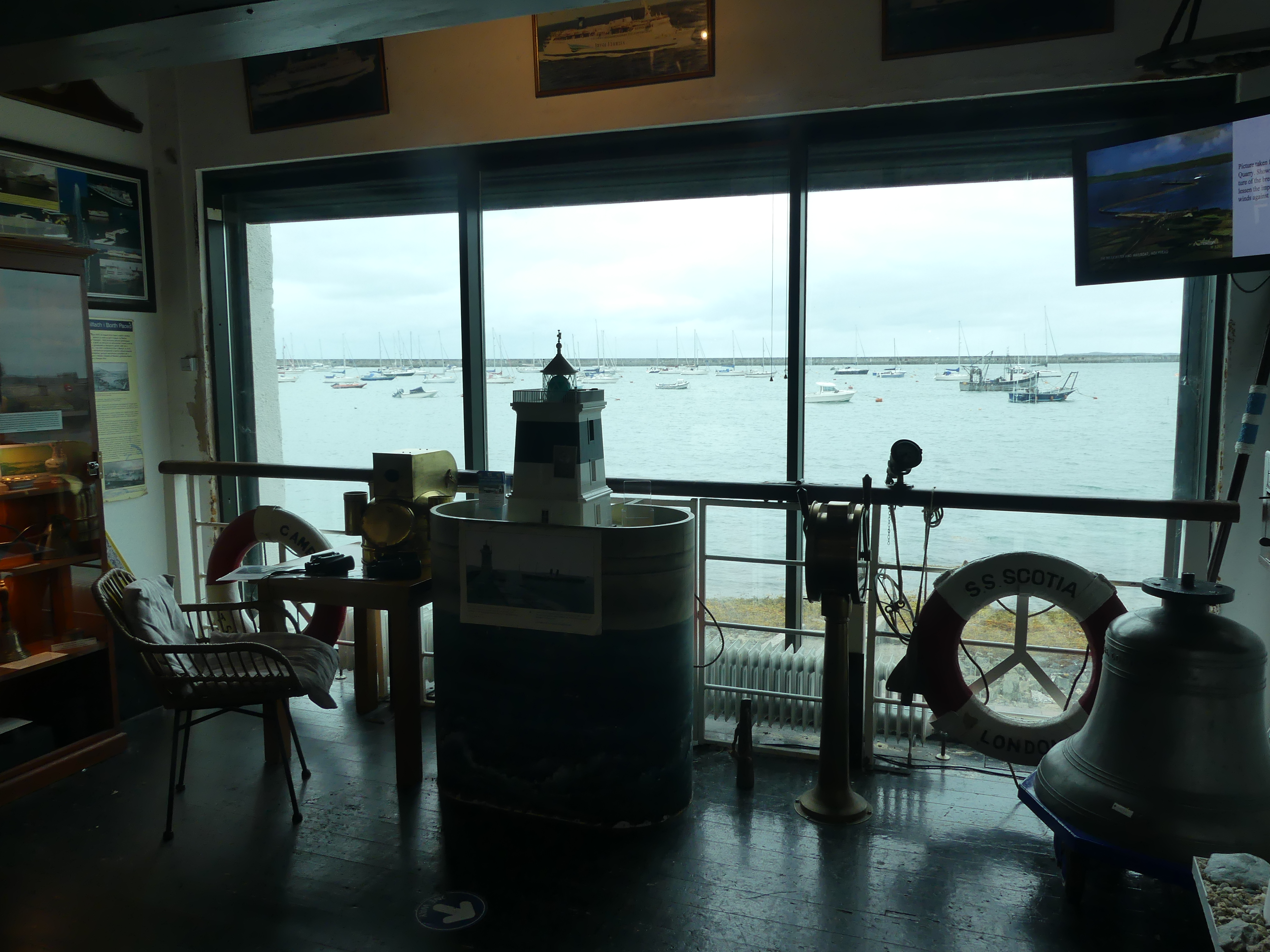


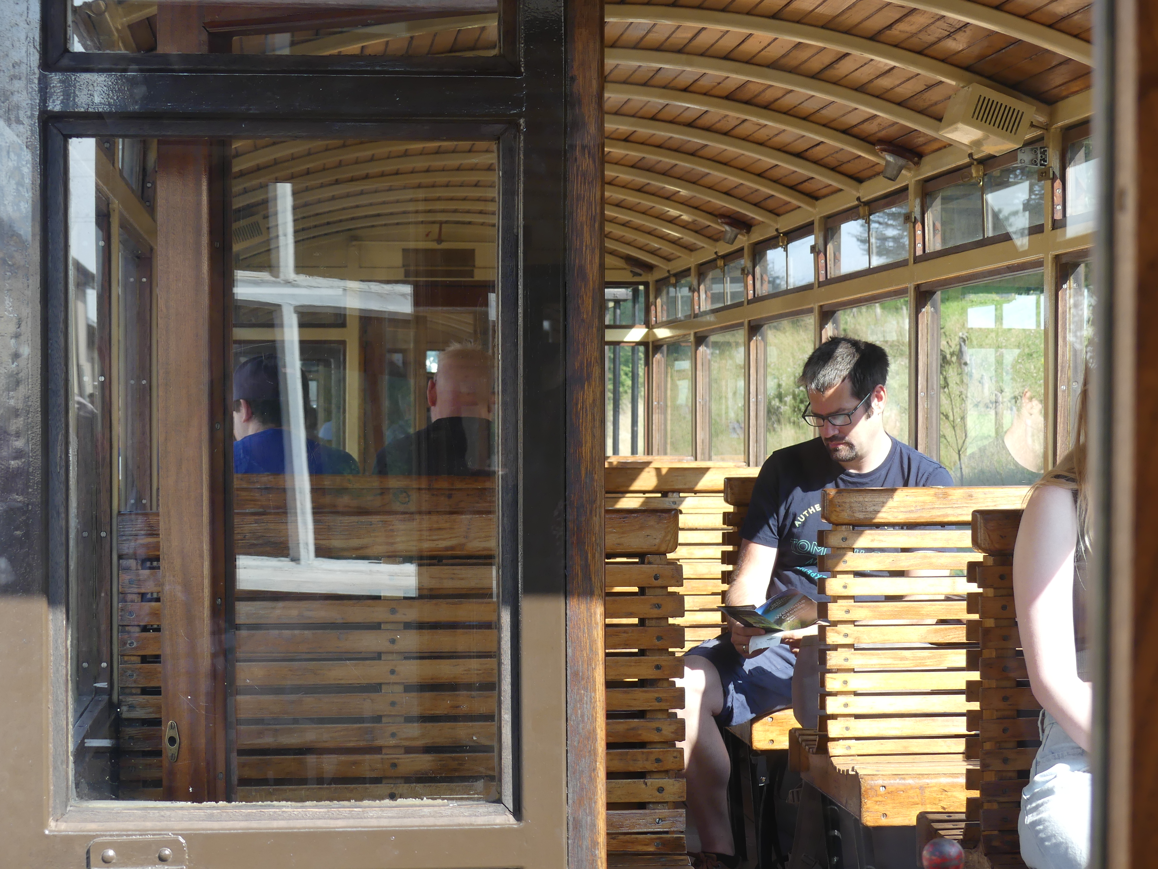
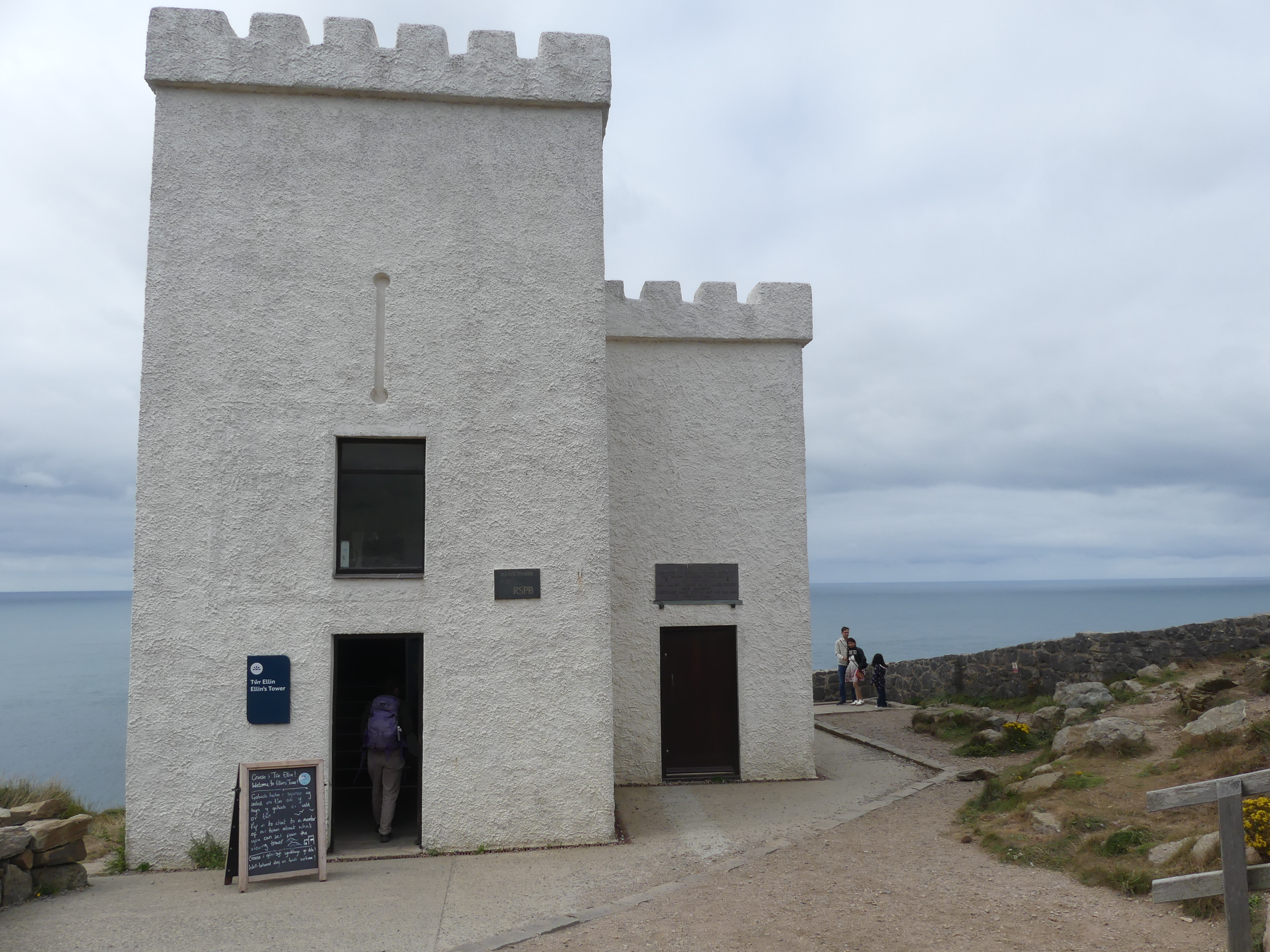
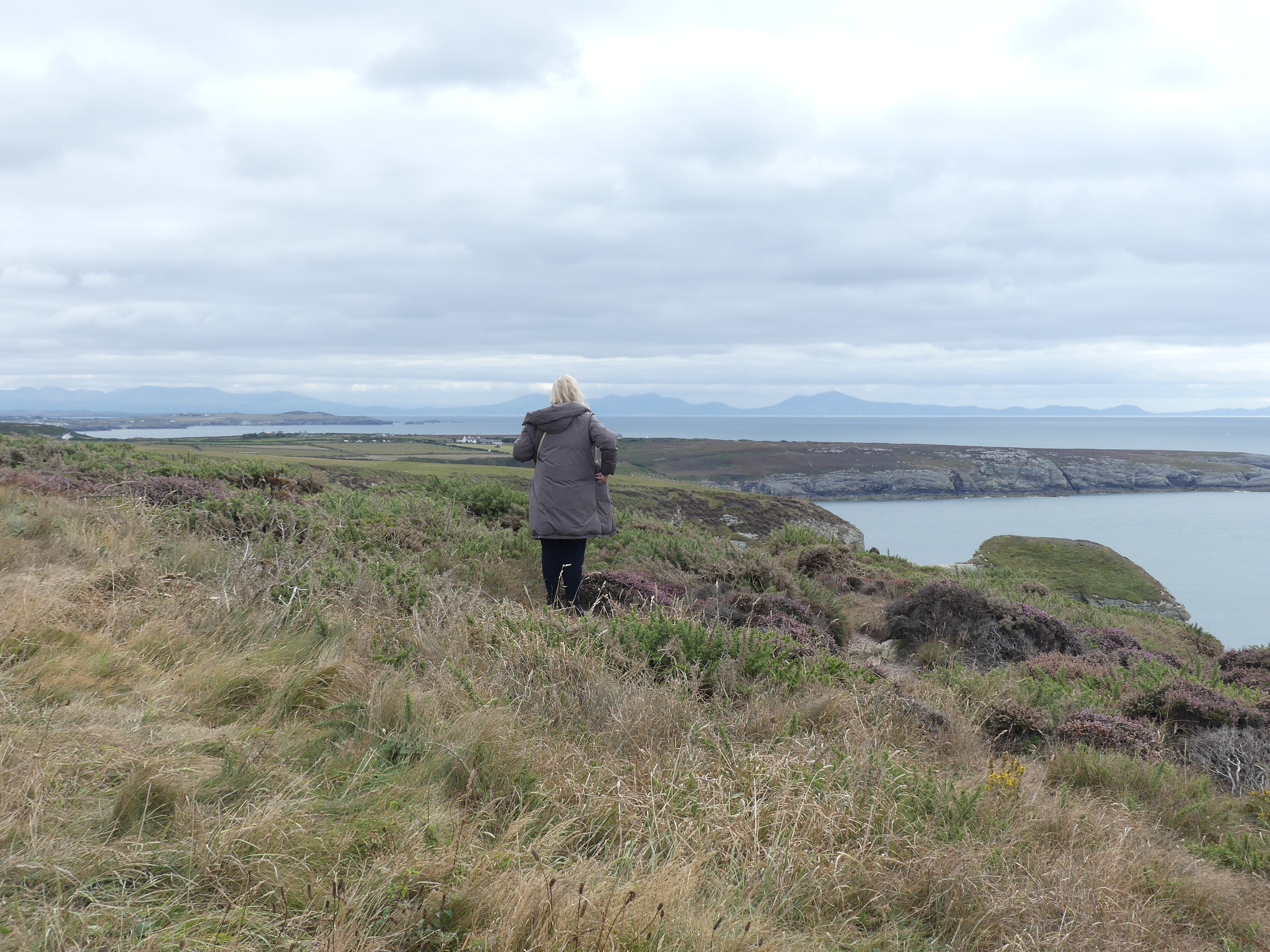
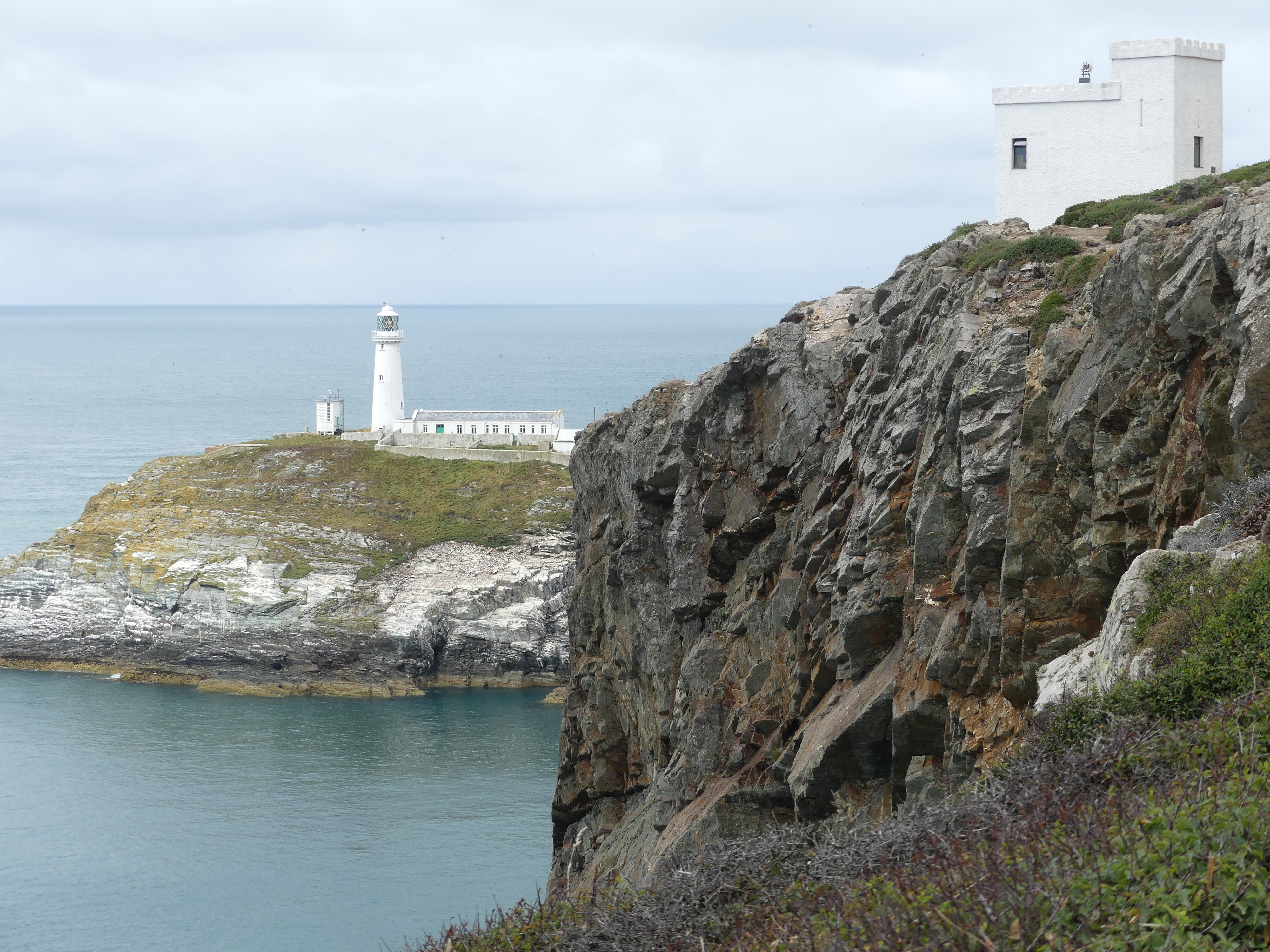
We finished a very welcome coffee and moved on to the South Stack Lighthouse. Searching for the lighthouse was a challenge and we missed the turn ending up in a cliff side park overlooking the lighthouse.The main lighthouse near Holyhead is the South Stack Lighthouse, a historic structure built in 1809 on a small island off the coast of Holy Island. It is famous for its dramatic location, accessed by descending over 400 steps from the mainland cliffs, and is a popular spot for birdwatching, including puffins and other seabirds. The lighthouse is 91 metres tall and the walk to the lighthouse starts on the headland with 400 stairs down then a lengthy walk to the buildings then the climb to the top of the lighthouse turnaround and go back again. That would have taken all day and probably killed one or both of us so we were content to view the building as we encountered an environmental centre built in a miniature castle like building in the reserve with information on the reserve and its flora and fauna. You will see in one picture the RAF planes that regularly flew across.


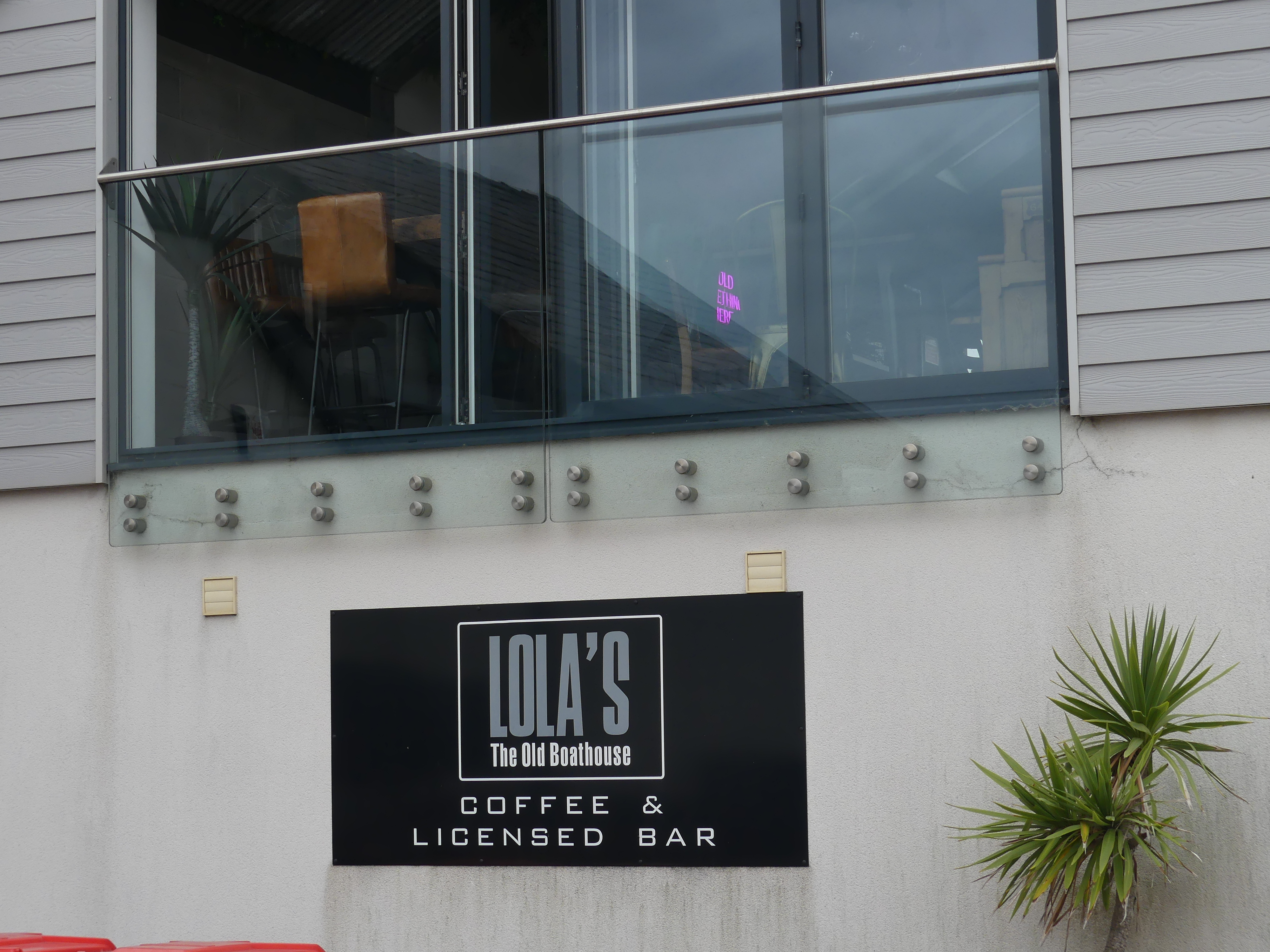
We moved onto the next town and visited the beach and got some lunch. As we departed we came across this restaurant “Lola’s” the old boathouse. Lola is our 2nd grandchild living in Tasmania.
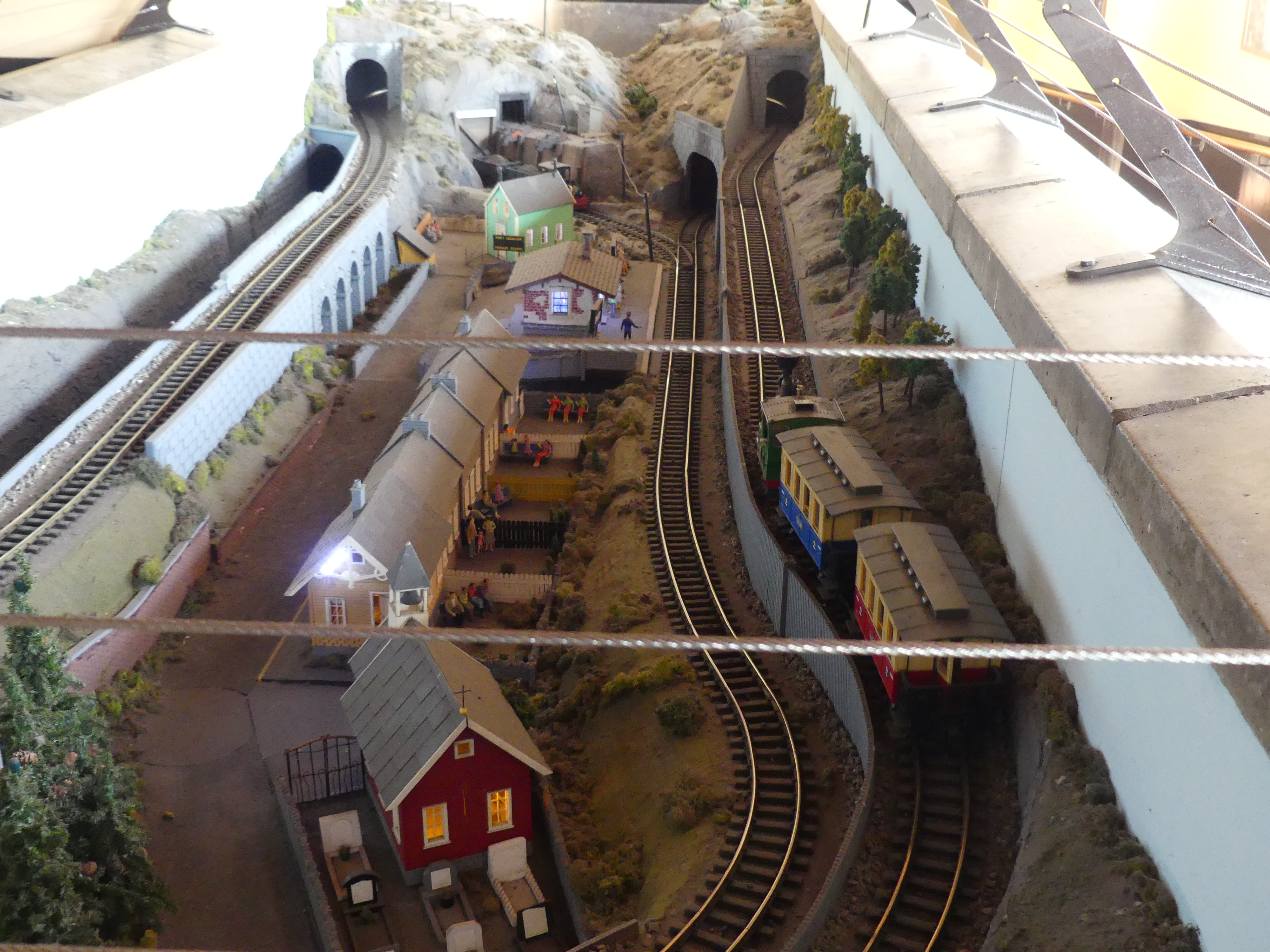
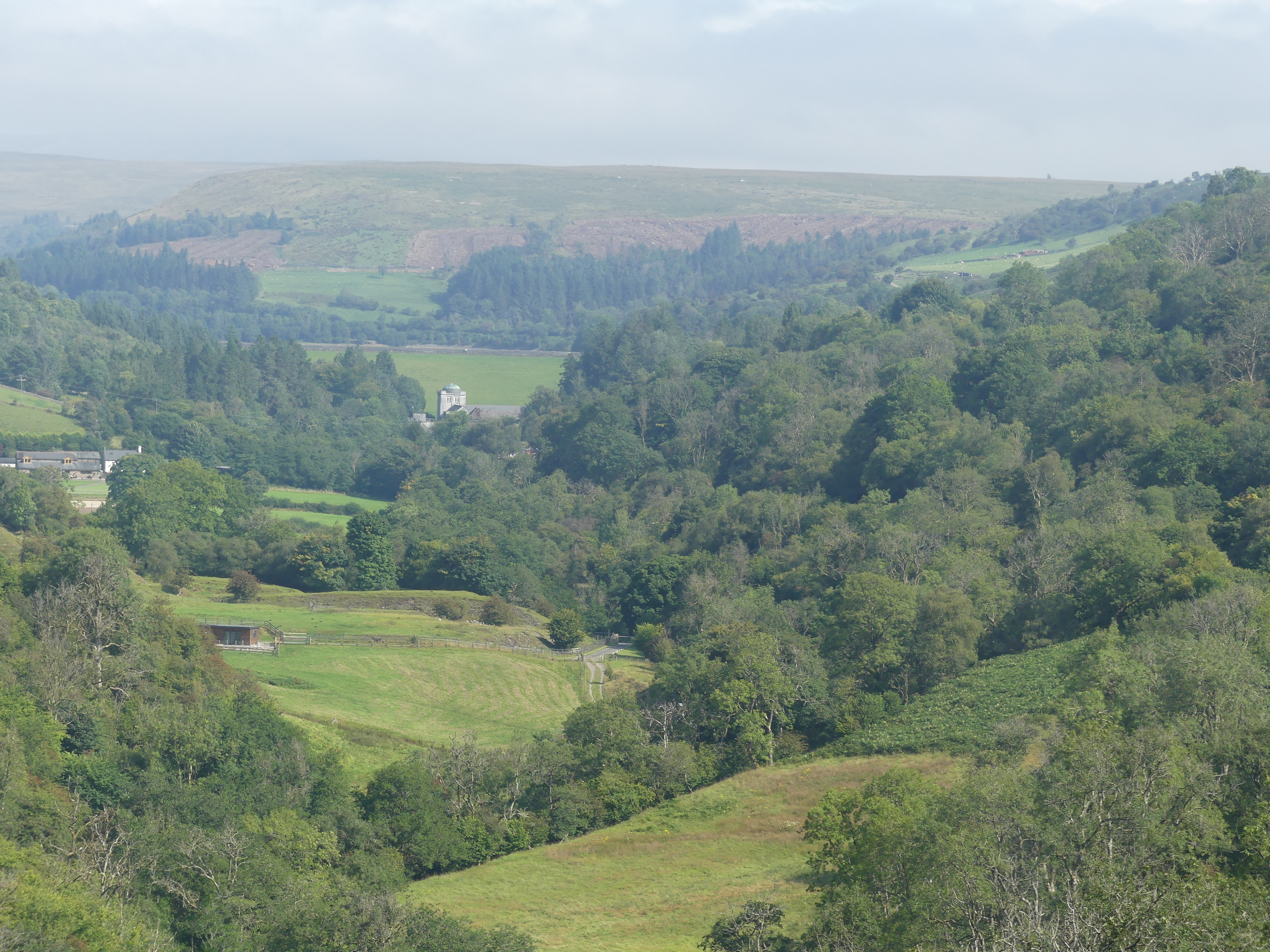
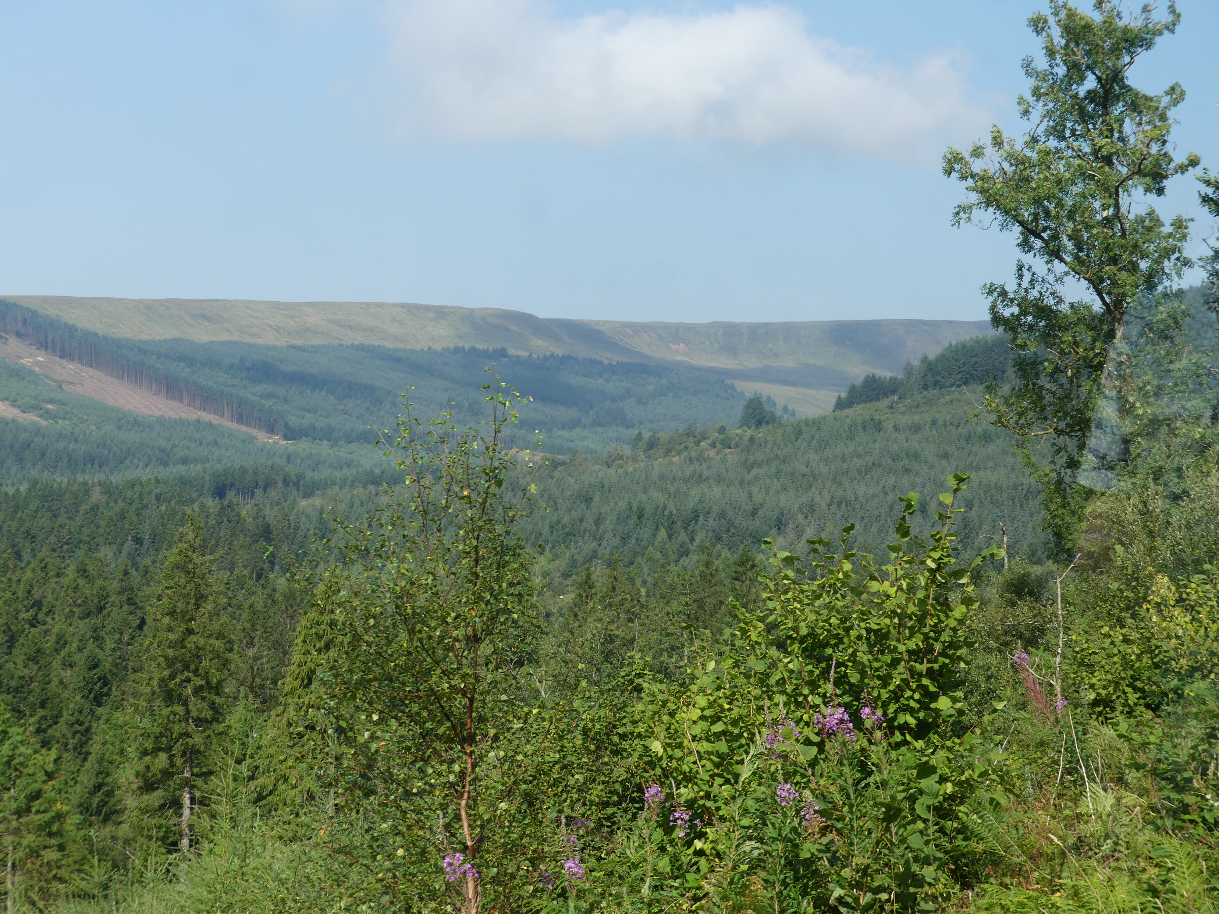
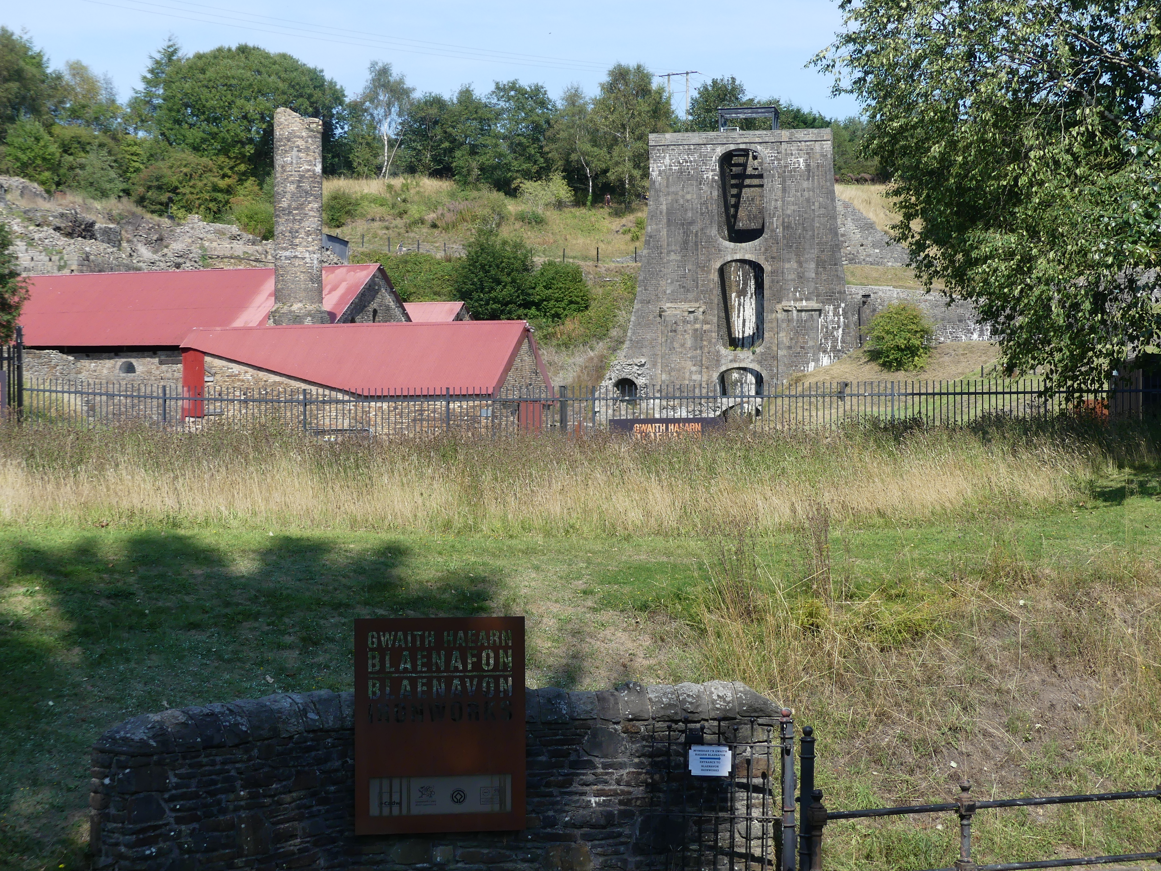
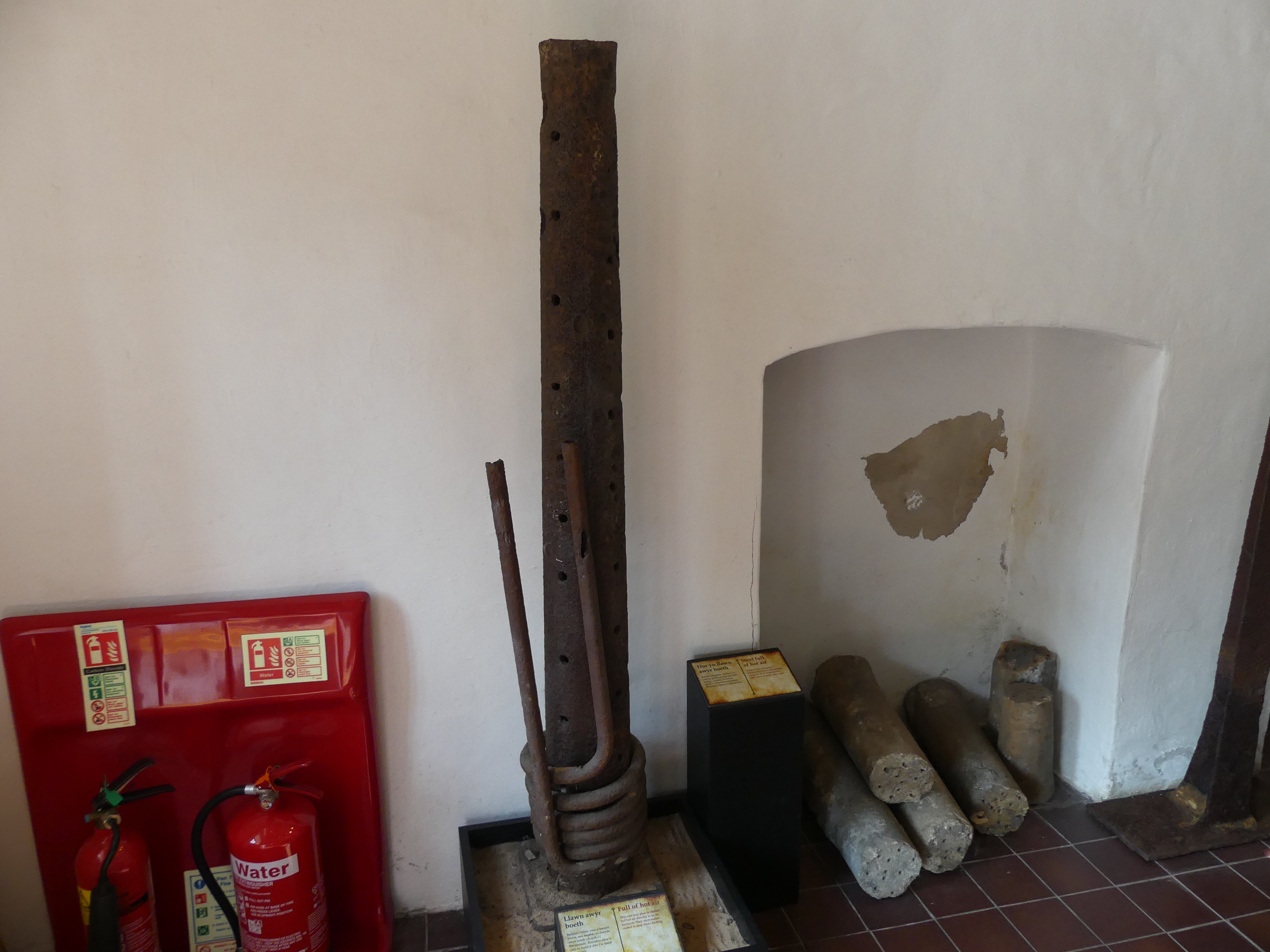
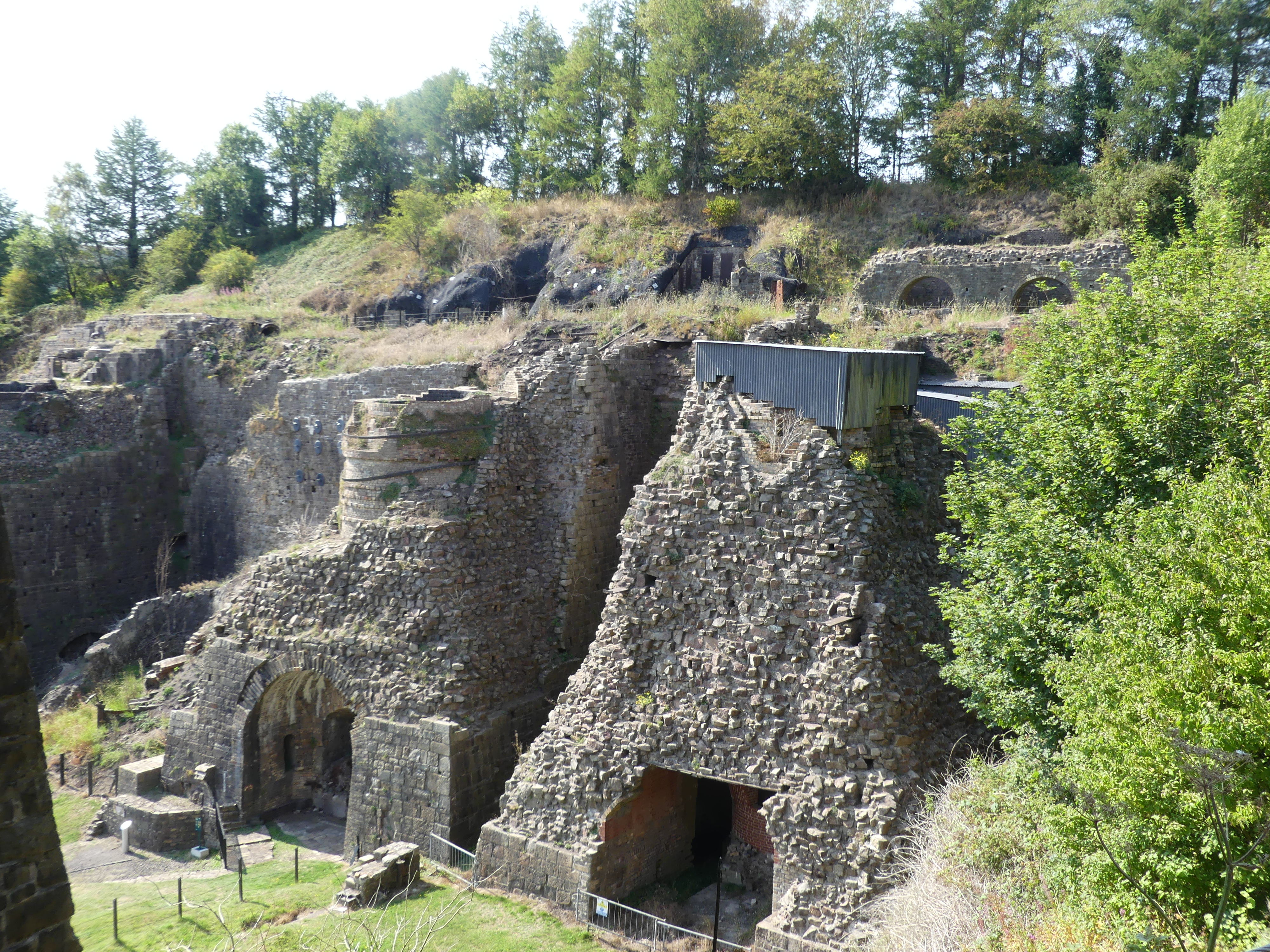
In our travels we were told about an old slate mine that we should visit. To get there we had to travel through a village called The Heights. The Heights rests beside a lake behind which is the mountains in which two of Britain’s largest slate quarries can be found. The main slate mining areas near “The Heights” are in the UNESCO World Heritage site, the Slate Landscape of Northwest Wales, which includes former quarries like Penrhyn Quarry near Bethesda and Dinorwic Quarry near Llanberis. Both were once among the world’s largest slate quarries and now serve as tourist and recreational sites. This abandoned site is just one of those mines.


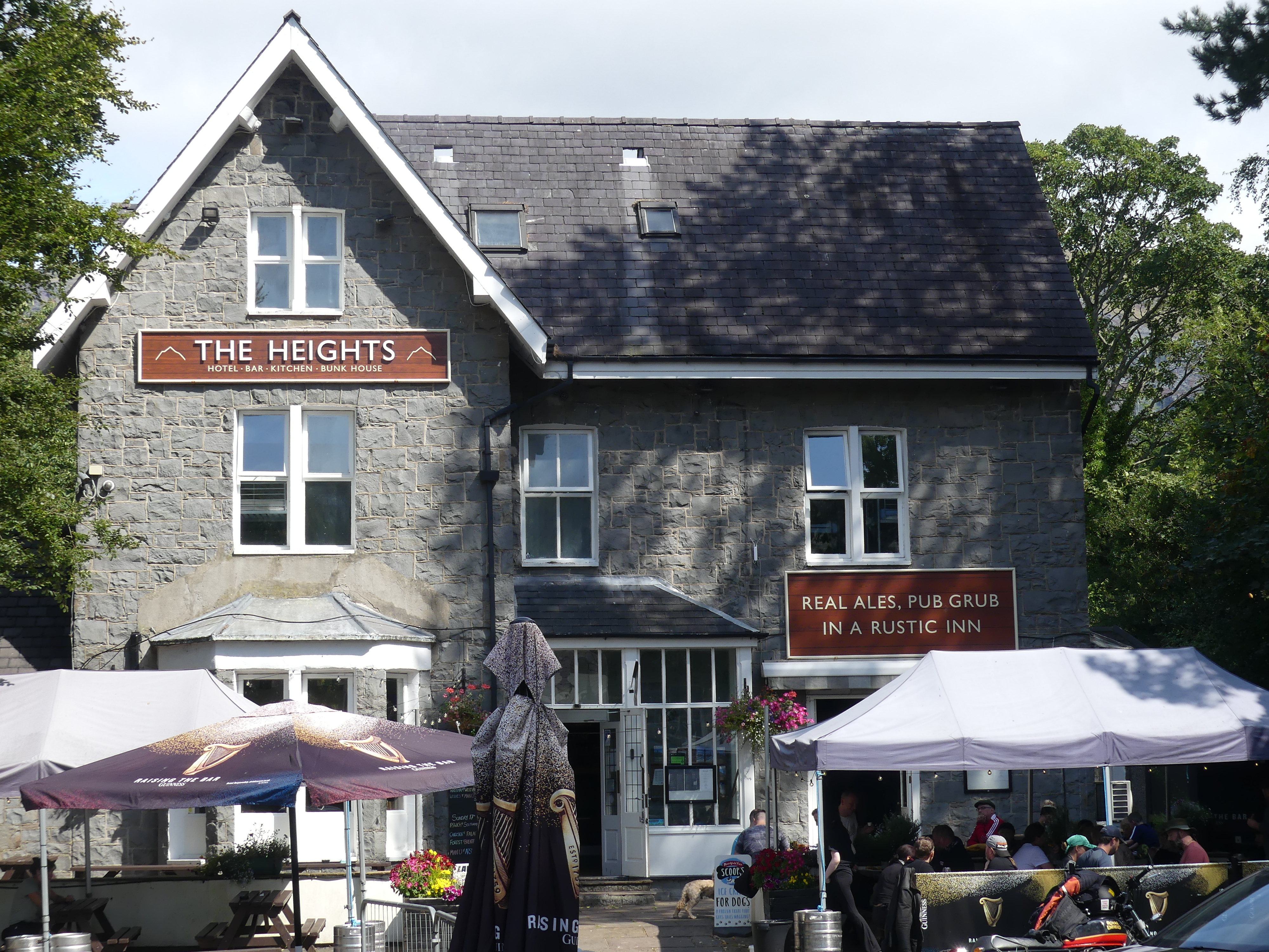


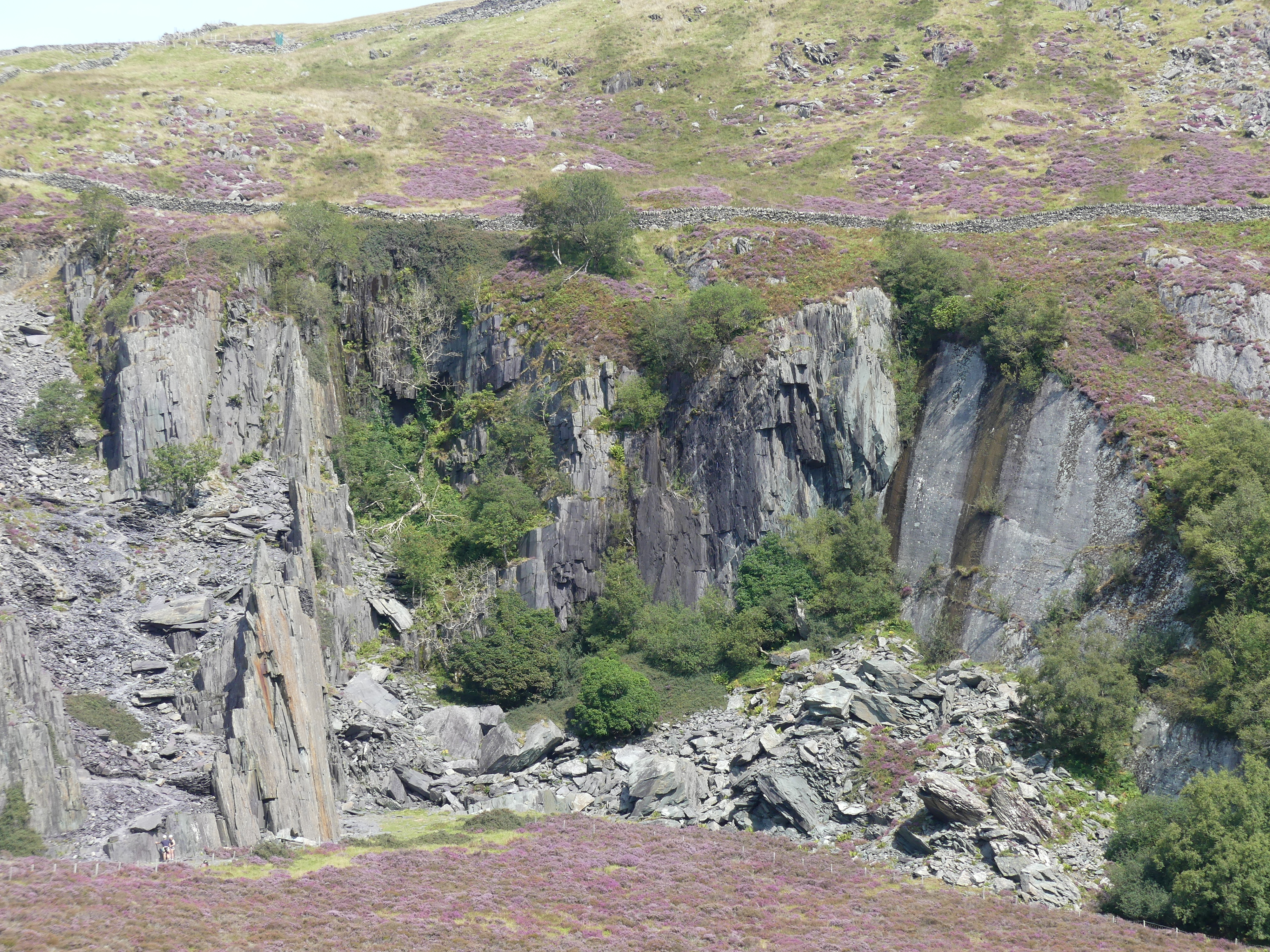

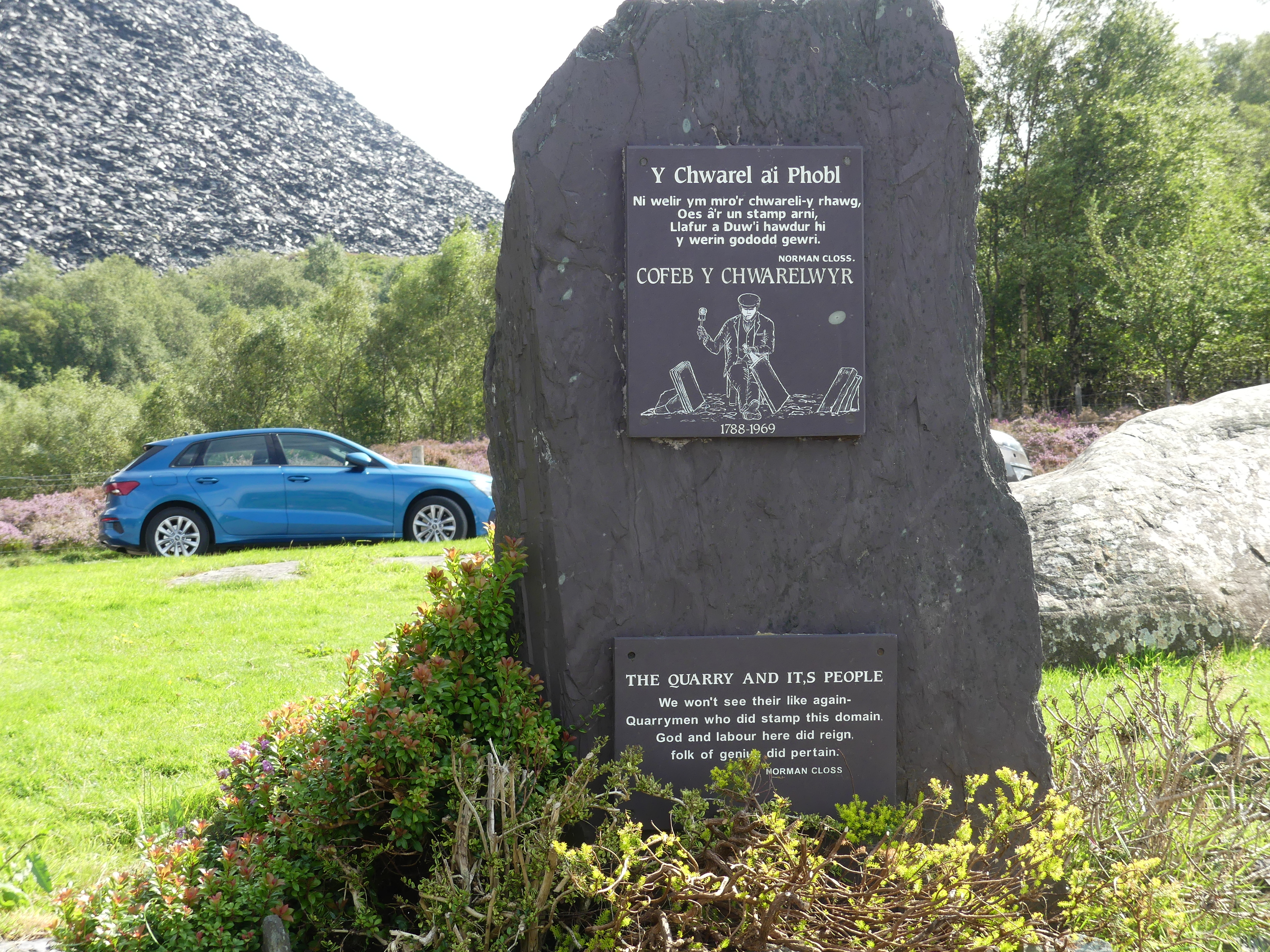

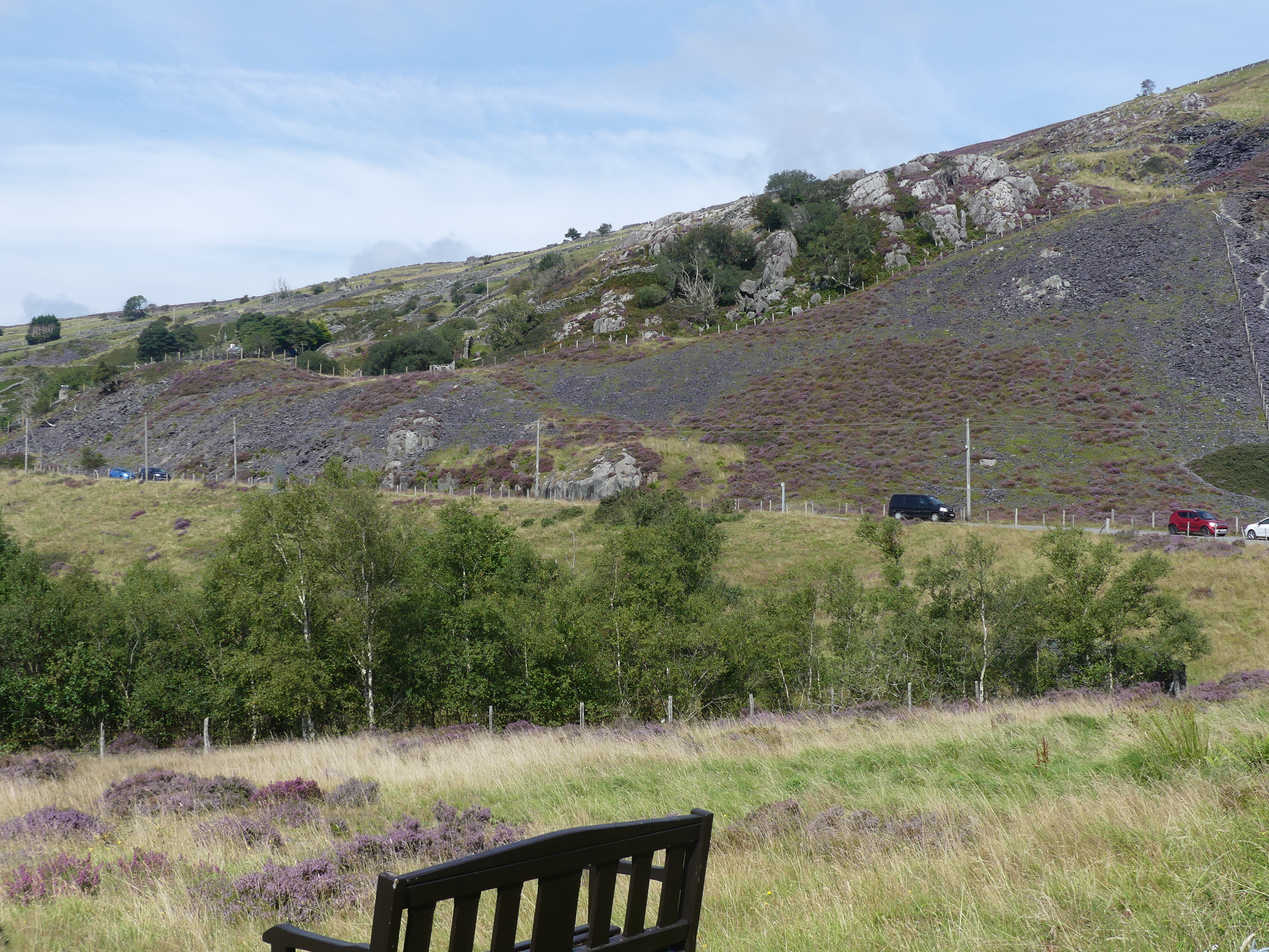

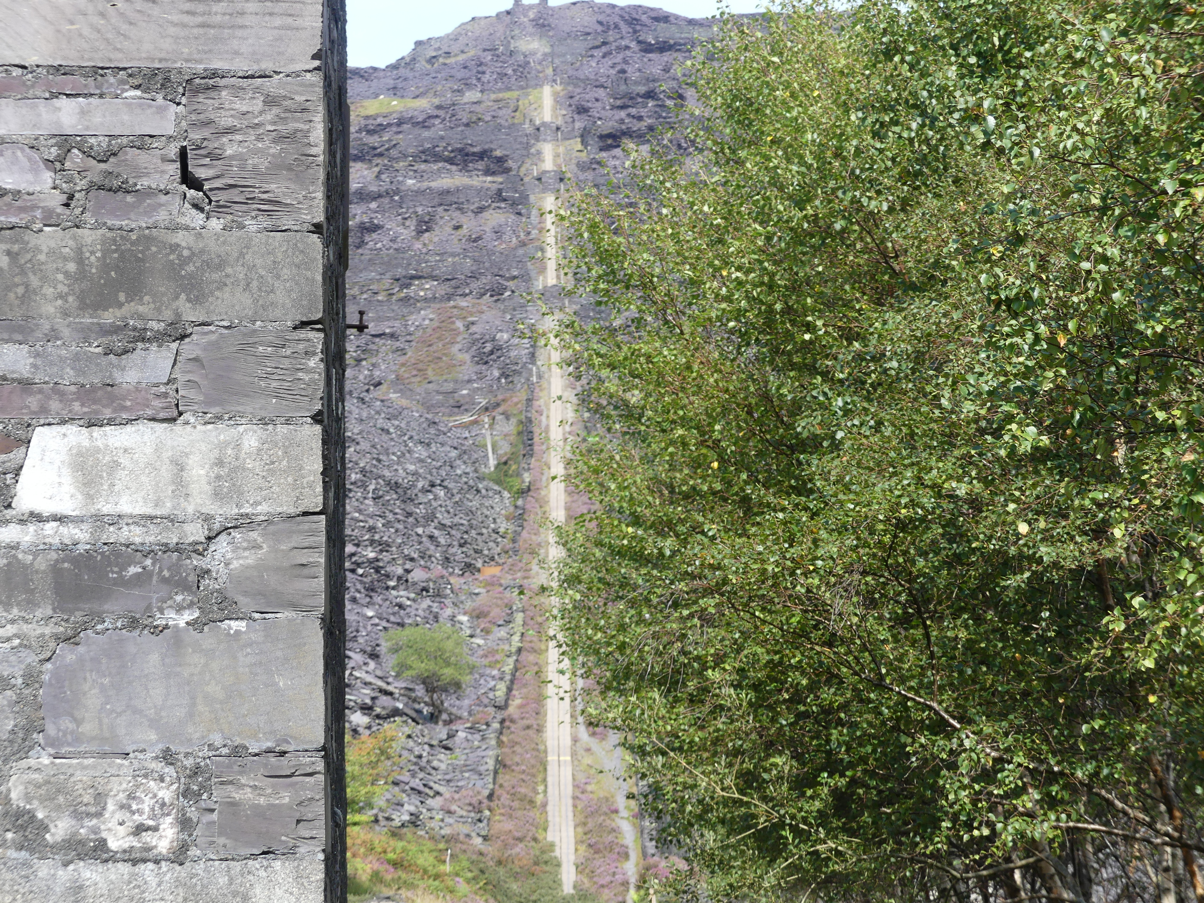

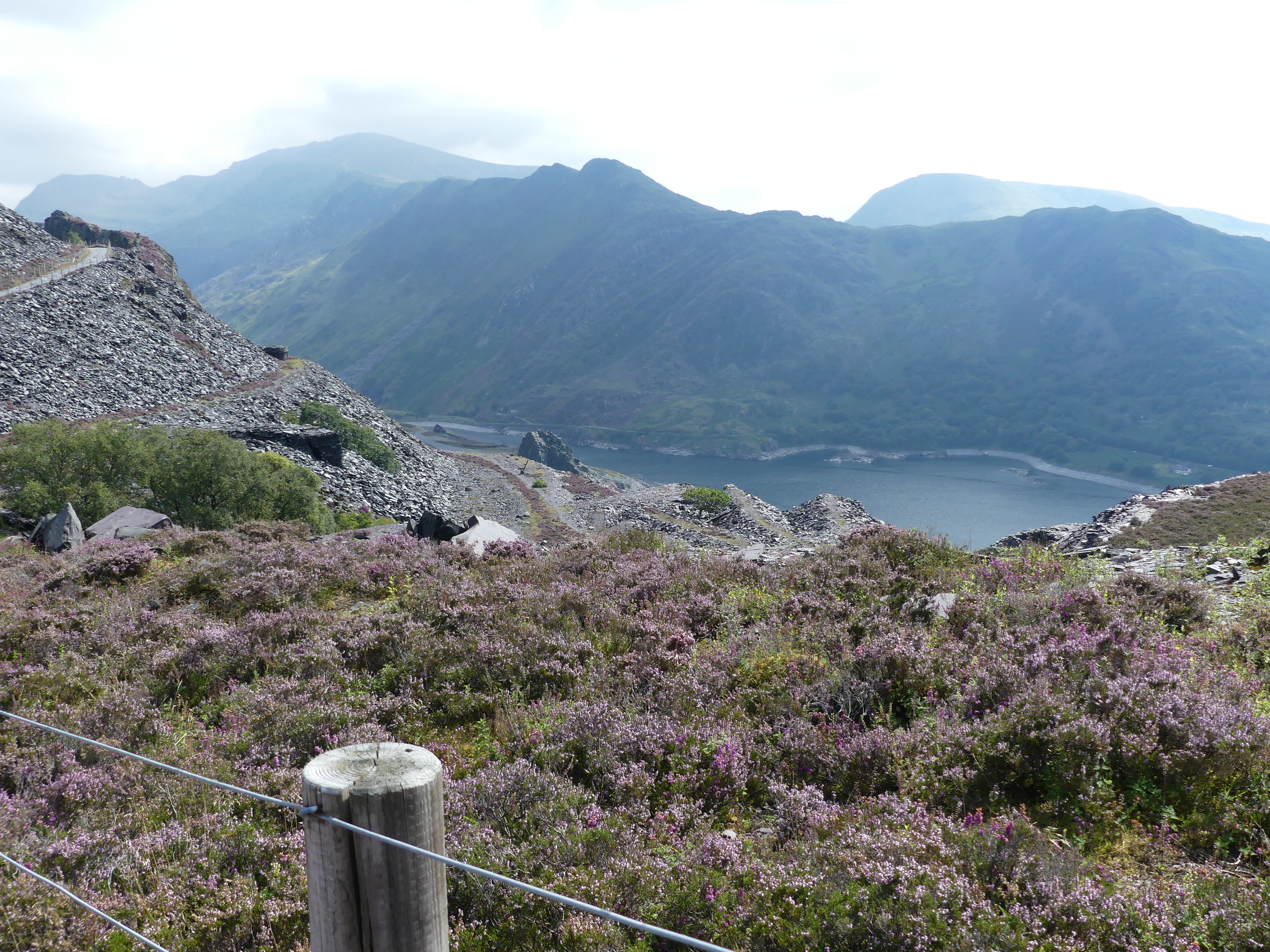


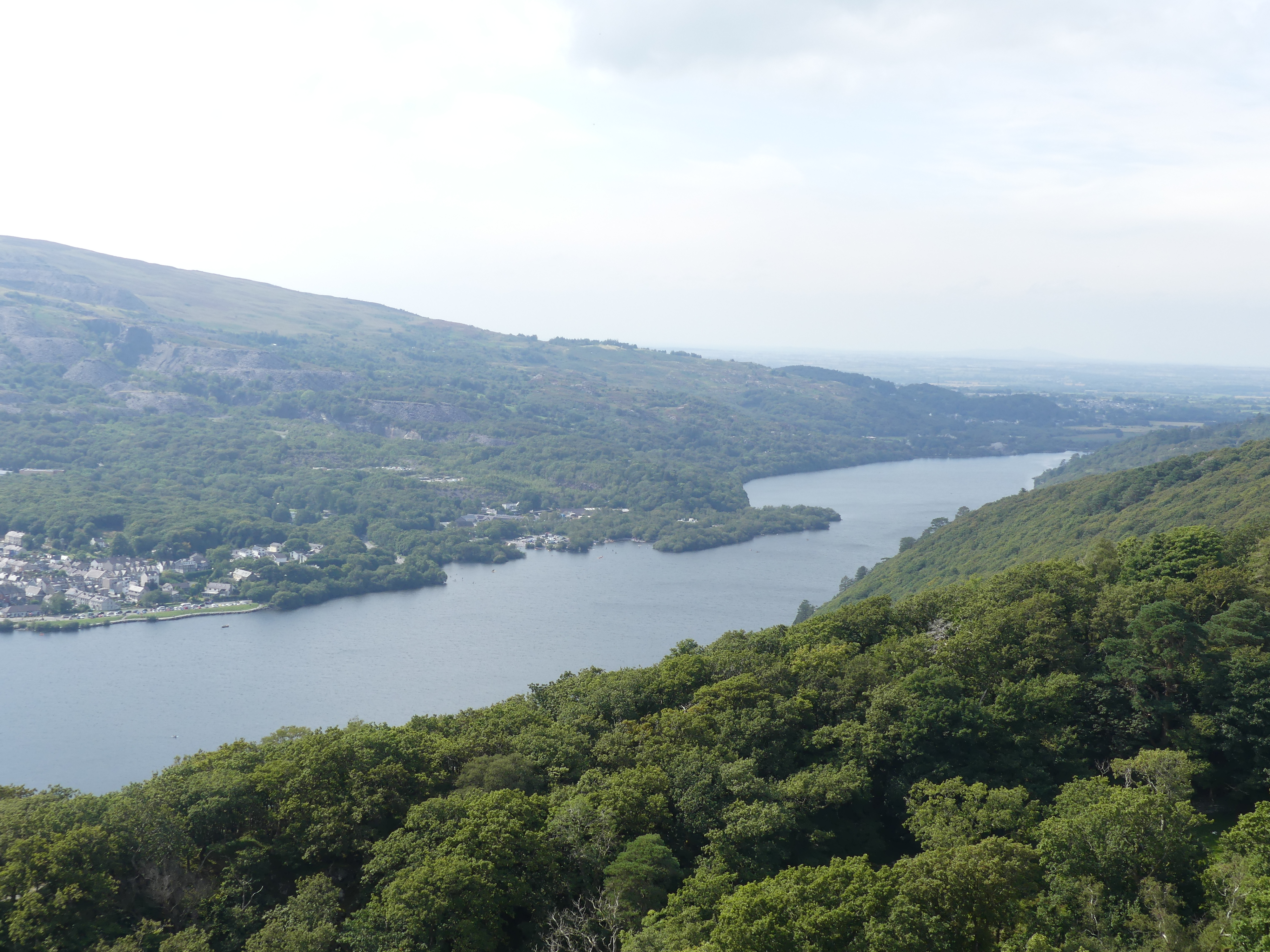

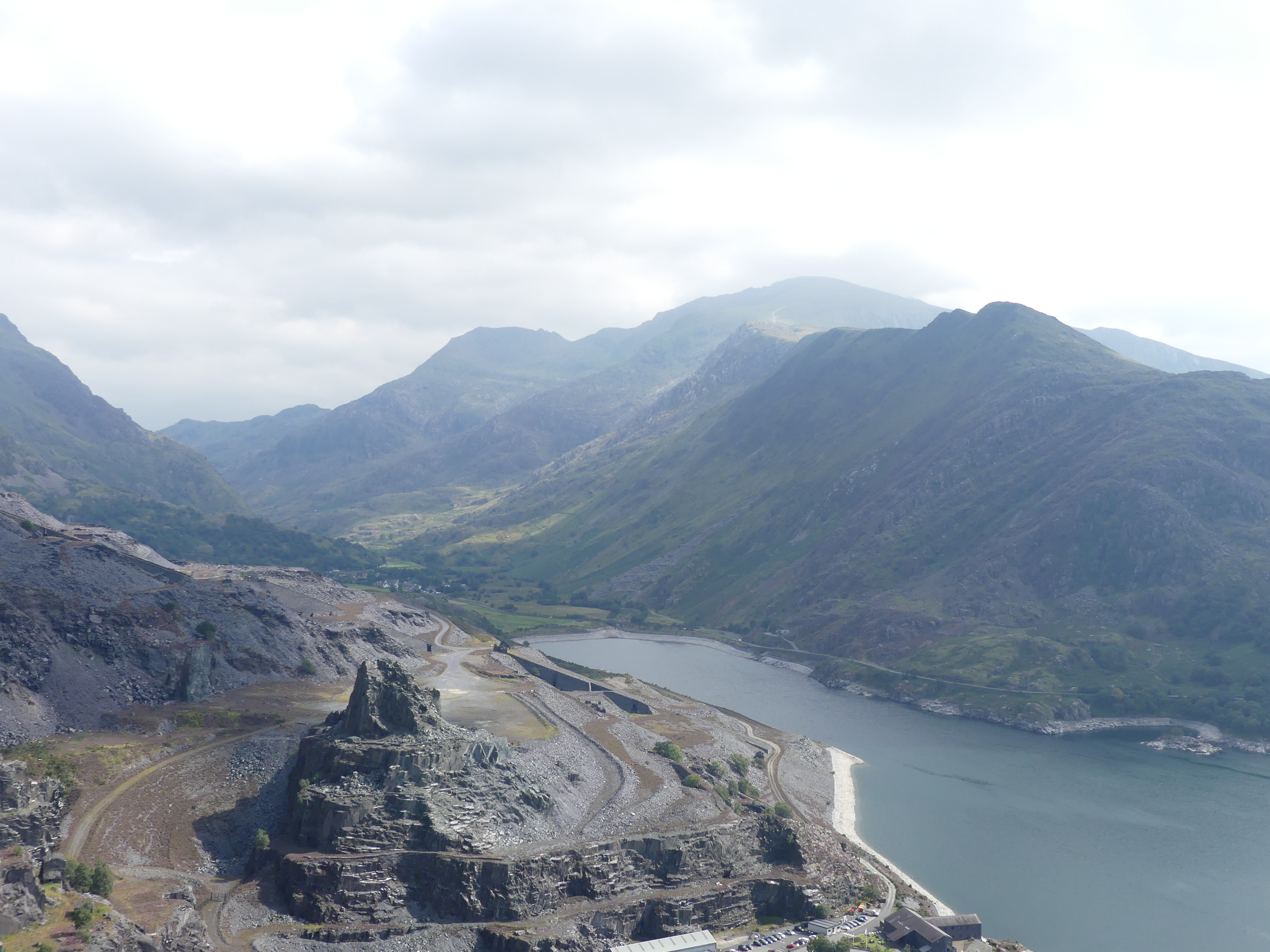
We parked along the lakeside in The Heights and firstly caught sight of the ruined tower then the Sword in the Stone – not really King Arthur territory which we had visited earlier this year when in Cornwall. We walked through the village finally settling on a pub for a cold beer and lunch. We got some directions to the closest mine and that is the mountain pictured above. Of course narrow country roads once again this time climbing the mountain. As we came to a cul de sac providing visitor parking we were amazed by the slate rubble making up additional height to the mountains. There were a number of ruins in the mine surrounds but slag heap with almost vertical rail lines to remove the stone surrounded us. Below us is the village of the Heights and the ruined castle we had seen across the lake. On a very early trip to North Wales we had visited Baleneau Festinog slate mine and had a very good idea of the labour needed to create the spoil heaps that surrounded us. We really do have many blessings in this life one being I did not have to work in a slate mine.
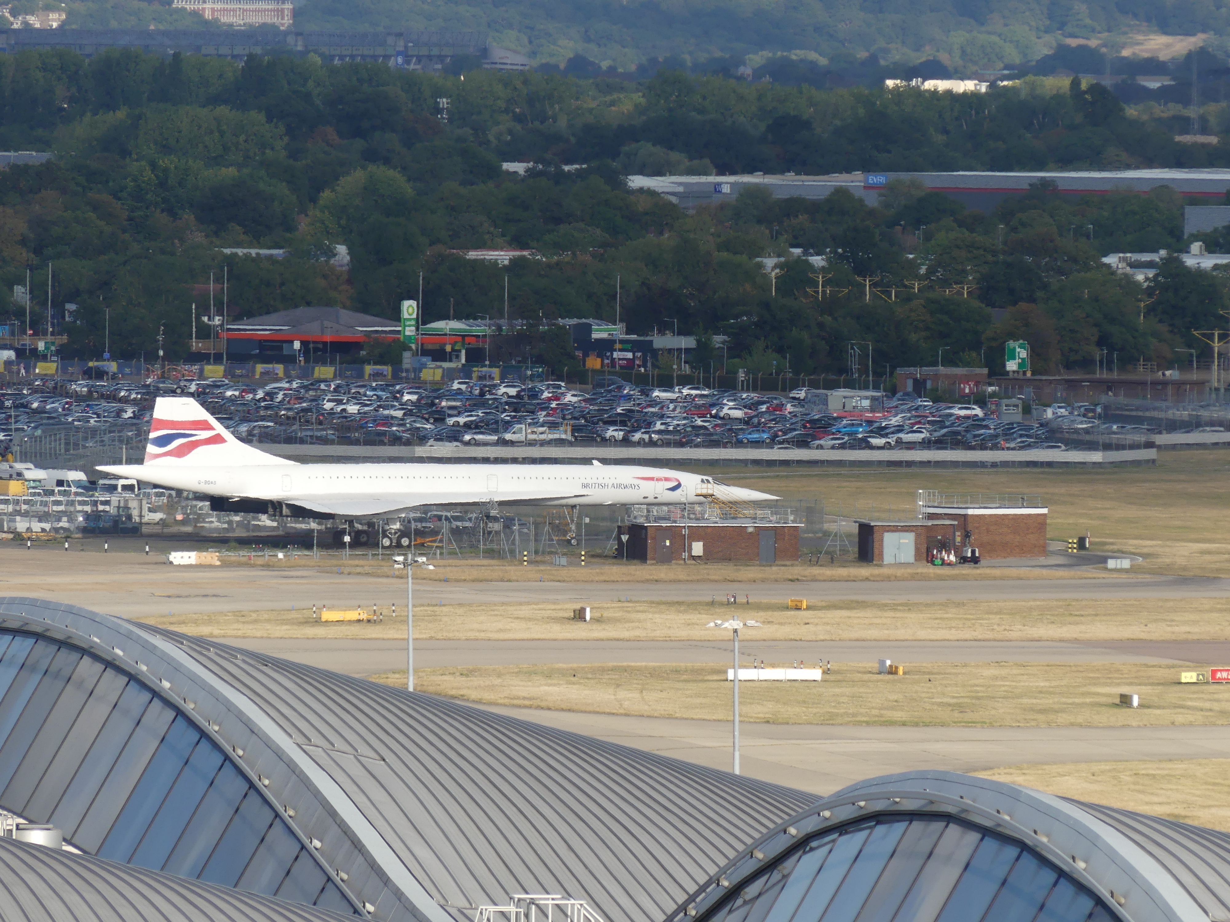
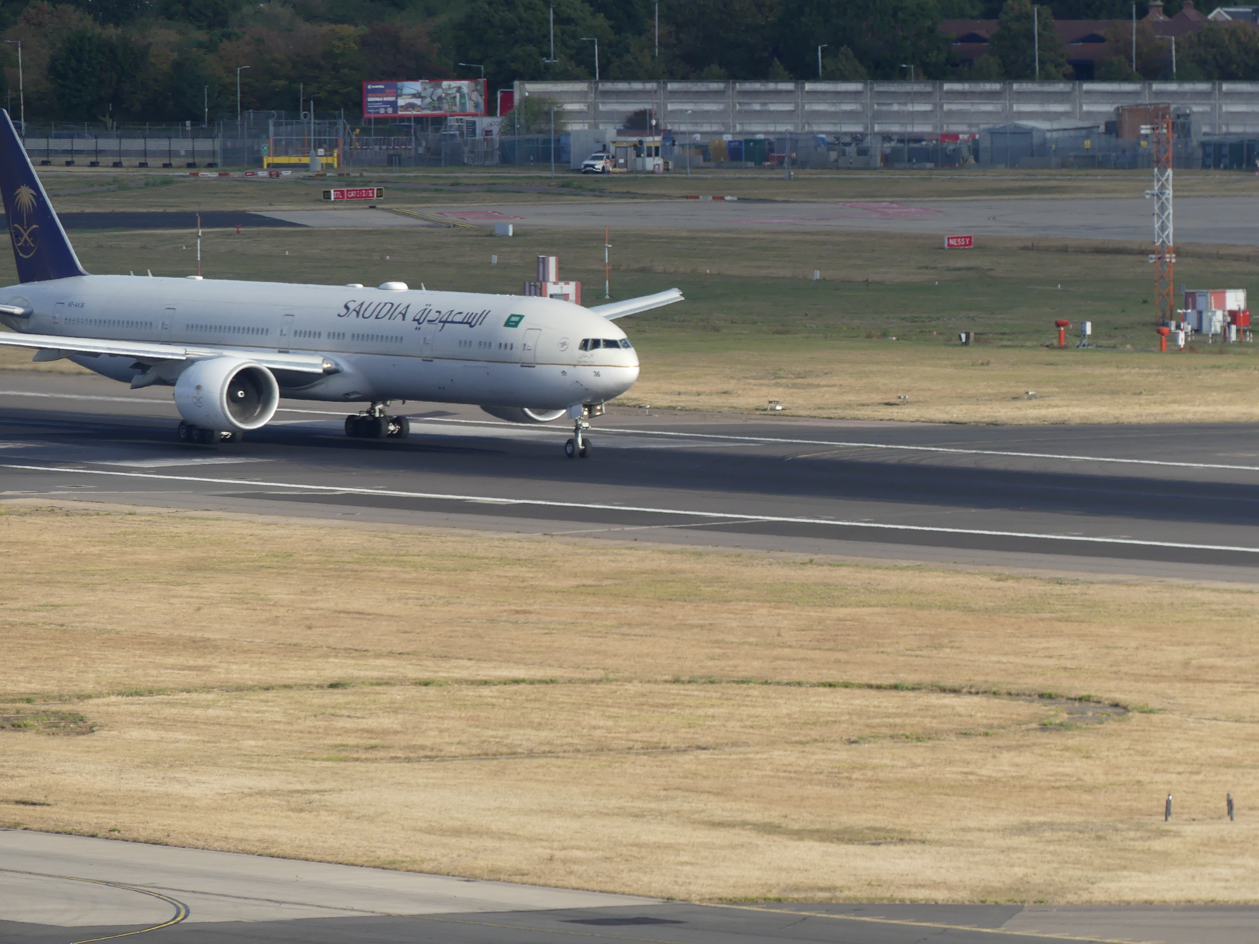
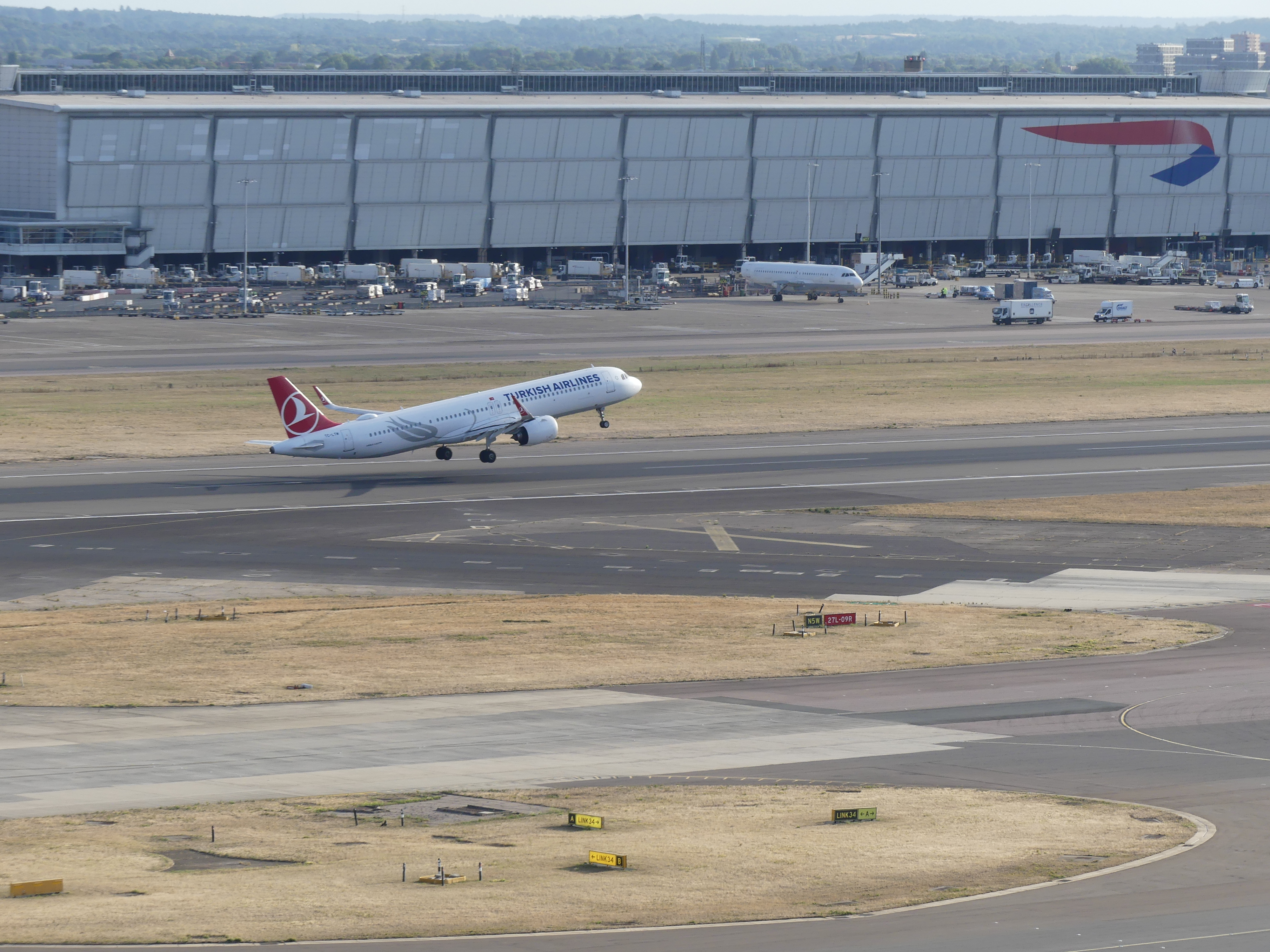
Our time in Anglesey was up and we now faced the drive to Dover to catch our ship to circumnavigate the British Isles. We drove back to Heathrow Airport and rested up in a hotel then returning the hire car. The hotel had a great roof top lounge where I obtained some good photos before being told to put it away by the Maitre De.


The following day we caught the tube to London and caught the National Express bus to Dover not knowing what awaited us. Read on with our continuing adventure in “THE RETIREES GO AROUND THE WORLD –CHATEAU RHIANFA PLAS RHIANFA, TO DOVER AND SS NEUW STATENDAM.”