

I recall that it was almost sunny on our way to Cornwall and our stop in Dorchester was welcome to stretch our legs.
Dorchester
It is situated between Poole and Bridport on the A35 trunk route. A historic market town, Dorchester is on the banks of the River Frome to the south of the Dorset Downs and north of the South Dorset Ridgeway that separates the area from Weymouth, 7 miles (11 km) to the south. In the 17th and 18th centuries Dorchester suffered several serious fires. Only a few of the town’s early buildings have survived to the present day. Dorchester remained a compact town within the boundaries of the old town walls until the latter part of the 19th century because all land immediately adjacent to the west, south and east was owned by the Duchy of Cornwall.
This was a stopover to have lunch and break our trip. Despite the many attractions trumpeted by the local visitors bureau we were limited to dining in a quirky coffee shop and wandering through the quirky building in which the coffee shop was located.
Truro
We arrived at our B & B “The Fielding” late in the afternoon. To our delight onsite parking was included at no cost but a little bit squeezy. The premises are an Edwardian style two/three story house with two accommodation rooms and the couple who own it living on site – breakfast was included. I am certain this pair were older than us by 10 years and still running a B & B.
The accommodation was comfortable, and we spent little time in it, so it did the trick. A group of workers was staying at the premises whilst they fixed whatever needed fixing around about and we shared breakfast in the dining room. Then they would leave for their days work and we had no problem with the parking arrangements.
St Ives and Penzance.
Our first journey involved a visit to St Ives.
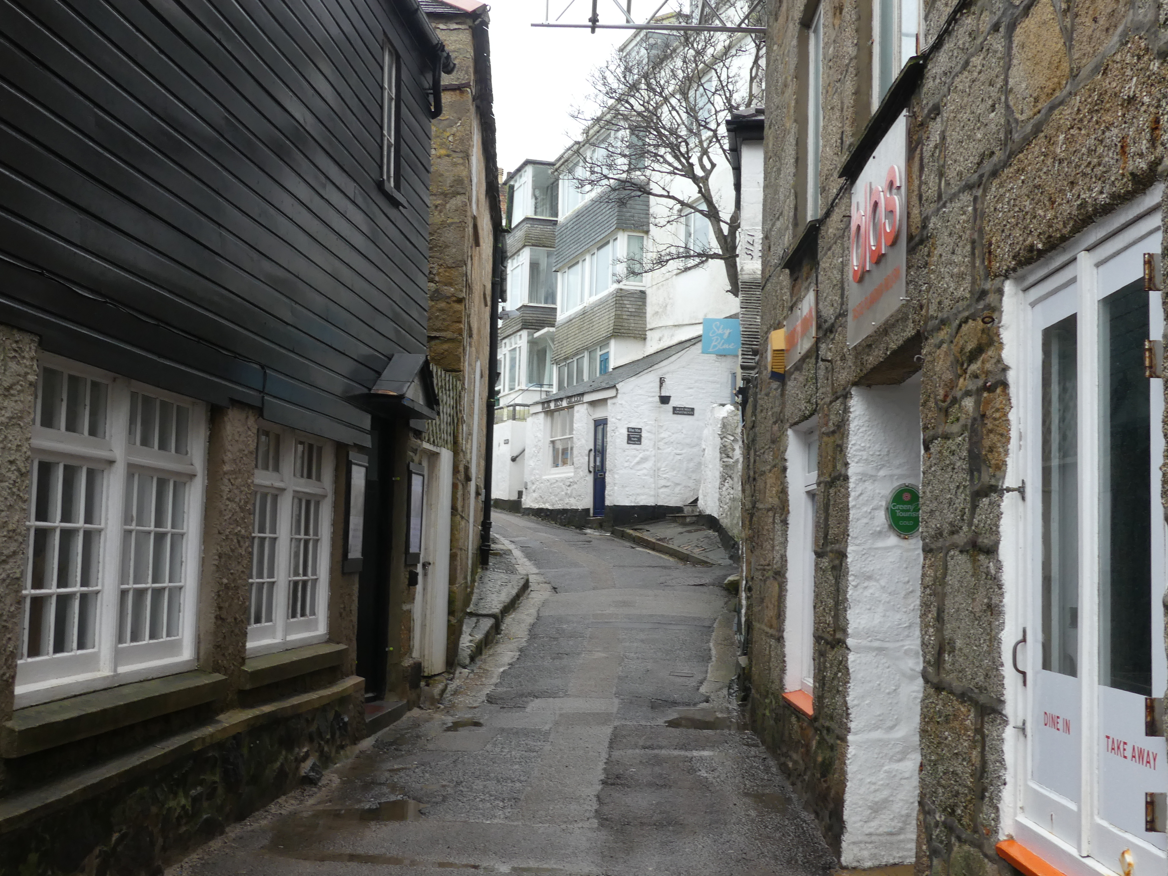
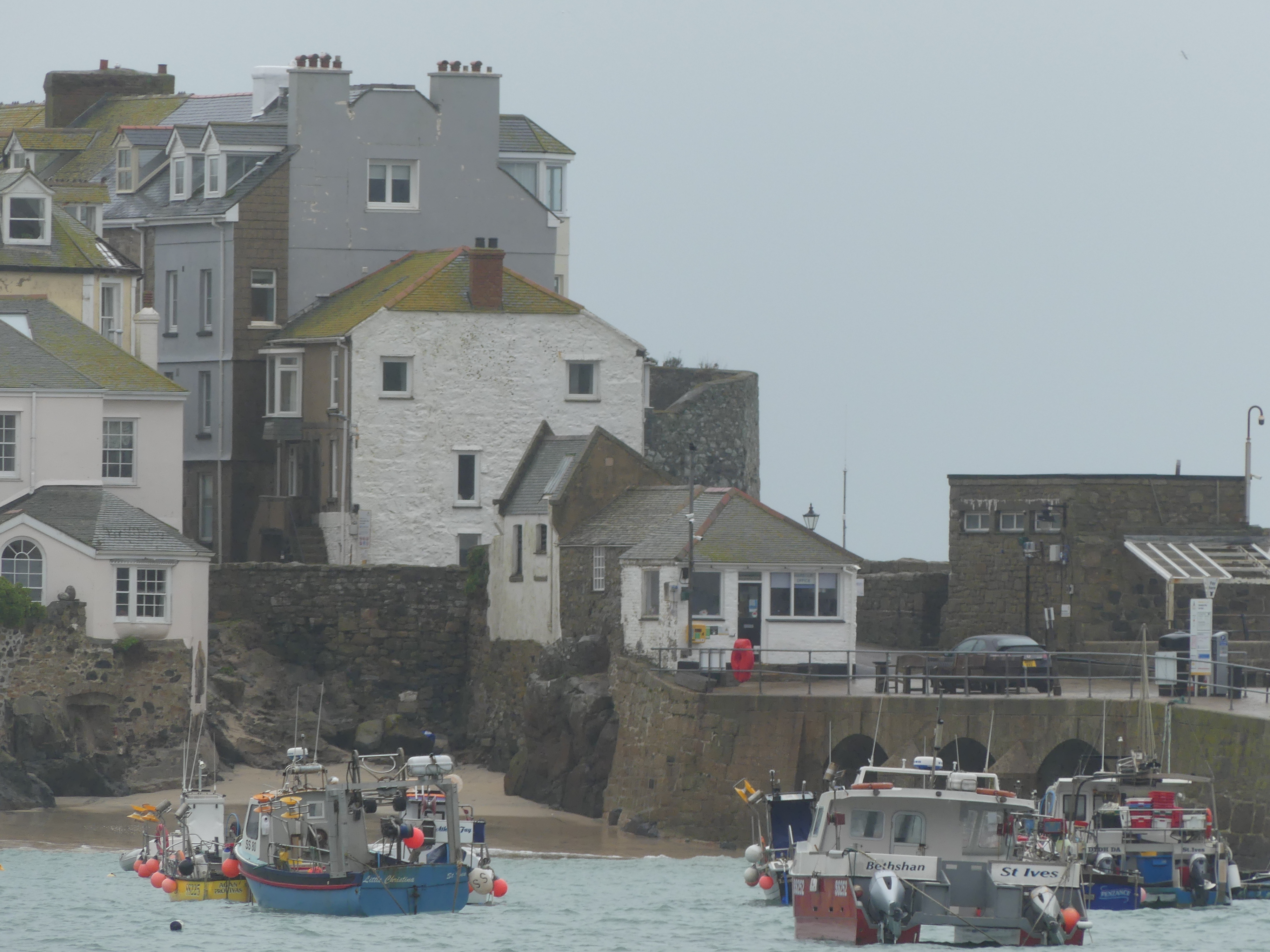
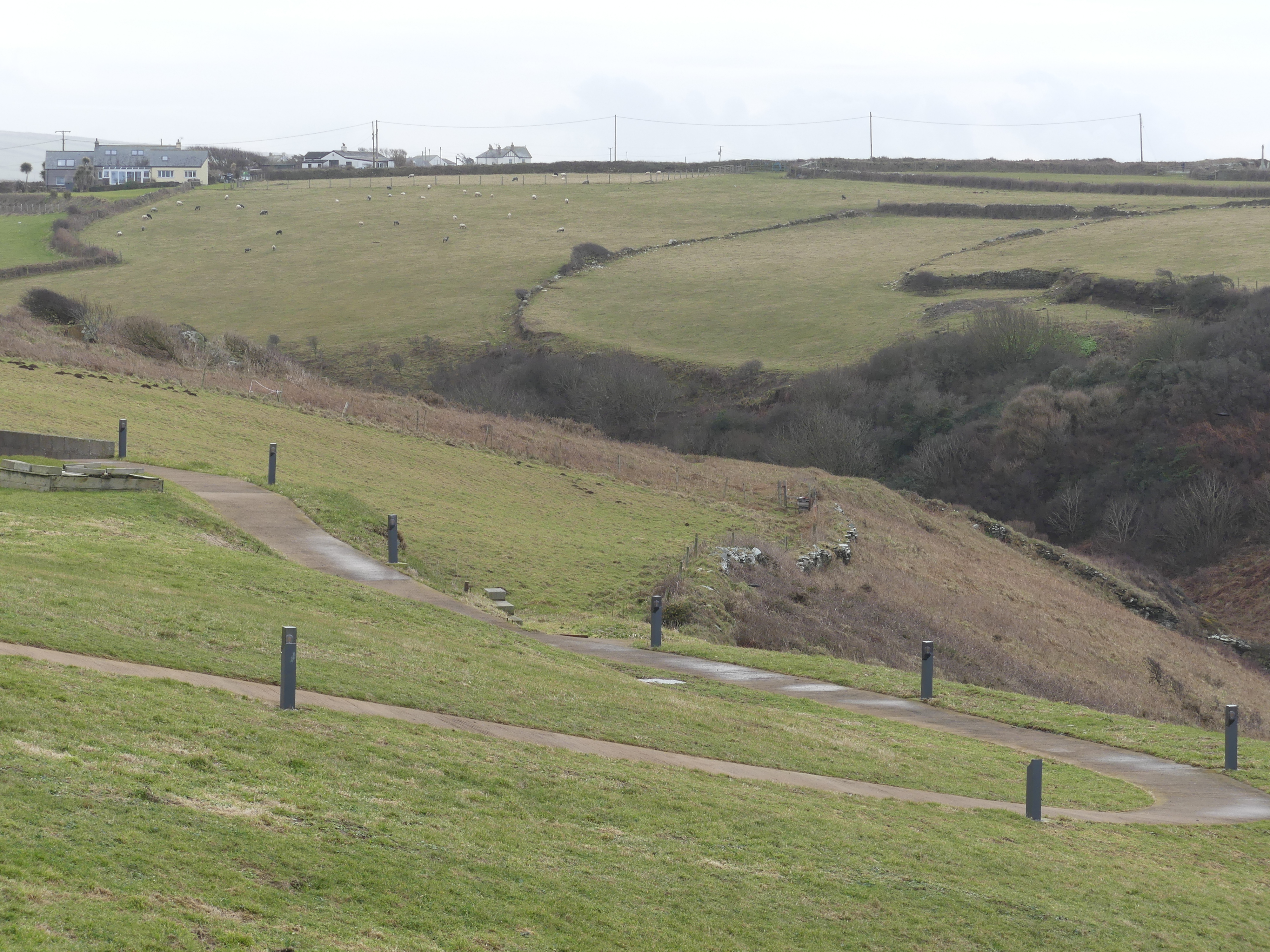
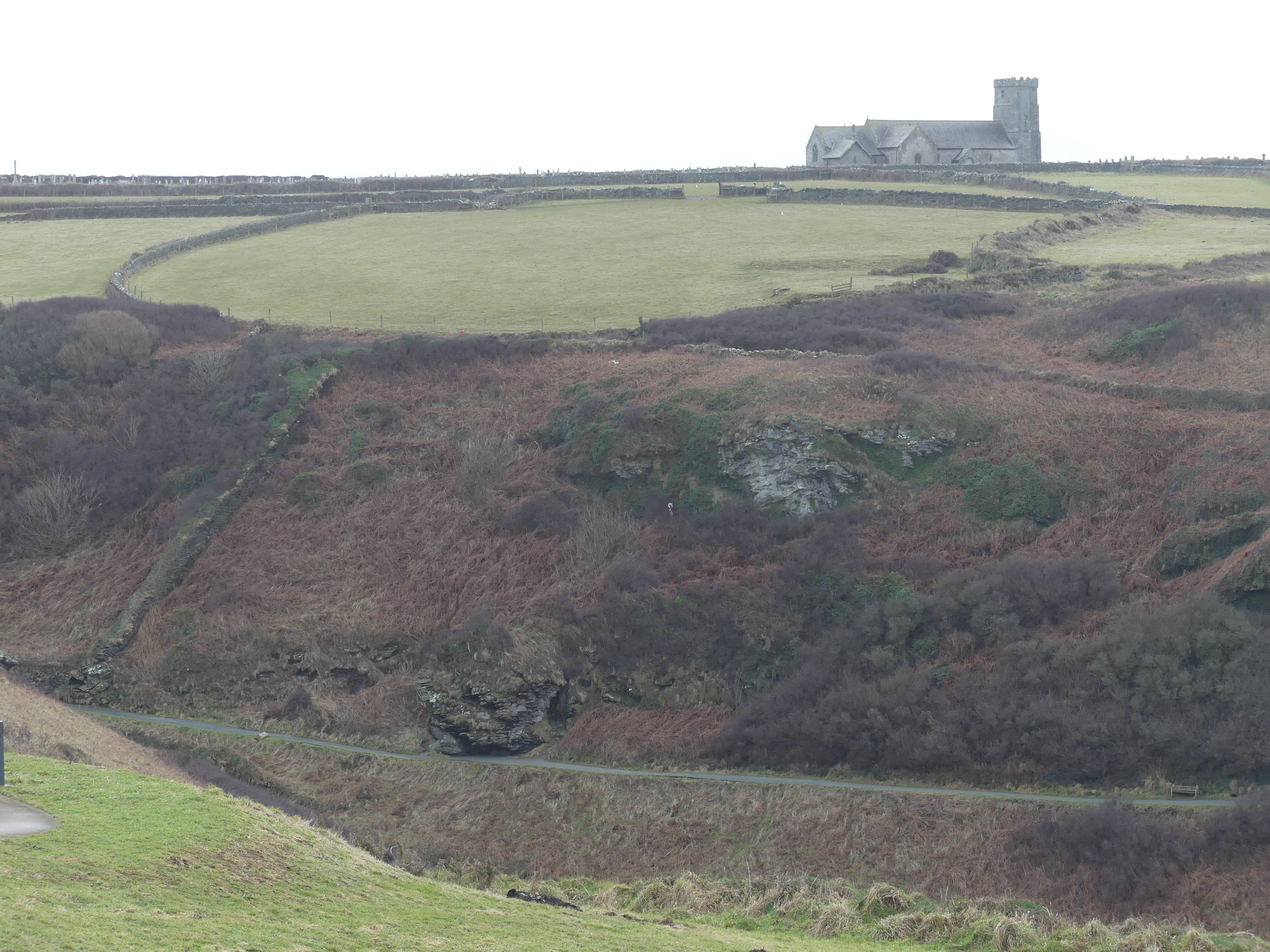
St Ives is a seaside town, and port in Cornwall. The town lies north of Penzance on the coast of the Celtic Sea. In former times, it was commercially dependent on fishing. The decline in fishing, however, caused a shift in commercial emphasis, and the town is now primarily a popular seaside resort. It is notable in achieving the title of Best UK Seaside Town and named best seaside town of 2007 by The Guardian newspaper. We kept to the waterfront and were lucky to find parking on one of the shoreline parking areas. Unfortunately, it was a showery day but not miserable. We made our way from the car park to the seafront in the town’s centre and found the mariner’s church. On the way we encountered St Ive’s Church. St Ives is a parish church on the waterfront in St Ives. The church is dedicated to the Virgin, also known as Ives, supposedly an Irish holy woman of the 5th or 6th century. The current building dates to the reign of King Henry V of England (1413 to 1422 AD).
A small “A” frame sign beckoned us to enter with the word “Café” – yes inside in one of the wings of the church was a modest coffee shop offering a free service for those who could not afford a coffee. I believe it had a volunteer operating it so we stopped had a coffee and cake and paid forward for the next two people in need to receive a coffee. What a great idea!


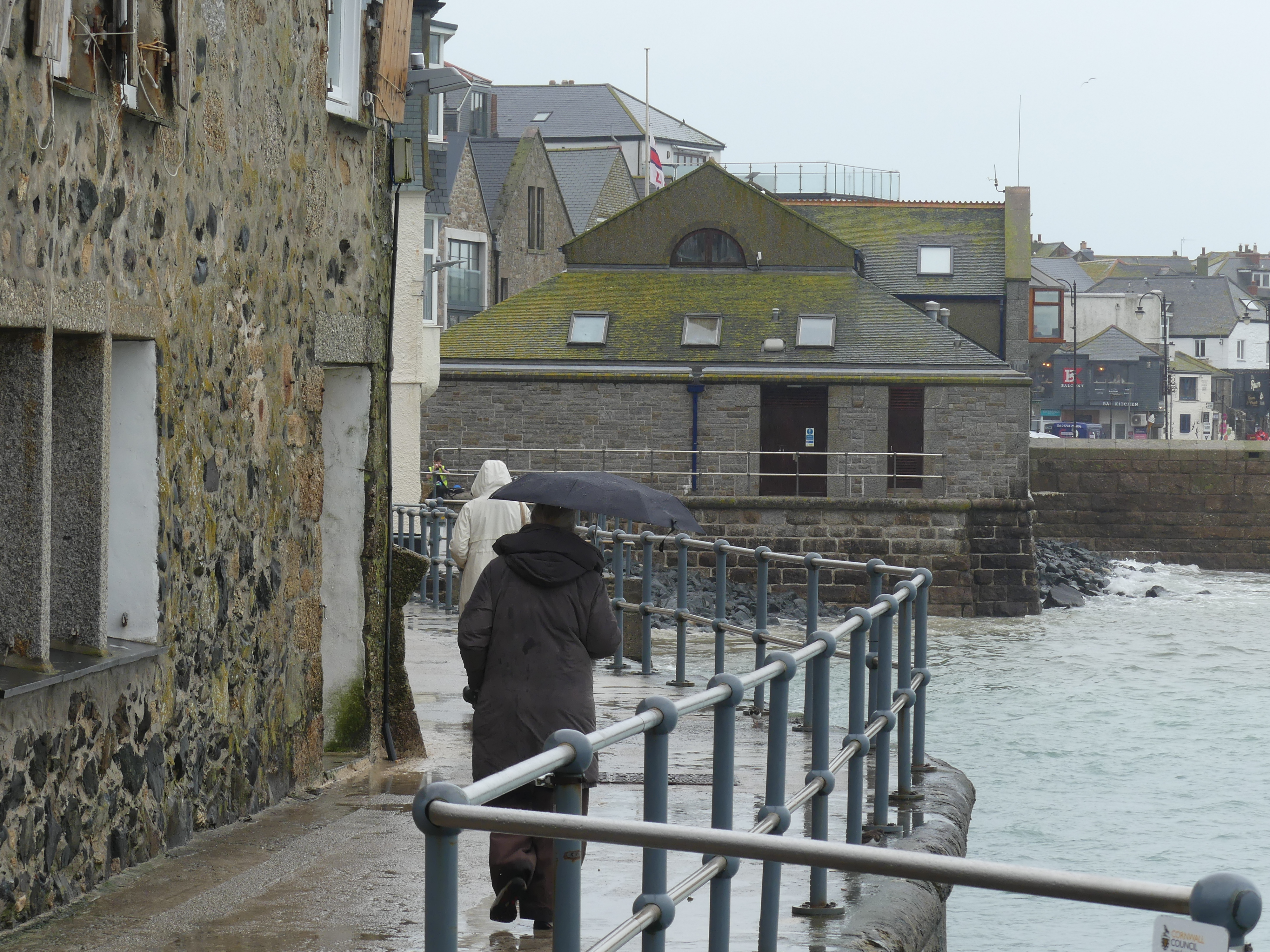

We continued our walk keeping to the waterfront. The weather remained overcast and rained intermittently so there was not much excitement – so we moved onto Penzance.
It is the westernmost major town in Cornwall. Situated in the shelter of Mount’s Bay, the town faces south-east onto the English Channel. Penzance’s Chapel Street has a number of interesting features, including The Admiral Benbow public house (home to a real life 1800s smuggling gang and allegedly the inspiration for Treasure Island’s “Admiral Benbow Inn). It is also the base of the pirates in Gilbert and Sullivan’s comic opera “The Pirates of Penzance”. Exploring the town we came upon Rotary Shop in New Street. We stopped off to check it out and Kerry introduced herself. The Rotary Shop is unique among local Charity Shops. The shop raises funds specifically to assist local groups and charities by selling goods donated by the community.


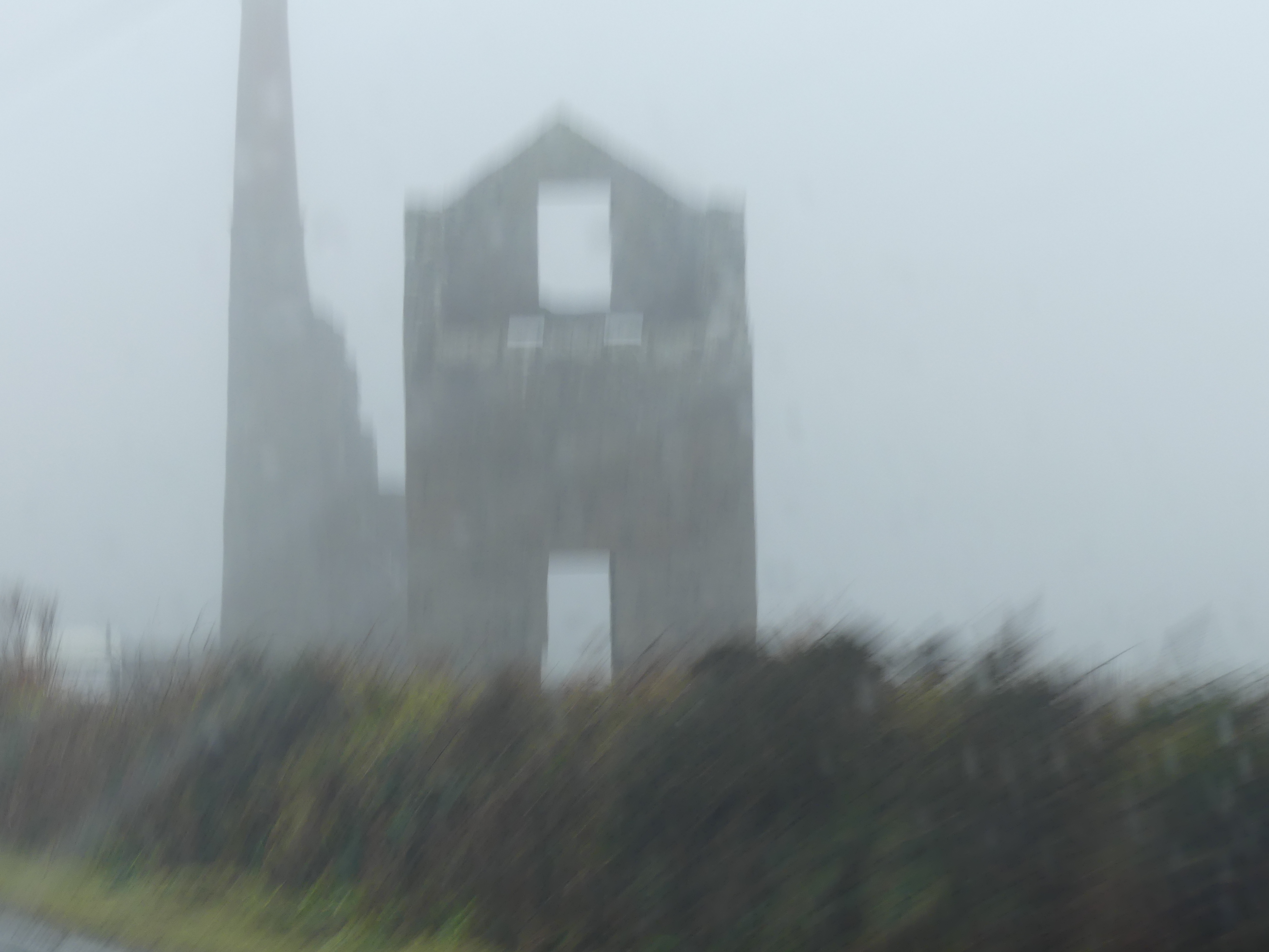
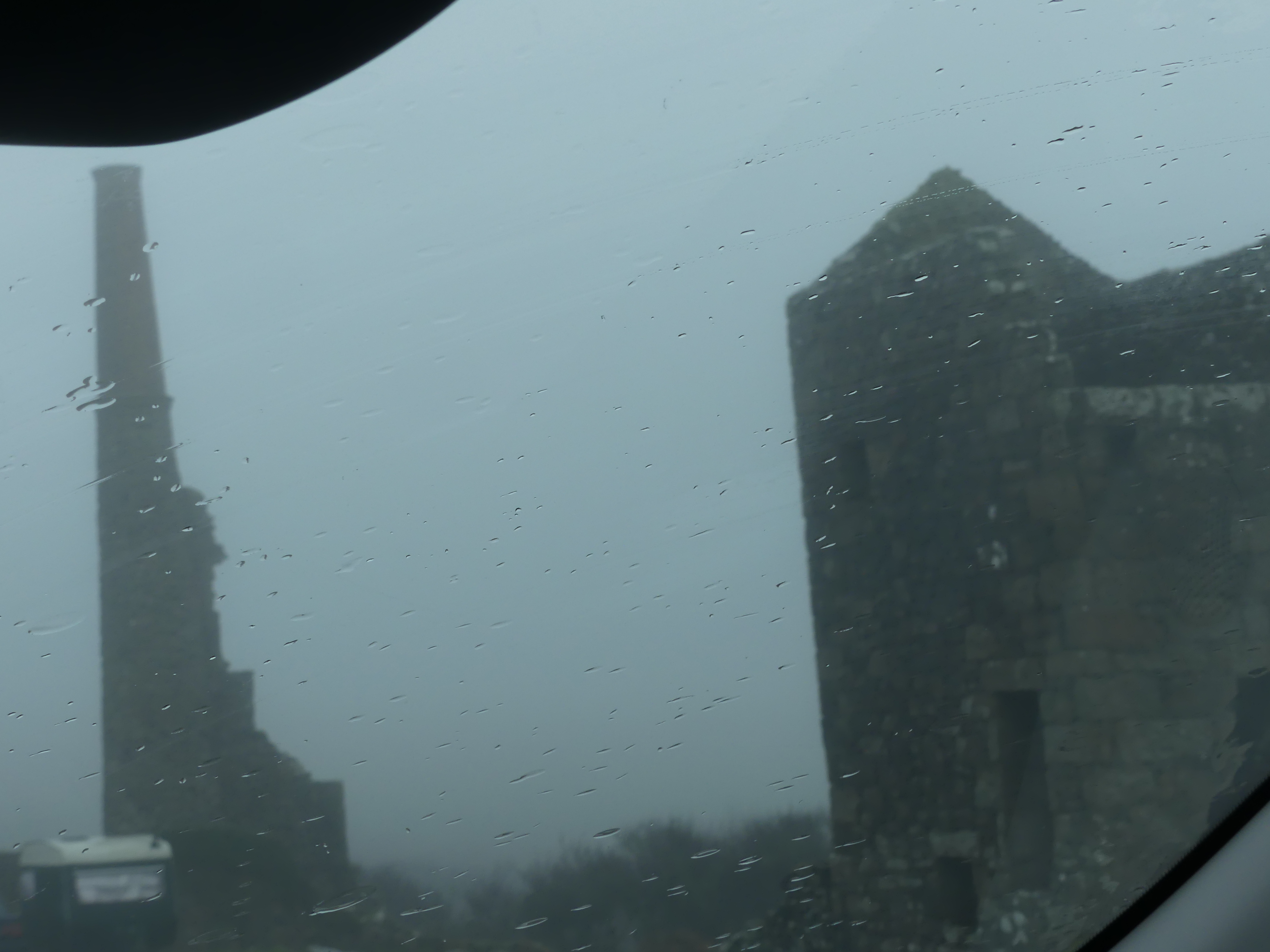
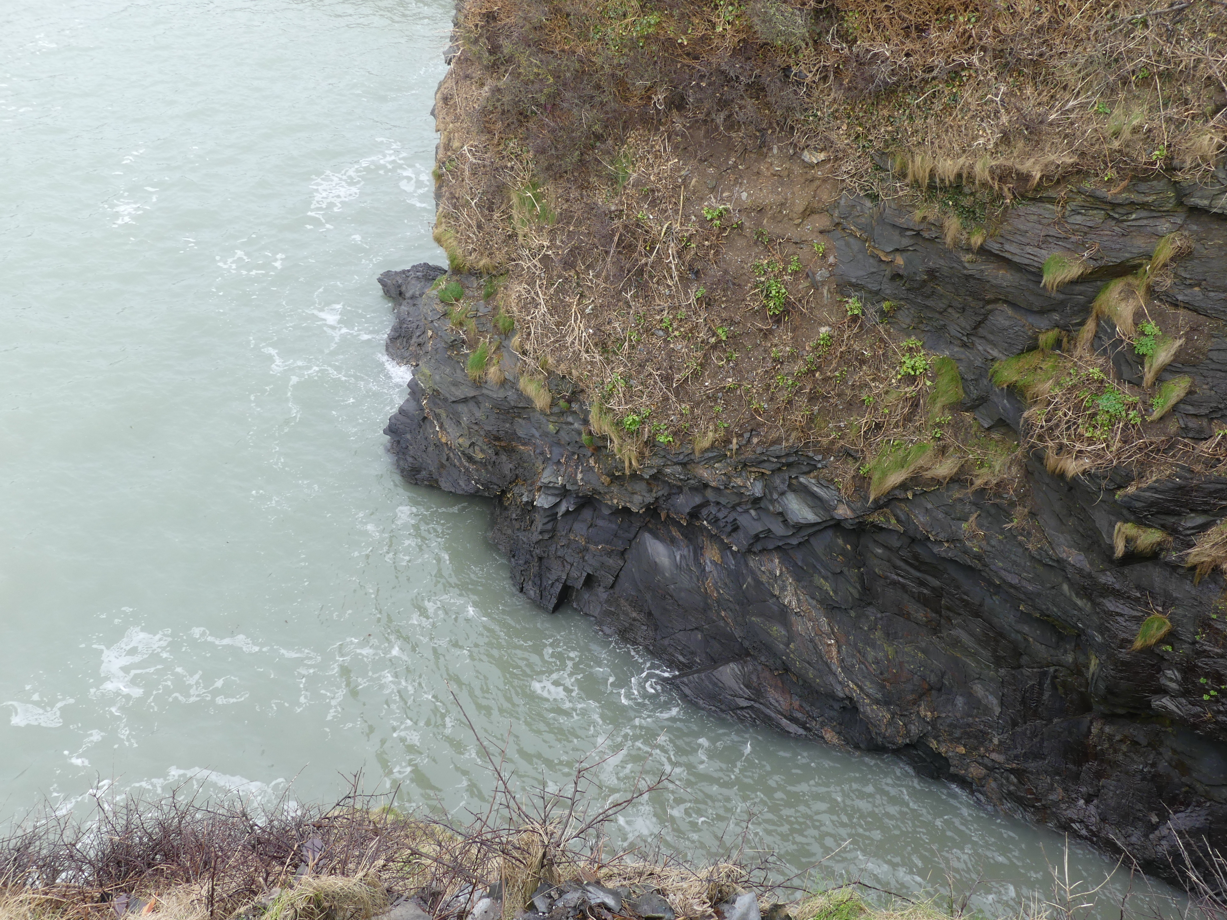
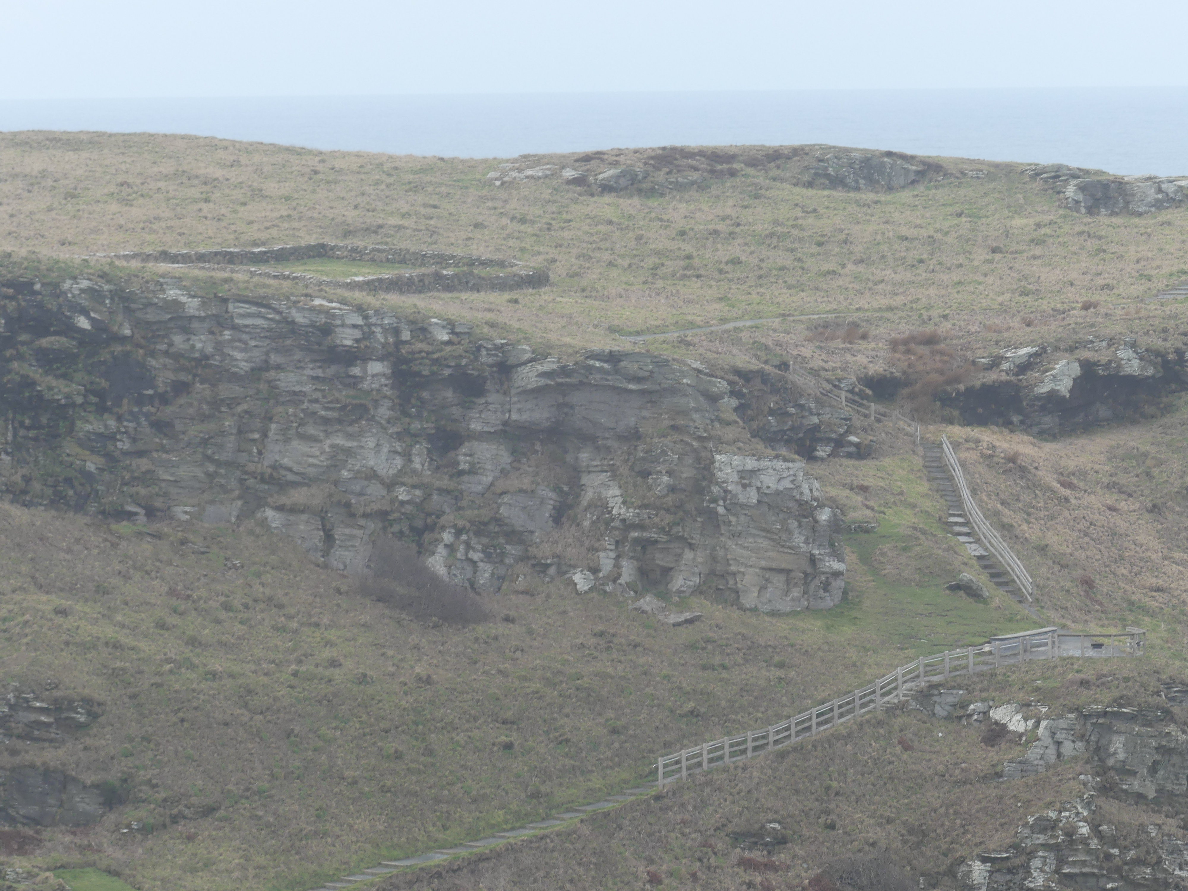
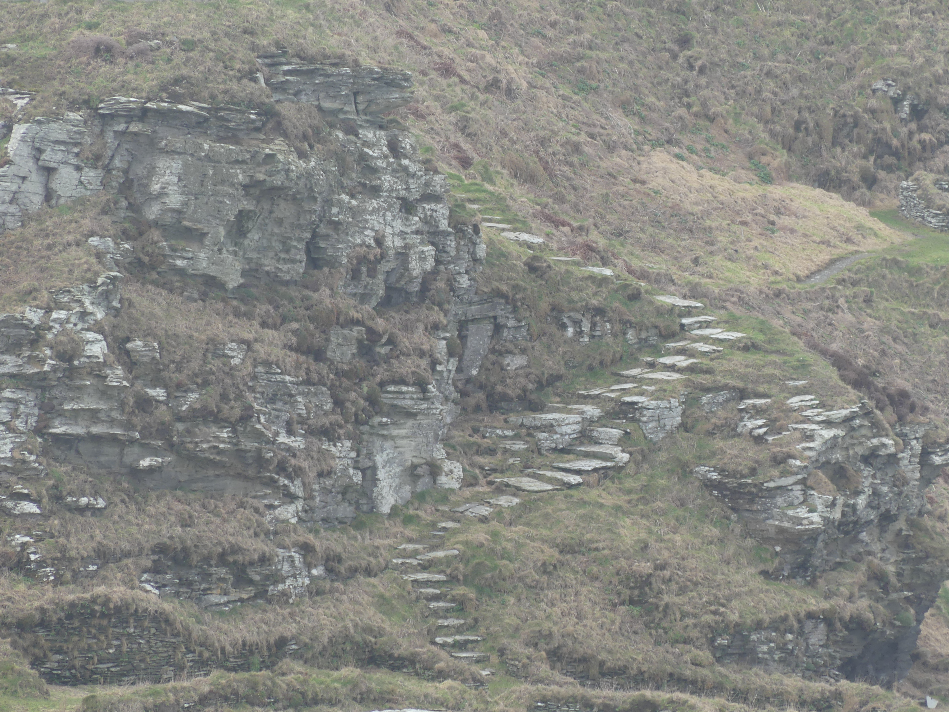
From Penzance we went to find Land’s End. Land’s End is a headland in western Cornwall, on the Penwith peninsula about eight miles (13 km) west-south-west of Penzance at the western end of the A30 road. To the east of it is the English Channel, and to the west the Celtic Sea. However, we followed the route given to us by our maps on my phone. This proved to be a mistake as there are two ways to Land’s End – one along the A30 to the end and the other being the route we took, through farm roads and lanes to a vacant paddock with a sign saying, “Land’s End – 800 metres”. It had been raining for several days, and the paddock was a bog, so we turned around to return from whence we had come, and there was a garbage truck in our way. Kerry managed to get passed (I don’t understand how) and we got to the A30 saw the sign to Land’s End and decided we didn’t need to see it at all. So we decided to push on to St Micheal’s Mount. The following photos show how the weather deteriorated and the narrowness of the lanes. This building is part of a tin processing plant from ages gone by.


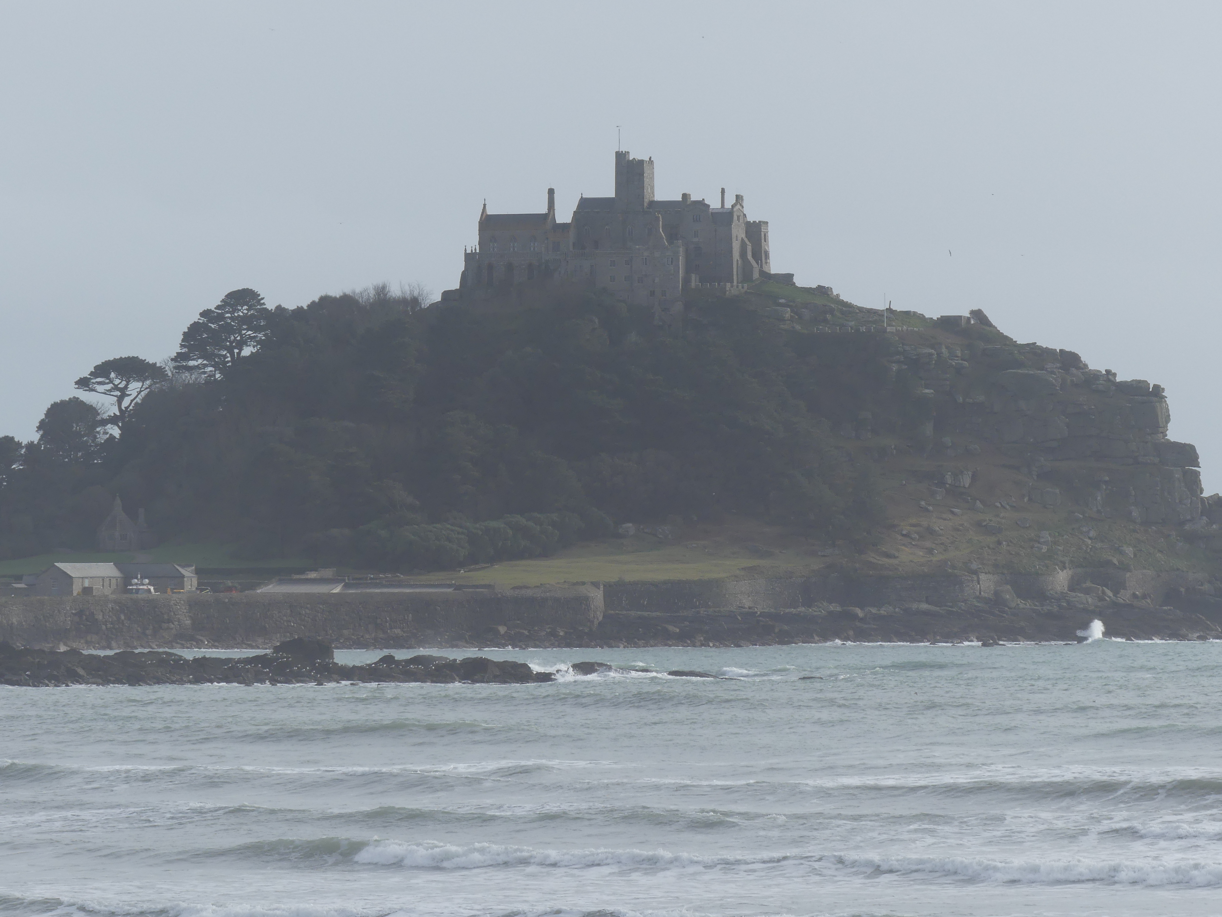
We arrived at St Micheal’s Mount where the tide was out. It is a tidal island rising high out of the surrounding water, topped by a towering stone castle complete with battlements, a church, and a museum. I remembered the French version Mont St Michael, its steep steps and defibrillator at the top awaiting you. The castle is also the home of the St Aubyn family, who have owned the island for nearly 400 years. At the base of St Michael’s Mount is a small village with a harbour with charming eateries and picnic areas. Whilst it was appealing, with the tide out we were not going to get across the causeway and the light was fading. Next time.


We returned to Truro for the evening and rest as tomorrow we planned to find Port Issac and Tintagel Castle.
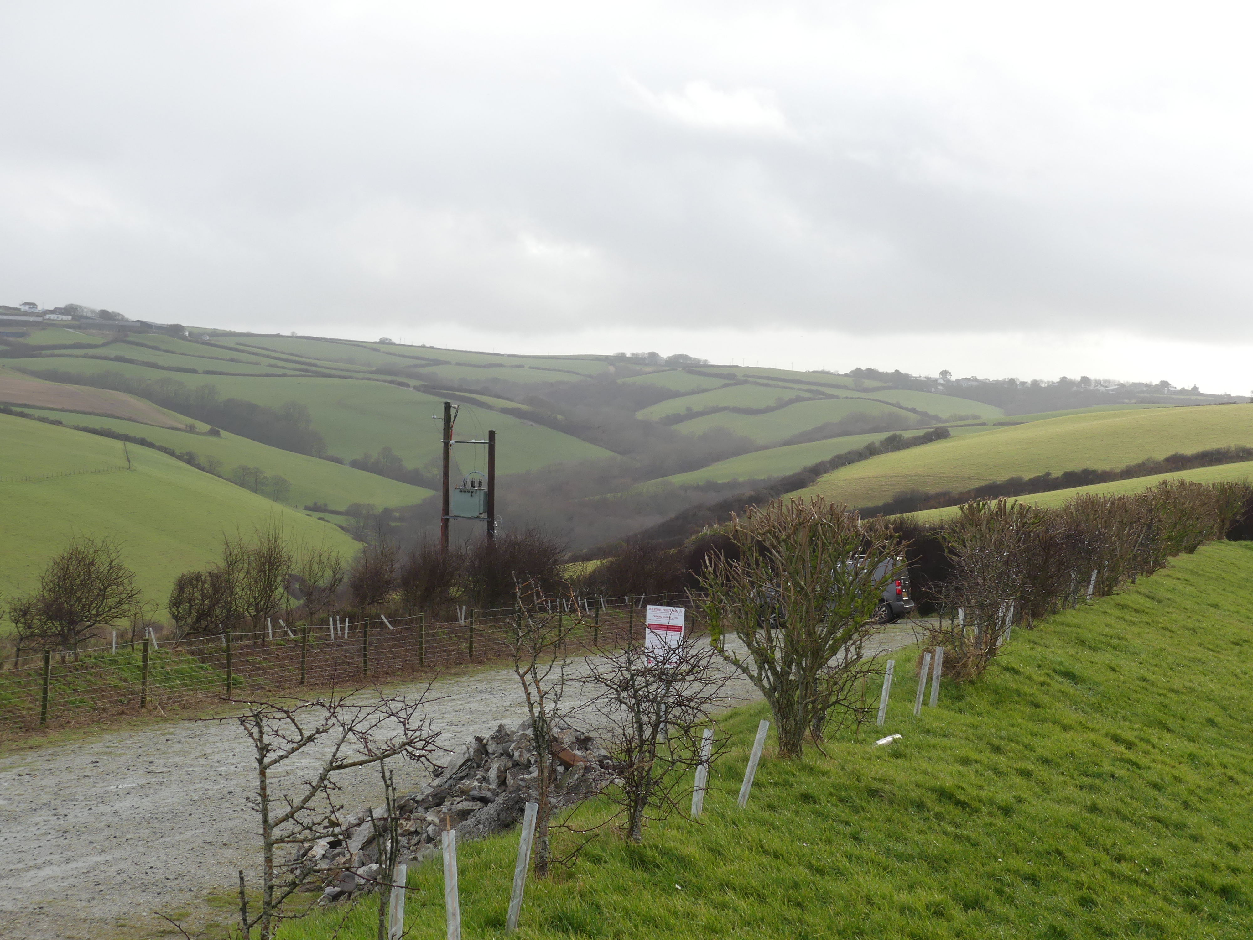
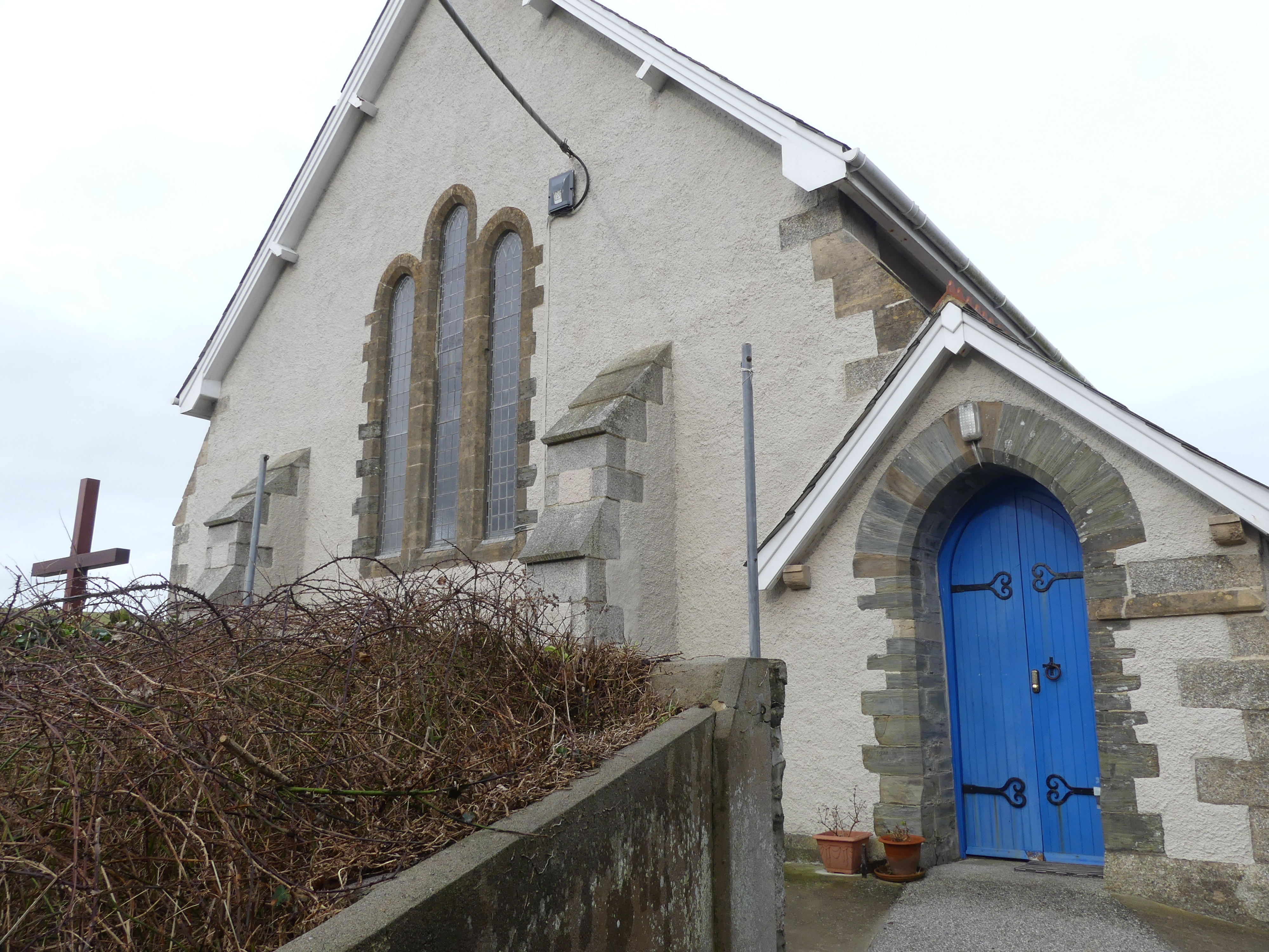
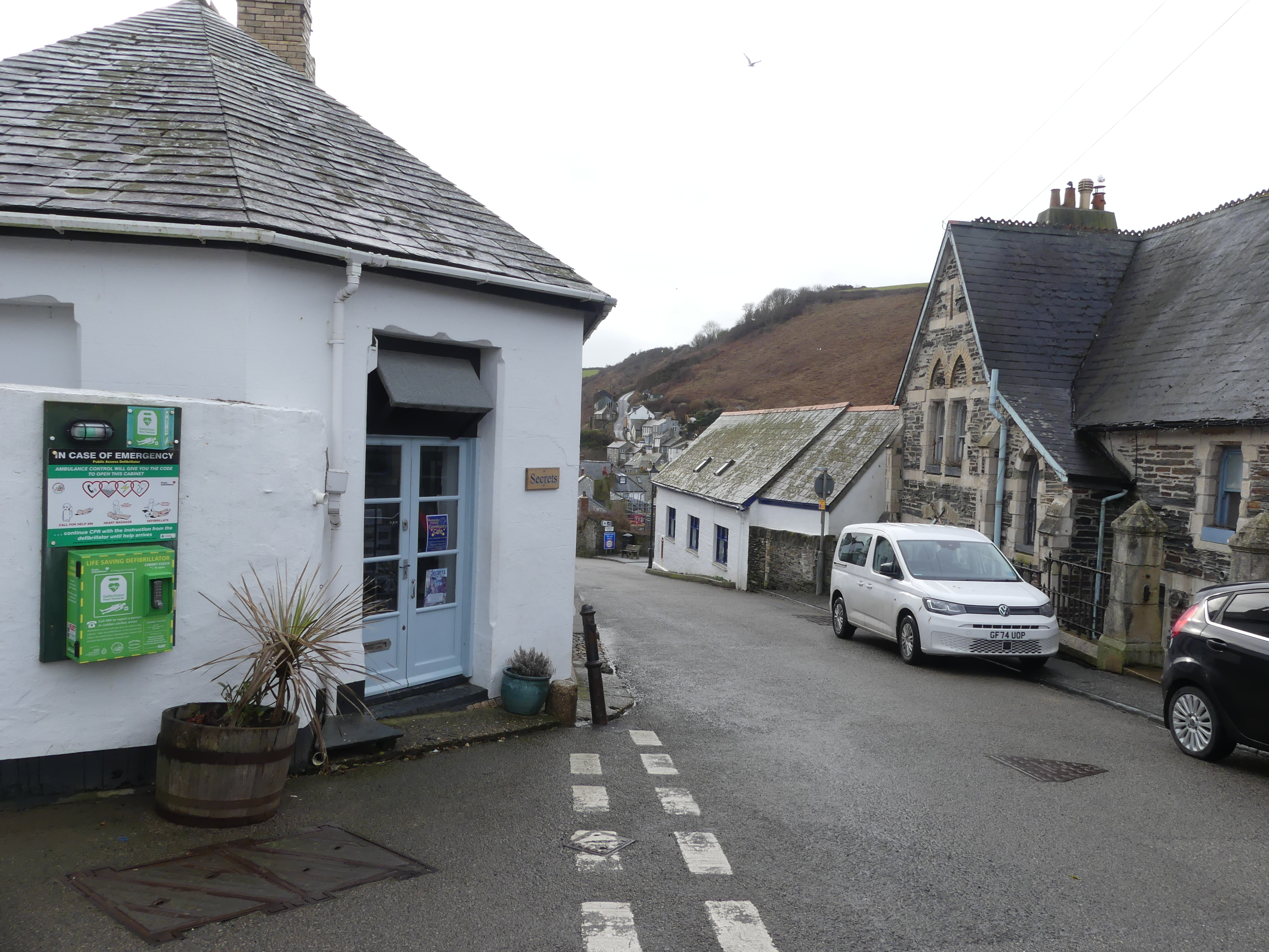
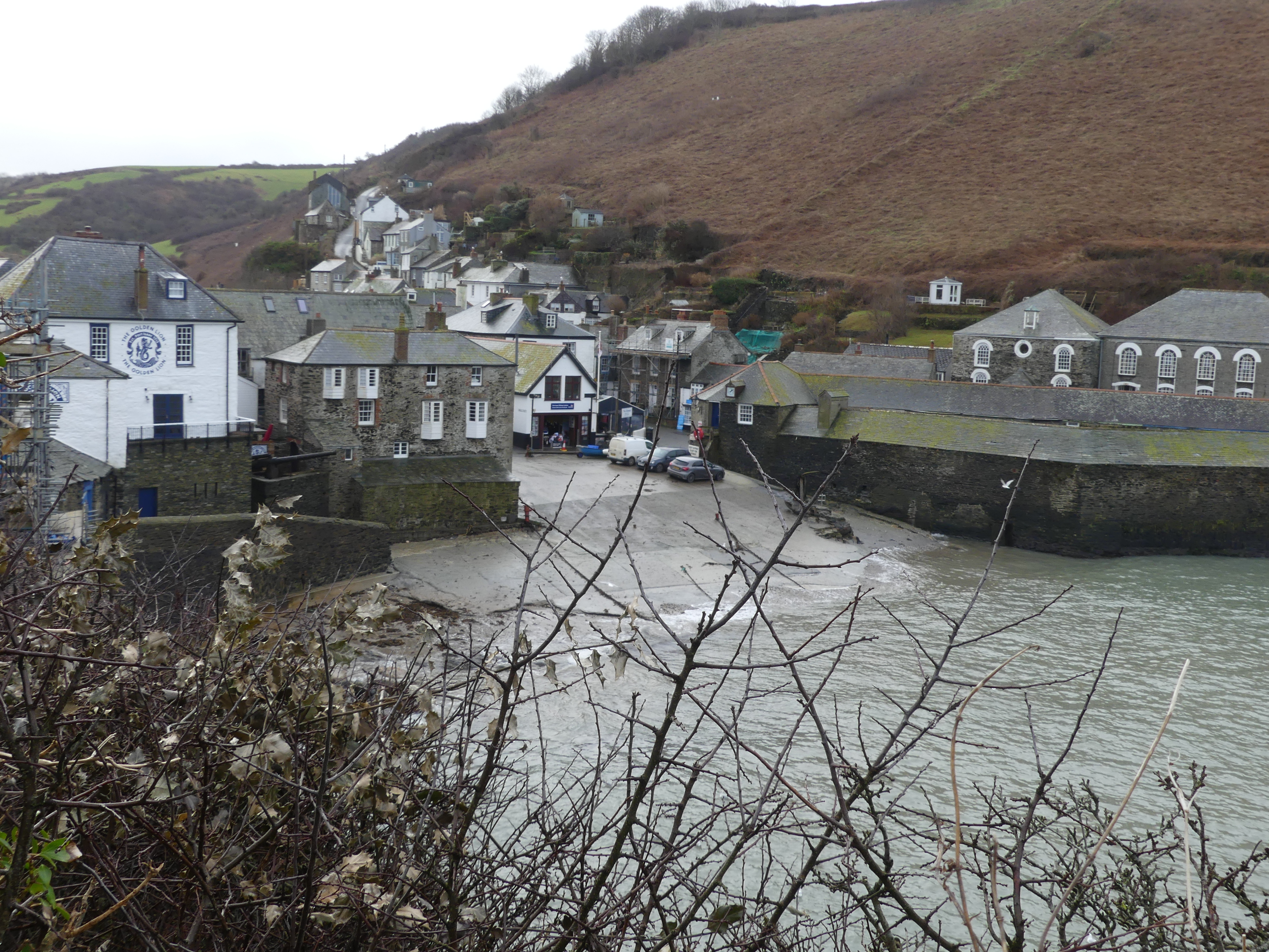
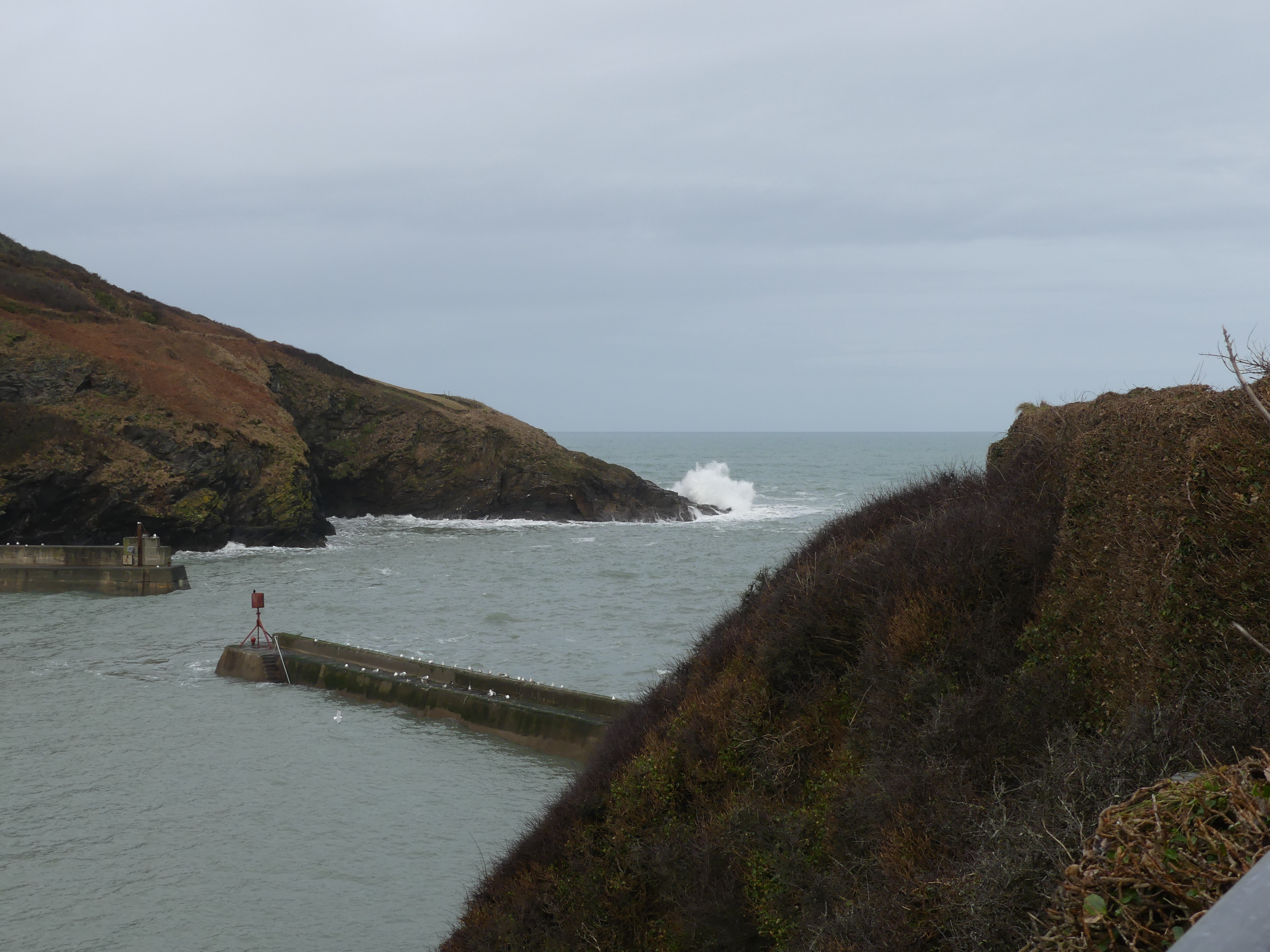
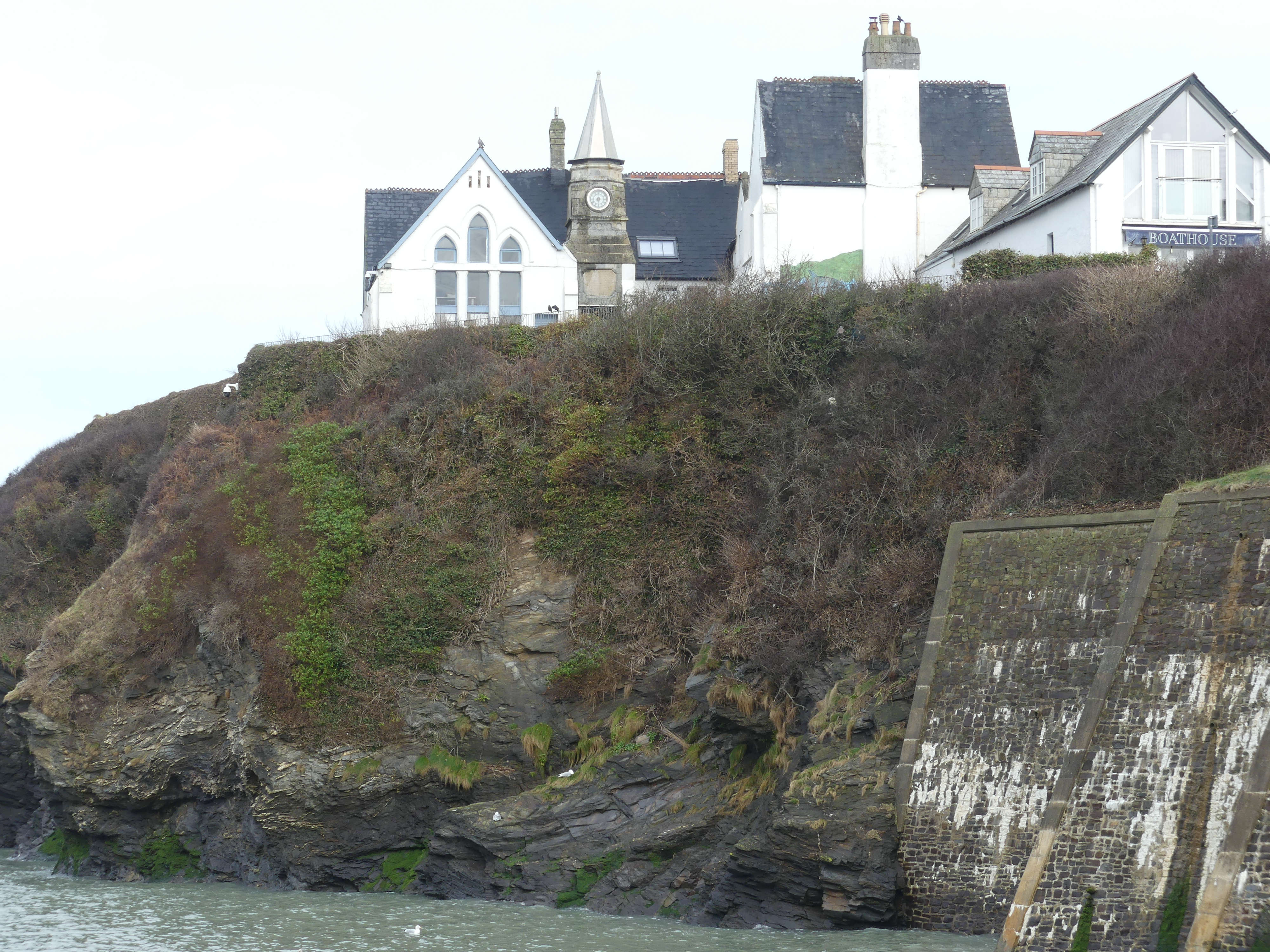
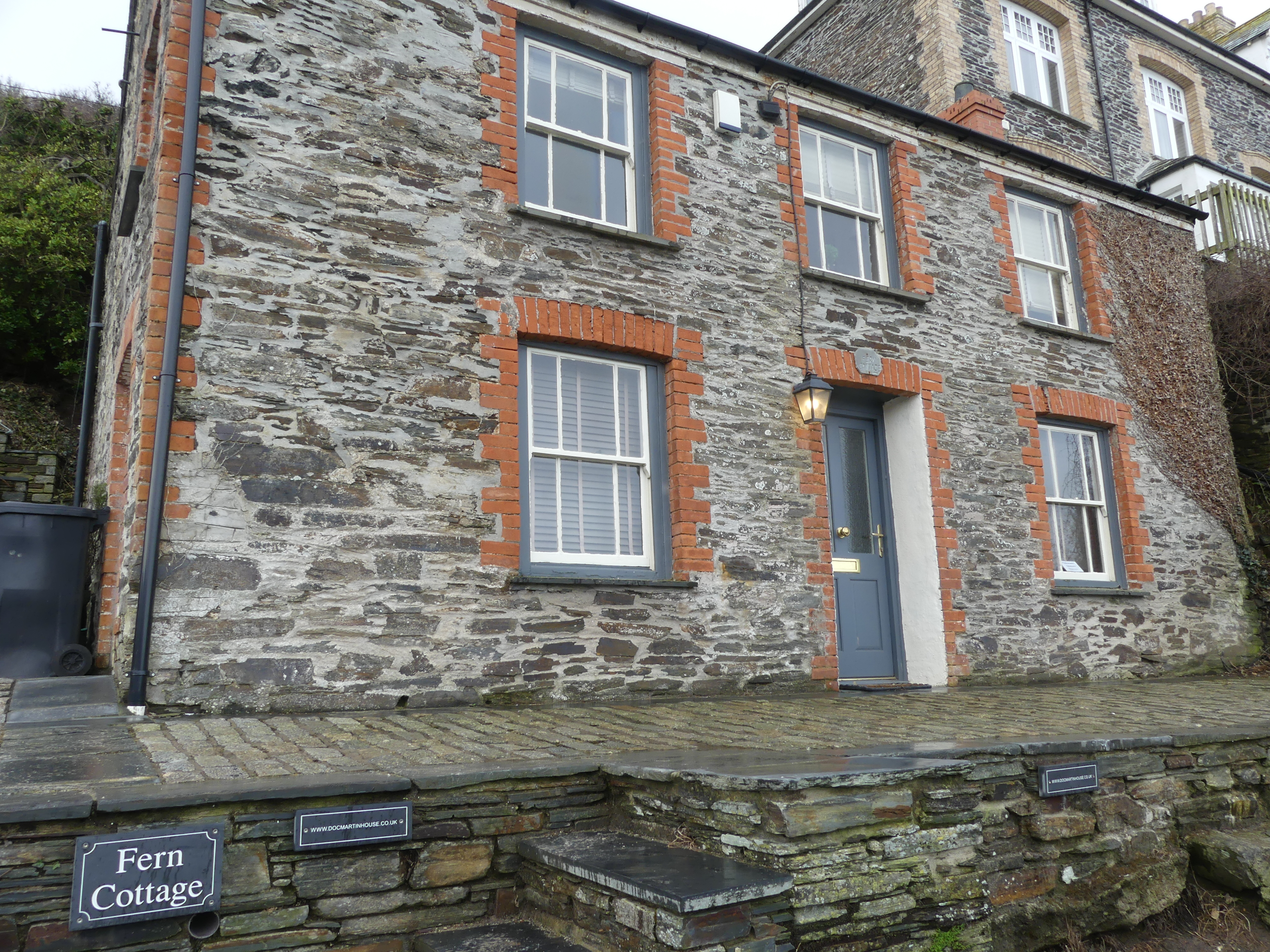
Port Isaac is a small fishing village on the Atlantic coast of north Cornwall. From 2004 to 2022, the village served as the backdrop to the ITV television series Doc Martin. It also is home to the sea-shanty singing group Fisherman’s Friends. For those who don’t know Fisherman’s Friend is an all-male a cappella group (a group who sing unaccompanied by instruments) who sing sea shanties. Just as Doc Martyn became a popular TV series a movie made about Fisherman’s Friends in 2019 and its sequel Fisherman’s Friends: One and All in 2022 has kept Port Issac as a popular tourist destination. The trip through the countryside was pleasant and as we approached Port Issac we noticed of course, we are here in winter, and the place is very quiet with lot’s of maintenance being done for the spring and summer. We could not park in the village itself but the walk down to the the village centre showed us some of the unusual building styles. We saw the school house and the bay, the oldest building housing the boat rescue crew, Doc Martyn’s house and surgery and where we had coffee.


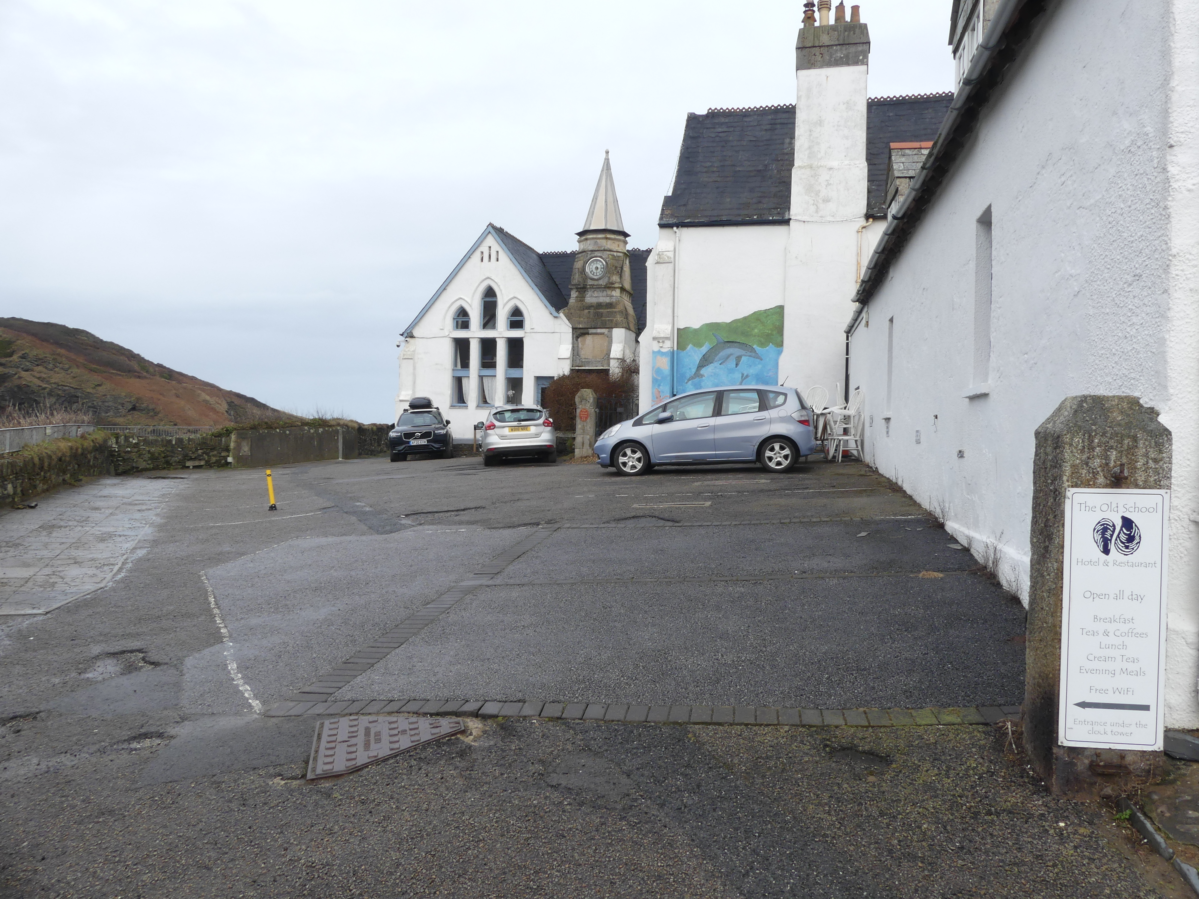


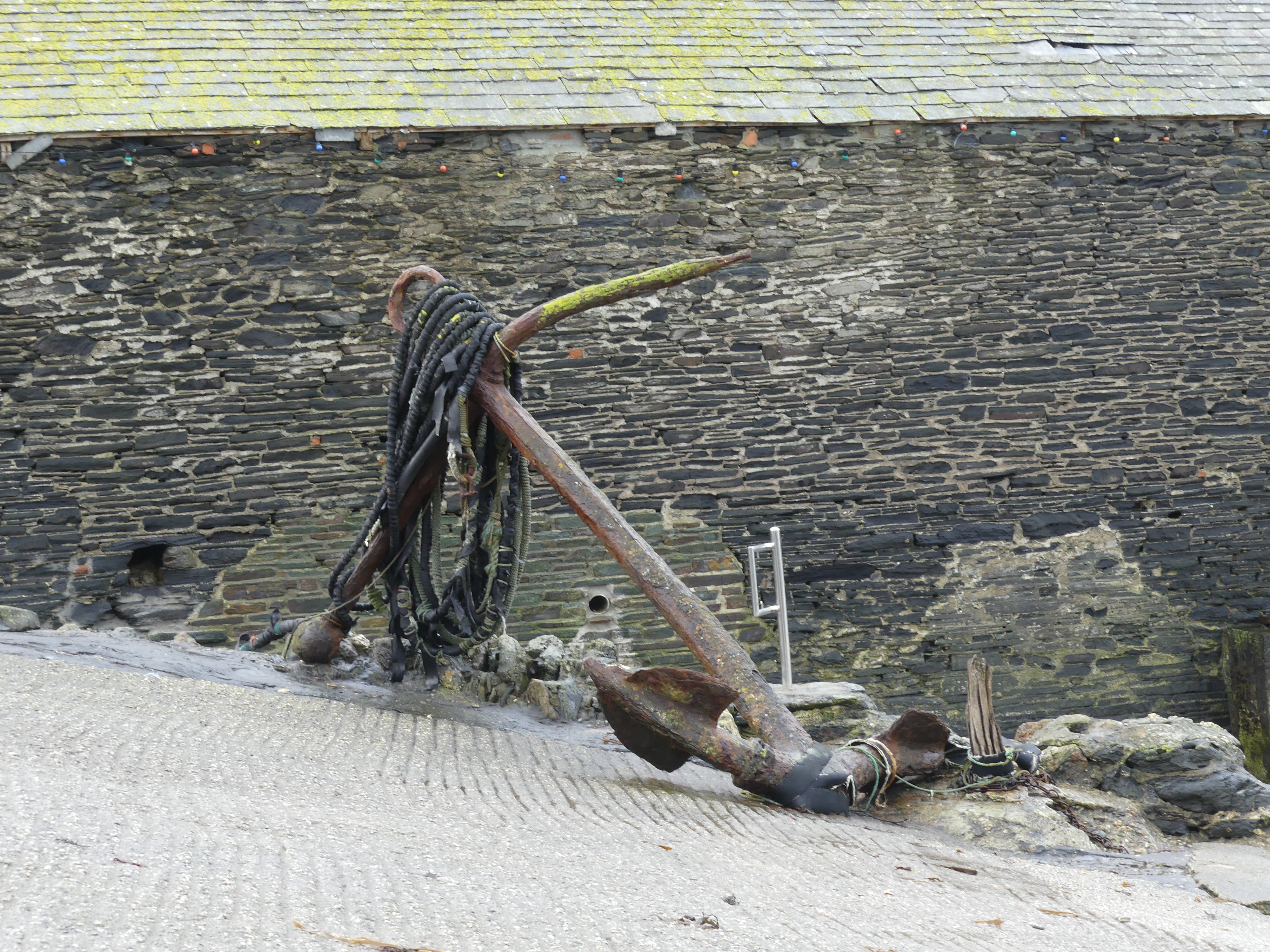
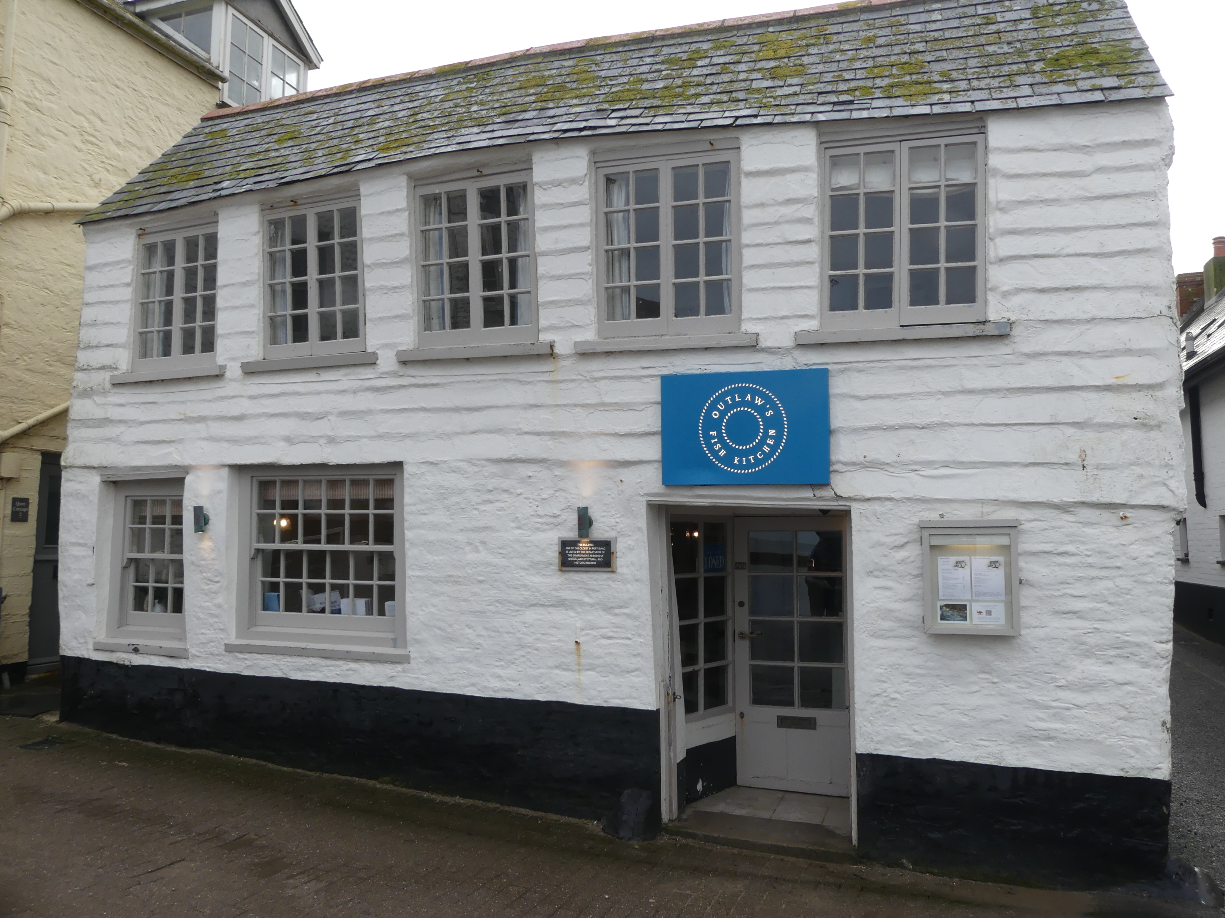

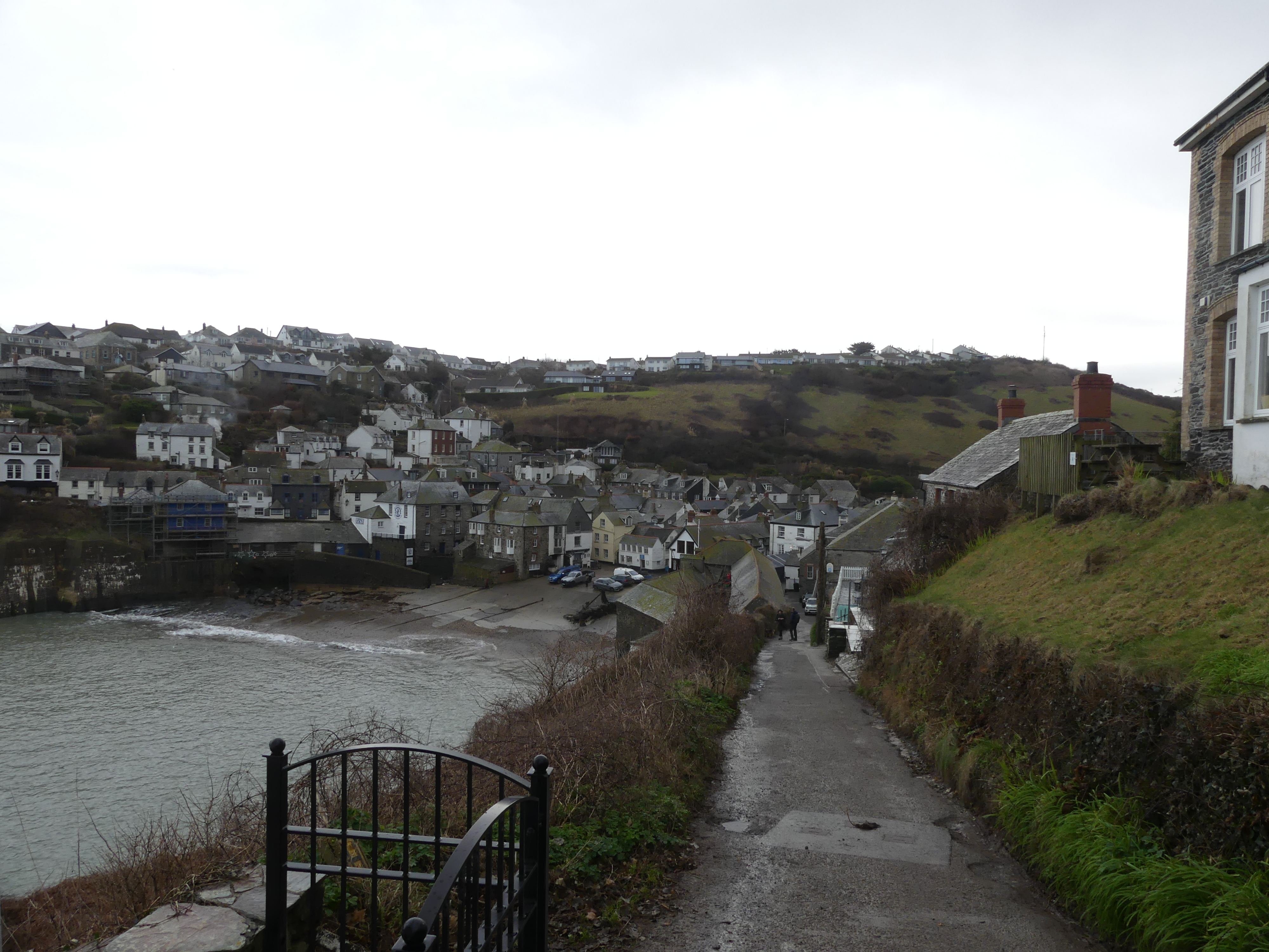

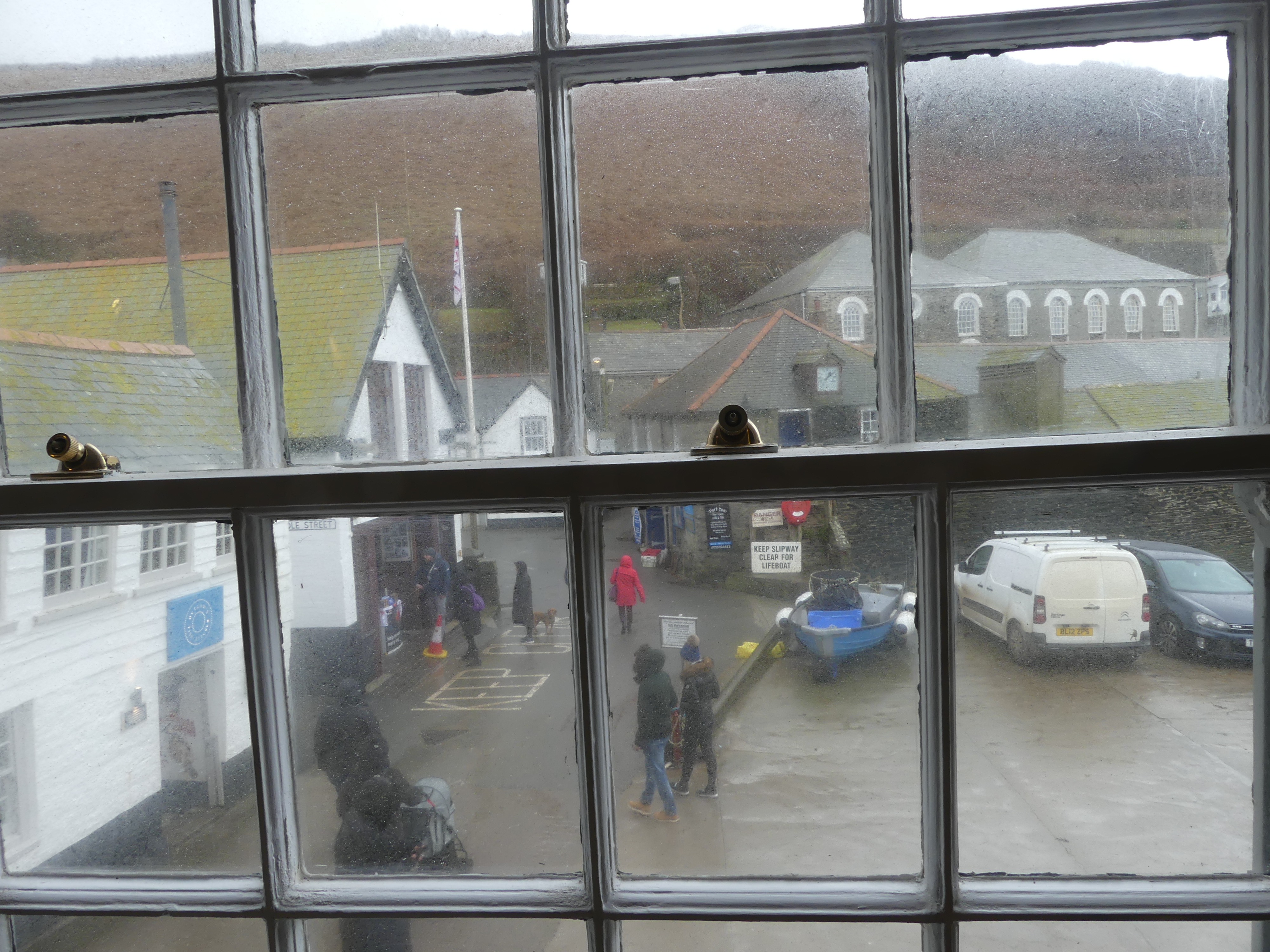
Still, we had a great time locating and identifying things from the TV series. We have seen the first of the Fisherman’s Friend movies but all we could recognize there was fishing nets and boats. We enjoyed a coffee in the restaurant/café closest to the boat ramp. It felt special being in the place as seen on TV. After coffee we moved on to the village of Tintagel and the ruins of Tintagel Castle.
Tintagel Castle is a medieval fortification located on the peninsula of Tintagel Island adjacent to the village of Tintagel. No Roman-era structure has been proven to have existed there. It was settled during the early medieval period and a castle was built on the site by Richard, 1st Earl of Cornwall in the 13th century, during the High Middle Ages. Archaeological investigation into the site began in the 19th century but later digs exposed significant traces of a much earlier high-status settlement, which had trading links with the Mediterranean world during the Late Roman period. Two digs in 2016 and 2017 at Tintagel Castle uncovered the outlines of a palace from the 5th or early 6th century (the early medieval period), with evidence of writing and of articles brought in from Spain and from the eastern end of the Mediterranean Sea. Investigation is continuing.
The castle has a long association with legends related to King Arthur. This was first recorded in the 12th century when Geoffrey of Monmouth described Tintagel as the place of Arthur’s conception in his mythological account of British history, Historia Regum Britanniae. Geoffrey told the story that Arthur’s father, King Uther Pendragon, was disguised by Merlin’s sorcery to look like Gorlois, Duke of Cornwall, the husband of Igraine, Arthur’s mother Cornwall and managed by English Heritage.
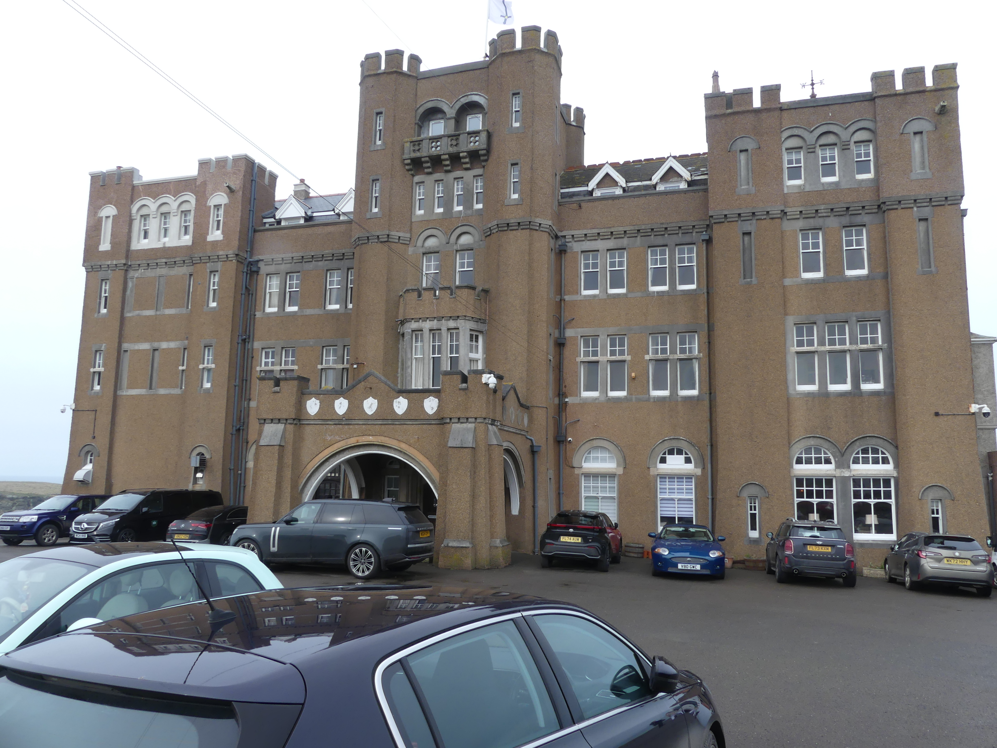
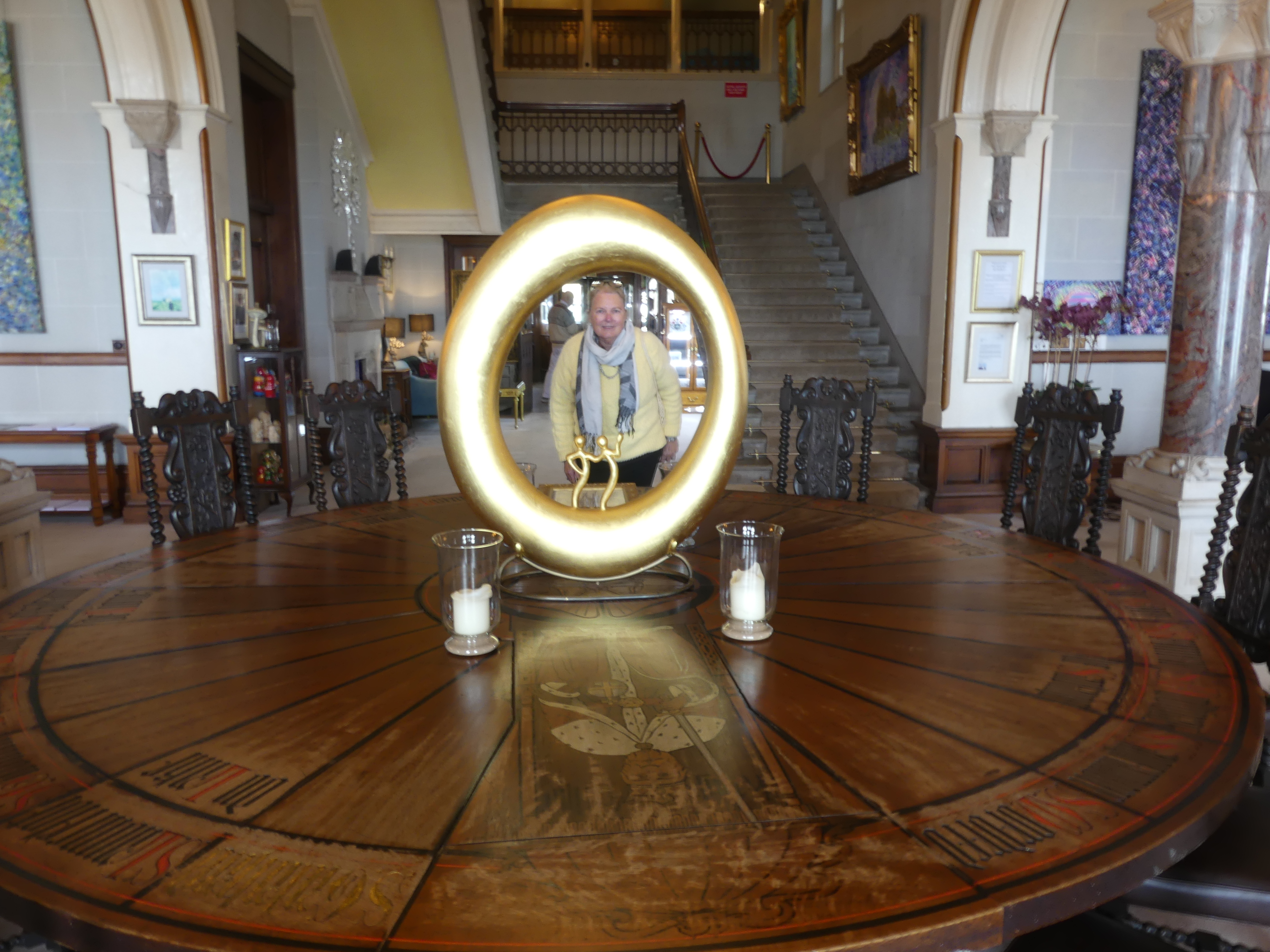
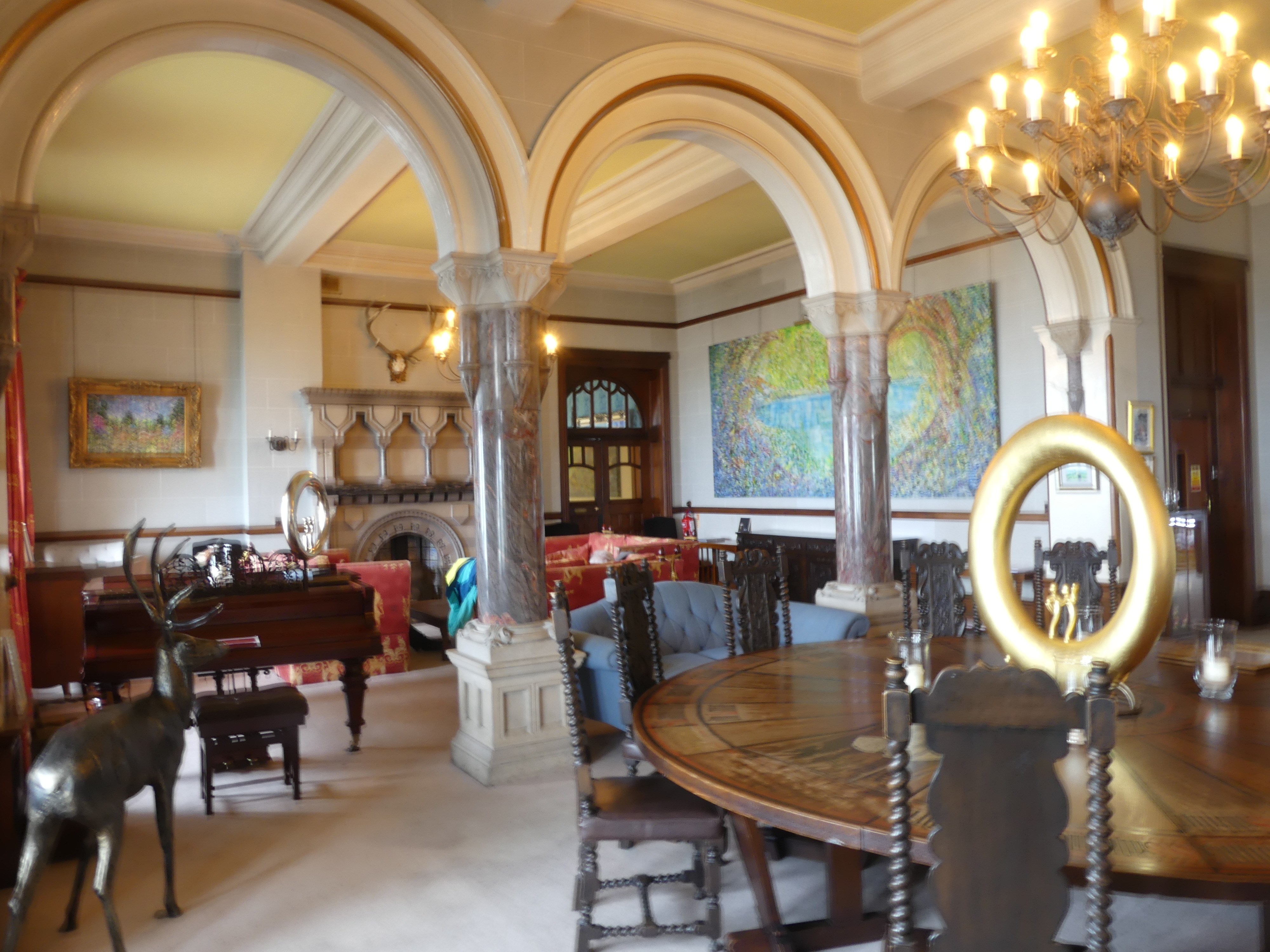
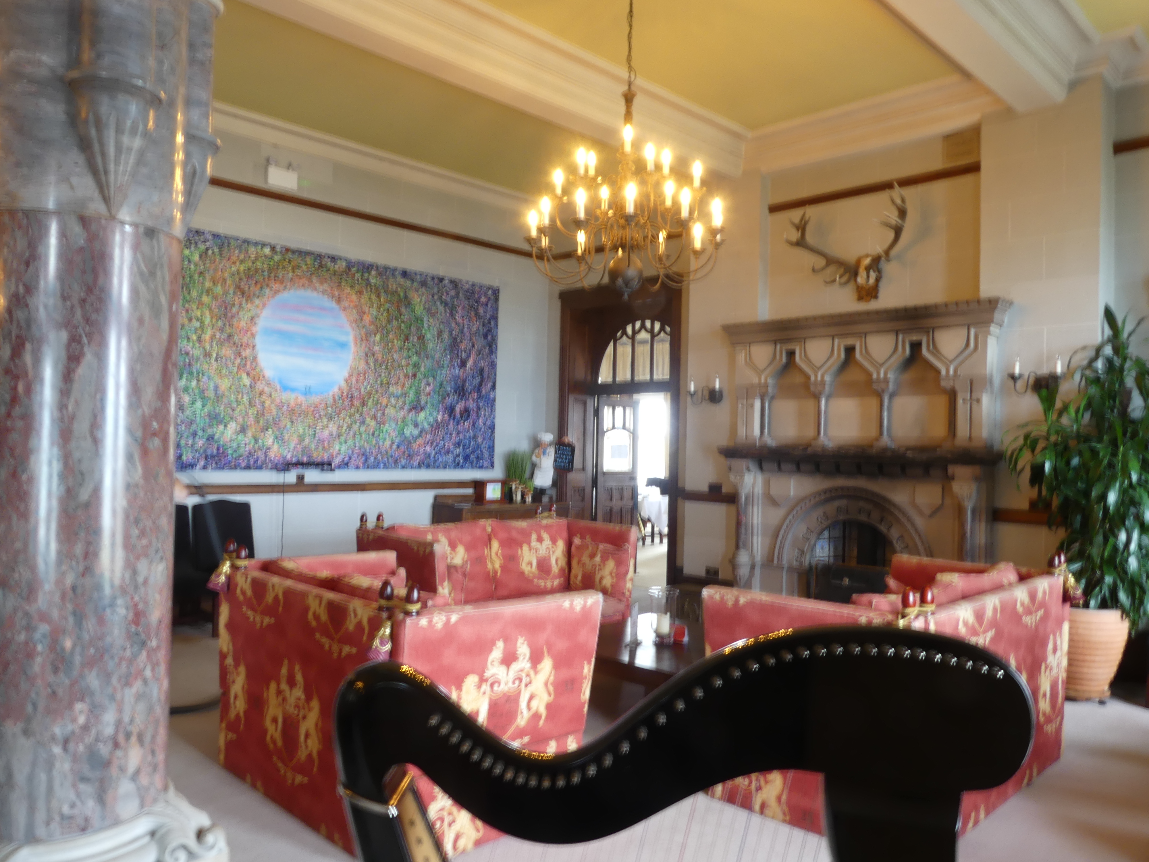
As we drove into Tintagel, we noticed there were numerous signs directing the visitor to parking. Some were remote from the ruins and the closest we found was the rear yard of a pub which was still 1 klm away along a rough path from the ruins. We ended up finding Camelot Castle Hotel (see below) situated above the ruins of Tintagel Castle. It is a grand Victorian building built in 1899 and has been a popular destination for artists (check out the painted car) and travelers for decades since. The hotel sits on a clifftop overlooking Tintagel bridge and the island beyond, offering panoramic views its stunning views of the castle ruins and the coastline. It continues the Arthurian theme with the Round table (Kerry was amused by the Merlin circle on the table). We could clearly see the ruins but as with everything else it was closed due to maintenance on the bridge crossing to the island. Apart from the pictures below we didn’t get to the site, but we had a cozy drink and some lunch before moving on.


We had realised after arriving in Truro that a return trip to Heathrow and catching the bus to Nottingham would prove a challenge so we had a change of plans – we would leave Truro a day earlier and travel to Amesbury then onto to Heathrow return the car before bussing it to Nottingham – an overnight stop at Amesbury was required.
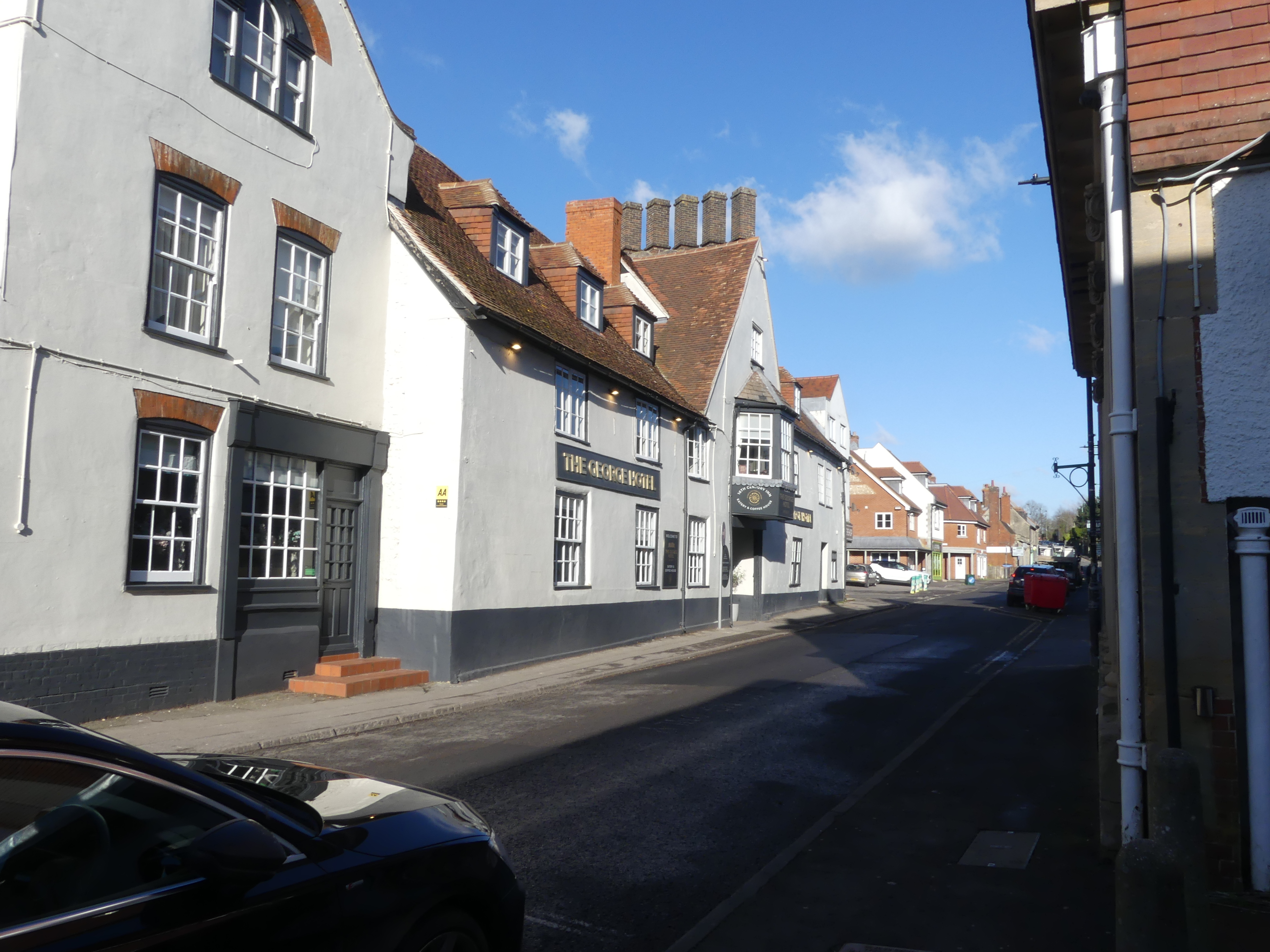
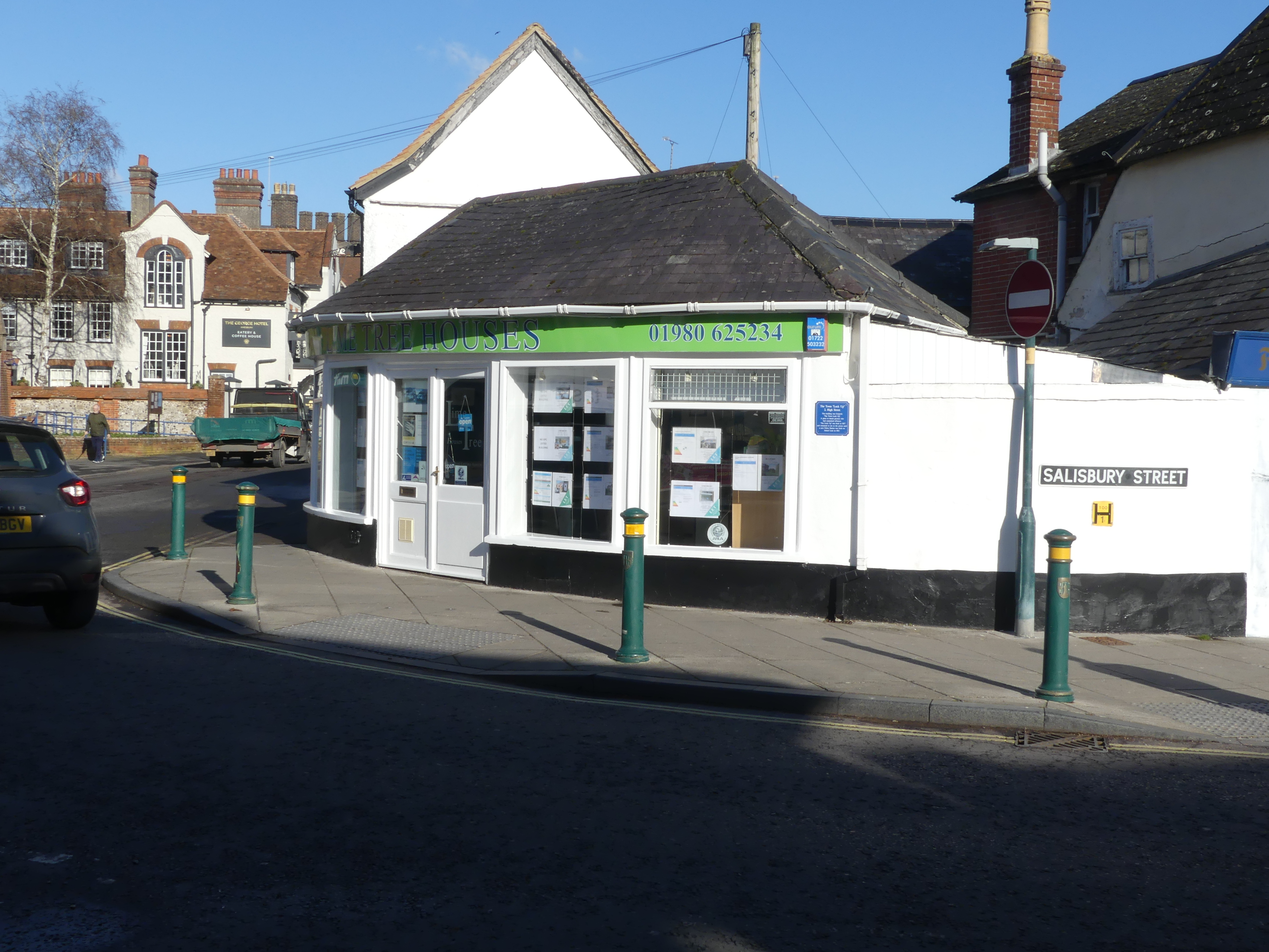
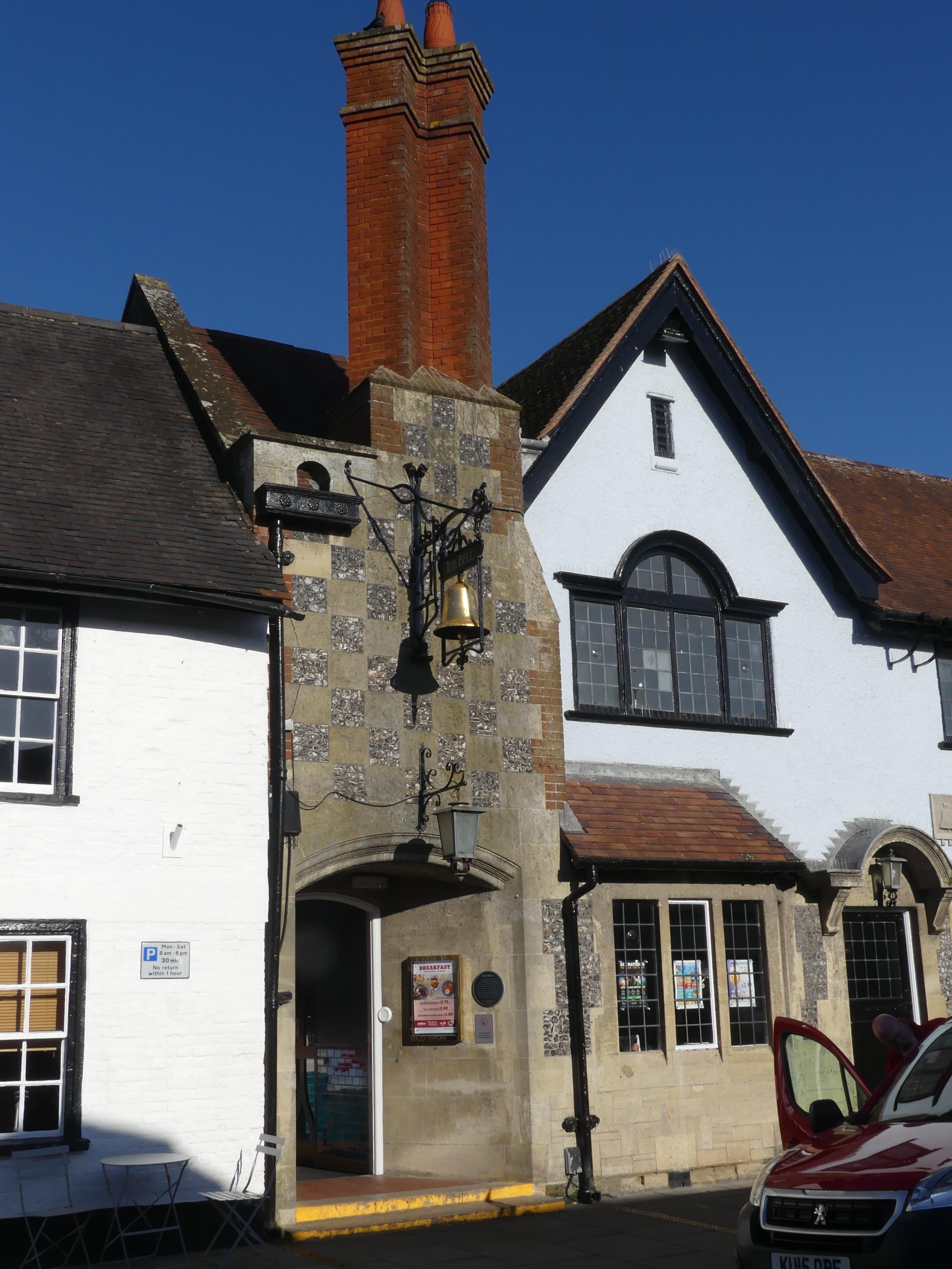
Amesbury
Amesbury is a town in Wiltshire, best known for the prehistoric monument of Stonehenge which we passed on our way to our hotel.
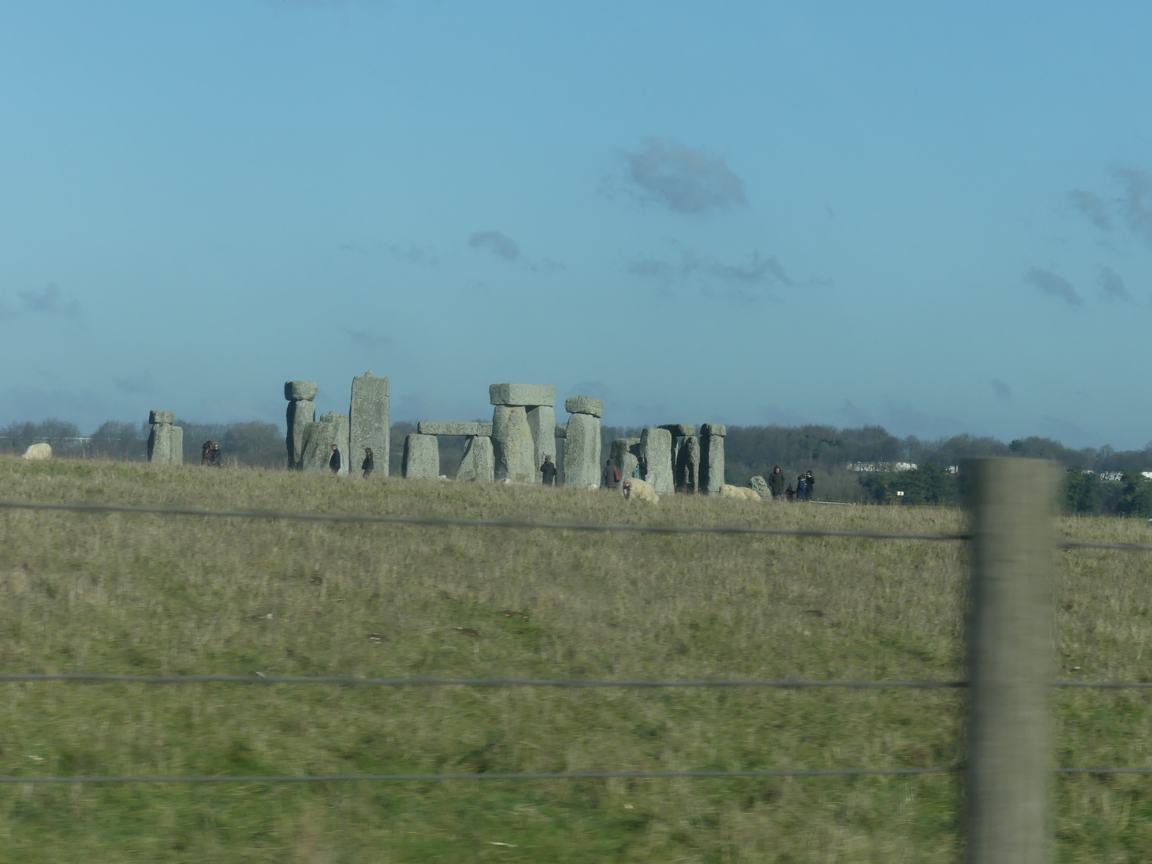

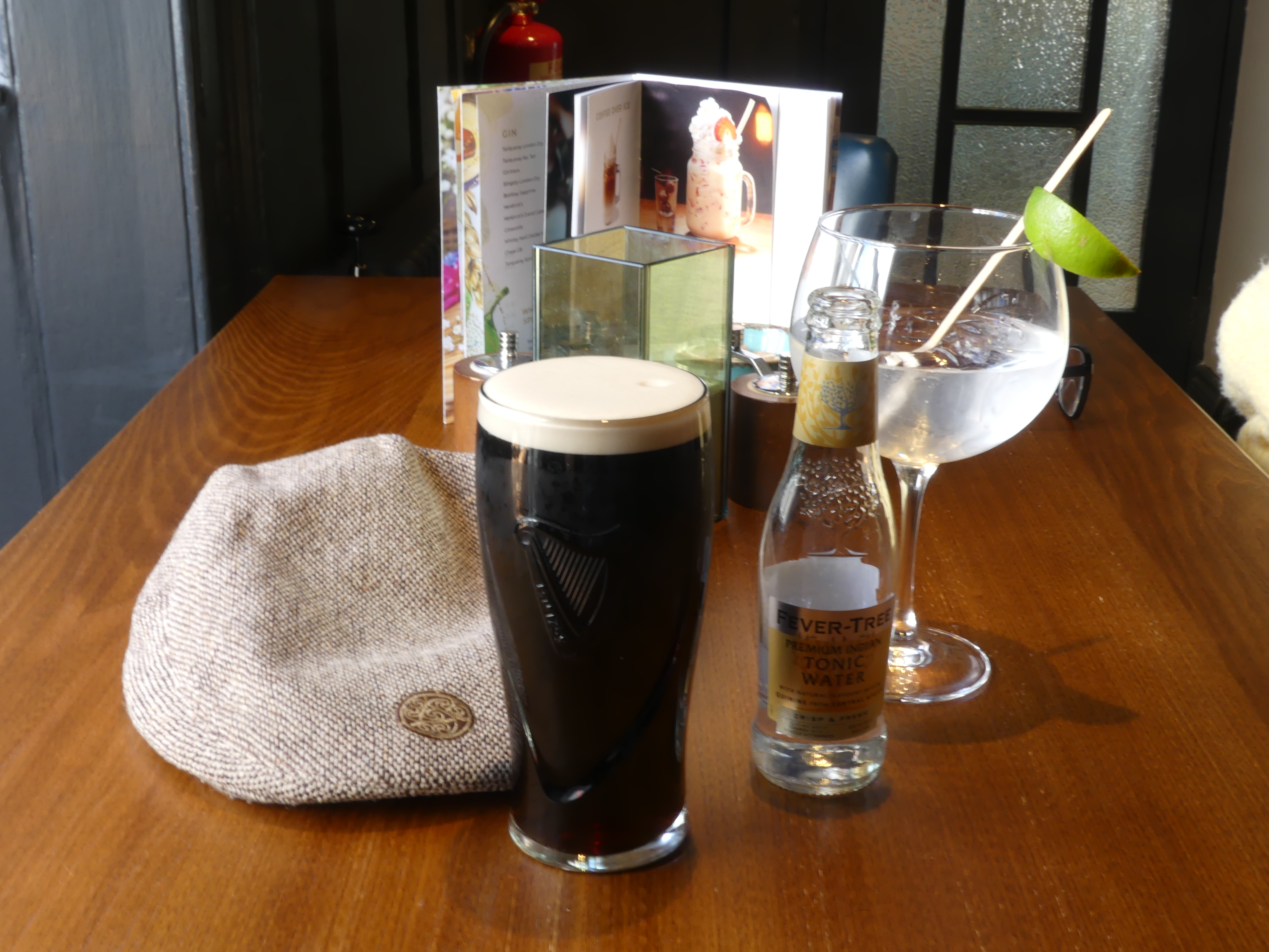
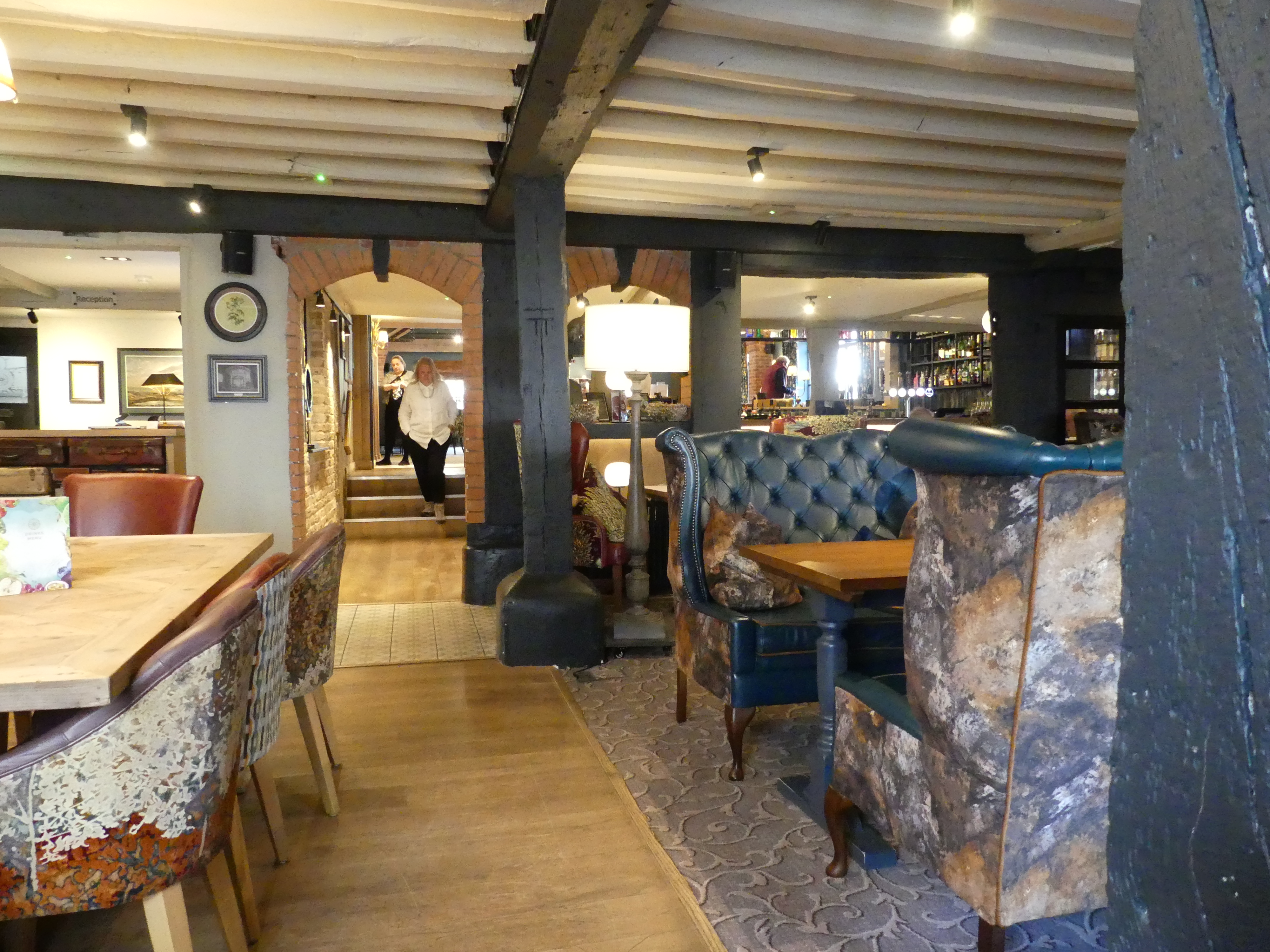
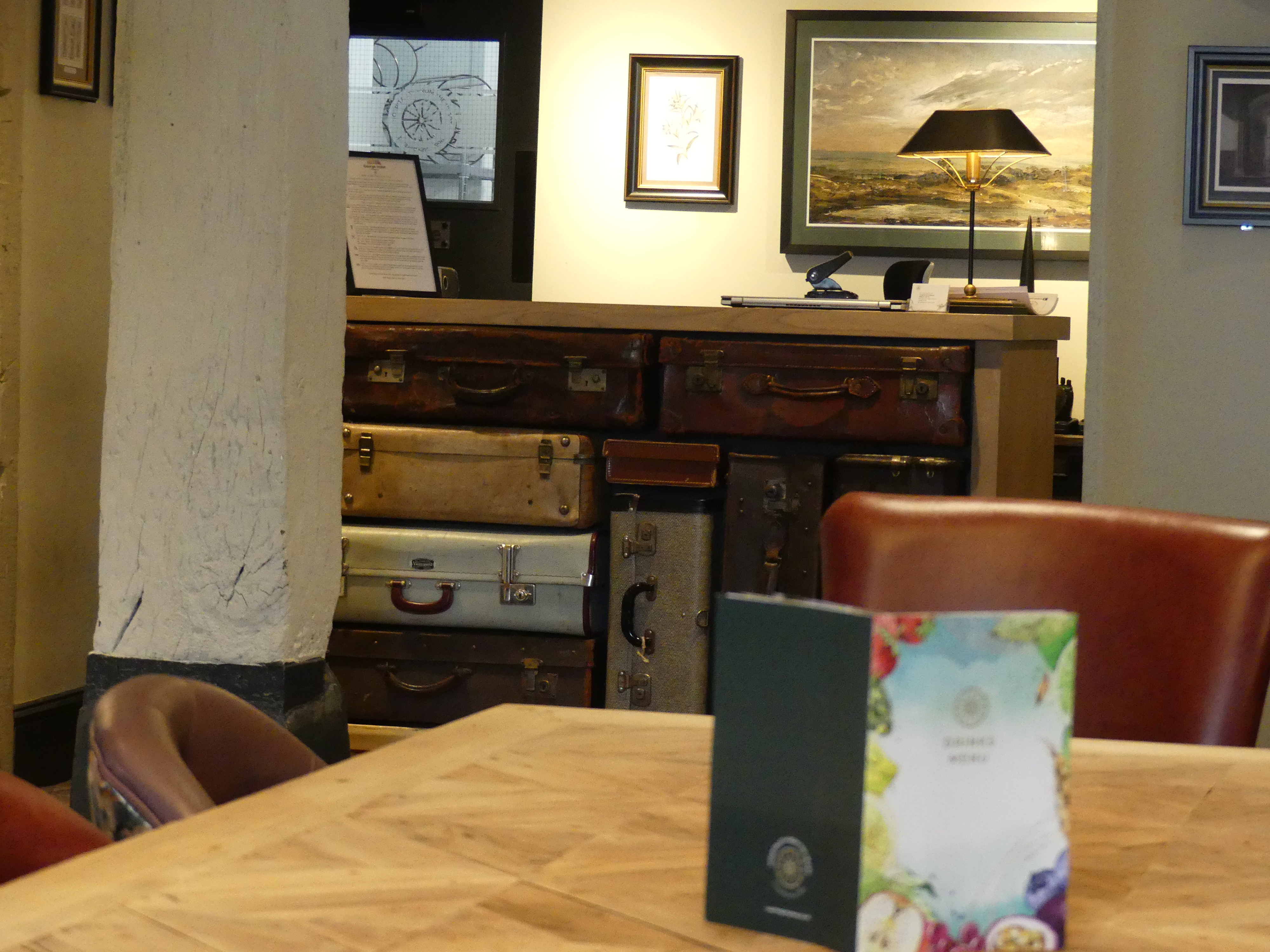
The town is claimed to be the oldest occupied settlement in Great Britain, having been first settled around 8820 BC. Amesbury is also associated with the Arthurian legend: the convent to which Guinevere retired was said to have been the one at Amesbury. Our hotel was in the centre of the town, and it too had history most notably the many additions over time such as in the hallways where the halls weaved and rose and fell without any rhyme or reason.
A walk around the town was hardly exciting but we were able to find a few treasures – our photos are below.


That brings us to the end of our Cornwall adventure, so, until my next blog “THE RETIREES GO AROUND THE WORLD –CORNWALL UK/NOTTINGHAM UK” – keep on following our tour.


