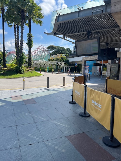
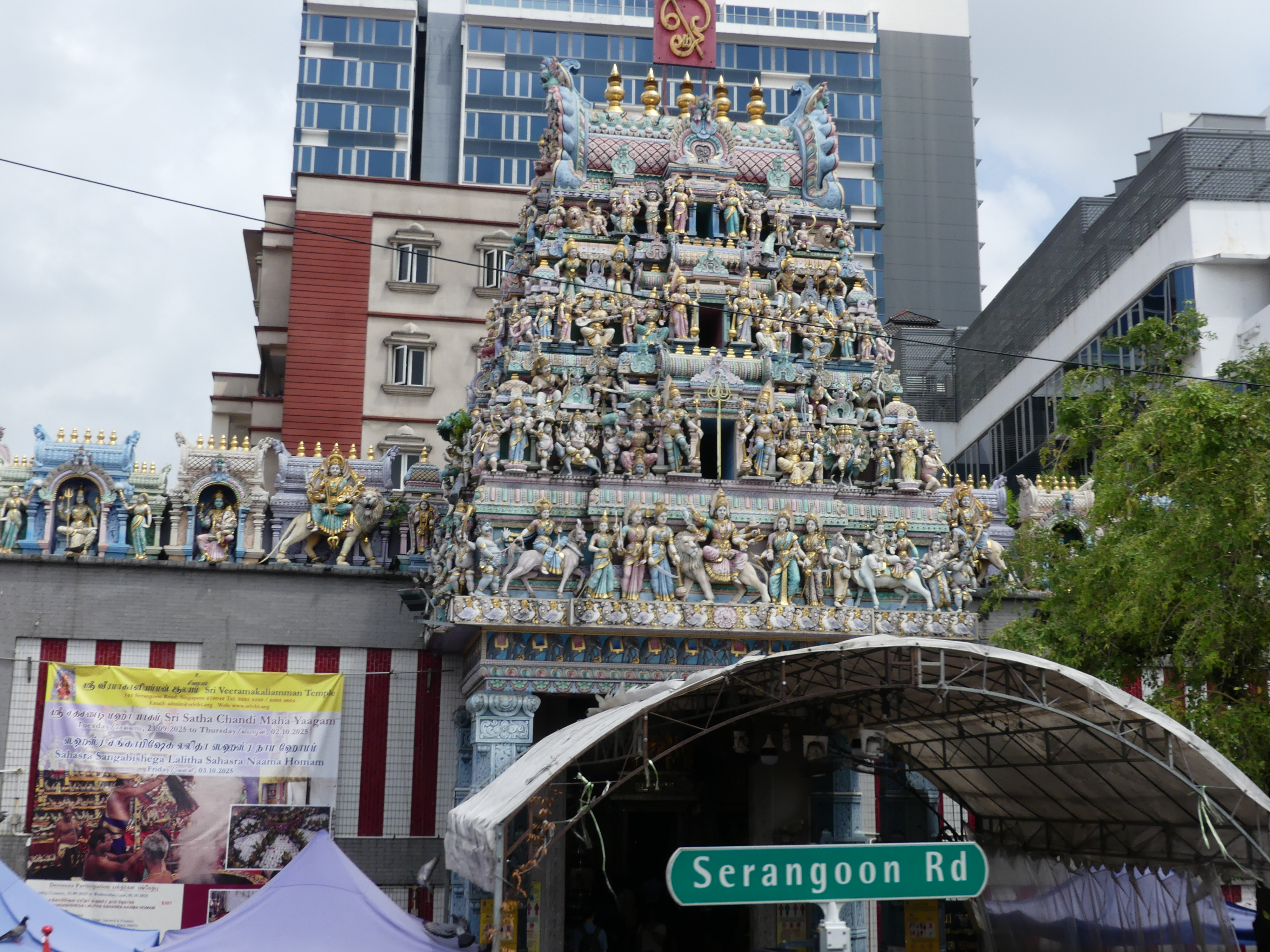
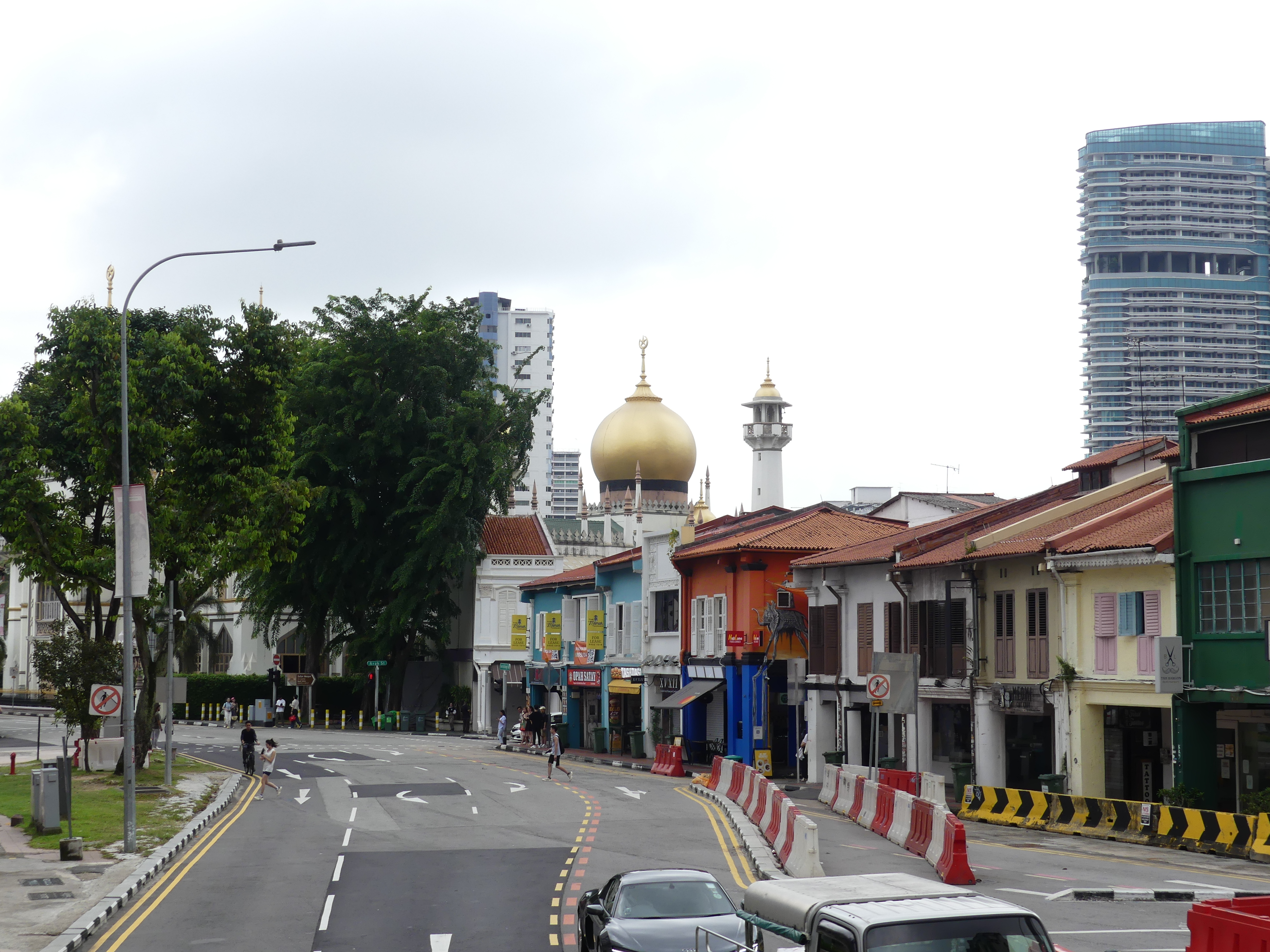
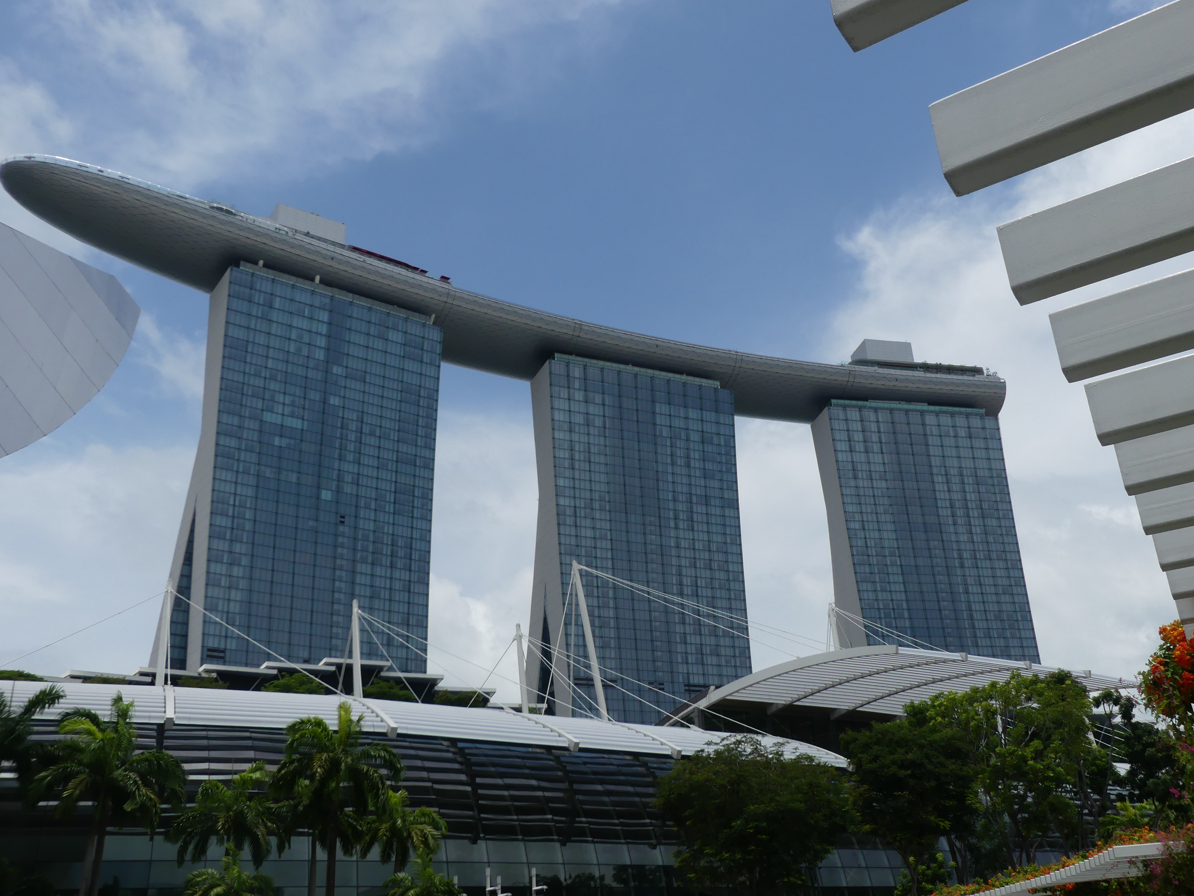
Days 1 & 2 At Sea
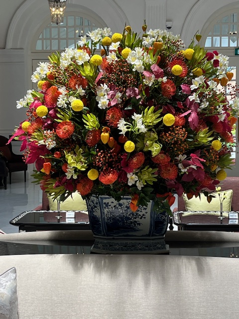
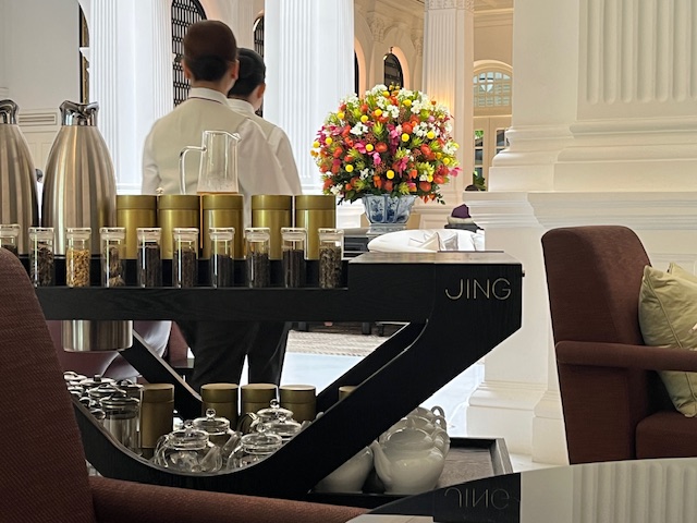
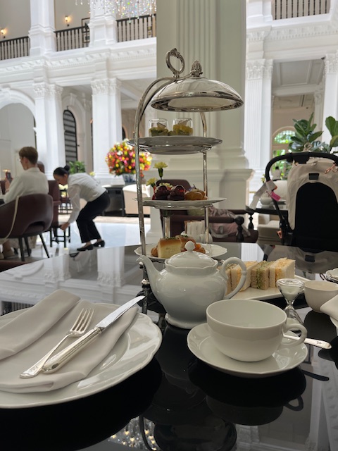
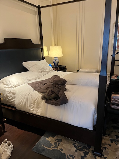
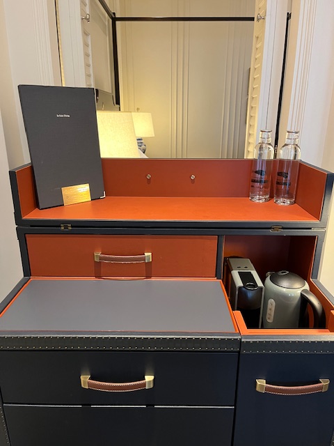
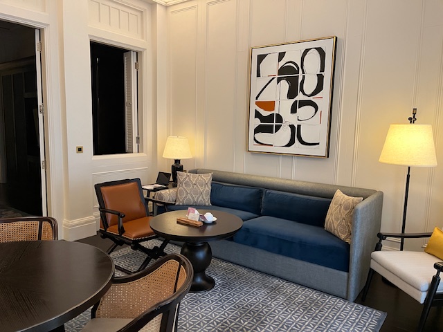
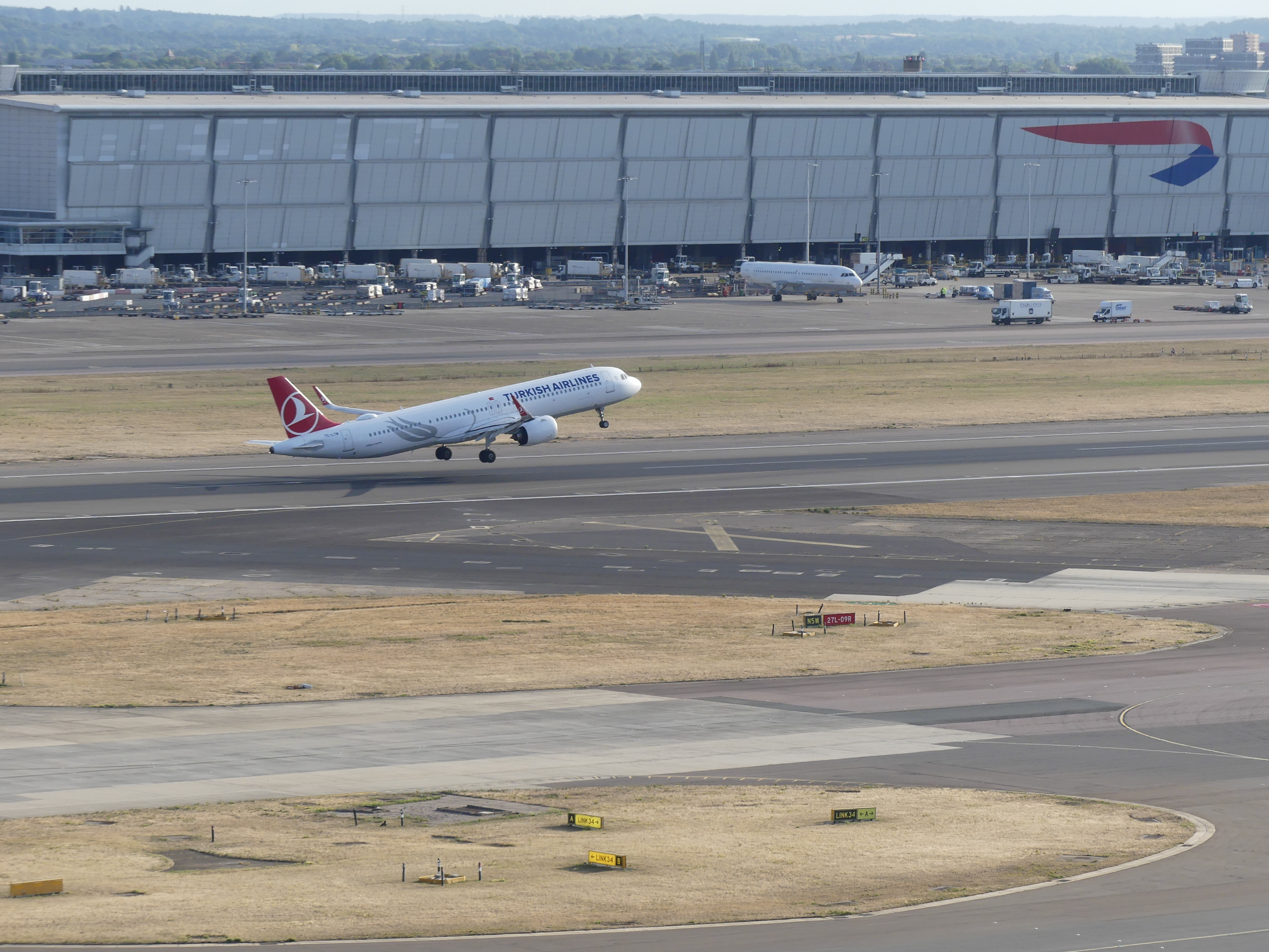
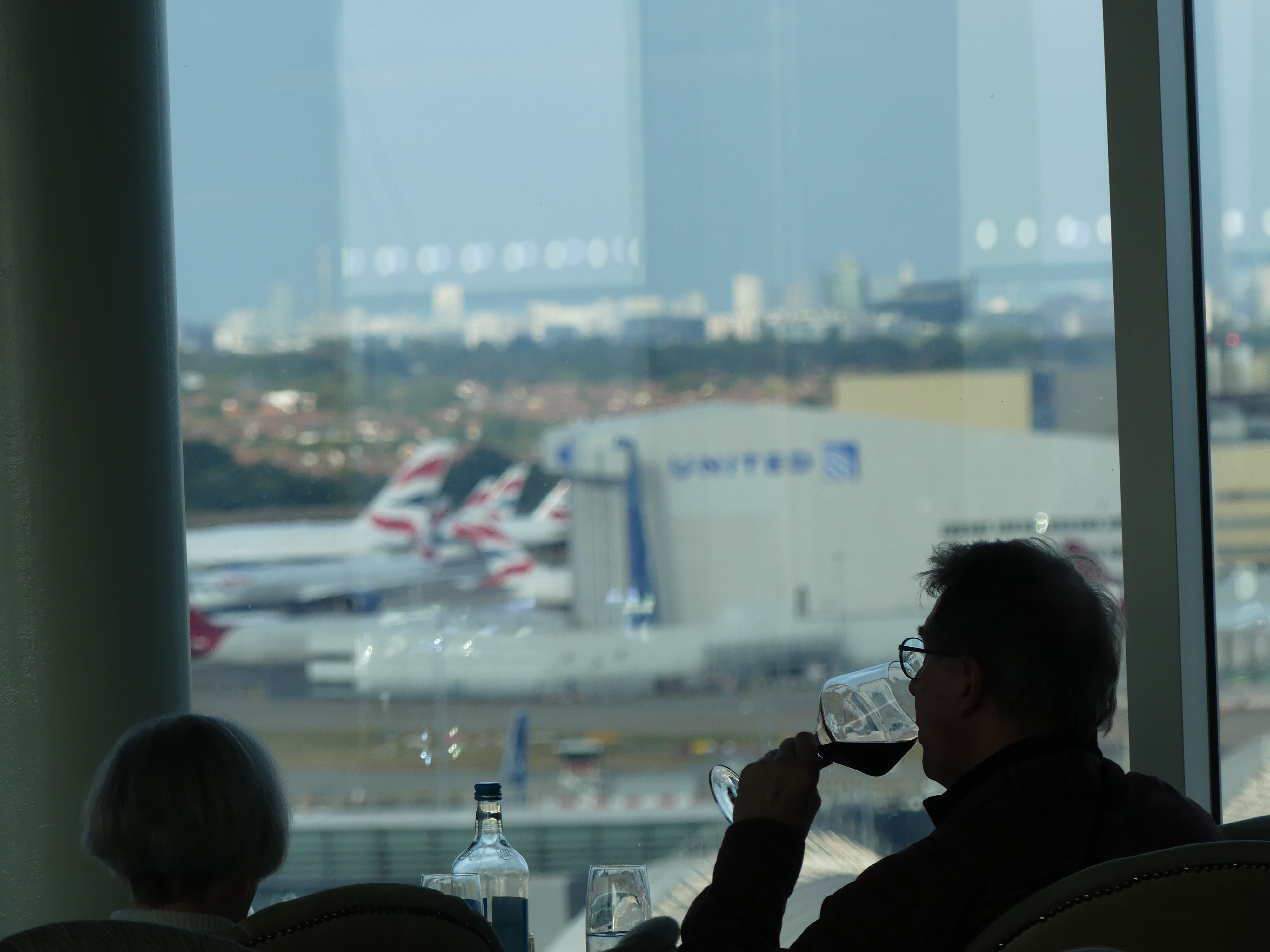
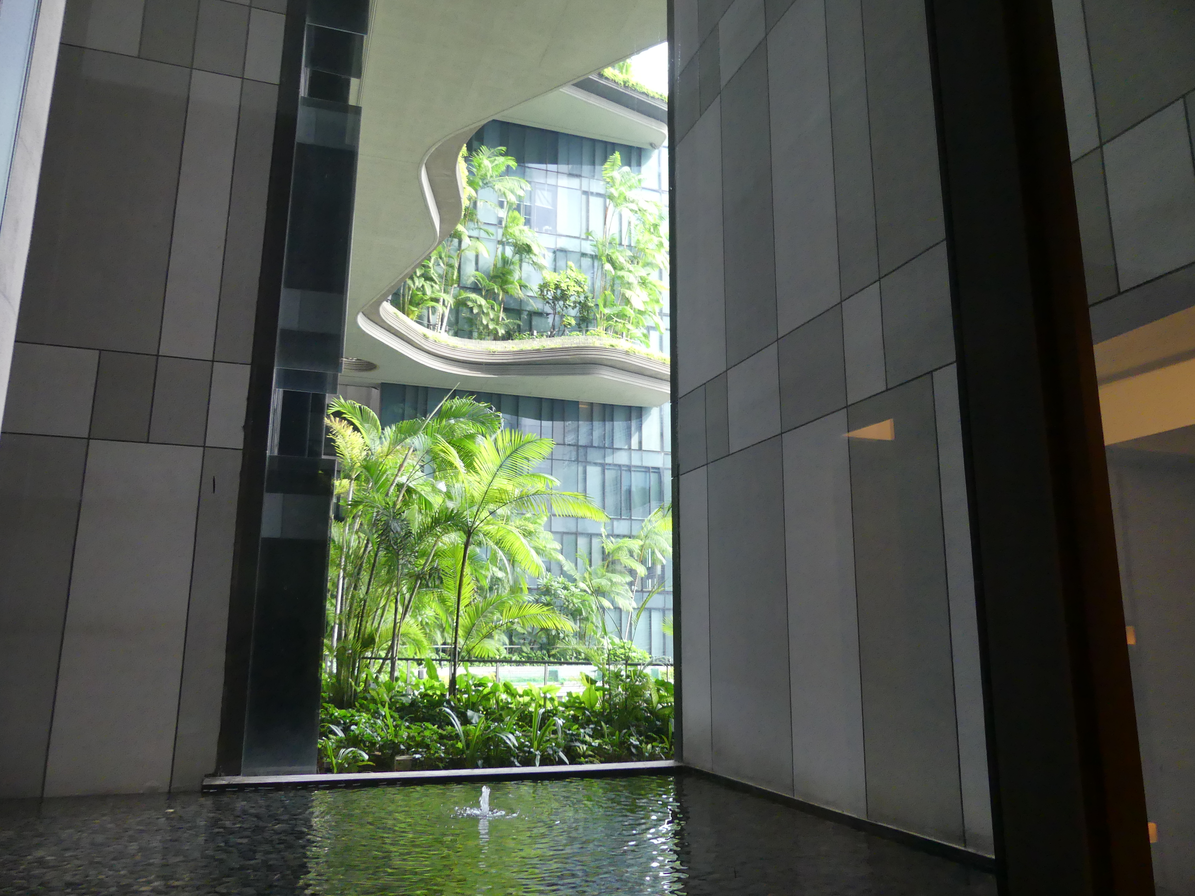
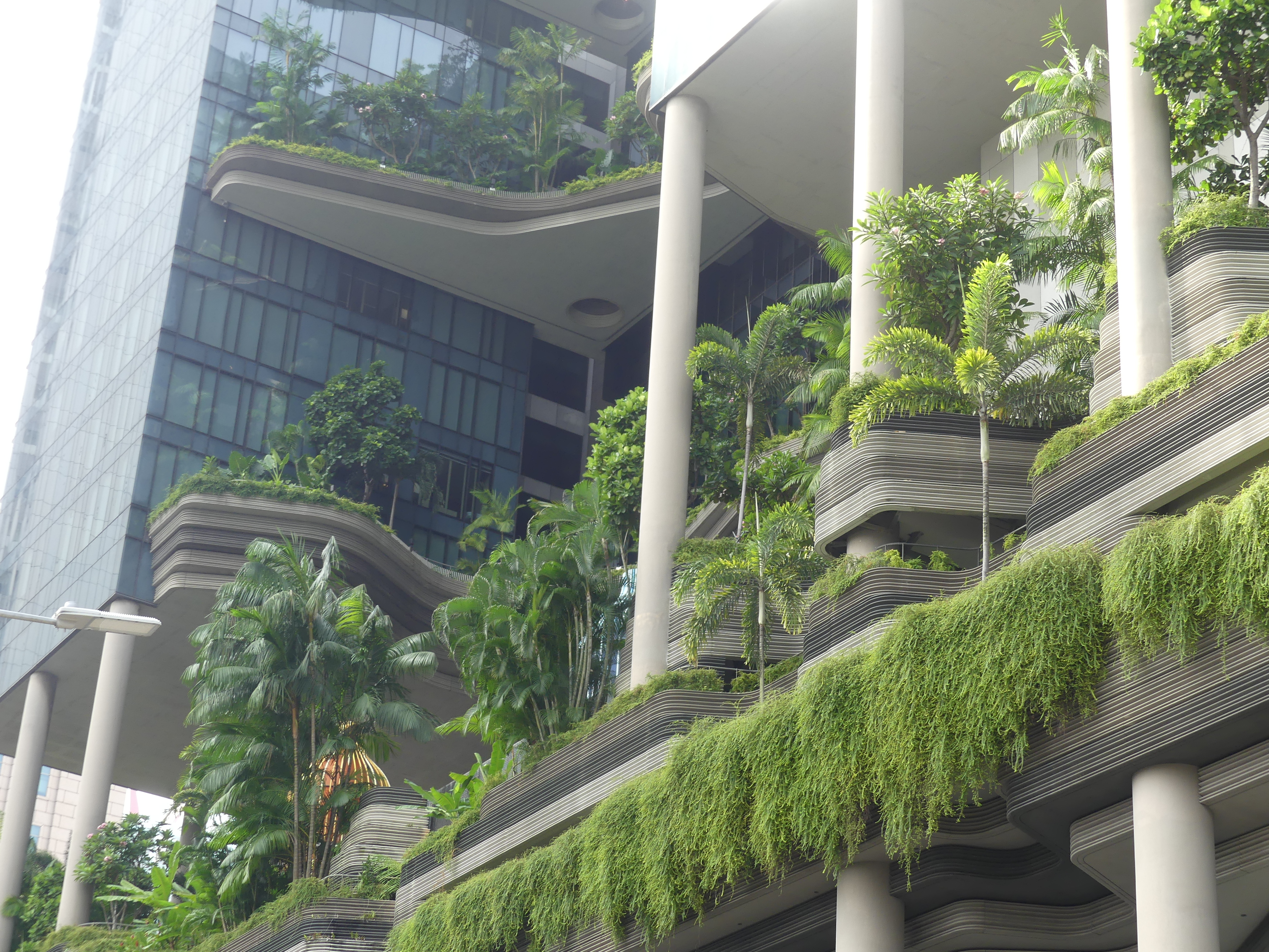
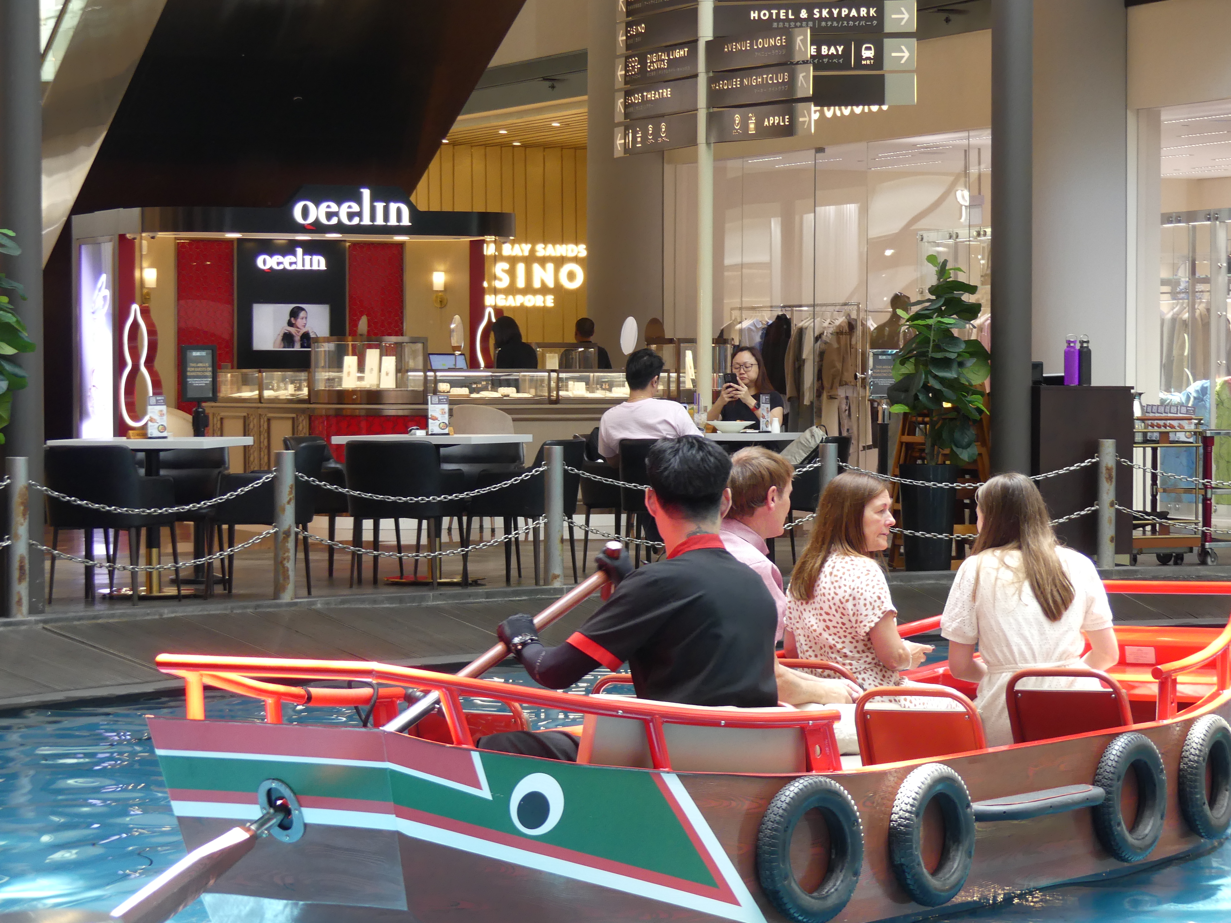
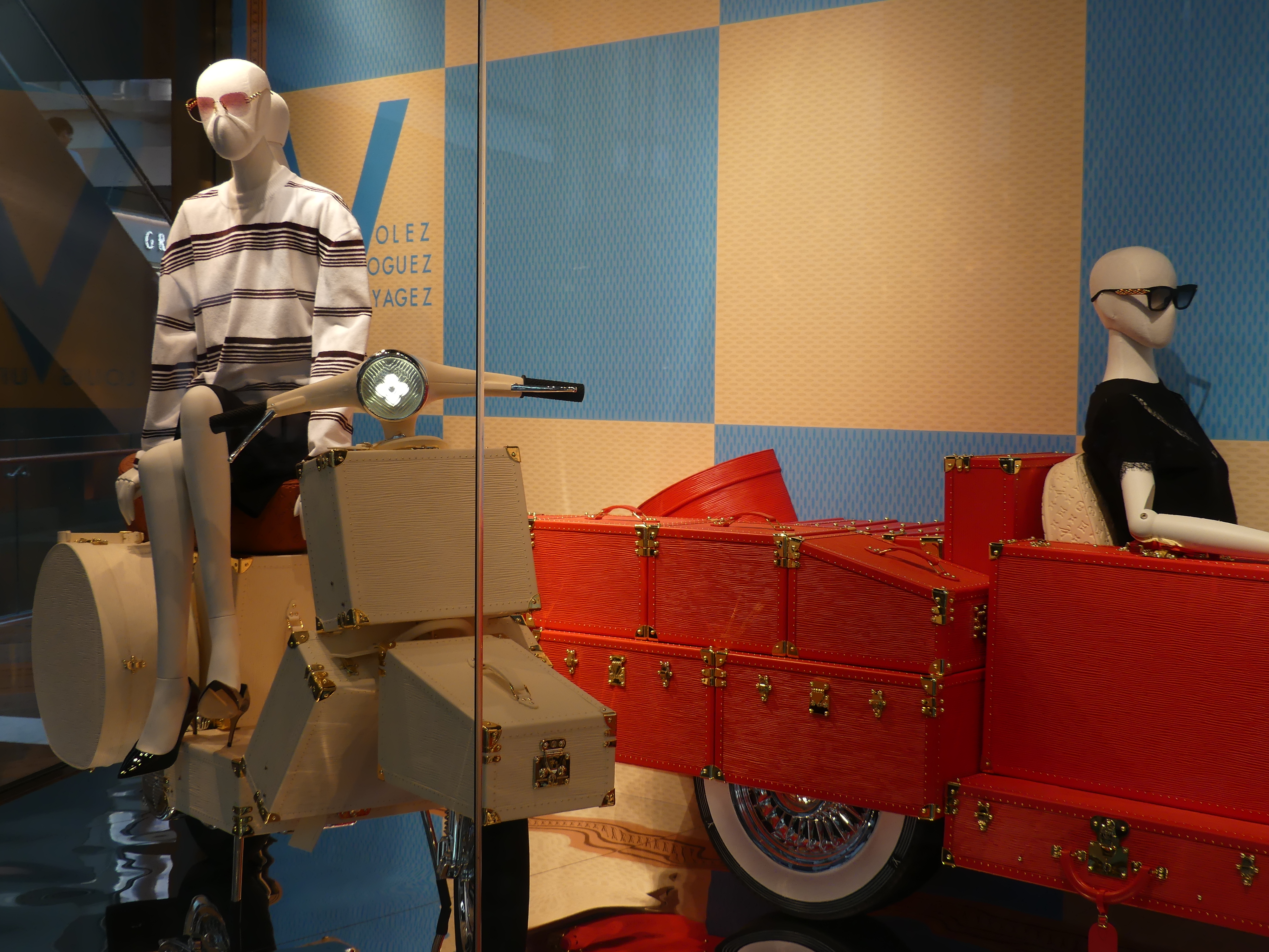
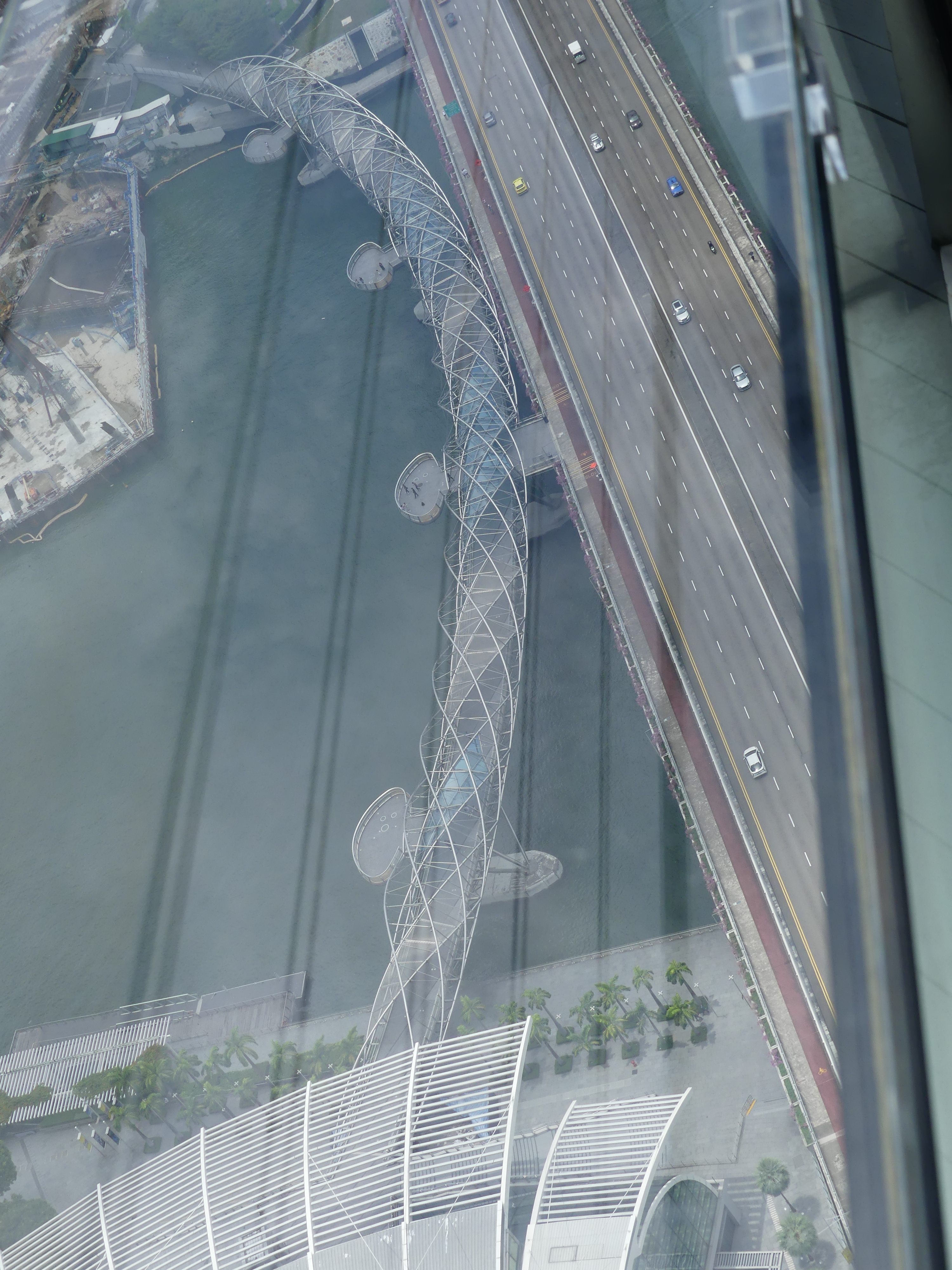
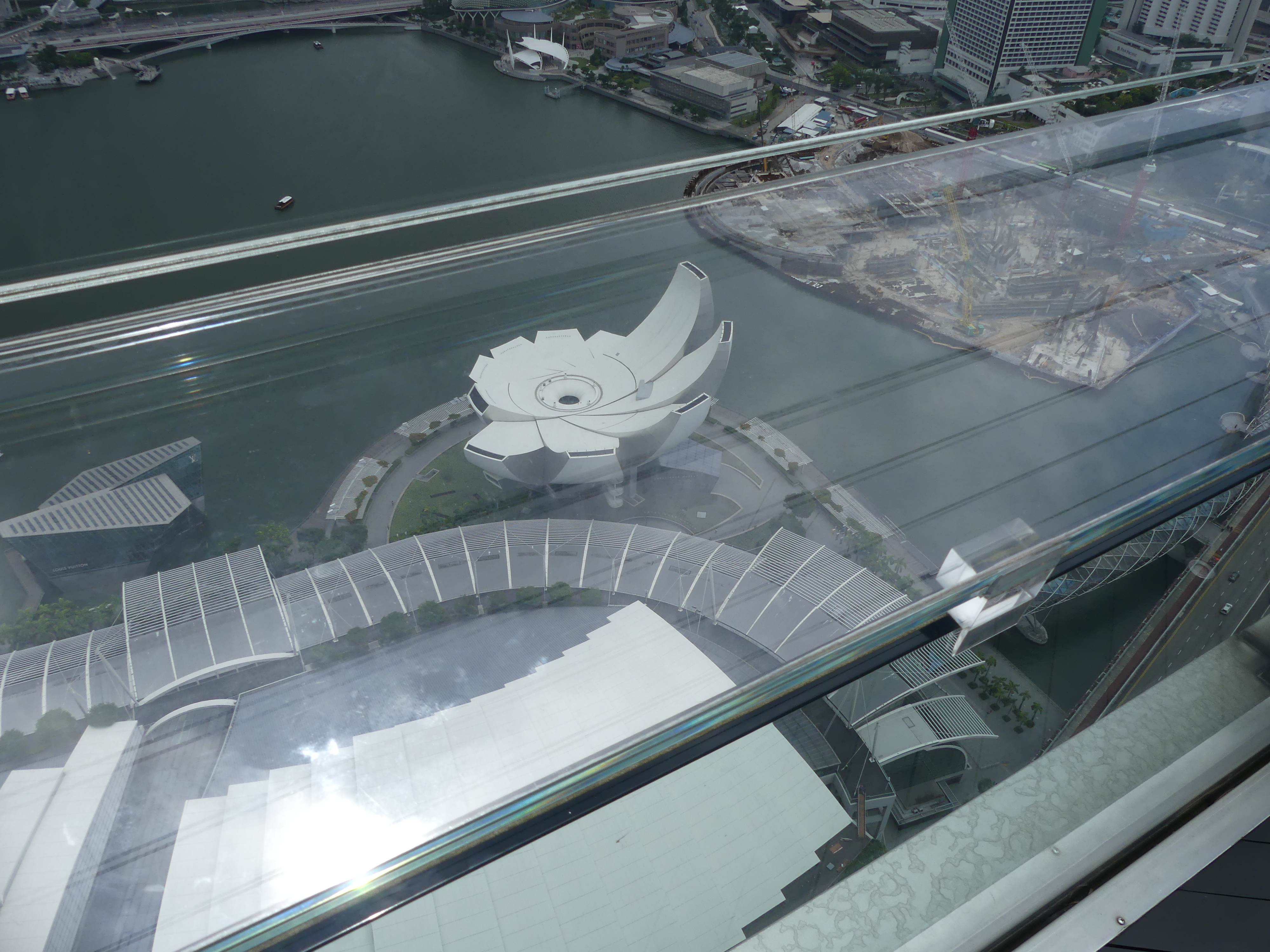
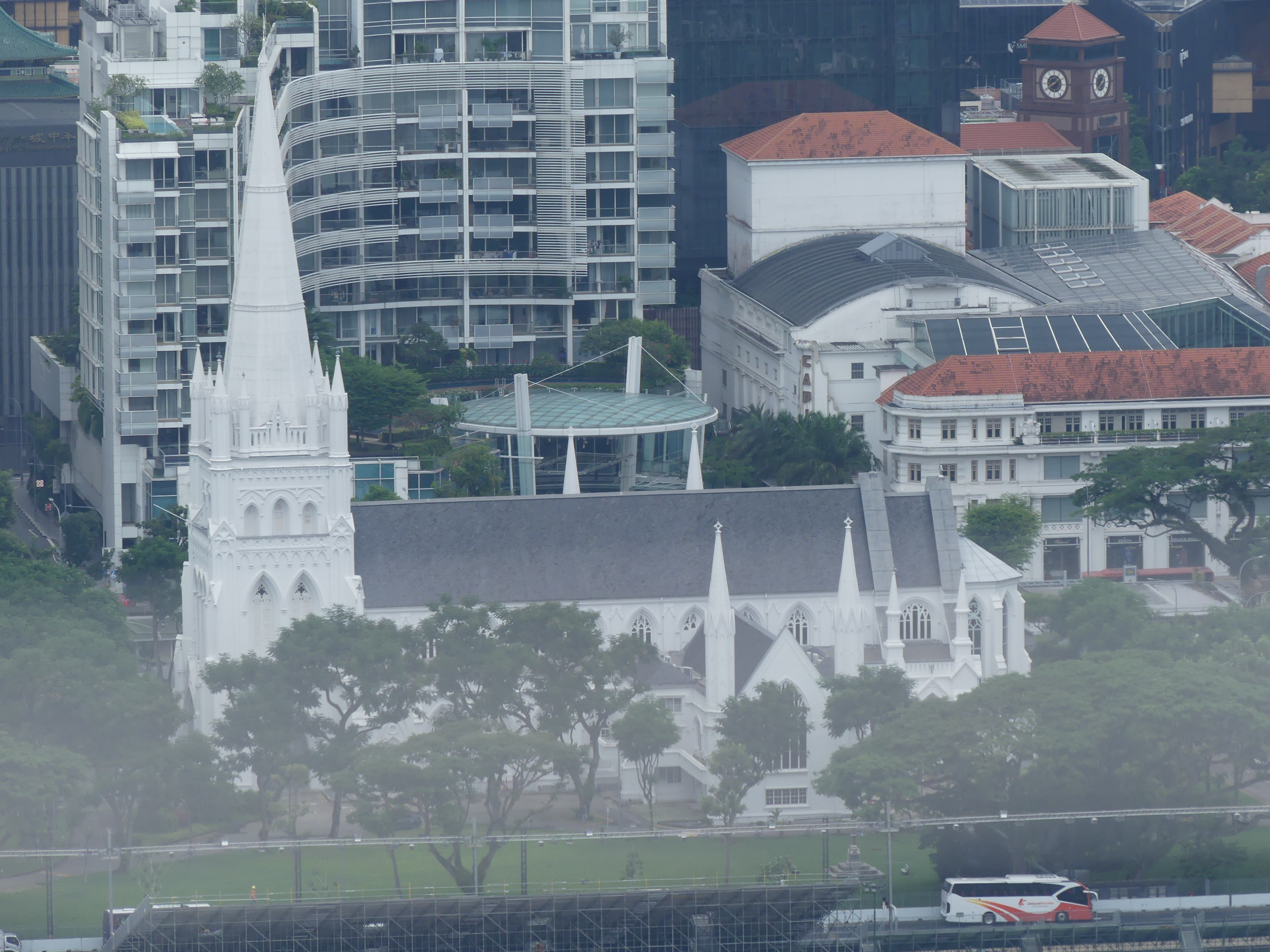
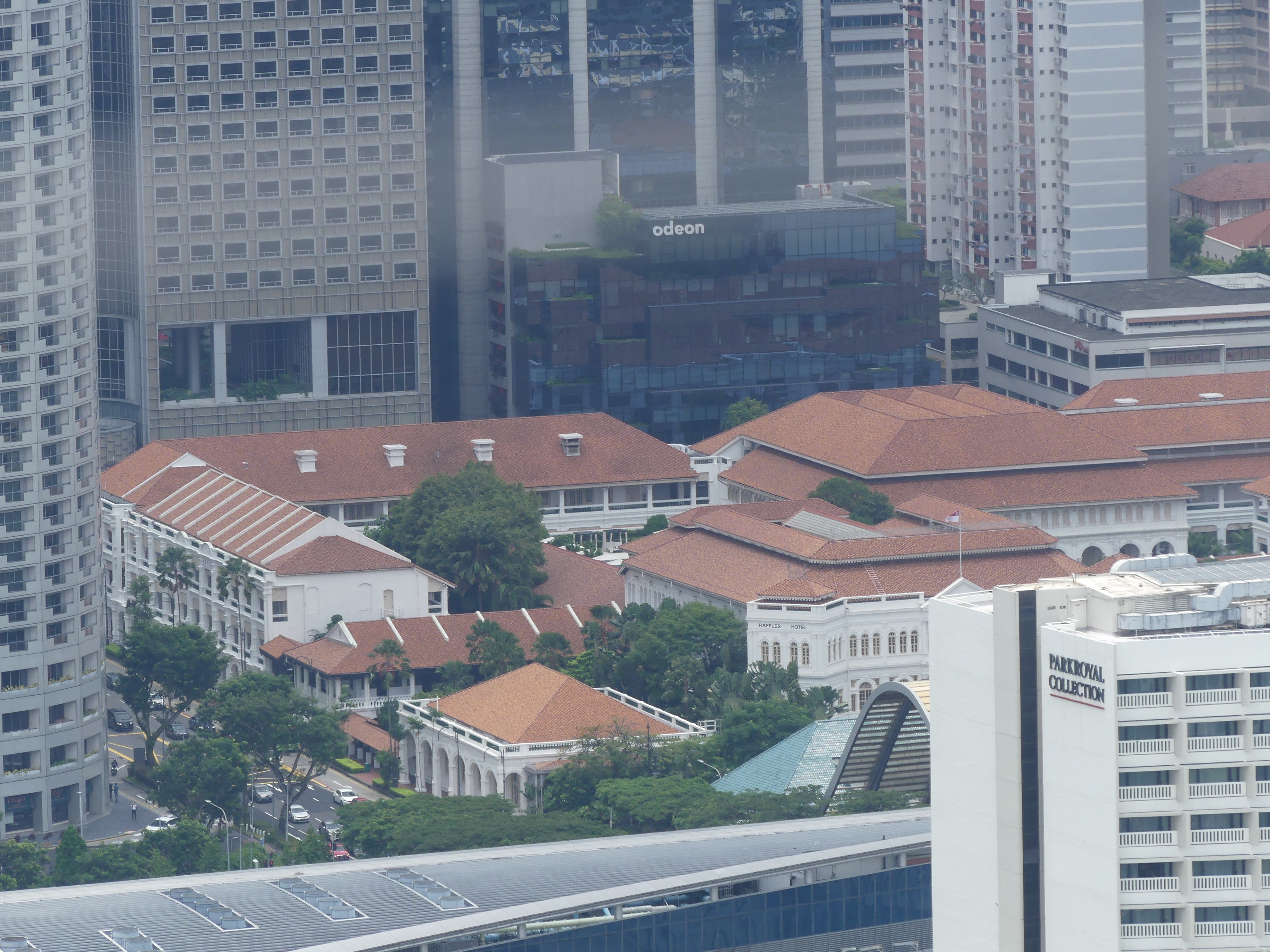
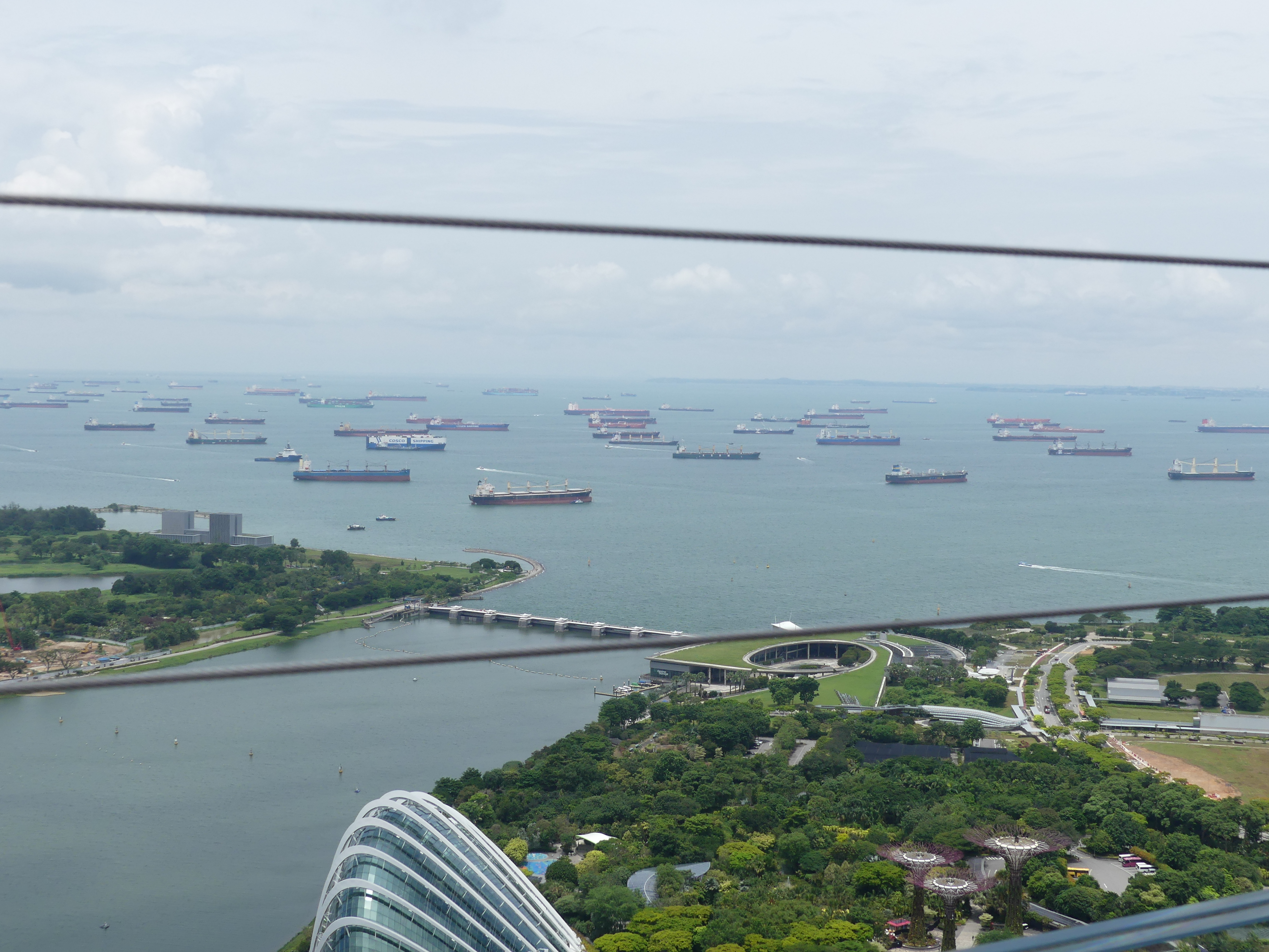
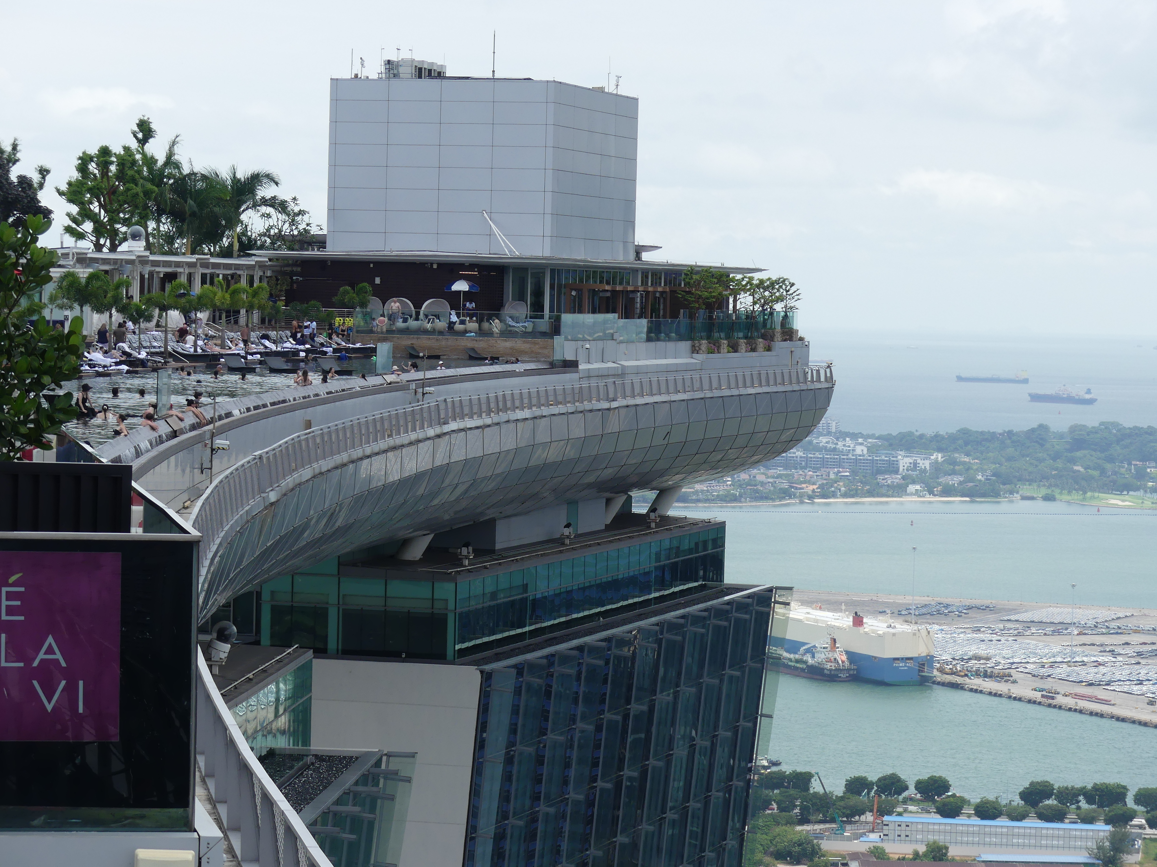
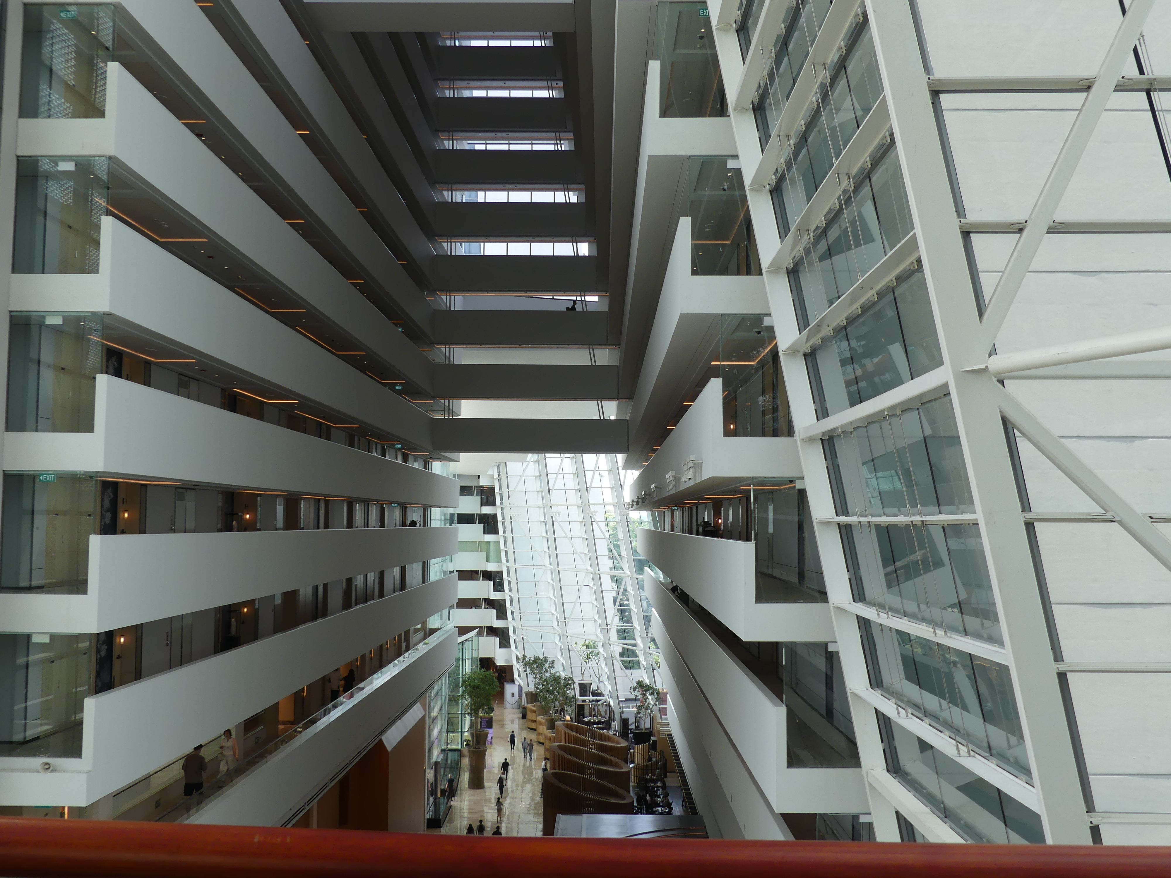
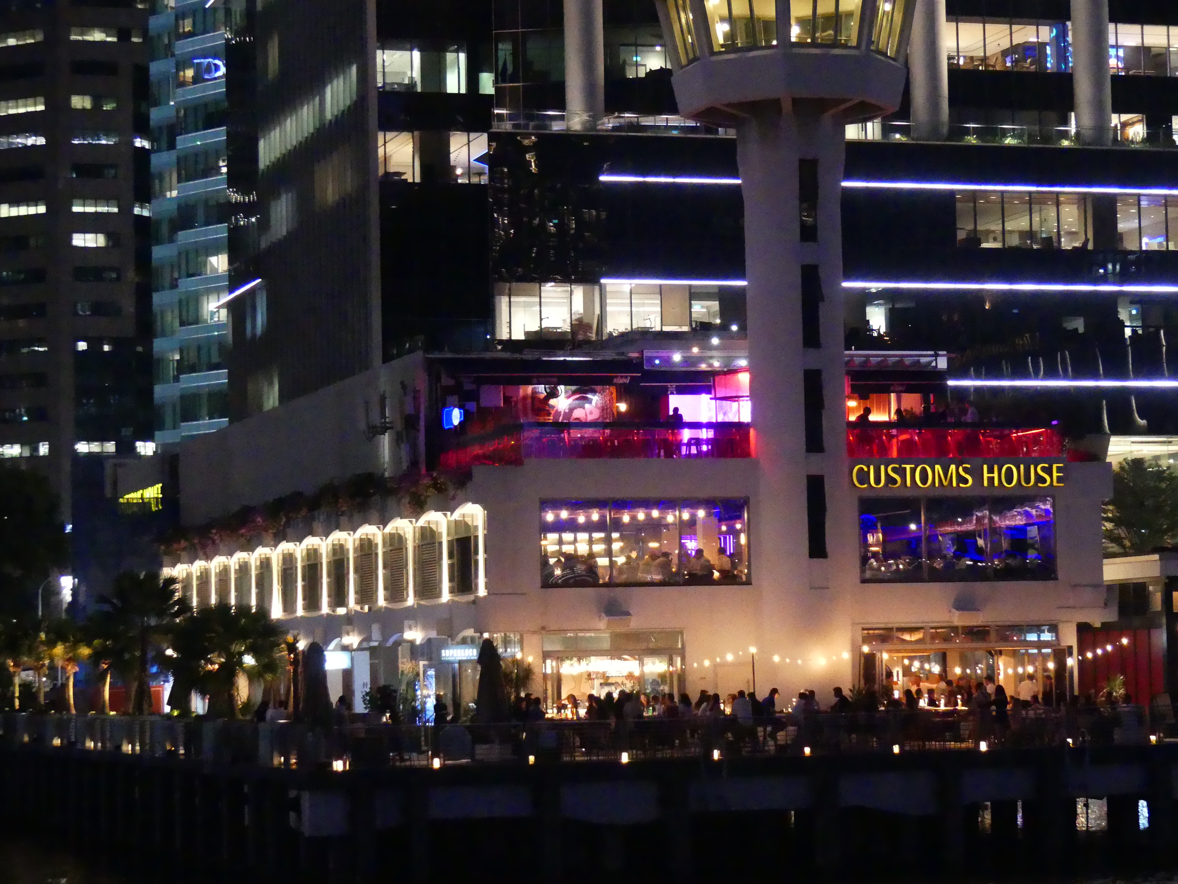
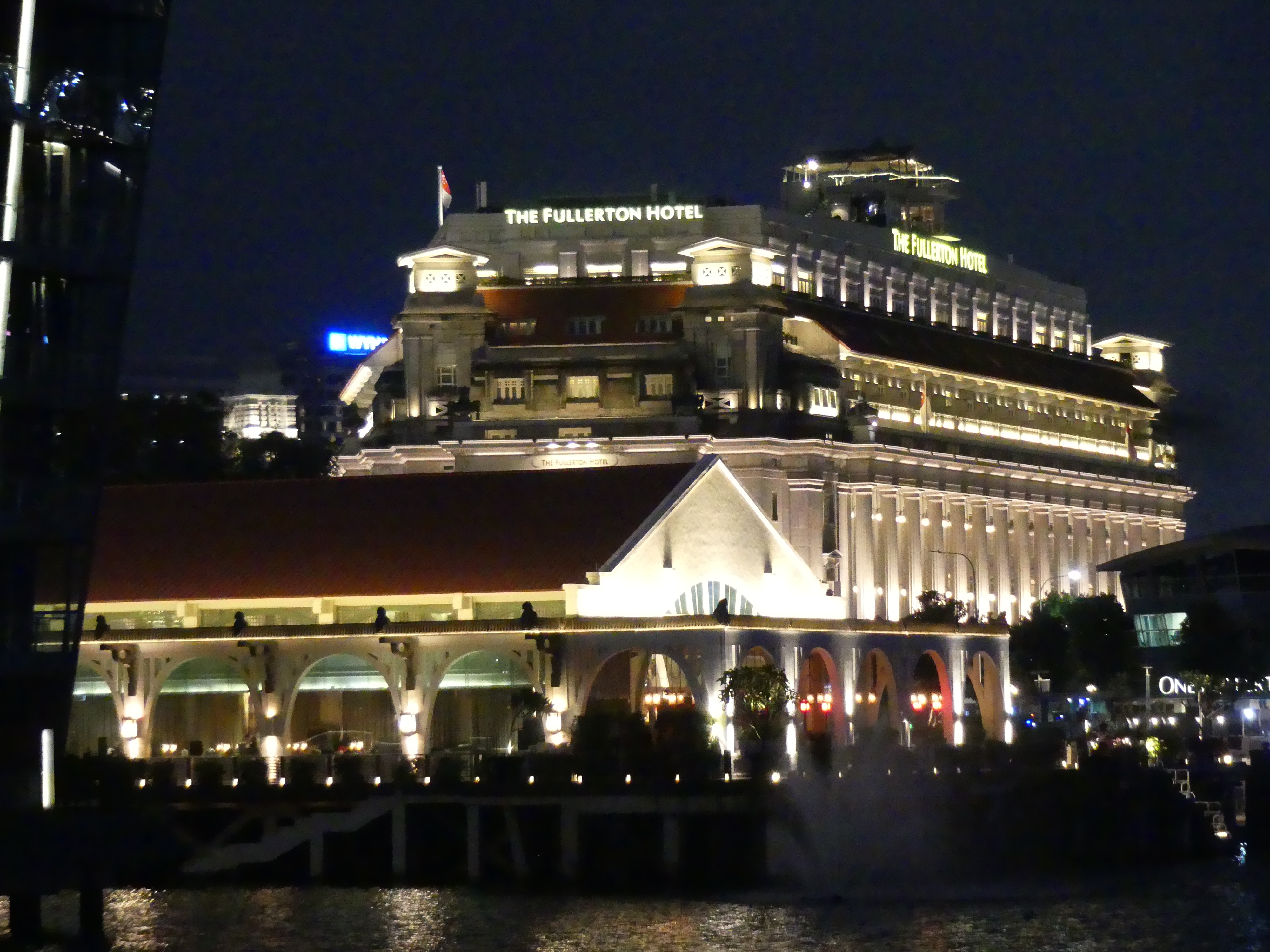
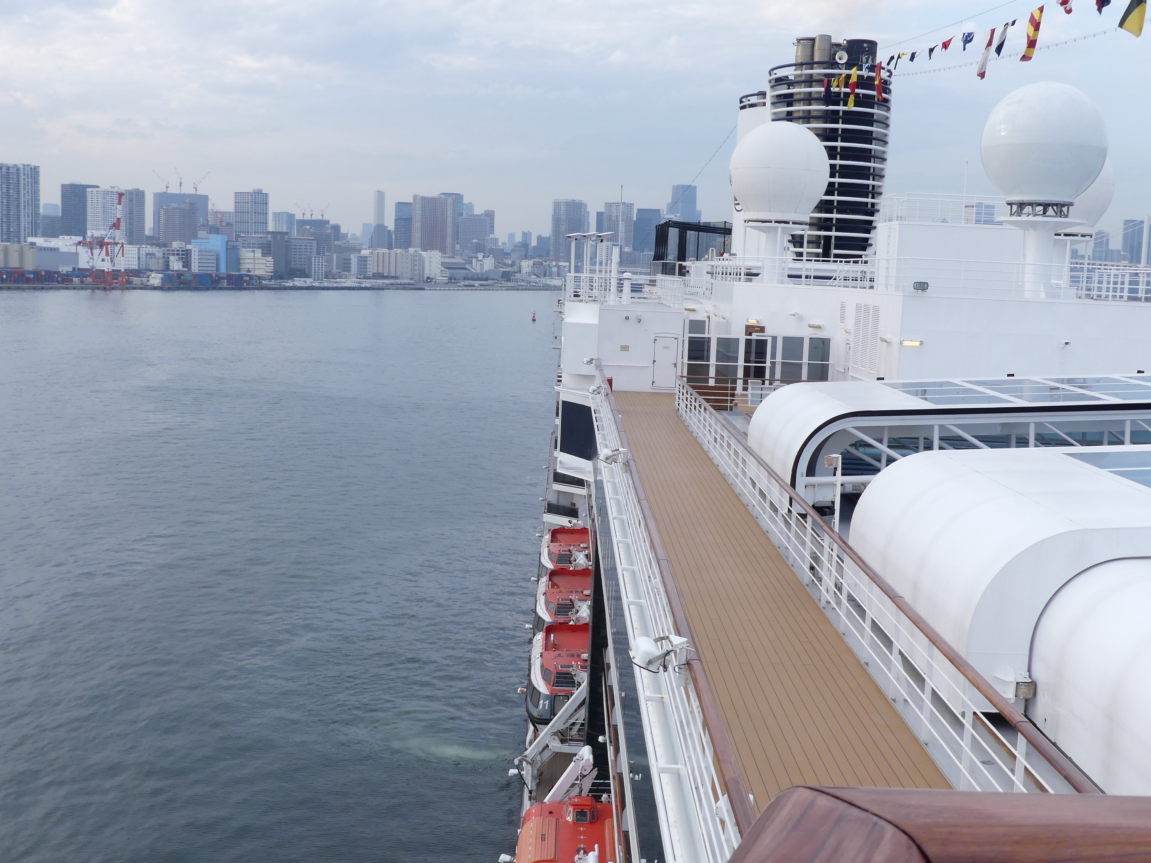
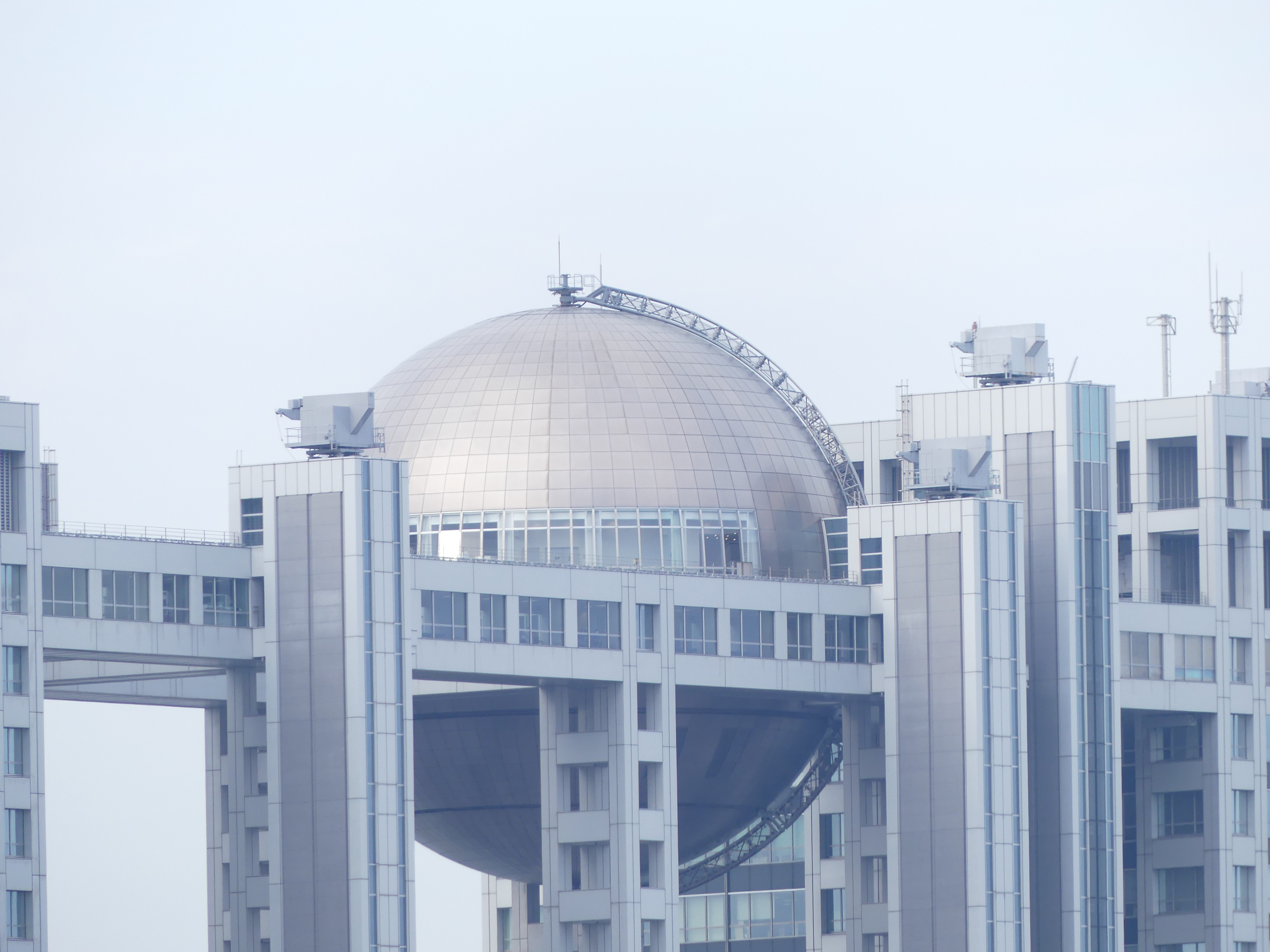
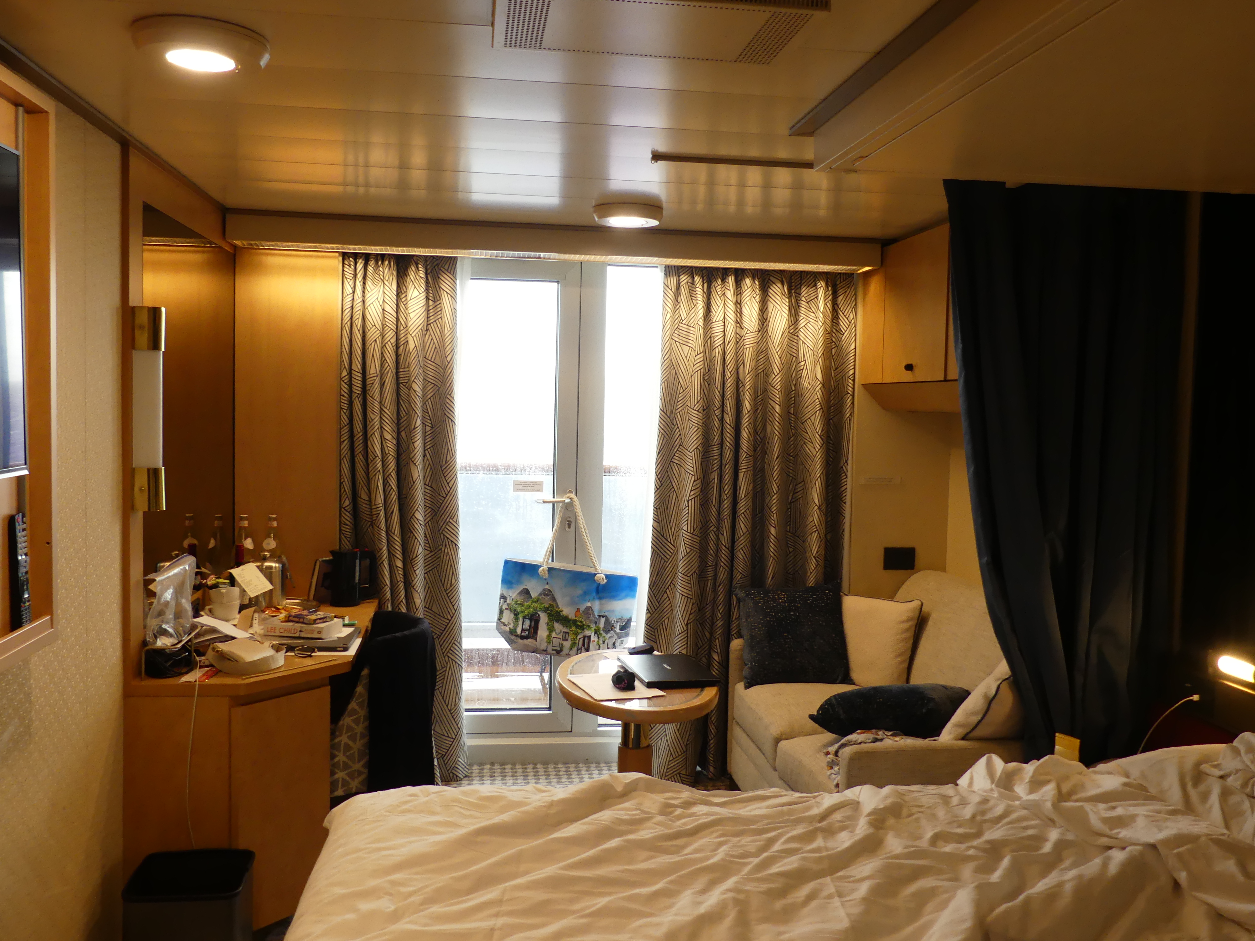
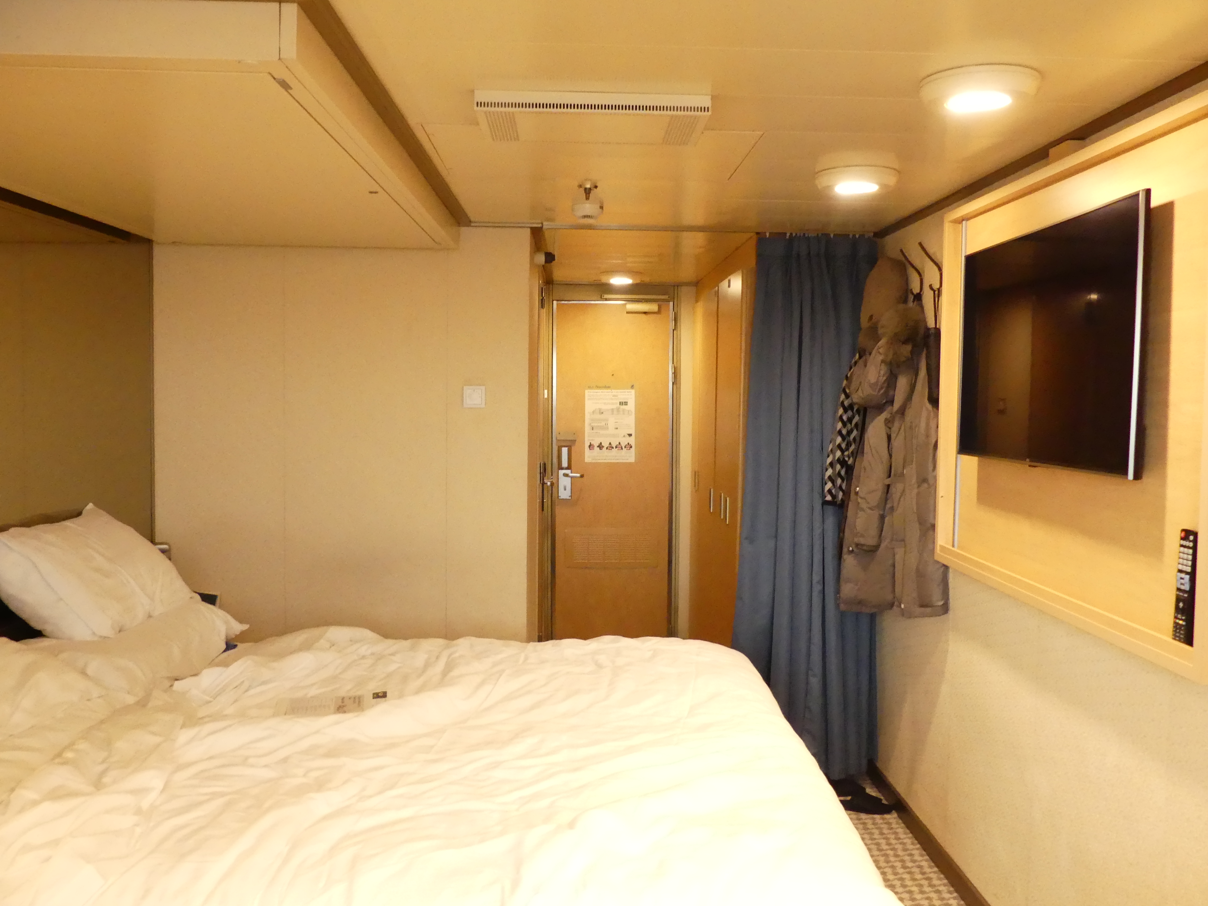
After the drama of finding the terminal, we cruised off that afternoon drinks in hand looking over the stern of the MS Noordam. The pictures below show the terminal, the crowd tucking into the welcoming drinks, some of the surrounding buildings and our stateroom. Later photos will give you a view of our deck but as you will note it was raining.
Day 3 Aburatsu
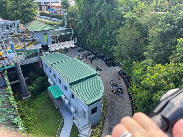
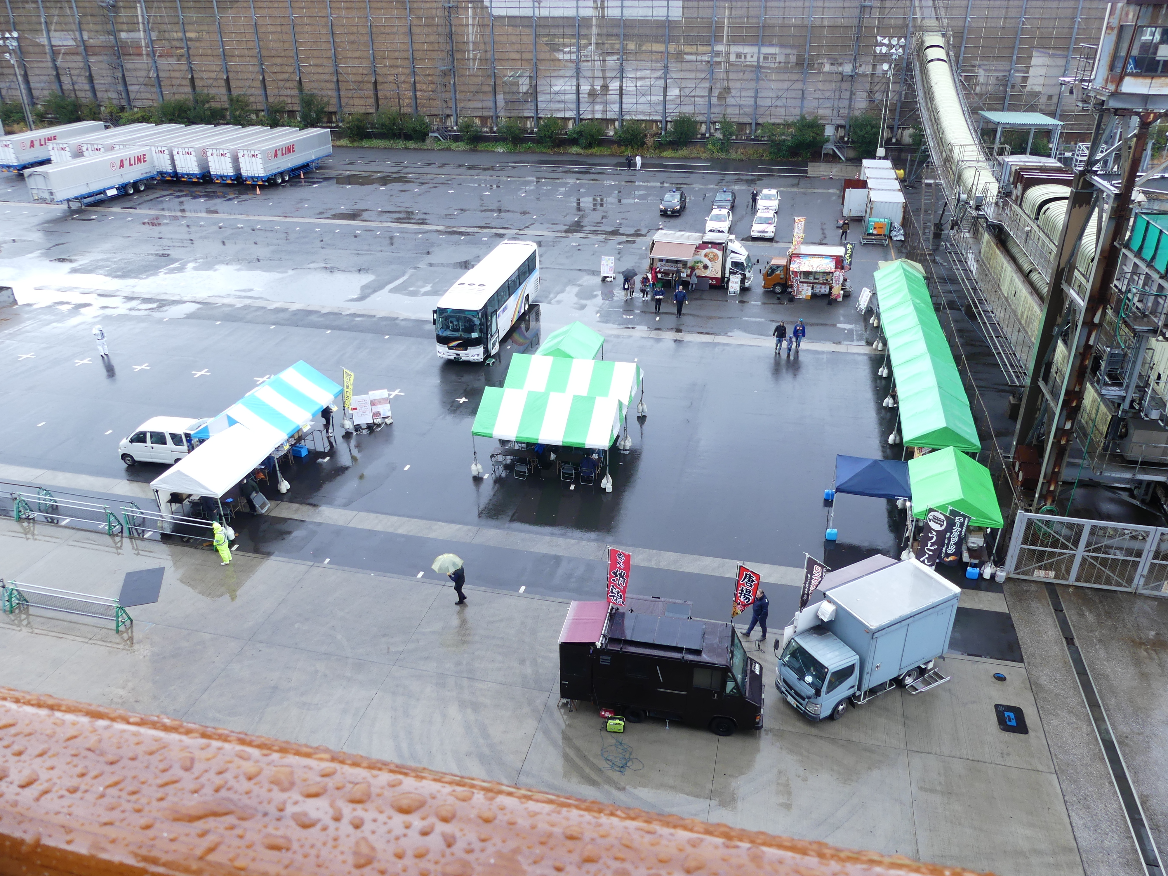
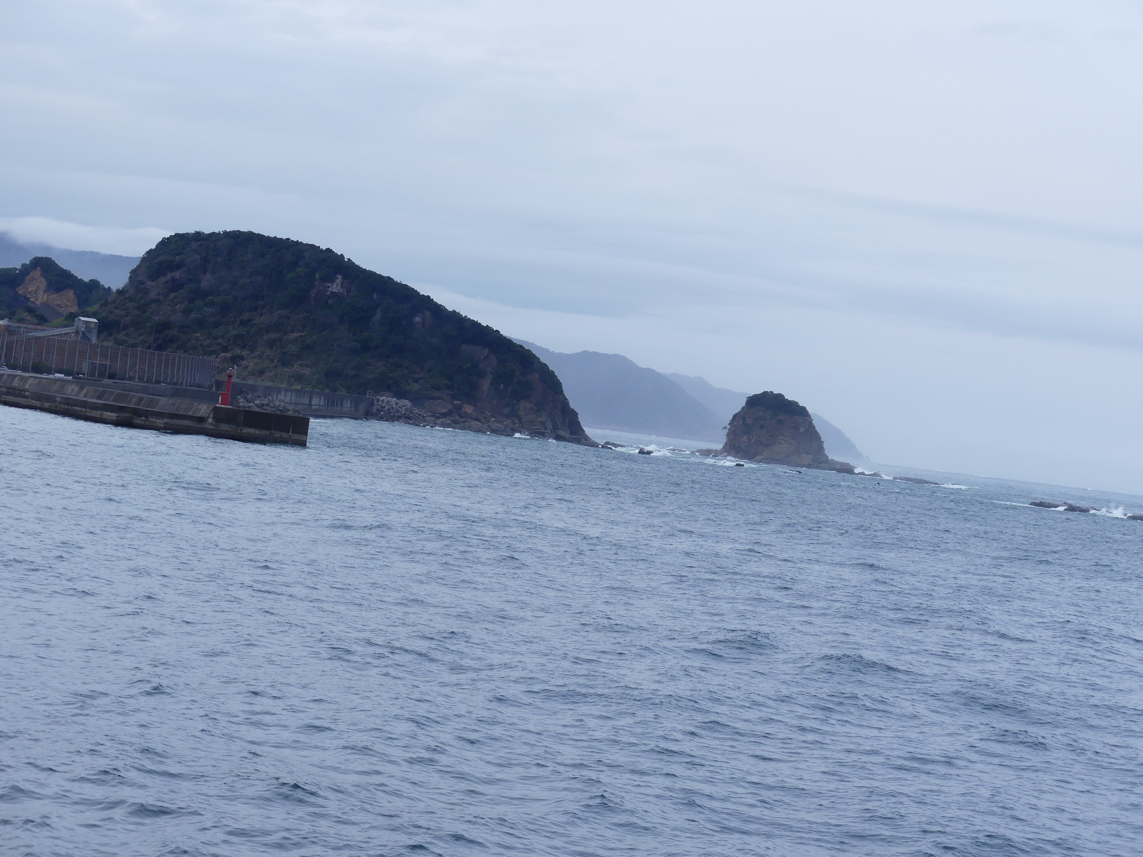
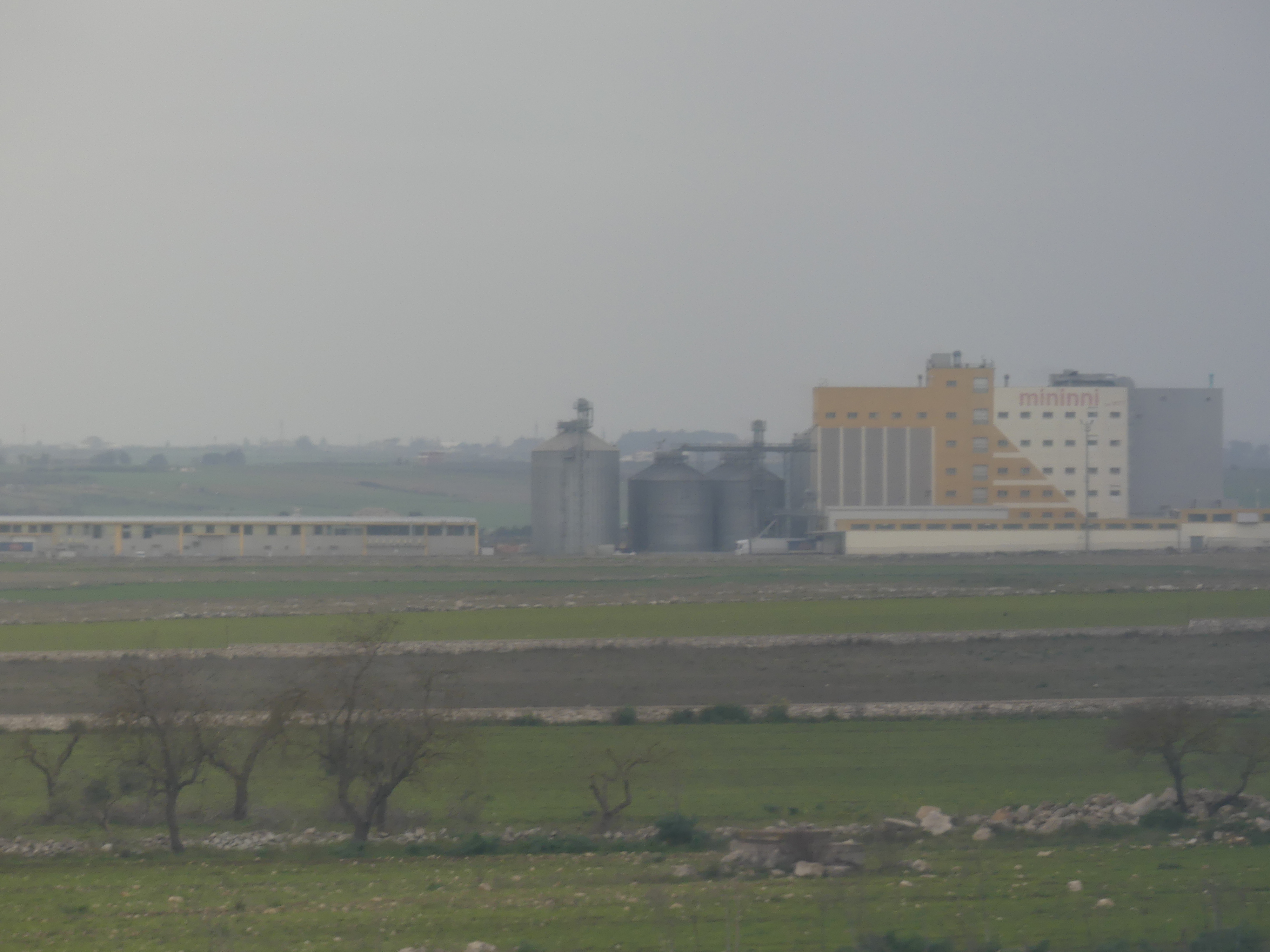
We were exhausted from rushing here and there. The tours/excursions did not excite us so we were not enticed to go ashore. The previous day and night had been choppy, and we decided it was great to just relax. The weather continued to be overcast and showery from time to time. So, we watched as several passengers filled the awaiting buses and thought of a good book and rest. Amongst the photos below you will see the harbour is fenced off by rocky outcrops and the channels out of the harbour had to be marked by lighthouses when the ship sailed.
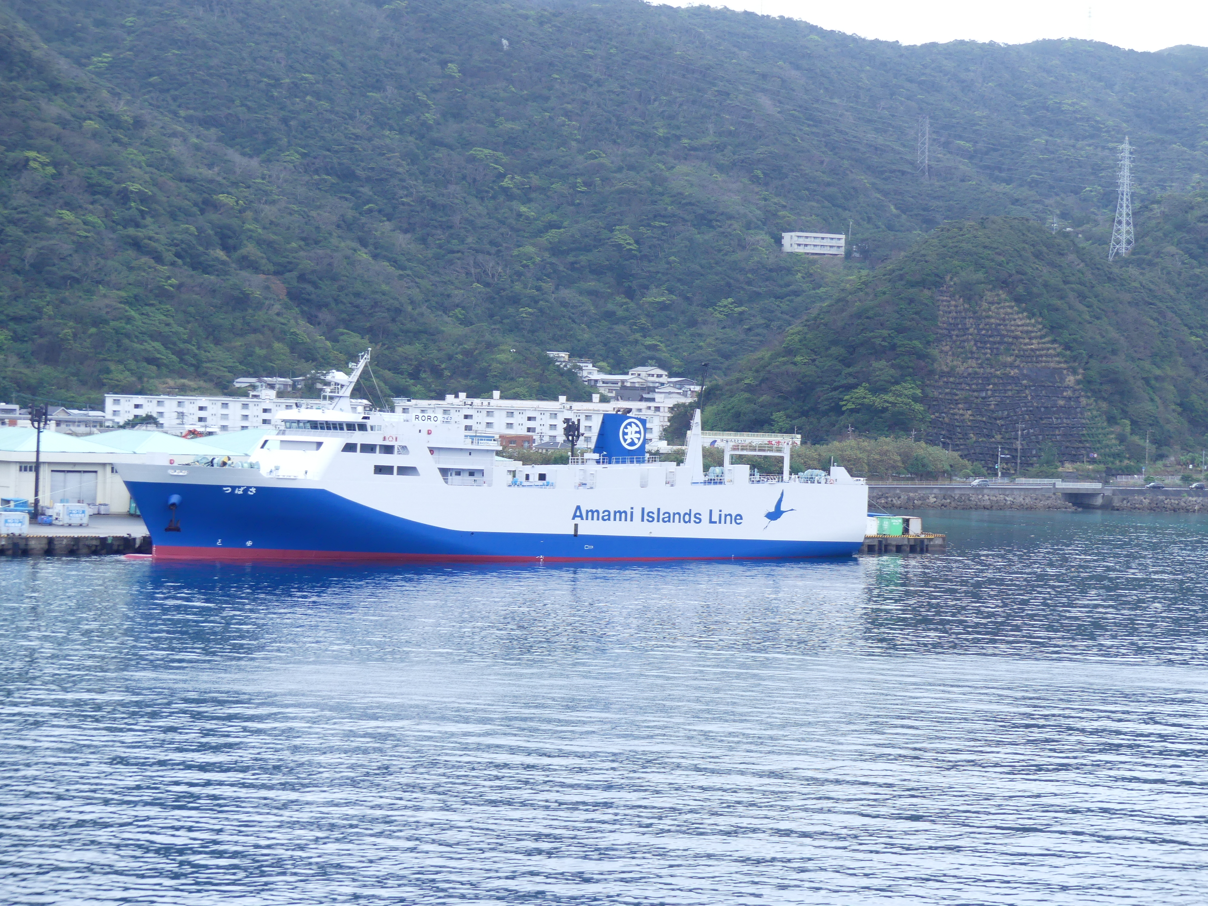
Day 4 Port Naze
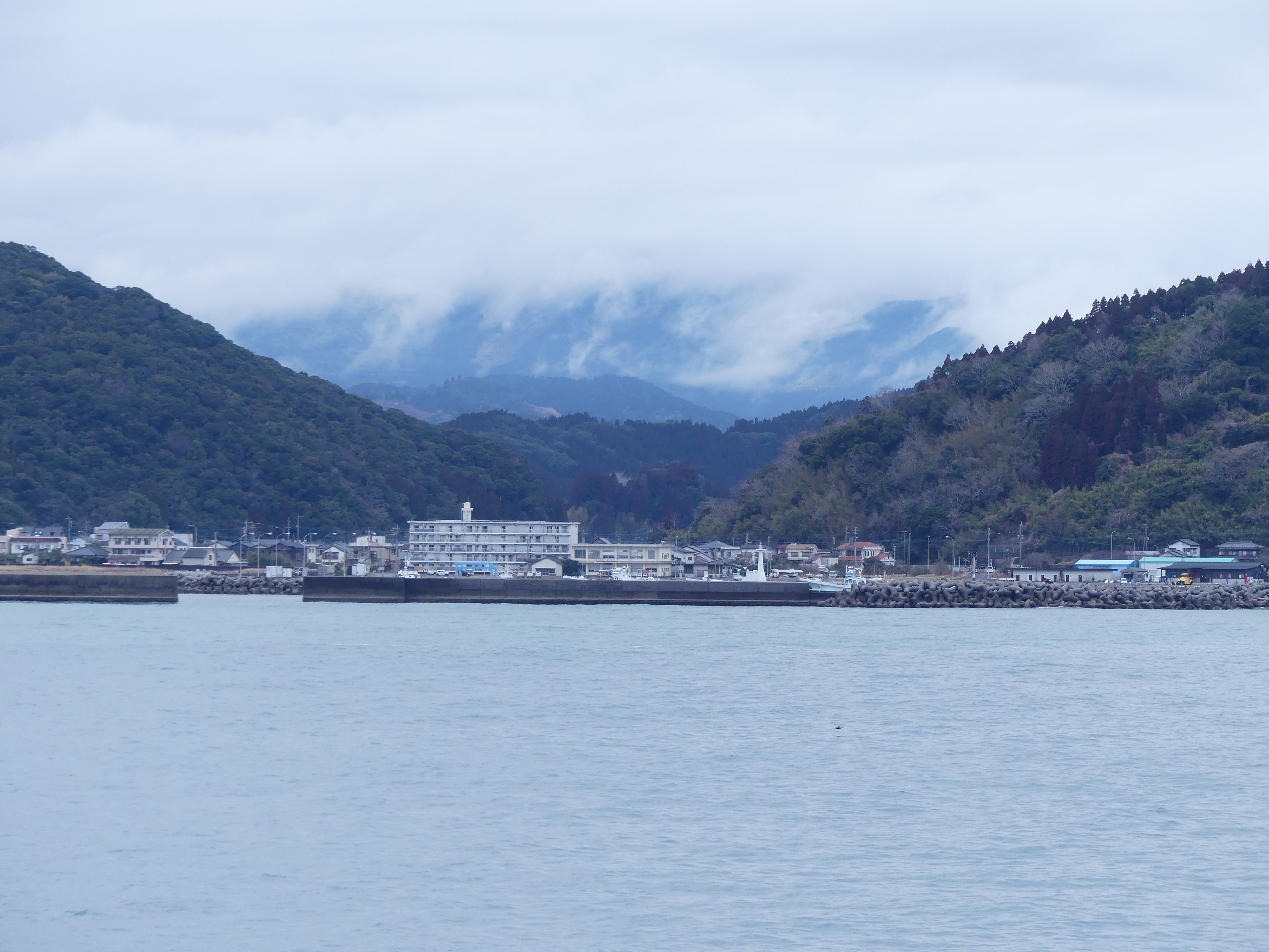
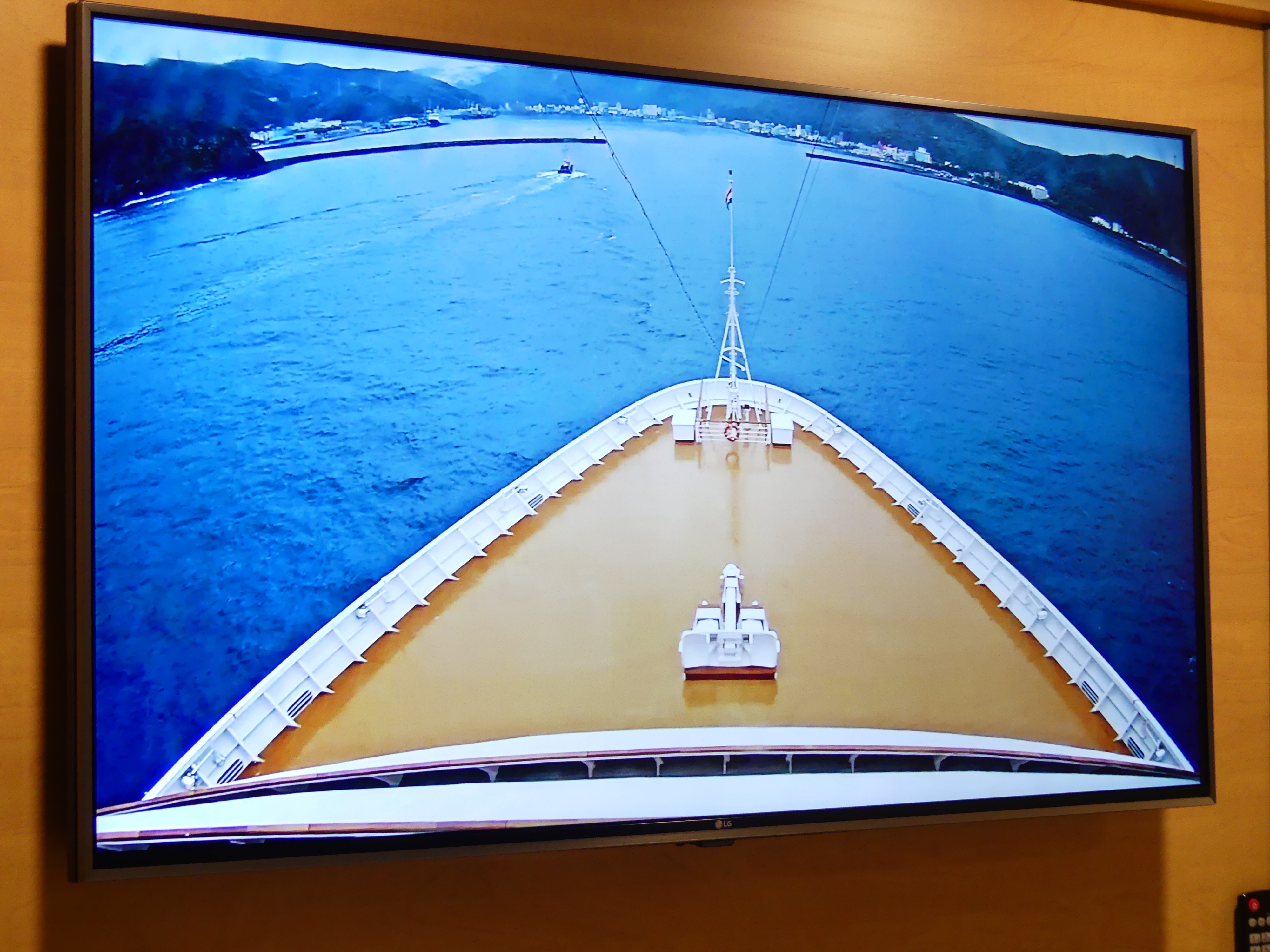
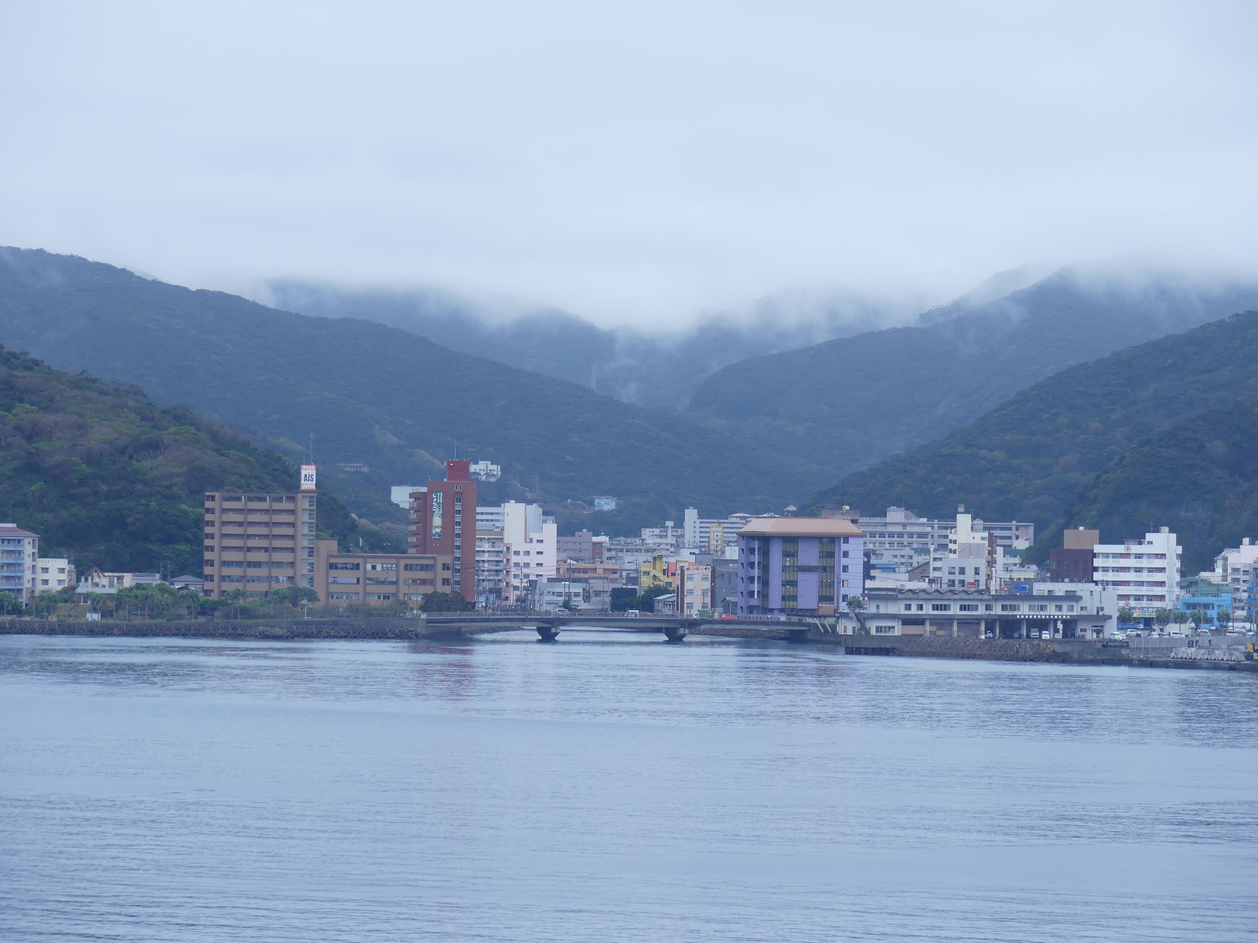
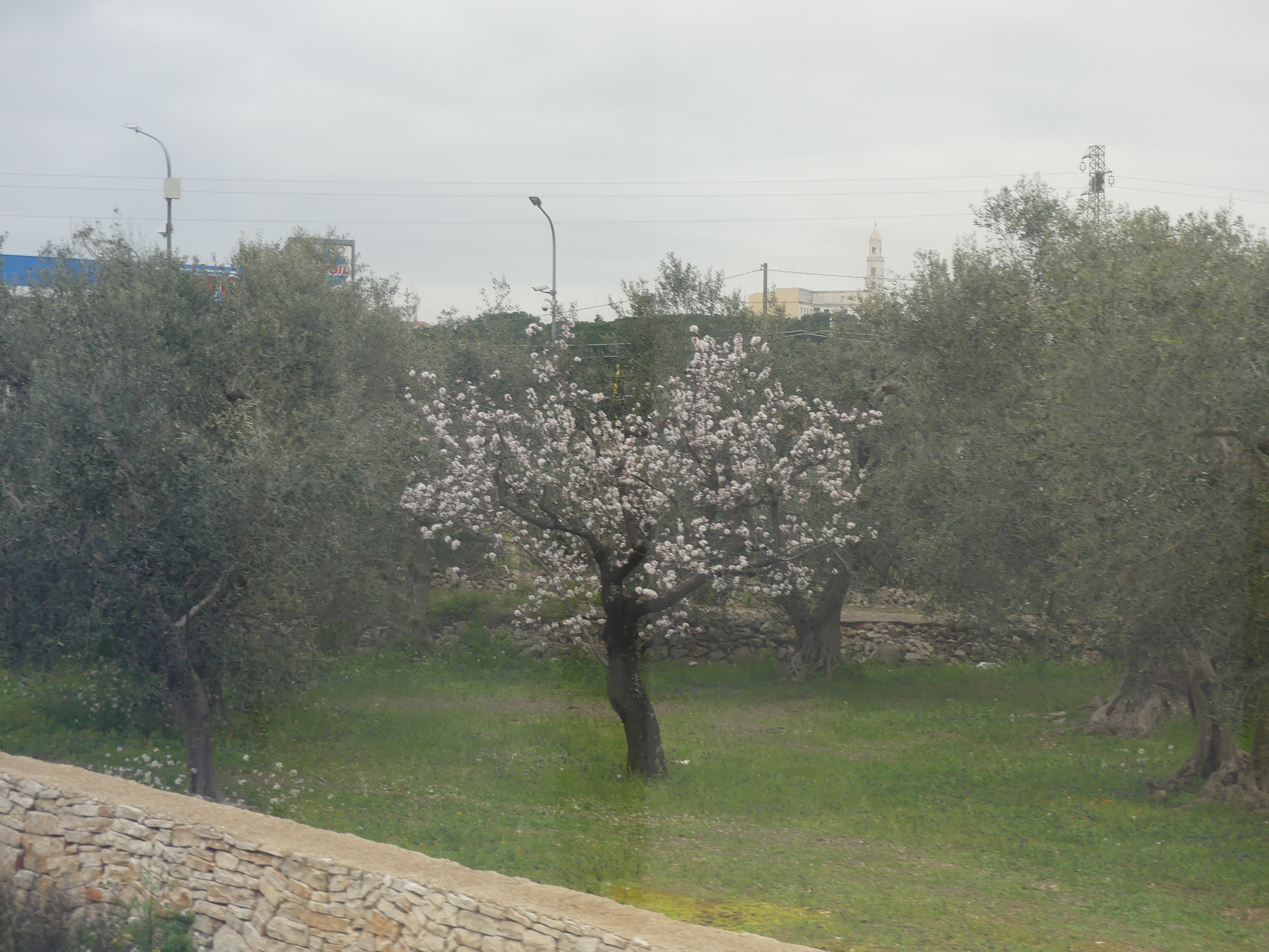
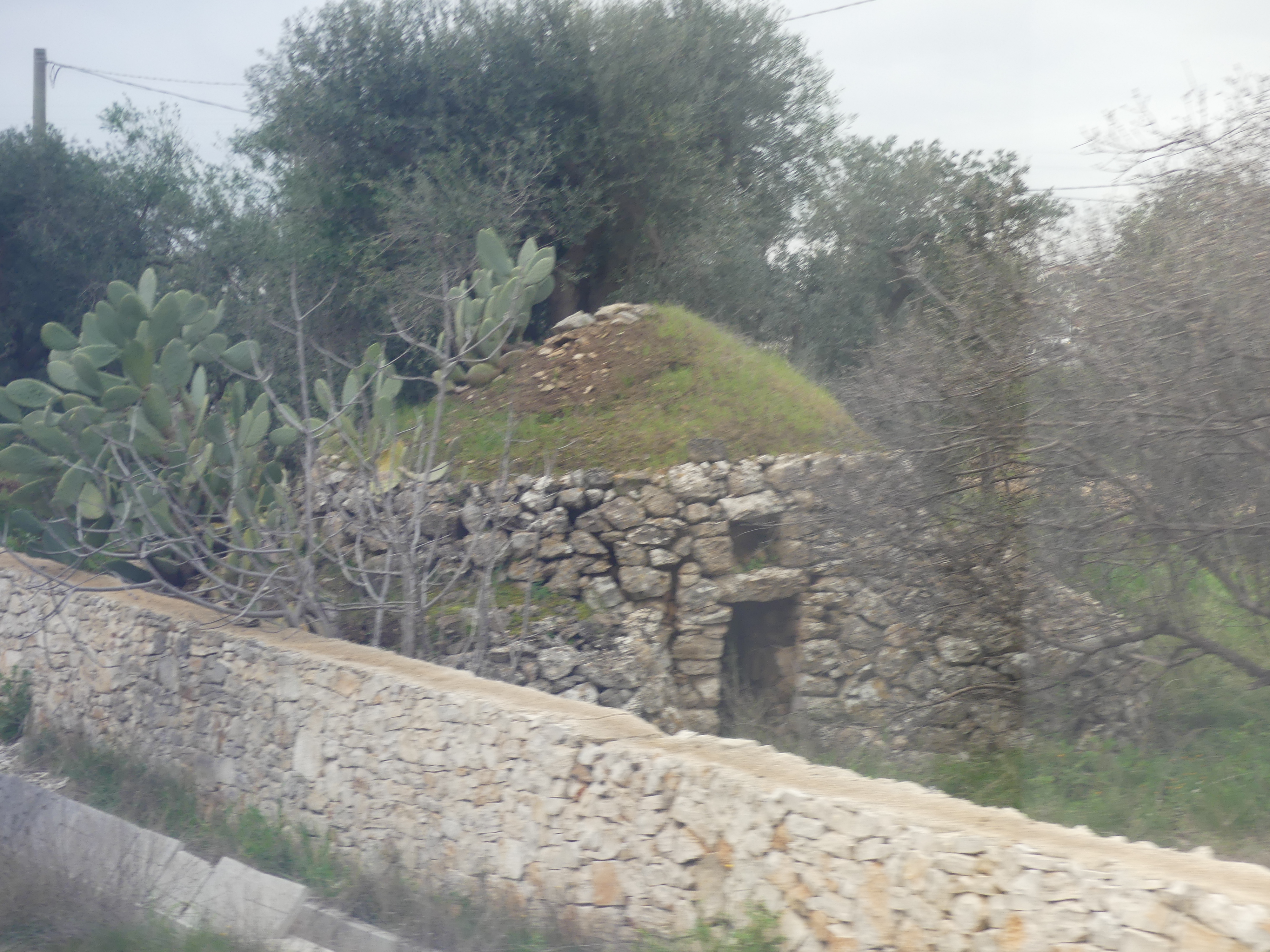
It was overcast once again. We had paid for one of the excursions, so we were wide awake watching the ship come into the dock and noting the heavy vegetation around the town. Our TV was connected to the ships bow camera, so we did not need to take a step outside to know its was still overcast. Once again there was a seawall to protect the harbour and a ferry service servicing the nearby islands. The town seemed about to be swallowed by the surrounding vegetation.
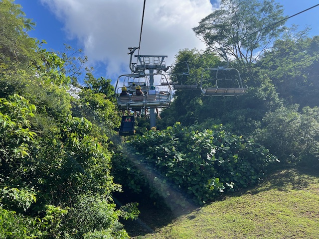
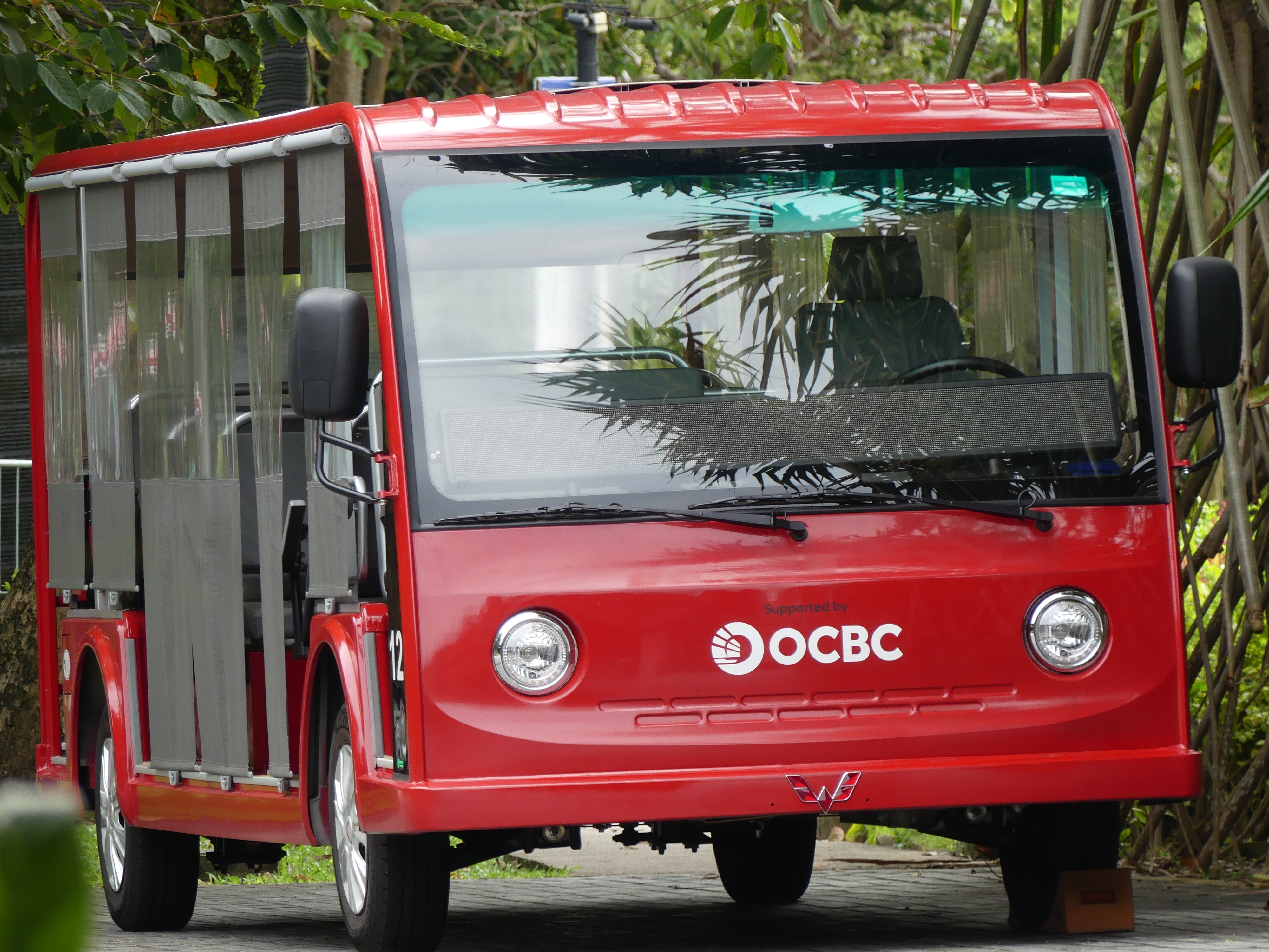
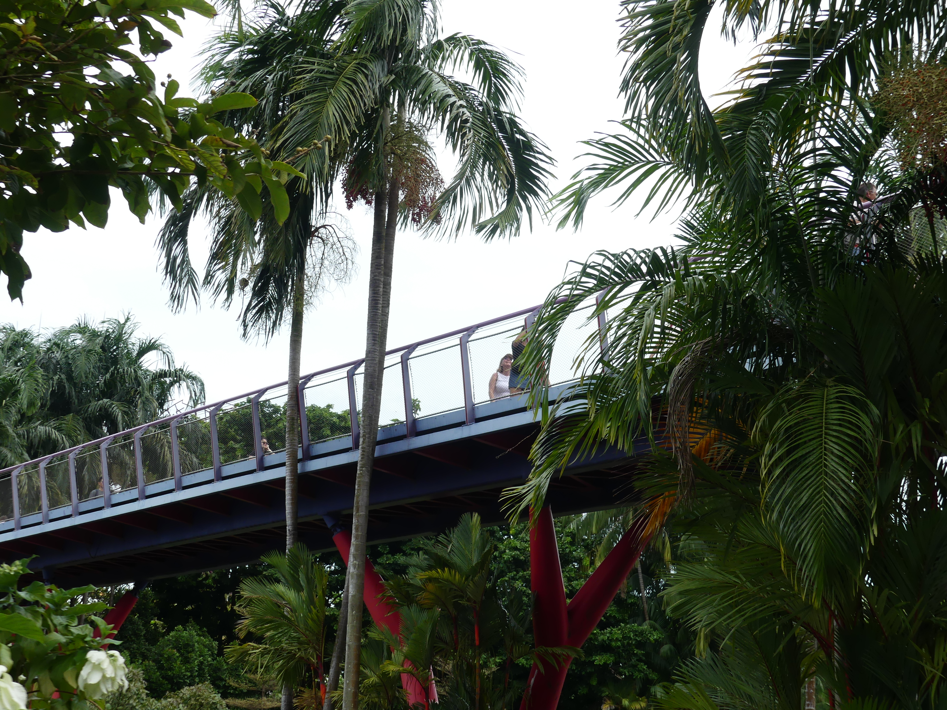
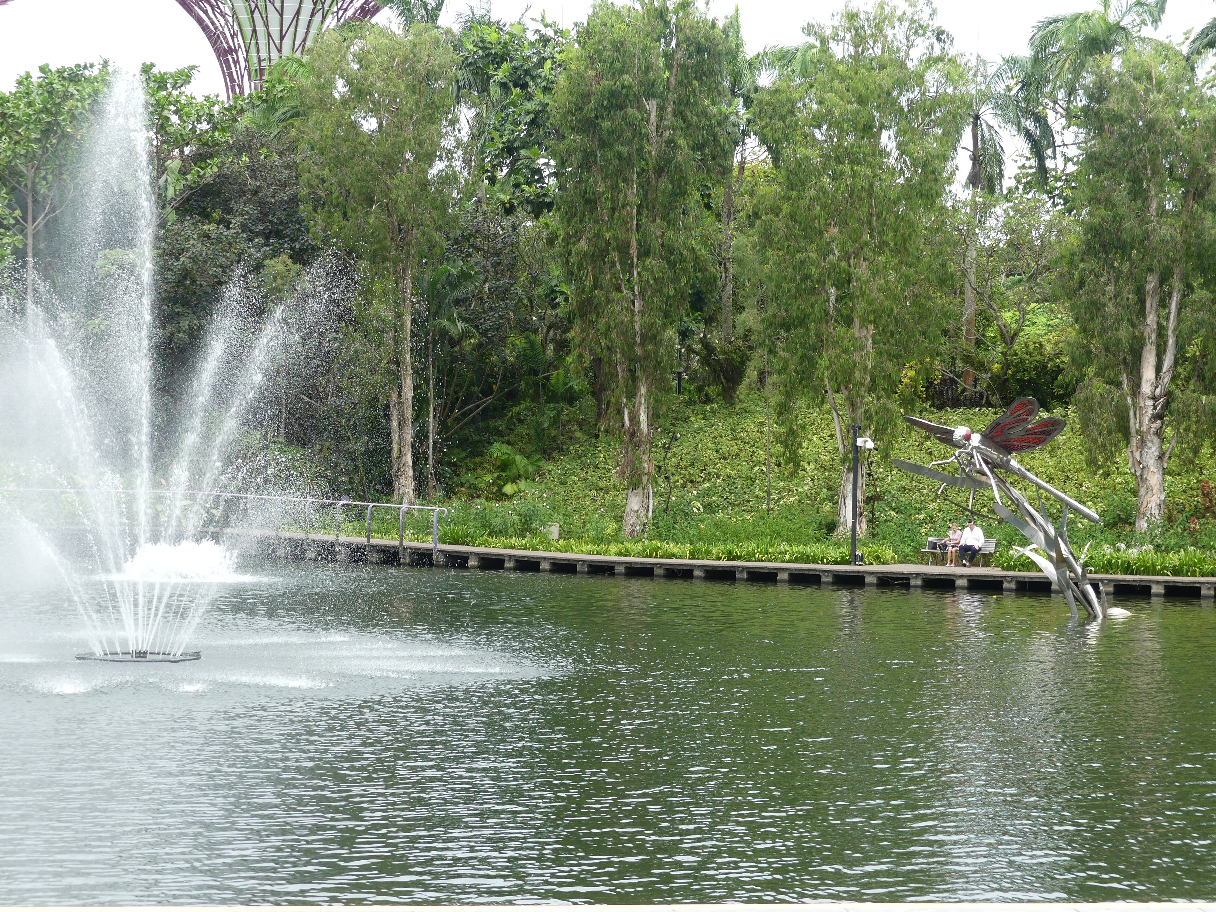
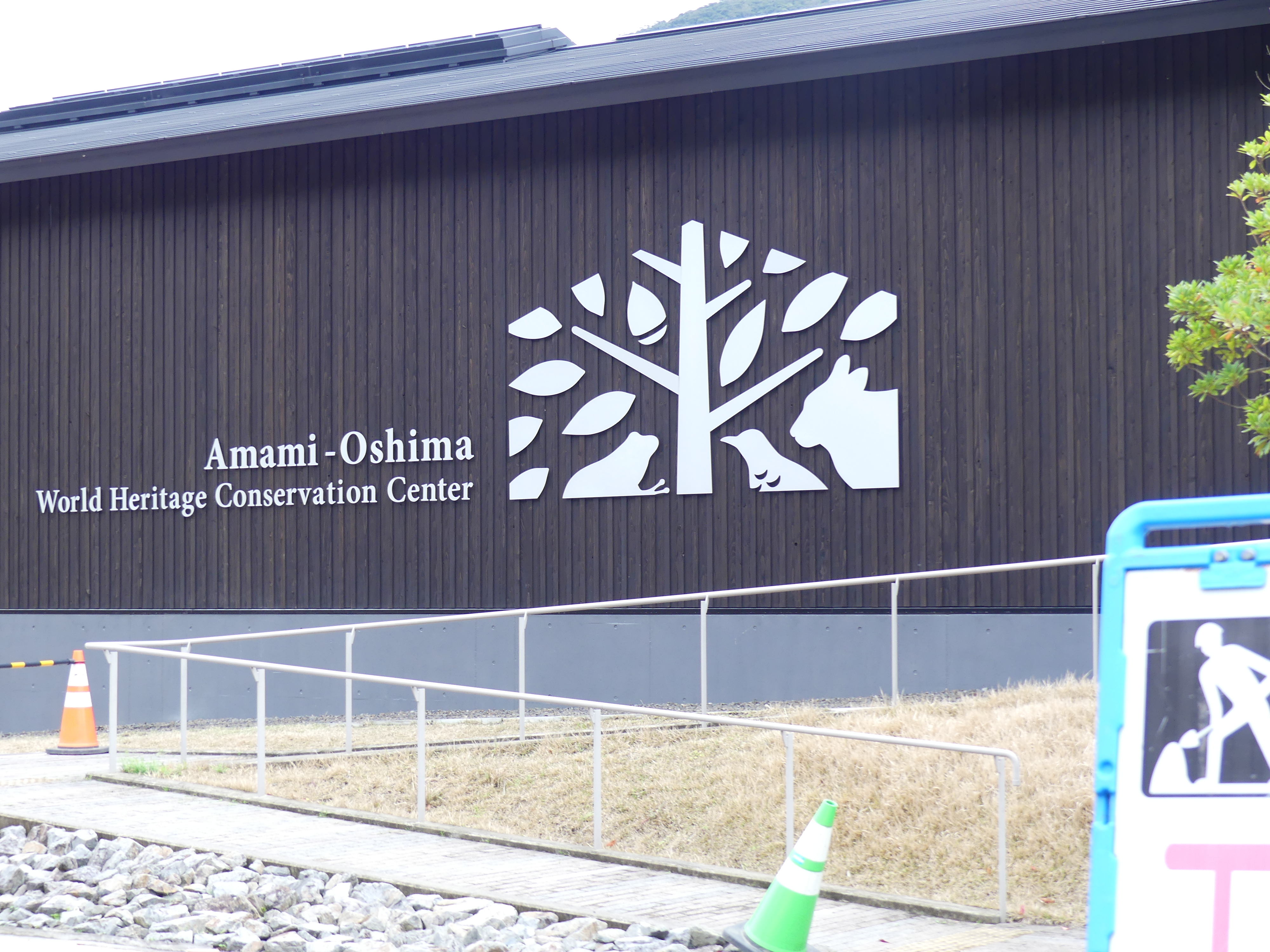
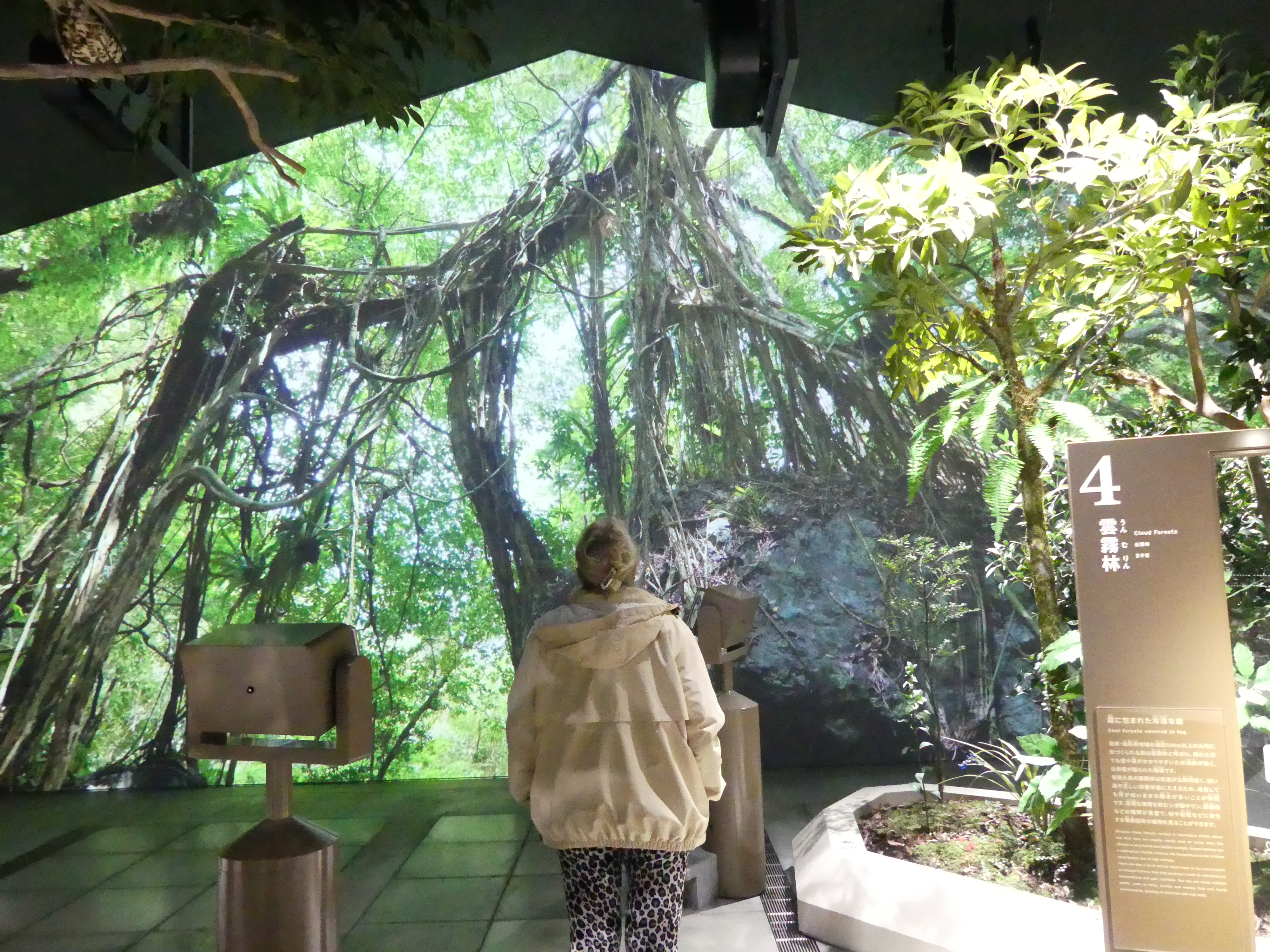
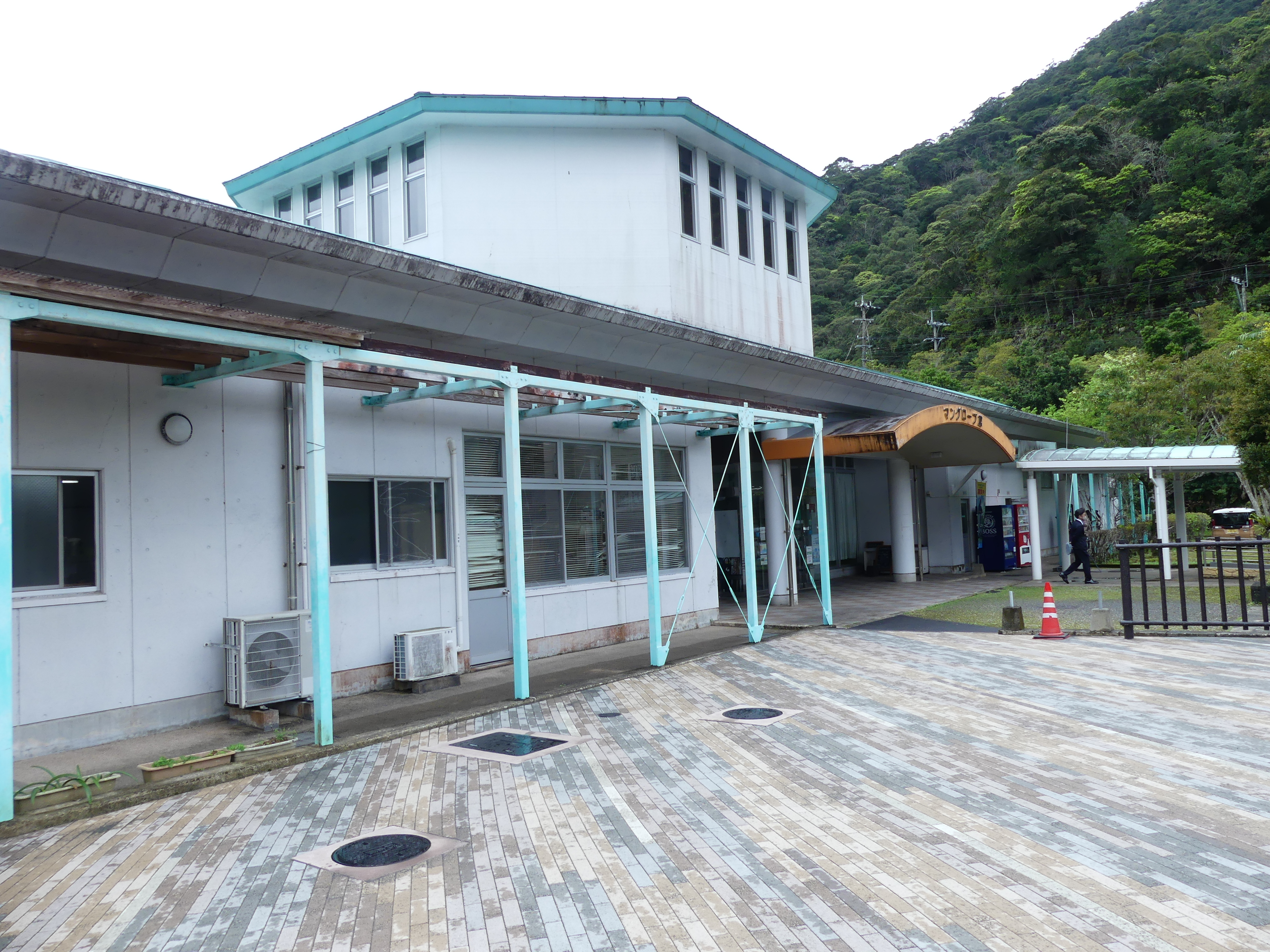
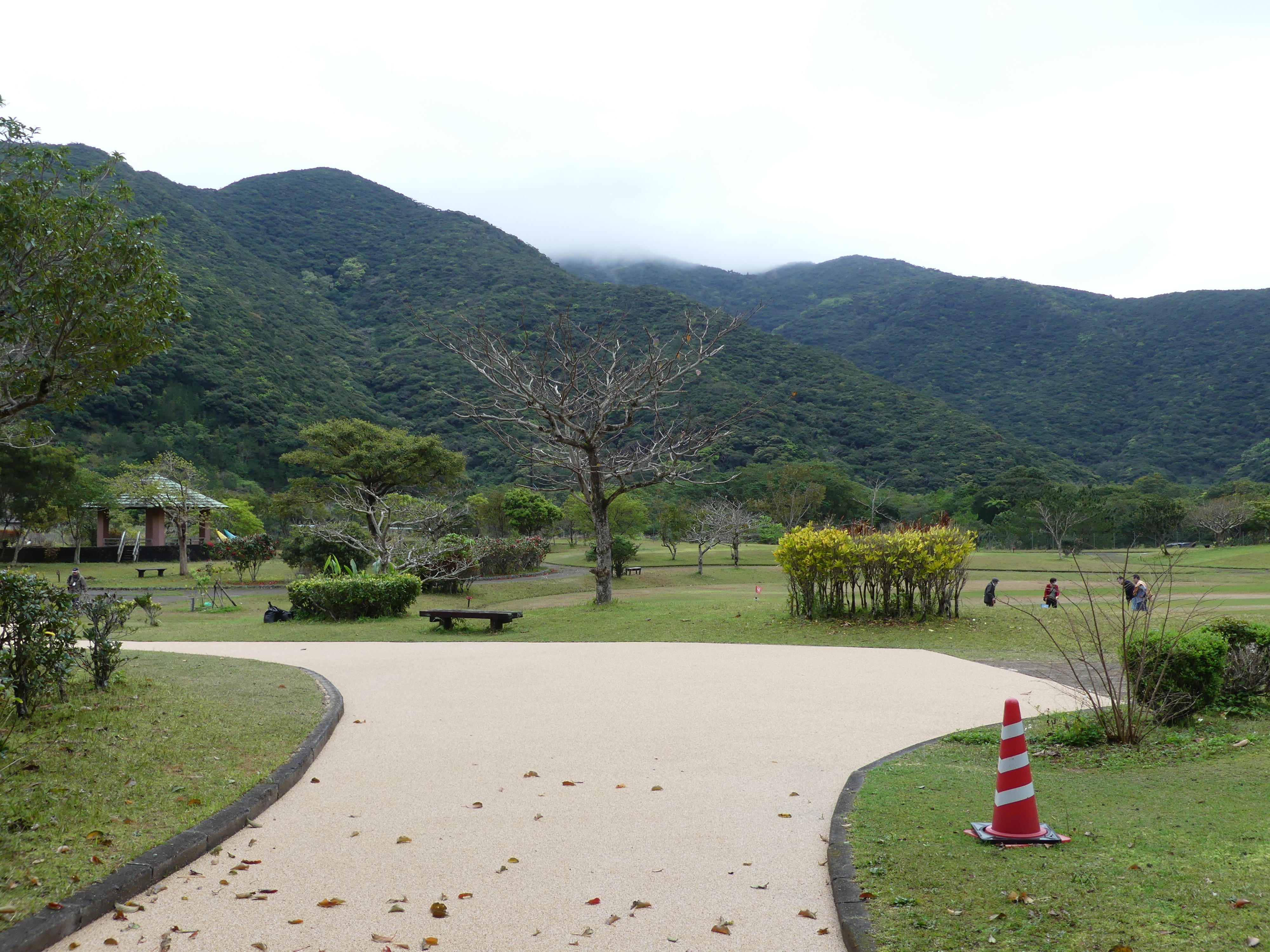
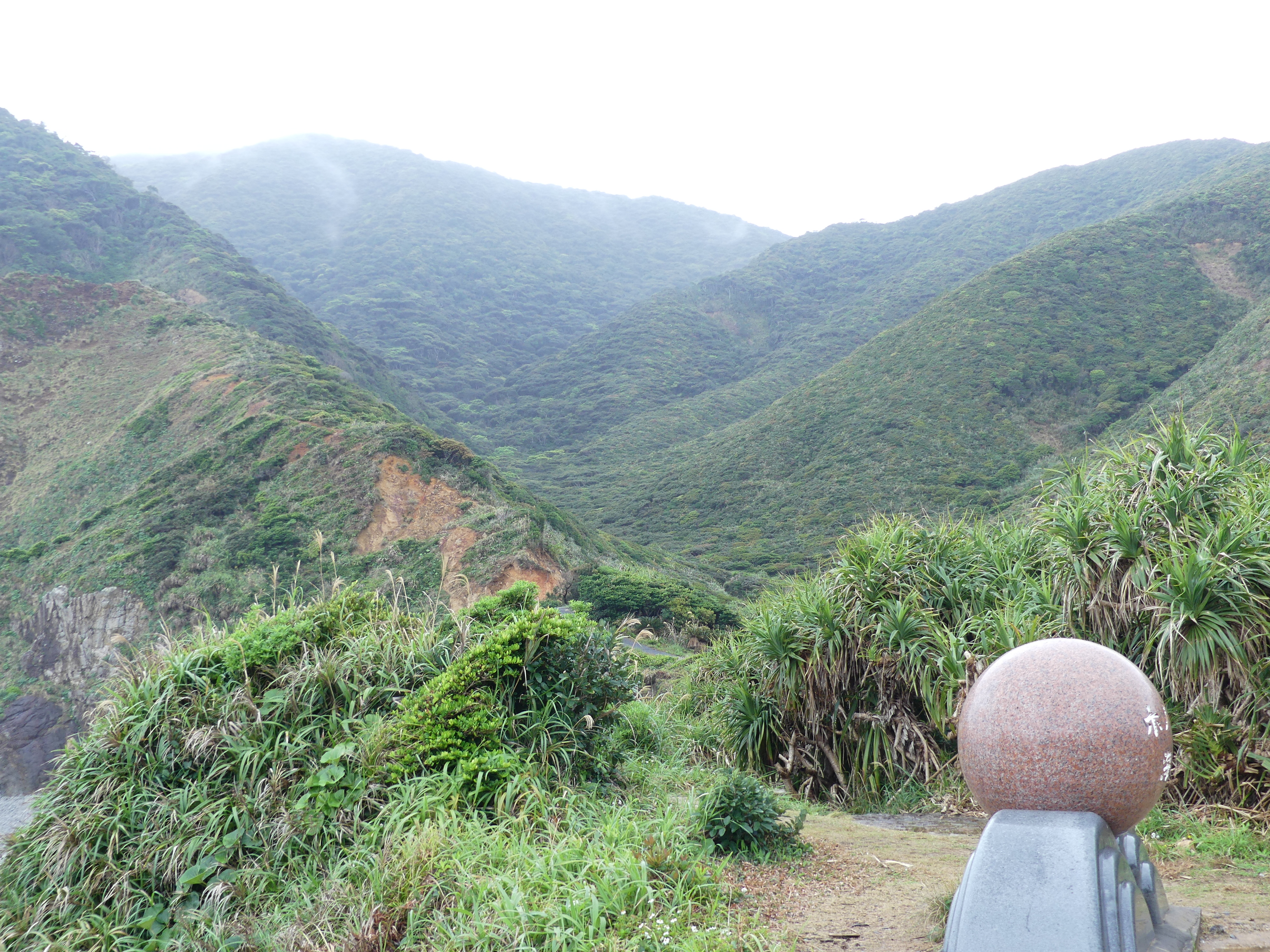
We boarded a bus and started our journey to the Amami – Oshima Conservation Reserve with its diverse flora and fauna of Amami Oshimas’ subtropical forests, from its labyrinthine mangroves to its widespread laurel forests. The exhibition room has life-sized dioramas of forest vegetation and rare animal species such as the Amami rabbit. The Amami rabbit is a relic species with short ears, dark fur, and hunched back only found on Amami Oshima and neighbouring Tokunoshima Island. Interestingly there is a golf course alongside the Centre.
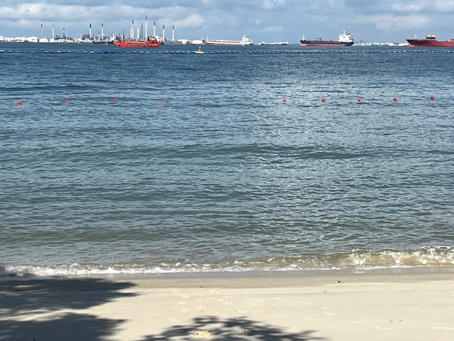
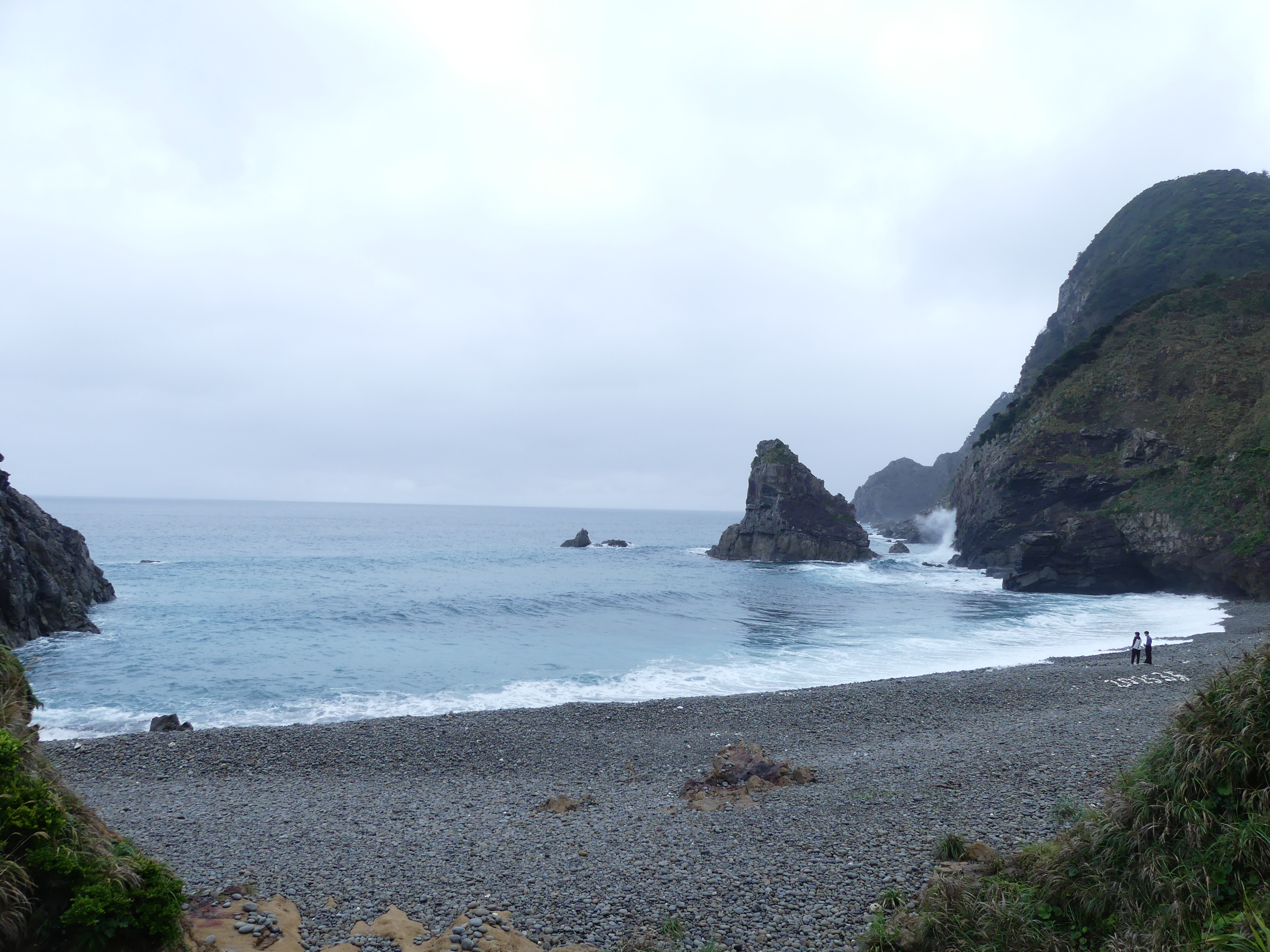
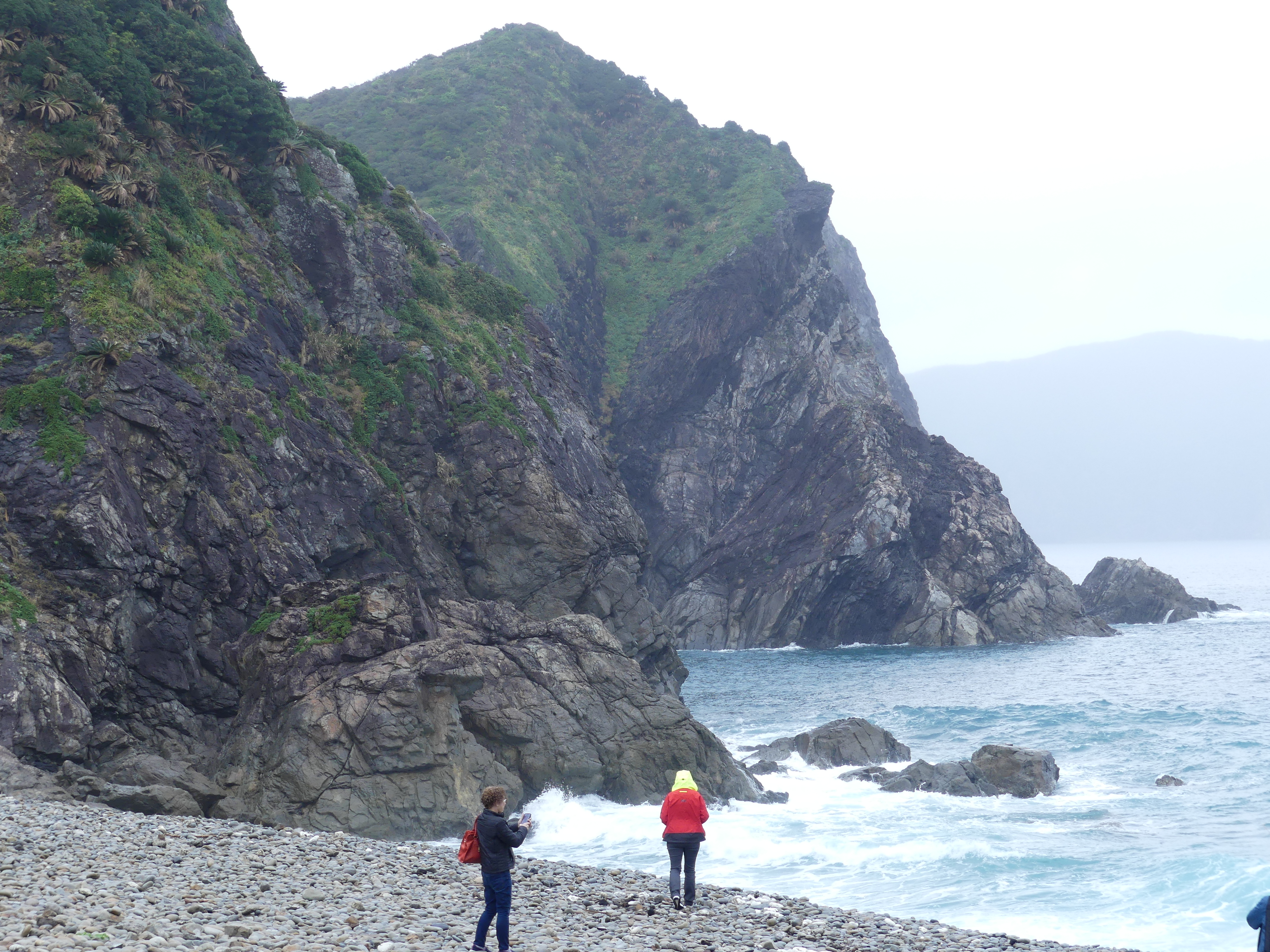
Next, we went to Honohoshi Beach. It showed the volcanic past of Japan and its islands. I think this is a stop to allow the glass bottom boat to deal with each wave of tourists as there was little of interest, but our tourist guide managed to keep talking.
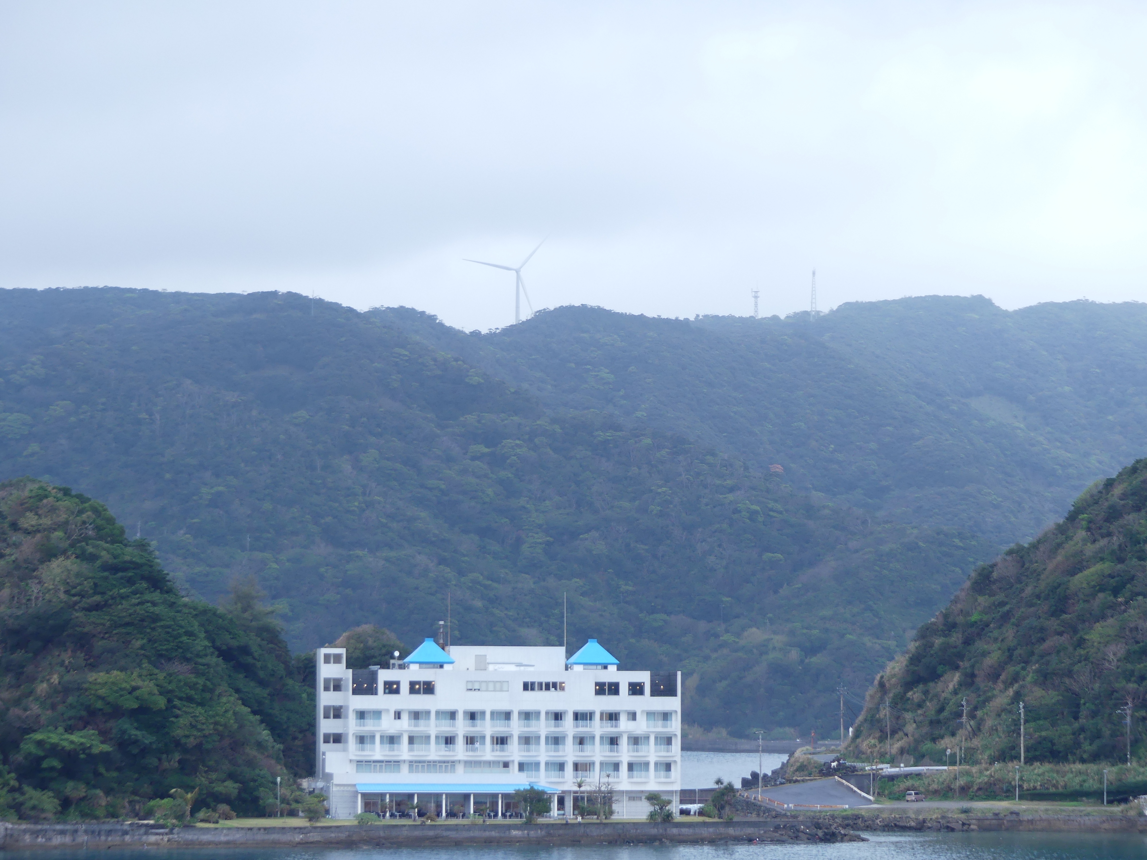
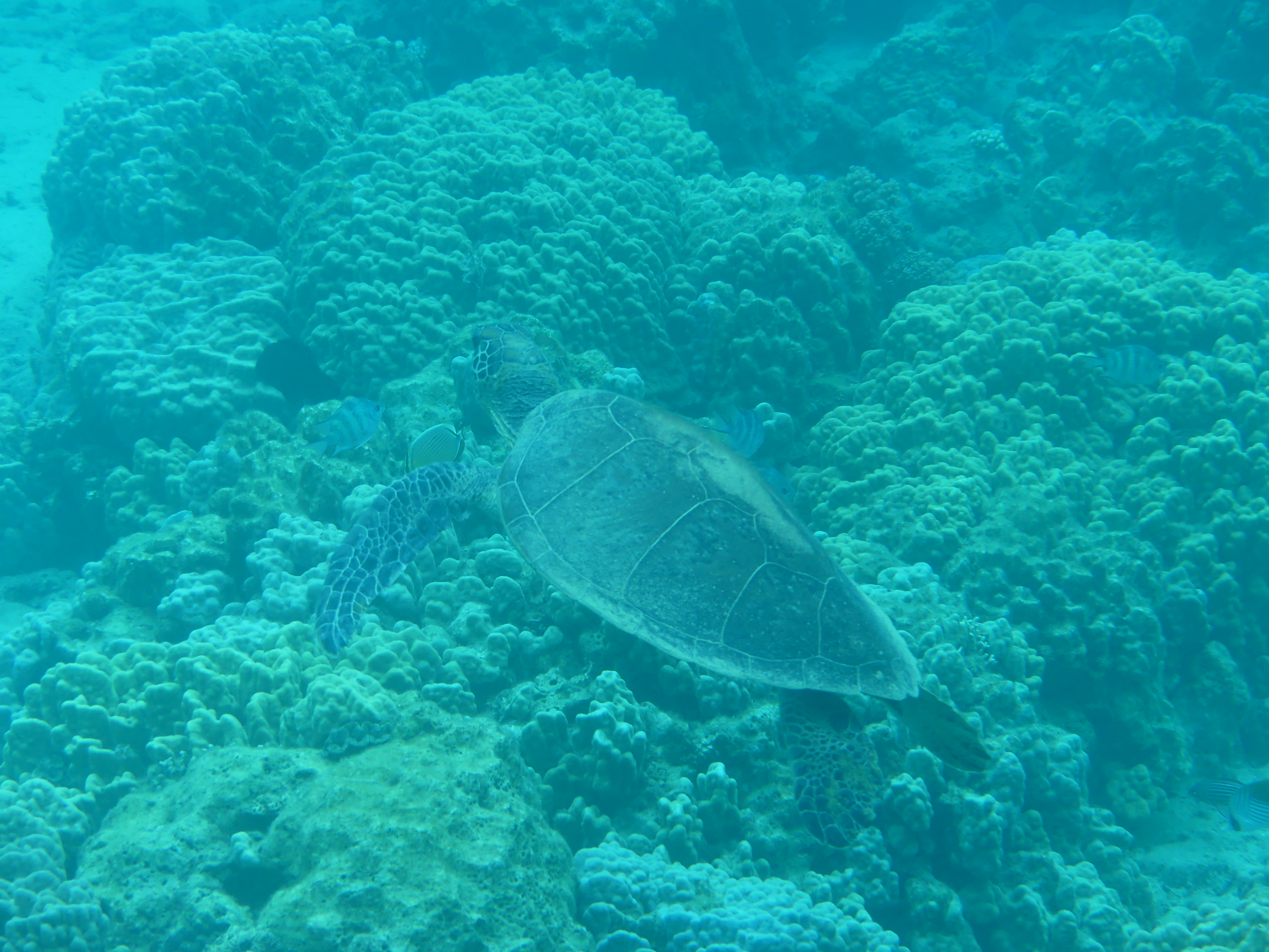
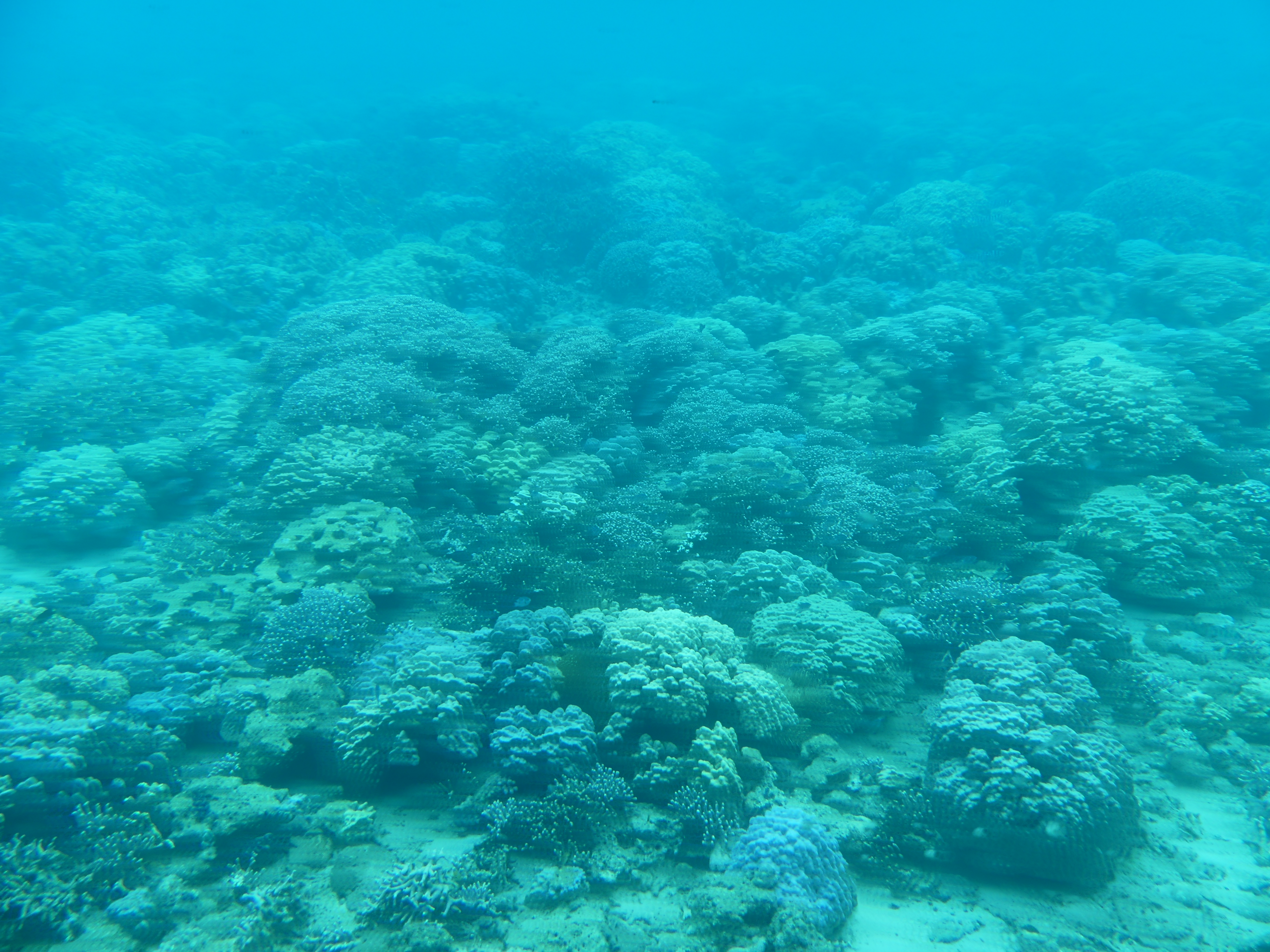
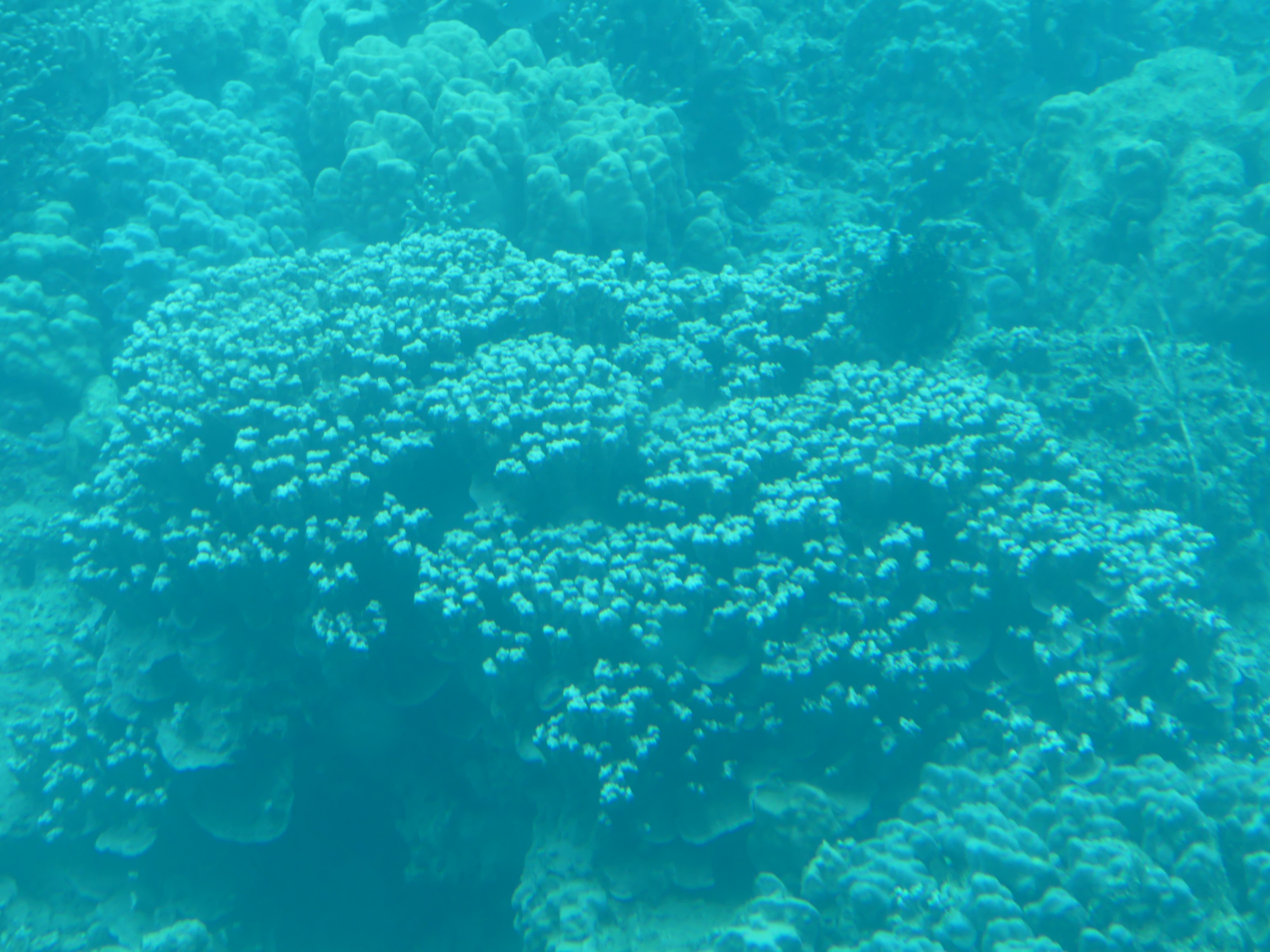
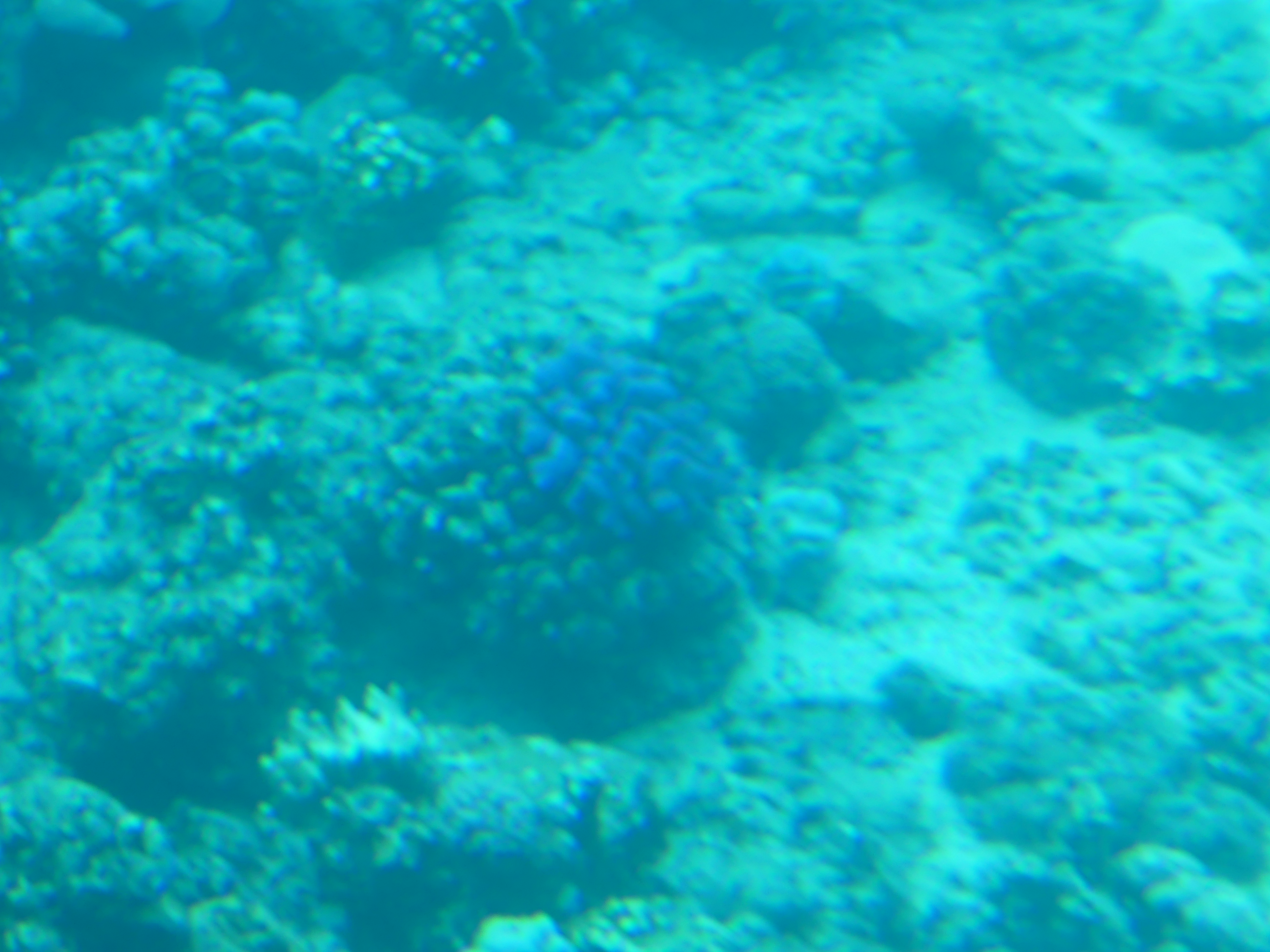
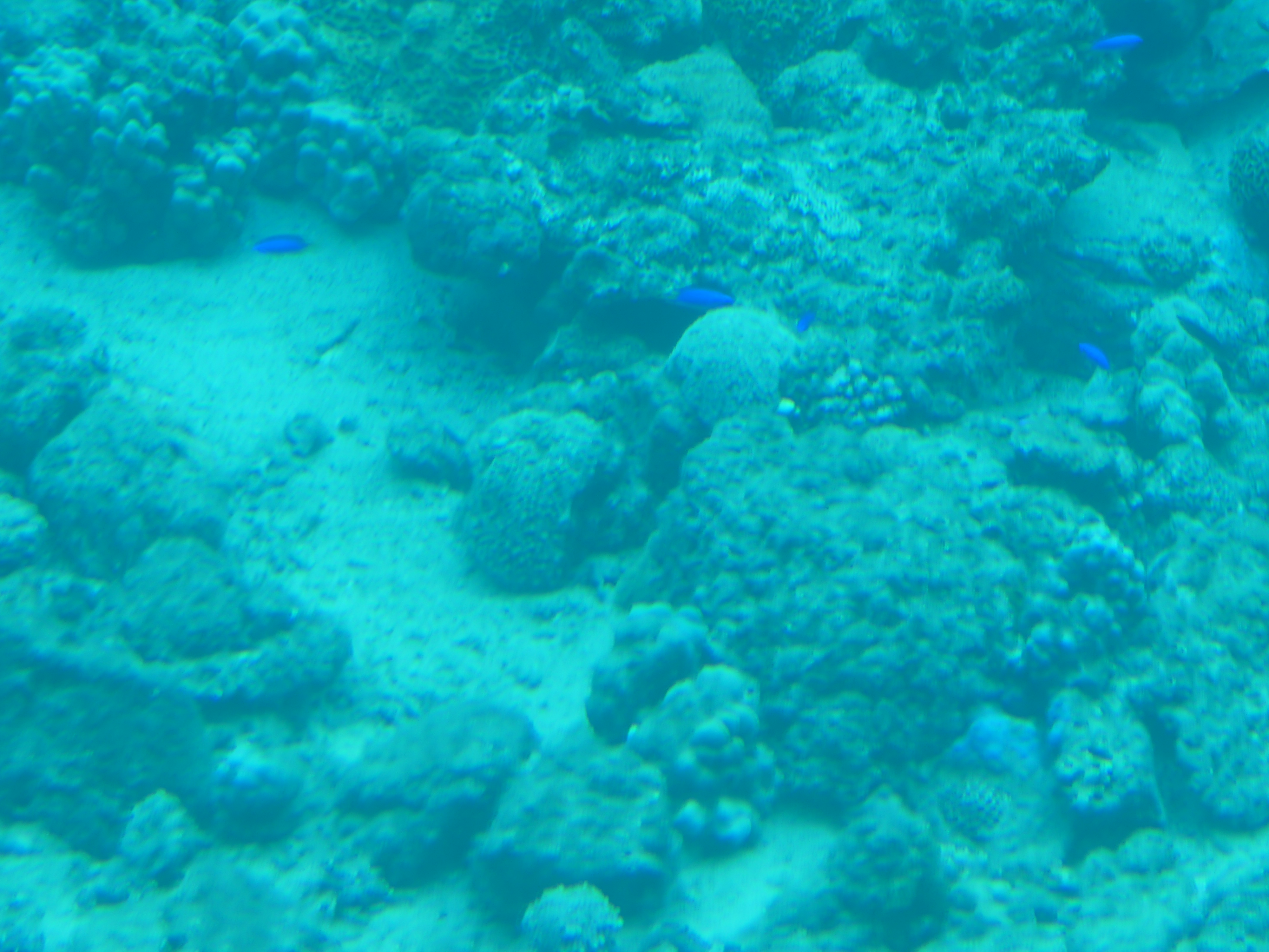
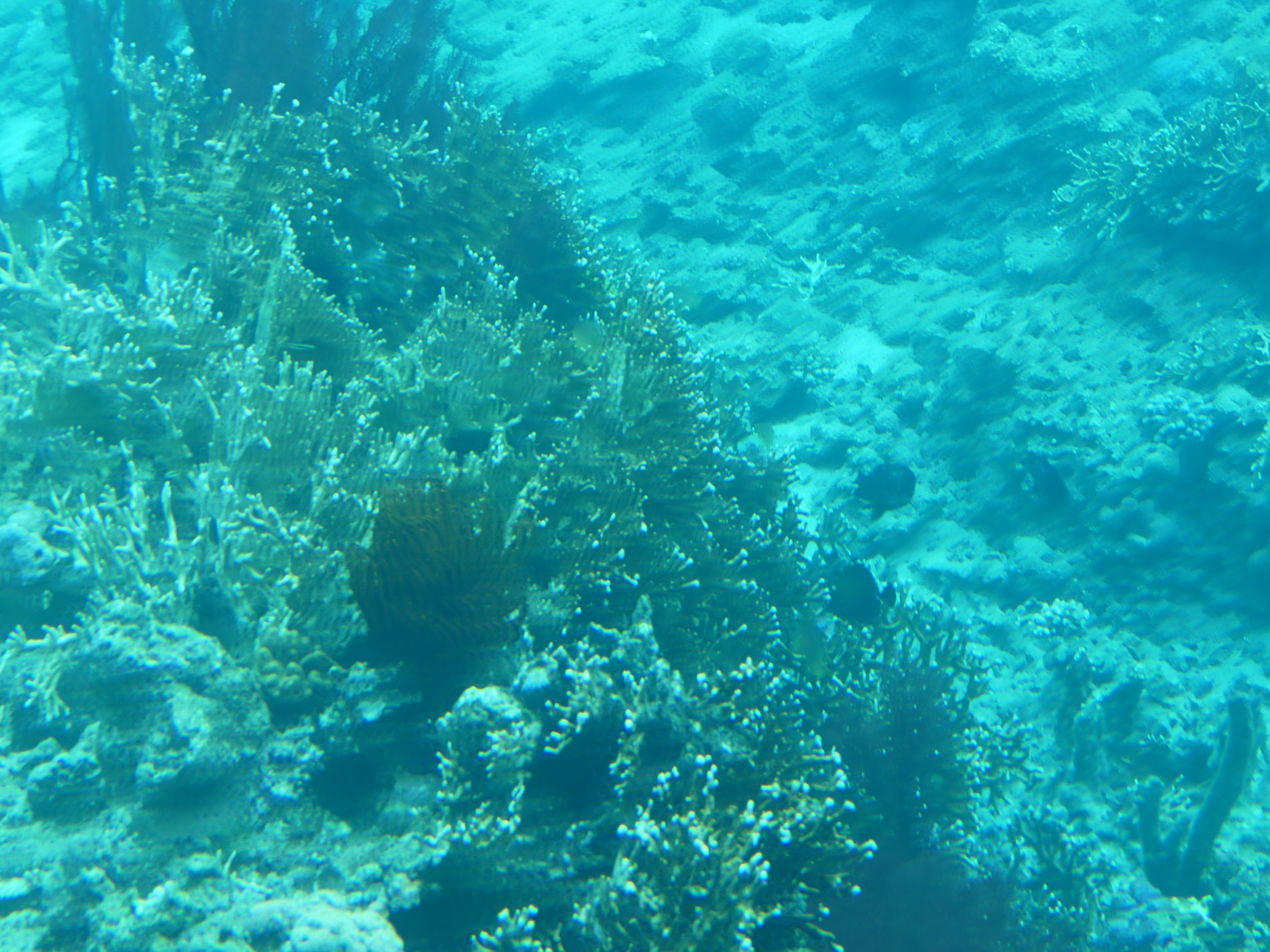
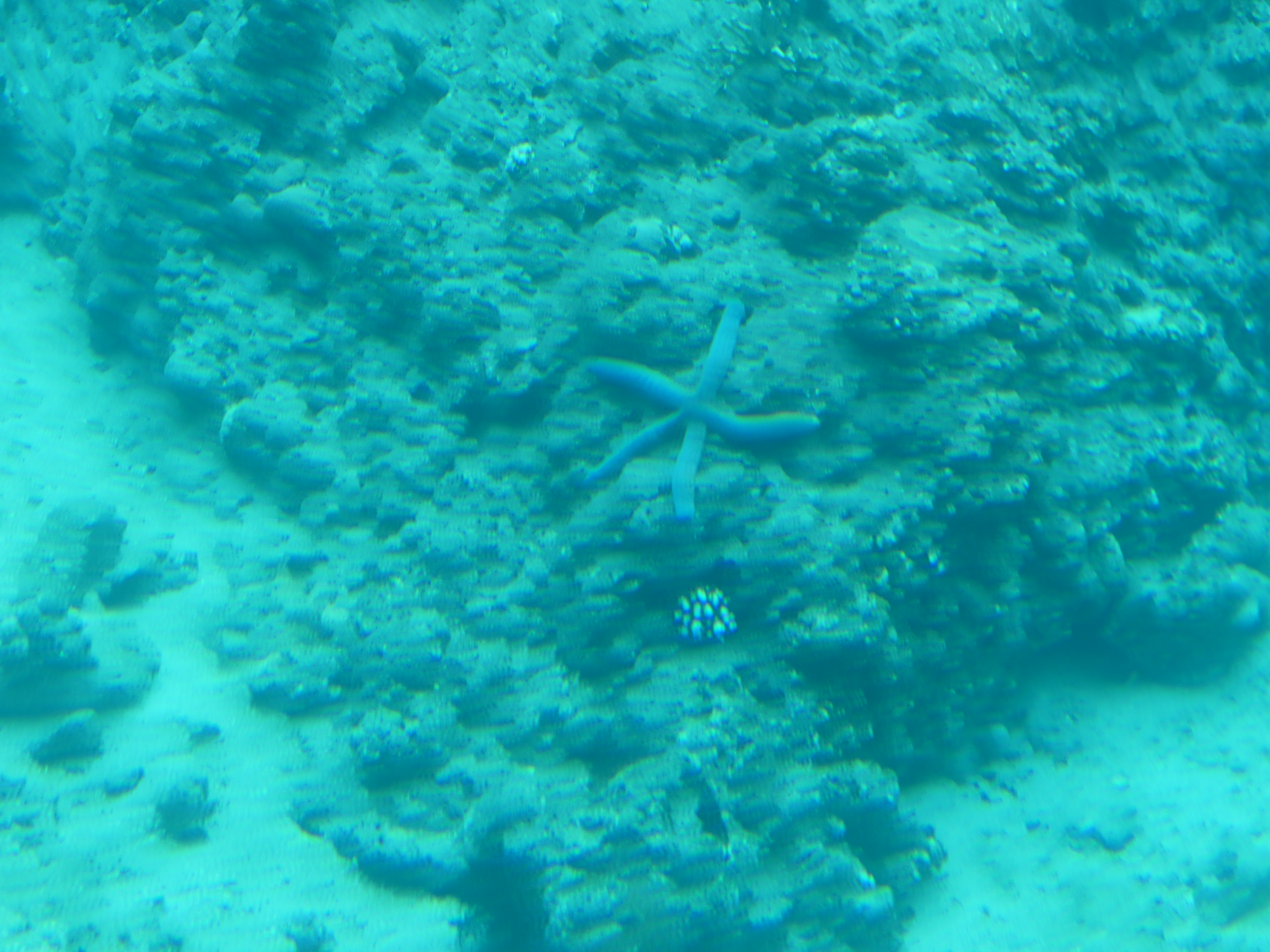
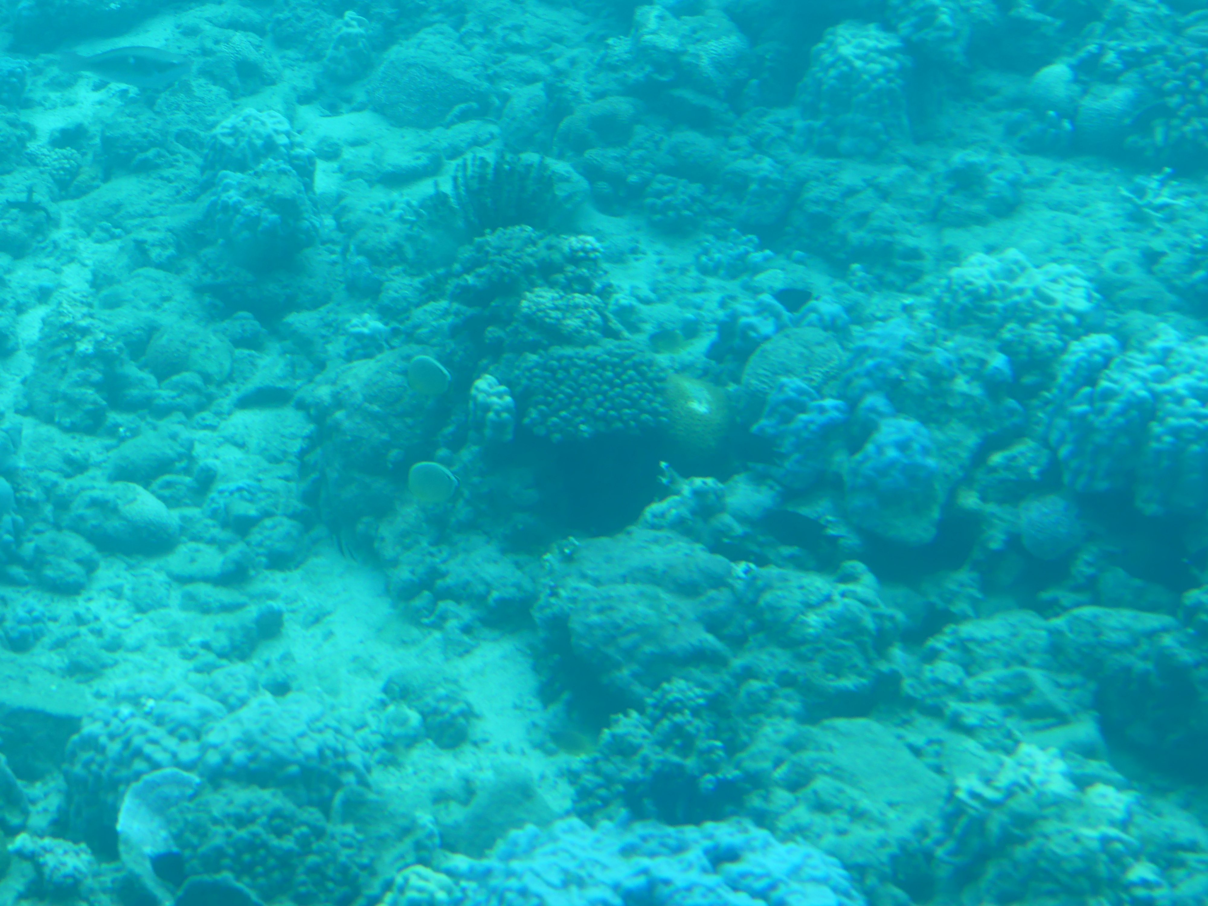
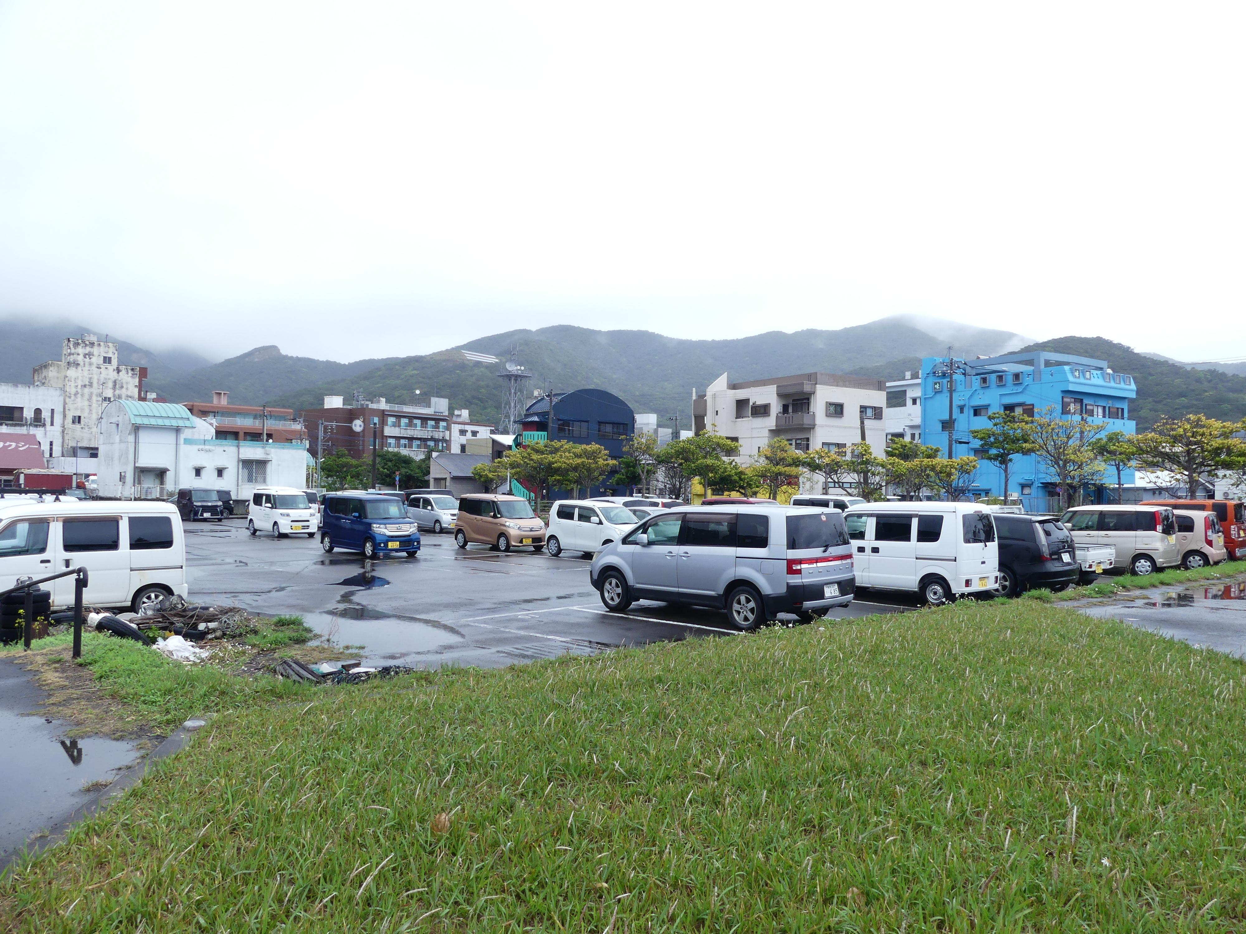
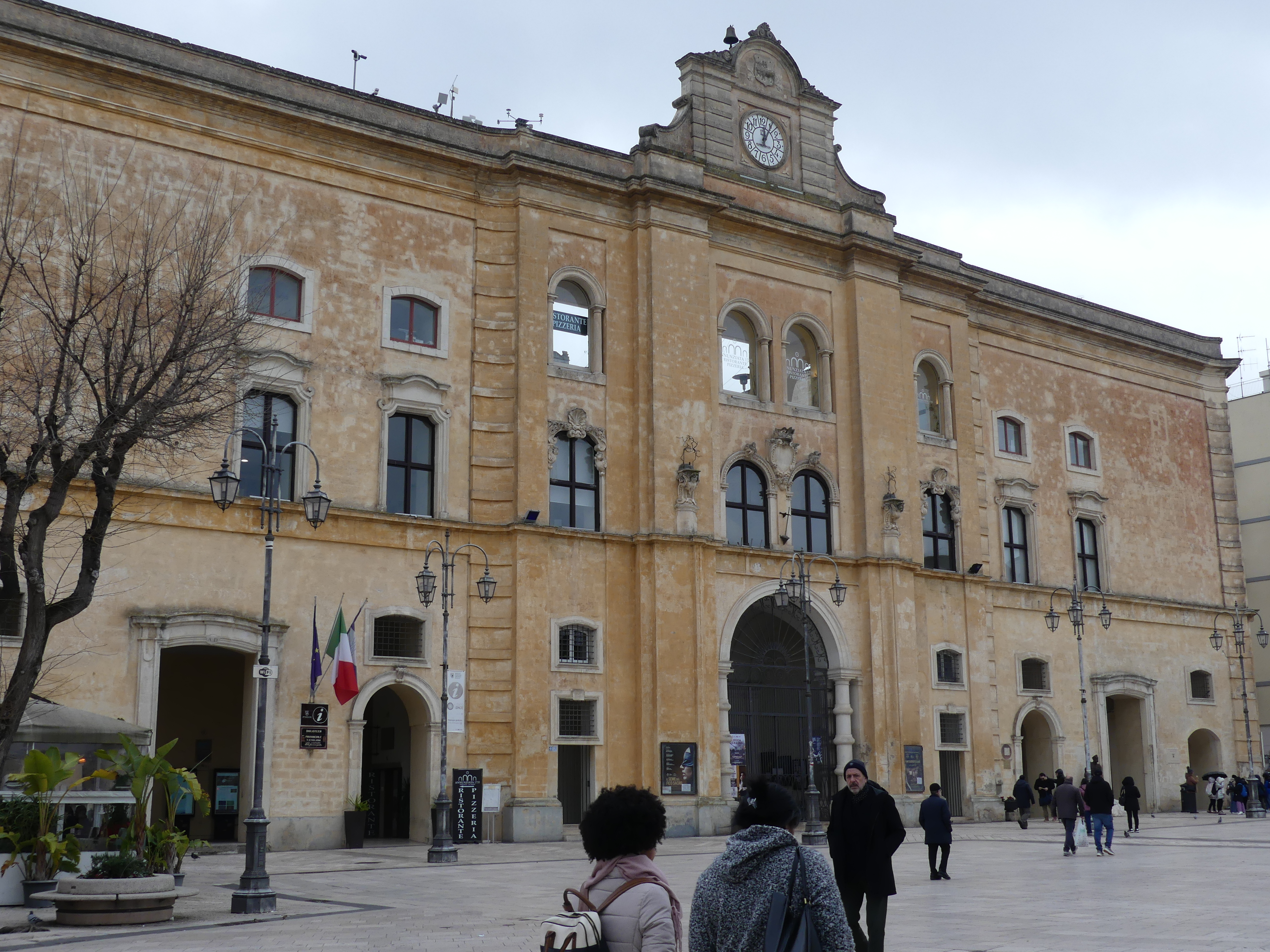
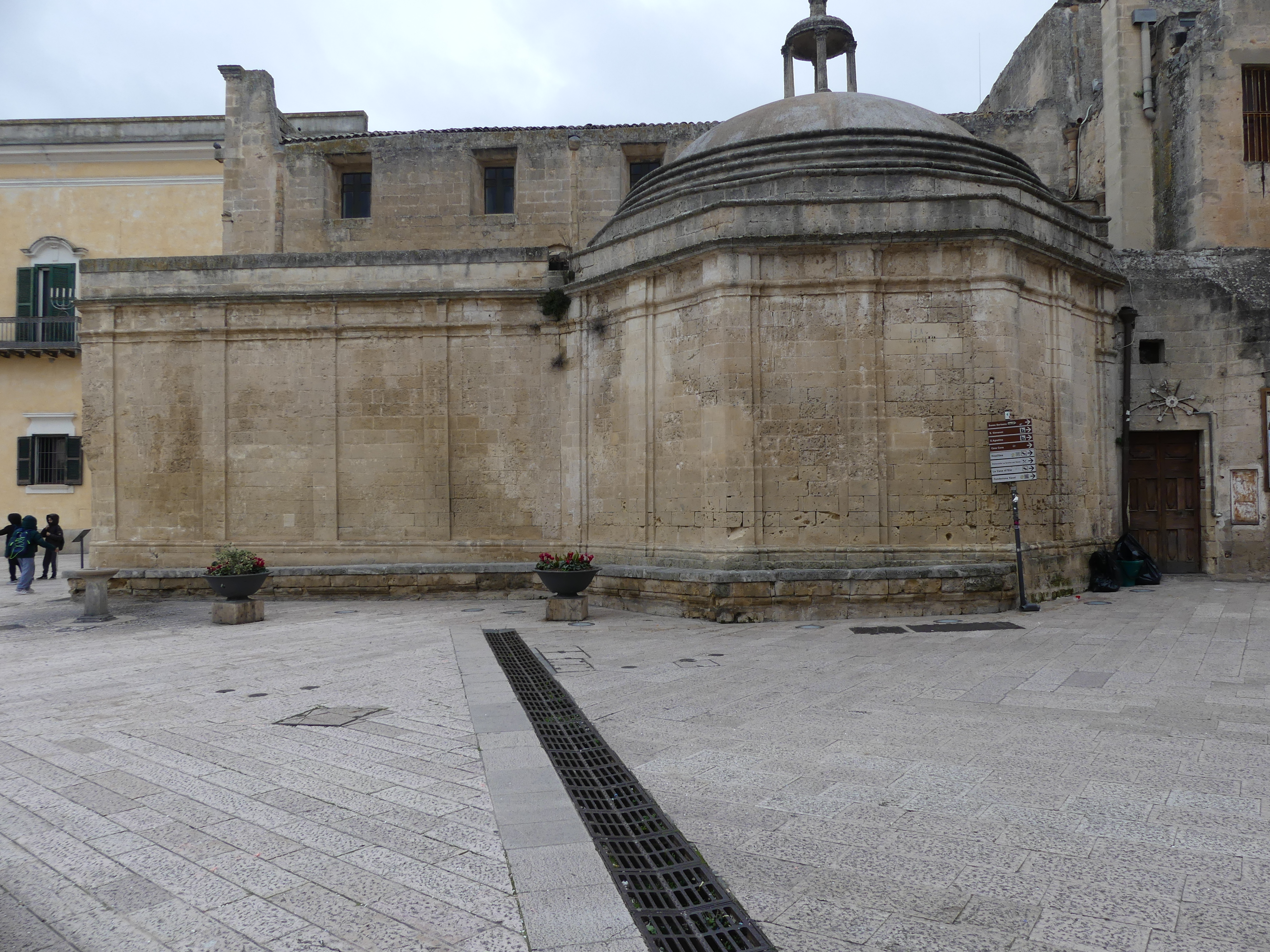
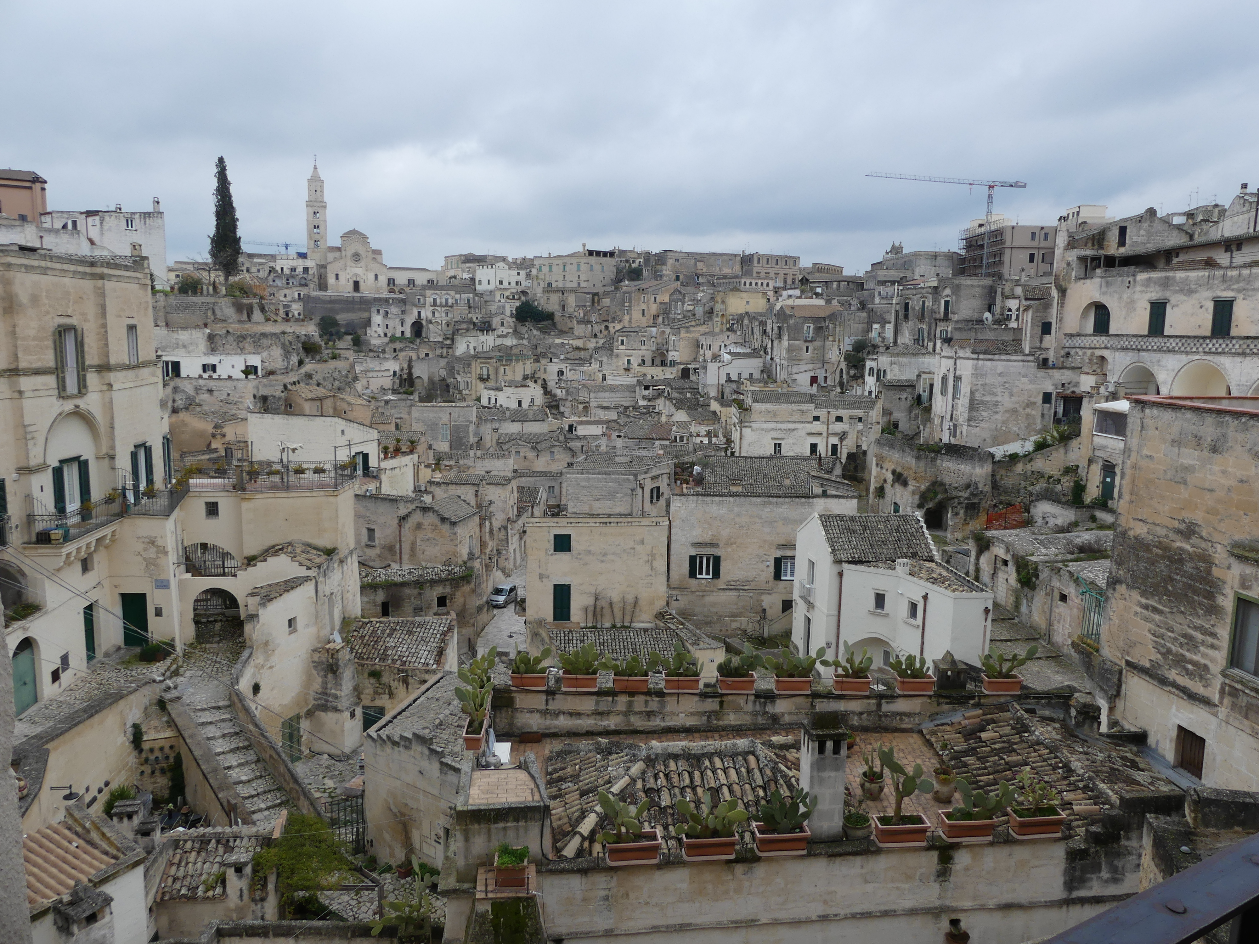
The reason that motivated me to take this excursion was the glass bottom boat and the reef viewing. Having been spoilt by the Great Barrier Reef, I could only be disappointed and I was. I have given you a selection of photos none of which are particularly good but that is just what it looked like. The final picture of the parking lot and the town centre give you an idea that this is nothing out of ordinary and little has changed over time. Perhaps the big surprise is how popular the square box car design is in all the island localities. They are everywhere we go.
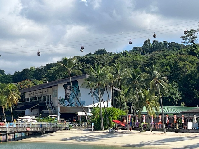
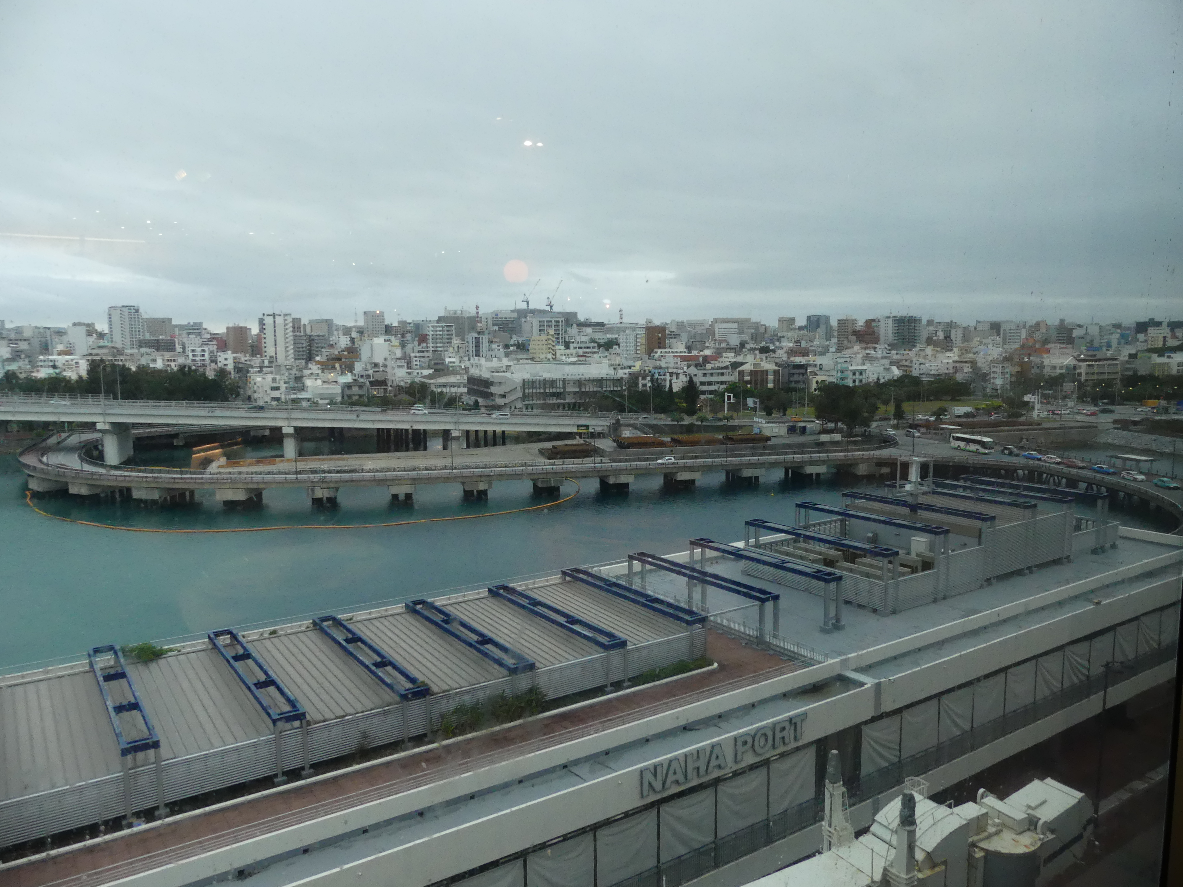
Day 5 Port Naha Okinawa
We docked at Port Naha. Naha is the capital and largest city of Okinawa, formerly ruled by the Ryukyu Kingdom from 1429 and unofficially annexed by Japan after the invasion of Ryukyu in 1609. Okinawa was officially founded in 1879 by the Empire of Japan after seven years as the Ryukyu Domain, the last domain of the Han system. Okinawa was occupied by the United States during the Allied occupation of Japan after World War II and was governed by the Military Government of the Ryukyu Islands from 1945 to 1950 and Civil Administration of the Ryukyu Islands from 1950 until the prefecture was returned to Japan in 1972. Okinawa comprises just 0.6 percent of Japan’s total land mass, but about 26,000 (75%) of United States Forces Japanese personnel are assigned to the prefecture; the continued U.S. military presence in Okinawa is controversial.
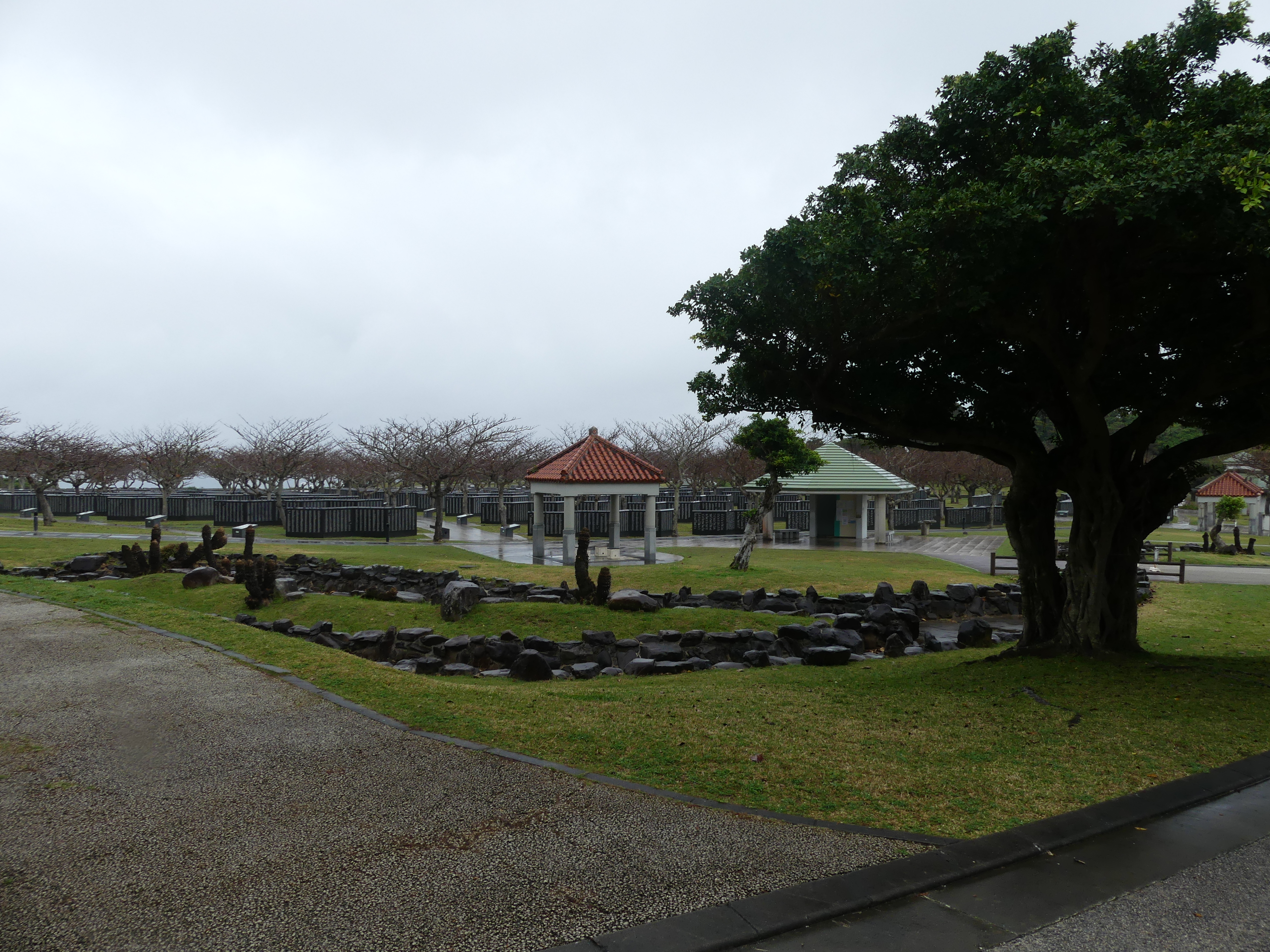
It is odd in my view that given this recent history and the continued occupation by the USA that Okinawa Peace Memorial has been established here. It was the scene of the decimation of the Japanese Army and civilian population so in that sense the memorial makes sense. The continuation of the occupation must irk the locals.
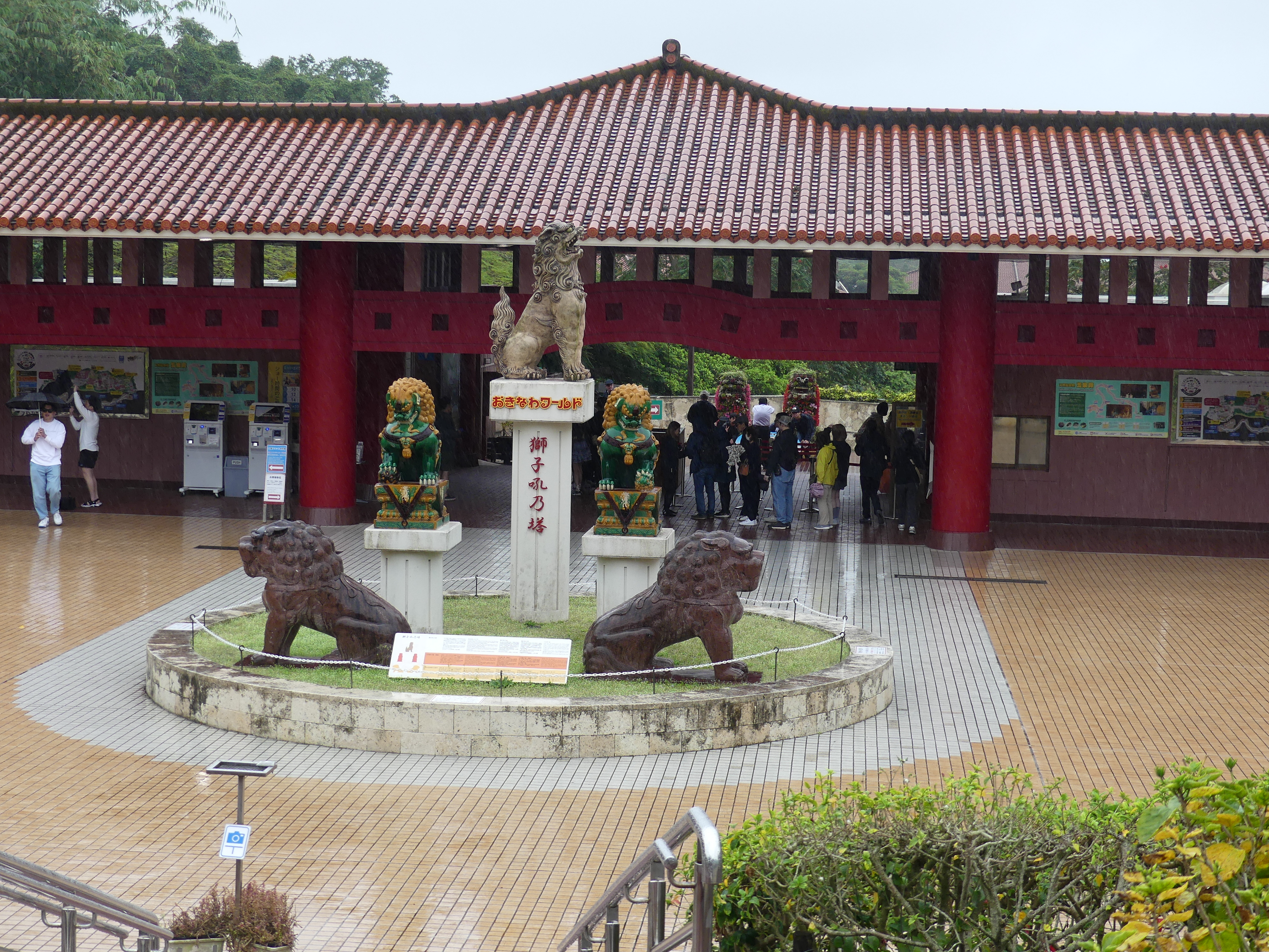
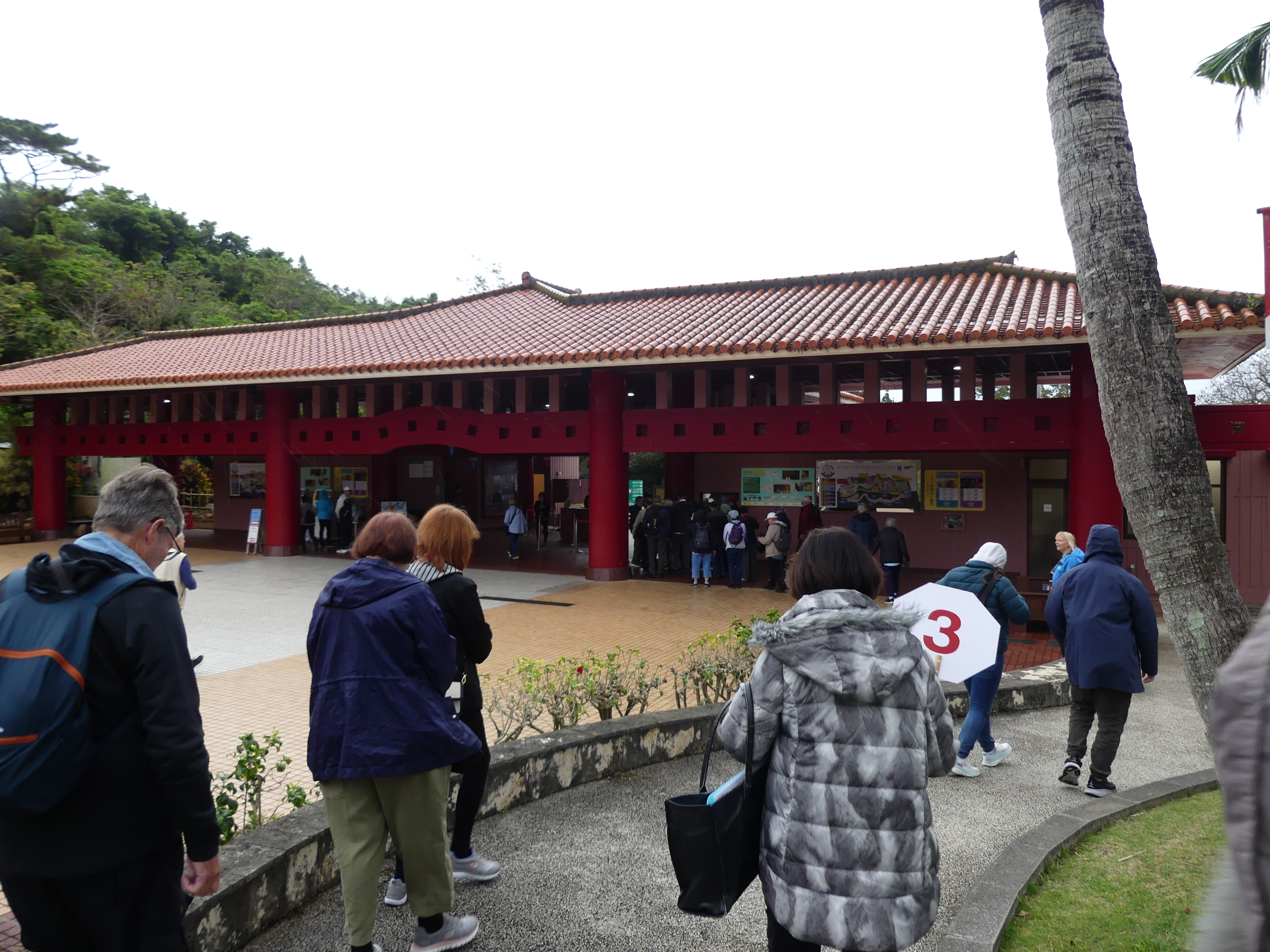
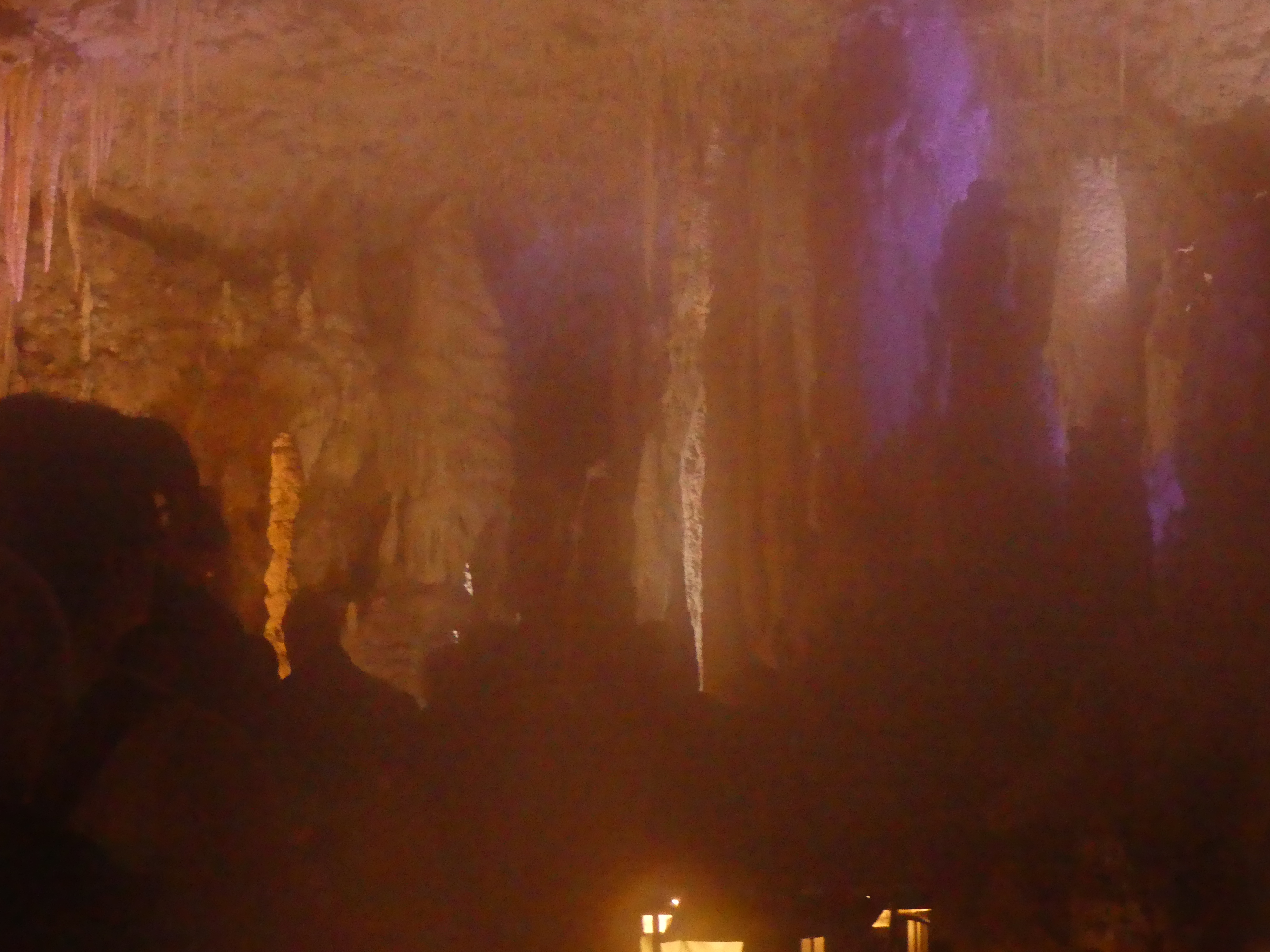
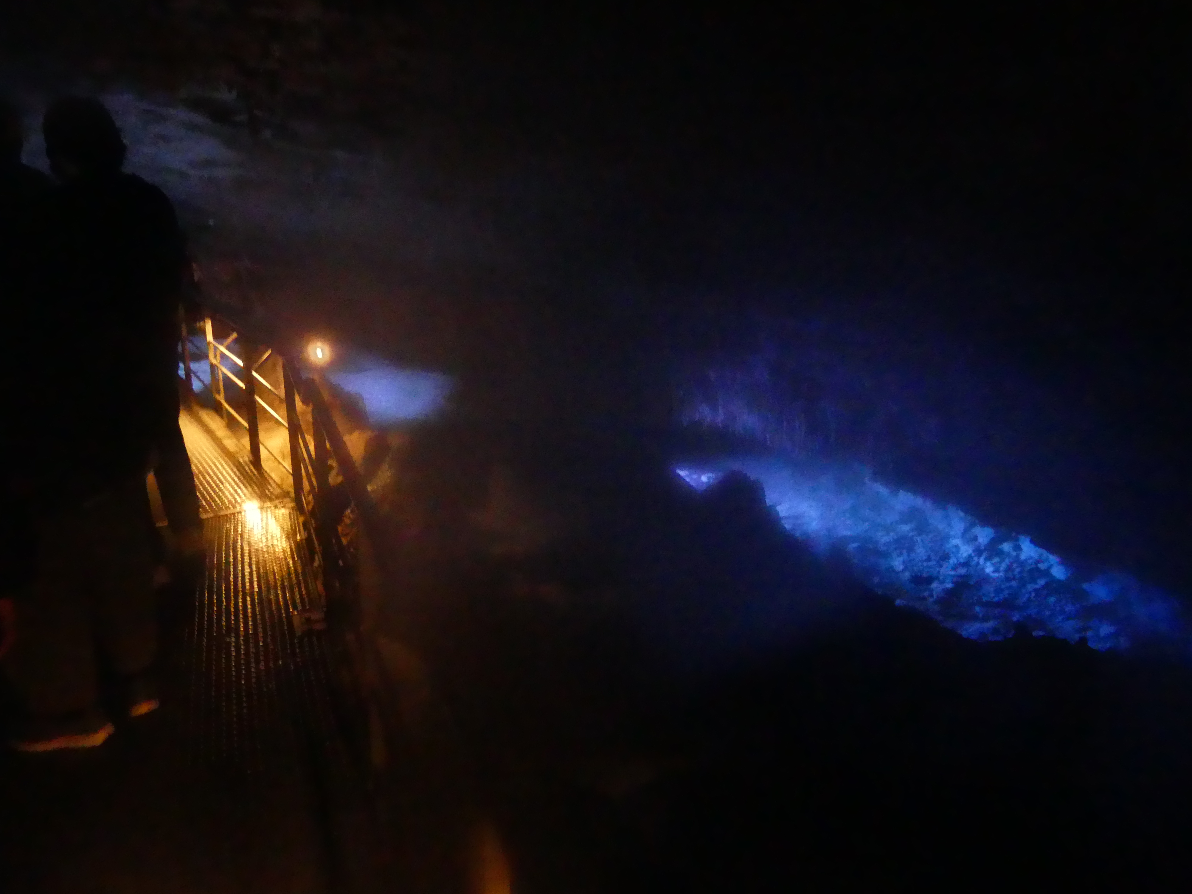
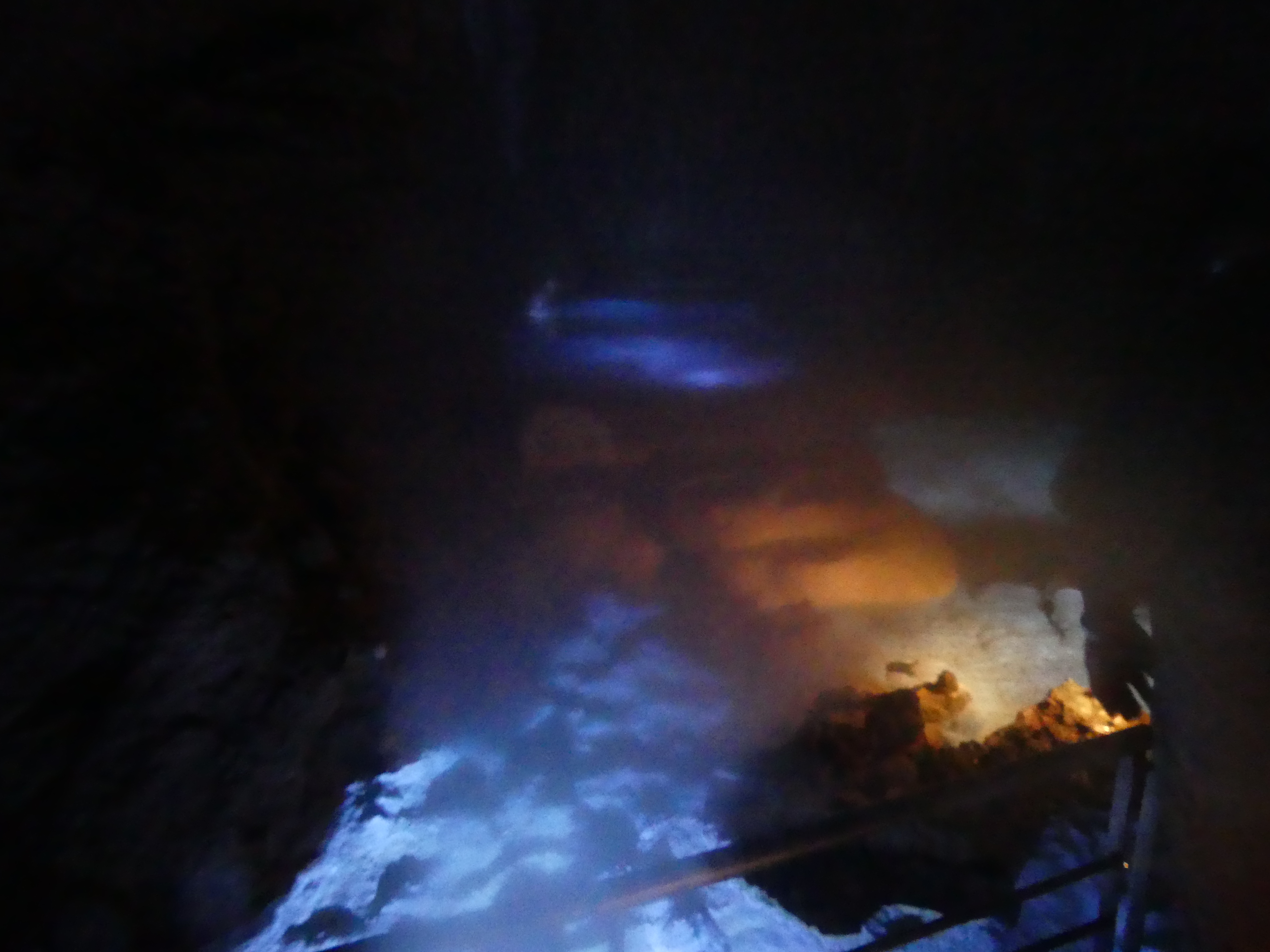
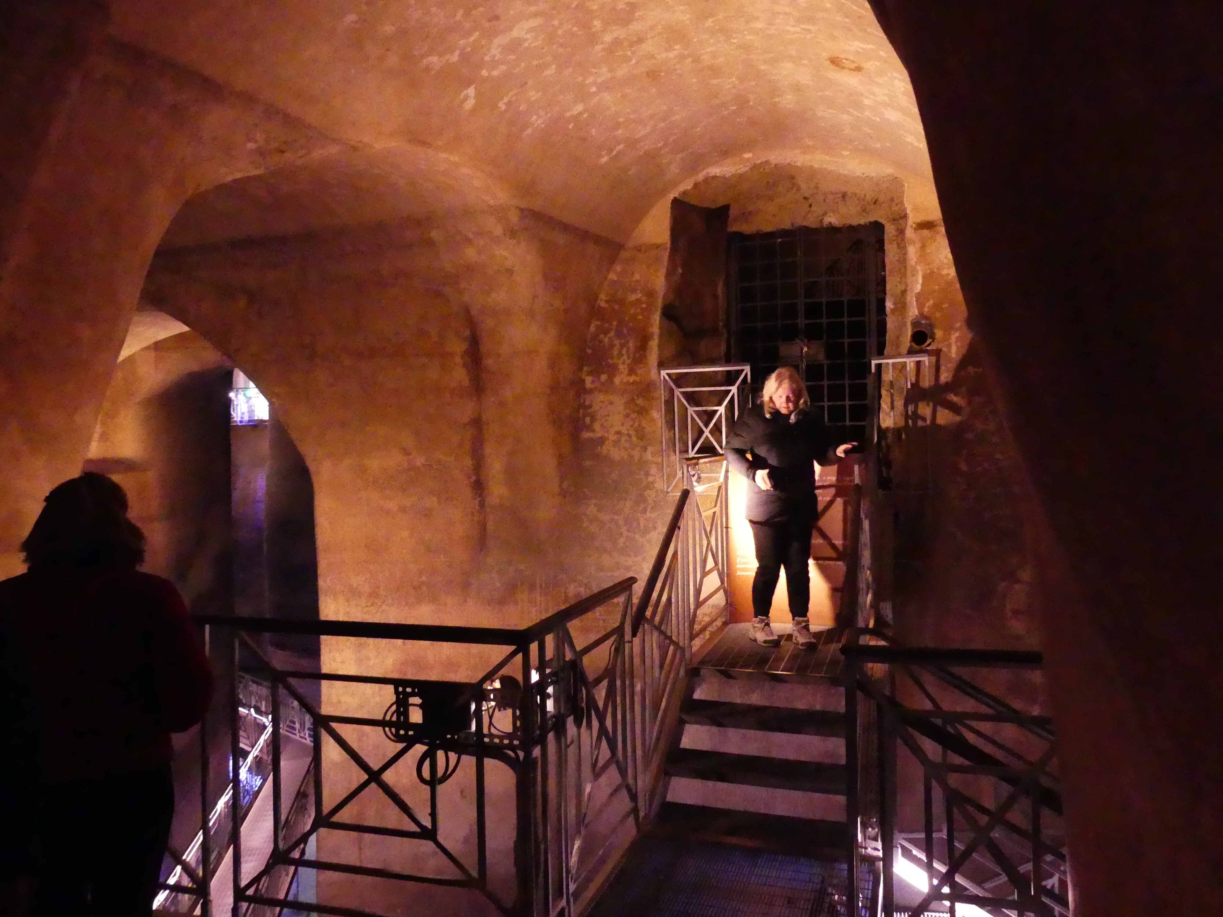
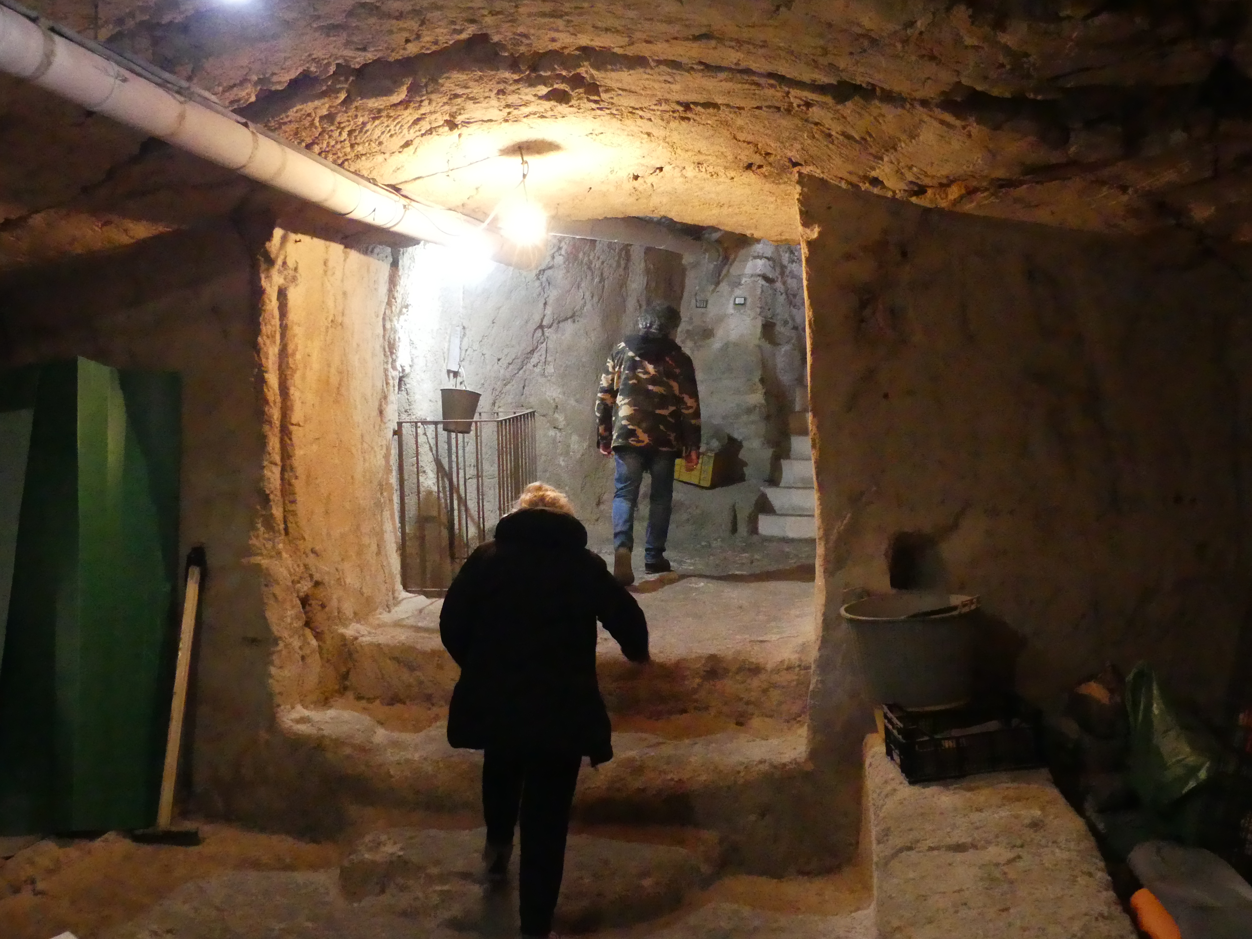
At the terminal we boarded a bus to Gyokusendo Cave, our first stop on the way to the Peace Memorial. Having seen many similar caves from Europe to England to Western Australia & Tasmania I was surprised at the interference with the natural features of the caves. From an artificial concrete entrance to chain sawing through stalagmite outcrops to create a path through the caves I was disappointed. Further the natural temperature seemed to be interfered with, and the lighting was poor. One thing I can applaud though is the escalator at the end of the walk through the cave. Our last cave experience in Margaret River WA there was more than 300 steps to climb out – not happy Jan.
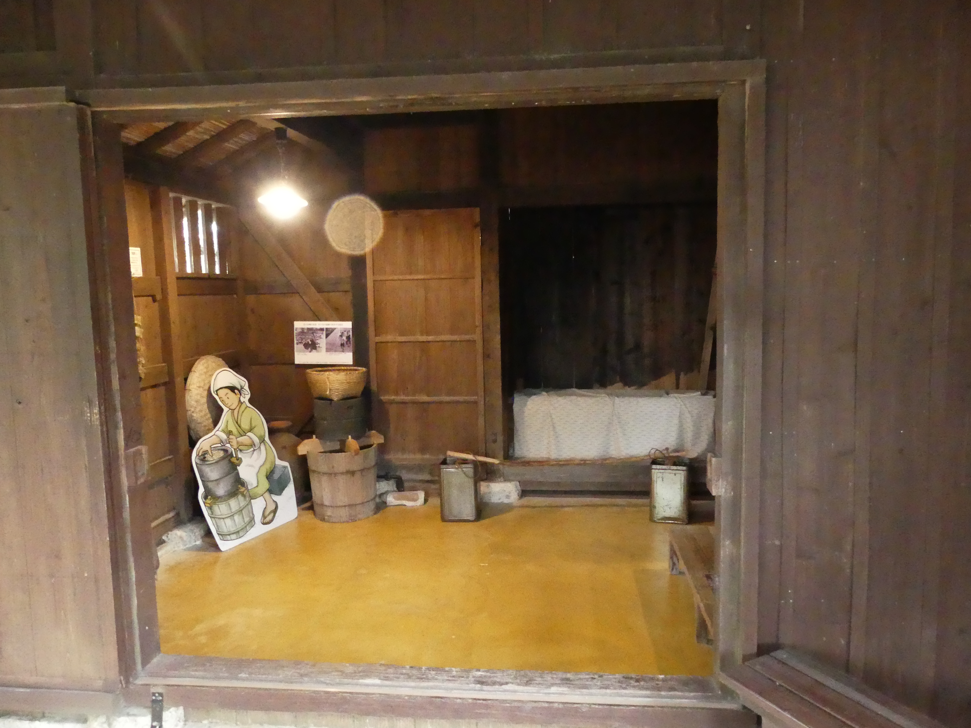
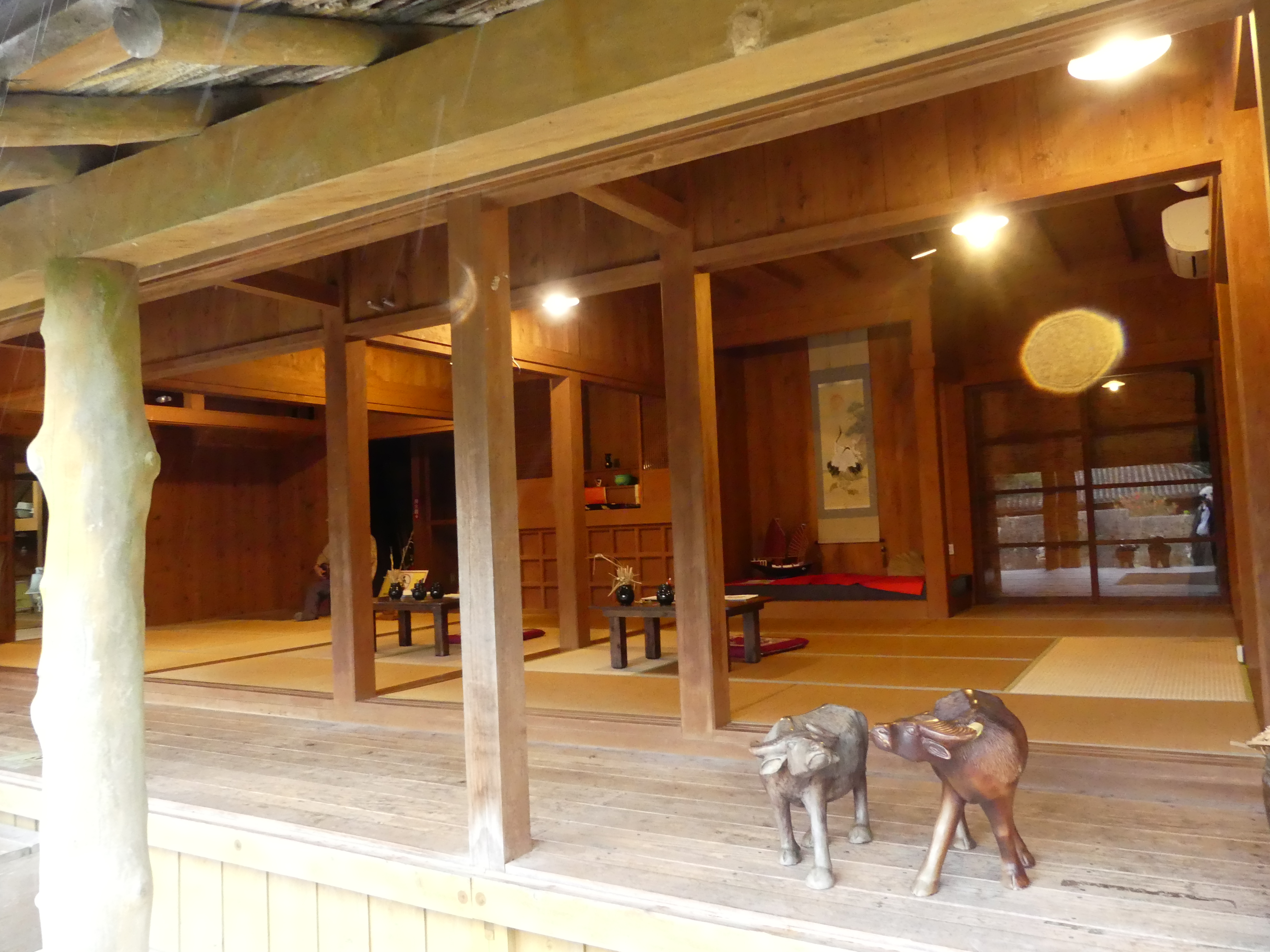
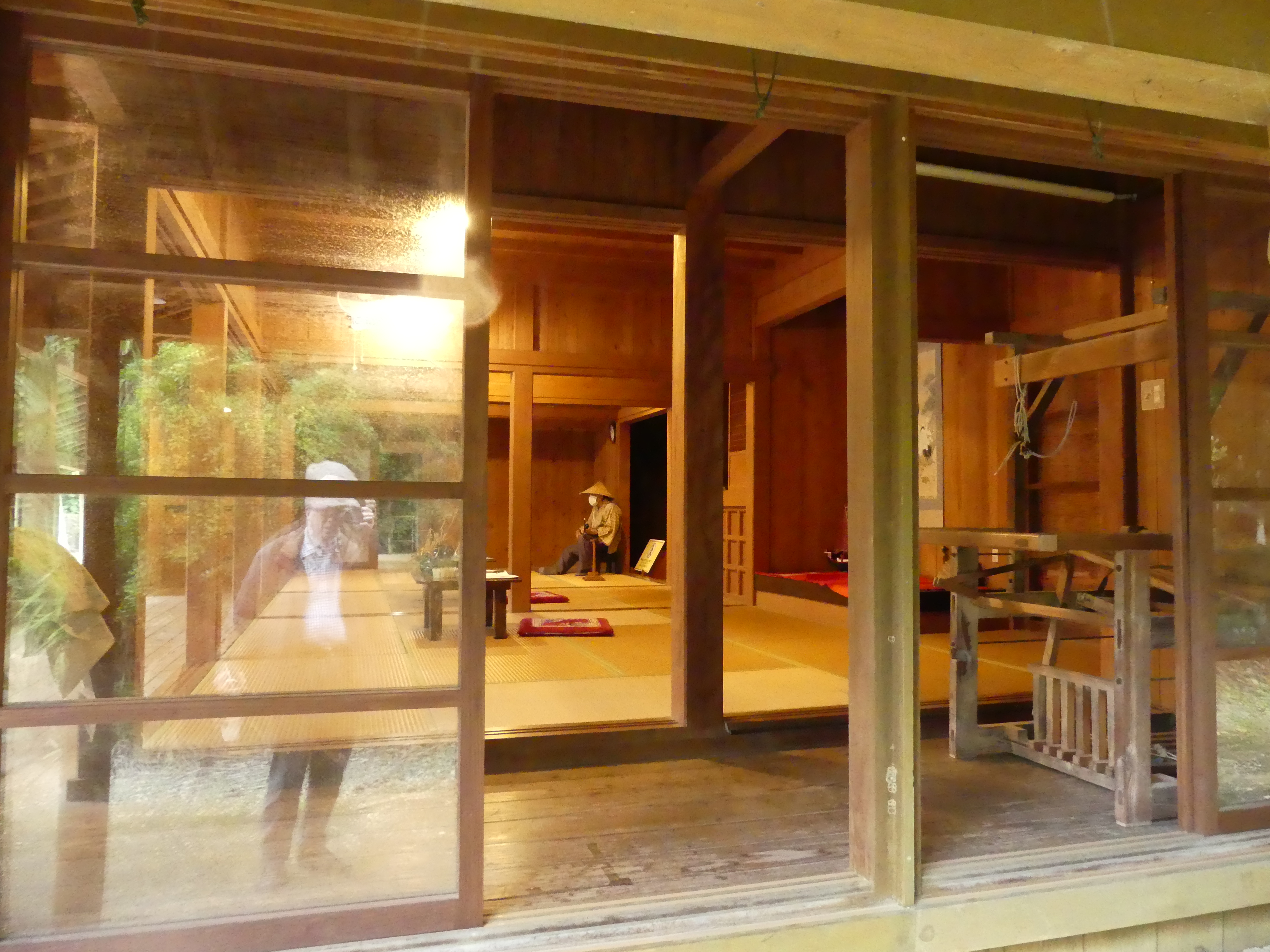
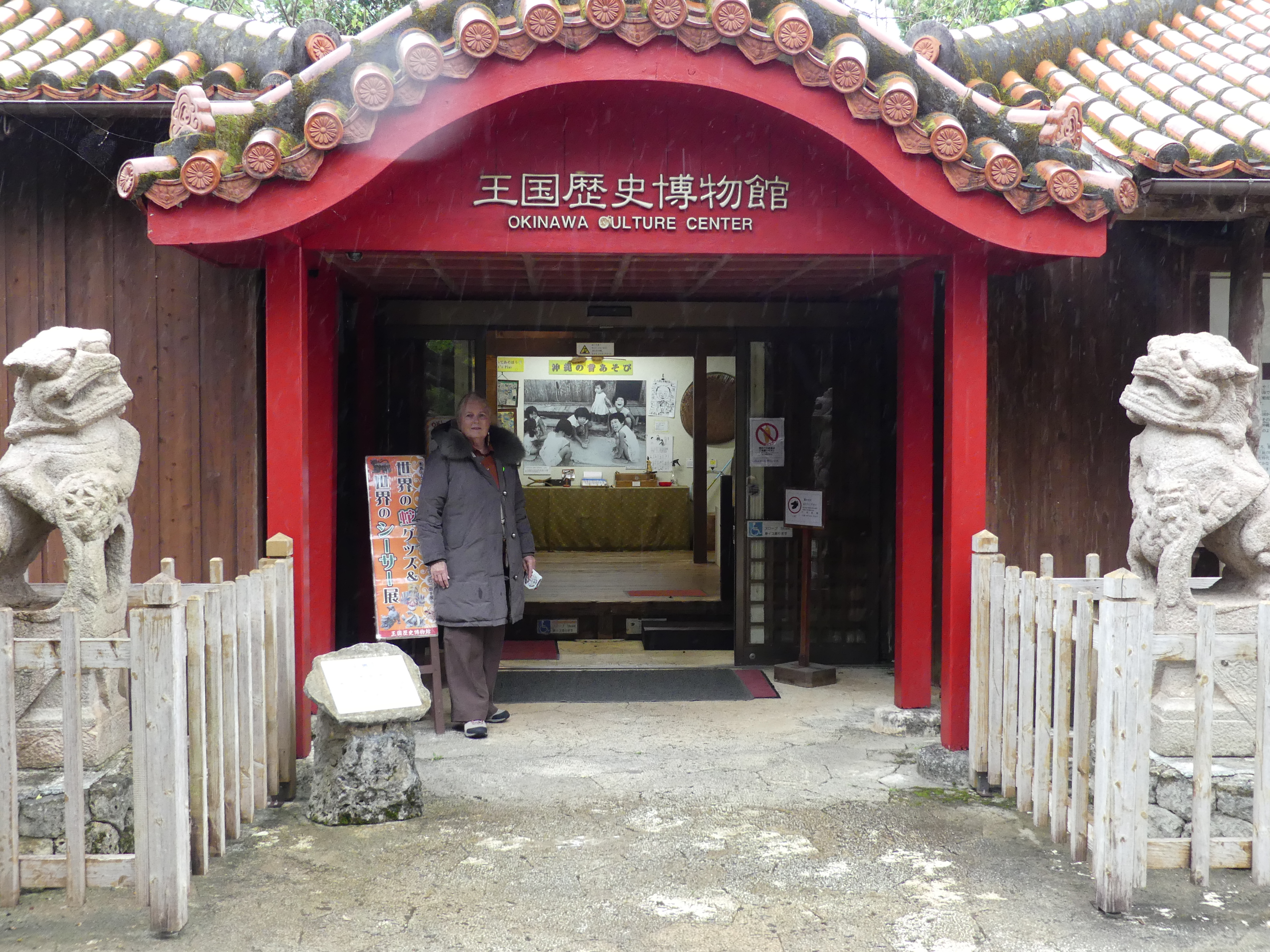
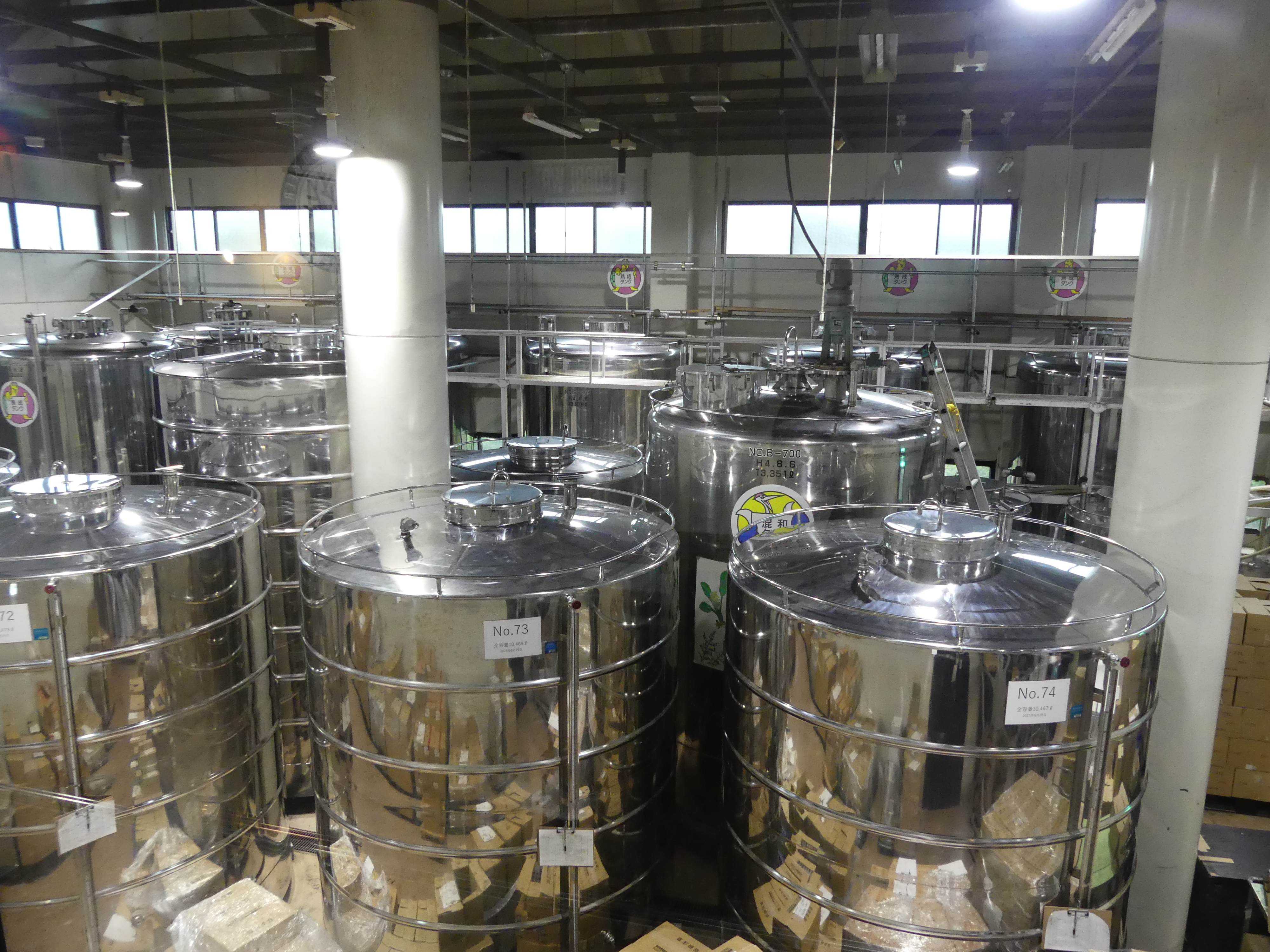
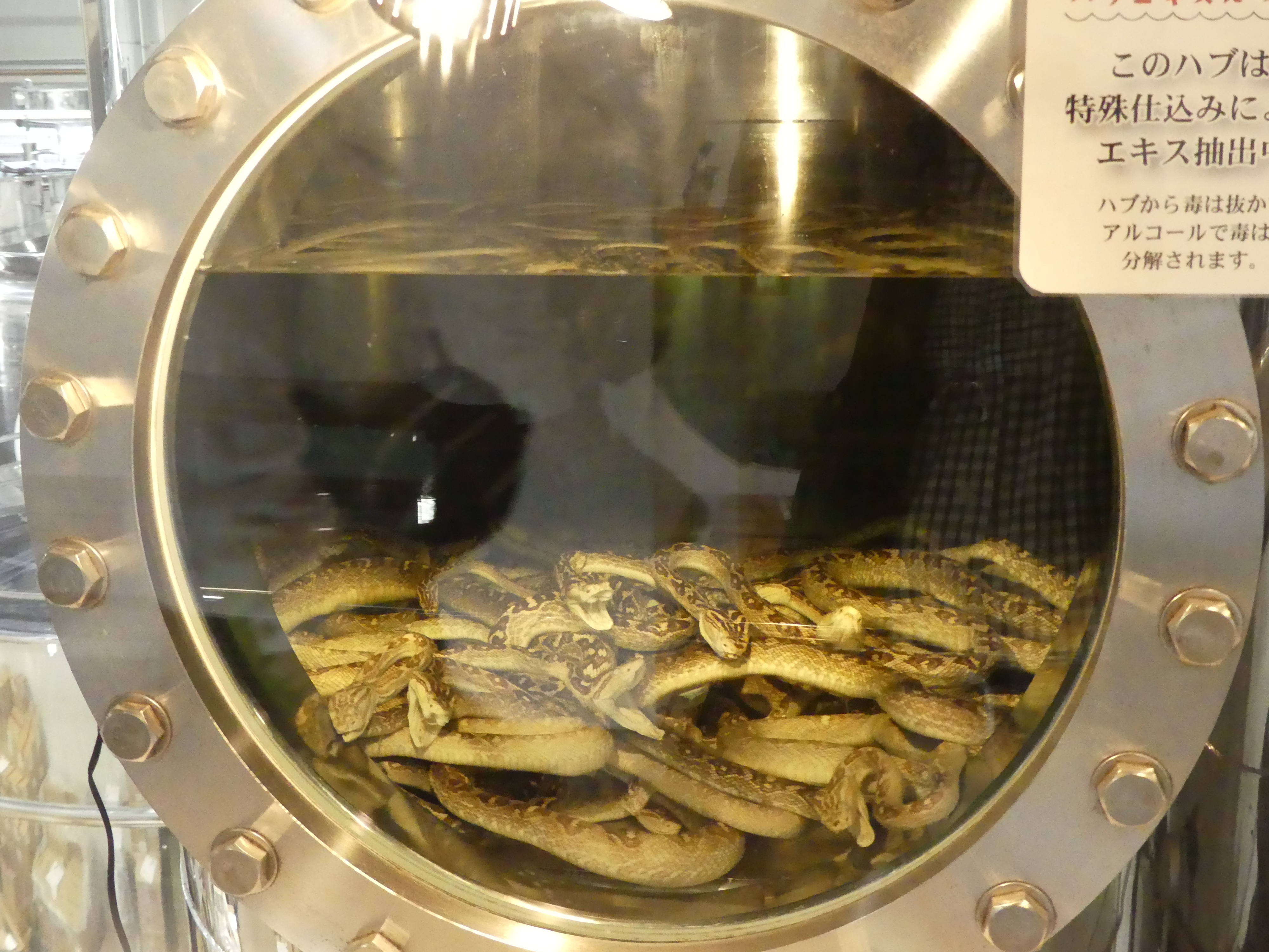
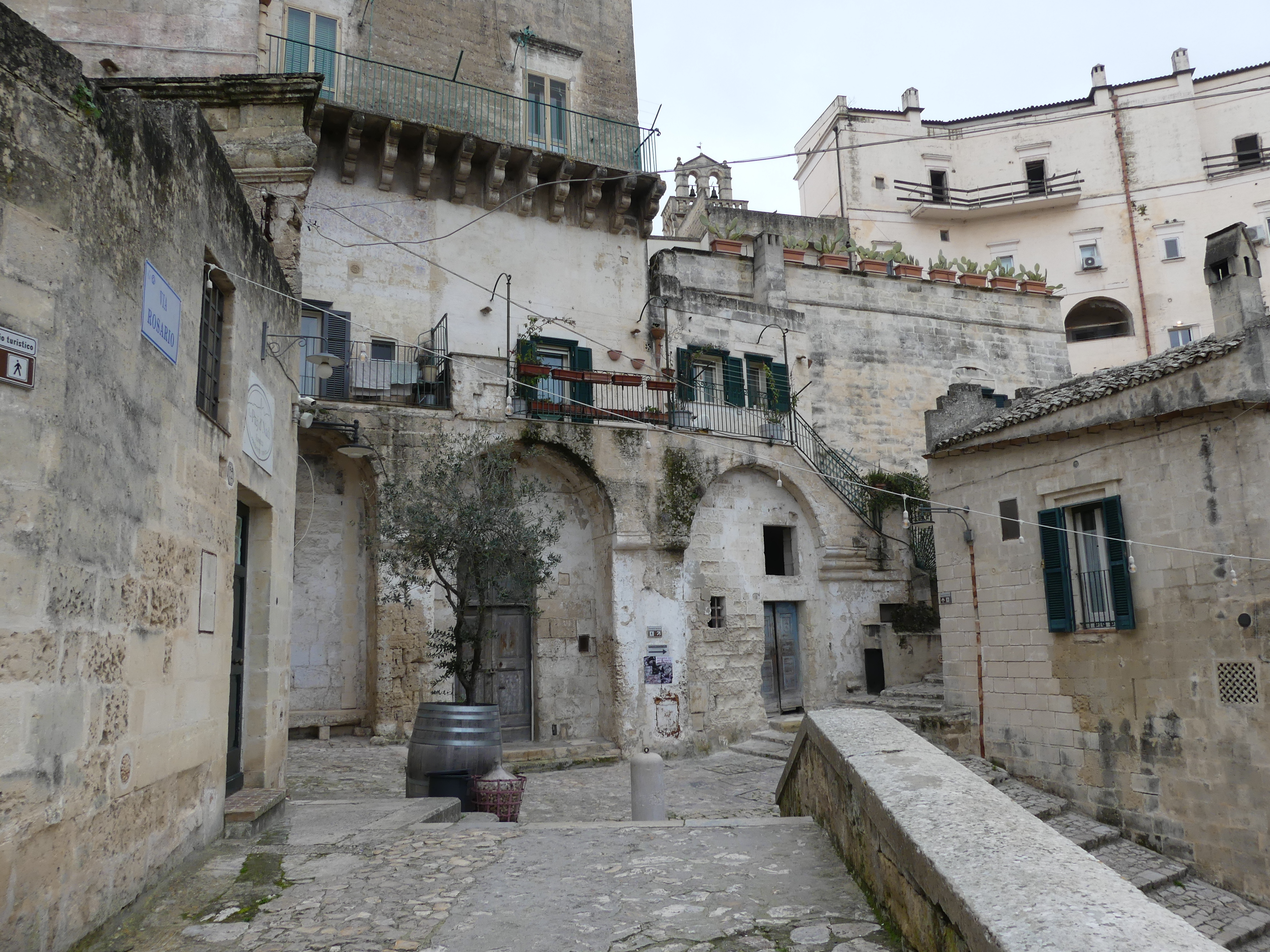
The caves are underneath what appears to be the recreation of an old Japanese village, and this was interesting. Open plan living with bamboo walls! There is also a culture centre. Remembering that Okinawa has not always been part of a united Japan it was interesting to view some of their differences. The Japanese have developed a reputation for beer making but there are some secrets to their difference. In this centre there is a modern mini brewery brewing beer with bite. The bite comes from the ingredients – snakes – no sale at the souvenir shop for me. We moved through the centre and back to the bus with a nasty taste in my mouth thinking about the snakes and then I thought the Mexicans put a worm in their Tequila – I don’t drink Tequila either.
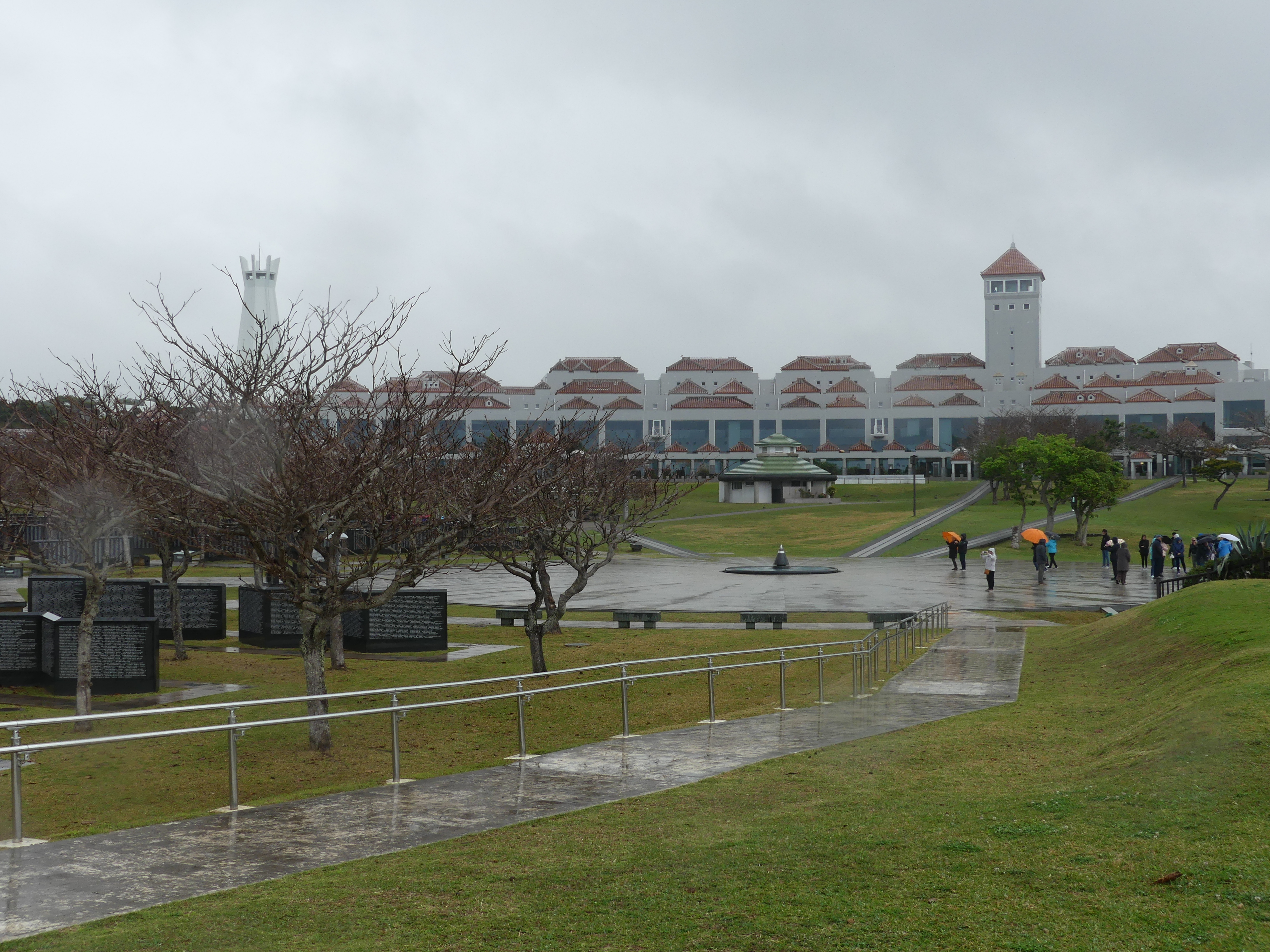
Our next stop was the Okinawa Prefecture Peace Memorial Museum. On April 1, 1945, the U.S. Army and Marine Corps launched an invasion of Okinawa with 185,000 troops. They were faced with fanatical resistance from the Japanese defenders. A third of Okinawa’s civilian population were killed during the ensuing fighting. The dead, of all nationalities, are commemorated at the Cornerstone of Peace. The Battle of Okinawa was a fierce battle lasting 3 months and killing more than 100,000 civilians and a similar number of soldiers followed by a USA administration for 27 years followed by the Treaty of Mutual Cooperation and Security between the United States and Japan, United States Forces Japan (USFJ) have maintained a large military presence. On May 15, 1972, the U.S. government returned the islands to Japan following the signing of the 1971 Okinawa Reversion Agreement. In 2006, some 8,000 U.S. Marines were removed from the island and relocated to Guam. The move to Marine Corps Base Camp Blaz was expected to be completed in 2023 but as of 1 January 2025 is still in process.
The memorial includes a teaching area for children occupying most of the ground floor whilst the upper level records the history of the Battle. I have posted below my photos of the memorial reciting the names of those killed, whether by action, starvation or suicide, on both sides of the conflict, the Cornerstone of Peace, its location by the sea and the Museum building. Has the investment caused anything to change?
It has been uplifting to see the aspirations of the survivors of the war, but the reality is war continues to lurk around Japan – North and South Korea remaining at loggerheads and China still determined to extinguish the Nationalists in Taiwan. We moved through the Peace Memorial, but I cannot help a feeling of helplessness that the memorial is in vain. Not a happy note to end on but we are glad to have had the privilege of visiting such an important memorial.
Keep reading and follow our path through the islands of Japan to Taiwan and return. The next chapter is “THE RETIREES GO AROUND THE WORLD – TOKYO TO ISHIGAKI JAPAN, HUALIEN TAIWAN, PORT KEELUNG & TAIPEI TAWAIN, & PORT NAGASAKI JAPAN”
Share this: Feel free to share