

Matera
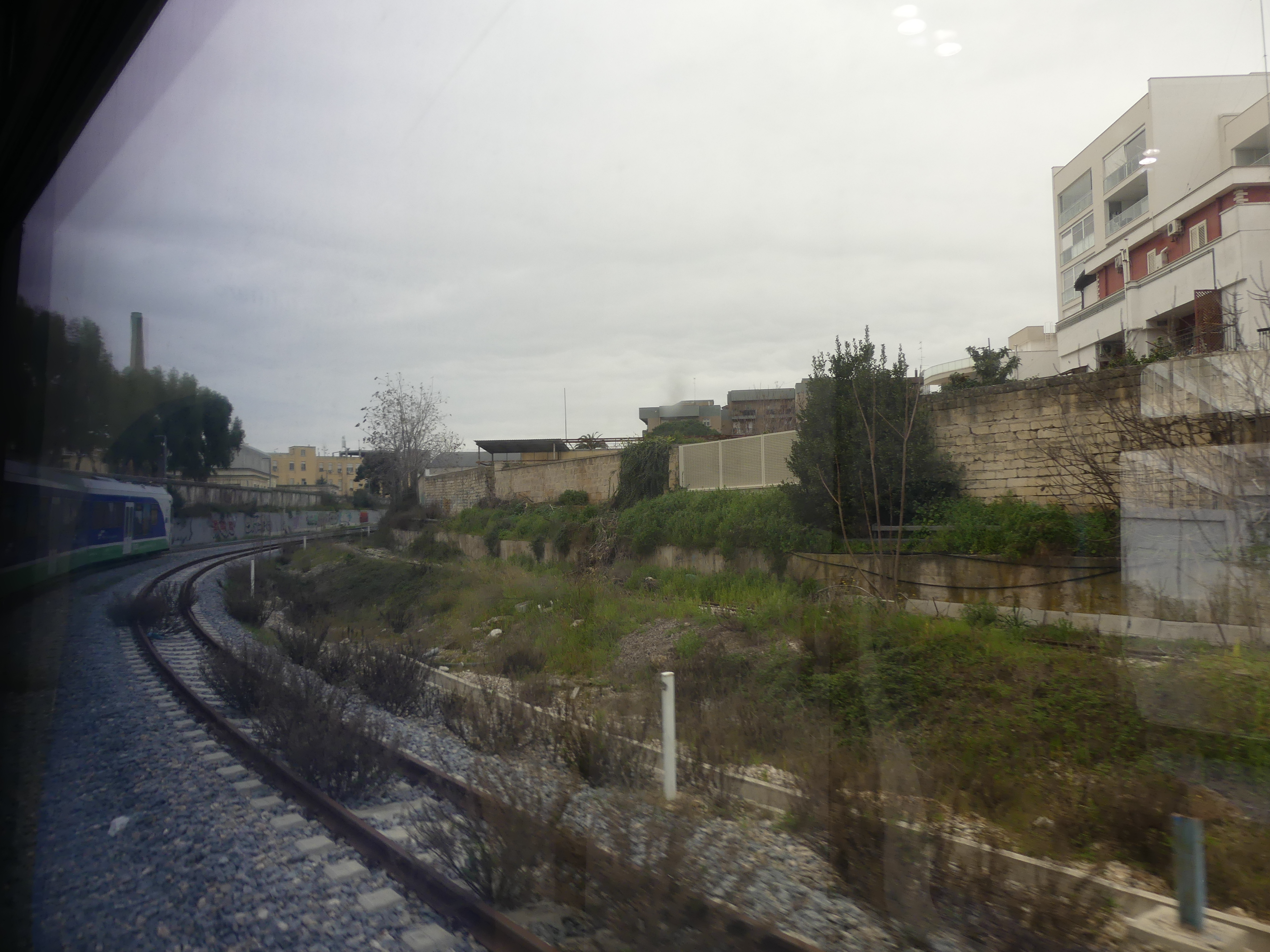
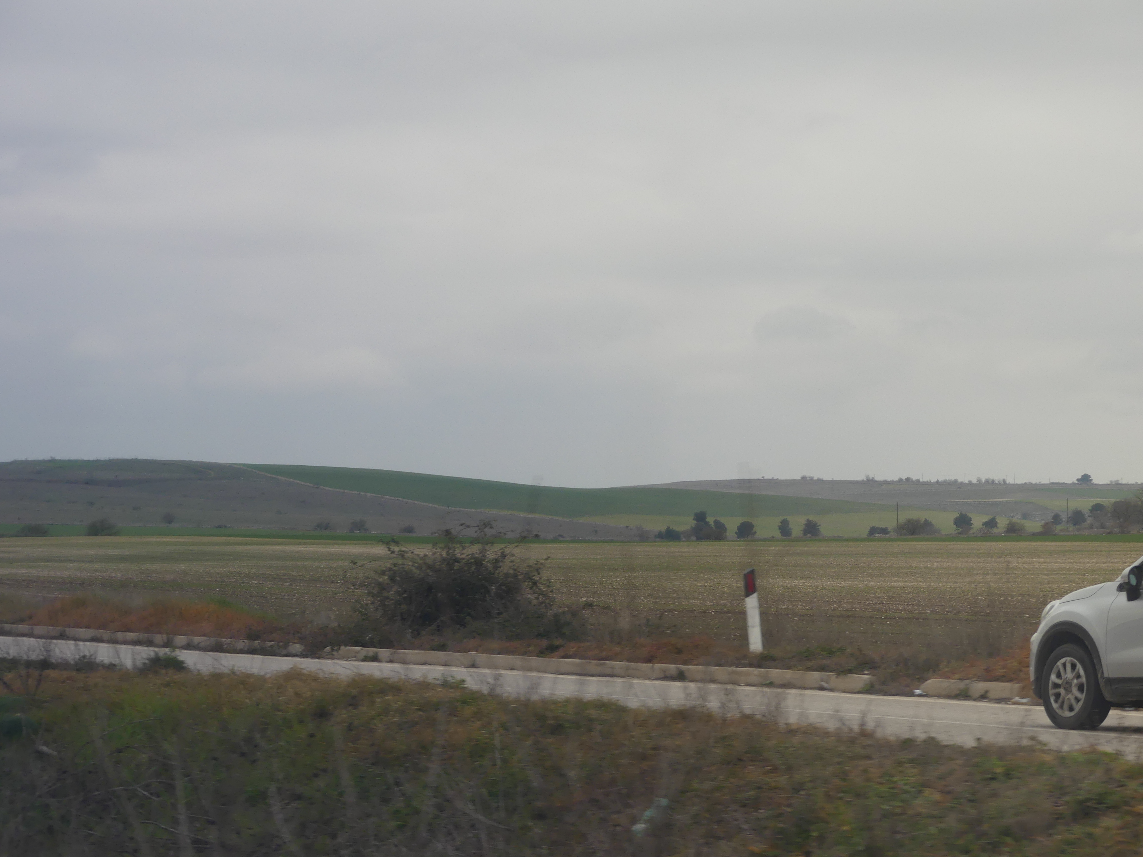
Robert wanted us to visit Matera as he thought it was so unique. The first unique thing was, it was accessible on a private rail line. Its station was beside the principal station in Bari but the line ran its own trains etc. So, a new railway experience – here is the train driver awaiting departure and on departing it soon became obvious we were going rural.


Before its integration into the modern Italian state, the city of Matera had experienced the rule of the Romans, Lombards, Arabs, Byzantine Greeks, Swabians, Angevins, Aragonese, and Bourbons. Matera is believed to have been settled since the Palaeolithic (10th millennium BC) times. This makes it potentially one of the oldest continually inhabited settlements in the world. Robert had two reasons to bring us here; to learn about and see the Sassi and for his own personal reasons that I cannot go into.
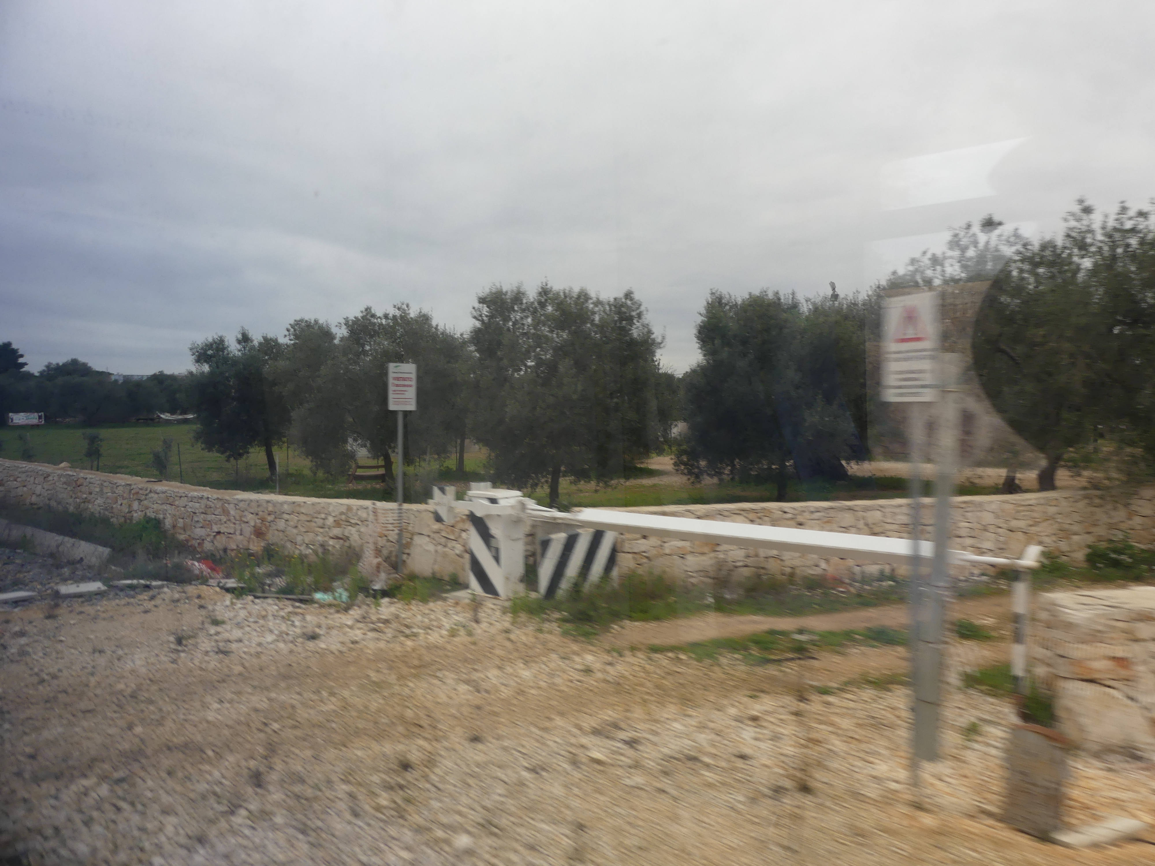
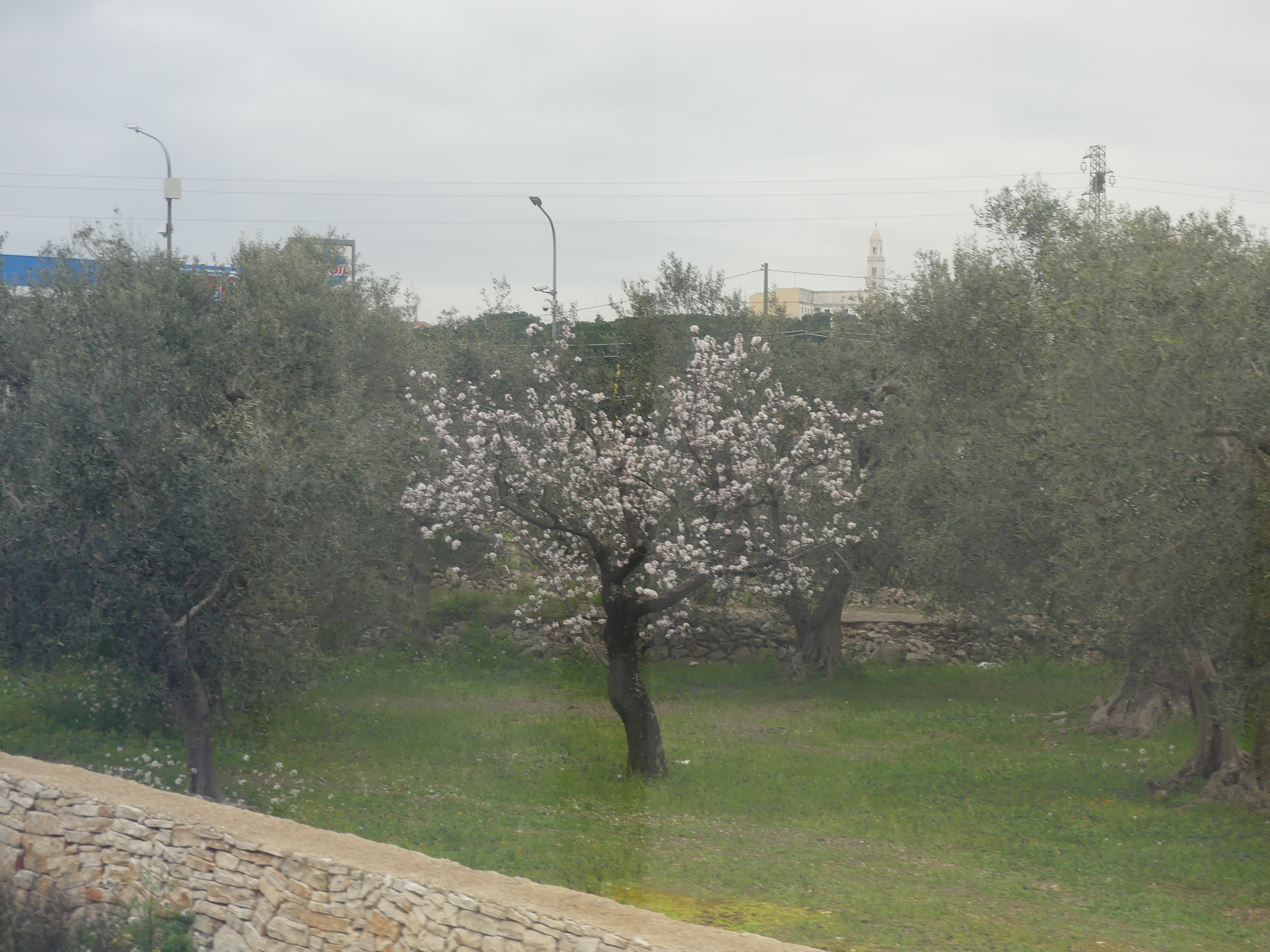
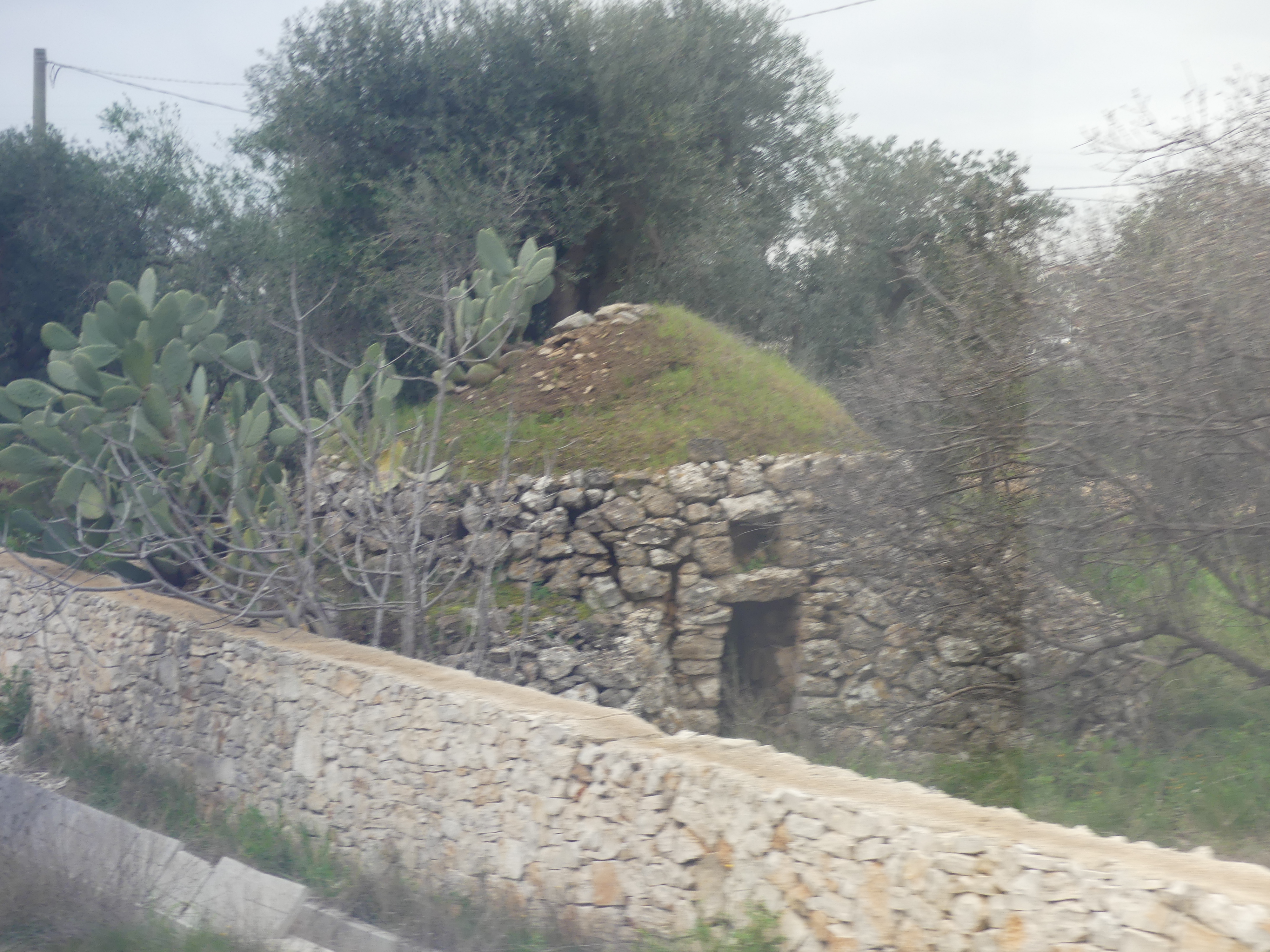
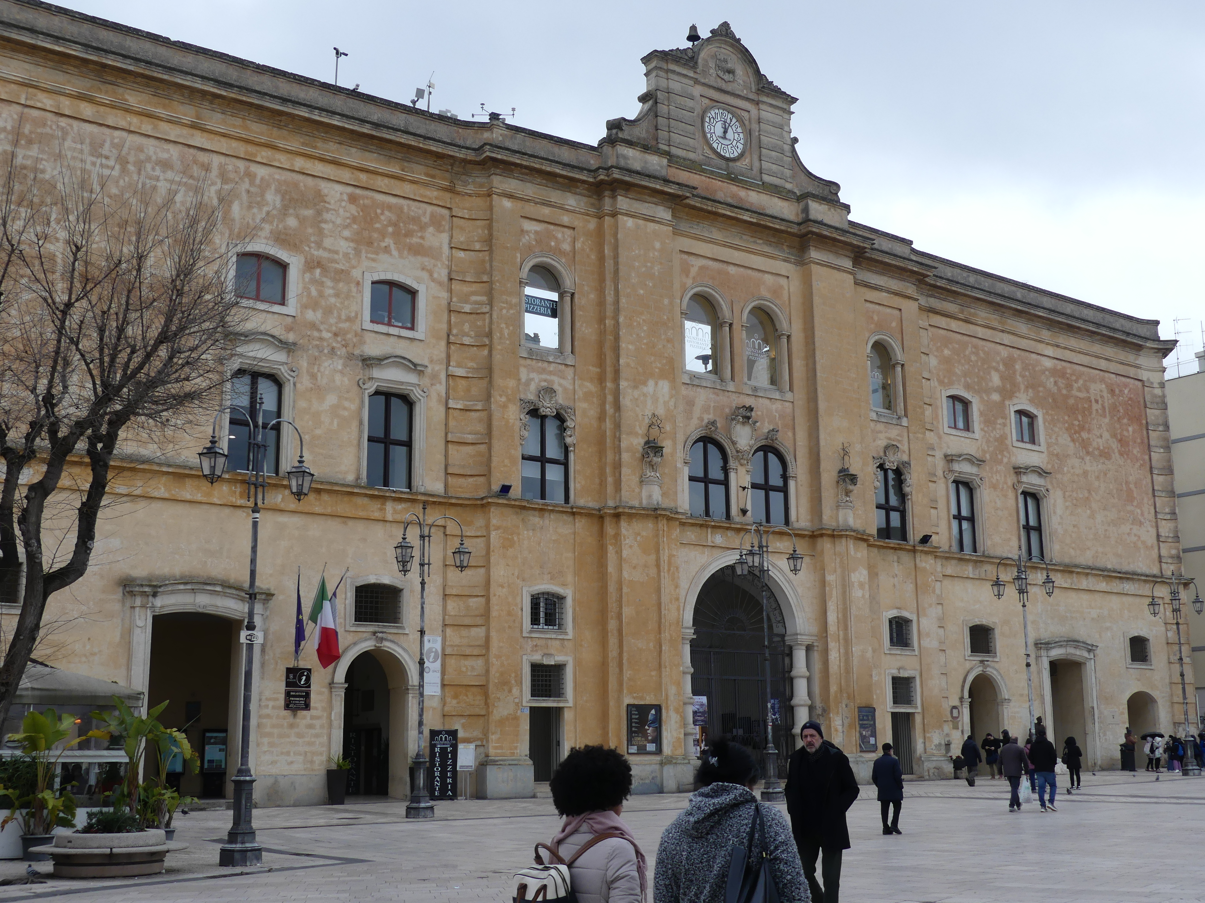
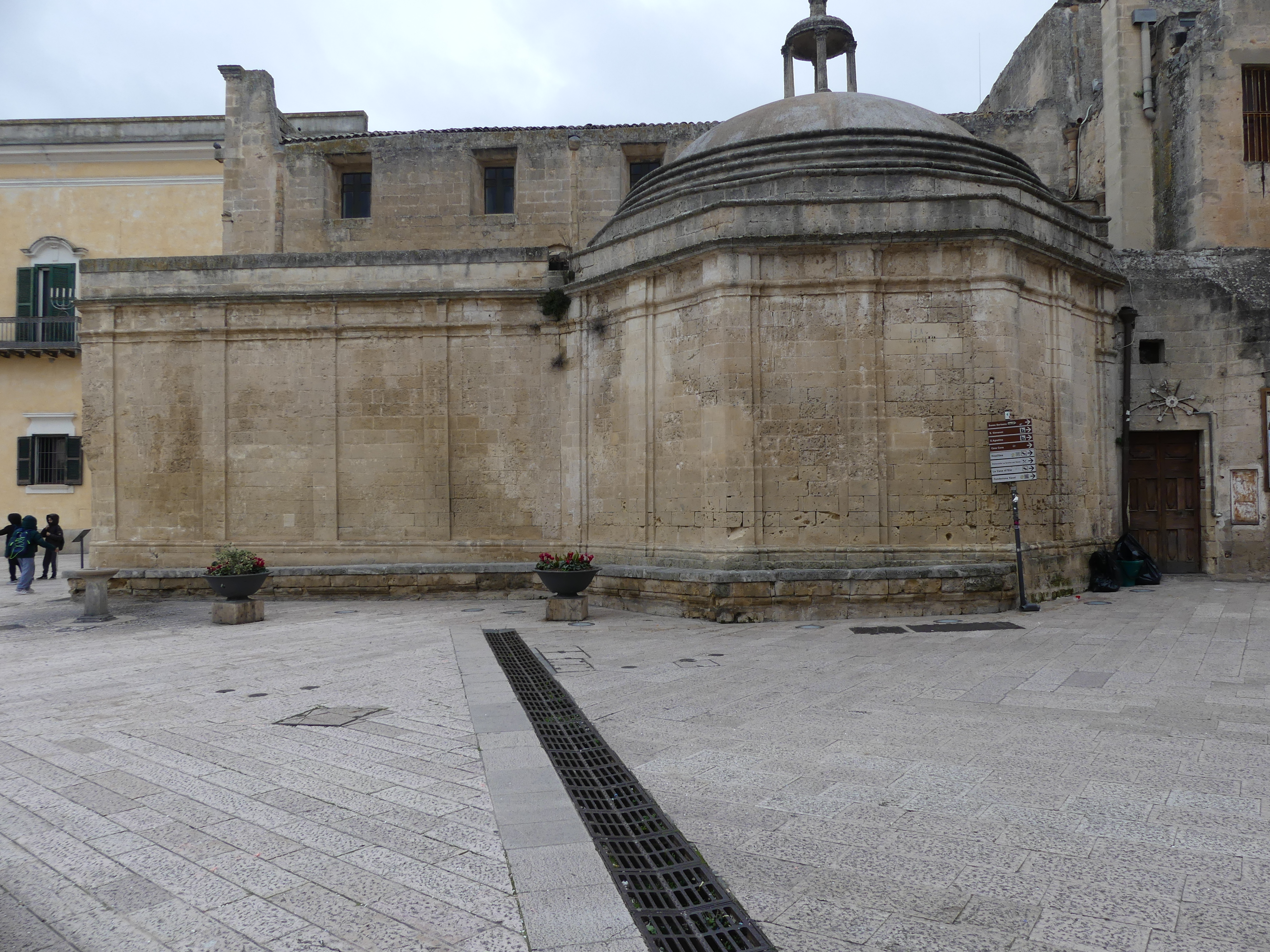
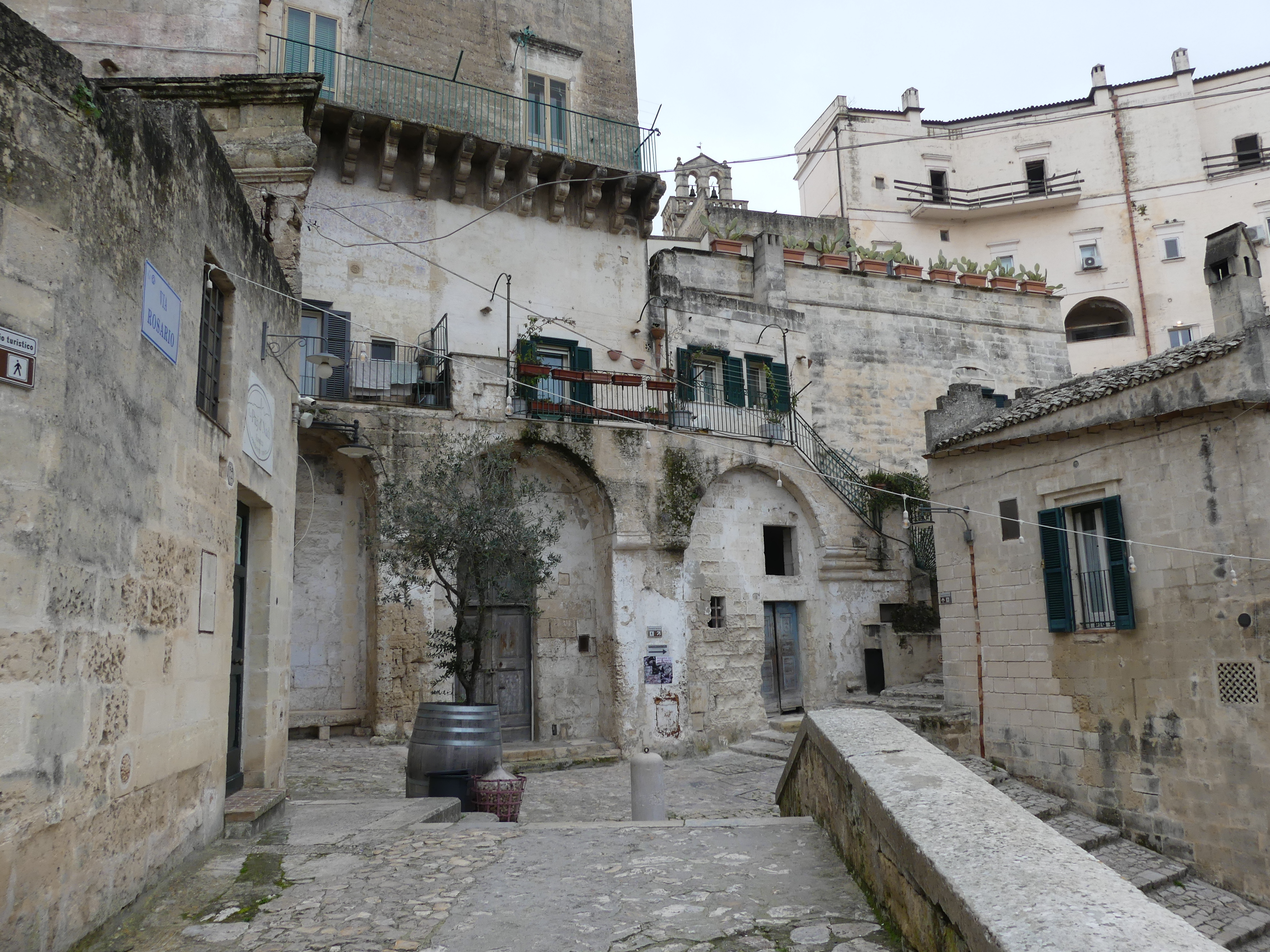
The train journey was through some impoverished looking rural countryside arriving at a modern station where the train turns around and goes back to Bari. Walking down to the old town we thought everything looked clean and reasonably modern, but it starts to change at the old well. Amid the town piazza, Piazza Vittorio Veneto was a pit to leading to Roman ruins and a viewing platform of the Sassi – we had no idea that this is what awaited us.


The ruins shown above are part of Roman settlement that has survived and beyond is the Sassi. The Sassi can be best viewed through a balcony which can be accessed through the ruins or through arches above the the ruins.


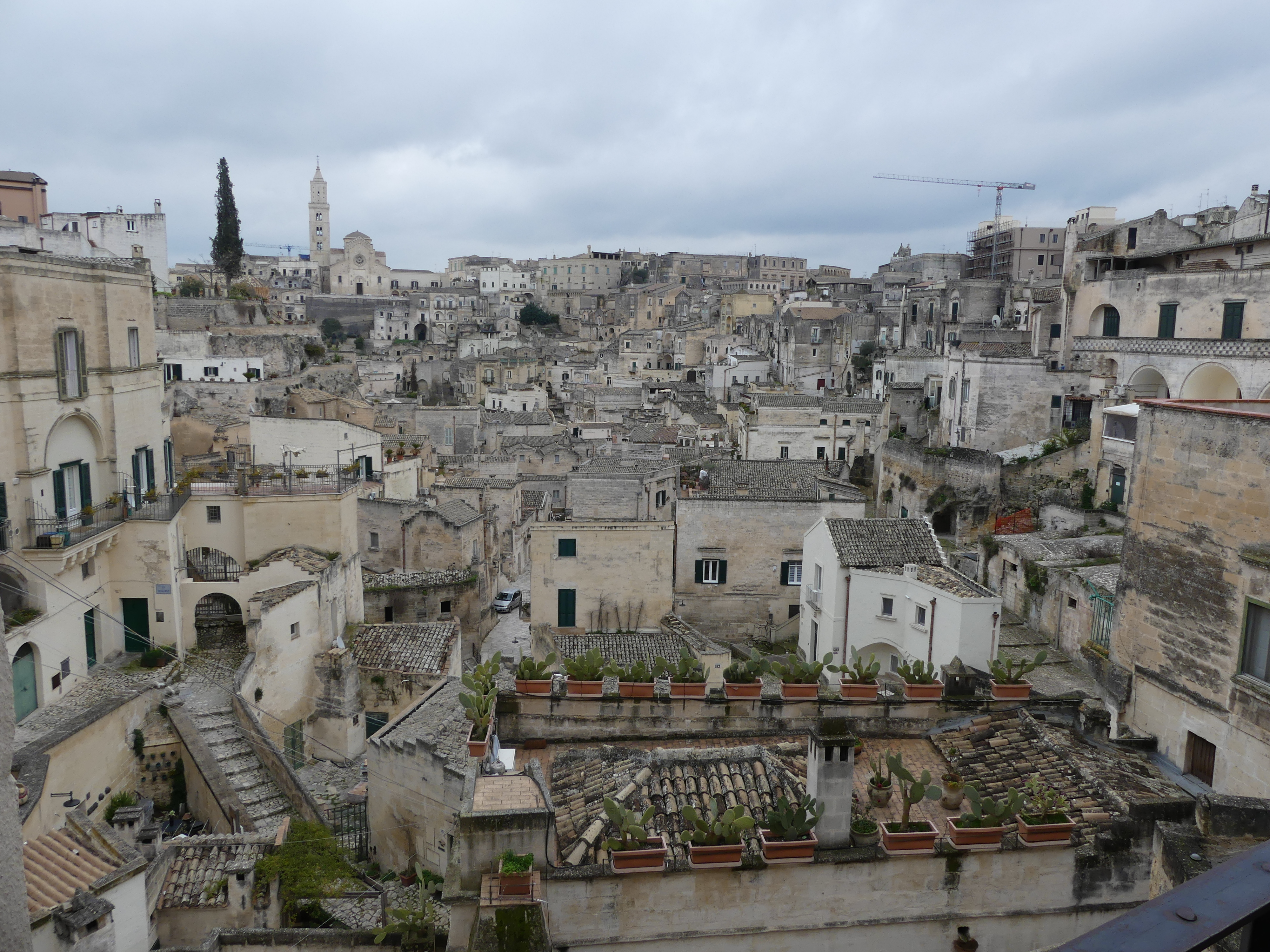
The view of this well of houses and streets stunned me but I had no idea what lay hidden amongst the houses, shops roads walkways and arcades. The Sassi are cave dwellings and consist of around twelve levels spanning the height of 380 m, connected by a network of paths, stairways, and courtyards (vicinati). The tripartite urban structure of Civita and the two Sassi, relatively isolated from each other, survived until the 16th century, when the centre of public life moved outside the walls to the Piazza Sedile in the open plain (the Piano) to the west, followed by the shift of the elite residences to the Piano from the 17th century onward. By the end of the 18th century, a physical class boundary separated the overcrowded Sassi of the peasants from the new spatial order of their social superiors in the Piano, and geographical elevation came to coincide with status more overtly than before, to the point where the two communities no longer interacted socially. Yet it was only at the turn of the 20th century that the Sassi were declared unfit for modern habitation, and the government relocation of all their inhabitants to new housing in the Piano followed between 1952 and the 1970. A new law in 1986 opened the path to restoration and reoccupation of the Sassi, for the benefit of the wealthy middle class. The recognition of the Sassi, labeled la città sotterranea (“the underground city”), together with the rupestrian churches across the Gravina as a UNESCO World Heritage Site in December 1993 has assisted in attracting tourism and accelerated the reclaiming of the site. In 2019, Matera was declared a European Capital of Culture from poverty and degradation to the flavour of the month.
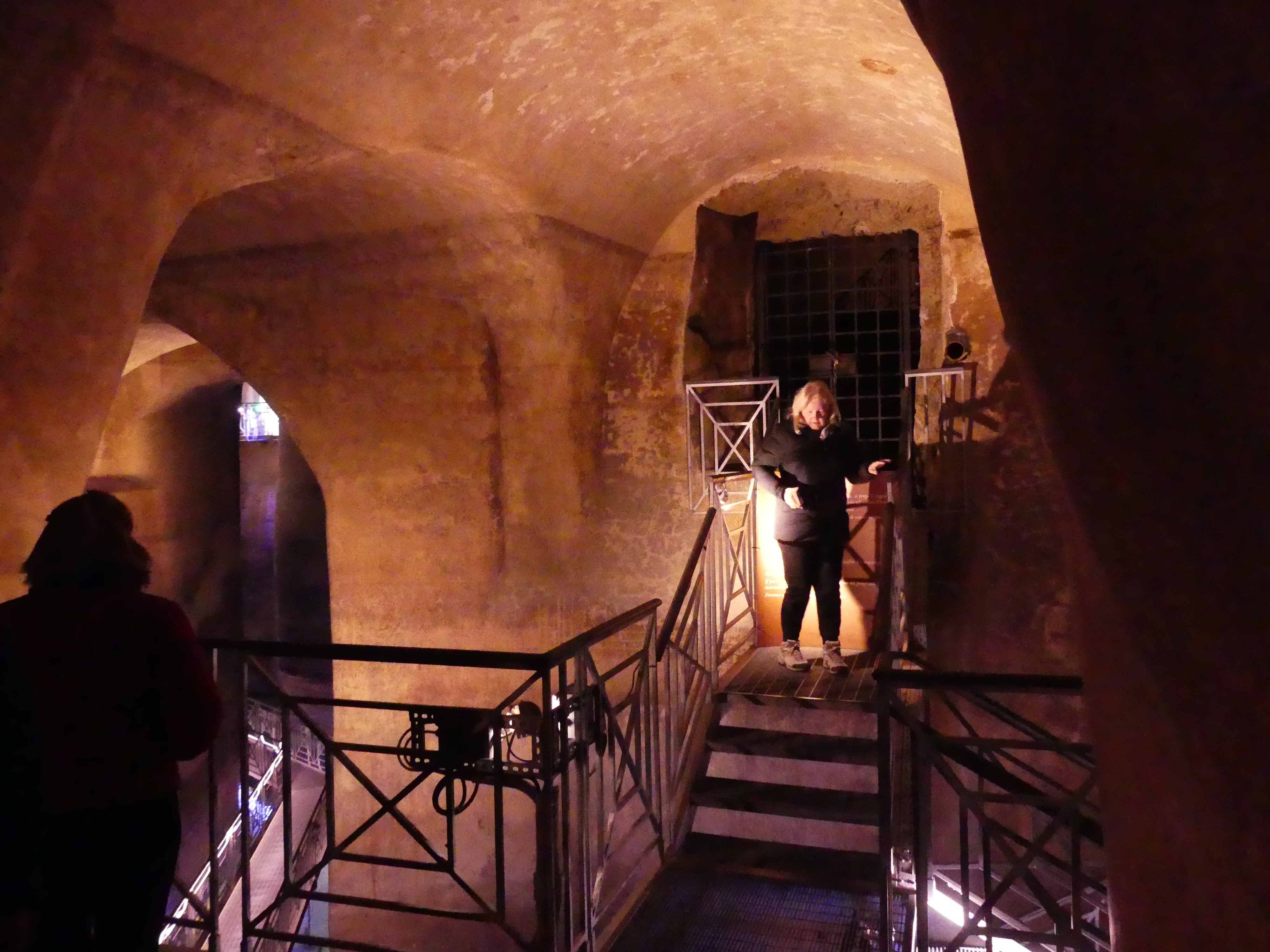
Firstly, we went to the Roman ruins. Below the ruins are cisterns. Early dwellers invested tremendous energy in building cisterns and systems of water channels. The largest cistern has been found under Piazza Vittorio Veneto, the Palombaro Lungo which was built in 1832. With its solid pillars carved from the rock and a vault height of more than fifteen metres, it is a veritable water cathedral, which is navigable by boat. Like other cisterns in the town, it collected rainwater that was filtered and flowed in a controlled way to the Sassi. Kerry and I walked through marveling at the depth which the water could fill up to.


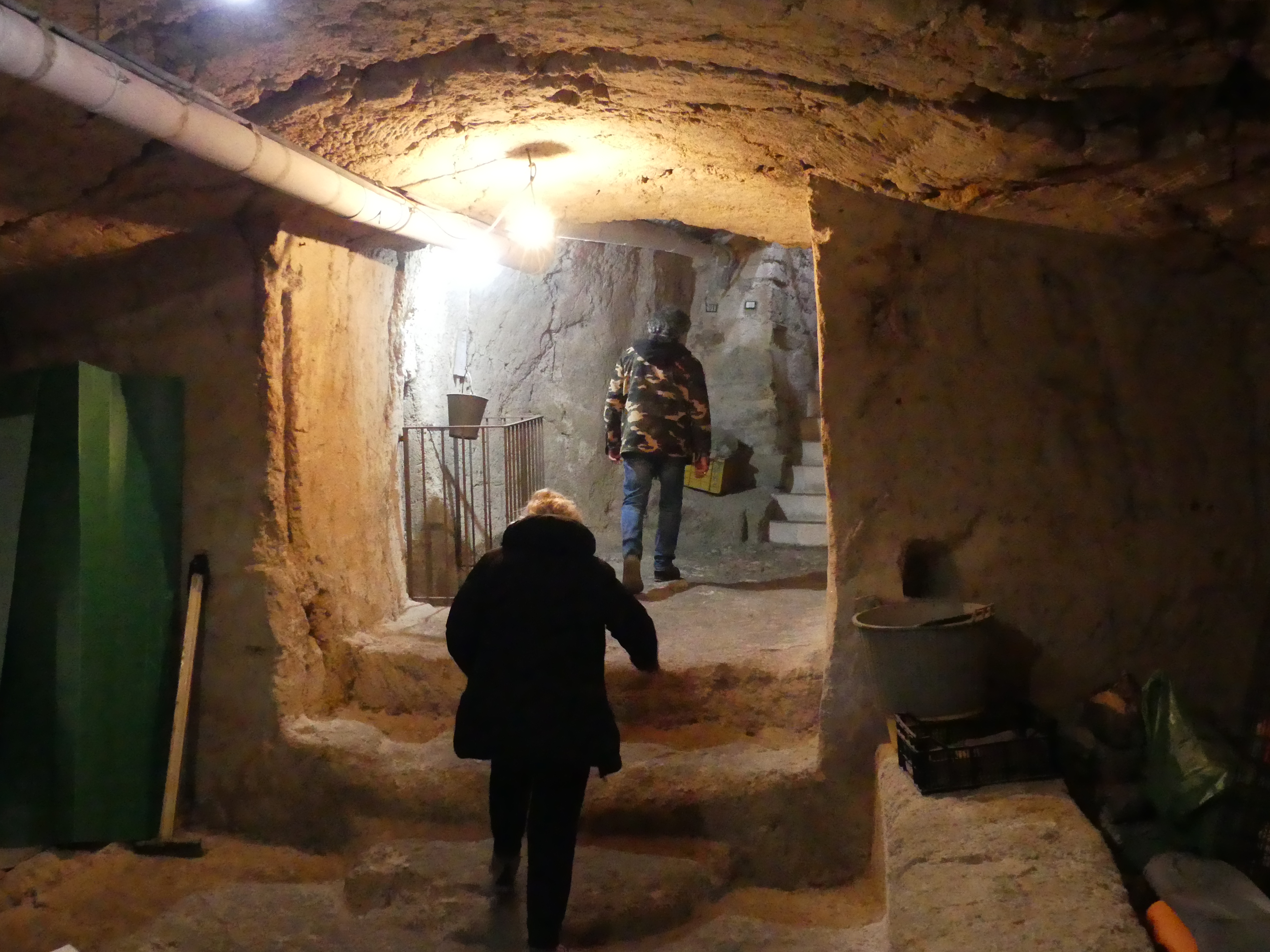
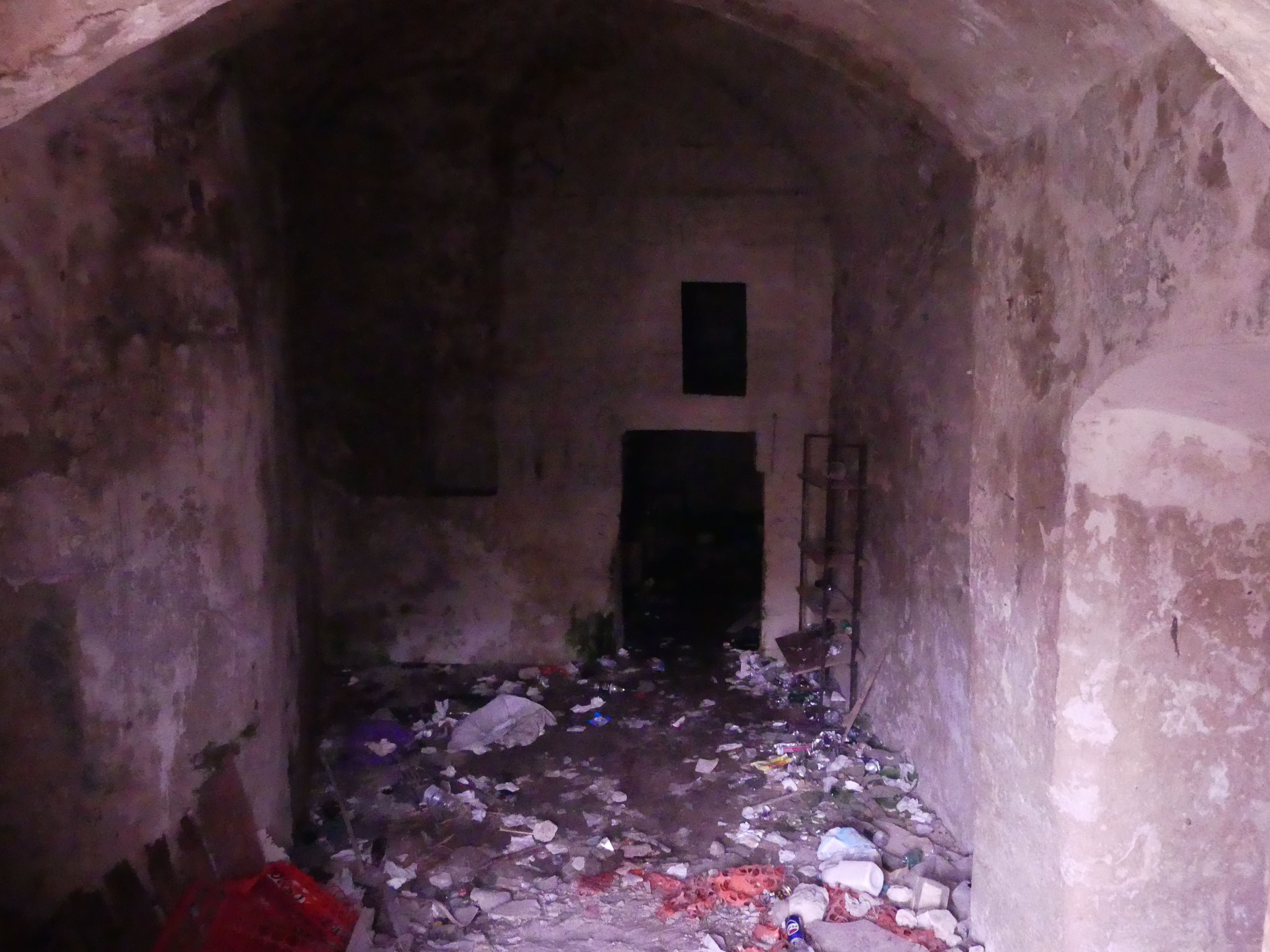
After exiting the cistern, we entered the Sassi through the ruins and commenced our decent into the Sassi which originated in a prehistoric troglodyte settlement, and these dwellings are thought to be among the first ever human settlements in what is now Italy. You will see in one picture bones have been used to support the rainwater gutters. I don’t know whether they are animal or human. We visited one of the dwellings open for tourist inspection. Inside the cave is the main bedroom, a loom, a place for the donkey (if you had one) and further down further space. Remember these were still in use in 1950. We left the cave to explore some more of the Sassi – there were some we did not want to explore. You will se Kerry and Robert viewing a cave once occupied and vacated in 1952. Close inspection was not possible by reason of the odour emanating from who knows what now occupies it.


Amongst the jumble of buildings and at the bottom of the Sassi, we found an authentic Italian Restaurant Amore Crusco. The appealing landing was victim of the showers that followed us all day, but the interior was very pleasant and warm so here we enjoyed lunch. Everything that goes down must eventually come up so after lunch we clambered out of the Sassi and took in some of the newer parts above the Sassi. The pictures below are of our lunchtime repast. The climb back to the modern square knocked the wind out of Kerry and me after which I was ready for a nap.


Robert had personal reasons/plans for the evening in Matera, so being experienced train travelers, we caught the train home minus Robert. So our next trip was the last trip with Robert as our guide. We visit Alberobello, so be watching for “THE RETIREES GO AROUND THE WORLD – BARI to ALBEROBELLO”


