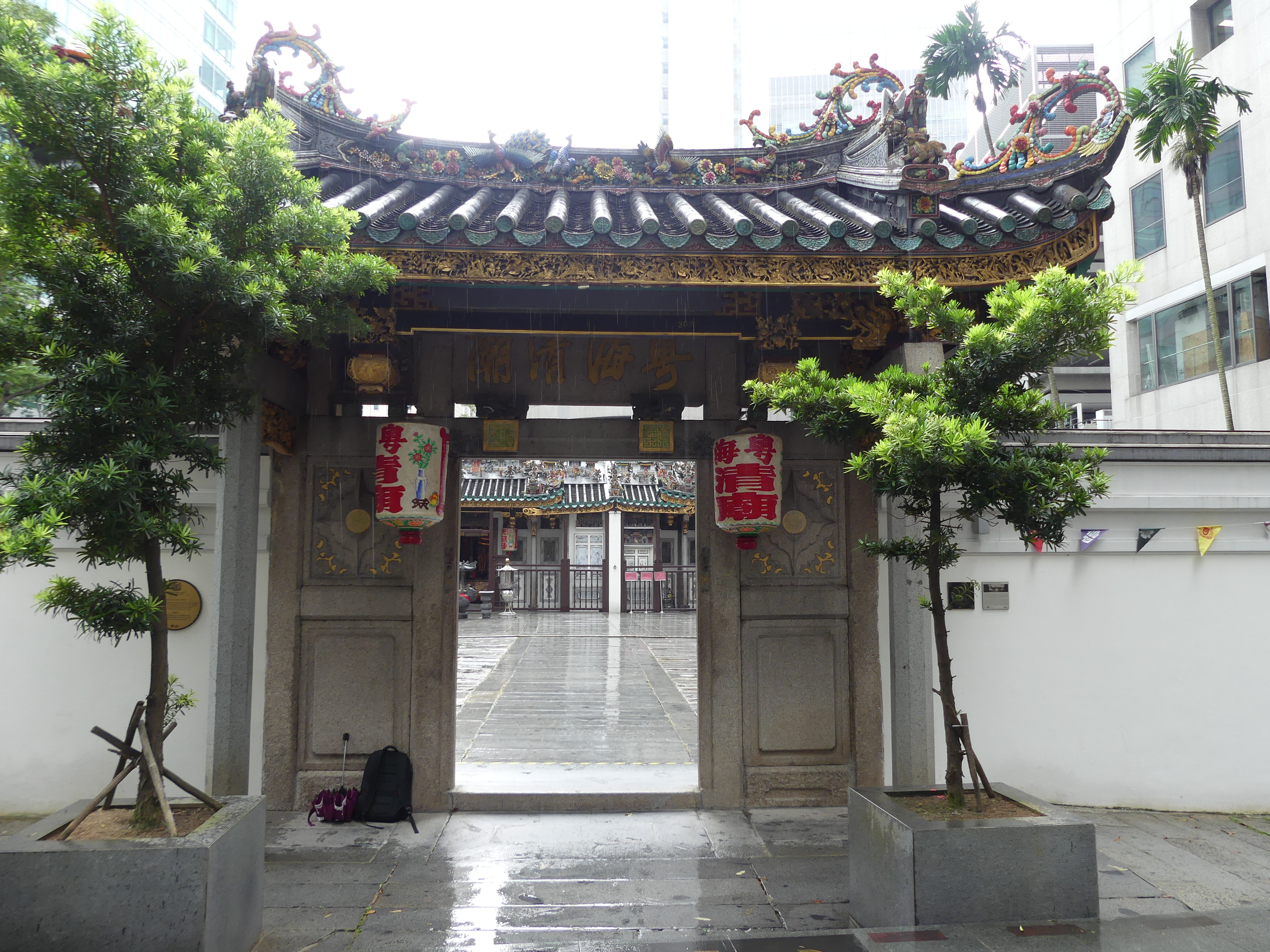
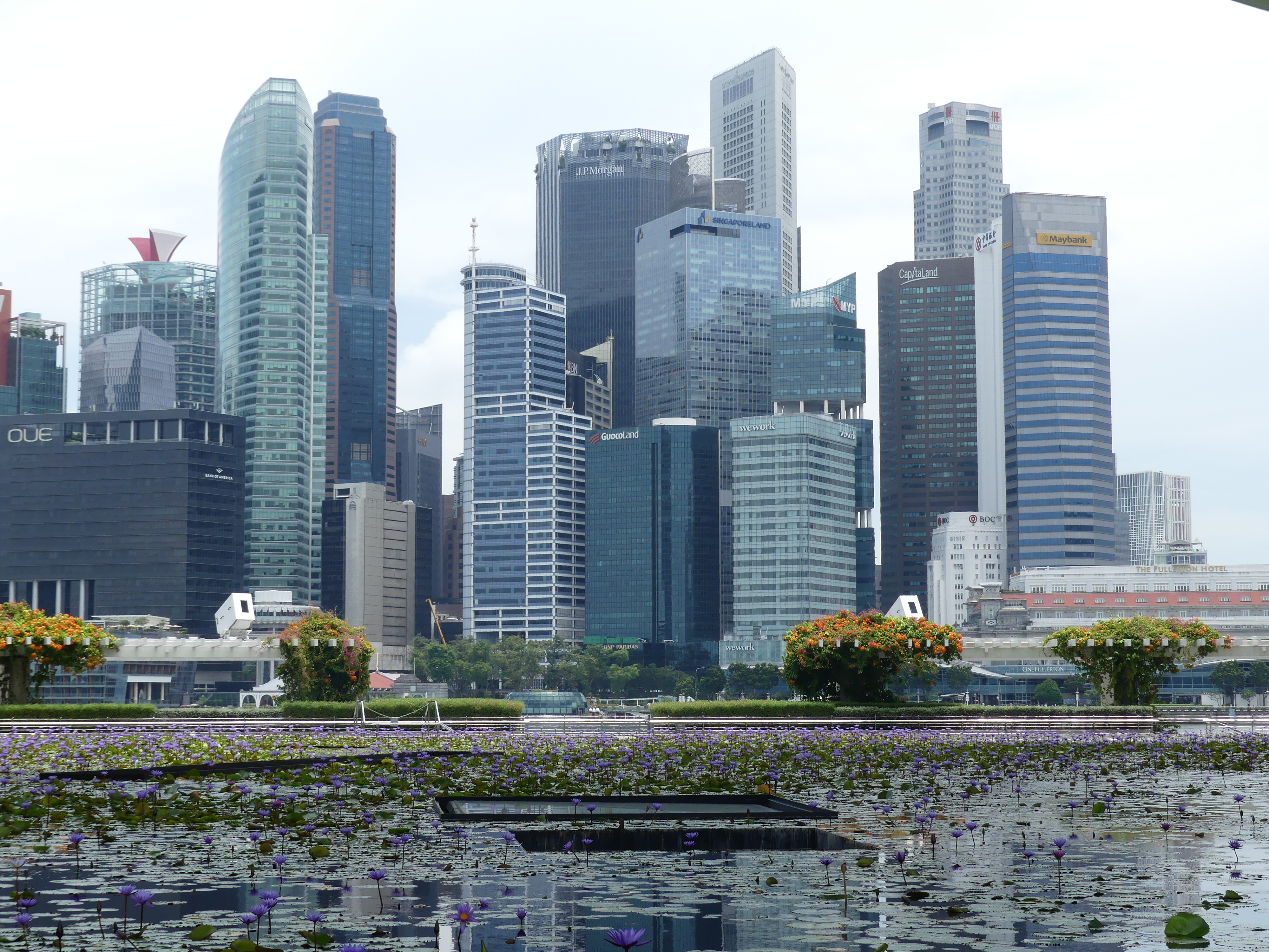
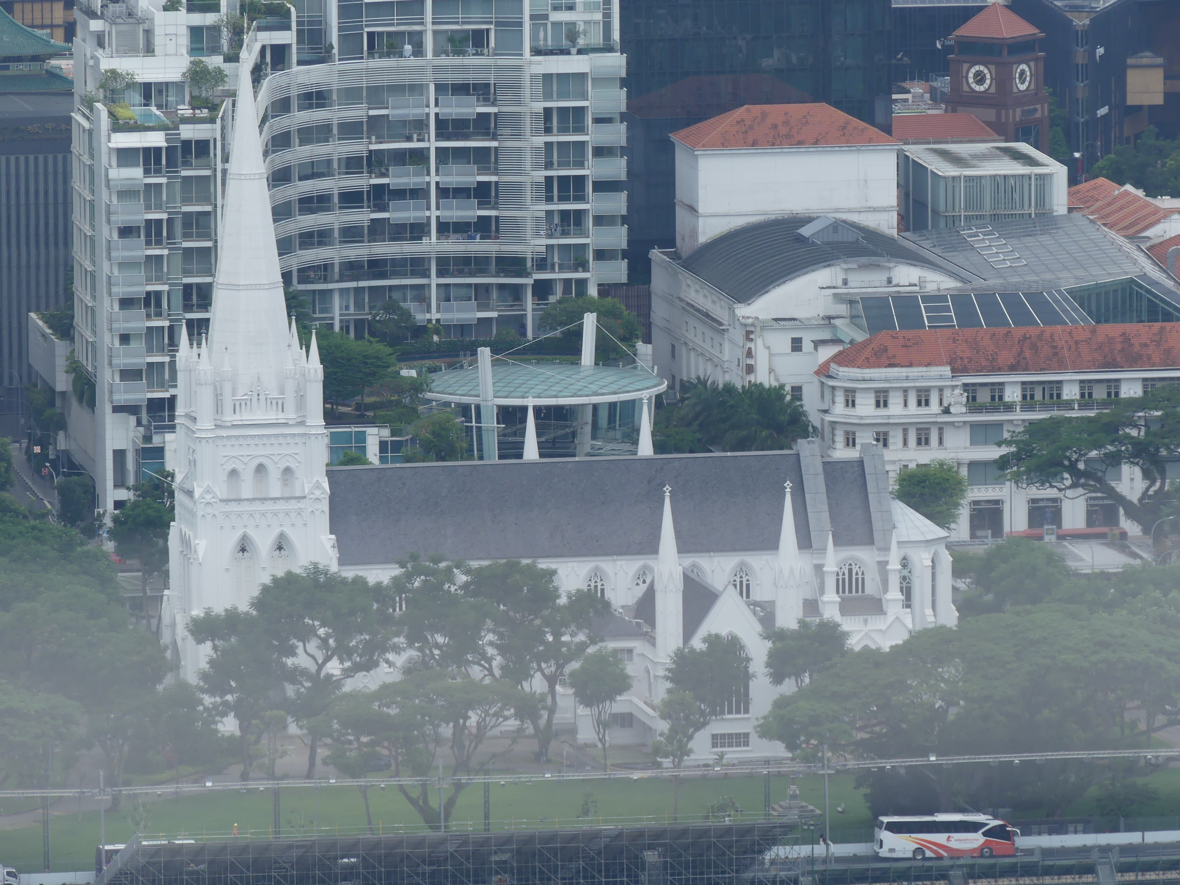
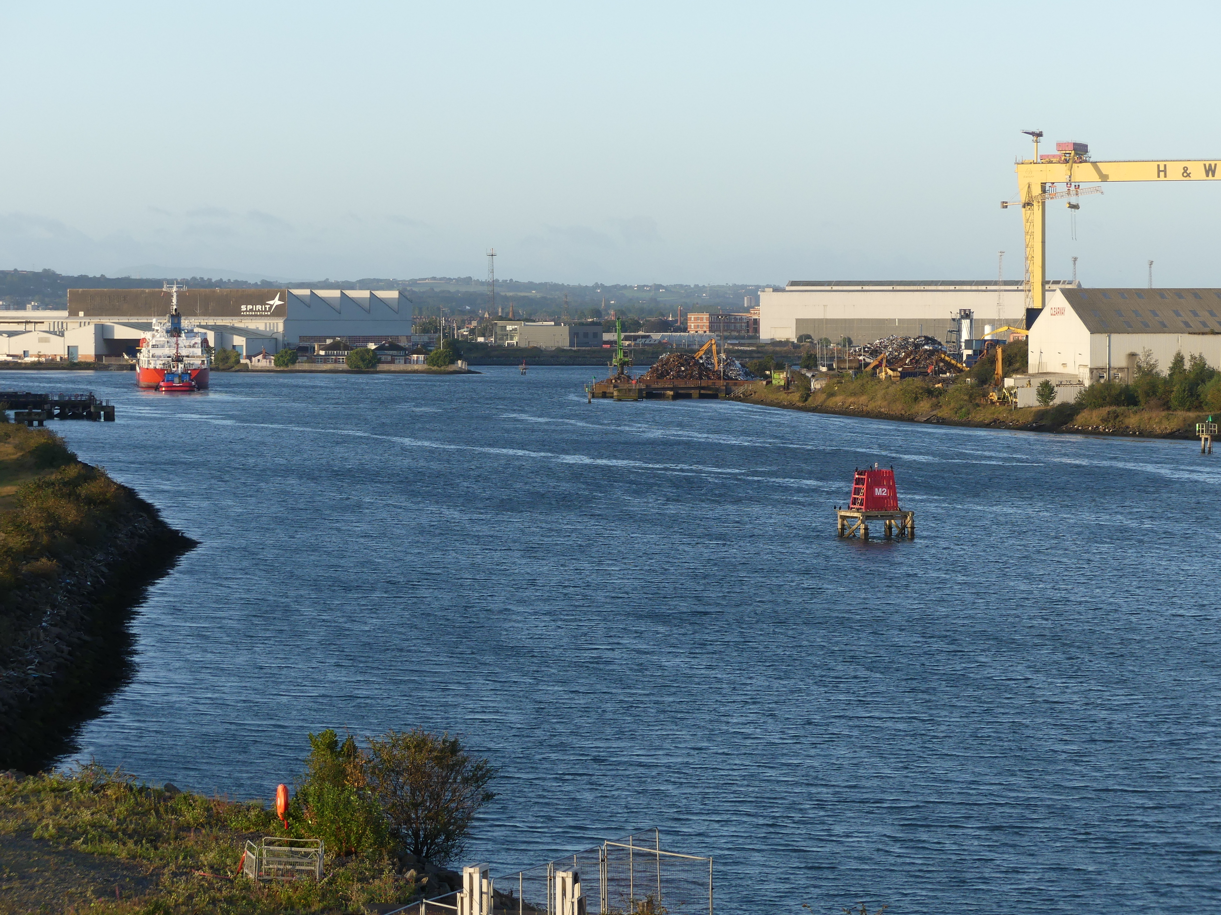
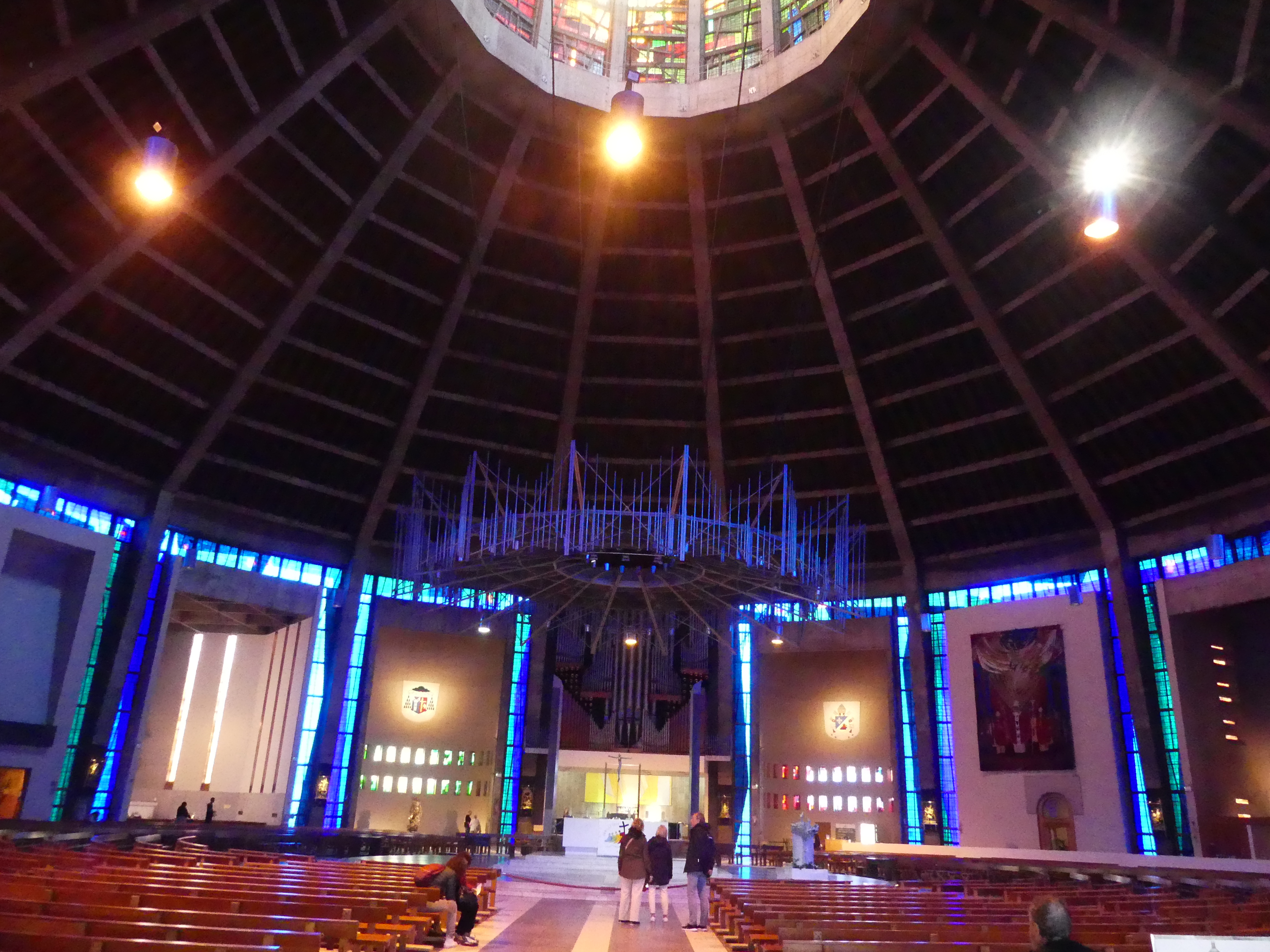
Today Raffles is synonymous with Singapore. Sir Stamford Raffles secured control over the strategically located Singapore from local rulers in 1819 to secure British access along the Strait of Singapore and the nearby seas in the region, particularly the Indian Ocean and the South China Sea. The Anglo–Dutch Treaty of 1824 established their respective spheres of influence, with the Dutch relinquishing their claims to Singapore. A transshipment port was subsequently established in Singapore for maritime trade between Europe and Asia.
While Raffles was largely credited for the founding of contemporary Singapore, the early running of day-to-day operations was mostly done by William Farquhar, who served as the first Resident of Singapore from 1819 to 1823. Raffles returned to England in 1824, where he died on his birthday in 1826 at the age of 45. His legacy remains significant in Singapore, most notably the Raffles’s Landing Site, as well as his name being a common sight in numerous entities and institutions throughout the country.
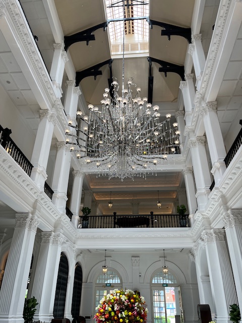
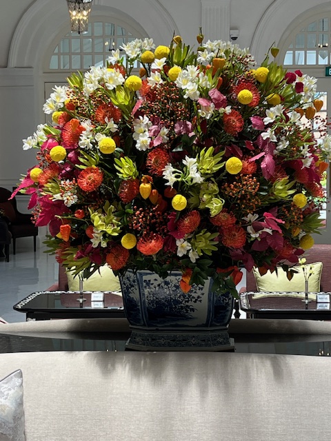
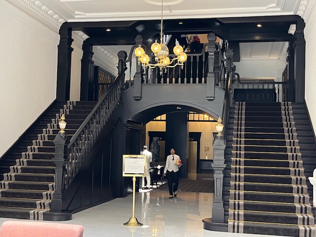
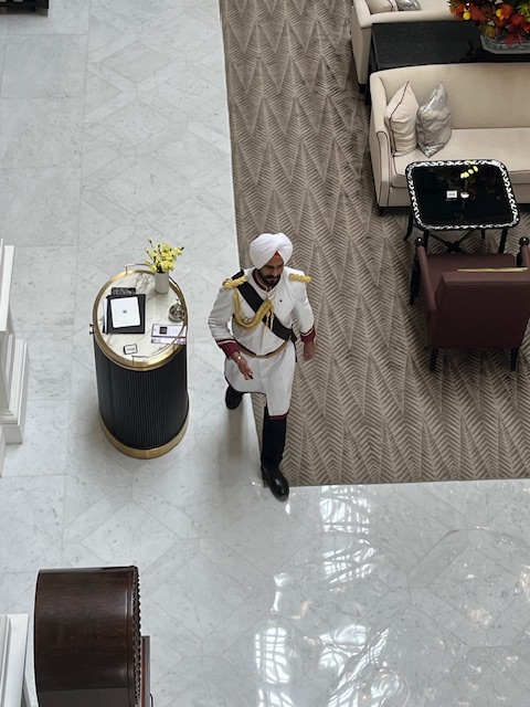
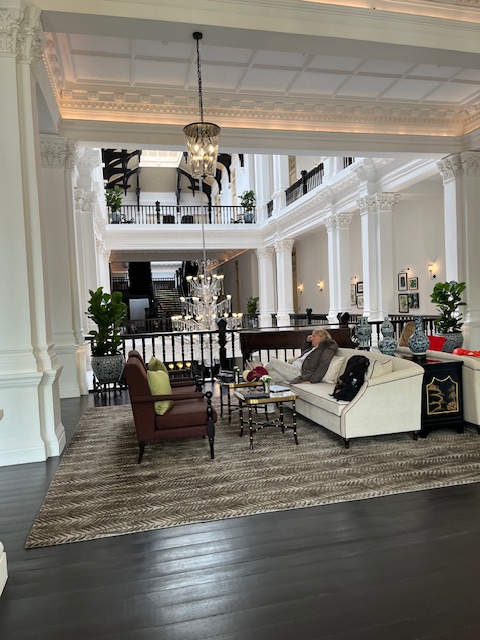
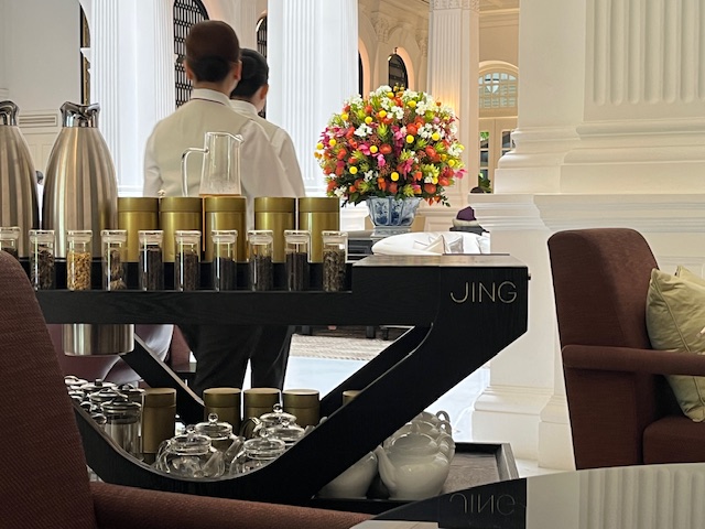
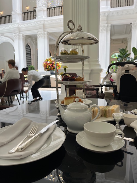
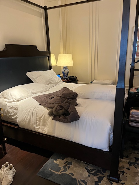
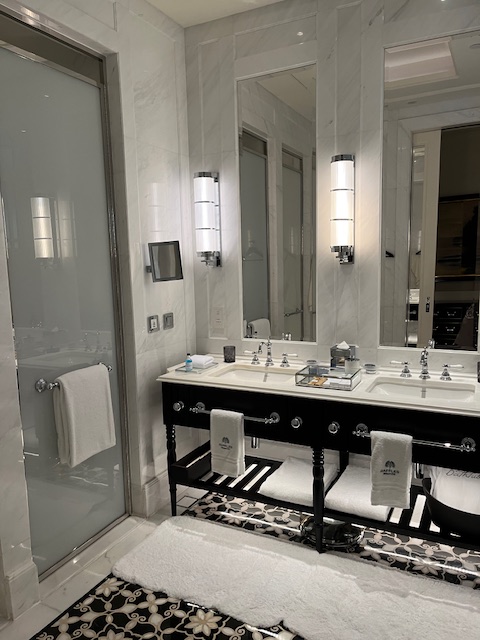
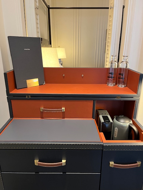
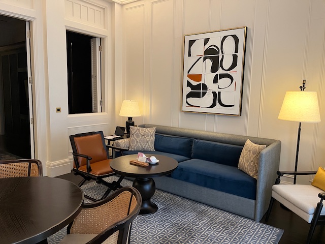
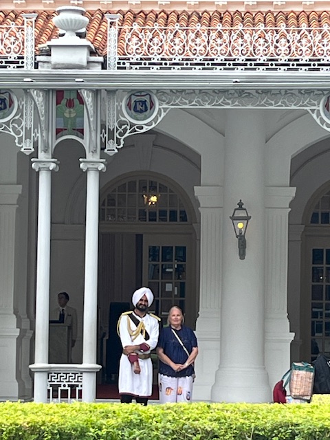
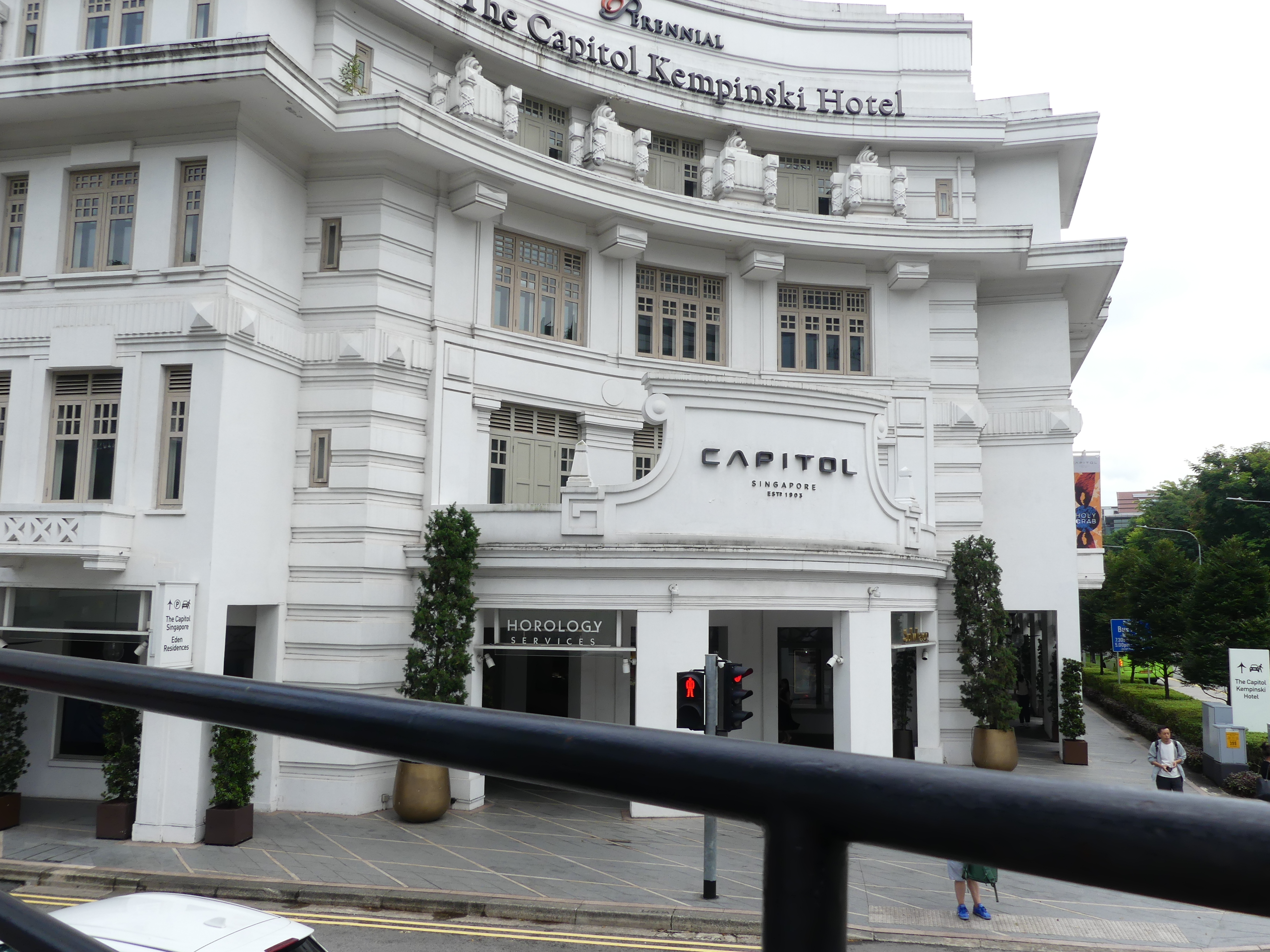
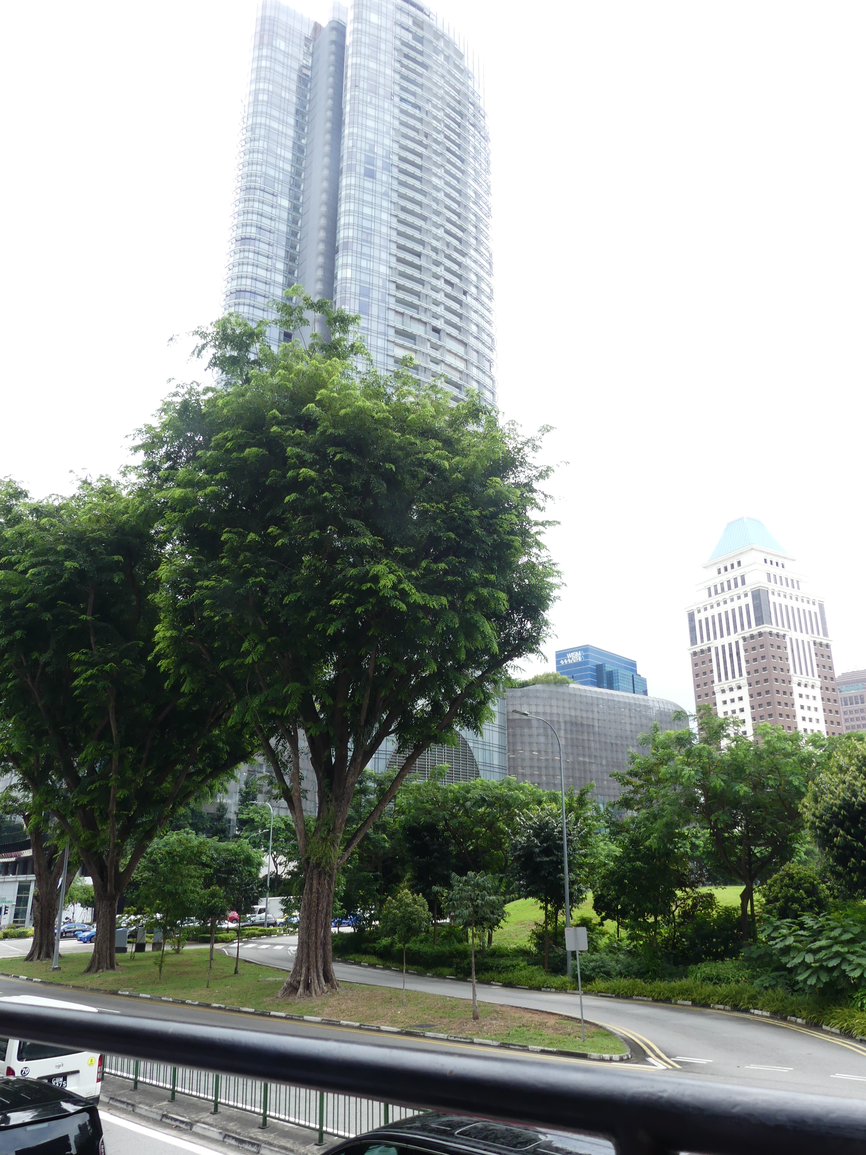
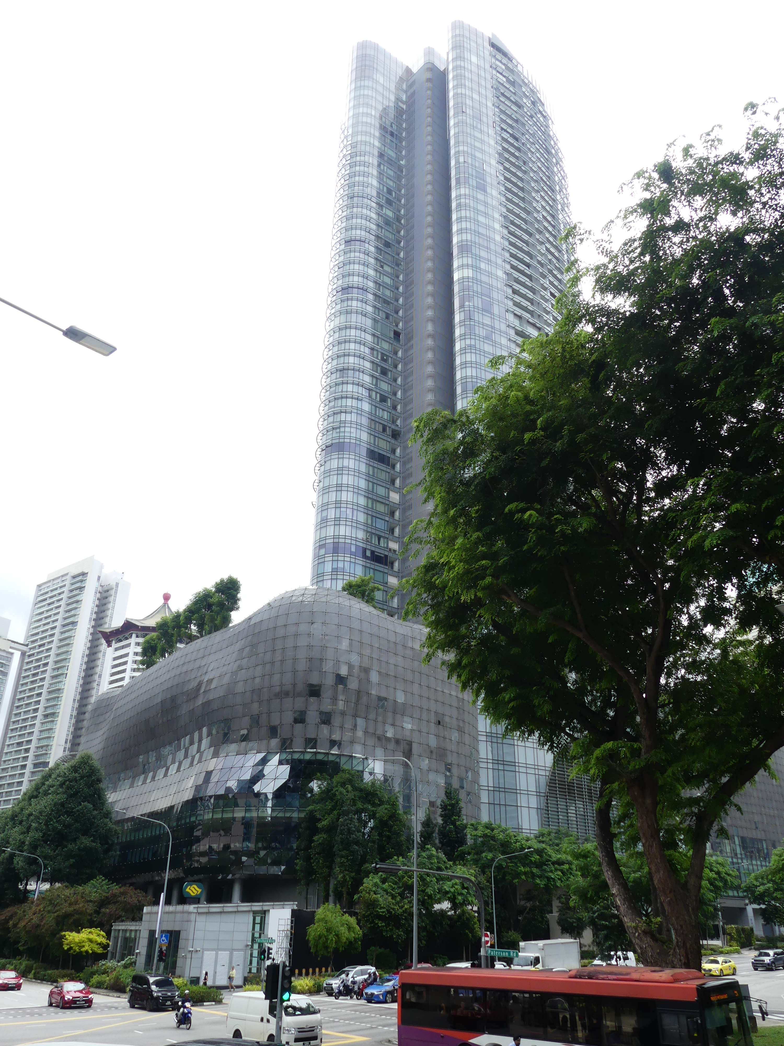
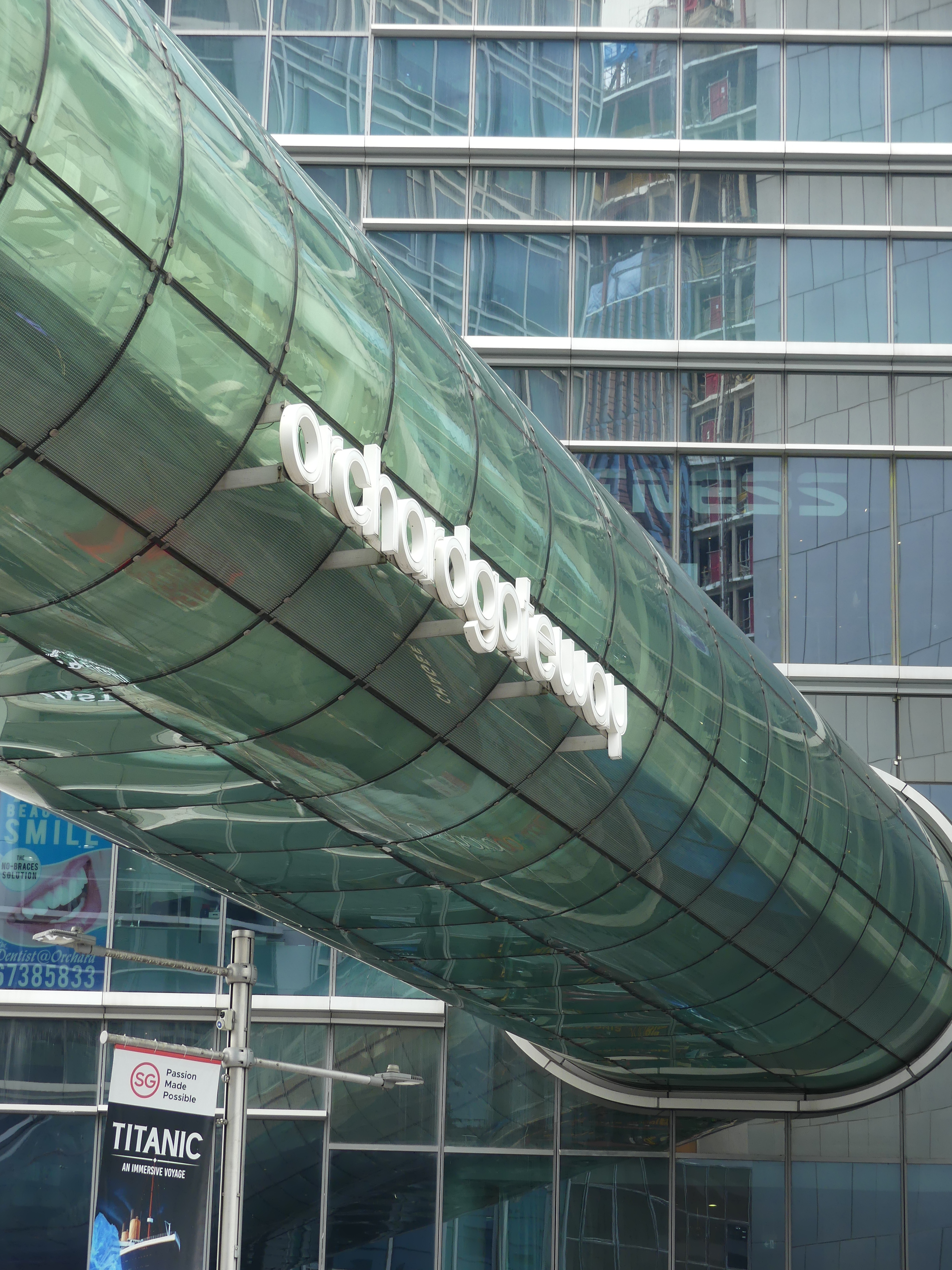
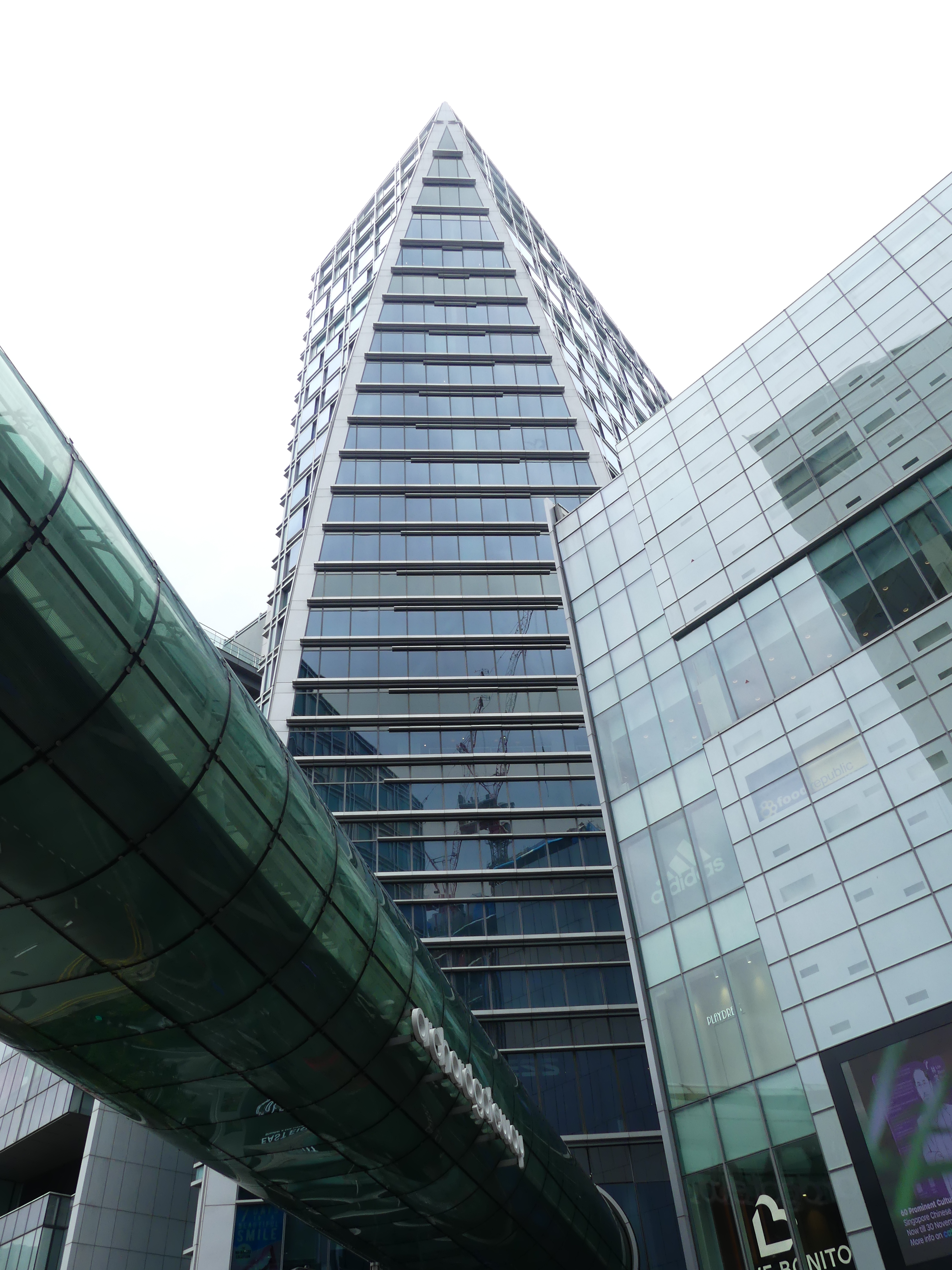
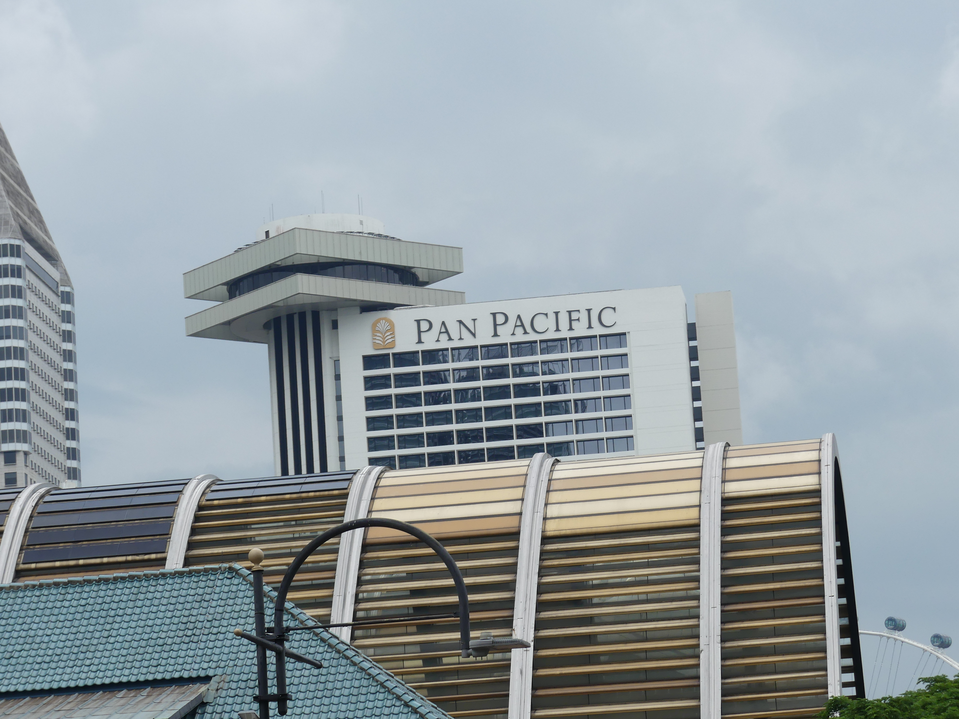
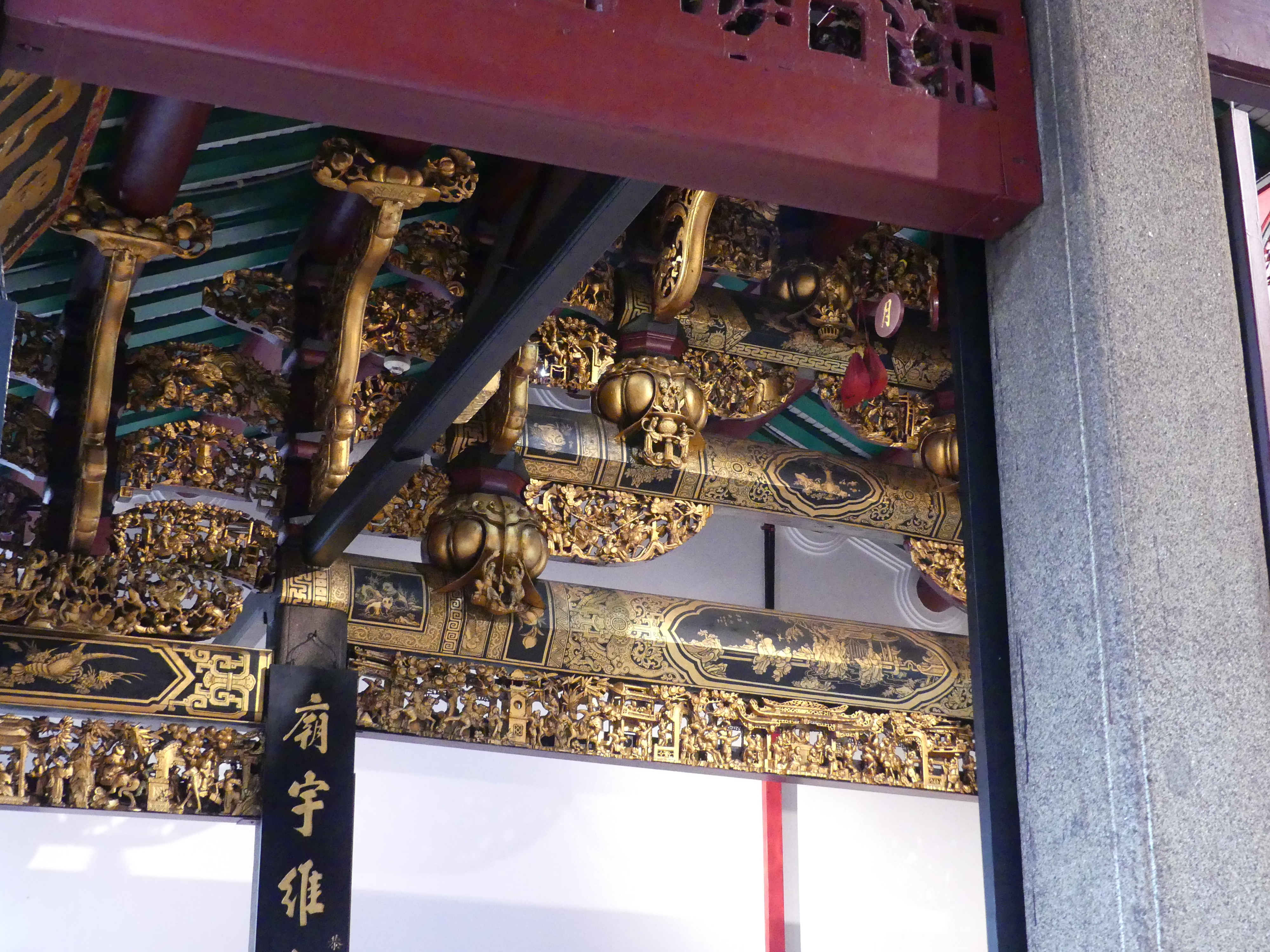
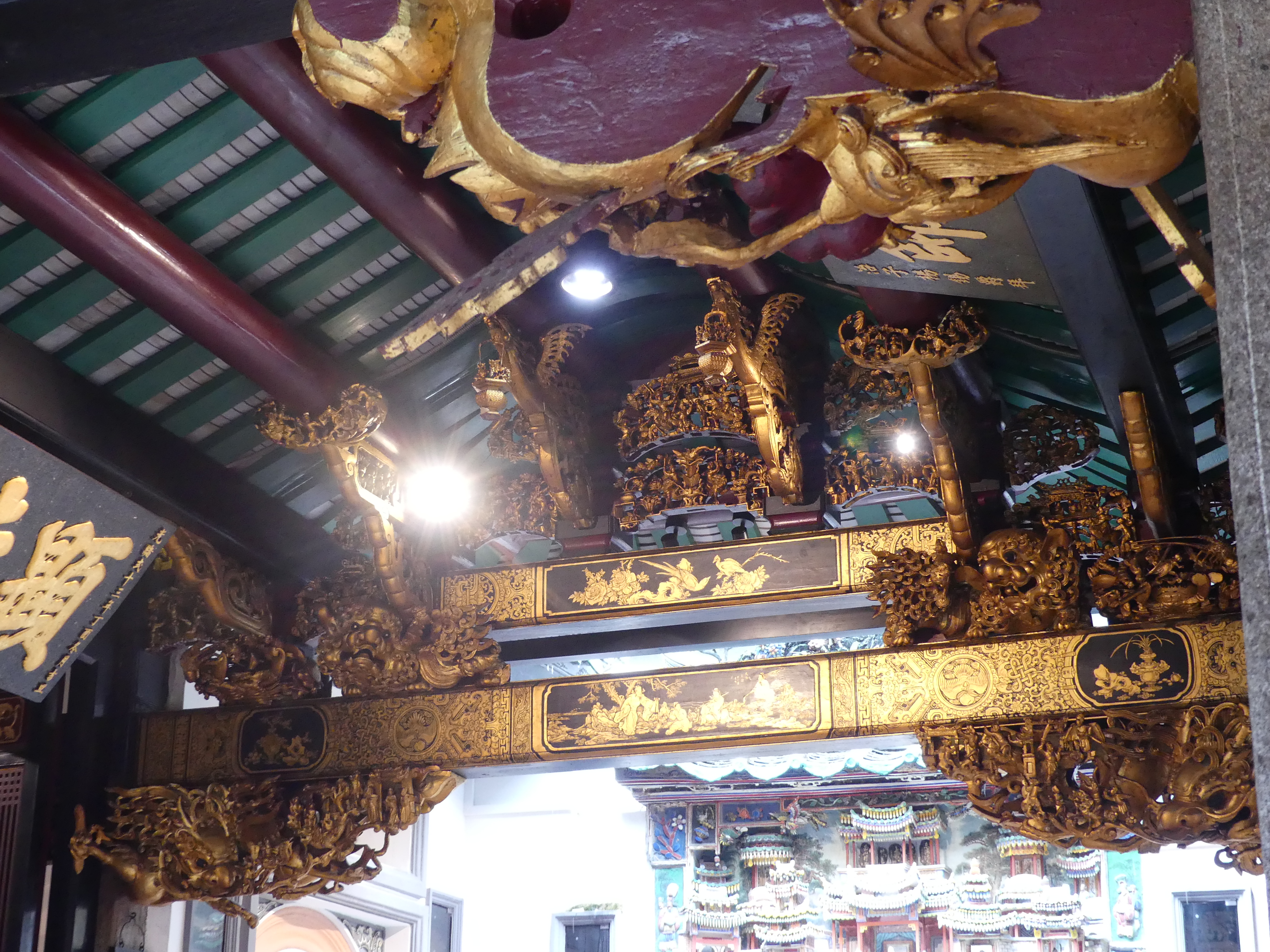
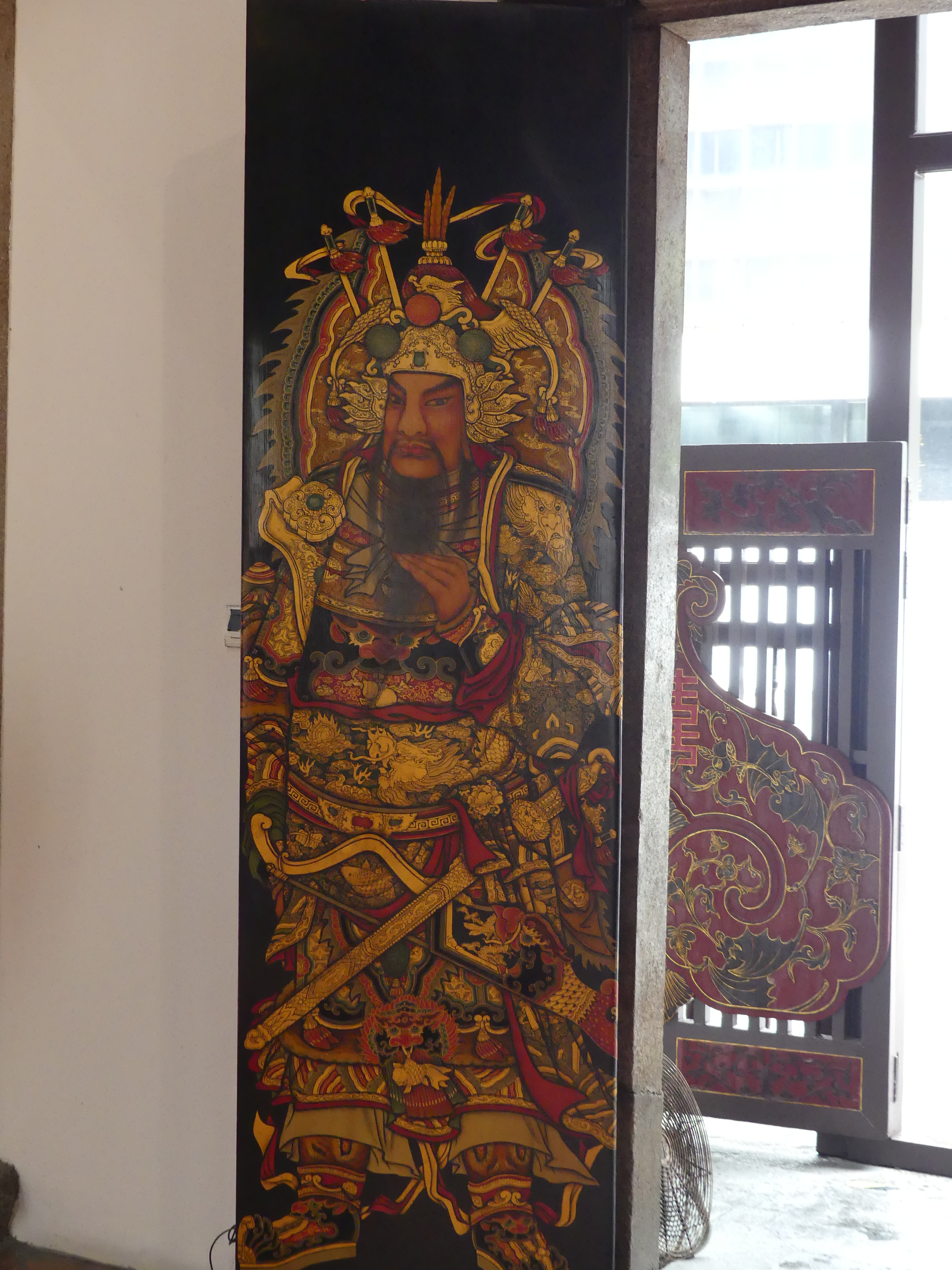
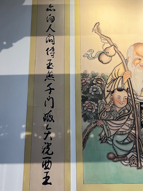
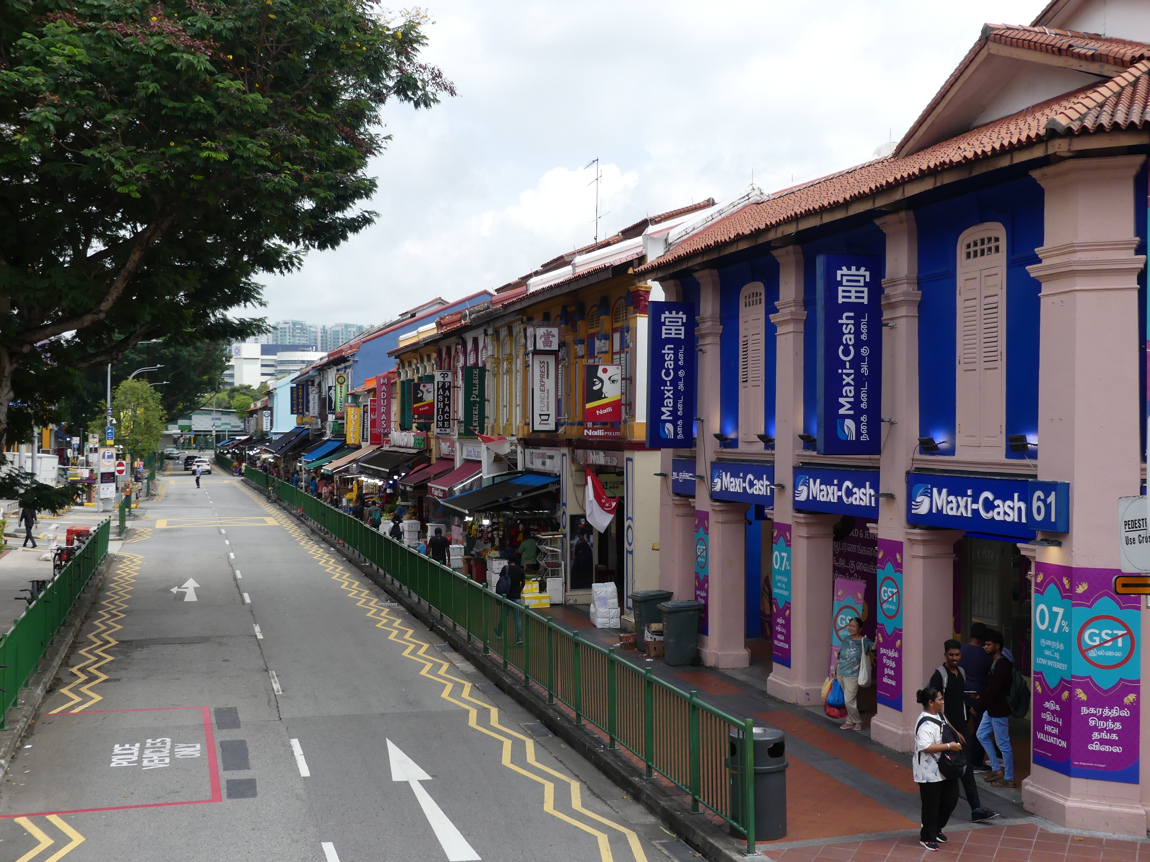
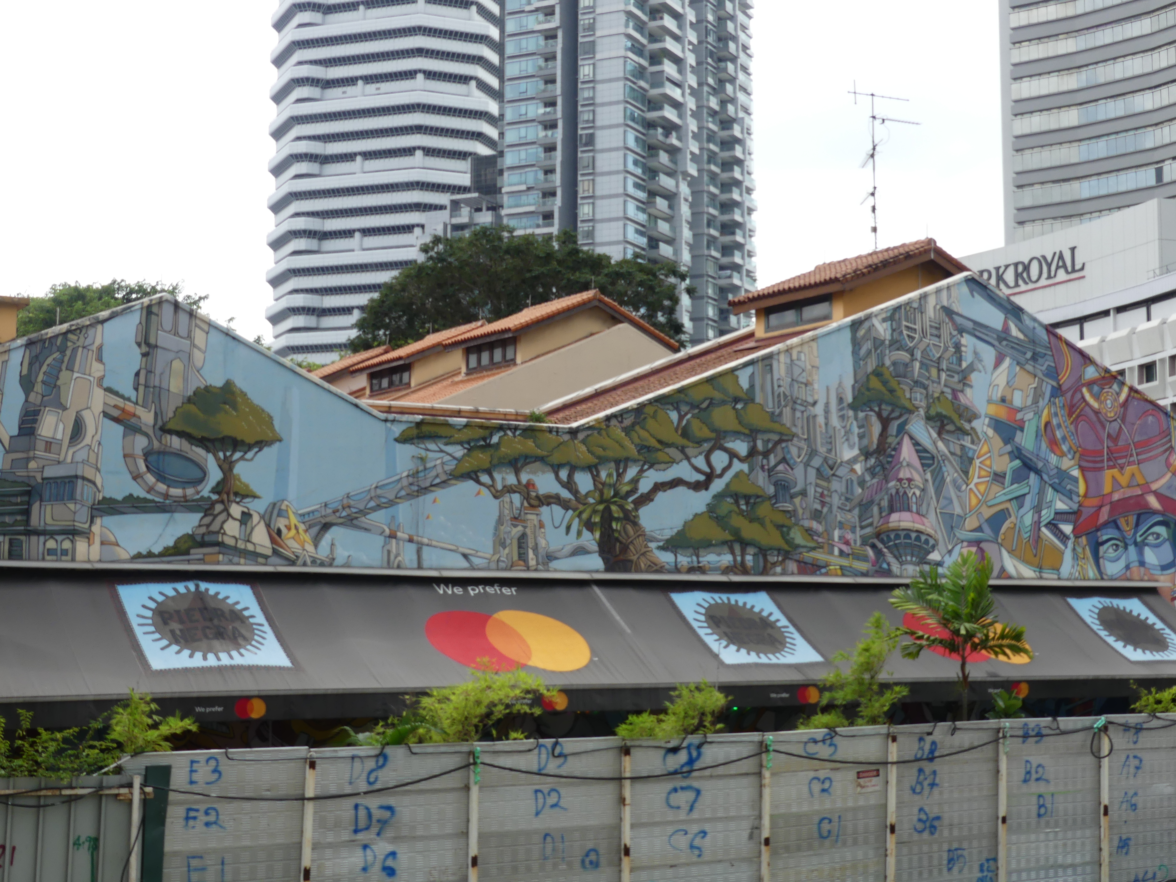
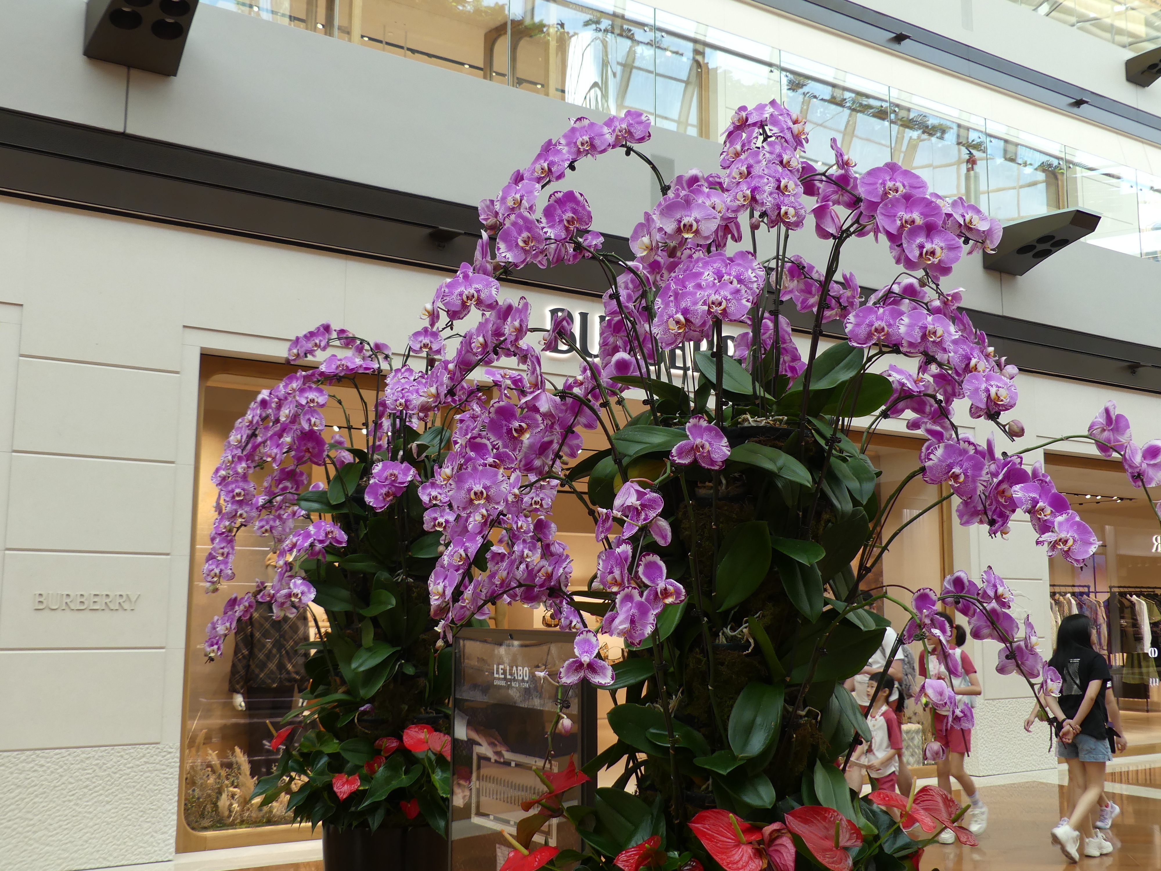
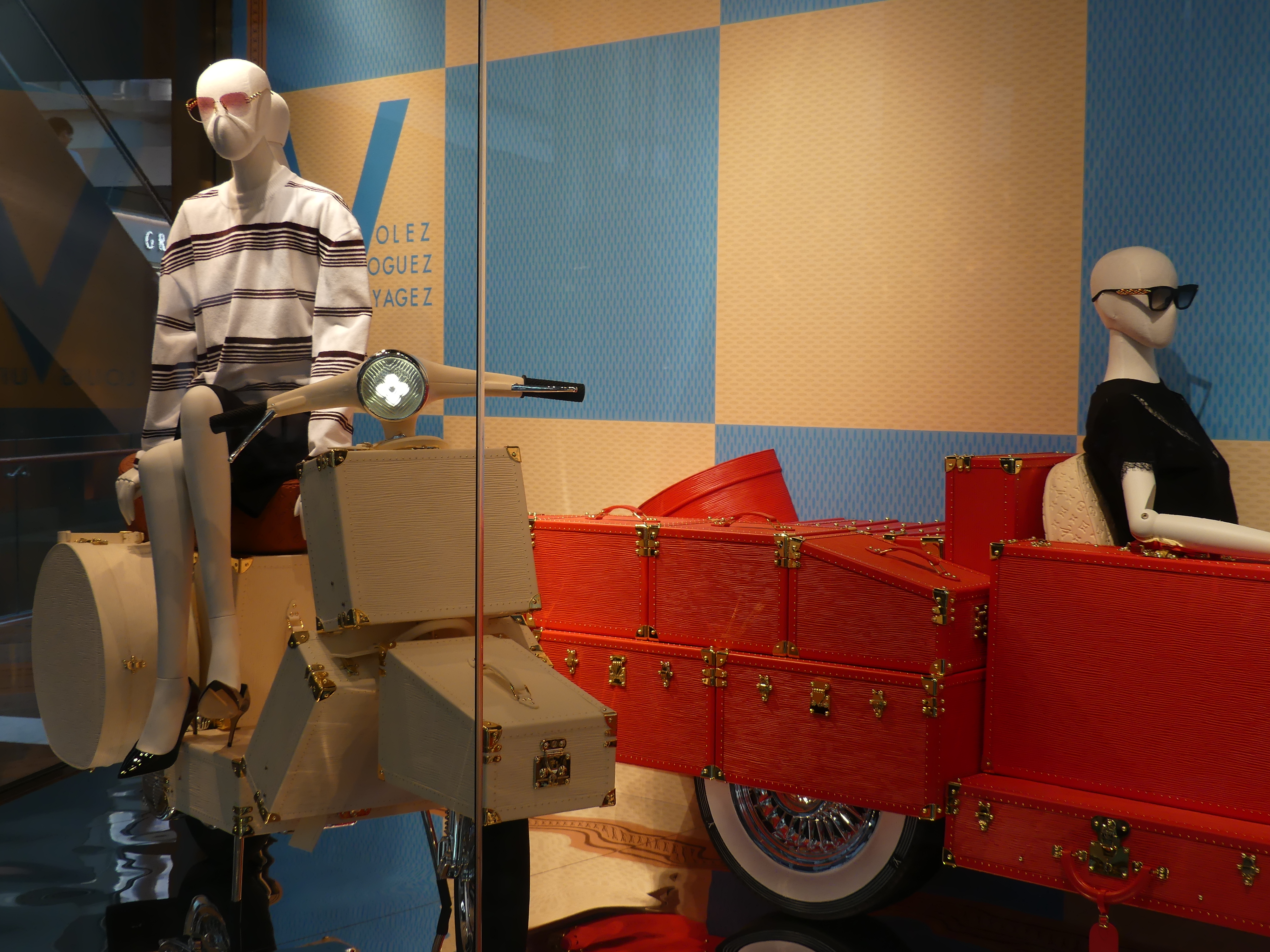
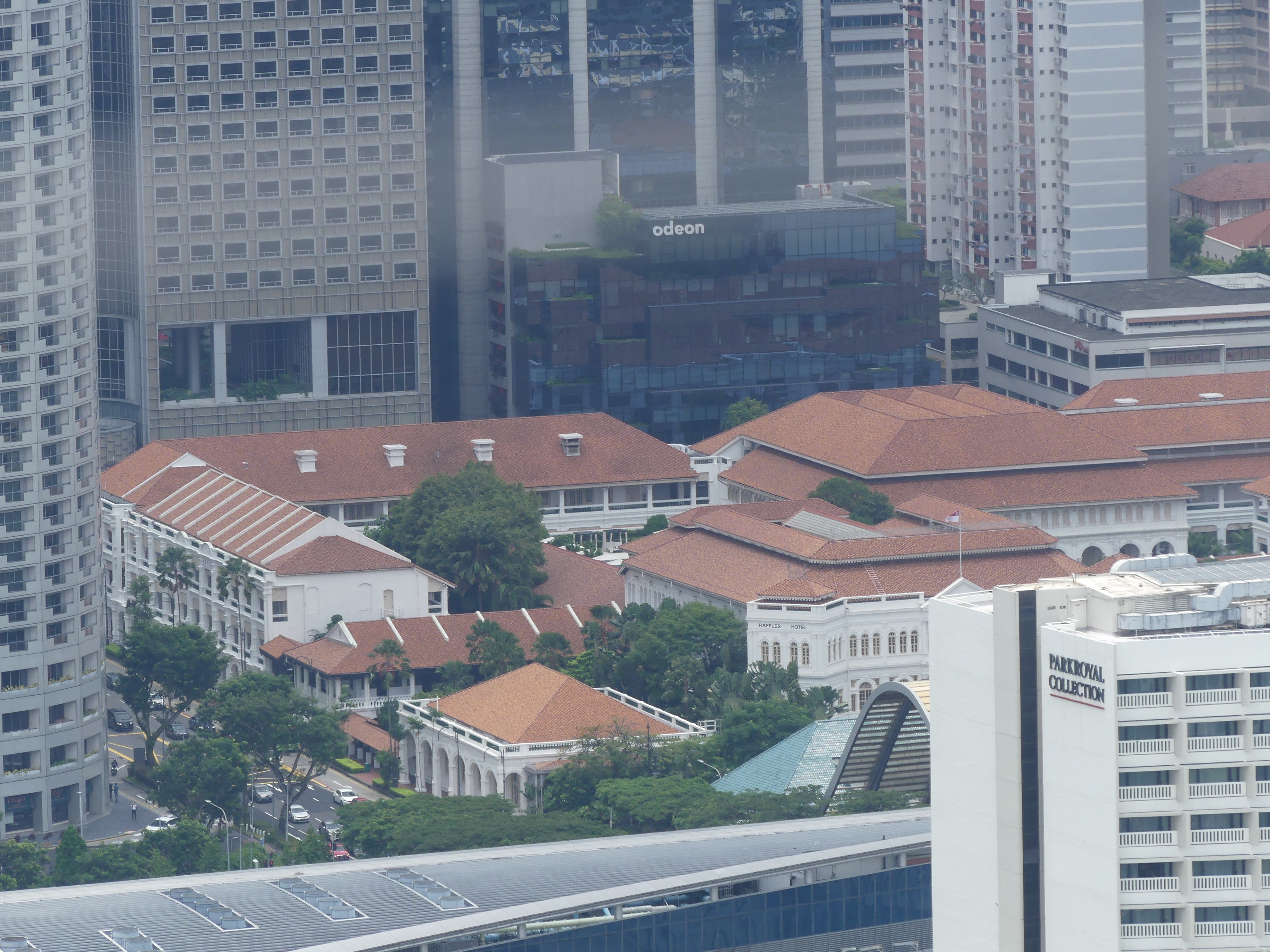
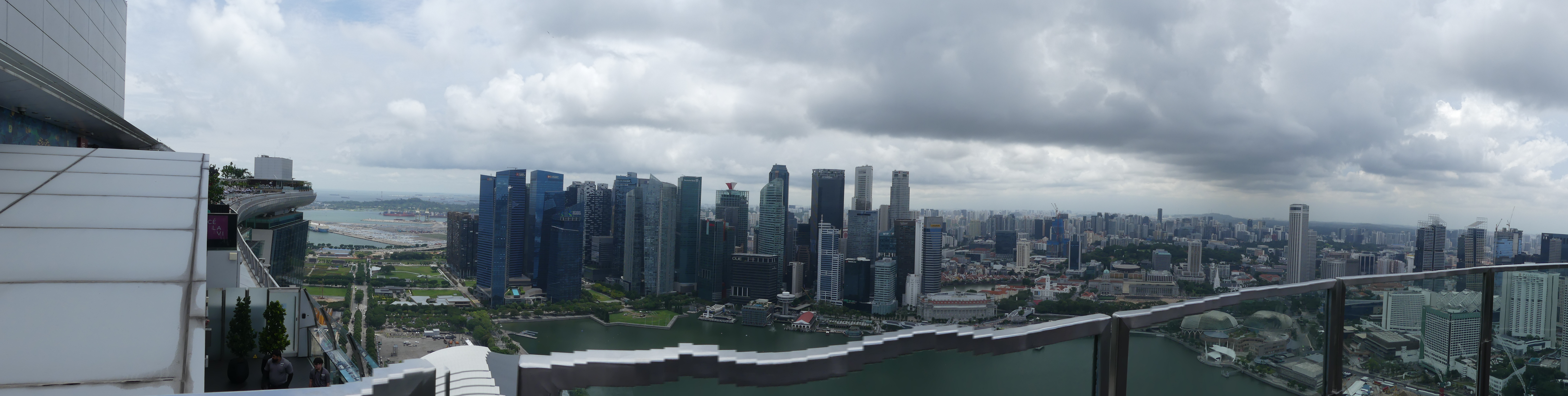
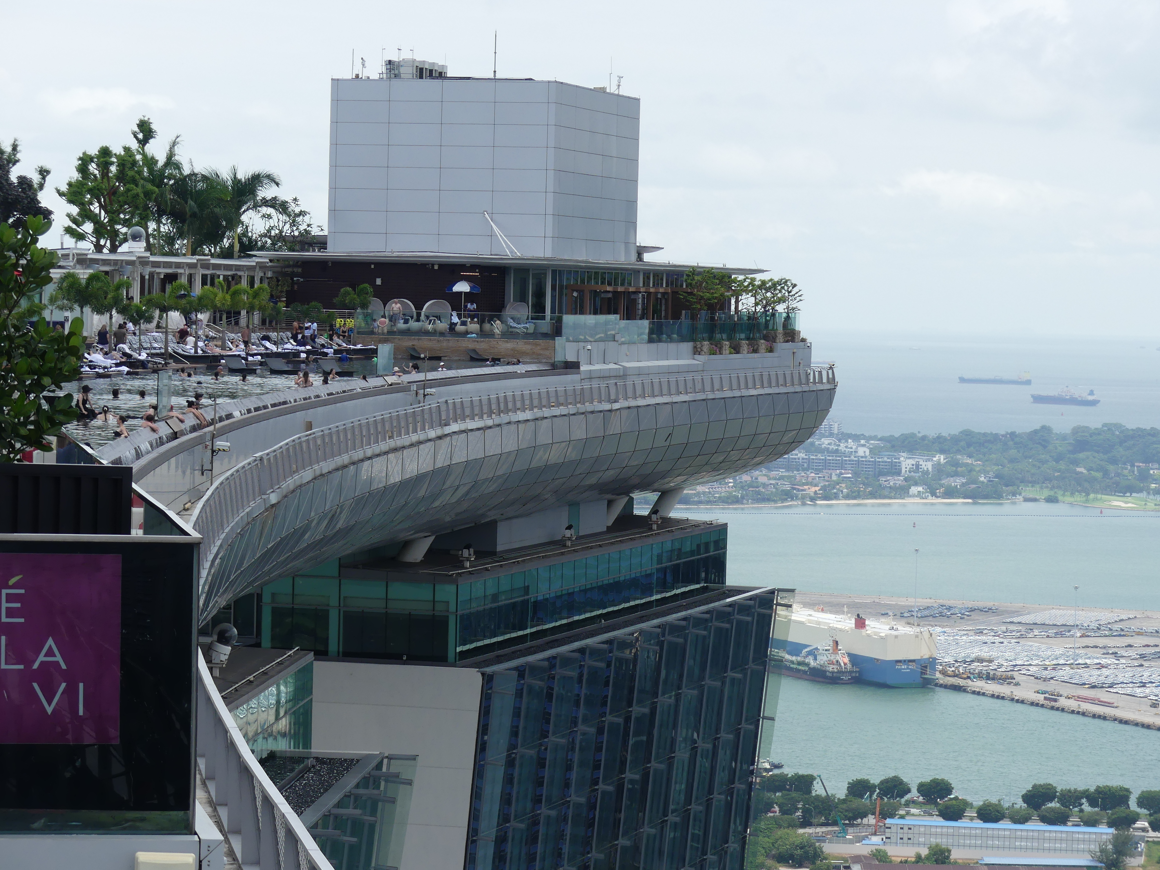
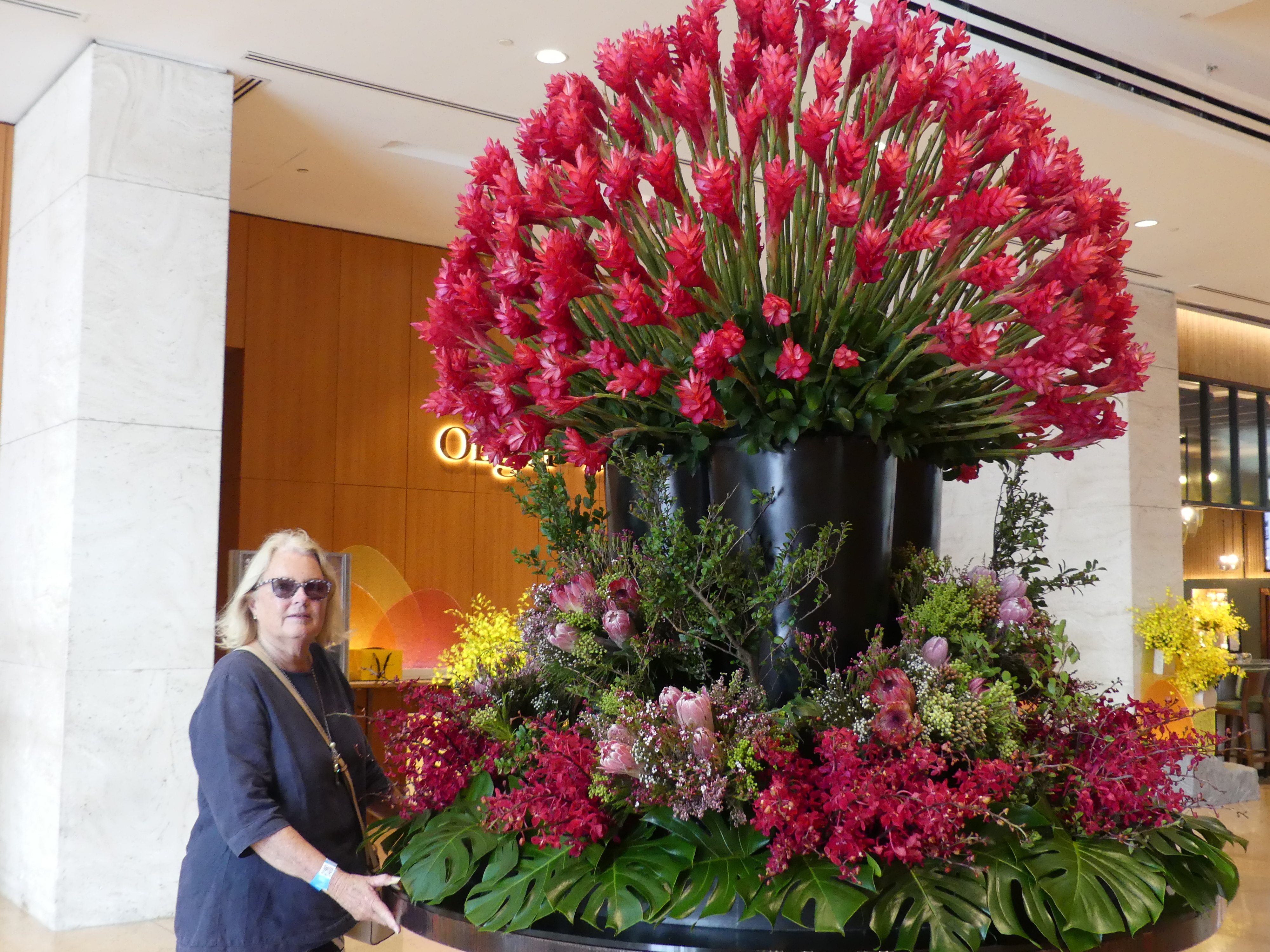
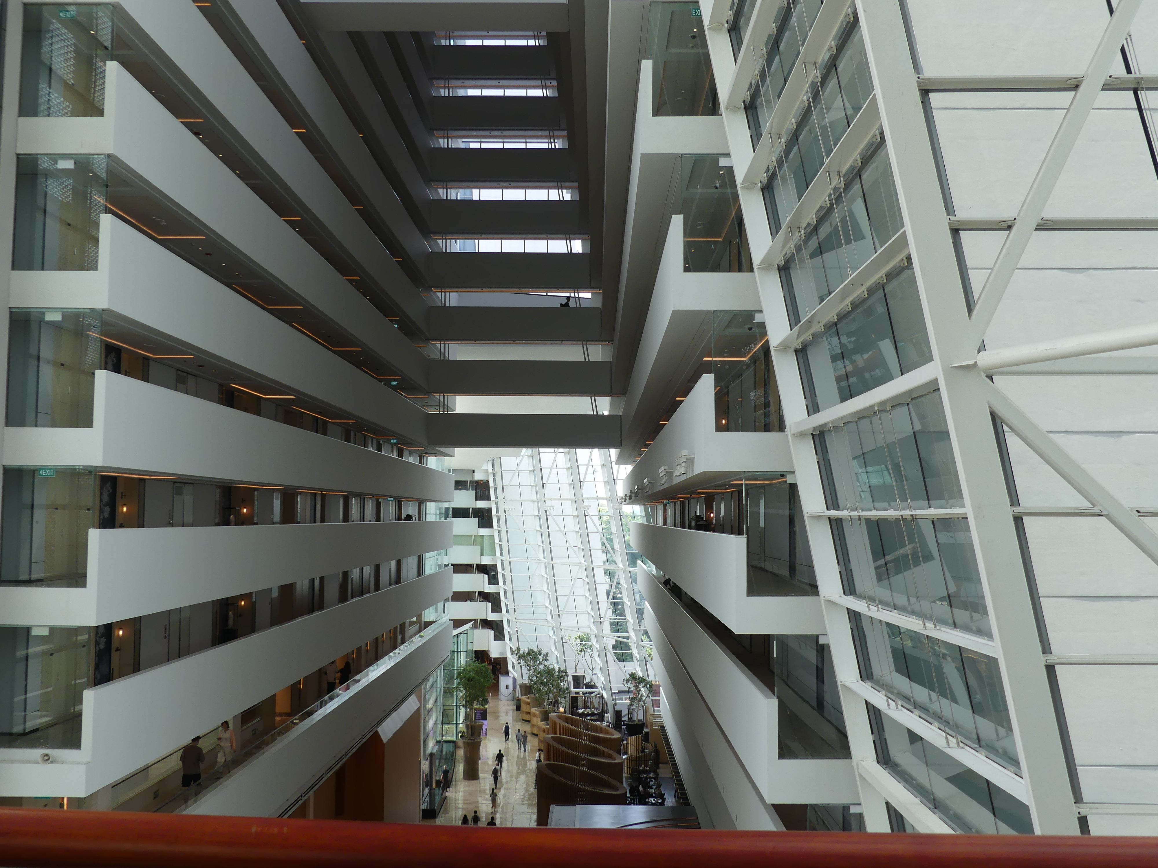
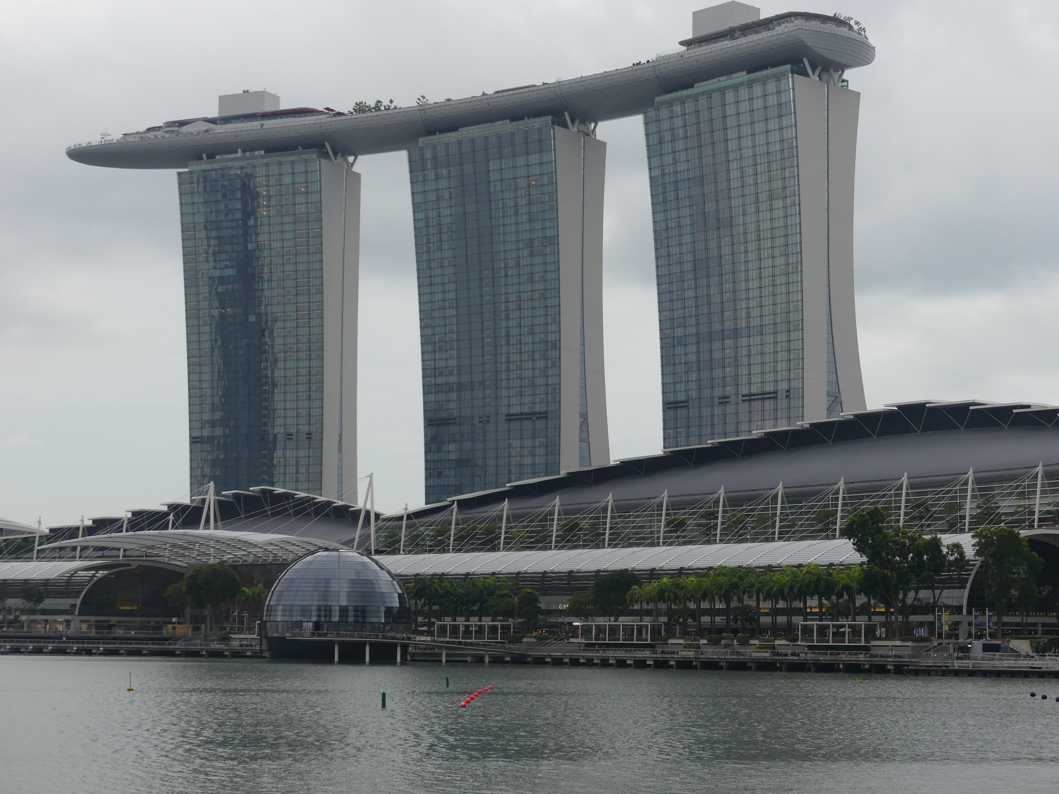
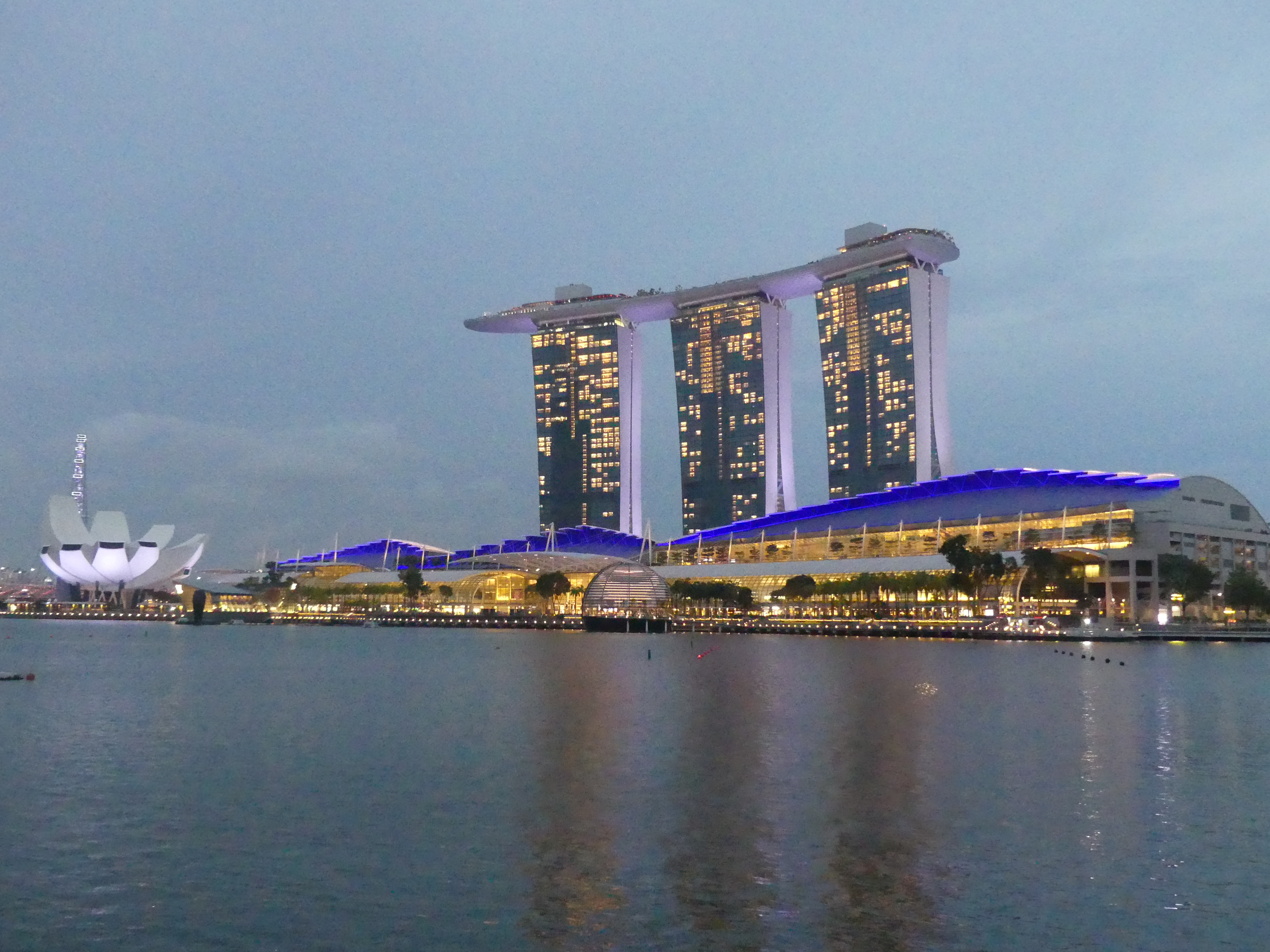
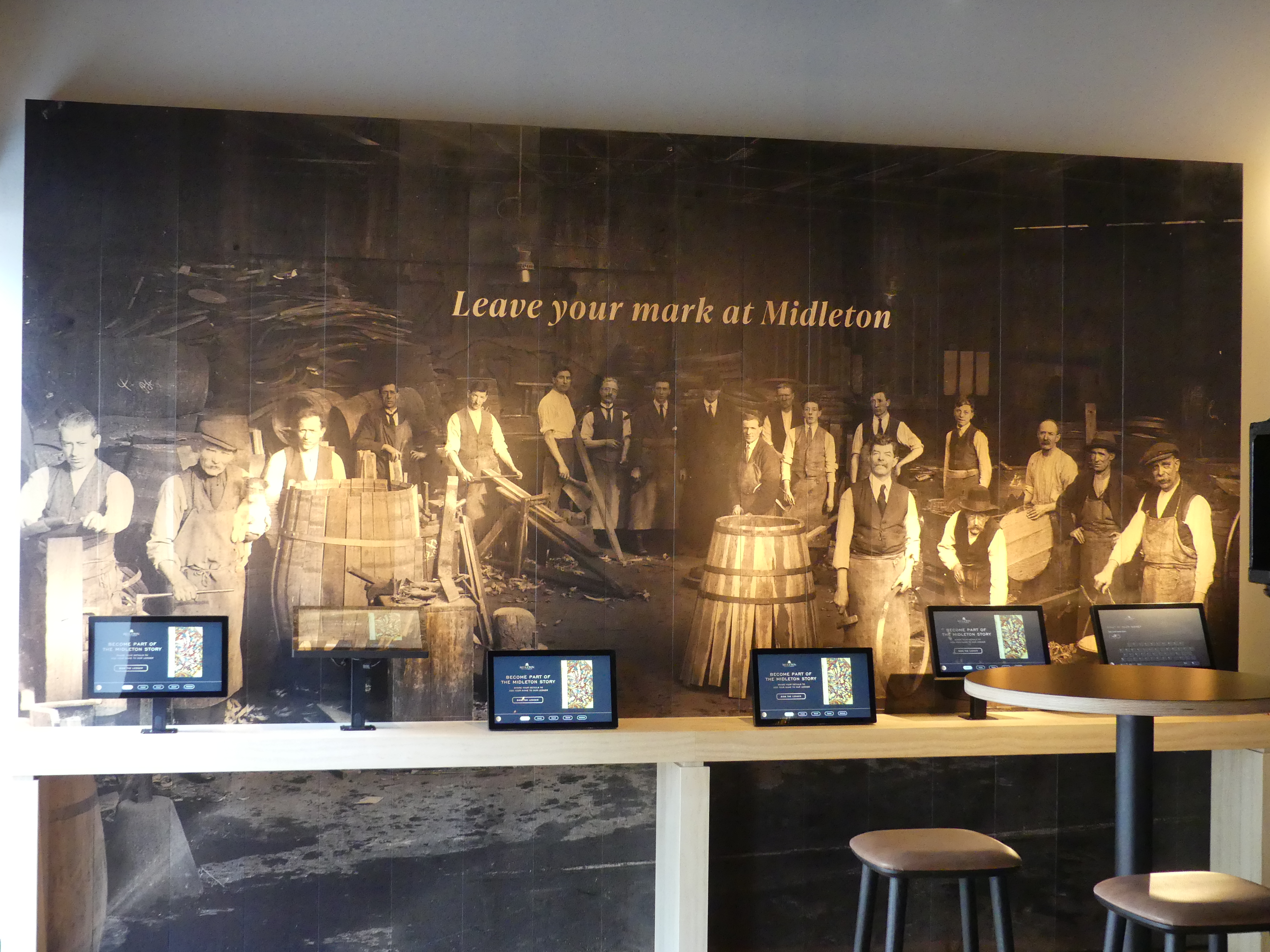
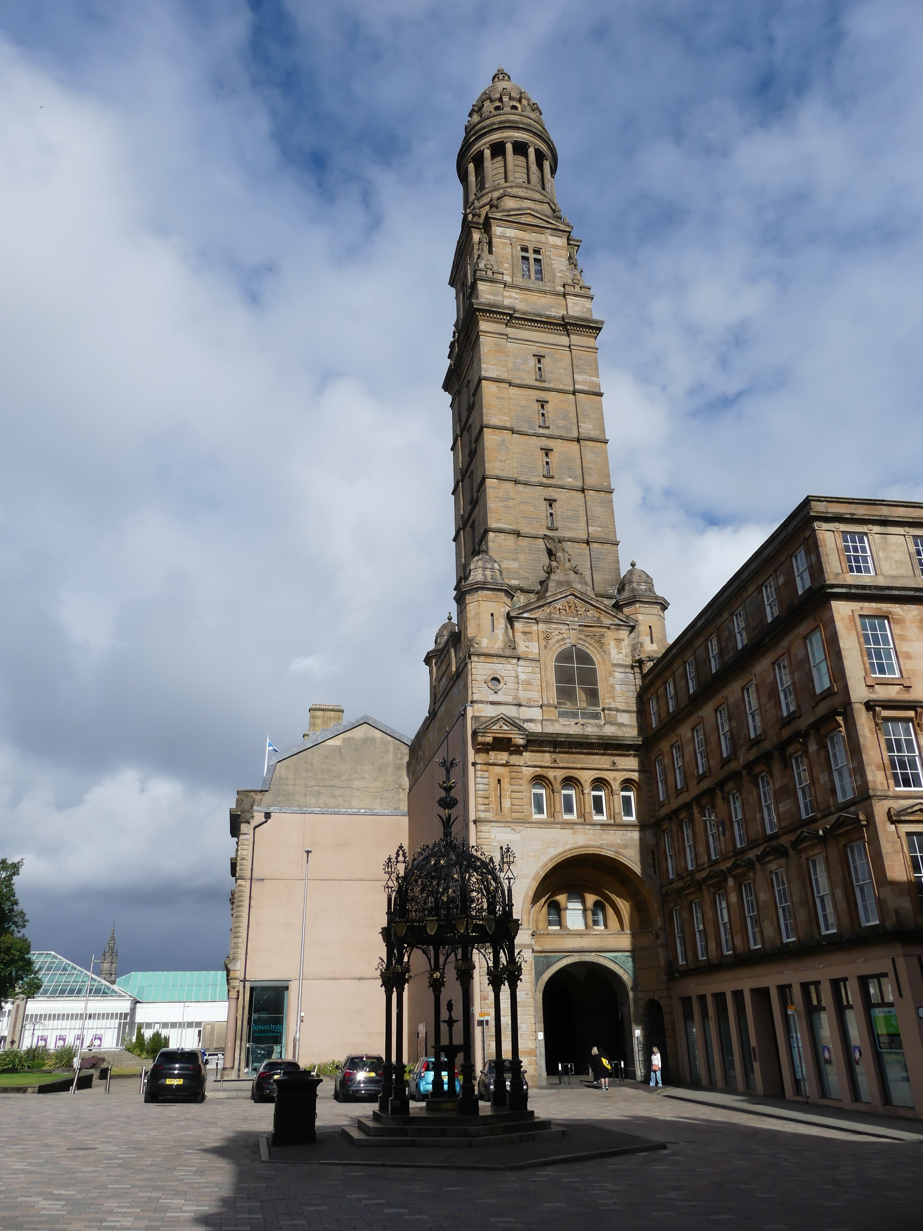
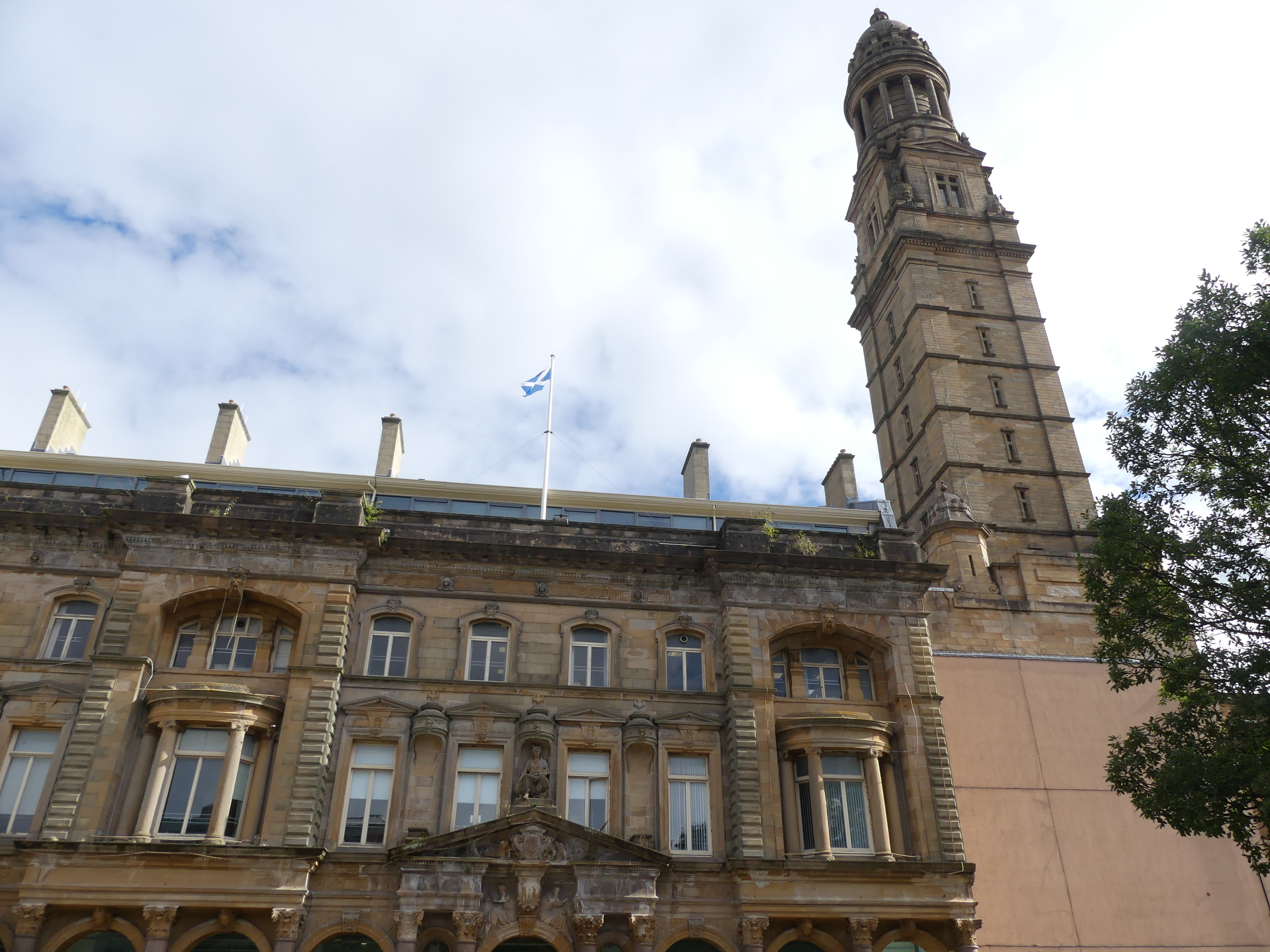
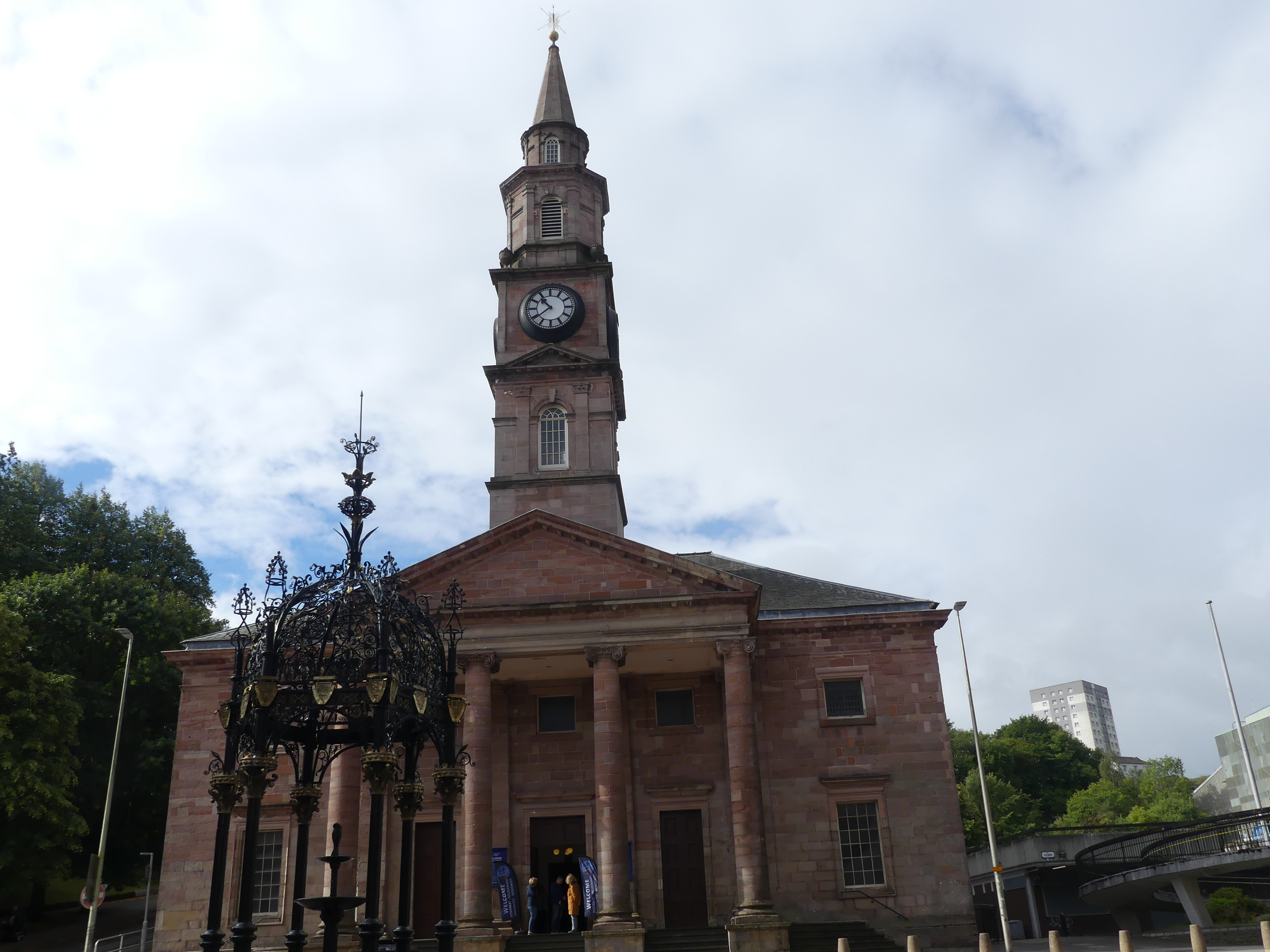
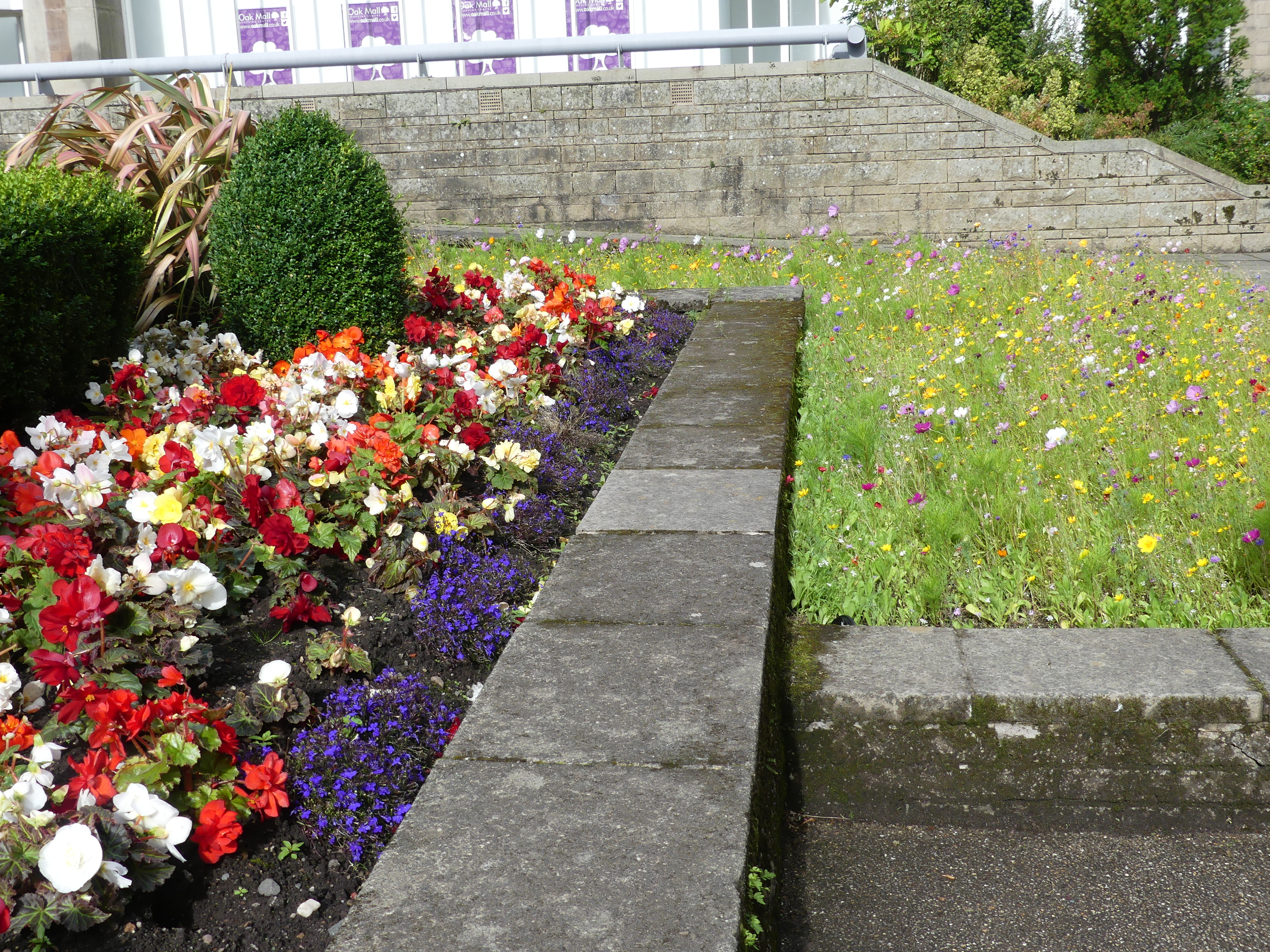
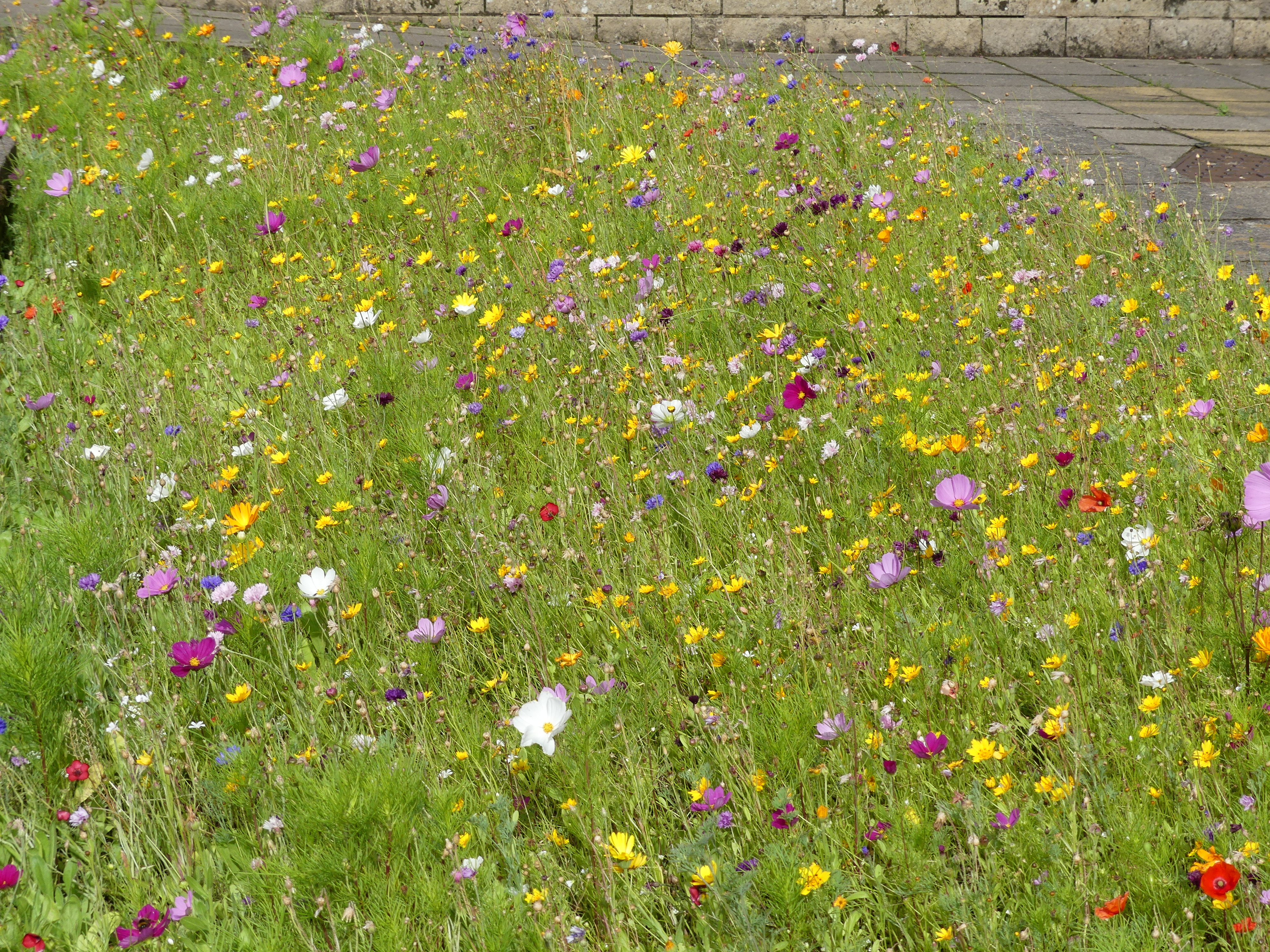
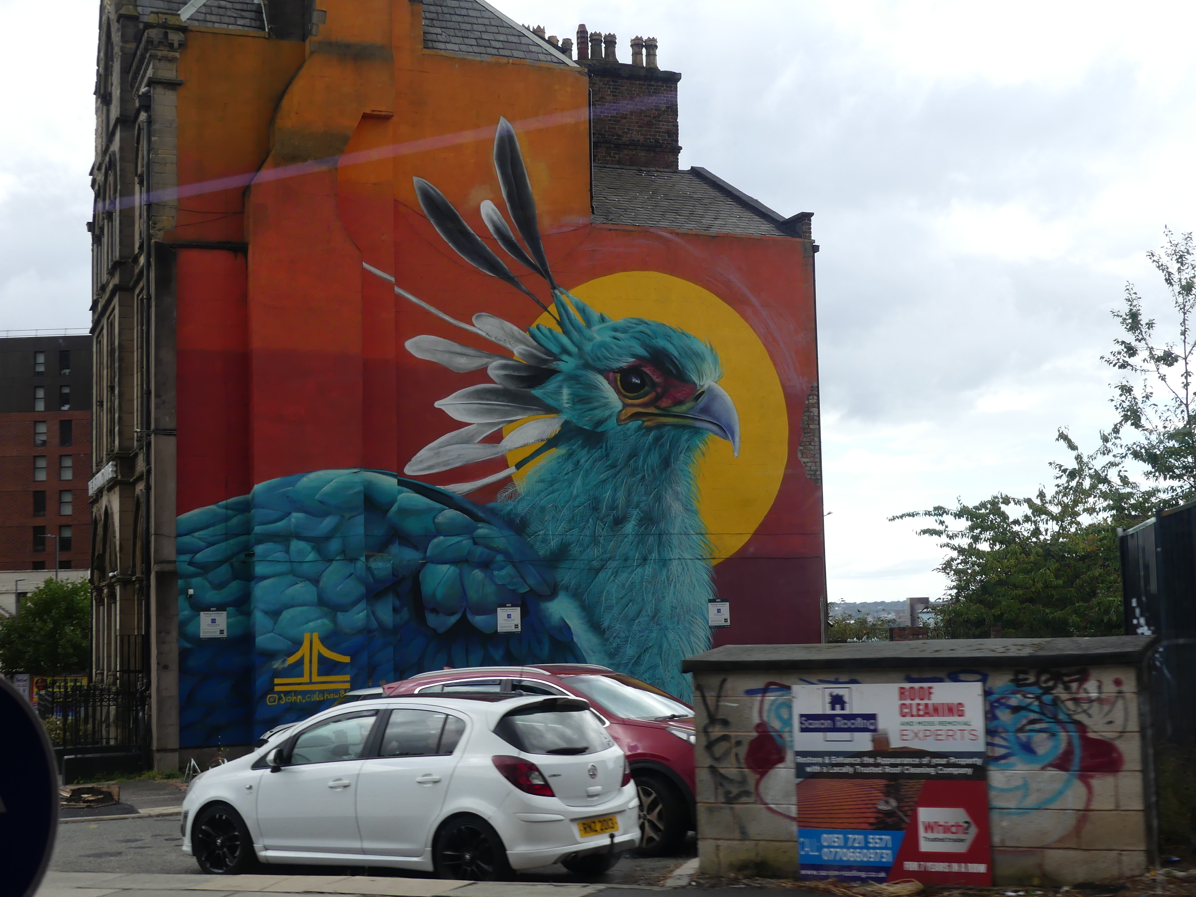
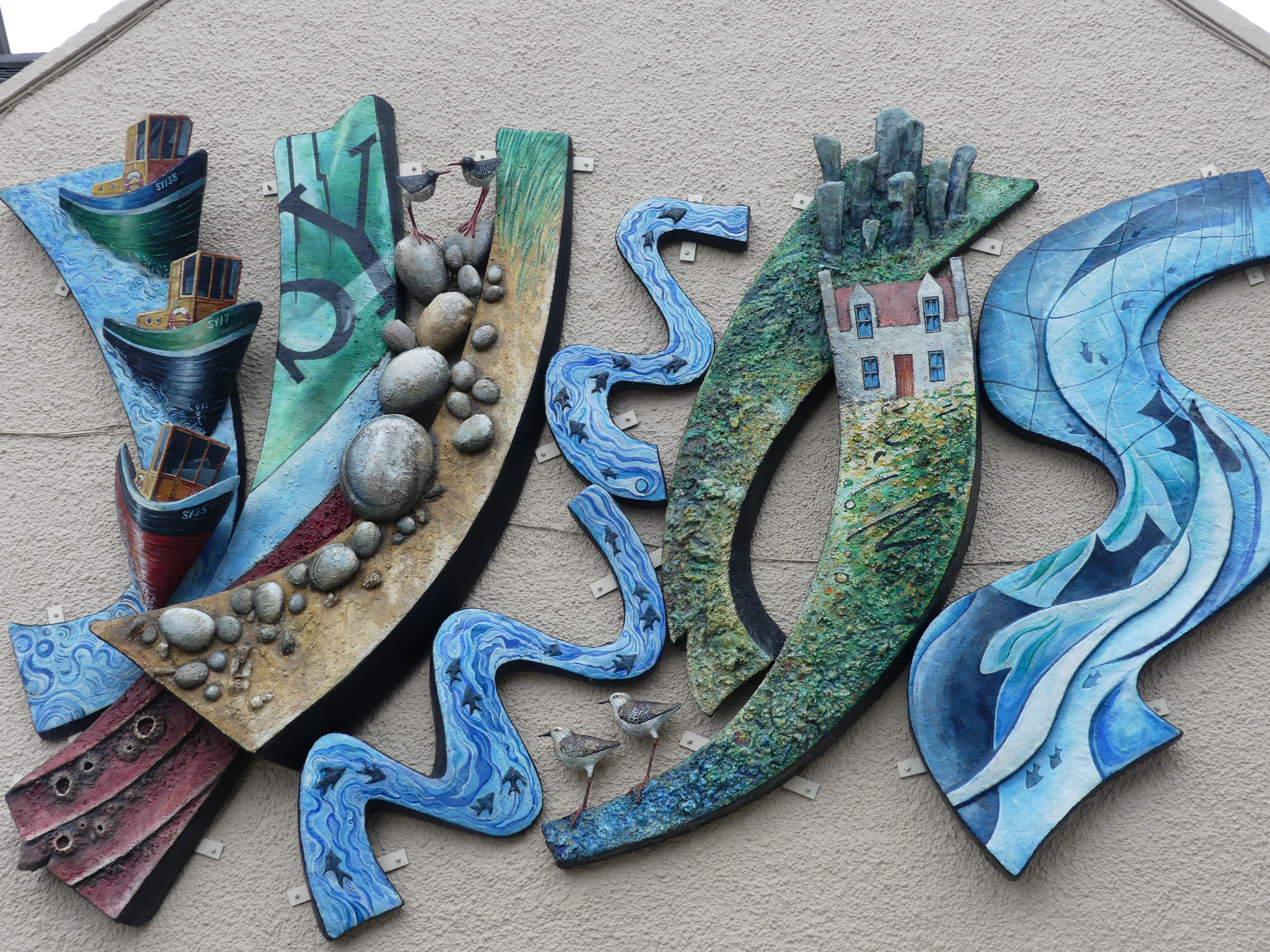
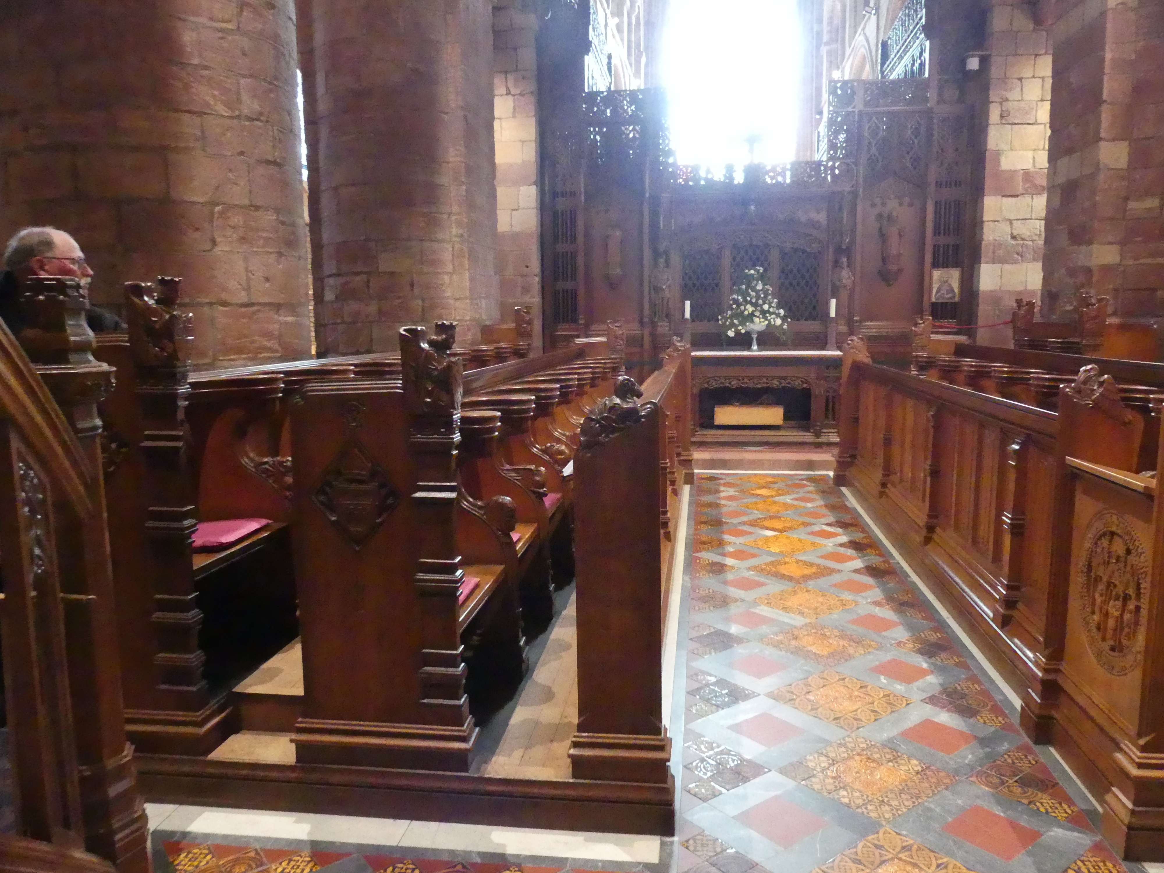
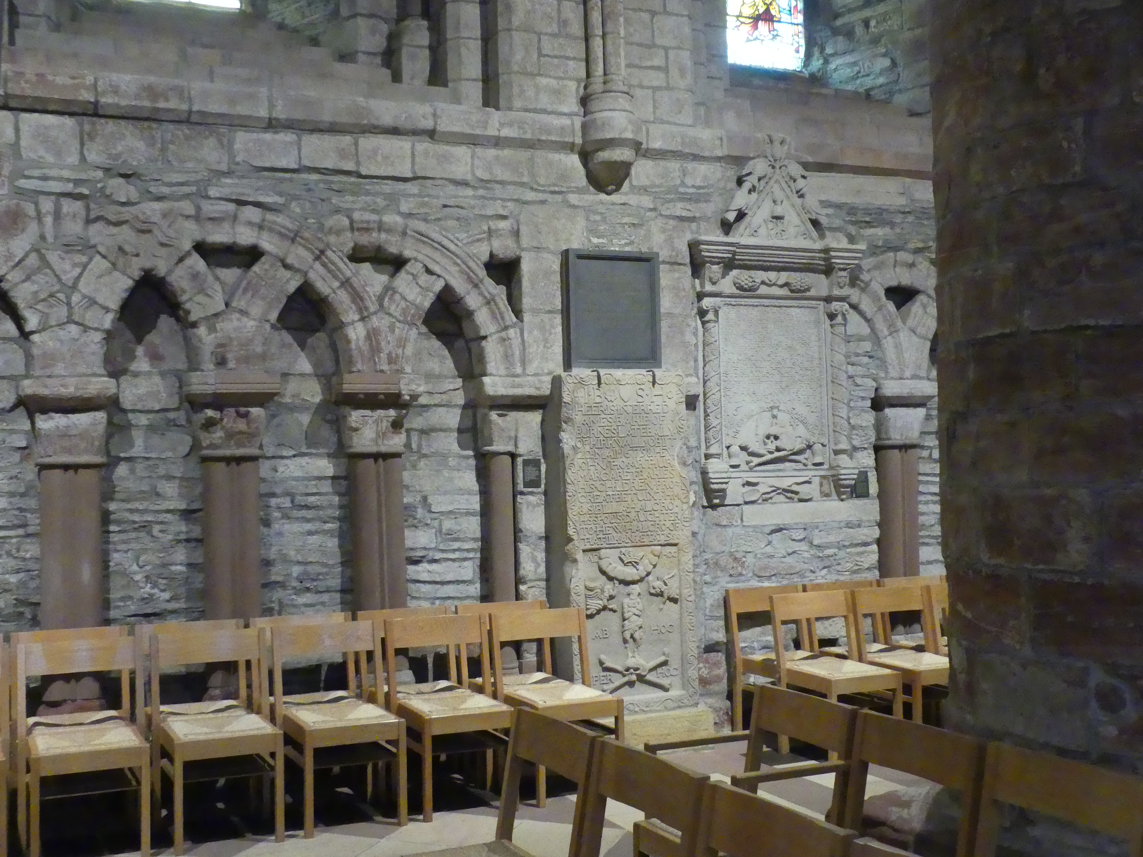
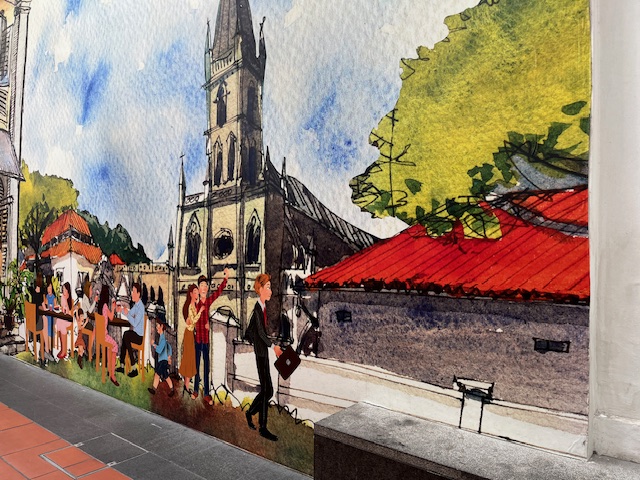
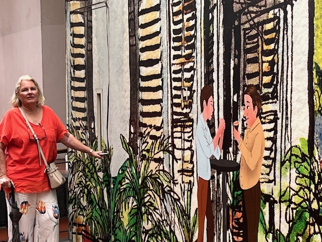
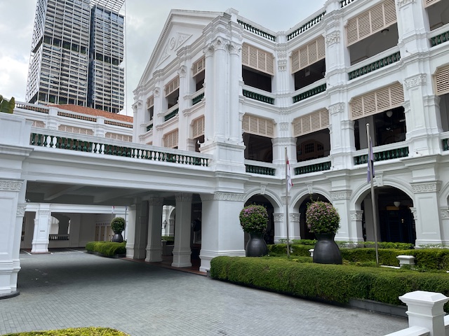
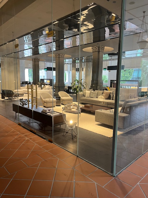
Raffles Singapore began as a private beach house in the 1830s, leased by the Sarkies Brothers in 1887 and reopened as a grand hotel named after Sir Stamford Raffles, quickly becoming a legendary landmark for wealthy travelers with its colonial elegance. It expanded significantly through the early 1900s, hosted famous guests like Rudyard Kipling, faced challenges including bankruptcy and Japanese occupation, was declared a National Monument in 1987, and underwent major restorations to preserve its historic grandeur for modern luxury, reopening in 1991. It was impeccably presented and continues to provide grandure and luxury to its guests. There is a hall that has been turned into a hall of fame with pictures of all the wealthy and important people who have stayed in the hotel. There is a roof top pool, dining spaces, bars and other luxurious retail spaces. It has a shopping arcade with 40 speciality boutiques including the high end brands of course. We made a visit to the Long Bar and the gift shop but took a look at everything else. One thing the hotel does not have is a simple cafe serving coffee but outside in the arcade across the road we discovered just that, a simple cafe. The arcade wall had been decorated with street art of the life style of Singapore. Two of the paintings are pictured below.
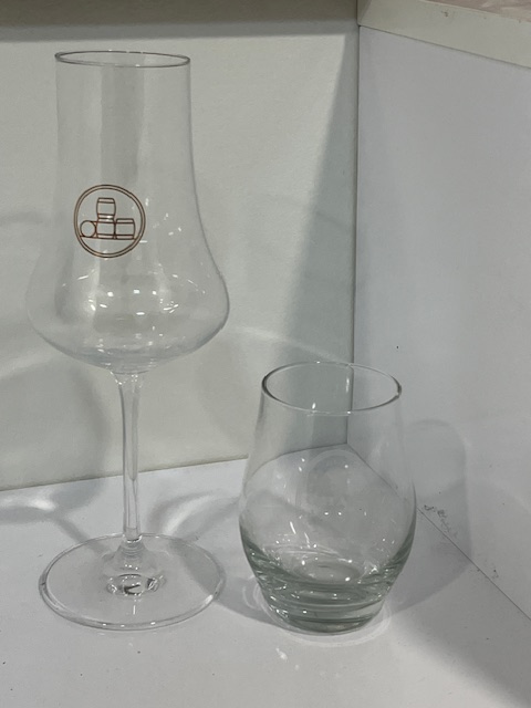
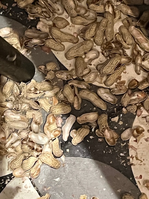
The historic Long Bar is where the Singapore Sling, widely regarded as the national drink, was first mixed in 1915. Today the rich, earthy decor of the two-storey bar is inspired by Malayan life in the 1920s, in keeping with the relaxed atmosphere, guests are invited to brush peanut shells off the bar and onto the floor – quite possibly the only place in Singapore where littering is encouraged. This unique custom dates back to the 1900s, when rubber and plantation owners from Malaya would often gather at the bar on weekends. As peanuts were offered to them, they would casually brush the shells onto the ground and over time, this casual habit evolved into a beloved tradition that continues to this day. We tried the Singapore Sling which is based on gin and snacked on the peanuts that are liberally spread across all tables and the Long Bar. Kerry was not a Sling drinker so I held up my end by drinking both and we left our peanut shells behind. See our pictures below.


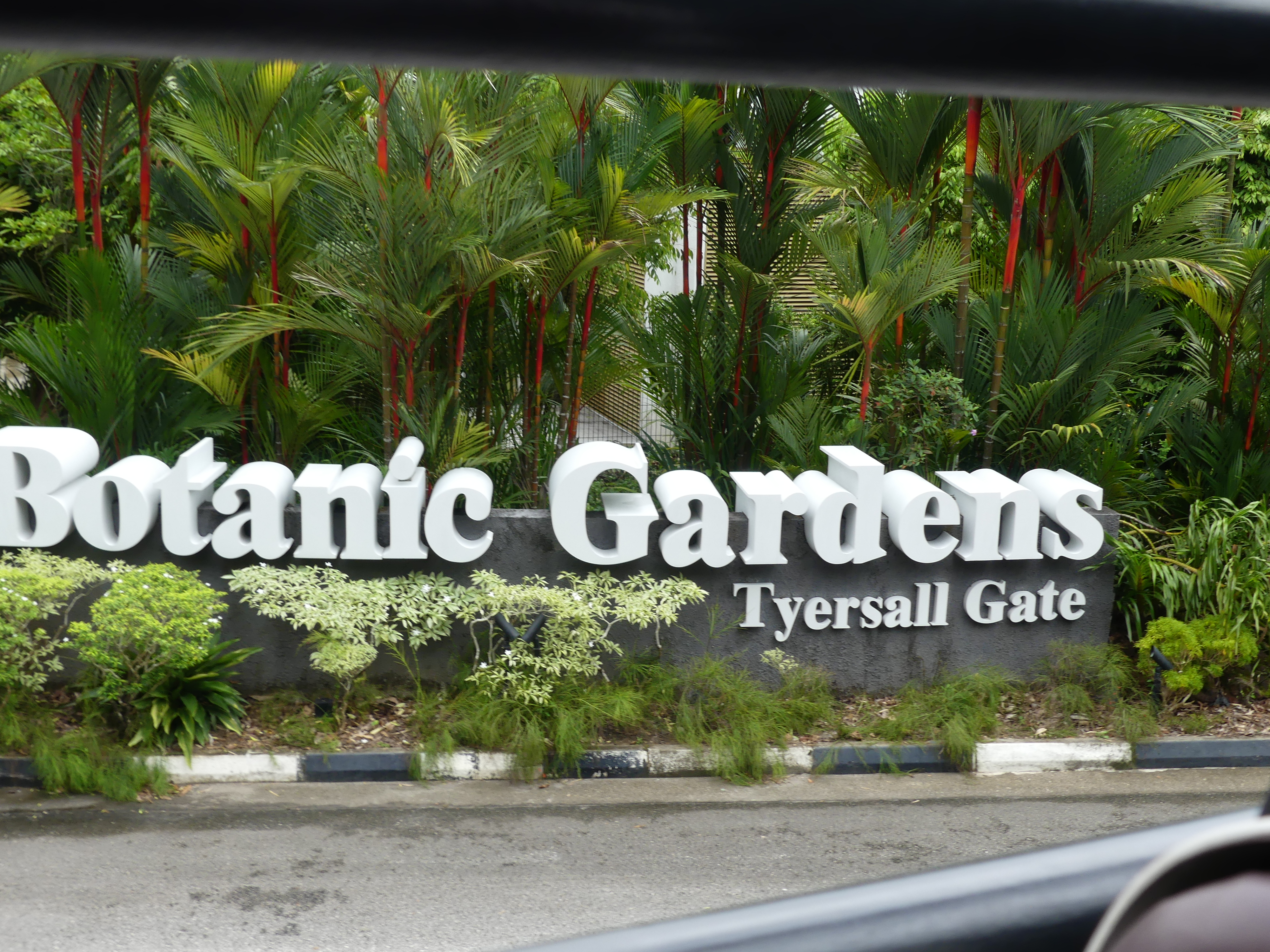
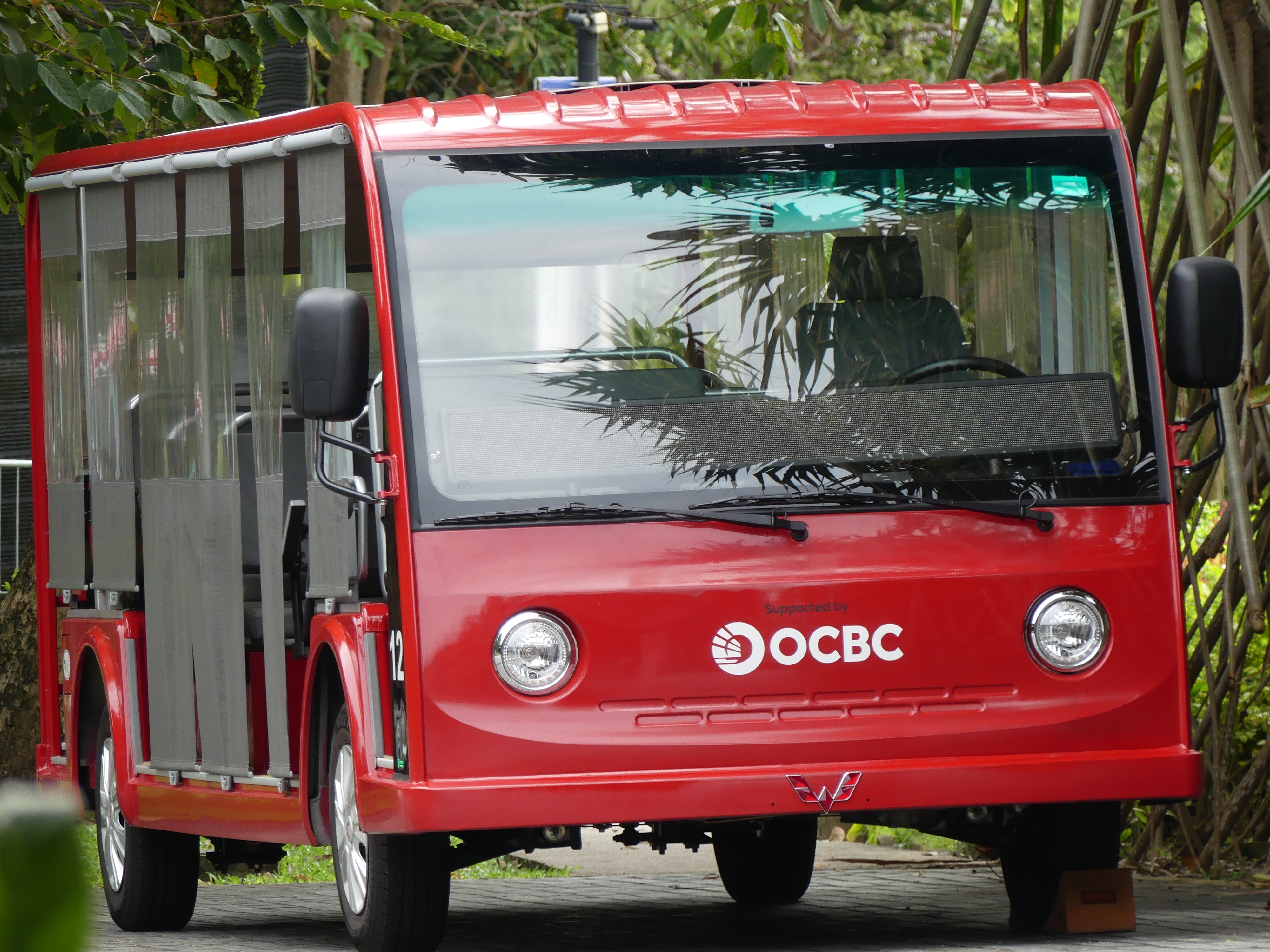
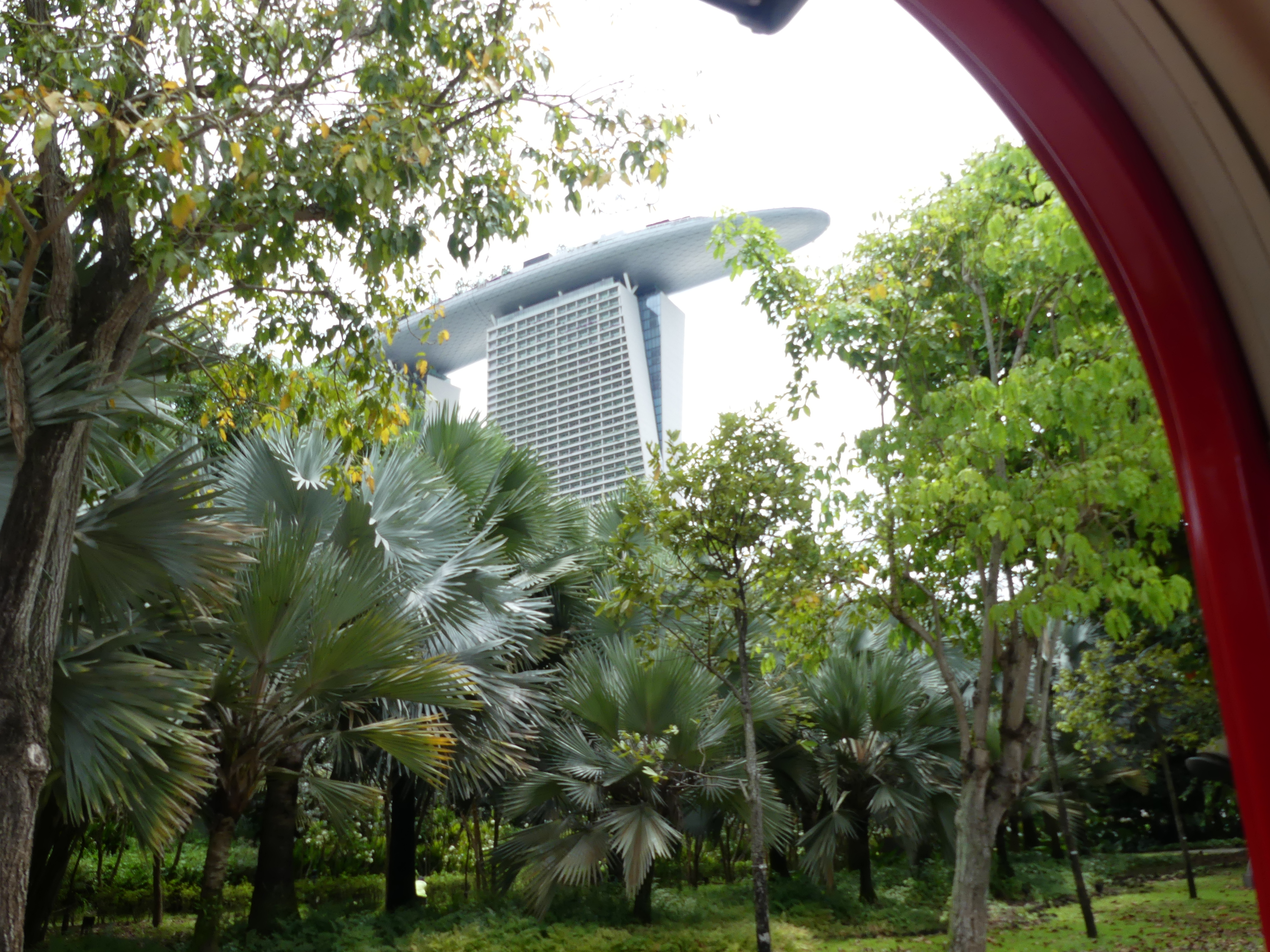
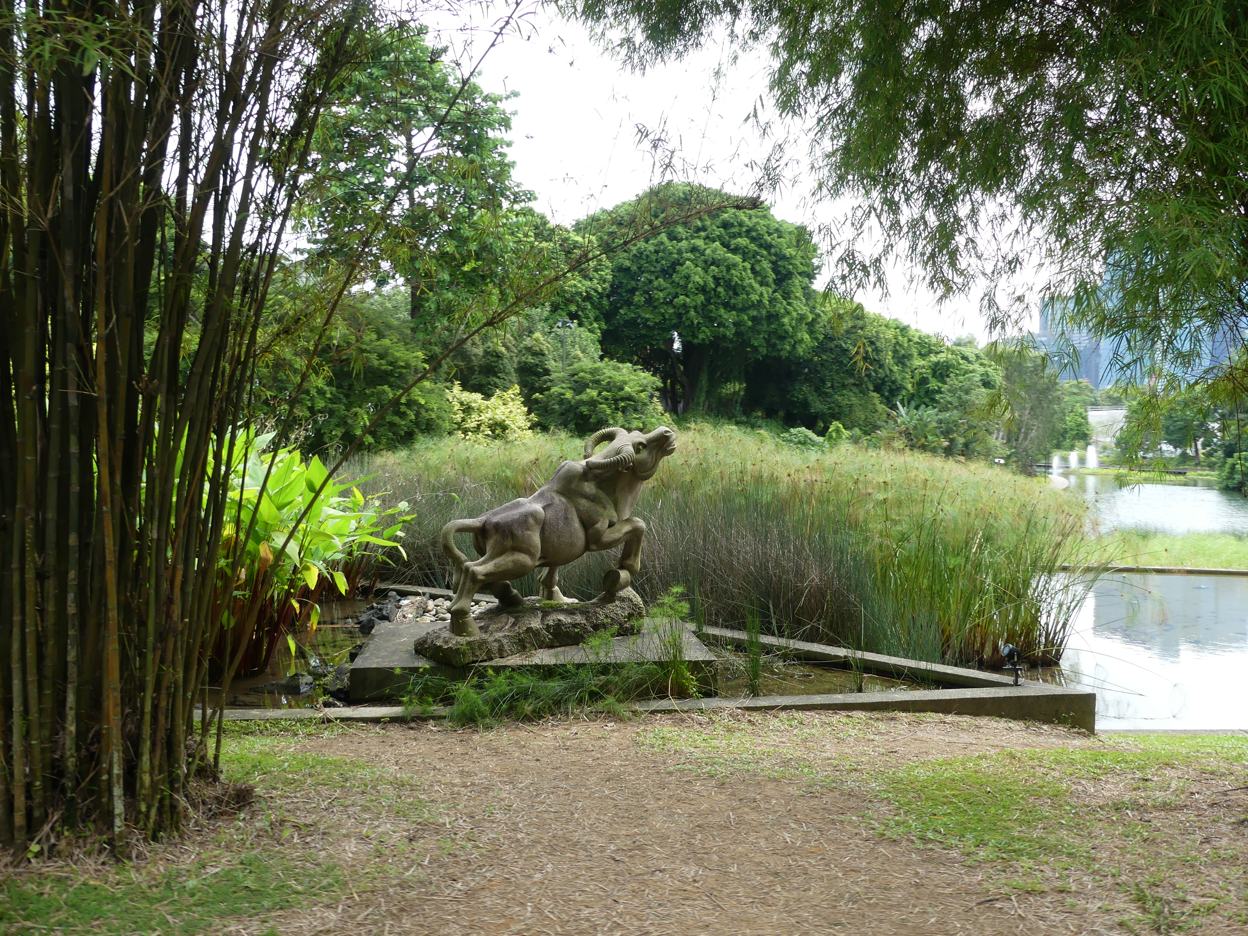
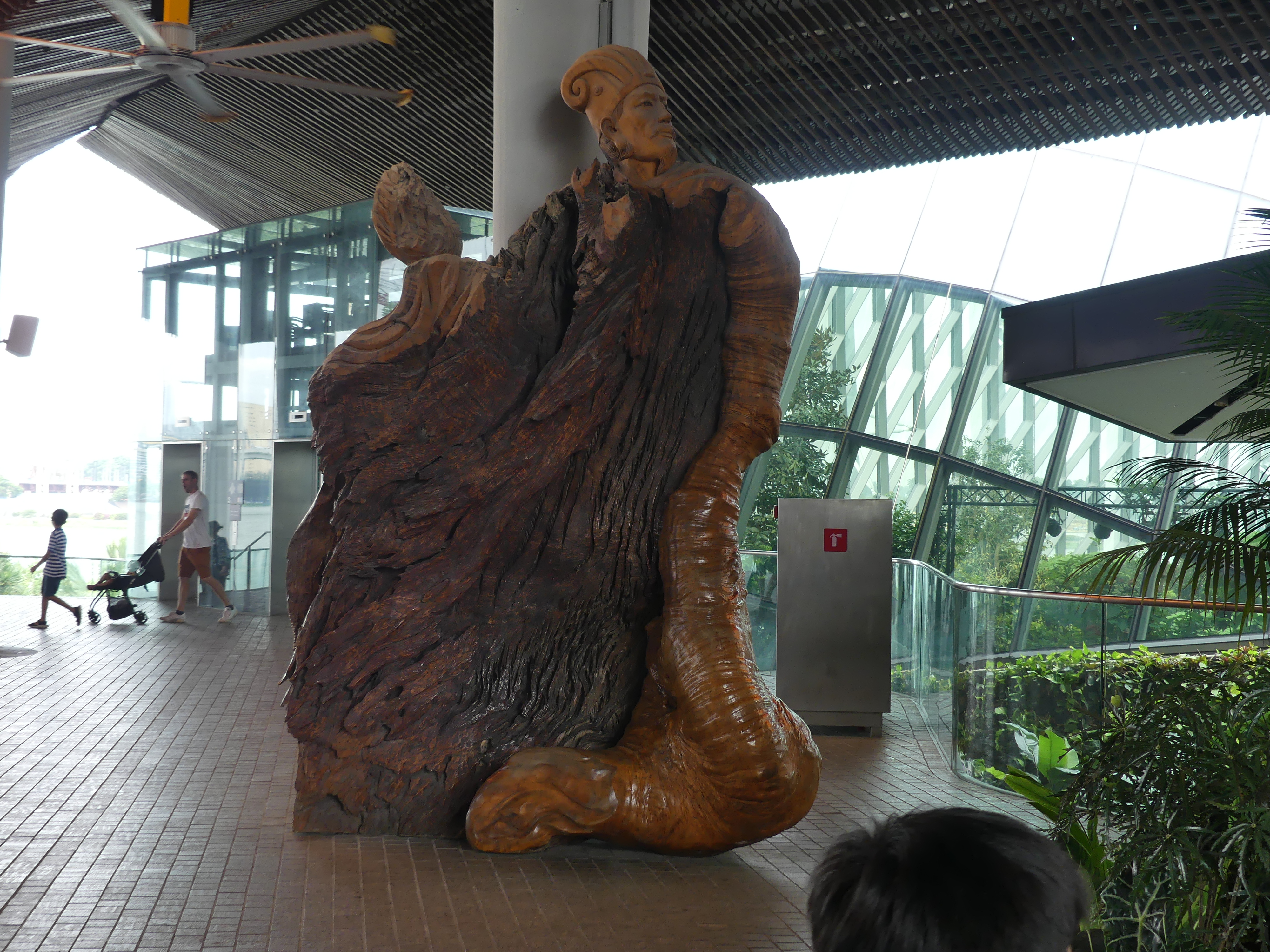
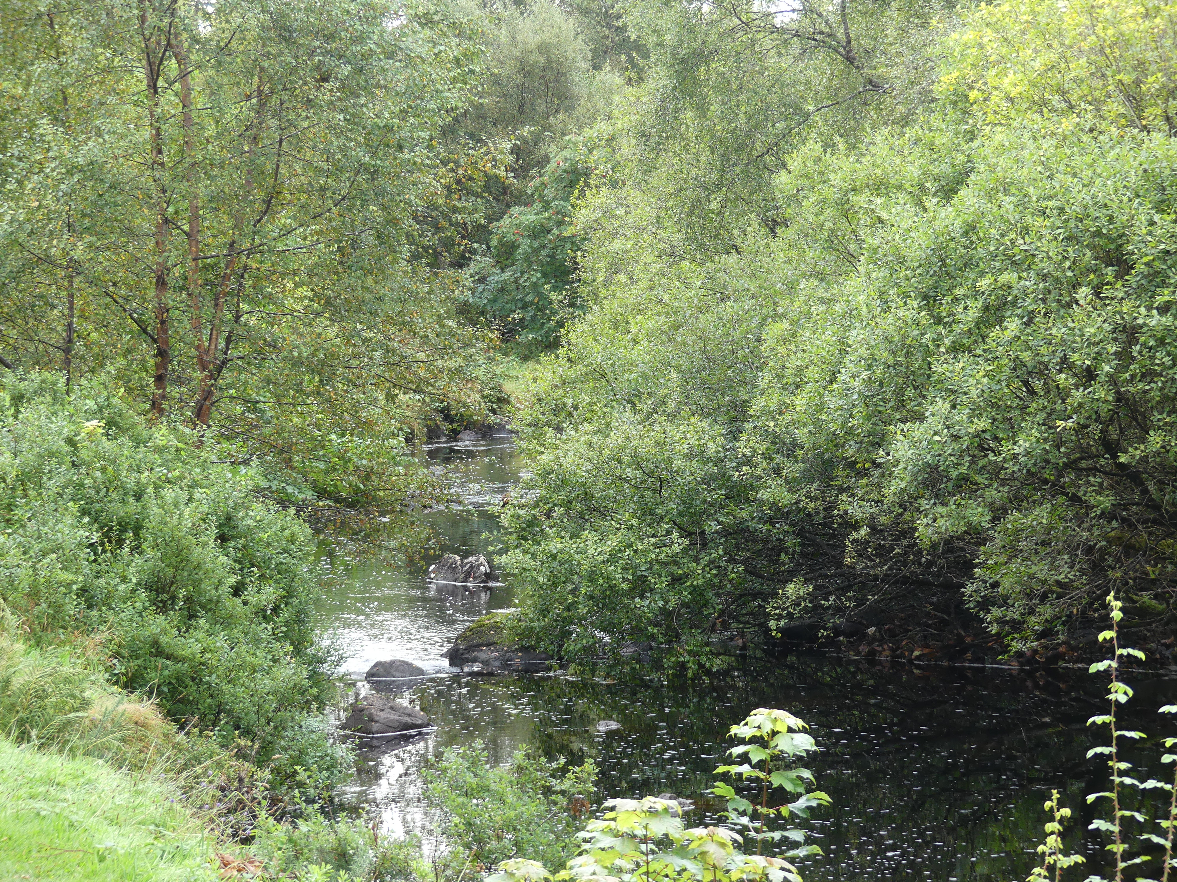
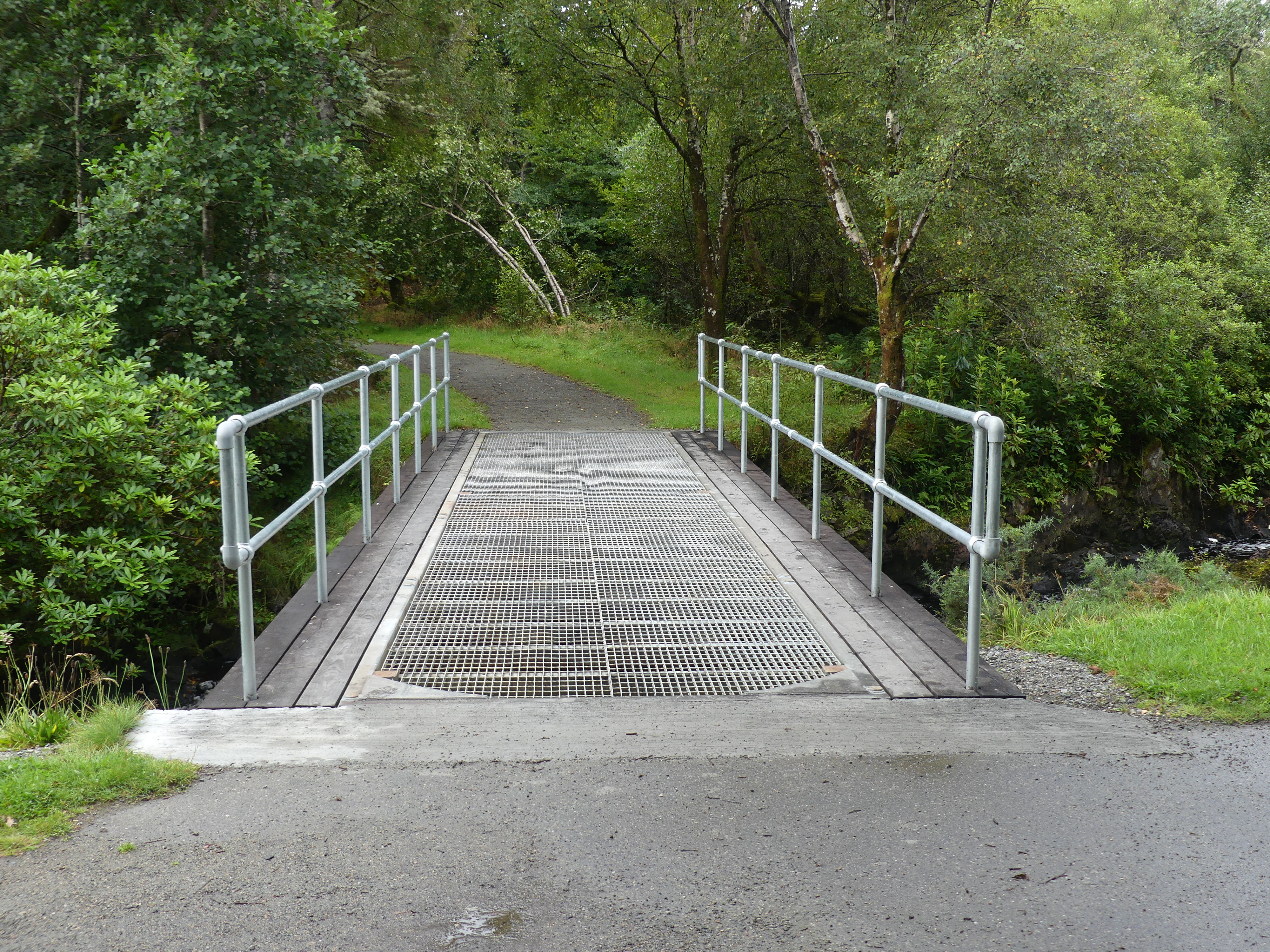
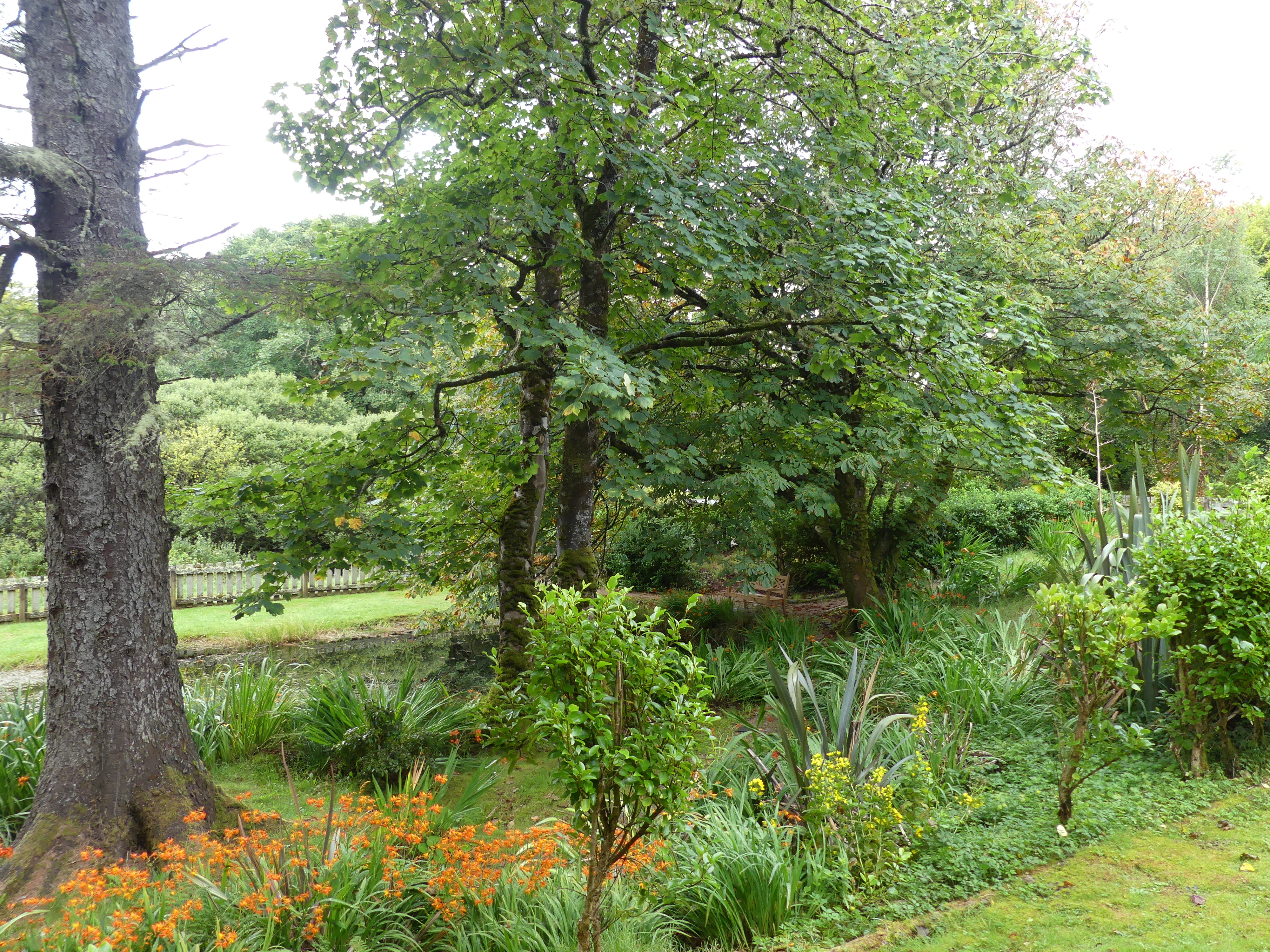
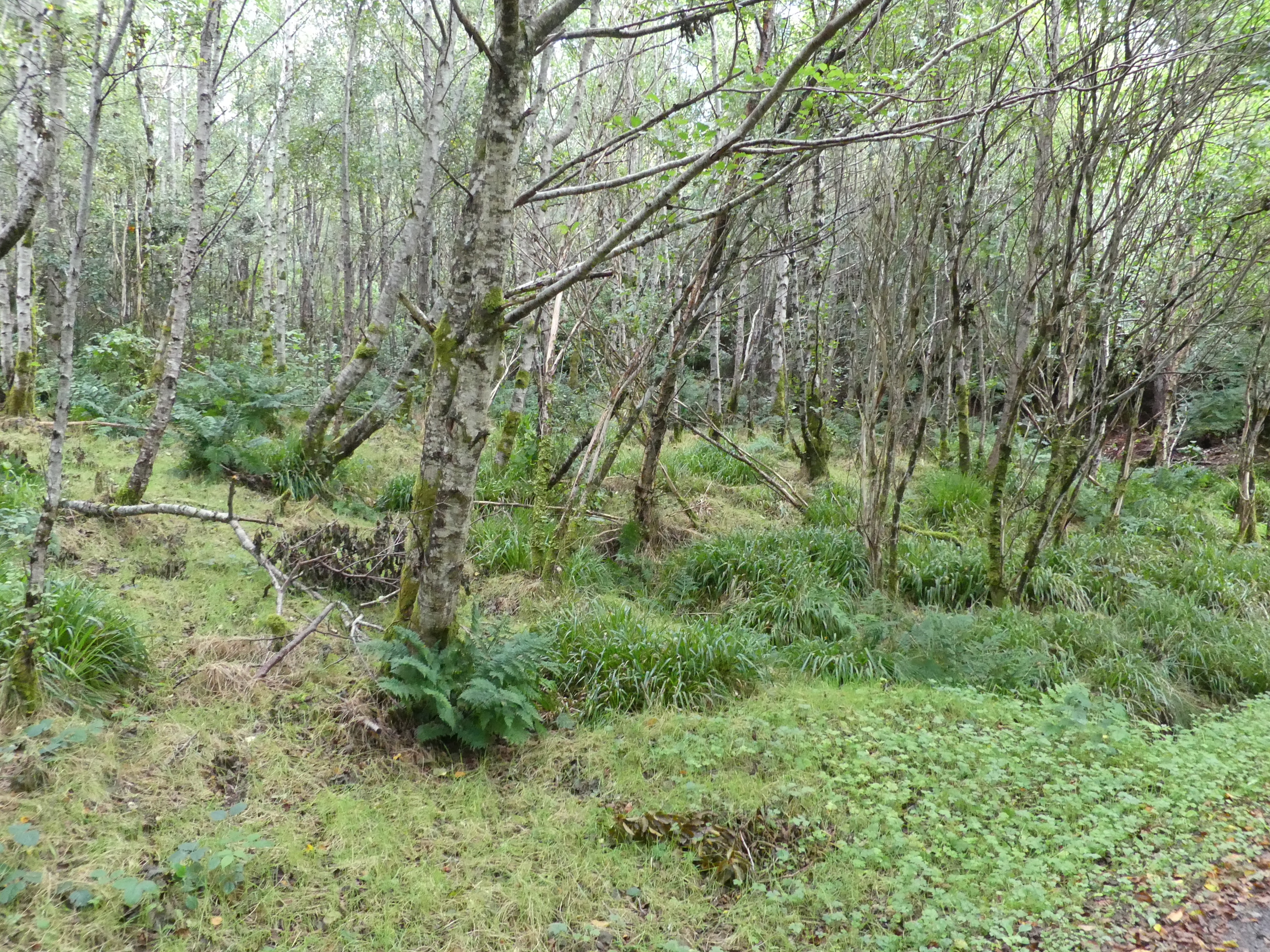
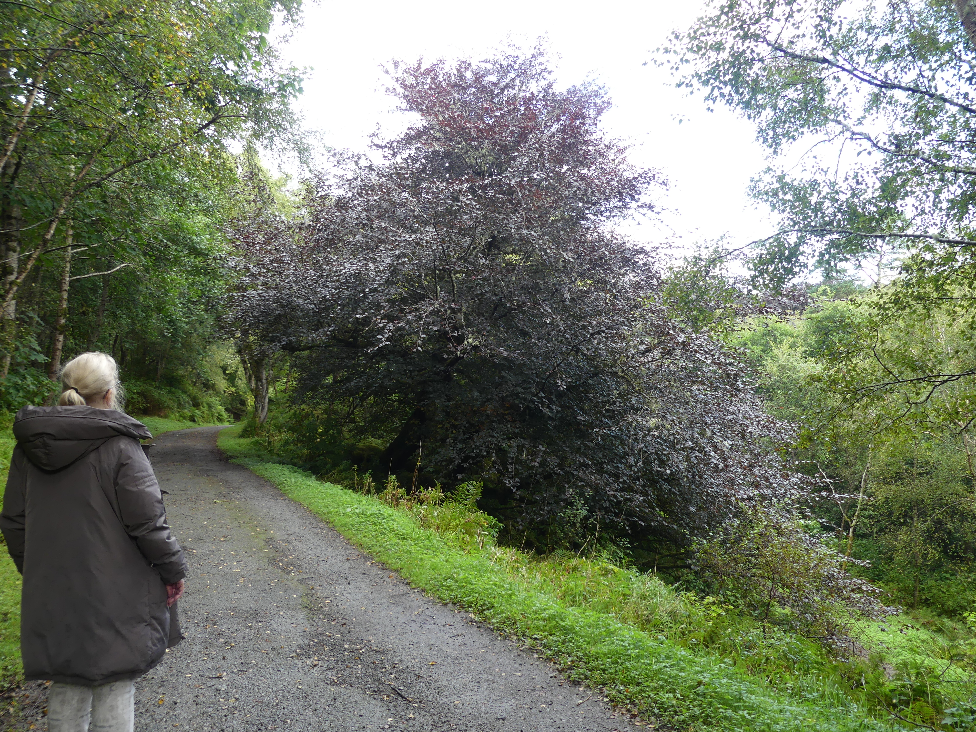
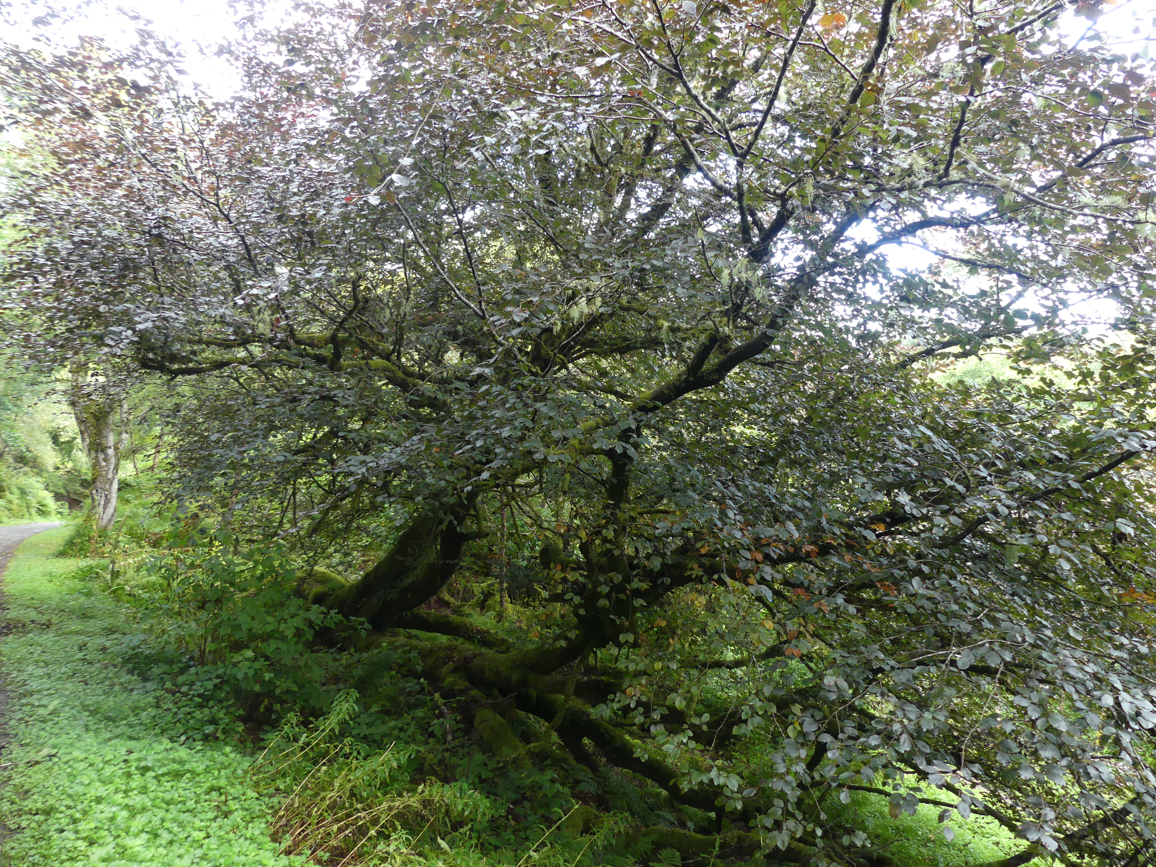
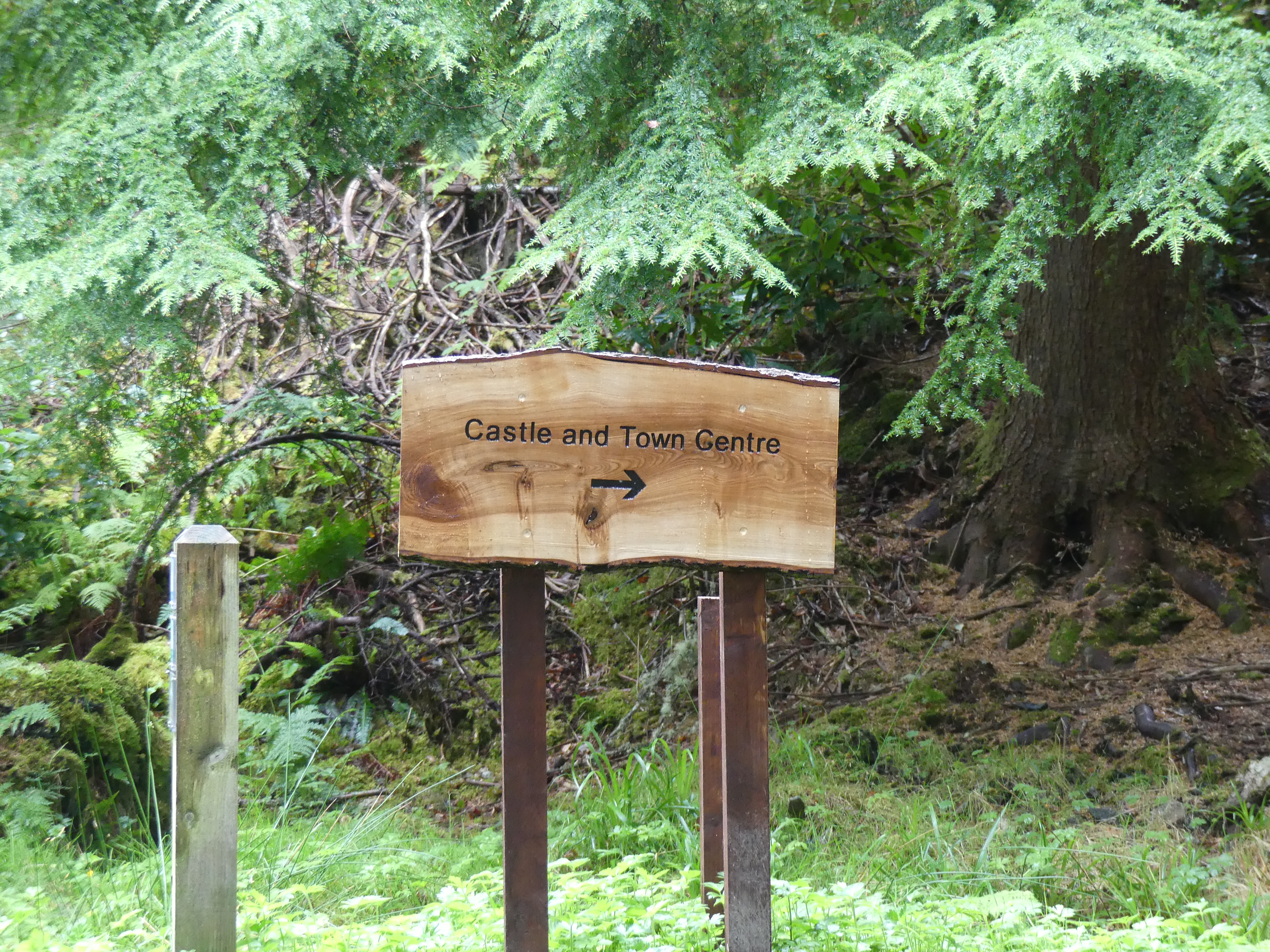
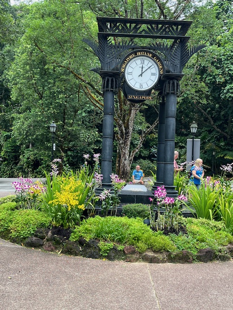
After the fiasco concerning the limo drive to the airport, we decided to visit the Botanic Gardens and in particular the National Orchid Garden. Again the temperature was equatorial and humid so our walk of 1 klm to the orchid gardens was draining. At the 800m mark we found a coffee shop and took a break. The fellow traveller sitting in front of us had brought her greyhound who also looked hot and bothered like us. After a recovery coffee we battled on arriving at the entrance with its clock. After paying the entrance fee we stepped into a wonderland of colour.
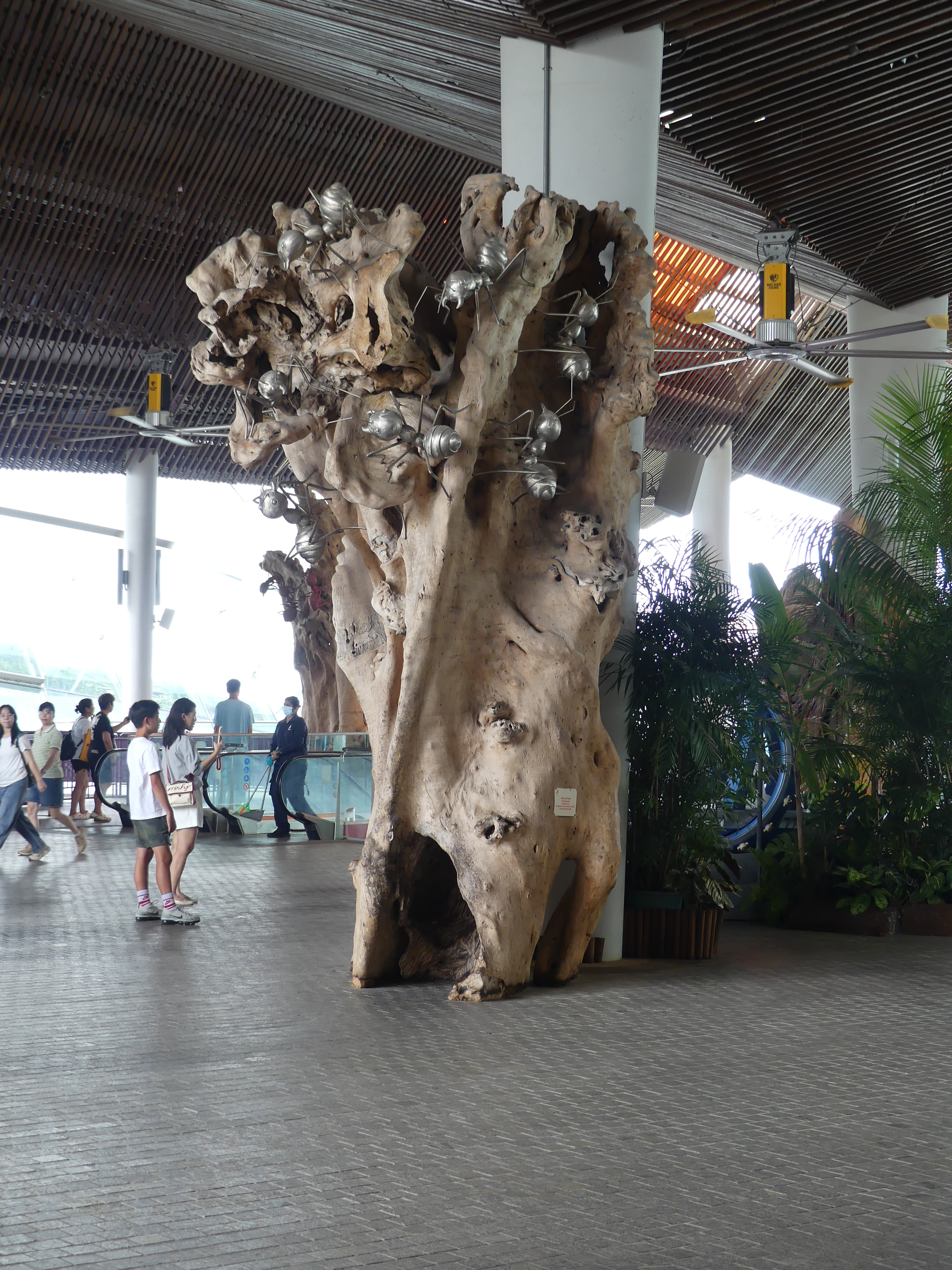
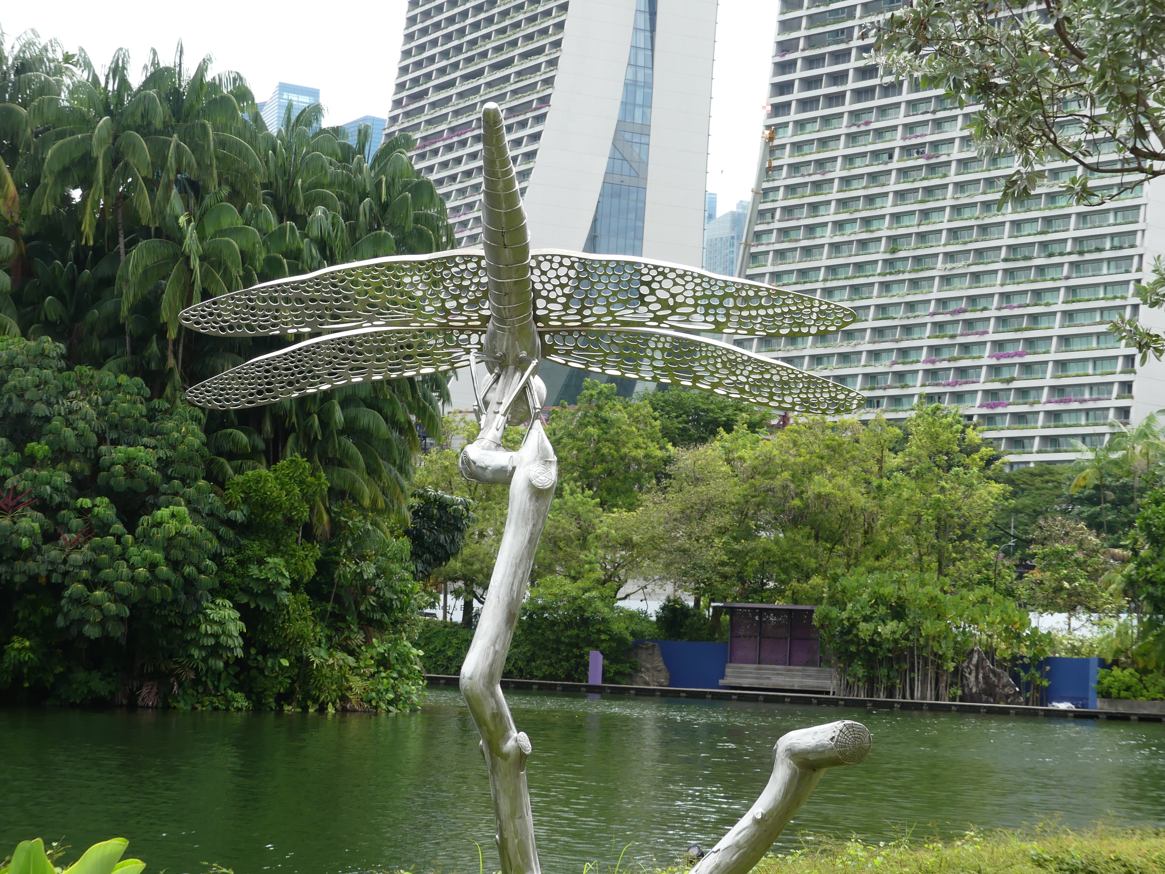
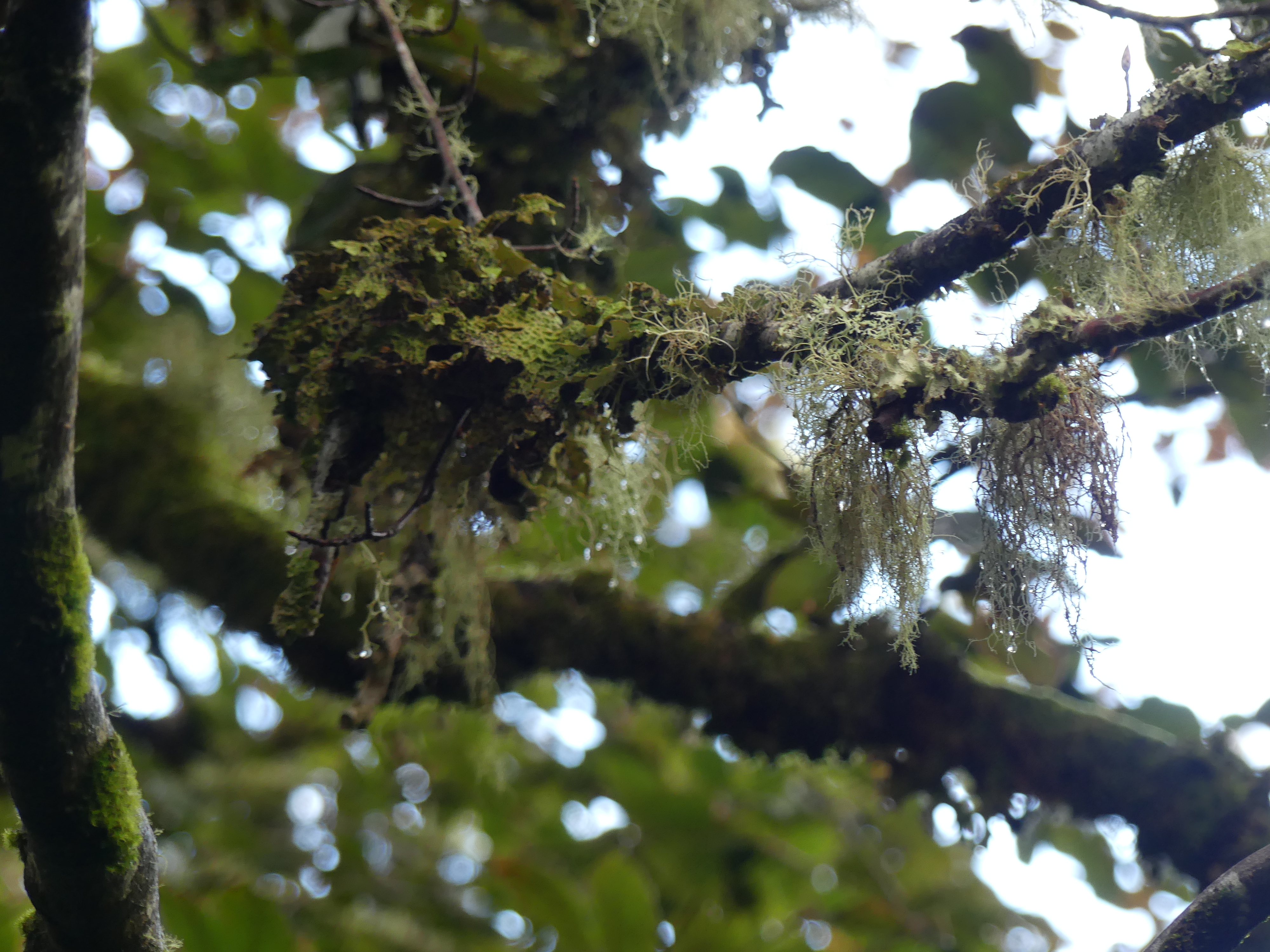
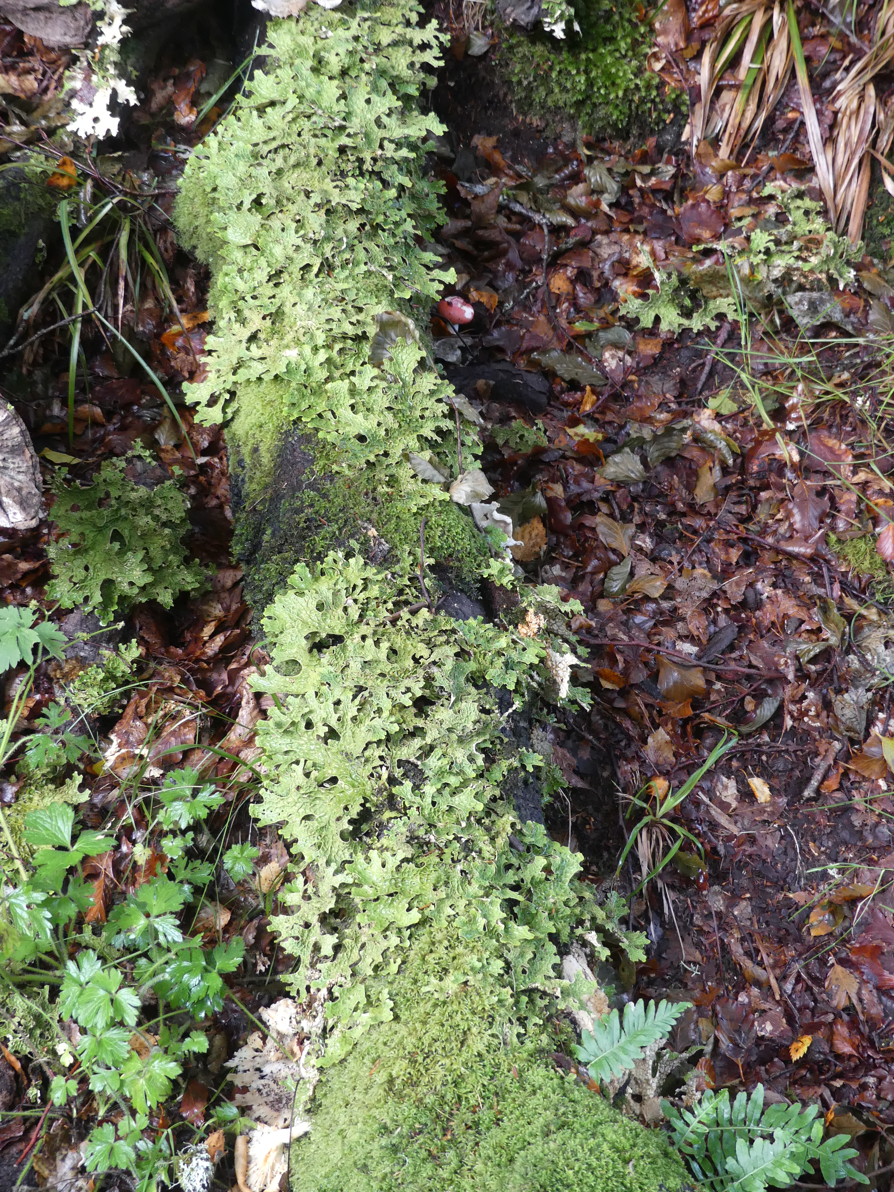
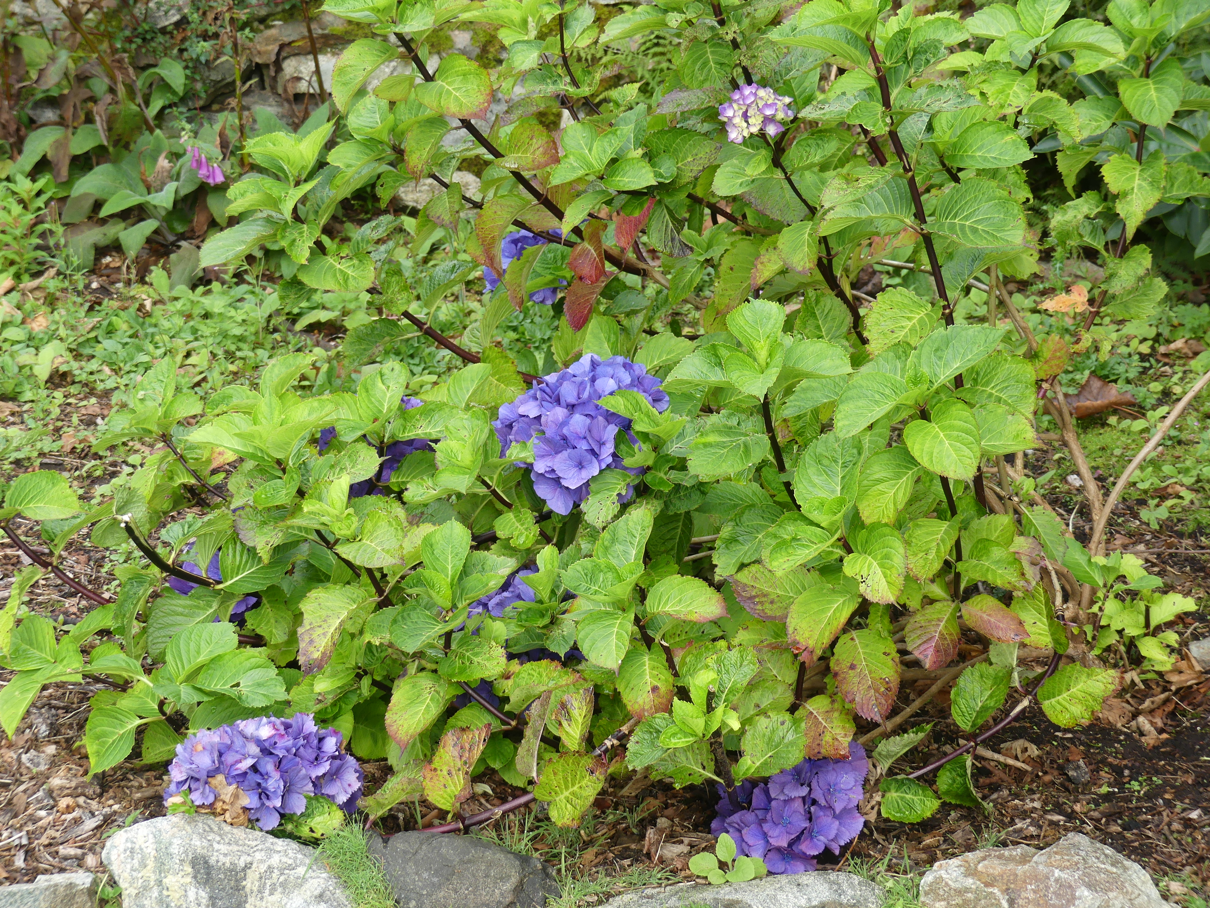
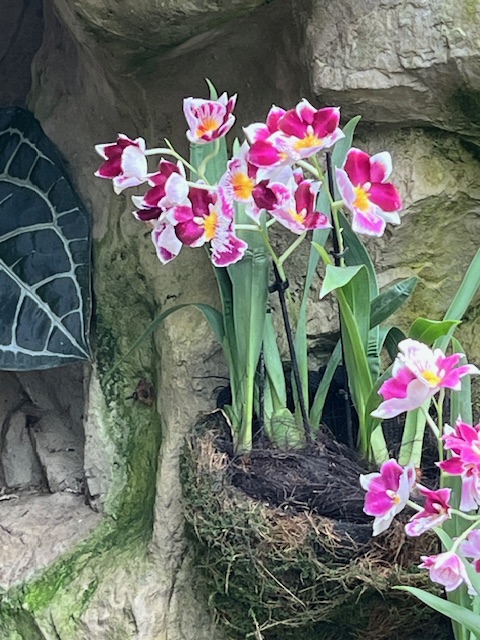
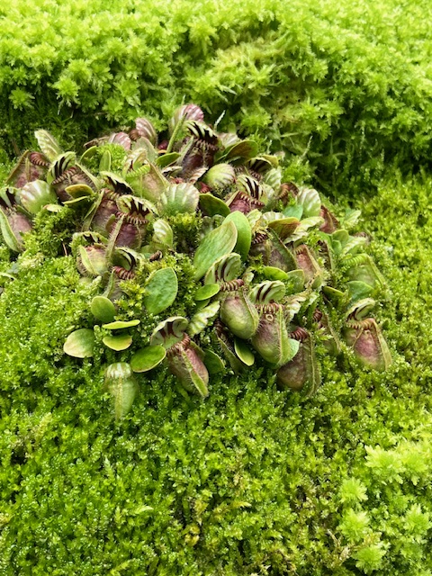
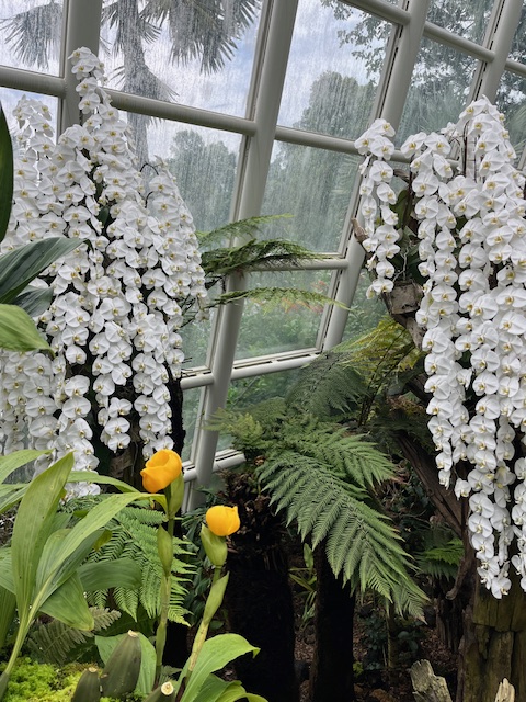
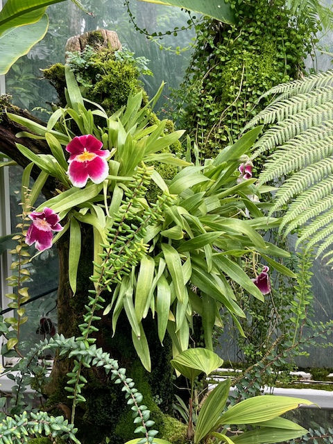
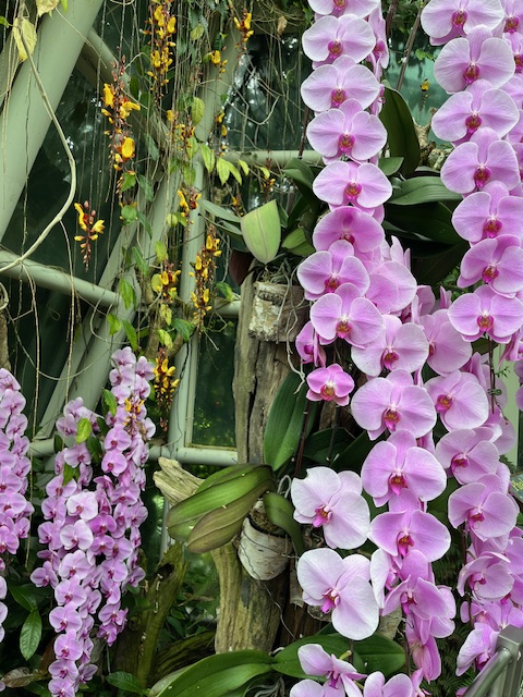
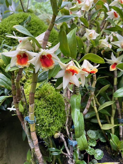
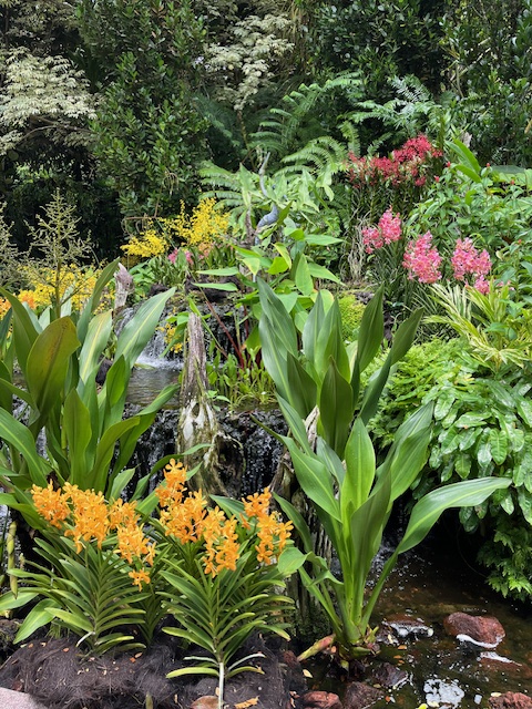
With over 1,500 species and 3,000 hybrids on display, the splendour of these gorgeous blooms is absolutely a sight to behold. The gardens include a bromeliad collection and the occassional carnivorous plants. I have collected my pictures below but suggest a visit to https://www.nparks.gov.sg/sbg/our-gardens/tyersall-entrance/national-orchid-garden . It was well worth the effort.
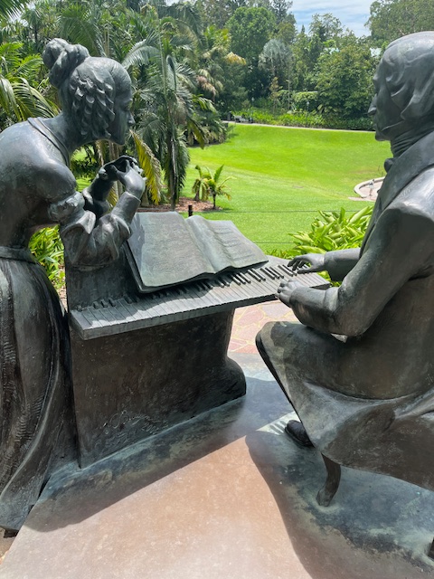
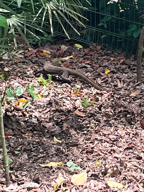
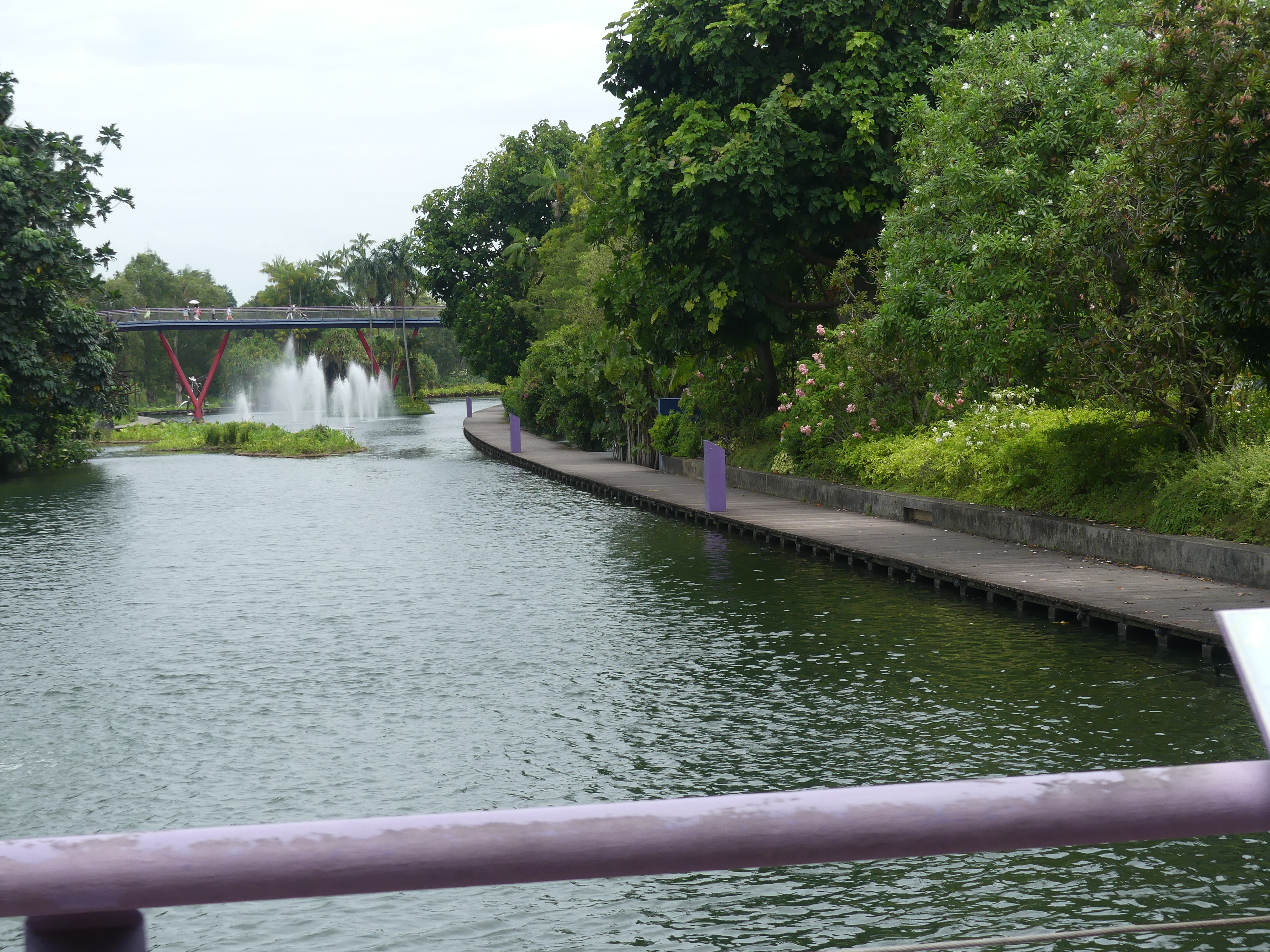
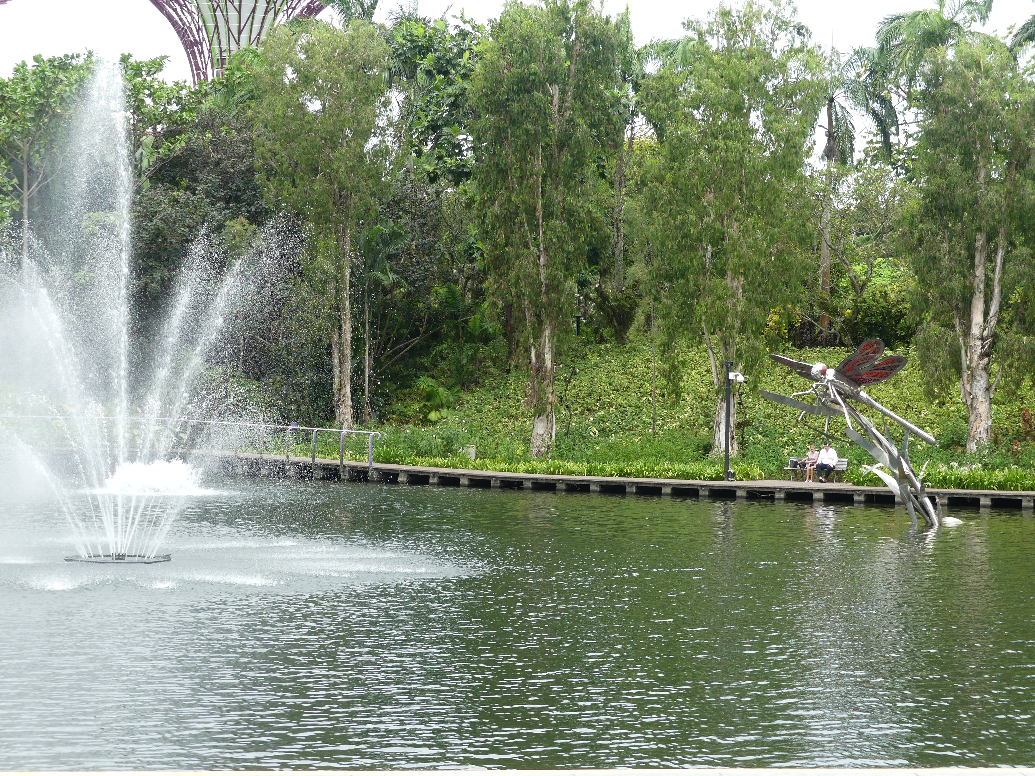
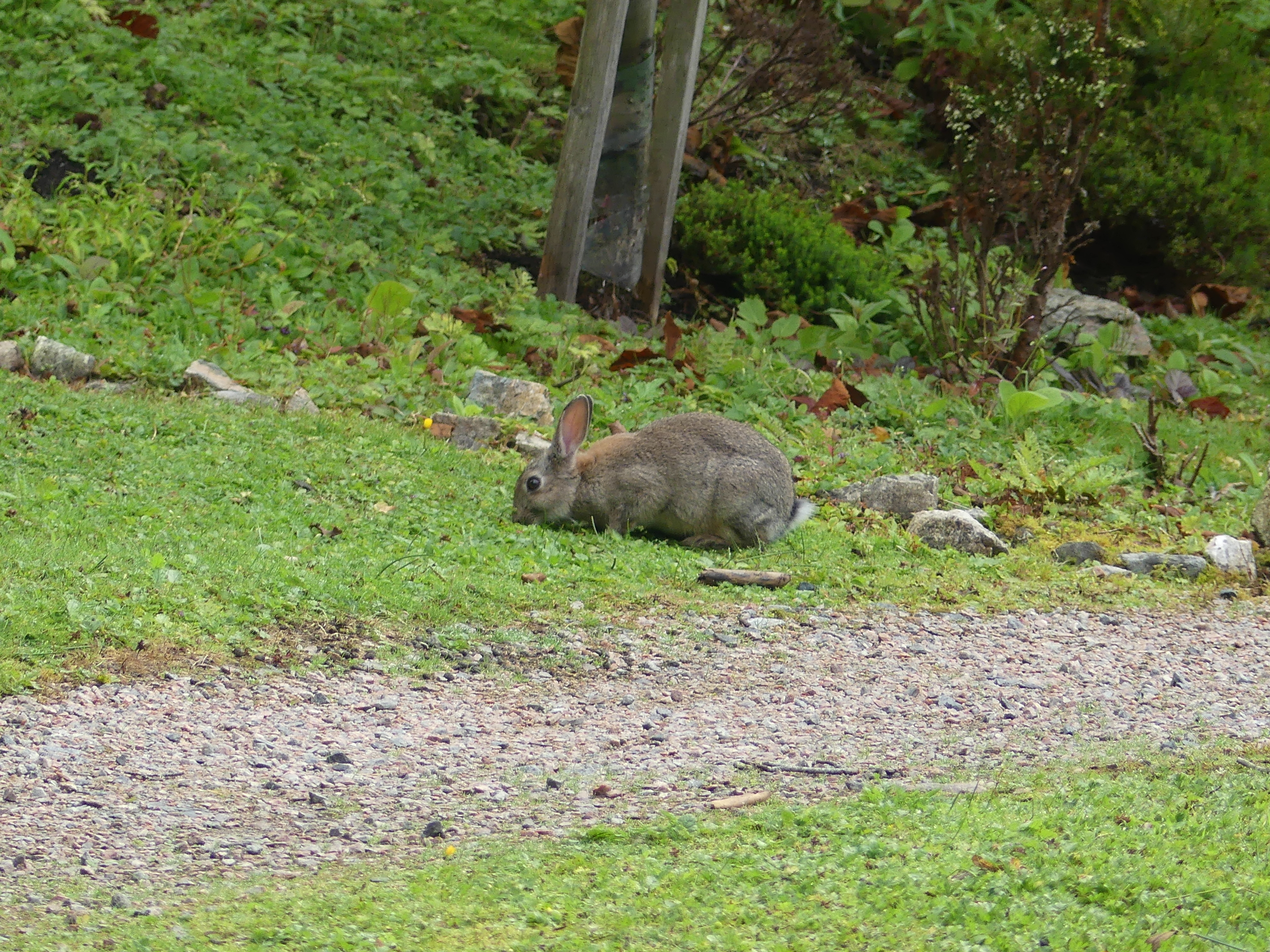
It was 1 klm to walk in and the same going out. We took some excursions from the main path and discovered a memorial to Frédéric Chopin (1810 – 1849). Made of bronze, the sculpture weighs a hefty half a tonne. It overlooks the Shaw Foundation Symphony Stage, where orchestras play regularly for public audiences. The last frame is the monitor lizard that passed us by as he headed in for a look at the glorious blooms.
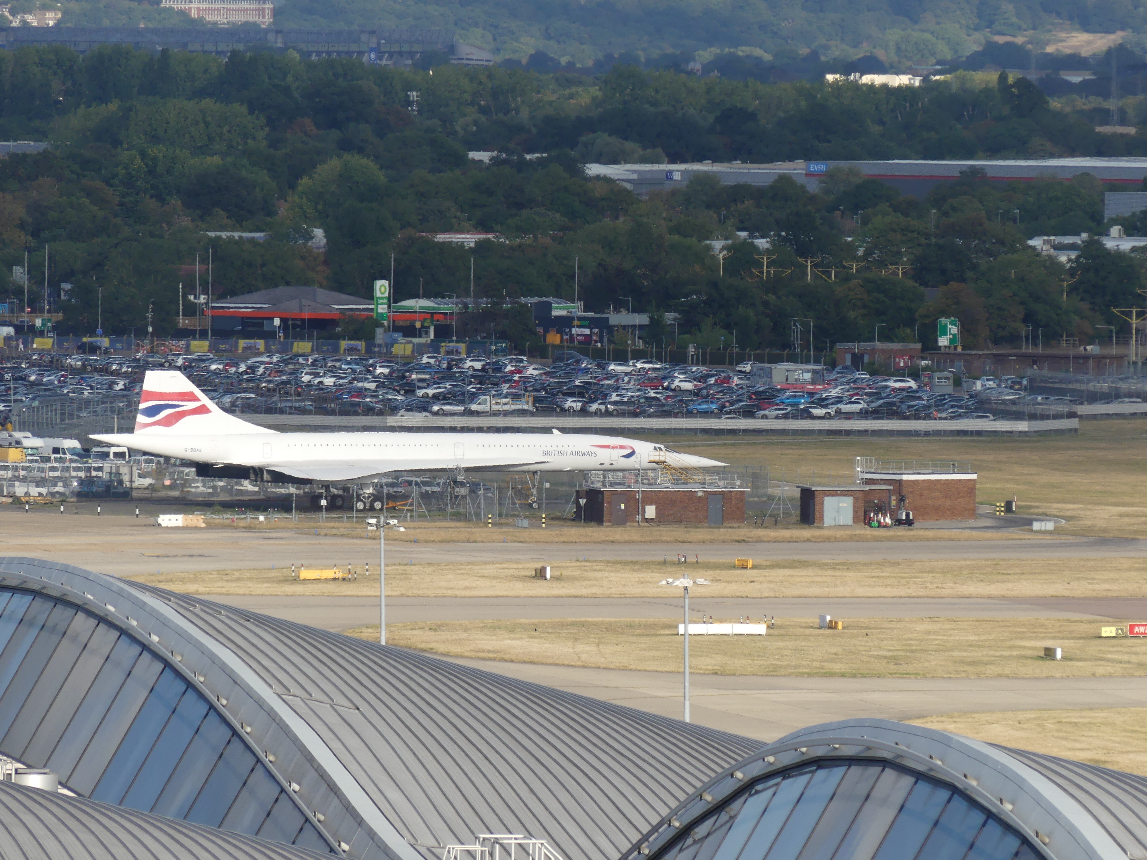
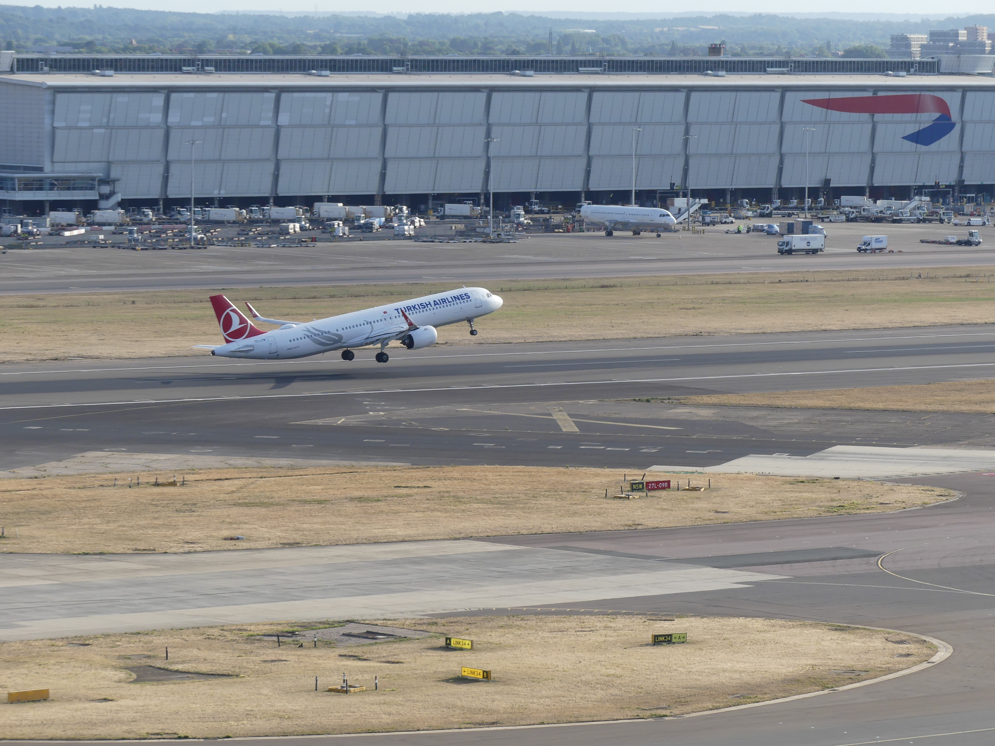
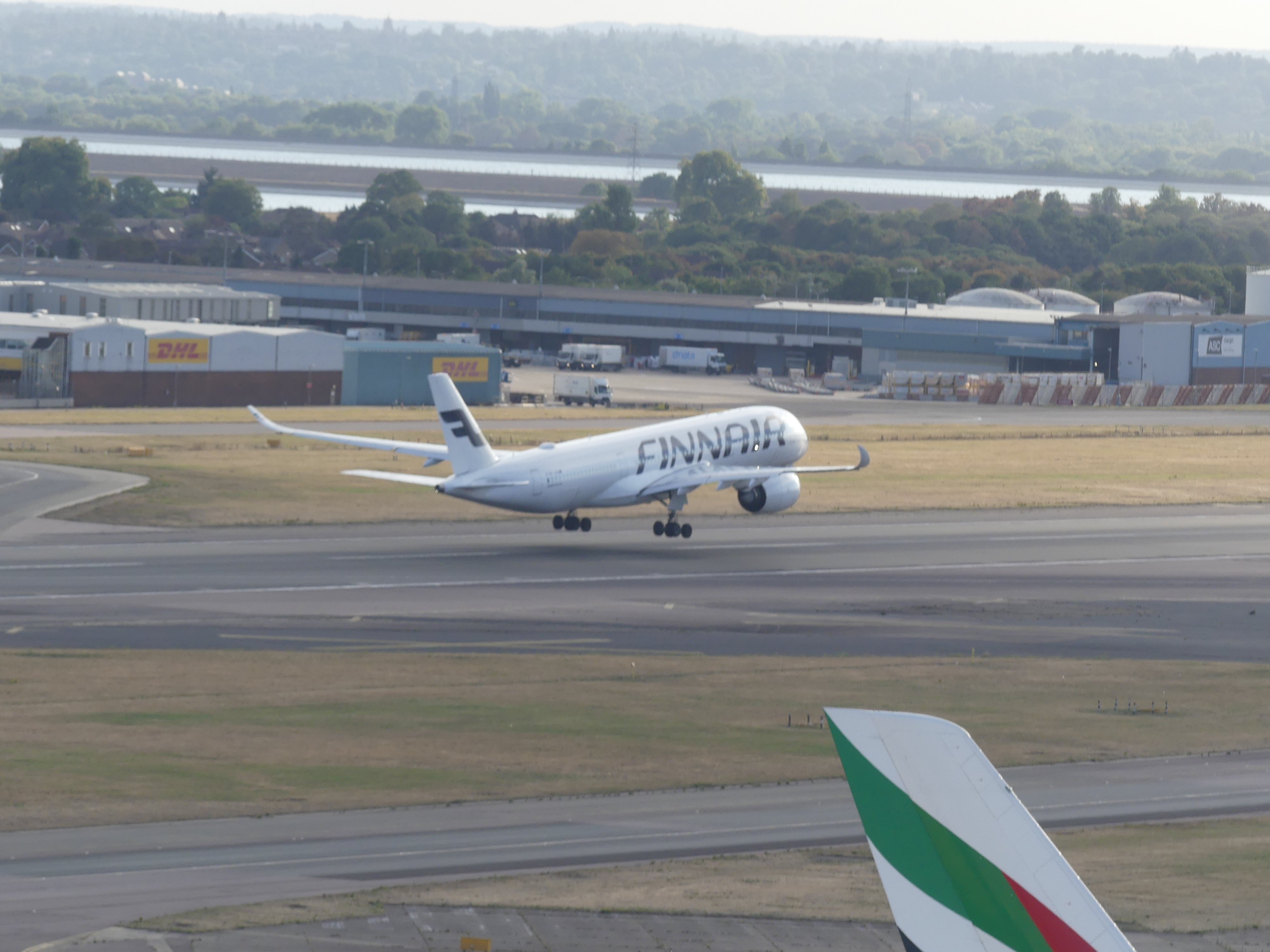
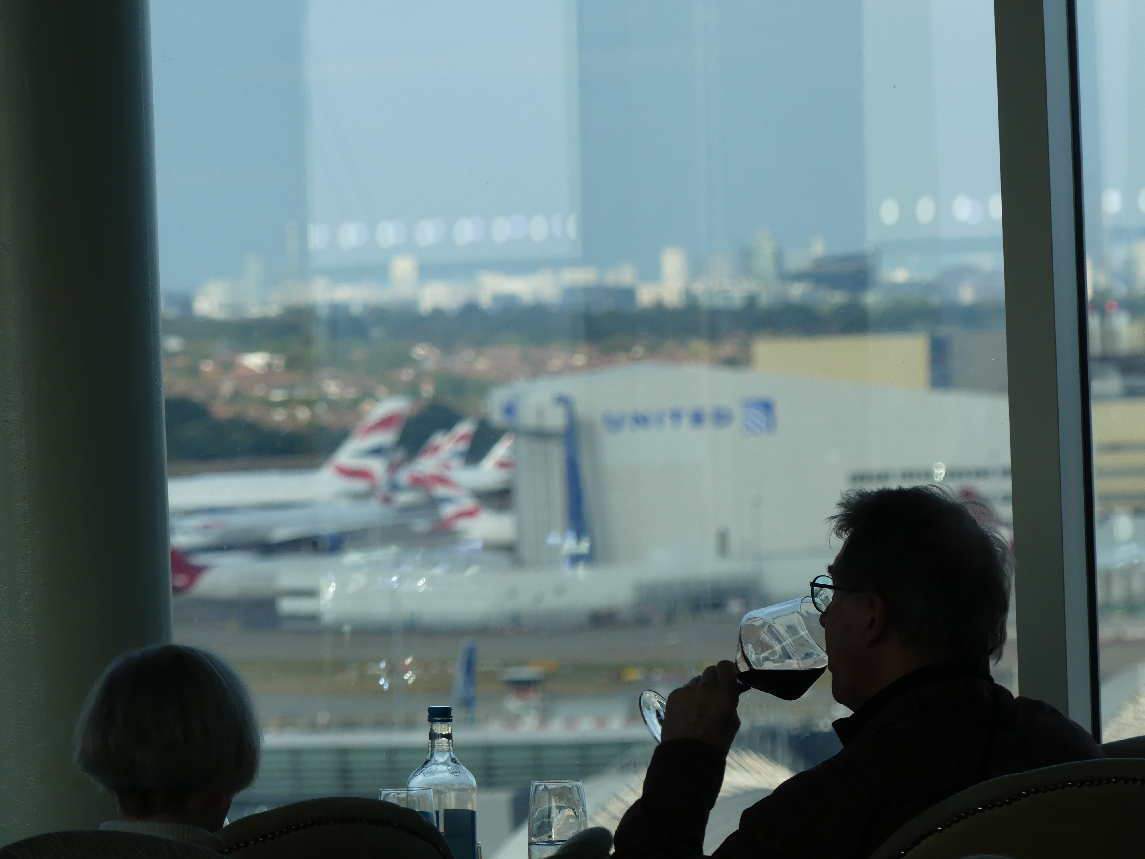
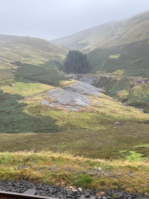
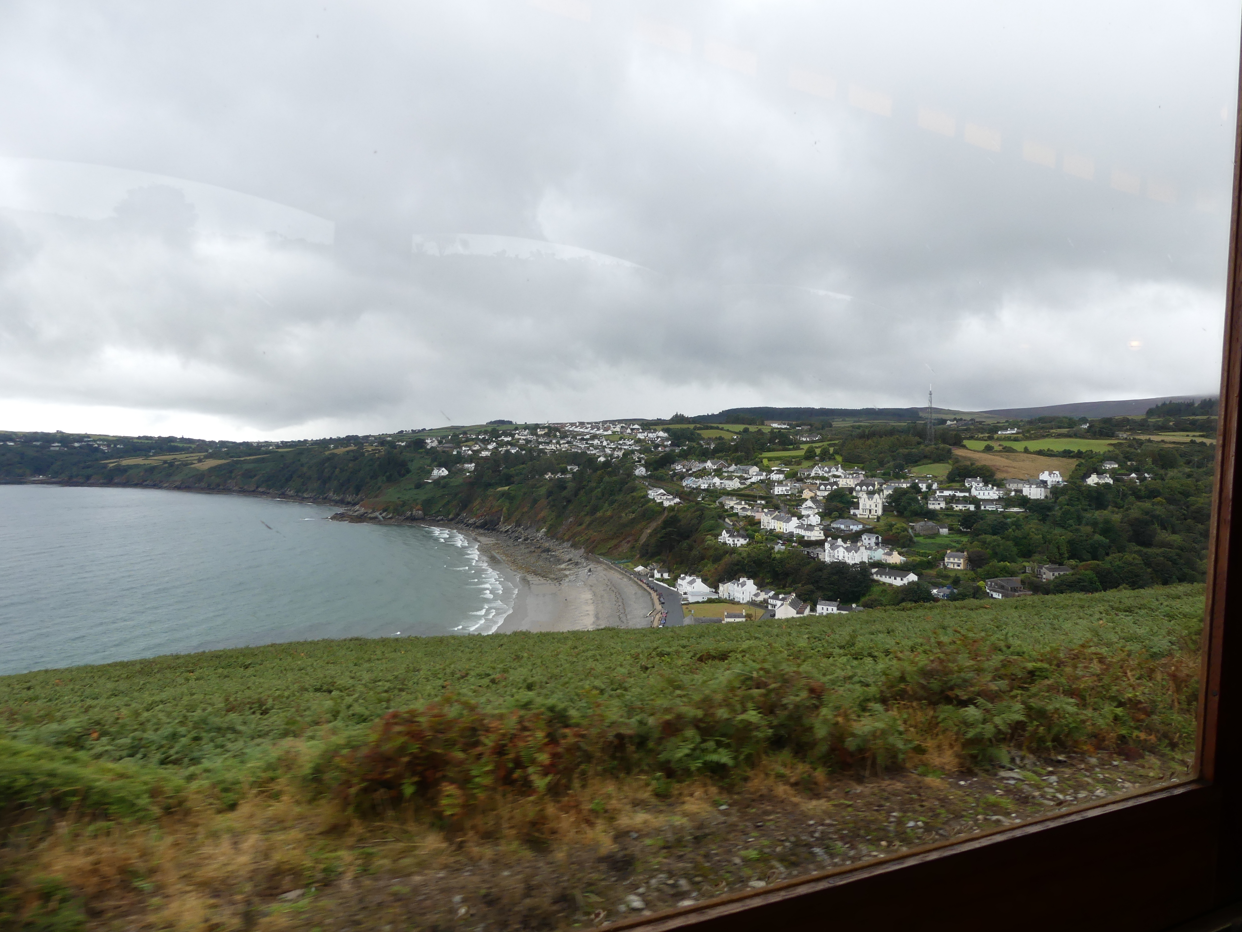
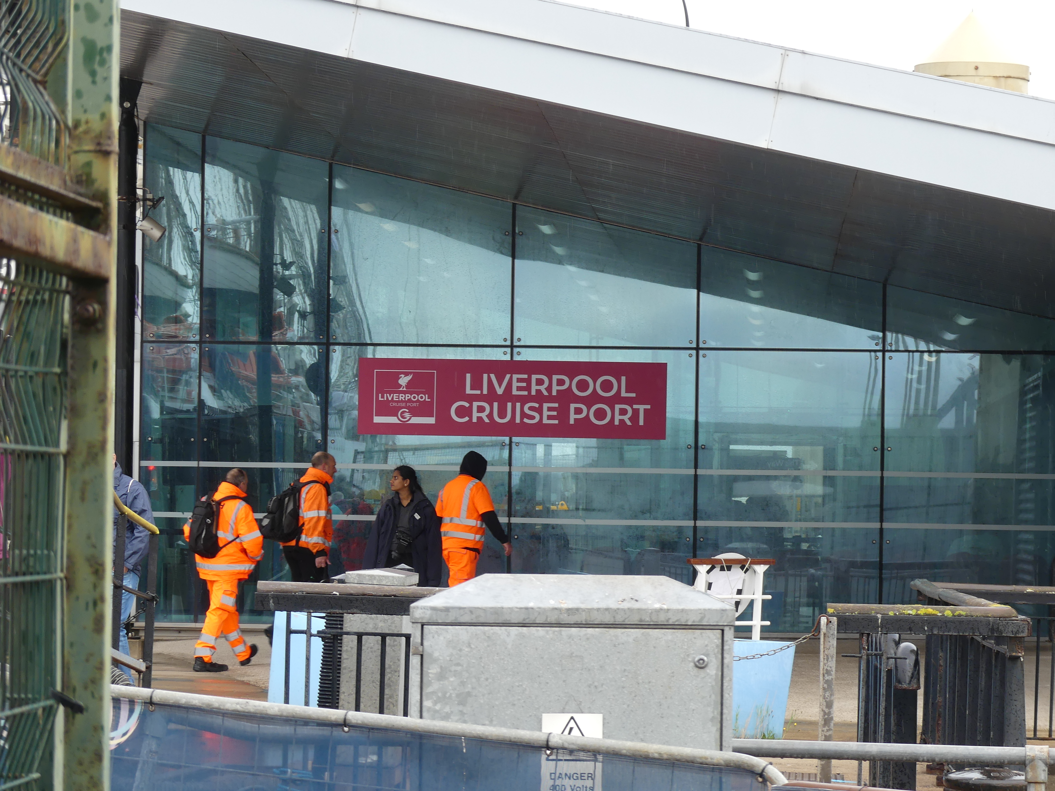
We made it back to the hotel and collected our bags and arranged a cab to the airport (if we wanted a limo like yesterday it was Singaporean $145.00. The cab was less than Singaporean $40.) From the time of dropping off the luggage we felt we could breath again and sit down and relax. The trip was painless and home was there to welcome us. I don’t know when we will do it all again or where it will be. Wherever it be we will find something off the beaten track. See you again perhaps!