Sunday August 10
Attenborough Nature Reserve and the Canal
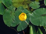
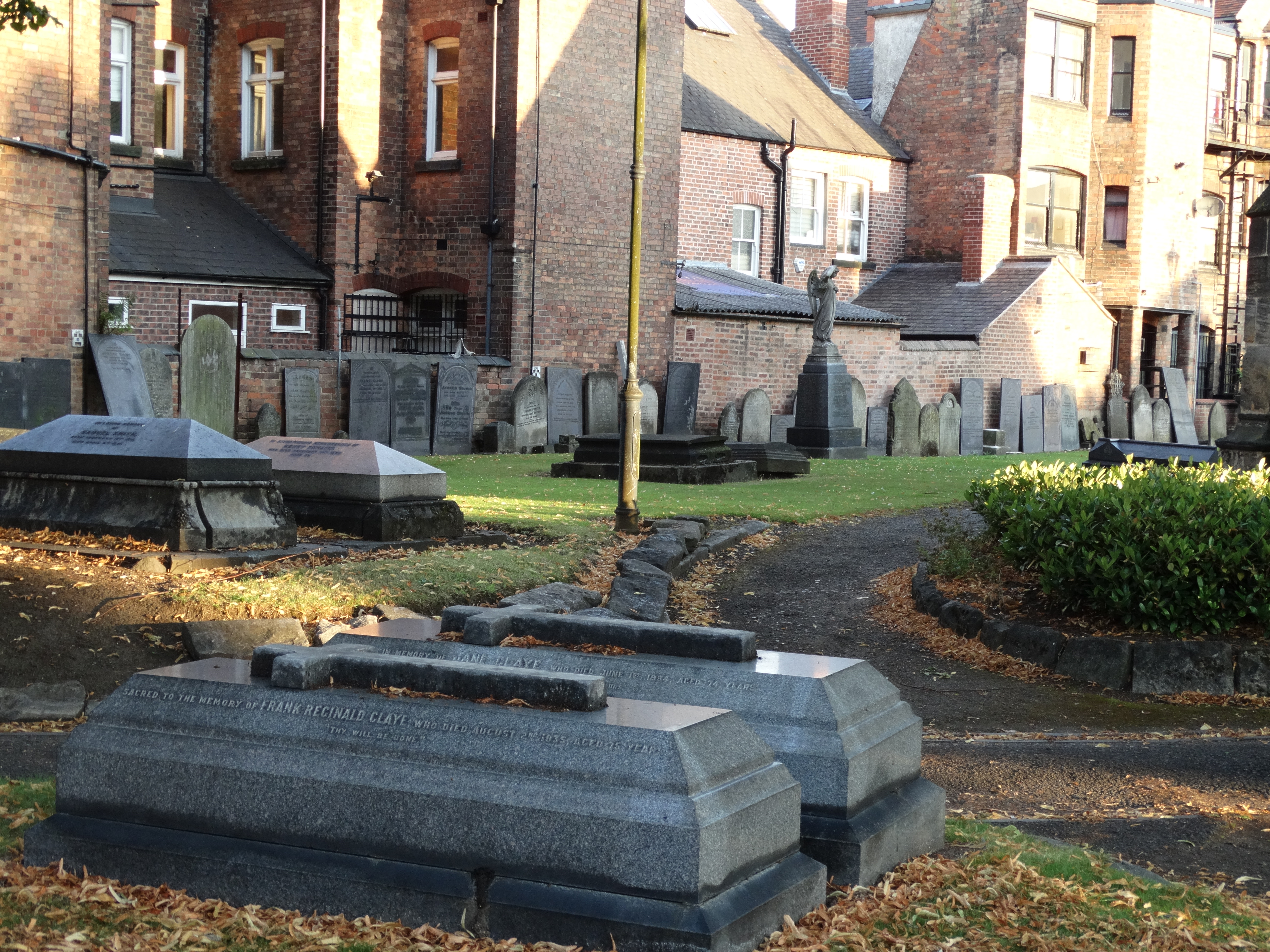
There are a lot of places of interest around Long Eaton and in the shires generally. Last Sunday we visited the Attenborough Nature Reserve (not named after Richard Attenborough but named after the community in which it is located between Long Eaton and Nottingham). This area now 250ha in size started as a gravel pit and dumping ground for the fly ash from the nearby power station. It is now Britain’s second largest and second most popular nature reserve with over 50 species of bird living / visiting the water ways created by the extraction of gravel and return of the surface clays to create the ponds. There are long walks through the reserve and a conservation centre with information on the site. We took a free guided tour through part of the reserve and here are some of our photos.
Photo of the centre and our walk.


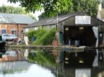
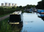
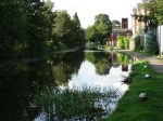
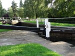
Within 100m of our flat is the Erewash Canal. Built in 1776 by a consortium of local merchants (collieries brick works and engineering workshops) it was the transport for all of the produce of the area until the railway started in 1846. It is approx. 13 miles long and joins the River Trent which flows to the North Sea. The locals chipped in 100 pounds each to cover the cost of 23,000 pounds to build and the cost came in under budget. There are 9 locks along its course raising the height of the canal 109 feet.
After the railways were developed the canals gradually lost commercial value and fell into disrepair. In 1969 the community formed a preservation group to restore the canal for recreational purposes. Today there is a fabulous walk down to the River Trent and there is a variety of wildlife and hedgerows along the way (about one and one half hour round trip flat to the pub [not allowing drinking time] and back). The canal is full of swans with their goslings and many other water fowl. It is also home to a canal boat industry with many variety of boat and industry supporting the boats along the canal. Here is a collage of the scenes I have viewed on my walk.