The trip from Dover was to prove a disaster. The American couple behind us shared their germs with the whole bus. They hacked and coughed the whole journey. We thought we may have avoided any of the contagion but this proved to be mistaken.
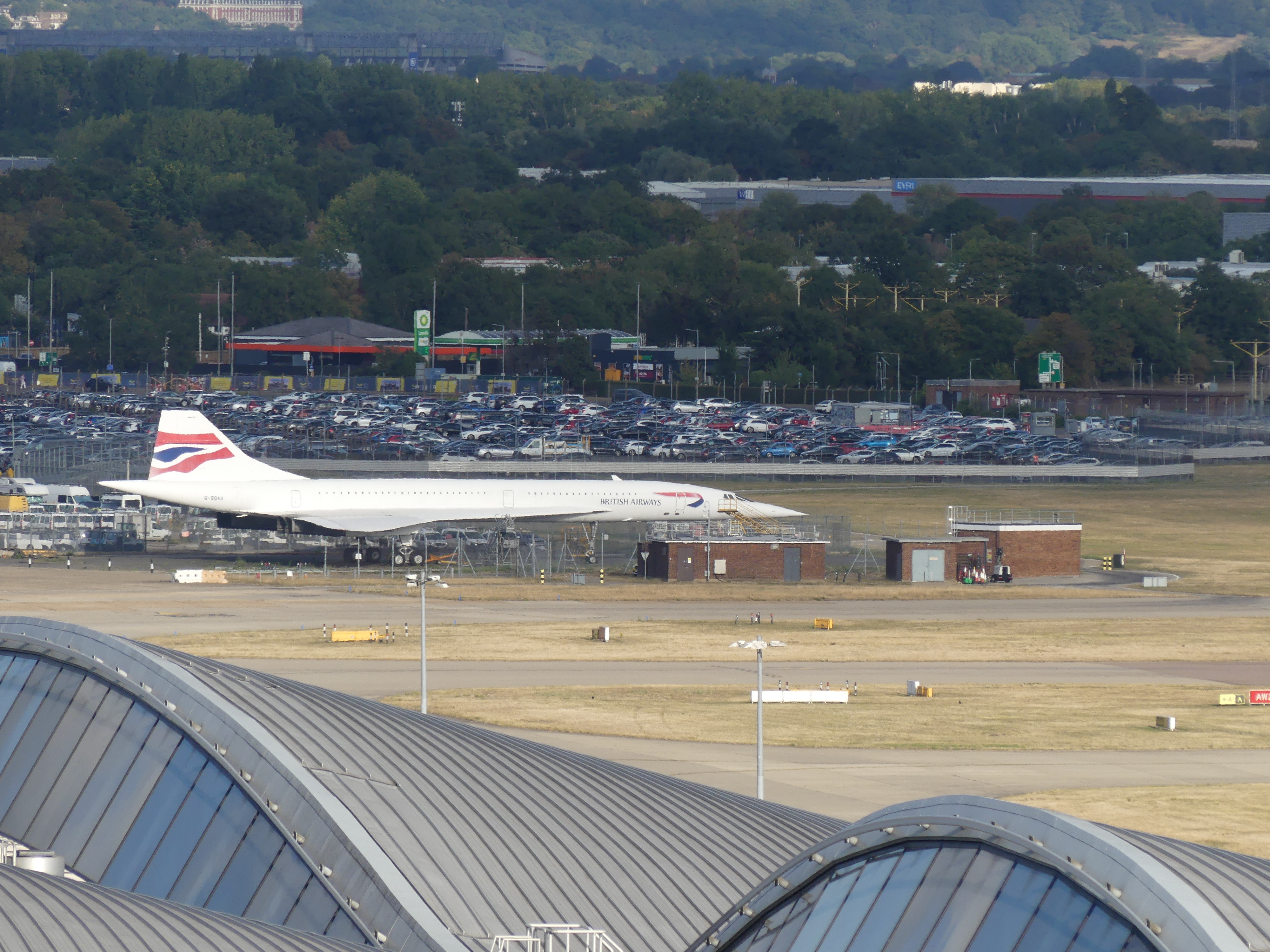
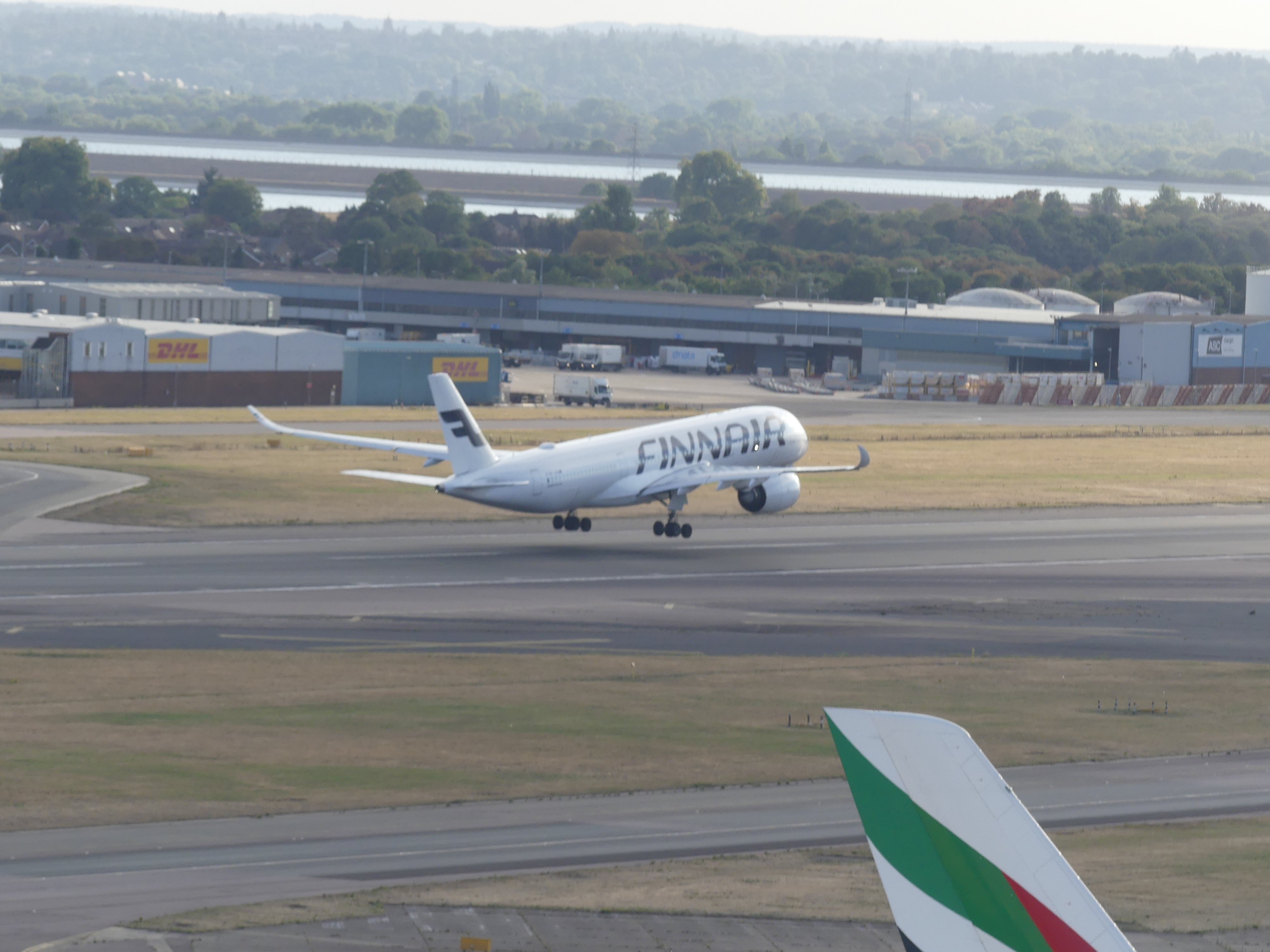
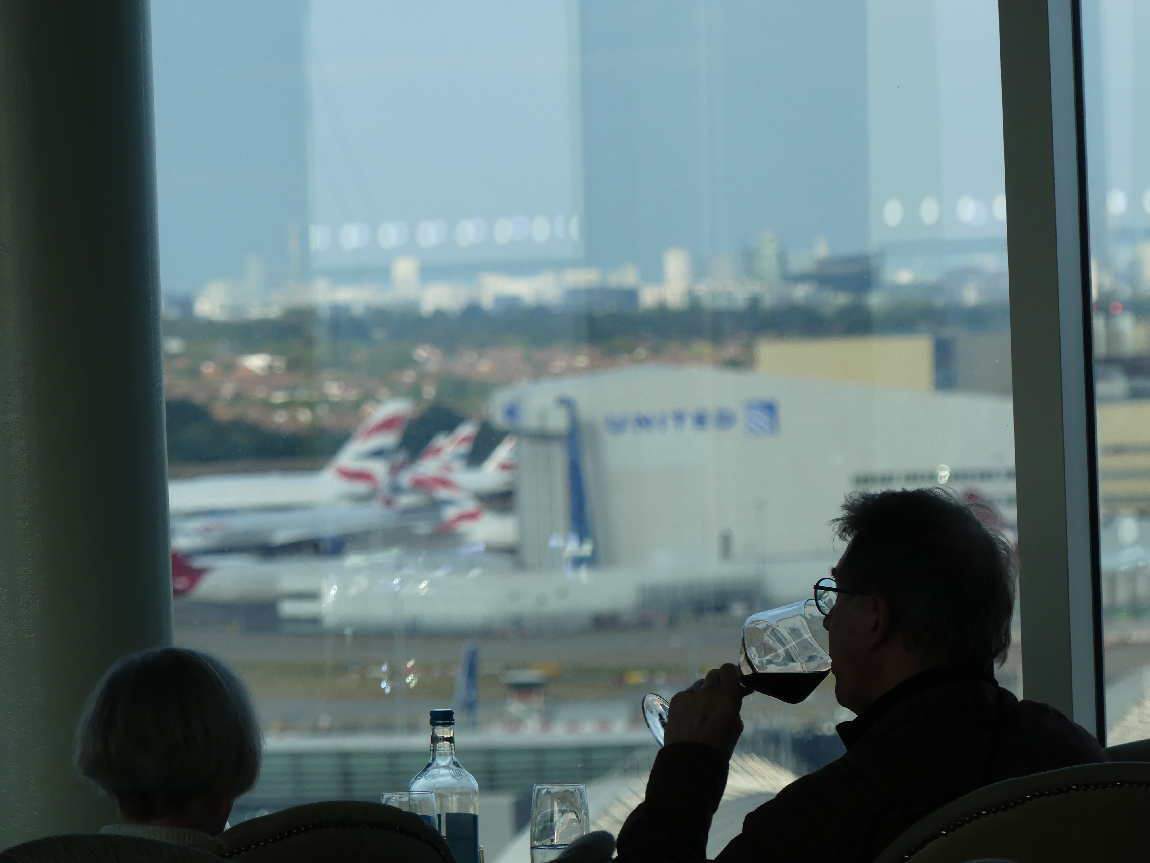
Our plan had always been to overnight at Heathrow so that the trip to singapore did not feel so rushed. Our hotel had a convenient roof top bar with views over the runway and a direct connection with the Terminal for our departure. We took advantage of the rooftop bar but I was oblivious to the signs that camers were not permitted until too late when the steward brought it to my attention in a most public way. Anyway I got some good photos which are below. Yes it does look like Concorde!
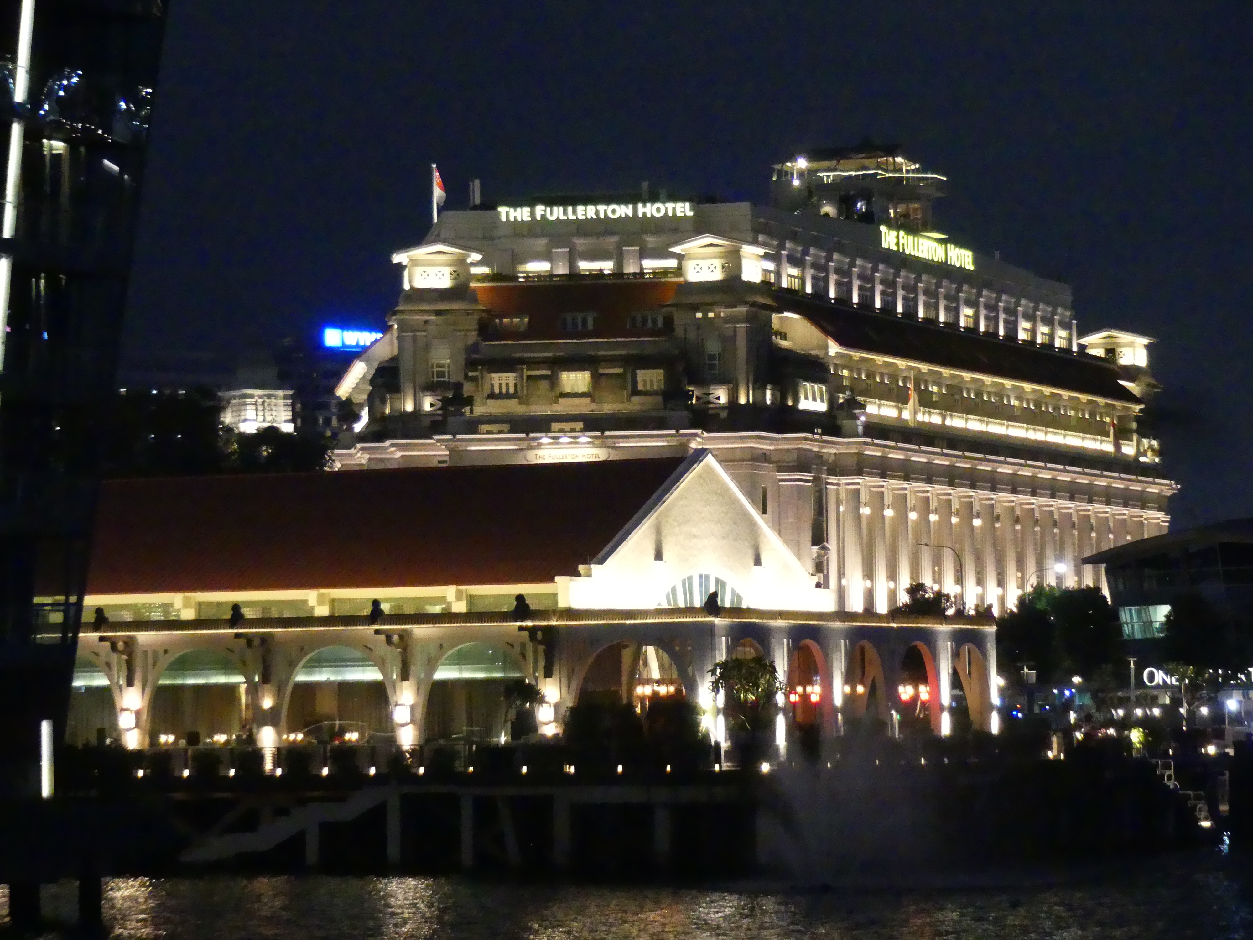
The flight to Singapore took about 8 hours and we arrived in Singapore in the late afternoon. One of the objectives was to stay in Raffles Hotel but a 6 day stay was absurdly expensive. We opted for the Park Royal Collection in Pickering near to Chinatown. We thought we would be smart and take a two day package at Raffles which included a chaufeur driven limo to or from the airport and stay the rest of the time at the Park Royal – which is not a shabby hotel by any means but a third of the cost.
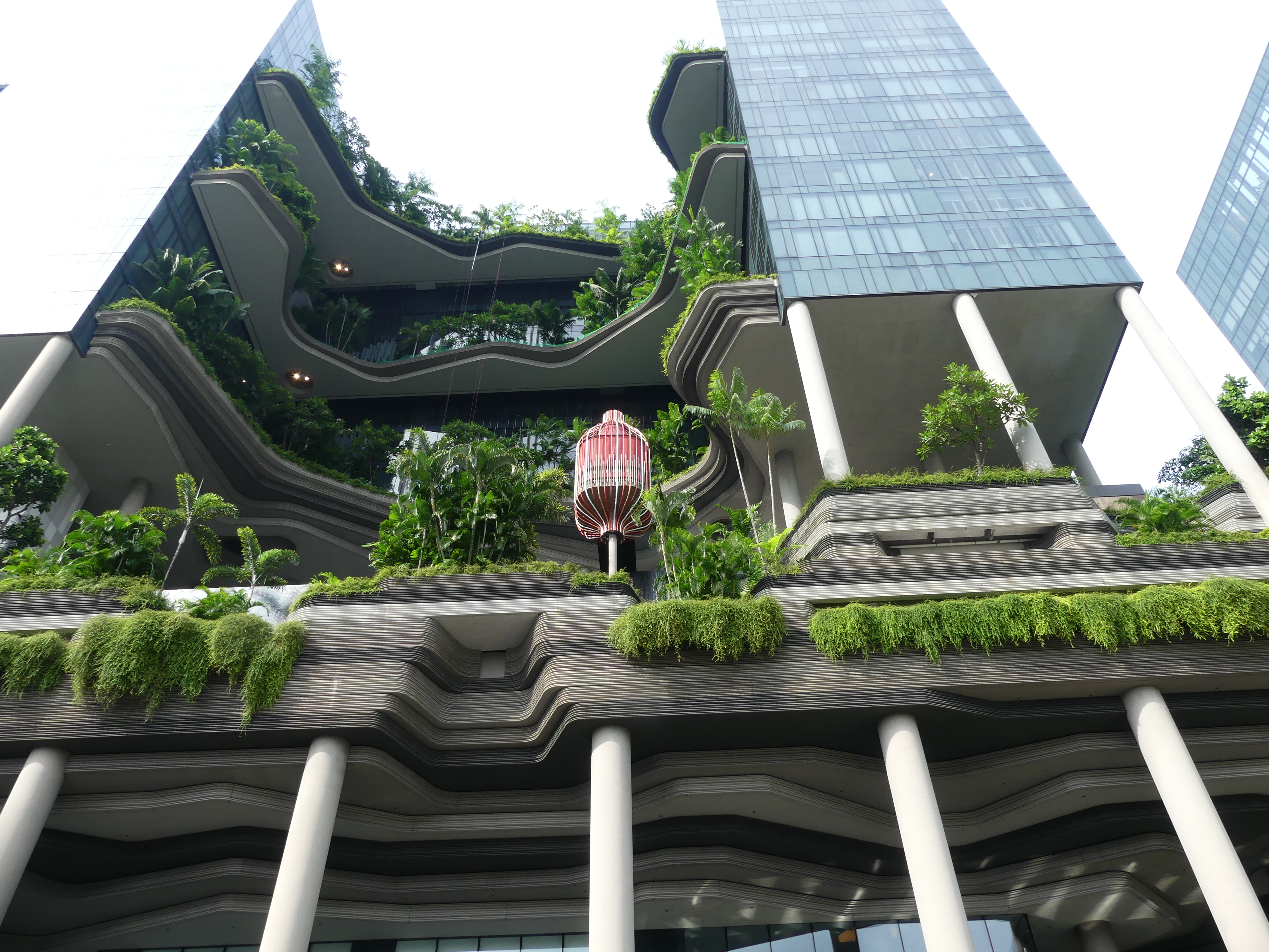
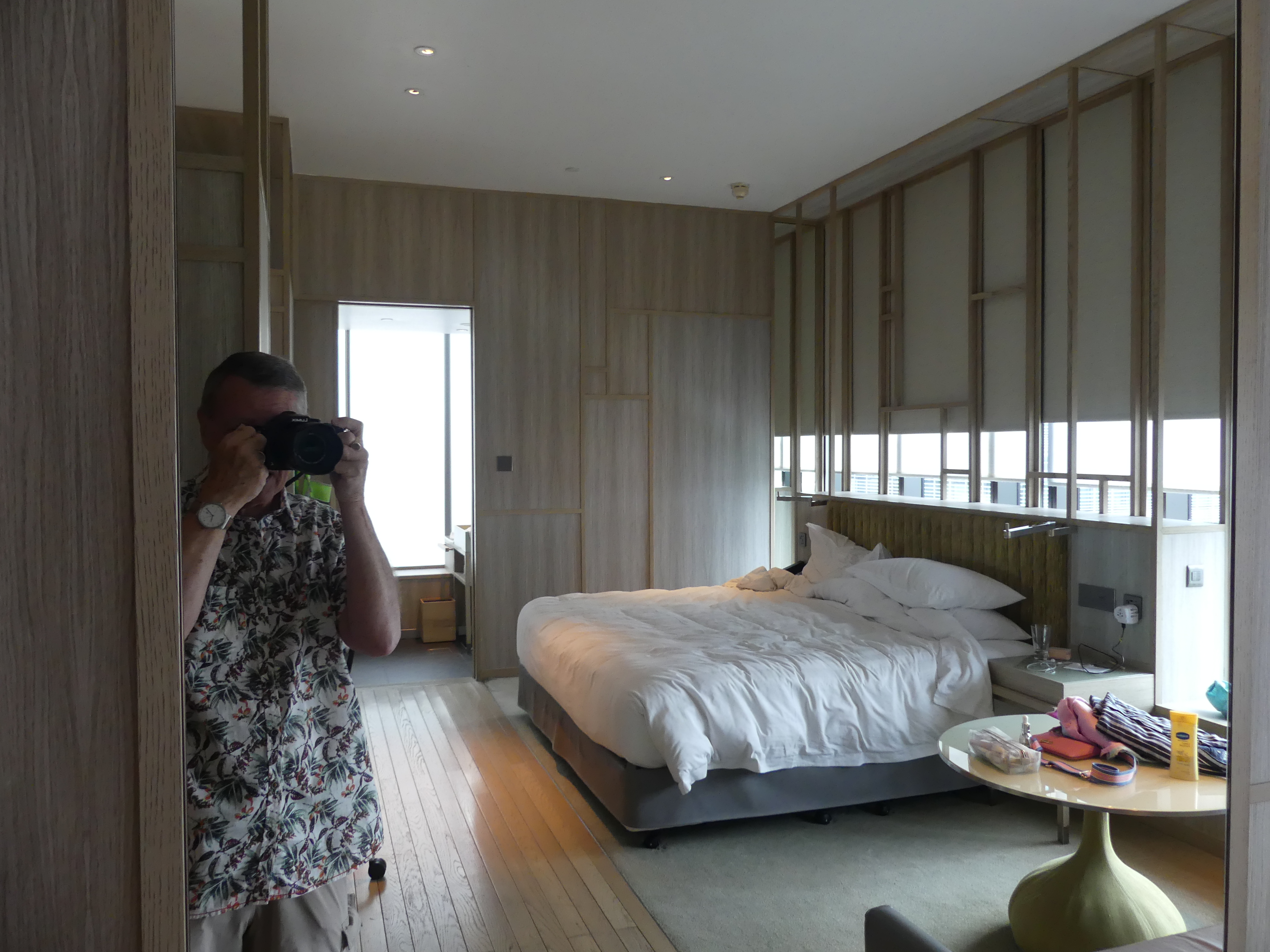
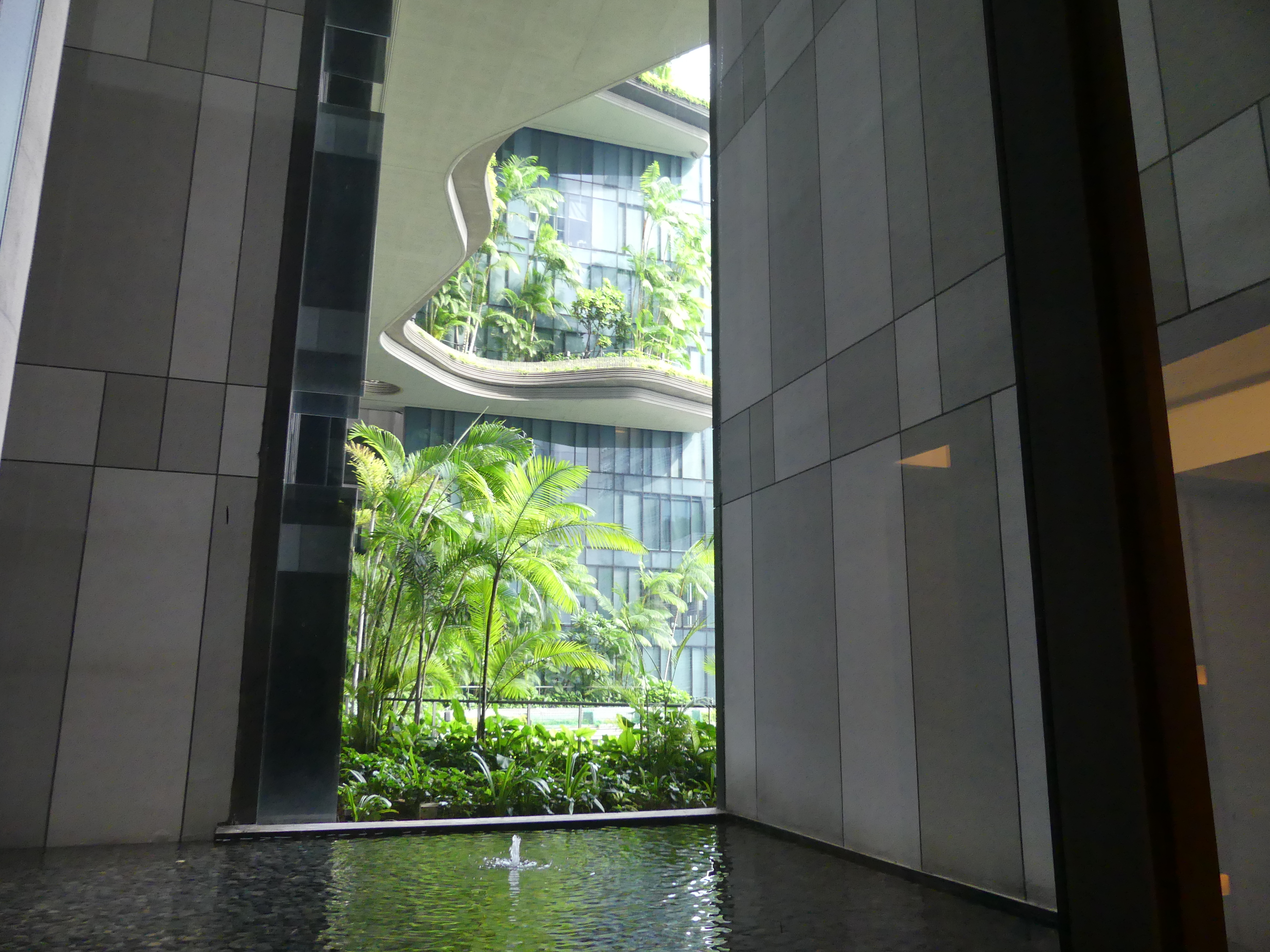
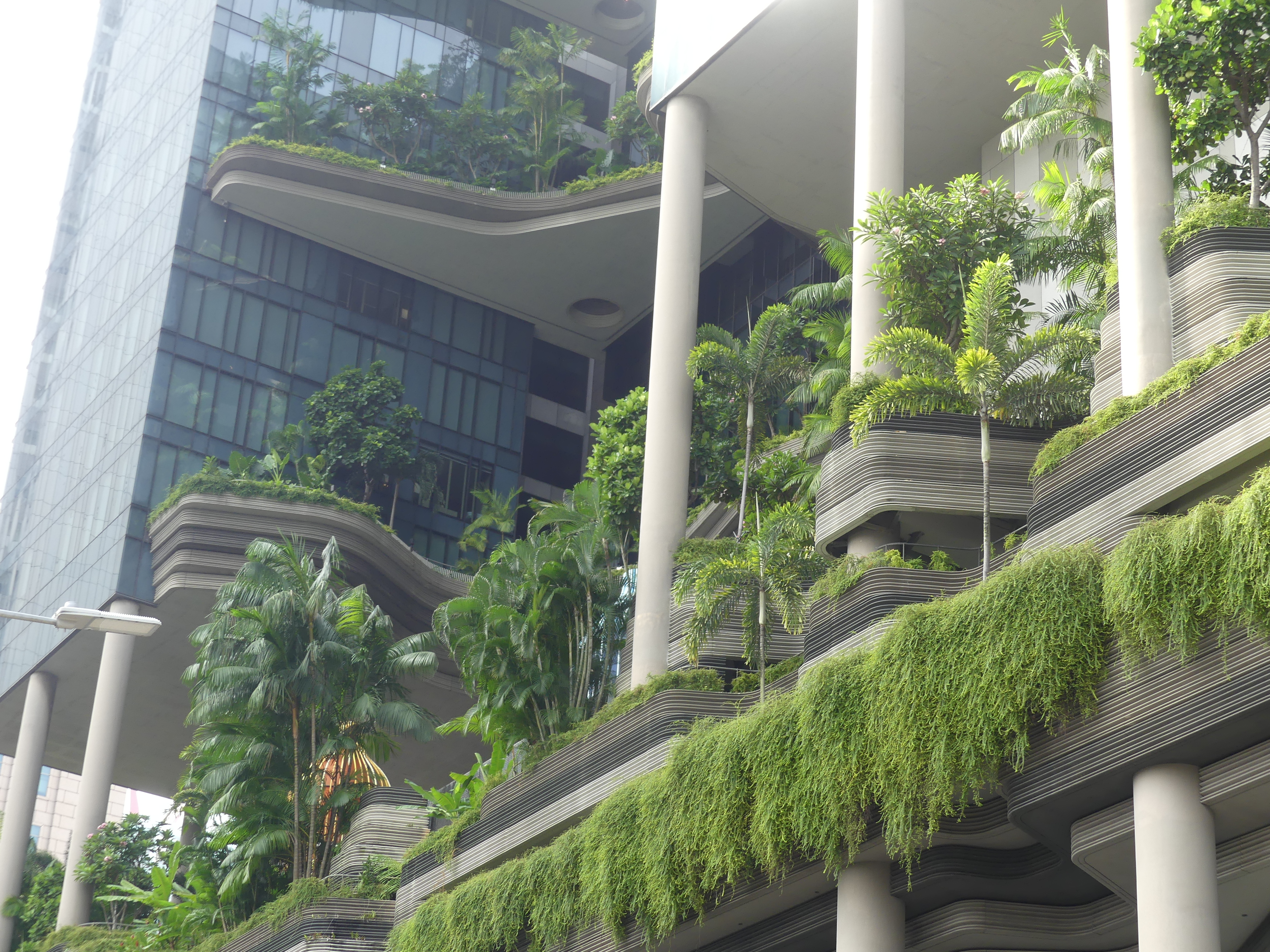
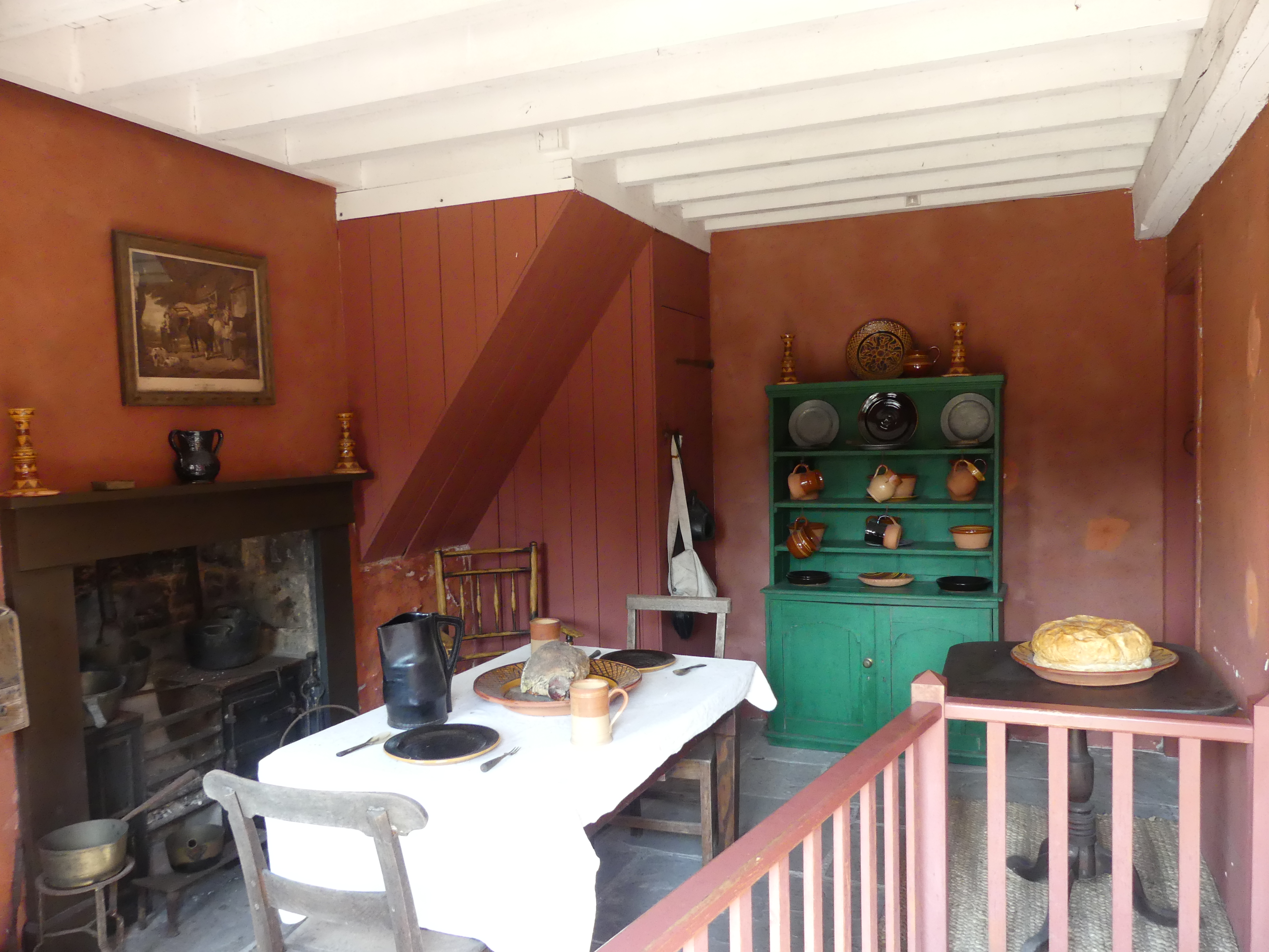
The Park Royal Collection at Pickering is designed to minimise environmental pollution and they have achieved this in many ways included bedecking the hotel with trees and plants. When the cab from the airport arrived at the hotel we were taken back by the green environment encasing the concrete hotel. We were not disappointed by the hotel. The foyer and reception was modern with the general dining area just off the reception. To get to our room involved passing through some of the gardens and water features where we were actually outside the hotel 6 stories above ground. The room was very comfortable with large windows allowing excellent views across the local area. The bathroom and shower was particularly exposed to receive the views and I wondered how many people may be viewing us.
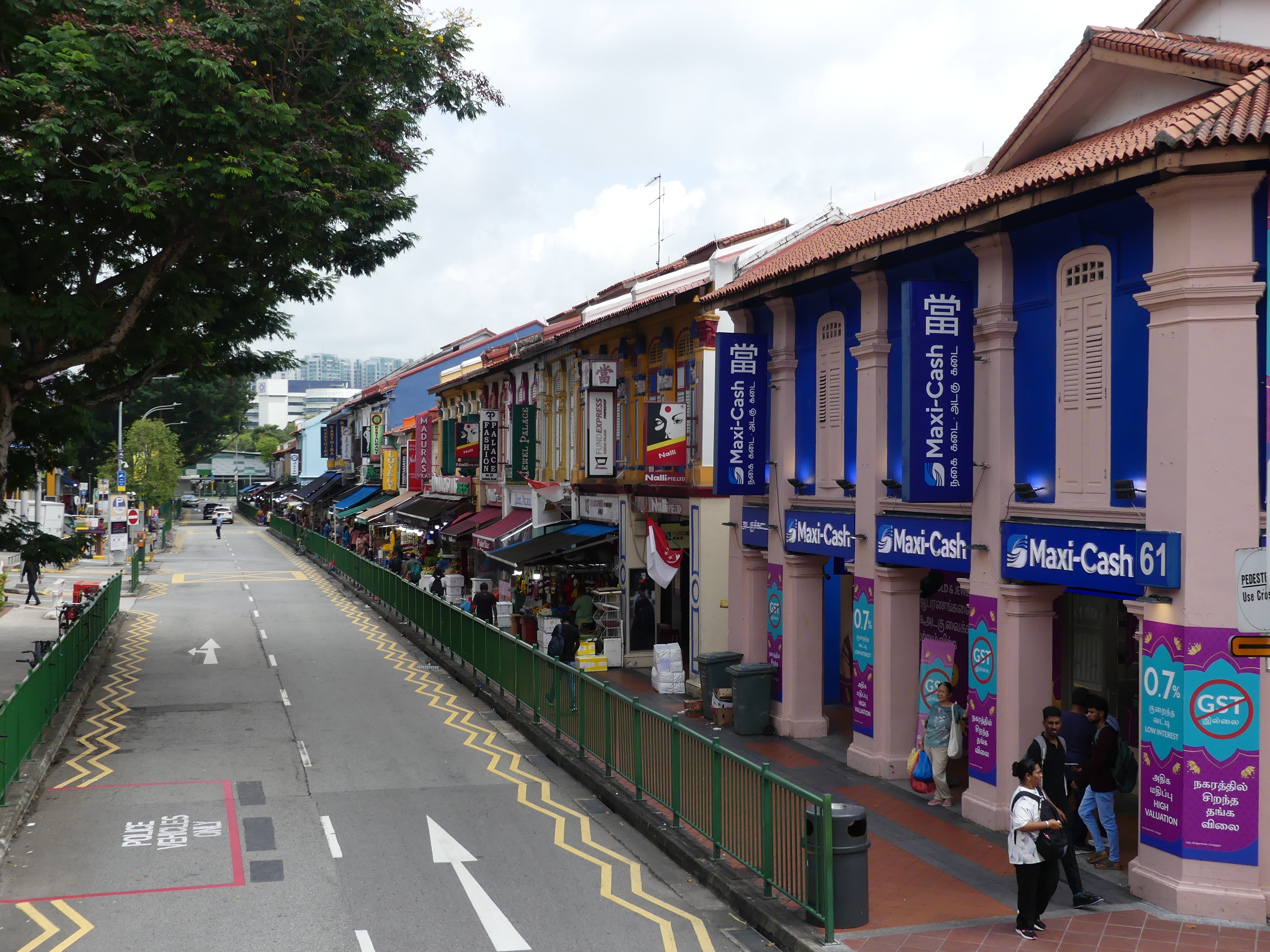
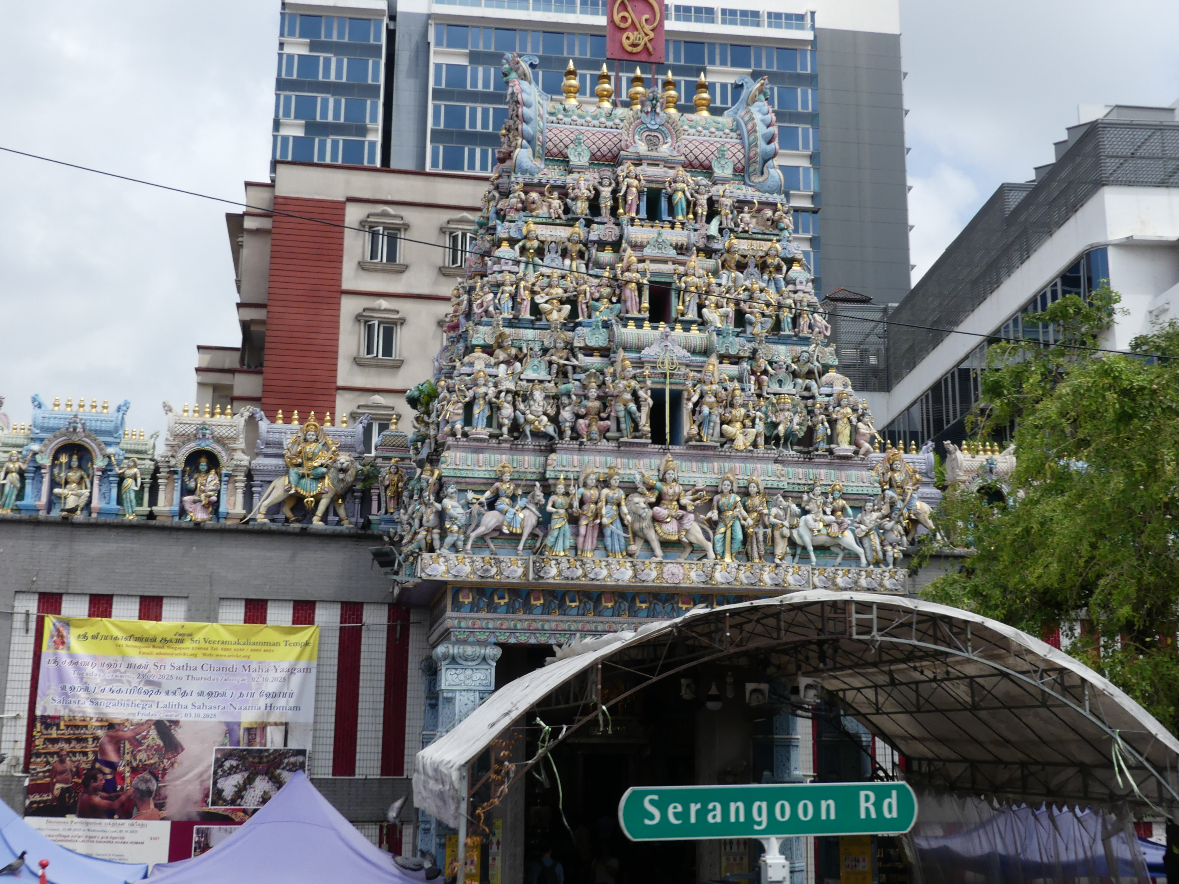
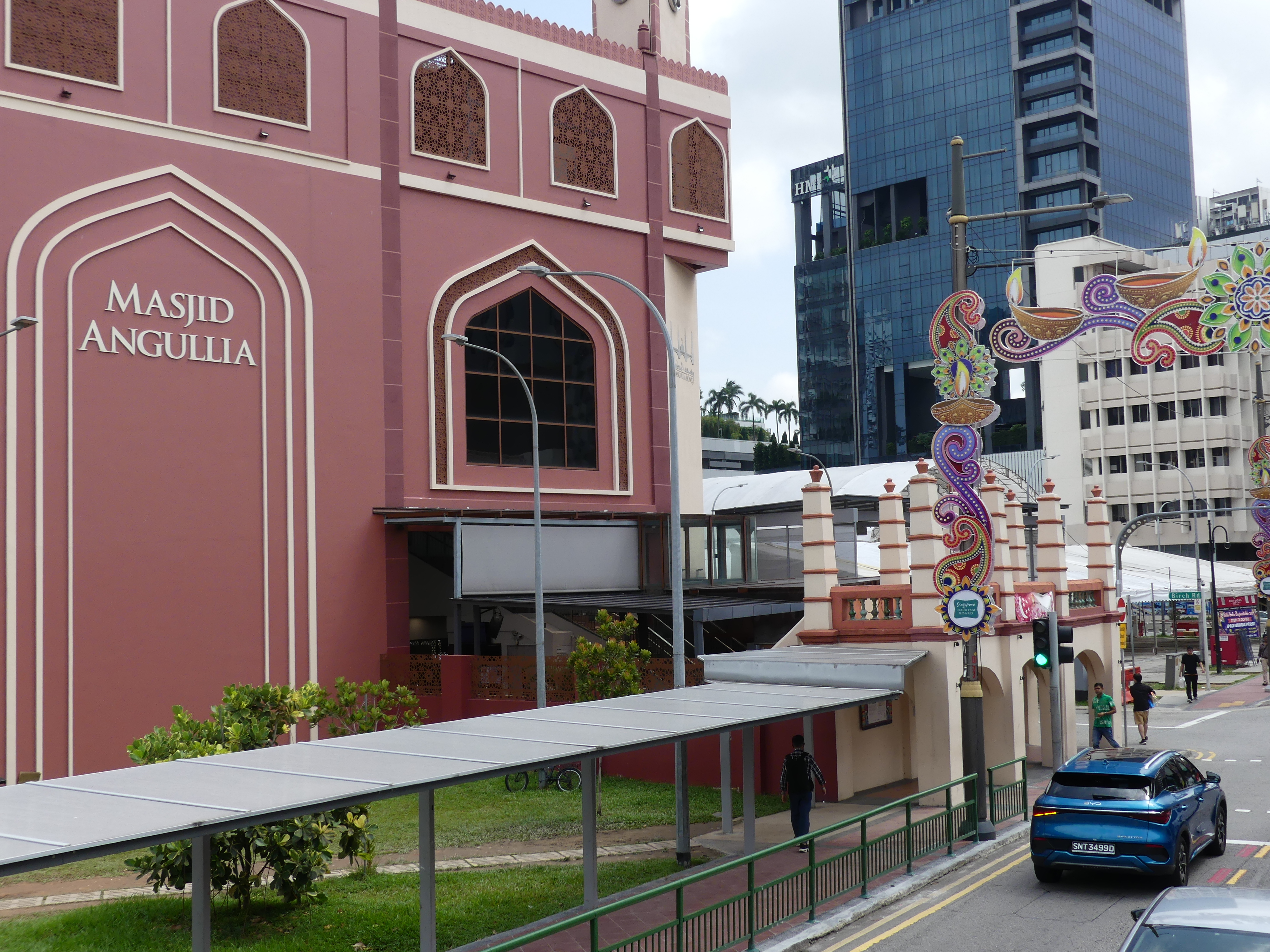
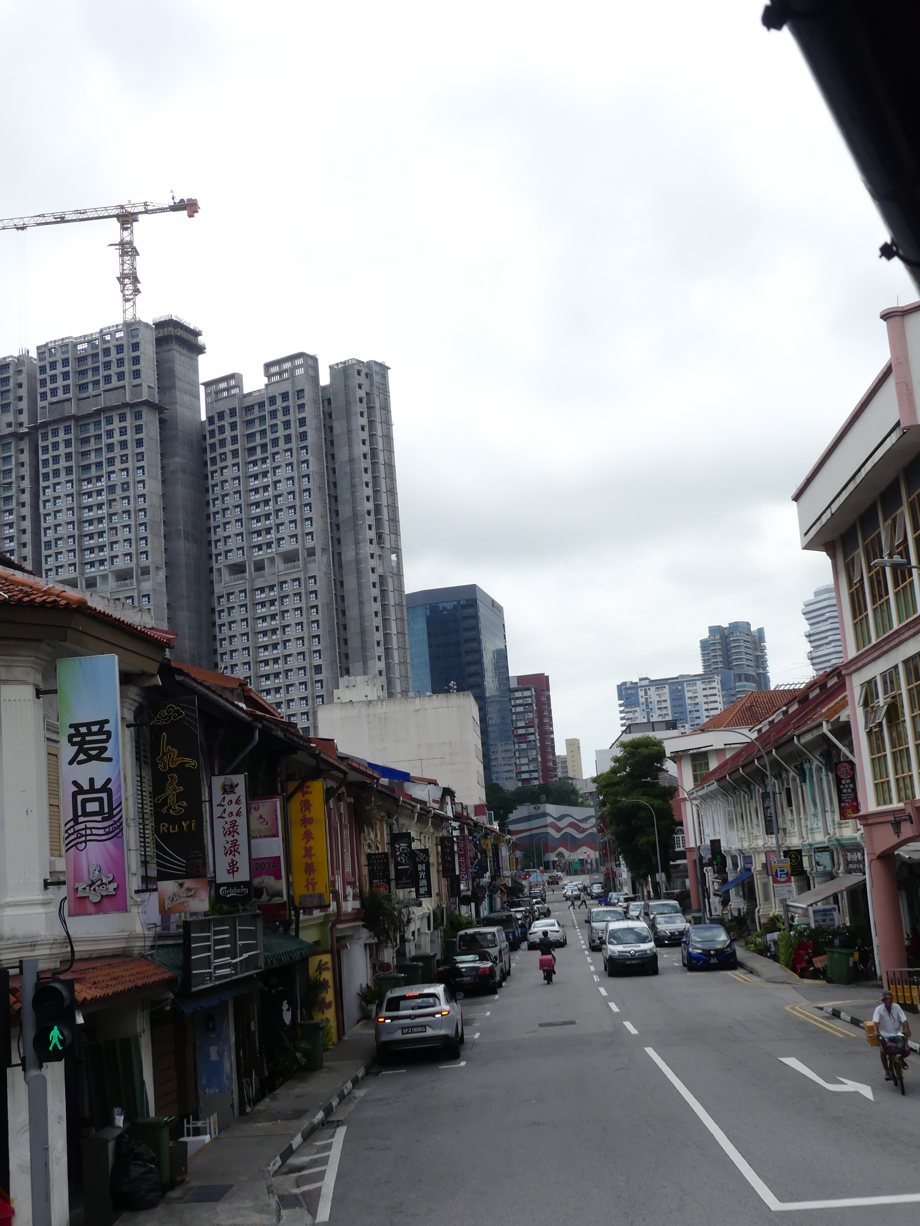
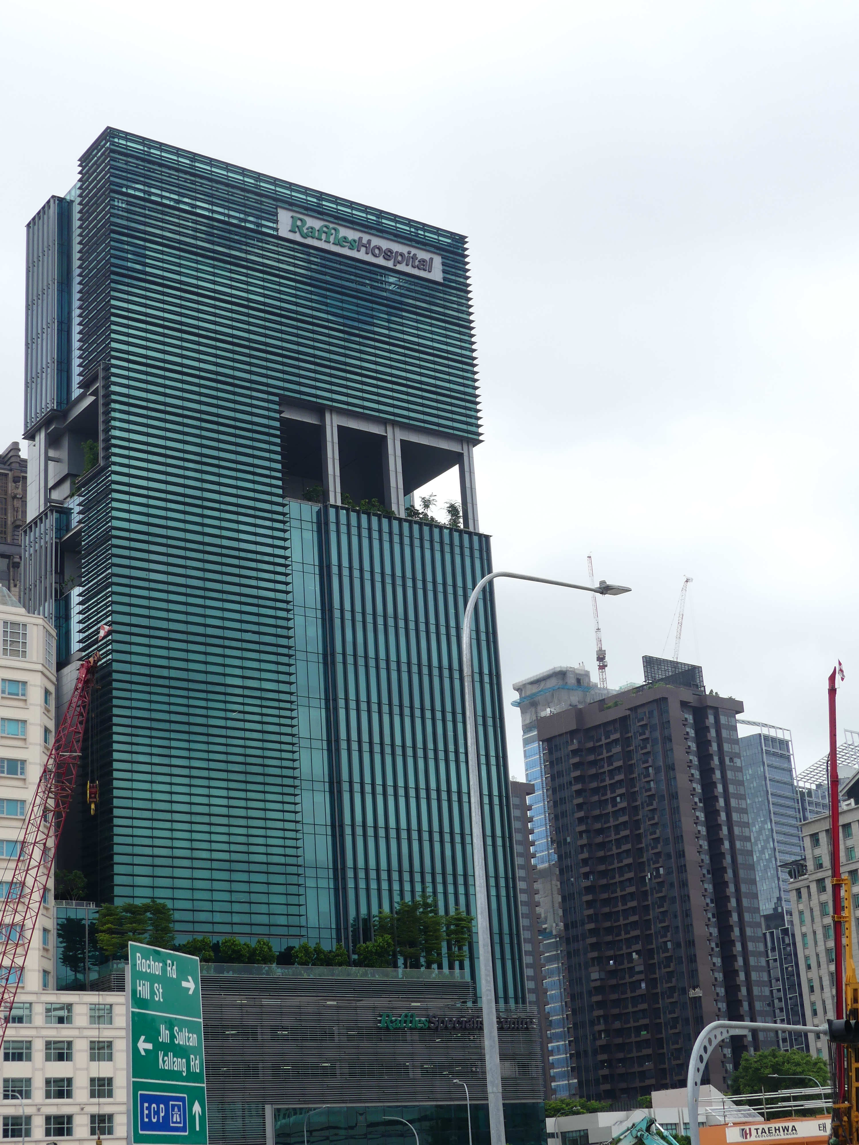
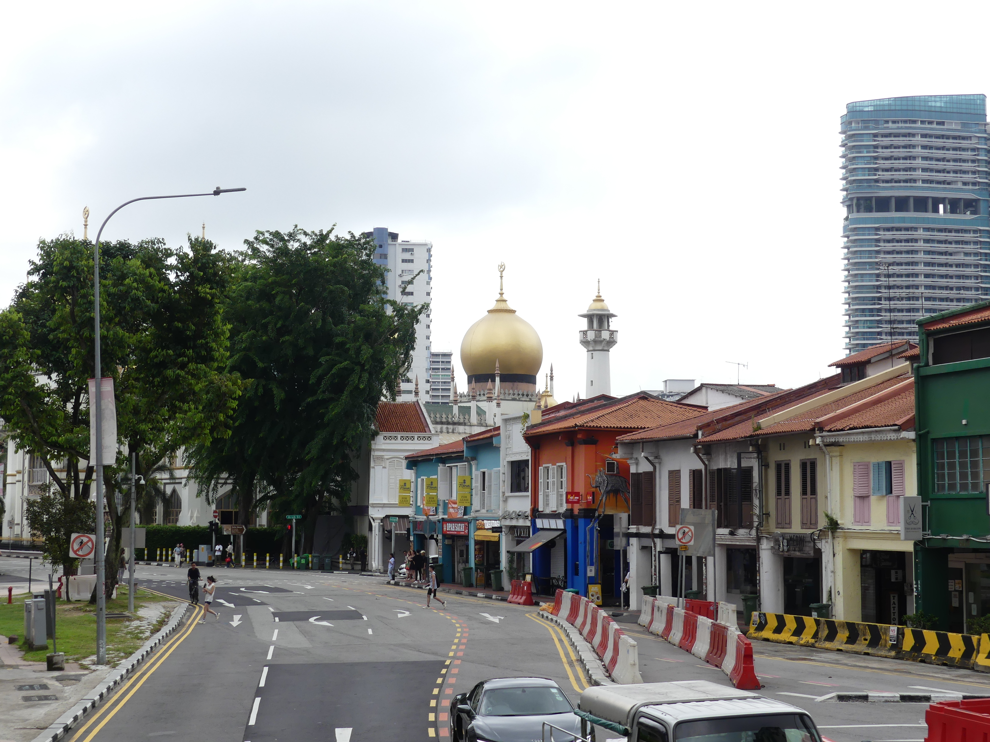
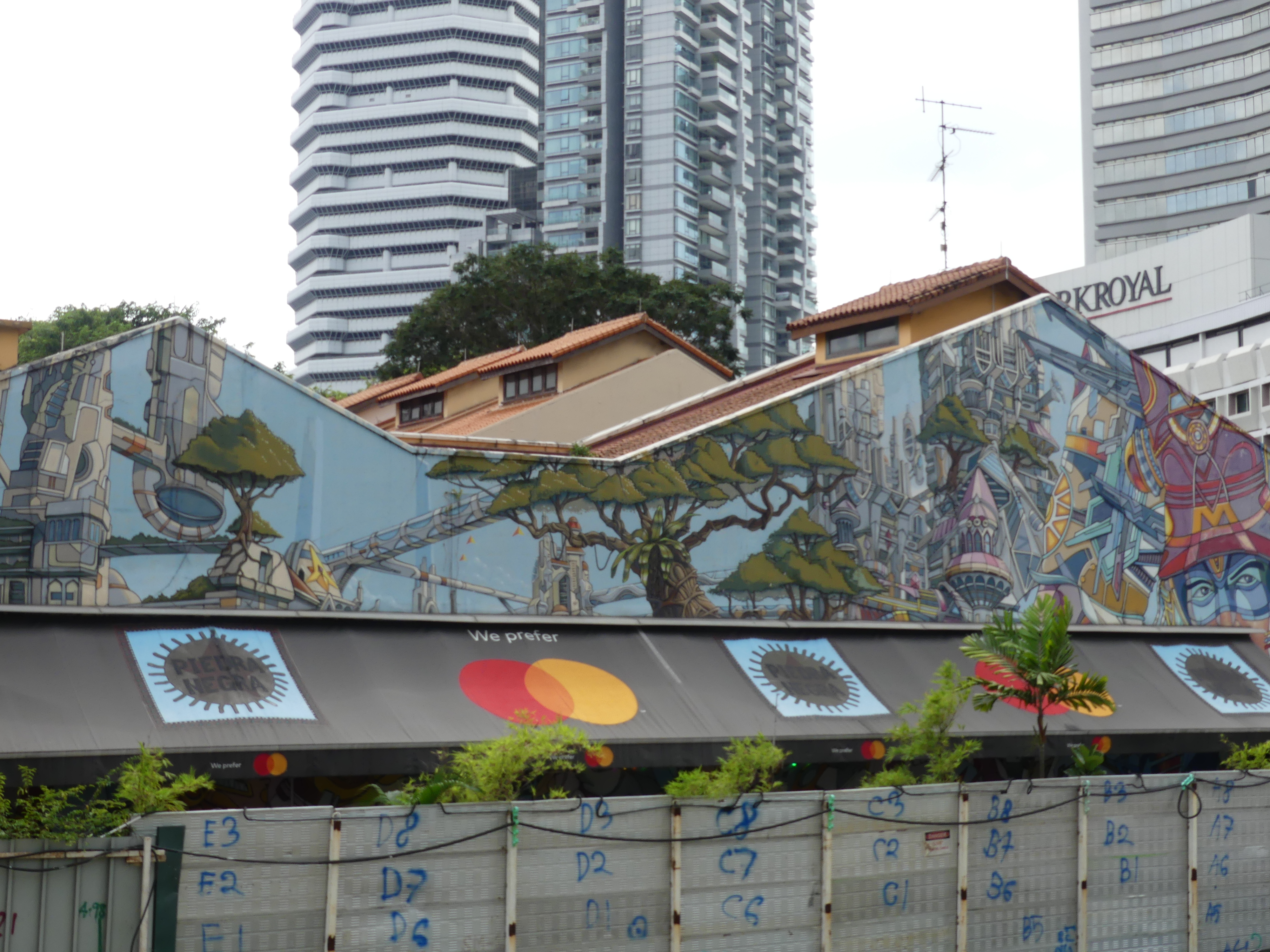
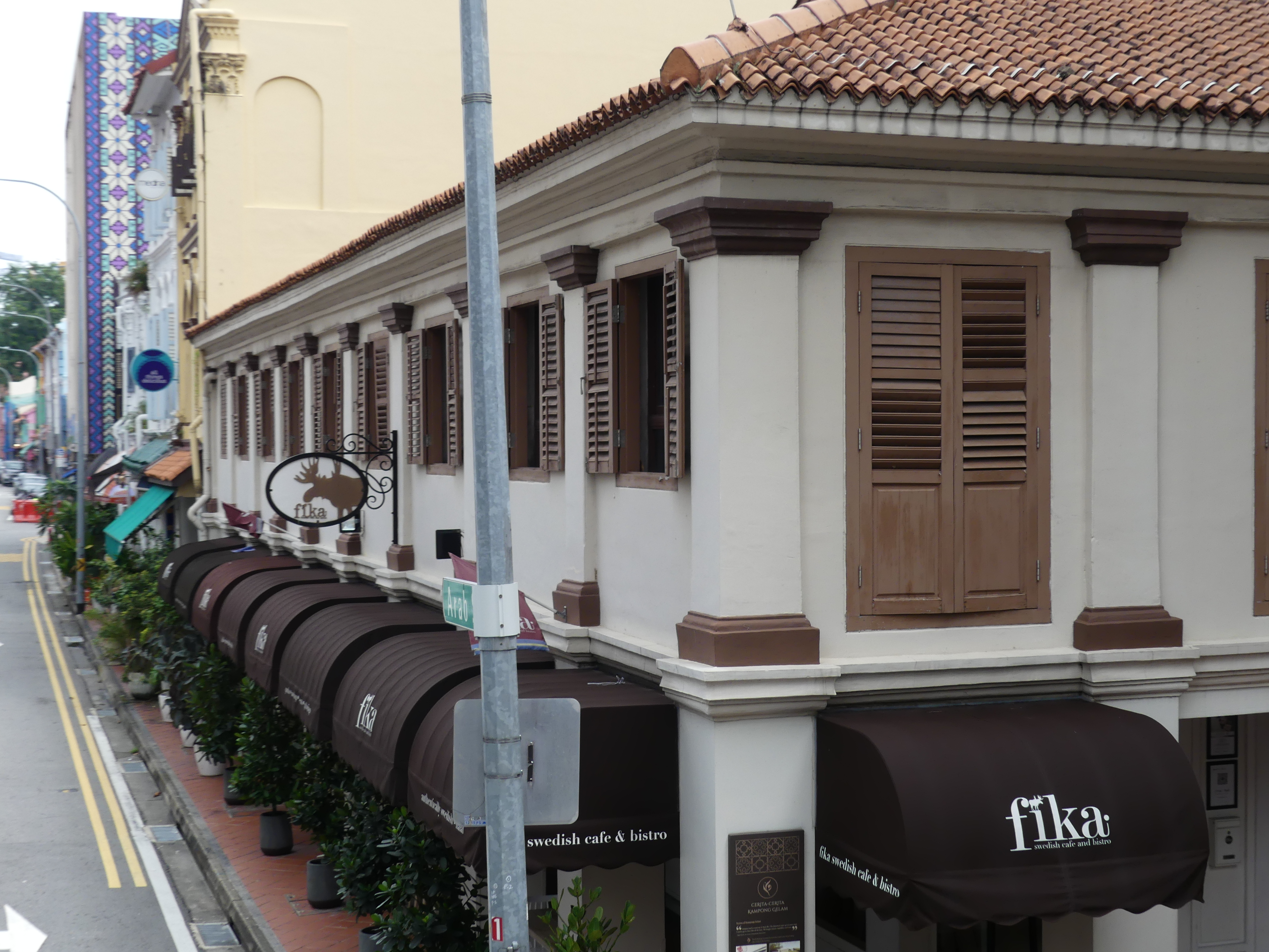
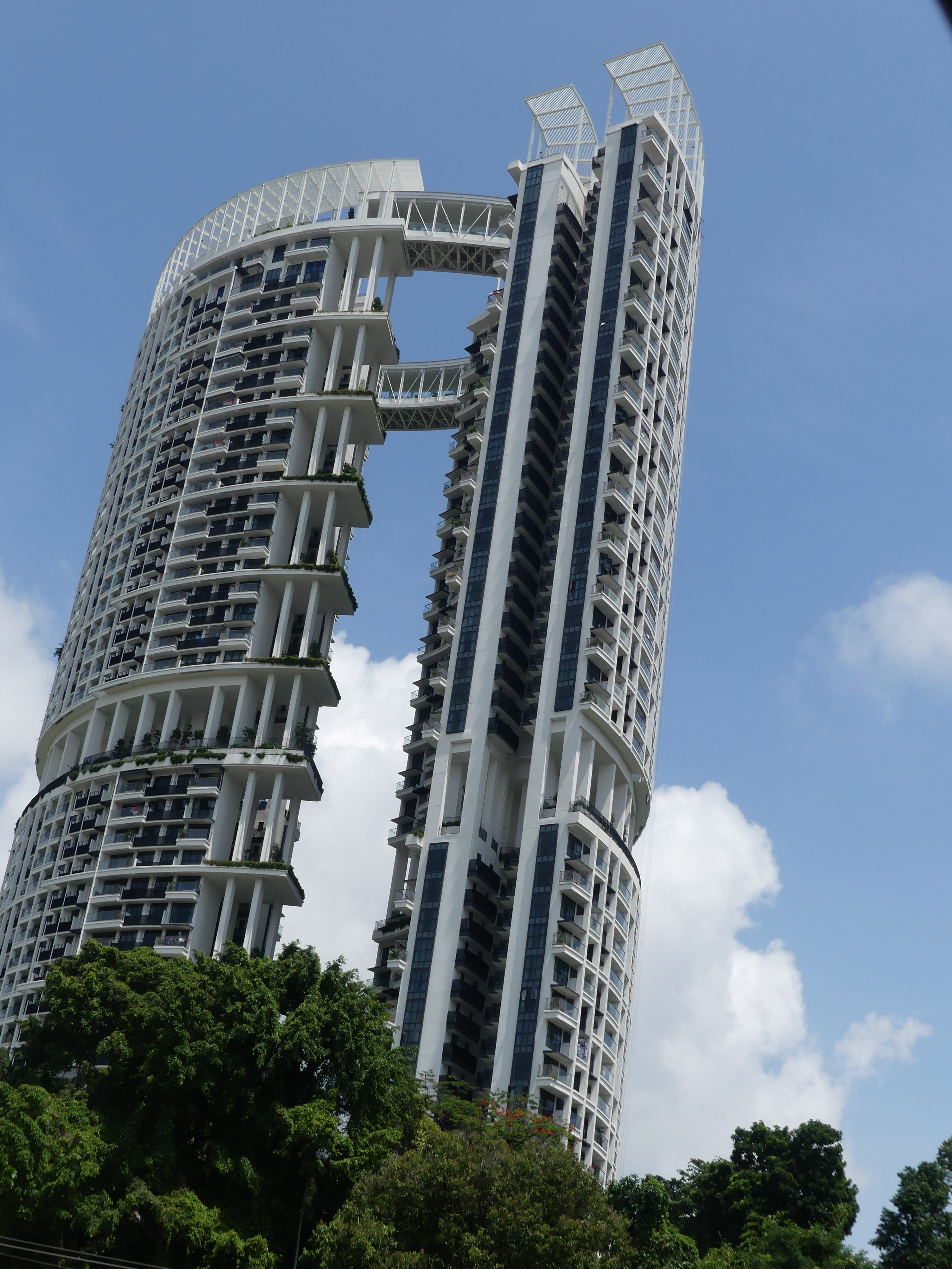
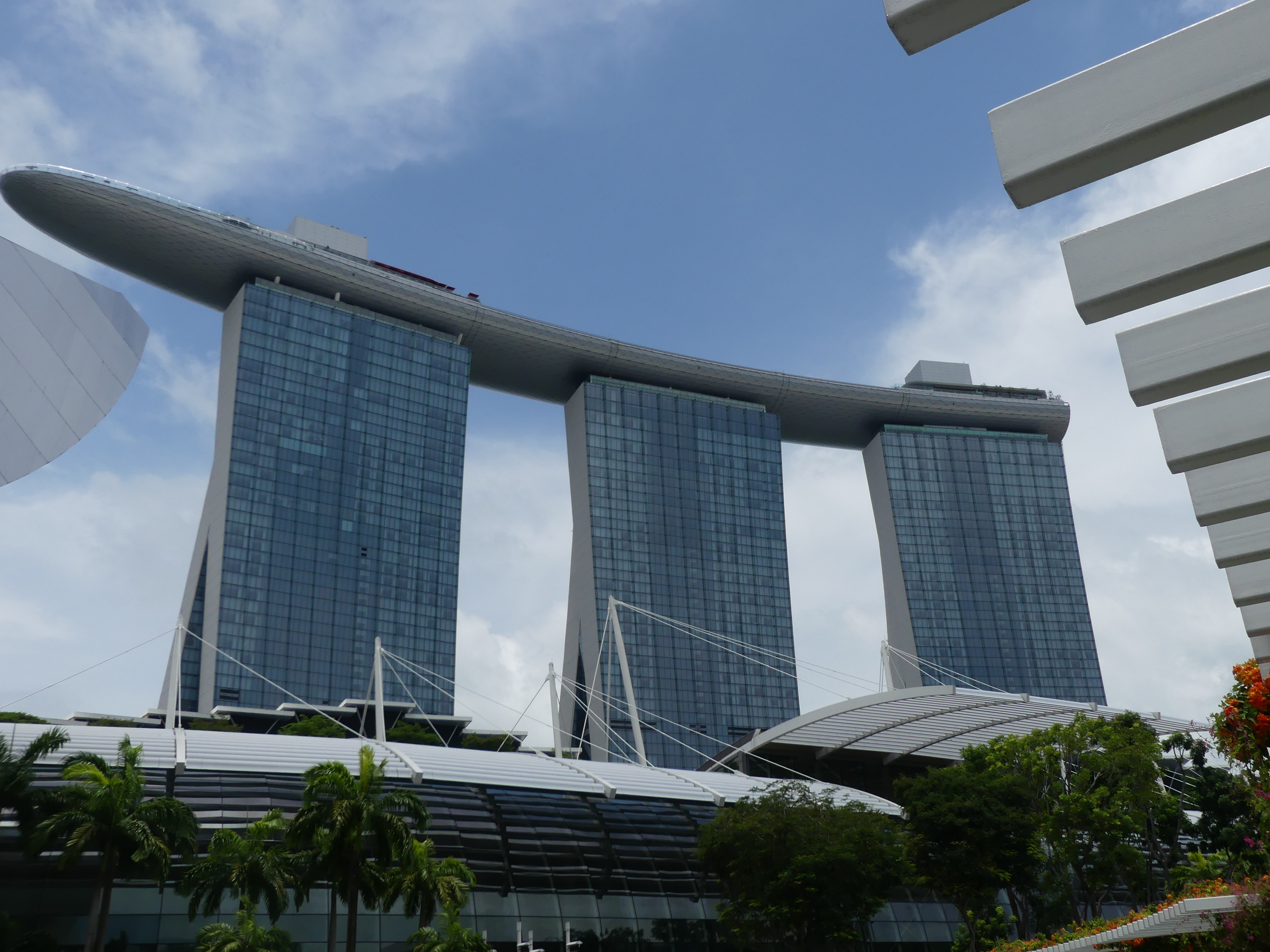
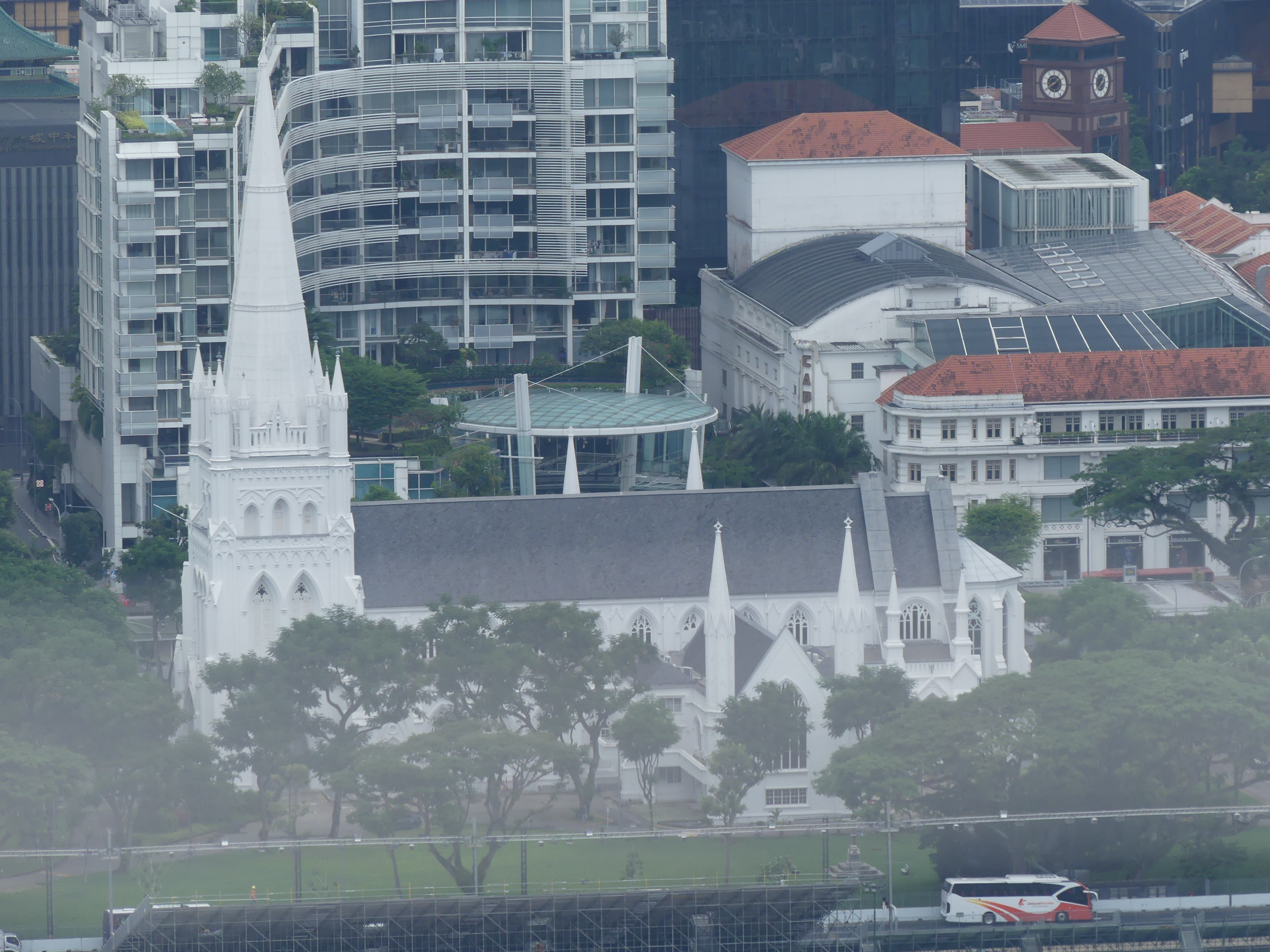
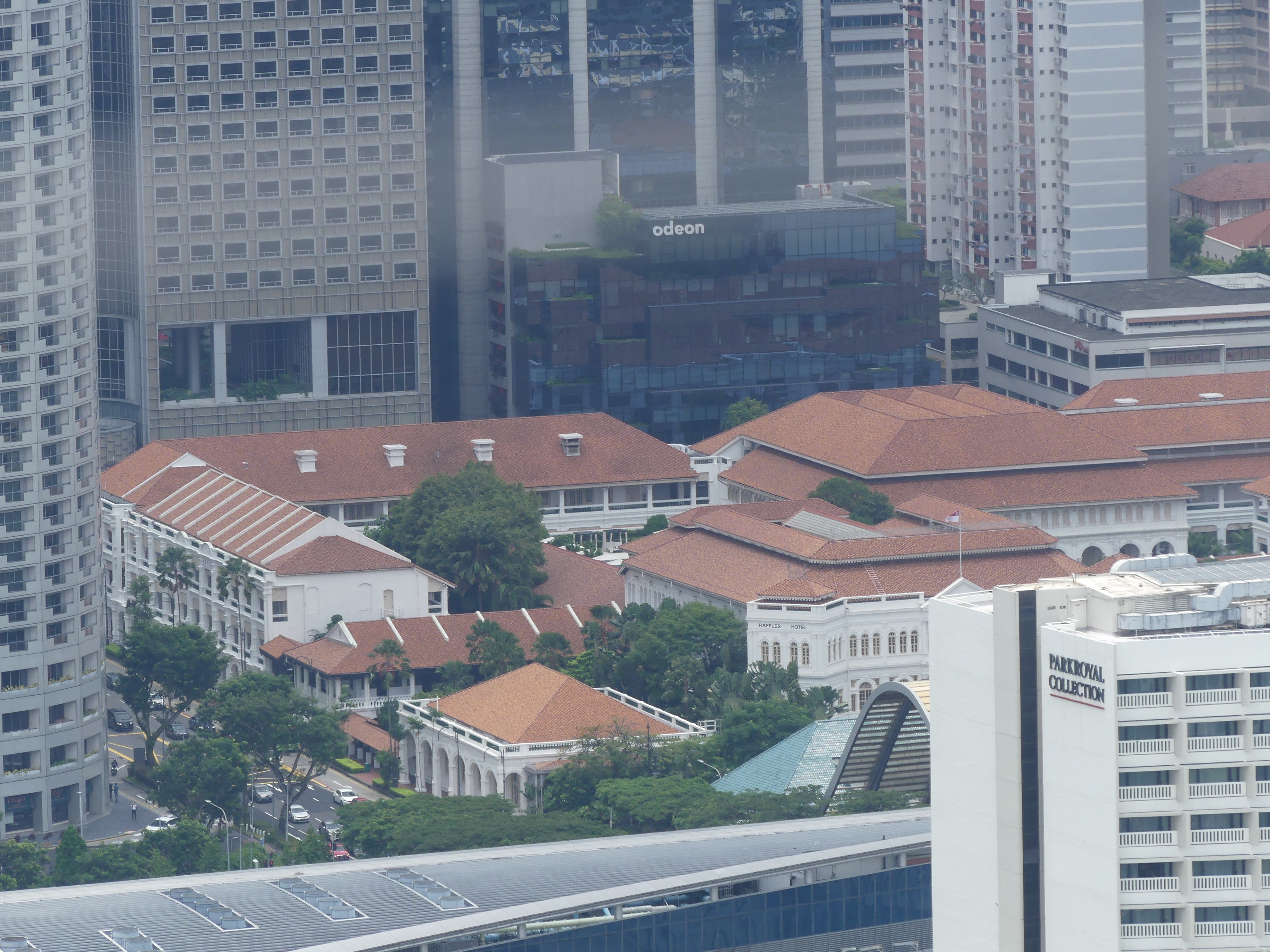
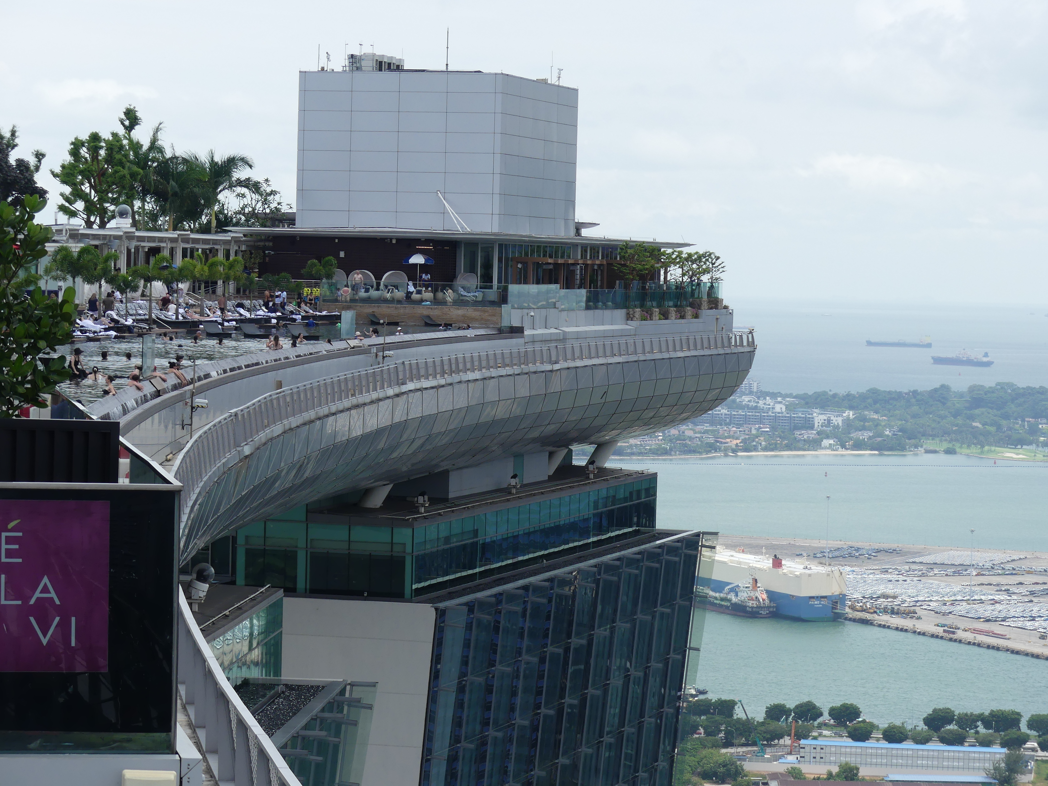
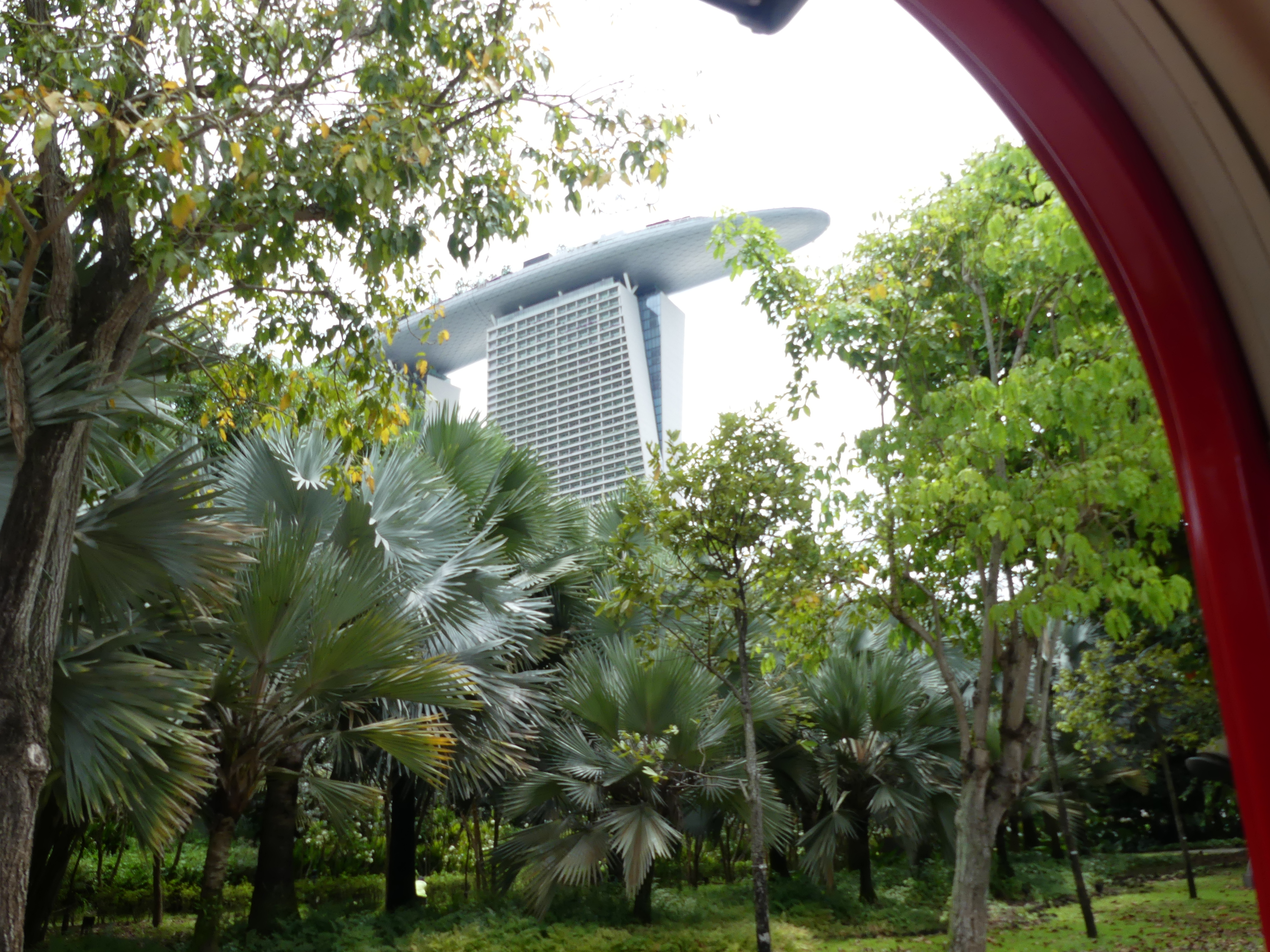
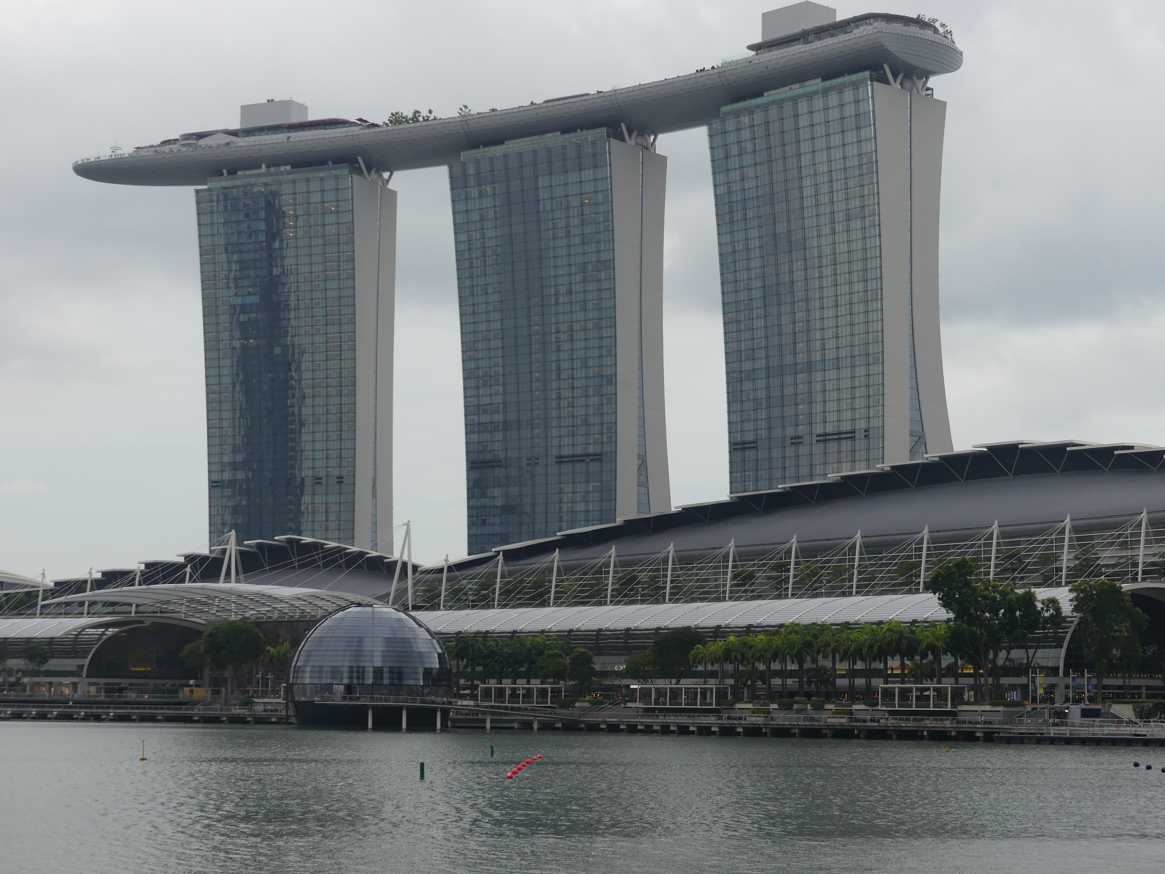
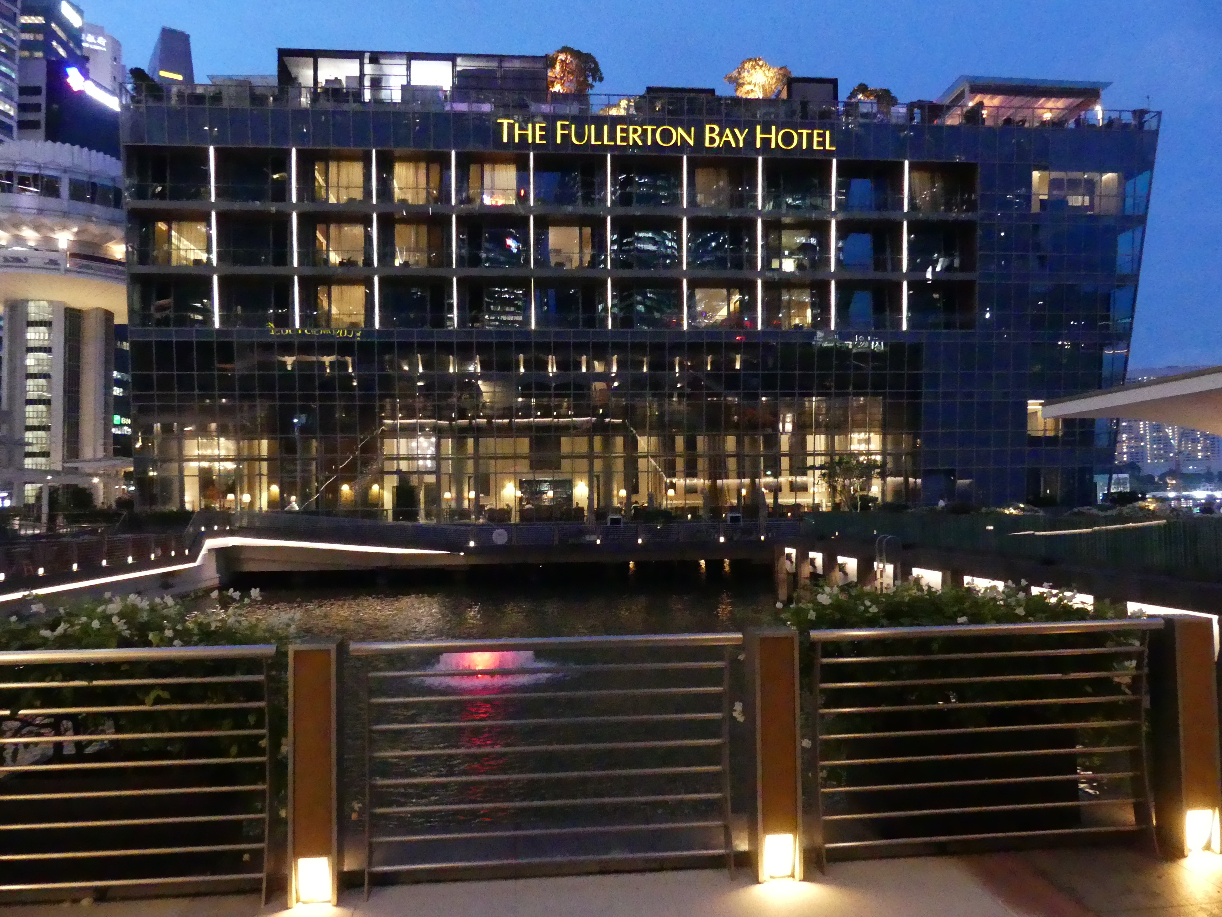
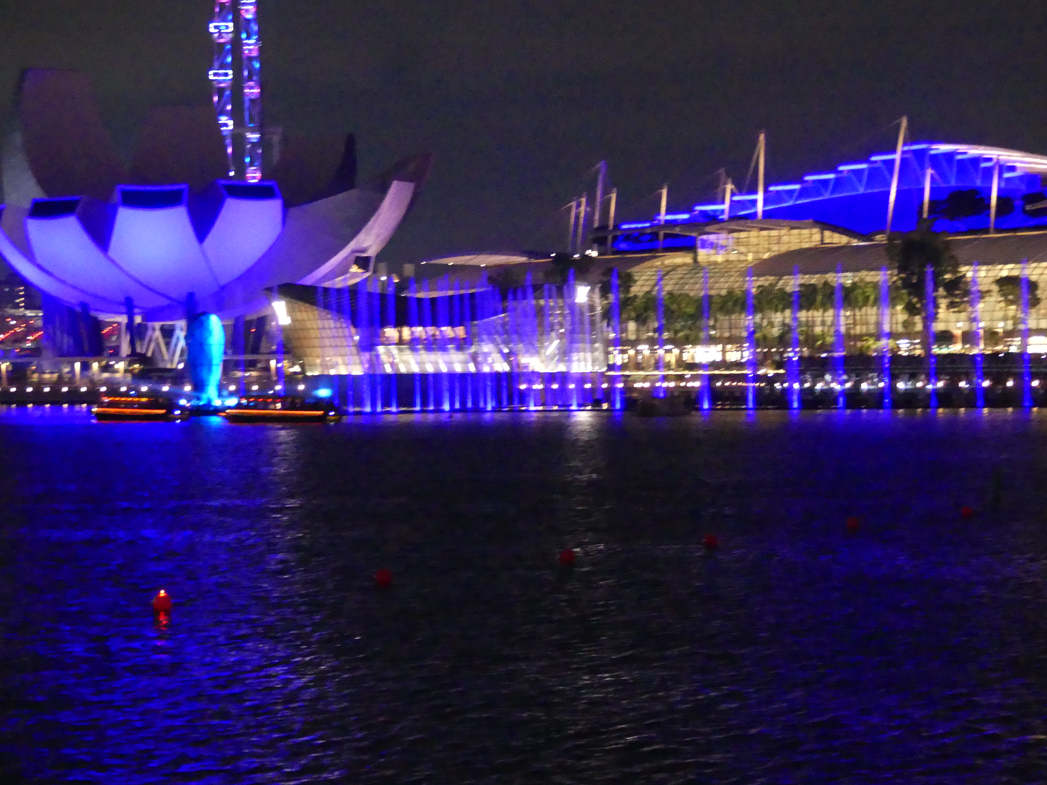
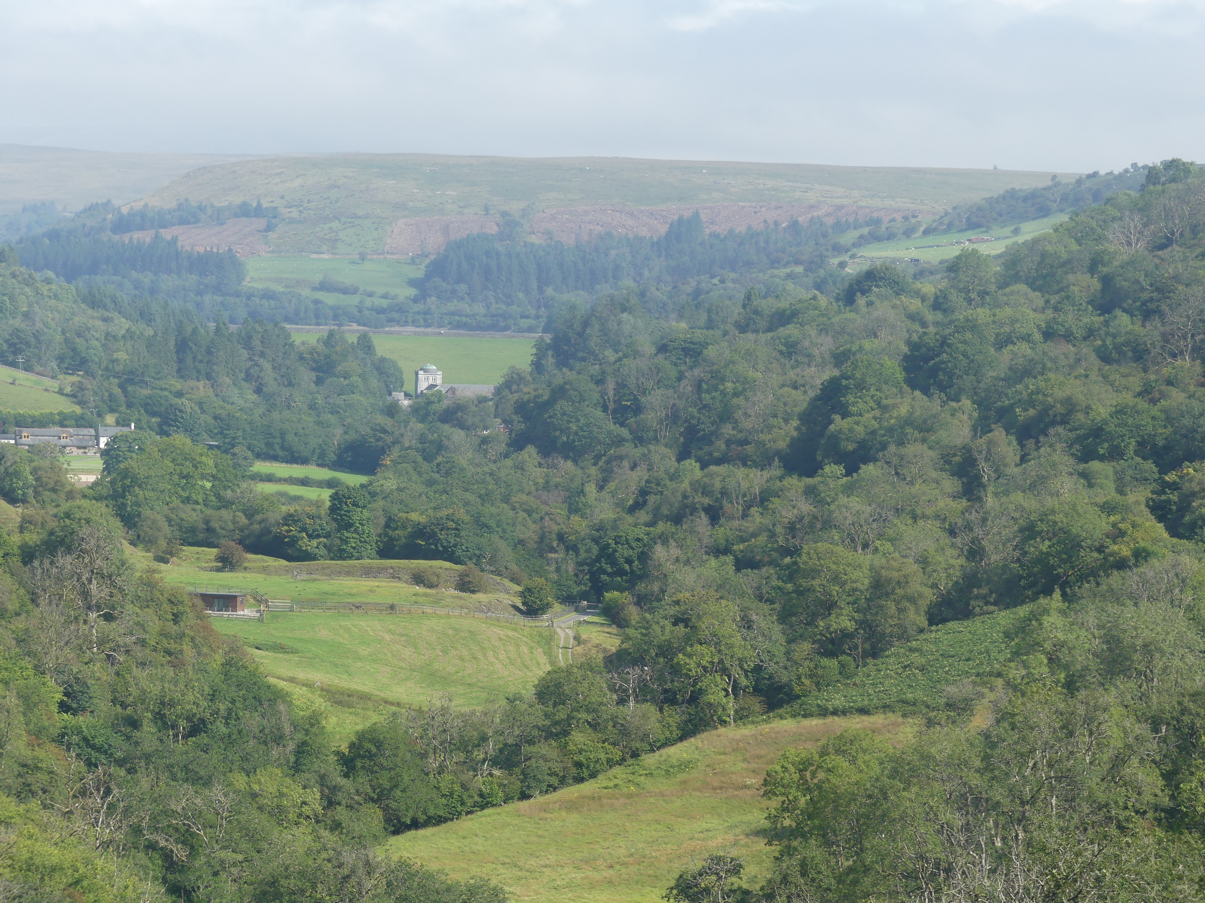
We were also surprised at how well located the hotel proved to be. The Hop on Hop off bus stop was across the road at Hong Lim Park in Pickering St and the 3rd last stop before the terminus. This meant the first bus came to the stop at 9.40am – very suitable for getting a sleep in then breakfast. And so it was that we caught the bus paying a 1 day fare. The bus drove down to Old Customs House on Marina Bay around the corner to the MBS Convention Centre which is across the road from the iconic Marina Bay Sands hotel, famous for its massive ship-like structure, the Sands SkyPark, perched on top of three towering hotel buildings, featuring an infinity pool, observation deck, restaurants, and bars with stunning city views. From there we went onto the Suntec City Mall and the terminus. Only then did I pick up my camera as we journeyed through Little India, passed the Raffles Hospital, the Parkroyal on Beach Rd, round into the Muslim enclave of mosques and heritage centre, past the retail shops of Raffles Hotel, down past the boat quay into Chinatown and then back to the MBS Convention Centre where we got off the bus to explore further.
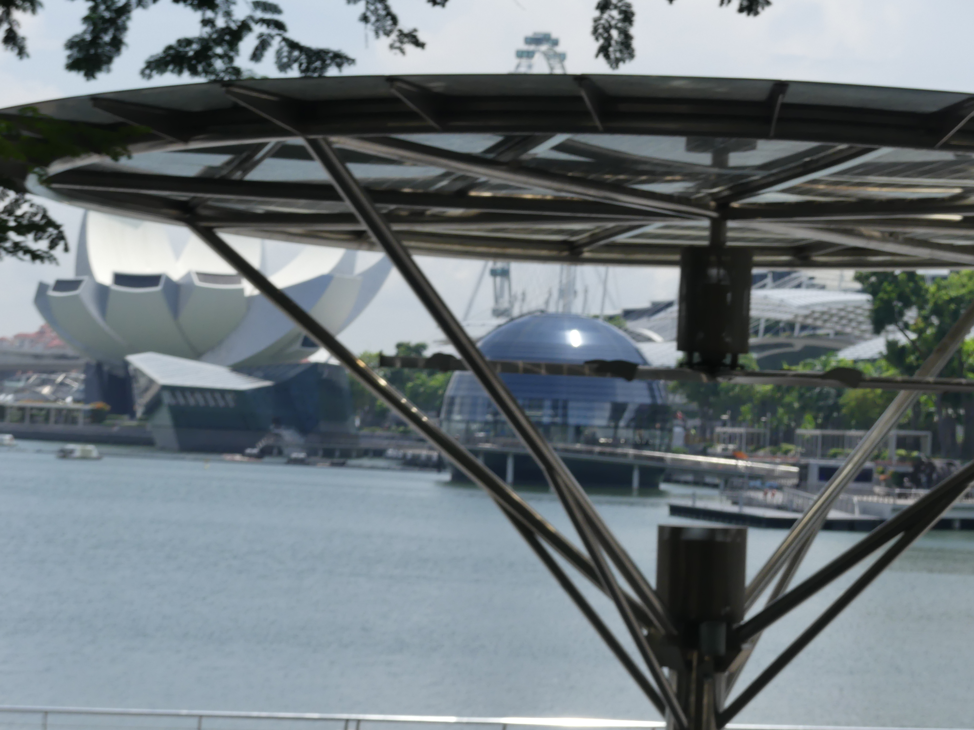
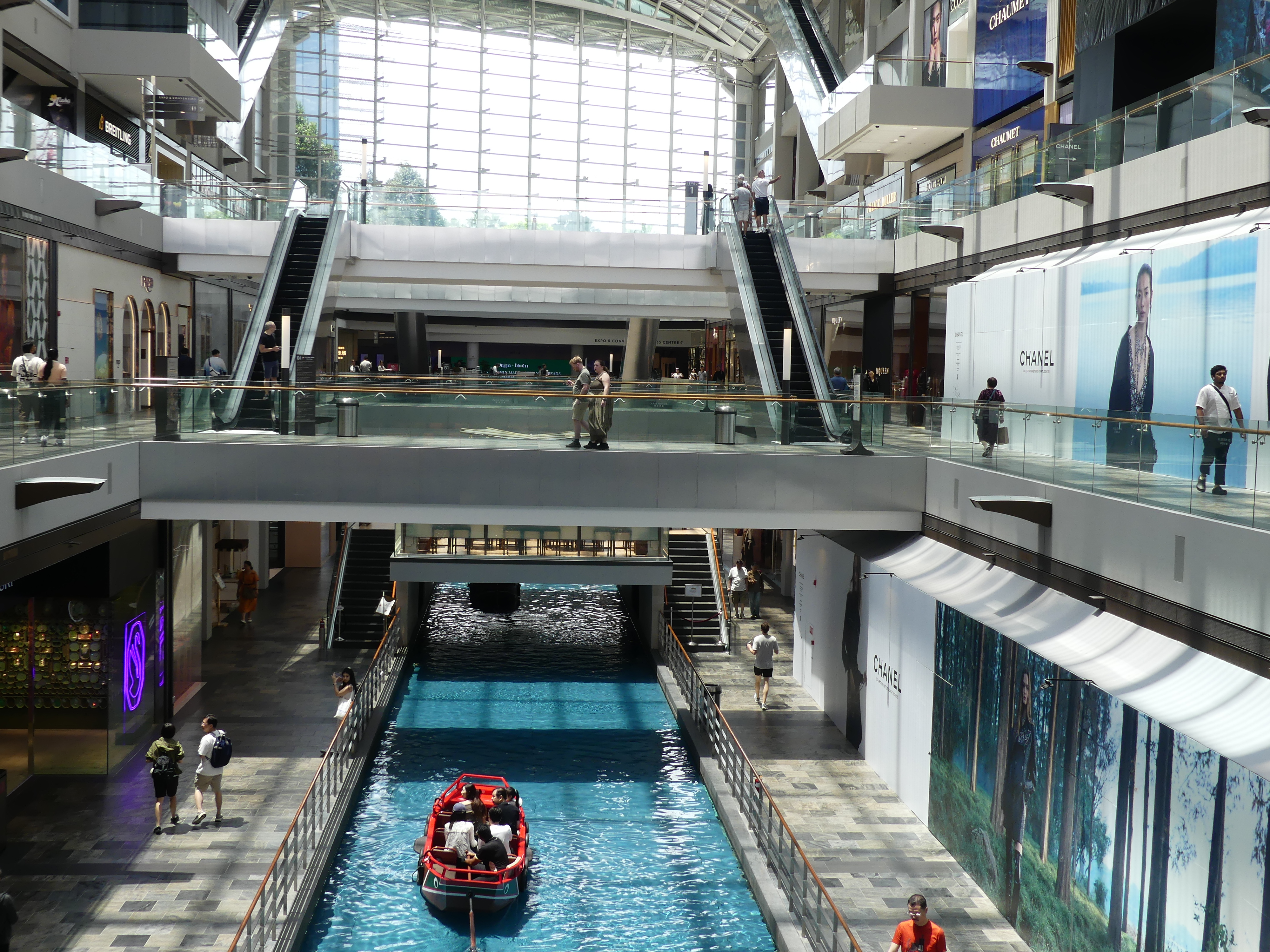
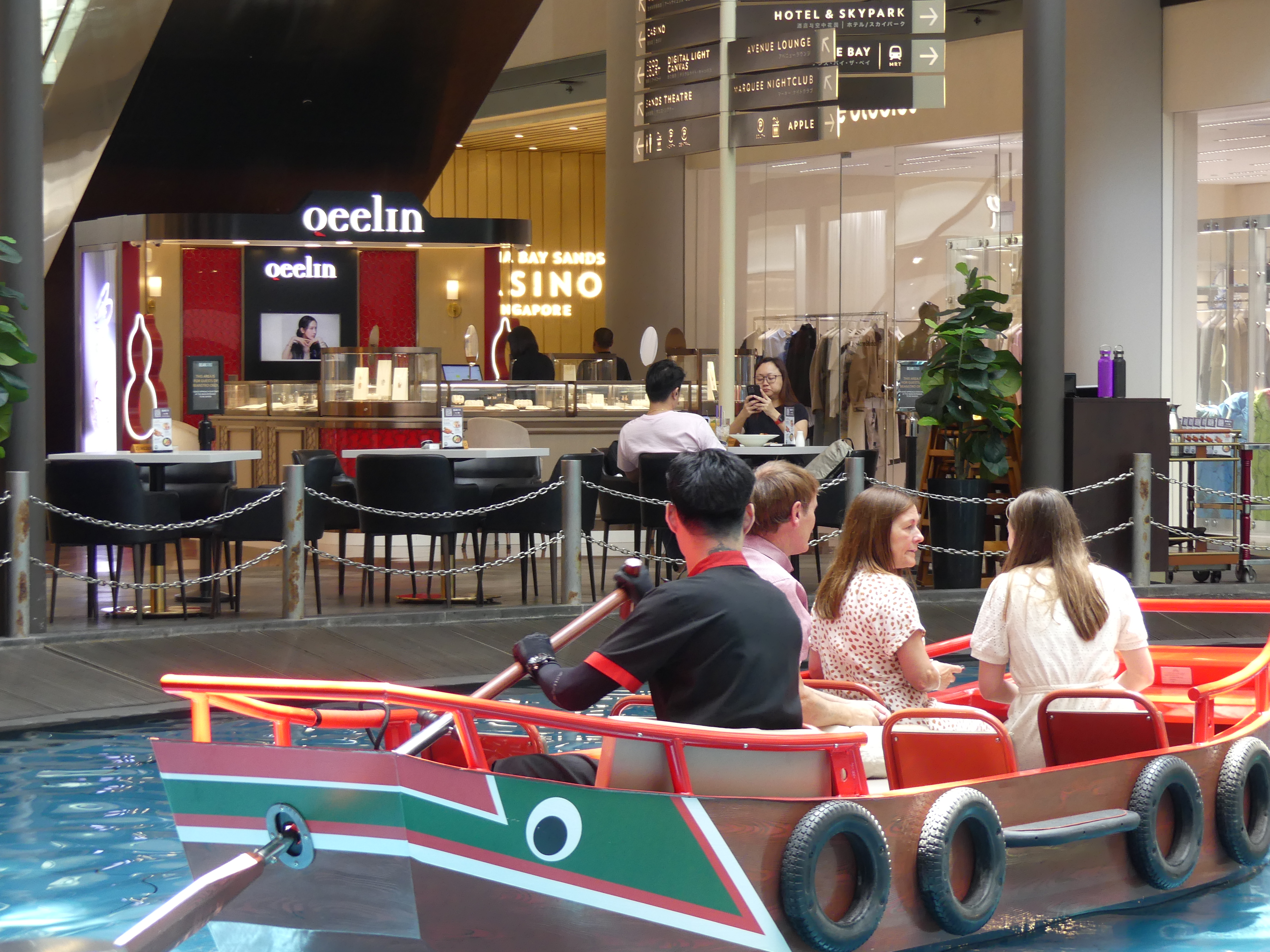
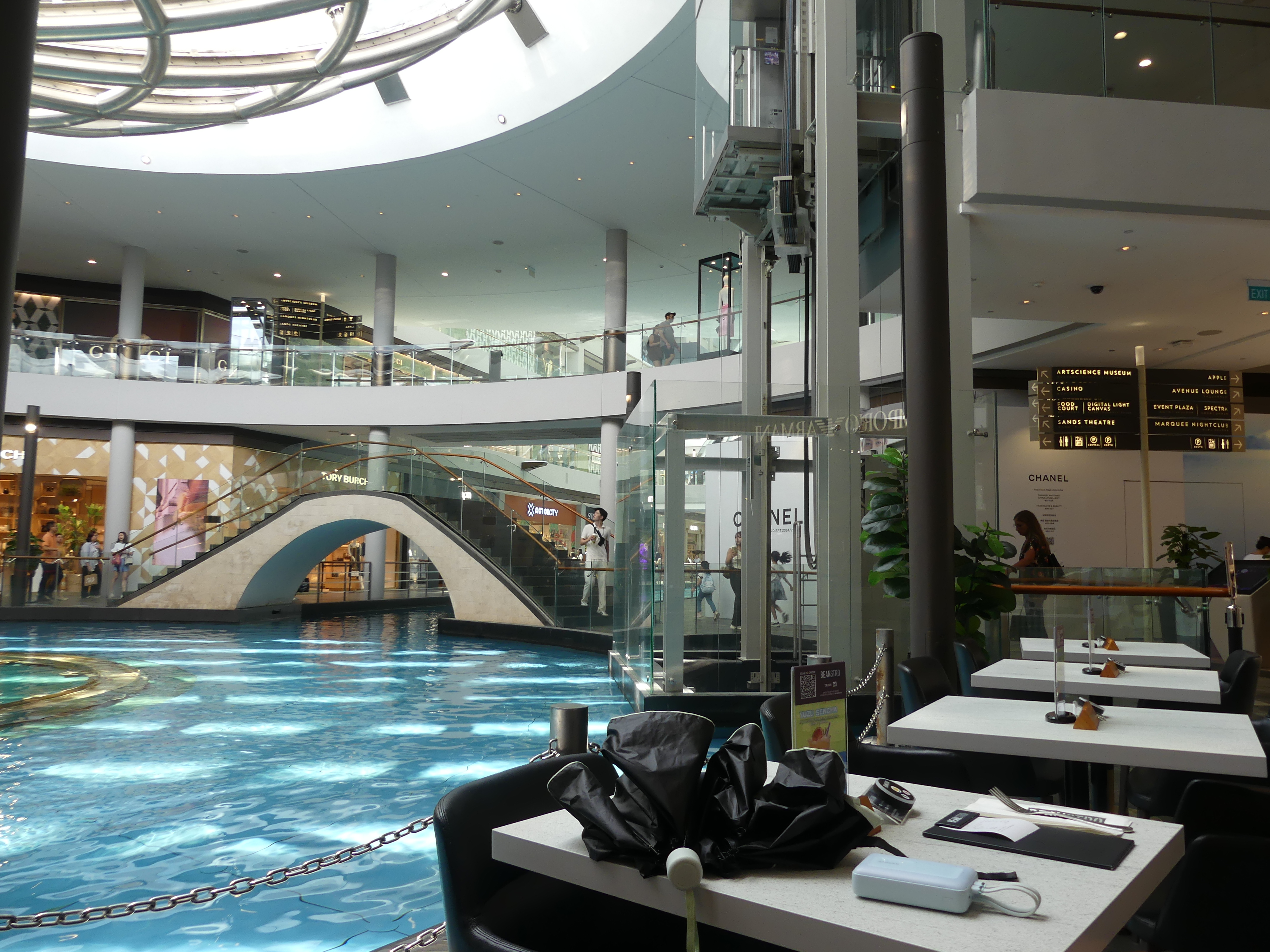
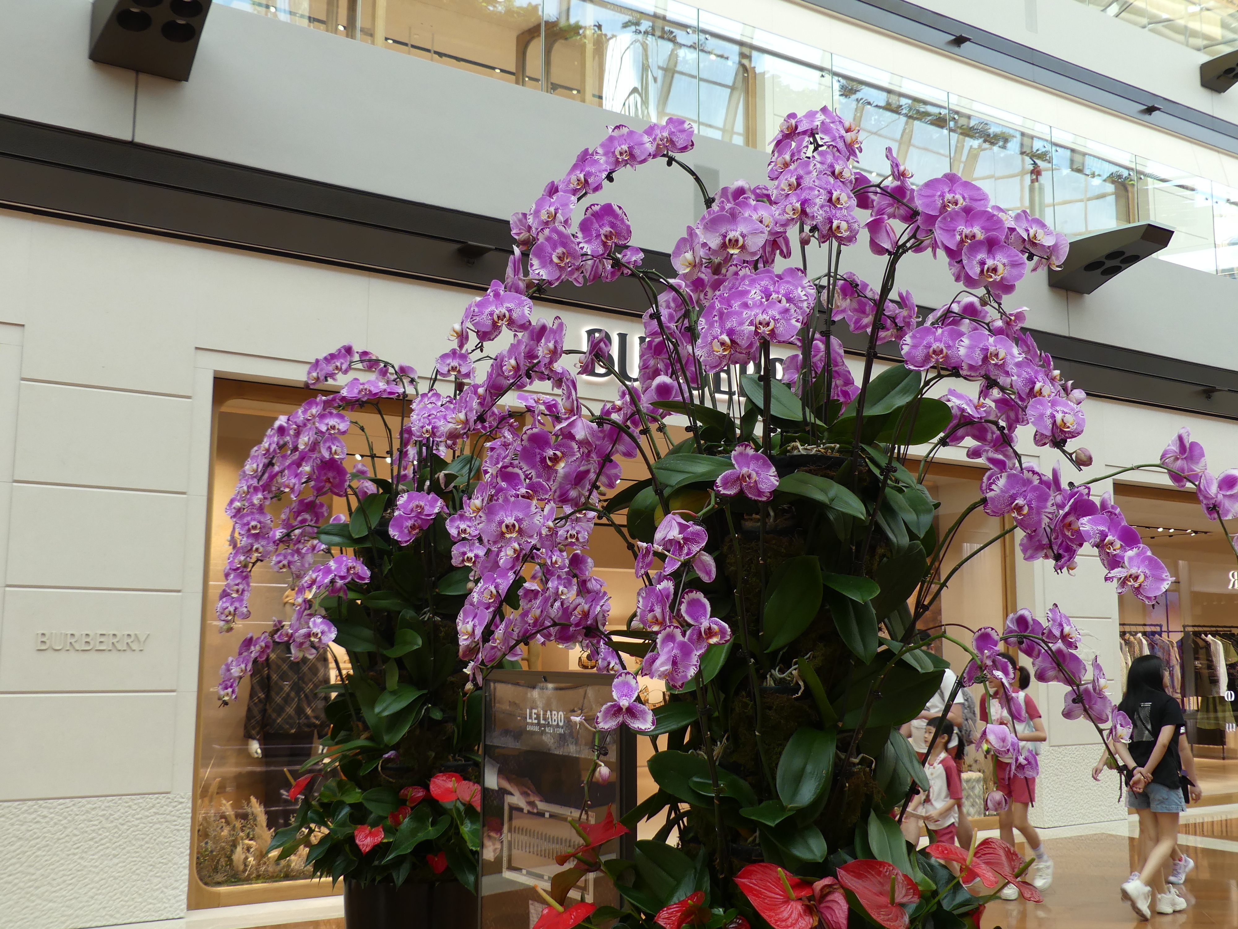
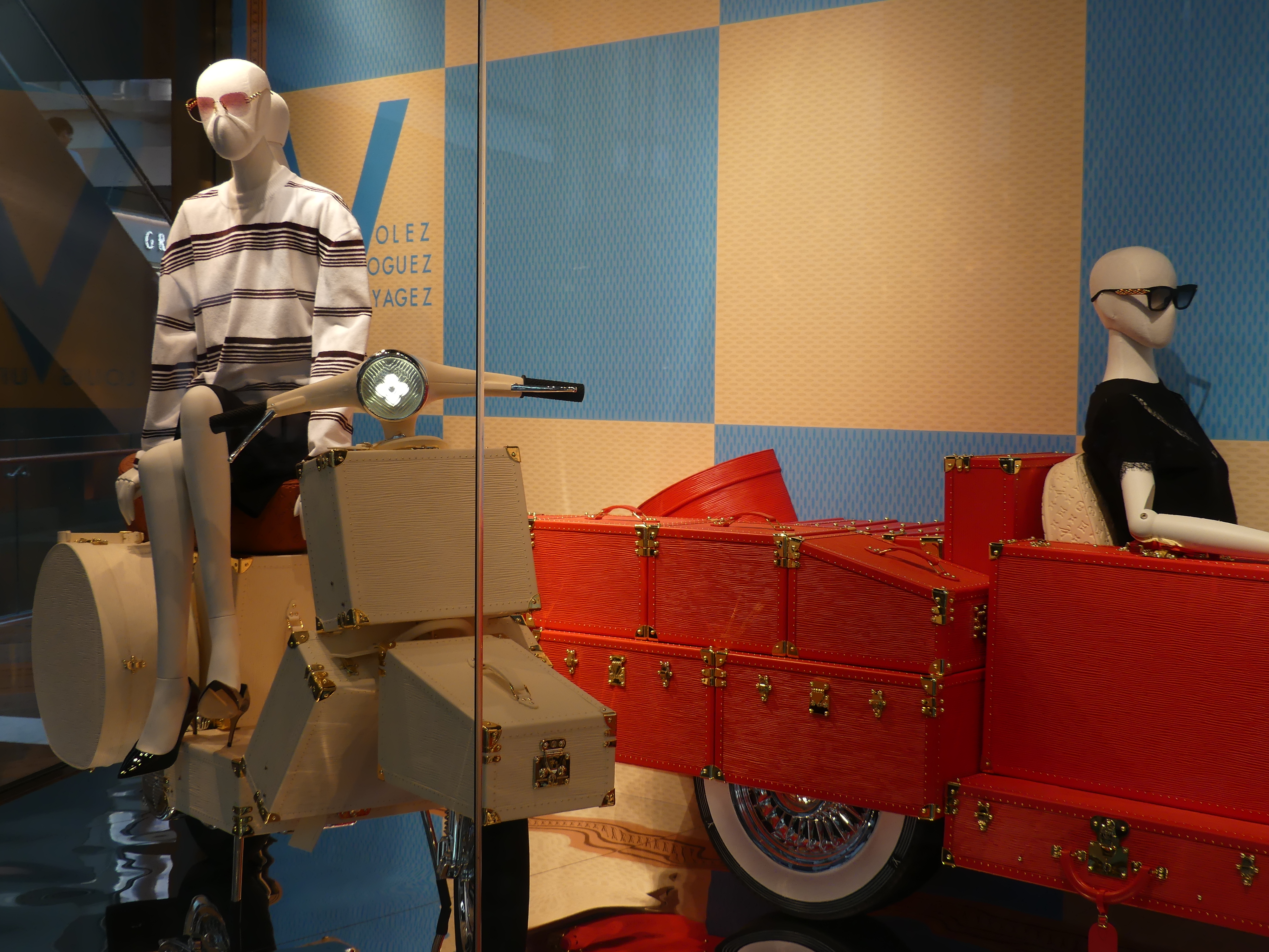
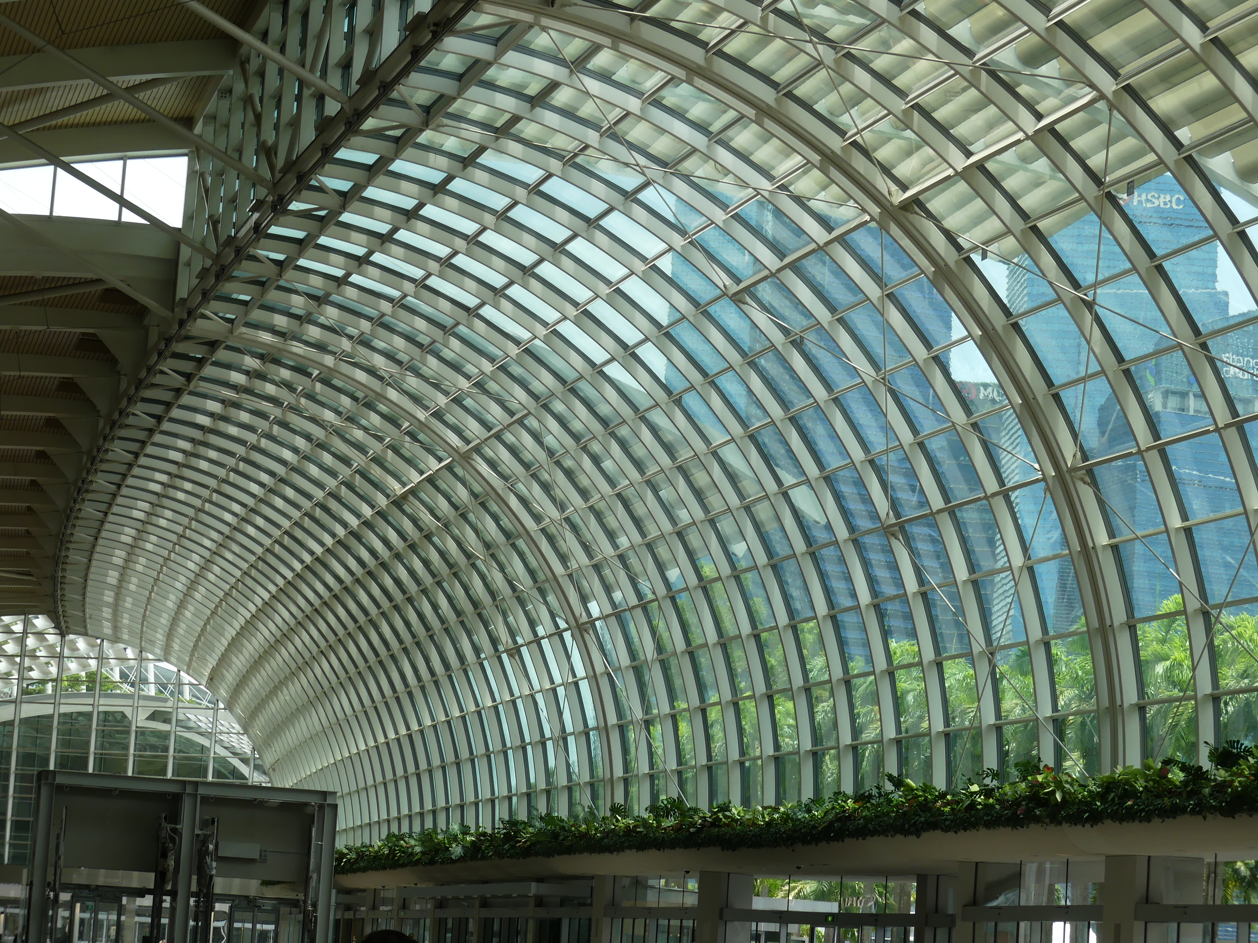
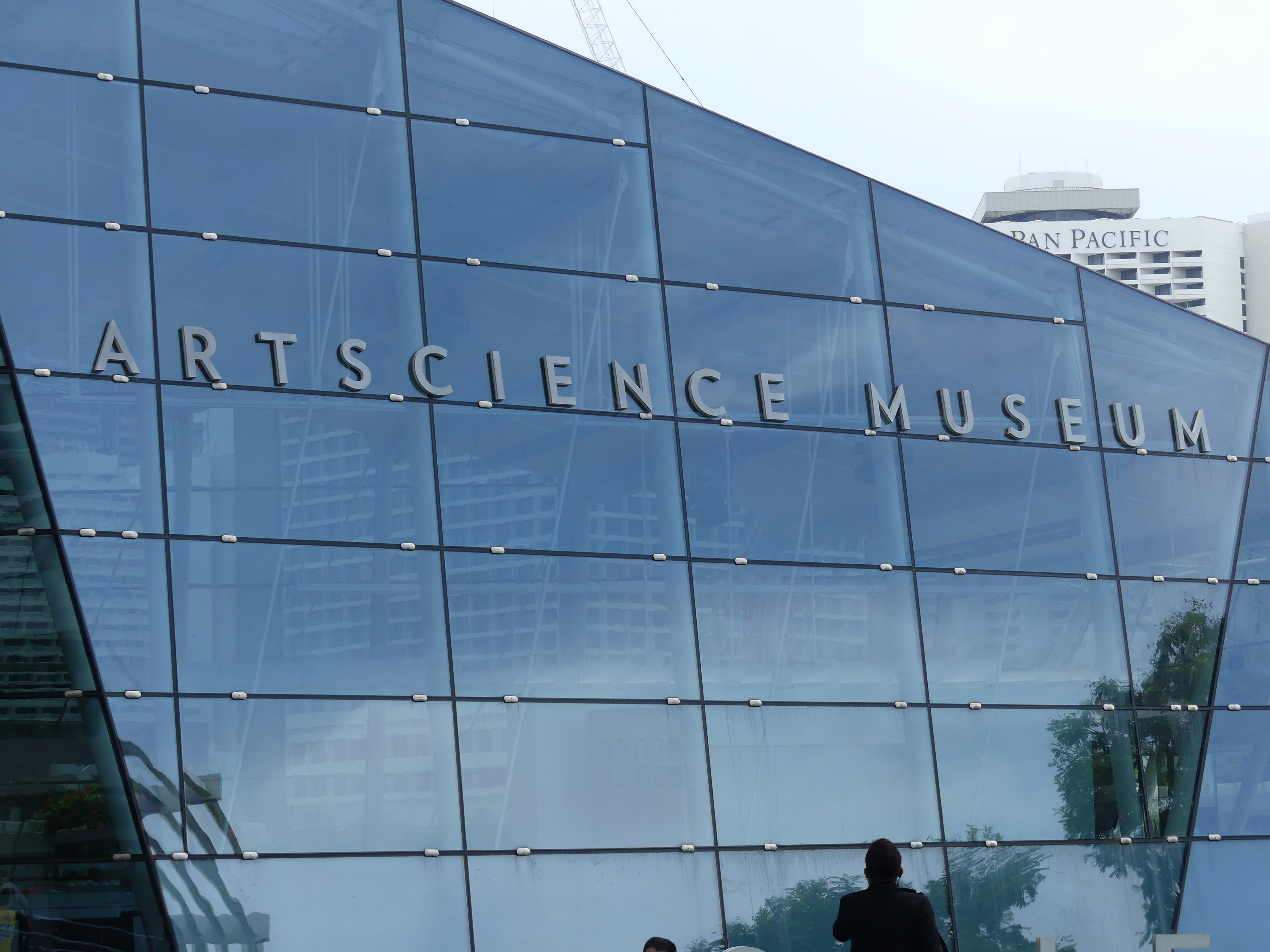
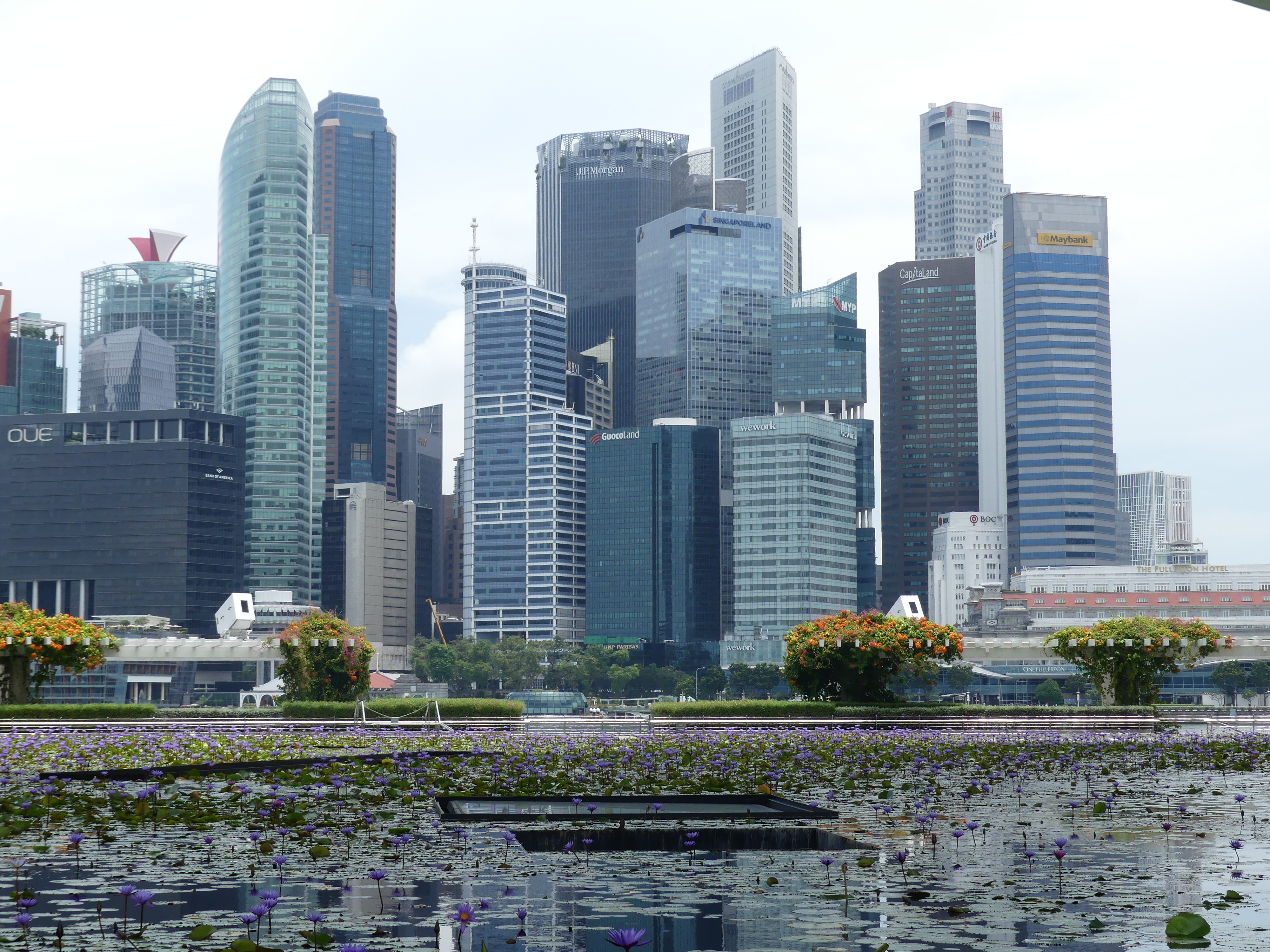
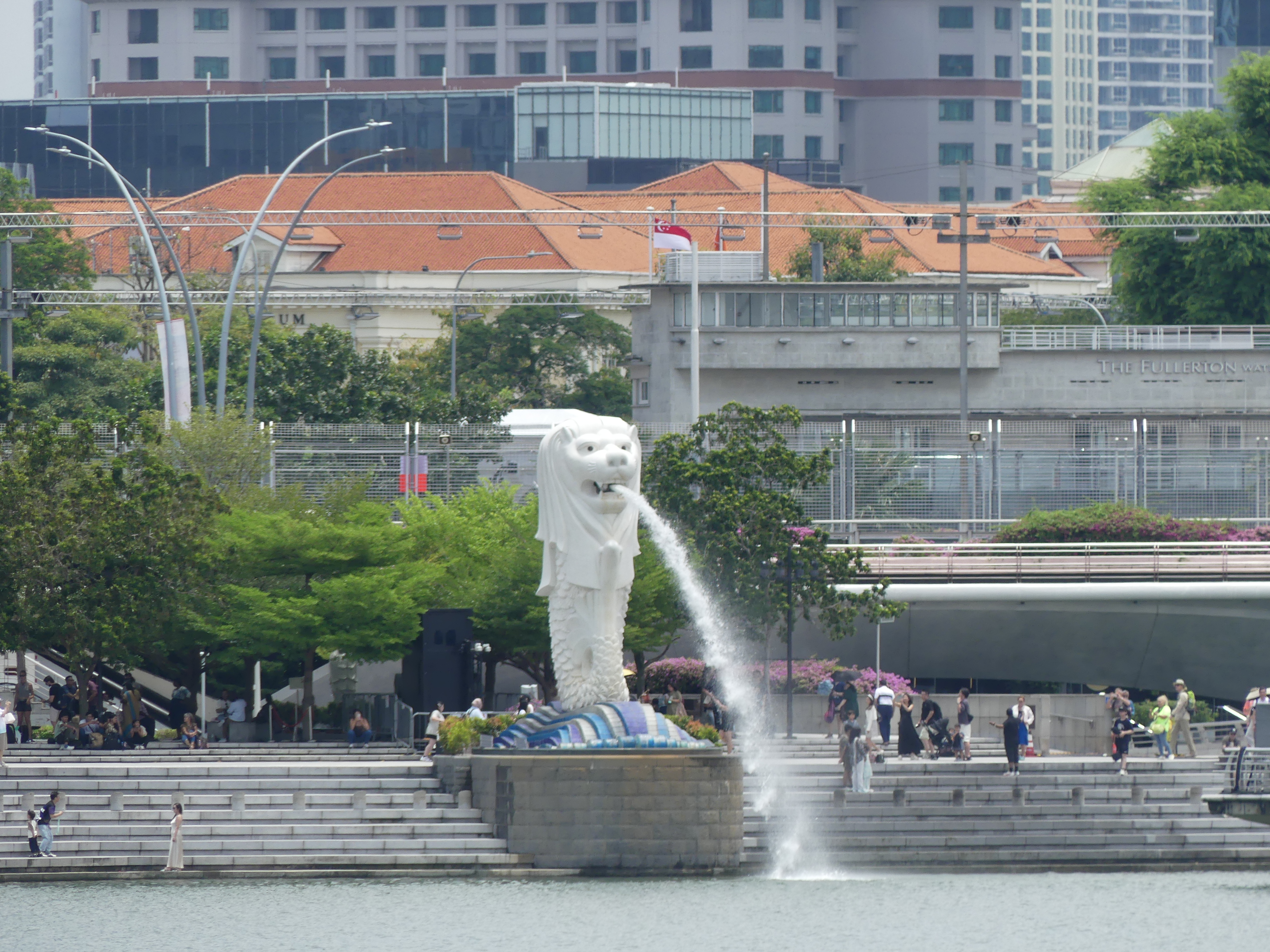
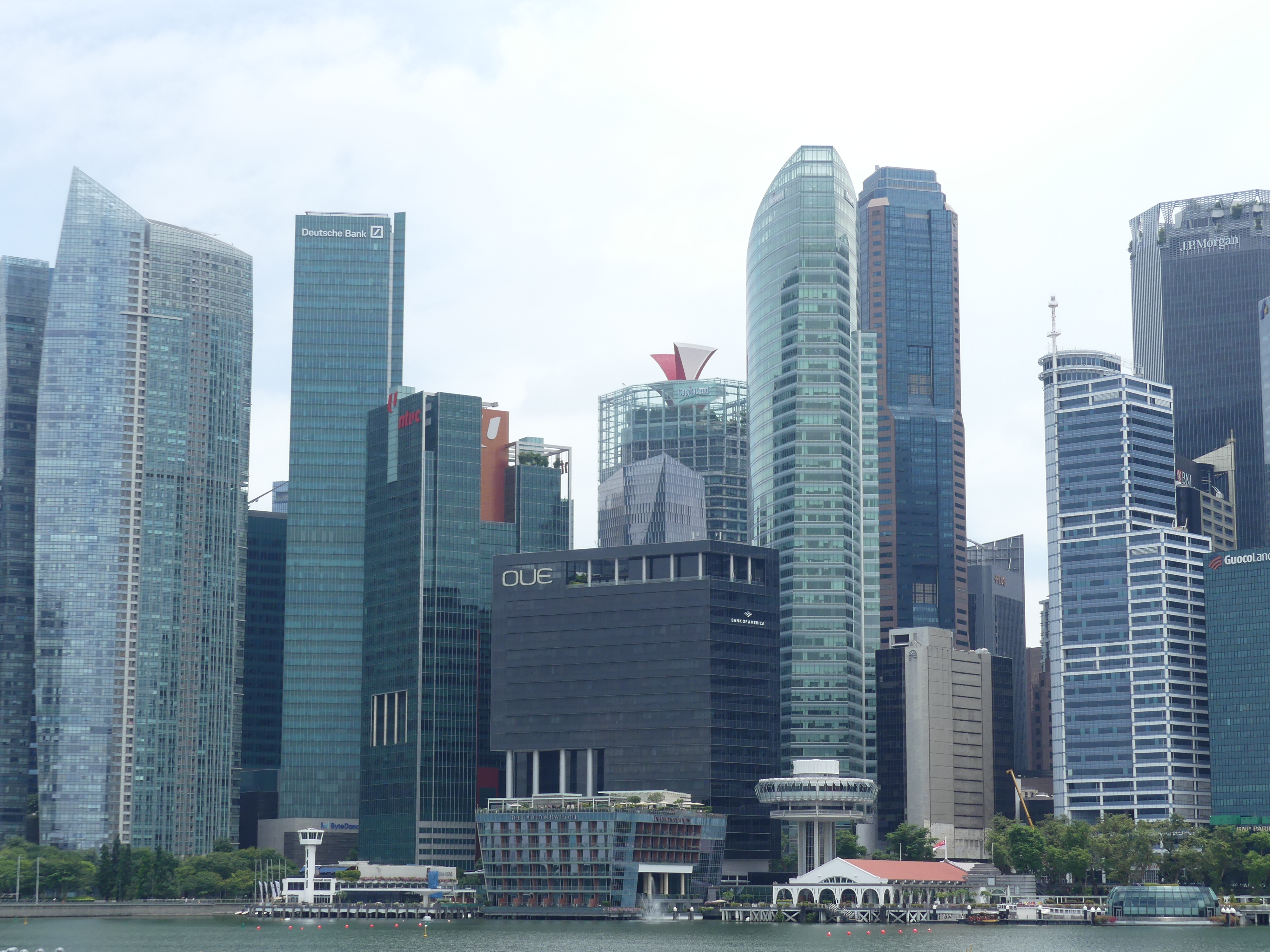
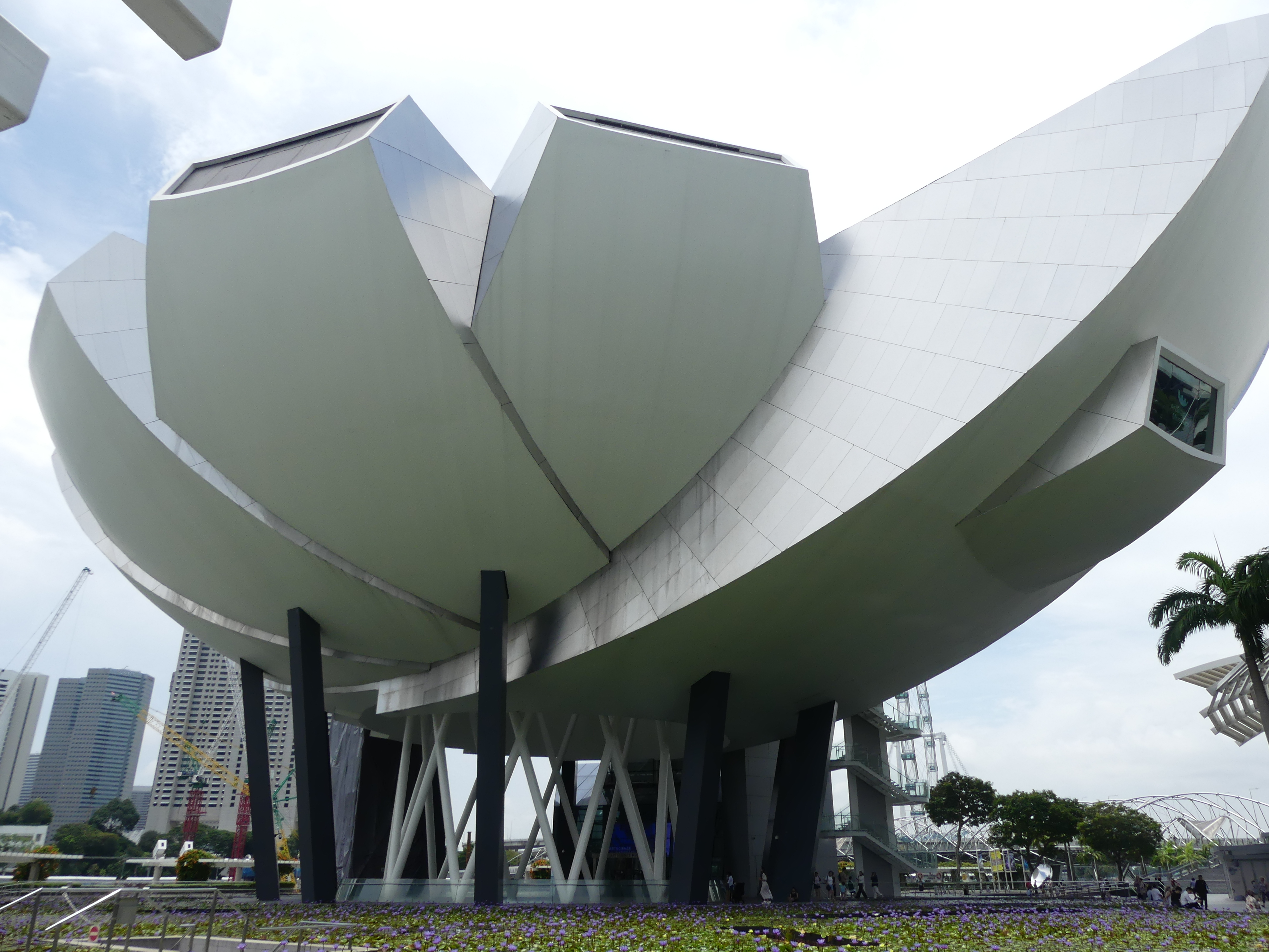
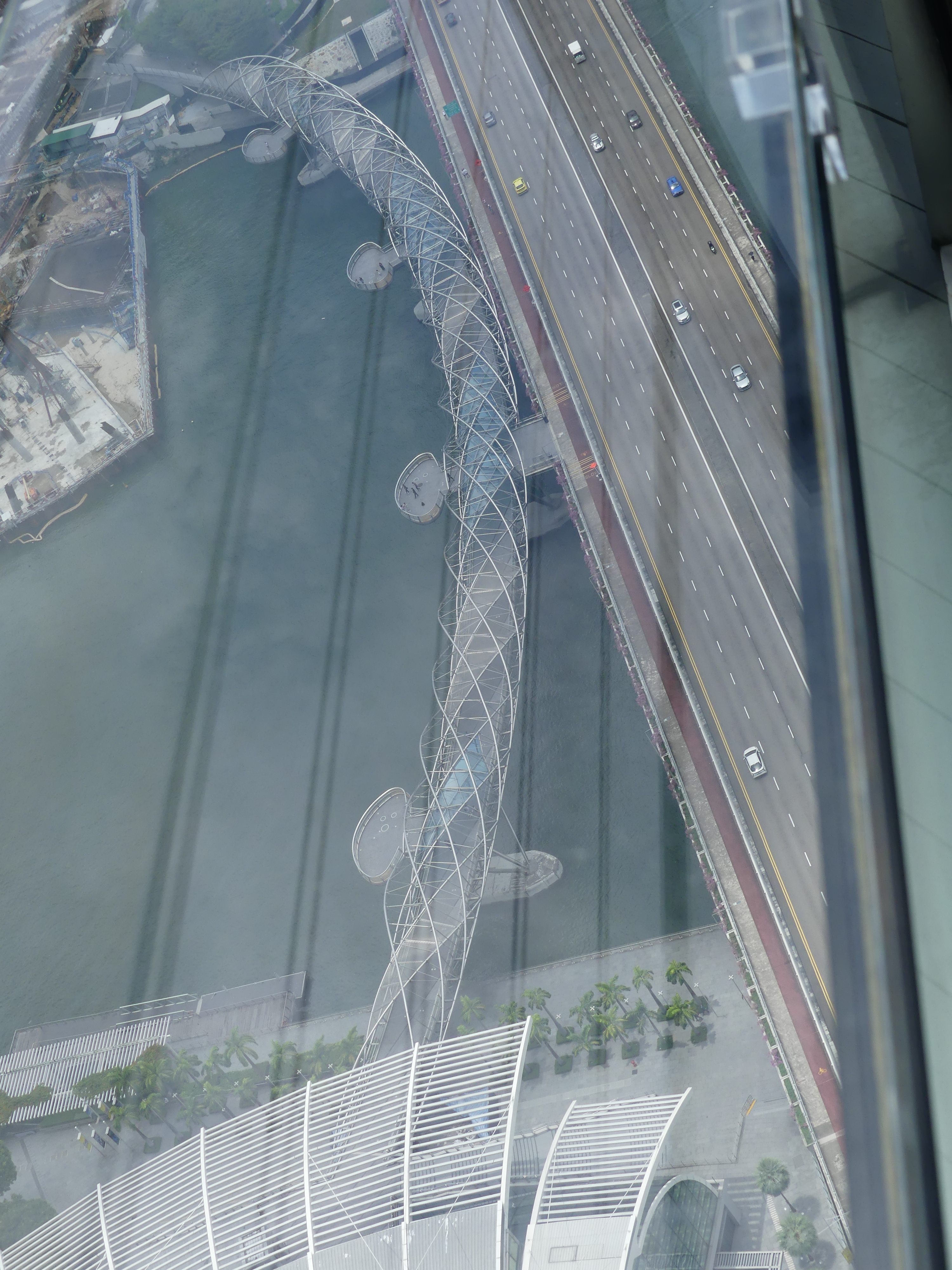
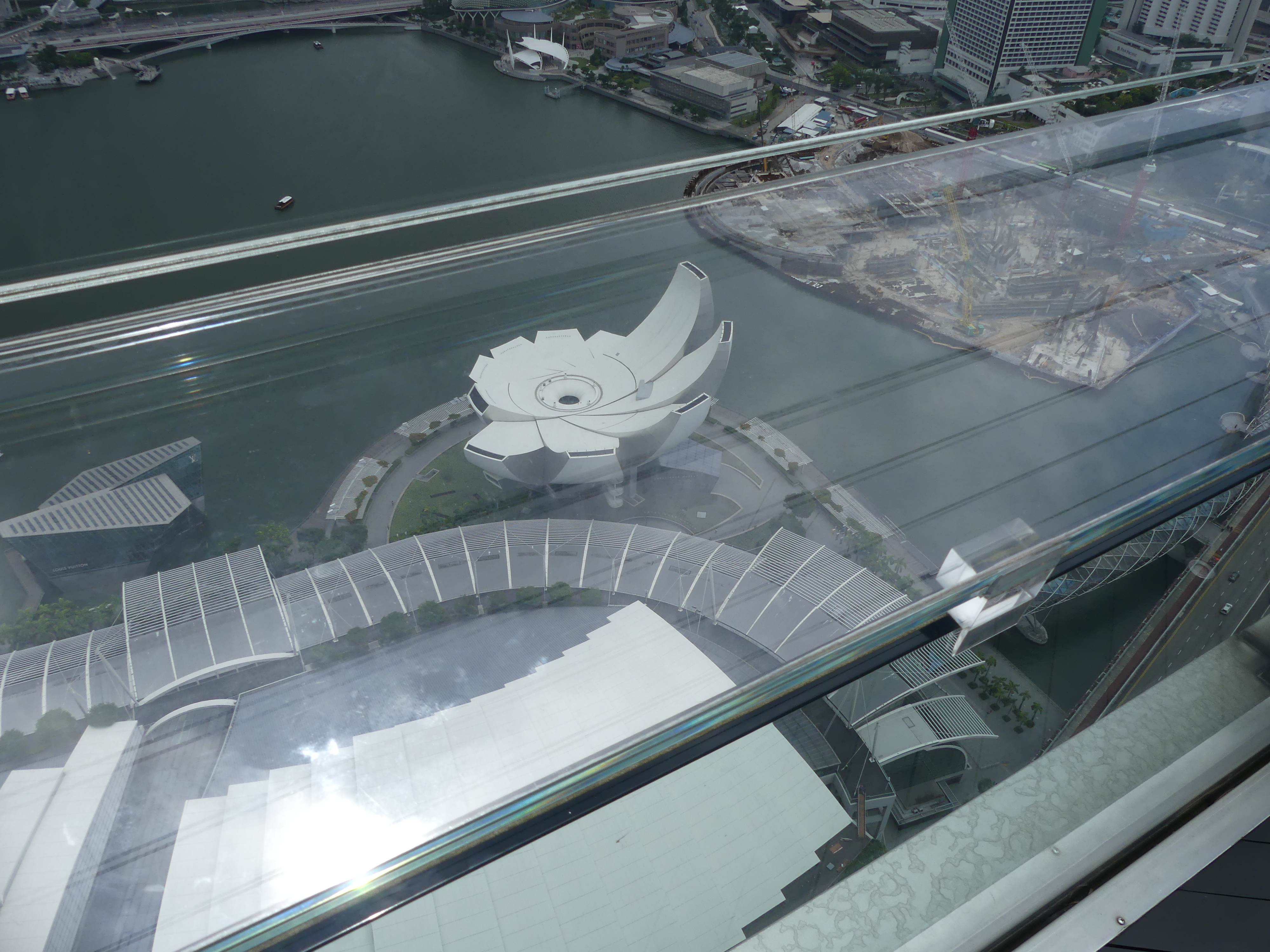
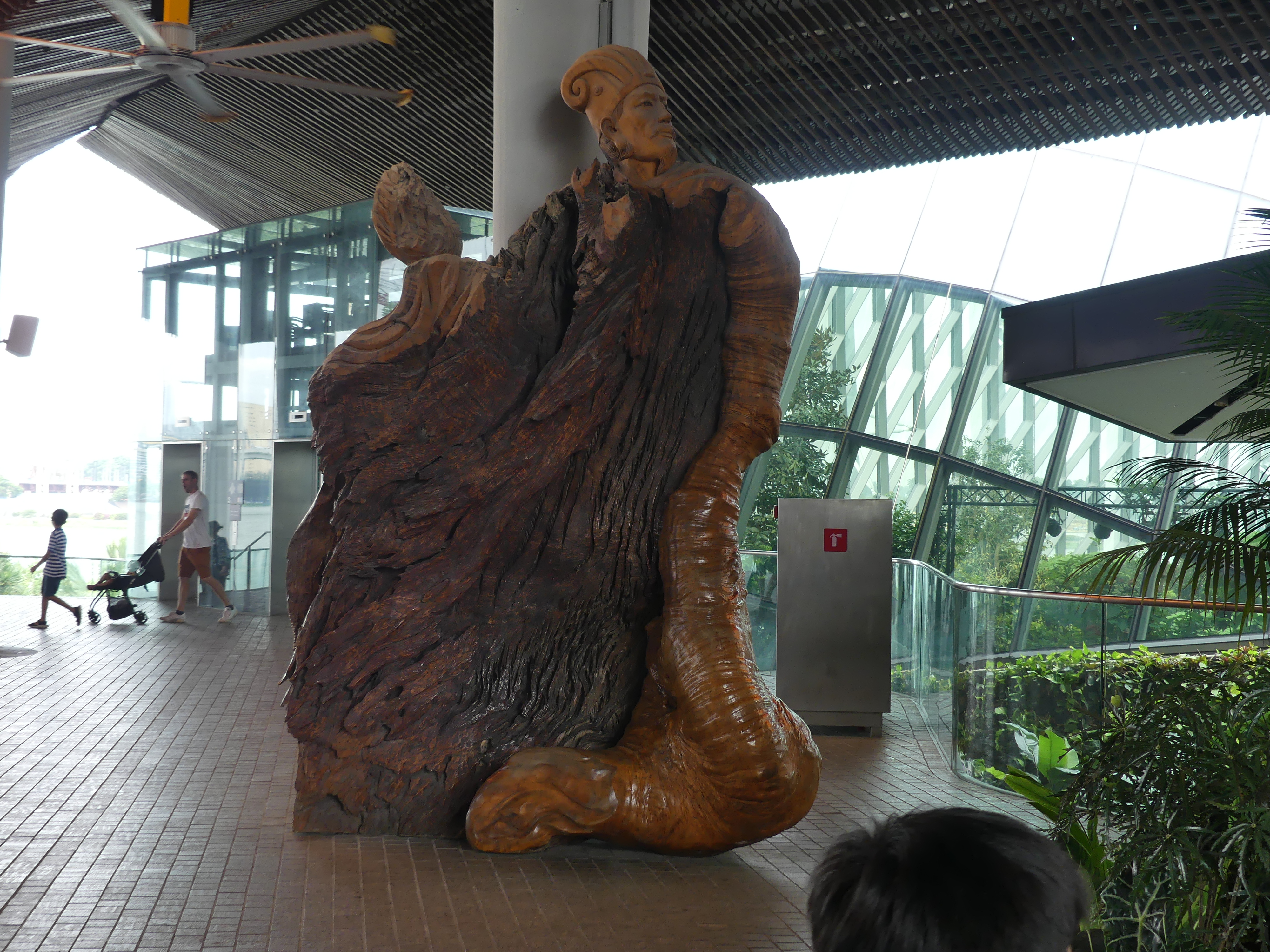
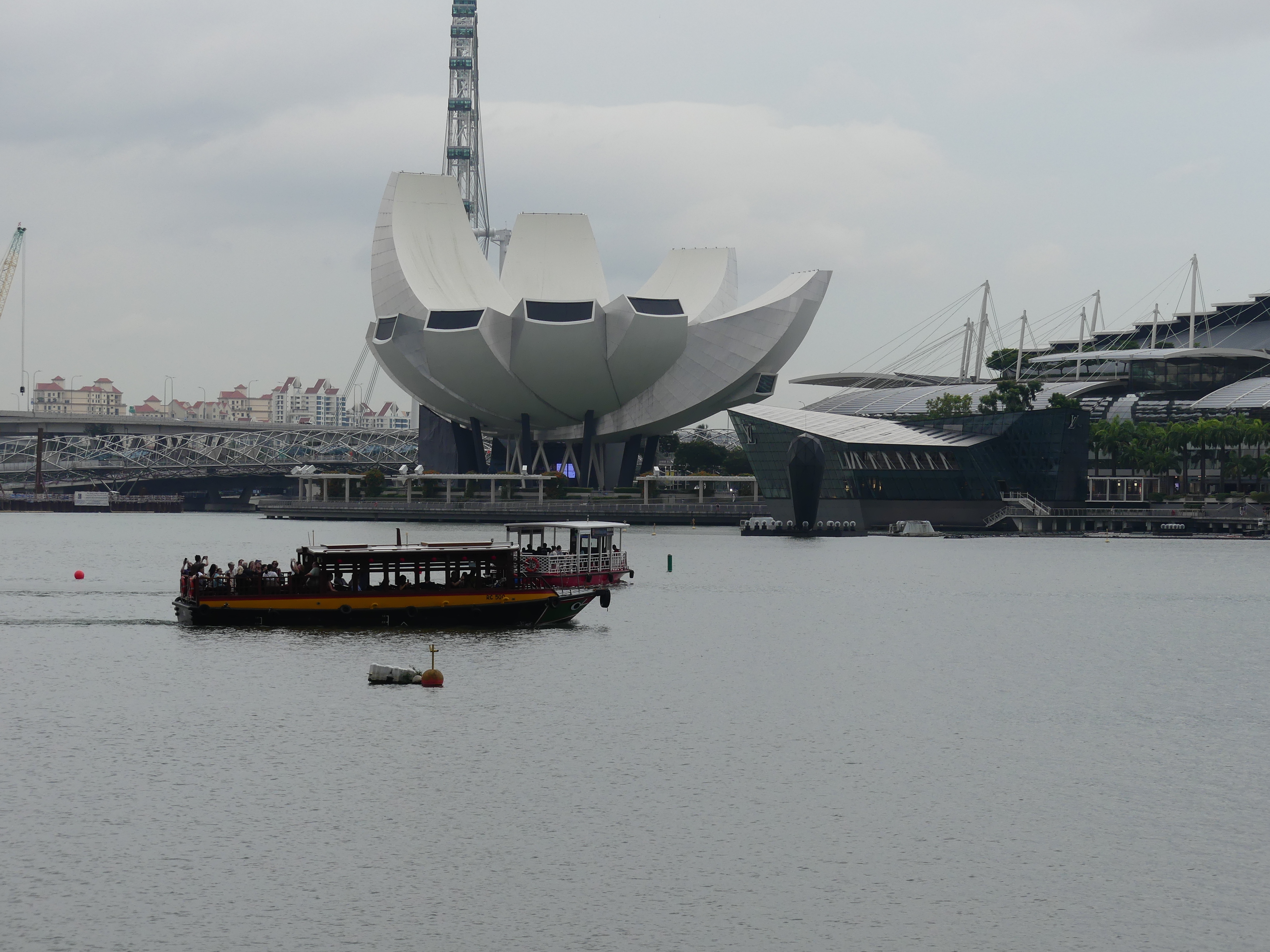
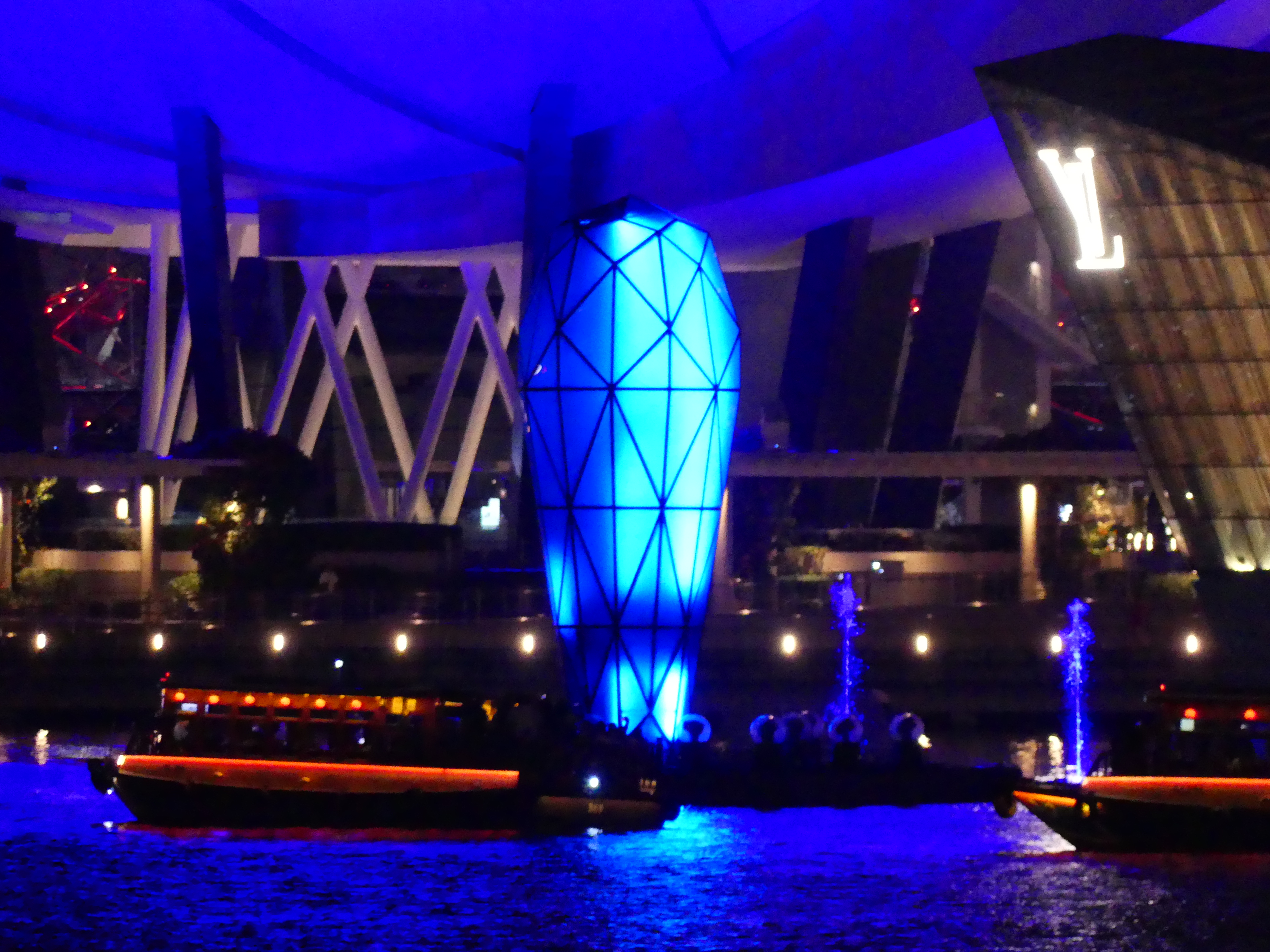
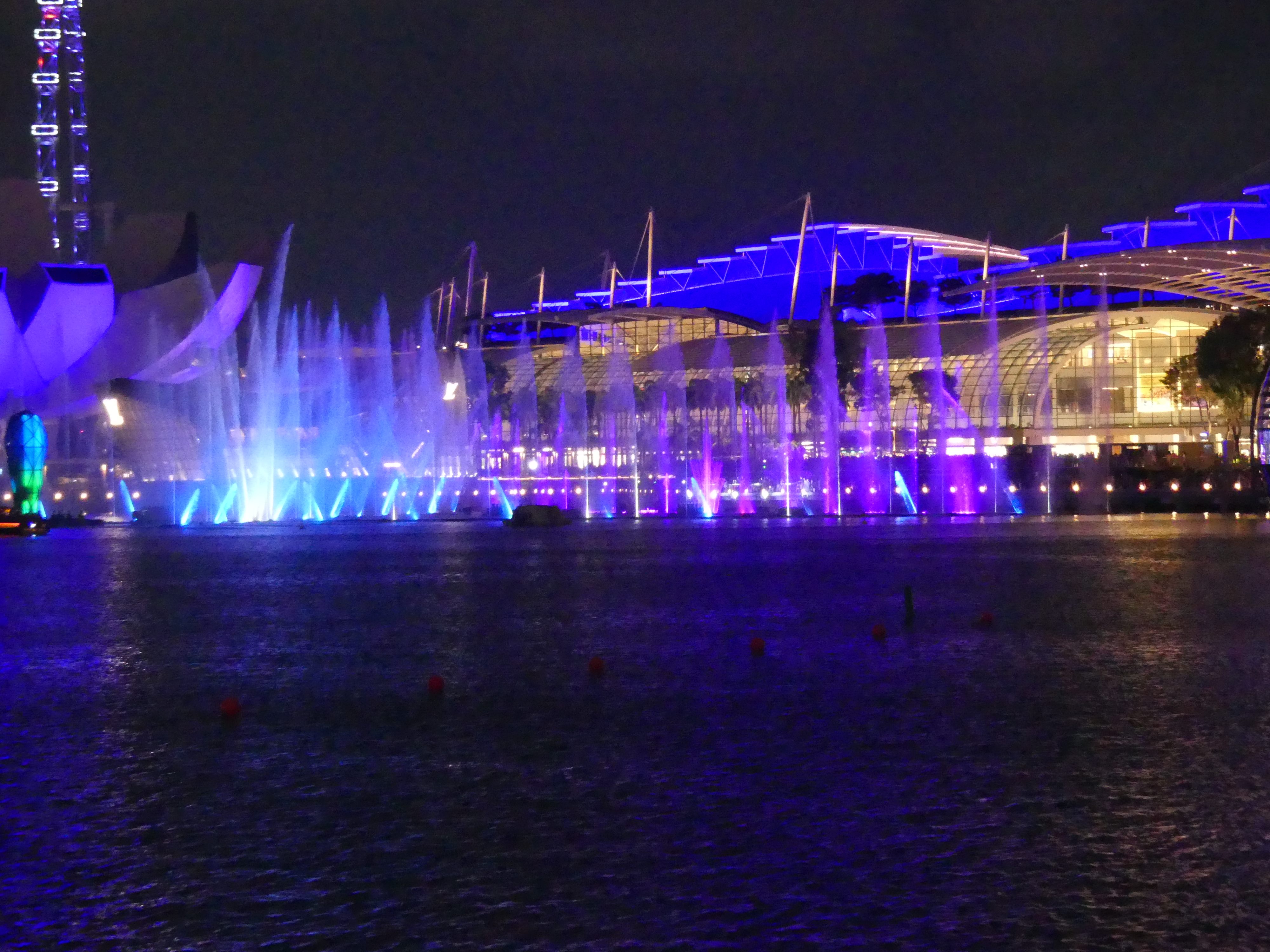
The convention centre can best be seen from the otherside of Marina Bay. In my photo below you will see the lotus shaped Art Science Museum. Behind is the convention centre and behind that the Marina Bay Sands Hotel. The convention centre includes a shopping mall easily the size of Indooripilly Shopping Centre here in Brisbane and three stories high. Exploring this area was amazing. The design and shape very rich and speaking of wealth. It had an indoor canal system emulating Venice, outstanding orchid displays, inteeresting shop fittings and a massive curved ceiling of glass to let in the light. From the outside of the Art Science Museum I was able to get a clear photo of the Sands Sky Park and the Lionheaded serpent; the symbol of Singapore.
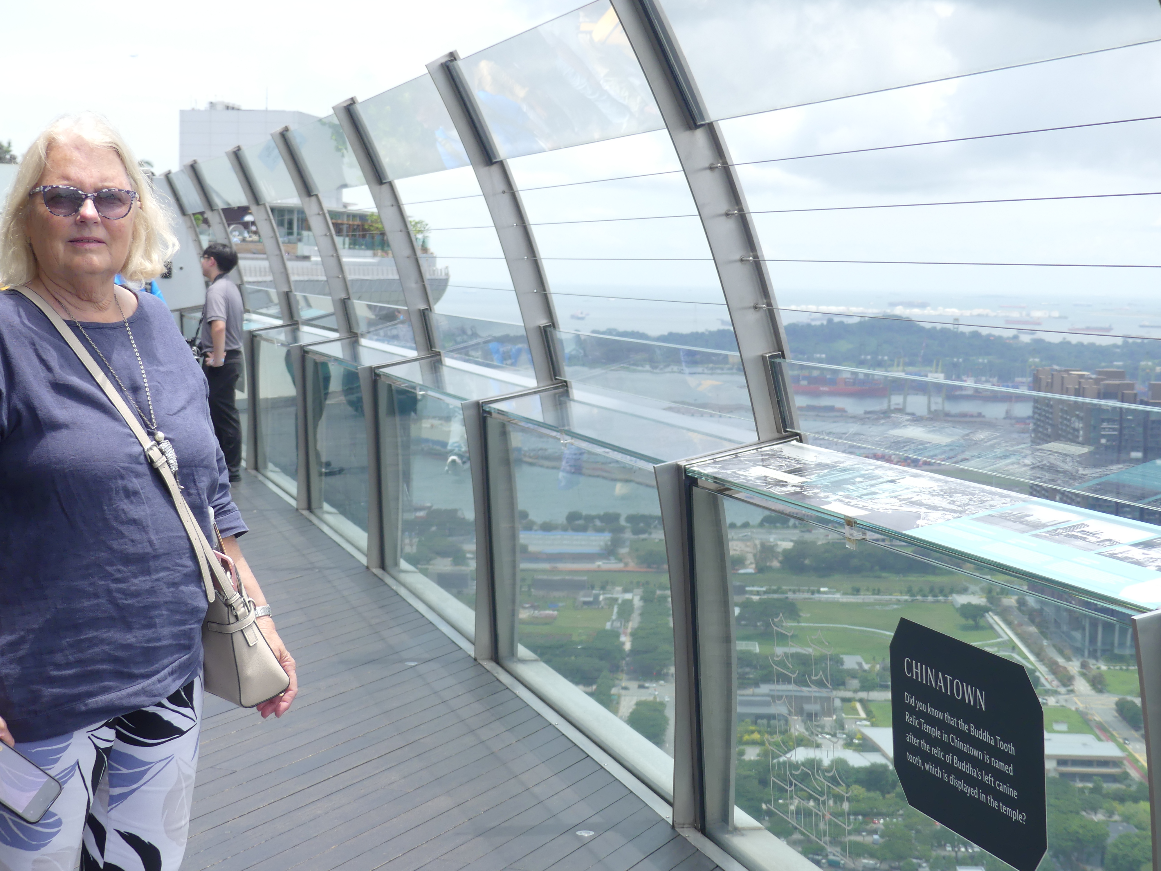
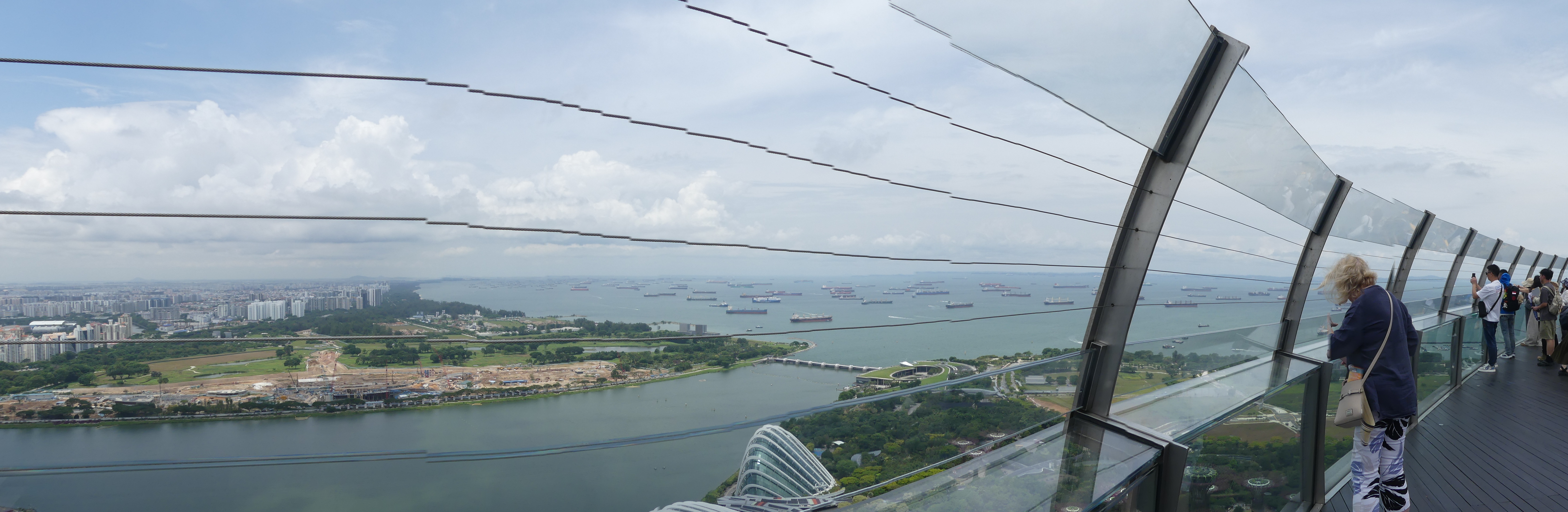
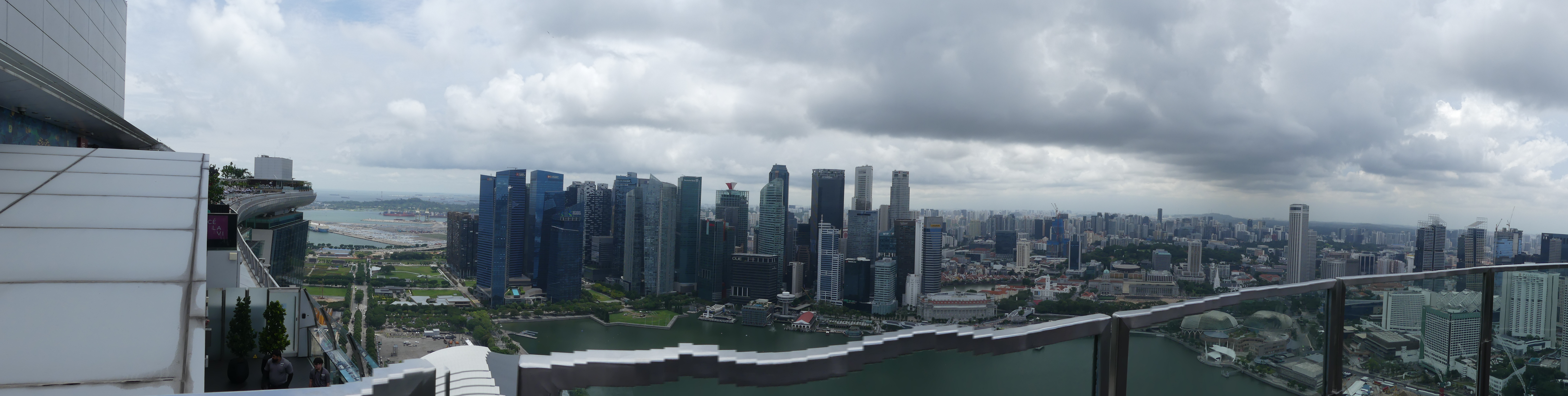
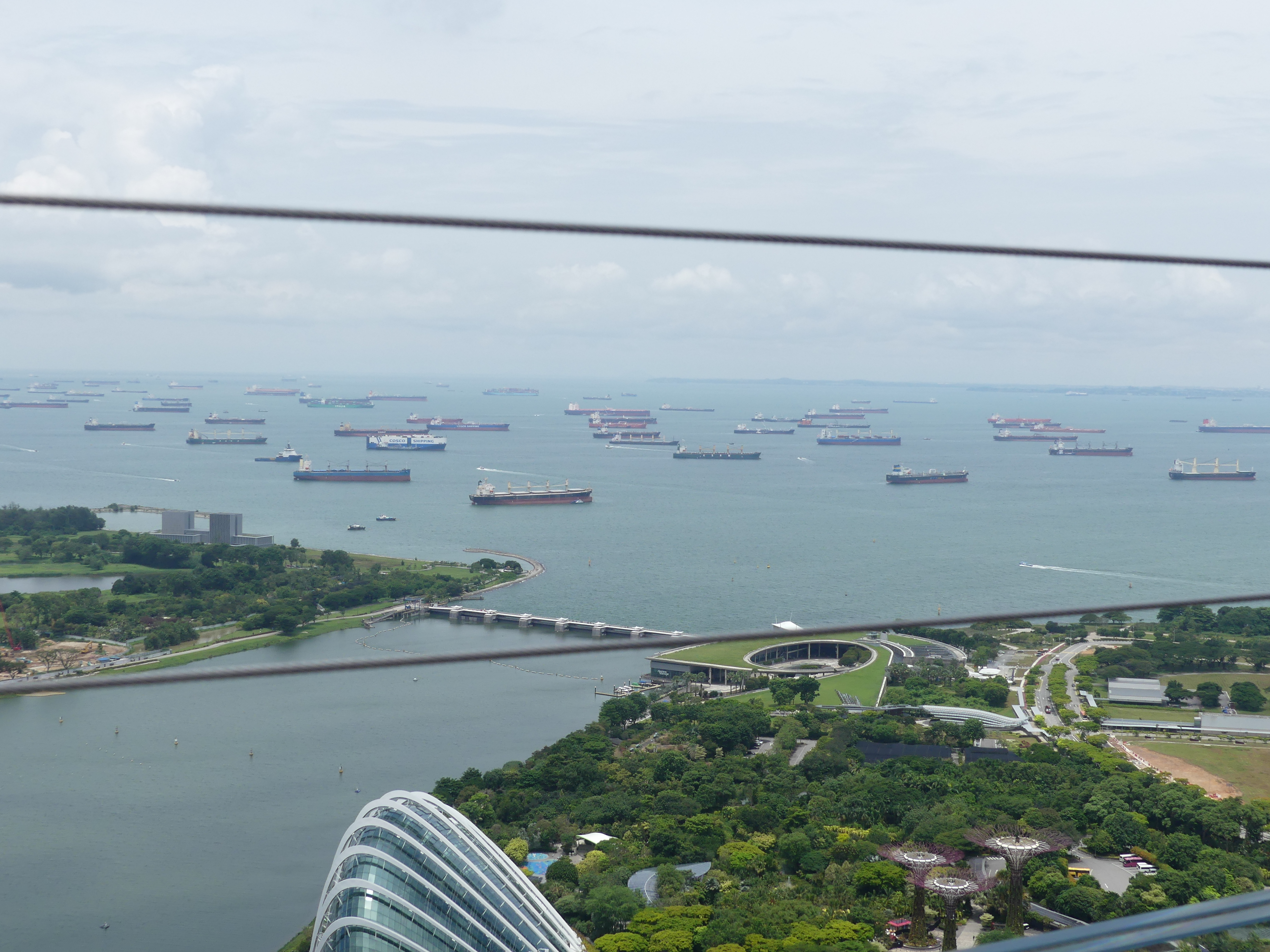
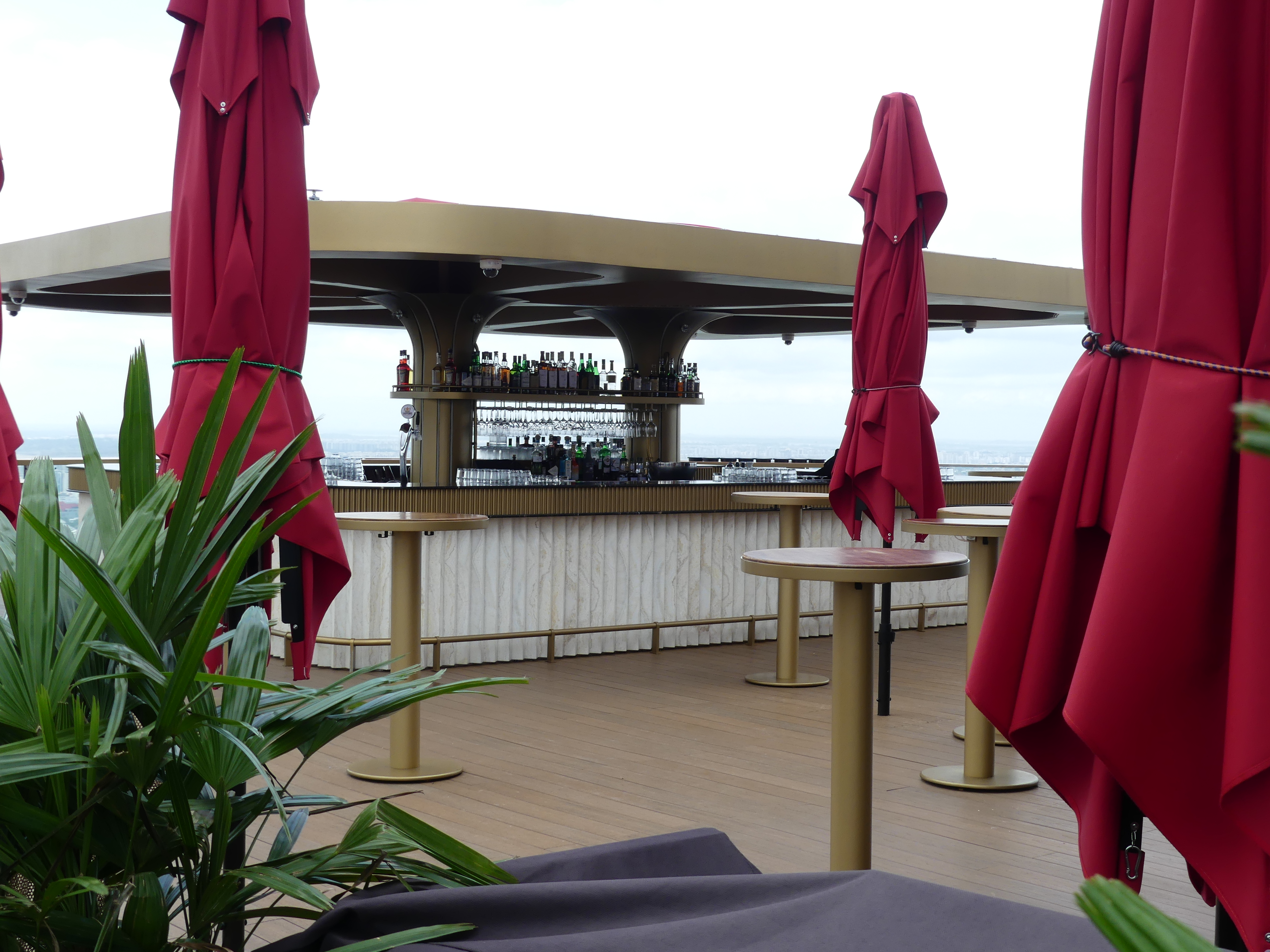
The Sands Skypark offers (for a fee) a trip to the top of the hotel to look around the sights of Singapore so we made our way across the road scrambled through the mall under the Marina Sands Hotel towers and around to the elevators transporting us 56 levels above ground to view Singapore, and the exclusive areas enjoyed by hotel guests.
I took the next photo to show the ships at anchor.
And another panoramic photo this time of the CBD.
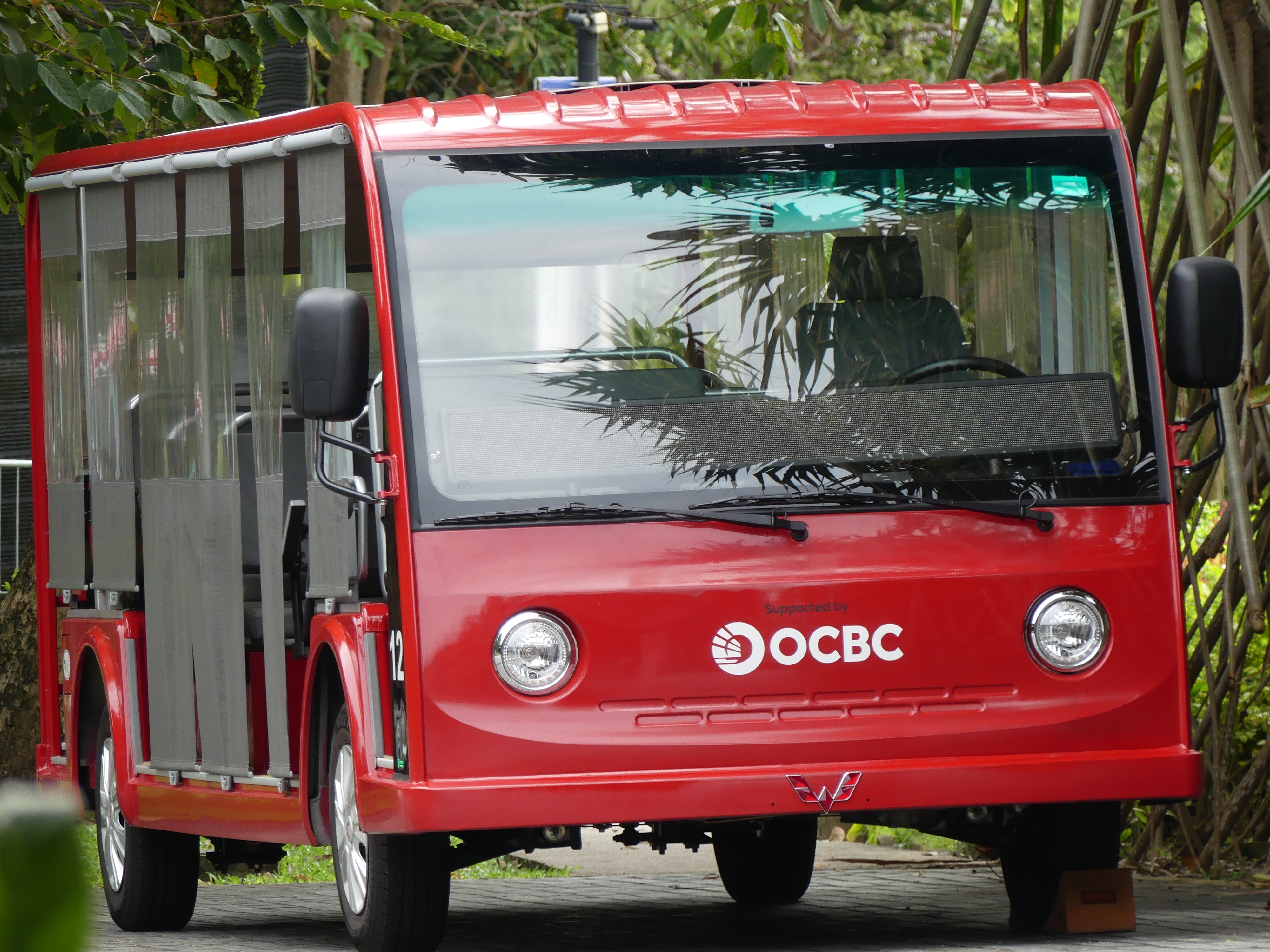
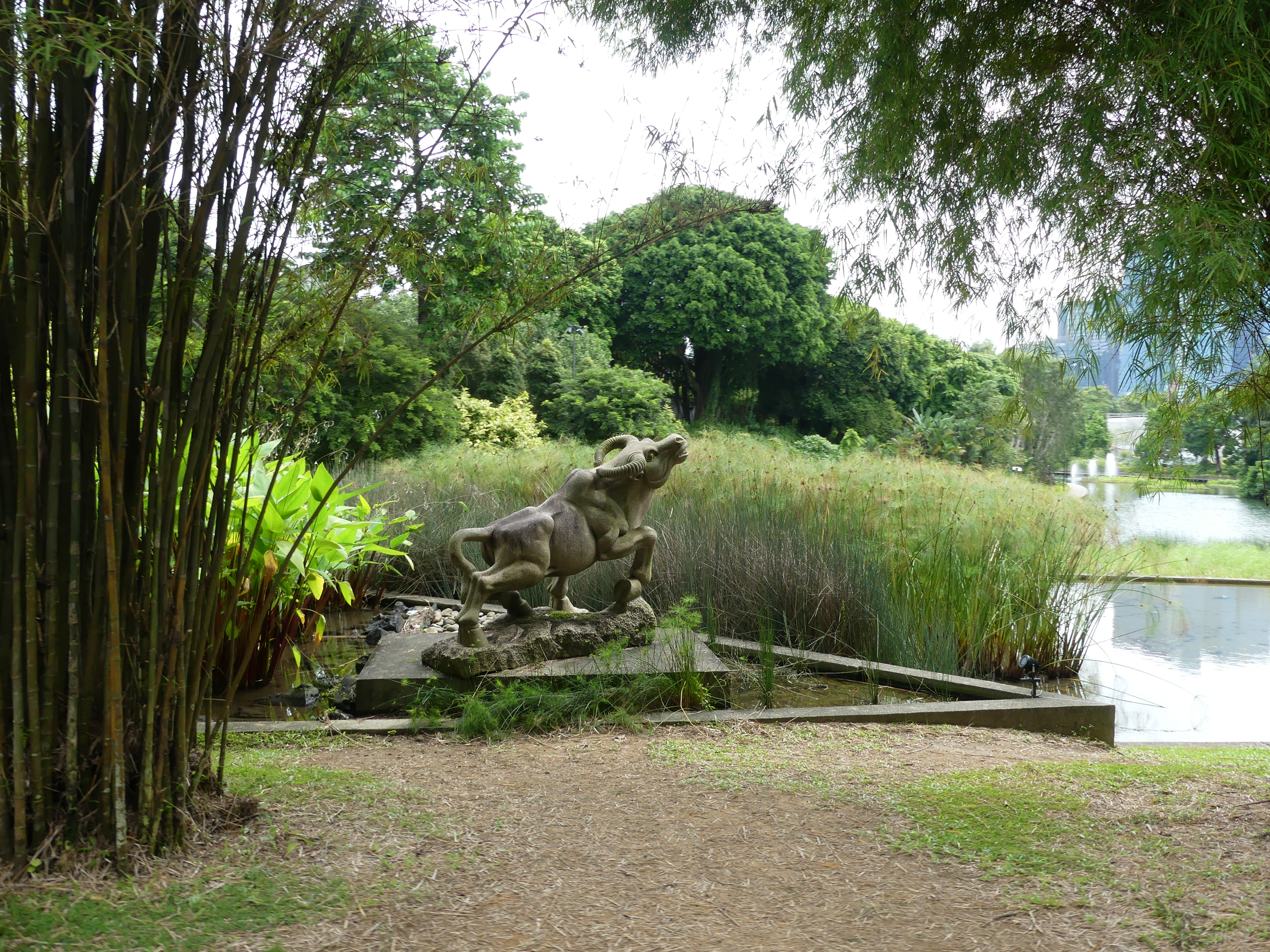
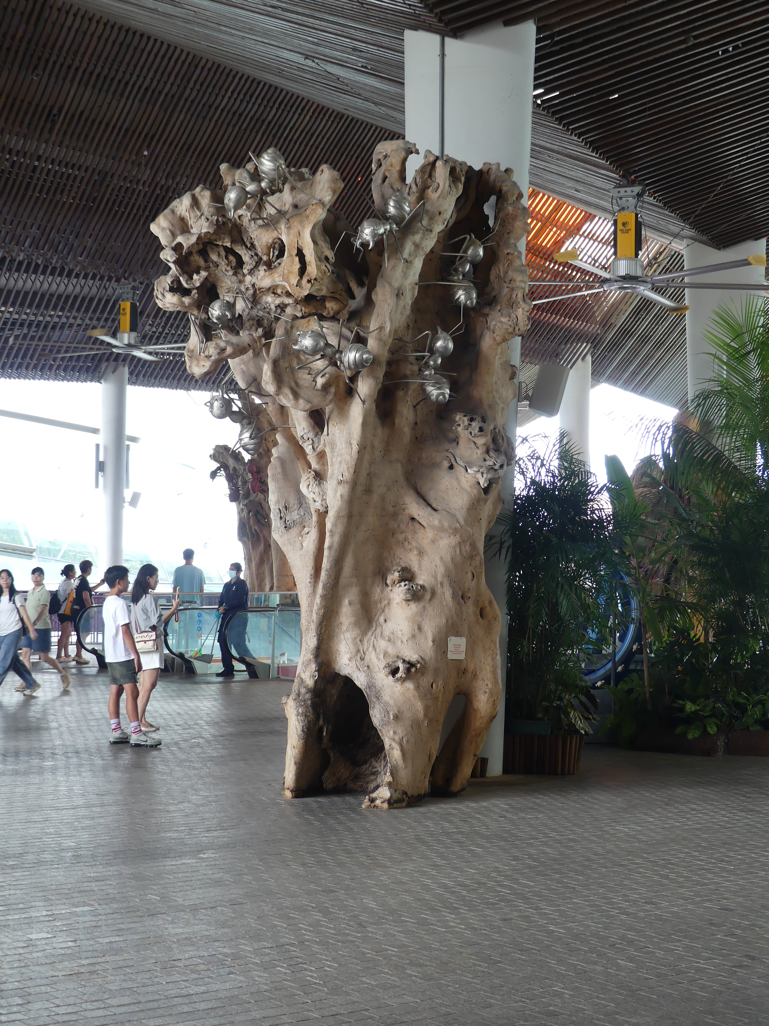
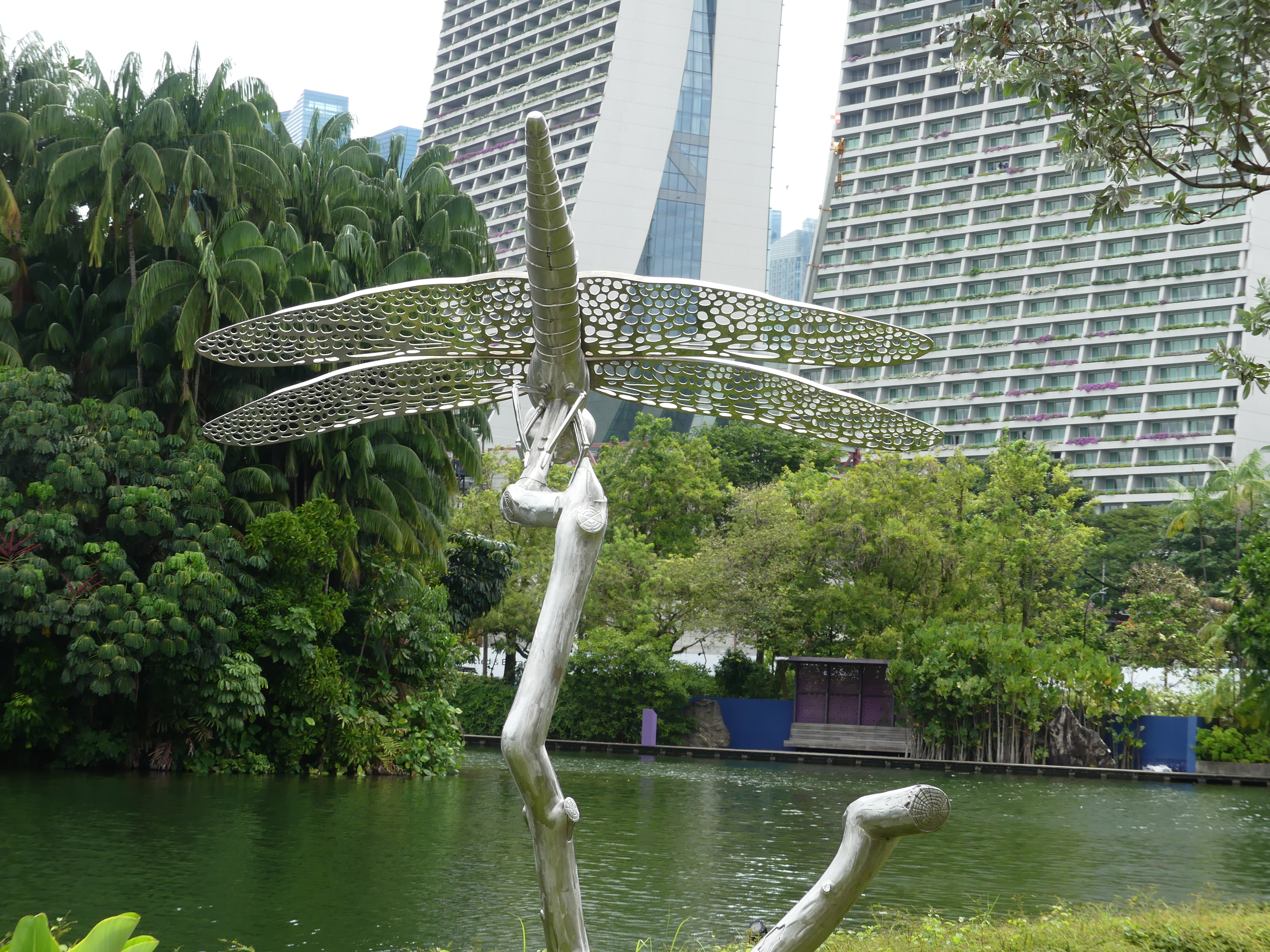
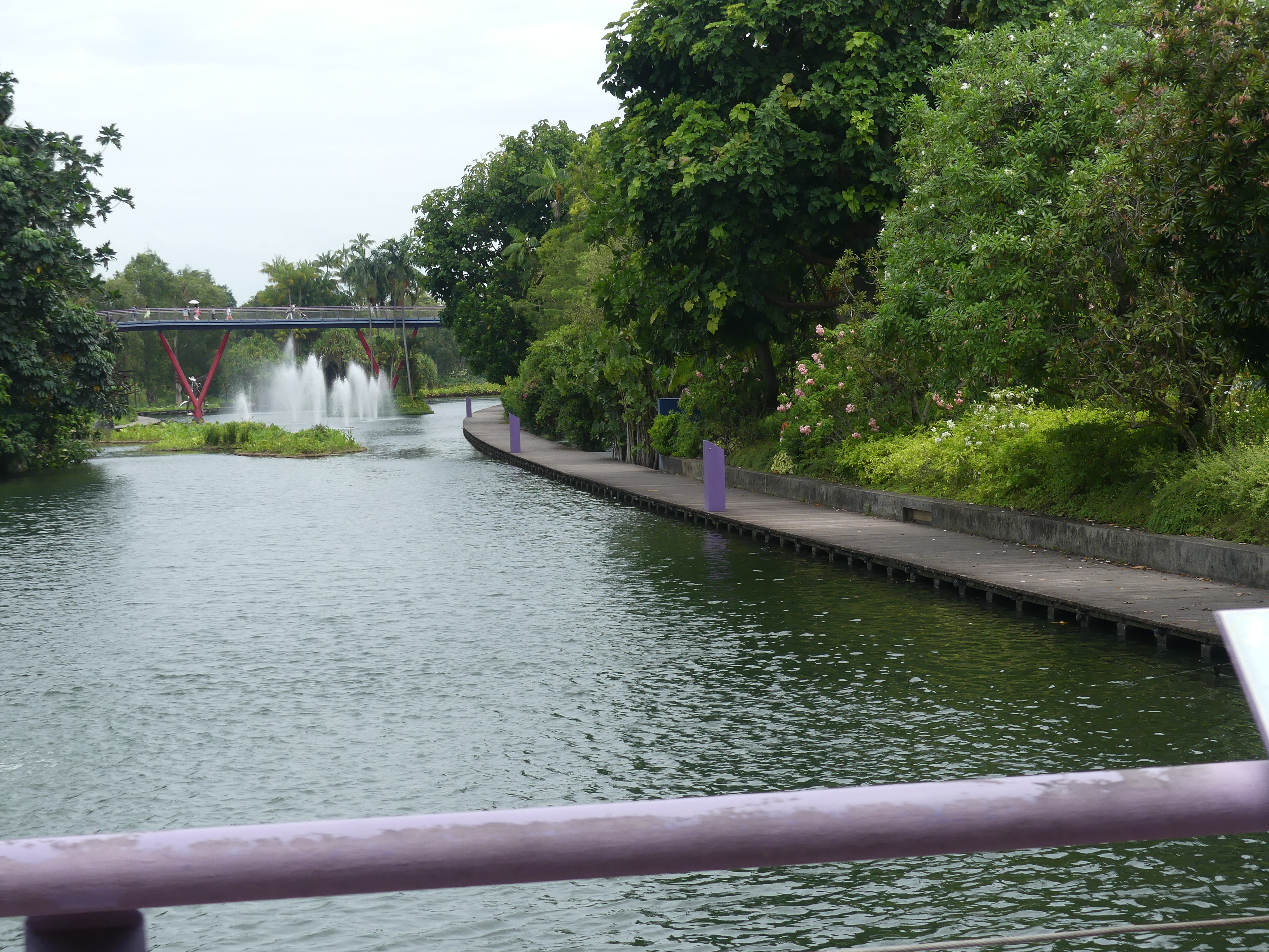
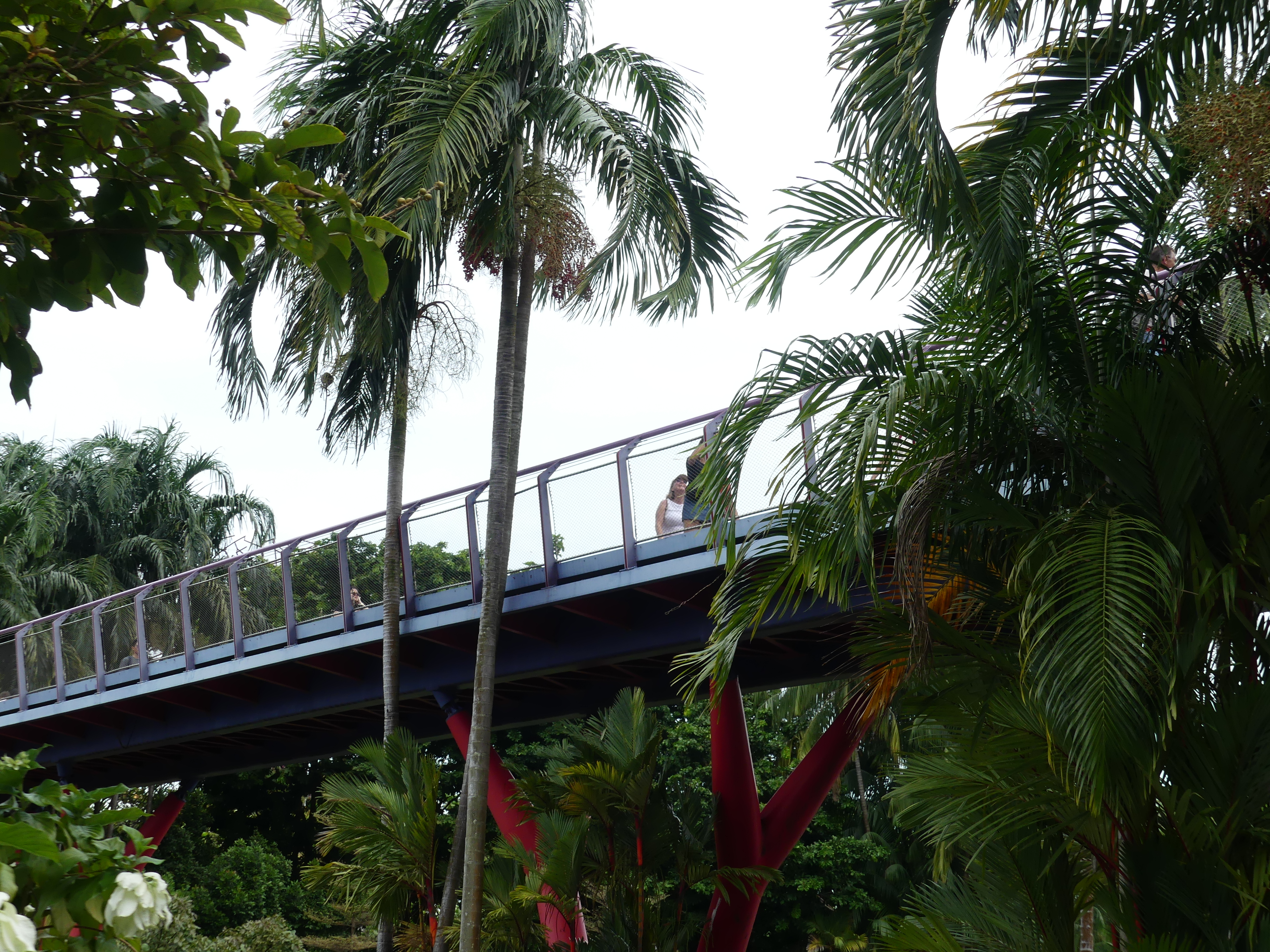
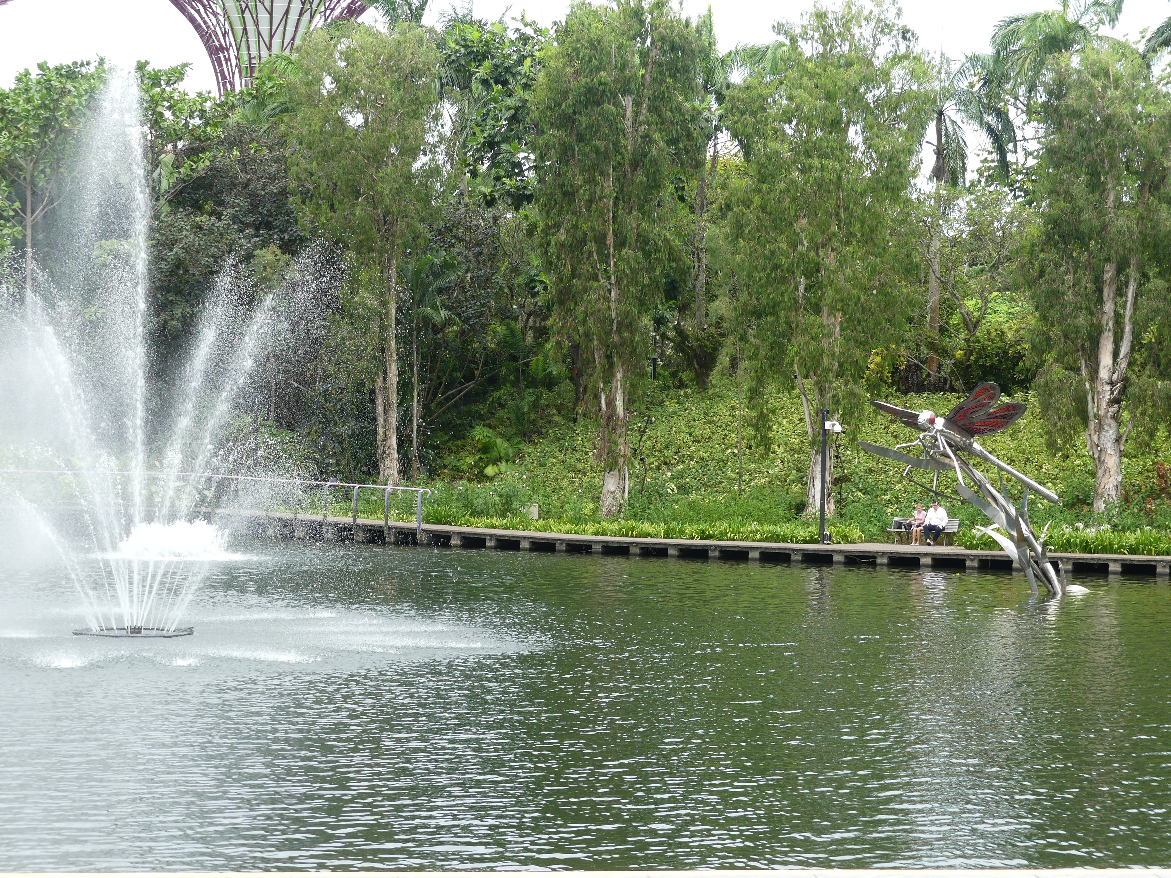
Behind the hotel is Gardens by the Bay an enormous botanic garden. Its website describes it as “Gardens by the Bay is a showpiece of horticulture and garden artistry that presents the plant kingdom in a whole new way, entertaining while educating visitors with plants seldom seen in this part of the world, ranging from species in cool, temperate climates to tropical forests and habitats.” It is so big that golf cart type transport is available and in the climate of Singapore and being on top of the Equator, they are necessary but not free. The bar was not open and we could see the residents were enjoying themselves so we decided to go and see the gardens.
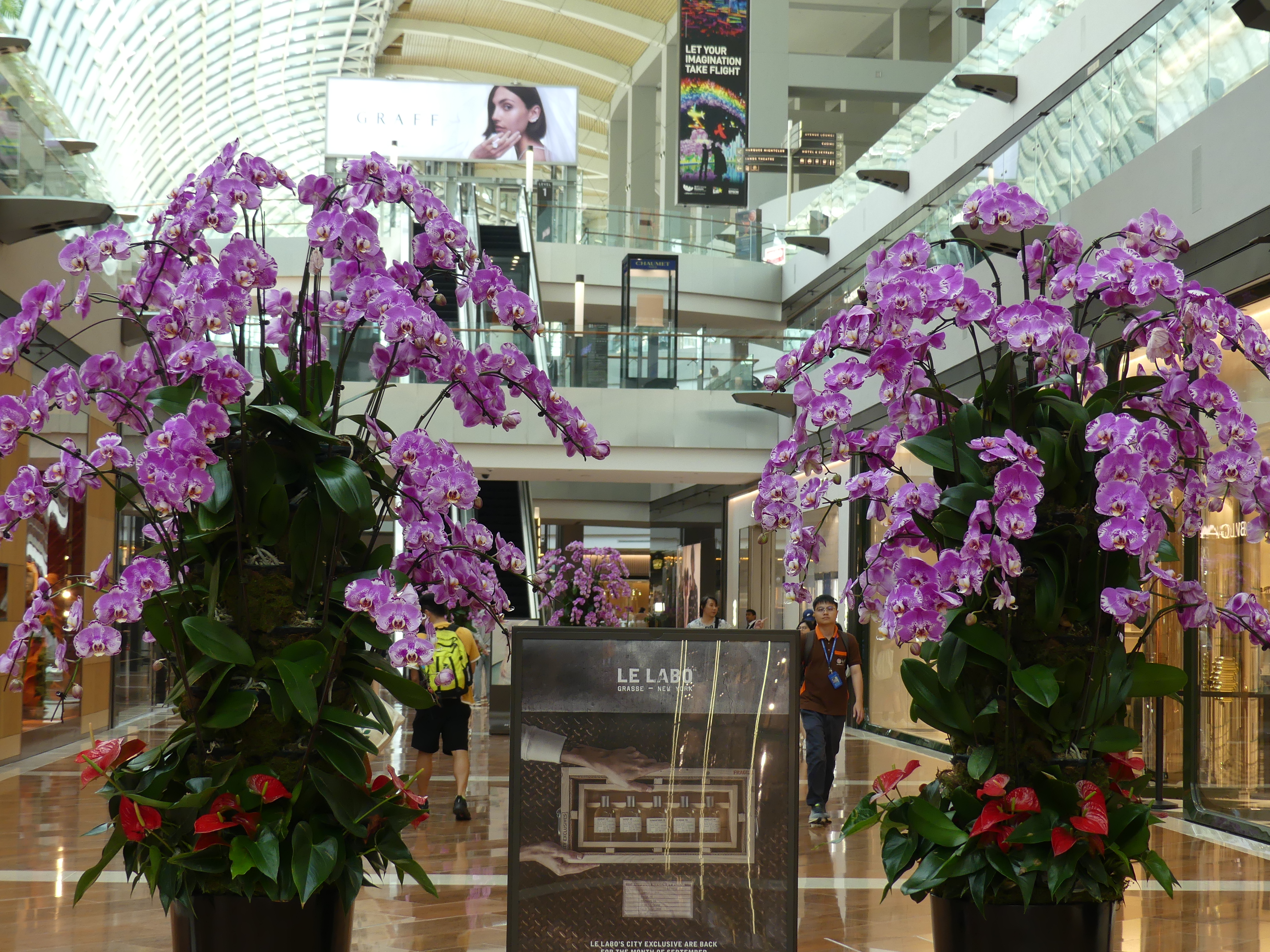
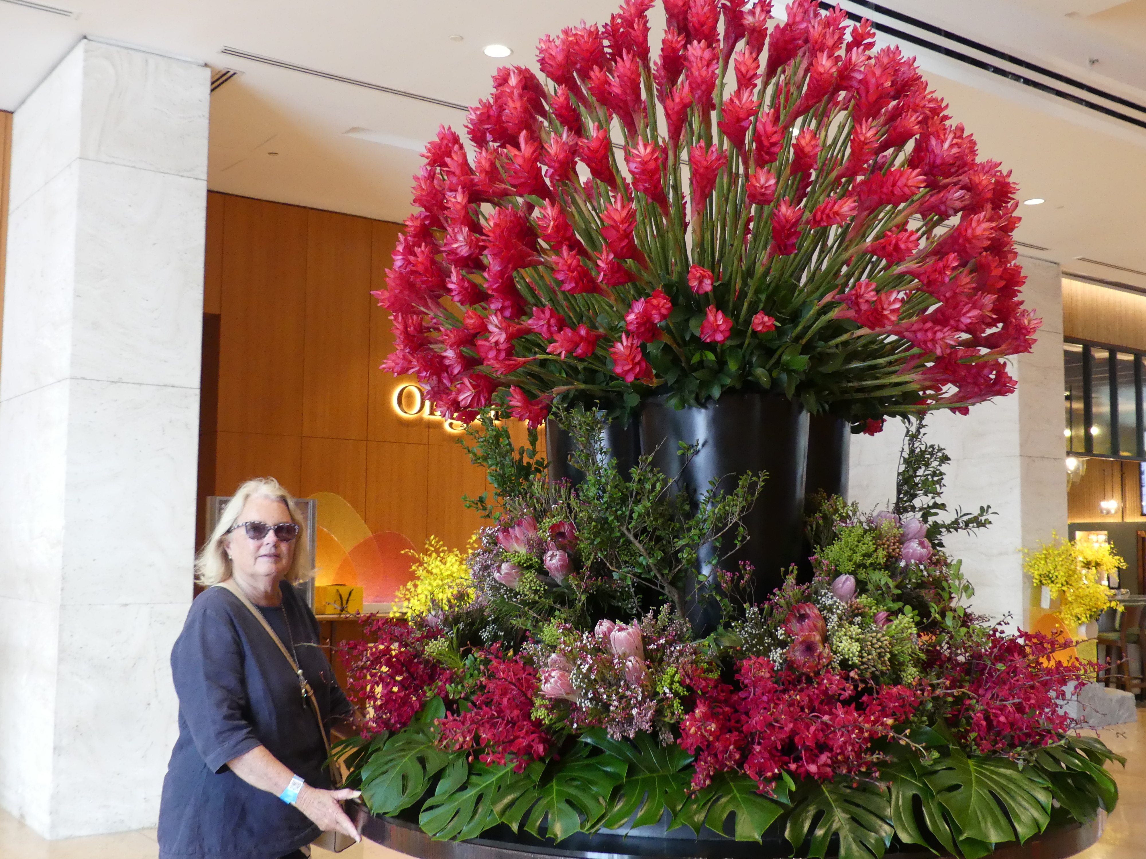
We returned to the ground to make our way through the crowd back to the exit to the gardens. We walked through the shopping mall again. At the reception to the hotel we came across a magnificent bouquet of flowers pictured below and there after my photos take you on the journey we followed just to find our way around the gardens.
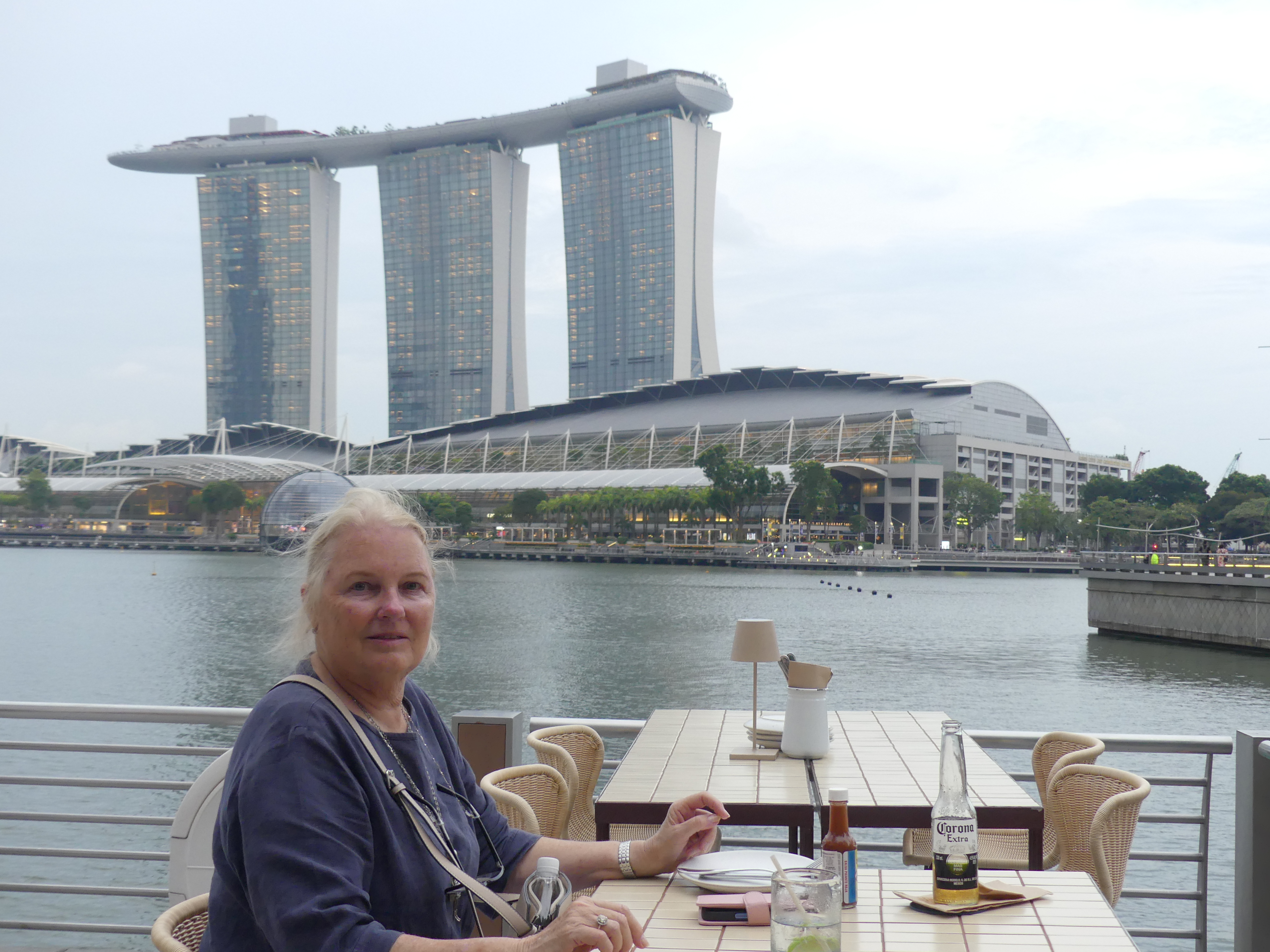
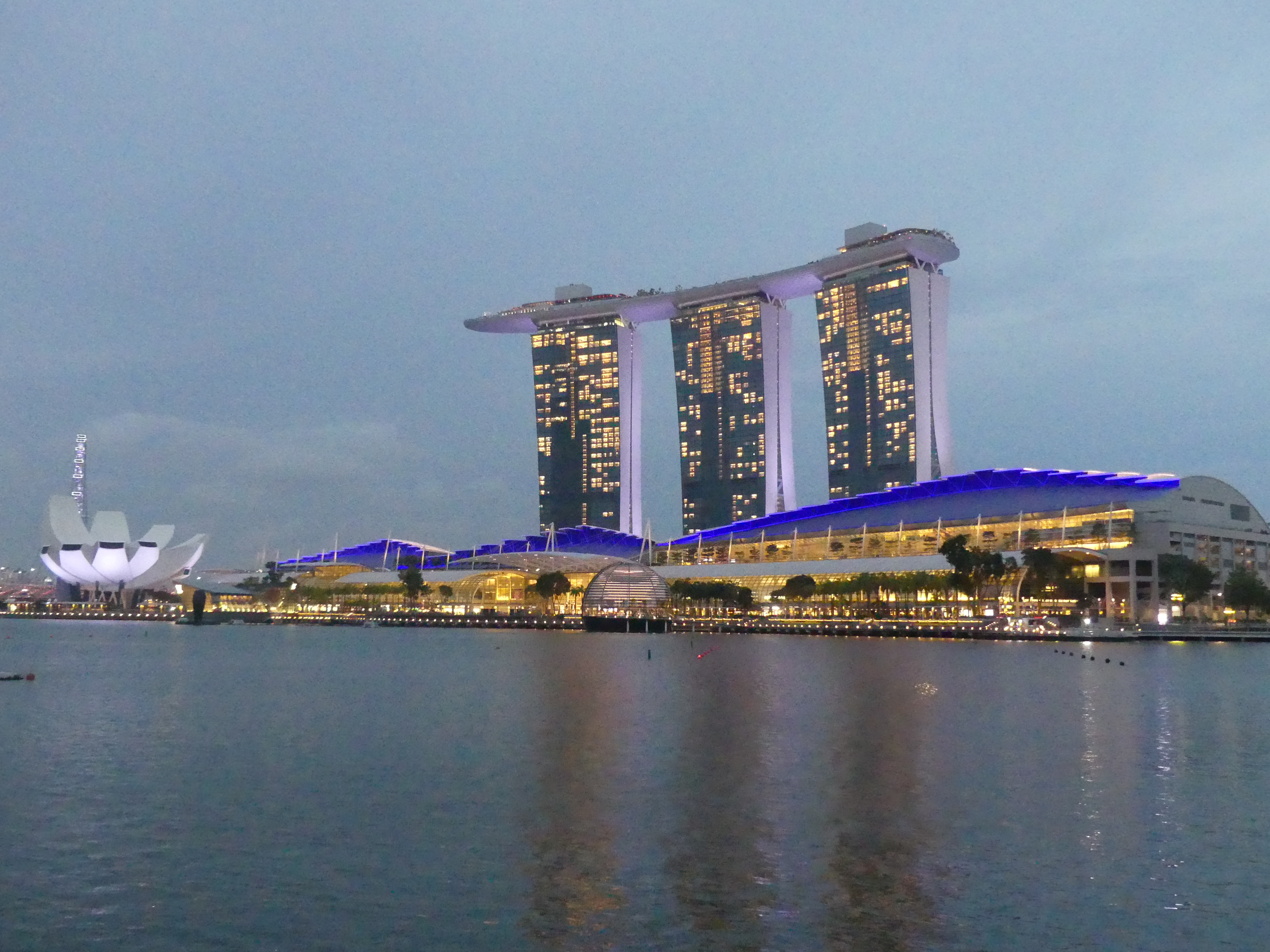
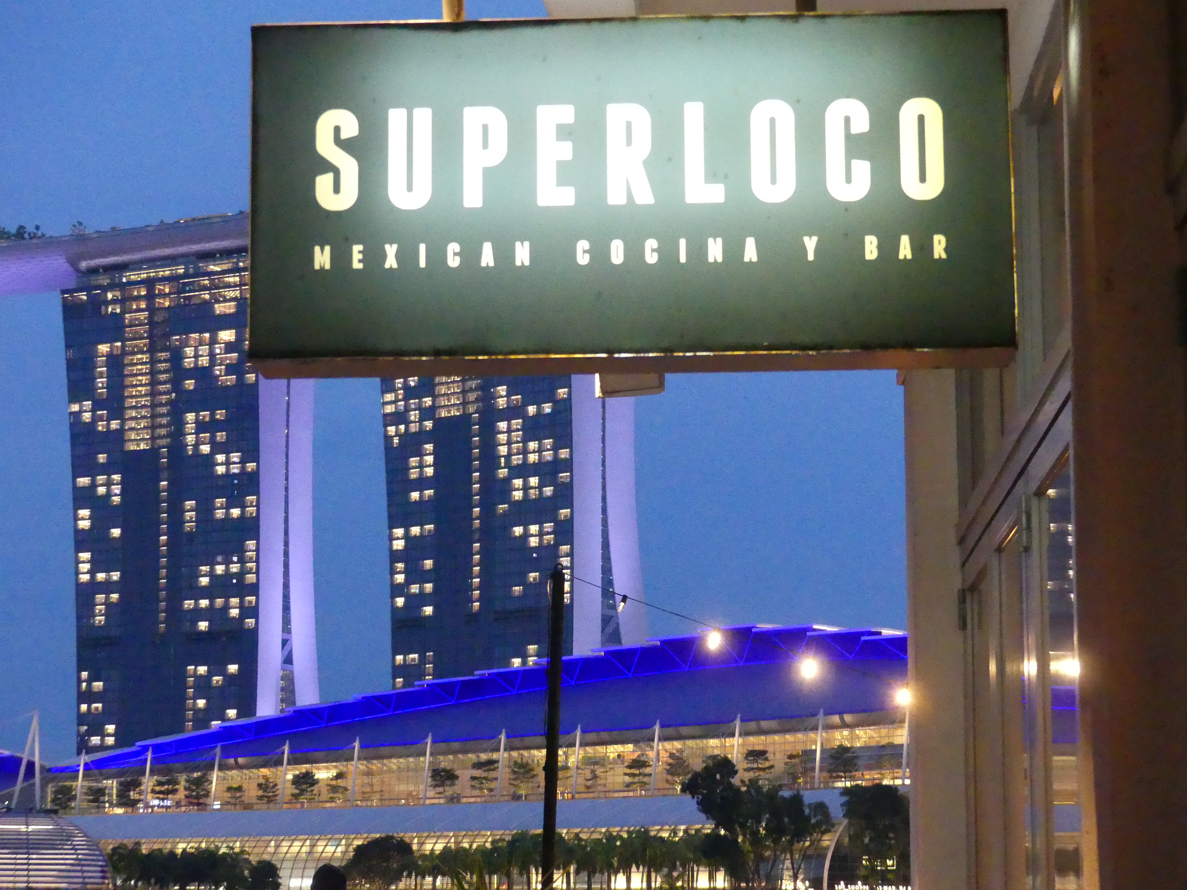
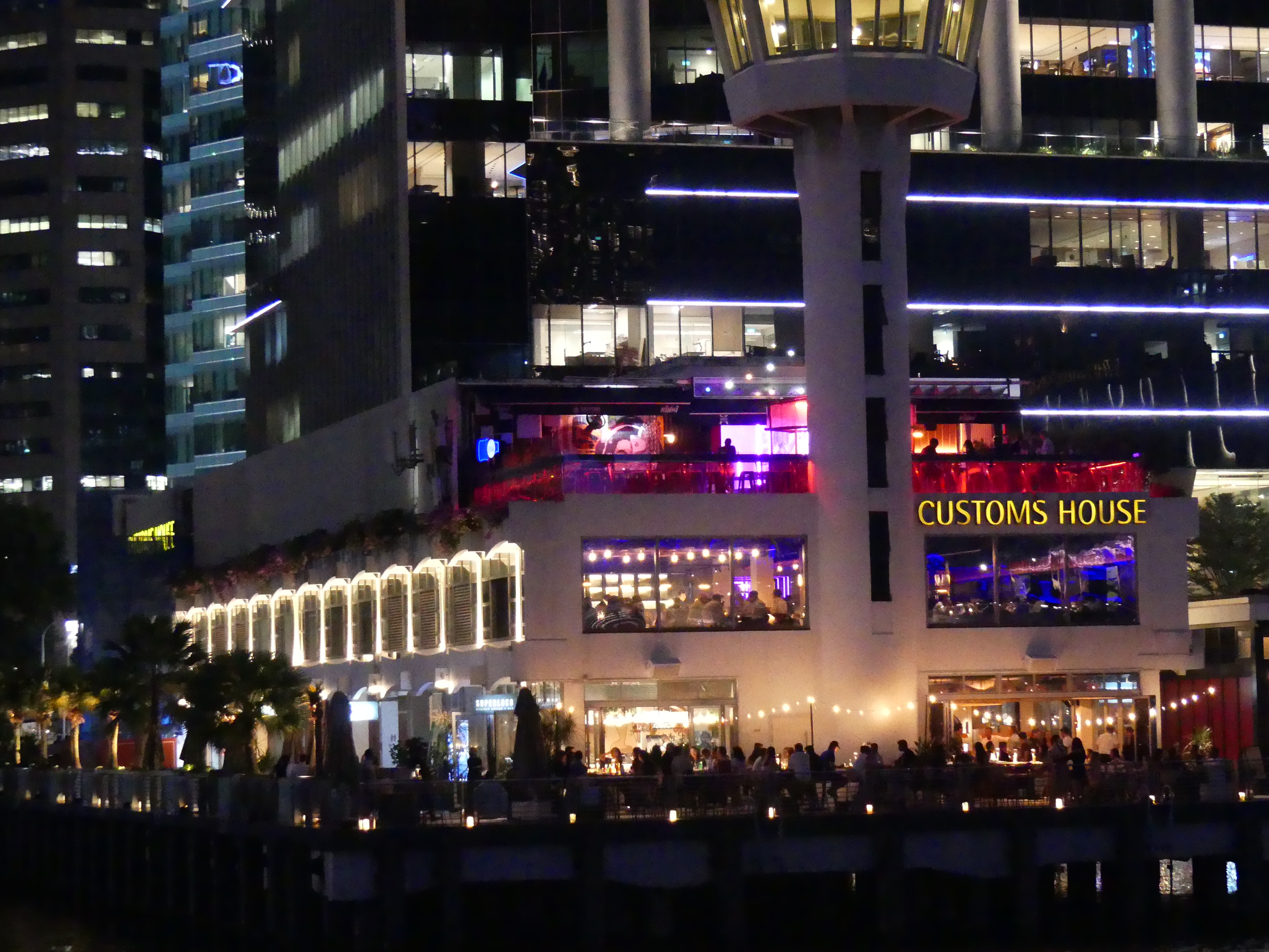
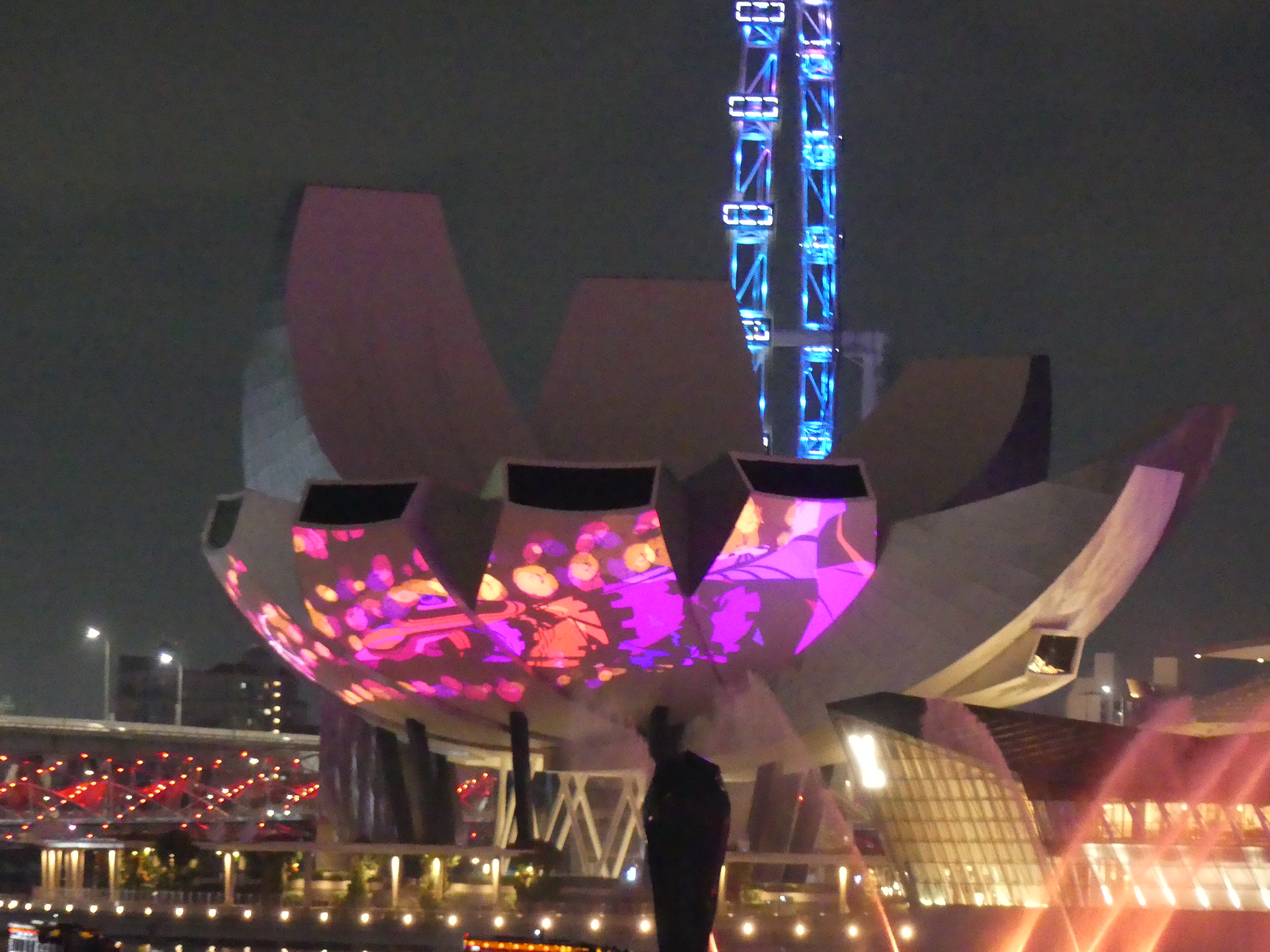
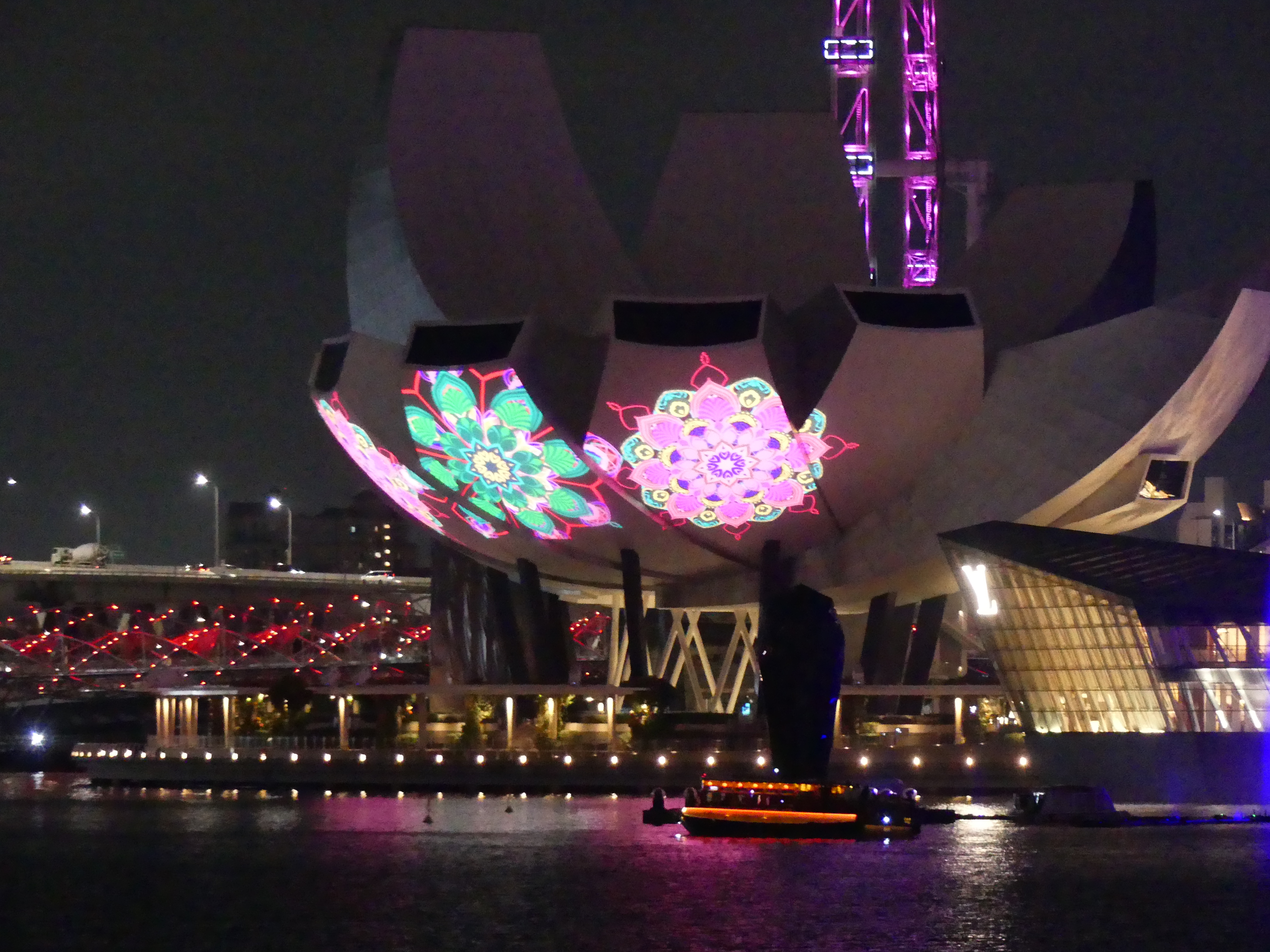
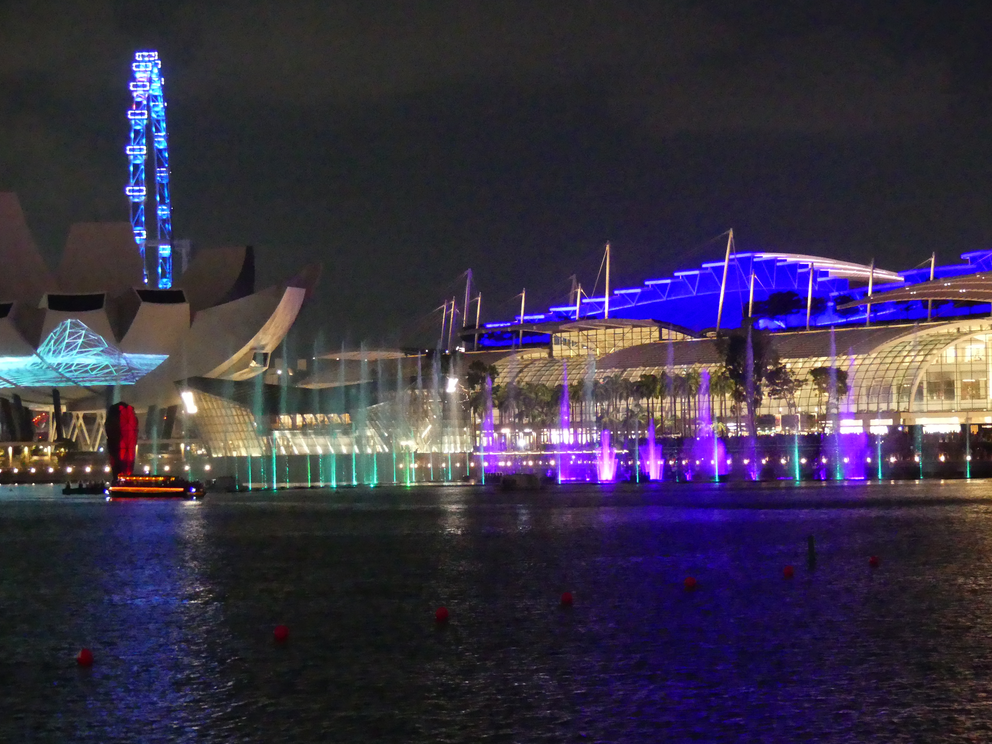
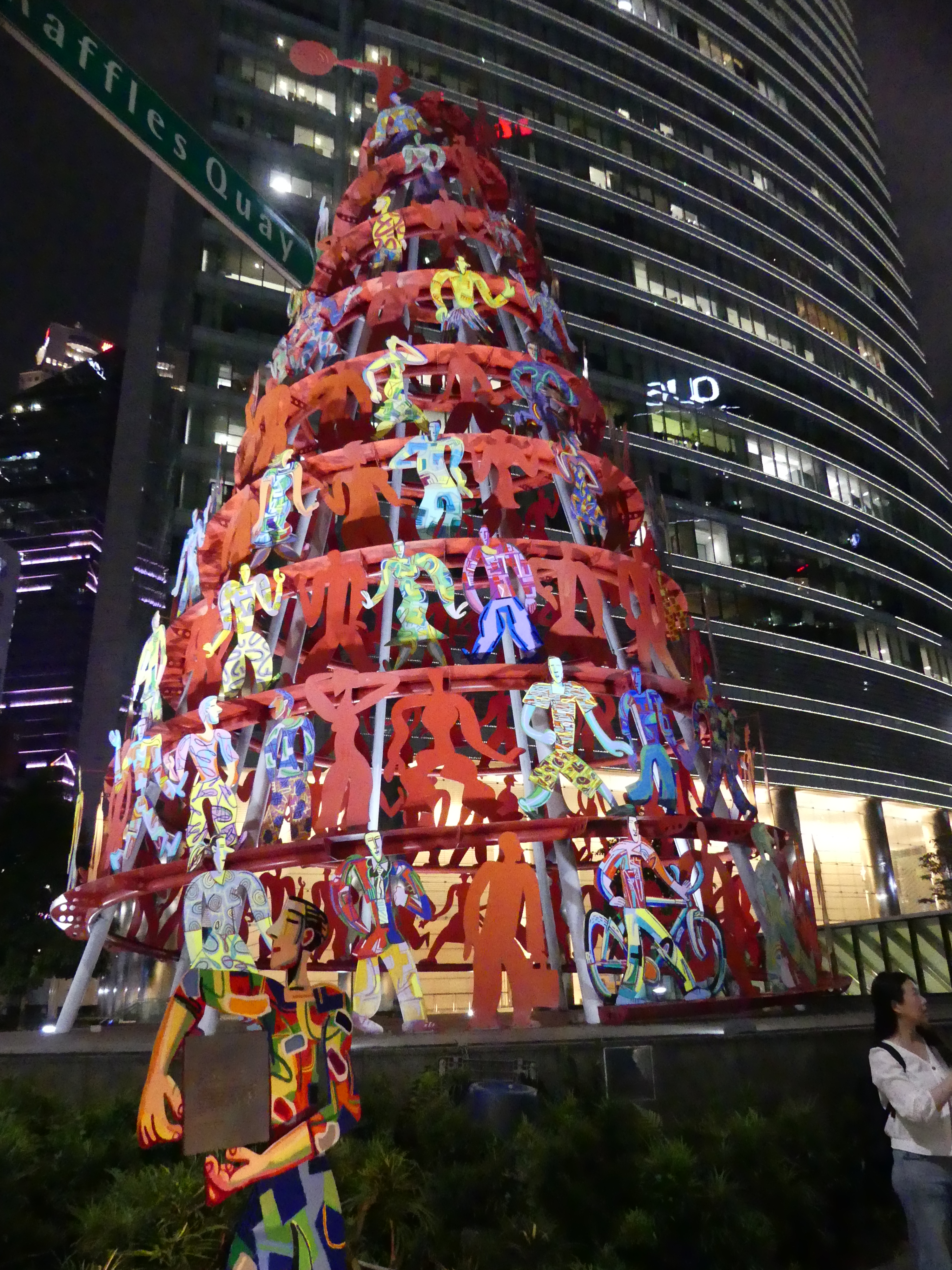
Although we did not get to see a great deal of the gardens, we were both tired and happy to return to the hotel and rest. We caught the bus back to the hotel planning to rest then walk to the bay for dinner and the light show. All went well and we were back at the old Customs House seated in a harbourside restaurant called Superloco to await the light show which we had been told would start around 7.30pm. After dinner we moved around into the adjoining park. My photos show our restaurant and the light show. When walking to the hotel we came across and illumination of a tree but it certainly was not yet Christmas.
Back in the hotel we rested till the following day. Catch up with Day 2 in Singapore when I post “THE RETIREES GO AROUND THE WORLD – Singapore Day 2“
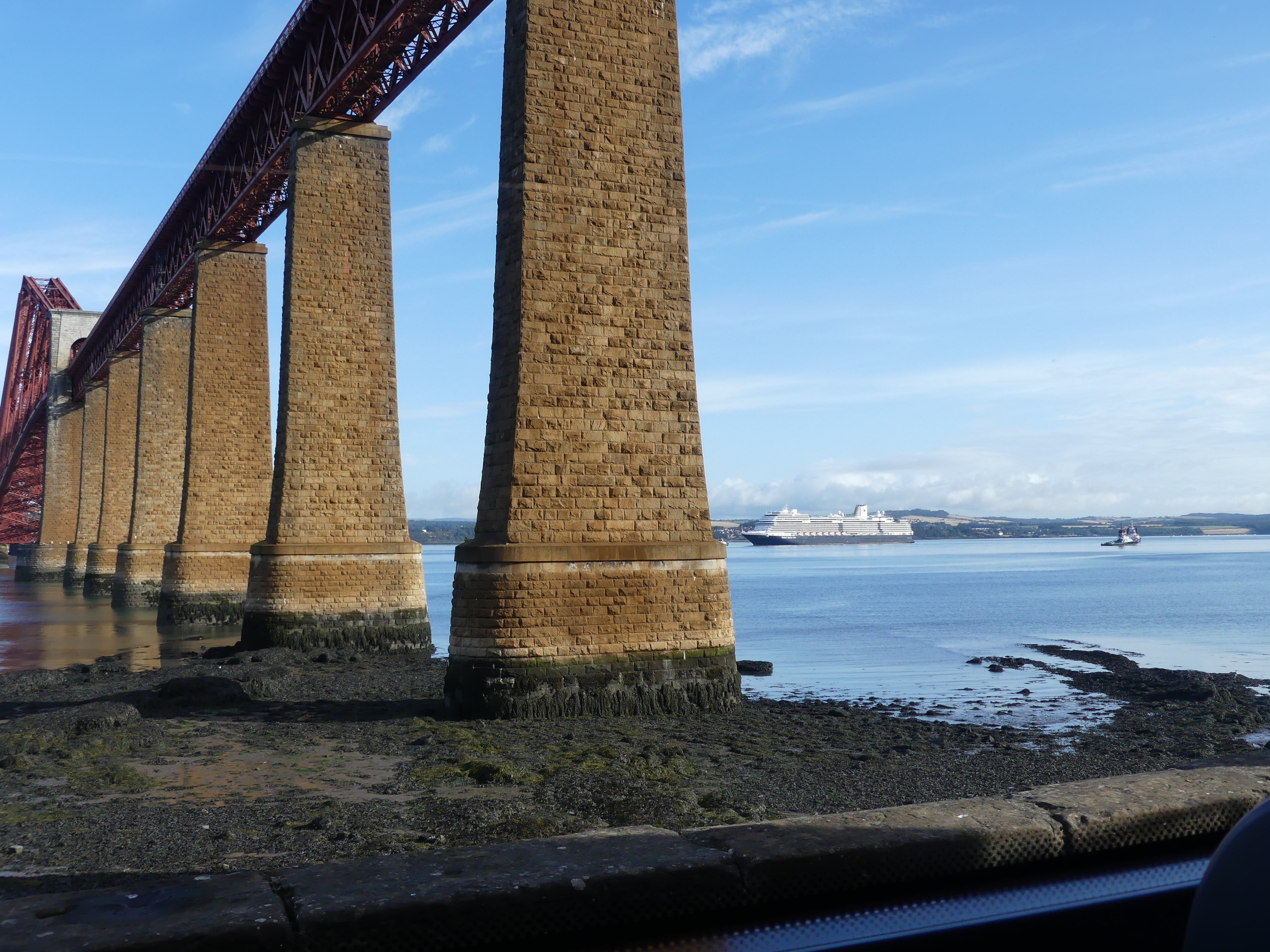
The ship continued to rock and roll gently through the night. Kerry found this disturbing and I slept like a baby – except for the dig in the ribs from Kerry who wanted me to worry about the rolling with her. With the dawn we passed a number of oil platforms until we entered the harbour of Queensport. The ship was too big to dock at Queensport so the ship lowered the tenders and we travelled to the wharf to disembark. The pictures below are of the bridge across the Firth of Forth where the River Forth meets the North Sea, and famous for its three iconic bridges (Rail, Road, Queensferry Crossing) near Queensferry, serving as our entrance to Edinburgh. Some years ago we attended the Edinburgh festival and attended the Tatoo. We stayed at Fife taking the train across one the bridges (there only being two bridges at the time with third under construction) and the reunion with the bridge reminded us of that trip.
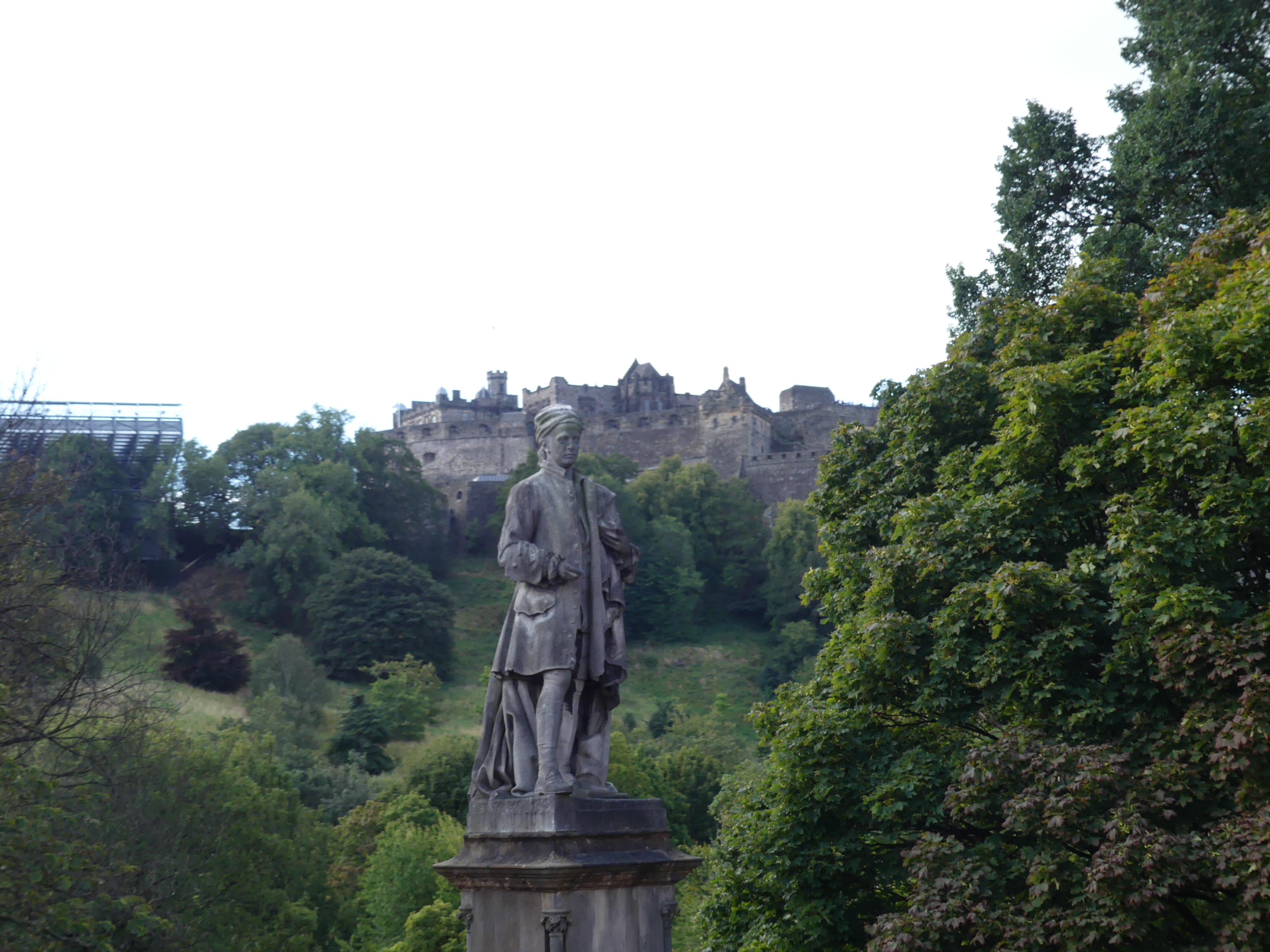
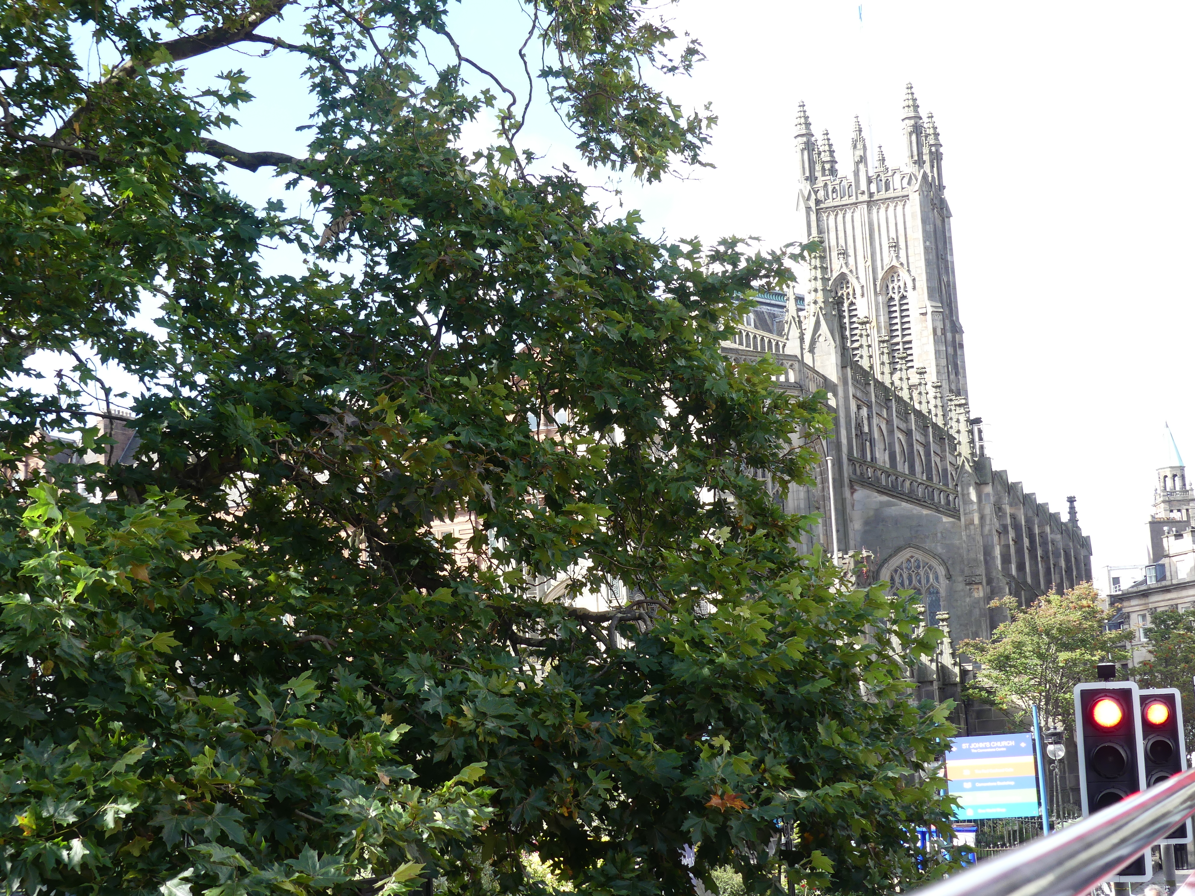
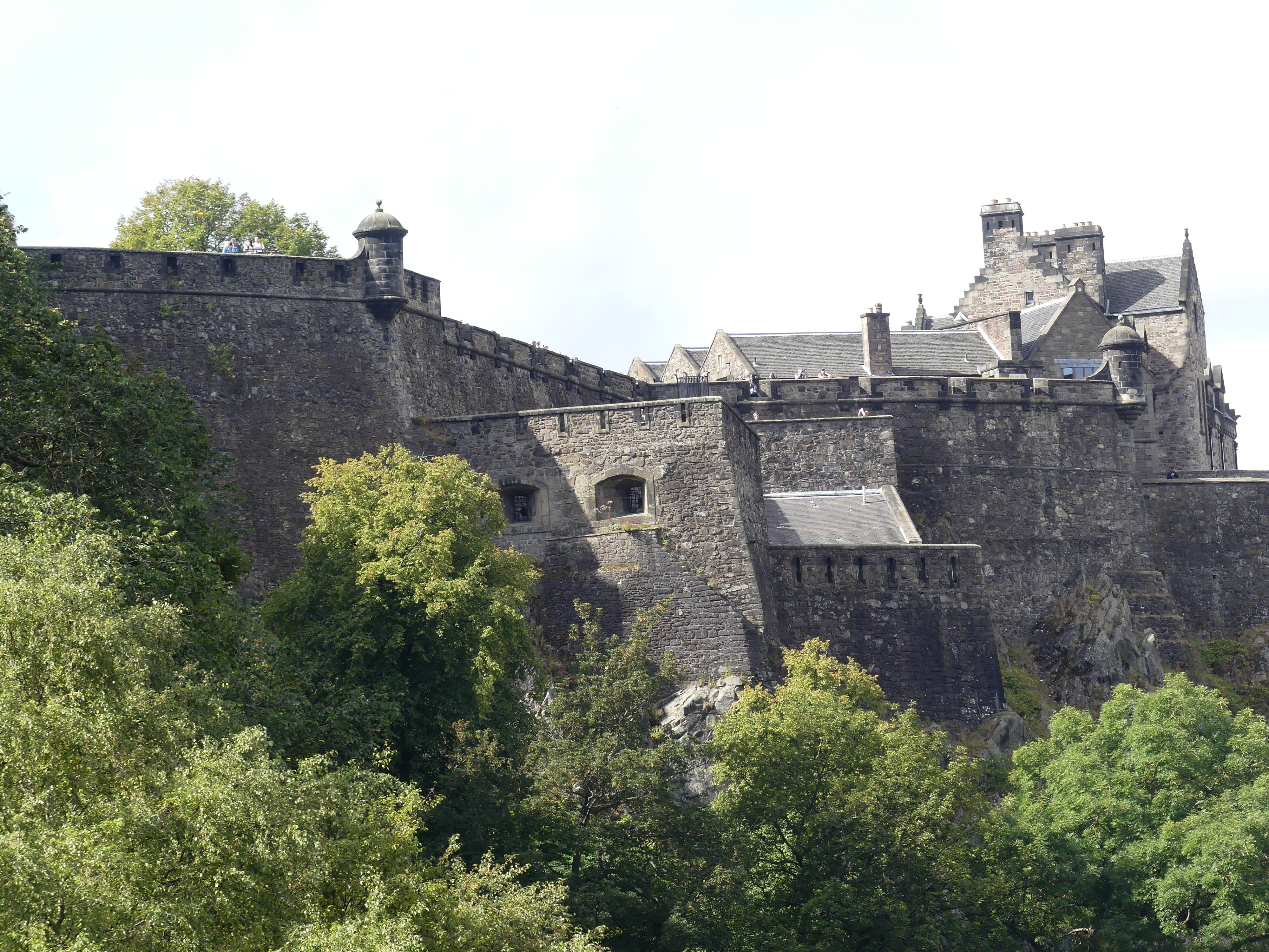
The ship provided a bus shuttle which we caught from the Ferry into Edinburgh. After sought out where we were, we made our way to Waterloo Place outside Princes Street Suites. A man in a uniform brandishing a placard advertising the Hop on Hop off bus stood under Prince Leopold’s Arch selling tickets. The arch built in 1819 to celebrate the visit of Leopold Prince of Saxe Courburg seemed out of place and there was no explanation as to the reason for it. My research shows that the arch marks the entry of Leopold into Edinburgh connecting Waterloo Place over the Old Calton Gorge, with the arch serving as a temporary triumphal gateway for the royal visit. A significant civic event at the time, though this Prince Leopold later became the first King of the Belgians. As we passed the arch we commenced the red line tour passing the Scott Monument. The Scott Monument is a Victorian Gothic monument to Scottish author Sir Walter Scott. It stands in Princes Street Gardens in Edinburgh, near Edinburgh Waverley Railway Station. In the distance you will see Edinburgh Castle.
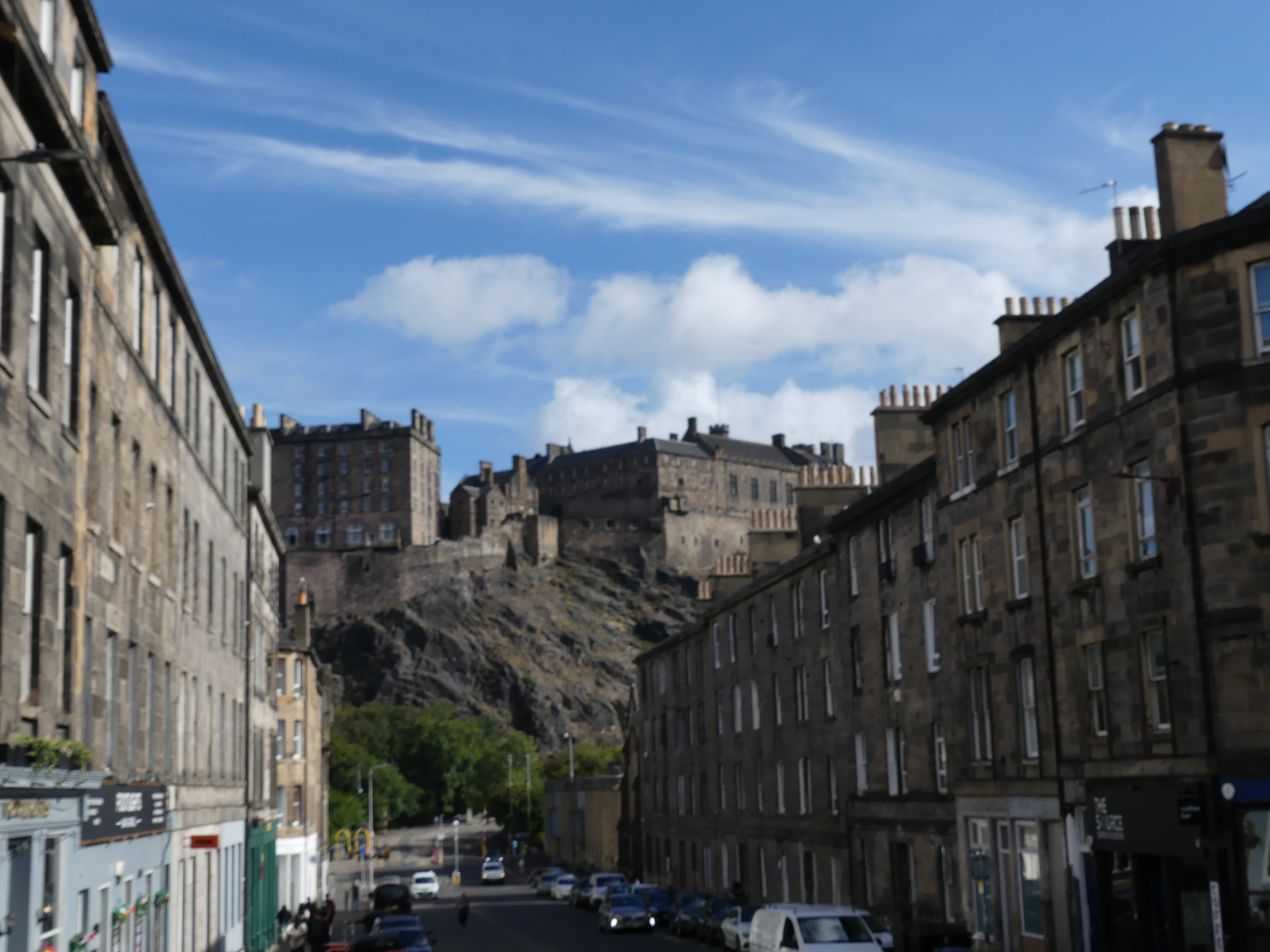
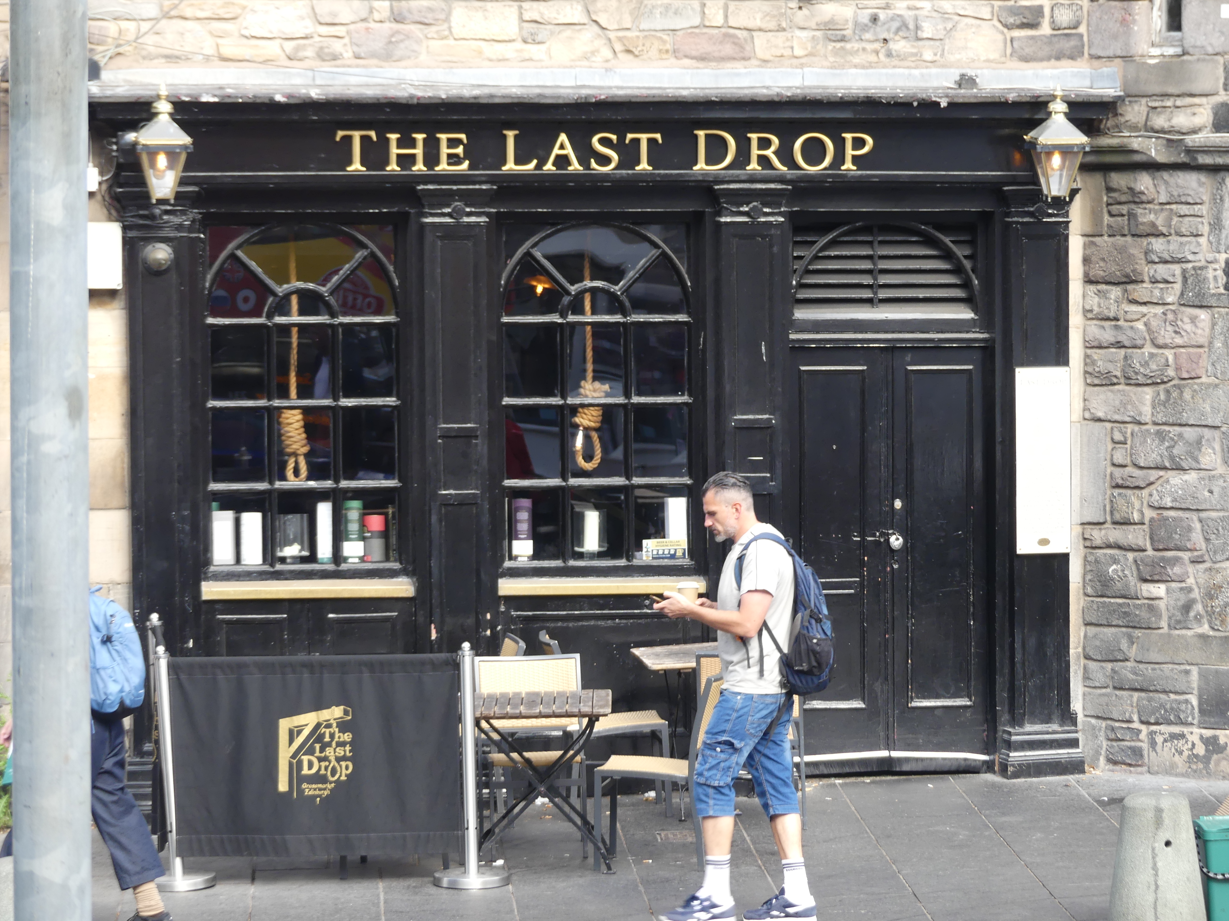
The Bus moves along the Royal Mile through the heart of Edinburgh’s Old Town, connecting the magnificent Edinburgh Castle, perched high on a base of volcanic rock, the Mile is overlooked by impressive, towering tenements, and into the Grassmarket. The Grassmarket is a historic, picturesque, cobbled square beneath Edinburgh Castle, famous for its lively atmosphere, independent shops, quirky pubs (like The Last Drop and Maggie Dickenson), diverse restaurants, and its past as a cattle market and site for public executions.
The Last Drop sits in Edinburgh’s Grassmarket district which was a small open space where local farmers brought their hay and other produce for sale. It was also the location of one of the main gallows in the city and crowds would flock in huge numbers to see the public executions. The Last Drop Tavern is located immediately next to the scene of public hangings which took place there back in the eighteenth century. Tenements once stood on the site, but these were rebuilt into the pub you see today using the old buildings’ original seventeenth century stone.
Maggie Dickensen Pub. Maggie Dickson was a fish hawker from Musselburgh and in 1723 she “fell pregnant” after a secret relationship with an innkeepers son in Kelso. The newborn baby died and Maggie decided it was best to conceal the body so the affair would not be discovered. However, the baby’s body was discovered and Maggie was found guilty of killing a child. She was returned to Edinburgh for execution, which took place in Grassmarket on September 2, 1724. Her friends and relatives took possession of her body, and placed it in a coffin and to be taken to Musselburgh for burial. The party paused en route for a drink and they noticed, the lid of the coffin began to move. Maggie was alive and well enough to walk the rest of the way to Mussleburgh the next day. She survived she was a “good friend” of the ropemaker and the early breaking of the rope allowed her survival. Having already been pronounced legally dead she could not be tried again and she lived another 40 years and known as Half-Hangit Maggie. She opened the pub in Grassmarket, and whenever there was a hanging going on outside, she would bring the accused a pint and say not to worry, she survived her own hanging.
Pictures of both establishments are above. Next stop was Calton Hill.
Calton Hill is a prominent, historic hill in central Edinburgh, famous for its iconic monuments, panoramic city views, and as a UNESCO World Heritage Site location. Key features include the unfinished National Monument (a Parthenon replica) and the City Observatory, offering stunning vistas of Edinburgh Castle, Arthur’s Seat, and the Firth of Forth. Moving on we passed Holyrood House, now overgrown with trees and then the Scottish Parliament Building seen below on the left. As we finished our tour we came across H & T Pawnbrokers. Very elaborate establishment – certainly no Steptoe and Sons there.
We returned to our shuttle bus stop after grabbing a sandwich at the Edinburgh Waverley Railway Station, tired from sitting in the bus – that still happens to me that I need a nap in the afternoon.
Our next adventure is “THE RETIREES GO AROUND THE WORLD – DAY 3 SS NIEUW STATENDAM – Shetland Isles.” We have both enjoyed the BBC drama of “Shetland” and I was anxious to see for my self how this small group of islands could have so many murders occurring on a daily basis.
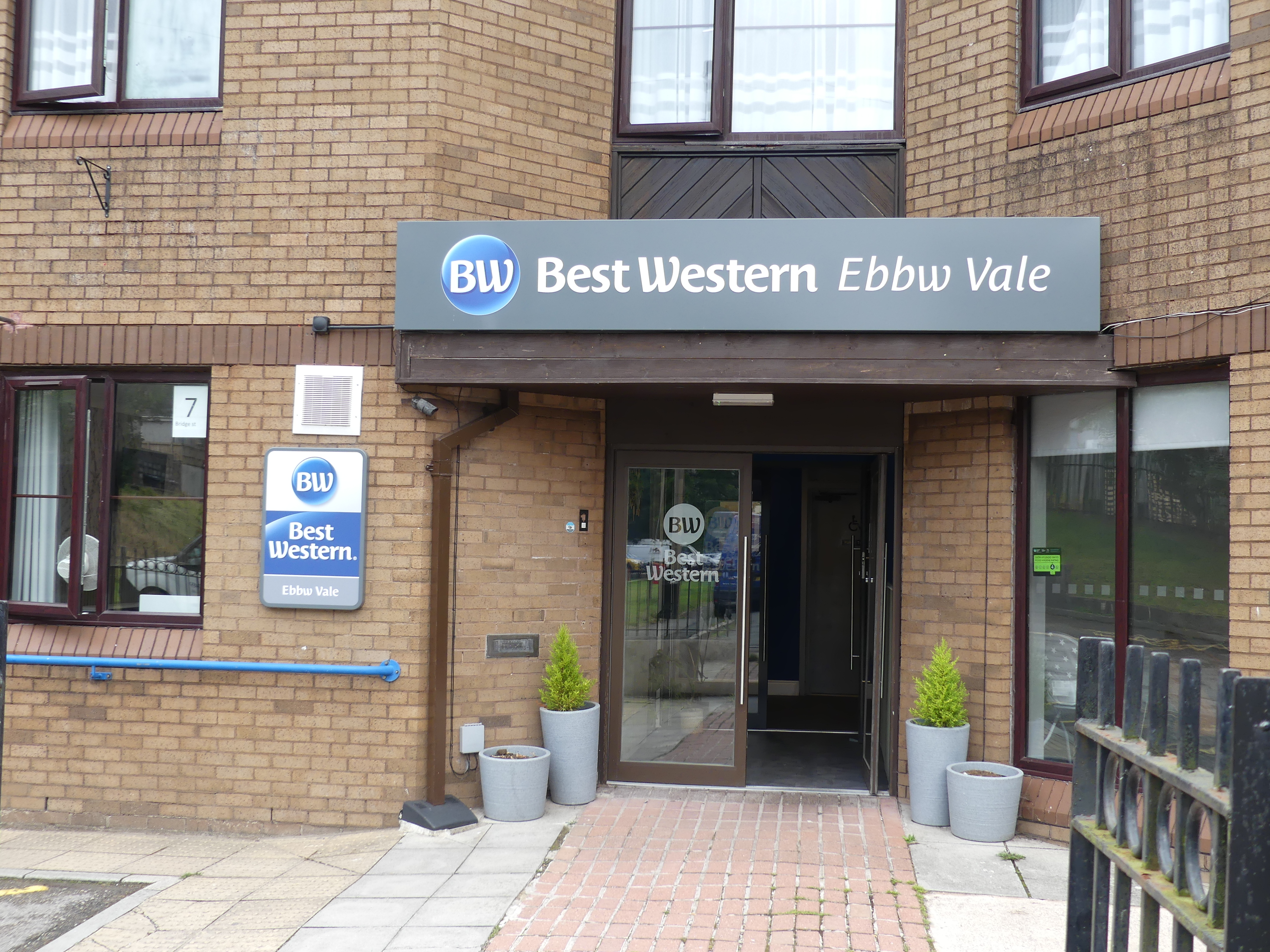
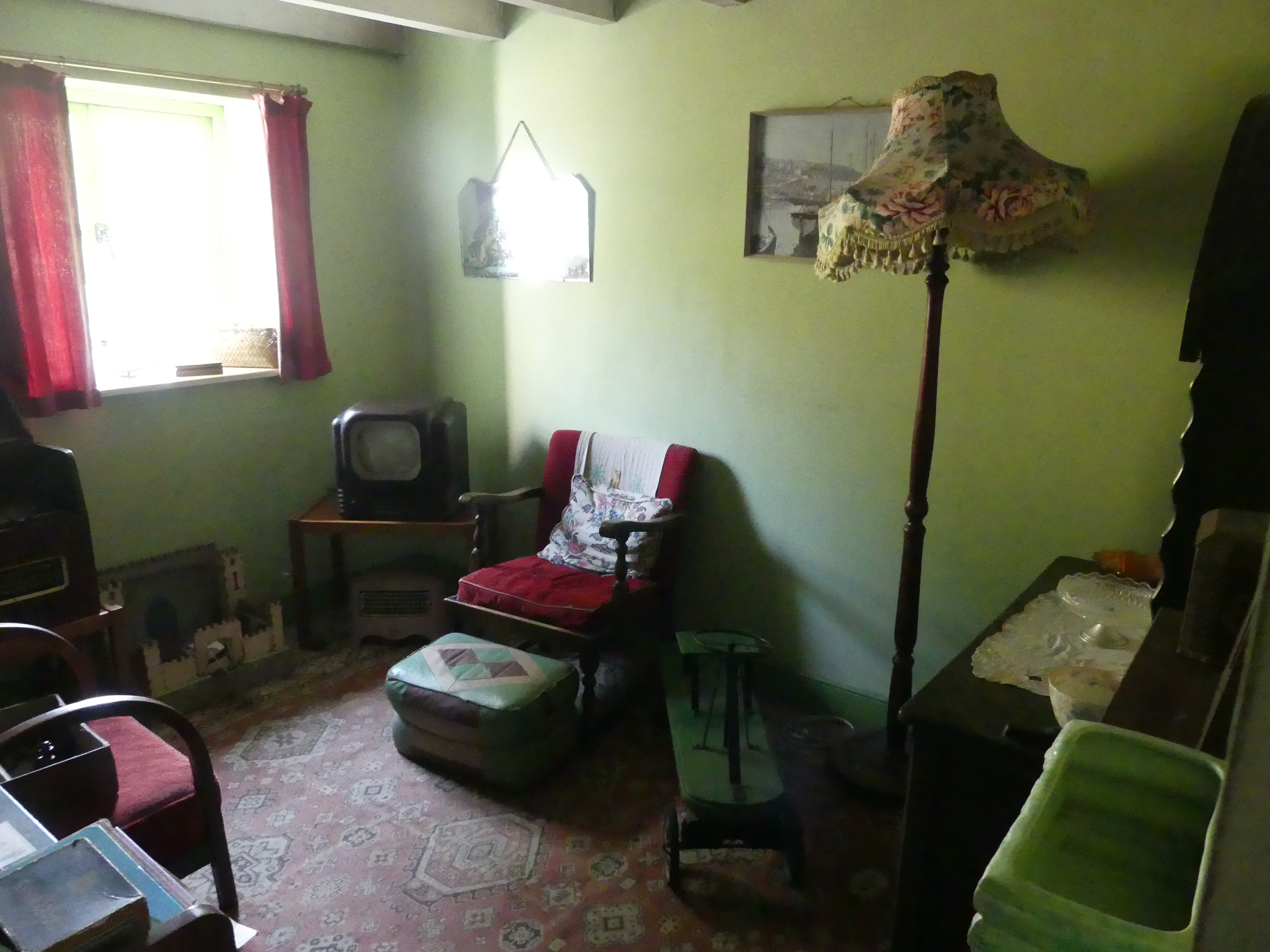
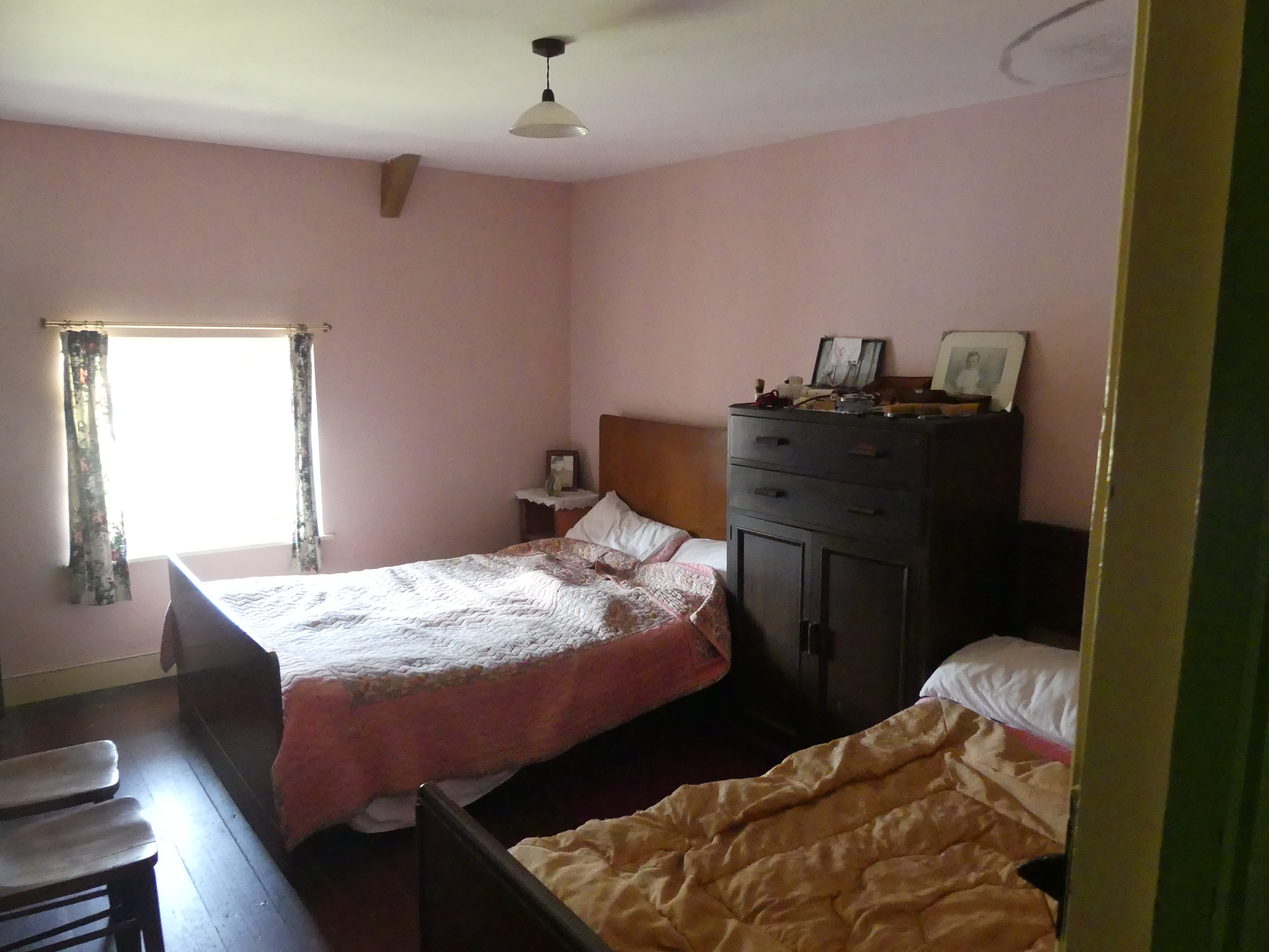
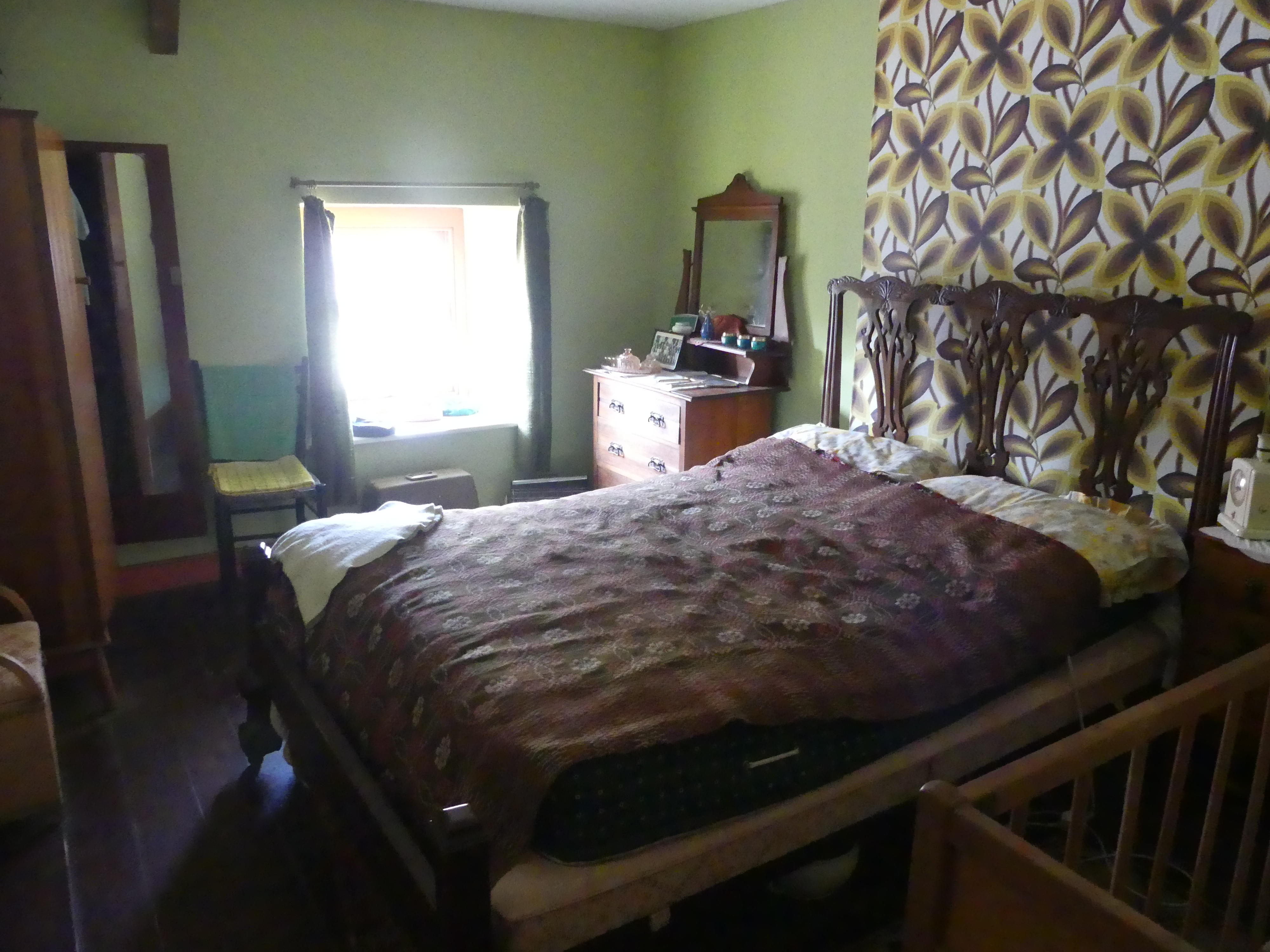
We leave Pembroke to find our way to Best Western Hotel at Ebbw Vale. This proves to be an effort as the hotel is a former Government Health Services building and our GPS cannot find it. With a bit of guess work we strike it lucky and the proof can be seen below. This is a strange configuration, and our room is tiny with a view of the remaining health service building entrance to look at. After moving our bags into the room I find I have a water leak beside my bed but not significant enough to warrant moving rooms even if there were a room available. The good news is we have internet, but the bad news is there is no coffee making facilities or fridge in the room. Good news they don’t mind if we prepare our breakfast in the breakfast room. Management and staff are very easy going but the hotel leaves a lot to be desired. It will do for a few days. The photos below are from Ebbw Vale – not a lot of interesting things. We had chosen the town for accommodation not for sites to see.
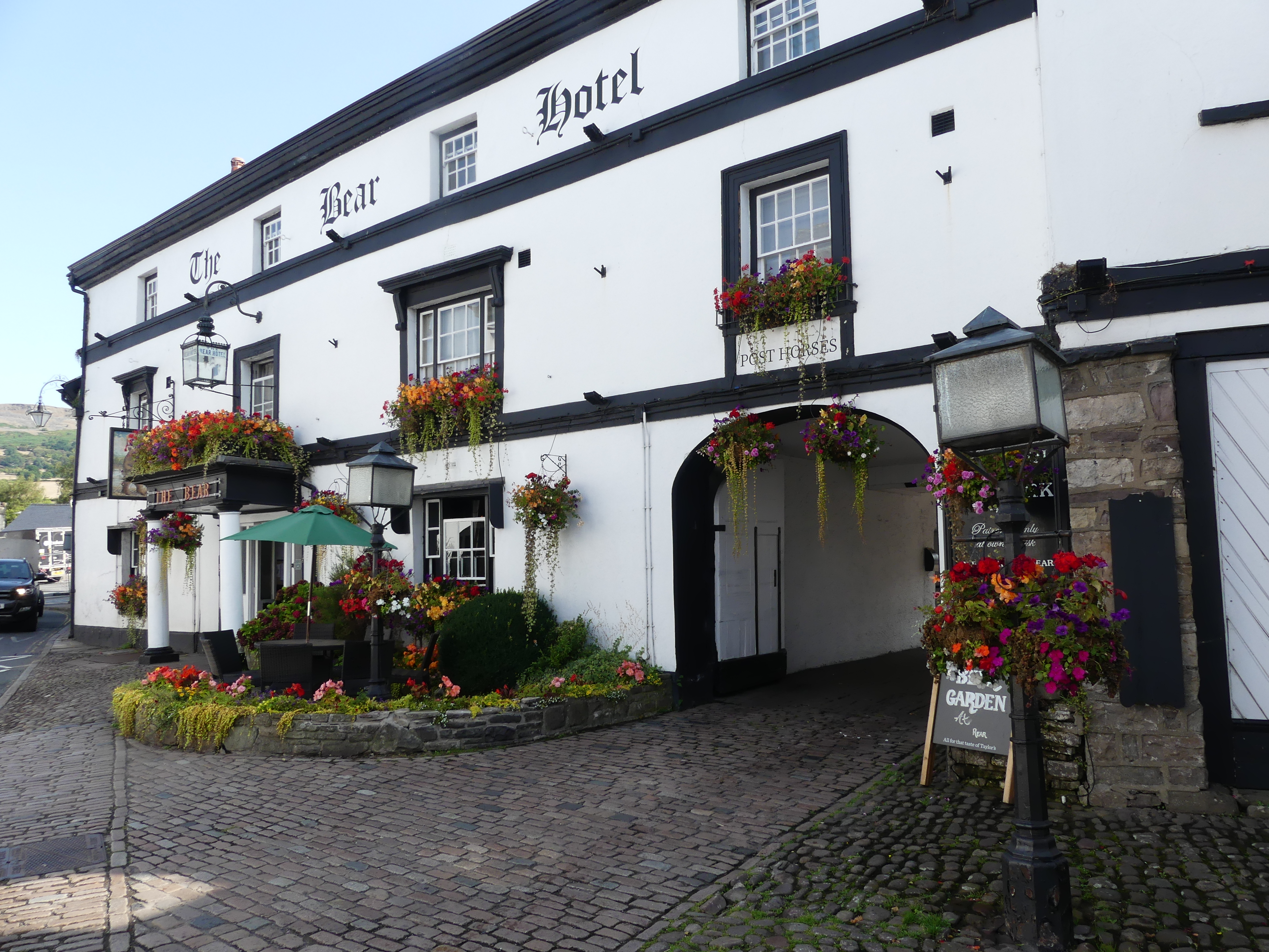
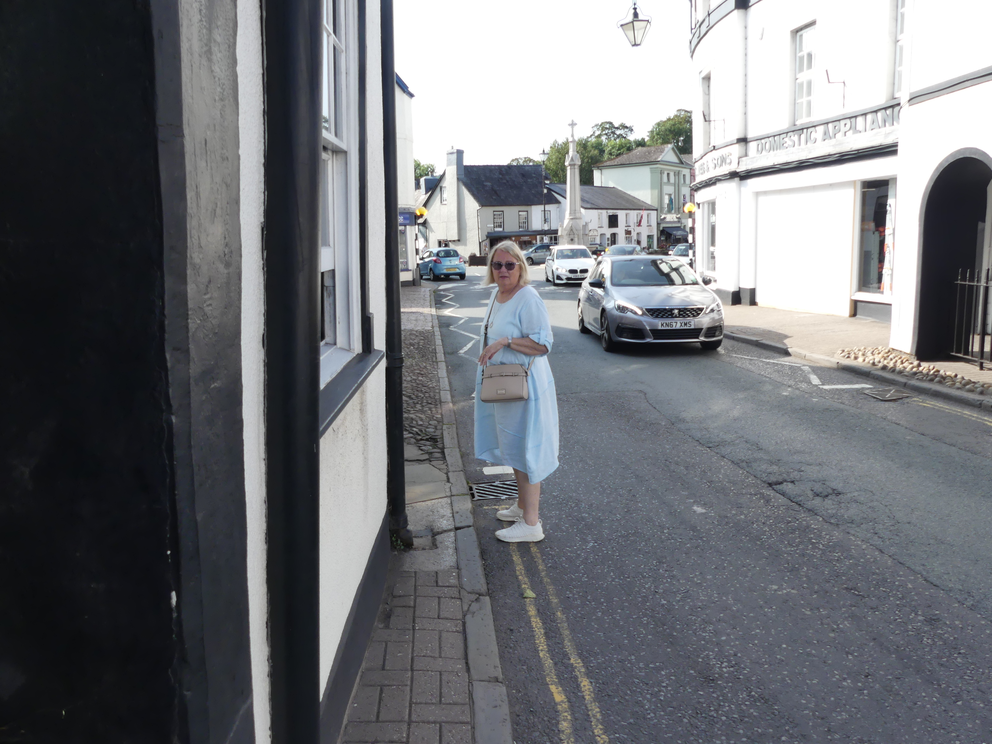
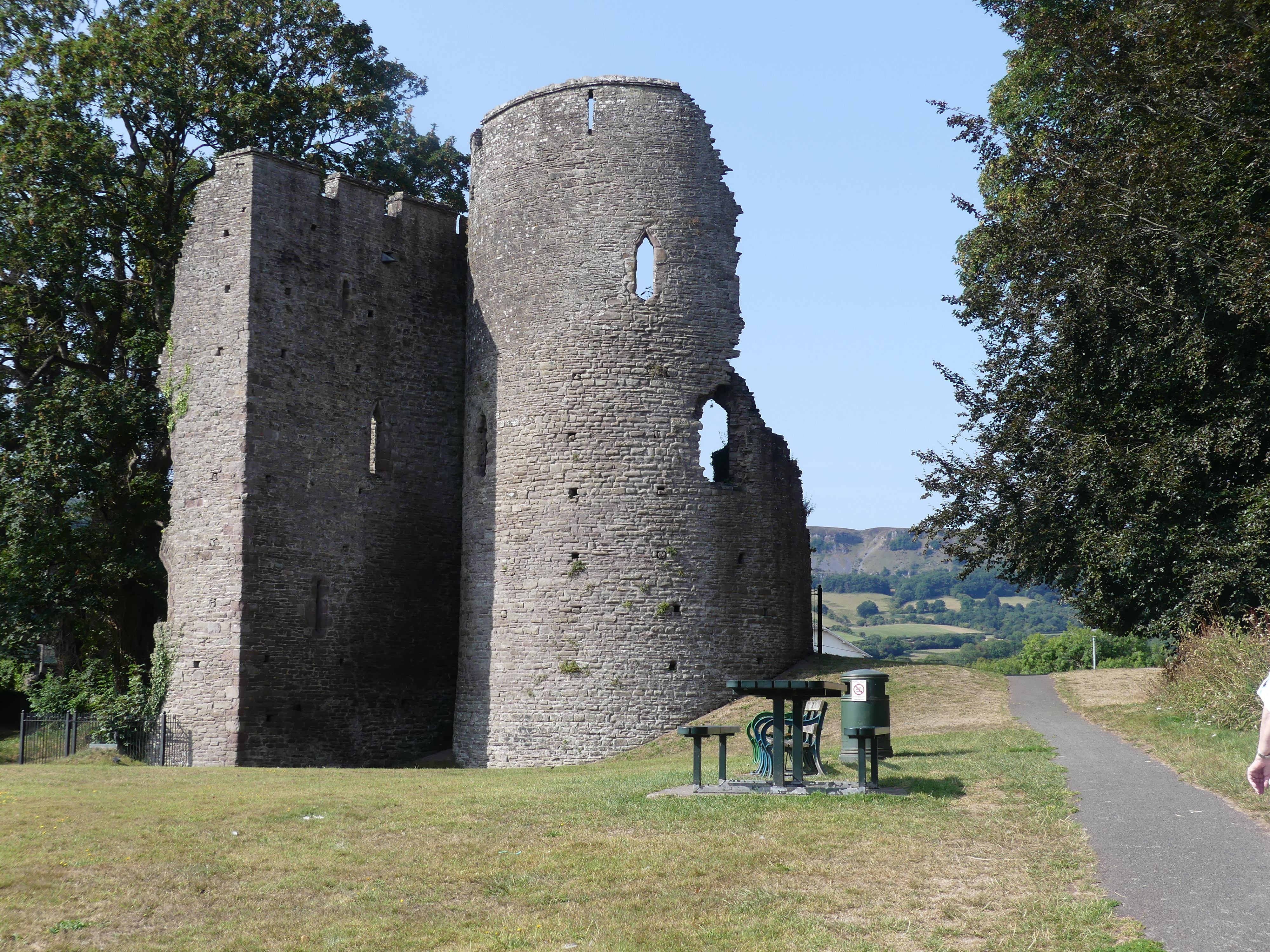
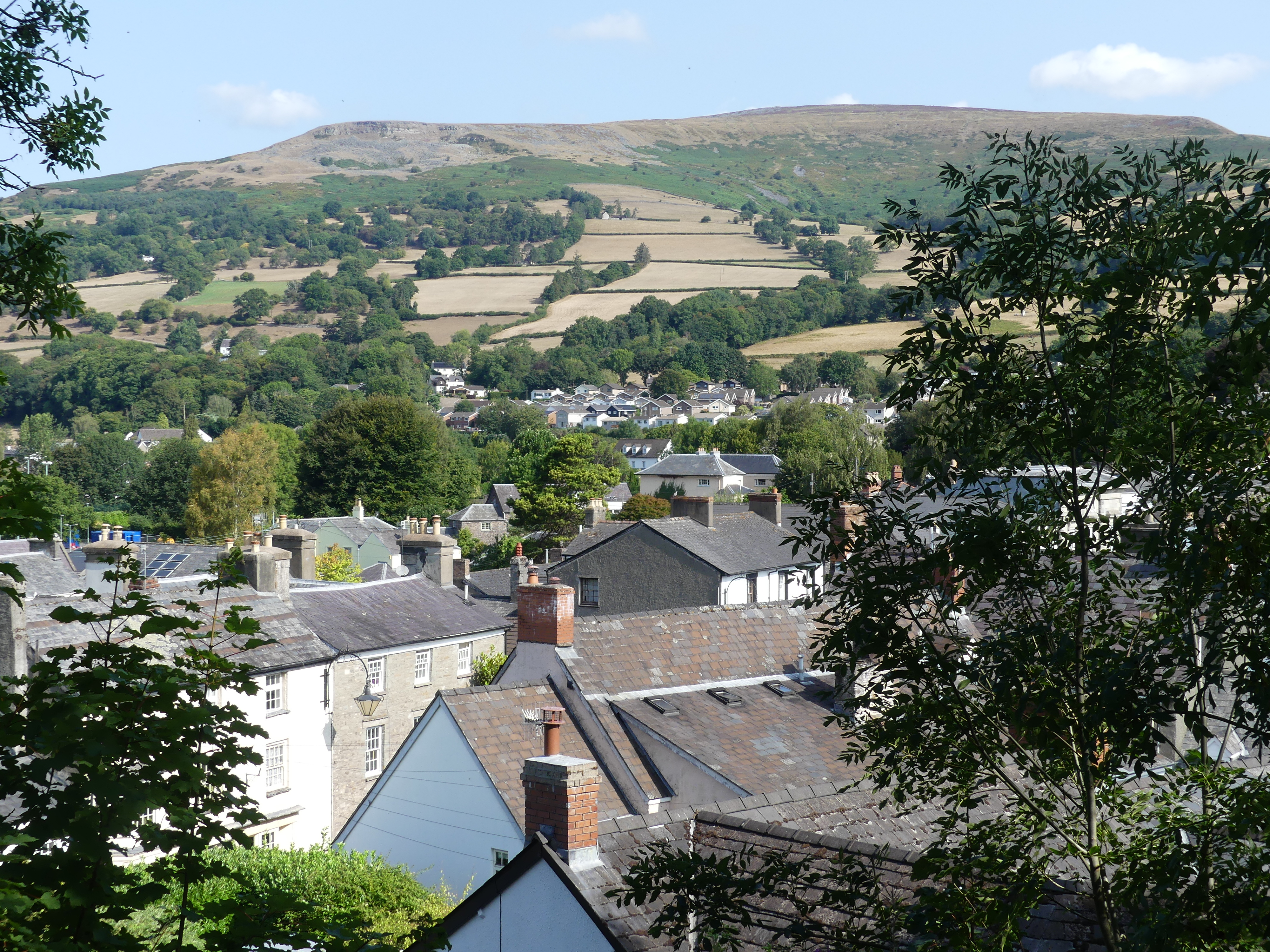
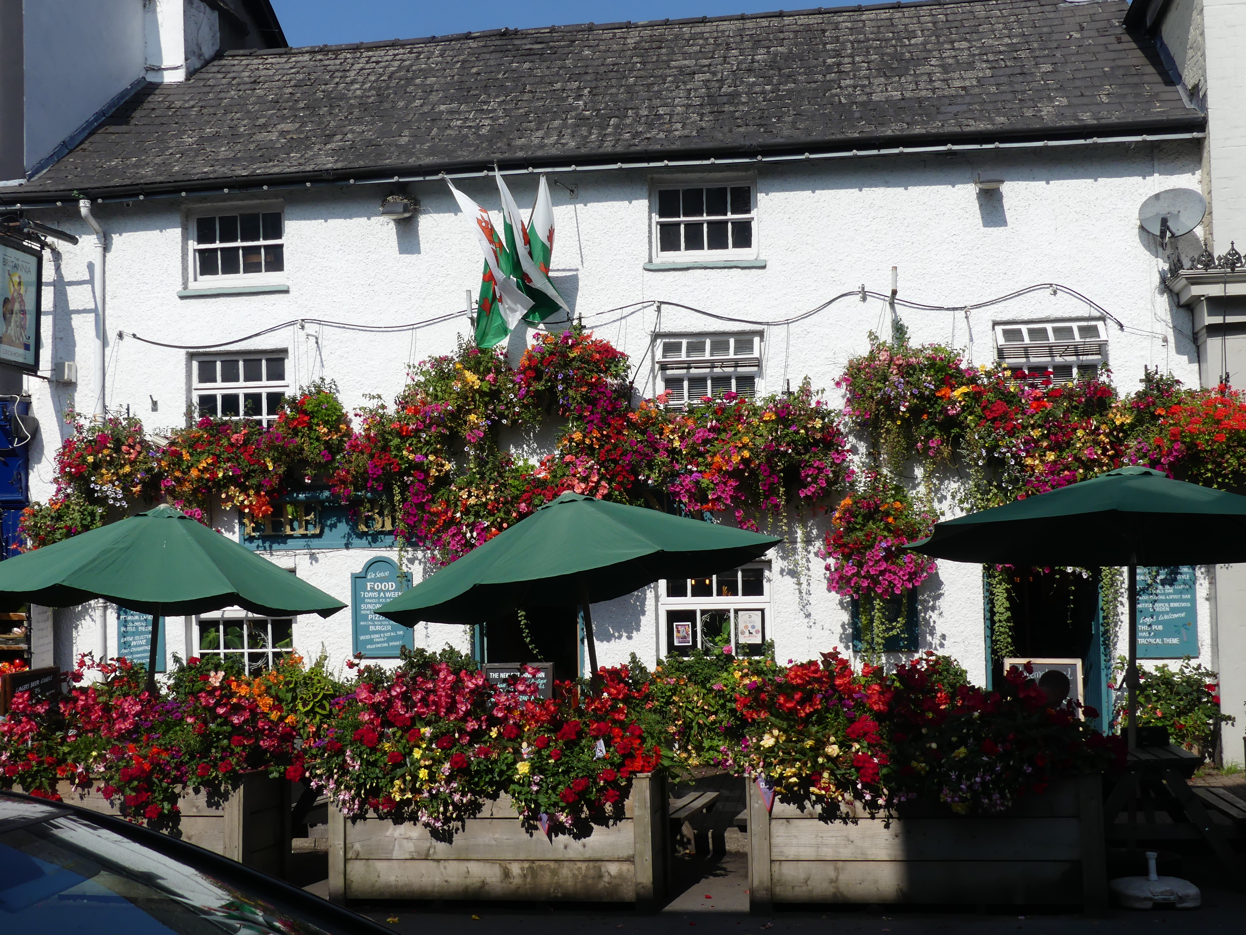
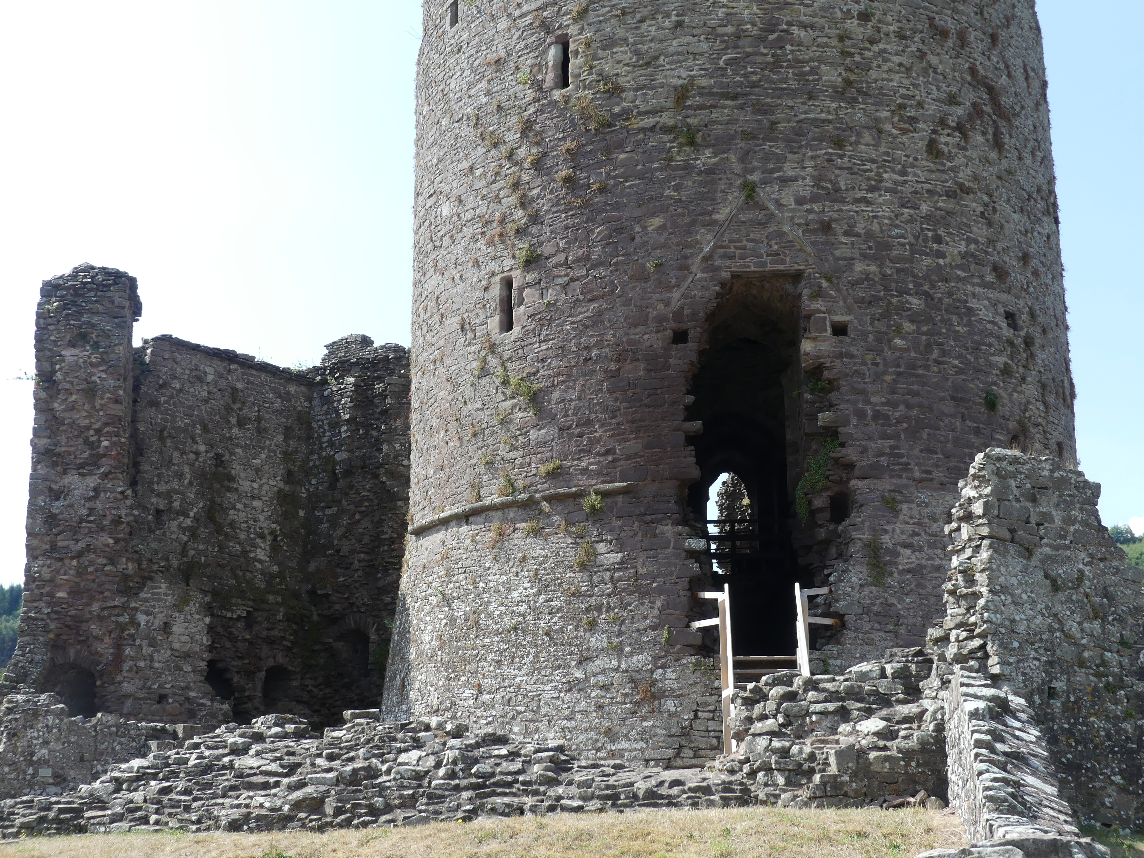
After our hearty breakfast of cereal and coffee/tea we prepared a picnic (we brought our own flask, Vegemite, honey and butter which we keep cold on the window sill whilst putting our milk in the Hotel’s kitchen fridge). We drive to Crickhowell the epicenter of this region. We parked behind the information centre and were confronted by the call to arms for the Rotary Duck Race (note the venue “Bull Pit Meadow” how rural is that) after which we walked the main street of the village – from the Bear Hotel to the castle ruins. The streets are narrow (Kerry has to step onto the road to continue on the footpath) and the castle is a ruin and now the centre piece of the kids playground in the community park. There are bits and pieces of the castle, its keep and defensive wall within the village. The photos show part of a tower, a disconnected part of the wall set 3 m above part of the inner keep and a section of a second tower. From the top of the inner keep we have a view over the whole of the town into the hills.
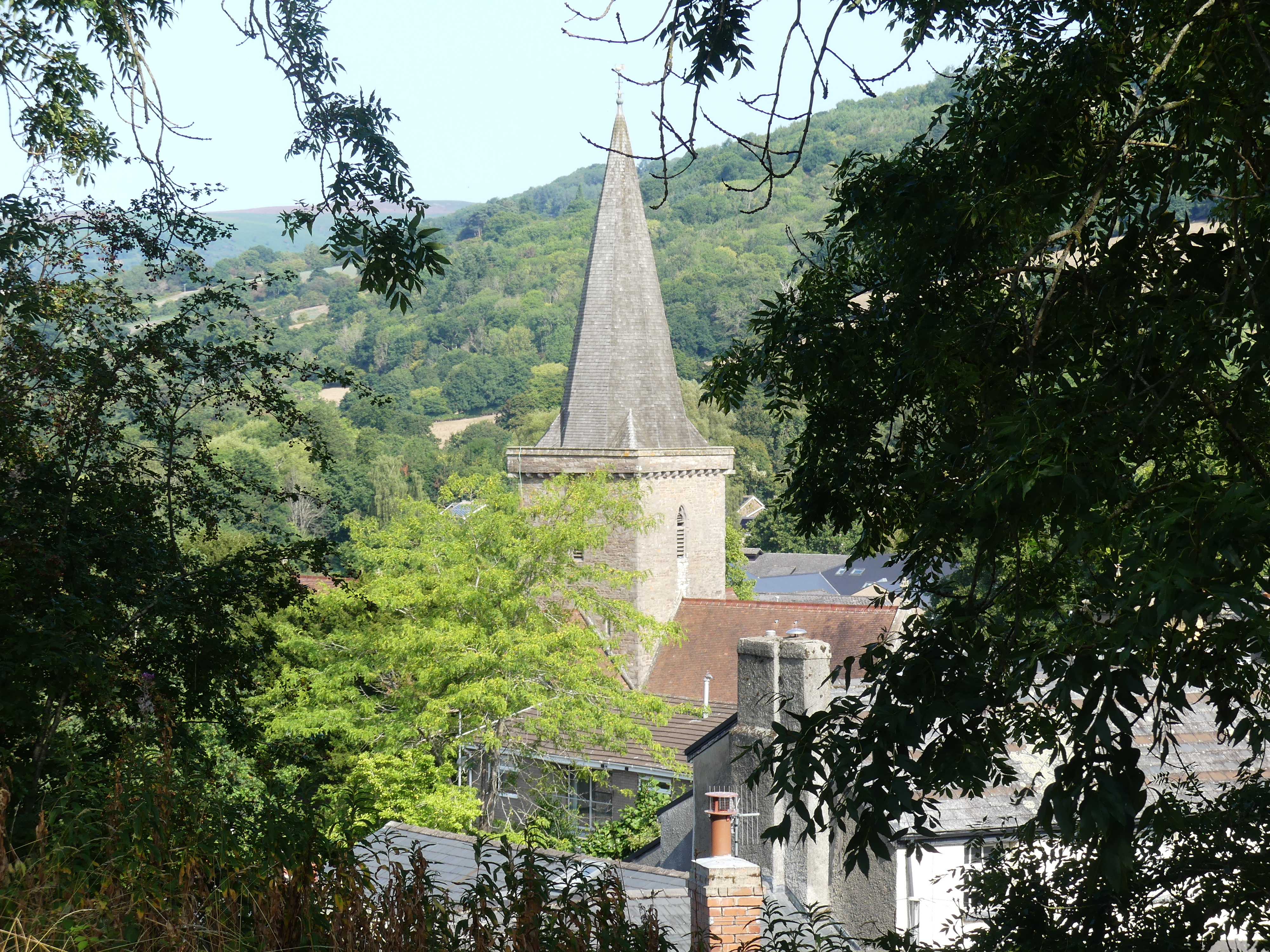
We spy the spire of the local church and return past the old Bear Hotel where we find another part of the defensive walls being used as part of their front fence. Very quaint. We move onto the church we had seen from the ruins which turned out to be St. Edmund’s Church (Eglwys Sant Emyr). Inside the church is a record of the early history of life in Crickhowell – 3 sarcophaguses with death images formed on the top of the container – time had rendered the dates of the internment and identities illegible. The interior of the church was simple and dignified. In the church yard the former members of the community having passed over are recorded and remembered.
The countryside was vibrant and green. I am certain we had a coffee and cake before we returned to the carpark. My photo below is the countryside – don’t go searching for us drinking coffee.
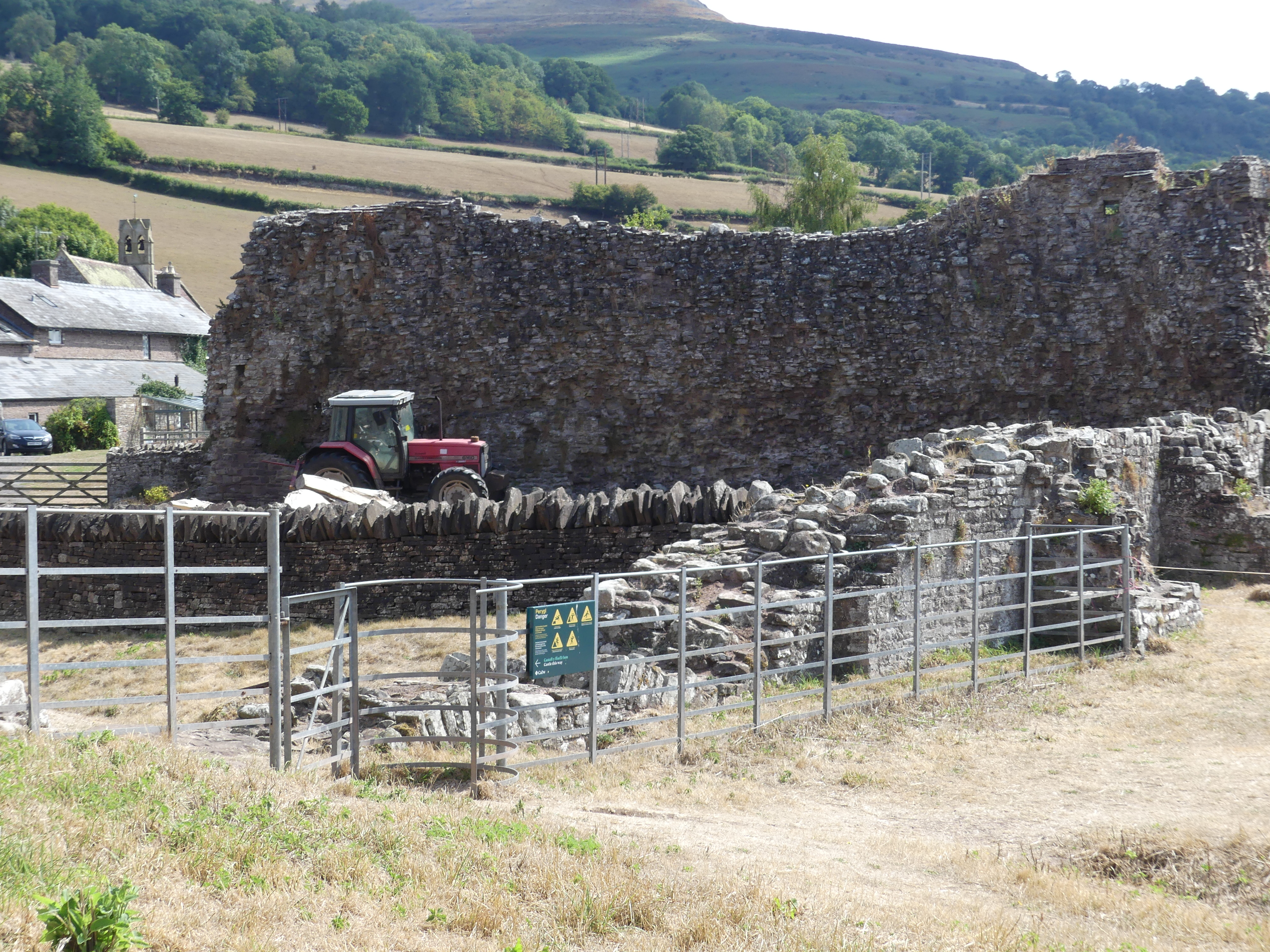
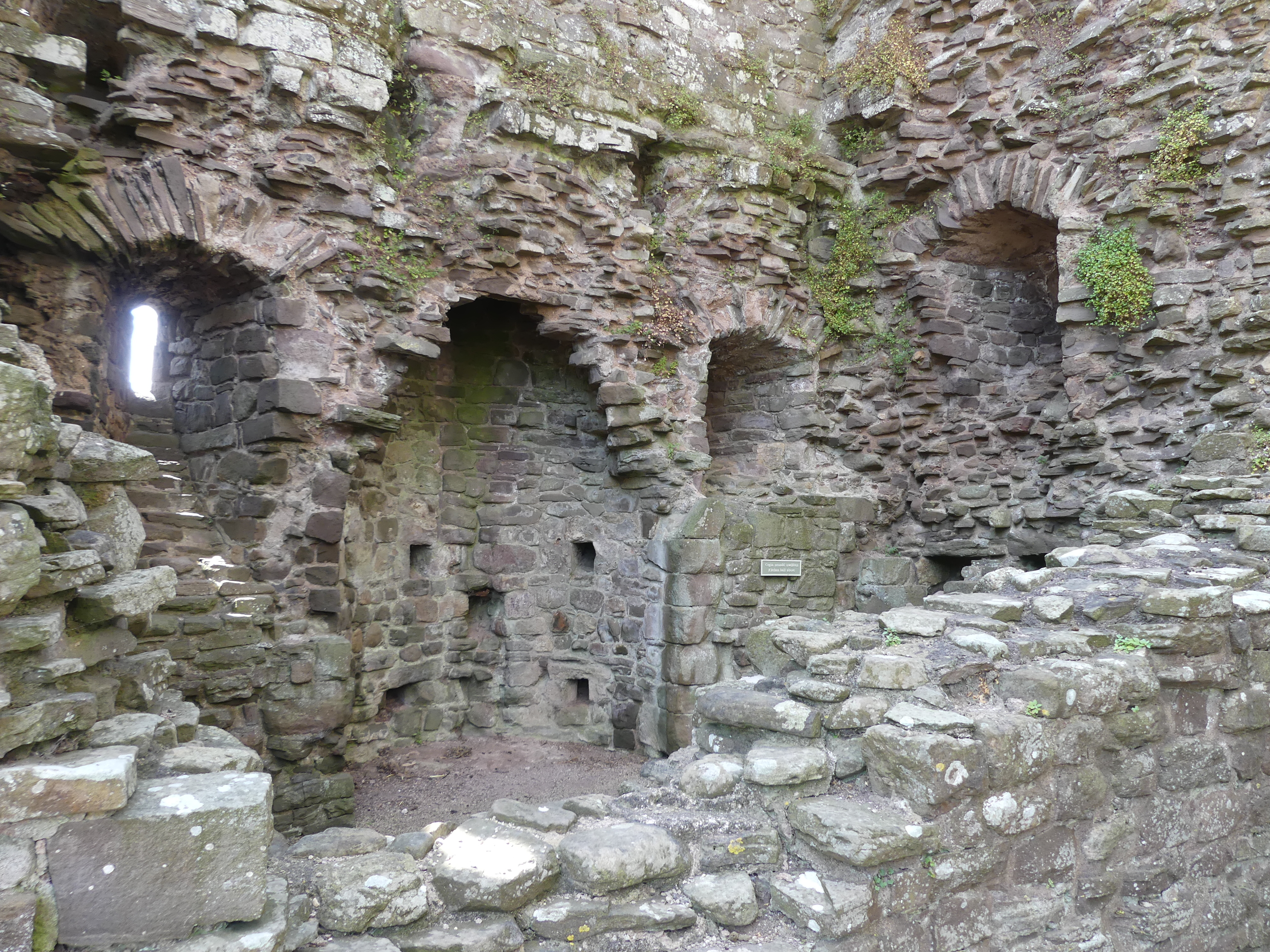
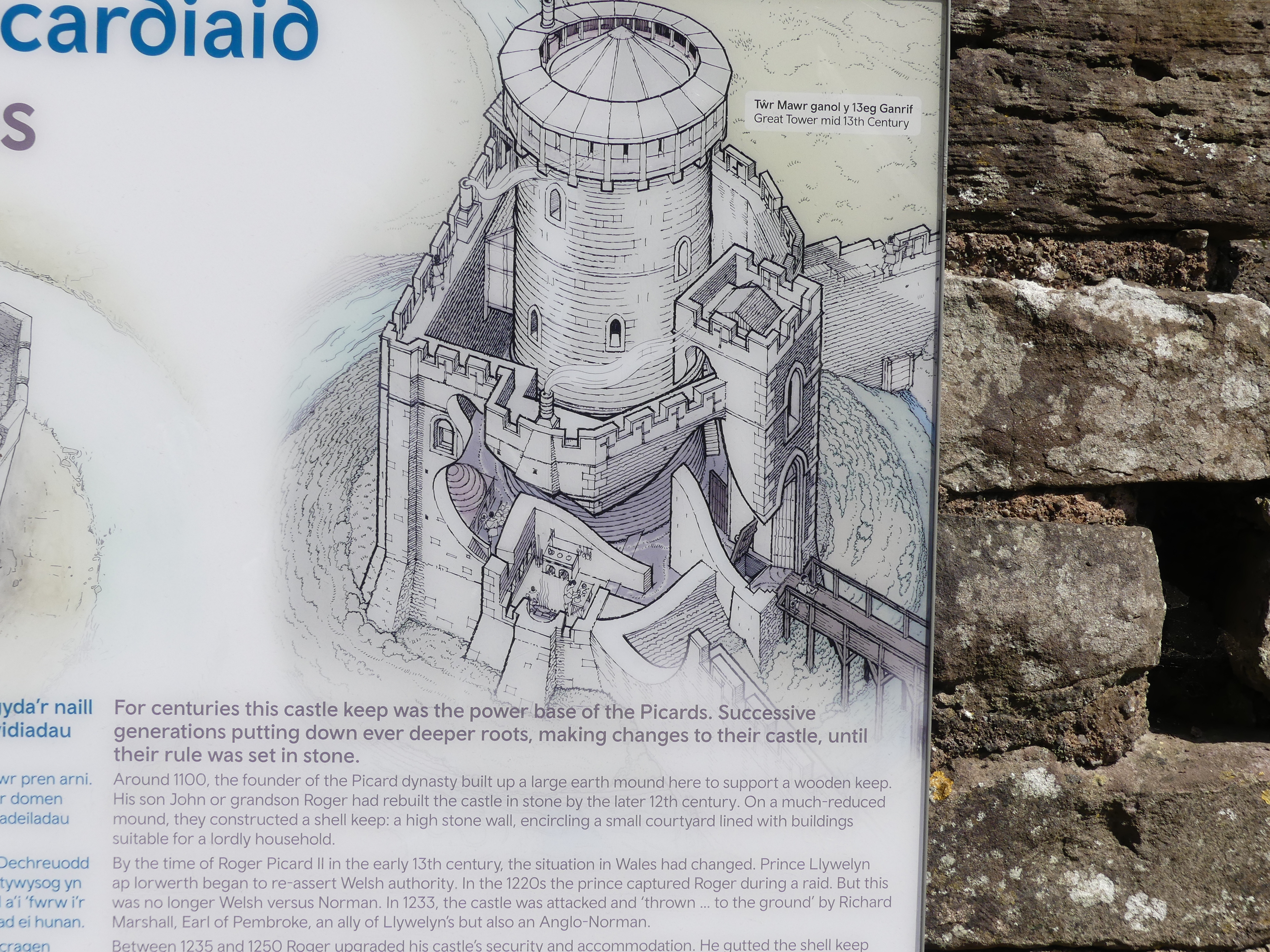
Part of our reason for coming to the Wye River valley is to visit Hay on Wye famous for the bookshops that can be found in the village. However, I was not expecting to accidentally come across another ruin just off the country road. A moat and bailey castle from Norman times – it has likely been slowly demolished by farmers pillaging its stone until the ruin was included in the Cadw Trust. It turns out to be the ruins of Tretower Castle.
The internet tells me that the “Picard dynasty” in Wales refers to the family who held control of Tretower Castle in Powys after the Norman conquest in the late 11th century, founded by a Norman knight named Picard and continued by his descendants, including his son and grandson, who developed the castle into its stone form. After the Picard family, the property passed to other families, including the Vaughans and Bloets.
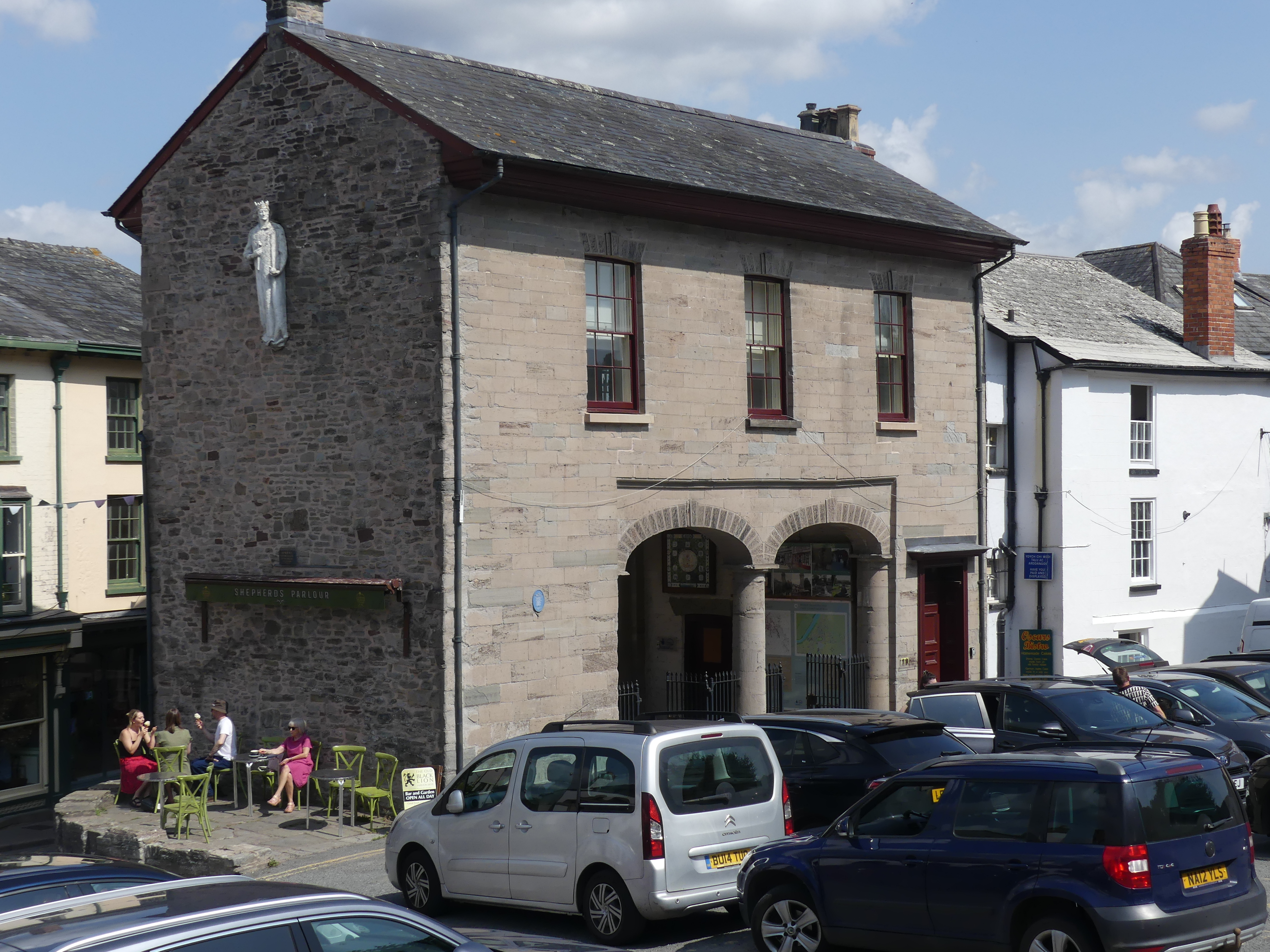
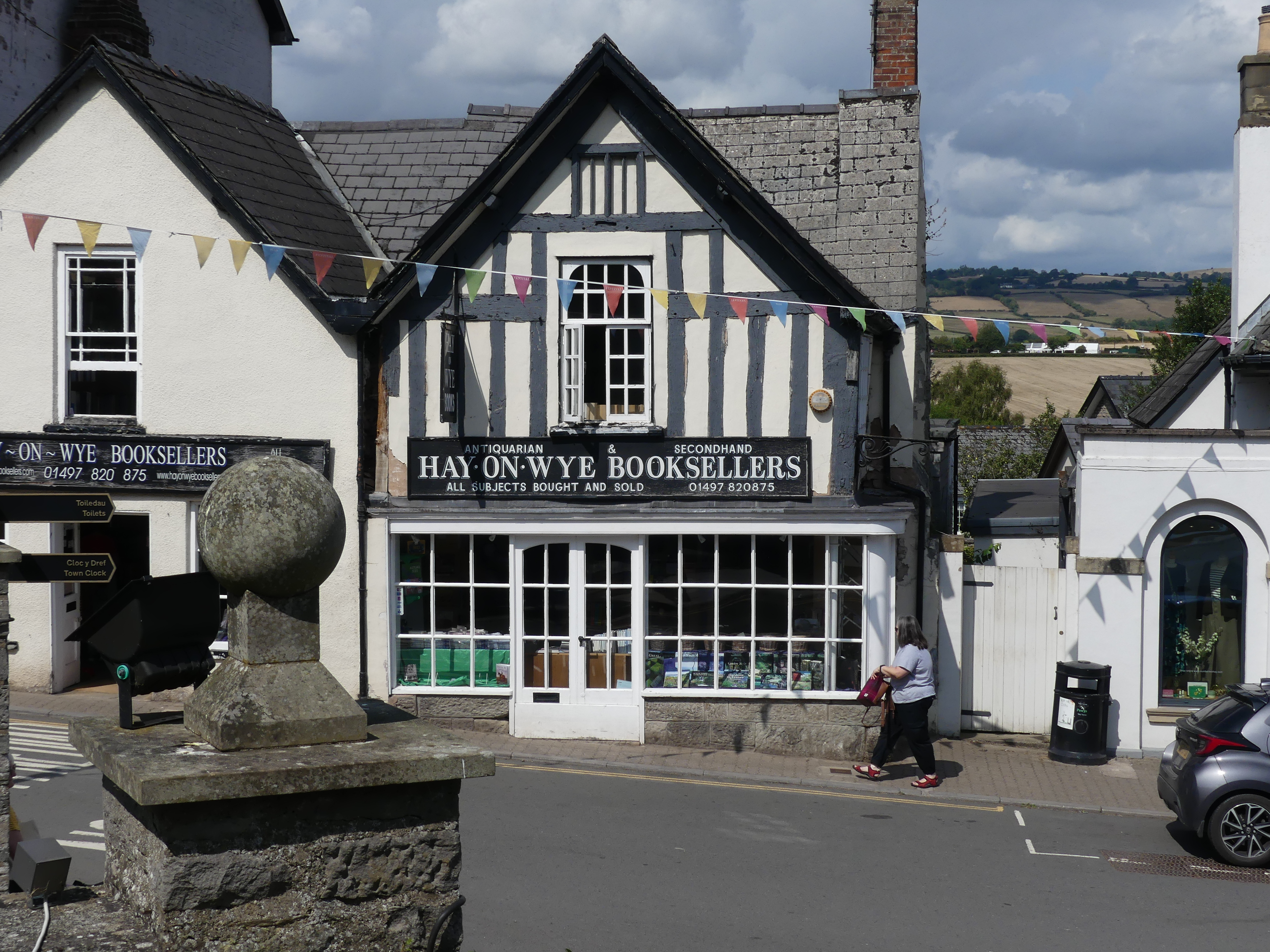
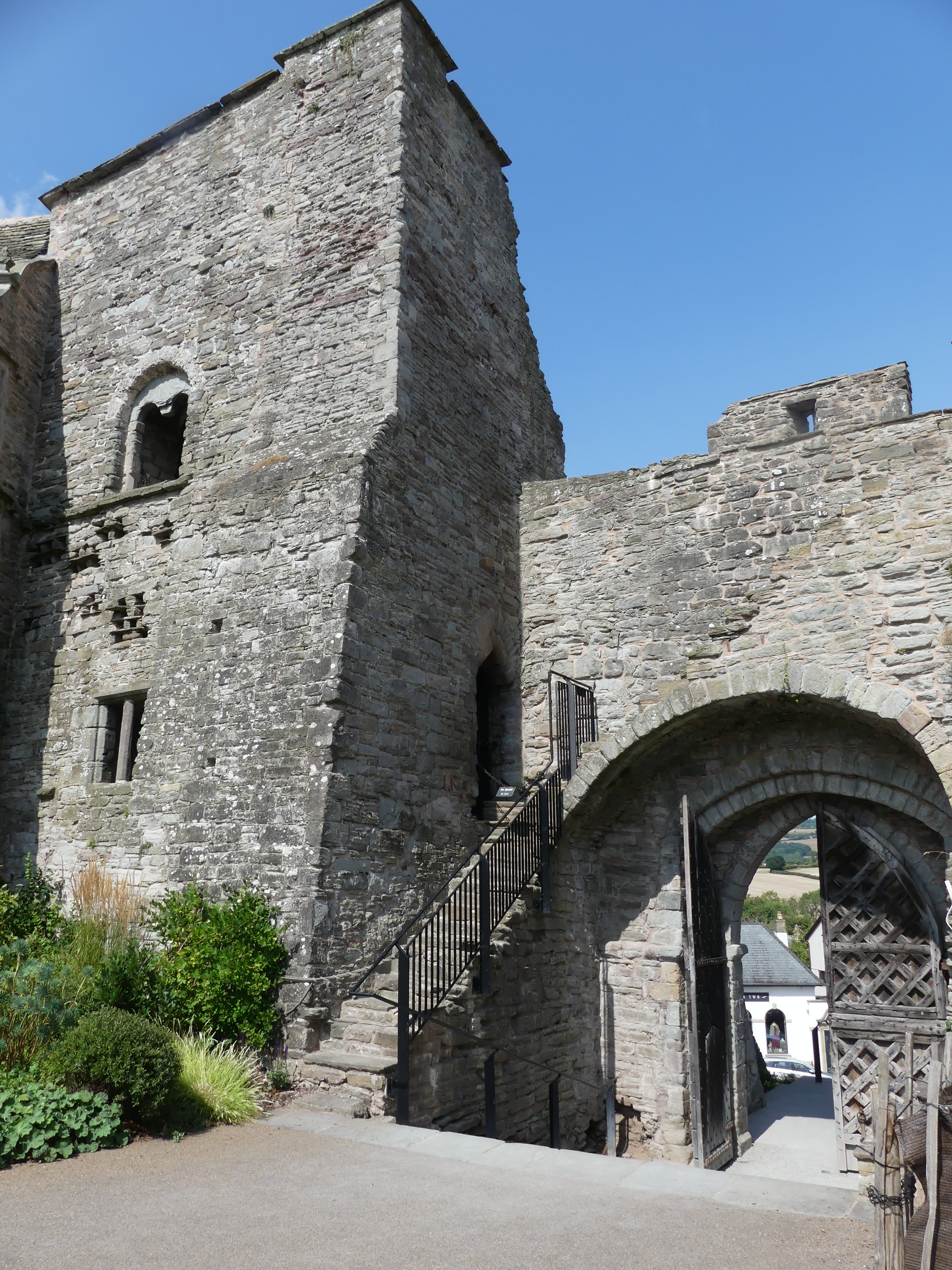
After this interlude we continued onto Hay on Wye. A small village on the banks of the River Wye with touches of its Roman origin still apparent, and like all these villages parking within the village is limited. We parked down near the old, abandoned cattle yards. There is a public book exchange and many different genre of bookshops. The castle that once was home to a minor knight, has been converted to a domestic residence. The market is still used and provides a place in the sun for coffee lovers. My photos include all of these.
It was very warm, and we decided to have our picnic down on the river. Unfortunately, the flask was not sealing properly and had leaked in the bag. Still we enjoyed our Vegemite sandwiches and coffee. Sitting in the shade of the bushy banks of the river, we cooled off quietly and met some other locals doing the same. One of the surprises was someone had carved in the stumps of dead trees images of local birds of prey. By the way we “forgot” to take the flask when we left the Best Western.
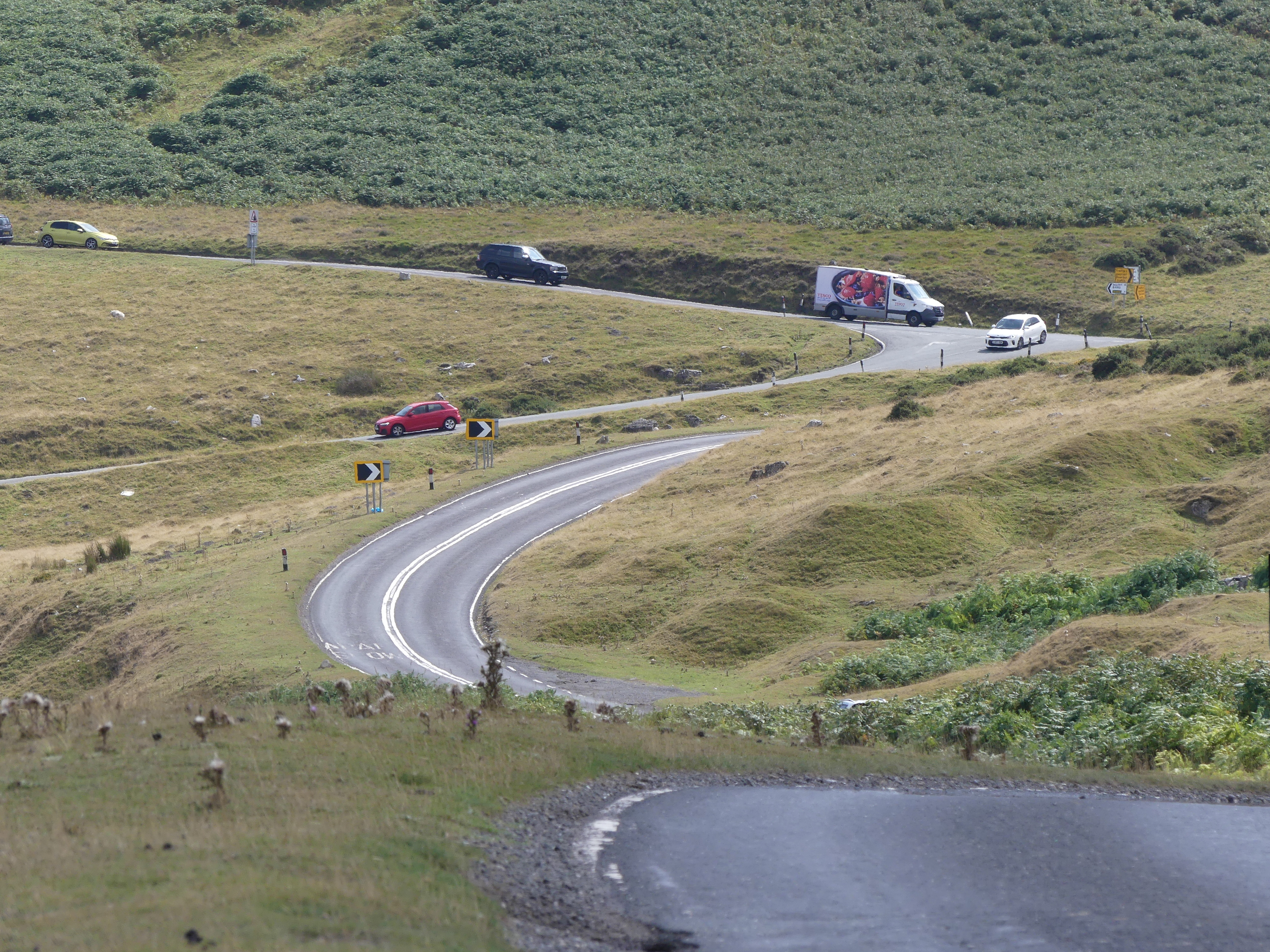
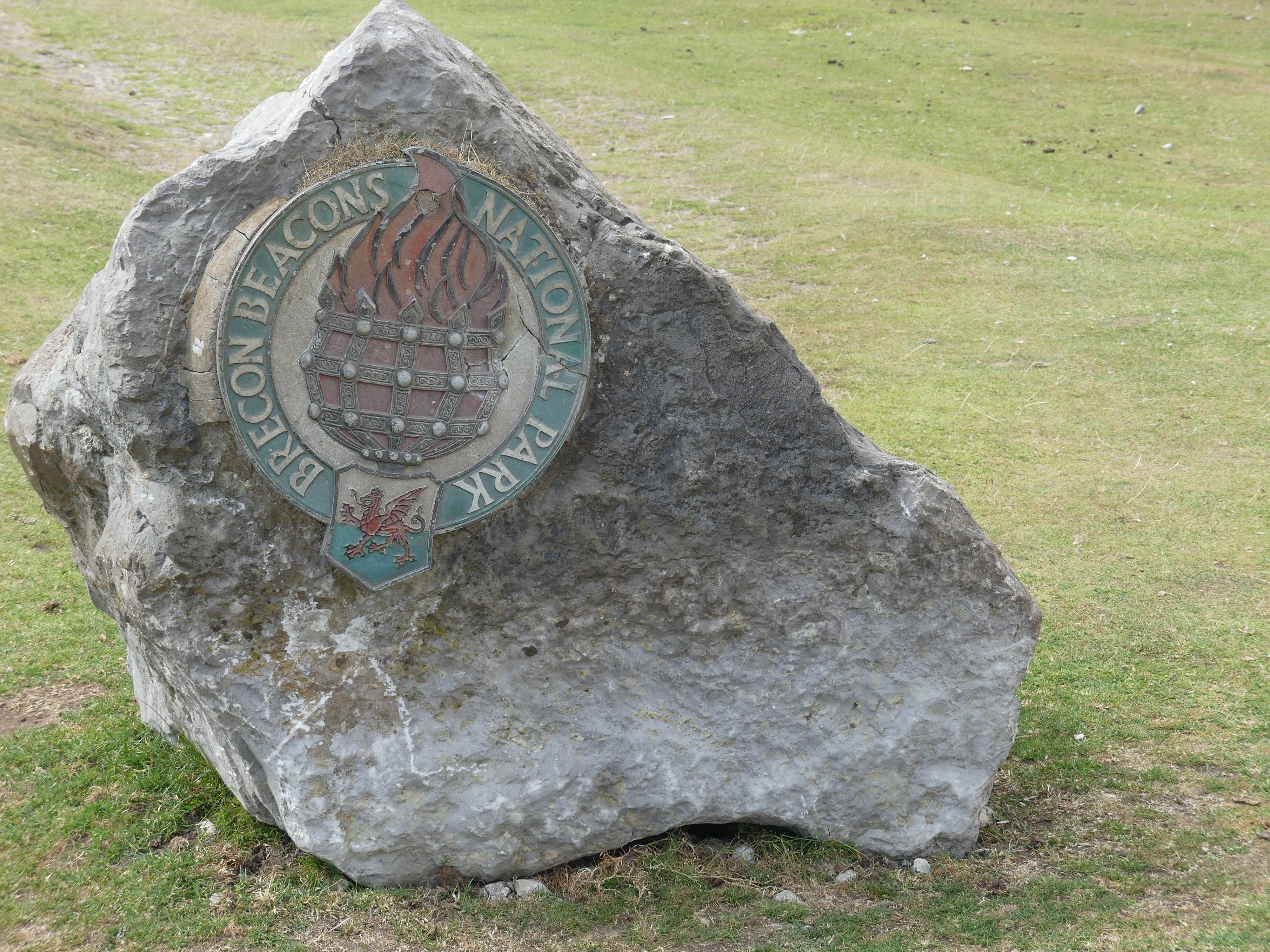
As we returned to our Best Western, we found ourselves crossing Brecons Beacon National Park. It is a national park named after the Brecon Beacons (Welsh: Bannau Brycheiniog), the mountain range at its centre. The national park includes the highest mountain in South Wales, Pen y Fan, which has an elevation of 886 metres (2,907 ft). Stunning picturesque views of rural Wales. We thought we had stumbled across an ice cream van stopped at the top of the peak but were disappointed – he was selling coffee.
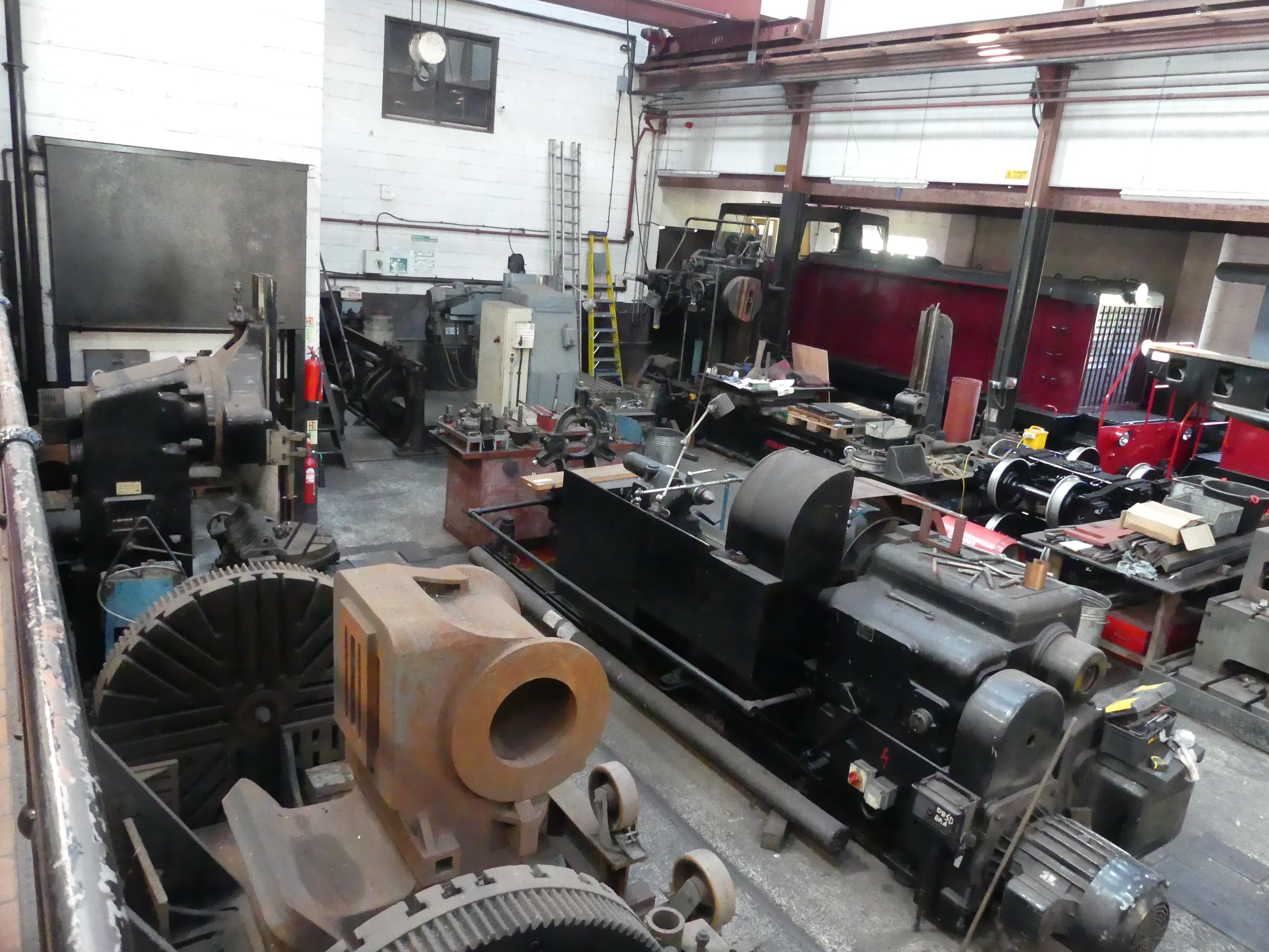
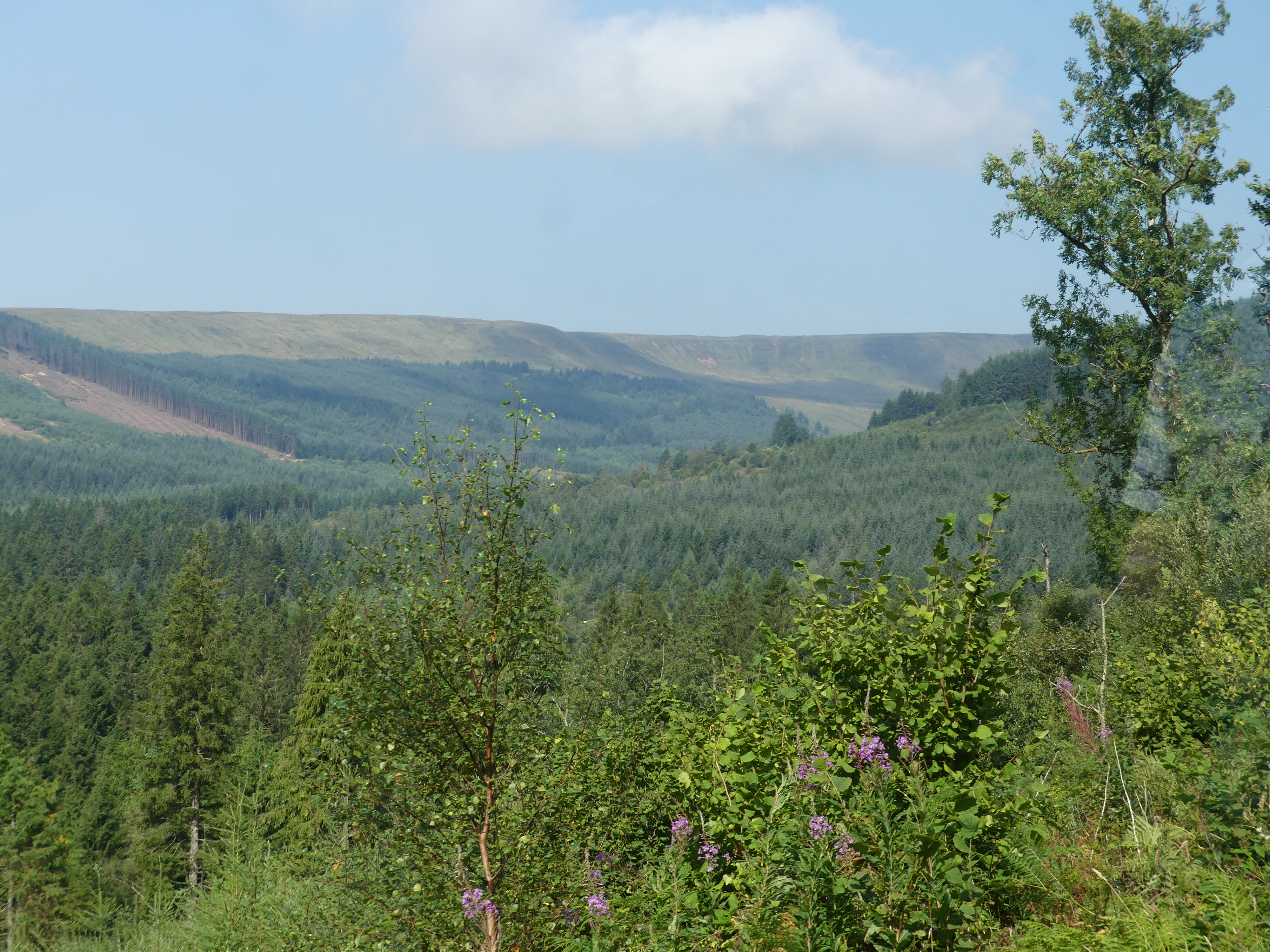
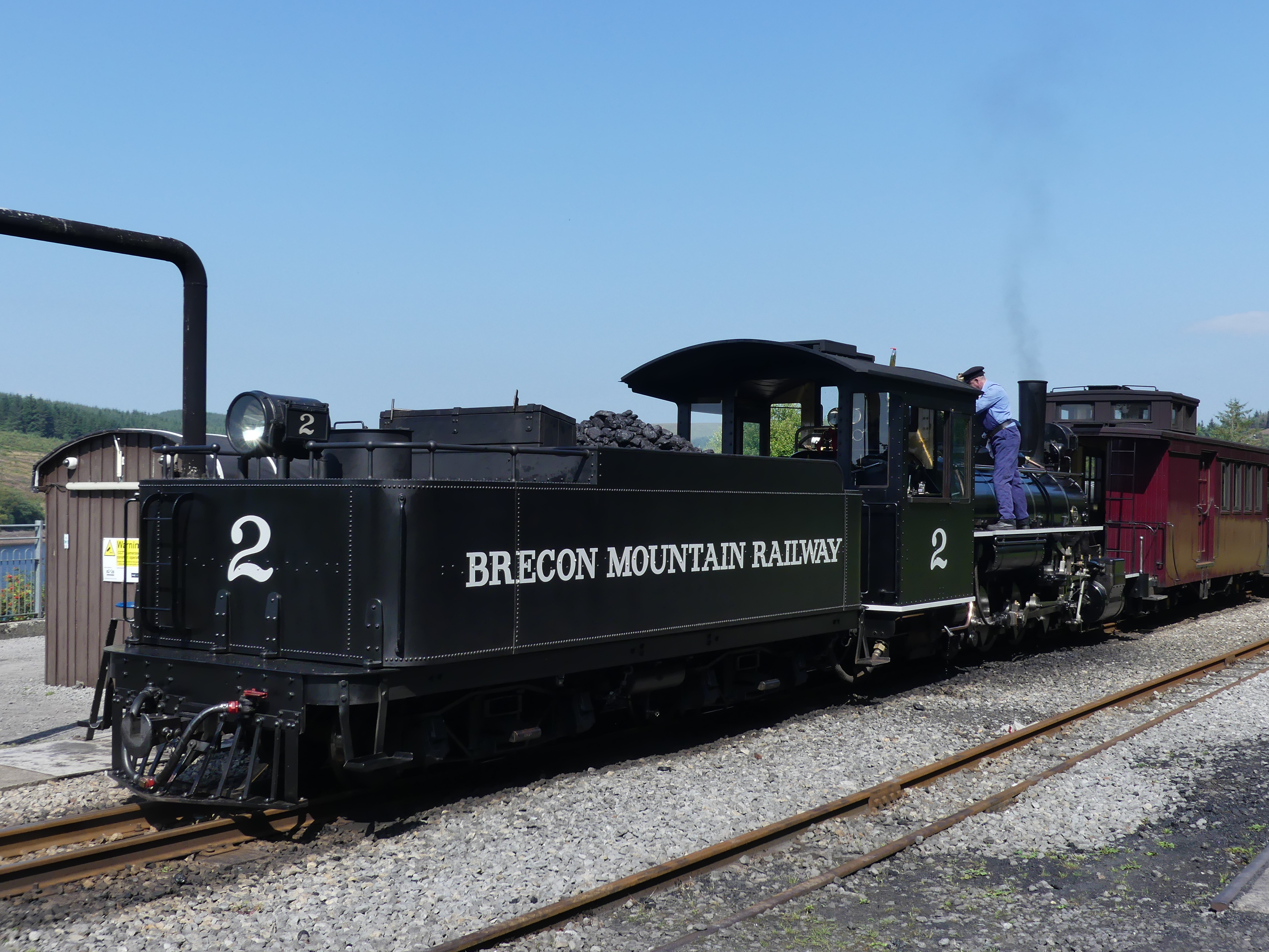
We then traveled on and accidently stumbled across the Brecon Mountain Railway. The Brecon Mountain Railway is a 1 ft 11+3⁄4 in (603 mm) narrow gauge tourist railway on the south side of the Brecon Beacons in Wales. It climbs northwards from Pant along the full length of the Pontsticill Reservoir and continues past the adjoining Pentwyn Reservoir to Torpantau railway station. The railway’s starting point at Pant is located two miles (3 km) north of the town centre of Merthyr Tydfil, Merthyr Tydfil County Borough, South-East Wales. It is very popular so booking in advance is necessary. We booked our tickets for the following day.
We returned to our hotel and as I recall we went for a walk through the town and had dinner at a pub. Nothing flash although the locals thought it a bit of a posh nosh.
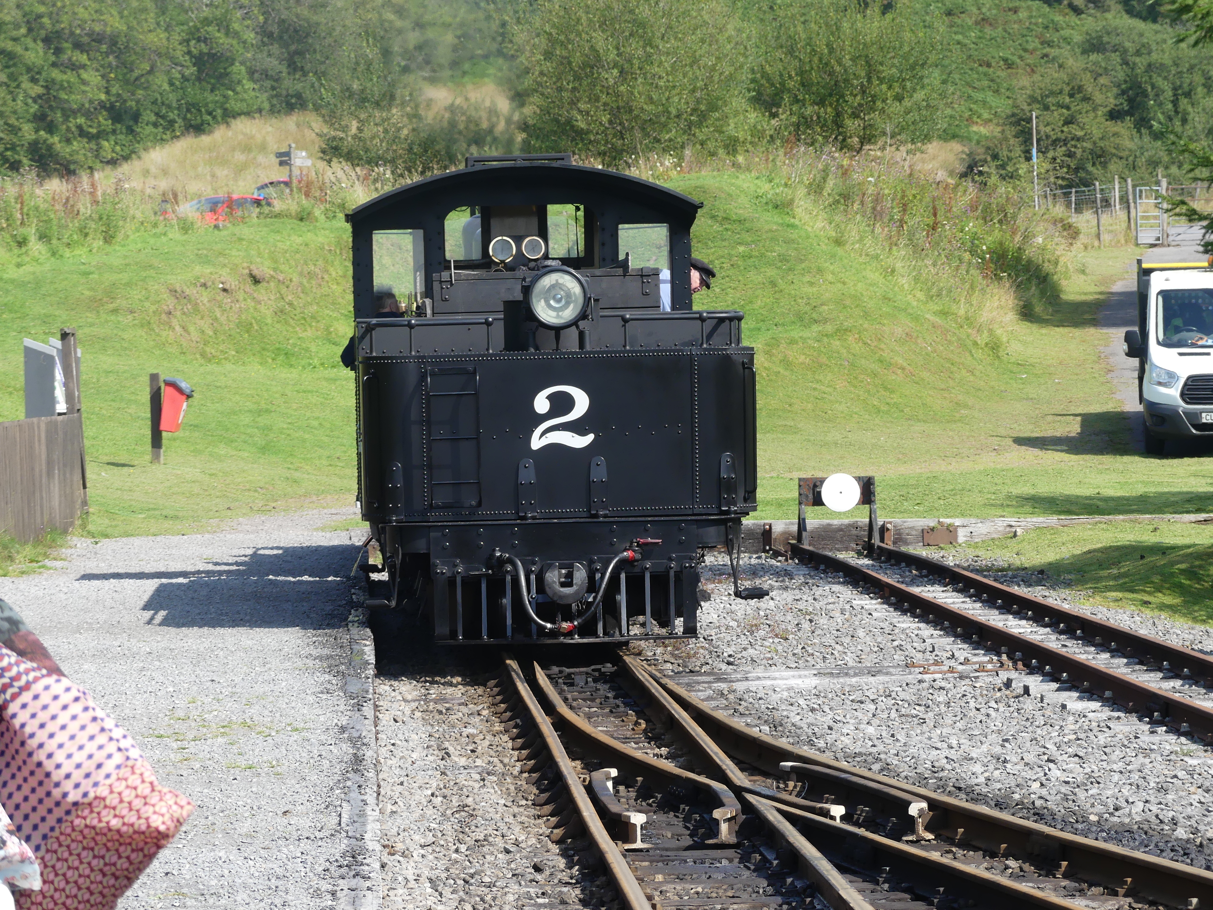
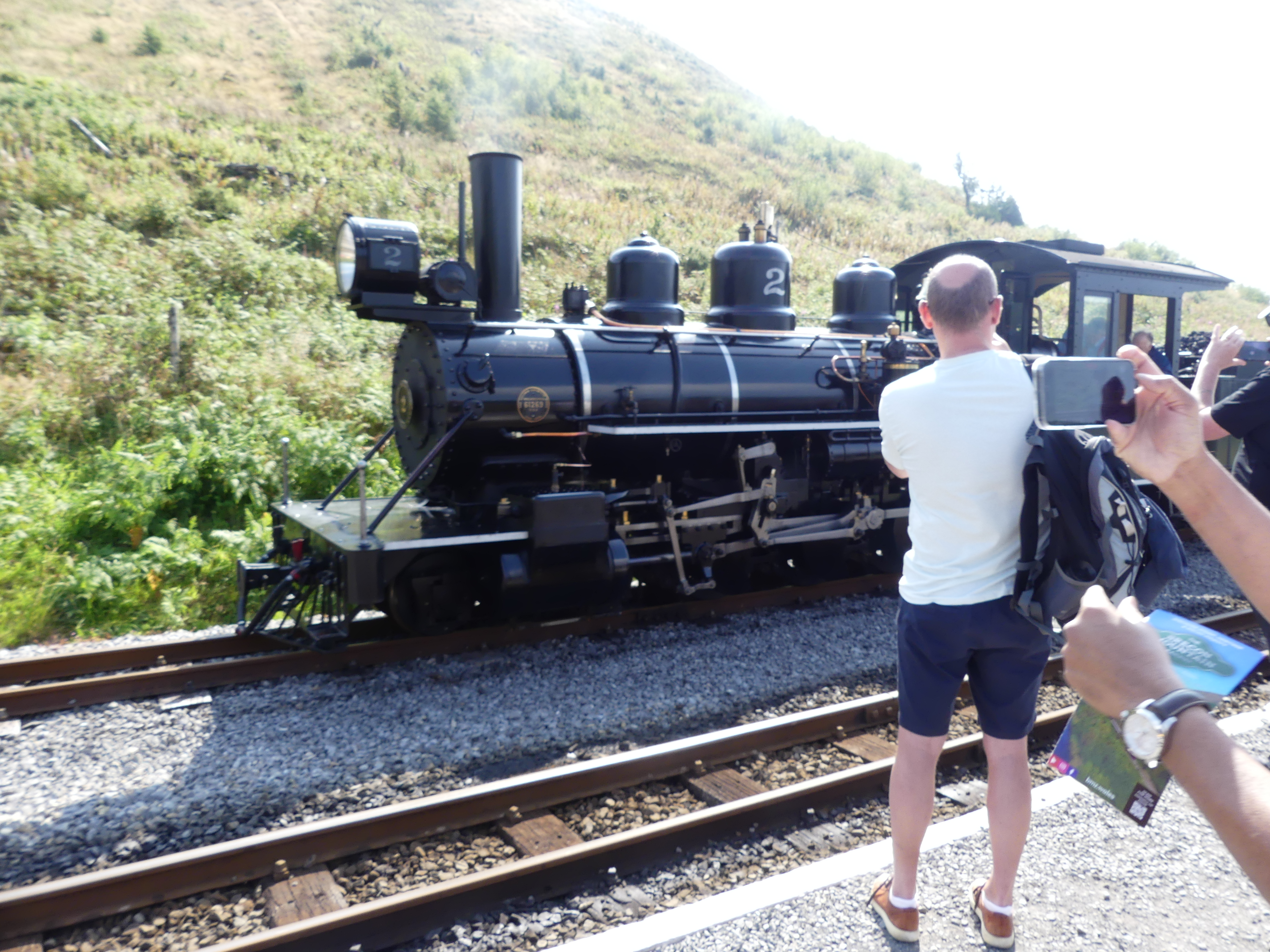
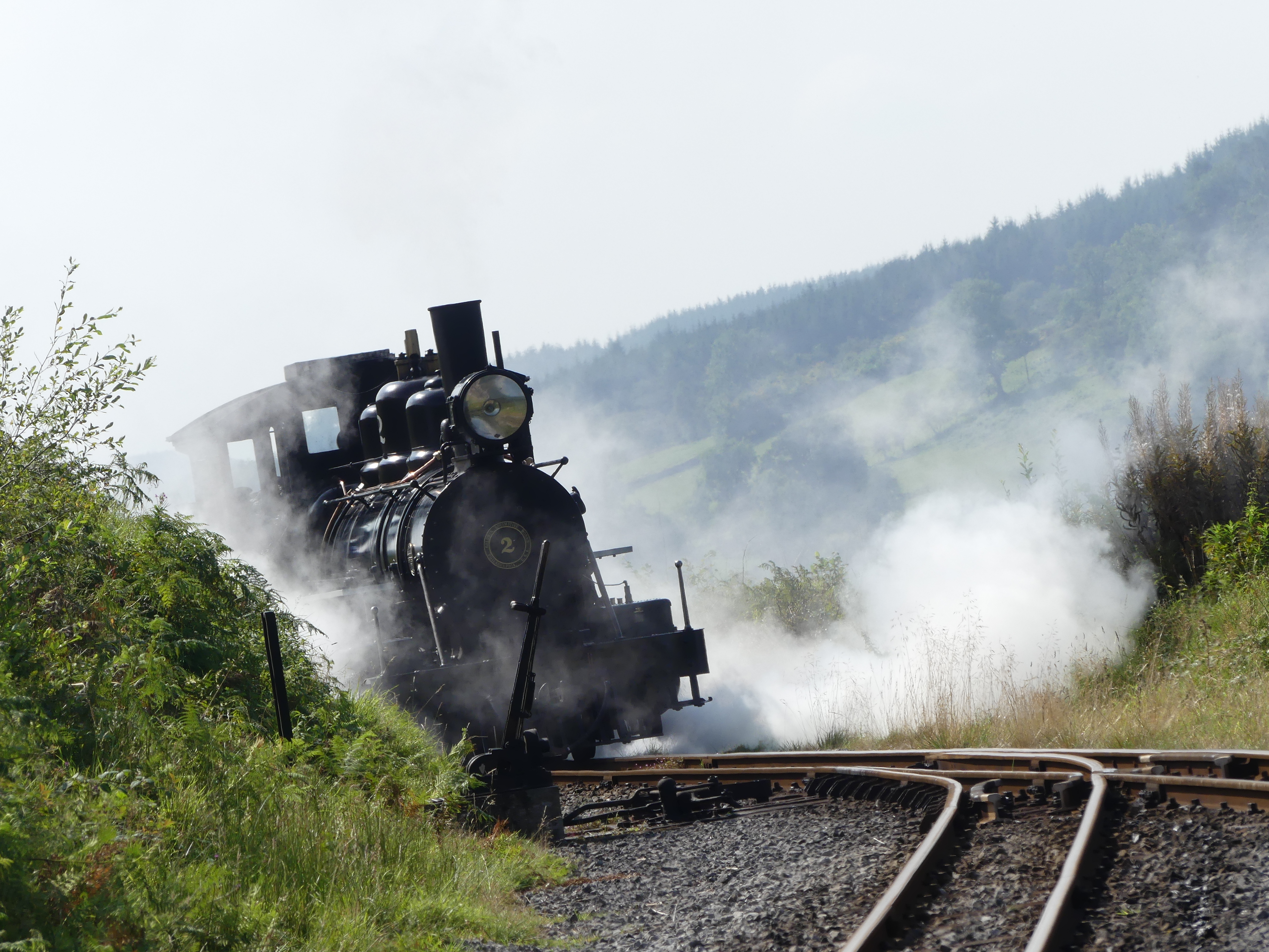
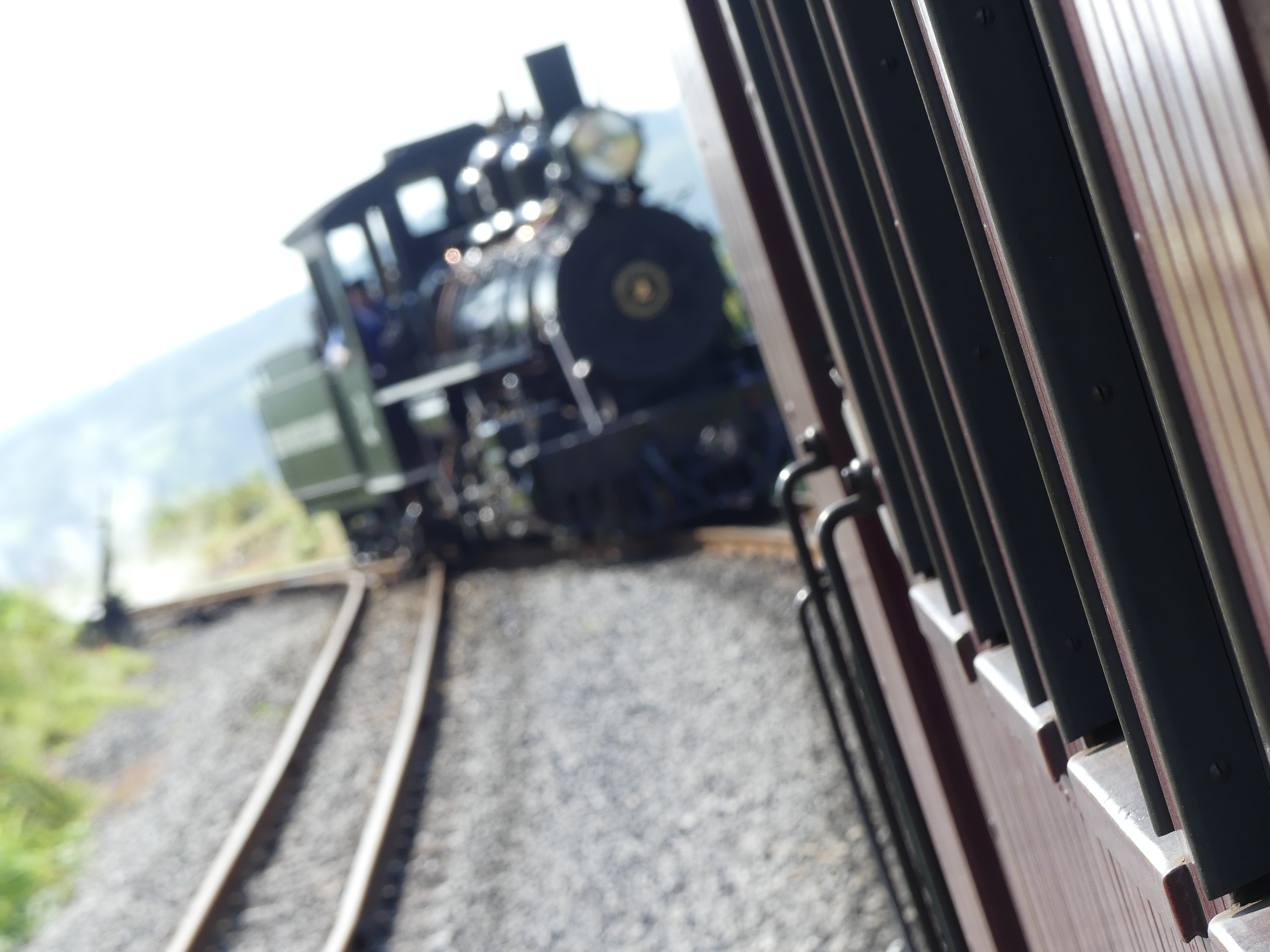
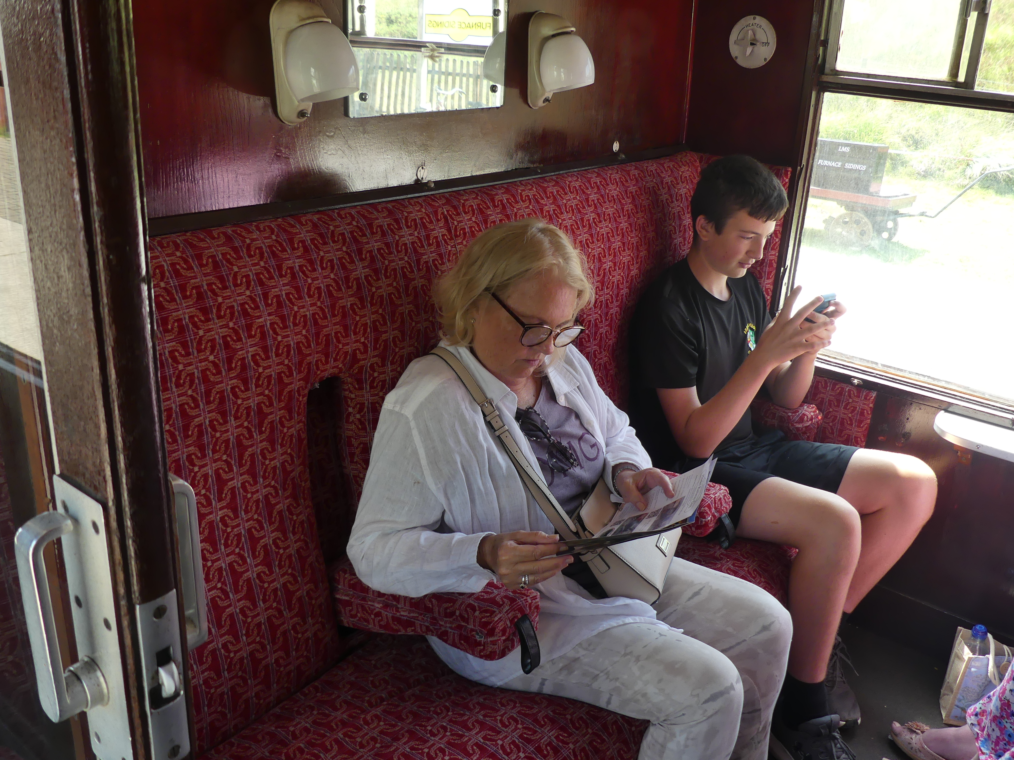
The following morning, we returned to the railway and here are our photos of the ride. Thanks to Wikipedia the history of the Railway follows.
“The Brecon Mountain Railway was founded in the mid-1970s, by Tony Hills (1937–2015). Hills was a long time railway enthusiast who by 1970, had established a base at Gilfach Ddu on the Llanberis Lake Railway where he stored the locomotives he purchased. In 1977, he purchased five miles of trackbed of the abandoned Brecon & Merthyr Railway at Pant and moved his collection there. Construction of the BMR started in 1978, with the grant of a Light Railway Order in 1980. Track was laid between Pant and Pontsticill in 1979–80. At Pontsticill the station house was renovated, the old waiting room was converted into a small workshop and a storage shed was built. Seven bridges were repaired or replaced. The railway opened to passengers in June 1980 using the engine Sybil and one carriage.
Between 1982 and 1996, a large station and workshop were built at Pant. These provide passenger facilities including toilets, cafe, shop and booking office as well as the extensive workshop used to build and maintain the railway locomotives, carriages and wagons.
A 1+1⁄2 miles (2.4 km) extension from Pontsticill to Dol-y-Gaer opened in 1995. The railway was further extended to Torpantau, just short of the southern entrance of the Torpantau Tunnel, with passenger services commencing 1 April 2014.
By 2016, the original waiting room building at Pontsticill, which had served as a workshop for a period, was converted into a steam museum housing various stationary steam engines and three of the smaller locomotives. All of the stationary units were connected up to a steam distribution header and boiler, which in 2017 was still awaiting commissioning.”
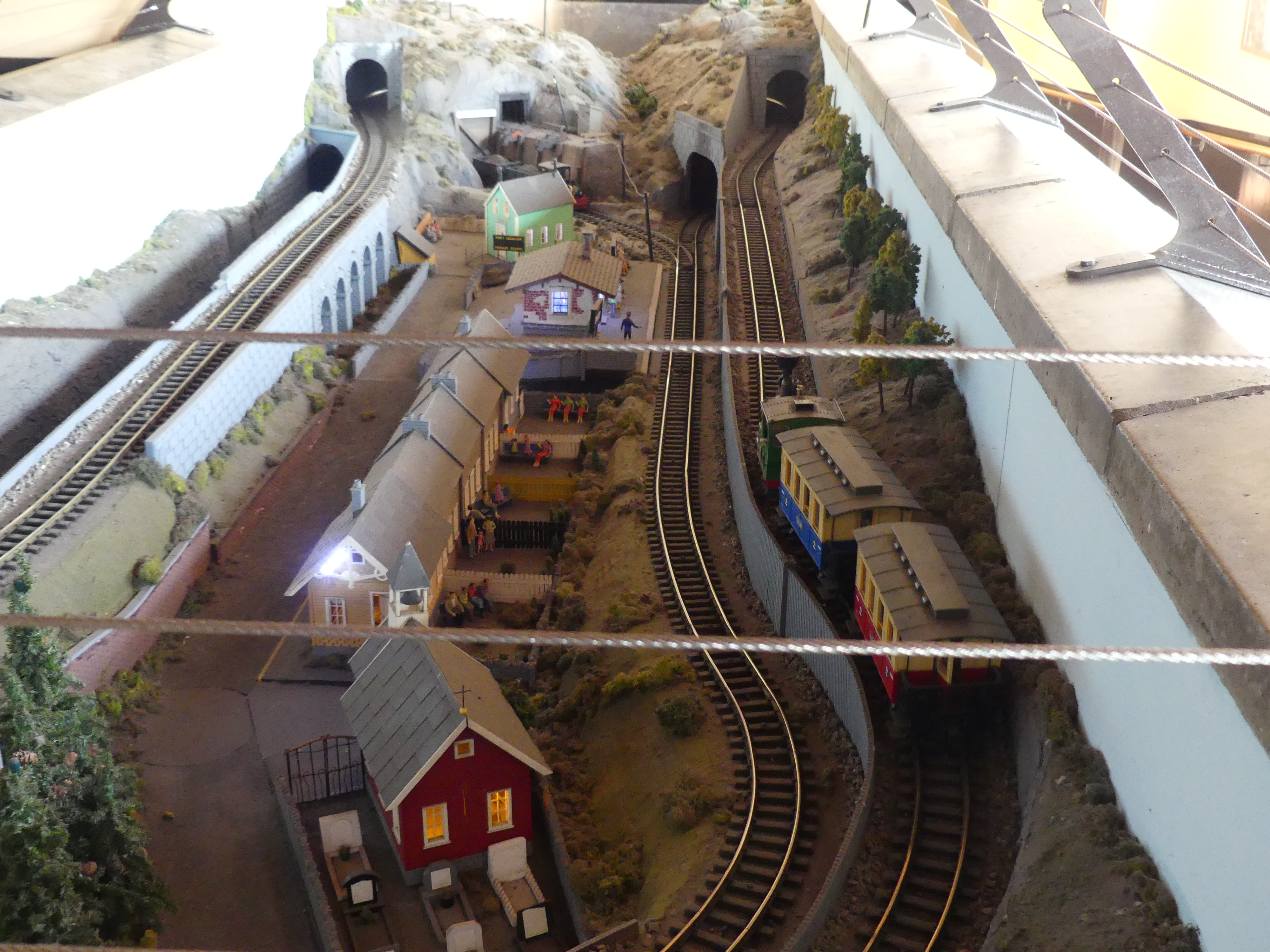
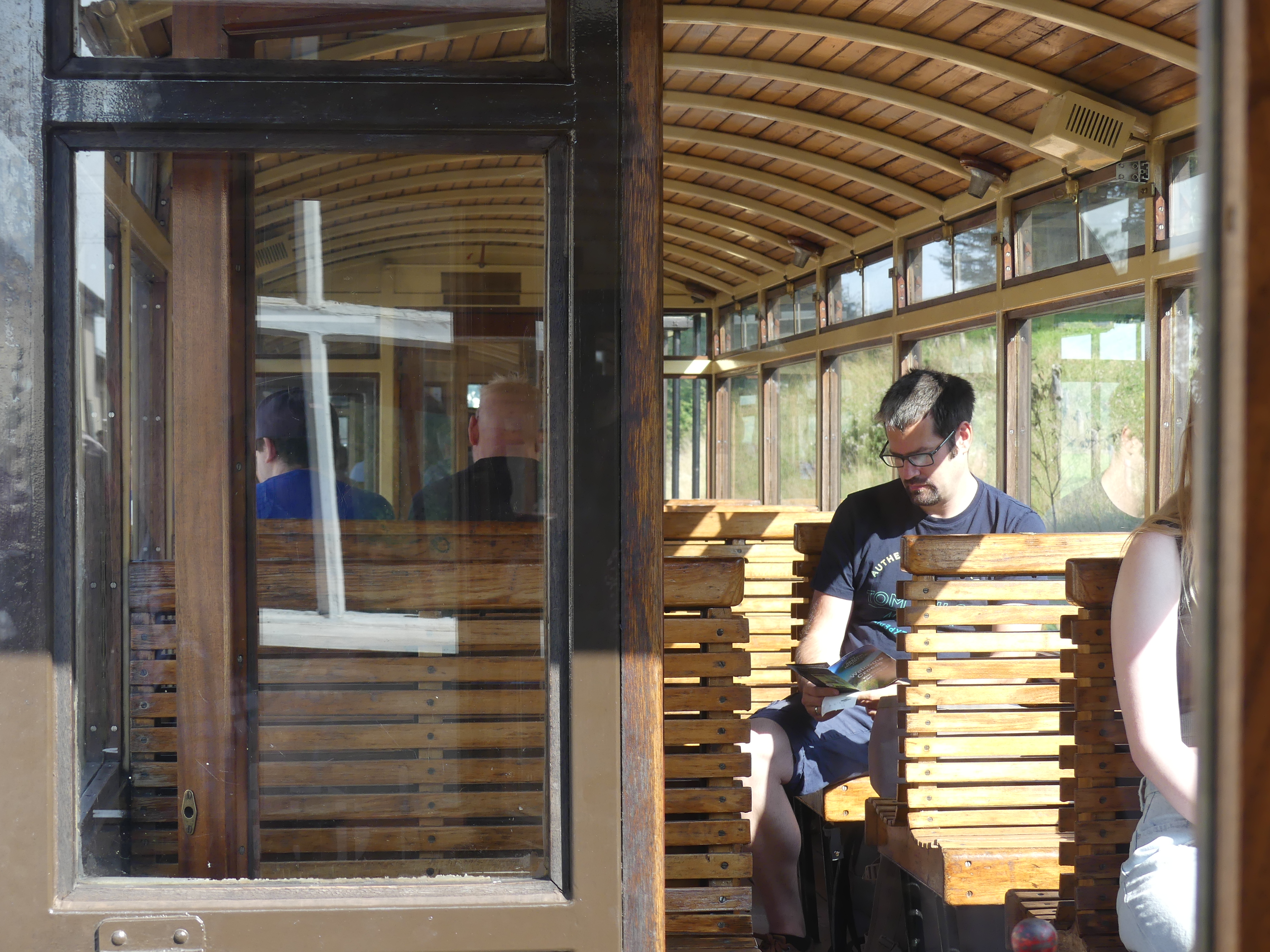
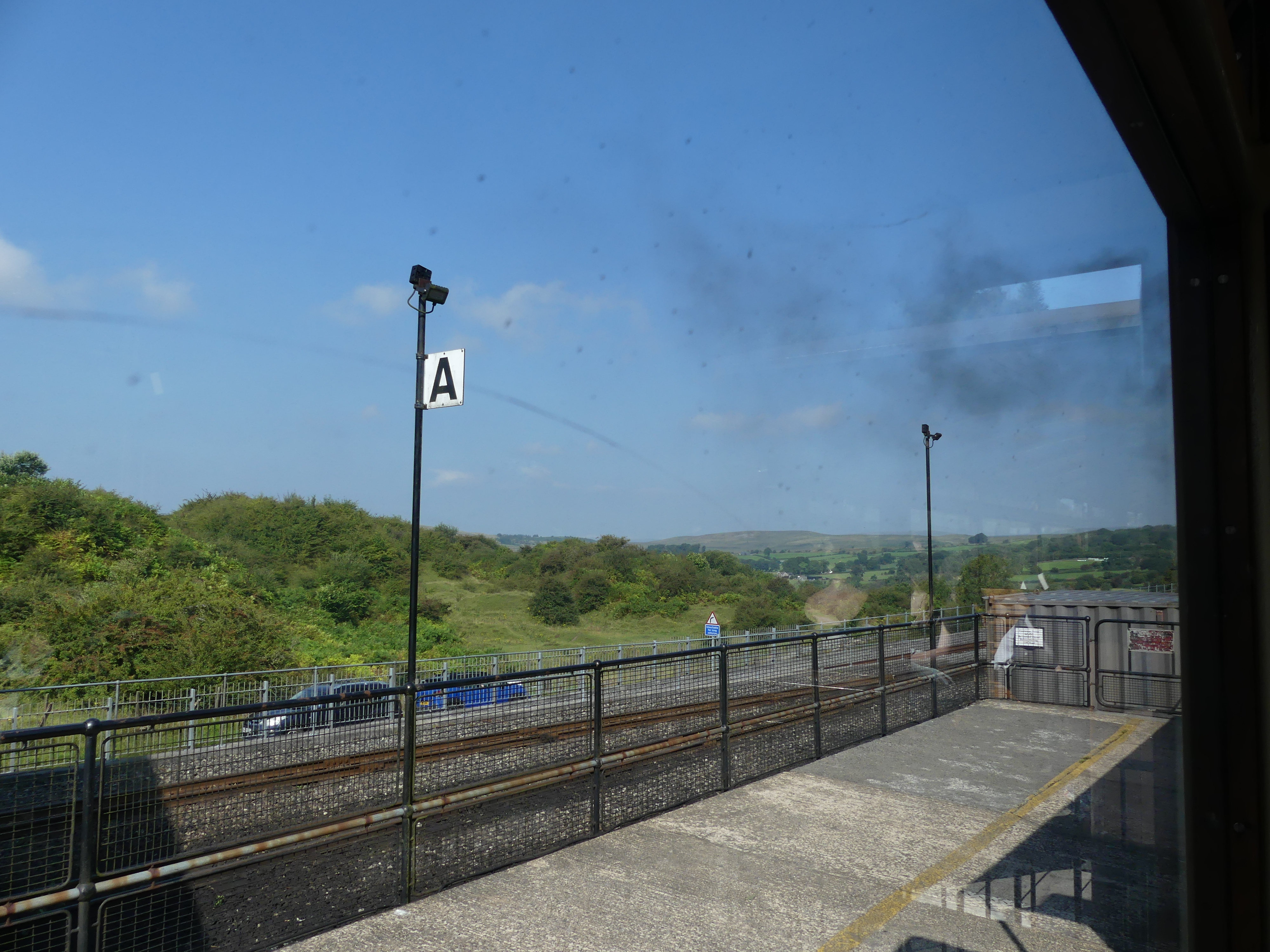
My photos show the station at Pontsticill with the attach museum and workshop, and the trip up to Torpantau. There the train disengages turns around and takes us back to Dol-y-Gaer where converted carriages serve as cafe and refreshment stop. My photo shows Kerry in the queue.
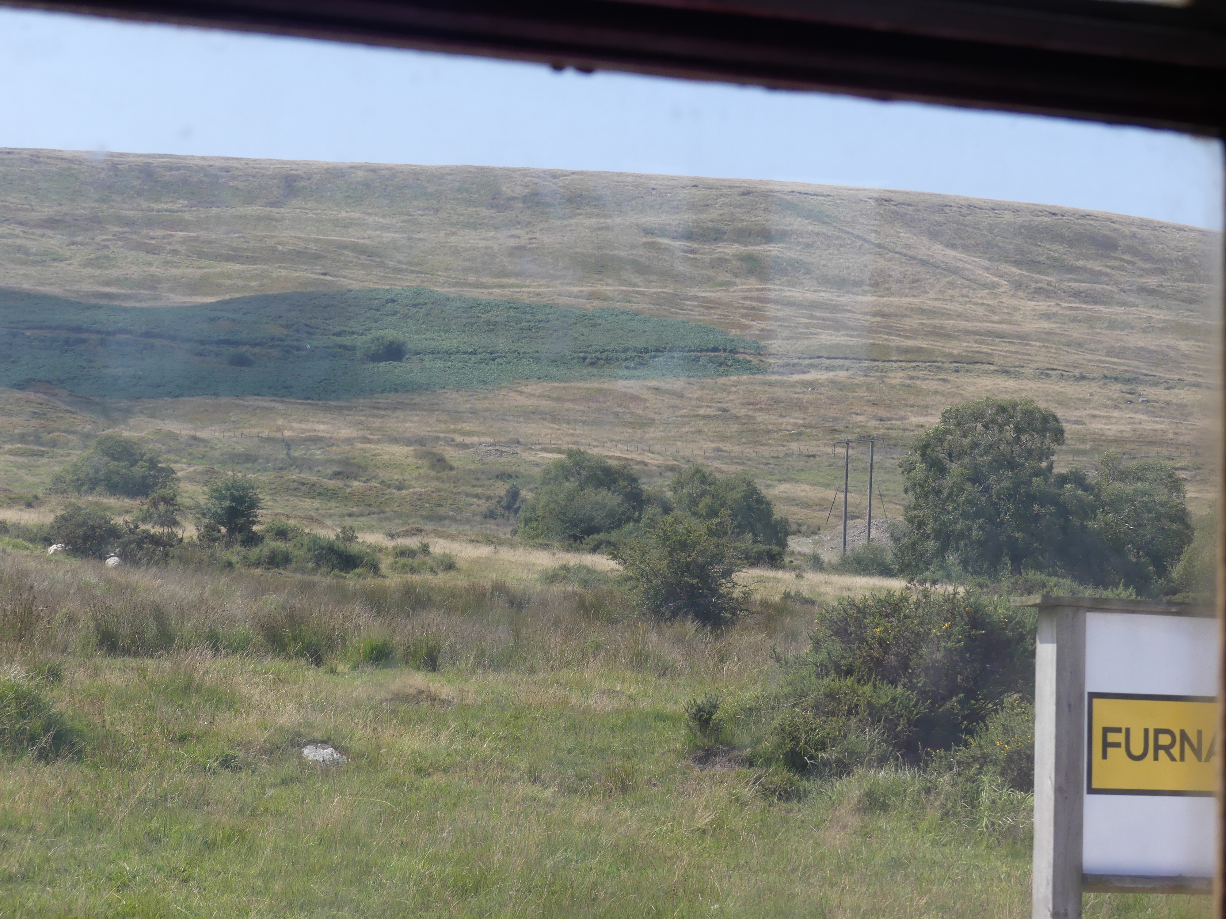
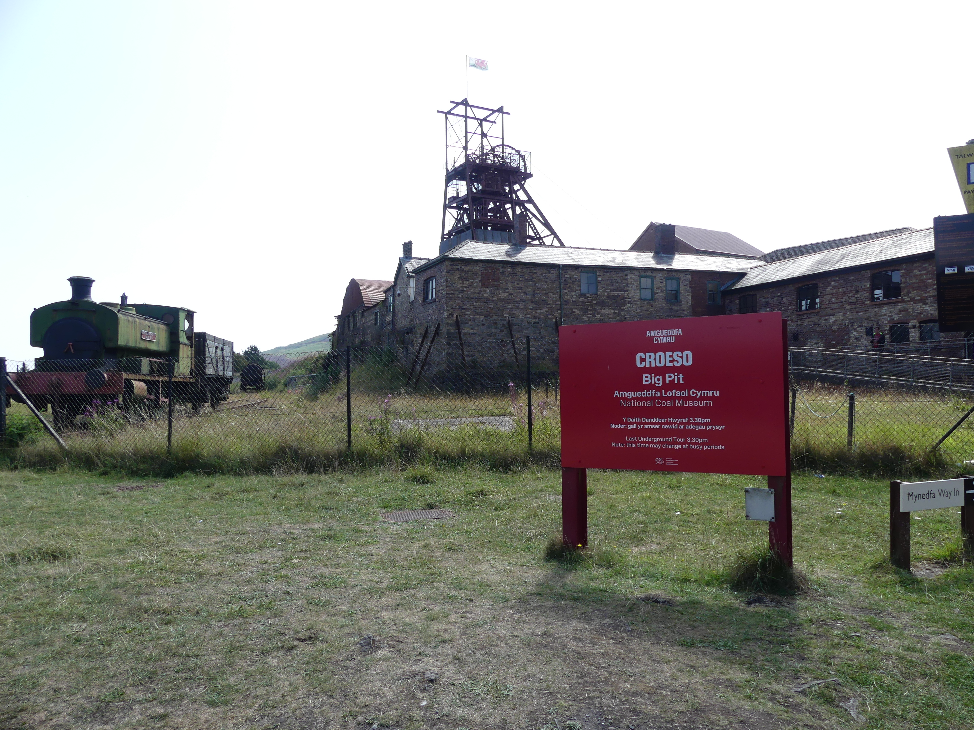
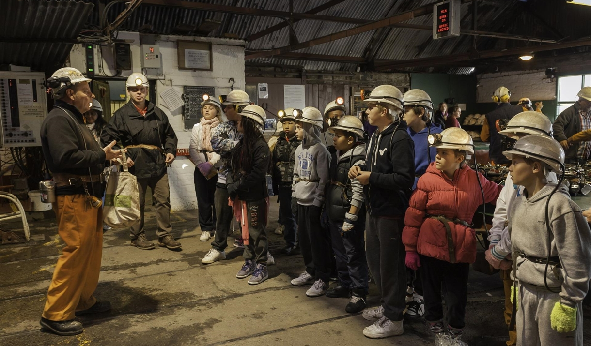
The trip and drive took most of the day. Overnight we investigated visiting the Big Pit and the Blaenavon Heritage Railway the next day. Unlike the Brecon Railway this one is an all-volunteer association keeping the steam train running and it incidentally used to service the Big Pit so whilst the train goes to the Big Pit it’s not synchronized with what is happening with the Big Pit. The railway visits 4 stations in a round trip of about 1 hour. One of the stops is the Big Pit. We knew nothing of these arrangements and learned as we went. The stations are Big Pit Halt along a short branch line then back to Furnace Sidings Halt where we bought our ticket and then two more stations (they call them “Halts”) Whistle Inn Halt and Blaenavon. We caught the train to the Big Pit and on reboarding the train we eventually did the whole of the train ride.
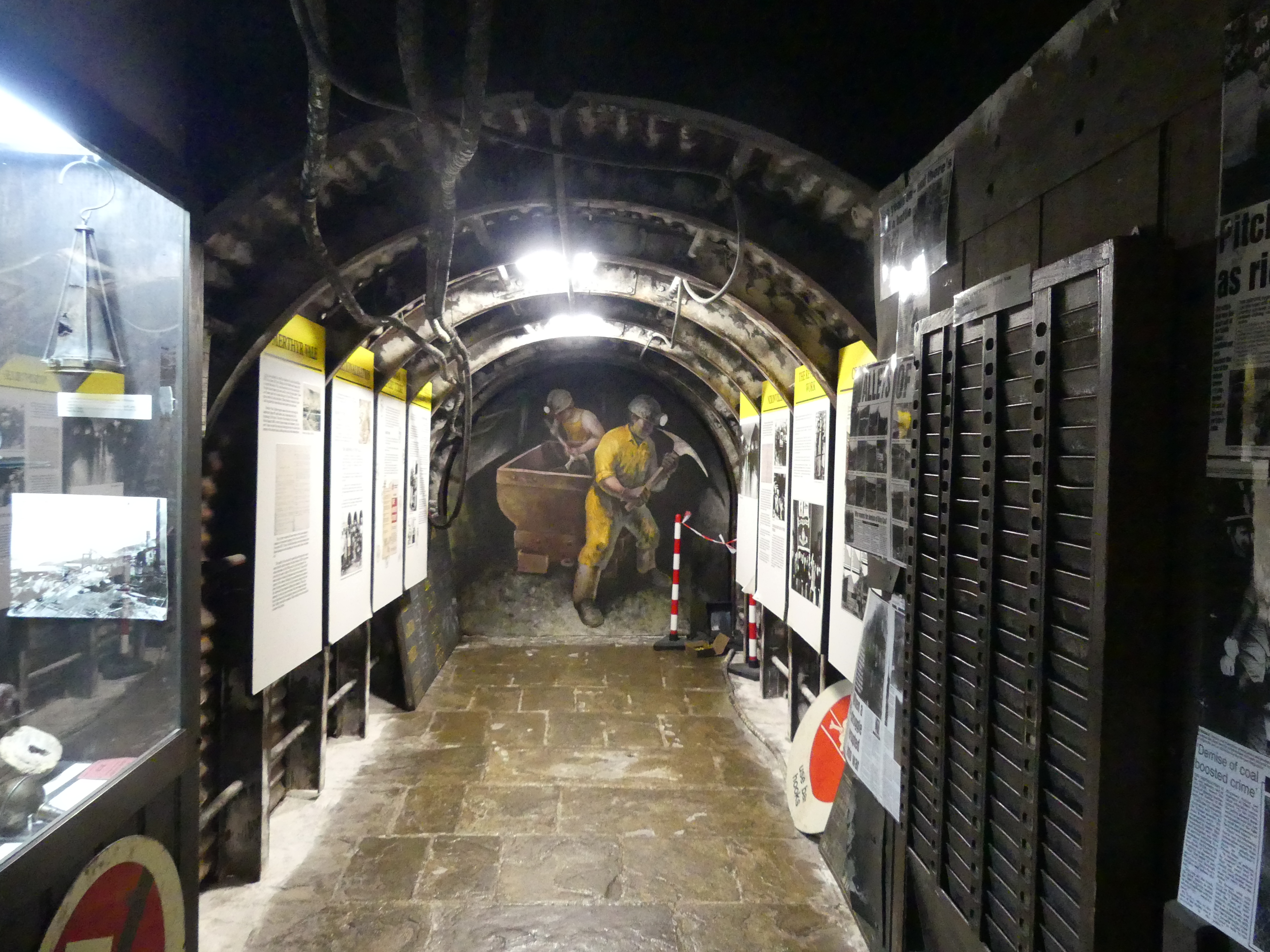
The Big Pit is a short walk from the branch line station and after entering the Big Pit recetion area we were directed to the waiting room. There we awaited our guide who takes a group of about 10 people to a preparation area where we were fitted out with safety gear and handed in our phones and cameras.You won’t see any photos of the mine tunnels as photos underground are prohibited. Then the group enter an elevator to descend 300 feet or 90 m underground to experience “mining”. The trip was very sobering. This was a tough life more than I could understand without experiencing this tour. We learnt about the darkness of the tunnel, the risks of suffocation from dangerous gases, the heat and uncomfortable environment in which to work the long hours of the miners, their children, who often worked with them, and the horses which lived in the mines quite often Shetland ponies. The tour lasted at least an hour and half. This was longer than we had allowed so we were concerned that we did not miss our return train ride back to the station to where we had parked the car. We need not have worried. After a short period standing on the station, we got the train and finished the whole journey and returned to where we had left the car. Below is a picture of the preparation area. I used what was available on the web site – don’t bother looking for us.
We returned to Ebbw Vale and our hotel to prepare for the following day.
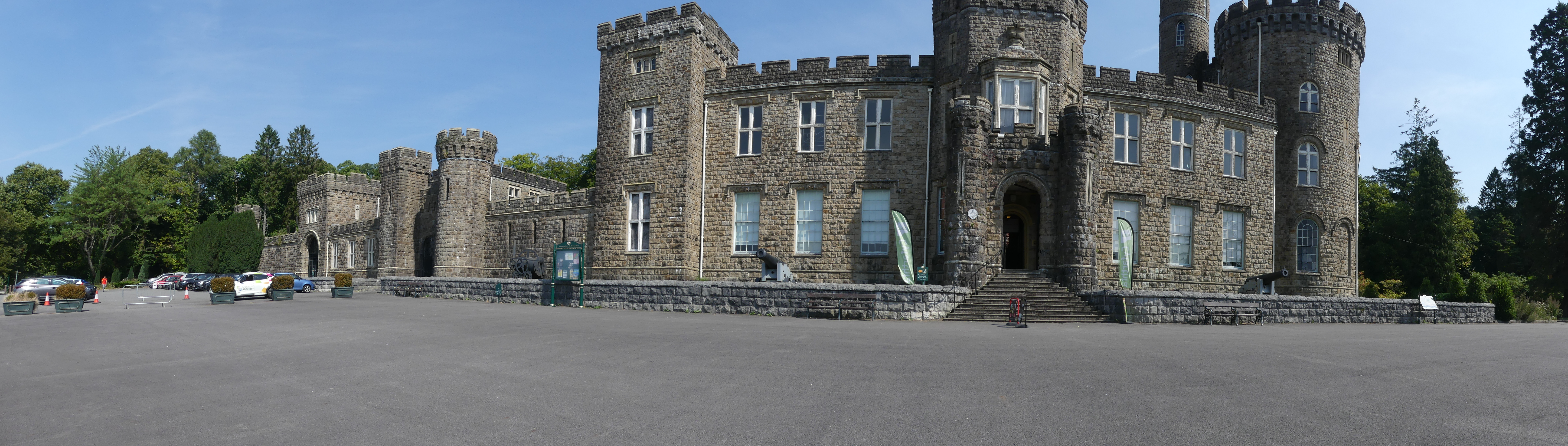
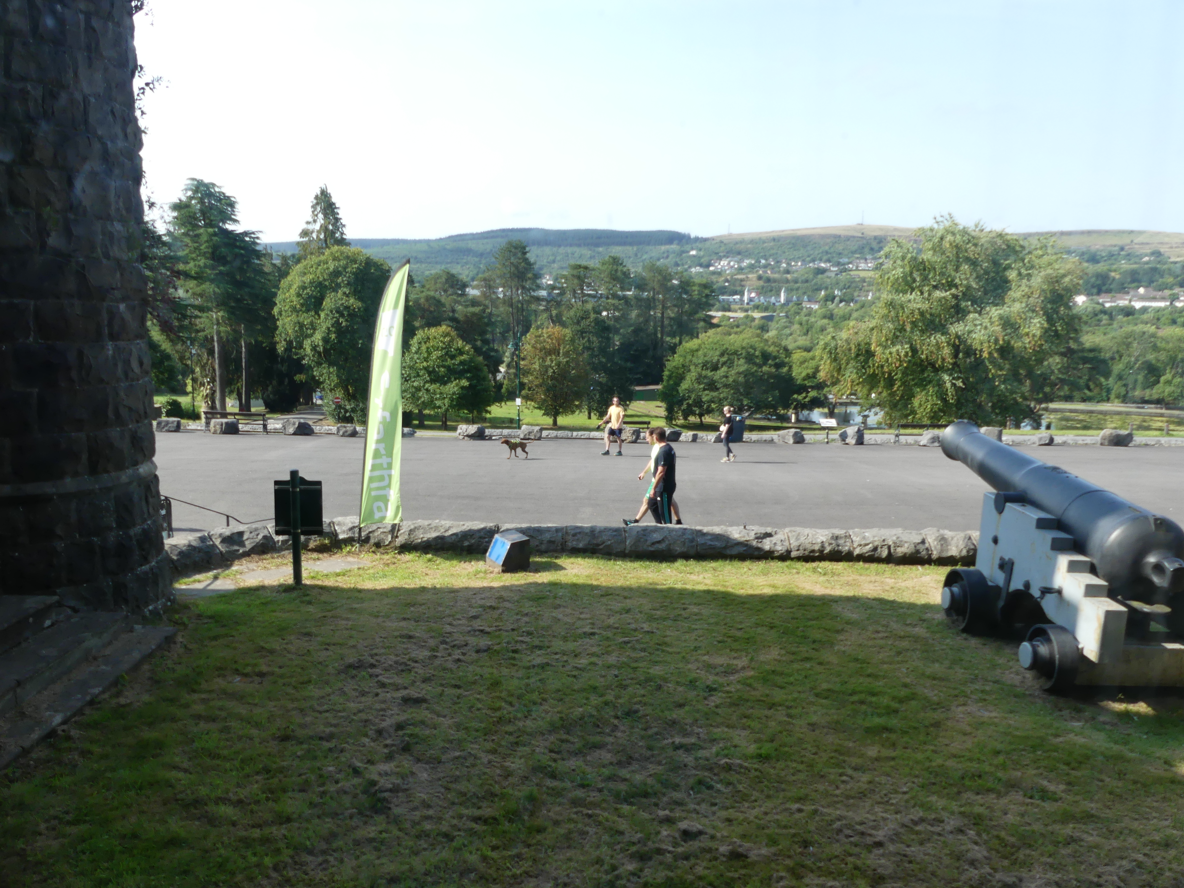
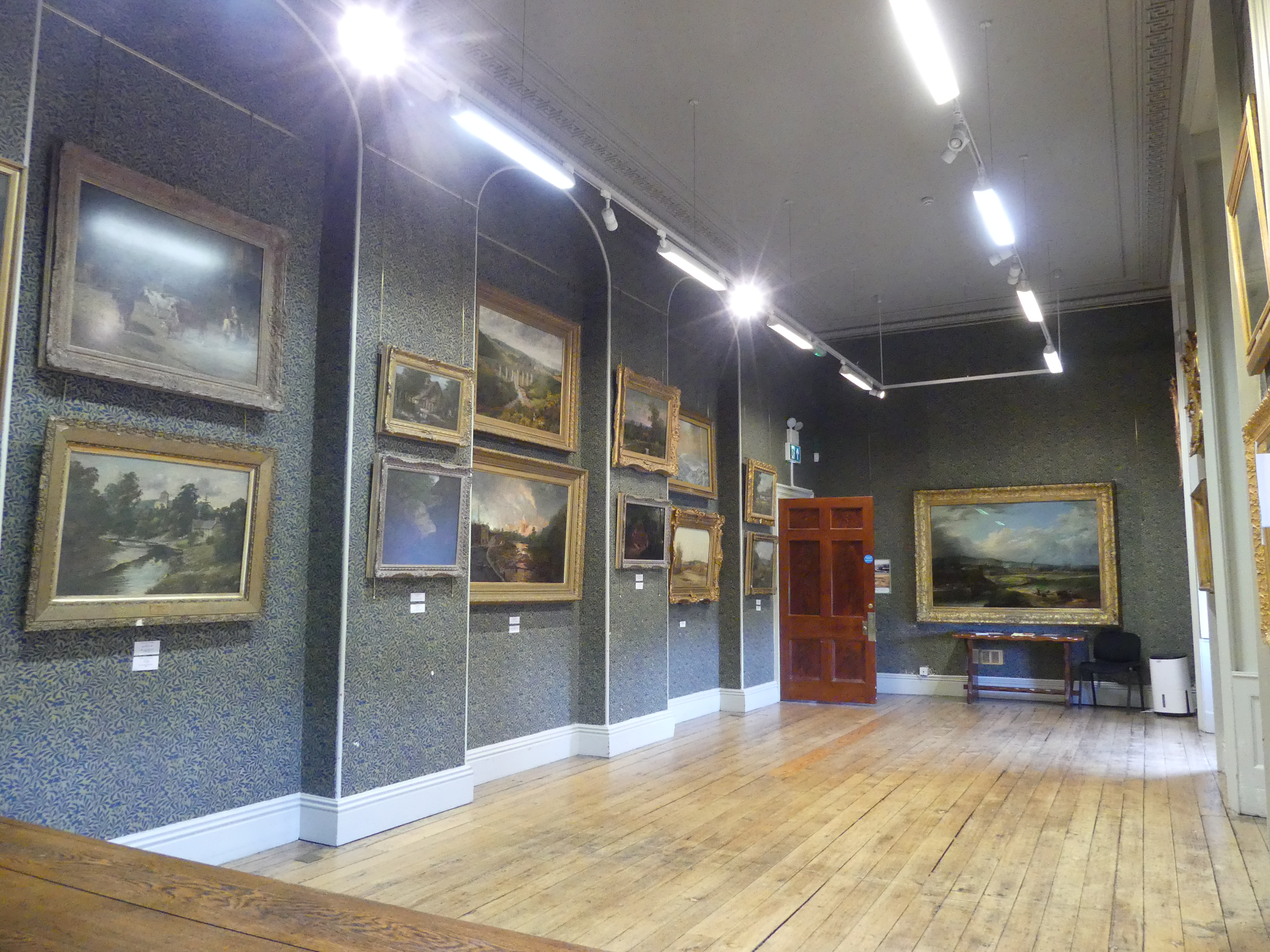
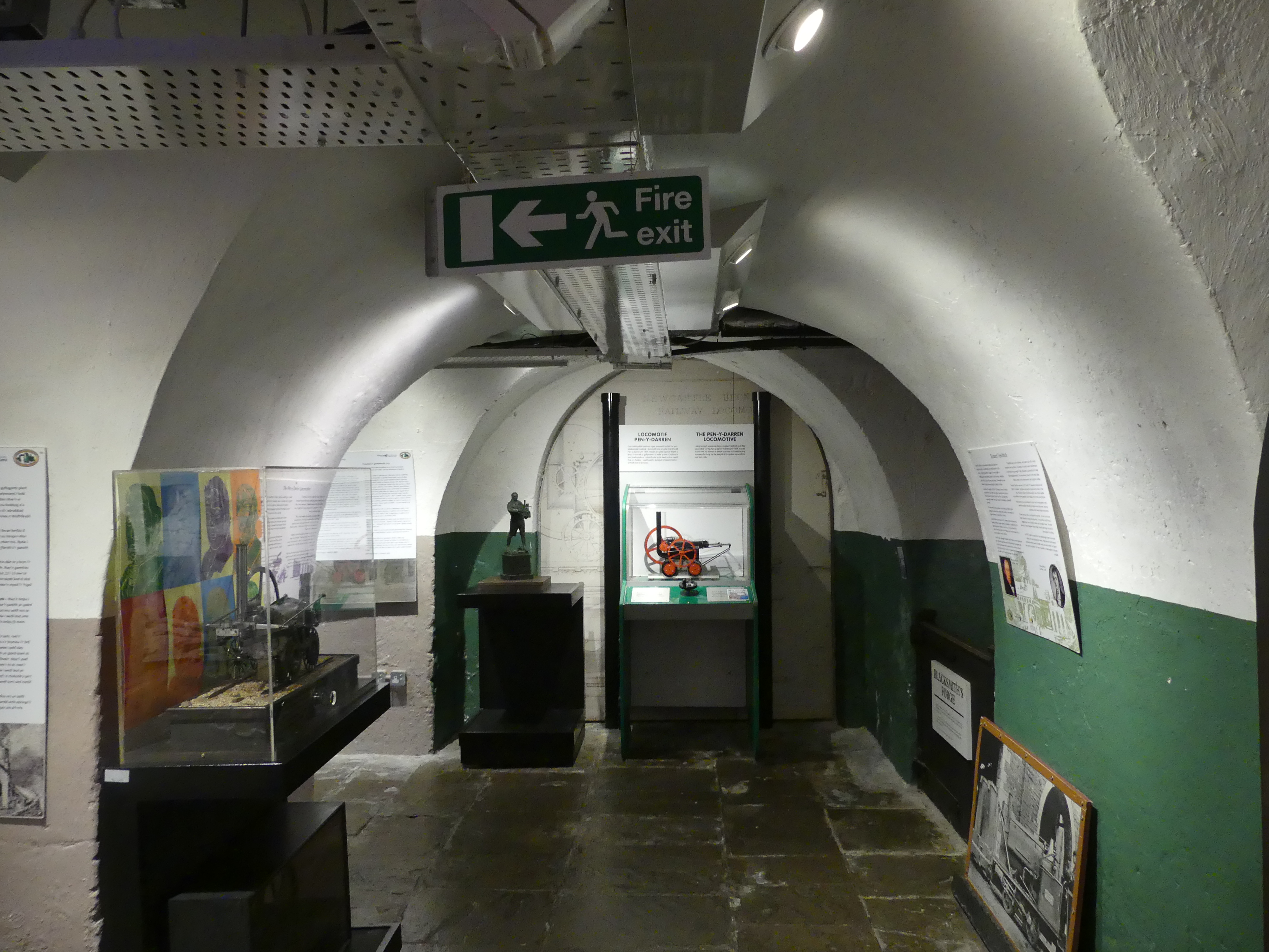
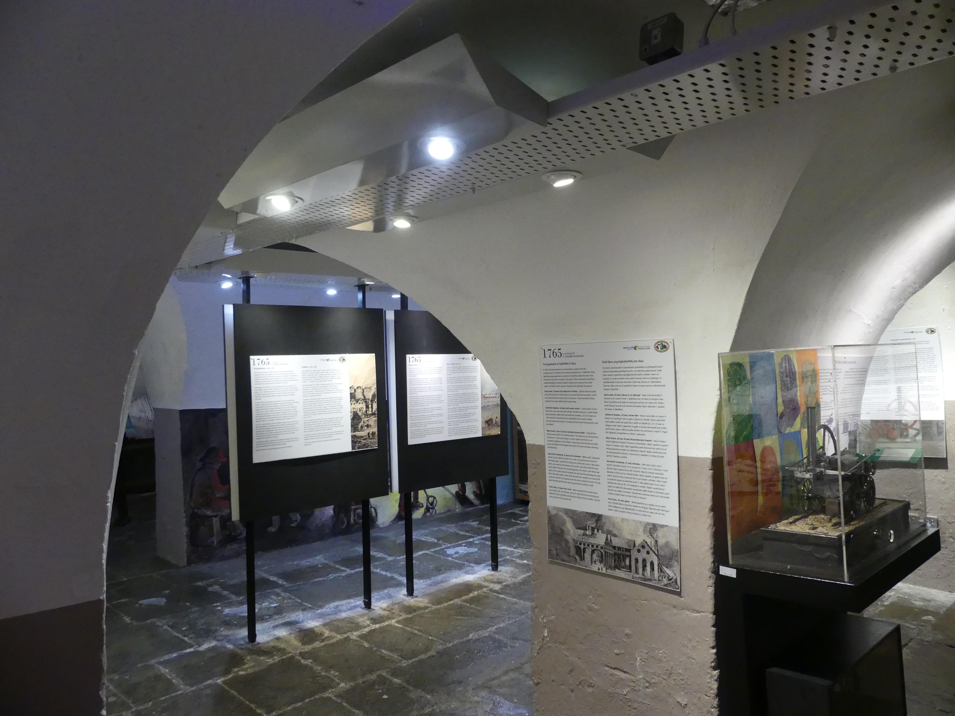
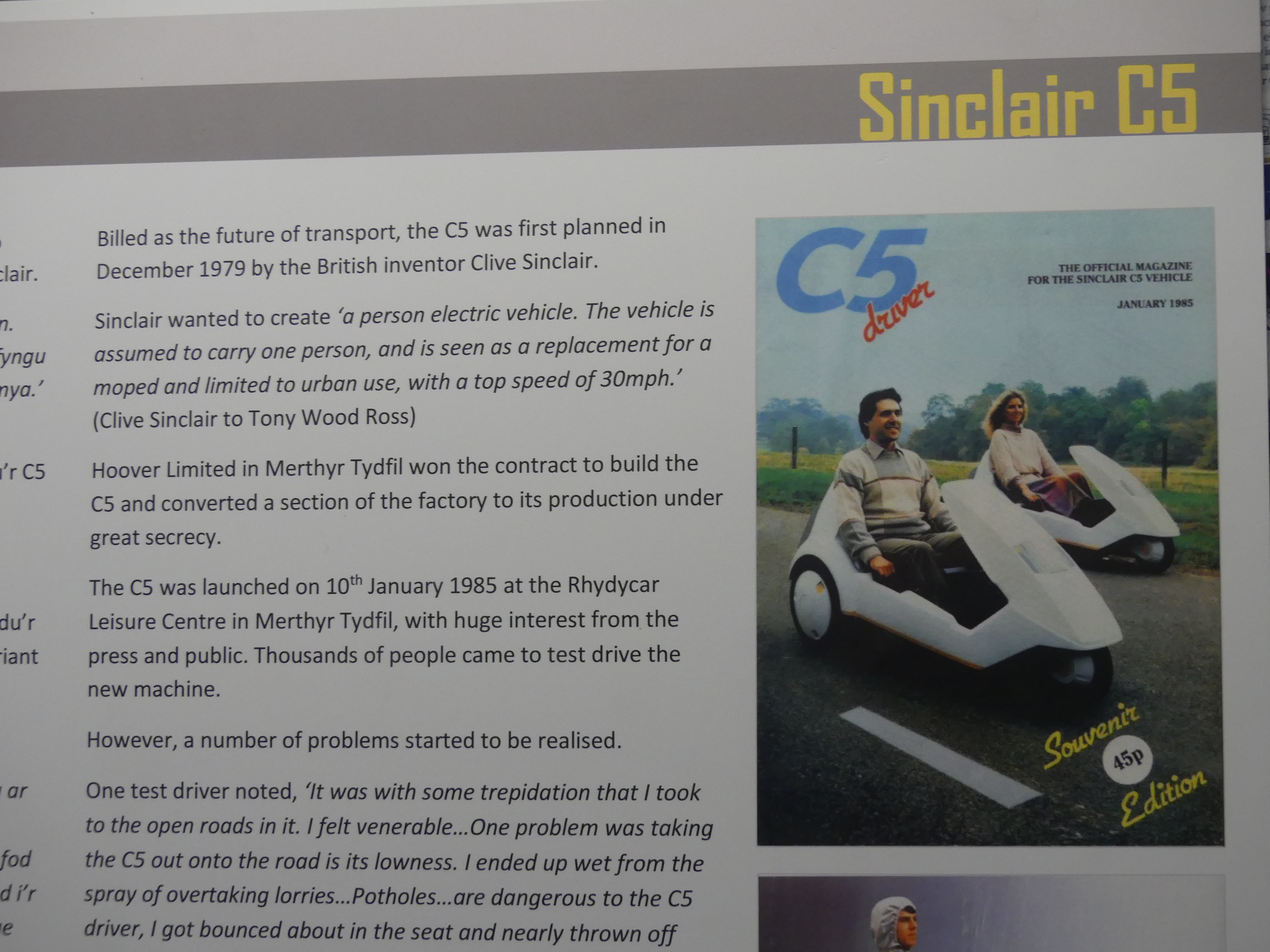
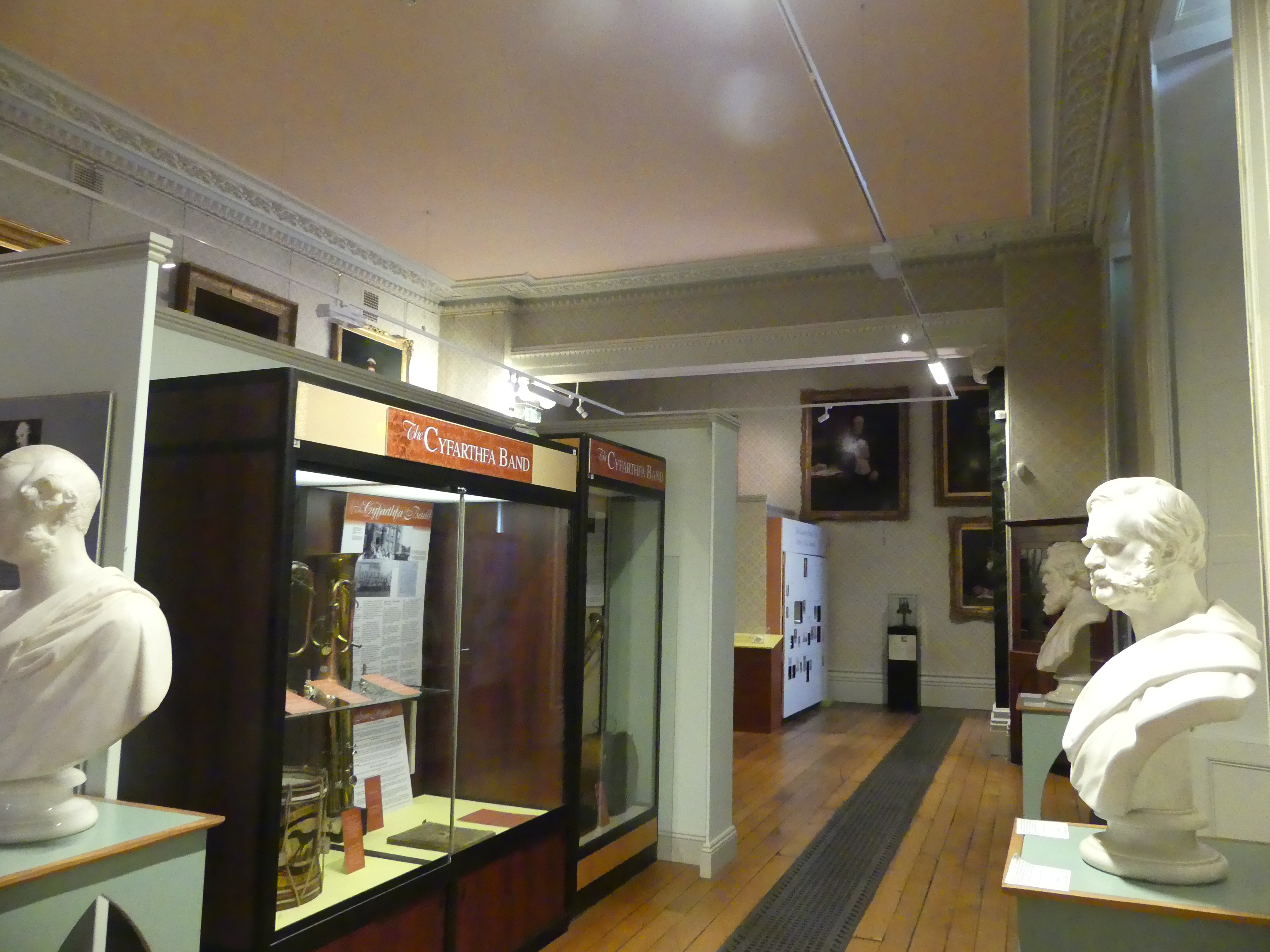
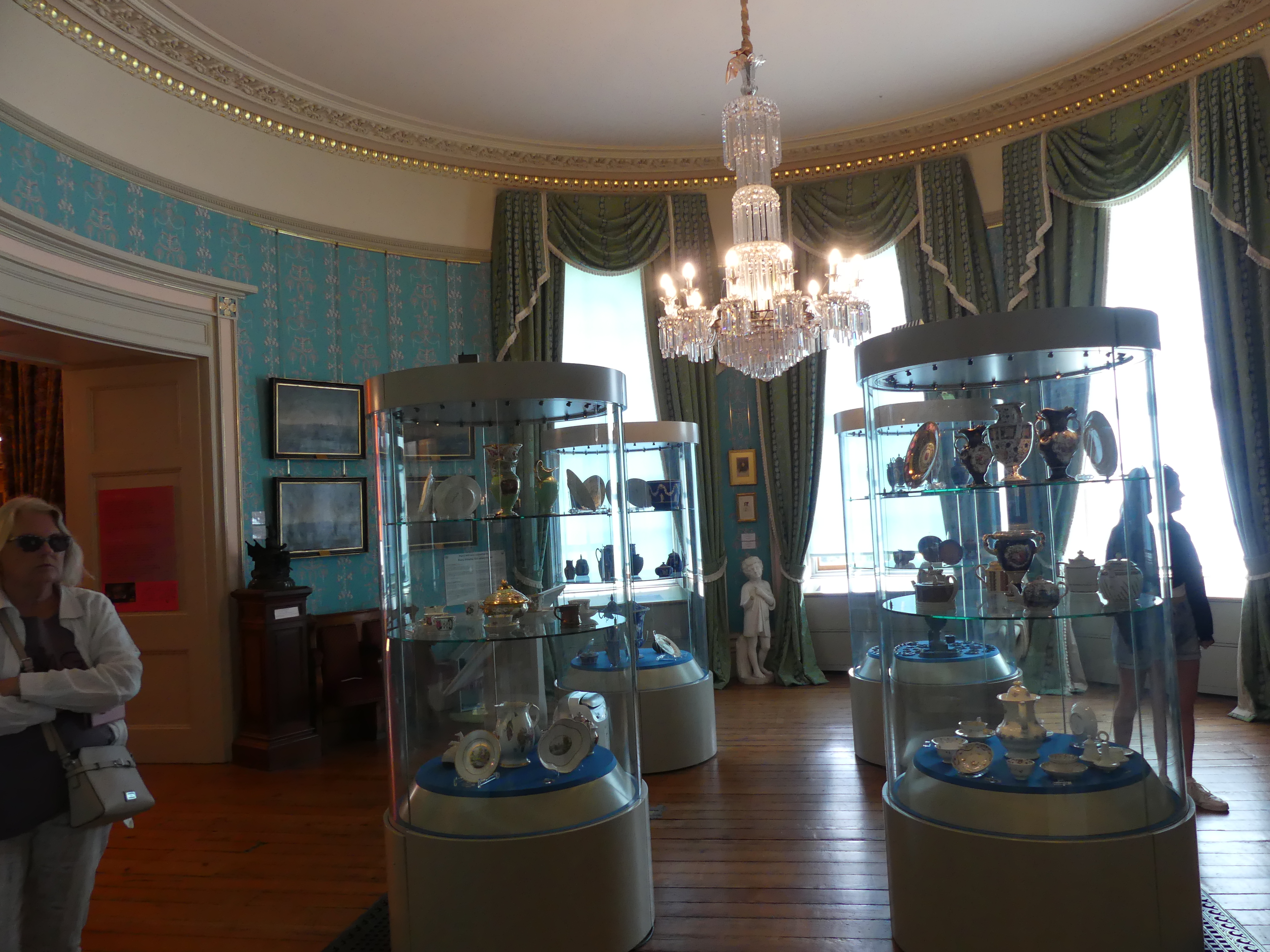
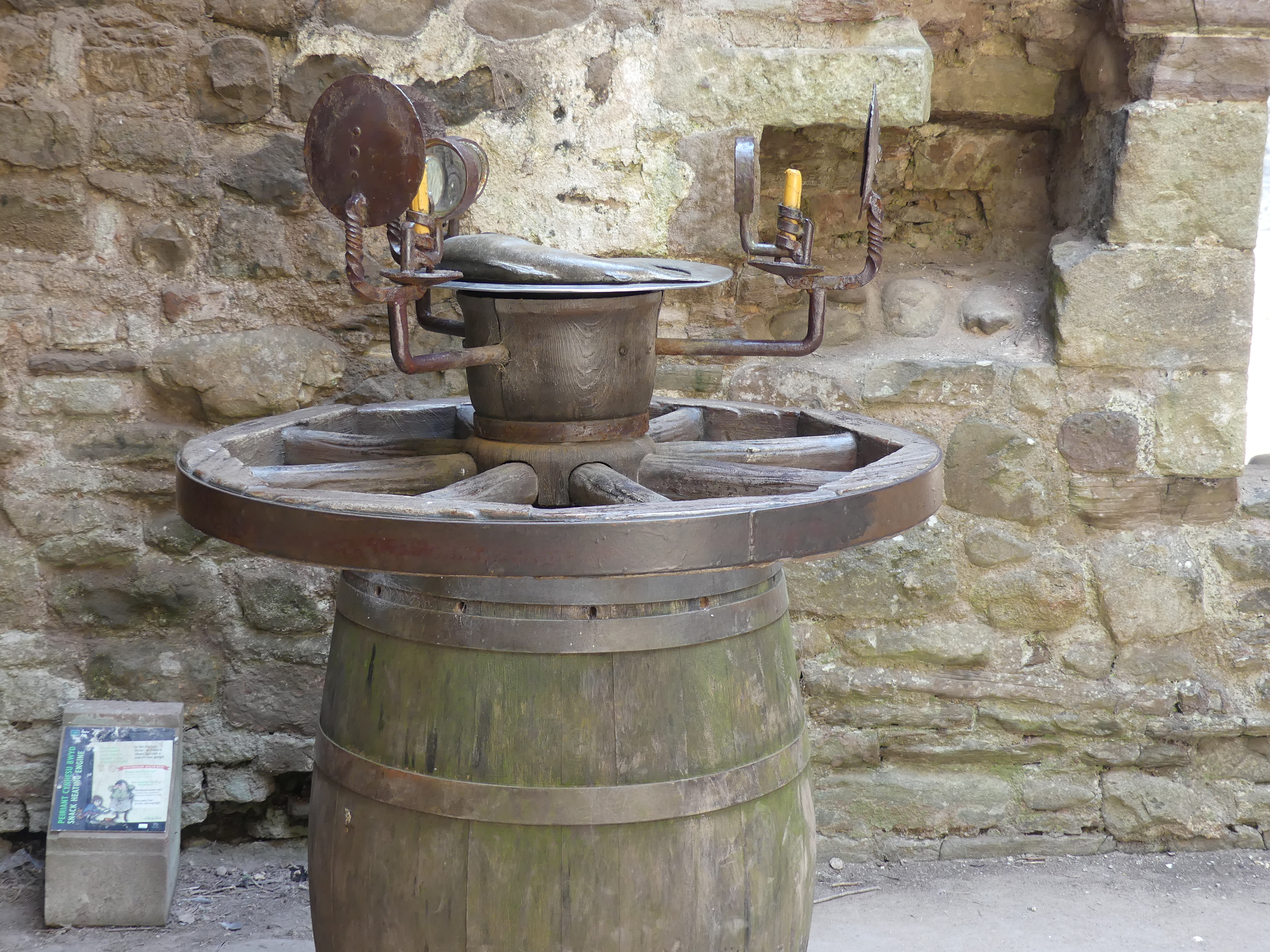
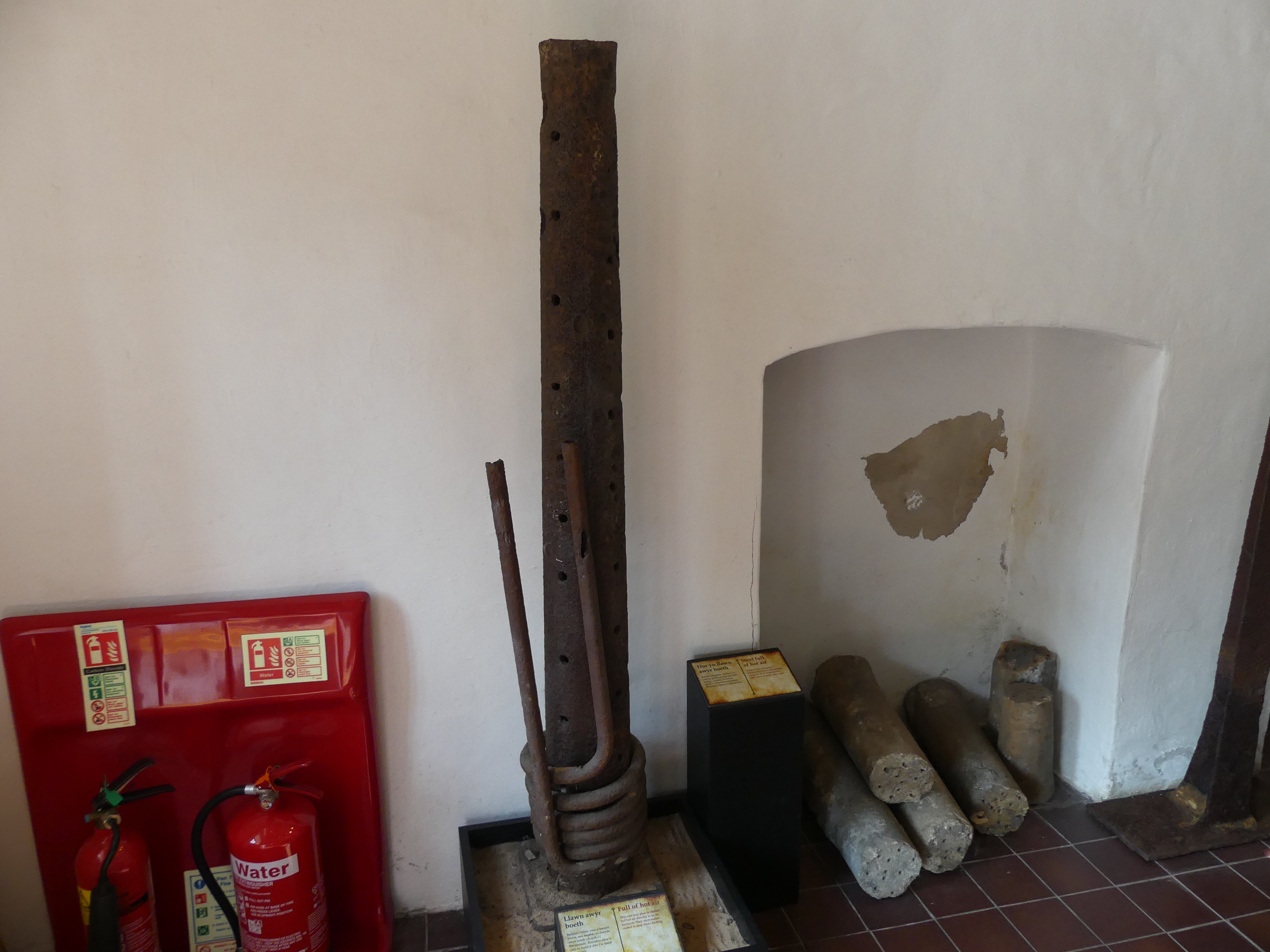
The following day we visited Cyfarthafa Castle and Blaenafon Ironworks ( the featured picture above shows one of the iron presses from Blaenafon Ironworks). Cyfarthfa Castle is a castellated mansion that was the home of the Crawshay family, ironmasters of Cyfarthfa Ironworks in Park, Merthyr Tydfil, Wales. The castle was sold in 1908 to the local council, who decided to use part of the ground floor for a museum, which still operates. The museum includes paintings, including two by James Inskipp. The rest of the building became a secondary school, and it was opened in 1913, operating as separate boys’ and girls’ schools. In 1945, they amalgamated, and in accordance with government policy the school was redesignated as a Grammar school under the name of Cyfarthfa Castle Grammar School. It became a comprehensive school in 1970, under the name Cyfarthfa High School. My photos are below.
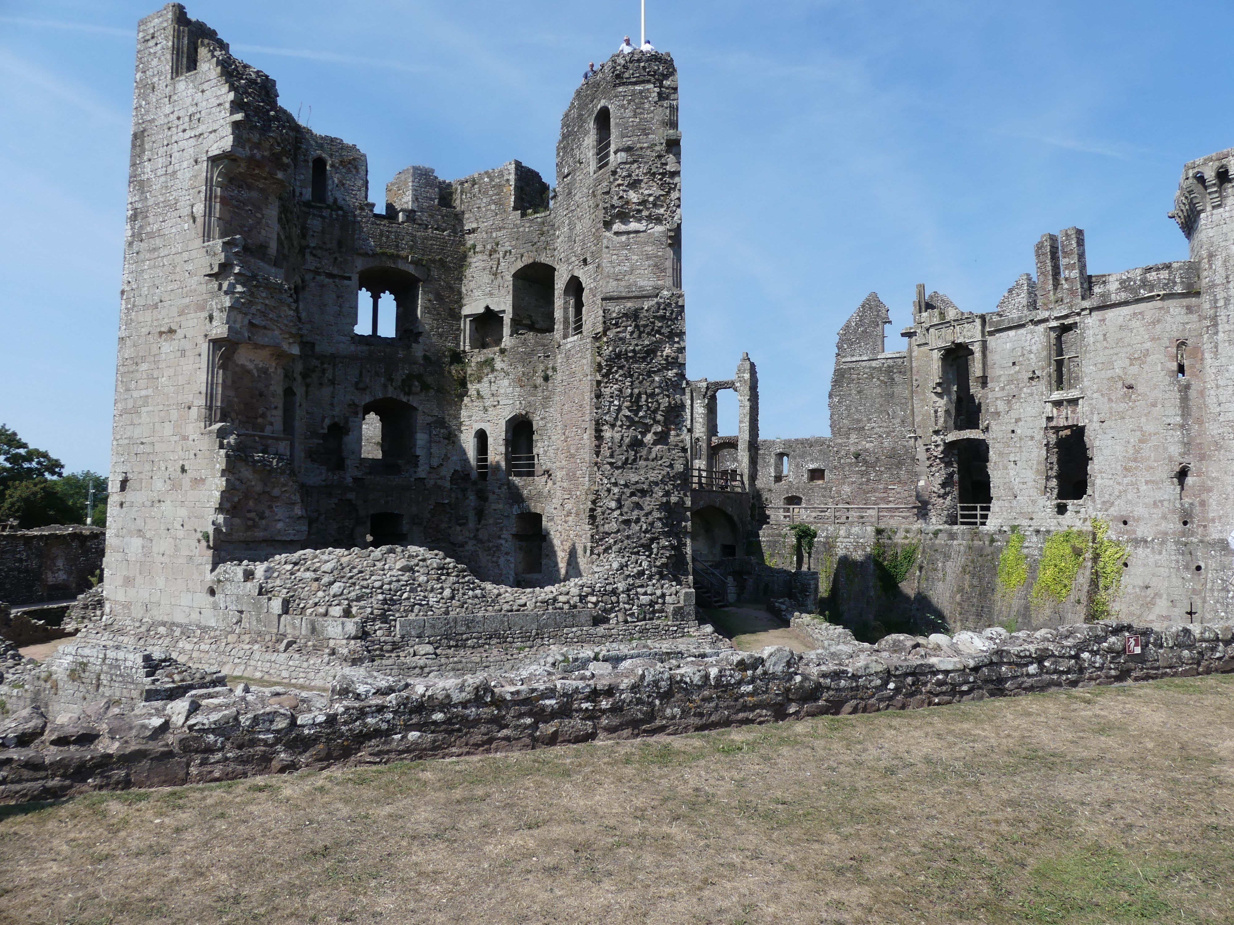
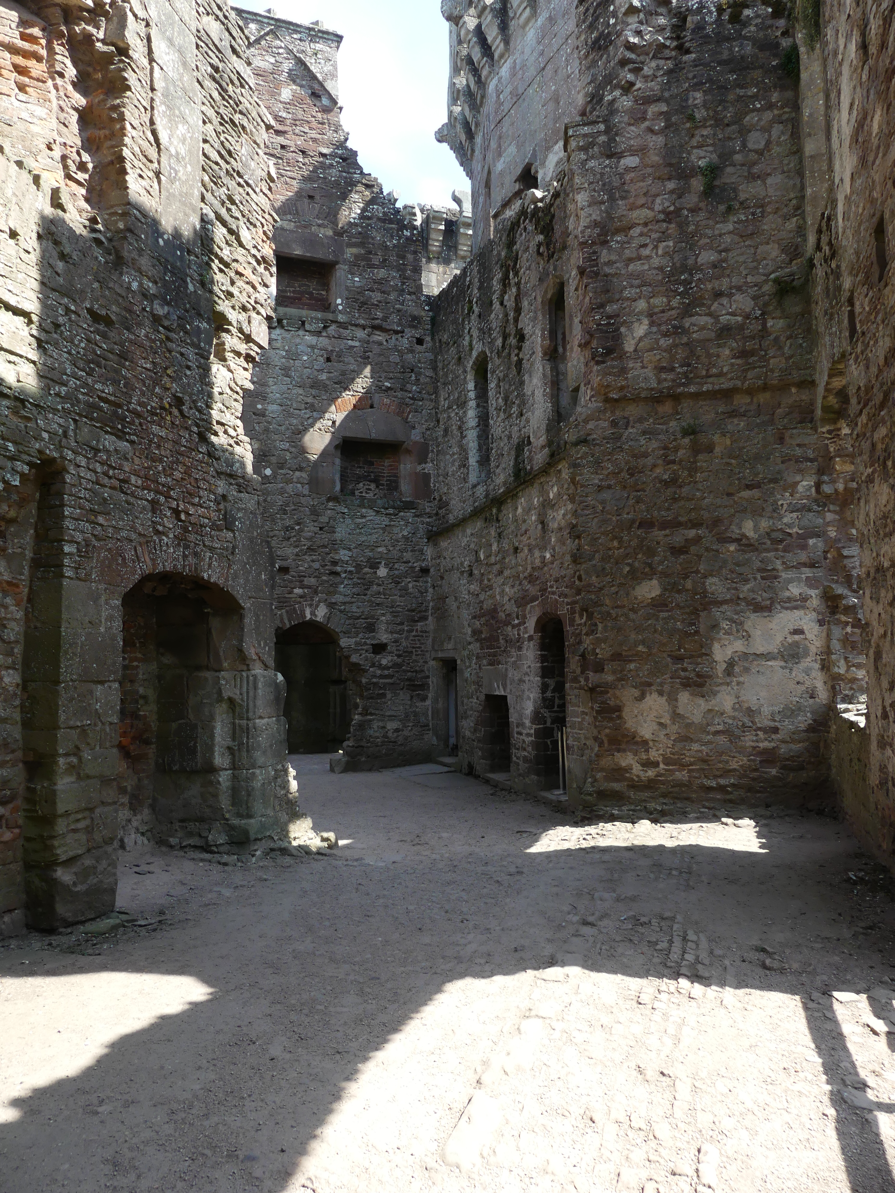
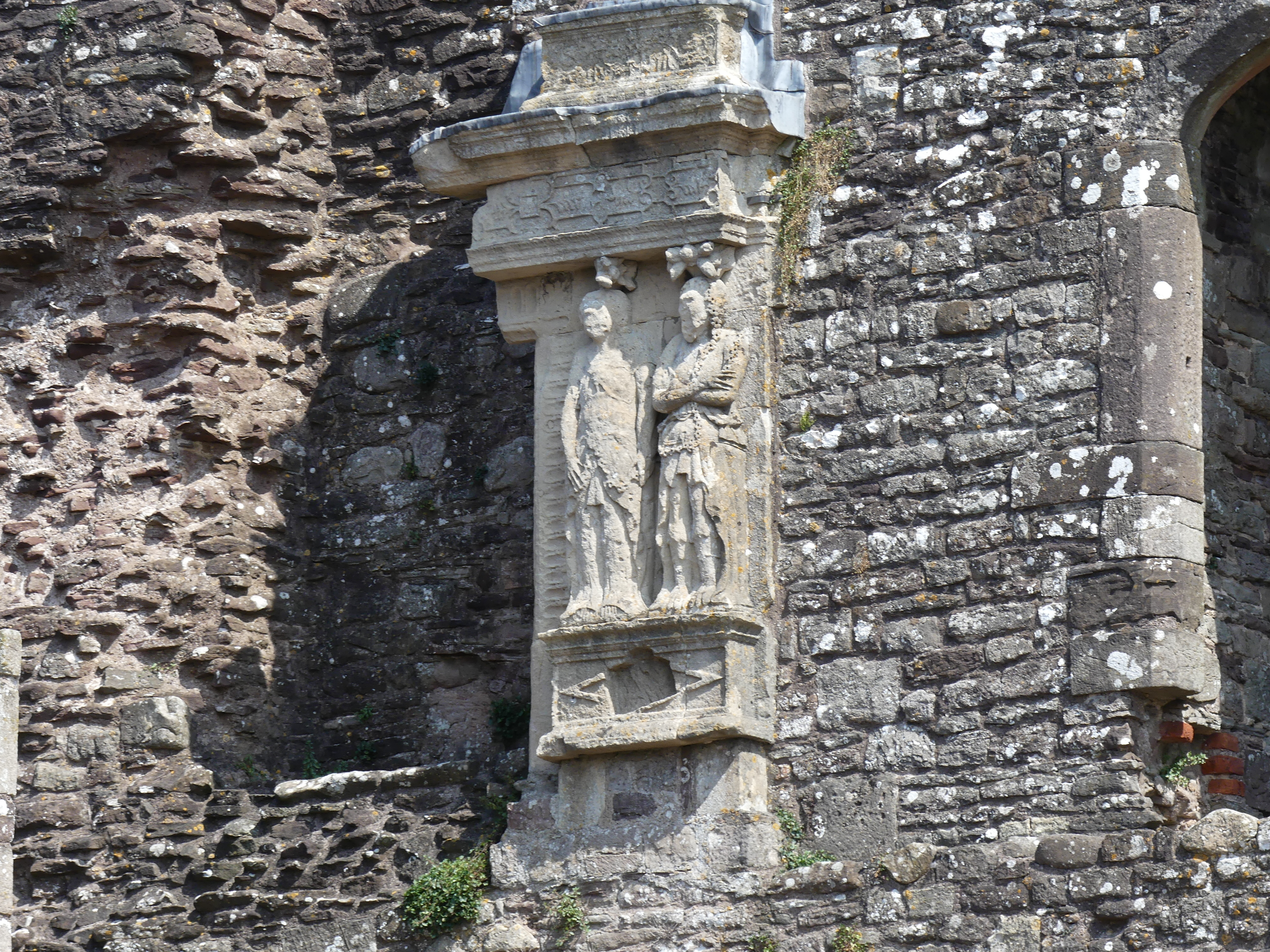
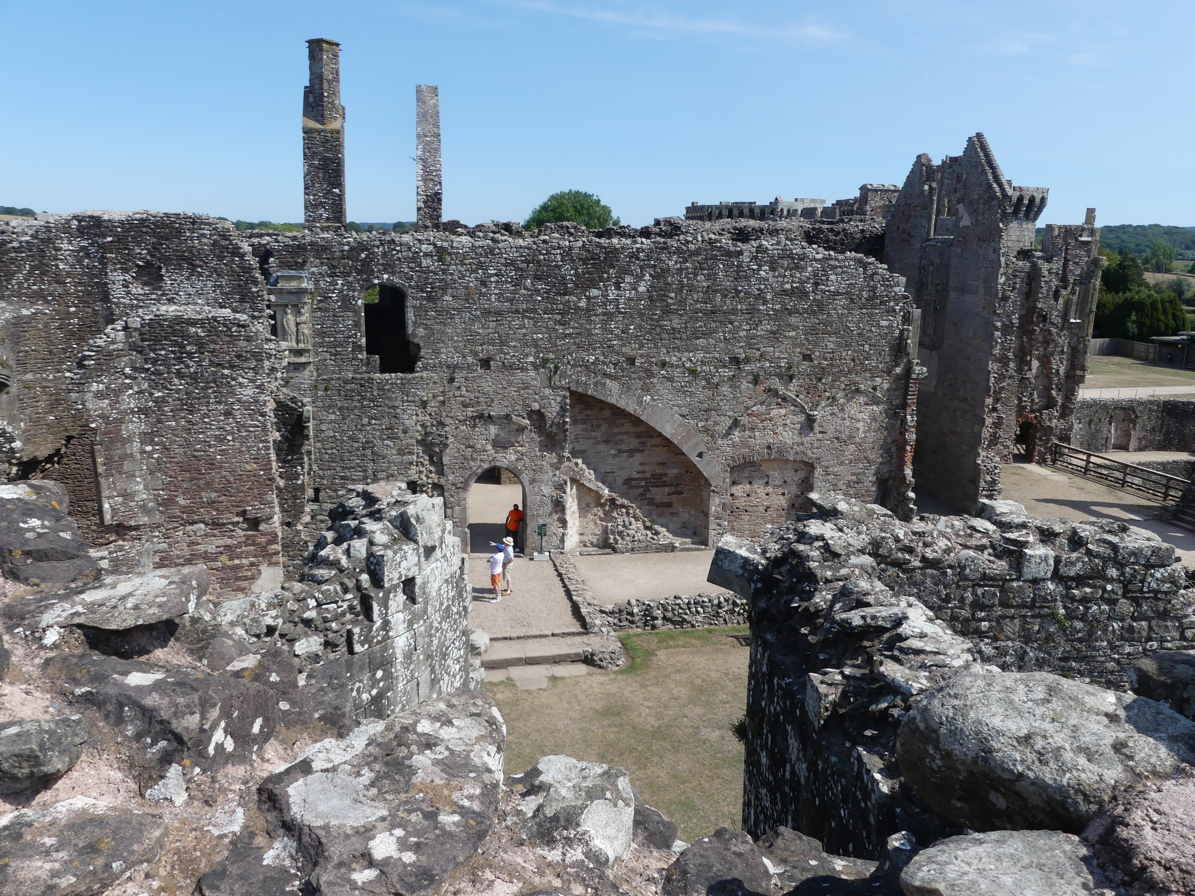
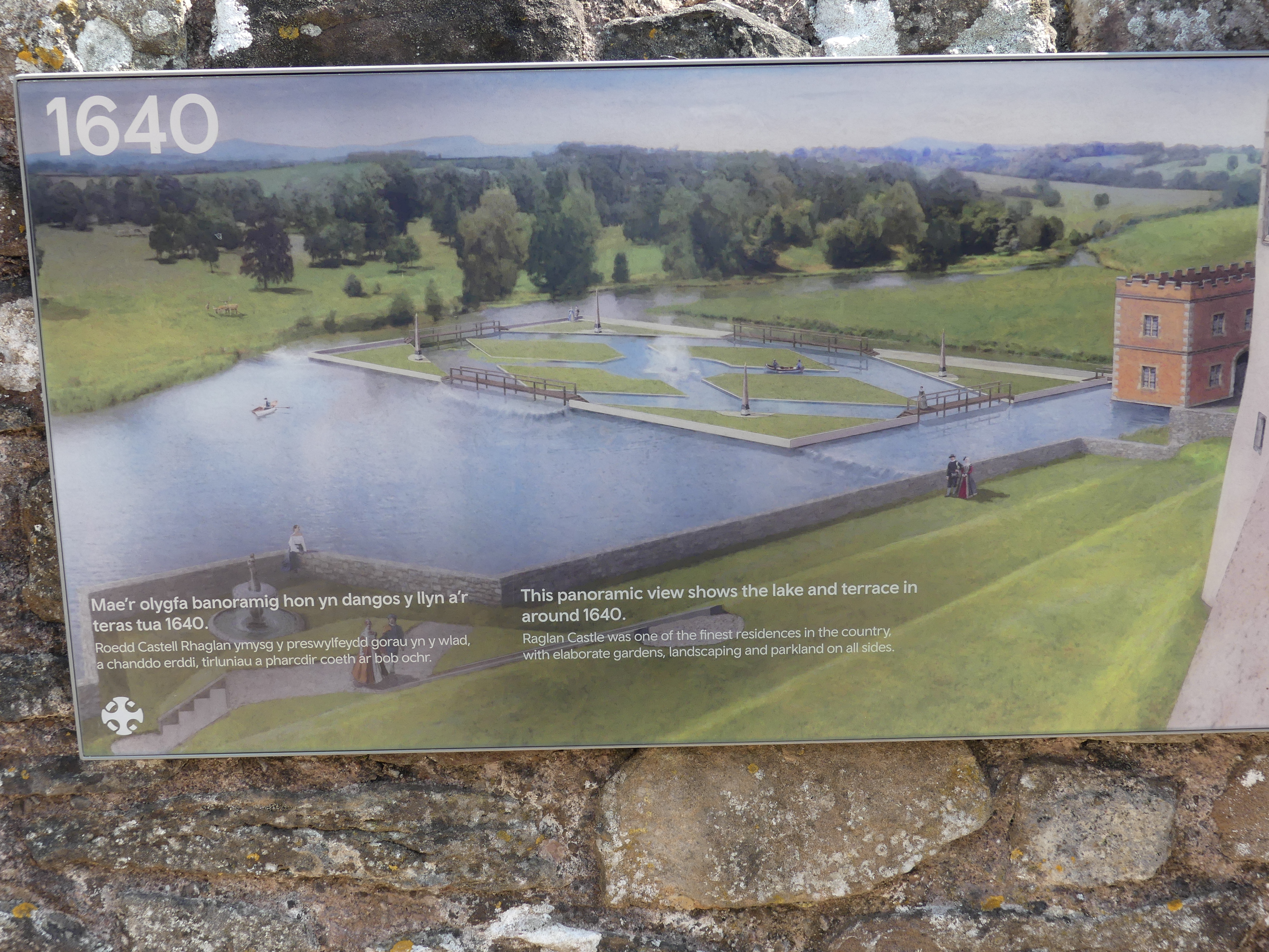
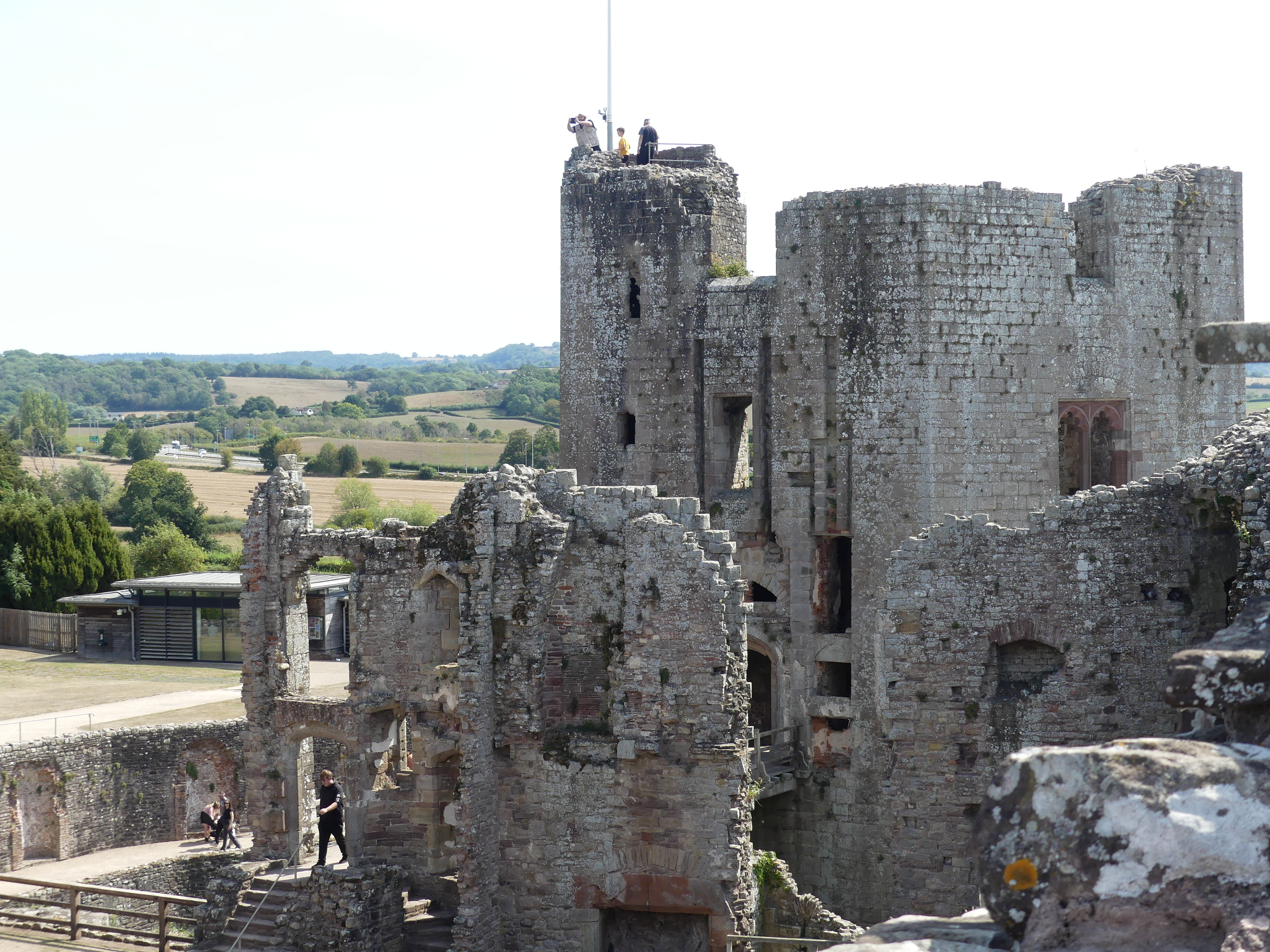
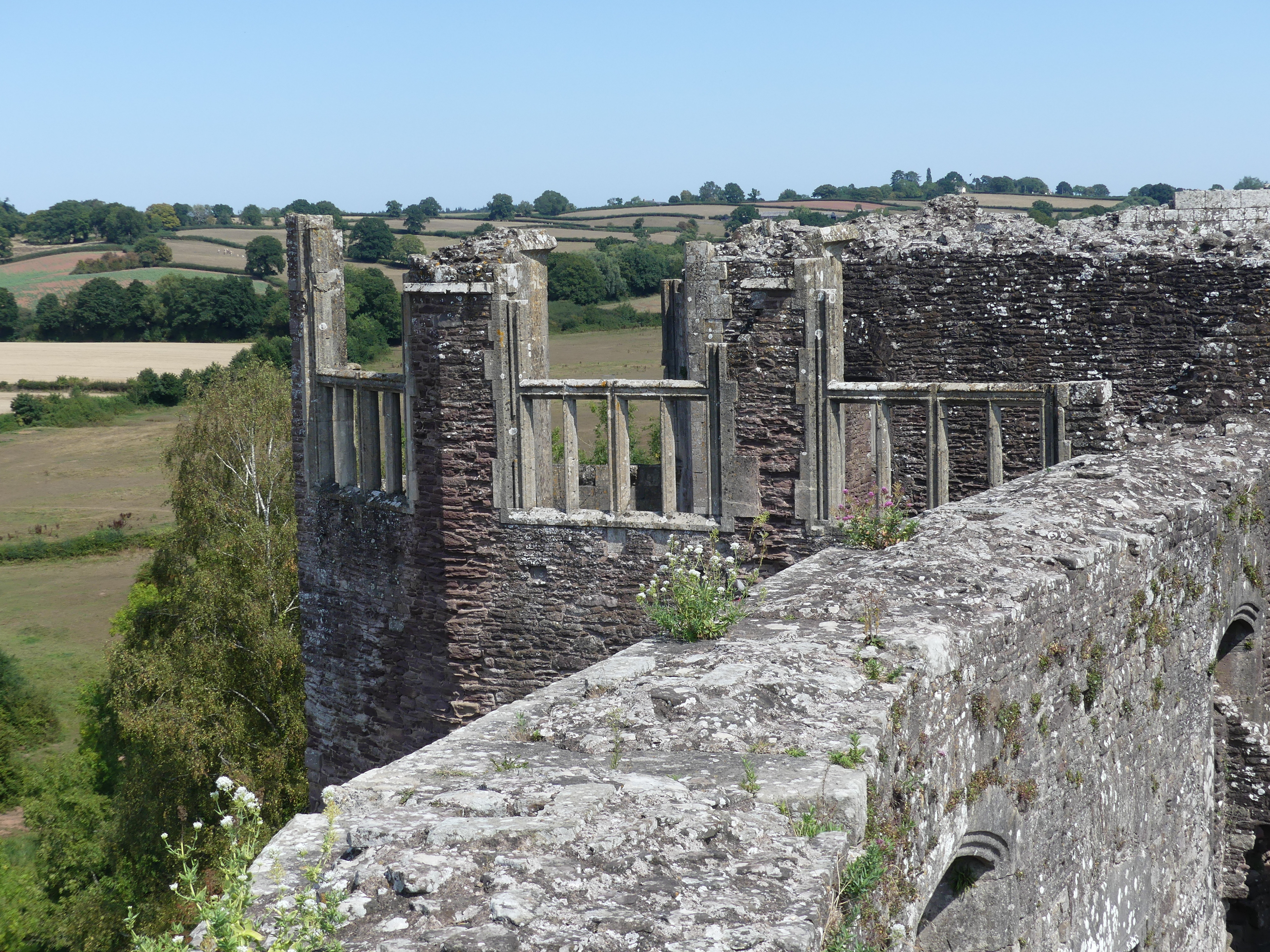
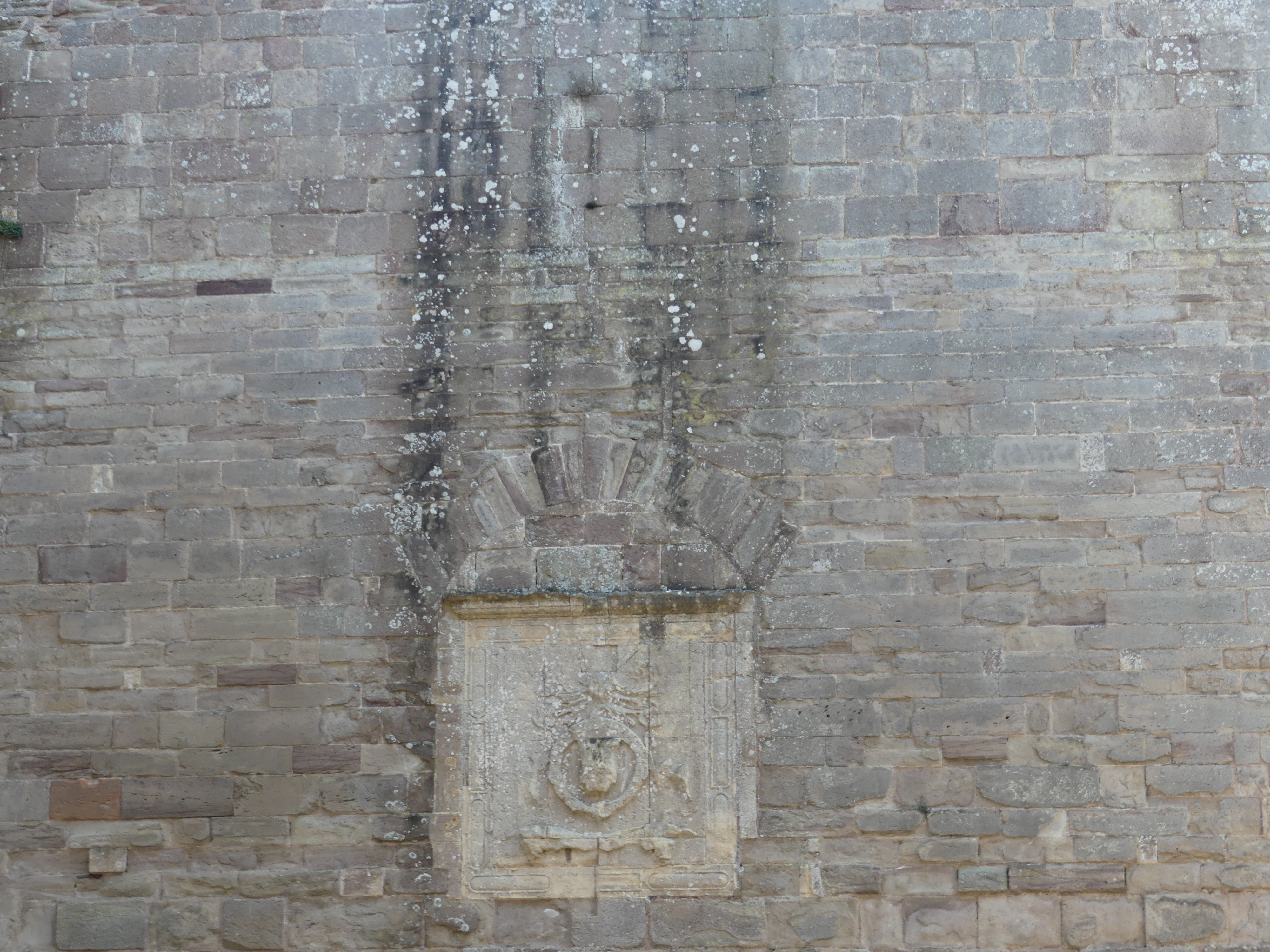
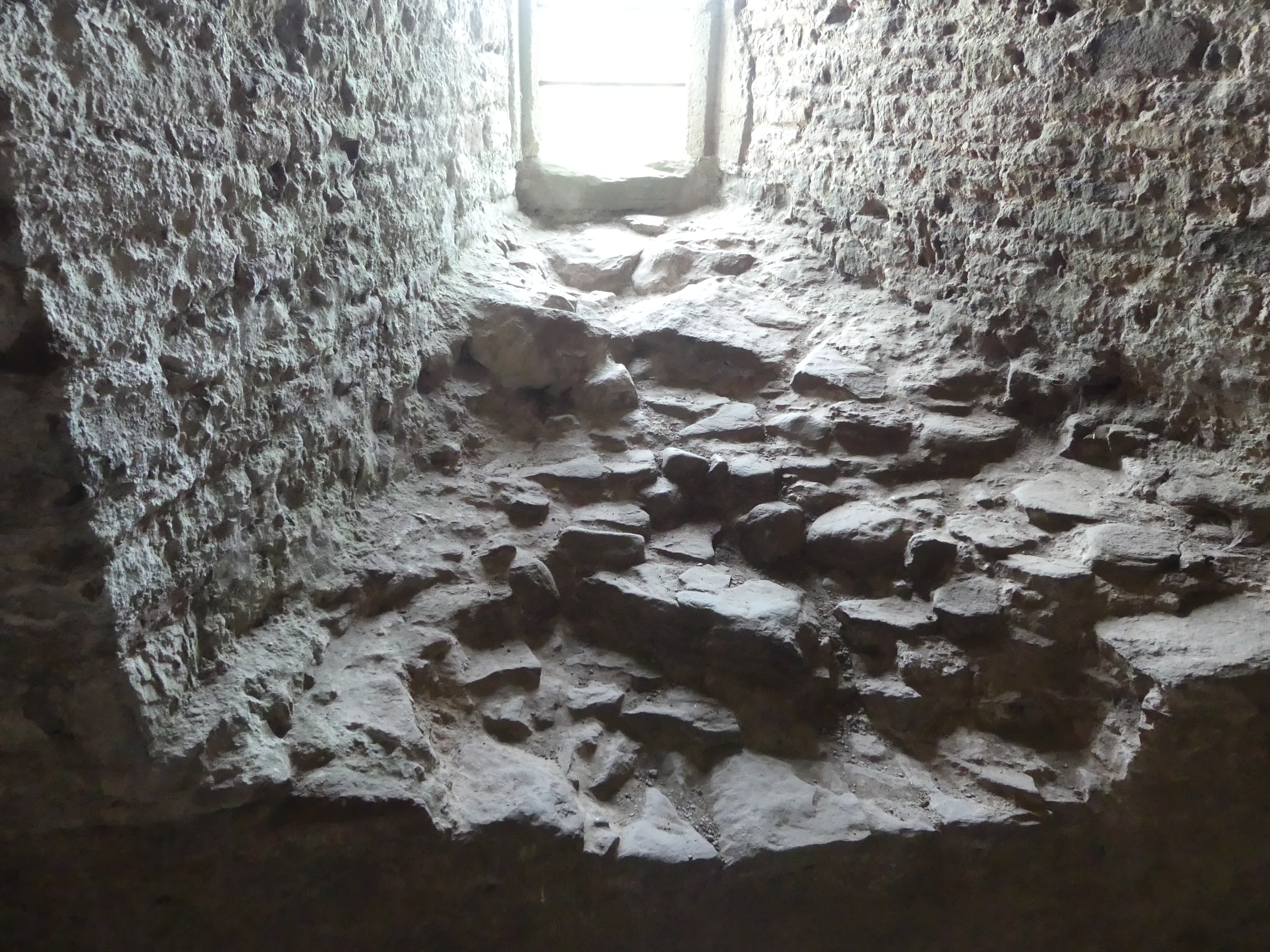
From there we tracked our way to Raglan Castle. Raglan Castle is a late medieval castle located just north of the village of Raglan in the county of Monmouthshire in southeast Wales. The modern castle dates from between the 15th and early 17th centuries, when the successive ruling families of the Herberts and the Somersets created a luxurious, fortified castle, complete with a large hexagonal keep, known as the Great Tower or the Yellow Tower of Gwent. During the First English Civil War, Raglan was occupied by a Royalist garrison on behalf of Charles I but it was taken by Parliamentarian forces in 1646 and its walls slighted or deliberately put beyond military use. After the Stuart Restoration in 1660, the Somersets declined to restore it and it became first a source of local building materials, then a romantic ruin. It is now a tourist attraction. We spent time going through the ruins and sought refreshment, but the café was well hidden. We finally found the cafe – outside of the castle allotment in the courtyard of the neighbouring house. We sat down in the shade and then caused a minor disturbance because the waiter took the order incorrectly but to their credit, they admitted their error and provided us with a refund for the mistake. My photos of the ruins and the café follow including the CADW brochure.
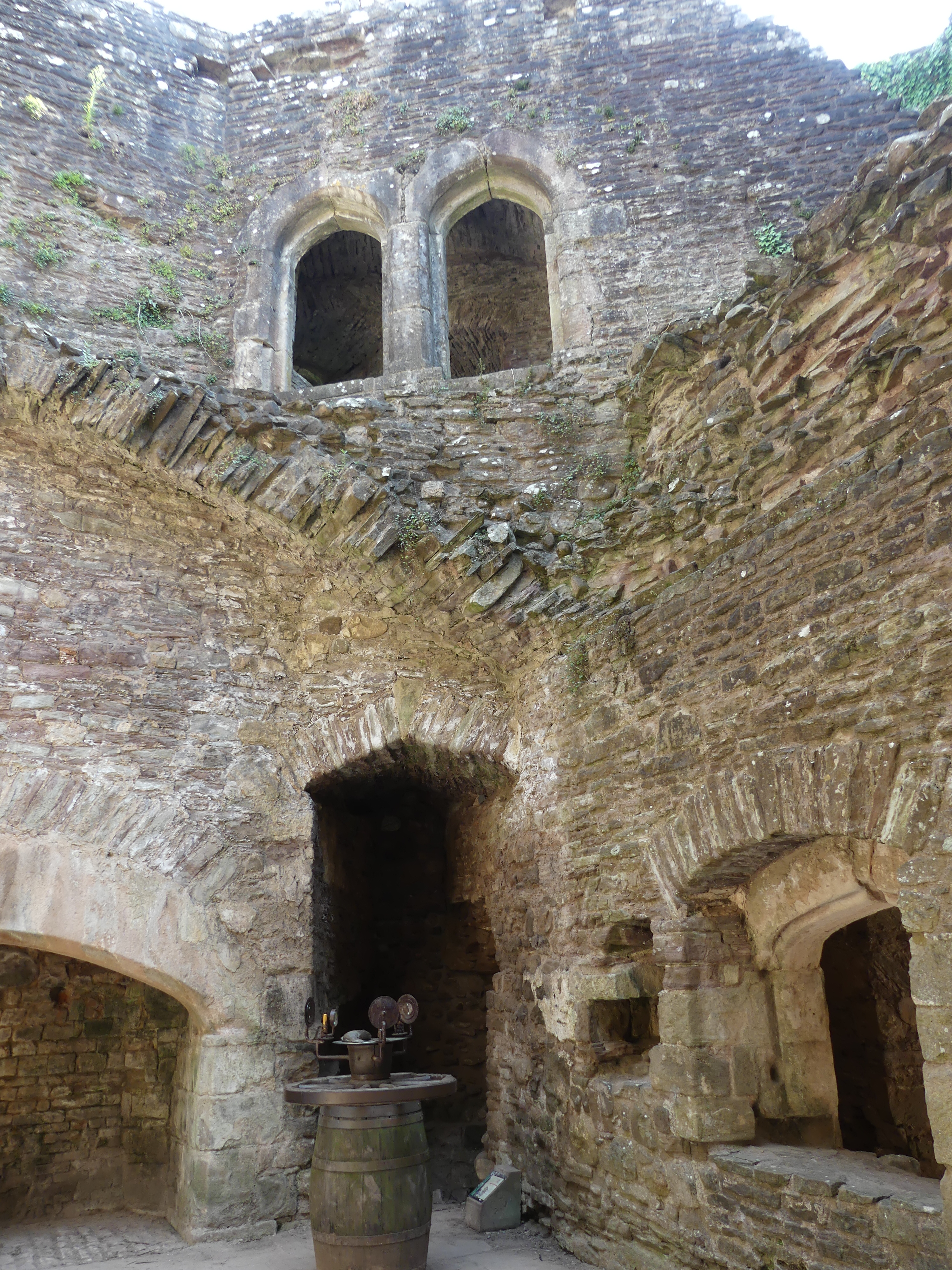
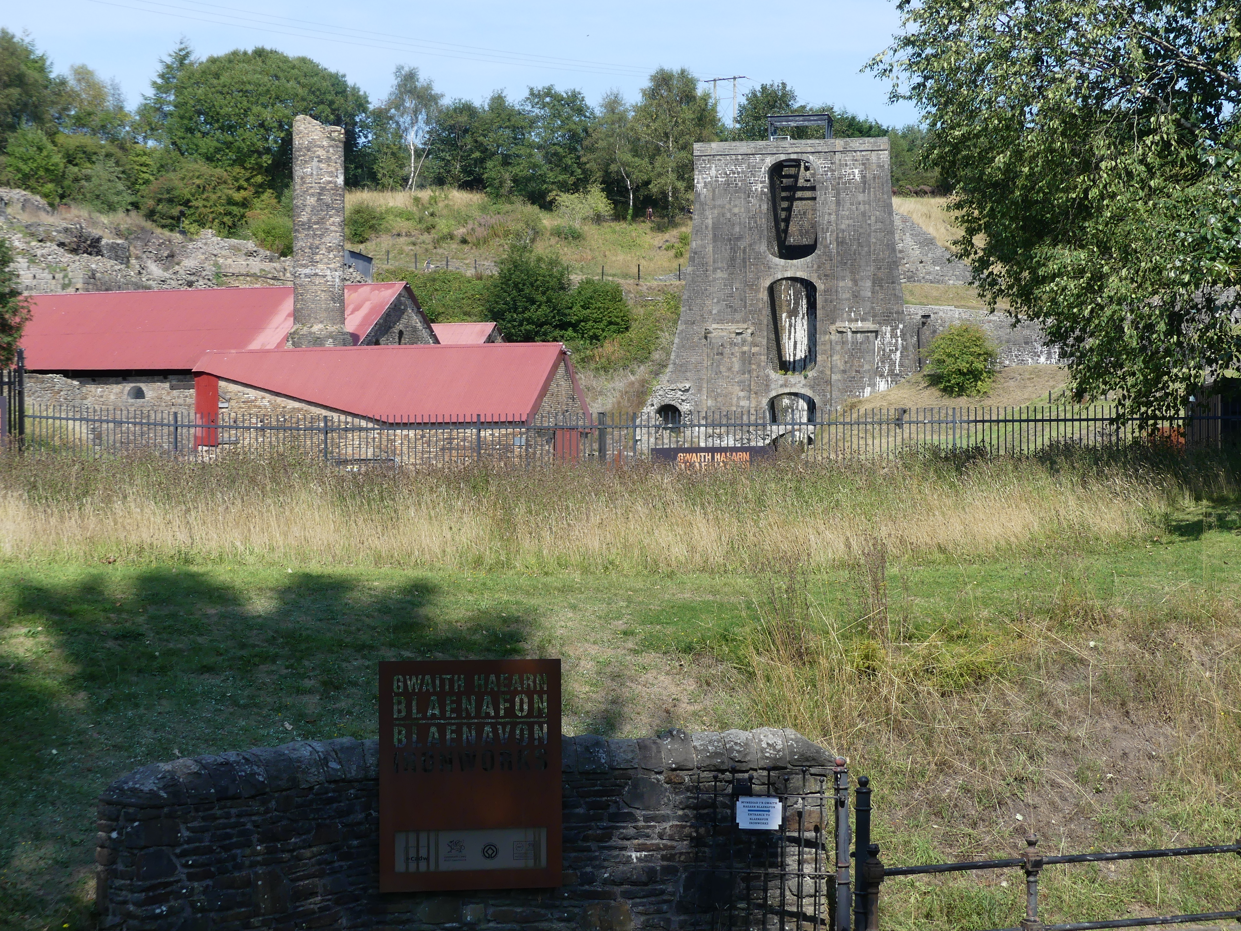
We traveled back through the Brecon Beacons National Park to visit the Ironworks and as it was a different road we encountered a local swimming hole surrounded by people and sheep. The photo is below. It was late afternoon when we arrived at the Ironworks largely hidden by overgrowth of the surrounding trees. This is one of the steel mills ever present through out Wales during its industrial years. The entry was tiny and manned by a husband-and-wife team. She was clearly American, and they recently returned to Wales and took up this position. Seemed an odd fit. However, the recreation of life for the workers in the preserved ironworks was excellent.
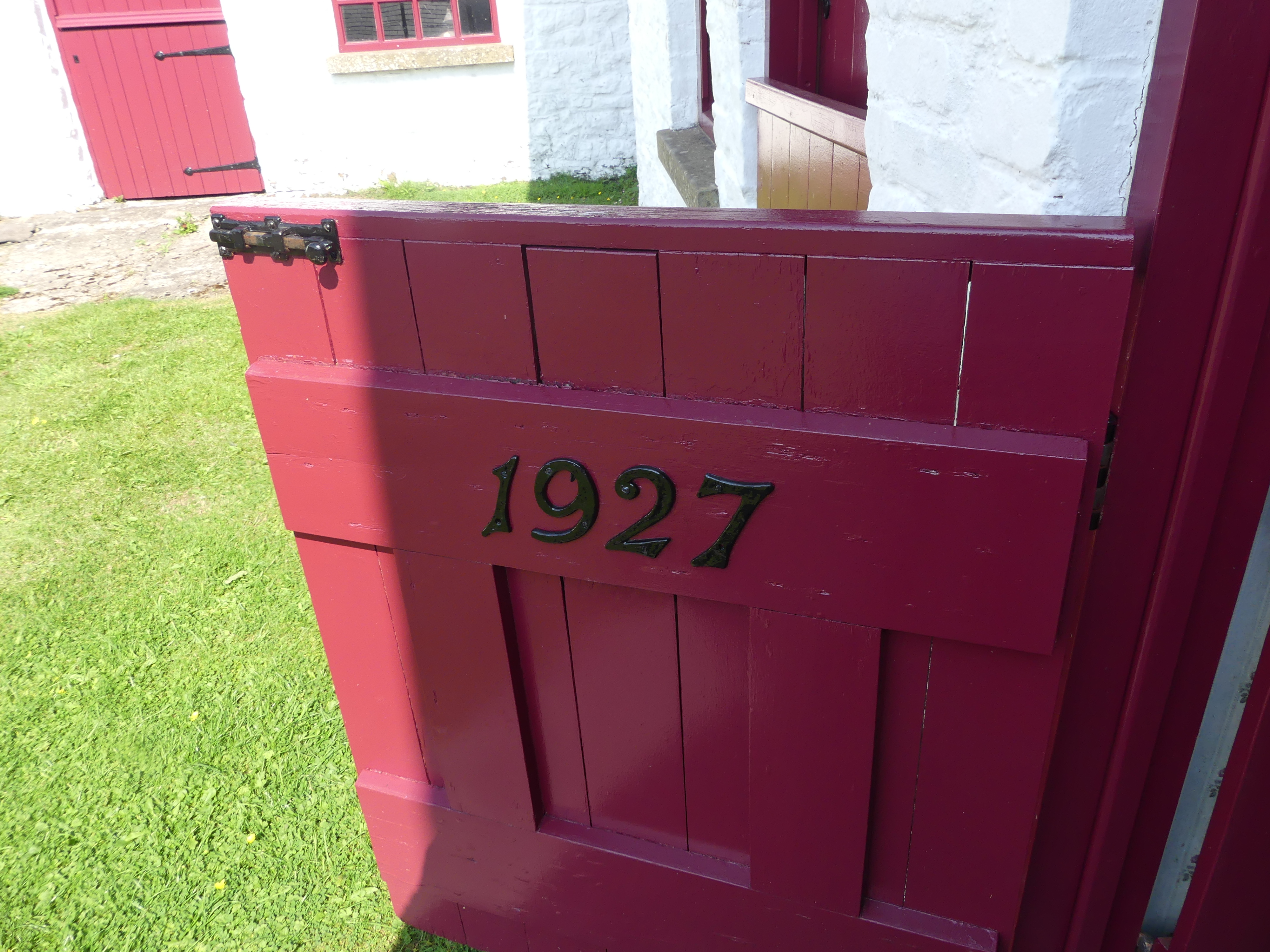
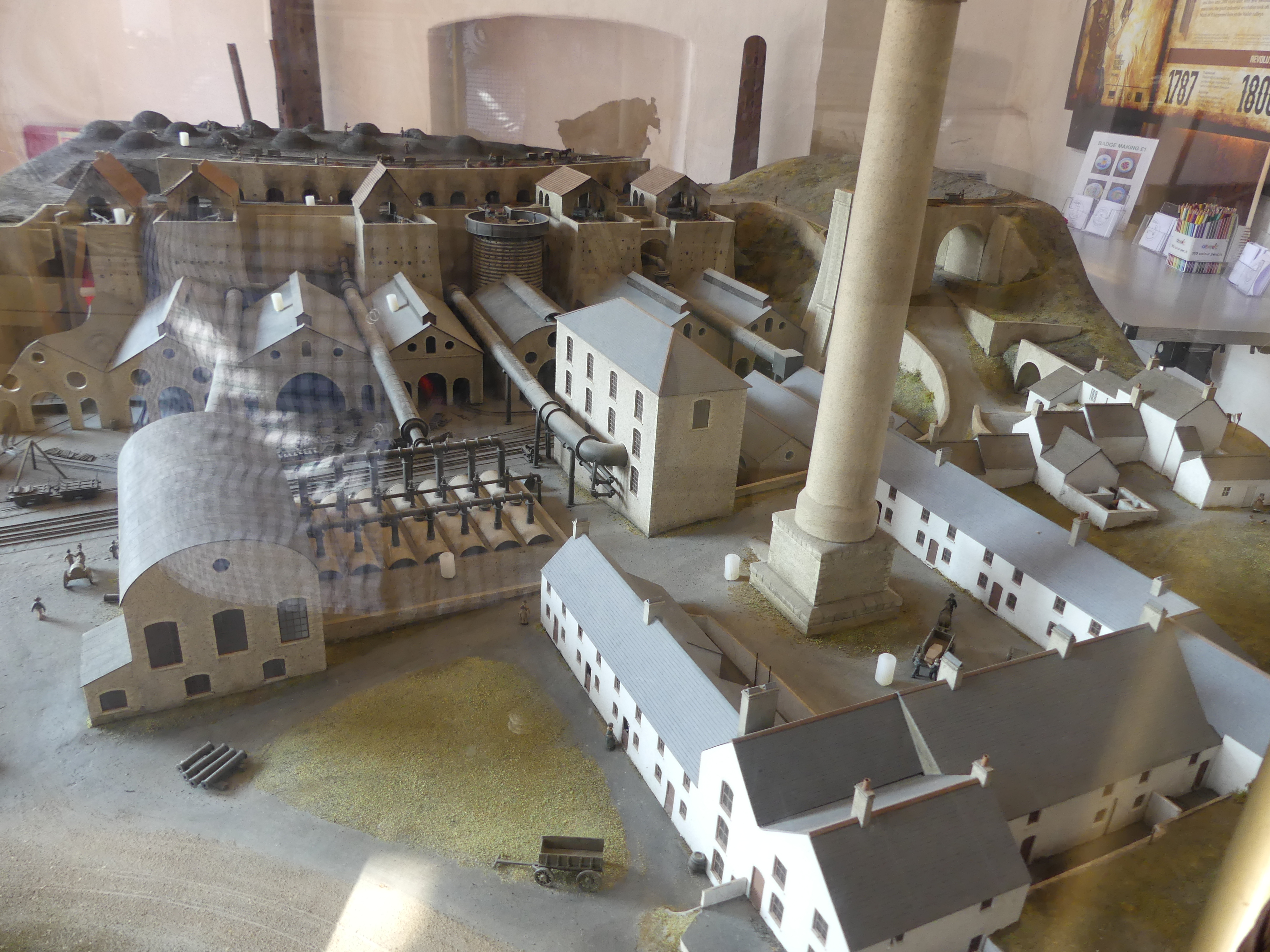
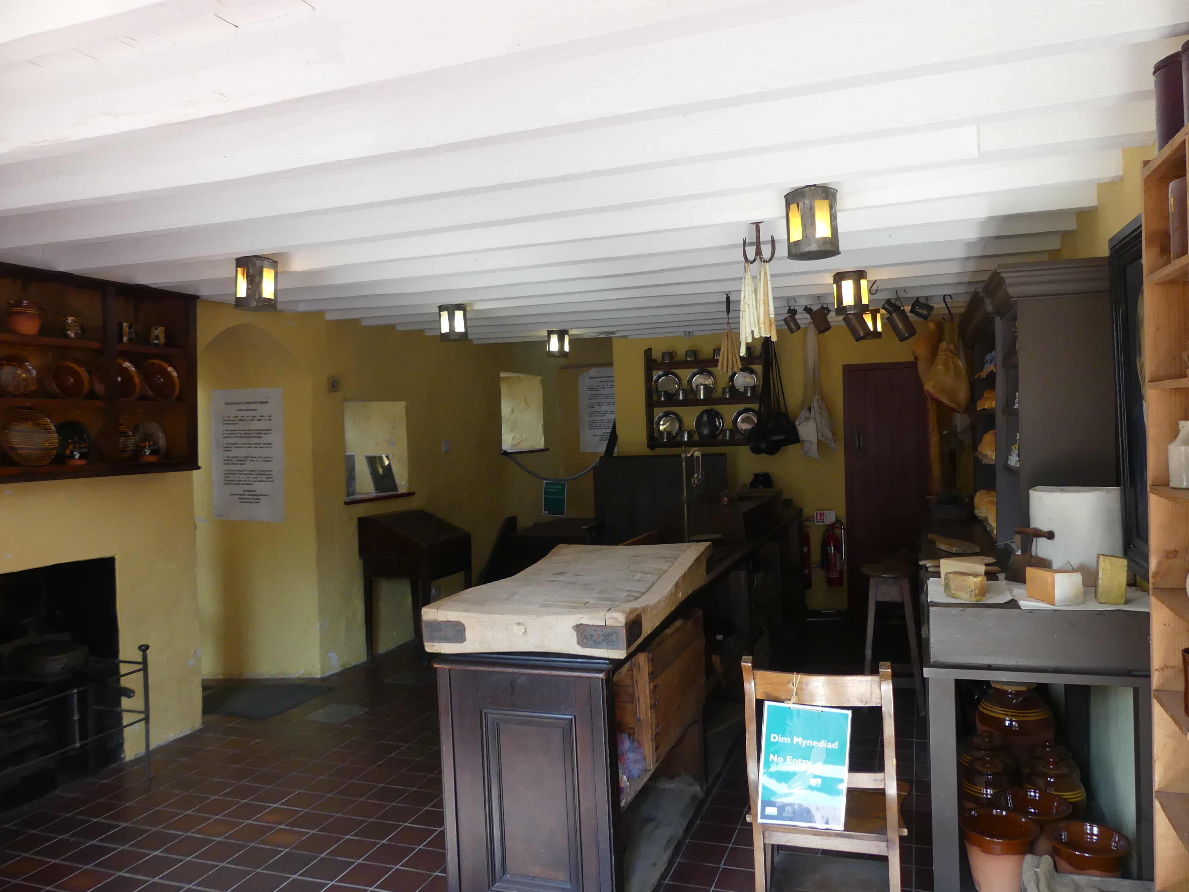
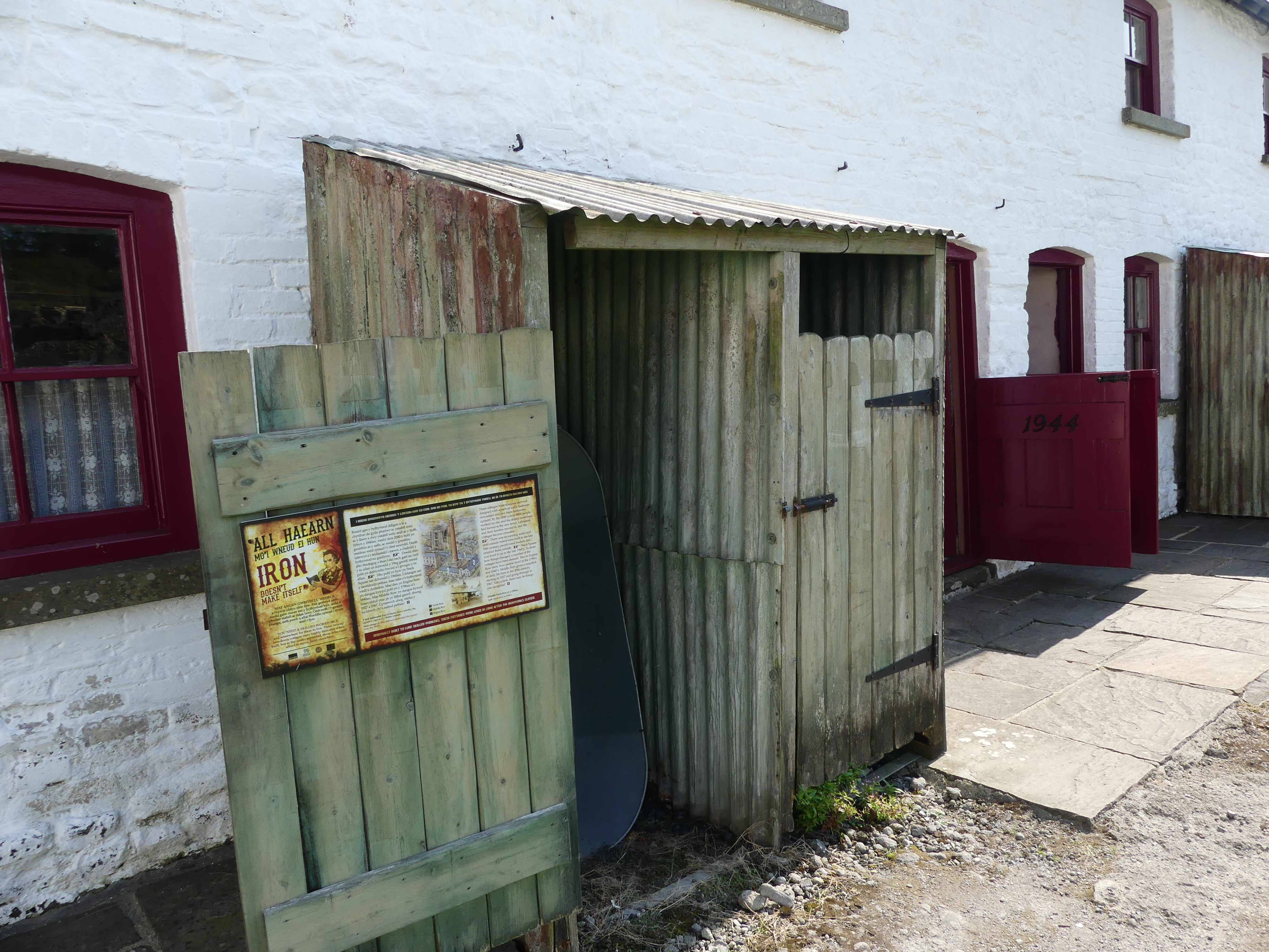
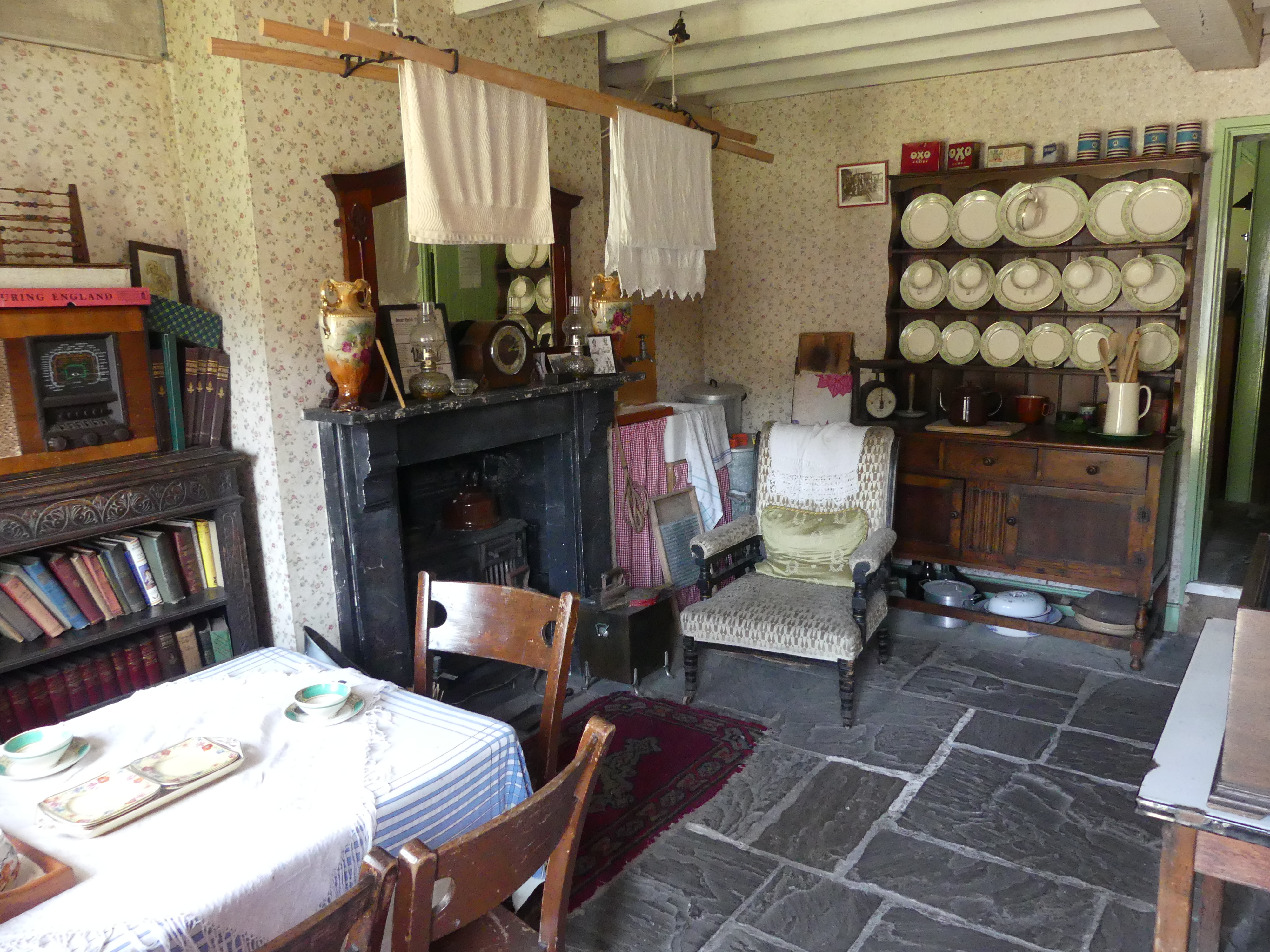
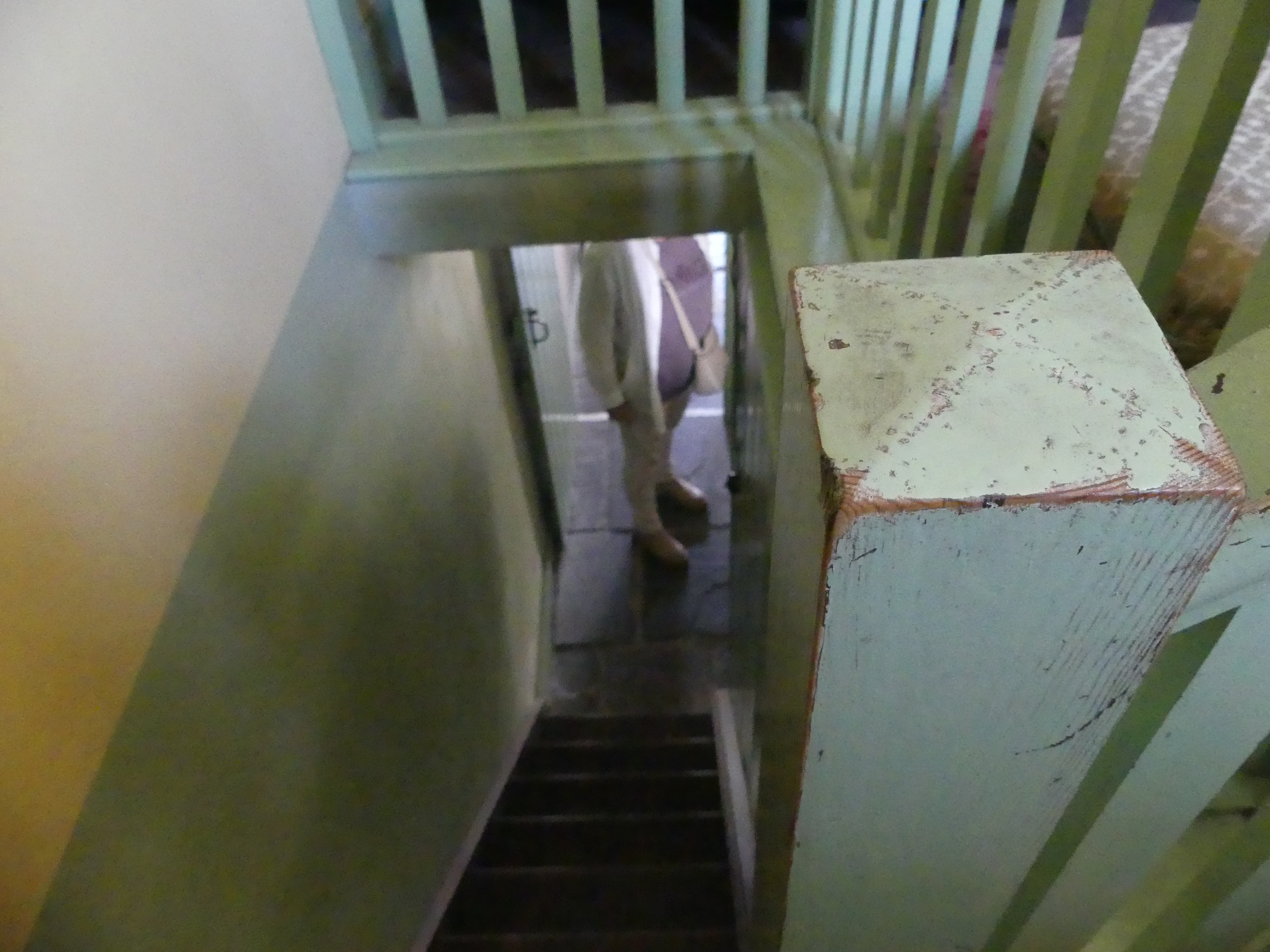
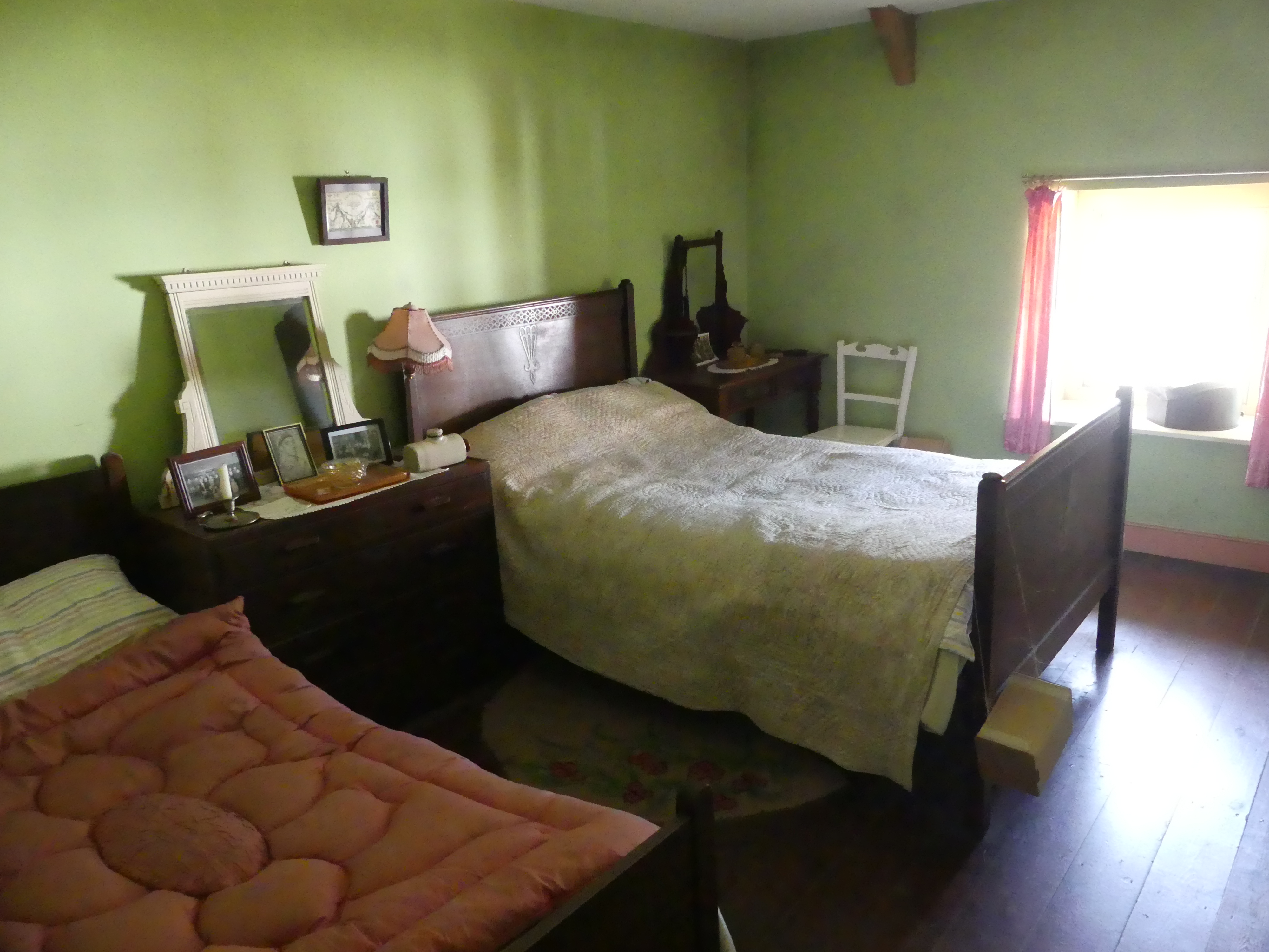
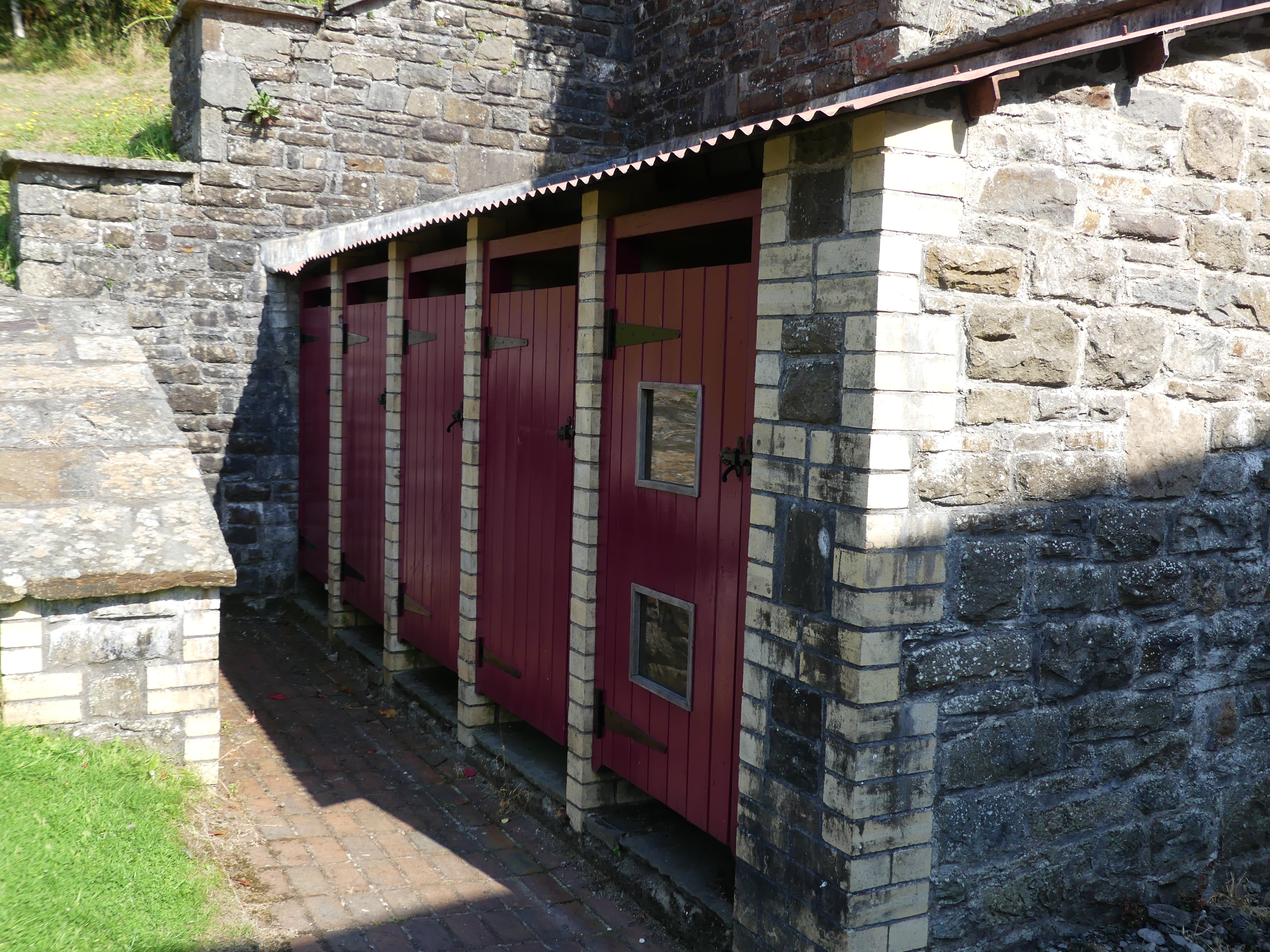
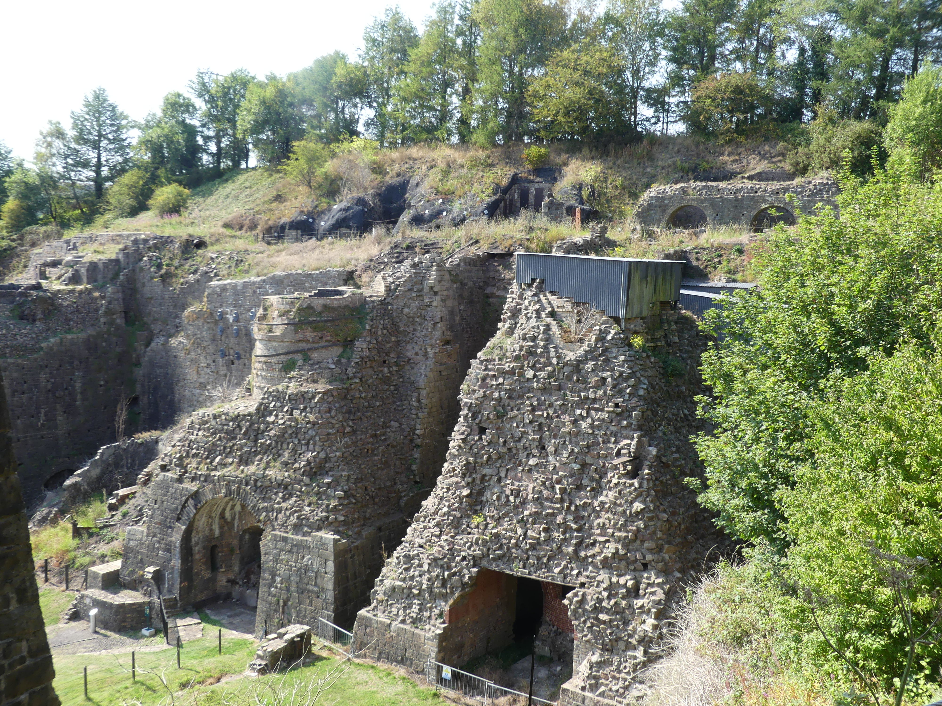
The Ironworks is a former industrial site which is now a museum. It was of crucial importance in the development of the ability to use cheap, low quality, high sulphur iron ores worldwide. It was the site of the experiments by Sidney Gilchrist Thomas and his cousin Percy Gilchrist that led to “the basic steel process” or “Gilchrist–Thomas process”. In 1904 the Ironworks ceased production completely. Work restarted briefly in 1924 but was commercially unviable. The forges at the site were still being used and helped with the production of steel shell during both world wars but was mostly used as a storage yard for the National Coal Board. One of the remarkable things is that some of the workers lodgings have been restored to present certain periods from 18th century through to the 20th century. I thought this might be an uninspiring attraction but quite the contrary it presented considerable history of industrial Wales.
Time to move on from the Best Western as we were due at Chateau Rhianfa Plas Rhianfa, in Anglesey – a far cry from the Best Western. On the way we will look at Harlech Castle before finding our way to Chateau Rhianfa Plas Rhianfa, Glyngarth Menaii Bridge Read on in my next blog “THE RETIREES GO AROUND THE WORLD – CRICKHOWELL (Ebbw Vale)TO CHATEAU RHIANFA PLAS RHIANFA, GLYNGARTH MENAII BRIDGE.”
Ever wondered what it would be like to go around the world dropping in at various points of call, visiting relations and friends and visiting new points of interest? Well, we did wonder and now I am here to tell you what it was it was all about. Welcome to our holiday blog – The Retirees go around the World in 51 days.
It started with booking a cruise from Japan to Taiwan and return then taking fright at the cost to travel to Tokyo to catch the cruise ship. This caused us to investigate traveling around the world with connecting flights starting with a flight from Brisbane to Sydney, then Sydney to San Francisco departing on 24th January 2025 and arriving there the same day due to the time zones.
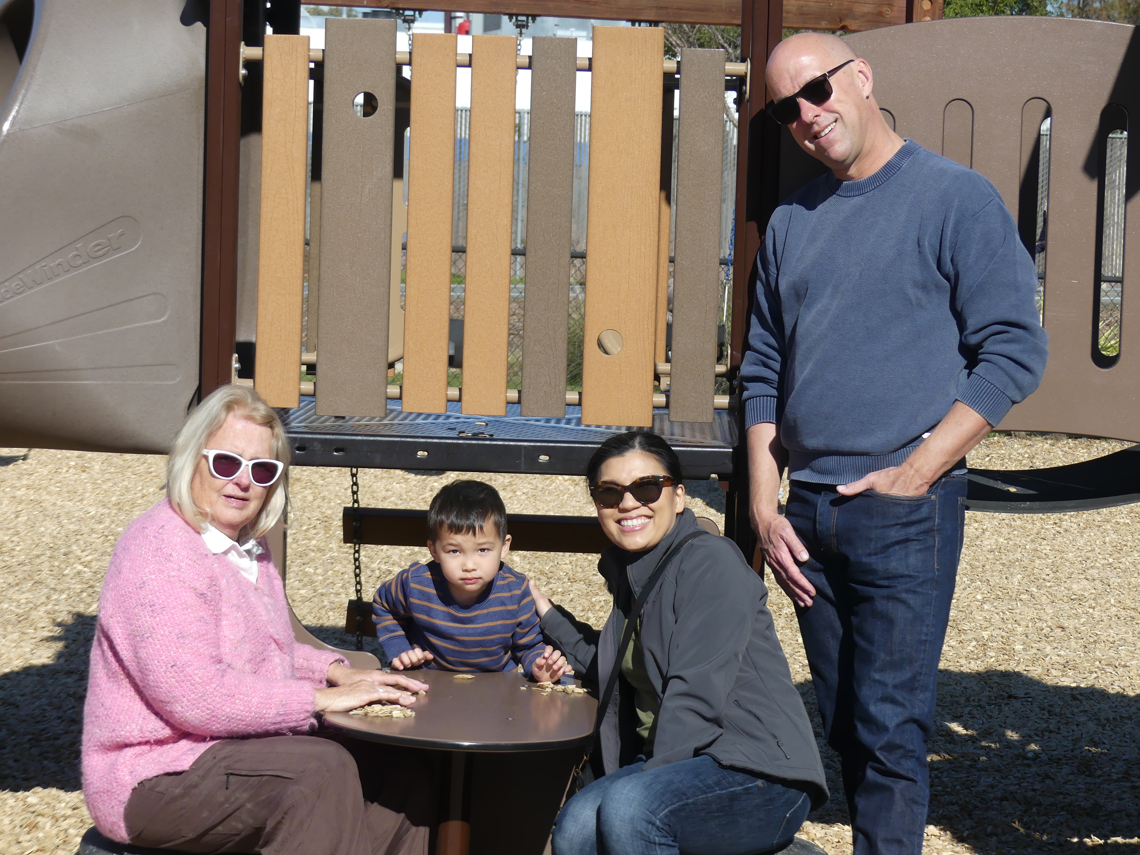
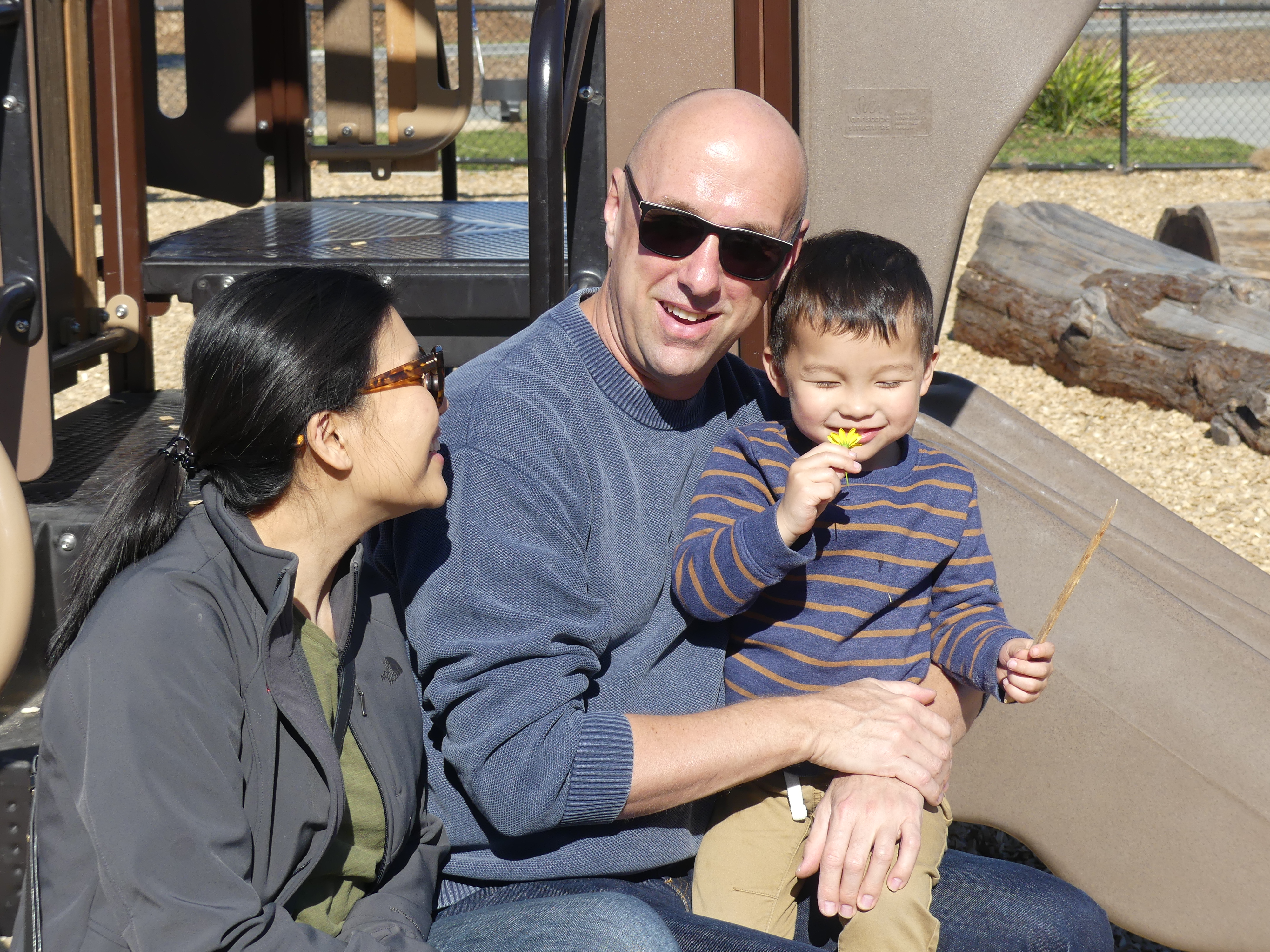
Our son Ben collected us from the airport and put up with us visiting them in their home for 5 nights enjoying spoiling grandson Angus and learning about Jee’s progress with Angus #2.
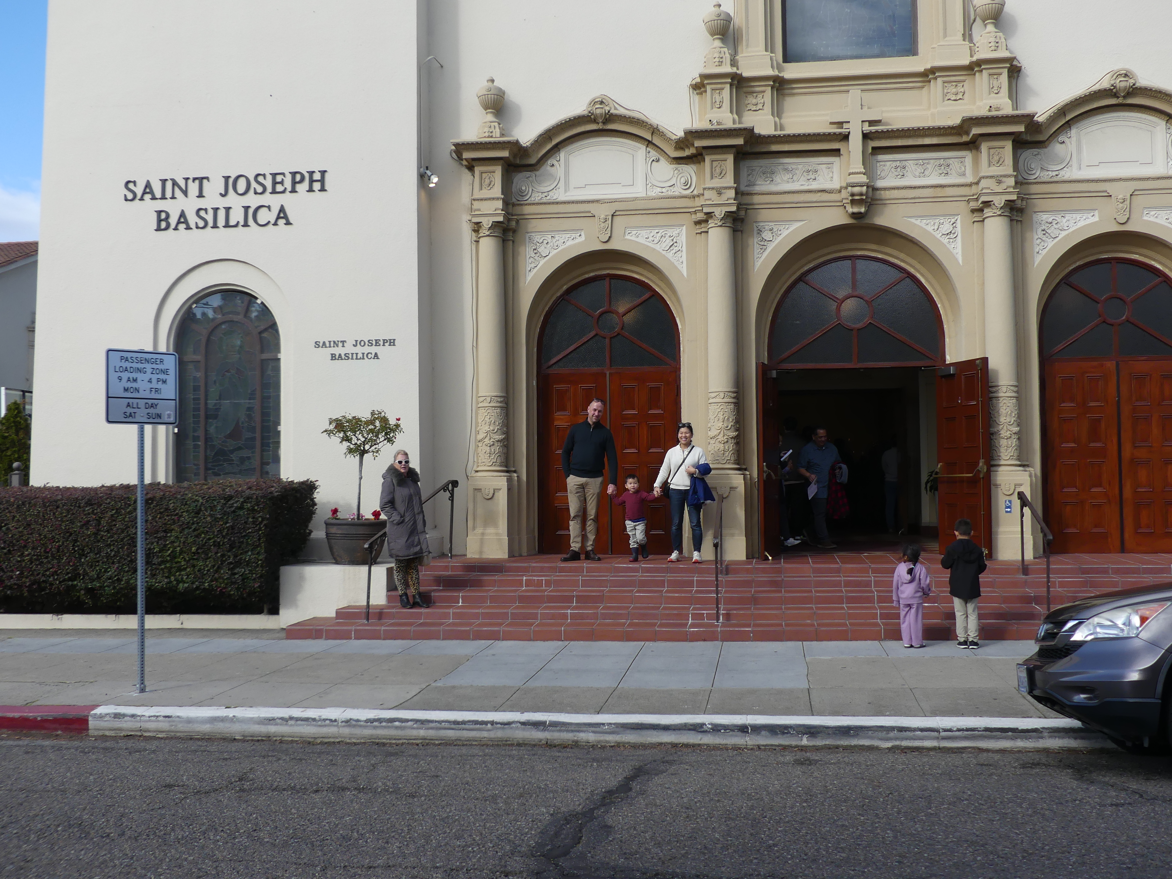
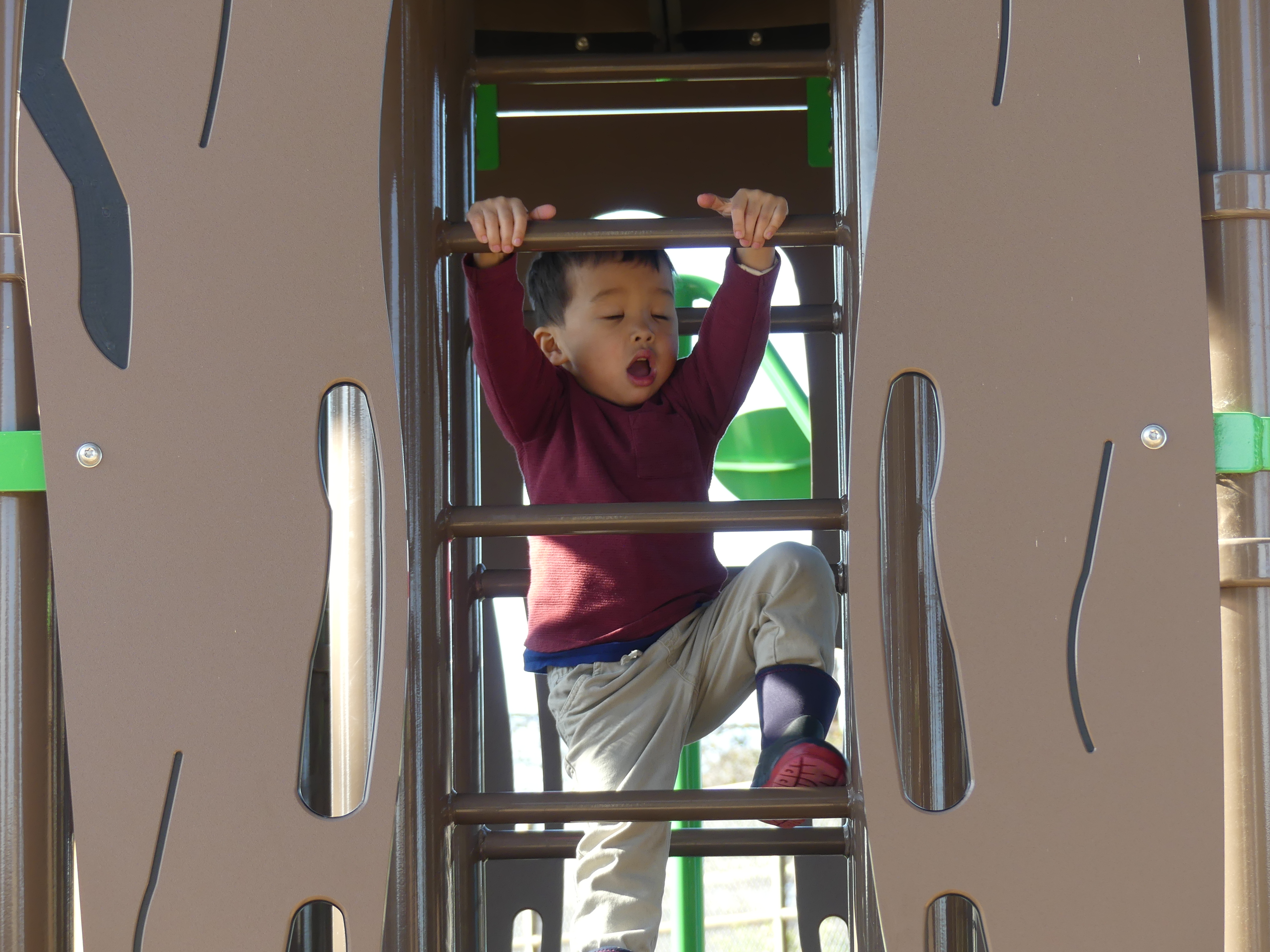
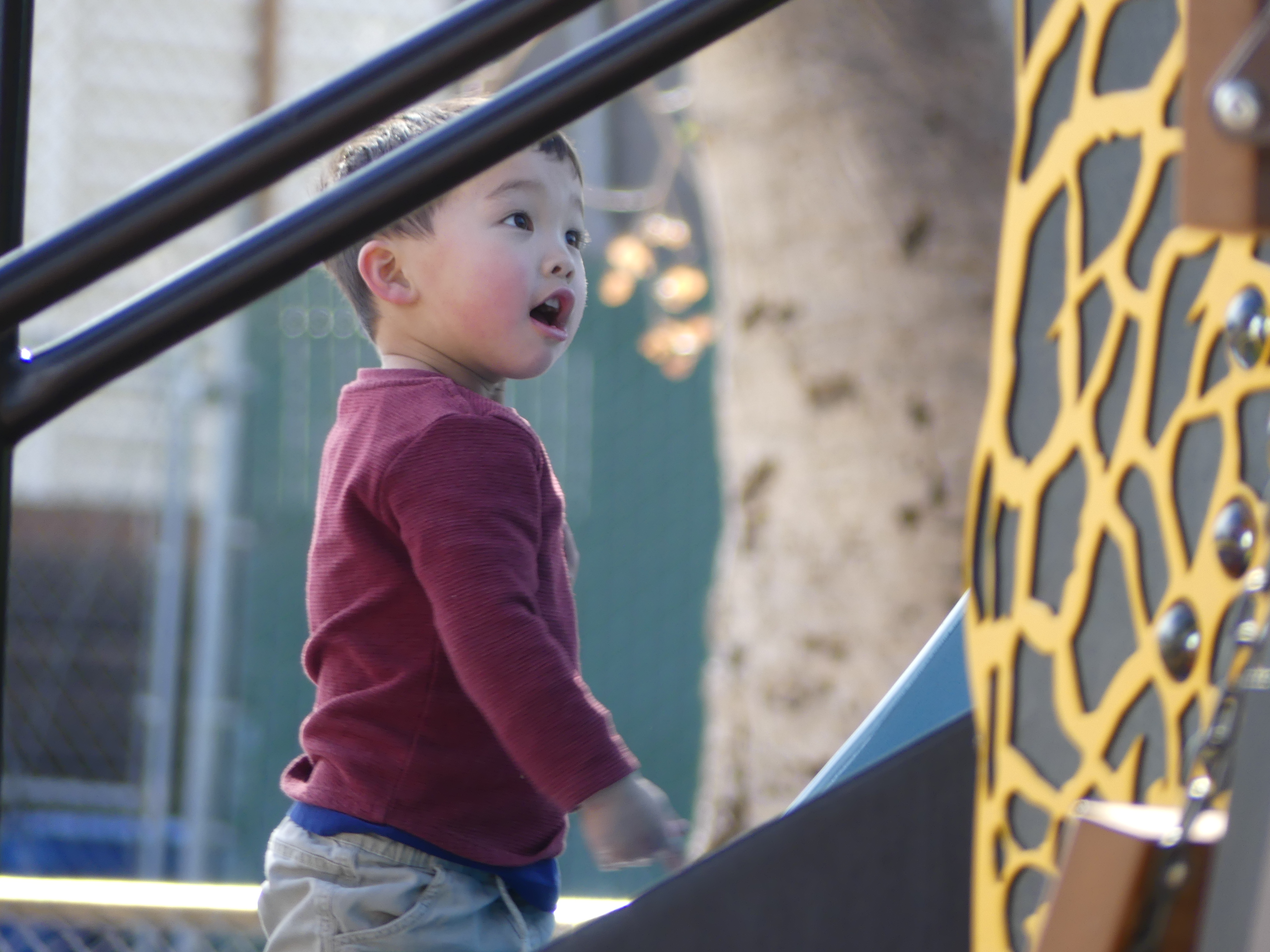
We played Garage – getting out boxes of cars and trucks and racing them down the track. We then had a mess, and we had to pack it away under grandson’s supervision. Then we visited his preschool at Saint Joseph’s Basilica, played in the park with a new friend and found a new park developed over a discontinued rail line.
Photo
It was just a few days with them but being so far away makes it difficult to connect. Gus is such a personable child I never feel as though we have been away. After those glorious few days, sadly, we waved goodbye. Angus is a joy for grandparents – not so sure it’s always that way for Ben and Jee.
Ben took us to the airport where we then flew from San Francisco to London Heathrow, where we collected a hire car from Green Motion Car Hire. The car collection point was outside of the airport, but the hotel shuttle bus got us to the collection point easily. From there Kerry drove to our accommodation in Hove. A tip for all travelers – ensure you understand the local rules regarding parking. Brighton / Hove Council has made parking on the street a costly dance to avoid the parking costs and fines. We found ourselves finding overnight parking up to 200m away from our B&B in weather down to freezing at times. The parking could easily cost £30 per day on the street. My cousin Therese (Terri) and her husband Mick (former residents of Hove but now gite owners in France) met us at the B & B and wisely had parked their car with friends outside the parking limited areas and caught a cab into Hove.
Read on with my next Blog – The Retirees go around the World –San Francisco/Brighton-Hove.
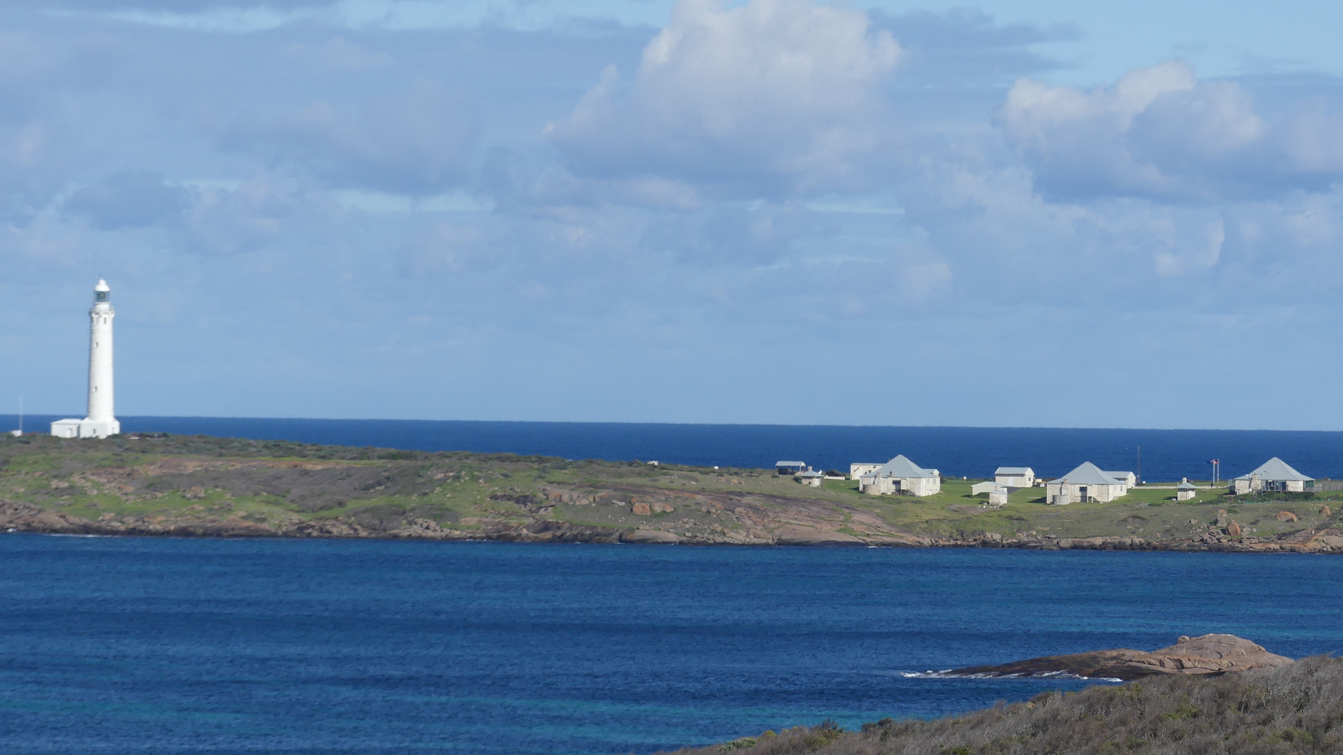
Our next destination was the Cape Leeuwin Lighthouse located on the headland of the most south-westerly point on the mainland Australia.
The light tower which is built of local stone was originally designed to show two lights – a higher white light and a lower red light. Although the foundations were completed, the lower light was never installed. It was opened with great ceremony in 1895. Until June 1982 the lens was rotated by a counter weight driving clockwork mechanism, and the beacon was a pressure kerosene mantle type. A radio navigation beacon was commissioned in 1955 and operated until 1992. The lighthouse was automated in 1982. The lighthouse, besides being a navigational aid, serves as an important automatic weather station. The lighthouse’s buildings and grounds are now vested in the local tourism body and the single (1960s) and double (1980s) communications towers that were north-west of the lighthouse, seen in older photographs of Cape Leeuwin, have been removed.
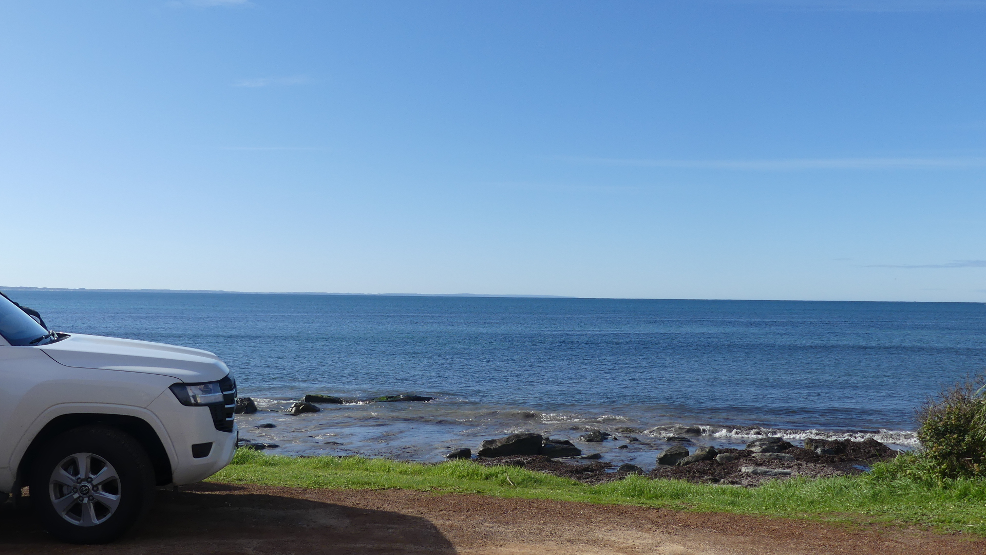
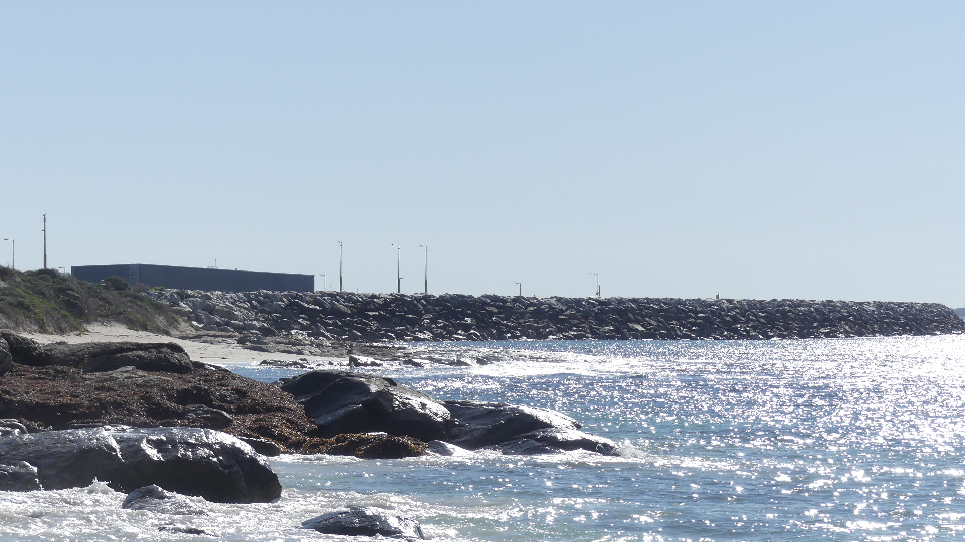
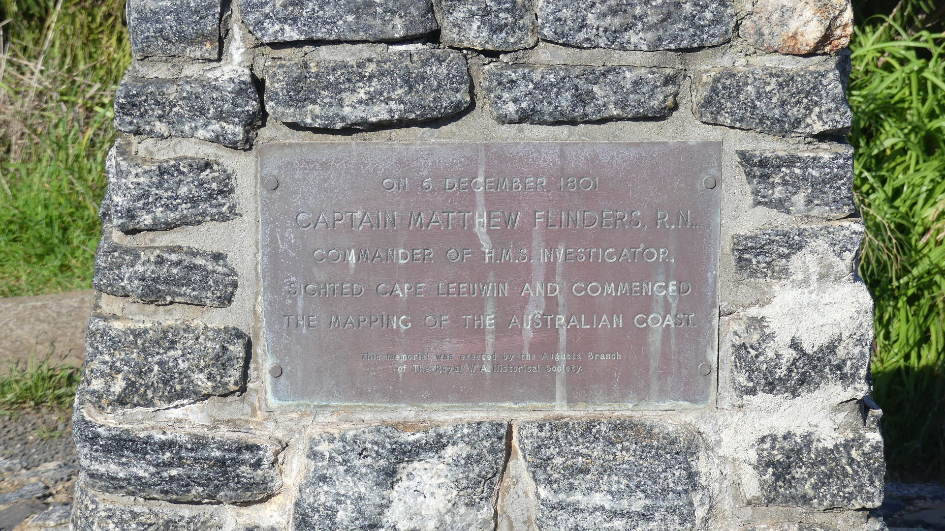
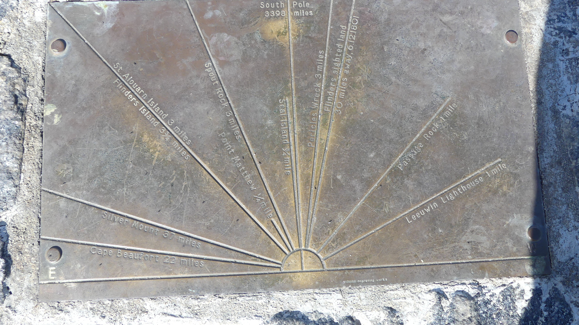
We approached the lighthouse from Augusta. The rock below commemorates the landing of the first settlers in 1830 from the Brig Emily Taylor . From that point you look out across a broad bay and behind us you can see the rock walls protecting the new marina. Immediately behind the memorial is a rock shelf decorated with the seaweed washed ashore. A bit further along is another memorial this time to Capt. Matthew Flinders RN aboard the HMS Investigator 6th December 1801 when he sighted Cape Leeuwin and commenced mapping the coast of Australia. Atop of the memorial are the features that can be sighted from this point such as the conjunction of the Indian Ocean and the Great Southern Ocean.
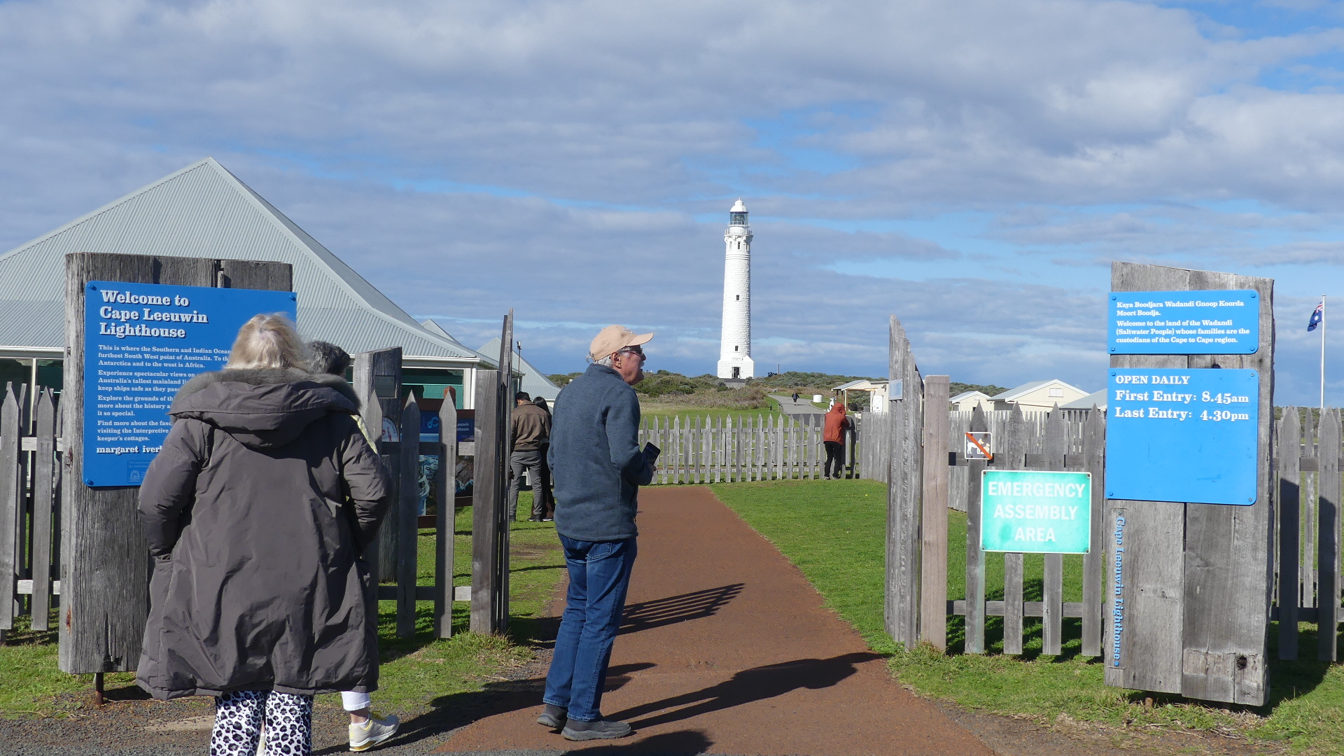
The reason we came this way – I don’t recall but the vista of the lighthouse emphasises the remoteness of this point. The light keepers house and other out buildings and water tanks can be seen on the right hand side of the photos. The entrance takes you into the coffee shop and gift shop and then you make your way through each of the following buildings with museums and artifacts all of which i think is to disguise how far you have to walk to get to the lighthouse. Finally we got to the reason for coming here today – to see the meeting of the two oceans
The climb to the viewing deck of the lighthouse consists of 176 steps. Enough said.
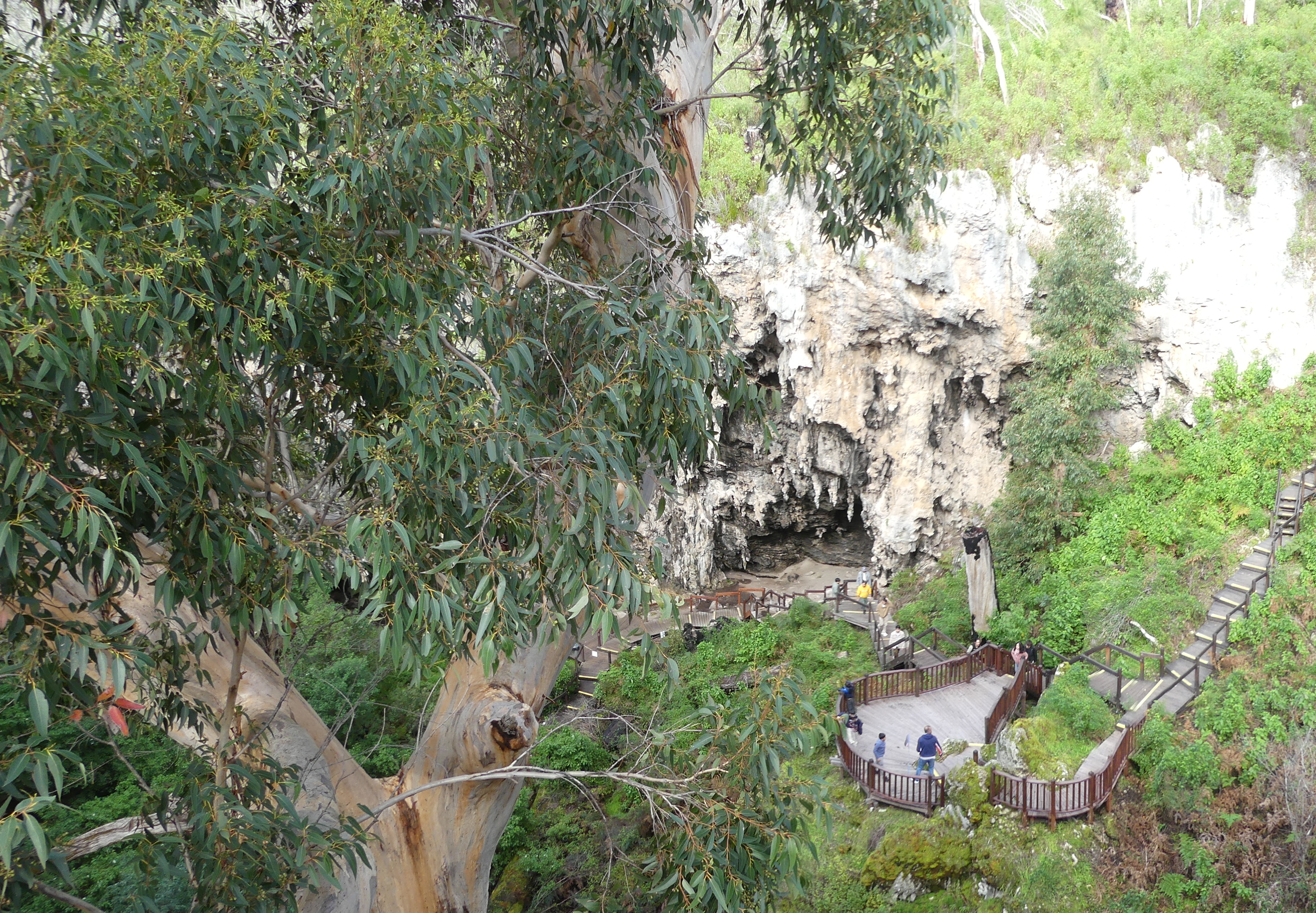
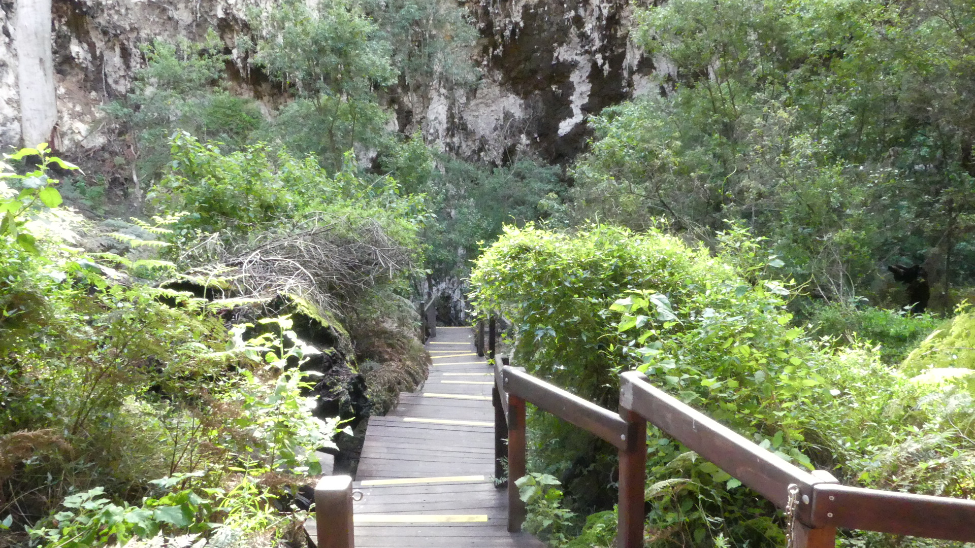
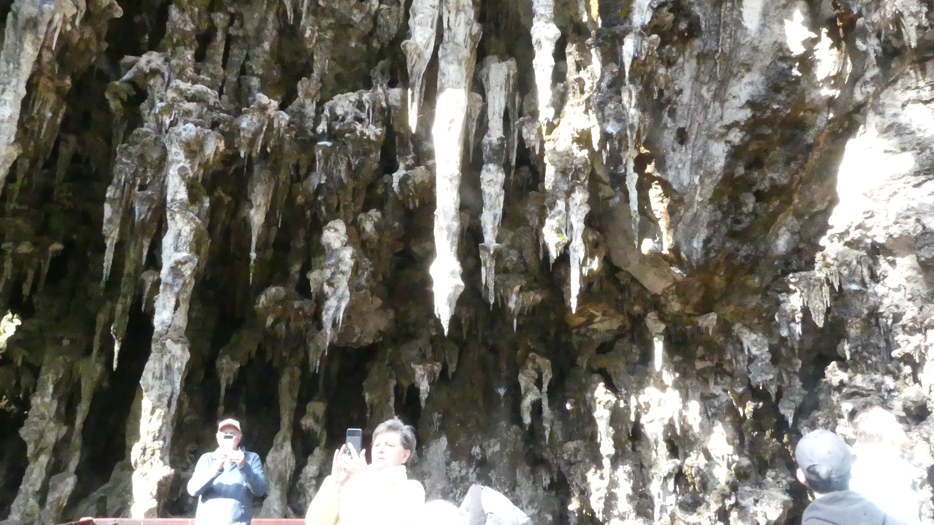
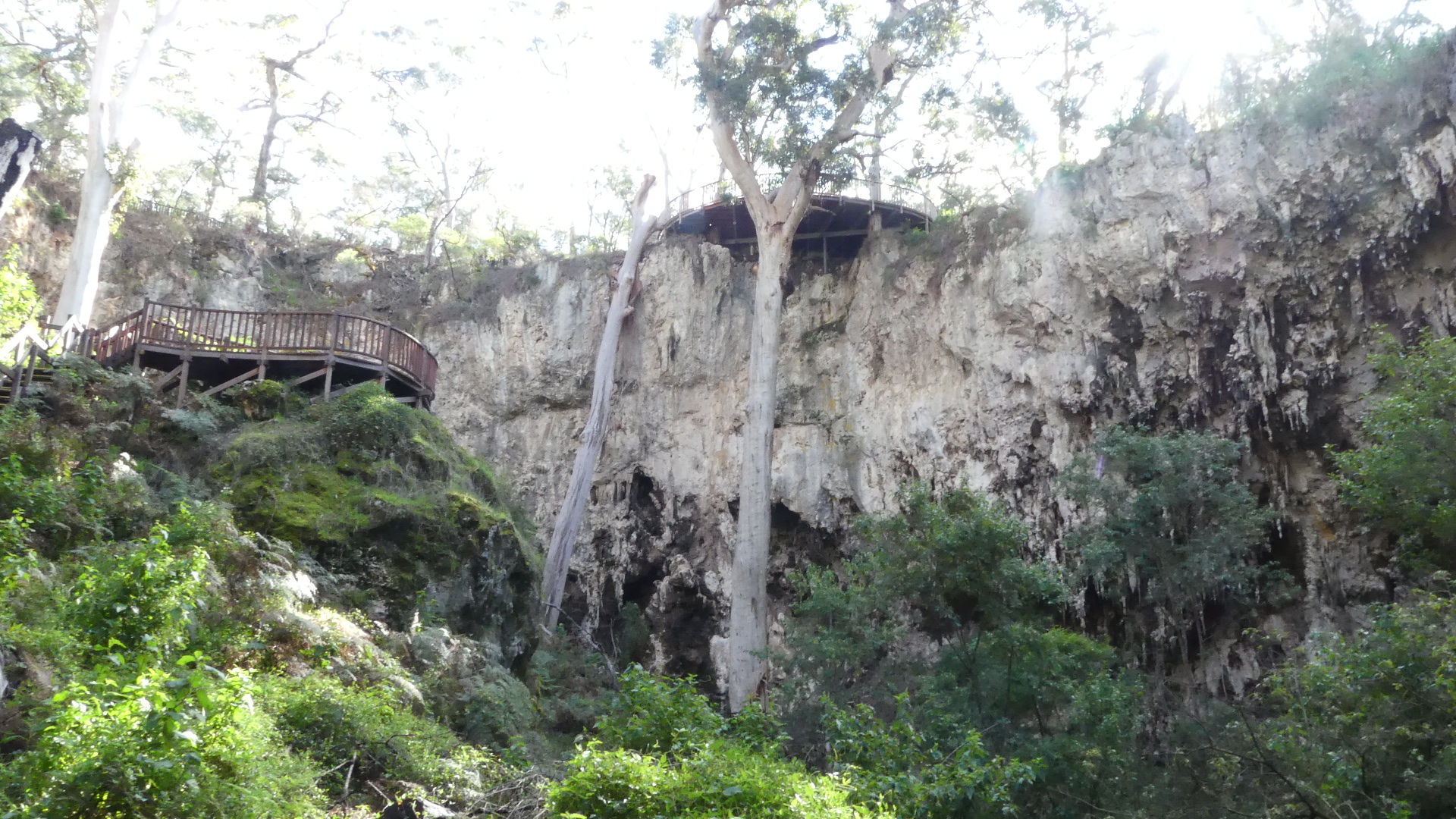
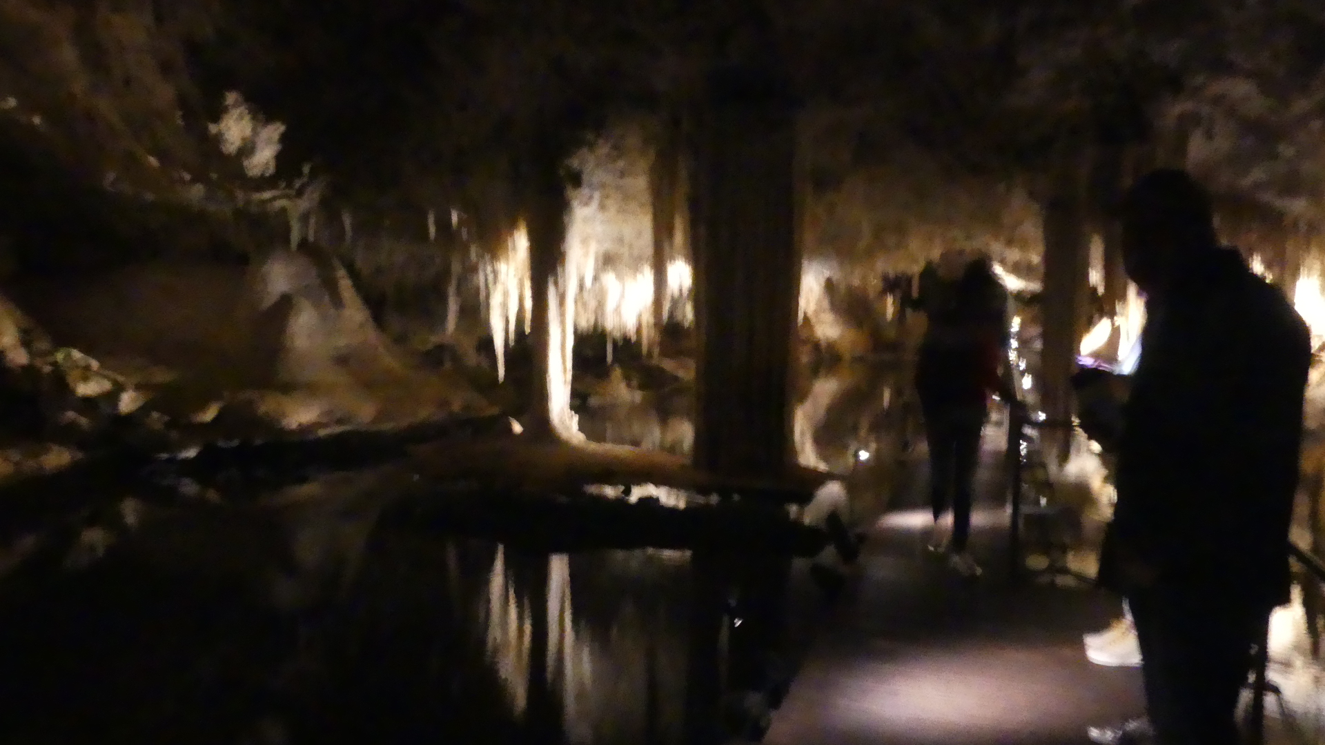
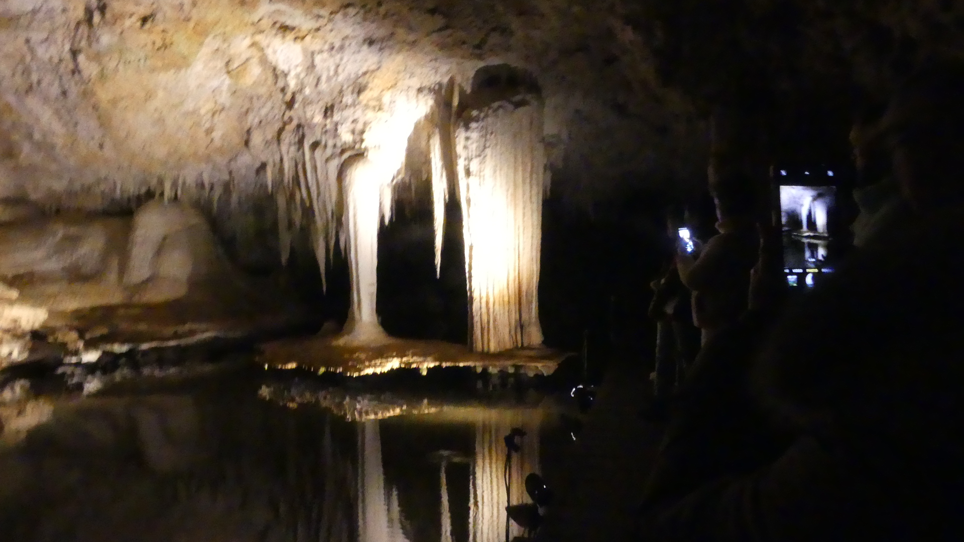
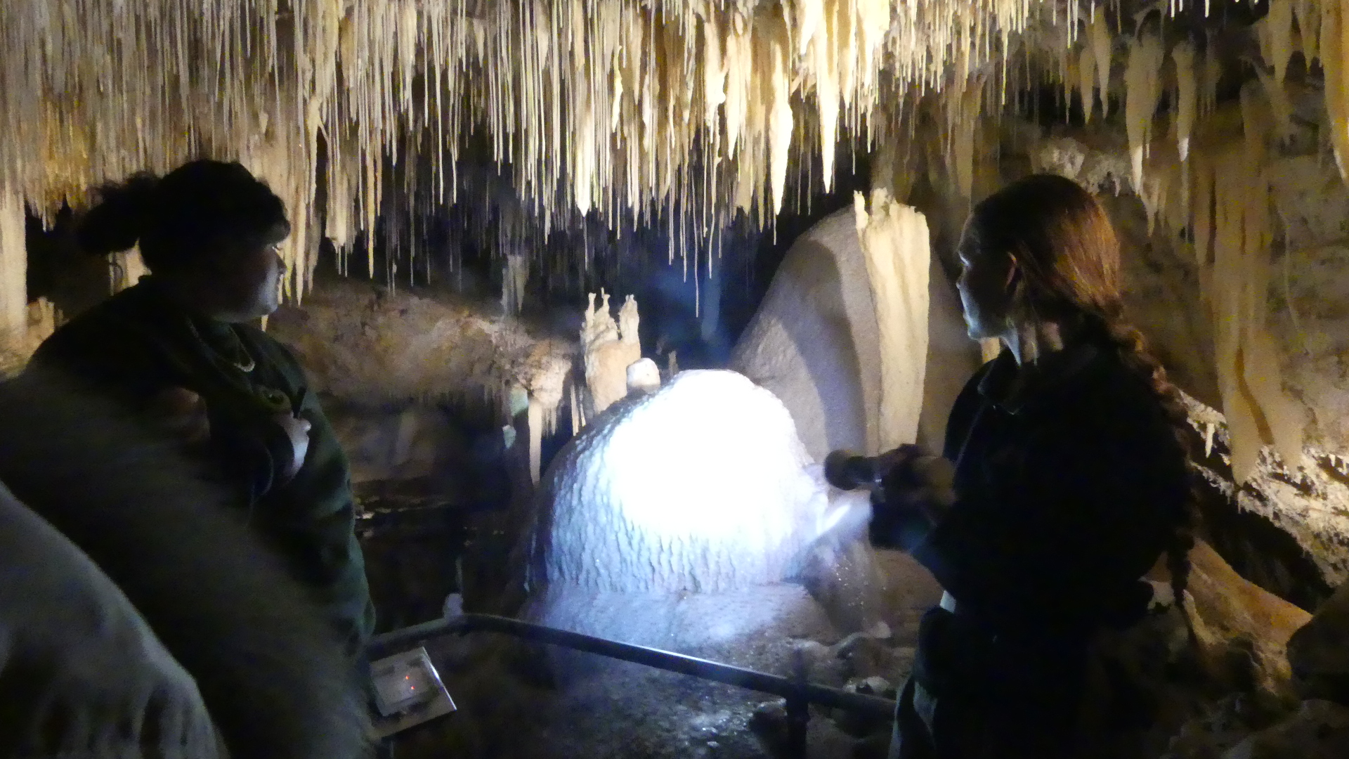
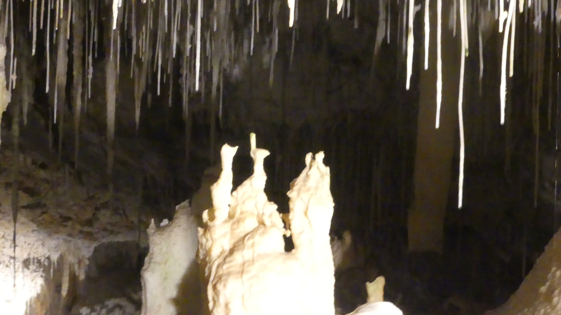
Returning north along Caves Rd we encountered the Lake Cave. It is a stunning crystal wonderland, situated deep beneath the earth. The entrance of the cave lies at the base of a spectacular sinkhole. Visitors descend a staircase through an ancient sinkhole called a doline, gazing up at the towering karri trees from the floor of the sunken forest. Inside the cave a tranquil lake reflects the delicate crystal formations that grow from the cave ceiling and dazzling crystal formations dominate the cave roof, while the unique ‘Suspended Table’ is perfectly reflected in the tranquil water below.
Droplets hang from the tips of straws and stalactites before dropping to the cave floor or into the lake creating ripples in the water’s reflections. The unique ‘Suspended Table’ formation, which weighs several tonnes and seems to defy gravity as it hovers above the clear lake water is one of the unique features within the cave. We took a guided. They say there is moderate physical exertion required to enter this cave. Don’t believe it for a minute – easy going down but when you make your way back up the staircase of the magnificent doline do it at your own pace.
Looking at the photos we start at the Visitors centre and from there you walk out onto a deck above a huge sinkhole – you have to see it to believe it. As you go down there are a number of changes in direction and this has alot to do with the return journey being exhausting. You will see a large rock lying on its side (from the left down photo 8) and this is a staligmite that collsaped during a recent bush fire almost sealing off the entrance to the cave. The photo to the right of the staligmite is the hole it came from. The inside the cave is like a fairyland. Photos 10 and 11 show you the suspended table formed by flood waters through the cave. The final photo #17 is the doorway to the tunnel that was drilled to release the flood water to preserve the cave.
Well we have visited many caves around the world, but we were about to encounter the worst return to the Visitors Centre – up the stairs. Well I don’t know how many stairs but both Kerry and I took at least half an hour to climb out of the hole and that was it for us that day. Dale and Zdravka patiently awaited our climb and I may have had a nanny nap going home. Tomorrow we will go north again to Busselton – no stairs.