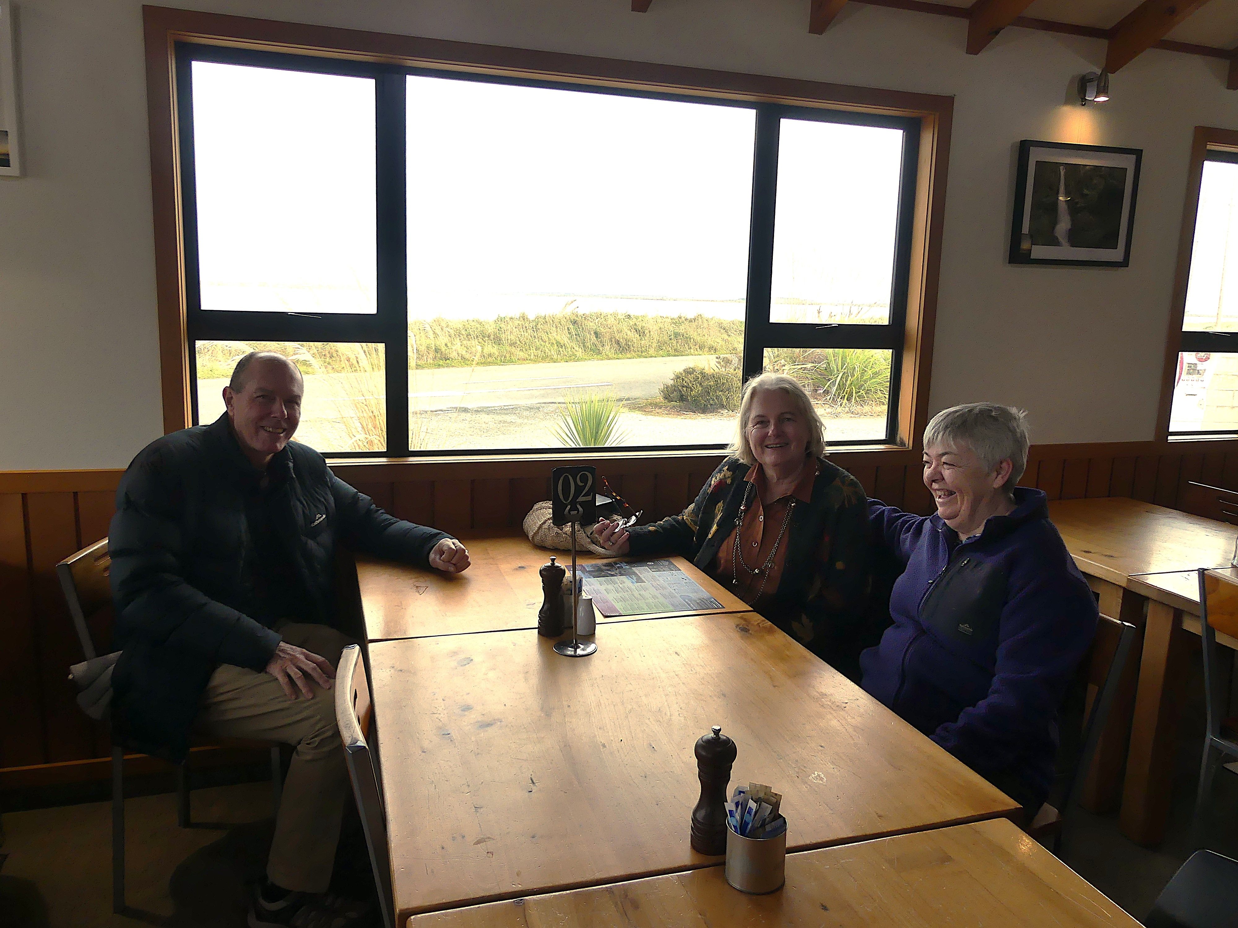
THE RETIREES VISIT THE SOUTH ISLAND ACROSS THE DITCH blog 495 Episode 4

19TH MAY TO 10TH JUNE 2026

Day 9   Dunedin to Lake Tekapo.

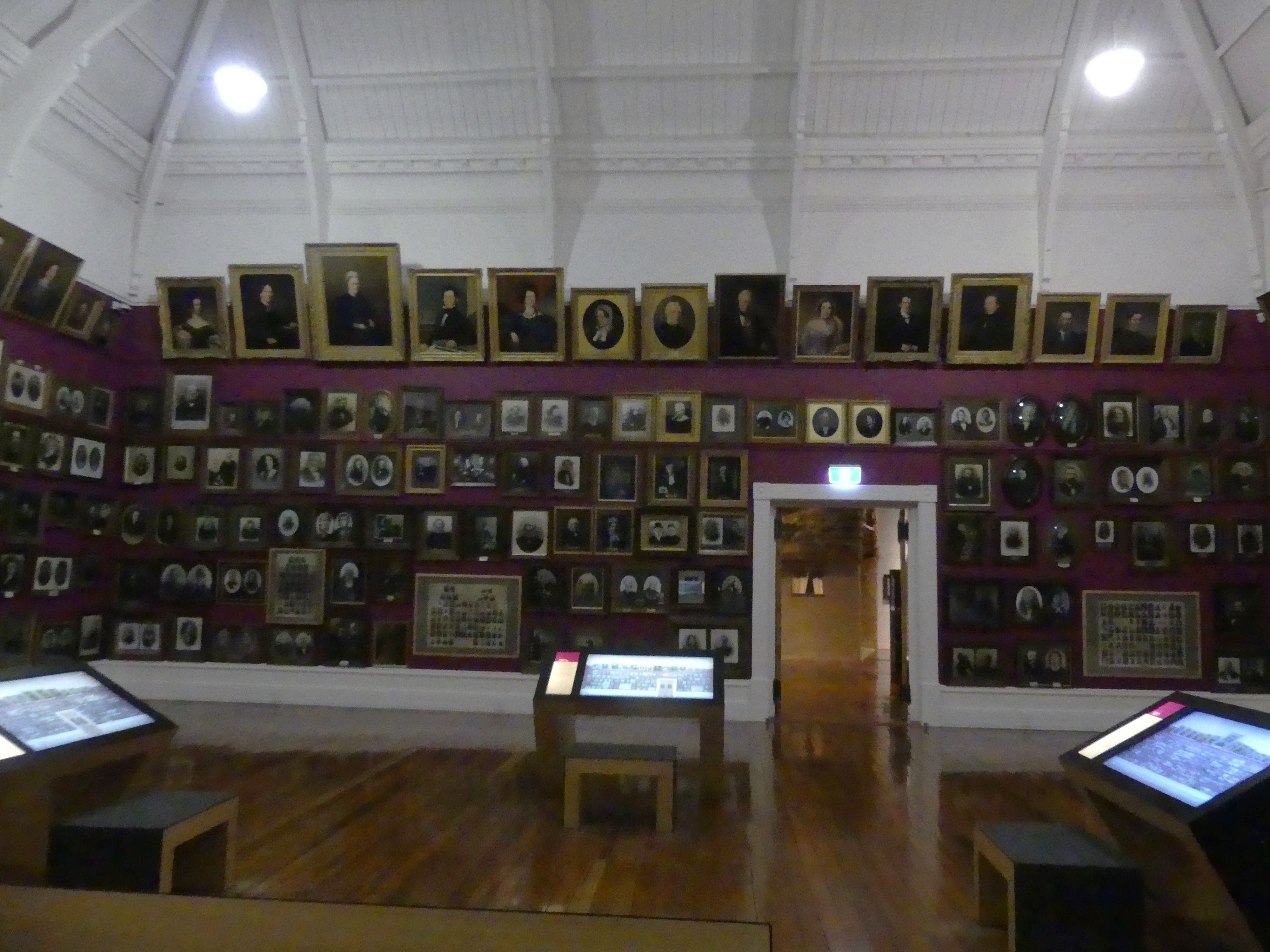
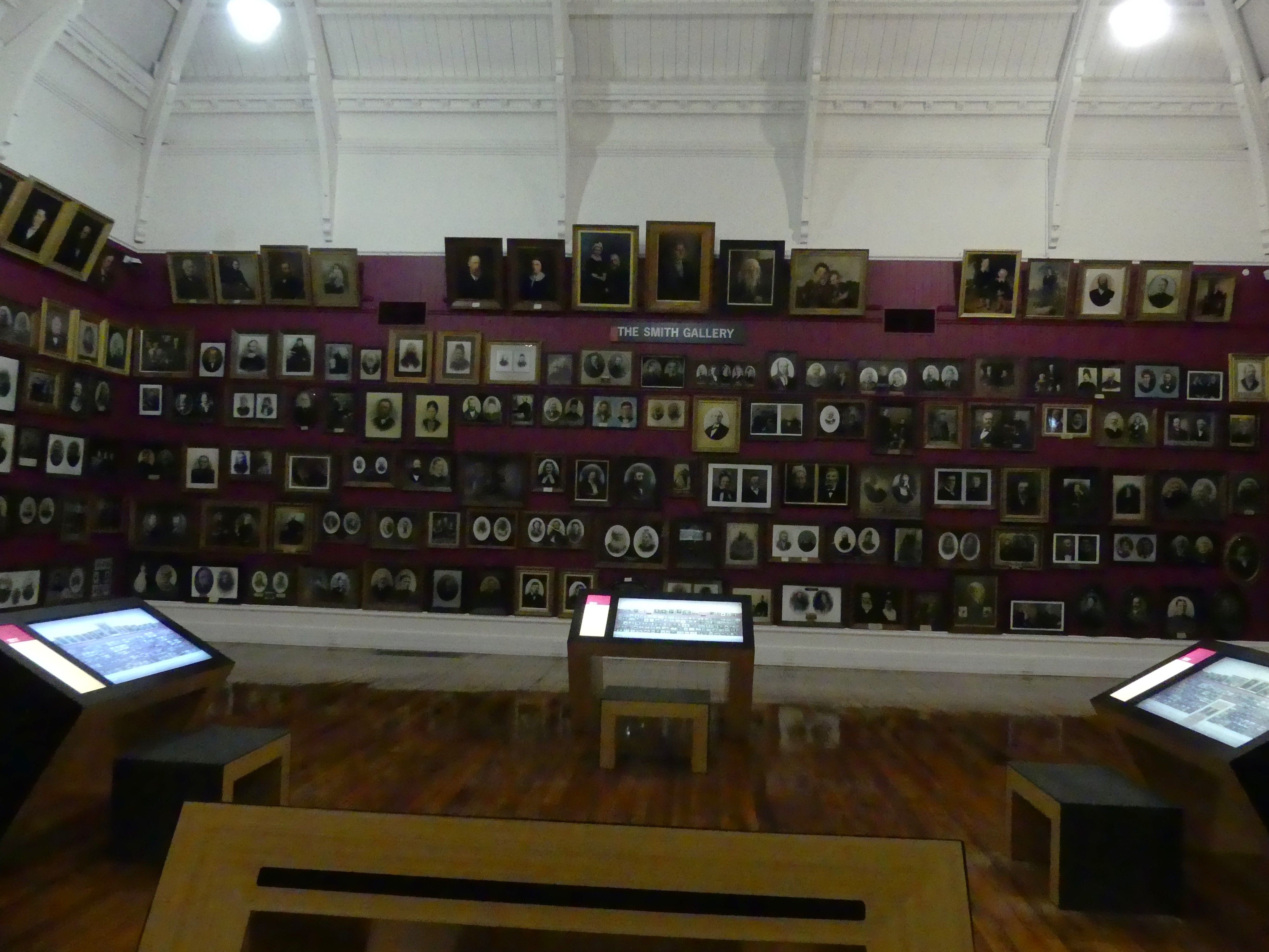
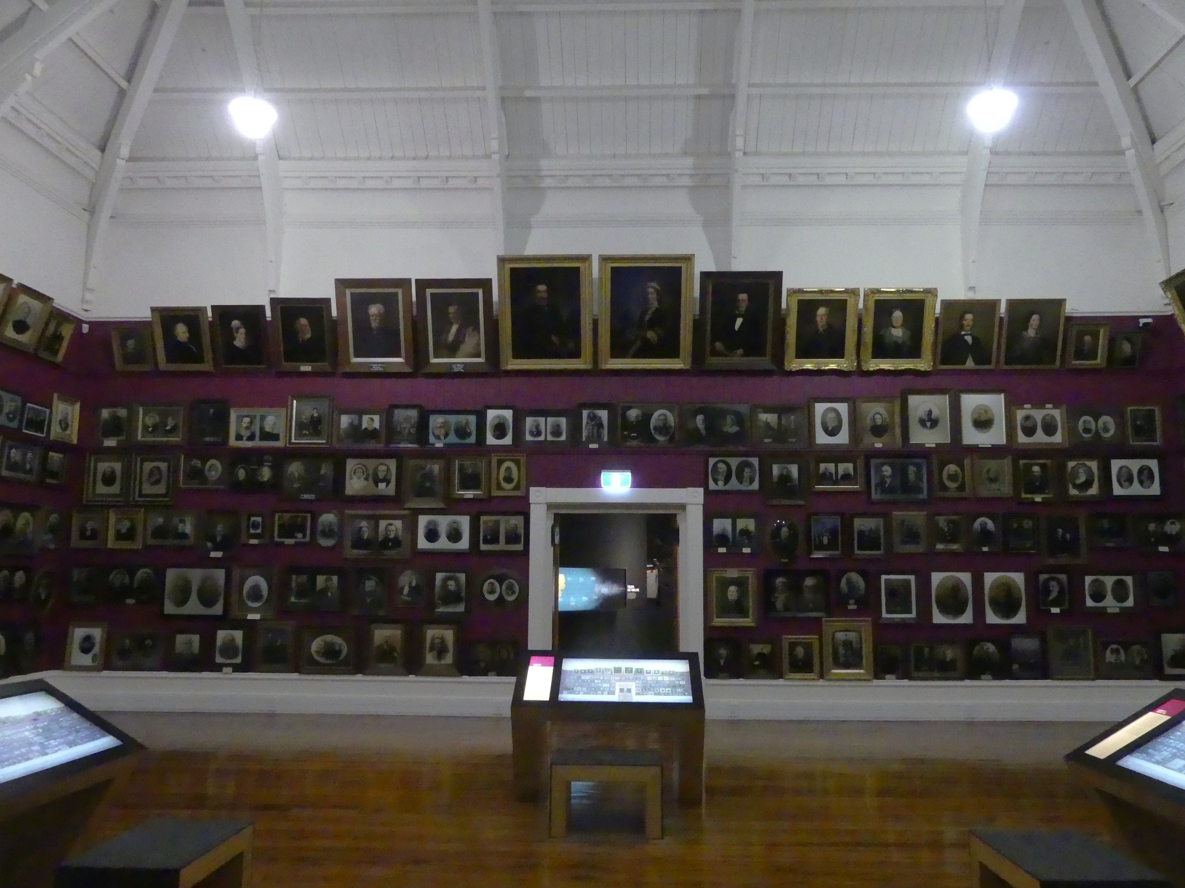
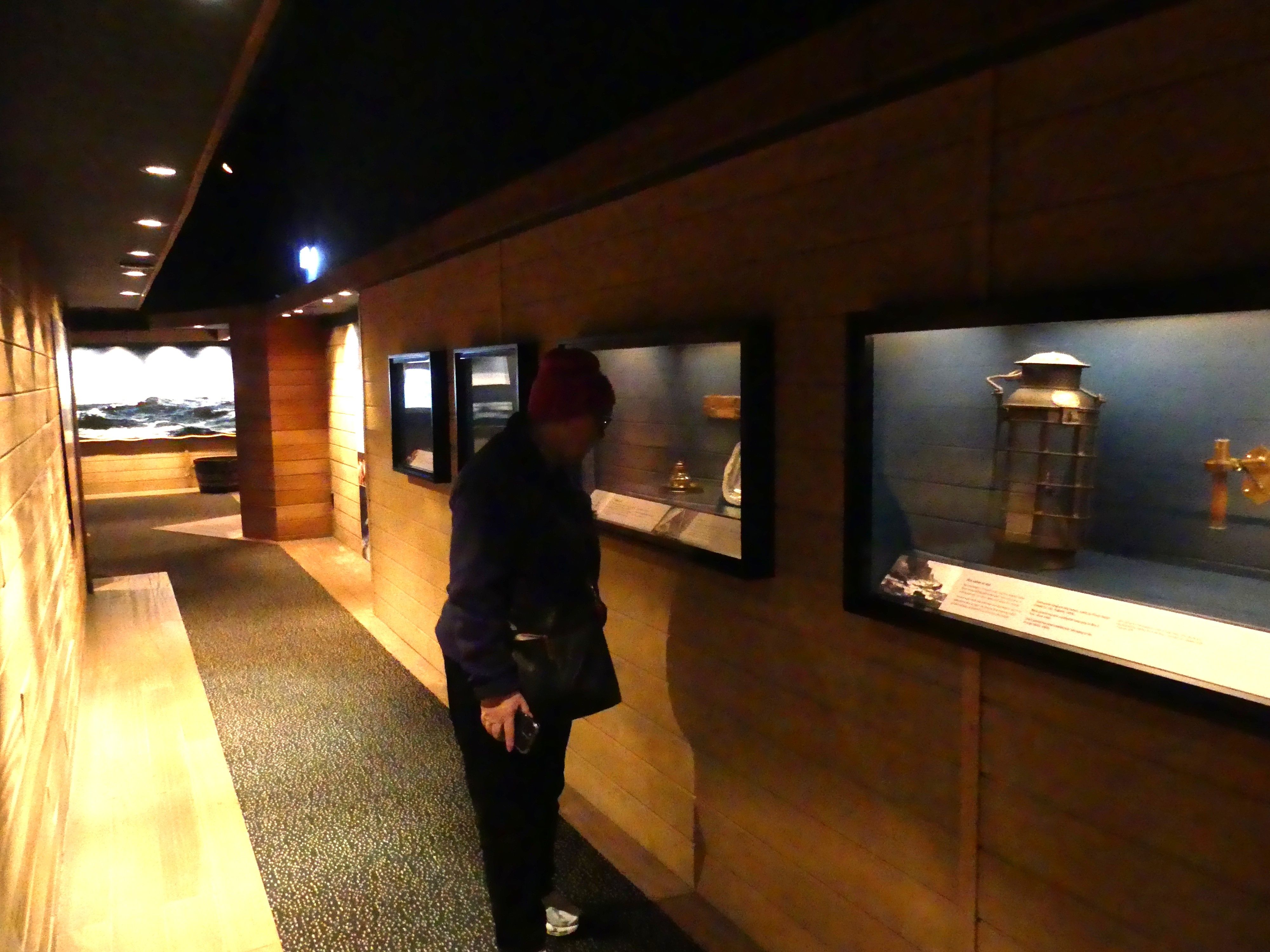
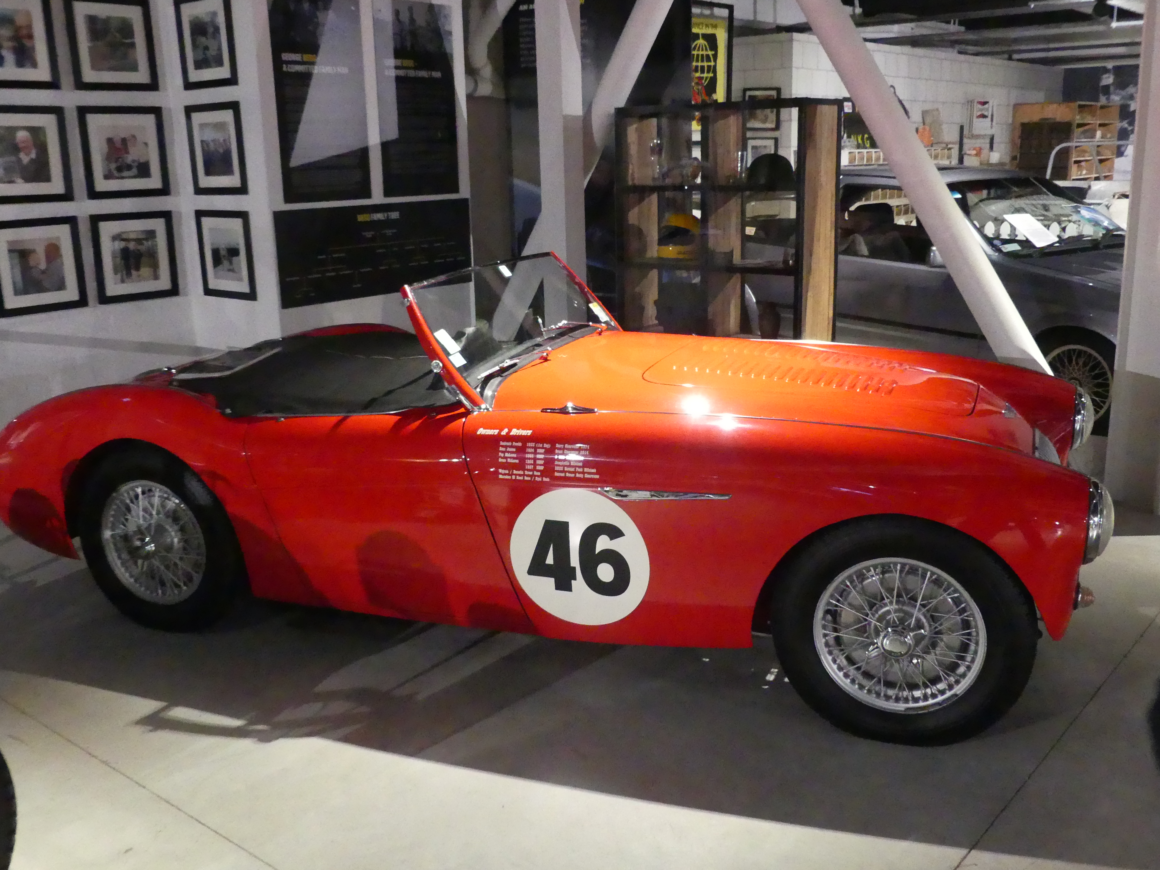
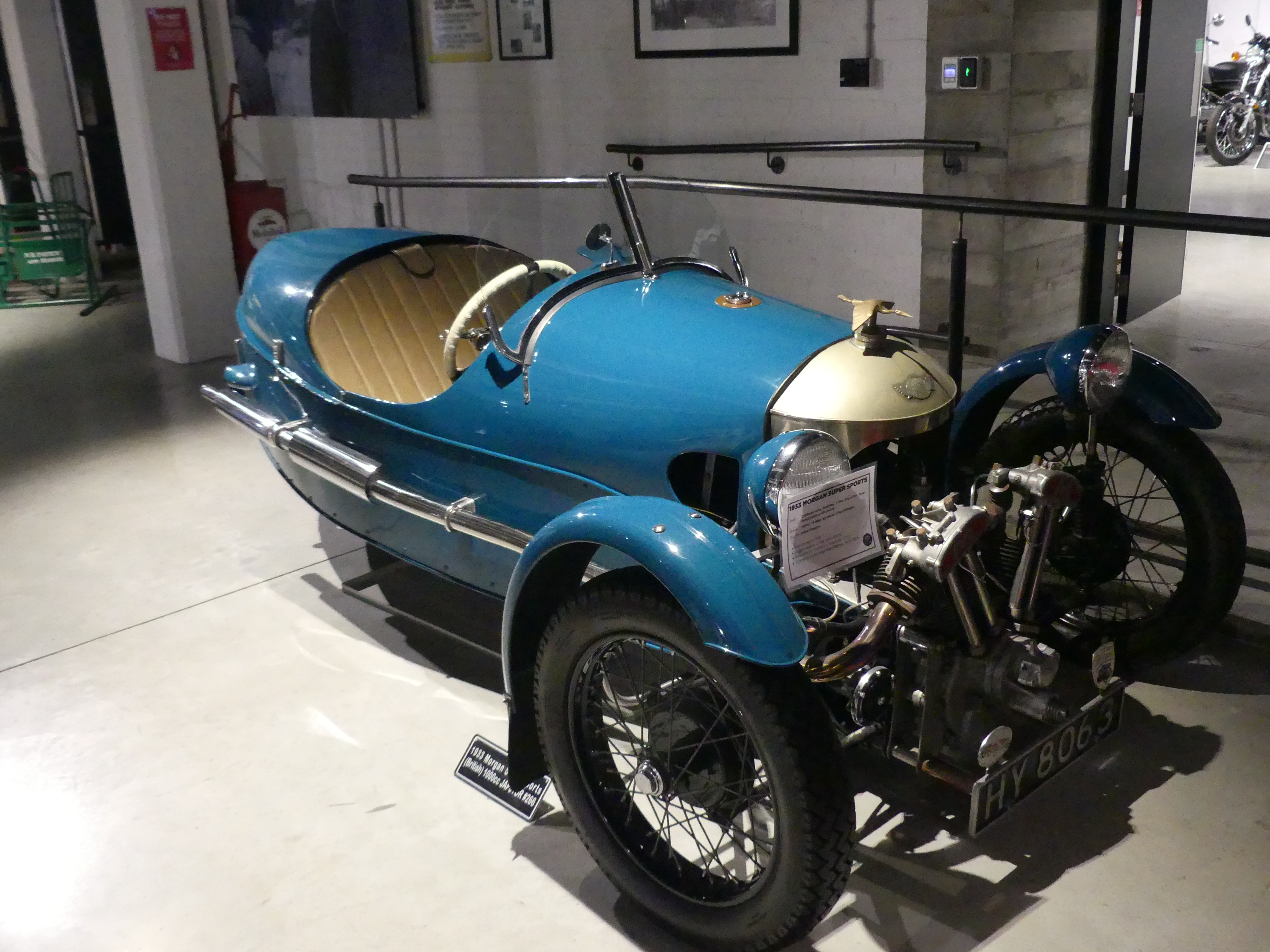
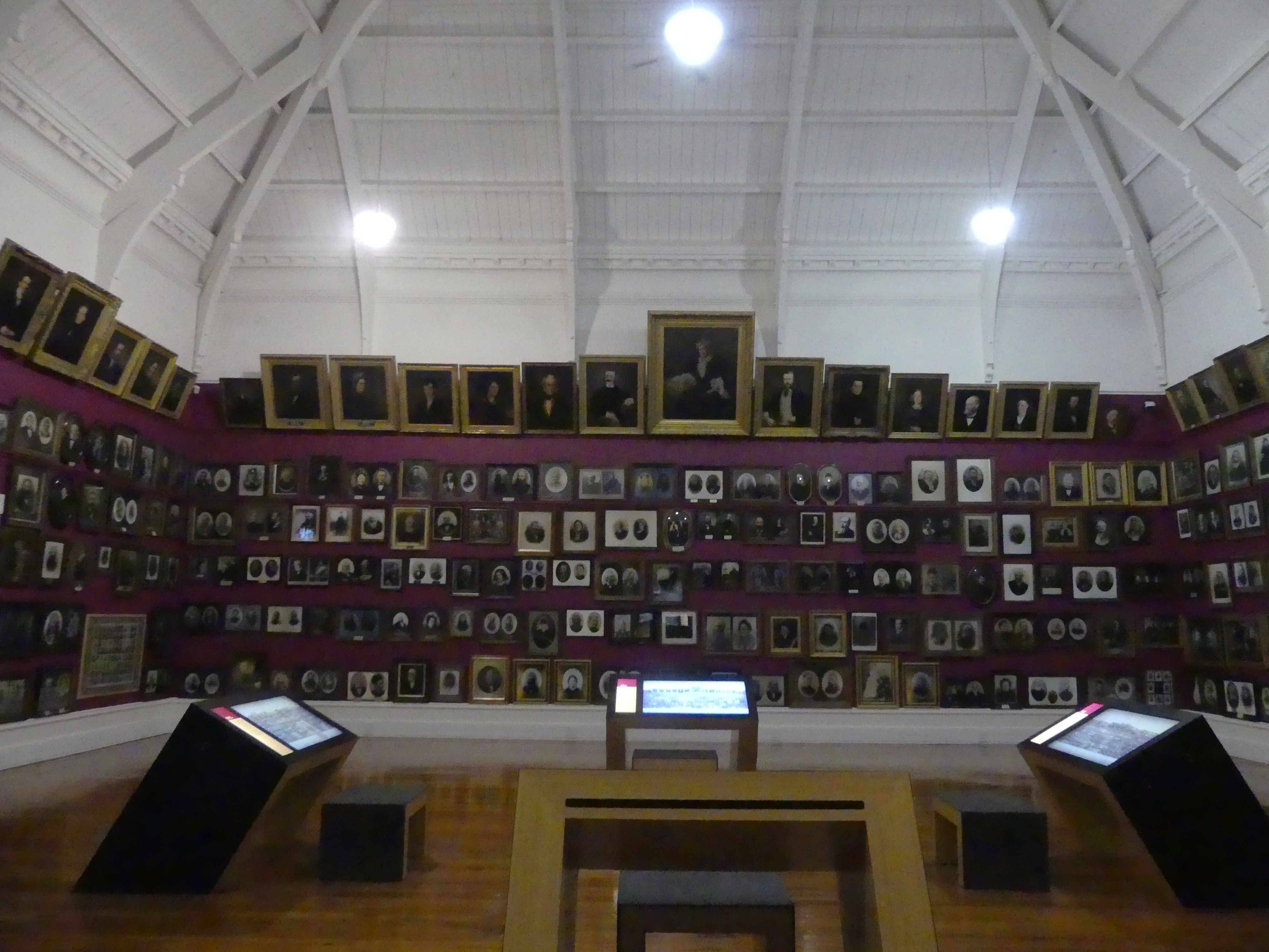
Before leaving Dunedin, we decided to visit The Dunedin Museum Toitū Otago Settlers Museum that features the history of arrivals and immigration to Dunedin. Located in the central city, it focuses on the social history of the region, featuring life-size depictions of early immigrant boats, pioneer portrait galleries, and stories of past and present arrivals. The key highlights for me were:

  • Smith Gallery featuring hundreds of portraits of Otago’s early pioneers.
  • Immigration Boat Exhibit a life-size depiction of the interior of an immigrant boat, giving a sense of the long journeys from Britain.
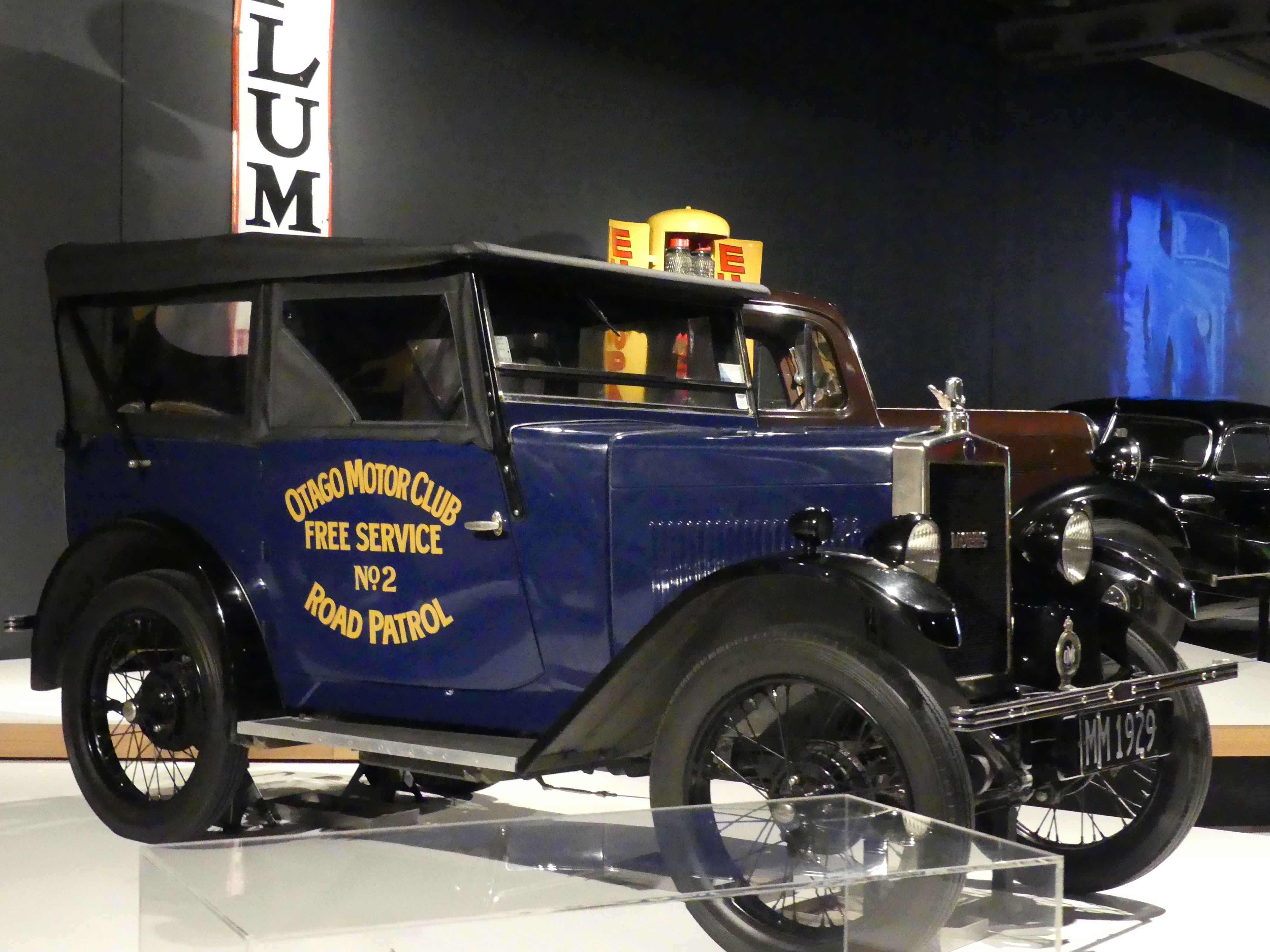
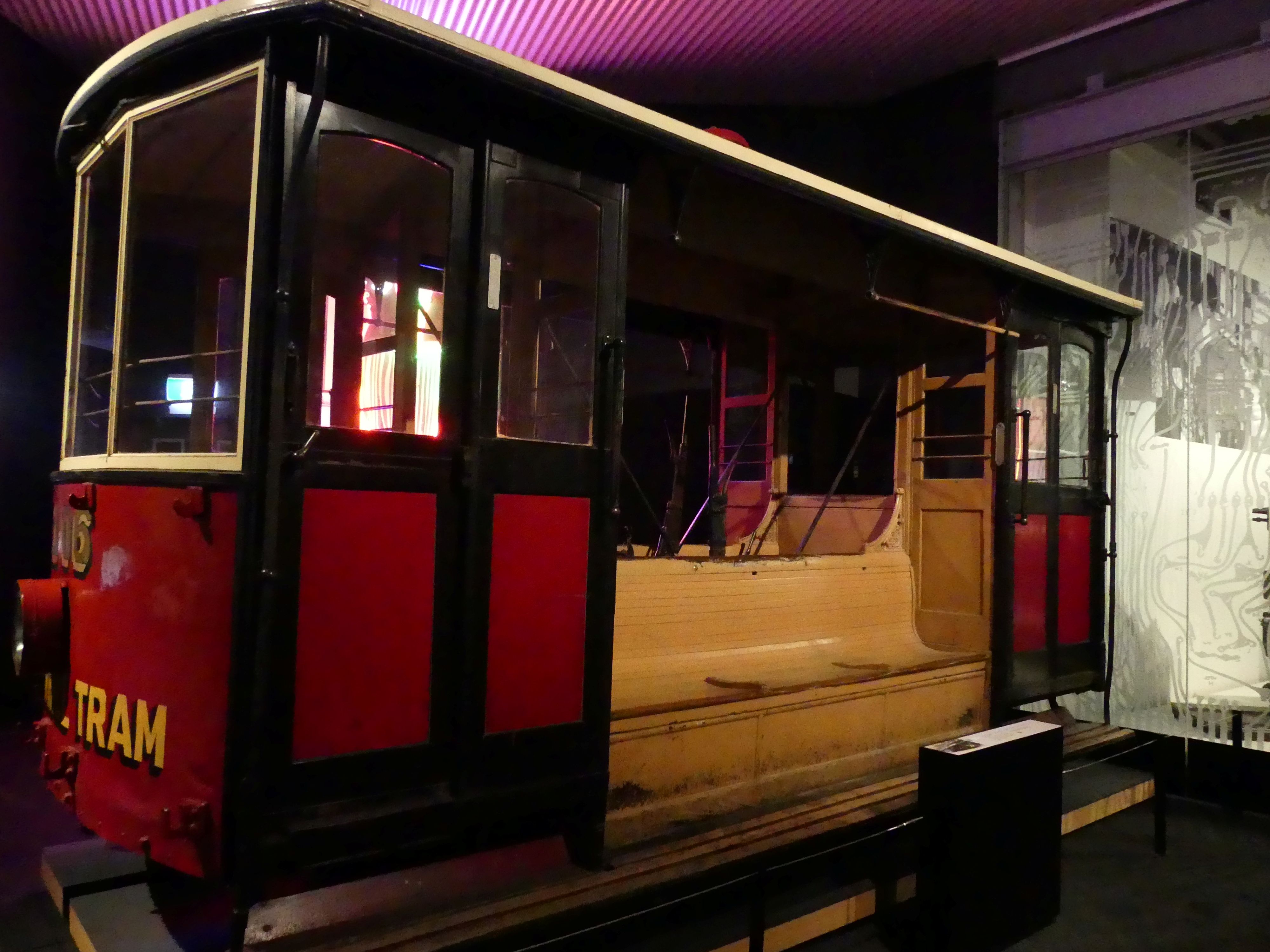
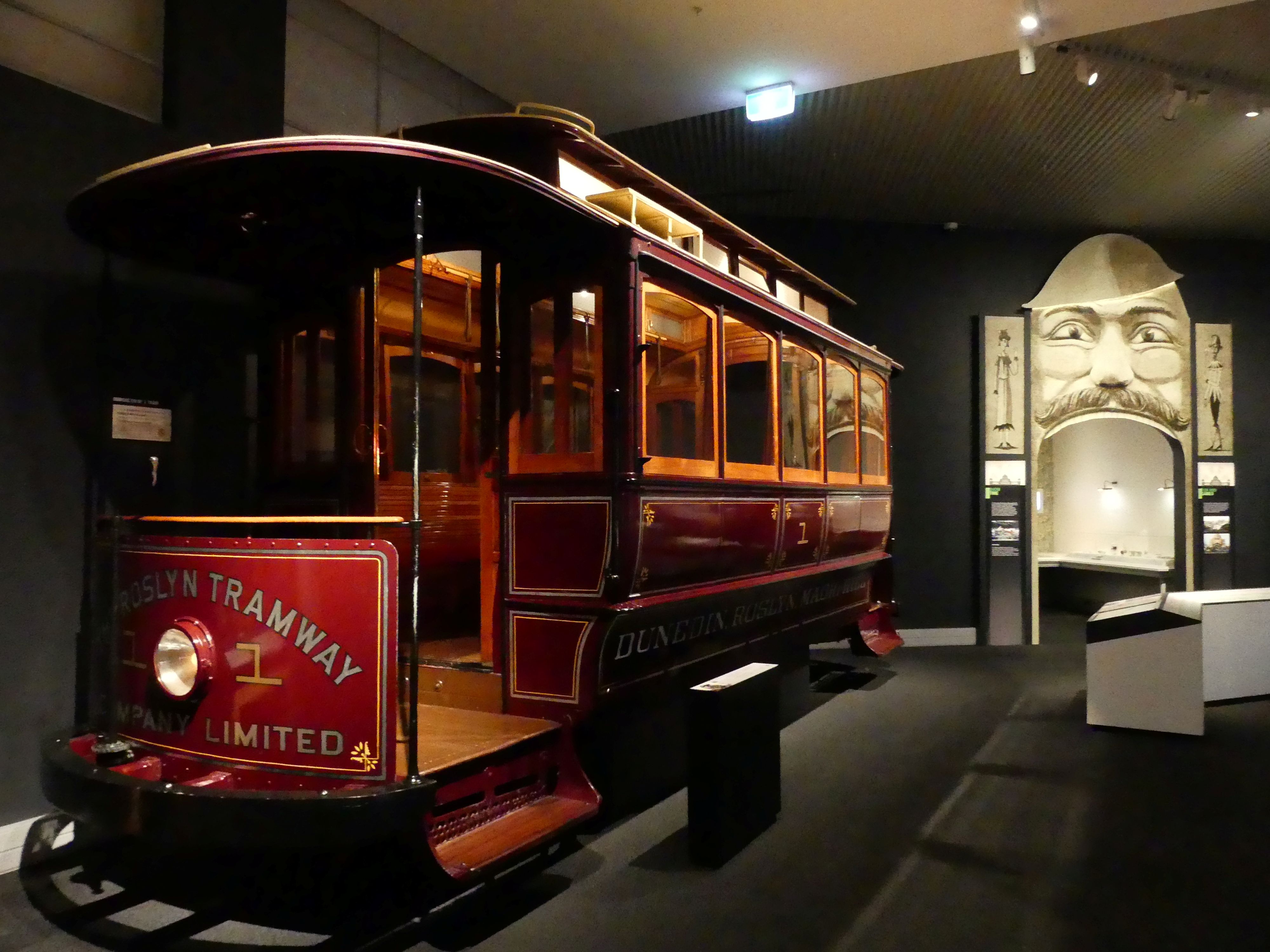
  • Different forms of transport including “Josephine,” a green steam locomotive transported from England in 1872.

Smith Gallery, Ship gallery exhibition and early transport exhibition
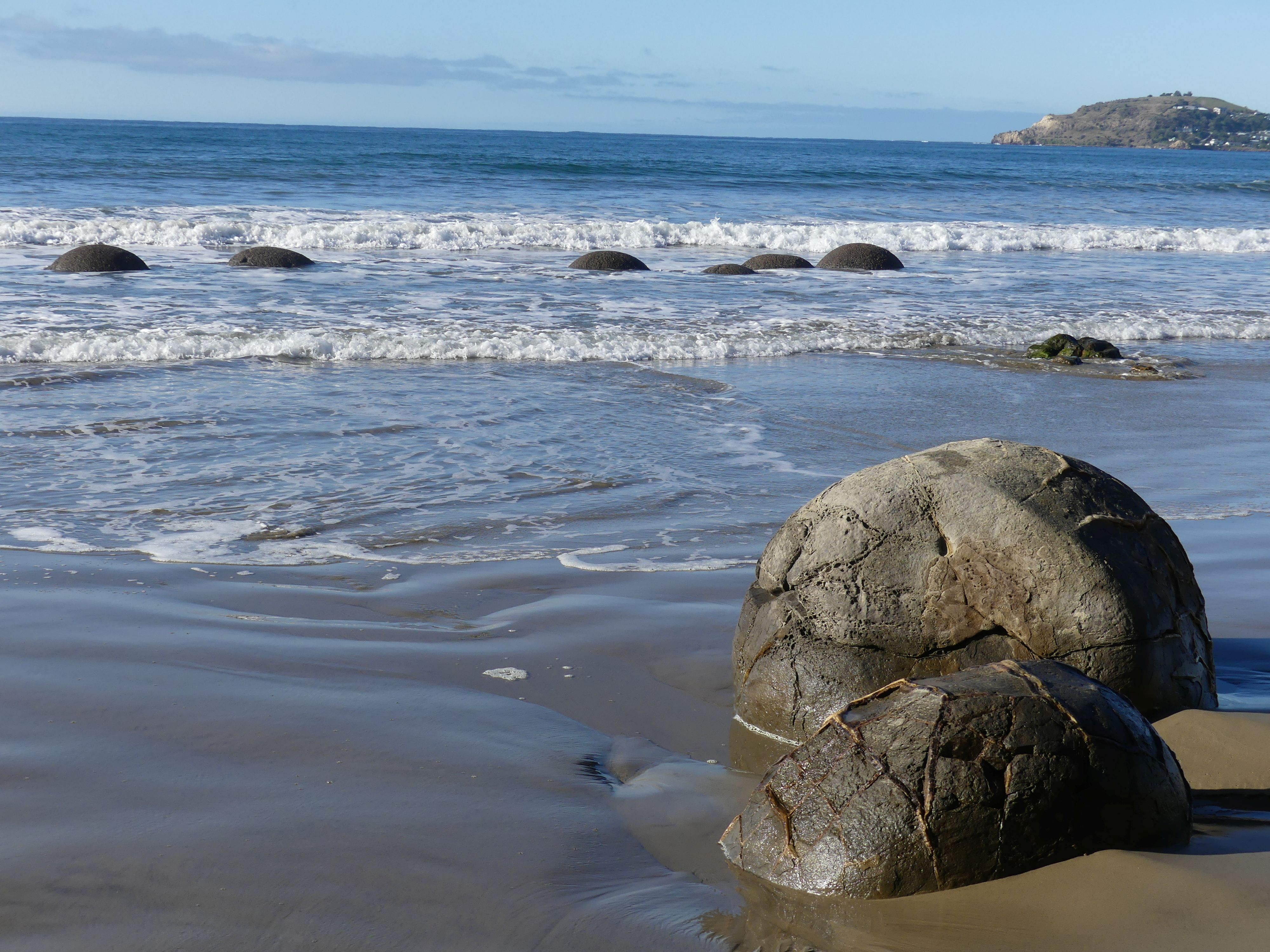
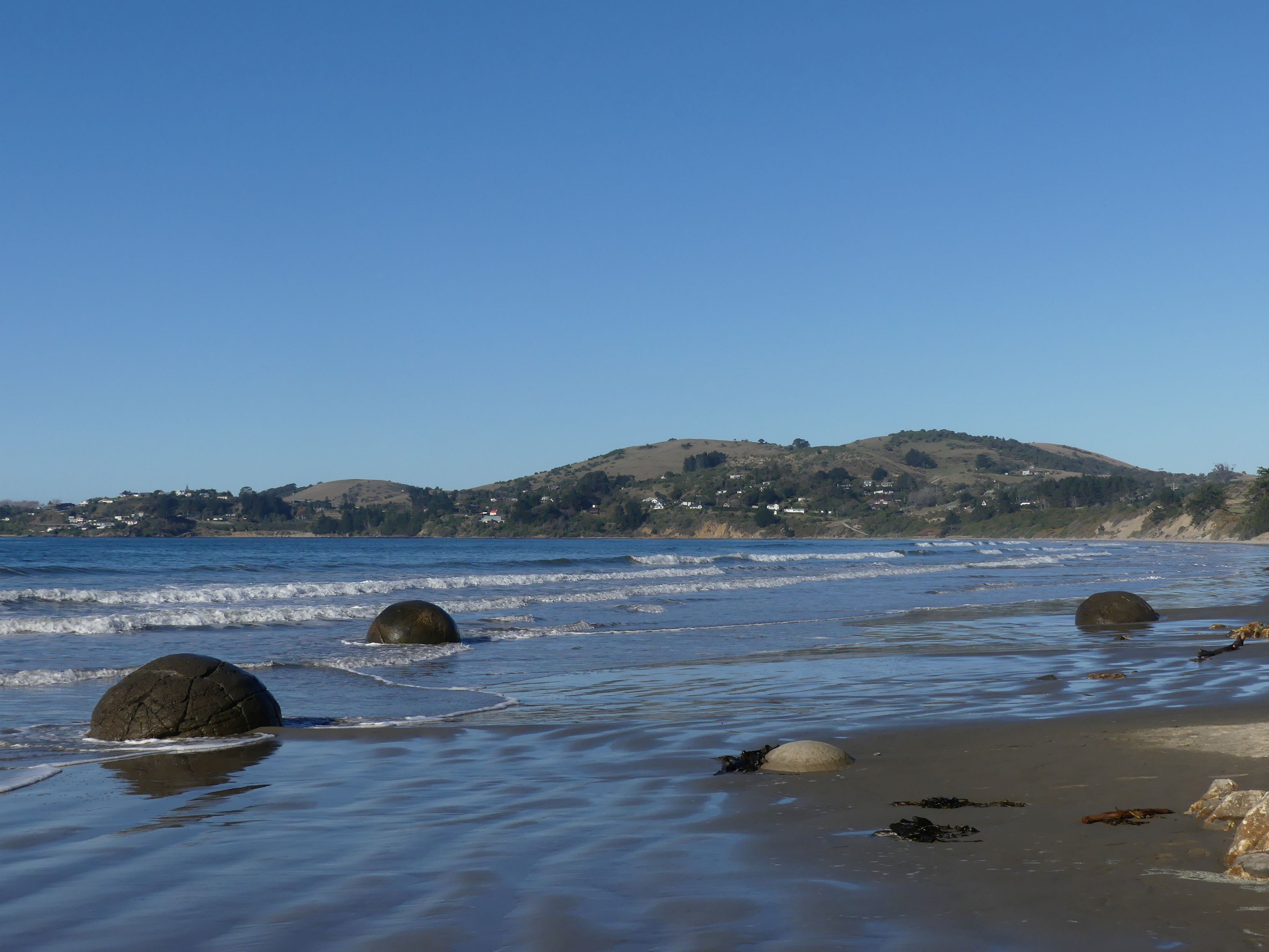
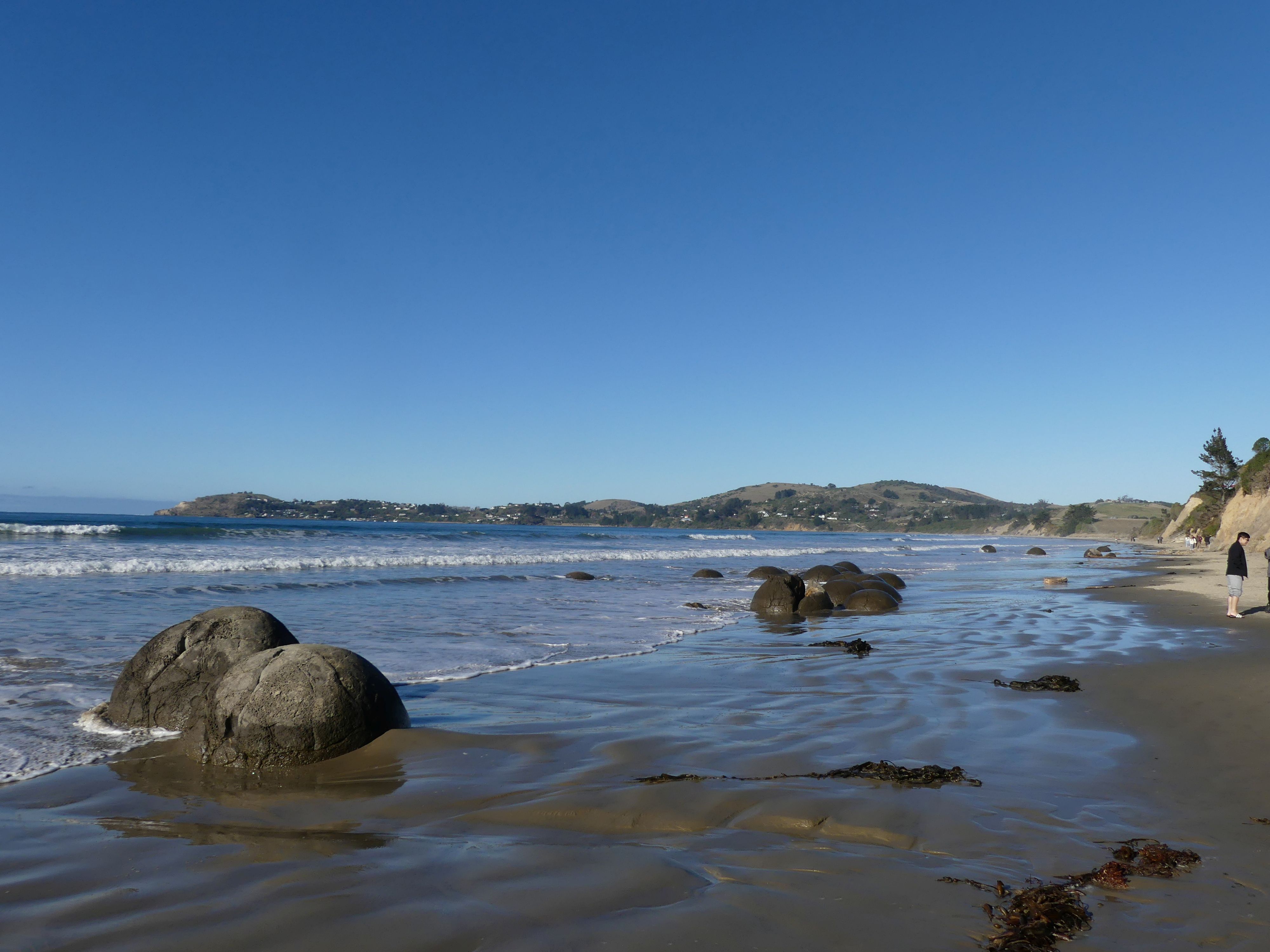
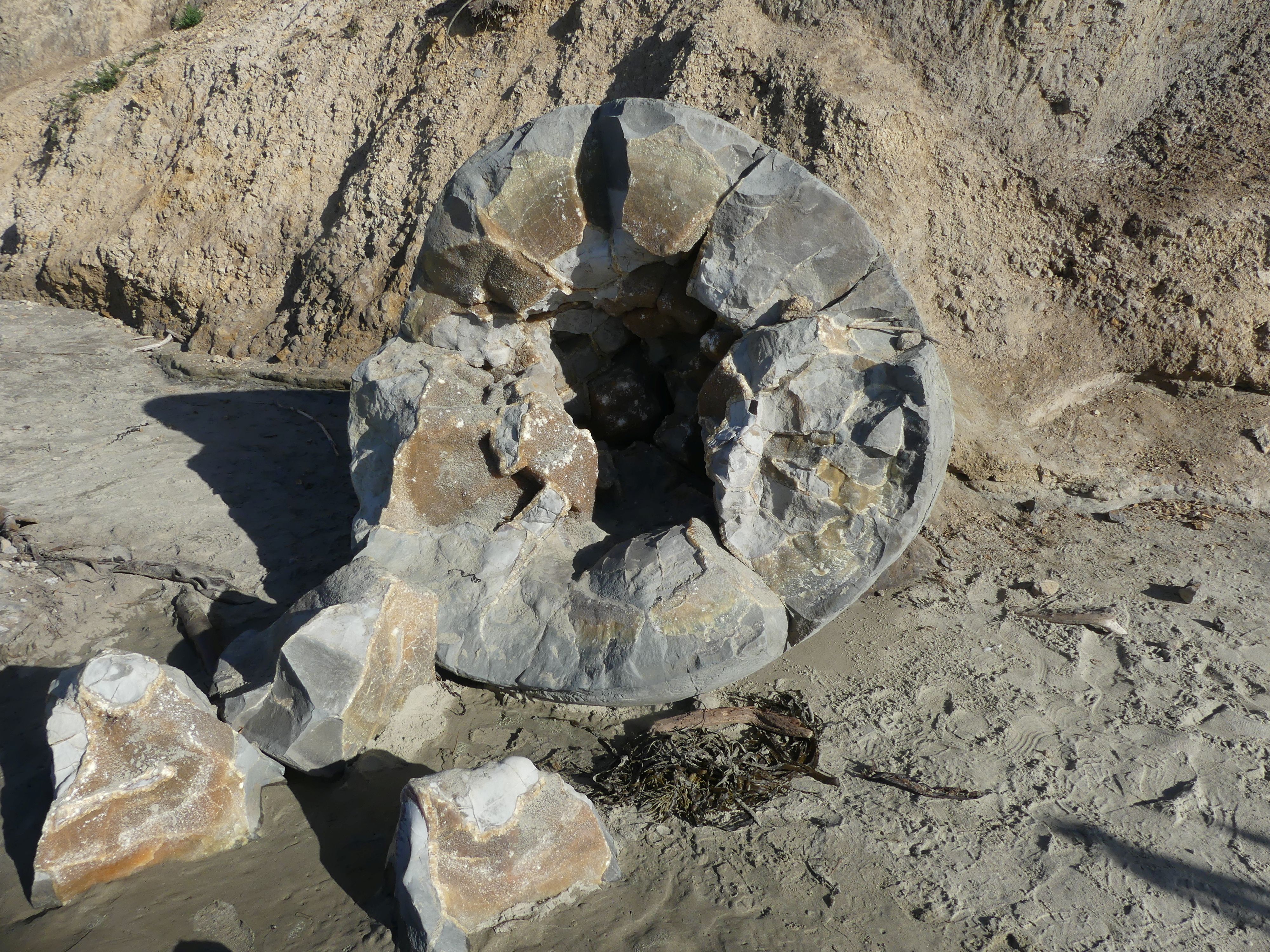
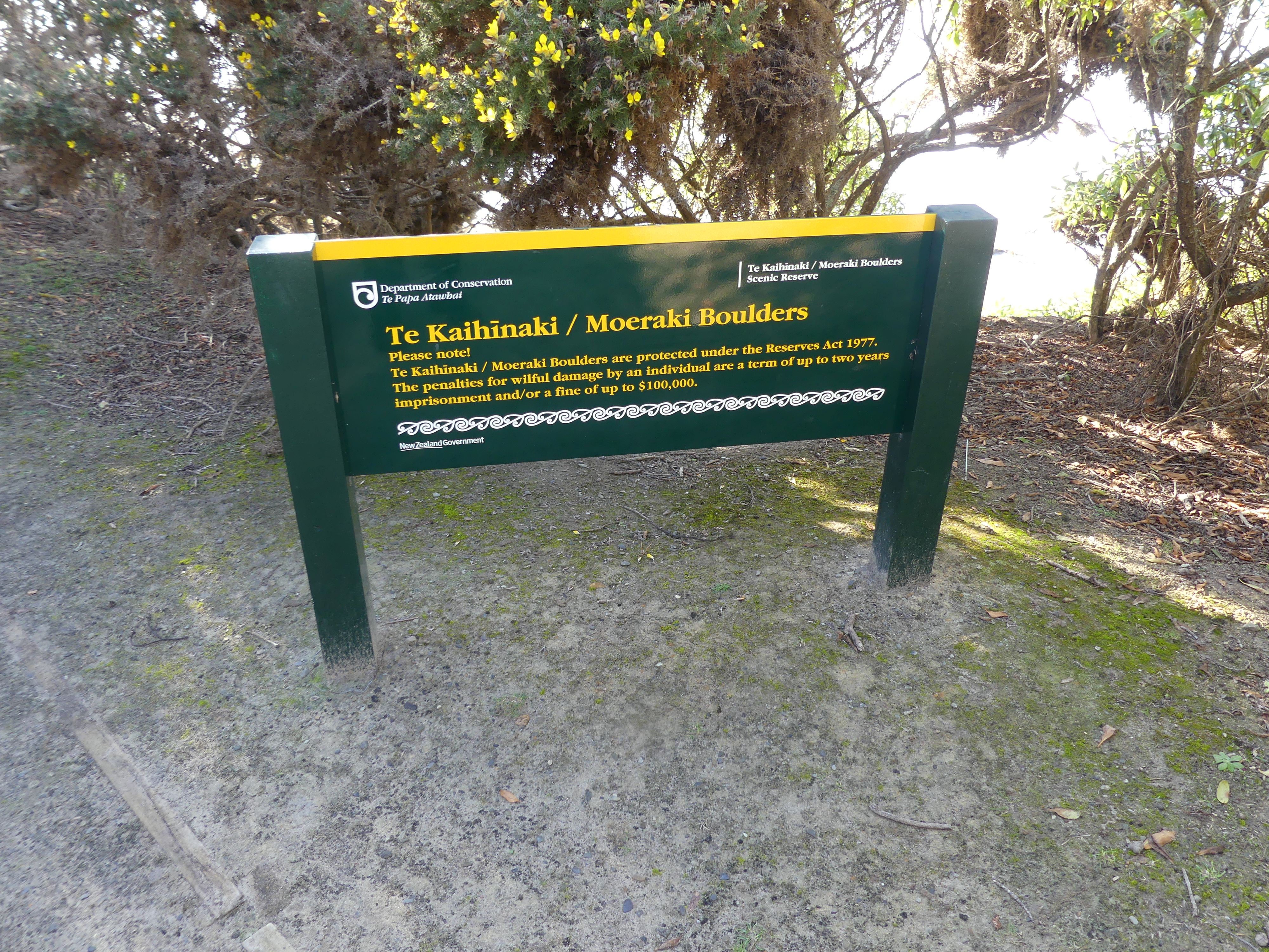
Moving on from Dunedin we drove north to the Moeraki Boulders on the beach of the same name, off State Highway 1, between Hampden and Moeraki. The Moeraki Boulders are massive, naturally spherical calcite concretions scattered along Koekohe Beach on New Zealand’s South Island. Exposed by coastal erosion, each boulder weighs several tonnes and measures up to two metres high. We walked up the beach checking out these unique boulders, then made way through the bush above the beach to the cafe on the beach.

Boulders on the beach and returning to the cafe
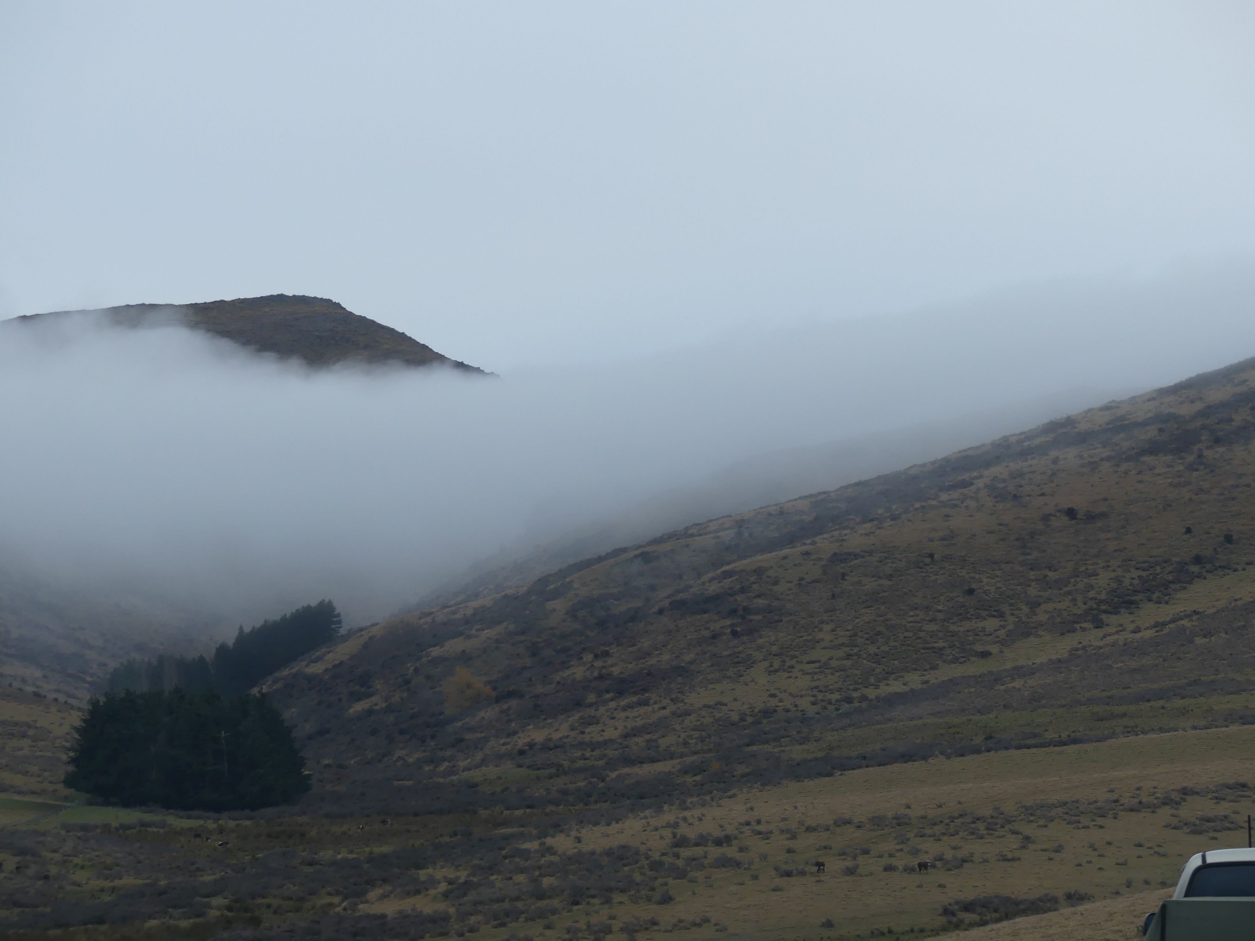
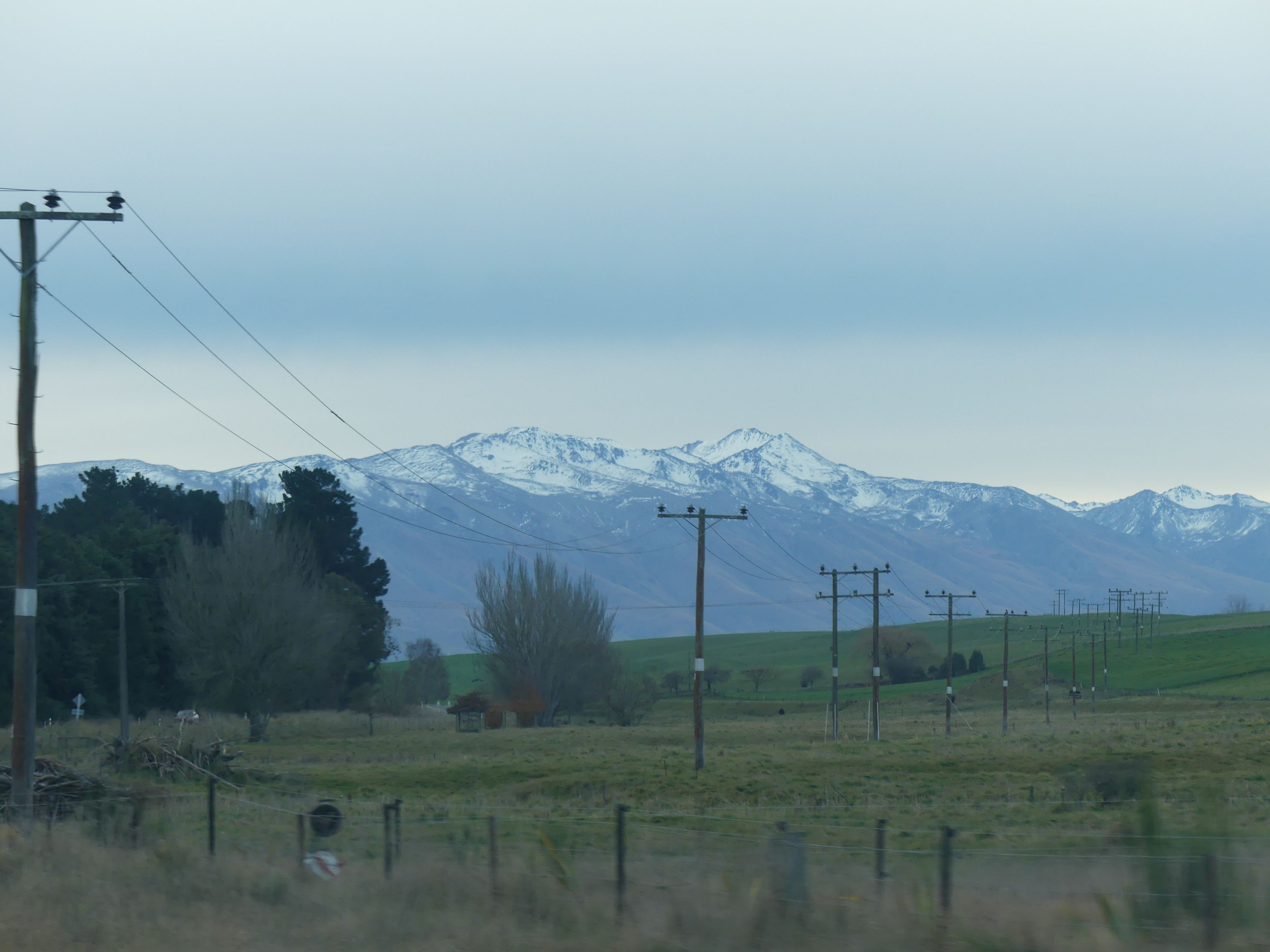
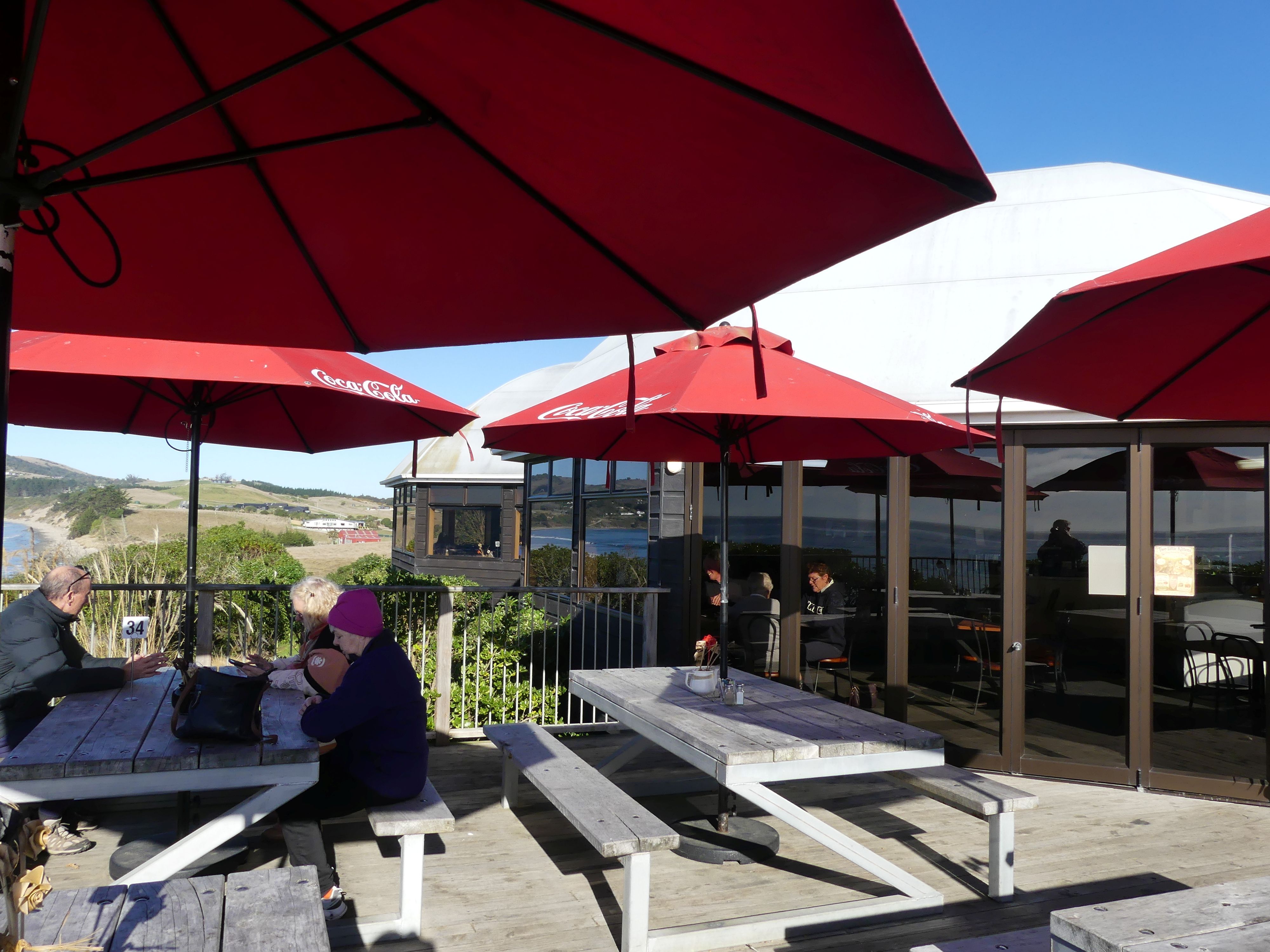
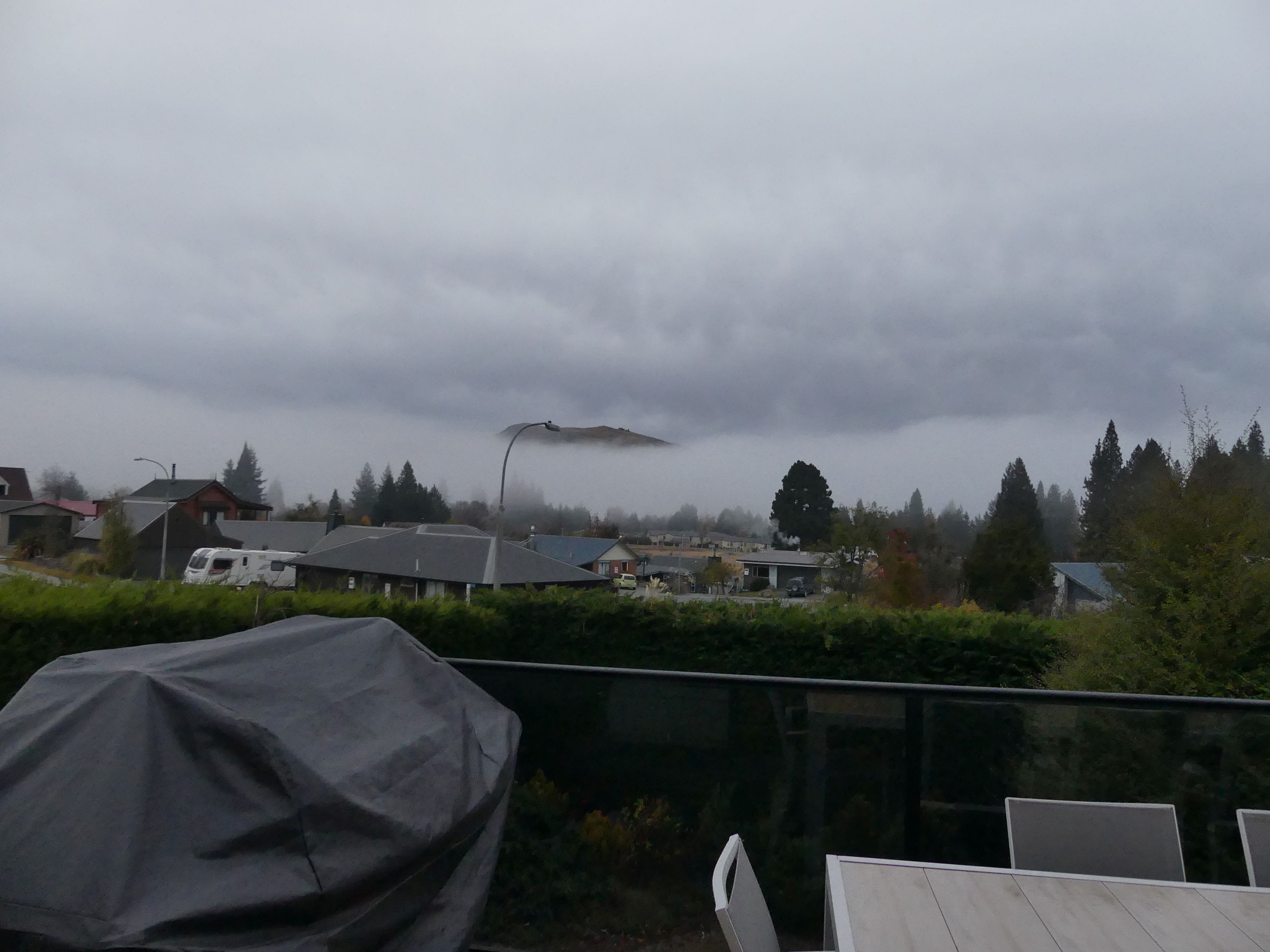
Sitting in the sun we ate fish and chips taking in the unobstructed view of the beach and its surrounds. As soon as we recived our lunch we were joined by a young cat, likely a stray, and he greedily snapped up our leftovers. Travelling through the Waitaki Valley we headed to our destination a B&B called Serendipity located at 20 Hamilton Dve. Lake Tekapo. It is a two-storey house with a fireplace, and we had much joy in lighting the fireplace warming us and the house. It had a deck facing the village and the lake although views of the lake were obstructed by other houses.

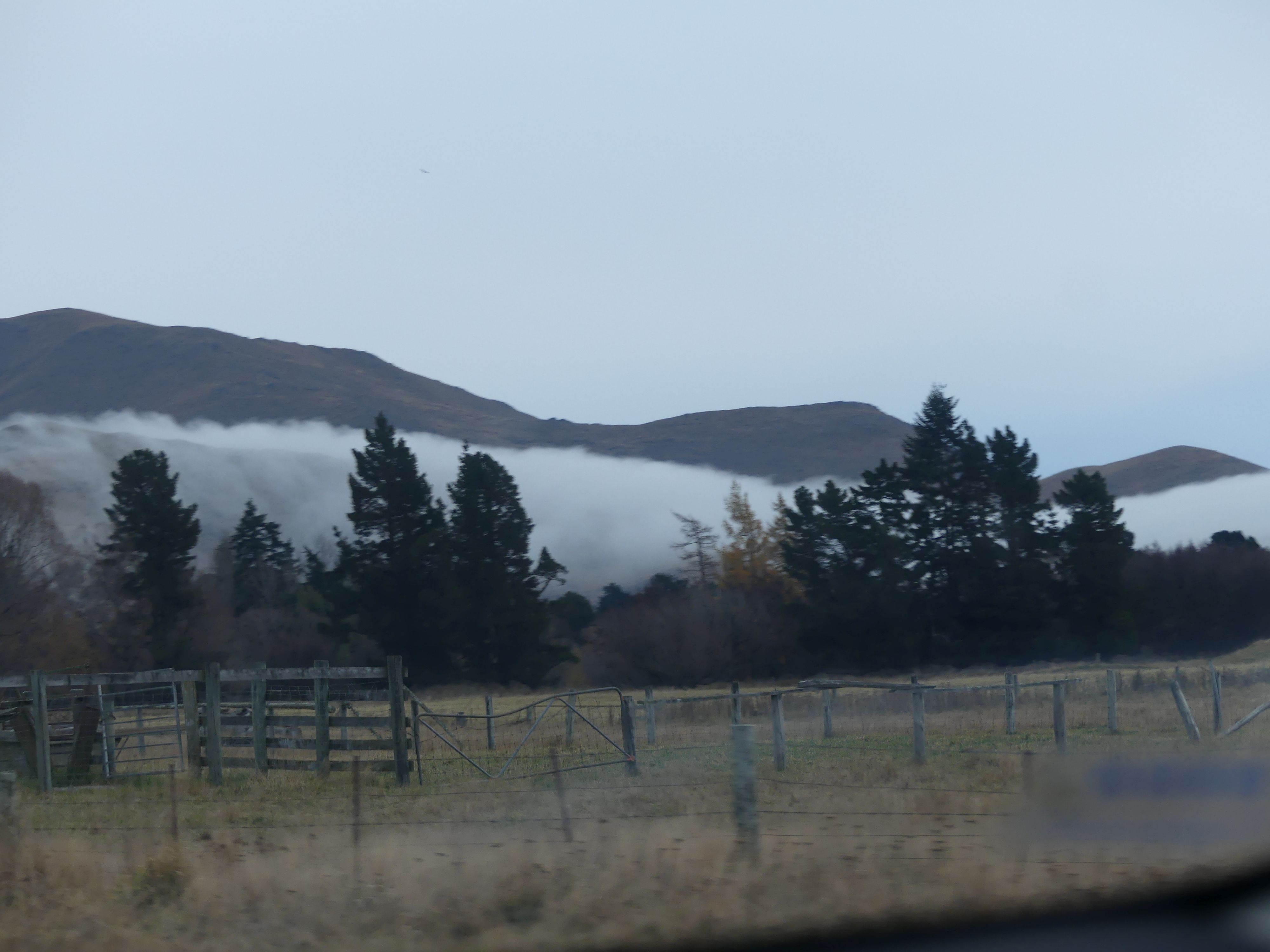
The café, the road through Waitaki Valley and the mist.
Day 10 Lake Tekapo

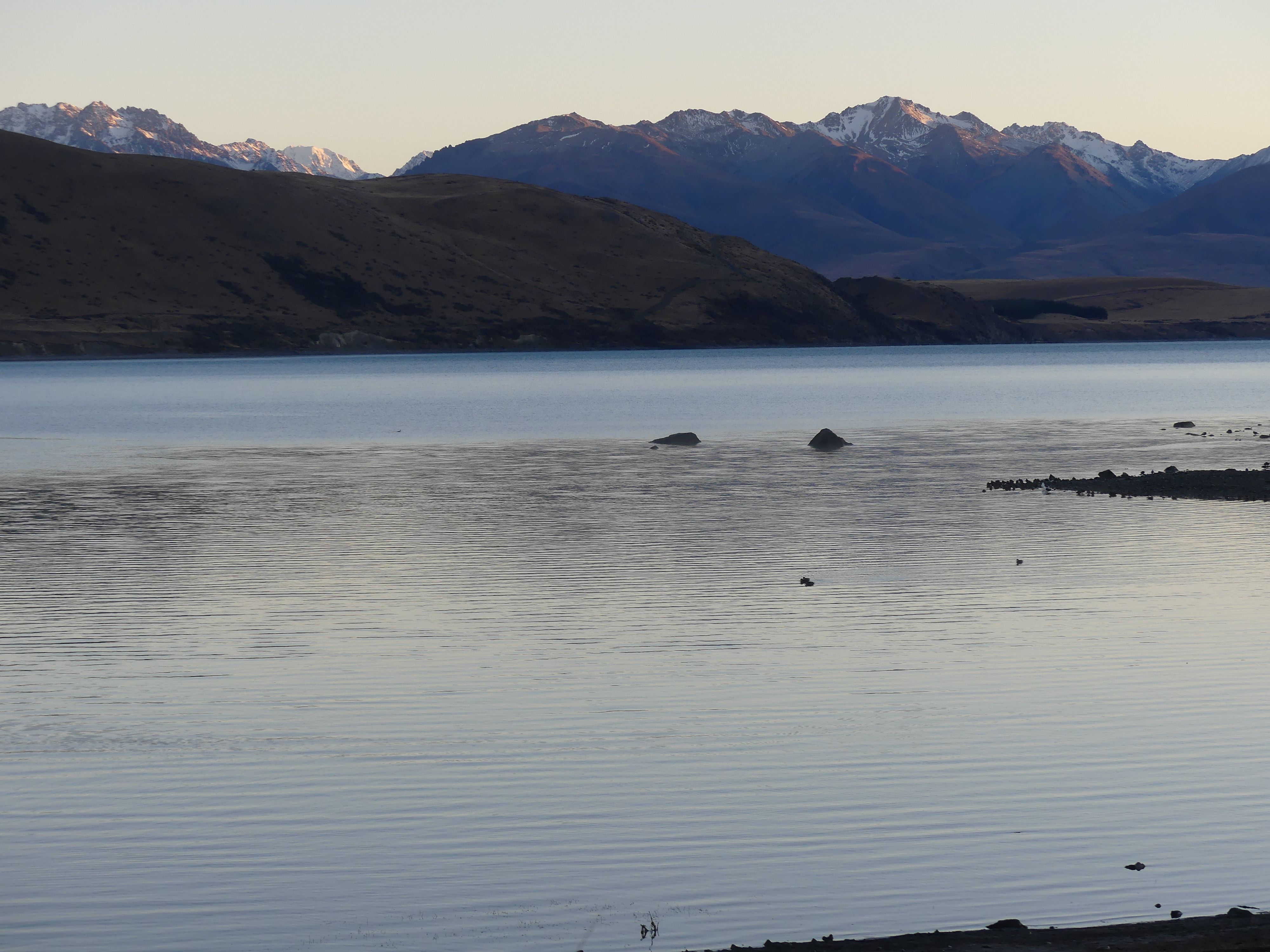
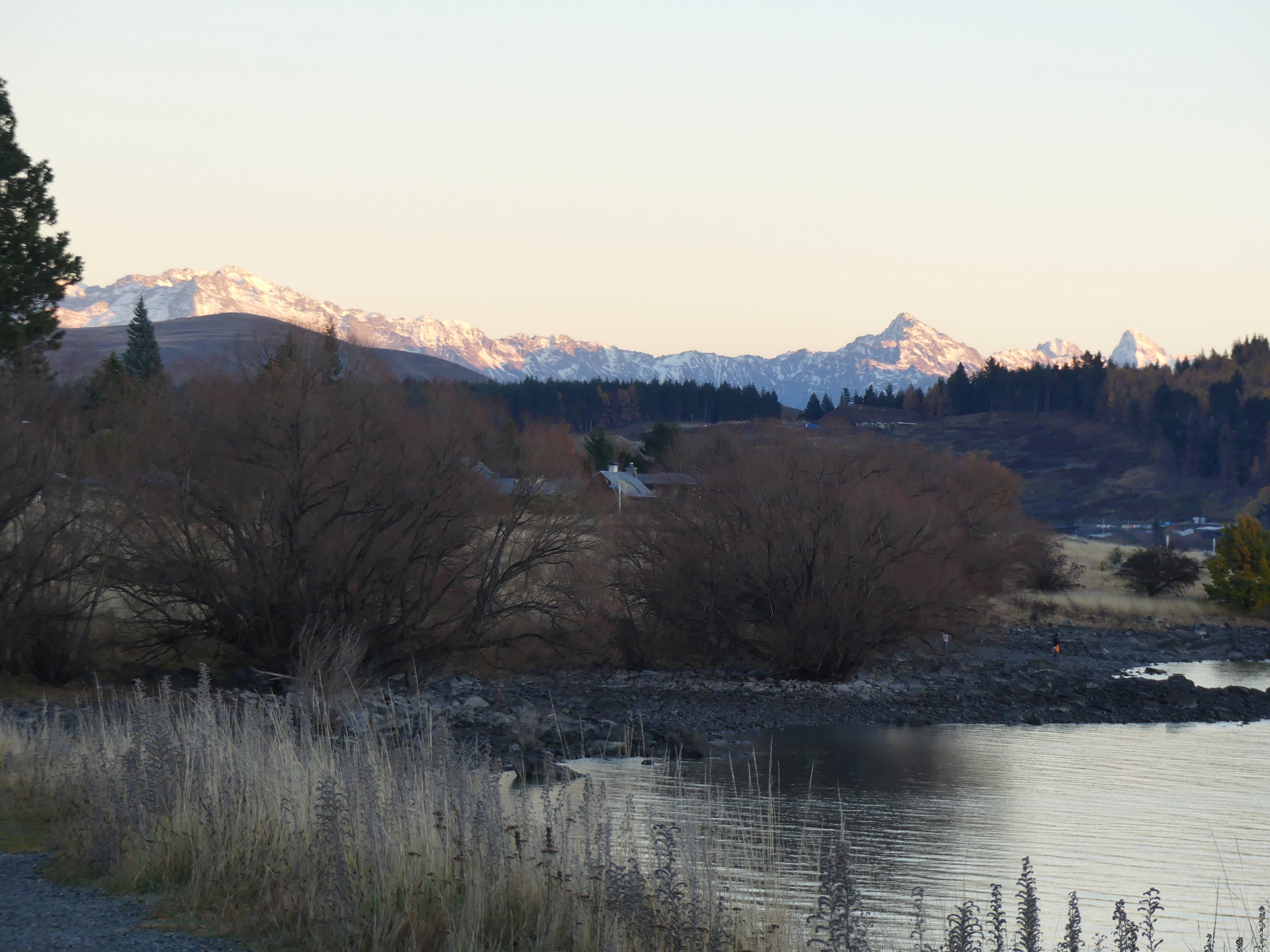
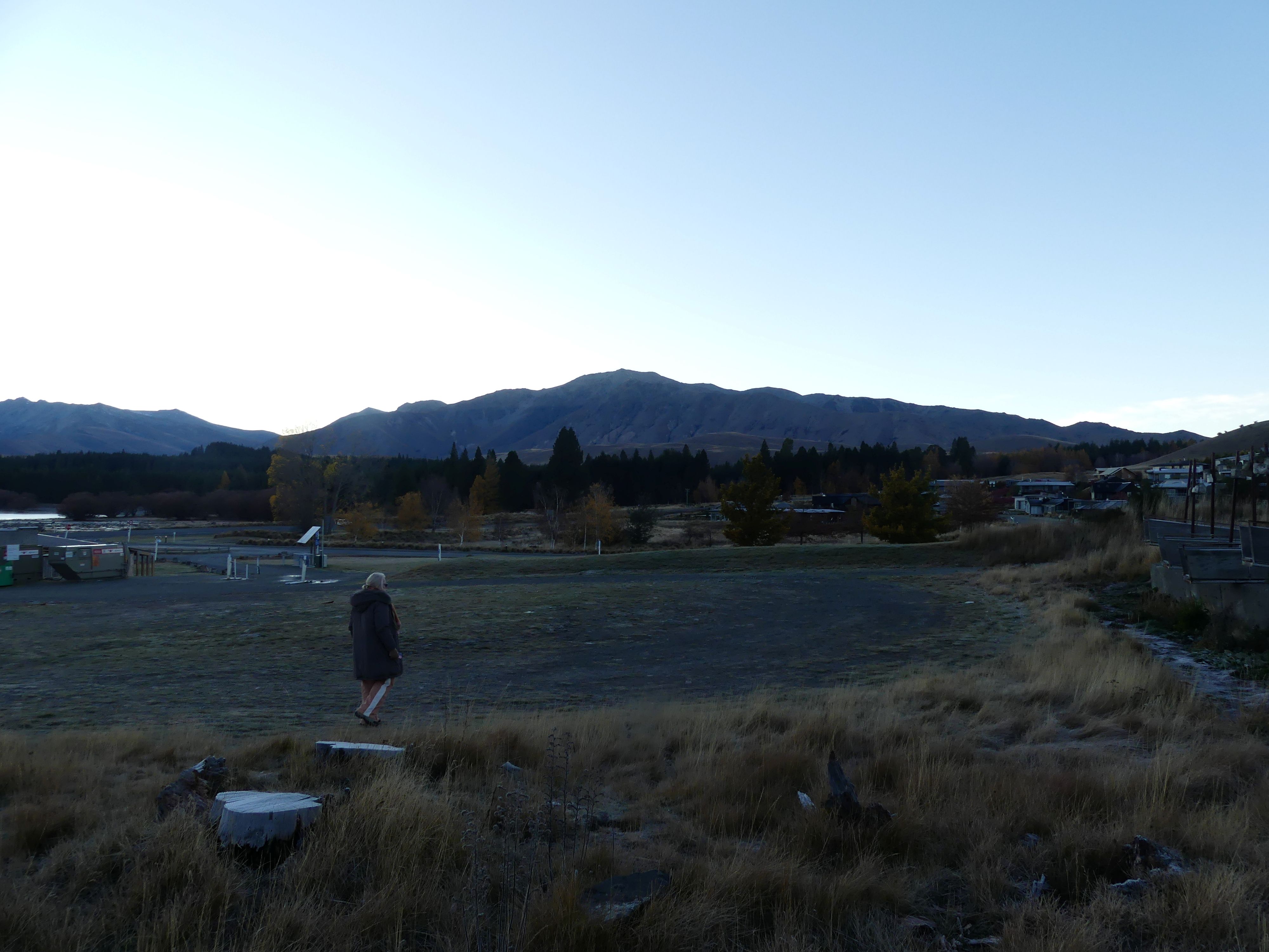
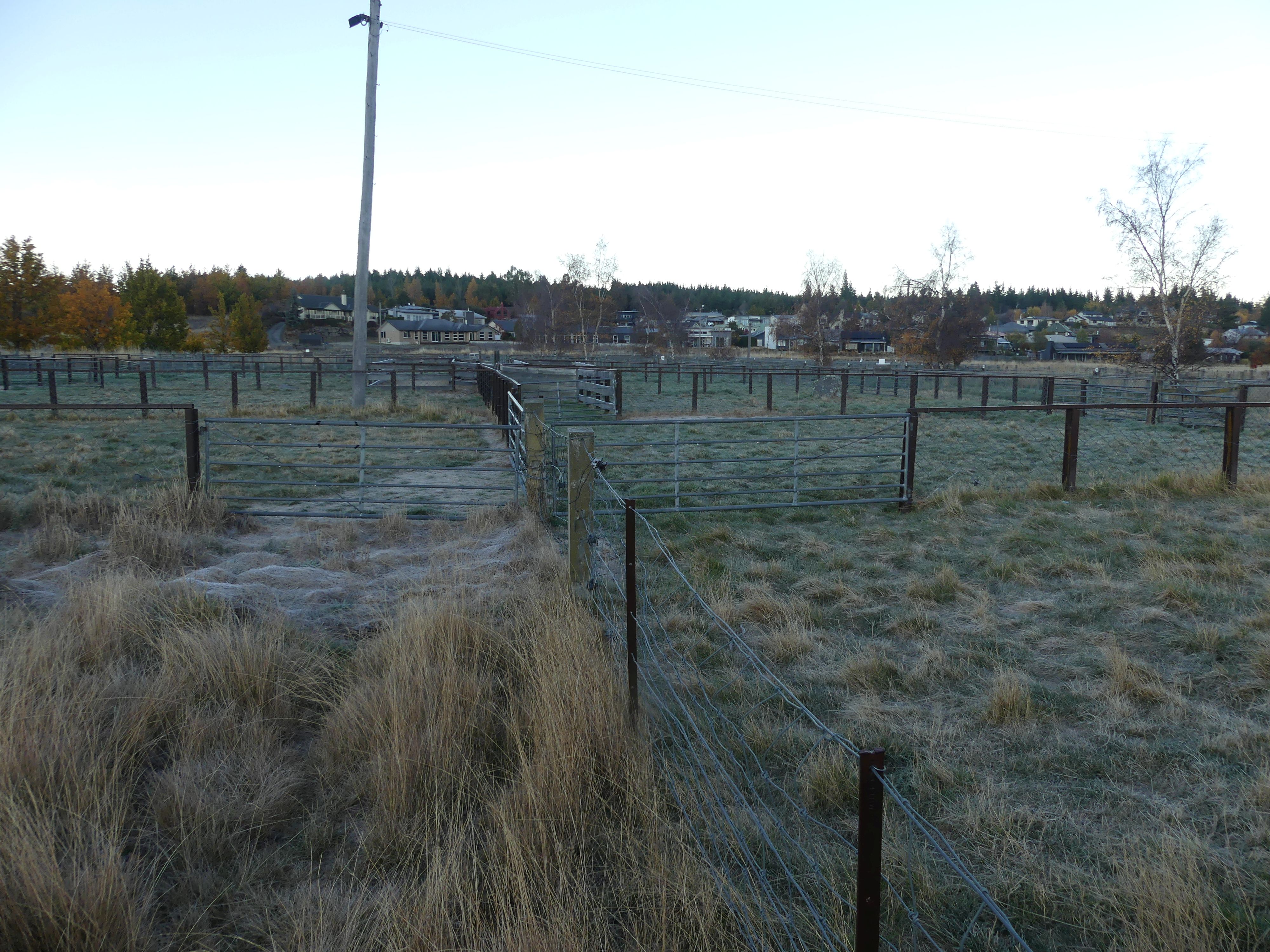
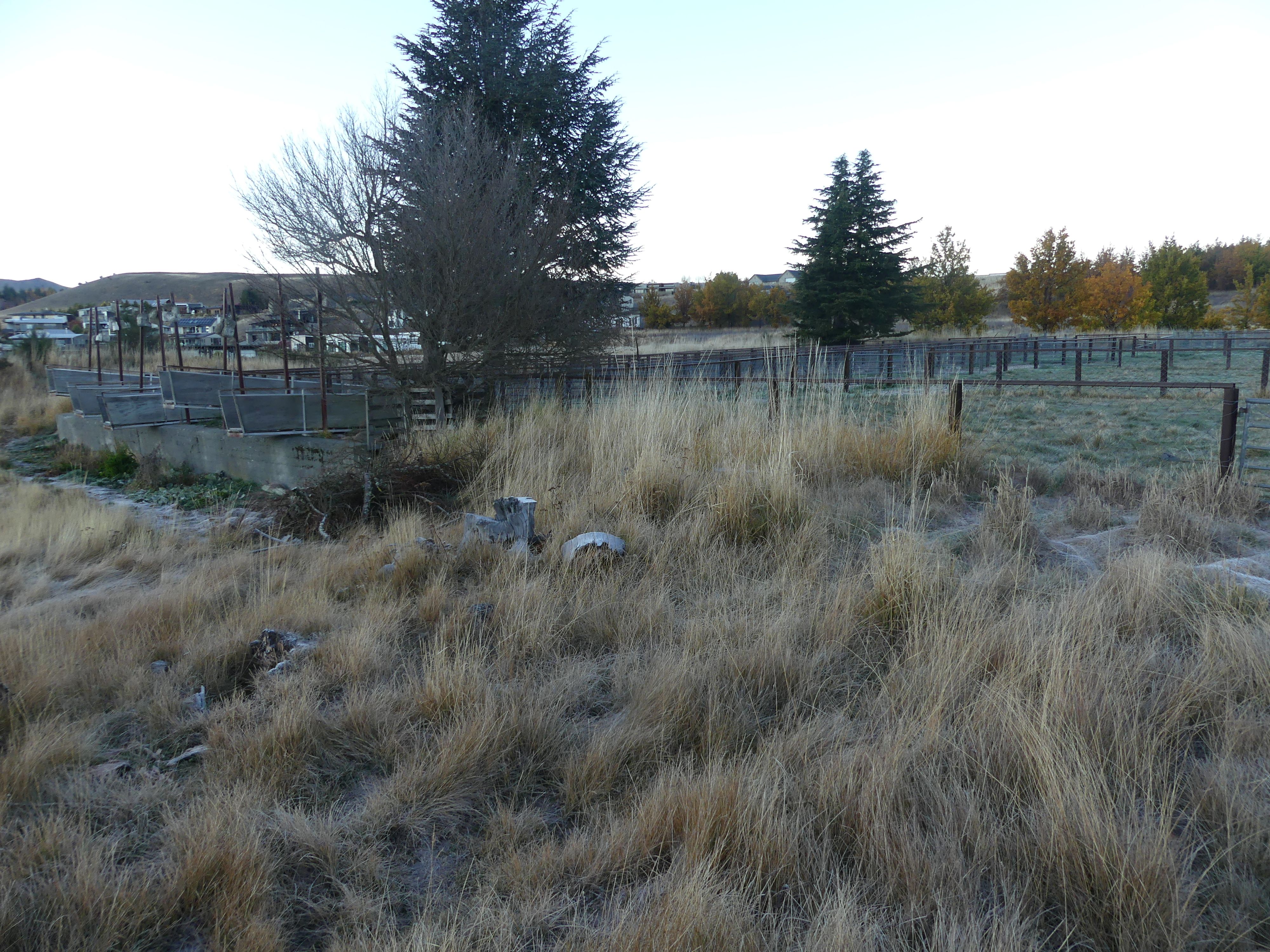
We arrived in Lake Tekepo late in the evening. Our accomodation was 5minutes drive from the centre of town but still carried some of the early settlers landmarks. After starting the fire we got down to the serious business of playing cards and snacking on cheese and the like. Next morning Kerry and I walked down to the main road passing a stopover/dump station for camper vans and sheep pens known as Tekepo Sales Yards which once served as a central focal point for high-country farmers gathering to trade livestock.

The lake, the pens, the dump station and the mountains
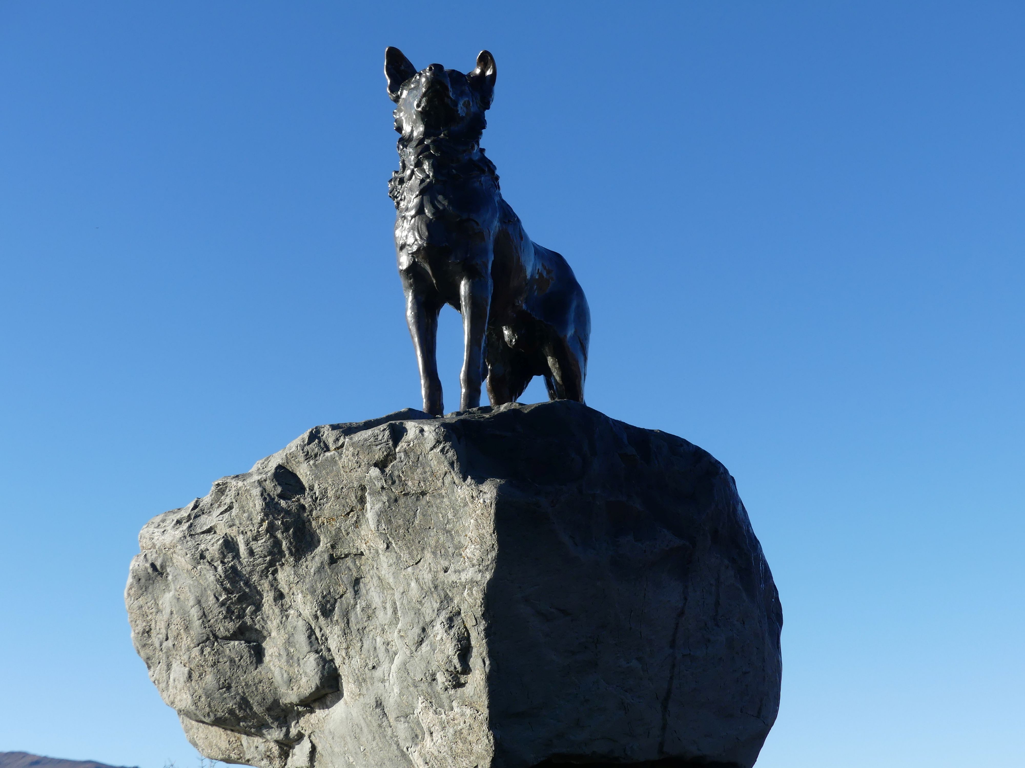
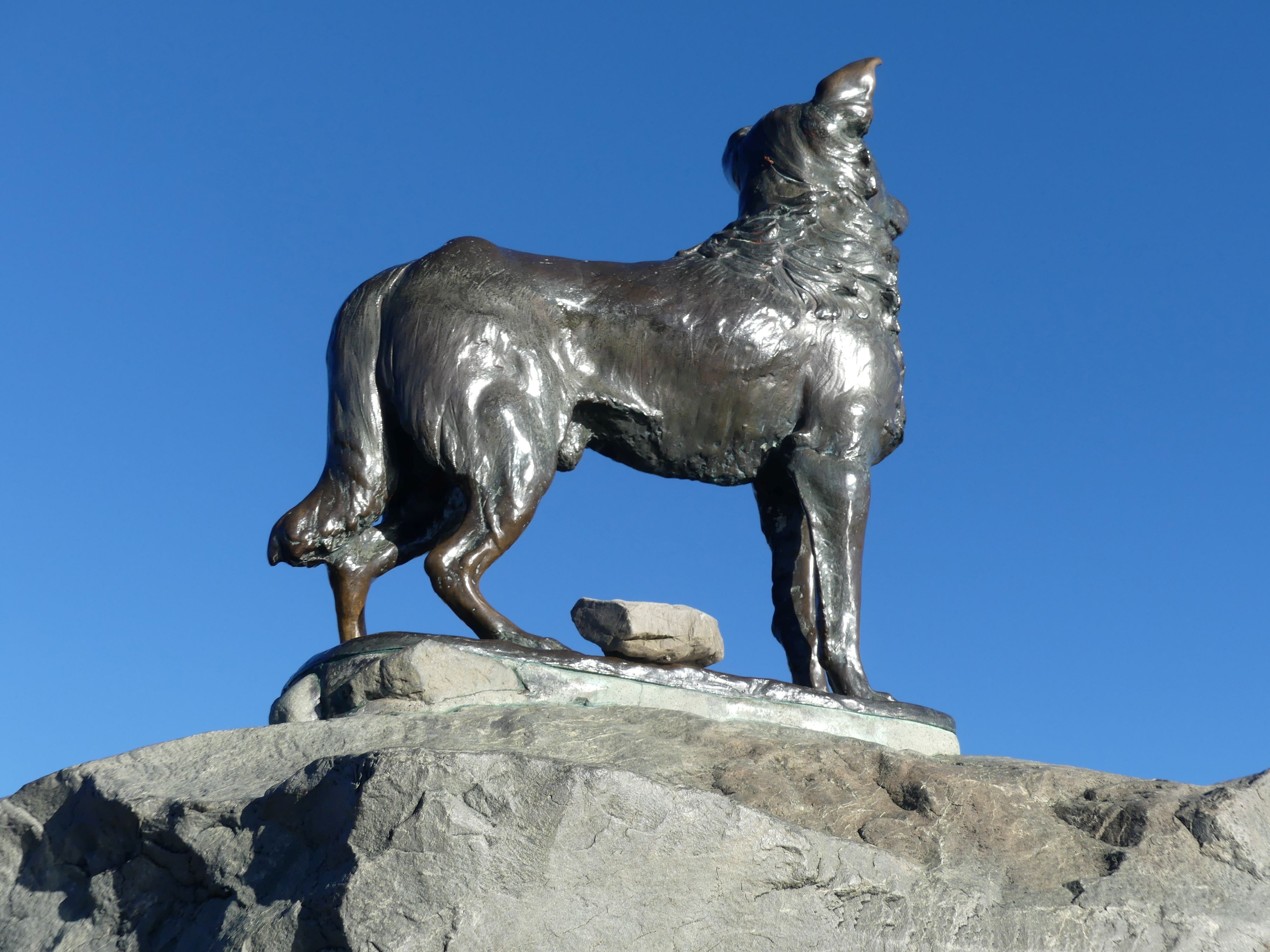
After breakfast we climbed aboard the car and headed to the famous statue on the shores of Lake Tekapo: The Sheepdog Memorial. It is a life-sized bronze sculpture of a Collie sheepdog perched on a pedestal of local rocks. Located 100 meters east of the iconic Church of the Good Shepherd, it stands as a monument to the hard-working dogs that made high-country farming possible. The memorial was just around the corner from our B&B but already there was a crowd of people at the monument and the Church.

The Sheepdog Memorial and Church of the Good Shepherd
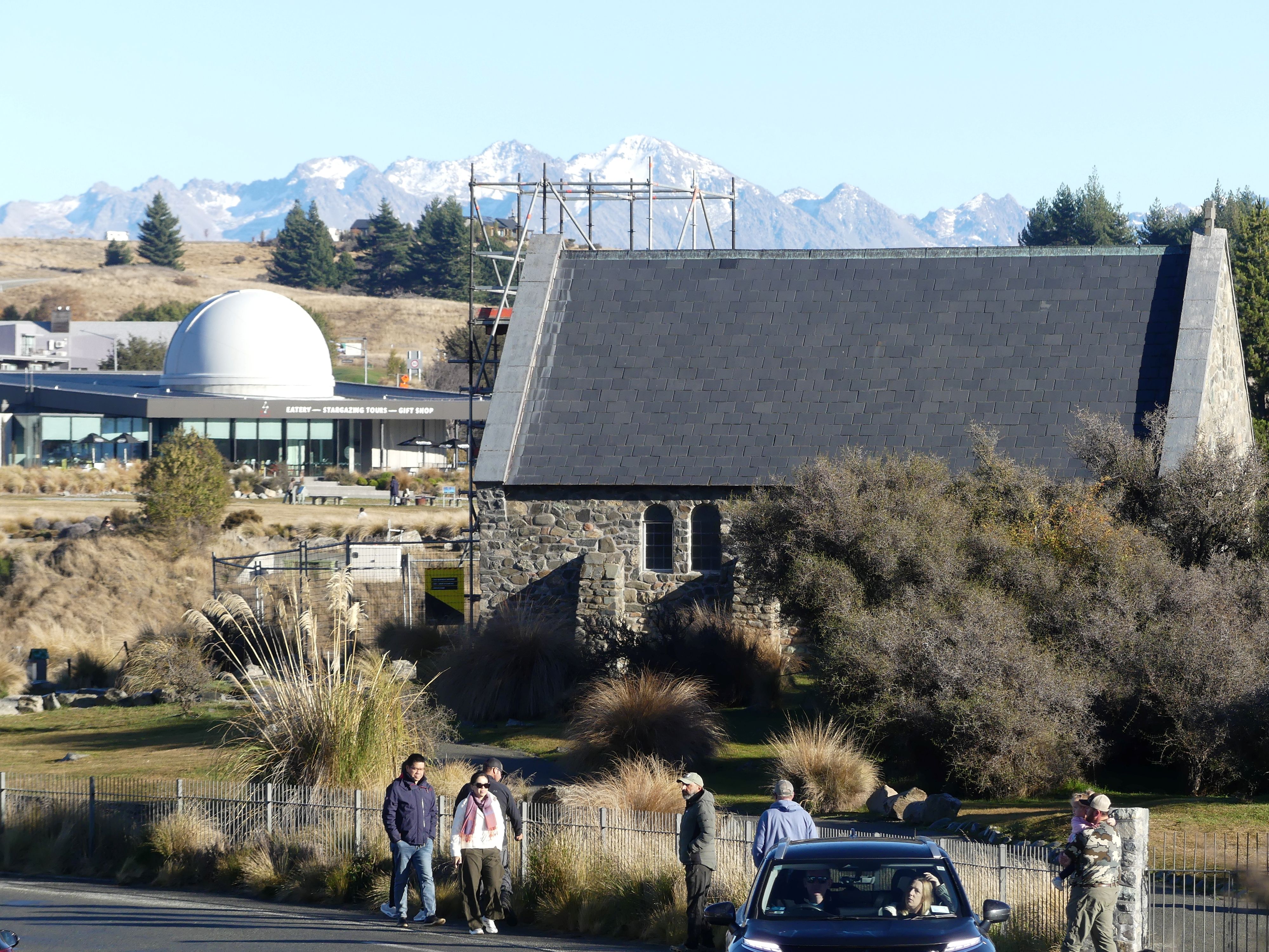
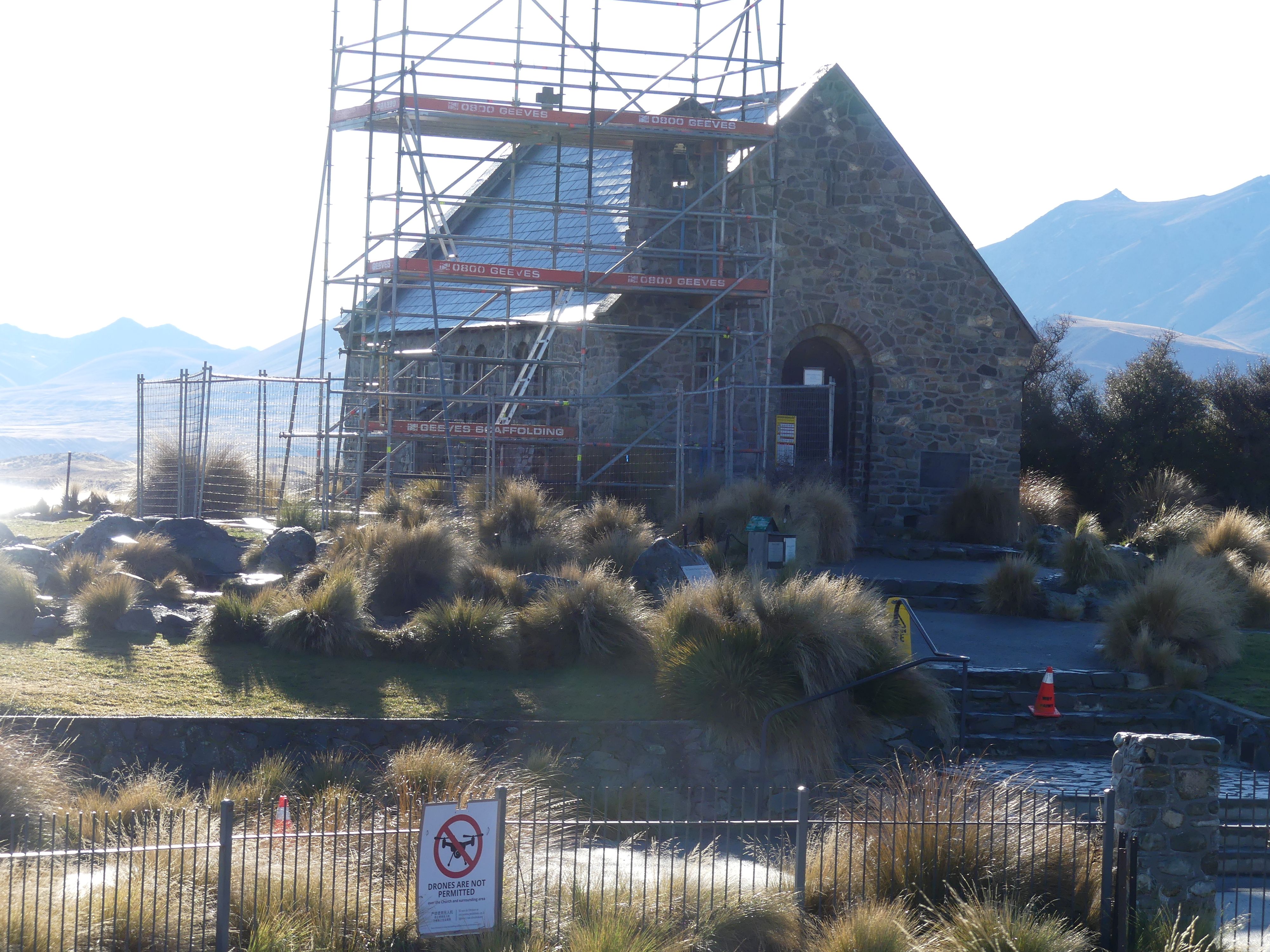
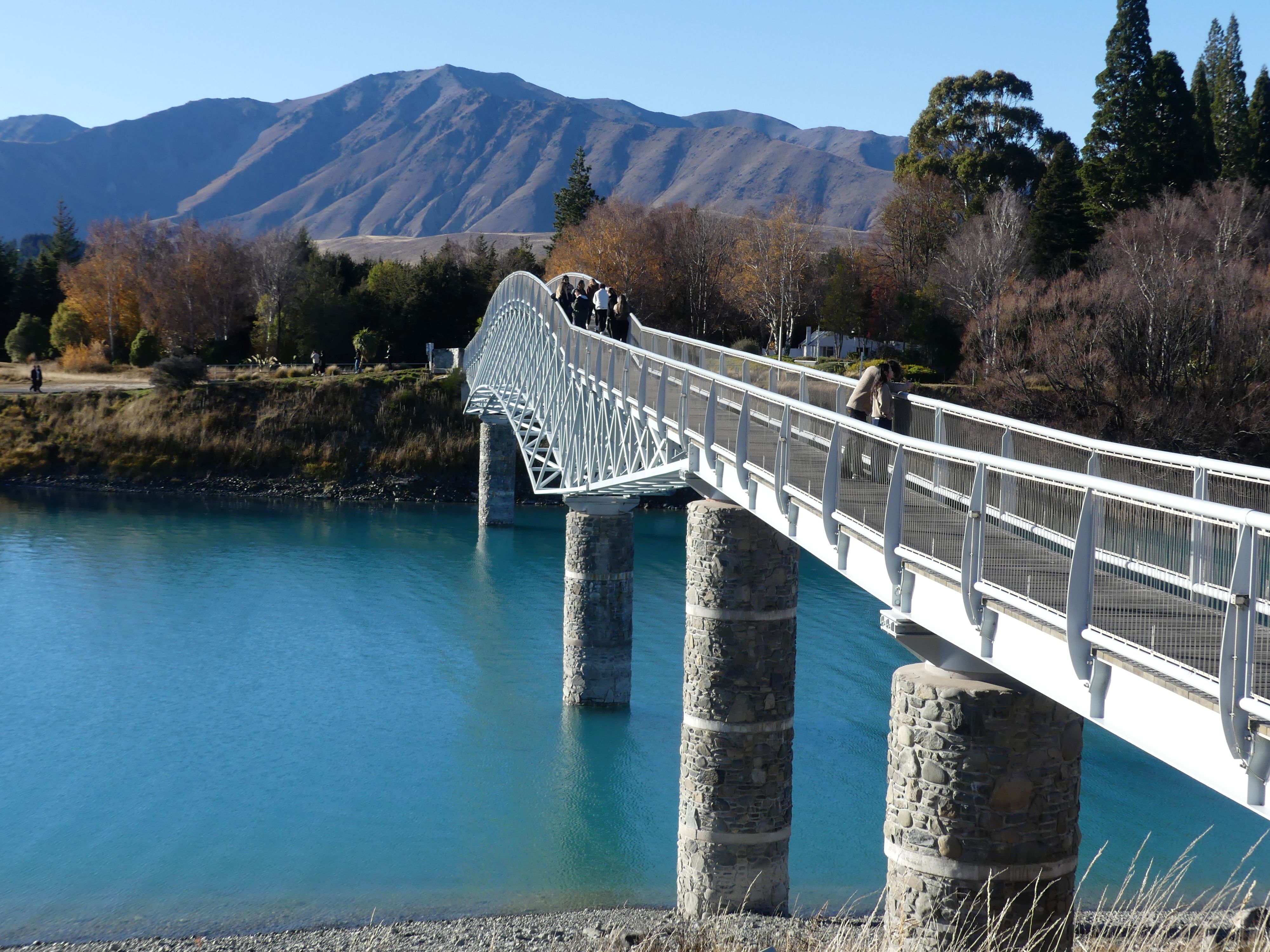
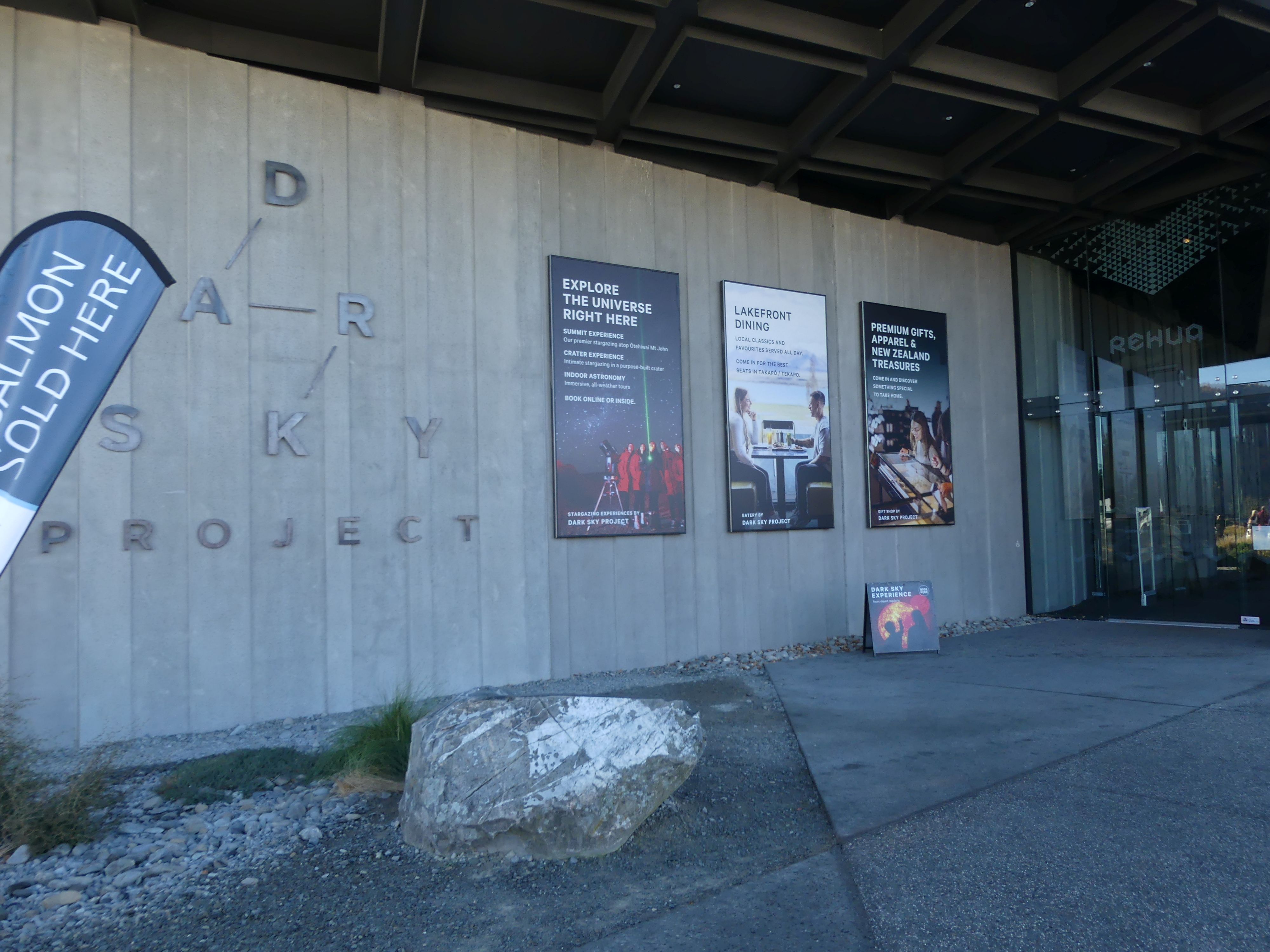
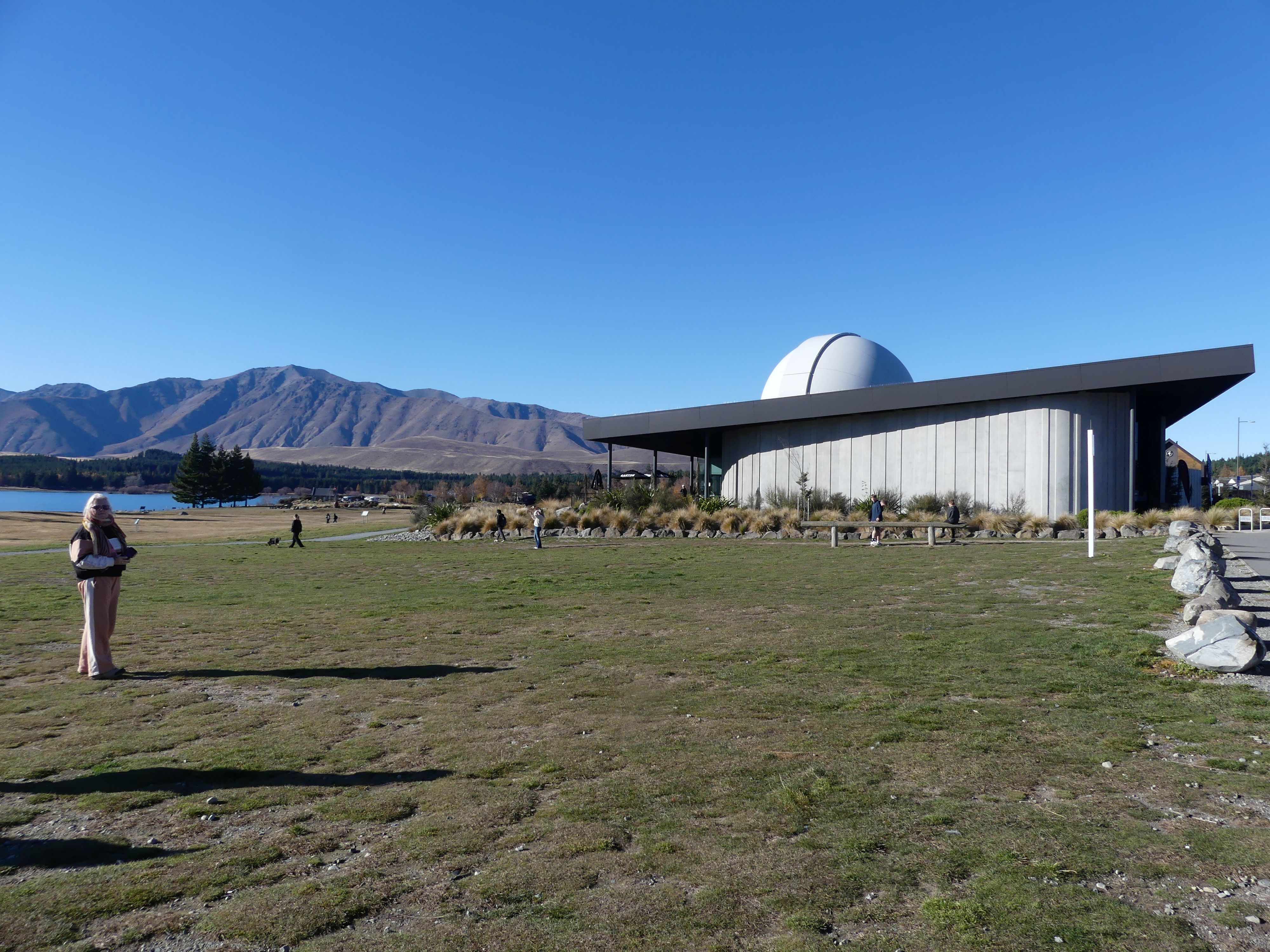
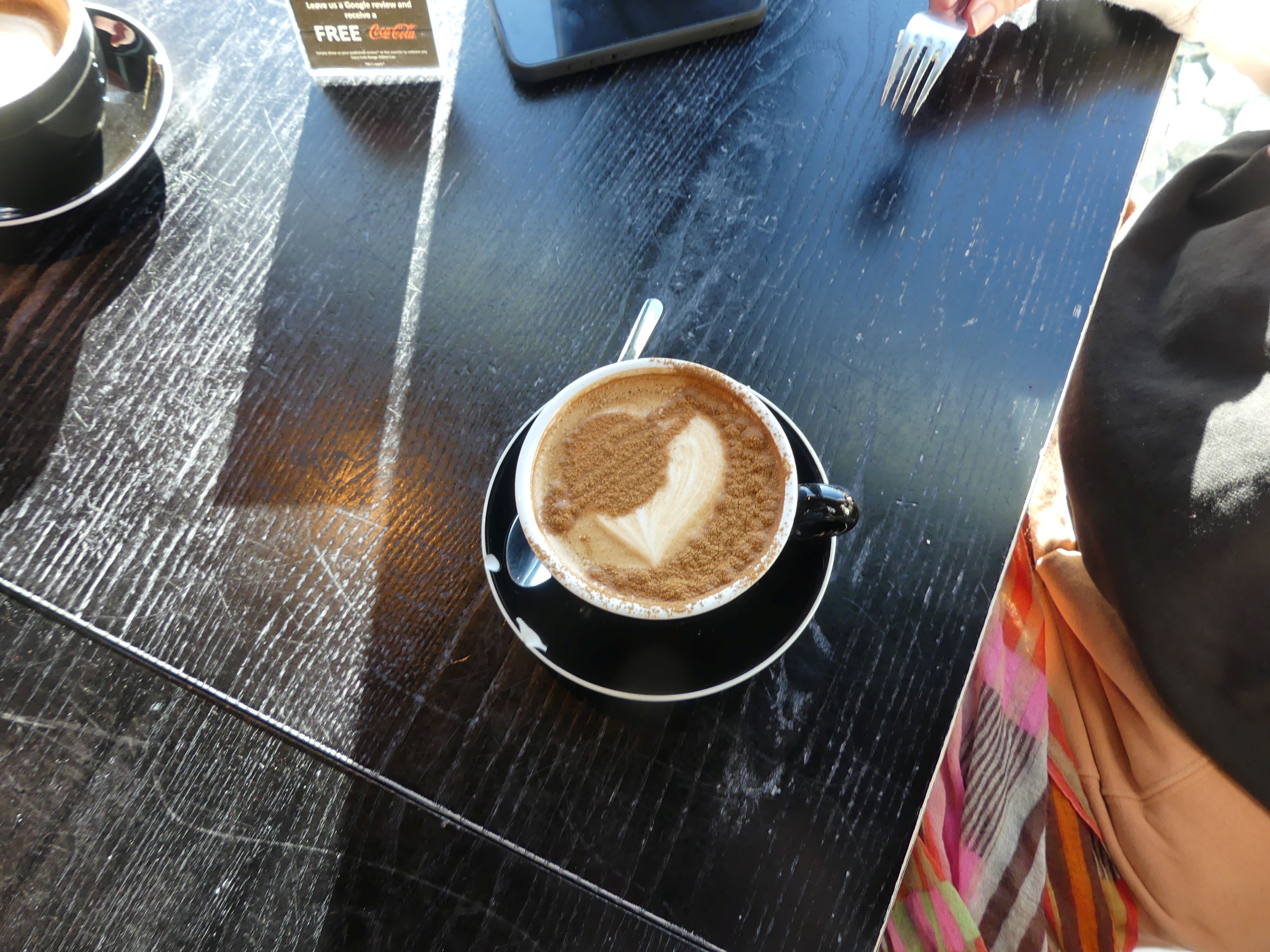
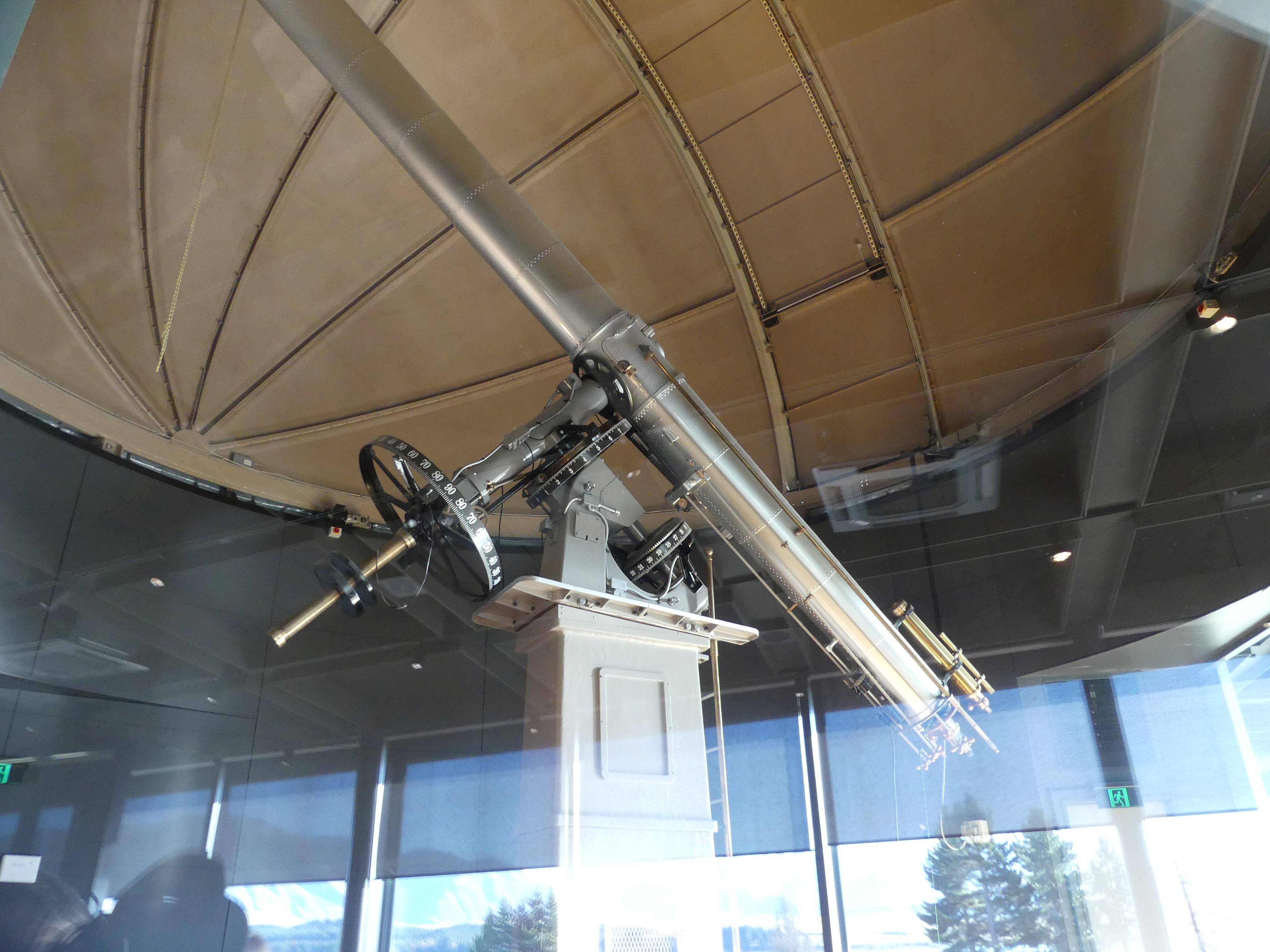
The Church of the Good Shepherd was in sight of the memorial and unfortunately it was defaced by scaffolding to enable repairs. So, we walked to the church and entry was not permitted. The church and grounds were closed from Wednesday 20 May – Friday 29 May 2026 to facilitate earthquake strengthening work on the bellcote. As access to the interior was not possible, we walked on to a footbridge crossing the waterway entering the lake. The footbridge was a modern construction replacing at least 2 other bridges and connected to the carpark serving the tourist shops but empty at winter time. We walked around to the Dark Sky Project building. The Dark Sky Project is a world-renowned astro-tourism venture that offers guided stargazing tours, multimedia astronomy exhibits, and dining in the Aoraki Mackenzie International Dark Sky Reserve. Inside the building was several multimedia astronomy experiences, fabulous views over the lake and a coffee shop of course. Whilst enjoying our coffee I noticed a huge telescope inside the building so I took a photograph hoping I would do it justice. The centrepiece telescope displayed is the historic 18-inch (45.7-cm) Brashear Telescope, a famous Victorian-era refracting telescope crafted in 1894. Have a look at the surface of the hot chocolate that Kerry ordered. Yes its Saturn.

The footbridge, the Brashear Telescope, Dark Sky Project building, and Kerry’s hot chocolate
 We were keen to join one of their tours. There are 2 tours on offer: the Observatory Tour (Evening stargazing tour at the University of Canterbury Mt John Observatory located on the summit of Mt John and the Crater Experience (Stargazing from a purpose-built, sheltered crater enclosure for a highly immersive viewing environment). We chose the Crater Experience as the drive to the observatory on top of the mountain at night did not appeal to us.

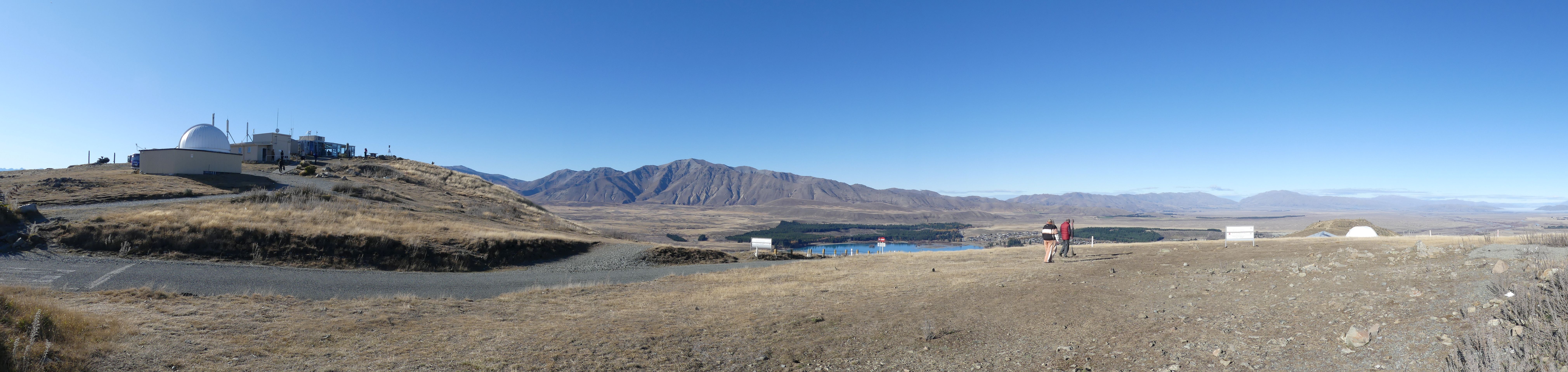
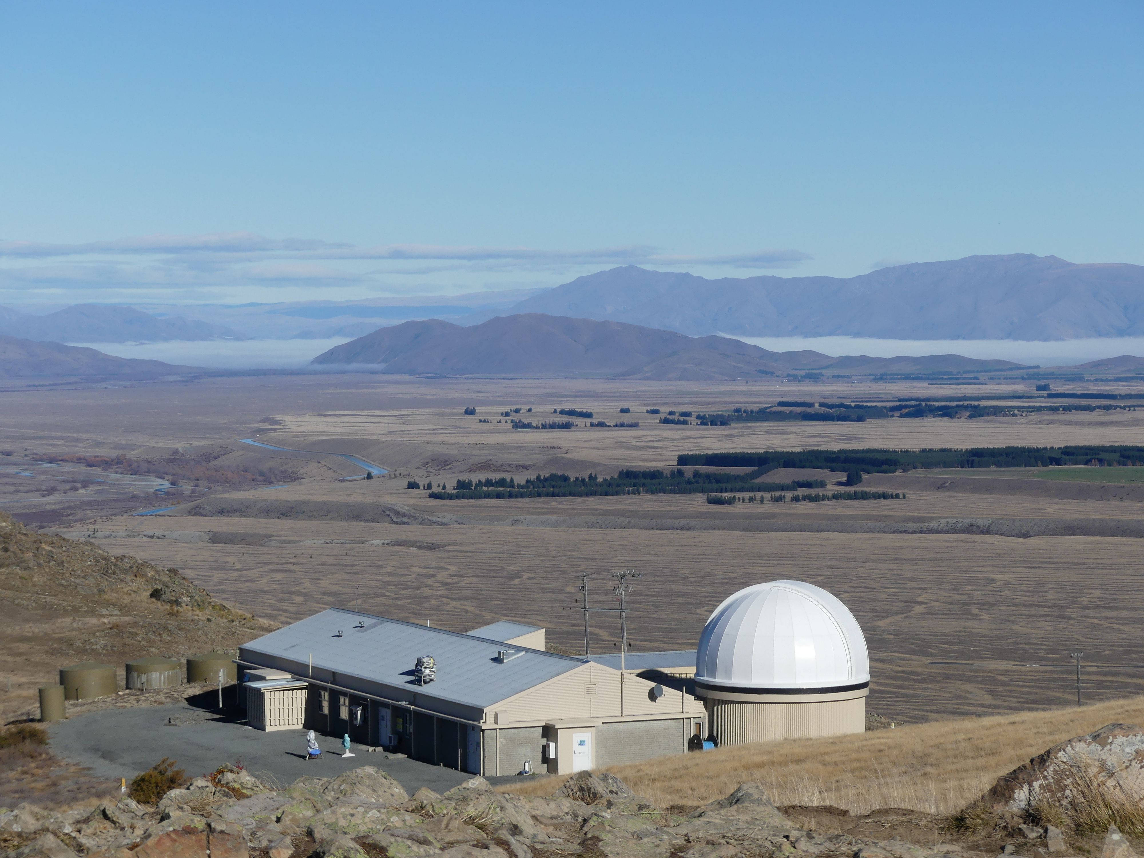
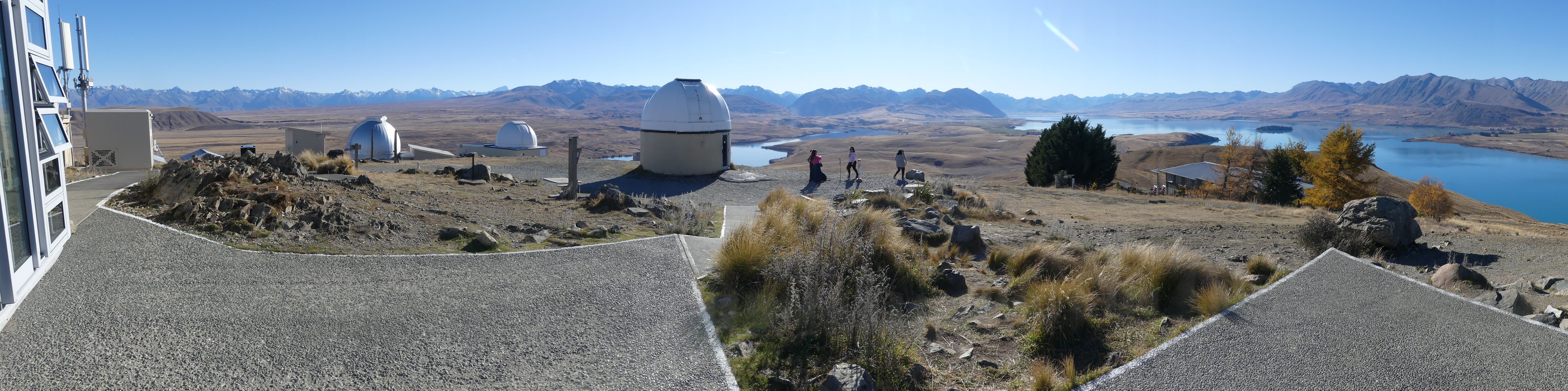
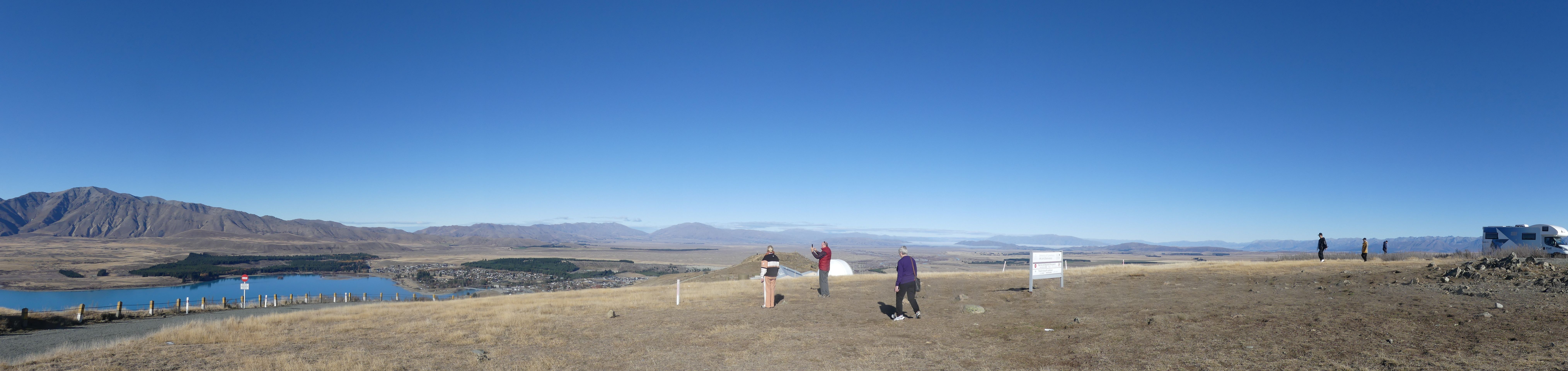
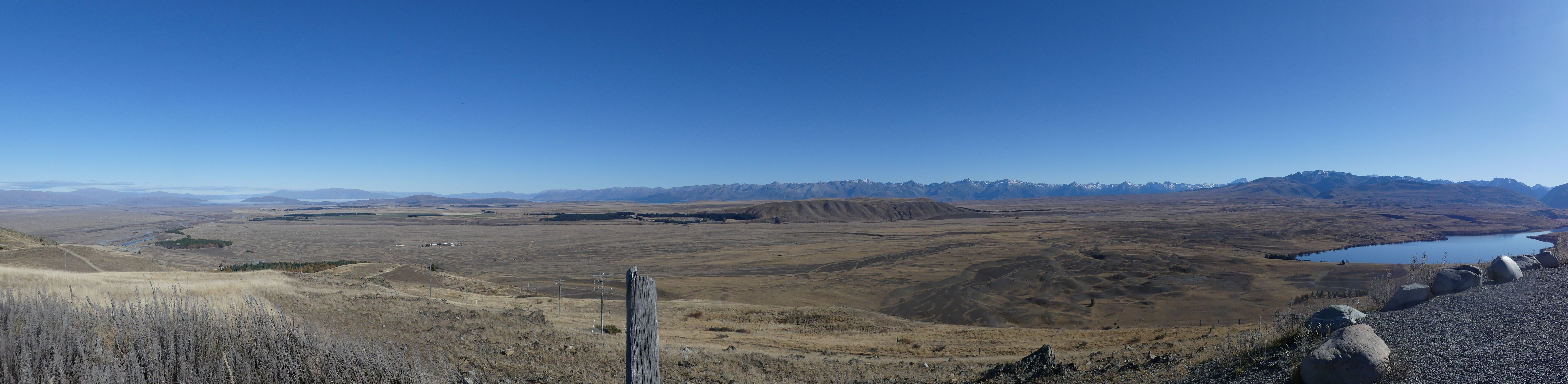
After purchasing our tour tickets, we decided that we would drive to the Mount John Observatory. It is a comparatively short drive to the foot of the mountain but that is where a comfortable drive ends. We made it to the car park before the crowds fortunately and I was able to snap this panoramic photo of the observatory hill. I walked toward the edge overlooking the village below and then turning a further 90 degrees I snapped a further panorama.
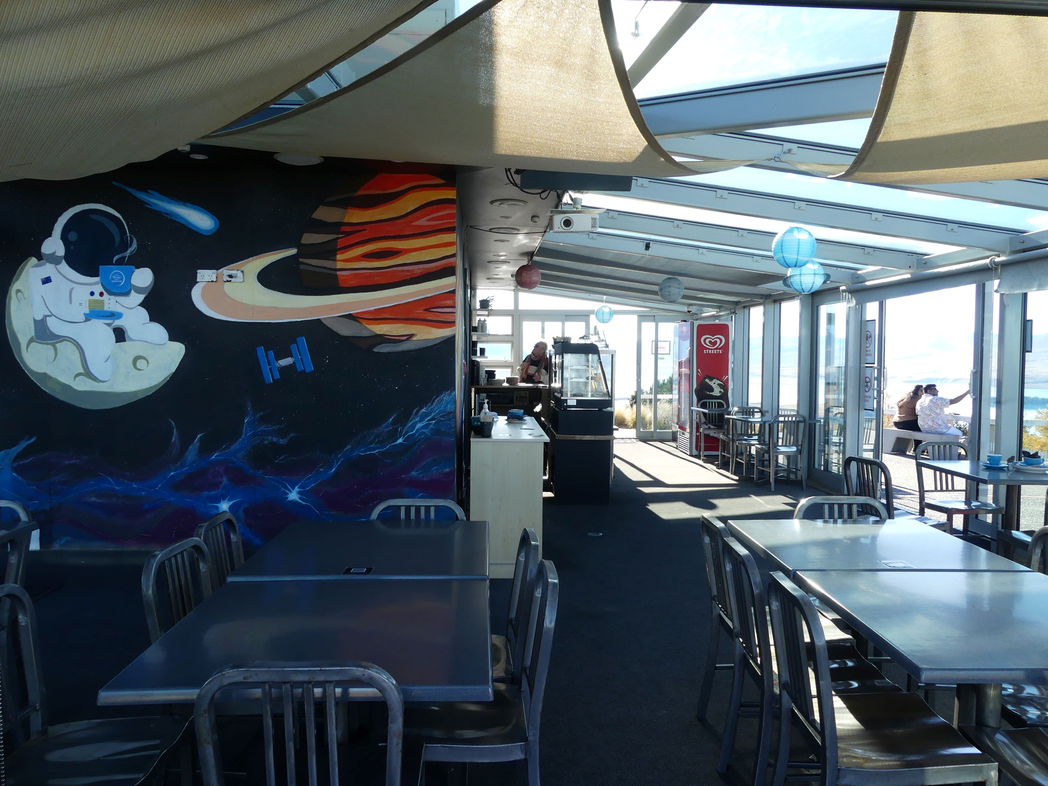
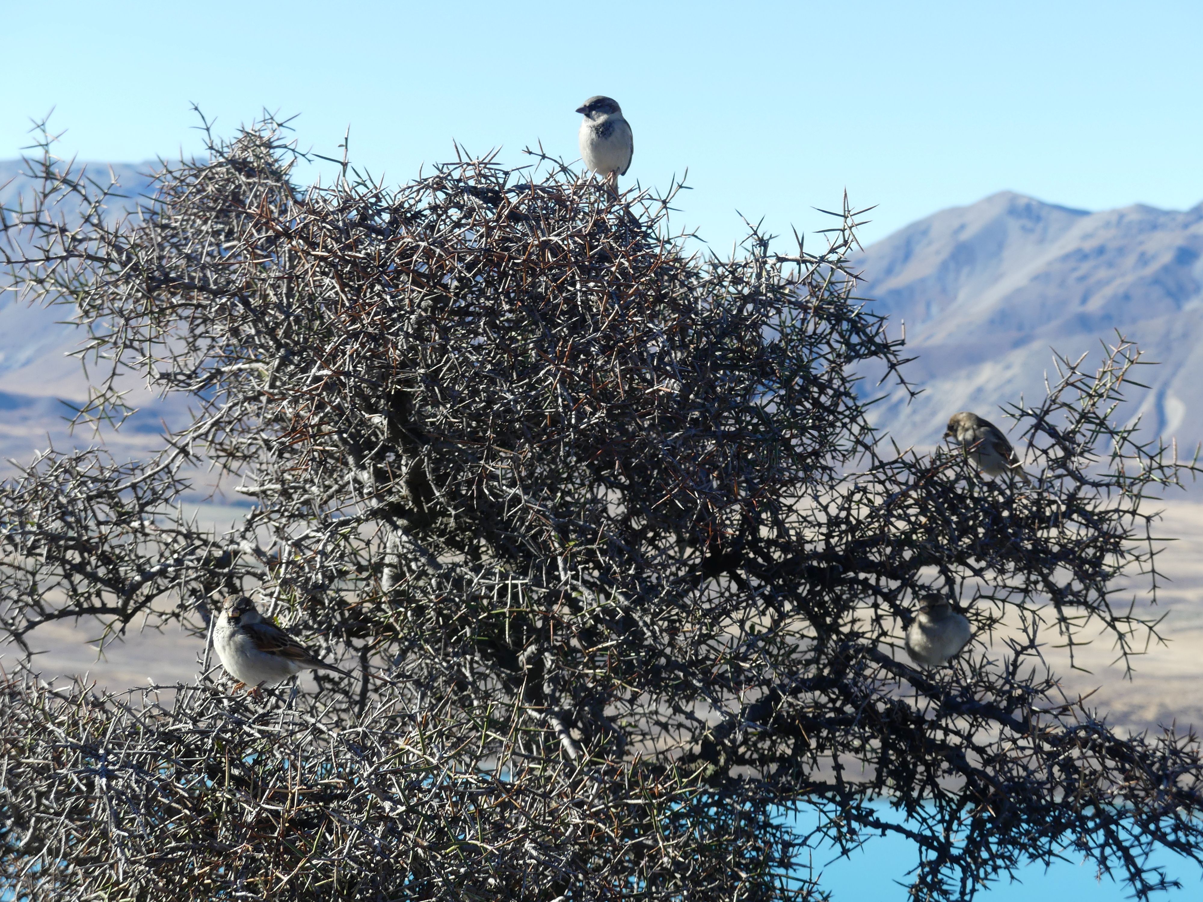
Time for another coffee and lunch so up we went to the Sky Café with its space scene at its entry. Here Kerry purchased her perfect drink vessel, and we perched on top of the mountain to have our lunch when joined by a flock of sparrows. They sat in that thorny bush until we moved on and then it was lunch for them.

The observatory and café, overlooking the village and lake, 90 degrees to the right, the observatory close up the café entrance, sparrows in thorny bush, solitary island in the lake.
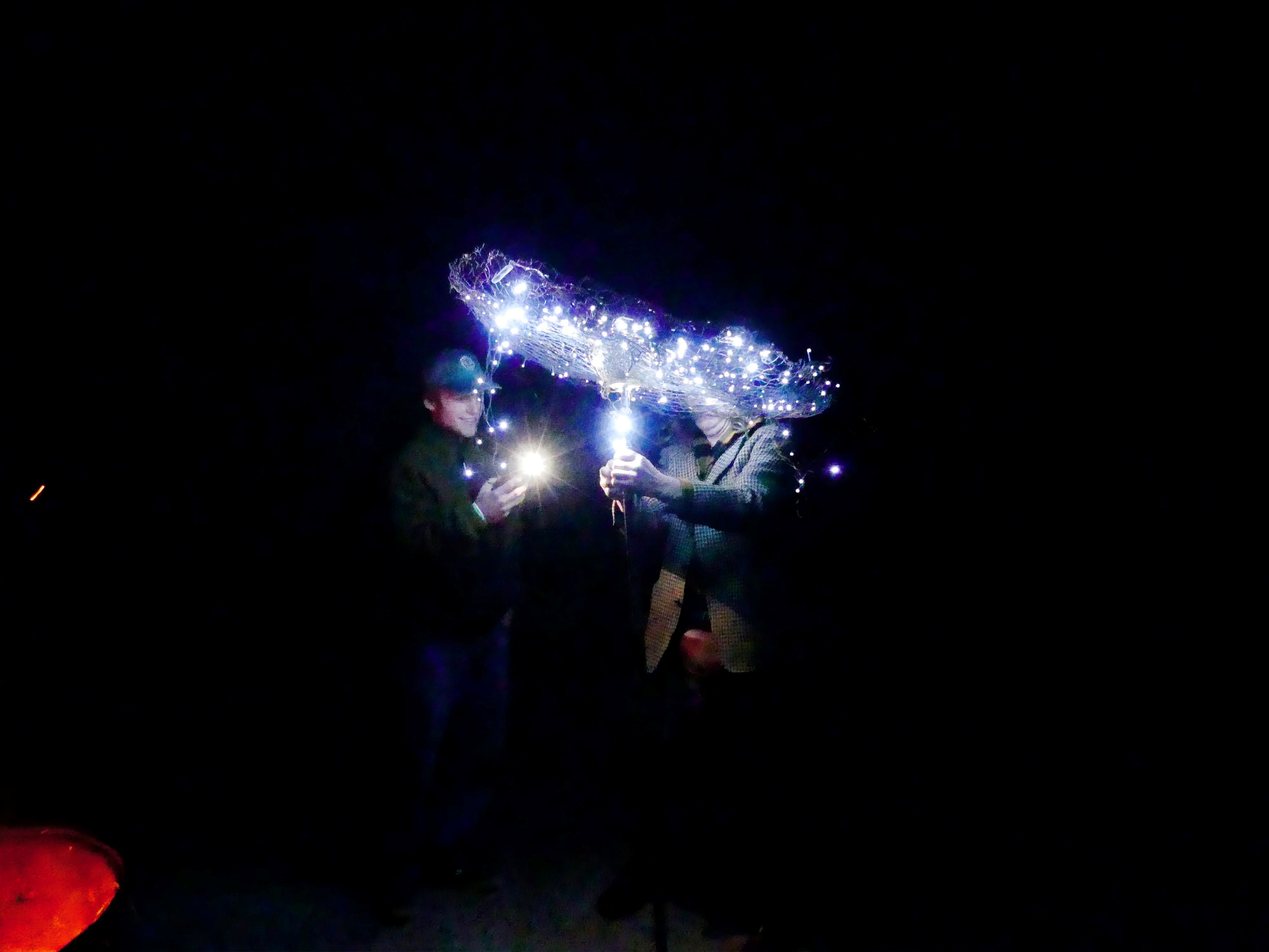
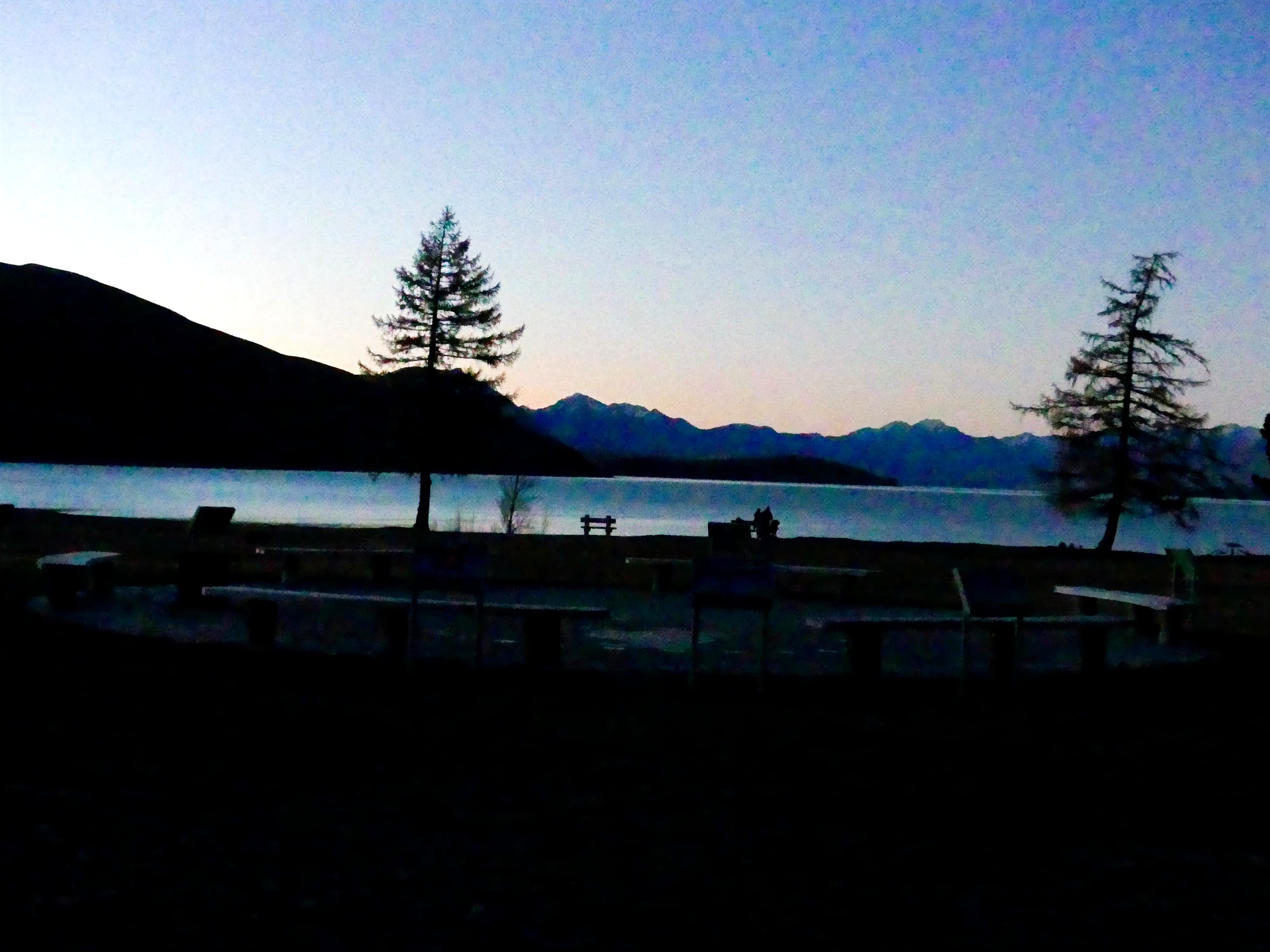
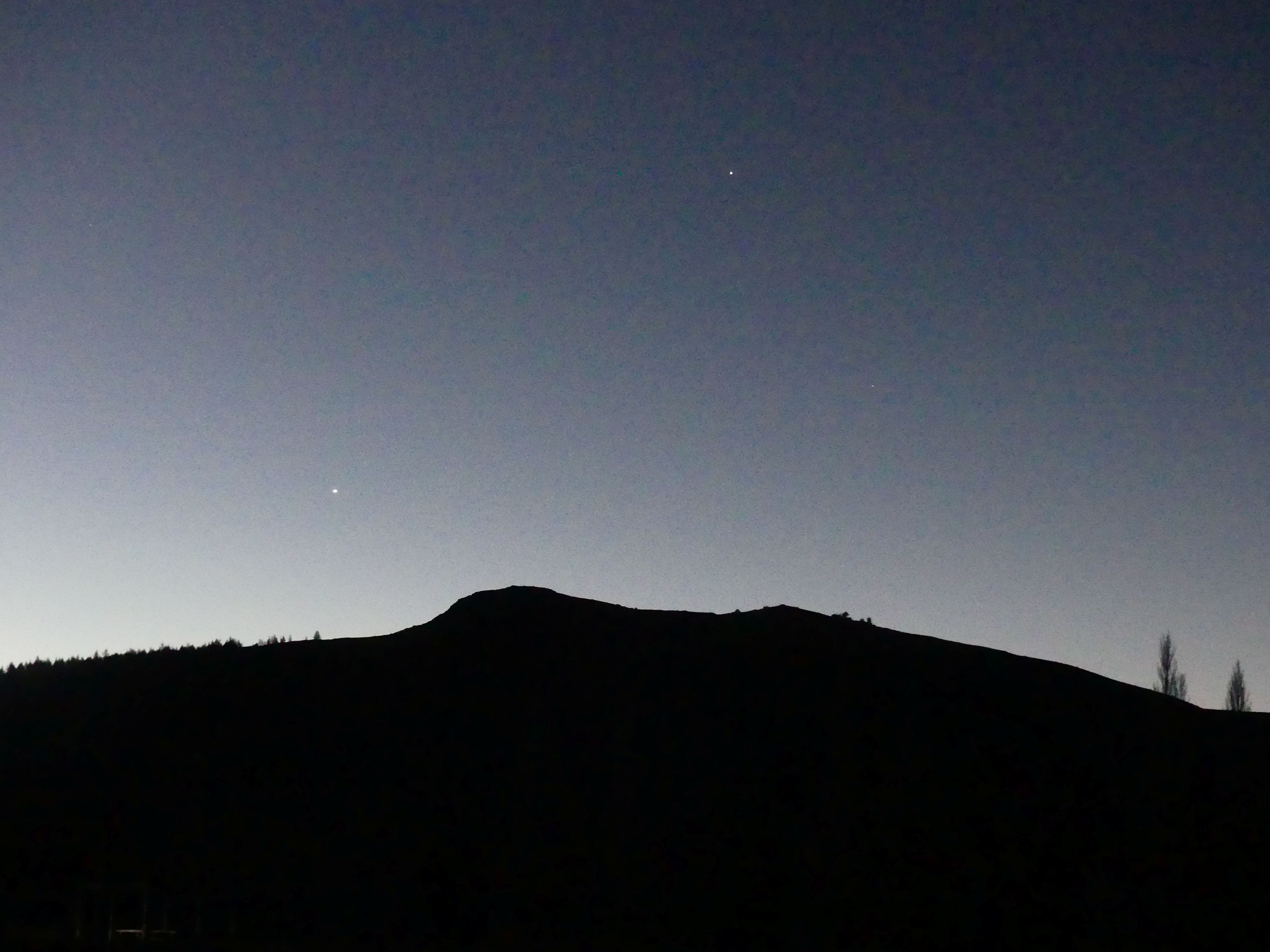
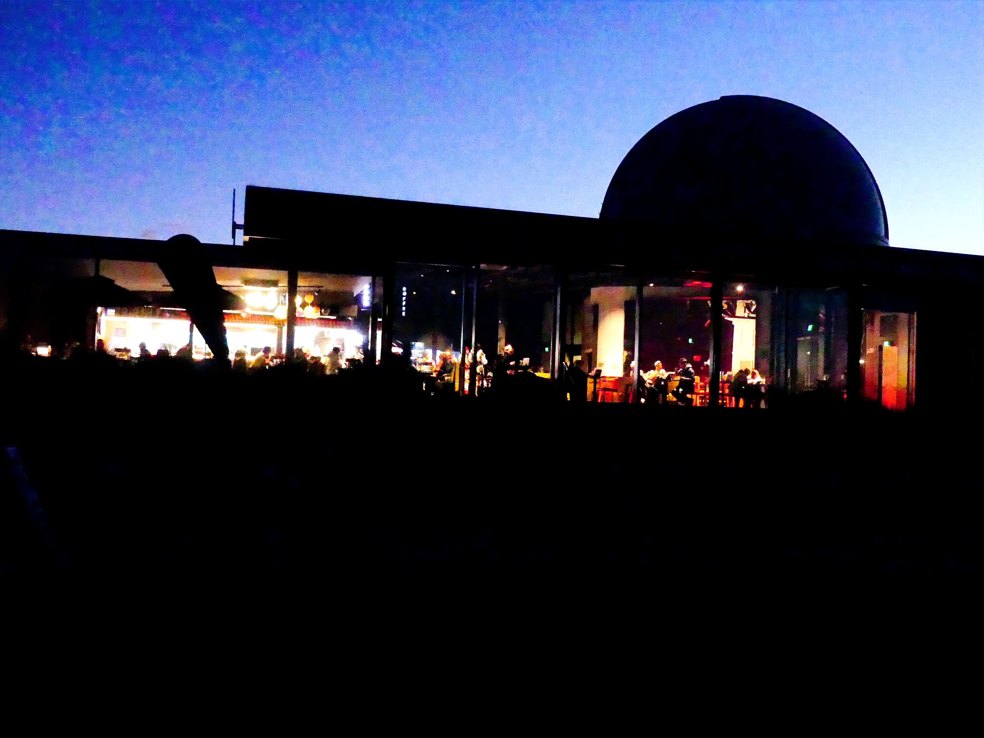
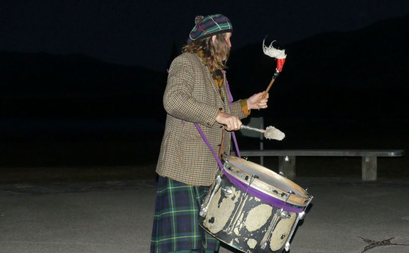
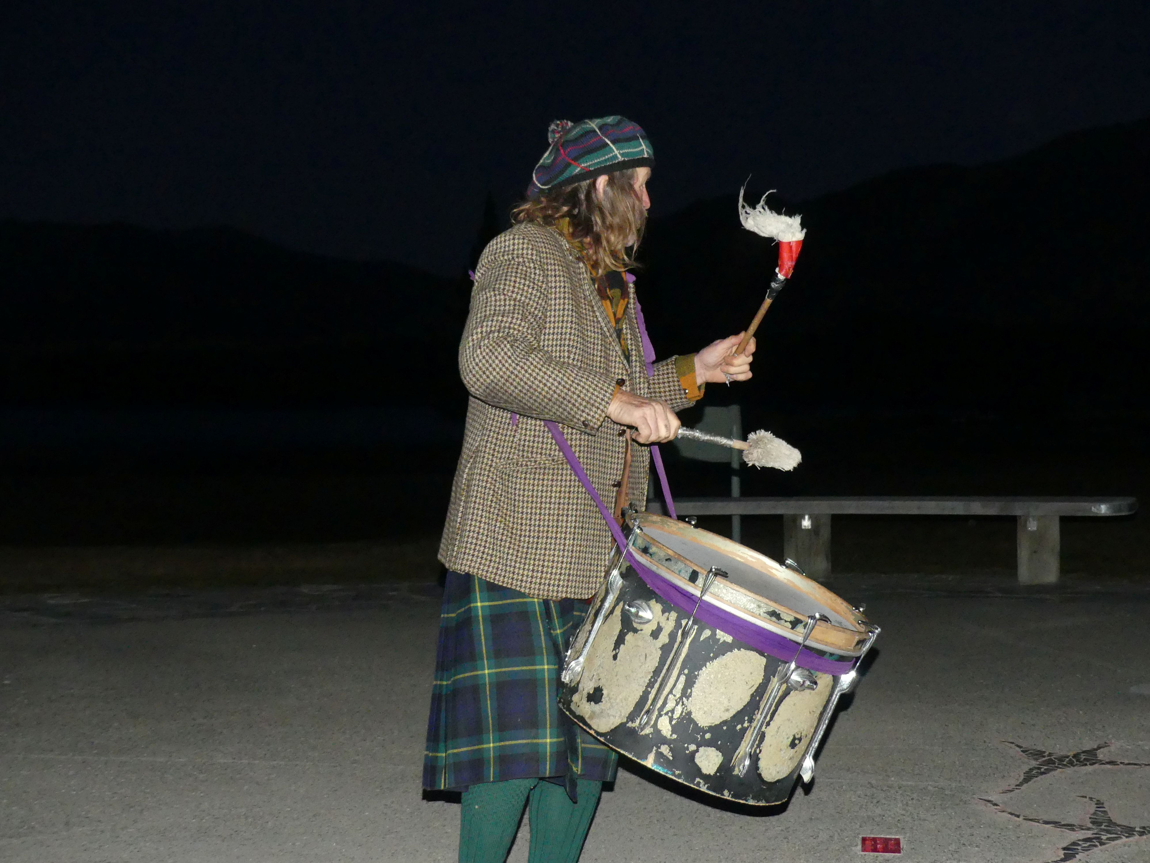
We went back to the village and while walking through it we read that Bill the Bard was delivering a performance on the lakes edge starting at sunset. Well, we rested for the rest of the afternoon as we would join Bill for his performance and then go to the Crater experience. Sunset and we sat at the listening circle awaiting Bill’s arrival. Dark Sky Project was alive with people in the restaurant and then Bill arrived in an old station wagon, and he hopped out in his kilt to unload his gear. This was a bloody cold night and the wind up his kilt must have chilled. At first, it was bill and the 4 of us but by the time bill had unloaded the 44-gallon drum fireplace and his drum we had another family join us. The moon was almost full; the sun had almost disappeared behind the observatory on the mountain and Bill started on his drum. He told his story and we had a sing-along then he produced an umbrella which he raised and lit with light providing imitation of the Milky Way. For this performance he left it to the audience to determine his value, so we rewarded him modestly but retained the memory of Bill the Bard.

Sunset at the lake, Dark Sky alive, the moon, the mountain, the fireplace, Bill and his magic umbrella
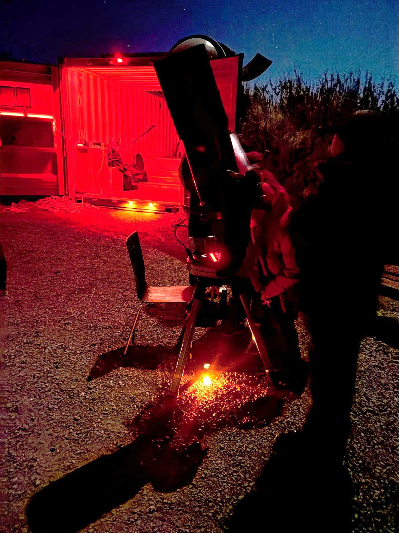
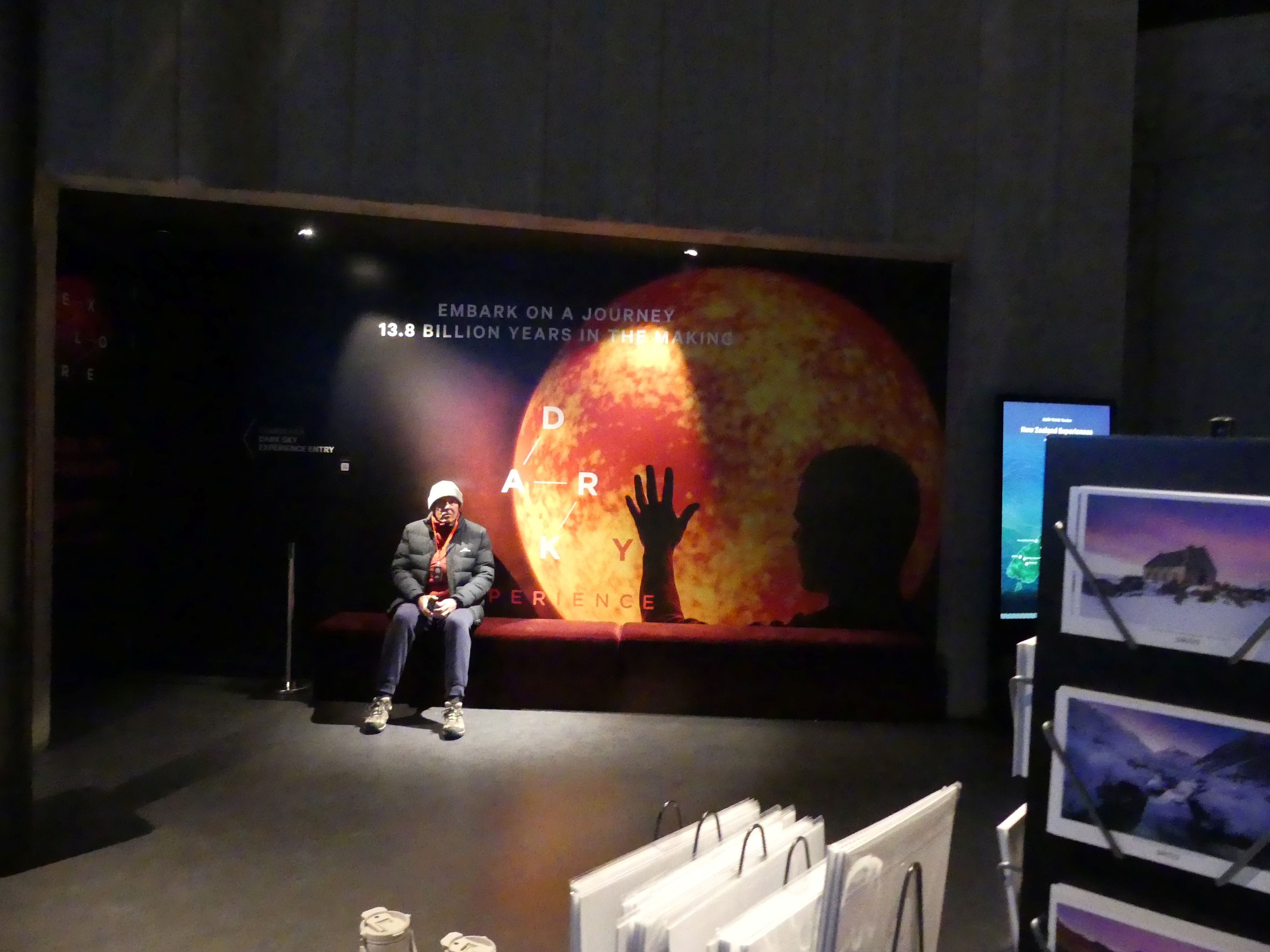
We enjoyed a fish and chip dinner in a Chinese café (yes, I am still puzzled that we ordered in one café and went next door to collect the meals from a different café which we consumed in the first café). Refreshed and watered we went back to Dark Sky project to board our bus to the Crater Experience. Barry waited under a rather threatening sign but the threating arm was a shadow from a mannequin. Right on time the bus arrived, and we began our Crater Experience. There were about 20 of us on the bus. Fifteen minutes down the main road we turned off into the bush and wound our way to a circle of shipping containers and sundry sheds. Our astronomy hostess was from the University of Canterbury the institution that operated the Mount John Observatory and manned the café with students. We went around the dark sky, and she pointed out salient points. Her assistants meanwhile lined up two telescopes for us to use to more closely observe the sky. It was a very enjoyable but very cold experience, so it was great to get back on the bus.

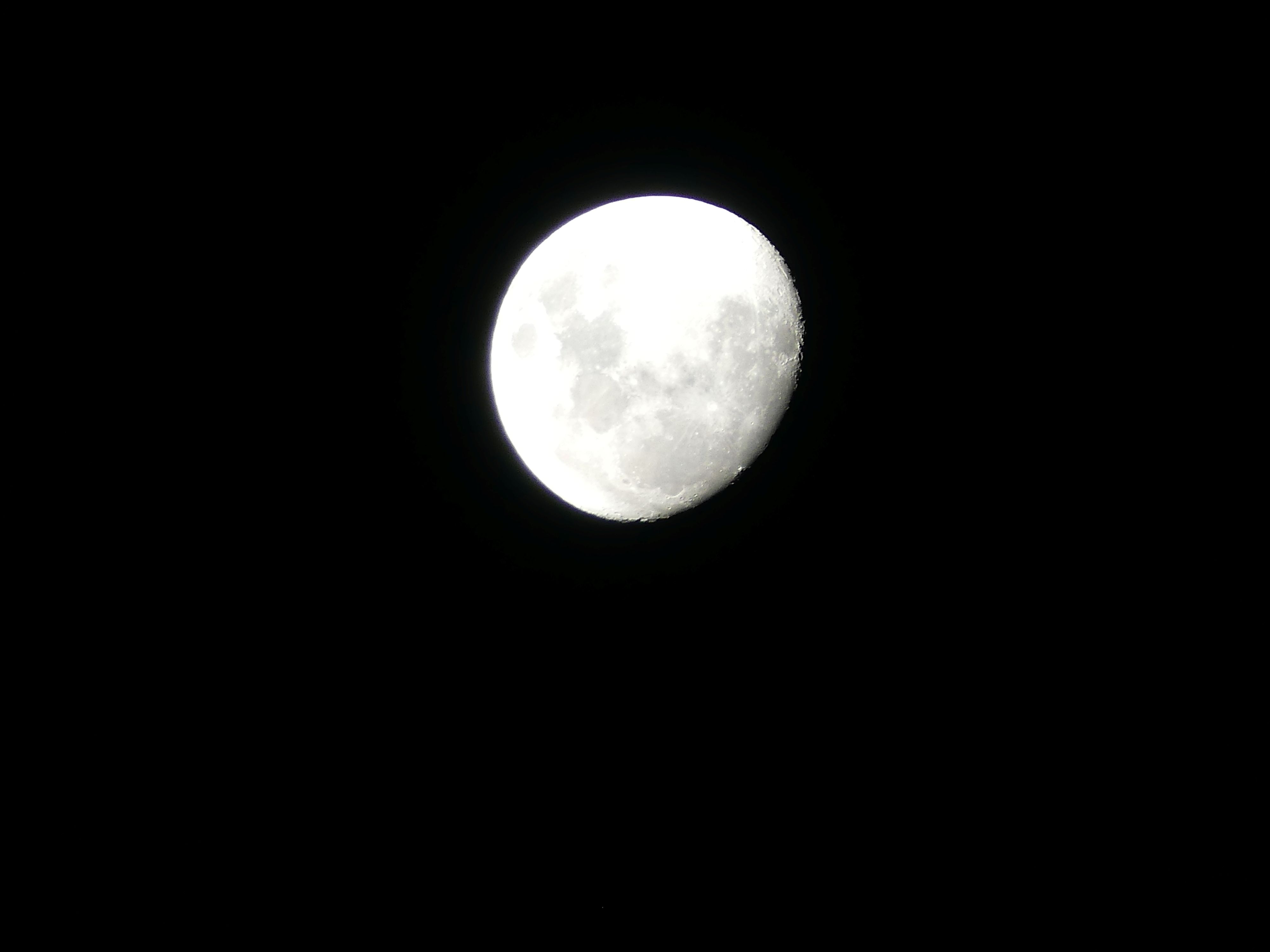
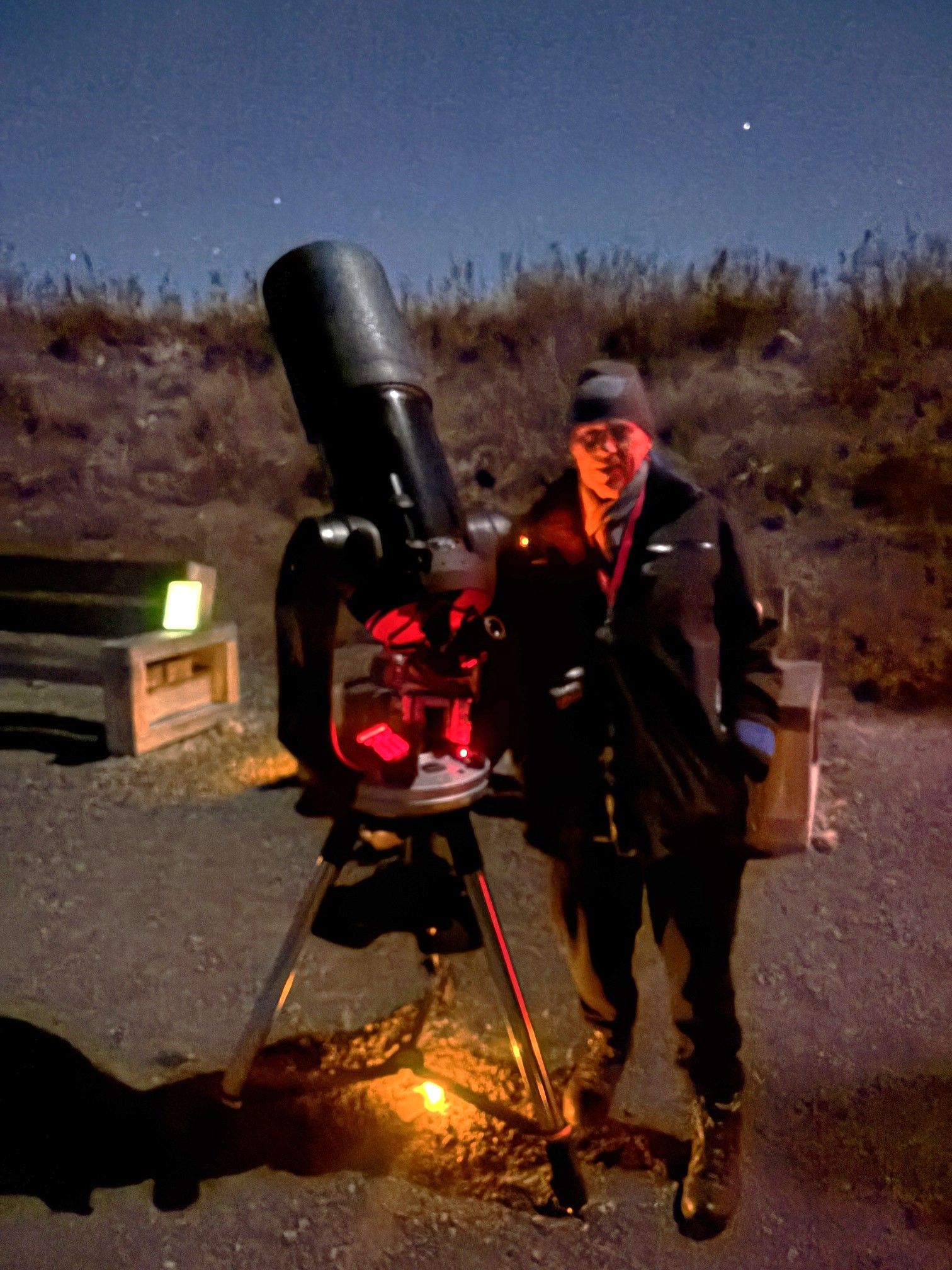
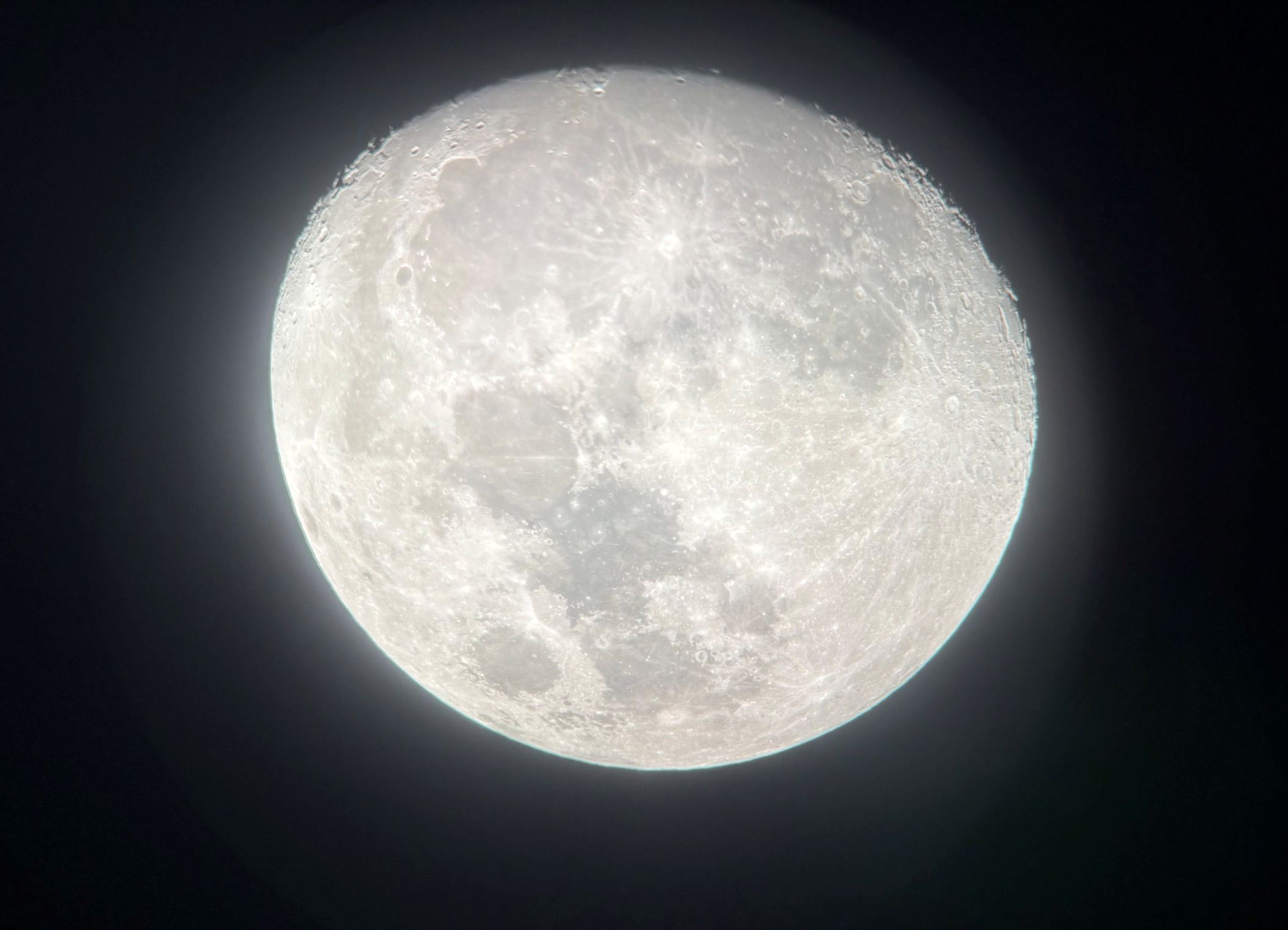
Barry under threat, the Crater, me and the telescope, Kerry and the telescope, the night sky and the moon through the telescope.
Home to bed and Lake Tekapo to Christchurch tomorrow. Keep watching for Episode 5 here on THE RETIREES VISIT THE SOUTH ISLAND ACROSS THE DITCH.
THE RETIREES VISIT THE SOUTH ISLAND ACROSS THE DITCH blog 495 Episode 3

19TH MAY TO 10TH JUNE 2026

Carrying on from Episode 2 here are the photos from the upper floor.

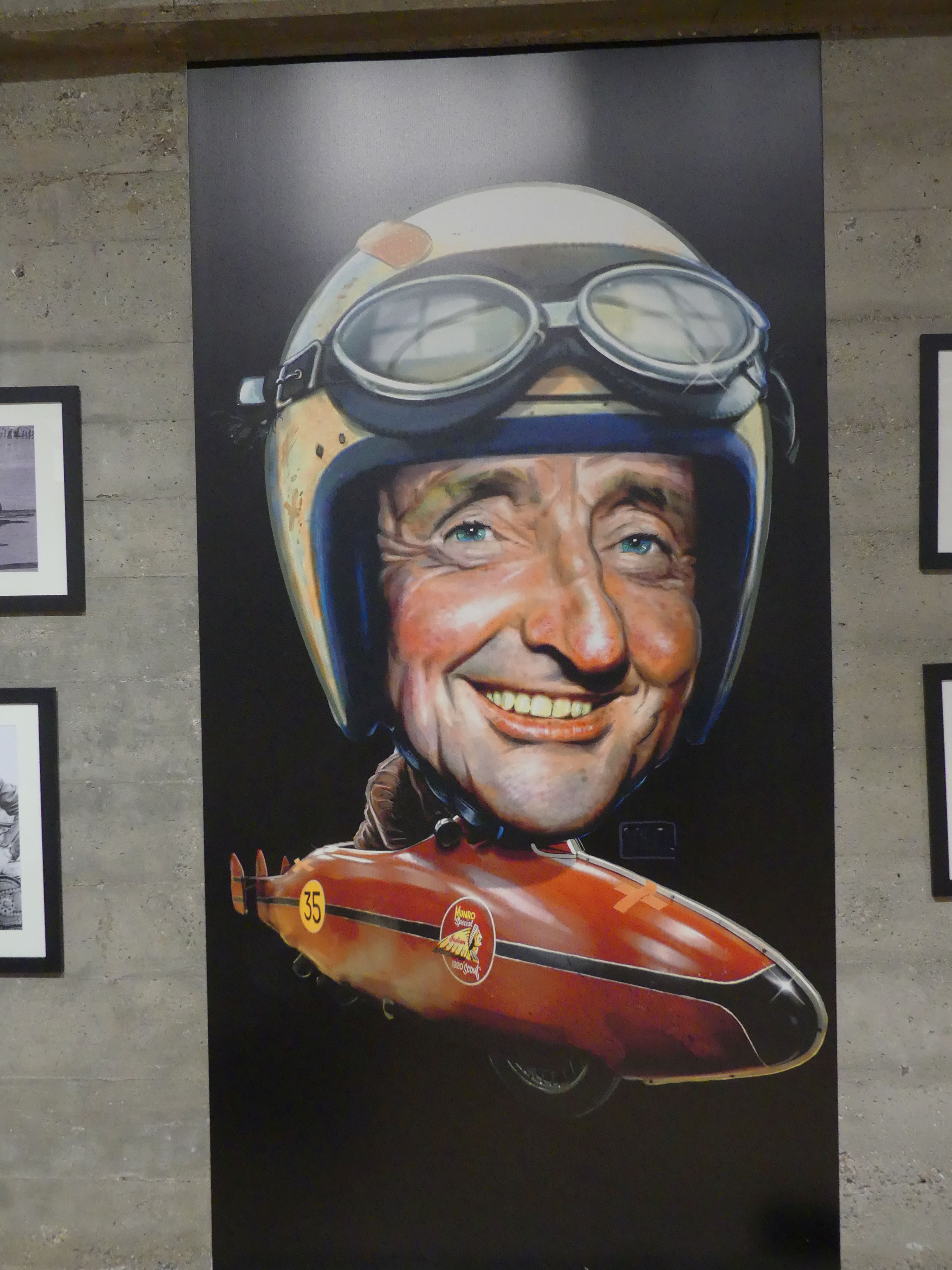
Burt Munro and the World’s Fastest Indian

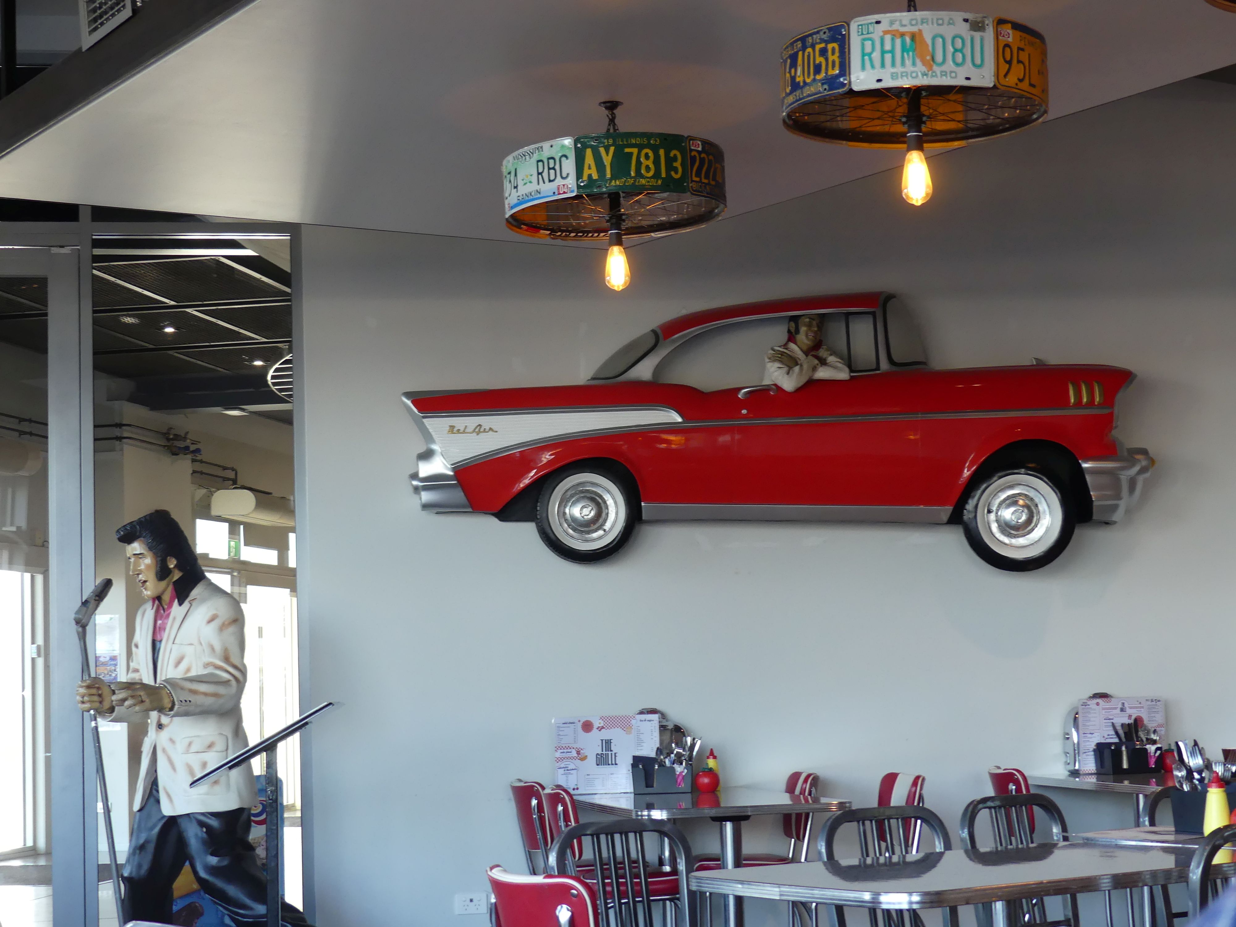
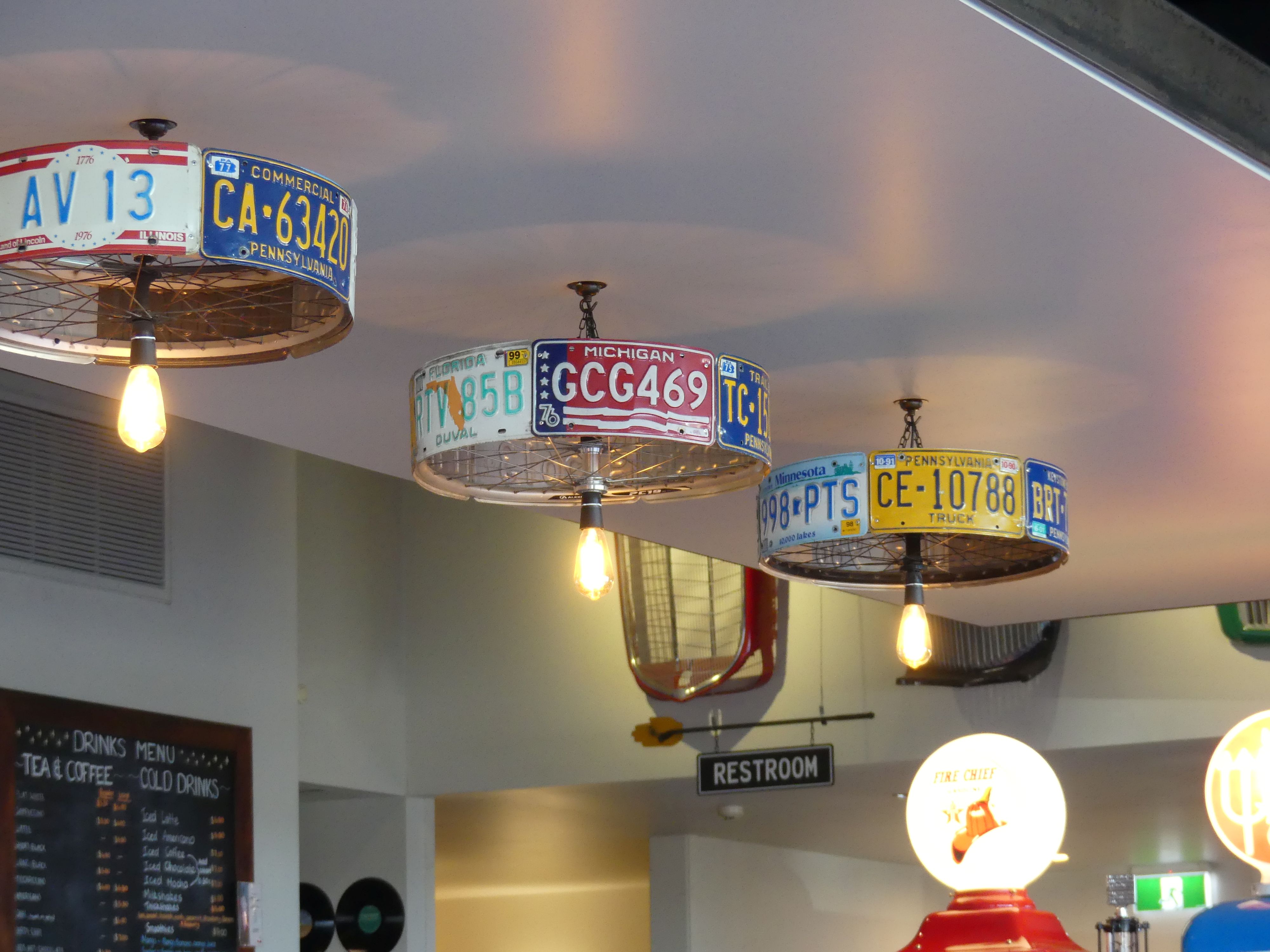
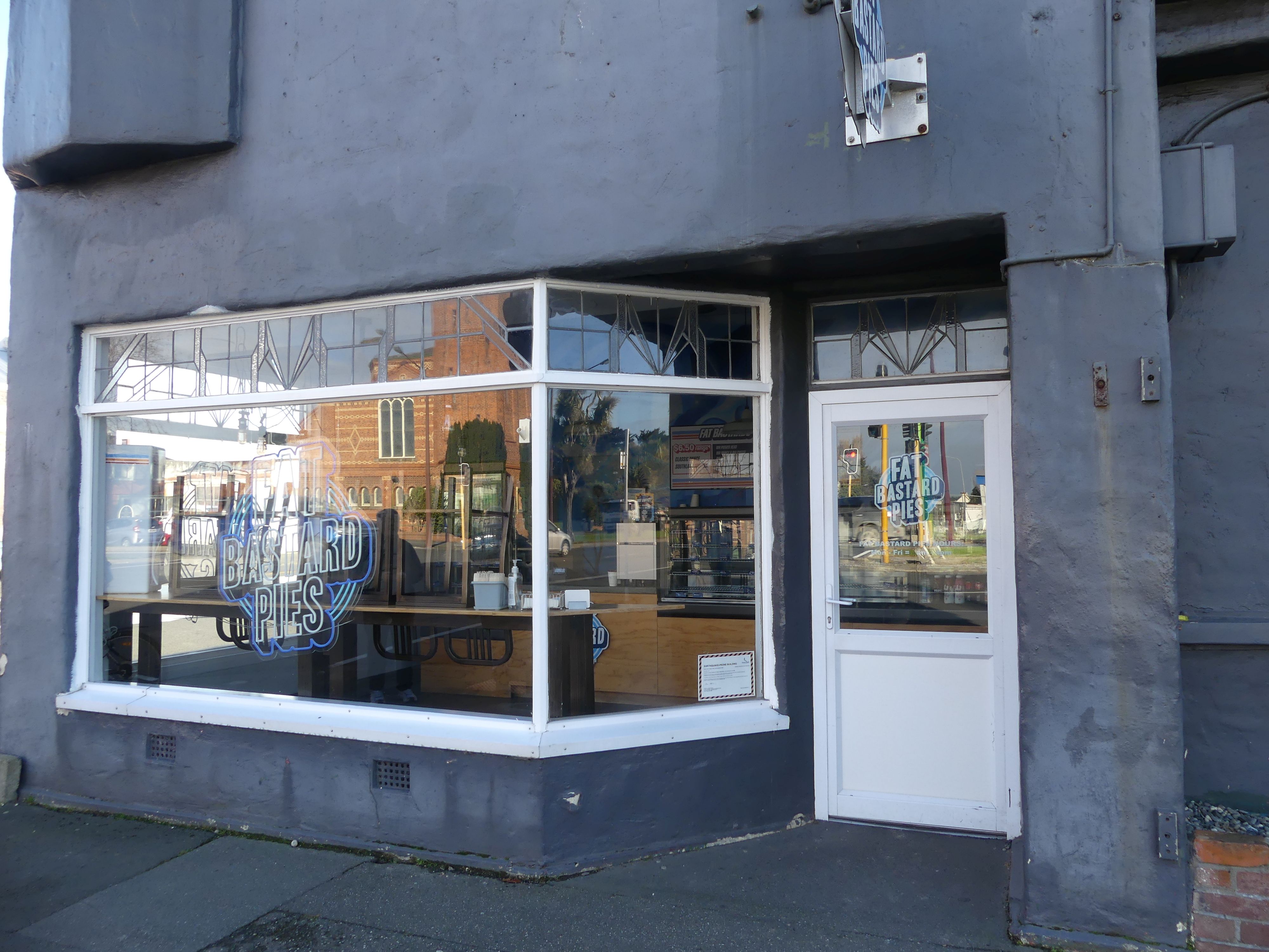
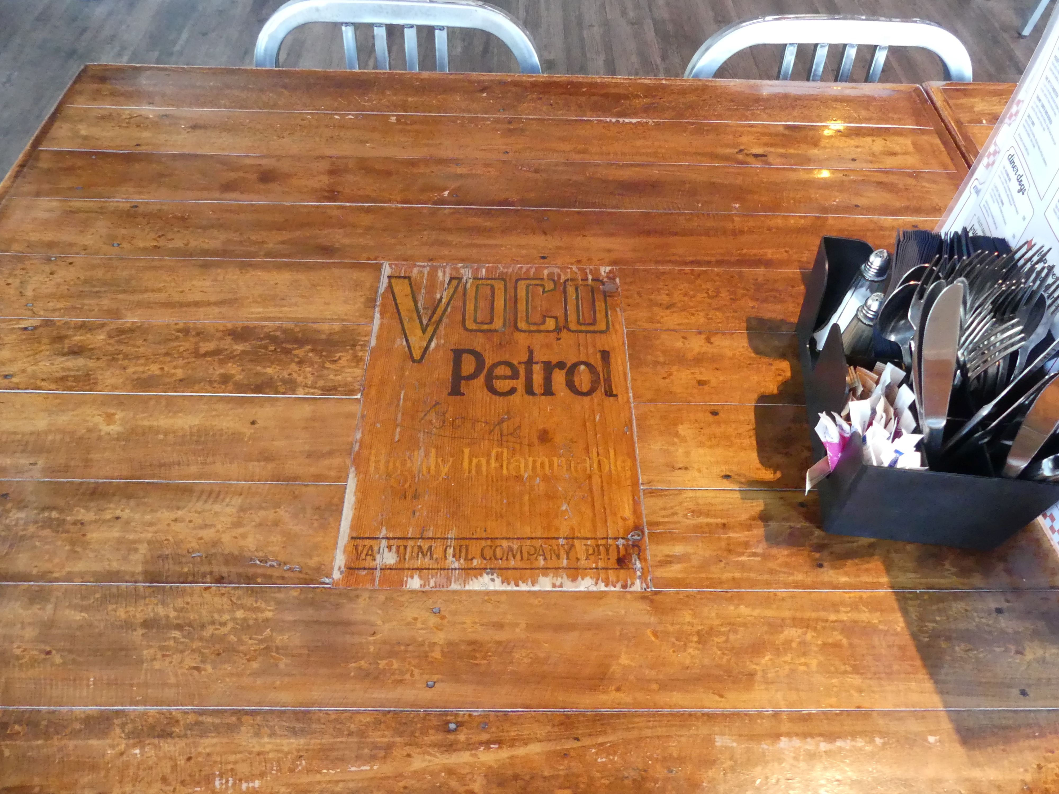
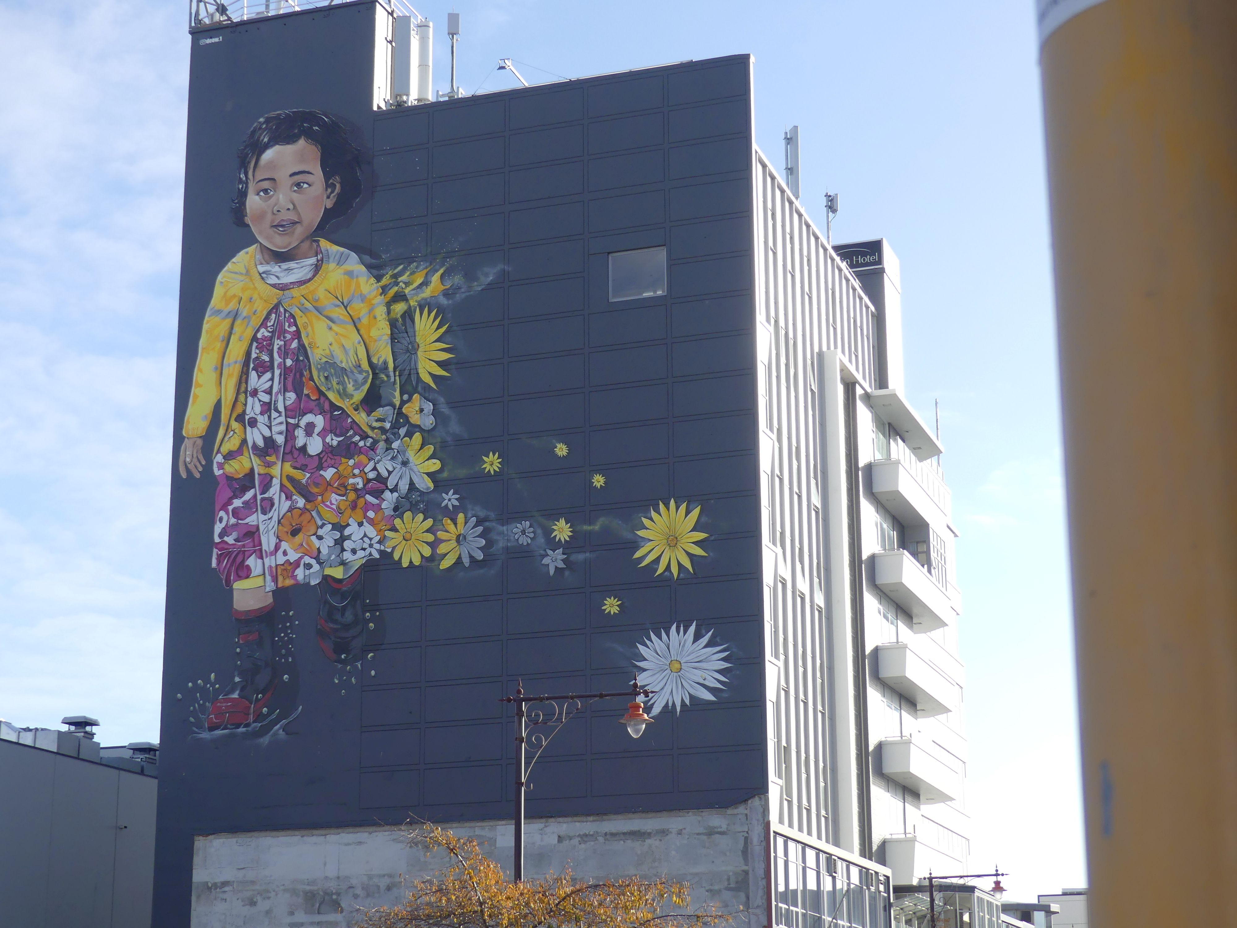
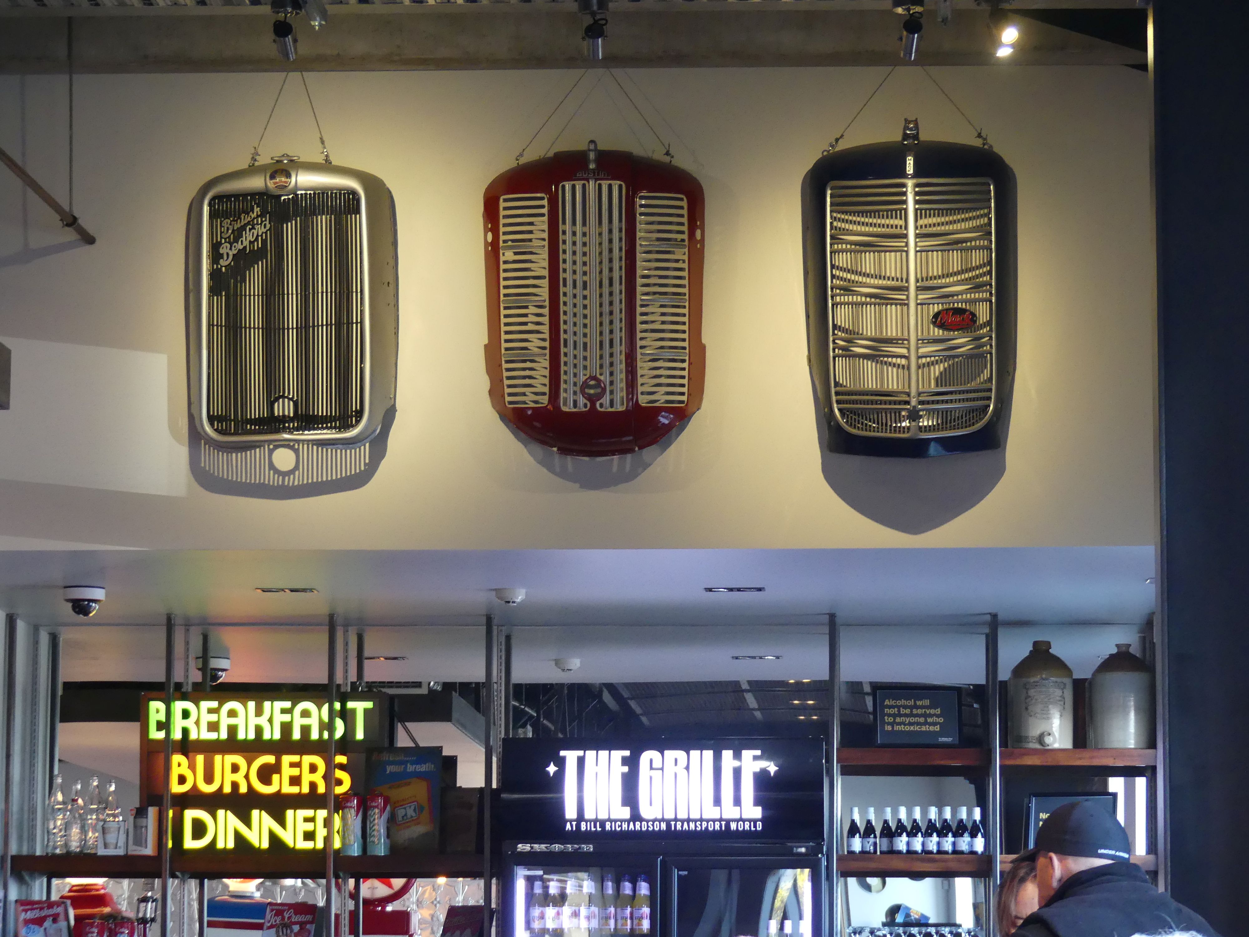
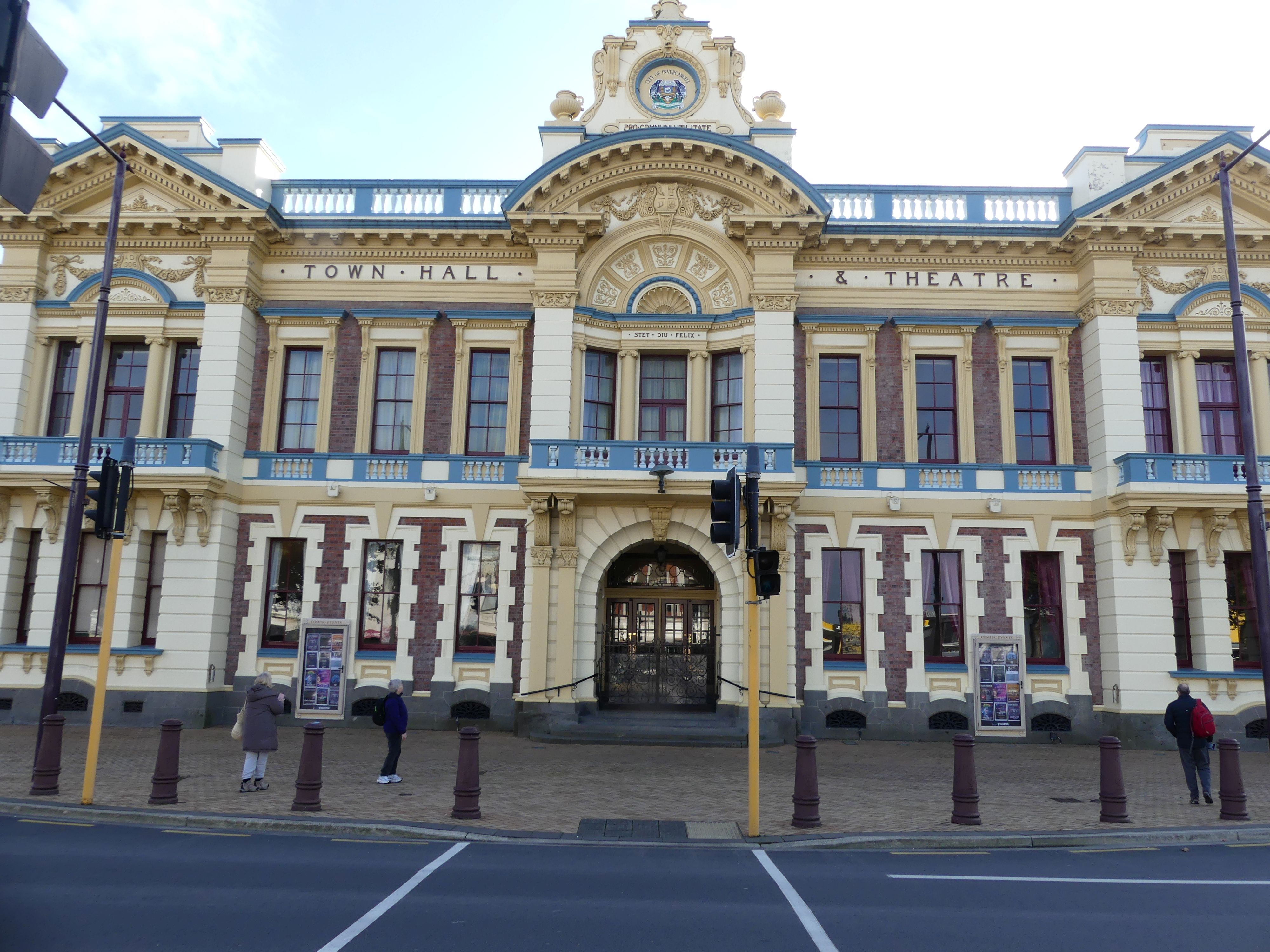
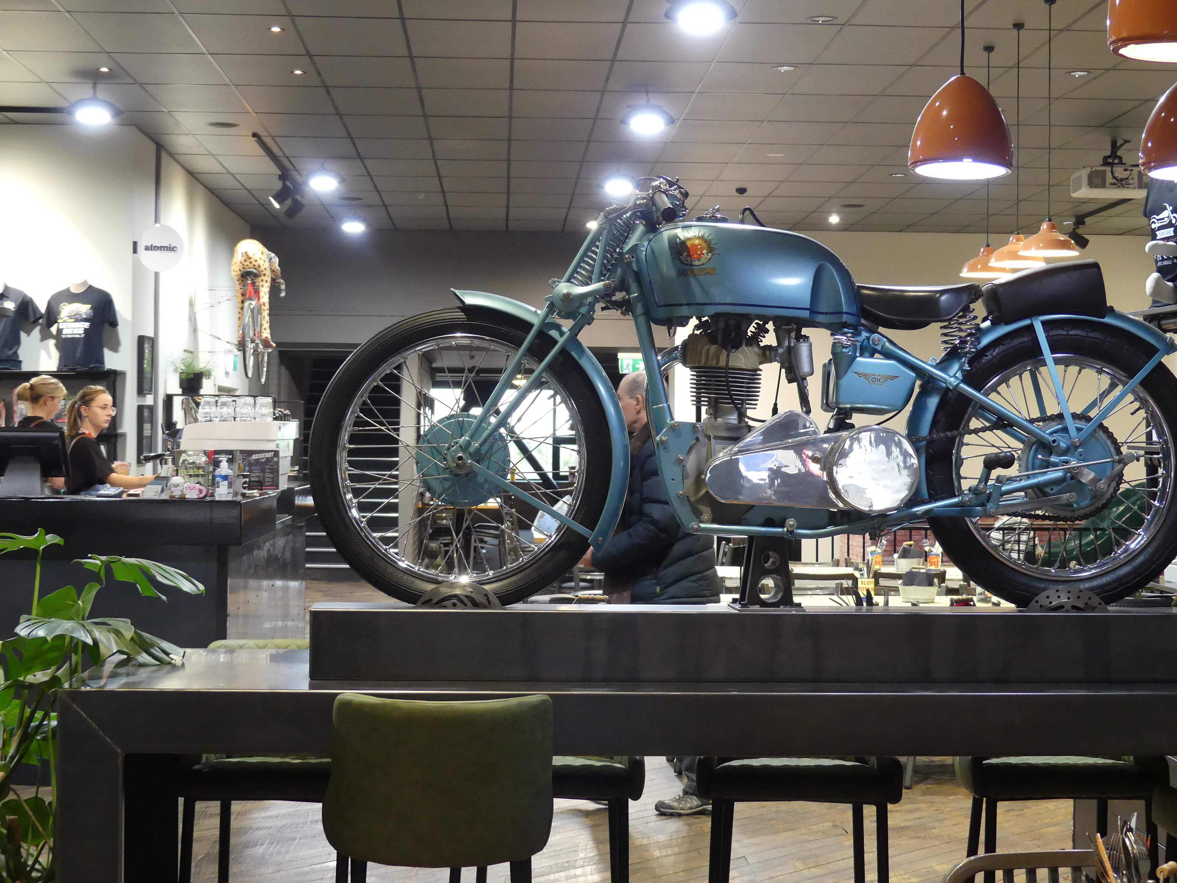
Having spent the morning at the museum, Barry and I now wanted to see the collection of Bill Richardson and his friends. We only had a tourists map and it didn’t look to be too far to walk; so, we did and it was a bloody long way. On the way we saw some more street art, the Town Hall and Fat Bastard Pies. When we finally arrived; yes, you guessed it we needed a coffee, so, the first place we checked out was the café. It was uniquely decorated with memorabilia – number plates as lamp holders on the ceiling, old radiator covers advertising “the grill”, and the tabletops made from recycled timber from oil barrels. Even Elvis made an appearance.

The cafe and the sights/sites

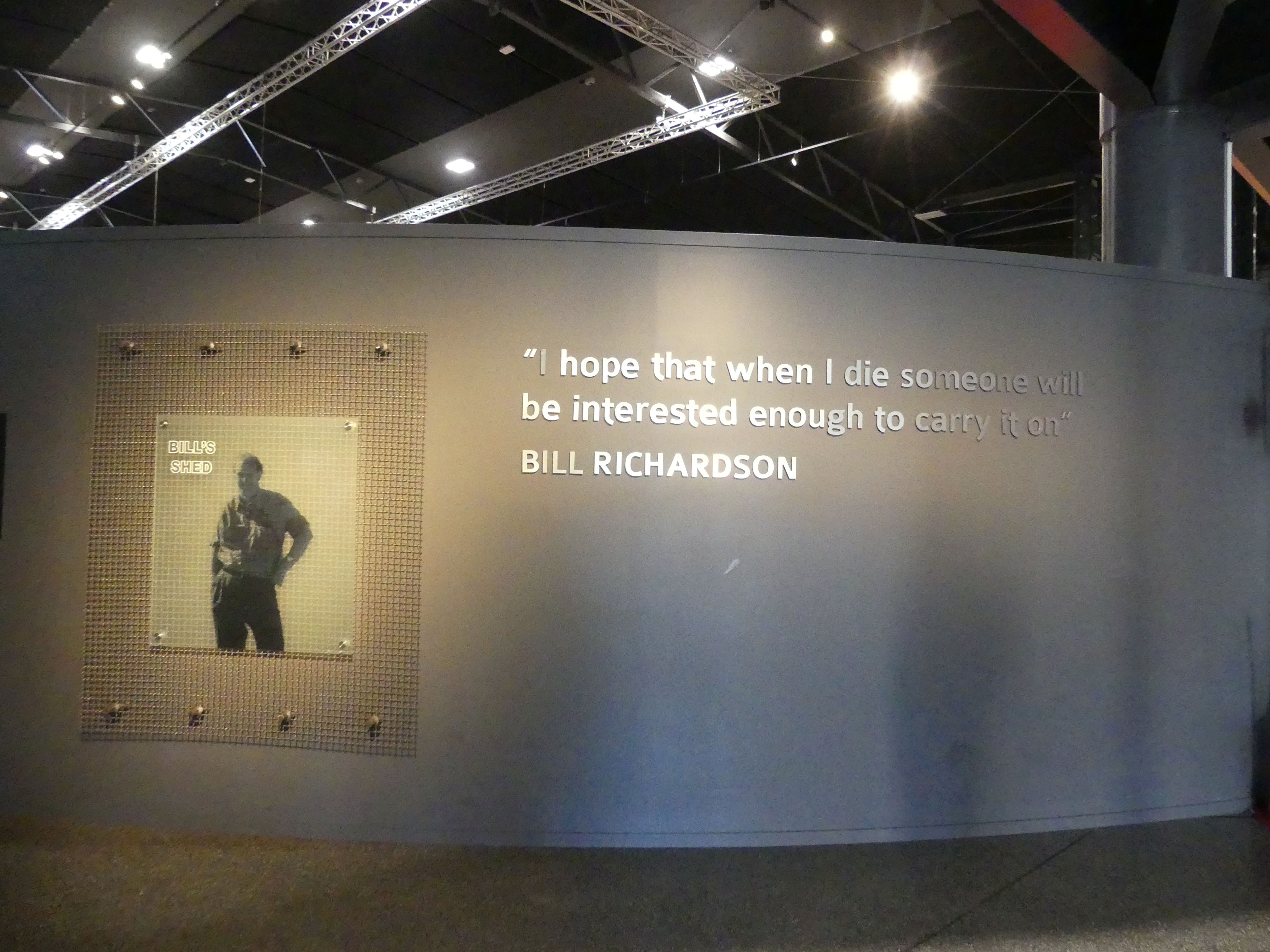
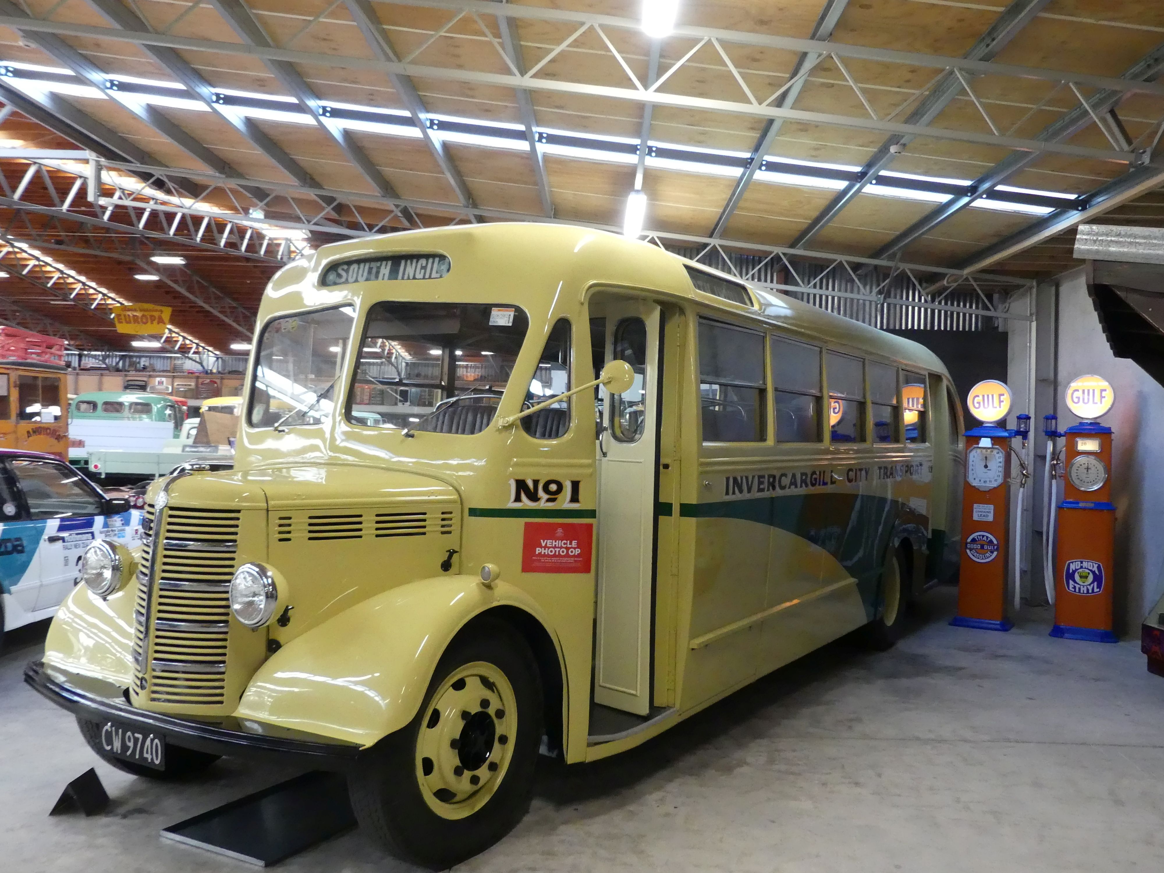
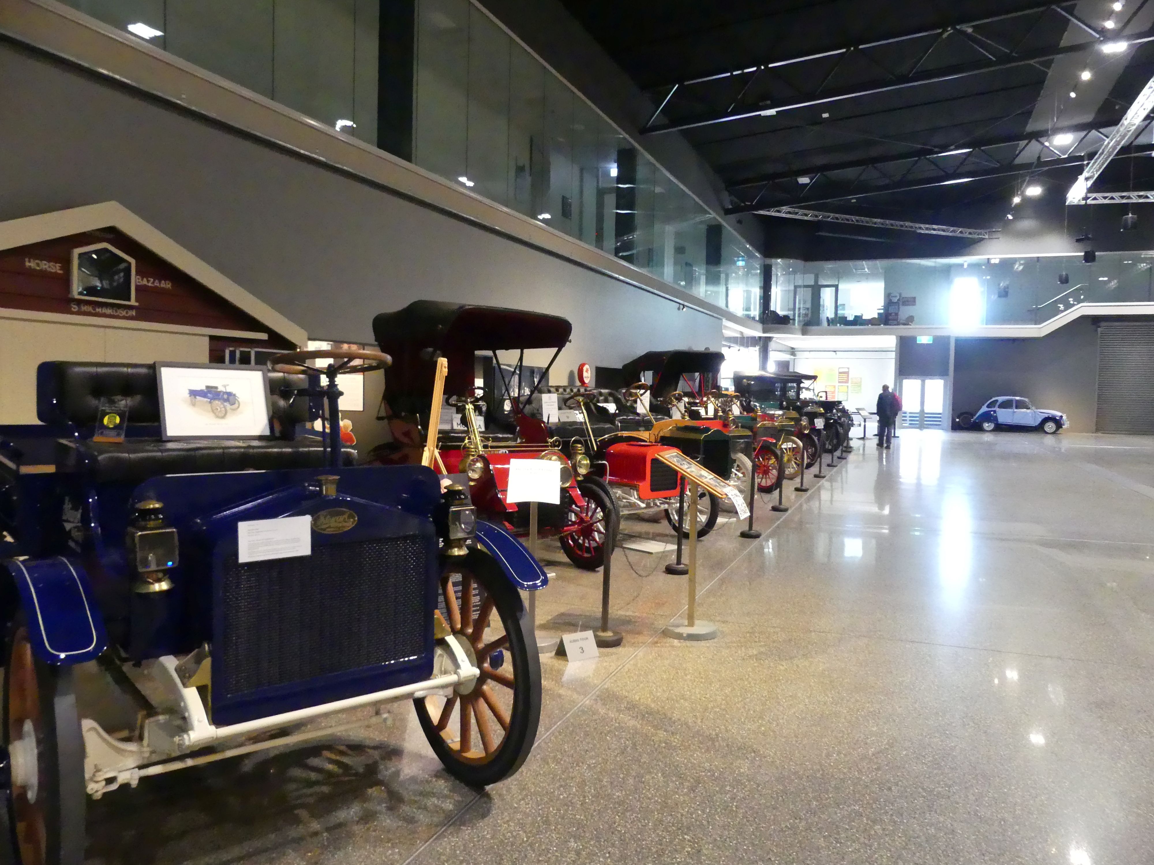
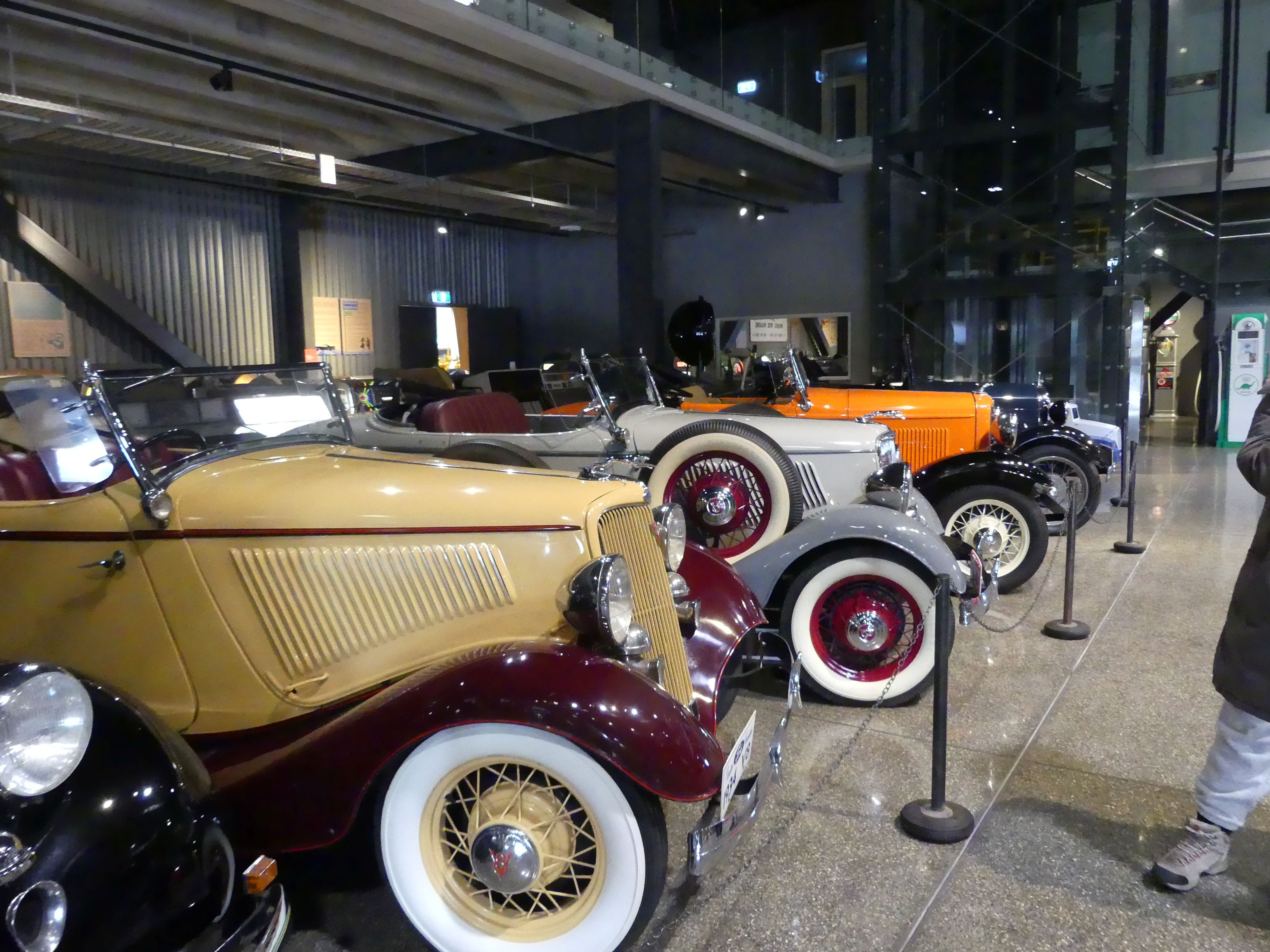
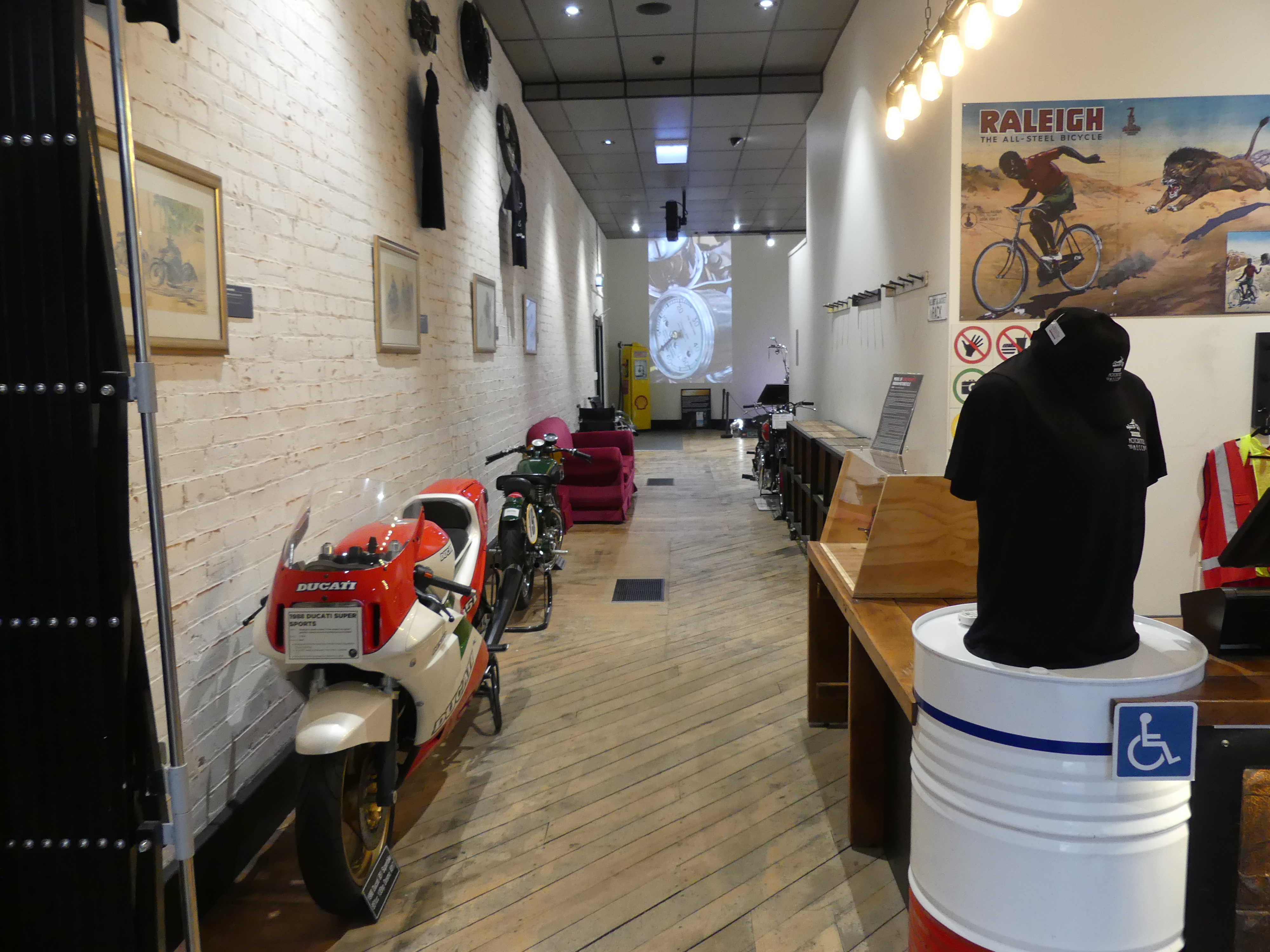
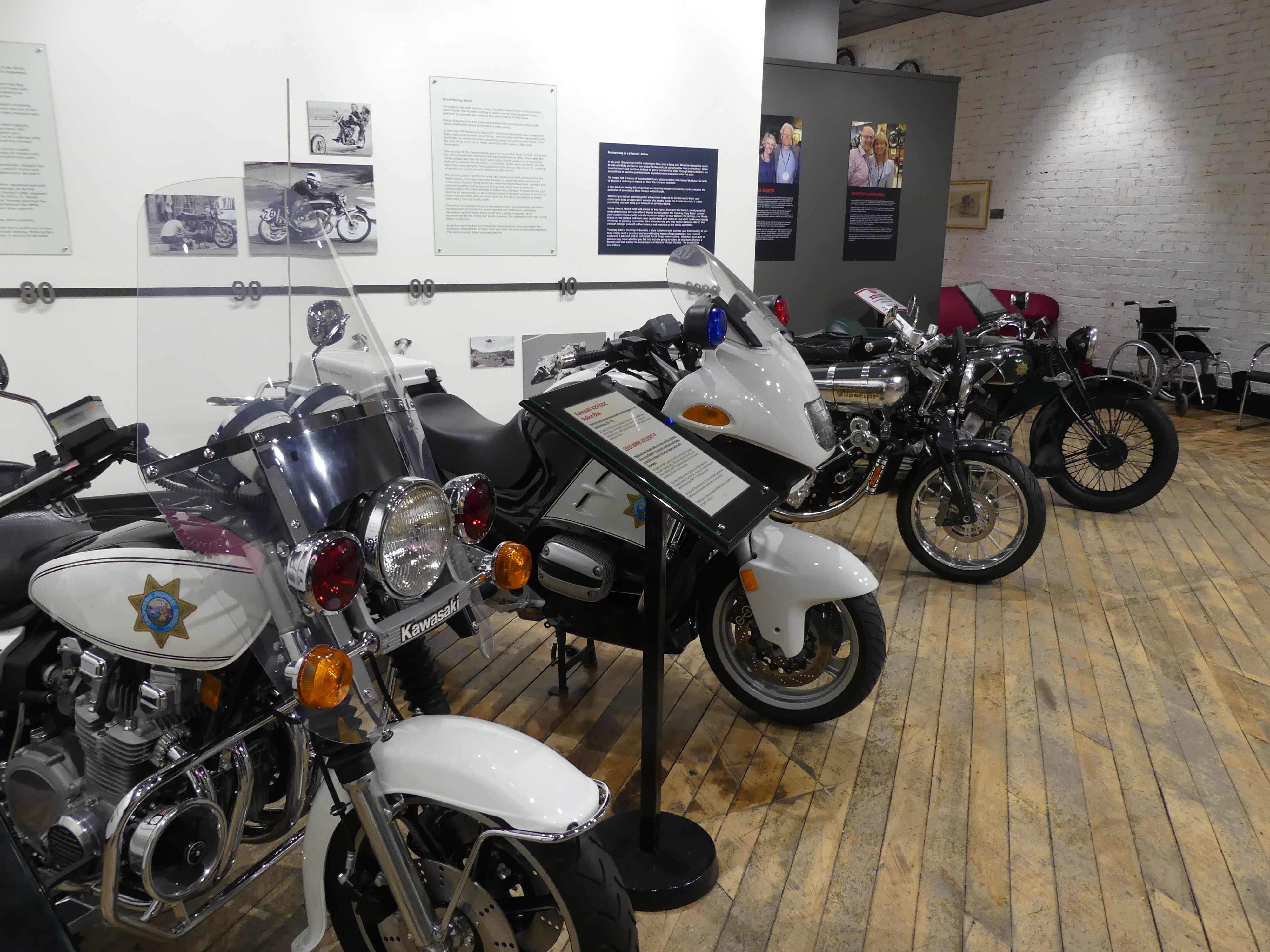
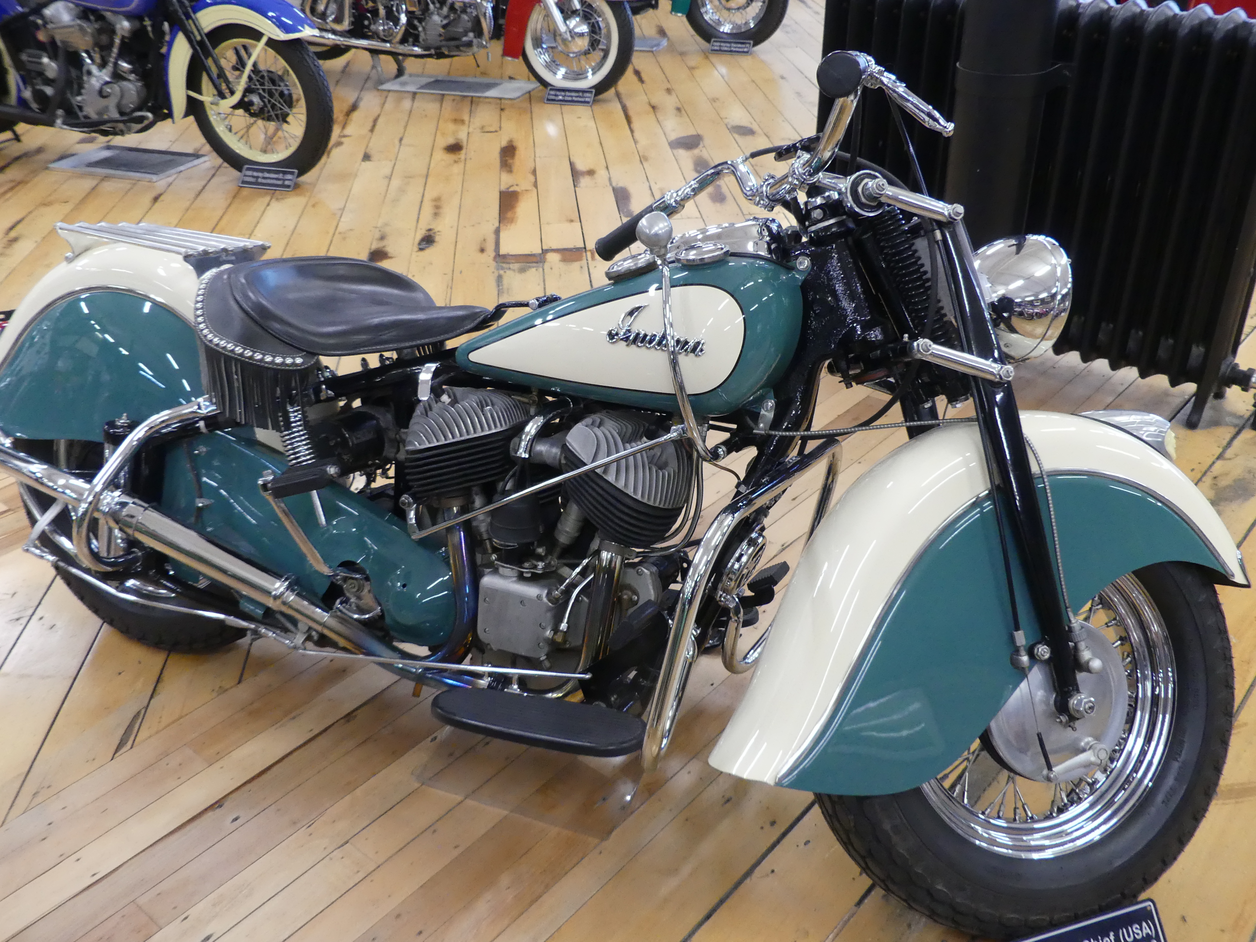
The museum was made up of the collections of Bill Richardson and his mates and what tremendous display.

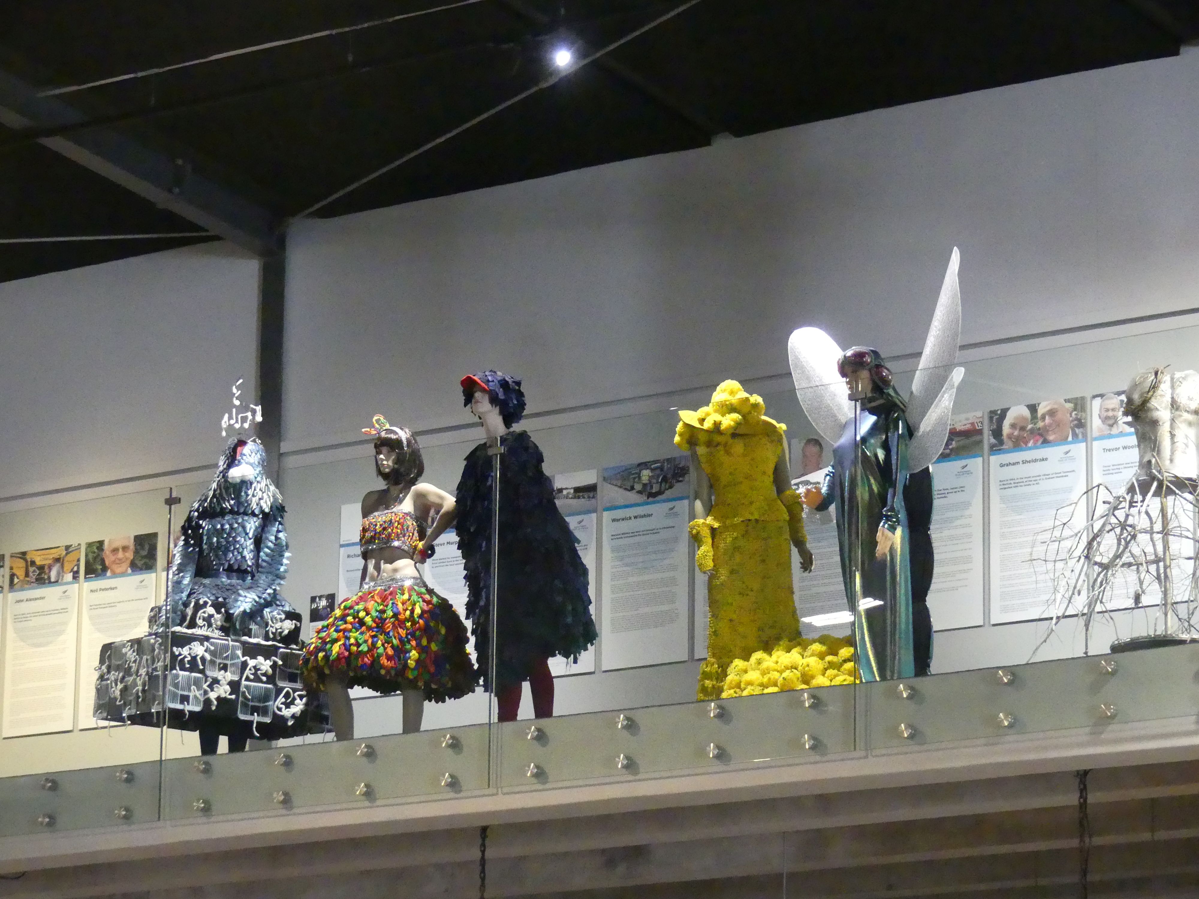
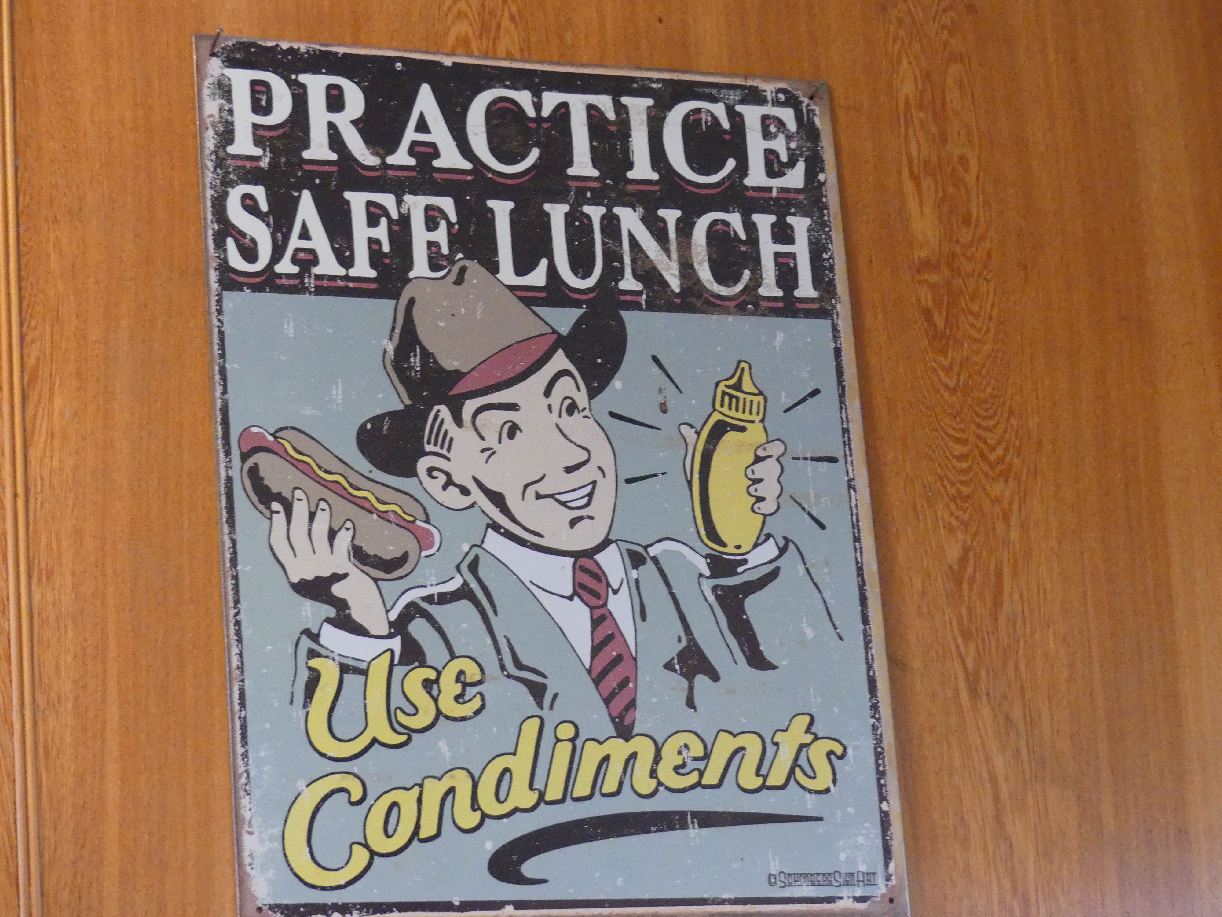
The girls discovered there was fashion on display also and merrily left the boys with the cars,trucks and buses. By the time we had viewed all the cars, we were confronted with the walk back to the Ibis. This time we caught a cab to Queens Park to have lunch. We had been advised to try the café in Queens Park, and we had had enough of walking. Lunch was okay but more enjoyable was the cooling milkshake. It was here that we received some very sage advice “Practice safe lunch – use condiments”. So, we did.

Having rested we decided to walk back to the hotel. Passing the Fat Bastard Pie Shop then the Town Hall, we knew we were close to home. That evening we resume our card playing and plotted how we would avoid parking fines in Tay St.

Day 7   Invercargill to Dunedin           

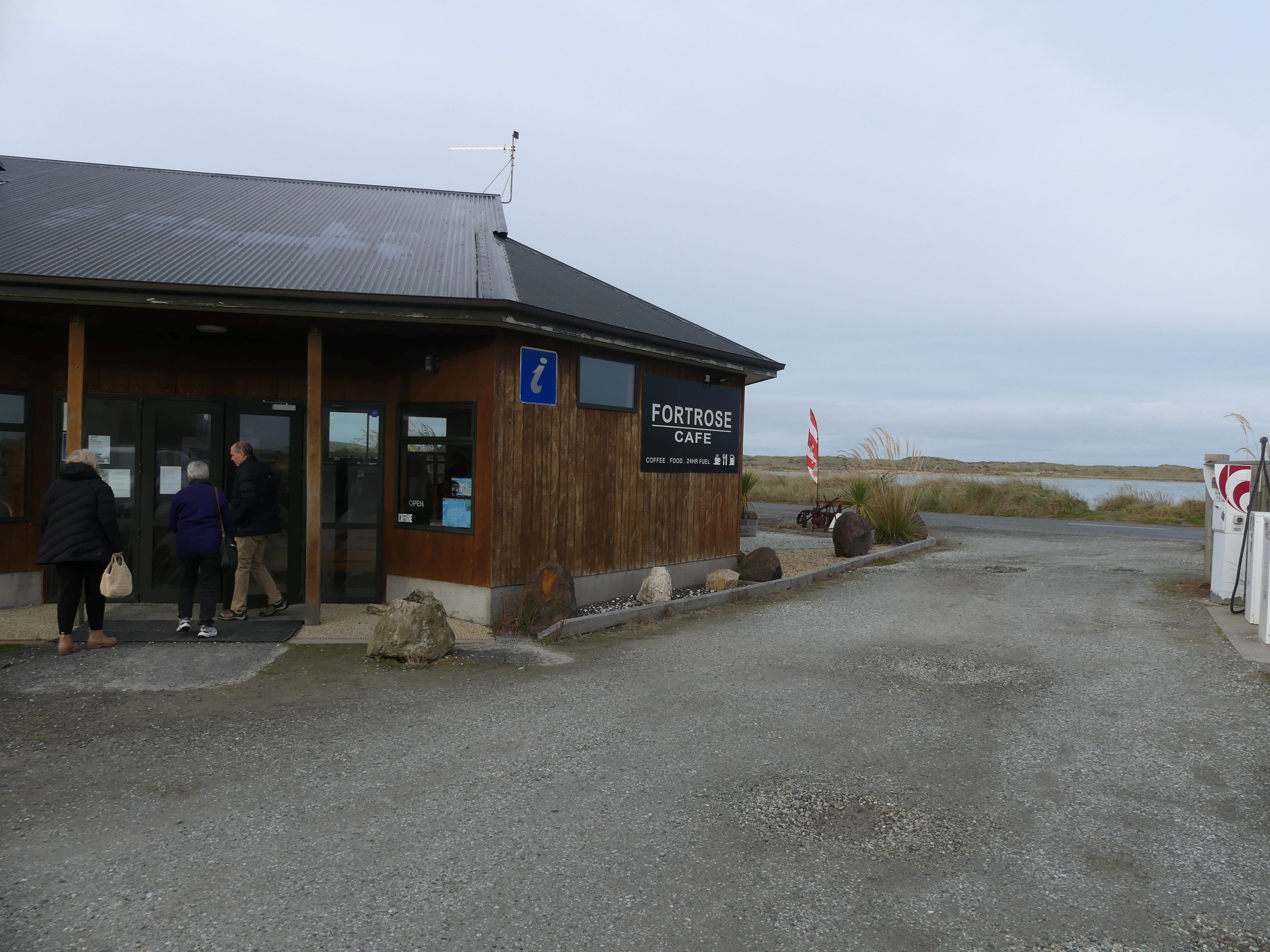
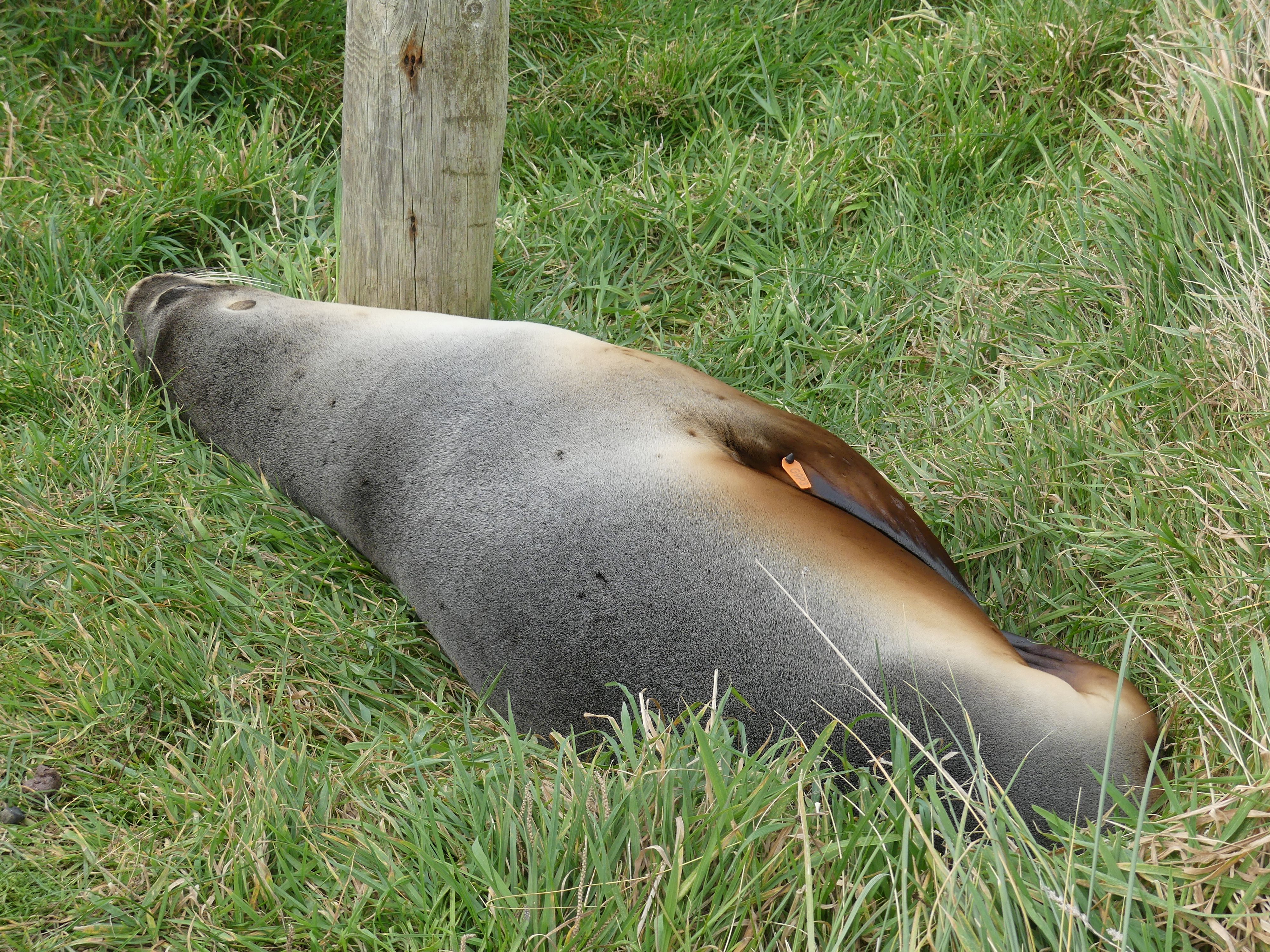
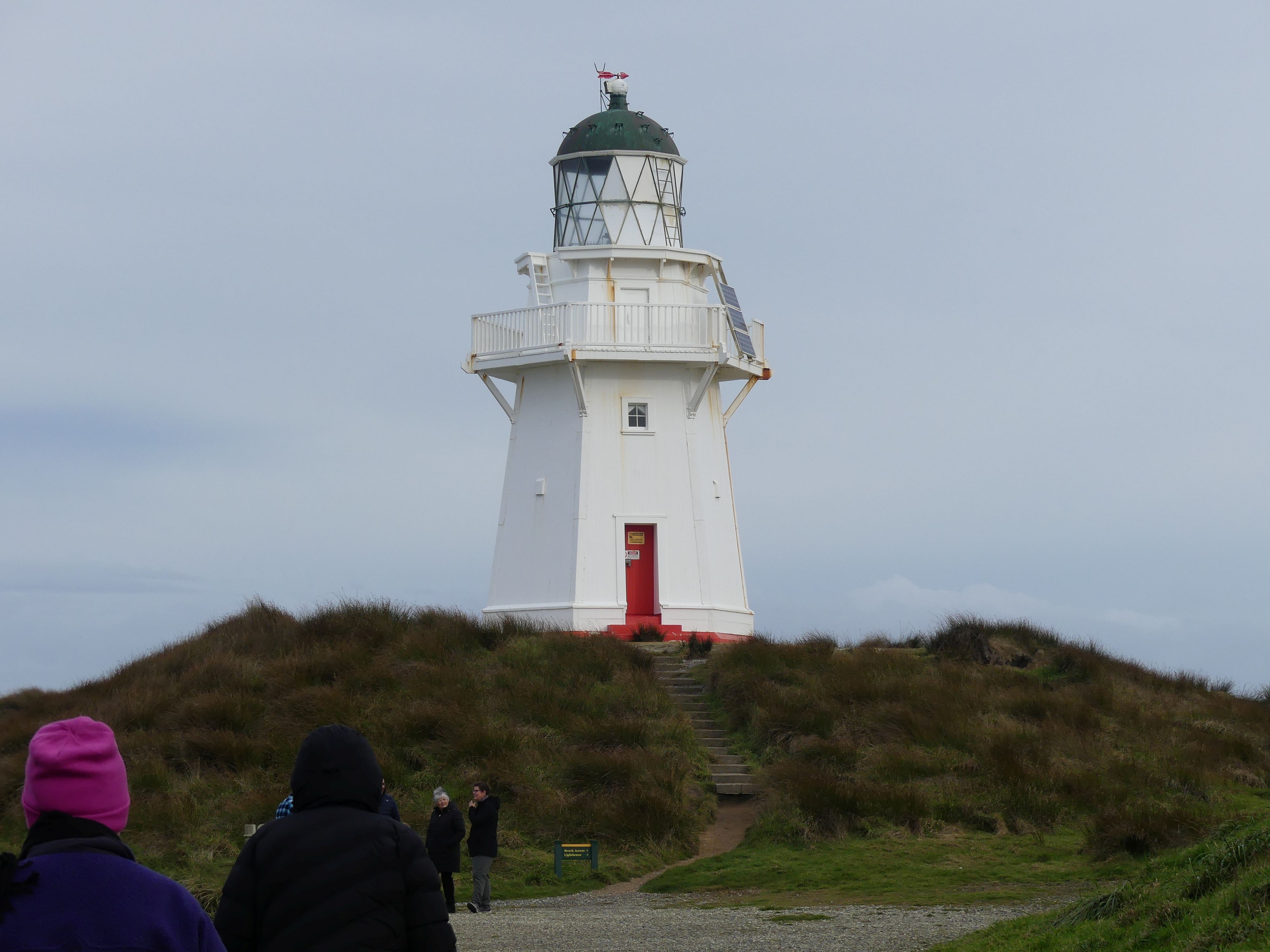
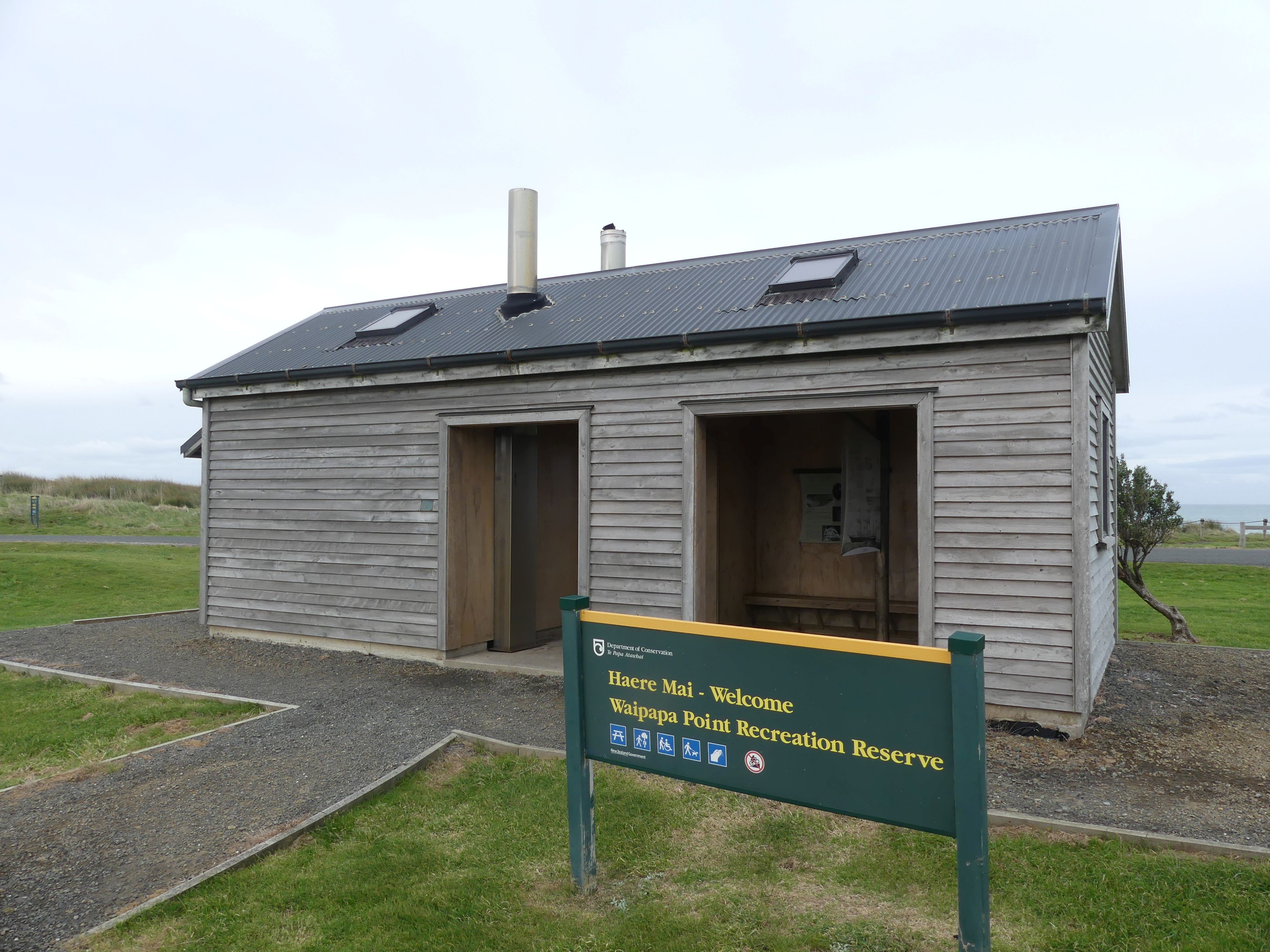
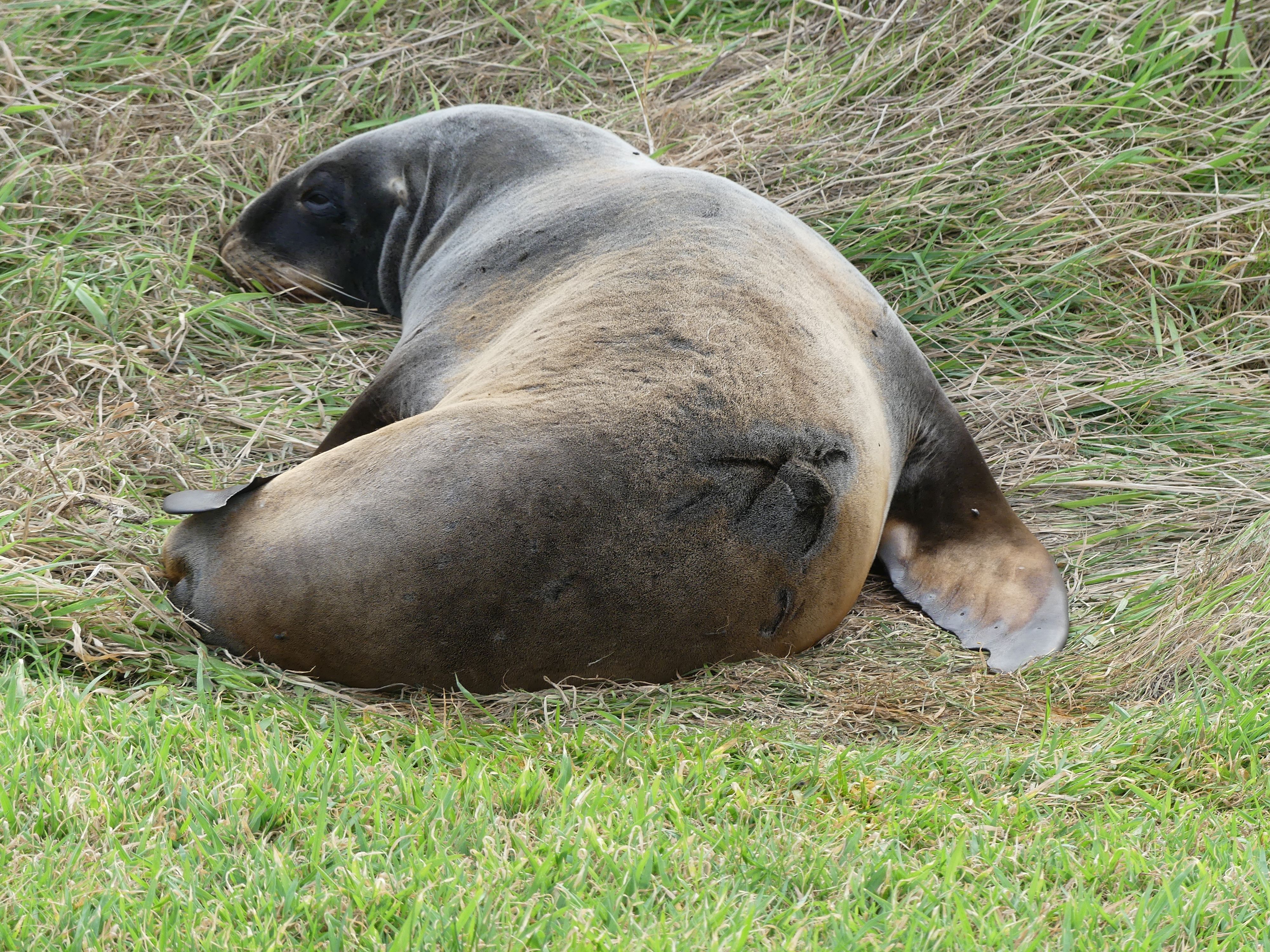
Visiting Dunedin was more of the same – take the longest route to get there and find interesting things on the way. Stop number 1 was at Fortrose café for morning tea/coffee. The Fortrose Cafe is a charming, neighbourly stop on the Southern Scenic Route in Southland, New Zealand. Known for hearty meals, fresh cabinet food, and 24/7 fuel, it is the perfect spot to grab a bite or a coffee after exploring Slope Point or the Catlins. Well, we didn’t do either of those things we just needed coffee. Stop number 2 was Waipapa Point Recreation Reserve, the Lighthouse, the NZ fur seals and the long drop toilets.

Fortrose café, Waipapa Point Recreation Reserve, the Lighthouse, the NZ fur seals and the long drop toilets.

The fur seal in the pictures above must have been a bit off colour. We discovered a mess of half-eaten fish and squid not far from the seal, who lay in the grass unperturbed by the human visitors. I decided my readers would not need the evidence of vomited seafood. The lighthouse is all that remains of the facilities. – The keepers house has long since gone. Interesting, cold and bloody amazing – one group of tourists and likely locals were wandering around in shorts and T-shirts.

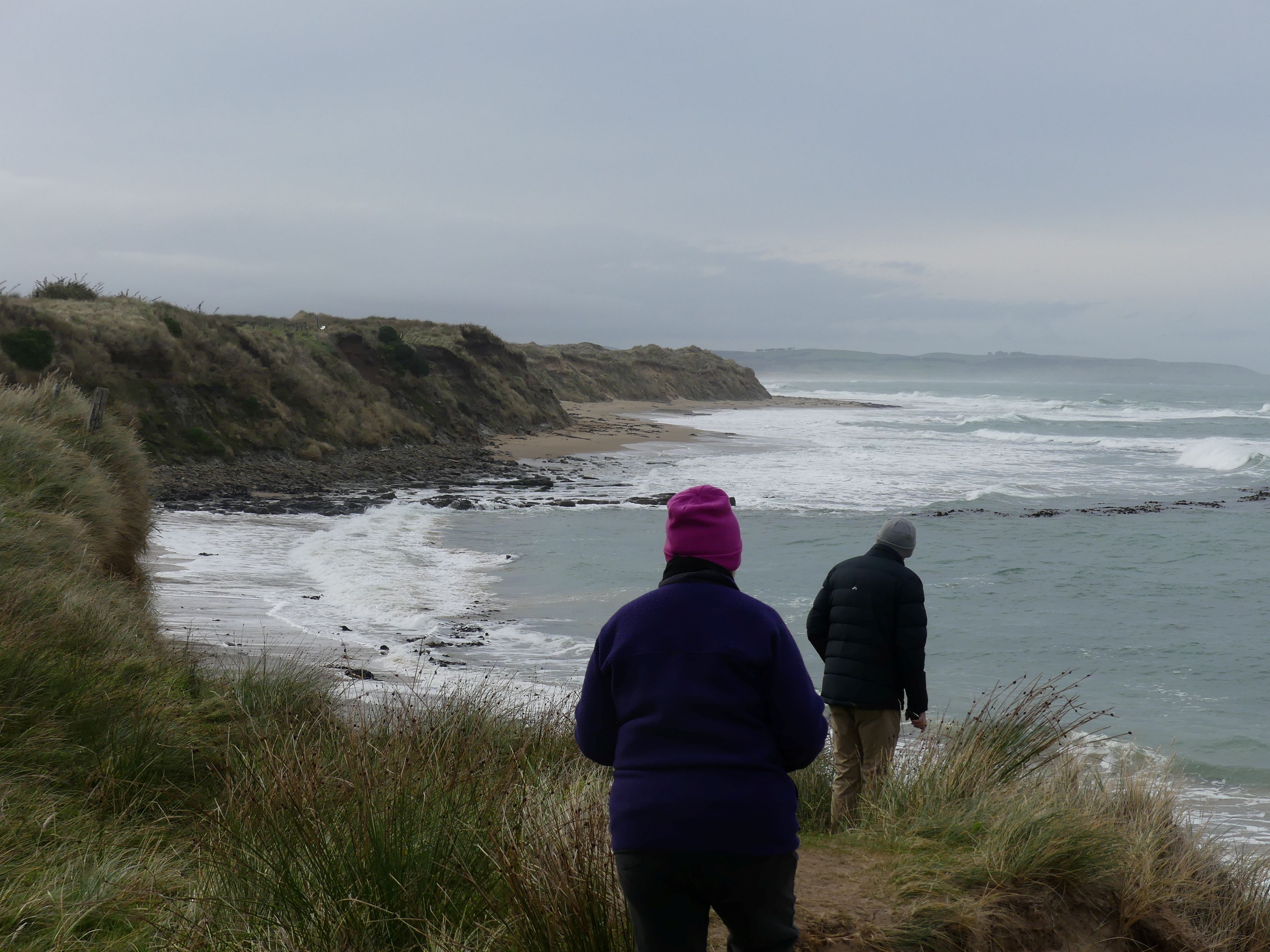
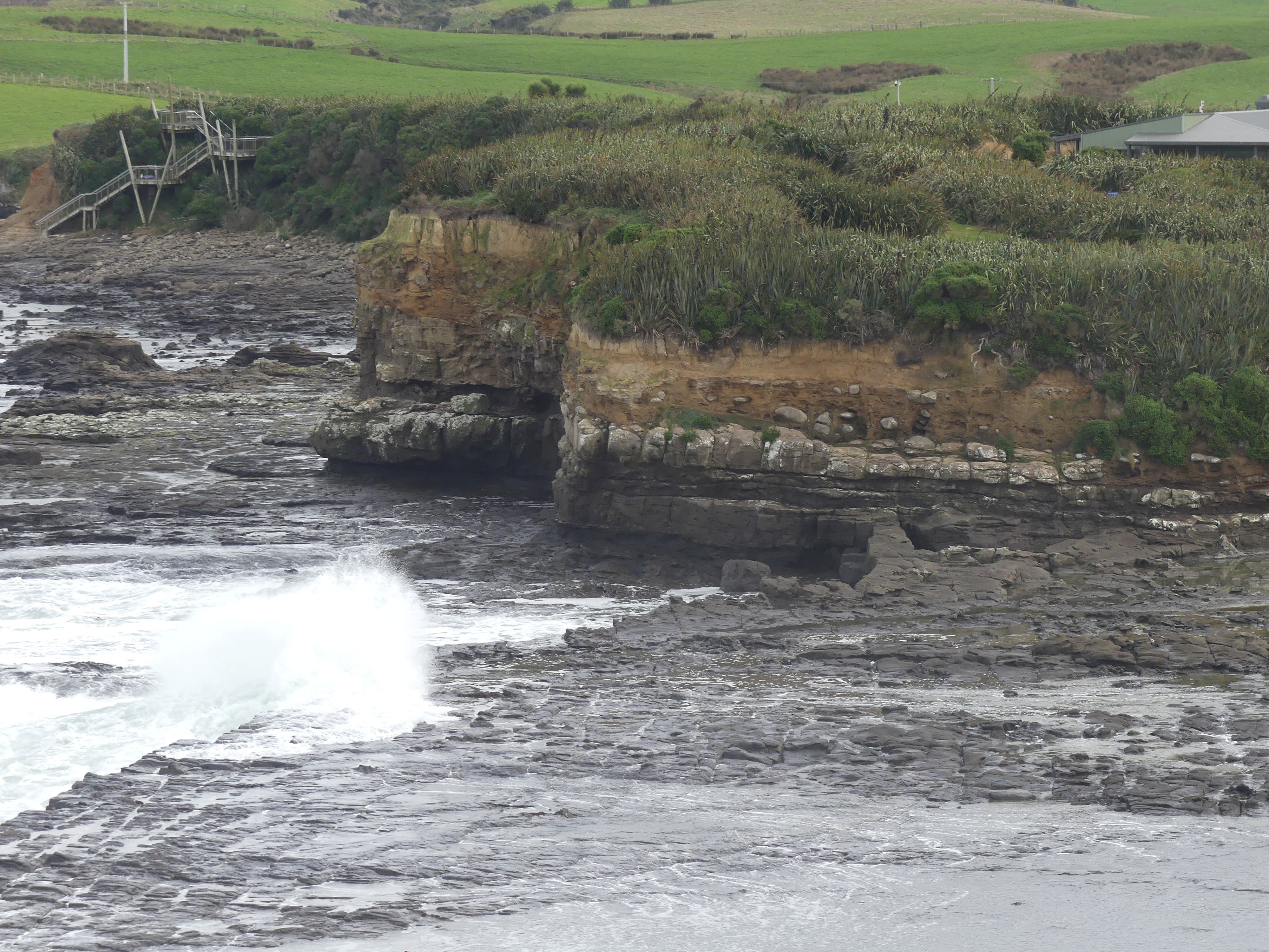
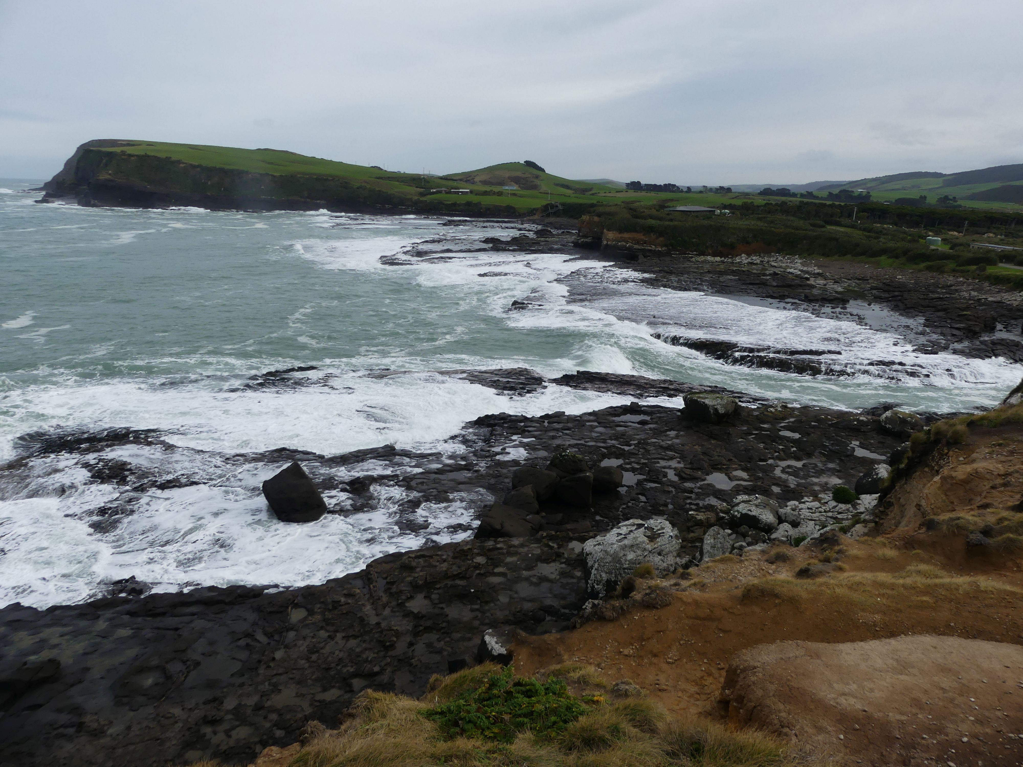
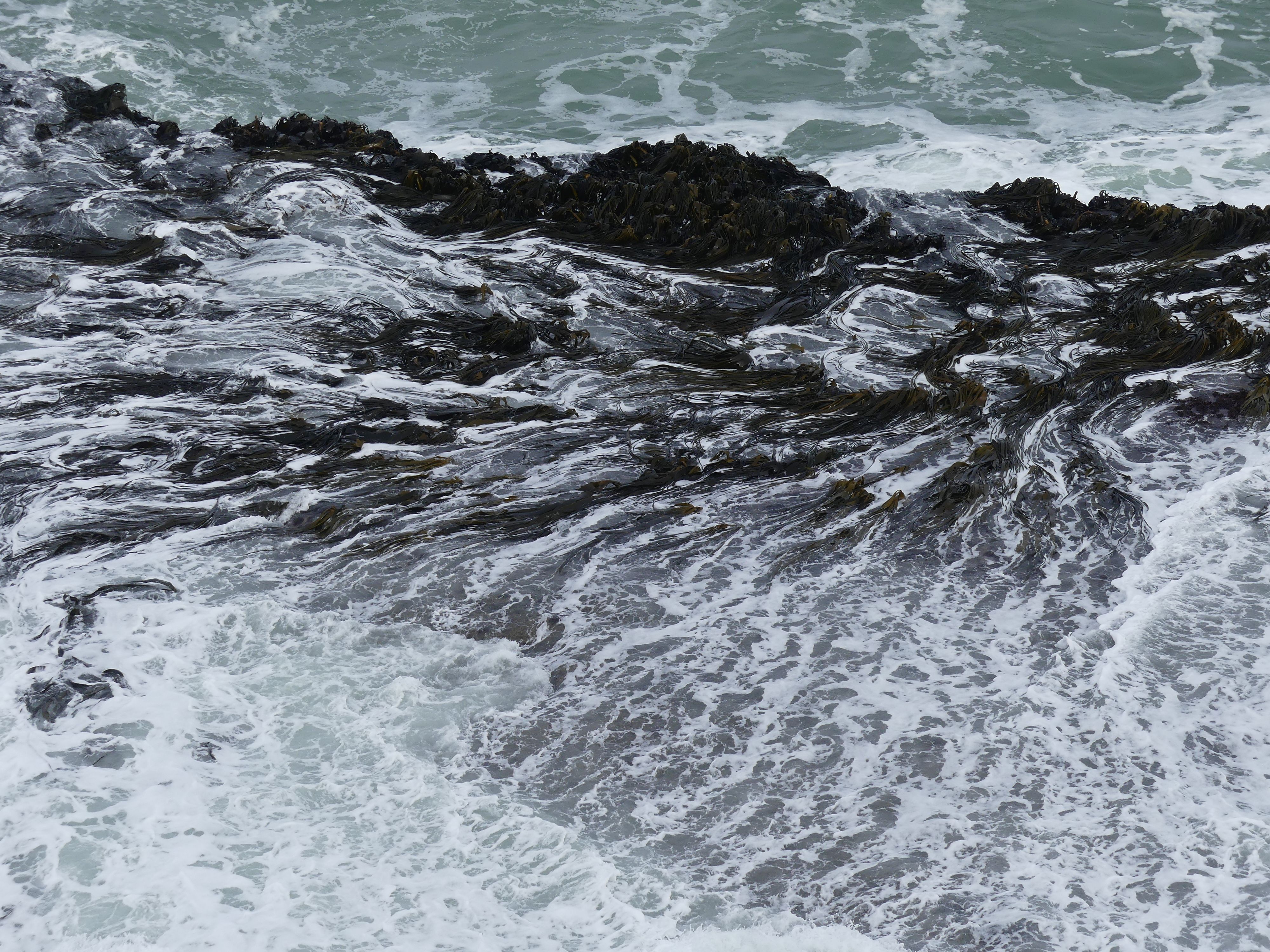
Sandi had read that there were petrified forests in Curio Bay which lay between Invercargill and Dunedin. It is a coastal embayment, best known as the site of a petrified forest some 180 million years old. It also supposed to host a yellow-eyed penguin colony, the endemic Hector’s dolphin and Southern right whales are occasionally observed offshore. Not today a lonely fur seal was resting up in the carpark showing signs of a recent scuffle. We were uncertain of where we might see the forest. Since returning home I have googled the articles on the forest and it appears that the forest is made up of trees stumps visible above the tide, fallen logs that now appear as different coloured ridges and tree stumps in basalt. My photos won’t show any of that.

Corio Bay – the bays and the basalt from volcanic times, seaweed fight the tide to hold onto the rocks, the fur seal showing his scars.

Our lunch stop was in a small coastal community overlooking Catlin Lake. The day was overcast and showery, so we took shelter in the Pub. The dining room has an open fire blazing away and we enjoyed the warmth and the food. A couple of the local lads were interested in what we were doing there in the off season and we chatted with them about their town.

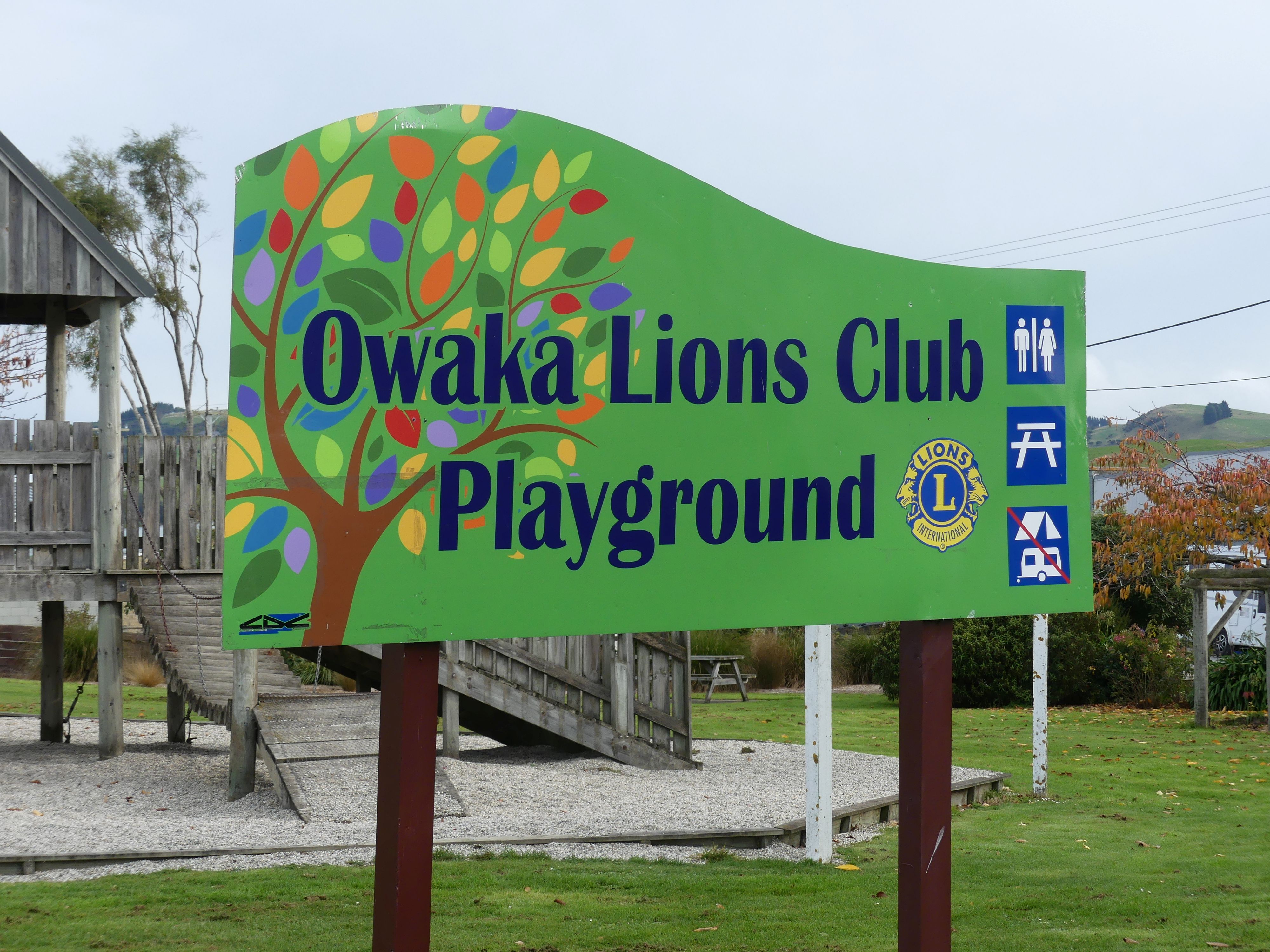
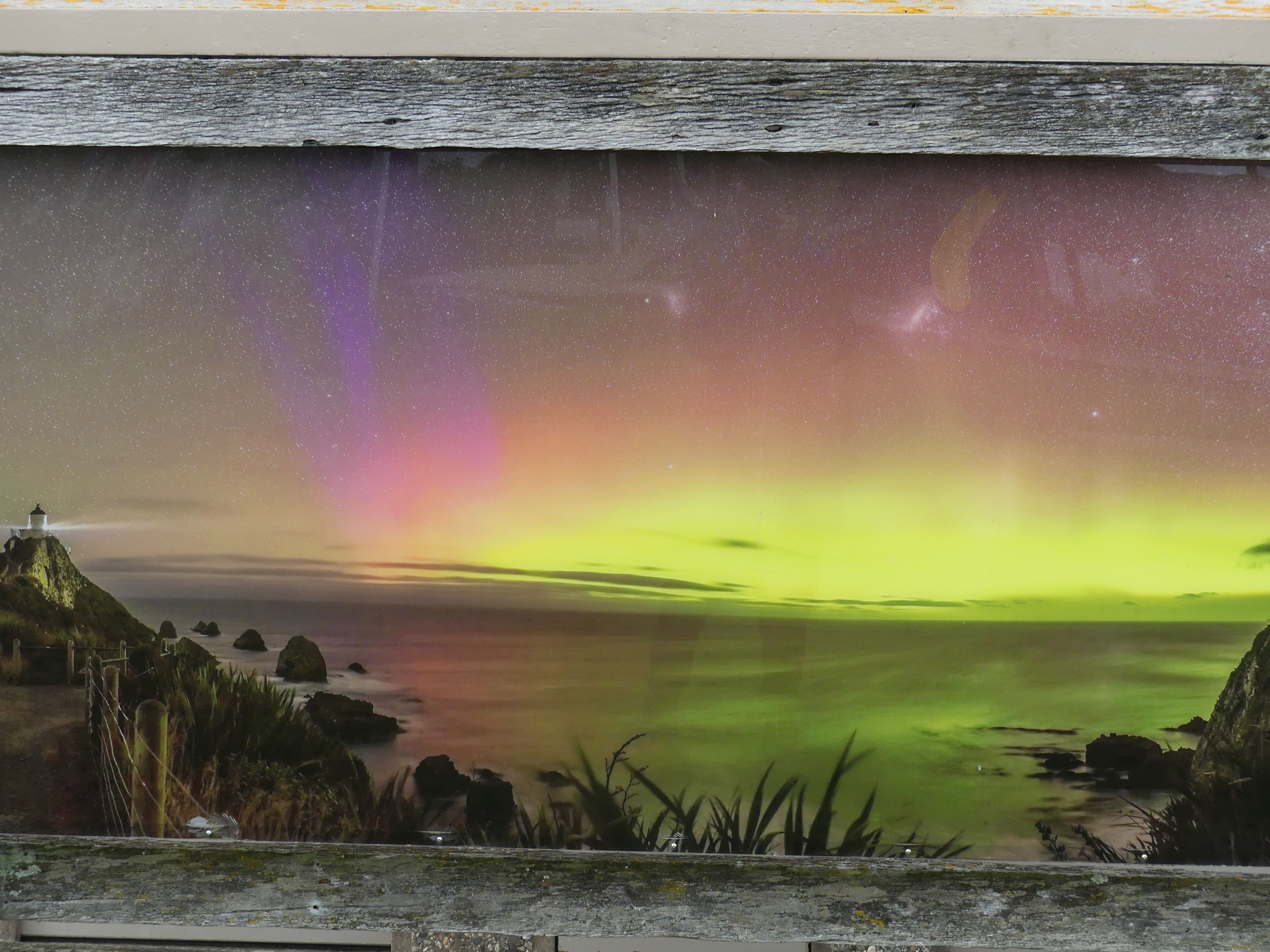
We moved onto Owaka for a further break. To remind me of our visit I photograph the Lions Club Playground and the painting of the lighthouse screening the public toilets. We were joined by a small flock of sparrows to help with consuming our biscuits finally arriving at Rosy at Roslyn 15A Fifield Street Dunedin.

Lions Playground, and the public convenience

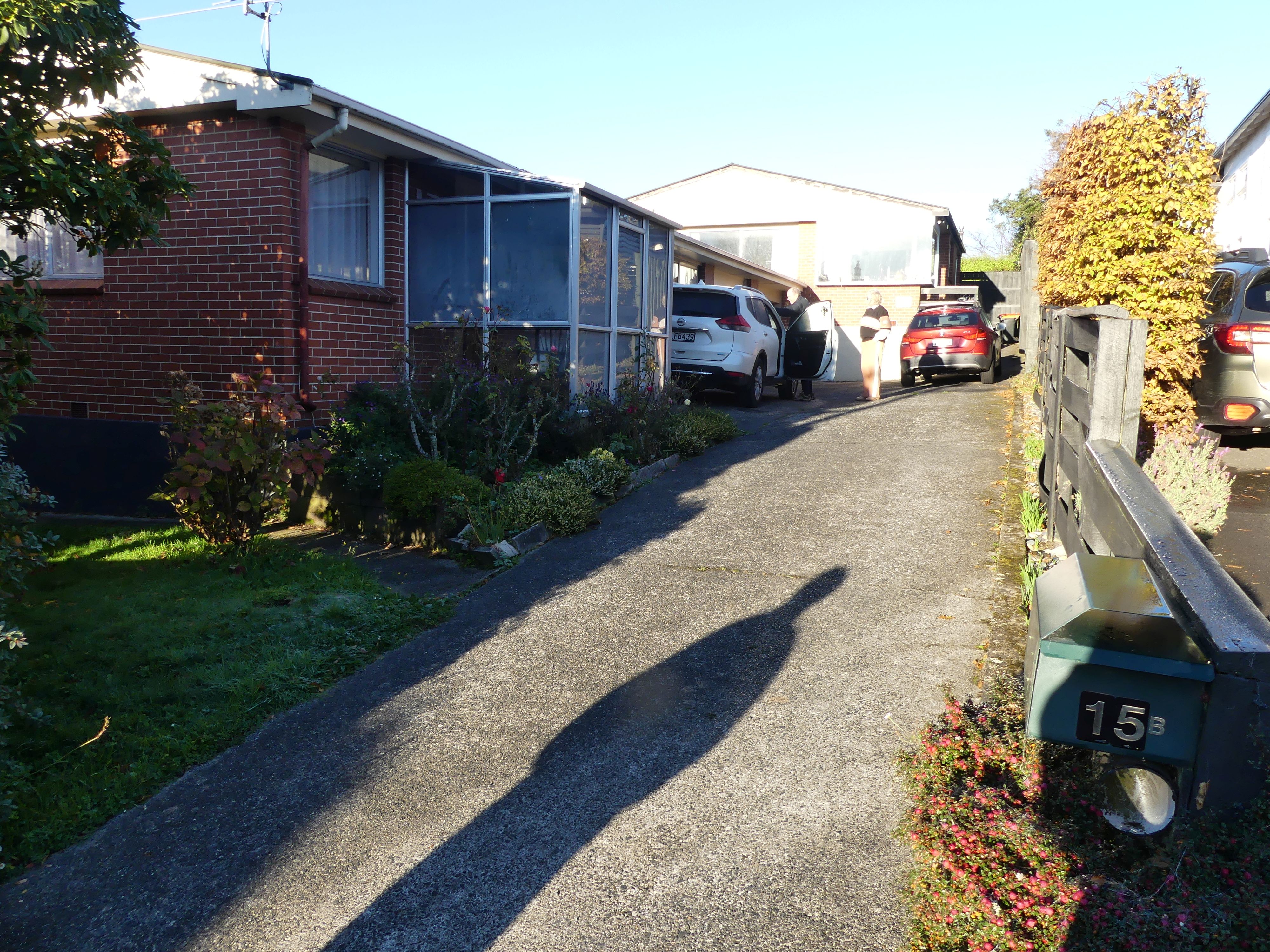
Our accommodation was a small semi-detached house on the side of a hill in Fifield St Roslyn Dunedin – warm and comfortable. We could not access the garage to park the car, but we were to learn that this was the drying room and laundry with the previous tenant’s laundry still drying in the garage. After purchasing supplies for dinner we settled in, prepared dinner and enjoyed a wine and a hand of cards. Tomorrow we will walk through Dunedin.

House in Dunedin

Day 8   Dunedin

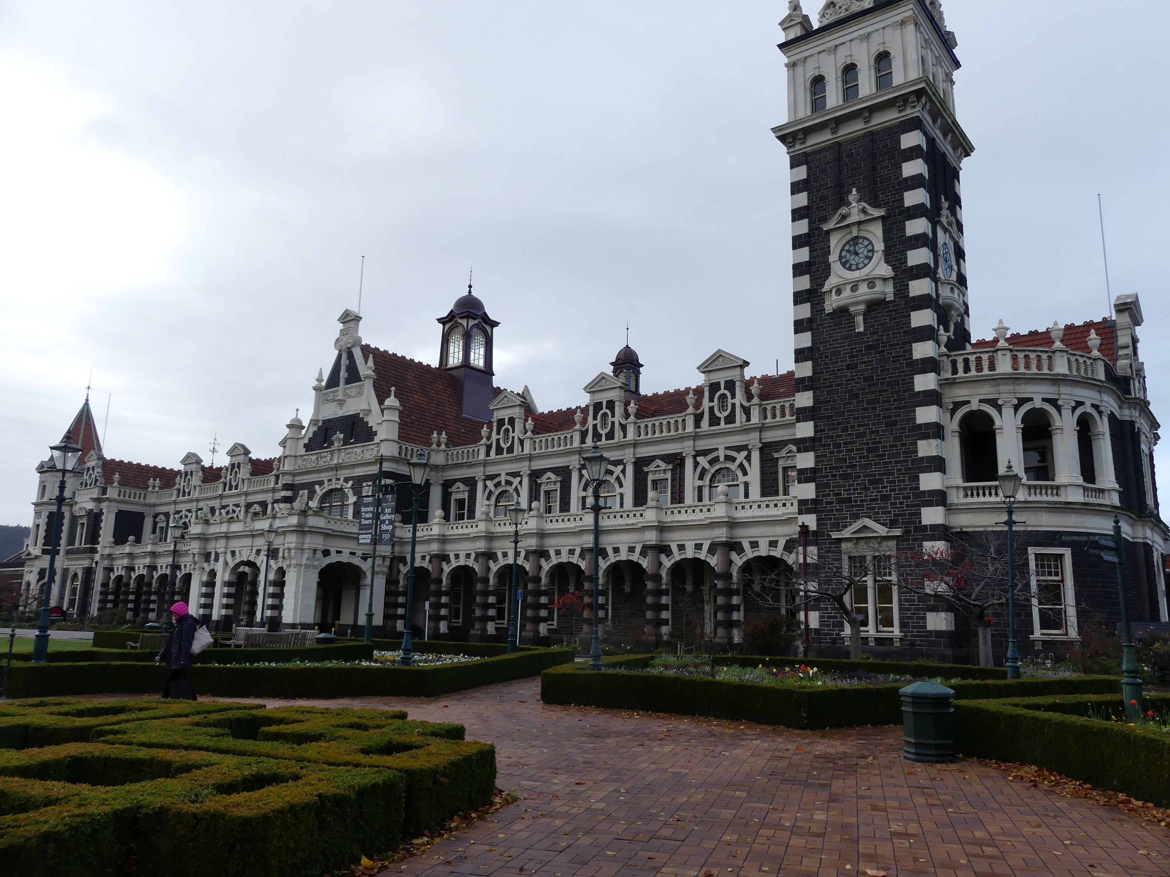
A good night’s sleep followed by breakfast set us up for the day to walk through Dunedin. Barry drove us to Woolies (a recent change to the supermarket change). The chain completed a nationwide rebrand from its former name, Countdown, to Woolworths in 2024 to align with its Australian counterpart. There we parked on the top floor of the carpark and ventured off to find the Railway Station. It was overcast and drizzly, so the brollies came with us. It was a fair walk to the station, and it was not the usual suburban rail stop. Dunedin Railway Station 22 Anzac Avenue, Central Dunedin is a prominent landmark and tourist site in Dunedin. It is speculated by locals to be the most photographed building in the country, as well as the second most photographed in the southern hemisphere, after the Sydney Opera House.

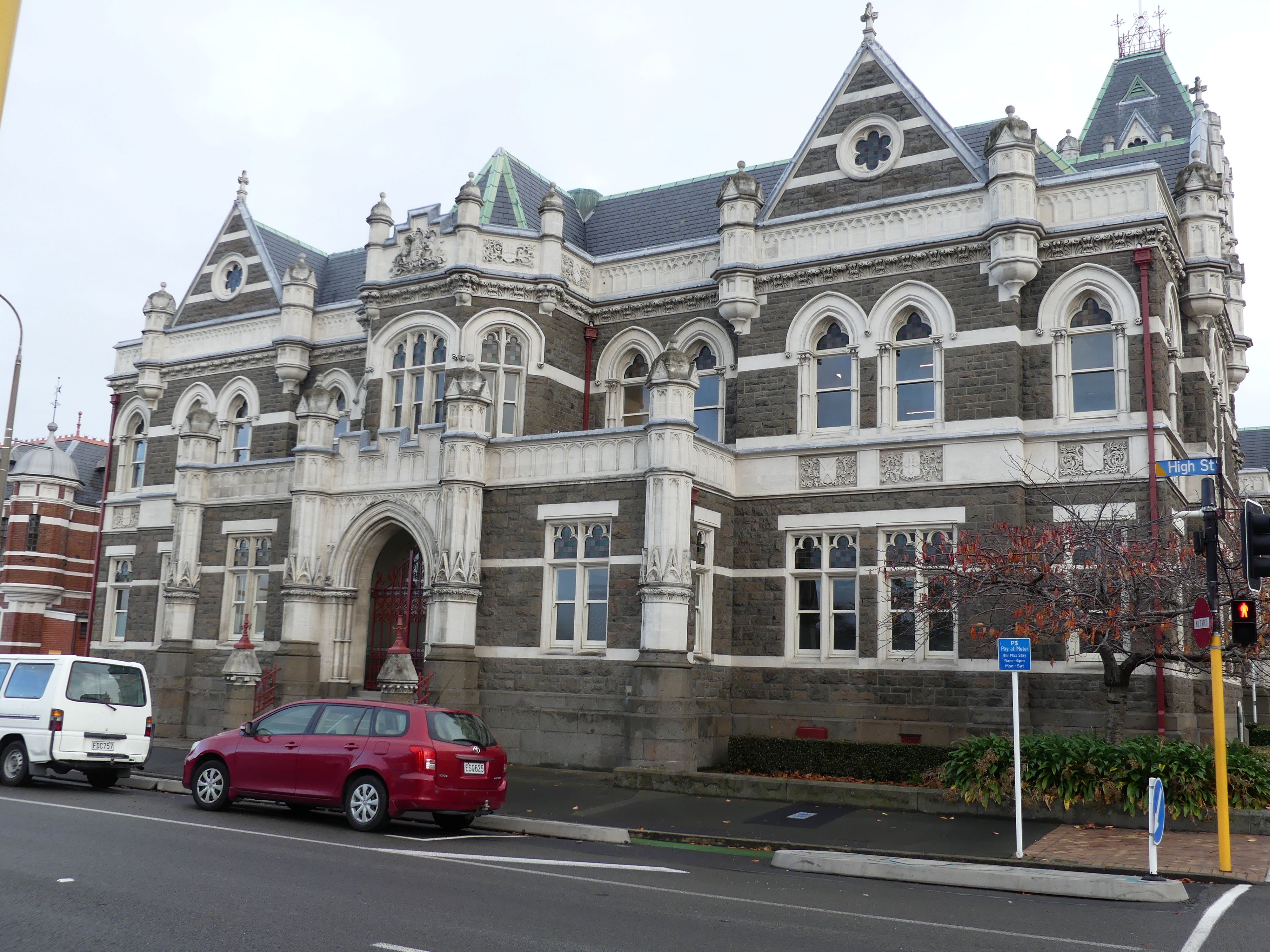
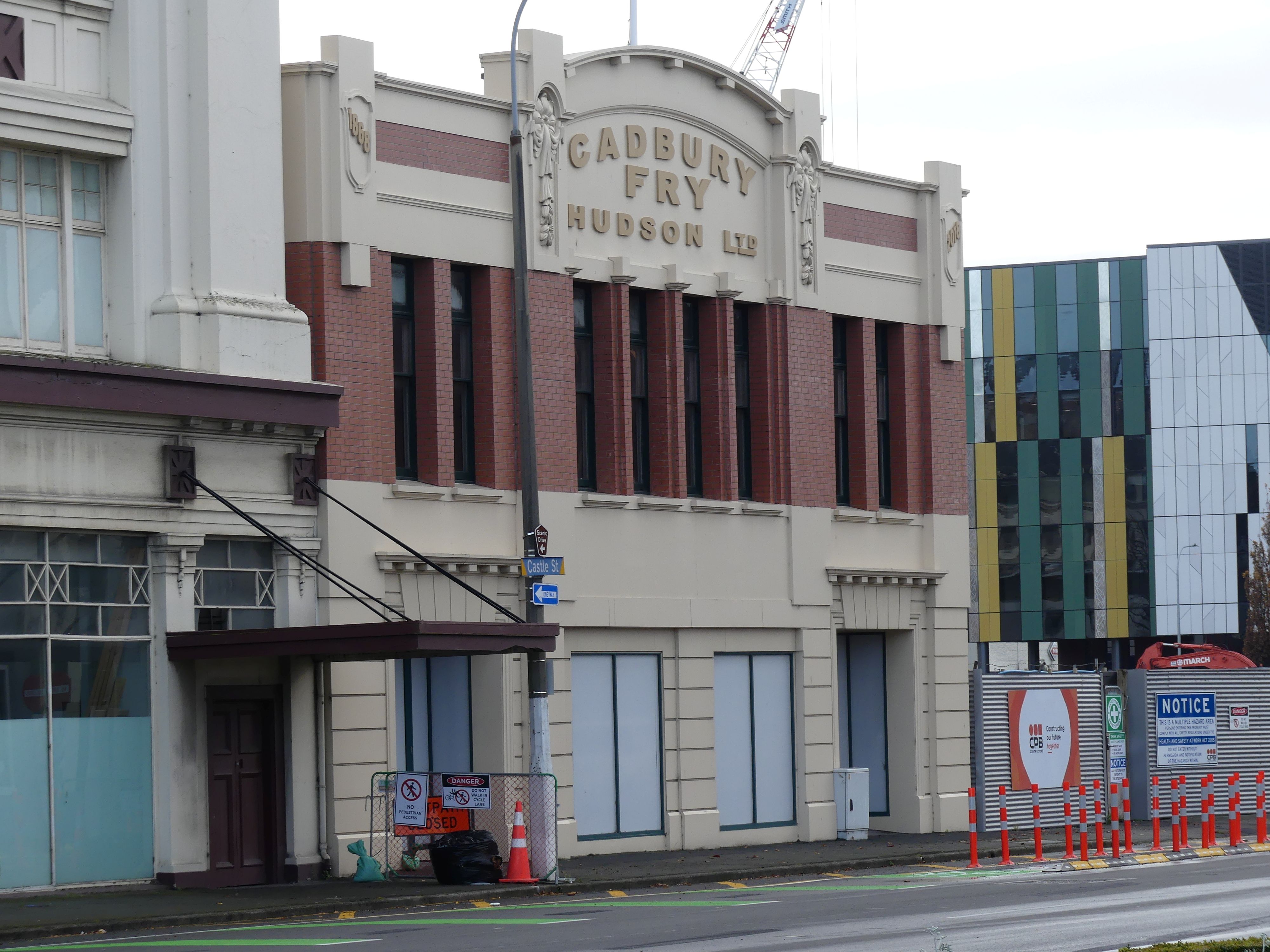
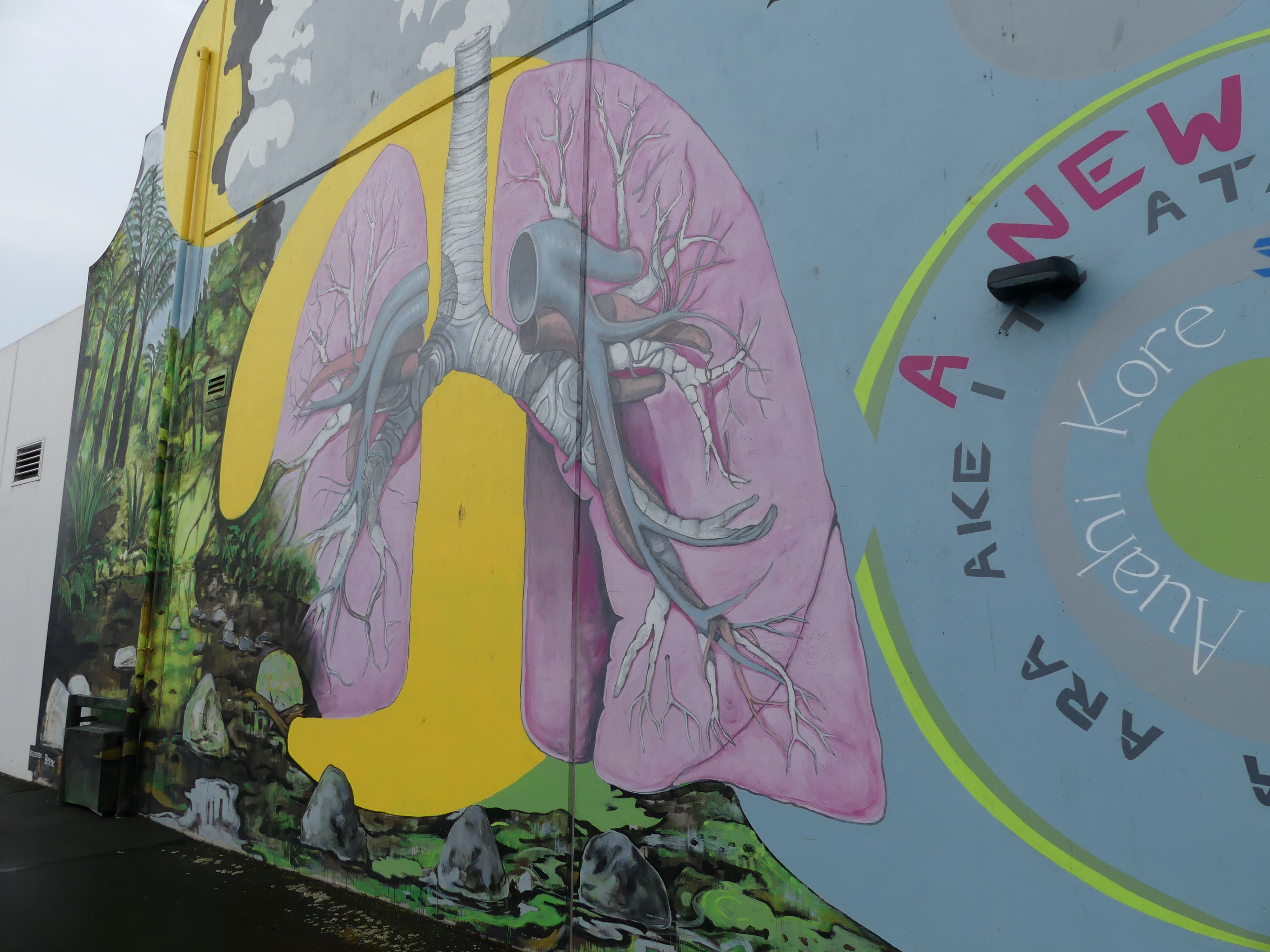
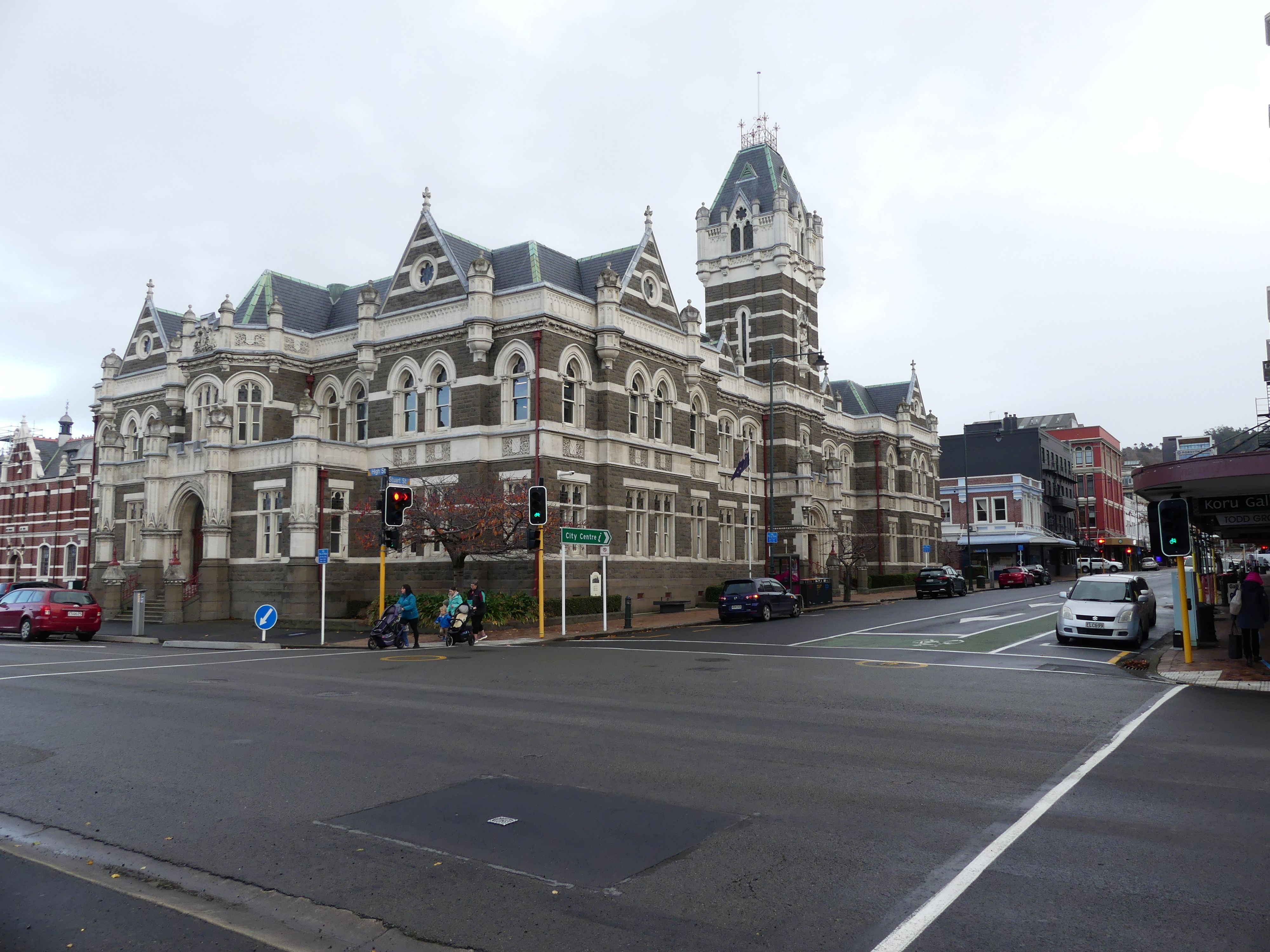
Dunedin Railway Station, The High Court, Cadbury Fry building (original home of Cadbury’s chocolate in NZ) and Street art on the Woolies building

The station is huge suggesting the importance of Dunedin when it was built. Dunedin required a station for a wide range of activities: it was a commercial and industrial centre, close to gold and coalfields, with a hinterland that was dependent on livestock and forestry for its economy. There were 3 previous stations but by 1906 a new station had been built to replace the earlier stations. The station is constructed of dark basalt from Kokonga in the Strath-Taieri with lighter Oamaru stone facings, giving it the distinctive light and dark pattern common to many of the grander buildings of Dunedin and Christchurch. Pink granite was used for a series of supporting pillars which line a colonnade at the front. The roof was tiled in terracotta shingles from Marseille surmounted by copper-domed cupolas. The southern end is dominated by the 37-metre clocktower visible from much of central Dunedin.

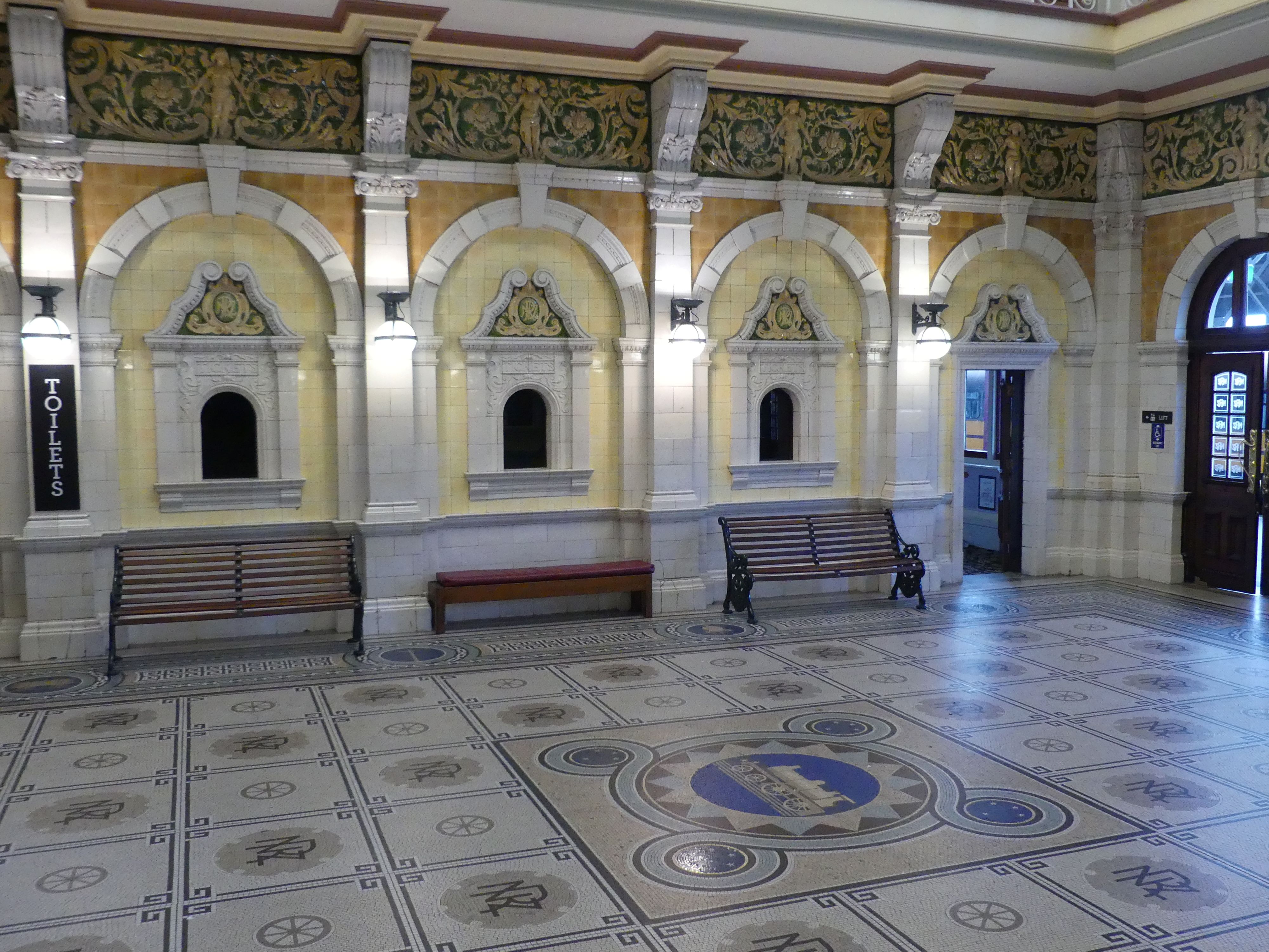
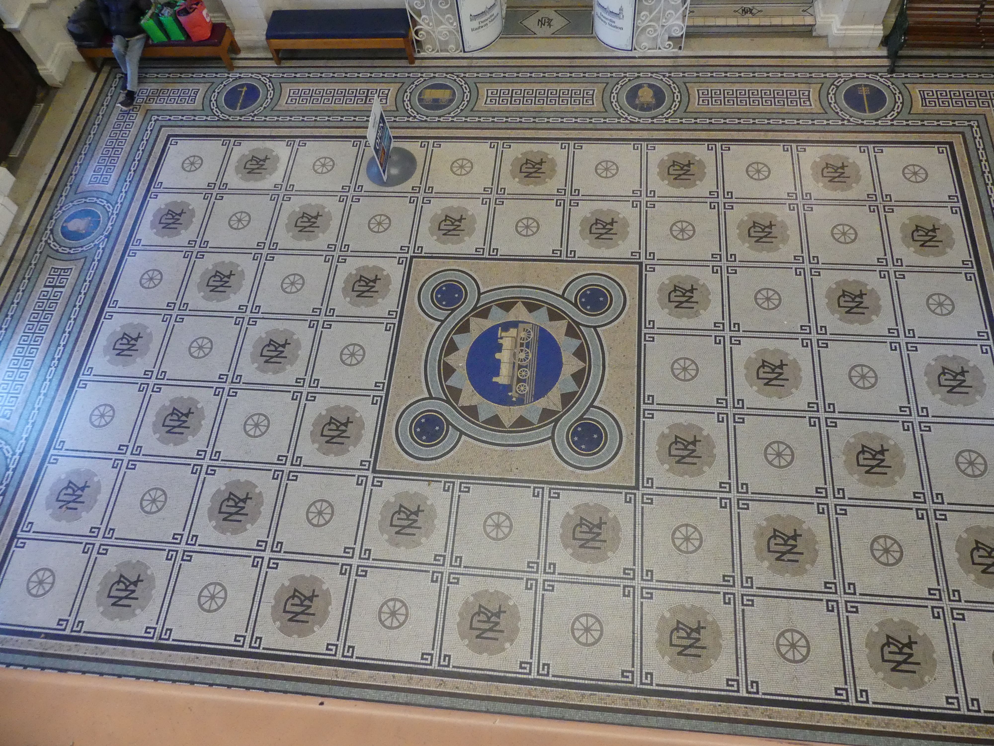
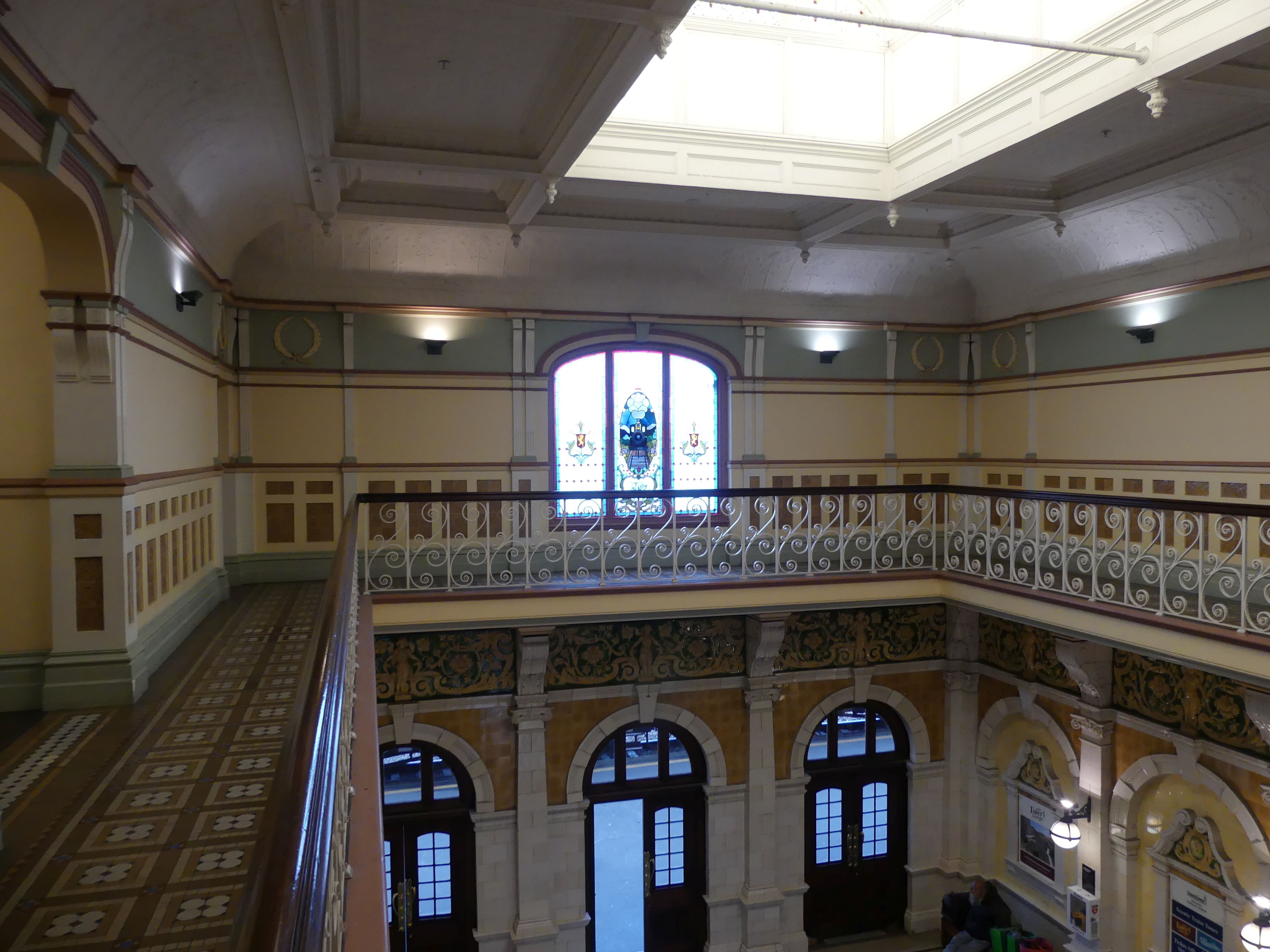
The booking hall features a mosaic floor of almost 750,000 Minton tiles, completely renewed in 1965, in an exact replica. A frieze of Royal Doulton porcelain runs around the balcony above it from which the floor’s design, featuring a locomotive and related symbols, can be clearly seen. The main platform was 1,570 ft (480 m) long.

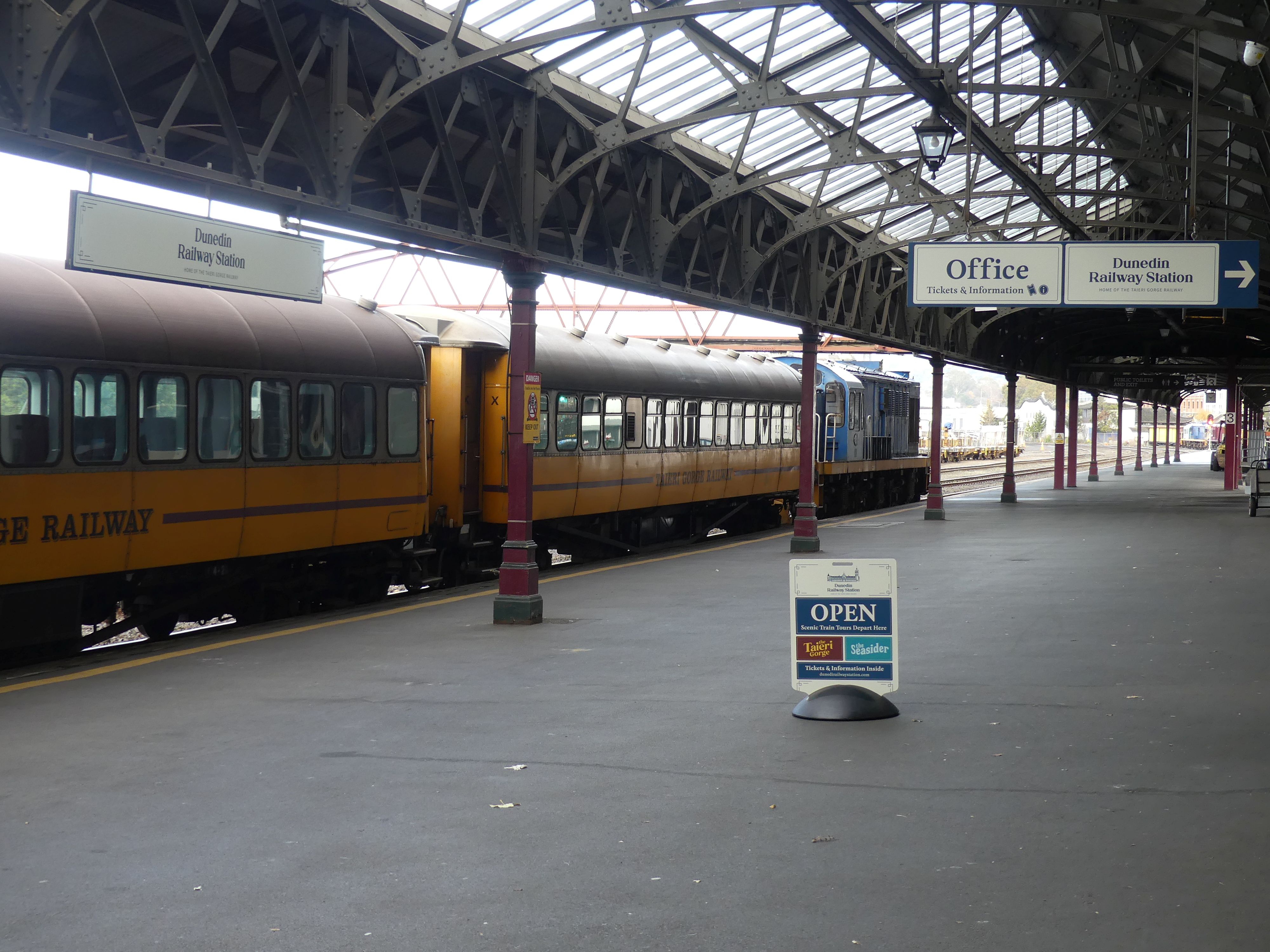
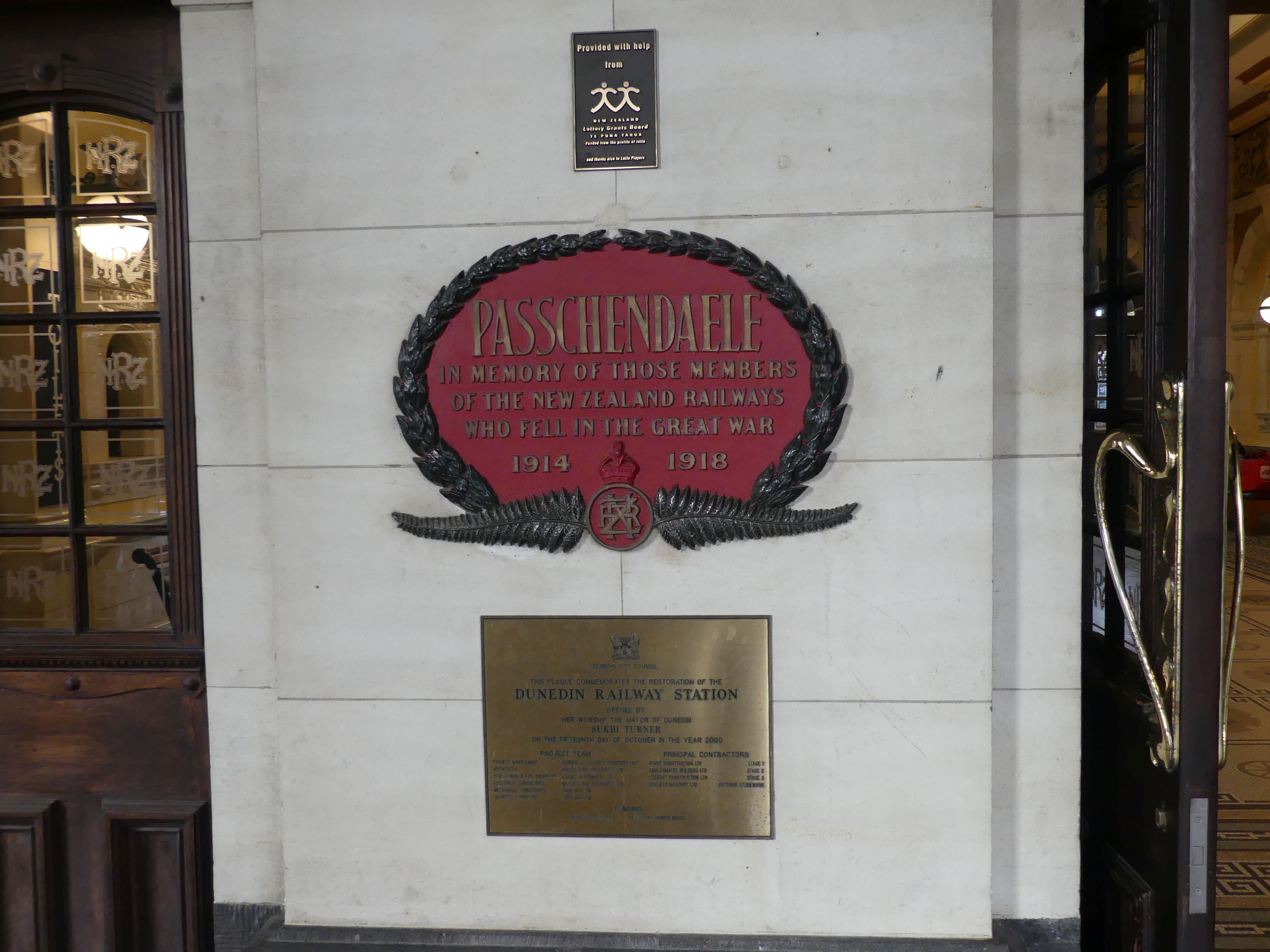
Ticket Office in the booking hall, the booking hall floor from above, the main platform, first floor balcony, the Passchendaele WW1 memorial at the entry,

Today, the station services daily sightseeing trains to Middlemarch or Pukerangi via the Taieri Gorge, and to Palmerston. There are a number of different uses for the station building, one being an interesting moving art display.

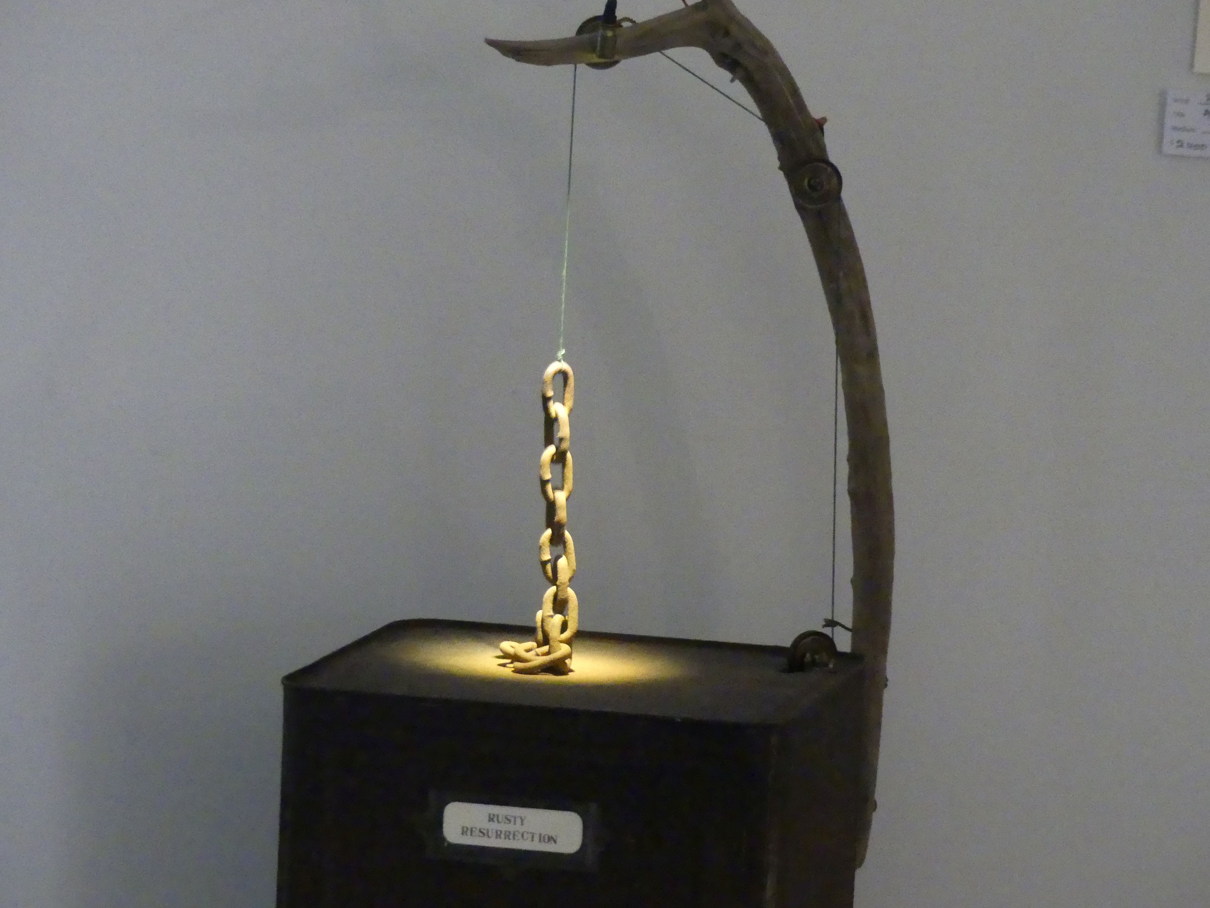
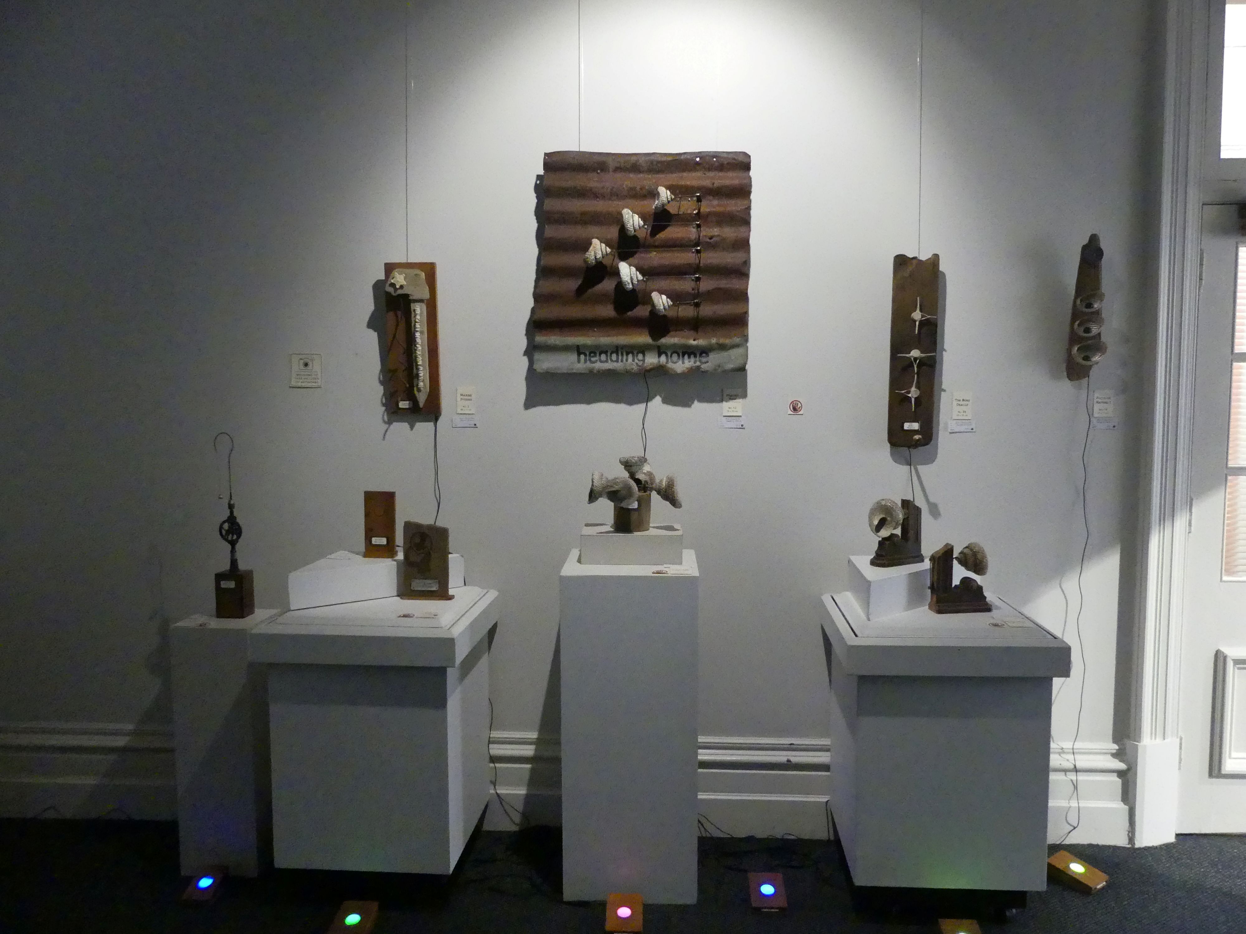
First floor moving Art display

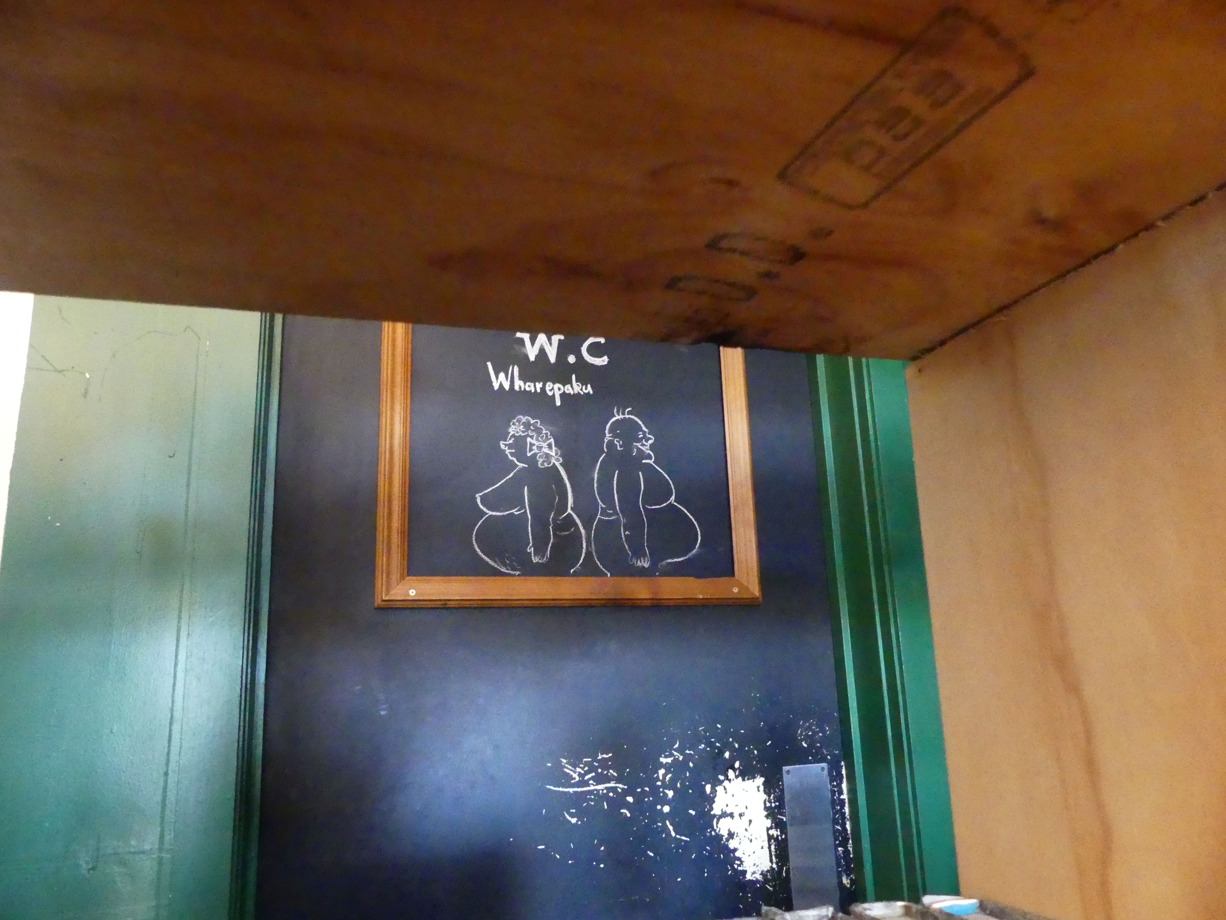
After leaving the station we sought a coffee shop for morning tea. In this eclectic shop, there was a painting which looked like a copy of Gainsborough’s “Blue Boy”. I had mistakenly thought it was a portrait of Charles 1 (the Stewart beheaded by the Commonwealth) but when writing this blog my memory was the Blue Boy not Charles. My apologies to the poor waitress who I assailed about their connection with the Stewarts. It was quite an arty place as can be observed in the photos below. Barry was sneaking a photo of the poster on the toilets.

Toilet poster

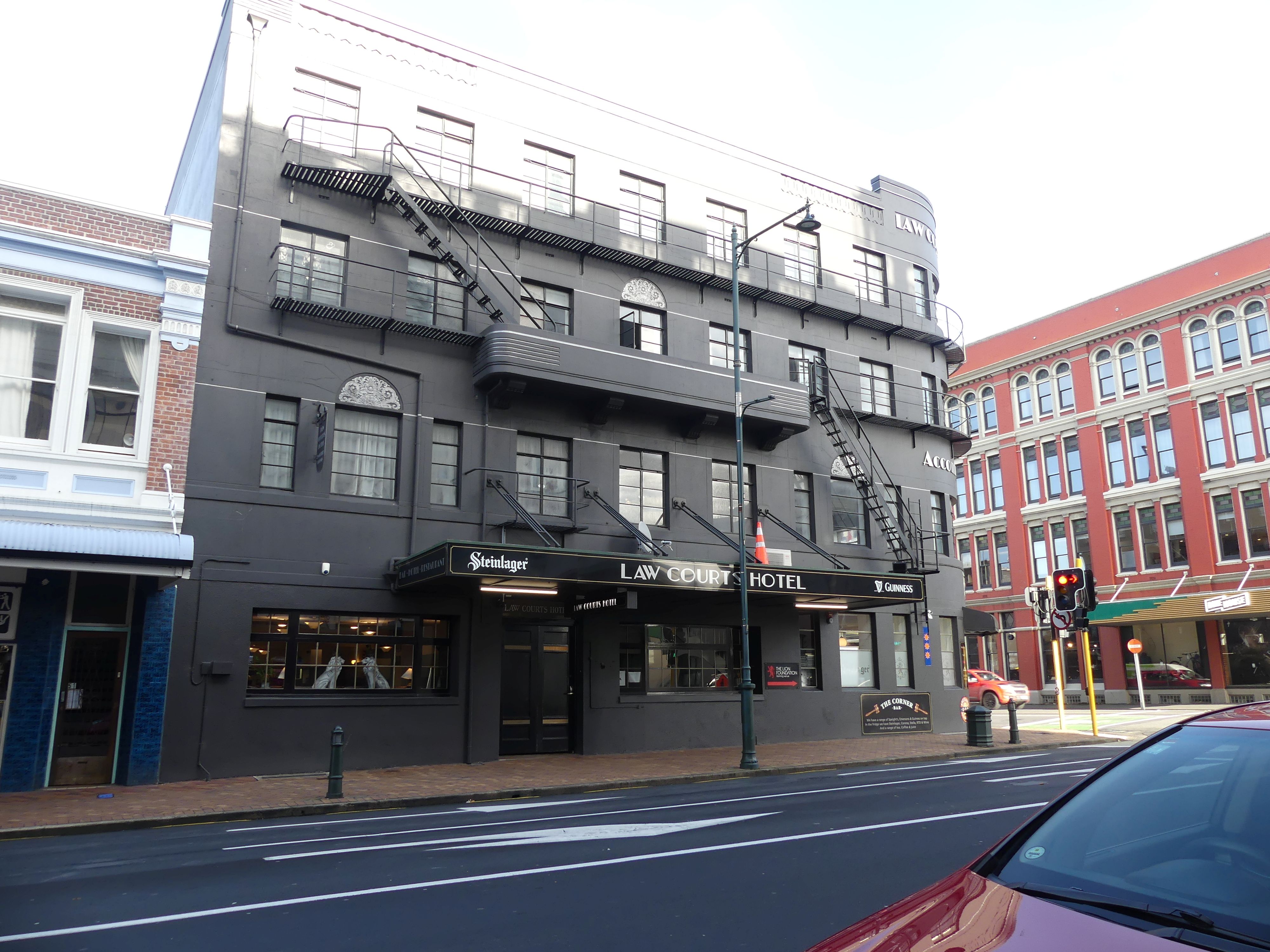
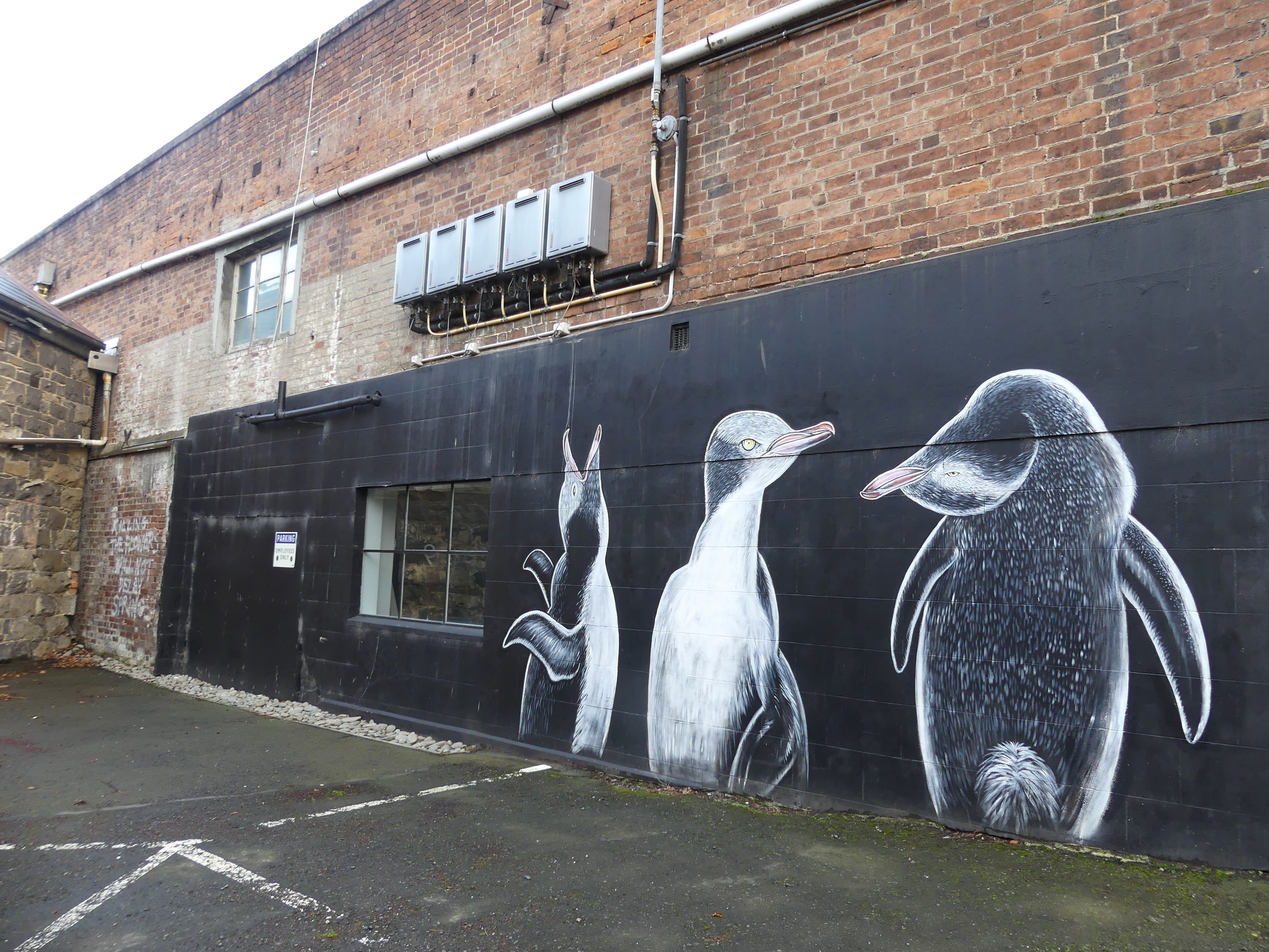
After coffee we moved on to the centre of Dunedin – the Octagon. So leaving the café we passed the Law Courts Hotel and Kerry decided we should view the Law Courts. The old building has been extended upon providing the new entrance with scanning and security provisions. One of the security officers gladly showed us through two courtrooms vacant of any business that day. Familiar layout but no public gallery for the higher courts – interesting. We made hard work of finding the Octagon. We walked past the Chinese gardens, some more street art, then the First Church of Otago (formerly St Andrews Presbyterian Church).

Law Courts Hotel, and street art

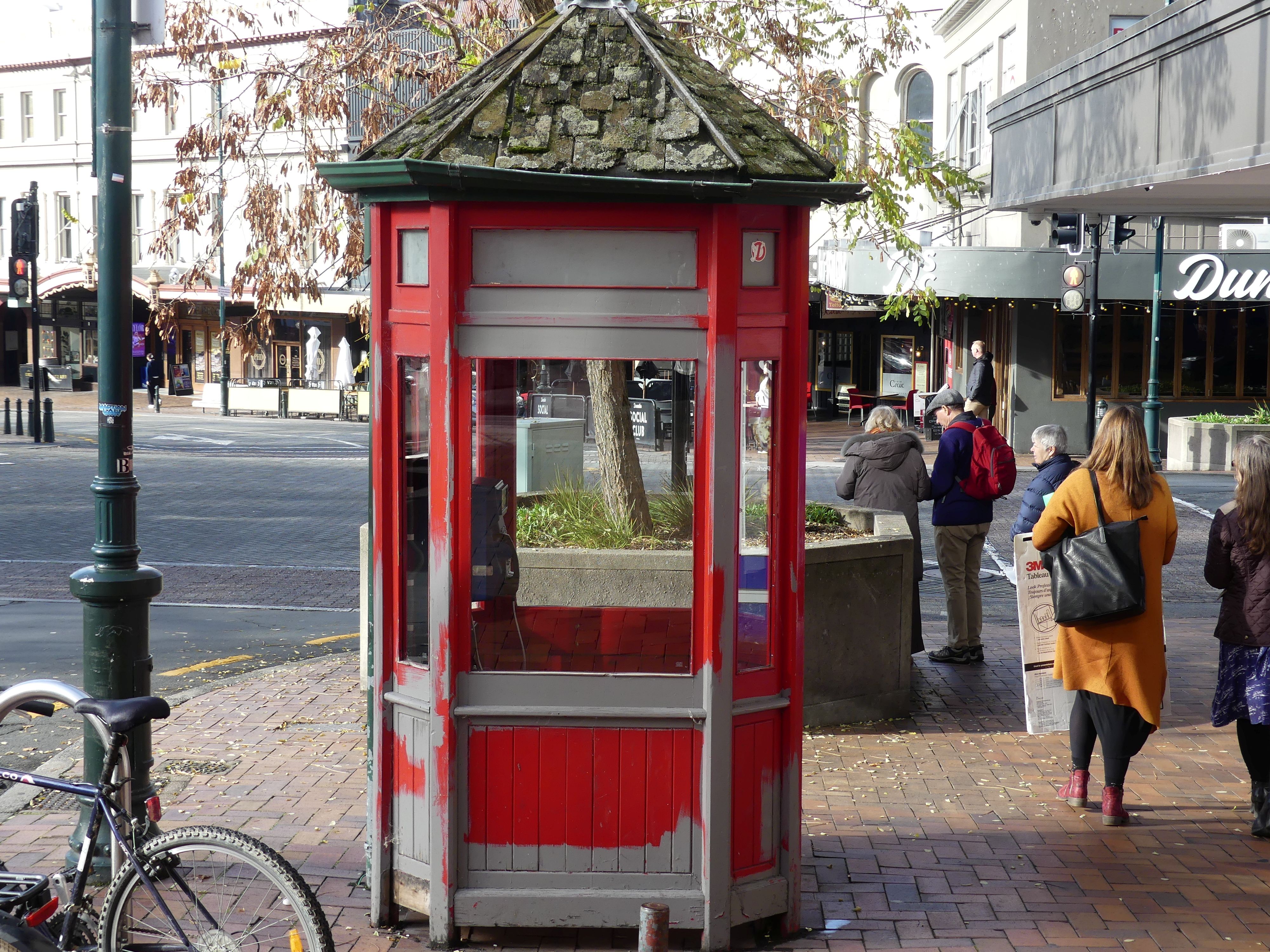
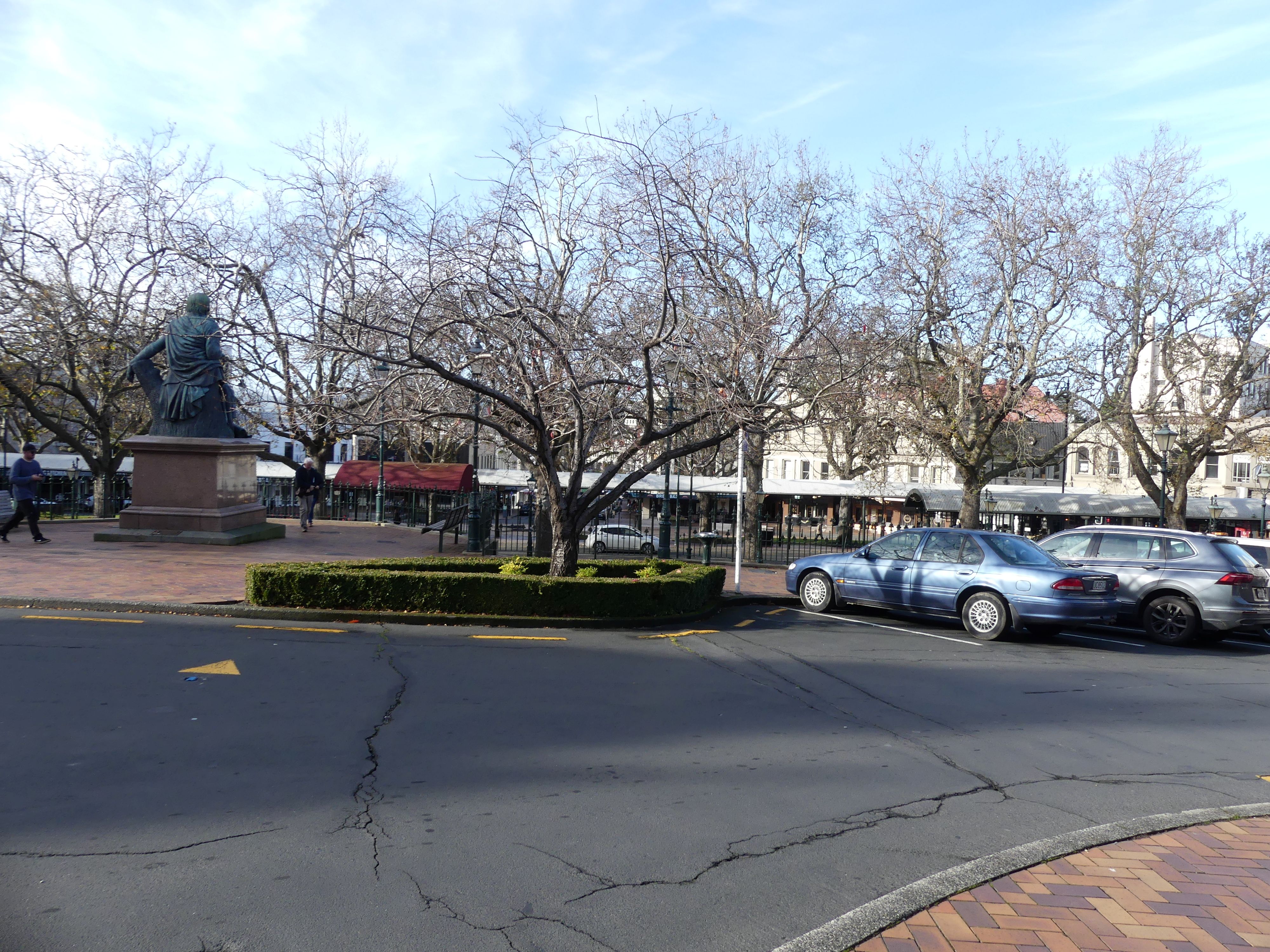
We finally arrived in the Octagon and octangle square the centre of the business/commercial district of Dunedin. It was at this time that I became painfully aware that street post boxes were as rare as hens’ teeth in NZ. NZ Post now hides in retail outlets, and they are not visible to a visitor. However, in a corner takeaway store in the Octagon was the post office and I finally posted my pocket full of postcards. I don’t know if it was the winter weather, but the Octagon looked sad to me: as though forgotten with some closed shops and not much colour. But there were some highlights like telephone box and the Robbie Burns statute.

Telephone box, and the octagon

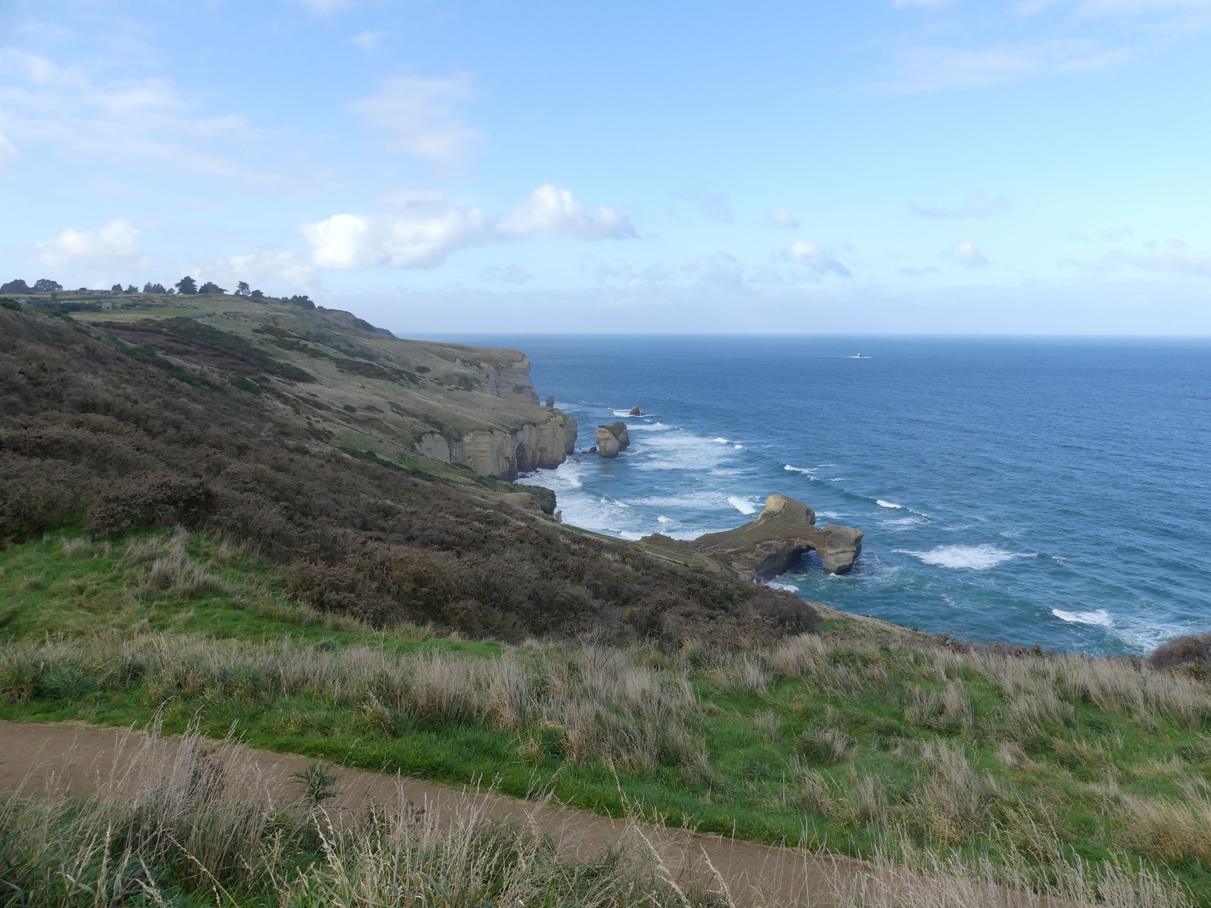
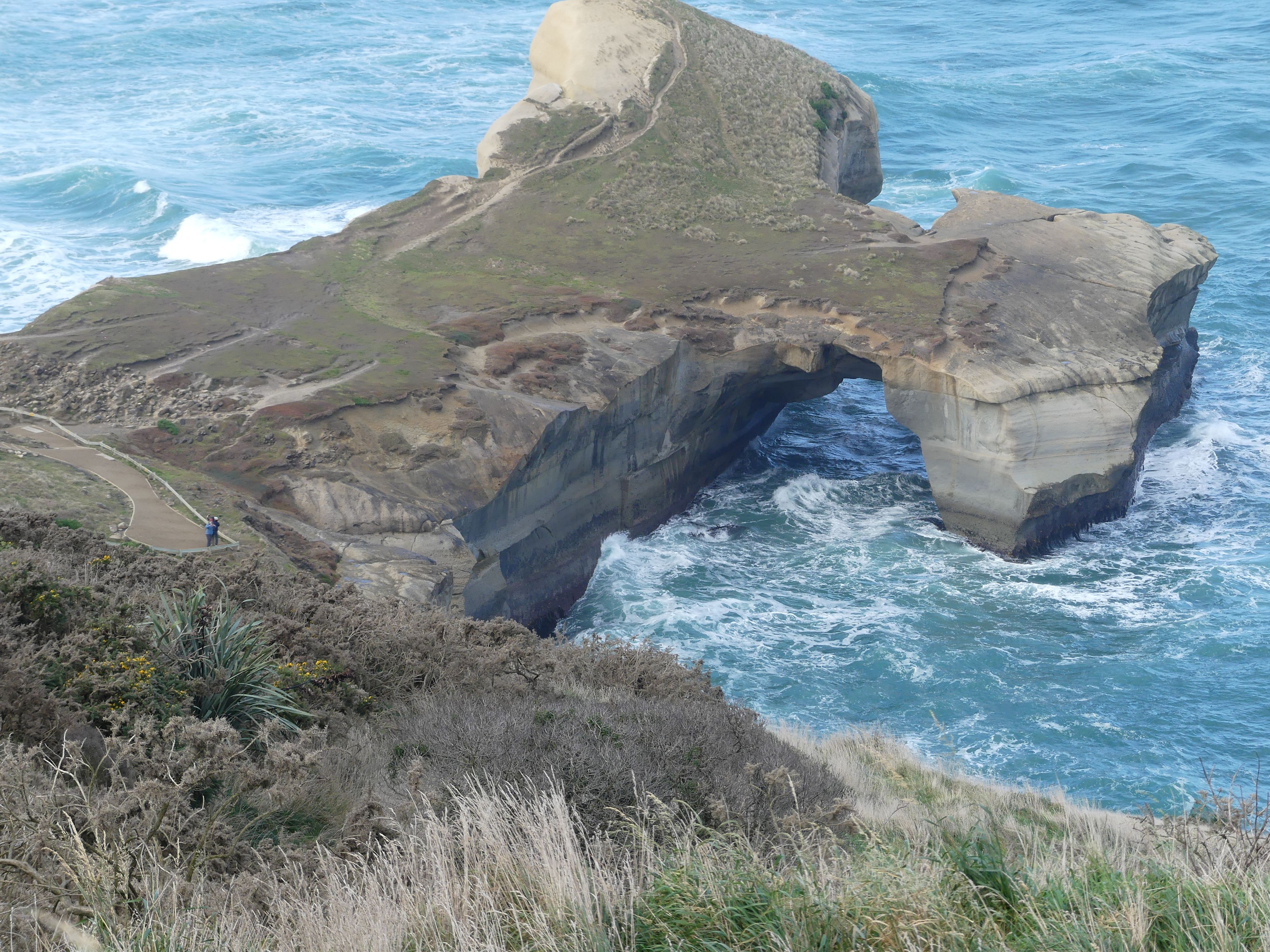
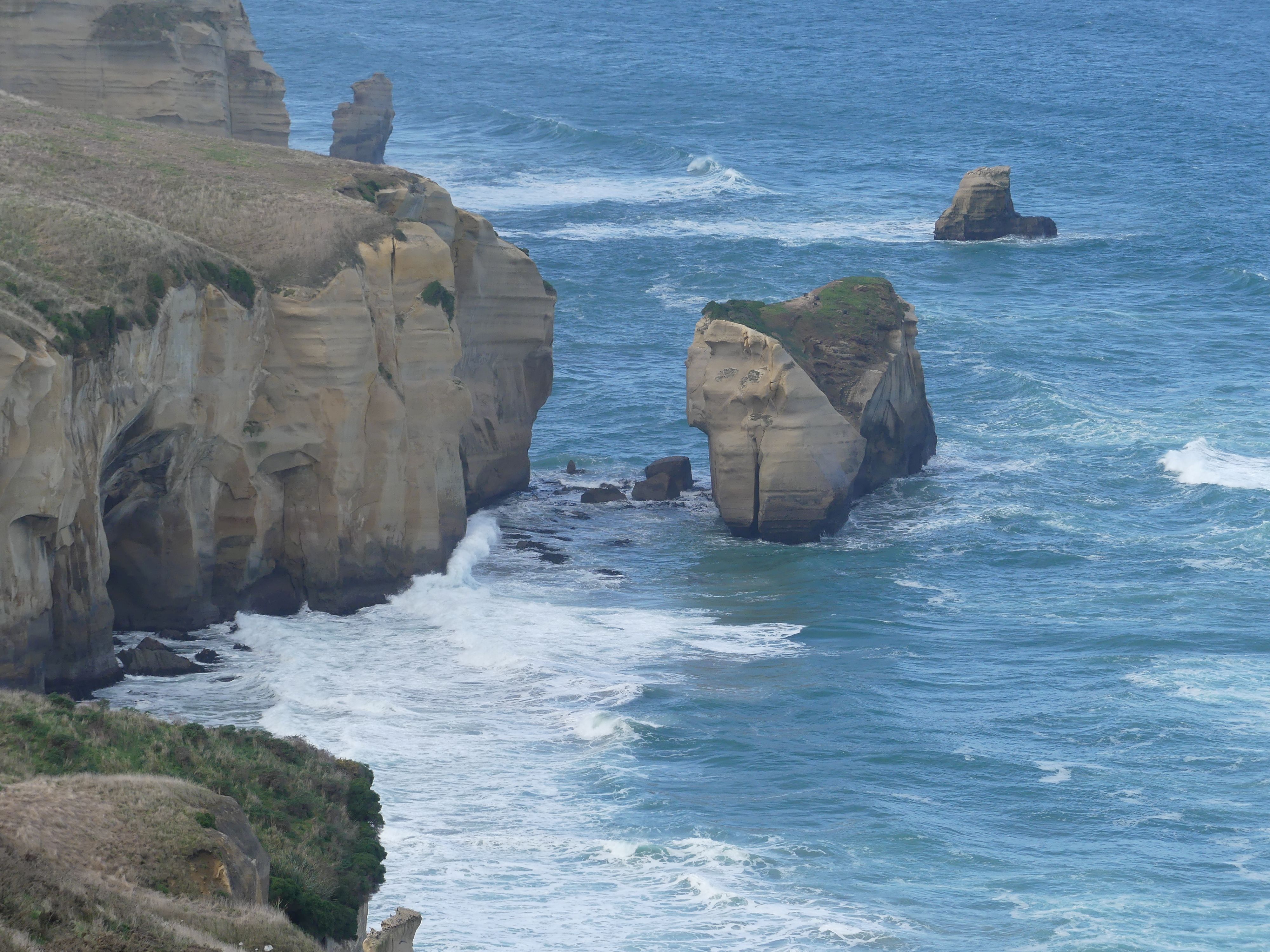
We decided to finish the day with a visit to Tunnel Beach on the Otago Peninsula. The wildness of the peninsula had been tamed by the construction of a long path to the beach but having walked down to the first viewing platform we looked back and decided that was enough – walking back up will be too hard for us elderly folk.

Tunnel beach from above. I don’t think I would have survived the climb back up.

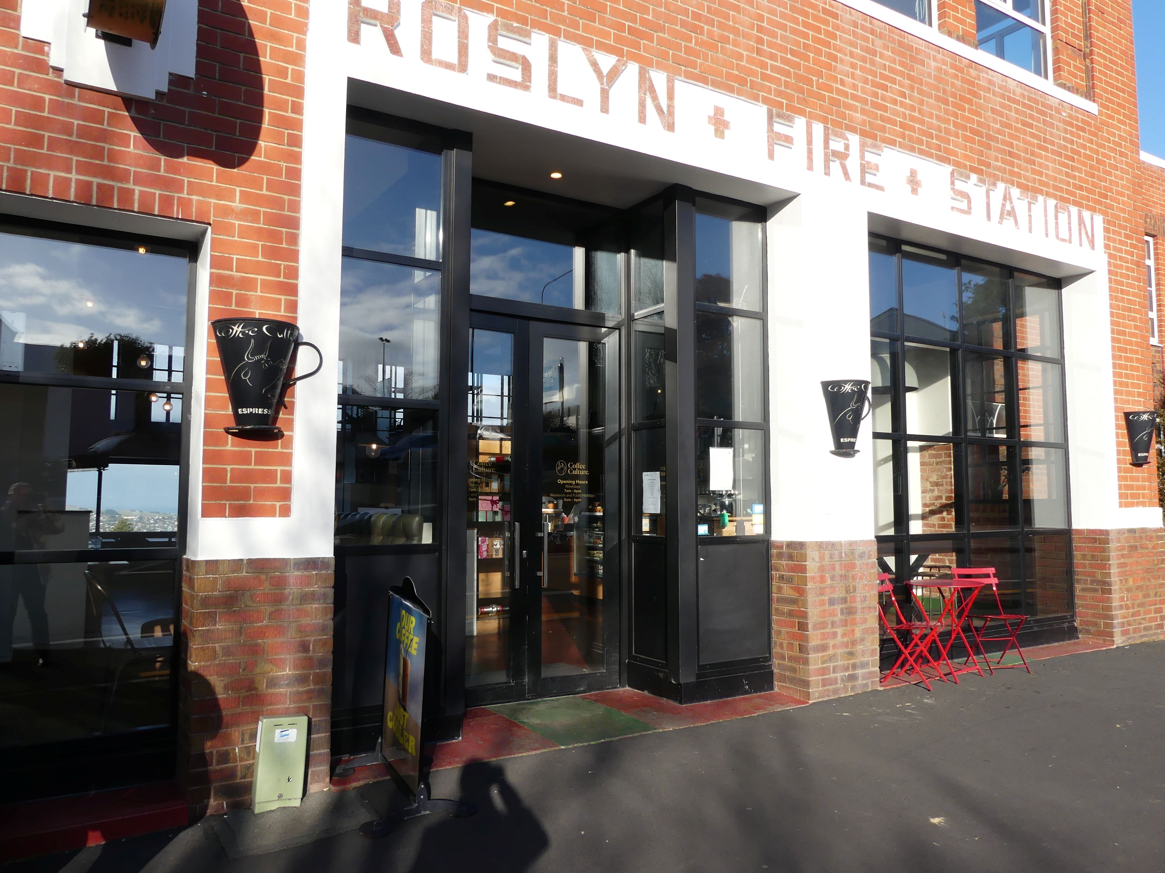
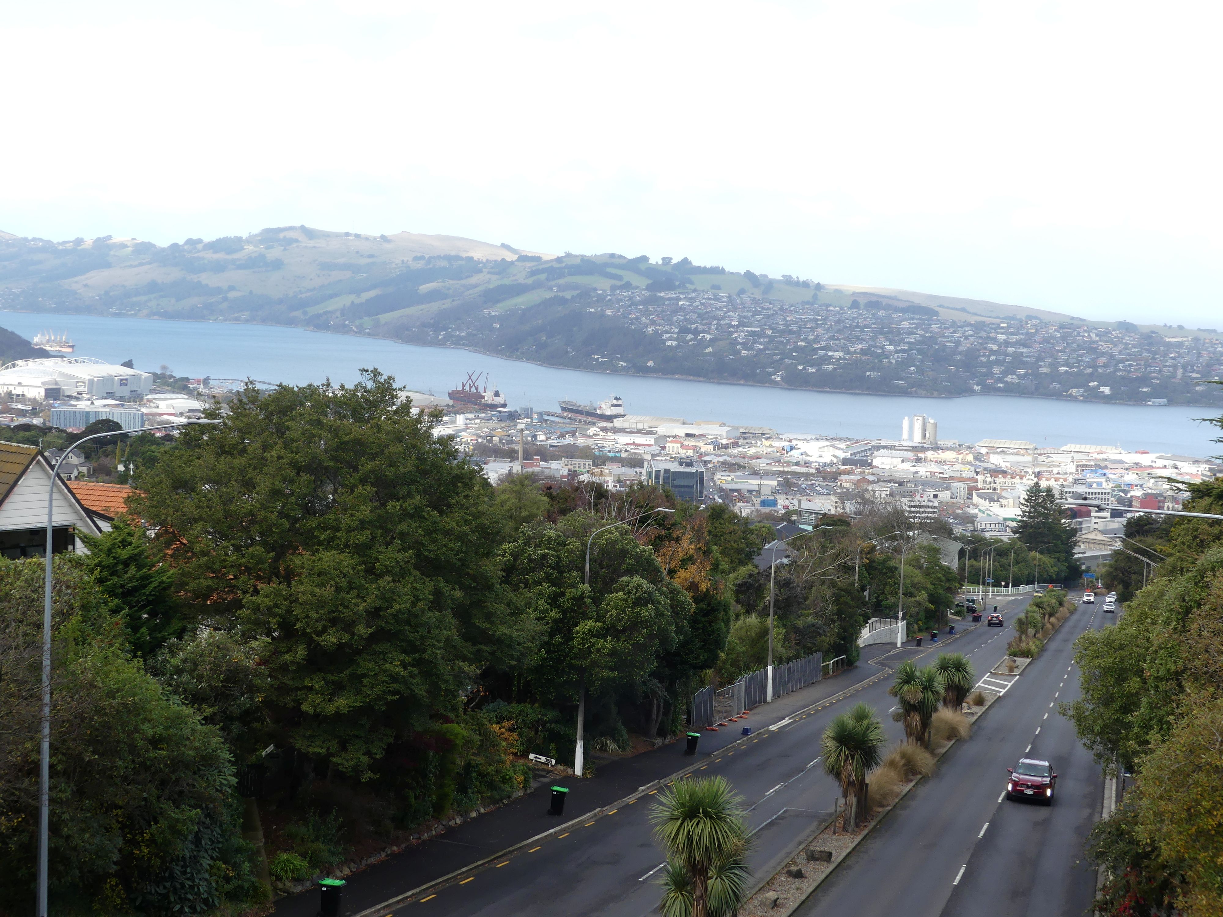
Having curtailed our plans, we decided to return to the B&B via the local coffee shop. Rossalyn Fire Station: no longer in service it had been turned into a coffee shop with magnificent views across Dunedin. After a rest and coffee, we moved onto the B&B and a night of cards before bed.

Fire House cafe and view of Dunedin from the cafe.

Tomorrow Day 9, we plan to travel to Lake Tekapo some 3 hours plus away. Still a long way to go travelling the South Island. Read more when THE RETIREES VISIT THE SOUTH ISLAND ACROSS THE DITCH blog 495 Episode 4.

THE RETIREES VISIT THE SOUTH ISLAND ACROSS THE DITCH blog 495 Episode 2

19TH MAY TO 10TH JUNE 2026

Day 5.                Today we are headed from Te Anu to Invercargill but we had to stop for coffee at the smallest coffee shop. It was clearly a diversified income stream for the laundry operating behind it as our barista came from the laundry to serve us.

Invercargill was 2.1/2 hours away and we would be staying at the Ibis Styles in Tay St. Invercargill. It had been our plan to look for stops on the way – yes, for coffee but stops of interest. There was one thing common about all the scenery, and this was the plantations of pine trees. Plantation forests are dominated by Radiata pine (Pinus radiata). Introduced in the 1800s, this incredibly fast-growing species is used for everything from structural timber to pulp. While plantation forests are strictly managed, the South Island faces a significant ecological crisis from wilding pines. These are self-seeded, invasive pine trees often Contorta pine and Douglas fir. These wilding pines choke out native alpine vegetation, use vast amounts of water, and ruin natural landscapes.

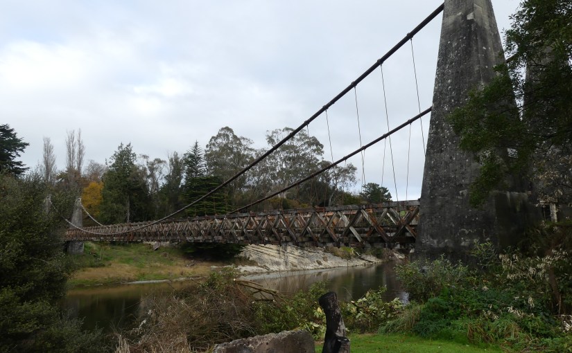
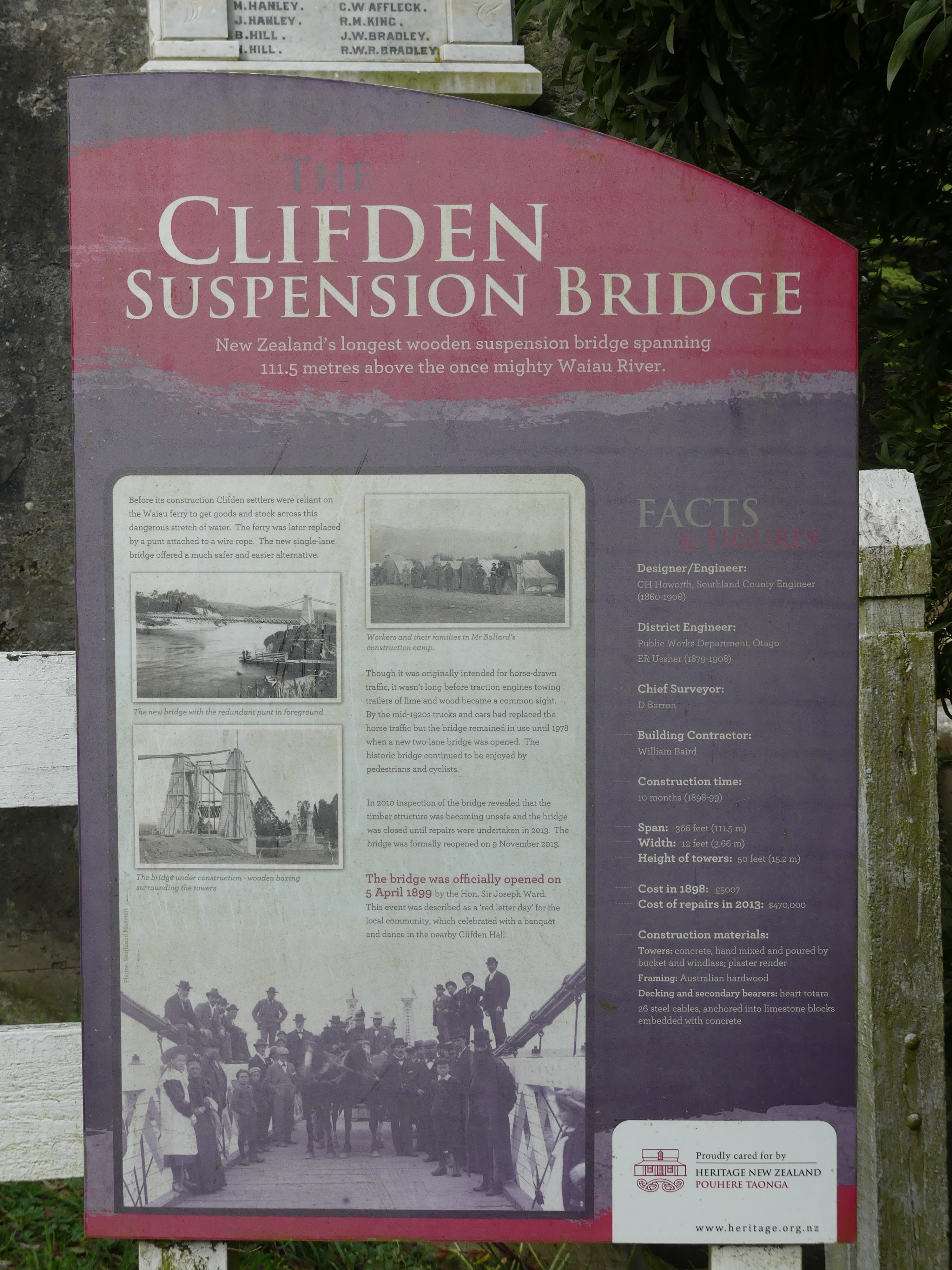
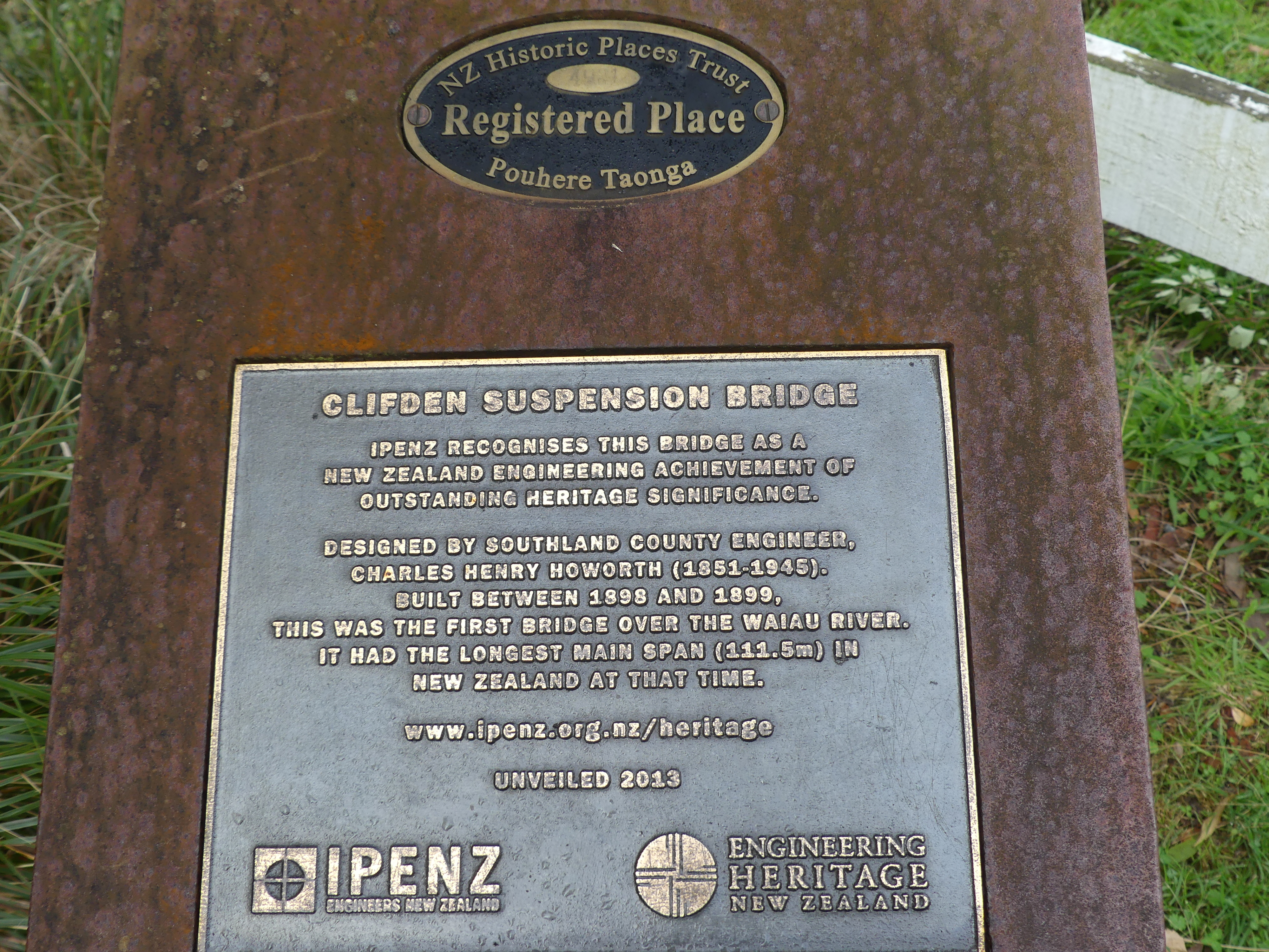
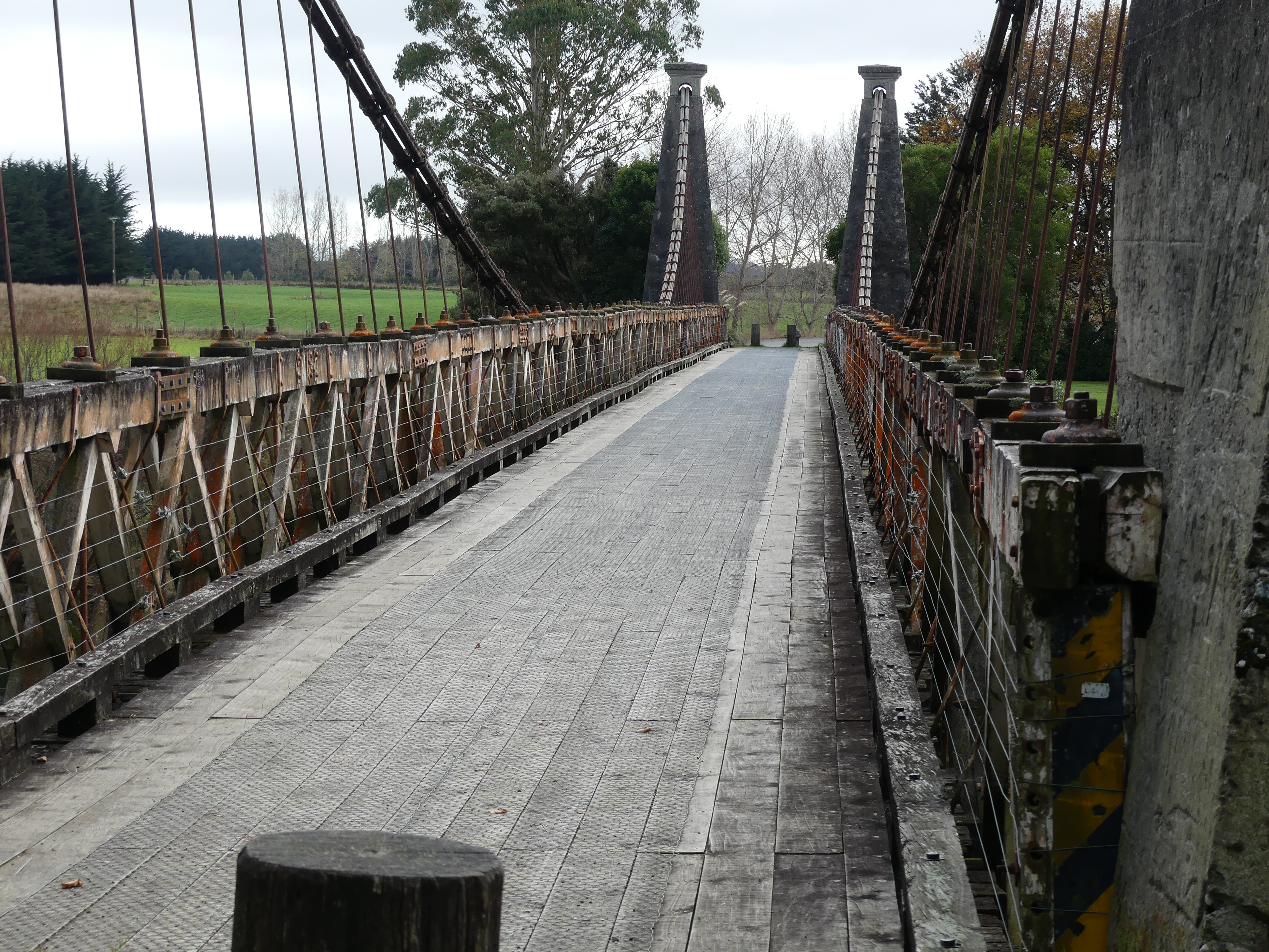
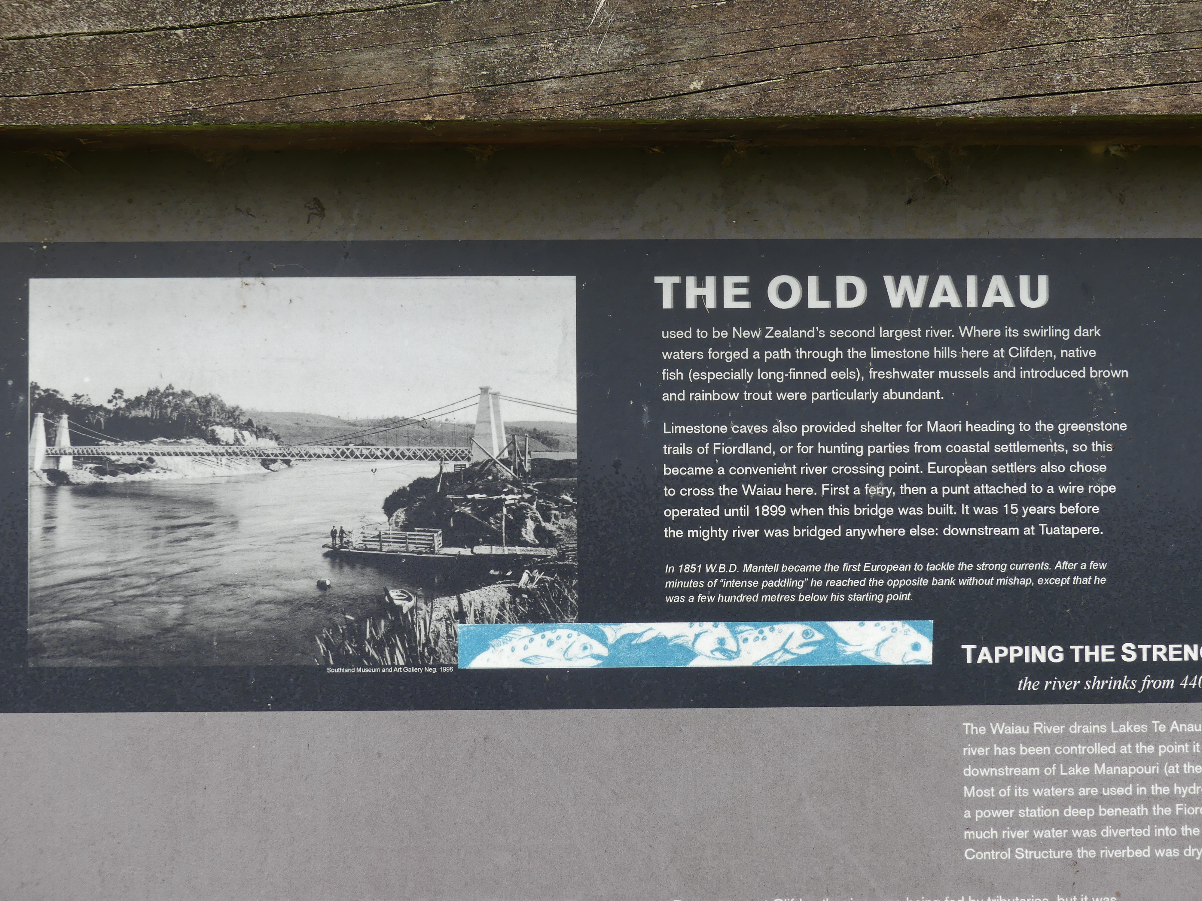
On the way to Invercargill, we expected to pass over Clifden Suspension Bridge. Wikipedia says “The historic Clifden Suspension Bridge is located in Southland on the South Island of New Zealand. Built in 1899, this 111-meter wooden and steel bridge spans the Waiau River and features a Category 1 Historic classification. Originally built to replace a ferry punt and connect the region, it was the longest suspension bridge in the country. It was closed to vehicular traffic in 1978 when a modern bridge was built nearby. Today, it is pedestrian-only and serves as a popular roadside stop for photographs and historical appreciation.”

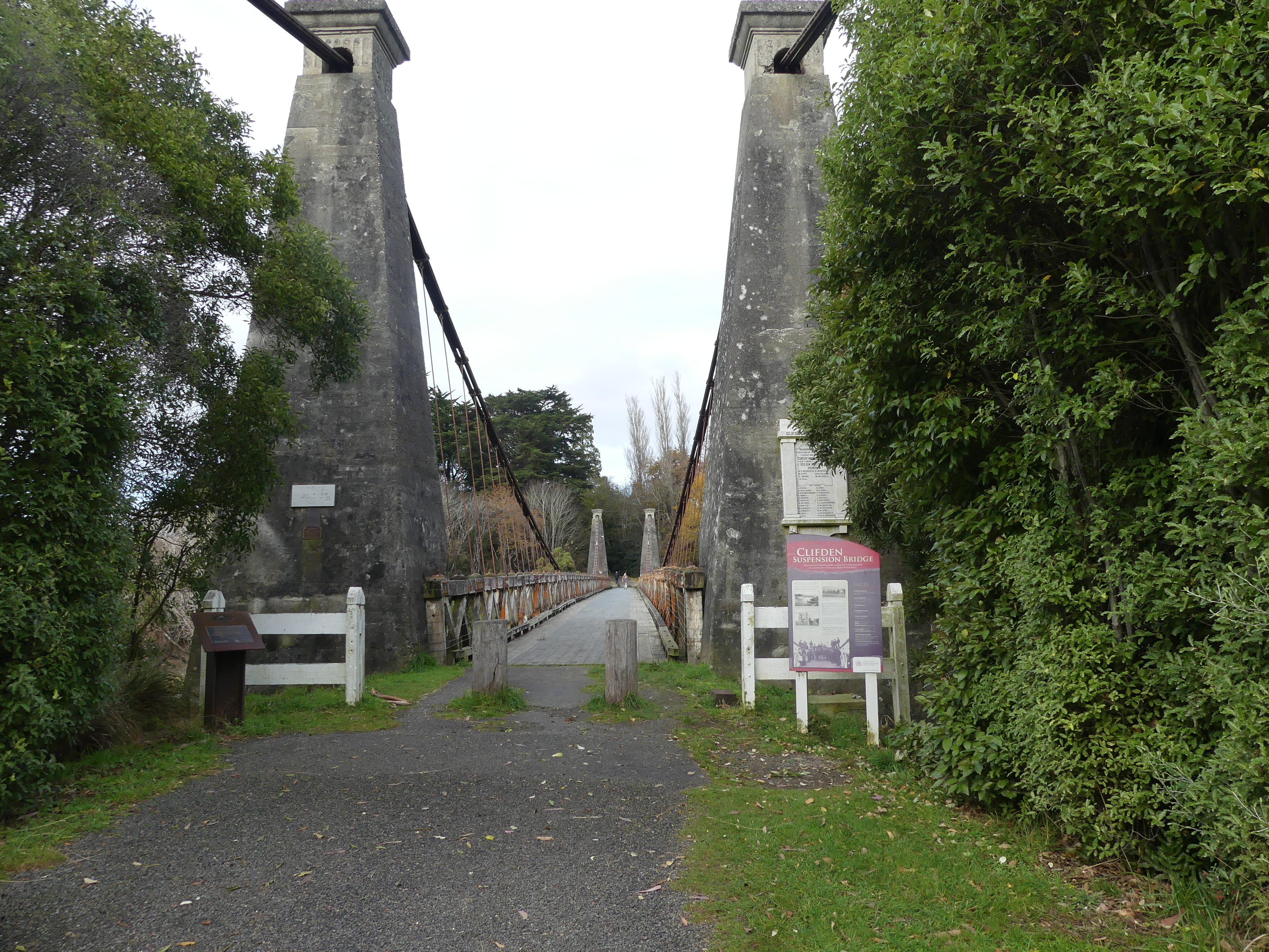
So, here we are at Clifden Suspension Bridge.

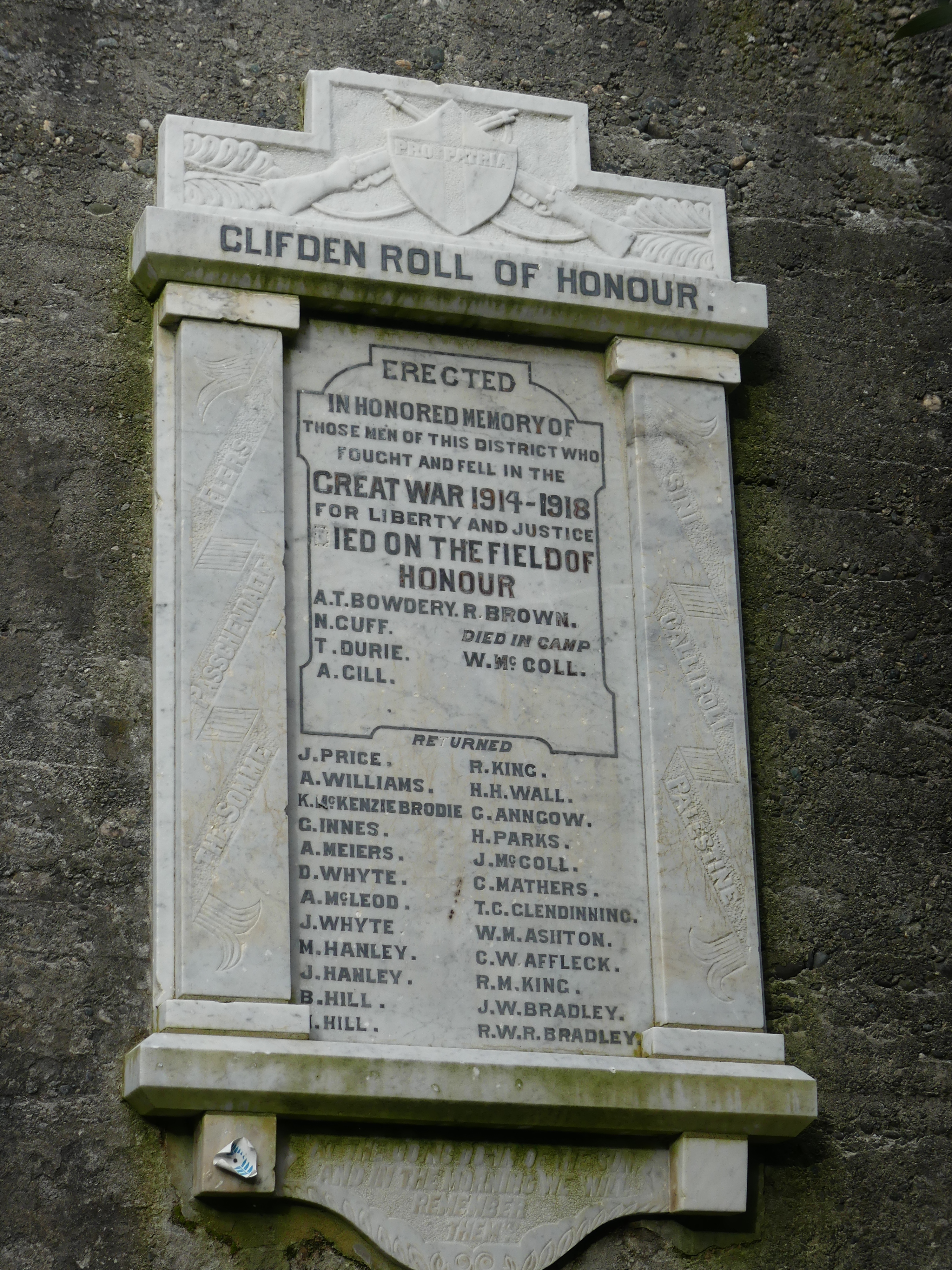
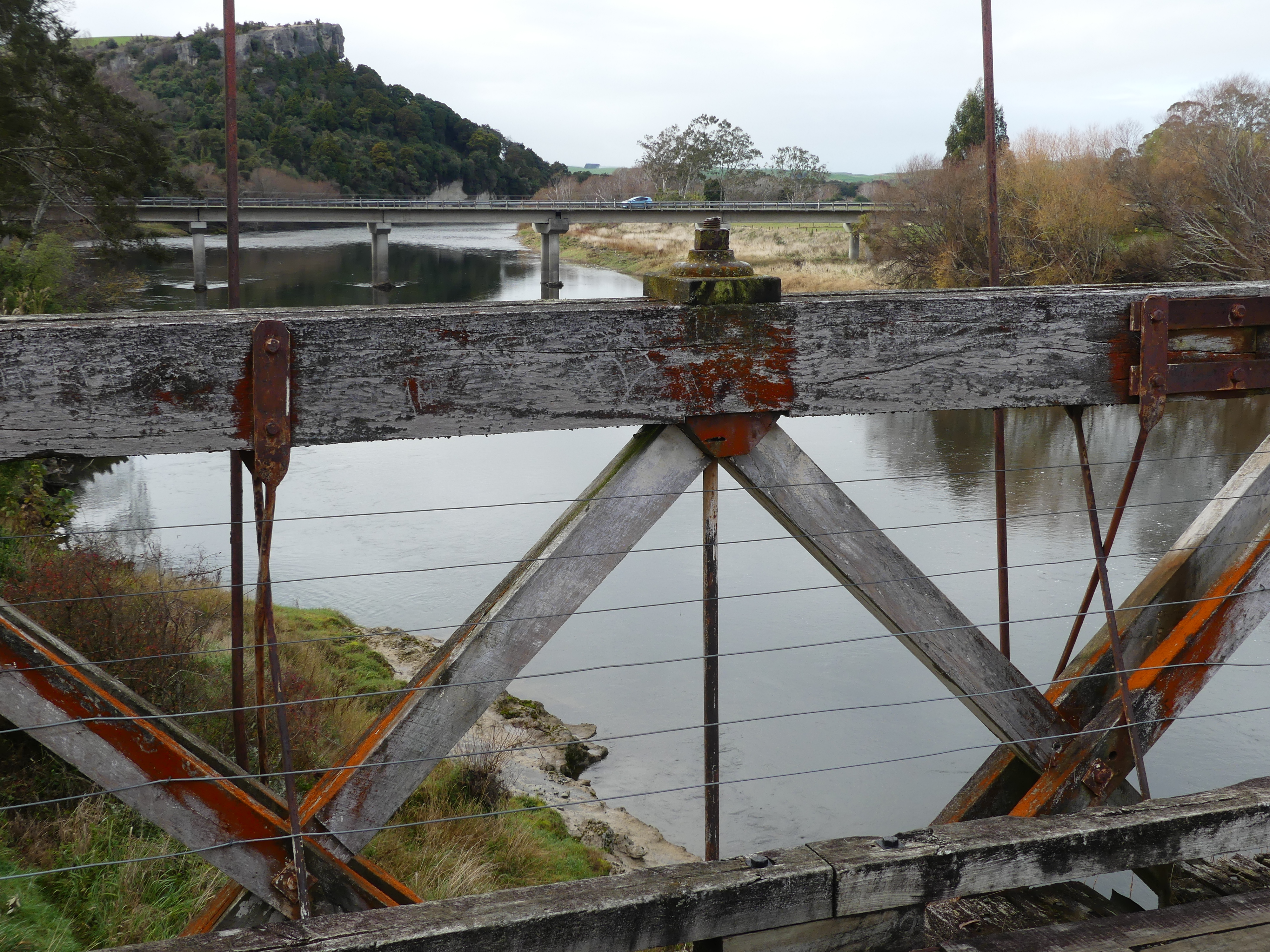
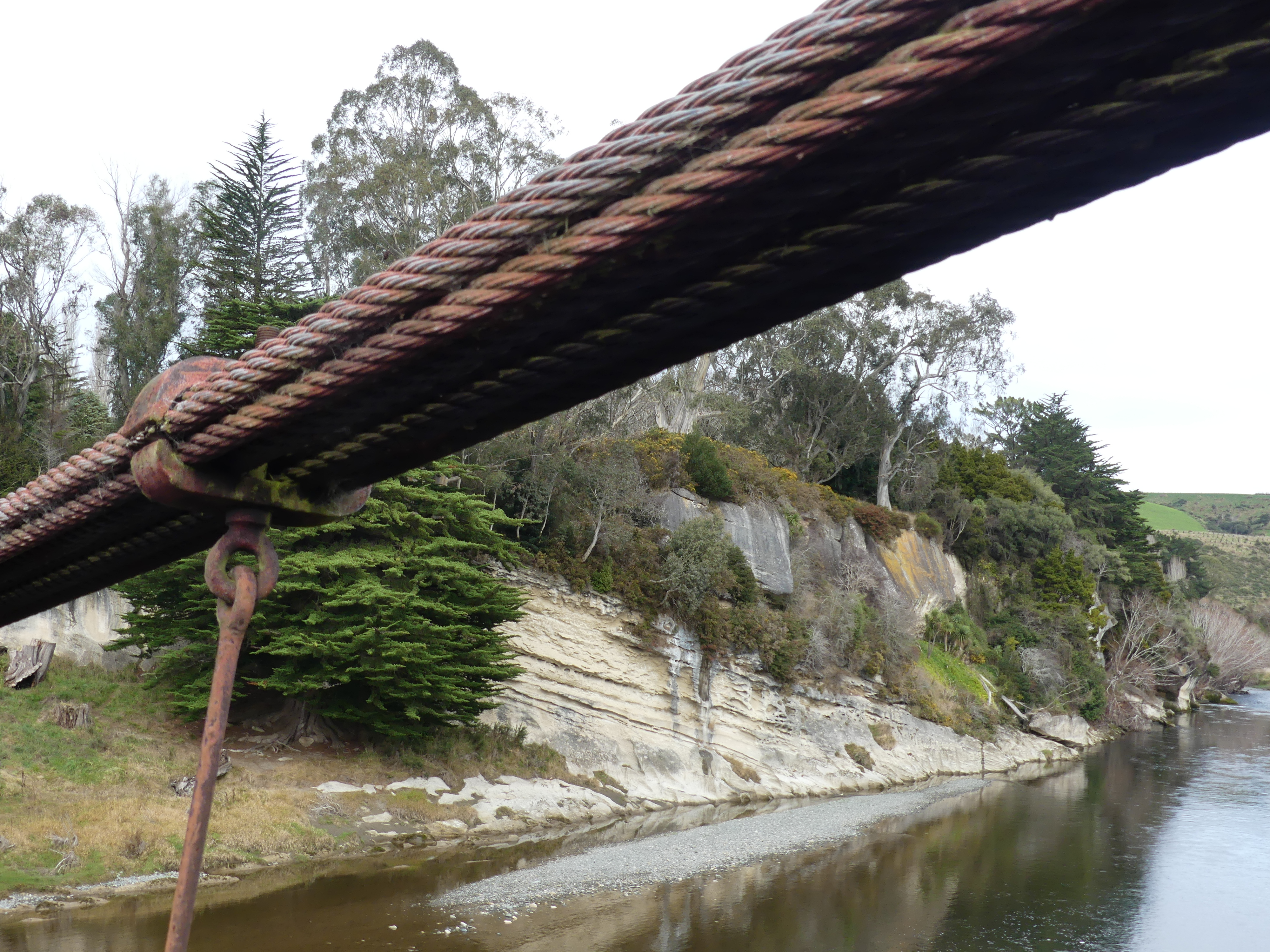
The Bridge and its history, the Waiau River

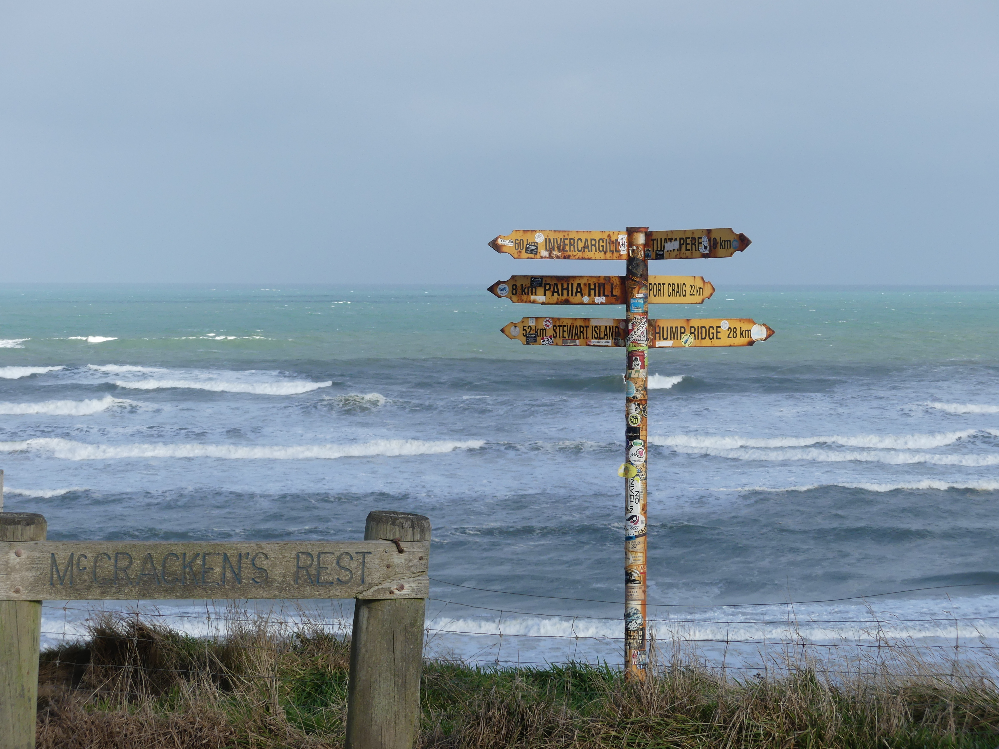
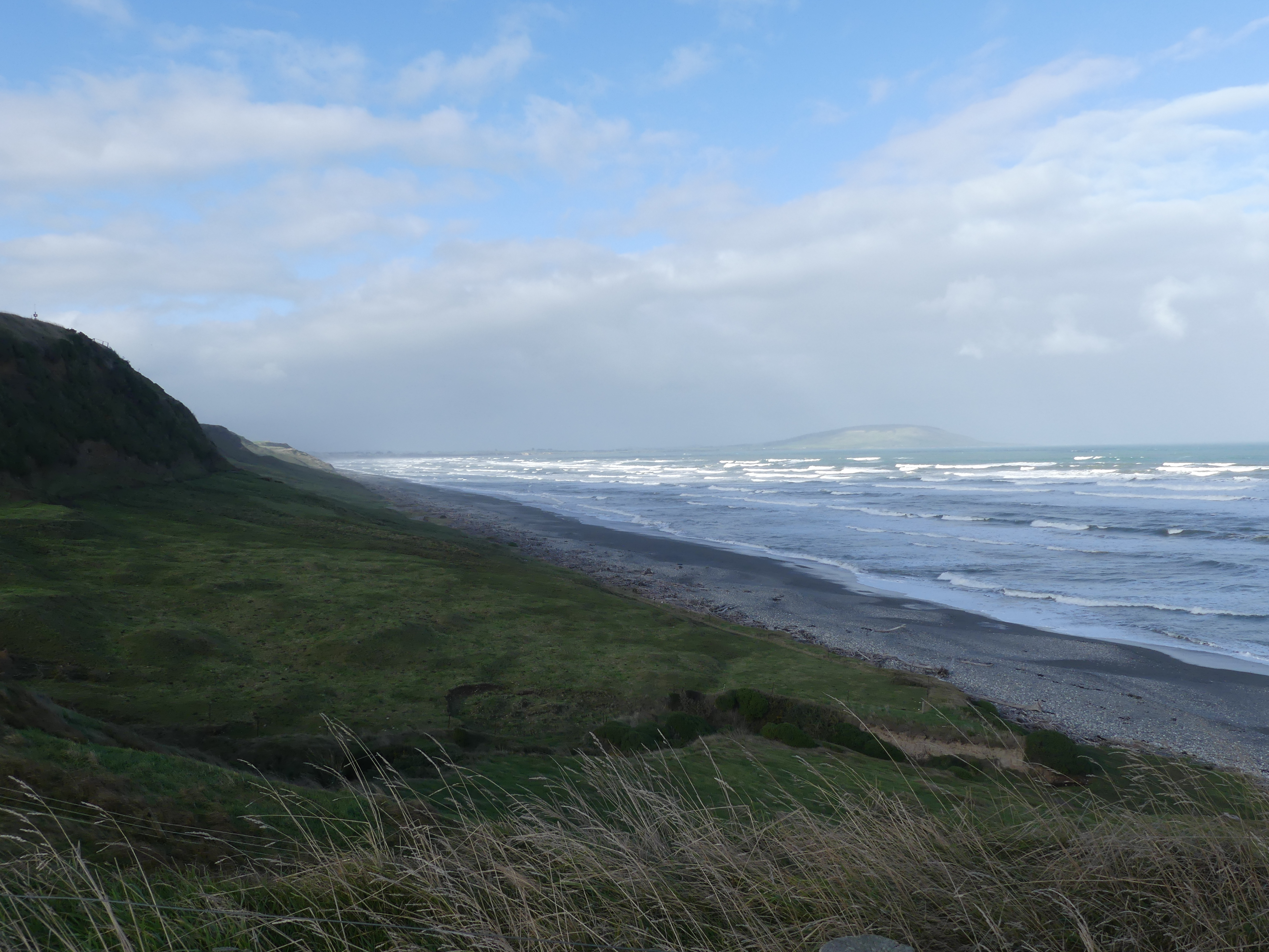
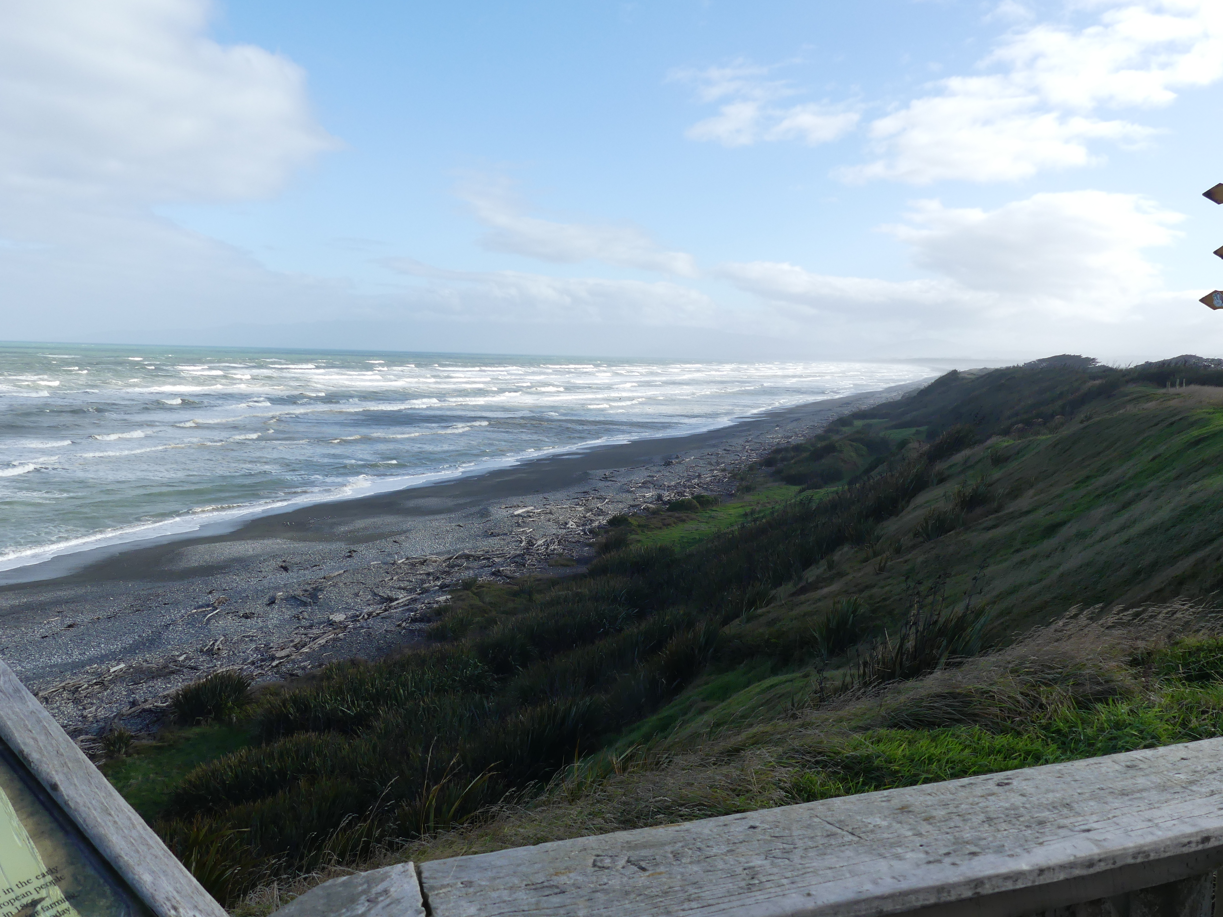
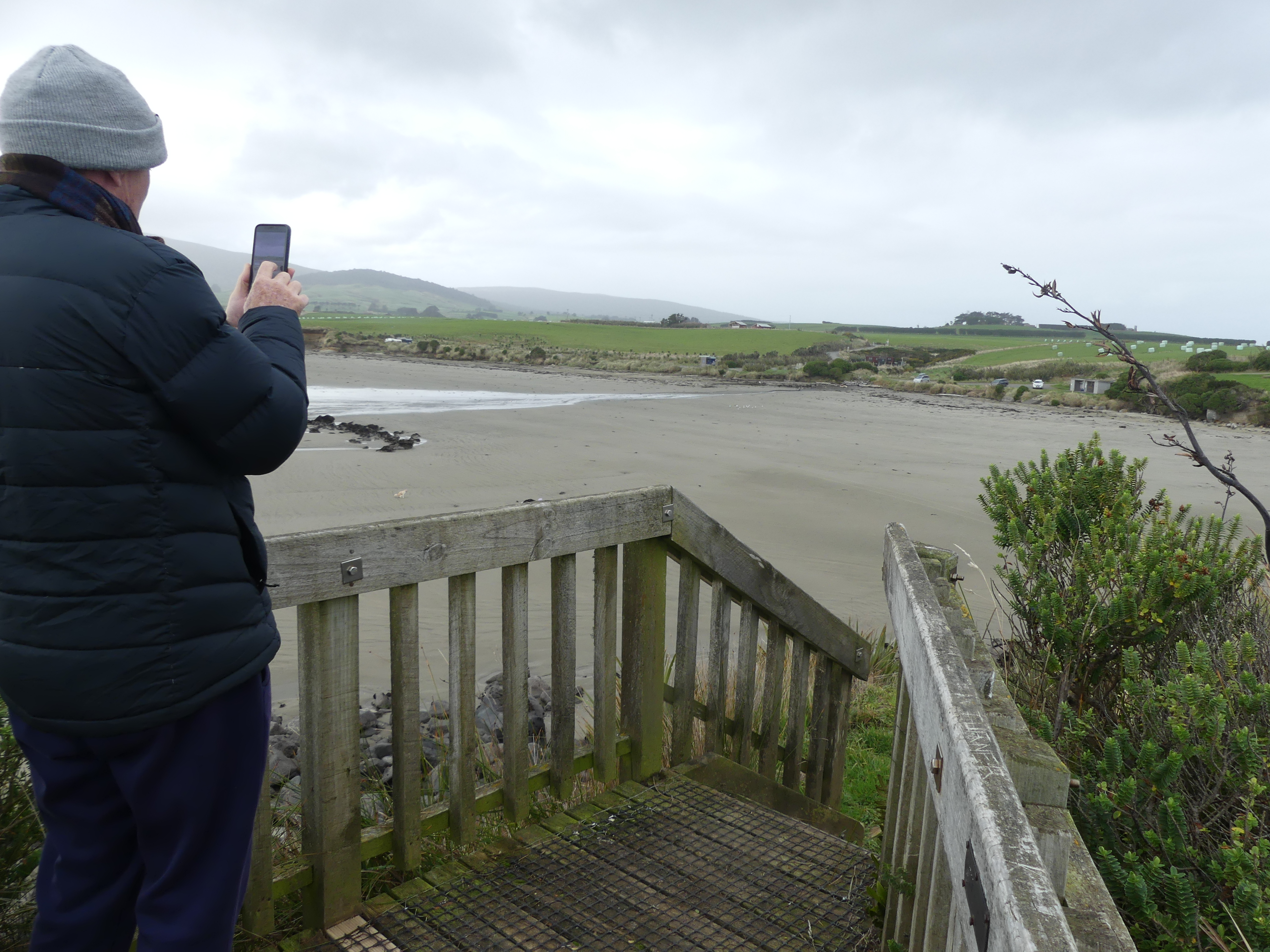
Out comes the coffee and biscuits and we appreciate the work and effort to construct such a bridge in 1899 in the wilds of the South Island. Suitably refreshed (Barry had picked up some Scotch Fingers whilst I had picked up a packet of Biscoff biscuits and prepared vanilla latte sachets, Kerry had her Spicy Chai Latte and the thermos of hot water) we motored on now following the coastline. McCracken’s Rest just off the main road, caught our eye for our next stop. No idea who McCracken may be nor why he rested here (no sign of a grave) but it has awesome views up and down the coast. From here we are closer to Stewart Island than Invercargill! We are right at the bottom of the South Island. According to a sign nearby “Locals appreciate McCracken’s Rest for its stunning coastal views and proximity to attractions like Monkey Island and Gemstone Beach.” After reading this Barry needed to see Monkey Island.

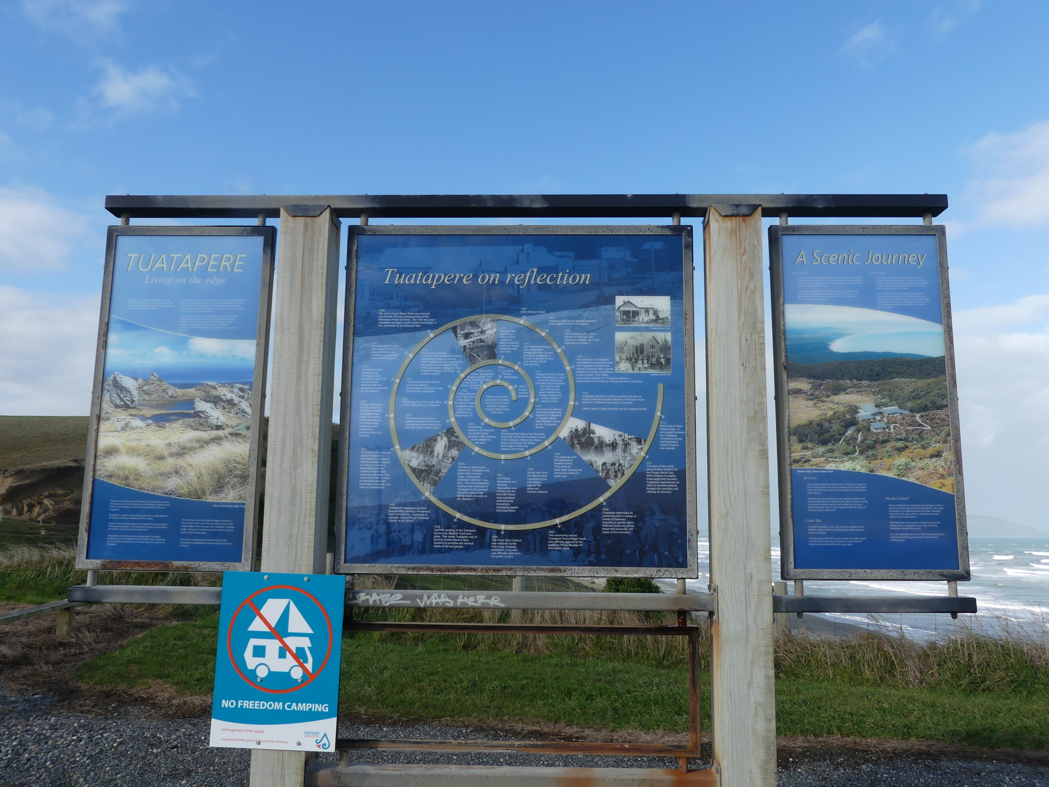
McCracken’s Rest, up and down the beach (Stewart Is in the background) Tuatapere history board.

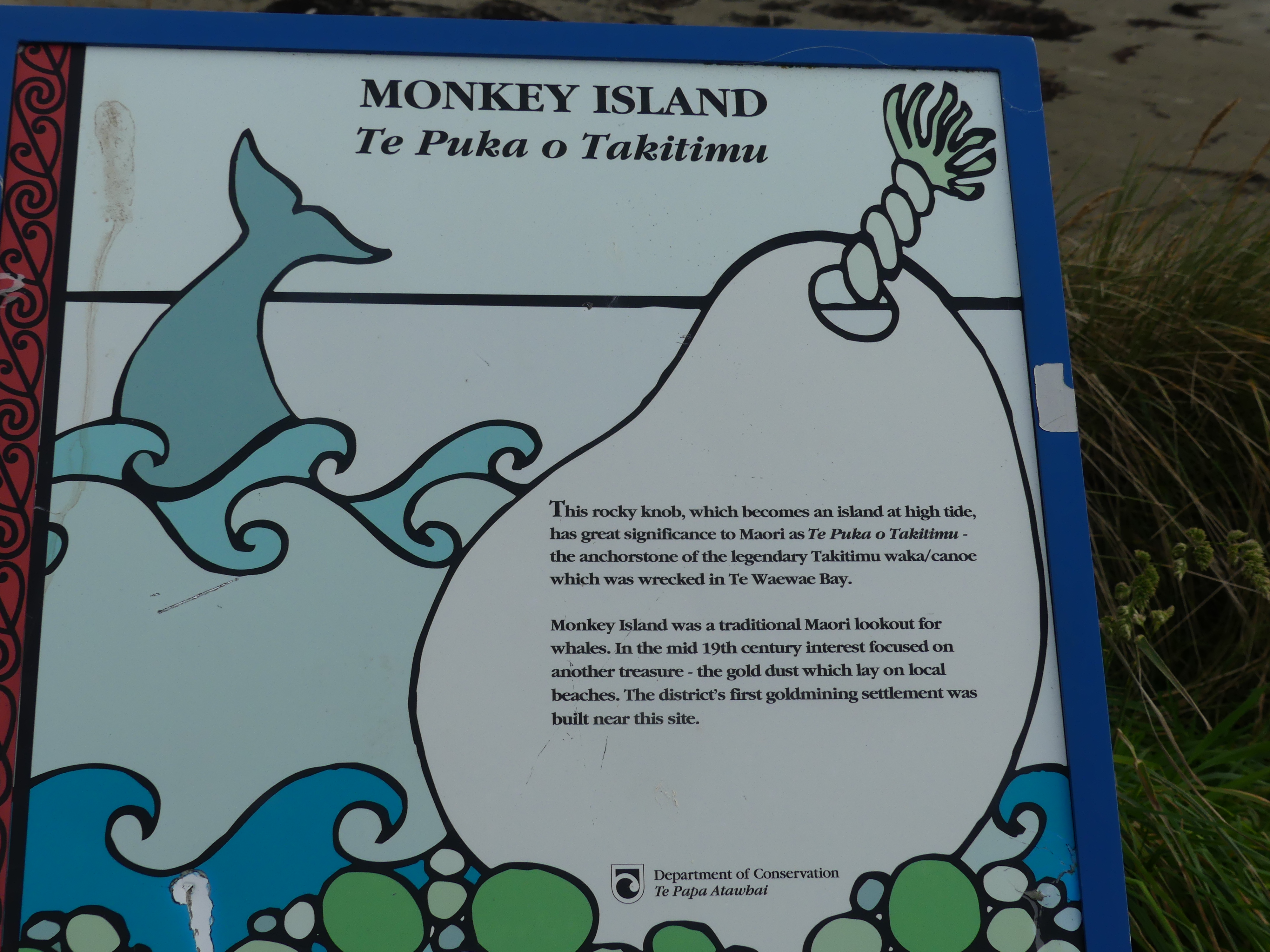
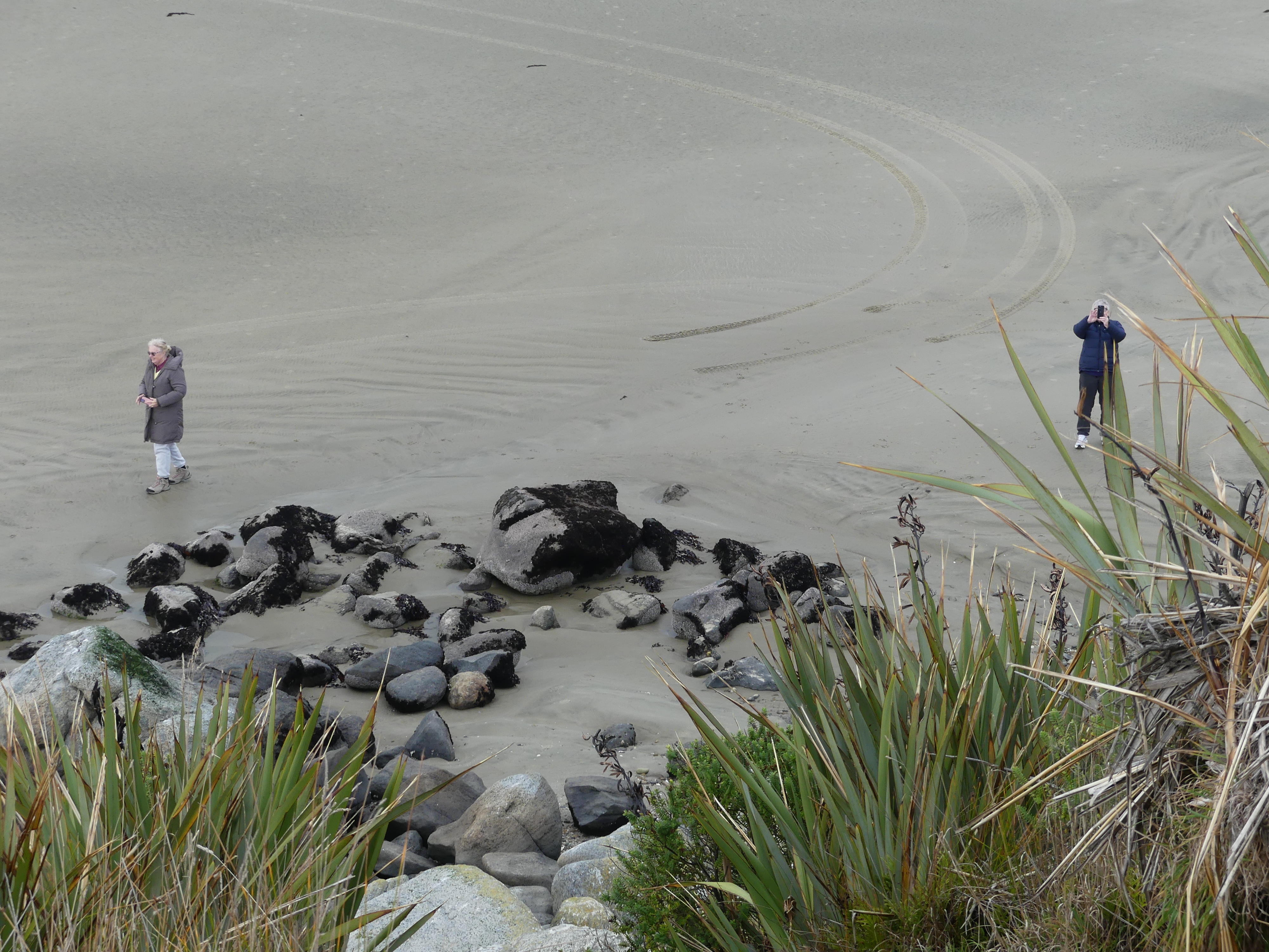
We drove to Monkey Island a rocky knob which becomes an island at high tide. Well, Barry scrambled up one side, and I thought I chose an easier route up the other side but oh No! I was wrong and tumbled backward knocking my head. Very stupid and dangerous for me having previously broken my neck surfing and now with my head screwed on by a fusion of my C4 to C7 vertebrae. But I am still here to write about it. Kerry watched my fall from the beach causing her great grief. Not a high point of our holiday but a lesson learnt by me.

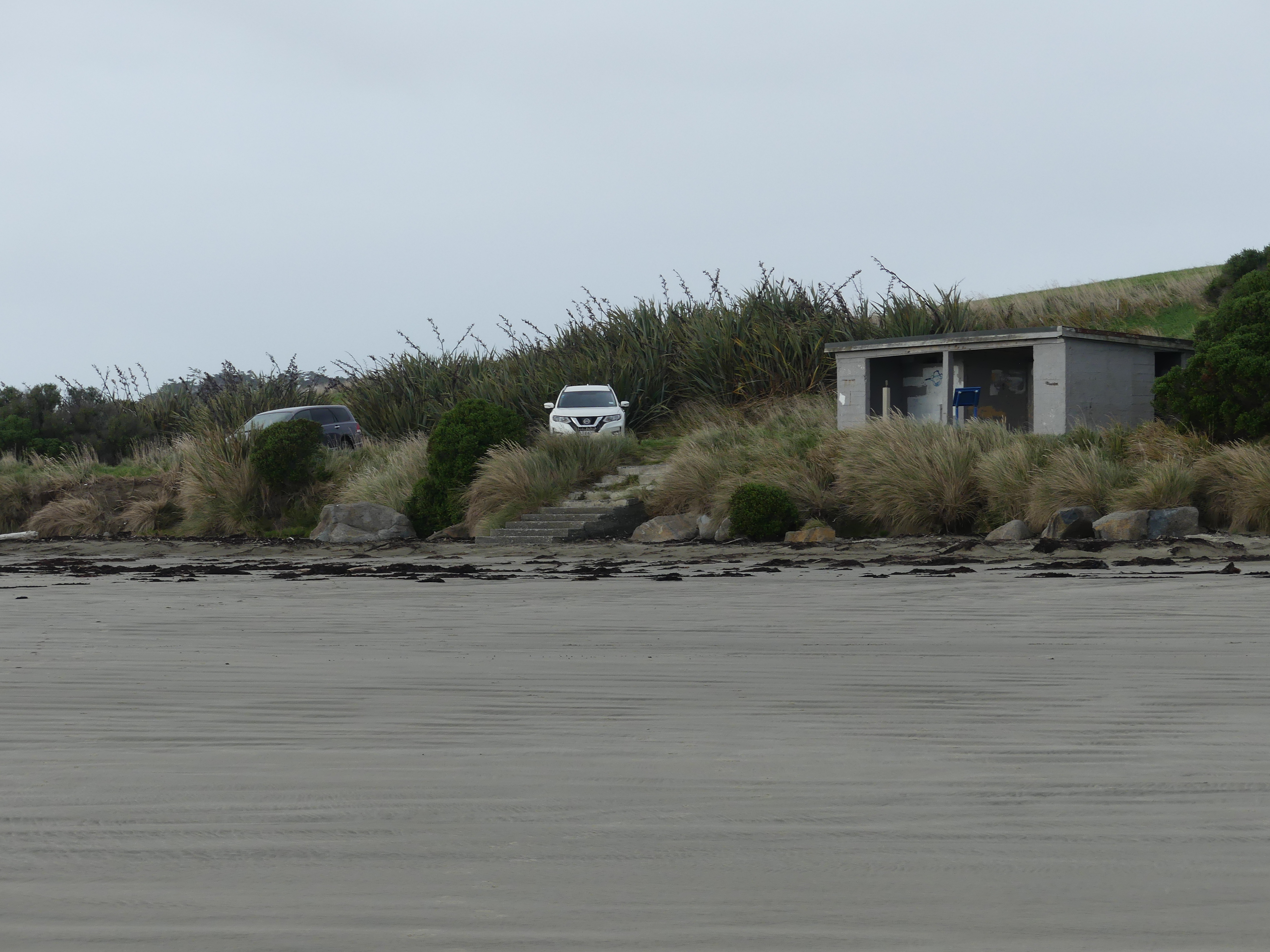
Monkey Island

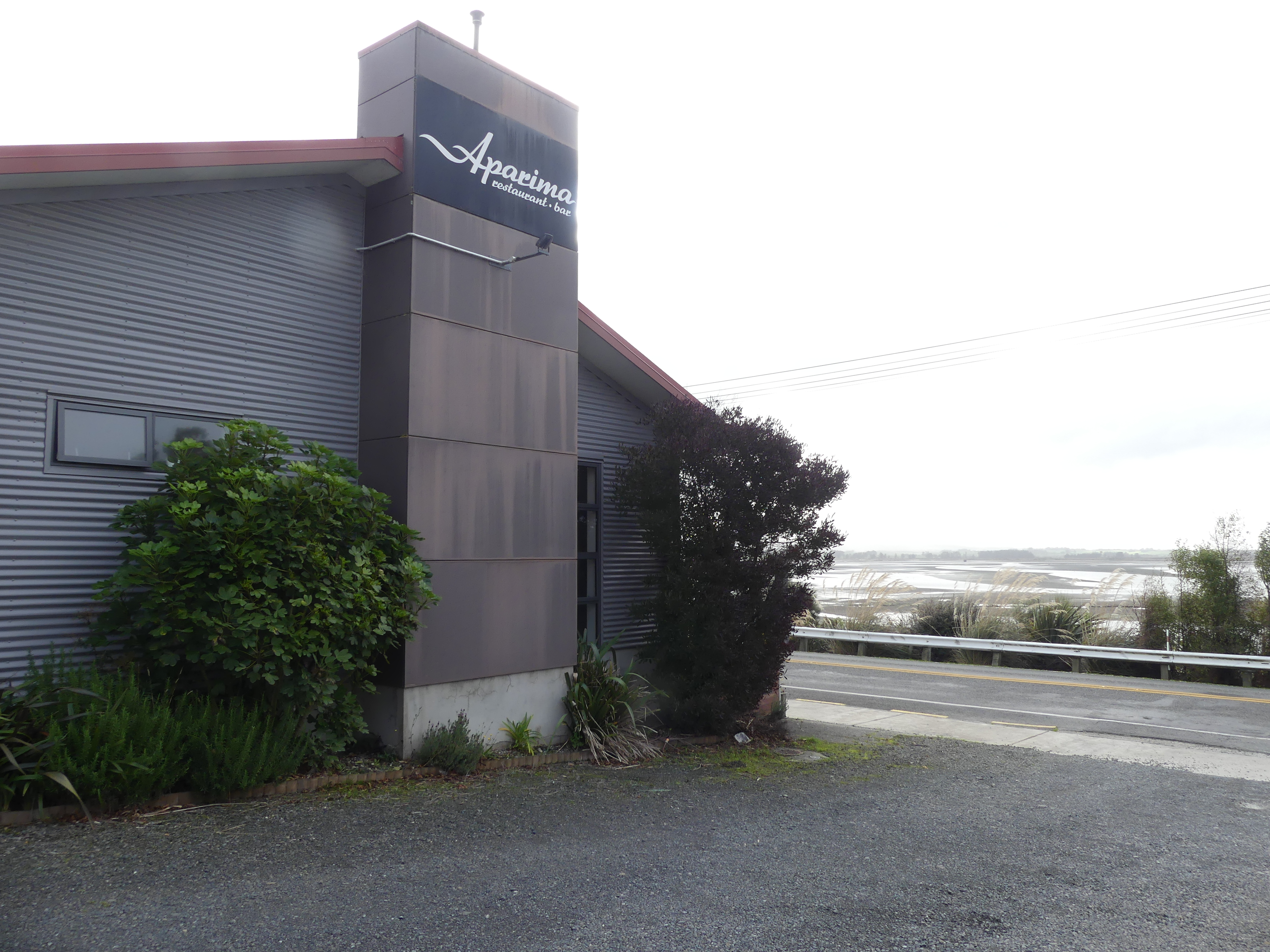
I had no side effects from my tumble other than a bruised ego and an annoyed wife. So, we moved onto Riverton for lunch visiting the Aparima Hotel. We had an enjoyable lunch in a warm cosy atmosphere. There seemed too many locals having lunch and enjoying themselves, so I googled The Aparima Hotel and found according to google that it “is a well-loved historic establishment” on the South Island. “It had burned down in a devastating fire in 2013, but the site has since been successfully rebuilt as the Aparima Restaurant & Bar.” We can attest to that.

Aparima Restaurant and Bar

We moved onto Invercargill arriving at our hotel around 3.00pm Saturday. Barry and Sandi had plans of visiting Stewart Island, but their enquiries changed their minds. They could not do a day trip and would need to stay overnight. Whether that was a seasonal thing or not, they decided to do things with us which changed our very loose plans. The hotel was not as expected either. It was in one of the main streets of the CBD and there was, despite our being told otherwise, no onsite parking. Parking on the street was free on the weekend but after 8.00am on Monday the parking on the street would be free for 20mins only. This still didn’t give us secure parking off the street. On the positive side, we had comfortable rooms and access to a lounge which gave us plenty of room to play cards and prepare meals and lunches.

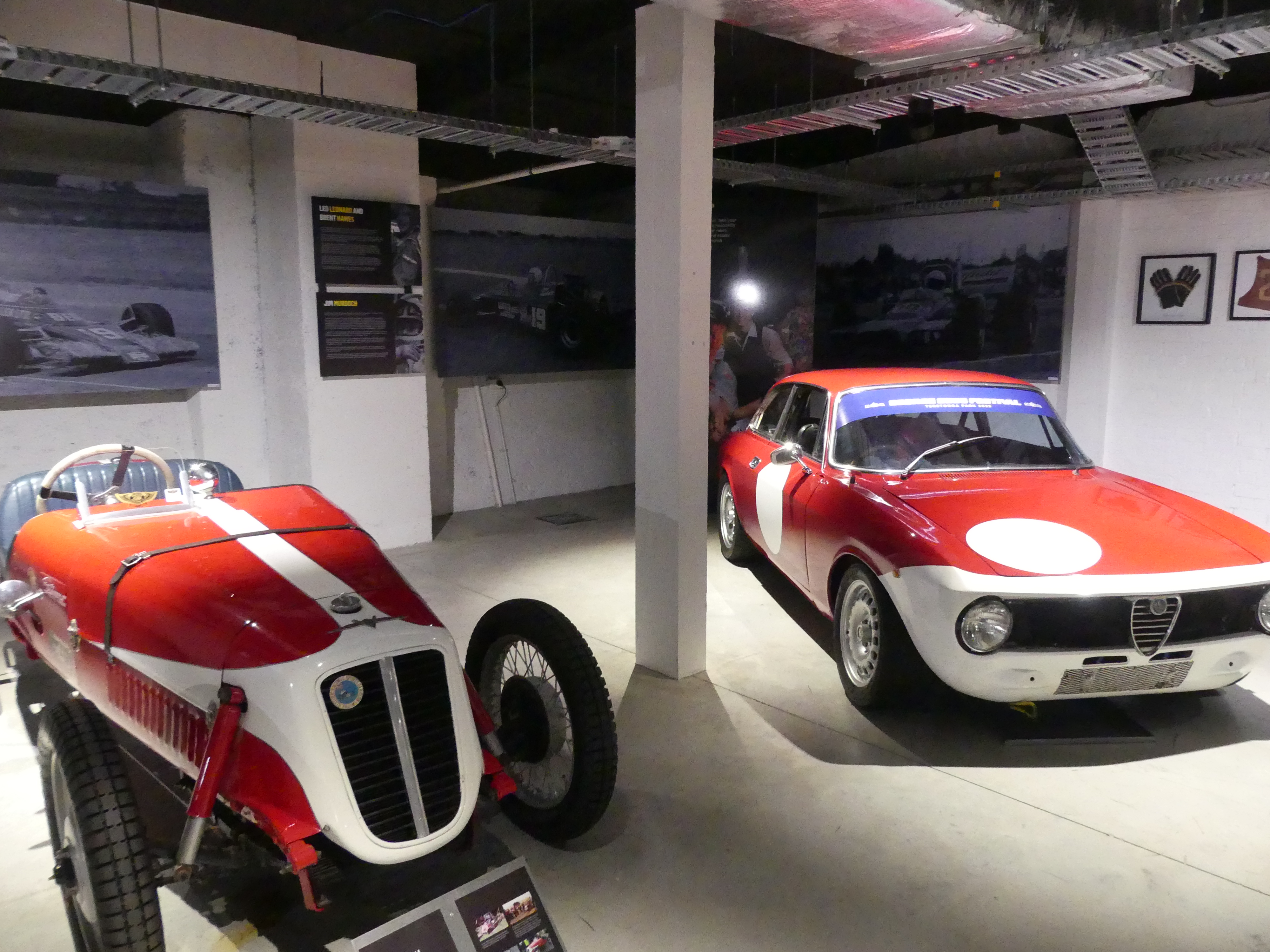
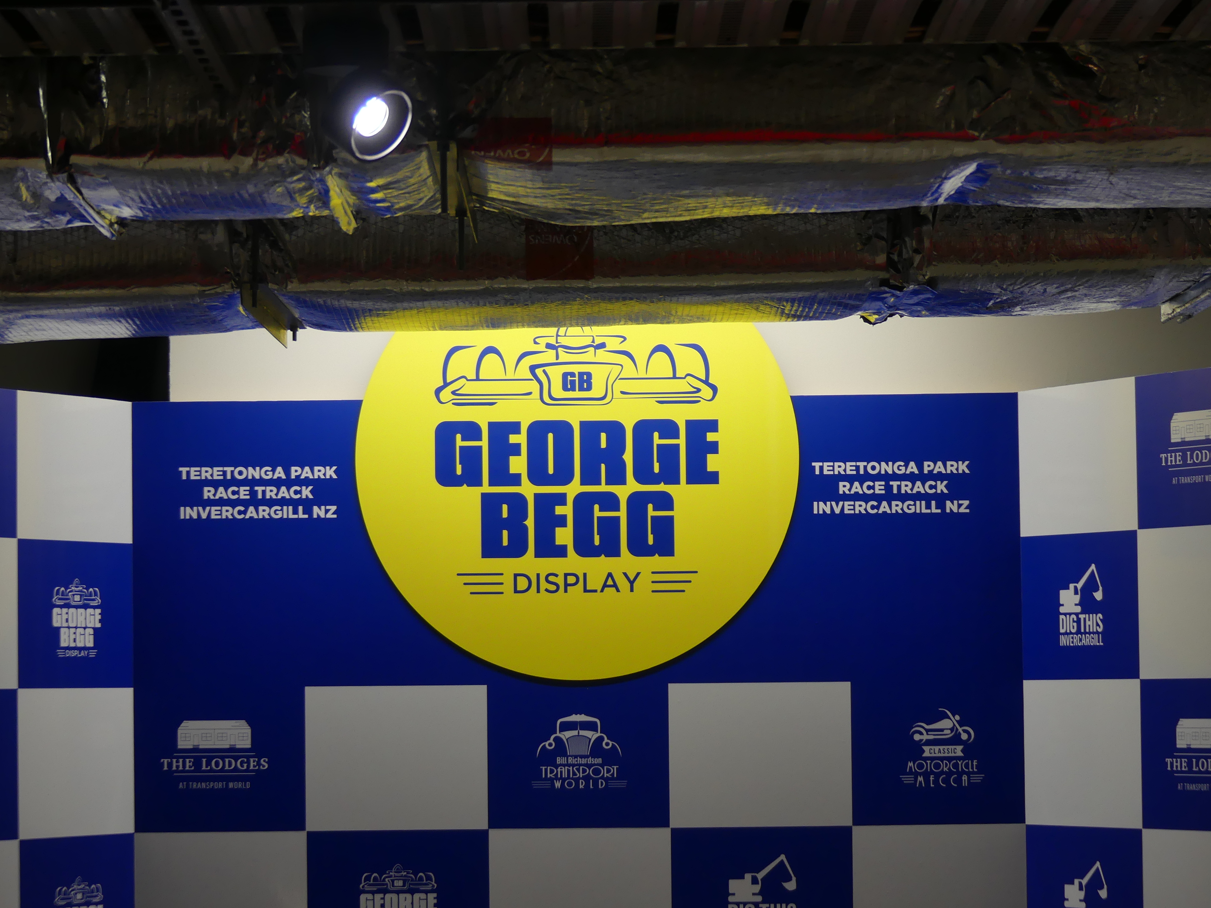
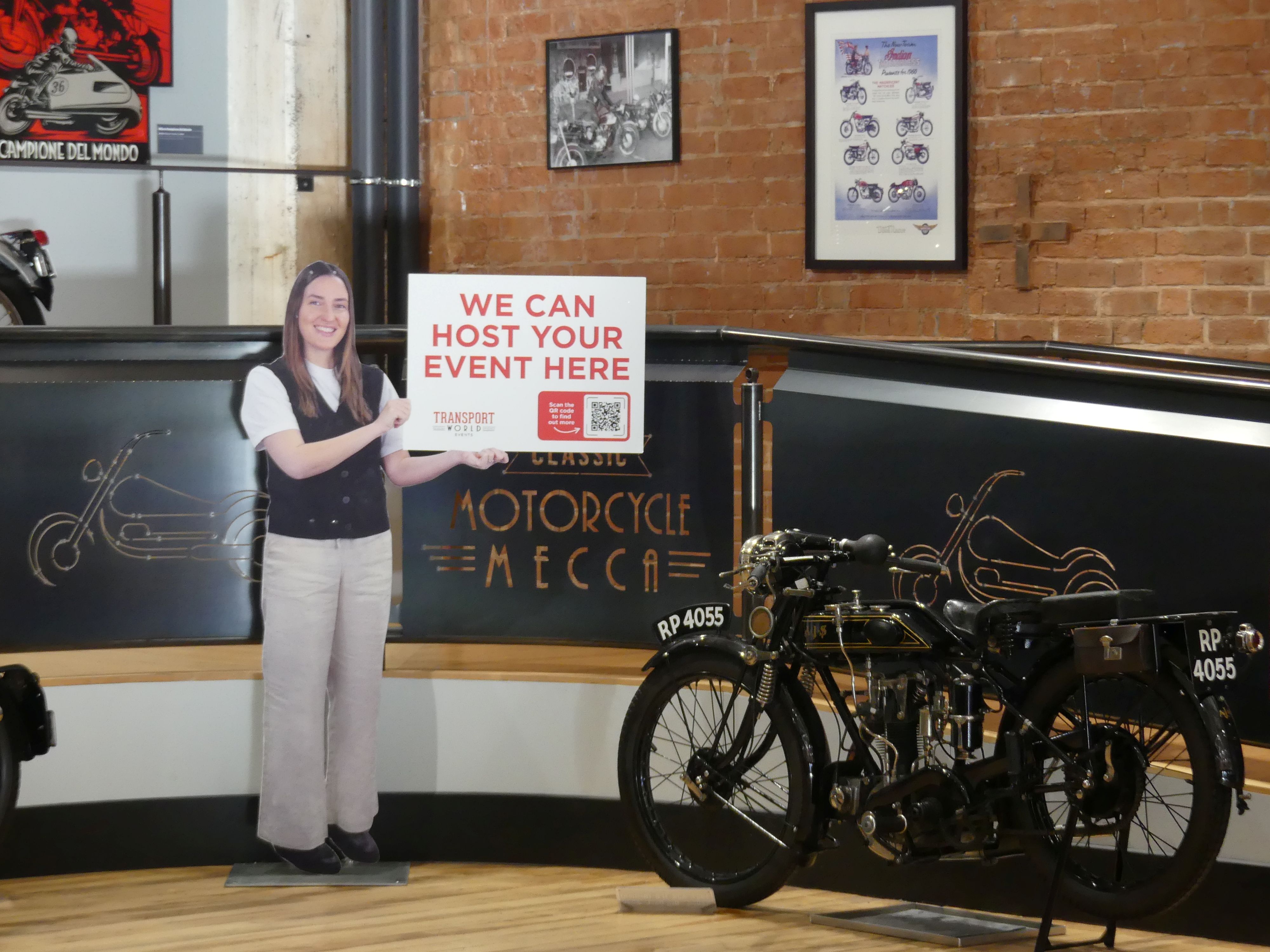
Day 6                 The following day Barry revealed that he had discovered a motorbike museum nearby. Now Barry is still riding and couldn’t wait to view the museum. The legacies of George Begg and Burt Munro are displayed at Classic Motorcycle Mecca. Classic Motorcycle Mecca and E. Hayes & Sons. are also located in central Invercargill and showcase New Zealand’s incredible motorsport and engineering history. Most of the motorcycles in the collection were originally acquired by Tom and Heather Sturgess. In 2016 Sturgess announced that he had undergone major surgery, and that the collection of almost 300 motorcycles, eventually was sold to Transport World in Invercargill to be relocated to new premises in Invercargill.

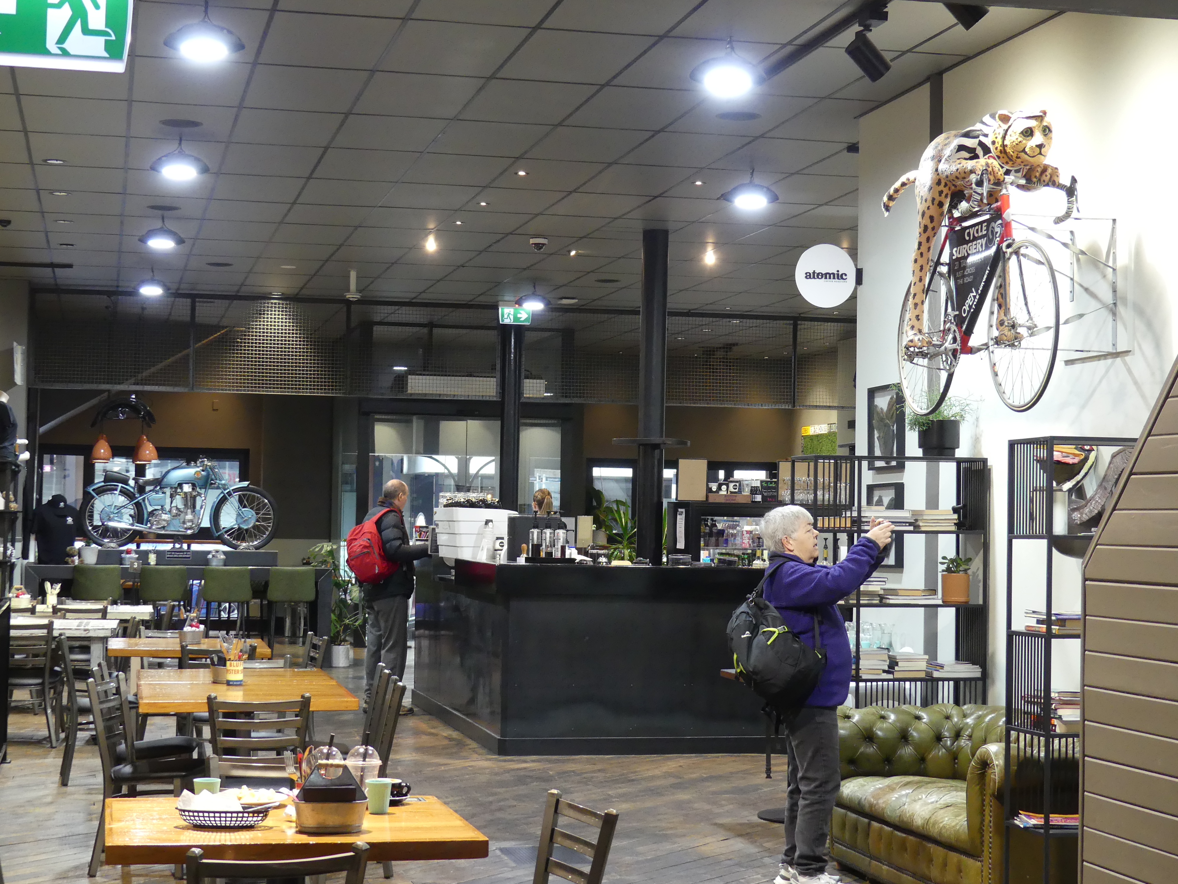
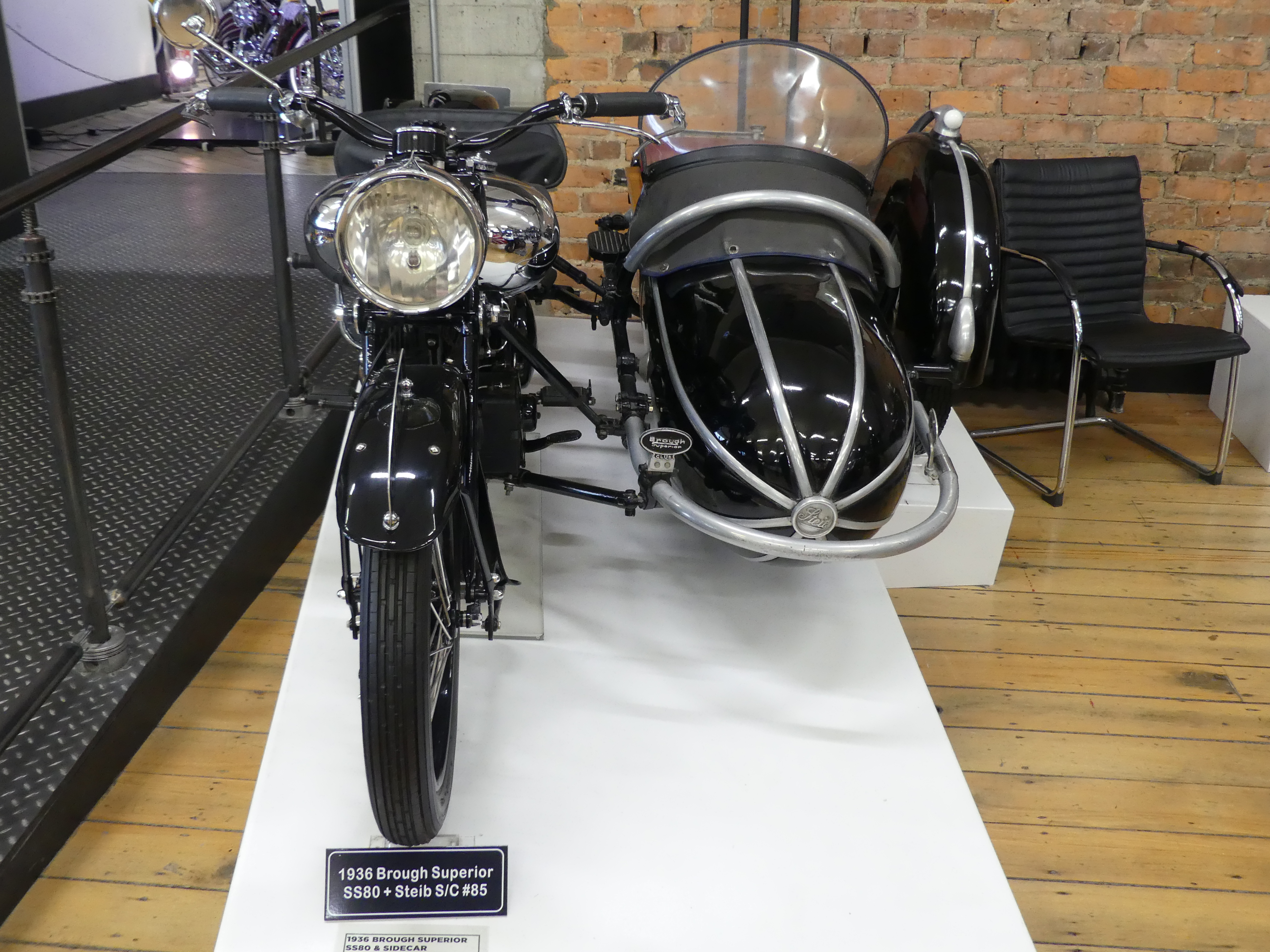
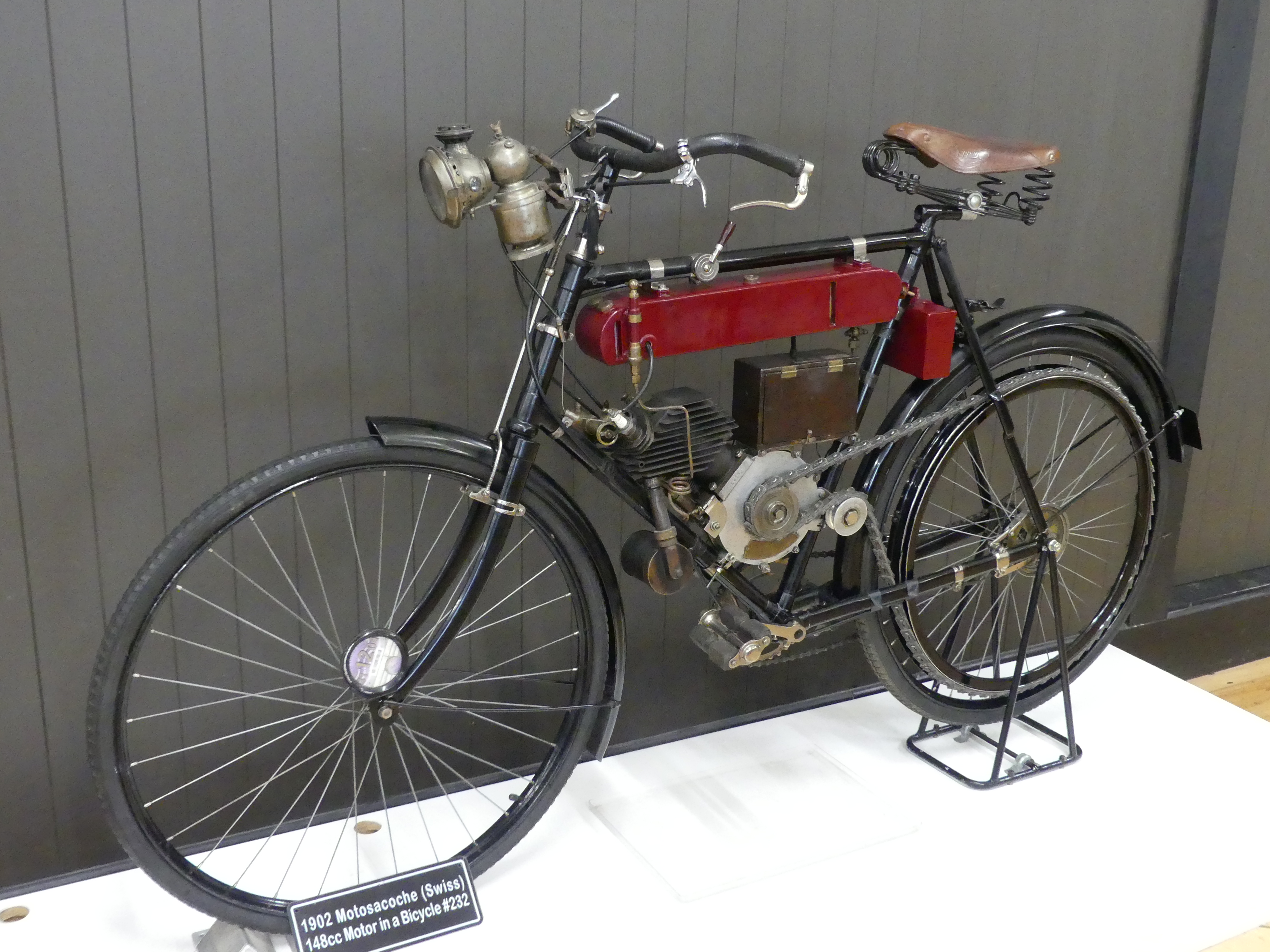
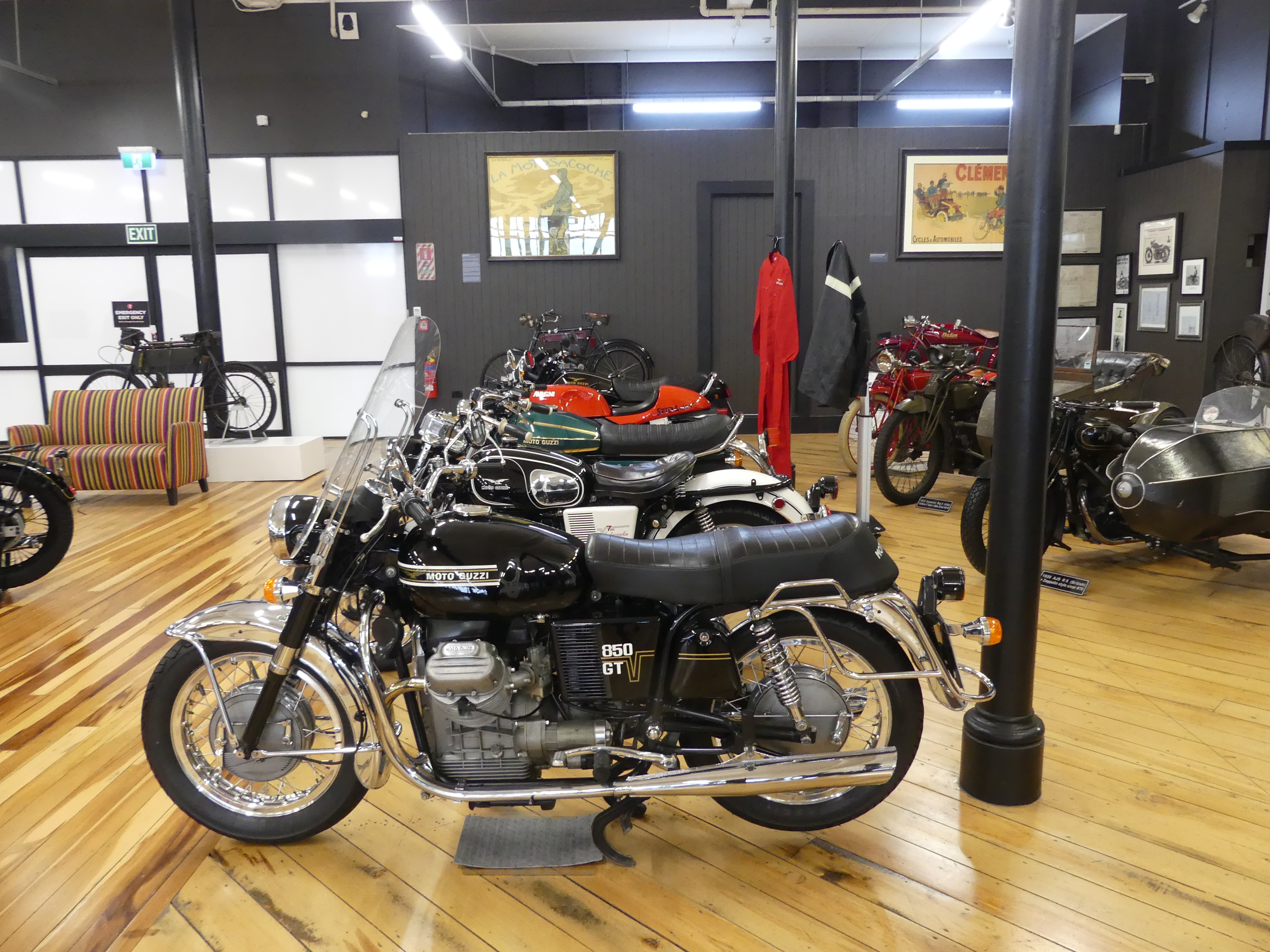
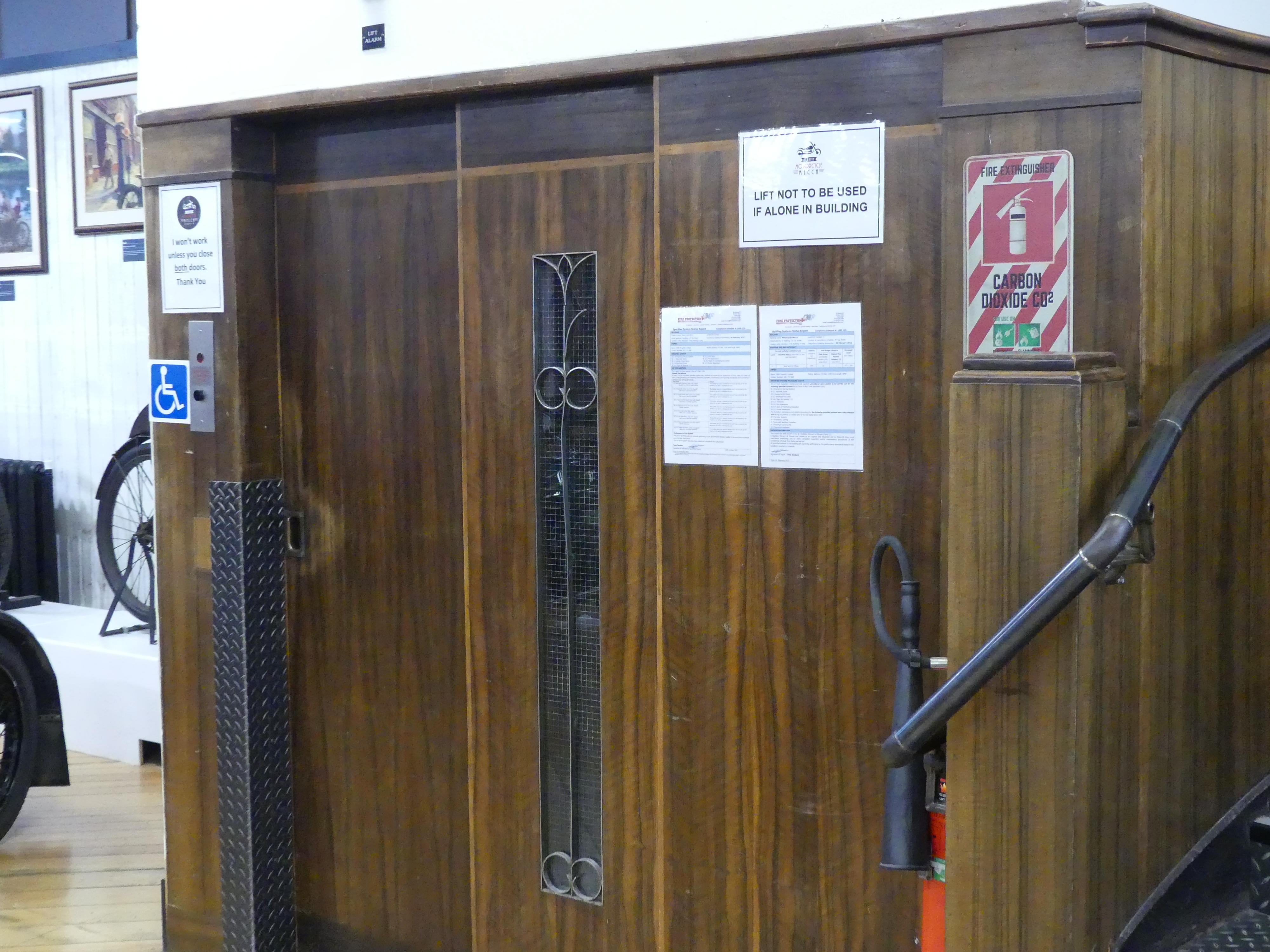
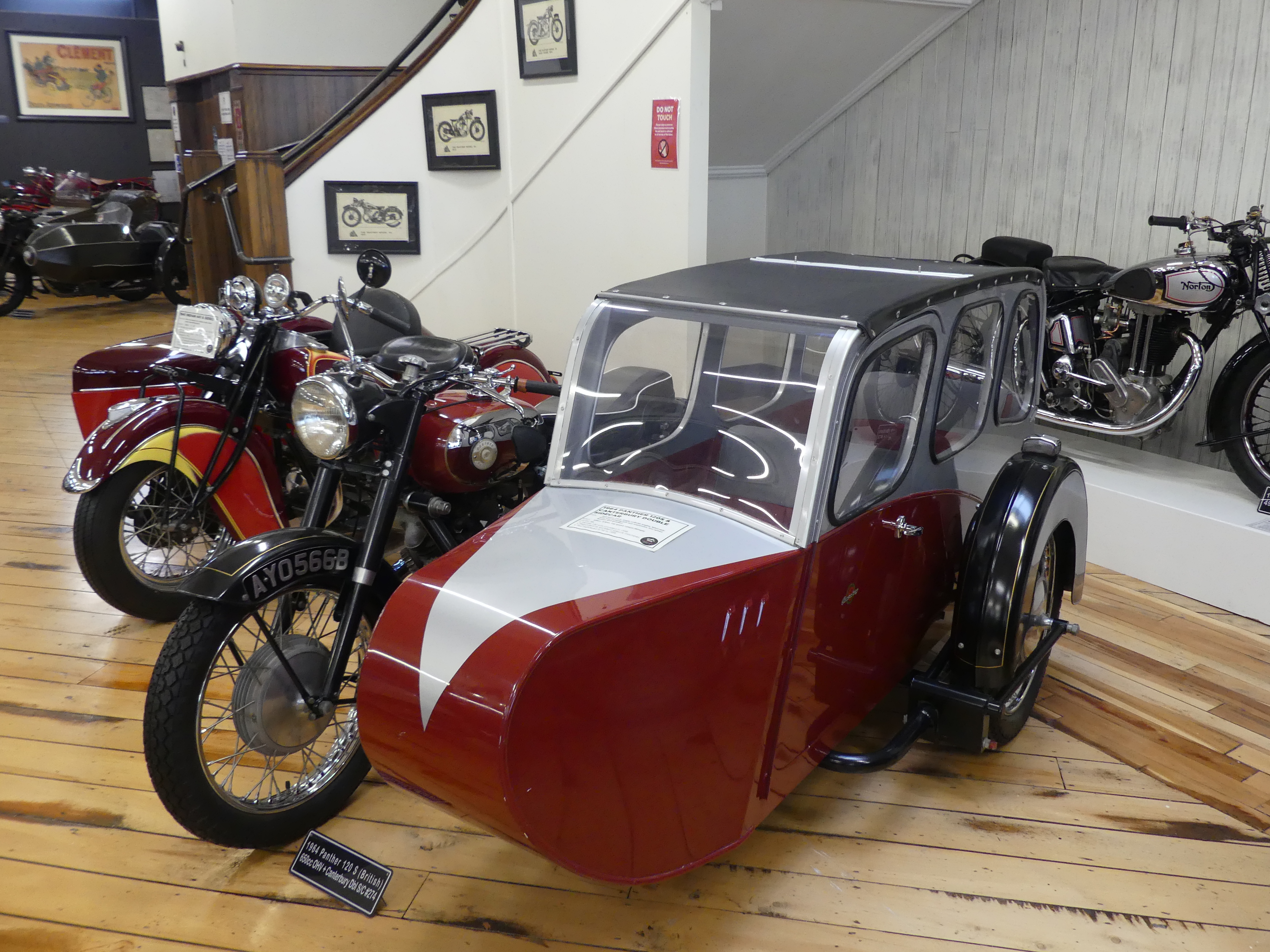
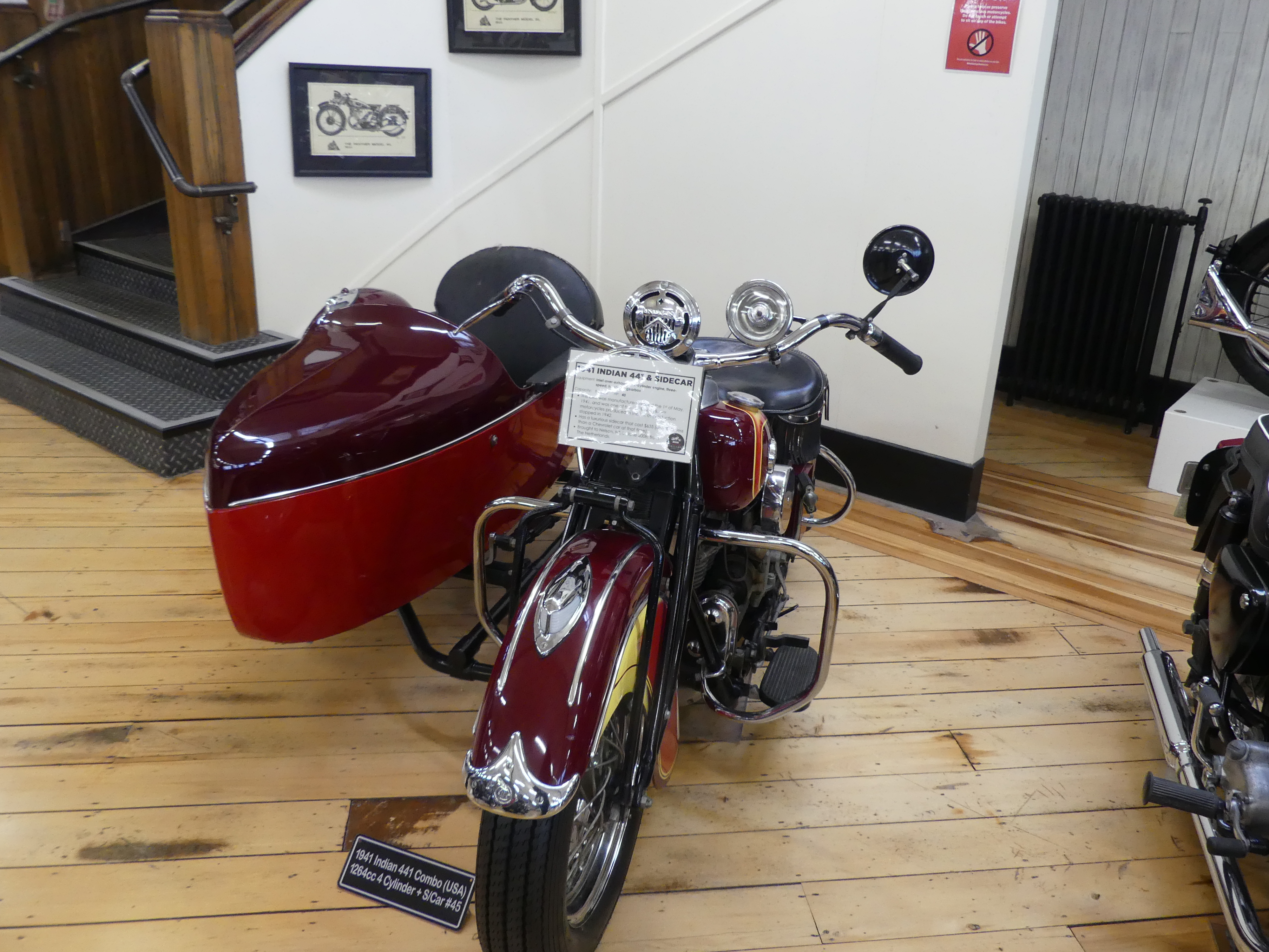
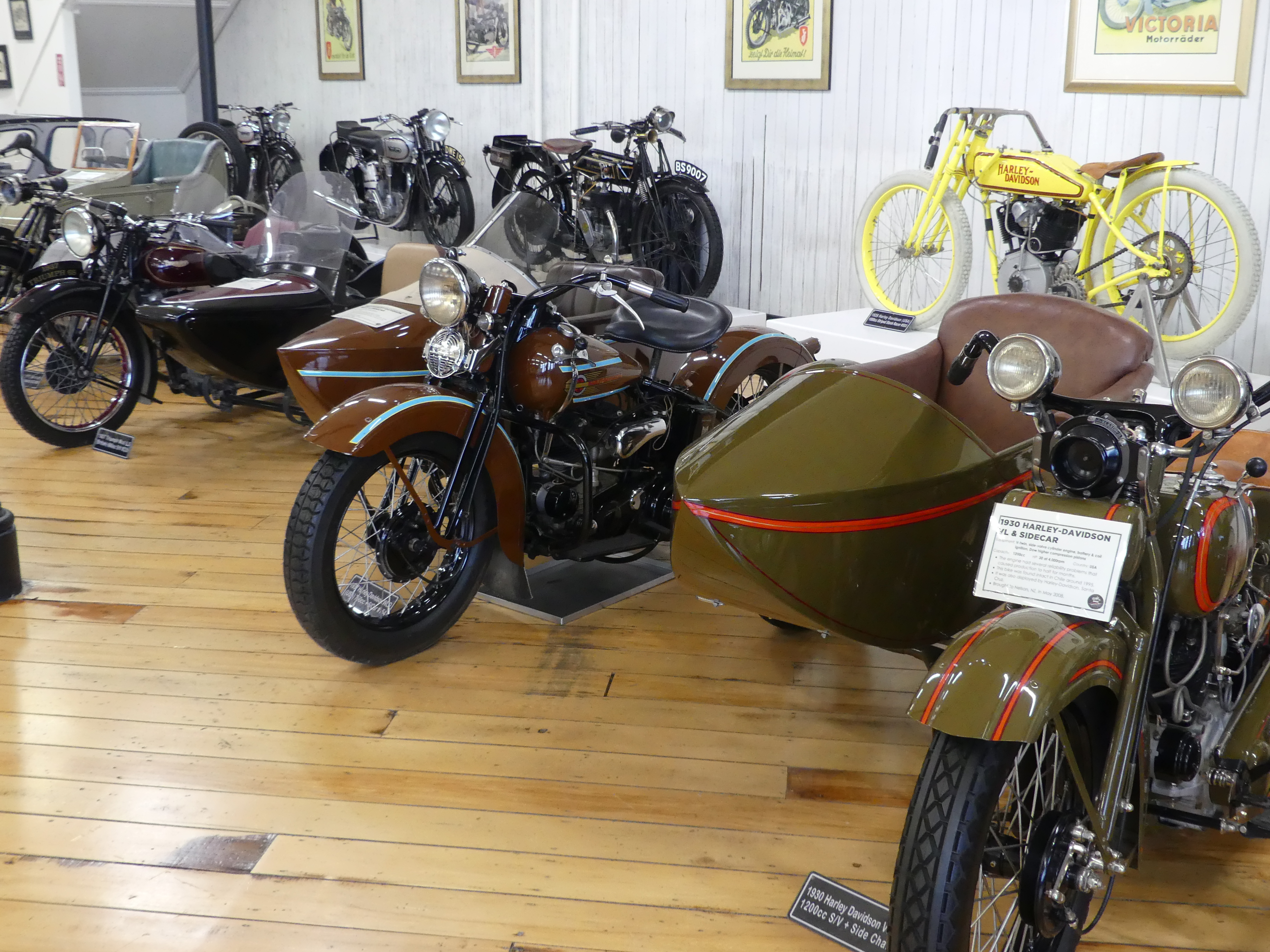
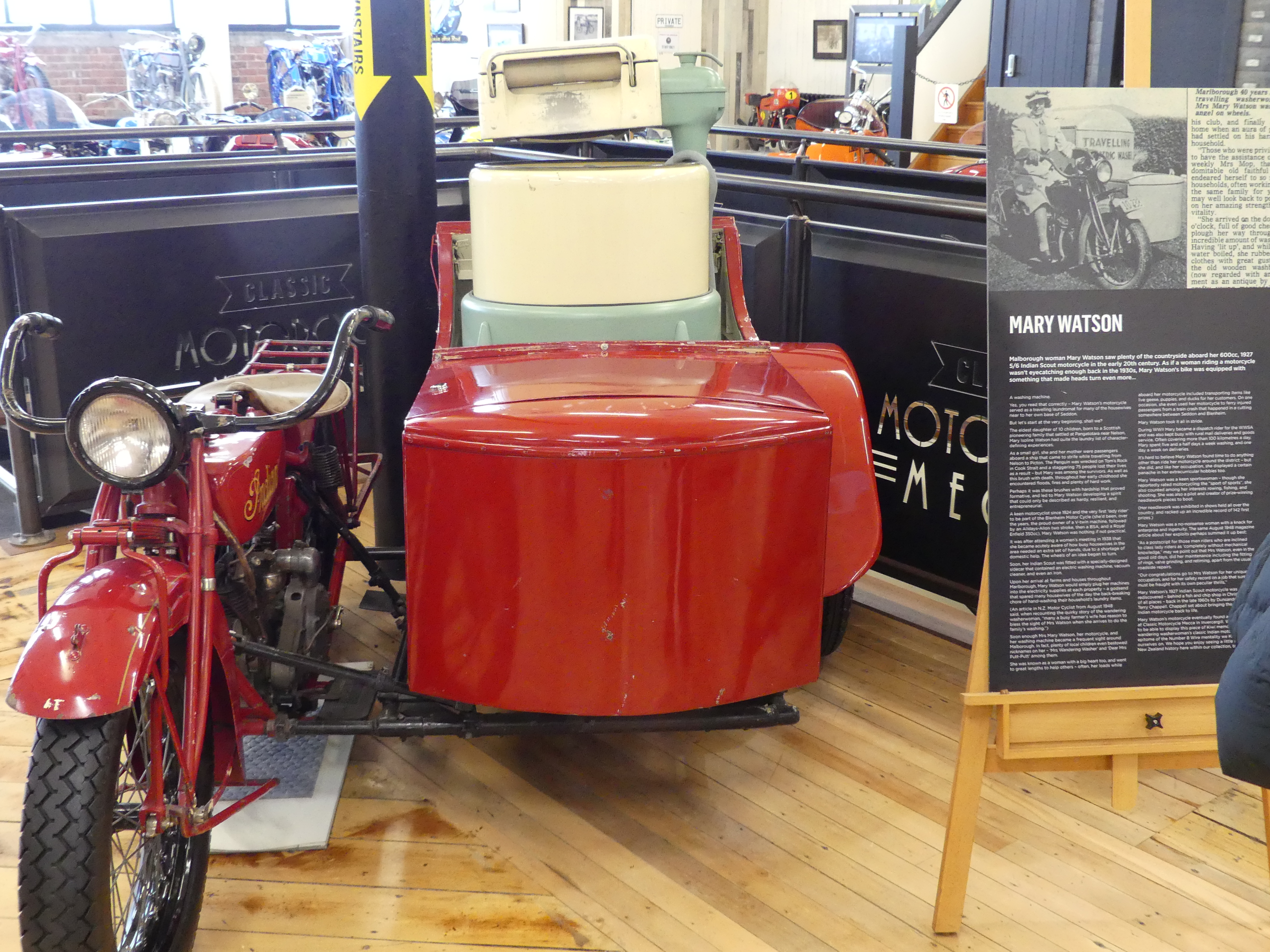
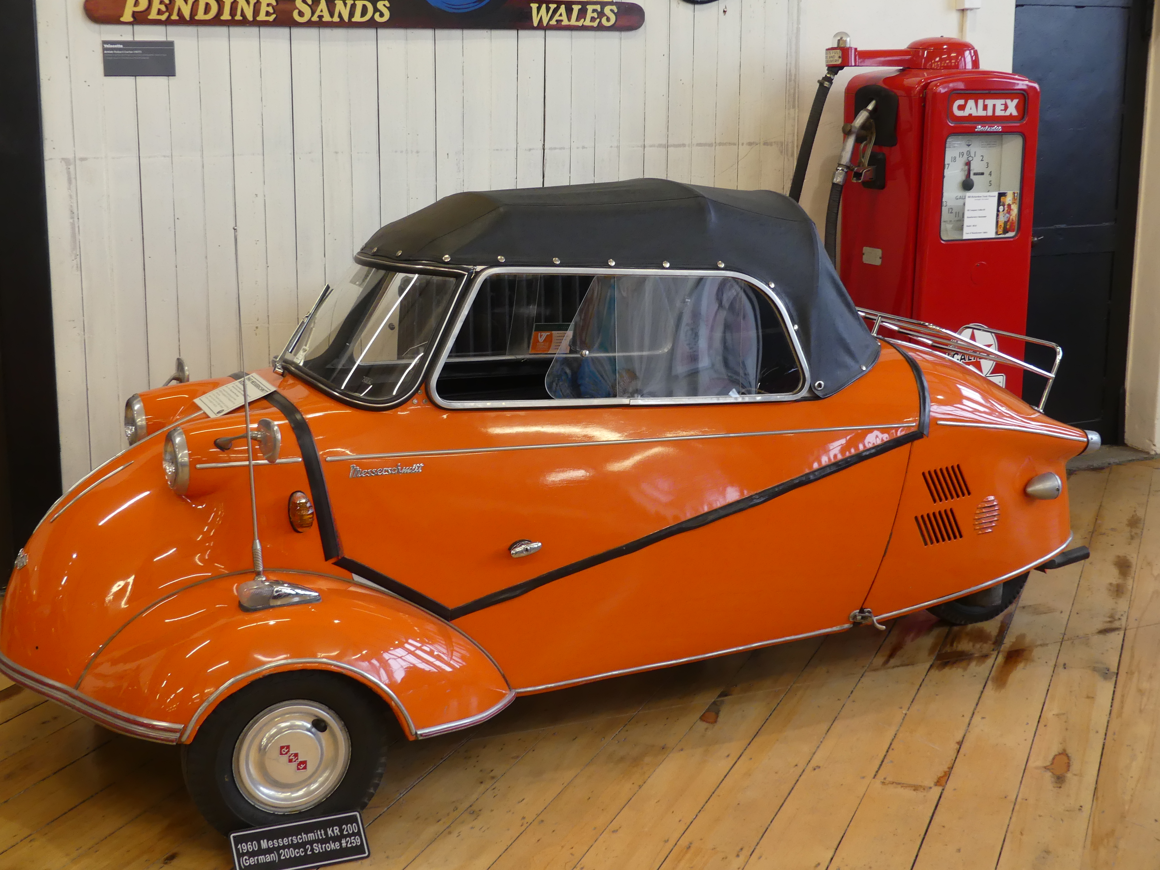
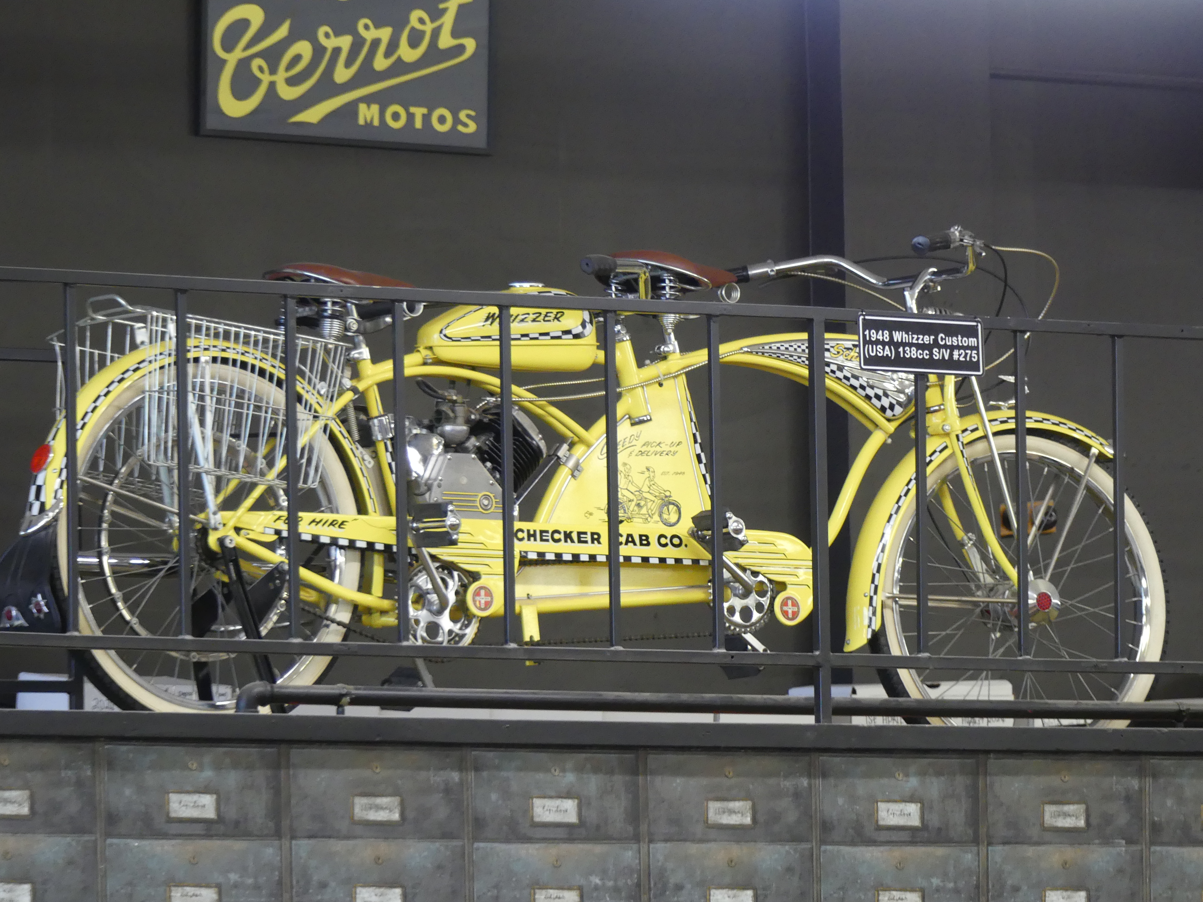
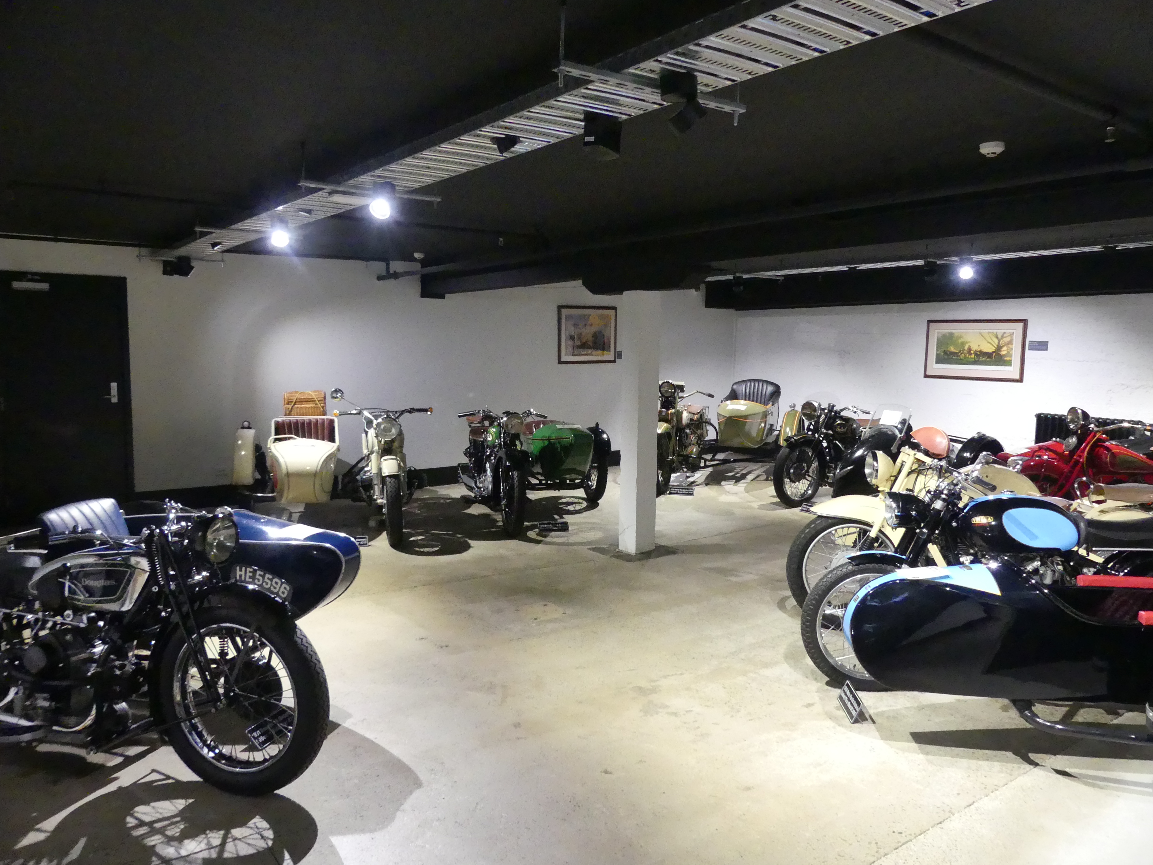
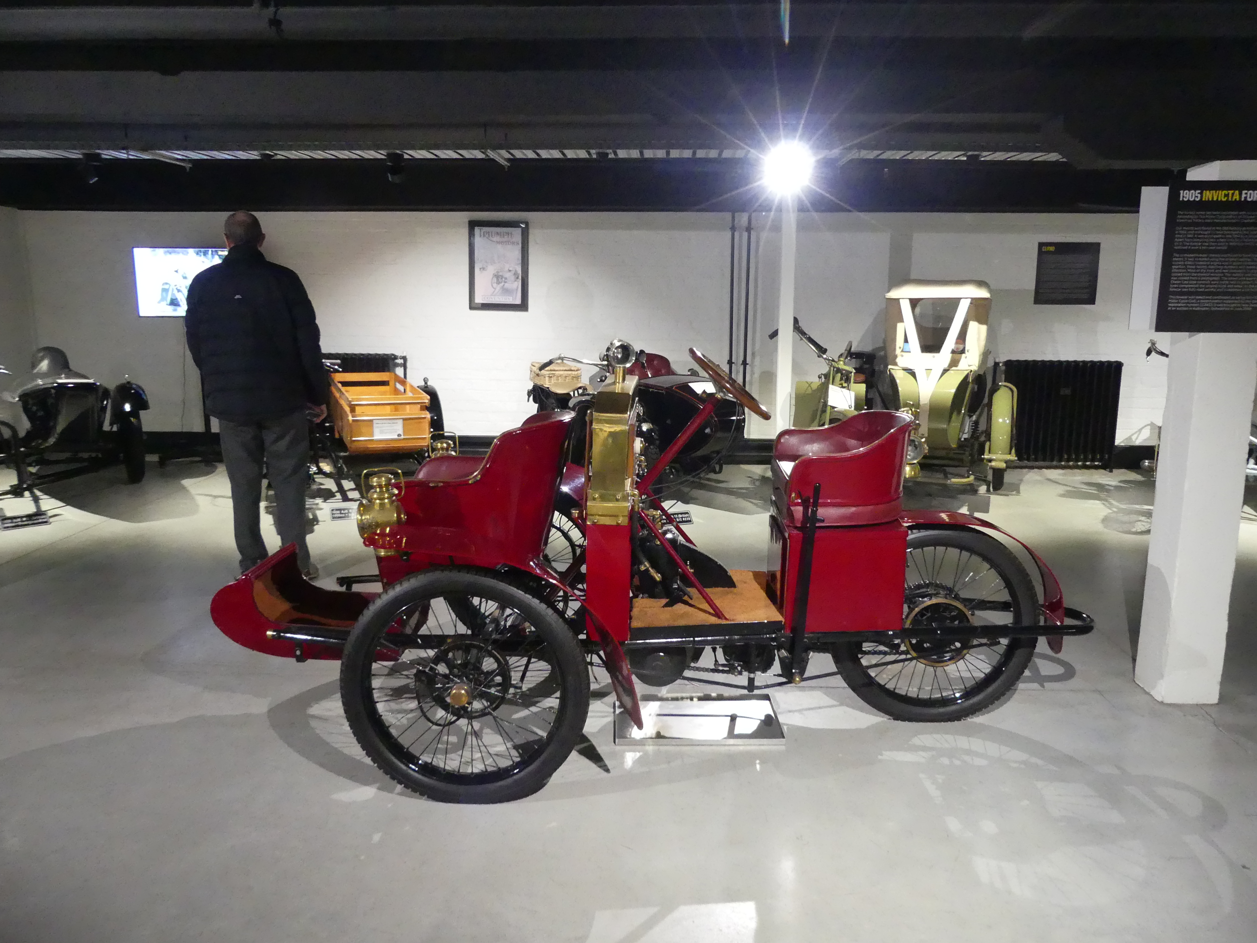
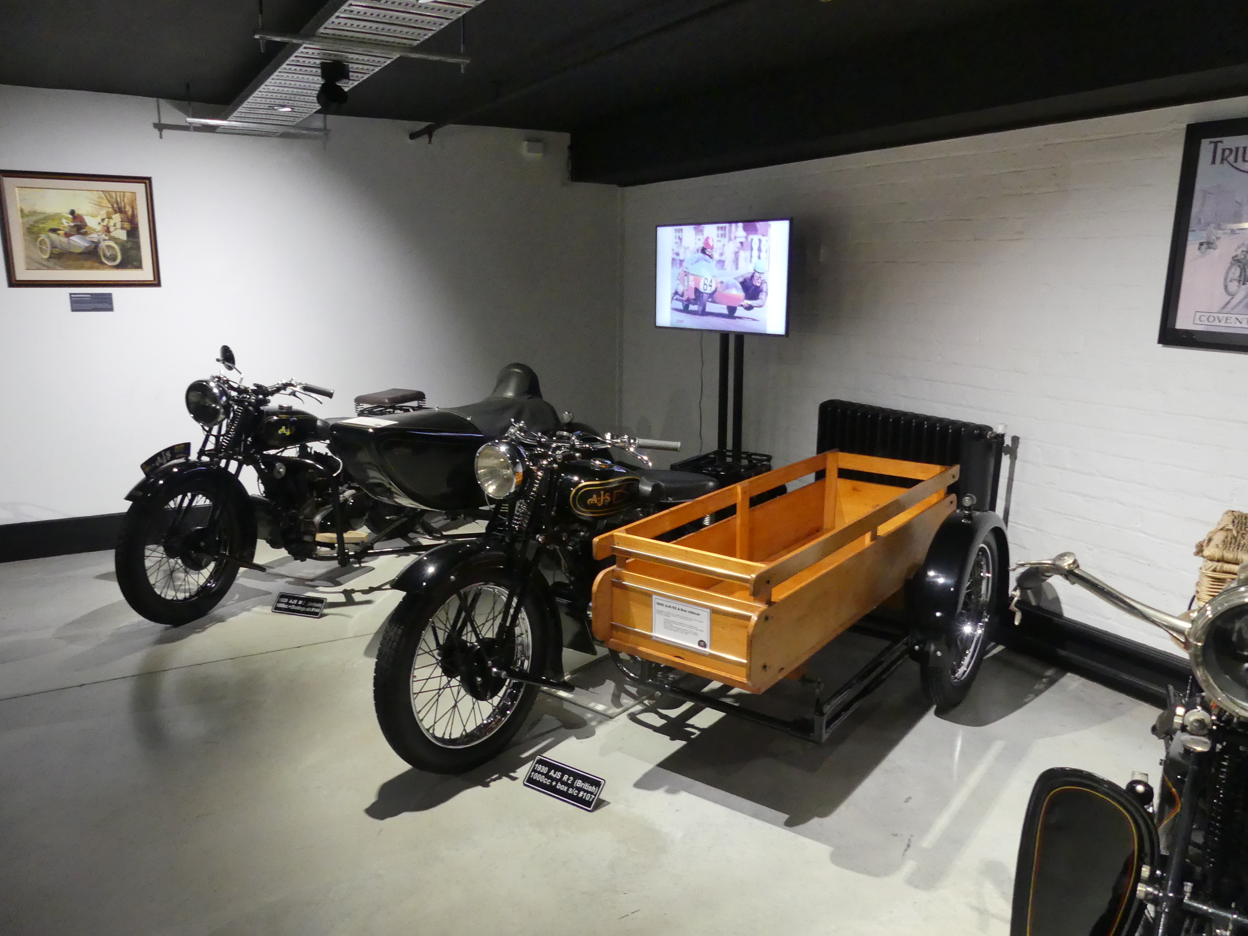
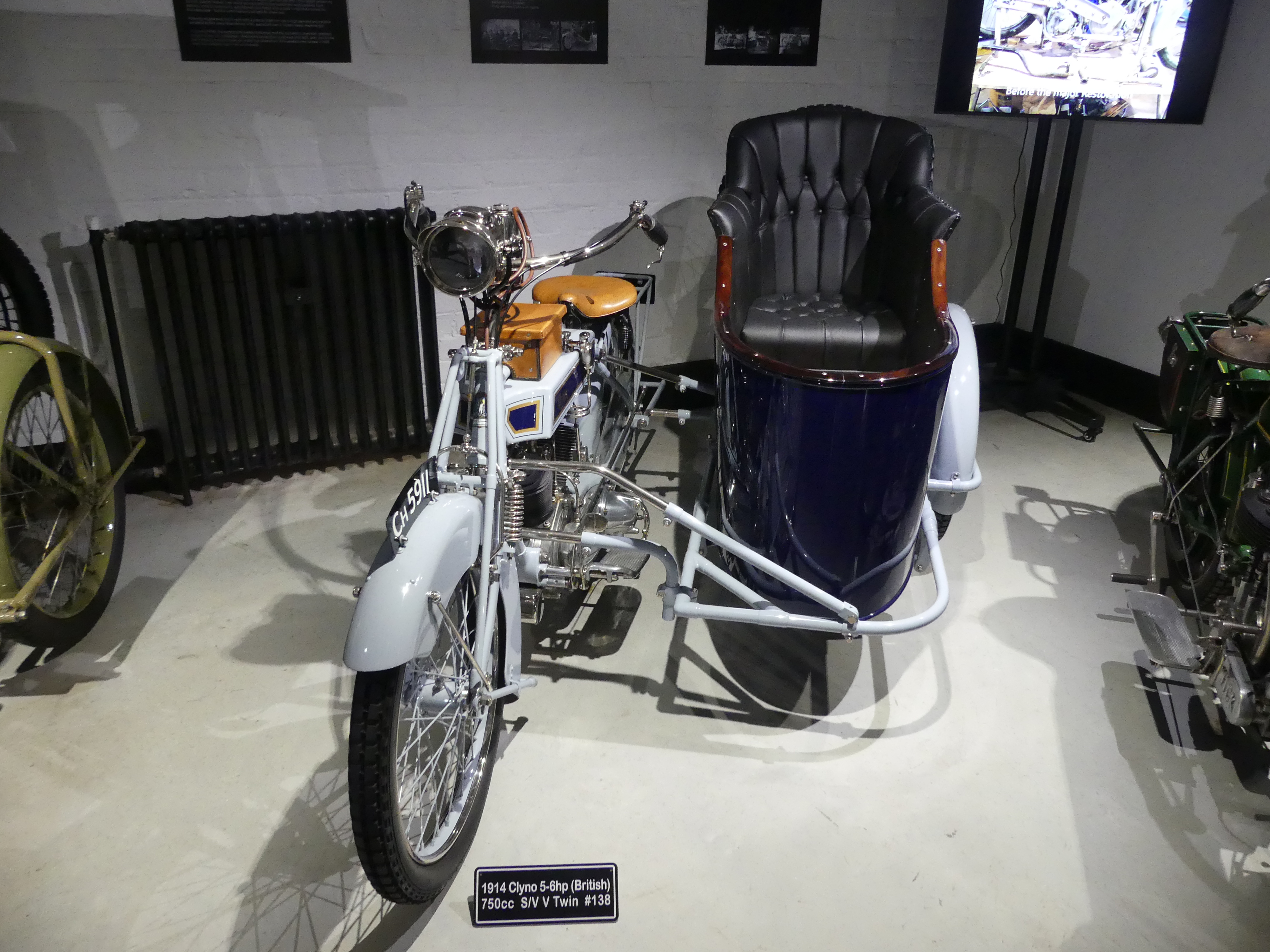
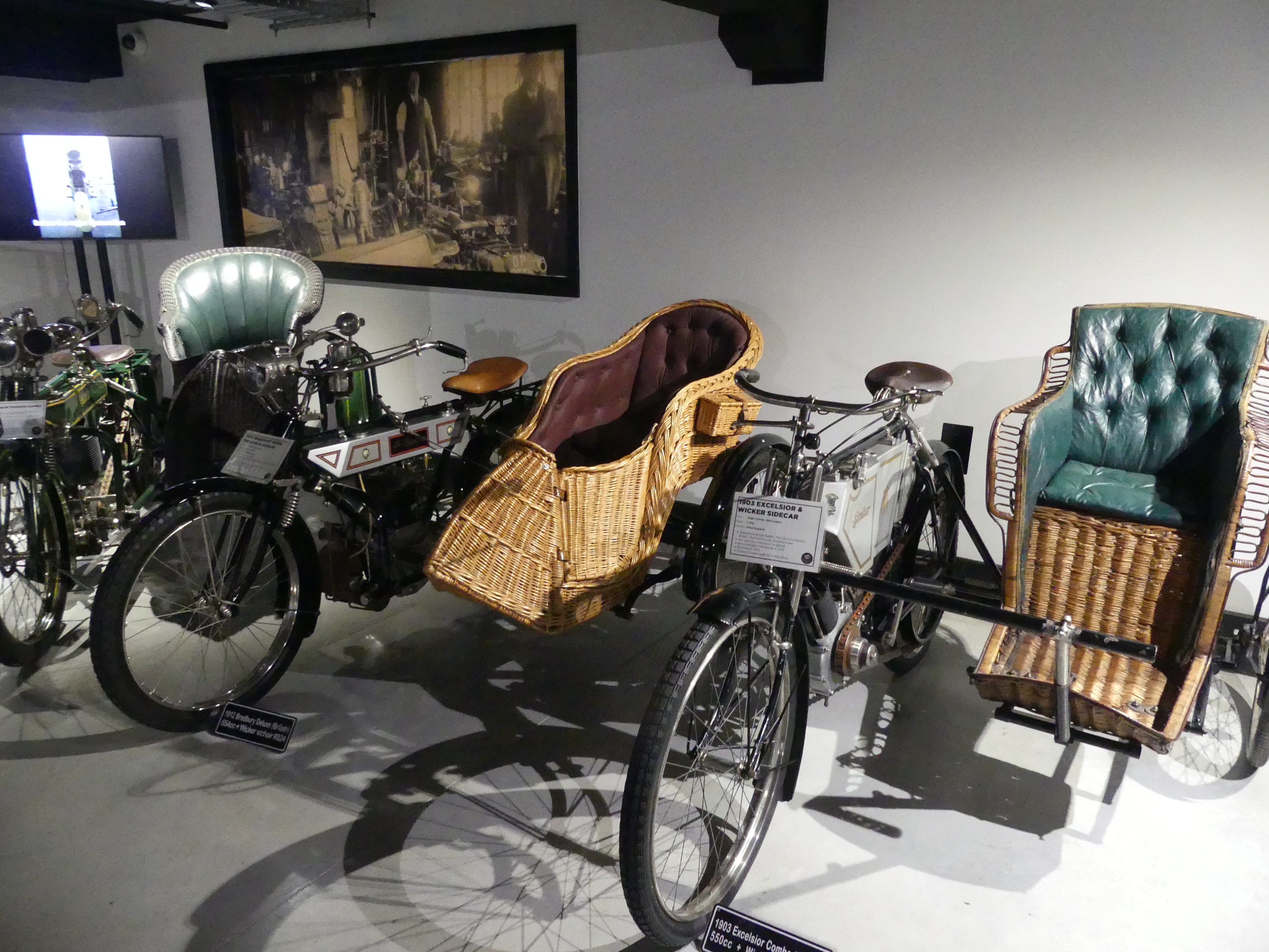
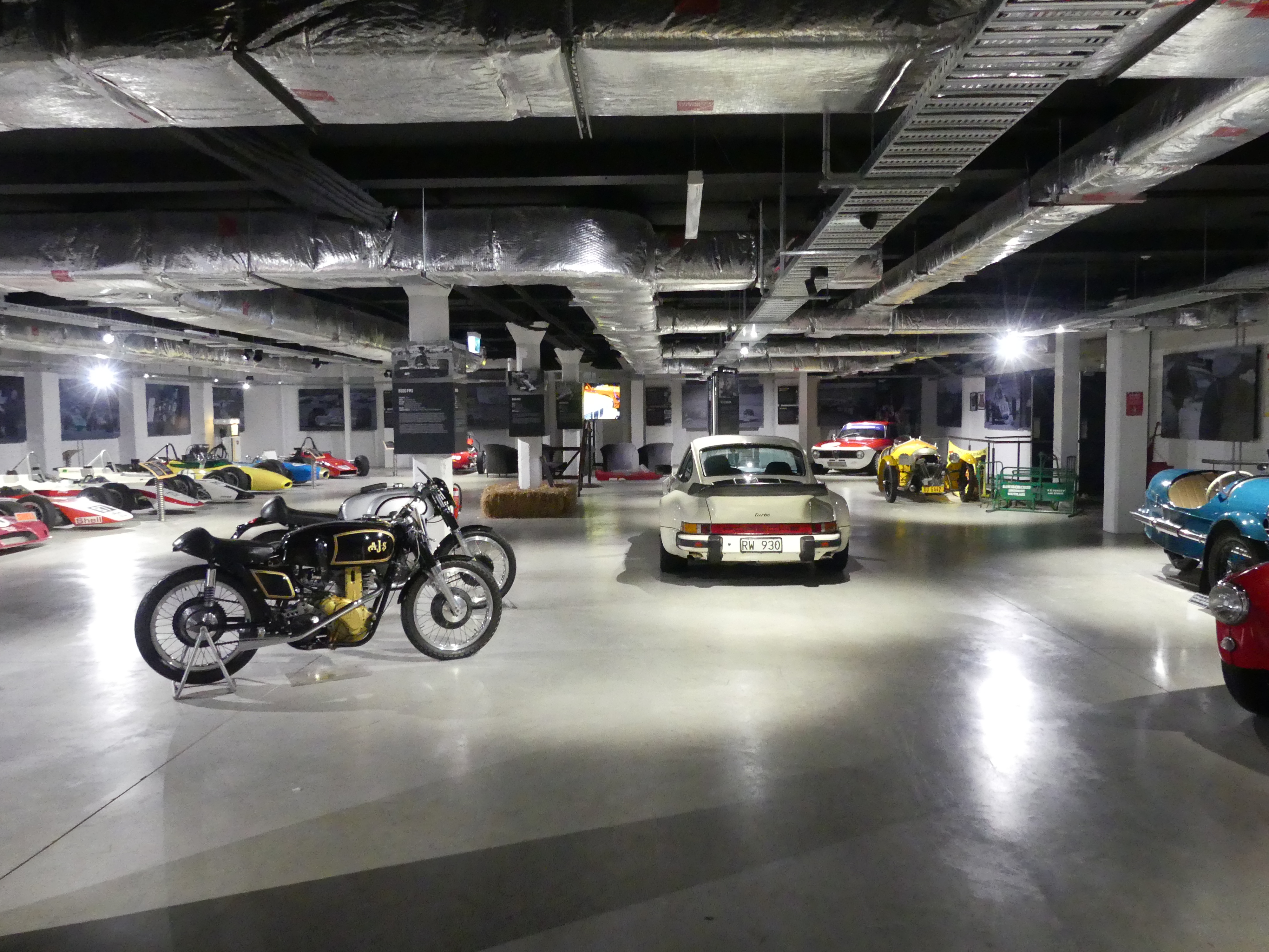
So, we visited the museum and what a phenomenal exhibition it is. We started in the café which had some interesting bits and pieces. After coffee (of course we had coffee!) Barry and I entered the museum. Gob smacked at the number and variety of motorcycles, we wandered through the ground floor where we discovered the original elevator for the building and the original mobile washing service run by Mary Watson on her Indian Scout motorcycle and side car. How did the Messerschmitt three-wheeler get in there? And the twin rider Whizzer from 1948?

One of the two buildings with The Café beside it, the museum entrance and ground floor showroom, Mrs Watson’s Indian Scout, the Messerschmitt and the Whizzer.

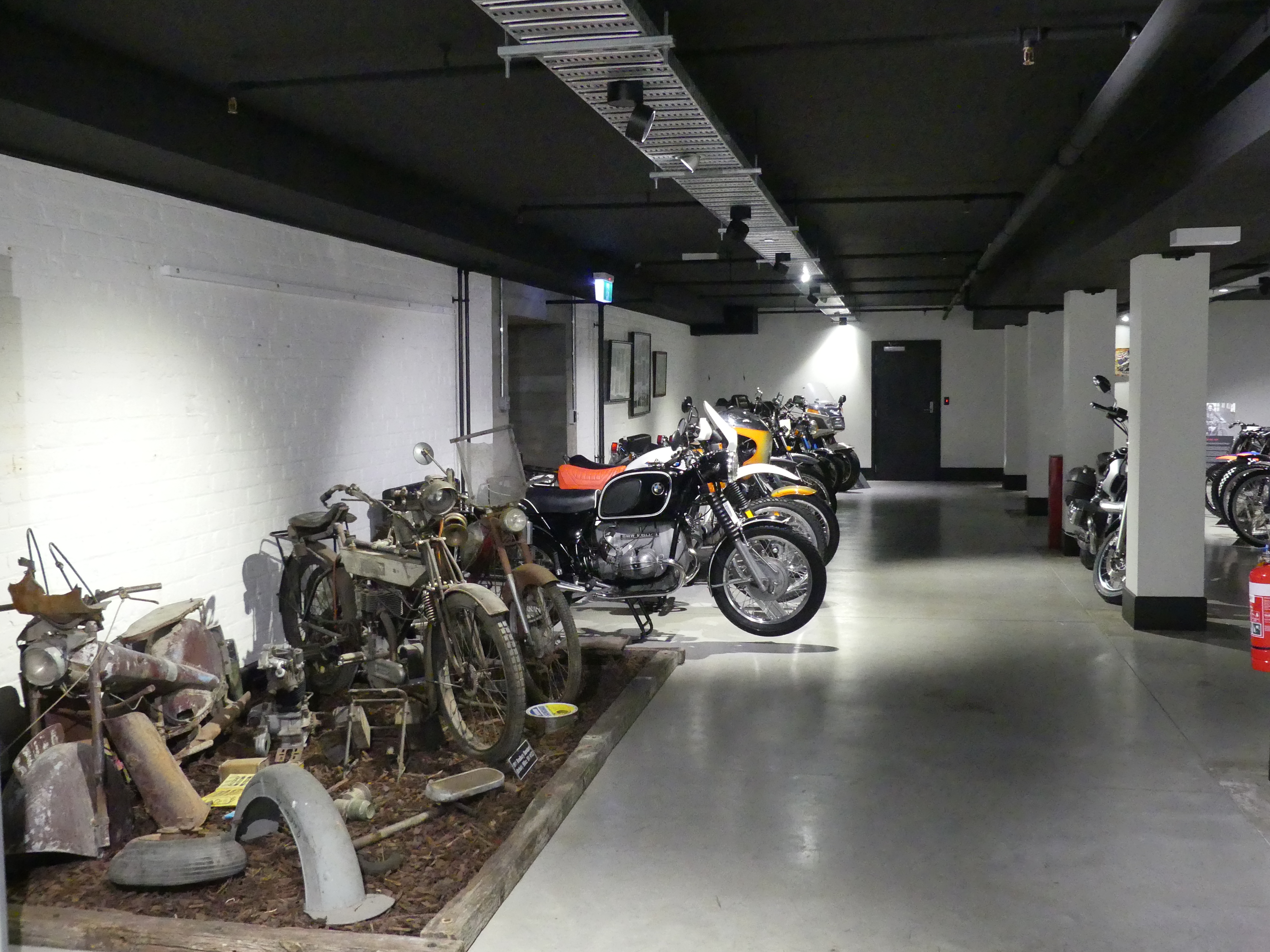
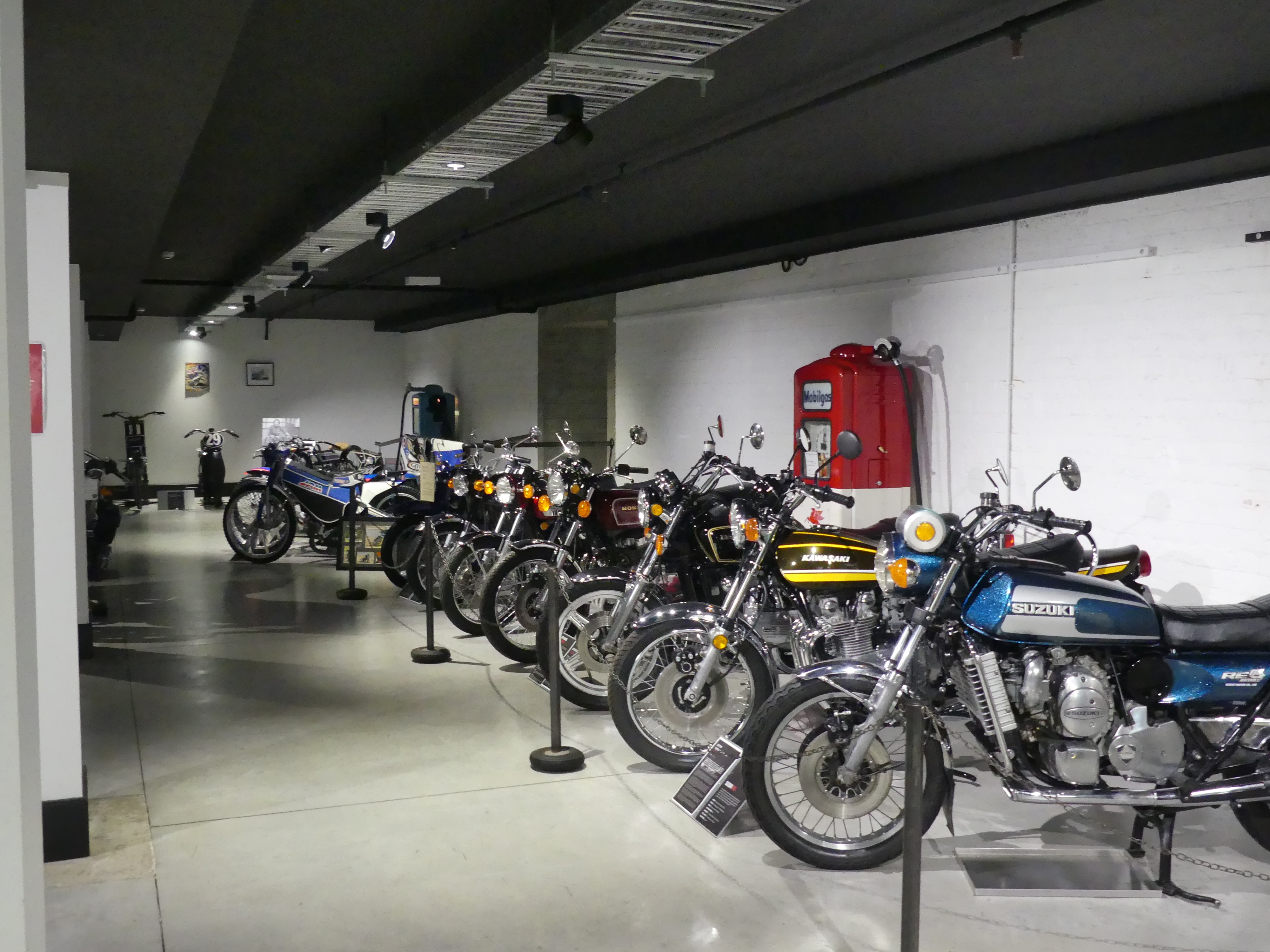
But there’s more downstairs.

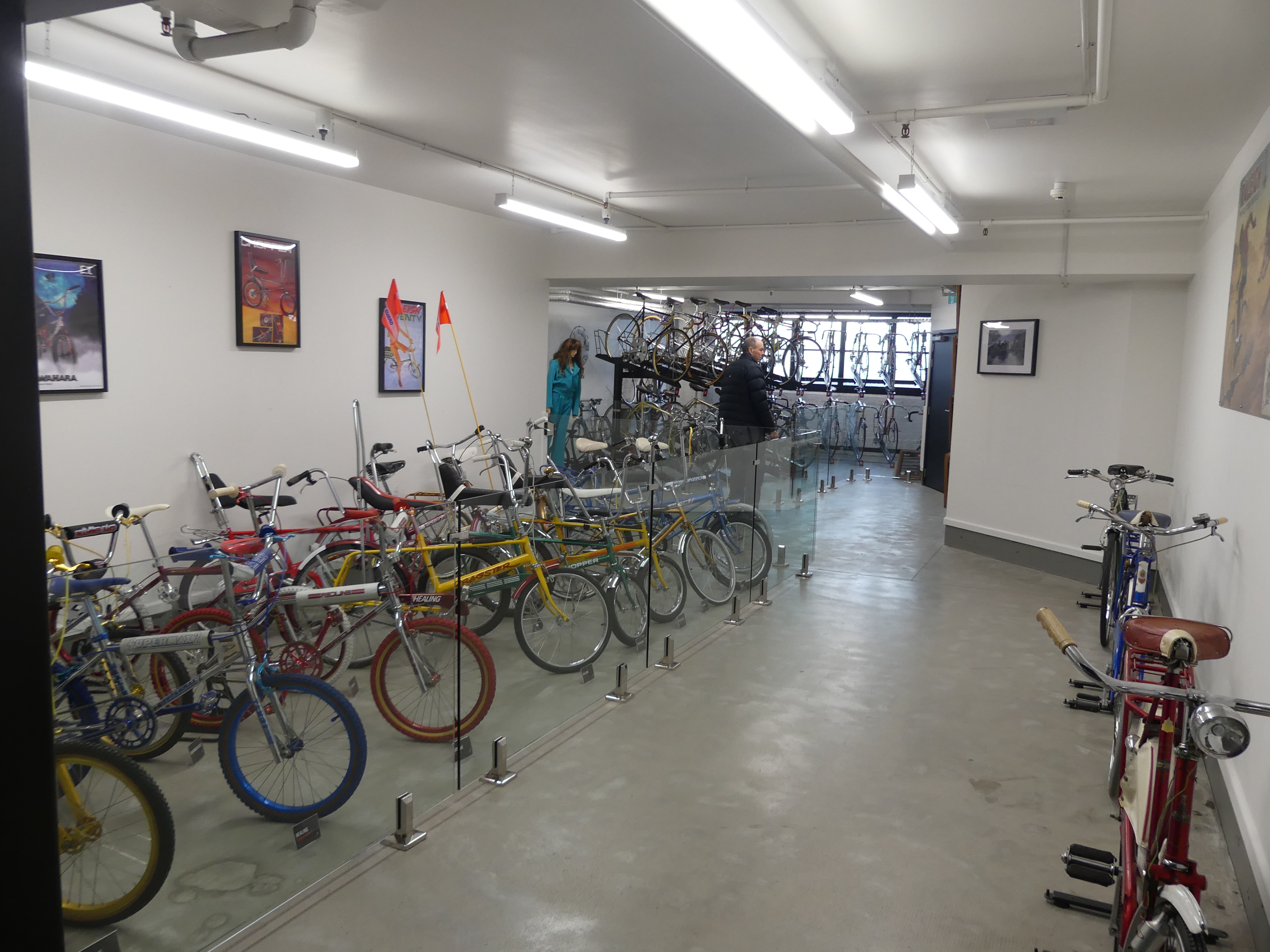
Photos              Push bikes and the George Begg Collection

But there’s more upstairs from the ground floor. However I have run out of space so to see the World’s Fastest Indian you will need to go to Episode 3

“THE RETIREES GO AROUND THE WORLD – DAY 3 SS NIEUW STATENDAM – Shetland Isles.”

Wikipedia says:

“Murders are rare in the Shetland Islands, but high-profile cases have made headlines, notably the 2024 murder of Canadian Claire Leveque by her partner, Aren Pearson, and the 2019 murder of Tracey Walker (also known as Tracy Ann Walker) by Ross MacDougall and Dawn Smith….”

“These events highlight isolated violent crimes in the islands, contrasting with the generally low crime rates often associated with the region.”

“These are noted as extremely rare events, with police describing the 2019 case as only the third murder inquiry in 50 years.
Despite the fictionalized murders in the popular “Shetland” books and series, the islands are generally considered a very safe place to live with low crime rates.”

So this sets the scene for our visit to Lerwick capital of the Islands and located on the main island.

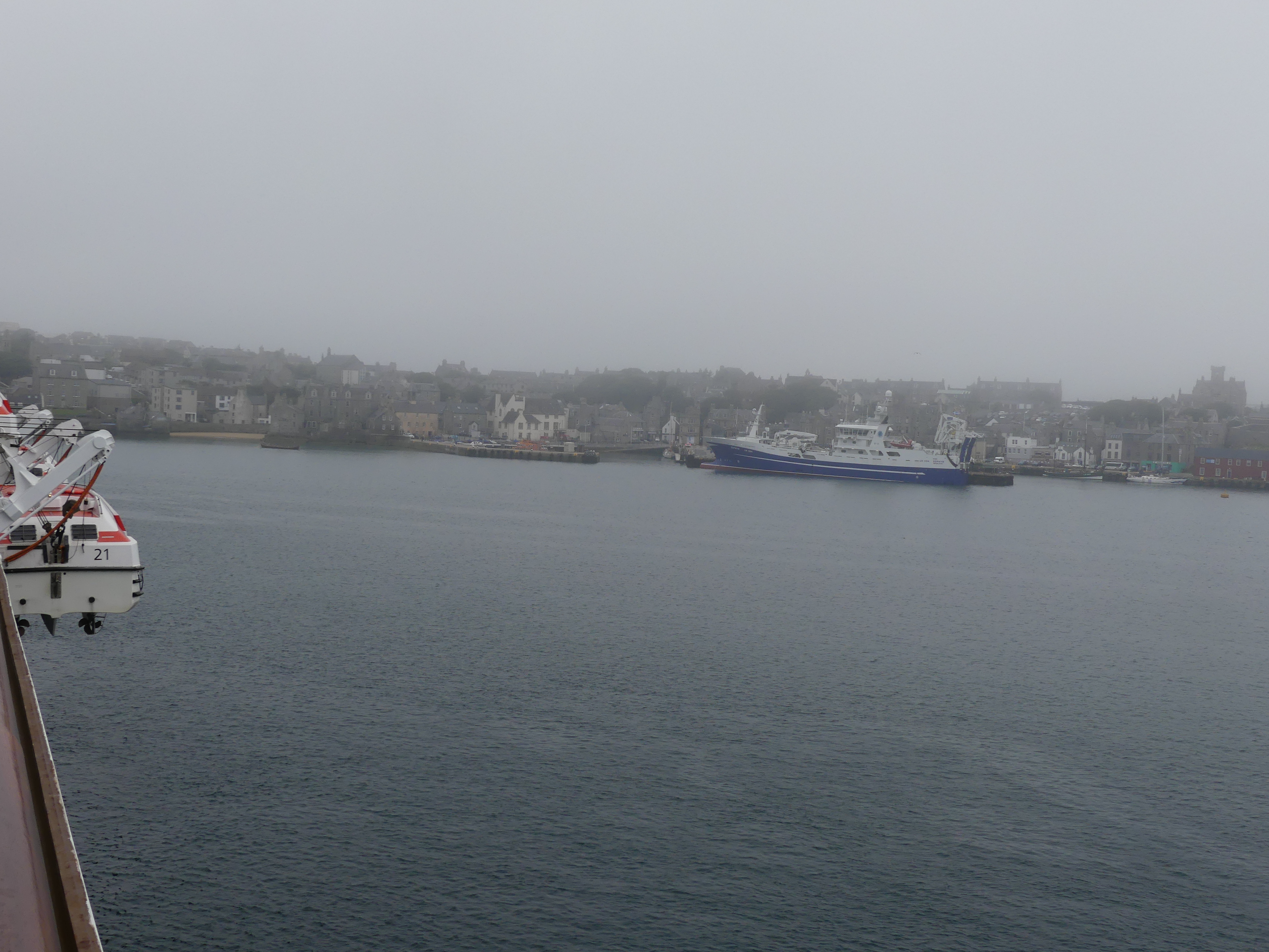
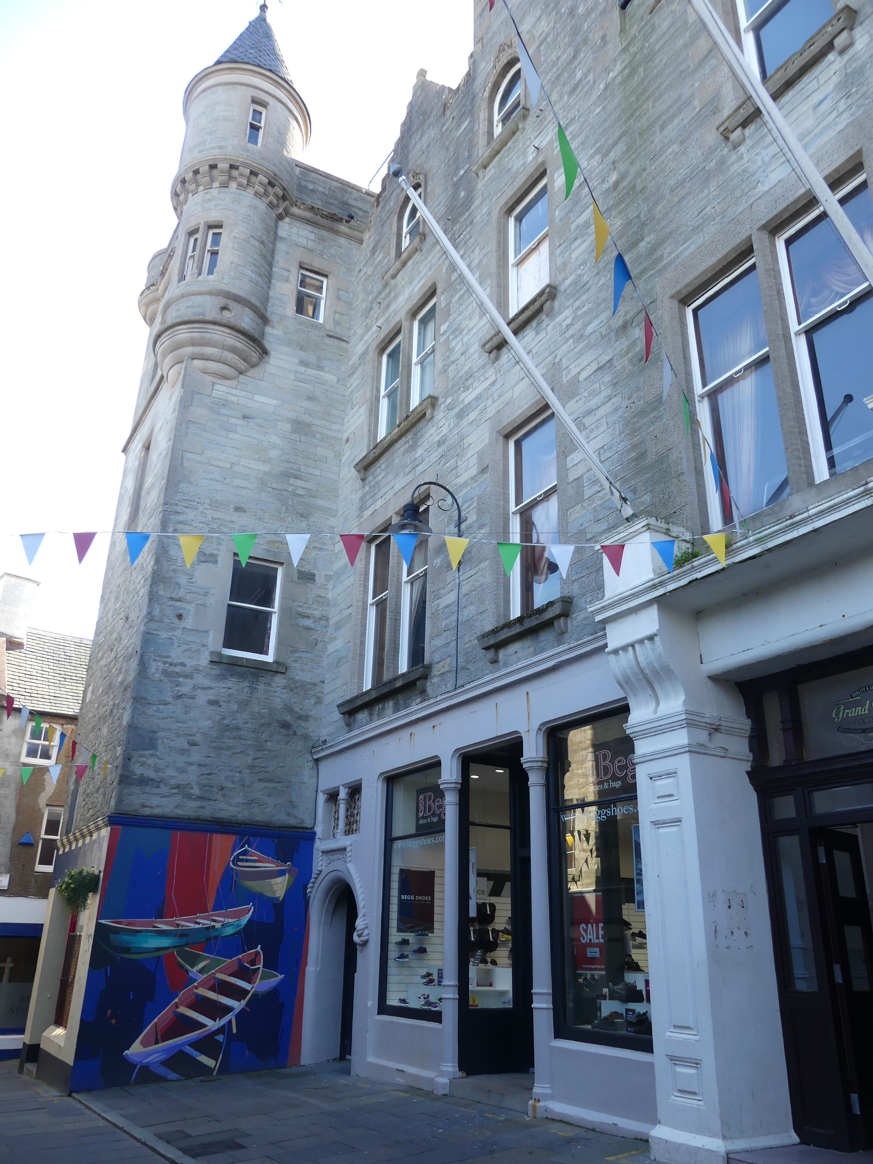
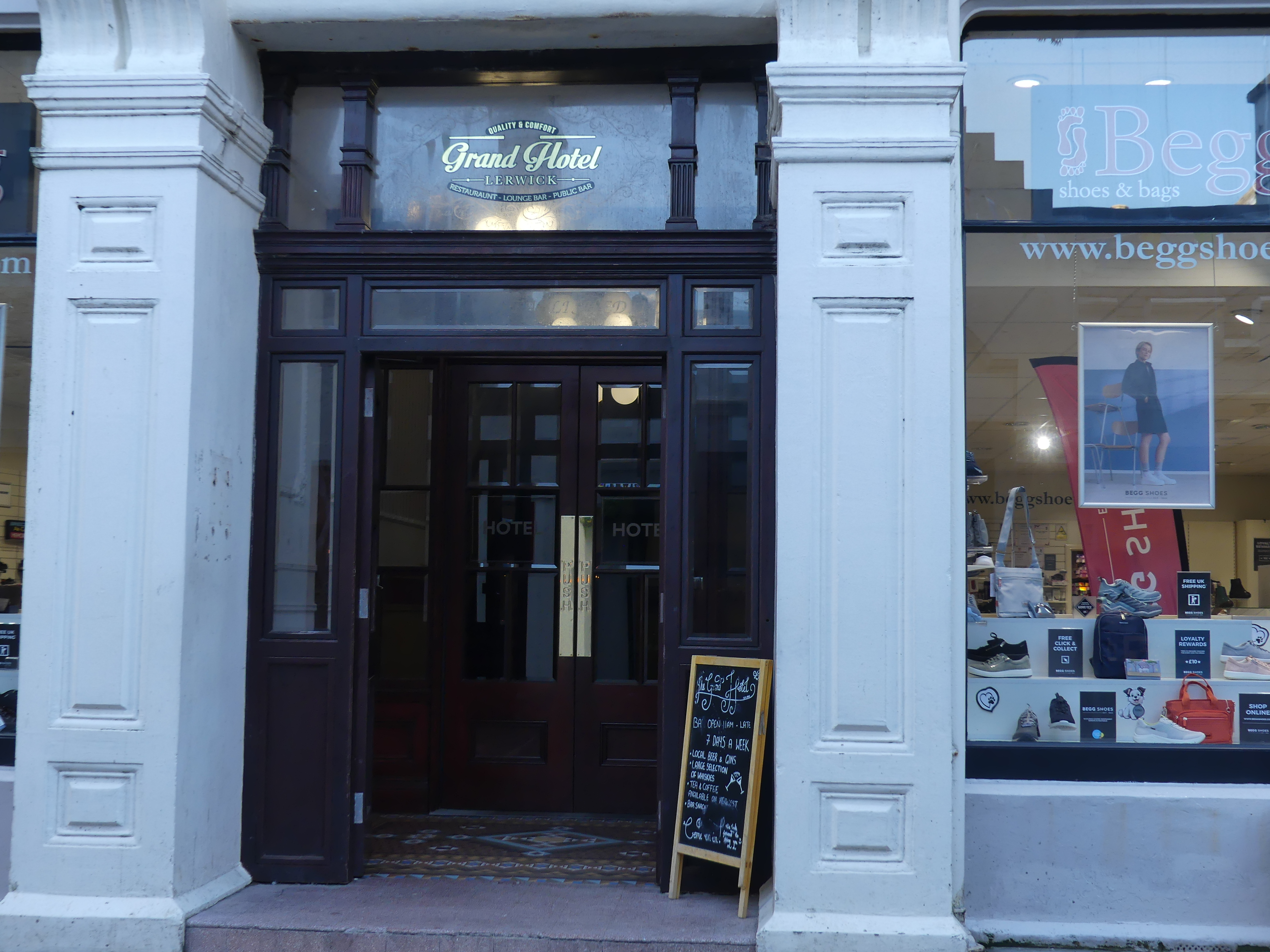
It was a cold and misty day on the east side of Mainland, Shetland and we were calling into Lerwick for the day. Lerwick is the main town and port of the Shetland archipelago, Scotland. Shetland’s only burgh, Lerwick had a population of about 7,000 residents in 2010. It is the northernmost major settlement within the United Kingdom. It is also the background in the BBC series Shetland.

The first settlement to be known as Lerwick was founded in the 17th century as a herring and white fish seaport to trade with the Dutch fishing fleet. Its collection of wooden huts was burned to the ground twice: once in the 17th century by the residents of Scalloway, then the capital of Shetland, who disapproved of the immoral and drunken activities of the assembled fishermen and sailors; again in 1702 by the French fleet. Fort Charlotte was built in the mid 17th century on Lerwick’s waterfront, and permanent stone-built buildings began to be erected around the fort and along the shoreline. Lerwick became capital of the Shetland Islands in 1708, taking over the function from Scalloway.

We had decided that we would take a taxi and view the burgh. So after the tenders dropped us off at Victoria Pier, we approached the first cab in the rank and organised a two hour taxi ride with a very amiable cab driver (but not a tour guide) for 120.00 quid.

We were hoping to see the wild Shetland ponies and our driver had a fair idea where to find them.

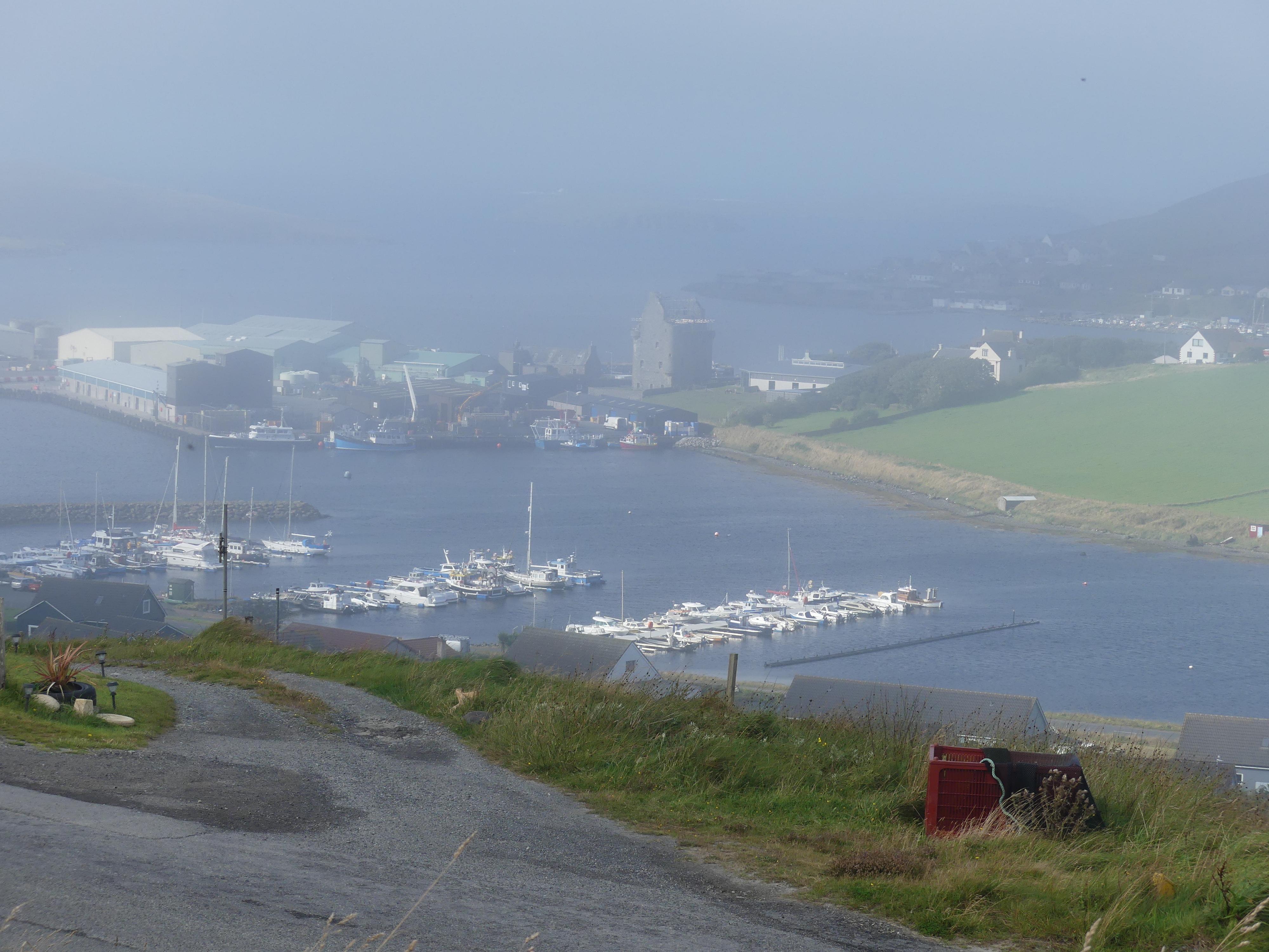
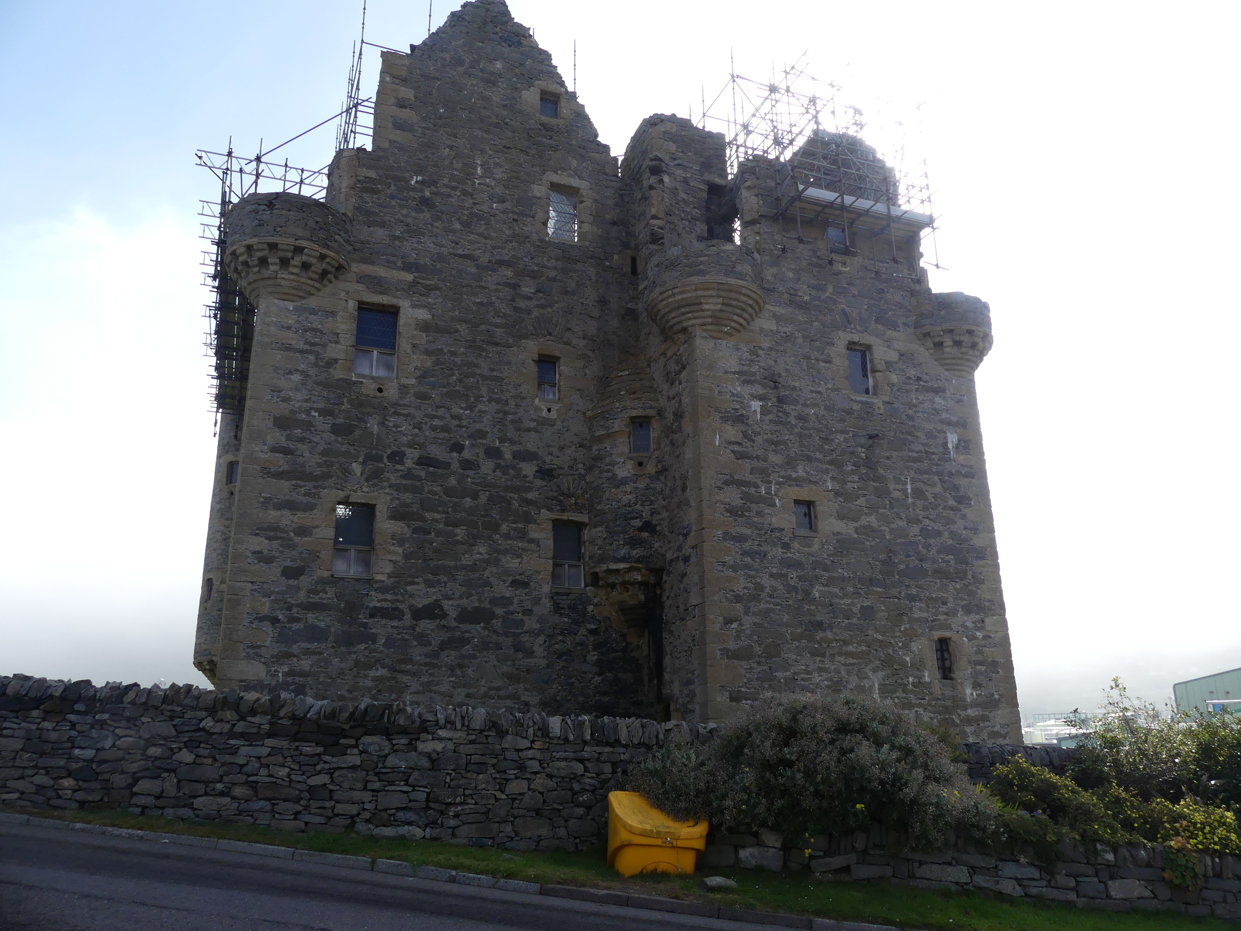
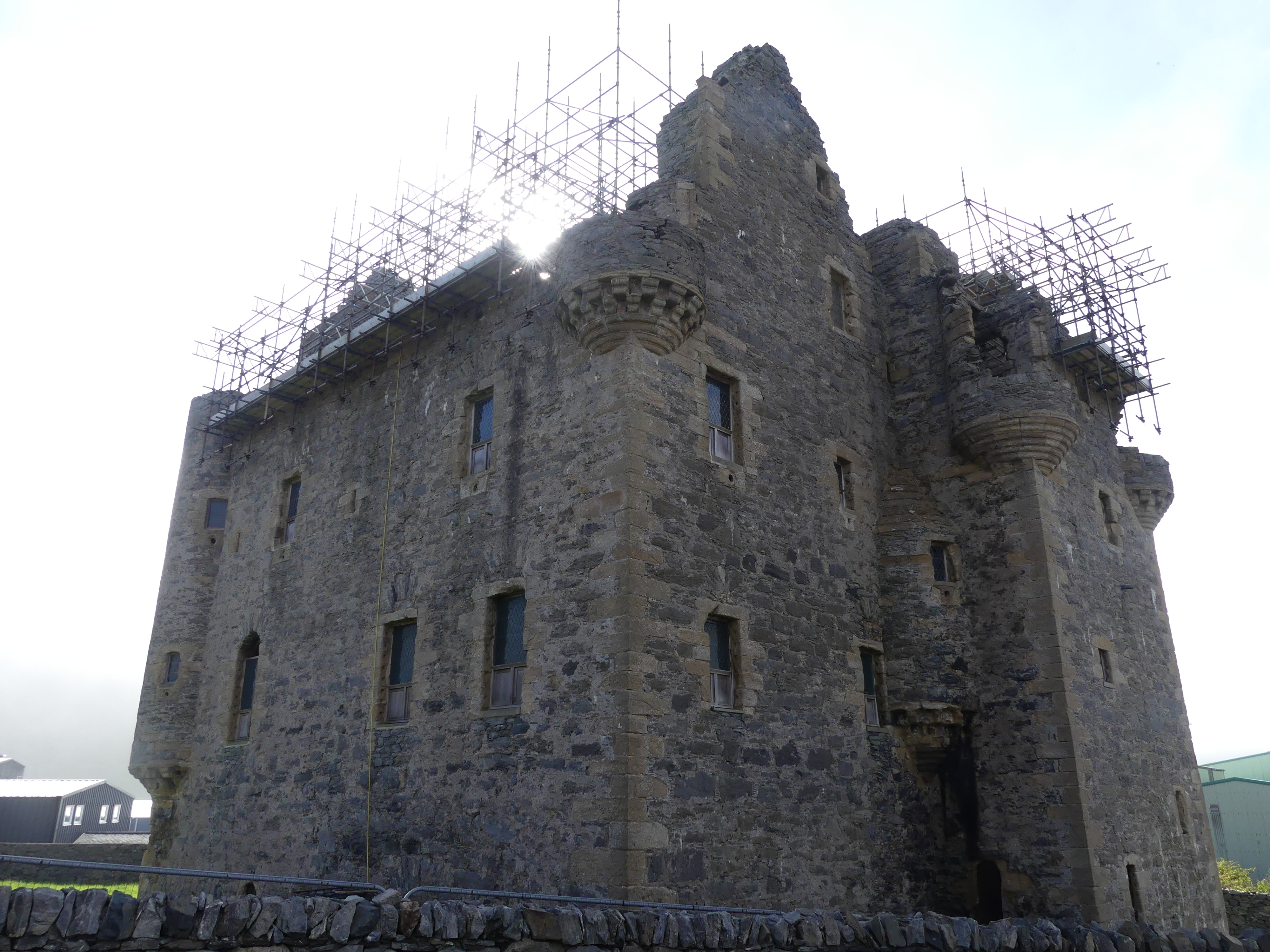
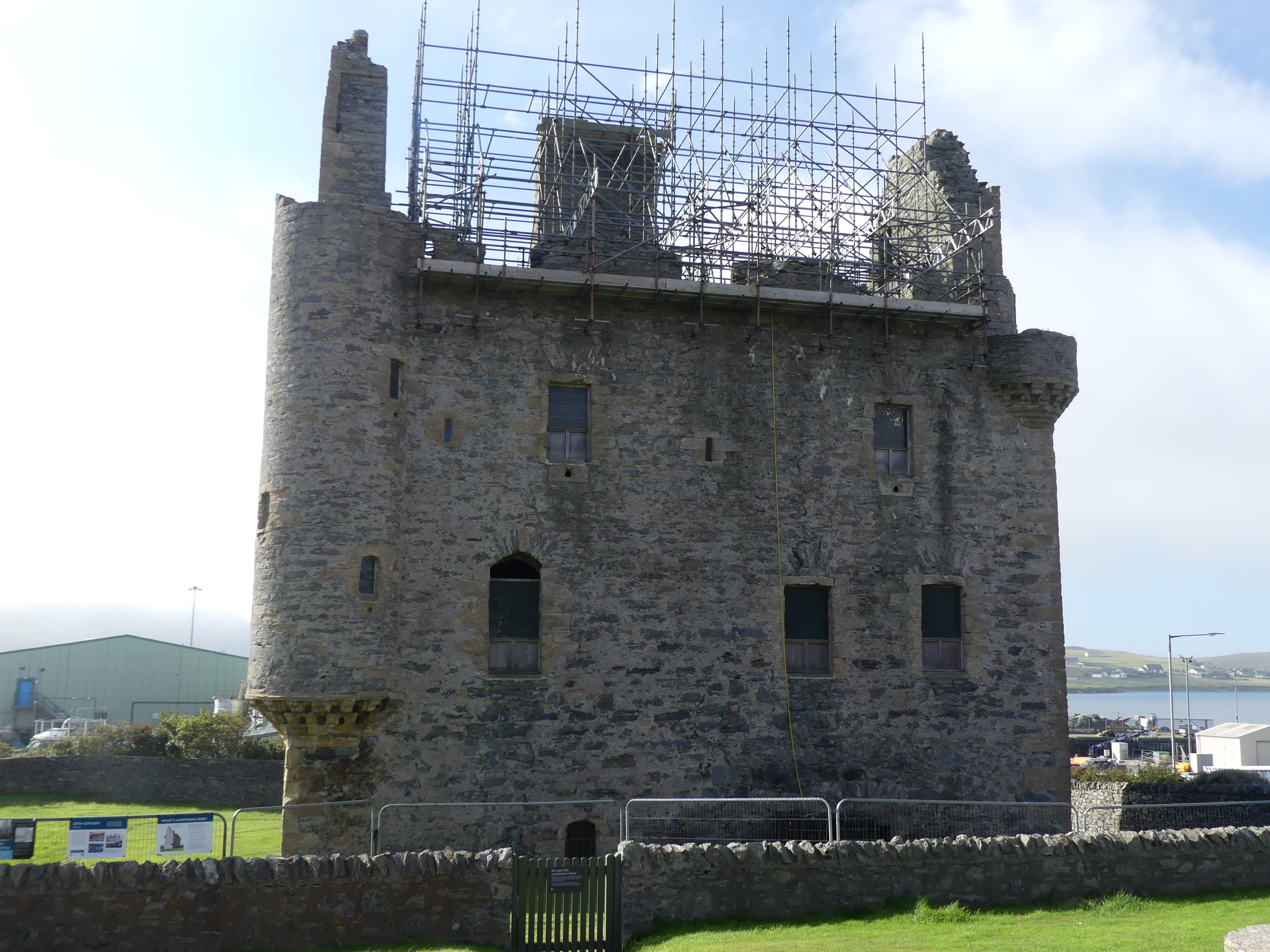
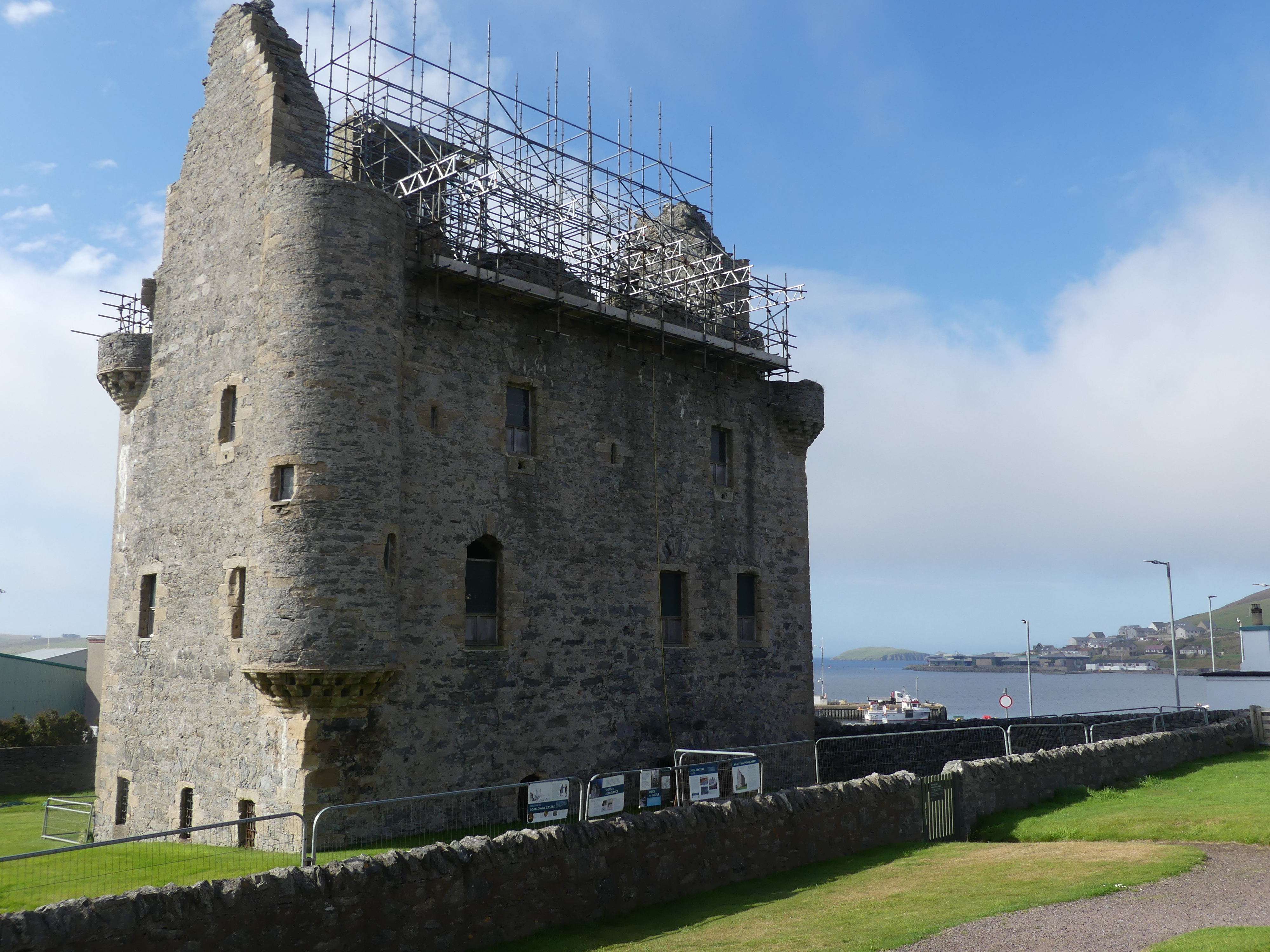
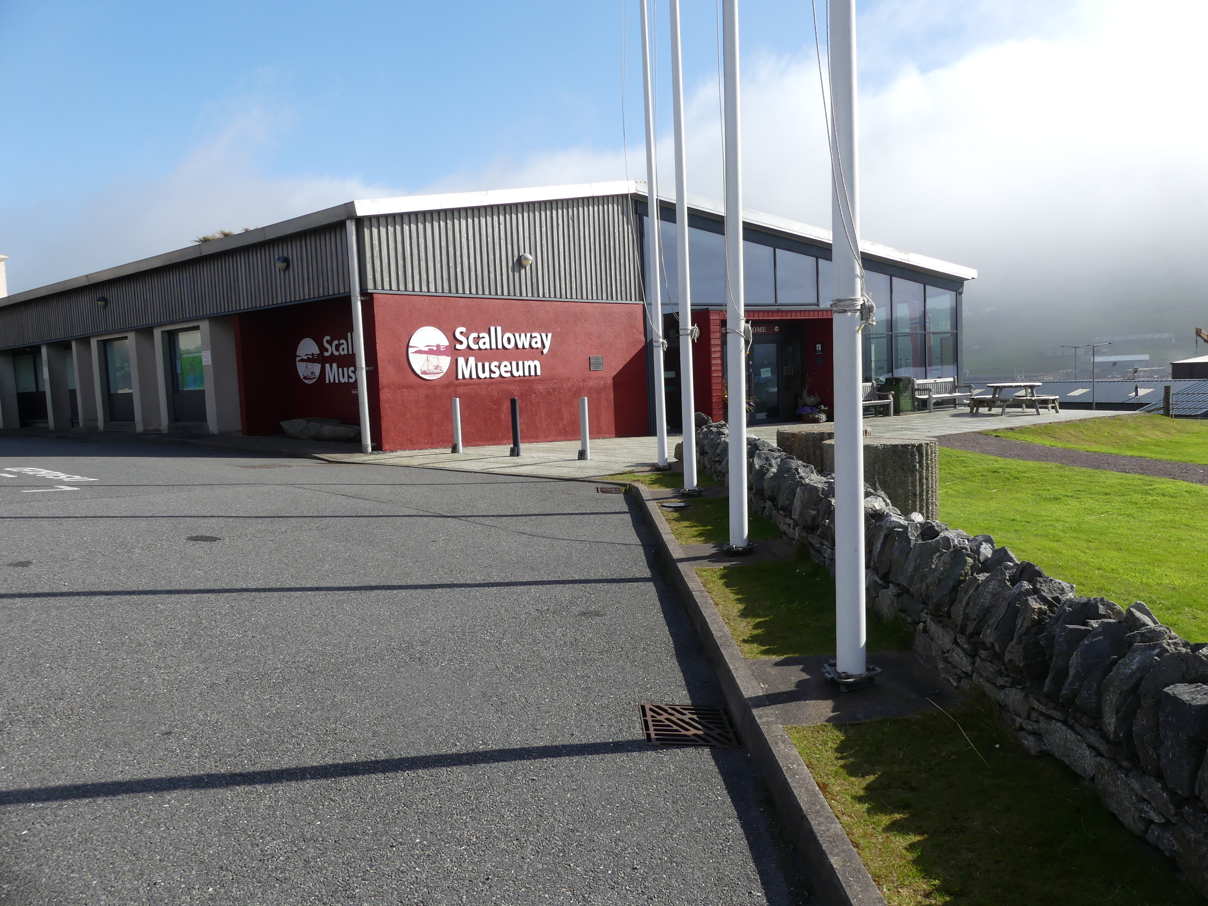
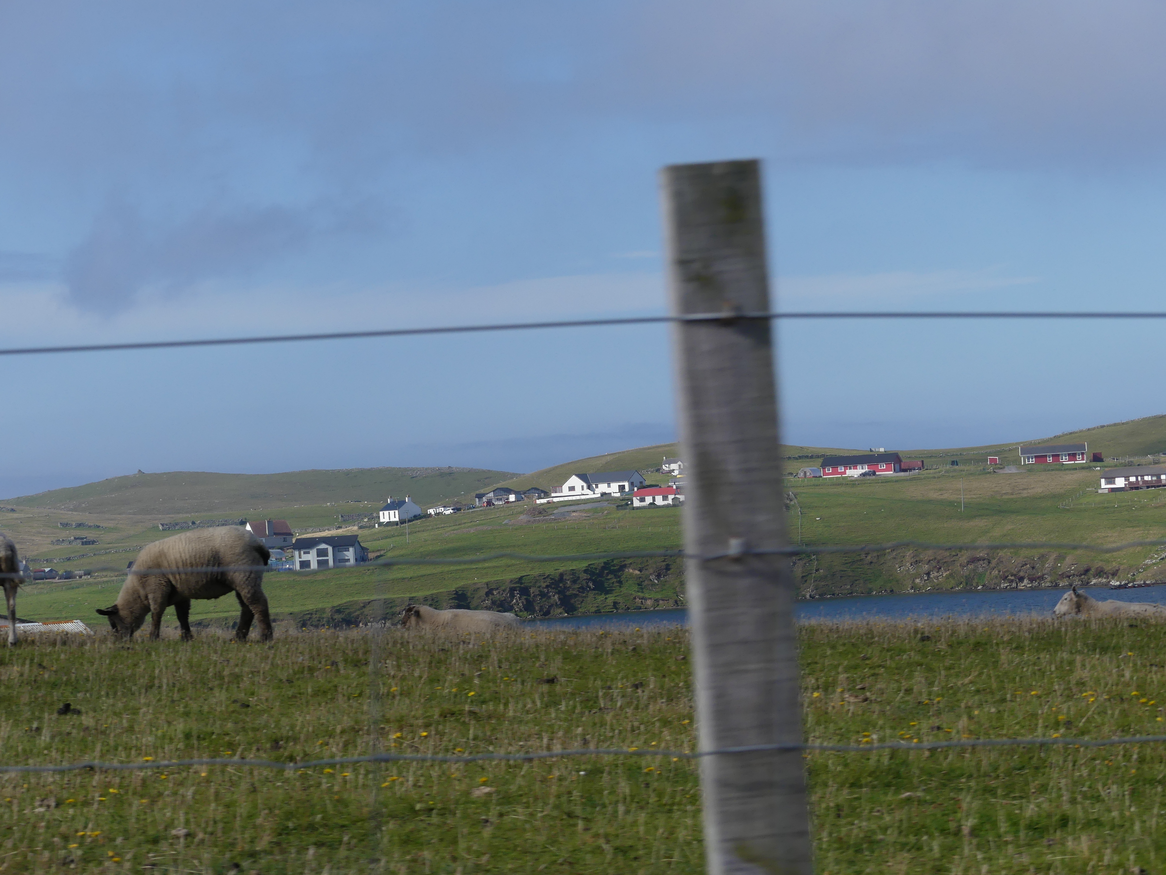
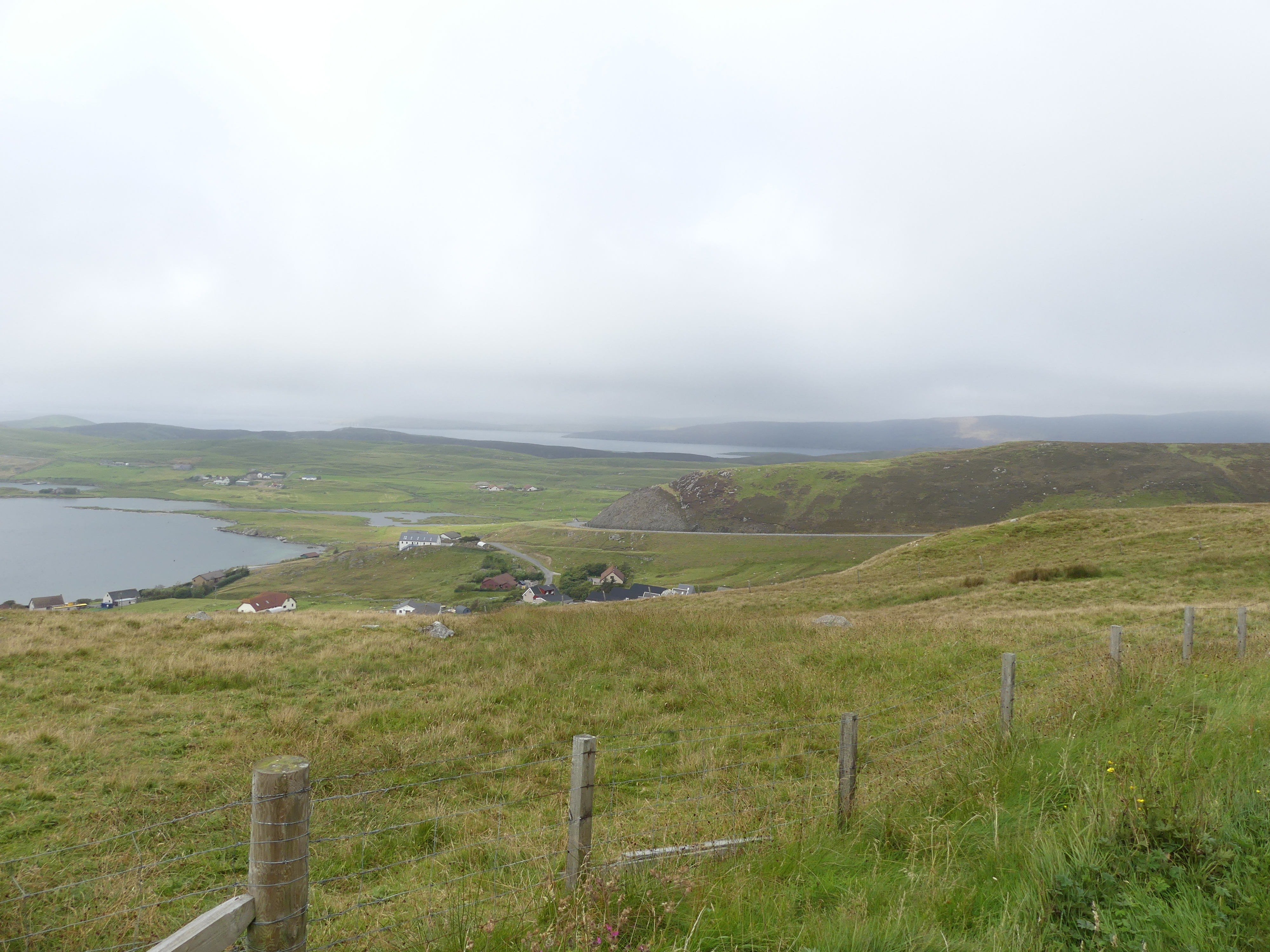
He then proceeded to drive us to Scalloway. Scalloway is the largest settlement on the west coast of the Mainland. The village had a population of roughly 900, at the 2011 census. Now a fishing port, until 1708 it was the capital of the Shetland Islands. Scalloway Castle is a tower house in Scalloway. The tower was built in 1600 by Patrick Stewart, 2nd Earl of Orkney, during his brief period as de facto ruler of Shetland. On arriving it was clear that the castle was no longer open to visitors. Driving into Scalloway we had a great view of the village and its harbour but it remained misty. The castle was bedecked with scaffolding and signs to not enter the premises. My pictures are below. Towards the rear of the castle was a museum but unfortunately not open this day. In the paddock at the rear of the museum a couple of “wild” ponies were grazing.

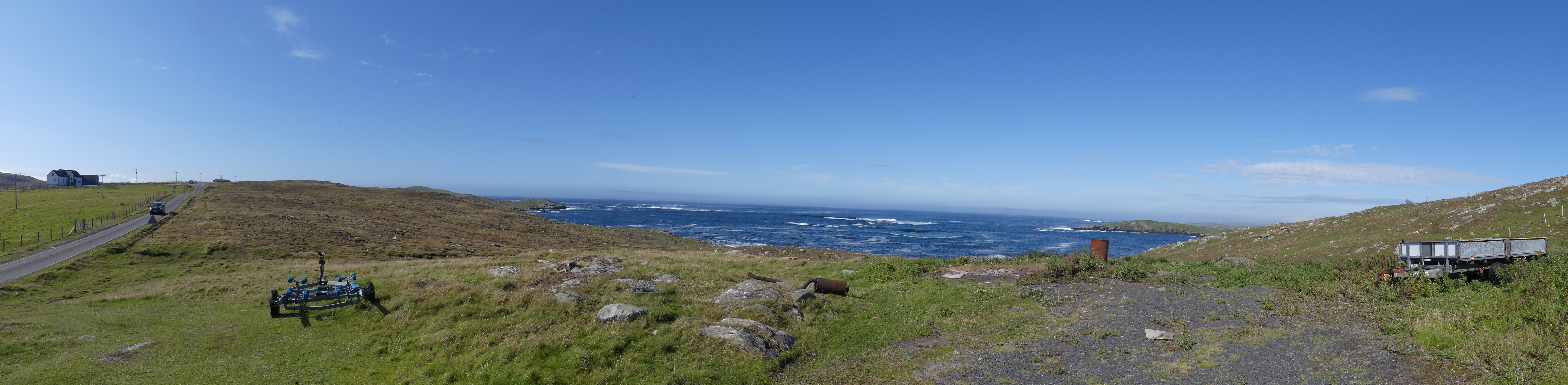
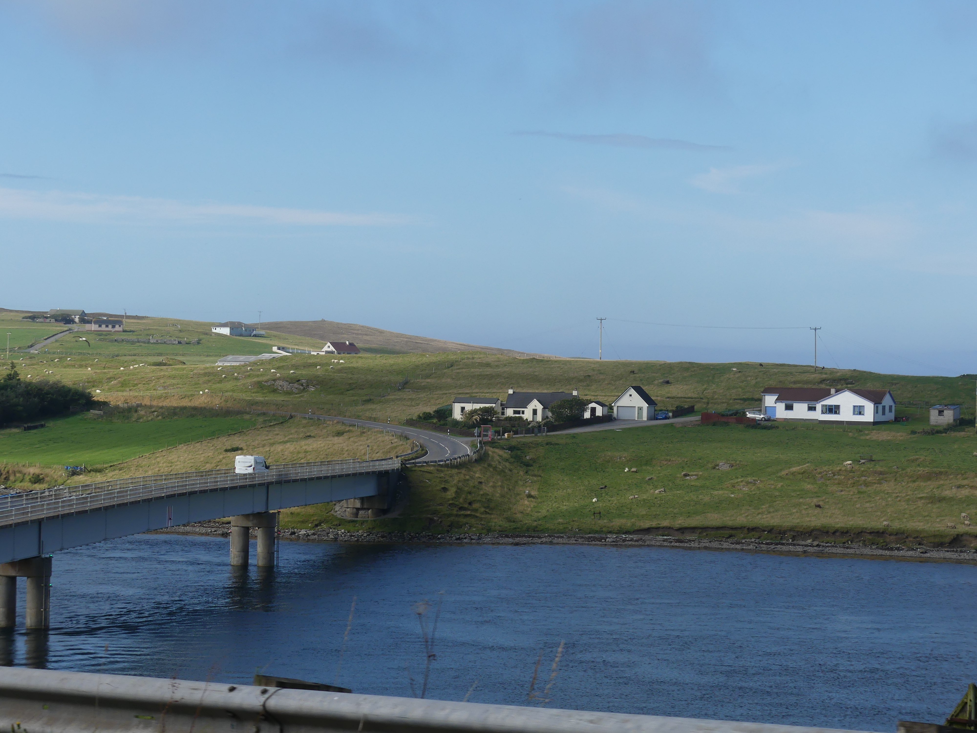
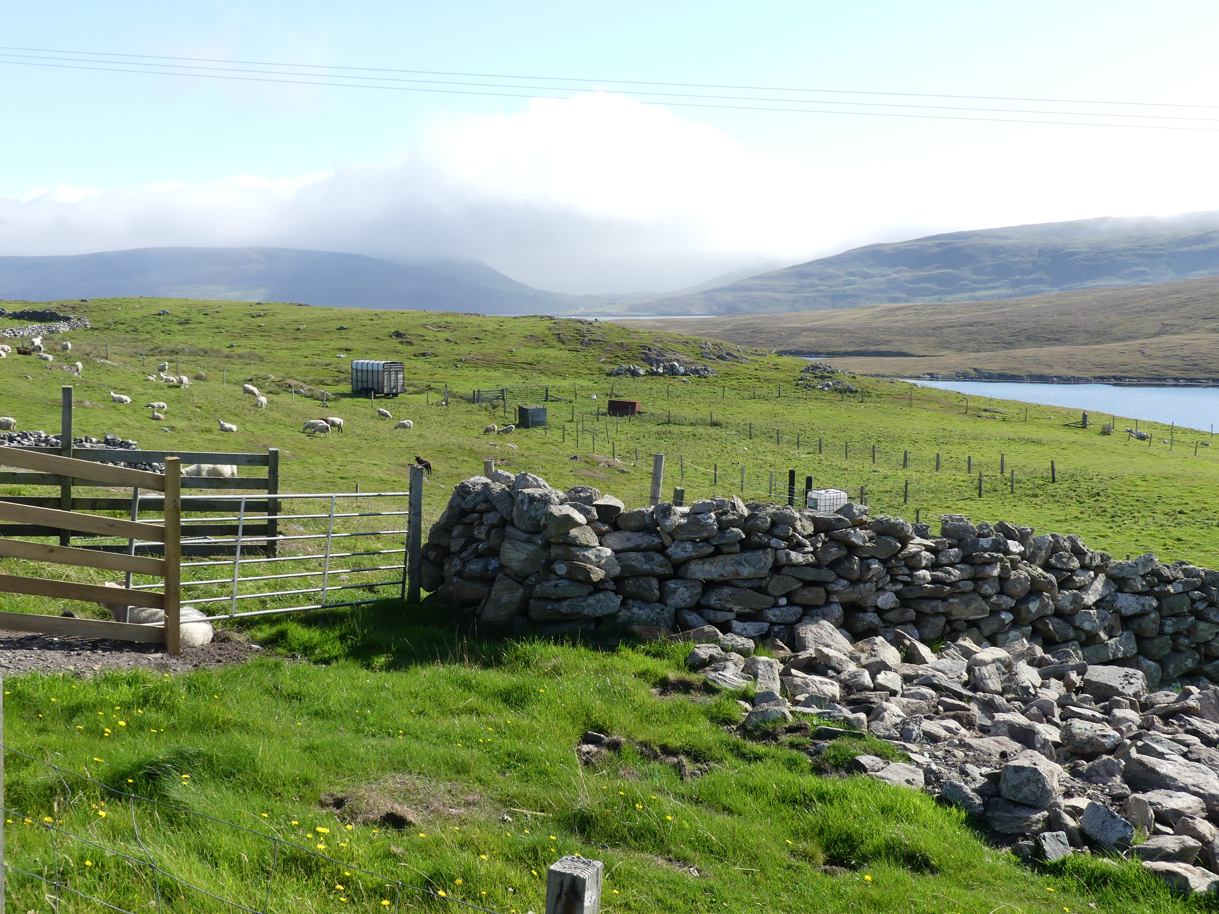
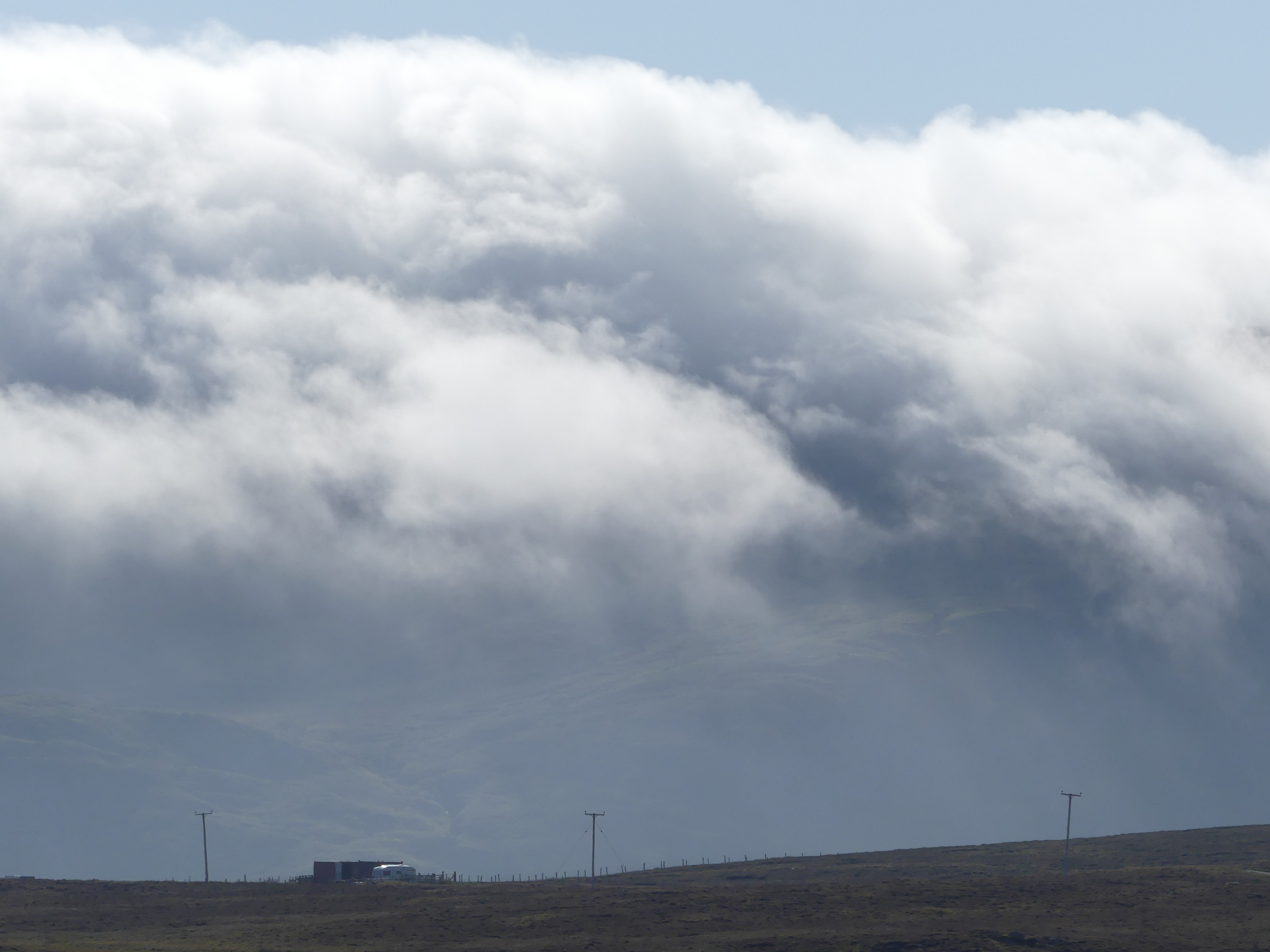
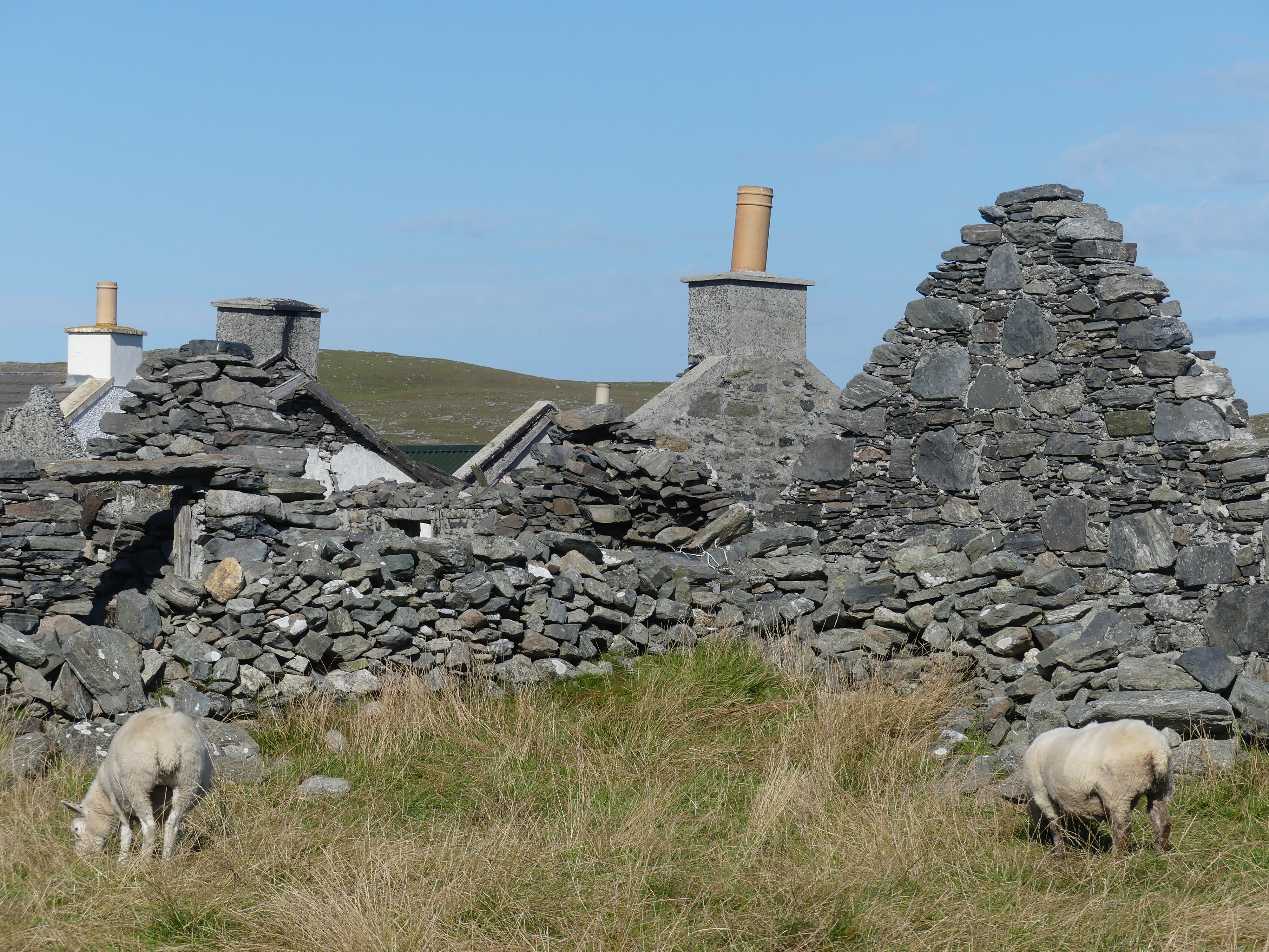
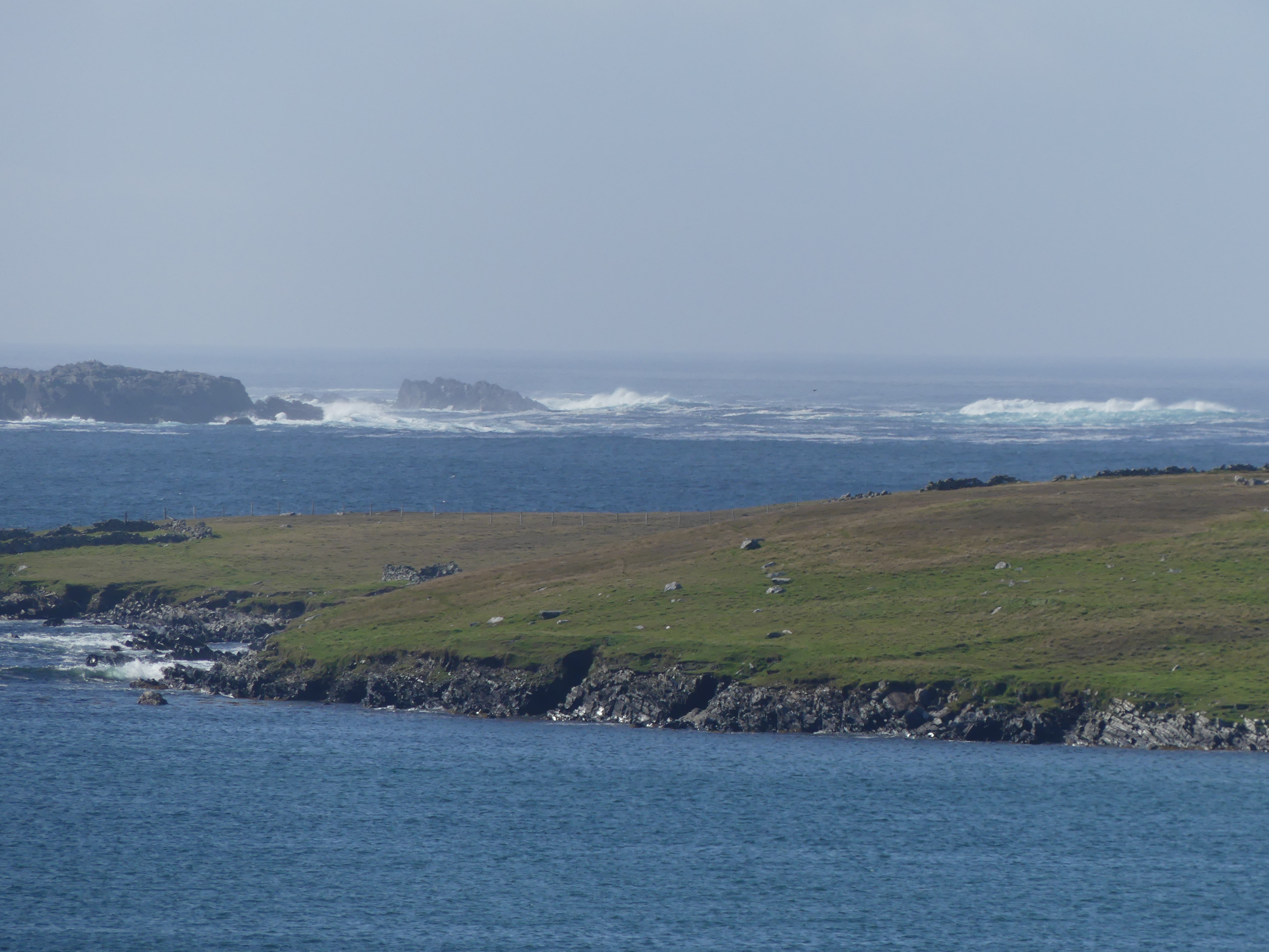
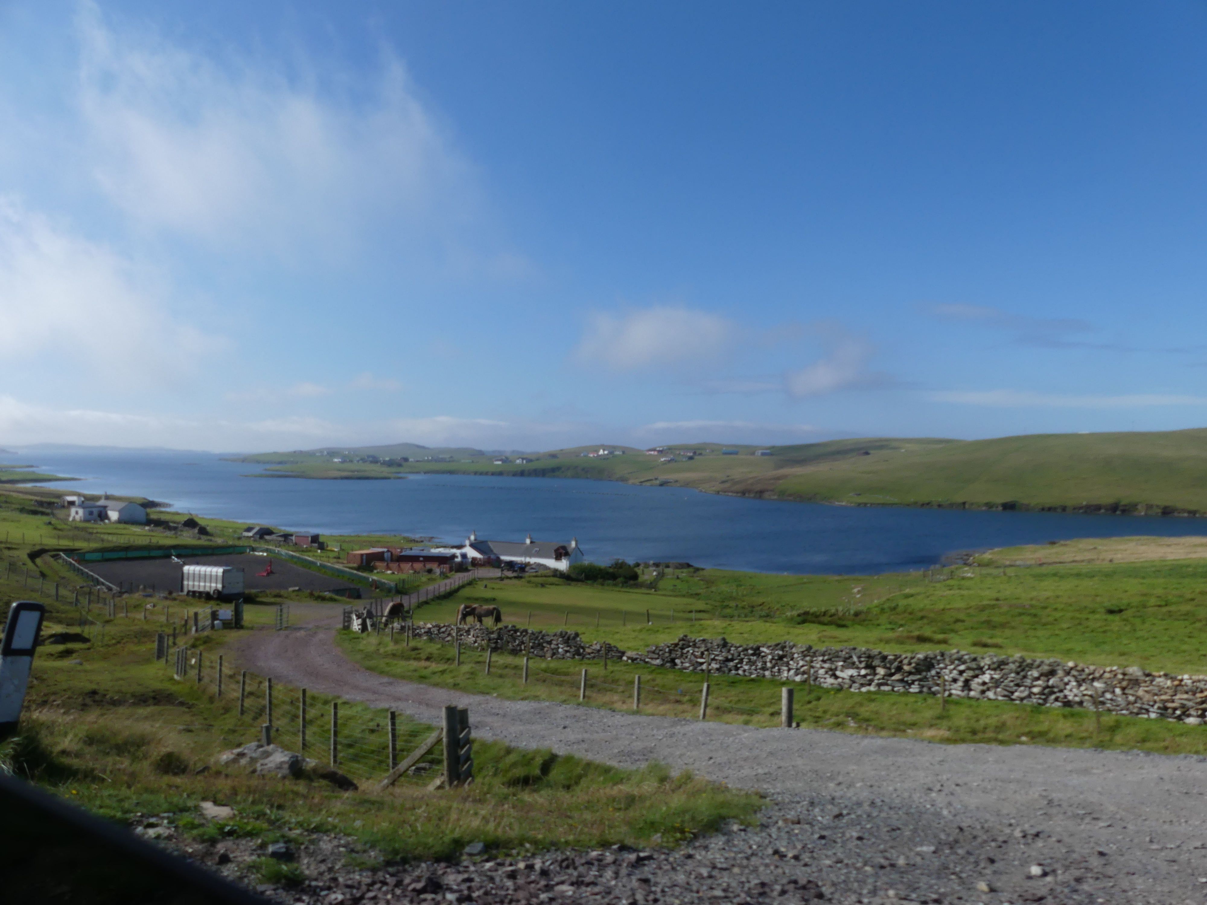
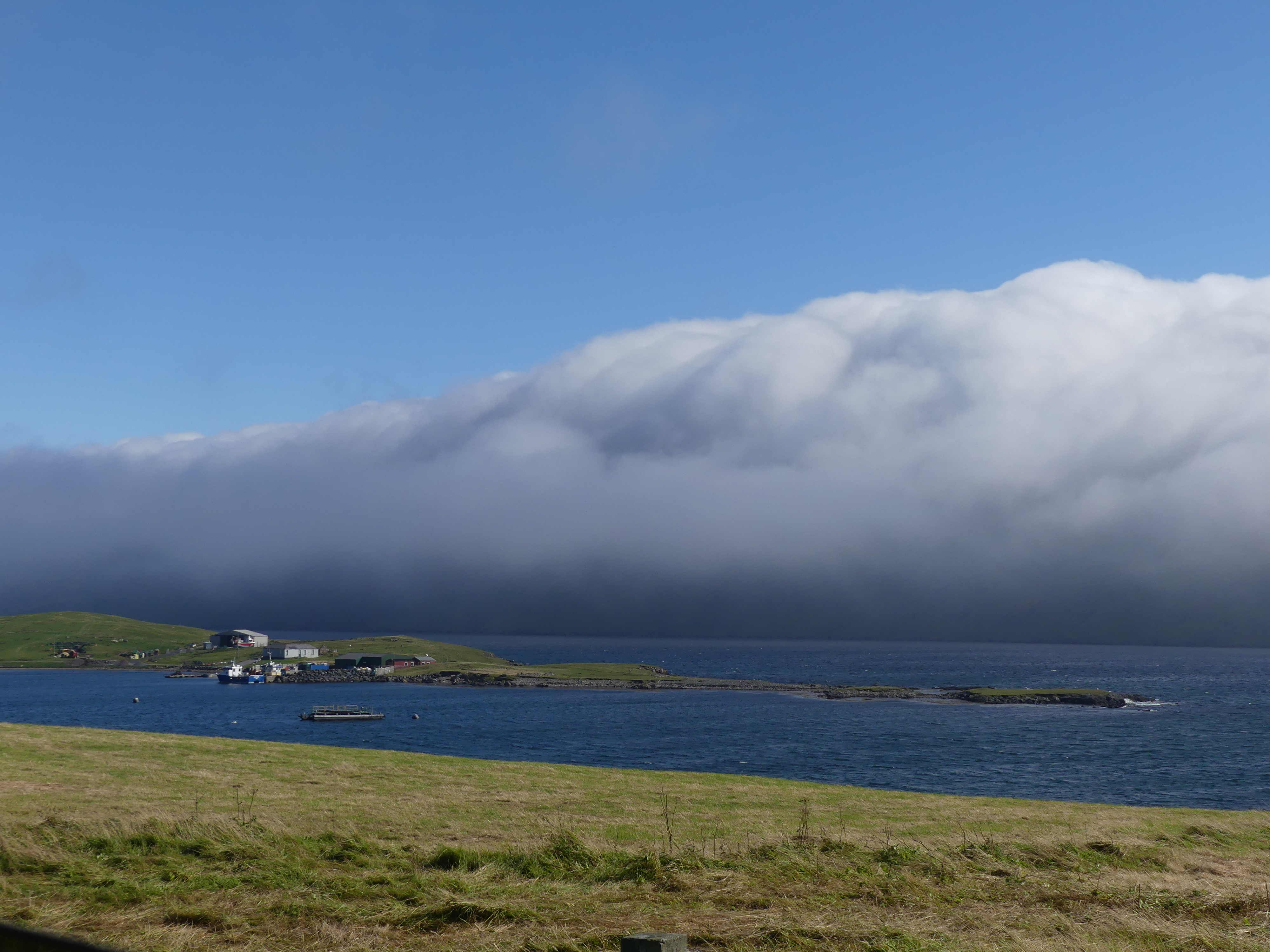
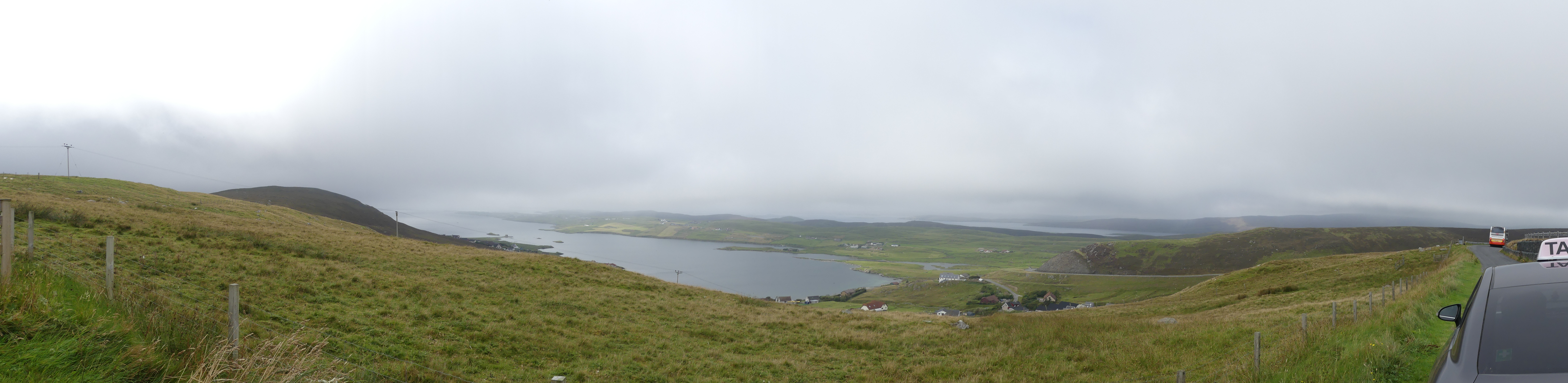
We left Scalloway to see more of the western side of the island. The weather was trying to clear but it was obvious that the eastern side was still overcast from the dense clouds shrouding the central hills. I will tell the story in pictures.

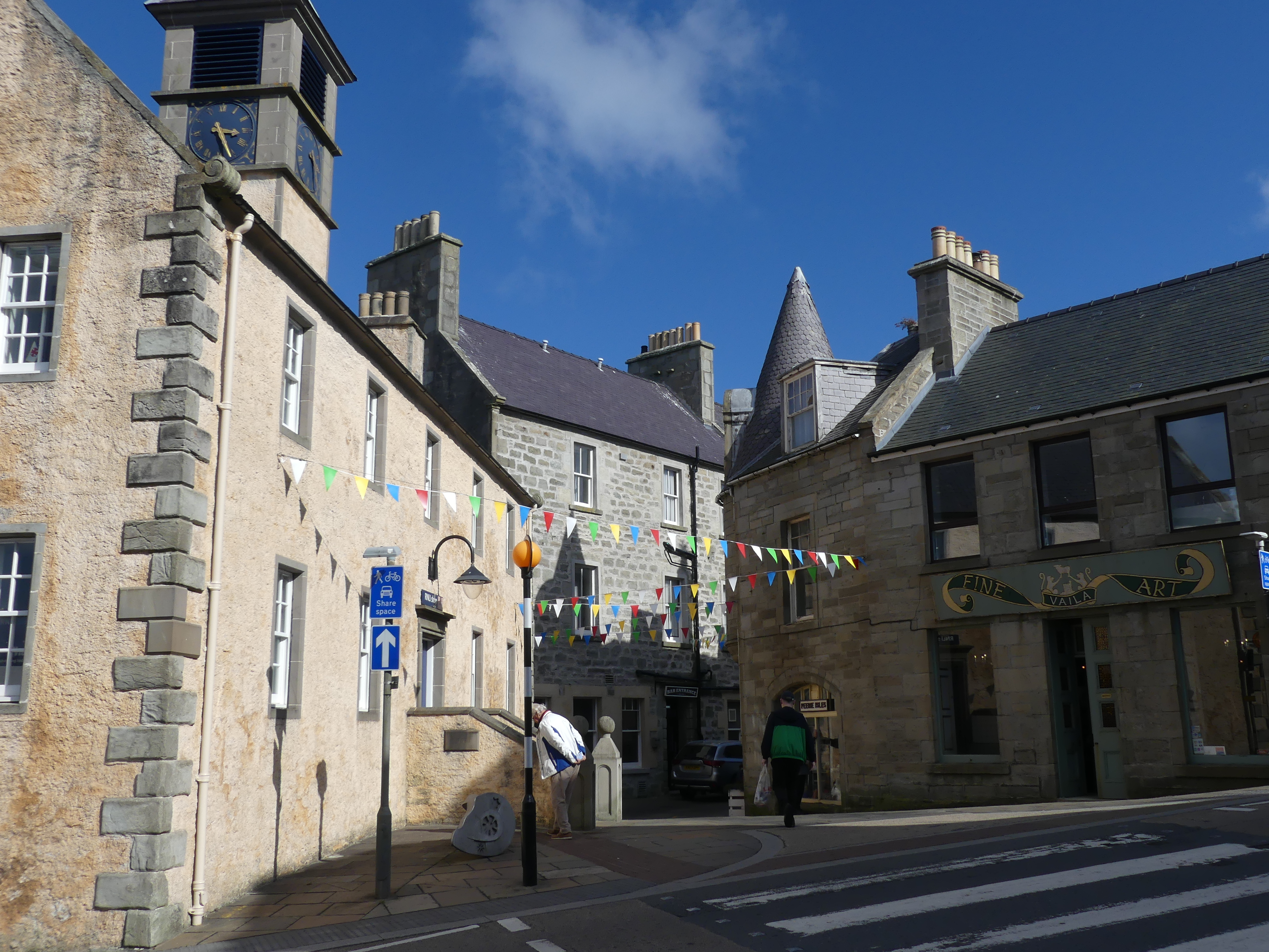
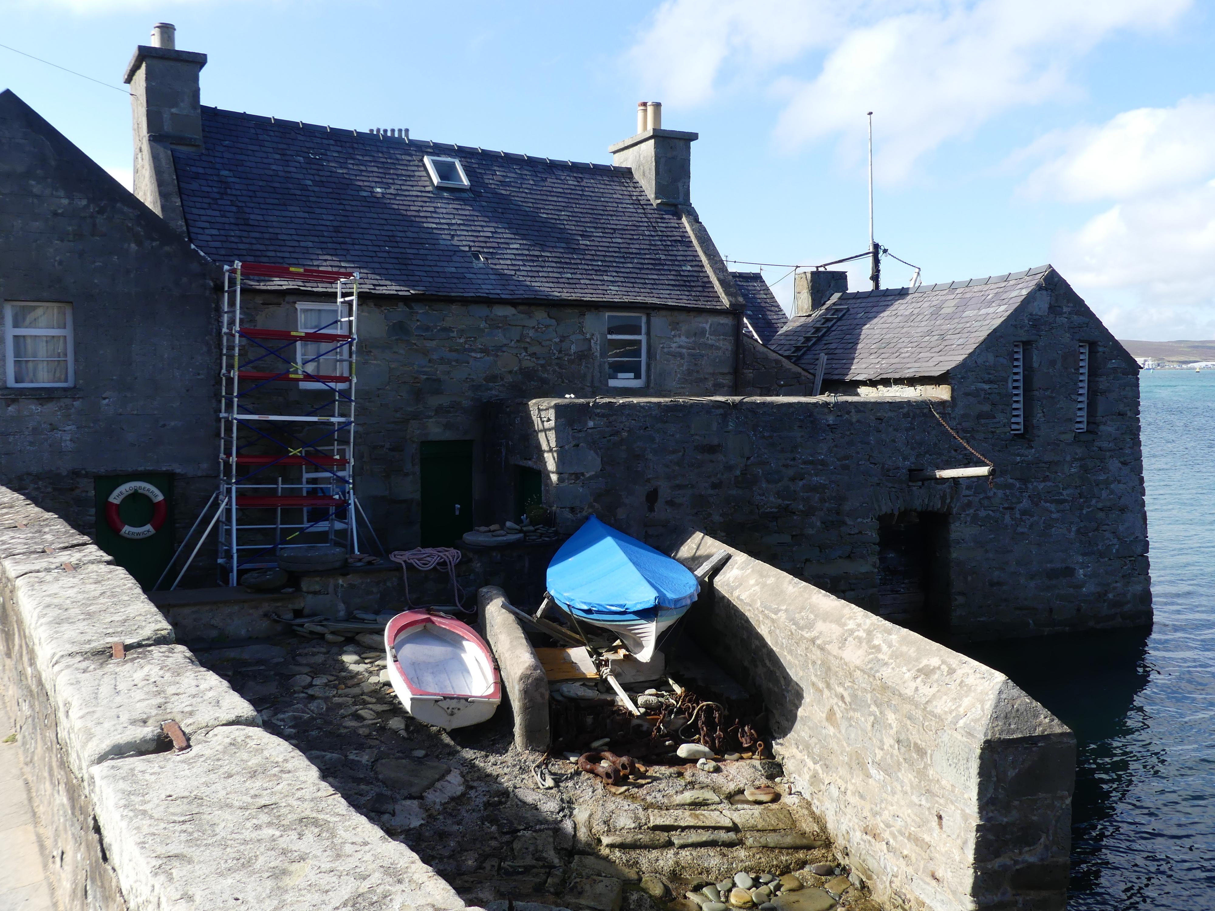
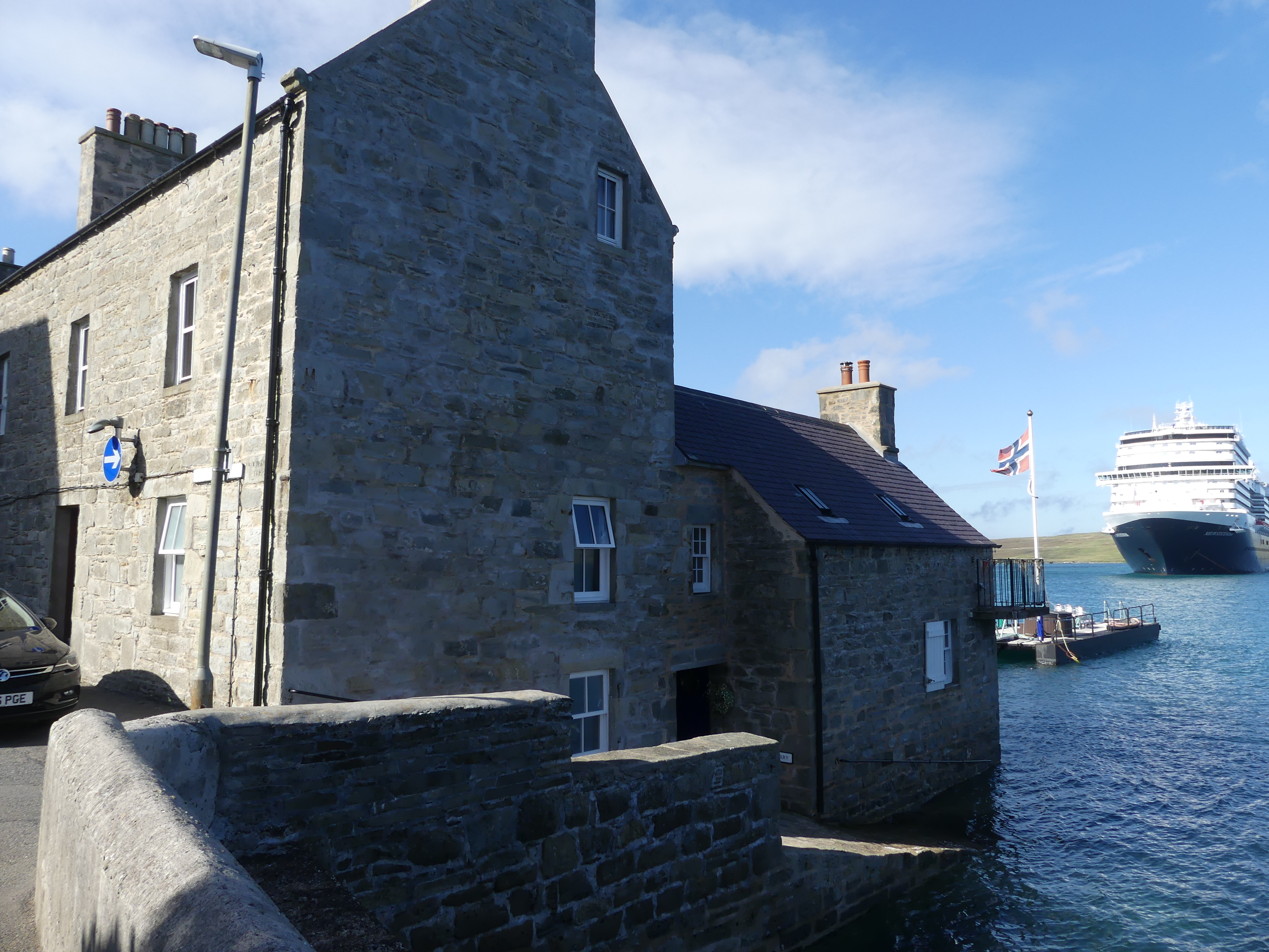
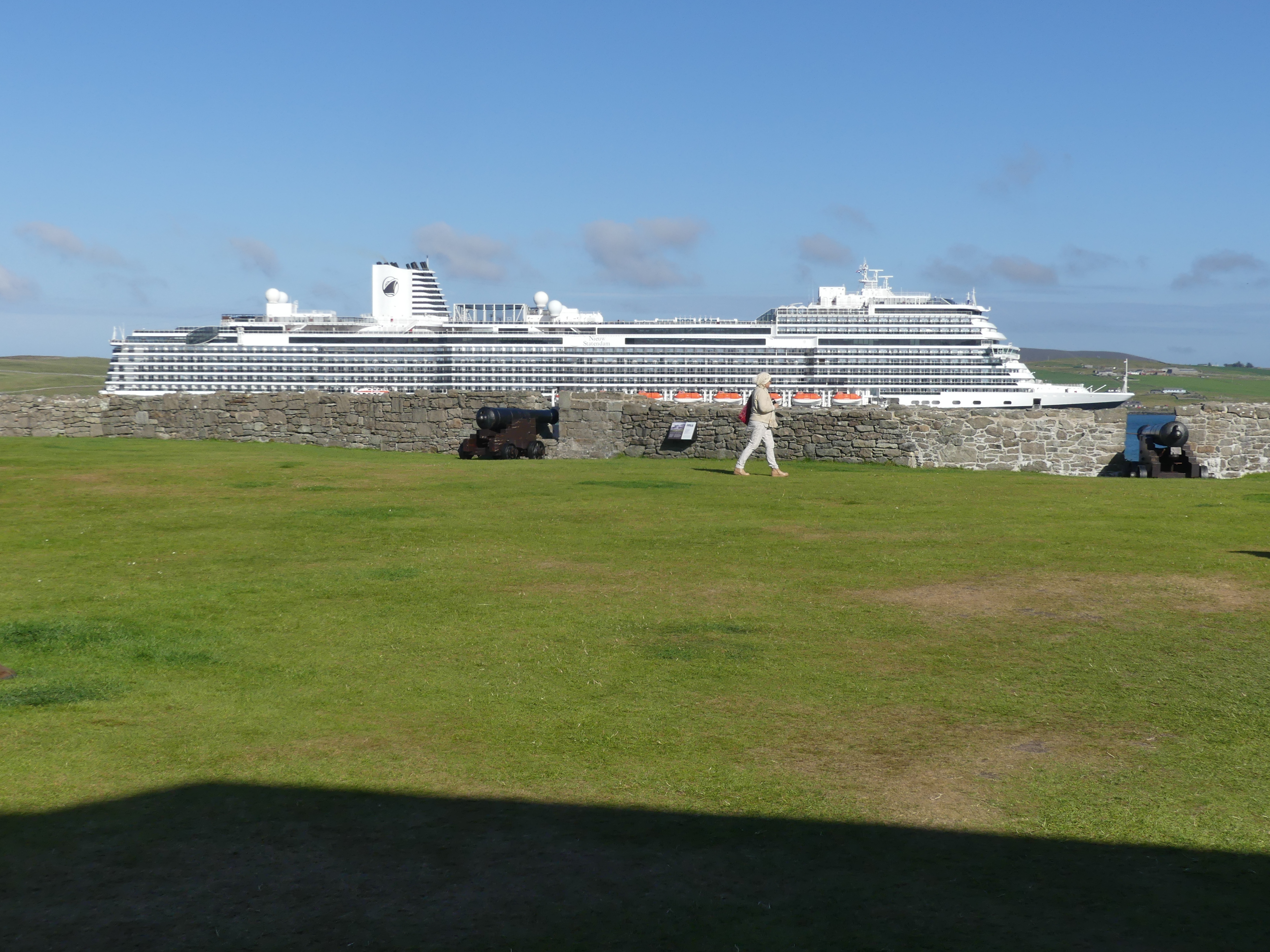
Our cab ride had come to an end with the car re-entering Lerwick and returning to the cab rank. On foot we started to explore the town. The old town was still very much the centre of town with Fort Charlotte at the northern end of the main road. The houses with Lodberries attached we quite evident and Jimmy Perez’s house and Lodberry is picture 4 below with our ship in the background.

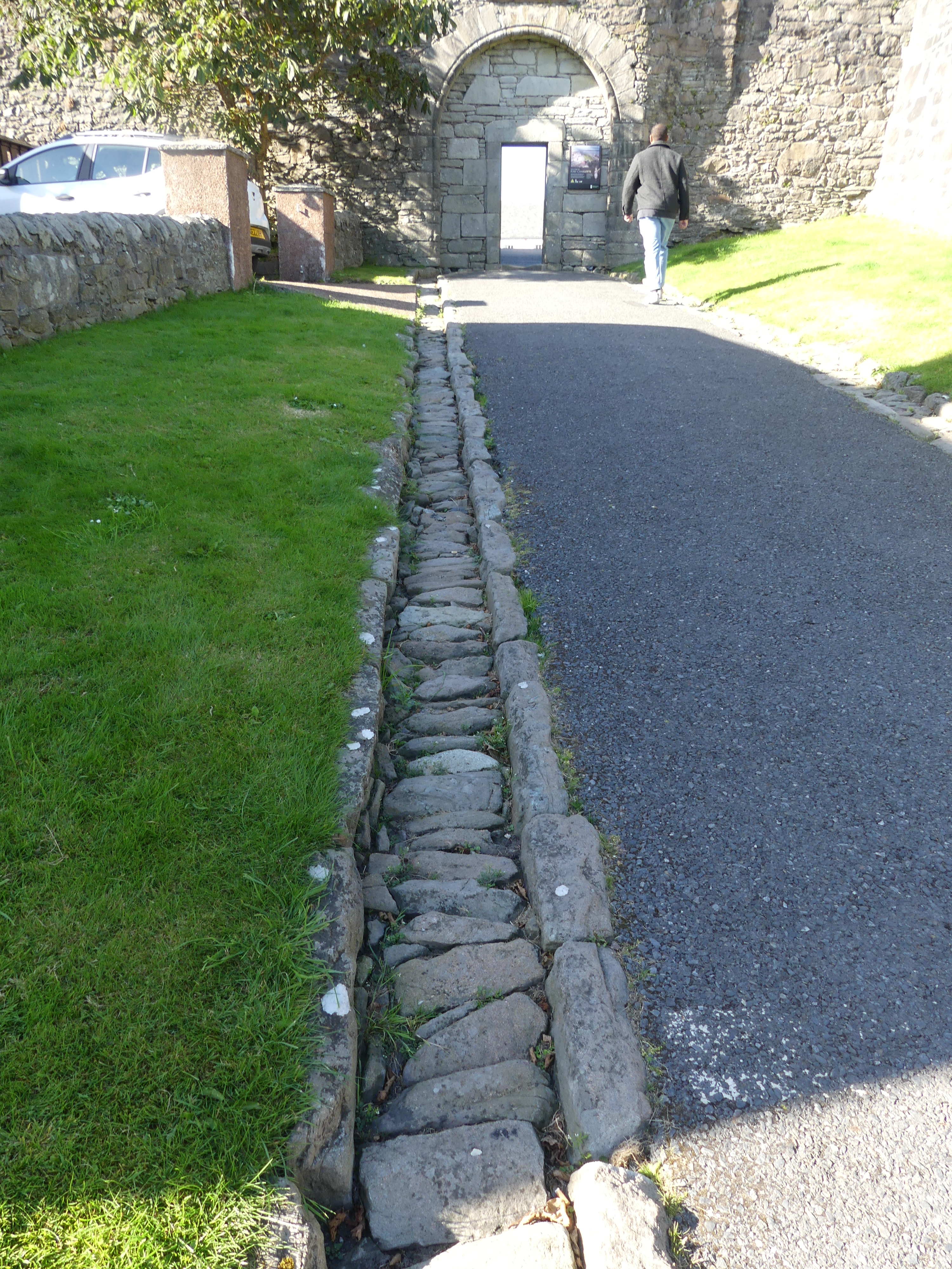
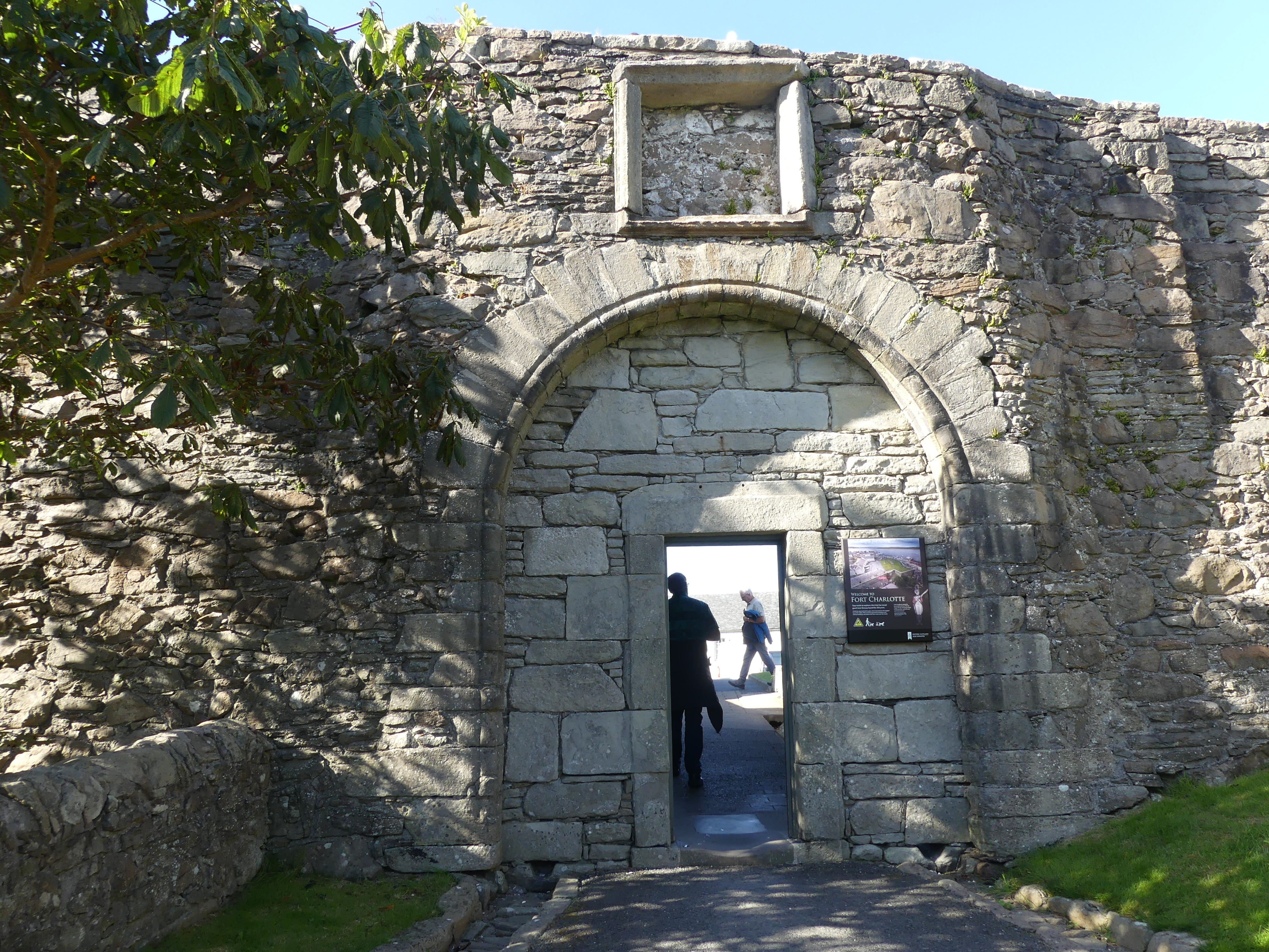
We made our way to Fort Charlotte and learned of its chequered history and current use. Yes that is our ship in the background of picture 7. The first incarnation of the fort was built between 1652 and 1653 during the First Anglo-Dutch War. Little is known of the original structure and no trace of it has been found.

The second structure was built on the same site by Robert Mylne under the orders of Charles II at the start of the Second Anglo-Dutch War in 1665 at a cost of £28,000. It held off a Dutch fleet in 1667 which thought it was far more heavily manned and gunned than it actually was. In fact, the walls were unfinished and there were few guns. At the end of the war it was slighted when the government decided not to station a garrison in Lerwick, and it was unmanned when the Dutch burnt it in 1673 during the Third Anglo-Dutch War.

It was rebuilt in its current form in 1781 and named after Queen Charlotte, but has never seen service during hostilities since then. It housed a garrison during the Napoleonic Wars and was later a base for the Royal Naval Reserve. From 1837 to 1875 it was used as the town jail and courthouse and later a custom house and a coastguard station.

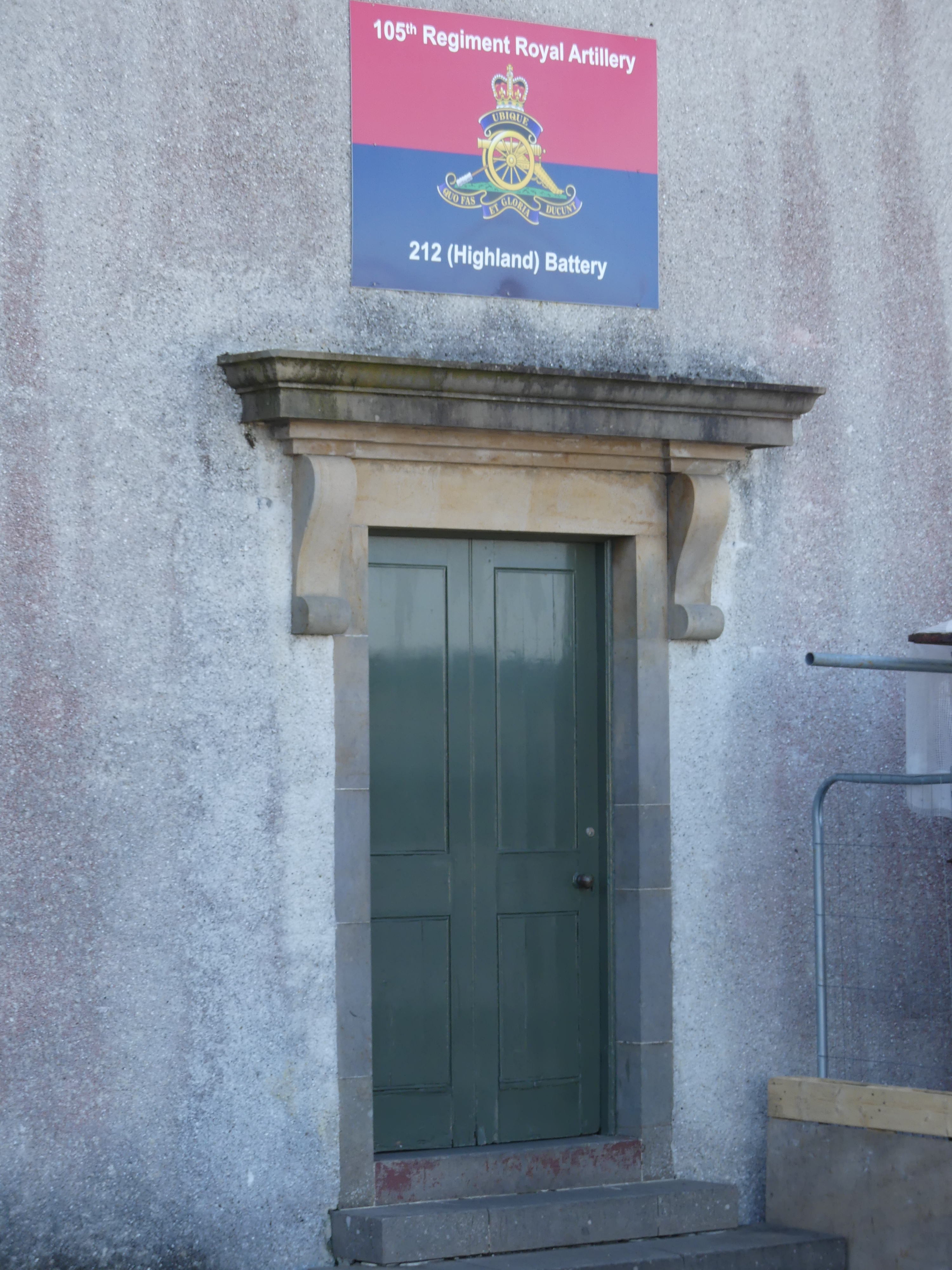
Land reclamation and structures erected in front of the fort mean that it no longer dominates the shoreline and the overall ground plan can only be seen from the air. Fort Charlotte is managed by Historic Environment Scotland, and is the base for 212 Highland Battery, part of Britain’s Army Reserve.

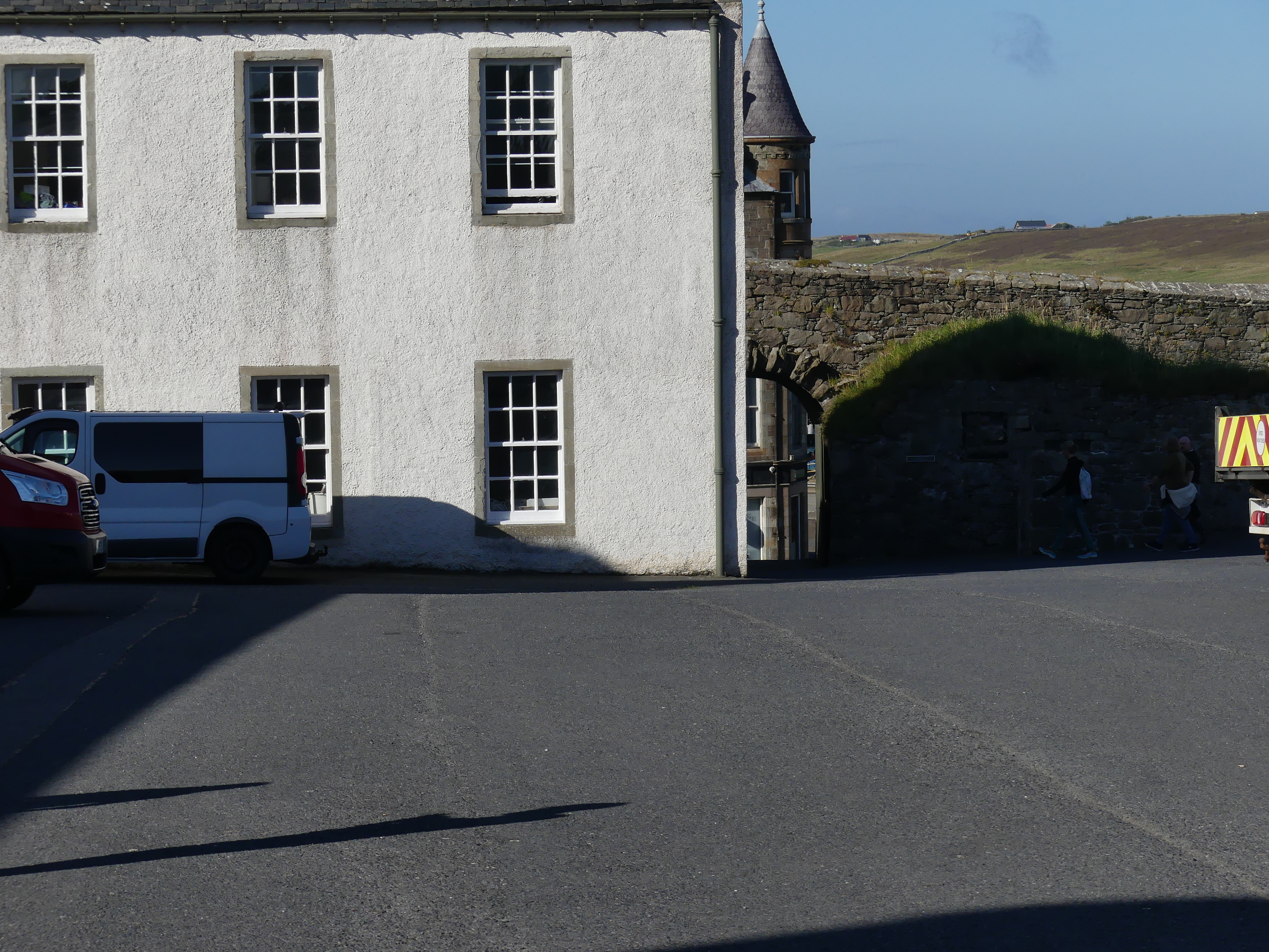
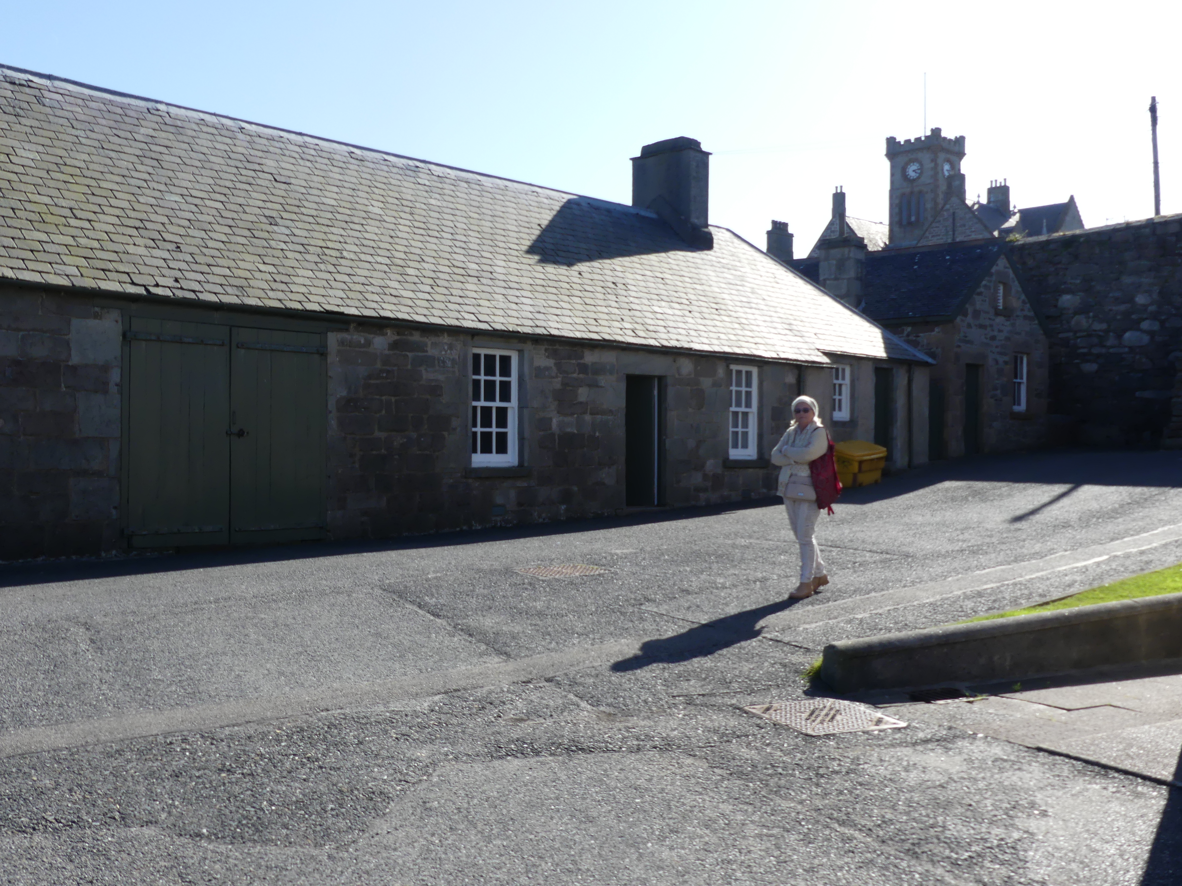
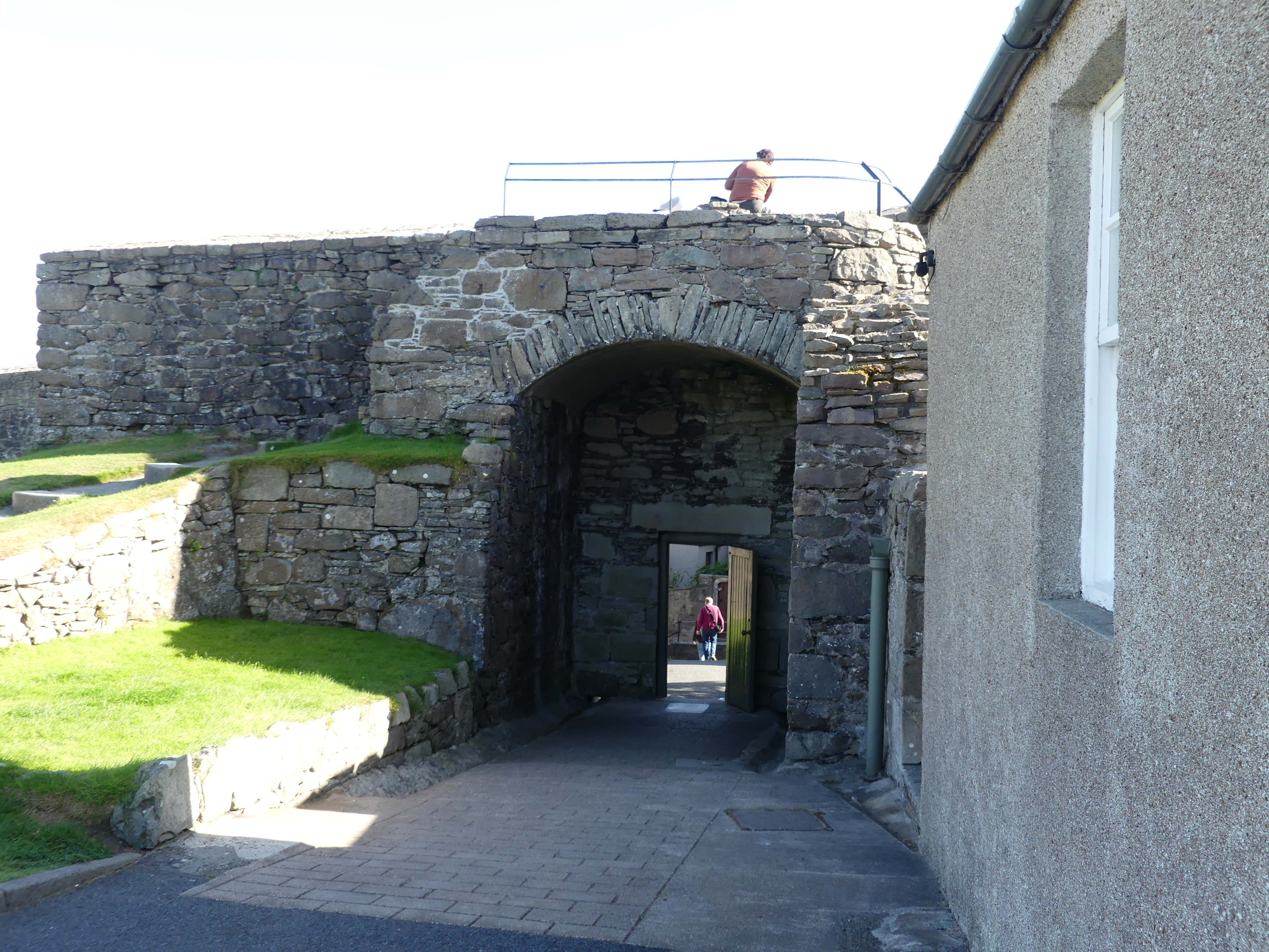
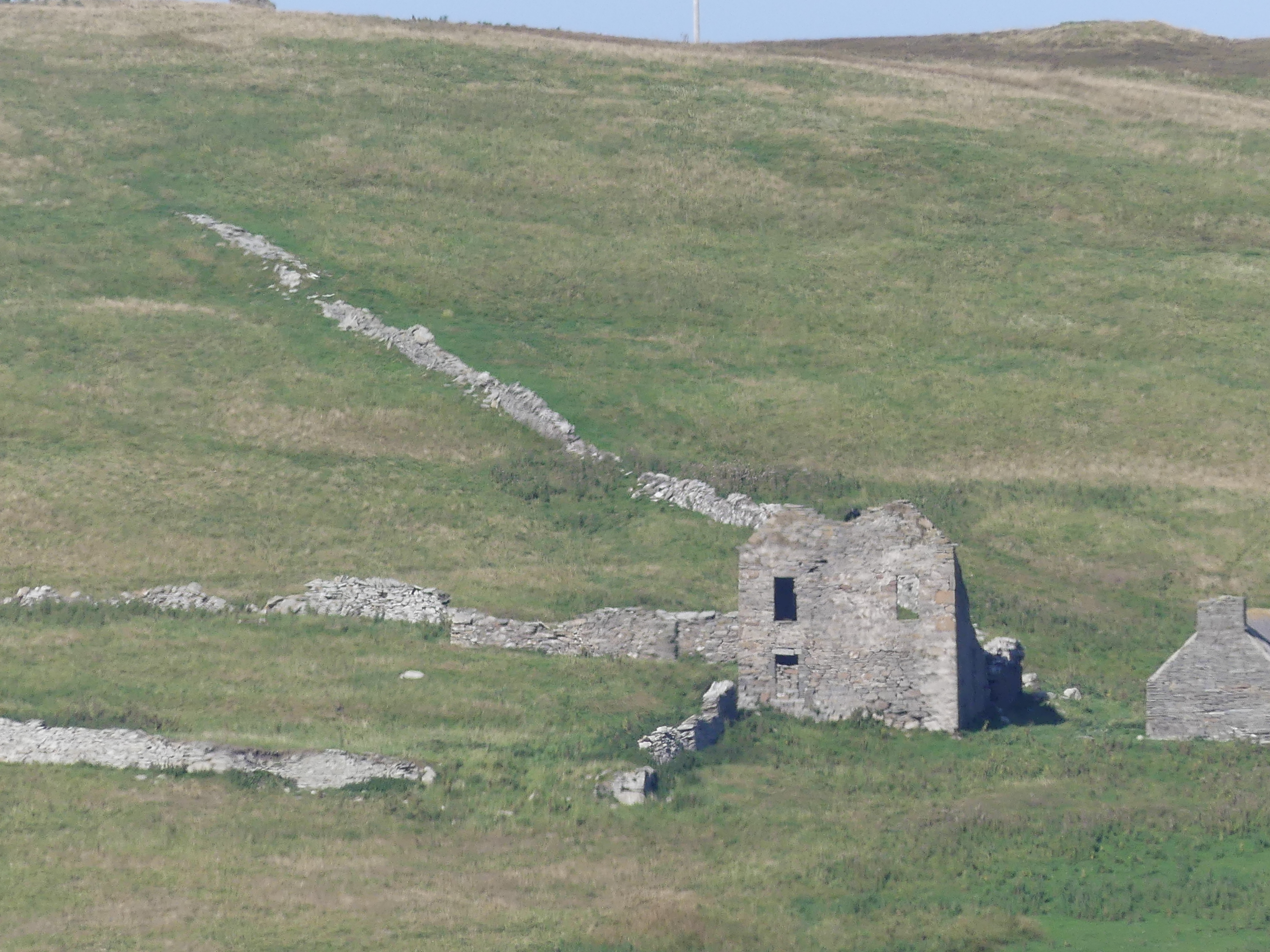
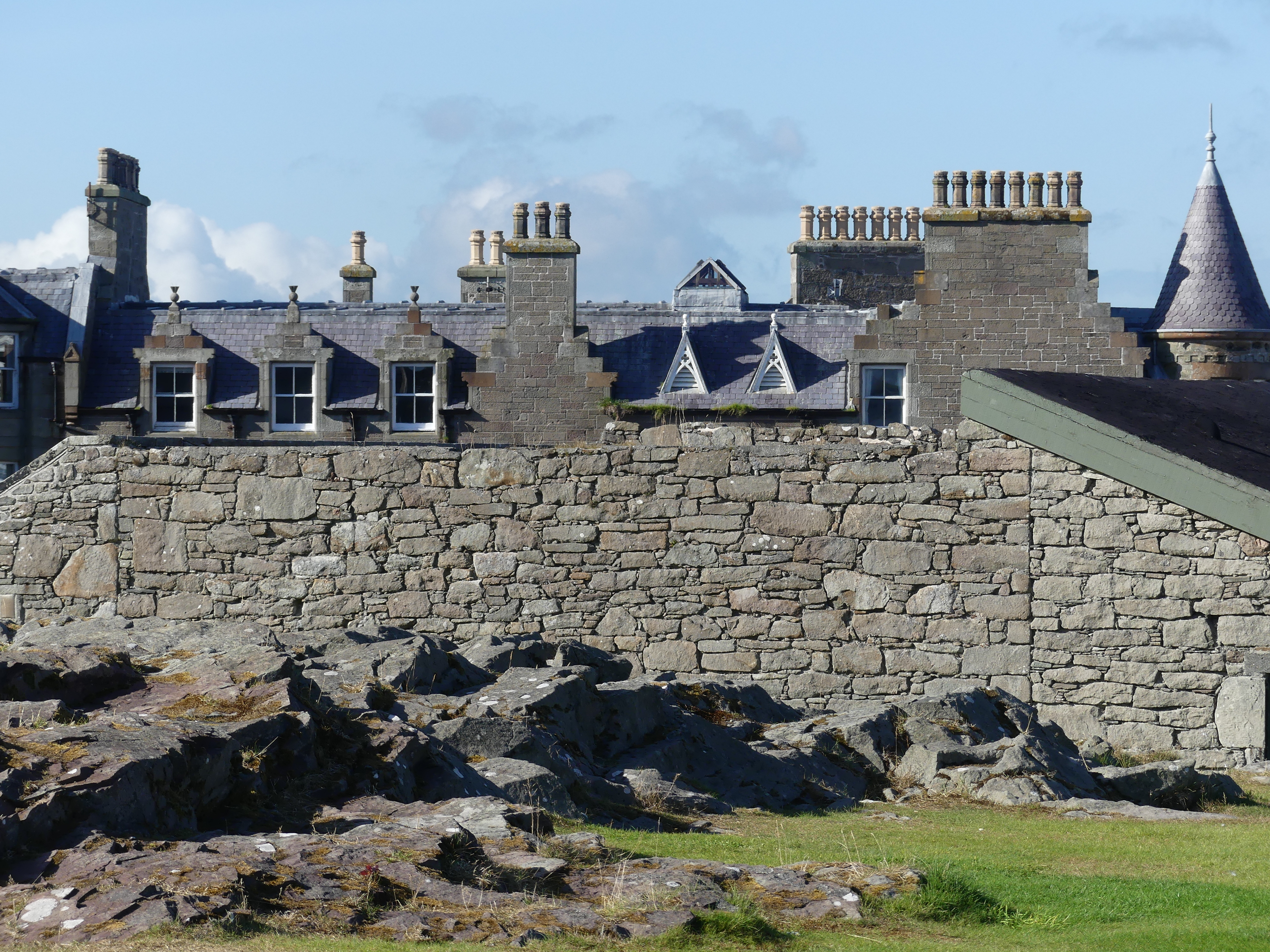
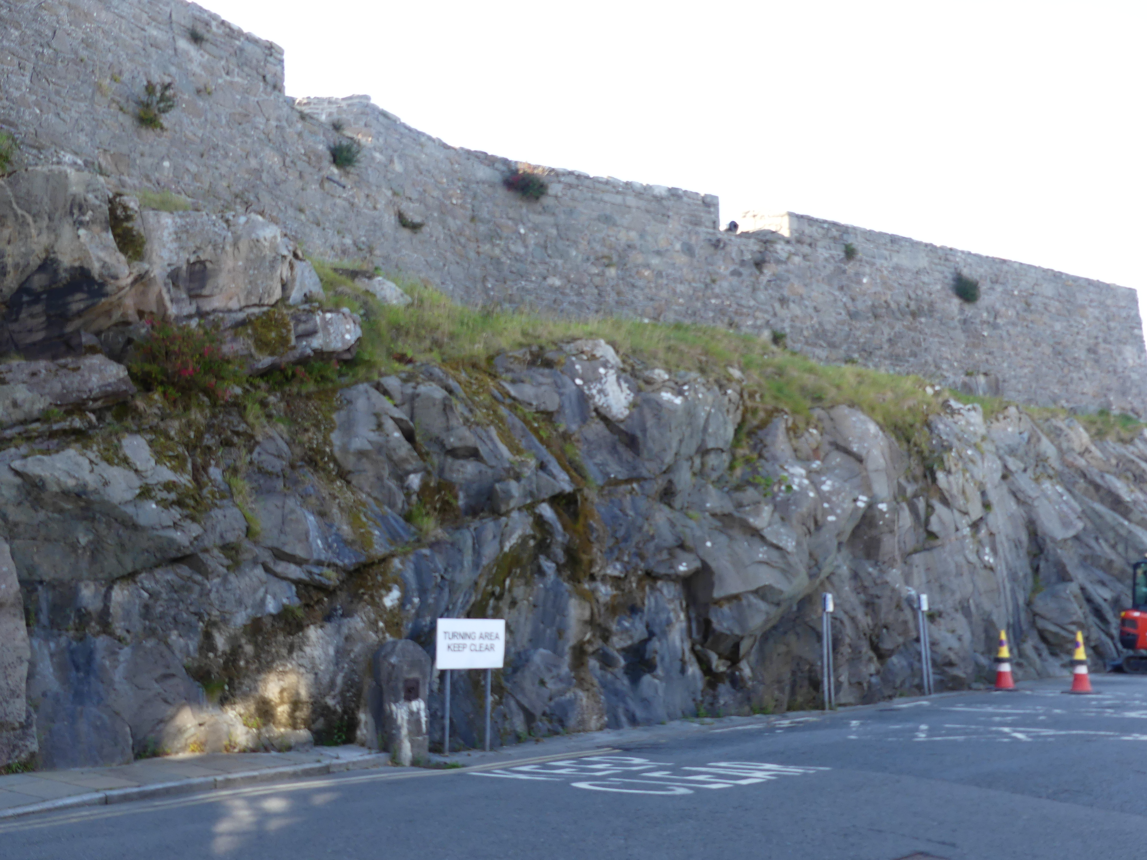
The photos in the last line include the former farm house across the bay, the houses beyond the fort walls and the natural stone wall with the bastion wall built atop of it and the main road below.

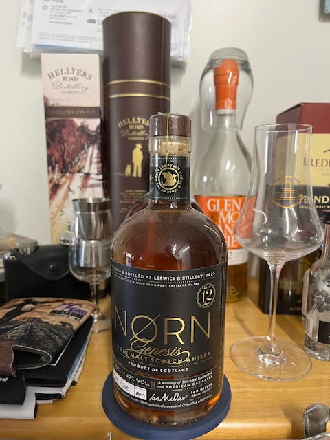
We continued our walk through the town. I had heard there was a distillery opening in the town and here was a chance I might stumble upon it. We walked past the car ferry to Bressay (picture below) and Kerry found the distillery. It was close to closing time and the sales girl explained quickly about their distiller and the fact that the distillery had not produced any scotch for retail sale as yet (the distilled brew must be in the cask for 3 years and a day before it is Scotch) but they could offer a tasting paddle of various other scotchs from around Speyside and the Highlands and a sample that their distiller had been working on at his previous distillery. The bottle label gives away the secret. Beautiful scotch but at 160 quid prohibitively expensive. Below is a picture of my 500 gram 12 year old numbered bottle of “Norn” scotch “a Speyside Single Malt secretively acquired and bottled at 60 degrees North” – Master Distiller Ian Millar.

As we returned to our ship we came upon a shop with a goat at its front door – yes a living breathing live goat. The goat belonged to two Shetlanders running an arts and crafts store and the goat was a pet. They we’re closing for the day so they opened the back door of their van and the goat climbed in and home they went. Its a long time since such a scene occurred in Queens St Brisbane but its an every day event in Commercial St., Lerwick’s main street.

Our day in Shetland had come to an end but I forgot to mention that I purchased a T-shirt emblazoned with Shetland ponies such that I would always remember my visit. At that time I also decided I would collect a T-shirt from each of the islands we visited – Orkneys, Outer Hebrides, and Isle of Mann. No, no photo of my T-shirt. But you may see me wearing in the streets of Brisbane. Til my next blog “THE RETIREES GO AROUND THE WORLD – DAY 4 SS NIEUW STATENDAM – Orkney Isles” – may you keep a fair wind at your back.

THE RETIREES GO AROUND THE WORLD – CARDIFF WALES – CARDIFF BAY BARRY ISLAND AND PENARTH.
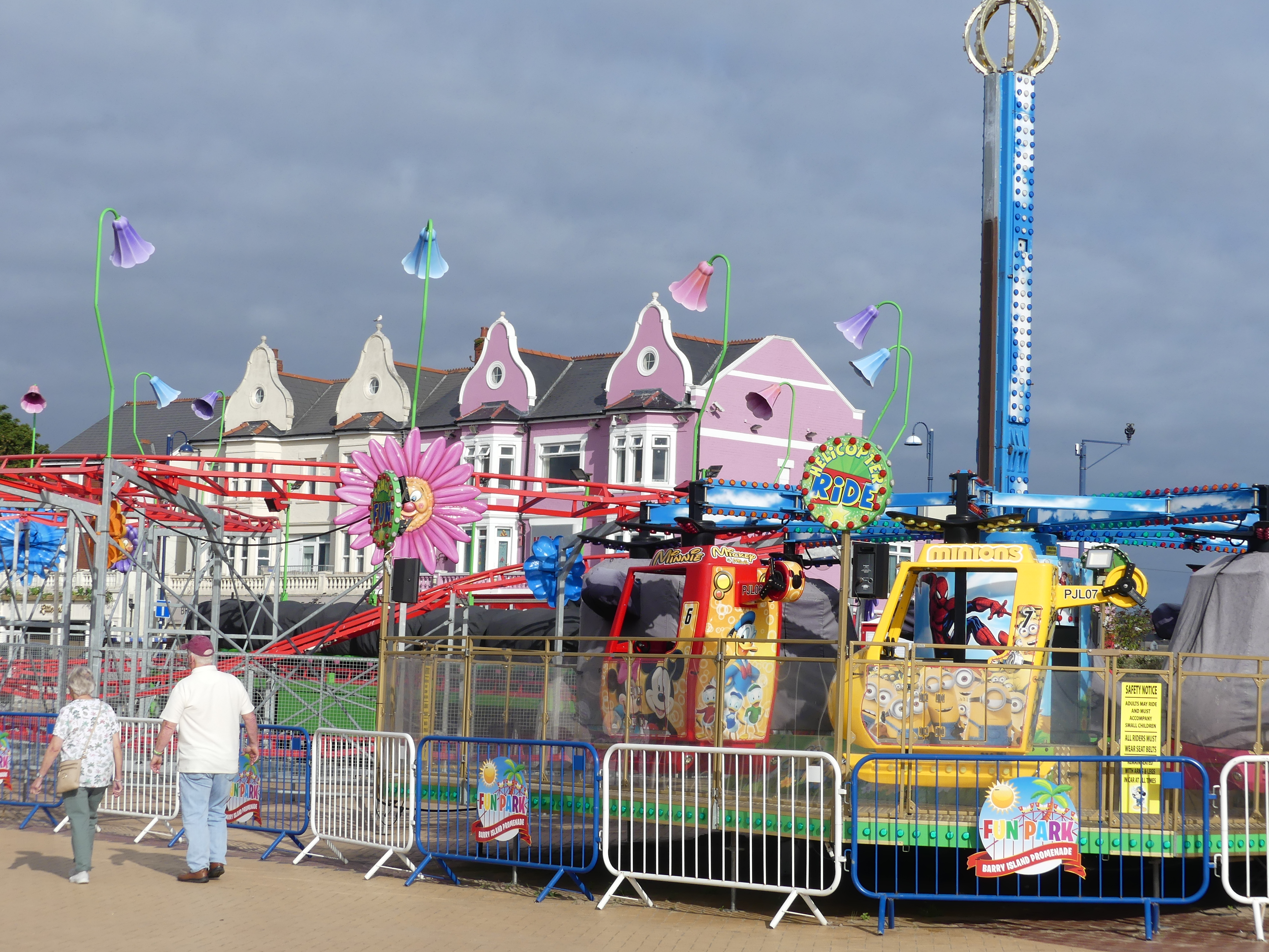
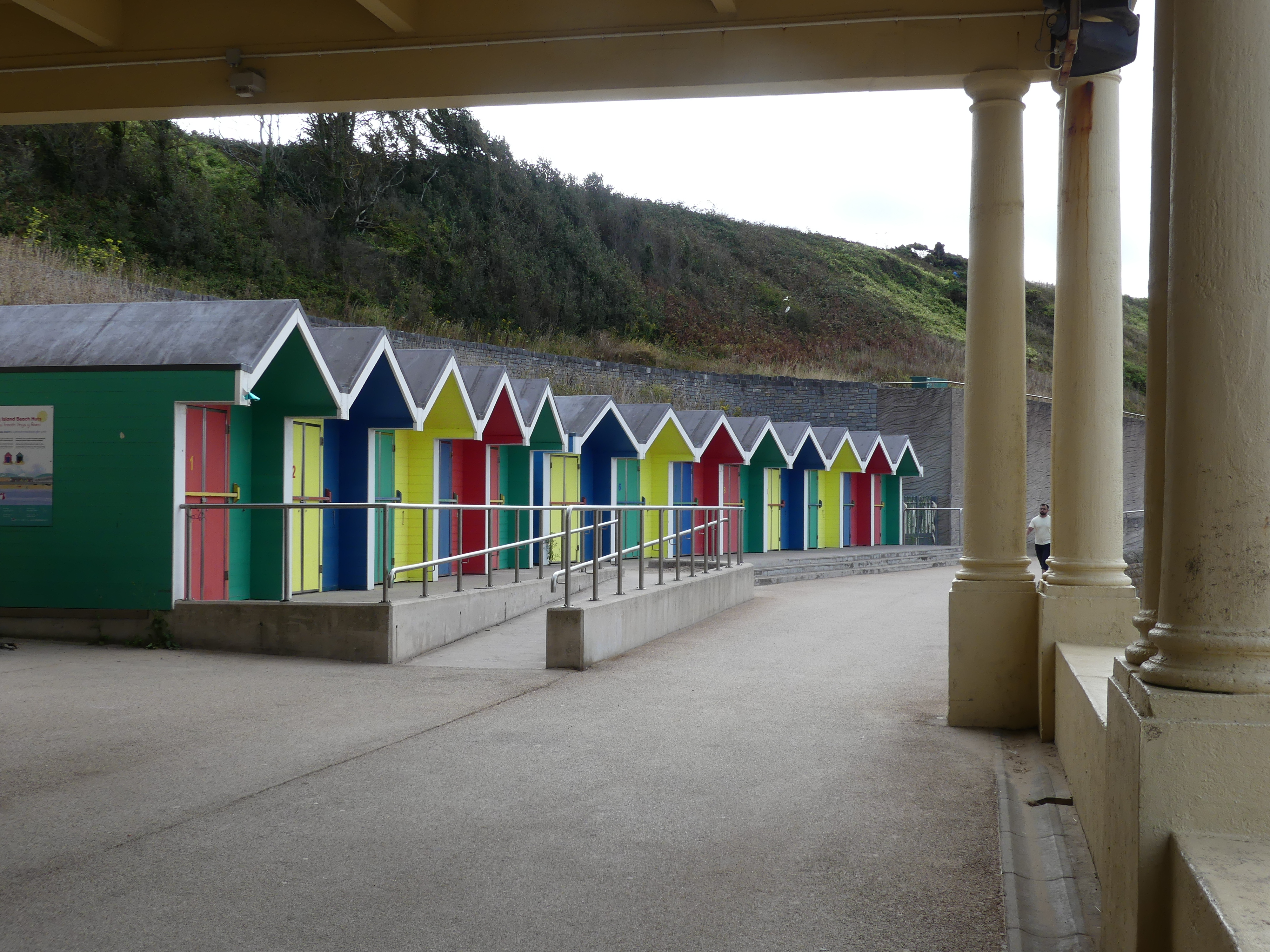
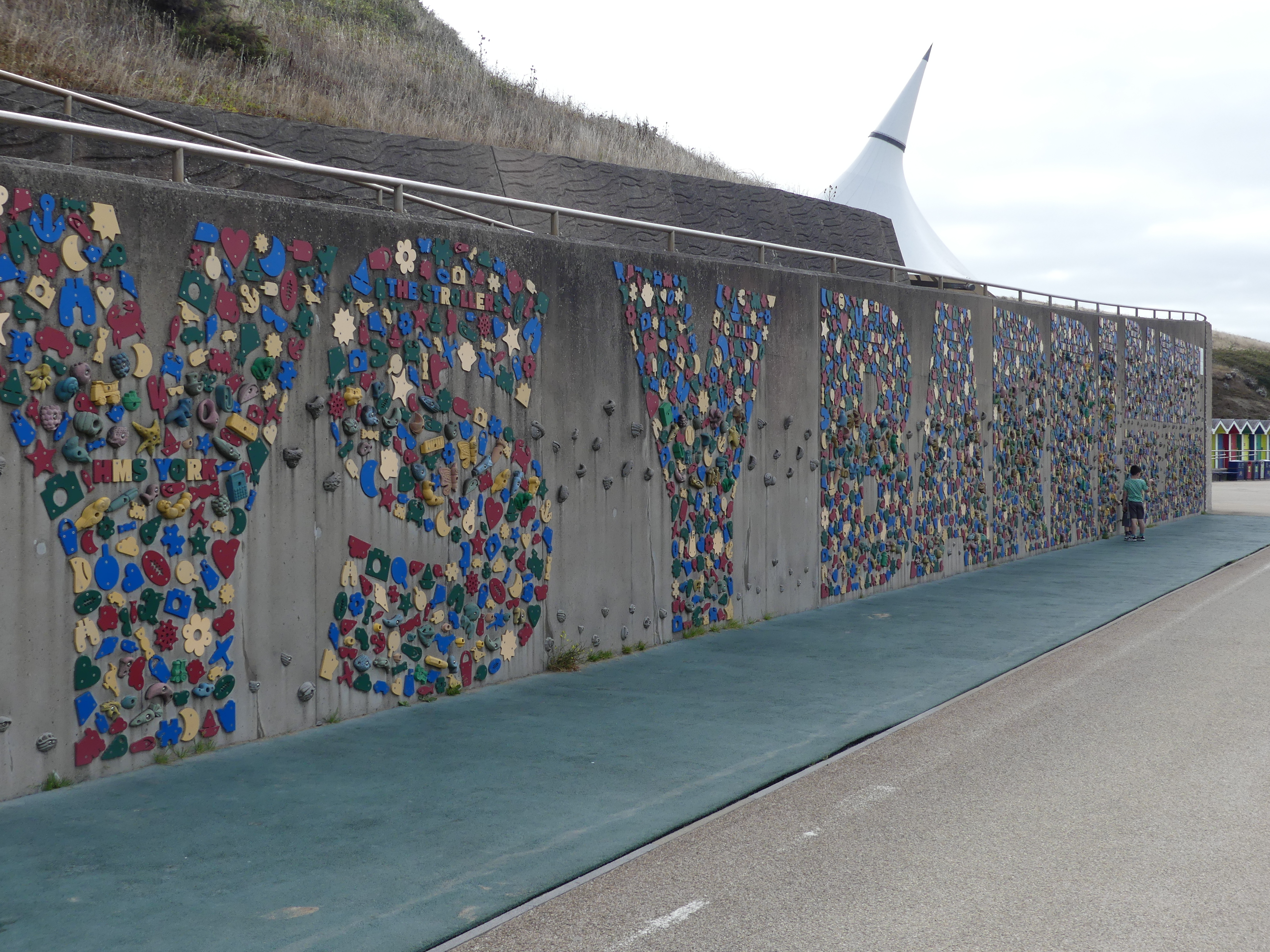
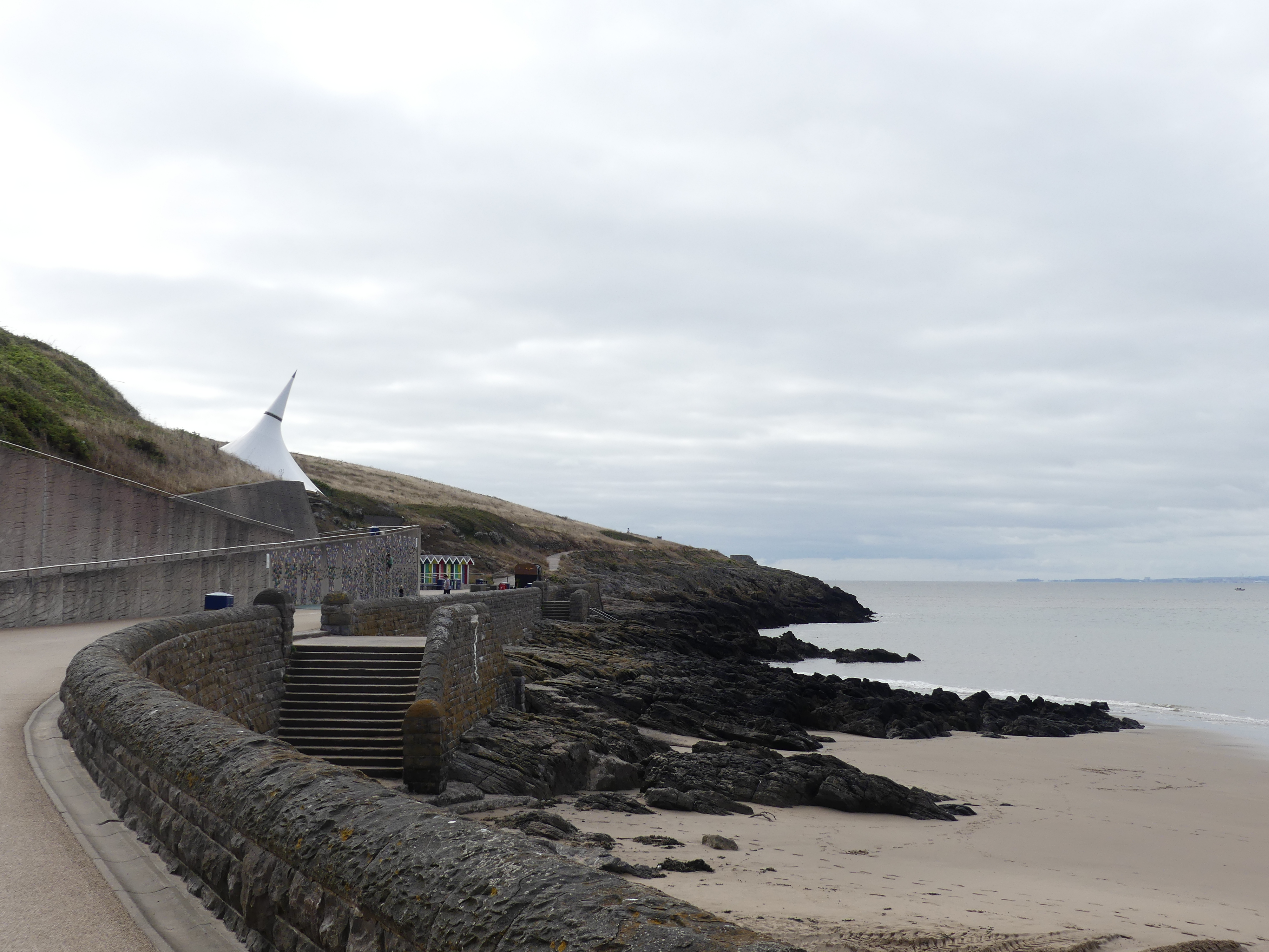
To the south of Cardiff is a bay having the obvious name Cardiff Bay. We made our way around to Barry Island. It’s the middle of school break and the middle of summer – everyone should be at the beach. Well not in Cardiff. We took a walk around the township and the beaches were deserted and the carnival had not started. Oops we have arrived too early it doesn’t start till 10.00 am. Even so the weather is not inviting you onto the beach and the water is hardly more than a mill pond – not exciting at all. The beach huts are polished and painted but no body is around. There is a clever beach side kids climbing wall with one lad having a go but he is a bit small as yet.
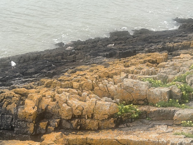
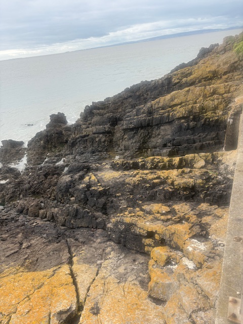
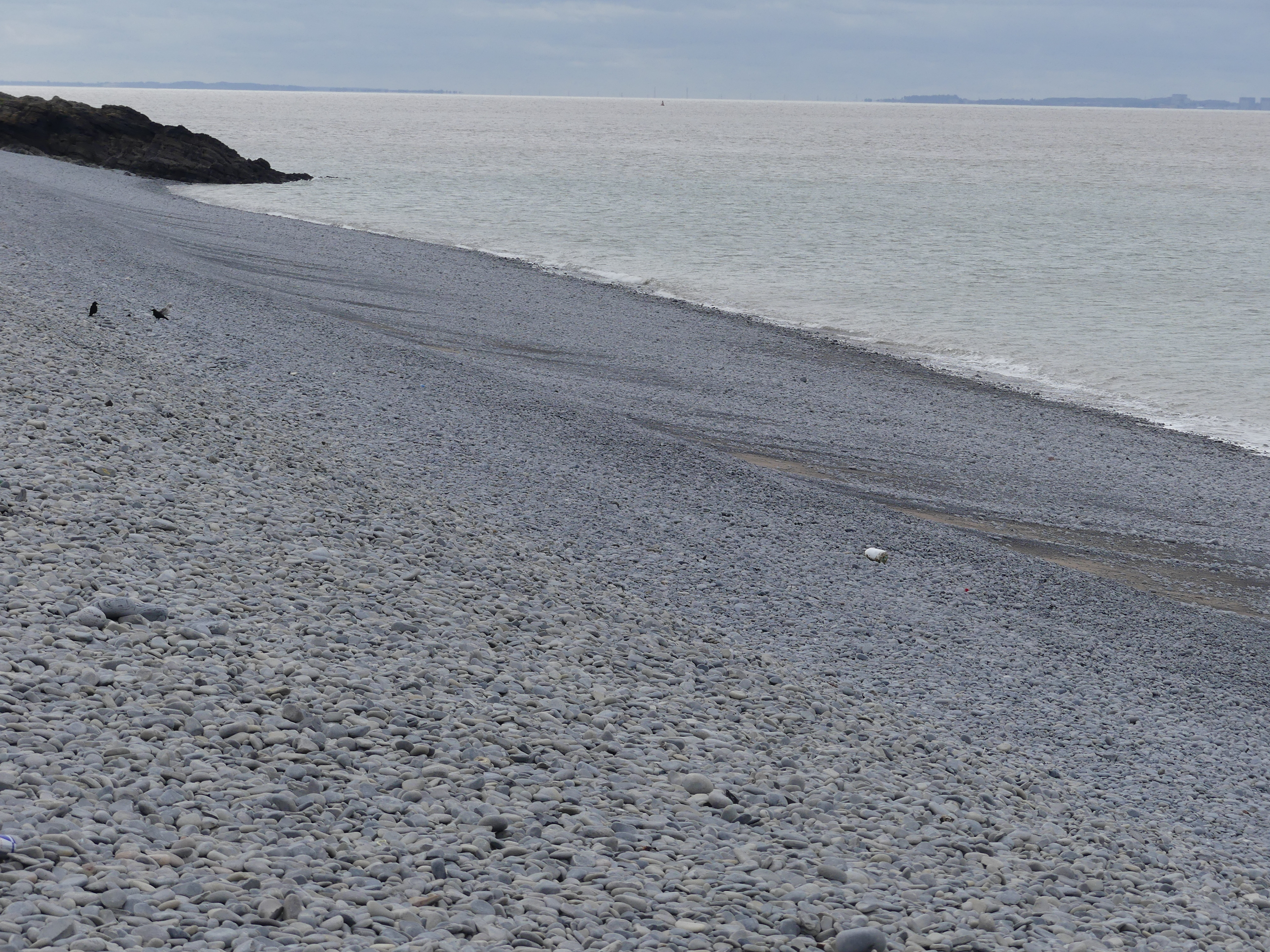
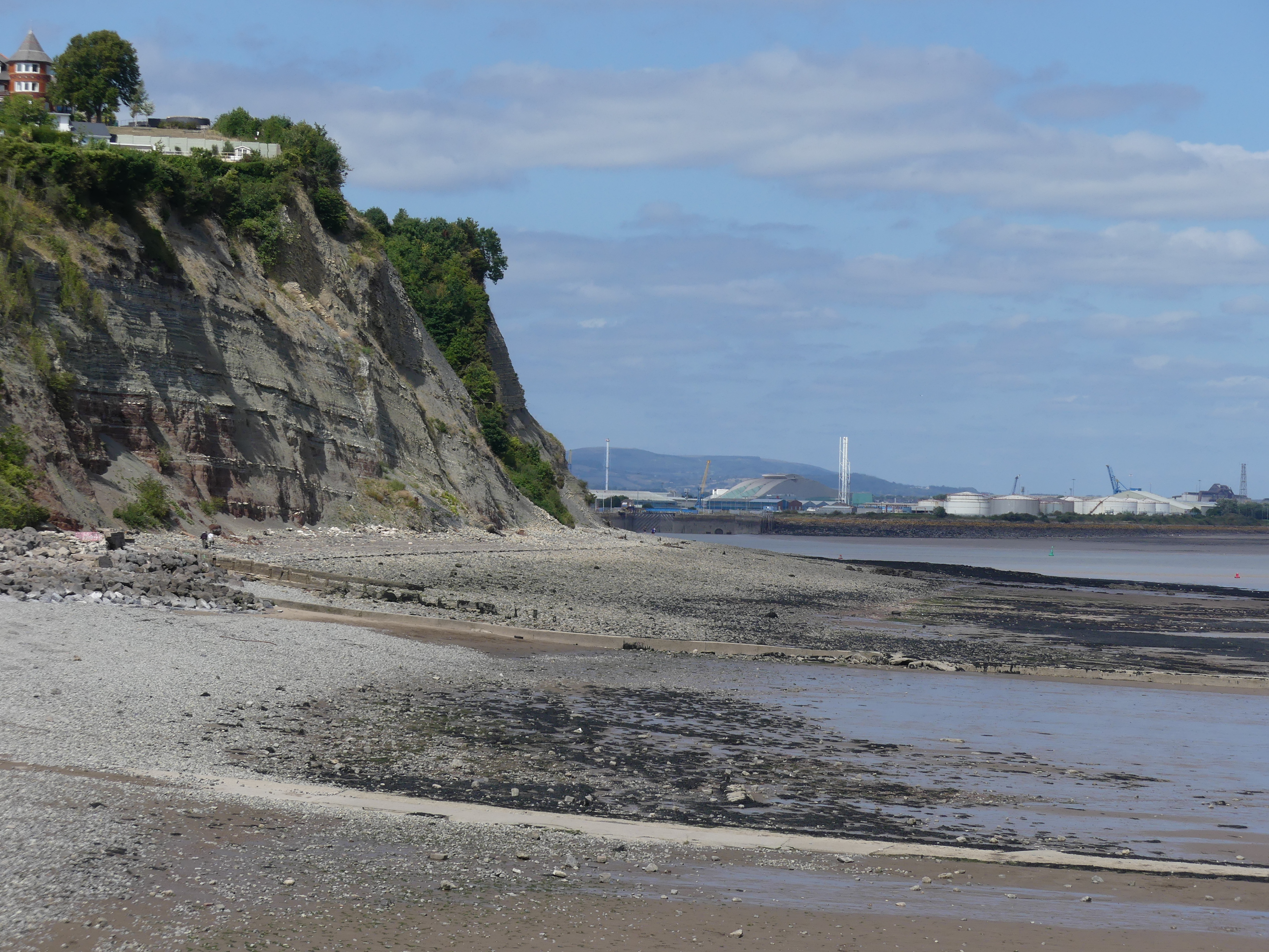
The Bay played a part in the second World War and a demounted concreted base stands testament to the place where the telescope was replaced by a gun. We walk around the headland path and come across an automated lighthouse and it is the sentinel for Nellie Point. My late Mum was named Nellie and I felt a little chuffed that she had the same name as this Point. The path comes to a dead end where it ends in a cliff and a small beach. A passing local tells us there is a pathway on the other side of the beach, but the gradient is so steep that locals call it “death hill”.  So warned, we turn around and walk back. After collecting the car, we take a drive around to a different beach where Kerry pulls out our picnic thermos of coffee and some biscuits. This beach is covered in pebbles and has been severely eroded.

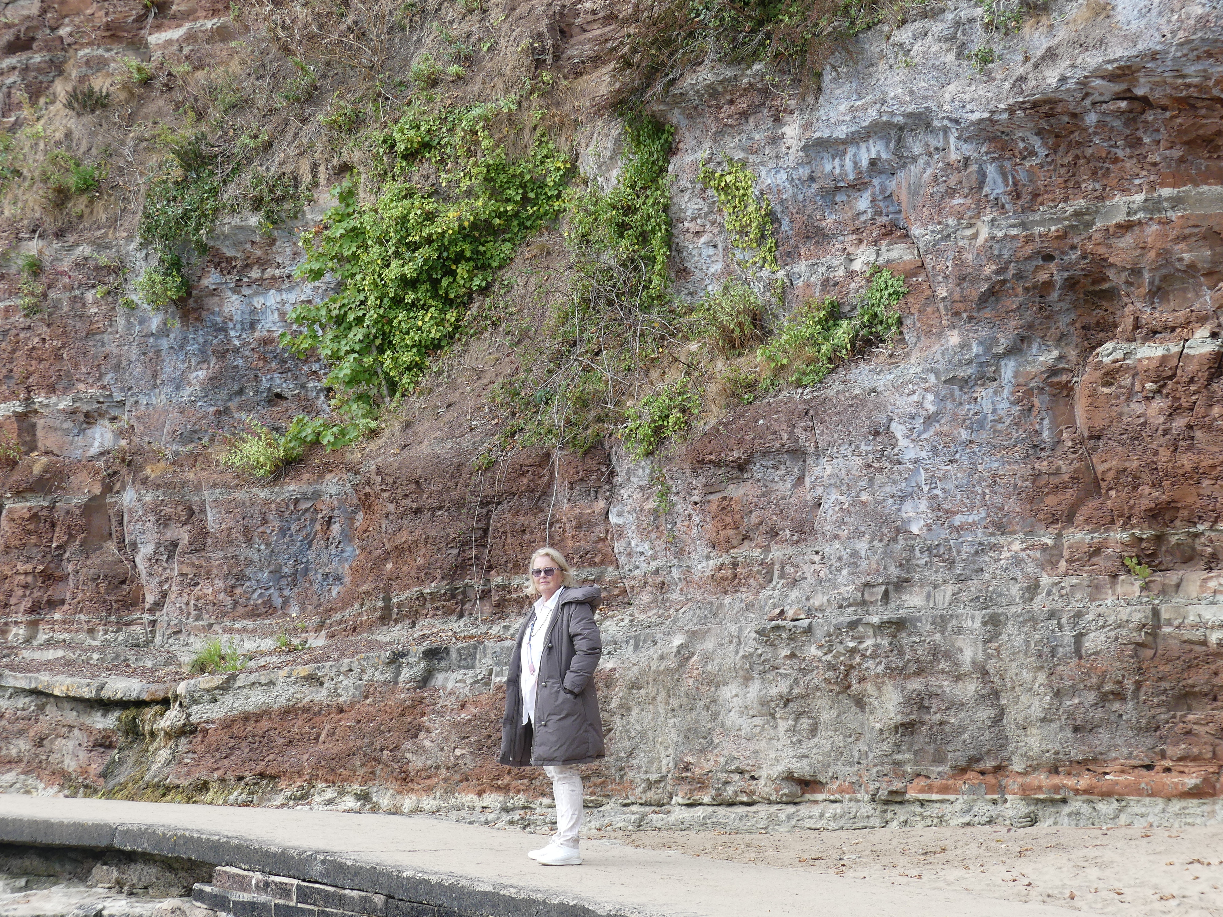
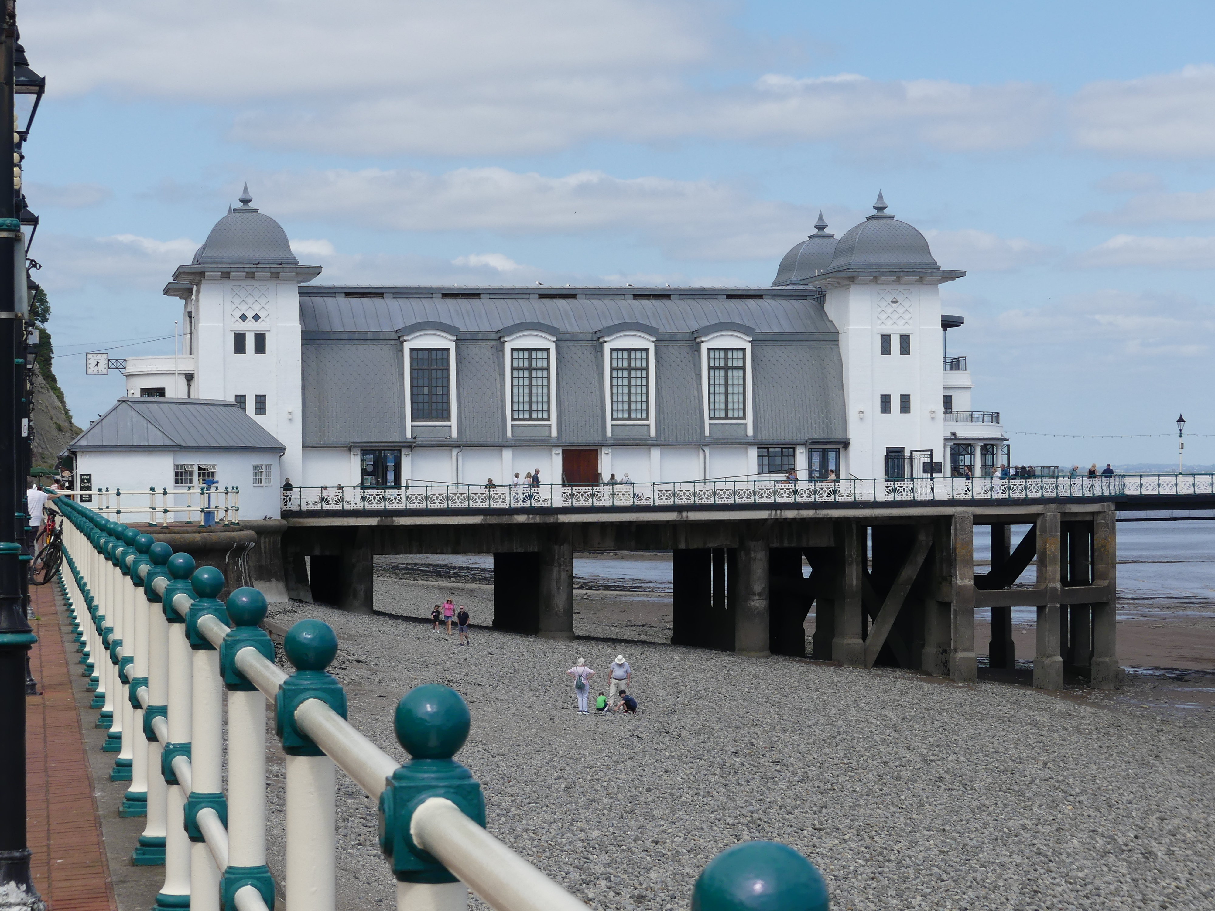
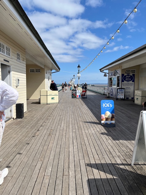
We decided to extend our trip to another beach side at Penarth to the east of the Bay. Lots more activity over here. Penarth is famous locally for its pier – the Brits love these piers. They also love oddly designed public baths. In the pictures below is what looks to be an odd house with a tower when in fact it is an odd public bath house – go figure. The beach is backed by some dramatic cliffs and steep walks up the hills. The pier is very long due to the shallow waters. You can see in my pictures a boat sitting in the boat channel and how far off the land they sit.

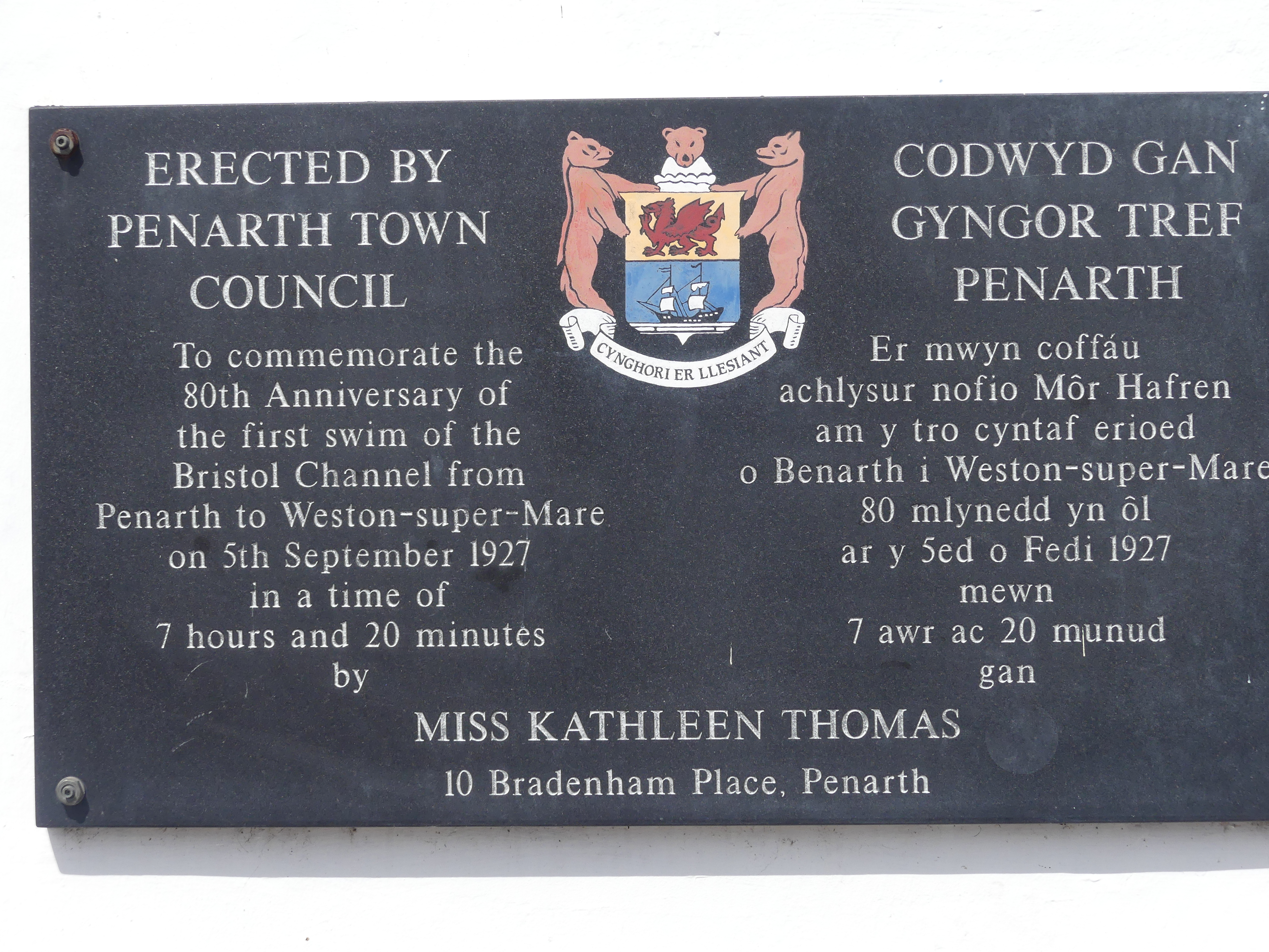
Emblazoned on the wall of the kiosk at the commencement of the pier is a memoriam to Miss Kathleen Thomas who braved the chill water in 1927 to swim from Penarth to Weston-Super-Mare on the English side of the Bristol Channel. The plaque suggests that no one else has beaten her time for the swim. I reckon its just too bloody cold.

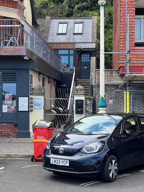
The ice cream shop beckoned. So, ice cream in hand we weaved back to our car parked some distance from the pier and ended our beach side tour for the day. As we walk to the car we pass a passage where sheltered in the back is small cottage taking advantage of the seaside views.

Tomorrow we will commence our castle hunting with a visit to Castell Coch and Caerphilly Castle. Watch for THE RETIREES GO AROUND THE WORLD – CARDIFF WALES – CASTELL COCH AND CAERPHILLY CASTLE.

THE RETIREES AND FRIENDS VISIT PERTH AND MARGARET RIVER – days 8 & 9 Back to our Itinerary in Margaret River

Star Date 2nd August 2024

Our next destination was the Cape Leeuwin Lighthouse located on the headland of the most south-westerly point on the mainland Australia.

The light tower which is built of local stone was originally designed to show two lights – a higher white light and a lower red light. Although the foundations were completed, the lower light was never installed. It was opened with great ceremony in 1895. Until June 1982 the lens was rotated by a counter weight driving clockwork mechanism, and the beacon was a pressure kerosene mantle type. A radio navigation beacon was commissioned in 1955 and operated until 1992. The lighthouse was automated in 1982. The lighthouse, besides being a navigational aid, serves as an important automatic weather station. The lighthouse’s buildings and grounds are now vested in the local tourism body and the single (1960s) and double (1980s) communications towers that were north-west of the lighthouse, seen in older photographs of Cape Leeuwin, have been removed.

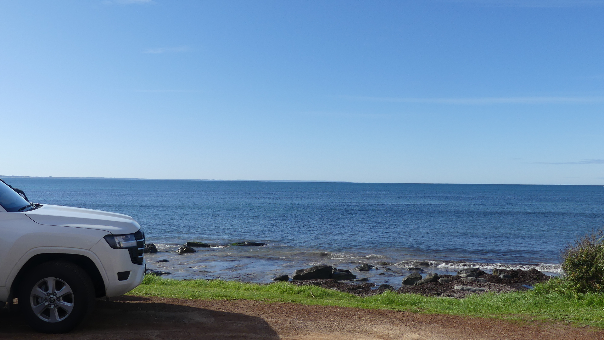
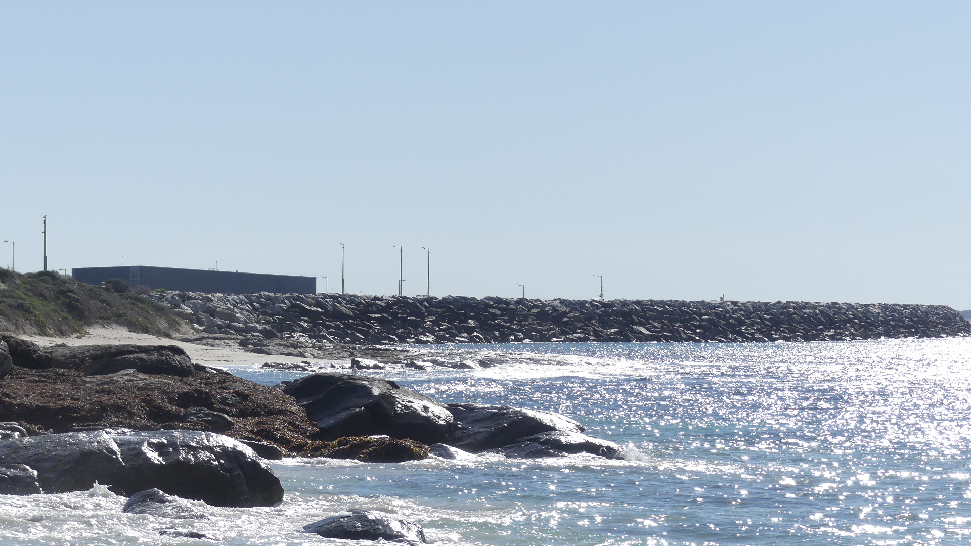
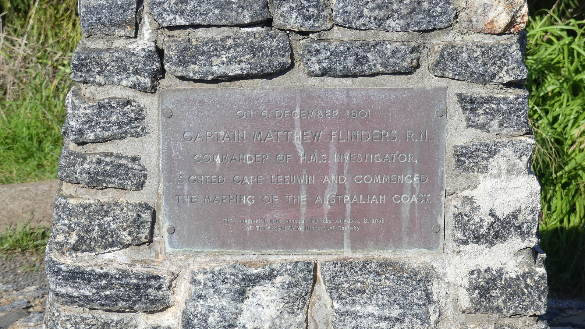
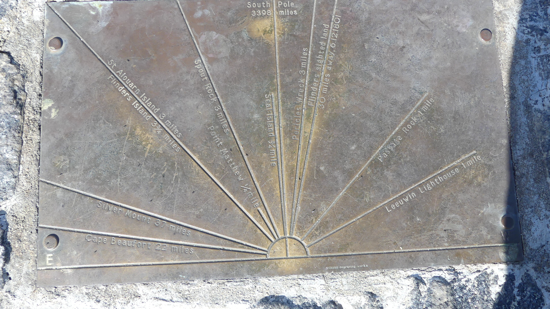
We approached the lighthouse from Augusta. The rock below commemorates the landing of the first settlers in 1830 from the Brig Emily Taylor . From that point you look out across a broad bay and behind us you can see the rock walls protecting the new marina. Immediately behind the memorial is a rock shelf decorated with the seaweed washed ashore. A bit further along is another memorial this time to Capt. Matthew Flinders RN aboard the HMS Investigator 6th December 1801 when he sighted Cape Leeuwin and commenced mapping the coast of Australia. Atop of the memorial are the features that can be sighted from this point such as the conjunction of the Indian Ocean and the Great Southern Ocean.

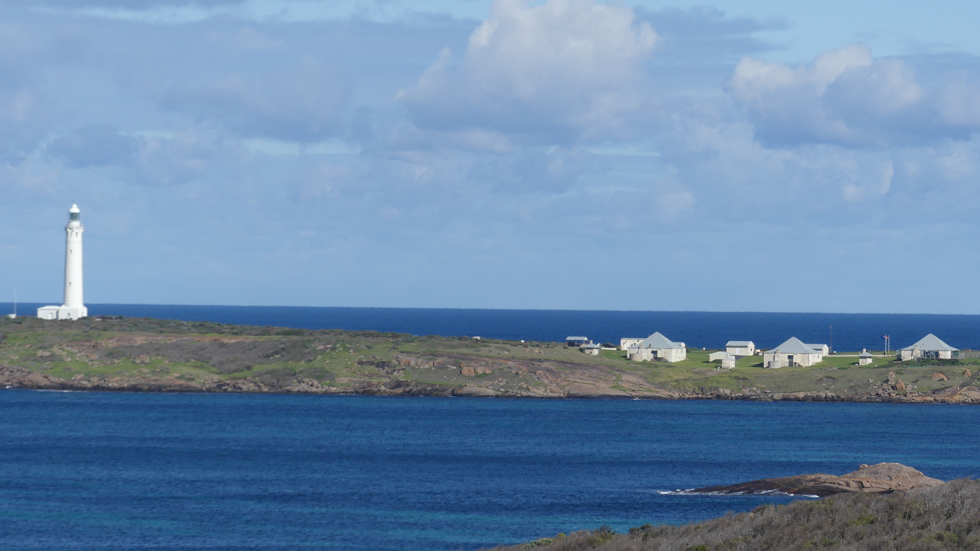
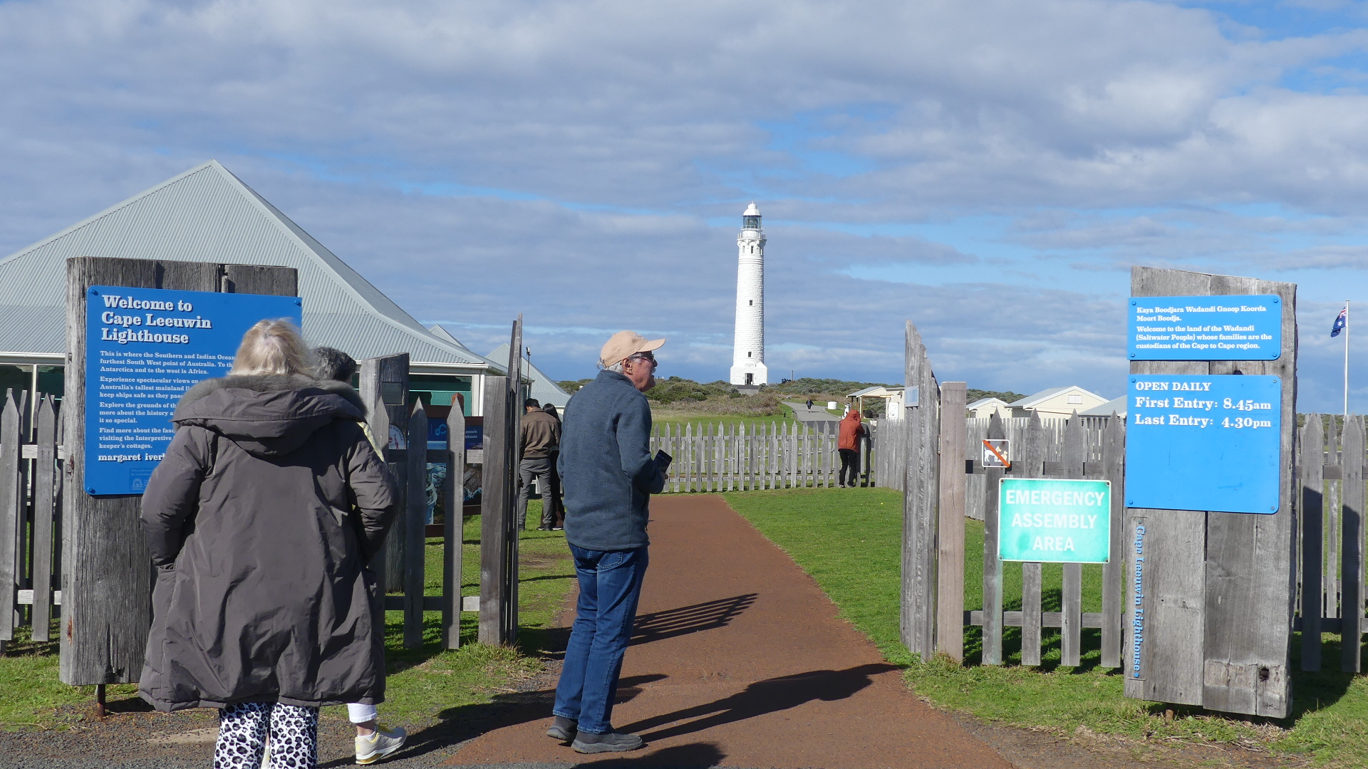
The reason we came this way – I don’t recall but the vista of the lighthouse emphasises the remoteness of this point. The light keepers house and other out buildings and water tanks can be seen on the right hand side of the photos. The entrance takes you into the coffee shop and gift shop and then you make your way through each of the following buildings with museums and artifacts all of which i think is to disguise how far you have to walk to get to the lighthouse. Finally we got to the reason for coming here today – to see the meeting of the two oceans

The climb to the viewing deck of the lighthouse consists of 176 steps. Enough said.

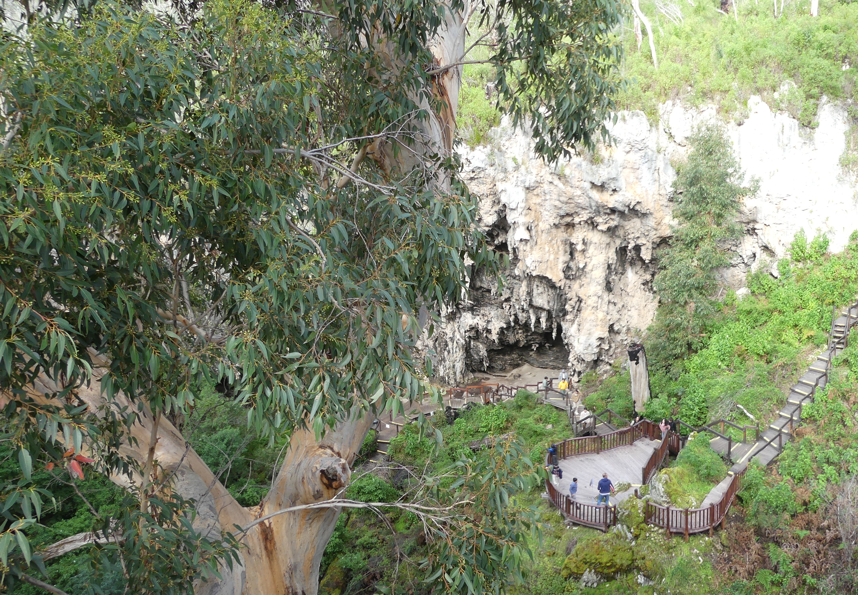
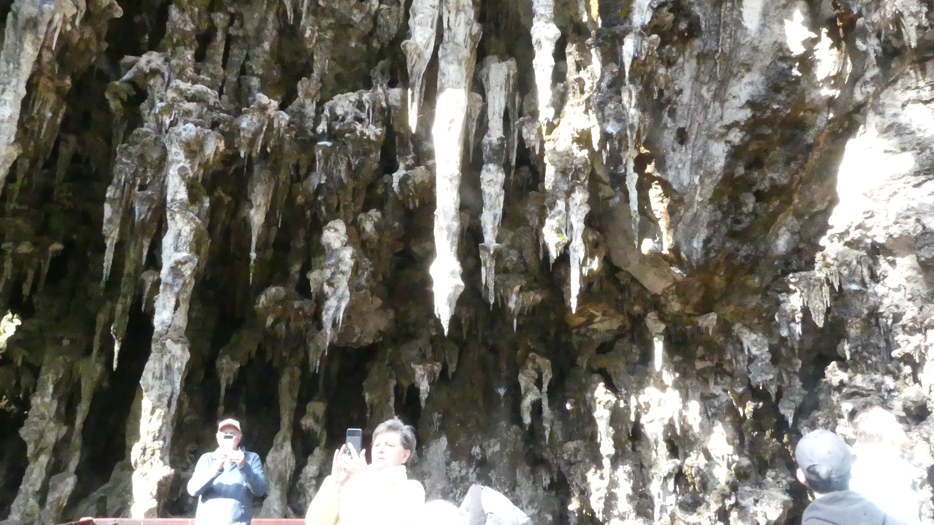
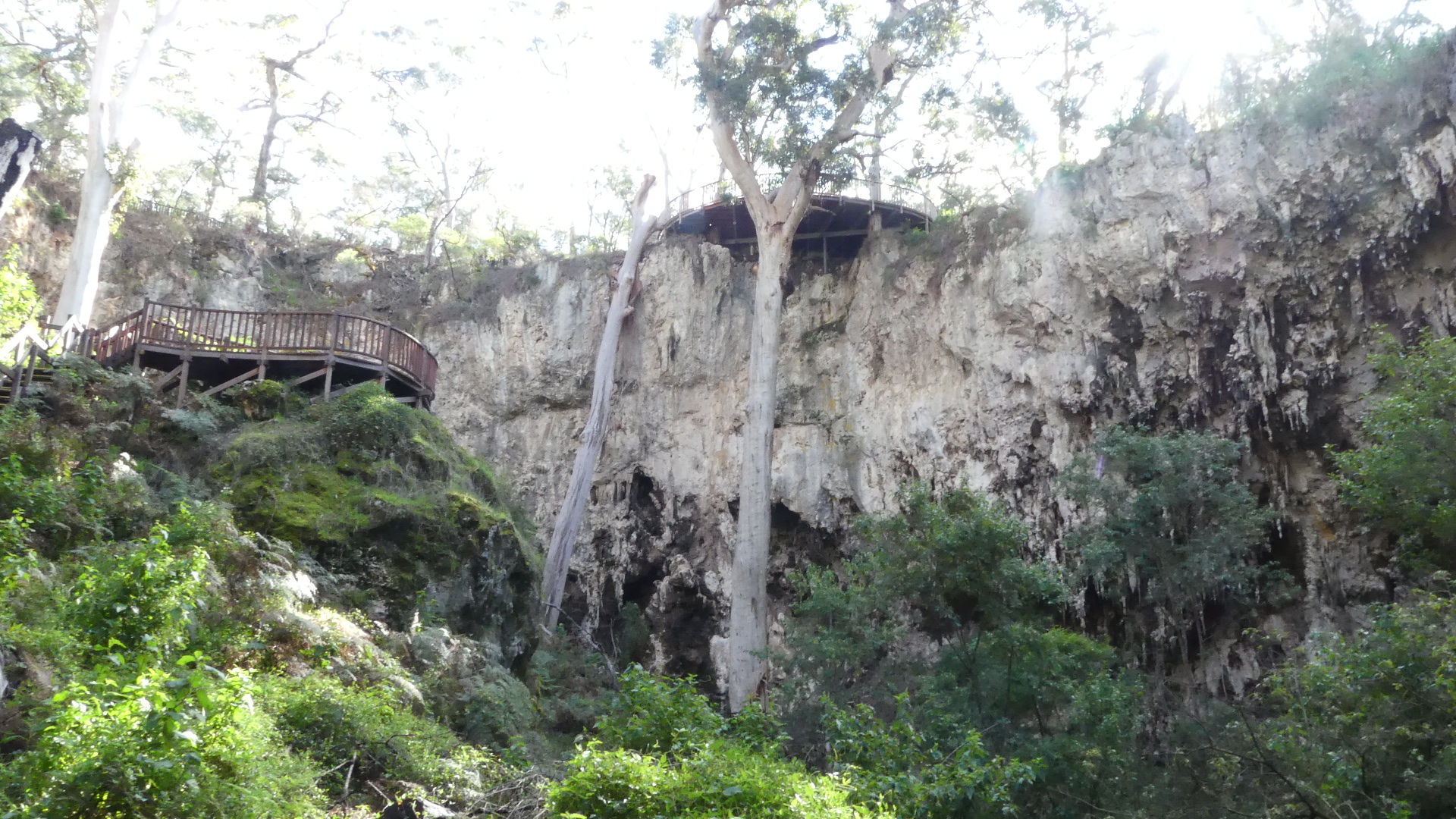
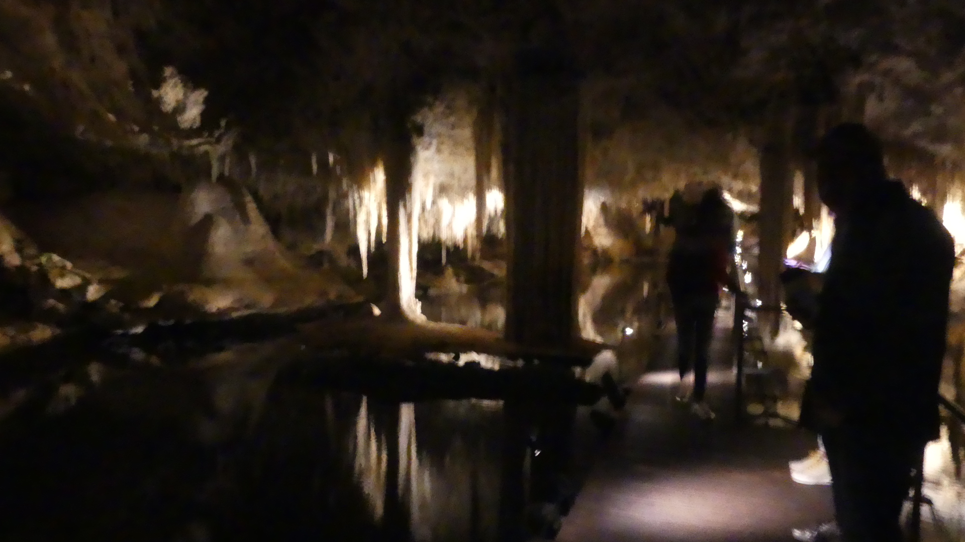
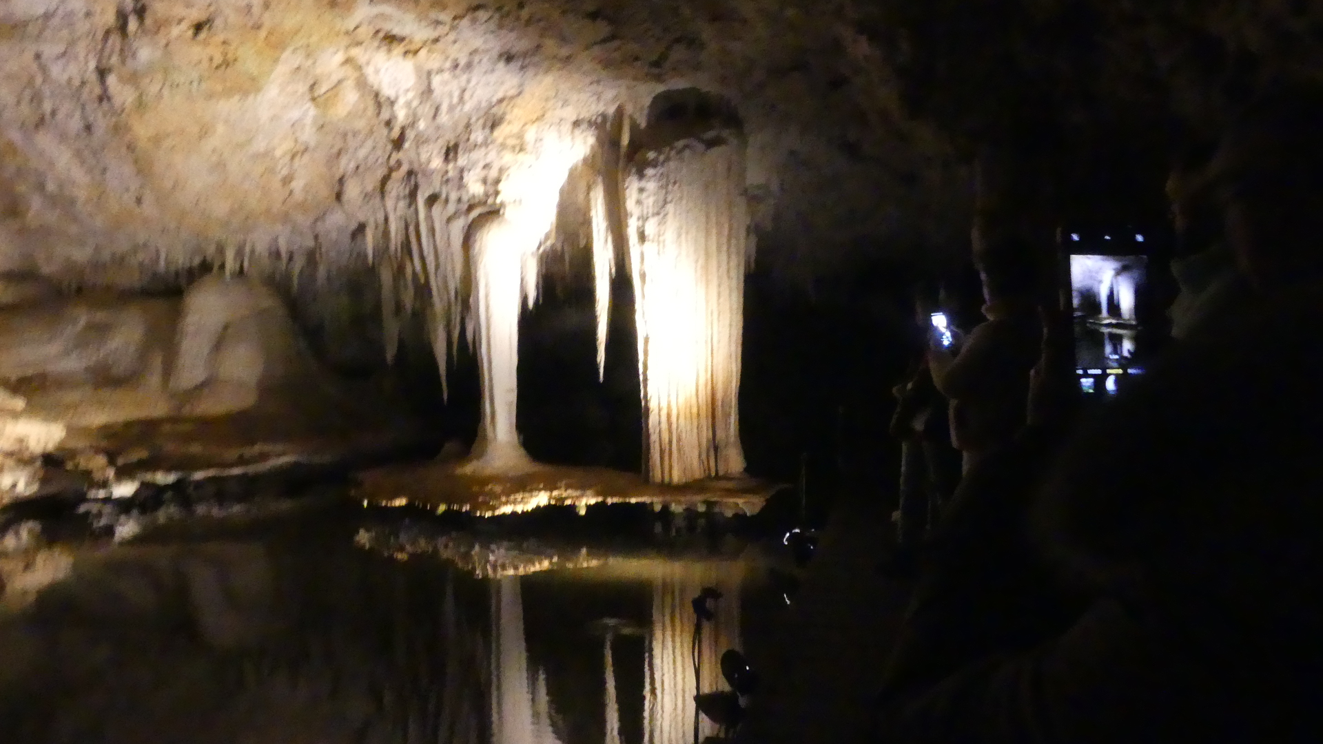
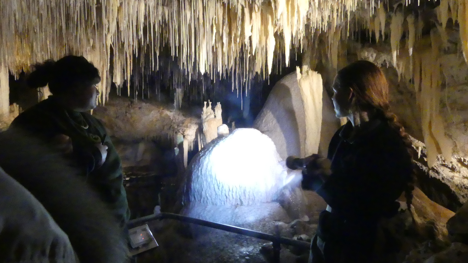
Returning north along Caves Rd we encountered the Lake Cave. It is a stunning crystal wonderland, situated deep beneath the earth. The entrance of the cave lies at the base of a spectacular sinkhole. Visitors descend a staircase through an ancient sinkhole called a doline, gazing up at the towering karri trees from the floor of the sunken forest. Inside the cave a tranquil lake reflects the delicate crystal formations that grow from the cave ceiling and dazzling crystal formations dominate the cave roof, while the unique ‘Suspended Table’ is perfectly reflected in the tranquil water below.

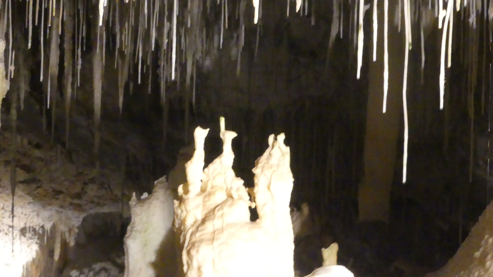
Droplets hang from the tips of straws and stalactites before dropping to the cave floor or into the lake creating ripples in the water’s reflections. The unique ‘Suspended Table’ formation, which weighs several tonnes and seems to defy gravity as it hovers above the clear lake water is one of the unique features within the cave. We took a guided. They say there is moderate physical exertion required to enter this cave. Don’t believe it for a minute – easy going down but when you make your way back up the staircase of the magnificent doline do it at your own pace.

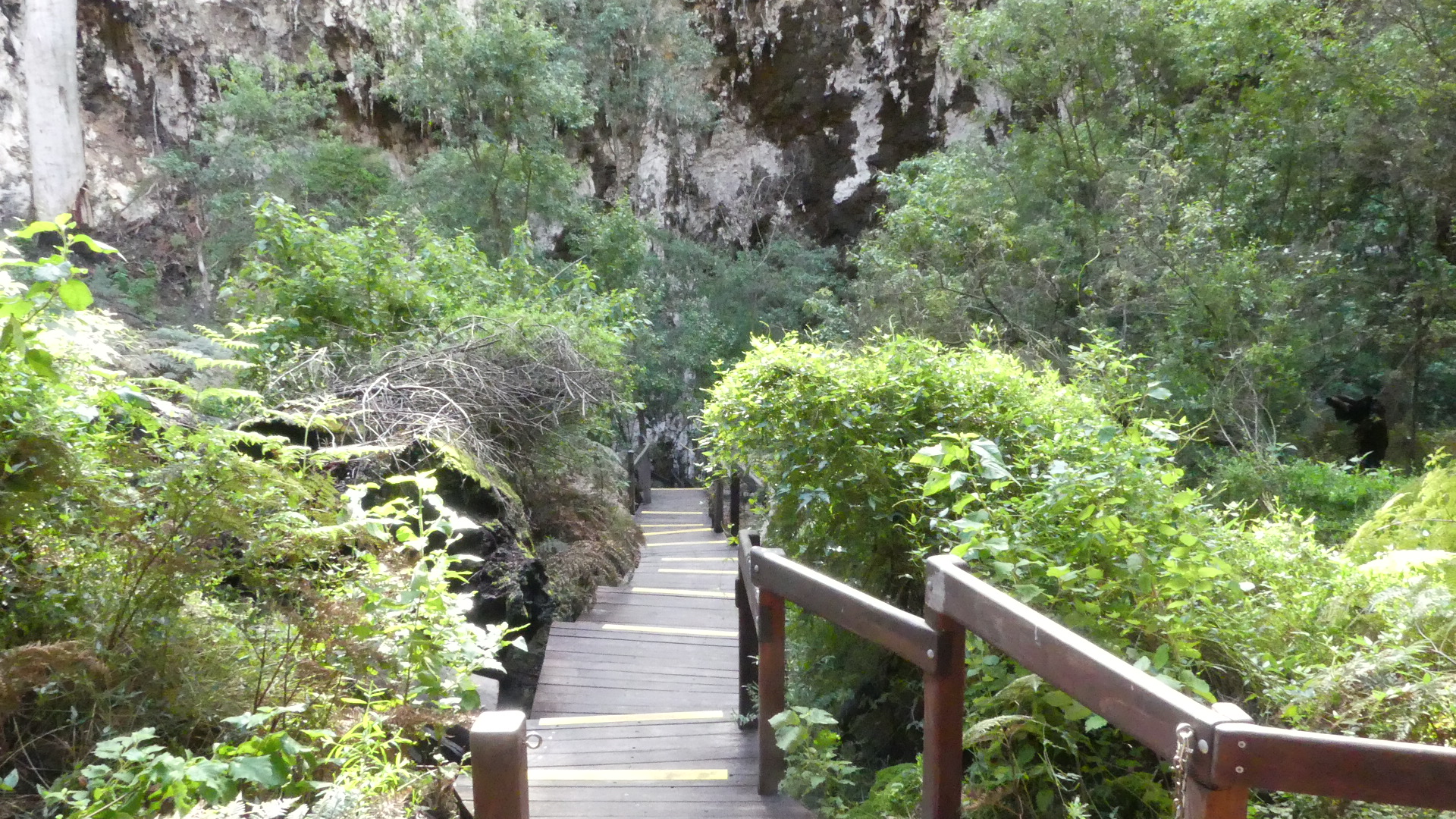
Looking at the photos we start at the Visitors centre and from there you walk out onto a deck above a huge sinkhole – you have to see it to believe it. As you go down there are a number of changes in direction and this has alot to do with the return journey being exhausting. You will see a large rock lying on its side (from the left down photo 8) and this is a staligmite that collsaped during a recent bush fire almost sealing off the entrance to the cave. The photo to the right of the staligmite is the hole it came from. The inside the cave is like a fairyland. Photos 10 and 11 show you the suspended table formed by flood waters through the cave. The final photo #17 is the doorway to the tunnel that was drilled to release the flood water to preserve the cave.

Well we have visited many caves around the world, but we were about to encounter the worst return to the Visitors Centre – up the stairs. Well I don’t know how many stairs but both Kerry and I took at least half an hour to climb out of the hole and that was it for us that day. Dale and Zdravka patiently awaited our climb and I may have had a nanny nap going home. Tomorrow we will go north again to Busselton – no stairs.