THE RETIREES VISIT THE SOUTH ISLAND ACROSS THE DITCH blog 495 Episode 6

19TH MAY TO 10TH JUNE 2026

Day 14               Christchurch to Greymouth

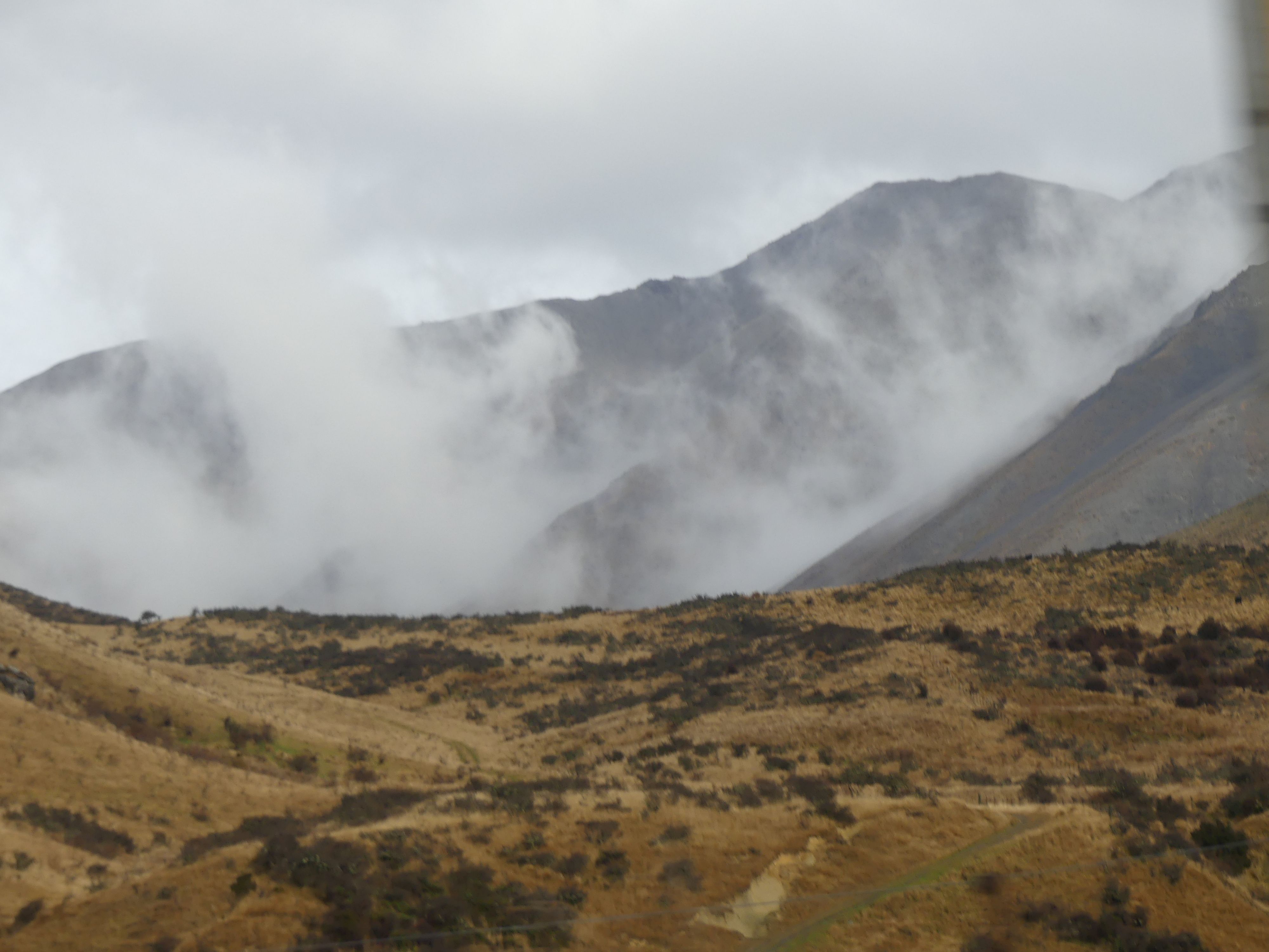
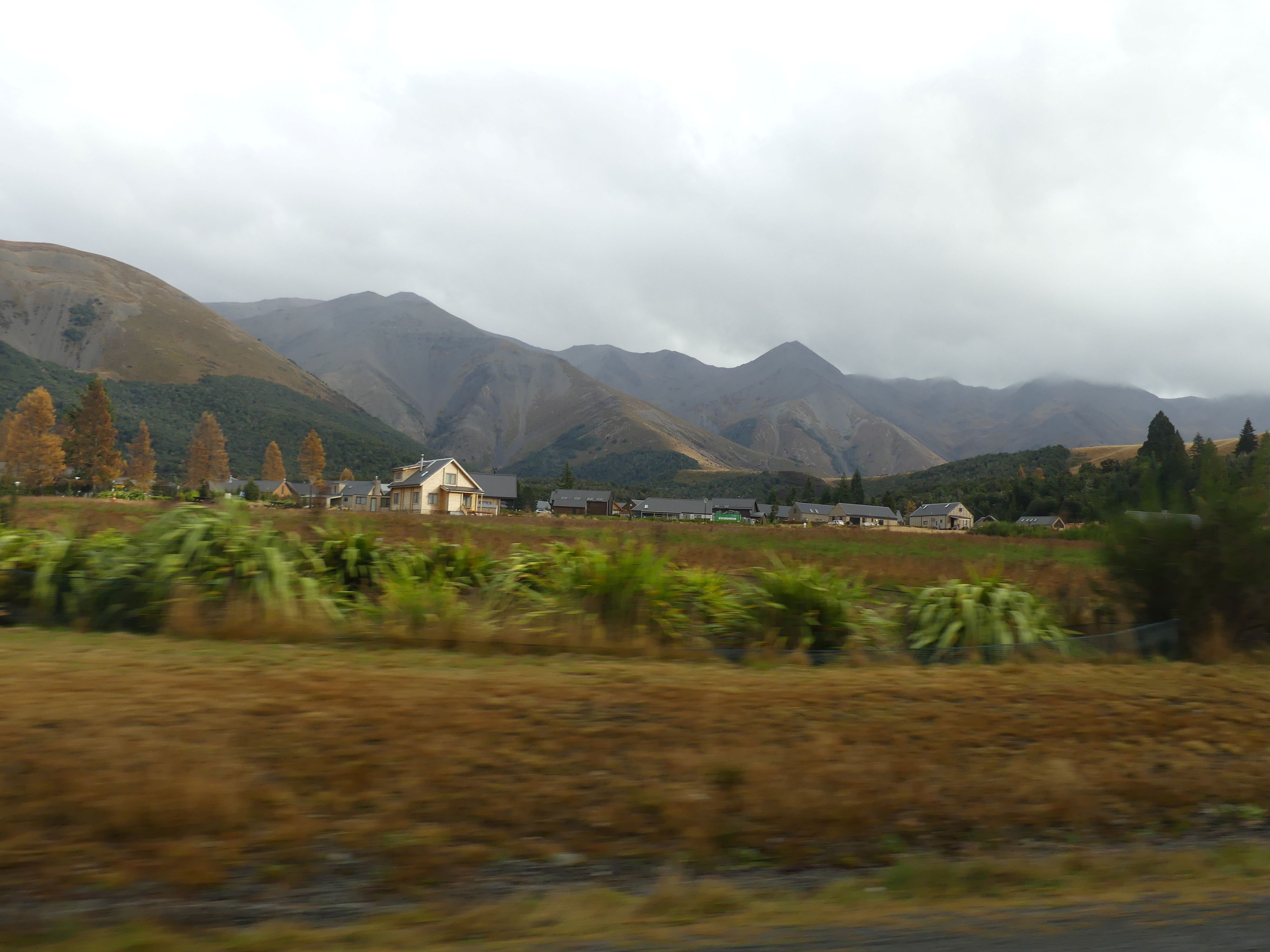
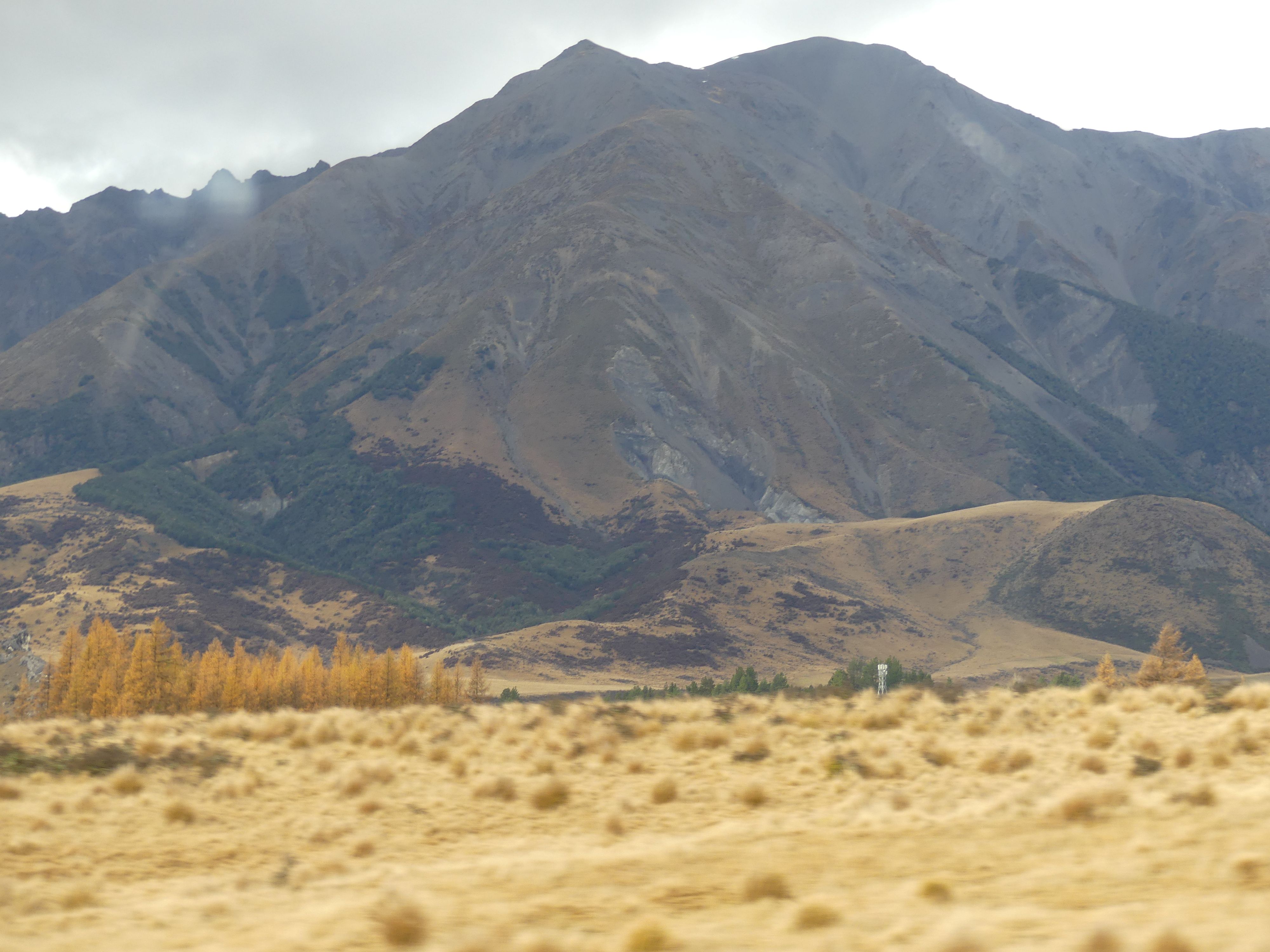
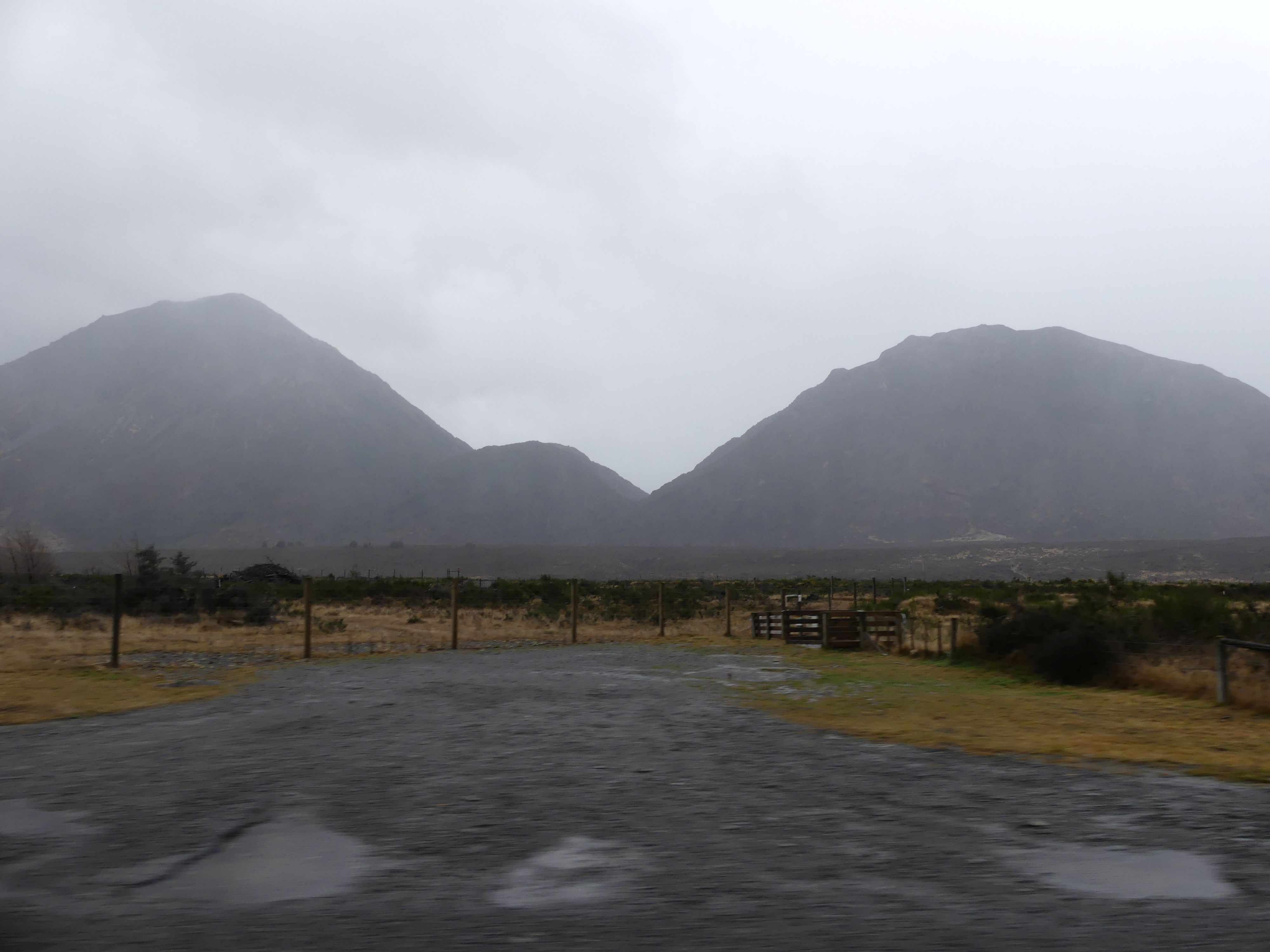
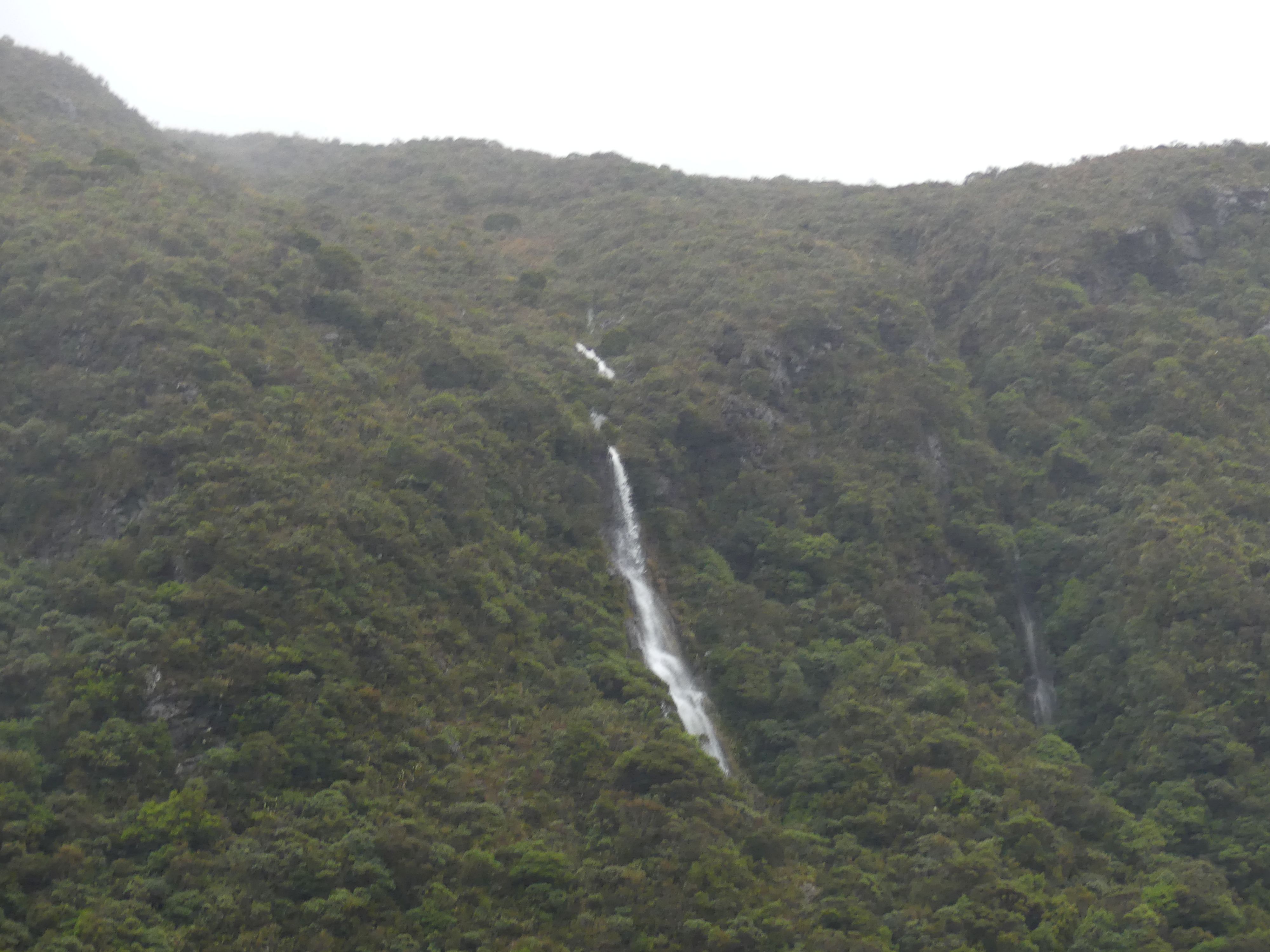
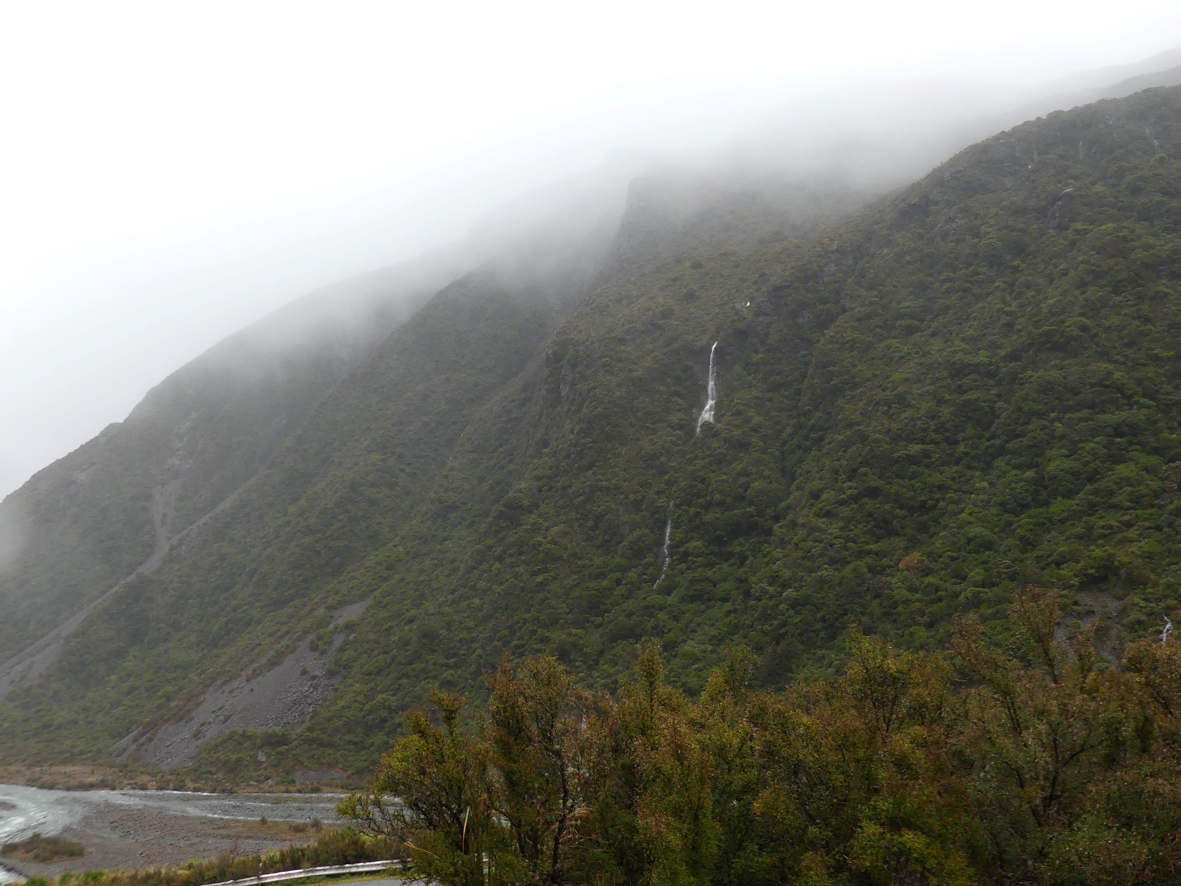
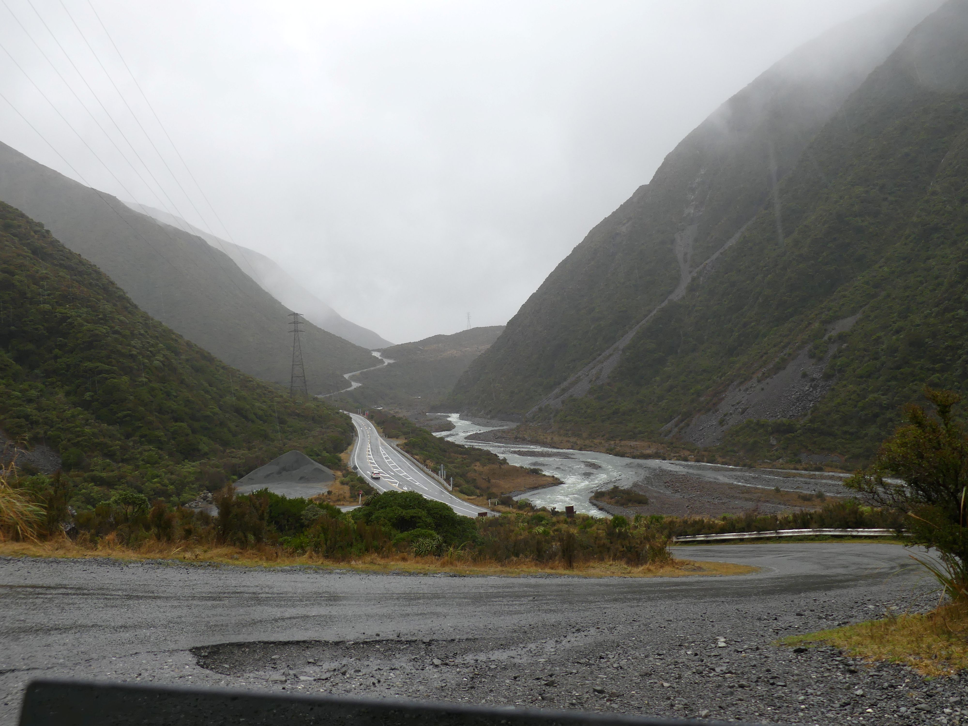
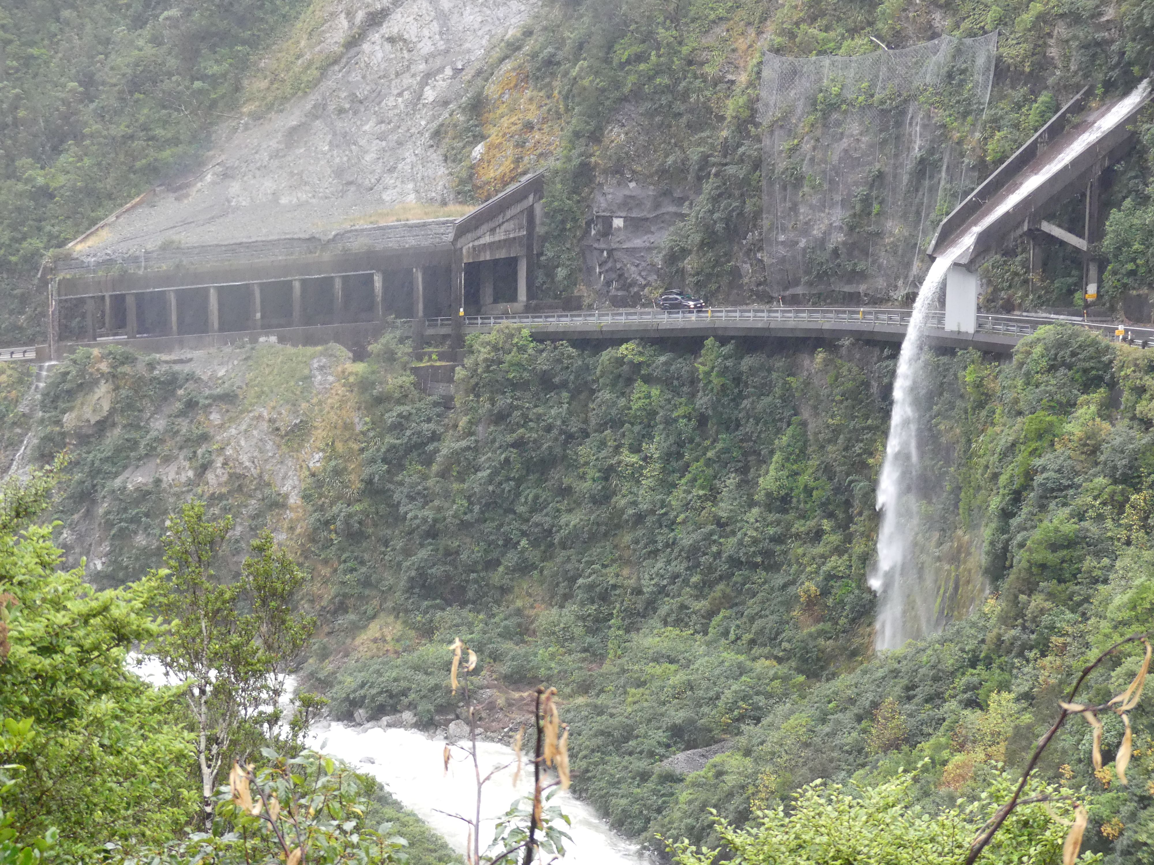
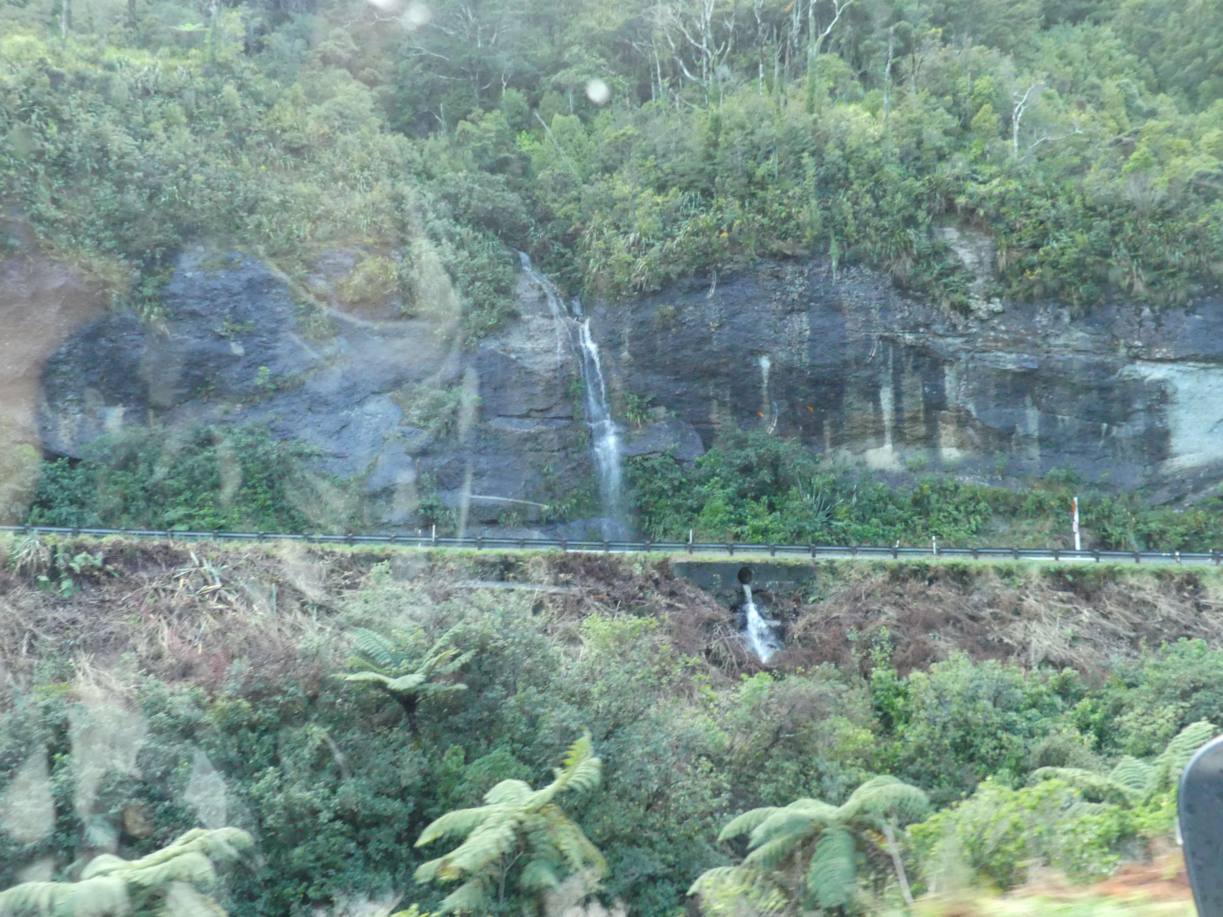
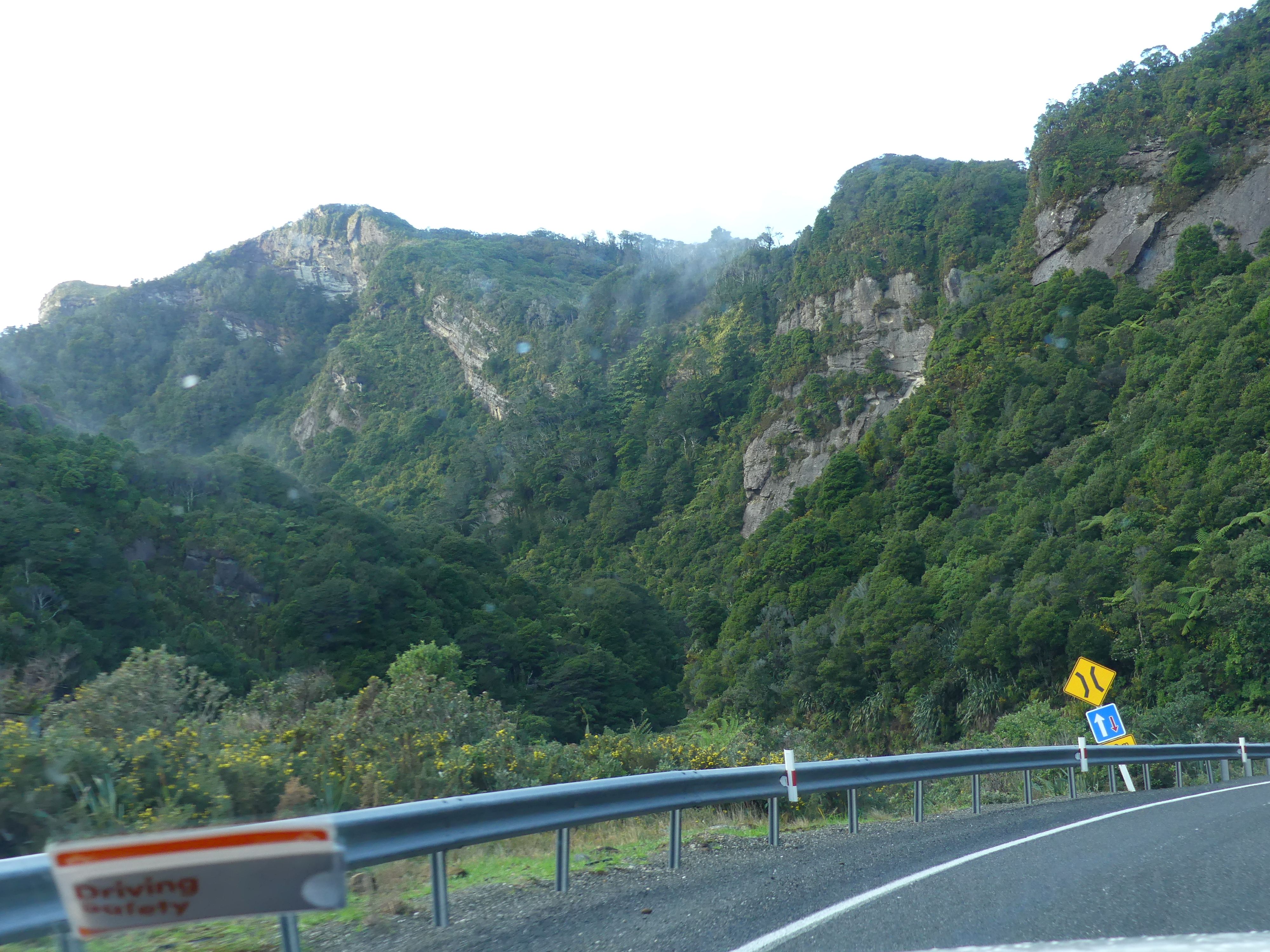
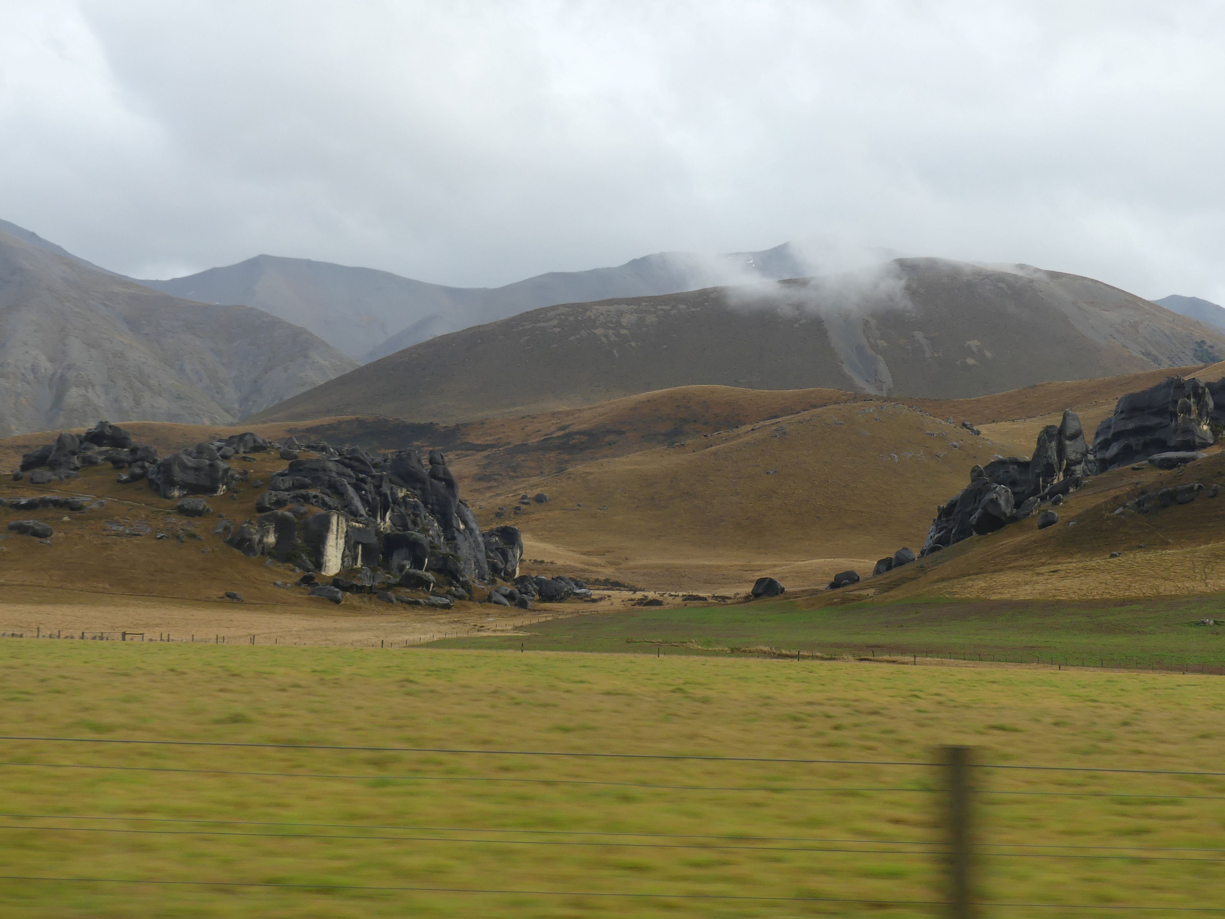
We were booked in to stay at a quaintly named Apostles View Motel in Coal Creek Greymouth but to get there we had to travel through Arthur’s Pass. Unfortunately, it rained all day, so the journey was not as picturesque as we anticipated. The mountain pass was grand in scale and Roaring Meg lived up to her name. More about Meg later.

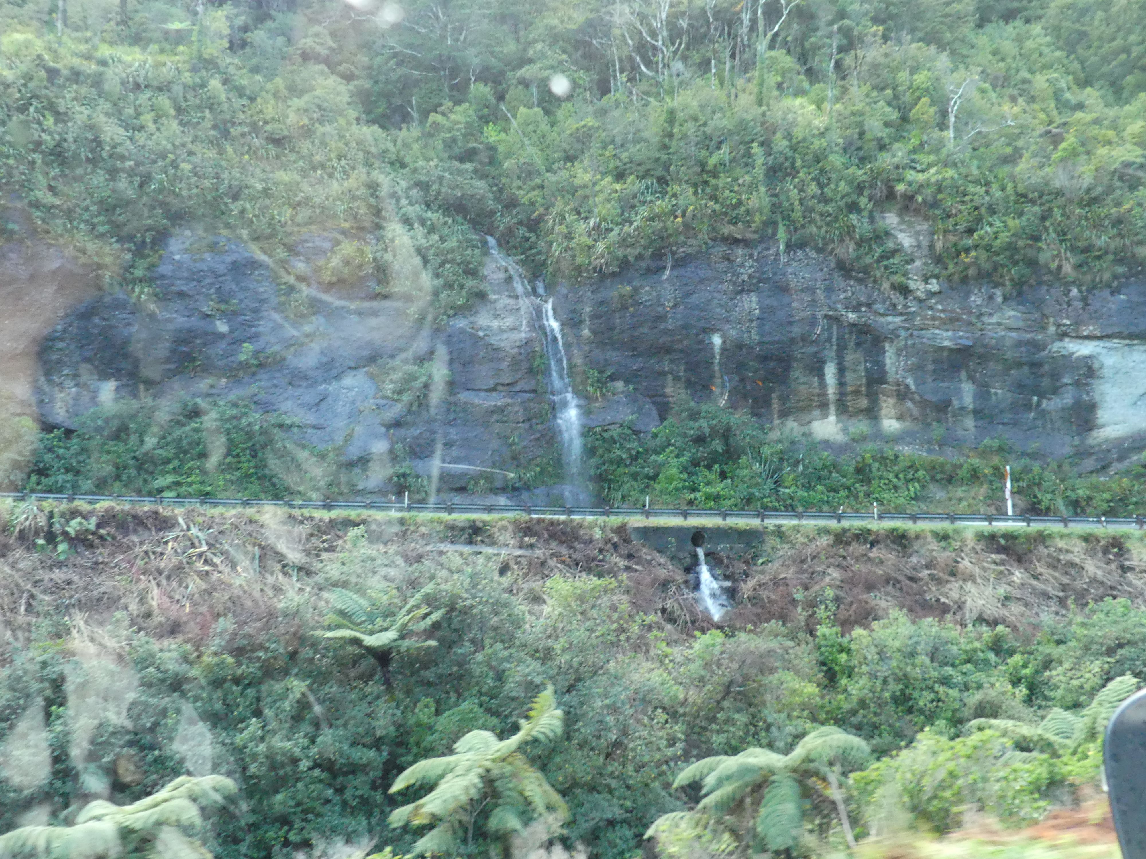
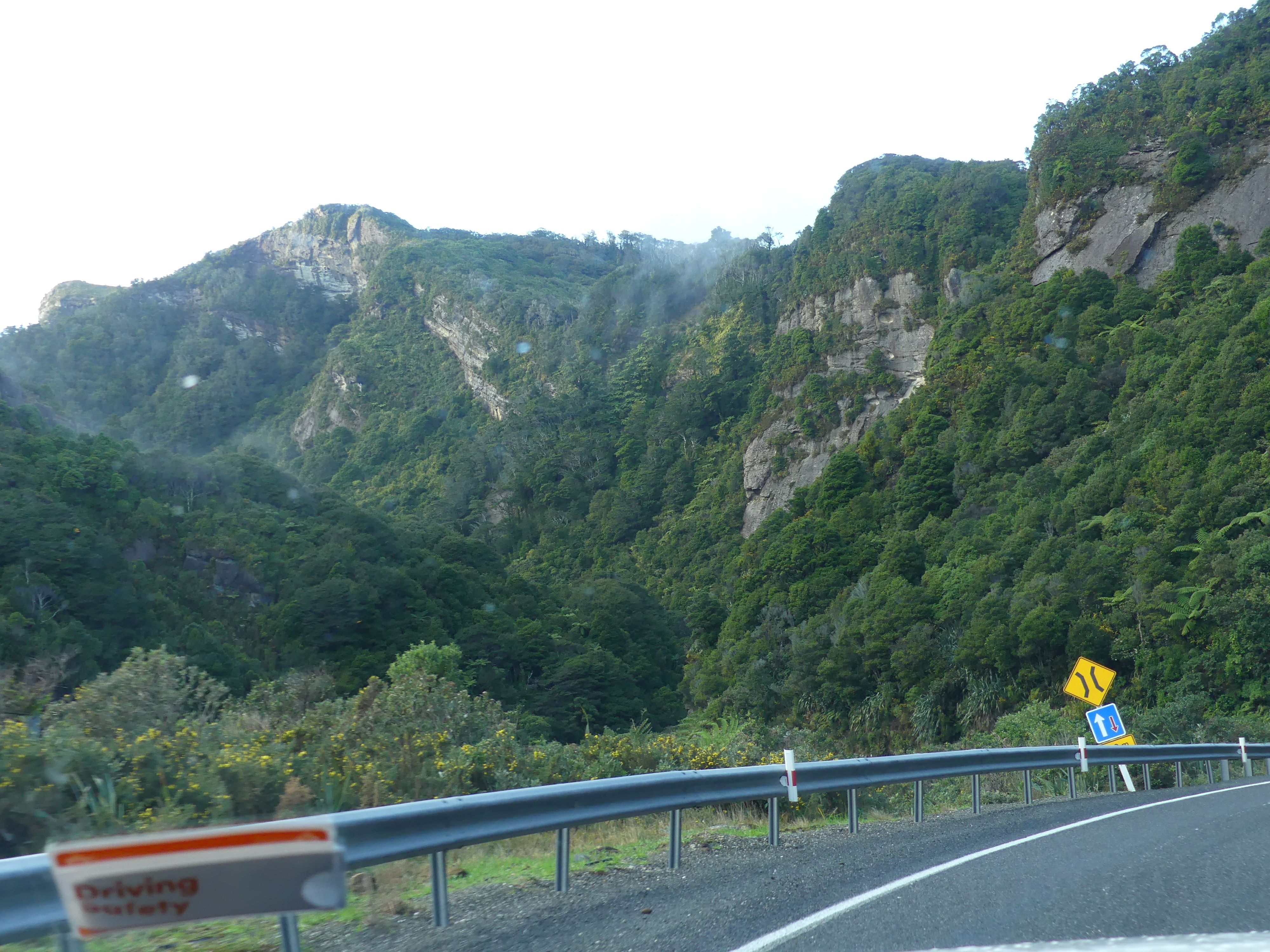
Photos of the scenery through the Pass
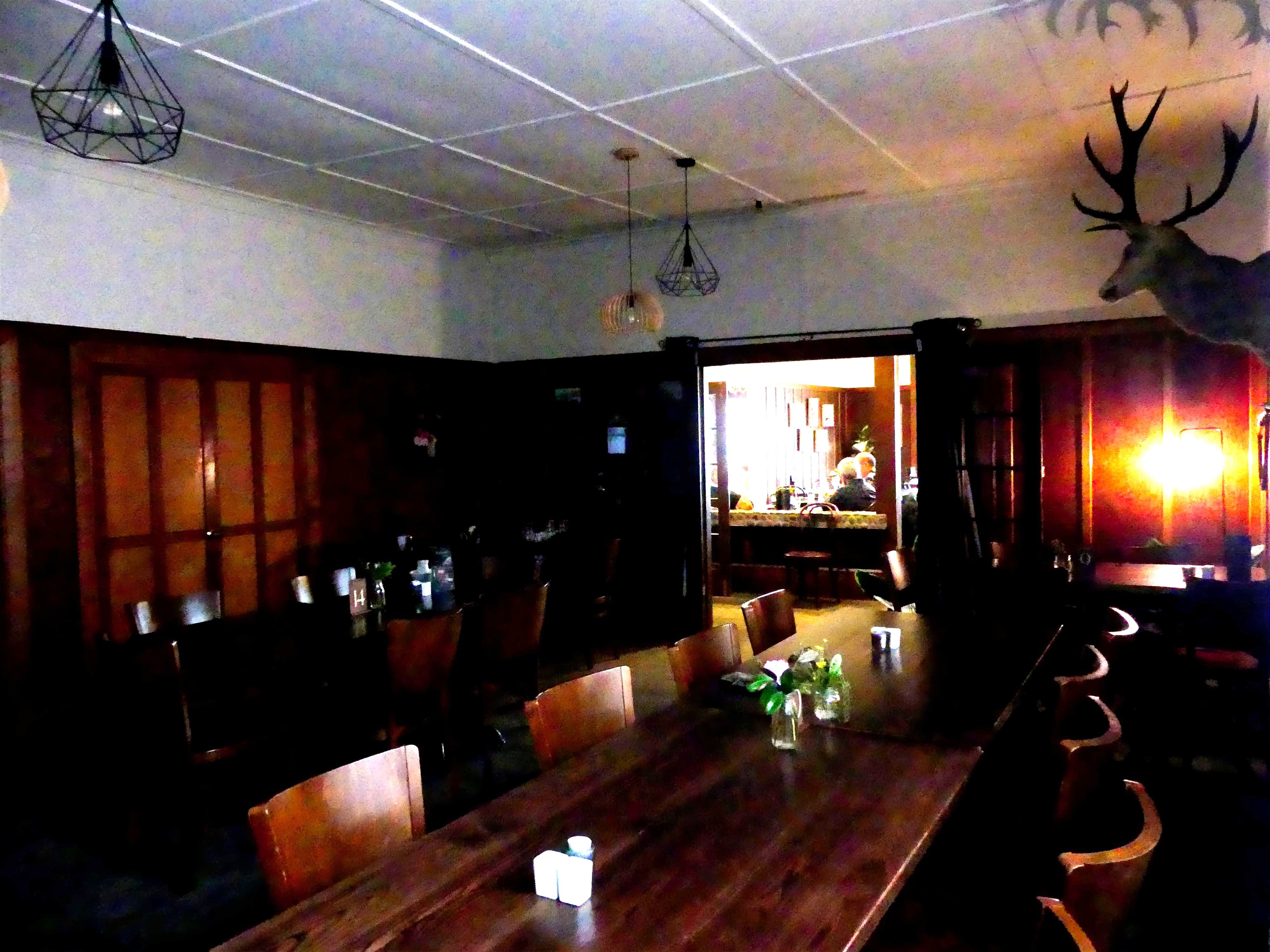
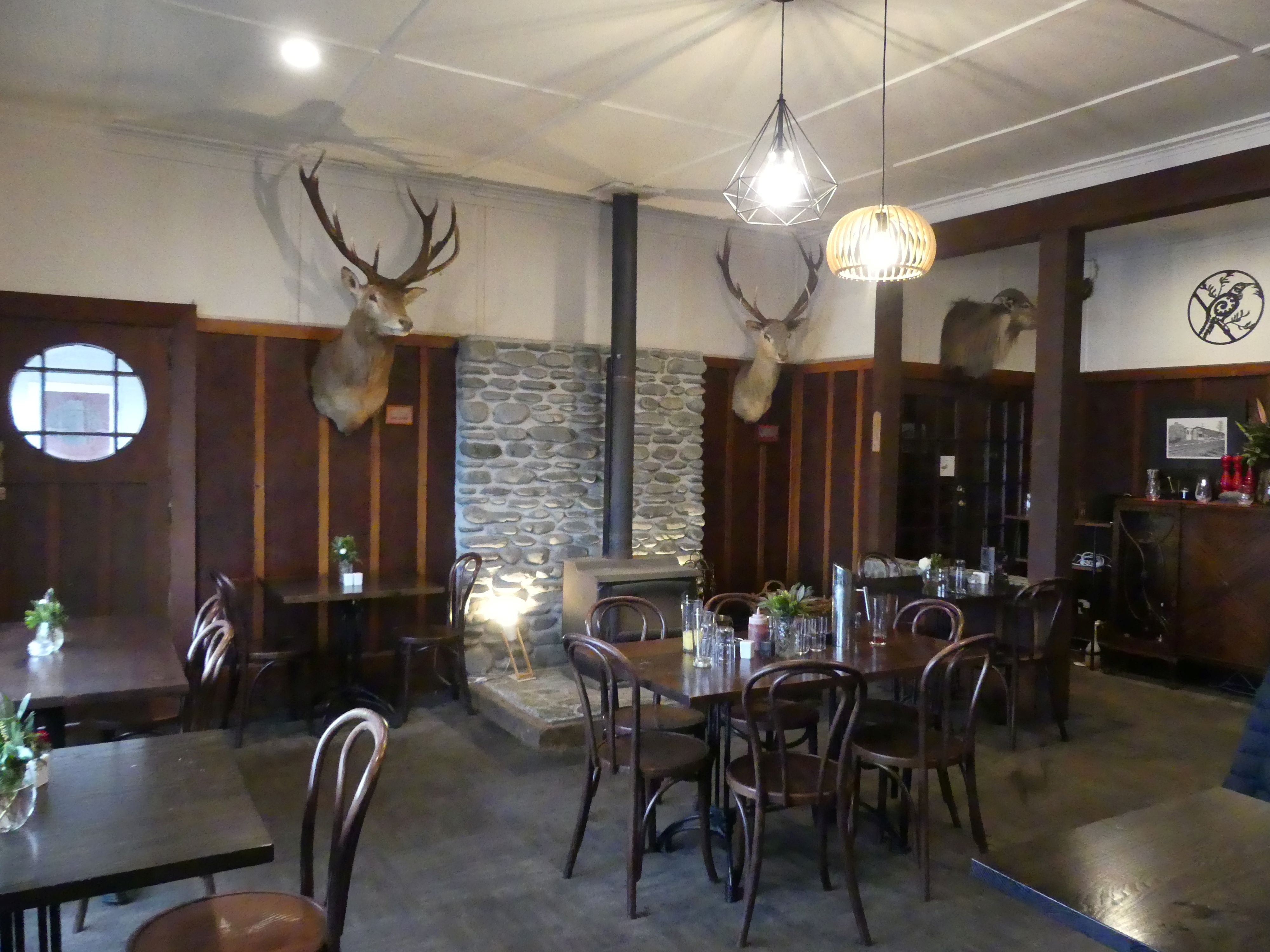
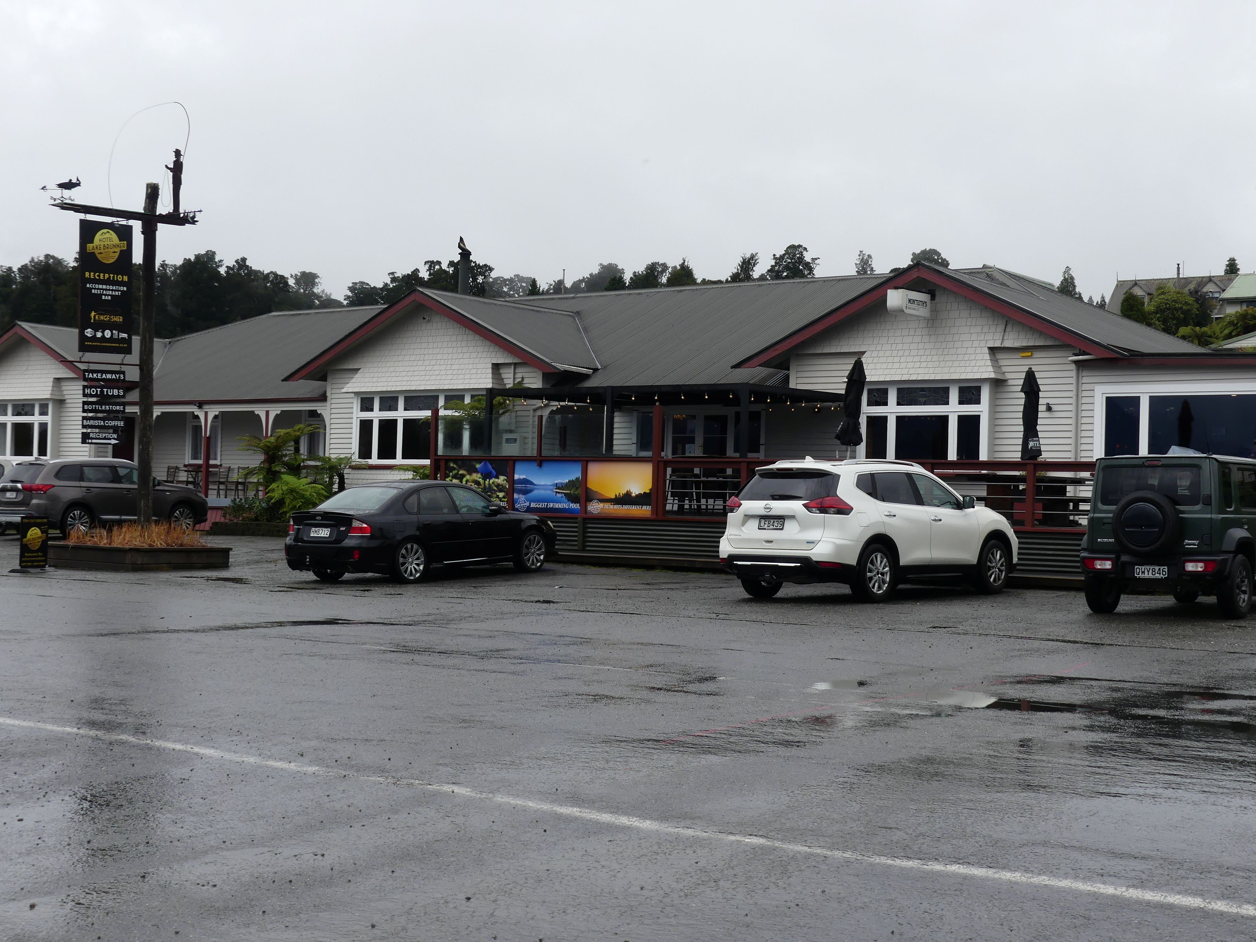
Our first stop was at Moana on Lake Brunner and the Lake Brunner Hotel. Hotel Lake Brunner acts as a central hub for the Moana village. There was a jolly young fellow sitting drinking under cover in the beer garden who greeted us to the hotel. He is a local and driven under shelter by the rain (and the love of a cold beer I would bet). Inside was old fashion English country home style with taxidermy stag heads on the wall and wood panelling. As I recall we shared pizza and took a doggy bag home: good pizza.

Photos of the hotel and it’s dining rooms.
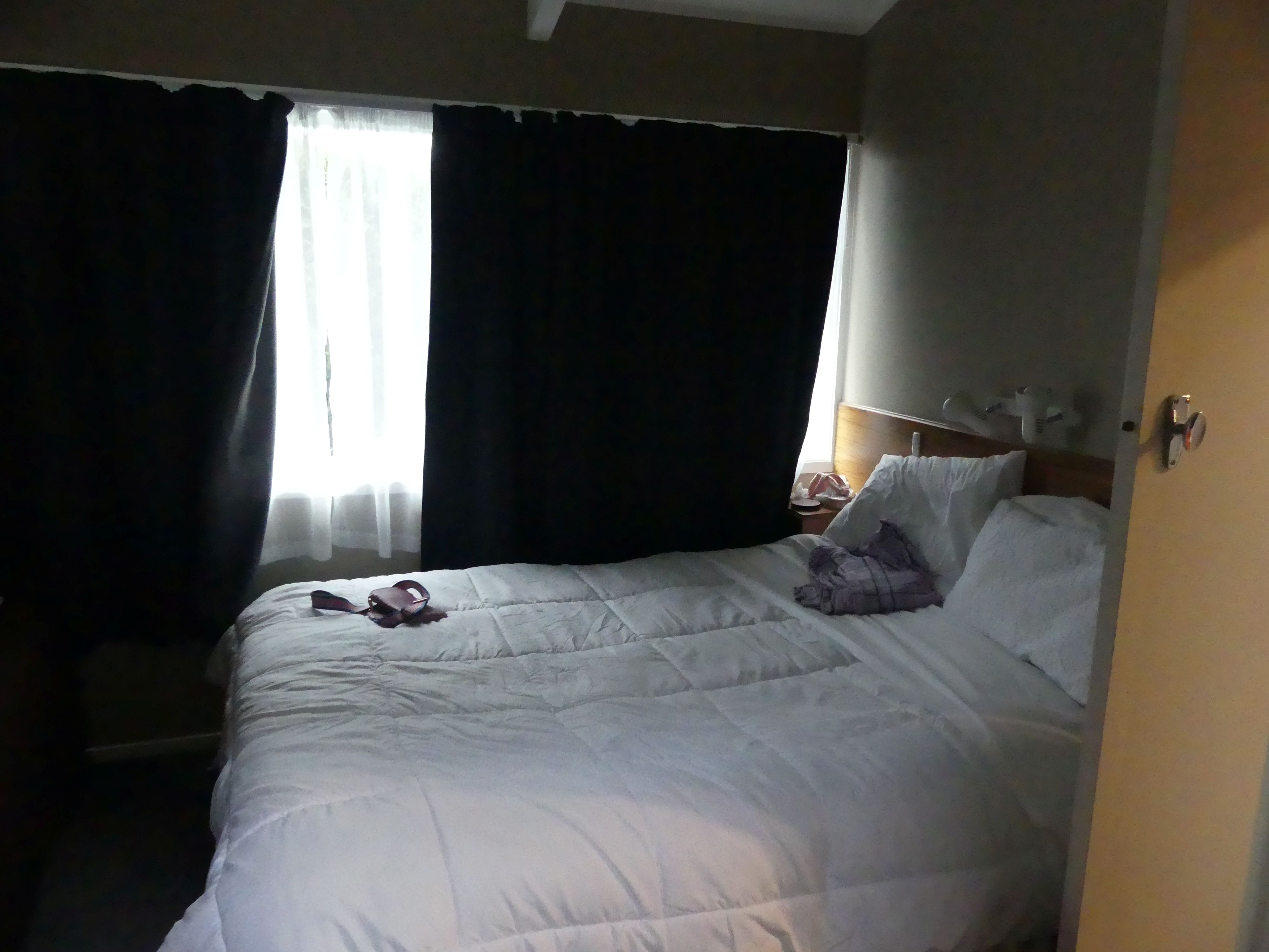
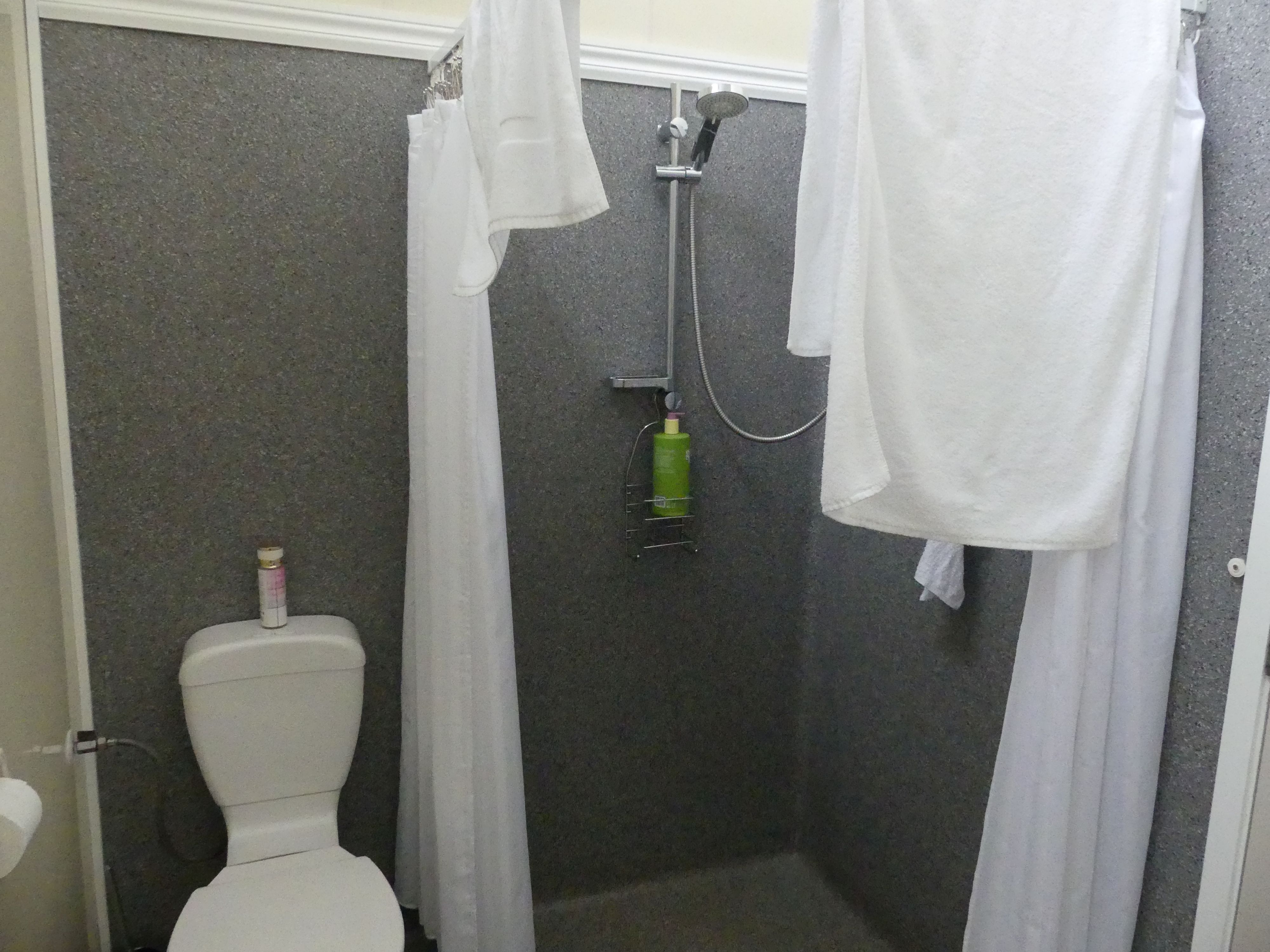
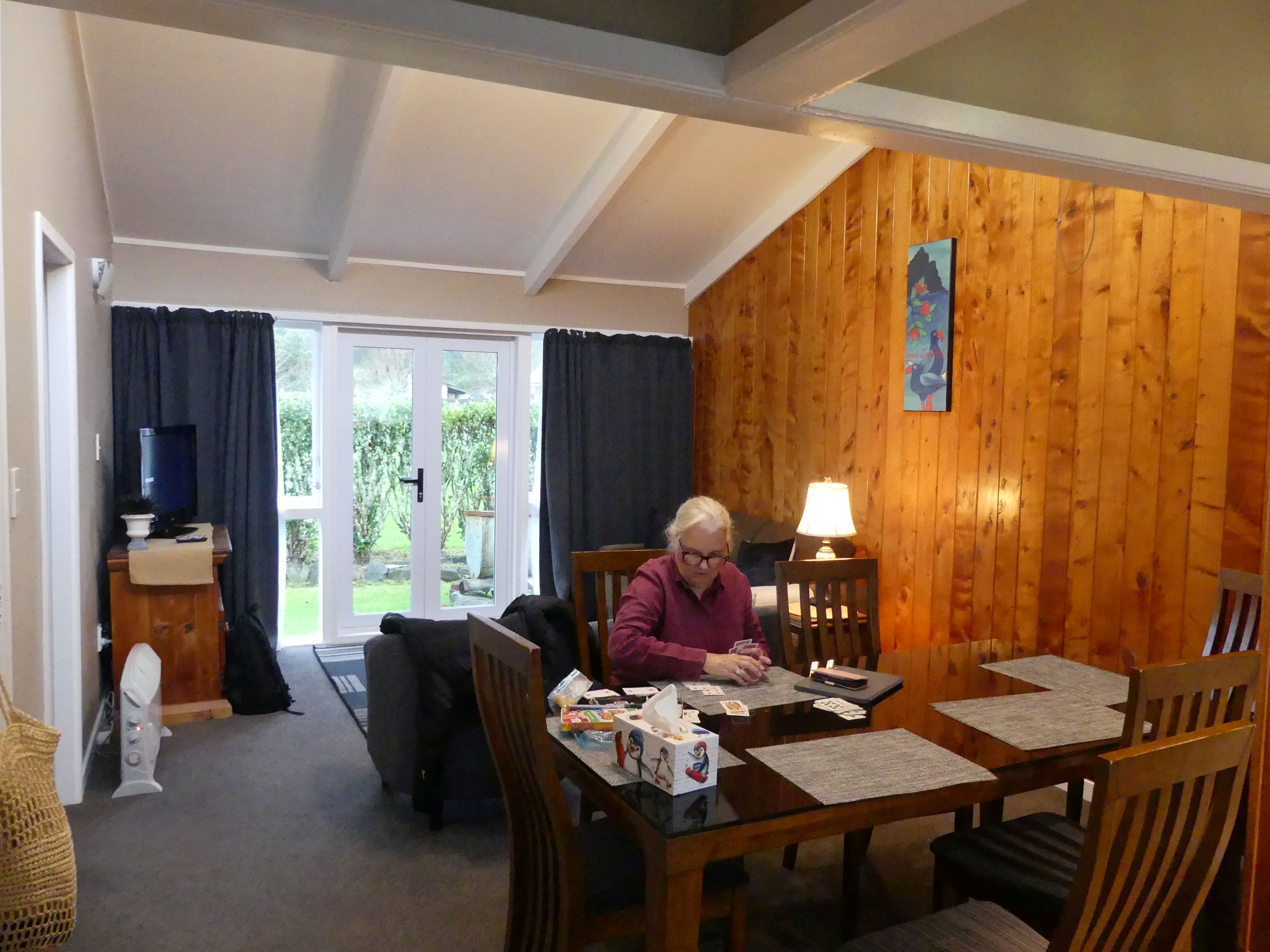
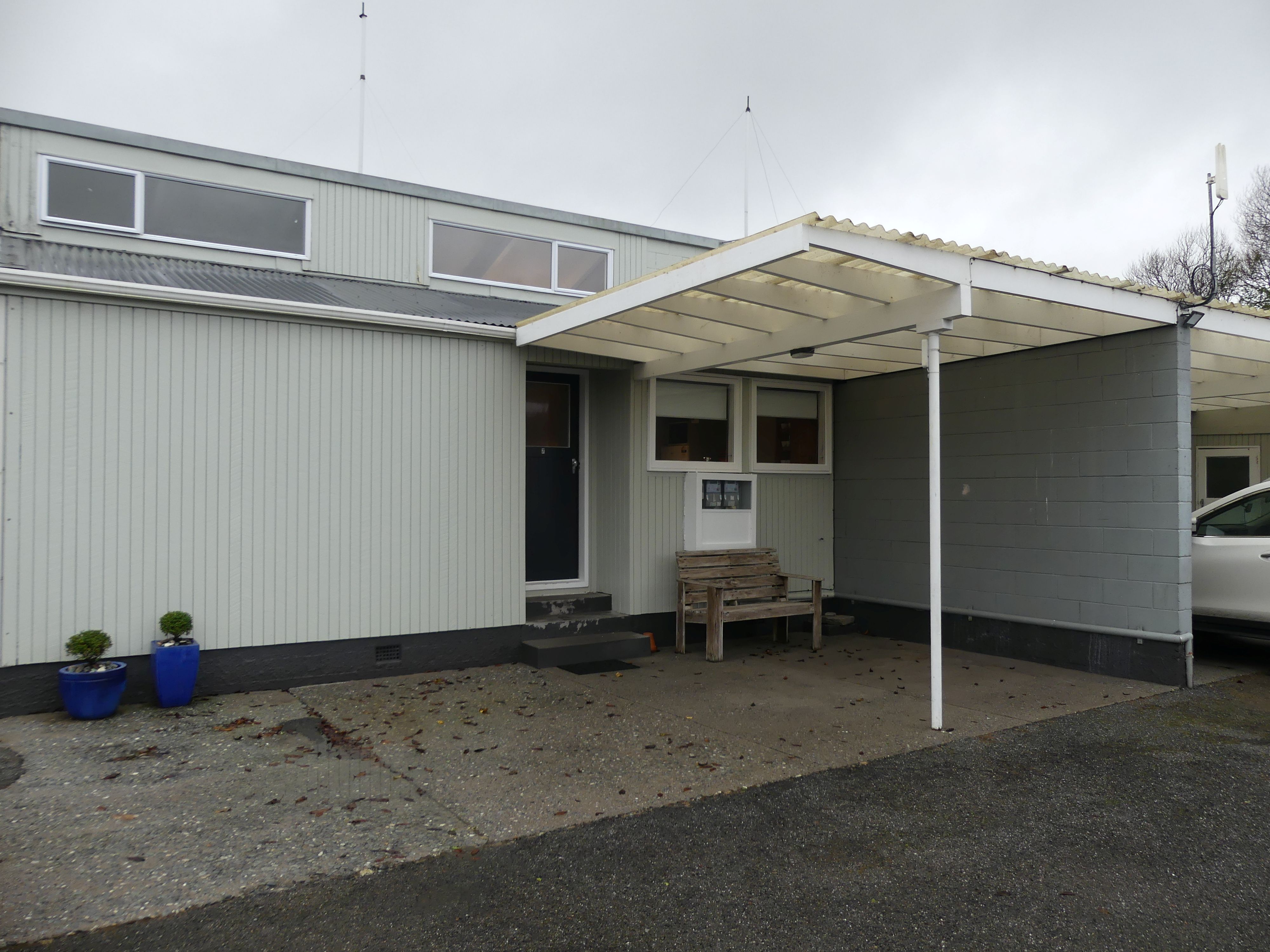
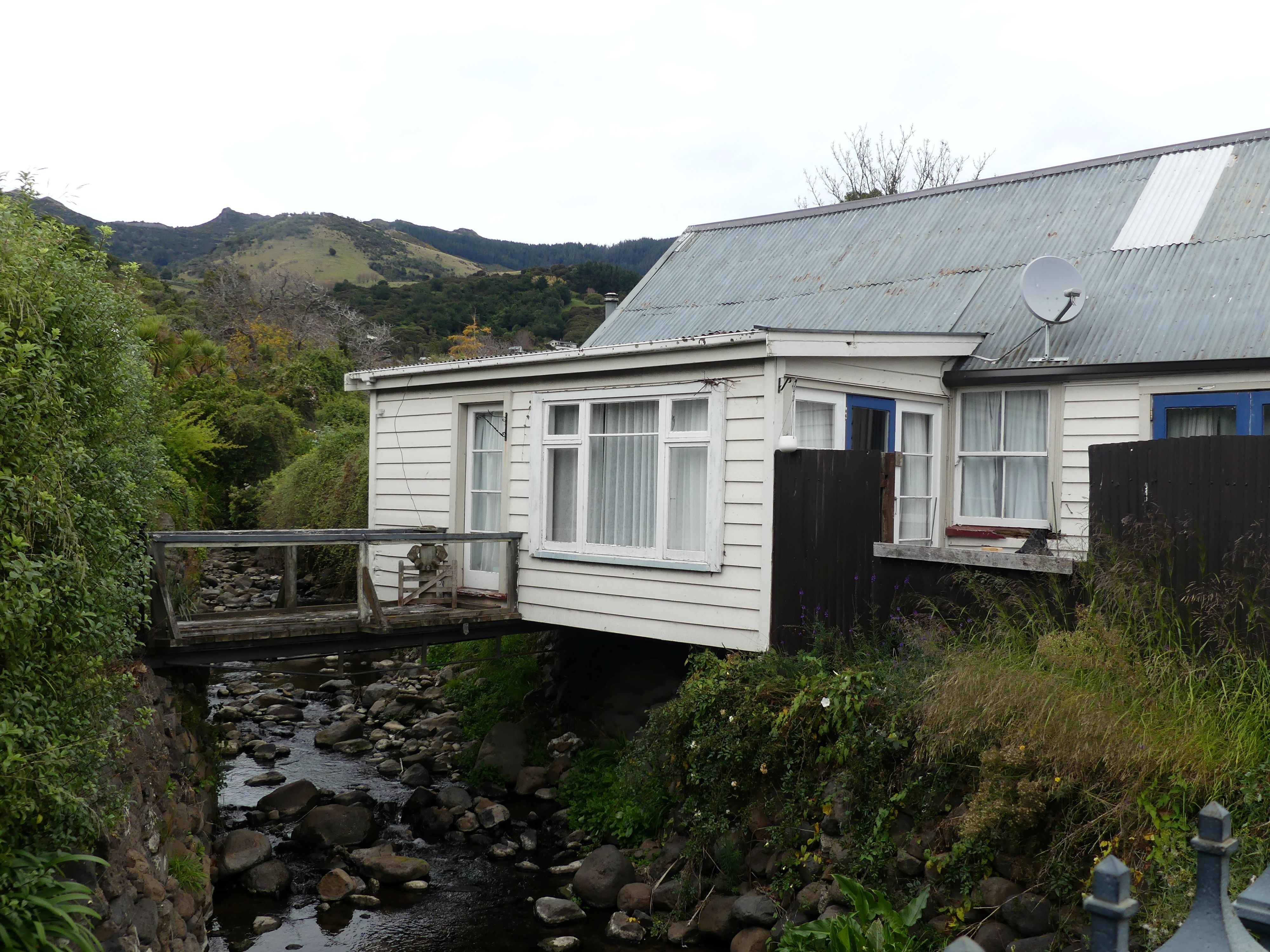
We continued into Greymouth, but Coal Creek was not there but nearby. However the entrance was no longer the entrance and the bridge across the creek was unsafe. We found a notice on the former reception directing us to the new reception approx. 200m back the way we had come (no sign on the entry to tell us that the reception had moved). Having solved the puzzle of how to register we drove back to the former reception to find our accommodation. Two conjoined flats. Comfortable and commodious with disabled bathrooms – go figure.

Photos – Apostles View Motel
The weather was not flash, and the forecast didn’t promise any change. After dinner we settled into playing cards with a glass of wine then to bed. We also discussed a change of plans as there seemed no point going to Franz Joesph glacier or Mt Cook in this weather.

Day 15               Drive to Hokitika

Hokitika jumped out as the place to go. It is a town in the West Coast region, 40 kilometres south of Greymouth, and close to the mouth of the Hokitika River. On a clear day Aoraki / Mount Cook can clearly be seen from Hokitika’s main street. It also claims to be the National Kiwi Centre, and that was appealing to see wild kiwis. So, we boarded our wagon and proceeded to Hokitika. The National Kiwi Centre took a bit of finding and it was not particularly appealing from the outside. As the proclaimed national centre, I was expecting something more auspicious but instead it was rambling and untidy and even dirty. It appeared to be running on an oily rag. AND there was 1 lonely kiwi exhibited in a glass cage and it was impossible to take a photos due to reflection. All of the other exhibits and there were plenty of them were interesting, but we came to see the national fauna emblem of NZ. I think it needs a sustainable source of funding to improve.

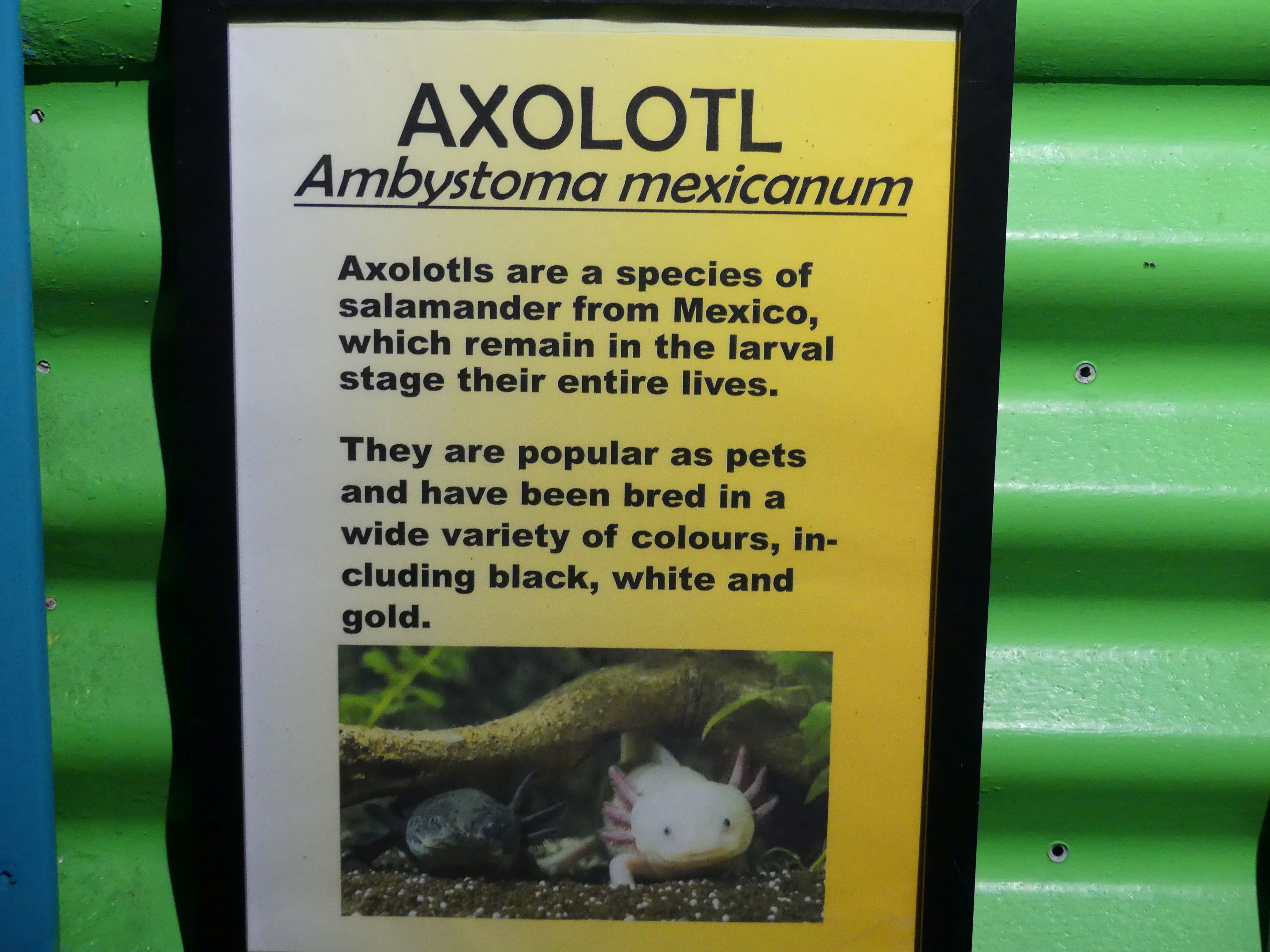
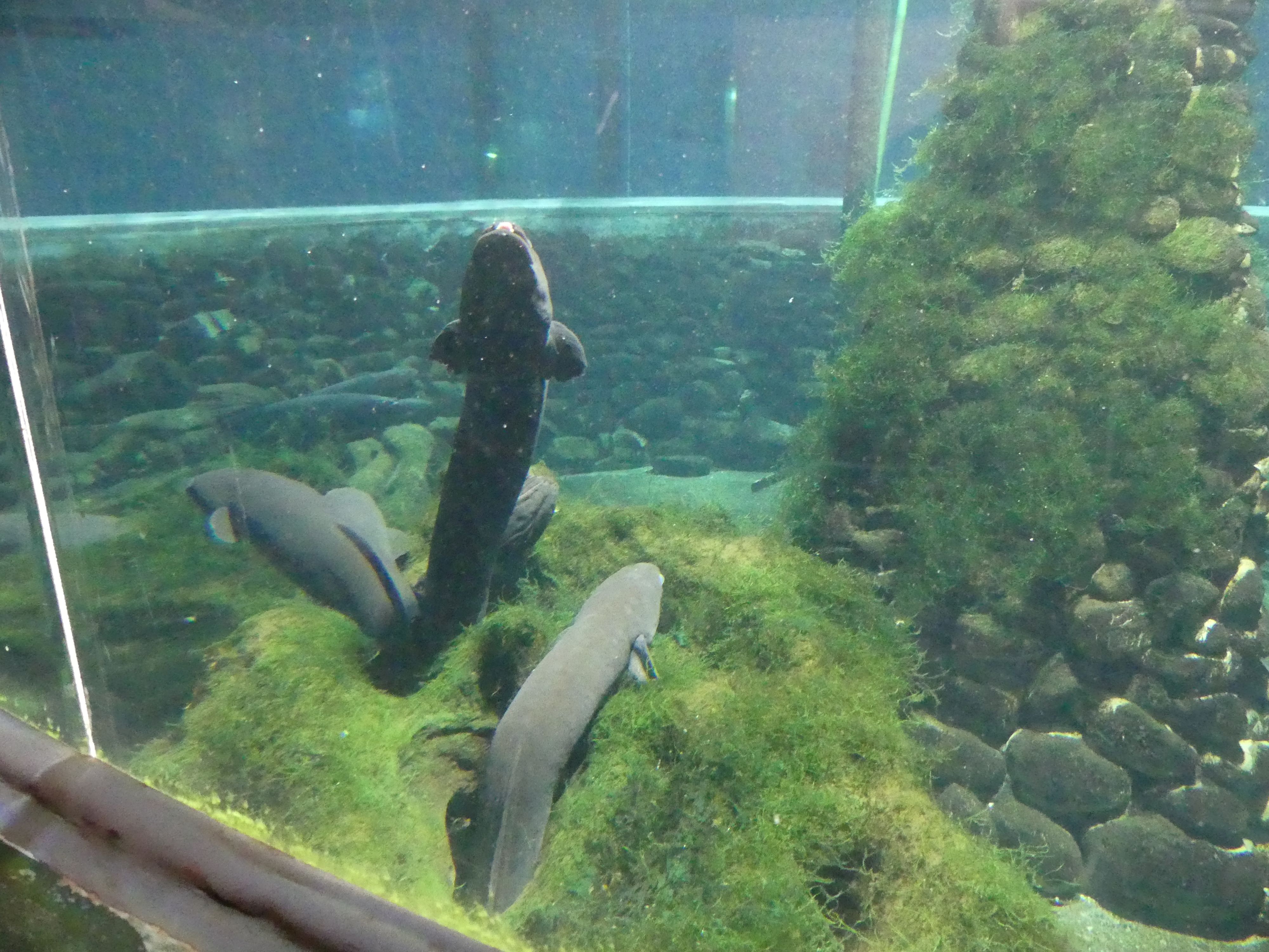
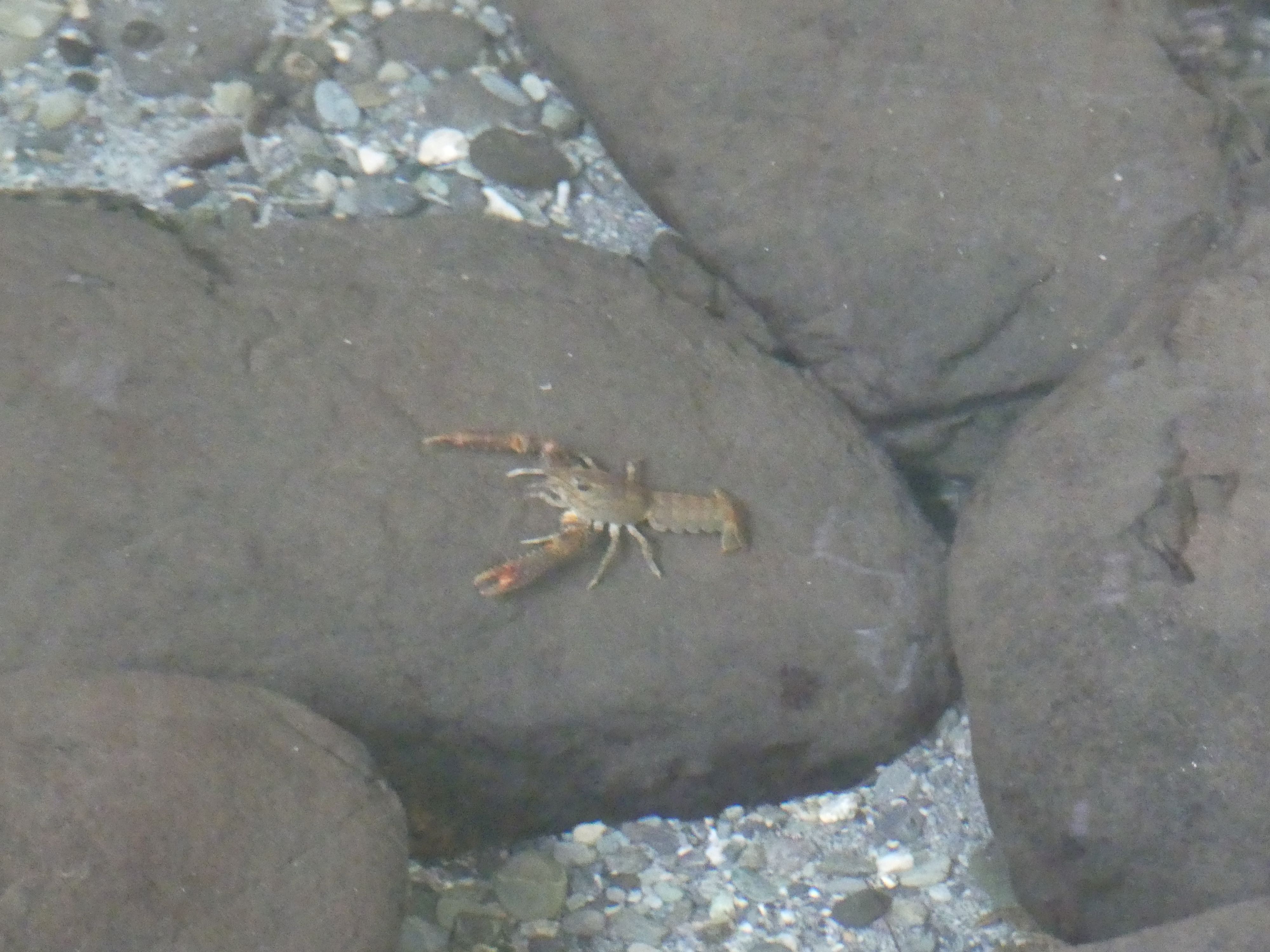
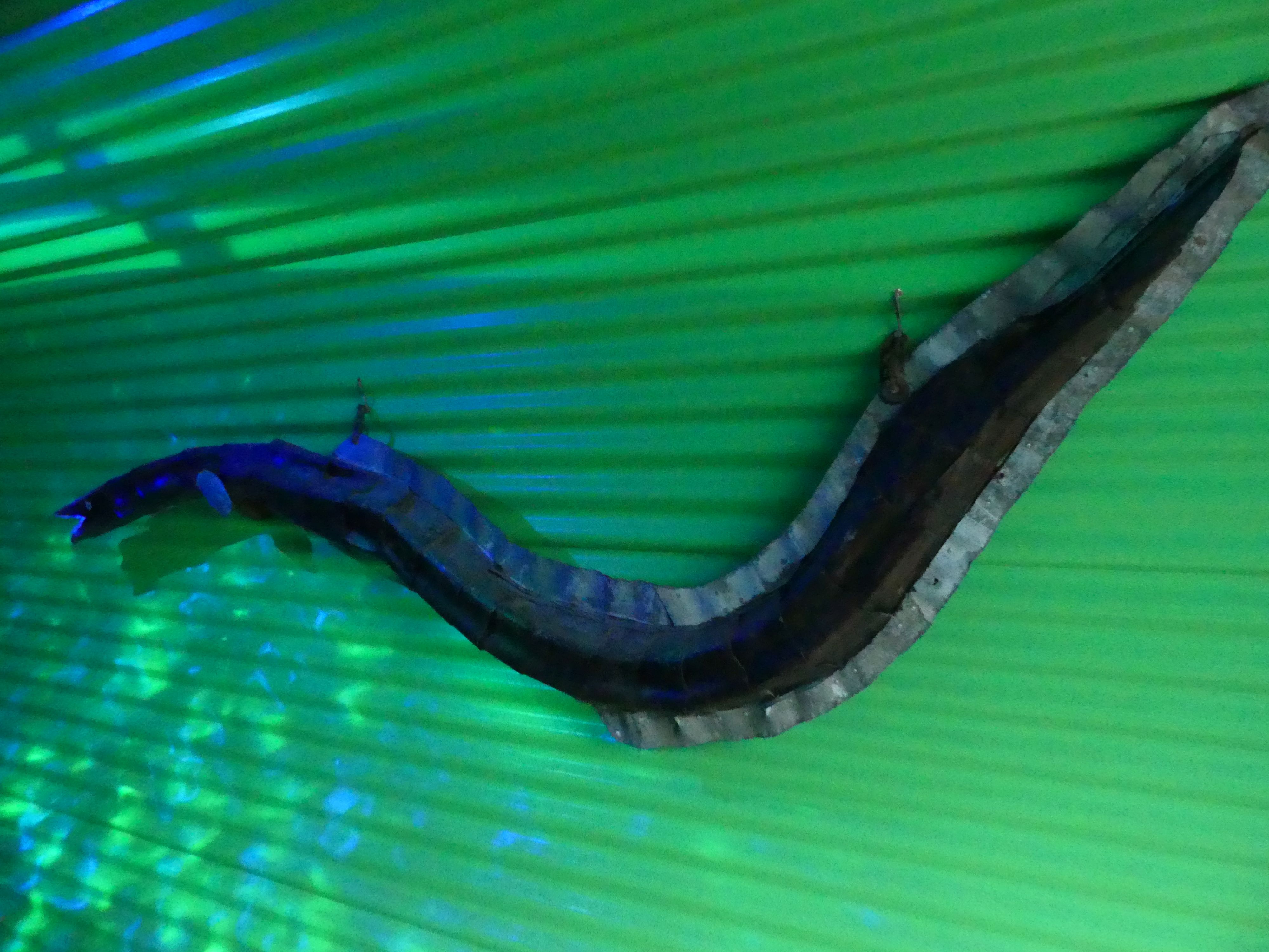
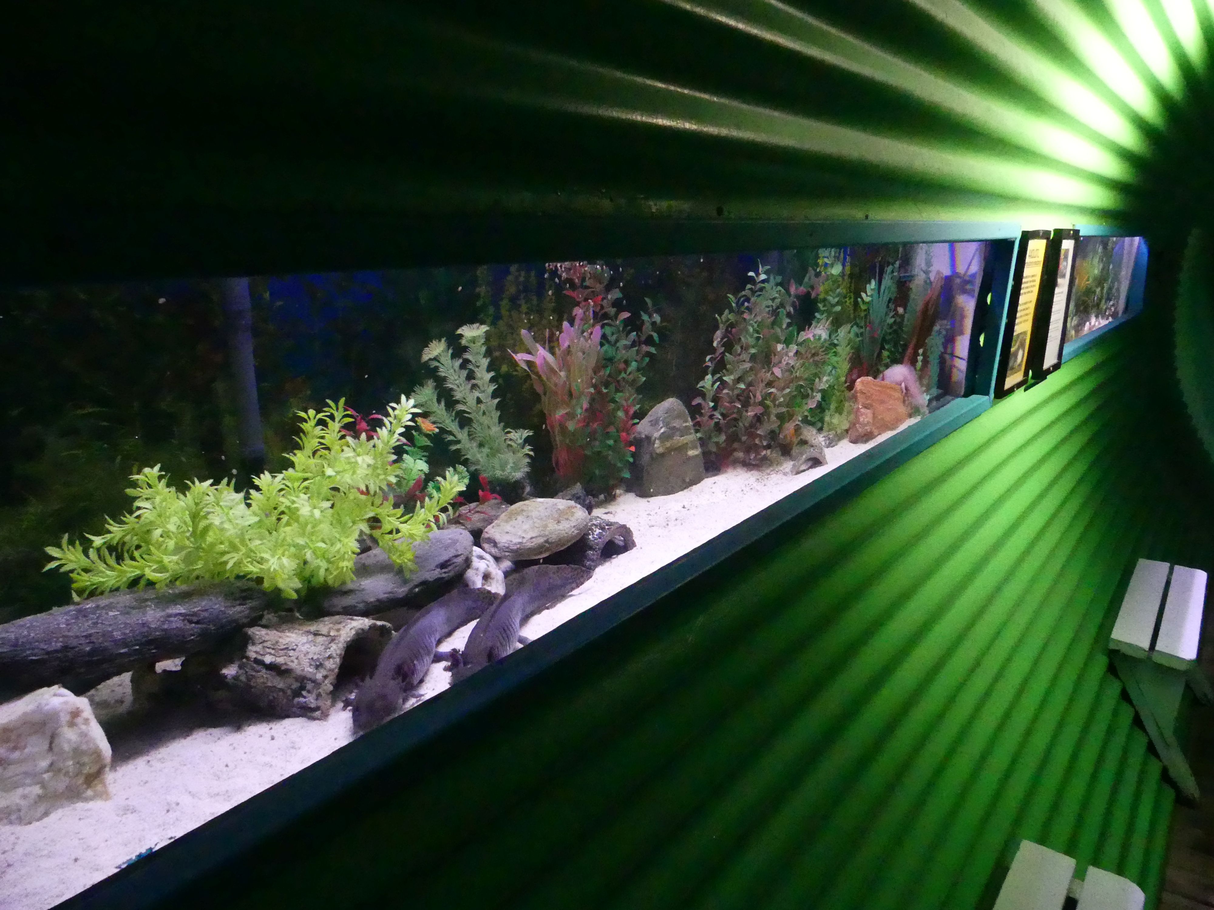
Photos of Inside the national Kiwi Centre, Dead eel and live eels, Axolotl from Mexico, and freshwater lobbies (crayfish) – no Kiwi
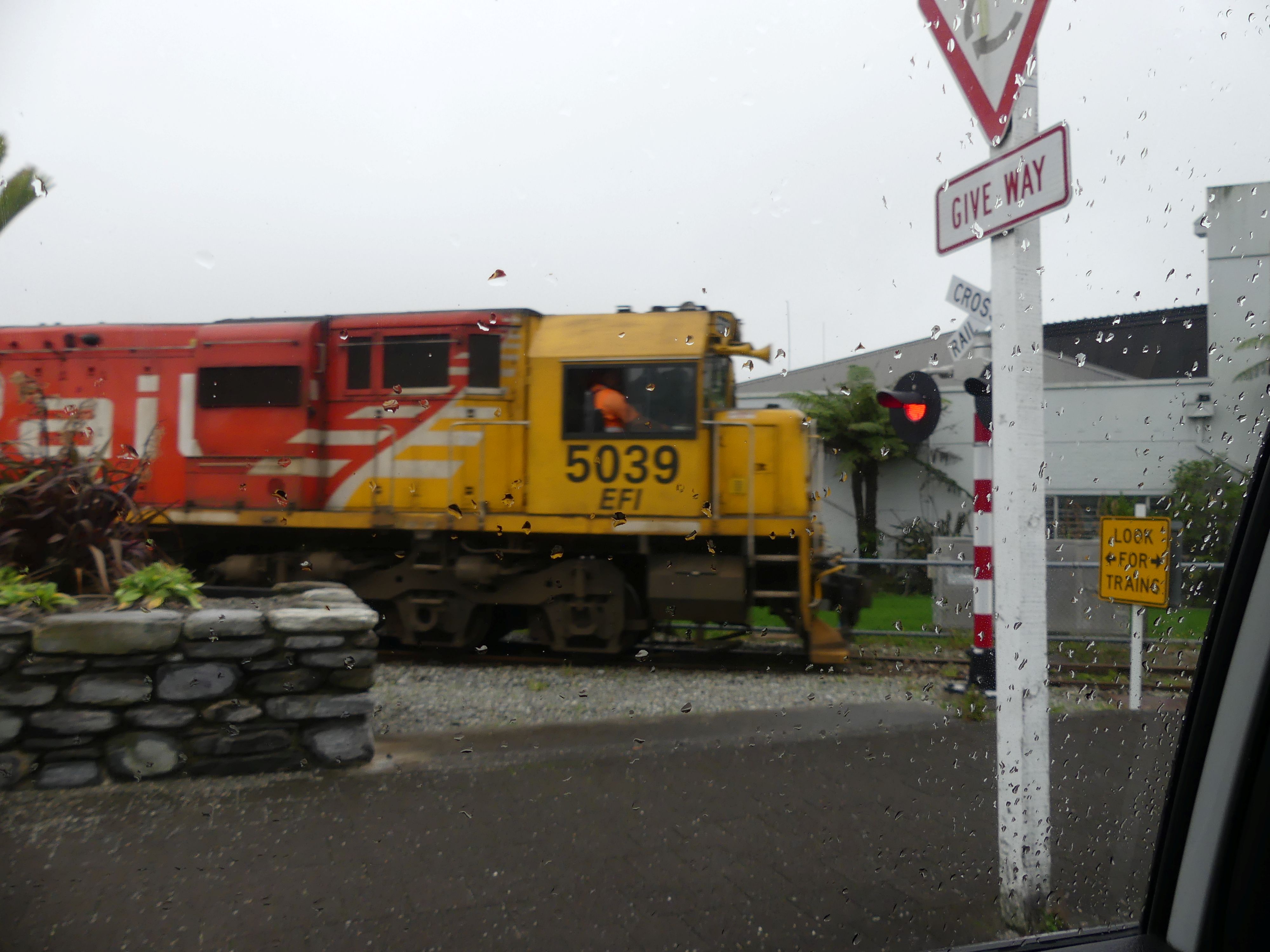
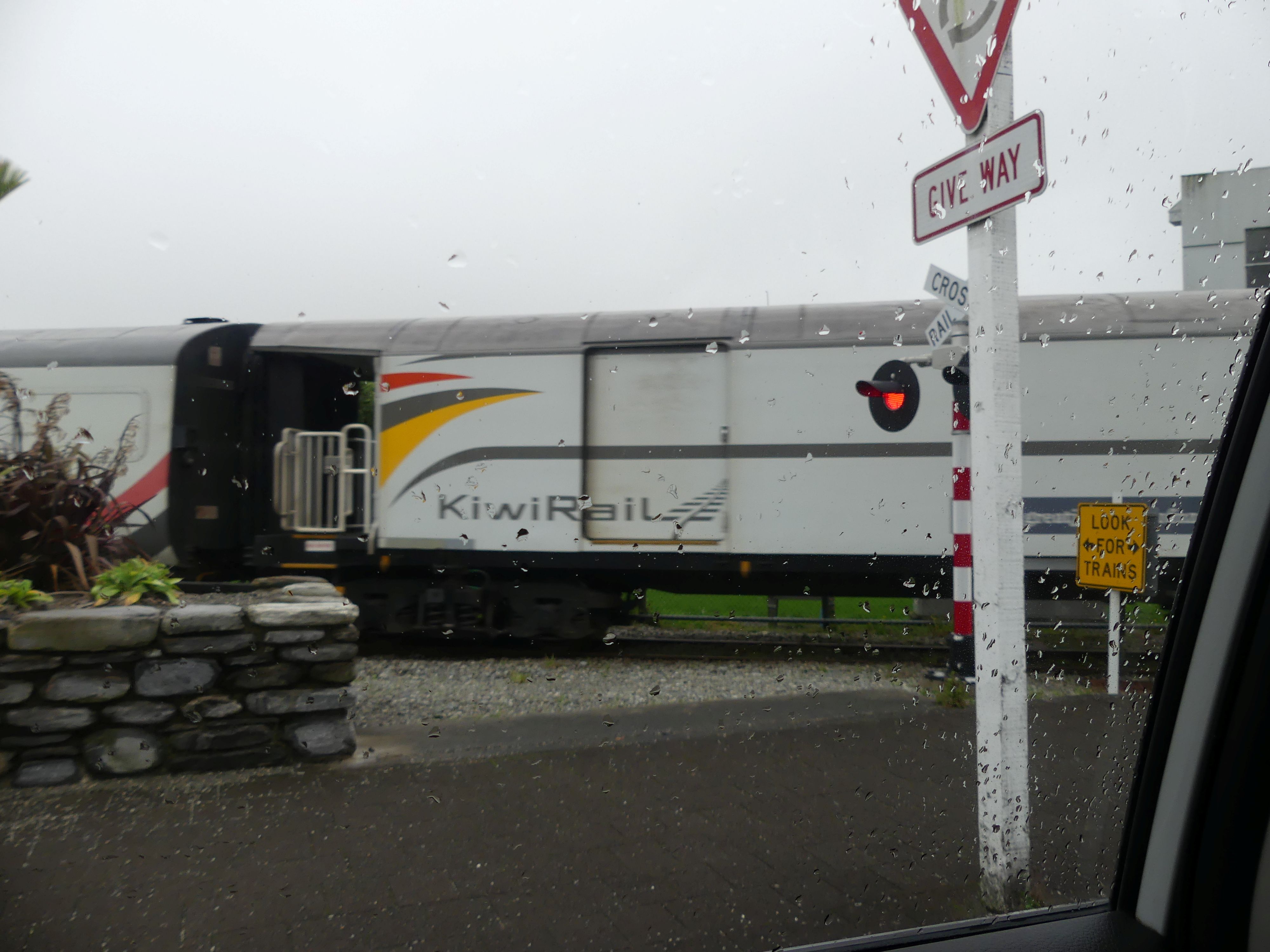
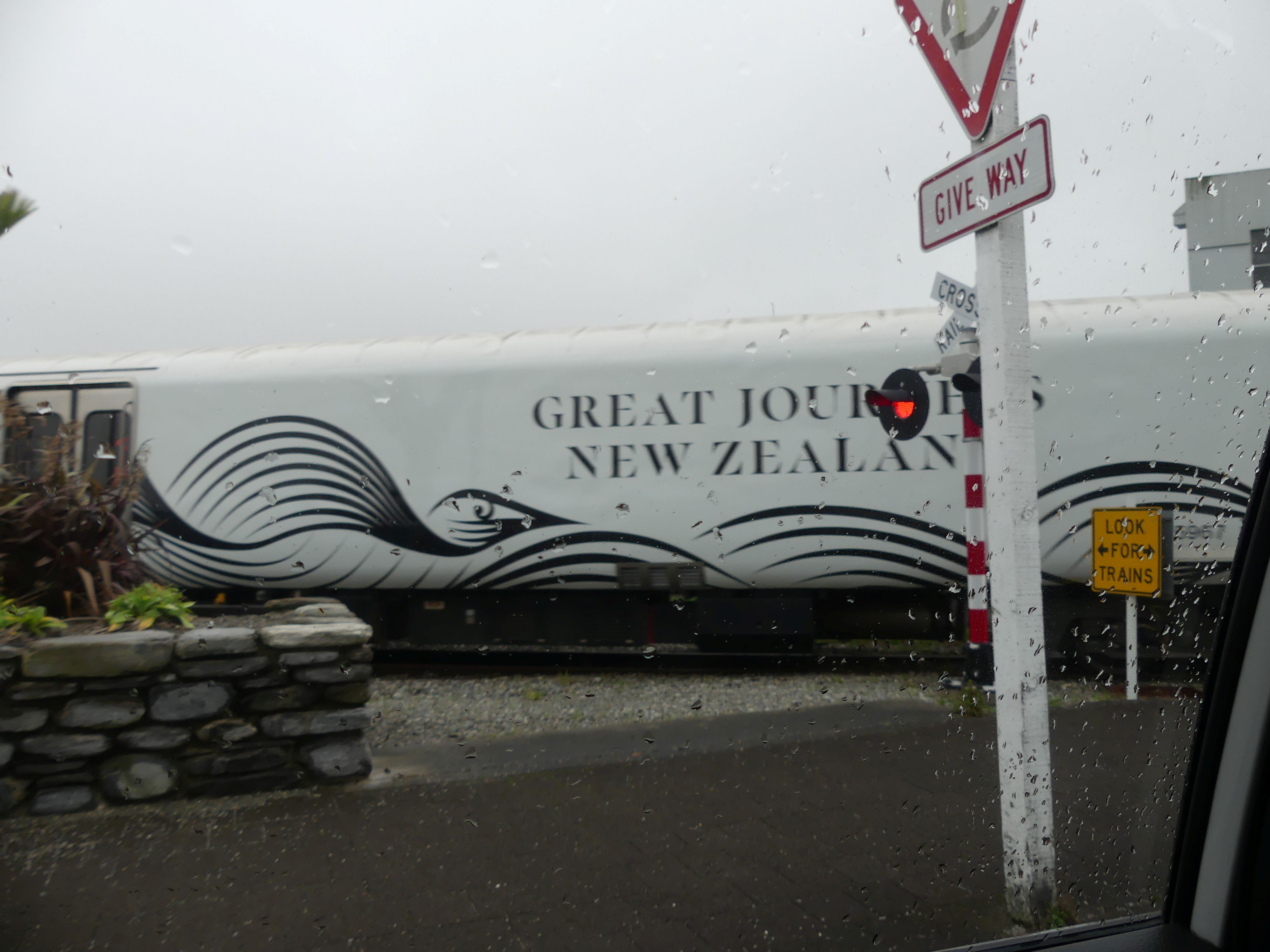
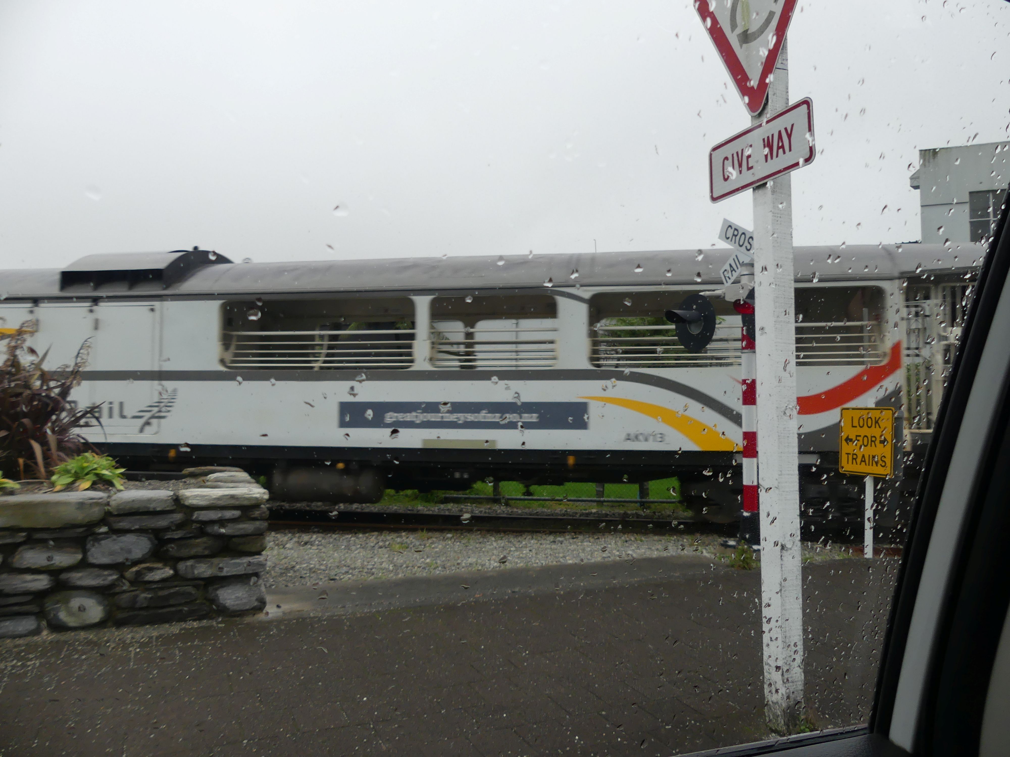
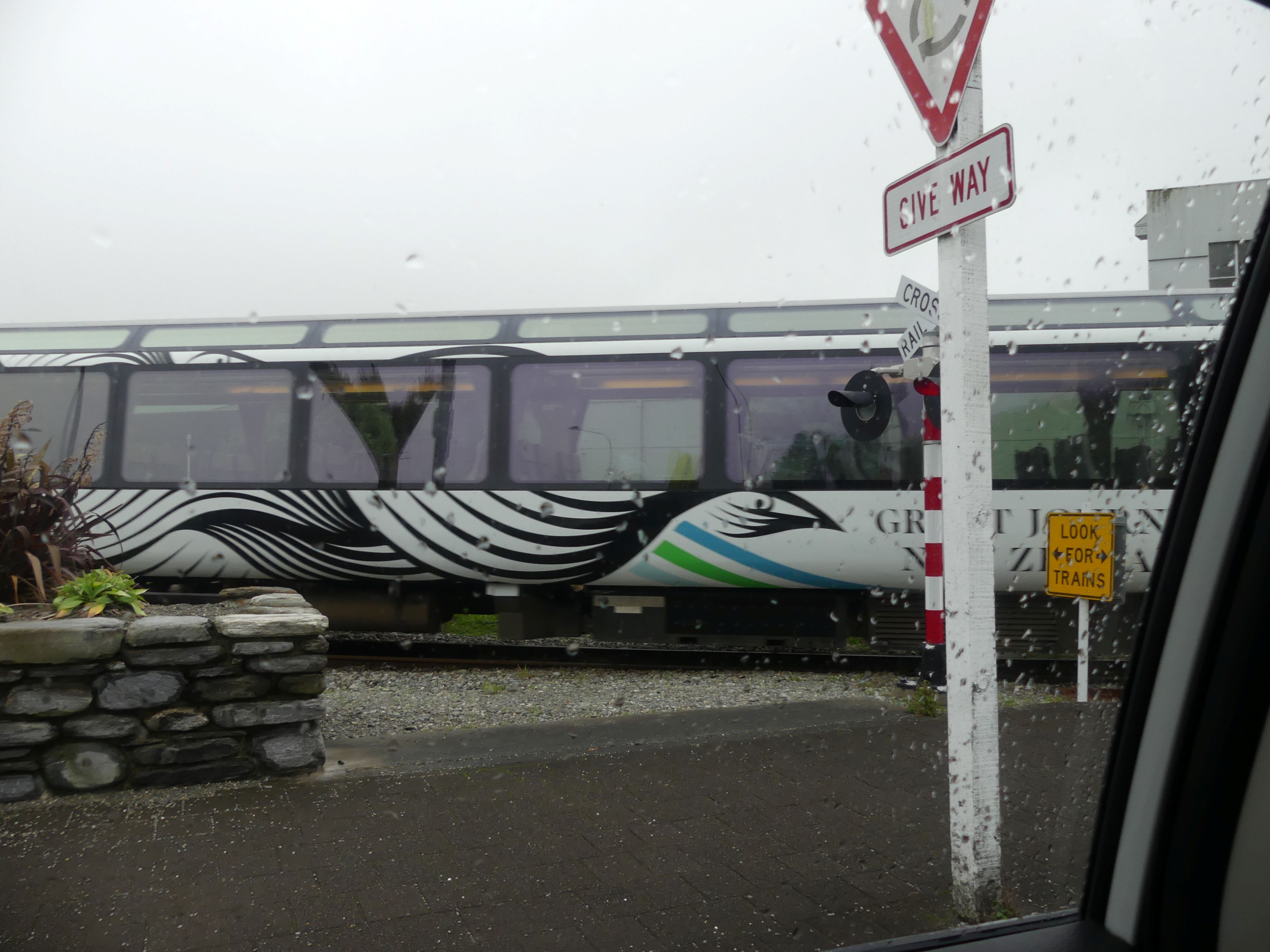
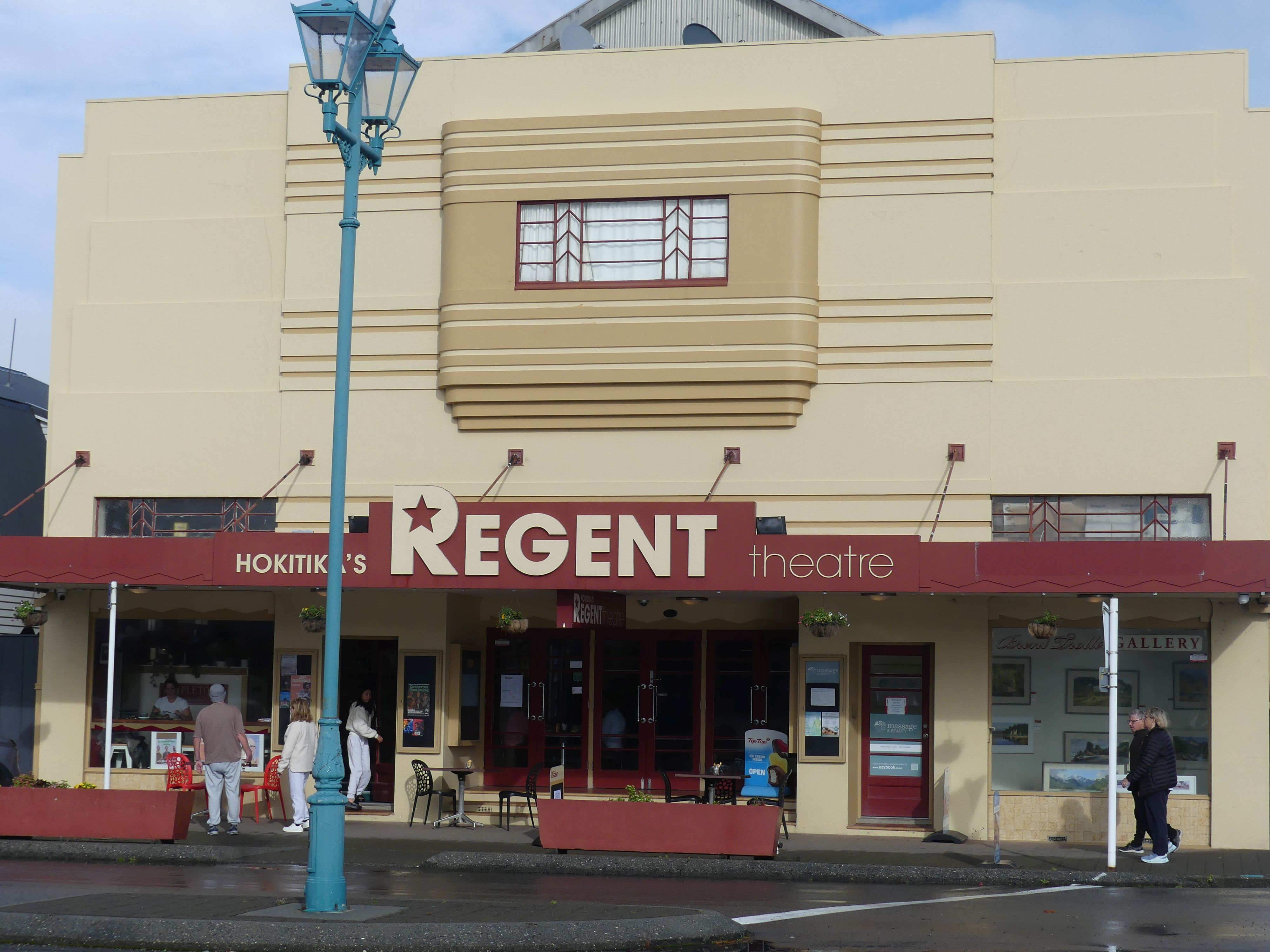
Now it was past 10.00 o’clock and no café at this place so off we went walking in hunt of the coffee bean. Found it in the Regent theatre. Coffee shop theatre and museum all in one. Our thirst sated, we stepped into sunshine: not the damp and overcast weather forecast. Our eyes turned to Mt Cook; it was still concealed in cloud cover. A view up Tancred St and a memorial to the Pioneers of Westland District; the place looked fairly quiet. Furthe along the street, a glass maker was busy at work before the furnace and whilst their work was good and the articles produced had some novelty, we both decided we had enough trinkets and not enough space in our luggage. Back to the car and leaving town, we came to a rail crossing. Normally there is no action on the line but not now today the Great Journeys of New Zealand train was crossing. As you will see in the photos the rain had returned.

Regents Theatre and Tancred St, Great Train Journeys
Day 16               Greymouth to Nelson

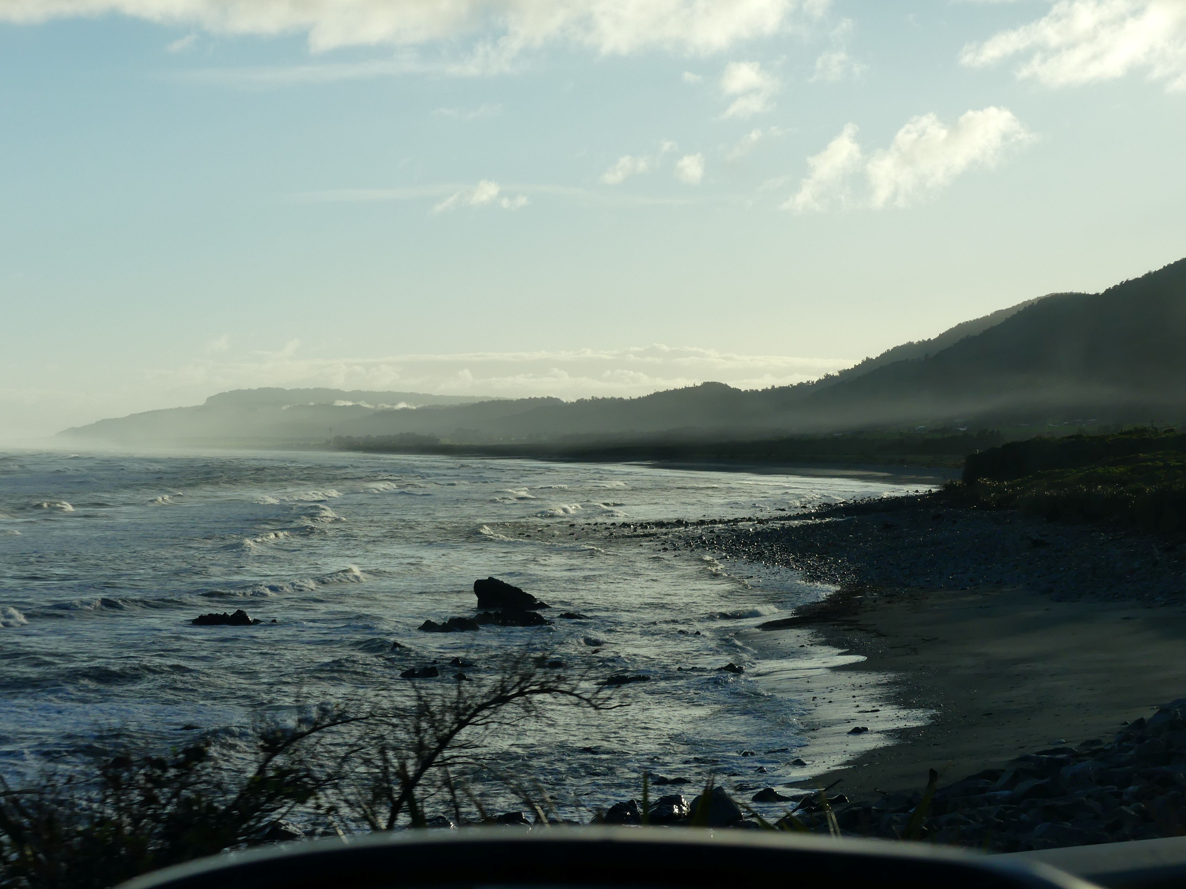
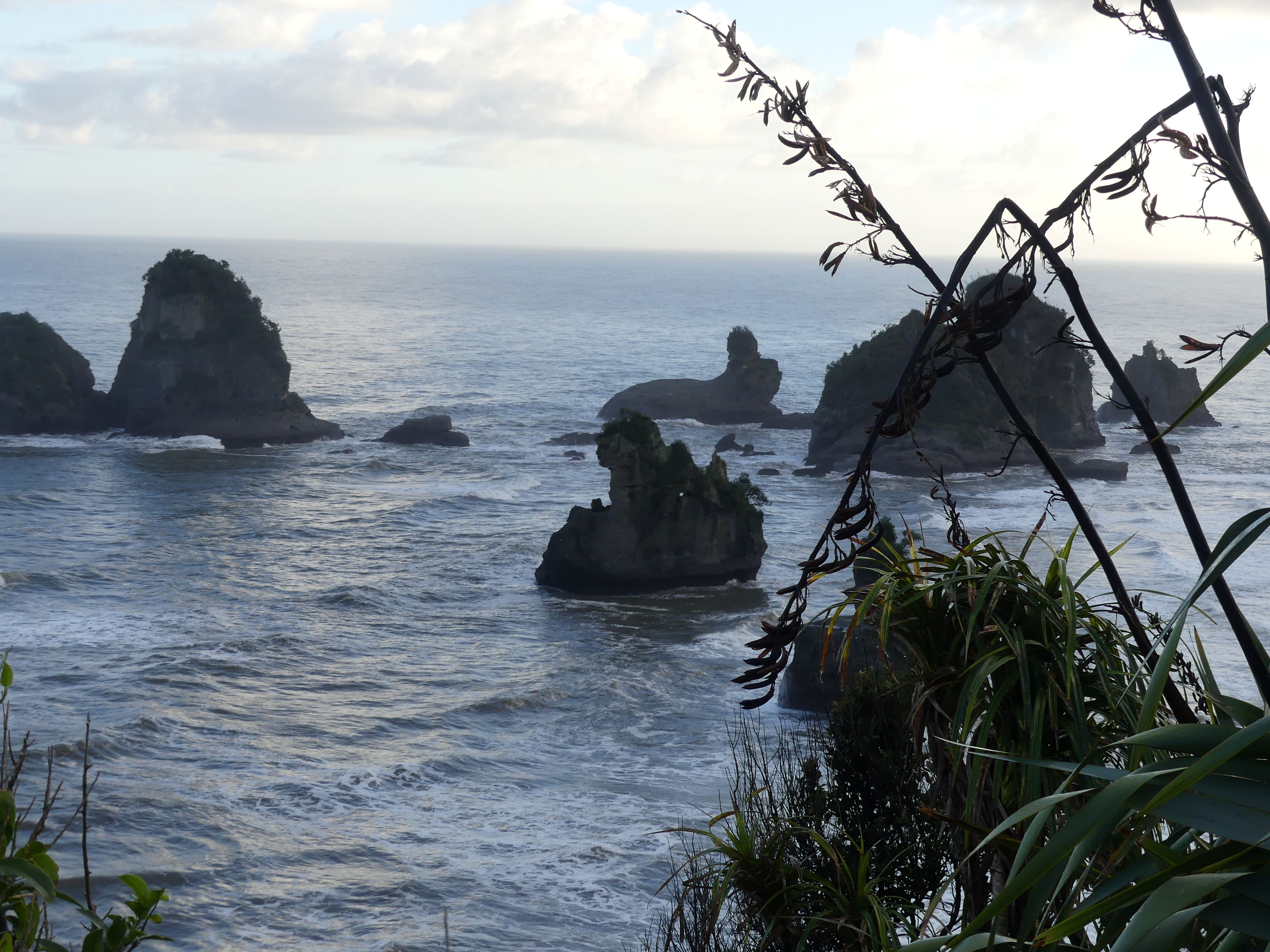
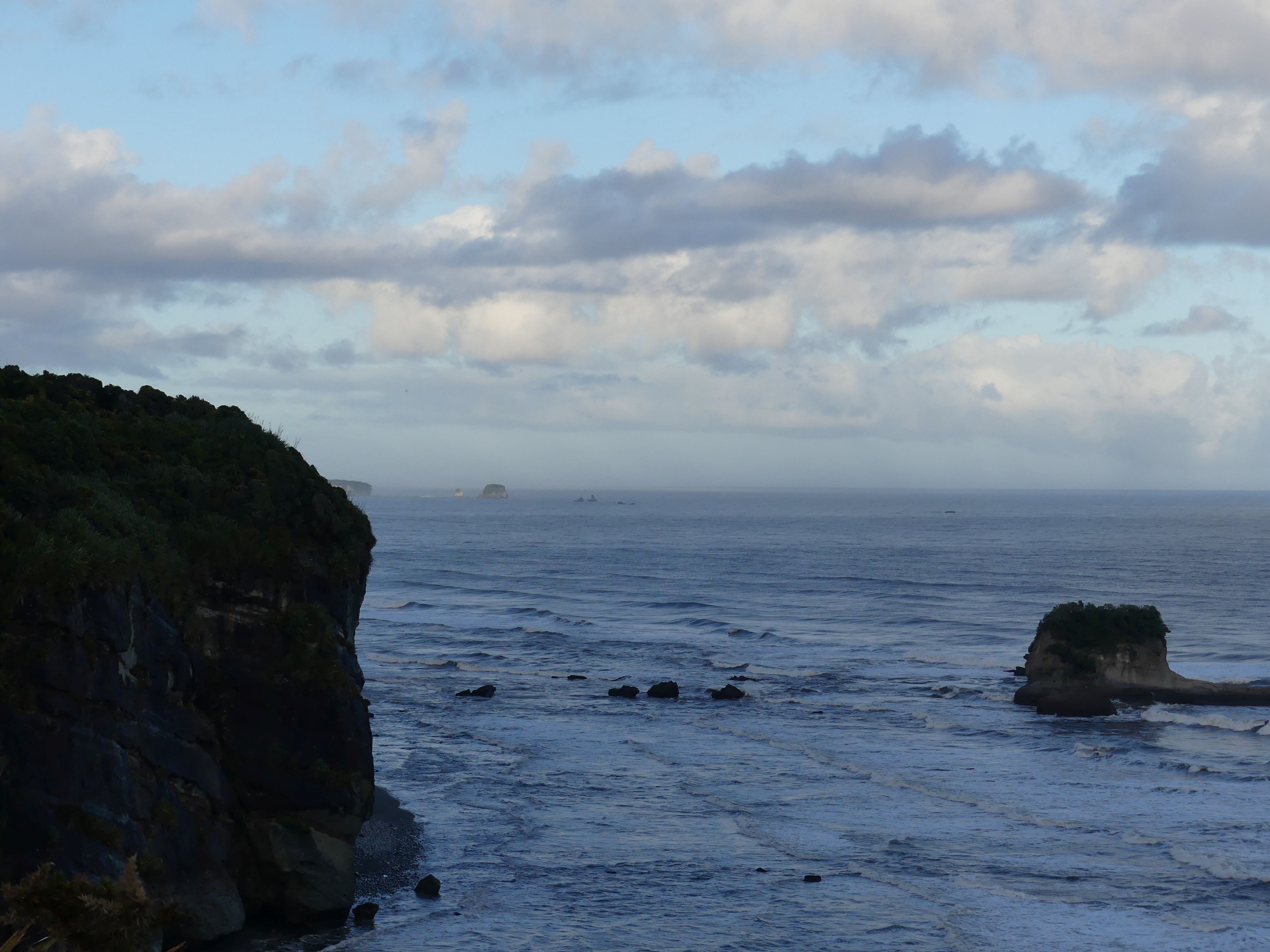
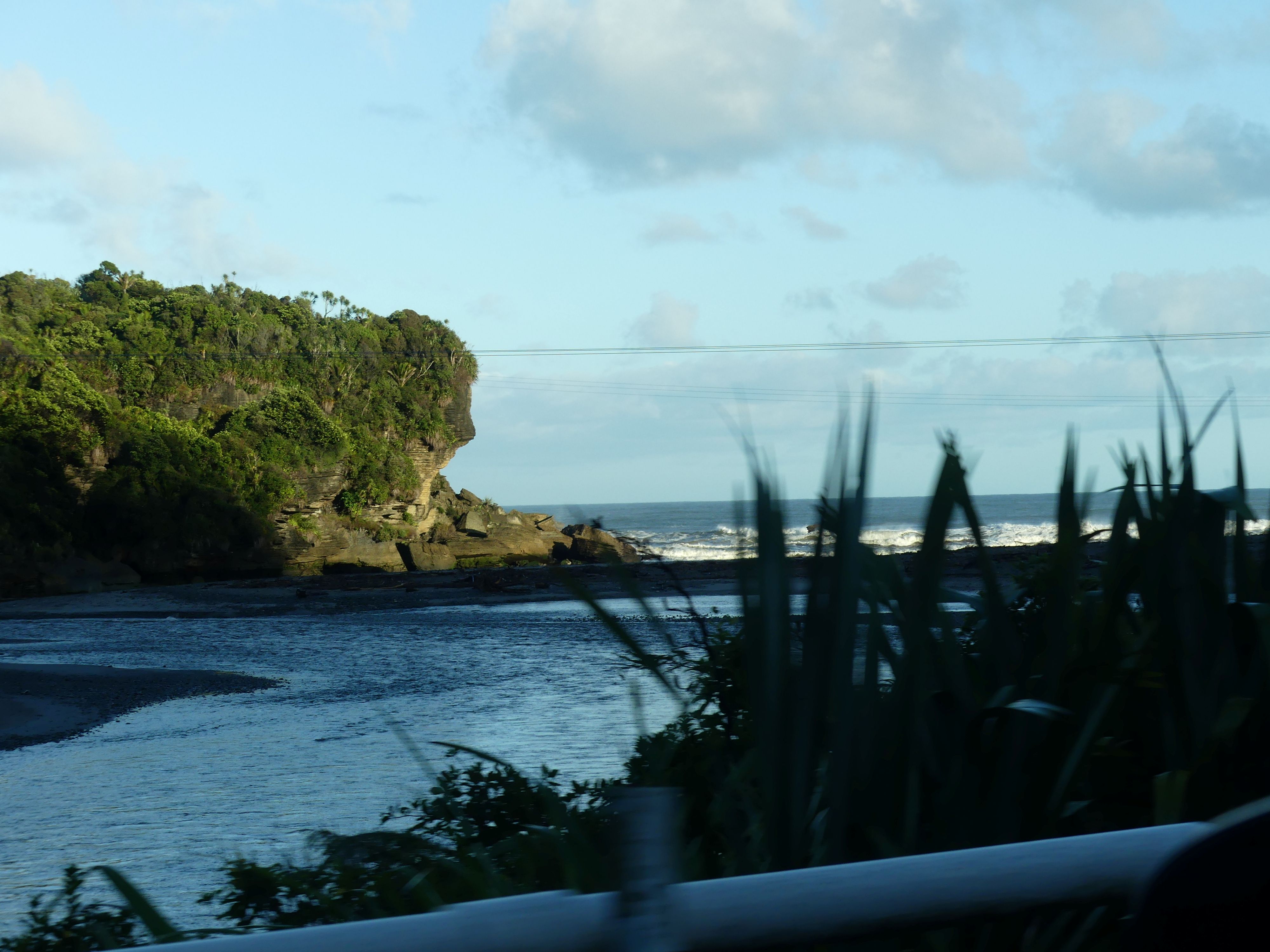
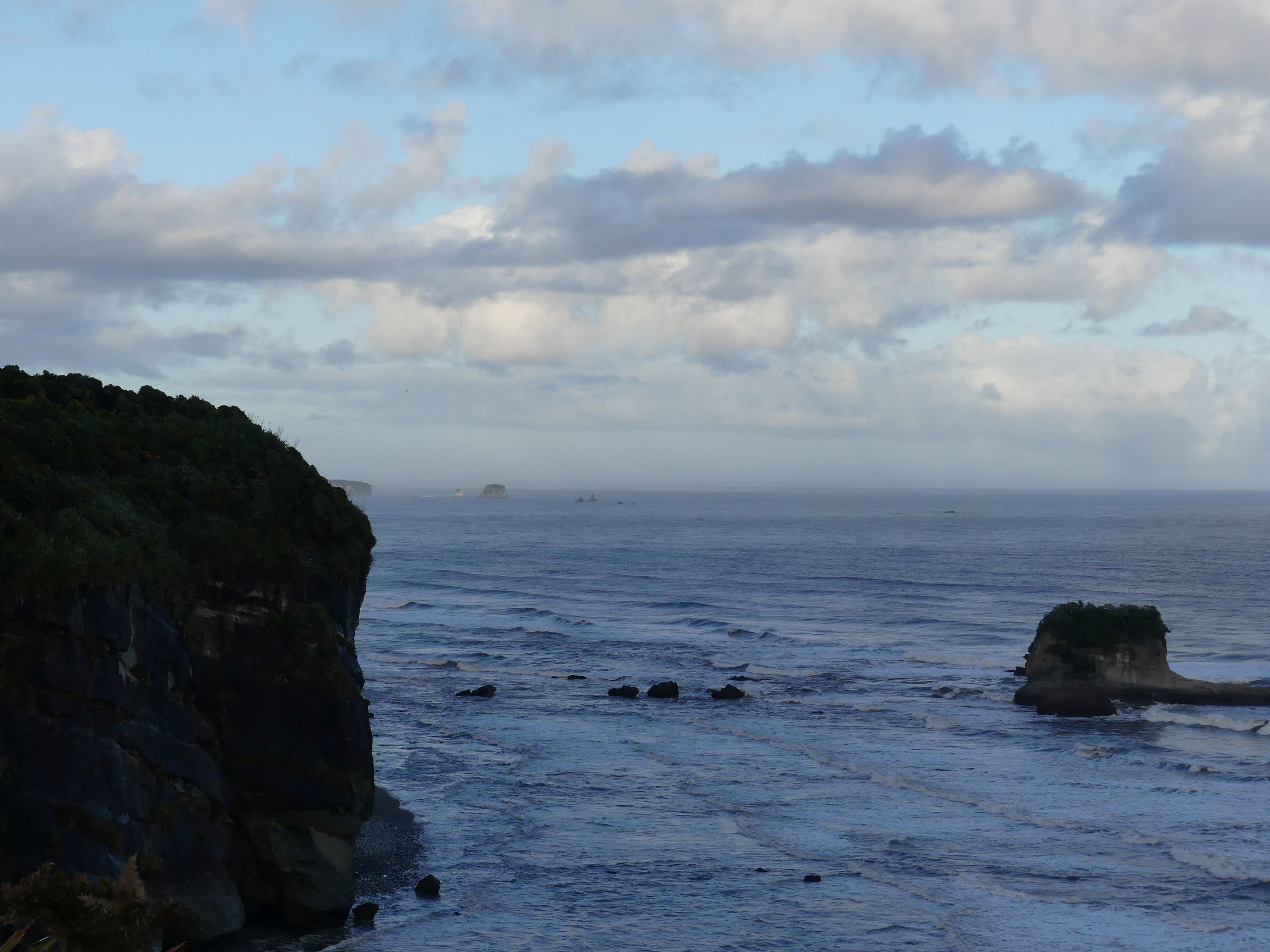
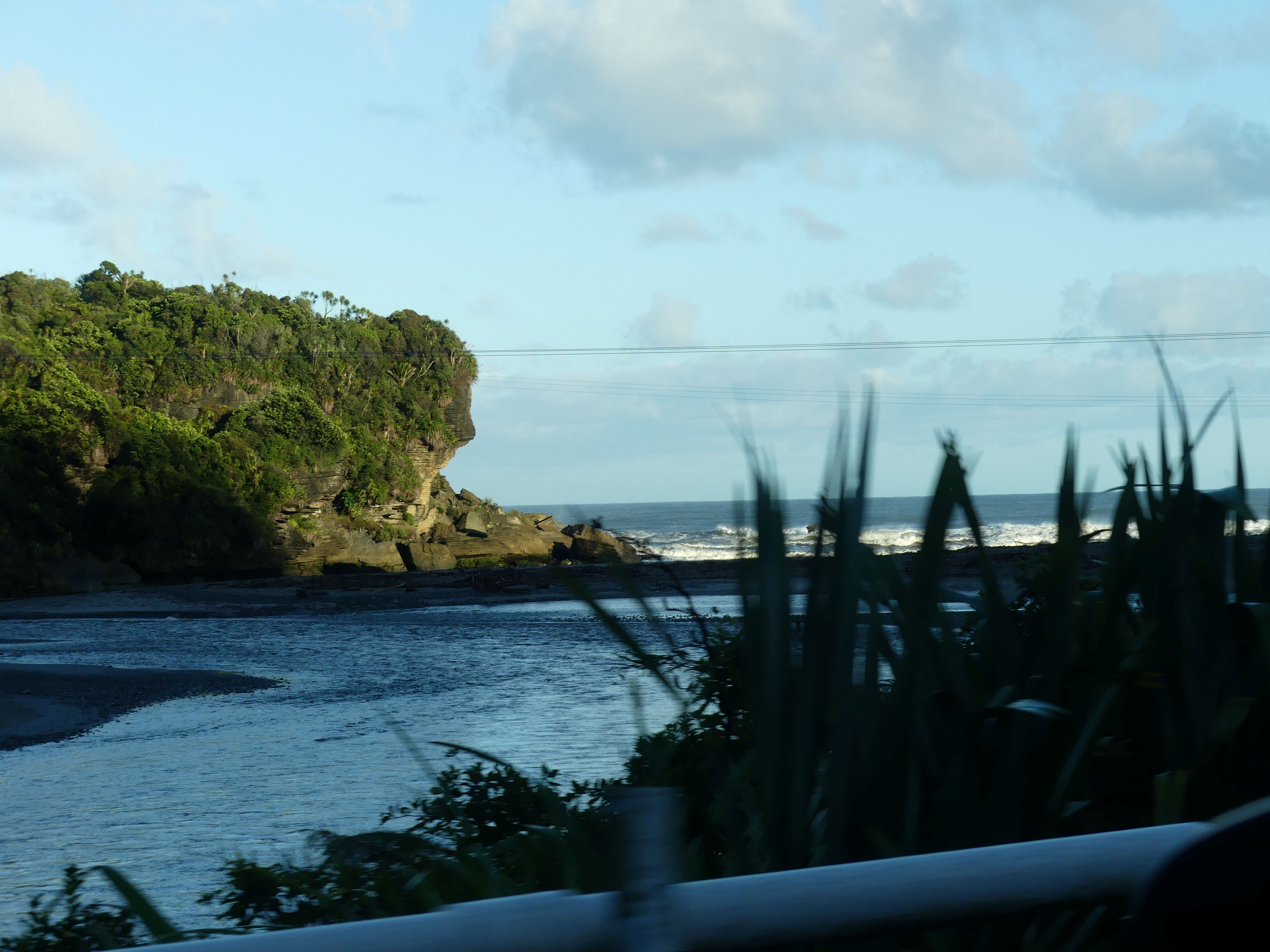
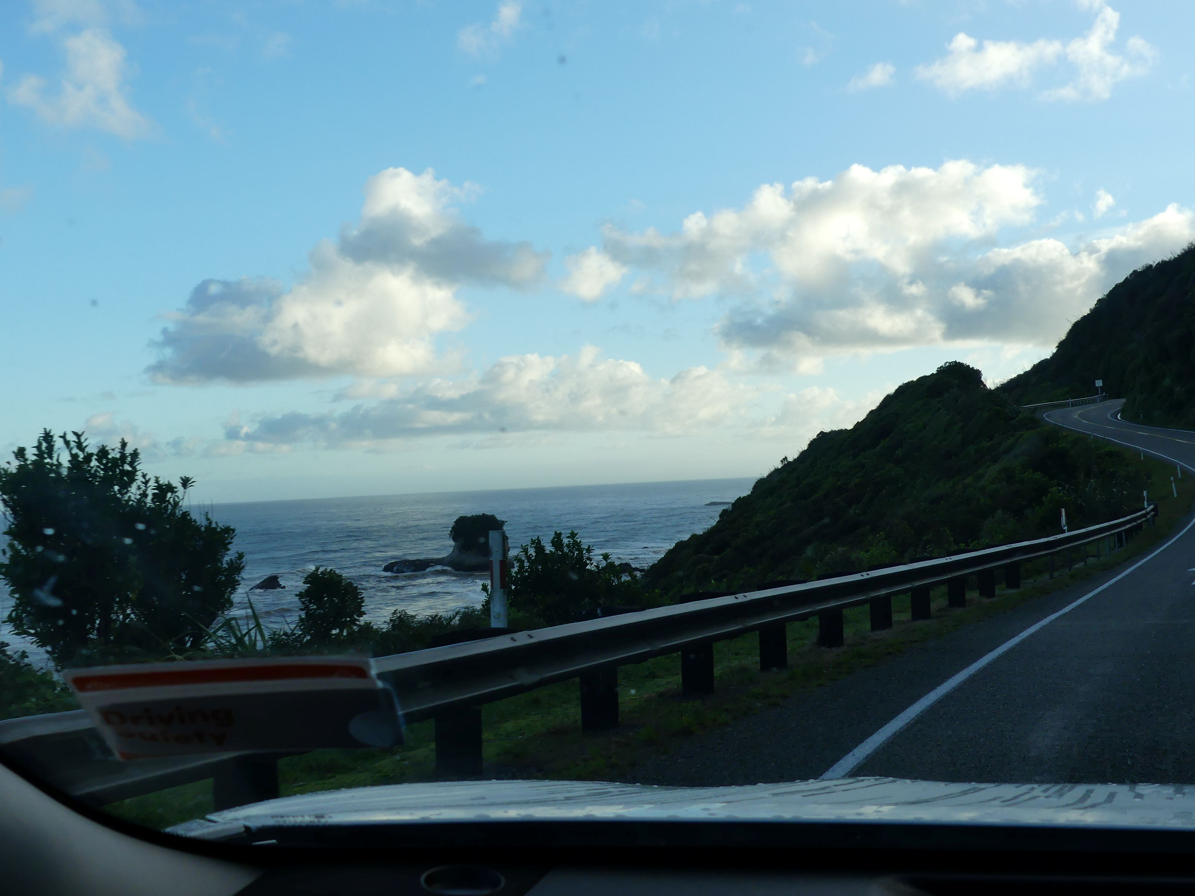
Rising early on day 16 we planned our trip to Nelson in the northern end of the Southern Island. It was a 4-hour drive to Nelson, and we decided to break the journey with visits to the Pancake Blowholes and the Buller Gorge swing bridge. We were about to drive what is said to be the most beautiful scenery of the West Coast of South Island. Ocean views beaches and towering mountains.

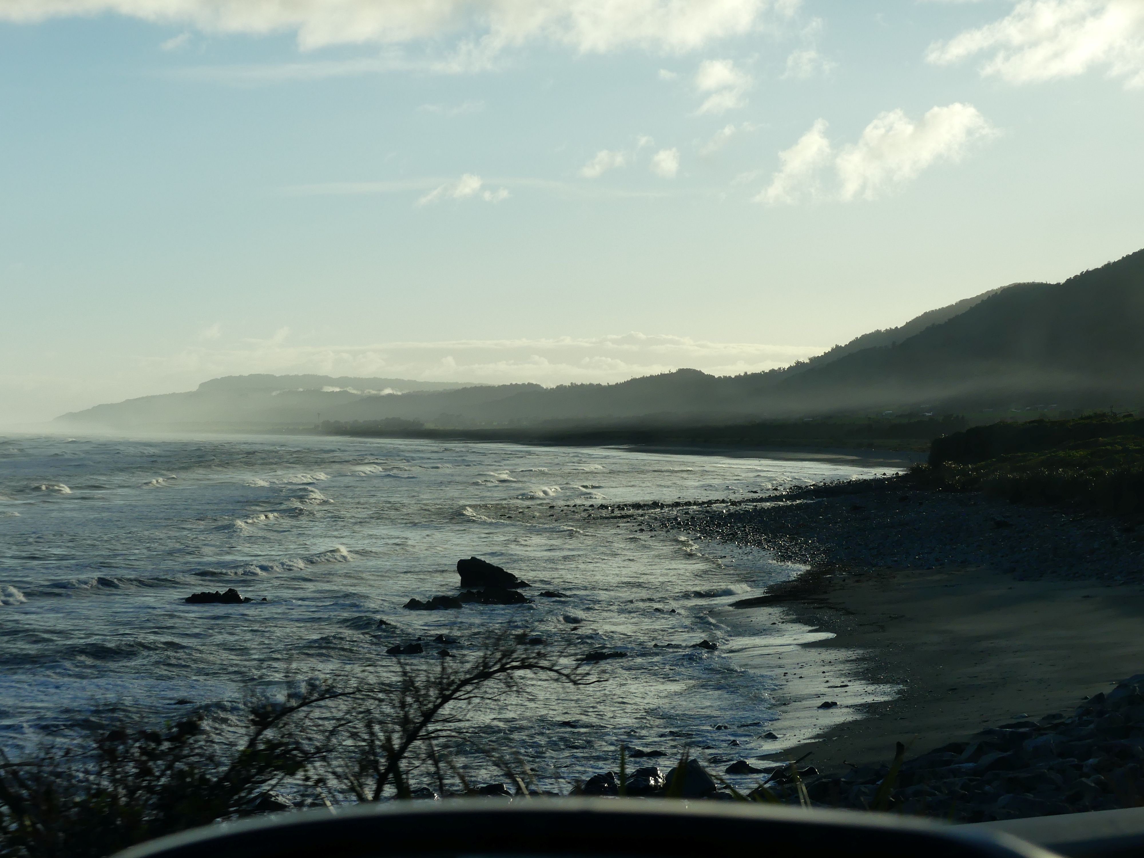
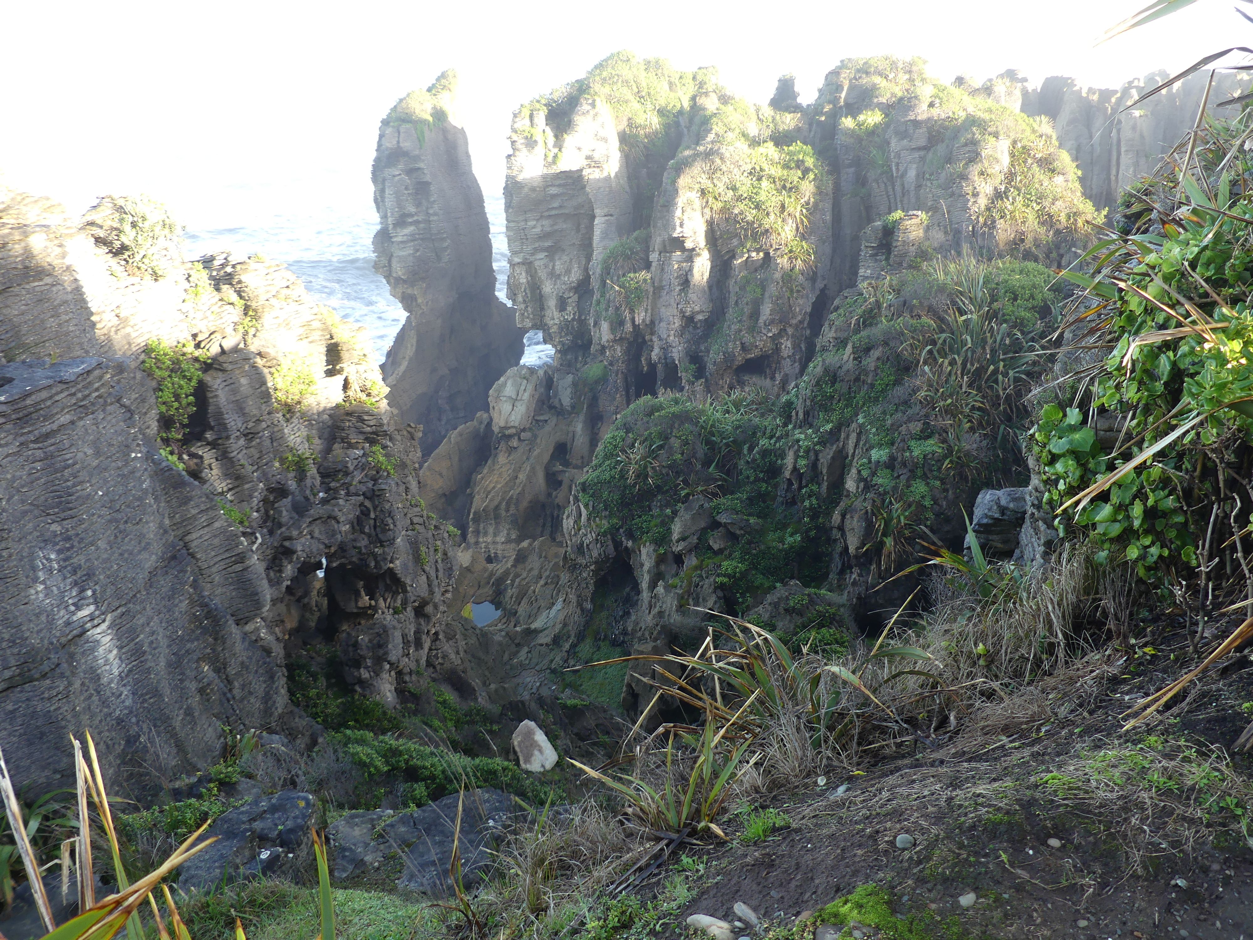
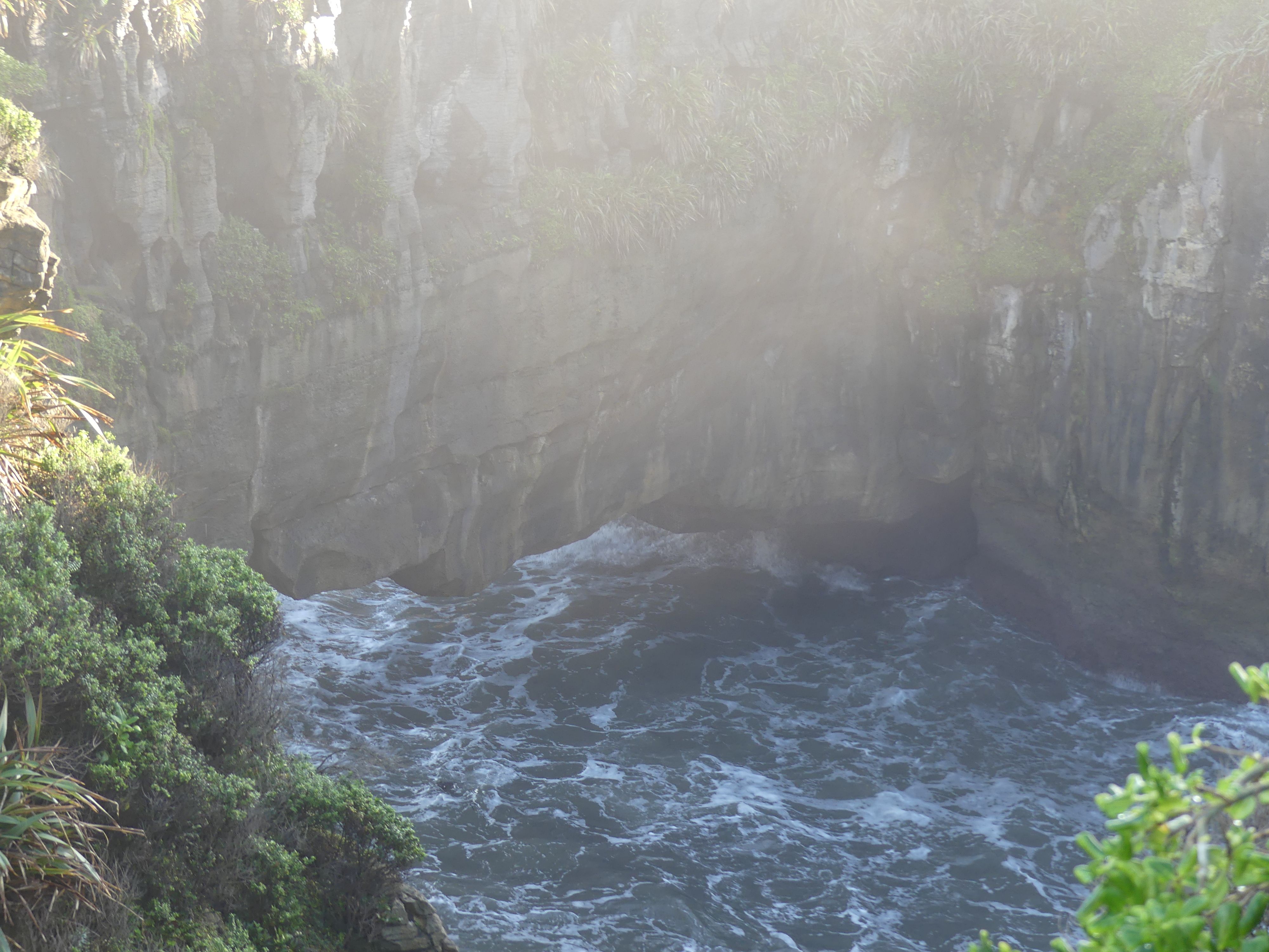
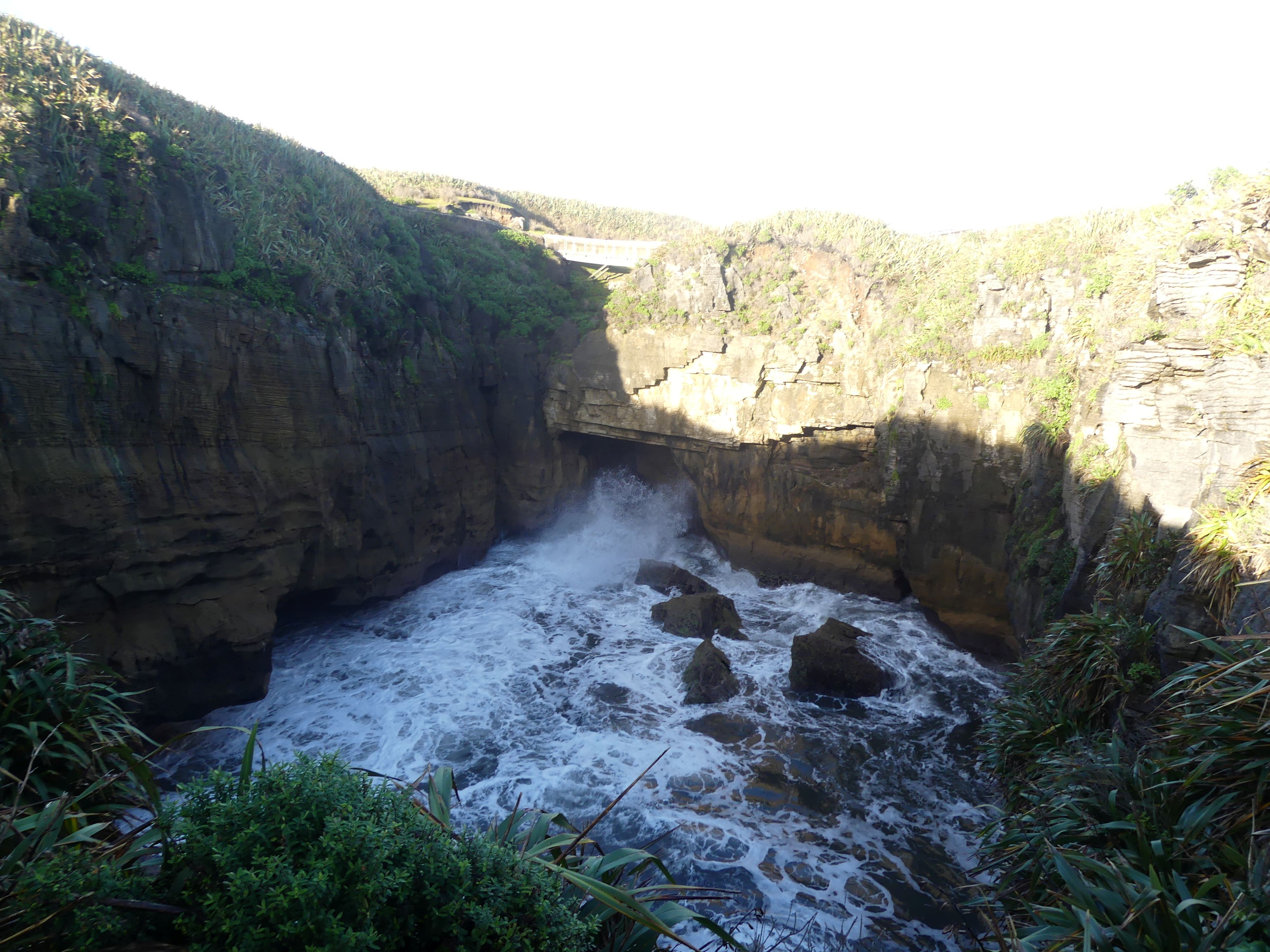
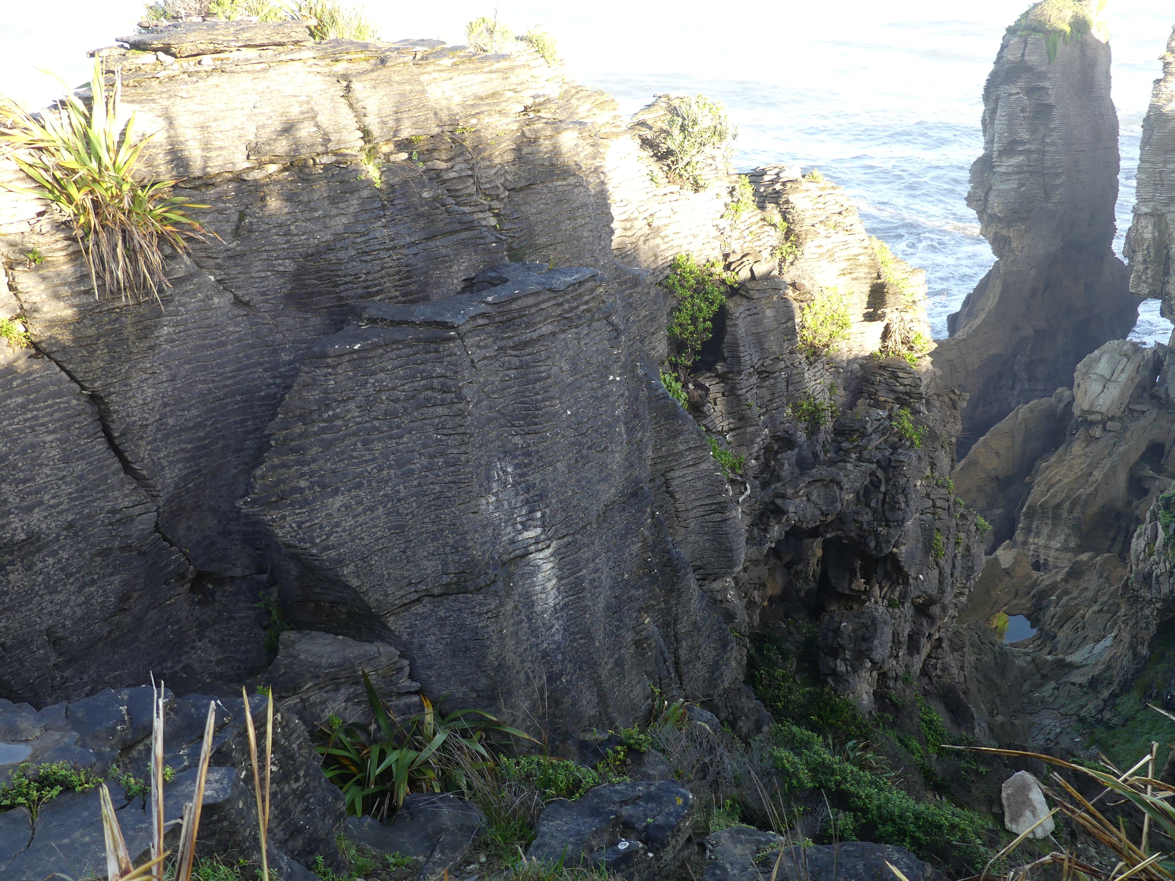
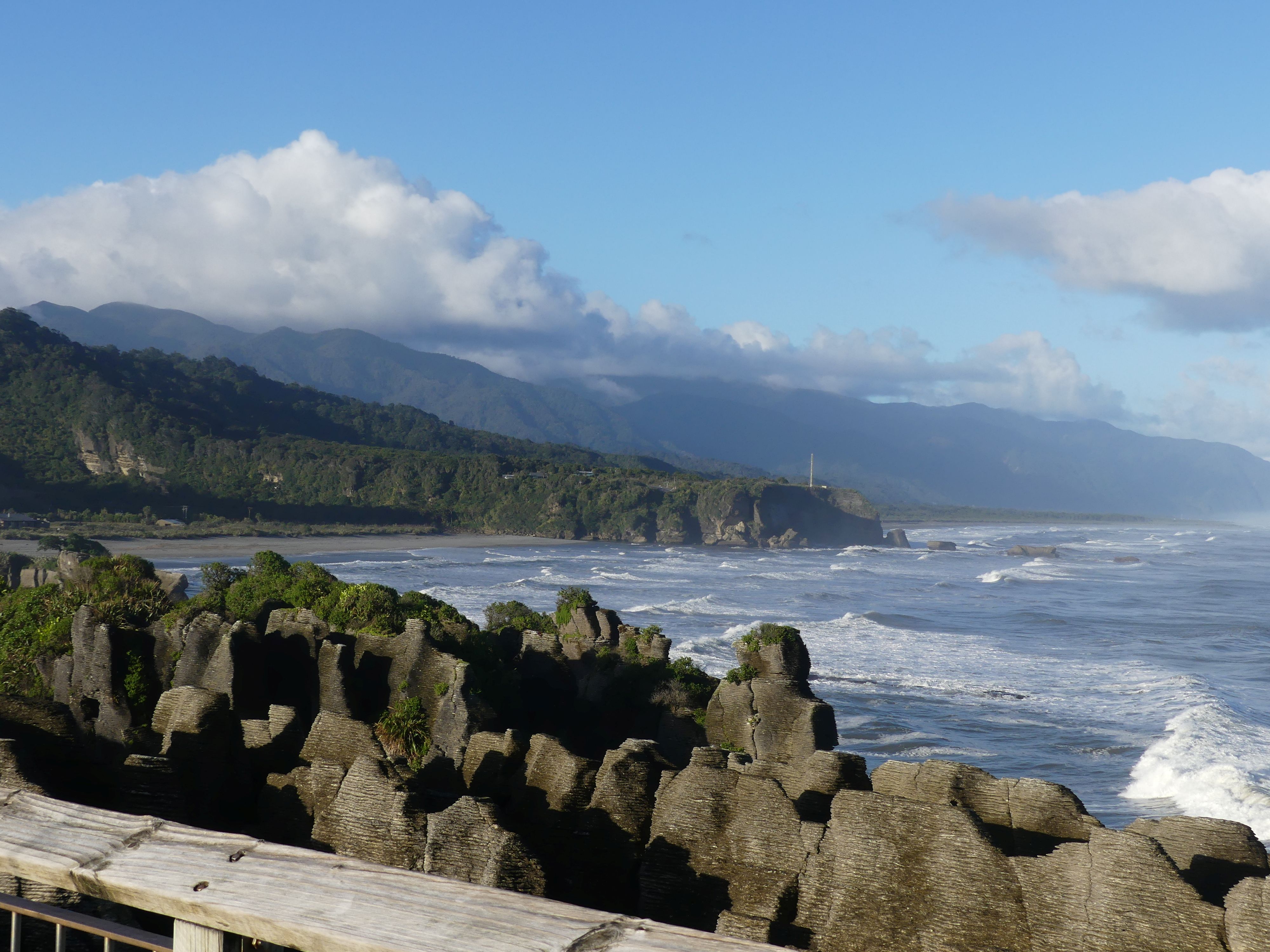
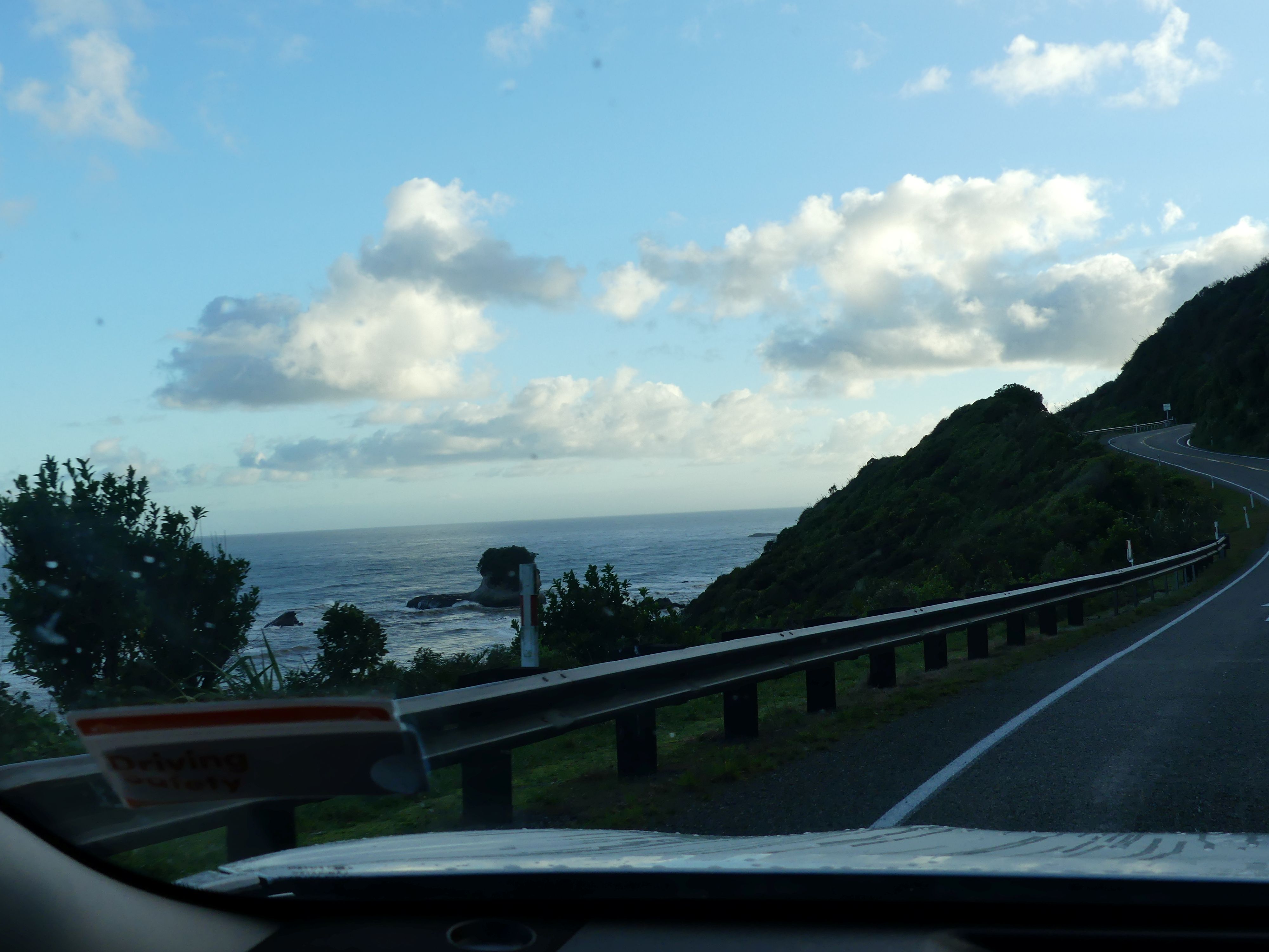
Scenery Greymouth to Pancake Blowholes
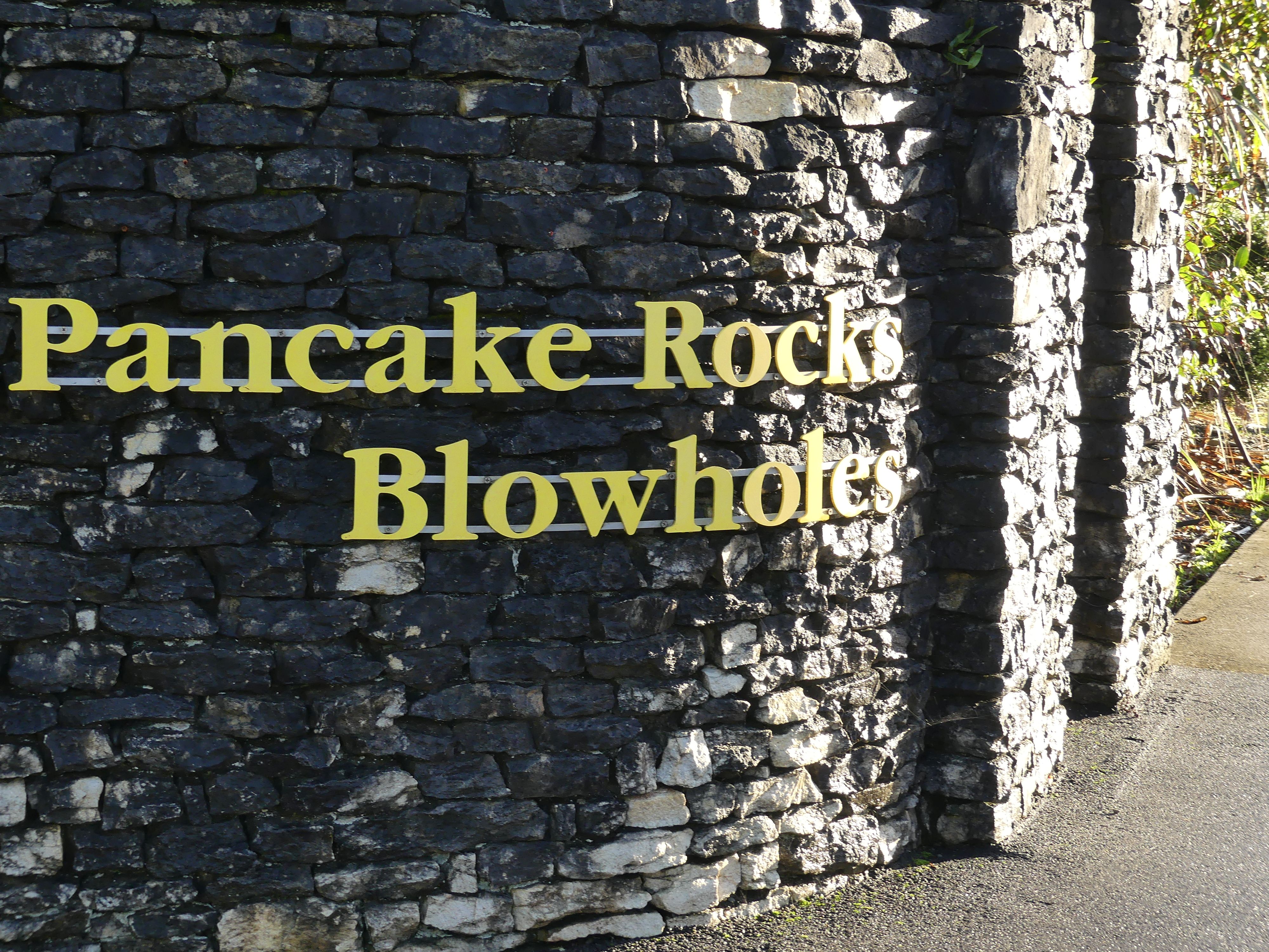
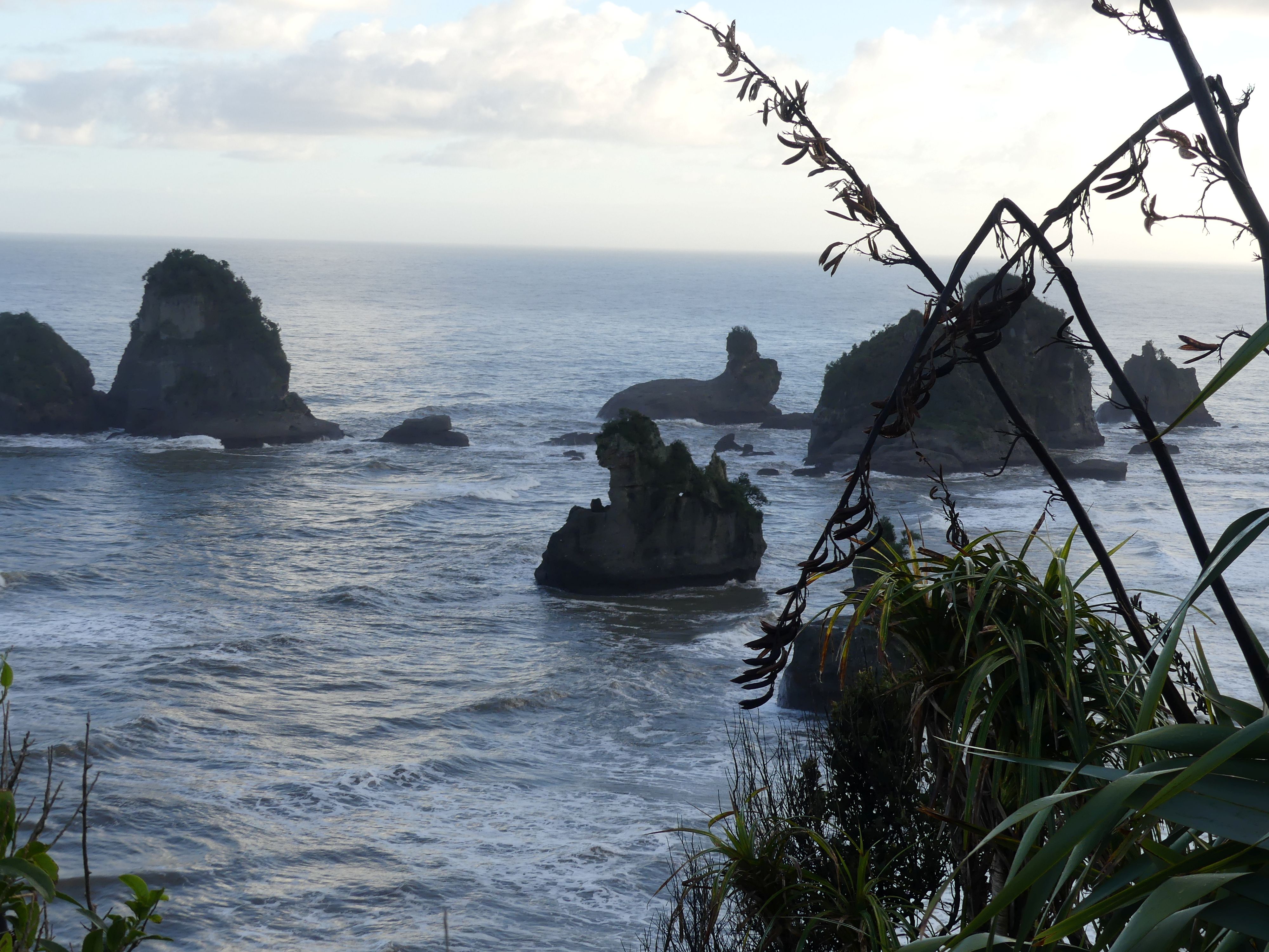
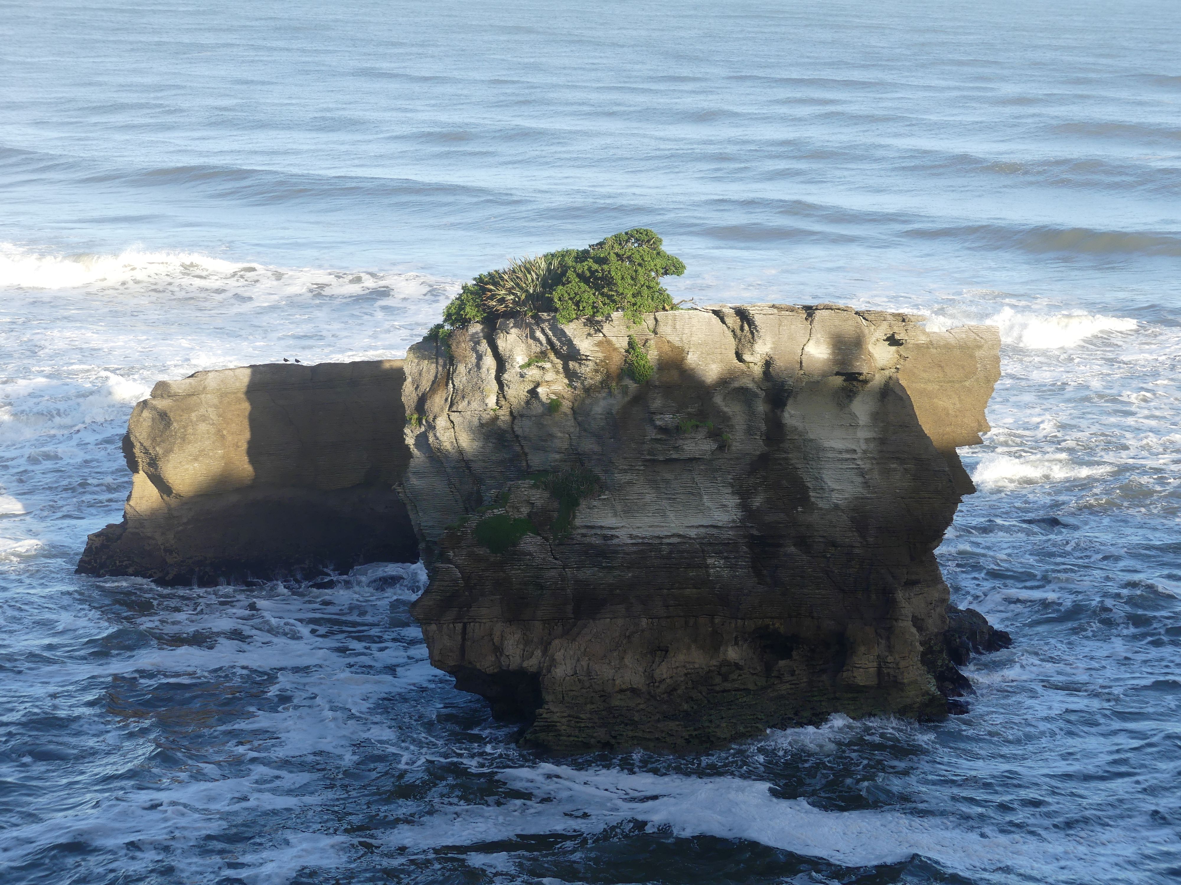
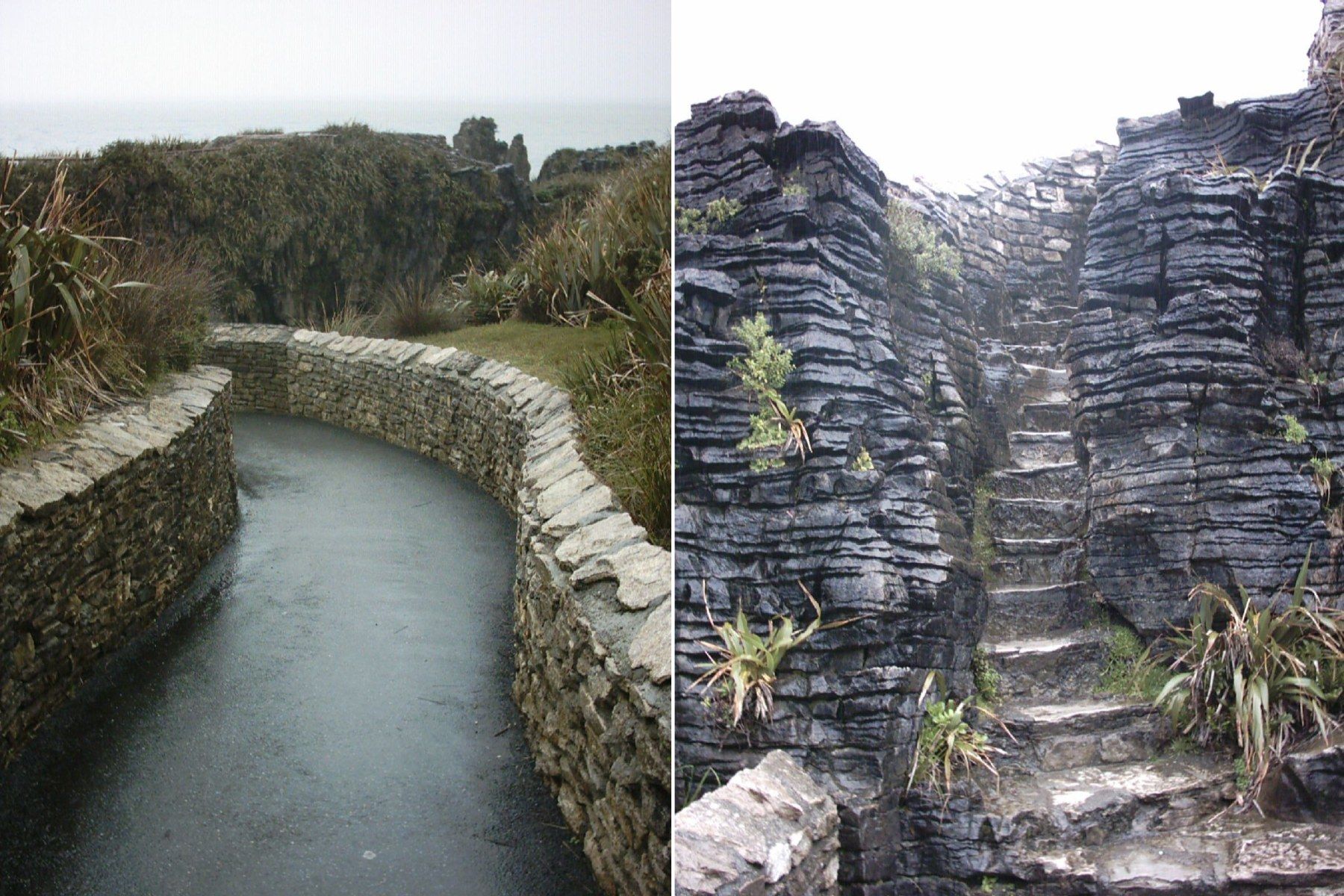
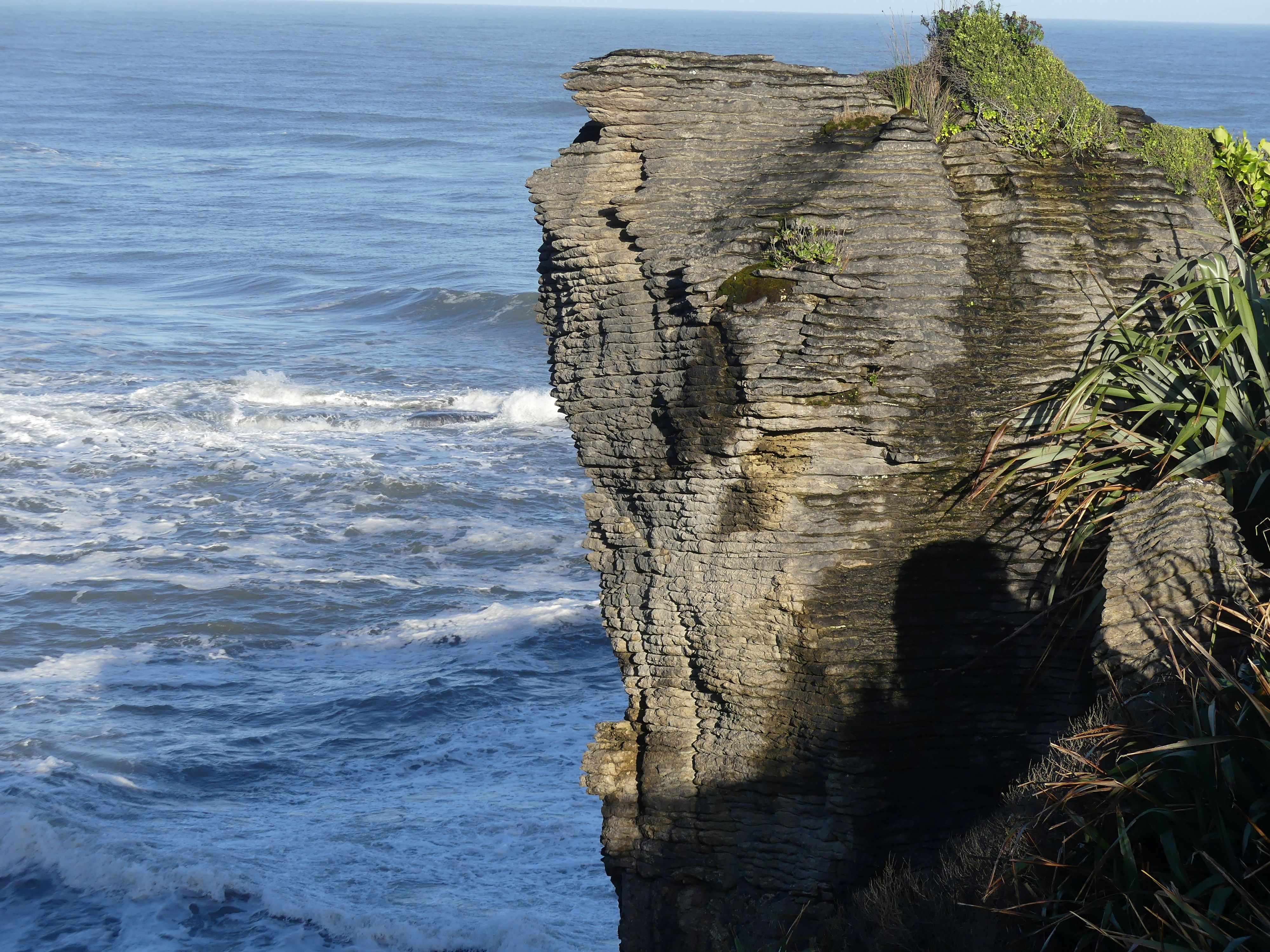
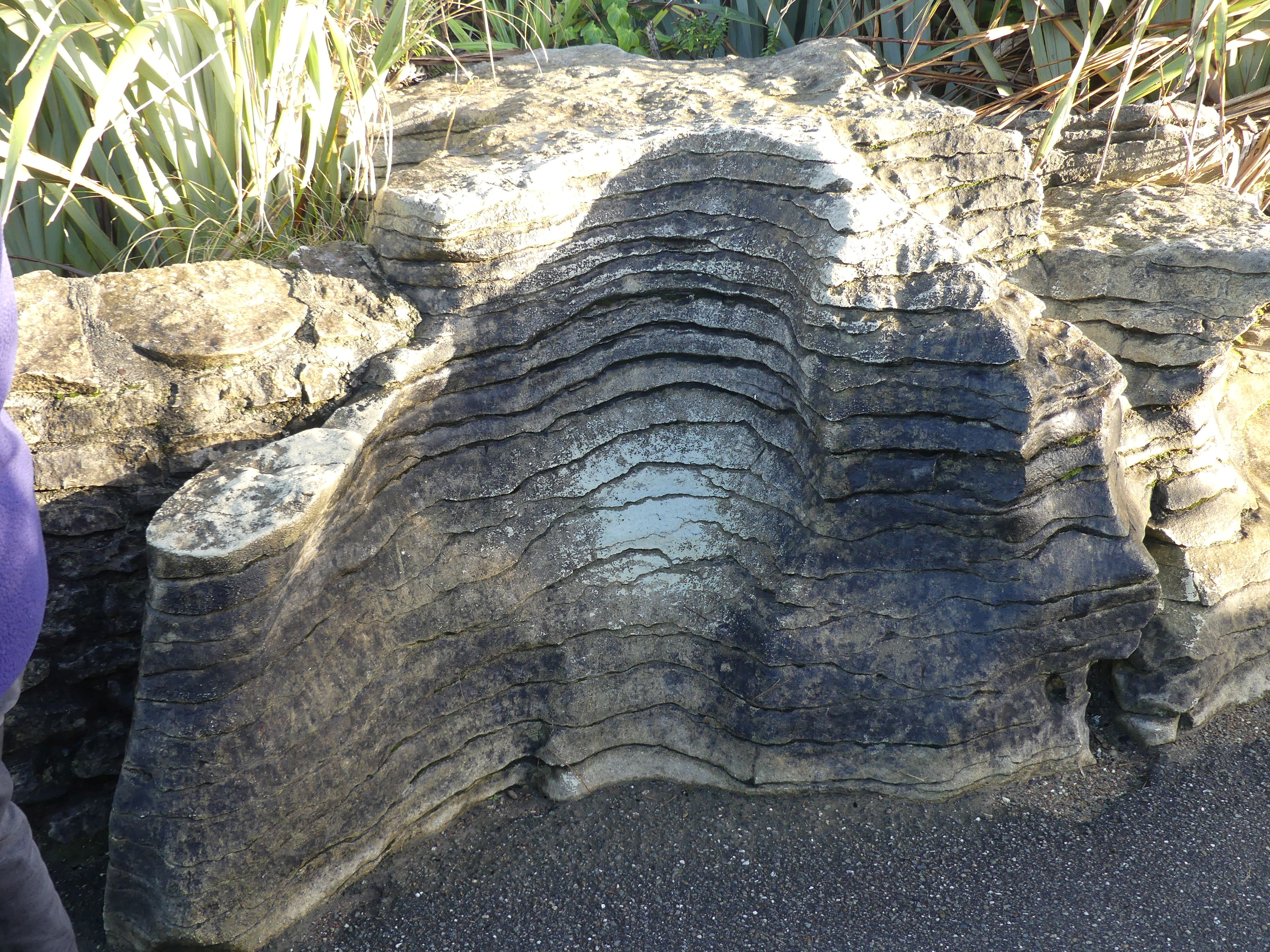
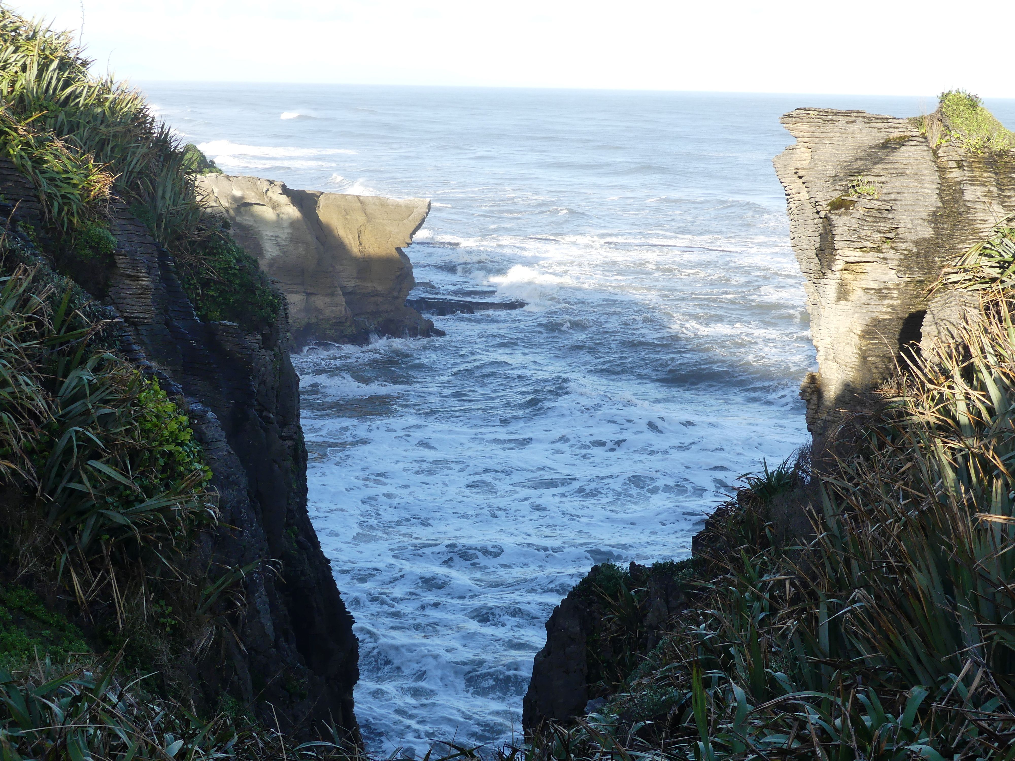
Rising from the sea at Dolomite Point, the Pancake Rocks are part of a heavily eroded limestone area where the sea bursts through underwater channels and escapes via vertical blowholes. The easy Pancake Rocks Track is a 20-minute loop but double (or triple) that to leave enough time to view the blowhole action. It’s most impressive at high tide. You can check the tide times at the Department of Conservation visitor centre opposite the entrance. Well worth a visit for coffee and cake. The Pancake Rocks and Blowholes are immediately adjacent to the village of Punakaiki, in an area that is protected and forms part of the Paparoa National Park. The limestone of the Pancake Rocks has been uplifted by geologic forces and then eroded into the current landforms by a combination of two processes – karst erosion (a slow process where chemical erosion of the limestone occurs through the action of water flowing in joints and caverns), and coastal erosion (including the collapse of caverns).

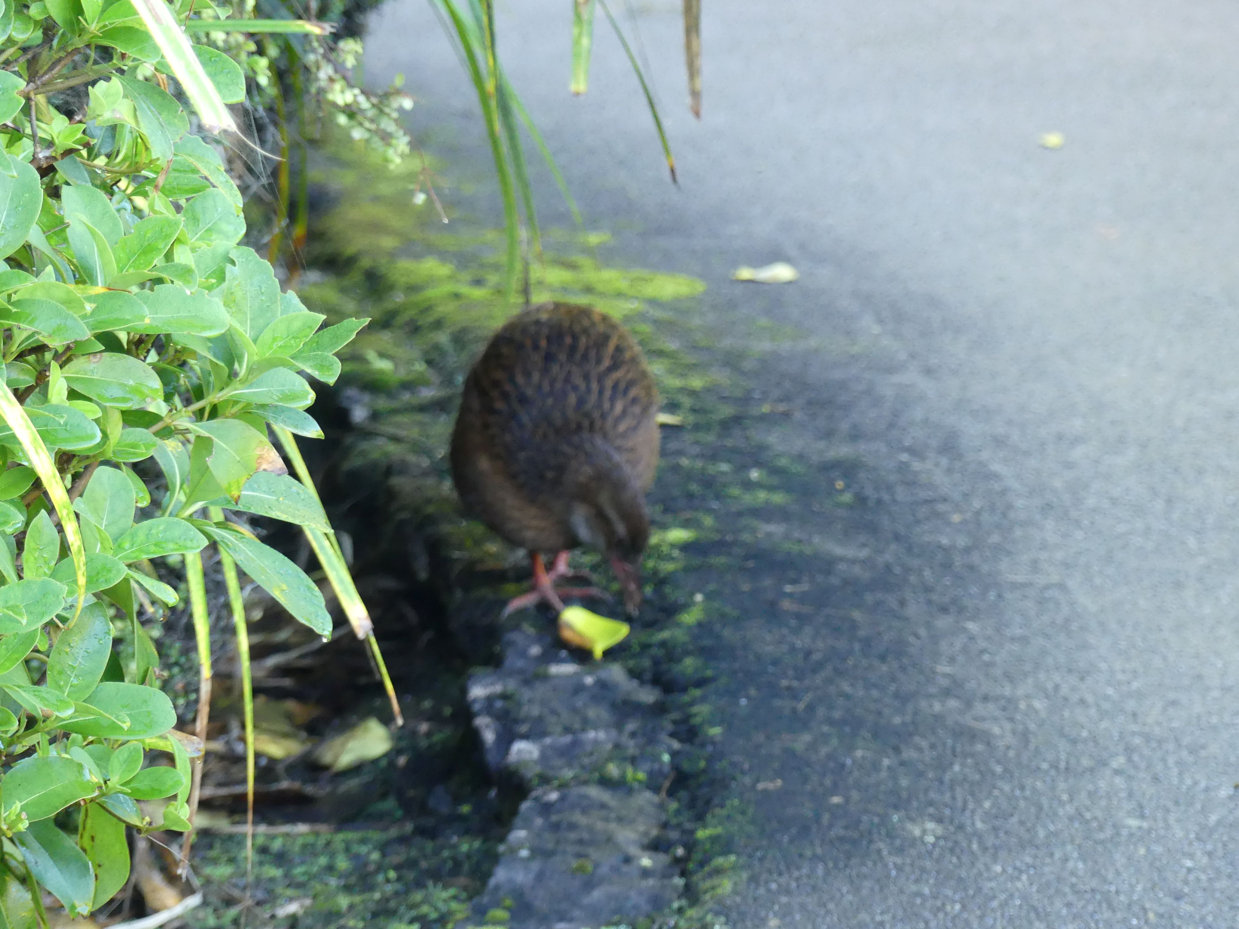
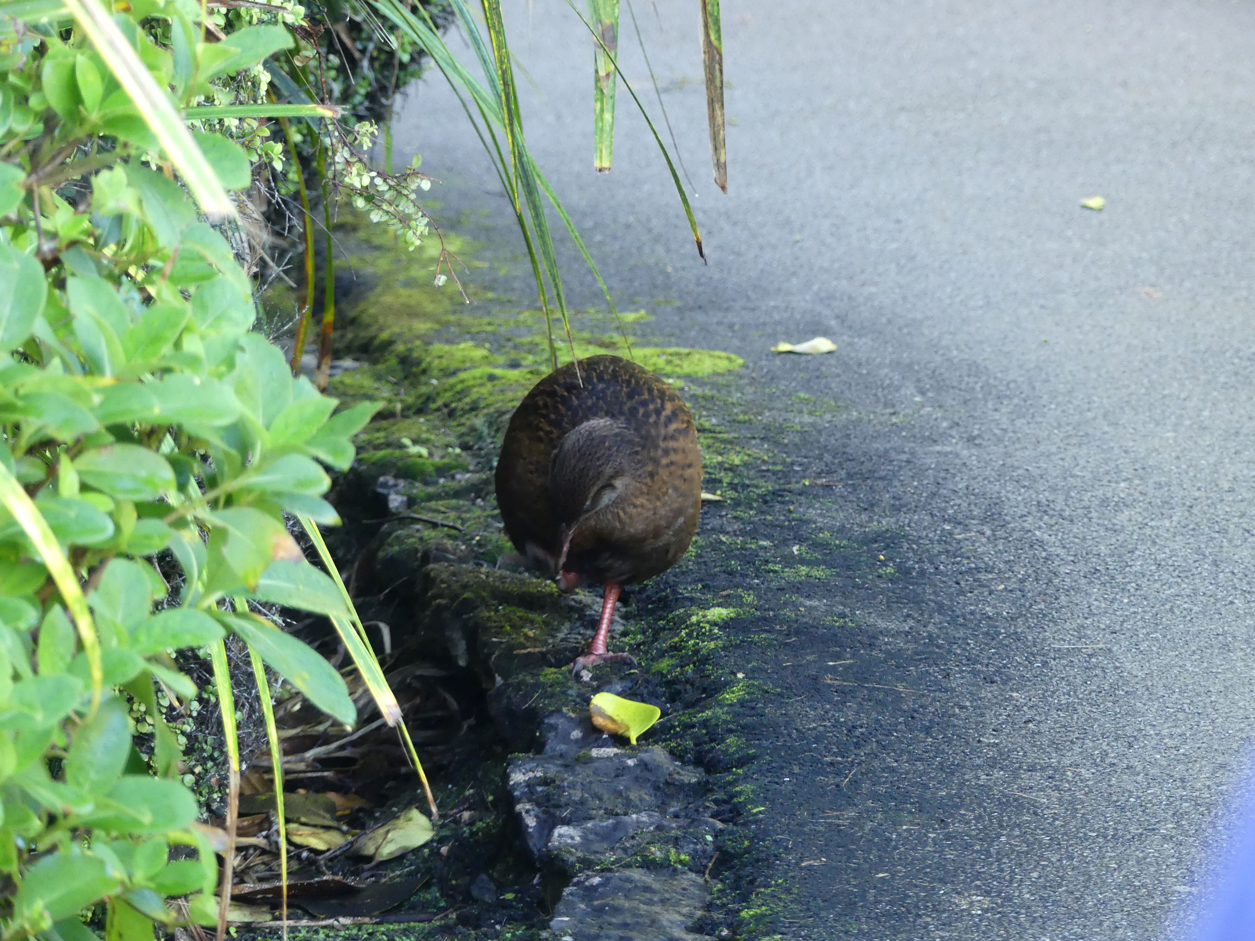
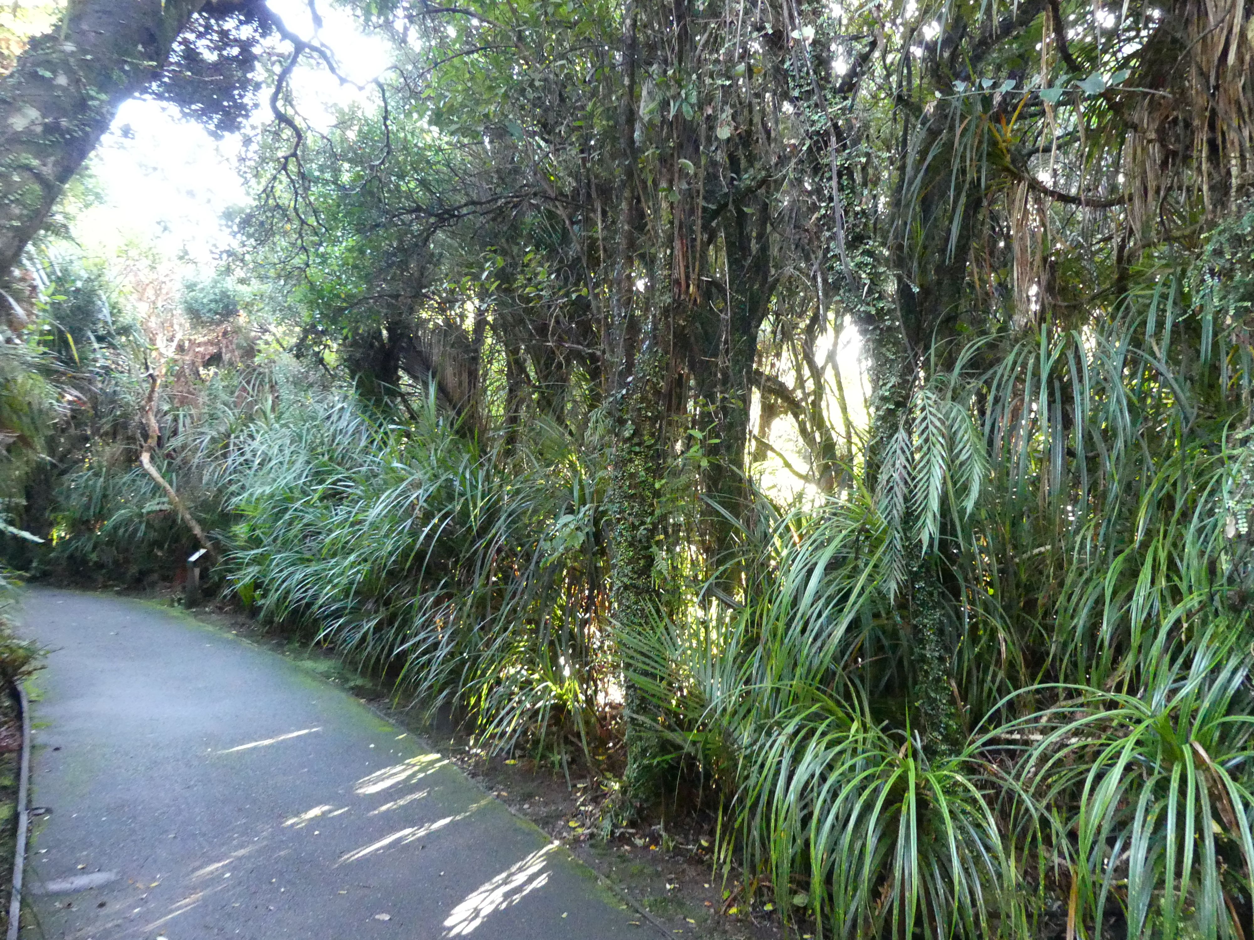
The scenery, the walk, the tracks and feathered friends
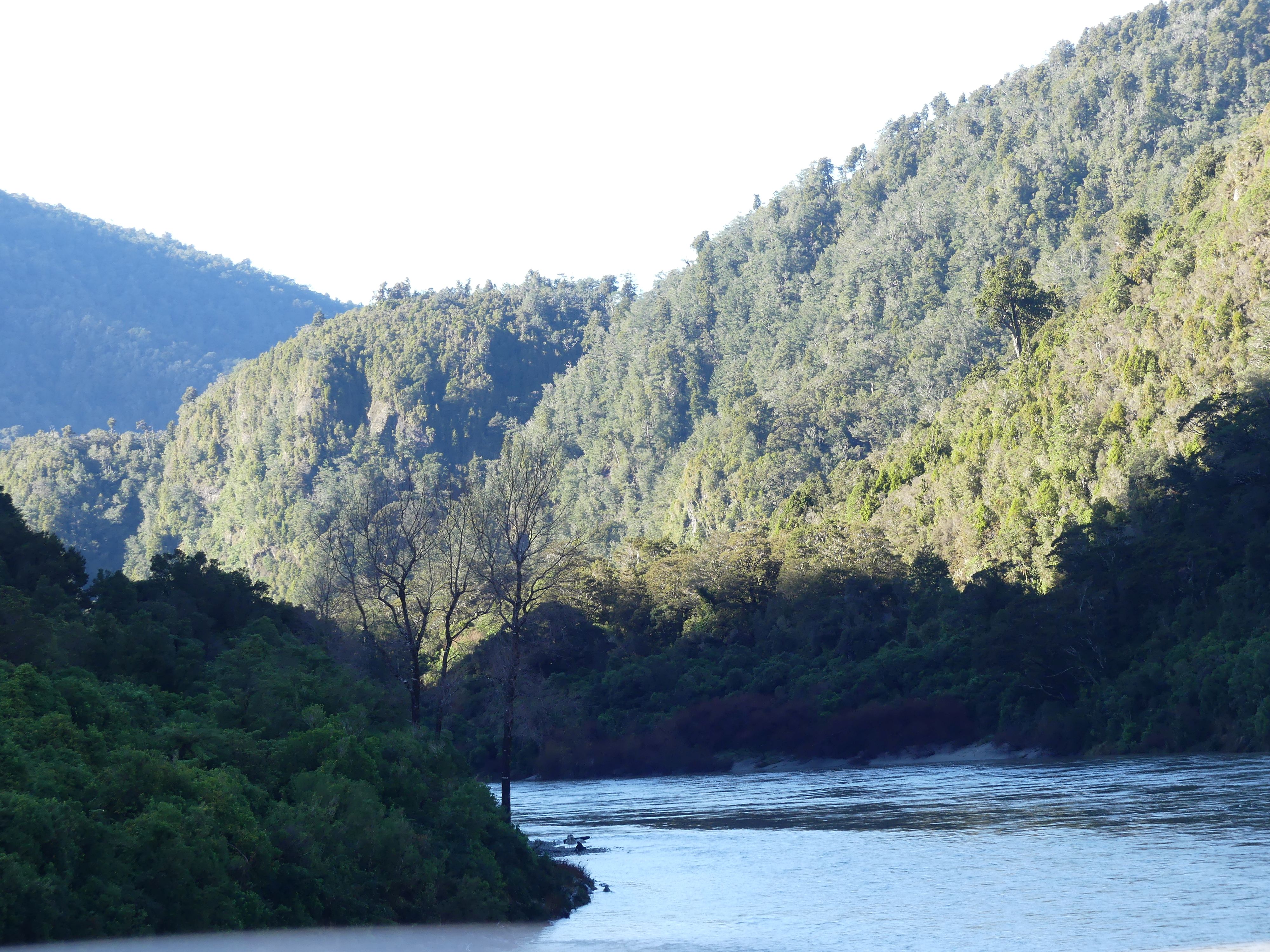
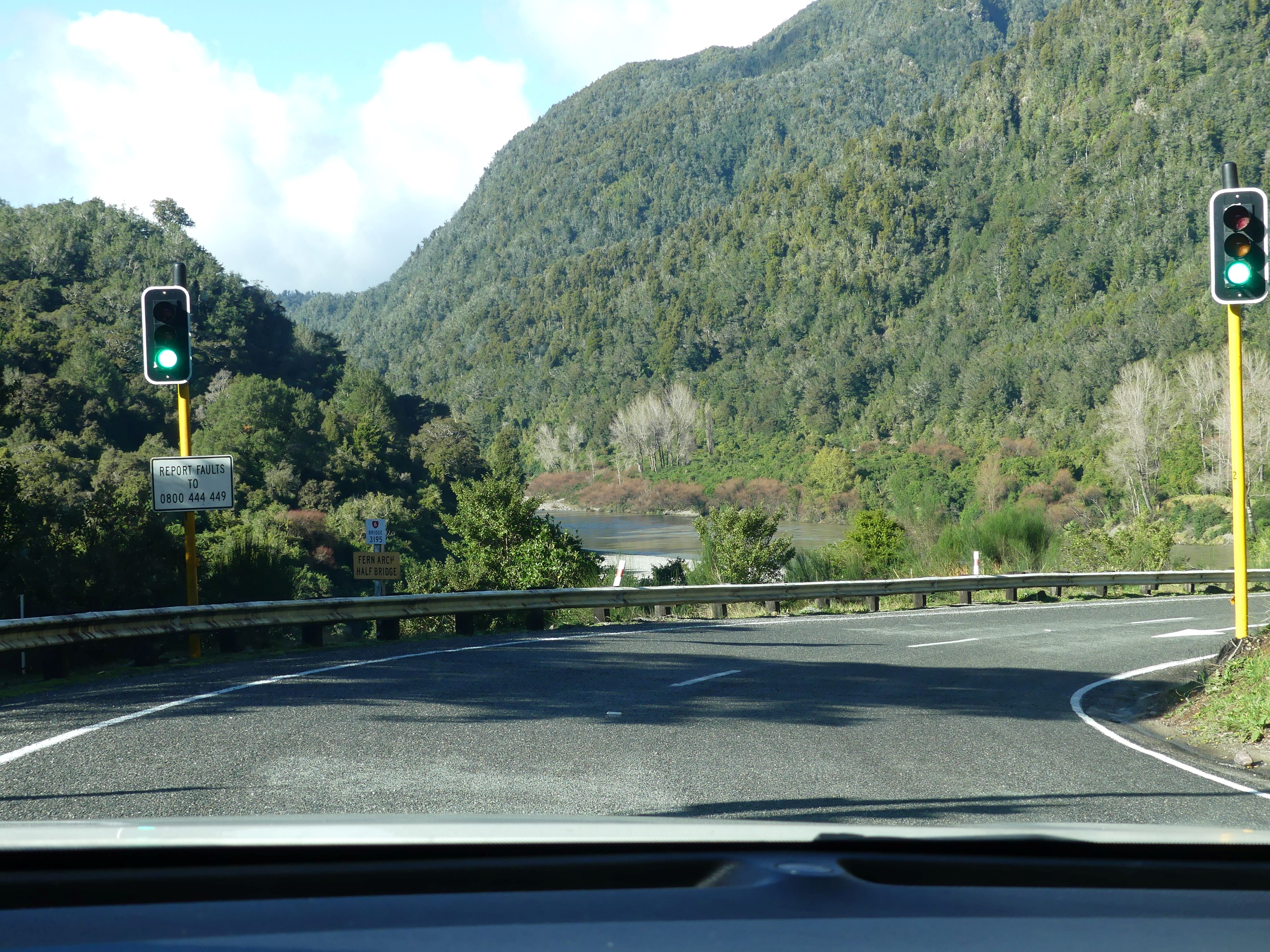
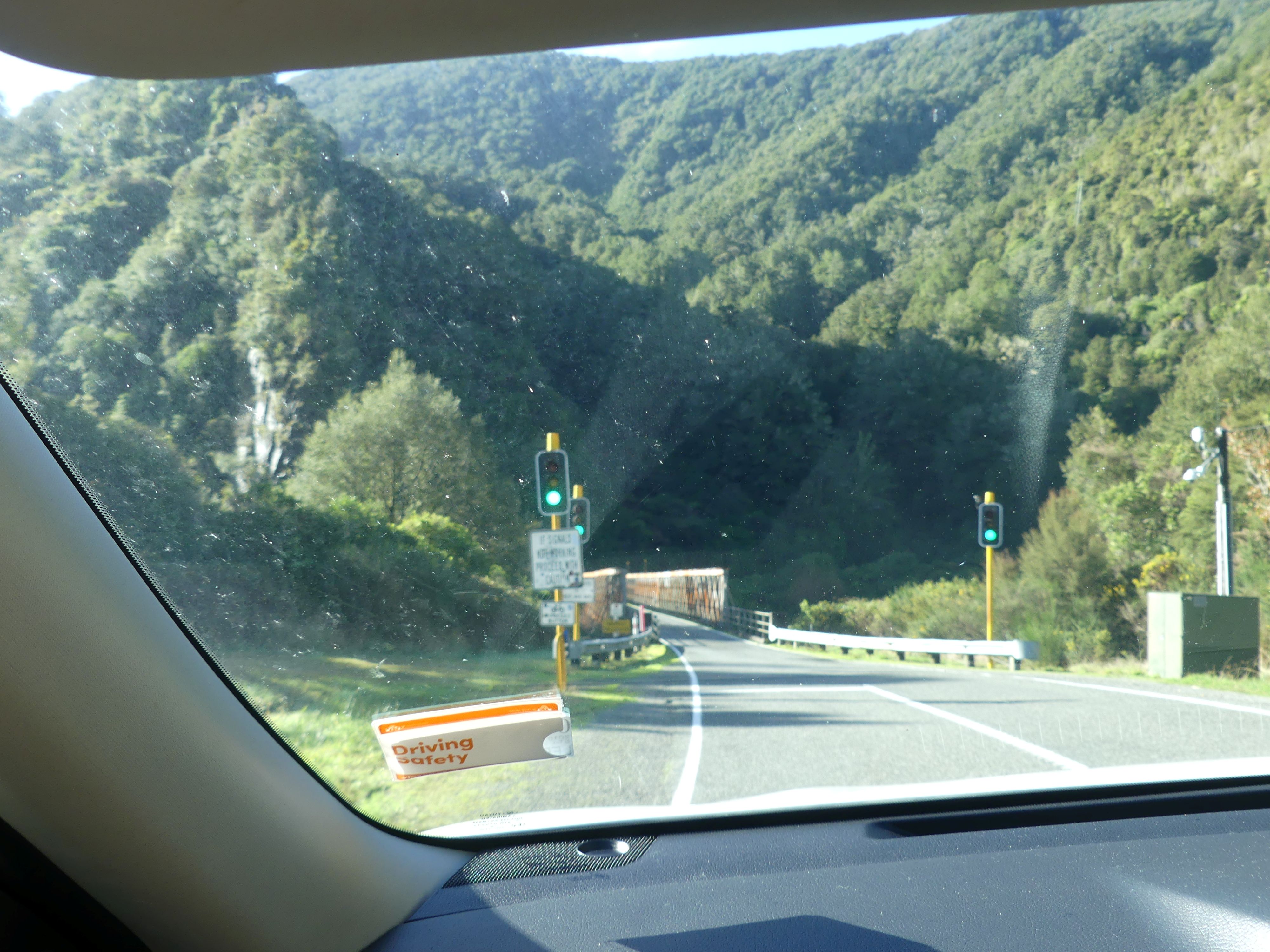
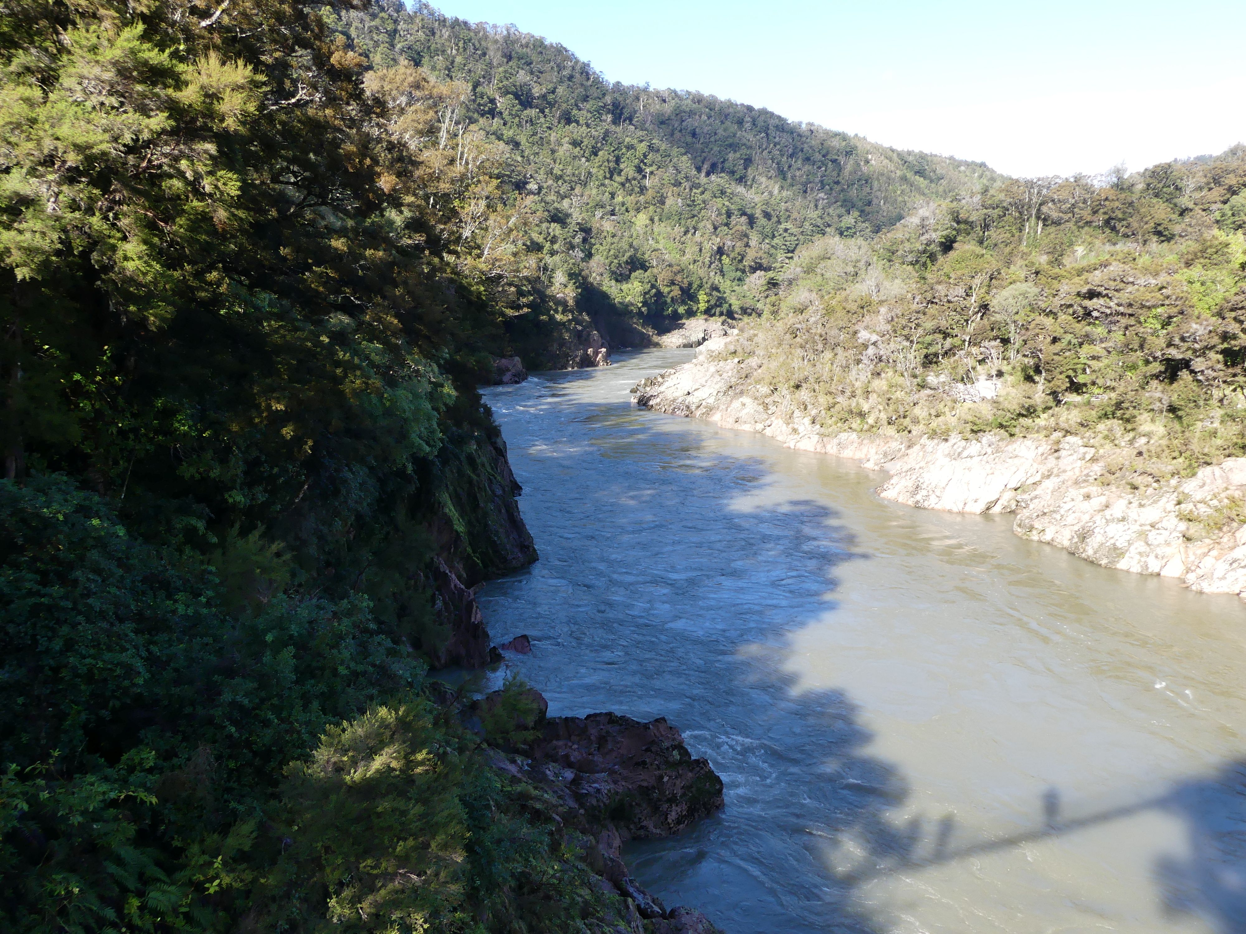
Yes, we did stop for coffee and enjoyable it was. Moving on from the Pancakes we headed inland to Buller Gorge. It is located in the northwest of the South Island. The Buller River flows through the deep canyon between Murchison and Westport. Land Information New Zealand lists two sections for the gorge, Upper Buller Gorge and Lower Buller Gorge. State Highway 6 runs alongside, but considerably above, the river through the gorge. The Stillwater – Westport Line railway also runs through the gorge. On many occassions we encountered single lane birdges and mountain roads – on a few occassions they came with traffic lights.

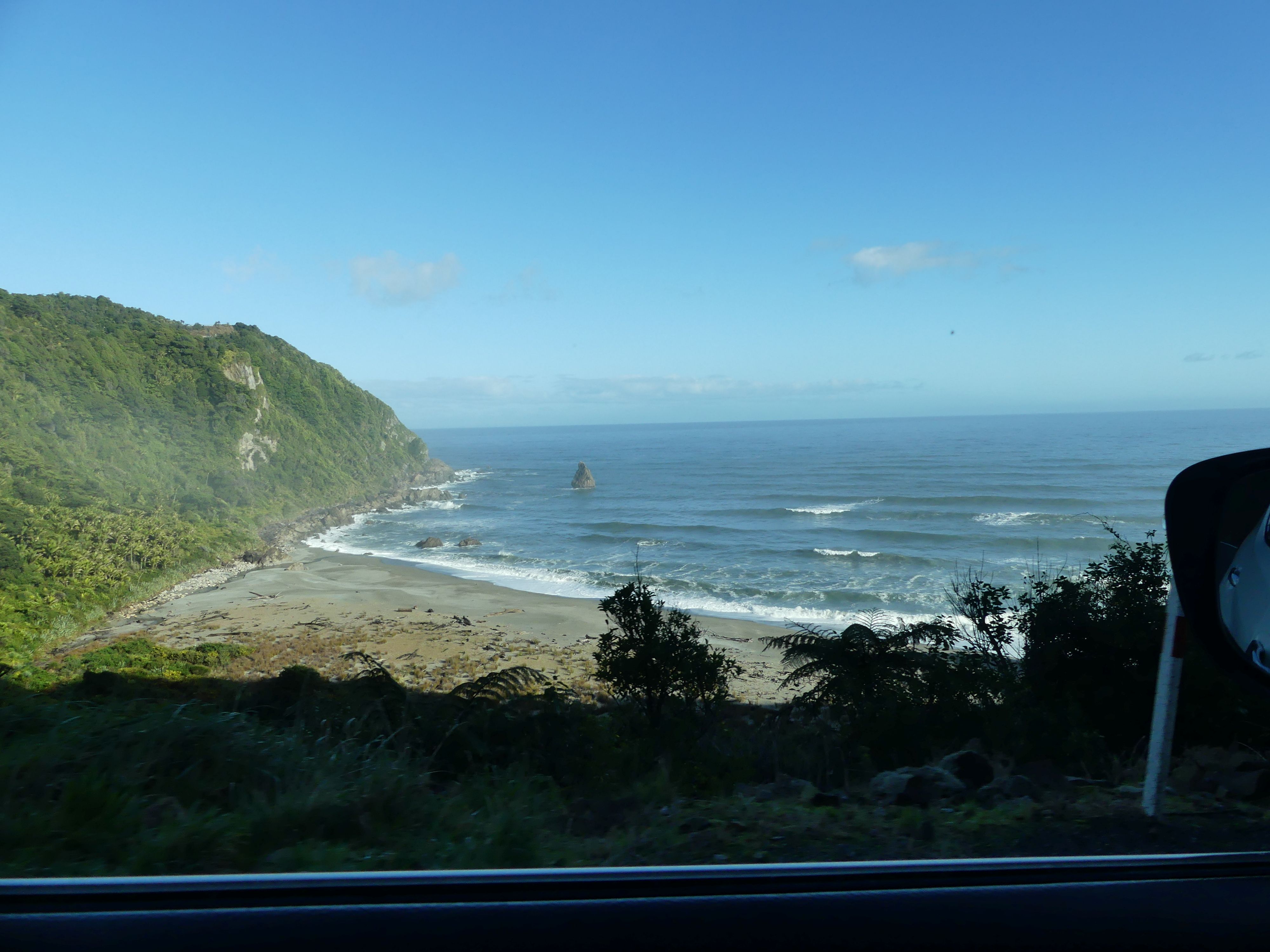
The road trip – turning off the coast and along the river and gorge
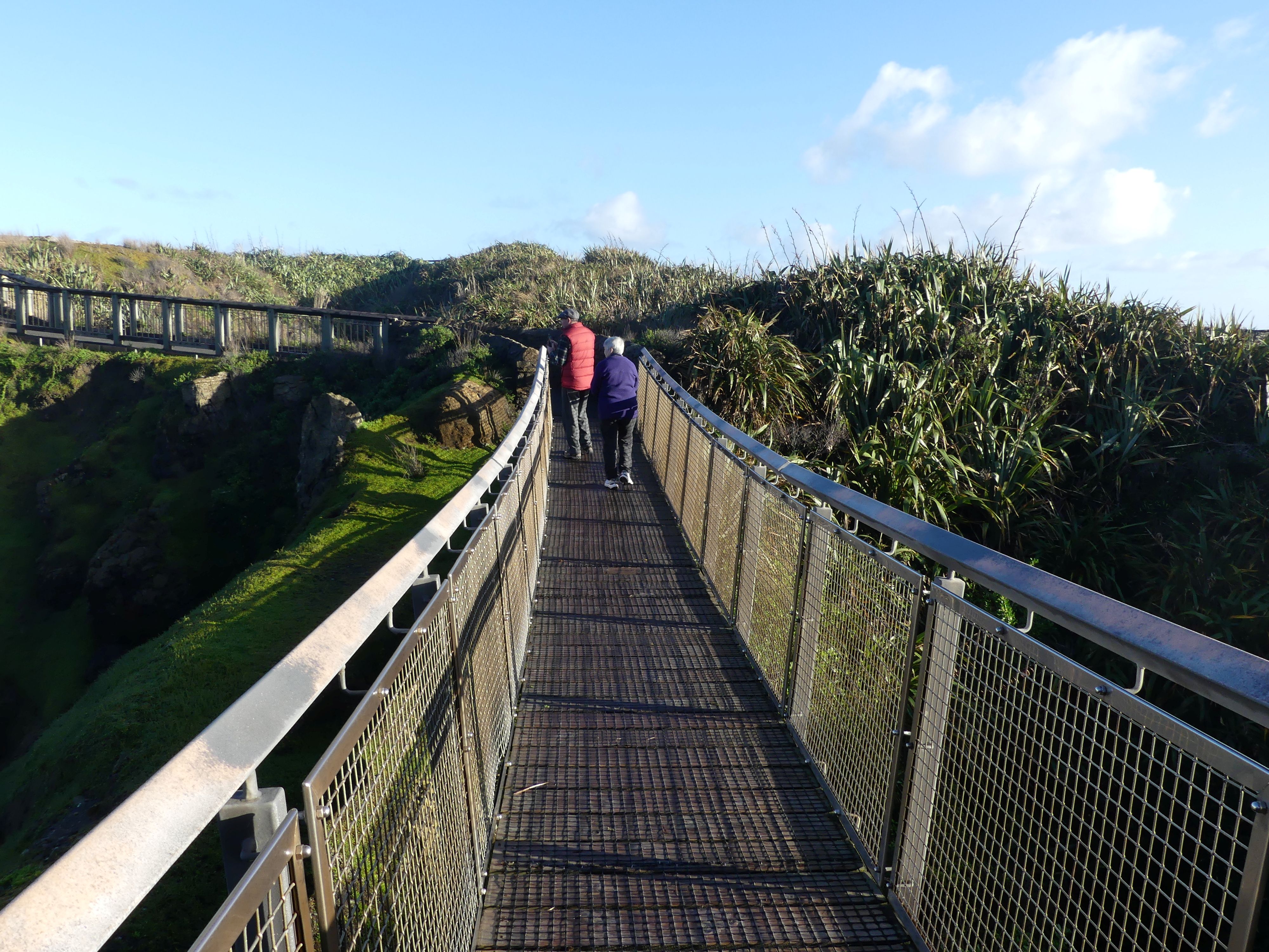
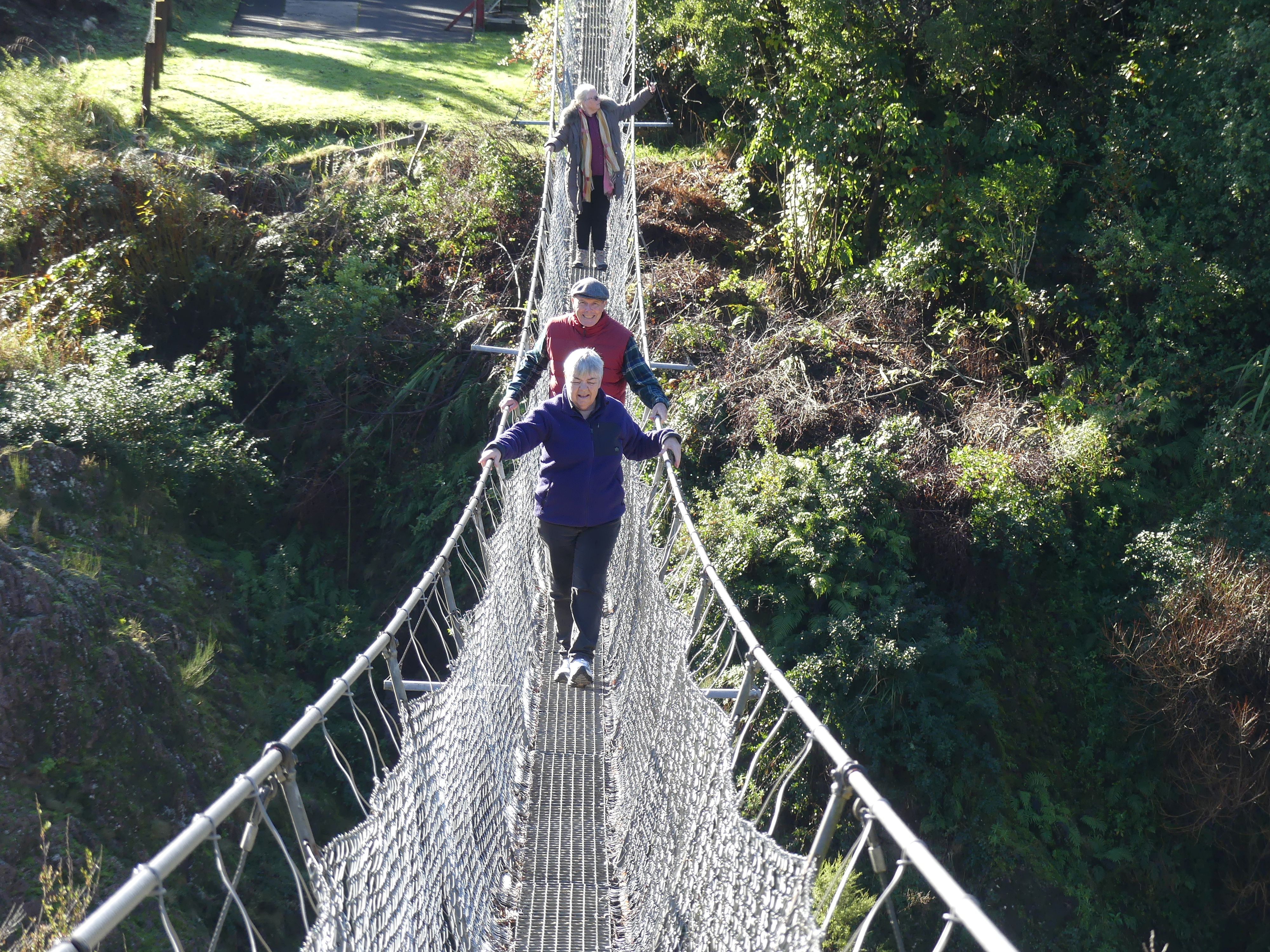
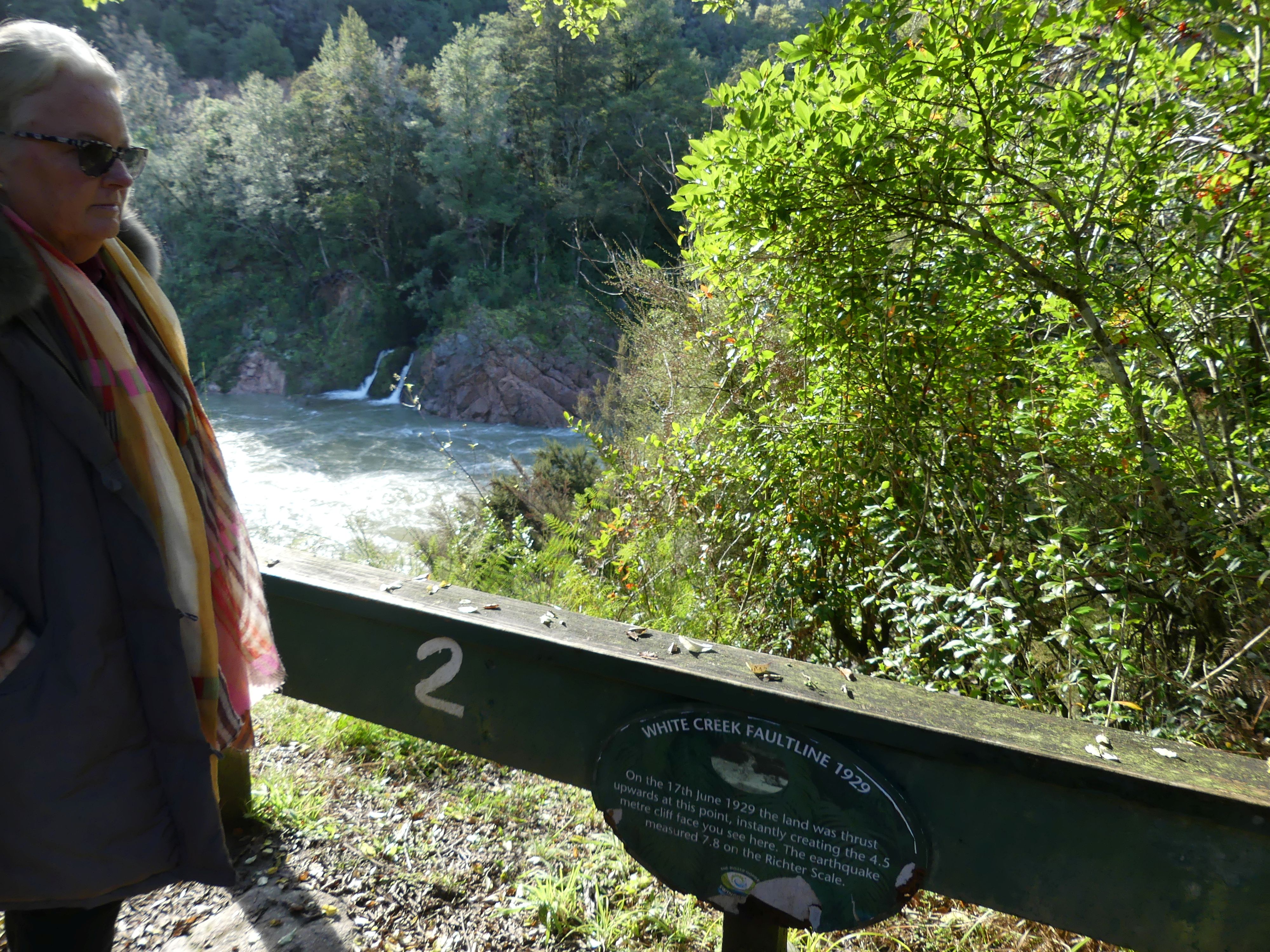
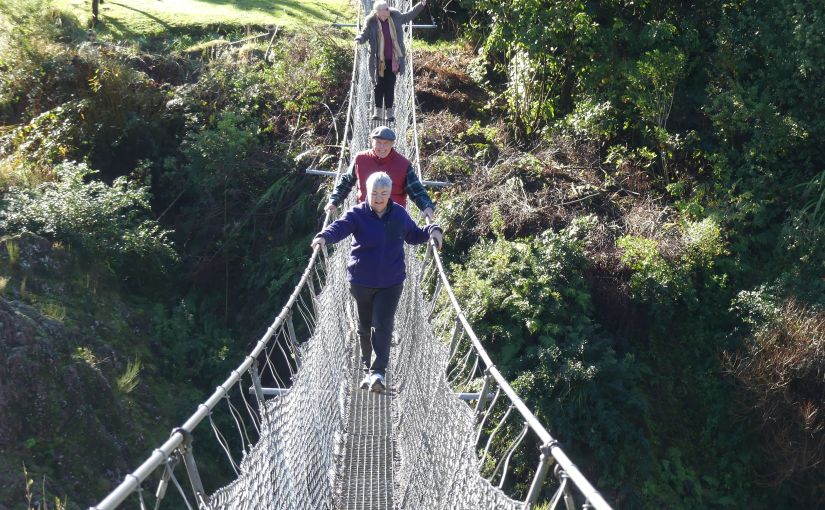
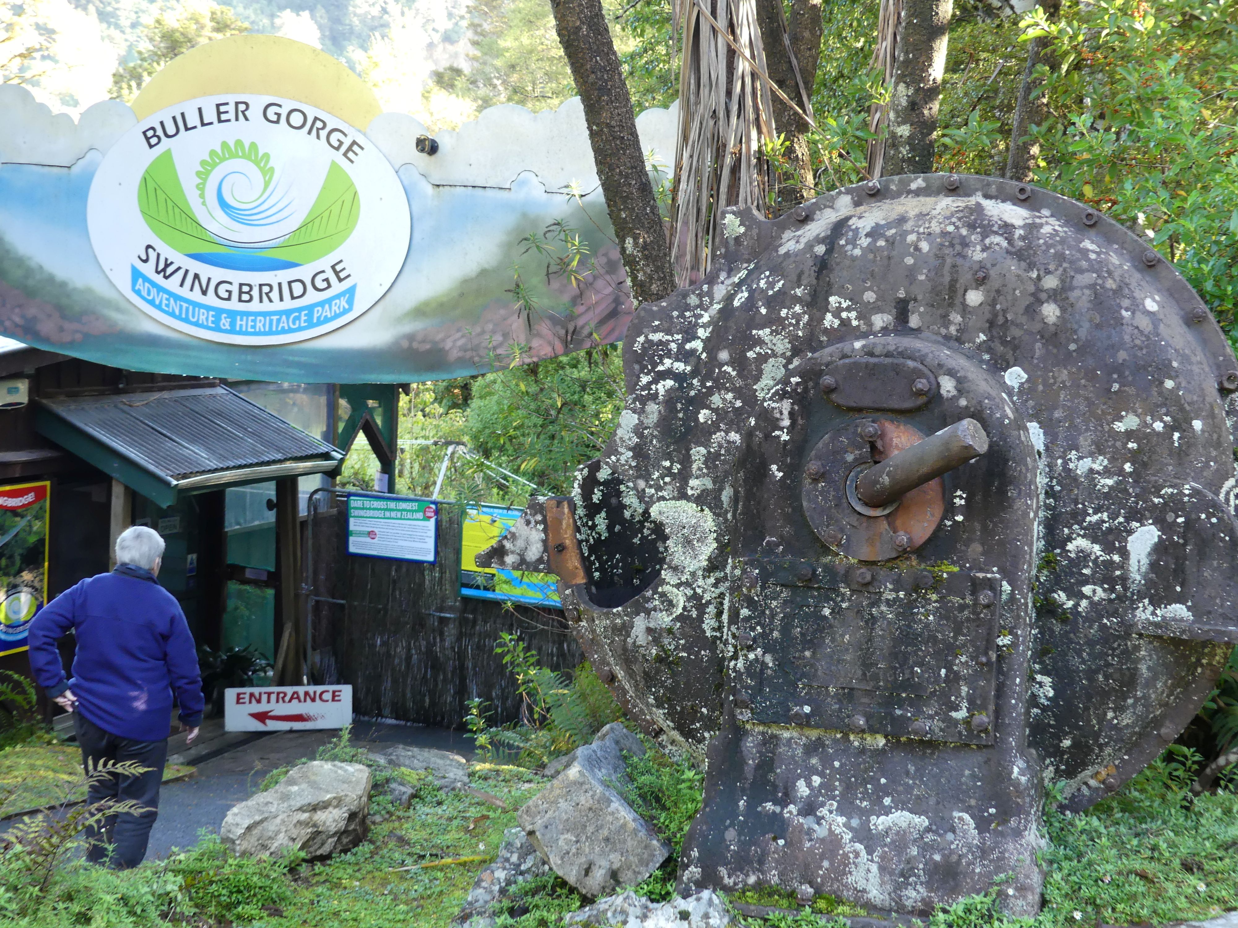
 We were headed for Buller Gorge Swingbridge Adventure and Heritage Park – the Swingbridge is New Zealand’s longest Swingbridge at 110 metres (360 ft) in length spanning the Buller River 14 kilometres west of Murchison. The park also offers rides on a zip-line across the gorge as well as several short bush walks. We turned into the carpark finding it empty bar 1 car. The entrance displayed a water pump of a past era. The sole person in the reception took our money and reminded us that it is the beginning of winter hence not a soul in sight. The reception and in fact the whole park was damp and it wasn’t until we were crossing the bridge that we saw the sun. Crossing the swingbridge was a little hair raising but having got to the other side the ground was very damp and slippery. We decided to take the loop walk (see map below) turning right at the bottom of the foot of the bridge (no we were not going zip lining today) and making our way to the stone stacks where we found the “White Creek Fault Line”.
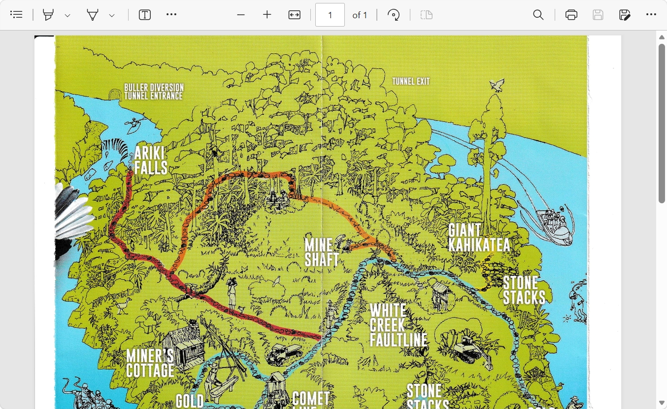
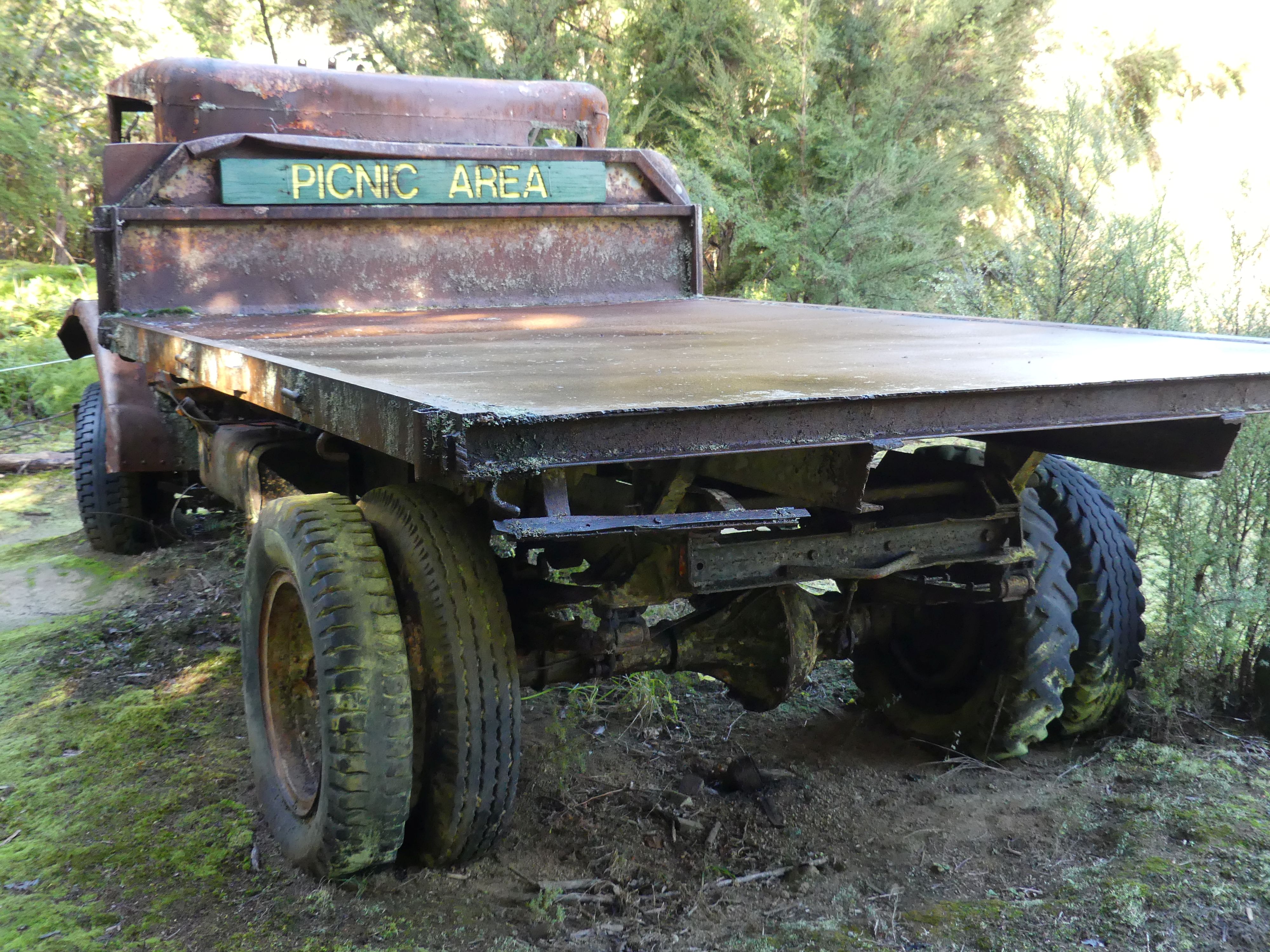
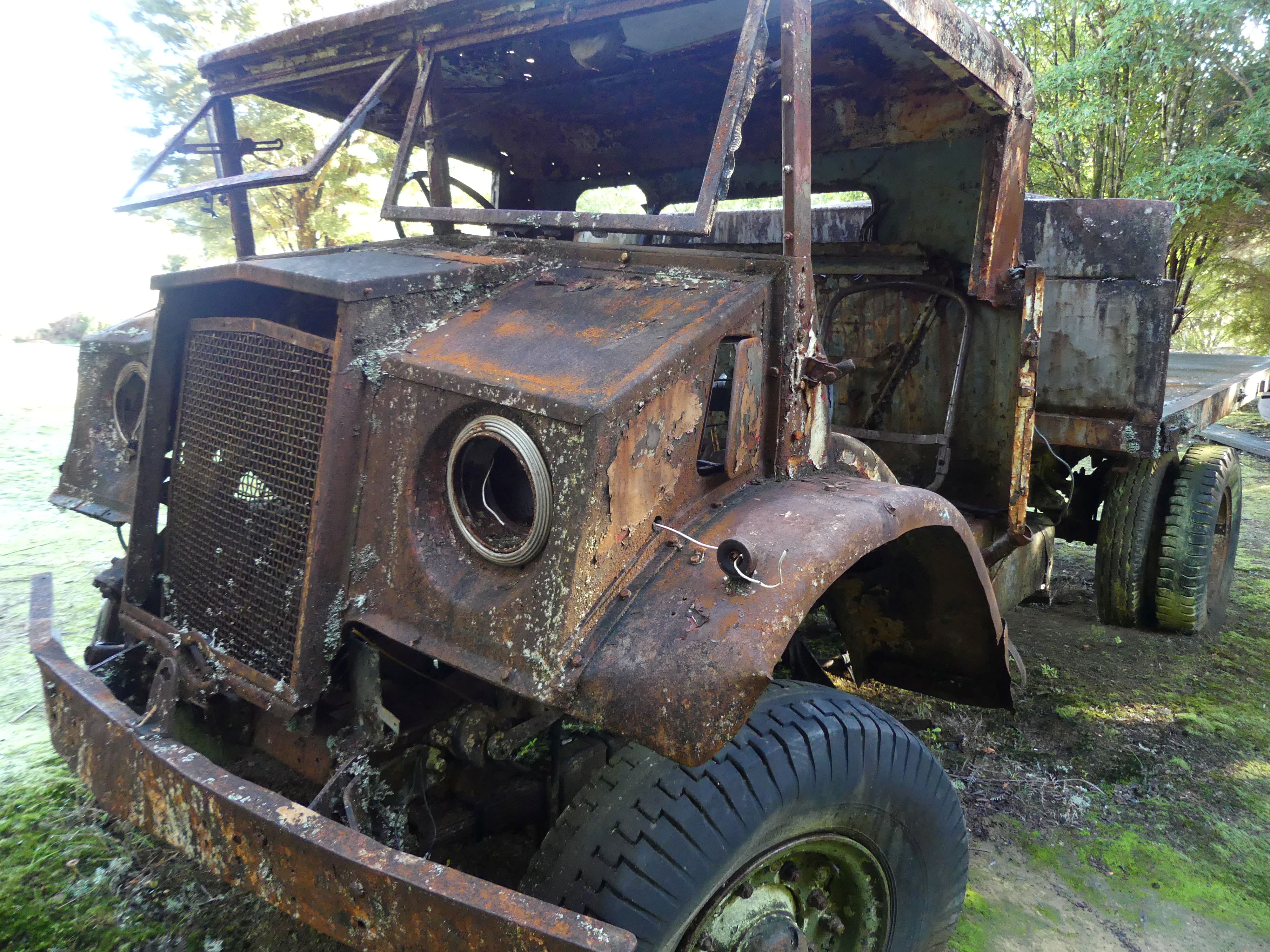
The information sign at this point told us that the White Creek Fault is an active geological fault located in the Upper Buller Gorge near Murchison in the South Island of New Zealand. It is famous for the 4.5-meter (15-foot) high vertical fault scarp—a towering rock face—created when a section of the fault ruptured during the massive 7.3 magnitude 1929 Murchison earthquake. We all felt a bit shaky, but it was probably the uneven and wet track not an earthquake. On a warm summer day, we could have stopped at the gold panning site, but this was not summer, but we did note the flood marker showing the height of the river in 2010 and 2012 was more than 2m over our heads. The slip along the fault line could still be seen with a sudden drop in the ground level. We continued the Loop and came upon a relic of a past time – the rusting 2nd world war relic with its sign “picnic area” – the back of the truck was the only dry spot on the Loop this day. There was not much to see at the Miners cottage so we returned to the swing bridge with luch waiting on the other side of the river. The return across the bridge was uneventful and a warm change with pleasant sunshine. Time for lunch so we served up the sandwiches and coffee then hit the road.
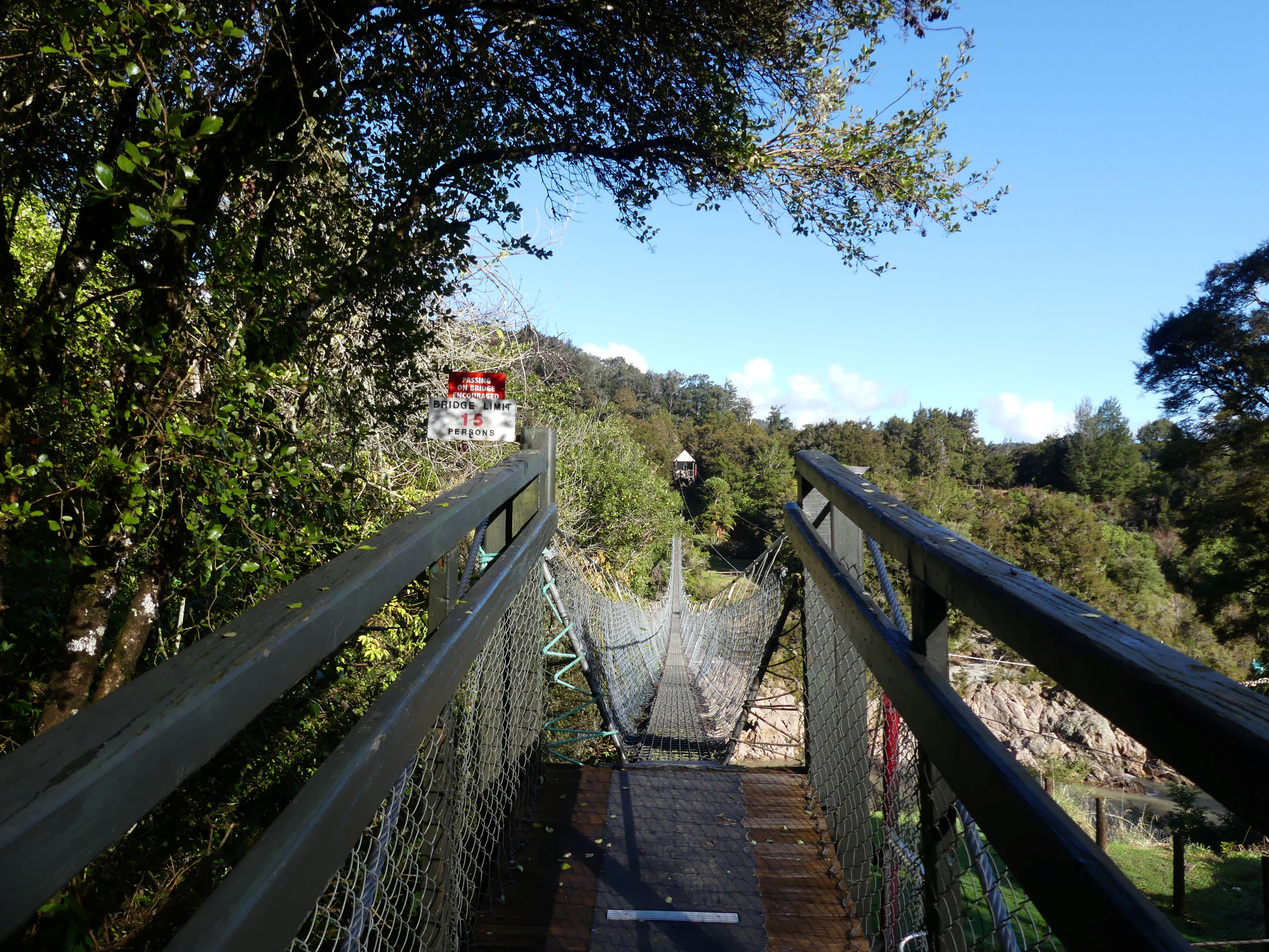
Having finished our picnic it was Nelson here we come. As we approached Nelson around about afternoon teatime, we pulled into a roadside café for coffee. They we just closing but were kind enough to serve us then load us up with the unused products from their display cabinet. We had arrived on the outskirts of Nelson. Our accommodation was at a motel called “Admirals Nelson” in Waimea Rd., a few blocks from the CBD. Our apartments were on the ground floor and quite large. We organised some dinner and then settled into a game of cards before bed.

Leaving the swingbridge another narrow bridge queue and arriving in Nelson
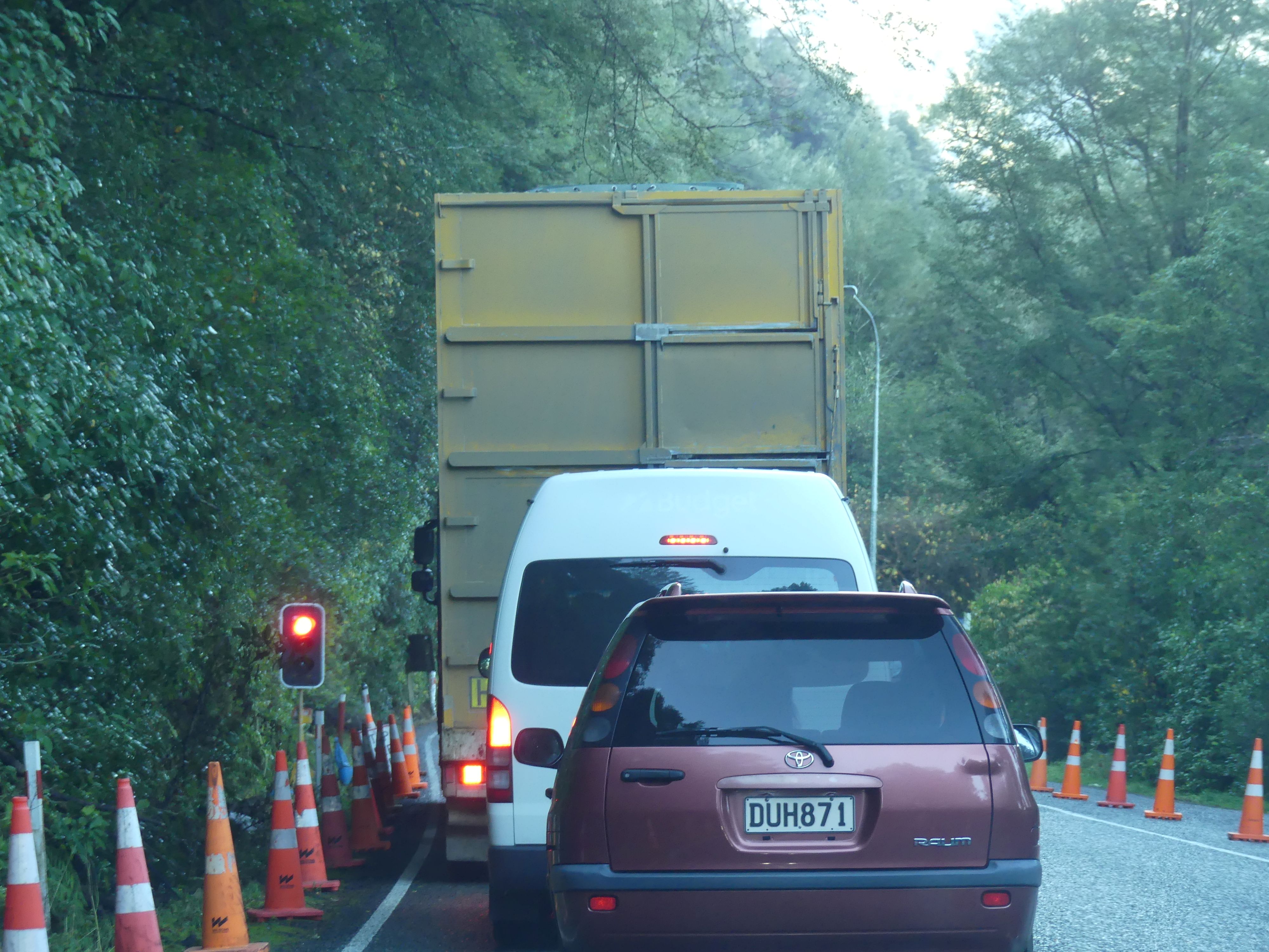
We located our motel and were quite pleased with its location and amenities. It had been a long day and some dinner was needed. We found a takeaway nearby and returned to the motel for our feast and a game of cards. So up bright and early for the THE RETIREES VISIT THE SOUTH ISLAND ACROSS THE DITCH blog 495 Episode 7 as I am off to get a coffee. Cheers!
THE RETIREES VISIT THE SOUTH ISLAND ACROSS THE DITCH blog 495 Episode 5

19TH MAY TO 10TH JUNE 2026

Day 11               On the way to Christchurch

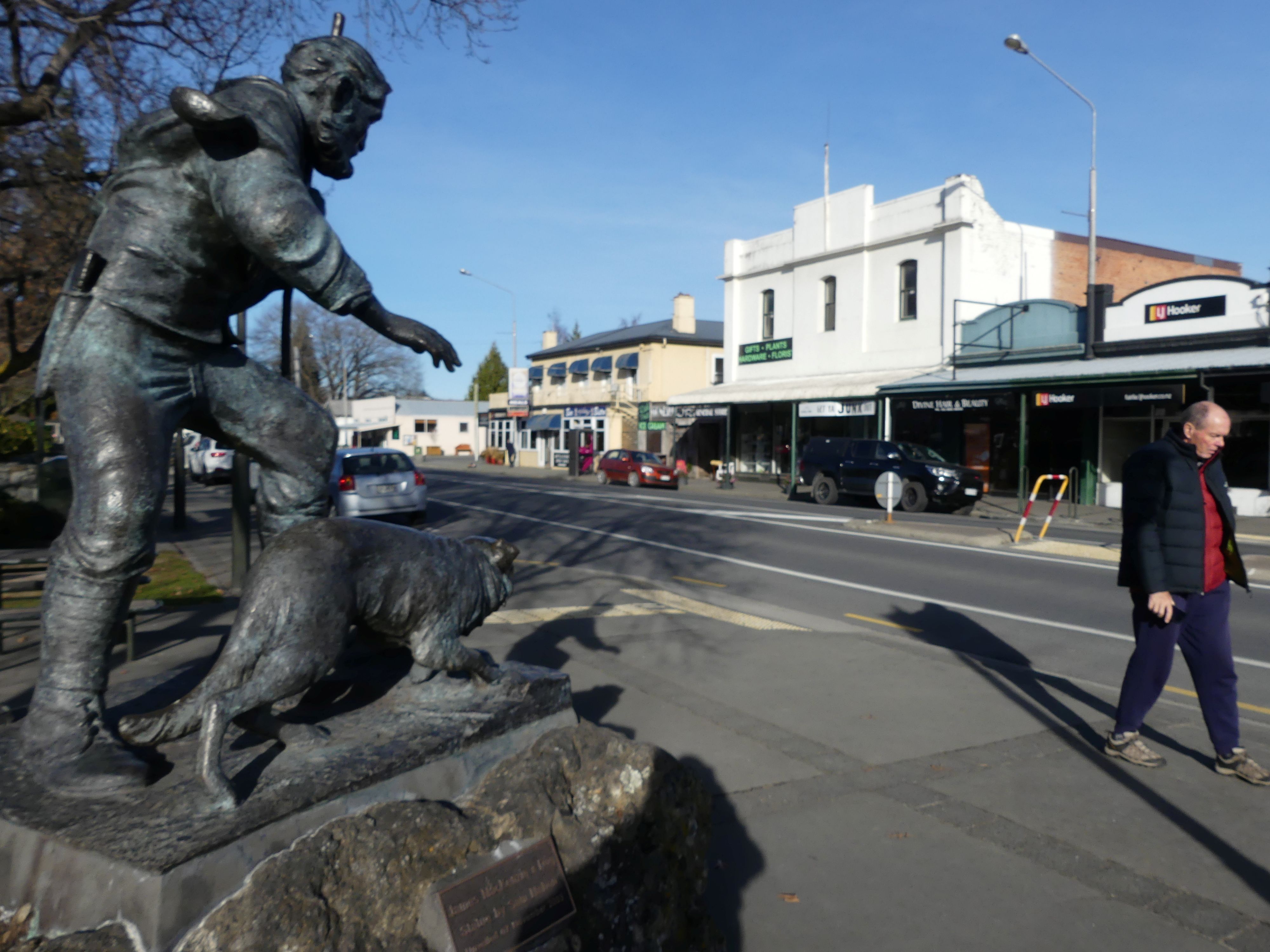
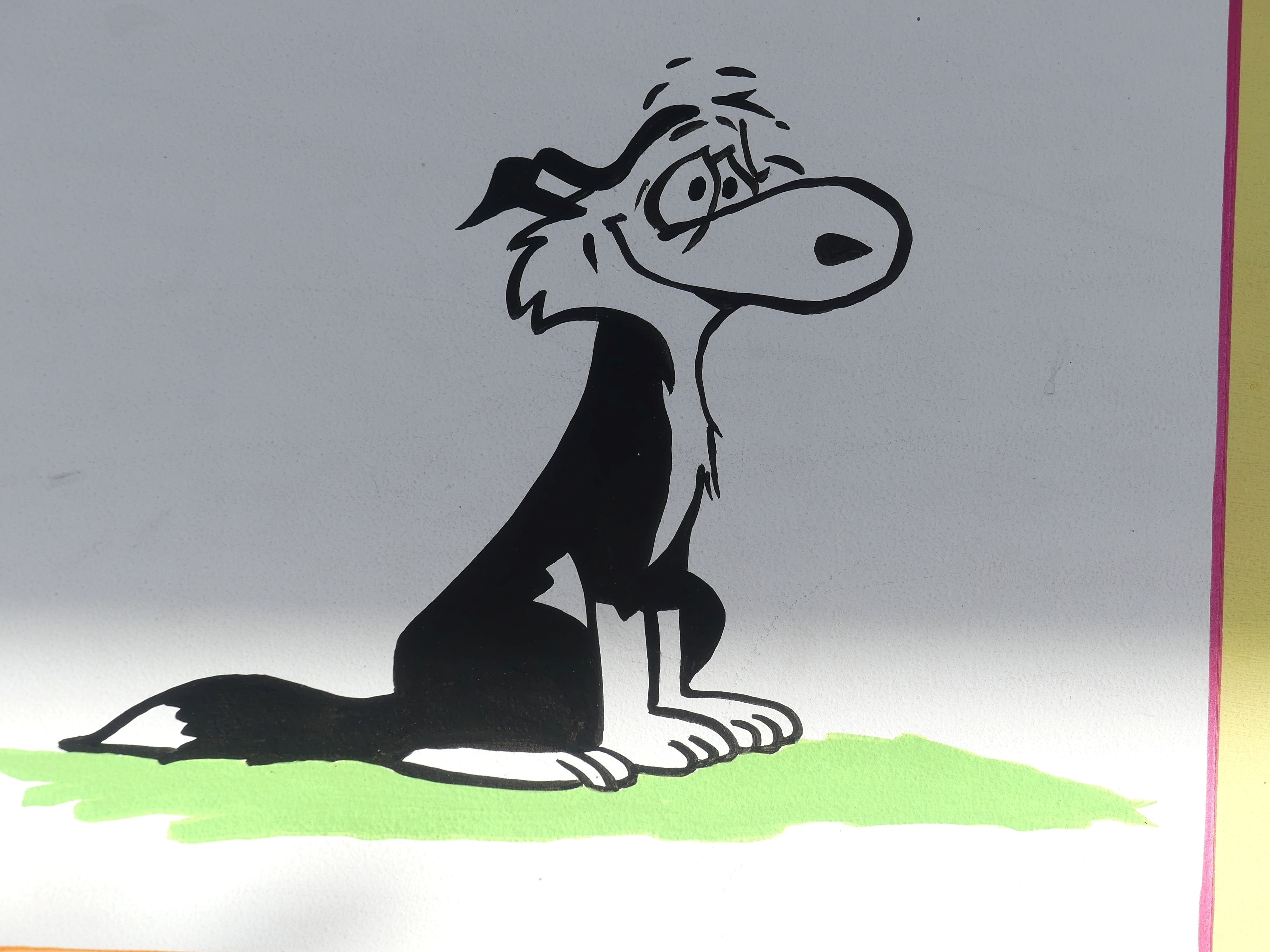
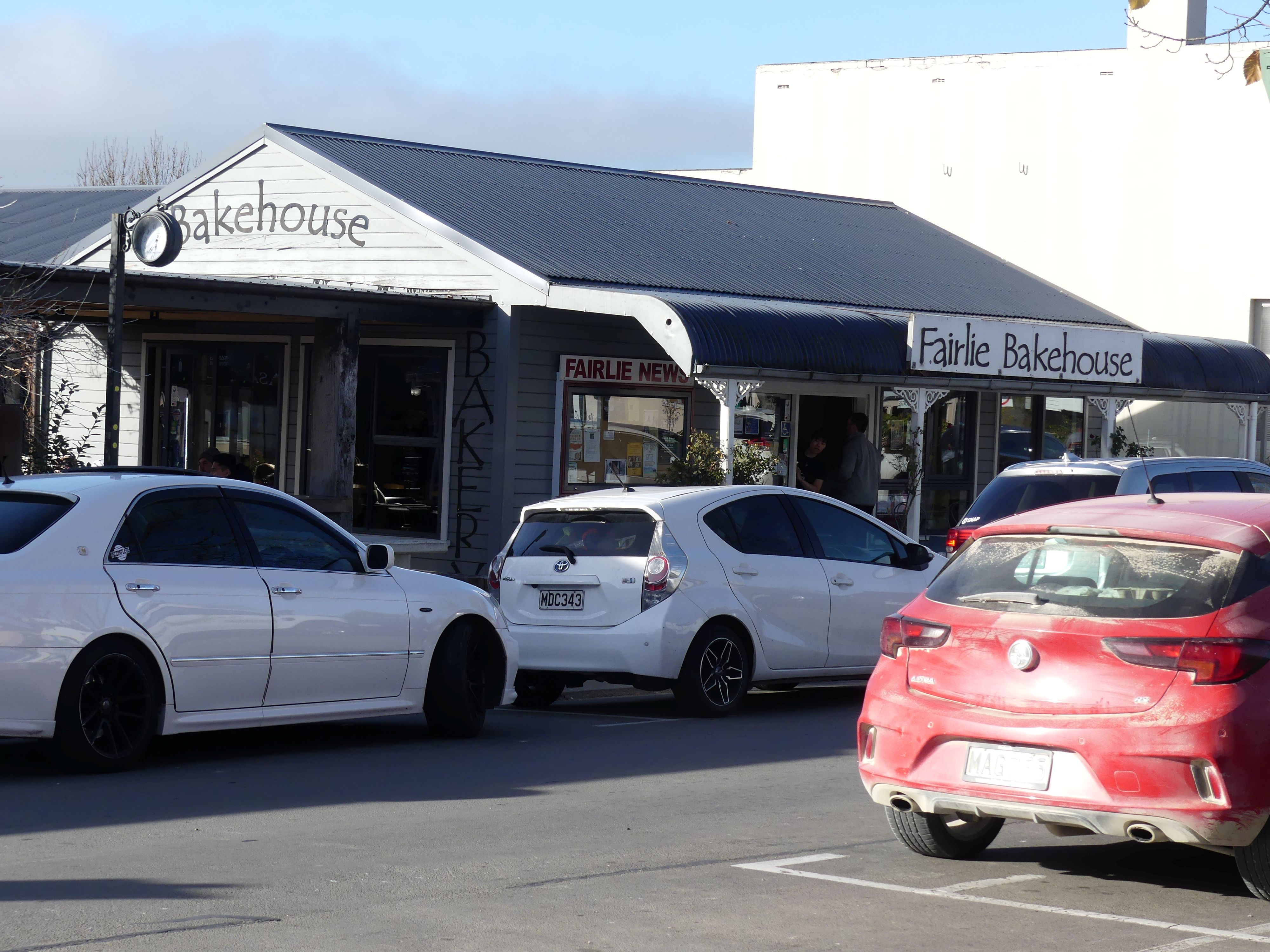
When we arose, the car was iced over and Barry had to carefully remove the ice. I tried to unwind the hose to spray the car and of course it was frozen. That is a new experience. Christchurch was 3 hours away. Our first stop was at a village called Fairlie, 45 minutes away. Of course, we would stop for coffee and visit the Bakehouse. A lot of other people had the same idea, and the Bakehouse was full to overflowing. In the village is a statue depicting Explorer James McKenzie and his dog. James McKenzie (c. 1820 – c. 1865) is best known for the dramatic 1855 theft of 1,000 sheep from the Levels Station in South Canterbury. The Legend is using his highly intelligent dog, Friday, he drove the sheep into an uncharted, hidden inland basin to evade authorities. While he was eventually caught, his escape attempts and rugged survival skills cemented him as a legend. I find it strange that people love a clever thief and immortalise him. We have done the same with the Kelly gang and Thunderbolt.

The Bakehouse and the explorer McKenzie and his dog.

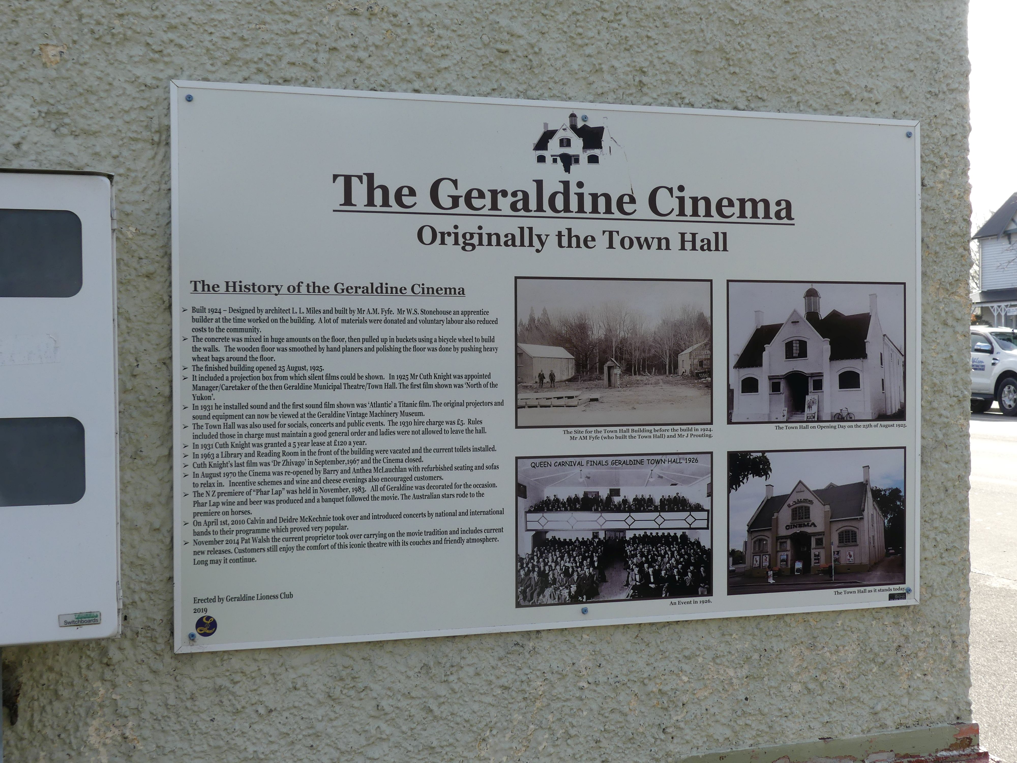
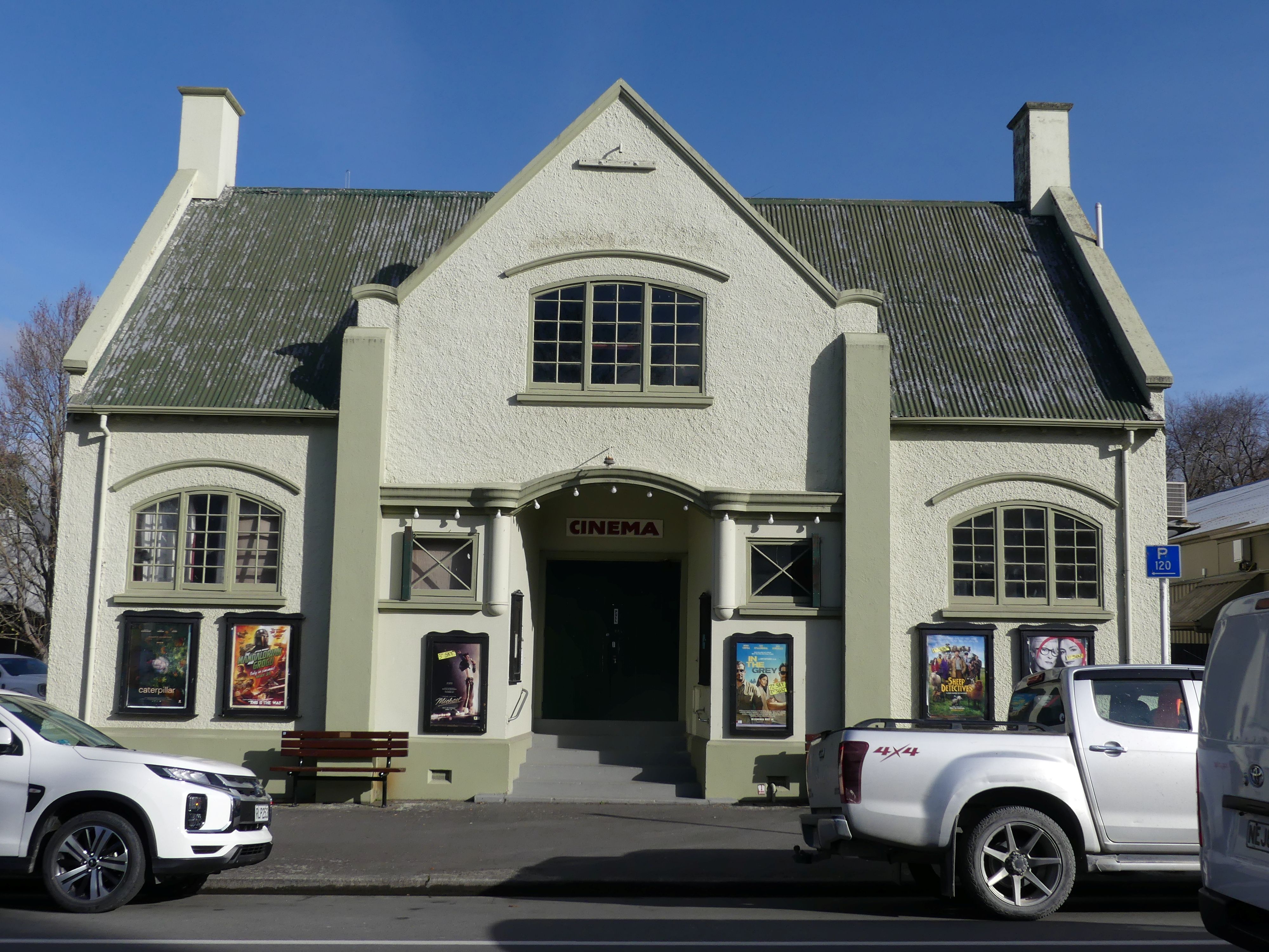
We then moved on to a picturesque village called Geraldine 45 minutes from Fairlie. We pulled into the village and to a market in the centre of the village. It was a lot bigger than we expected and it even had a movie theatre which oddly was showing “the Sheep Detectives”. Barry and I were compelled to purchase the “Baaad to the Bone” T shirt package for the great expense of NZ$20. Barry paid NZ$5 more for the cap as well. The pack included the shirt, a mug and a fridge magnet. WooHoo! Then we found the cheese shop and picked up some cheese and an ice cream. Then we took a short walk around to the theatre, returned to the car and on our way again.
The road to Geraldine, the Theatre, and signs on a wall

This time we made our way to Ashburton 1 hour away for lunch. Then to Christchurch where we would be staying 3 nights at Abbey Motor Lodge 209 Beasley Avenue Christchurch. It was quite the challenge to find our motel the first time and Christchurch is a relatively a big city.

Day 12 Christchurch

The motel was well placed and run by an elderly Chinese gent who was always busy but helpful. He offered a washing service for NZ$10 per load so we availed ourselves of his services and got it back still warm from the dryer but tossed in the basket to fold for ourselves. So that is how he fills his day.

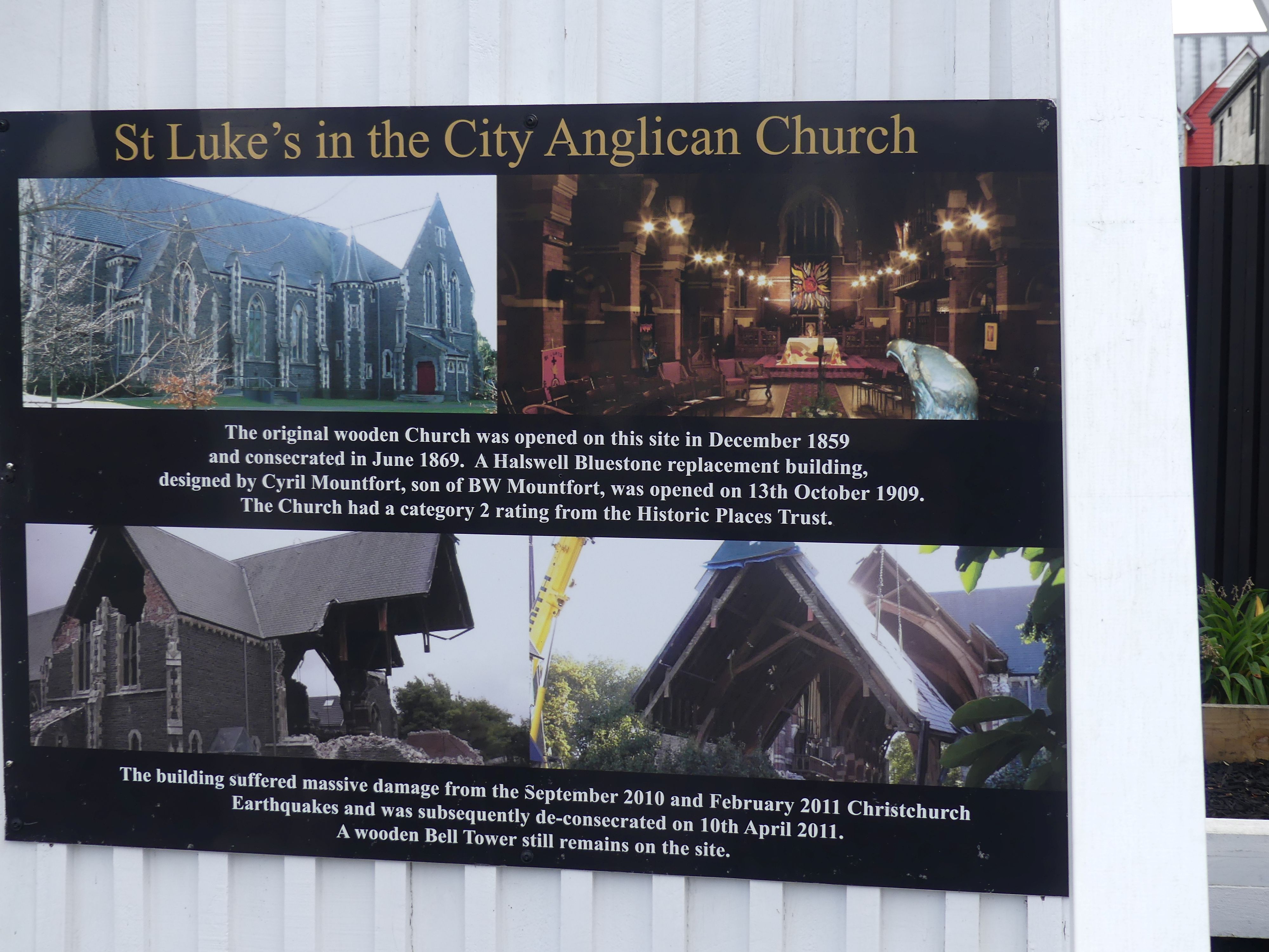
We decided we would take a walk into town and find the cable car to the top of the mountain outside Christchurch while Barry and Sandi did their own thing. We walked out onto Beasley St and took the first turn left into Manchester St for the CBD, passing the belltower of St Luke’s in the City Anglican Church. There is a sign board explaining the history and why only the bell tower remains I photographed the sign but have added the information provided by Wikipedia. “St Luke’s Church was an Anglican church located in Manchester St Christchurch. The former church was built on one of the five sites set aside in the central city in the original survey of Christchurch for the Anglican church and the building was registered as a Category II historic place with the New Zealand Historic Places Trust. Following sustained damage caused by the February 2011 Christchurch earthquake, the building was demolished in July 2011.

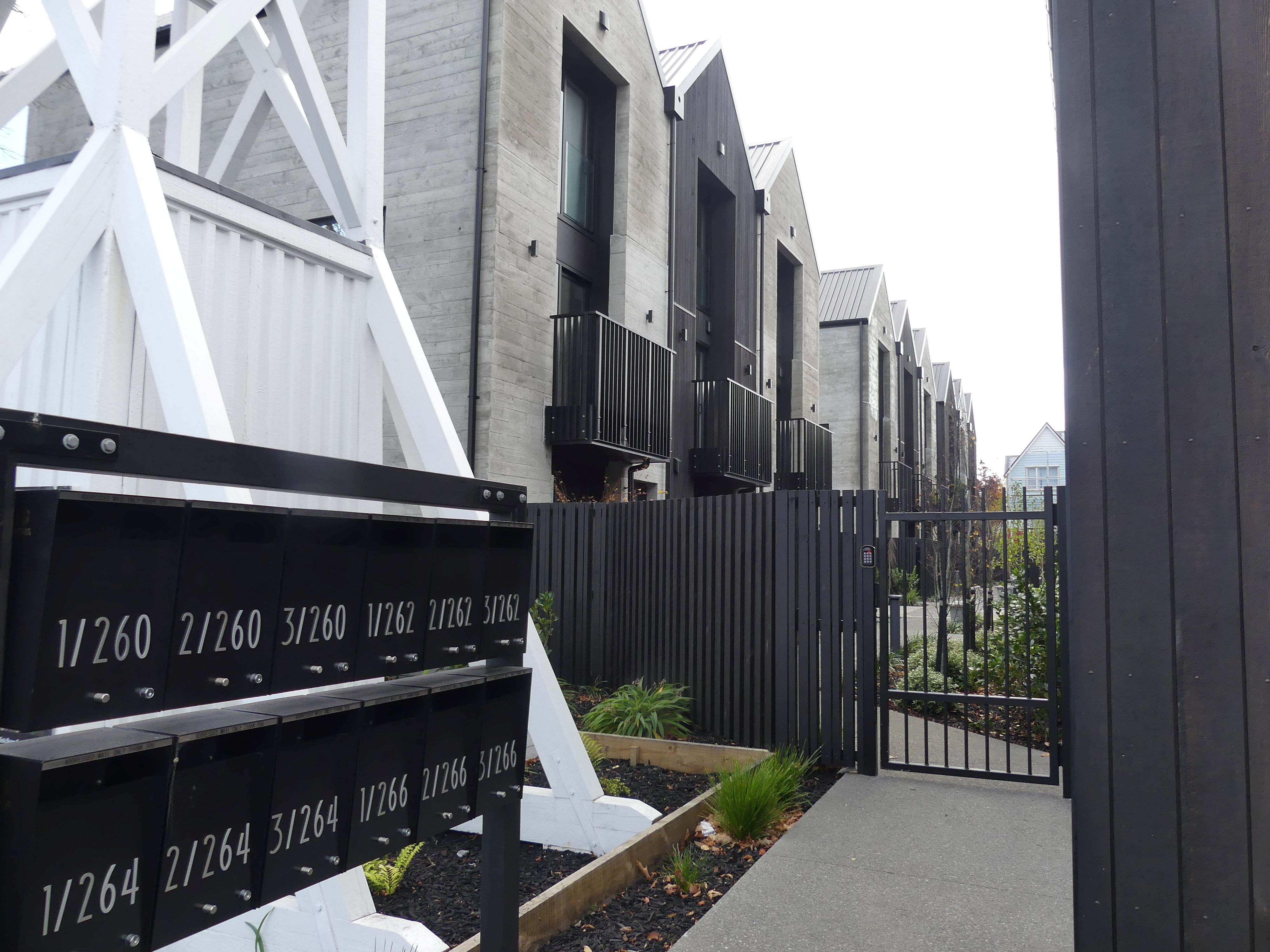
Testimonial and redeveloped units

The photos above show the redeveloped site. There are many sites throughout certain parts of the city are clearly redeveloped which gives you an idea of the enormity of the damage done.

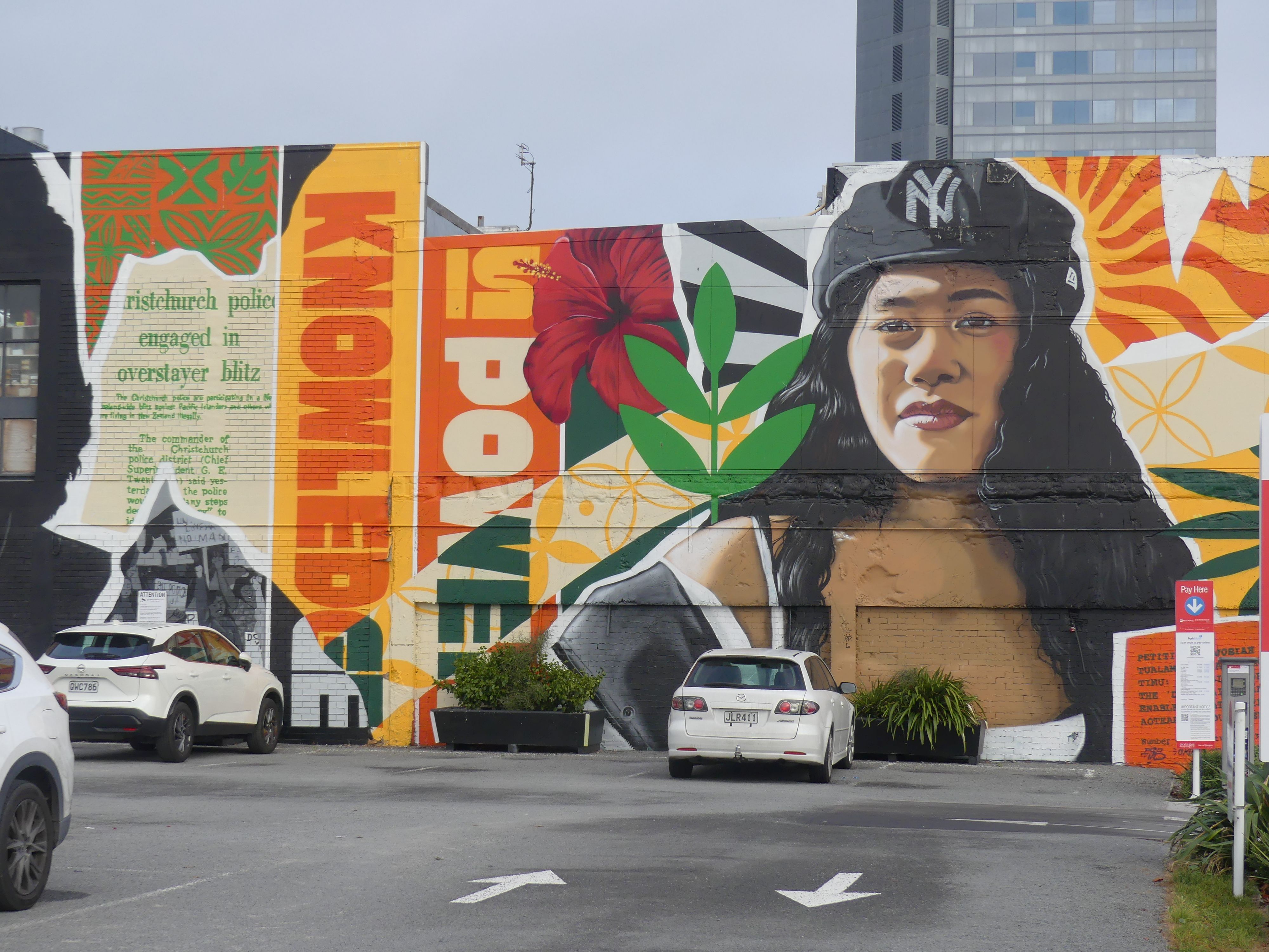
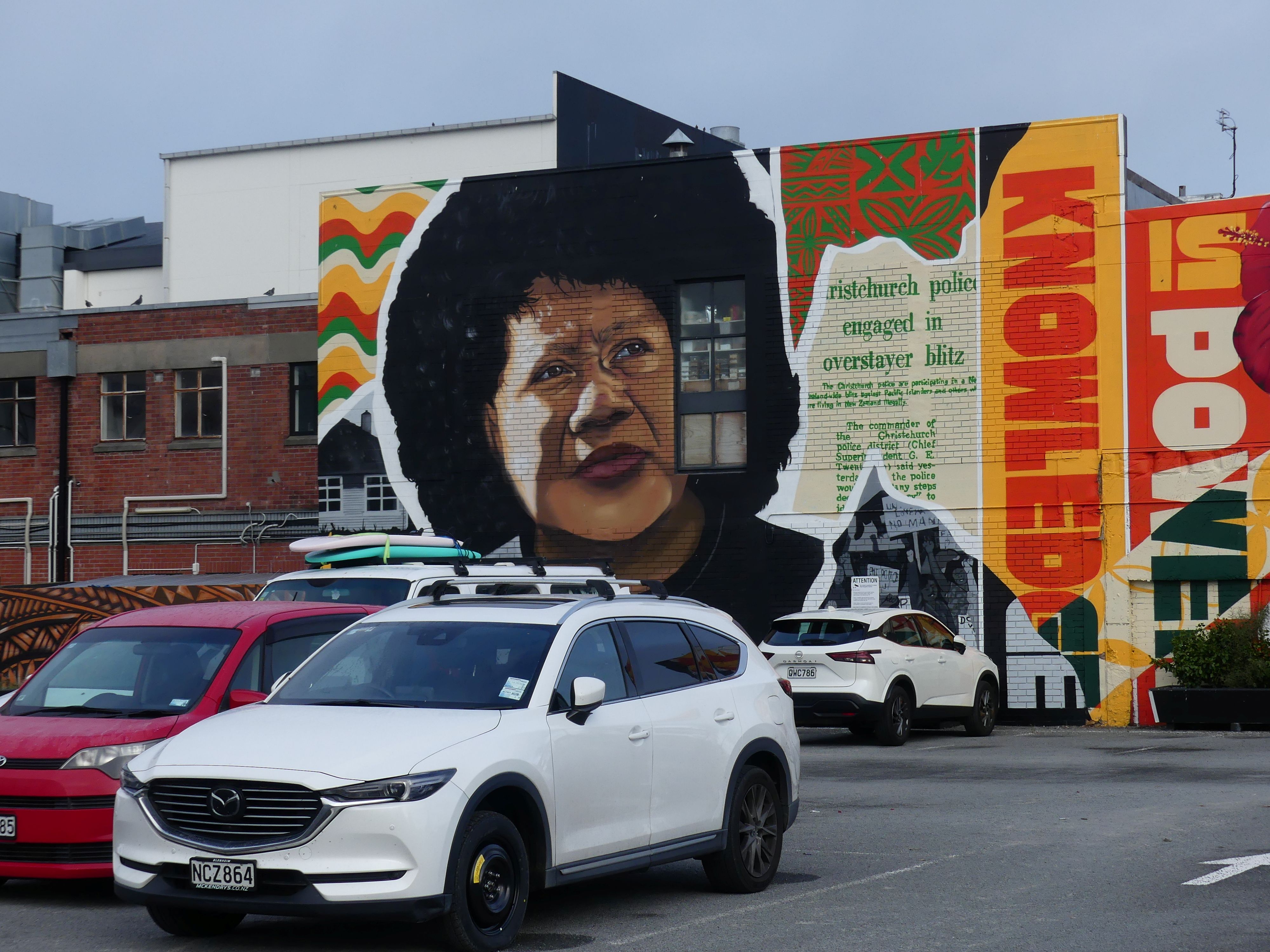
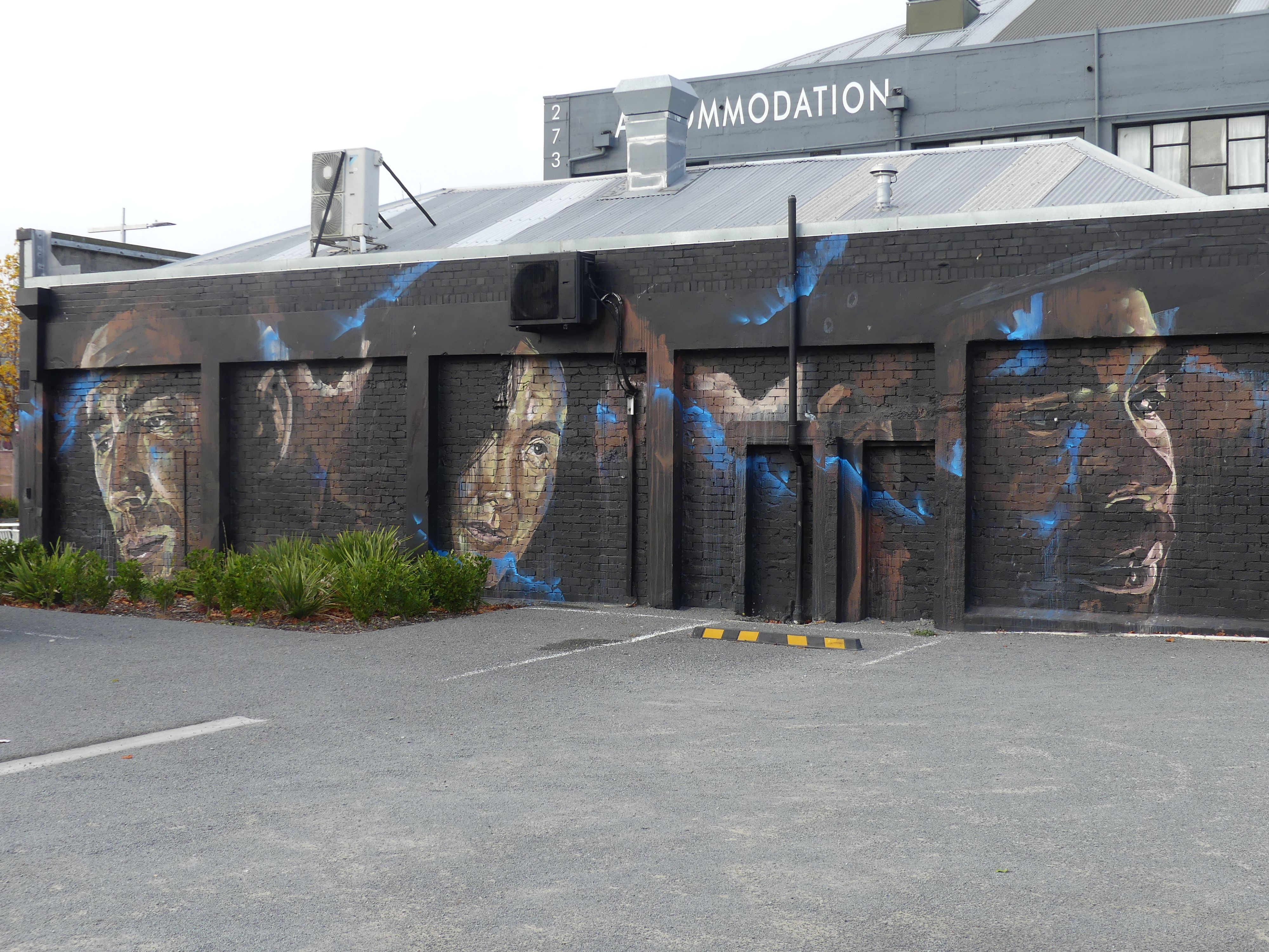
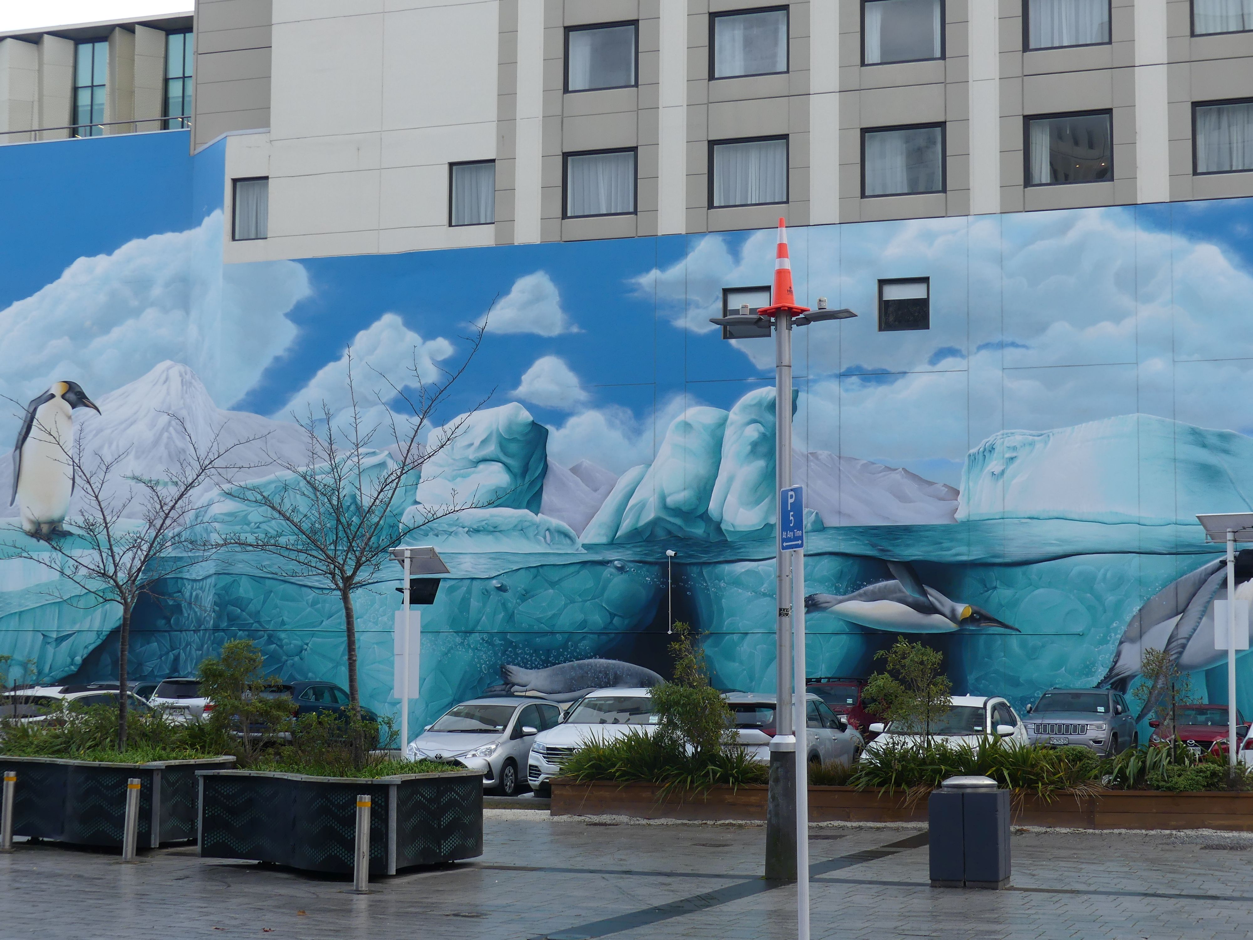
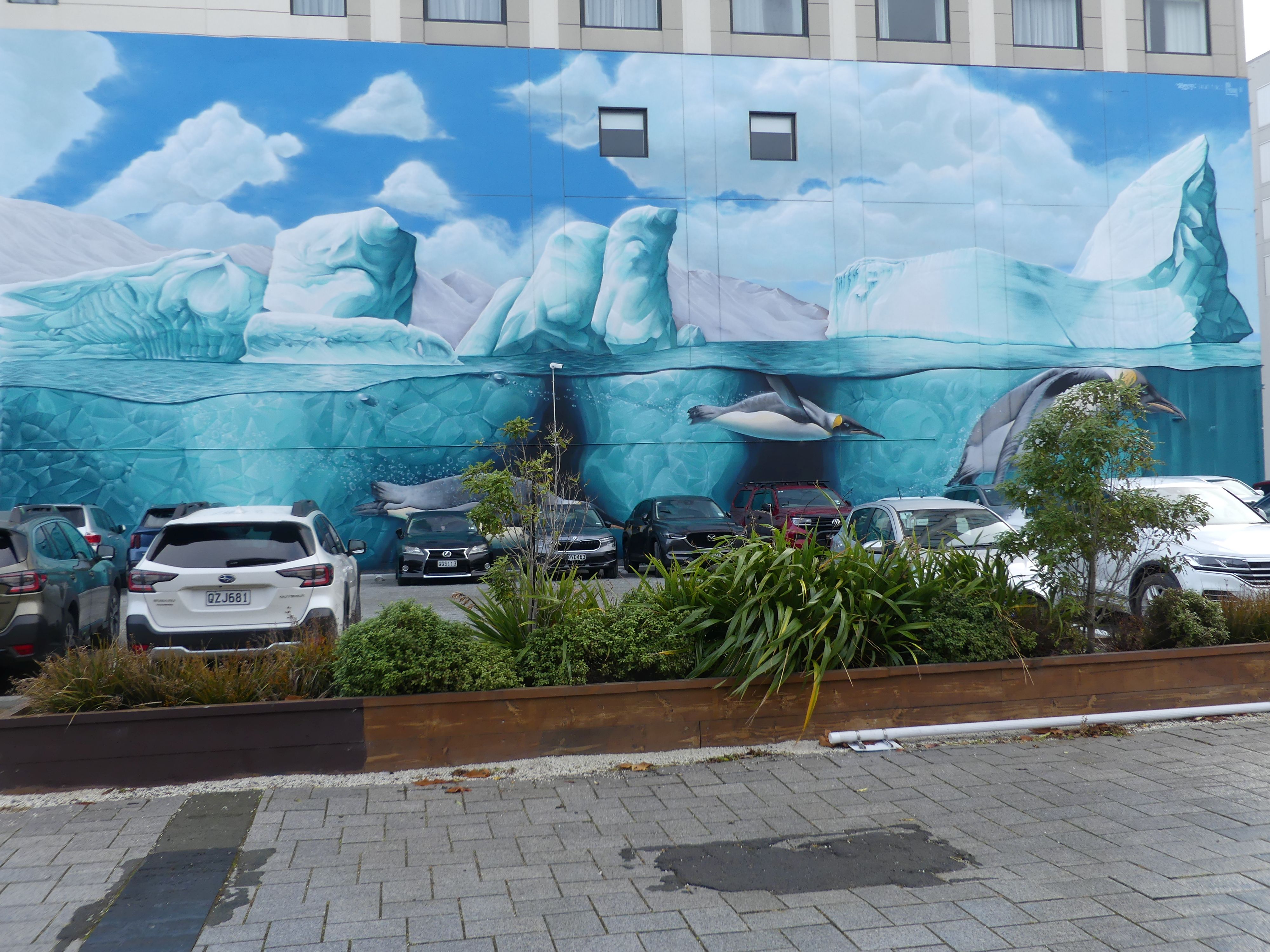
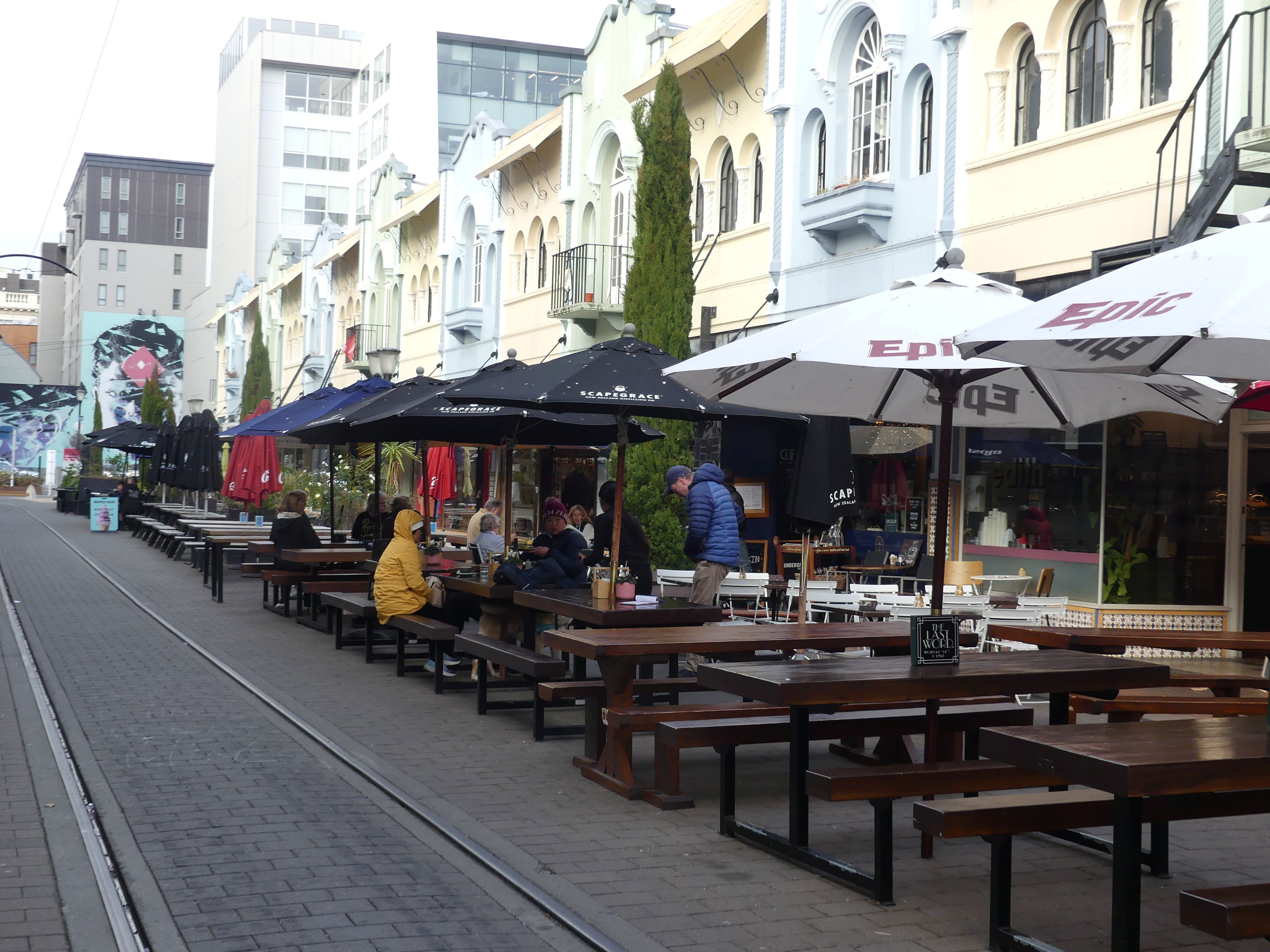
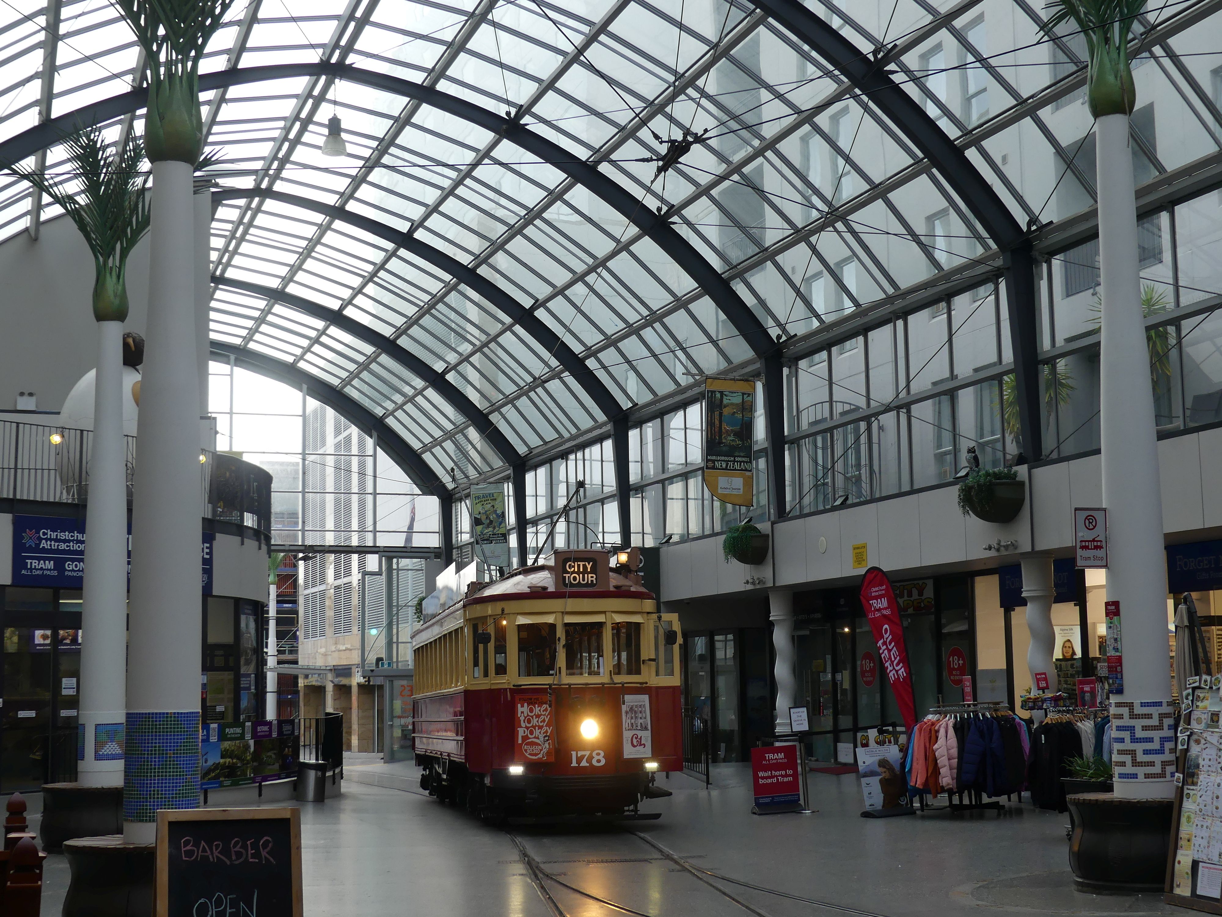
Our path to the CBD took us past many different street art projects and I have posted them below. We came to the tram station inside the building housing the Tourist Information office. The tram provides a city tour, but we were more interested to take the cable car up the slopes of Mt Cavendish.

Street scenes and street art and the tram stop

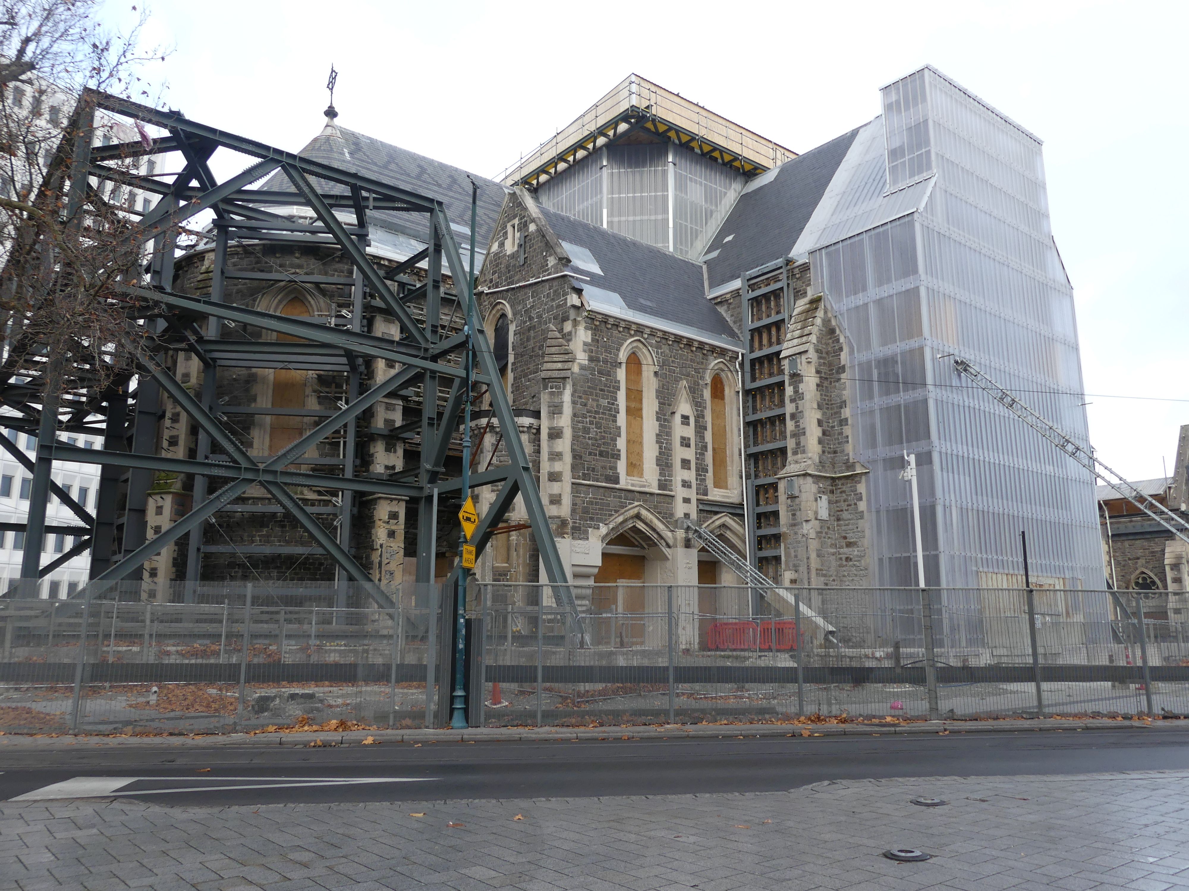
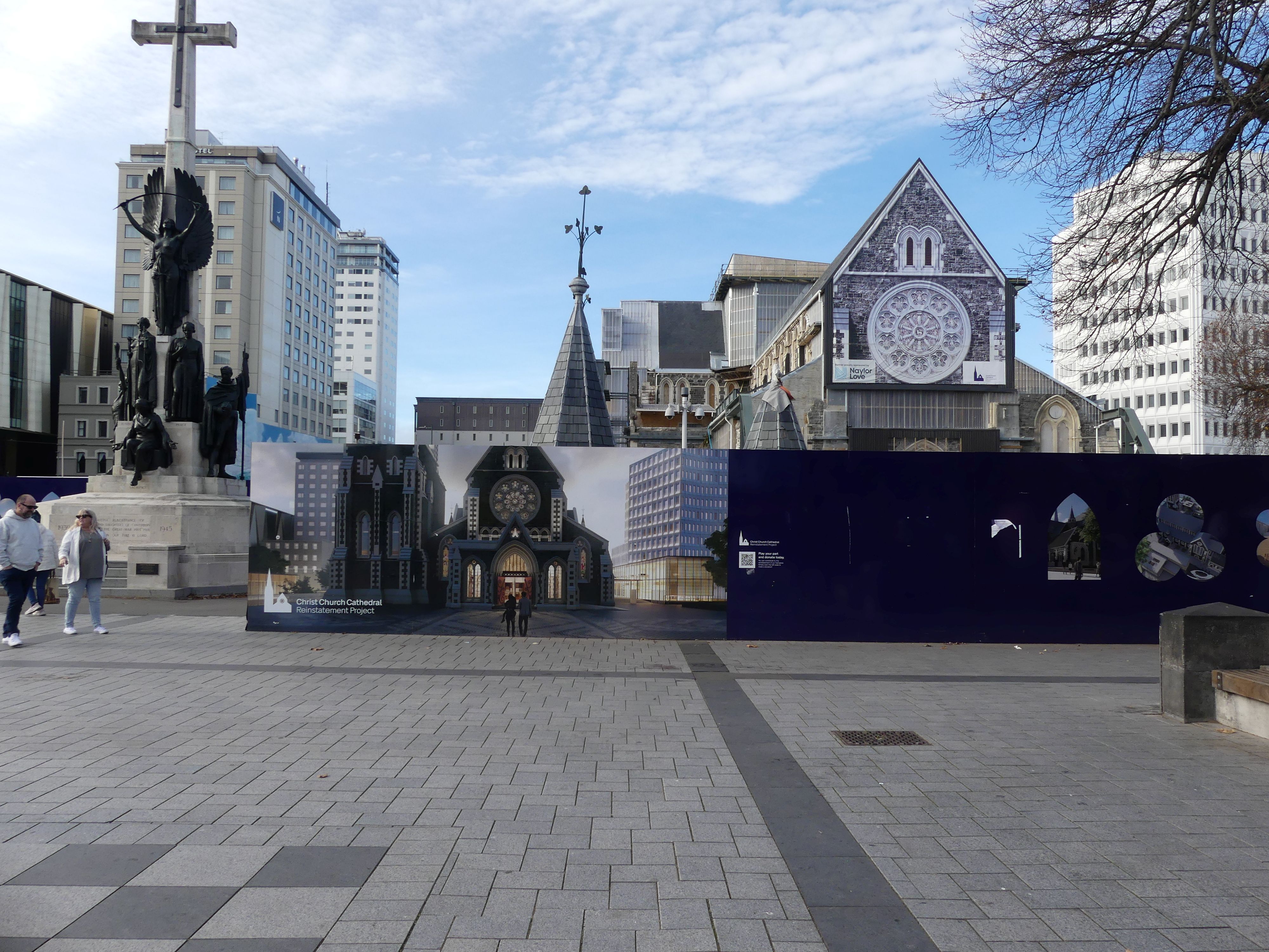
We continued our exploration whilst awaiting the arrival of the bus to take us to the base station. Apart from the extensive street art we also visited the cathedral still under repair from the earthquake.

More street art and the cathedral

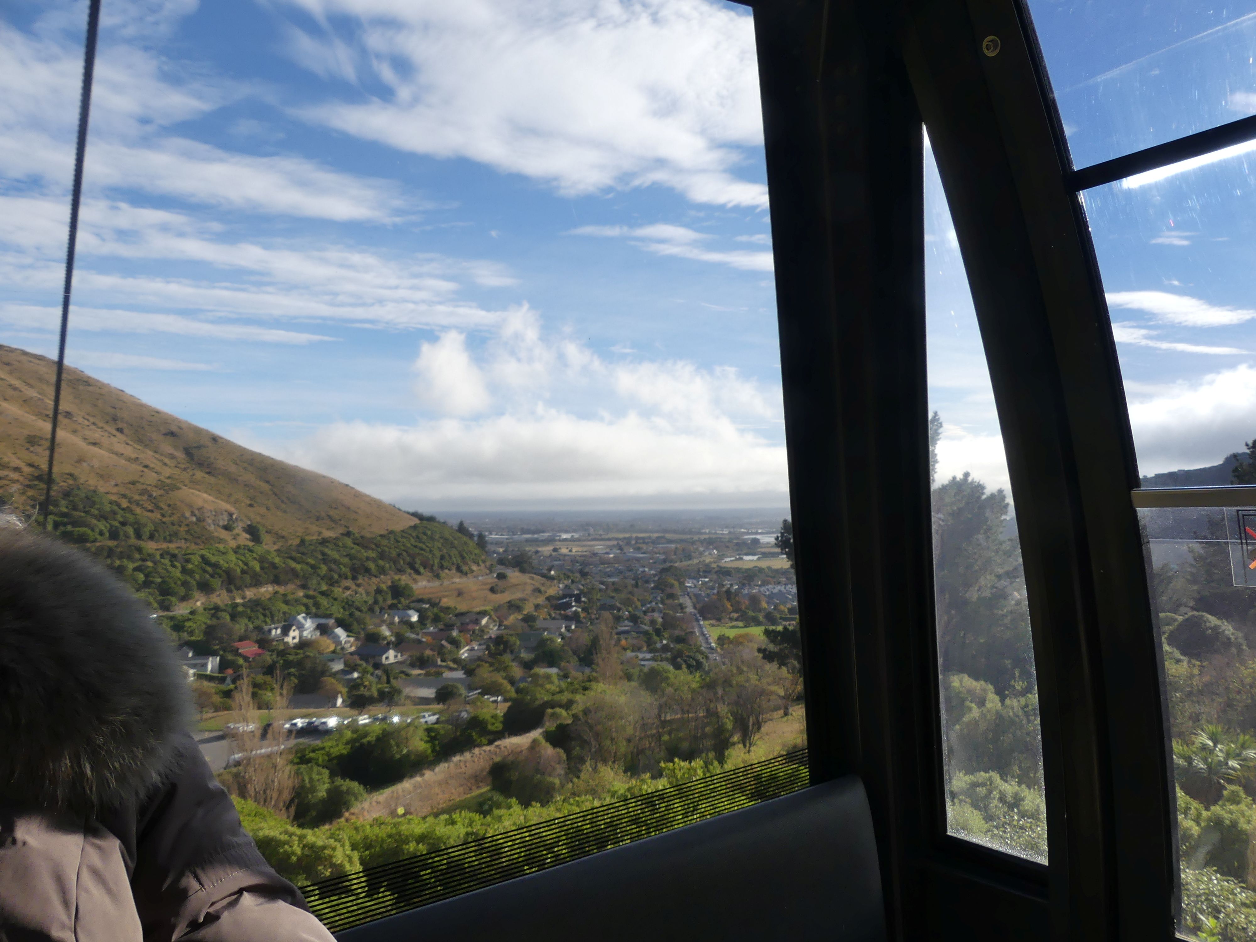
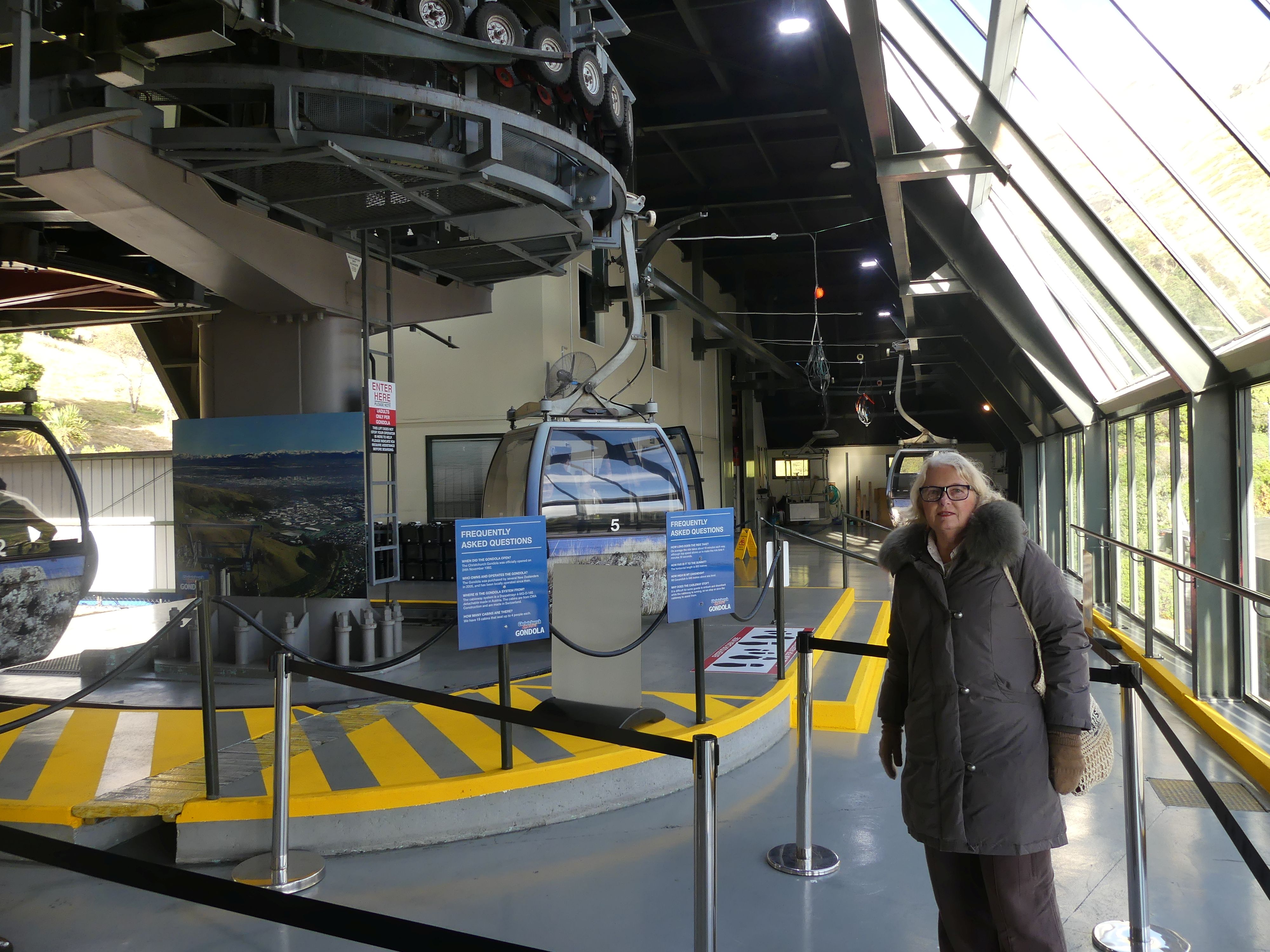
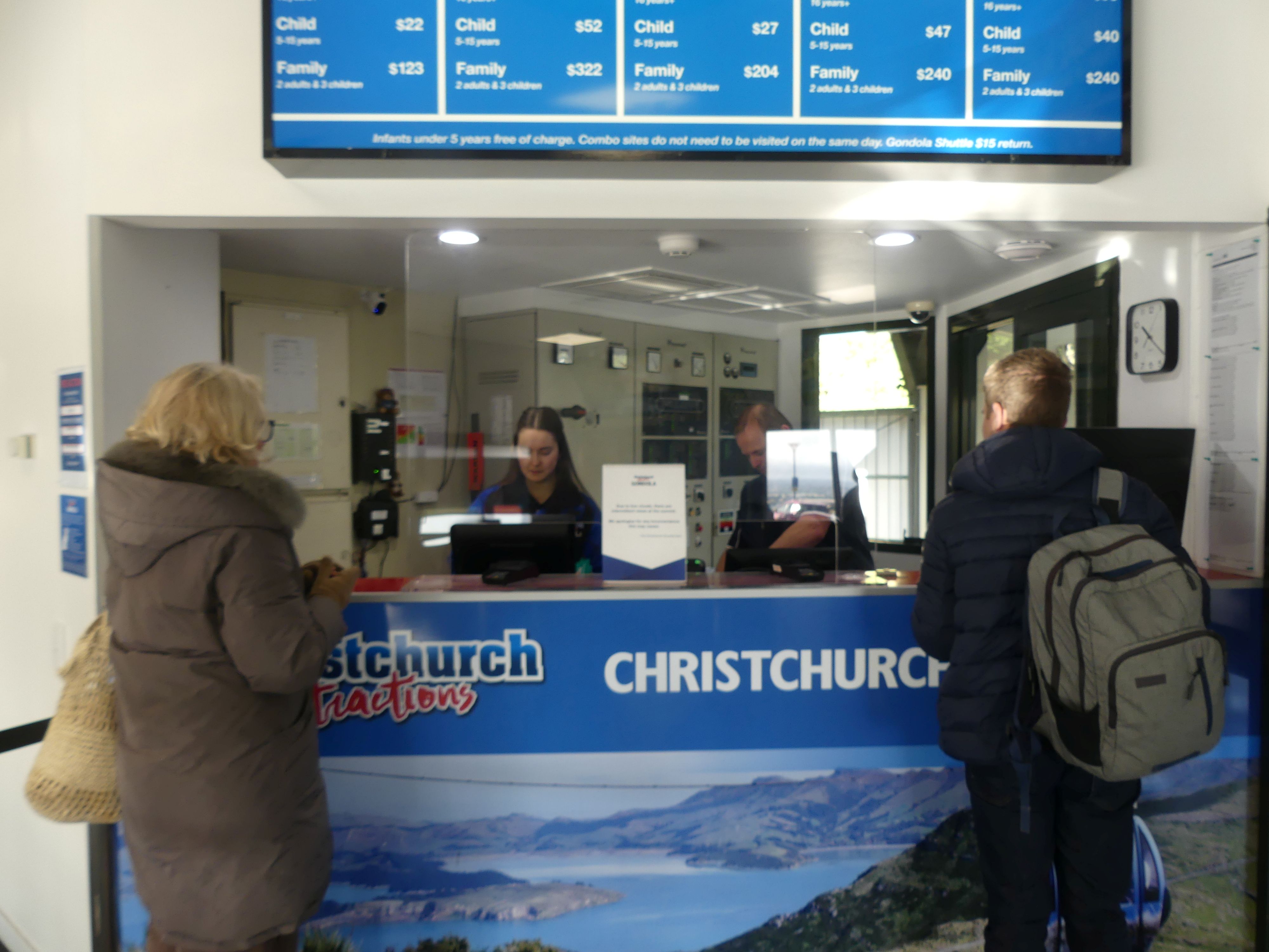
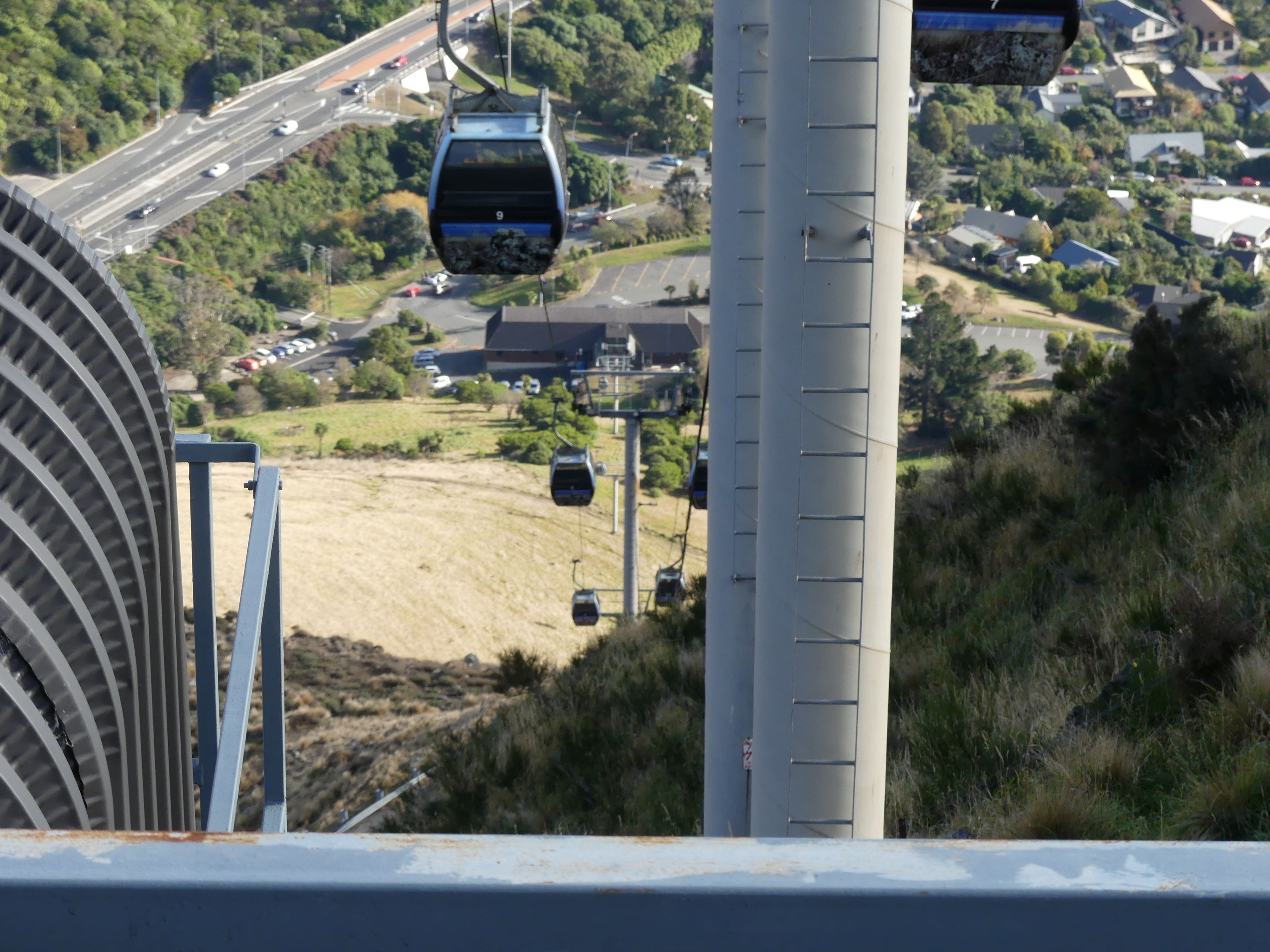
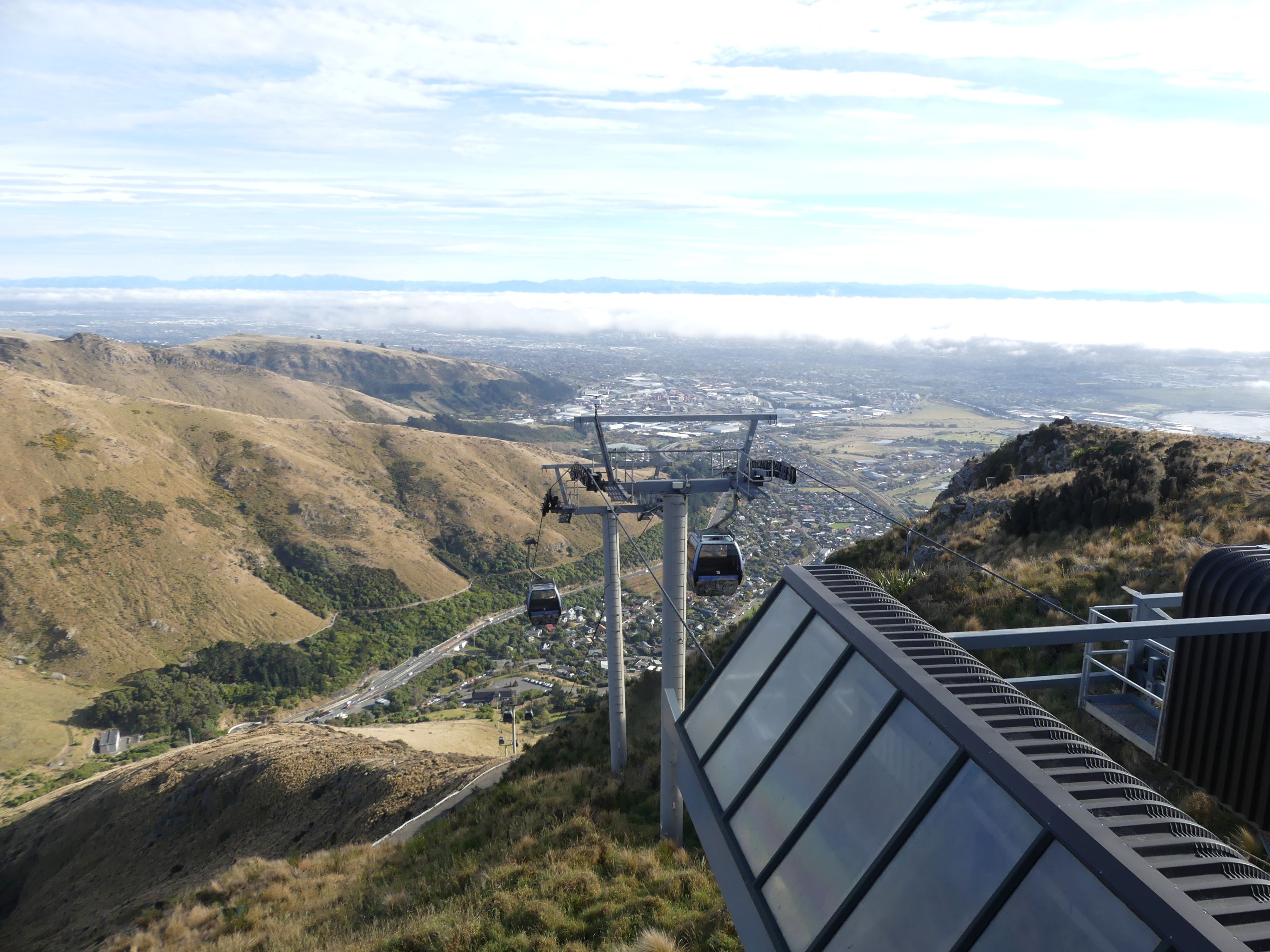
Our wait time passed quickly, and we headed for the bus to take us to the Cable car. The Christchurch cable car, officially known as the Christchurch Gondola, takes passengers on a 10-minute scenic ride up the slopes of Mount Cavendish in the Port Hills. The base station is in Heathcote Valley, just a 15-minute drive from the Christchurch CBD. On this day the weather was predicted to be cloudy but there was no sign as we arrived and boarded the gondola.

Catching the gondola at the base station and the ride to the top

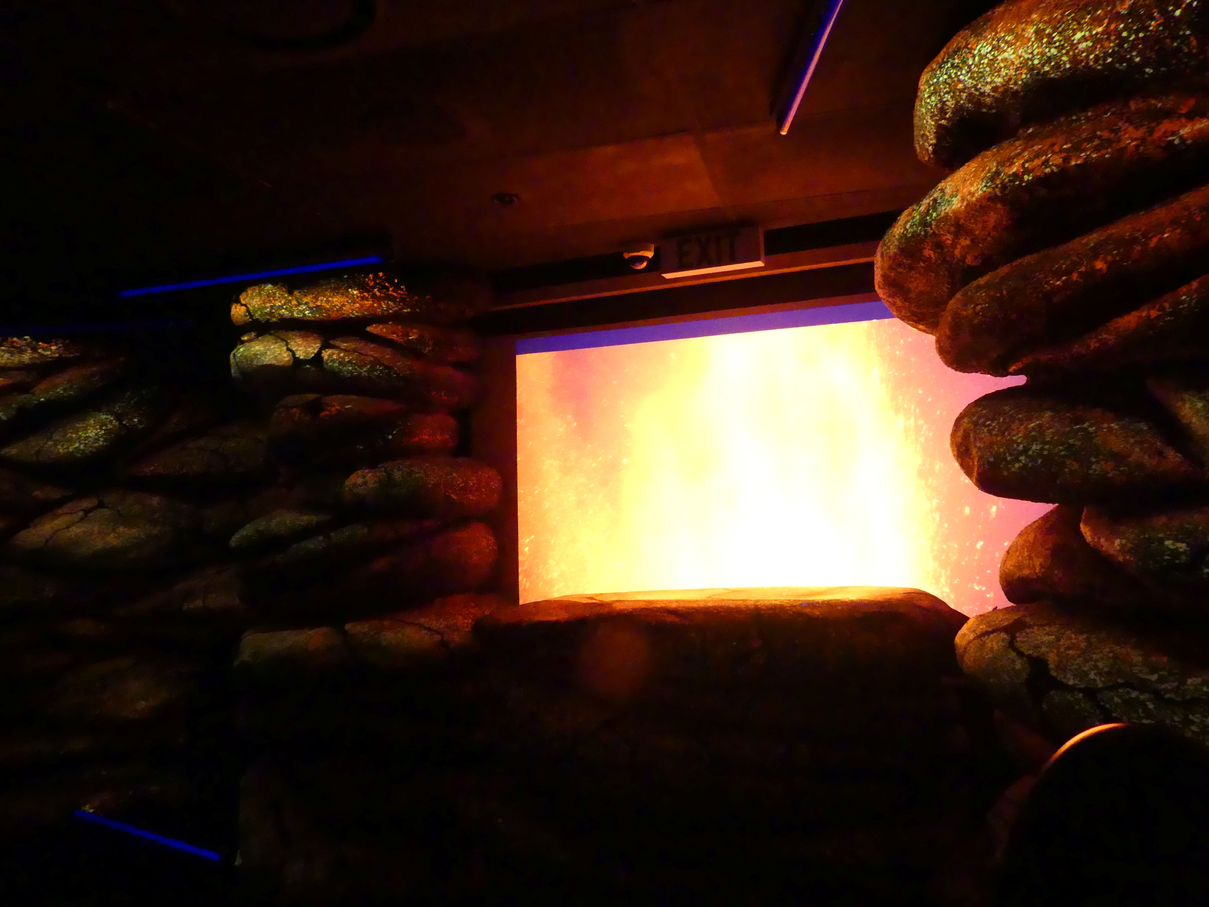
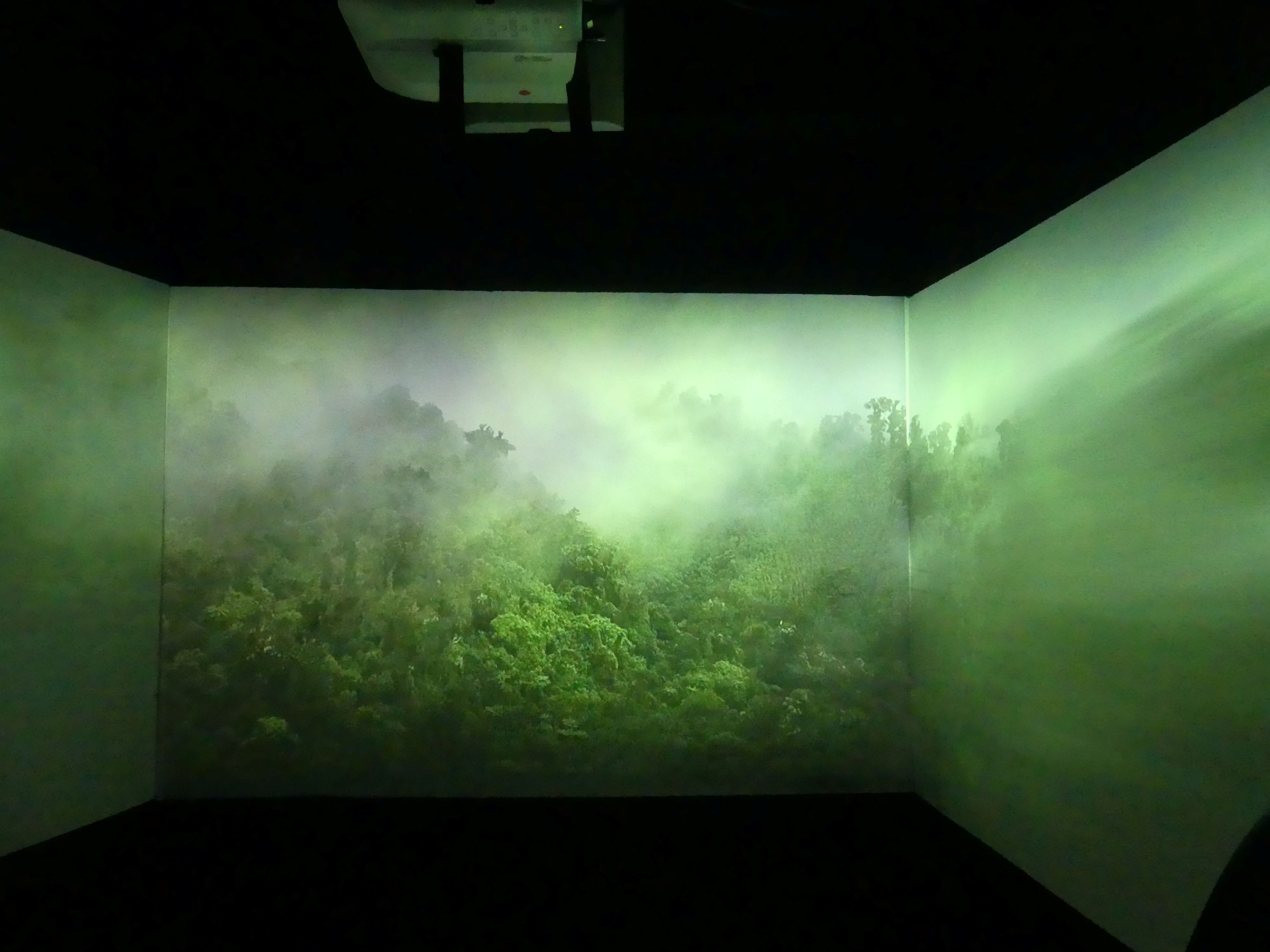
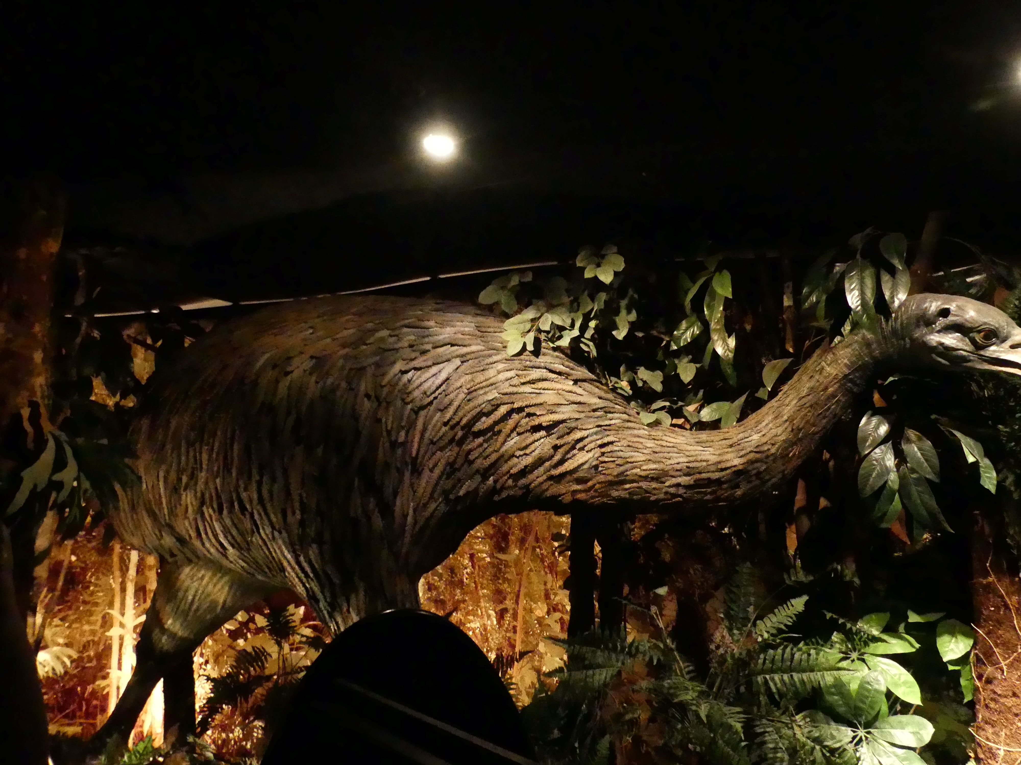
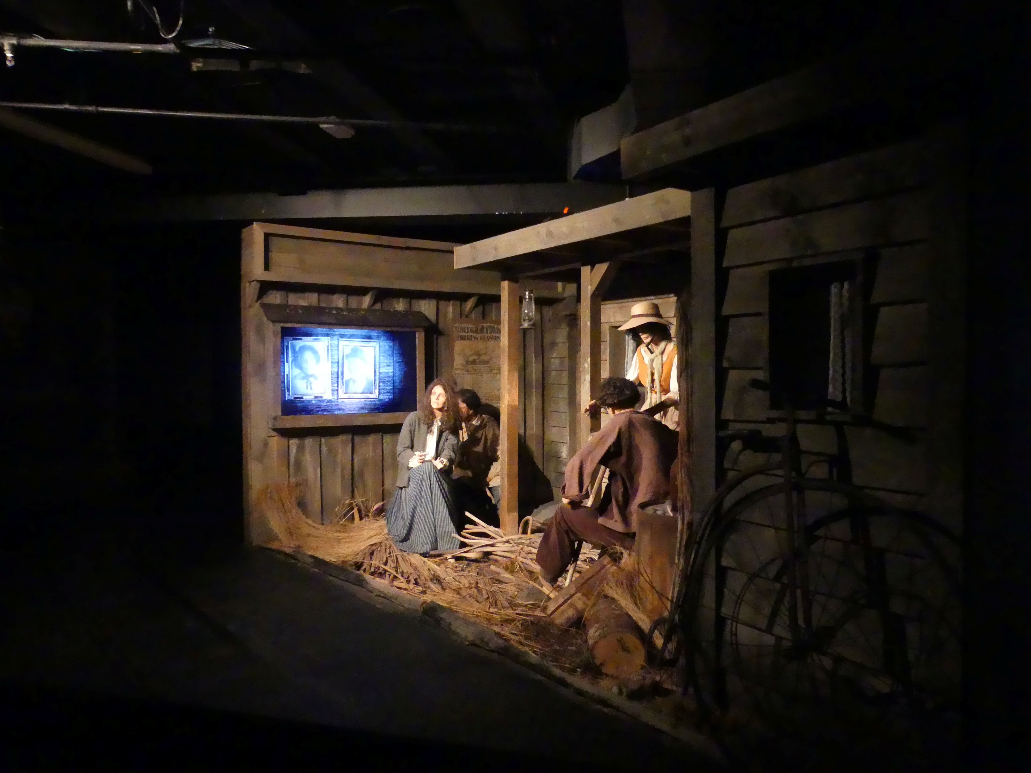
We arrived in the gift shop and made our way to the stairs to the viewing deck. As we did so we spotted a passage way chained off from access. One of the staff then informed us that this was the entrance to a ride through the earliest history of Christchurch. Of course, there was a charge, but it proved to be interesting and not too difficult to undertake.

The beginning of time through to the Gold Rush

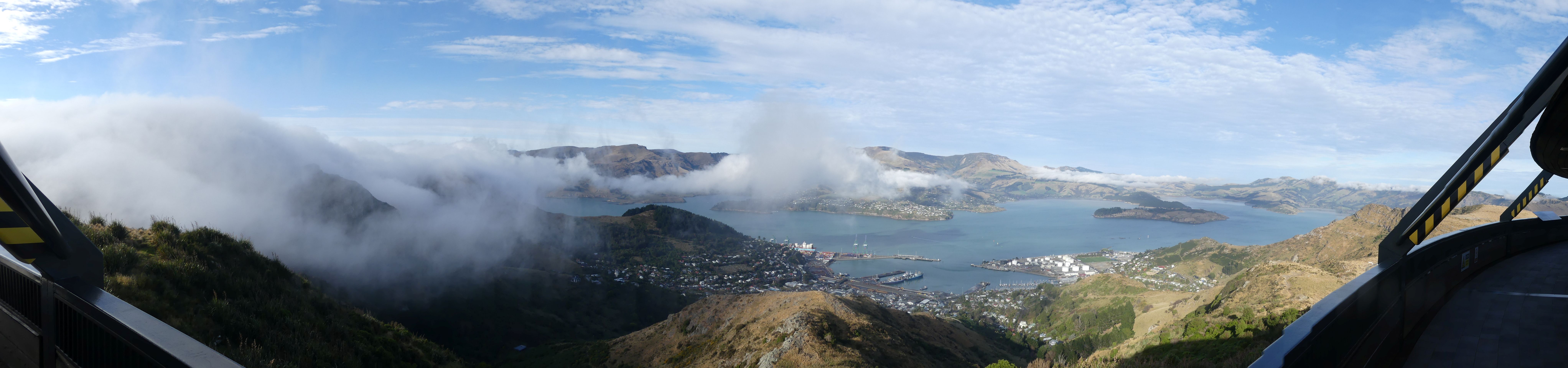
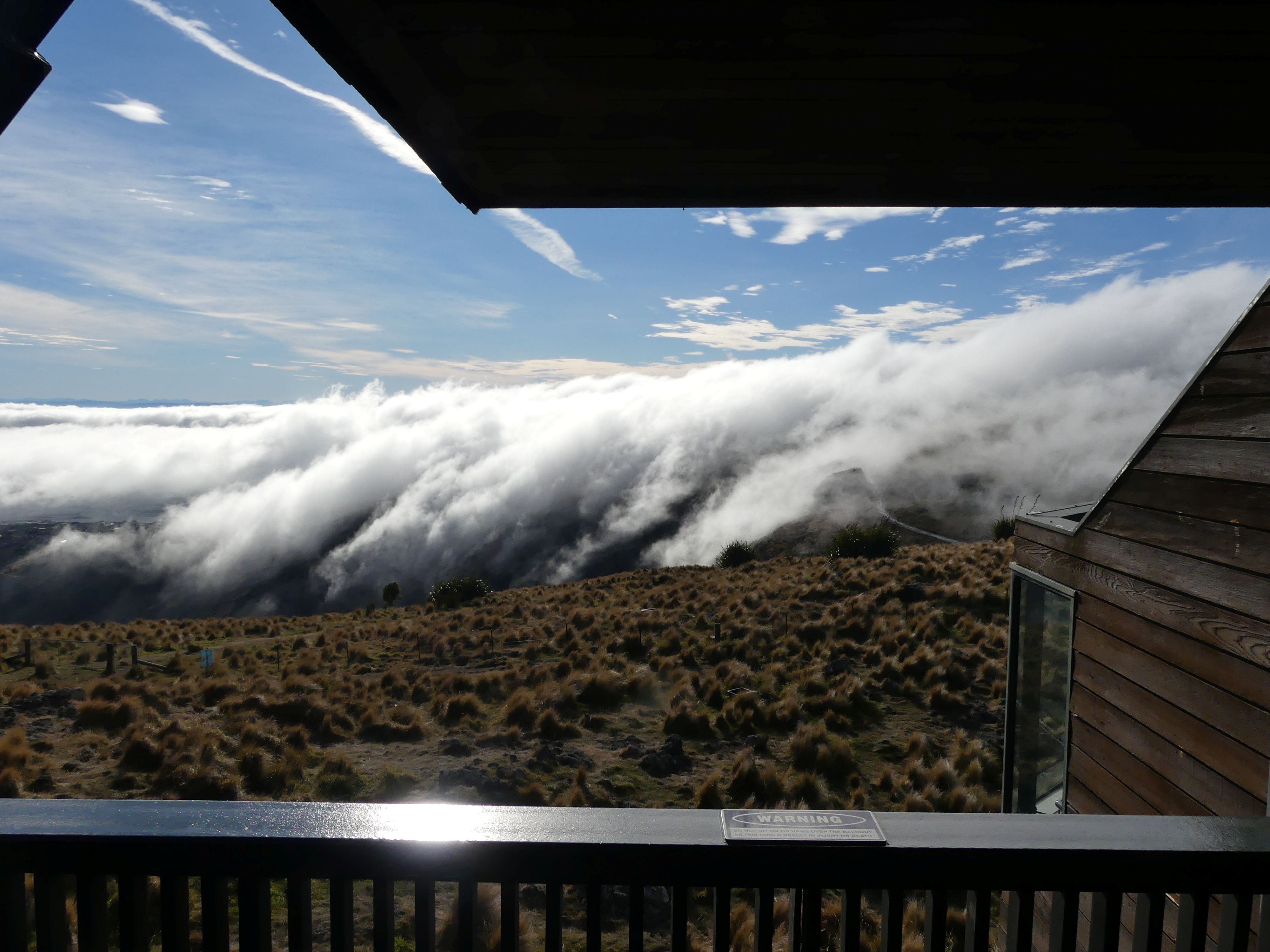
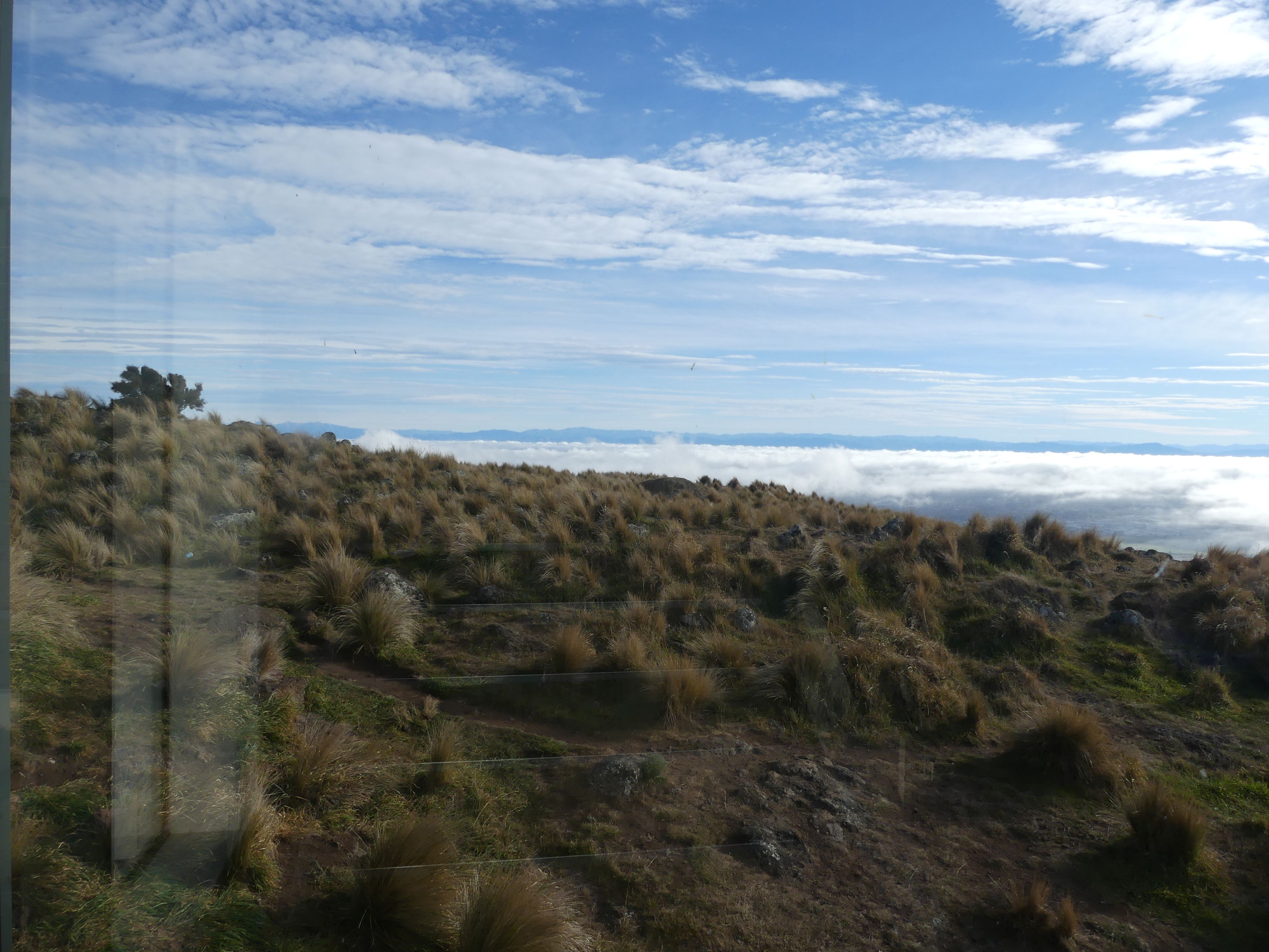
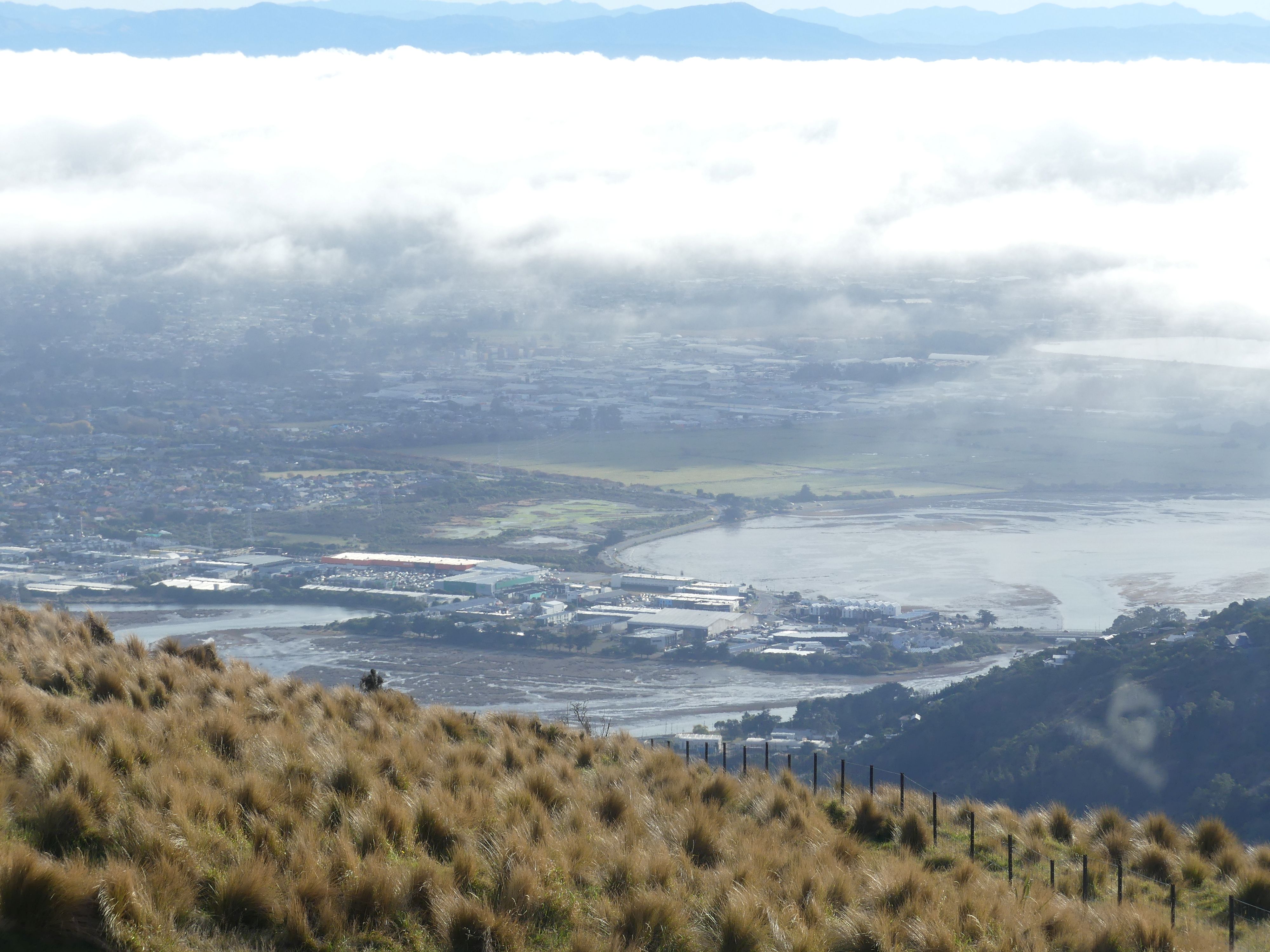
From the ride we climbed to the viewing platform, and we could see the weather closing in with heavy cloud covering part of the scenery. On the seaward side of the peak, we could see Port Lyttelton, the main commercial and cruise port serving Christchurch. As we looked out most points of interest were slowly swallowed by a cloud bank. Only the view down to the base station remained clear.

Panoramic photo, Port Lyttelton, the cloud bank and the base station

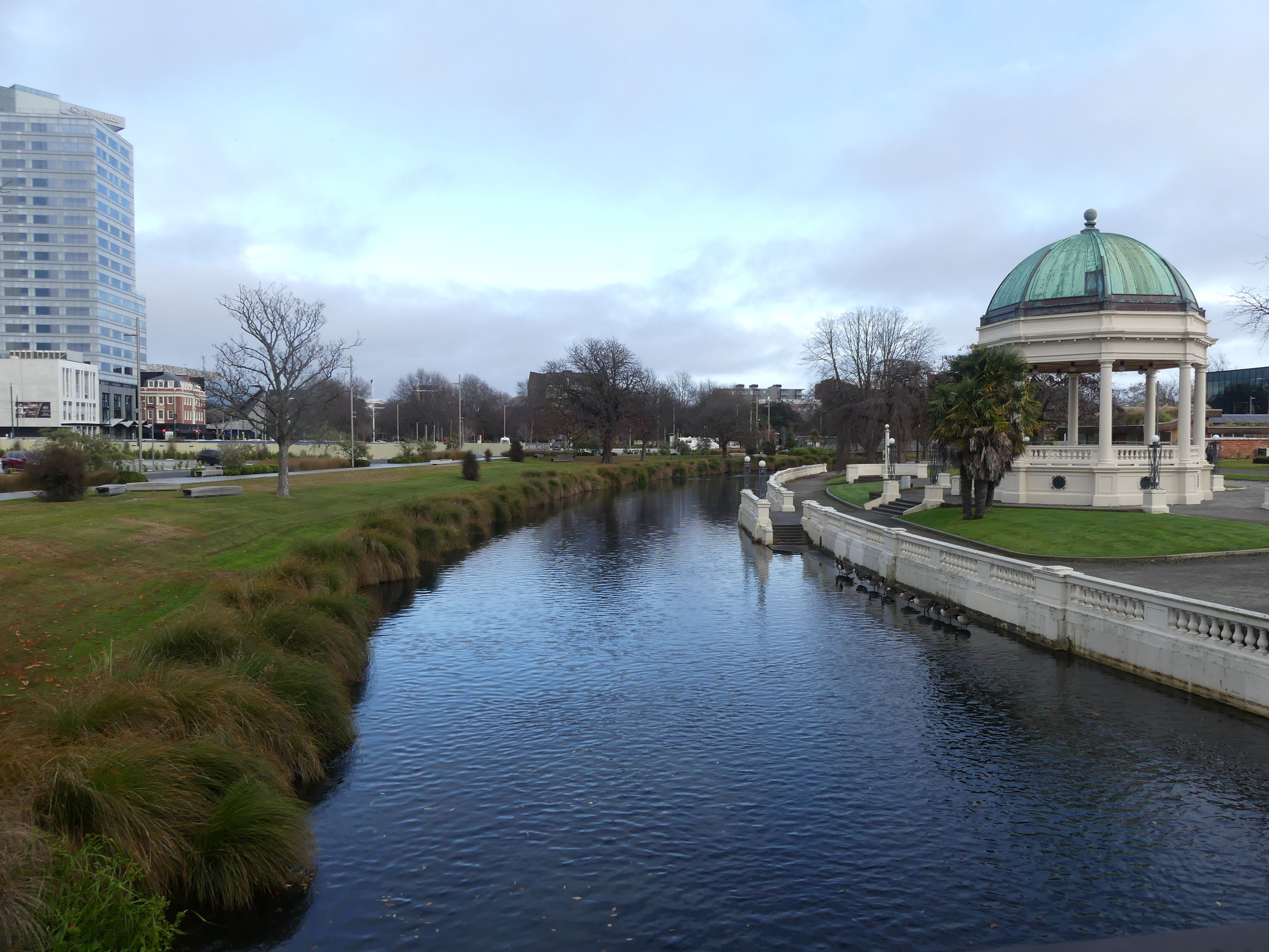
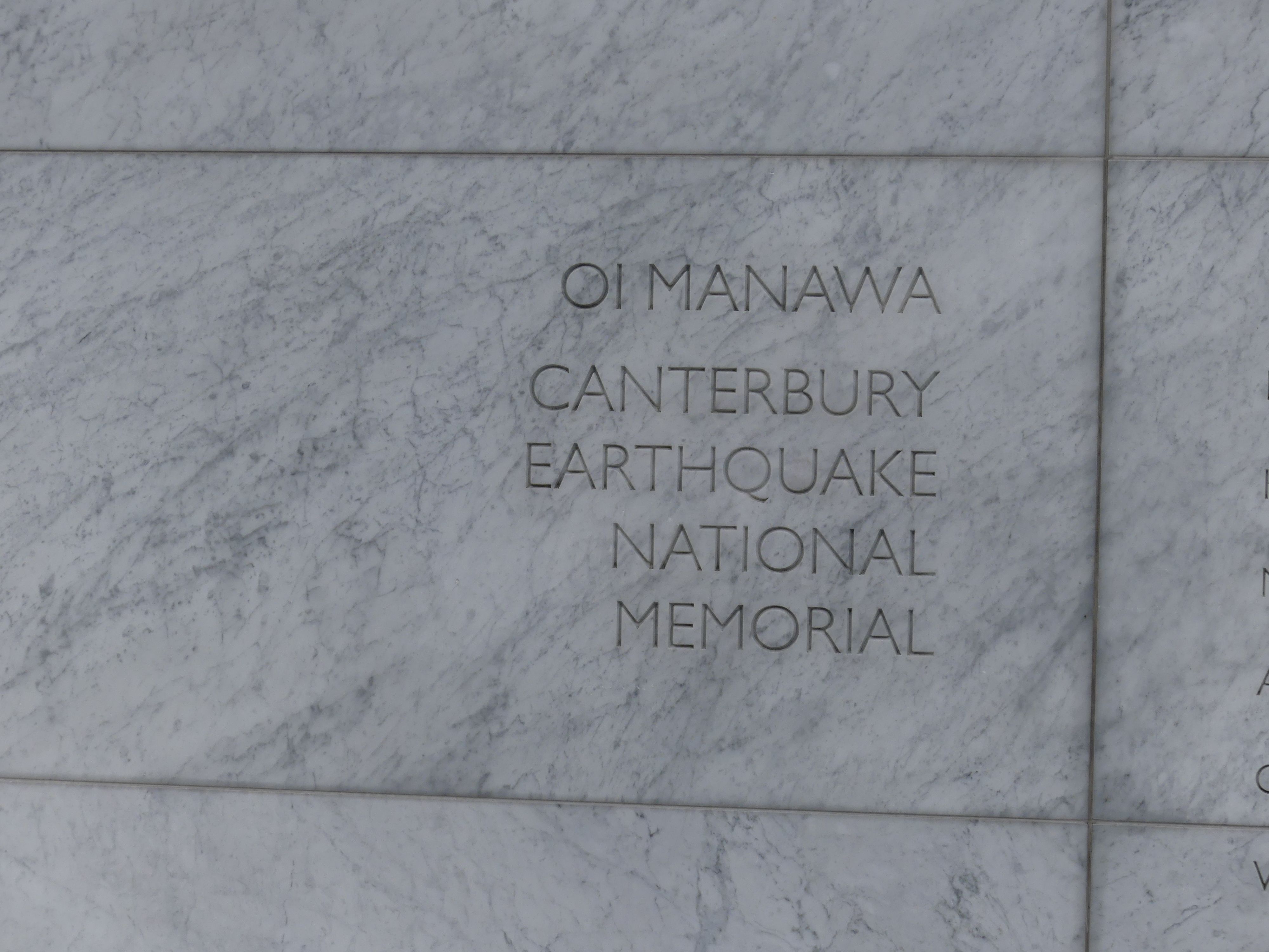
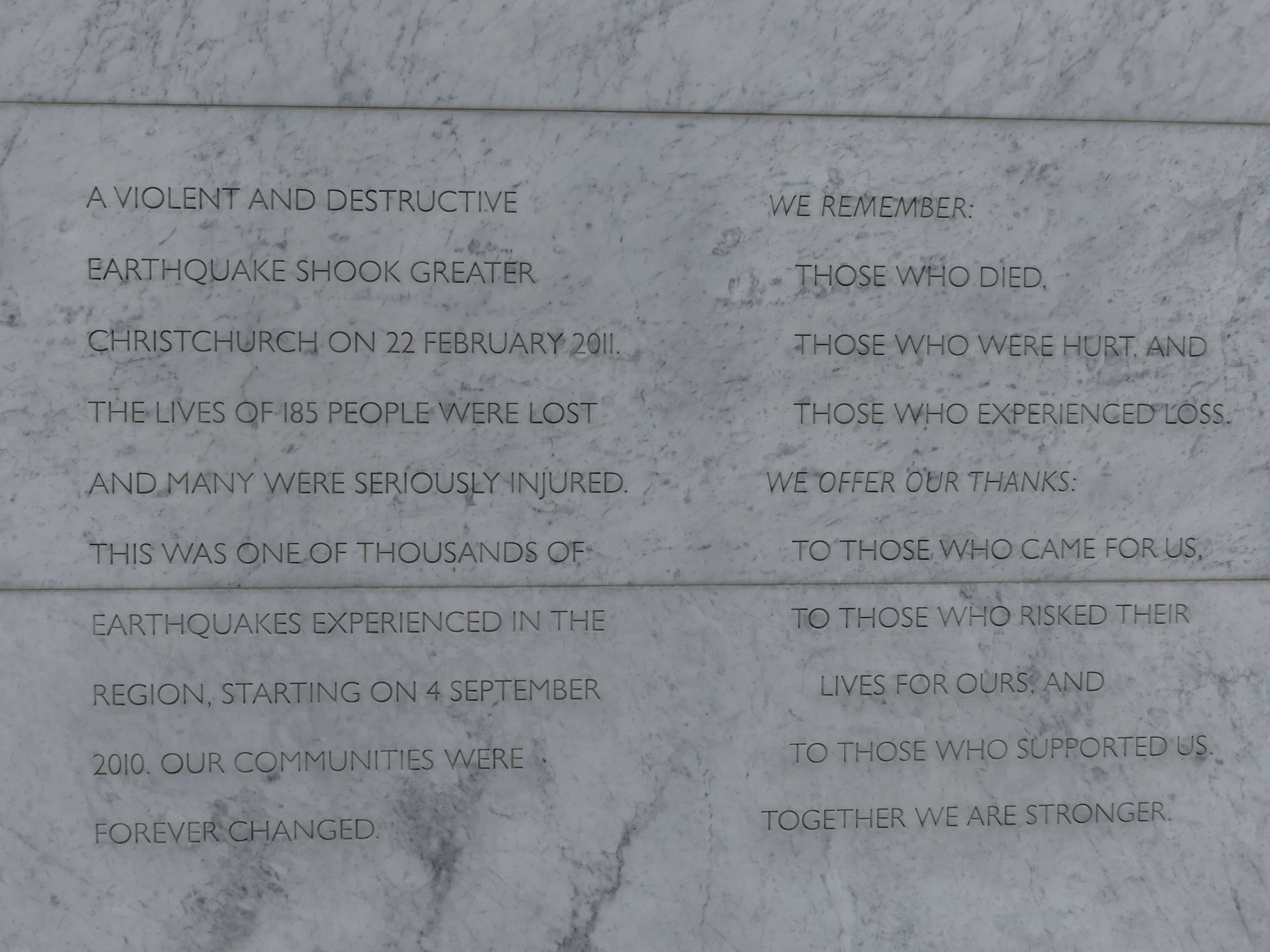
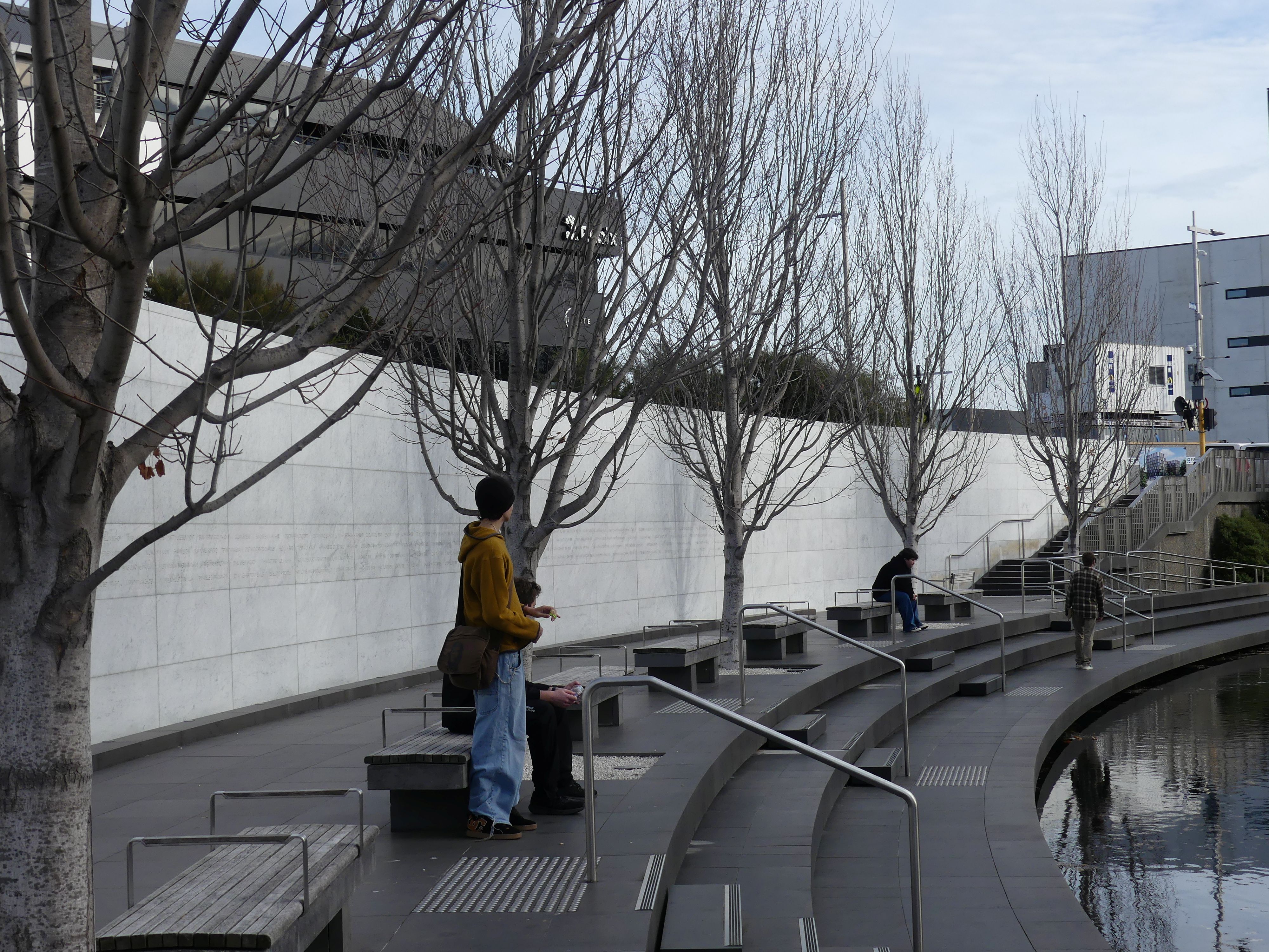
We returned to the base station after coffee and a pie (mince and cheese a NZ favourite) for lunch. We were still on the hunt looking for the earthquake Memorial Wall, and it was bloody hard to find. If there was signage for visitors to find the memorial we could not find it and everyone, we asked gave us a bum steer. We came close to the Memorial without knowing it when we walked the Bridge of Remembrance along the Avon River but to avoid some pro-Palestine protesters, we missed the one and only directional sign. We encountered a knowing fellow who finally gave us clear directions to find the Memorial. Once we had the correct directions, we crossed the Bridge of Remembrance and followed the signs to the Memorial Wall.

The Memorial Wall

We walked back to the motel by which time we were rather tired but tomorrow we are off to Akaroa and a cruise from Akaroa Harbour.

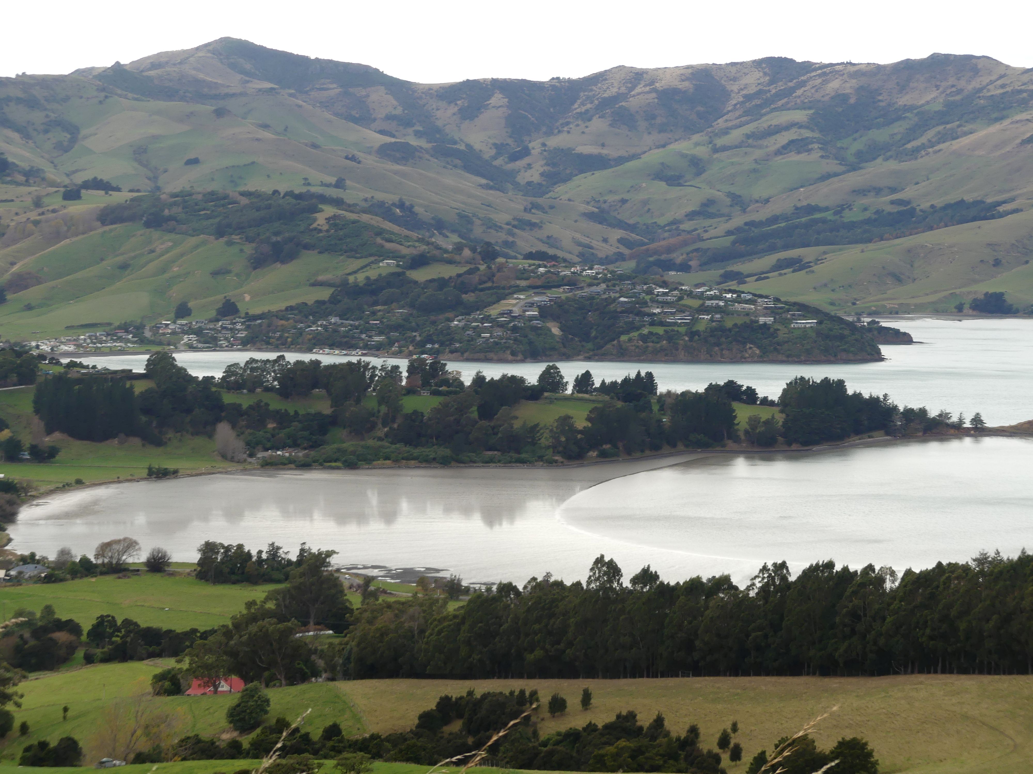
Day 13               With Barry behind the wheel we started a scenic drive (about 1.5 hours) to Akaroa Harbour. Akaroa is a small town on Banks Peninsula in the Canterbury Region, situated within a harbour of the same name. The name Akaroa is Kāi Tahu Māori for “Long Harbour”, and the area was also named Port Louis-Philippe by French settlers after the reigning French King Louis Philippe I.

In 1838, a whaler Captain Jean François Langlois, wrote up a questionable deed of purchase for “the greater Banks Peninsula” to which twelve Kāi Tahu chiefs each added their moko or cross. When the French settlers did arrive, the British authorities – who had in the meantime taken possession of the whole of New Zealand – decided a valid sale had not taken place in 1838, relying for their decision on English law and Māori oral evidence. A French influence remains in Akaroa to the present.

The village was largely confined to 1 street with residential properties running into it. The main street fronted the harbour on one side and the residences on the other.

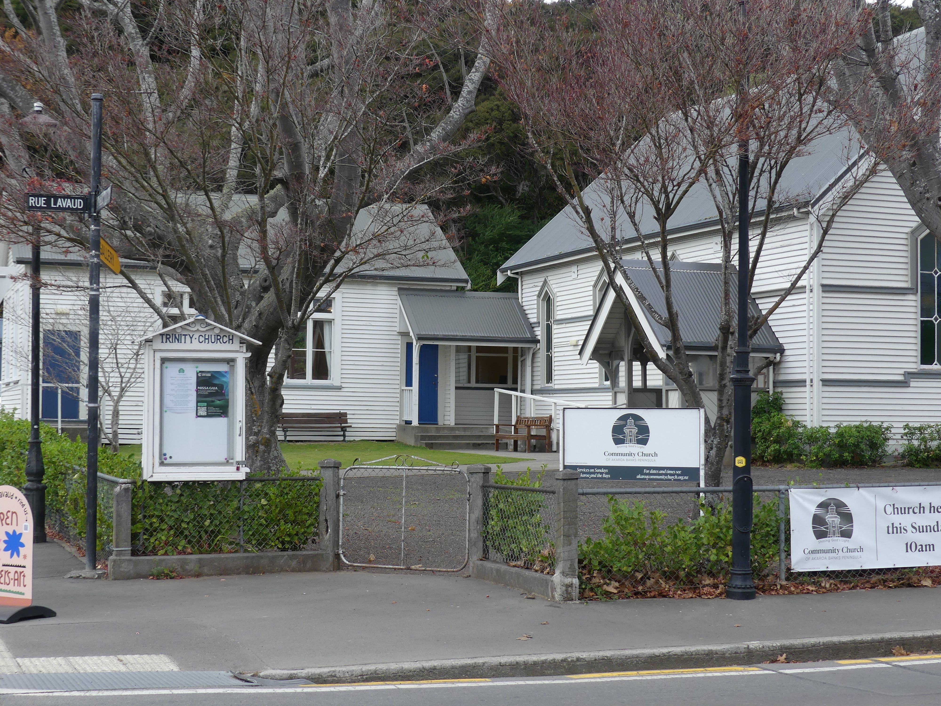
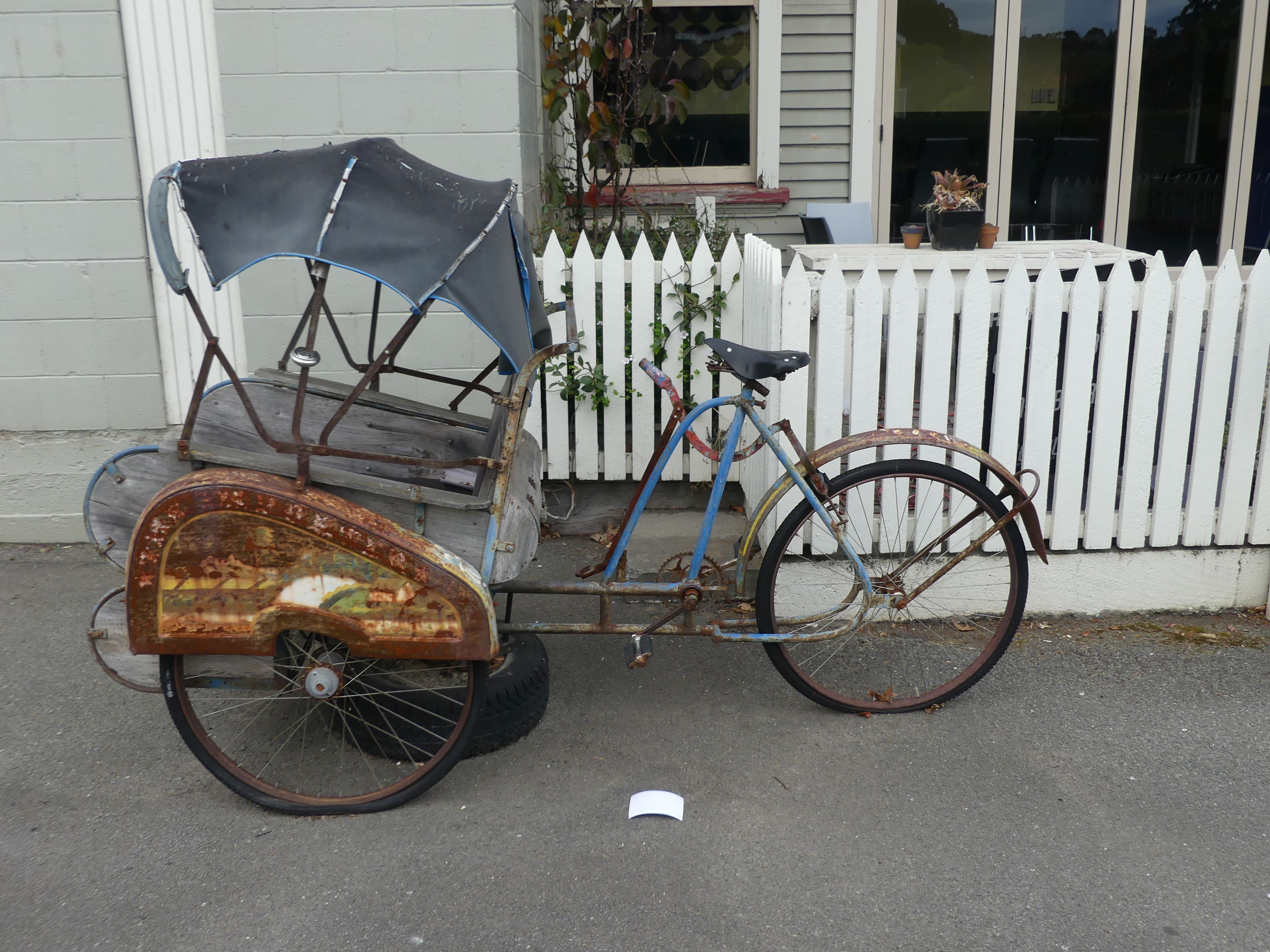
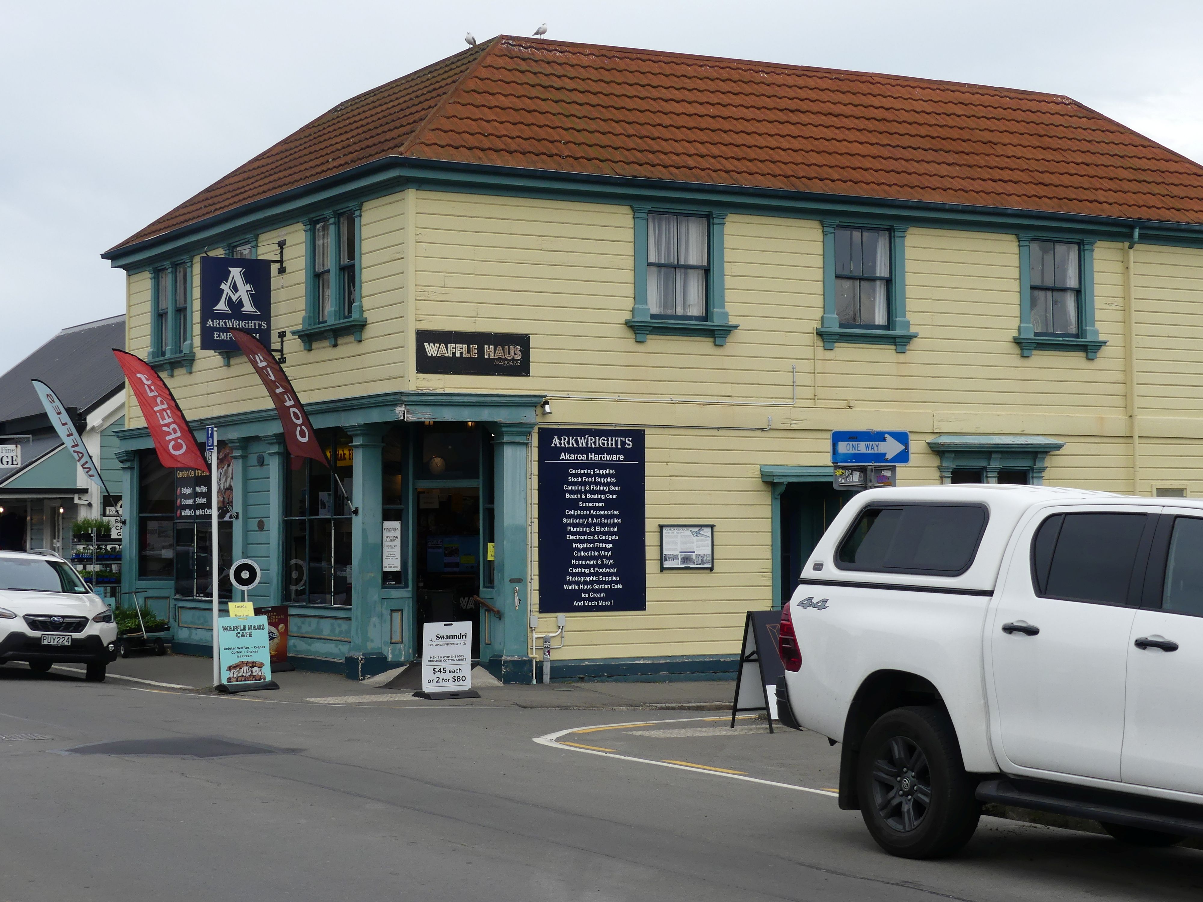
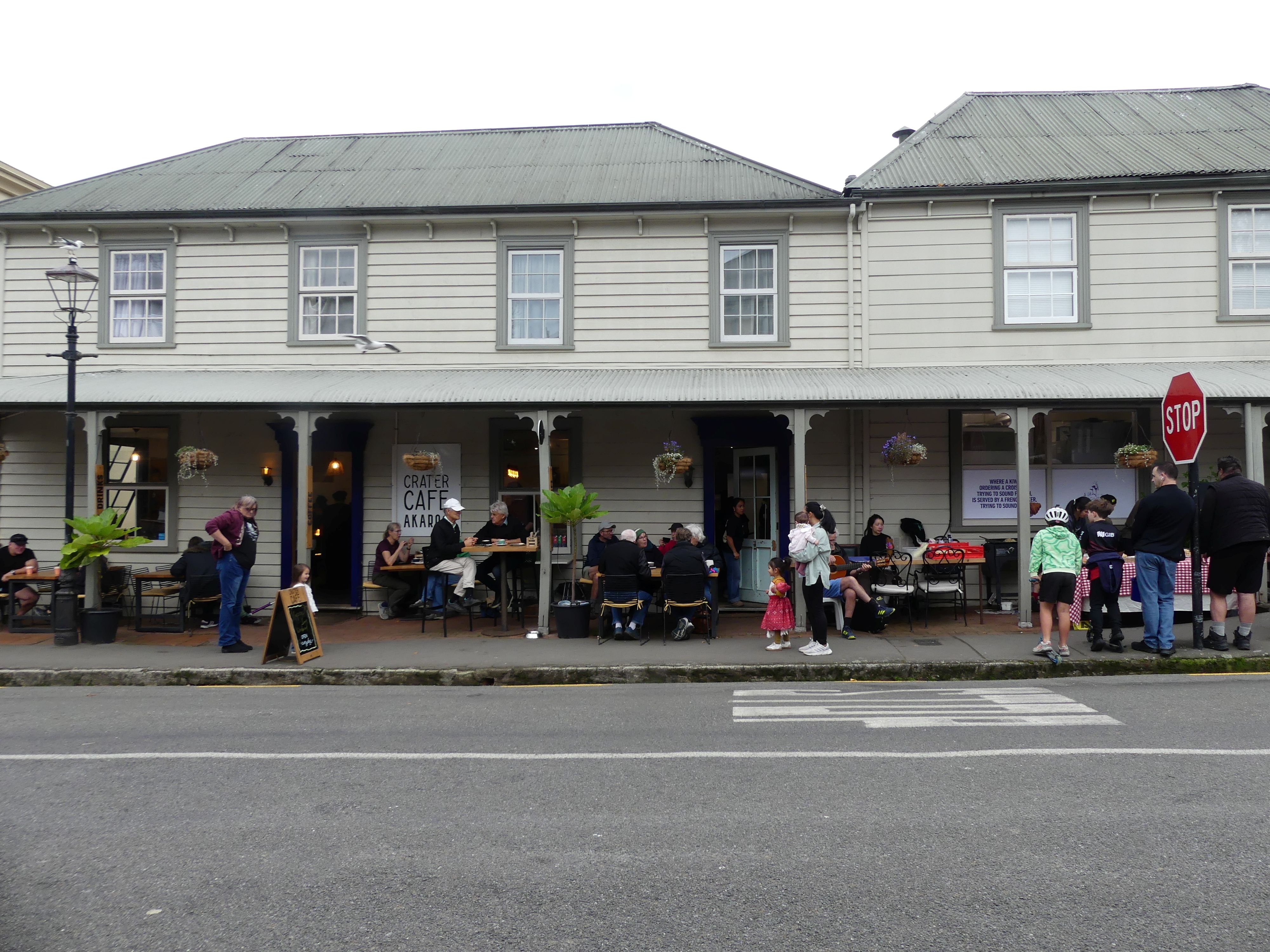
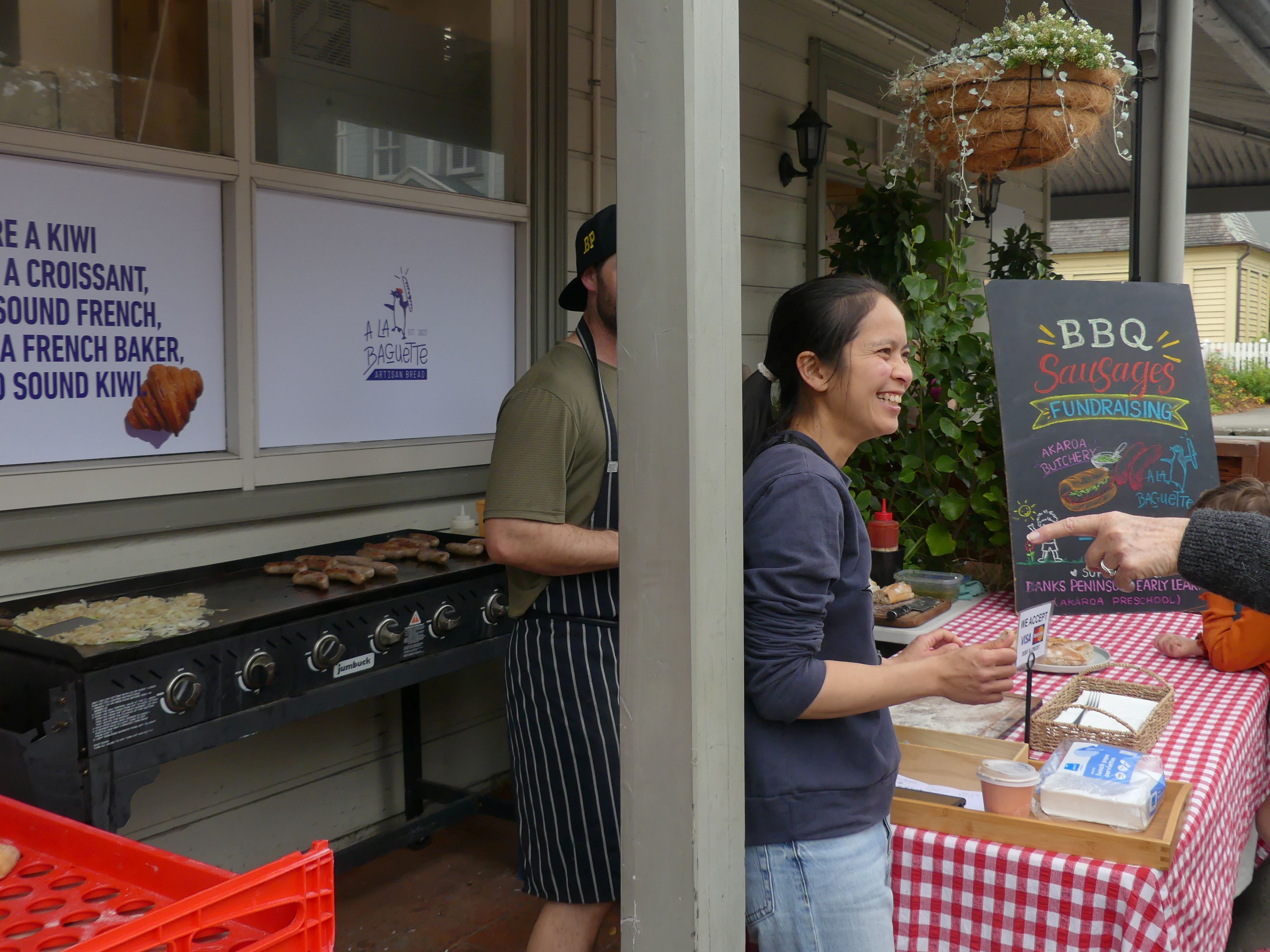
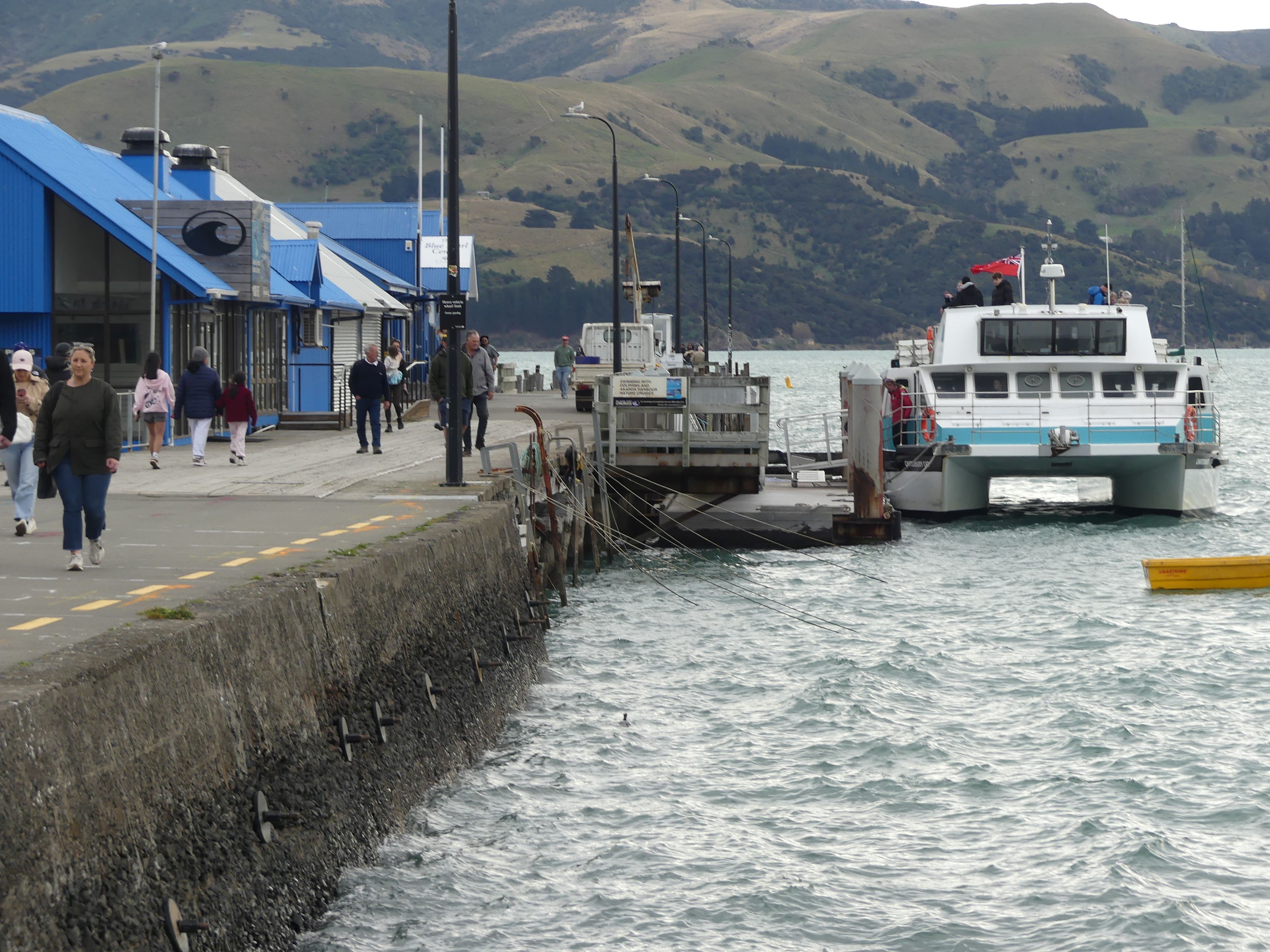
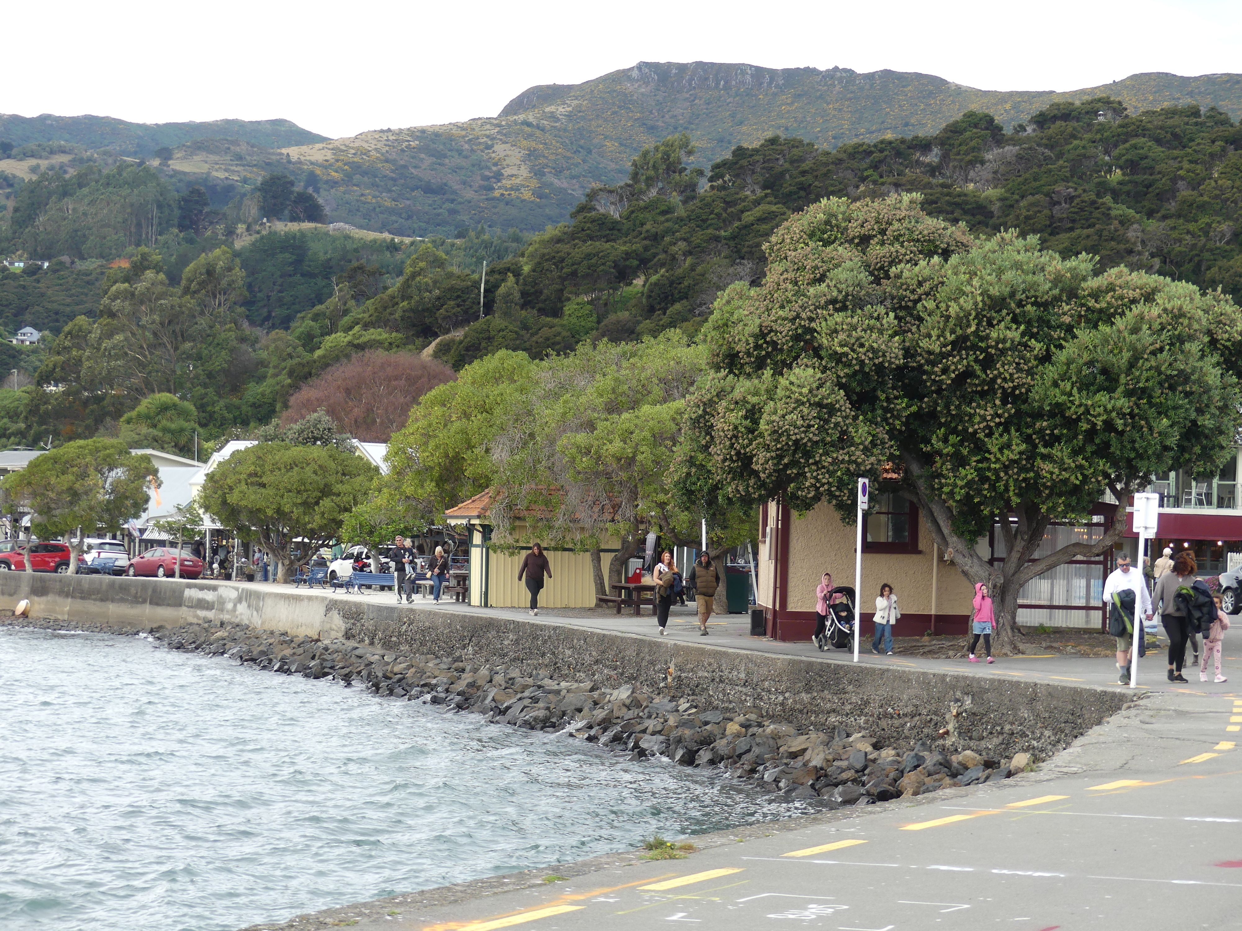
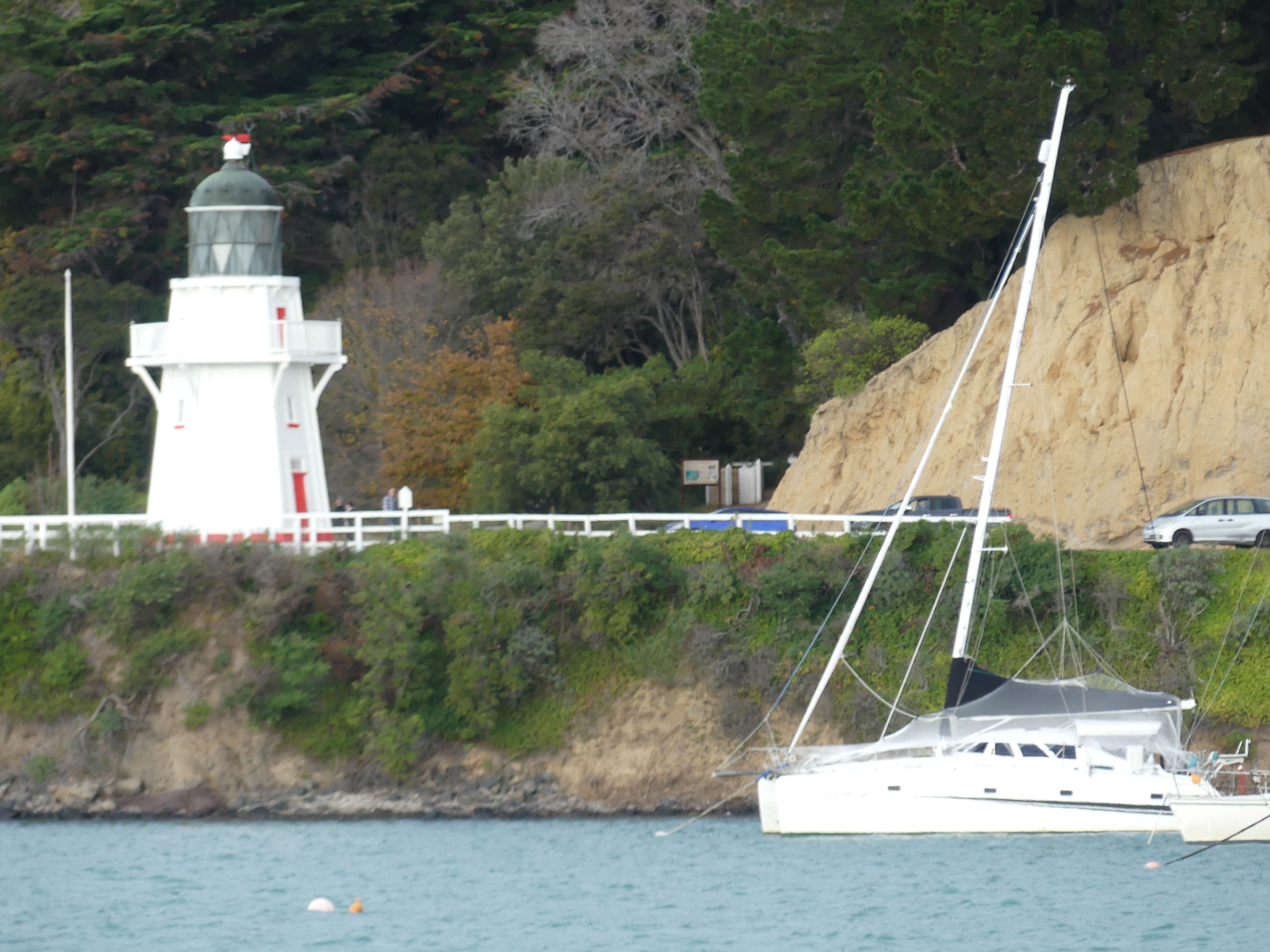
Driving to the village, Rue Lavaud and its church, an Asian influence also, one of the novel residences, Arkwright’s – hoping to see Ronnie Barker, the café for the coffee stop with sausage sizzle outside, and the harbour.

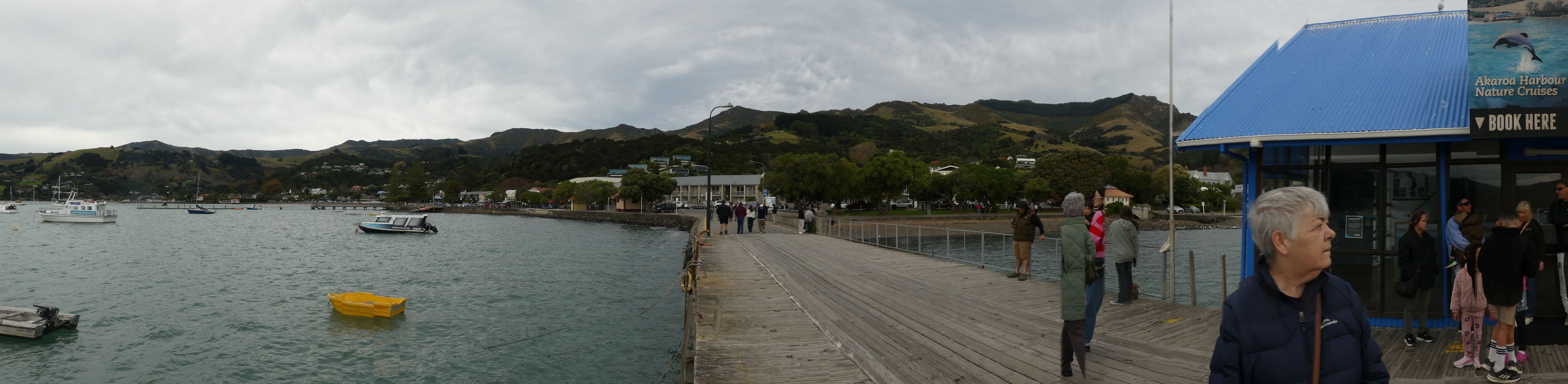
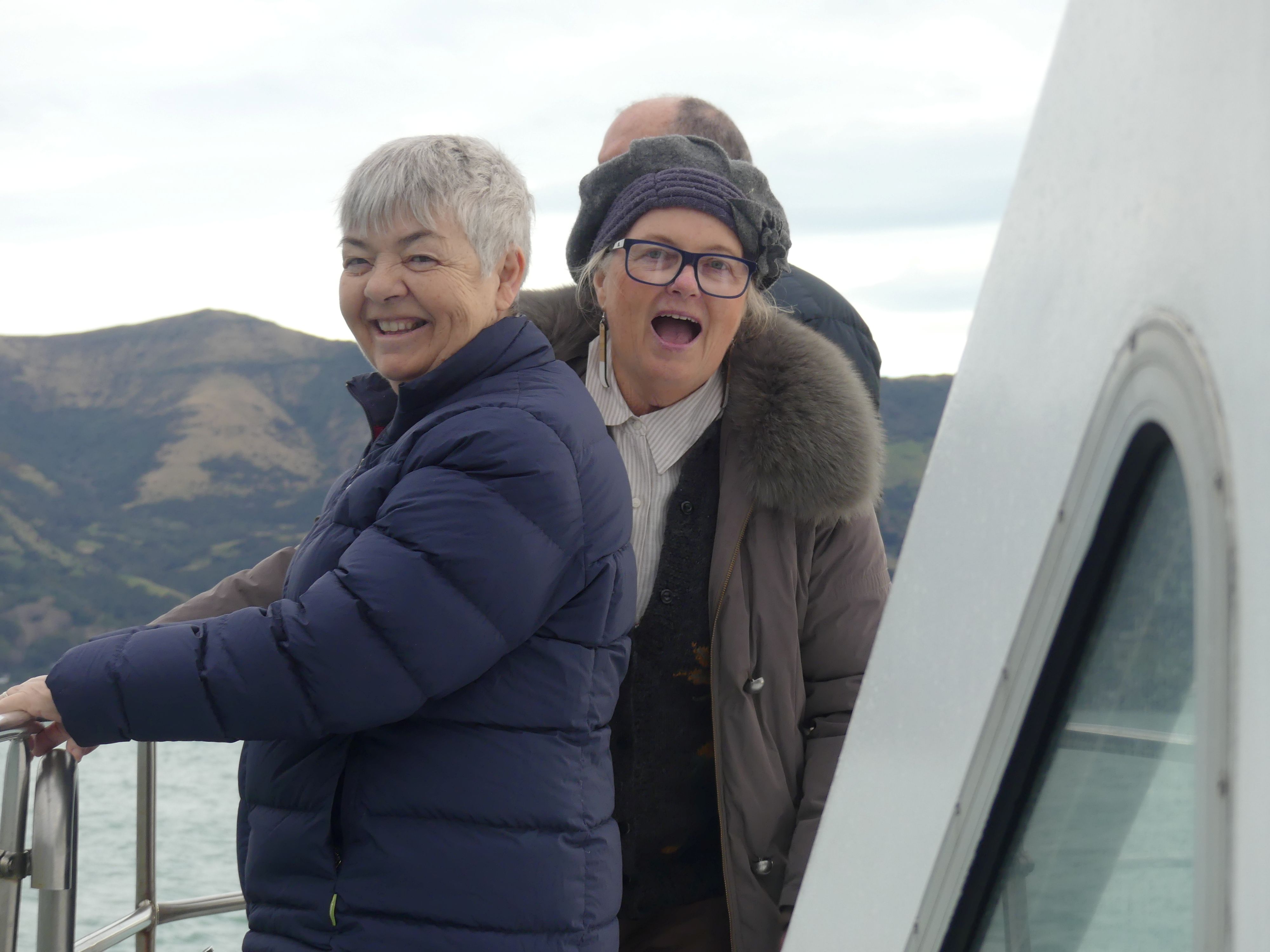
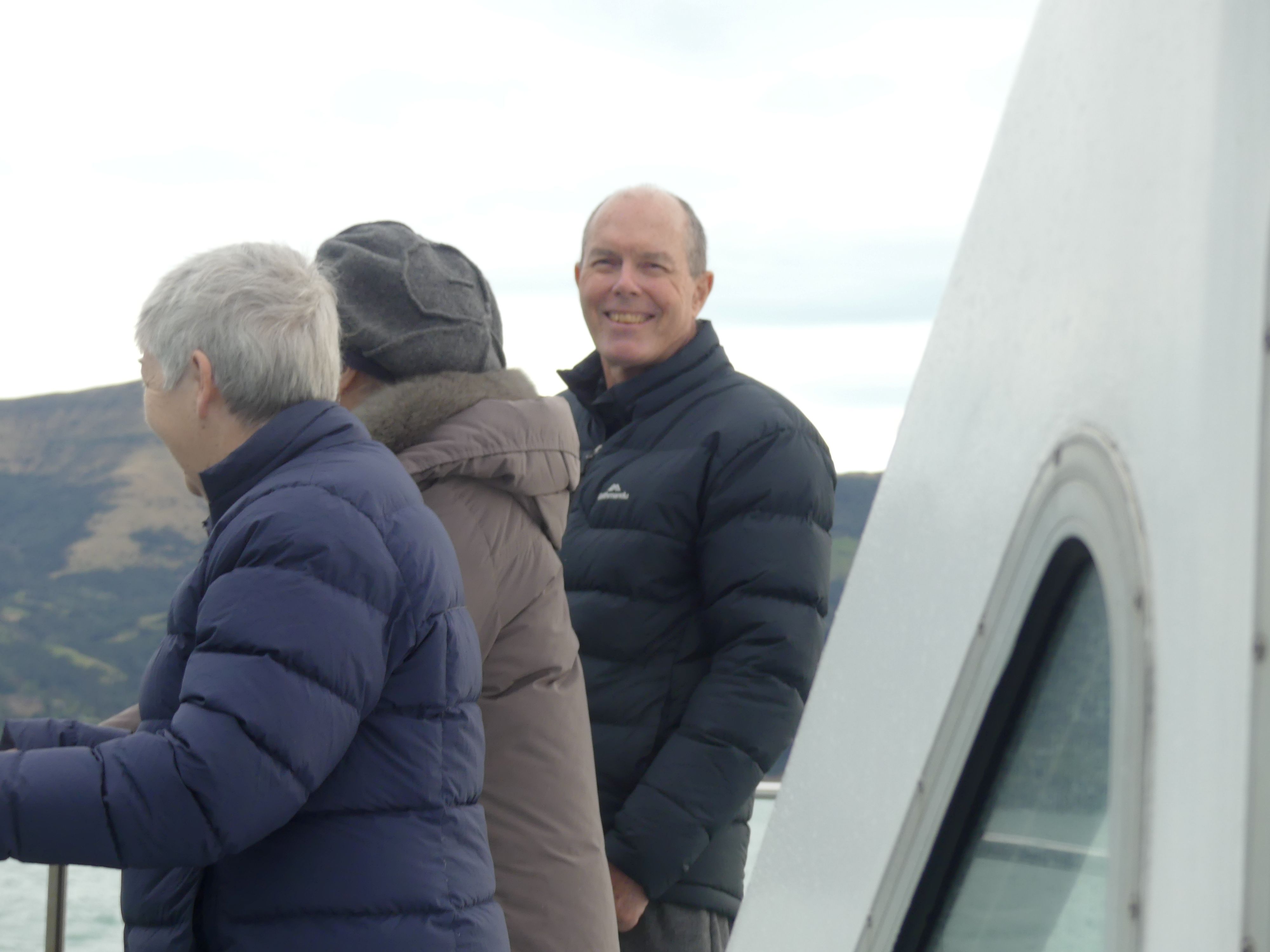
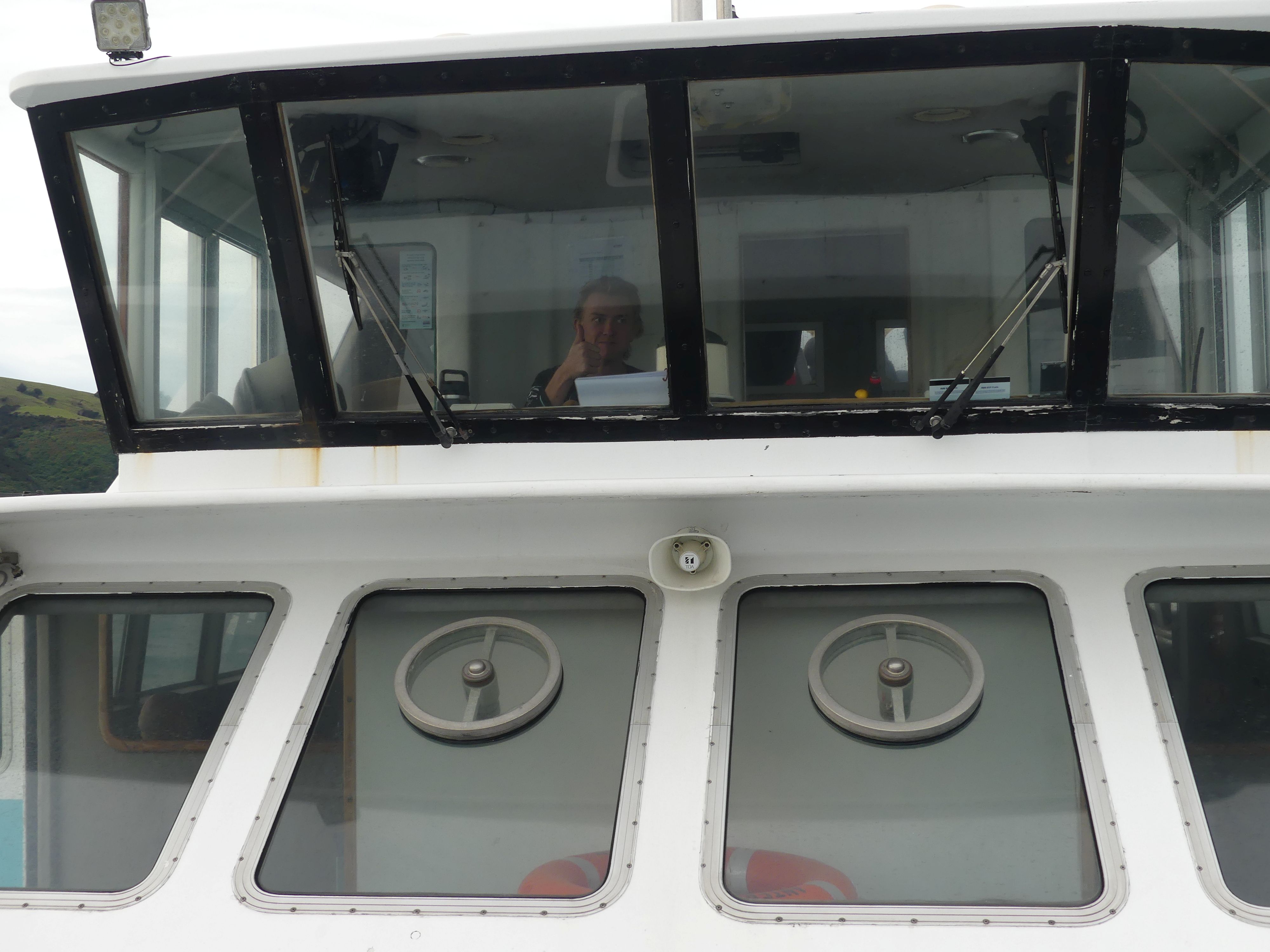
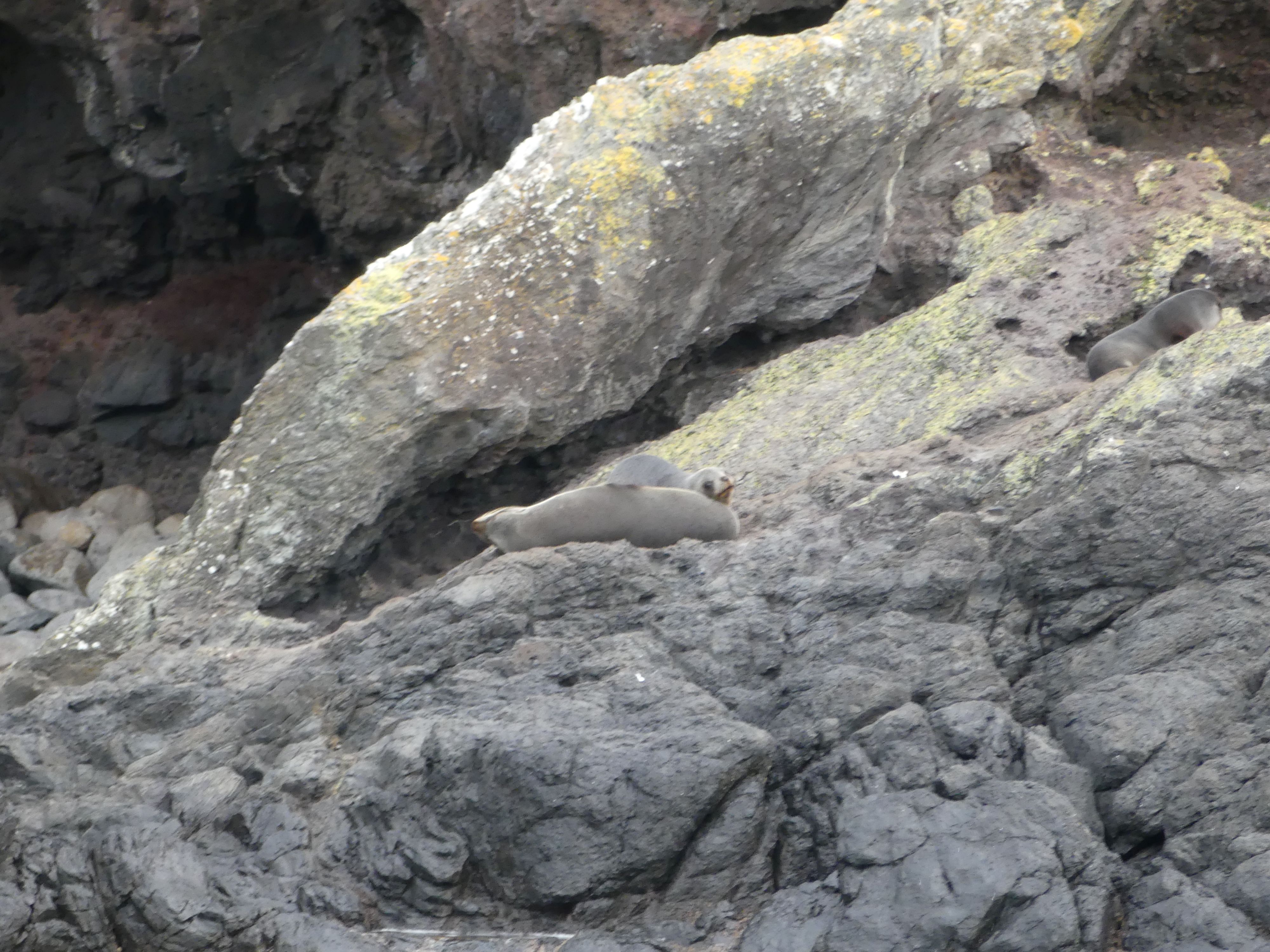
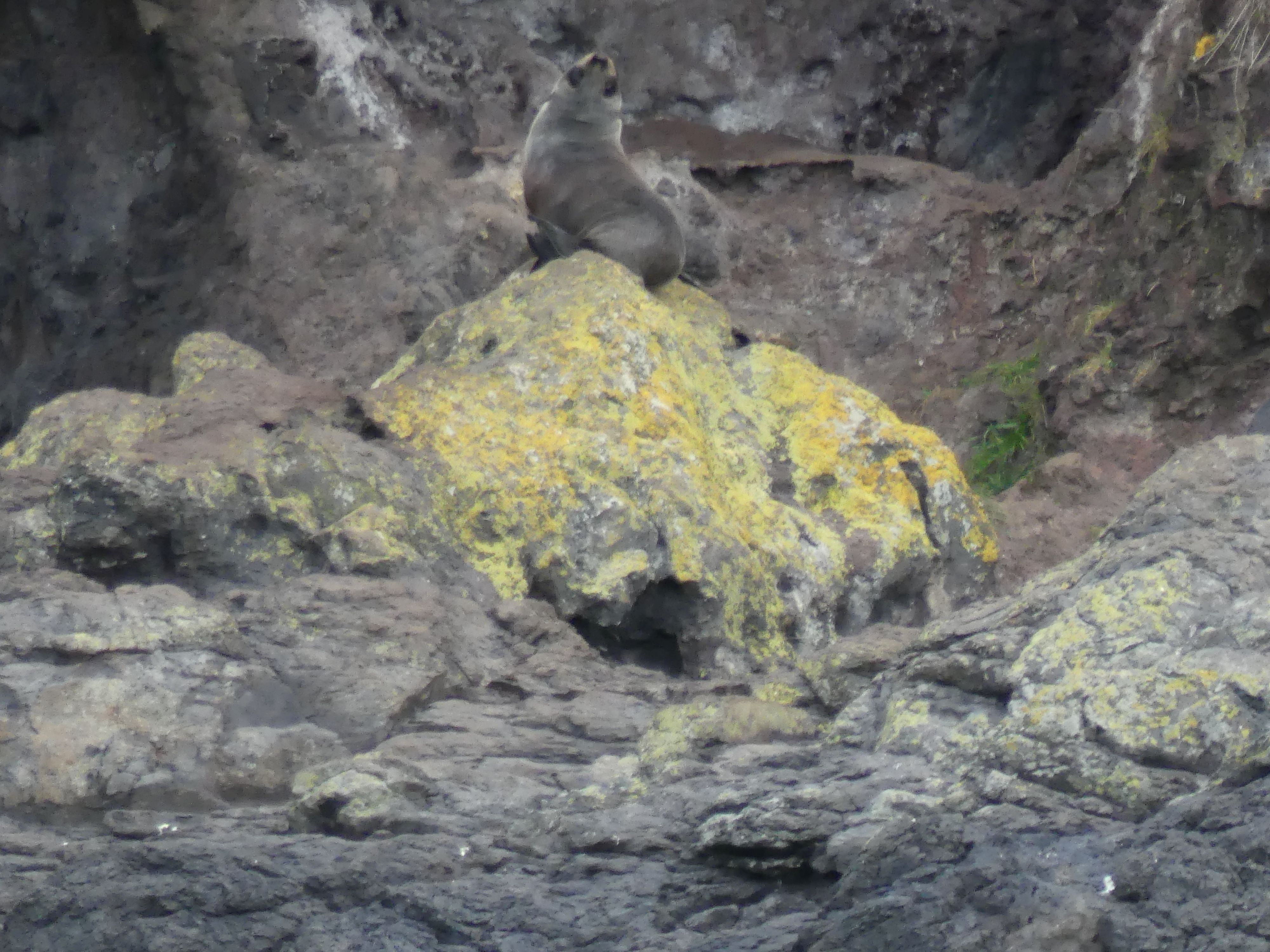
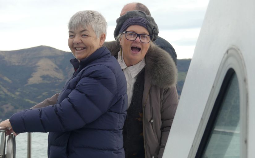
After coffee and a cake, we made our way to the wharf where we learned that the ticket office is onshore and after some minor issues, we found the office and learned our booking was for the preceding day, but we were in luck the boat was not full. Clutching our tickets we hurried back to the wharf and the awaiting vessel. Strangely that muck put us at the head of the queue to board the vessel and we were on our way to see the Hector Dolphins and the NZ fur seals and the whales. Someone forgot to send them their invitation as they didn’t turn up. As you will see in the photos, the seals were all ashore.

Cruising Akoroa Harbour

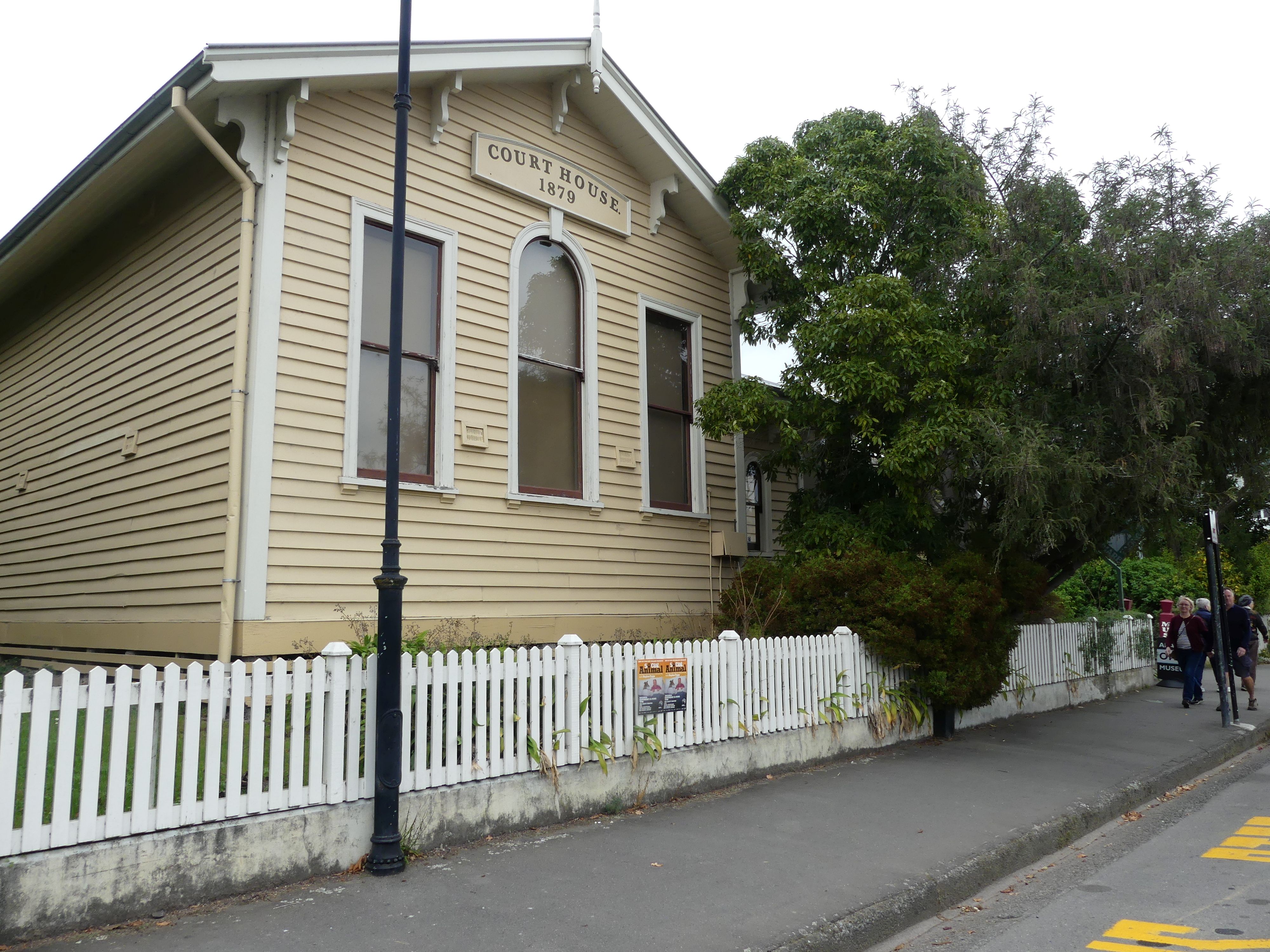
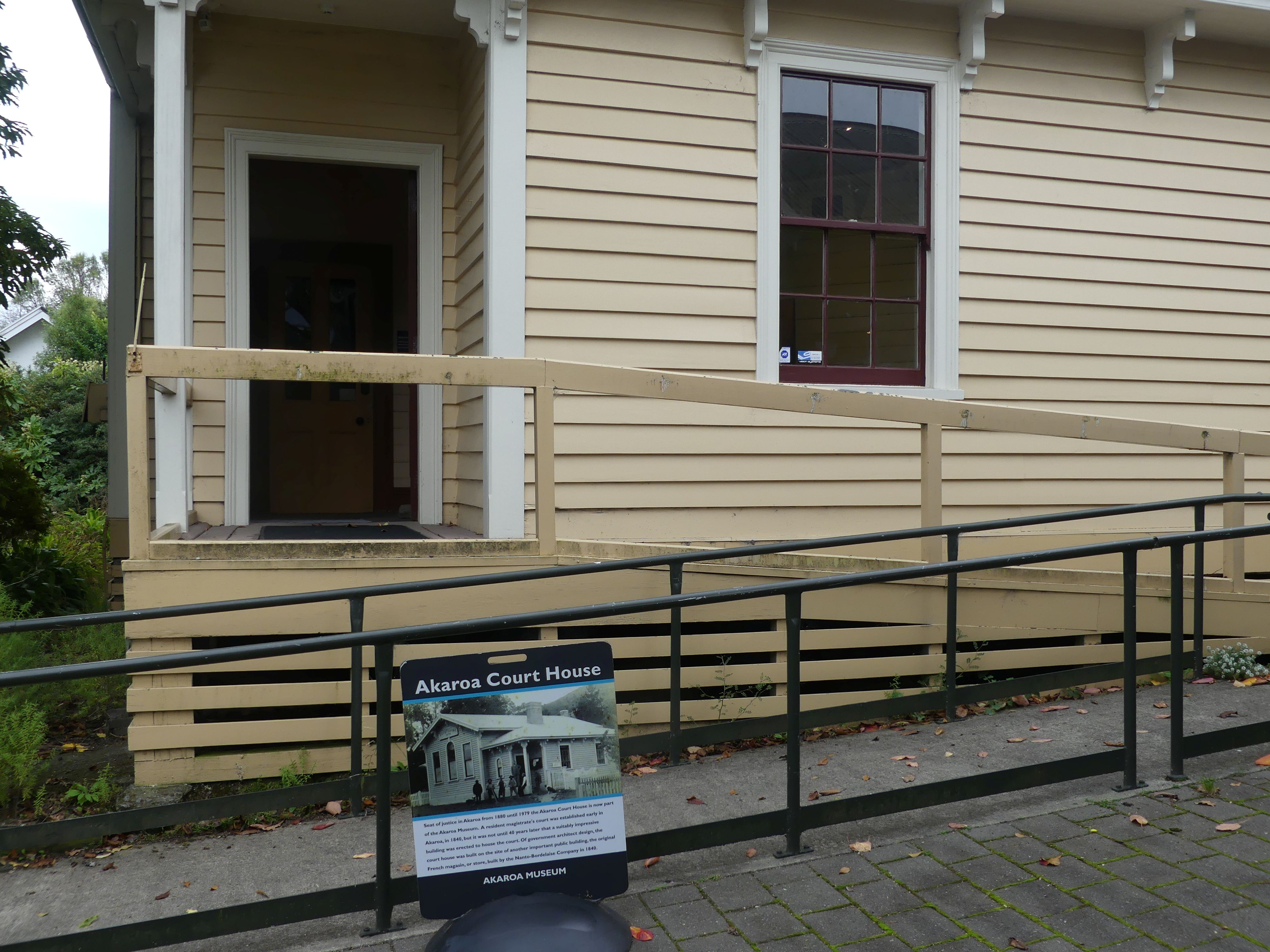
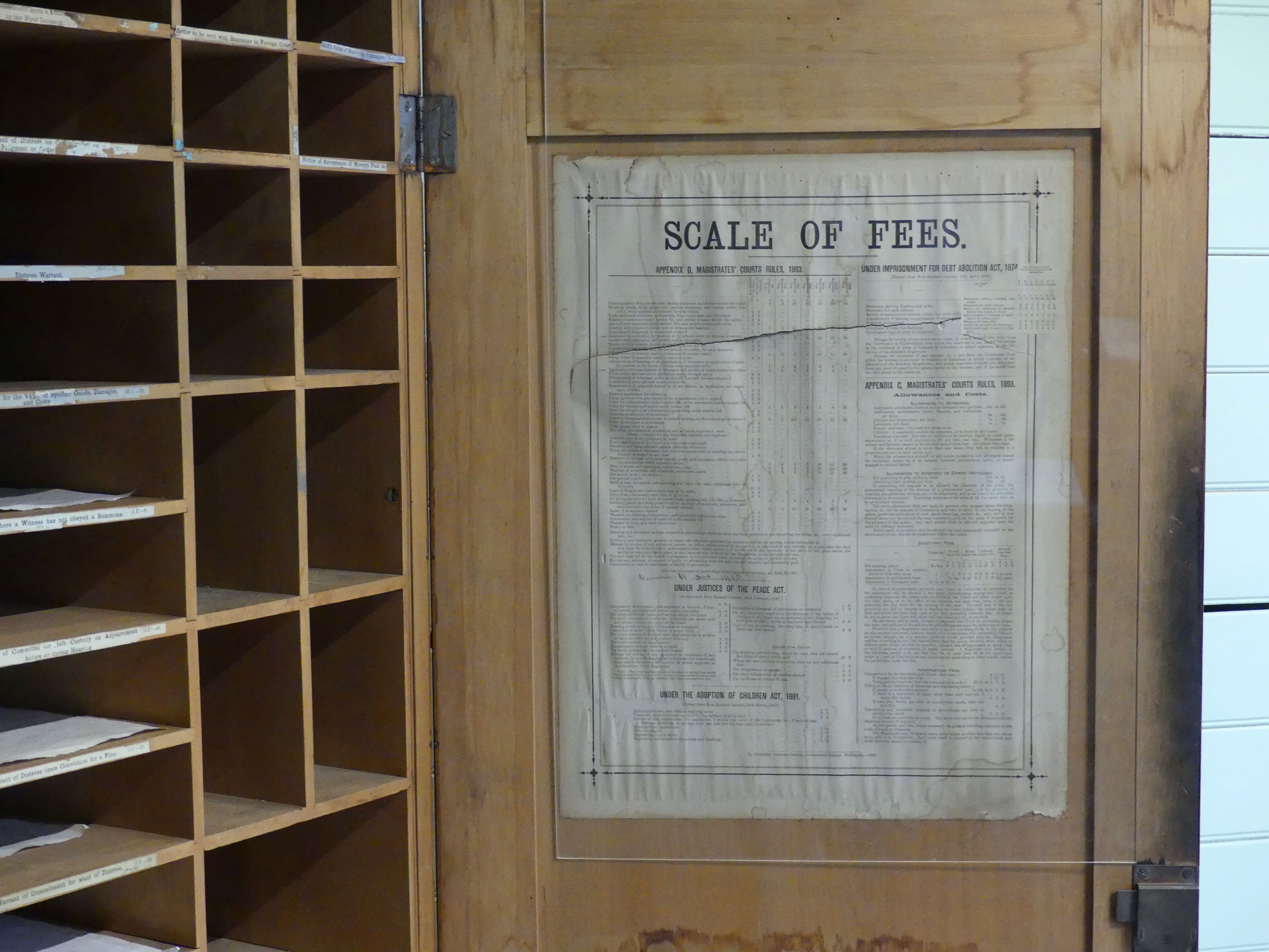
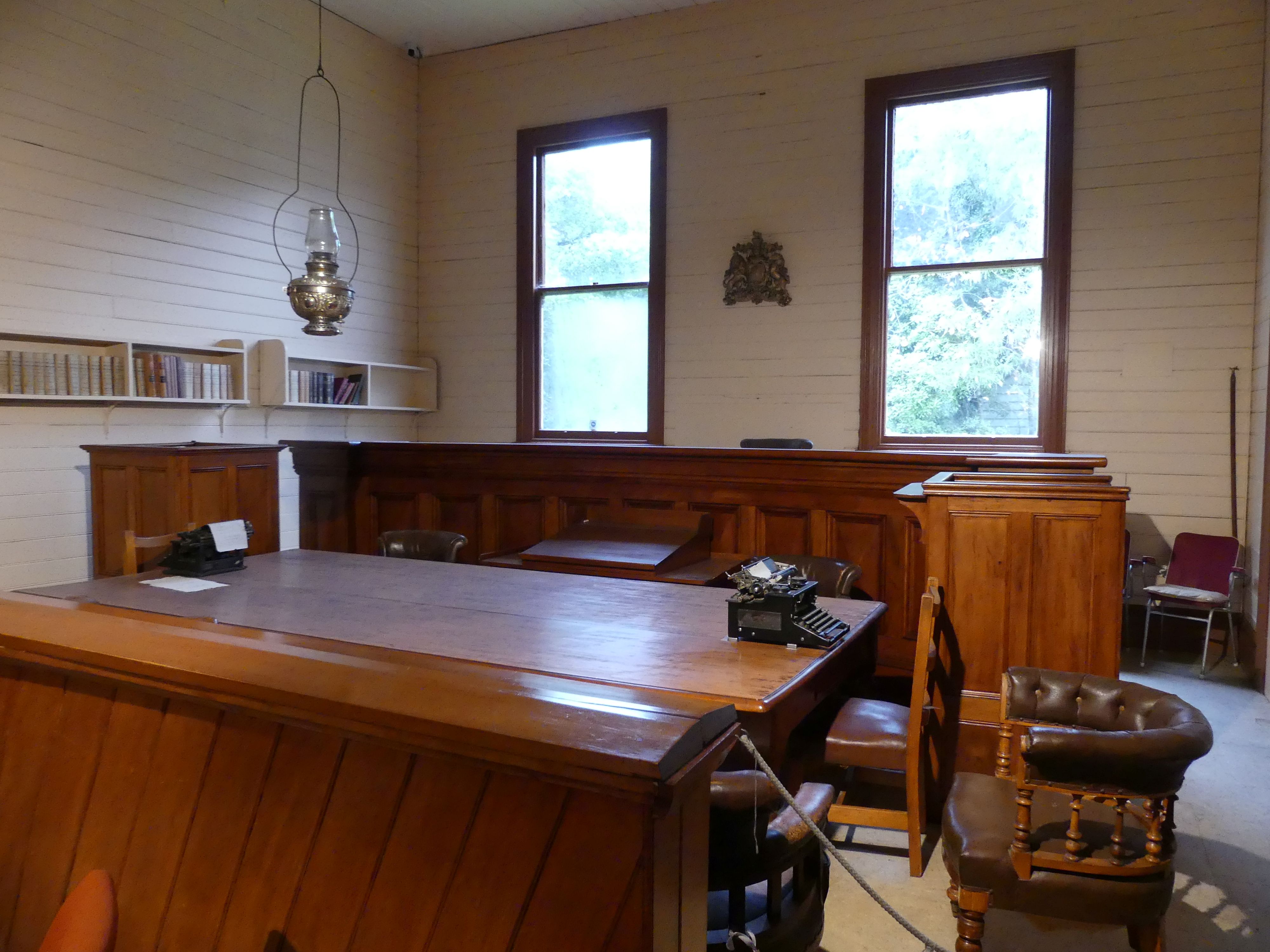
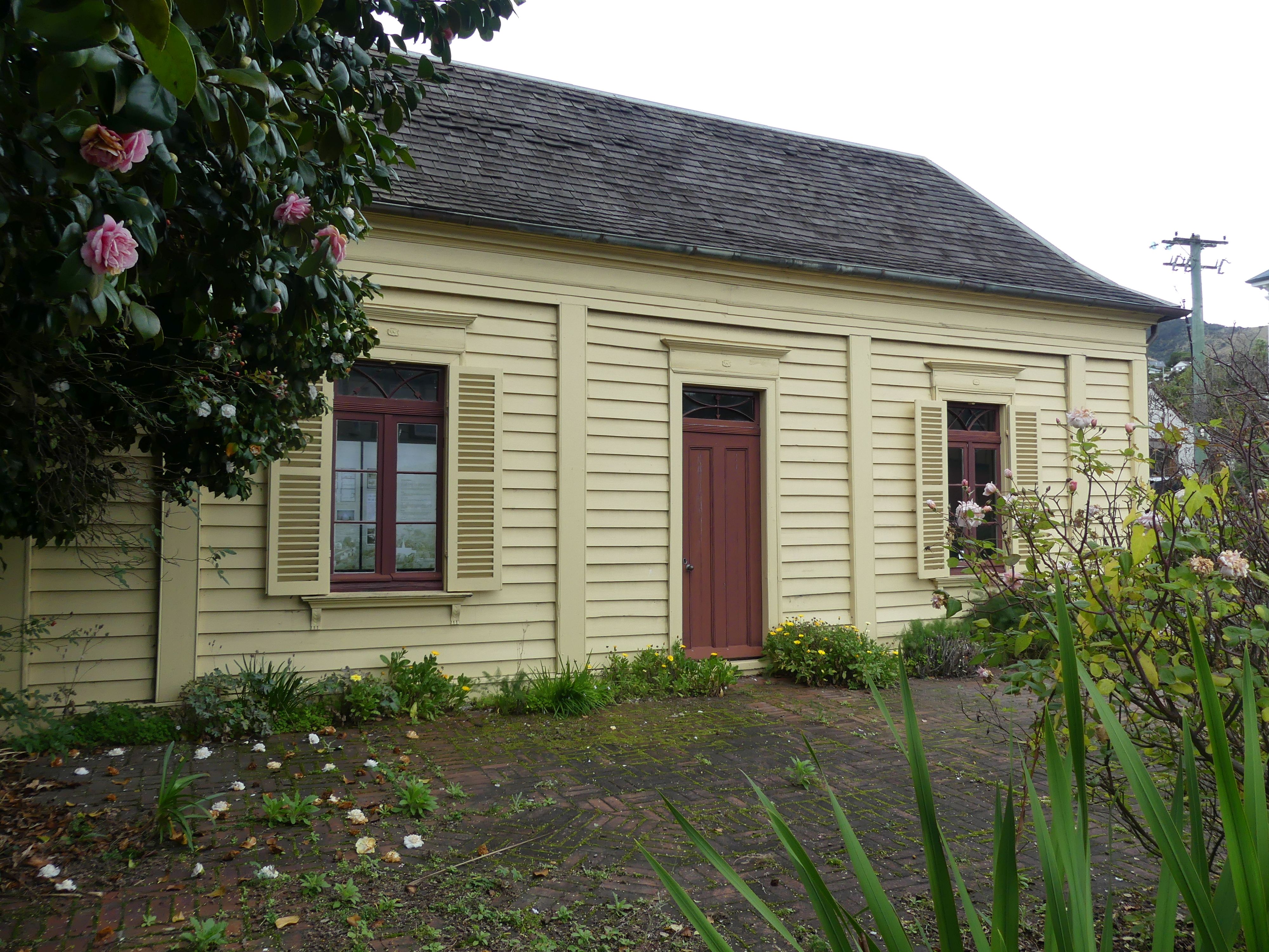
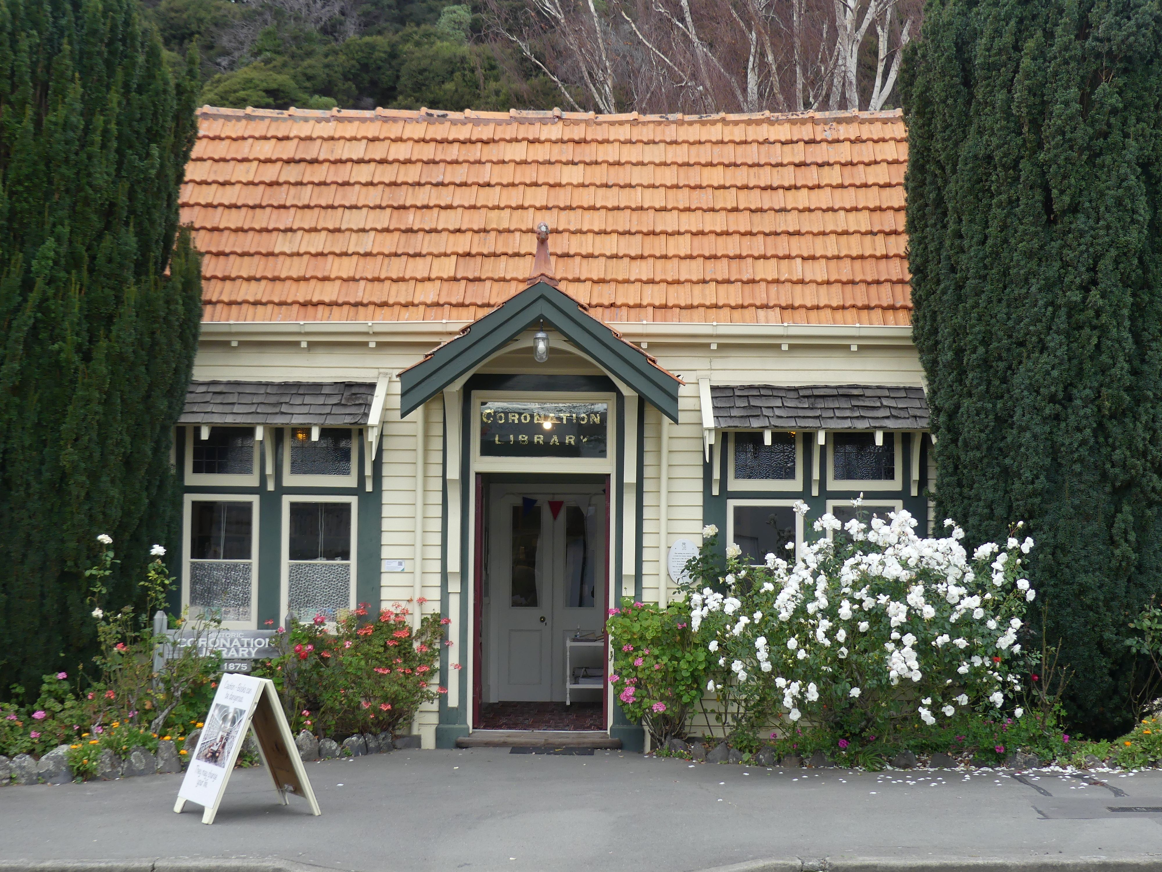
Disappointed we decided to check out the museum. The Courthouse was part of the museum which was free to enter. The Akaroa Courthouse is located at 69 Rue Lavaud in Akaroa and is a beautifully preserved Category II Historic Place. Opened in March 1880, it served the community for 99 years before being integrated into the Akaroa Museum. The interior is still furnished with its original 19th-century magistrate’s bench, witness box, and dock. Its a contradiction that the village has a French influence when you come across the Coronation Library opened in 1875 in honour of Queen Victoria no doubt – rather English I thought.

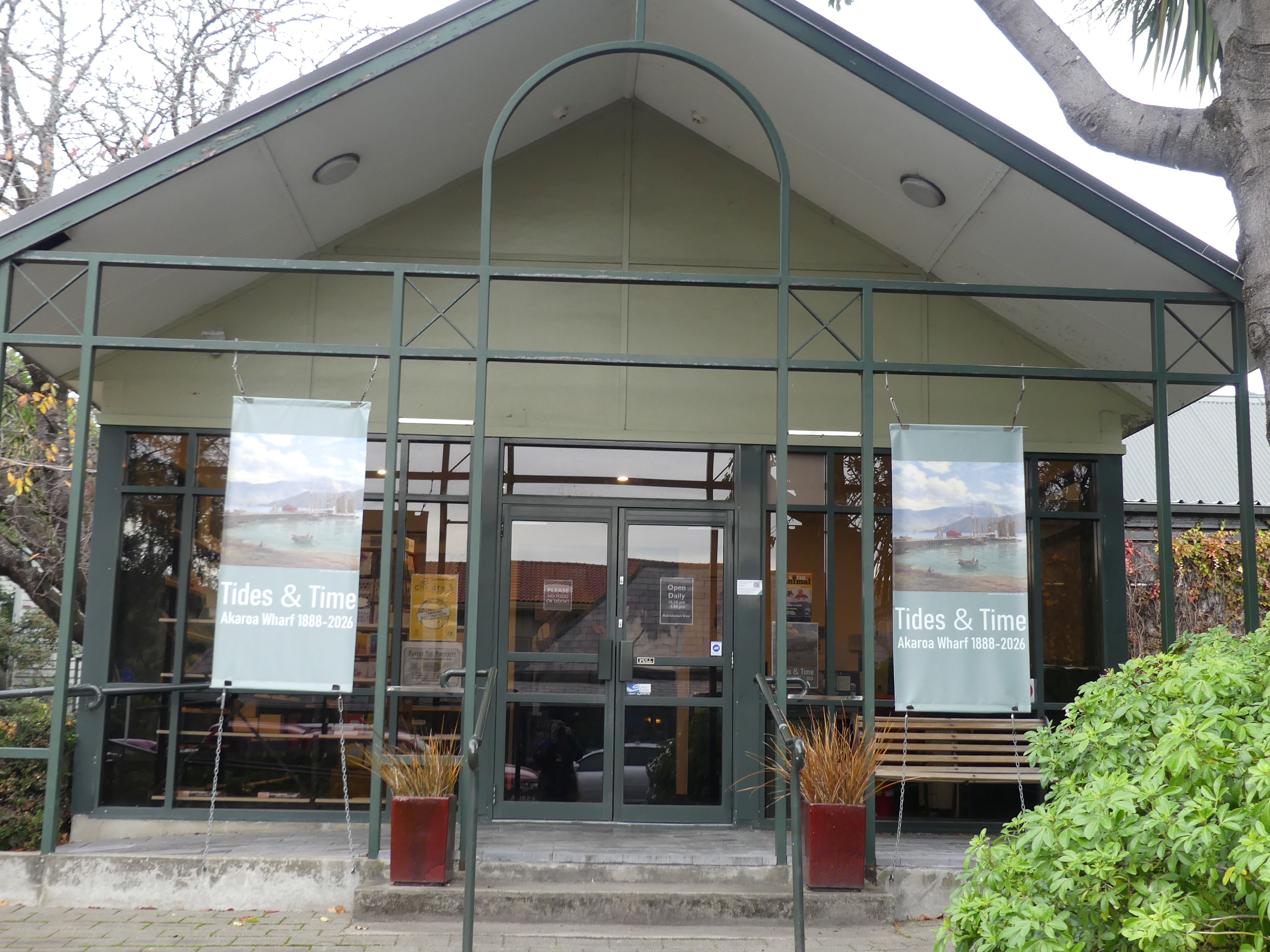
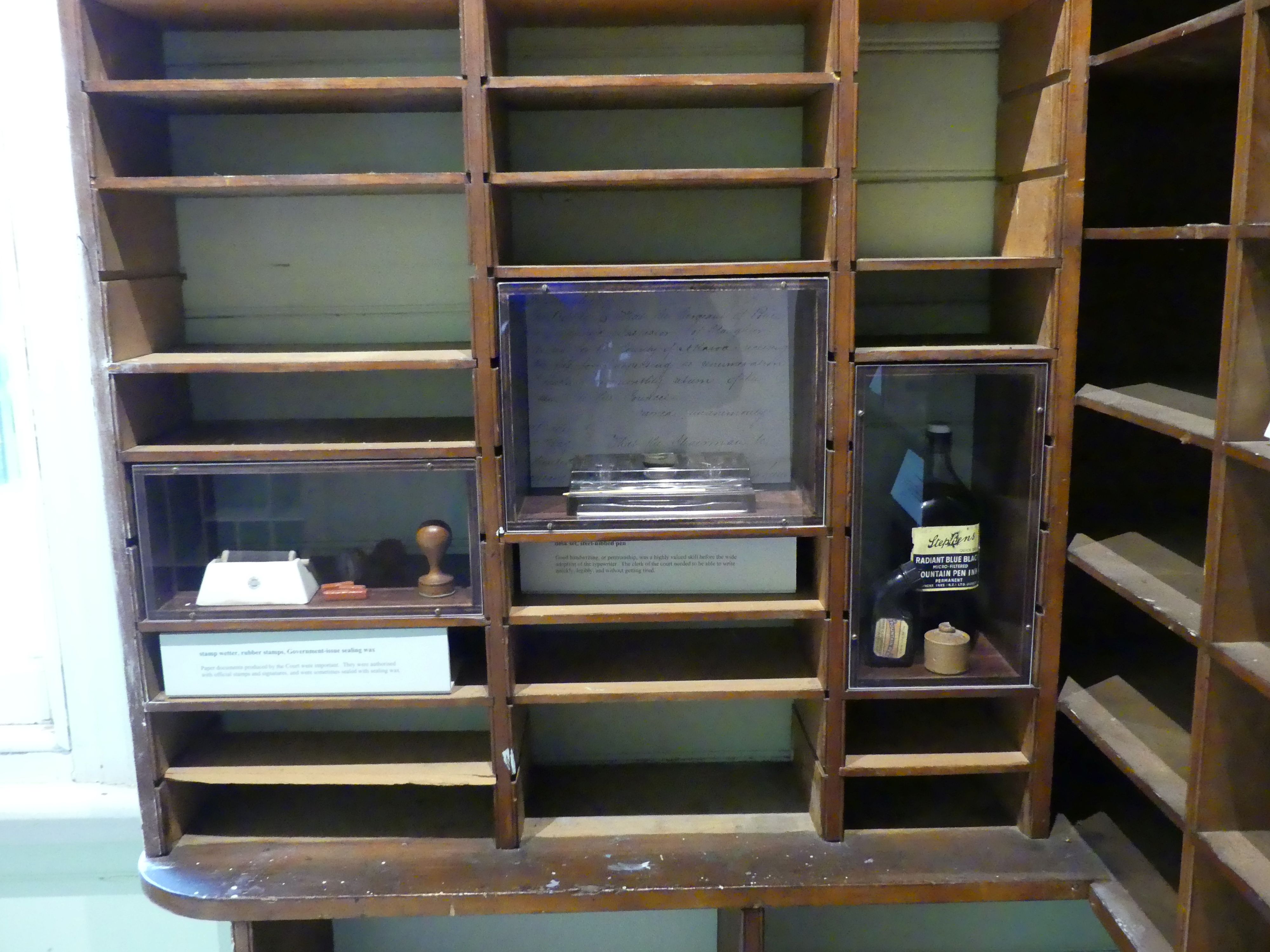
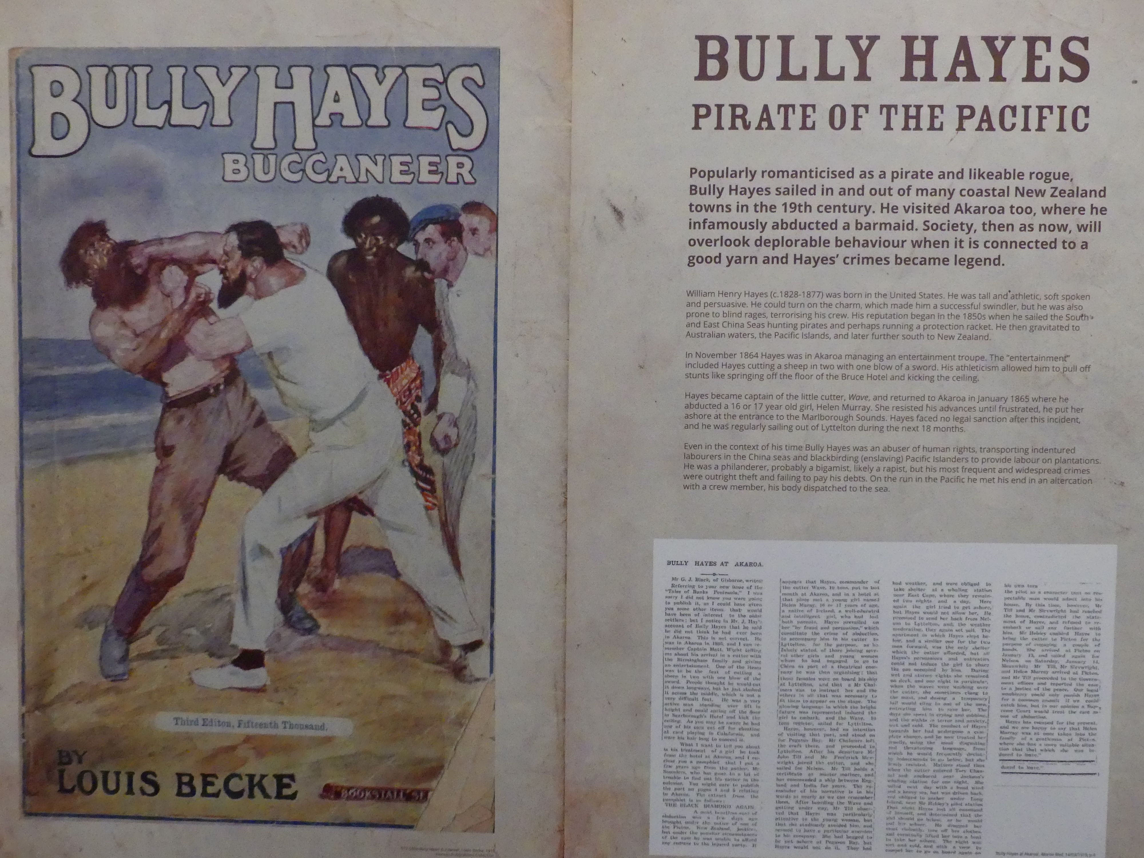
The Courthouse from the street, the entrance to the museum, the entry to the Courthouse, the Registry and the scale of fees, the Court room and in the museum itself a poster regarding a Buccaneer Billy Hayes, and the exterior of the French house preserved in the museum and the Coronation Library.

Although the cruise didn’t hold any excitement for us, the town itself was a great snapshot of earlier times in New Zealand. We moved on and back to Christchurch to prepare to cross New Zealand through Arthur’s Pass onto Greymouth tomorrow. Continue reading to follow our adventure across NZ in THE RETIREES VISIT THE SOUTH ISLAND ACROSS THE DITCH blog 495 Episode 6

THE RETIREES VISIT THE SOUTH ISLAND ACROSS THE DITCH blog 495 Episode 4

19TH MAY TO 10TH JUNE 2026

Day 9   Dunedin to Lake Tekapo.

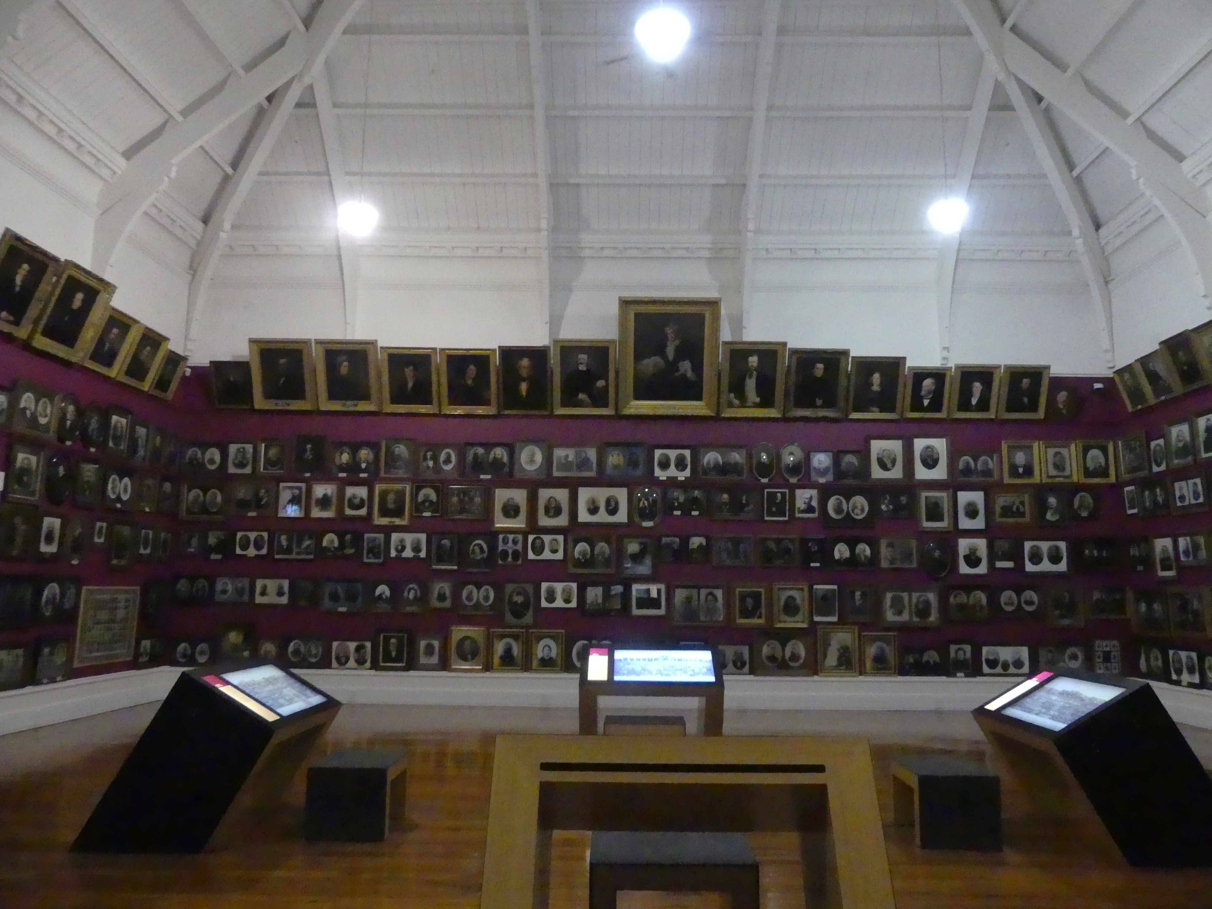
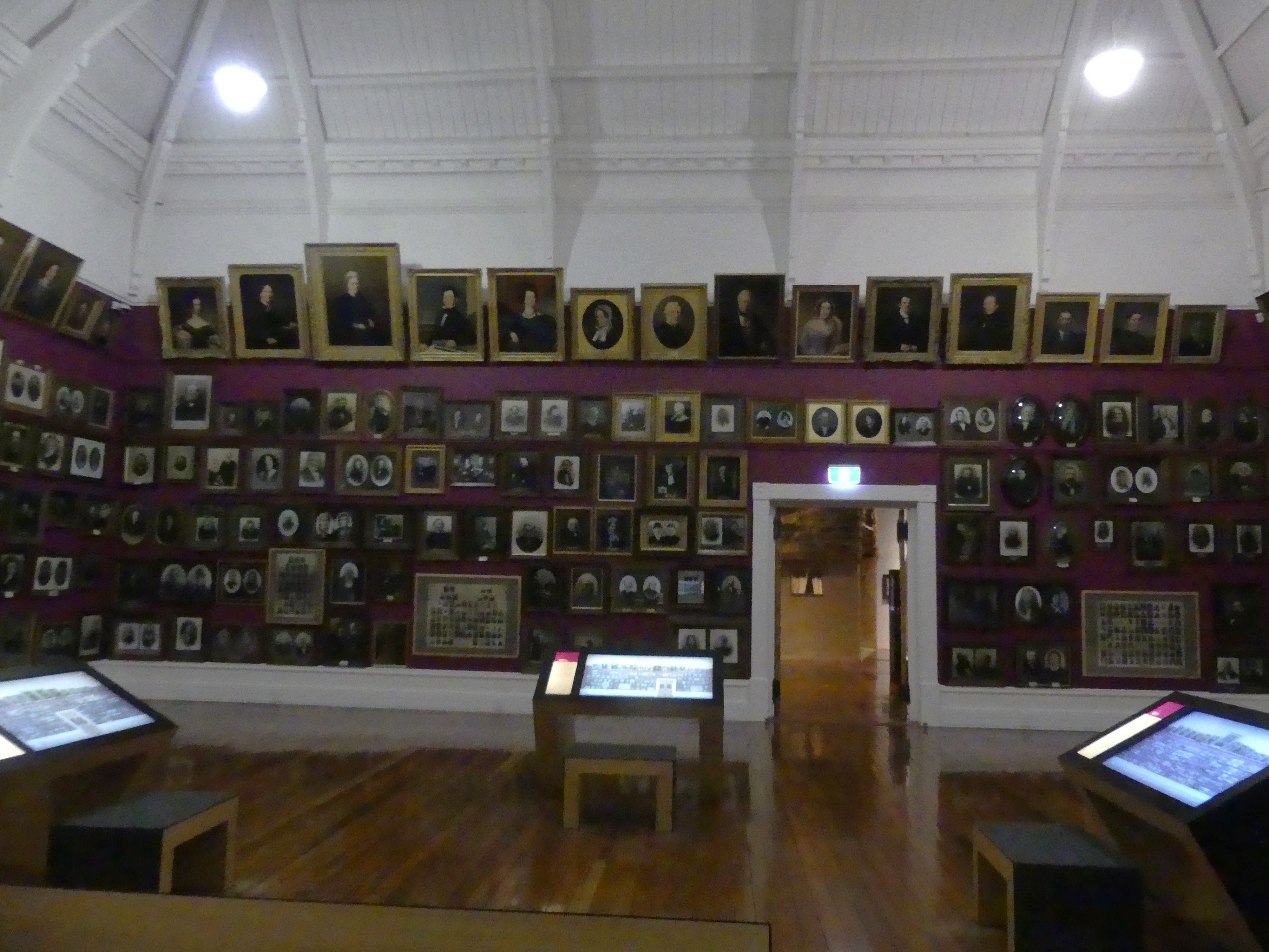
Before leaving Dunedin, we decided to visit The Dunedin Museum Toitū Otago Settlers Museum that features the history of arrivals and immigration to Dunedin. Located in the central city, it focuses on the social history of the region, featuring life-size depictions of early immigrant boats, pioneer portrait galleries, and stories of past and present arrivals. The key highlights for me were:

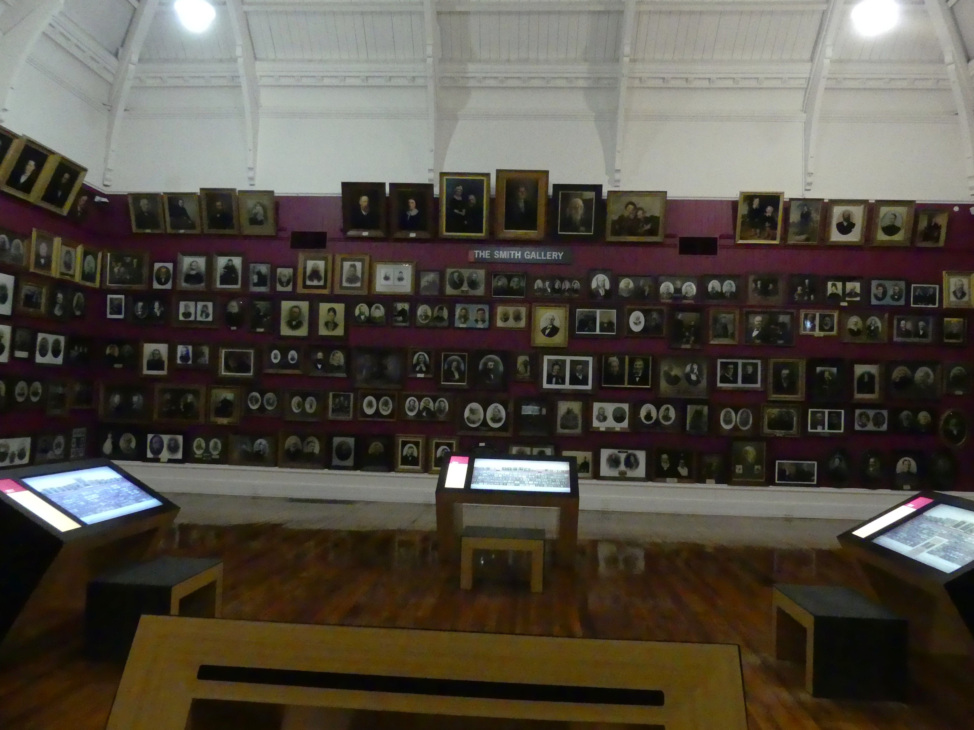
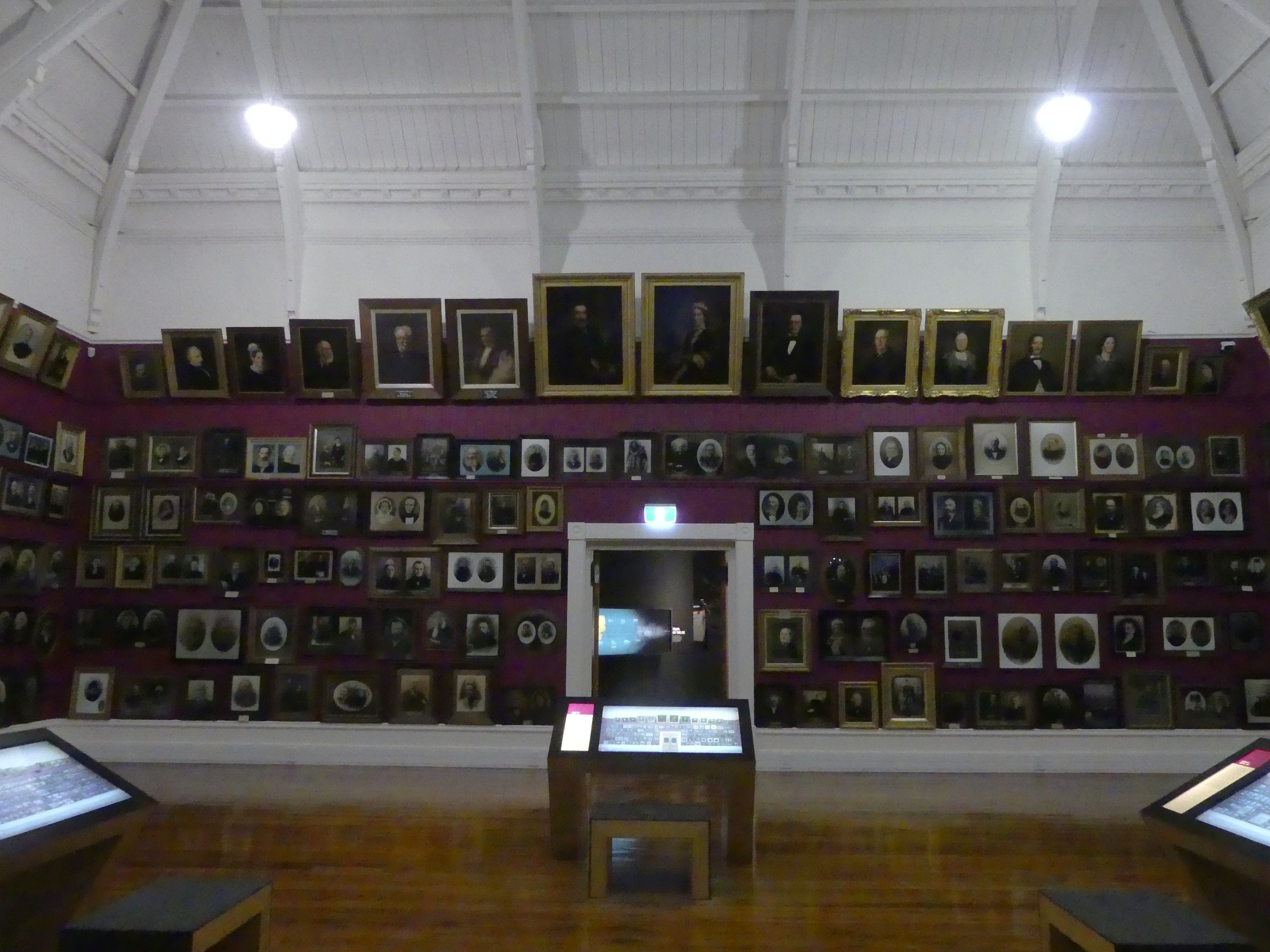
  • Smith Gallery featuring hundreds of portraits of Otago’s early pioneers.
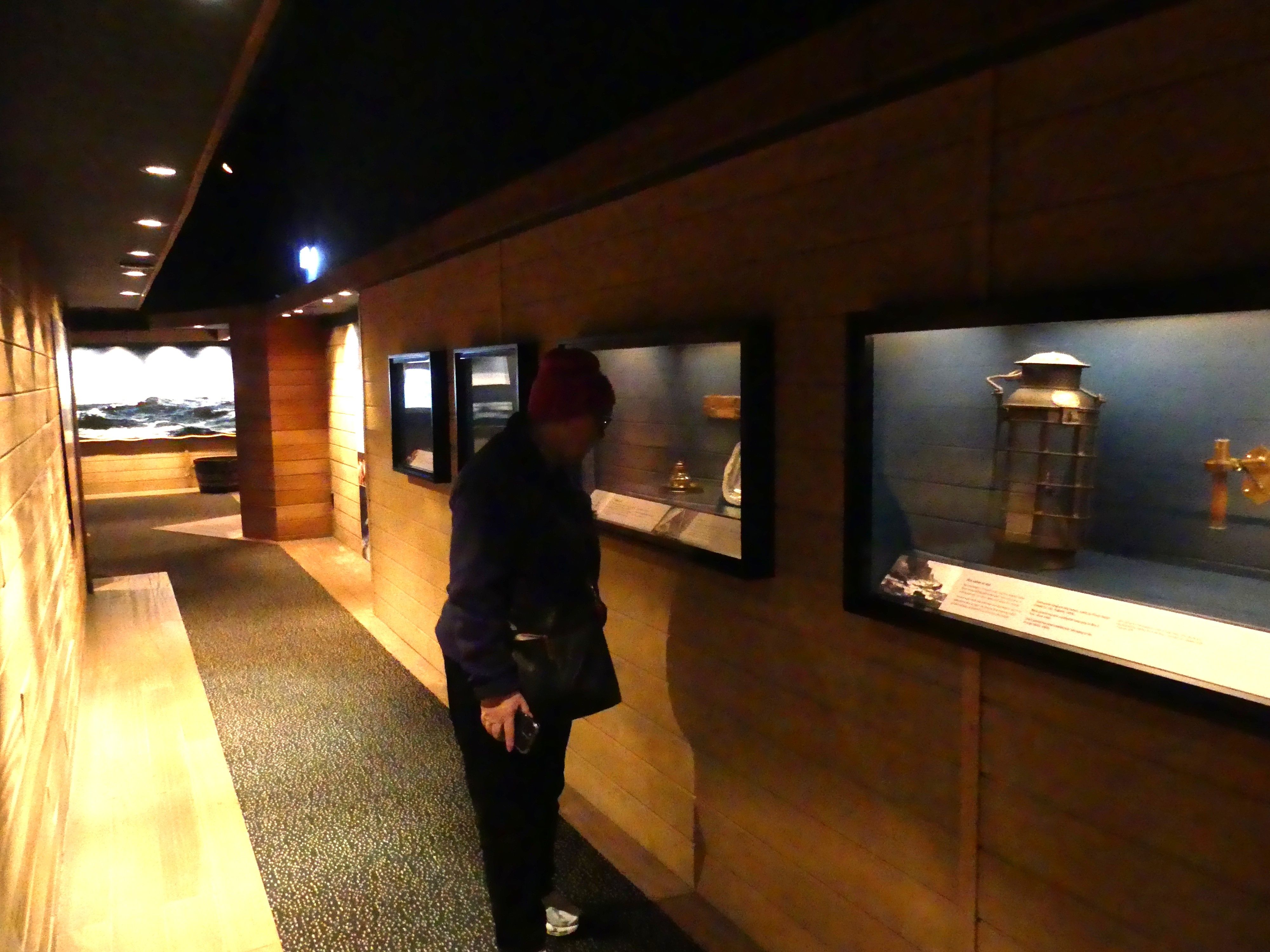
  • Immigration Boat Exhibit a life-size depiction of the interior of an immigrant boat, giving a sense of the long journeys from Britain.
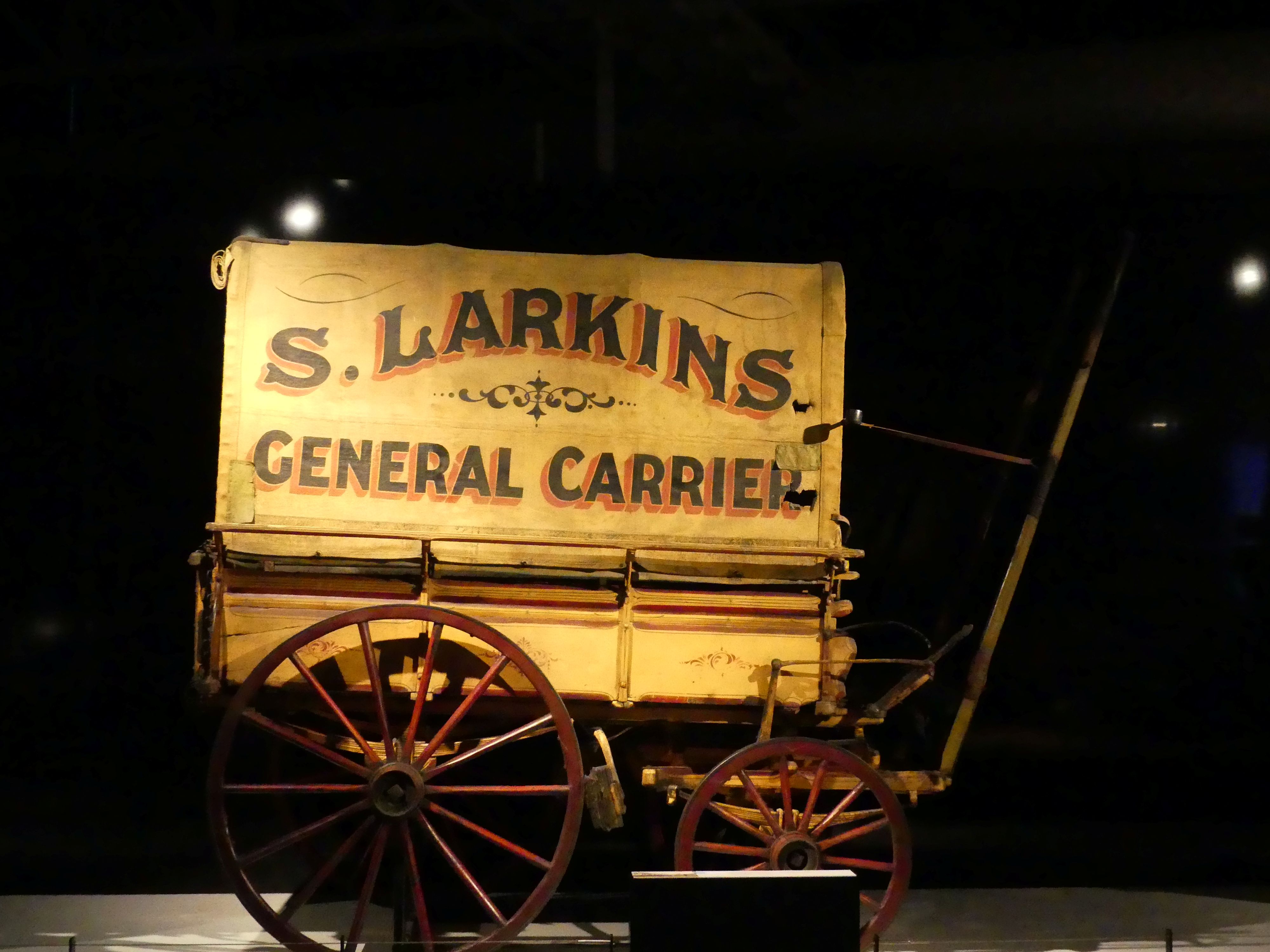
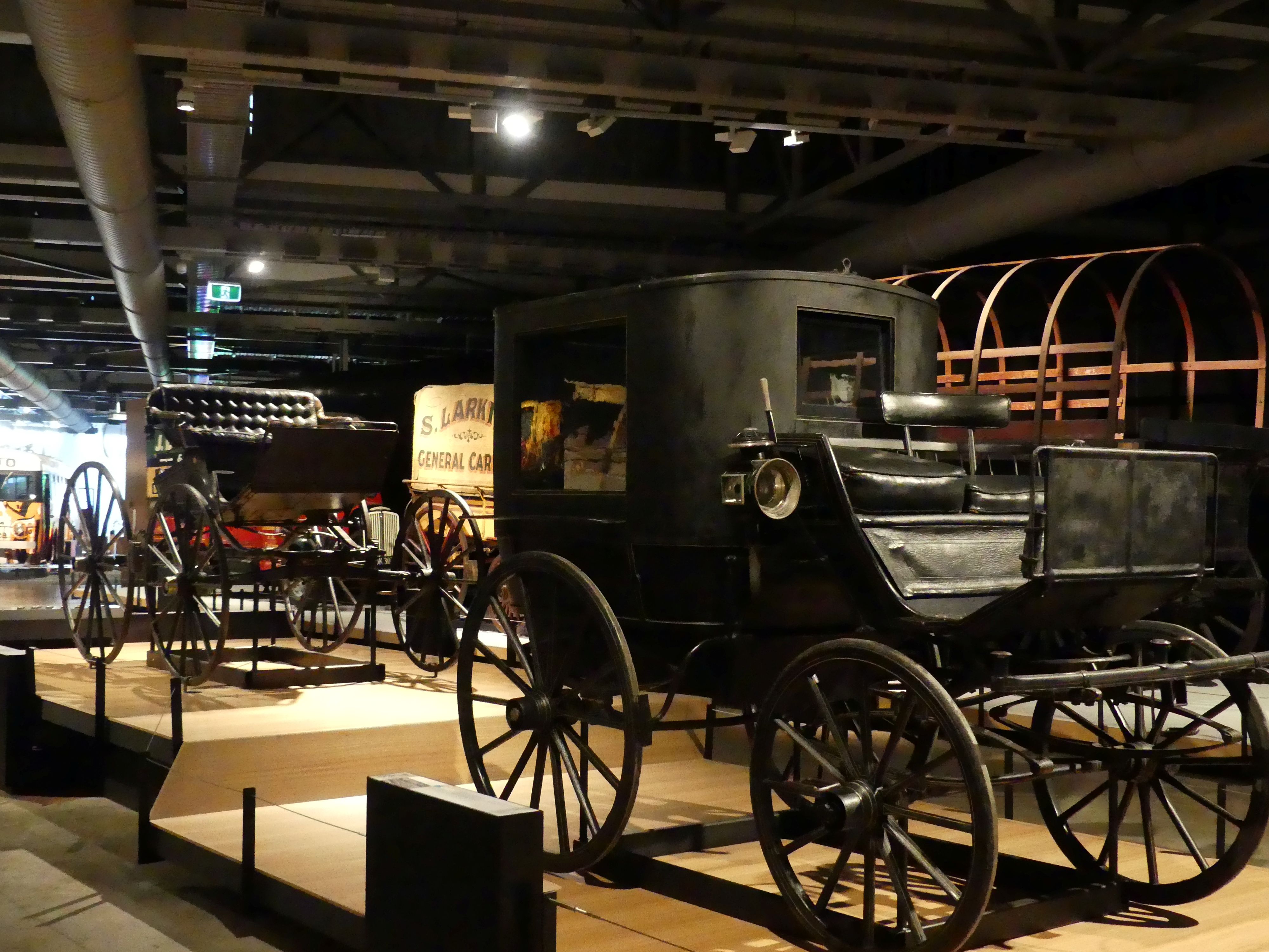
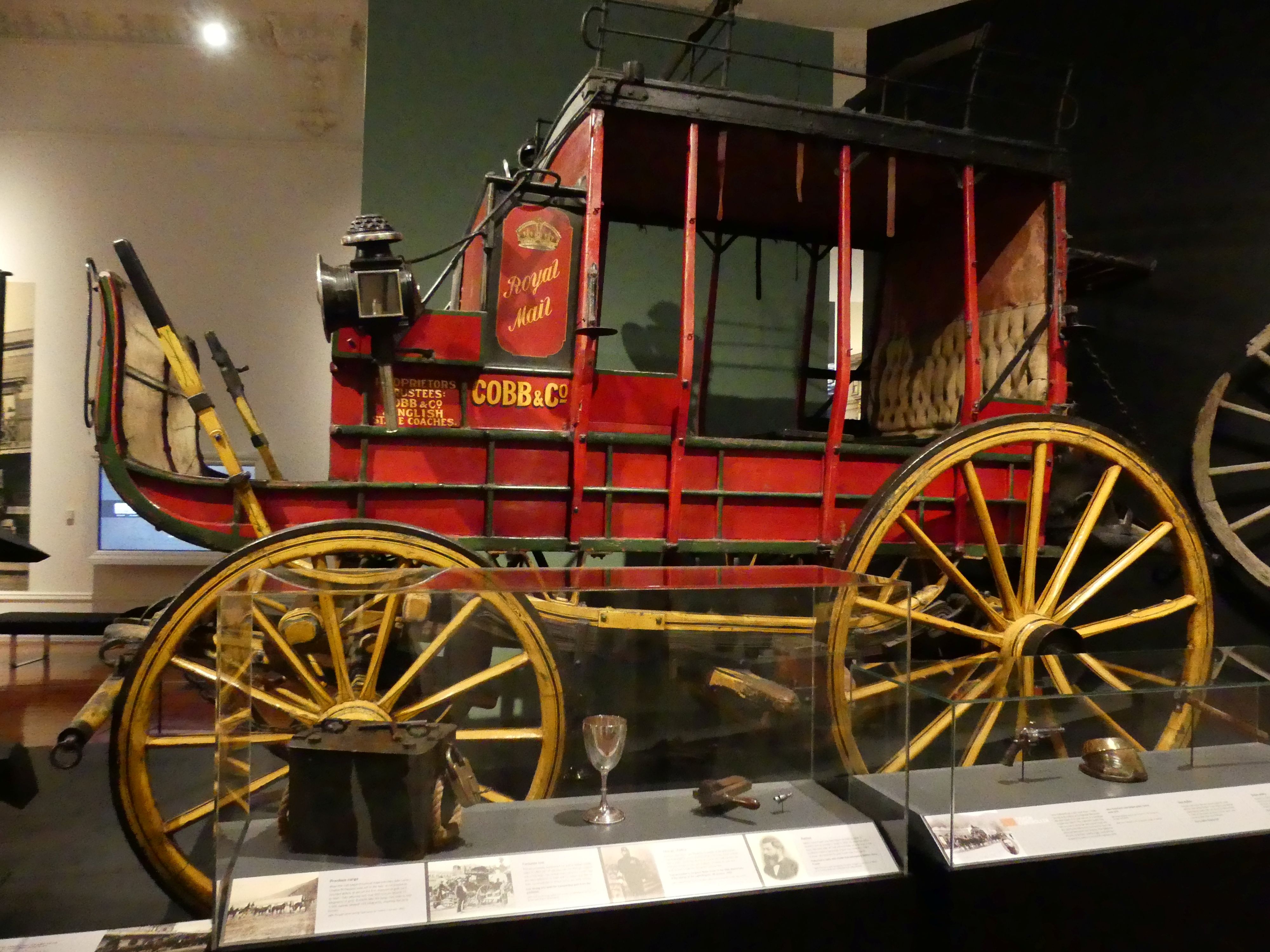
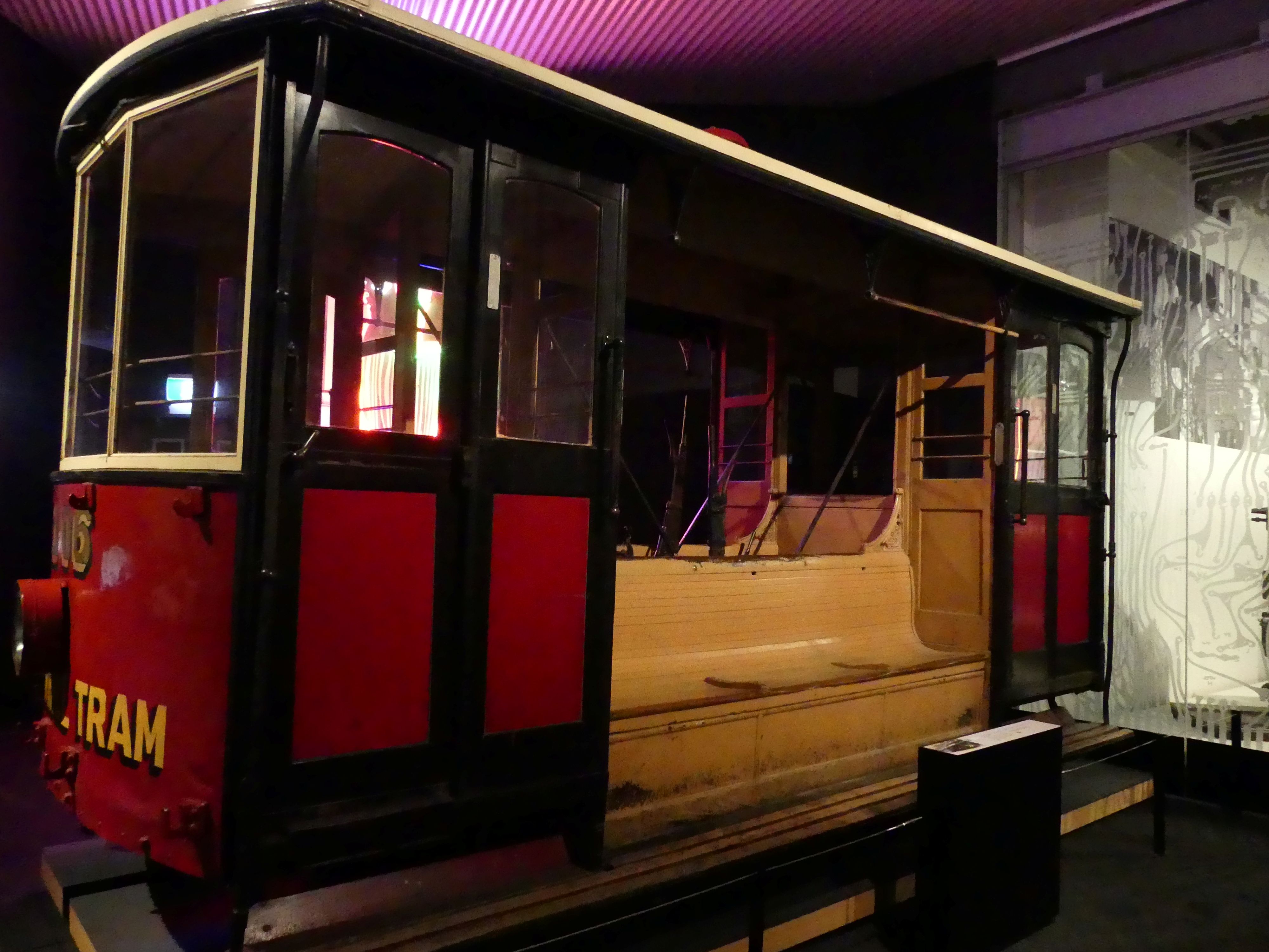
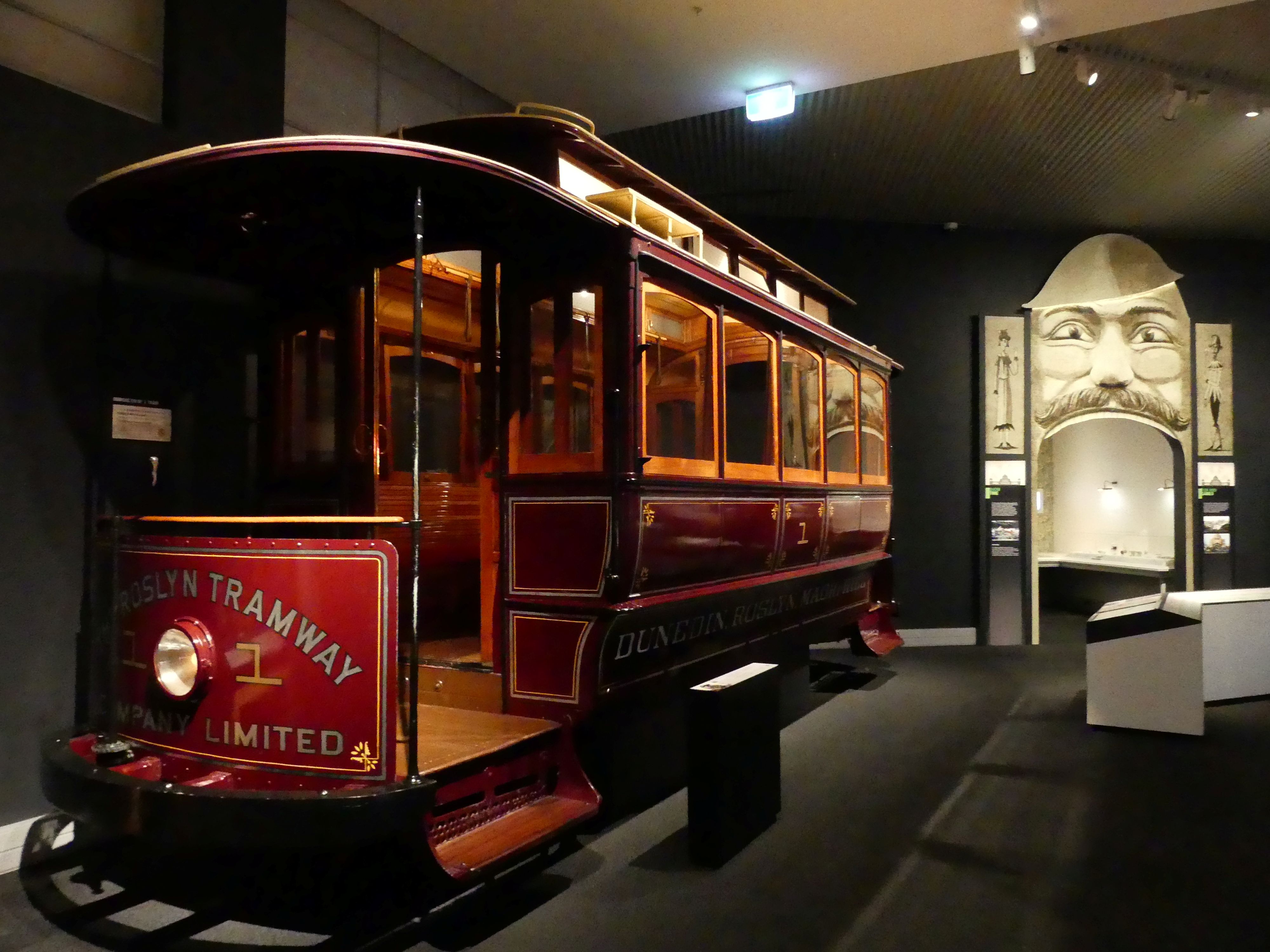
  • Different forms of transport including “Josephine,” a green steam locomotive transported from England in 1872.

Smith Gallery, Ship gallery exhibition and early transport exhibition

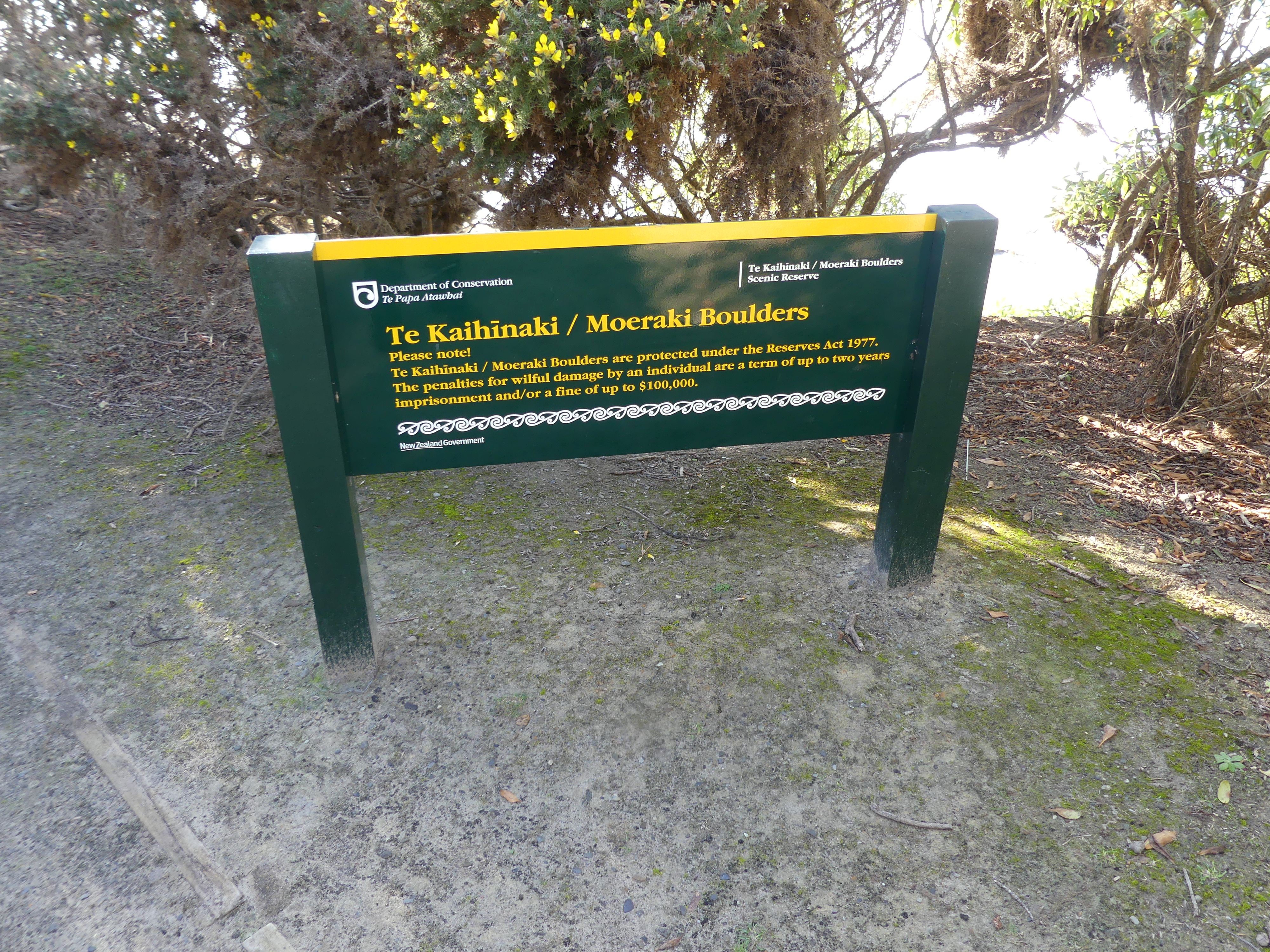
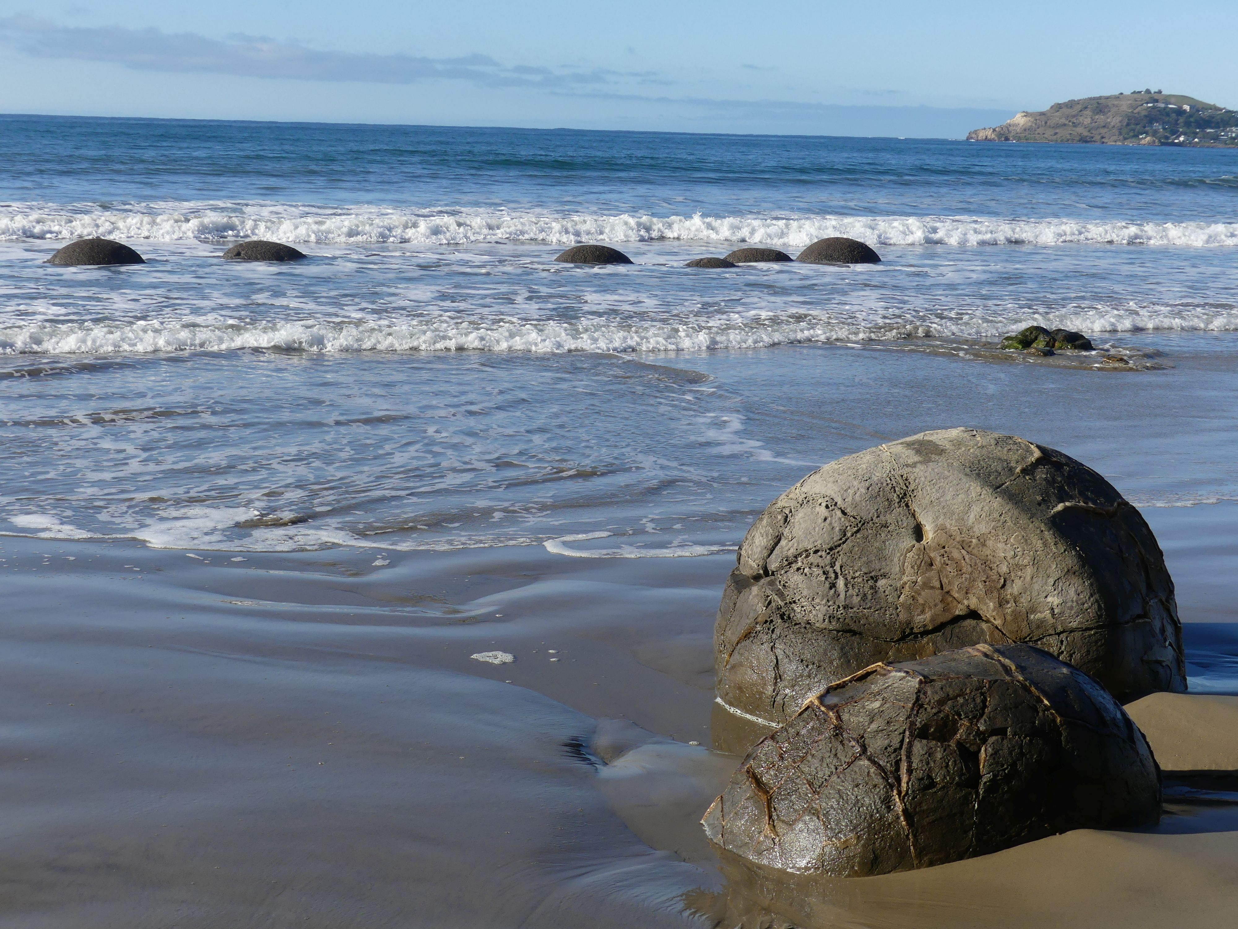
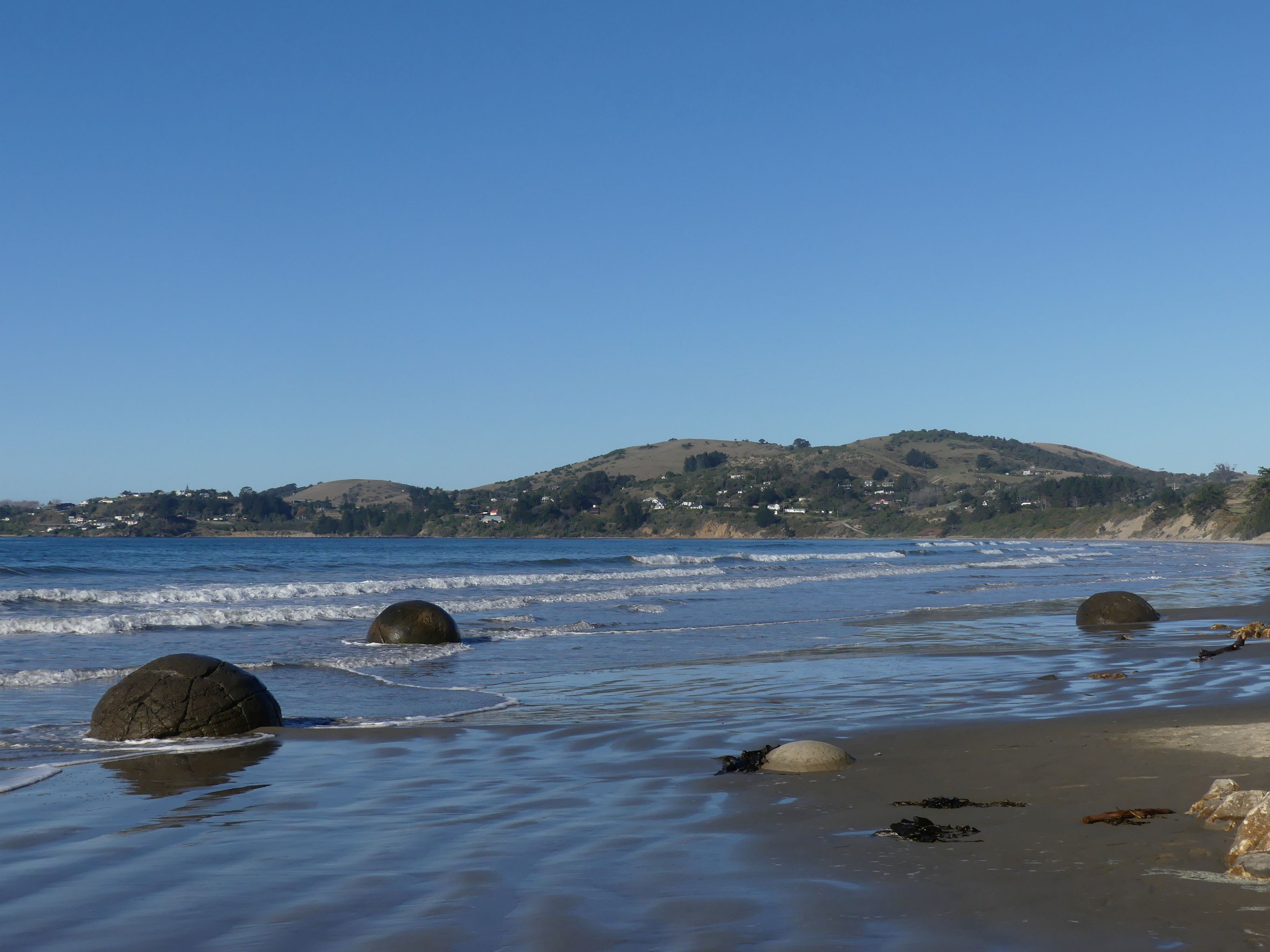
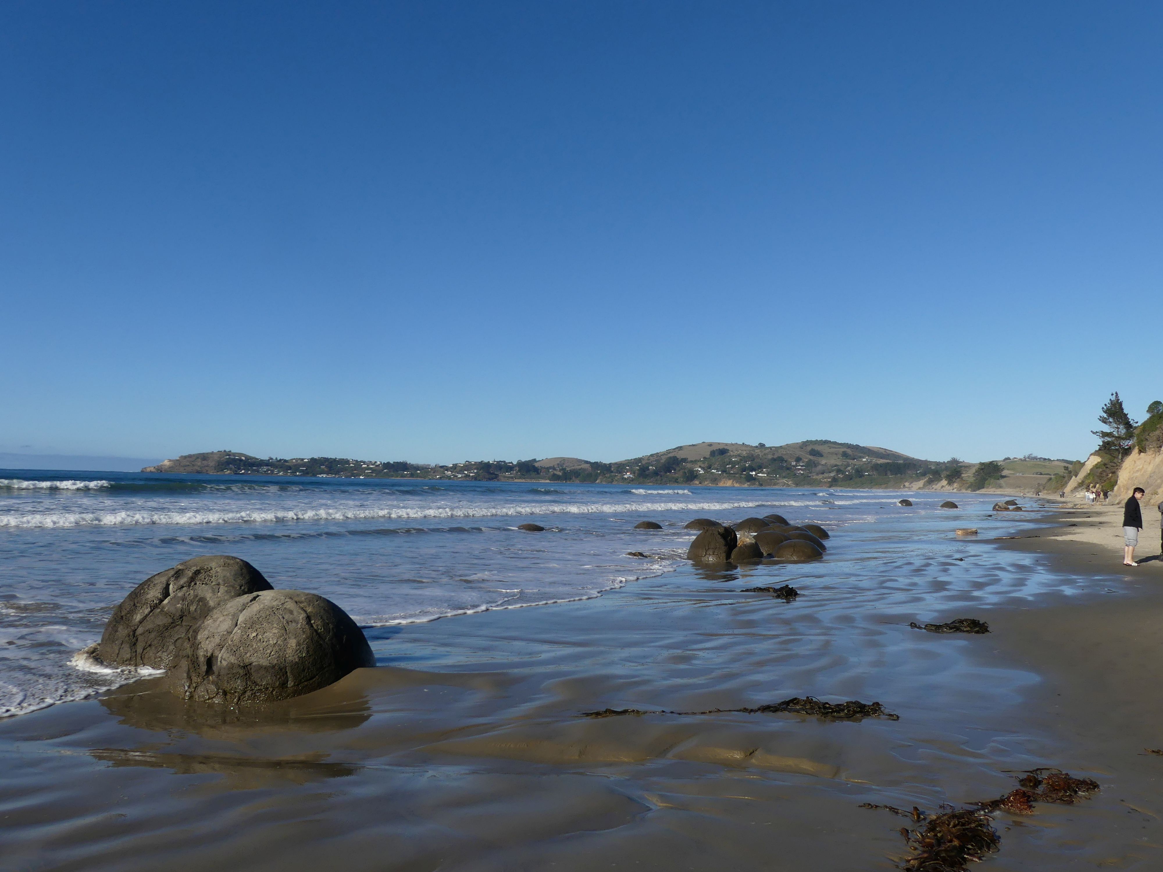
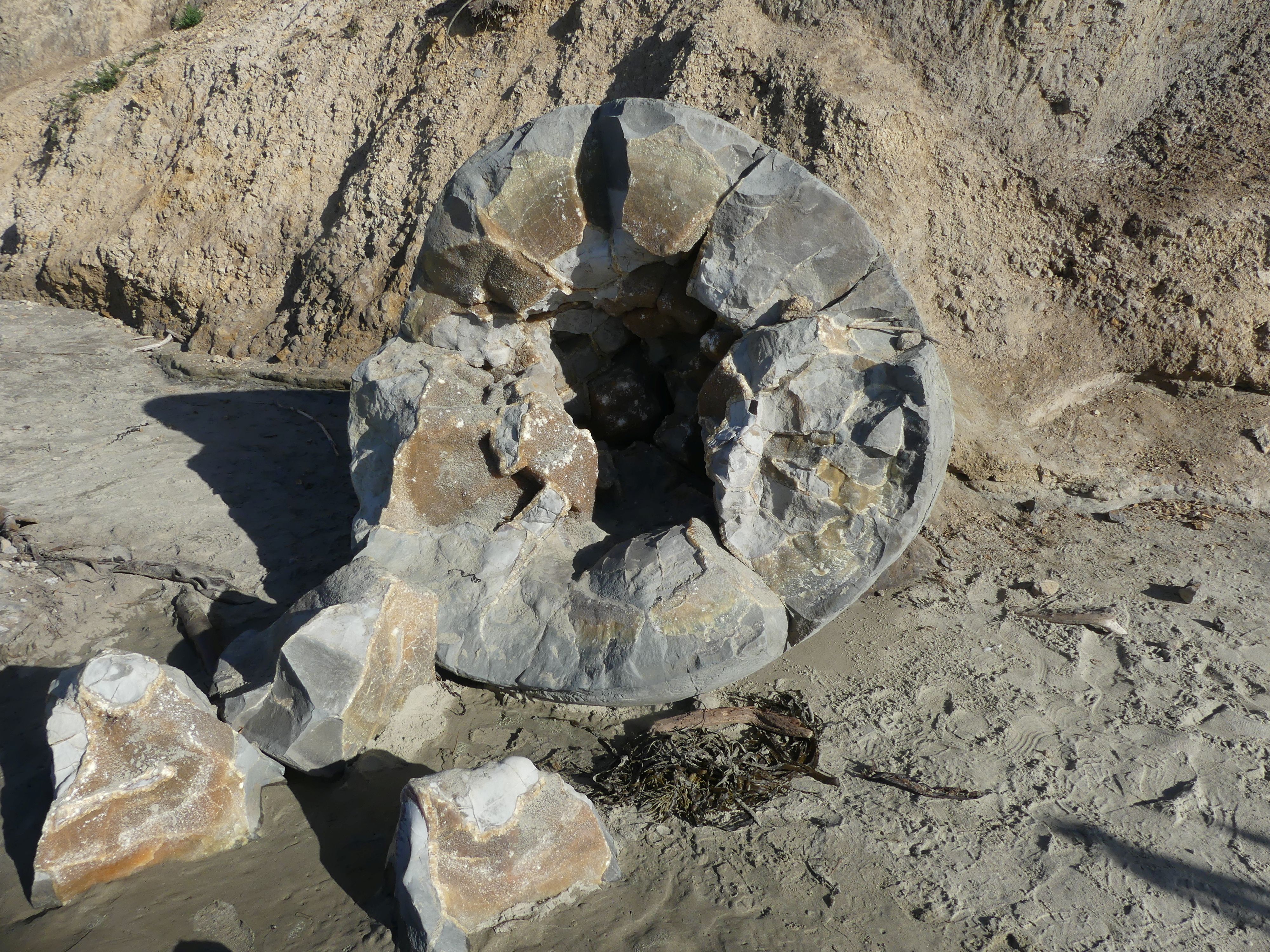
Moving on from Dunedin we drove north to the Moeraki Boulders on the beach of the same name, off State Highway 1, between Hampden and Moeraki. The Moeraki Boulders are massive, naturally spherical calcite concretions scattered along Koekohe Beach on New Zealand’s South Island. Exposed by coastal erosion, each boulder weighs several tonnes and measures up to two metres high. We walked up the beach checking out these unique boulders, then made way through the bush above the beach to the cafe on the beach.

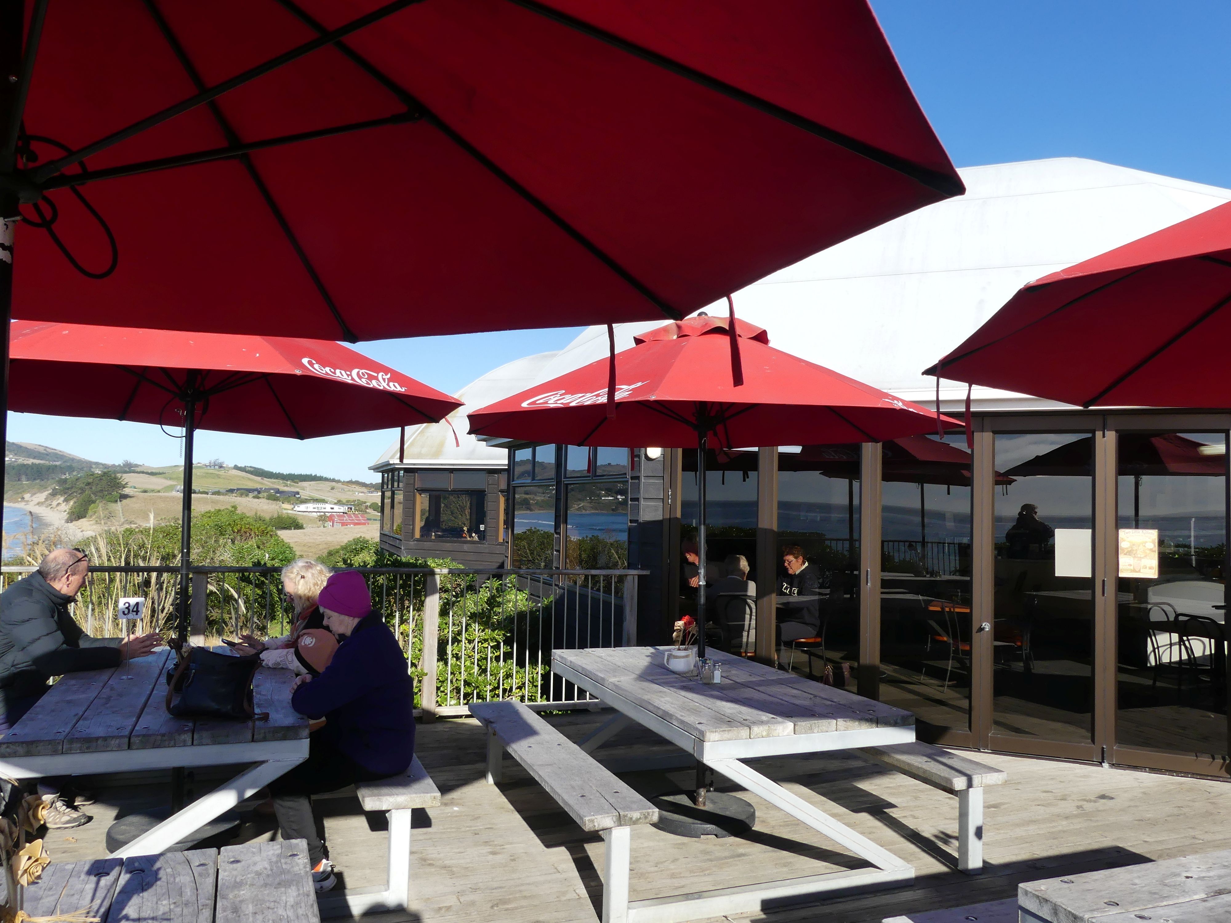
Boulders on the beach and returning to the cafe

Sitting in the sun we ate fish and chips taking in the unobstructed view of the beach and its surrounds. As soon as we recived our lunch we were joined by a young cat, likely a stray, and he greedily snapped up our leftovers. Travelling through the Waitaki Valley we headed to our destination a B&B called Serendipity located at 20 Hamilton Dve. Lake Tekapo. It is a two-storey house with a fireplace, and we had much joy in lighting the fireplace warming us and the house. It had a deck facing the village and the lake although views of the lake were obstructed by other houses.

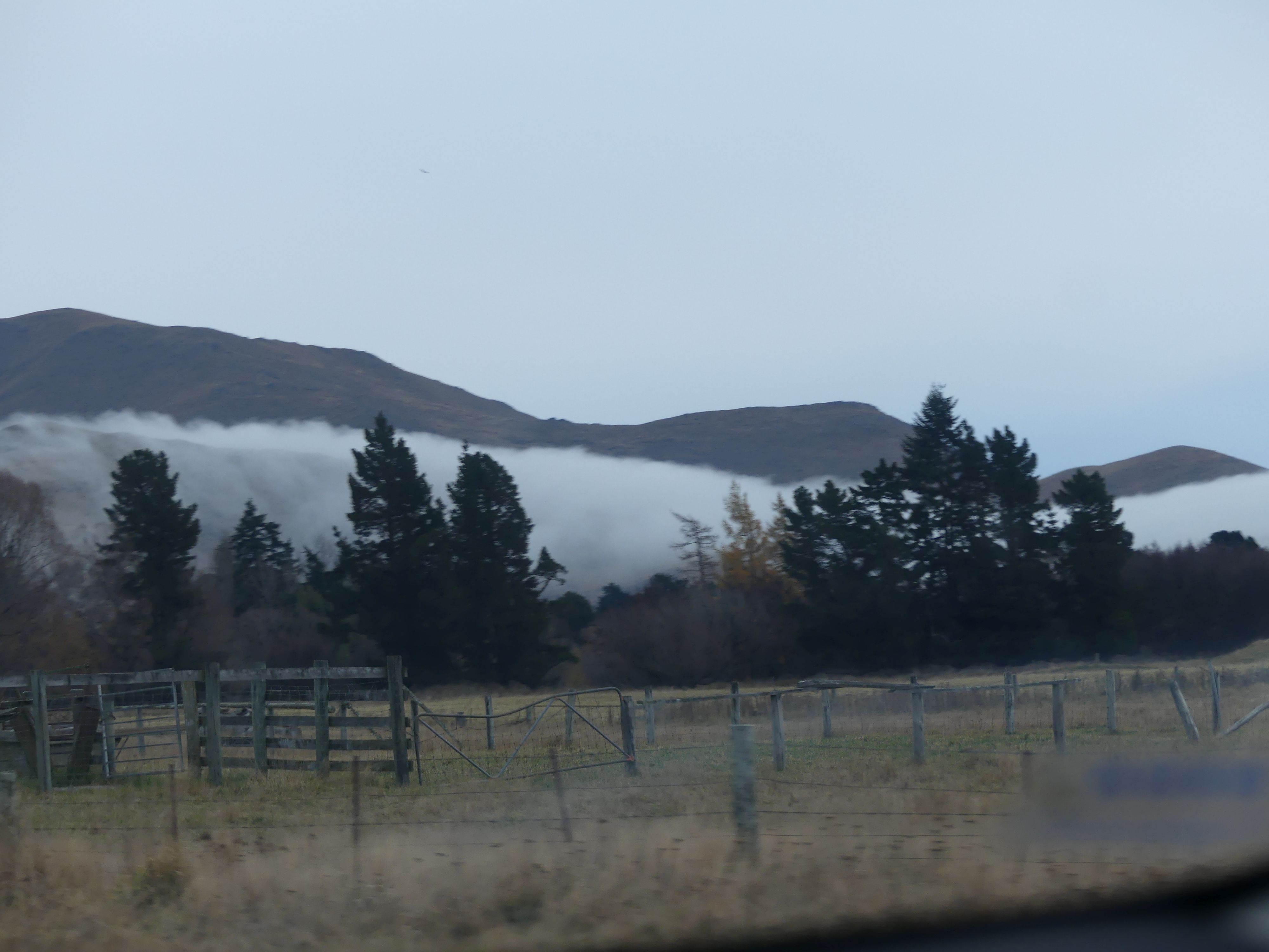
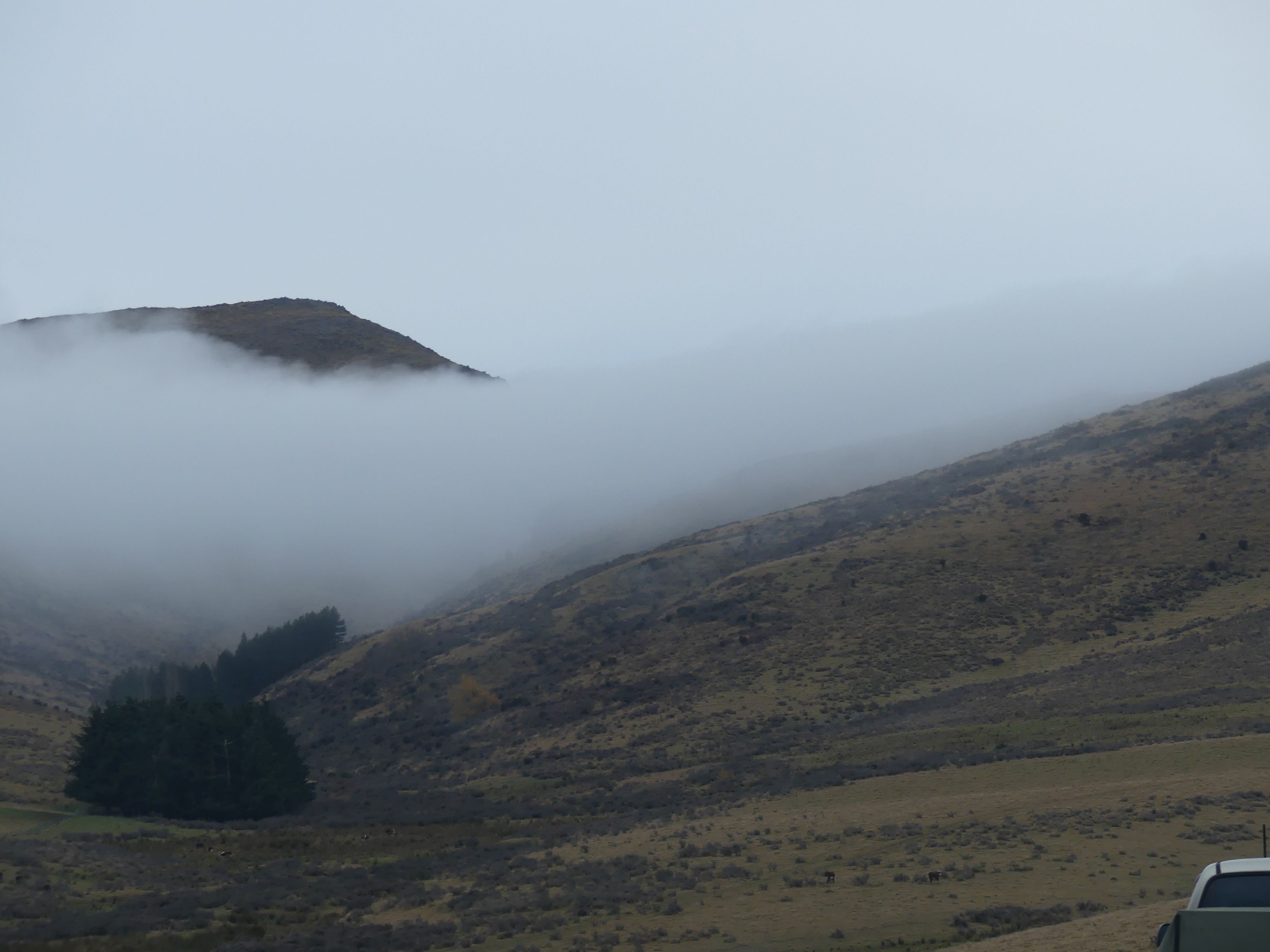
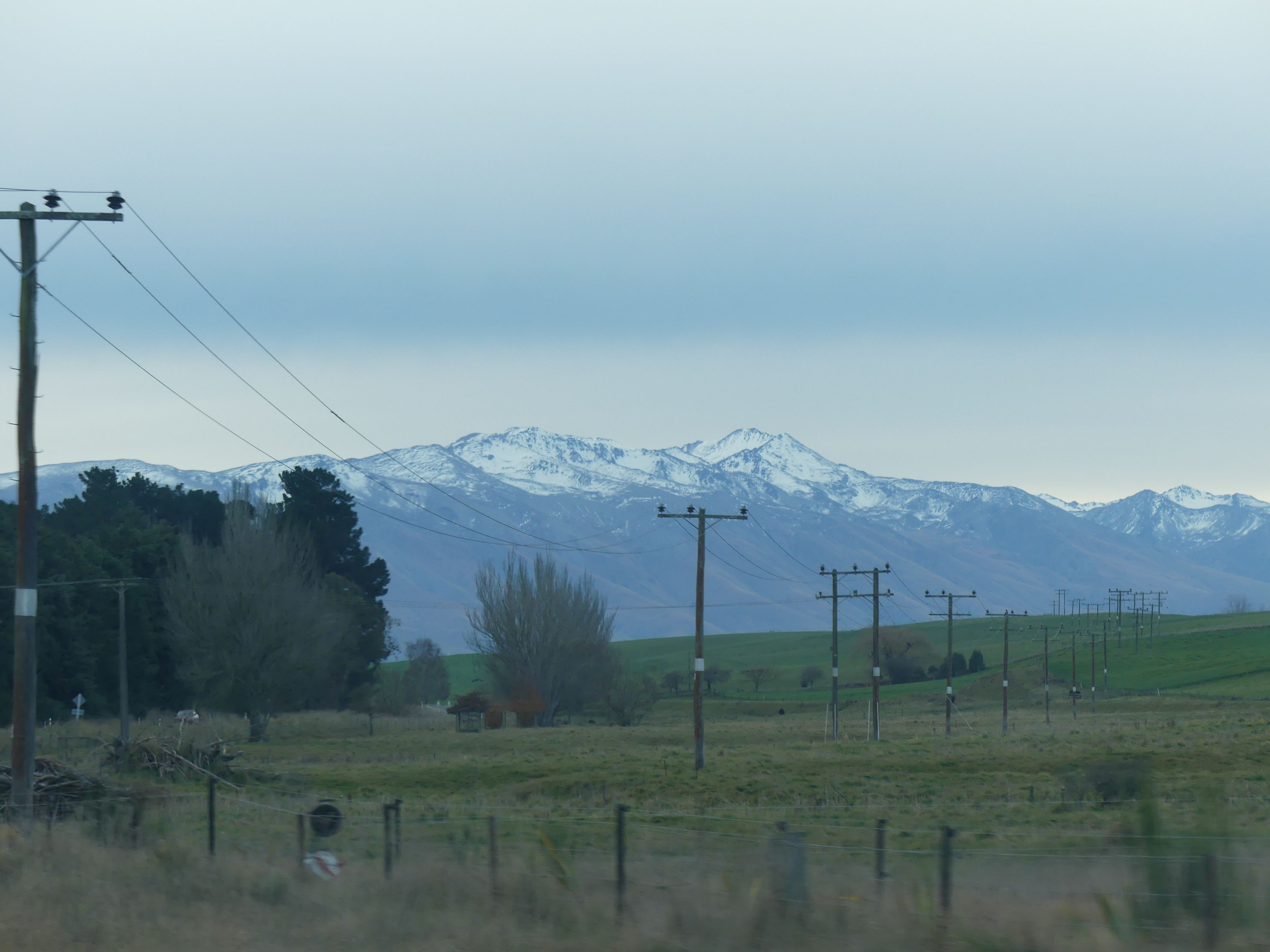
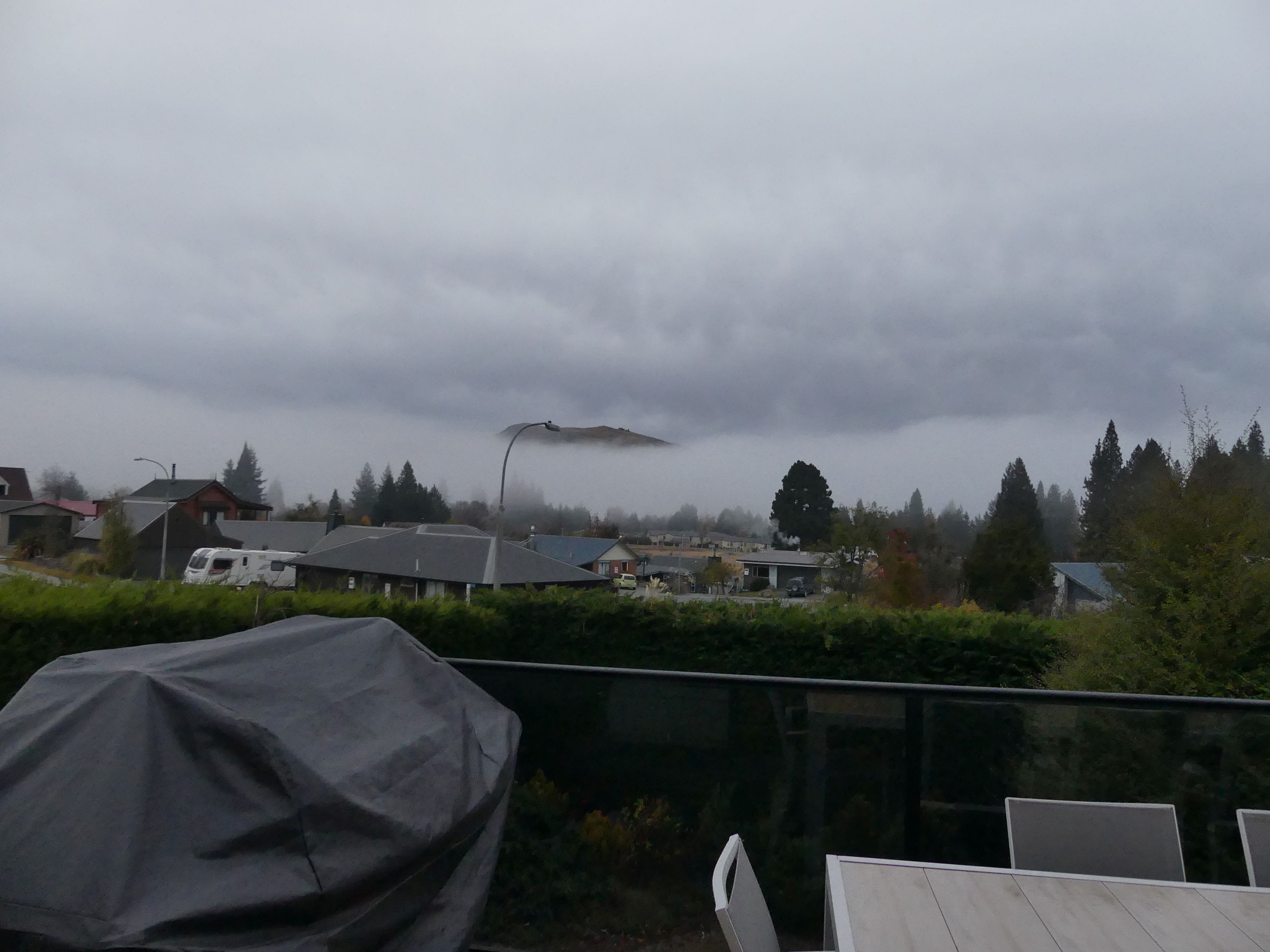
The café, the road through Waitaki Valley and the mist.

Day 10 Lake Tekapo

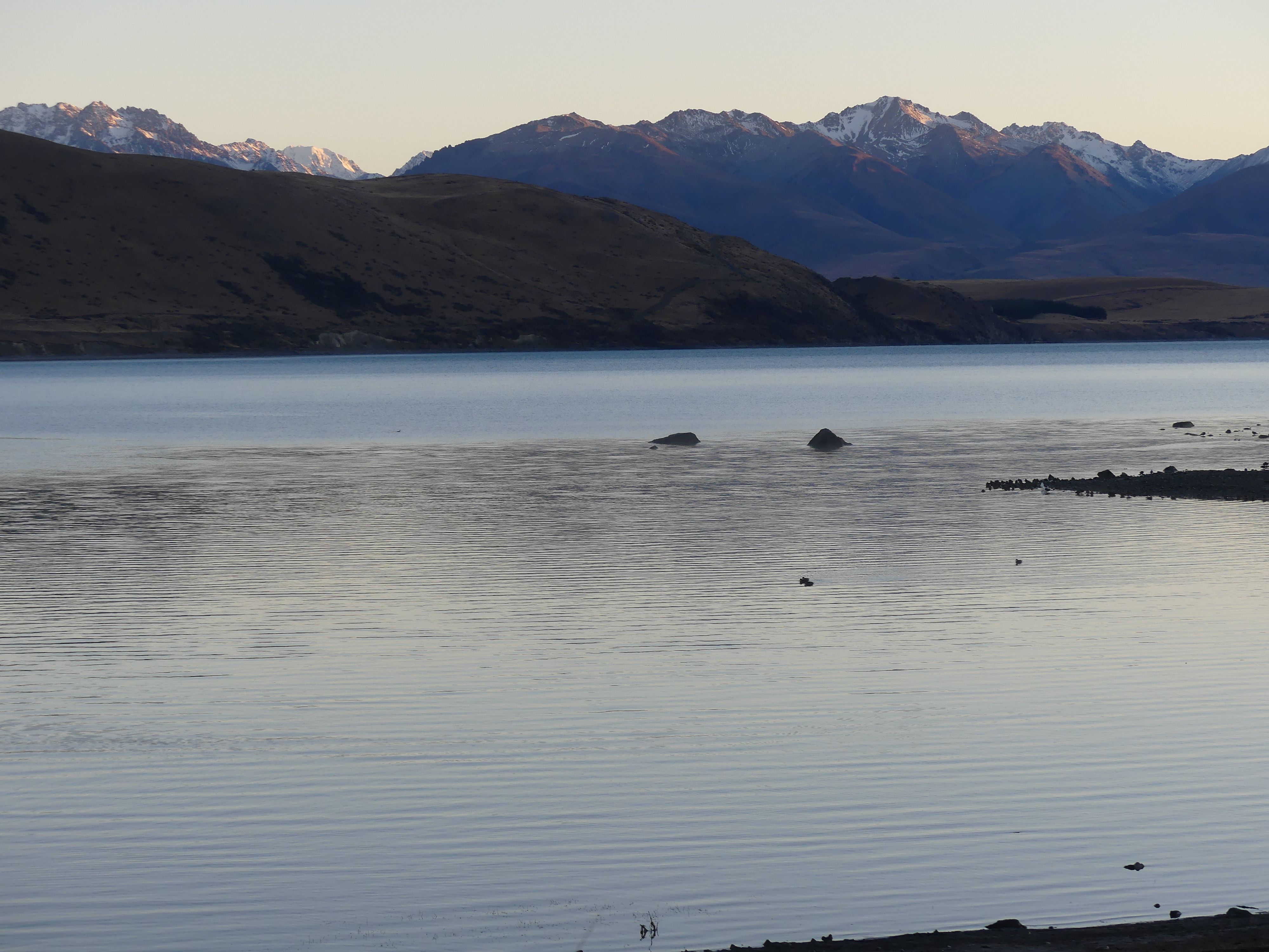
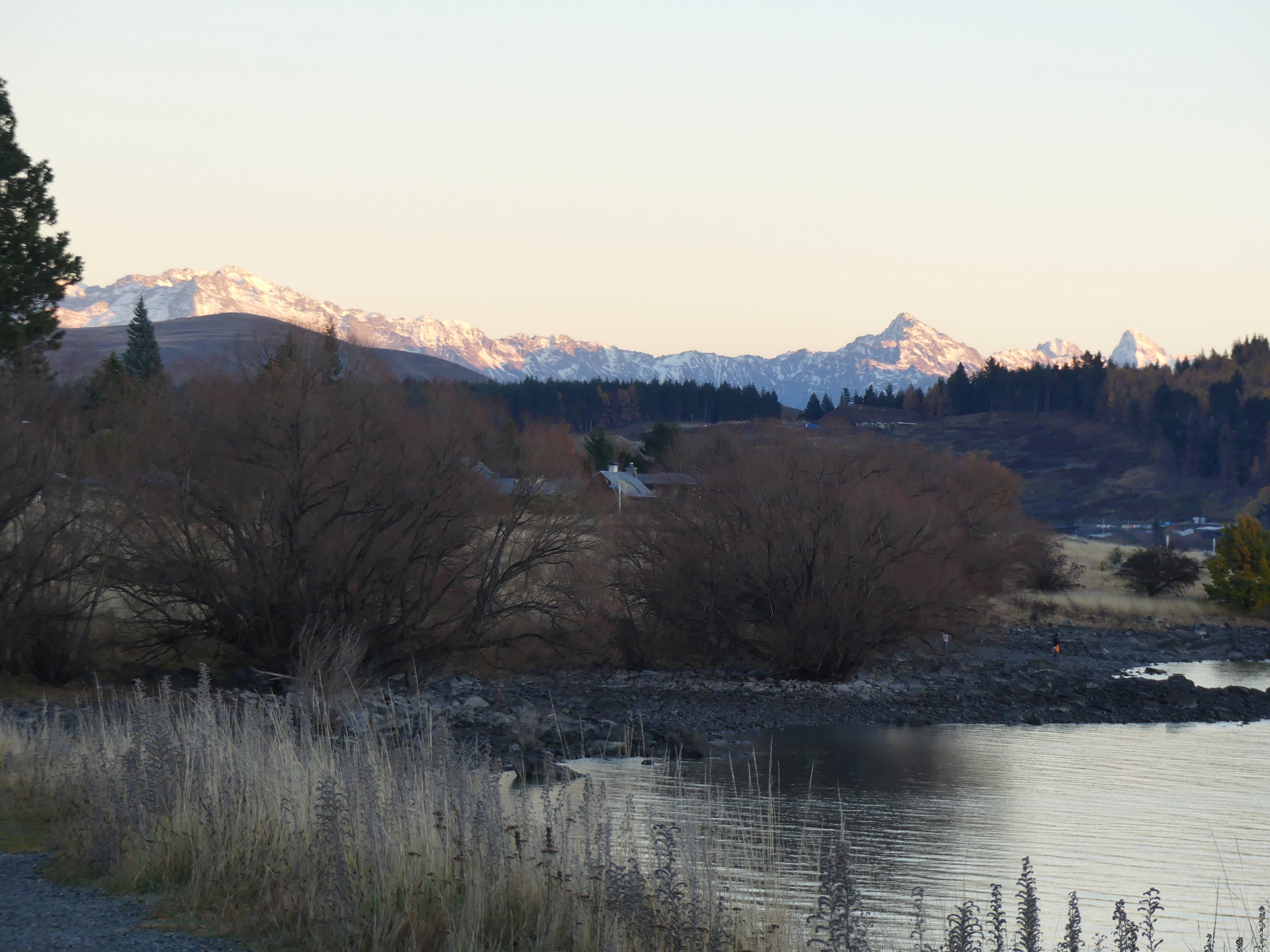
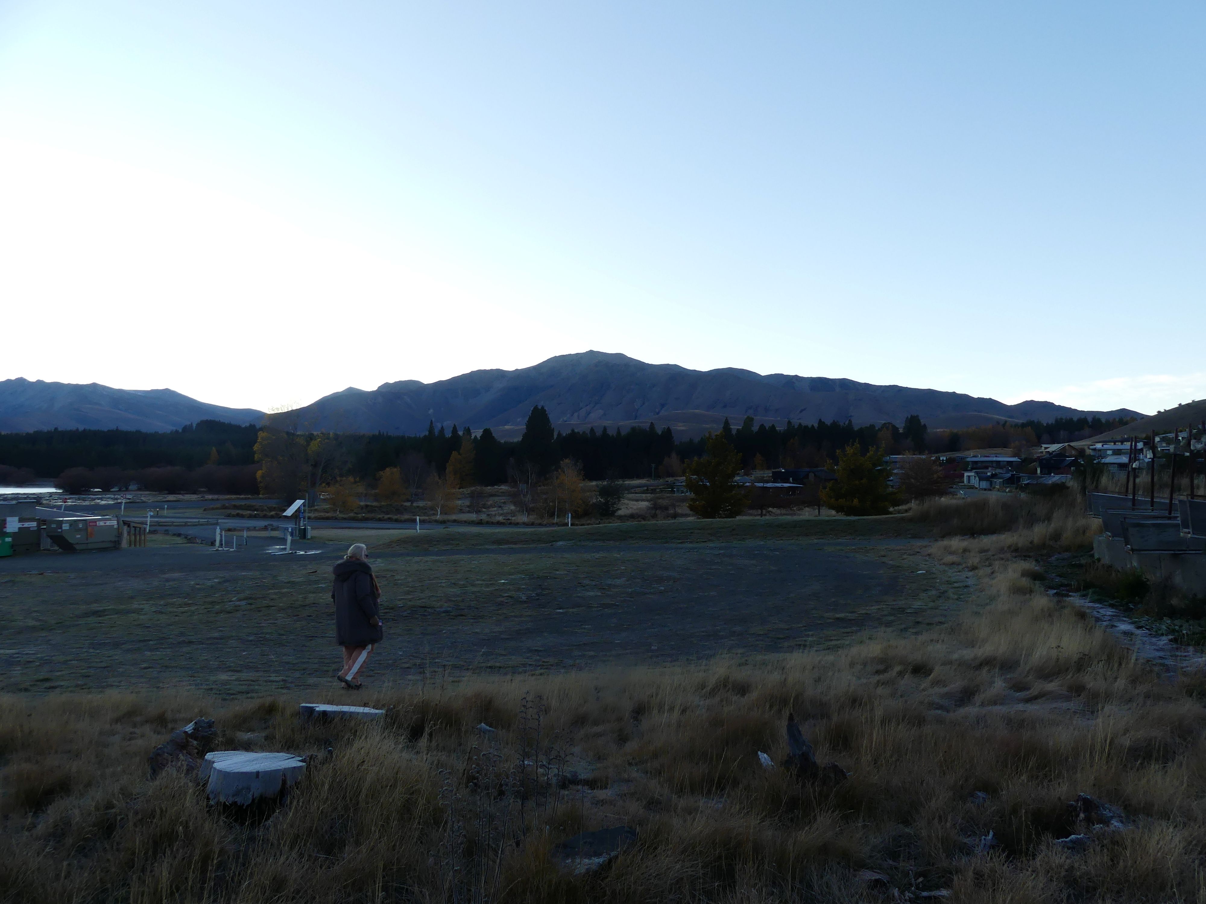
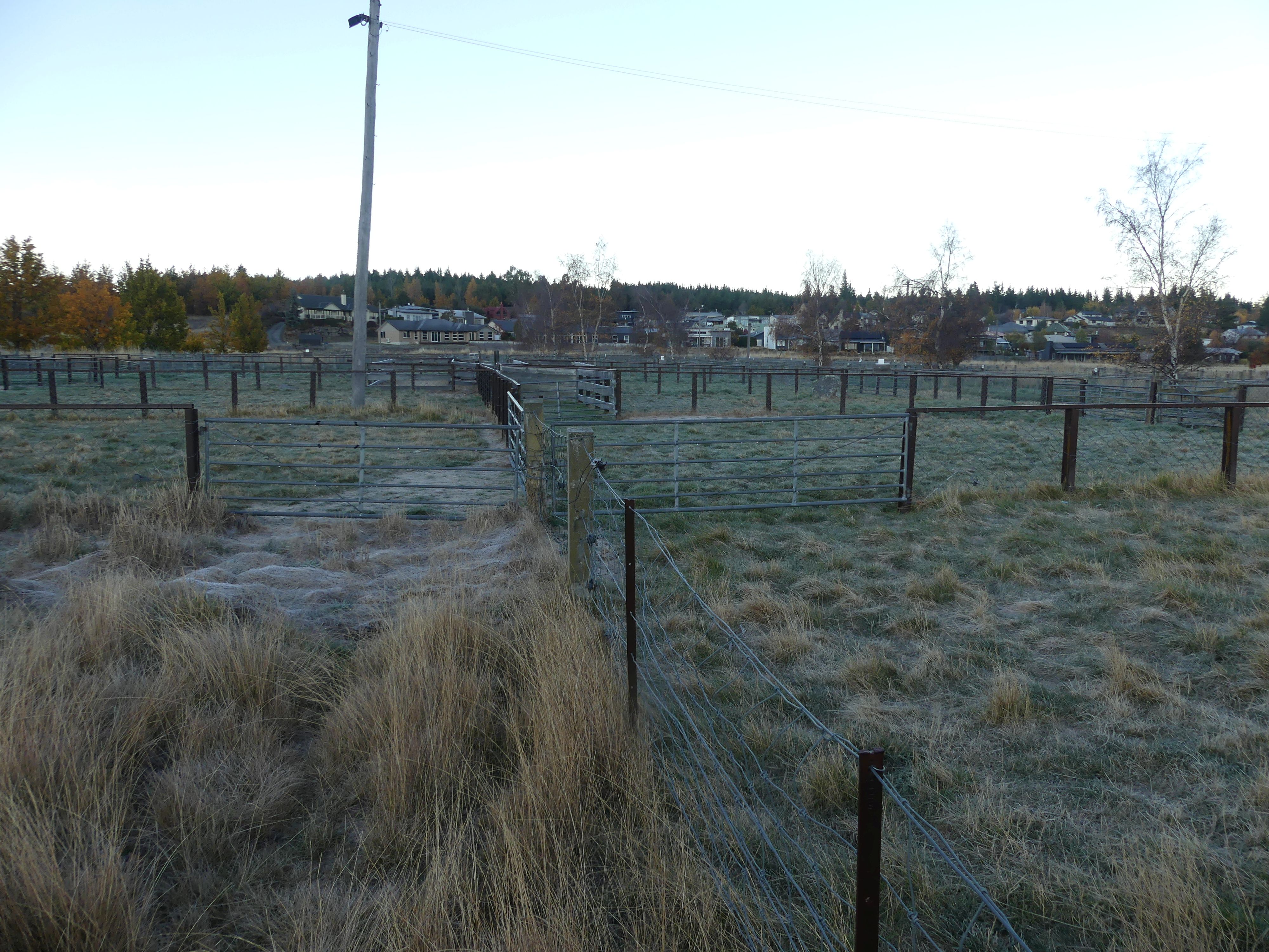
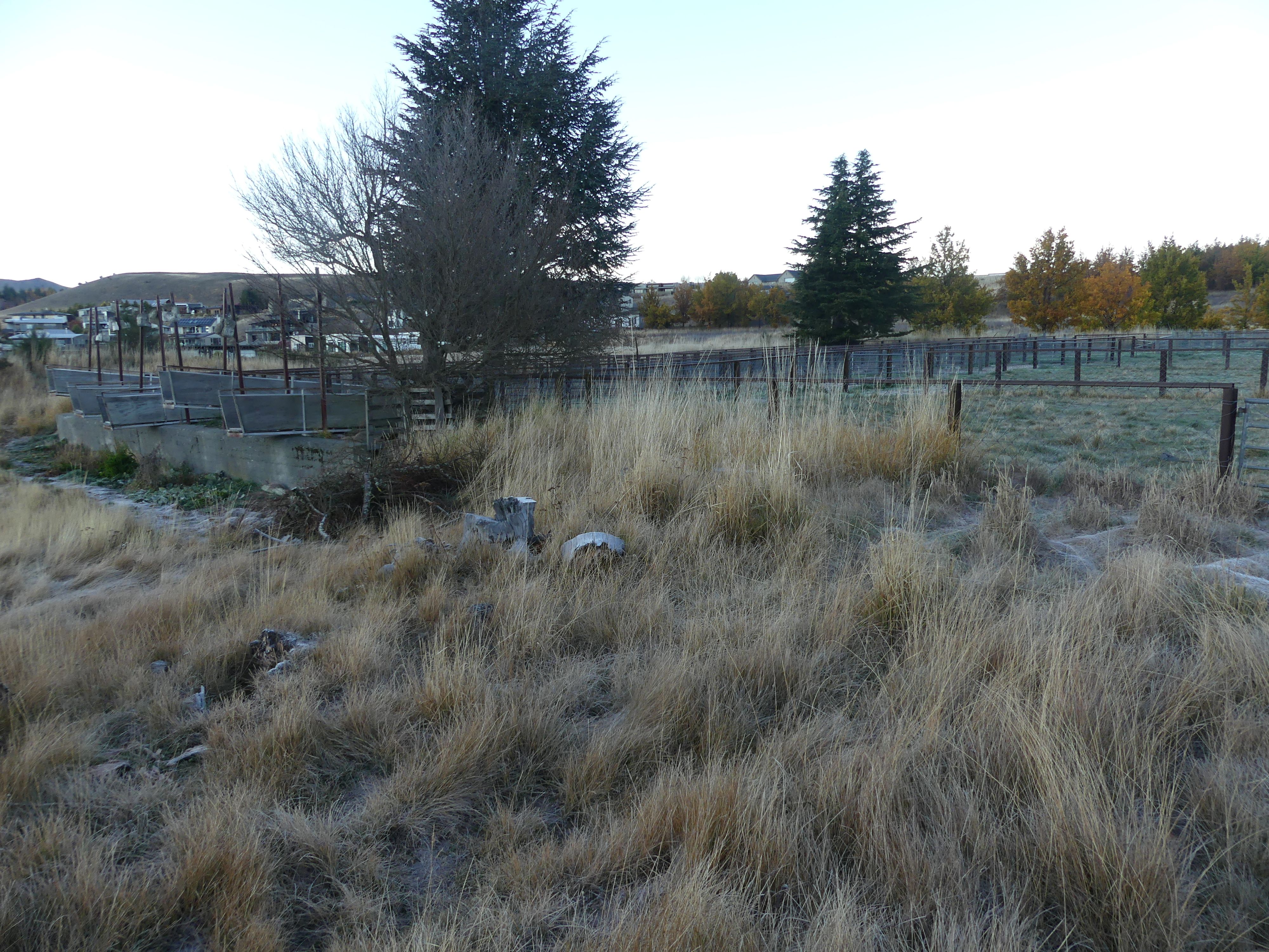
We arrived in Lake Tekepo late in the evening. Our accomodation was 5minutes drive from the centre of town but still carried some of the early settlers landmarks. After starting the fire we got down to the serious business of playing cards and snacking on cheese and the like. Next morning Kerry and I walked down to the main road passing a stopover/dump station for camper vans and sheep pens known as Tekepo Sales Yards which once served as a central focal point for high-country farmers gathering to trade livestock.

The lake, the pens, the dump station and the mountains

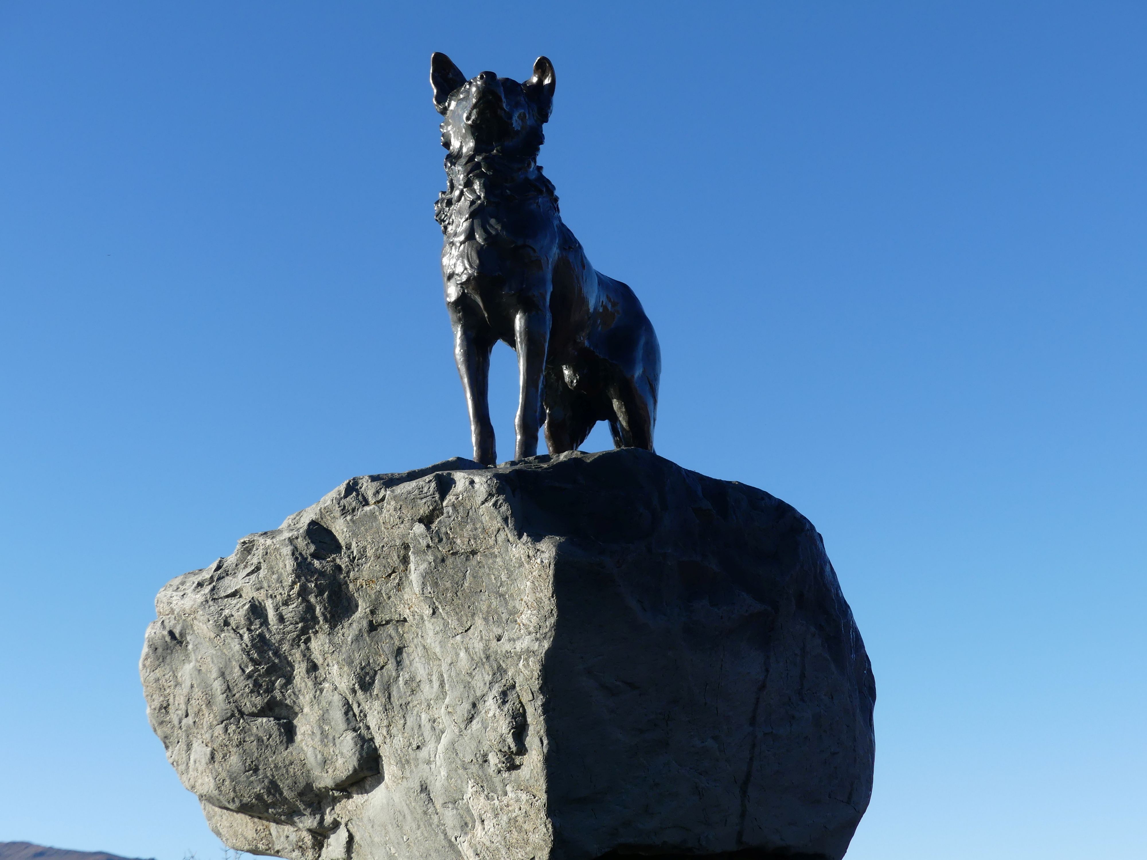
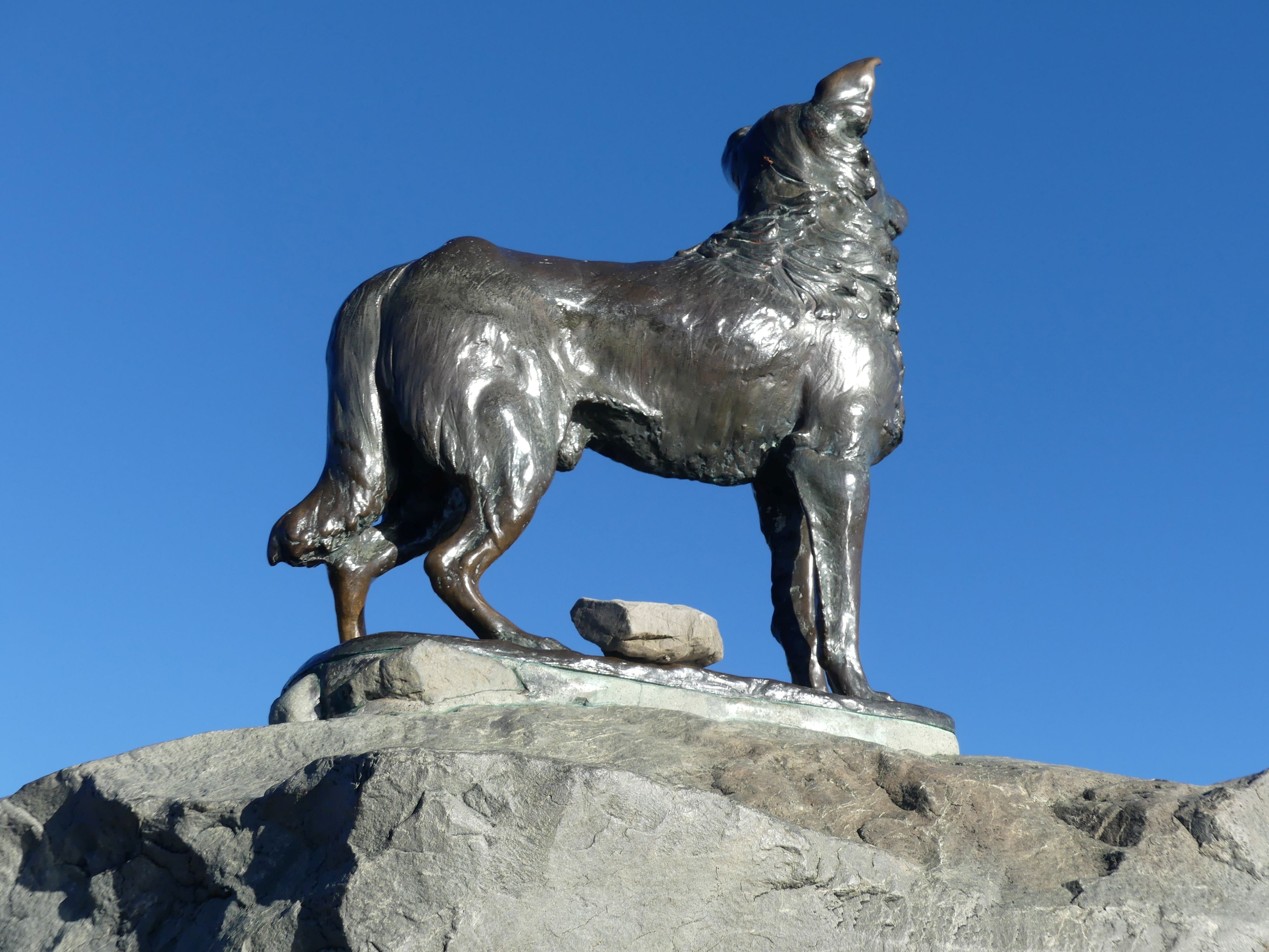
After breakfast we climbed aboard the car and headed to the famous statue on the shores of Lake Tekapo: The Sheepdog Memorial. It is a life-sized bronze sculpture of a Collie sheepdog perched on a pedestal of local rocks. Located 100 meters east of the iconic Church of the Good Shepherd, it stands as a monument to the hard-working dogs that made high-country farming possible. The memorial was just around the corner from our B&B but already there was a crowd of people at the monument and the Church.

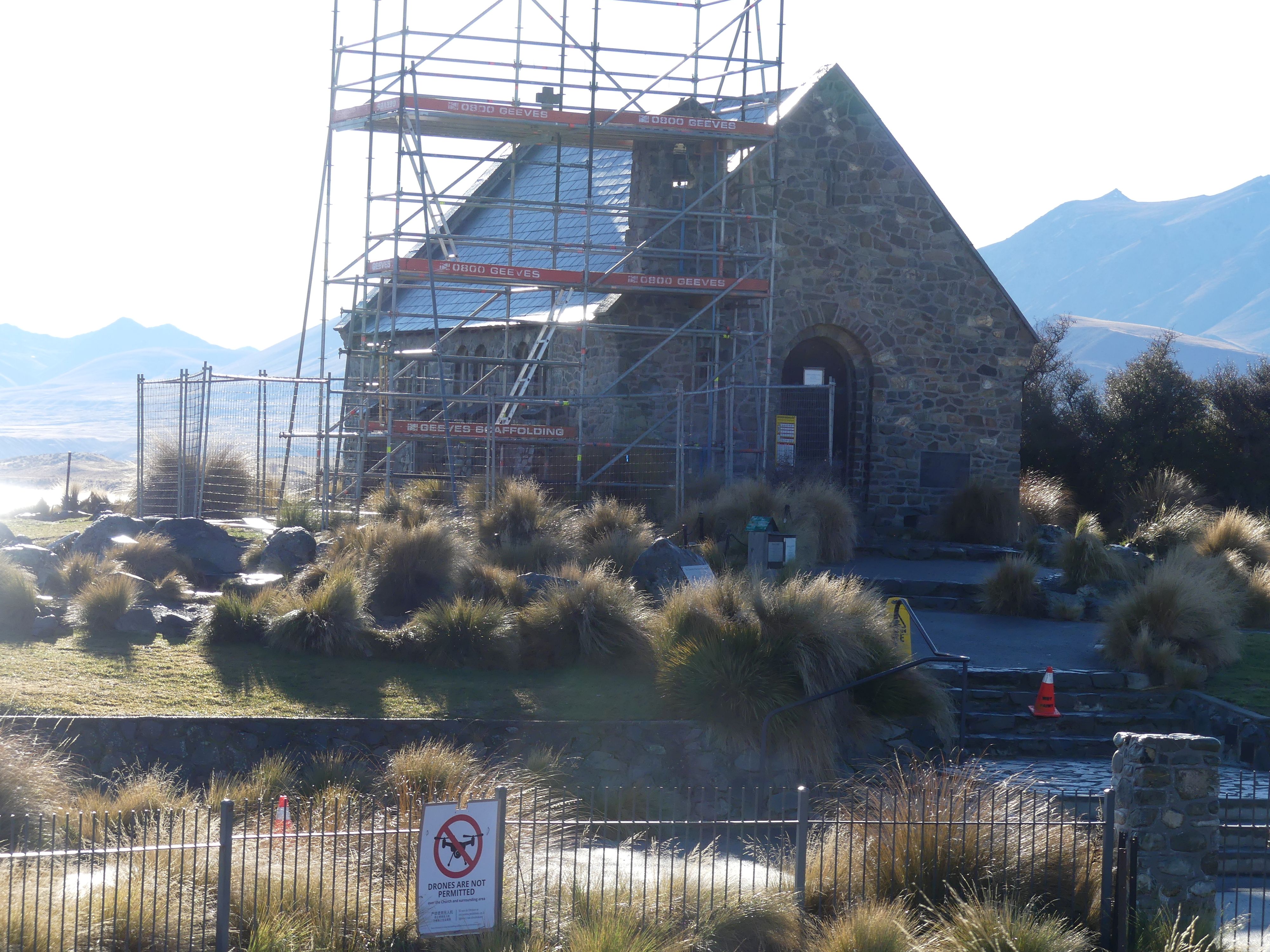
The Sheepdog Memorial and Church of the Good Shepherd

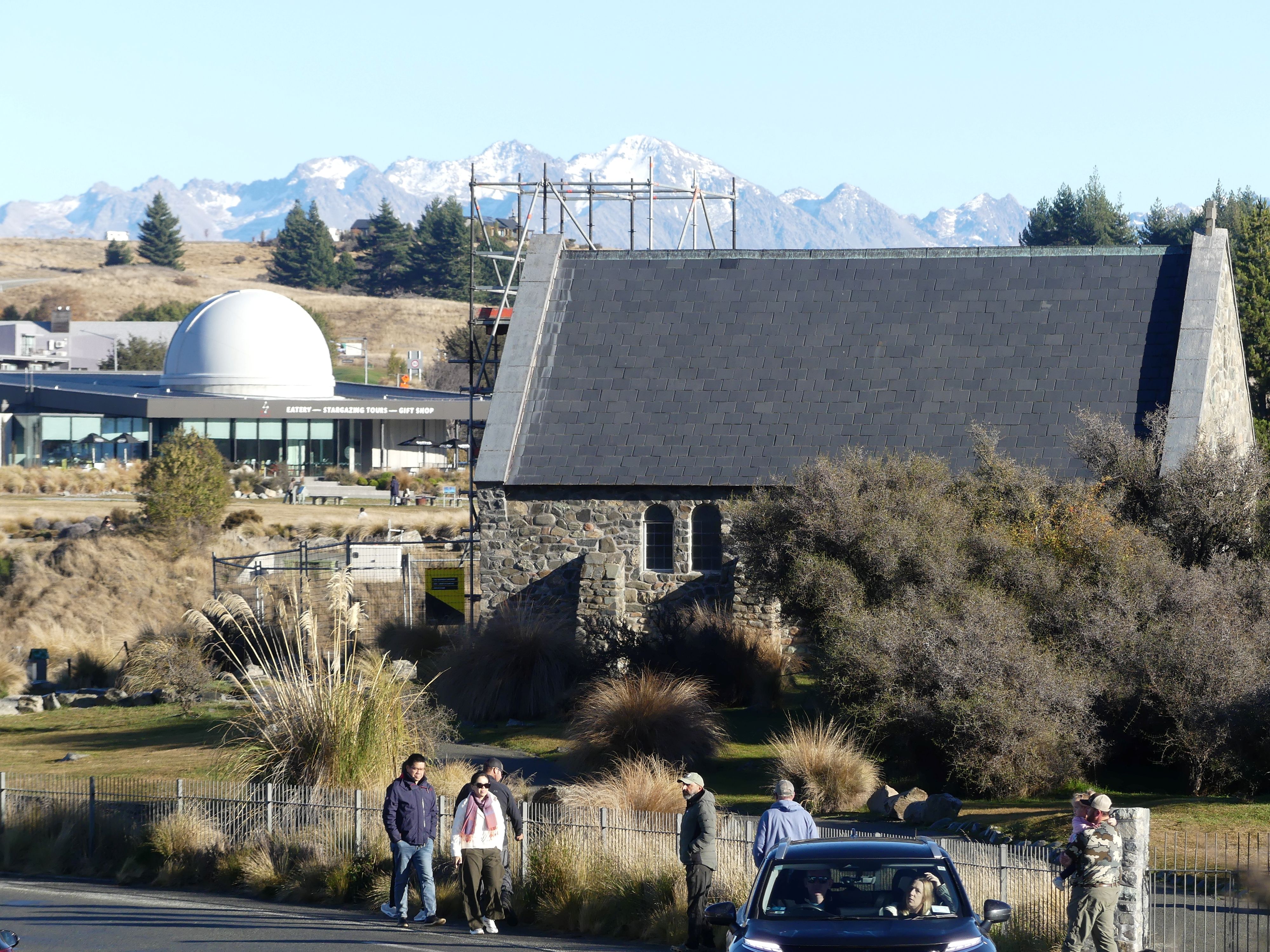
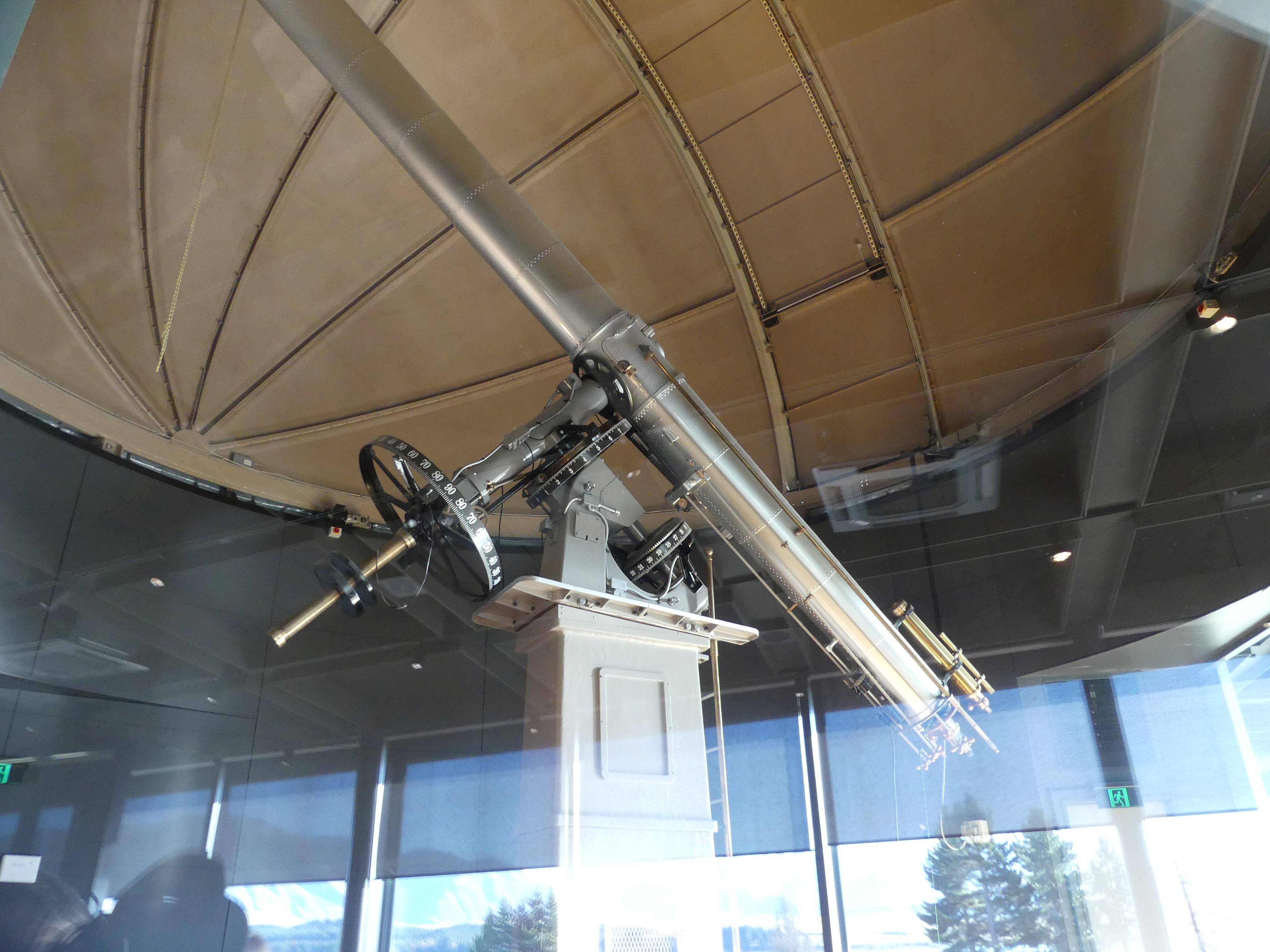
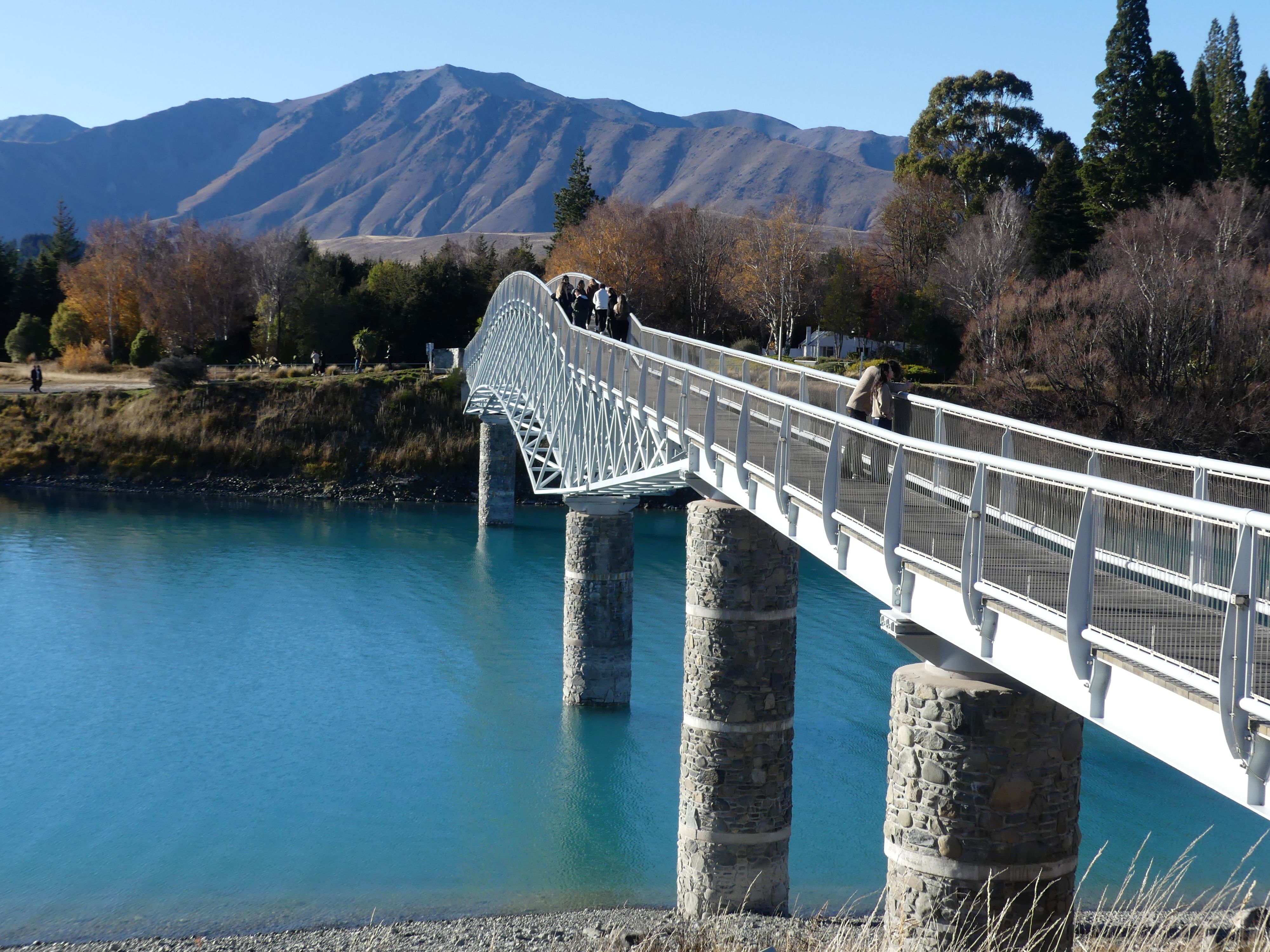
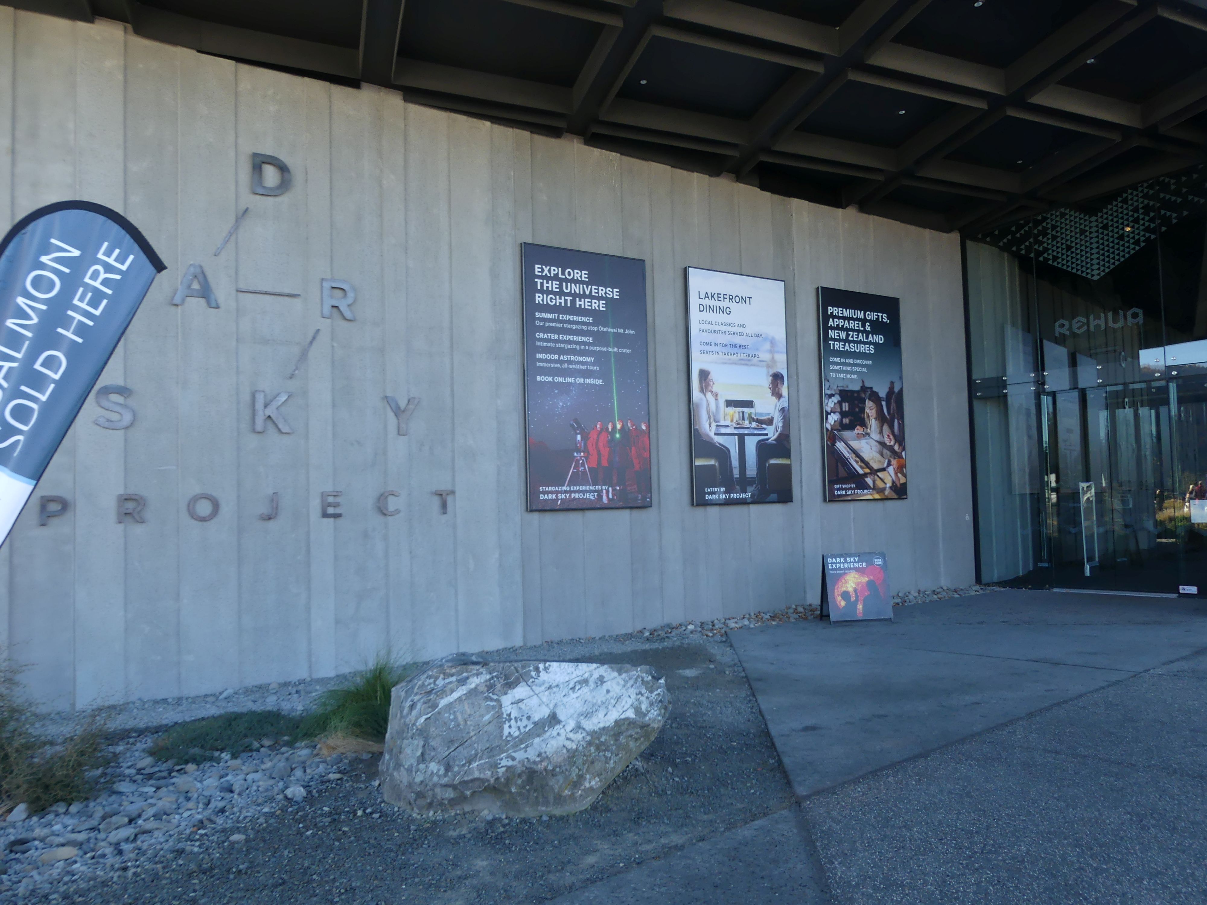
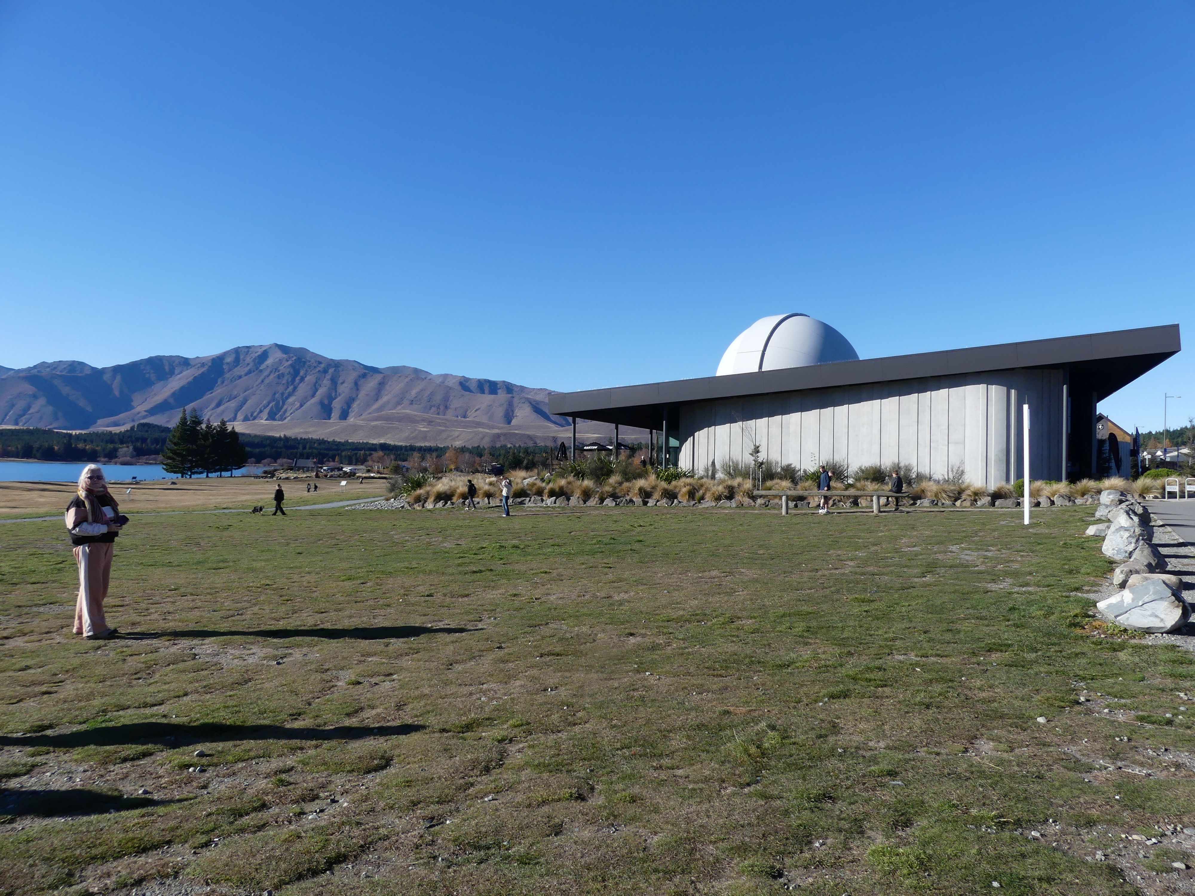
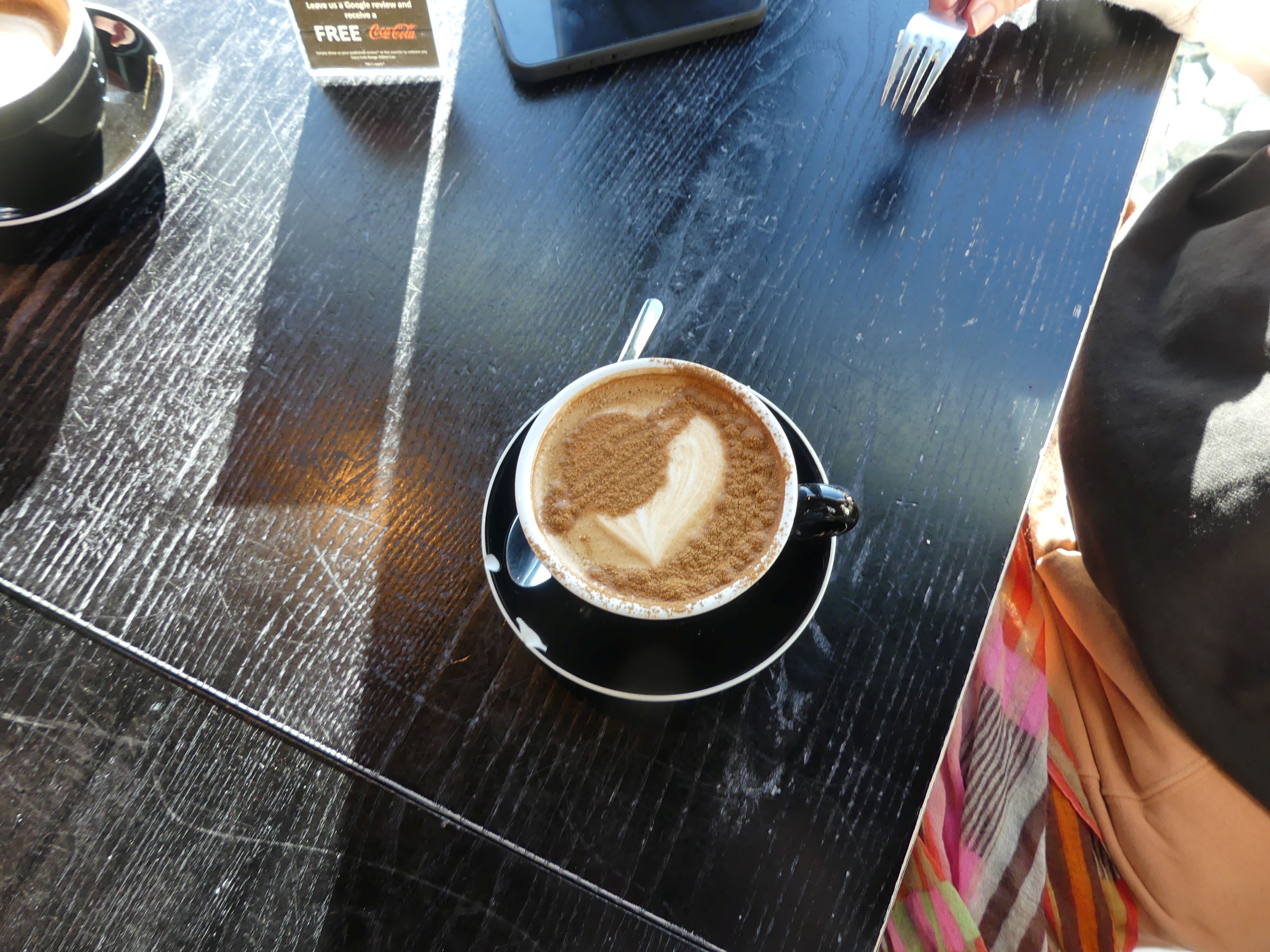
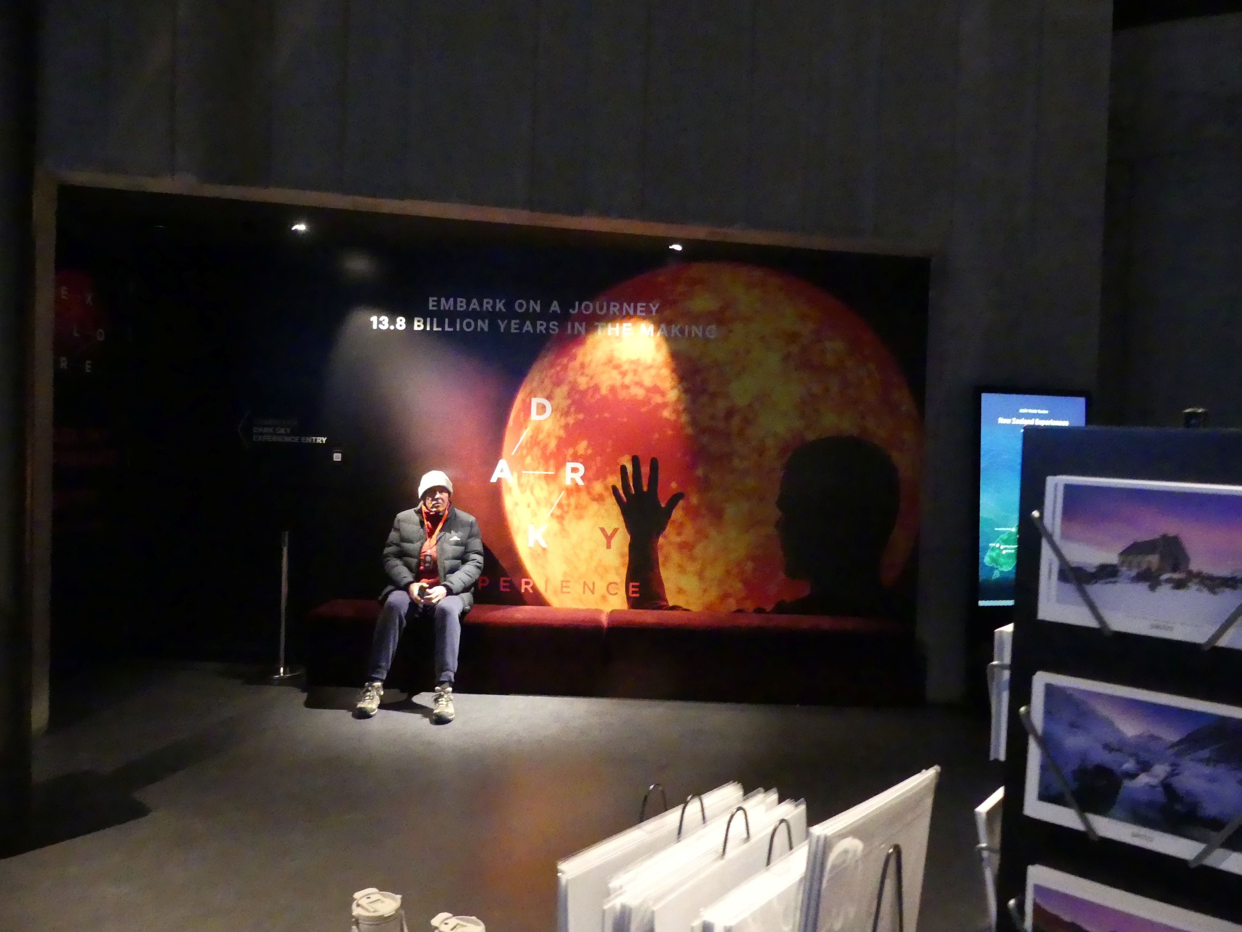
The Church of the Good Shepherd was in sight of the memorial and unfortunately it was defaced by scaffolding to enable repairs. So, we walked to the church and entry was not permitted. The church and grounds were closed from Wednesday 20 May – Friday 29 May 2026 to facilitate earthquake strengthening work on the bellcote. As access to the interior was not possible, we walked on to a footbridge crossing the waterway entering the lake. The footbridge was a modern construction replacing at least 2 other bridges and connected to the carpark serving the tourist shops but empty at winter time. We walked around to the Dark Sky Project building. The Dark Sky Project is a world-renowned astro-tourism venture that offers guided stargazing tours, multimedia astronomy exhibits, and dining in the Aoraki Mackenzie International Dark Sky Reserve. Inside the building was several multimedia astronomy experiences, fabulous views over the lake and a coffee shop of course. Whilst enjoying our coffee I noticed a huge telescope inside the building so I took a photograph hoping I would do it justice. The centrepiece telescope displayed is the historic 18-inch (45.7-cm) Brashear Telescope, a famous Victorian-era refracting telescope crafted in 1894. Have a look at the surface of the hot chocolate that Kerry ordered. Yes its Saturn.

The footbridge, the Brashear Telescope, Dark Sky Project building, and Kerry’s hot chocolate

 We were keen to join one of their tours. There are 2 tours on offer: the Observatory Tour (Evening stargazing tour at the University of Canterbury Mt John Observatory located on the summit of Mt John and the Crater Experience (Stargazing from a purpose-built, sheltered crater enclosure for a highly immersive viewing environment). We chose the Crater Experience as the drive to the observatory on top of the mountain at night did not appeal to us.

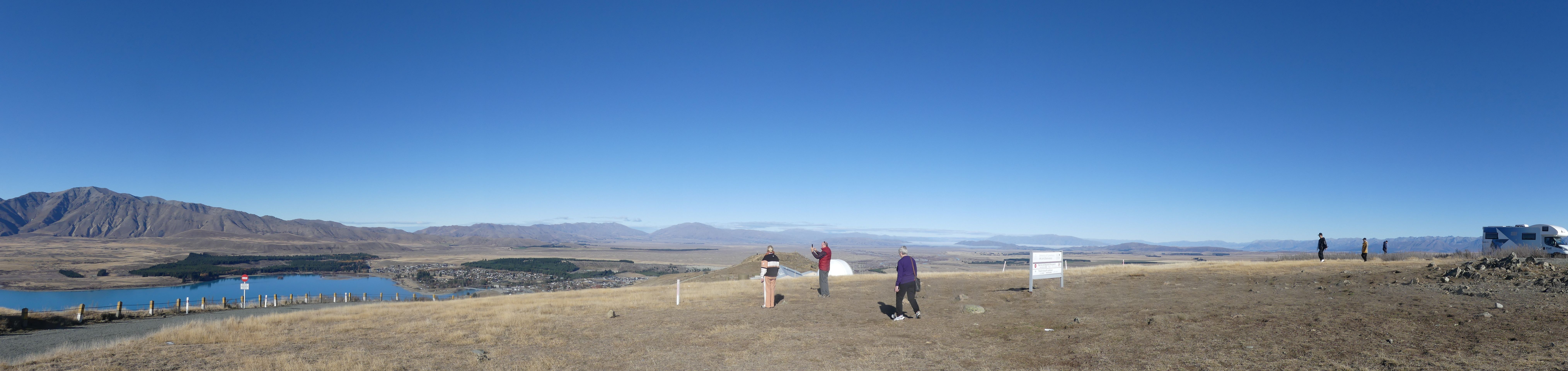
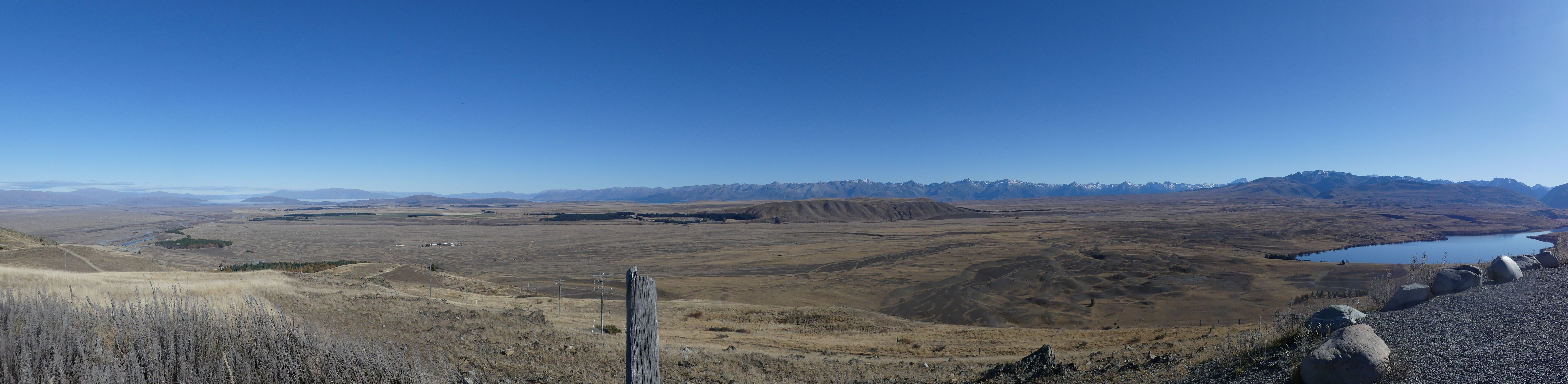
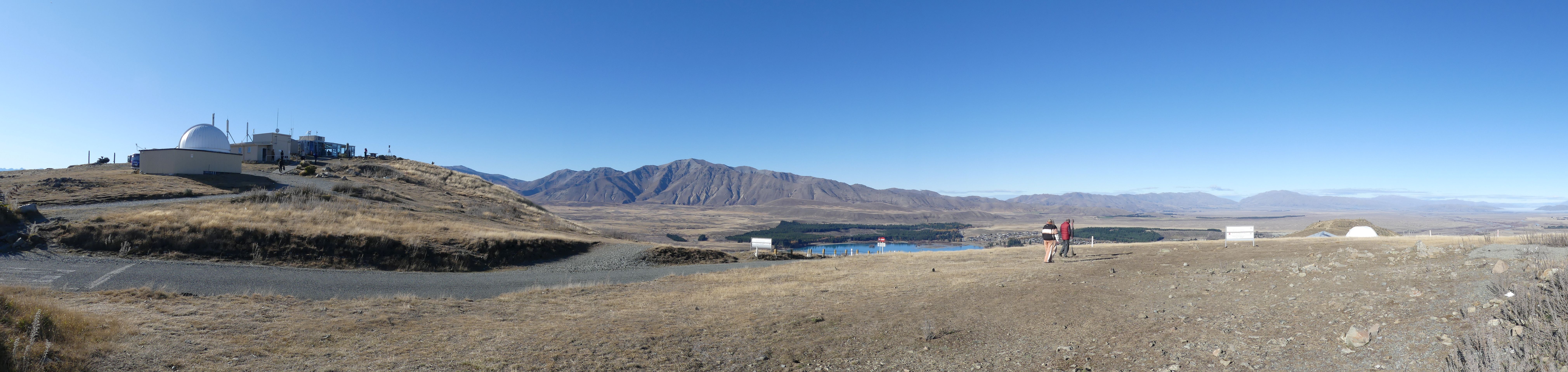
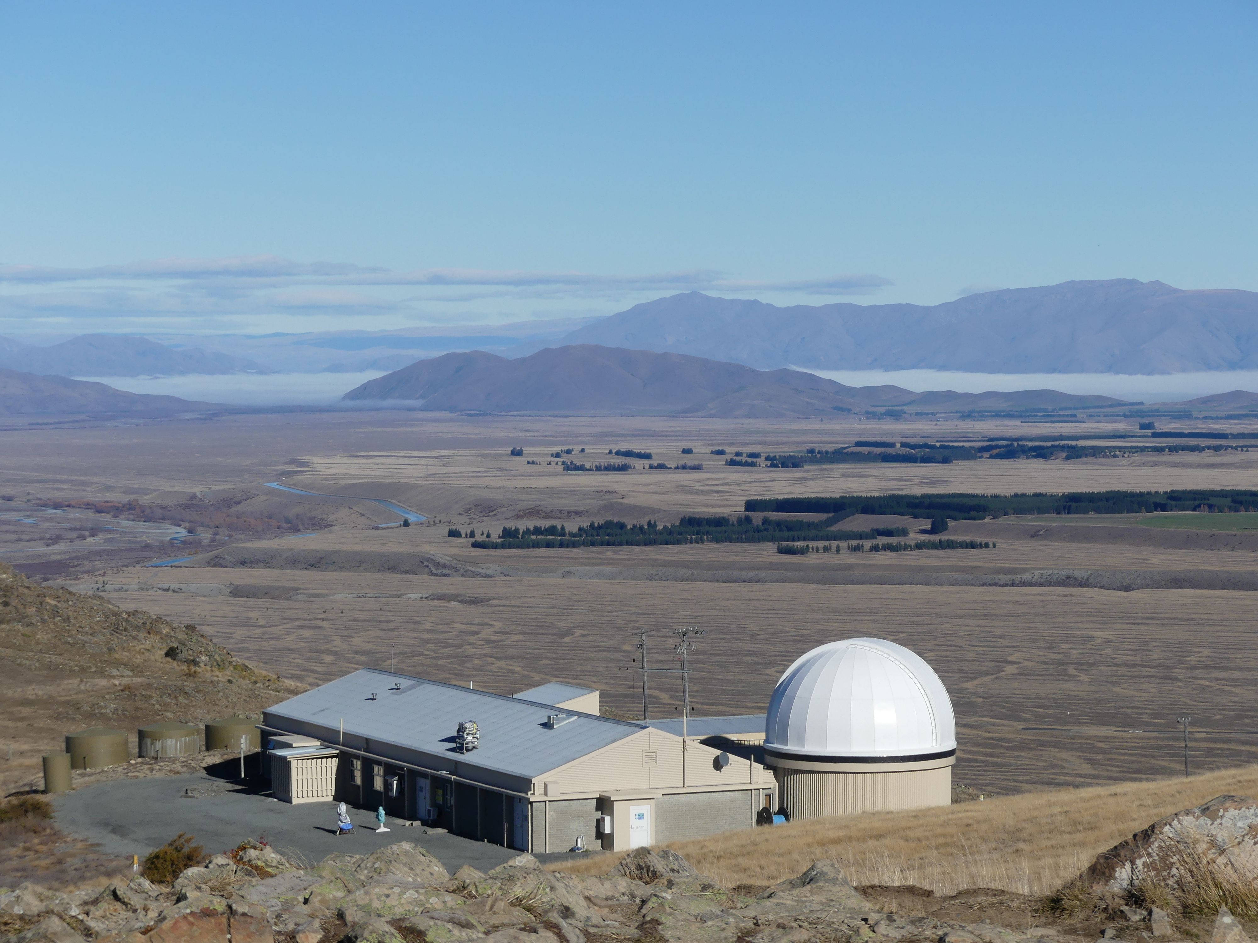
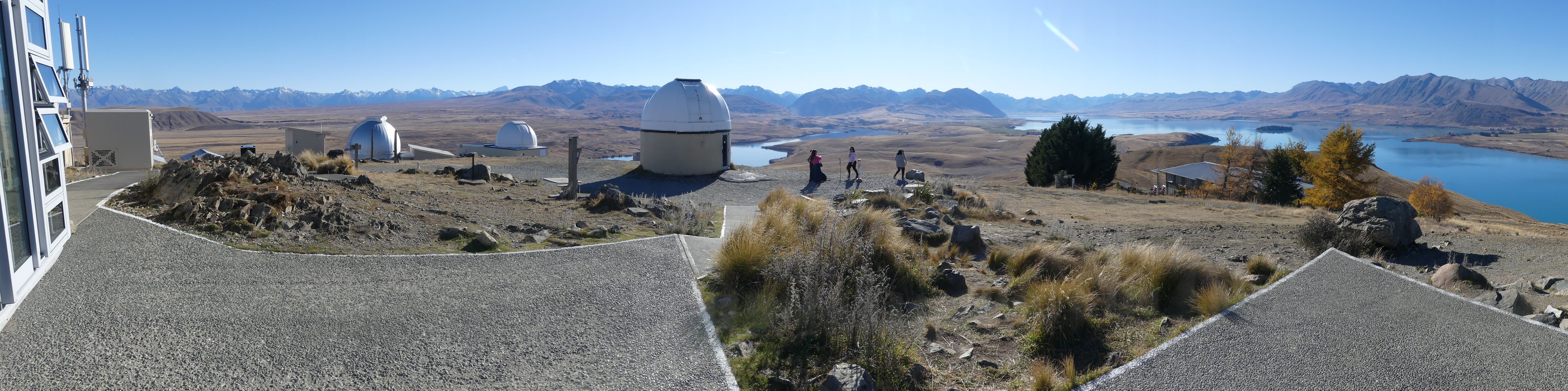
After purchasing our tour tickets, we decided that we would drive to the Mount John Observatory. It is a comparatively short drive to the foot of the mountain but that is where a comfortable drive ends. We made it to the car park before the crowds fortunately and I was able to snap this panoramic photo of the observatory hill. I walked toward the edge overlooking the village below and then turning a further 90 degrees I snapped a further panorama.

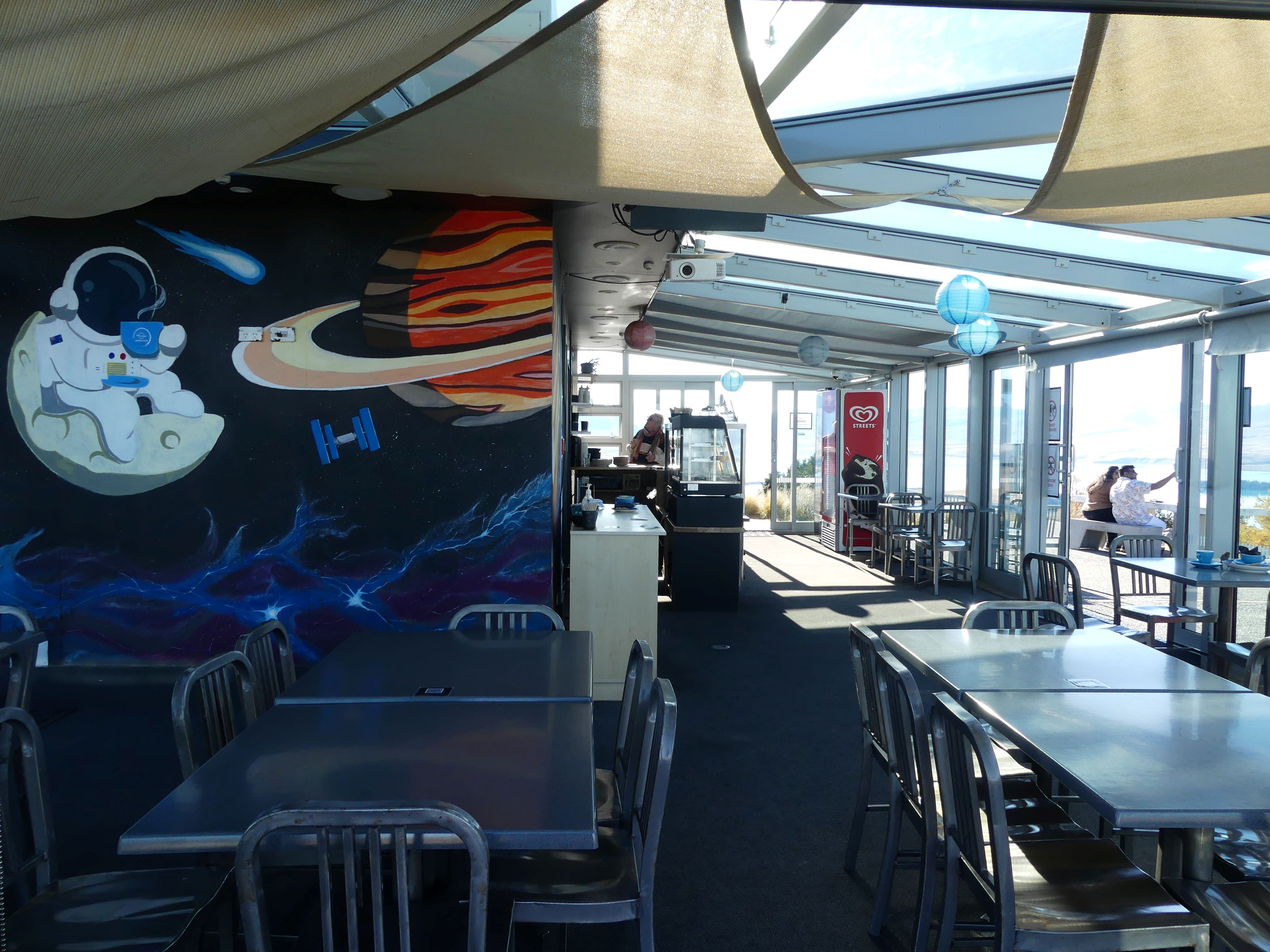
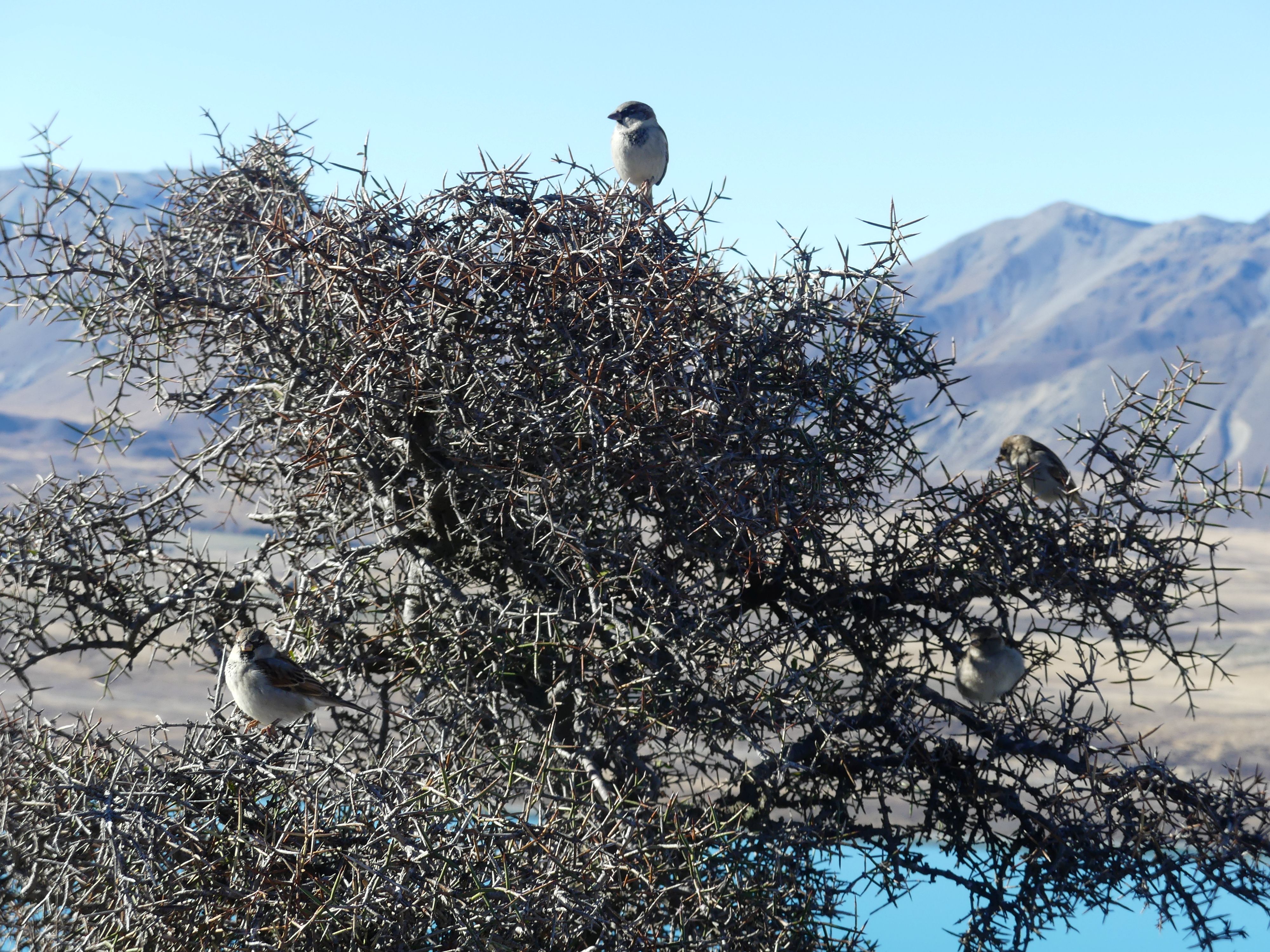
Time for another coffee and lunch so up we went to the Sky Café with its space scene at its entry. Here Kerry purchased her perfect drink vessel, and we perched on top of the mountain to have our lunch when joined by a flock of sparrows. They sat in that thorny bush until we moved on and then it was lunch for them.

The observatory and café, overlooking the village and lake, 90 degrees to the right, the observatory close up the café entrance, sparrows in thorny bush, solitary island in the lake.

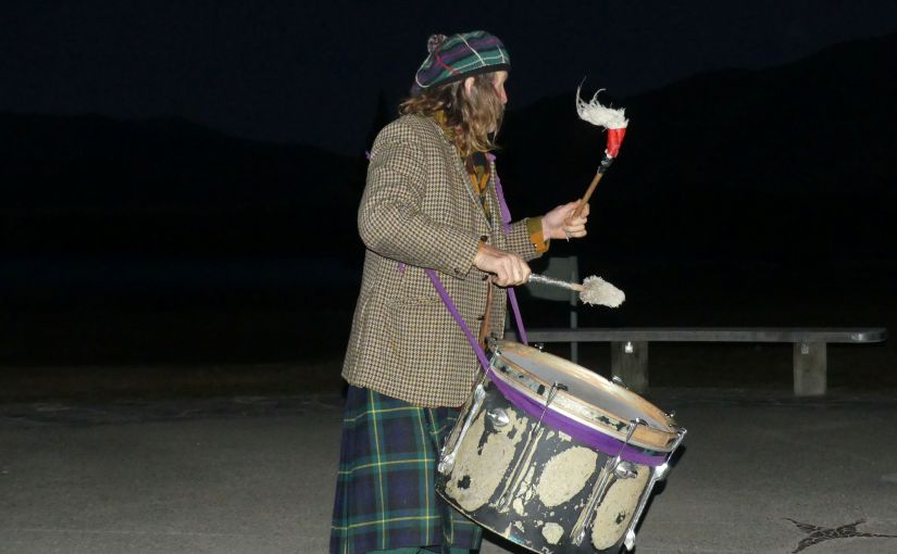
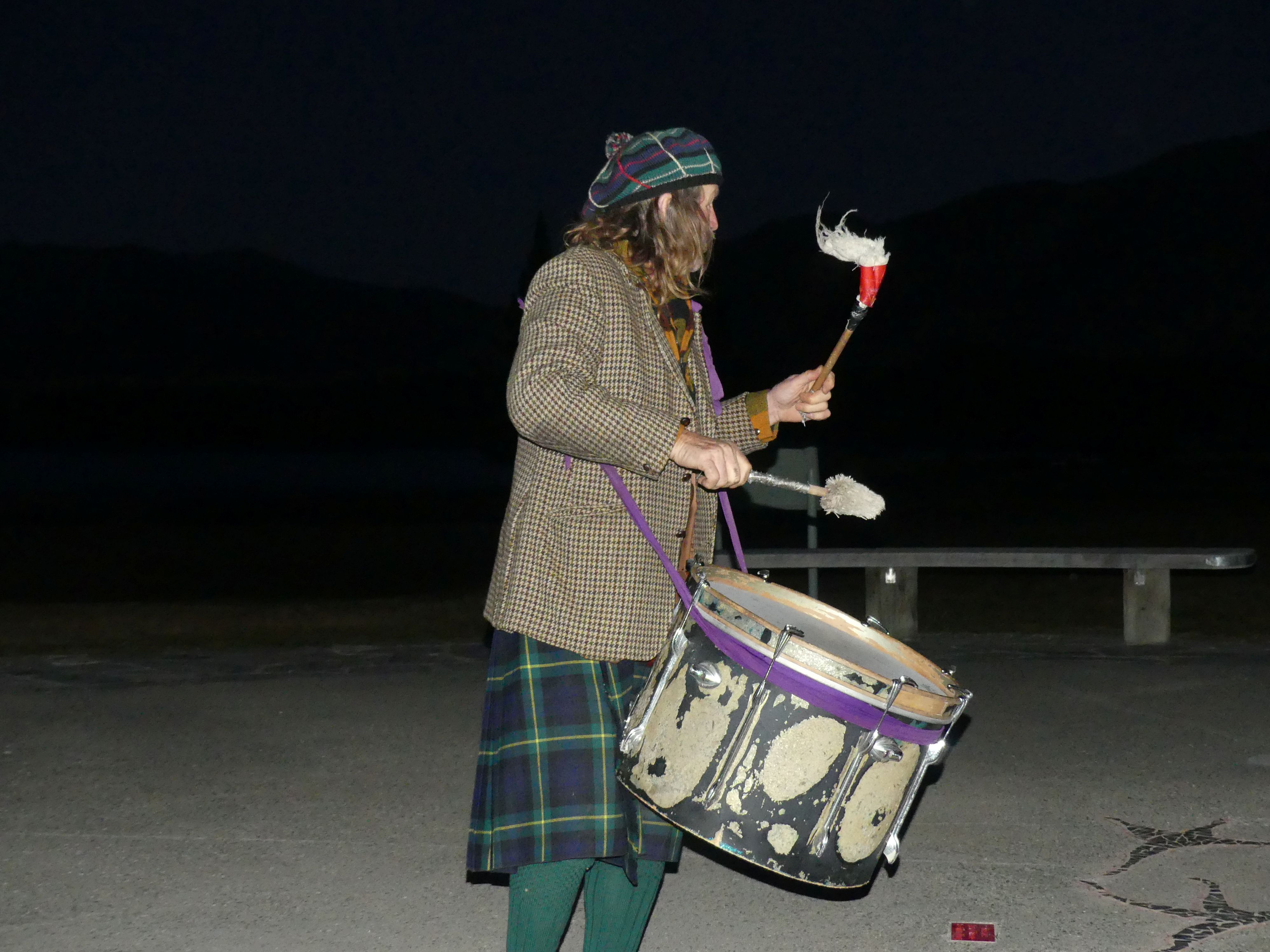
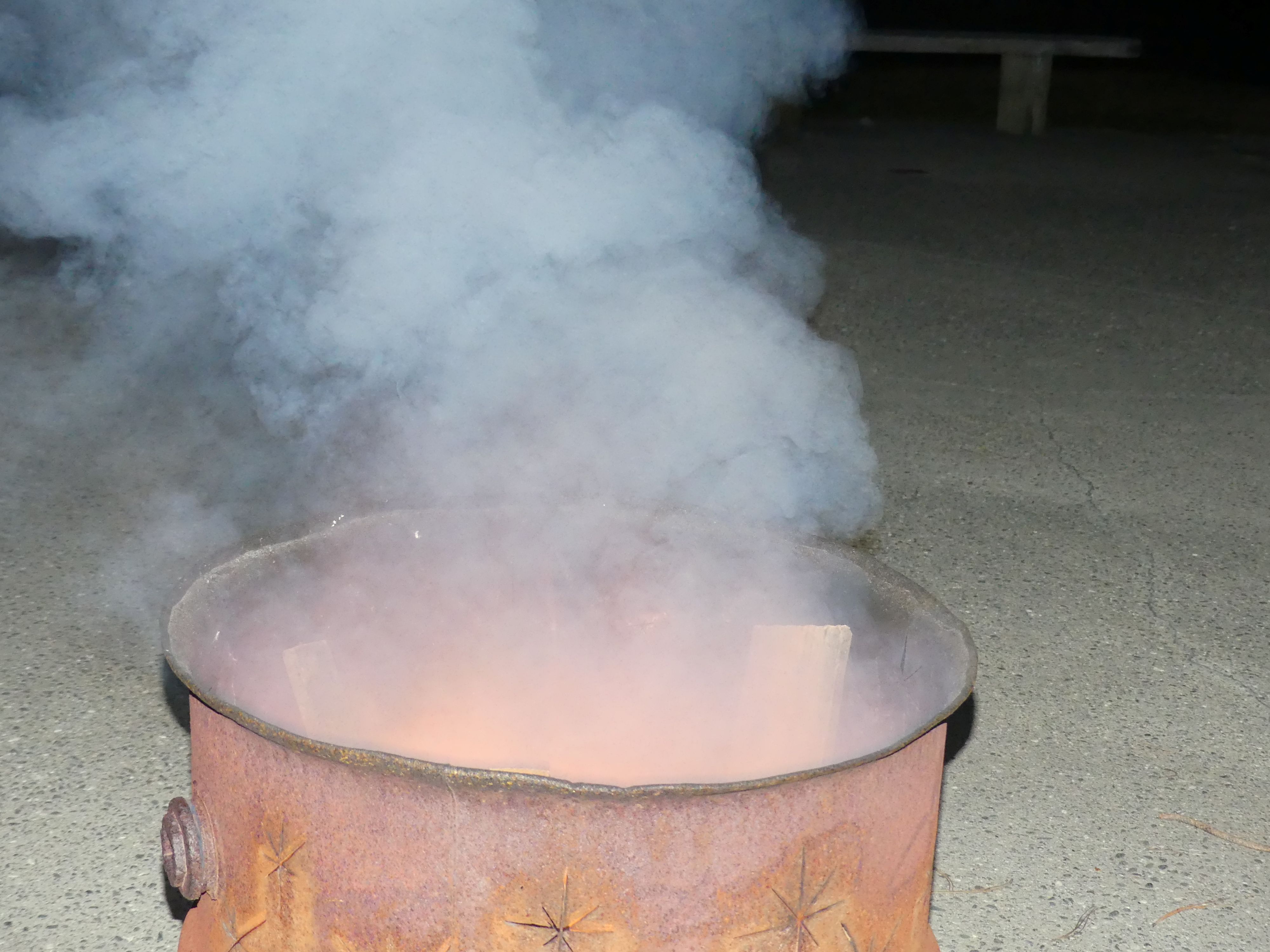
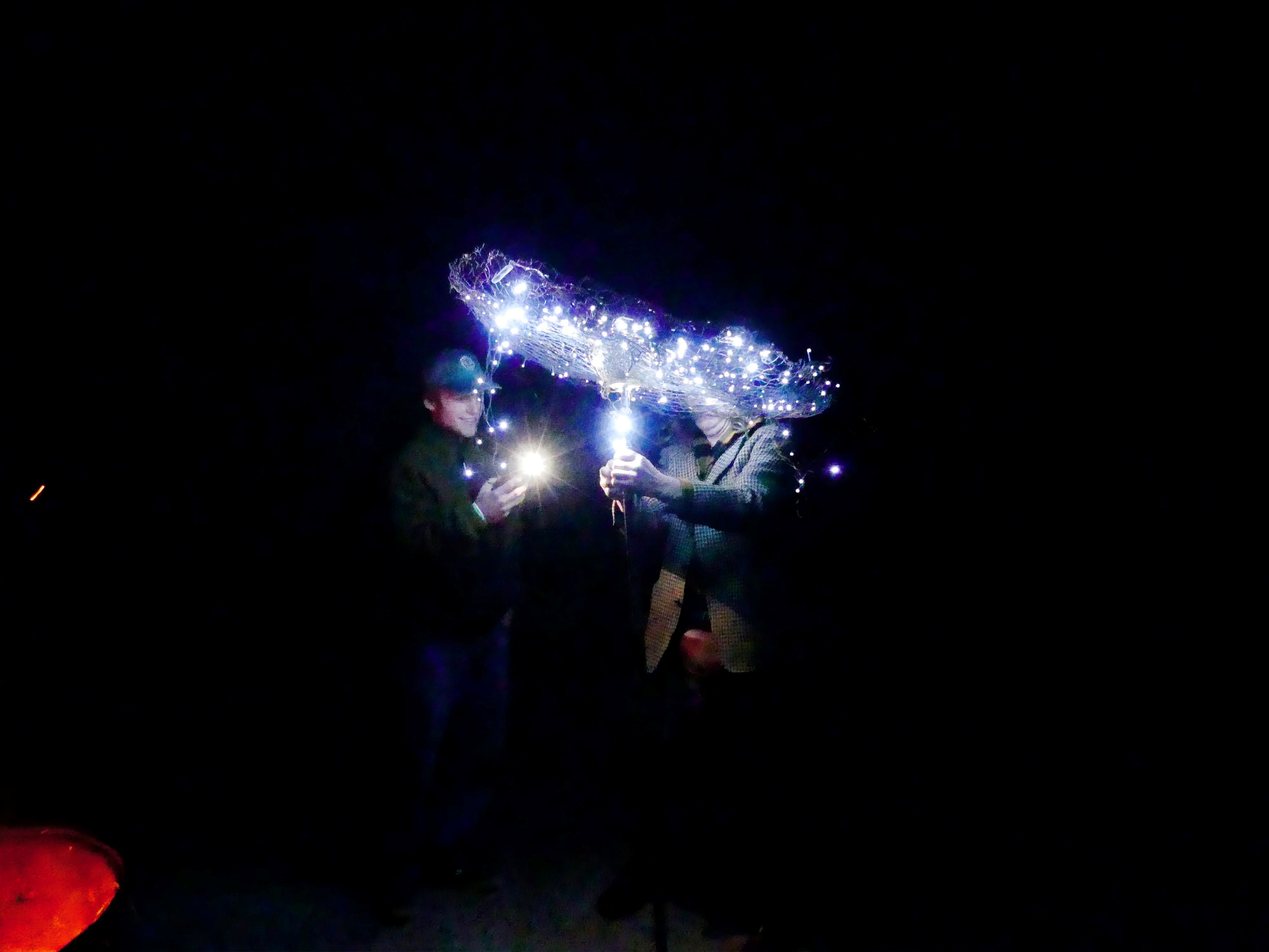
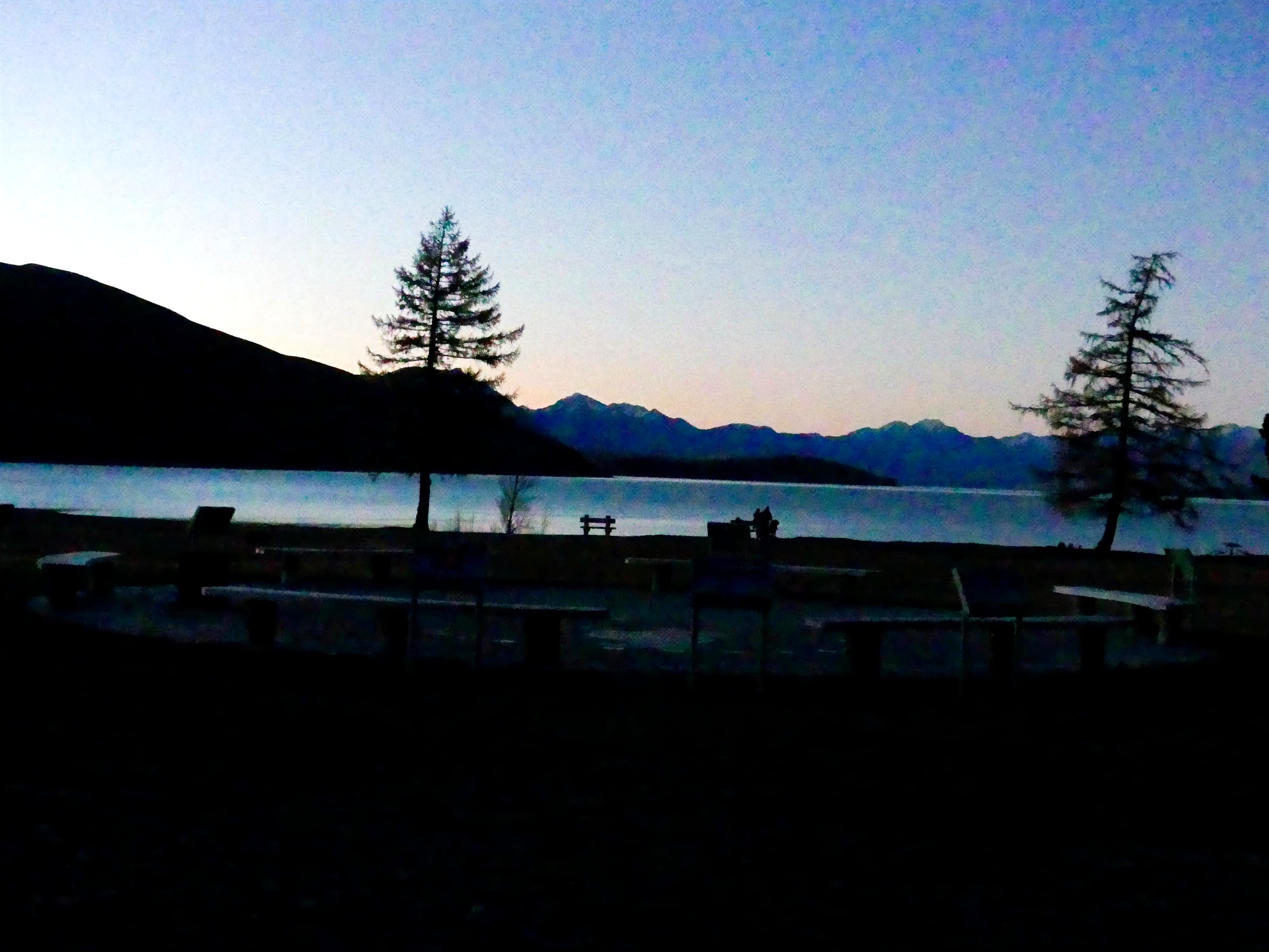
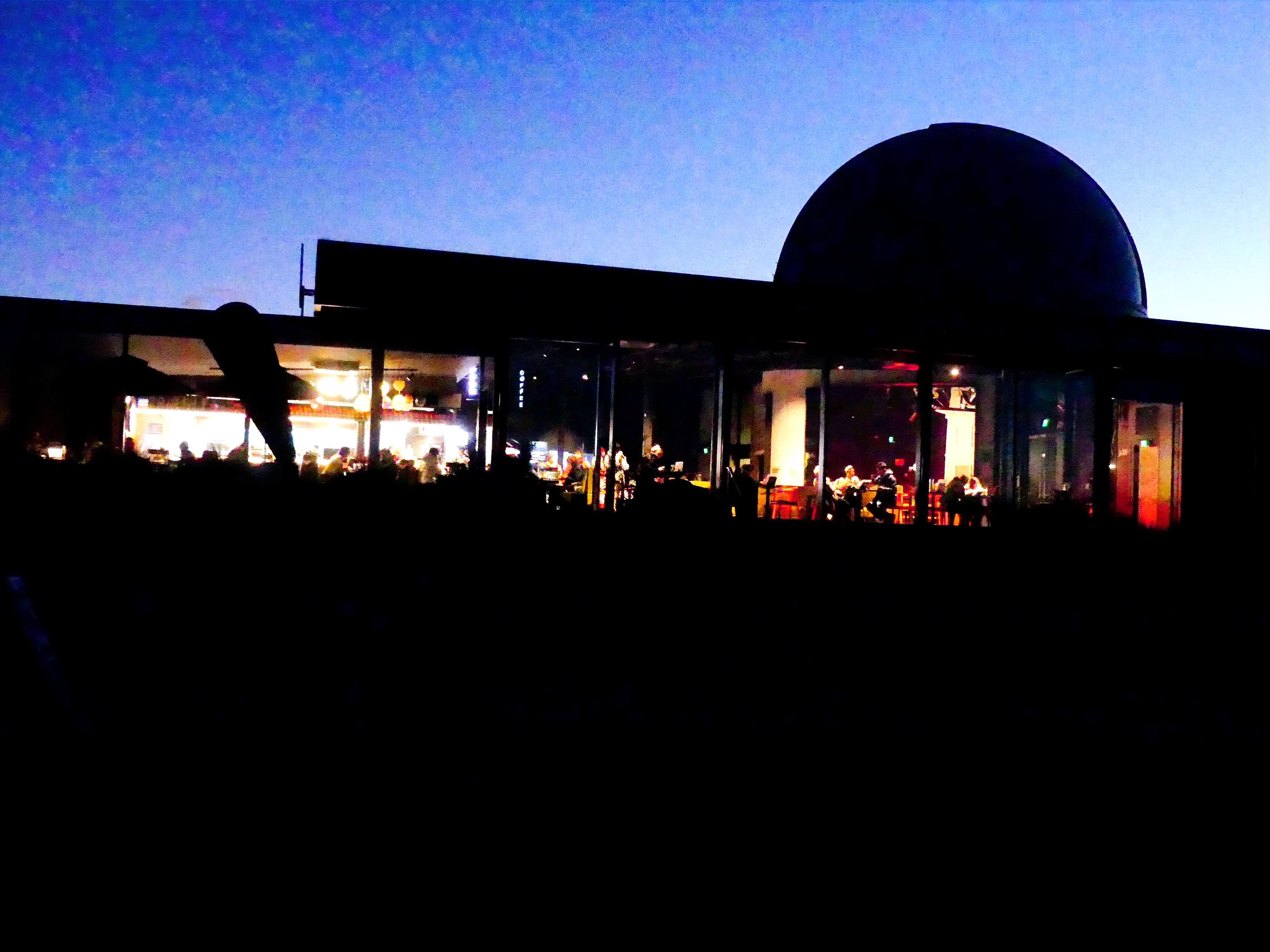
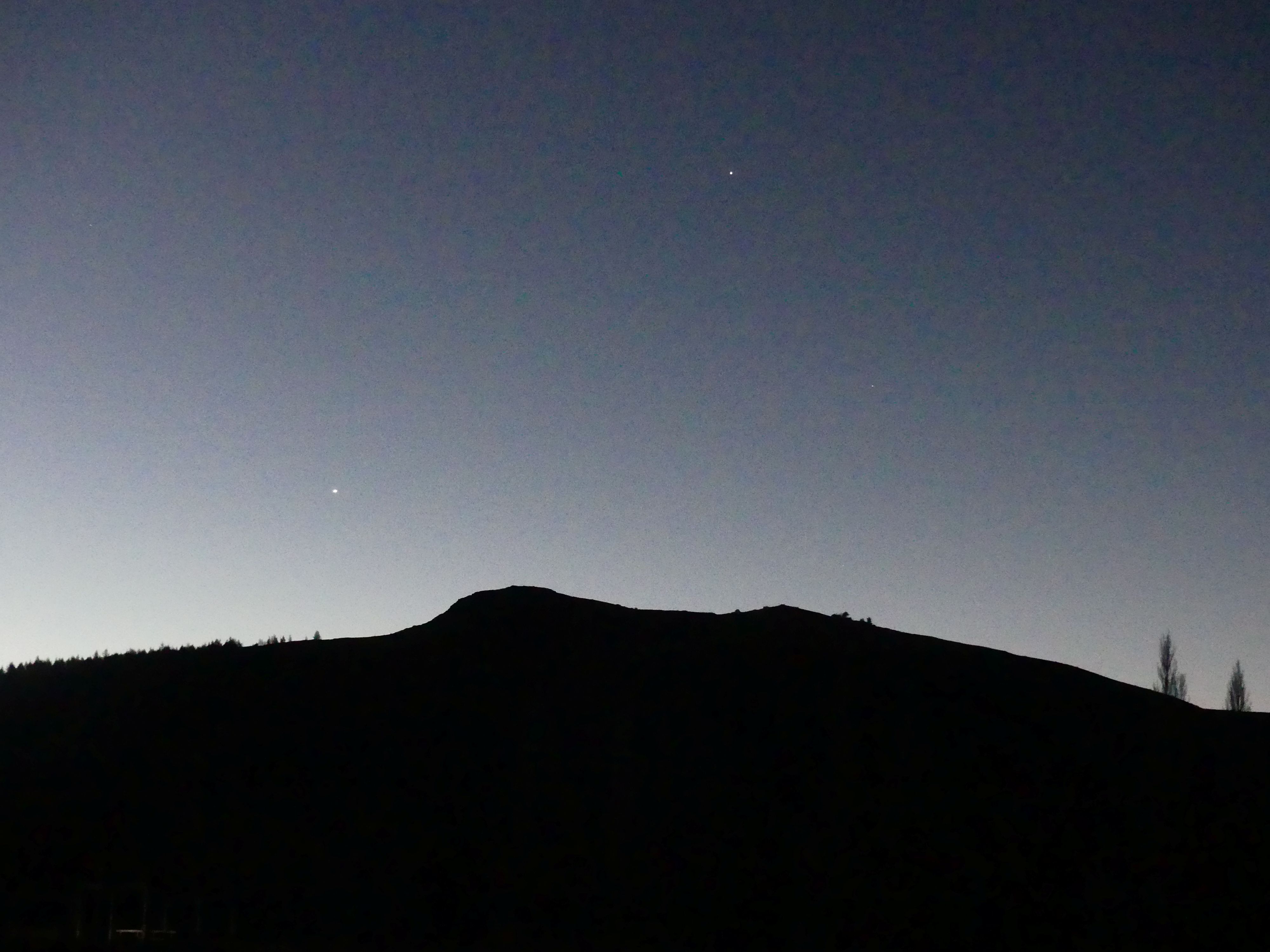
We went back to the village and while walking through it we read that Bill the Bard was delivering a performance on the lakes edge starting at sunset. Well, we rested for the rest of the afternoon as we would join Bill for his performance and then go to the Crater experience. Sunset and we sat at the listening circle awaiting Bill’s arrival. Dark Sky Project was alive with people in the restaurant and then Bill arrived in an old station wagon, and he hopped out in his kilt to unload his gear. This was a bloody cold night and the wind up his kilt must have chilled. At first, it was bill and the 4 of us but by the time bill had unloaded the 44-gallon drum fireplace and his drum we had another family join us. The moon was almost full; the sun had almost disappeared behind the observatory on the mountain and Bill started on his drum. He told his story and we had a sing-along then he produced an umbrella which he raised and lit with light providing imitation of the Milky Way. For this performance he left it to the audience to determine his value, so we rewarded him modestly but retained the memory of Bill the Bard.

Sunset at the lake, Dark Sky alive, the moon, the mountain, the fireplace, Bill and his magic umbrella

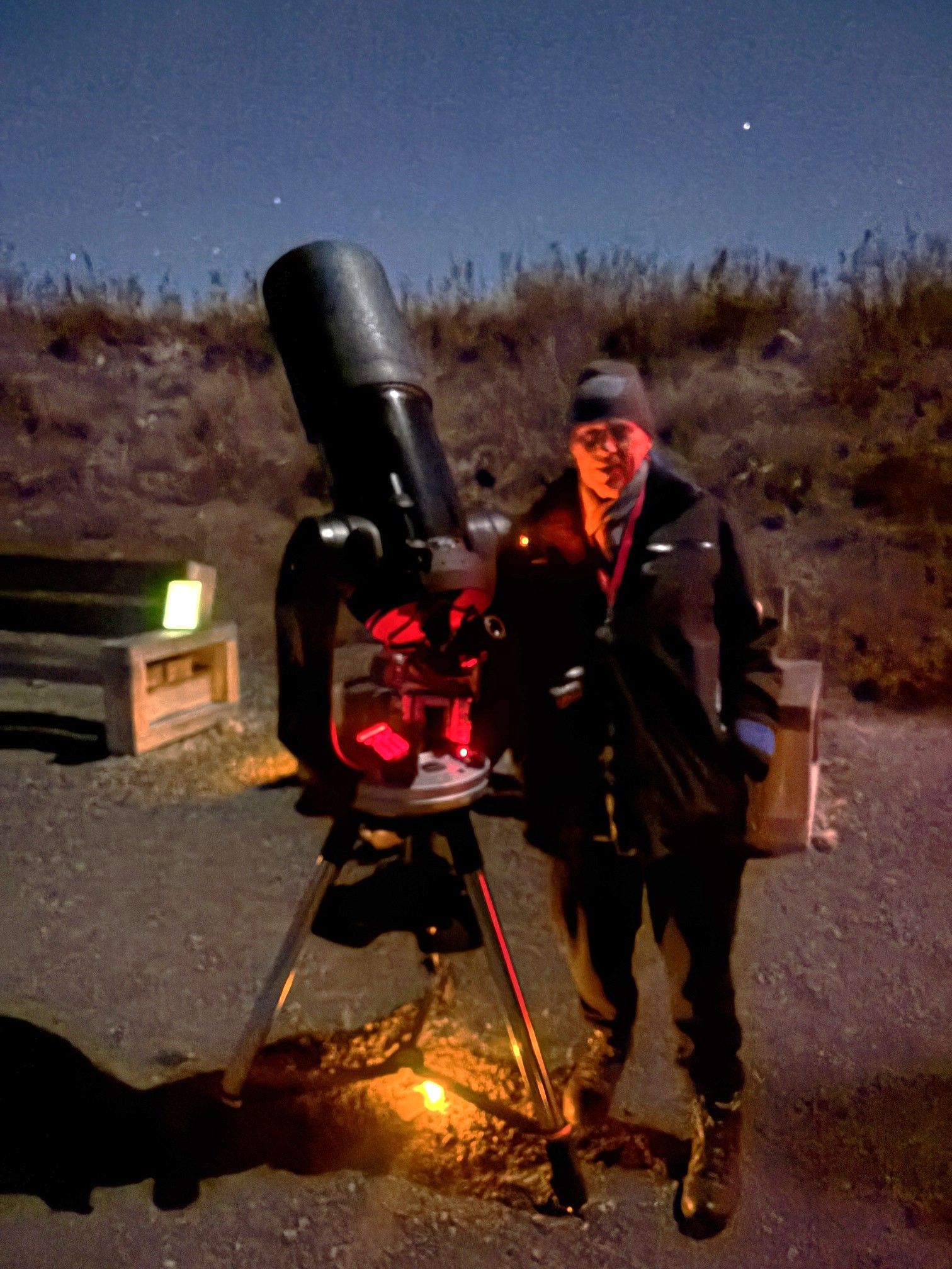
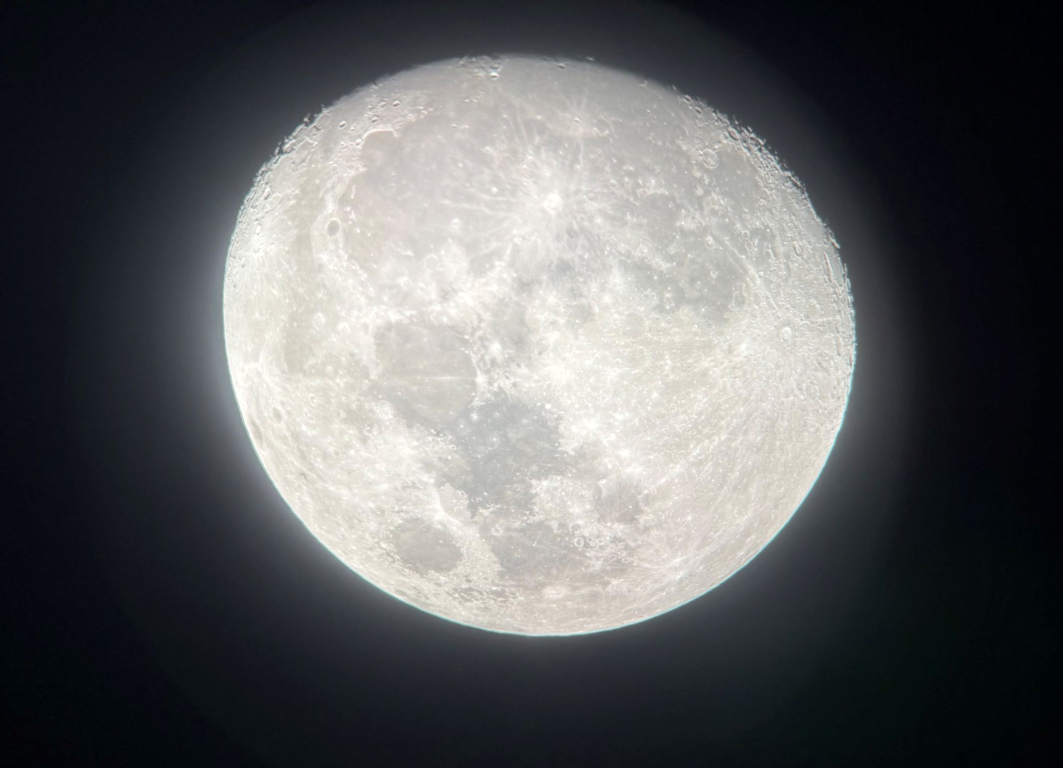
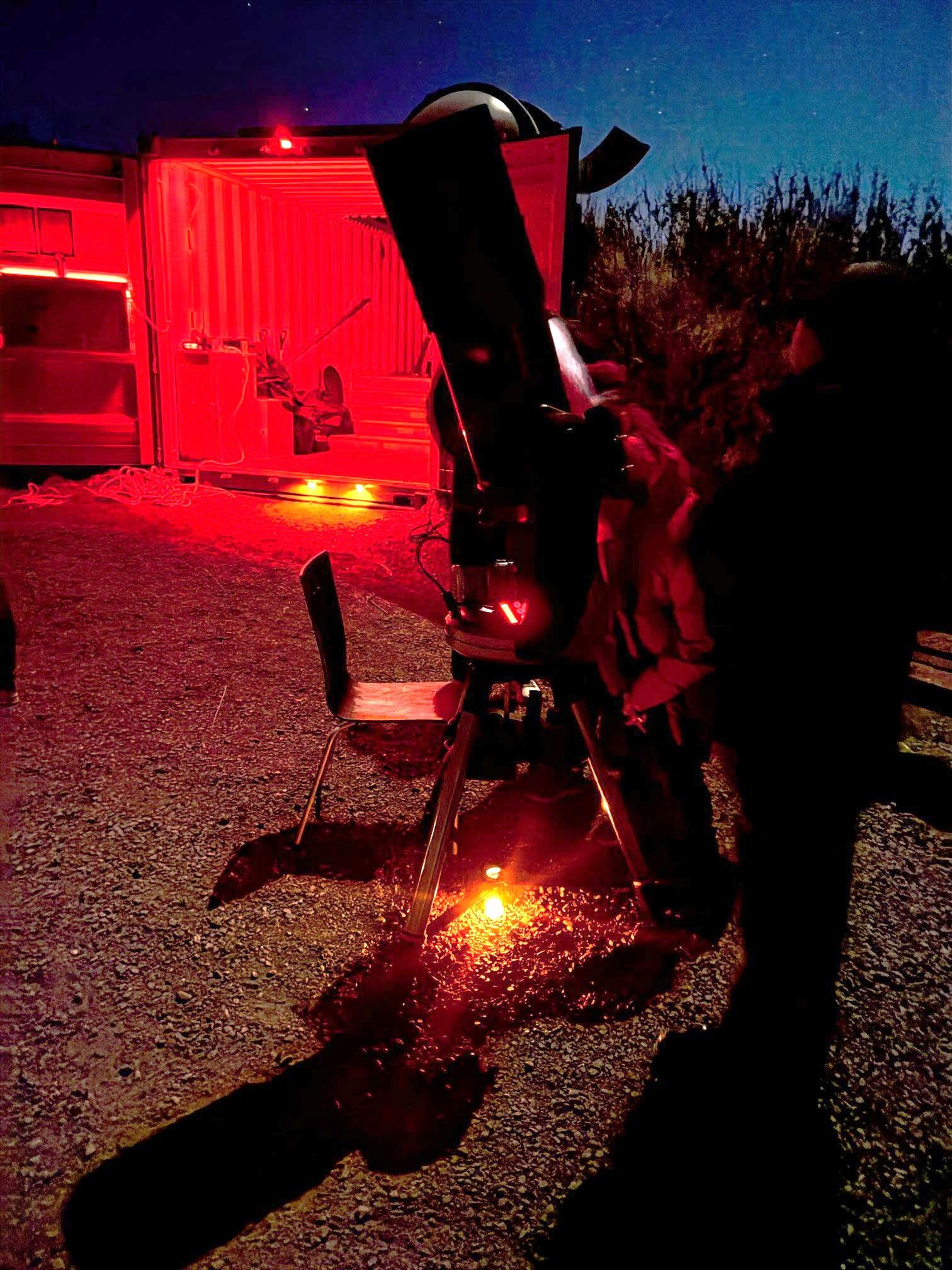
We enjoyed a fish and chip dinner in a Chinese café (yes, I am still puzzled that we ordered in one café and went next door to collect the meals from a different café which we consumed in the first café). Refreshed and watered we went back to Dark Sky project to board our bus to the Crater Experience. Barry waited under a rather threatening sign but the threating arm was a shadow from a mannequin. Right on time the bus arrived, and we began our Crater Experience. There were about 20 of us on the bus. Fifteen minutes down the main road we turned off into the bush and wound our way to a circle of shipping containers and sundry sheds. Our astronomy hostess was from the University of Canterbury the institution that operated the Mount John Observatory and manned the café with students. We went around the dark sky, and she pointed out salient points. Her assistants meanwhile lined up two telescopes for us to use to more closely observe the sky. It was a very enjoyable but very cold experience, so it was great to get back on the bus.

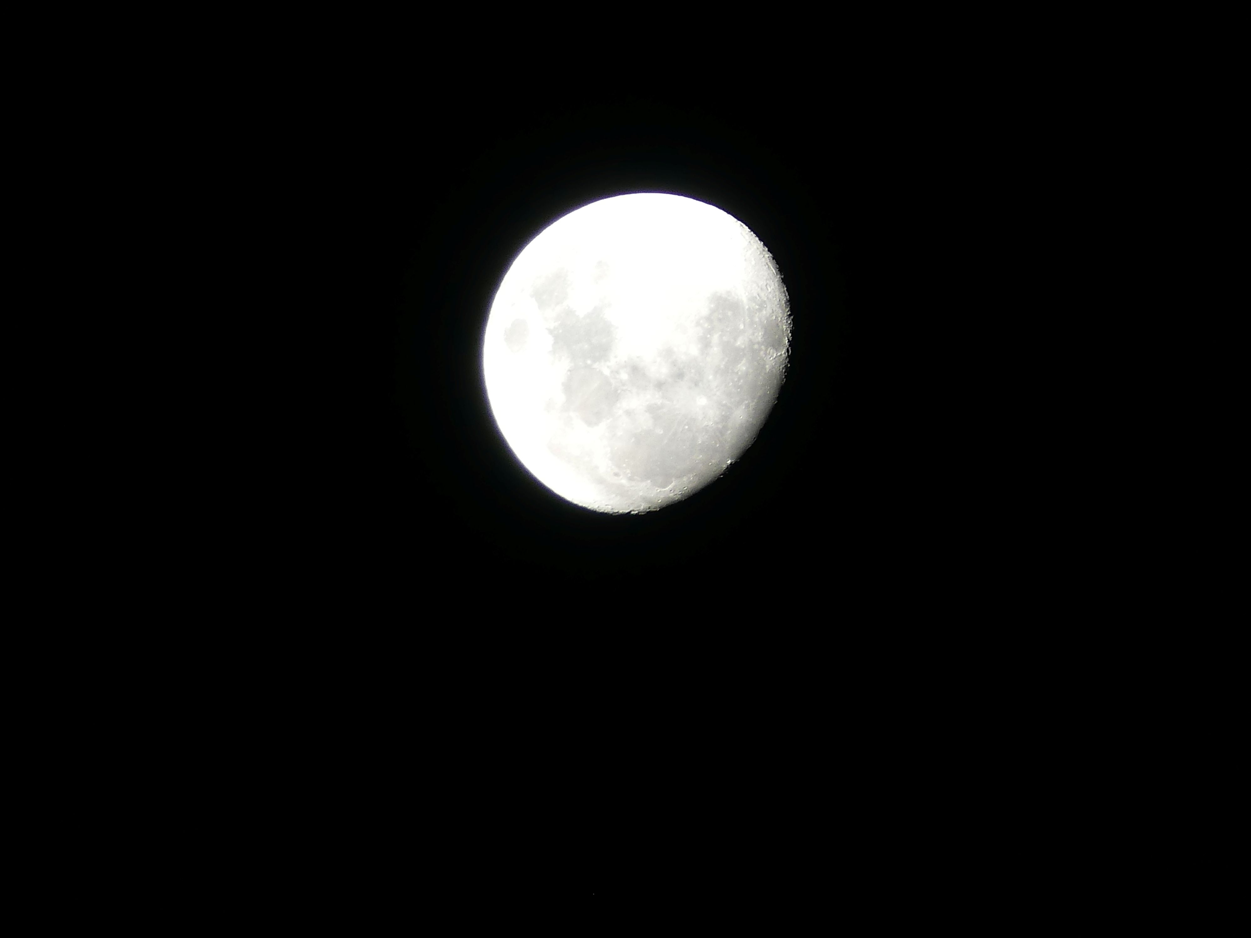
Barry under threat, the Crater, me and the telescope, Kerry and the telescope, the night sky and the moon through the telescope.

Home to bed and Lake Tekapo to Christchurch tomorrow. Keep watching for Episode 5 here on THE RETIREES VISIT THE SOUTH ISLAND ACROSS THE DITCH.

THE RETIREES VISIT THE SOUTH ISLAND ACROSS THE DITCH blog 495 Episode 3

19TH MAY TO 10TH JUNE 2026

Carrying on from Episode 2 here are the photos from the upper floor.

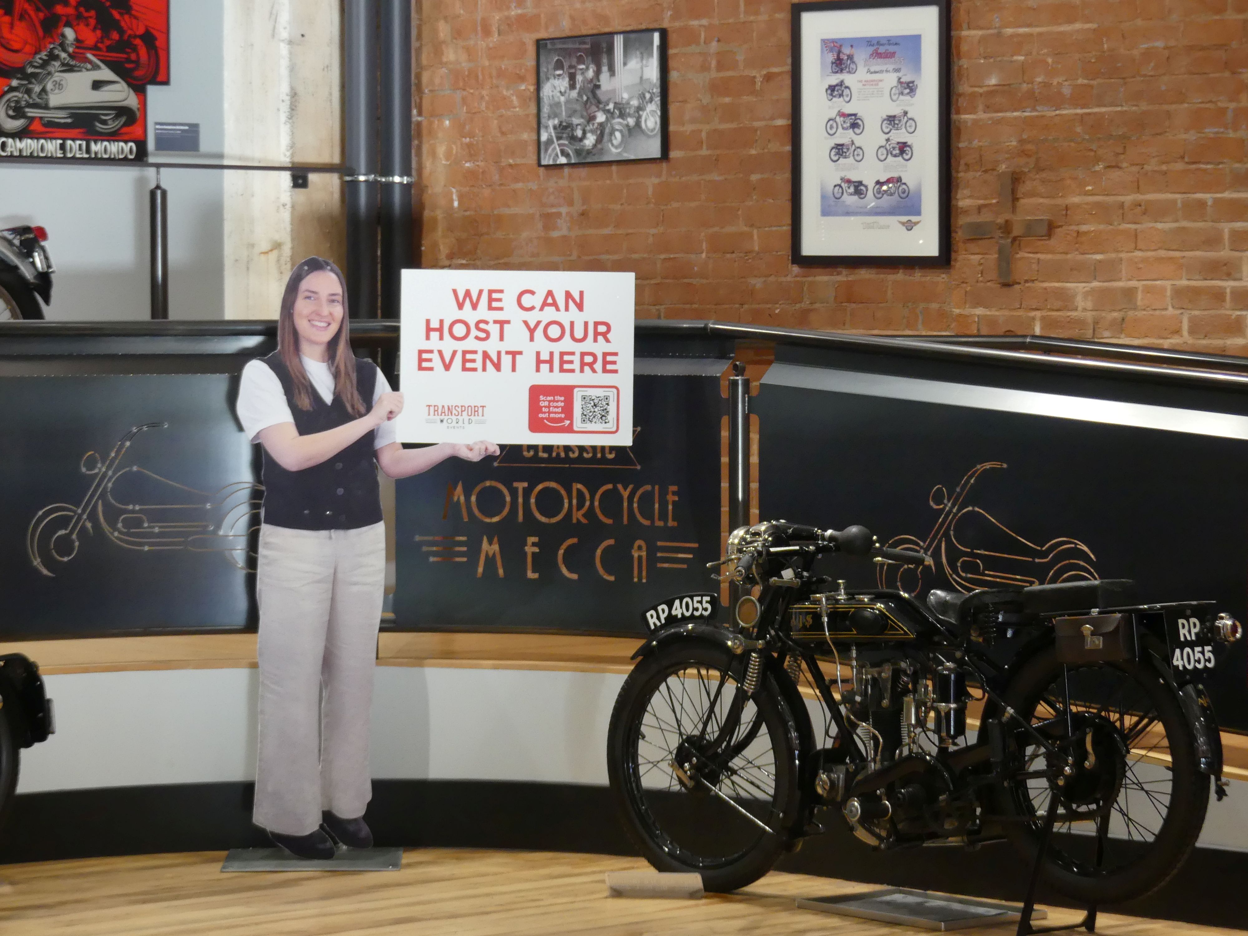
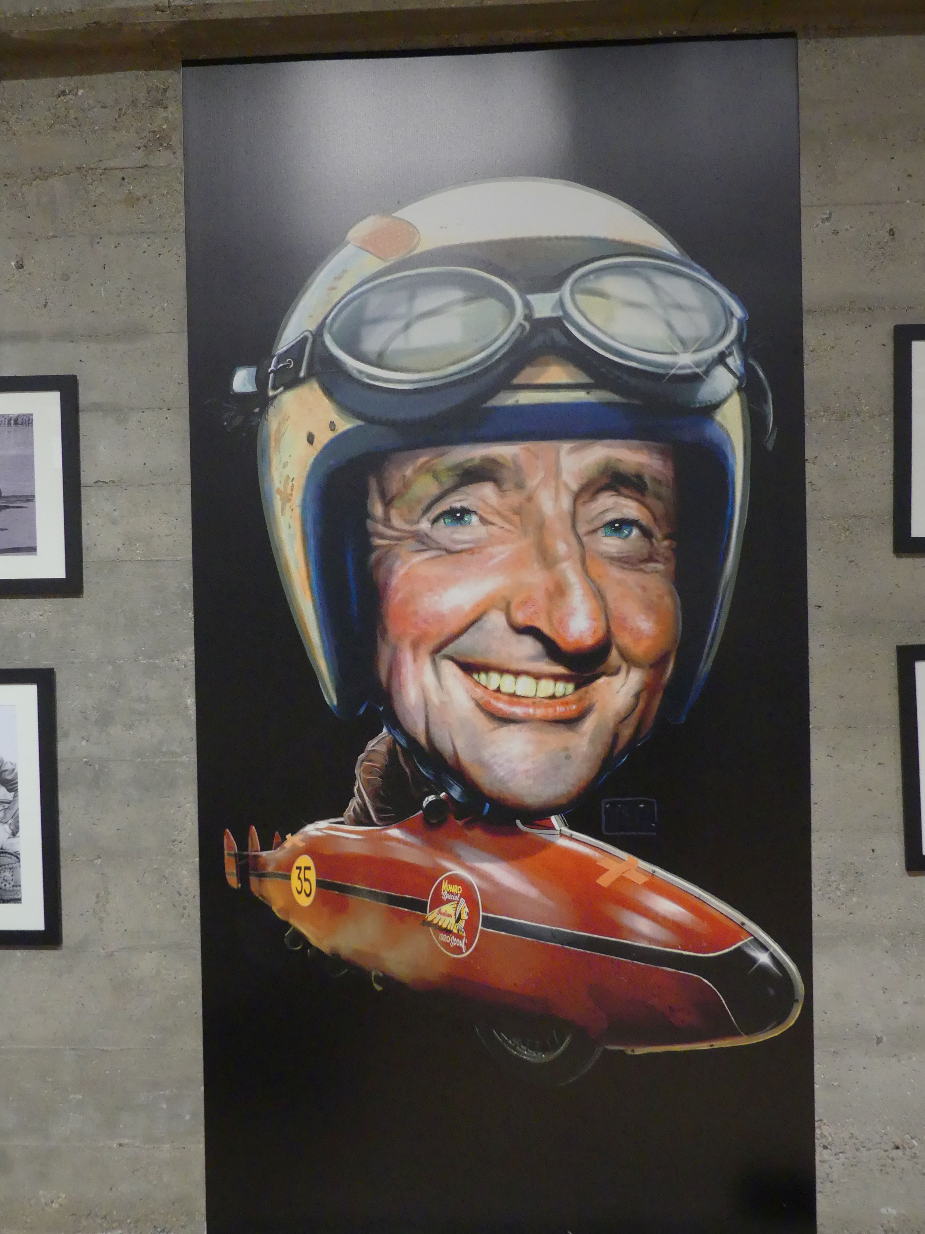
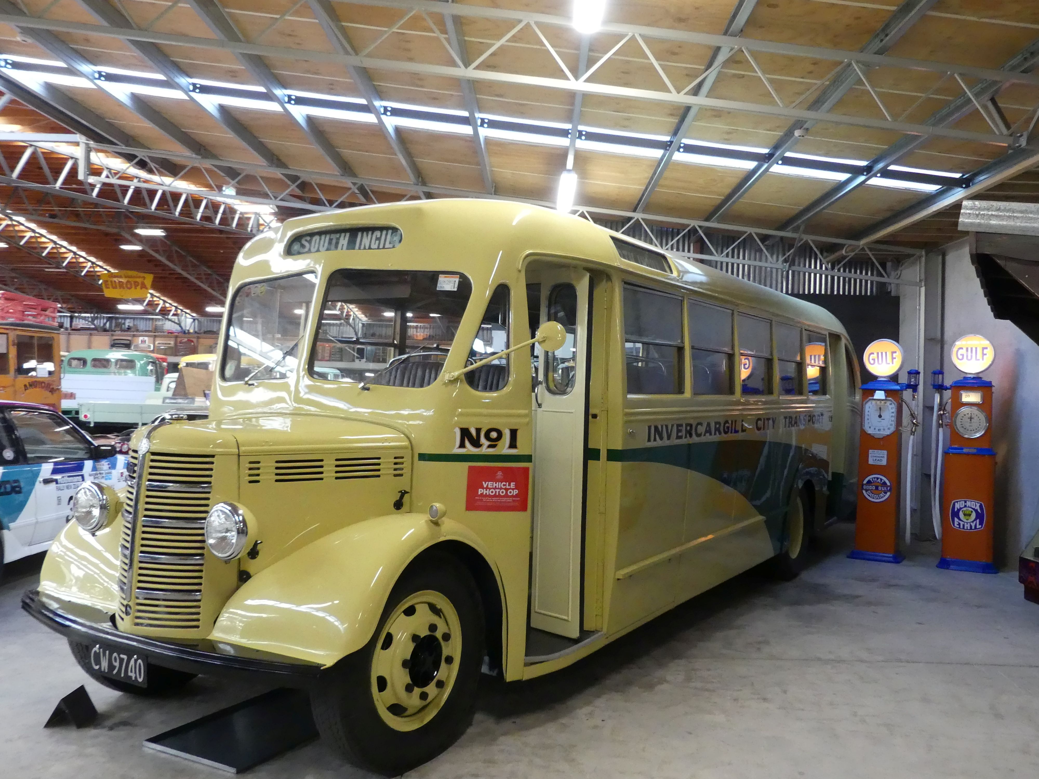
Burt Munro and the World’s Fastest Indian

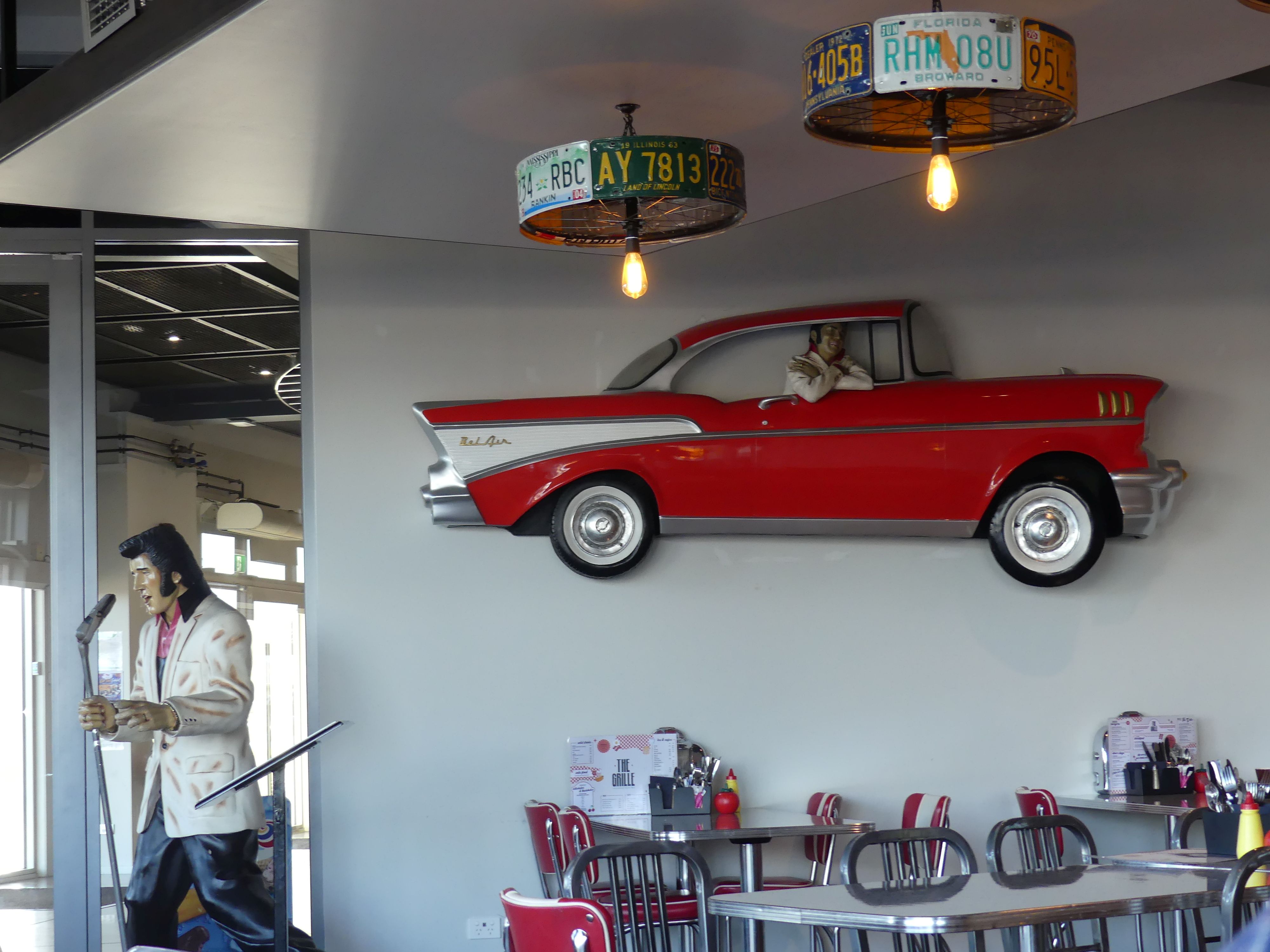
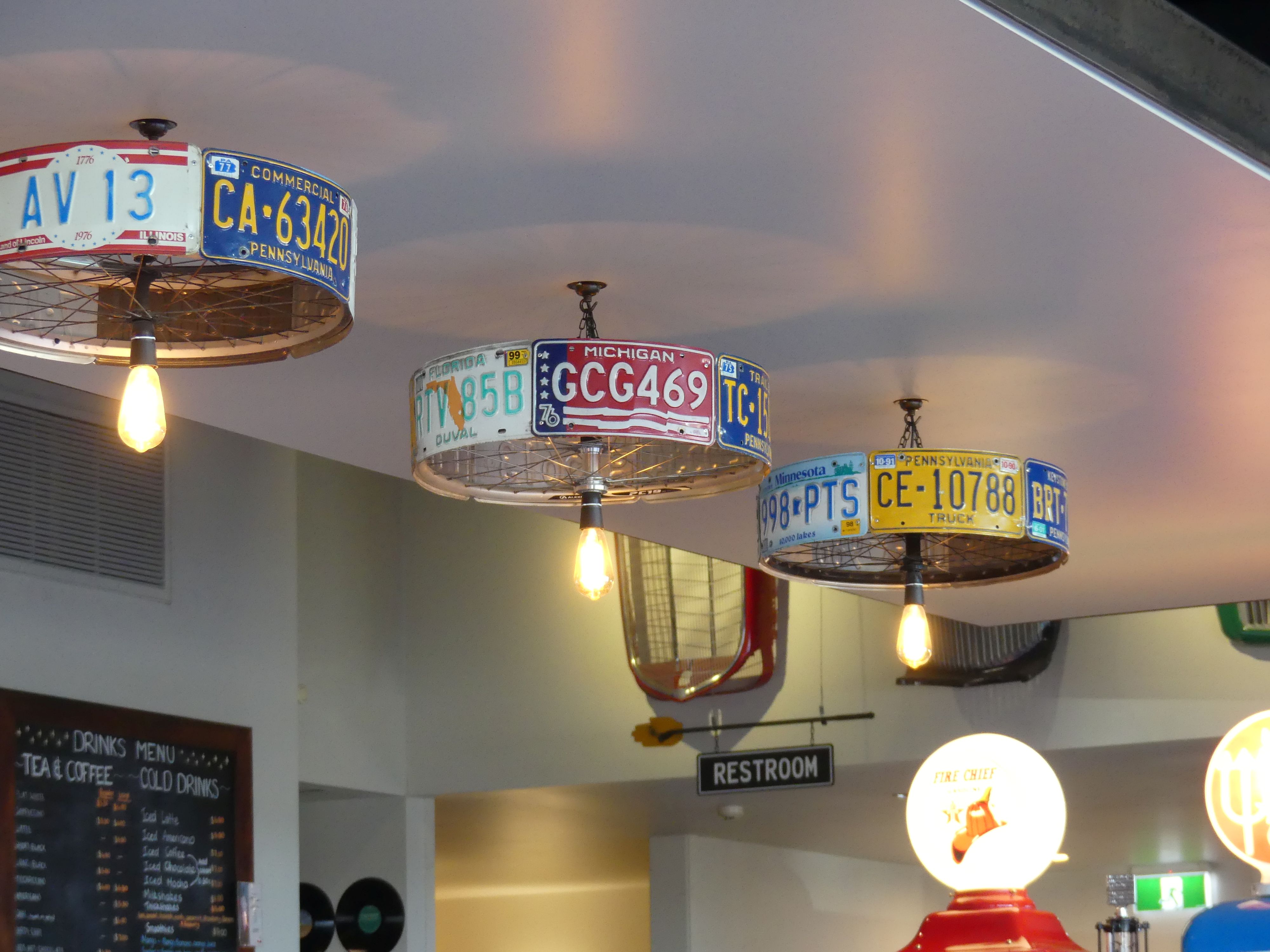
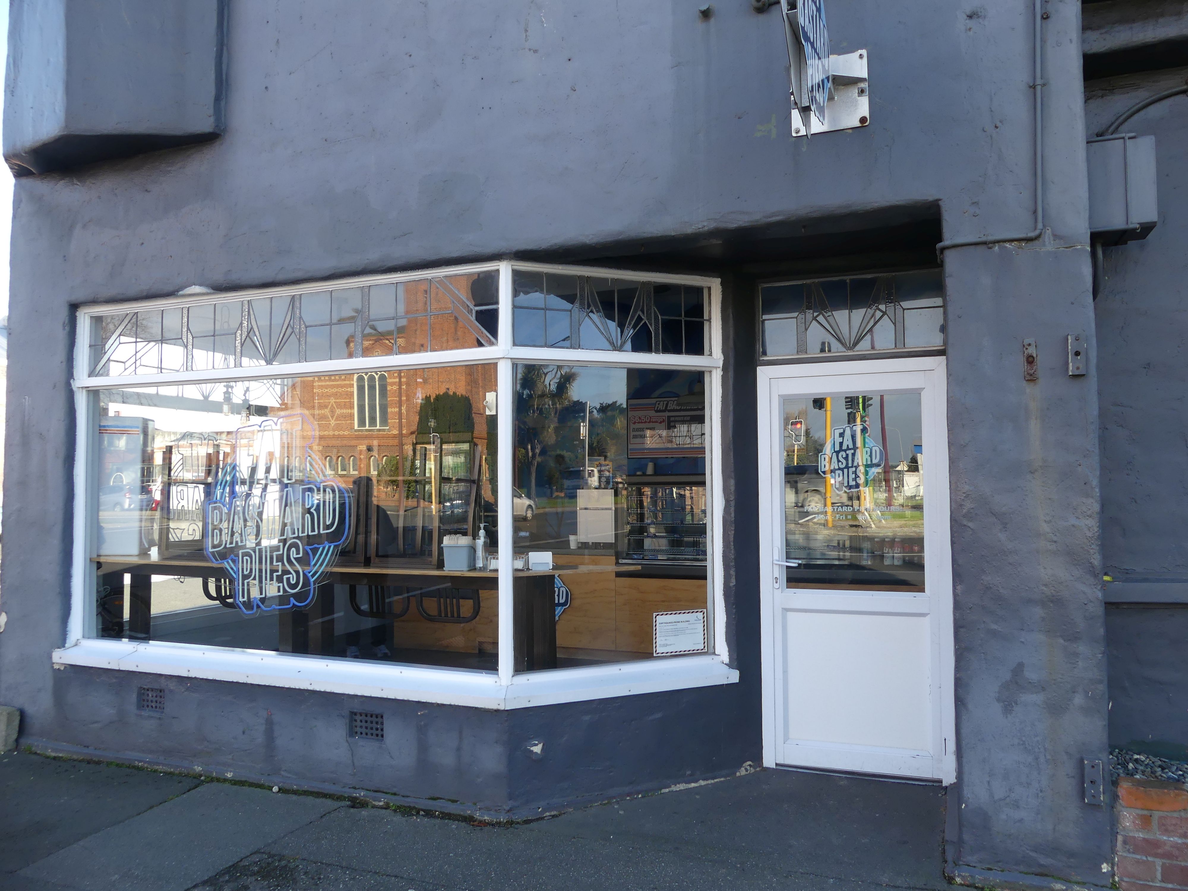
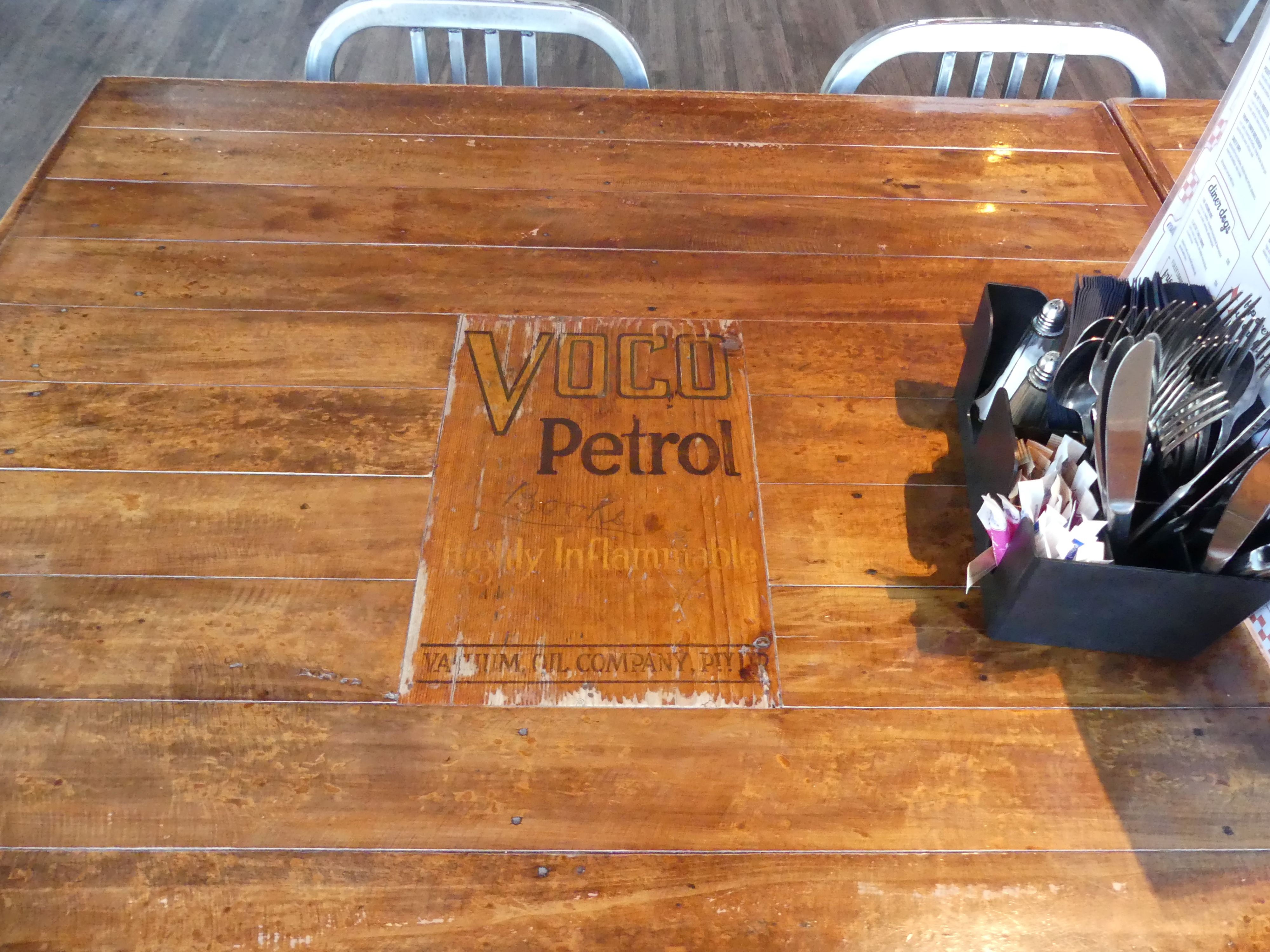
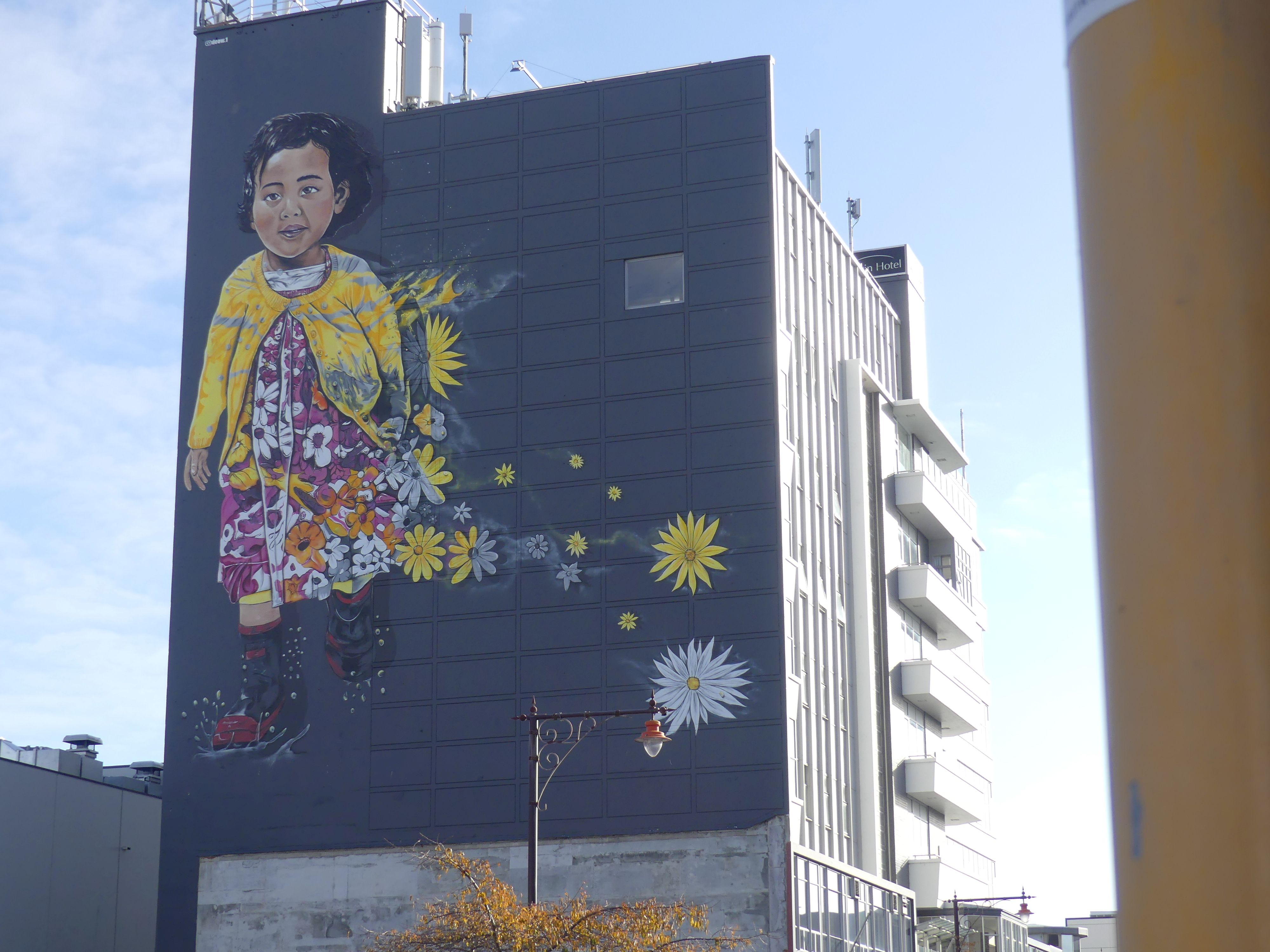
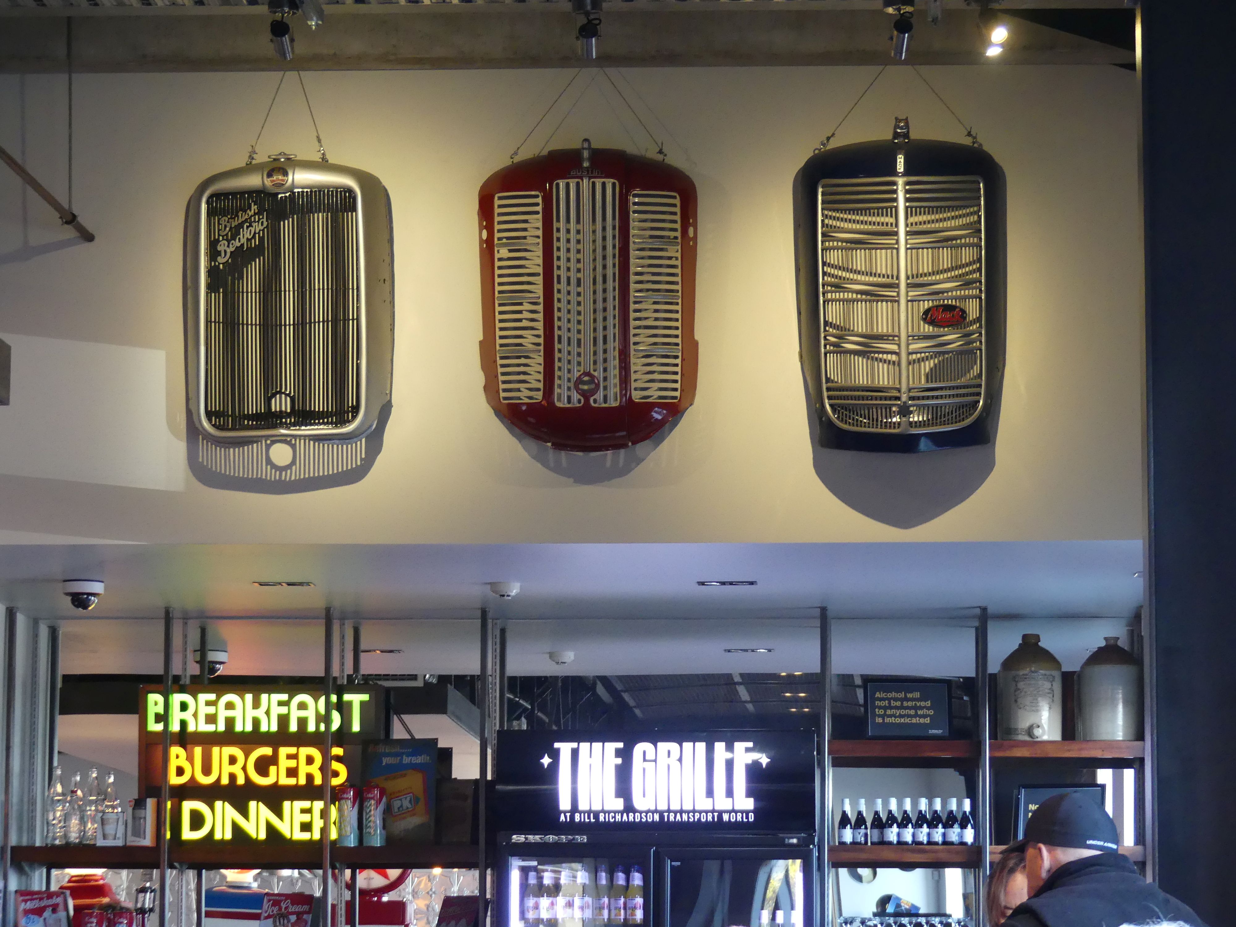
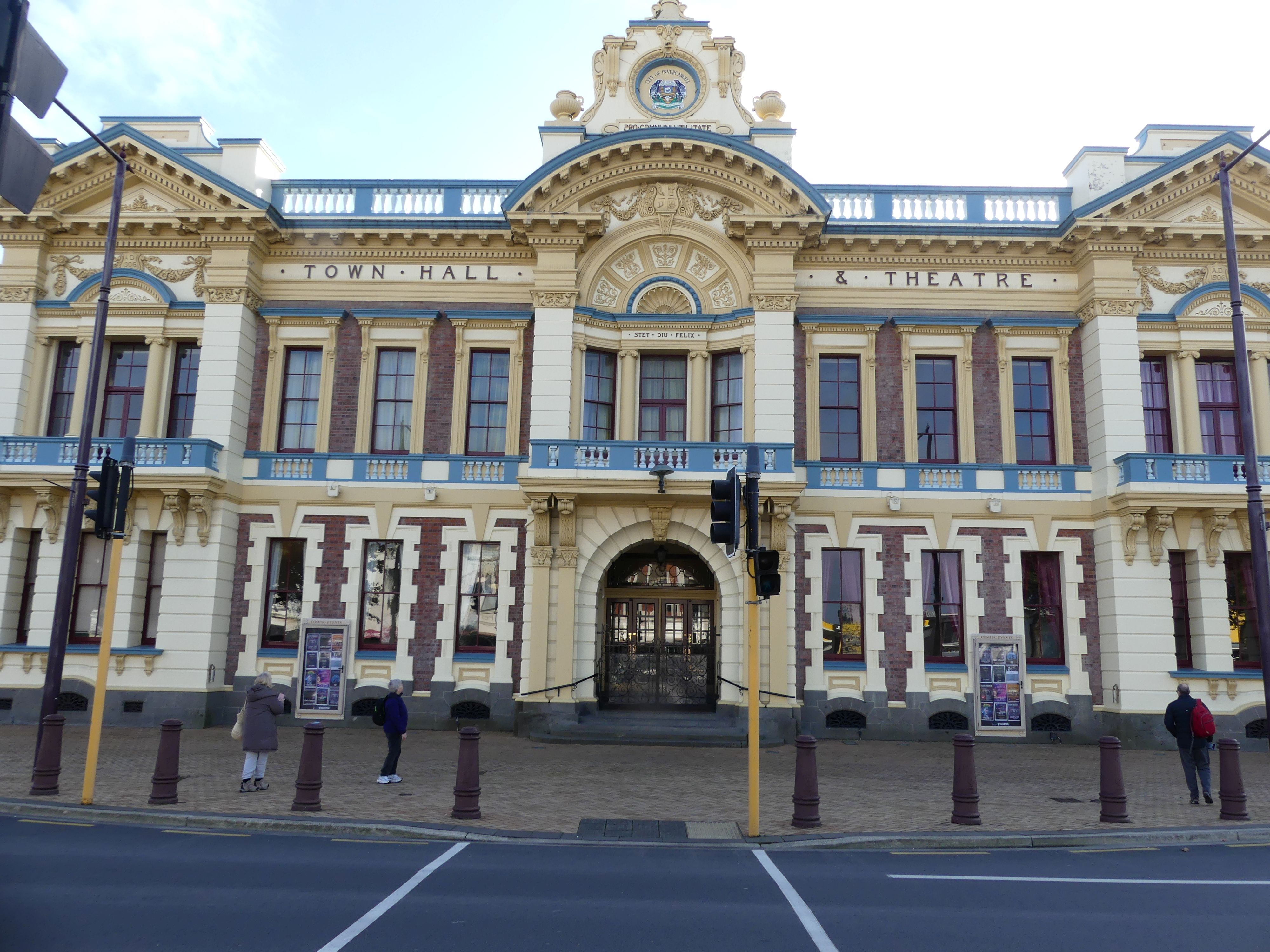
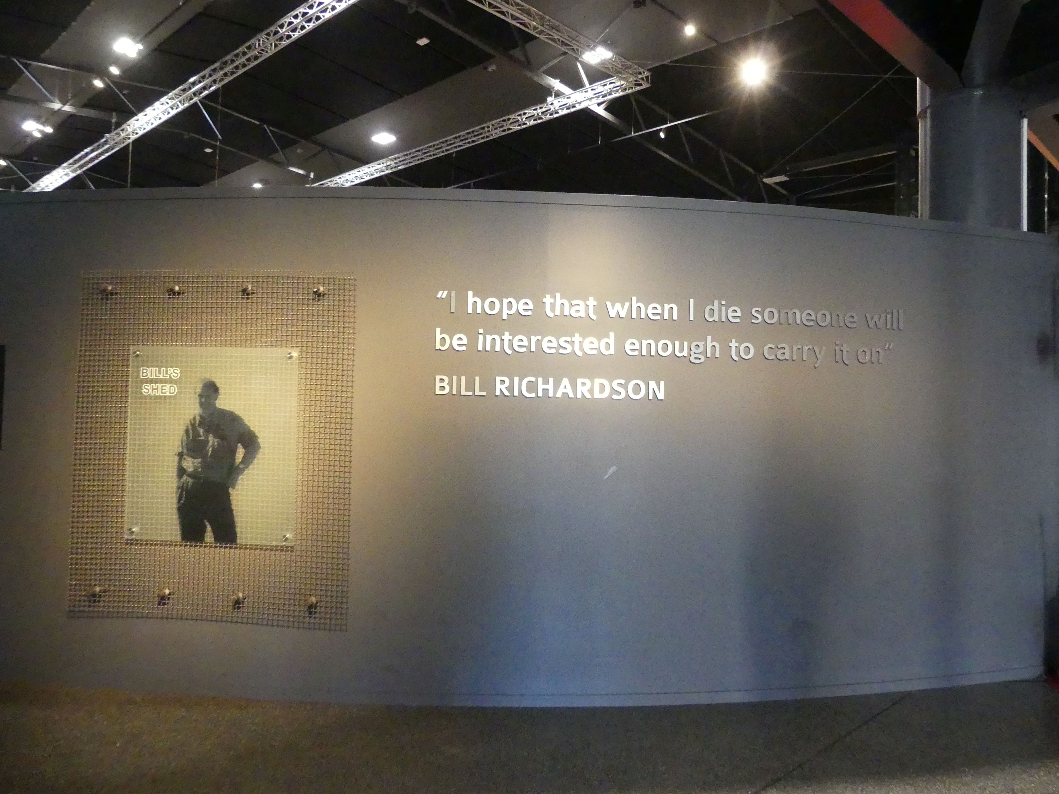
Having spent the morning at the museum, Barry and I now wanted to see the collection of Bill Richardson and his friends. We only had a tourists map and it didn’t look to be too far to walk; so, we did and it was a bloody long way. On the way we saw some more street art, the Town Hall and Fat Bastard Pies. When we finally arrived; yes, you guessed it we needed a coffee, so, the first place we checked out was the café. It was uniquely decorated with memorabilia – number plates as lamp holders on the ceiling, old radiator covers advertising “the grill”, and the tabletops made from recycled timber from oil barrels. Even Elvis made an appearance.

The cafe and the sights/sites

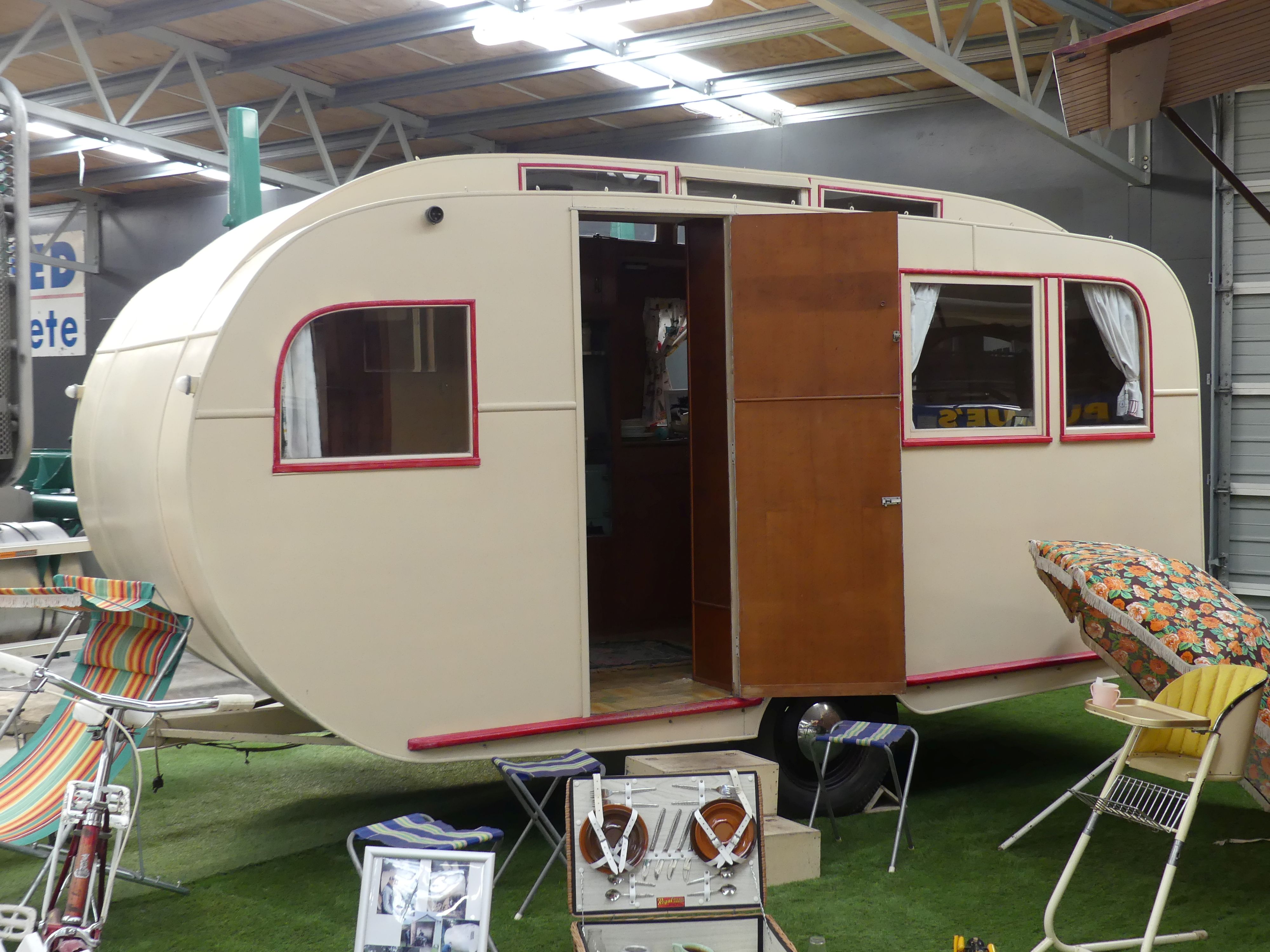
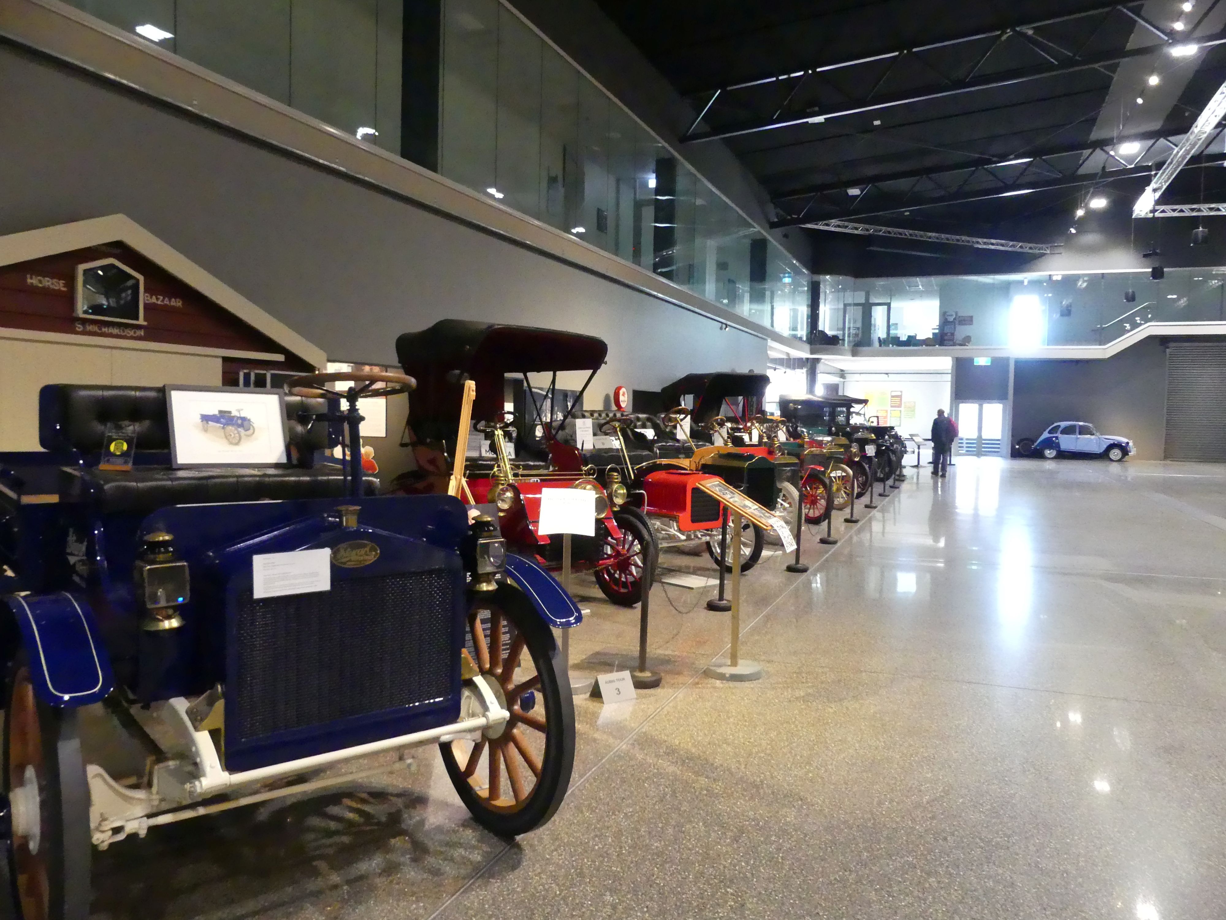
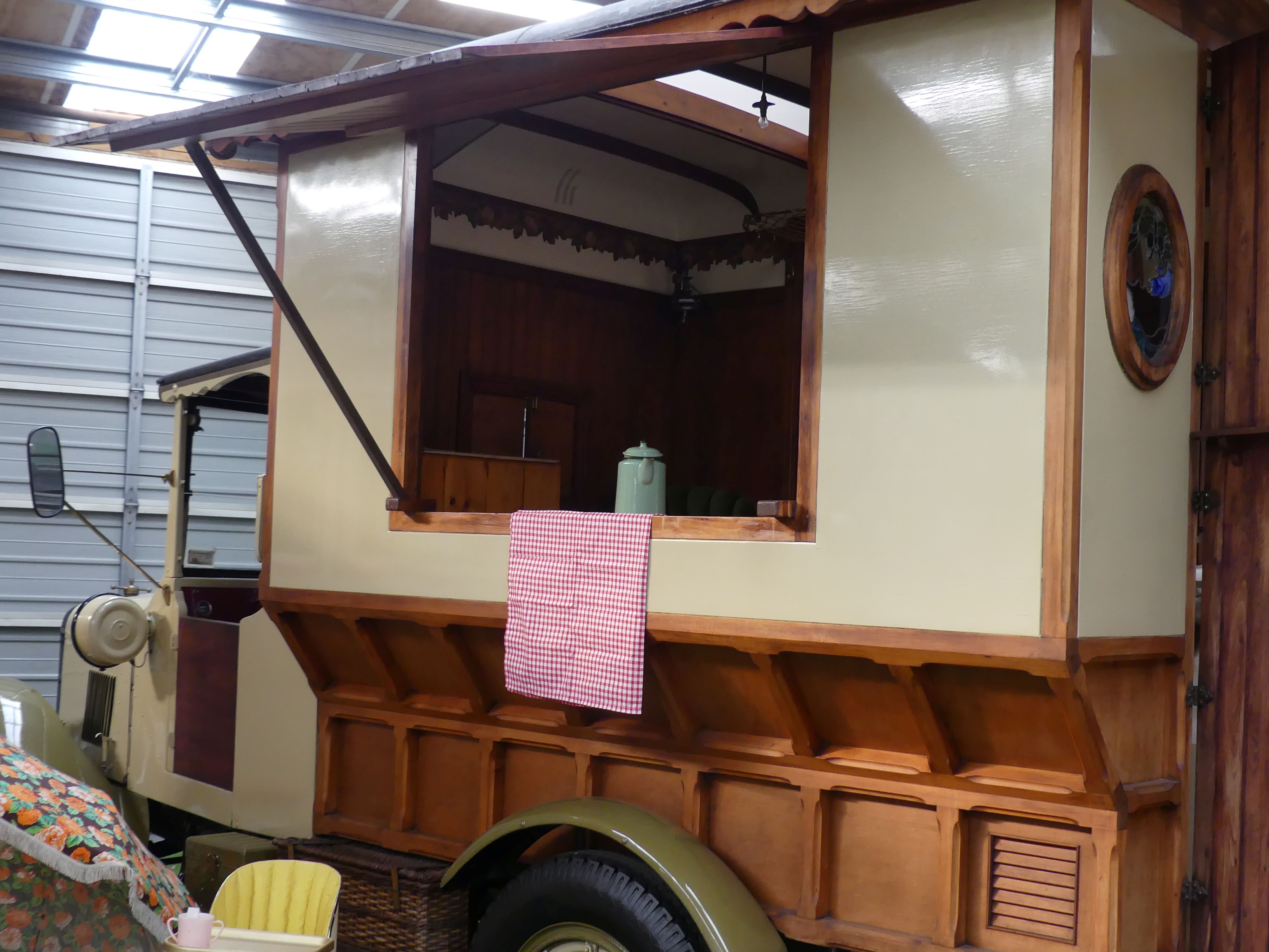
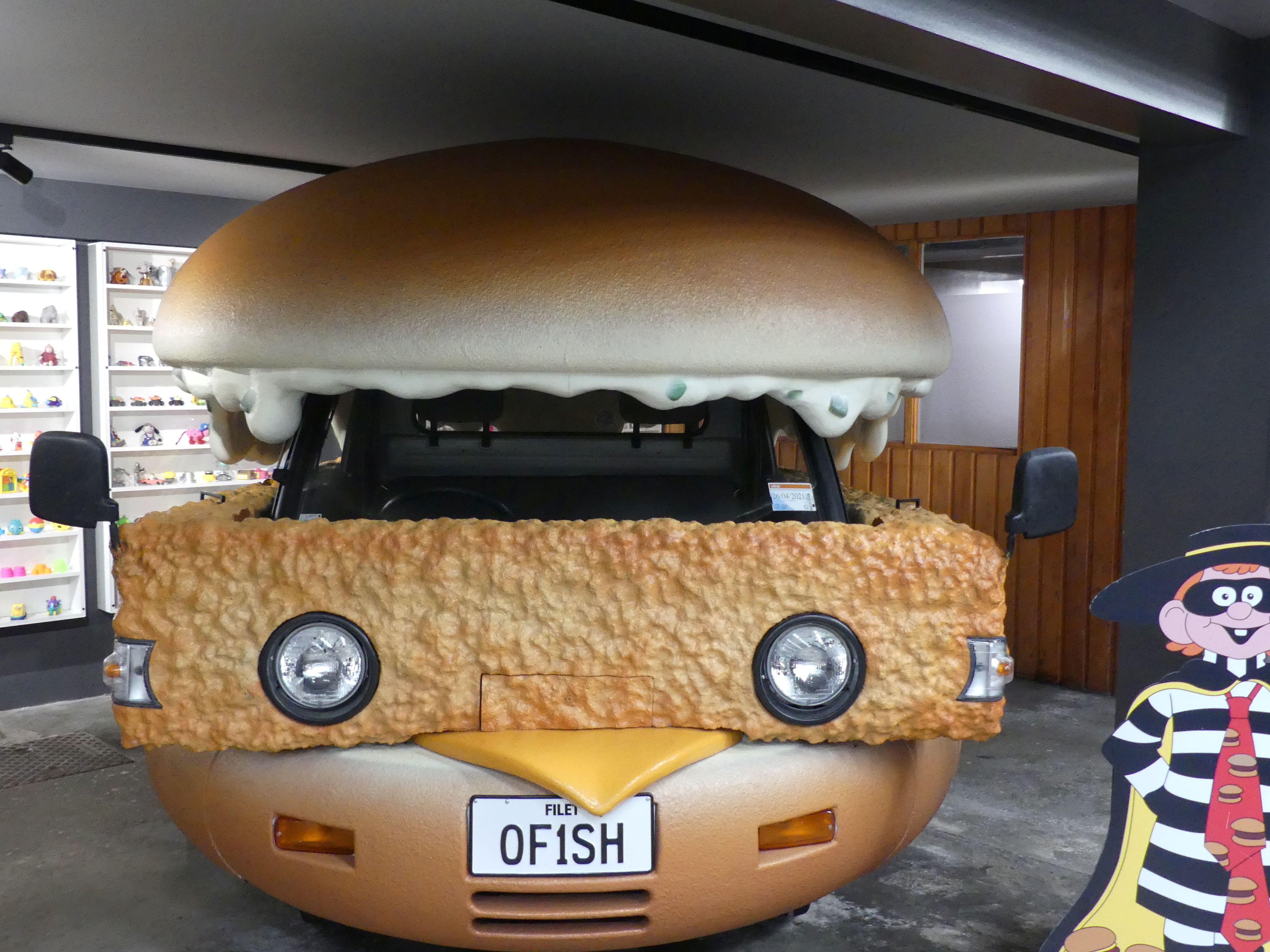
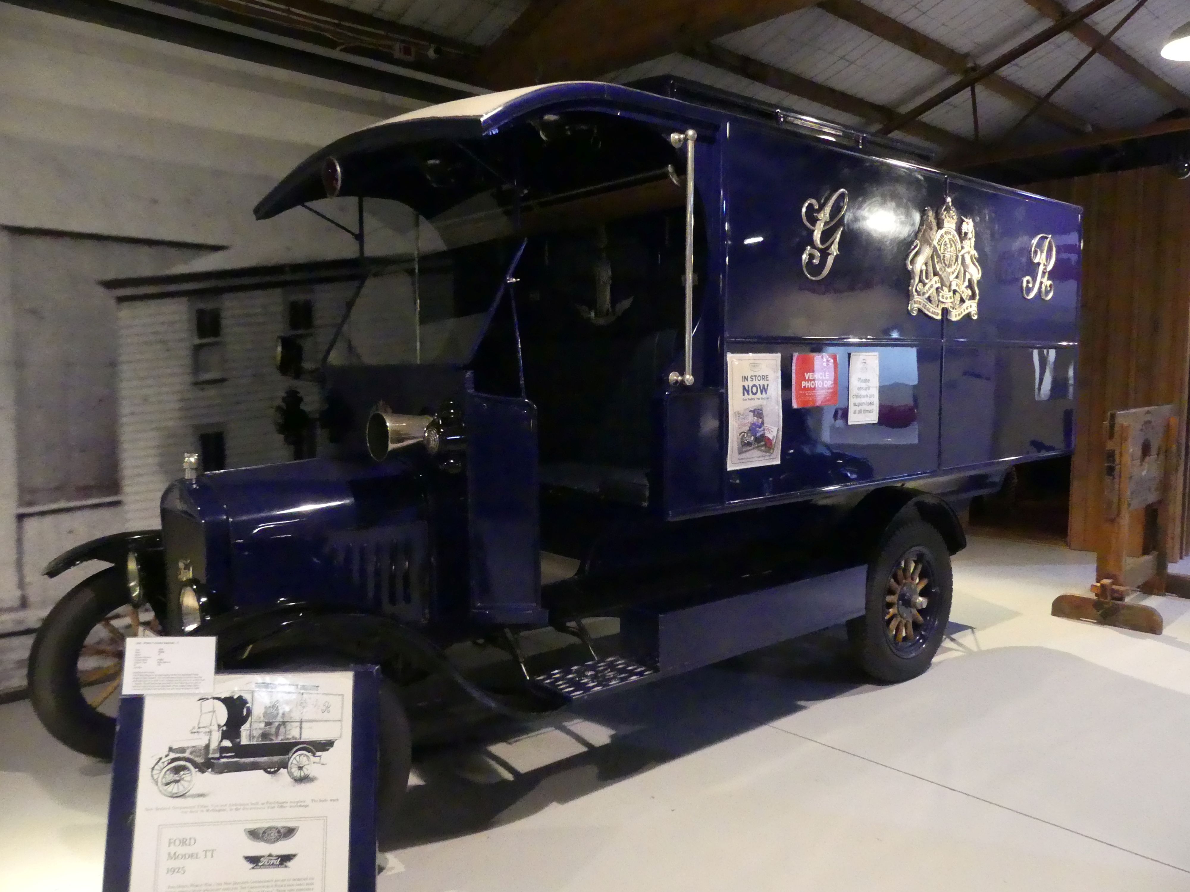
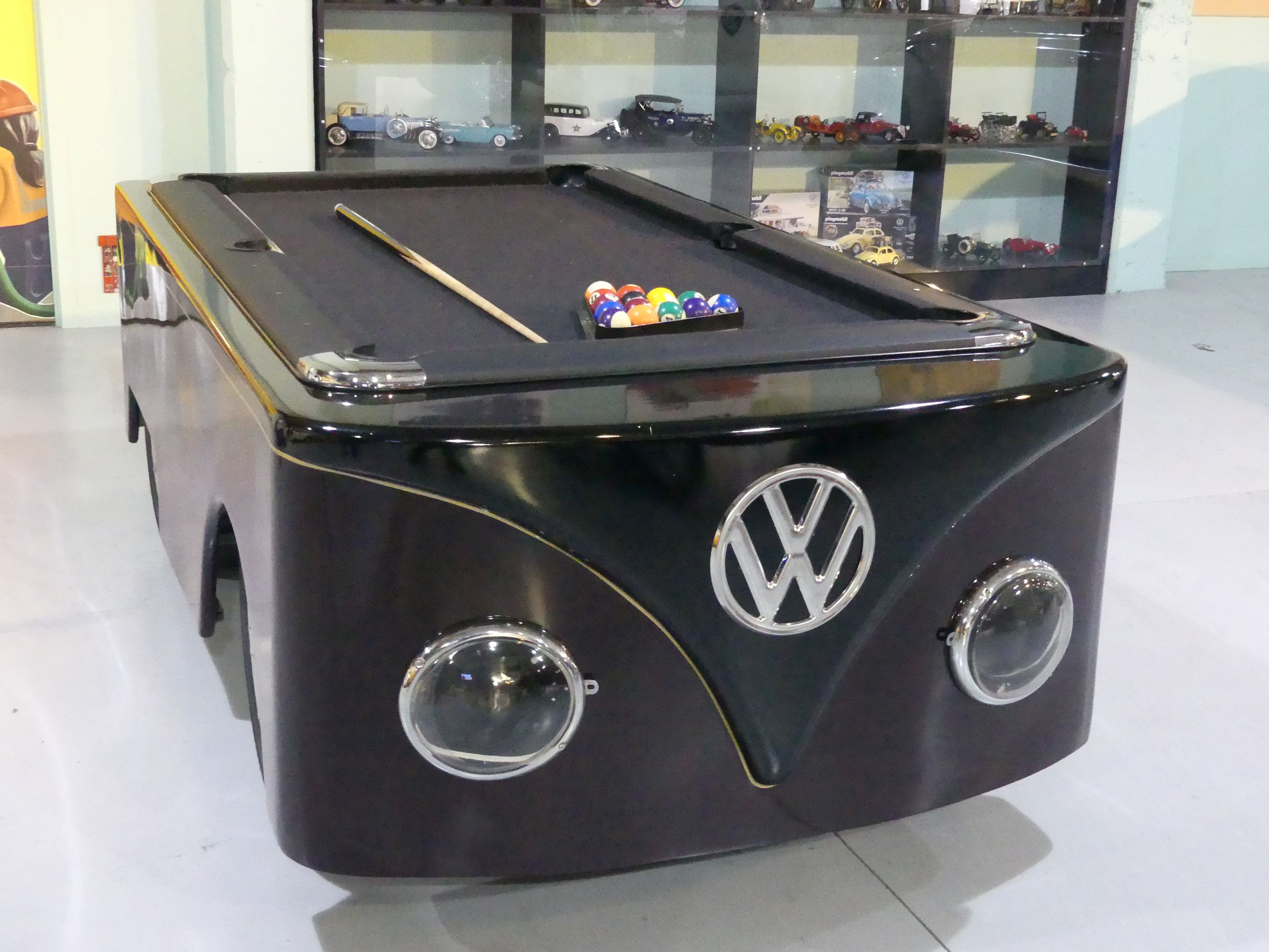
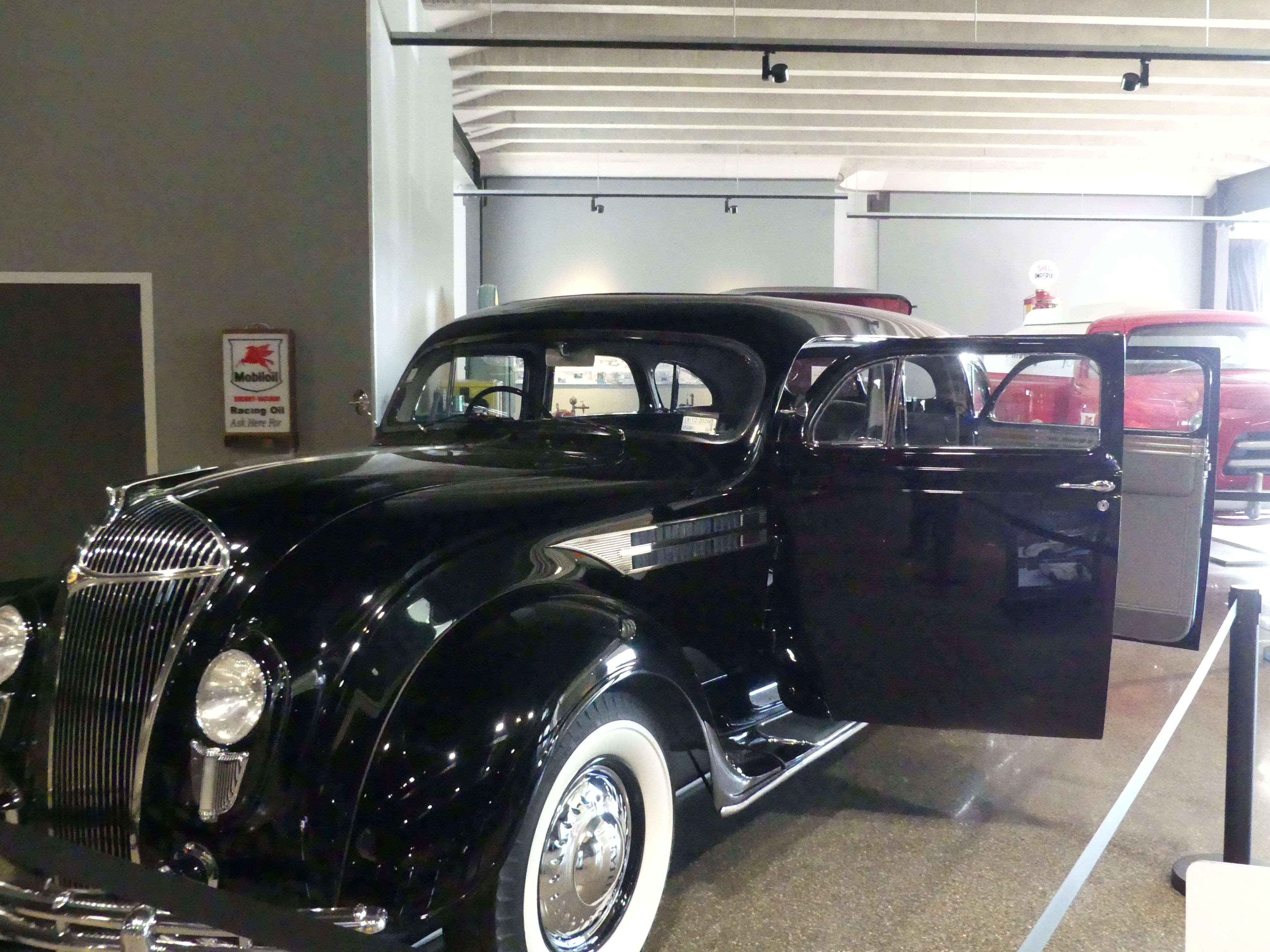
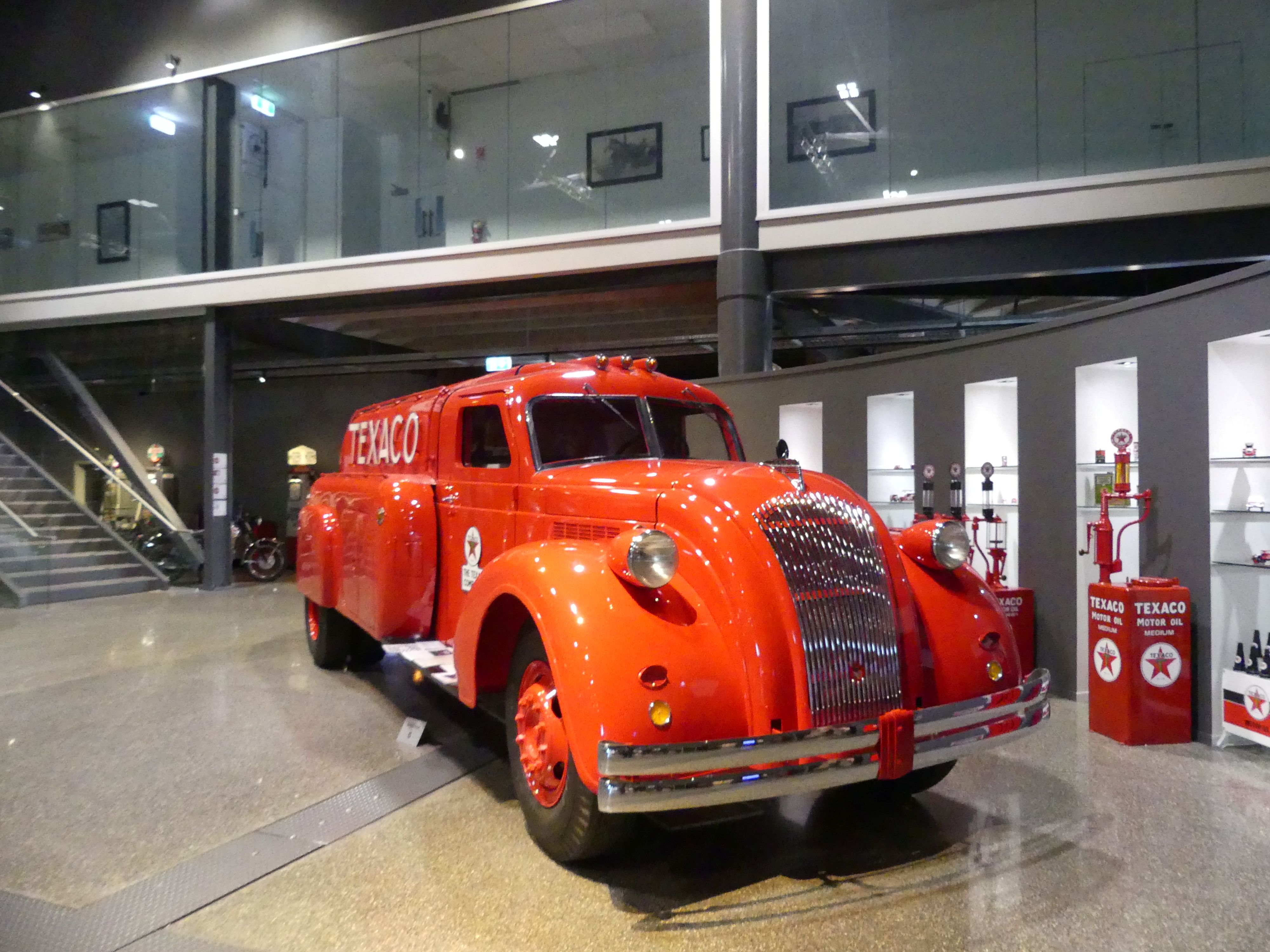
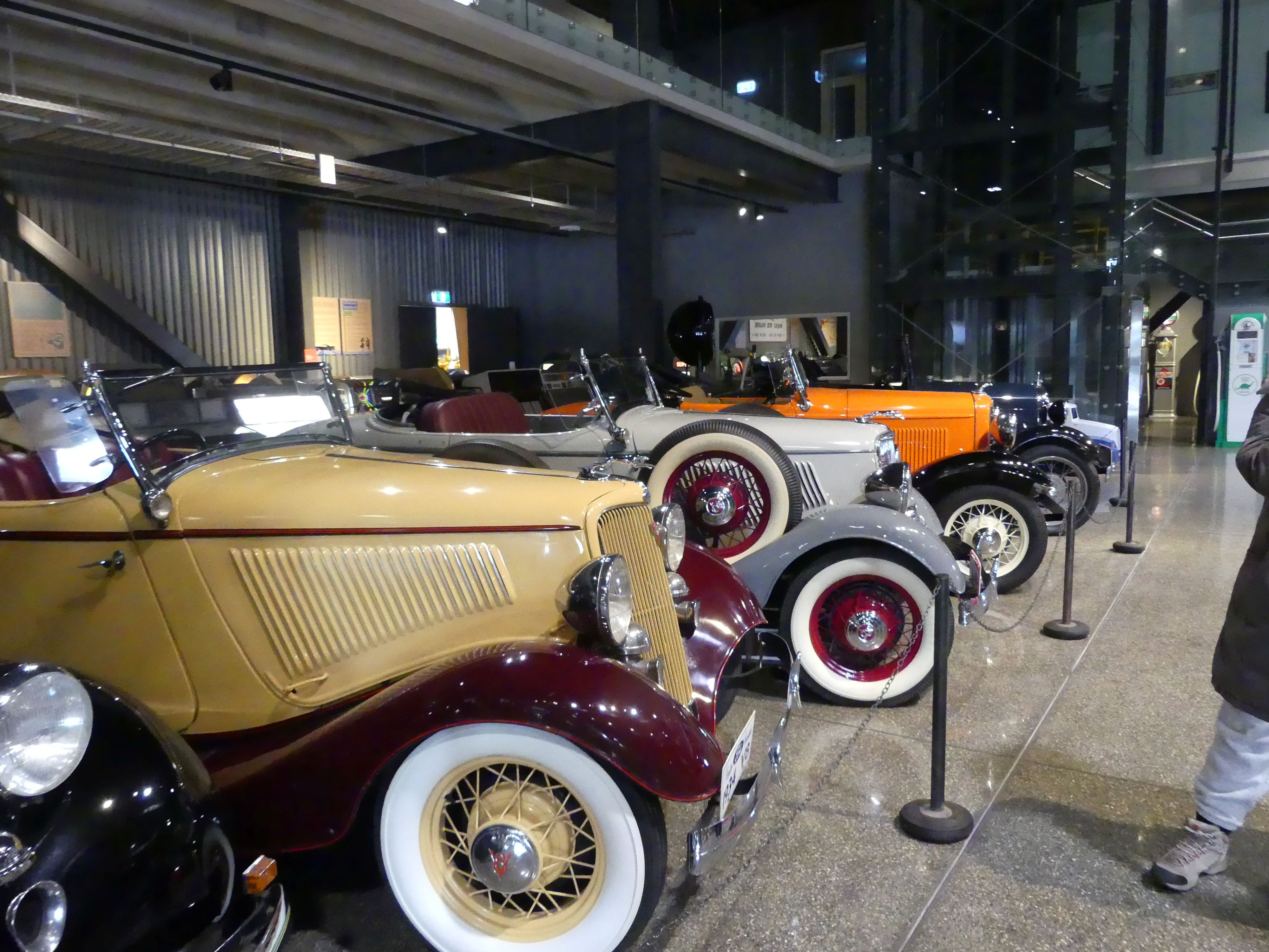
The museum was made up of the collections of Bill Richardson and his mates and what tremendous display.

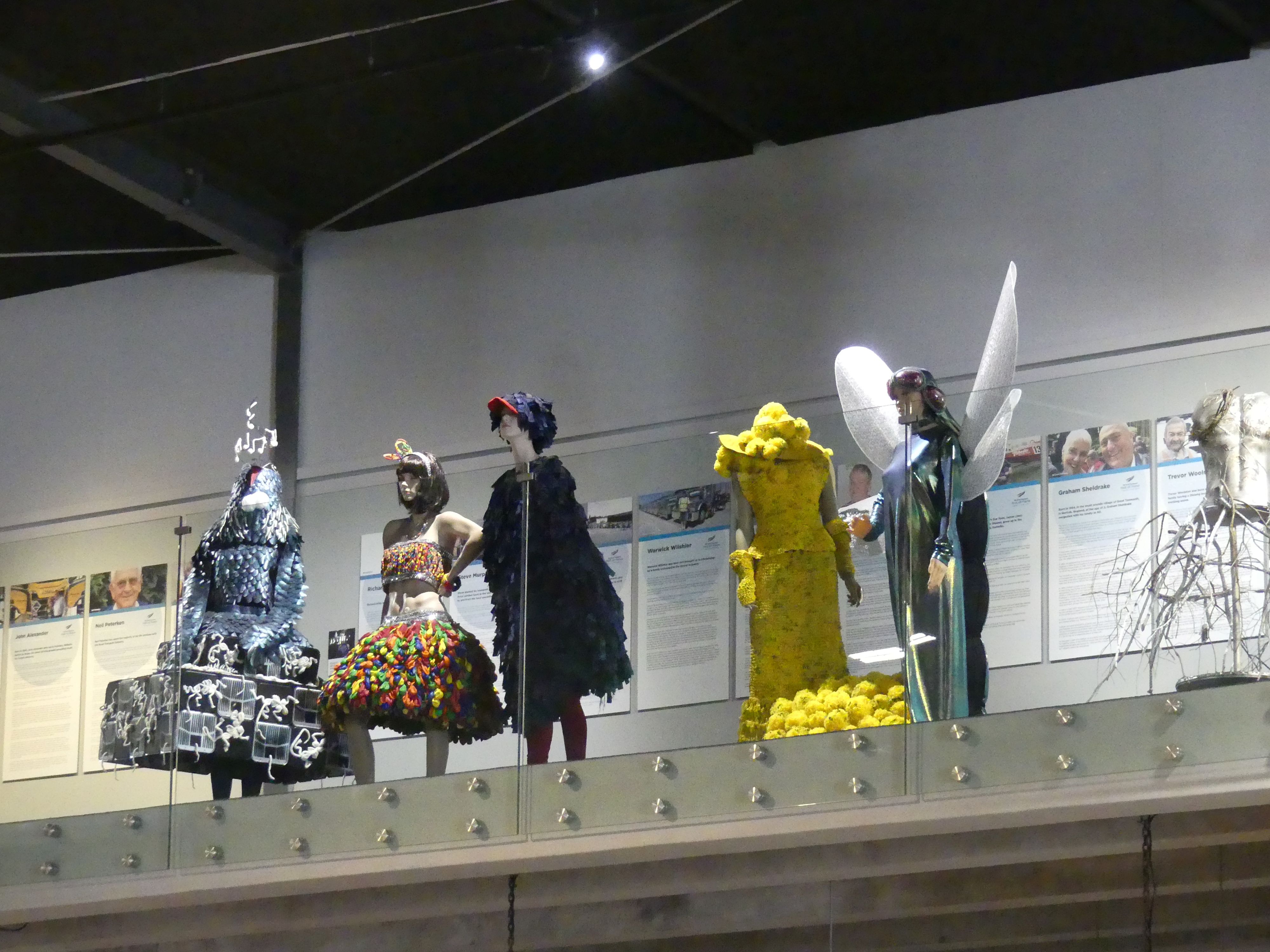
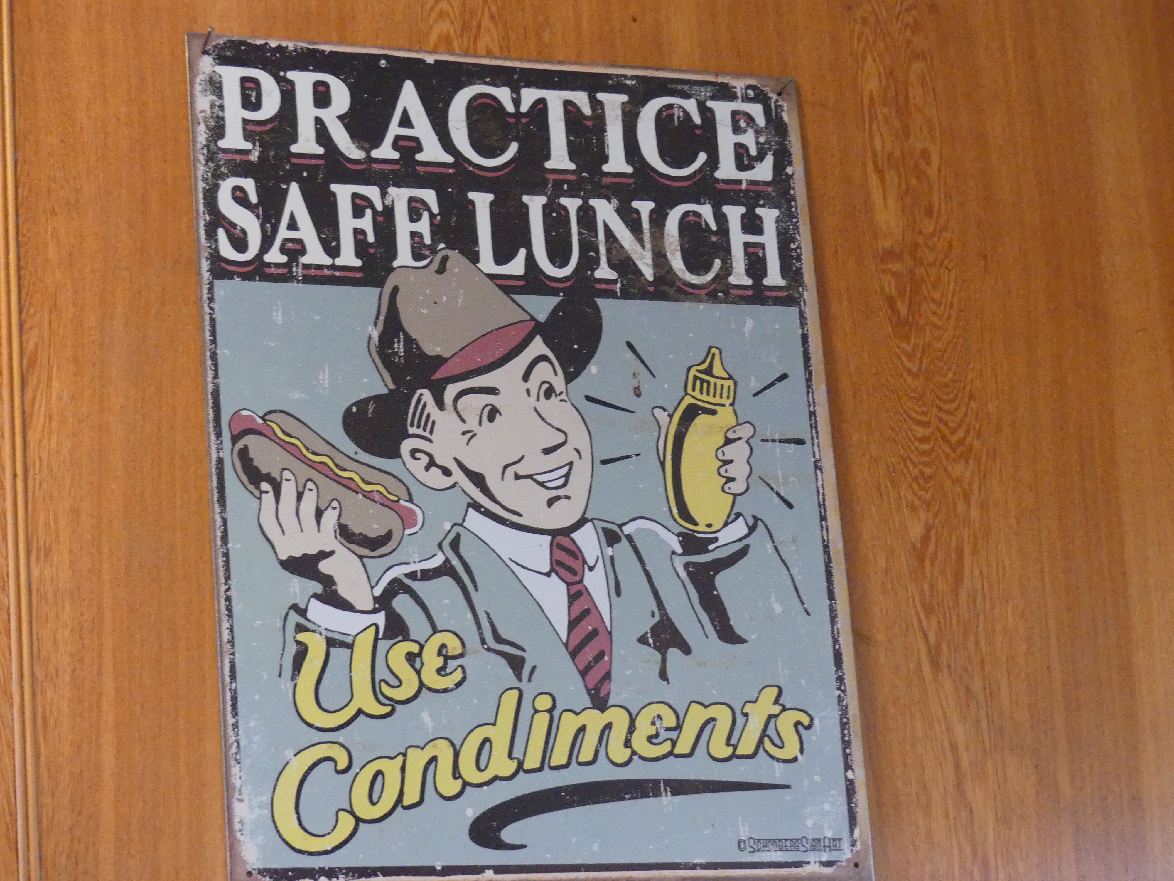
The girls discovered there was fashion on display also and merrily left the boys with the cars,trucks and buses. By the time we had viewed all the cars, we were confronted with the walk back to the Ibis. This time we caught a cab to Queens Park to have lunch. We had been advised to try the café in Queens Park, and we had had enough of walking. Lunch was okay but more enjoyable was the cooling milkshake. It was here that we received some very sage advice “Practice safe lunch – use condiments”. So, we did.

Having rested we decided to walk back to the hotel. Passing the Fat Bastard Pie Shop then the Town Hall, we knew we were close to home. That evening we resume our card playing and plotted how we would avoid parking fines in Tay St.

Day 7   Invercargill to Dunedin           

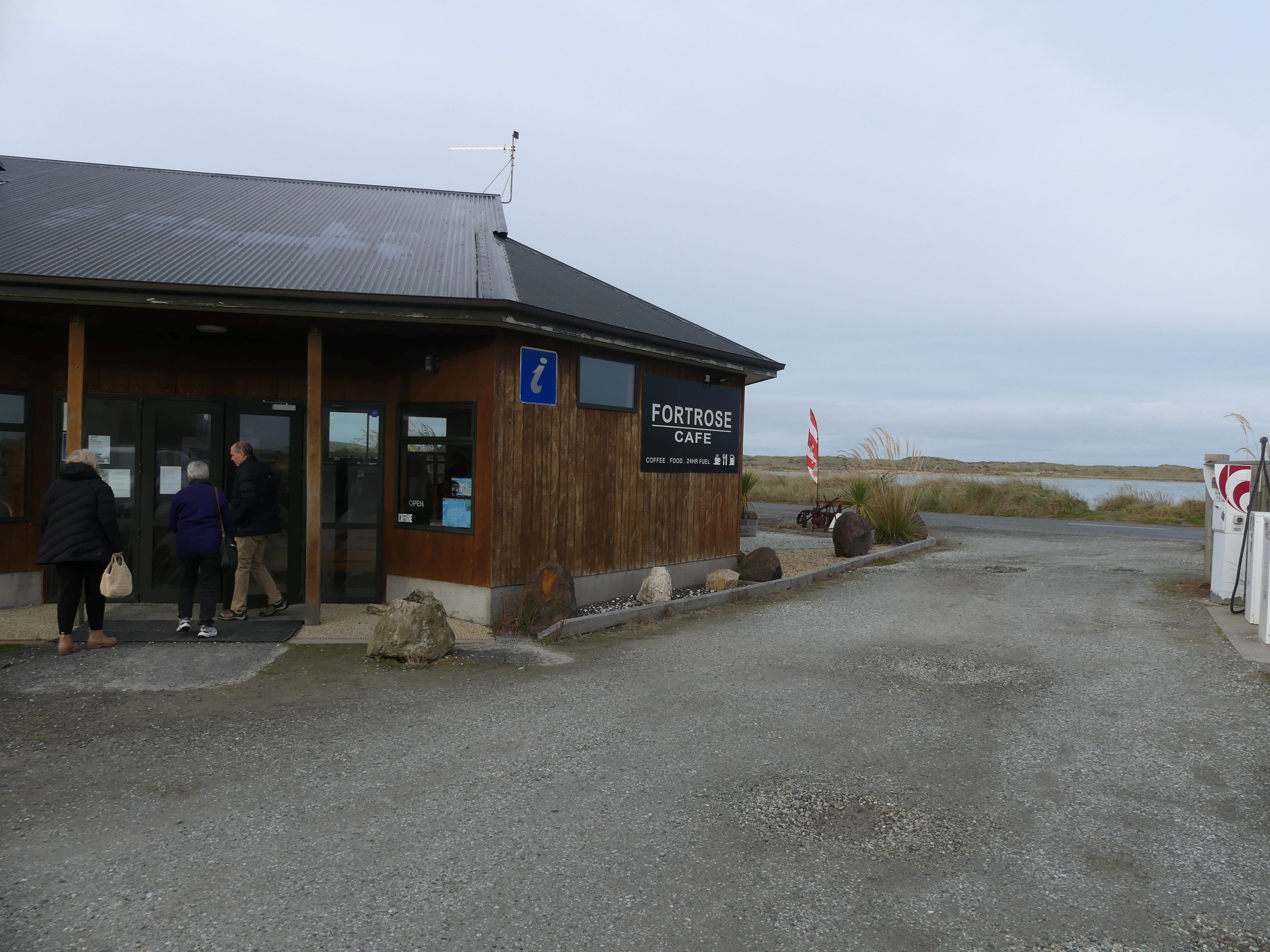
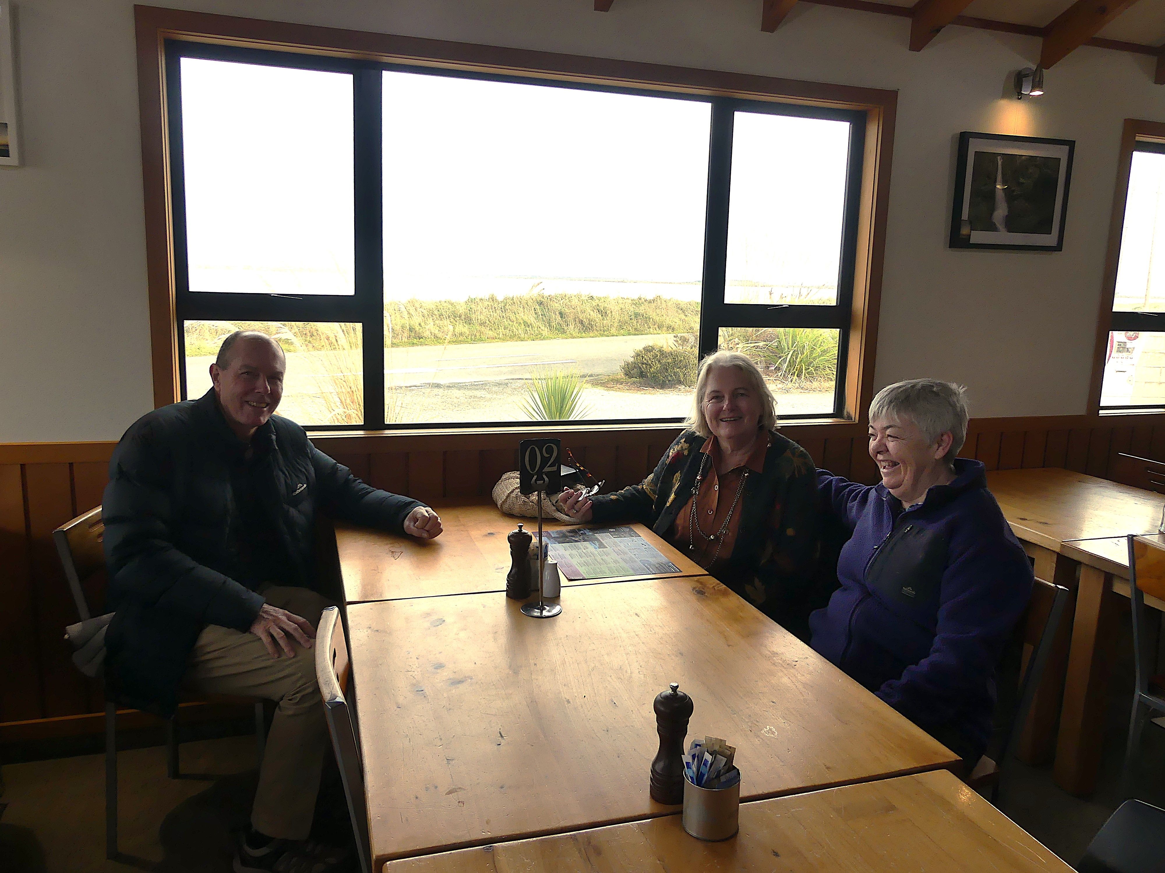
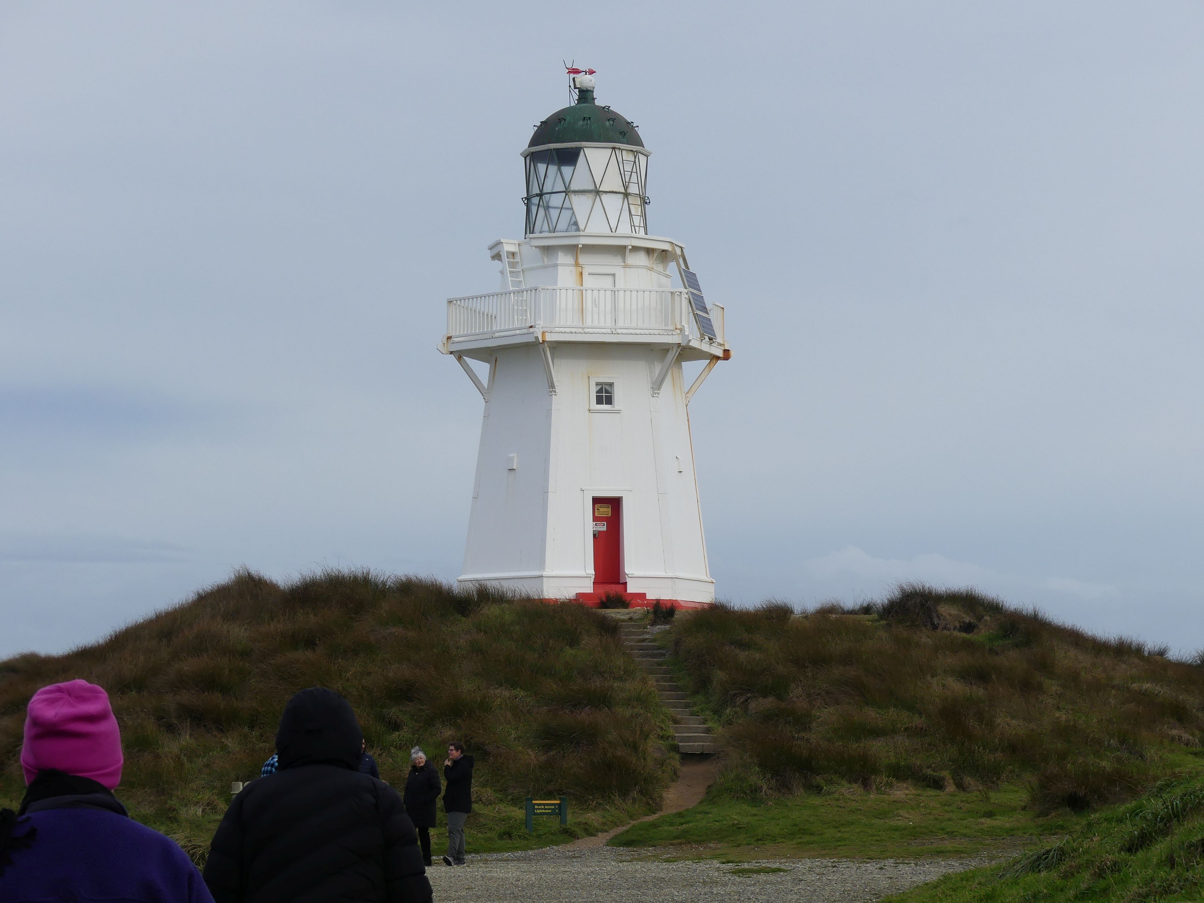
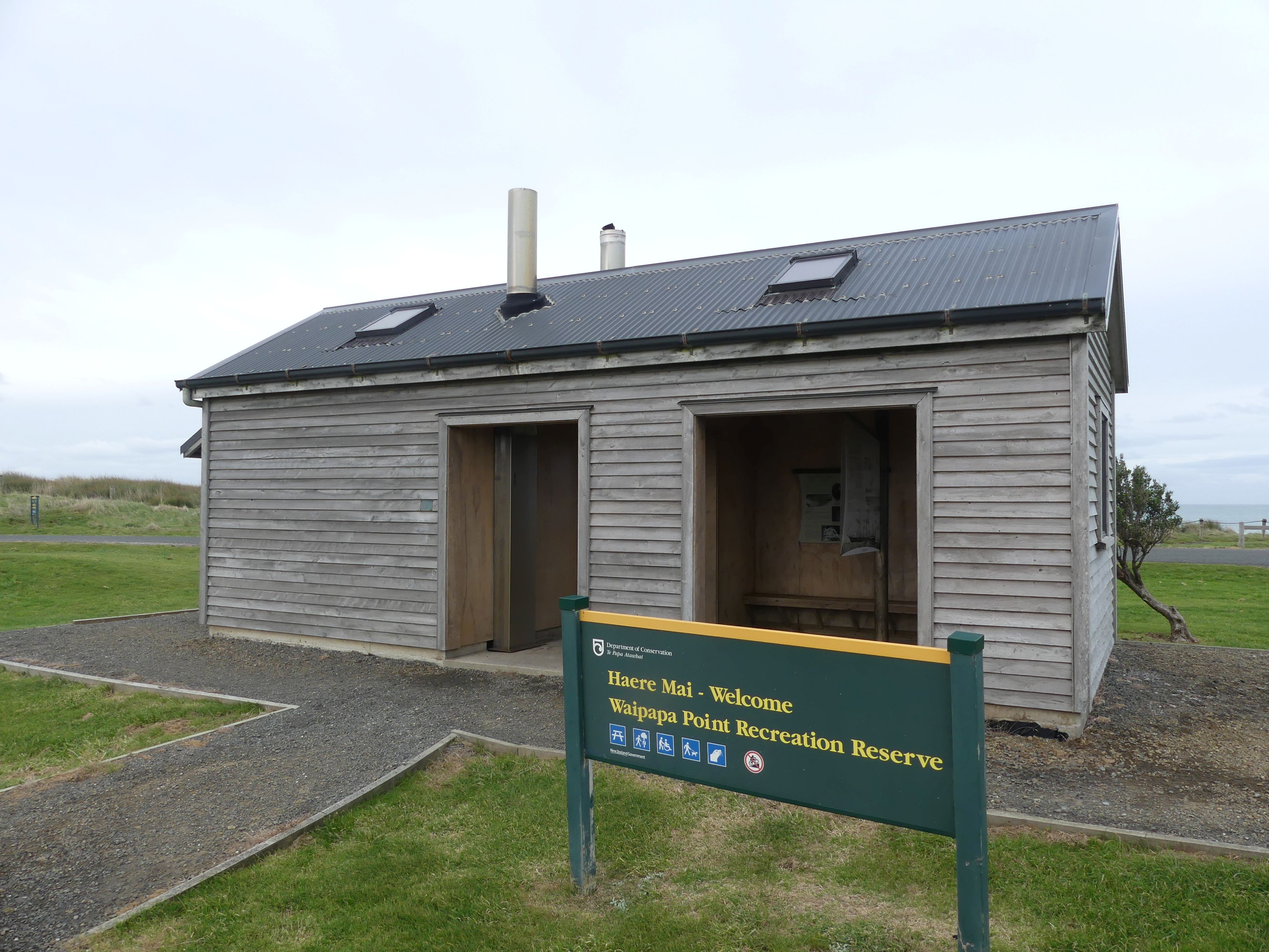
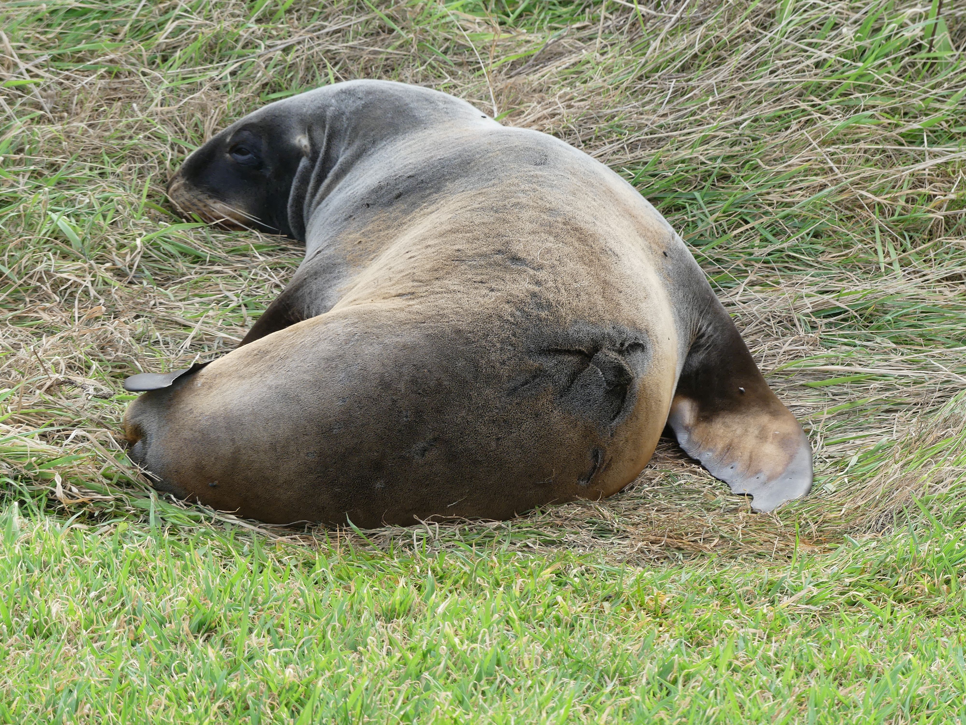
Visiting Dunedin was more of the same – take the longest route to get there and find interesting things on the way. Stop number 1 was at Fortrose café for morning tea/coffee. The Fortrose Cafe is a charming, neighbourly stop on the Southern Scenic Route in Southland, New Zealand. Known for hearty meals, fresh cabinet food, and 24/7 fuel, it is the perfect spot to grab a bite or a coffee after exploring Slope Point or the Catlins. Well, we didn’t do either of those things we just needed coffee. Stop number 2 was Waipapa Point Recreation Reserve, the Lighthouse, the NZ fur seals and the long drop toilets.

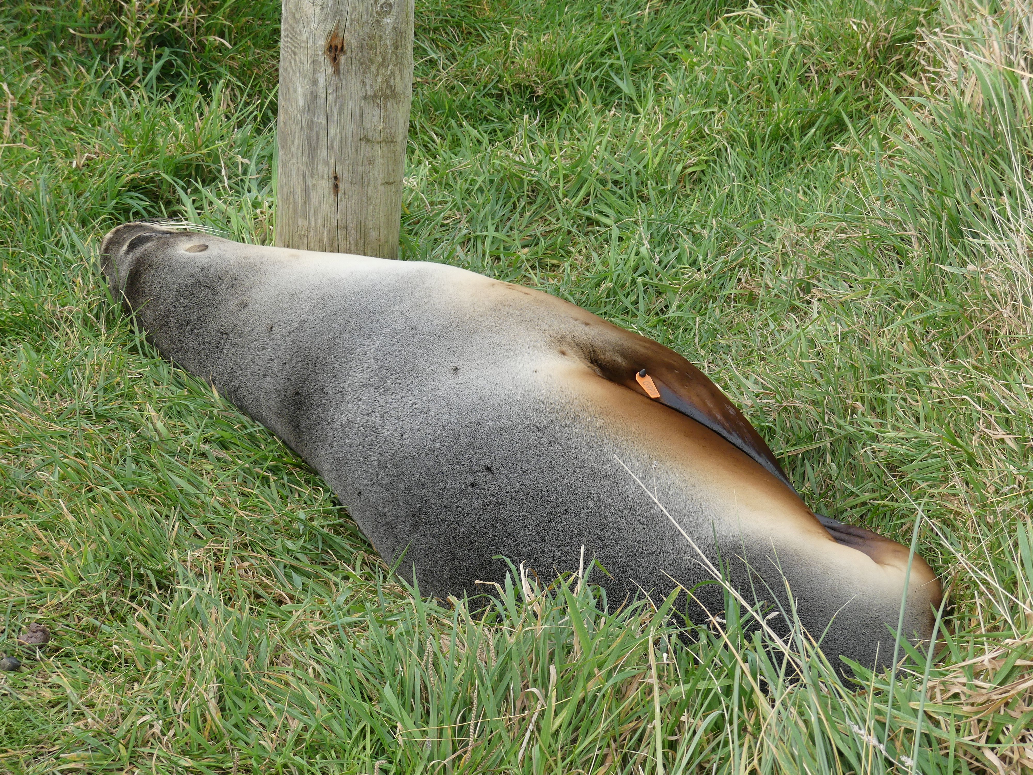
Fortrose café, Waipapa Point Recreation Reserve, the Lighthouse, the NZ fur seals and the long drop toilets.

The fur seal in the pictures above must have been a bit off colour. We discovered a mess of half-eaten fish and squid not far from the seal, who lay in the grass unperturbed by the human visitors. I decided my readers would not need the evidence of vomited seafood. The lighthouse is all that remains of the facilities. – The keepers house has long since gone. Interesting, cold and bloody amazing – one group of tourists and likely locals were wandering around in shorts and T-shirts.

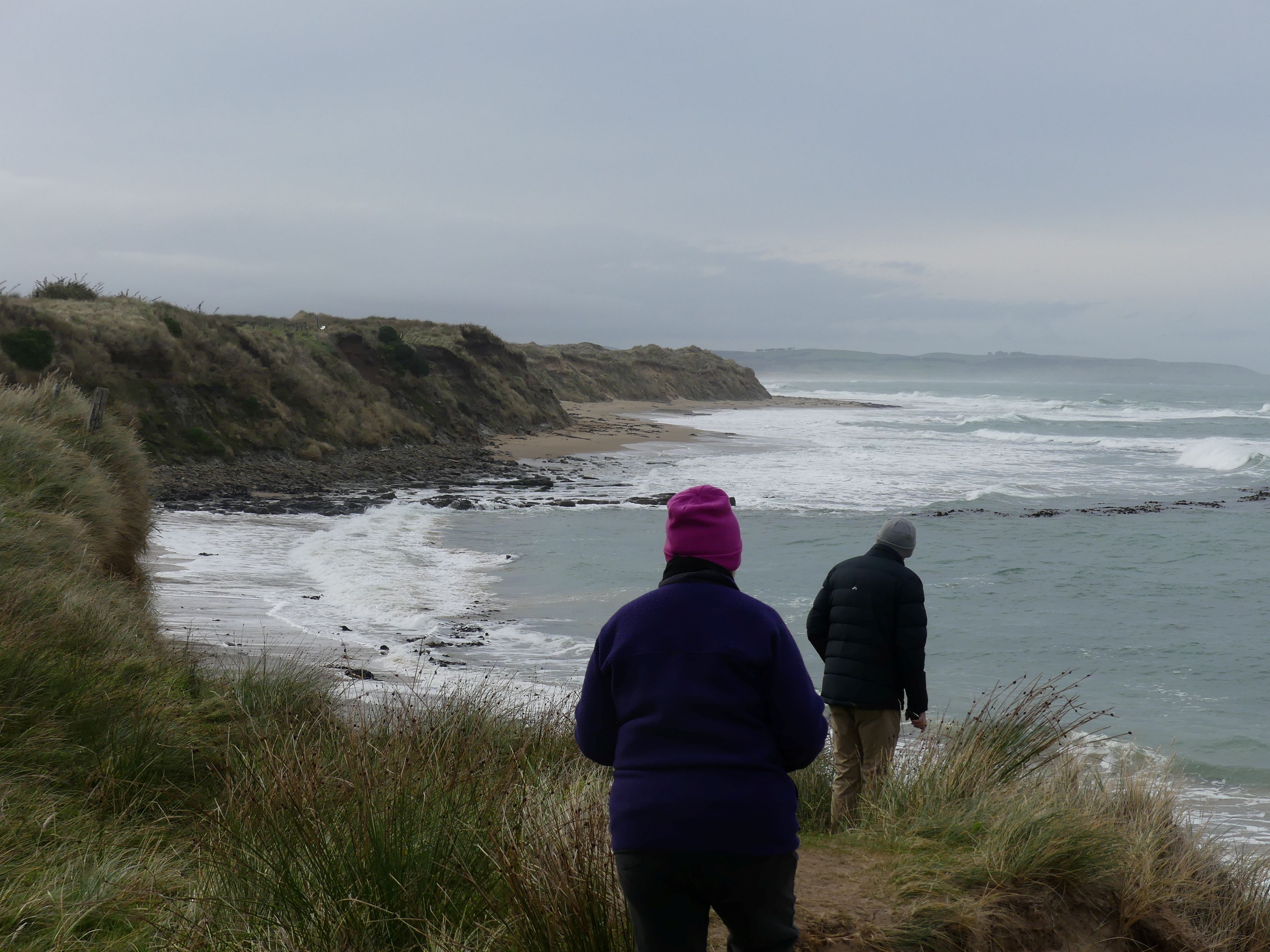
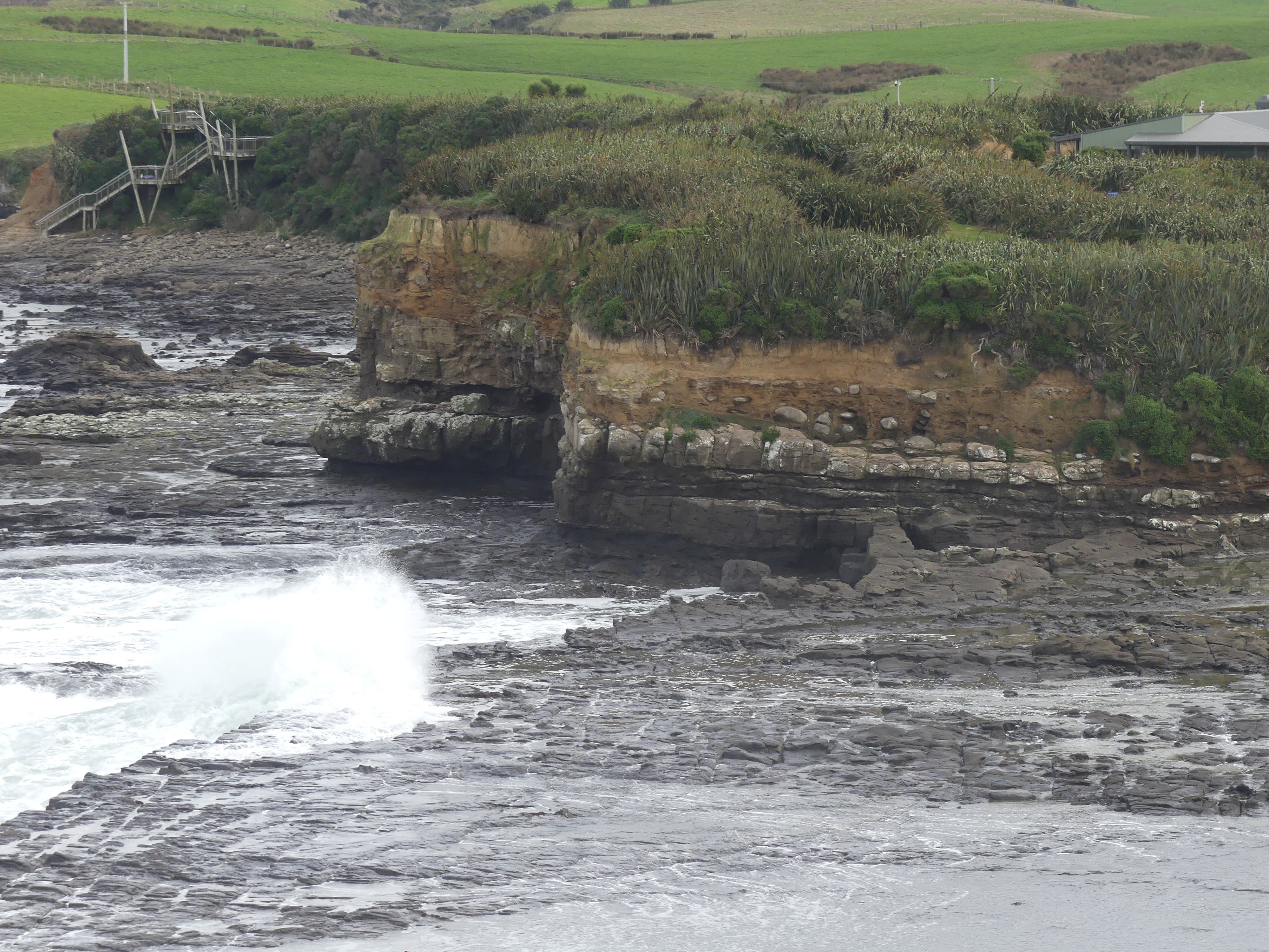
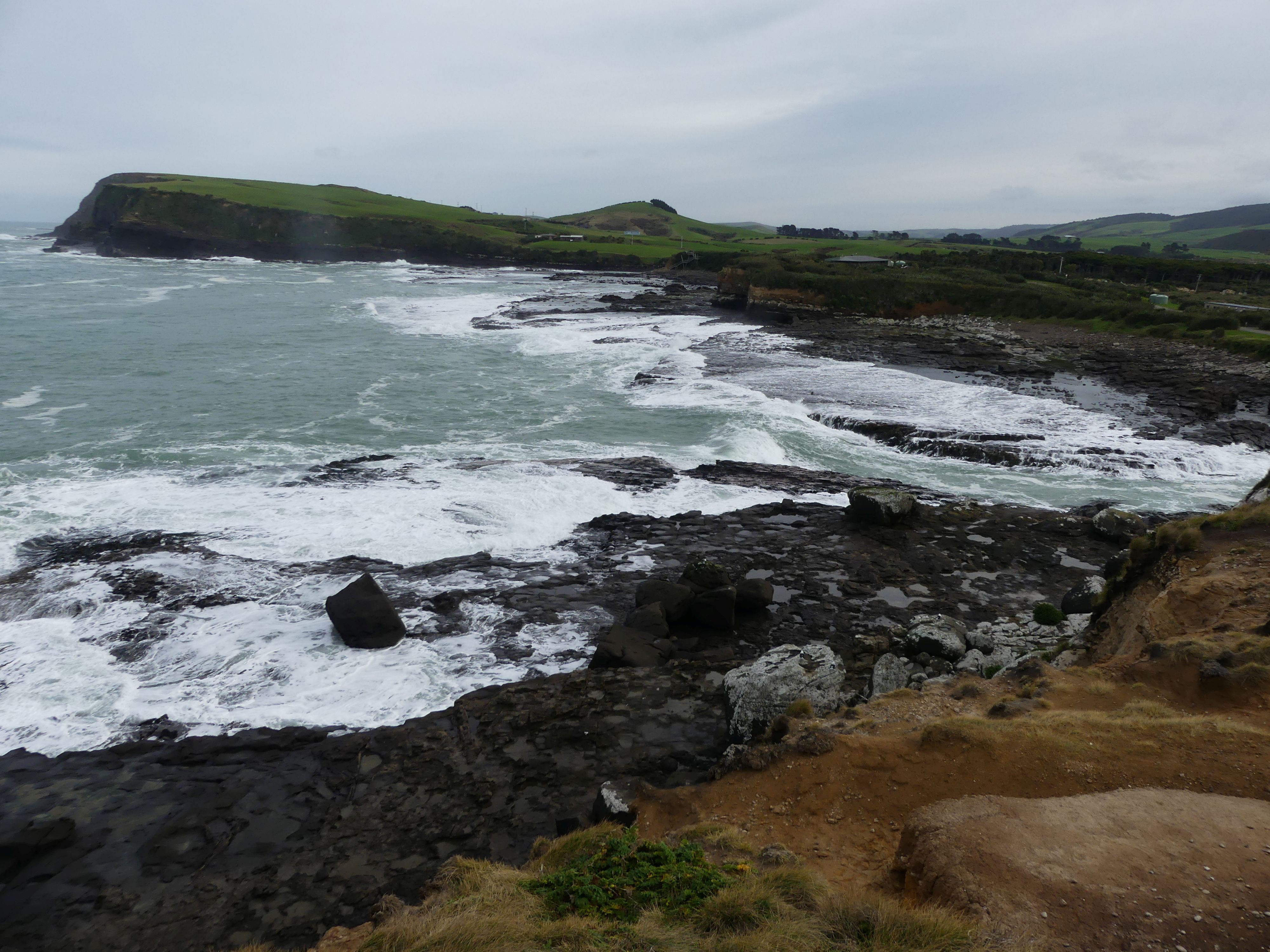
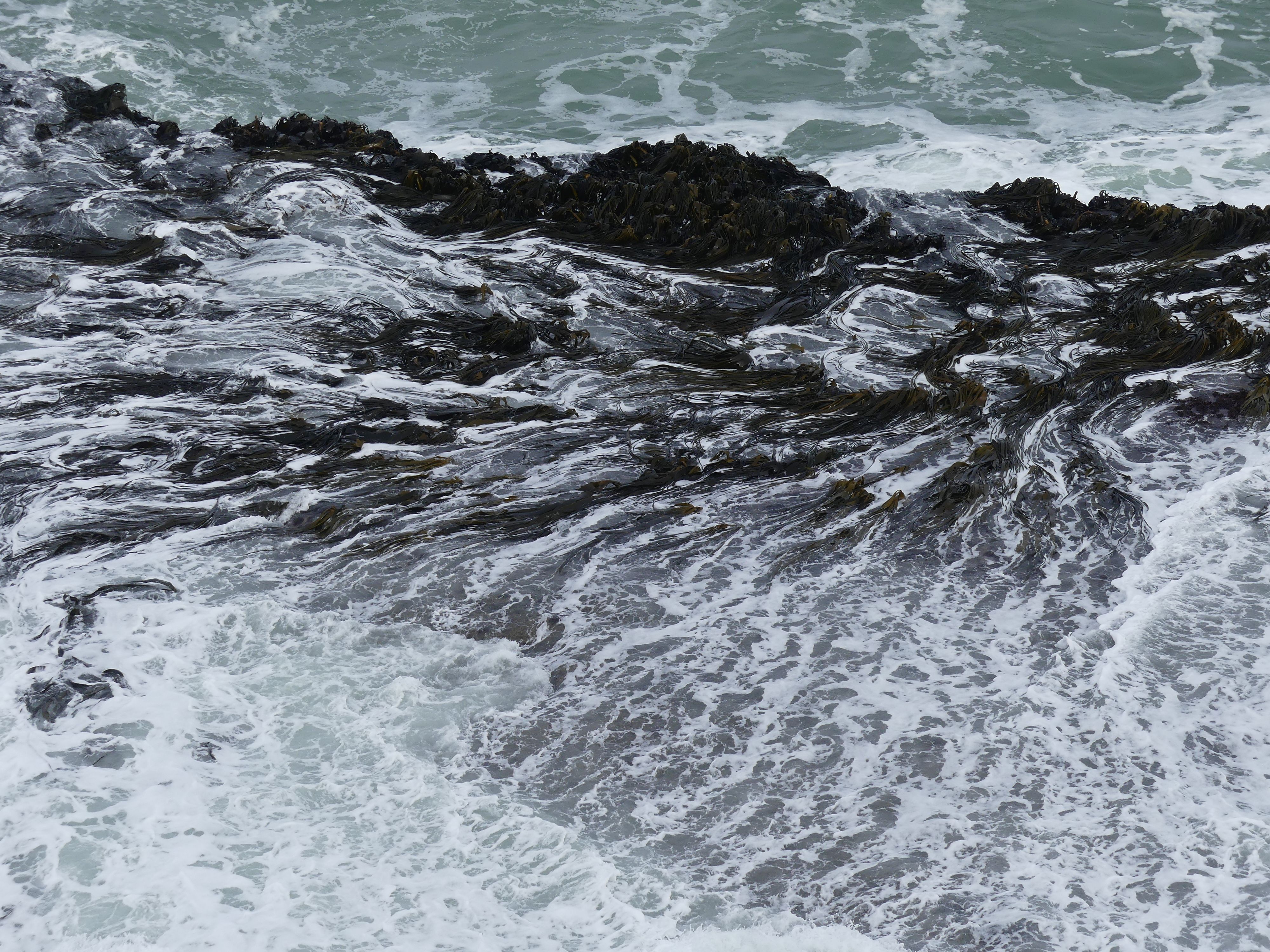
Sandi had read that there were petrified forests in Curio Bay which lay between Invercargill and Dunedin. It is a coastal embayment, best known as the site of a petrified forest some 180 million years old. It also supposed to host a yellow-eyed penguin colony, the endemic Hector’s dolphin and Southern right whales are occasionally observed offshore. Not today a lonely fur seal was resting up in the carpark showing signs of a recent scuffle. We were uncertain of where we might see the forest. Since returning home I have googled the articles on the forest and it appears that the forest is made up of trees stumps visible above the tide, fallen logs that now appear as different coloured ridges and tree stumps in basalt. My photos won’t show any of that.

Corio Bay – the bays and the basalt from volcanic times, seaweed fight the tide to hold onto the rocks, the fur seal showing his scars.

Our lunch stop was in a small coastal community overlooking Catlin Lake. The day was overcast and showery, so we took shelter in the Pub. The dining room has an open fire blazing away and we enjoyed the warmth and the food. A couple of the local lads were interested in what we were doing there in the off season and we chatted with them about their town.

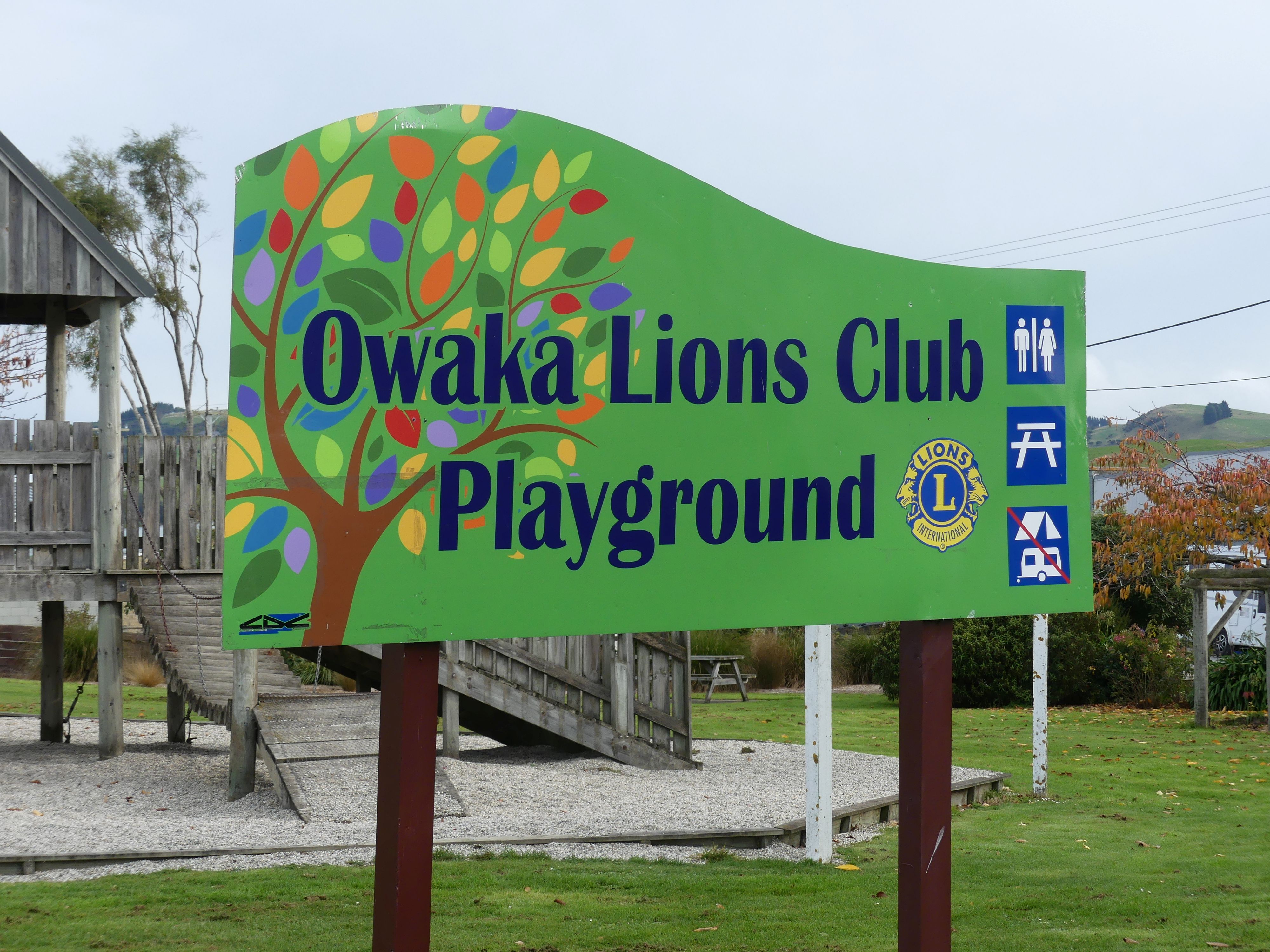
We moved onto Owaka for a further break. To remind me of our visit I photograph the Lions Club Playground and the painting of the lighthouse screening the public toilets. We were joined by a small flock of sparrows to help with consuming our biscuits finally arriving at Rosy at Roslyn 15A Fifield Street Dunedin.

Lions Playground, and the public convenience

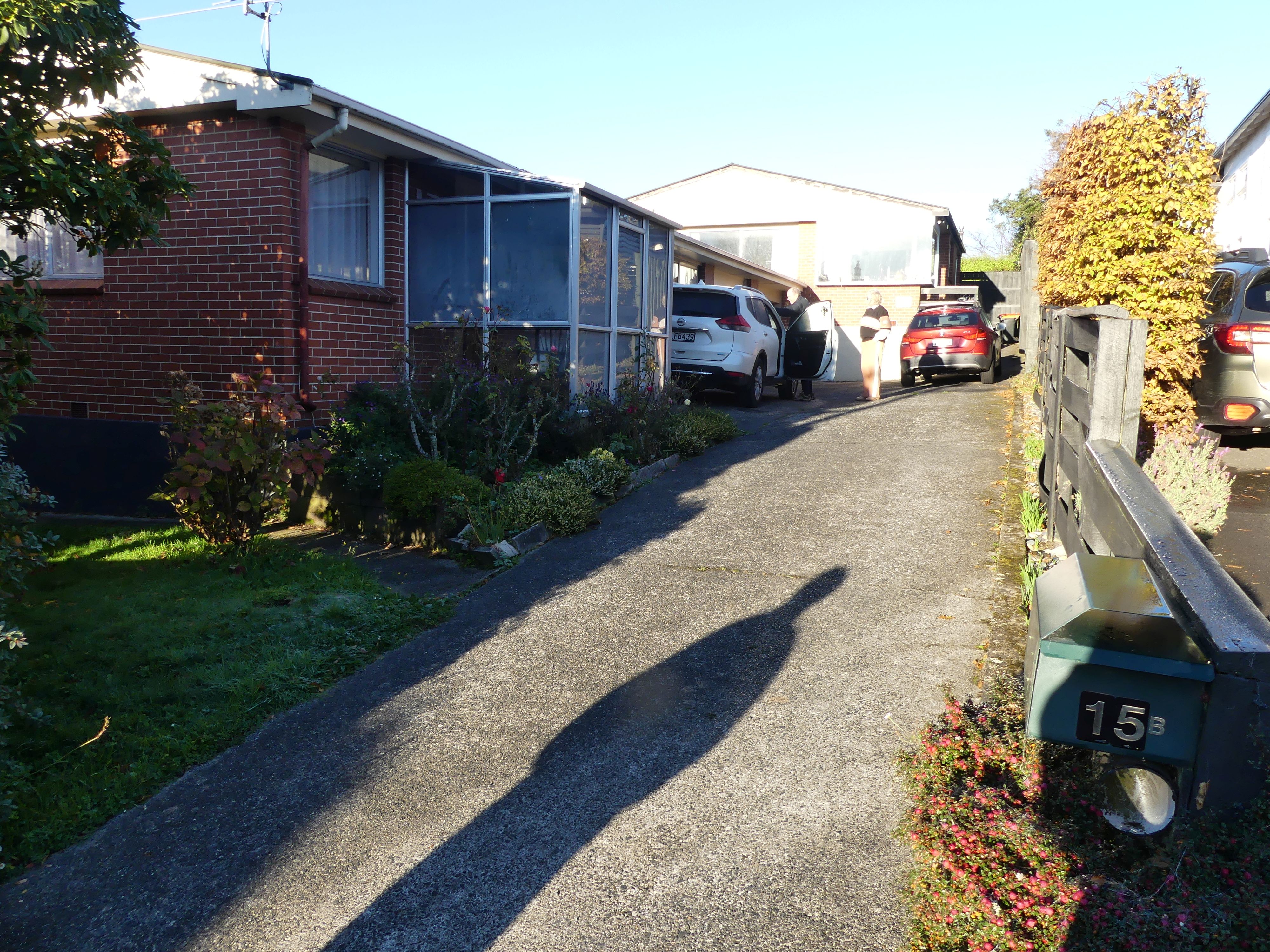
Our accommodation was a small semi-detached house on the side of a hill in Fifield St Roslyn Dunedin – warm and comfortable. We could not access the garage to park the car, but we were to learn that this was the drying room and laundry with the previous tenant’s laundry still drying in the garage. After purchasing supplies for dinner we settled in, prepared dinner and enjoyed a wine and a hand of cards. Tomorrow we will walk through Dunedin.

House in Dunedin

Day 8   Dunedin

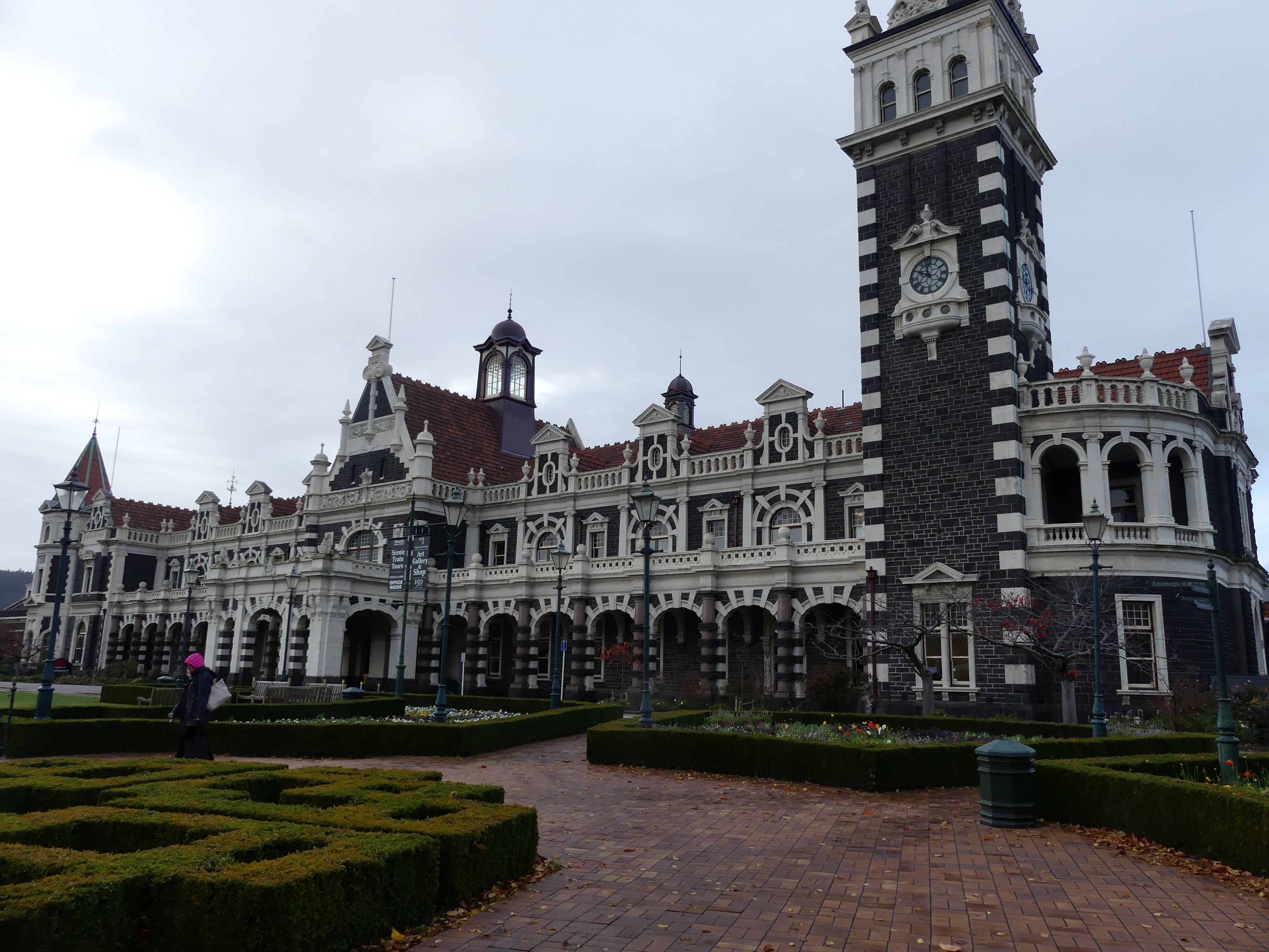
A good night’s sleep followed by breakfast set us up for the day to walk through Dunedin. Barry drove us to Woolies (a recent change to the supermarket change). The chain completed a nationwide rebrand from its former name, Countdown, to Woolworths in 2024 to align with its Australian counterpart. There we parked on the top floor of the carpark and ventured off to find the Railway Station. It was overcast and drizzly, so the brollies came with us. It was a fair walk to the station, and it was not the usual suburban rail stop. Dunedin Railway Station 22 Anzac Avenue, Central Dunedin is a prominent landmark and tourist site in Dunedin. It is speculated by locals to be the most photographed building in the country, as well as the second most photographed in the southern hemisphere, after the Sydney Opera House.

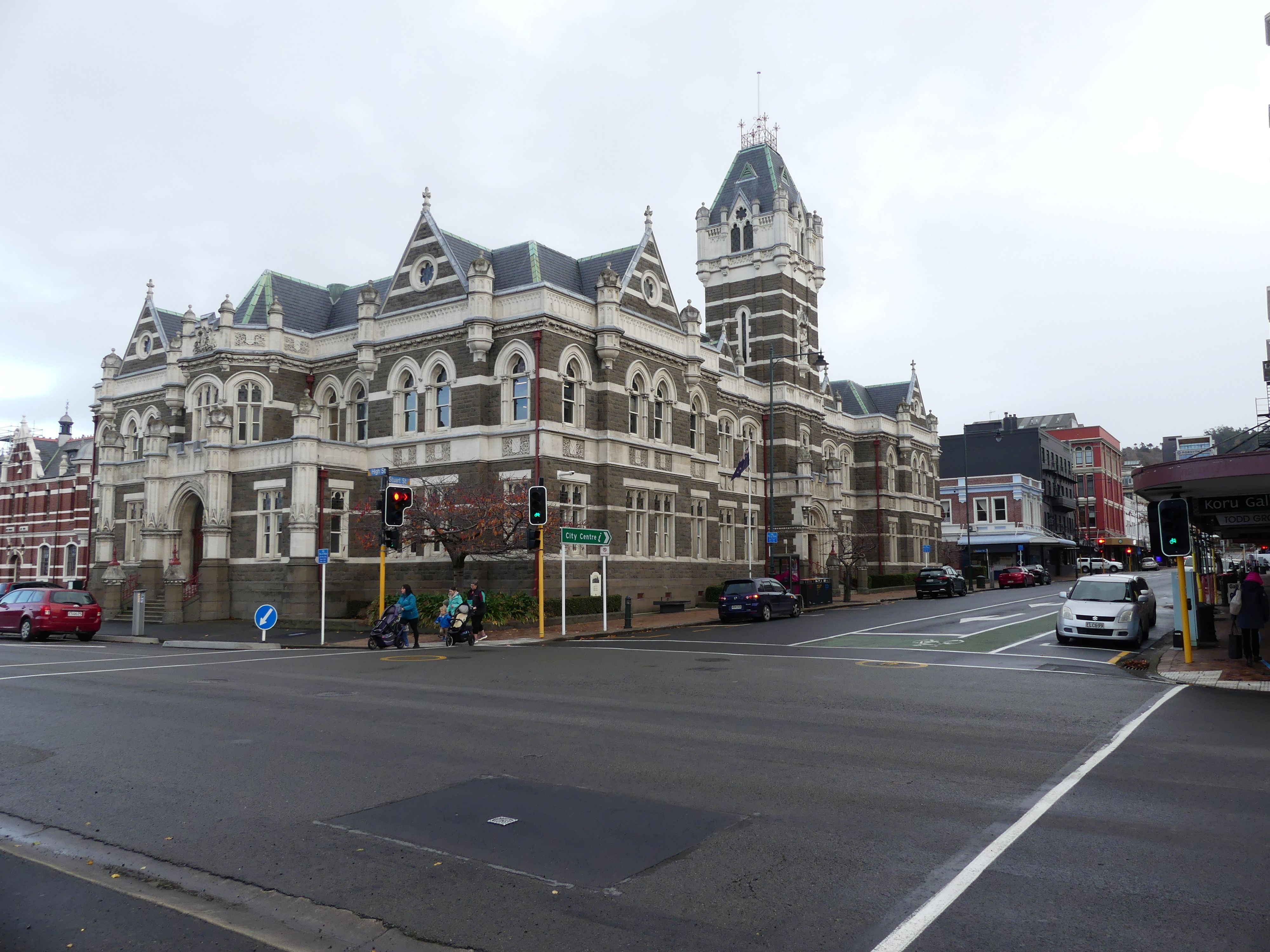
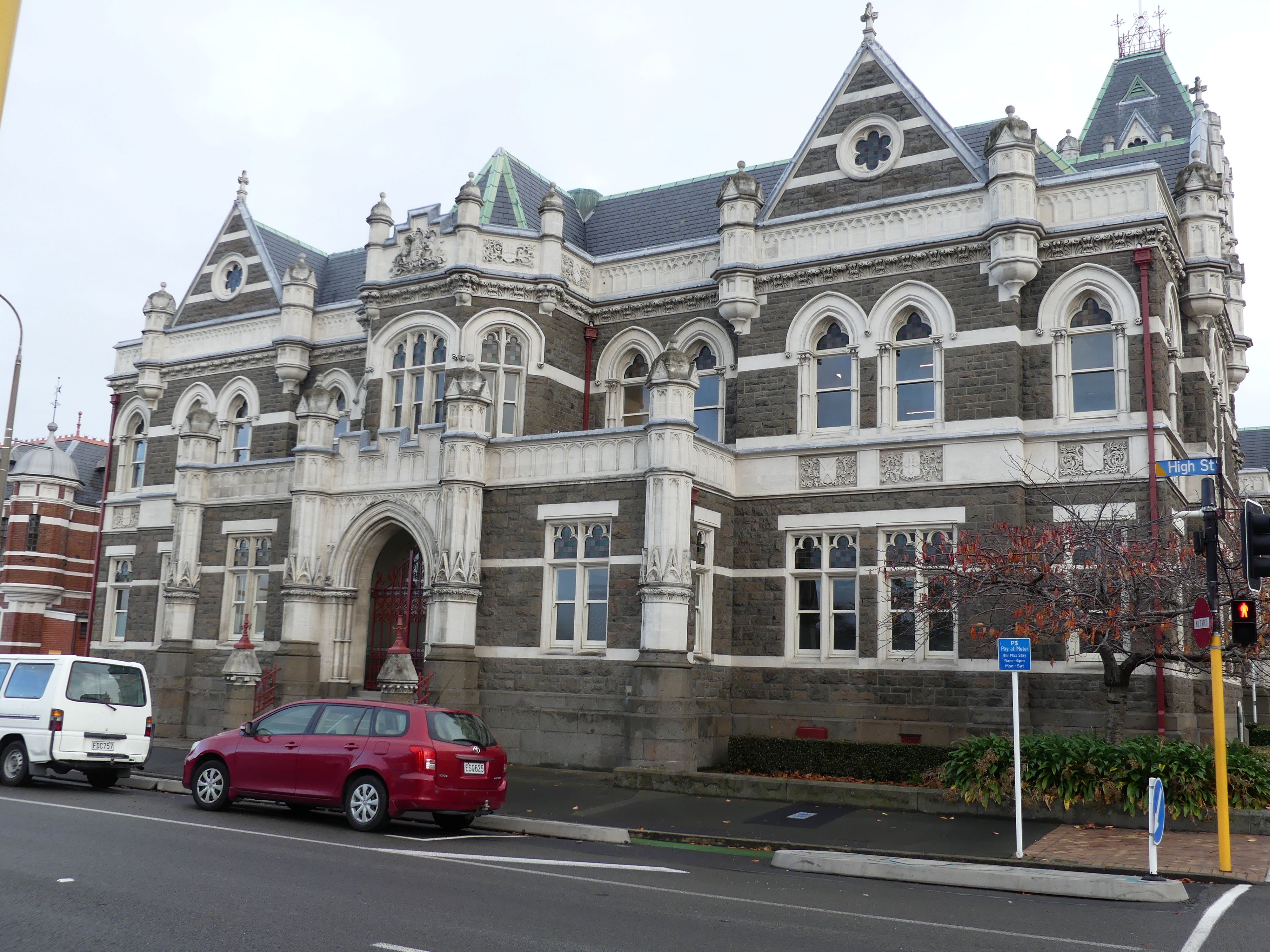
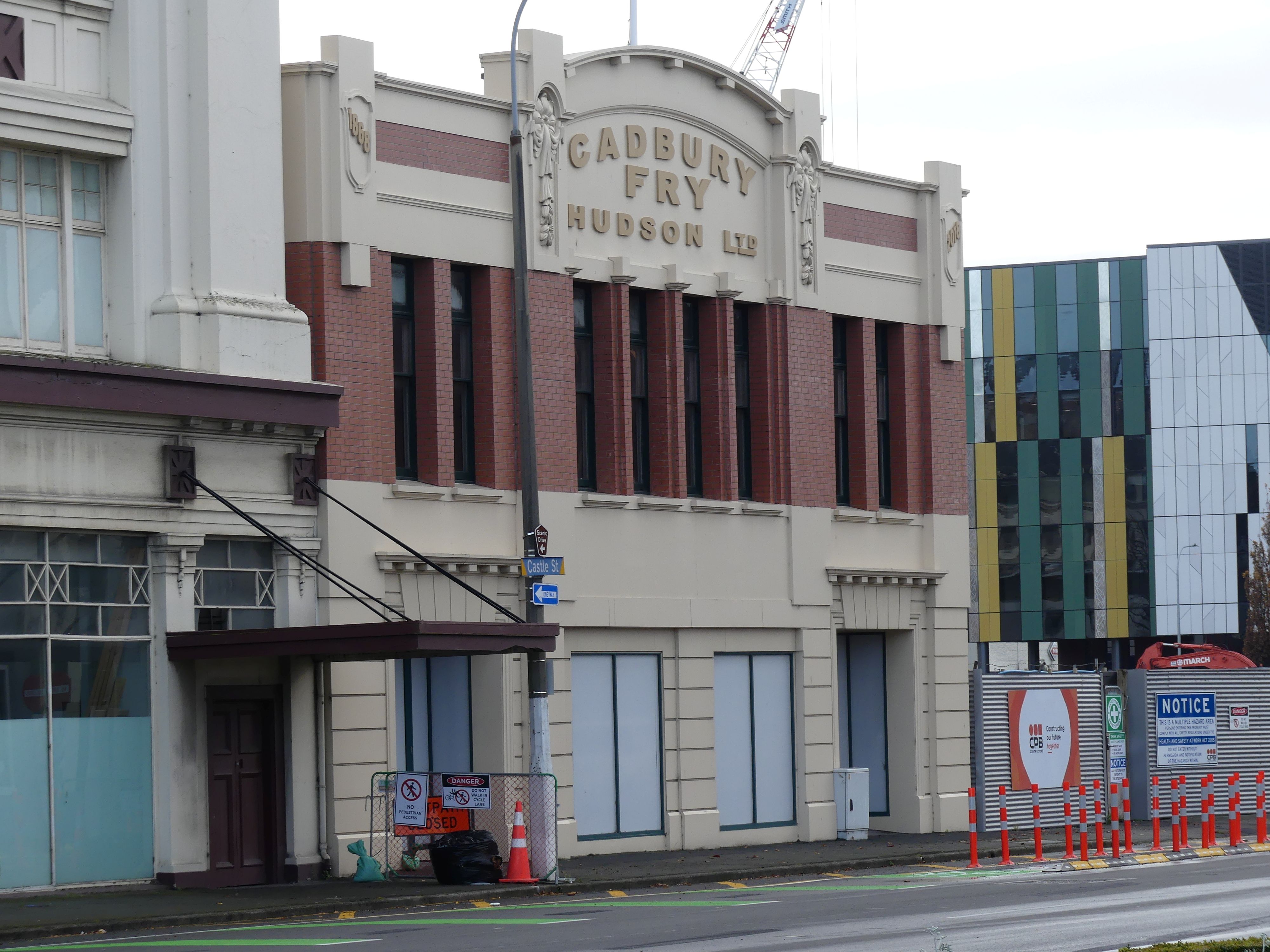
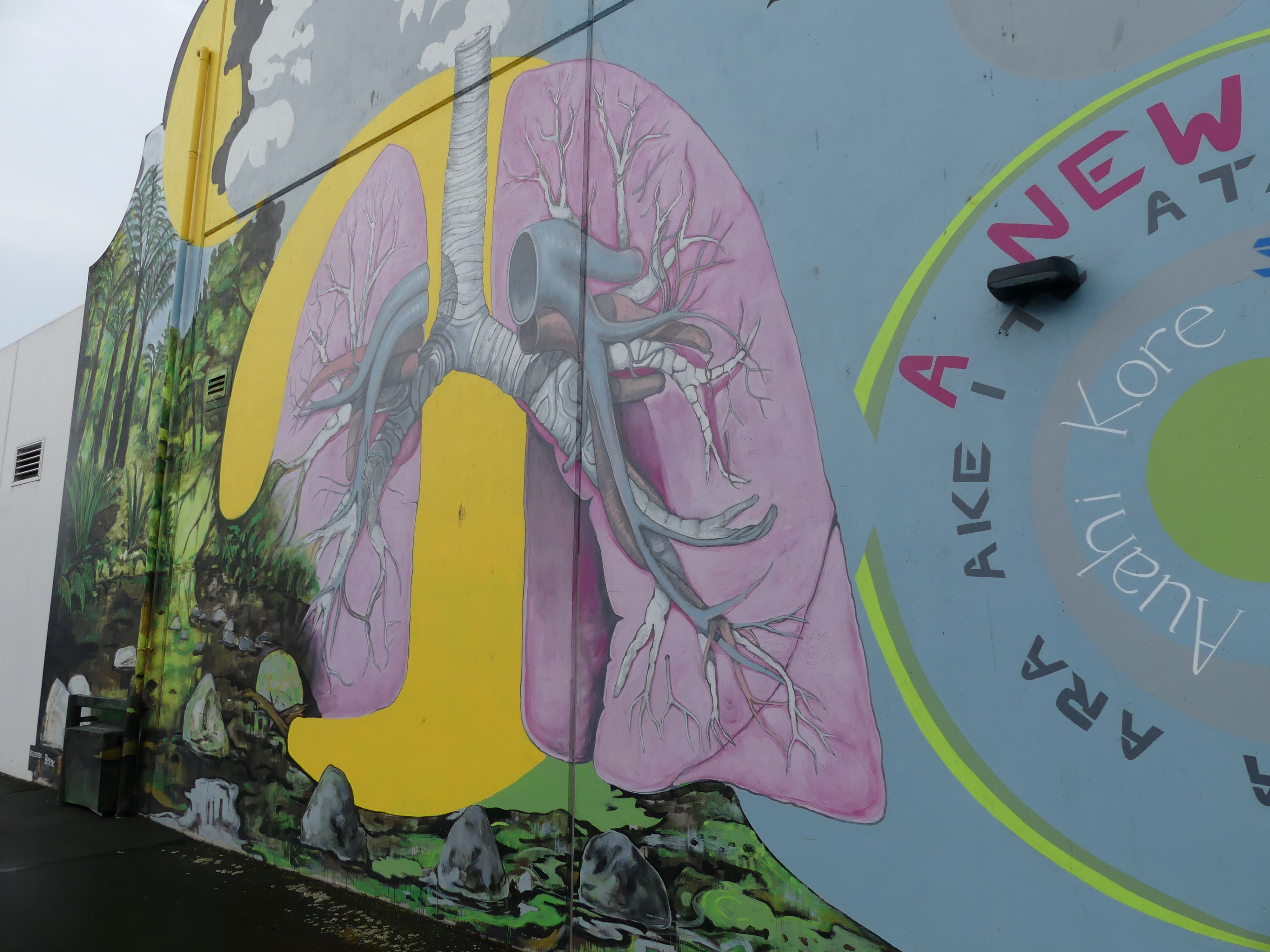
Dunedin Railway Station, The High Court, Cadbury Fry building (original home of Cadbury’s chocolate in NZ) and Street art on the Woolies building

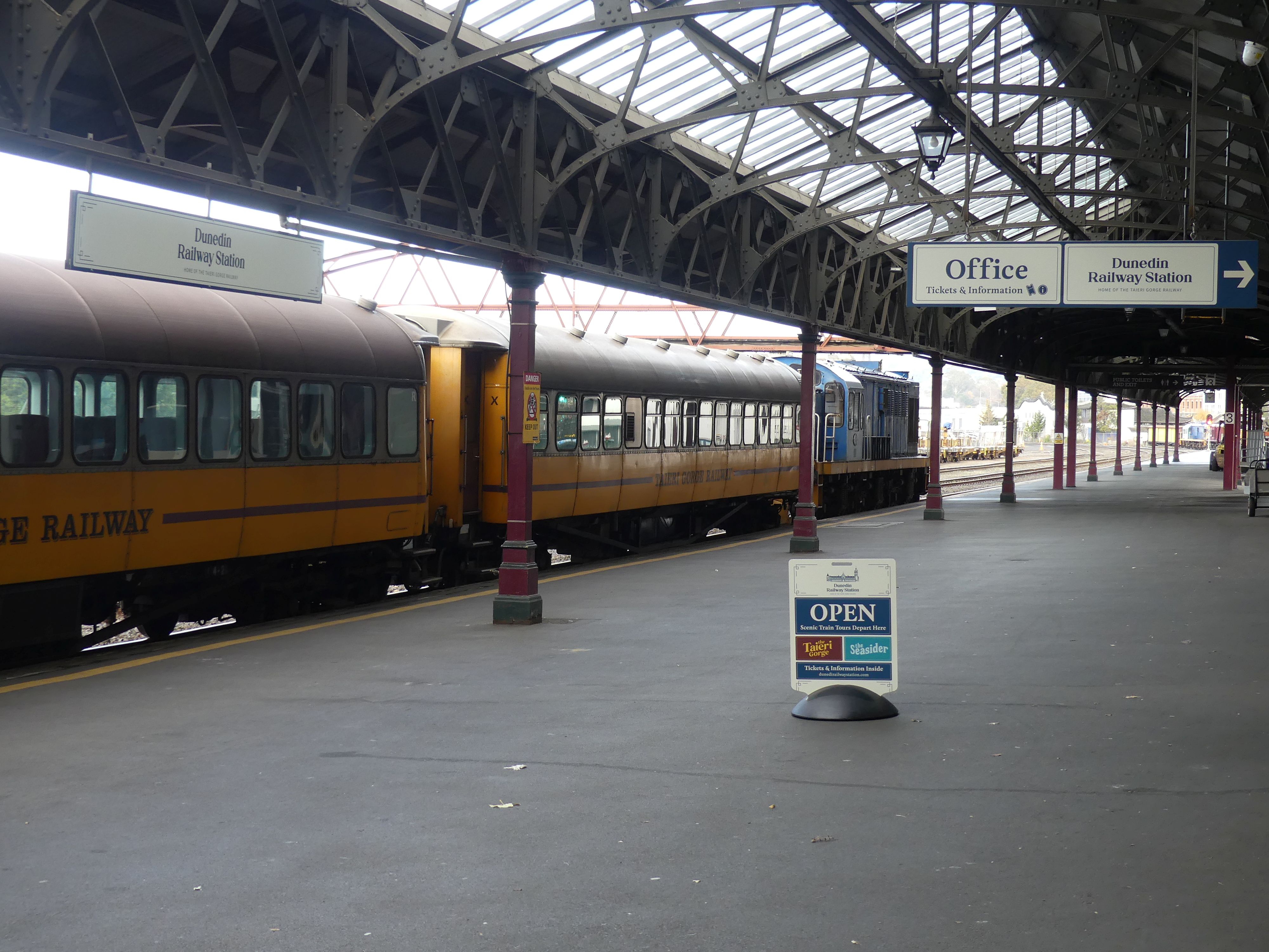
The station is huge suggesting the importance of Dunedin when it was built. Dunedin required a station for a wide range of activities: it was a commercial and industrial centre, close to gold and coalfields, with a hinterland that was dependent on livestock and forestry for its economy. There were 3 previous stations but by 1906 a new station had been built to replace the earlier stations. The station is constructed of dark basalt from Kokonga in the Strath-Taieri with lighter Oamaru stone facings, giving it the distinctive light and dark pattern common to many of the grander buildings of Dunedin and Christchurch. Pink granite was used for a series of supporting pillars which line a colonnade at the front. The roof was tiled in terracotta shingles from Marseille surmounted by copper-domed cupolas. The southern end is dominated by the 37-metre clocktower visible from much of central Dunedin.

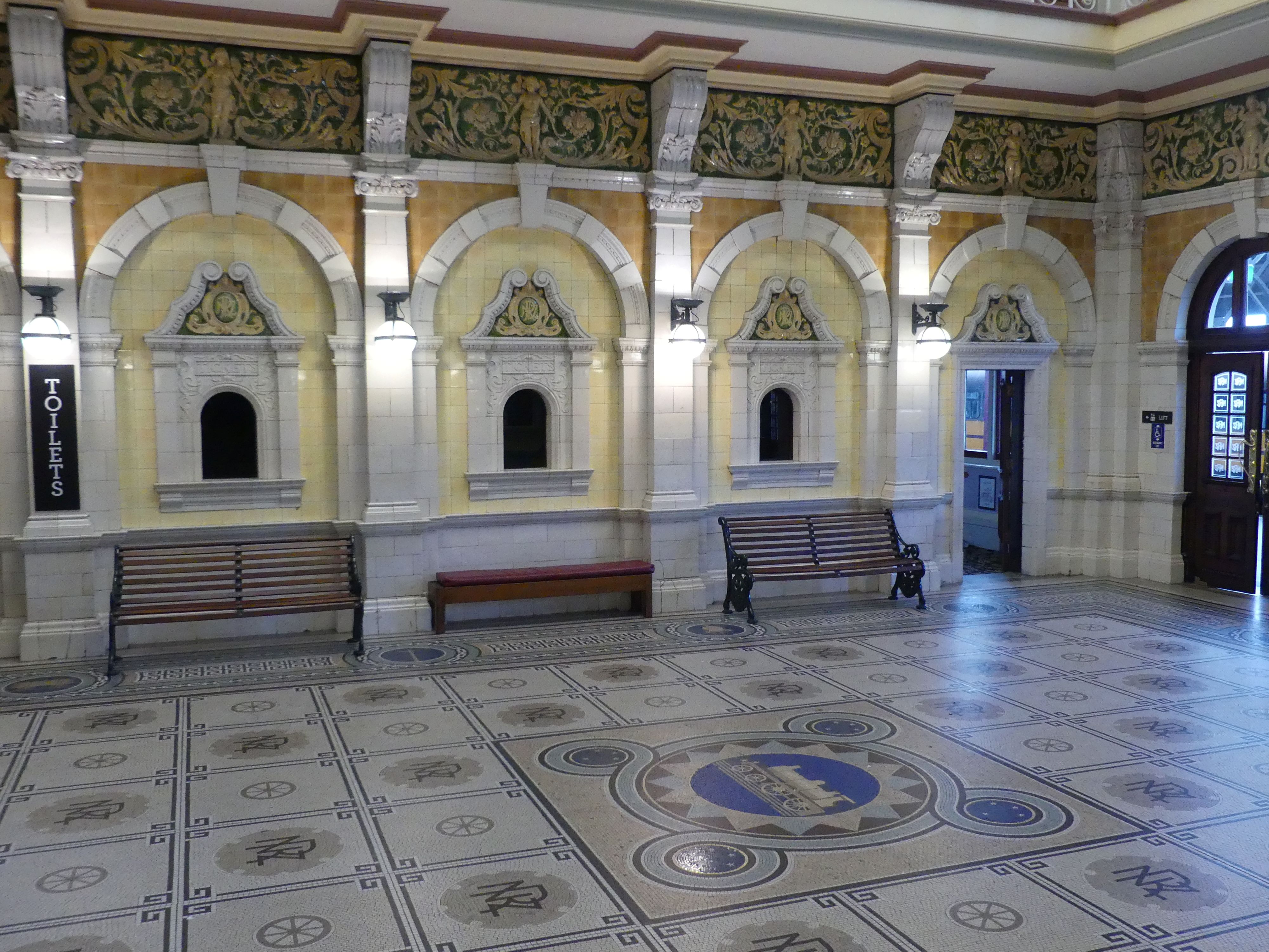
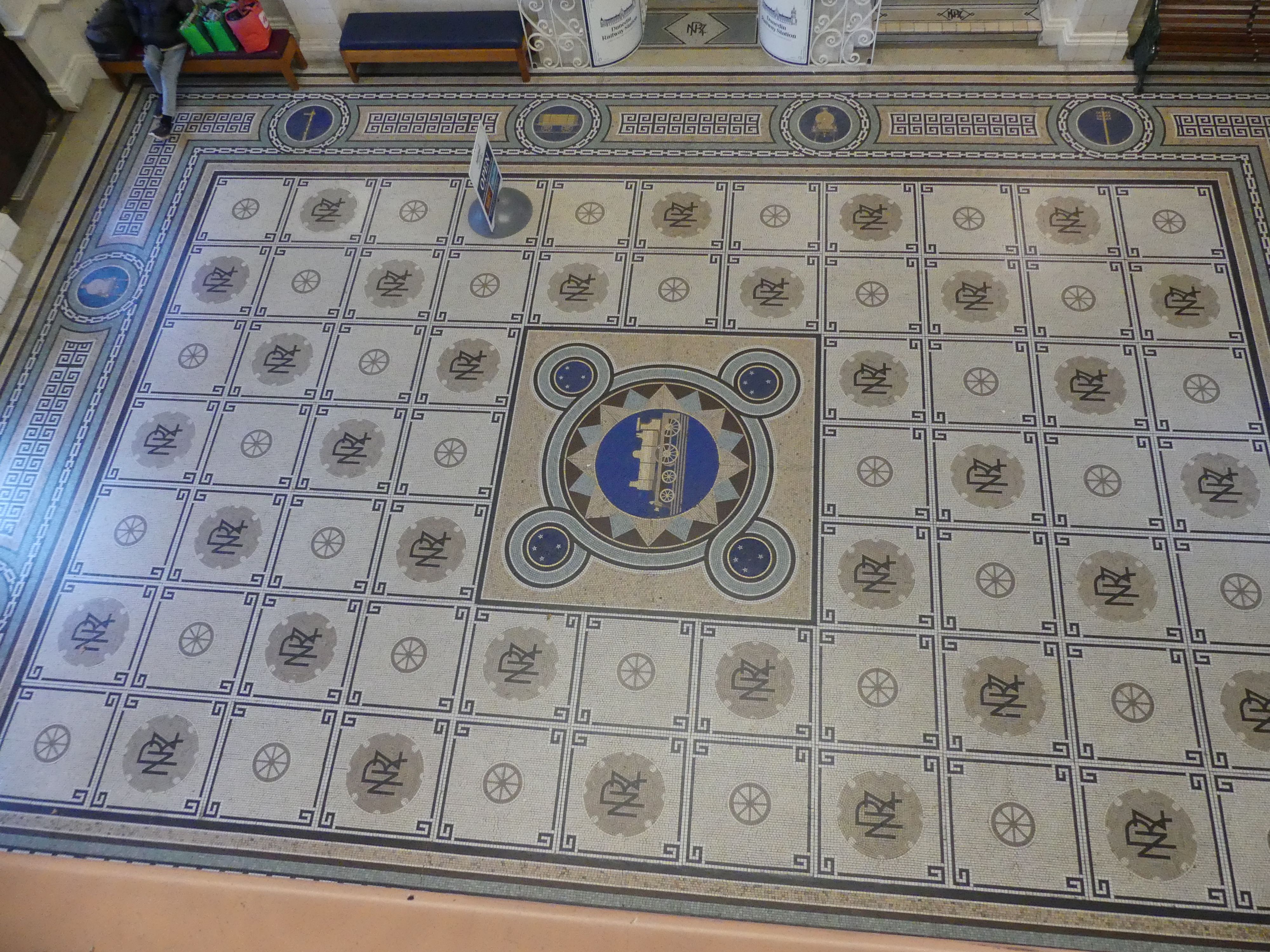
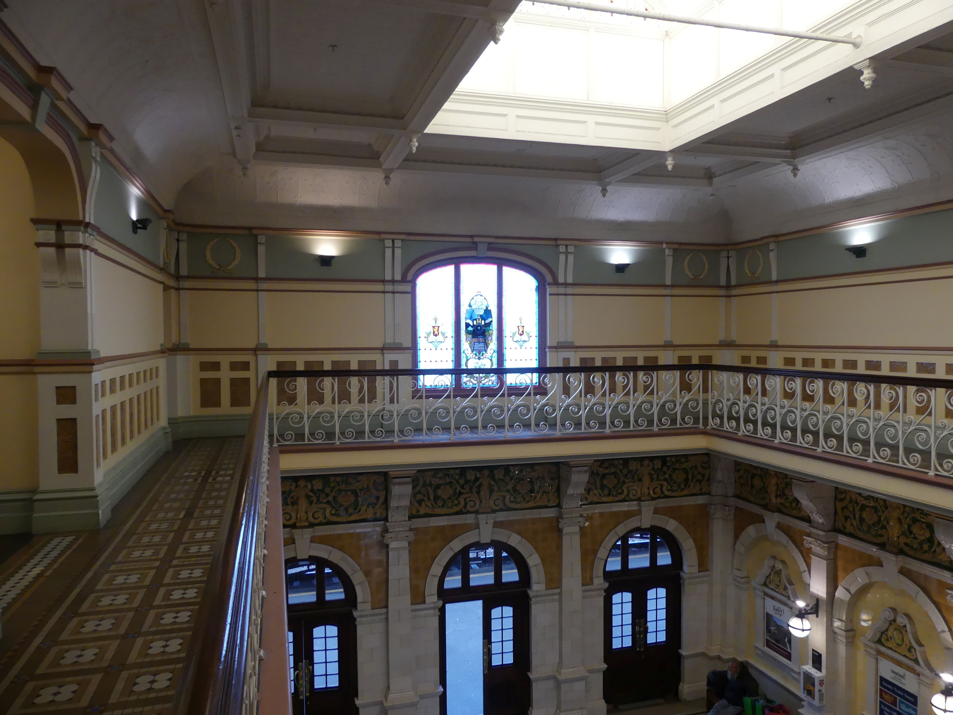
The booking hall features a mosaic floor of almost 750,000 Minton tiles, completely renewed in 1965, in an exact replica. A frieze of Royal Doulton porcelain runs around the balcony above it from which the floor’s design, featuring a locomotive and related symbols, can be clearly seen. The main platform was 1,570 ft (480 m) long.

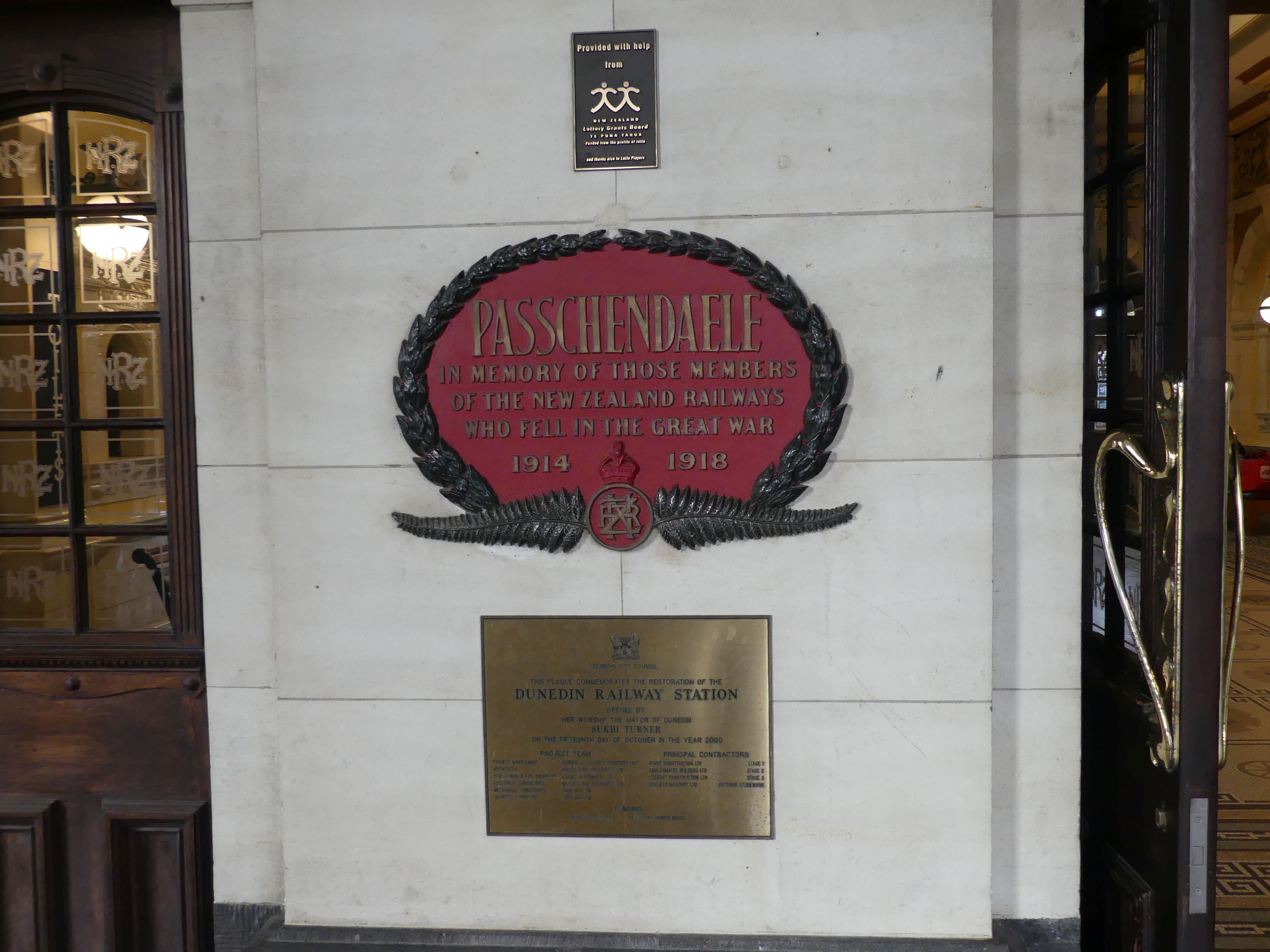
Ticket Office in the booking hall, the booking hall floor from above, the main platform, first floor balcony, the Passchendaele WW1 memorial at the entry,

Today, the station services daily sightseeing trains to Middlemarch or Pukerangi via the Taieri Gorge, and to Palmerston. There are a number of different uses for the station building, one being an interesting moving art display.

First floor moving Art display

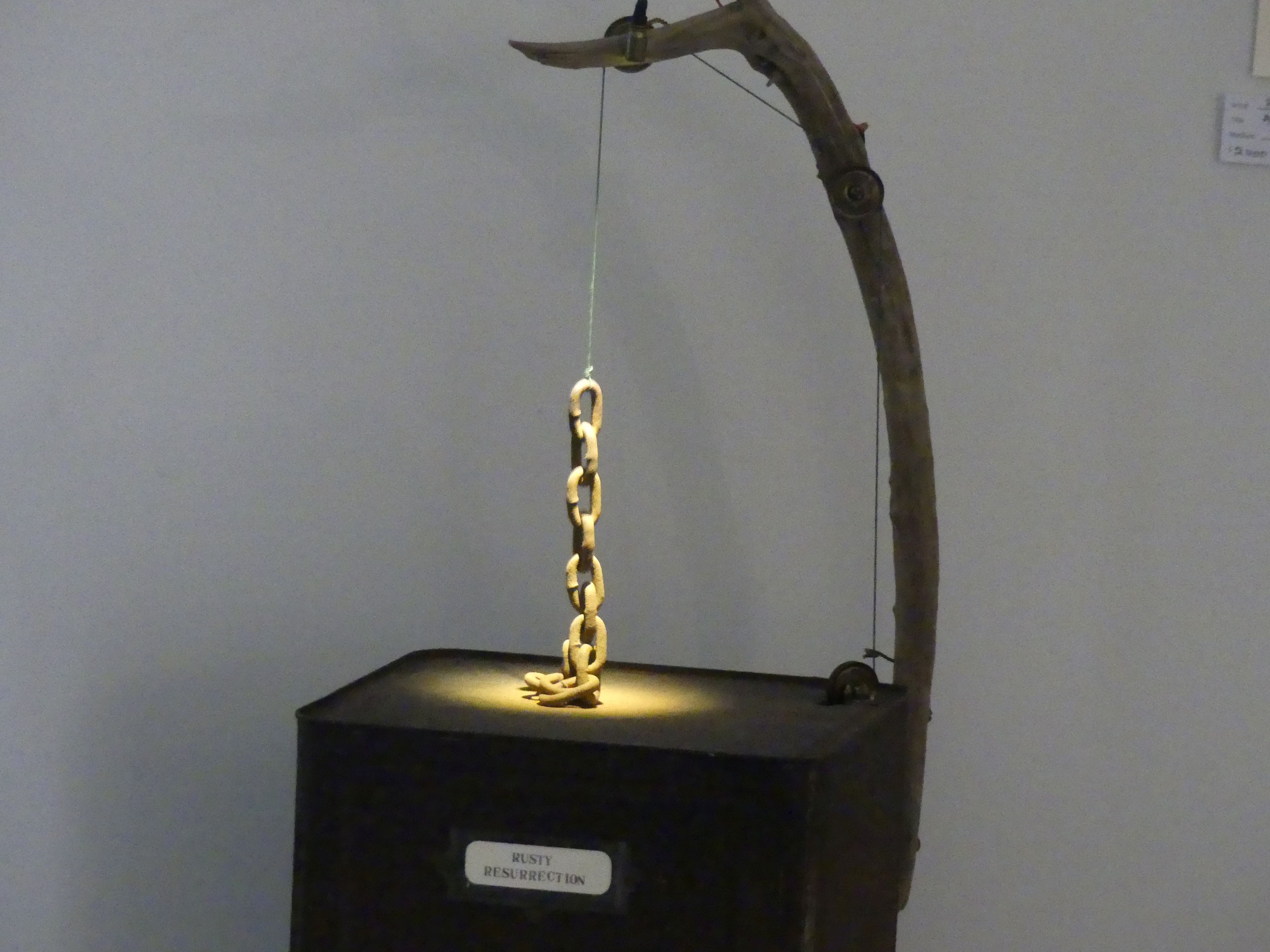
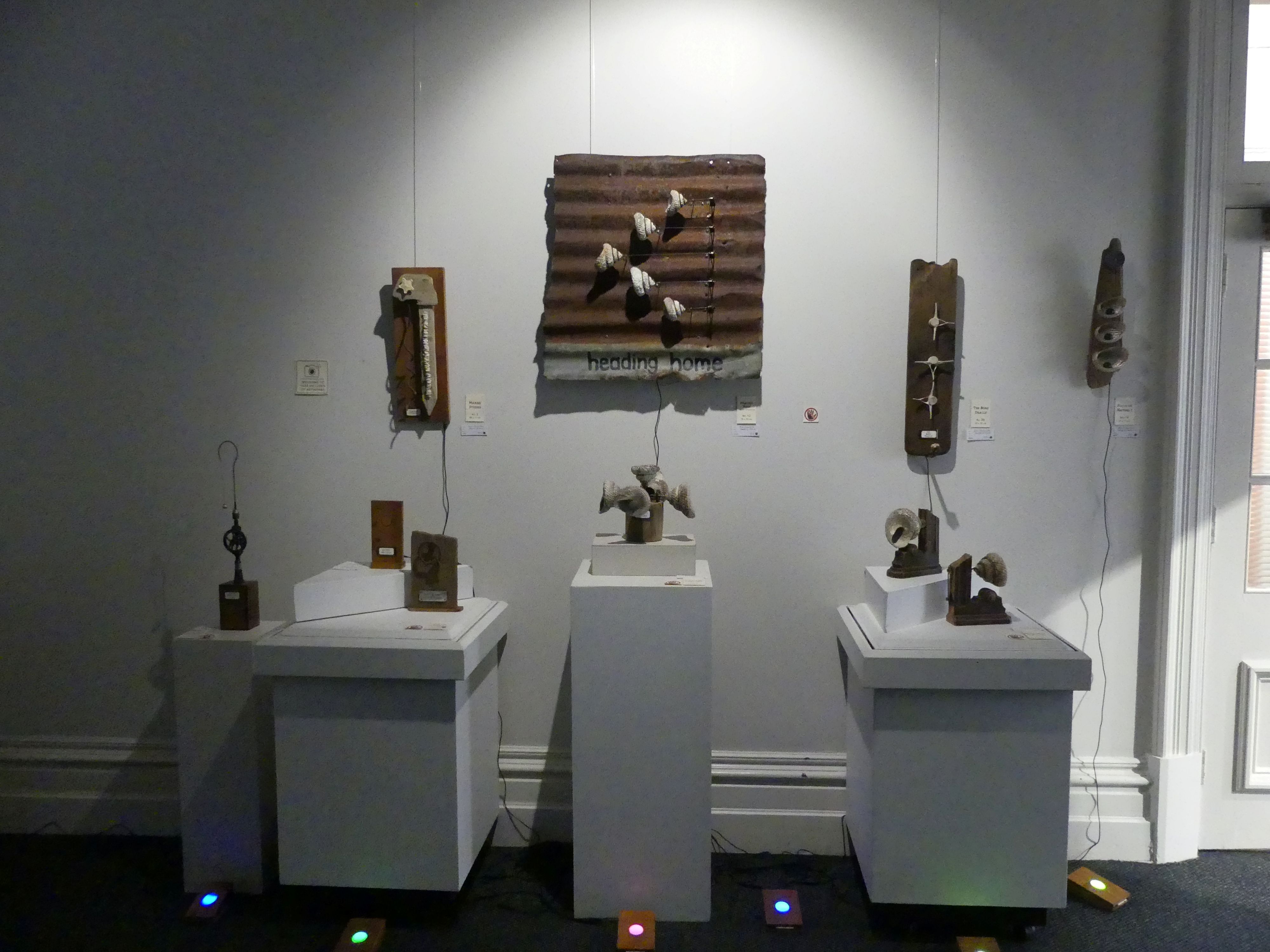
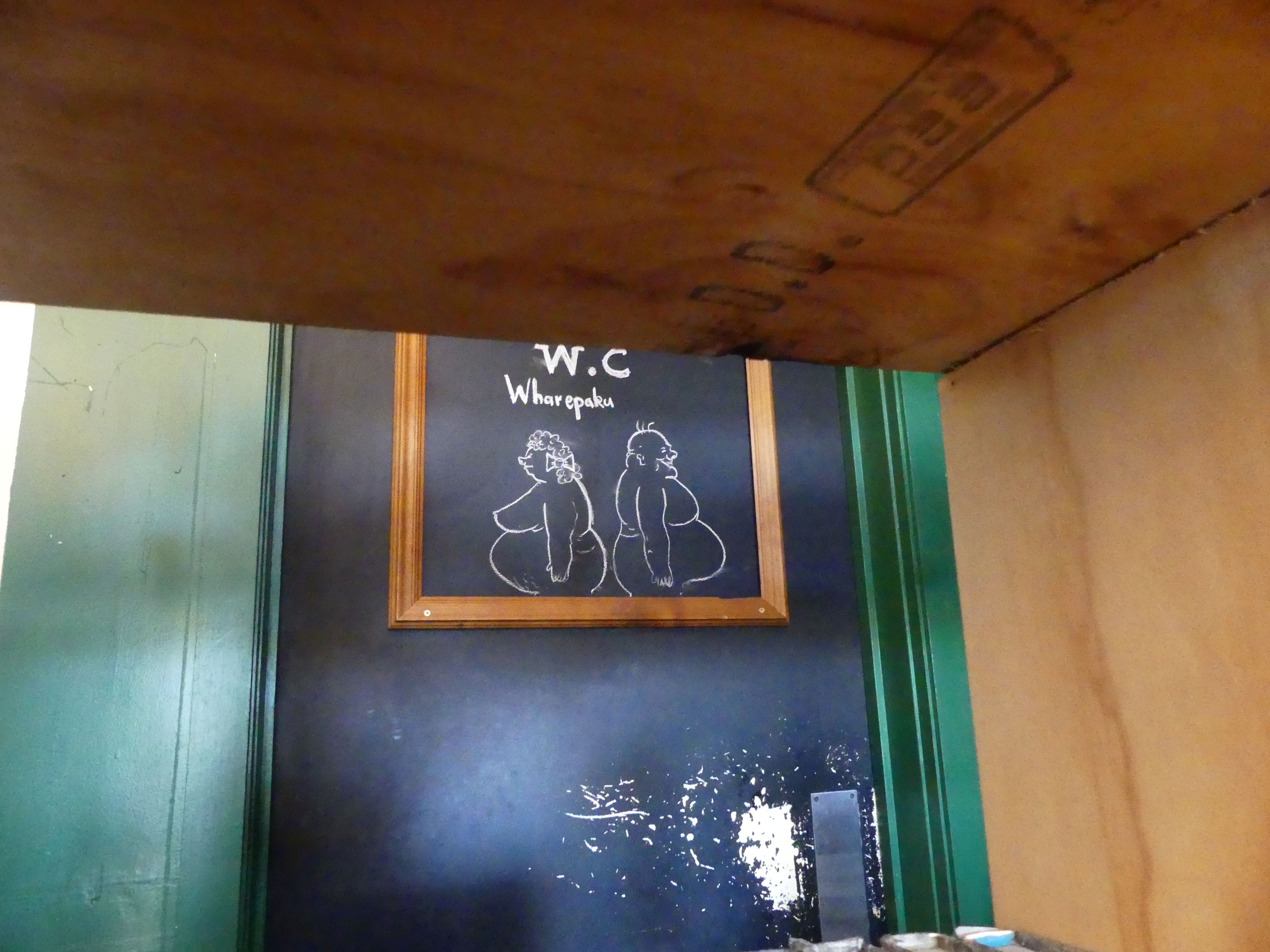
After leaving the station we sought a coffee shop for morning tea. In this eclectic shop, there was a painting which looked like a copy of Gainsborough’s “Blue Boy”. I had mistakenly thought it was a portrait of Charles 1 (the Stewart beheaded by the Commonwealth) but when writing this blog my memory was the Blue Boy not Charles. My apologies to the poor waitress who I assailed about their connection with the Stewarts. It was quite an arty place as can be observed in the photos below. Barry was sneaking a photo of the poster on the toilets.

Toilet poster

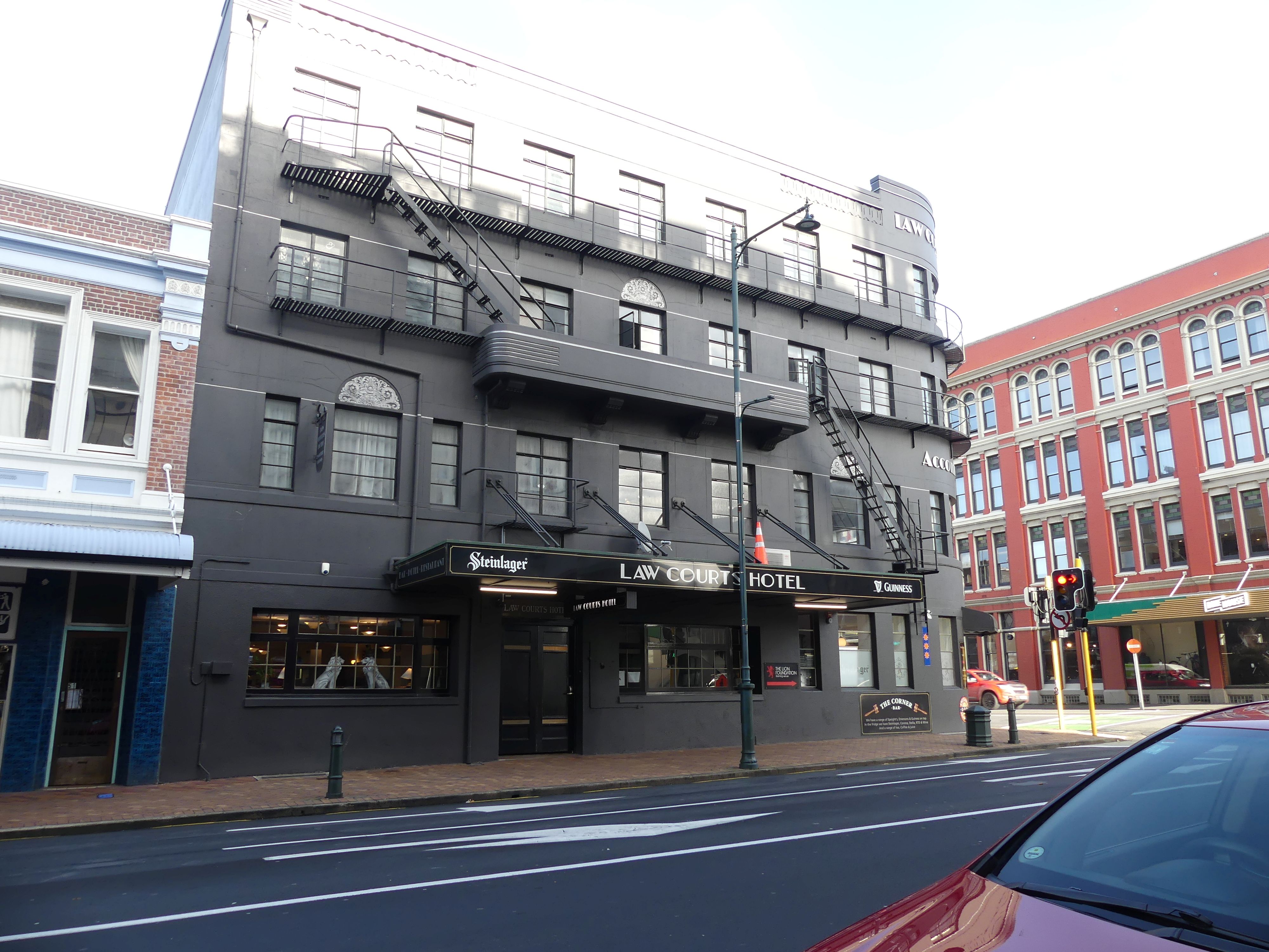
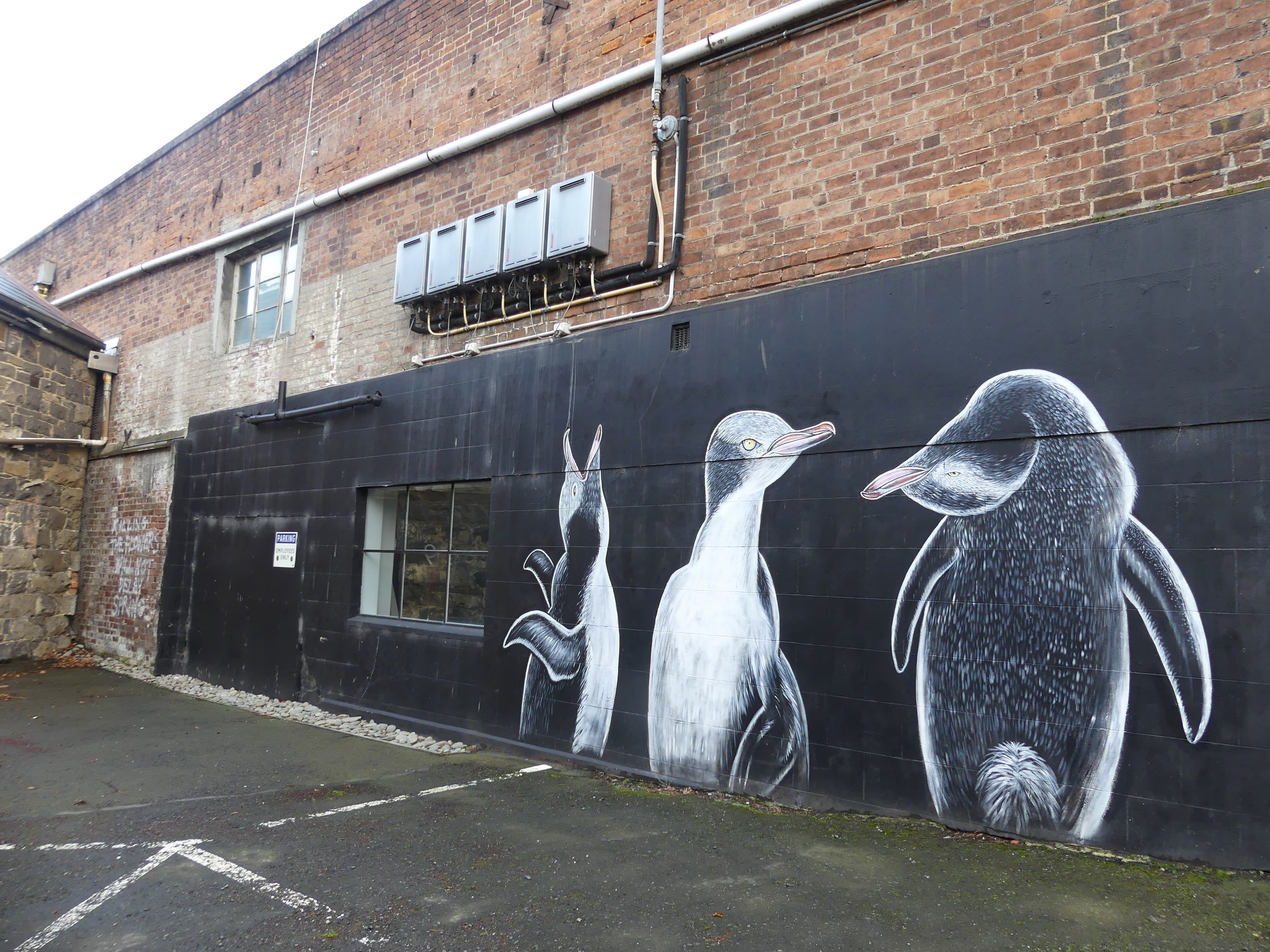
After coffee we moved on to the centre of Dunedin – the Octagon. So leaving the café we passed the Law Courts Hotel and Kerry decided we should view the Law Courts. The old building has been extended upon providing the new entrance with scanning and security provisions. One of the security officers gladly showed us through two courtrooms vacant of any business that day. Familiar layout but no public gallery for the higher courts – interesting. We made hard work of finding the Octagon. We walked past the Chinese gardens, some more street art, then the First Church of Otago (formerly St Andrews Presbyterian Church).

Law Courts Hotel, and street art

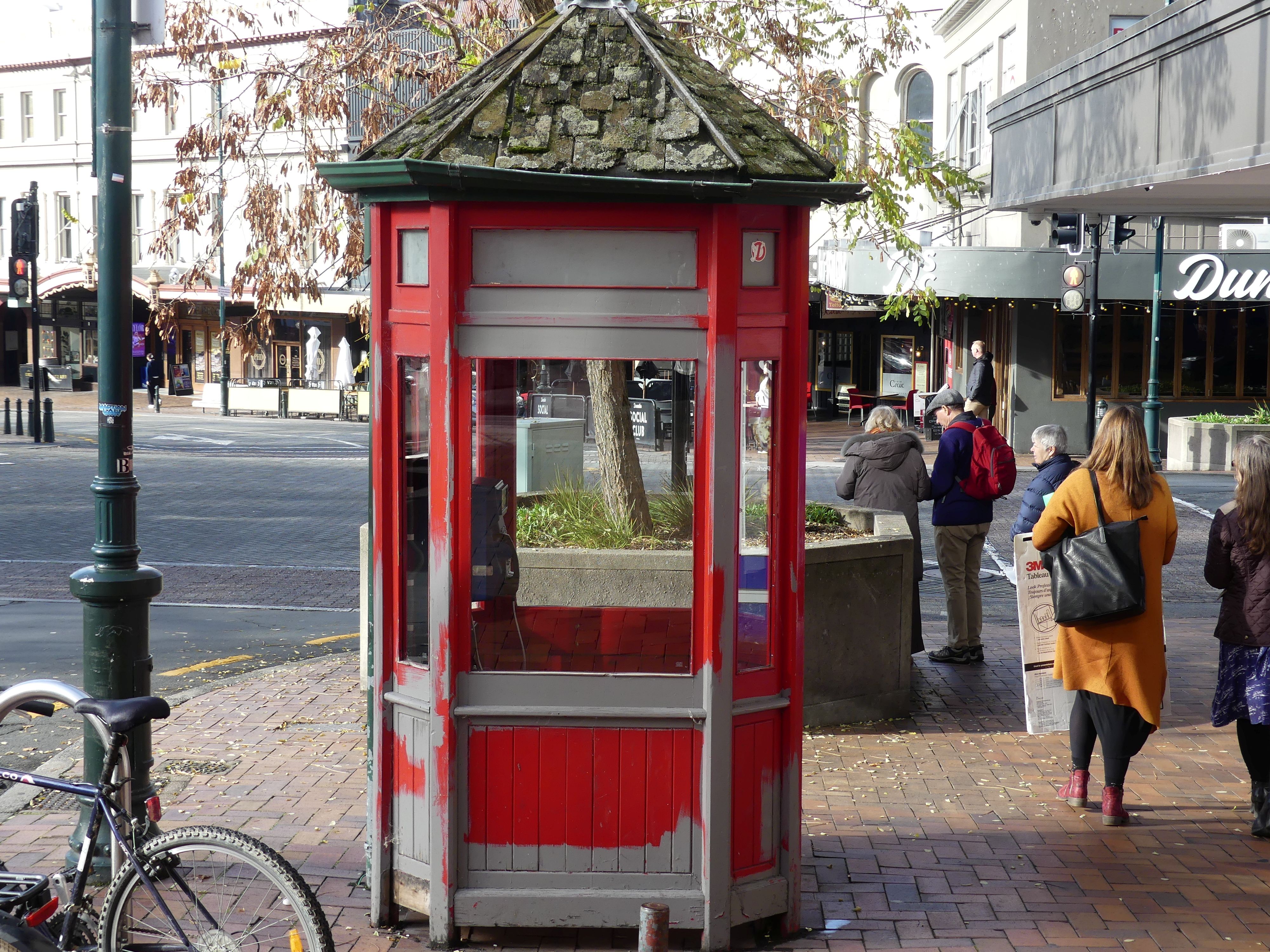
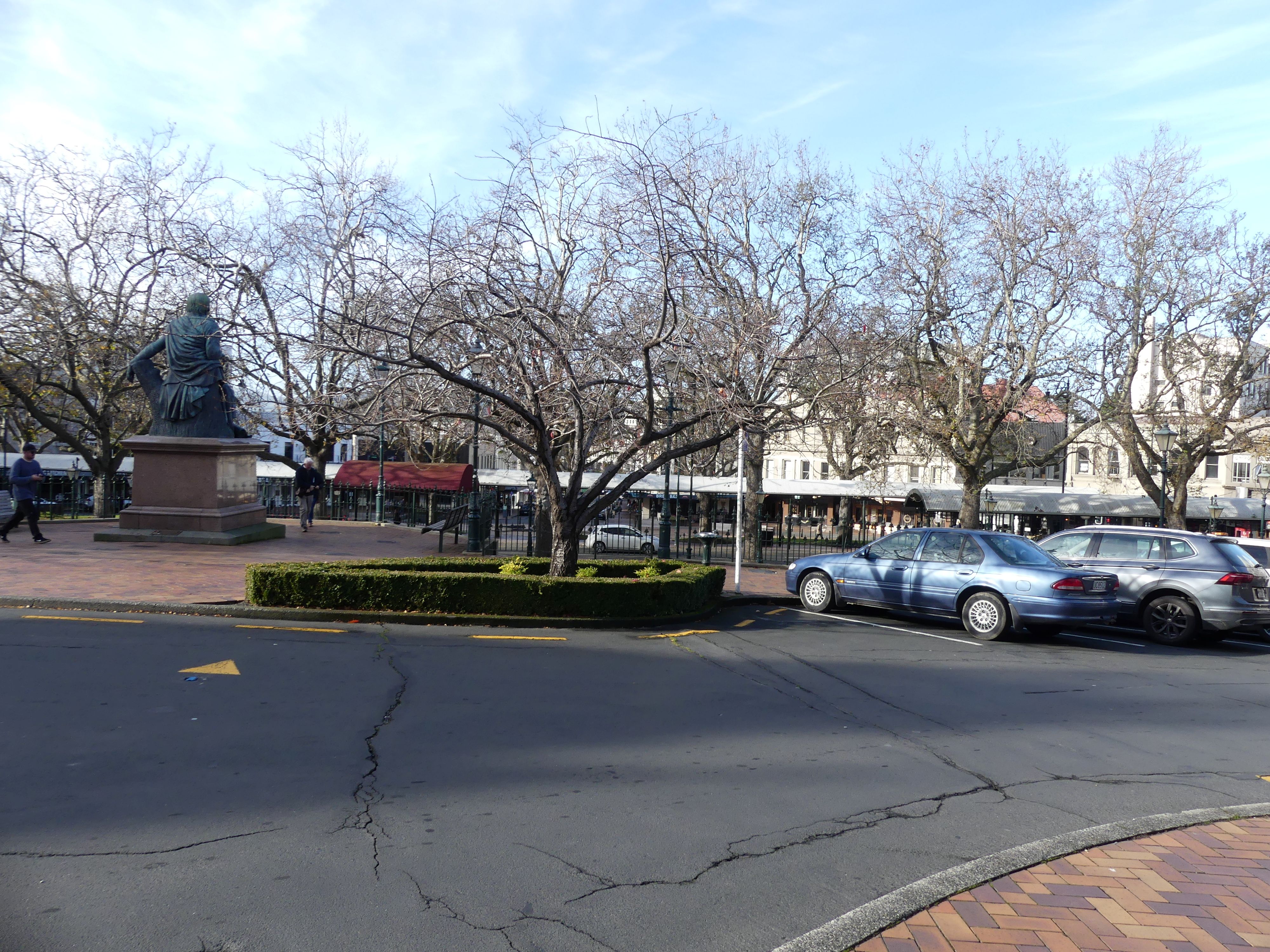
We finally arrived in the Octagon and octangle square the centre of the business/commercial district of Dunedin. It was at this time that I became painfully aware that street post boxes were as rare as hens’ teeth in NZ. NZ Post now hides in retail outlets, and they are not visible to a visitor. However, in a corner takeaway store in the Octagon was the post office and I finally posted my pocket full of postcards. I don’t know if it was the winter weather, but the Octagon looked sad to me: as though forgotten with some closed shops and not much colour. But there were some highlights like telephone box and the Robbie Burns statute.

Telephone box, and the octagon

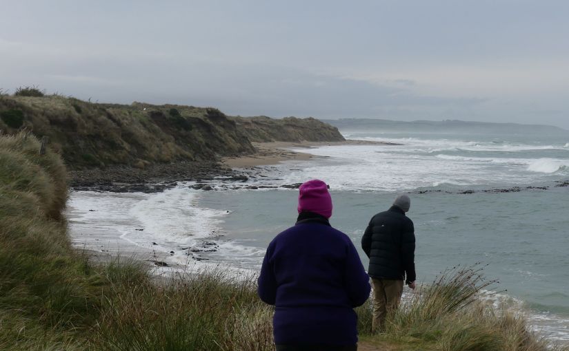
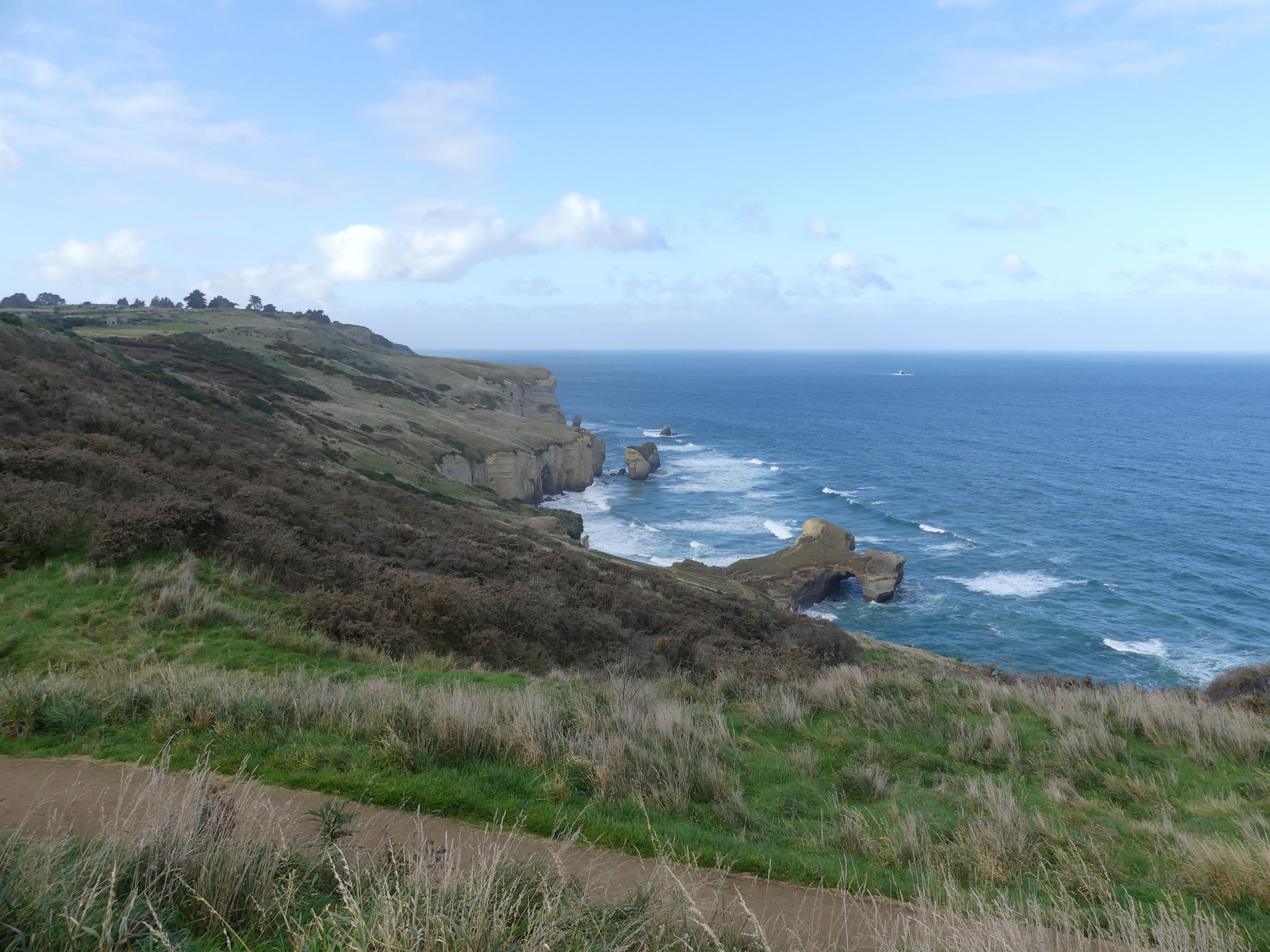
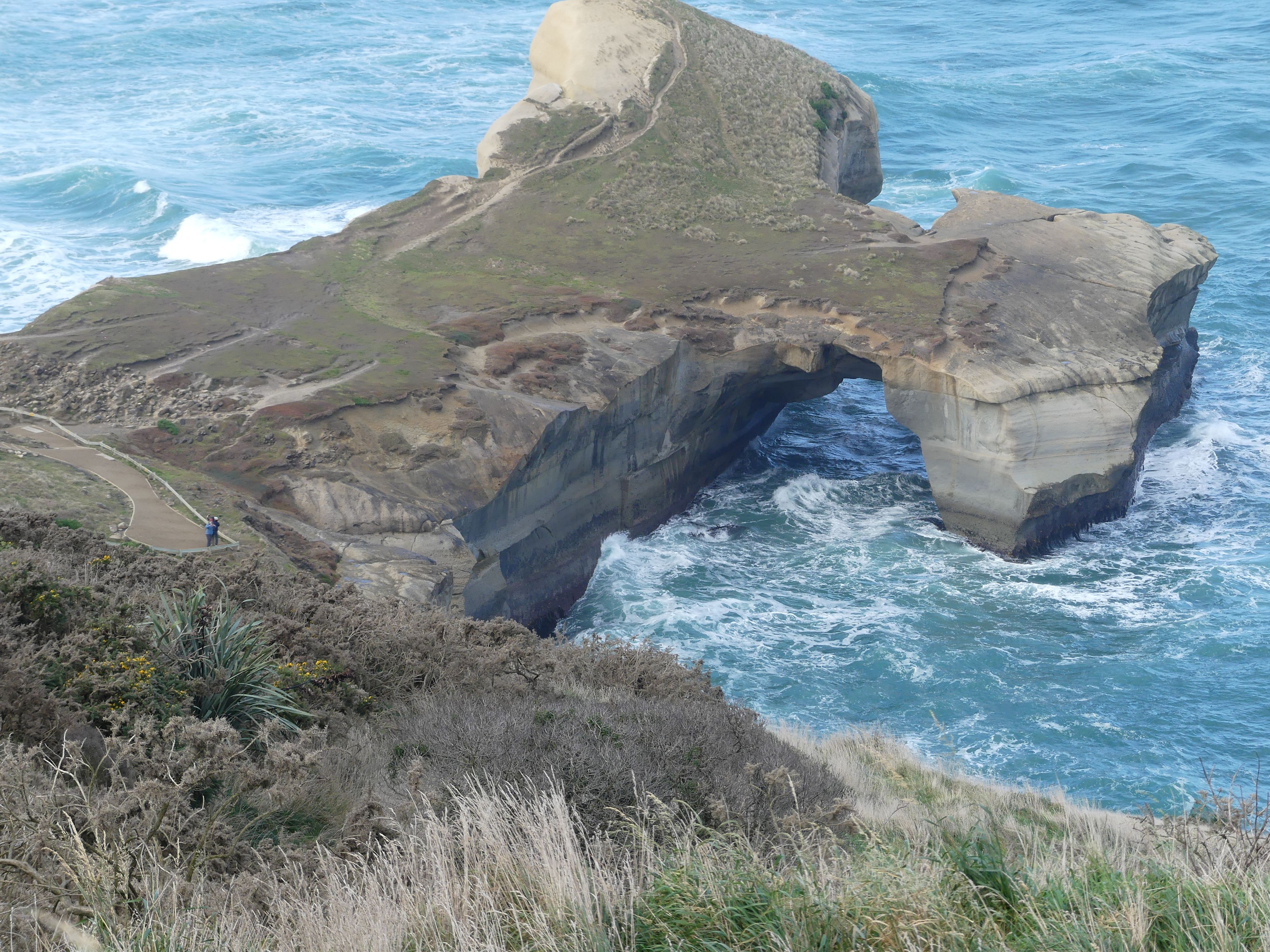
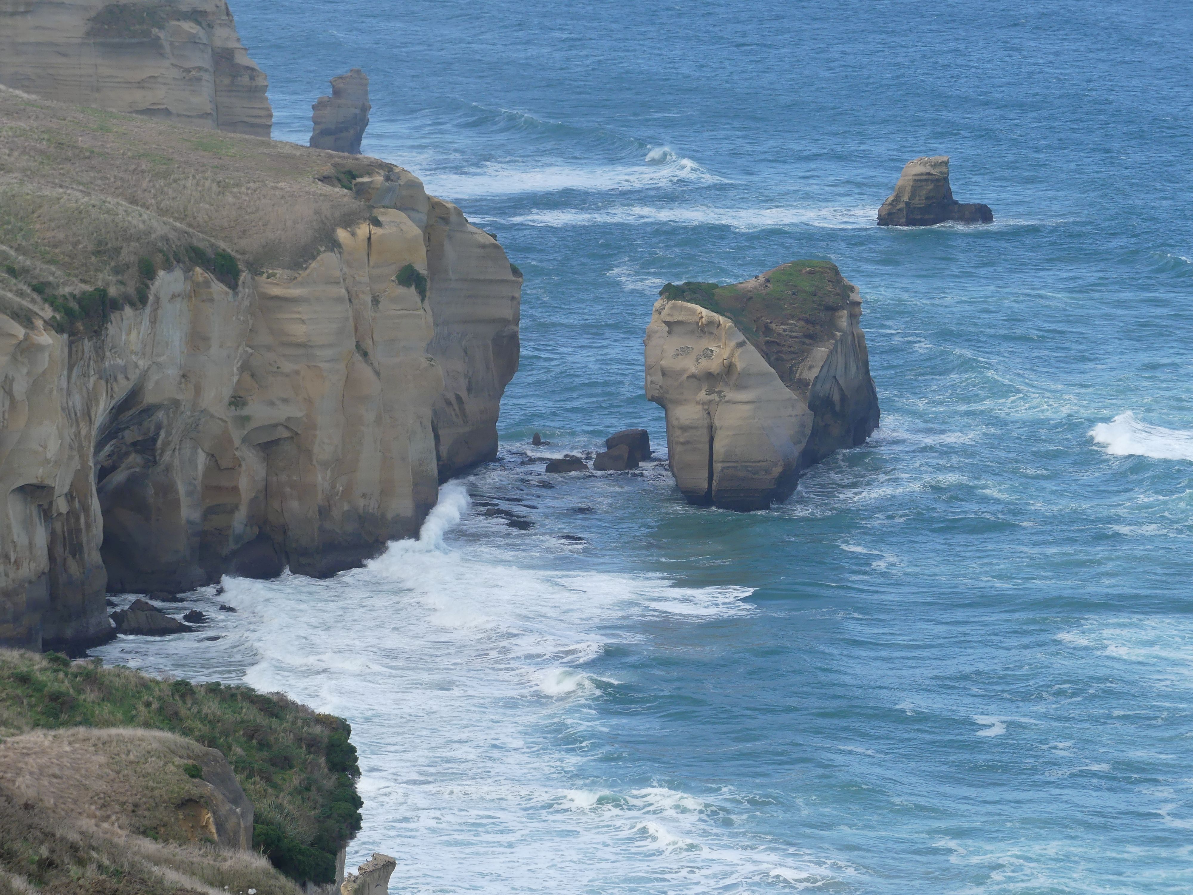
We decided to finish the day with a visit to Tunnel Beach on the Otago Peninsula. The wildness of the peninsula had been tamed by the construction of a long path to the beach but having walked down to the first viewing platform we looked back and decided that was enough – walking back up will be too hard for us elderly folk.

Tunnel beach from above. I don’t think I would have survived the climb back up.

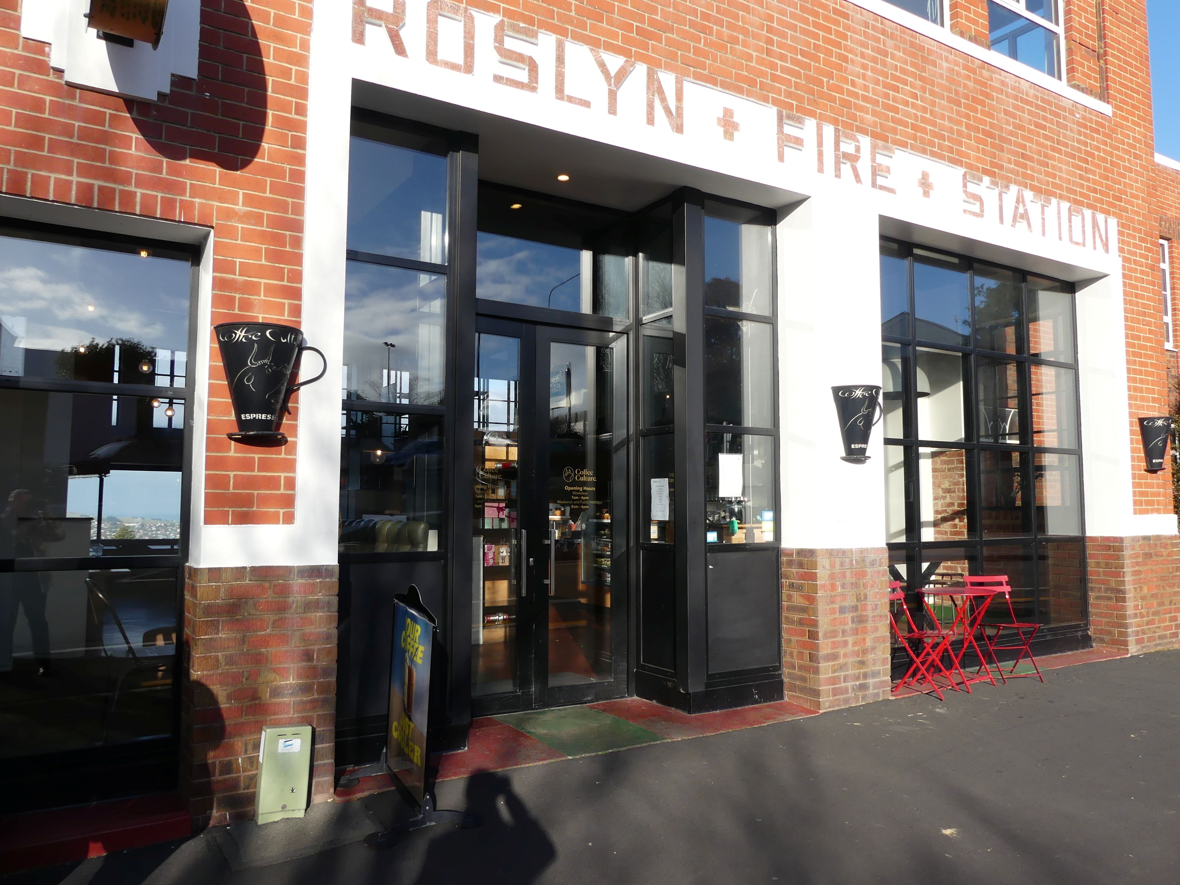
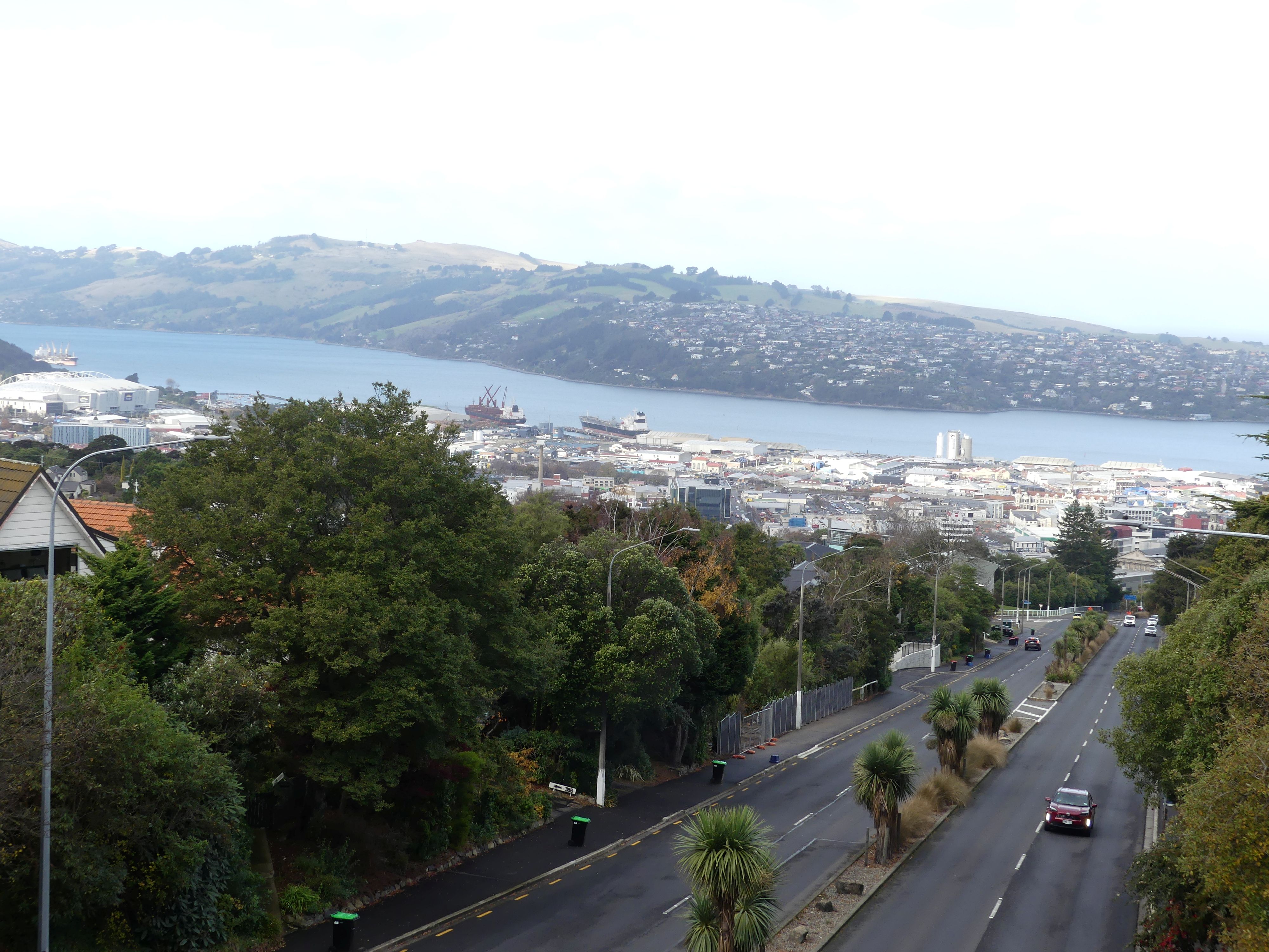
Having curtailed our plans, we decided to return to the B&B via the local coffee shop. Rossalyn Fire Station: no longer in service it had been turned into a coffee shop with magnificent views across Dunedin. After a rest and coffee, we moved onto the B&B and a night of cards before bed.

Fire House cafe and view of Dunedin from the cafe.

Tomorrow Day 9, we plan to travel to Lake Tekapo some 3 hours plus away. Still a long way to go travelling the South Island. Read more when THE RETIREES VISIT THE SOUTH ISLAND ACROSS THE DITCH blog 495 Episode 4.