
19TH MAY TO 10TH JUNE 2026
Day 19 Kaikoura
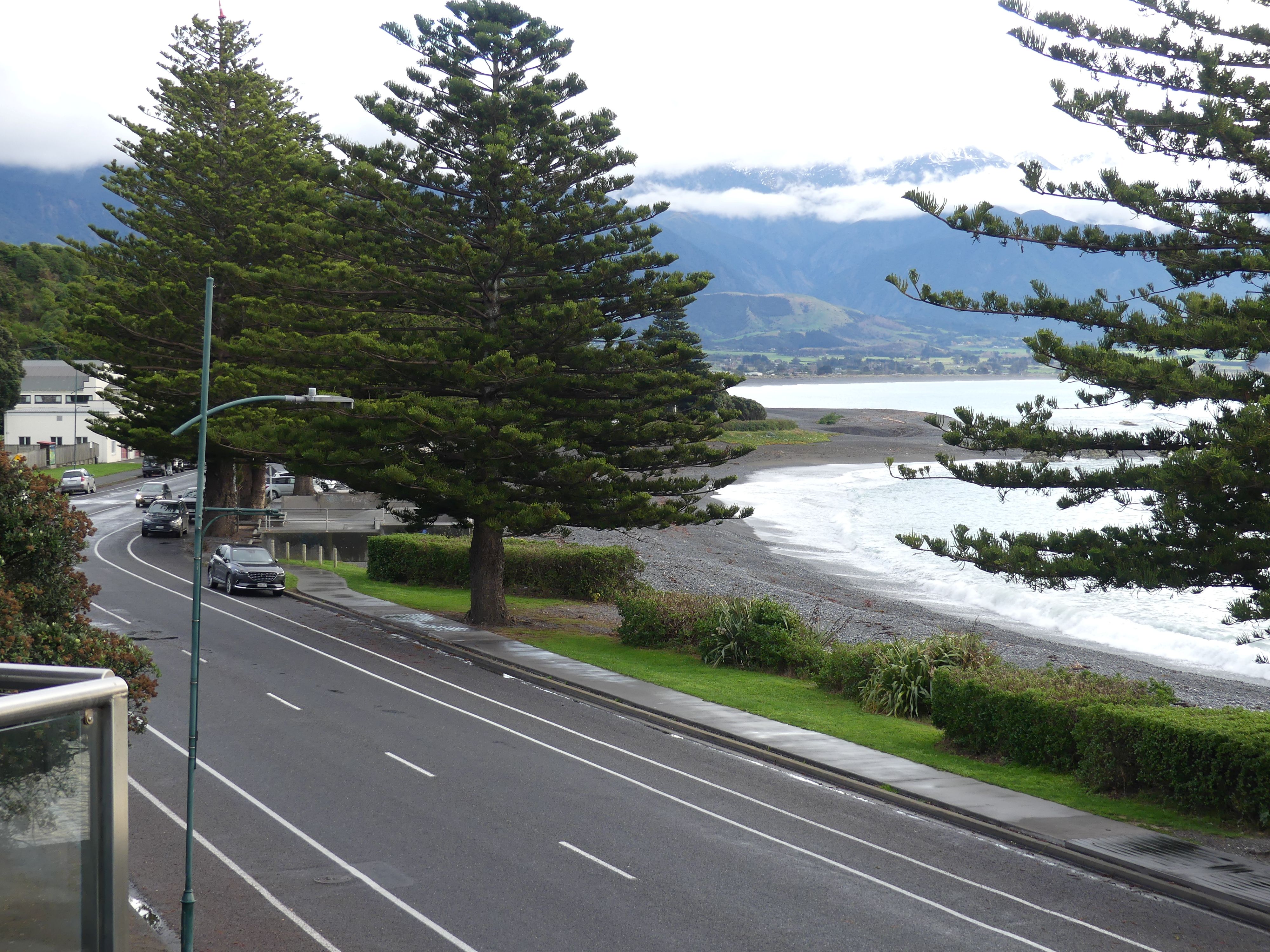
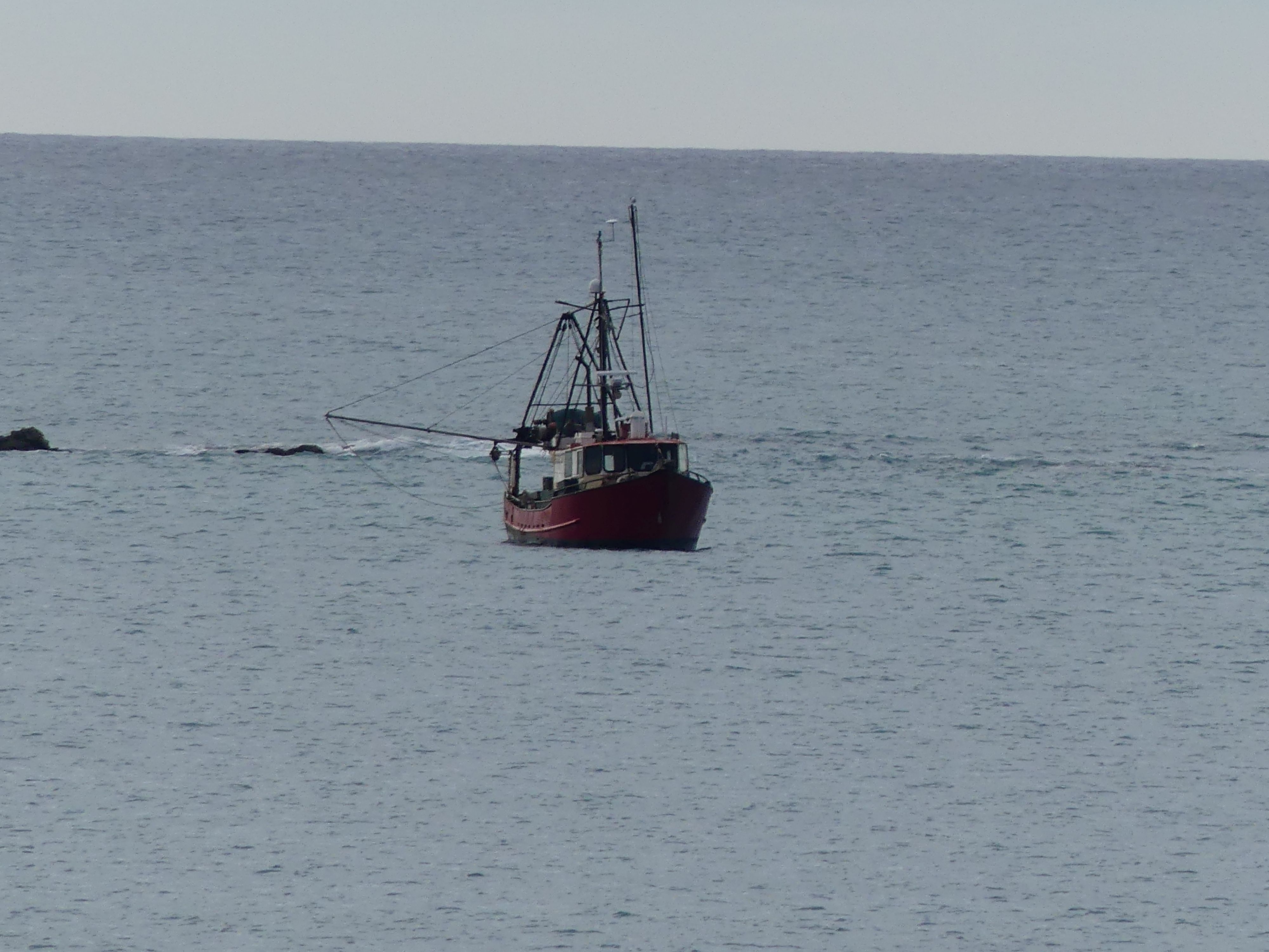
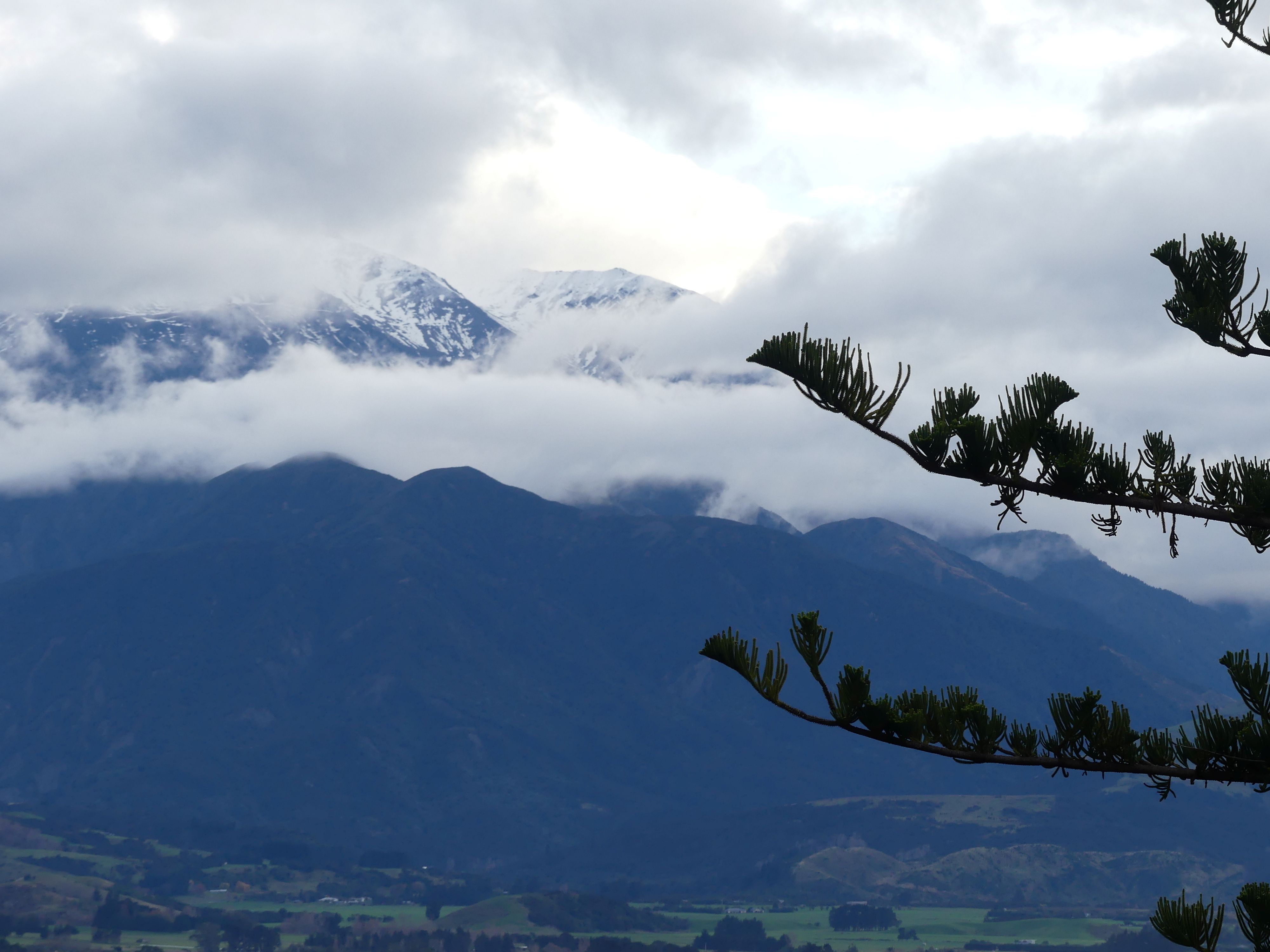
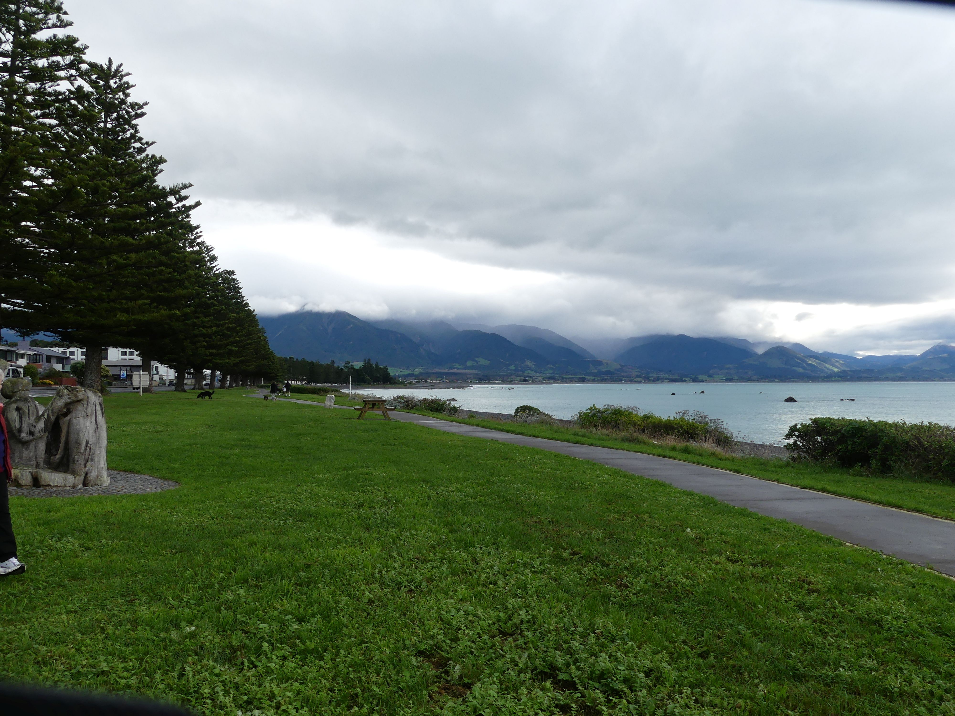
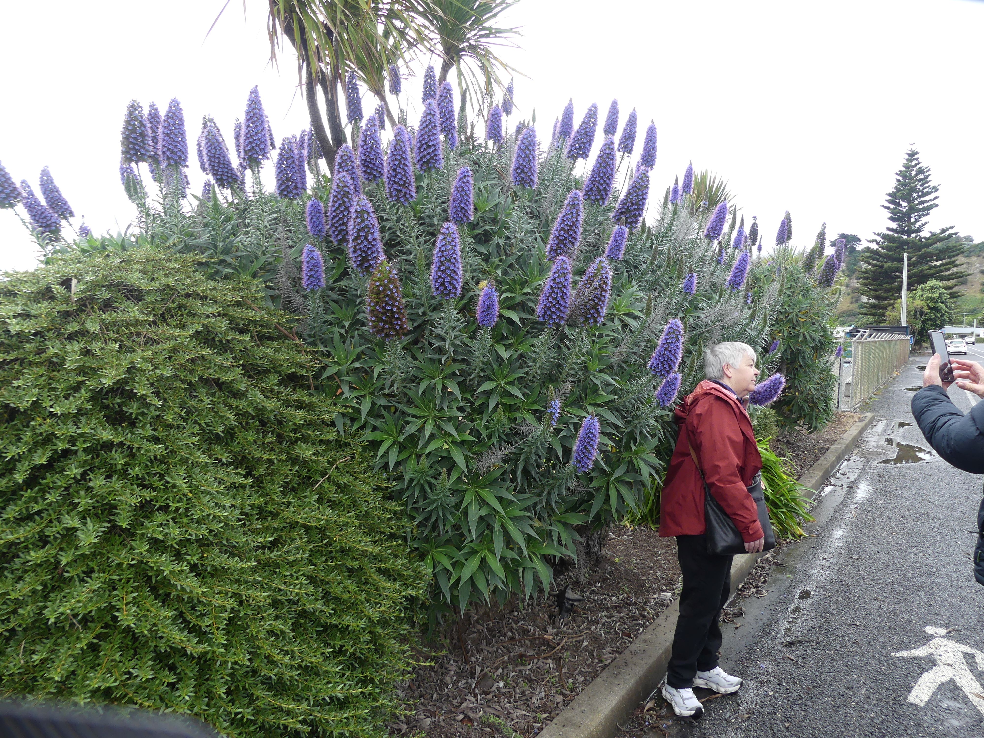
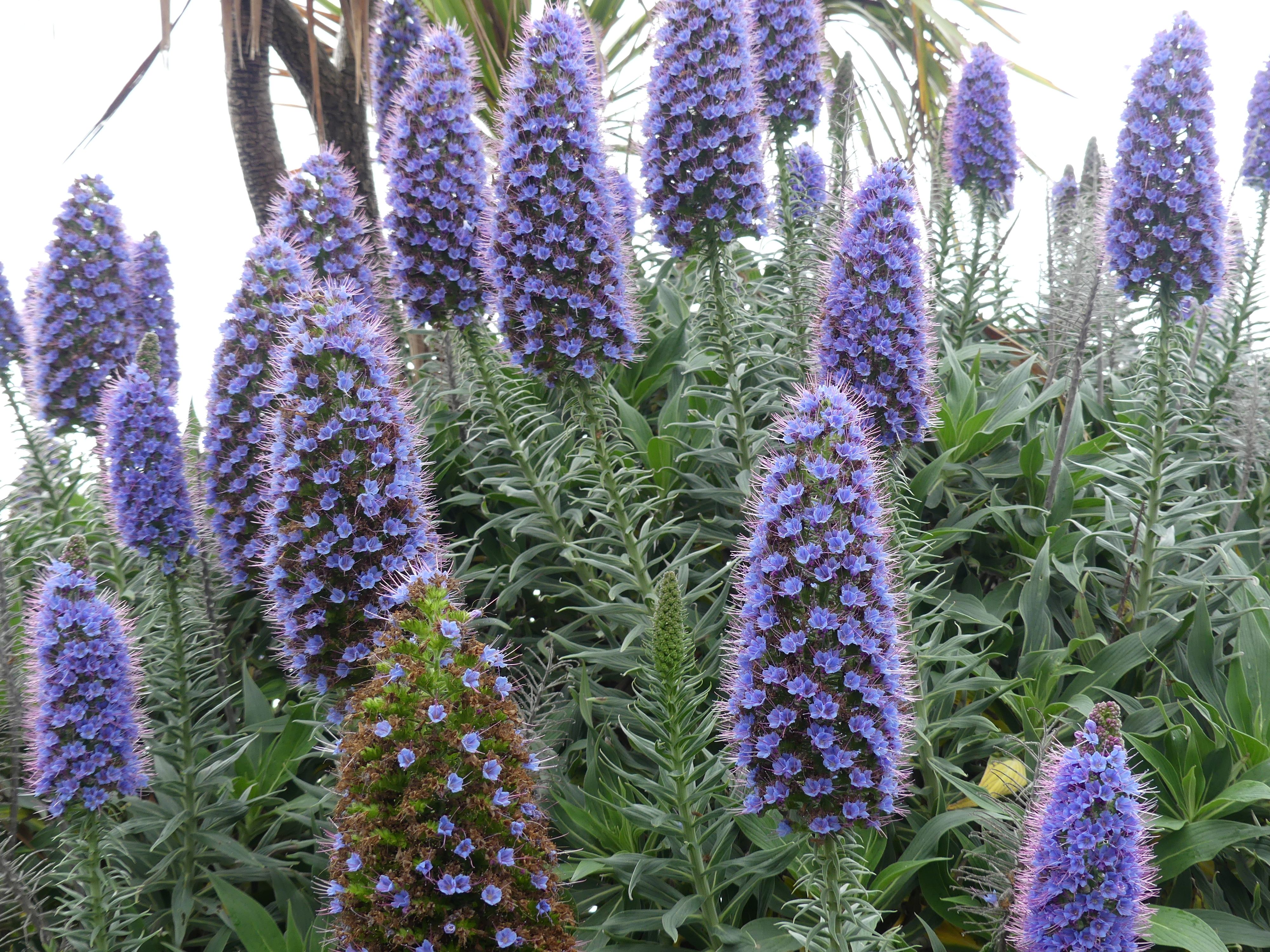
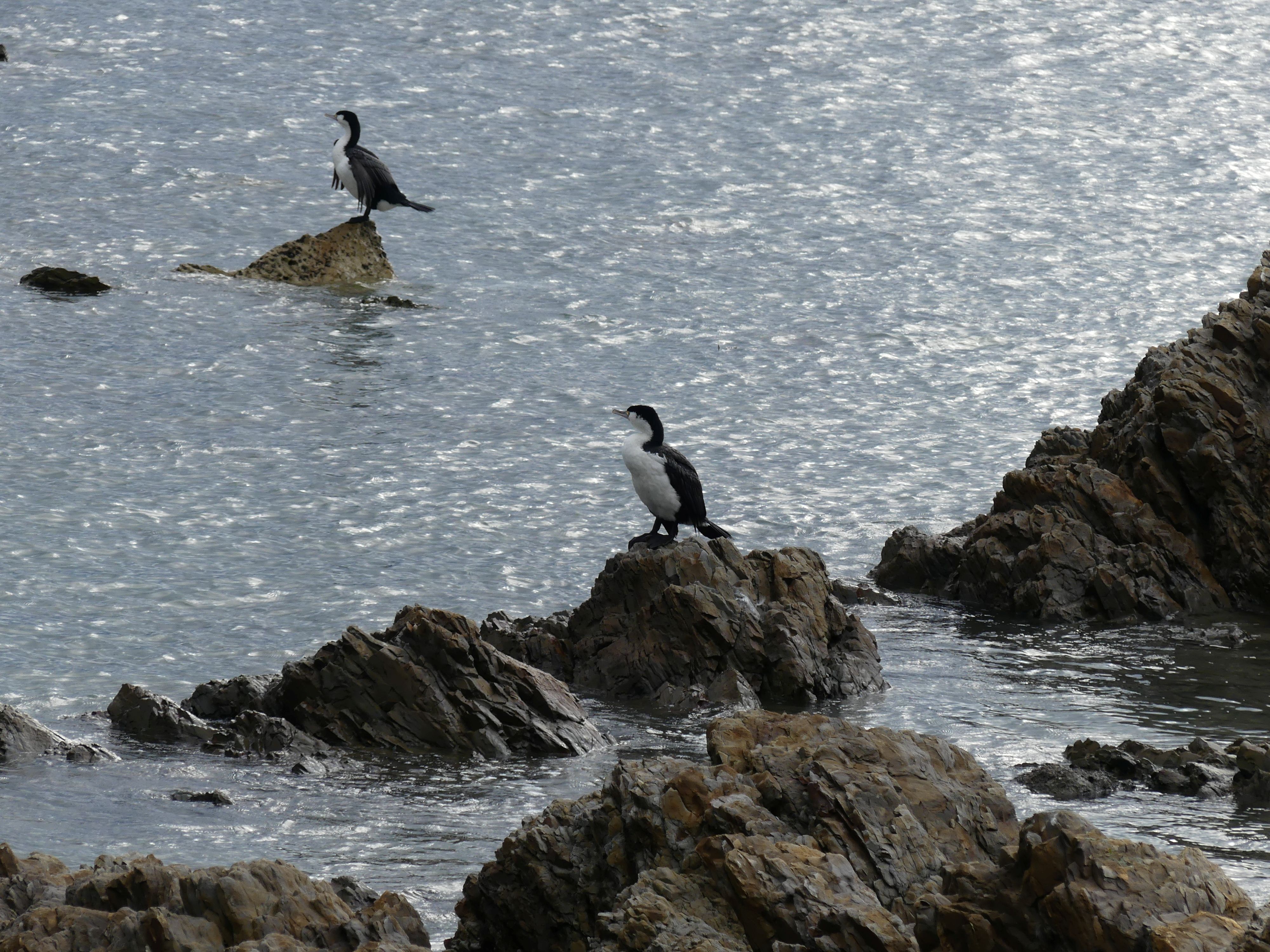
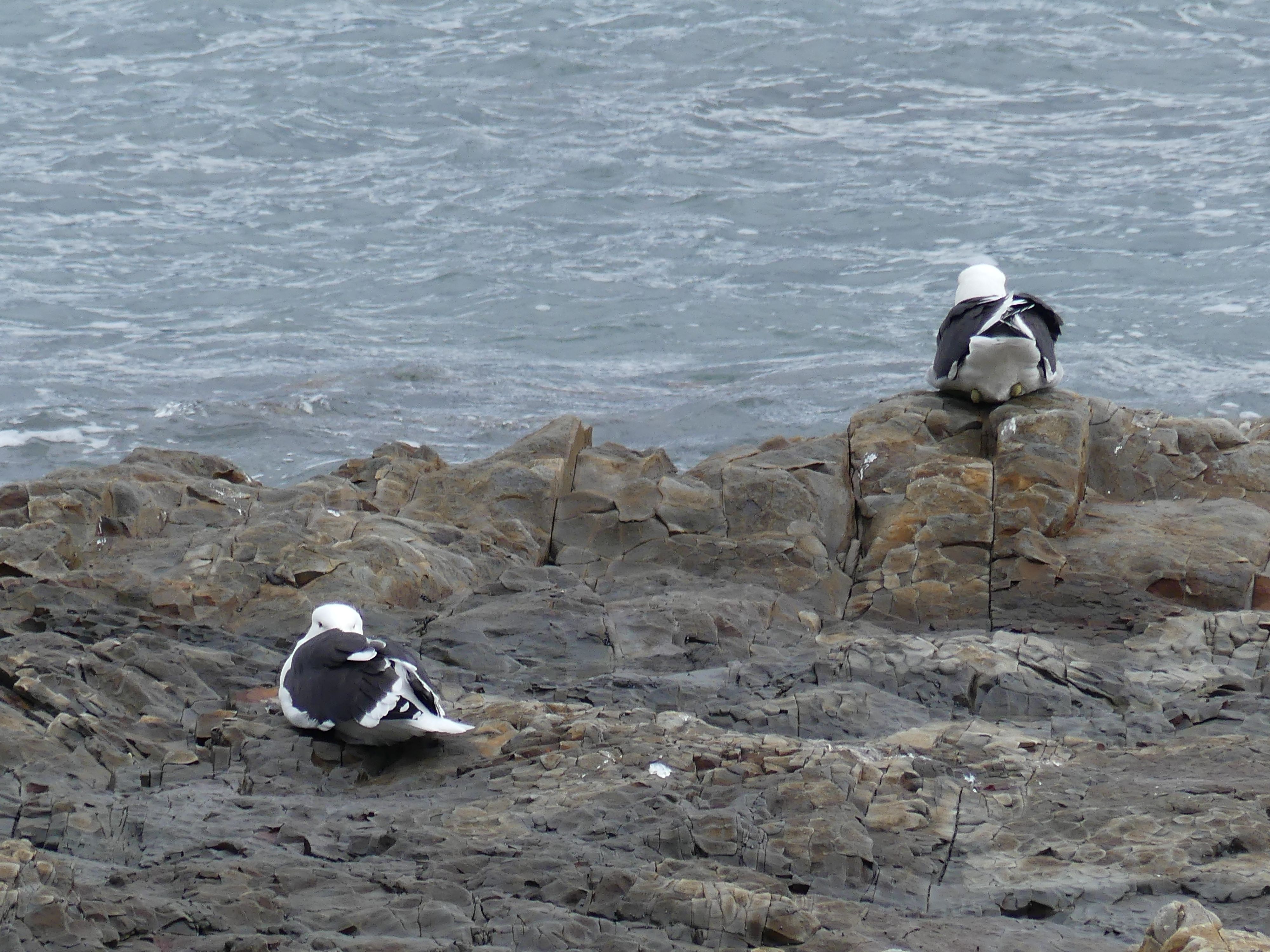
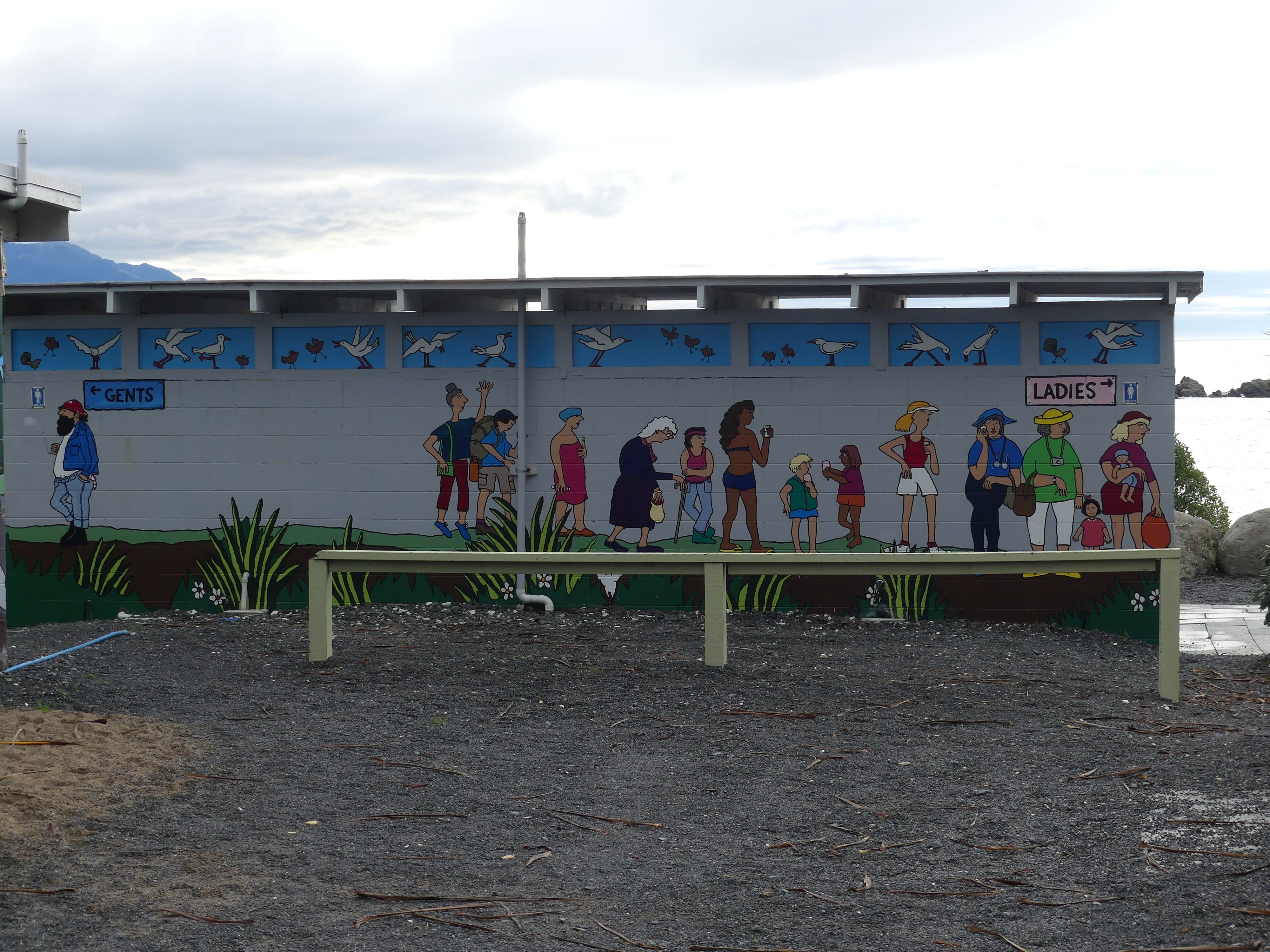
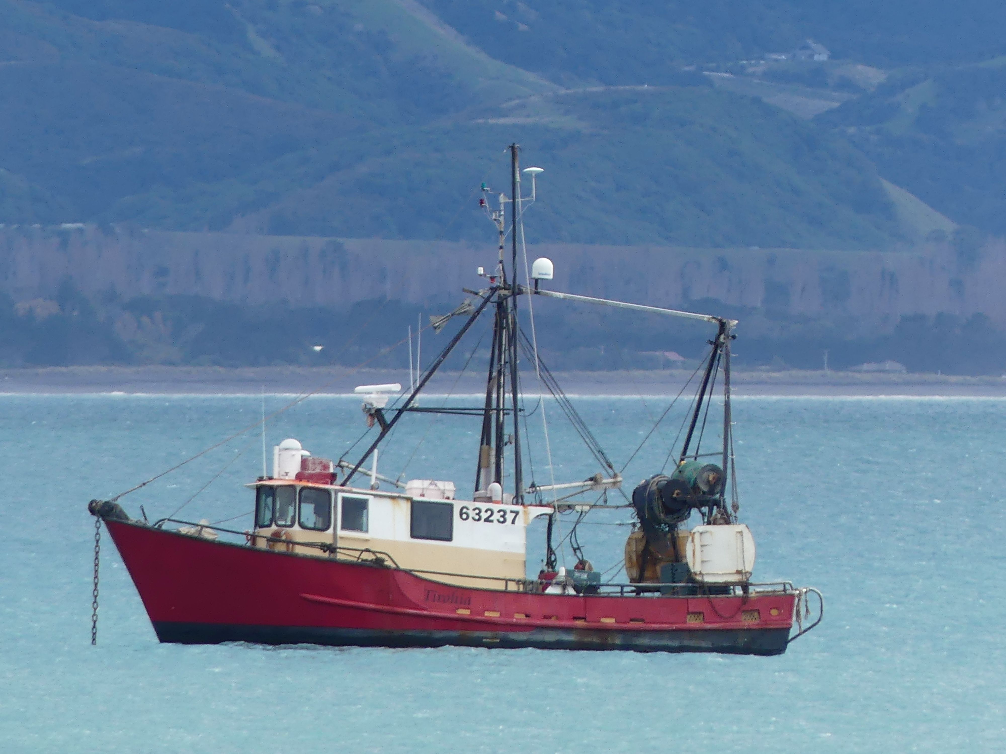
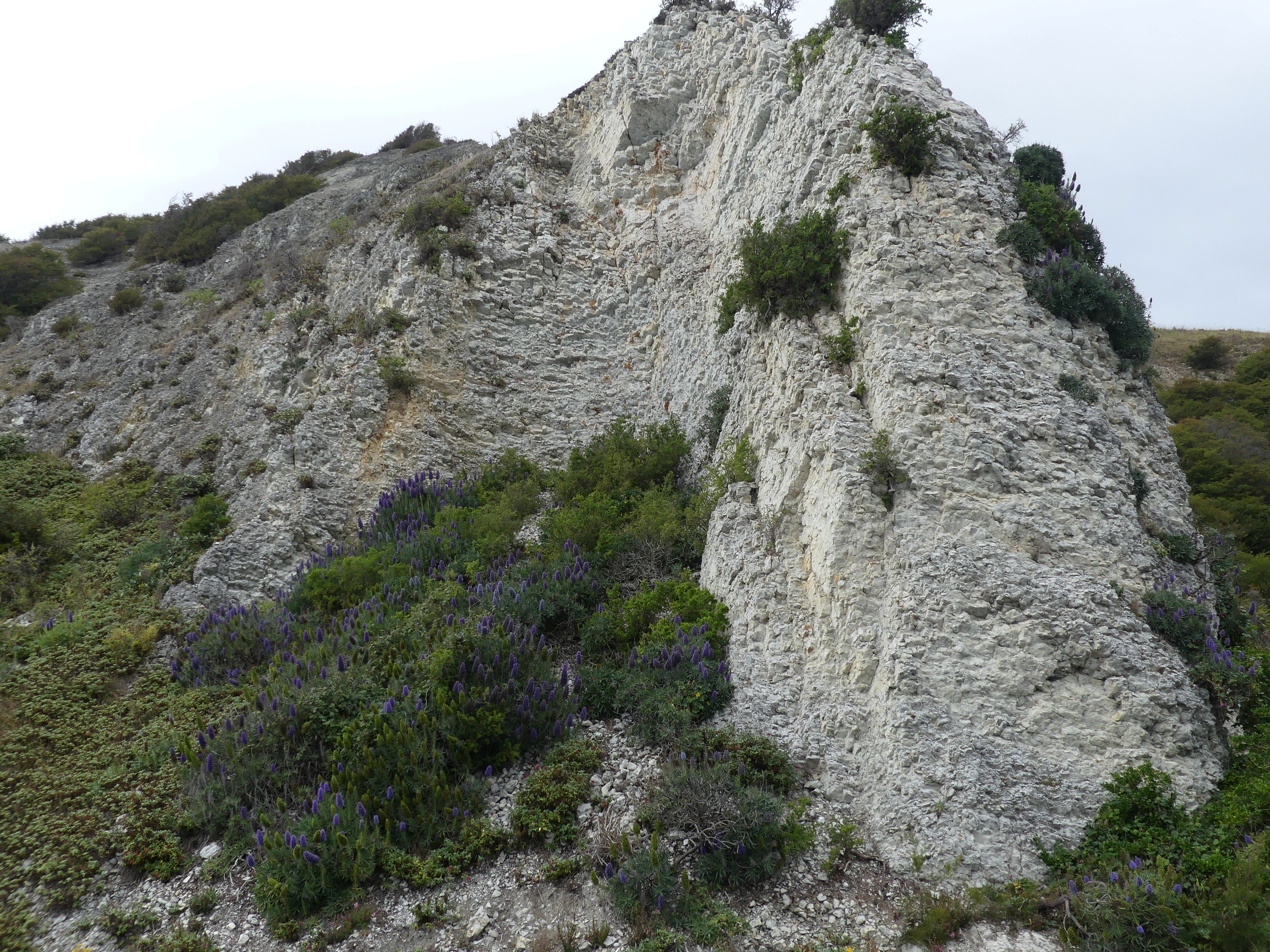
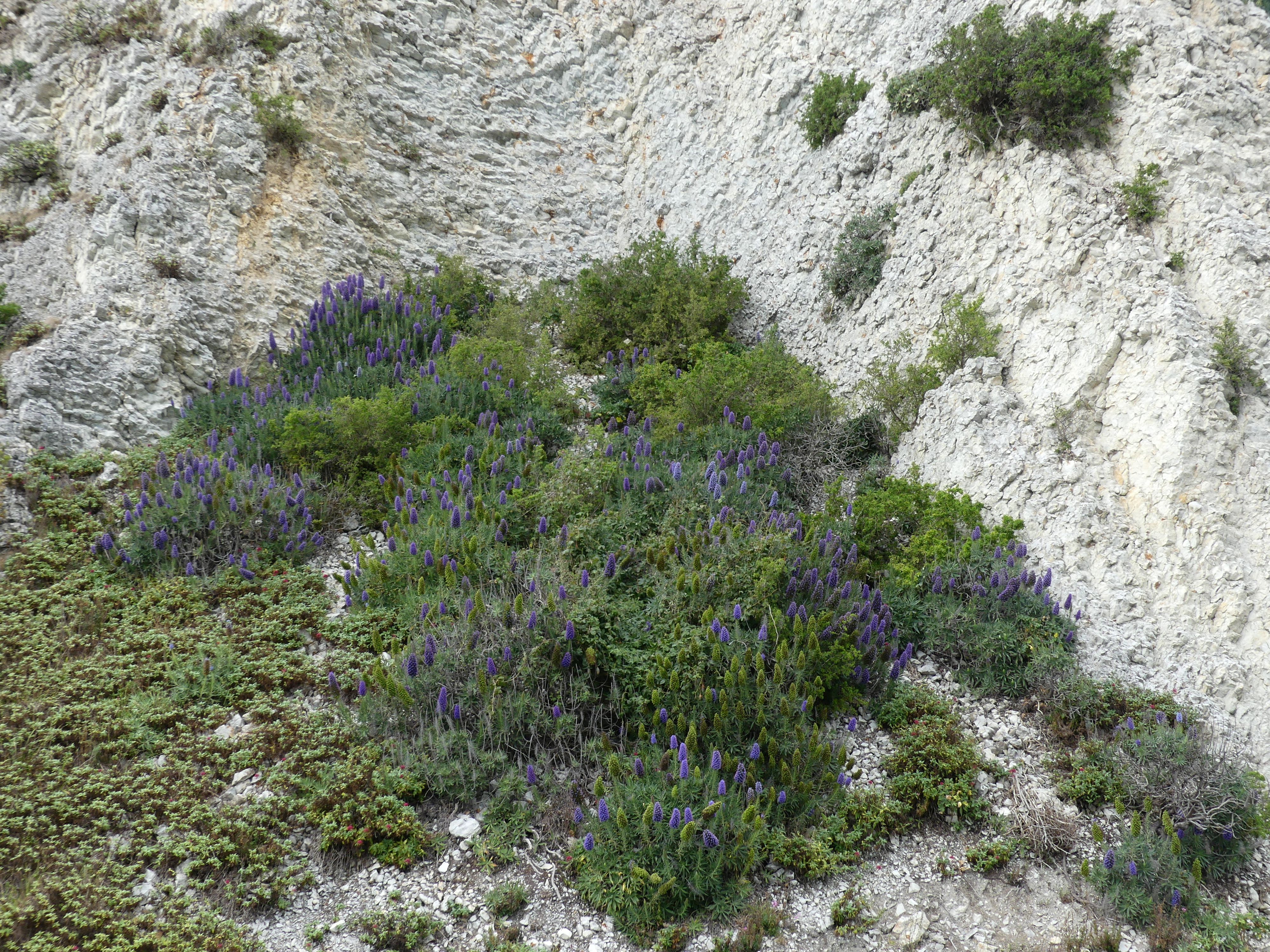
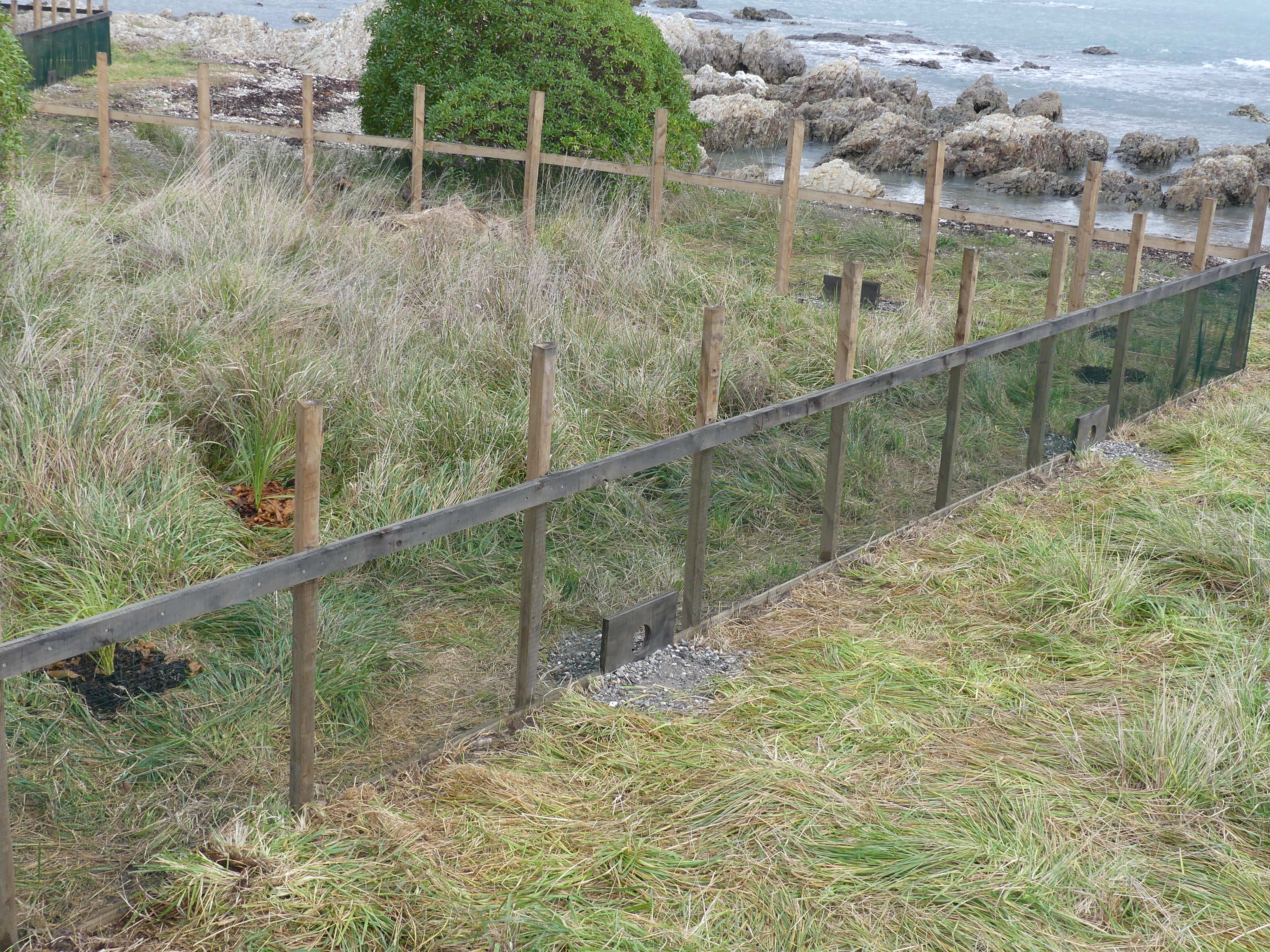
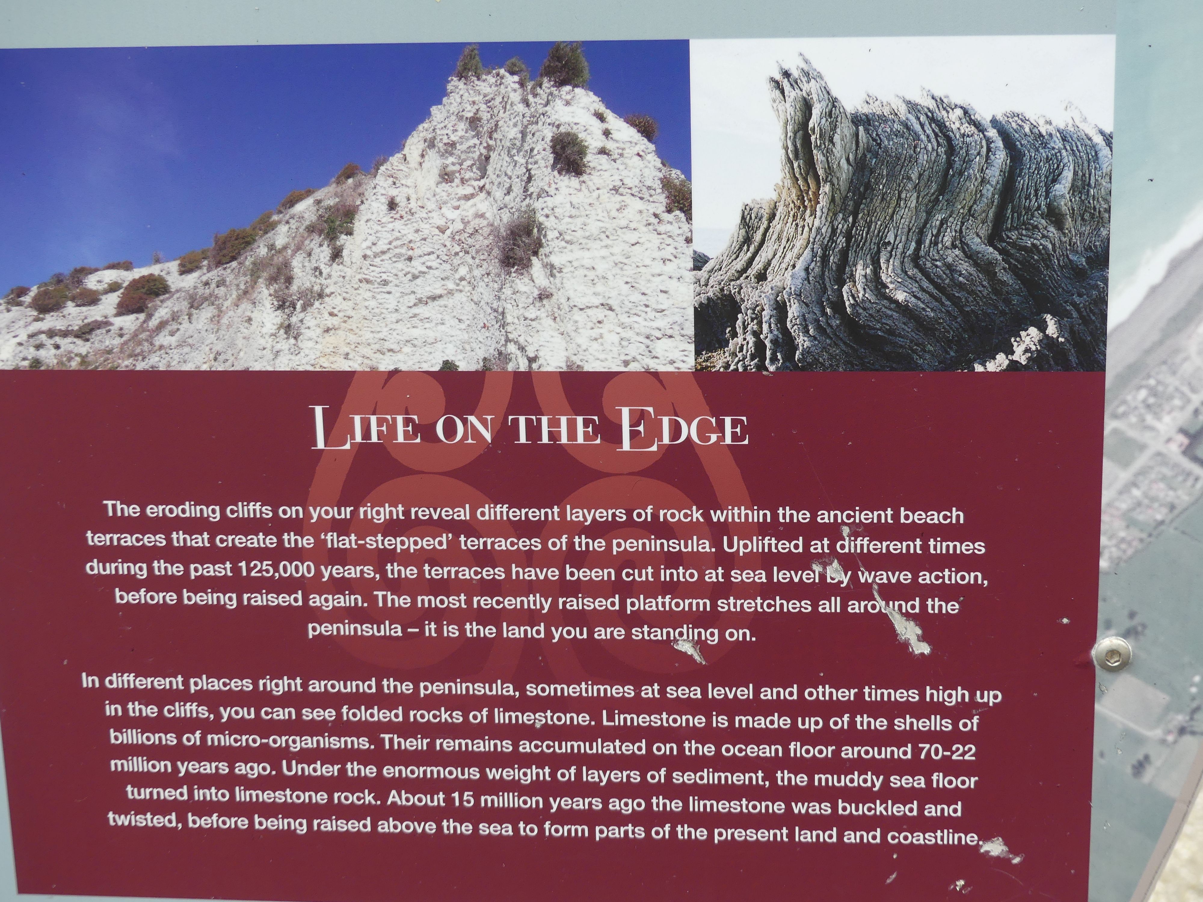
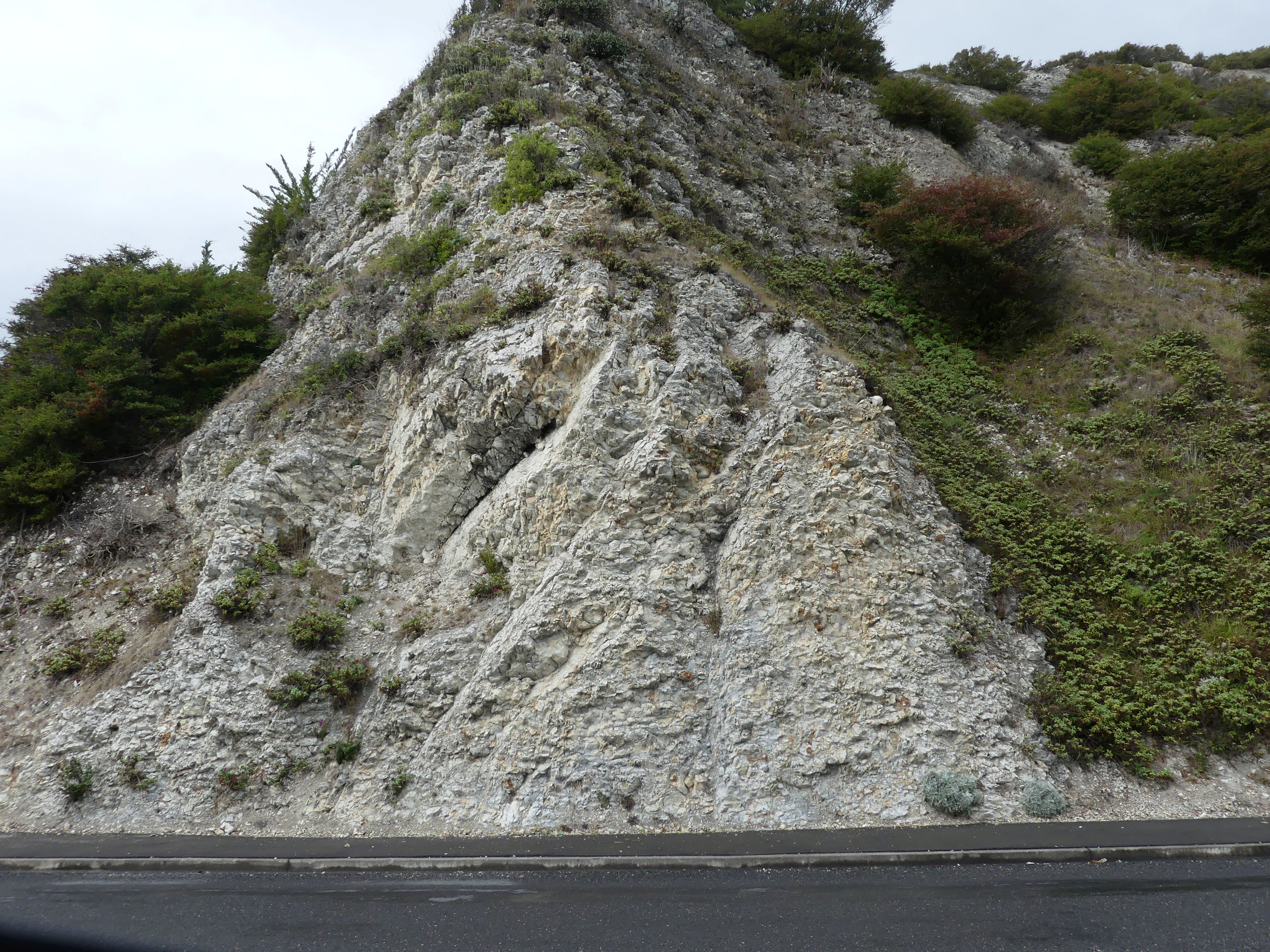
We drove into Kaikoura around sunset so there was not a lot of time to do anything until the following morning. The day was again overcast but the view from the balcony was quite appealing. Clouds hung low over the mountains to the north whilst it appeared to be clearing to the south. After breakfast, we decided to walk along the beachfront to the south in the hope that we may see some native flora and fauna. We found some flora adorned with purple brush like flowers, images of some fauna on the rear of the public toilet and some sea birds (cormorants and gulls) drying on the rocks. Even though the hills were pushing towards the sea, they had interesting purple flowering flora clinging to the steep sides. On the roadside is an information sign regarding the formation of the rocky landscape which runs down to the sea. Off the road and next to the sea and rocks was an enclosure for little penguins. We could not see any of the birds, but the enclosure was clearly designed for the penguins.
Photos driving into Kaikoura, lonely fishing boat, hills behind the town,the footpath along the shore, flowers (flora), birds by the sea (fauna), public toilet art, rocky outcrops and little penguins hideaway.
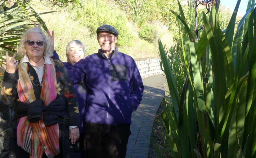
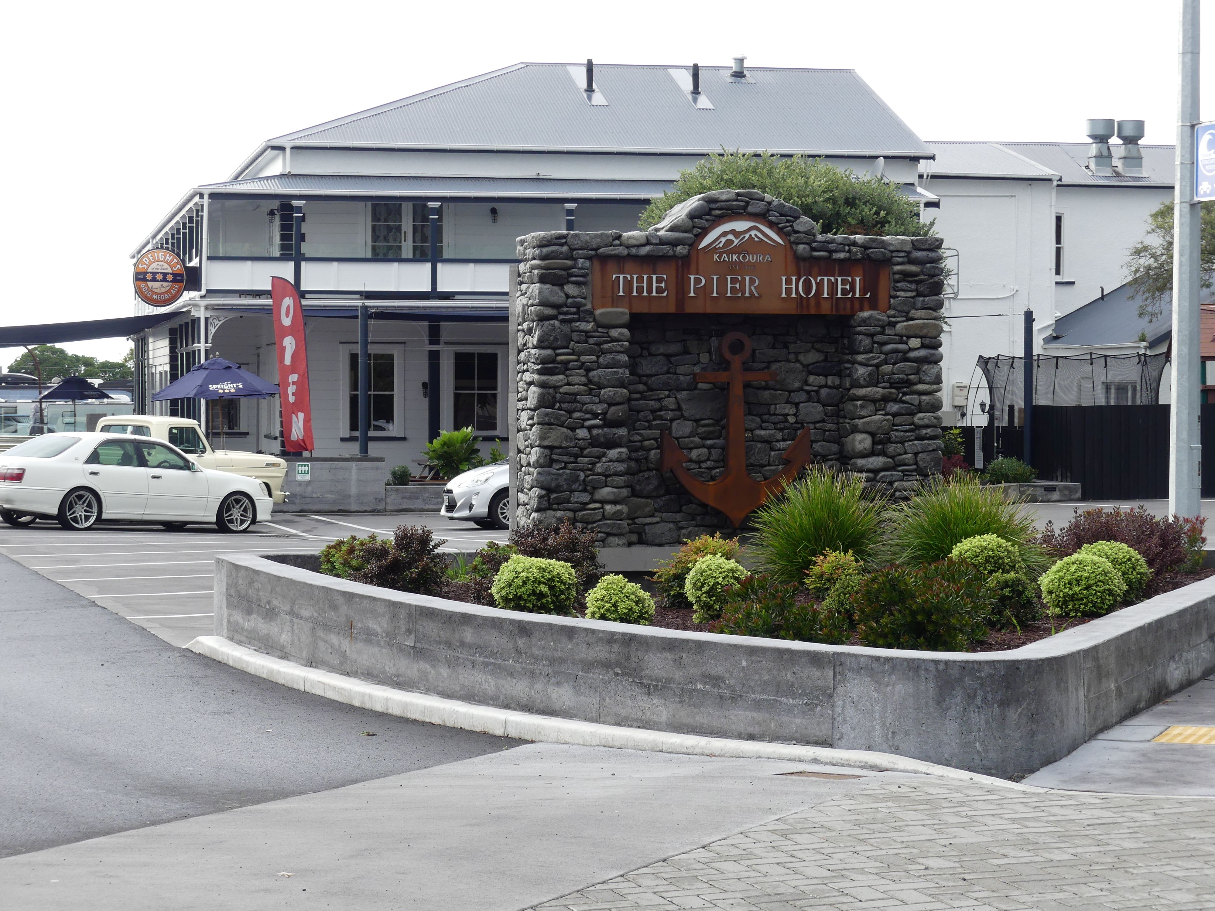
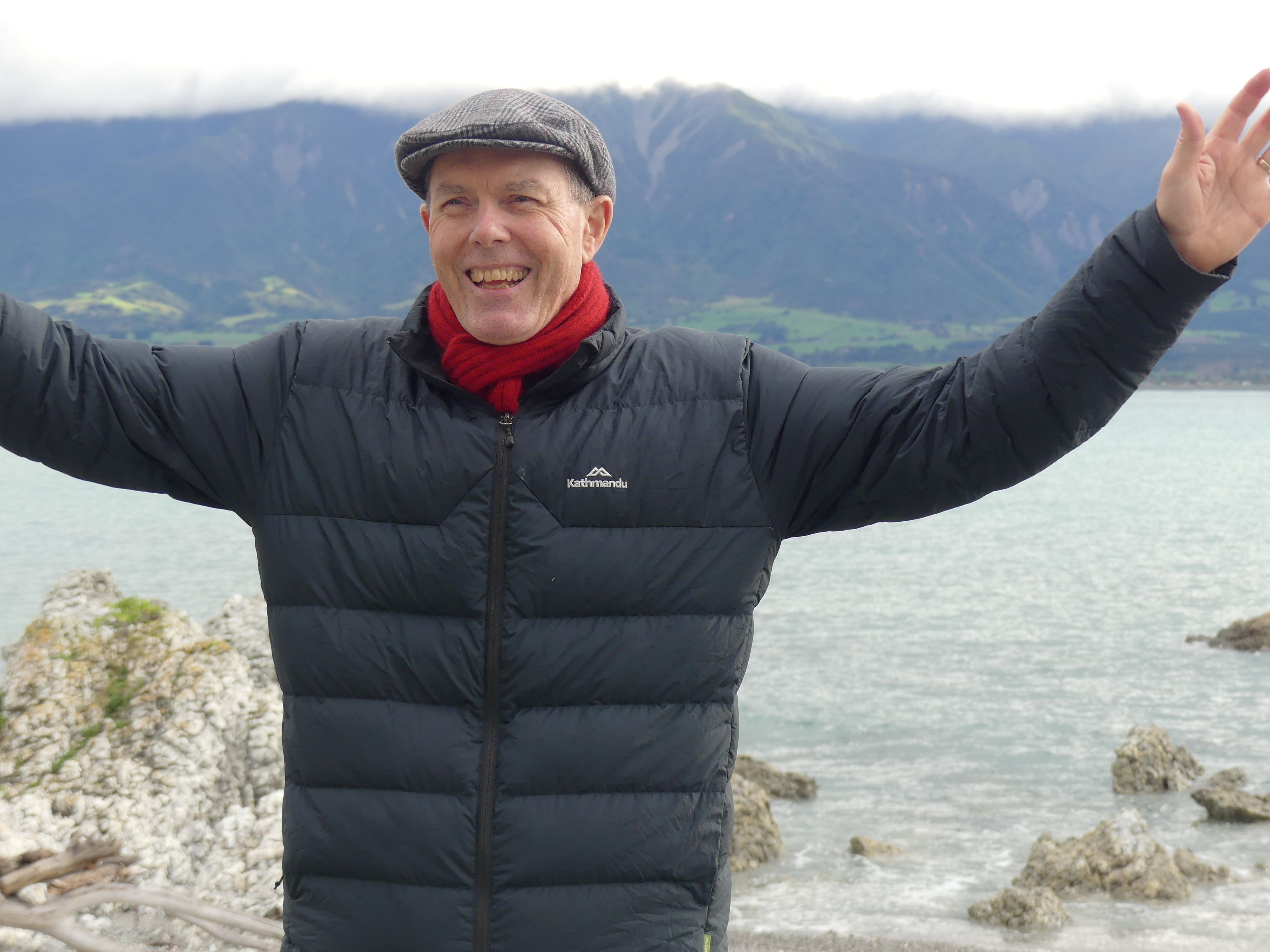
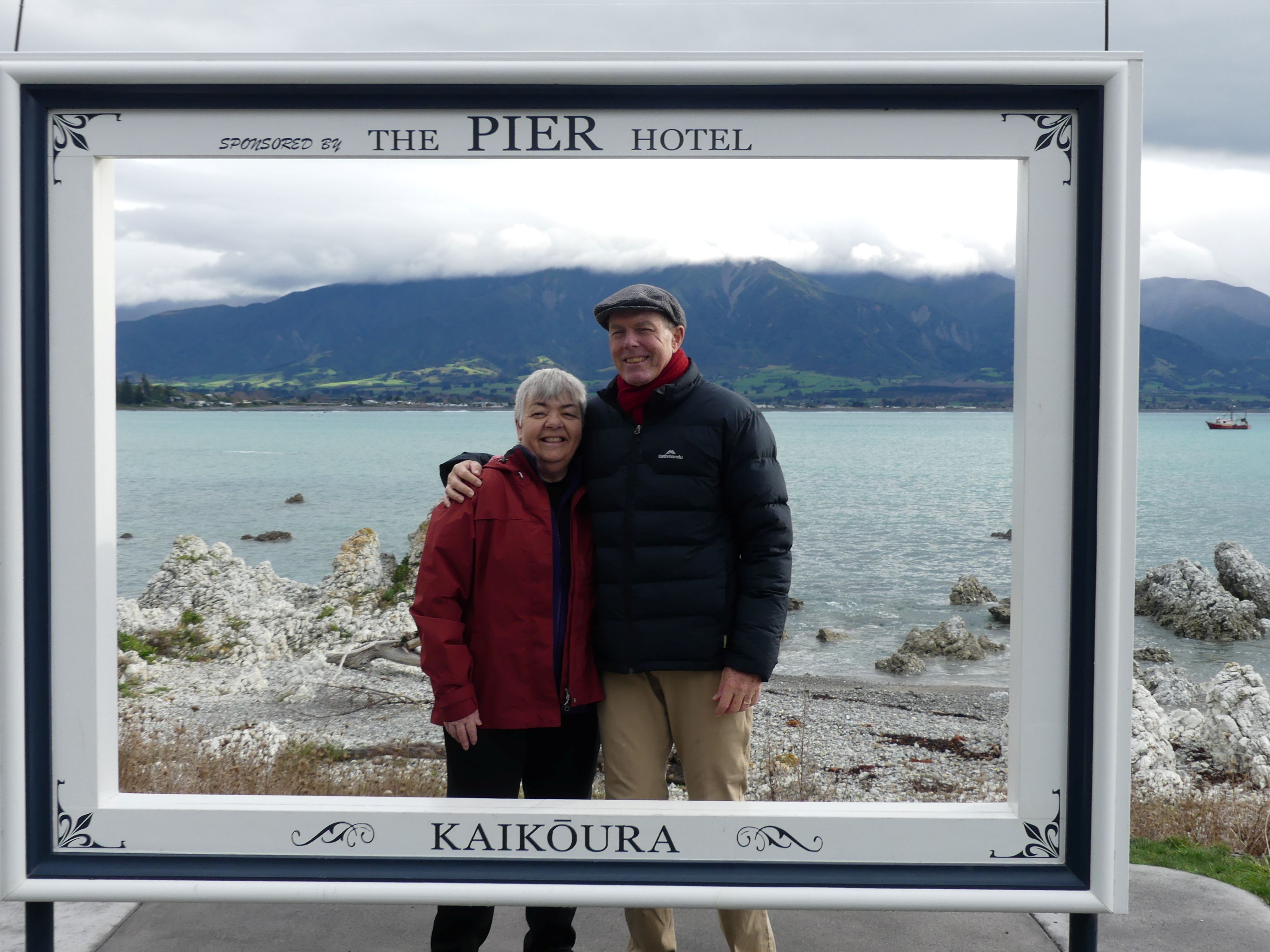
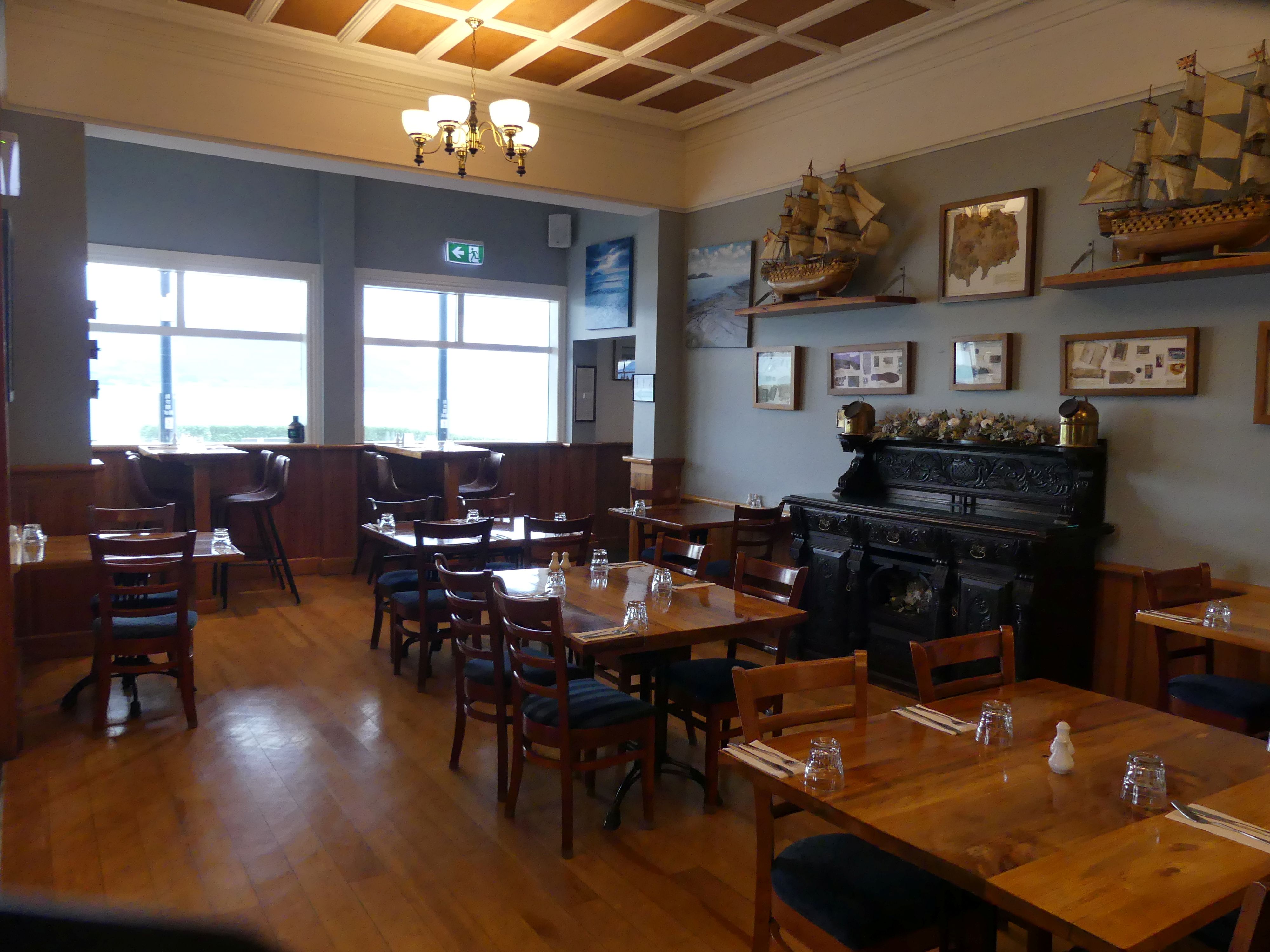
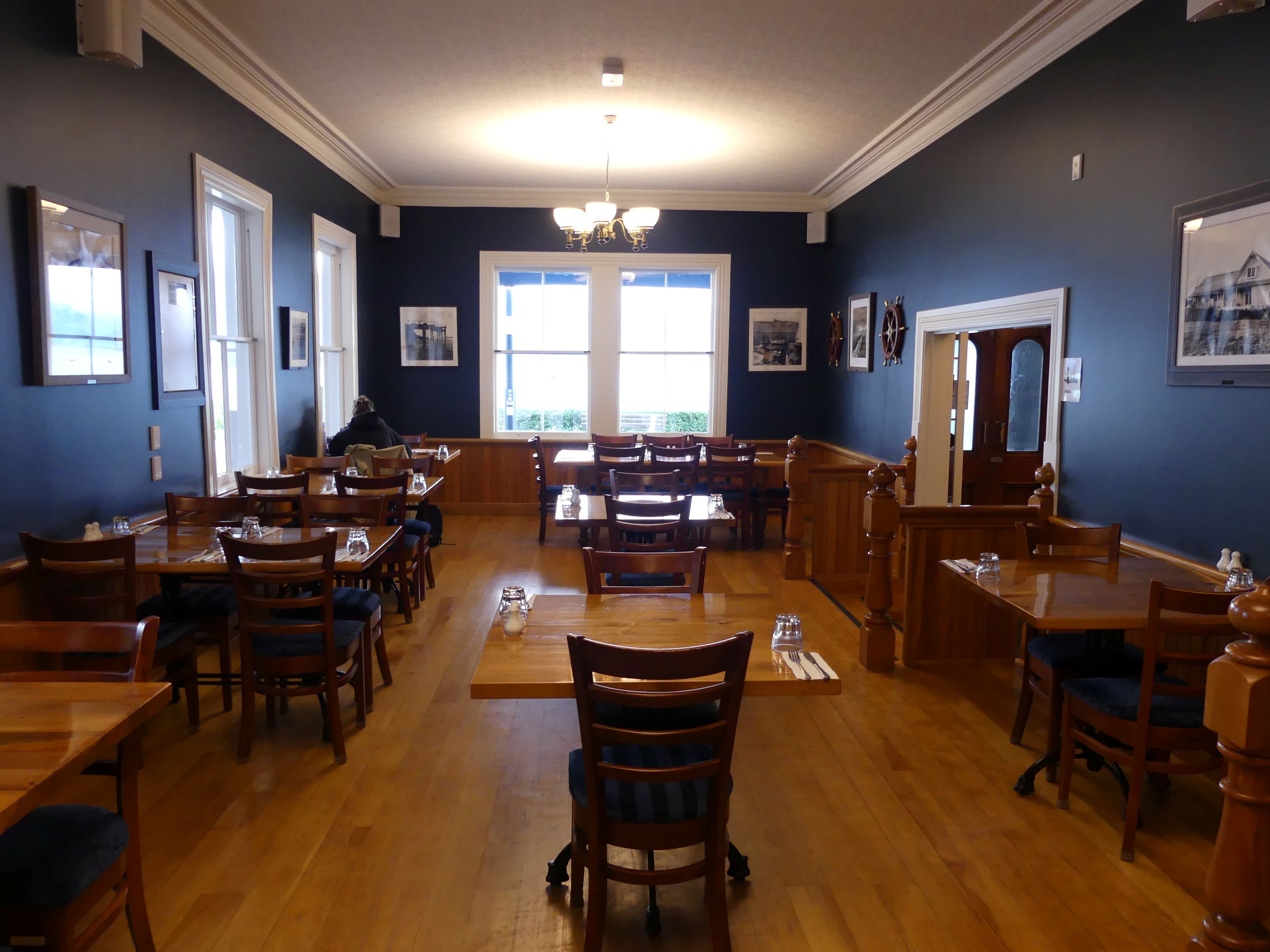
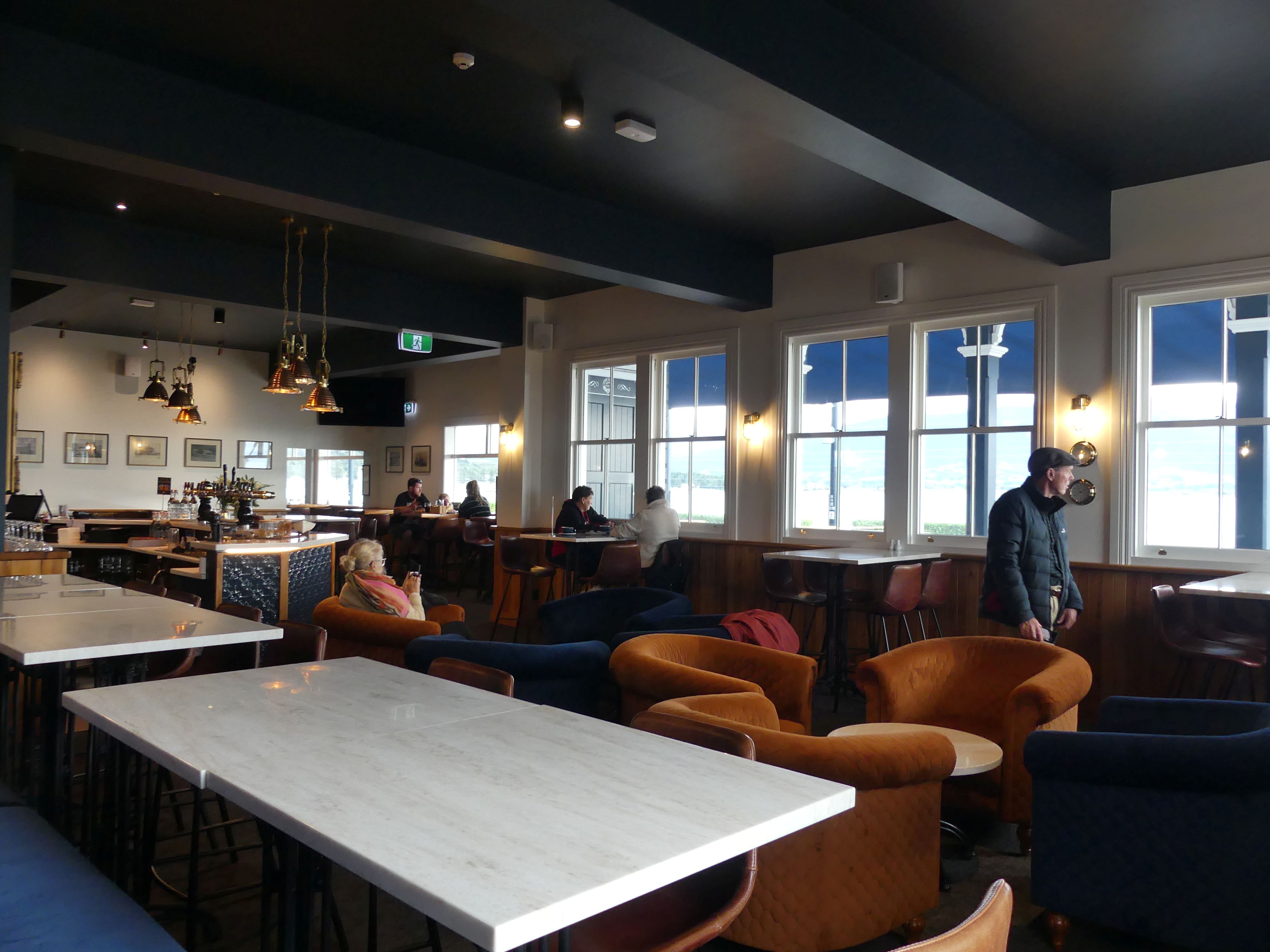
We had reached the Pier Hotel, stuck on the junction of the hills and the road around the hills. Barry was happy about that discovery. Sandi also. The local Lions Club has been hard at work for its community placing concrete benches above the rocky shore where the weary traveller could rest their bones and contemplate the empty sea. Each seat and there are 4 of them had a memorial plate recognising the citizen whose estate had donated so the benches would be available to everyone. Inside the hotel a nautical theme was continued to enhance the location. The sun was over the yardarm (yardarm the horizontal arm on the mast that supports the square sail) therefore it was approaching 11.00am so it was time for our morning coffee. On sailing ships of the 19th century, the sailors believed the sun would rise above the foreyard of the ship by 11:00 am, coinciding with the morning break when officers would go below deck to enjoy their first rum tot of the day. For us it was an extra hot latte.
Photos The Pier Hotel, the pier, rocky outcrop history, our travelling mates, and the interior of the hotel.
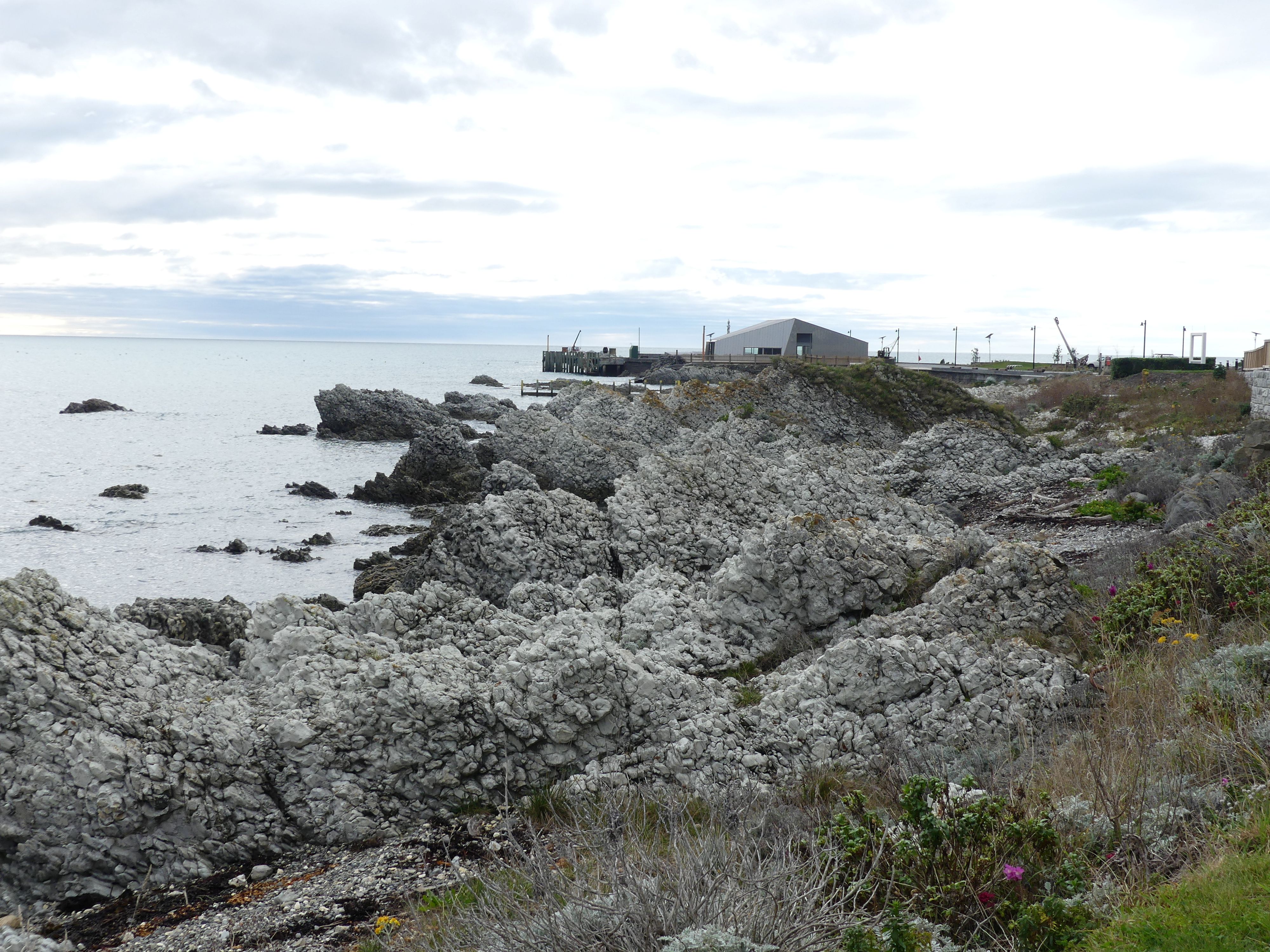
Having received our first tot of the day, we walked on. We were looking for the fur seal colony supposed to inhabit the beaches nearby. The fascinating shapes of the rocky outcrops continued to rise above the sea. The fireplace being the only remains of a house by the sea, stood like a stranger dropped from the sky against the pressurized limestone rocks in the sea. In contrast was Fyffe House at Wai O Puka immediately on the other side of the road. A further contrast was the green shed announcing the Point B&B. At first, I thought the shed was the B&B but no, it was 800m ahead. We came to the beach and our first encounter with a fur seal. Looking rather sleep deprived, it lay in the grass not caring that we were nearby. A second seal was equally disinterested.
Photos
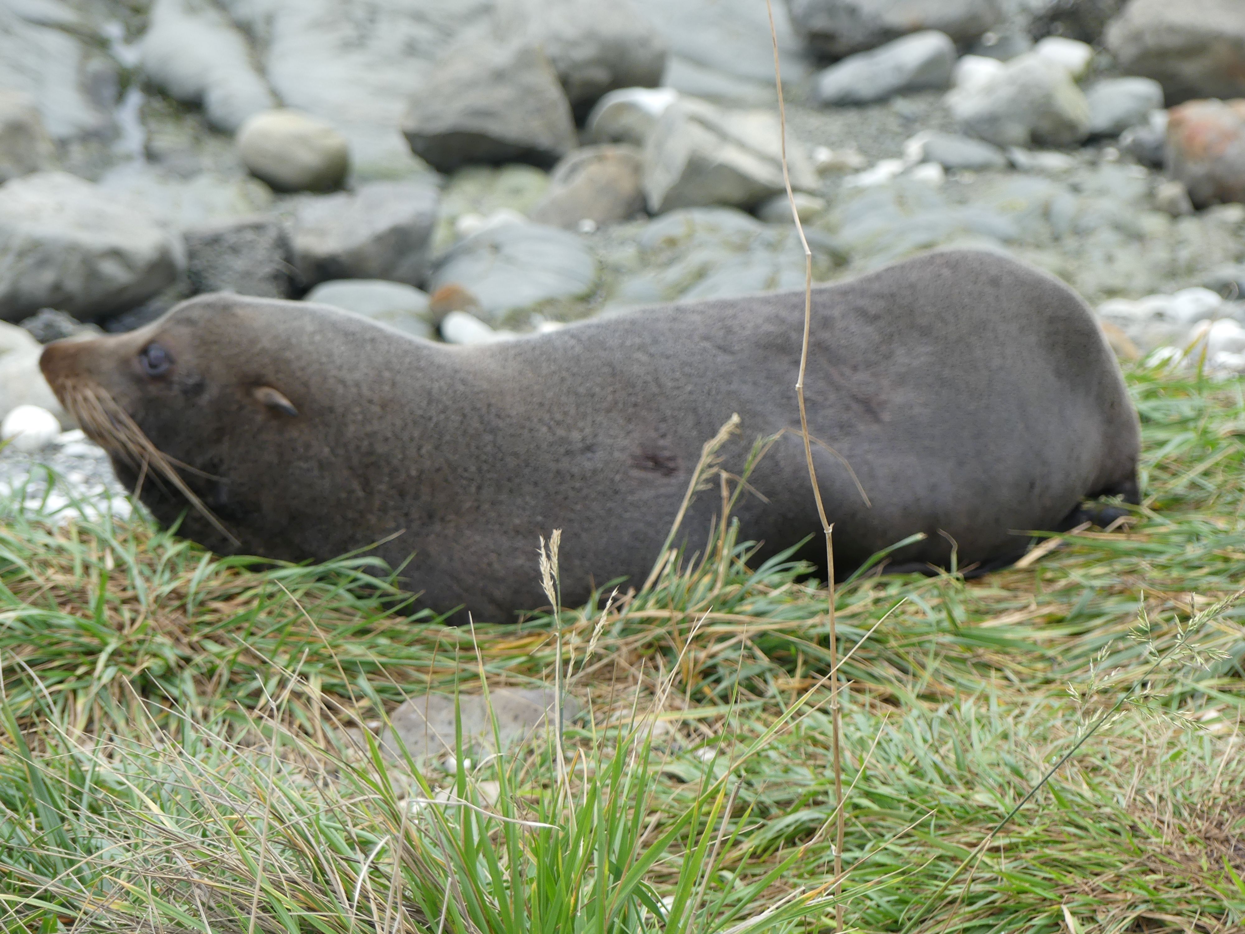
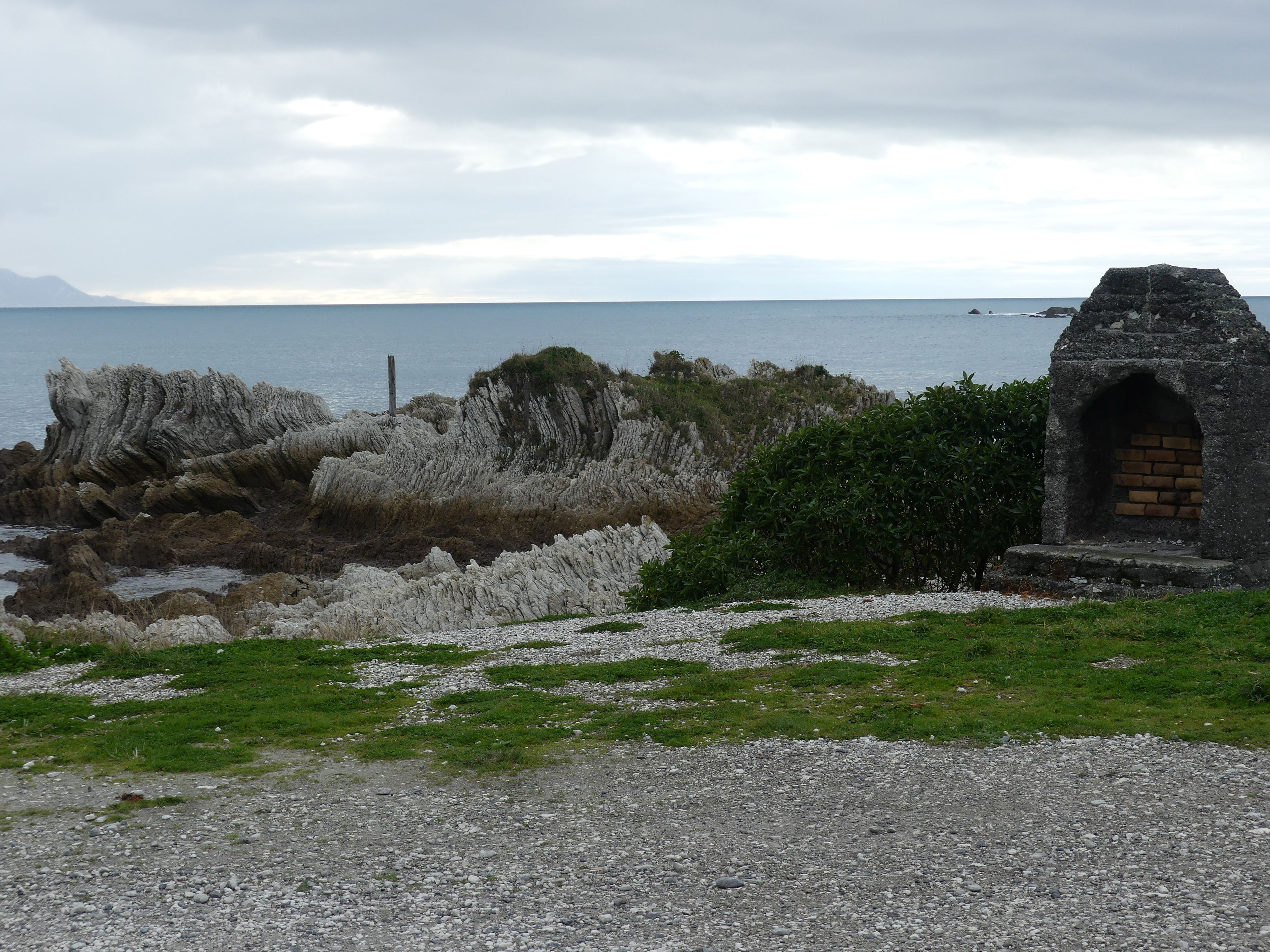
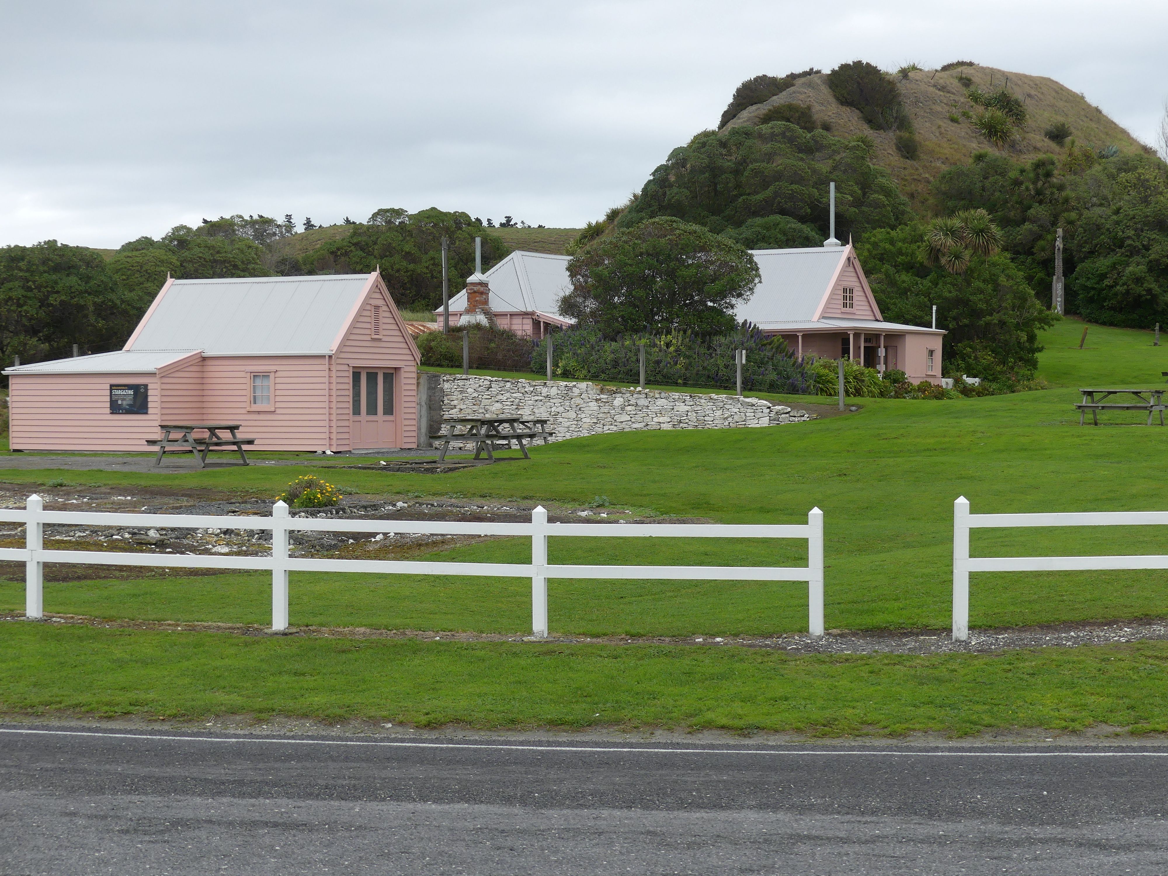
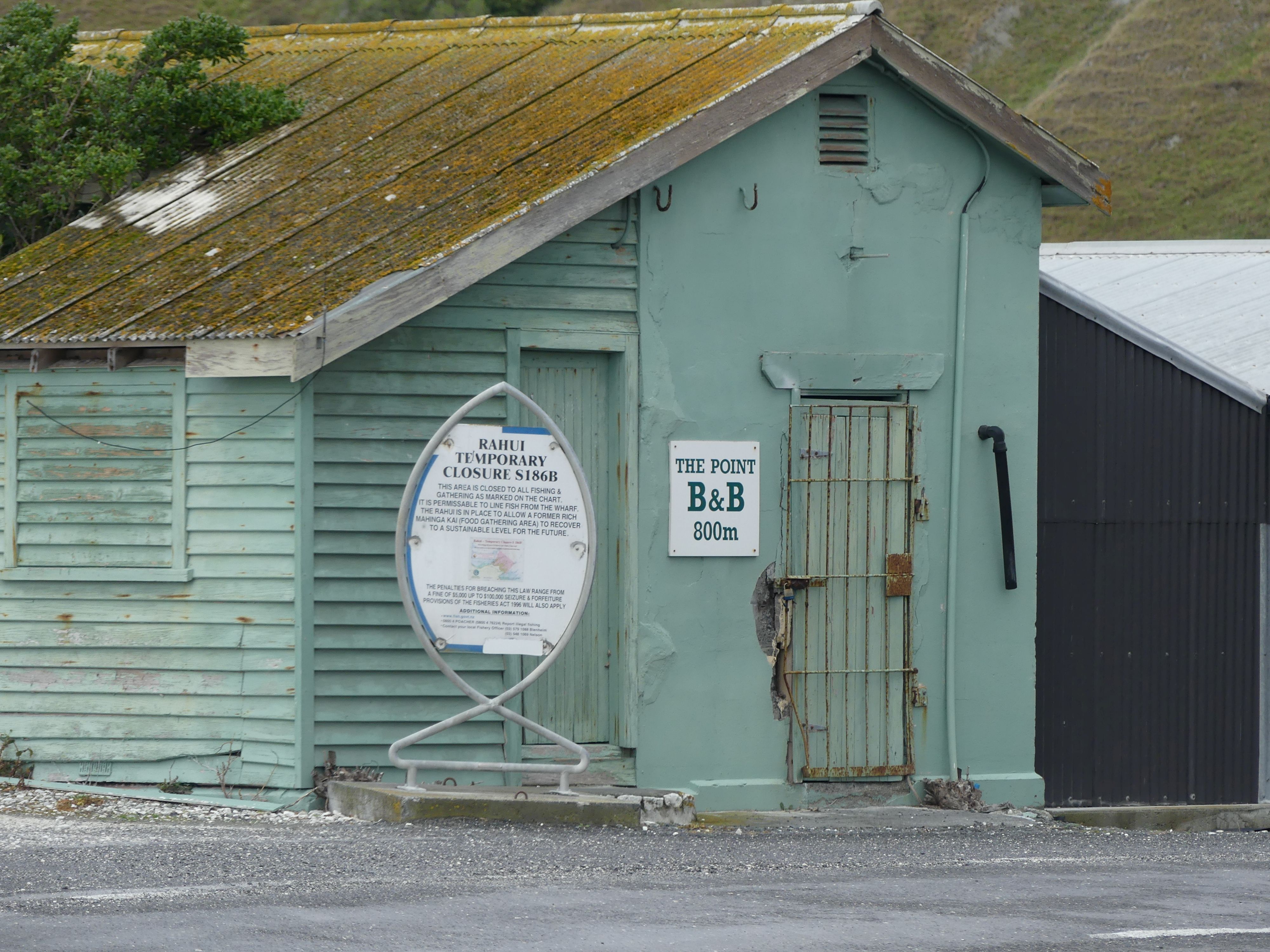
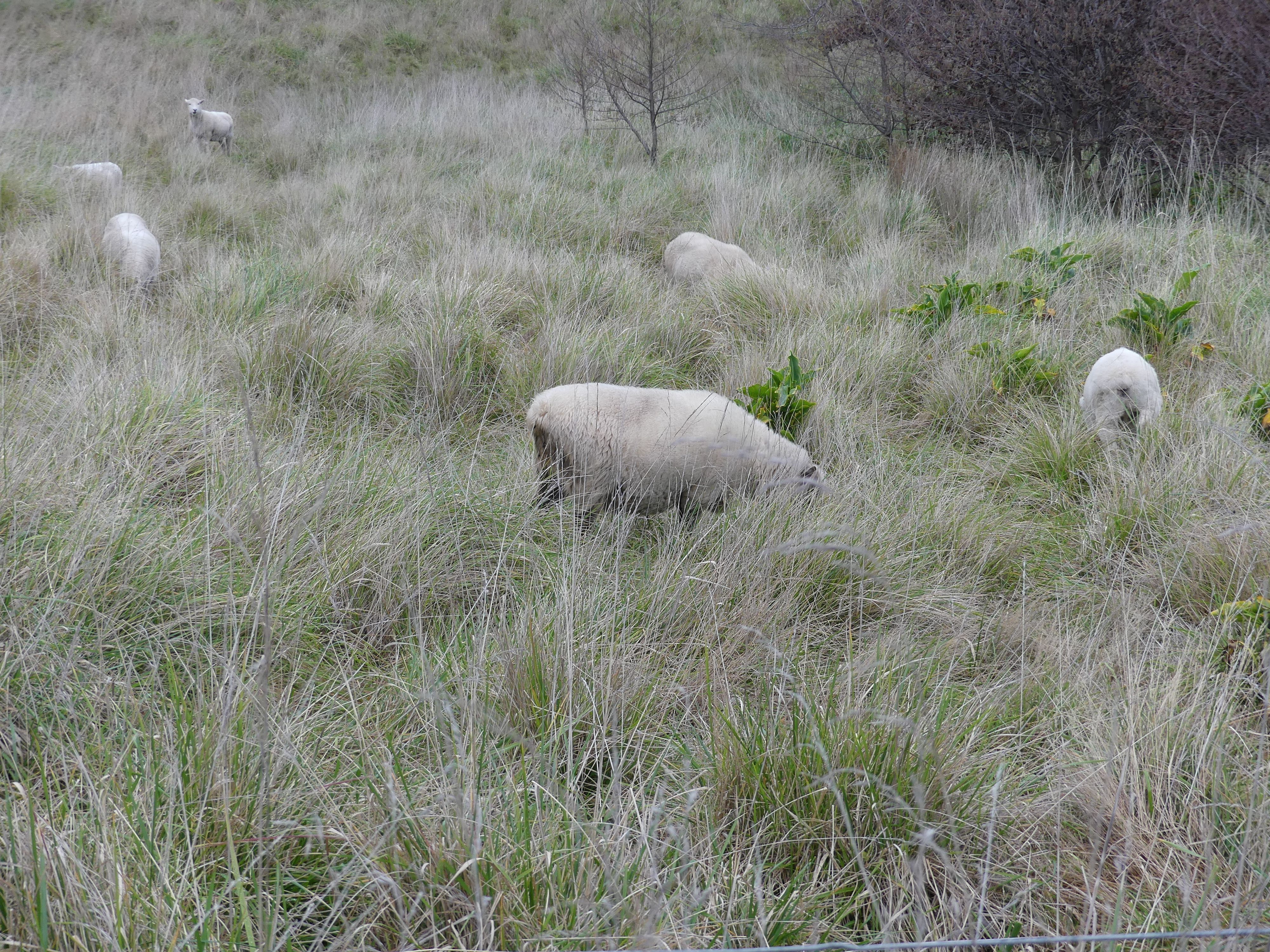
We had walked a considerable distance from our apartment and Barry volunteered to hurry back to the apartment and give the remaining 3 a lift back. So, Barry stretching his long legs moved off quickly whilst we casually strolled along the footpath. As we strolled toward the apartment, we saw some sheep, that sleepy seal again, and it started to rain. By the time Barry collected us, we were damp and so we returned to the apartment, lunch and then a stroll around the shops in the afternoon.
Photos – Sheep, & sleeping Seal
Day 20 Kaikoura – Ashburton
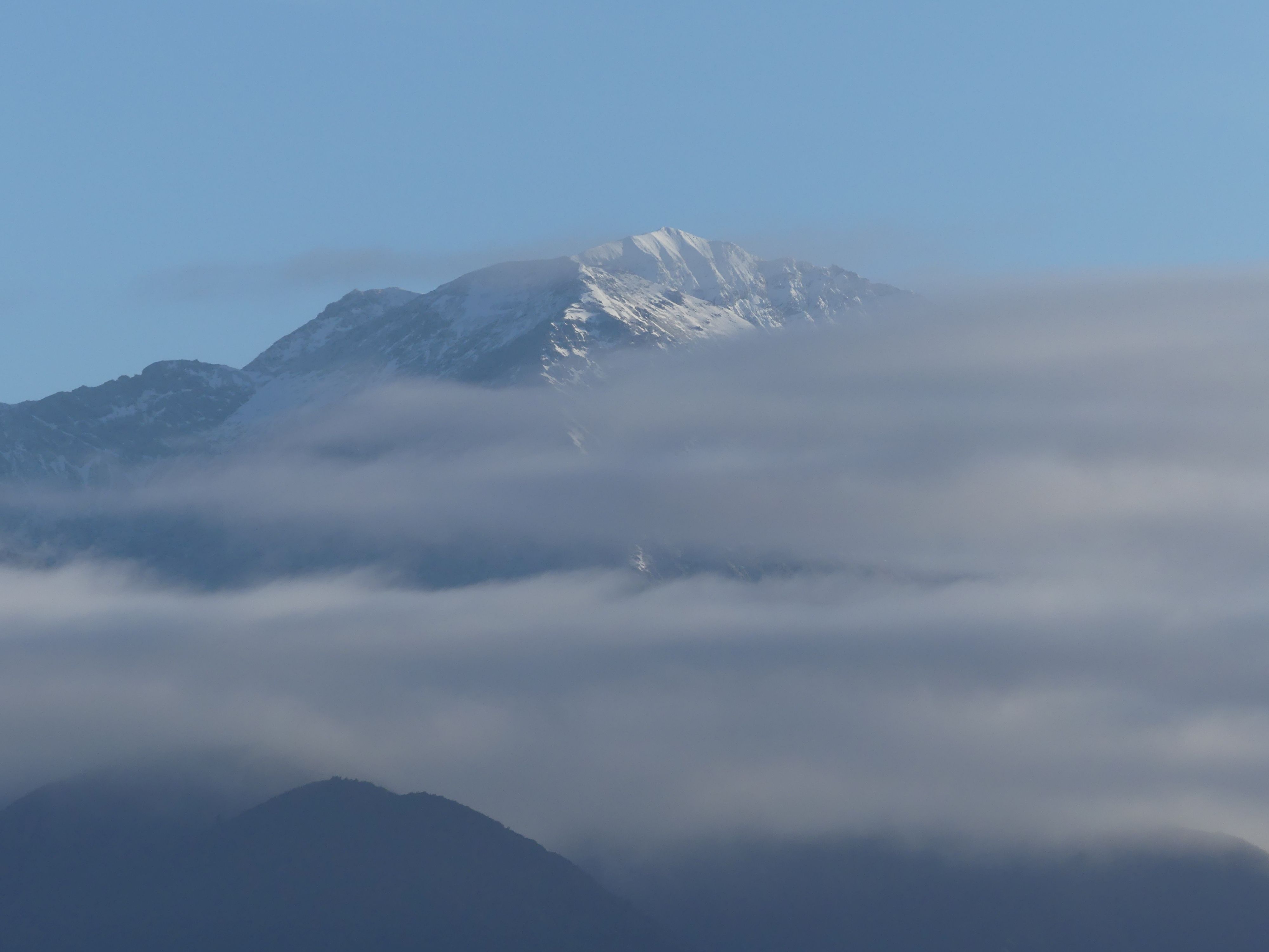
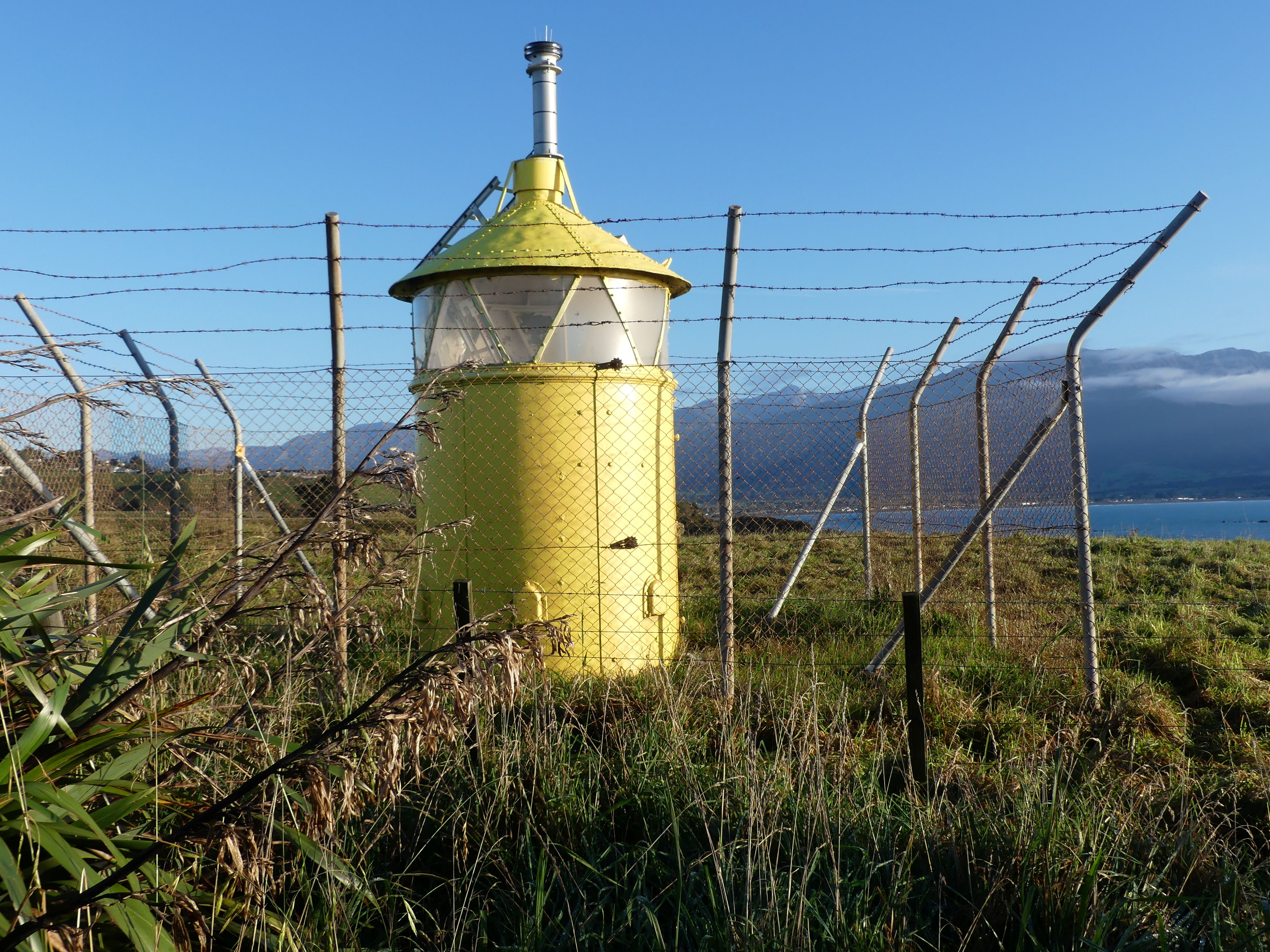
Rising with the sun the following morning, we ate breakfast, checked out if there was any snowfall overnight, packed the car and decided to have one last attempt to find the seal encampment at Kaikoura. This time we drove to the beach where we climbed a well-made path up a very steep and long hill. At the top of the hill was an automated light presumably for boats entering the harbour below, followed the coastline to another beach and using my long-range lens I could see the seals frolicking in the surf. Without the camera they could have been rocks for all I knew but the camera put a lie to that.
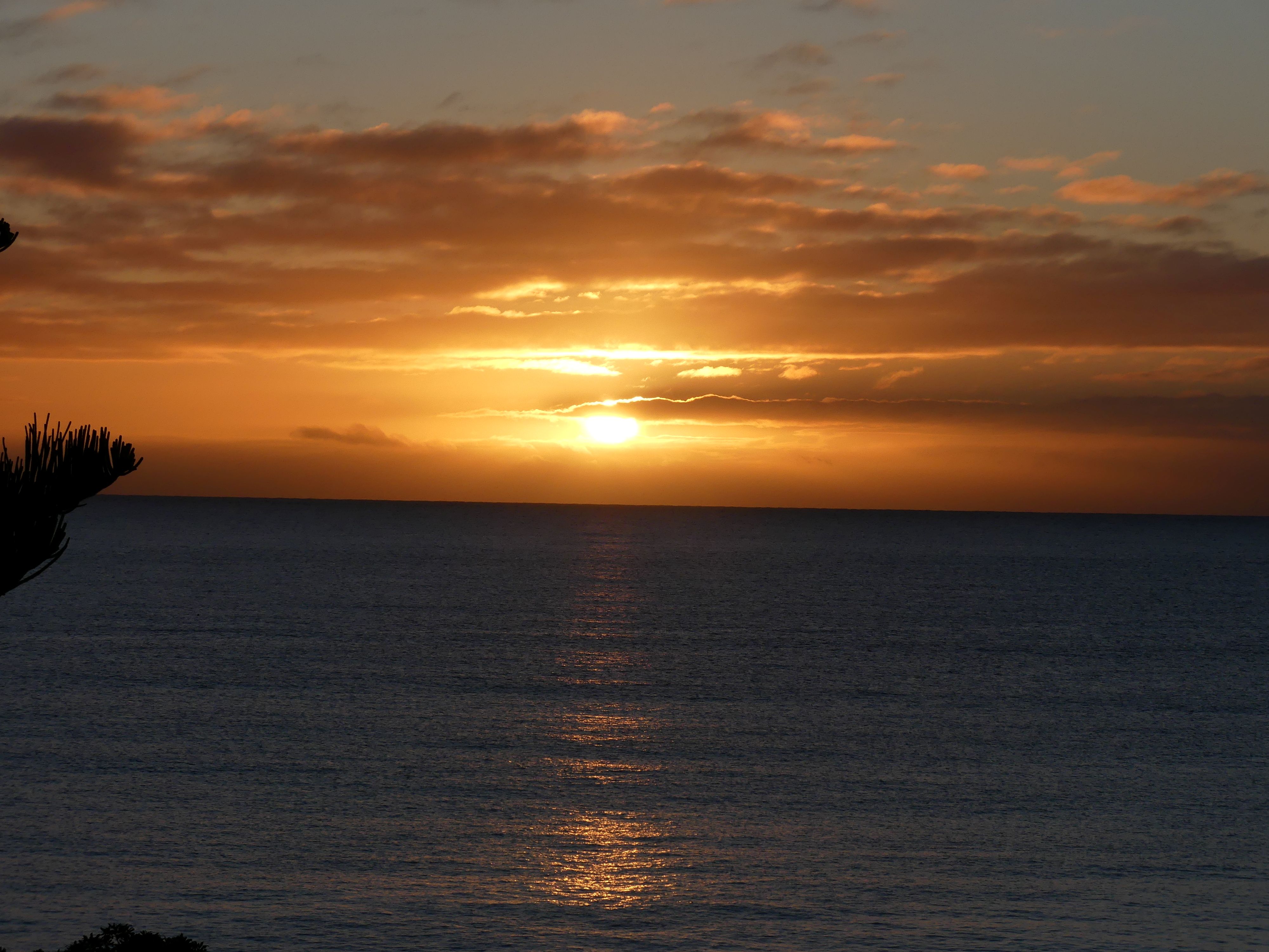
Photos Sunrise, snow on the mountains, the lighthouse, the beach the seals and the vista.
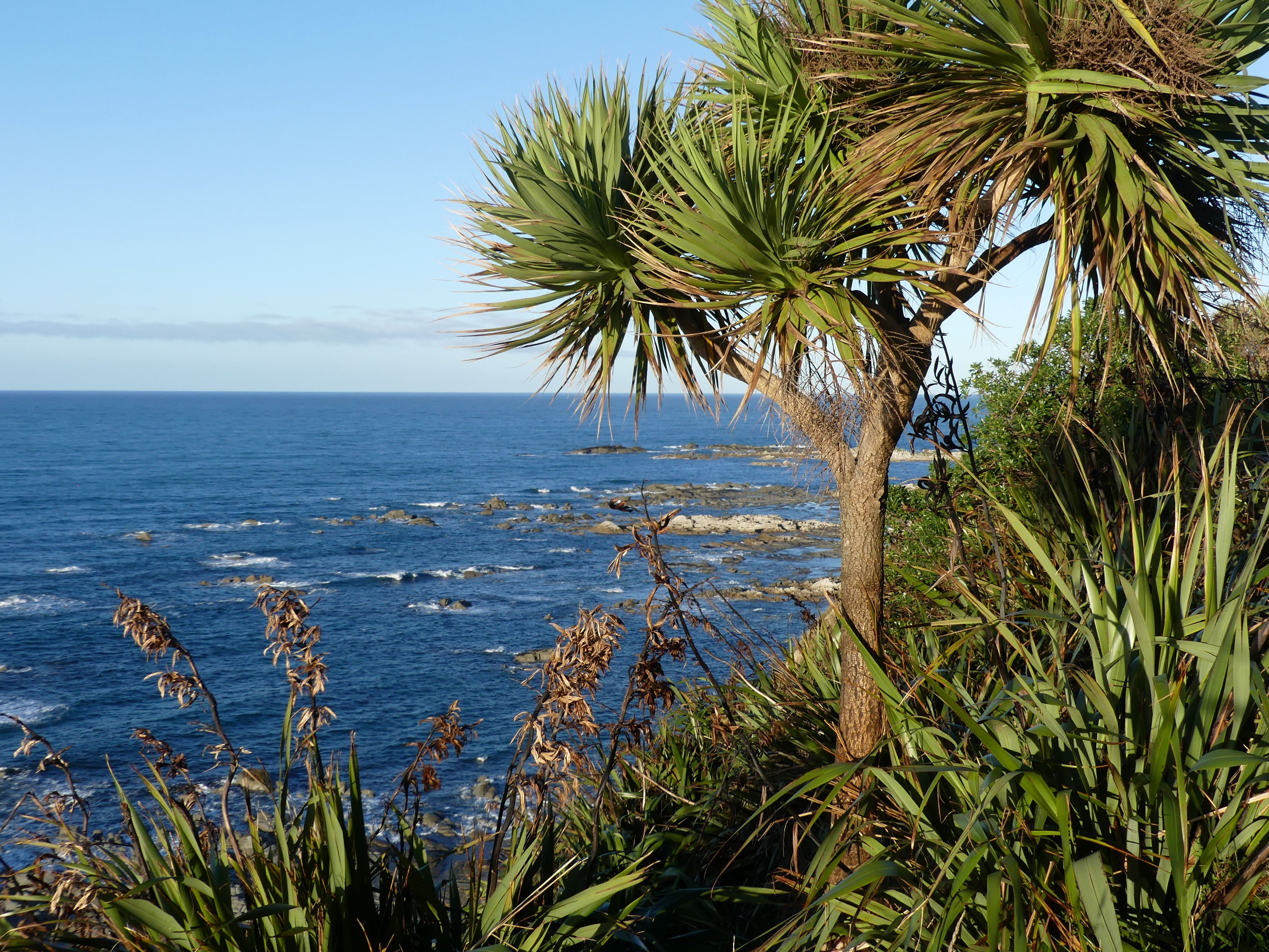
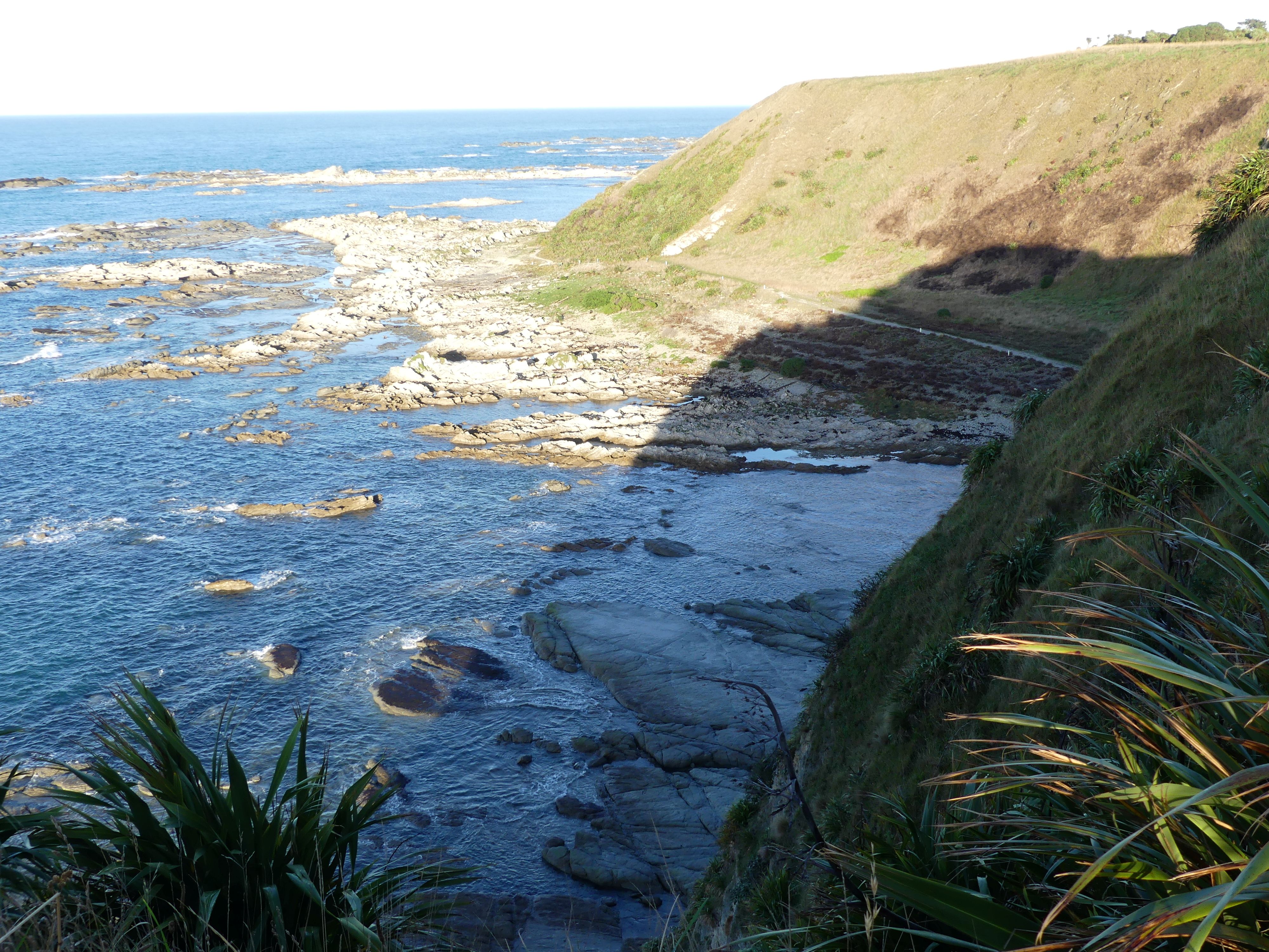
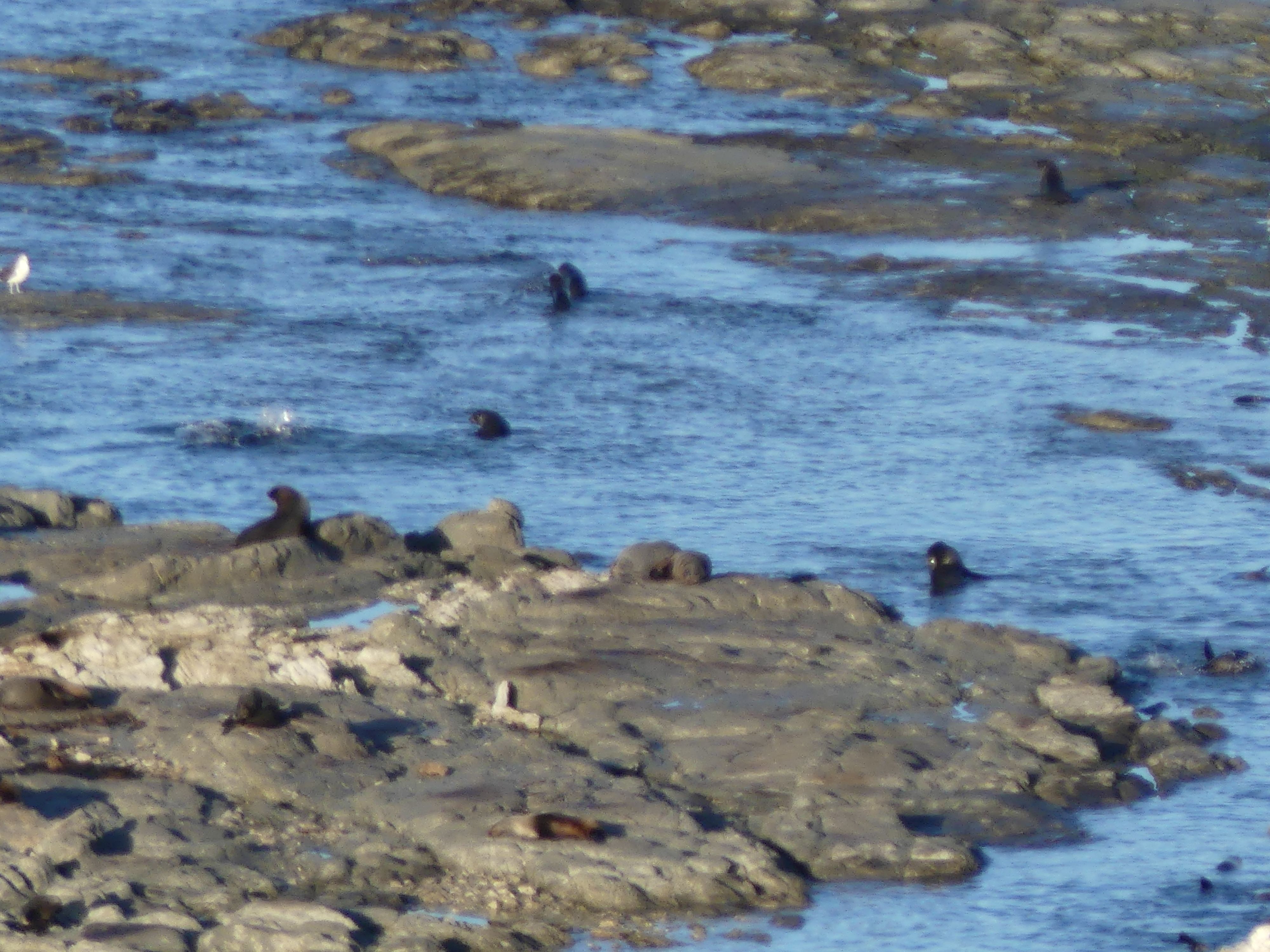
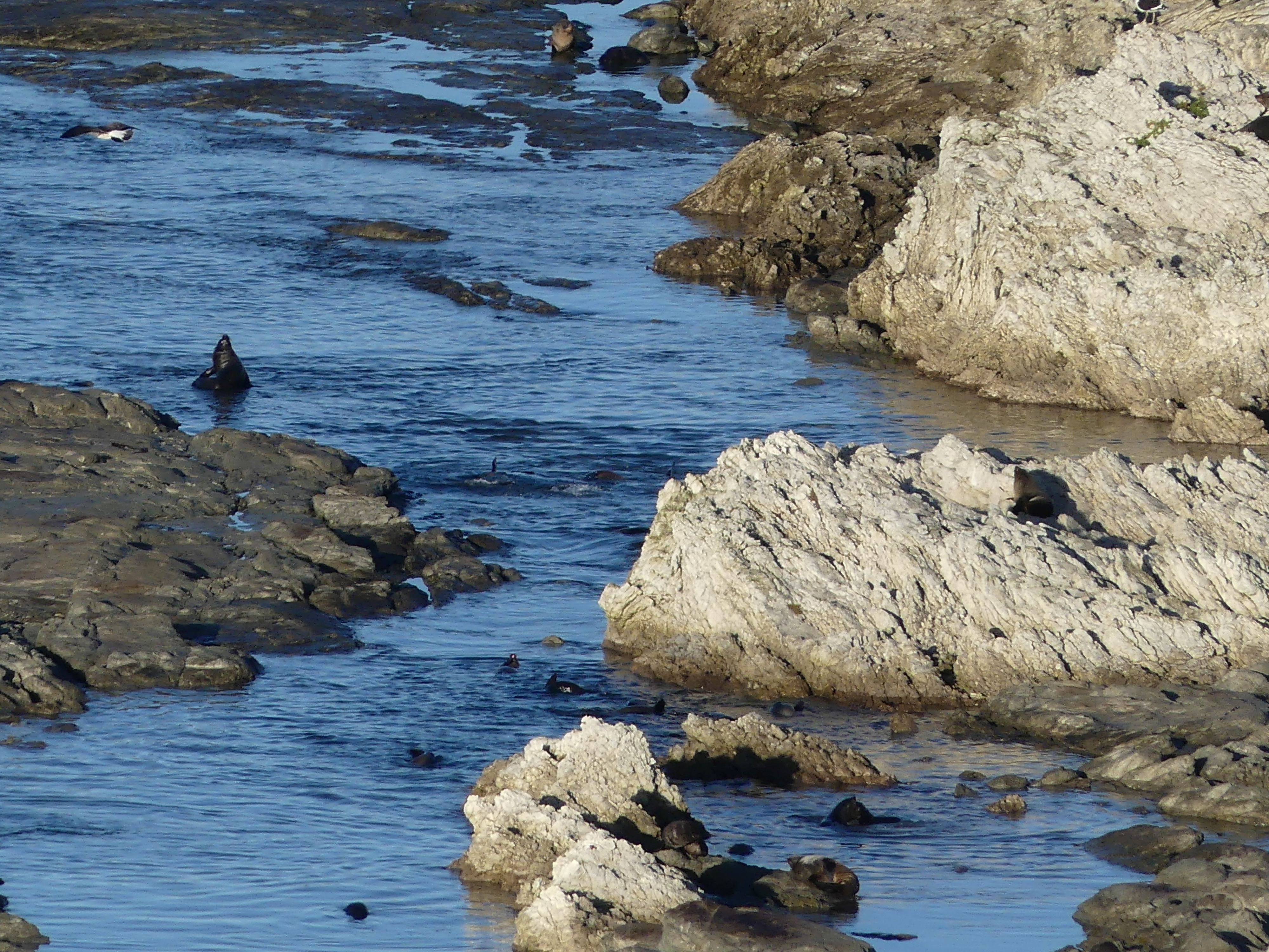
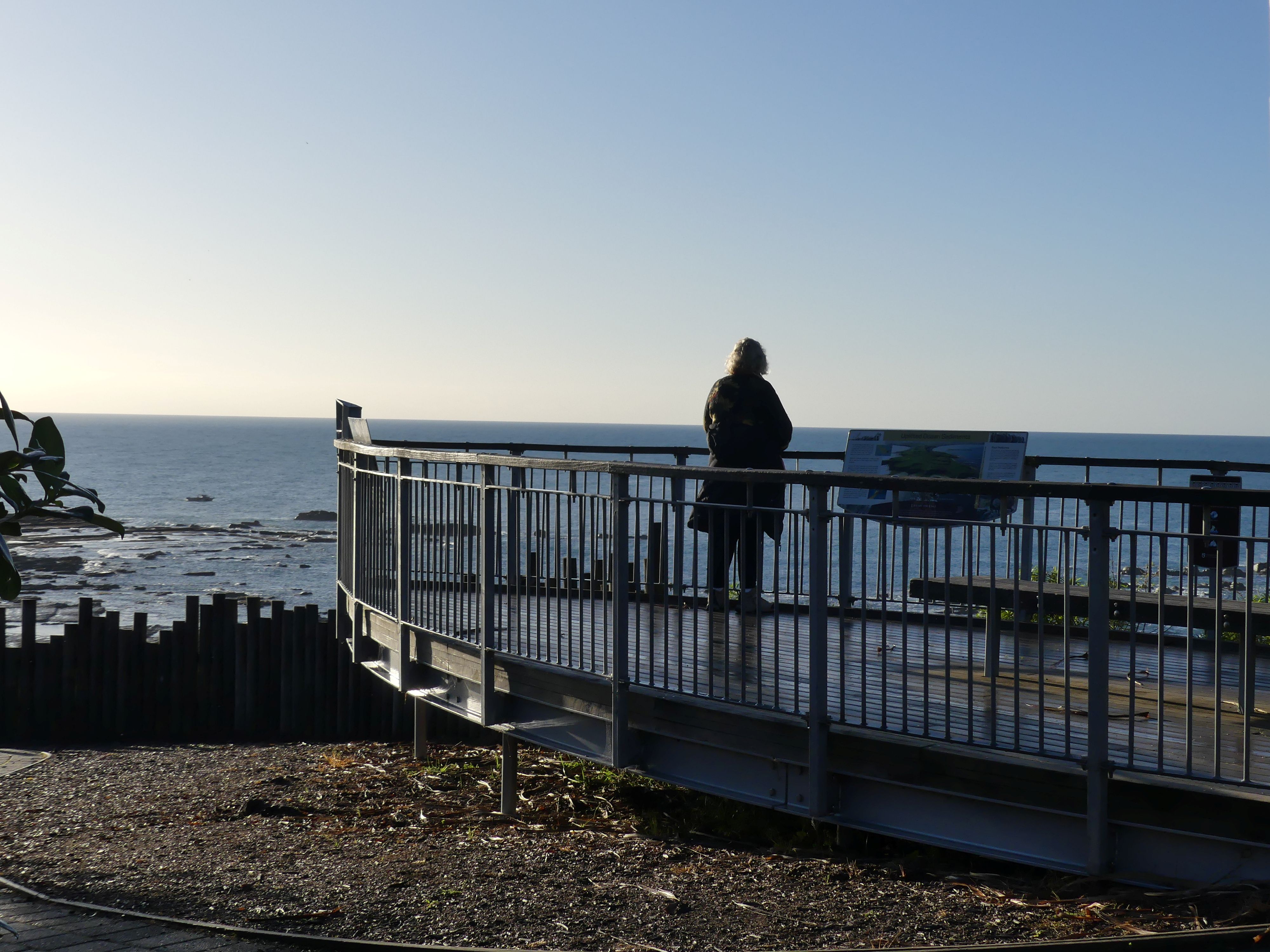
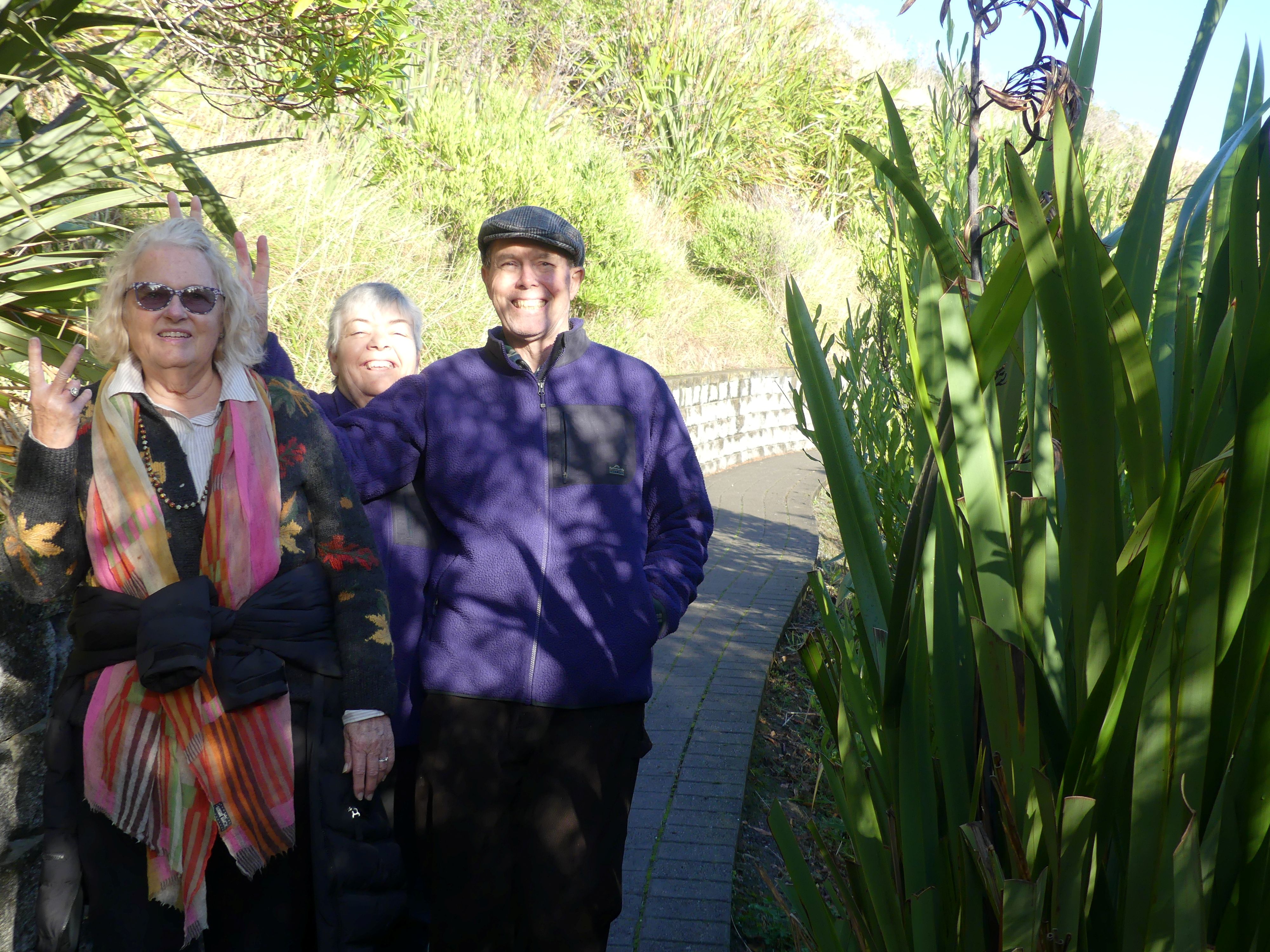
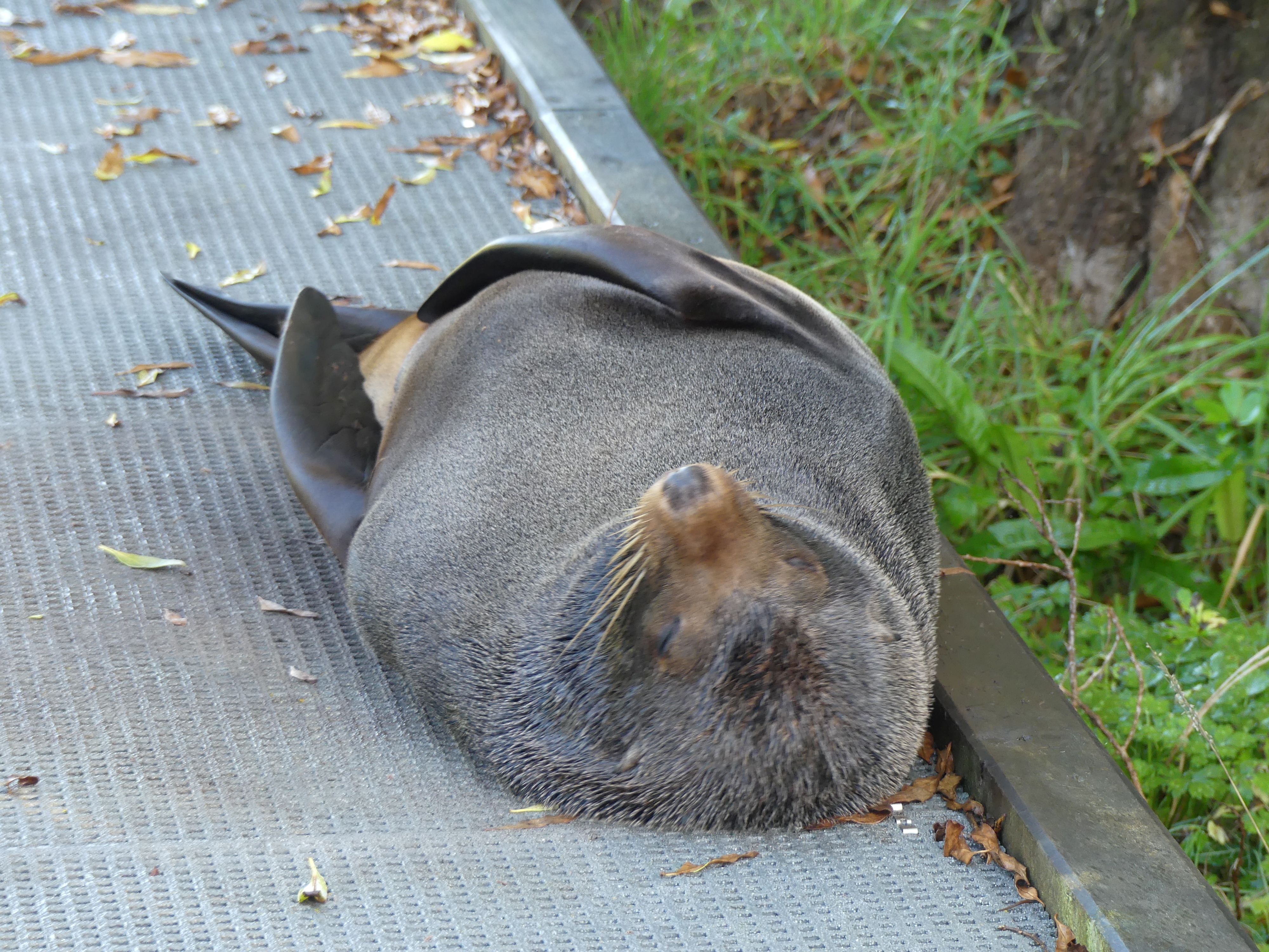
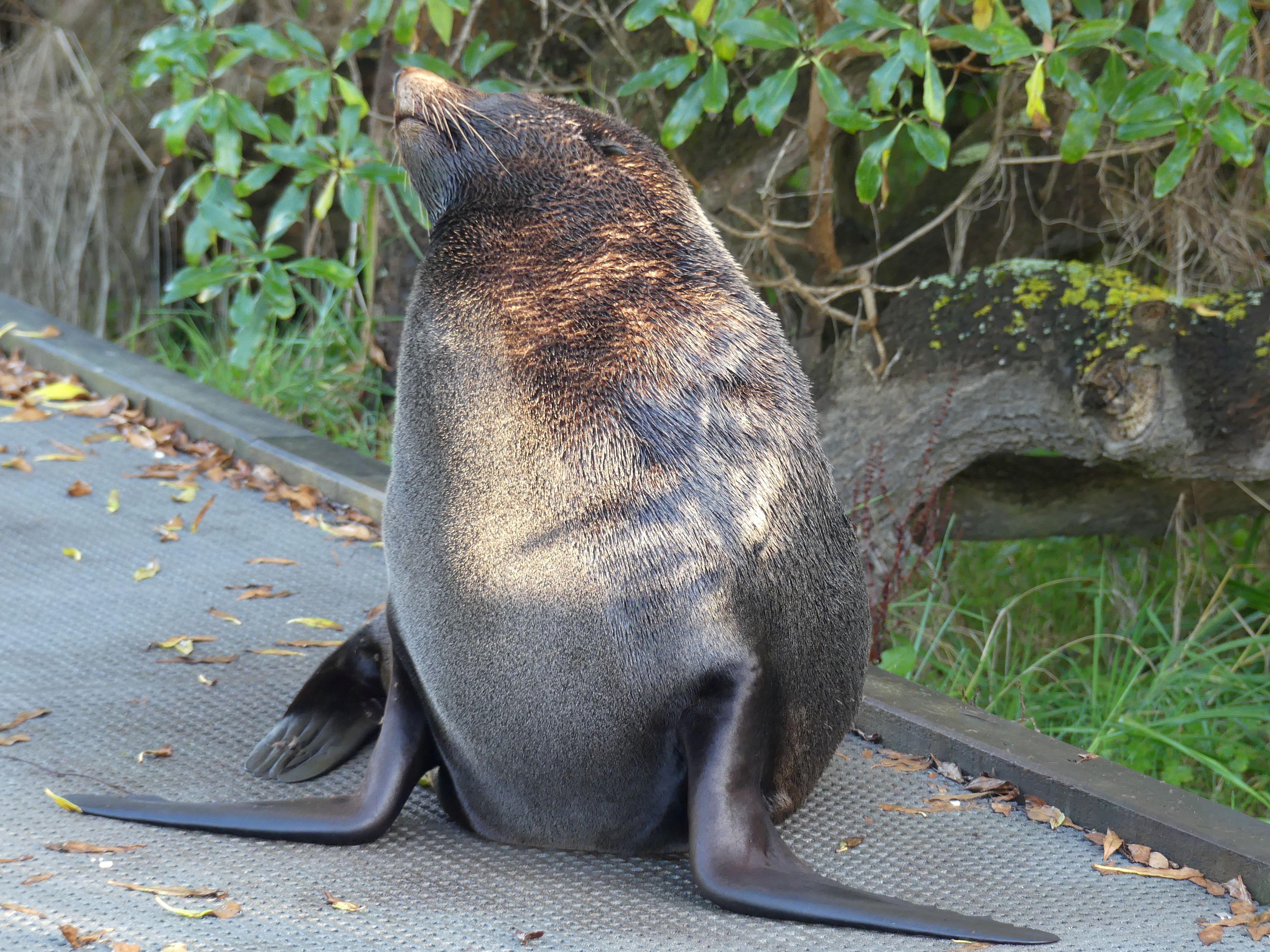
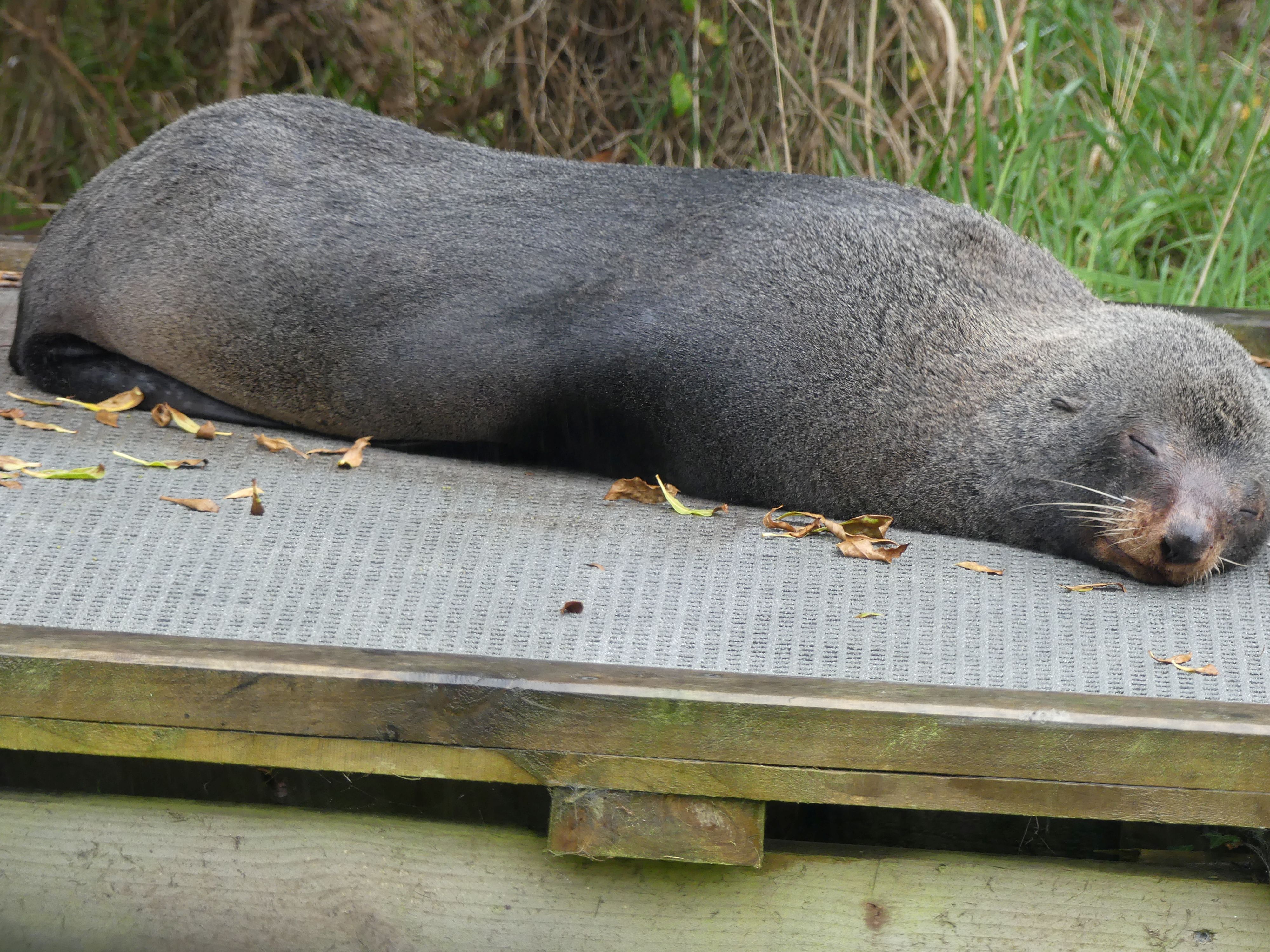
Of course, it was much easier walking back down, but the risk of a slip and a long fall was always present. As we neared the bottom, I checked the team and all were present and accounted for and with no injuries. Safely down we took one last stroll and there was that lazy bloody seal still sleeping on the footpath. We watched a local running down that footpath but as he approached the seal it stood on its tail and roared at him frightening the shit out of him. An immediate change of course and jogging now at a faster pace the jogger passed on by. We found it funny, but I know the jogger was not so happy. The seal laid down and went back to sleep.
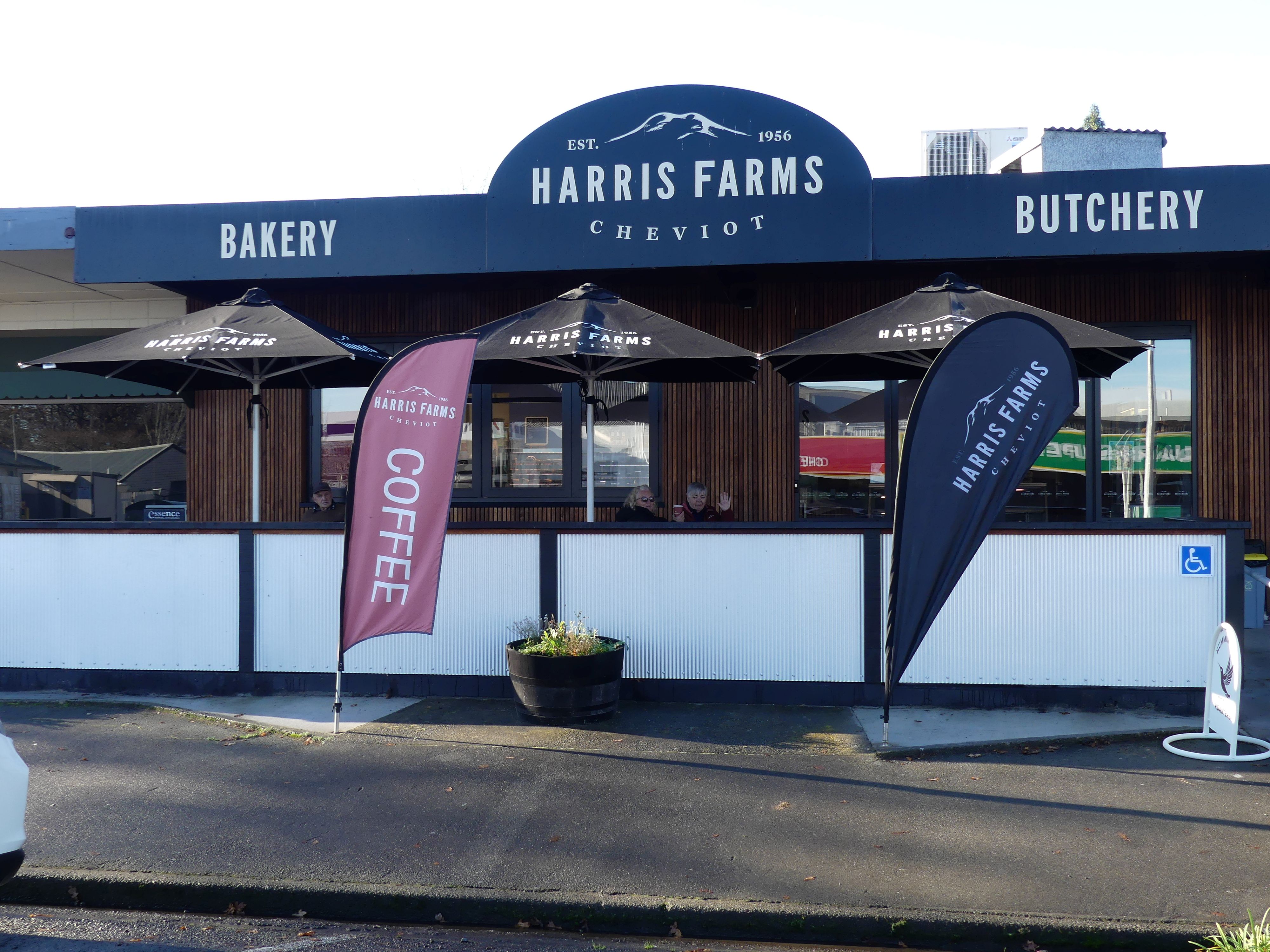
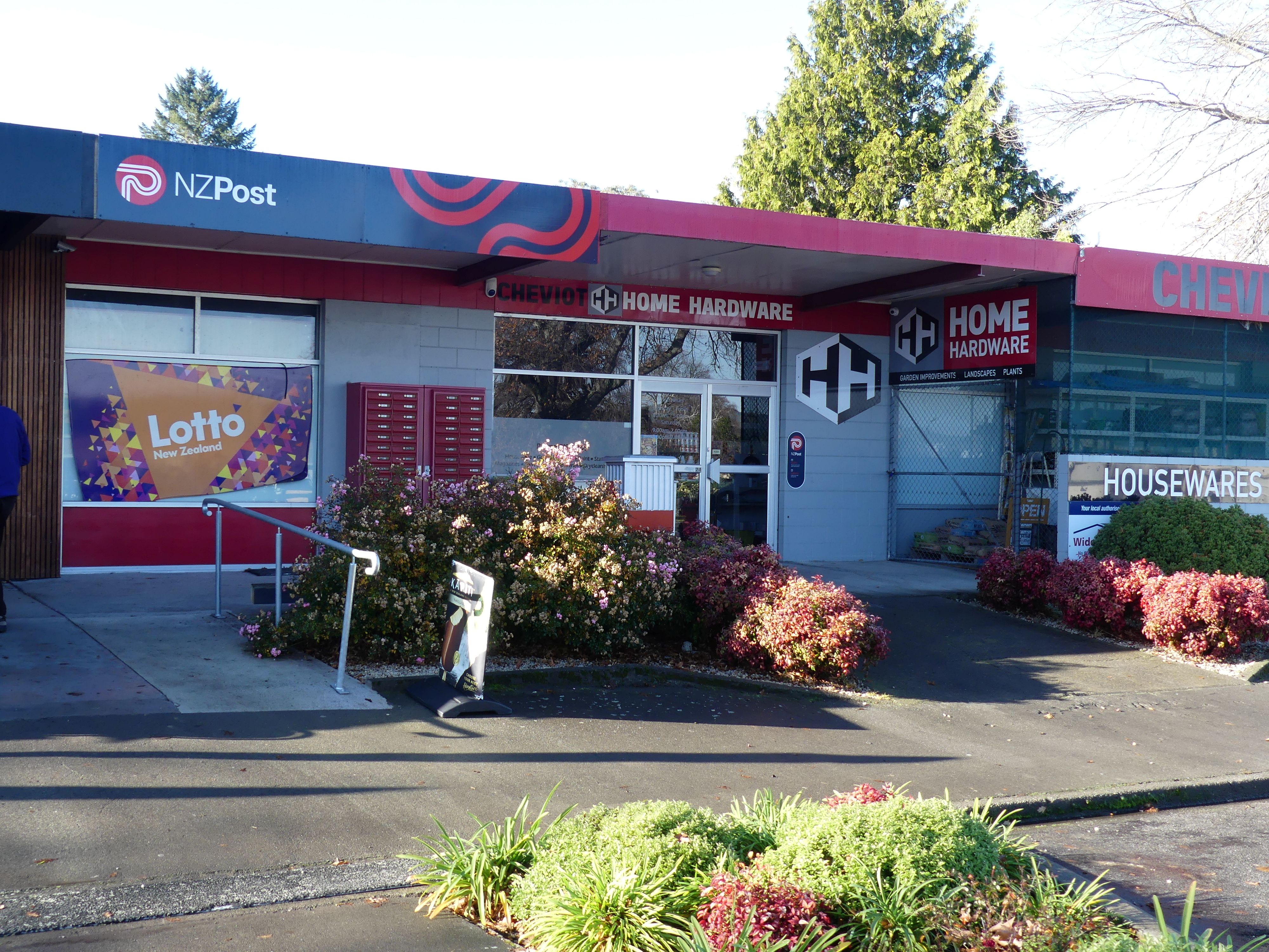
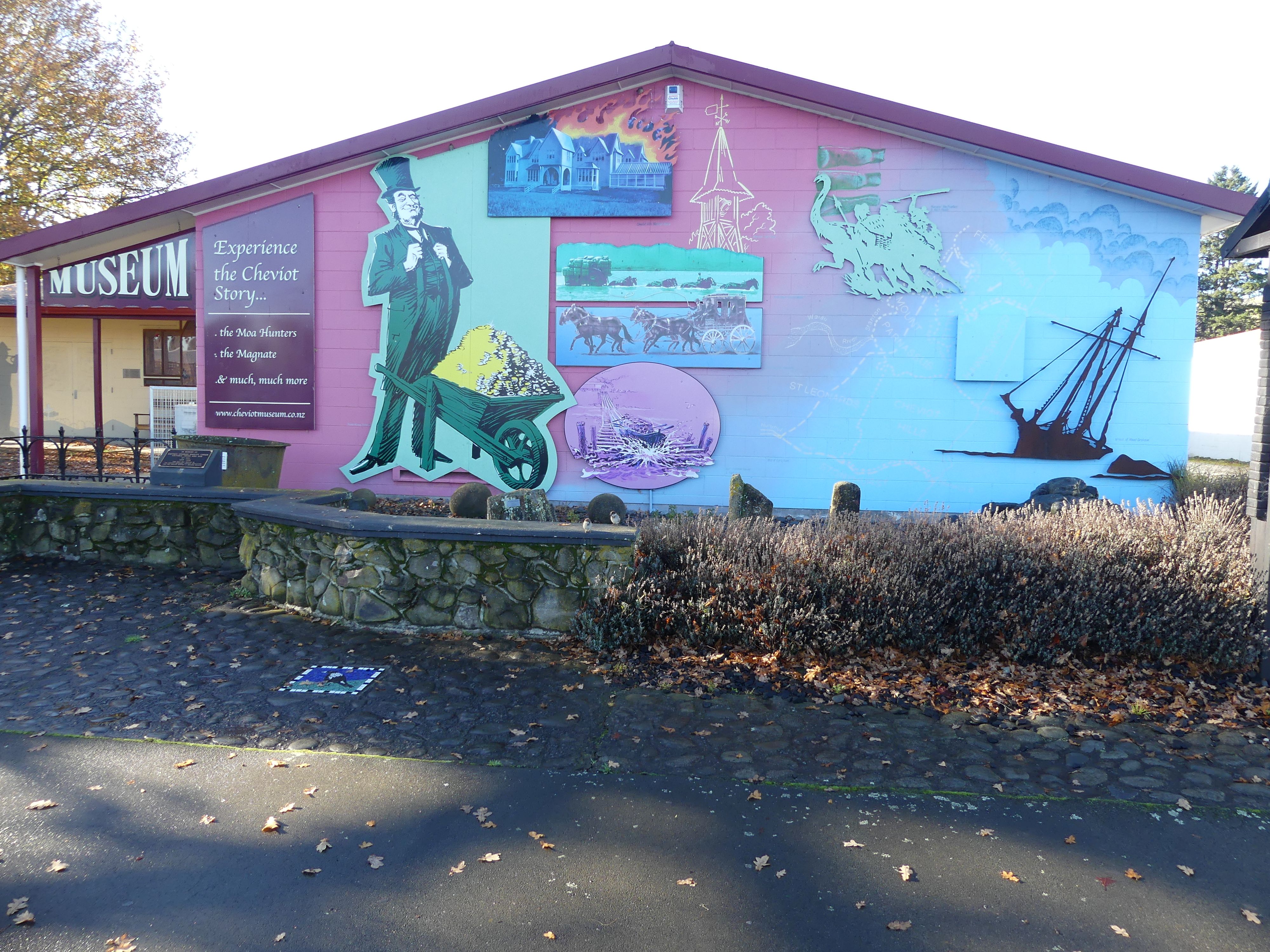
Moving right along we drove onto Cheviot, morning tea and a toilet break. Now you recall I had trouble finding a post office or post box in Christchurch. Well, here we are in the middle of farming country stopped at a café and there right beside the café is NZ Post. Where is a post card and stamp when you need one! I tried to check out the local Museum to find it closed for renovation.
Photos Cheviot
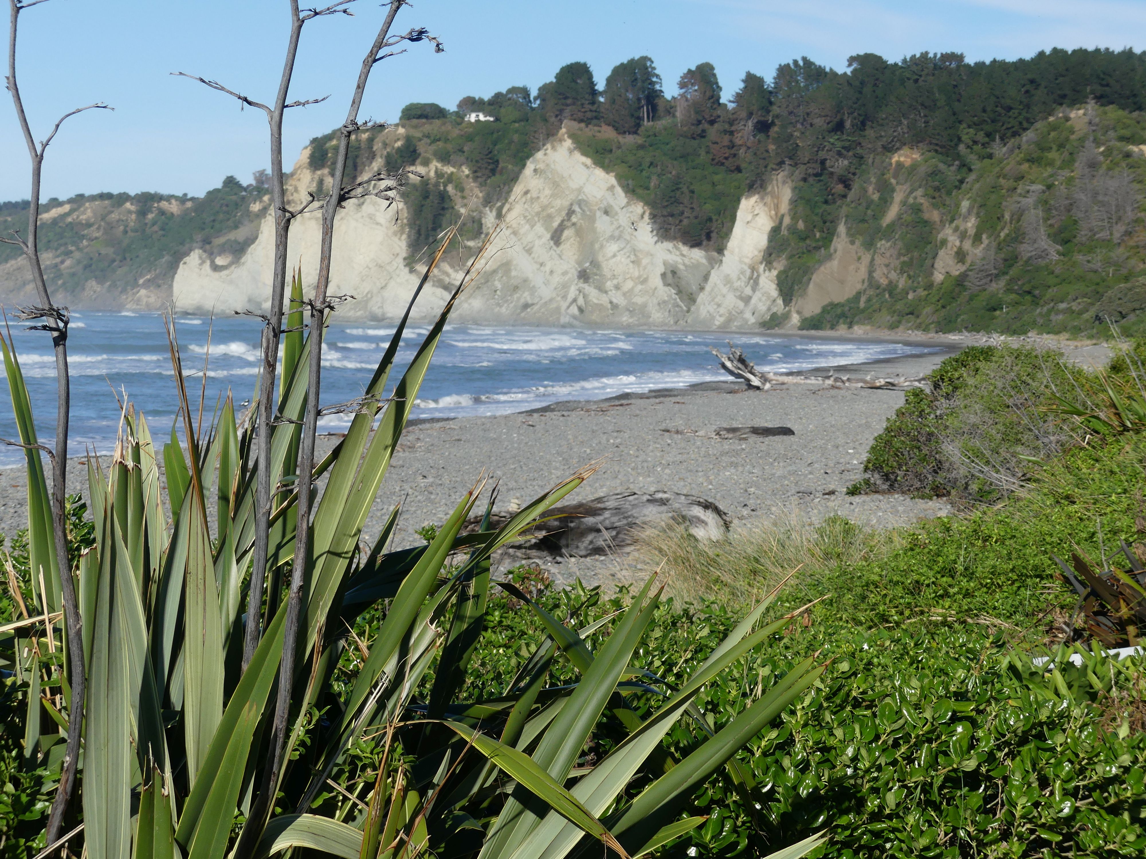
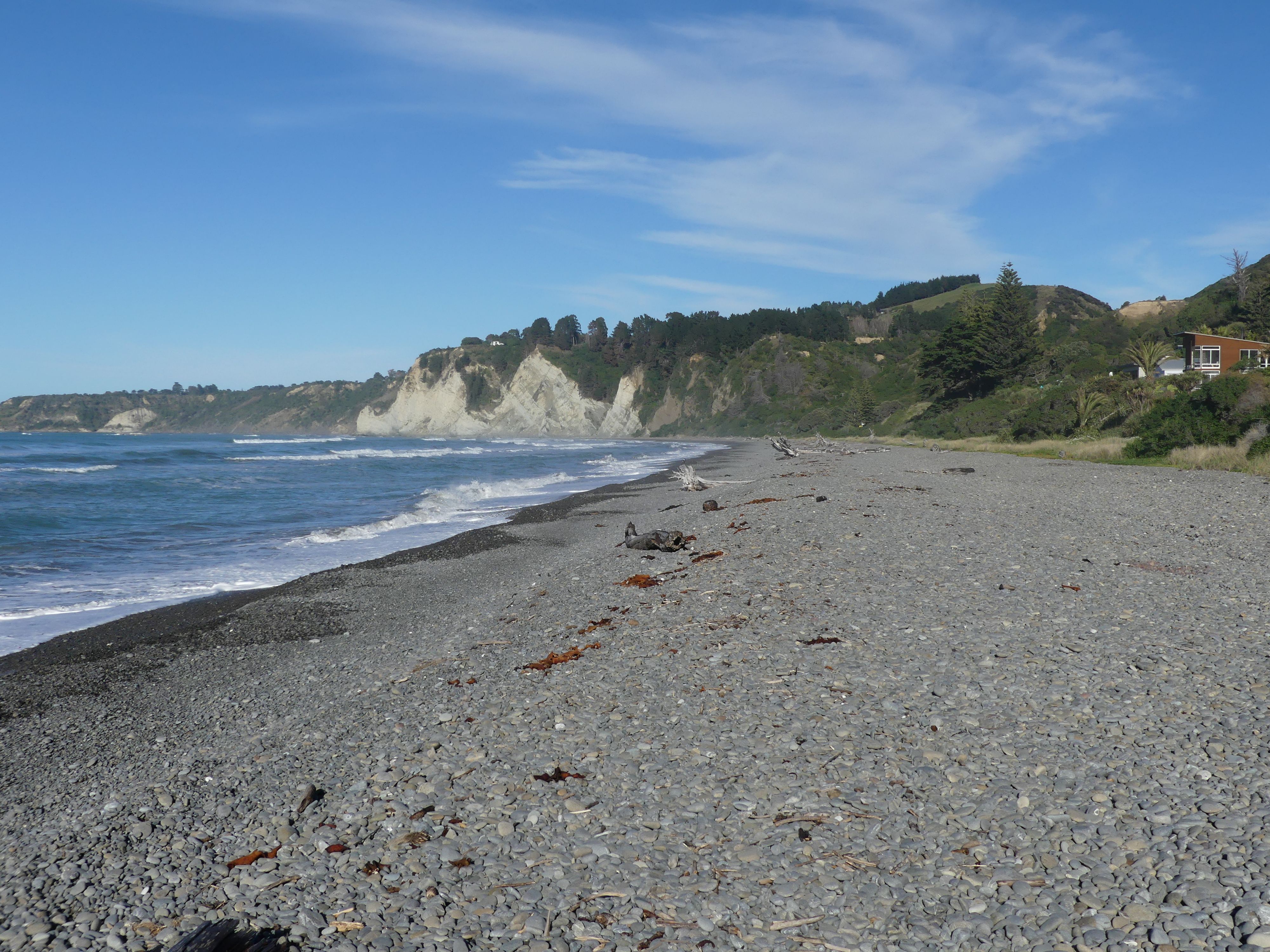
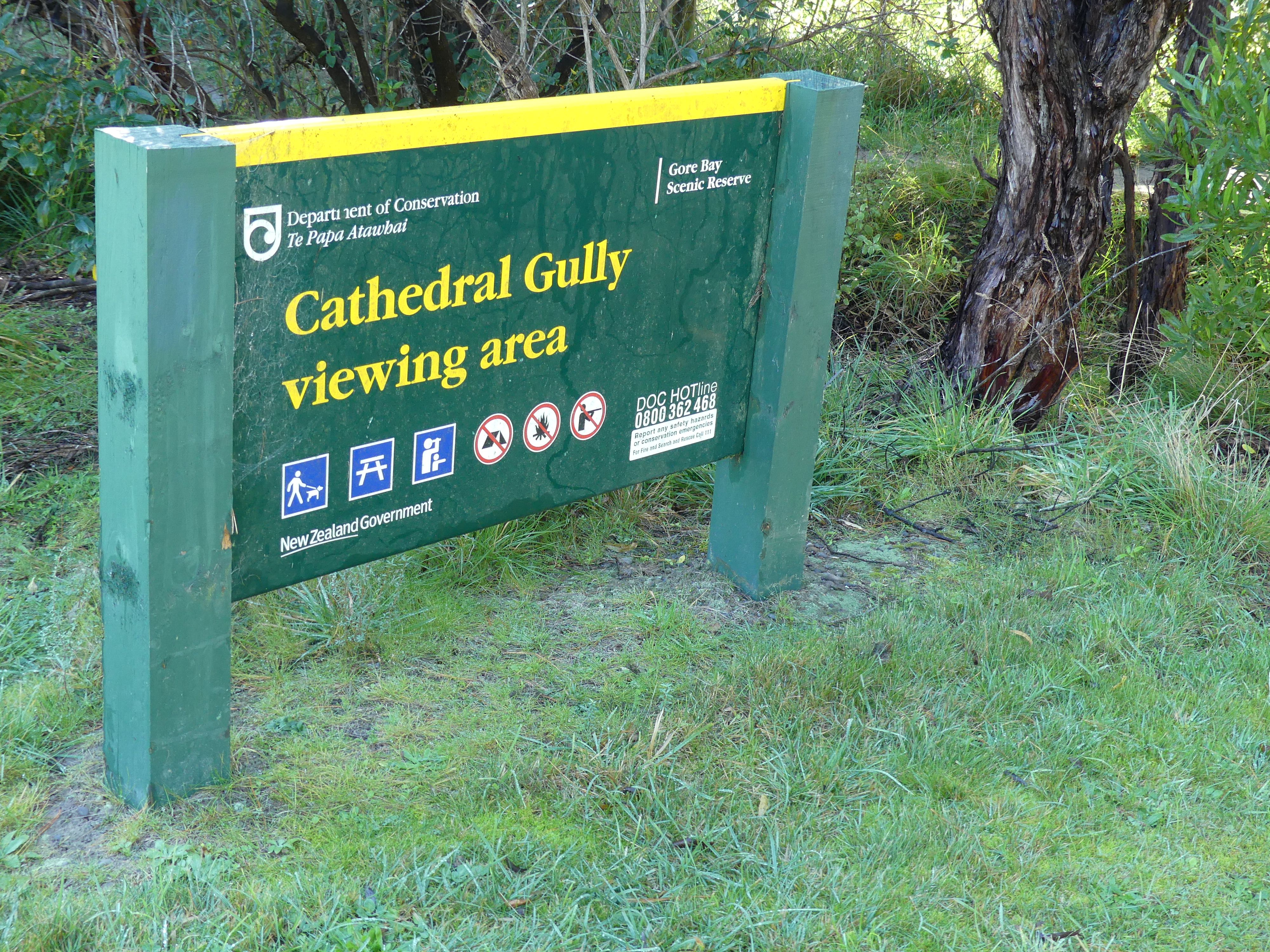
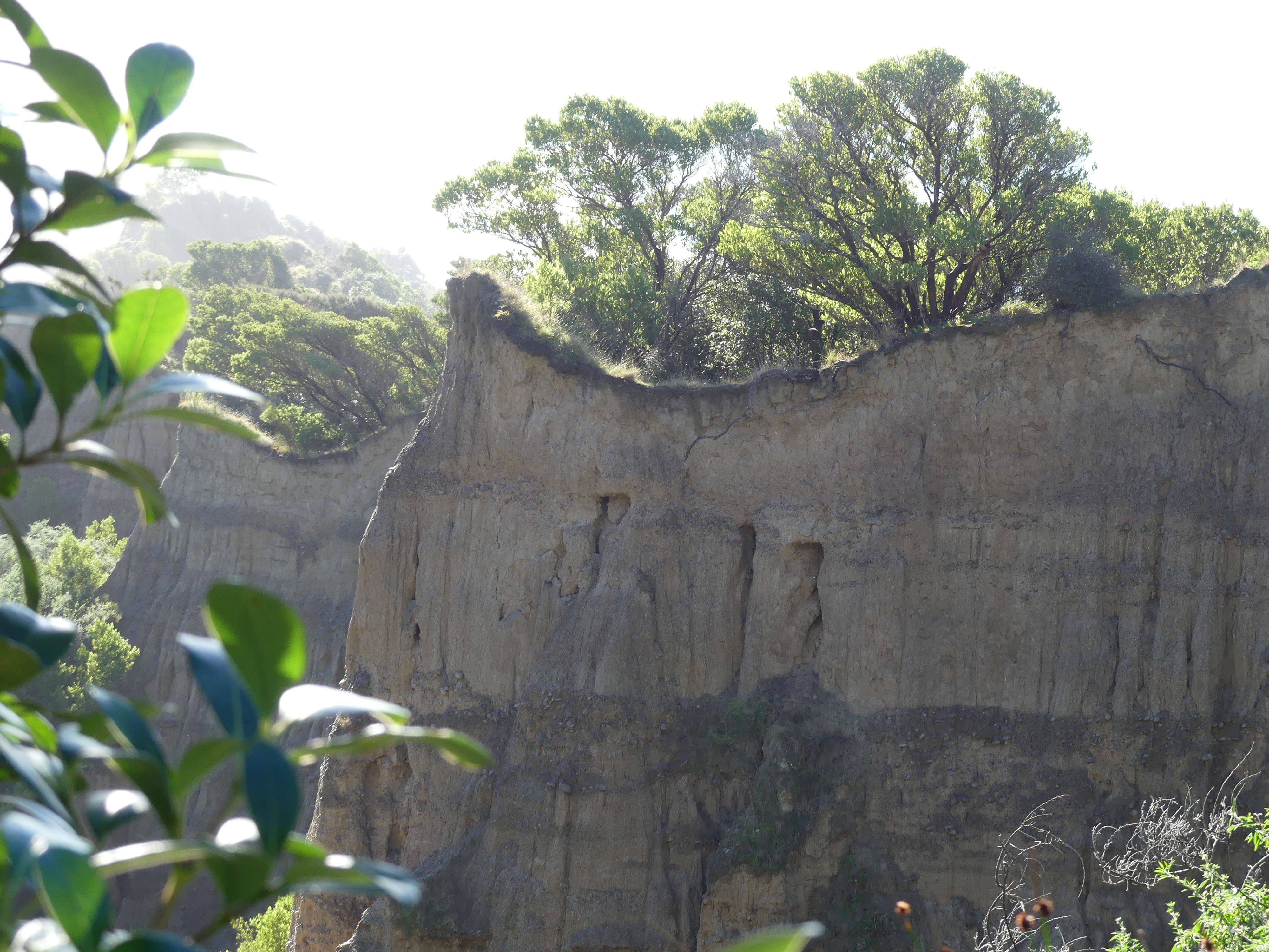
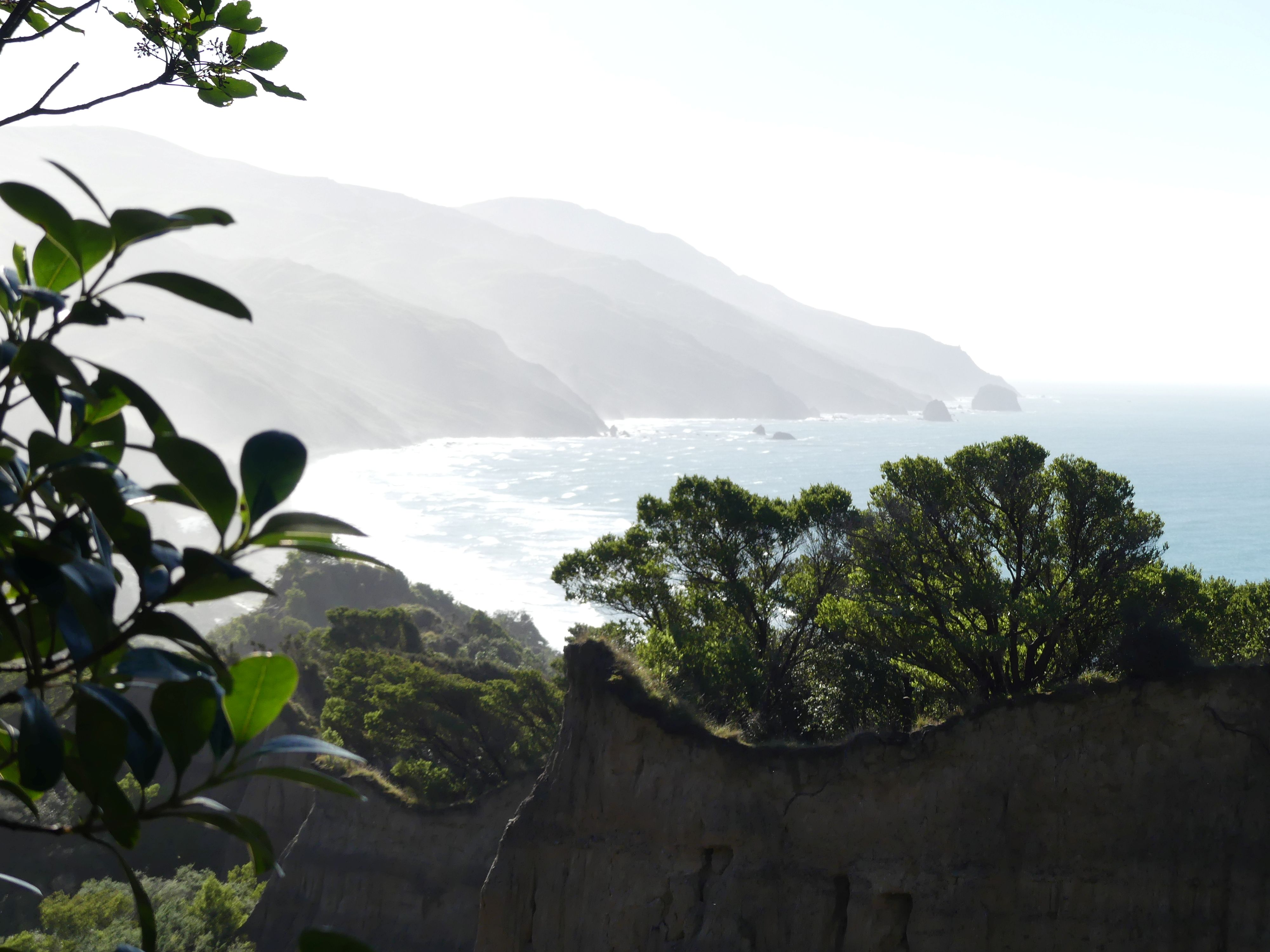
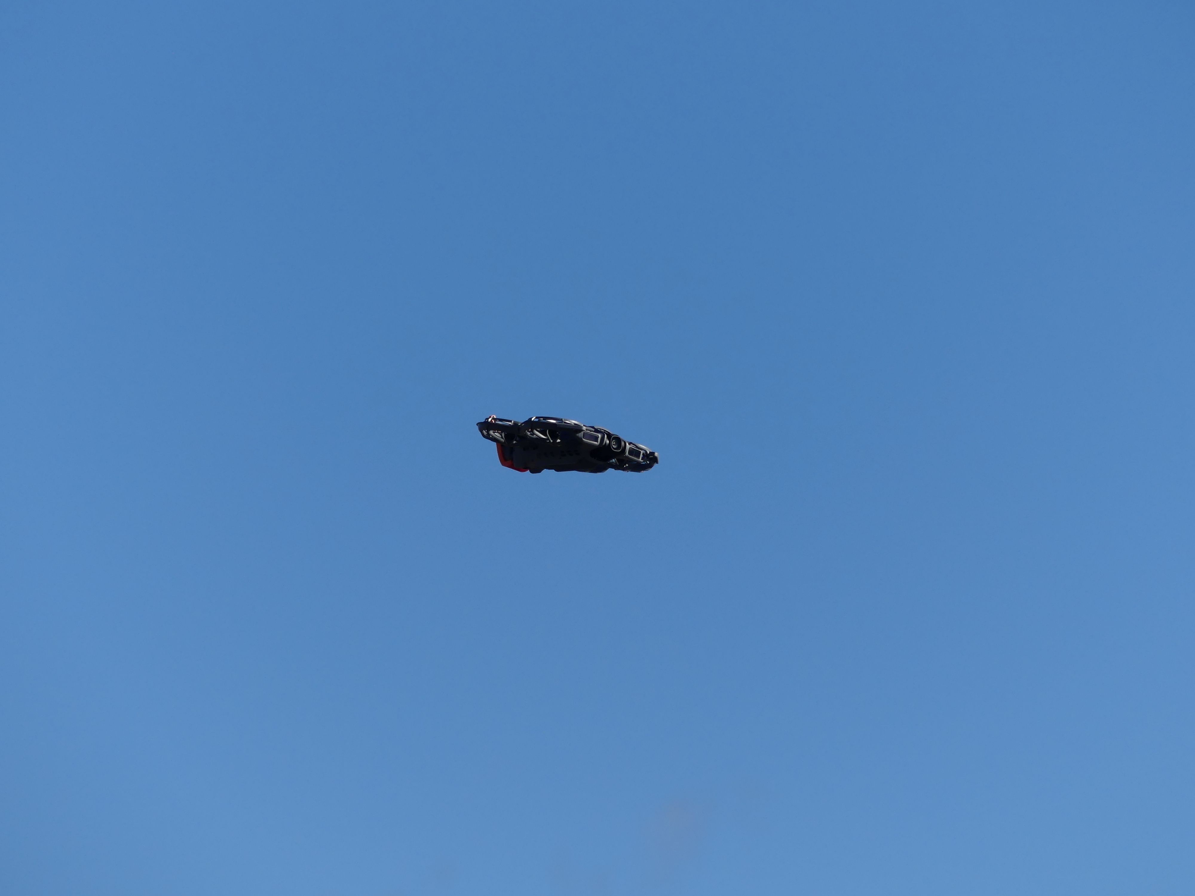
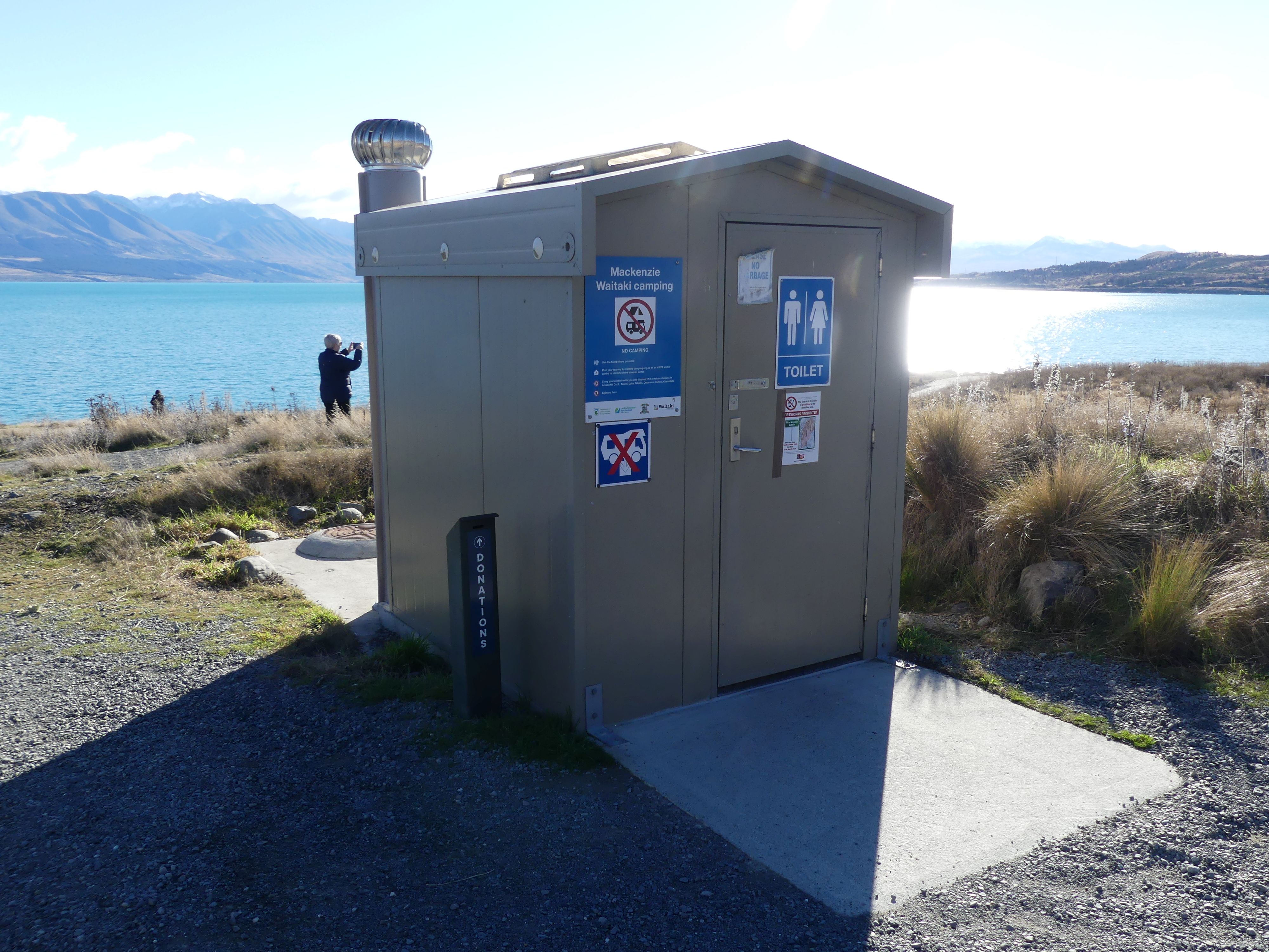
We were still using the philosophy of seeing as much as we could as we travelled from town to town and in keeping with our plan we came across Te Papa Atawhai, a small coastal village which I expect would be crowded in summer. We followed the coast road further along until we turned to travel west to Ashburton. We stopped at Mackenzie Waitaki (so identified on the public latrines) to view the lake. There had been one constant in most public viewing spots- signs advising the use of drones was prohibited. Yet here at this lake with a bus load of Asian tourists, was a drone being flown by another Asian family. I can understand the prohibition, but the minute there appeared no likelihood of being caught up goes the drone. Yes, there was a drone prohibition sign.
Photos Te Papa Atawhai, scenery and the lake the drone and more scenery.
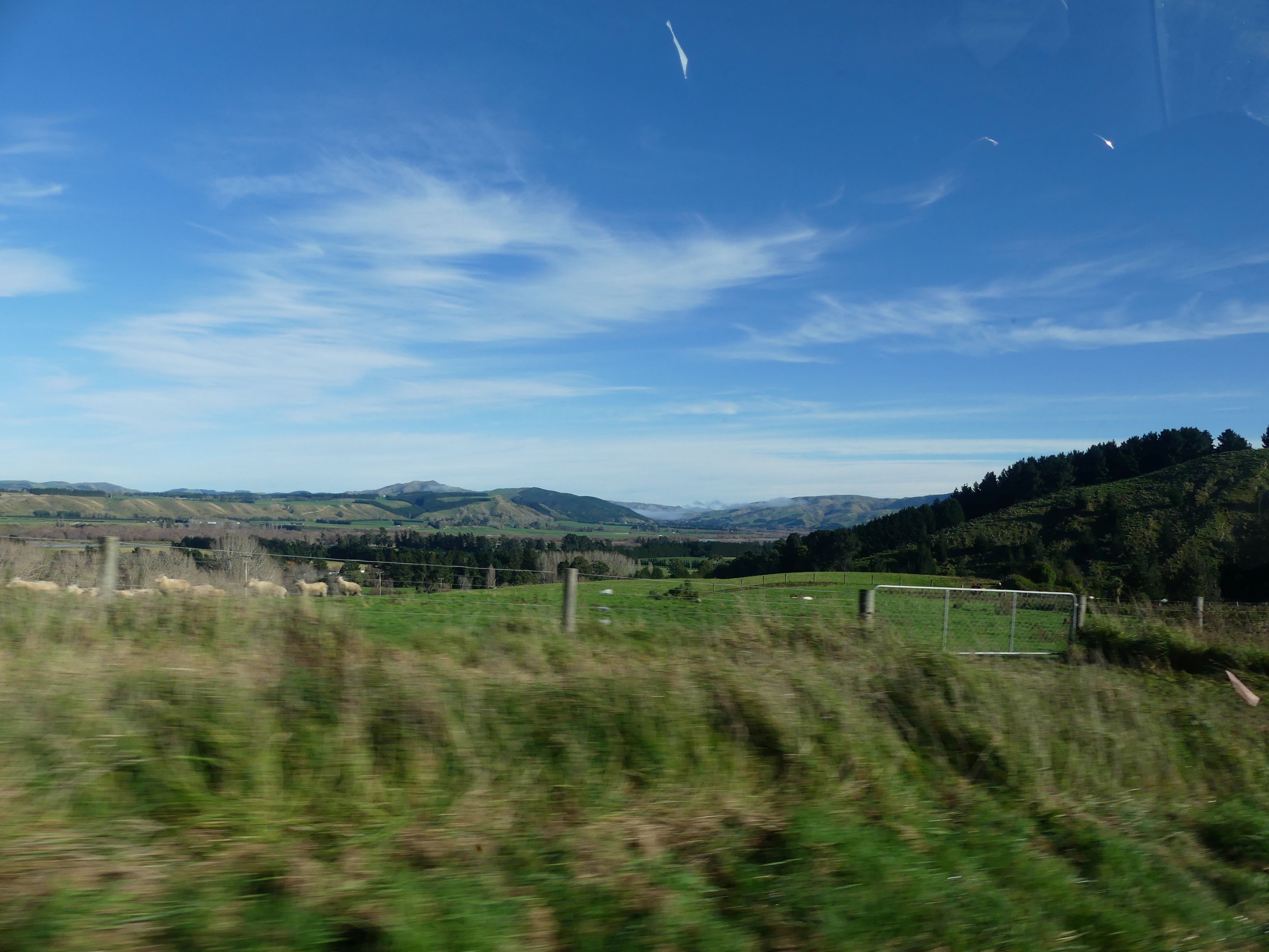
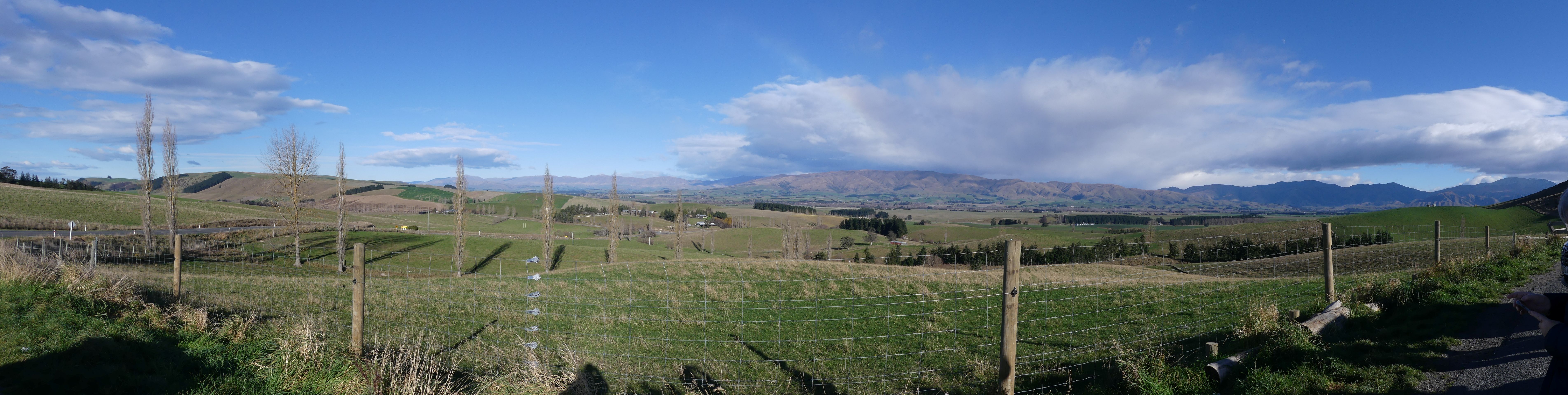
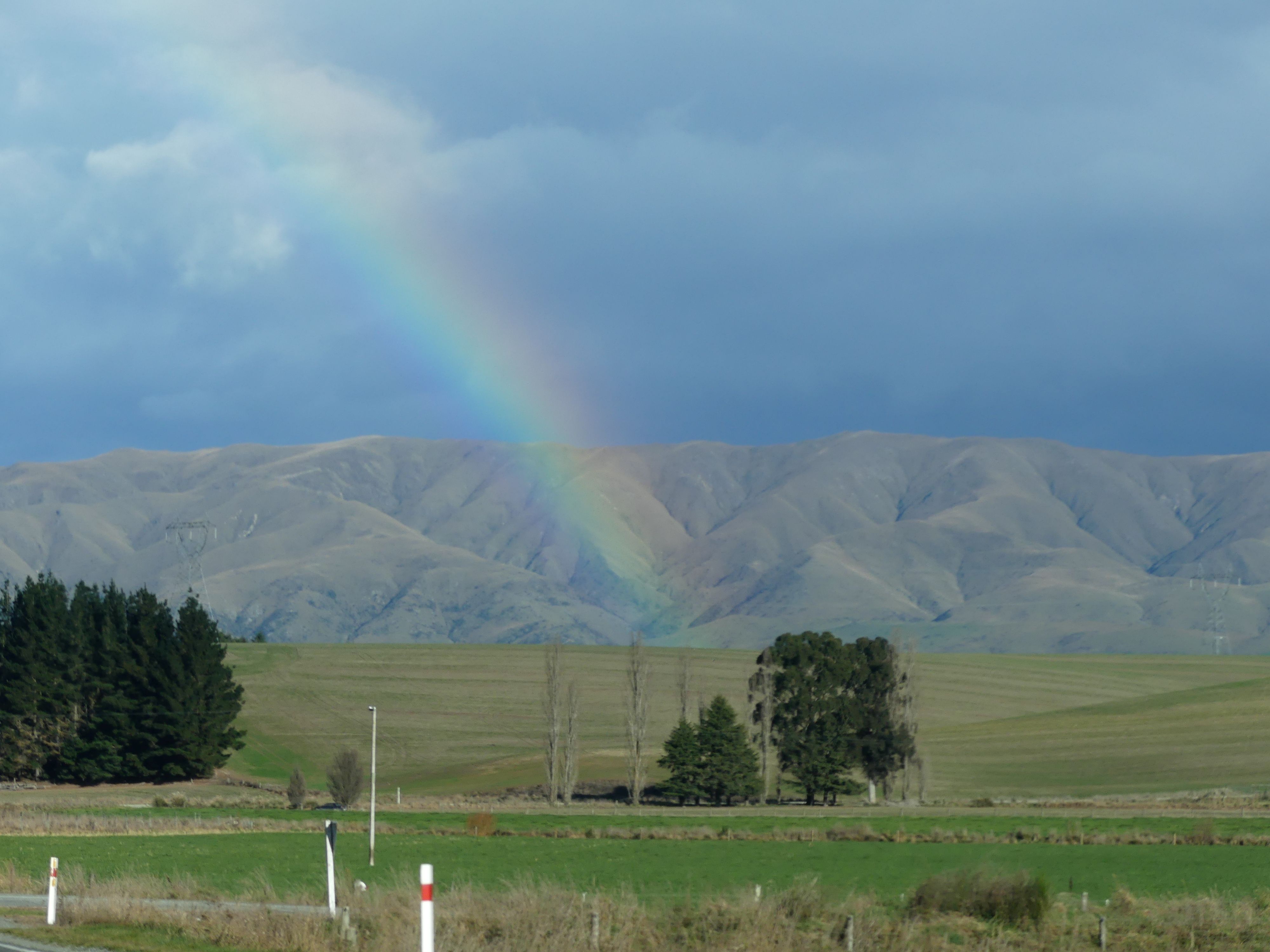
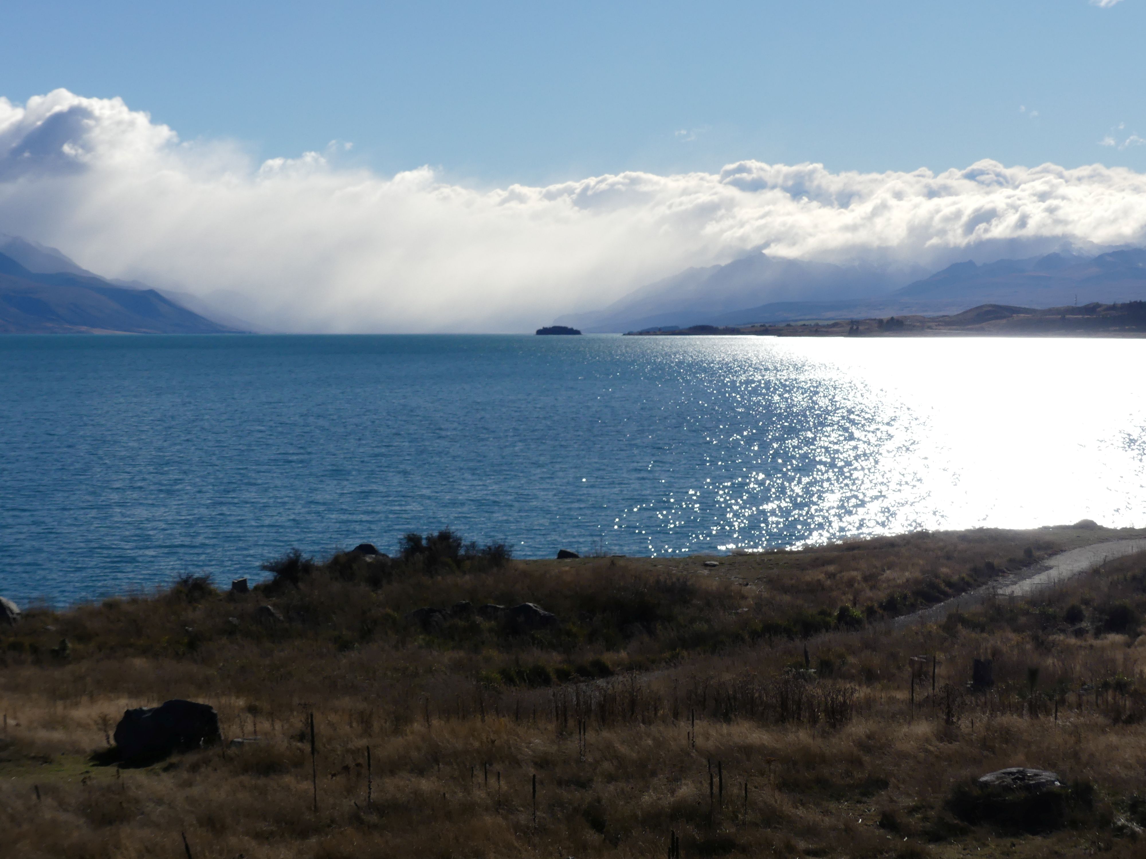
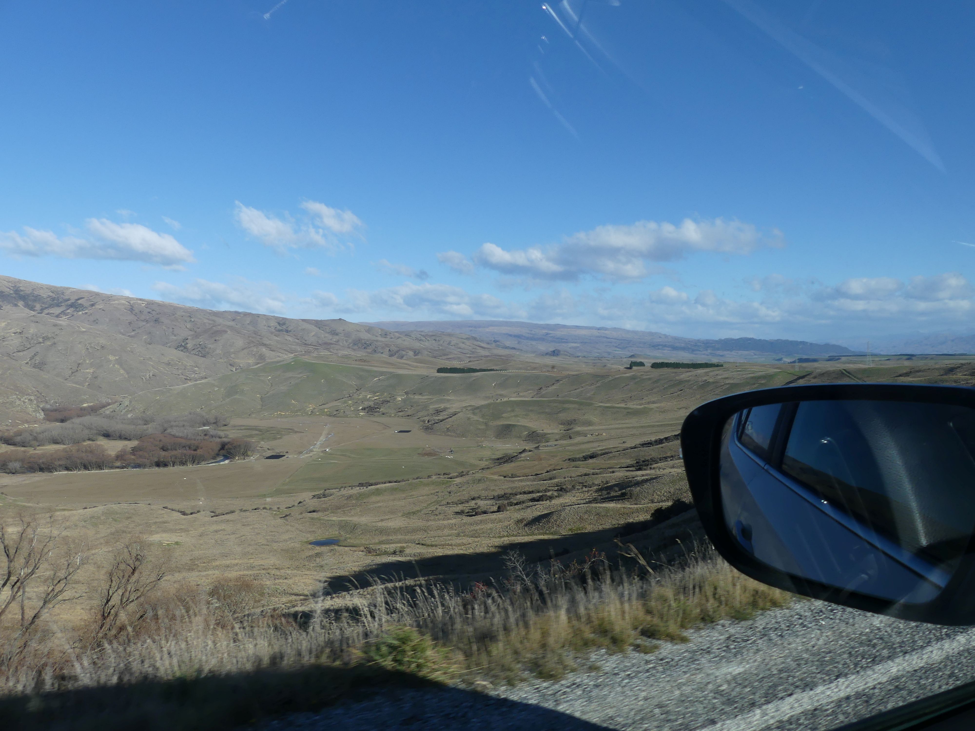
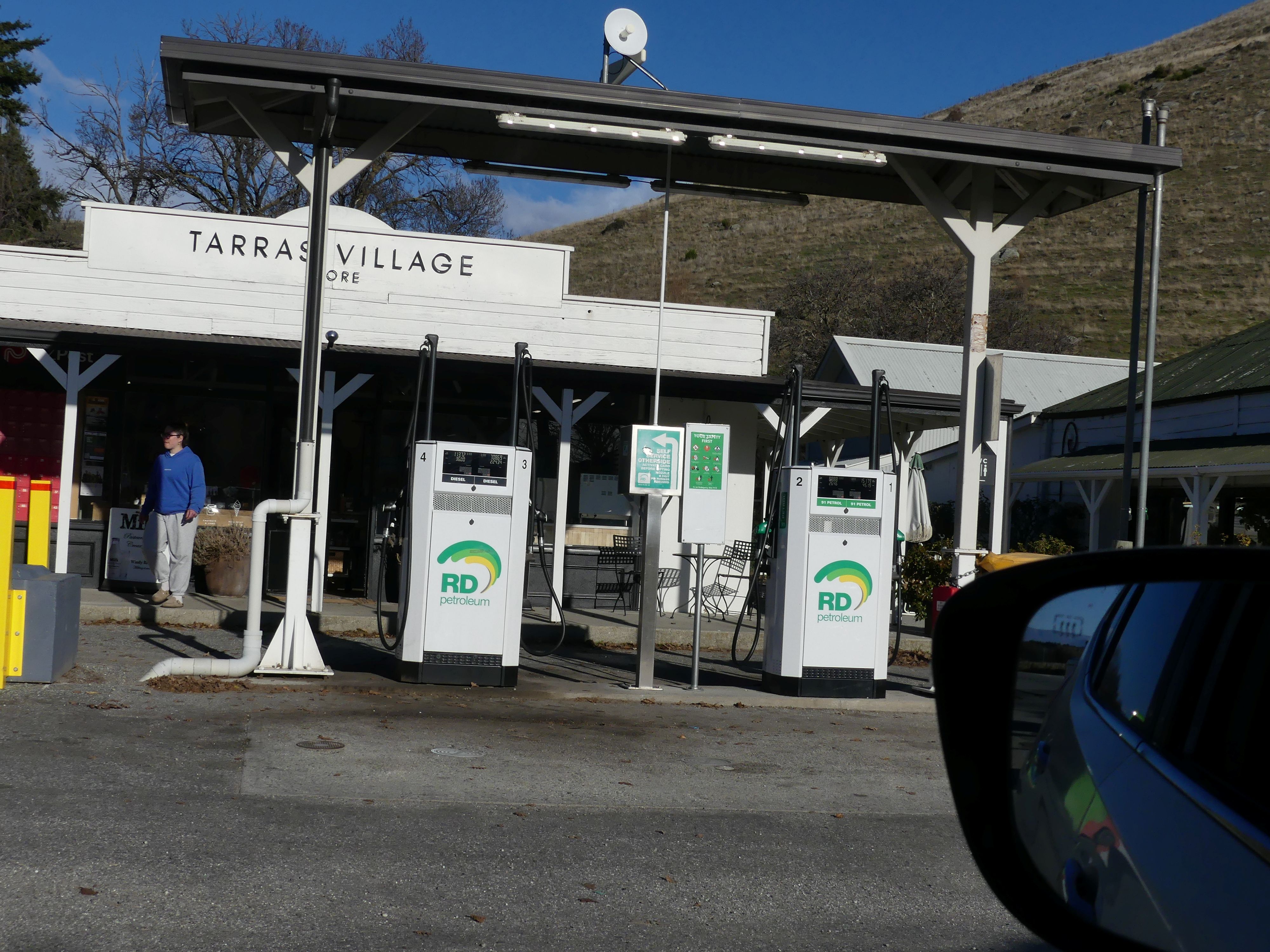
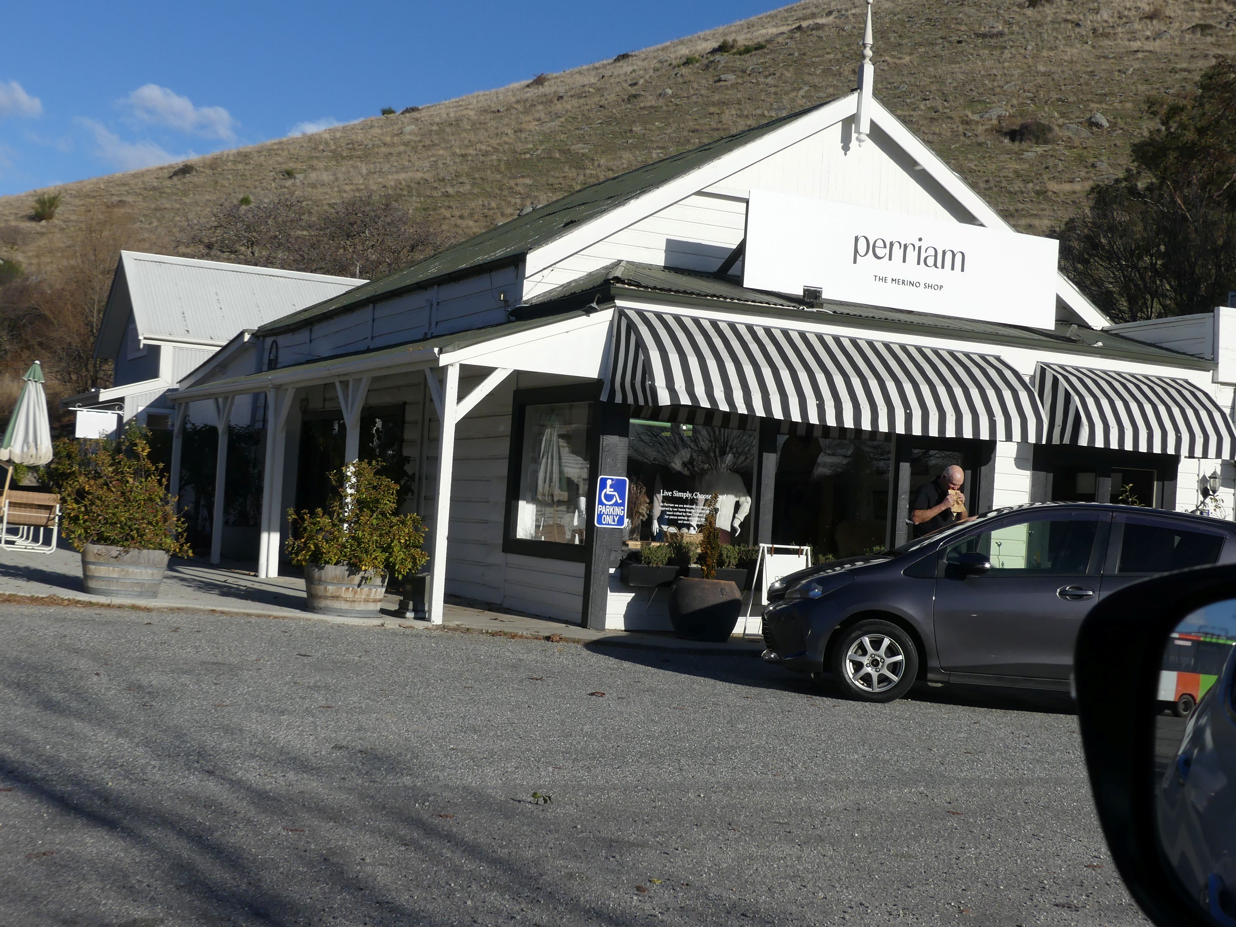
It was getting late and we had stretched the 4.5 hour trip into almost 7 hours. We drove into Tarras which seemed to be a petrol and toilet stop with some swanky shops. It was important that we take these stops to rest the horses. Not far to go now to Ashburton.
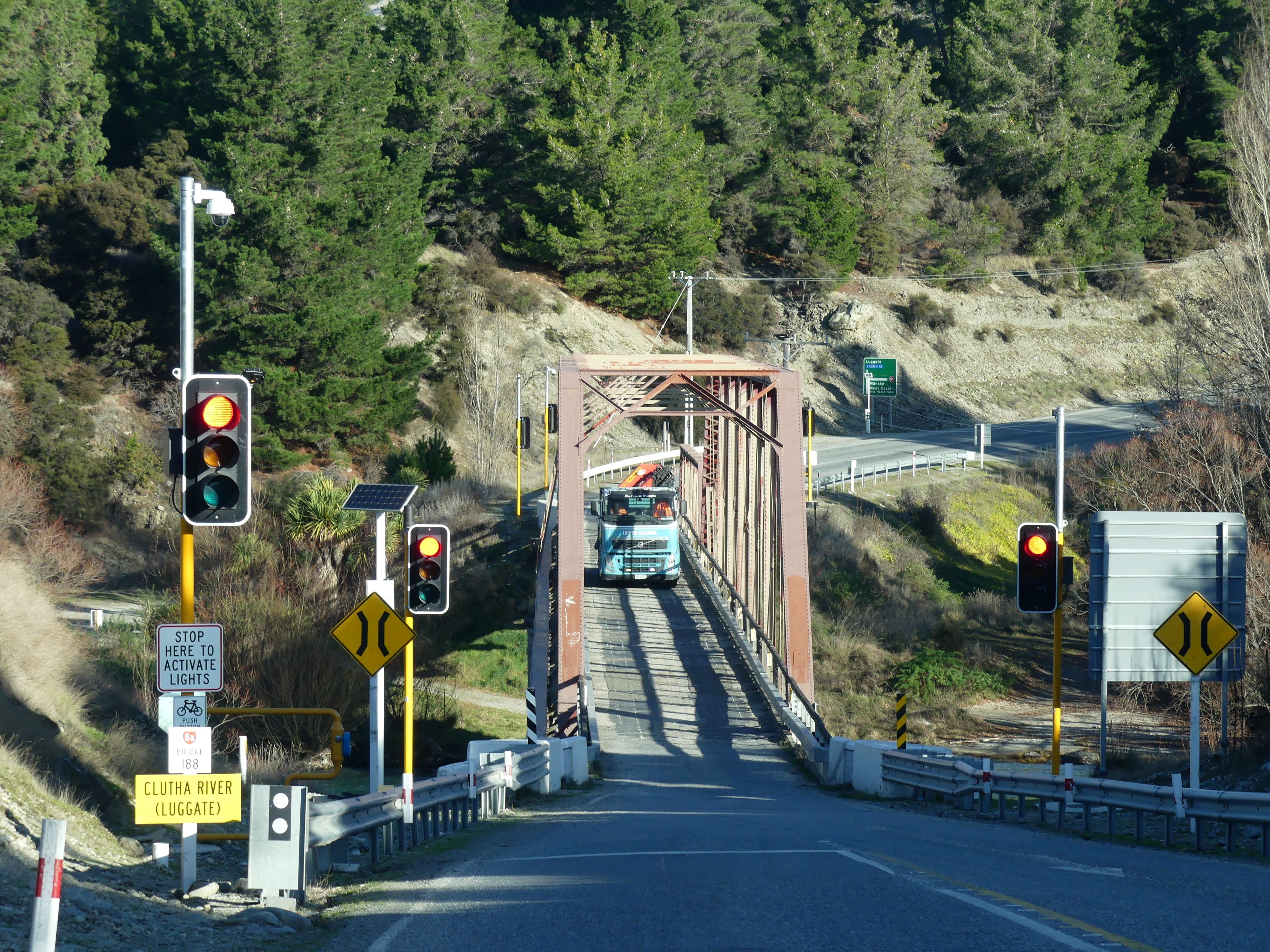
Photos Leaving the lake, some more scenery, Tarras and another 1-way bridge with traffic lights
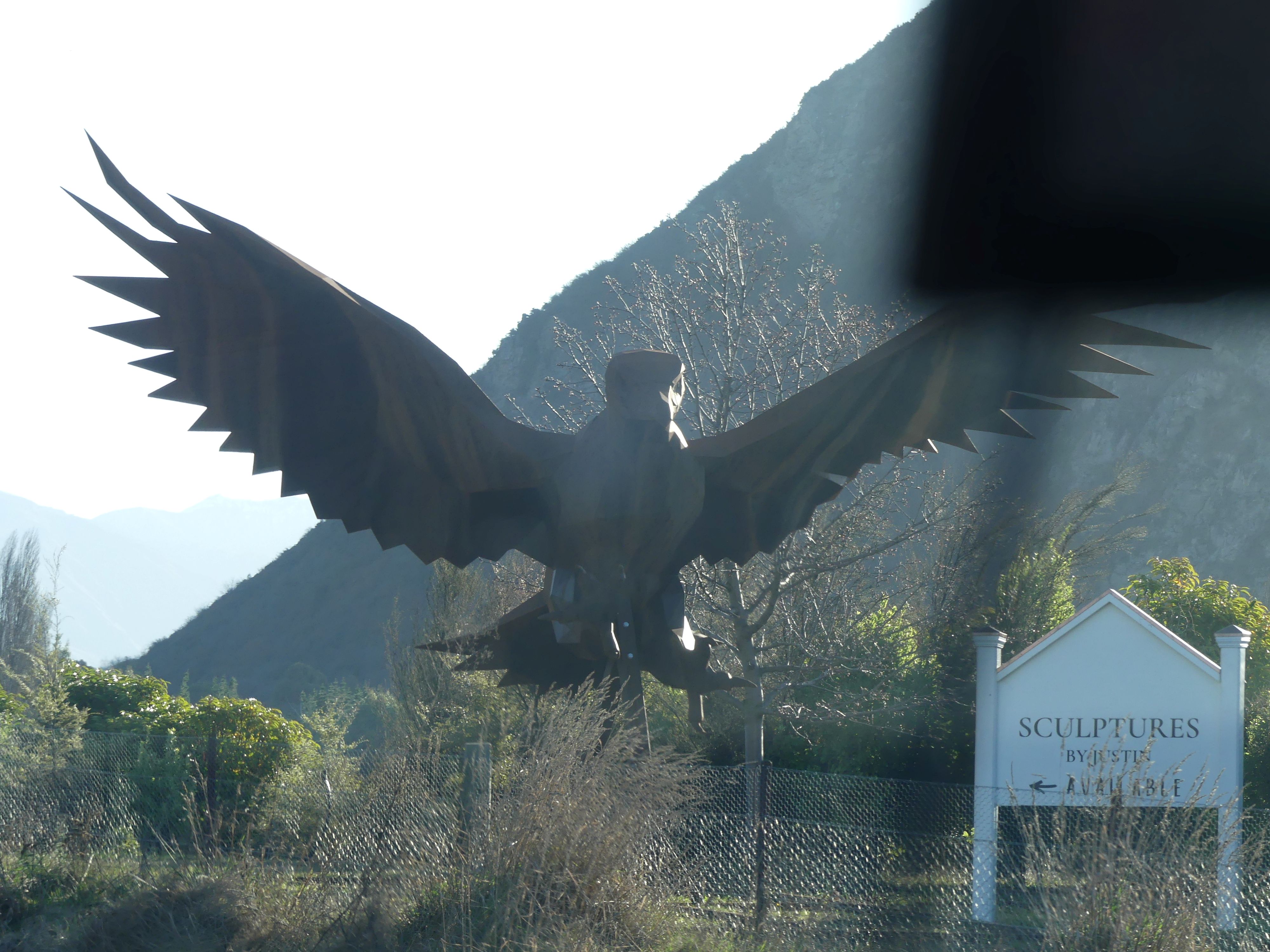
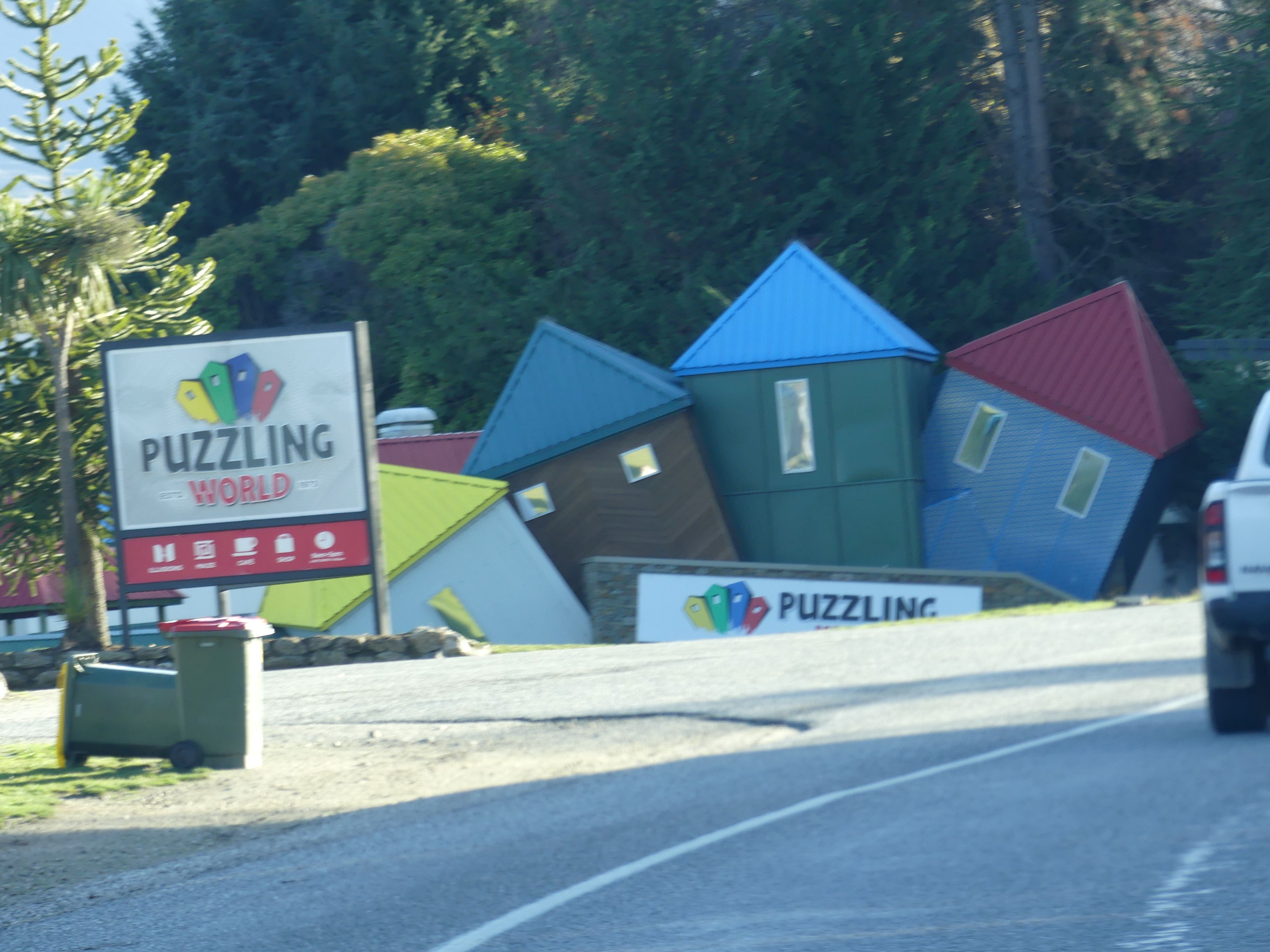
We were heading for Academy Lodge Motel, in East St., Ashburton. Approaching the outskirts, a large bird appeared outside the driver’s window. Claws extended we thought at first that we were about to become prey of this enormous creature. With relief we realised it was trapped in the sculpture park we were passing. Further along life became a puzzle at Puzzling World. Finally sunset and no more giant birds or tilting buildings. Snug in our accommodation out came the cards before retiring for the night.
Photos Claws, Tilting houses and the lake Wanaka at Sunset
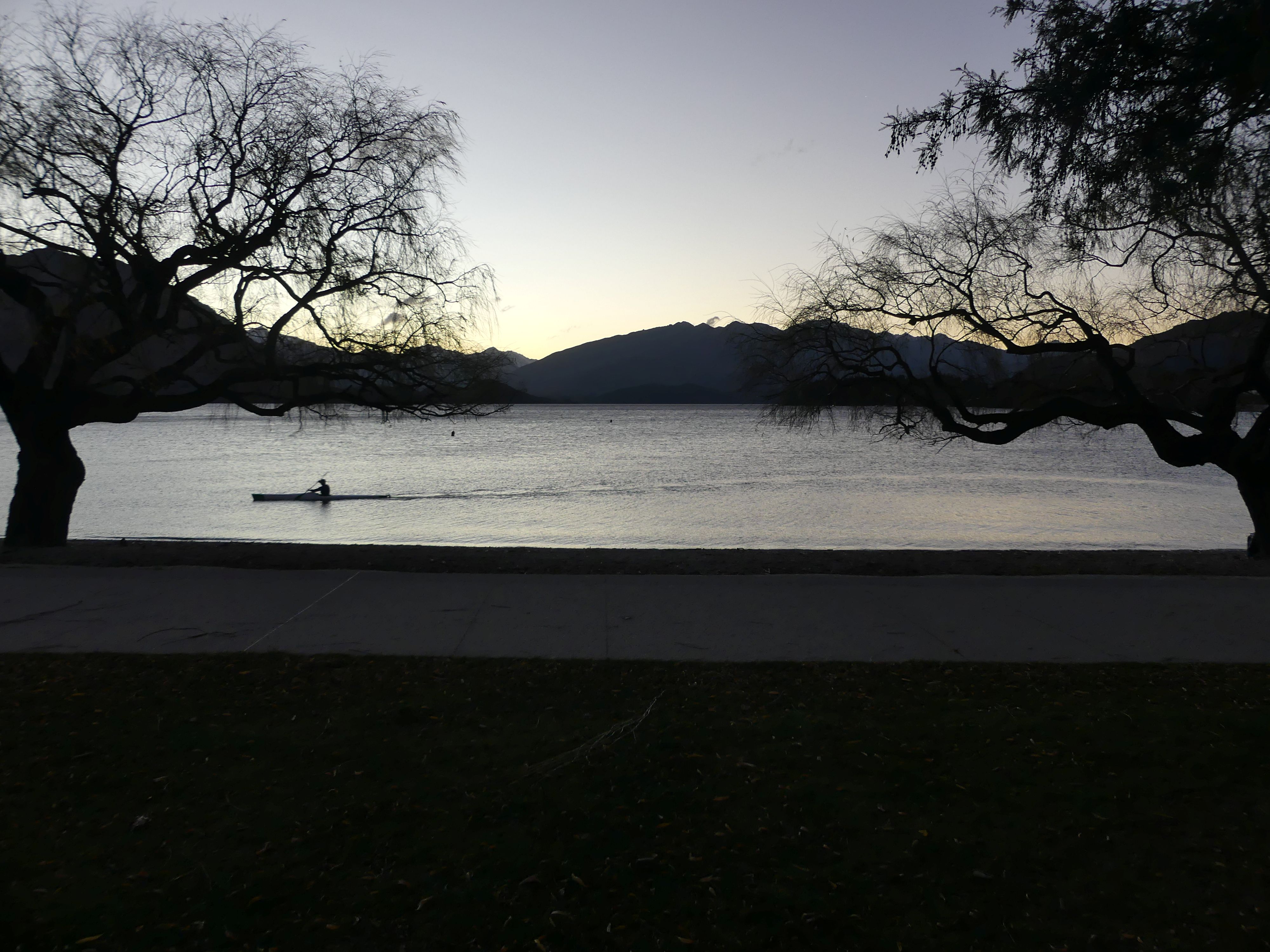
Day 21 Ashburton
Ashburton is situated 17 kilometres inland on the Canterbury Plains approximately 86 kilometres (53 mi) south of Christchurch and 75 kilometres north of Timaru. The town is the centre of an agricultural and pastoral farming district on the Canterbury Plains. The girls found a Lavender Farm and Barry and I found something else to do. Remember the incident in Dunedin and the damage some ignorant had caused to our hire car, well this is where we had to address the questions “Do we confess the damage? Do we try to fix the damage? Do we return the car and hope they don’t notice?” We decided we notify the car hire company and obtain an assessment from a repairer in Ashburton. So, whilst the girls “smelled the flowers” we visited an auto repairer and for a modest fee obtained an assessment which shocked us. It appeared the vehicle had been in an accident, and the front of the vehicle (grill and associated panels) had been replaced, and the repair cost was likely in the thousands of dollars. We would be glad to have obtained the assessment as we feared an argument with the hire company and paying for this damage or having an argument with their insurer. We returned to pick up the girls and take a trip to Diamond Lake Conservation Area – a short drive from Wanaka, and just down the road from Glendu Bay.
The starting point was a few kilometres outside the township, and the entry and parking area was quite rough. Leaving the car, we started the climb to the lake. After a short uphill stroll, the track splits to head around each side of the lake. Which way you choose is up to you, although the left-hand side is easier as this is the way that walkers heading up to Rocky Mountain and Lake Wanaka viewpoint take. We took the left-hand side. The terrain was quite hard for old folk like me, but the scenery was some compensation. The lake was confined by mountainous cliffs and in the shadow of the mountains the ground was quite damp with puddles lying in the well-trodden ruts of the path.
Photos on the way to the lake, the lake, the track, a lookout way above us, the mountains.
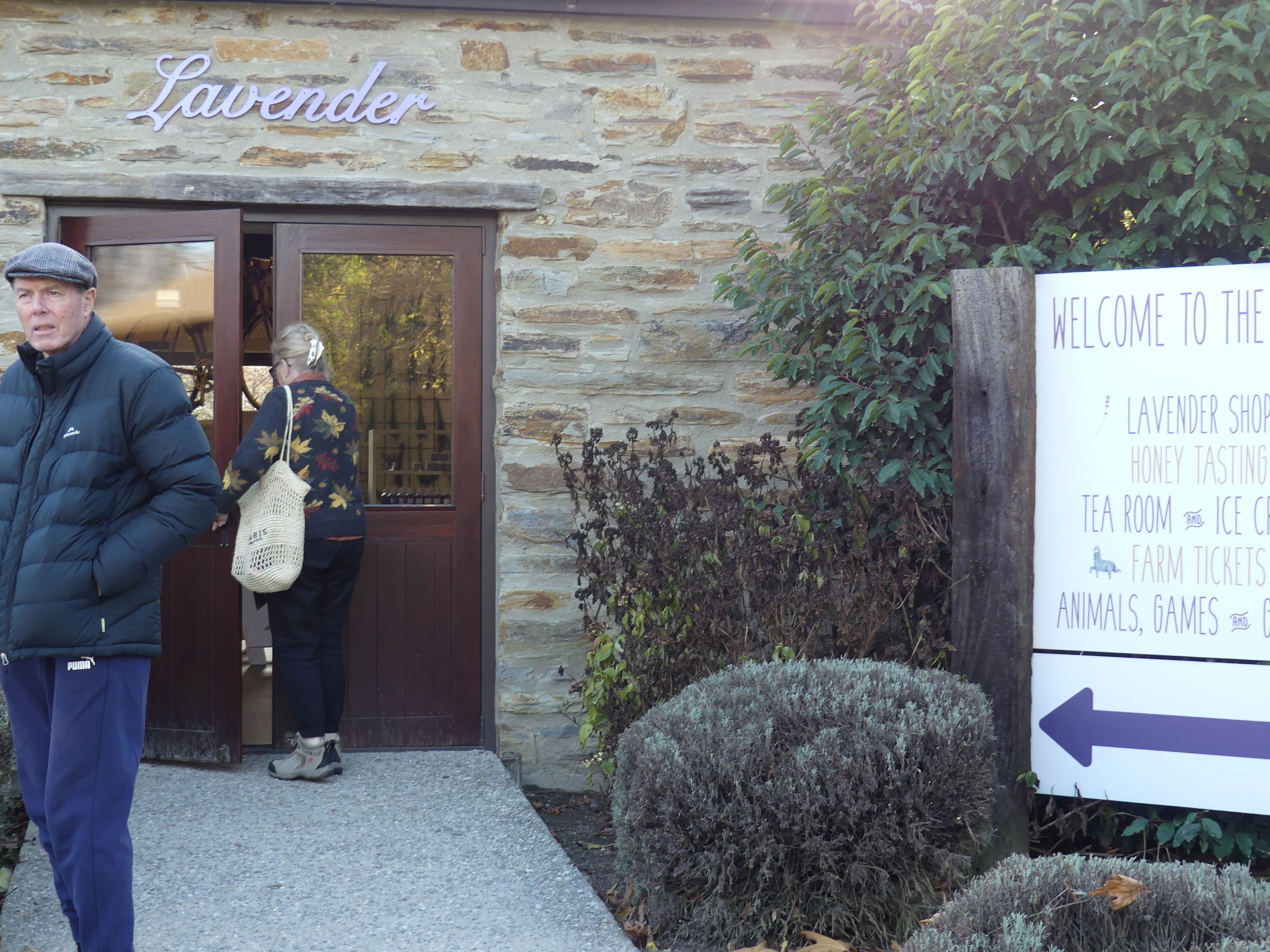
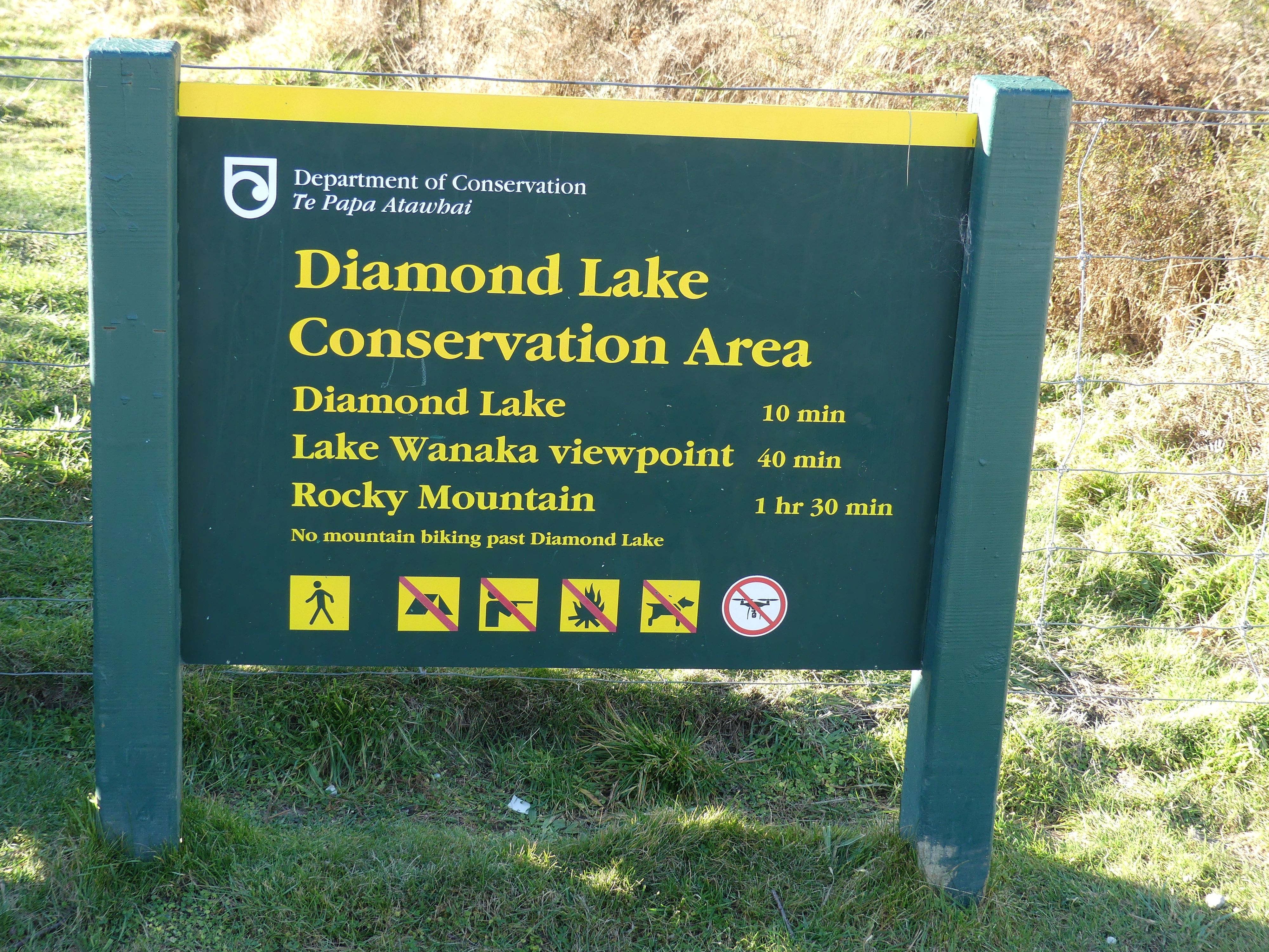
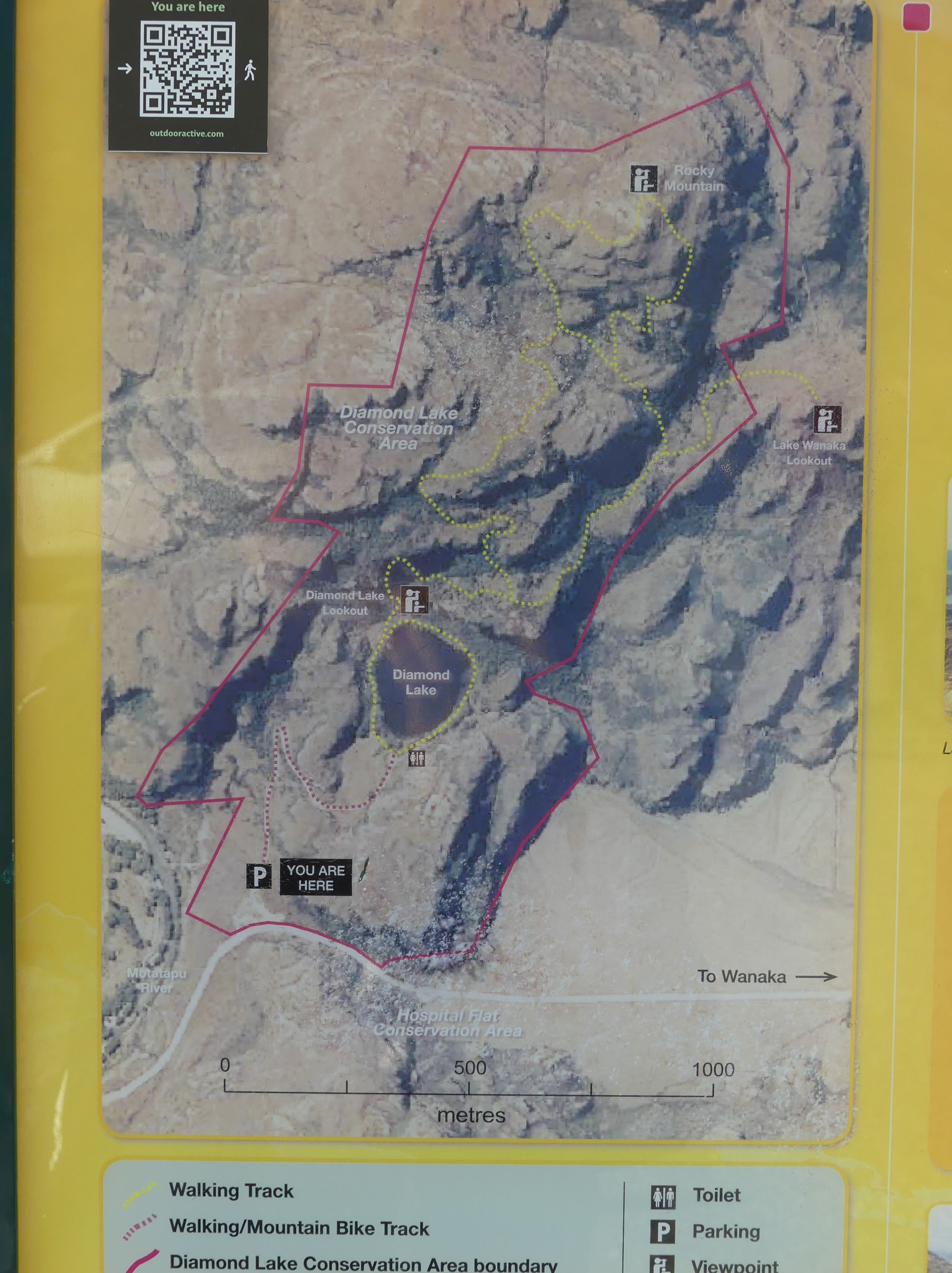
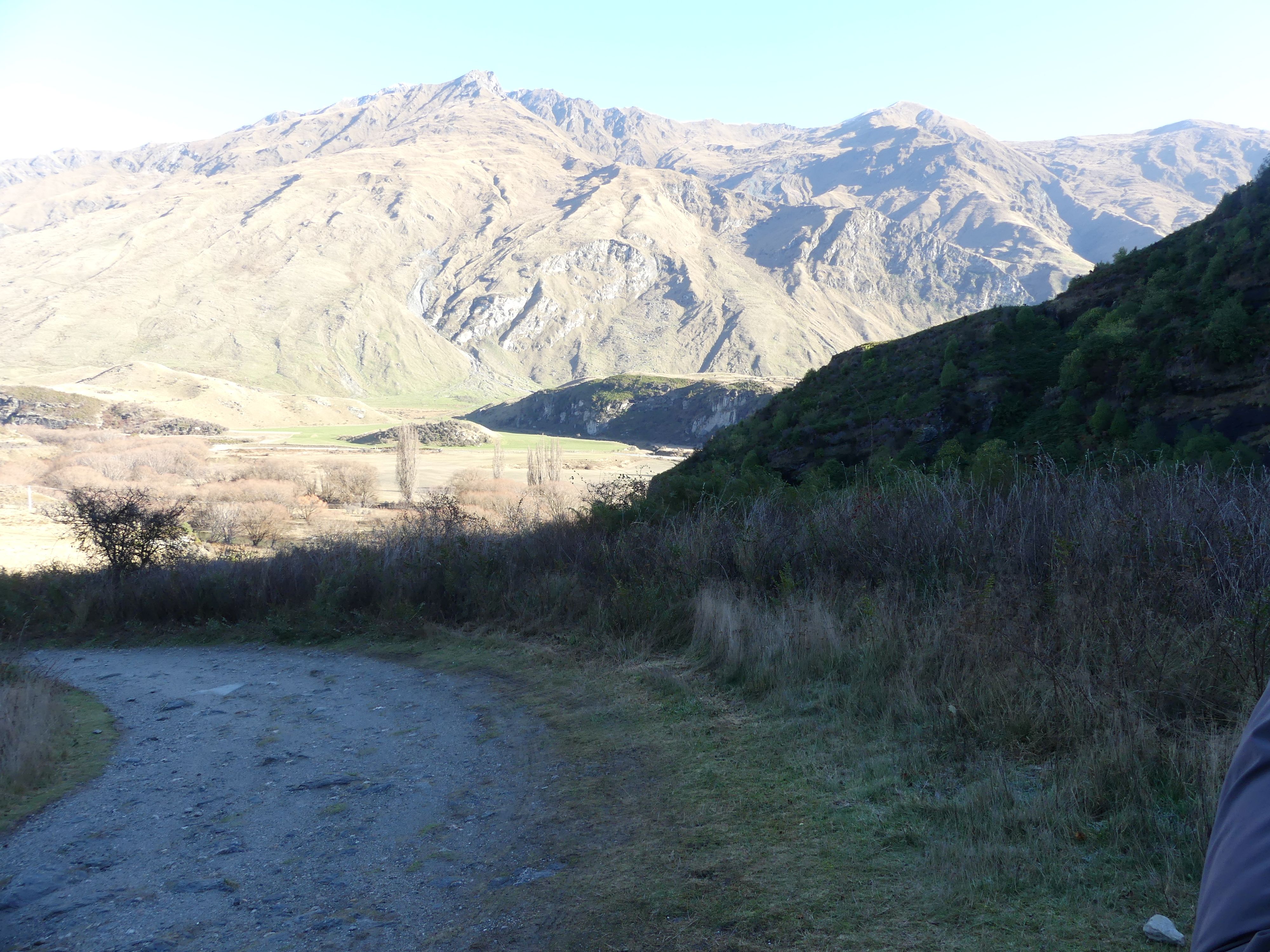
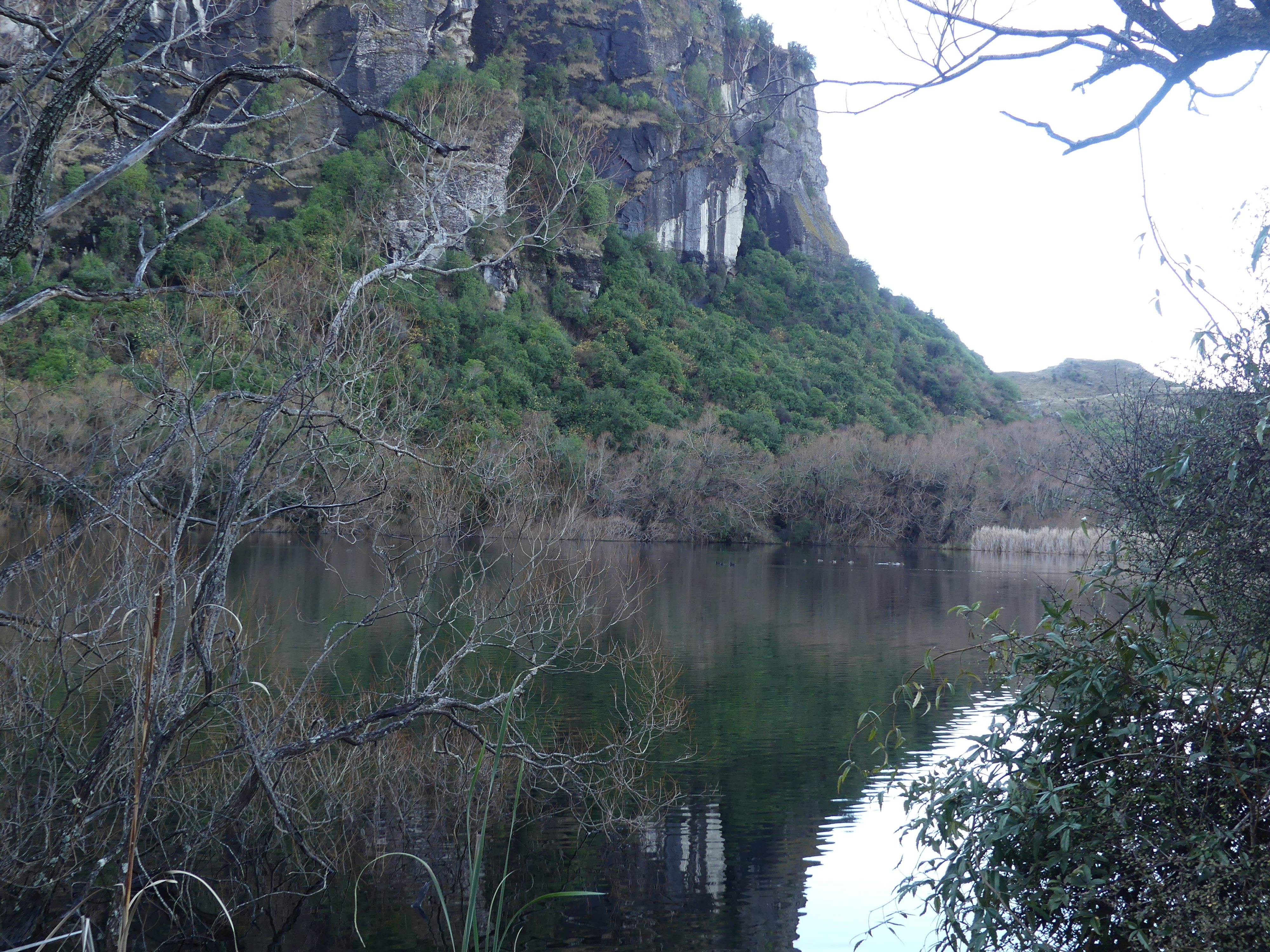
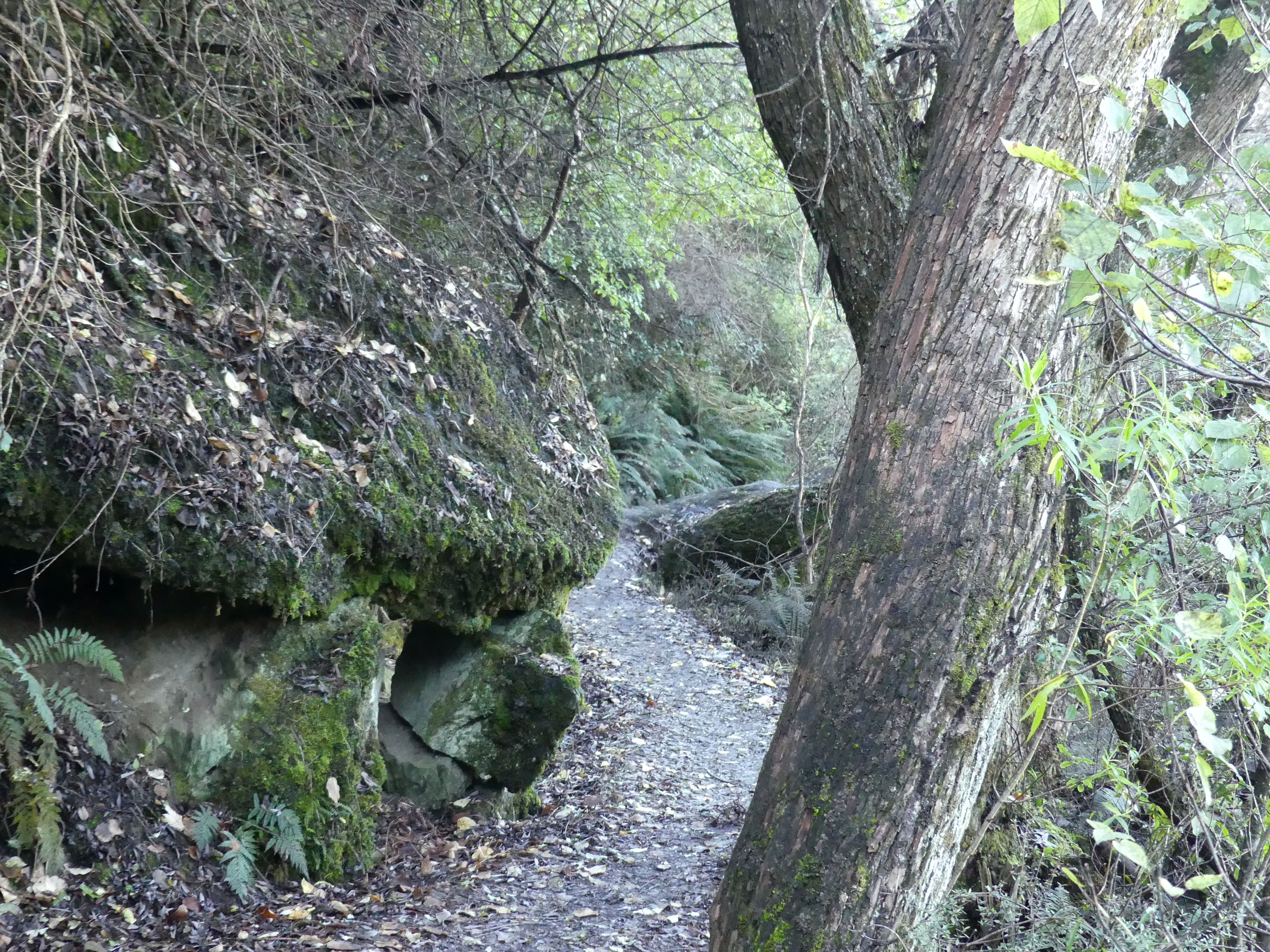
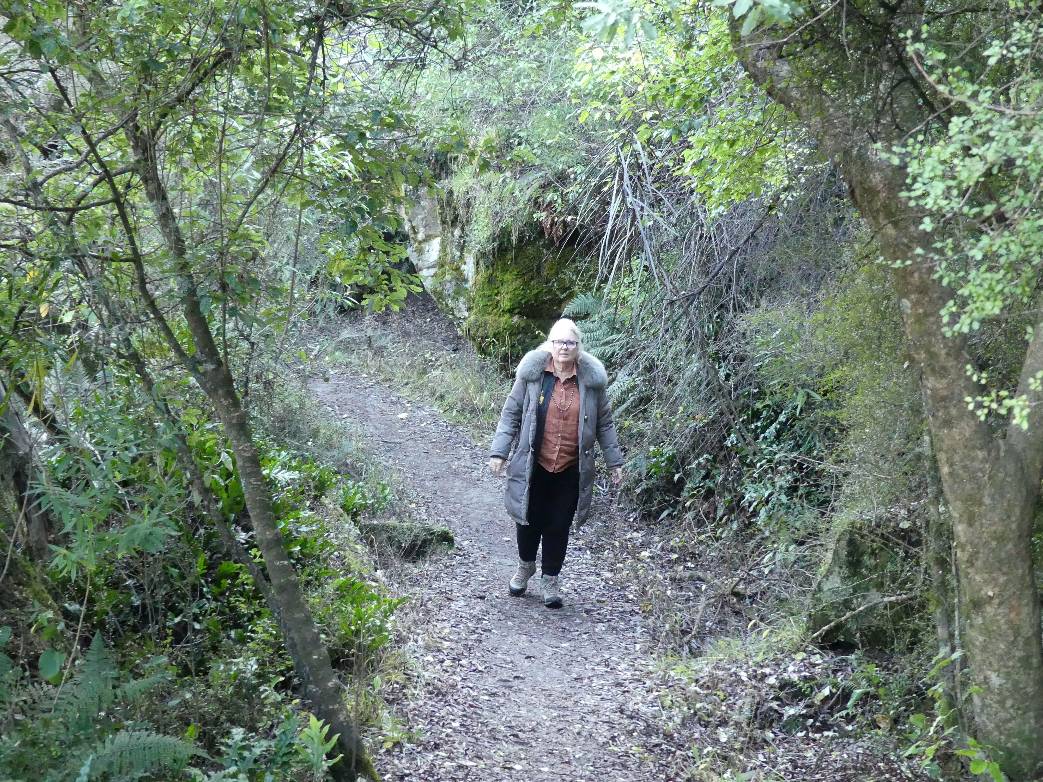
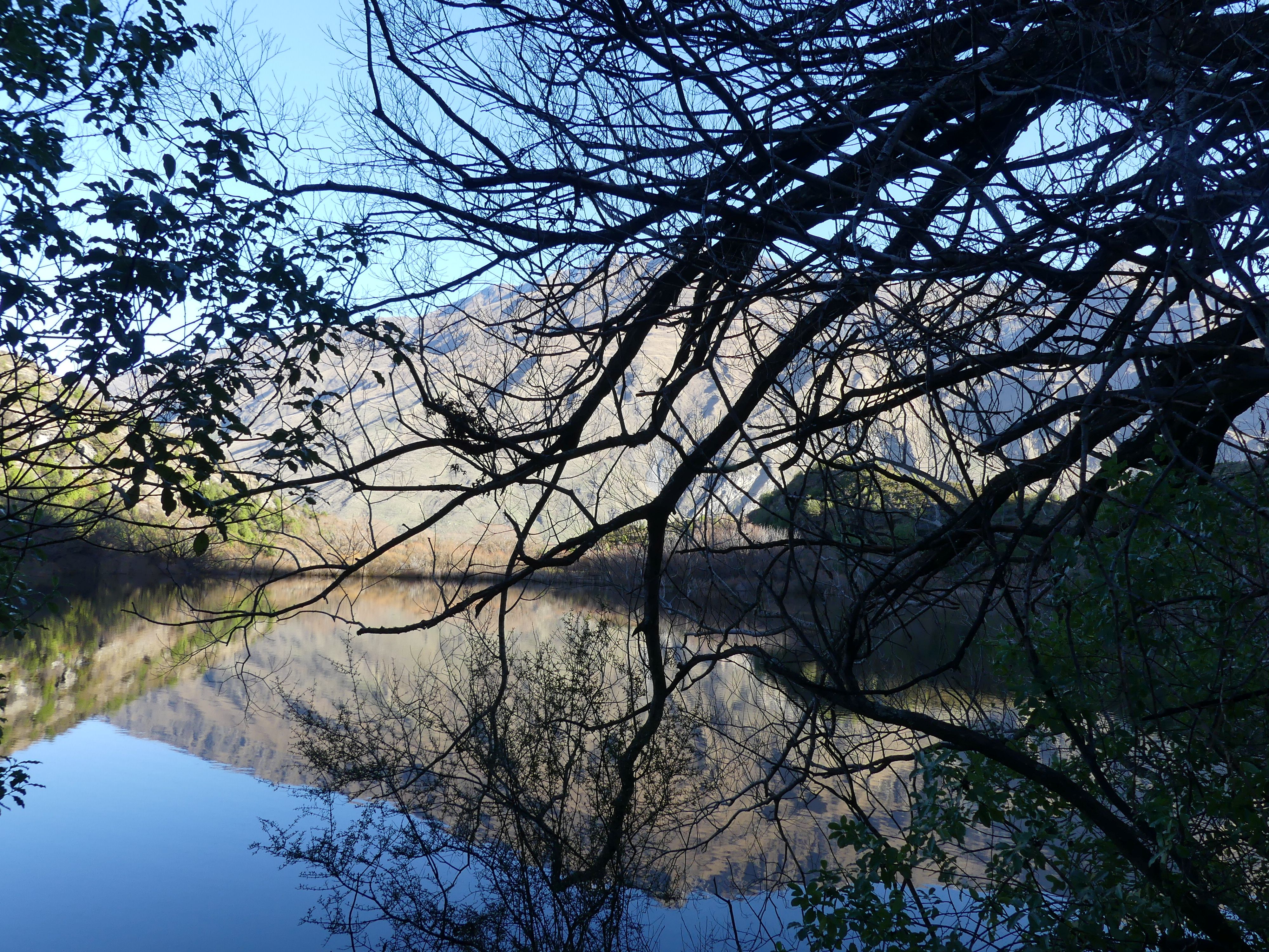
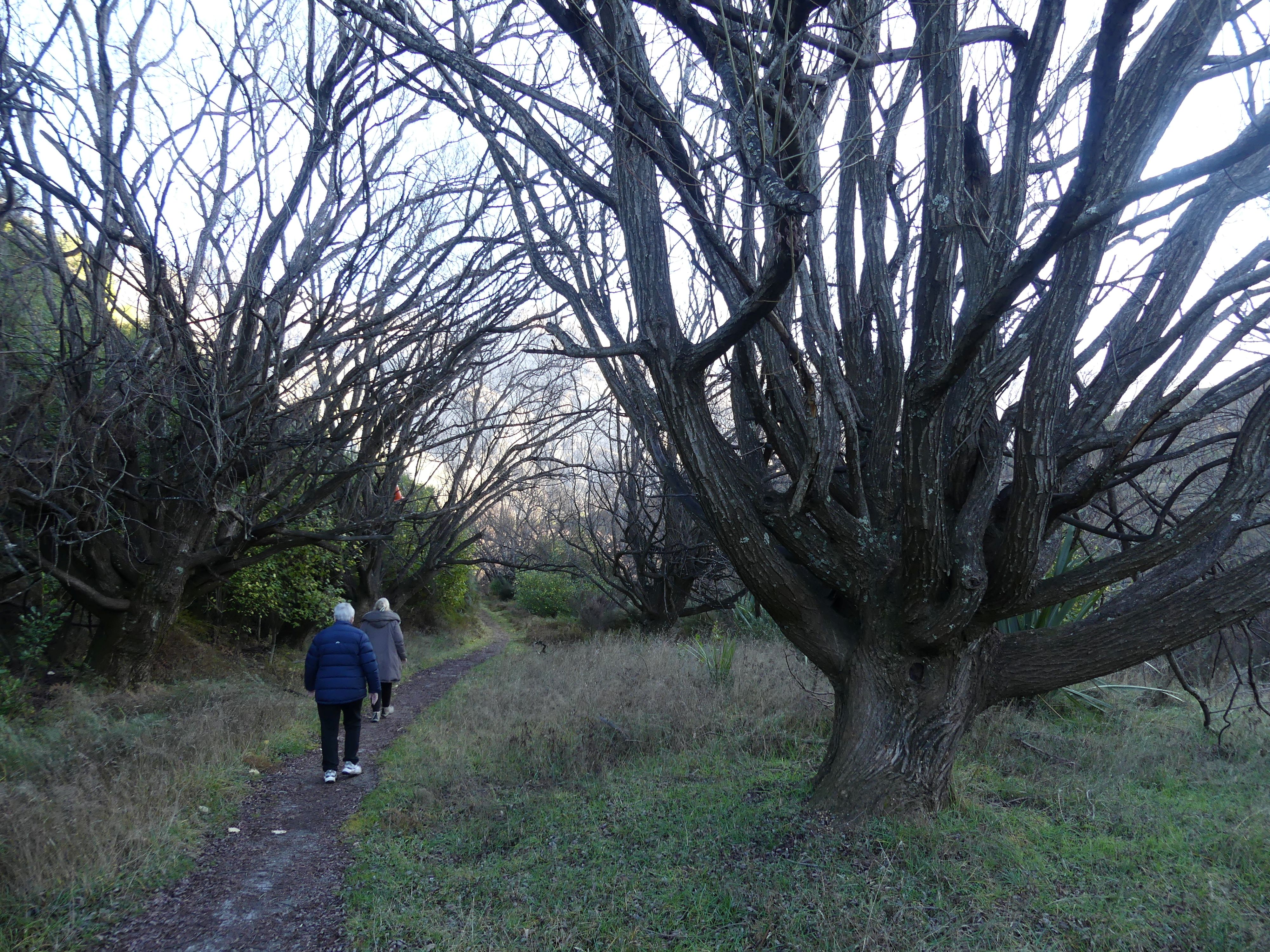
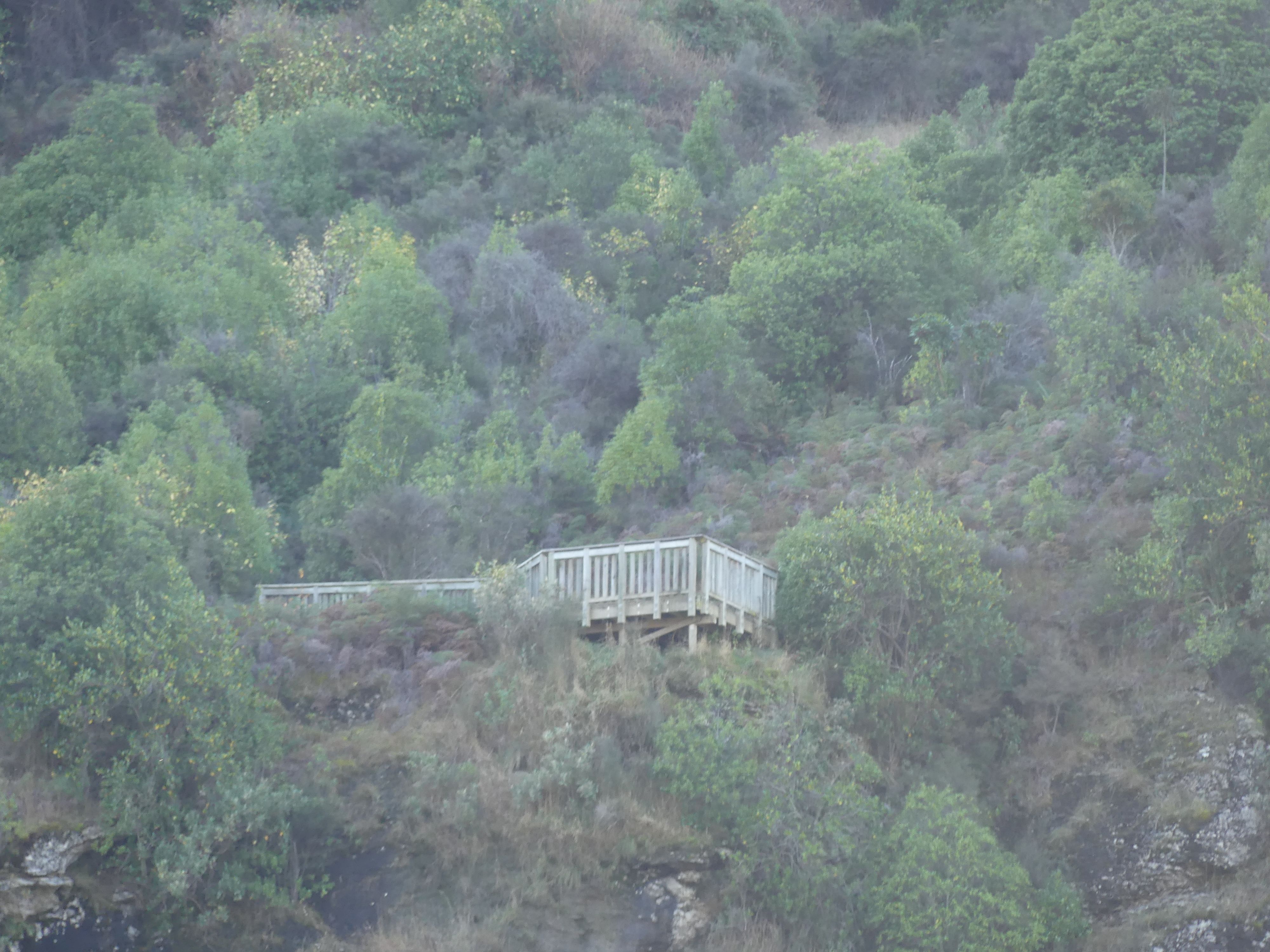
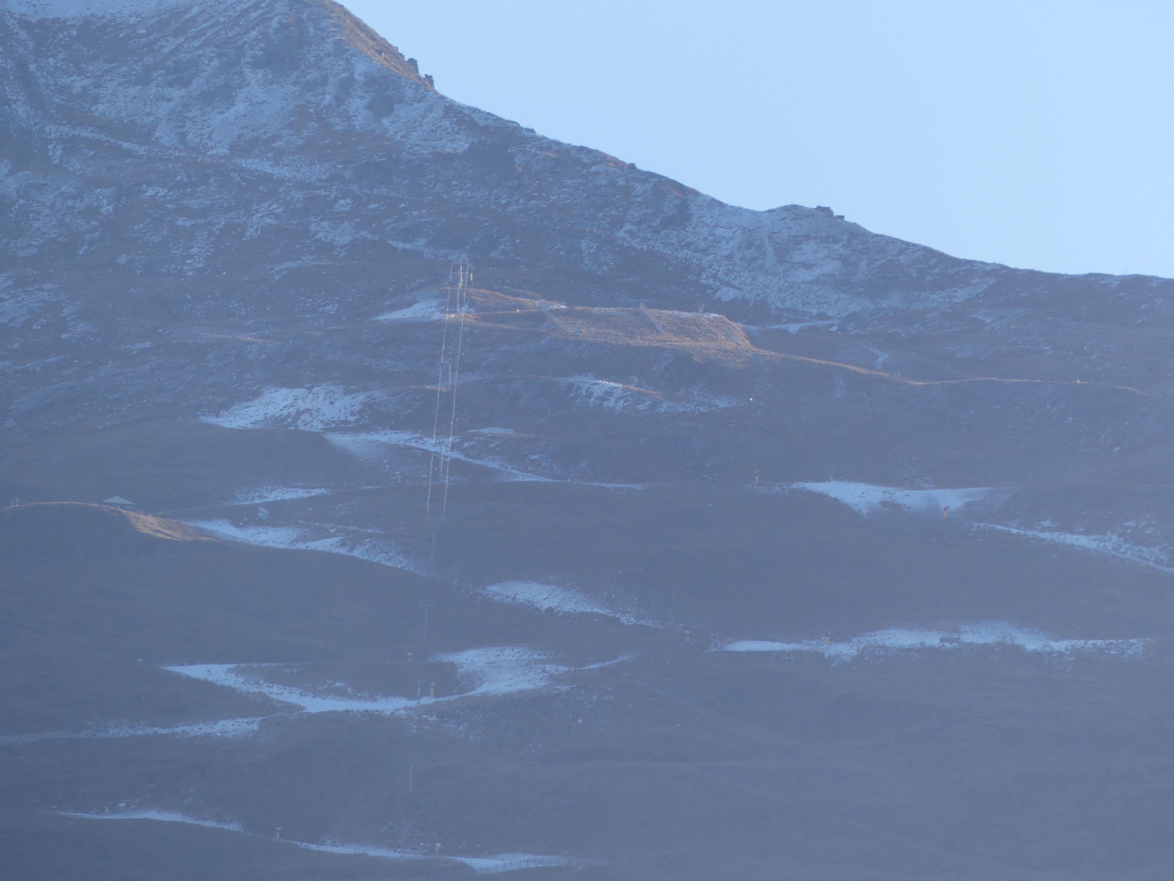
Going back to the car was easier of course and more pleasant. However, I constantly had the fear of Kerry slipping on some of the steeper sections as they were covered with loose gravel. Kerry had an accidental fall where she fractured her ankle just before our trip and none of us wanted a reoccurrence of a broken ankle.
Day 22 Ashburton to Wanaka.
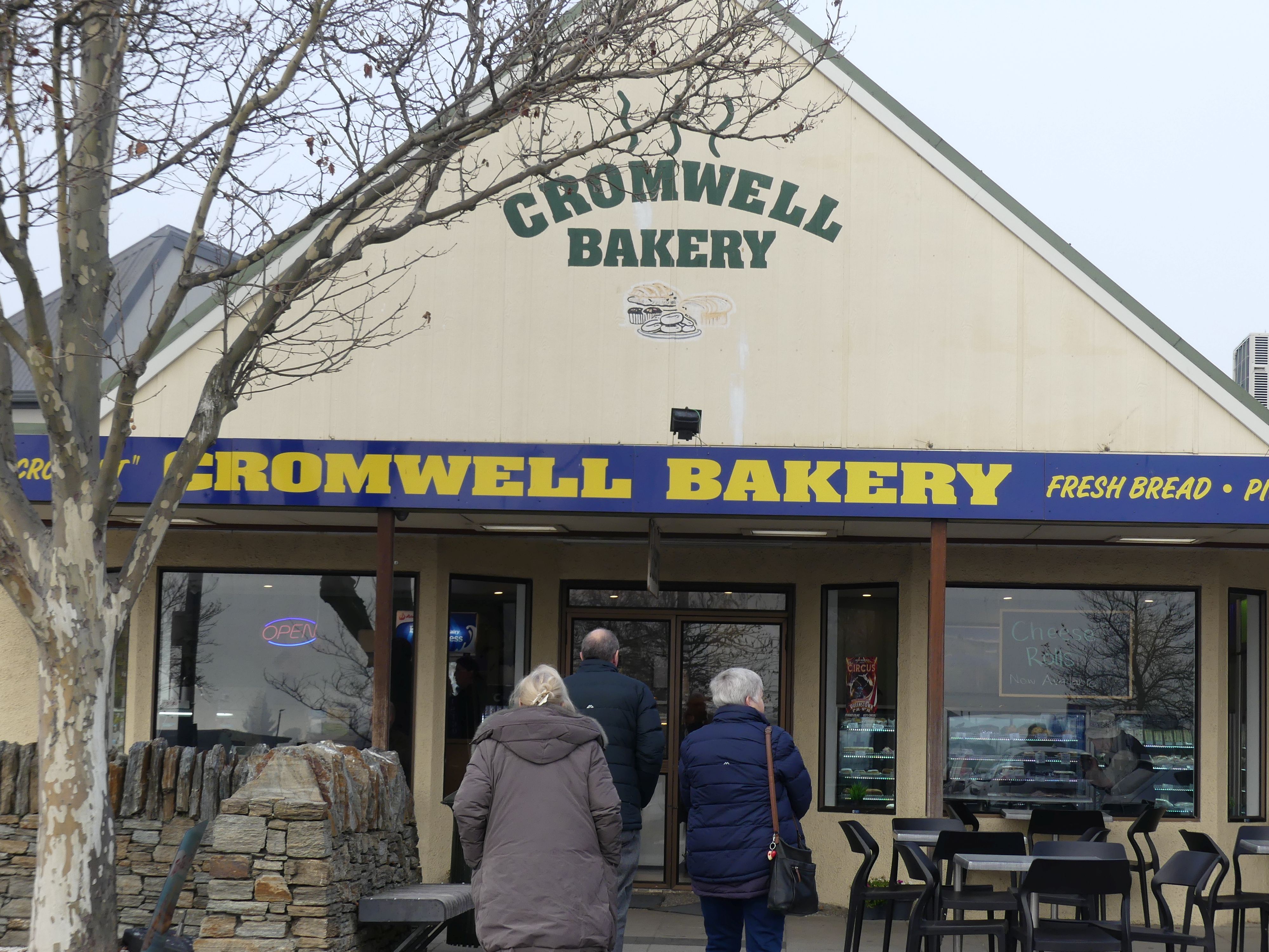
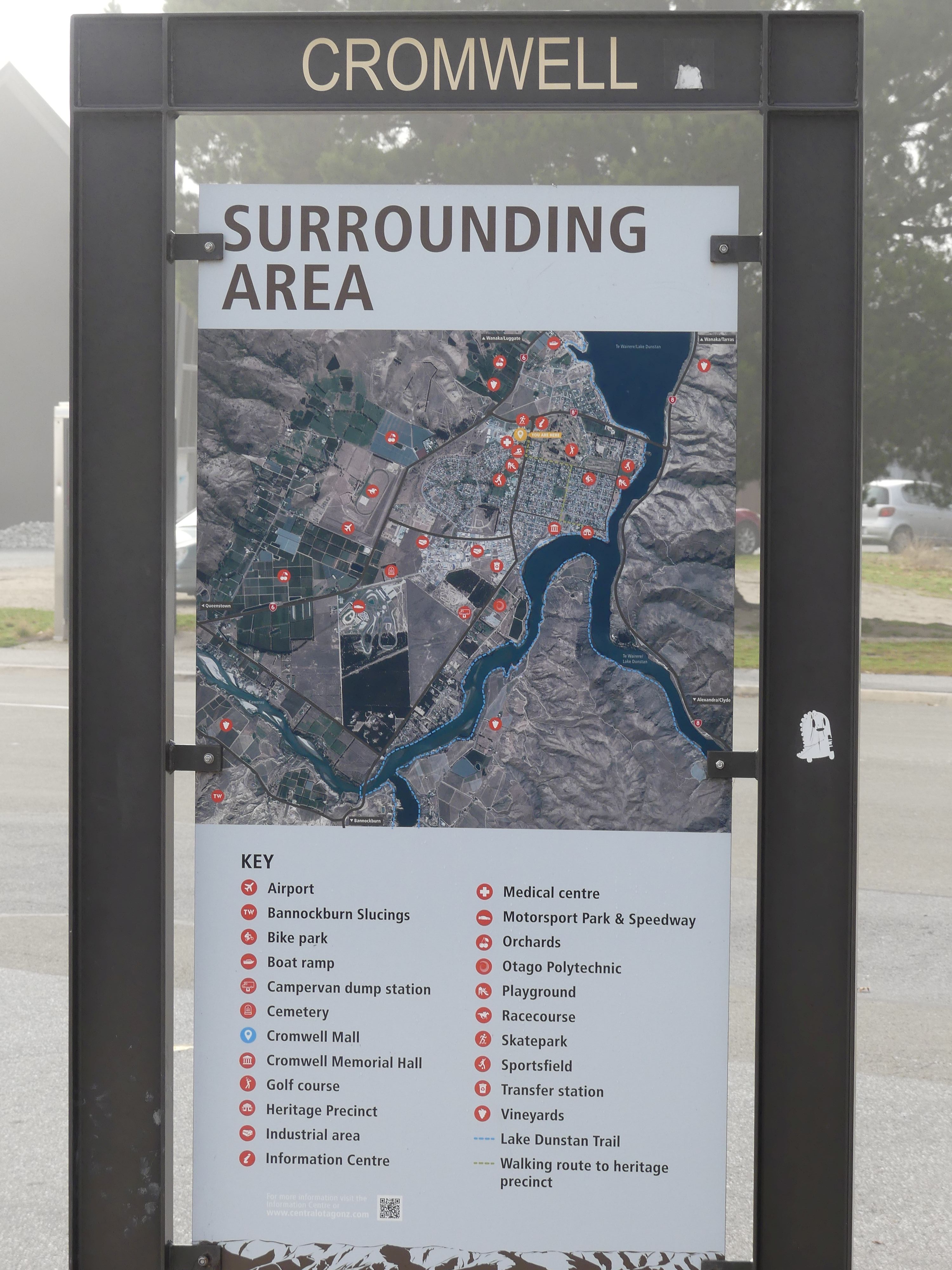
It was only 4 hours to Wanaka, and we planned to visit Cromwell and Bannockburn to get there. Cromwell Bakery was our first stop. Coffee and a bun and a bit of a gander around this part of town. Located in the Central Otago region on the shore of Lake Dunstan, it was established at the confluence of the Clutha / Mata-Au and Kawarau Rivers after gold was discovered nearby during the Otago Gold Rush of the 1860s, Cromwell’s location saw it become a junction for travel between Dunedin and areas further inland, such as Wānaka and Queenstown. As gold mining declined, the town developed to service farms and orchards in the surrounding area, becoming known for stone fruit and as part of the Central Otago wine region. The town remains a hub for people travelling throughout the region, acting as a main route for travellers to Queenstown. The construction of the Clyde Dam and created Lake Dunstan and required that a third of town’s buildings from areas that would be flooded, including the town centre was flooded. Remnants of the old town centre above the lake’s water line have been retained and now form a historic precinct near the lake shore. We didn’t have time to wander further. Next stop would be Bannockburn.
Photos the Bakery, & Cromwell surrounding area
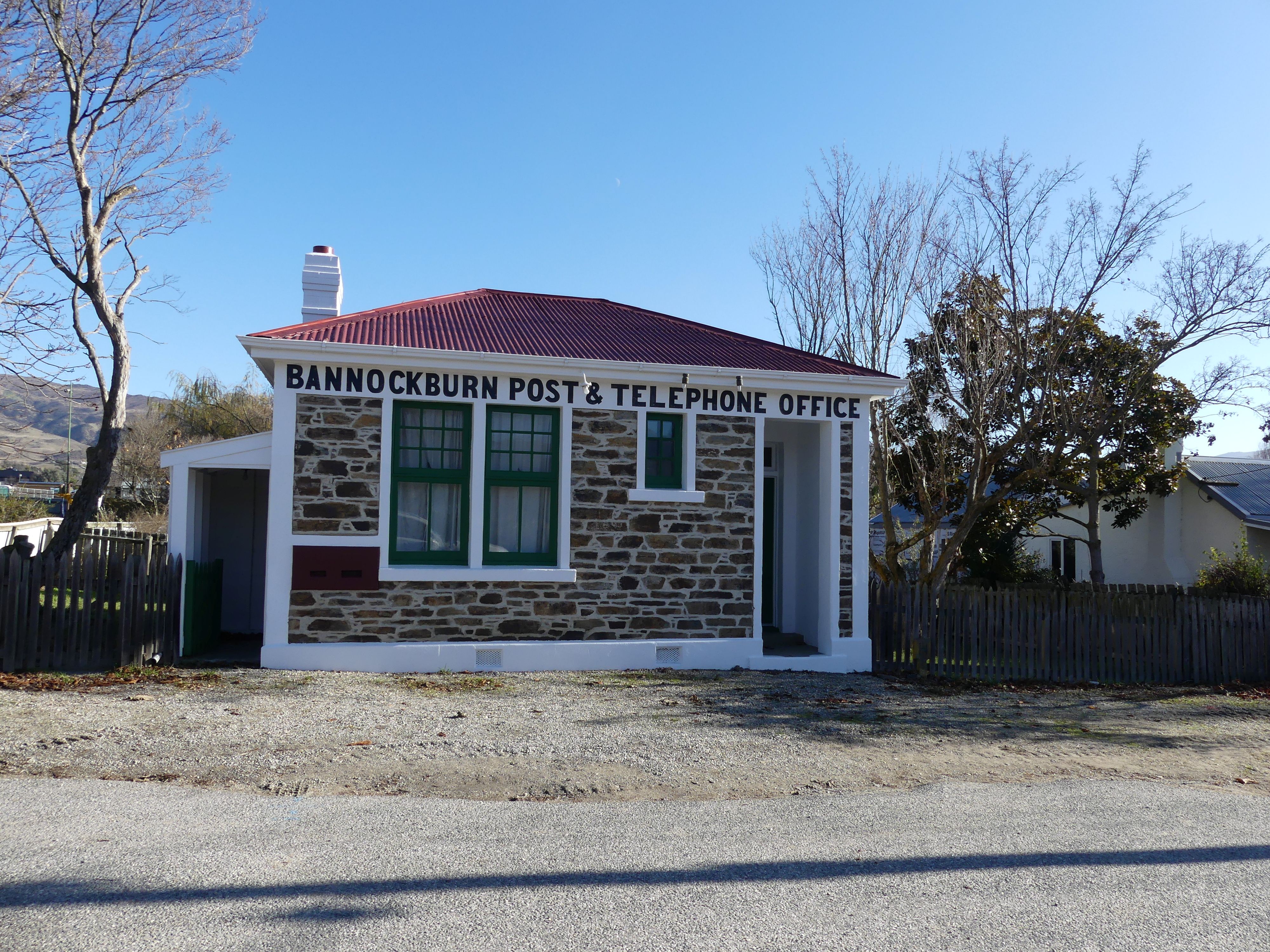
Bannockburn is a small historic gold mining town located outside of Cromwell. The area was first made known as a rich alluvial gold field and was mined extensively in the 1860s. Its uniquely warm, dry climate earned it the name ‘The heart of the desert’, as climatic conditions and human activity have combined to strip the area of most of the original native vegetation leaving rocks, sands and soils exposed. Today, these climate conditions make Bannockburn the home of many vineyards and stone fruit orchards. Our visit was very brief. We noticed a lot of modern homes suggesting wealth in town, but one piece of the past remained – the Post Office. We crossed the river planning one more stop – Roaring Meg Lookout and power station. Roaring Meg Lookout offers a picturesque view of the Kawarau River and the nearby power station. The lookout is conveniently located next to the highway, providing easy access for travellers. Visitors can admire the strong flow of the river as it passes through Gibbston Valley, flanked by high gray cliffs.
Photos Post Office Bannockburn, crossing the river, Gibbston Valley and Kawarau River, the power station and the river, the lookout and on our way again.
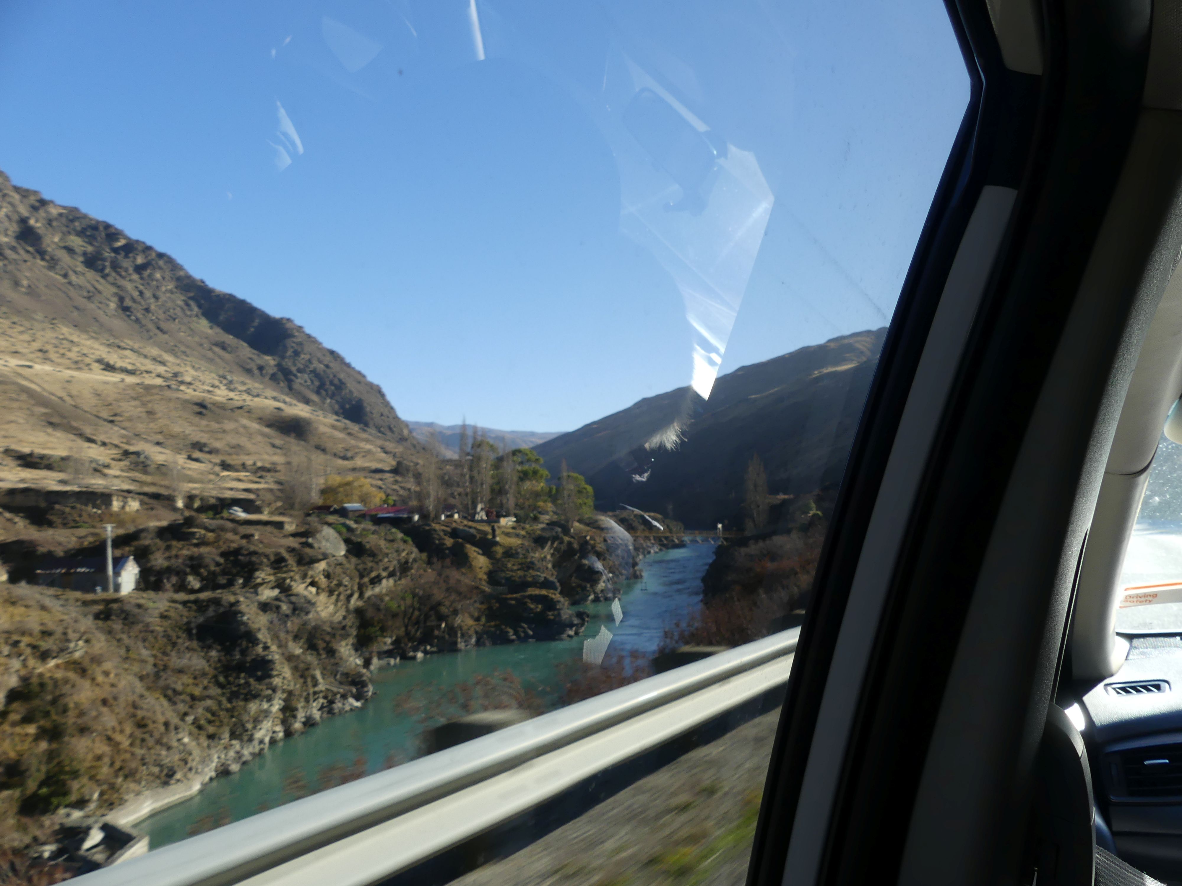
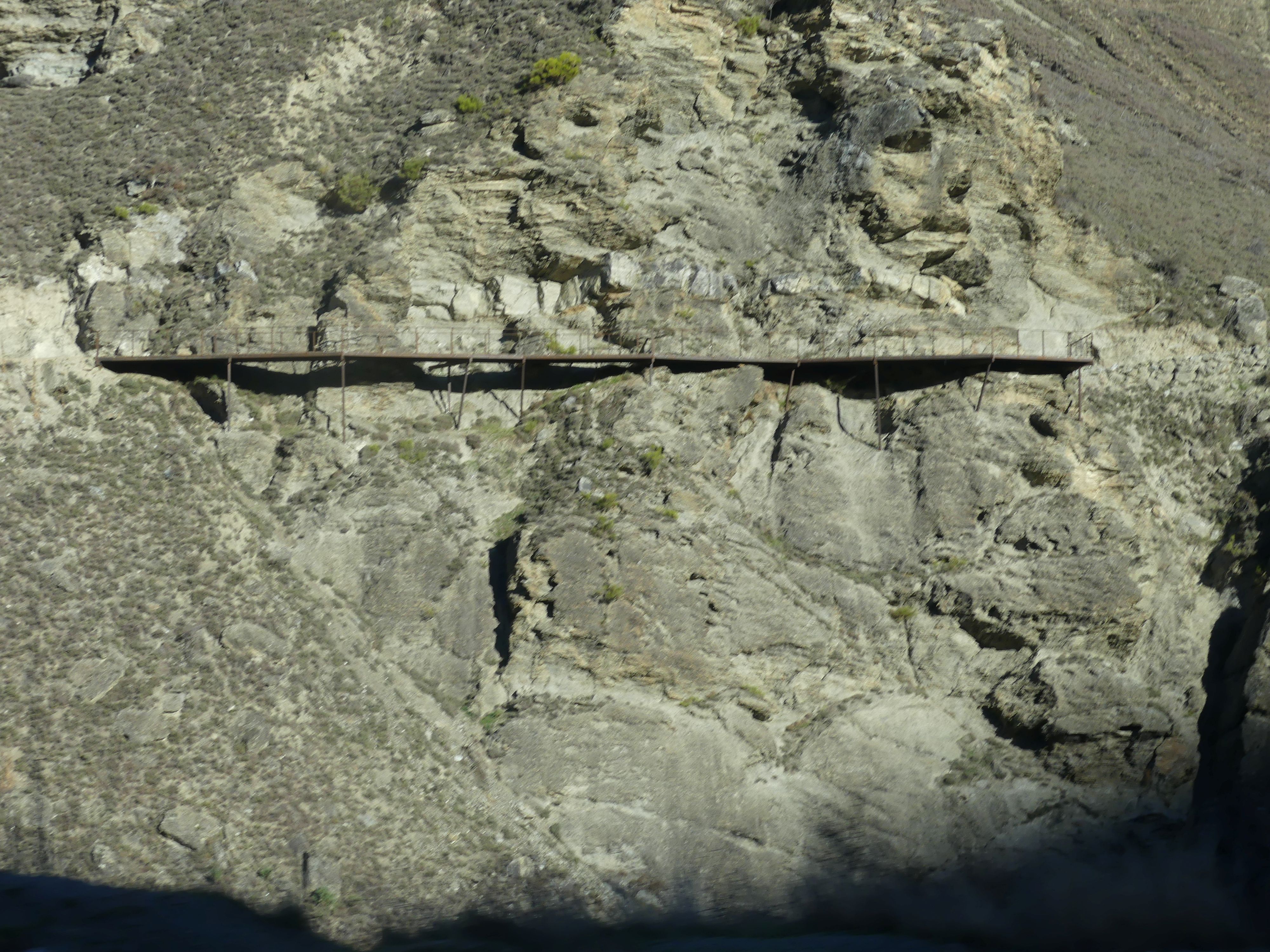
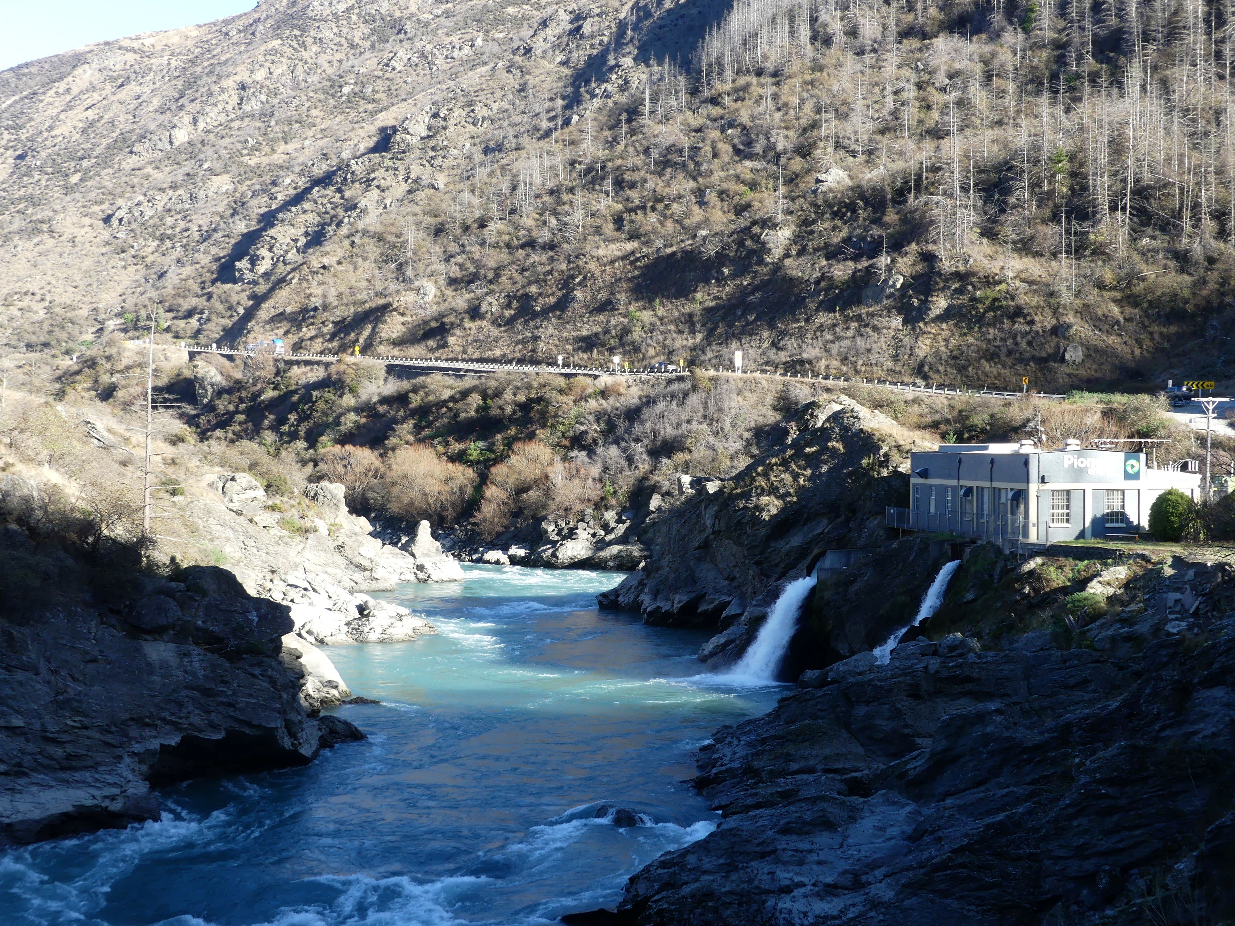
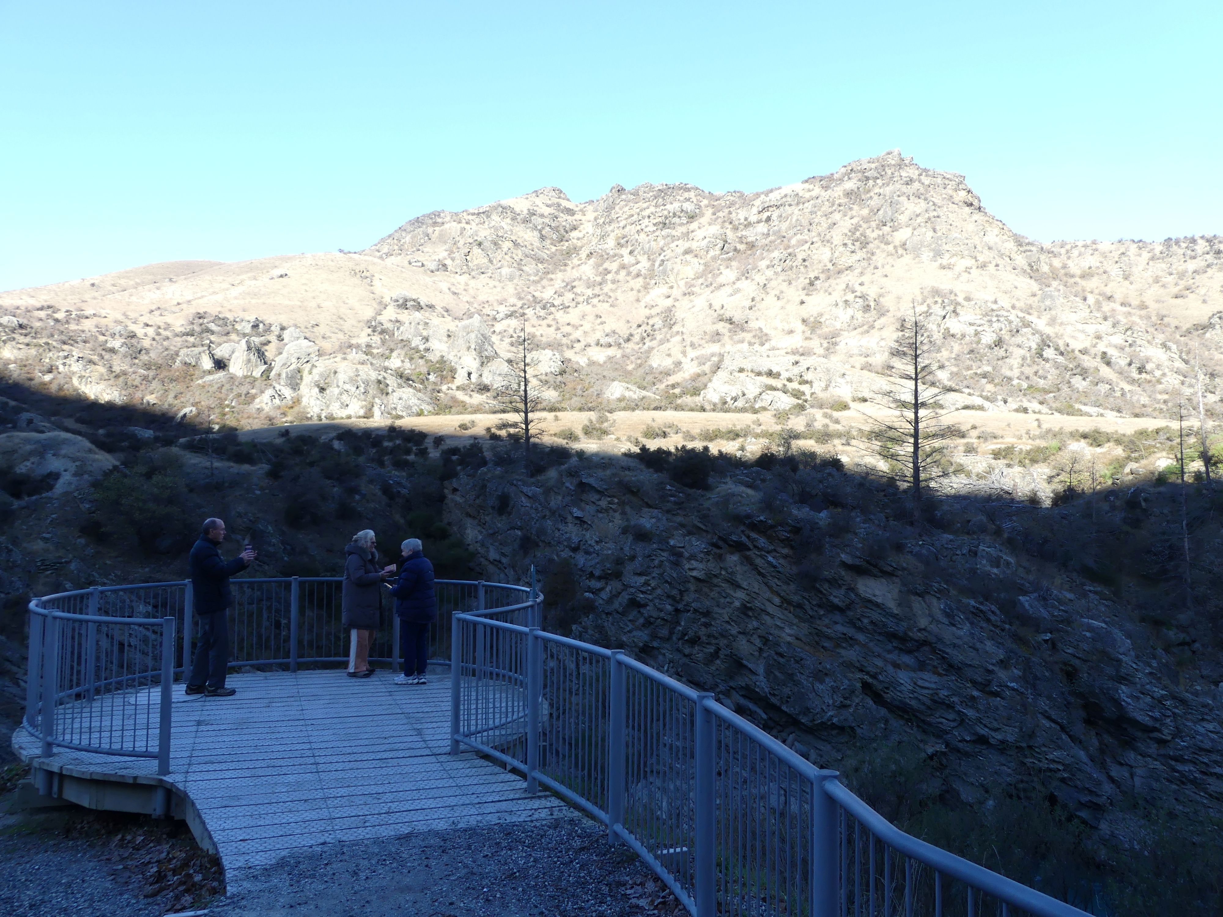
The best-known story of Roaring Meg’s name takes us back to the gold rush days of the 1860s. The legend goes that a group of miners brought two barmaids with them through the gorge — women known for their lively personalities. To cross the Kawarau, the miners carried the women over the river on their backs. Quaint story. I think the roaring personalities might be a reflection of the rough terrain and the strength to survive.
We were headed for Accor Vacation Club Wanaka in Cardona Valley Rd, & Studholme Rd. South, Wanaka. We arrived in the afternoon and found we had booked two apartments both on the first floor – more stairs and this time we would have to take all the luggage inside and repack for the trip home. This included packing my camera.
Day 23 – Wanaka to Queenstown Airport
Our original plan had been to visit Arrowtown for an hour and have one final morning tea. Arrowtown to airport is about 20 minutes but we had visited when we first arrived. With no further plans we made our way to the car hire company. I must say the hire company was very good to deal with. Barry filled out the paperwork and the clerk handling the return of the vehicle explained the process and commented that given the minor look of the damage and the circumstances of the damage that the company may not bother to pursue the recovery of the cost of repair. We then proceeded to the airport arriving around 11.30am for 2.30pm flight back to Brisbane.
Thus ends our visit to the South Island. I have a number of adventures to share with you but have run out of time. Look out for Blog 496 – I think its a visit to Kennilworth in Queensland but then there have been so many. Till next time.

