THE RETIREES GO AROUND THE WORLD – CARDIFF TO CASTLE PEMBROKE.

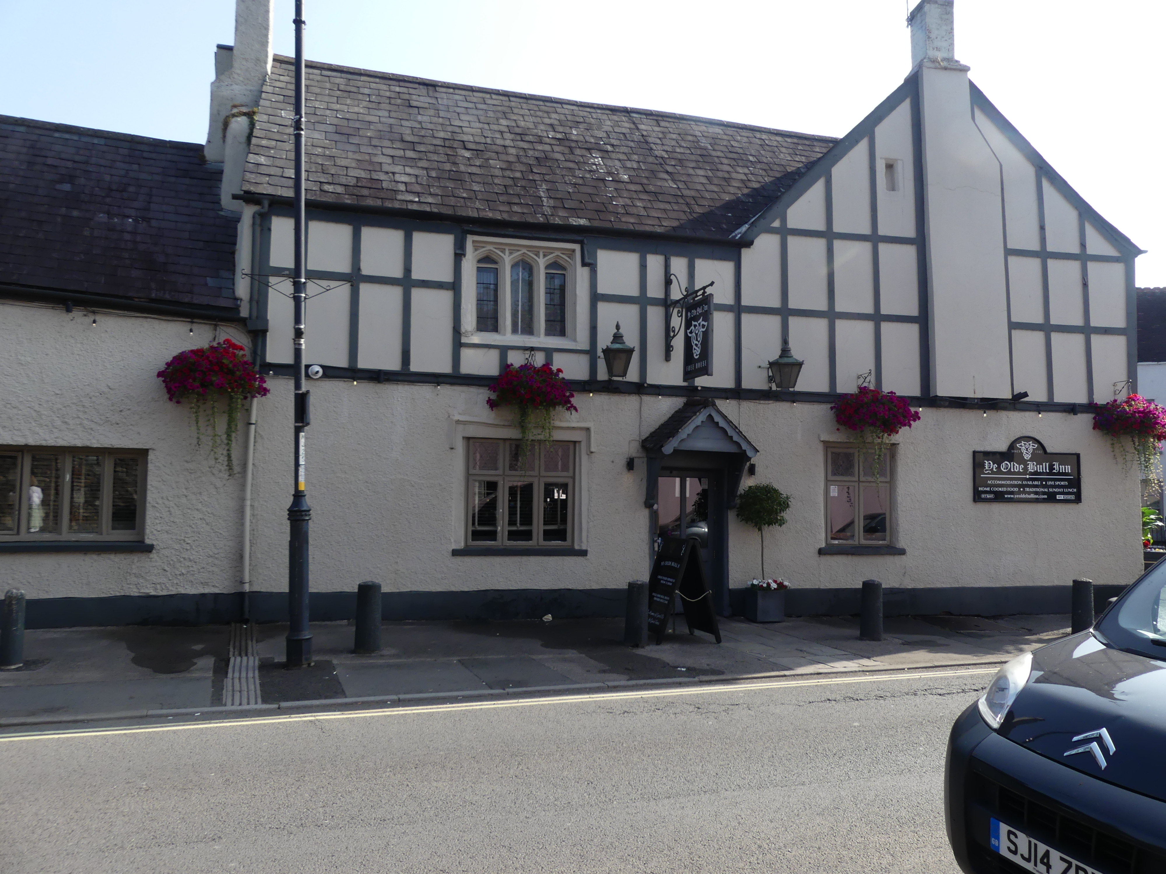
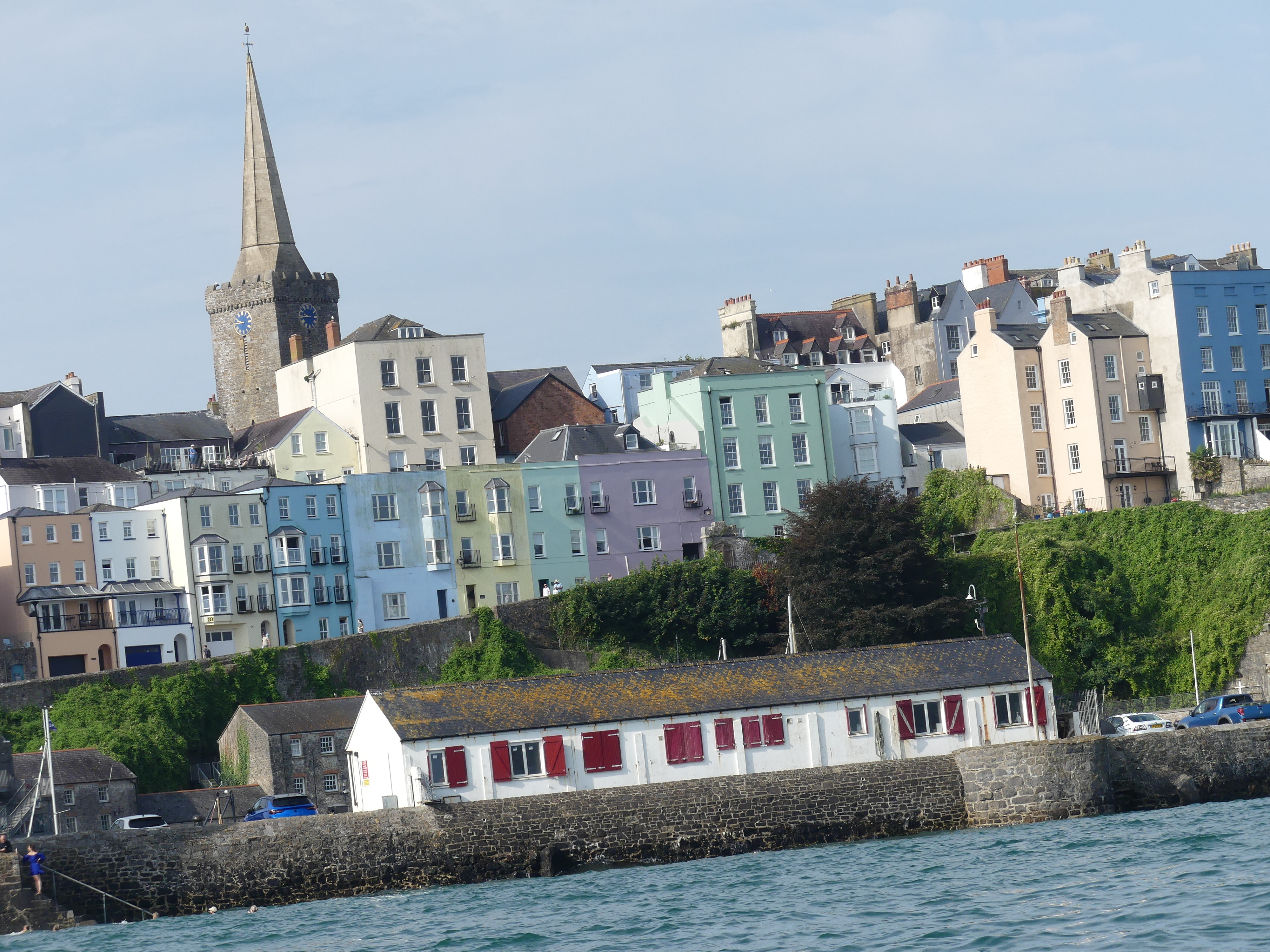
The picture above is Pembroke Castle in 1880 and there is will be more about this castle below. I must admit that writing these blogs gets increasingly difficult. It’s not that the places are forgettable but rather there is so much to tell. The drive from Cardiff was divided into 3 parts with Tenby being the last leg before we struggled to find our lodgings in Pembroke. Our first sight of the beaches at Tenby was very encouraging but finding our accommodation was a task. We knew we were near the Pembroke Castle, but we couldn’t find the number in the street. Parking in these towns and villages always involved paying for a meter and here we had to park and find the property before we could drive to it. Once we had parked the car we walked down to the street where we had rented our lodging and low and behold a small cluster of even smaller flats was sitting under the hill on which the castle is located. It was small inside and close to a noisy road but it was for a few days only so we moved our car and found the key box but the code had been changed. Fortunately one of the neighbours was watering her garden and she helped us contact the owner and obtained the code. We had arrived. The property was about the size of a two car garage with a loft so not a lot of space.

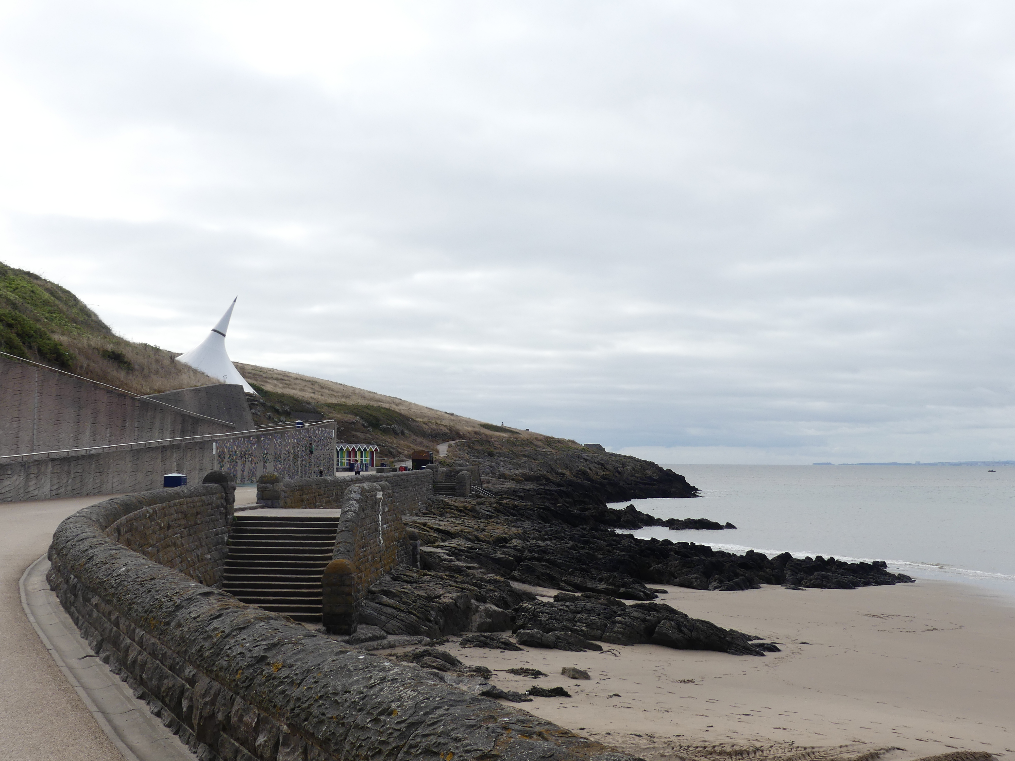
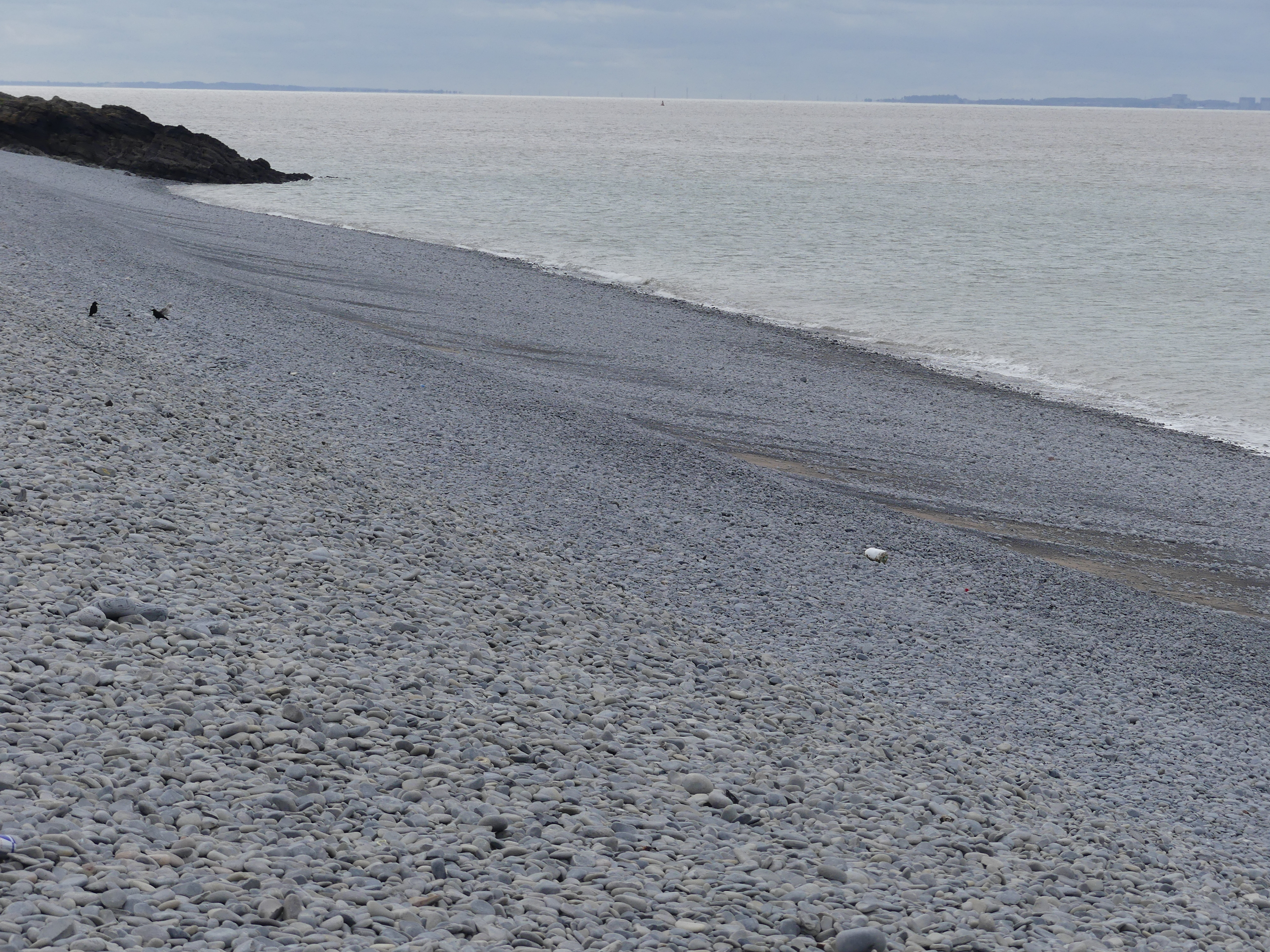
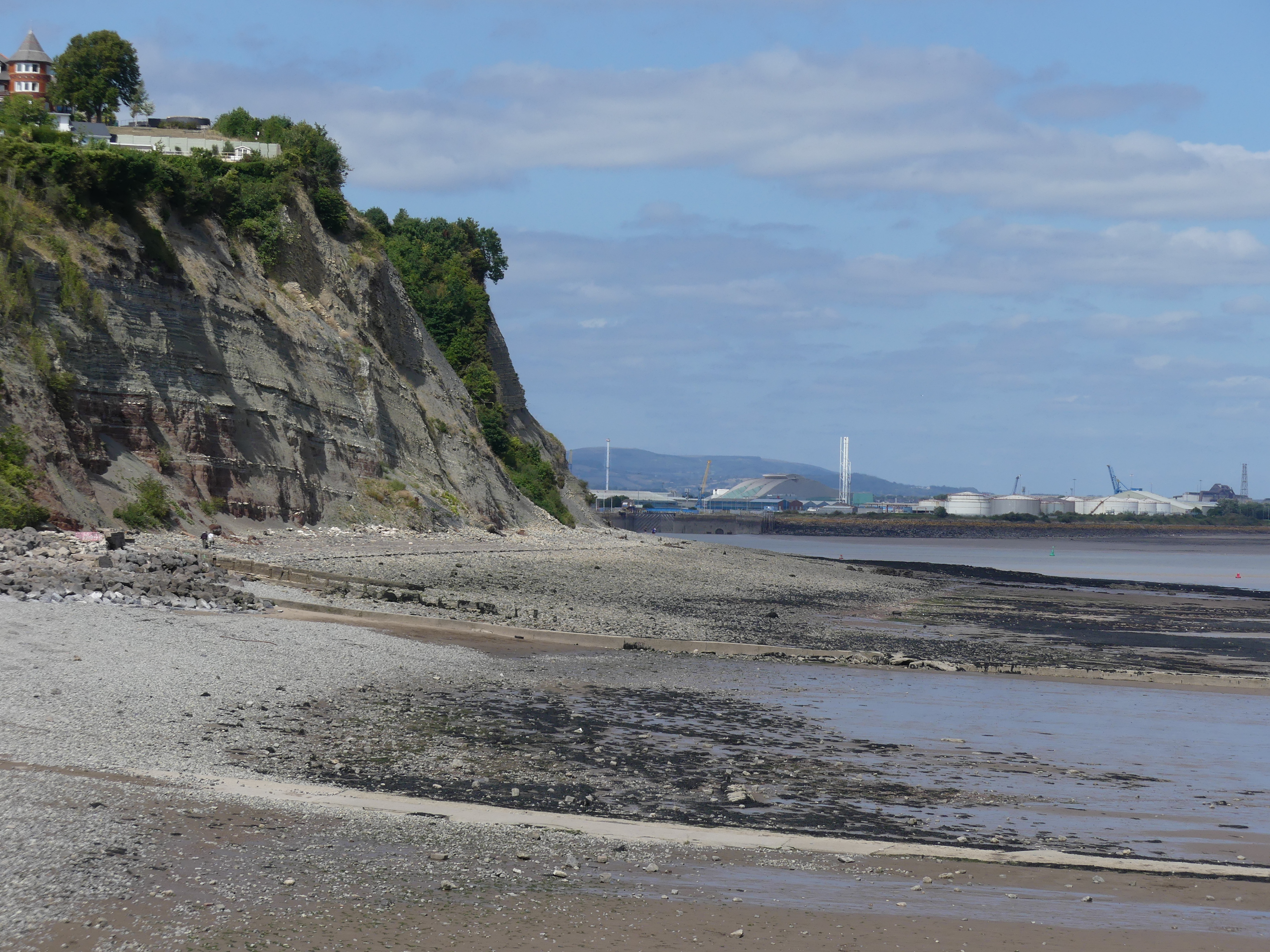
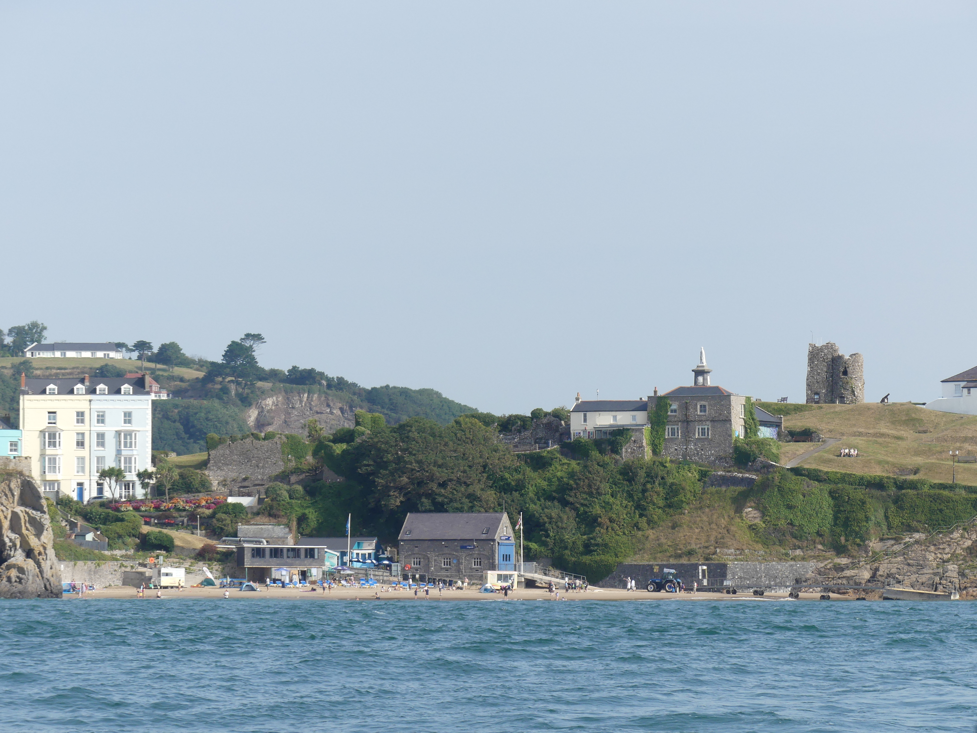
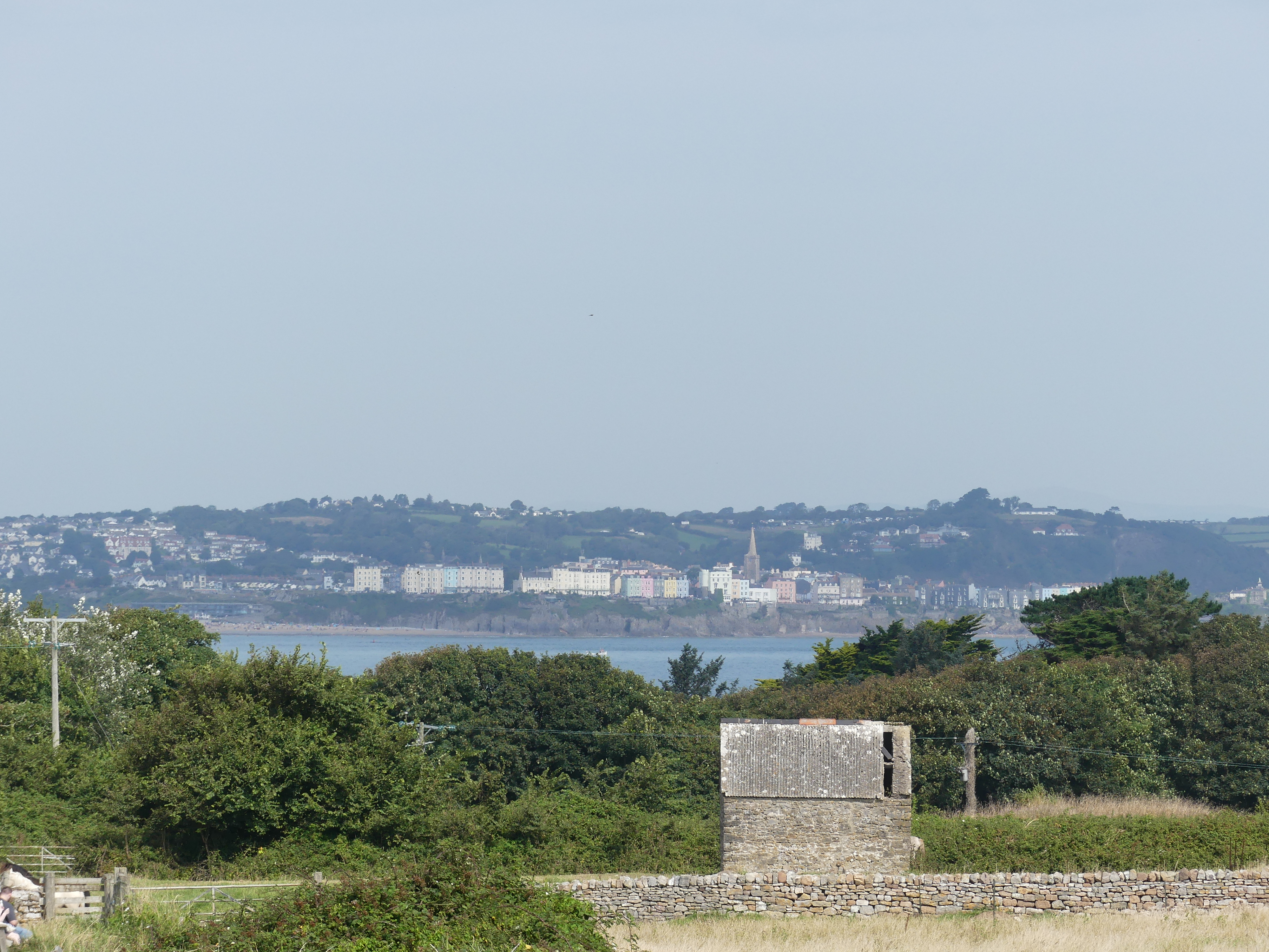
When driving in through Tenby we decided we would visit Caldey Island you can see it in my first photo on the Horizon and the beaches the next day.

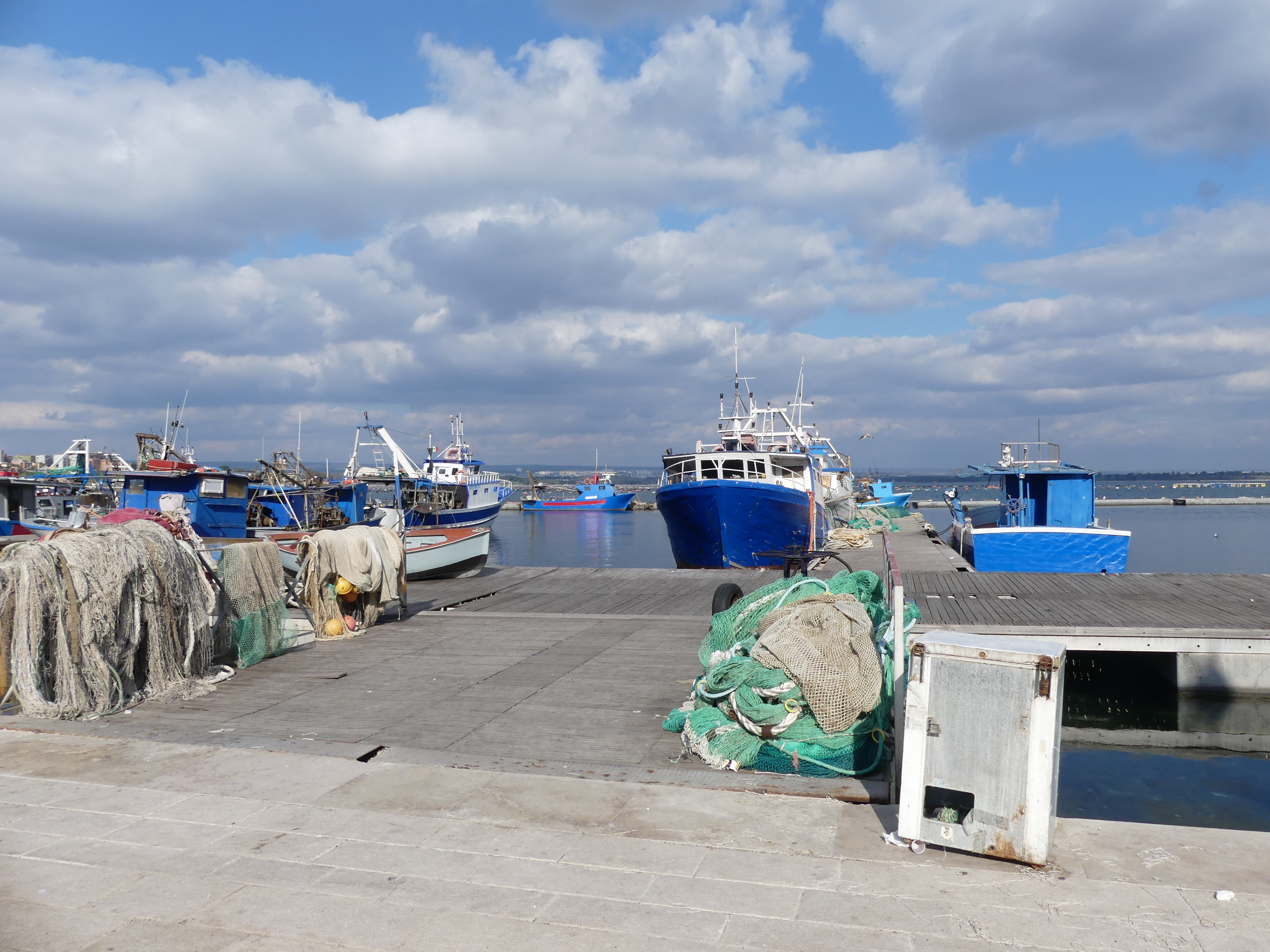
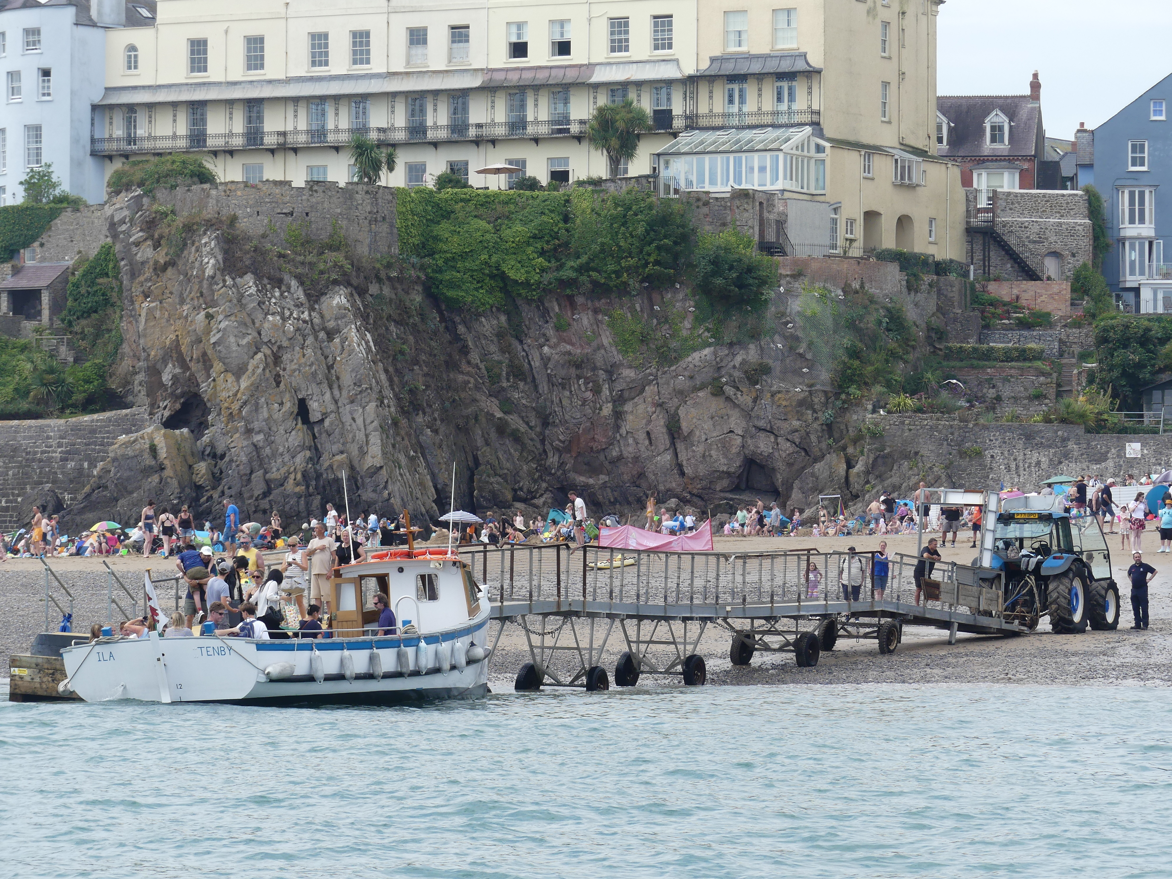
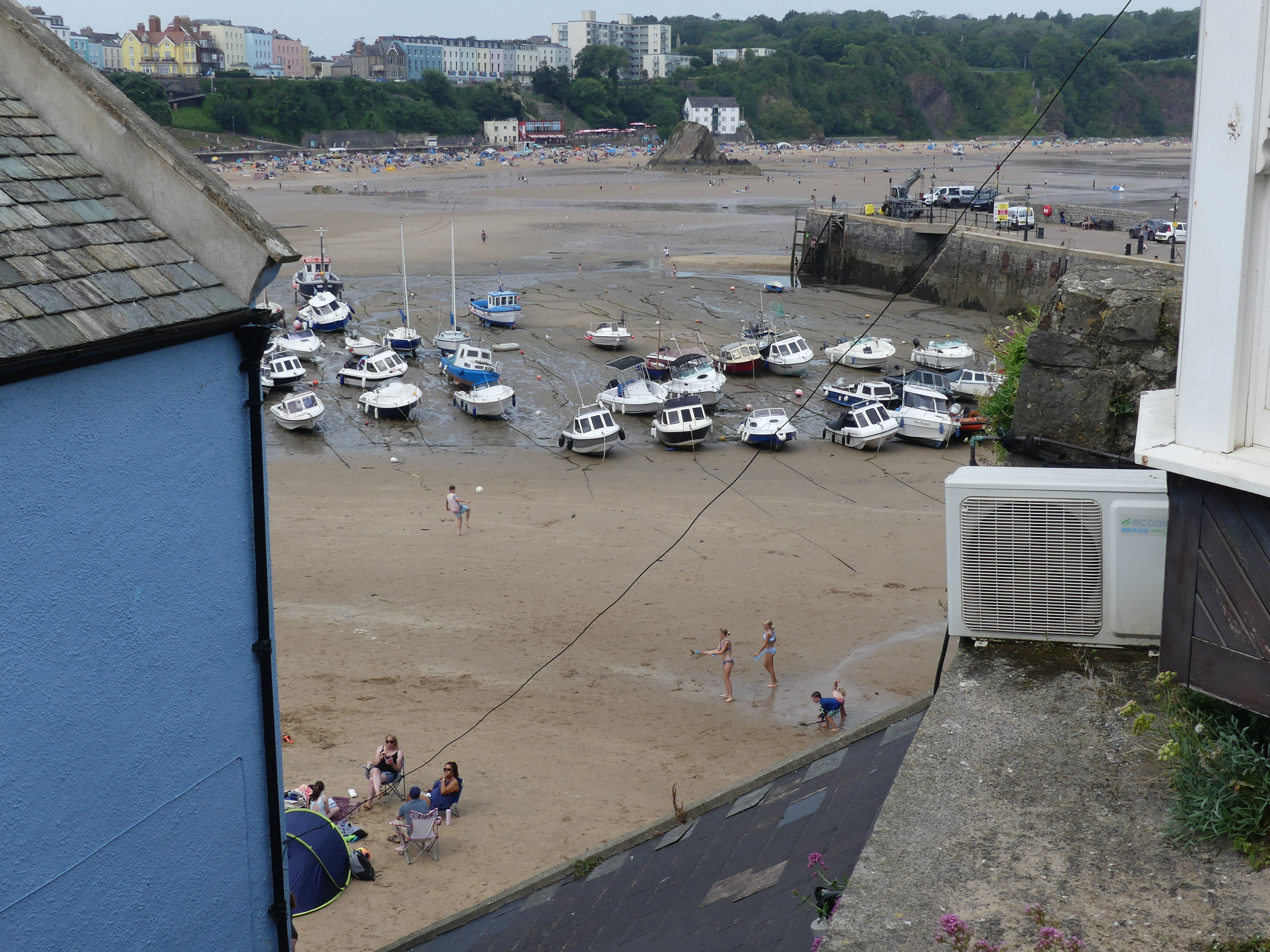
The following morning the tide was in so that was a good start, and we lined up to buy our tickets. We were warned that depending on when we returned, we may have to use the tractor. After noting this we did not think of it again as we thought it would affect us on the island – surprise surprise we were wrong. Below is a series of photos of the harbour and below that the crossing.

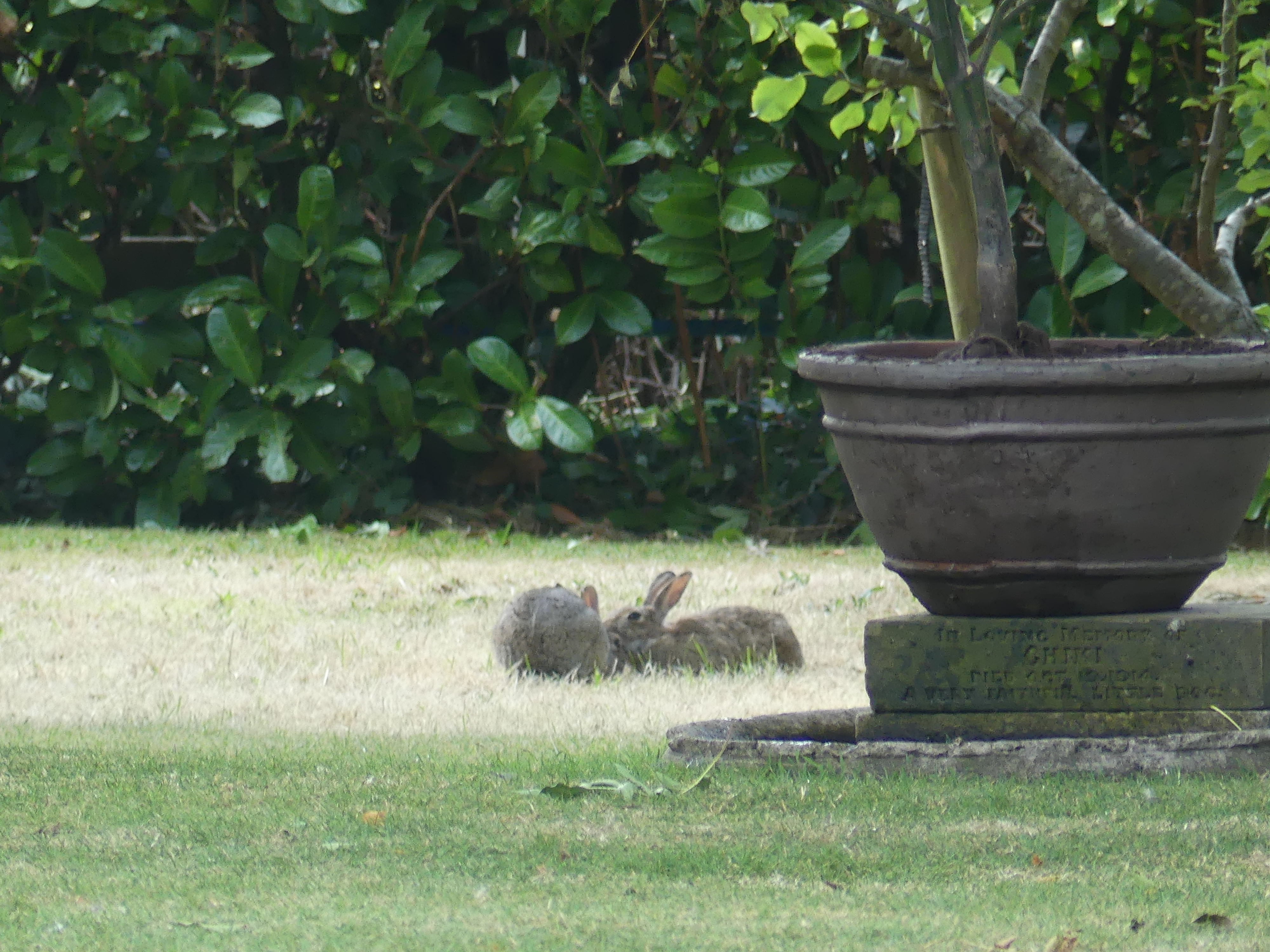
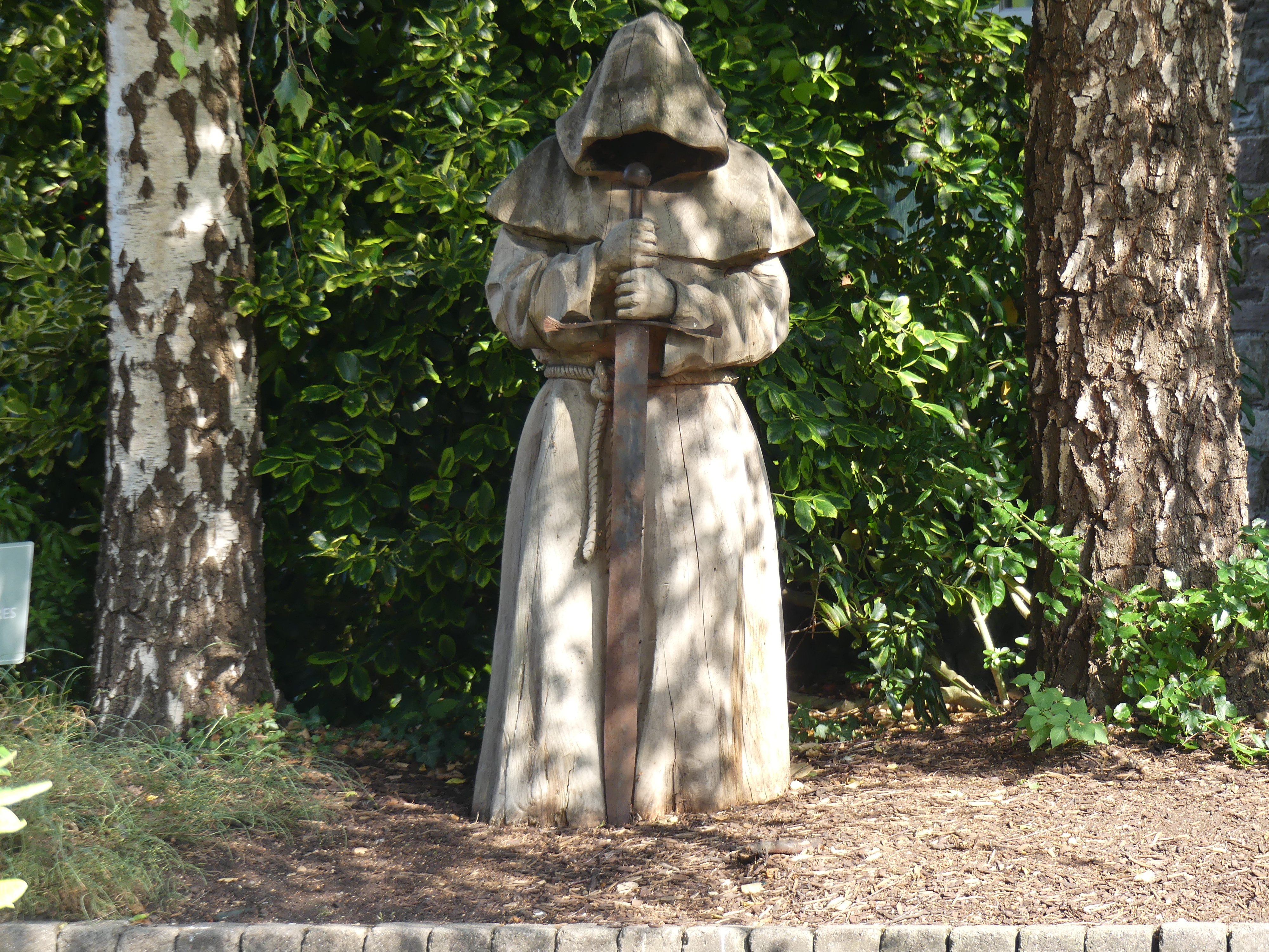
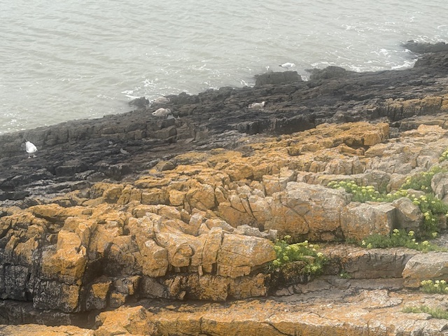
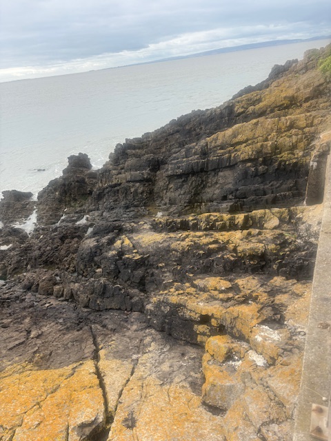
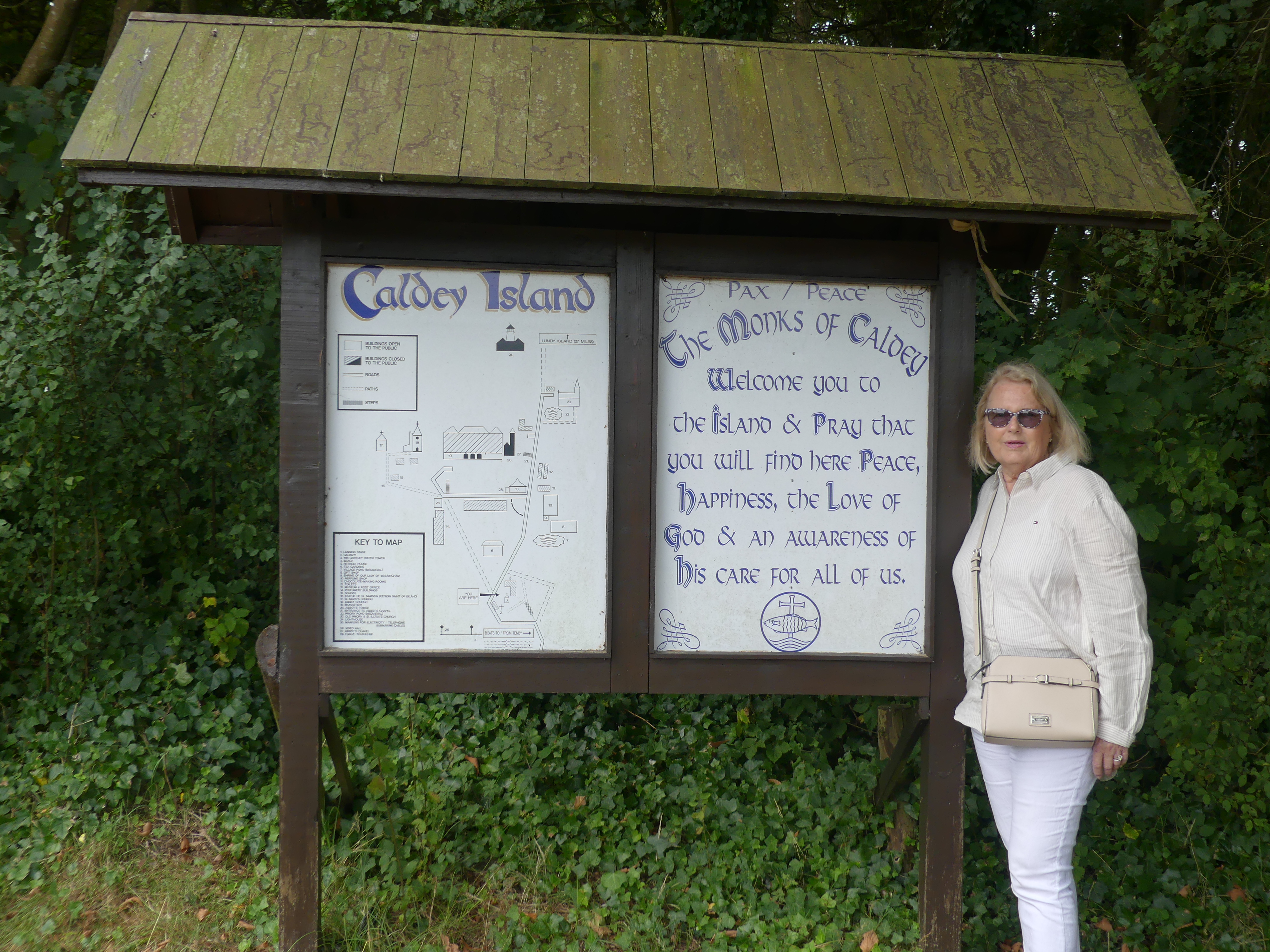
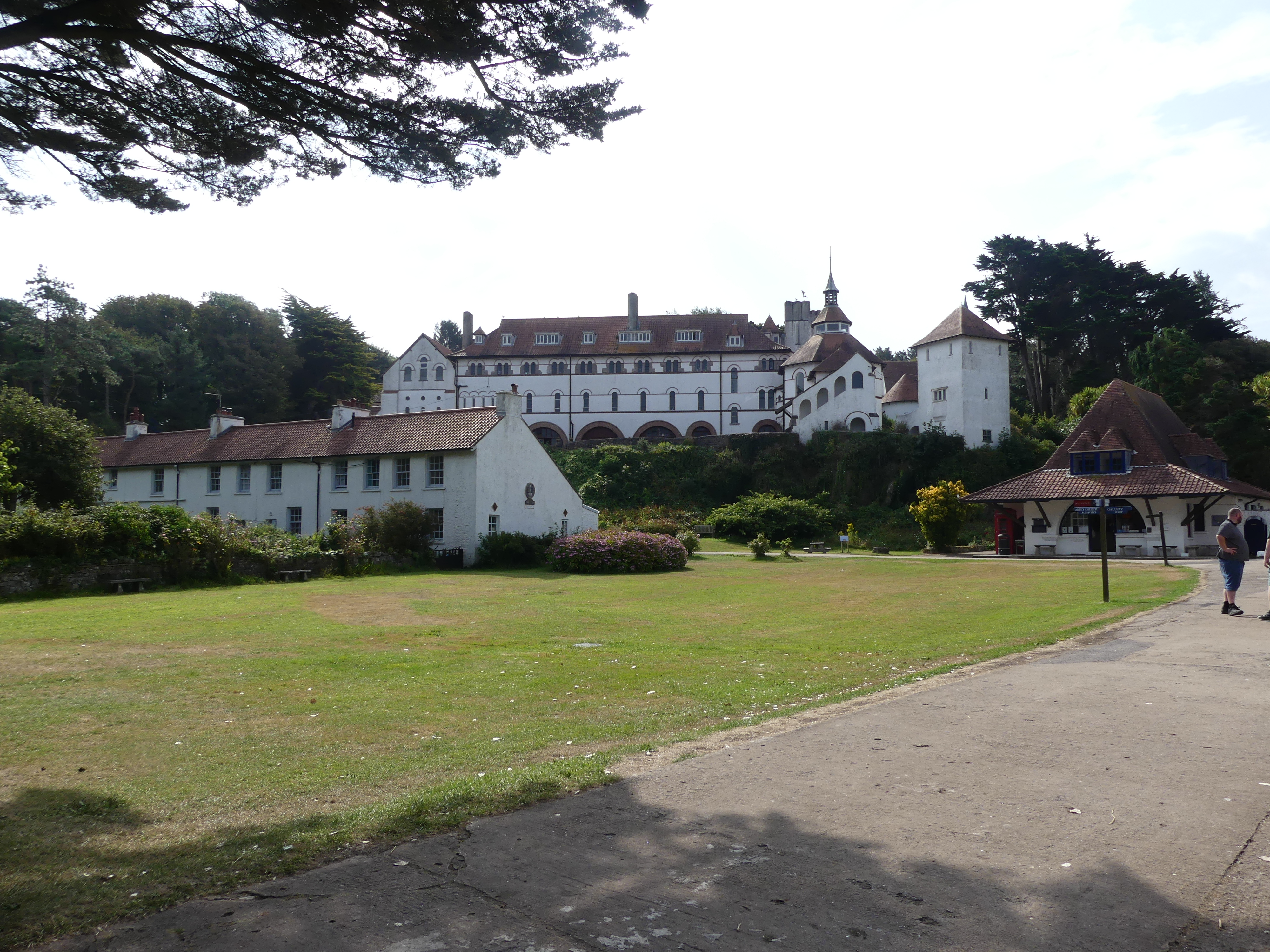
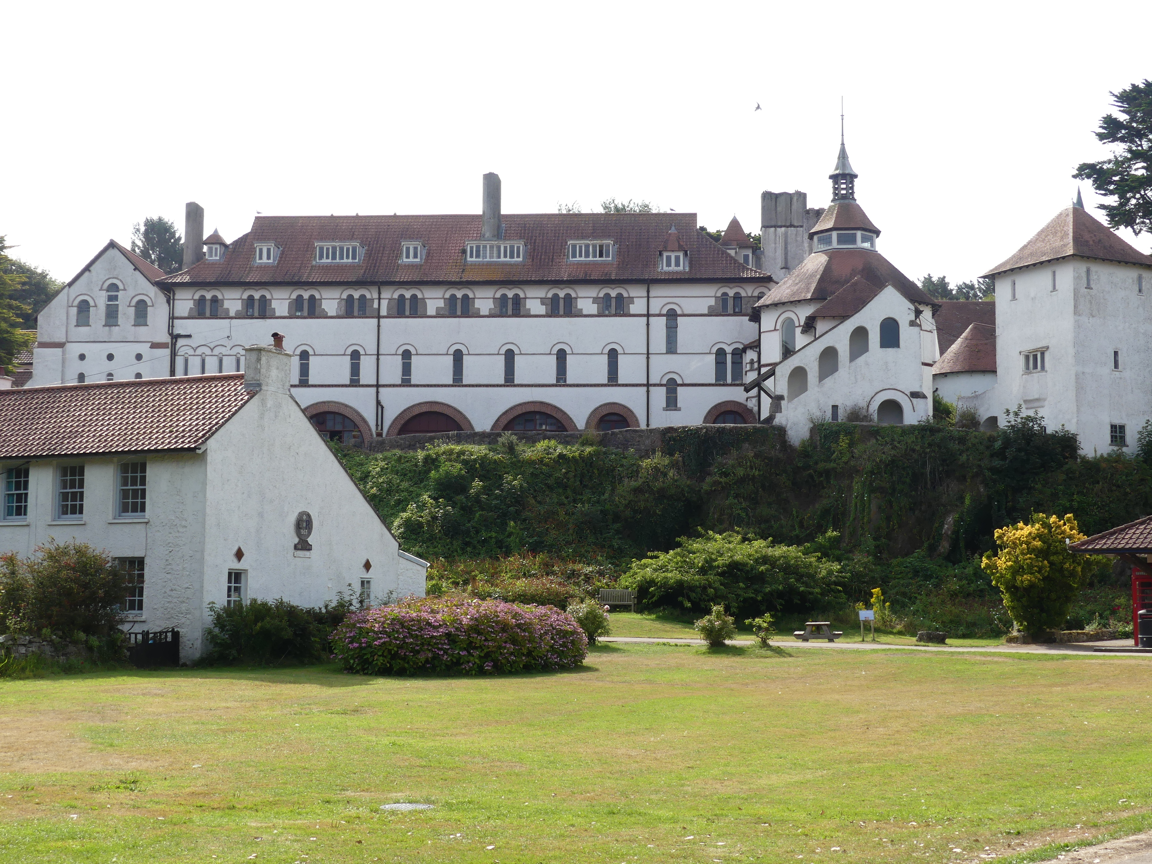
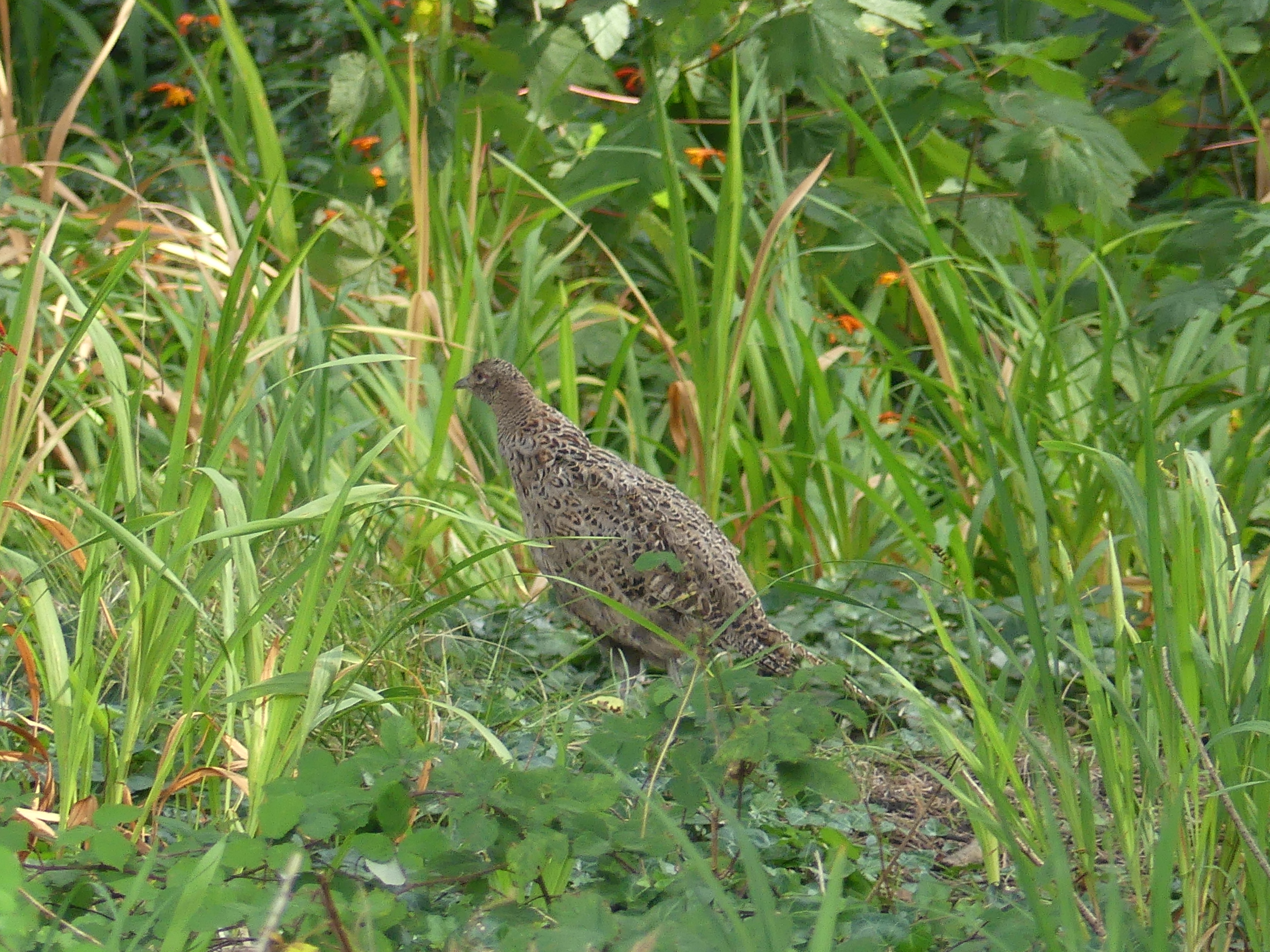
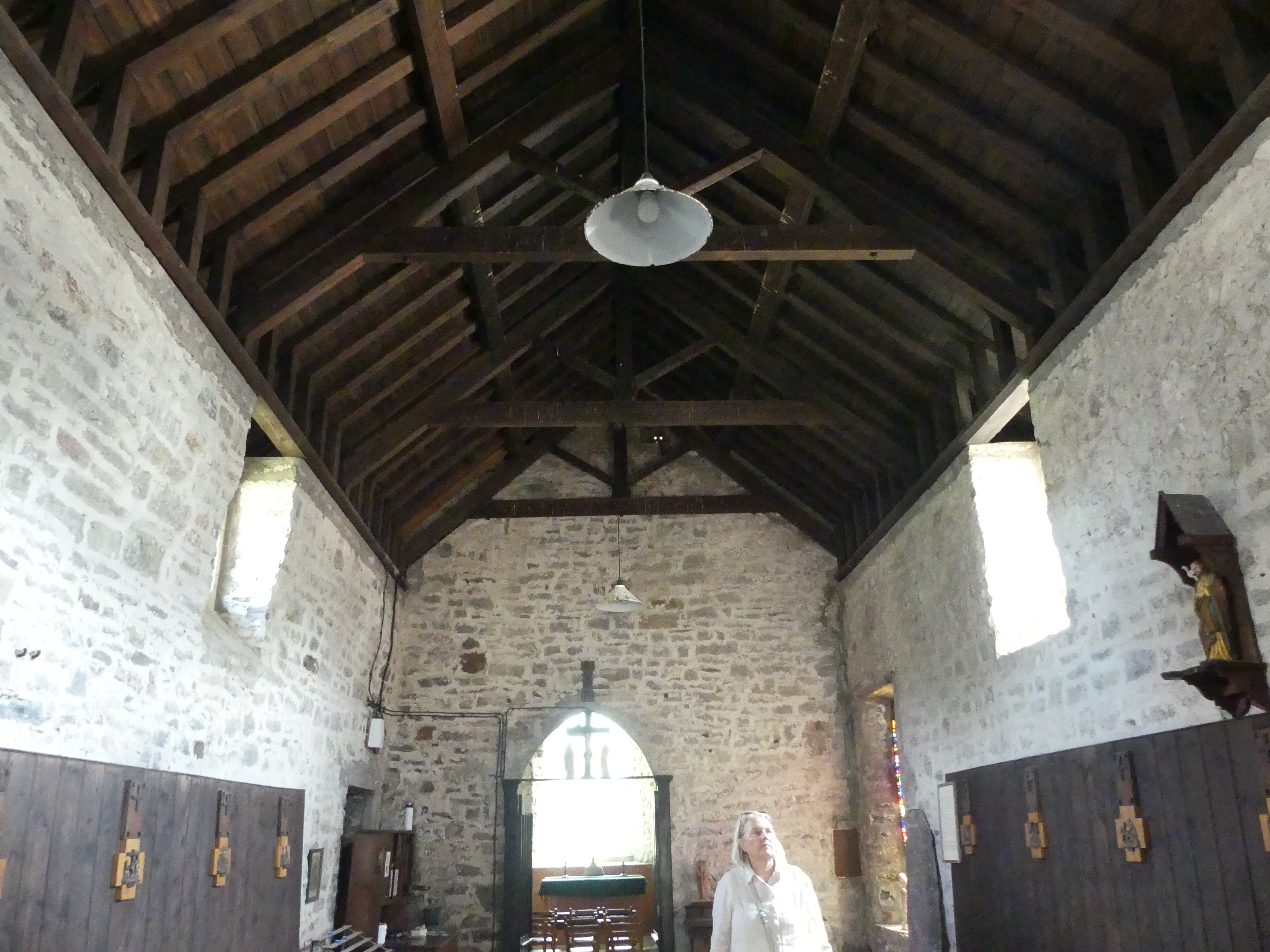
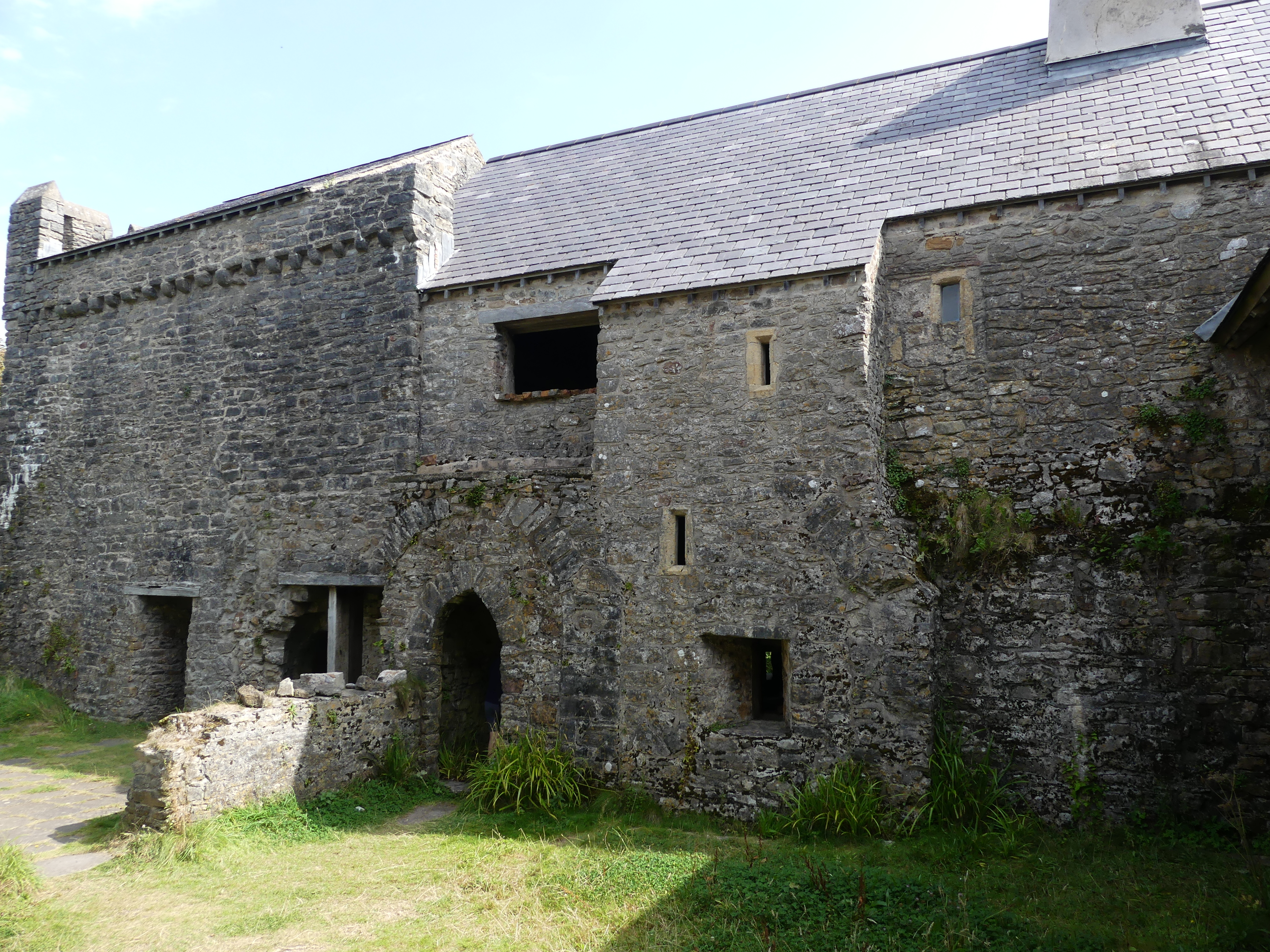
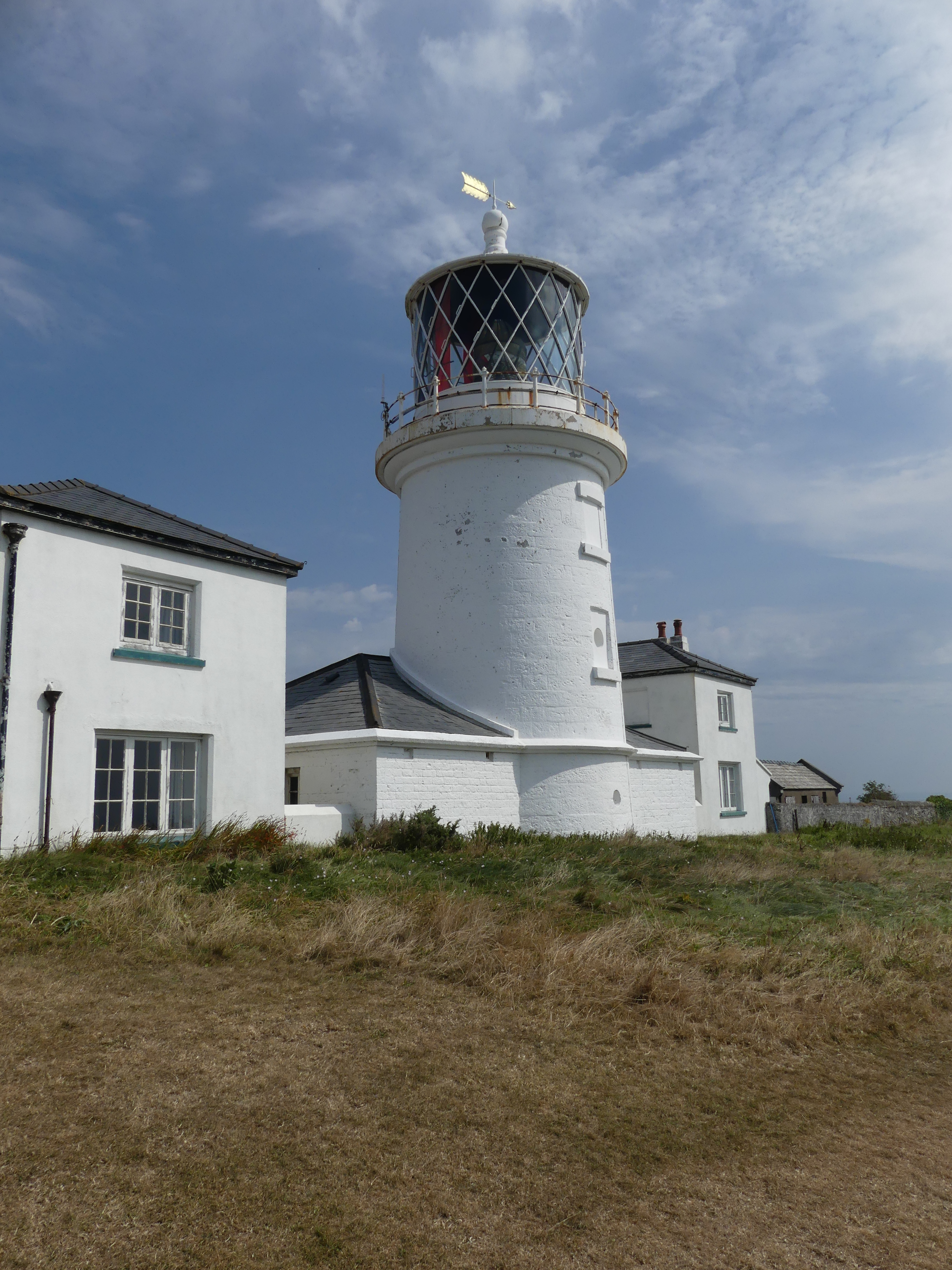
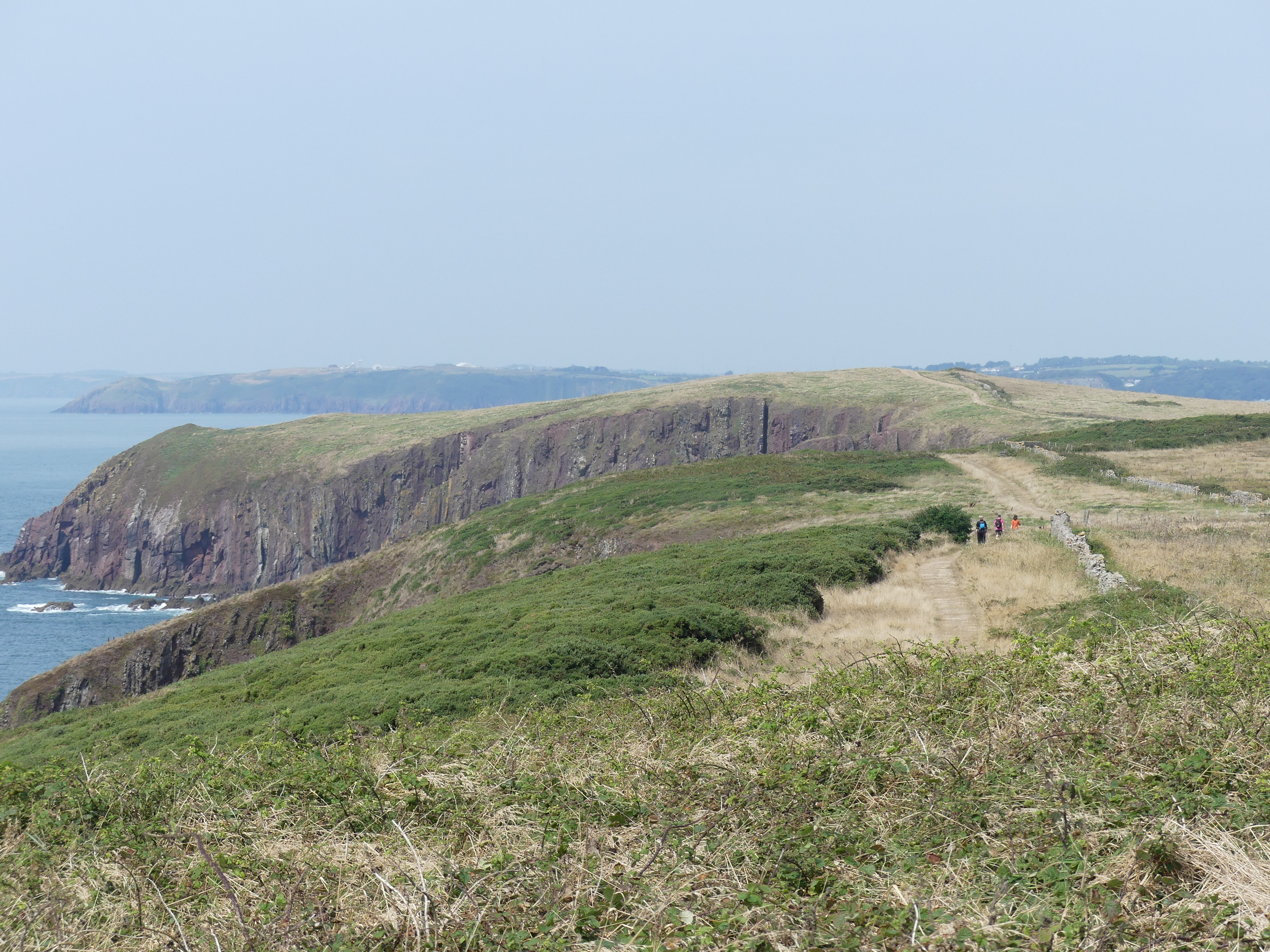
The island had been a retreat for Monks and a teaching facility but whilst this continues the island is now a retreat for everyone and we were not alone on the boat. My first photo below shows what the Monks have been doing in their spare time – decorative chairs for visitors and as you walk further onto the island you encounter the monastery, and the Monks quarters a café gift shop and post office. Whilst we had a coffee, I spotted some local wildlife – a partridge and her family running through he grasses on the edge of the open ground where the visitor could rest eat and drink their lunch. The tourist information informed us that there was a lighthouse on the island but not where it was located – its on the seaward side of the island on high cliffs. We were not certain that we would make the distance however halfway there were ruins of the monastery and by the time we had reached and looked through them we could see the lighthouse and thought “that’s not too far”. My pictures below show the ruins and the walk to the lighthouse the lighthouse and the general view of the seaward side of the island.

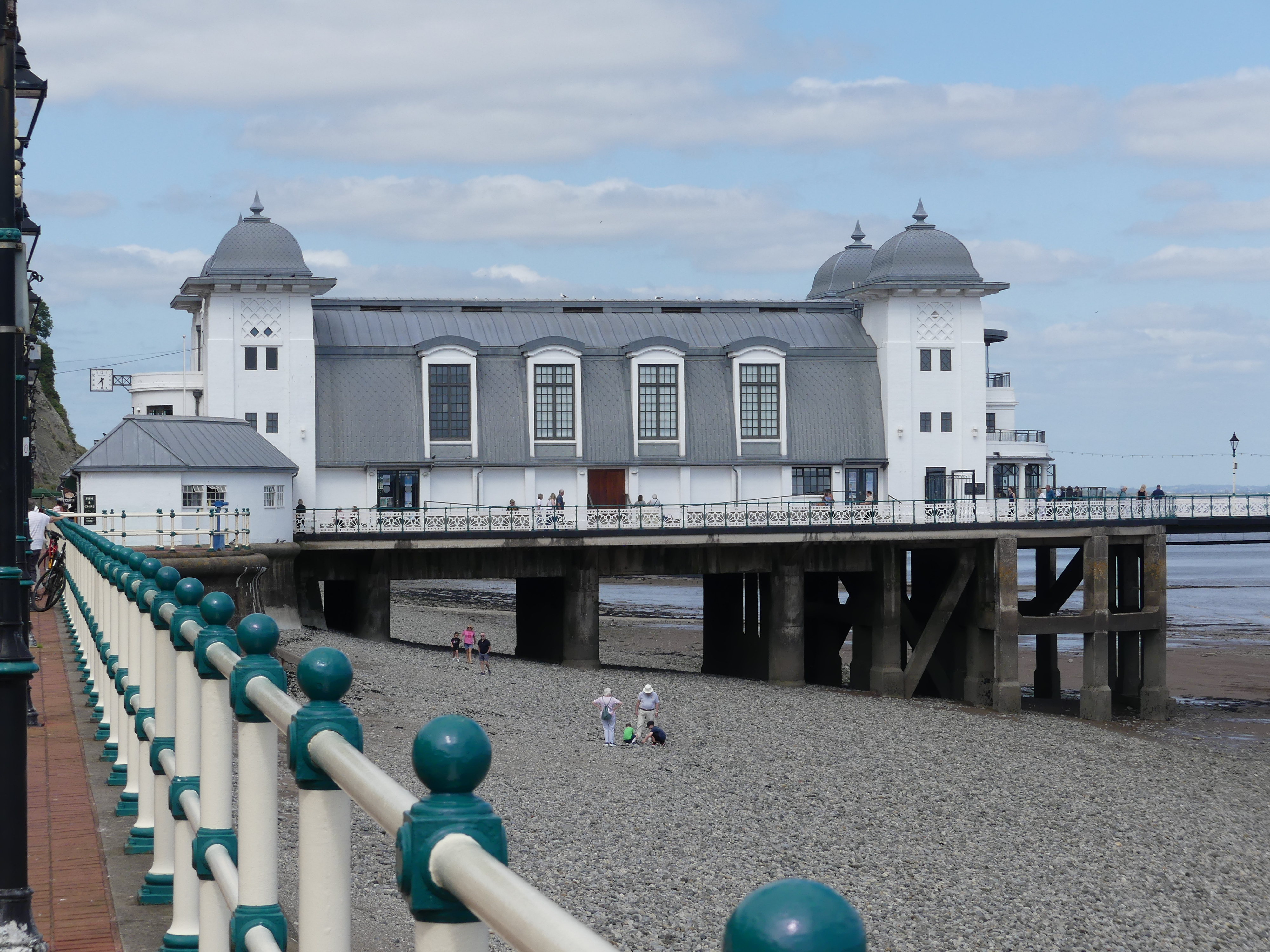
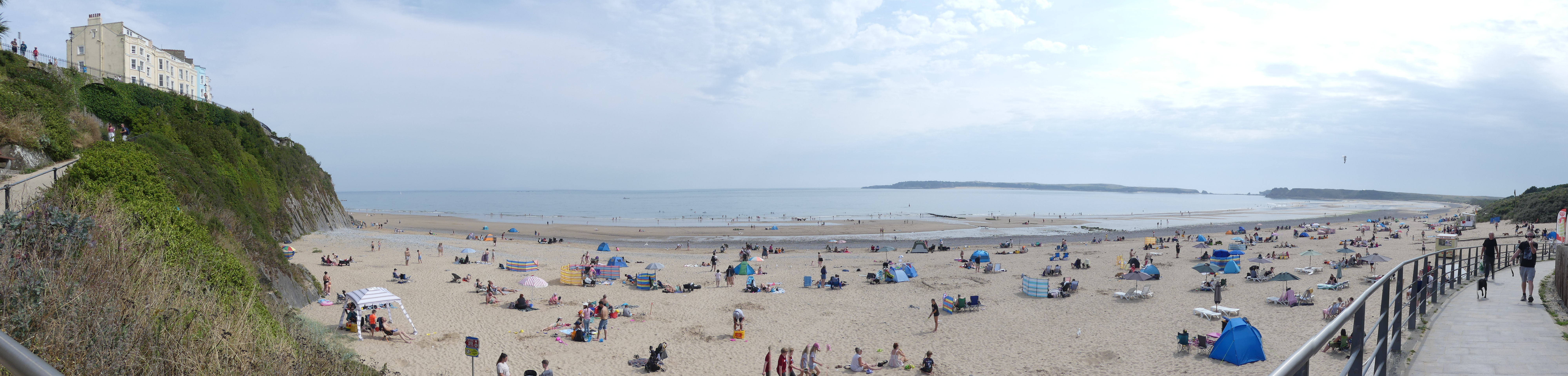
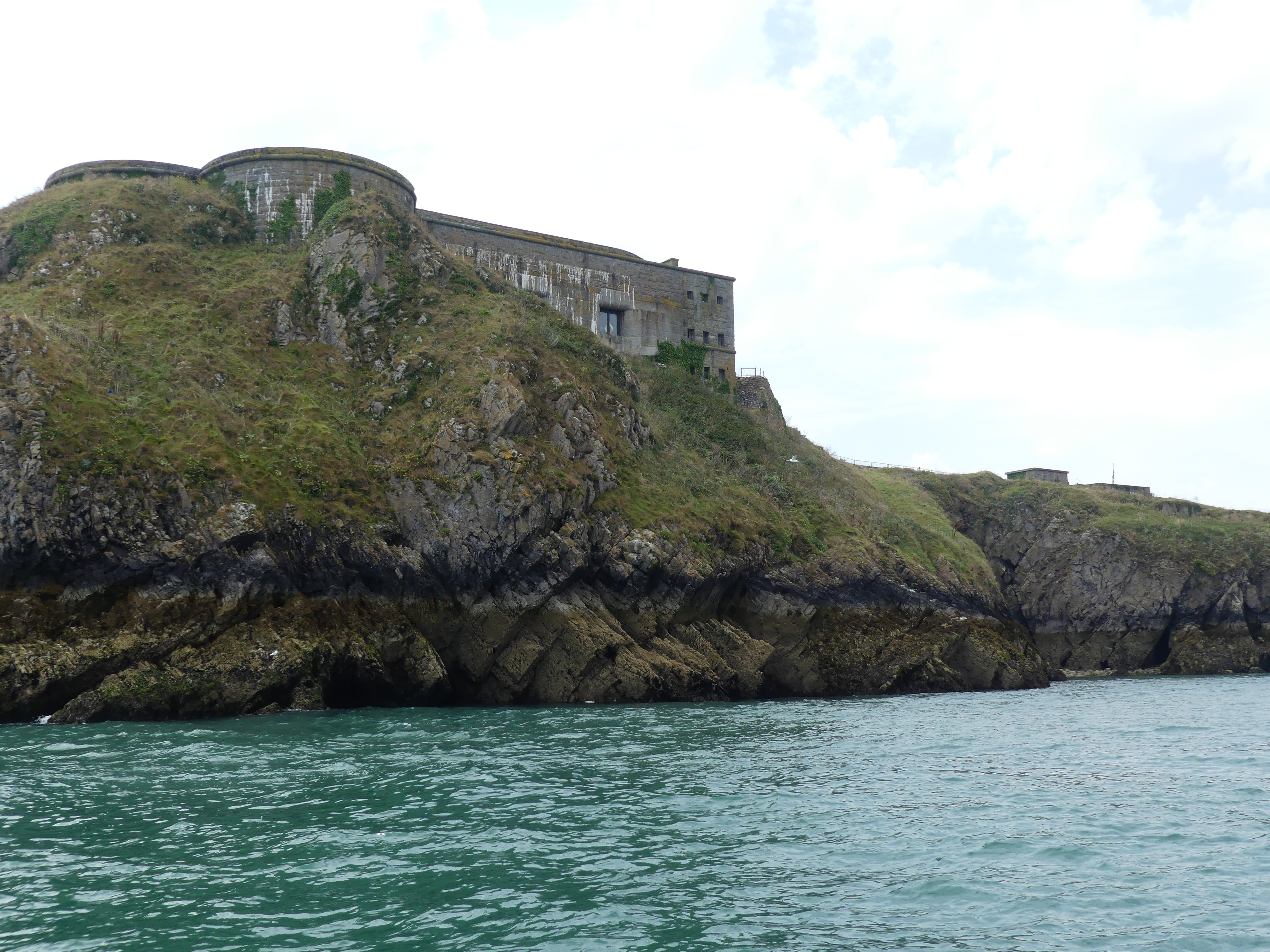
We spent a few hours on the island by which time the tide had turned. Although we had seen a tractor at the island ferry jetty it did not appear to be in operation. On the ride to the island, we had passed an island with ruins which appeared to be part of the castle ruins. On our return the tide had receded such that the island was now accessible on foot with people scaling all over the island and ruins, and the Boat Rescue volunteers boat shed was now on stilts. A tractor had pulled a portable landing down to the water and now we knew what it meant when they say, “the tractor will be in operation”. Our launch tied up to this mobile pier and all passengers clambered off onto the pier then the beach. There was a considerable stretch of beach to walk across to get to hard land. We followed the crowd across the beach up to the High Street in the town and there found a pub “Coach and Horses” with great ambiance and enjoyed lunch and a drink watching the beach goers and the shoppers going by.

Kerry had picked up a brochure for Picton Castle and Gardens and I had a desire to go to a Wales whiskey distillery – Penderyn whiskey distillery. Both sites were nearby so on the following day we tripped out to Penderyn Distillery and Picton Castle.

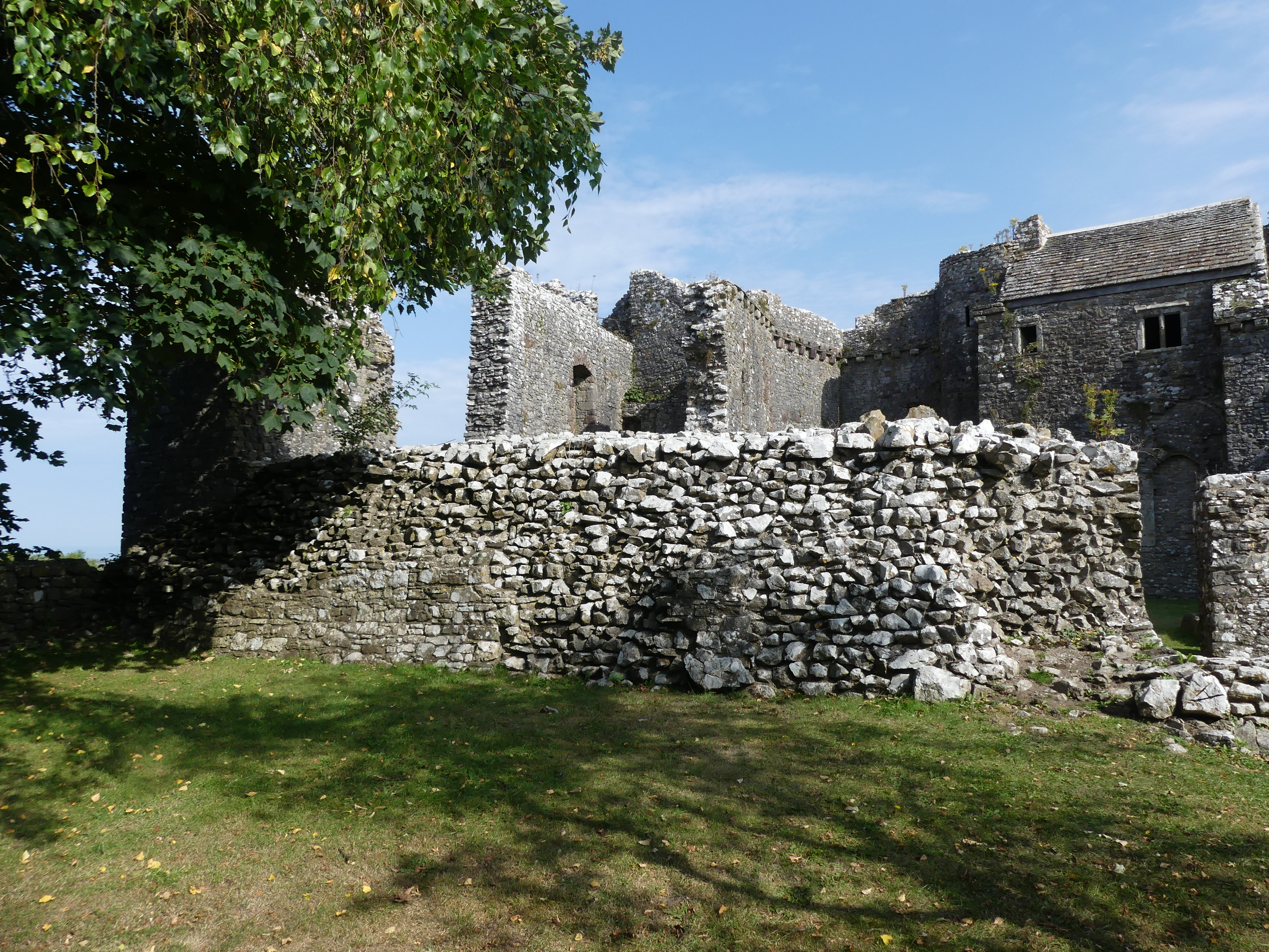
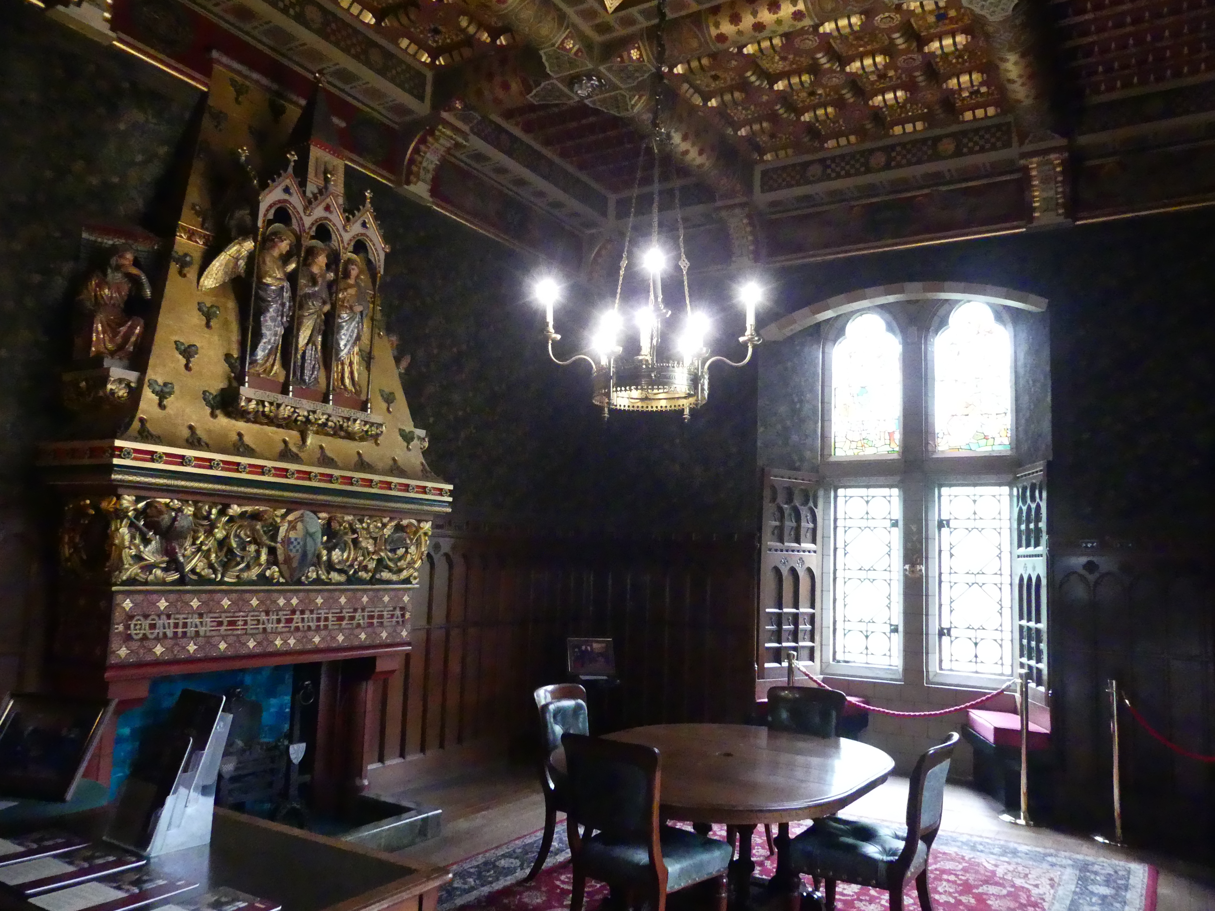
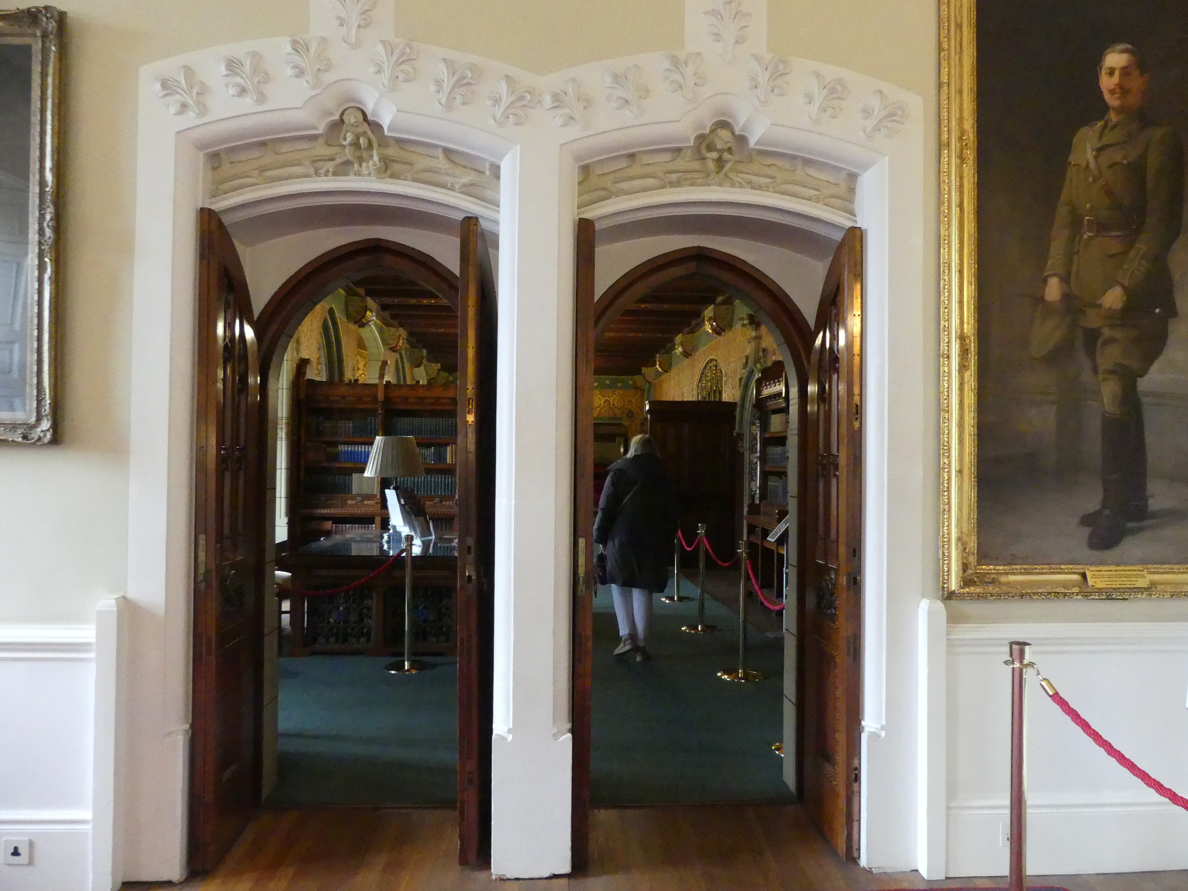
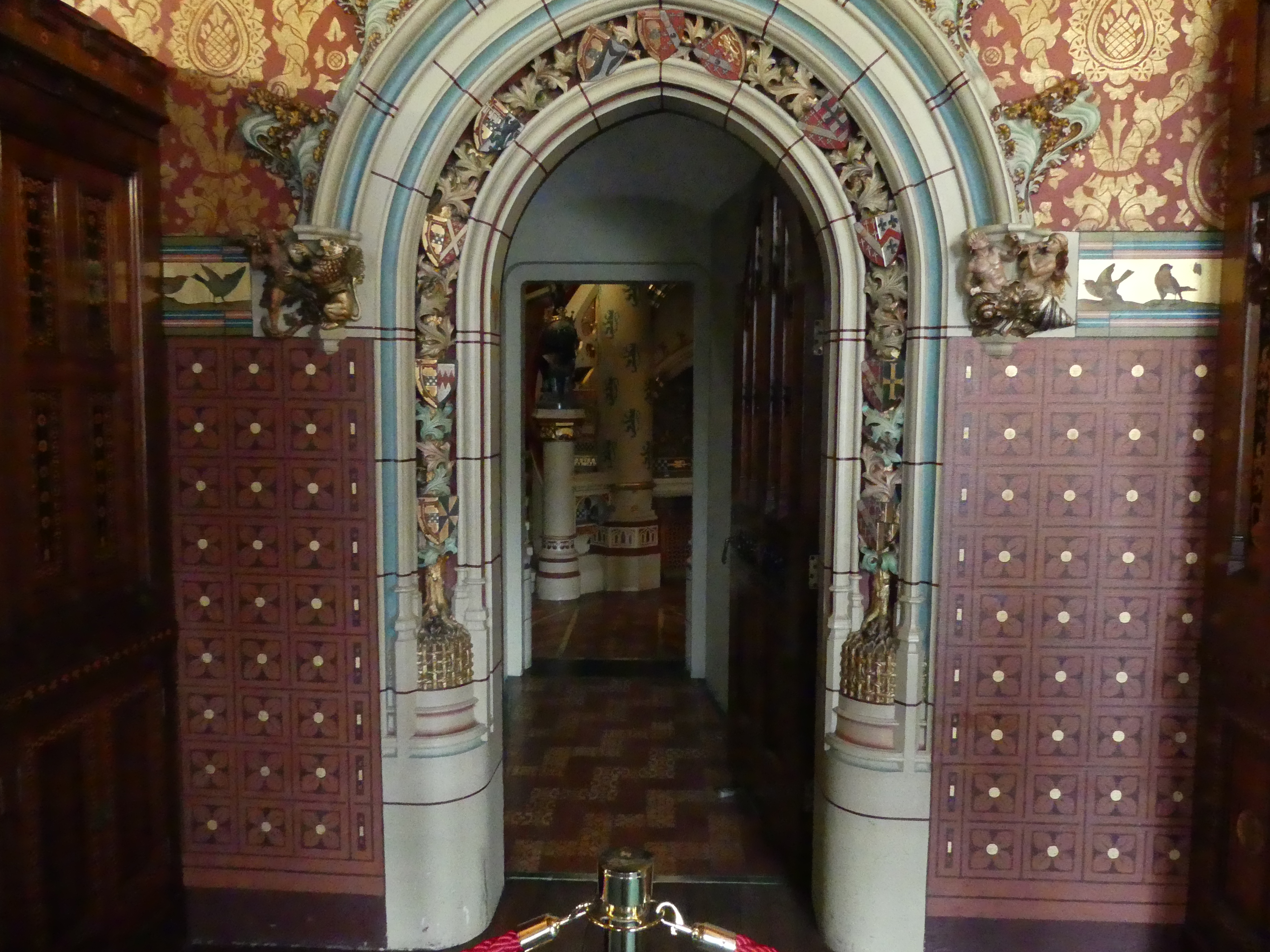
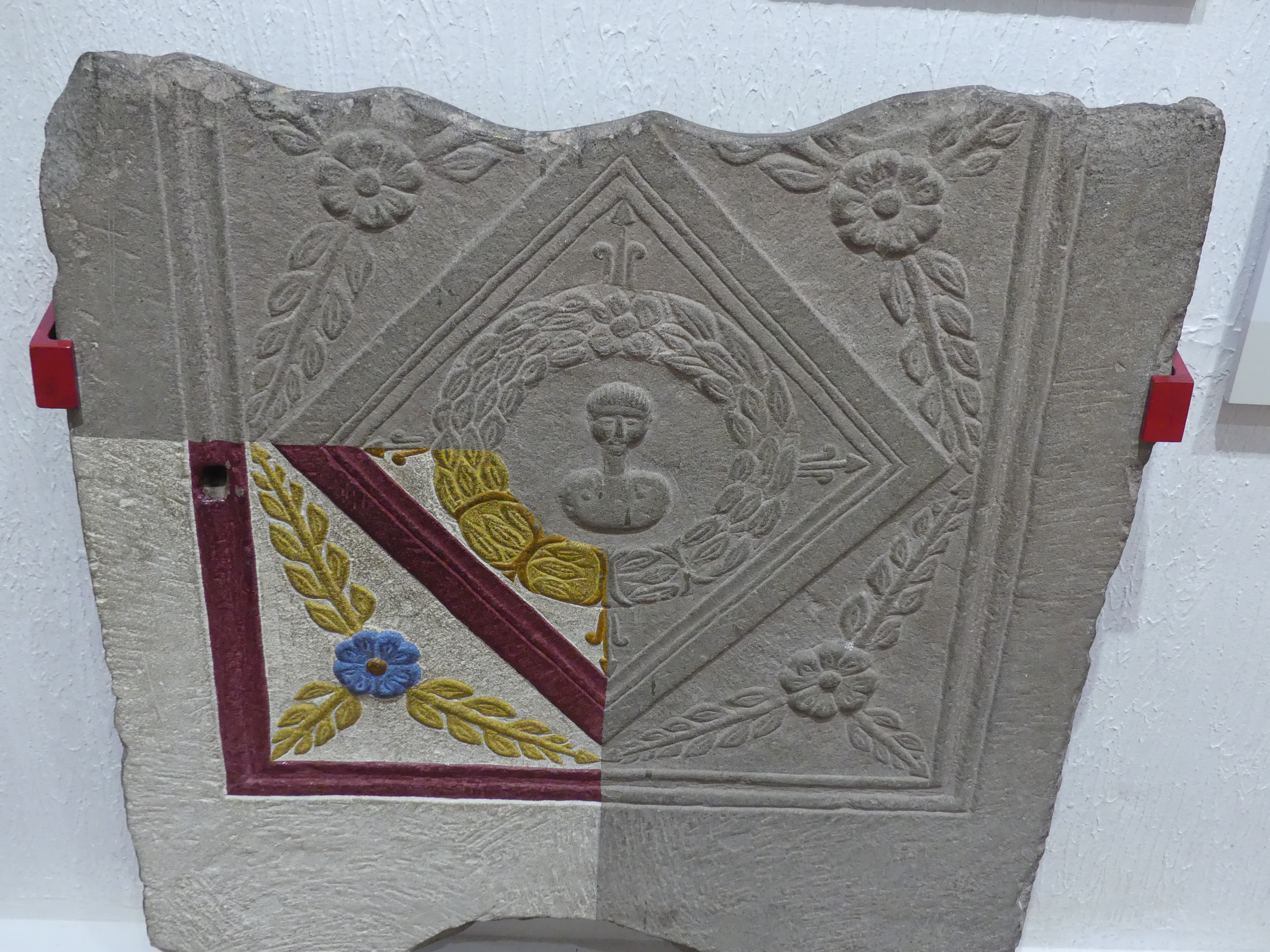
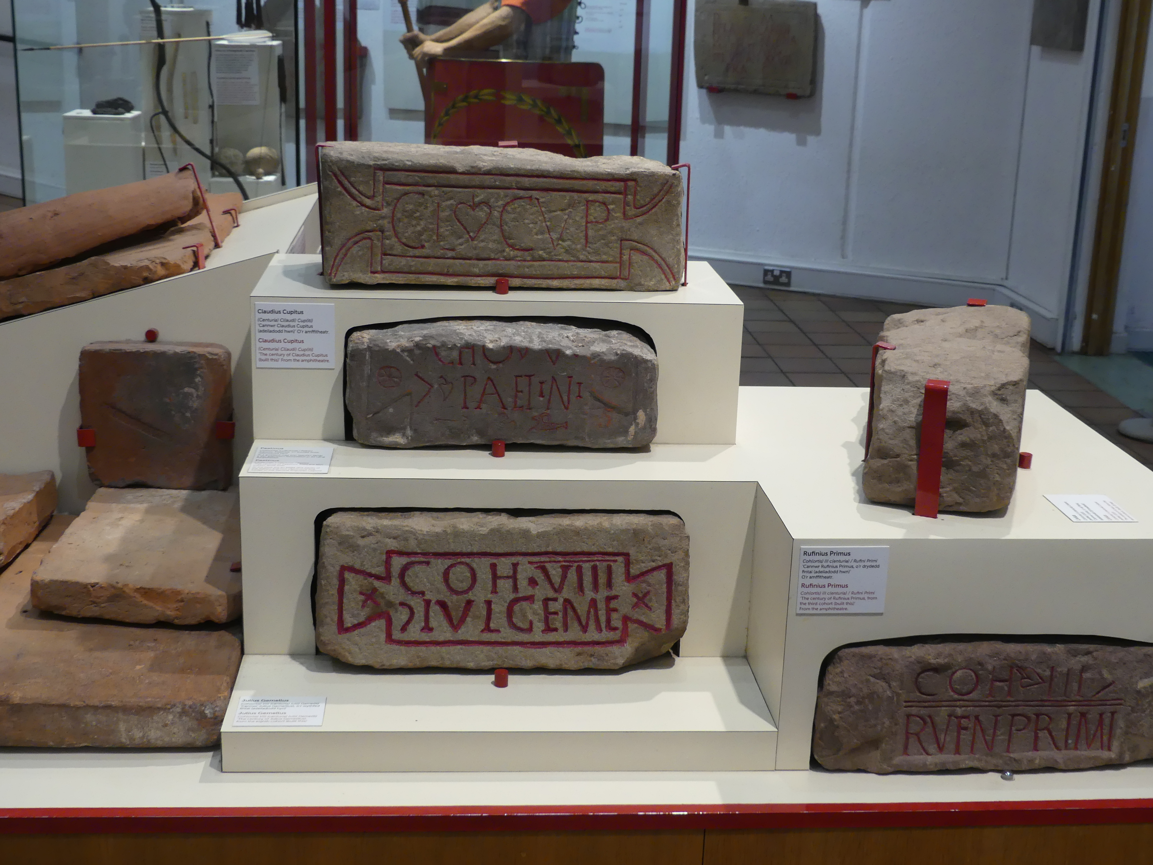
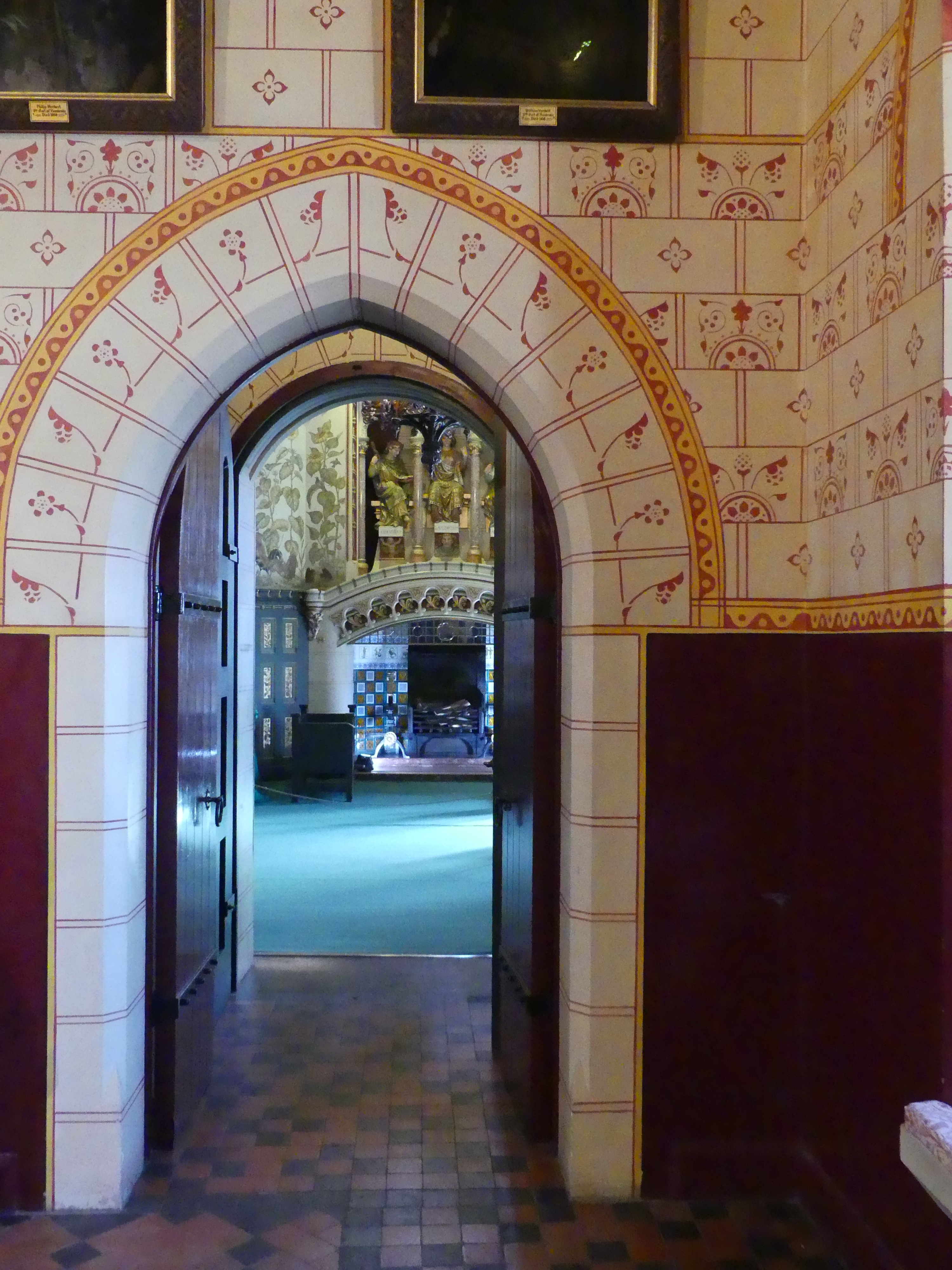
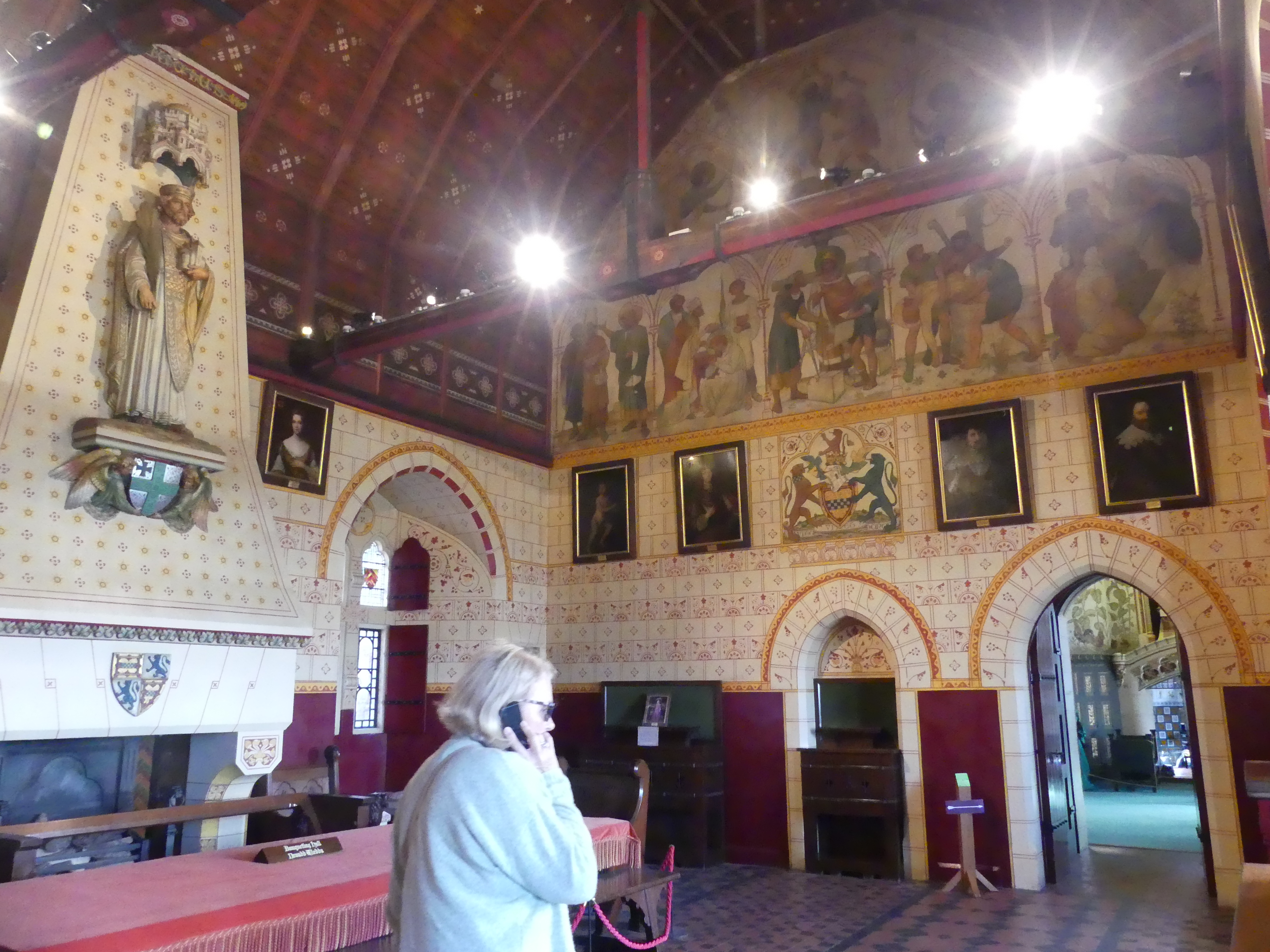
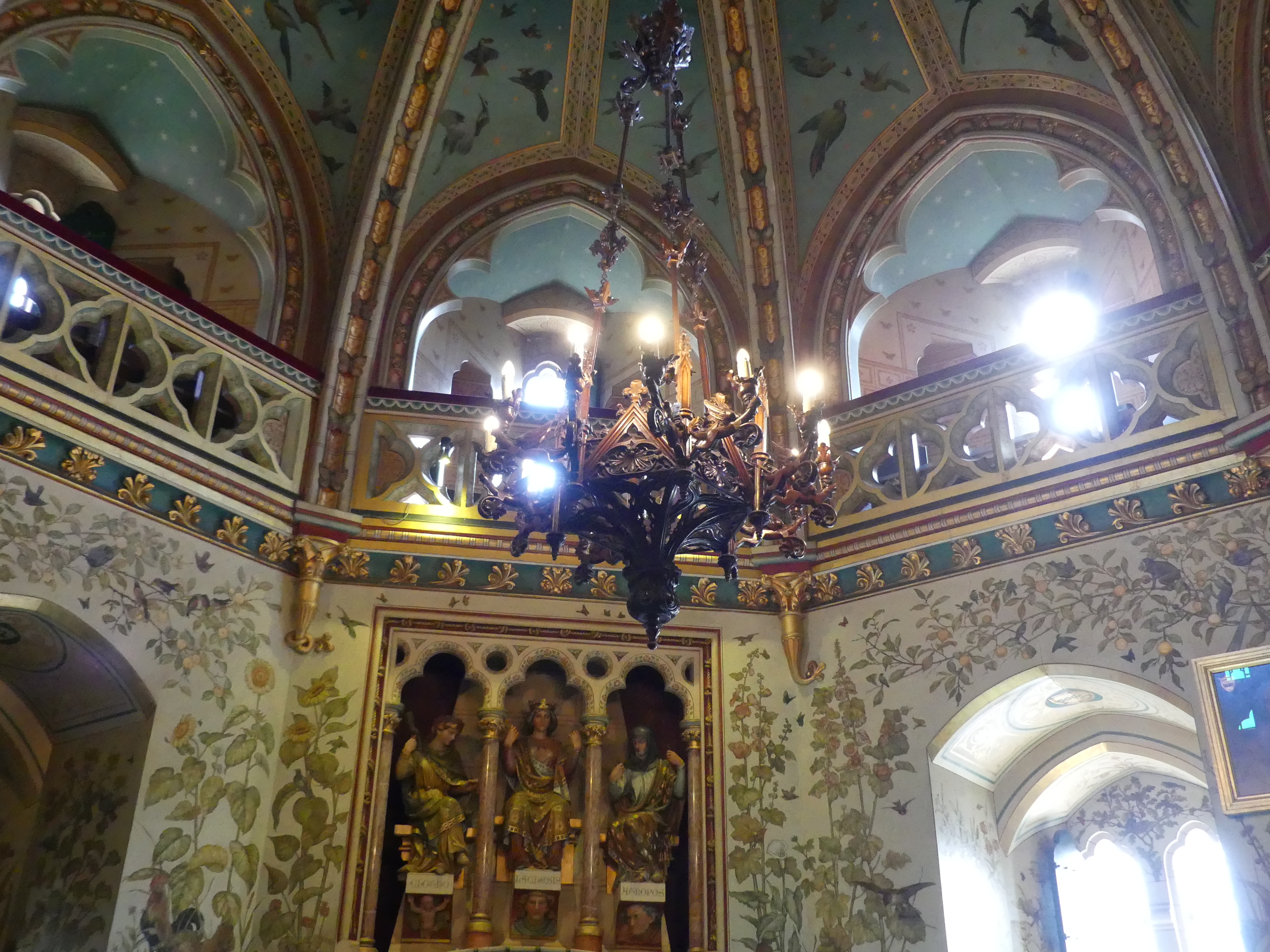
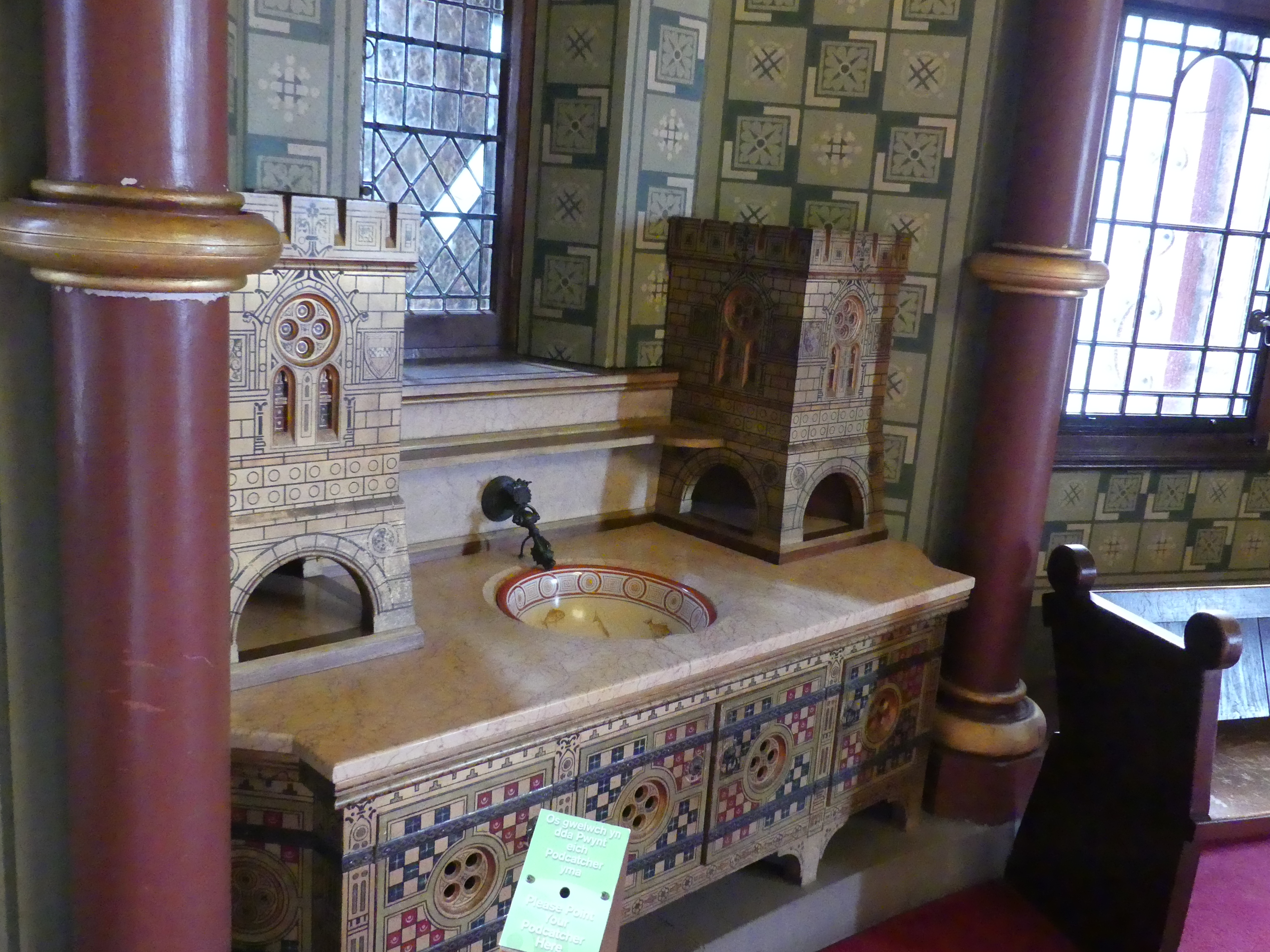
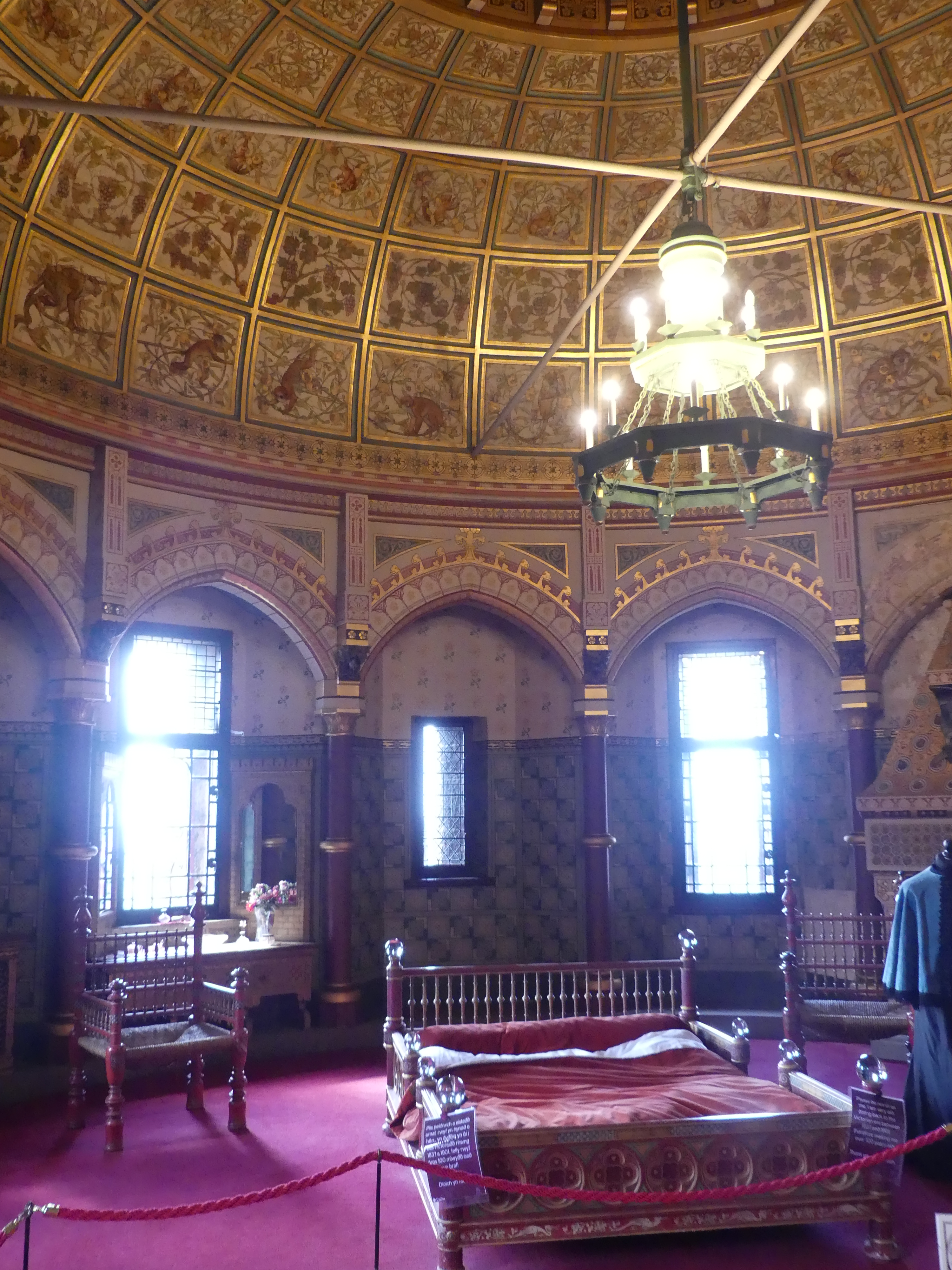
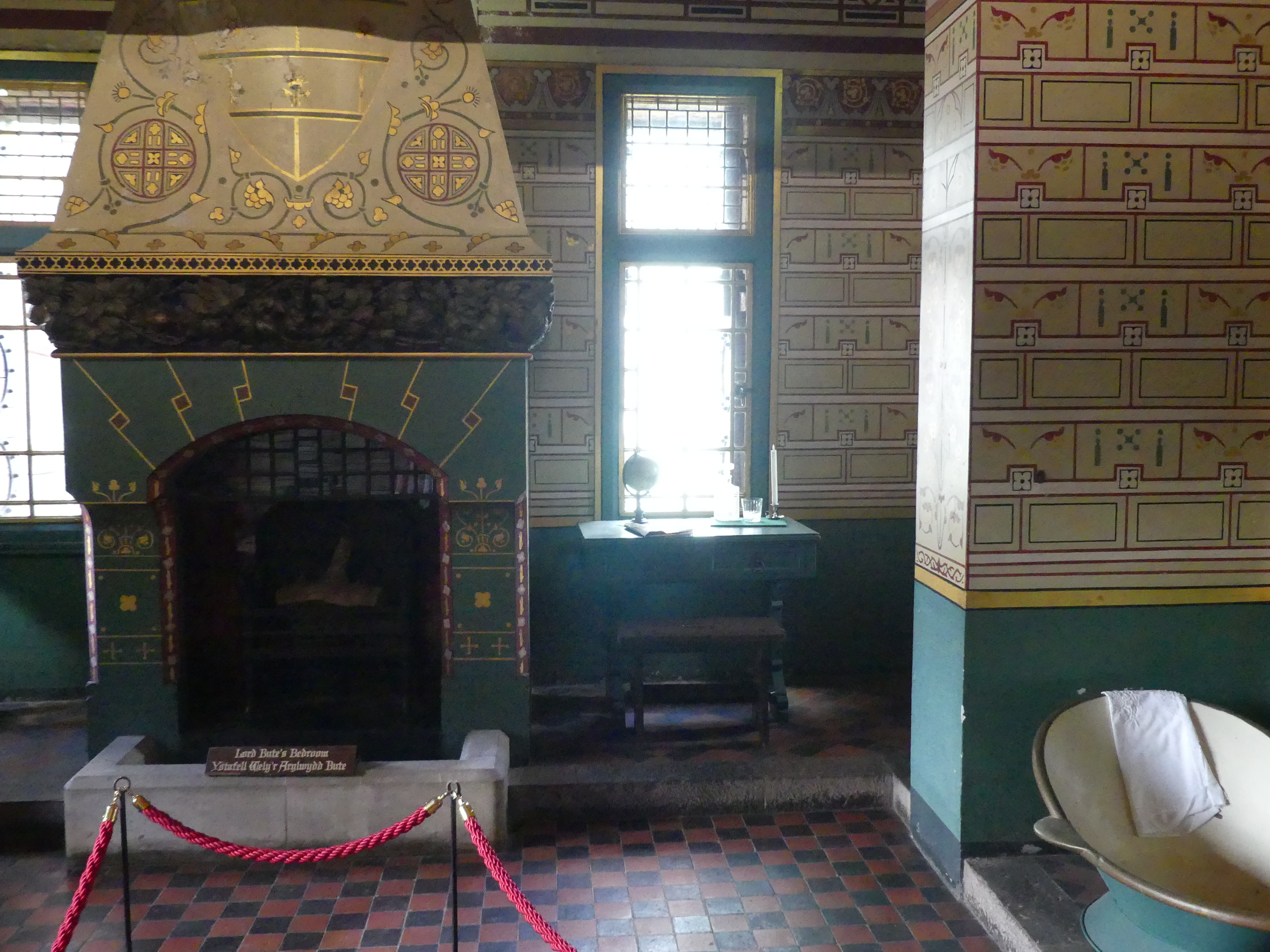
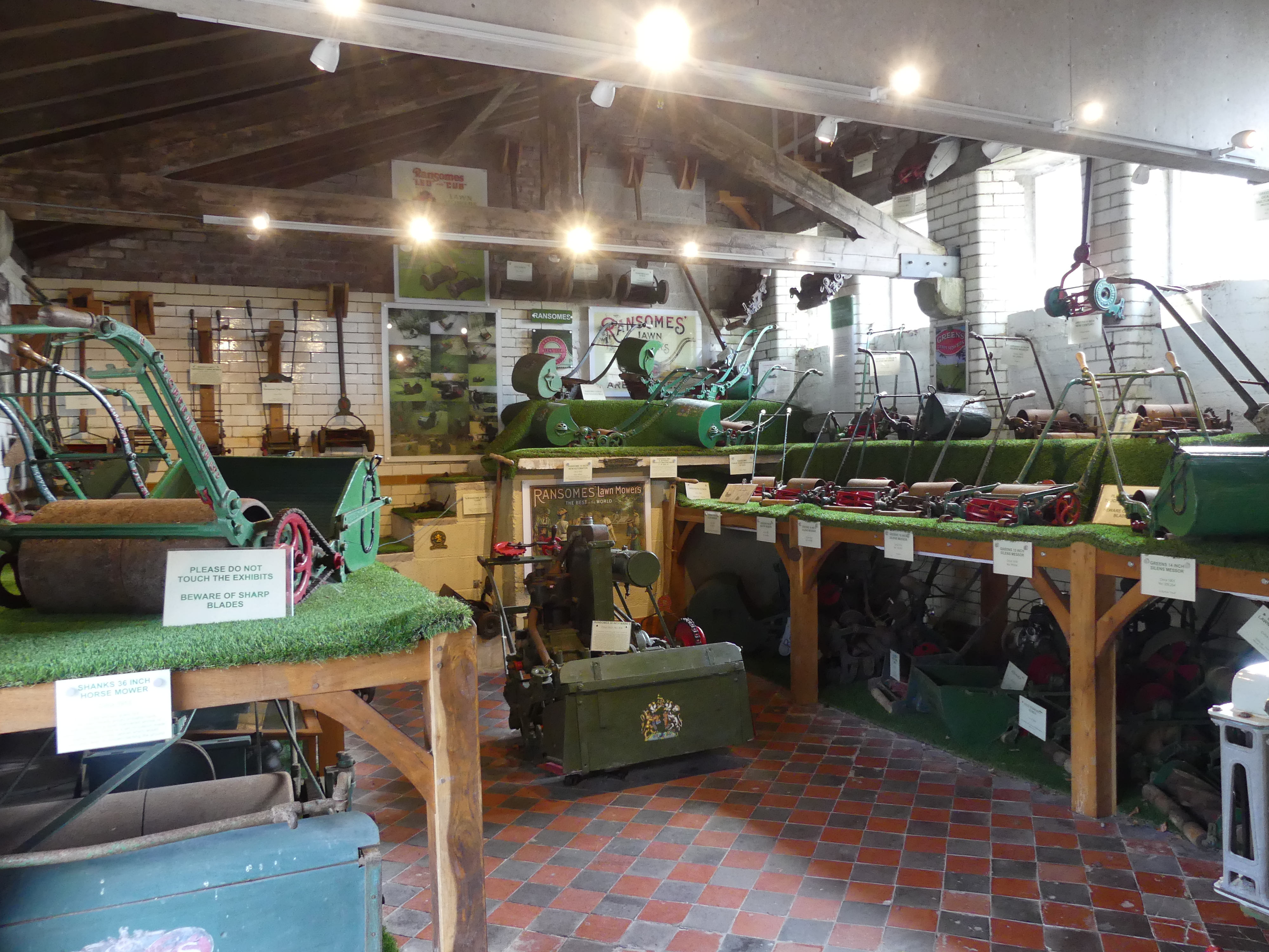
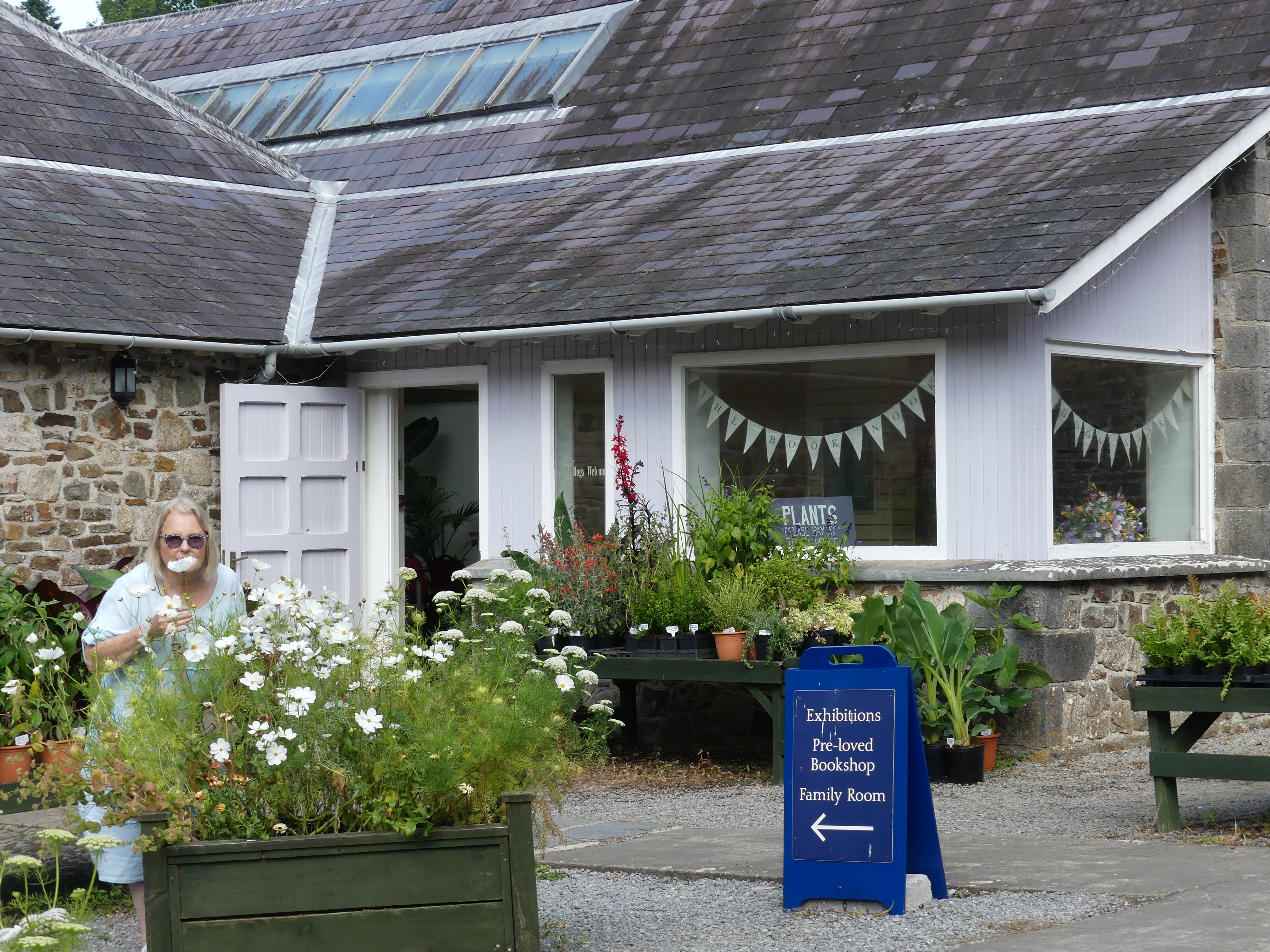
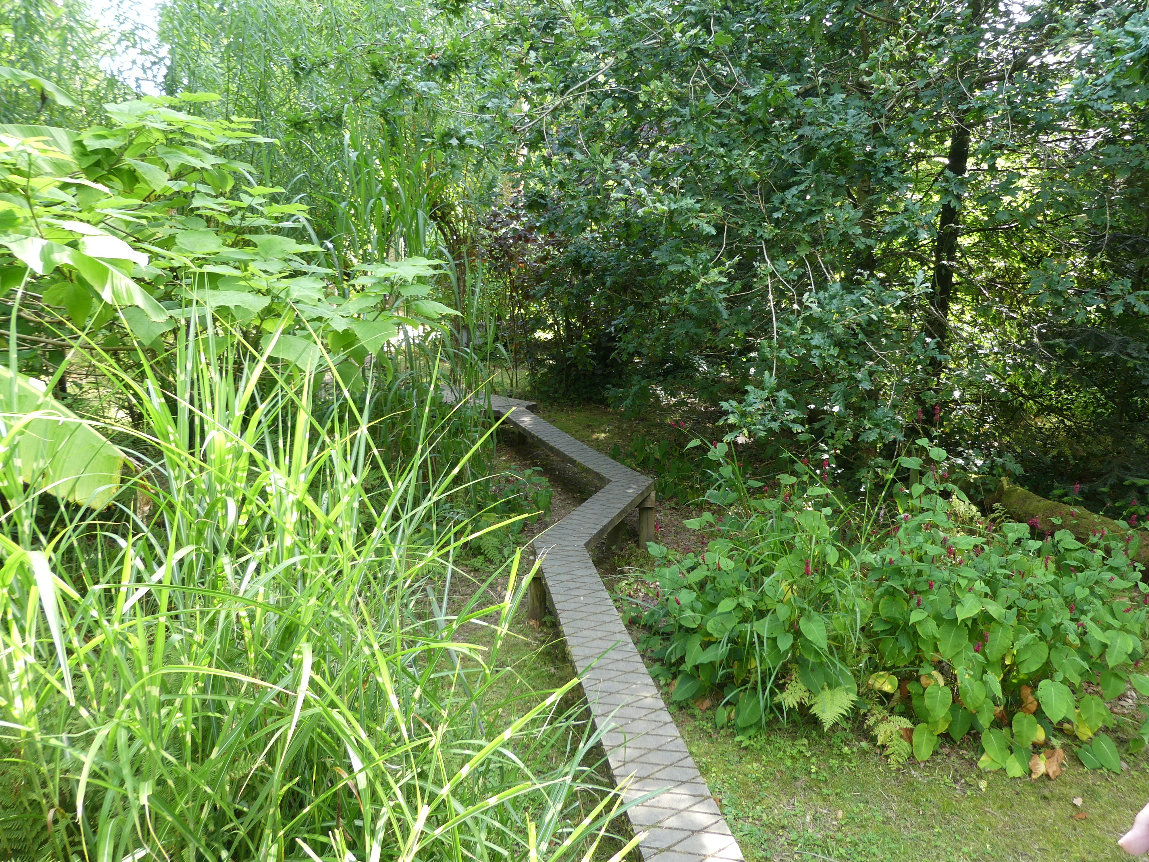
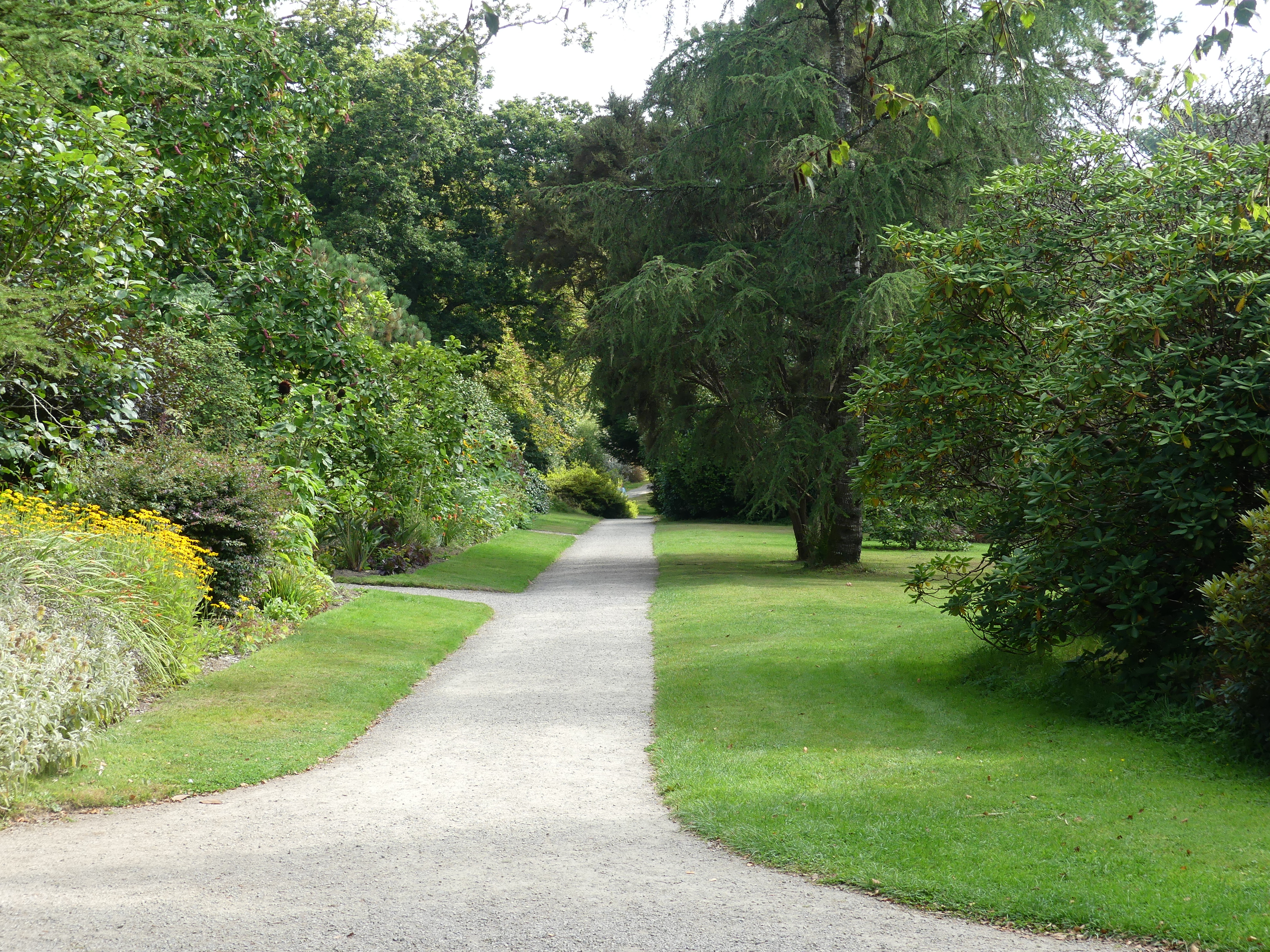
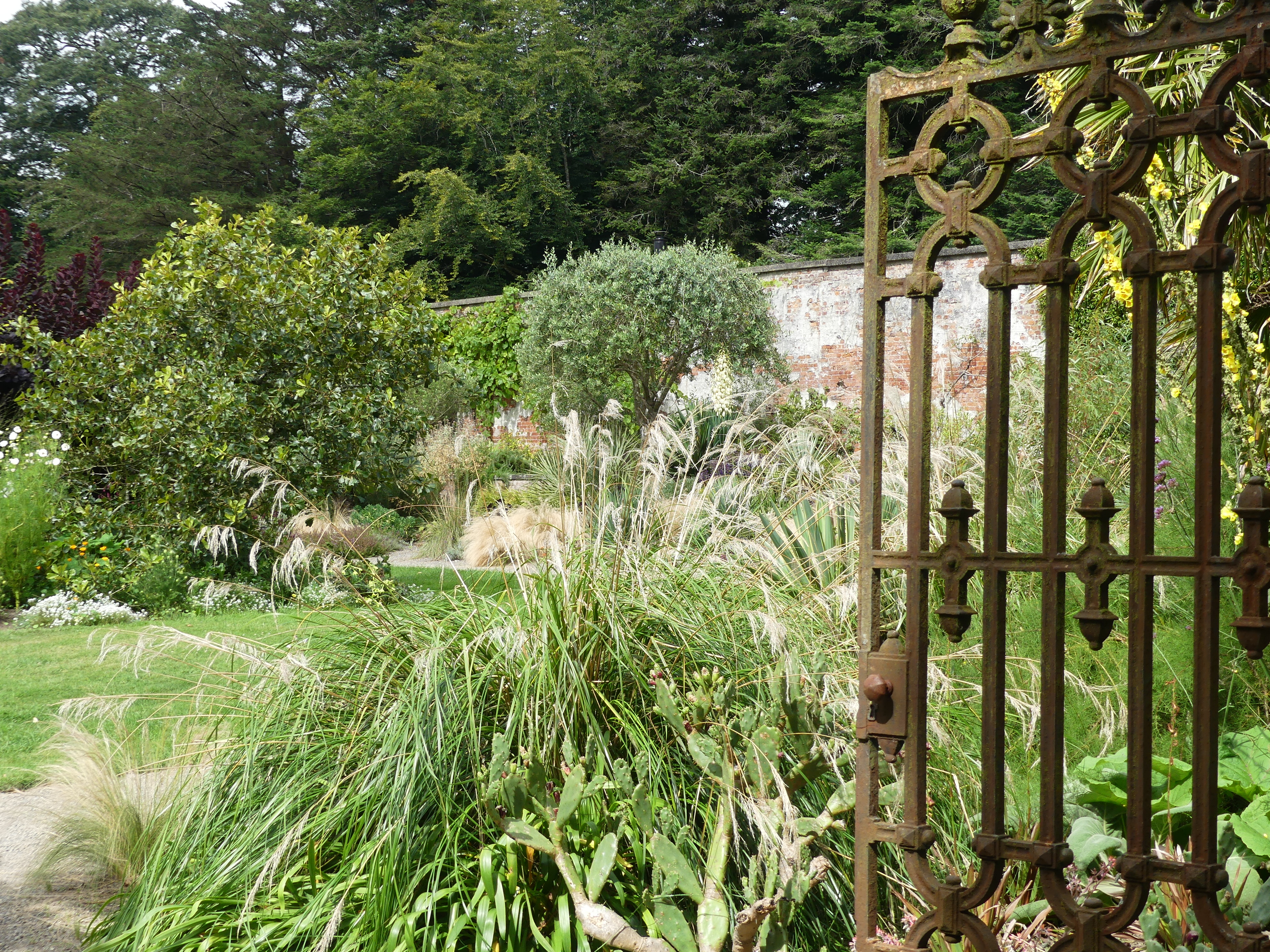
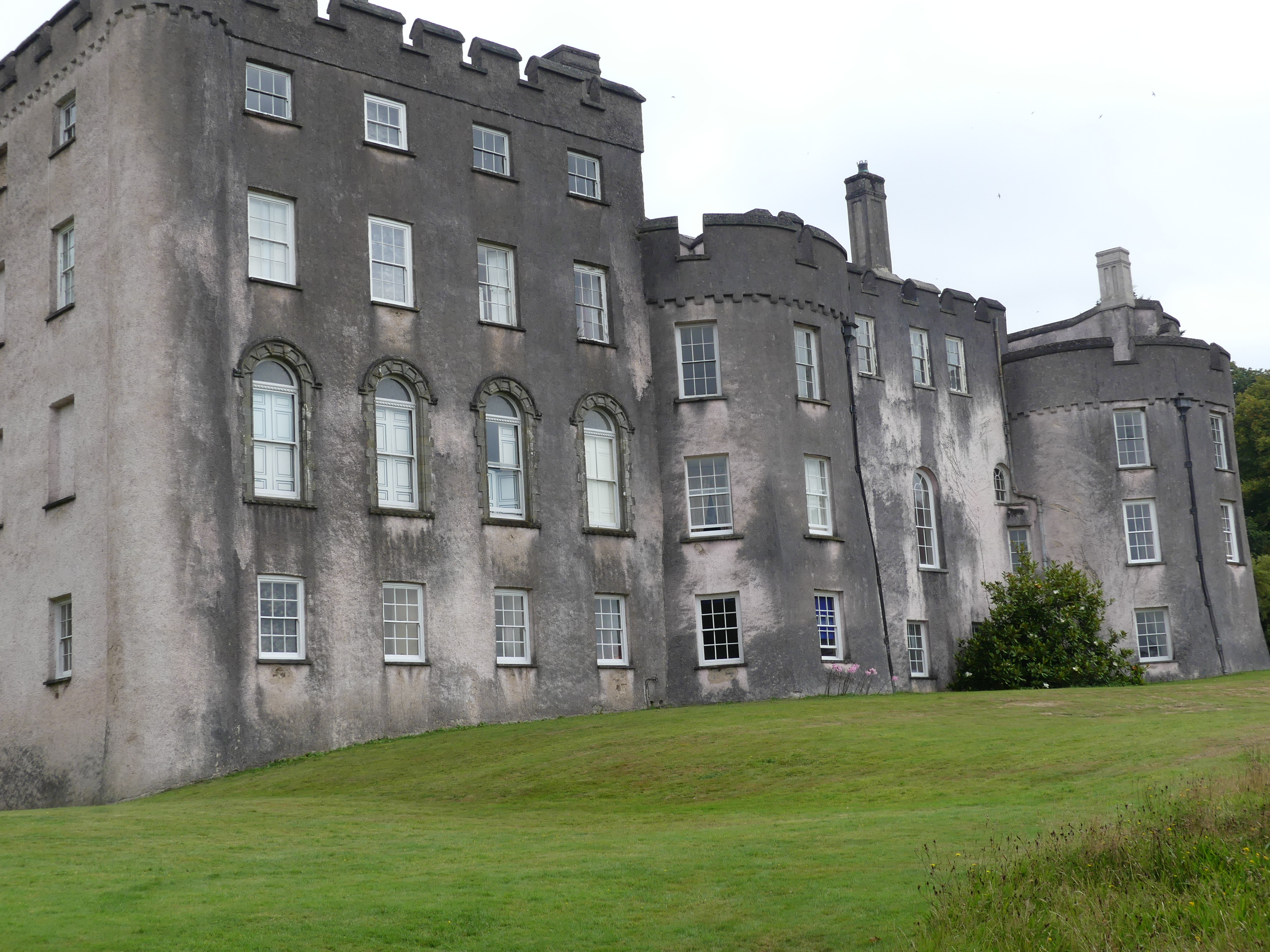
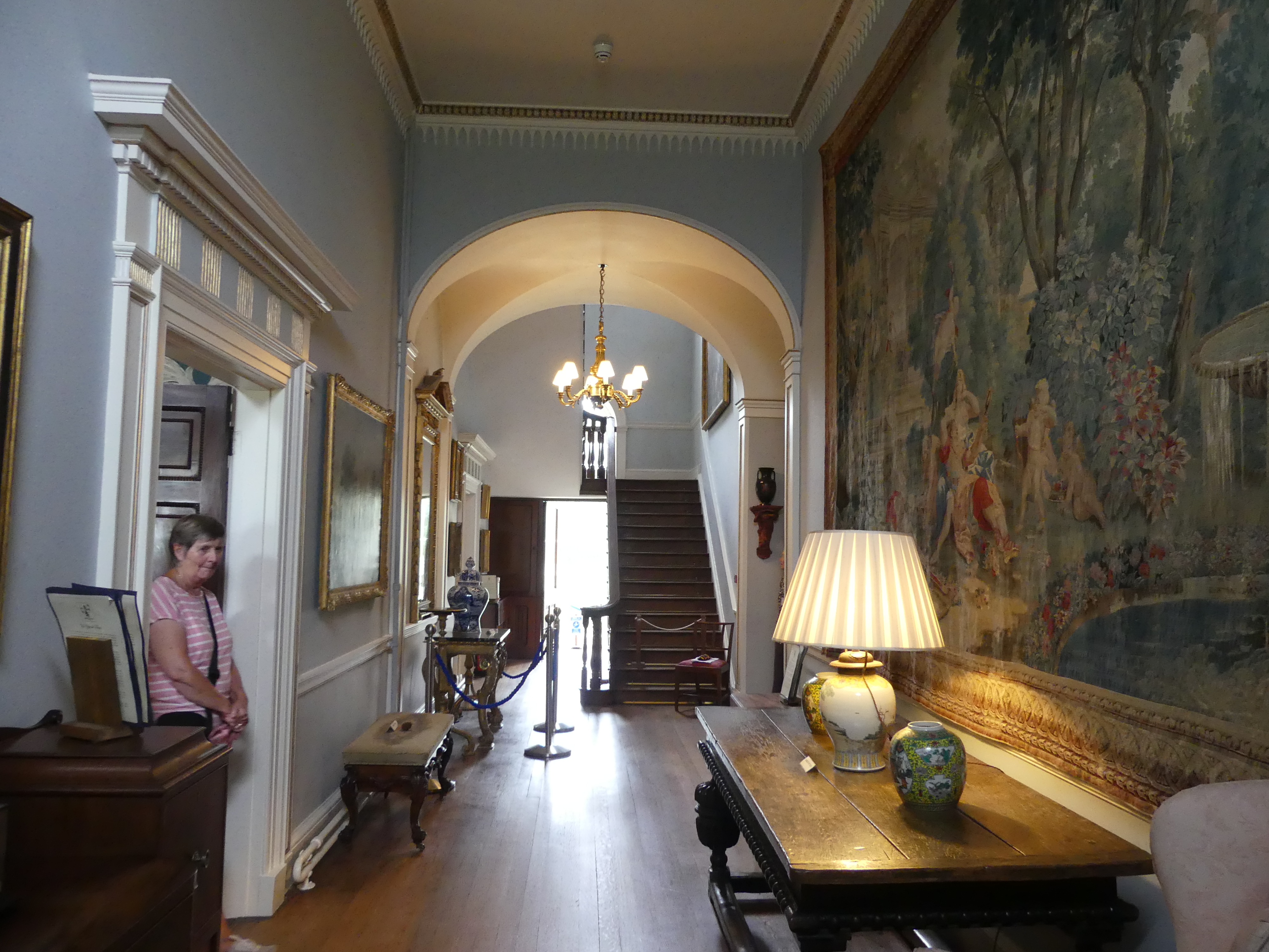
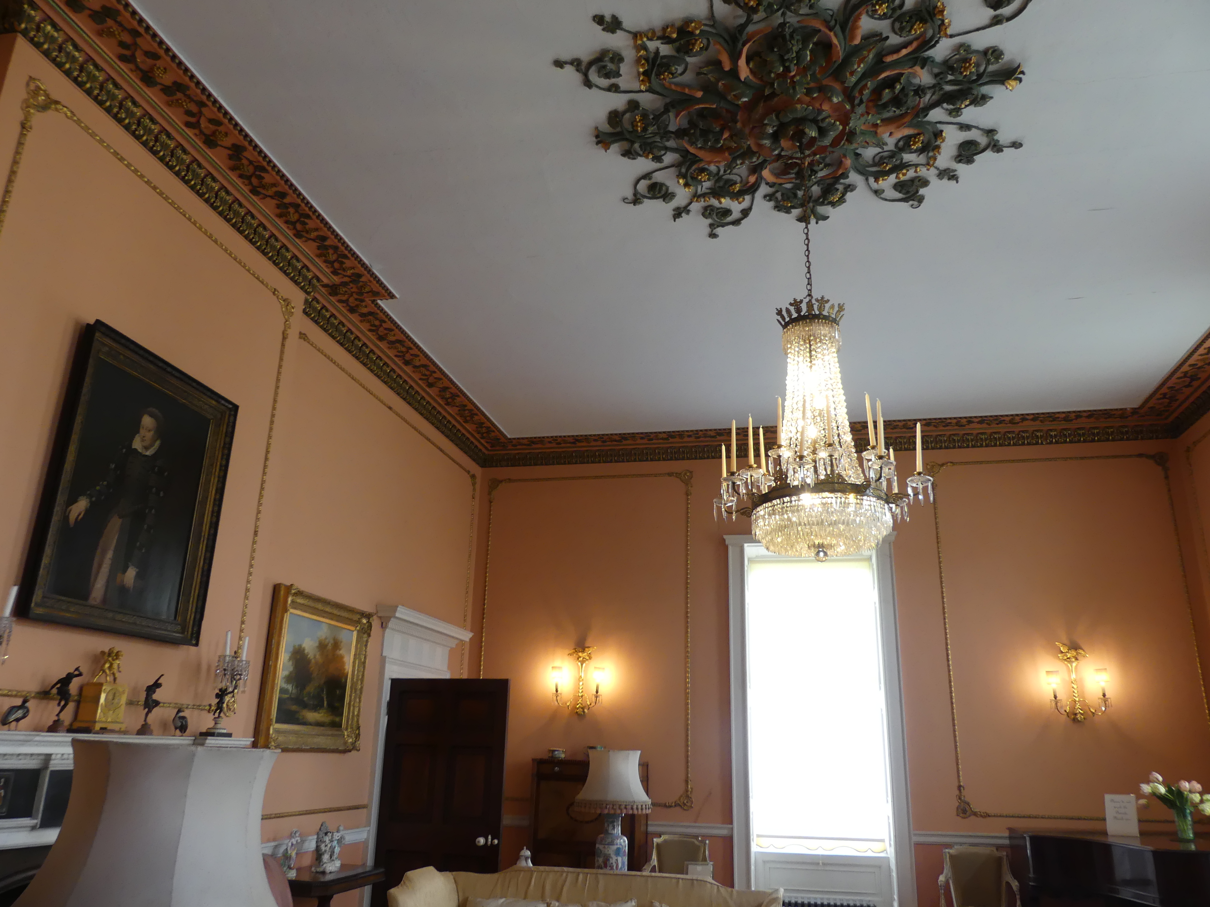
The castle may have once been a fortified castle but it has gradually changed to a manor house and gardens. The gardens are used by the castle owners as a garden centre, café and various other uses. My pictures start with the walled section enclosing the working buildings – the garden centre, book shop, café, the mower museum and the mortuary (the castle was used as a hospital during WW2 when they converted the butchers shop to the mortuary).

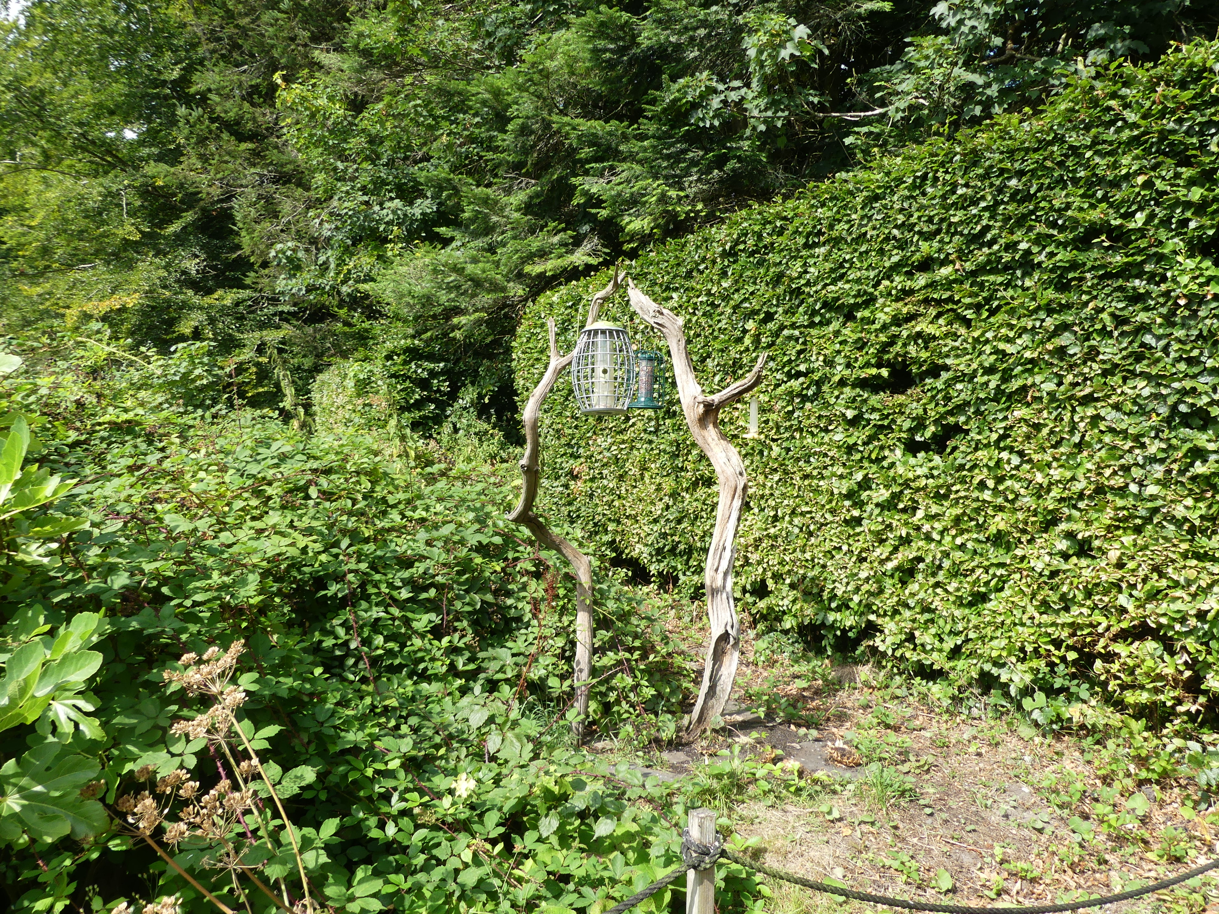
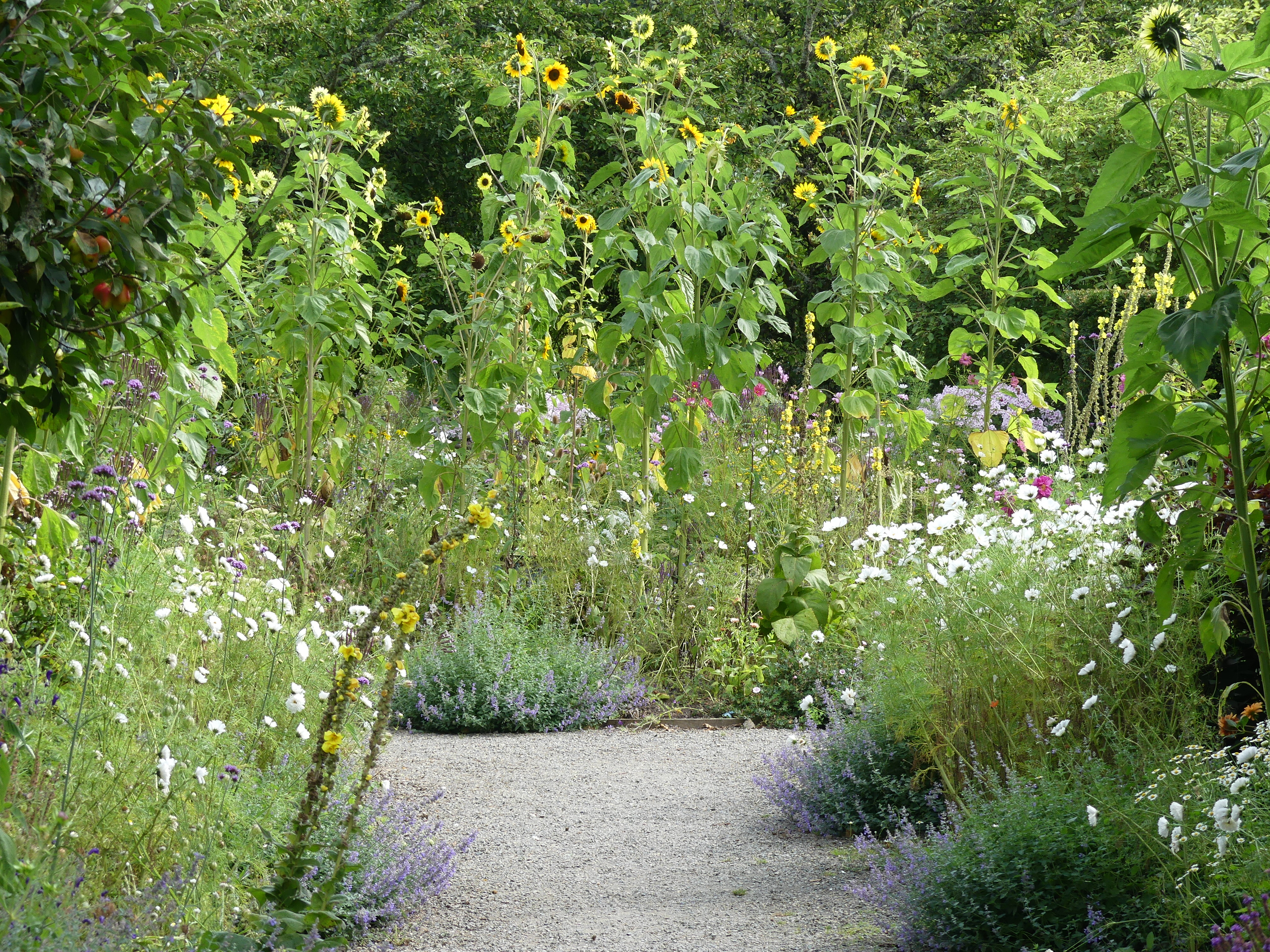
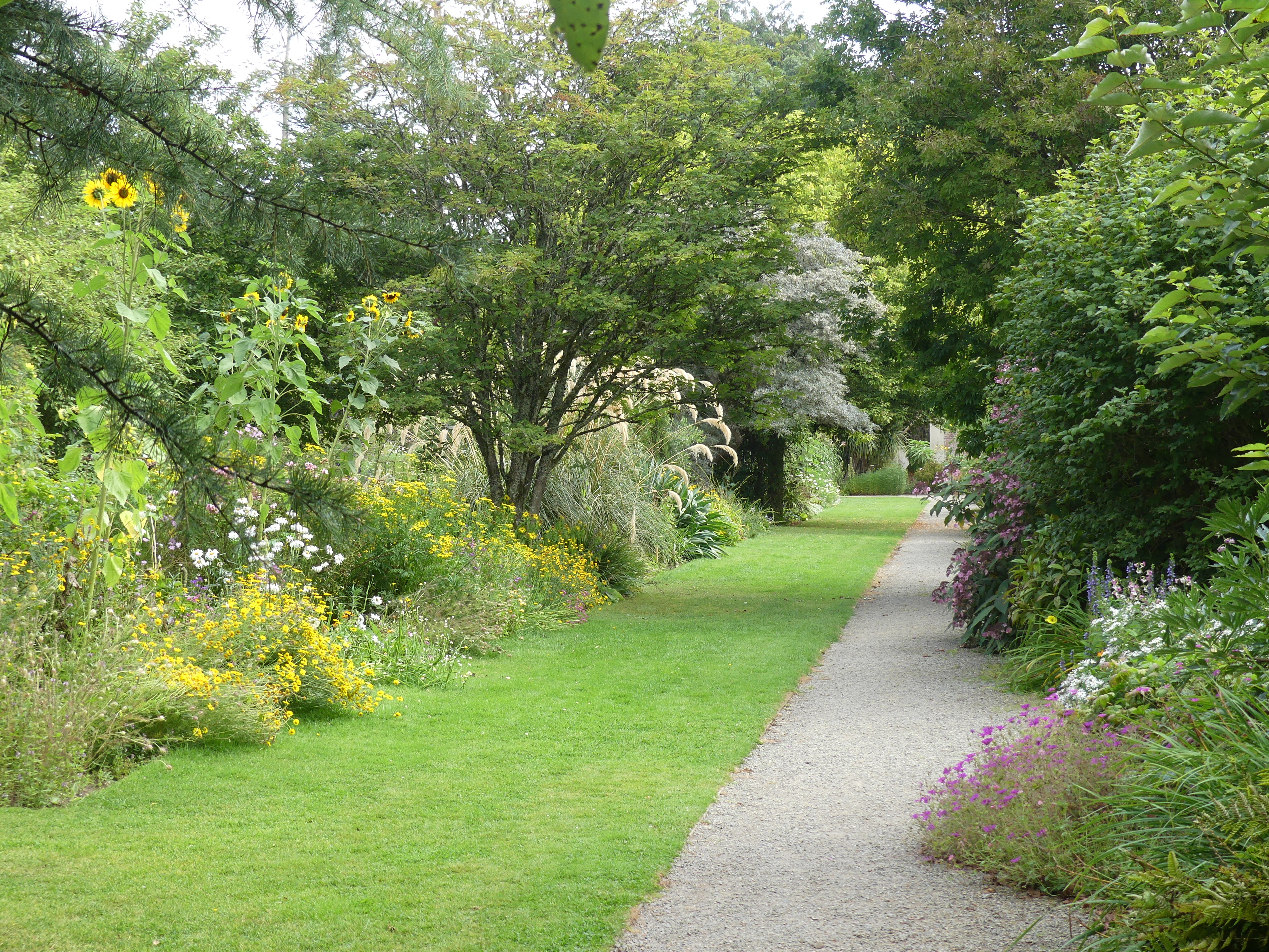
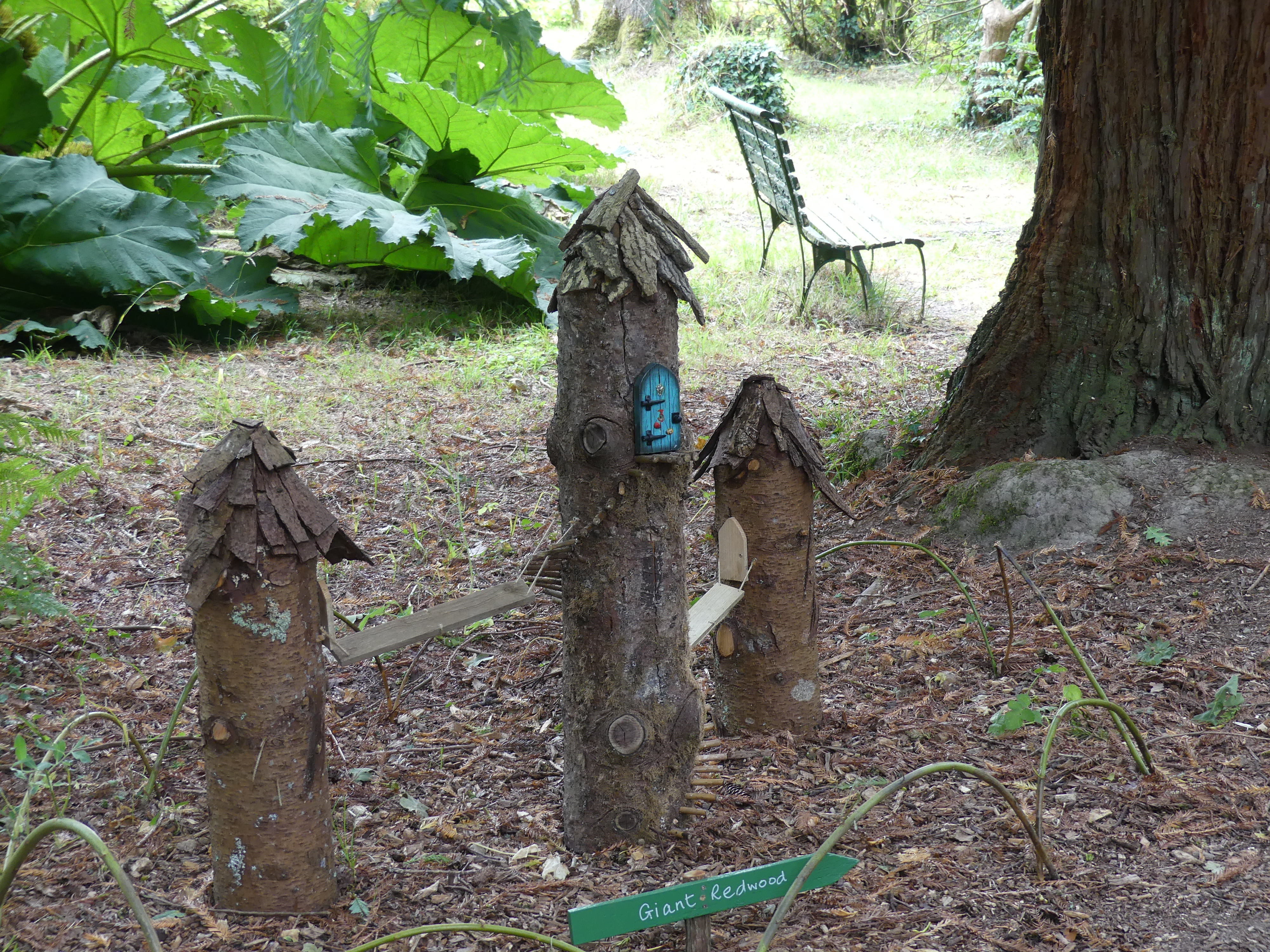
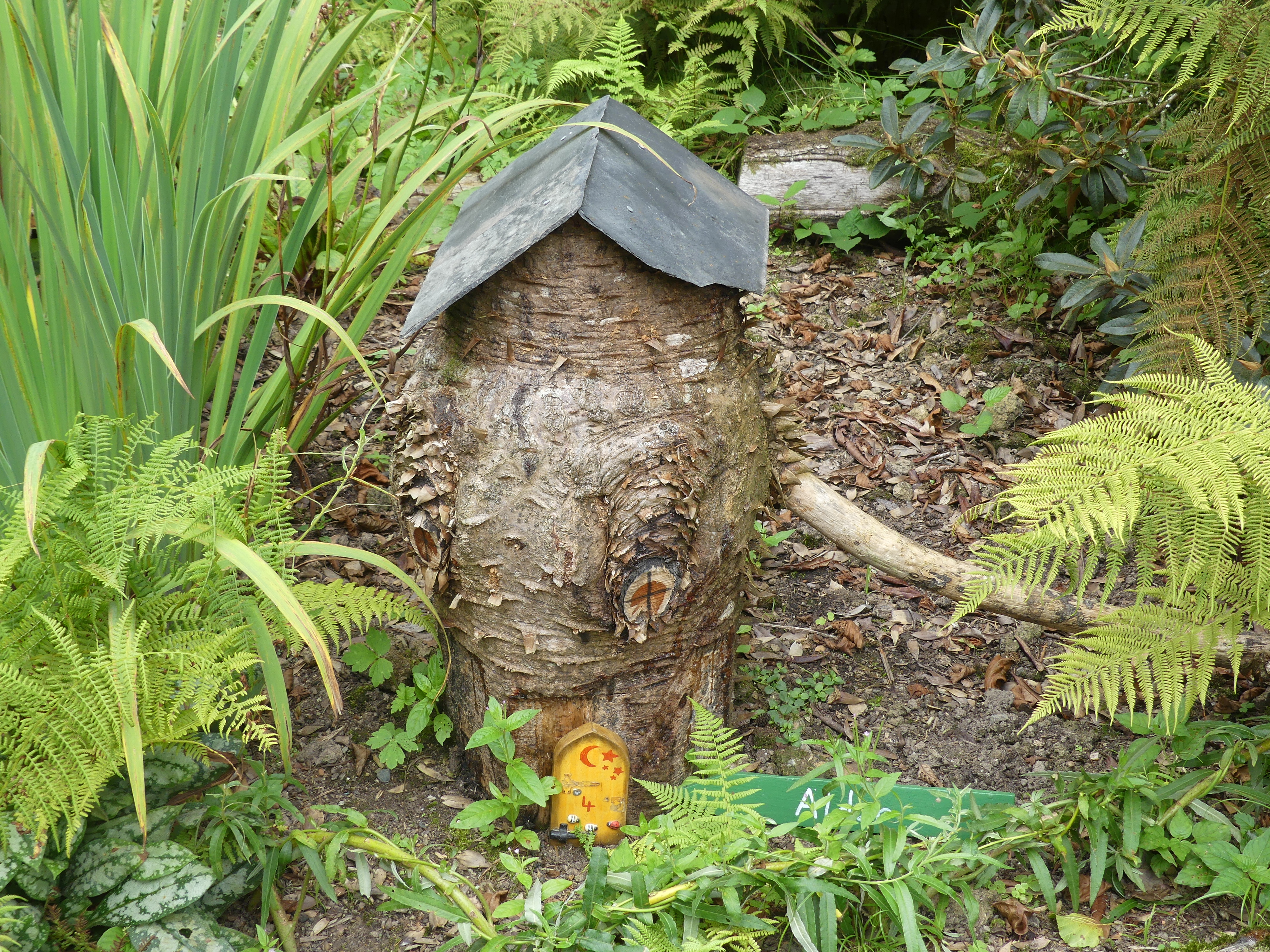
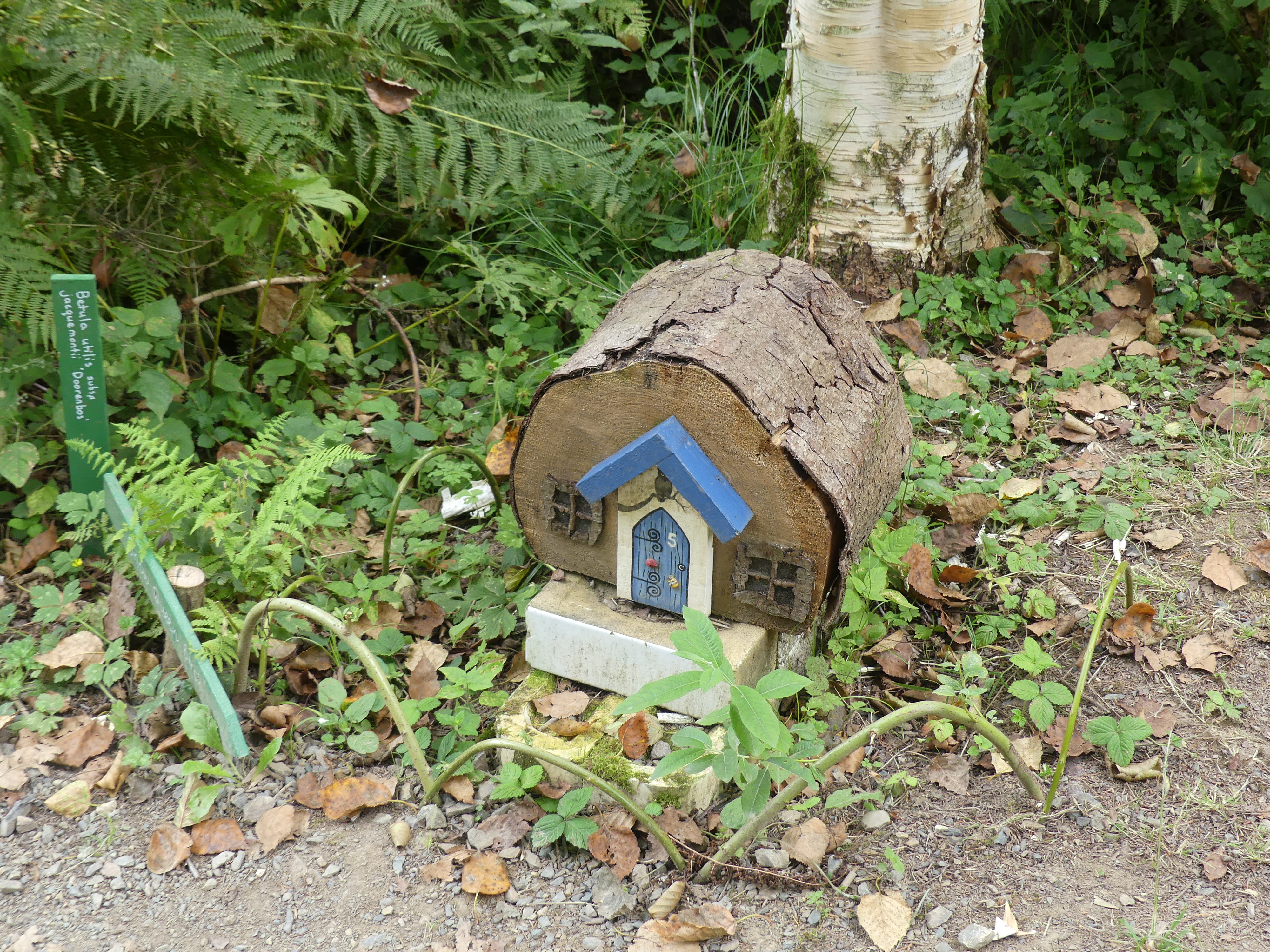
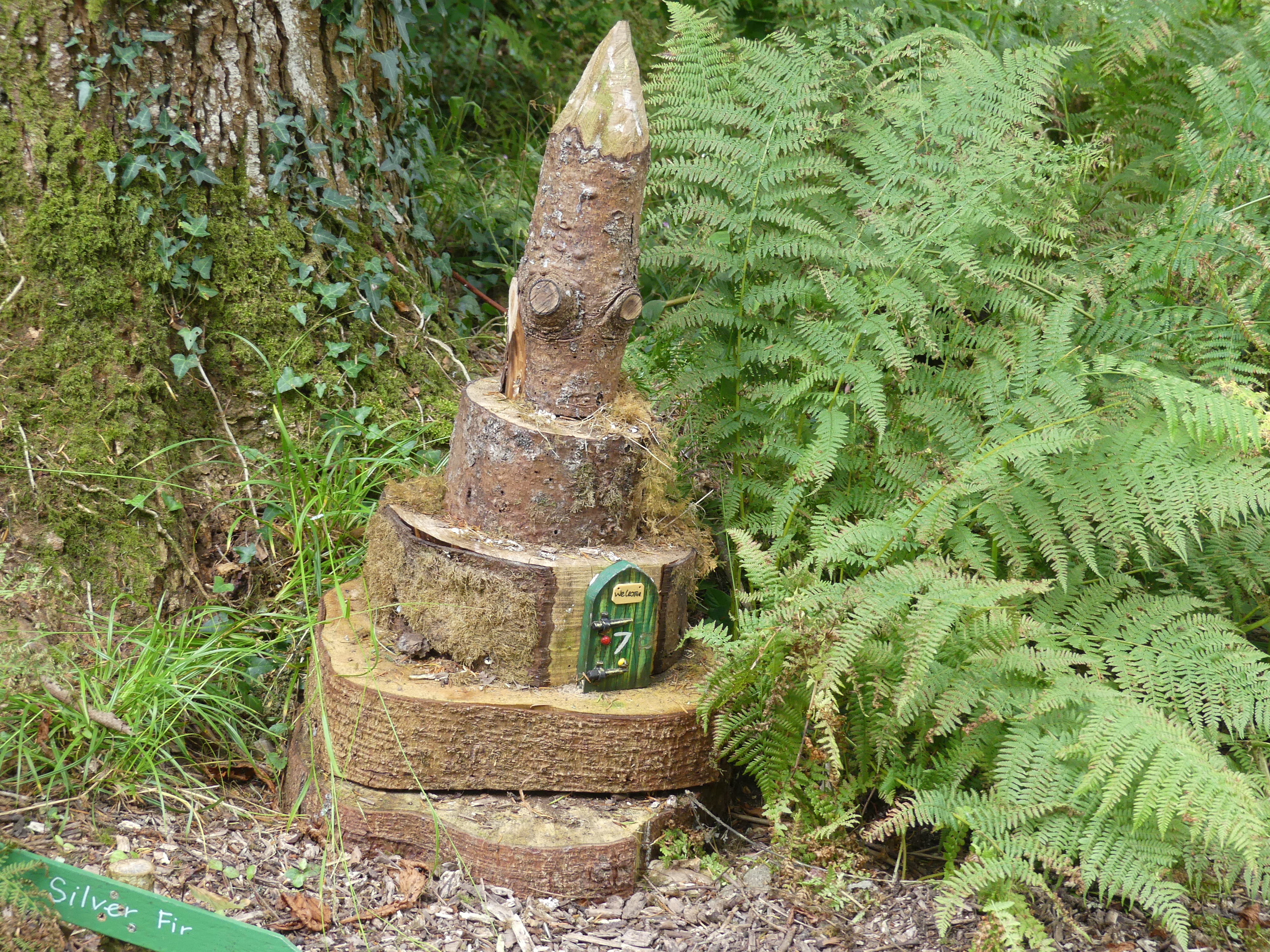
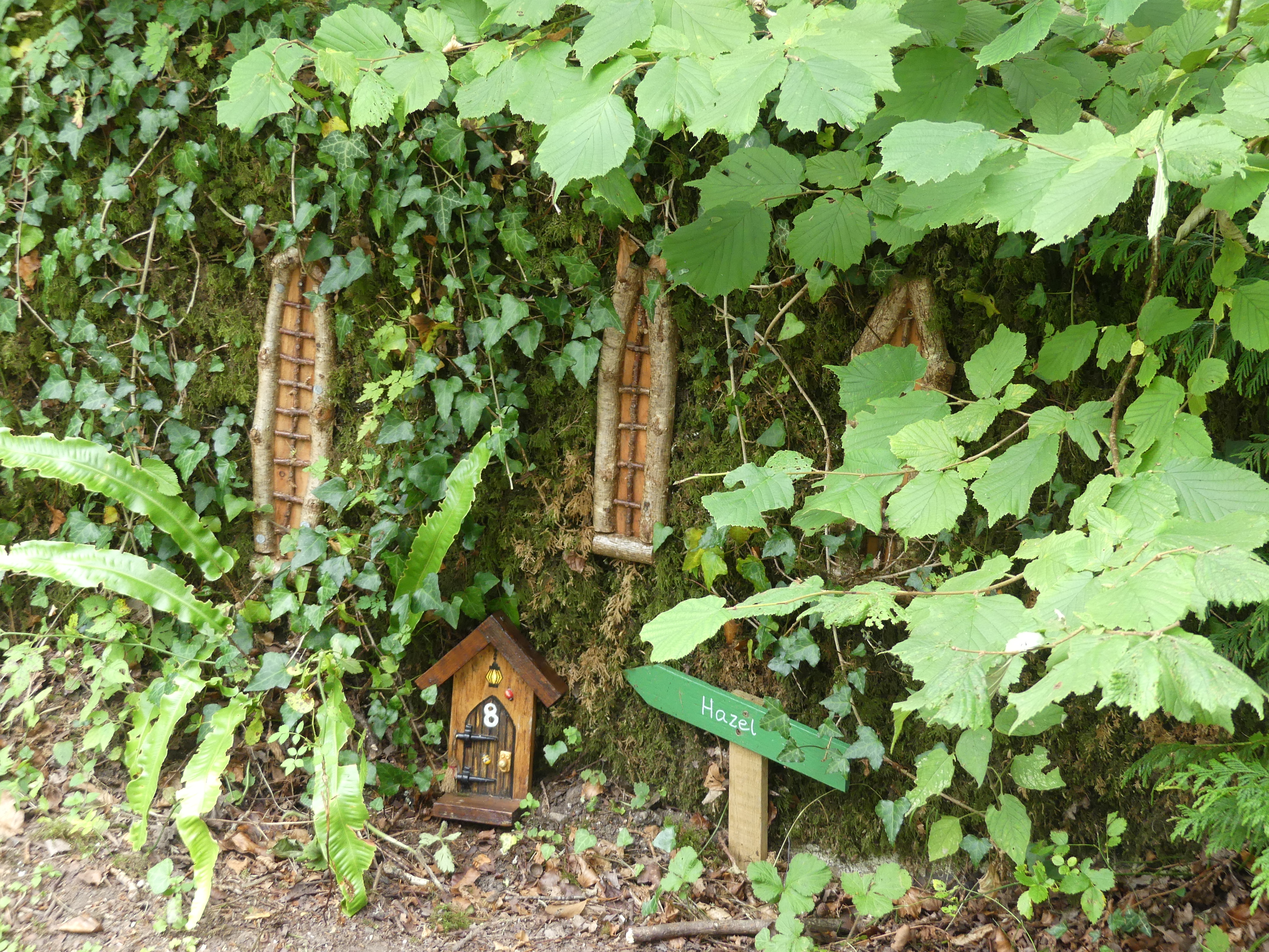
We strolled through the gardens. Relaxing and enjoyable the gardens were laid out in various areas starting with a pathway through the undergrowth for kids (even big kids) with the workers buildings prepared as they might have appeared at the beginning of the twentieth century. There is a fairy garden with 10 fairy houses for the children, and we found each one, I think. Amongst the fairy houses was the original ice house for the castle. This is an underground shelter where workmen would cut out the river ice and store the ice in the ice house so the family could have ice during the summer.

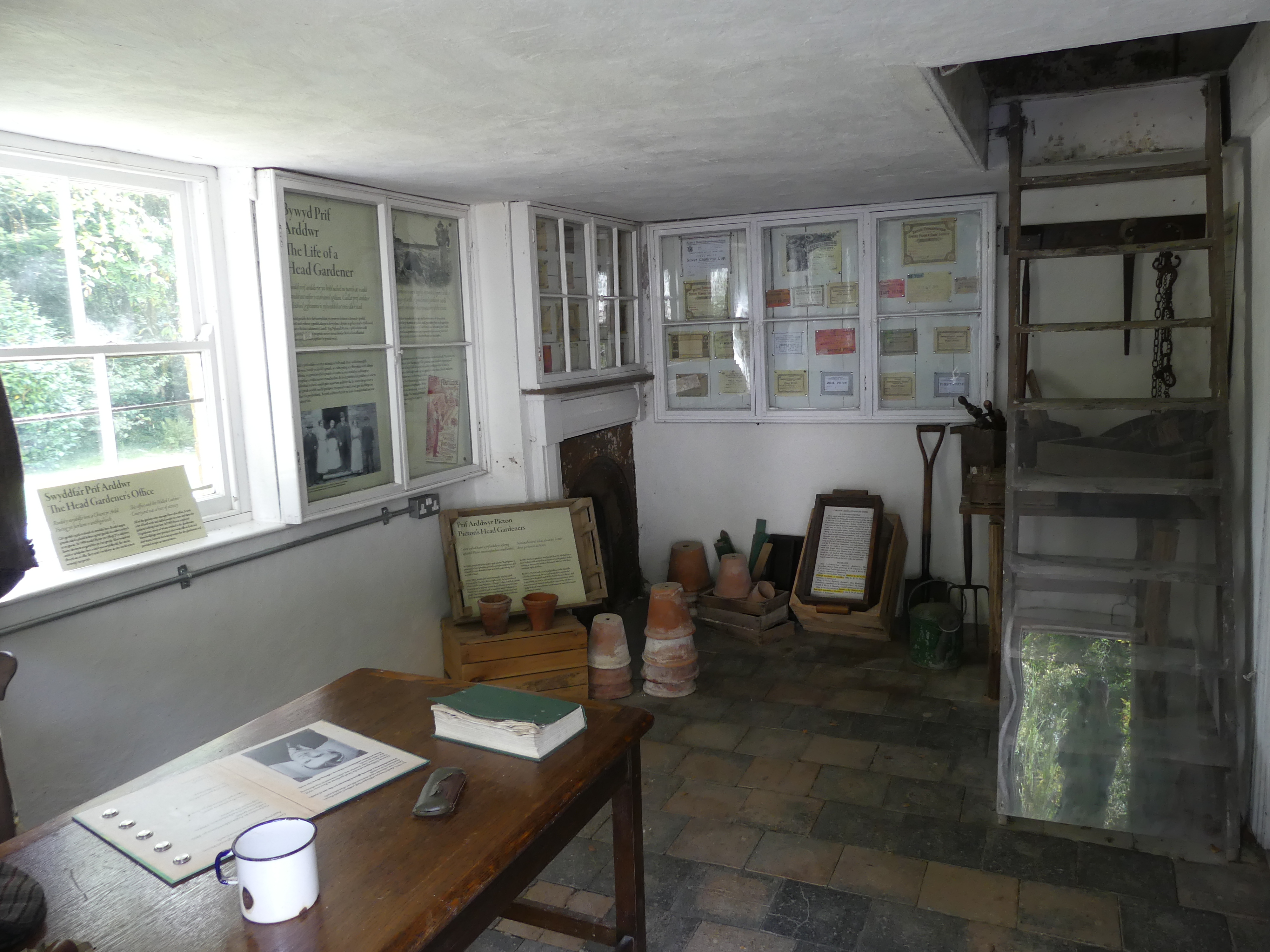
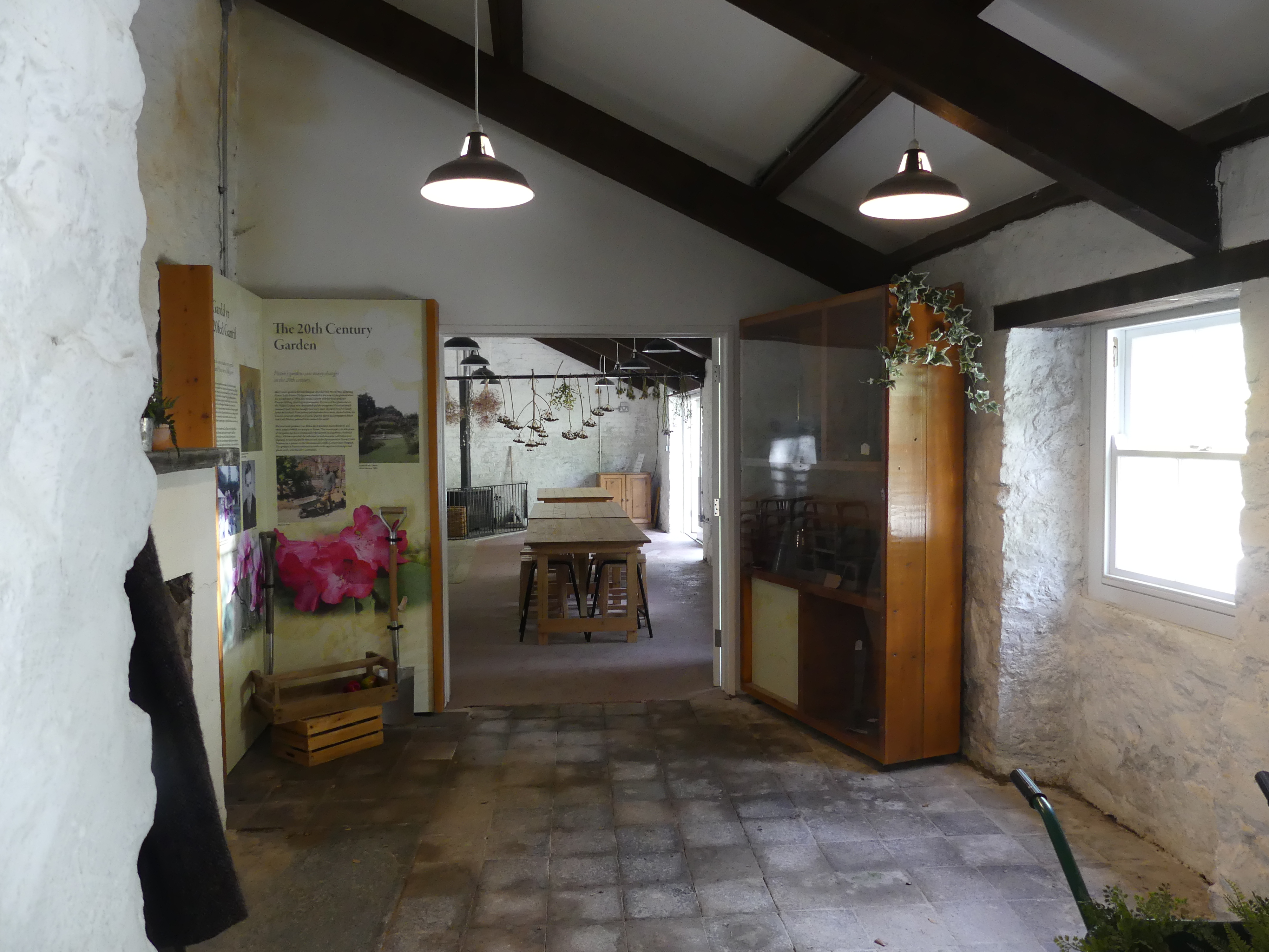
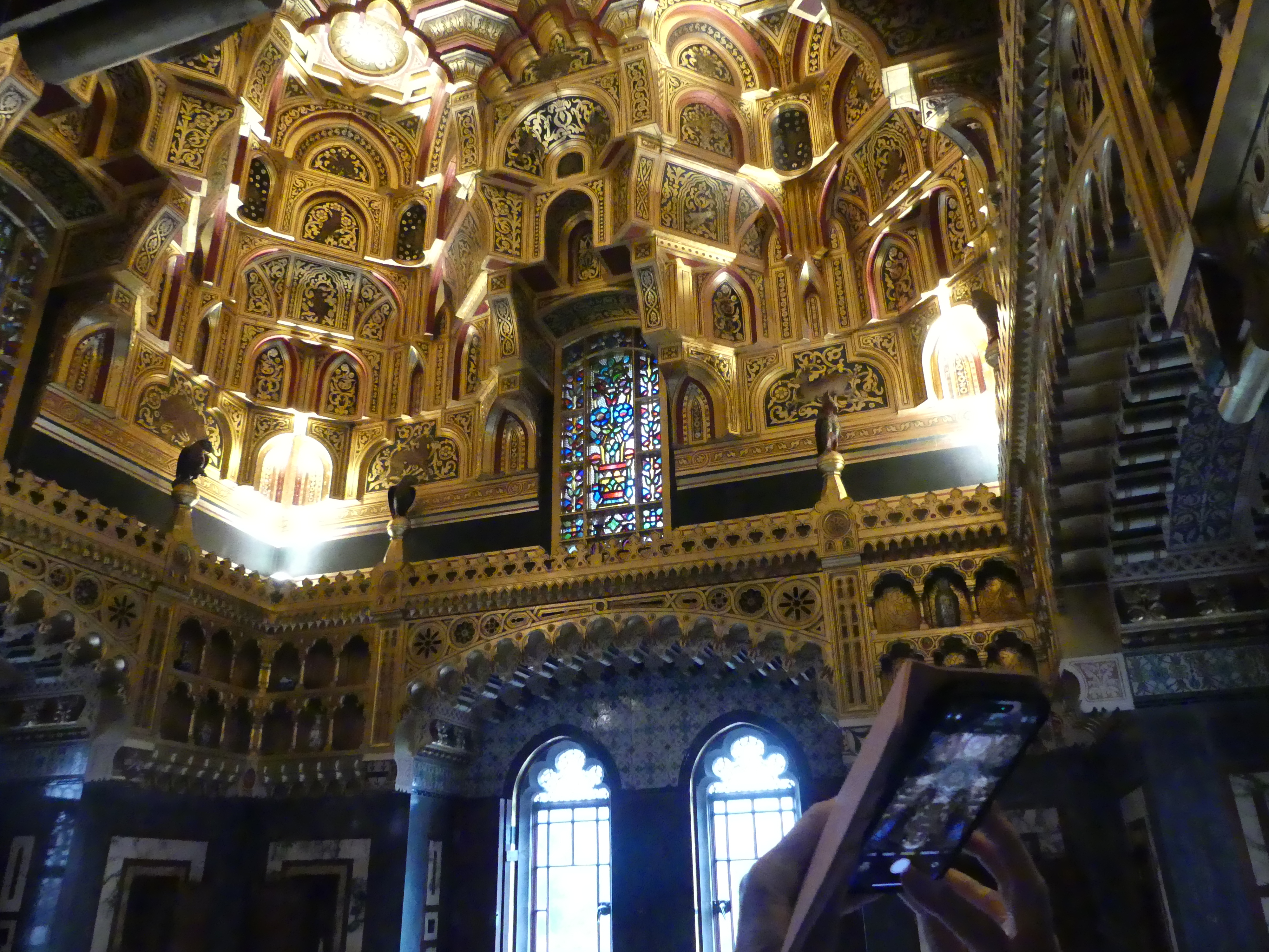
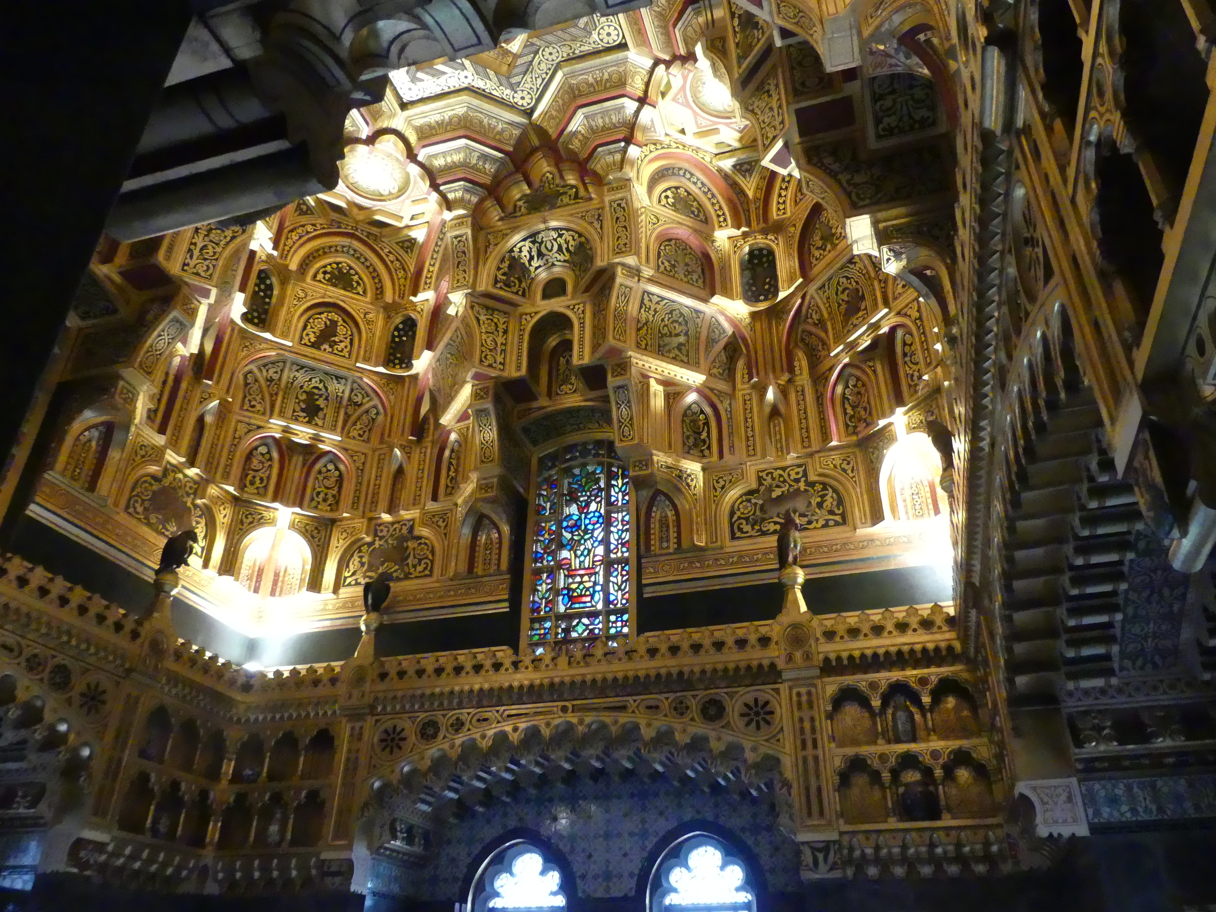
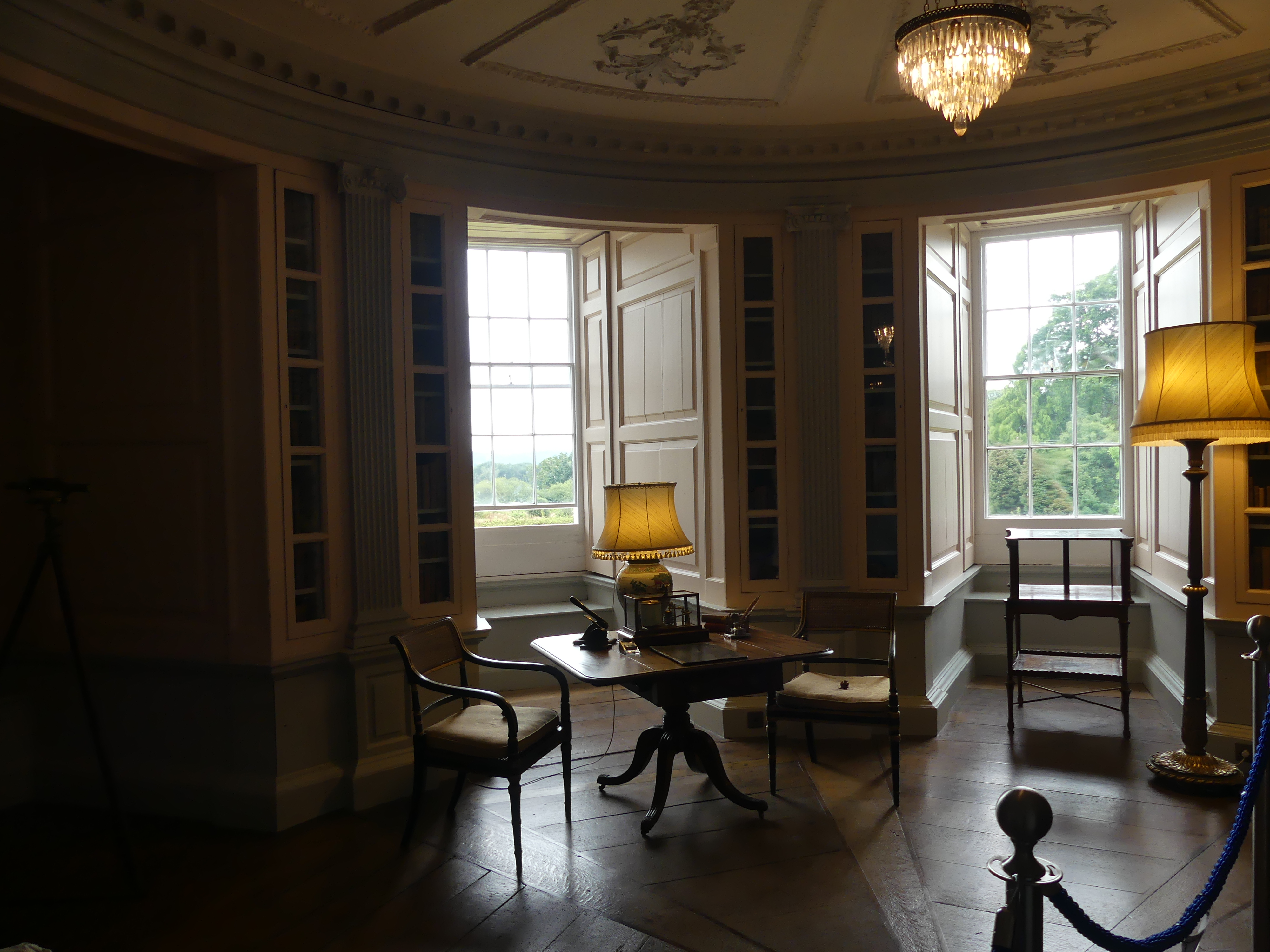
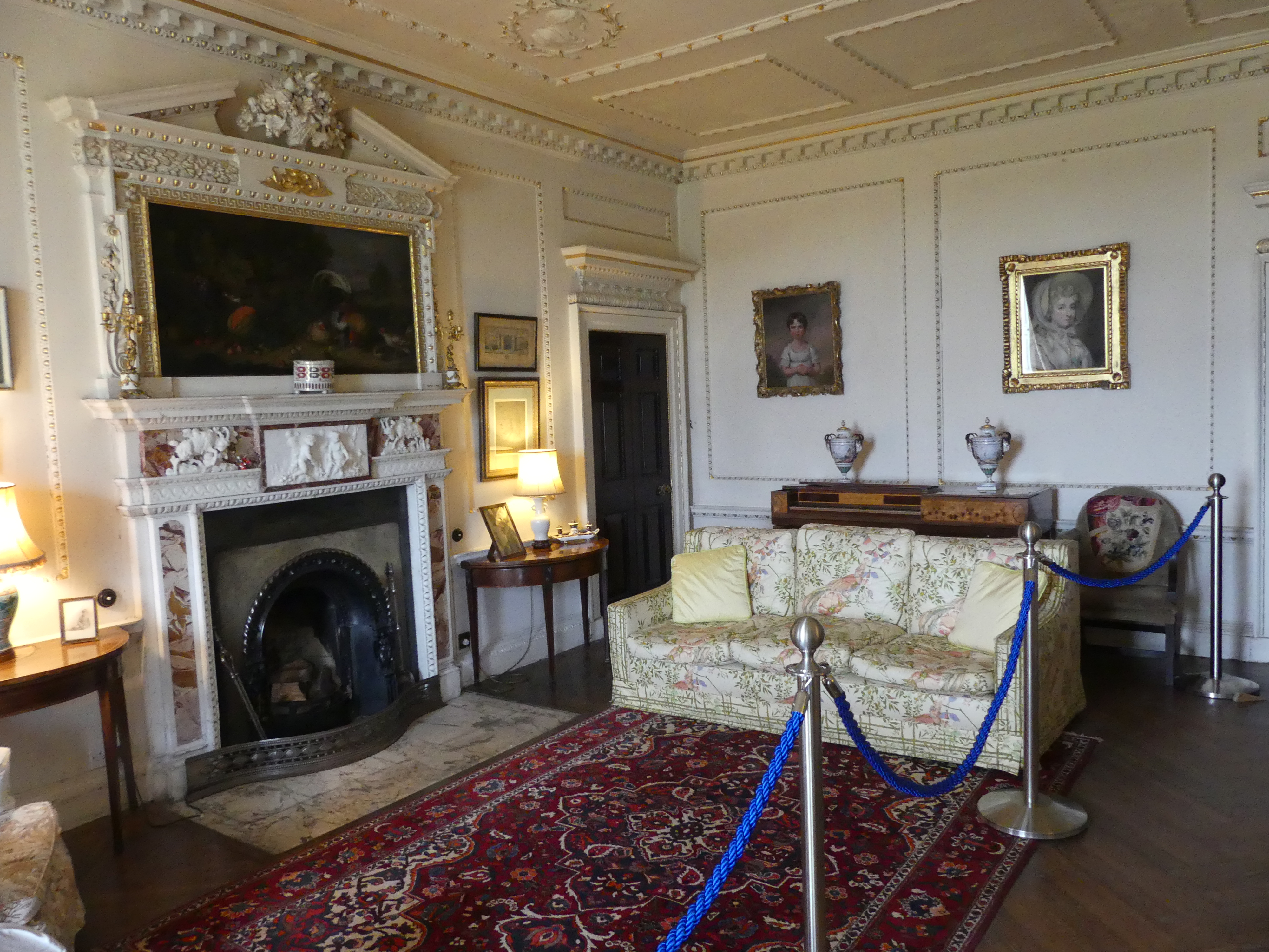
Behind the wall work area is the manor house. It has been decorated for the same period. The children’s toys have been retained and are presented in a museum in one to the towers of the house.

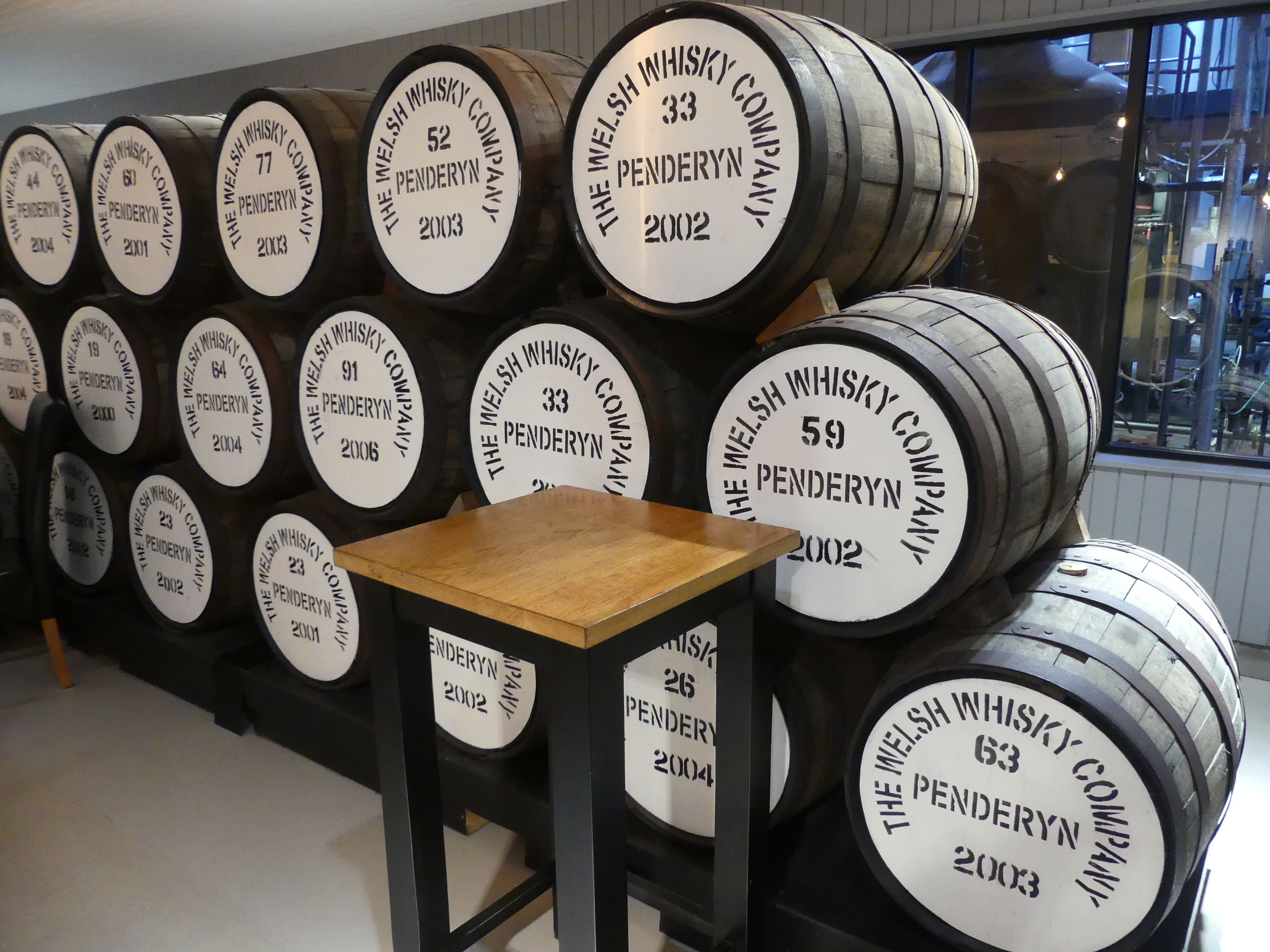
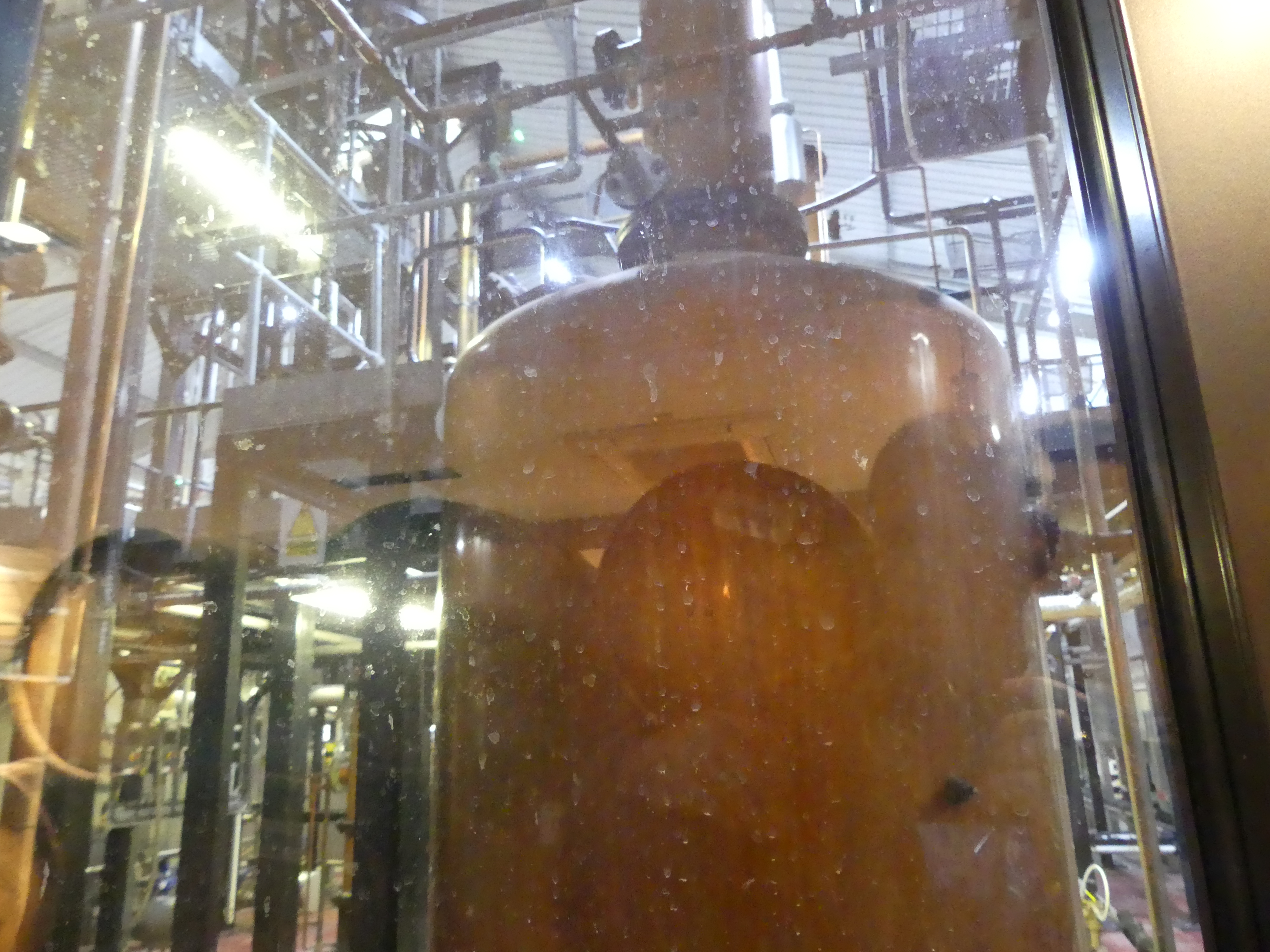
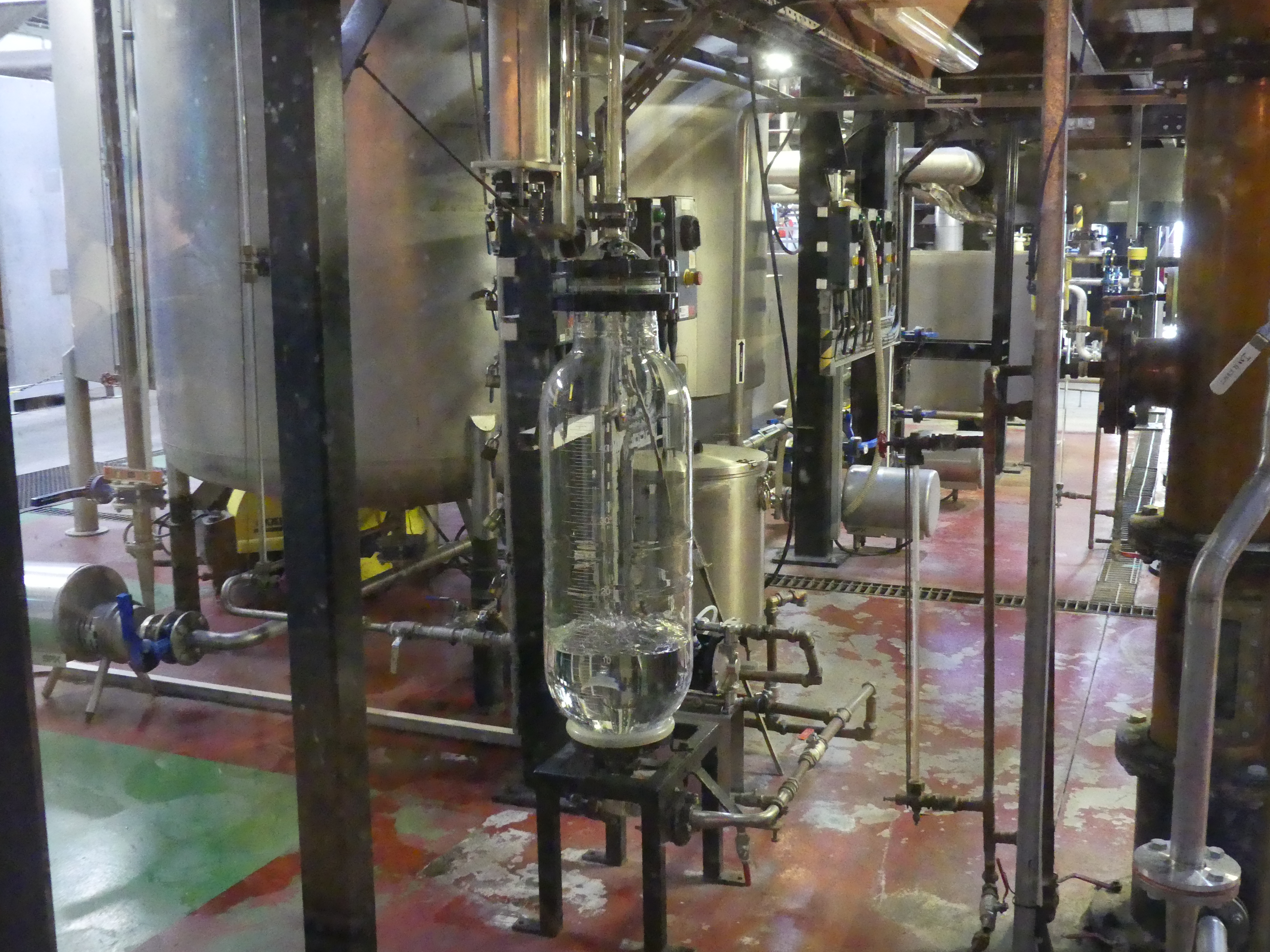
We had visited the whiskey distillery before going to Picton Castle and did the tour as they claimed to have a secret to produce the best whiskey. Penderyn is the name of the whiskey, and I have brought home three samples of the brew. The distillery is modern in its design because it is resurrected from an earlier distillery and modernised. We arrived before opening time and to our surprise there was a coffee van open for trade for visitors like us – it is a converted horse float. Once the distillery opened and we were allowed to look around I took some photos that appear below. The bottle with the clear liquid is the refined whiskey and this is placed in a used cask and the whiskey draws its colour from the cask. To be legally sold as whiskey it must be aged in barrels for 3 year and 1 day. As I stated I have brought some samples home. 

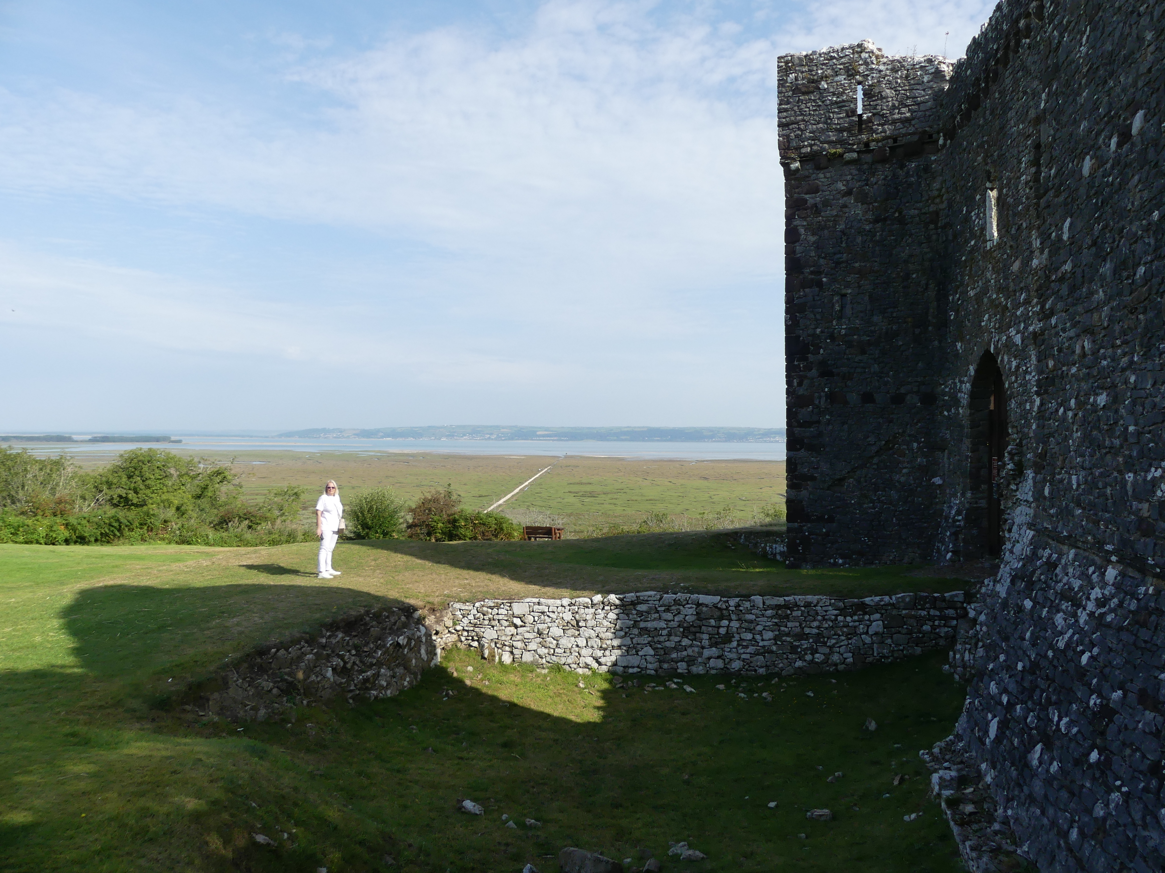
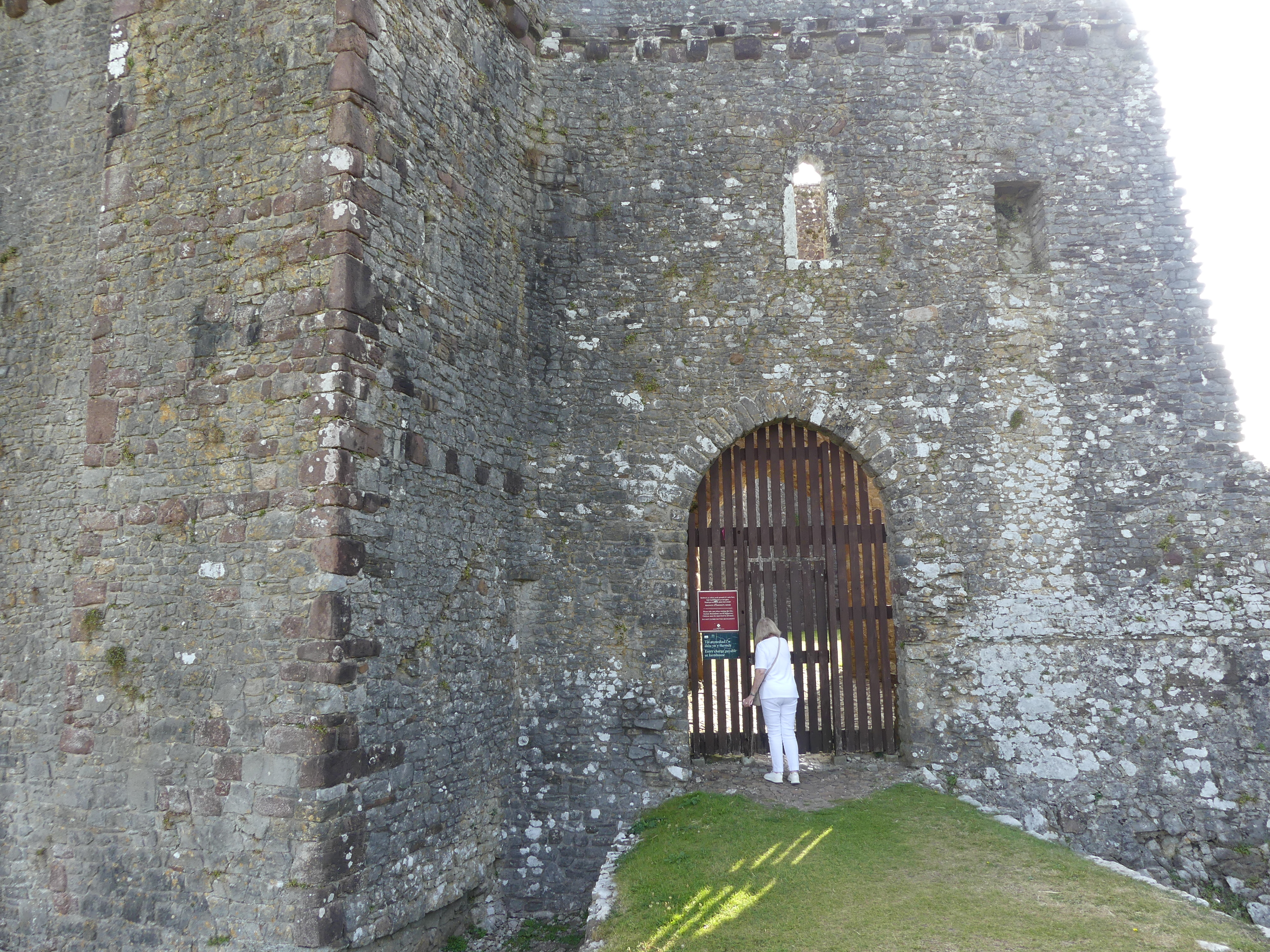
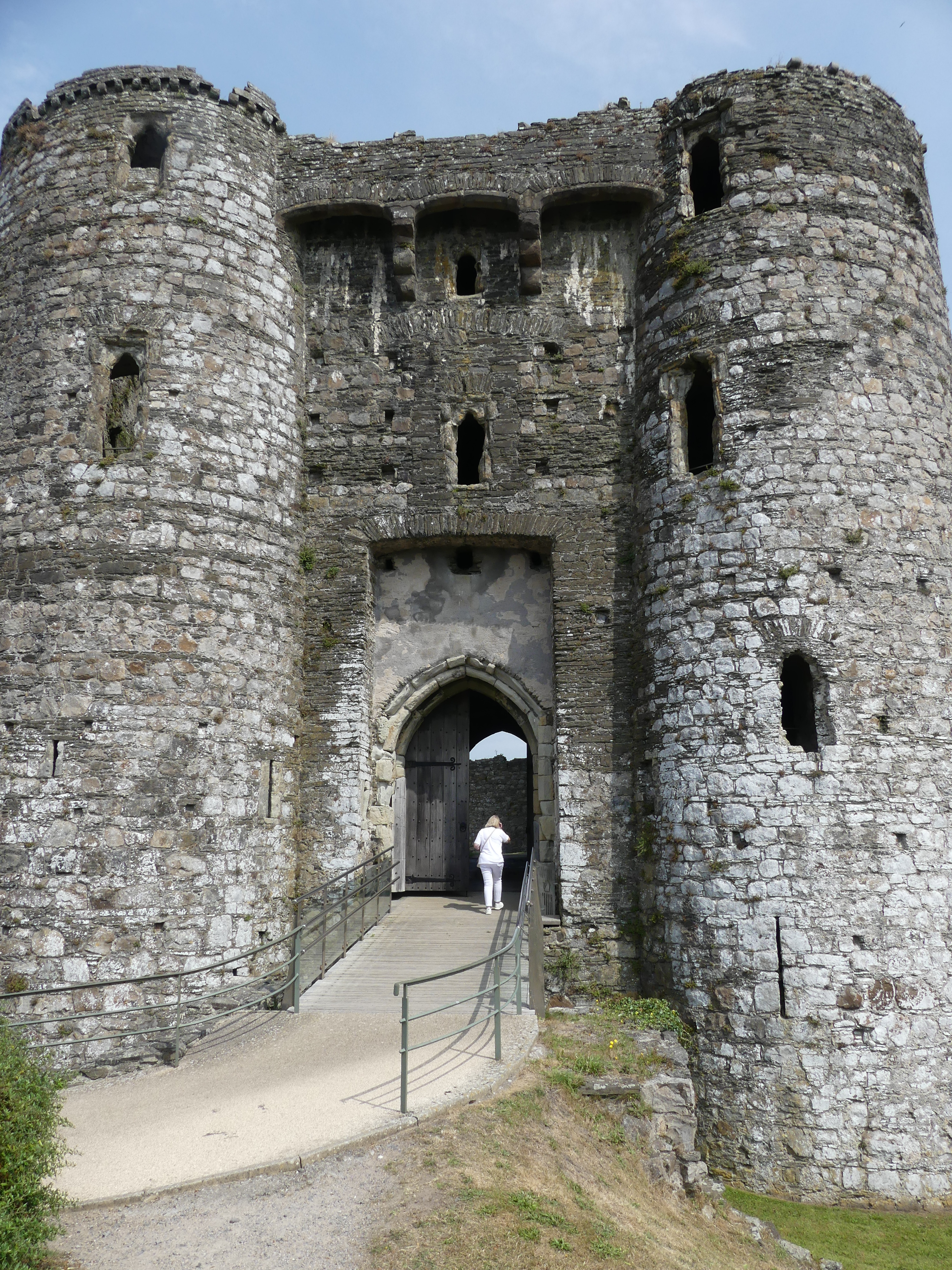
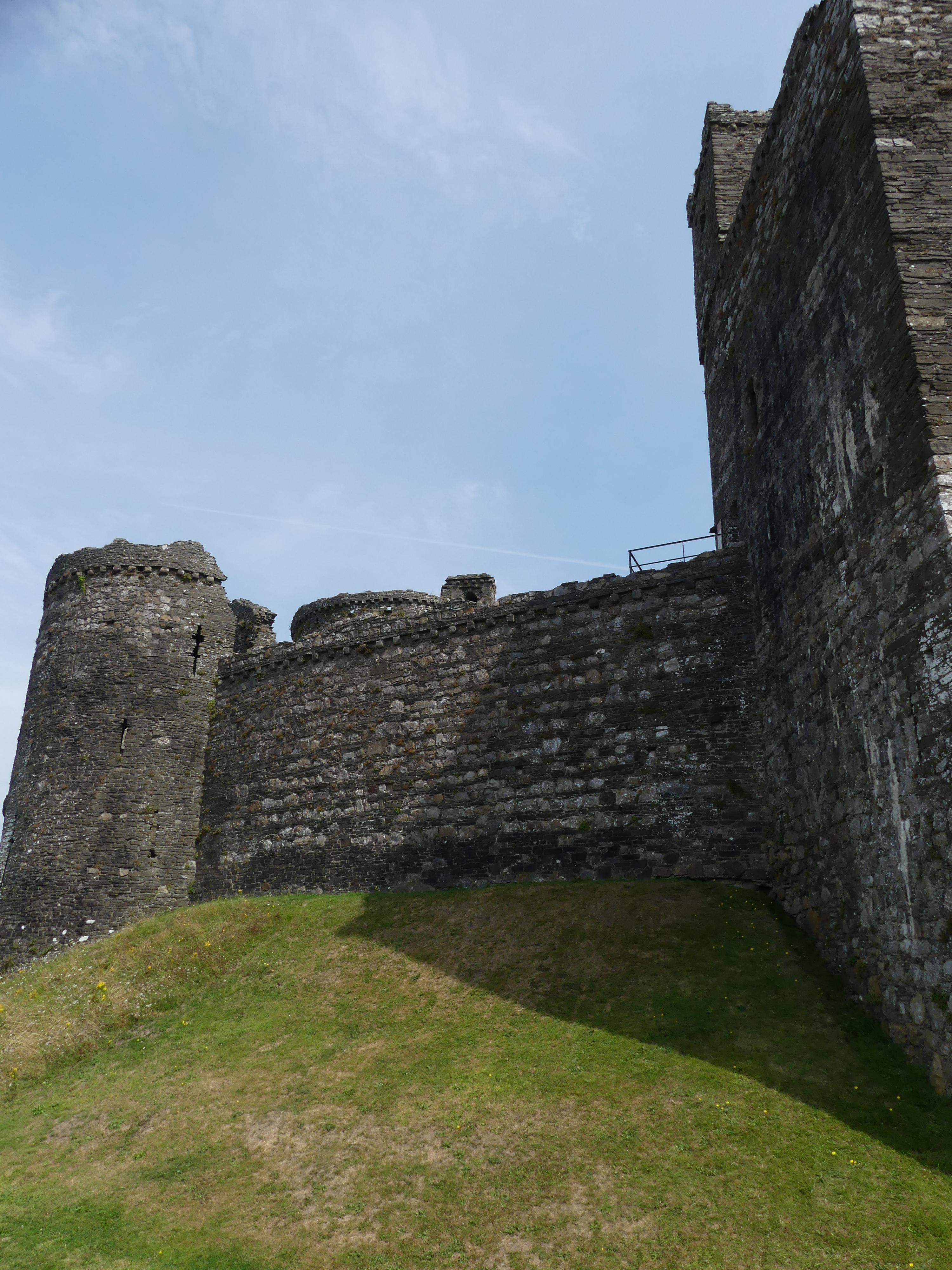
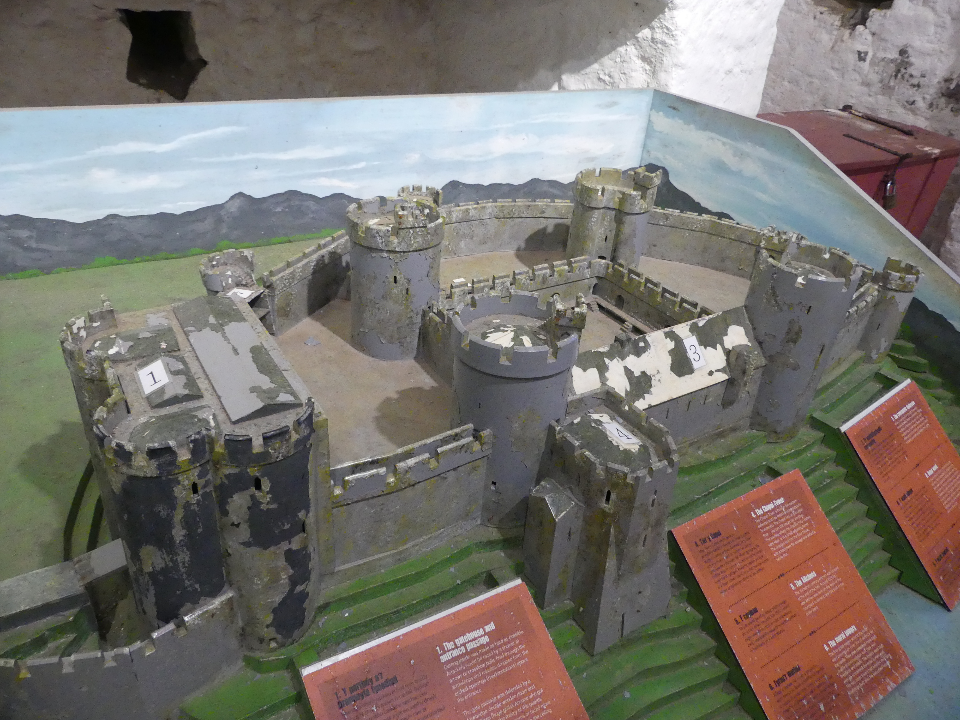
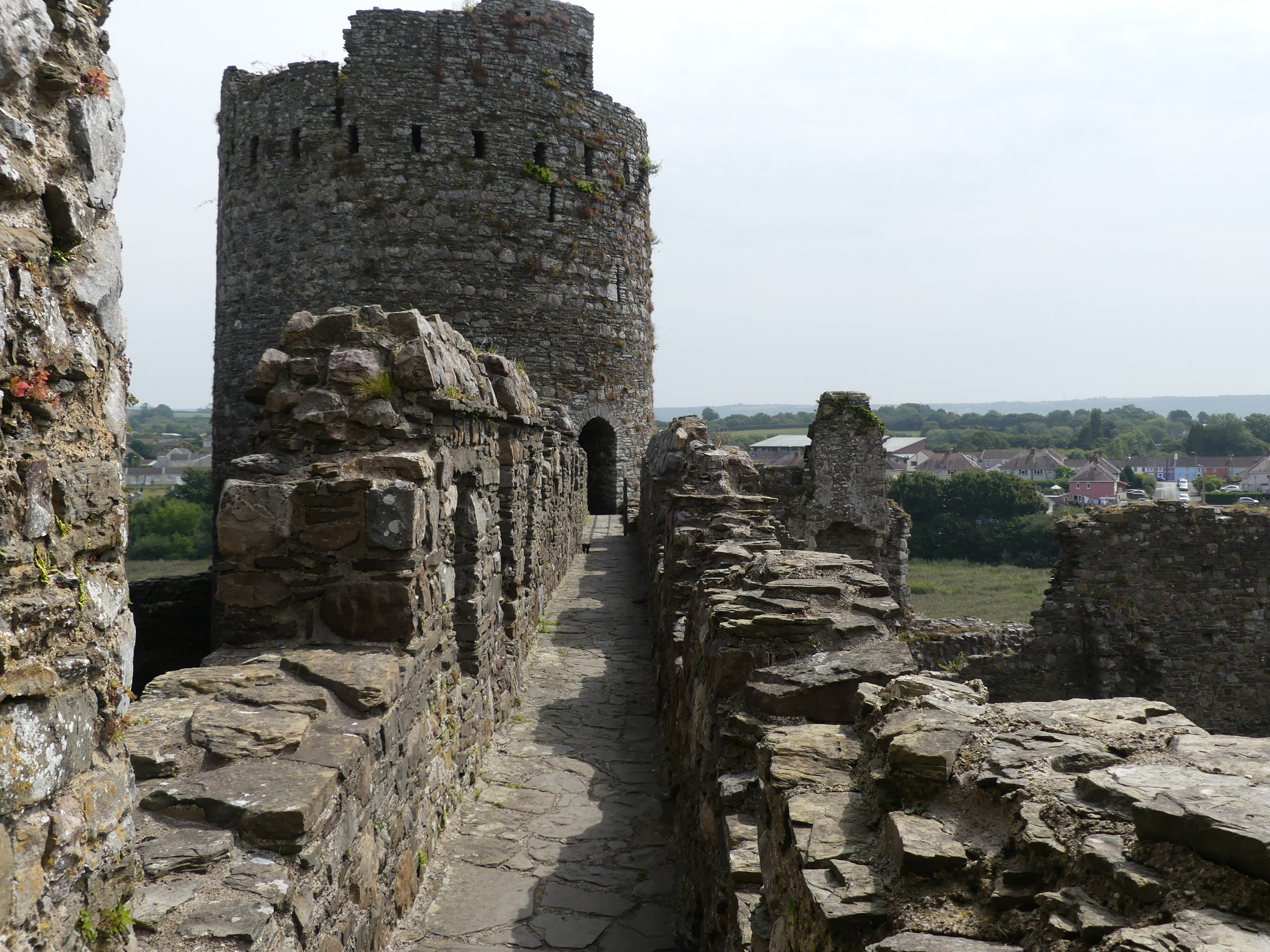
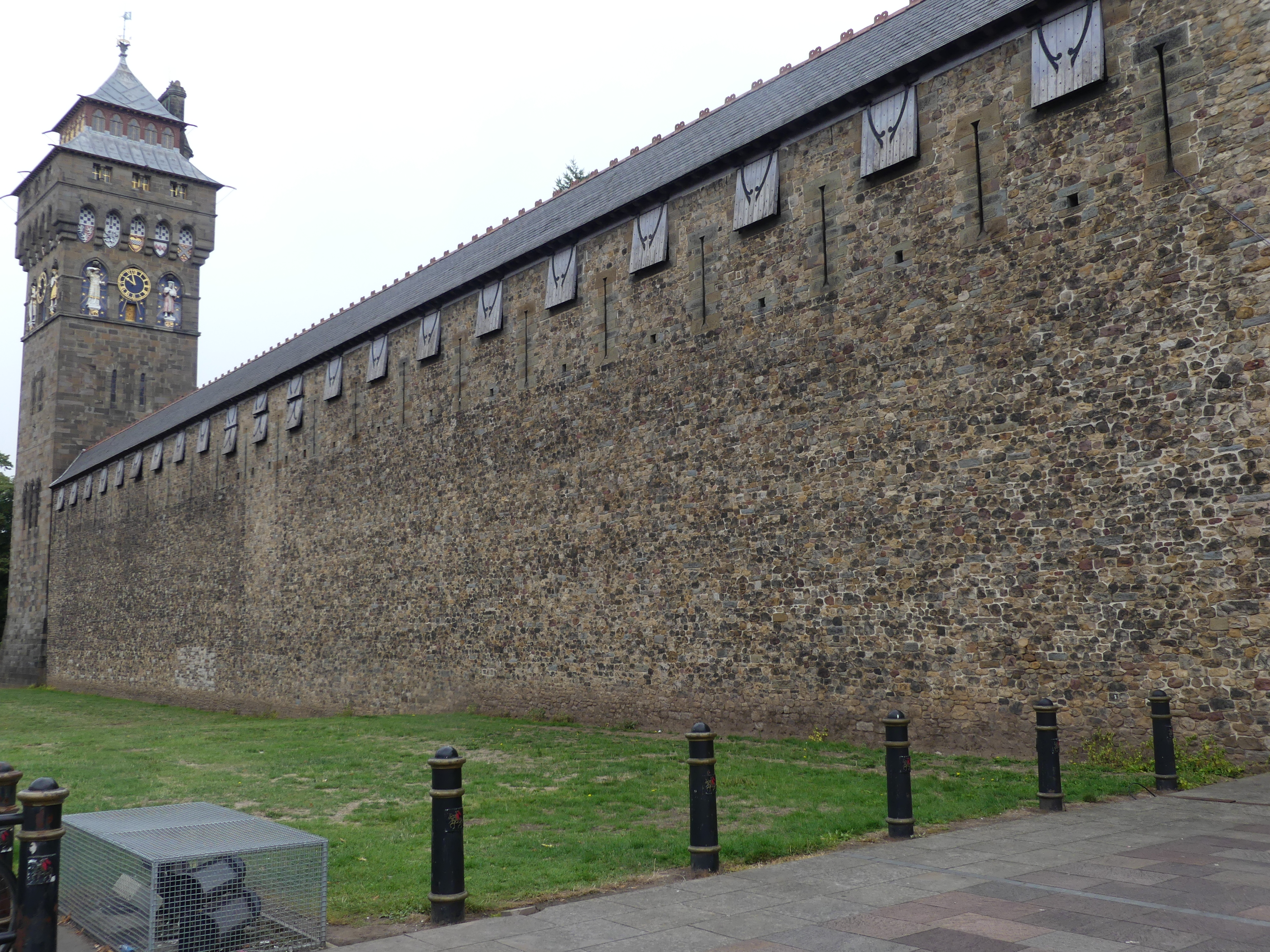
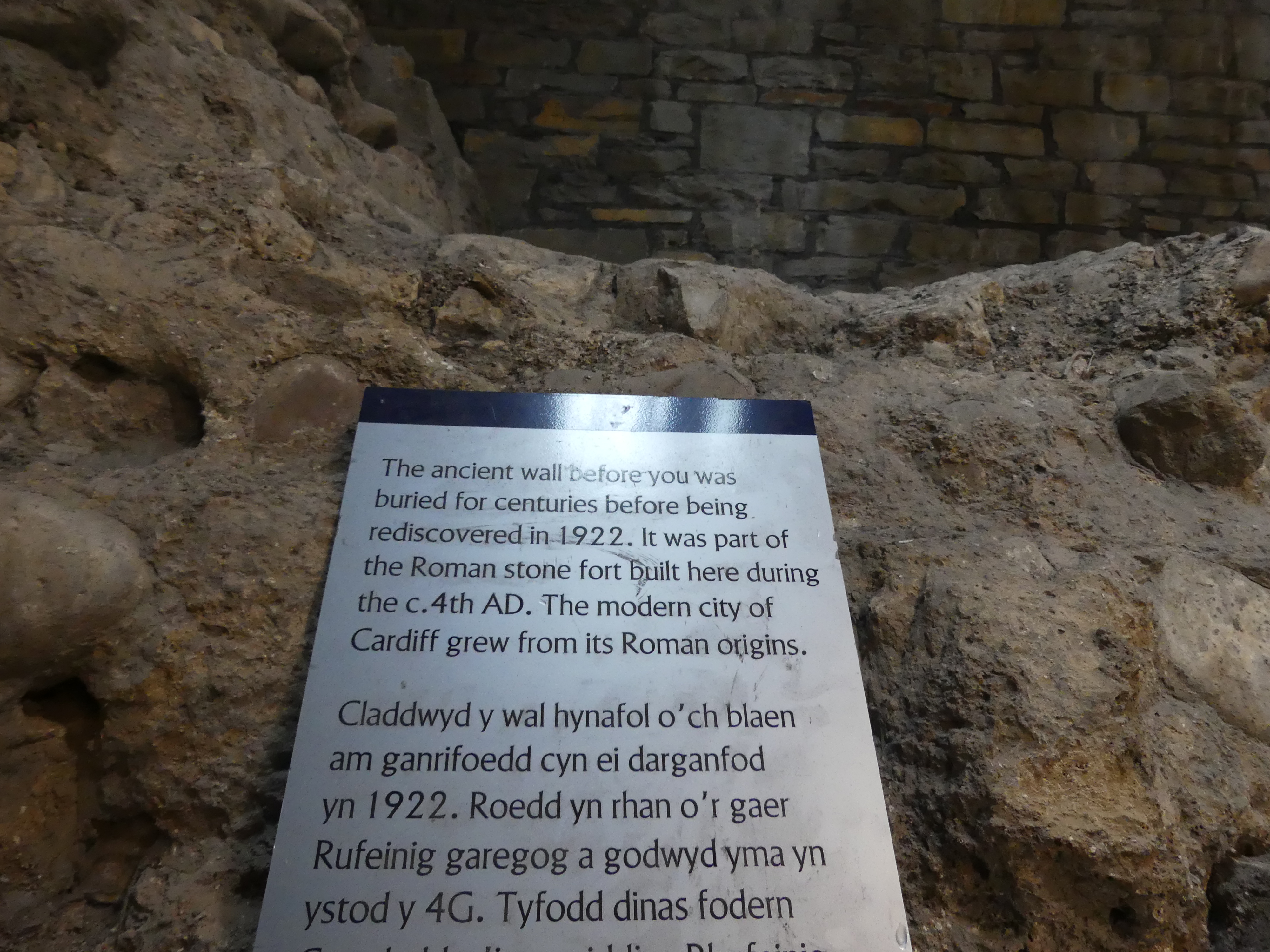
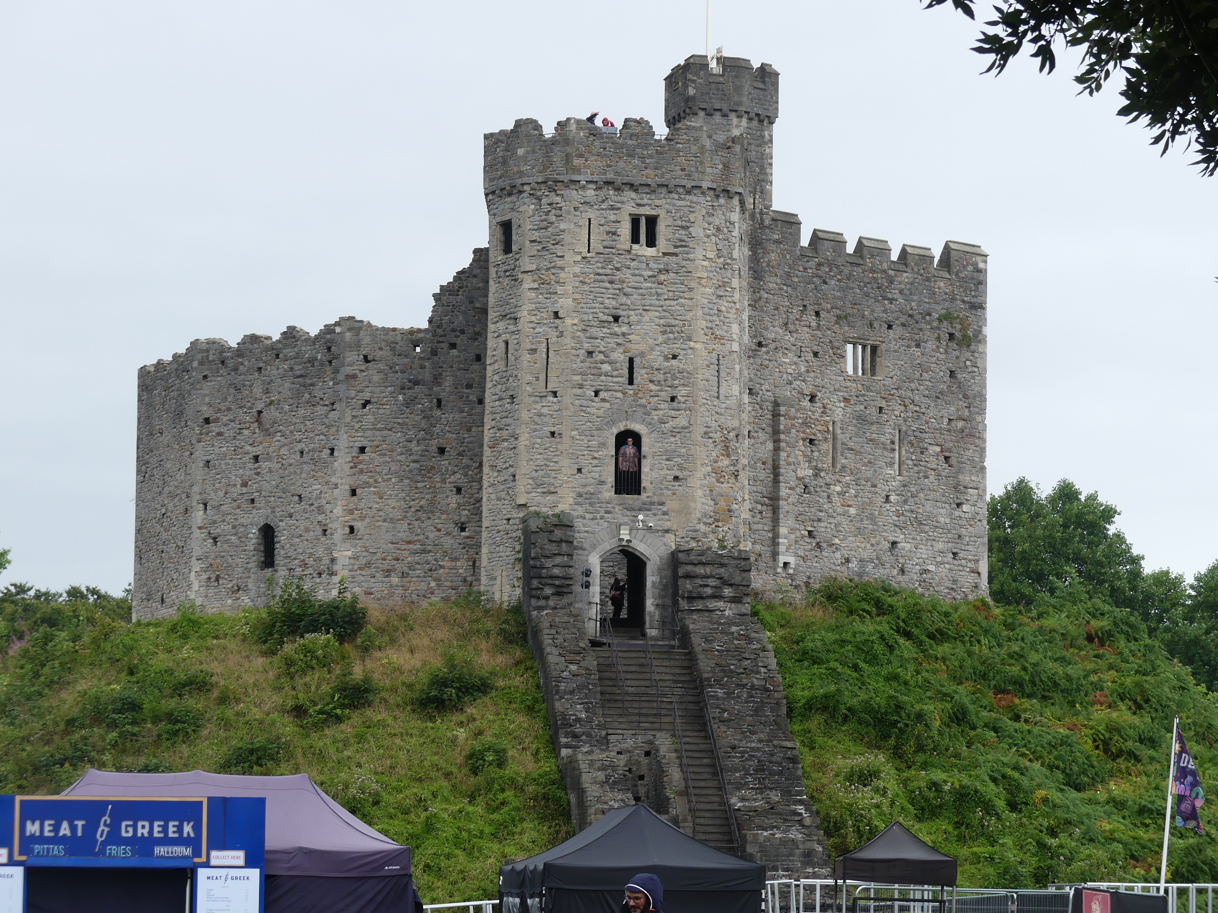
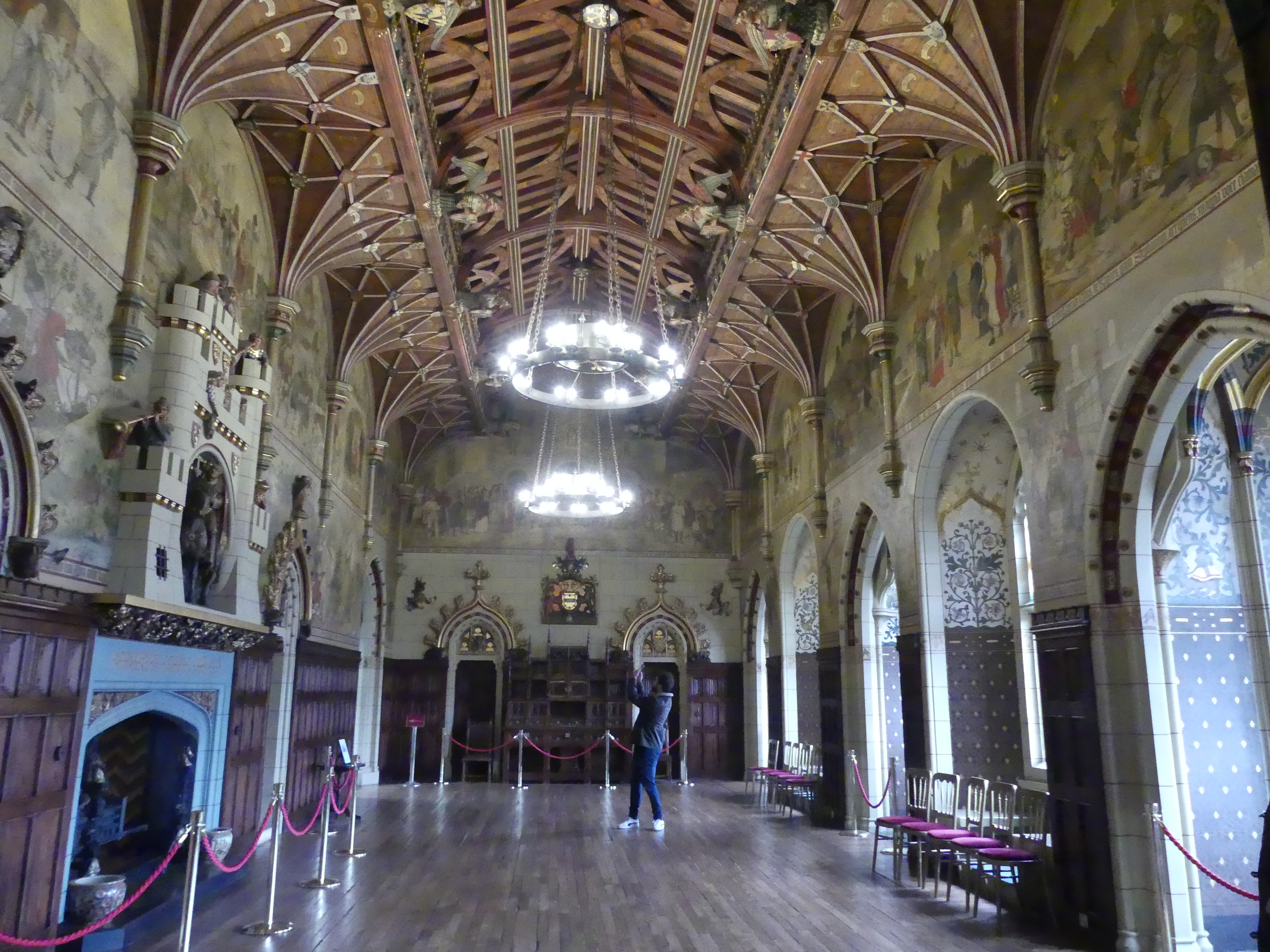
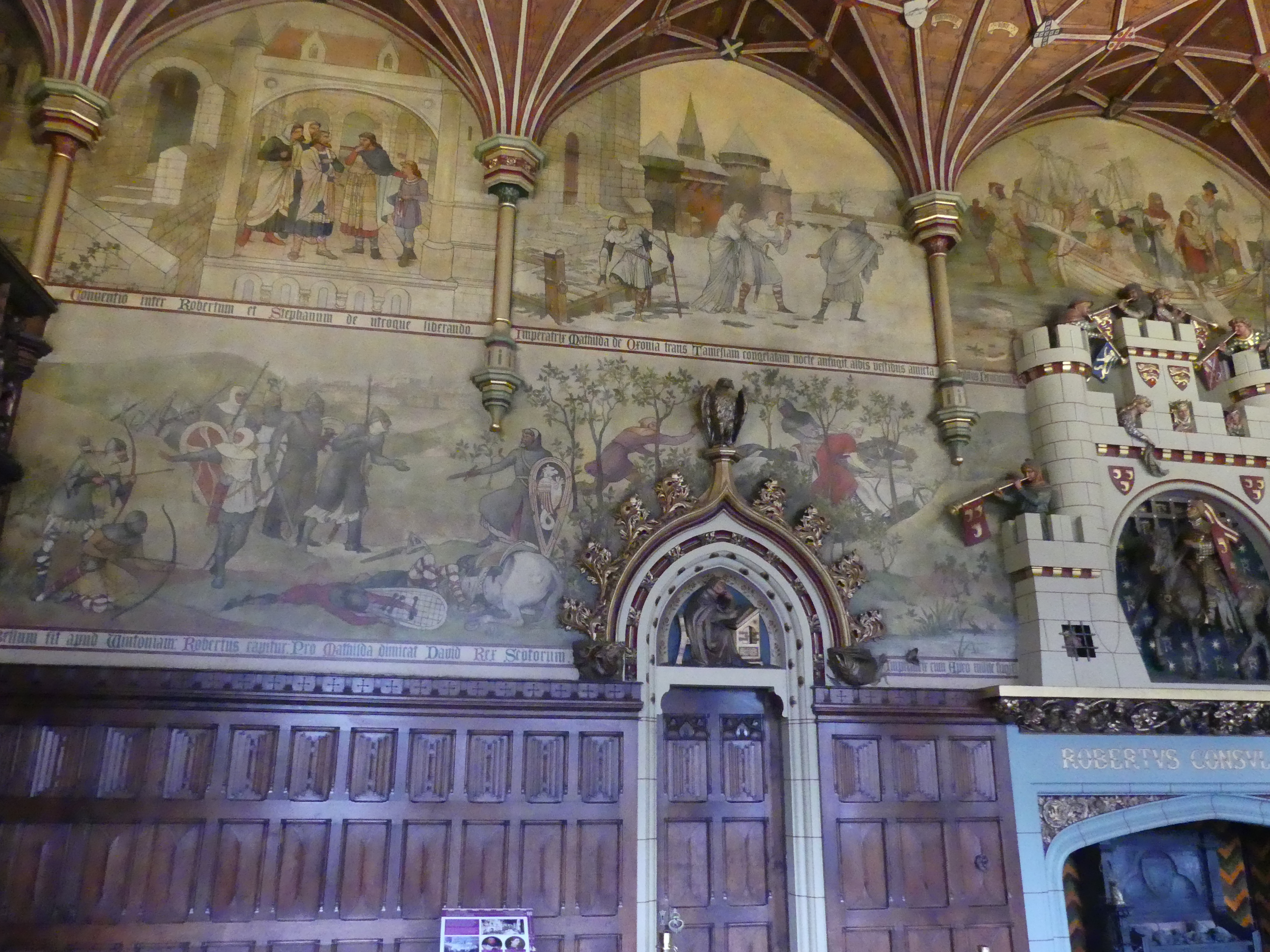
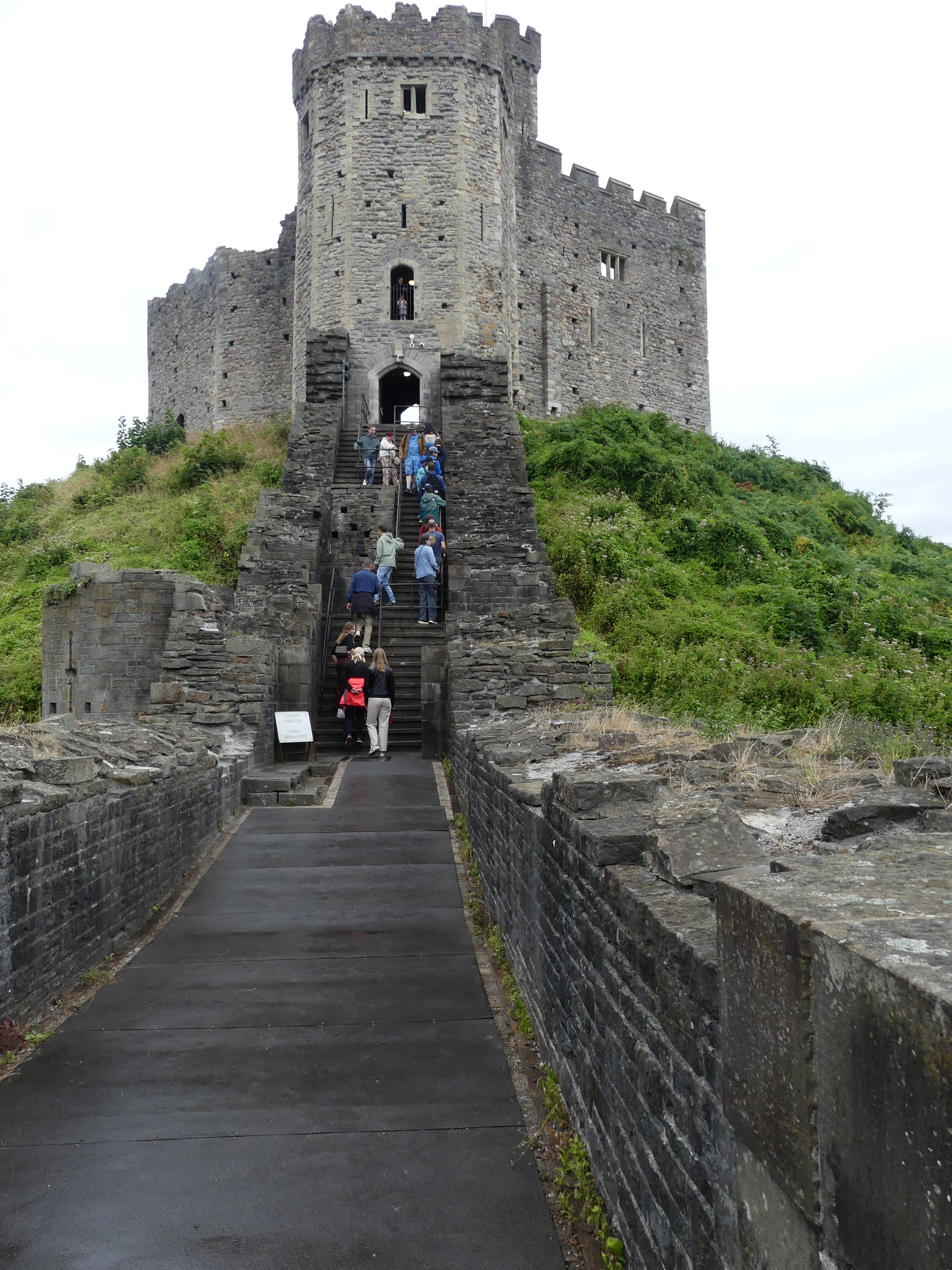
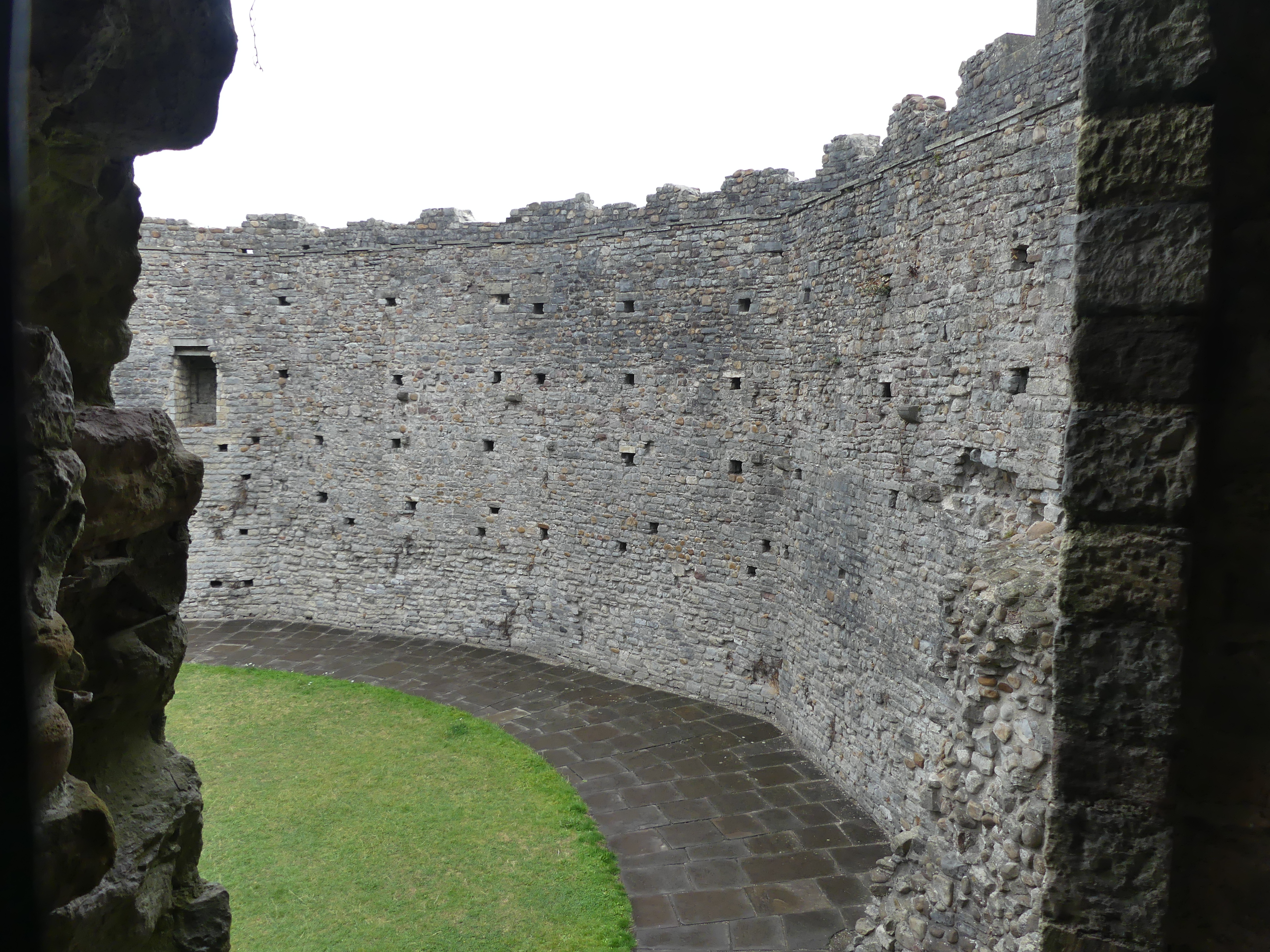
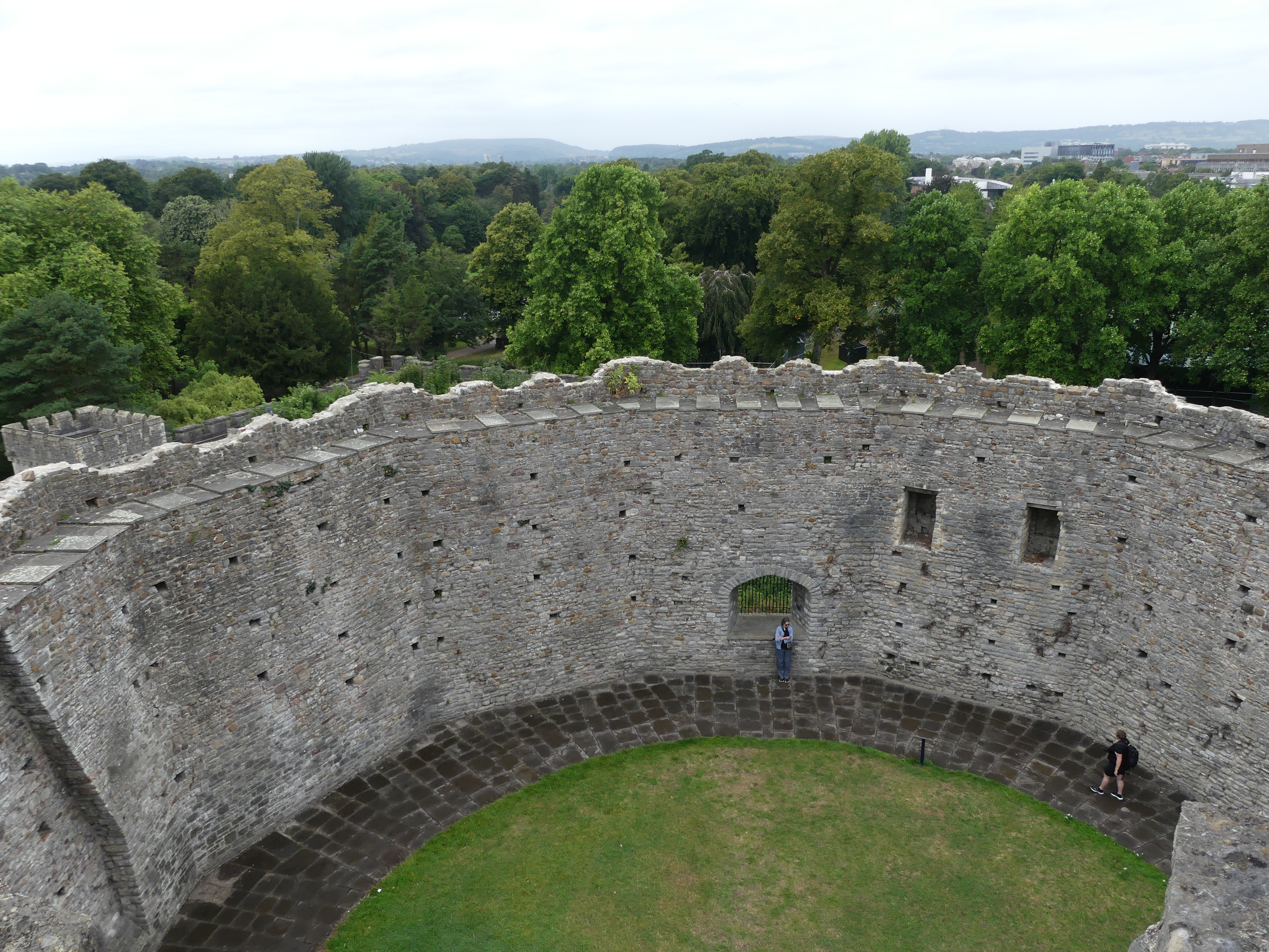
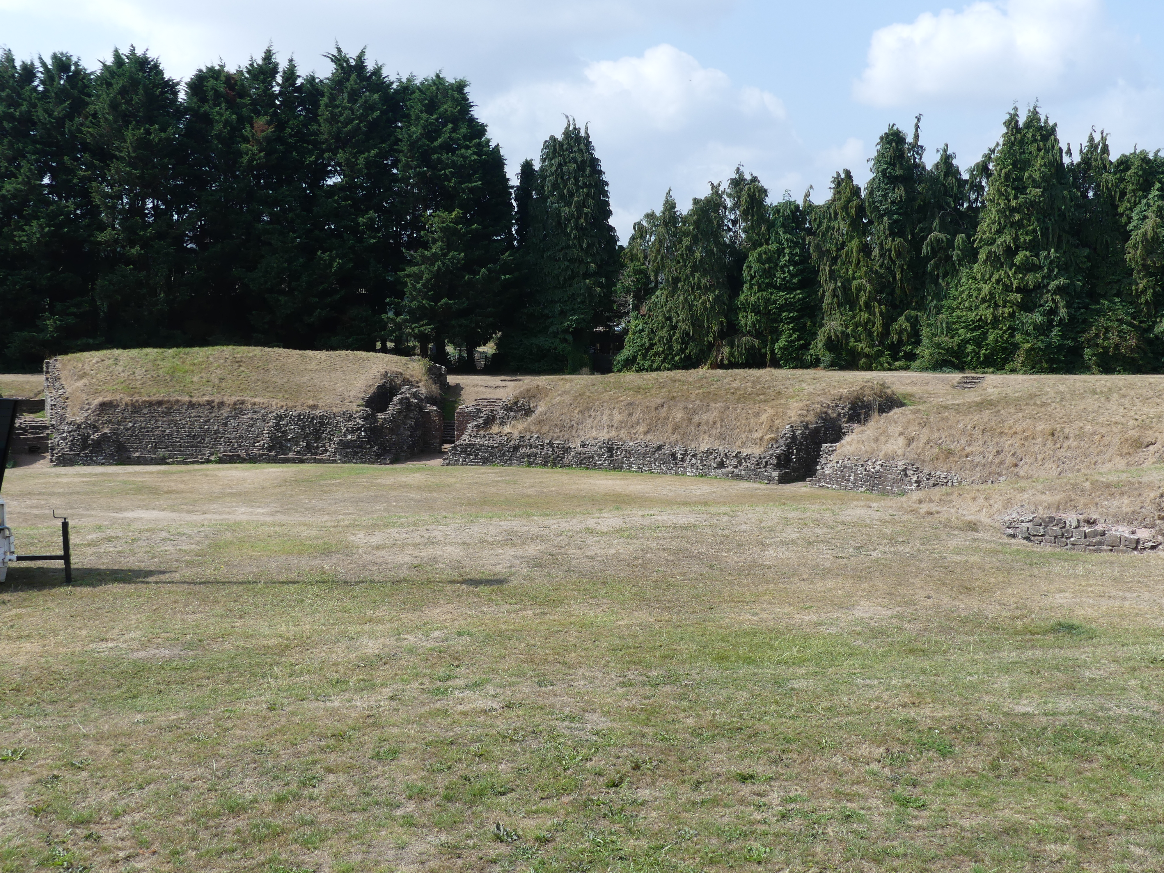
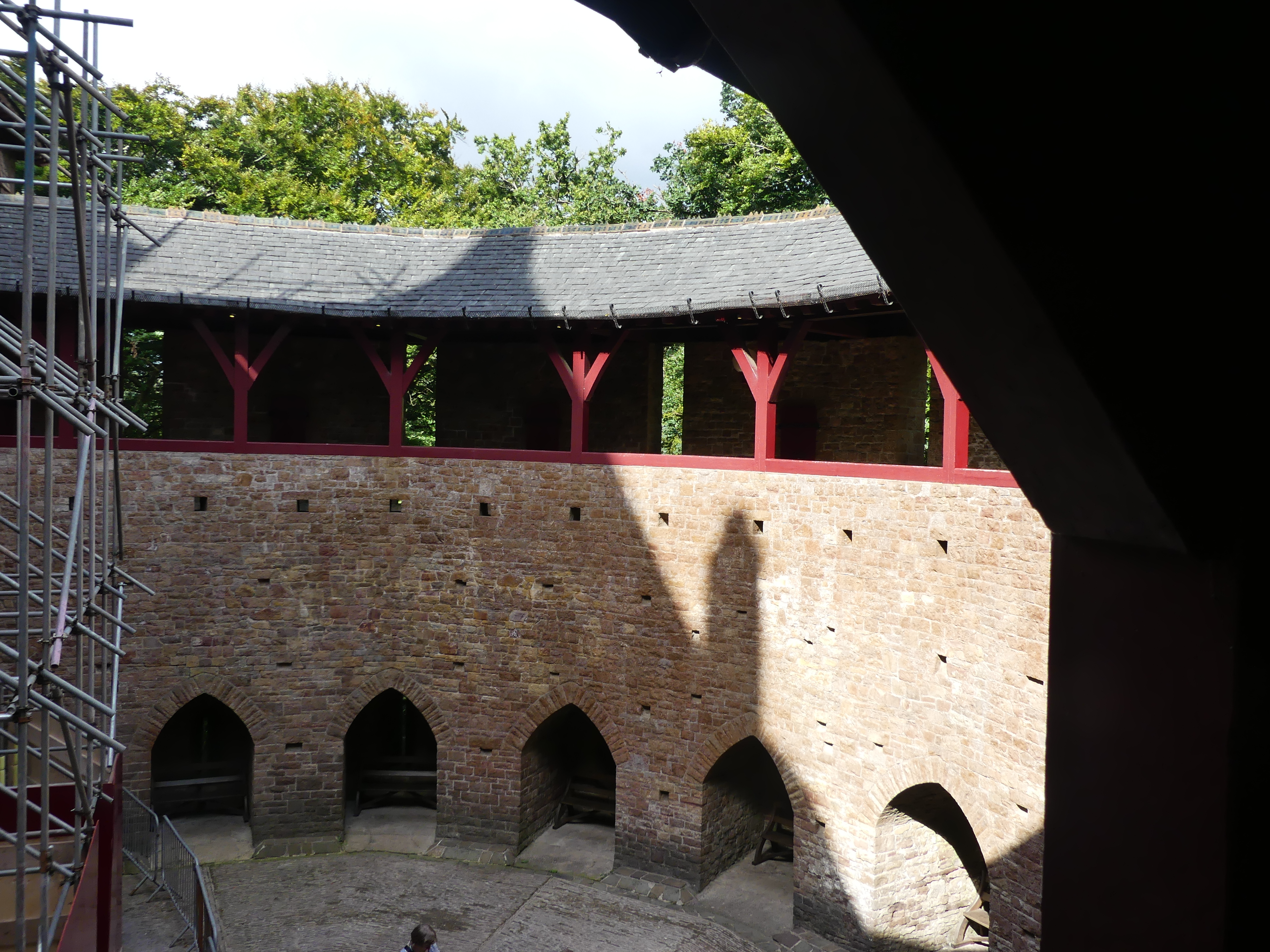
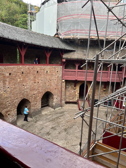
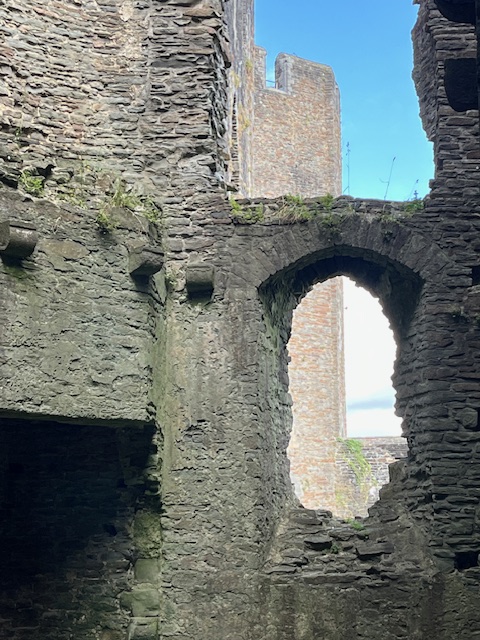
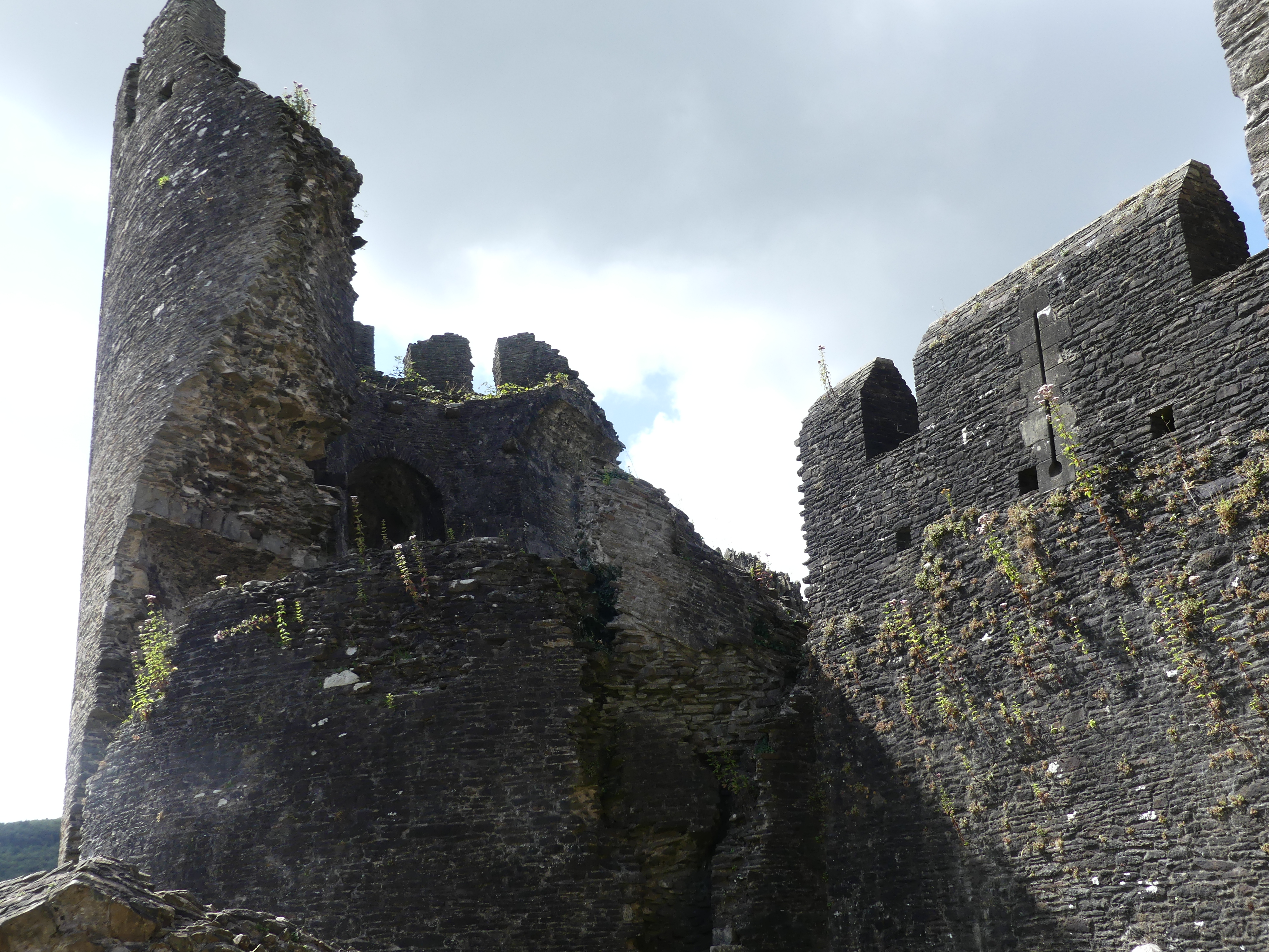
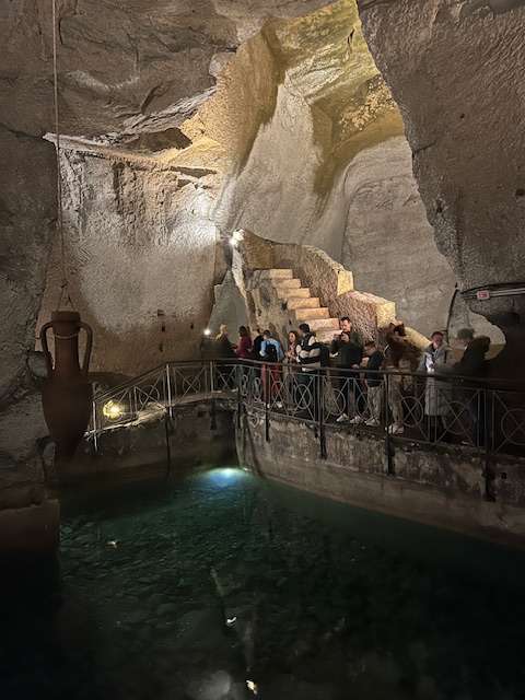
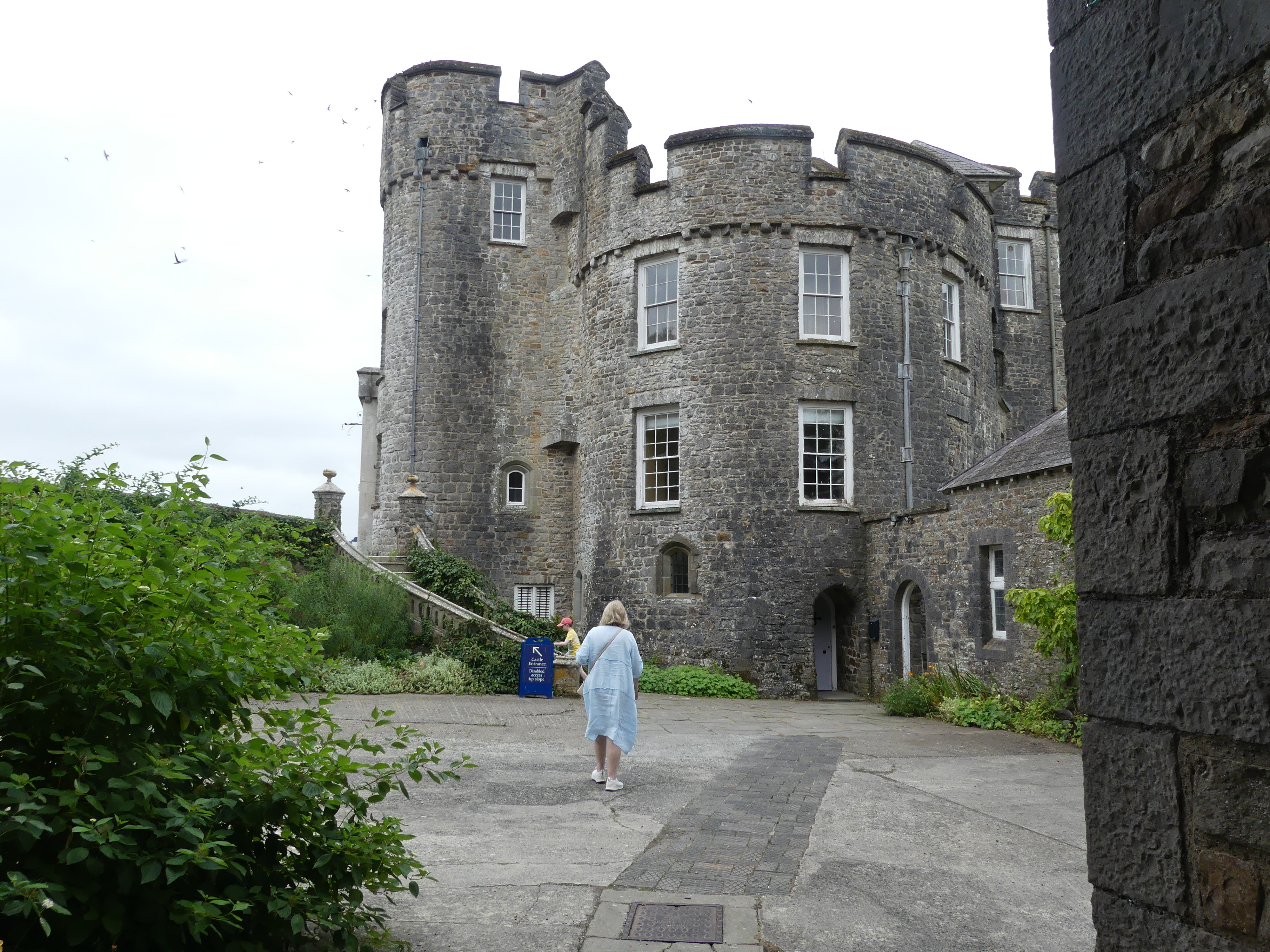
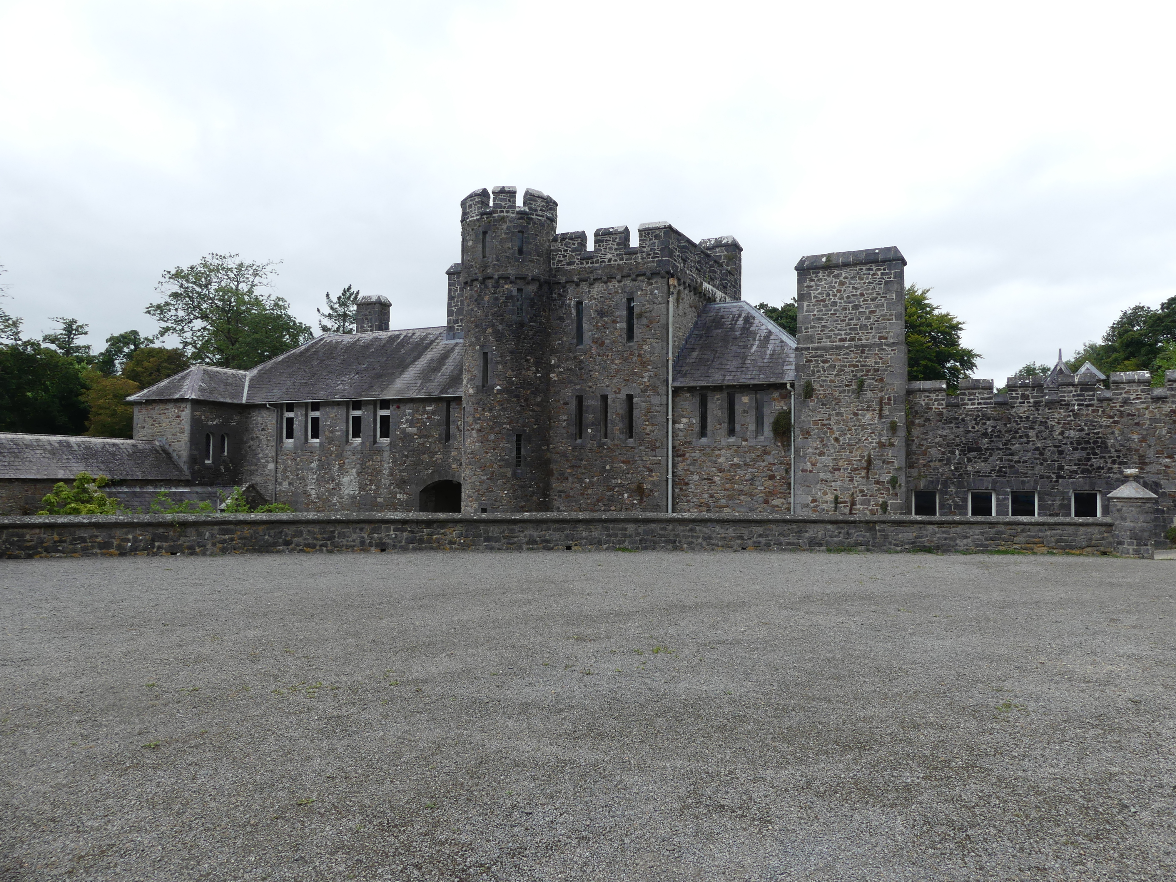
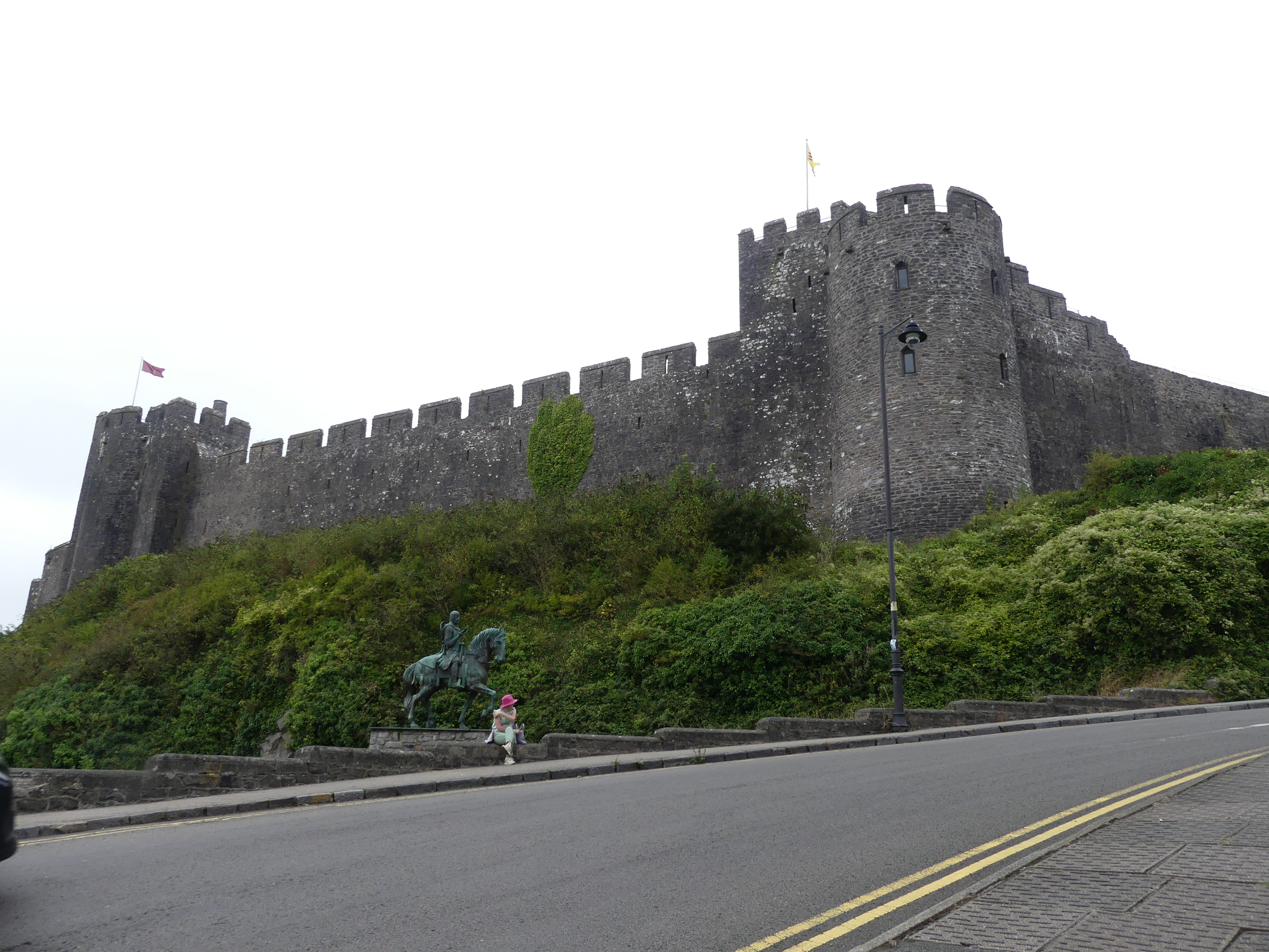
Pembroke Castle (Welsh: Castell Penfro) is a medieval castle in the centre of Pembroke, Pembrokeshire in Wales. The castle was the original family seat of the Earldom of Pembroke. A Grade I listed building since 1951, it underwent major restoration during the early 20th century.

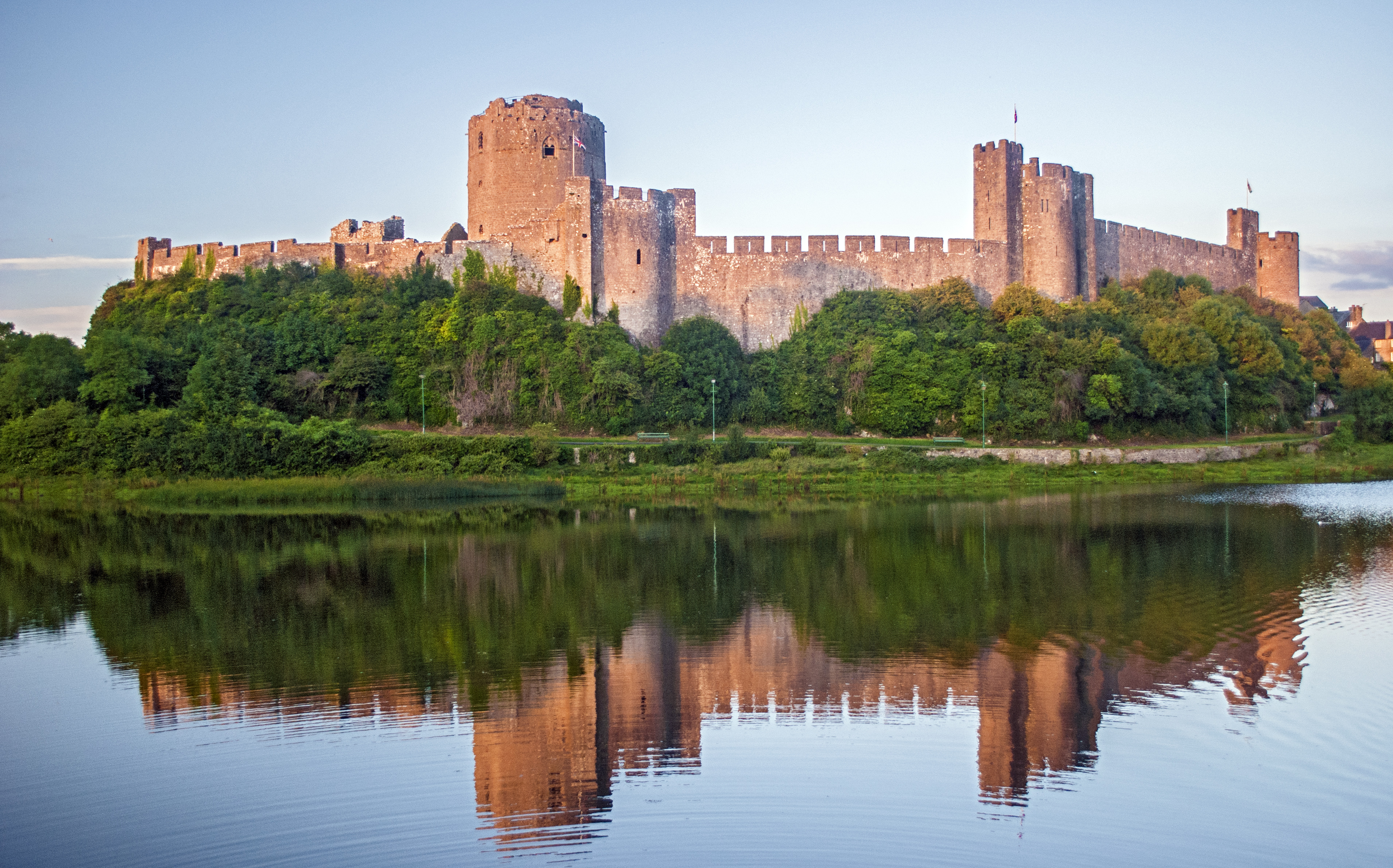
In 1093, Arnulf of Montgomery built the first castle at the site when he fortified the promontory beside the Pembroke River during the Norman invasion of Wales. A century later, the castle was given by Richard I to William Marshal, who became one of the most powerful men in 12th-century Britain. He rebuilt Pembroke Castle in stone, creating most of the structure that remains today. The castle is open to the public and is the largest privately owned castle in Wales. Oliver Cromwell left the castle in ruins during the Civil War and it lay in ruins until 1880 when it was restored.

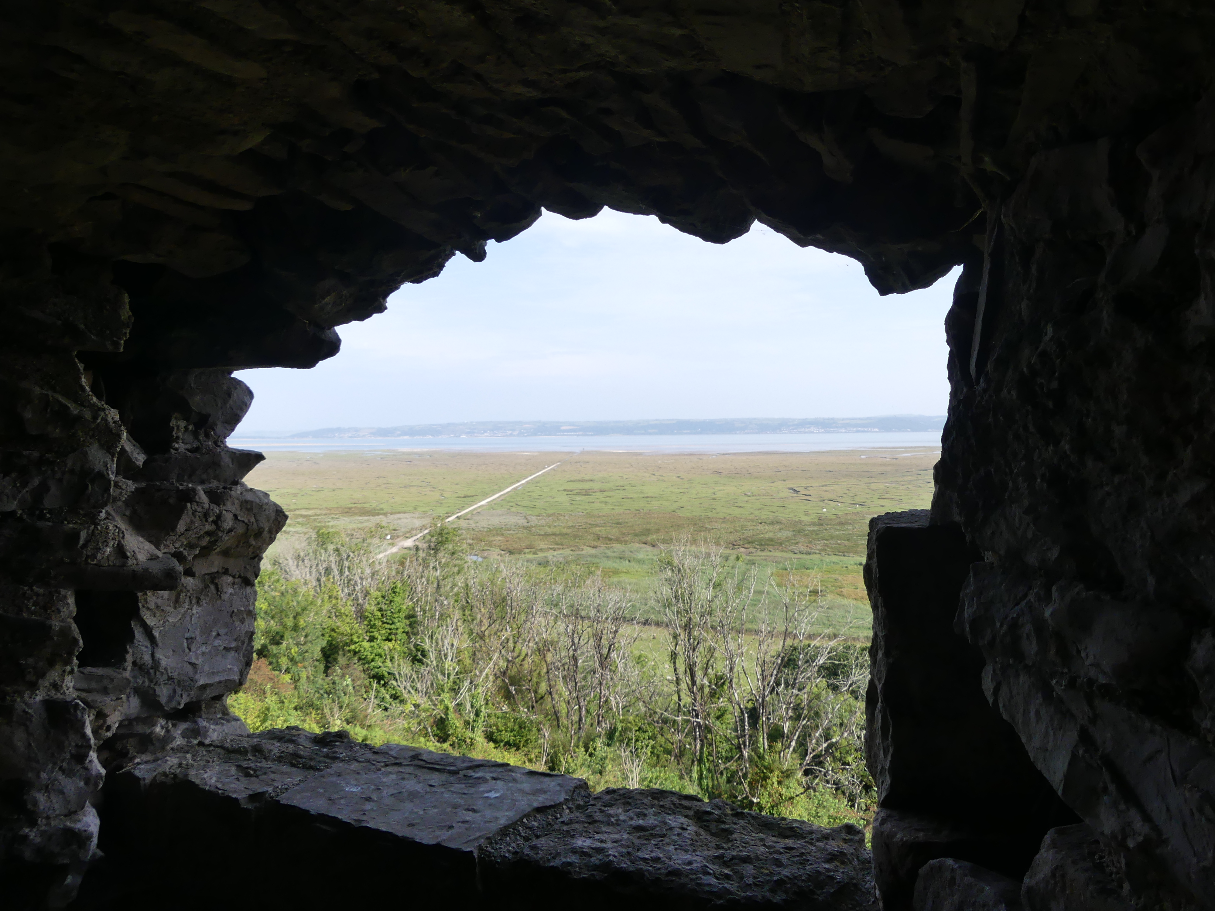
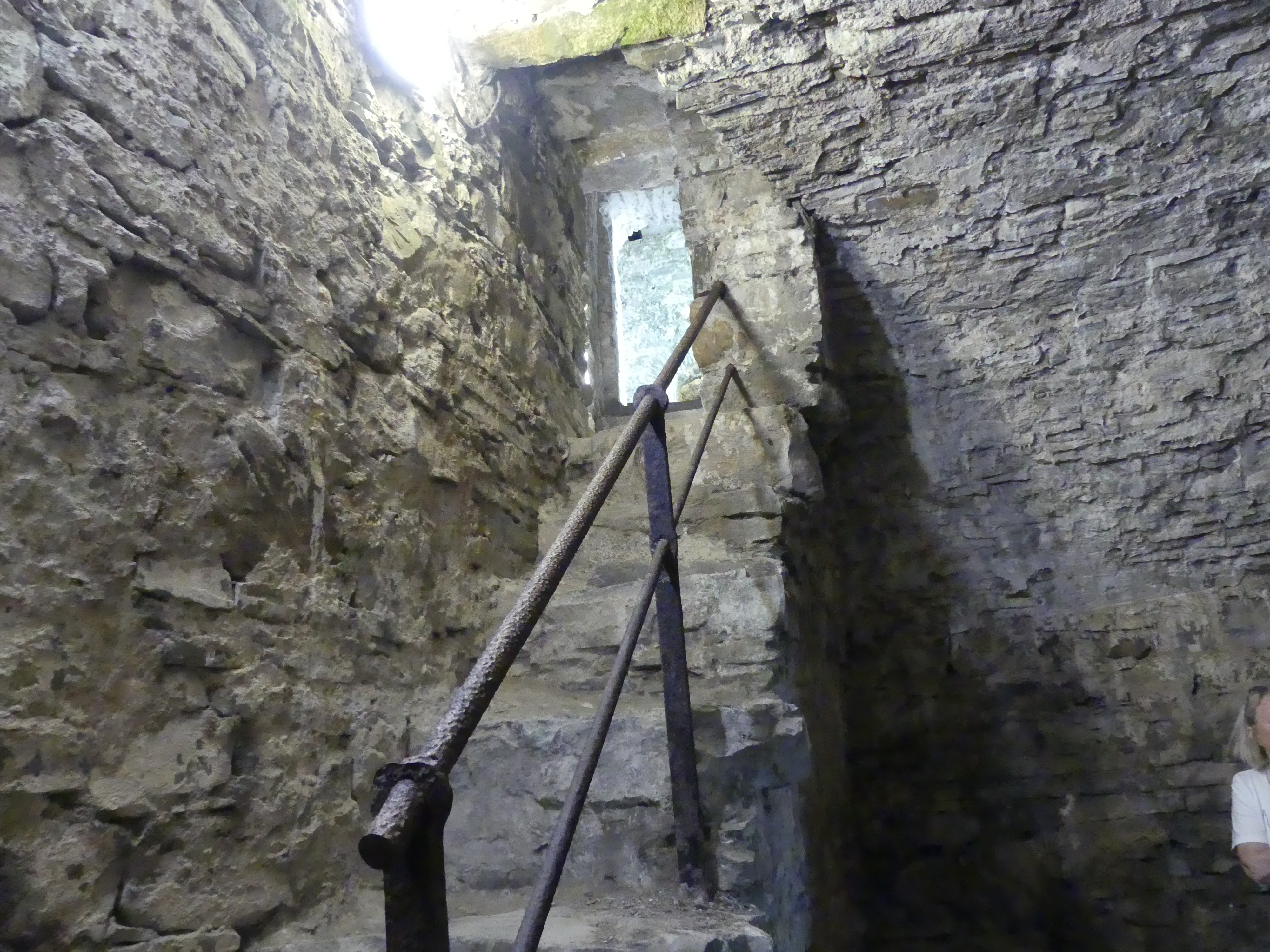
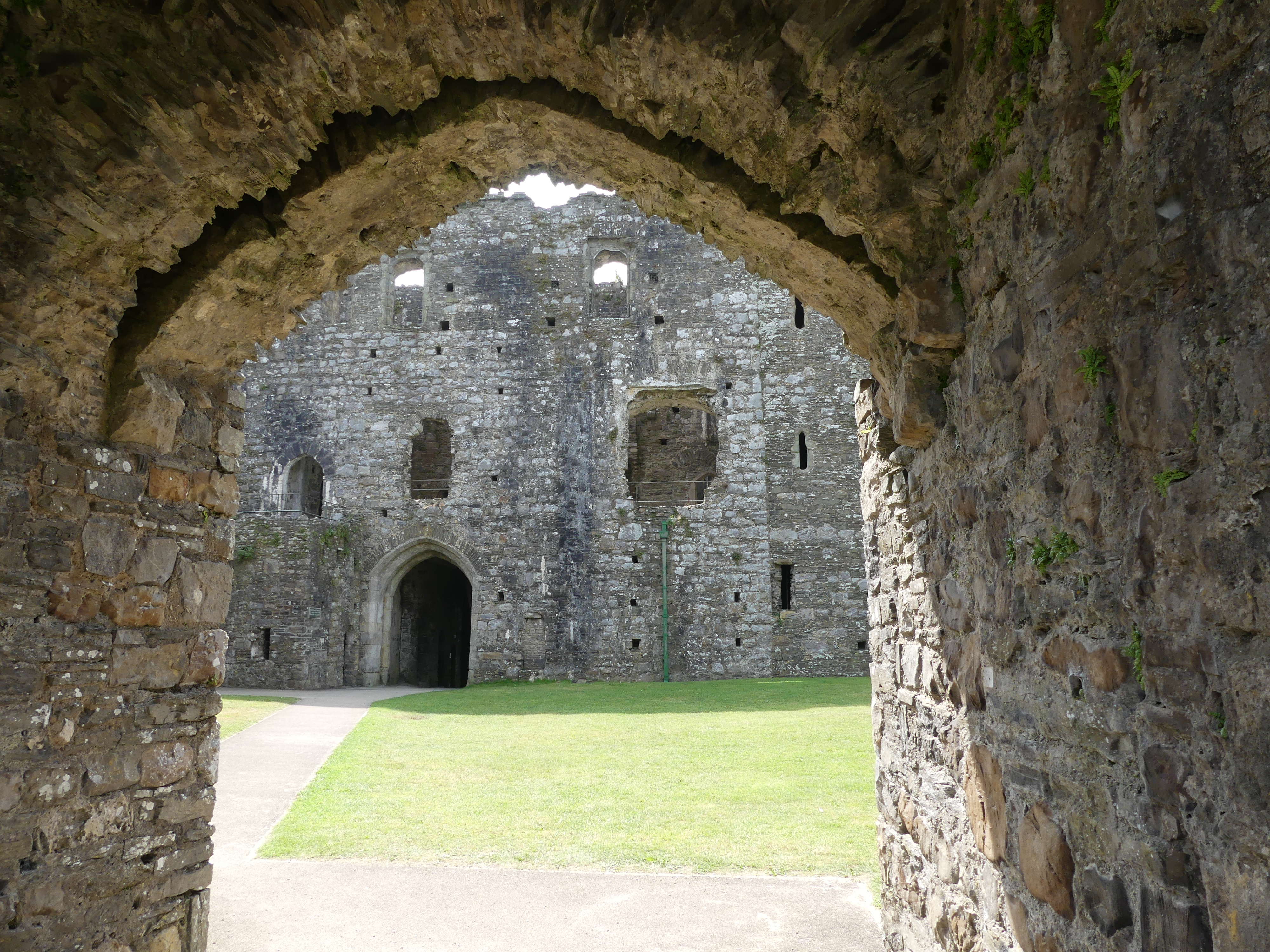
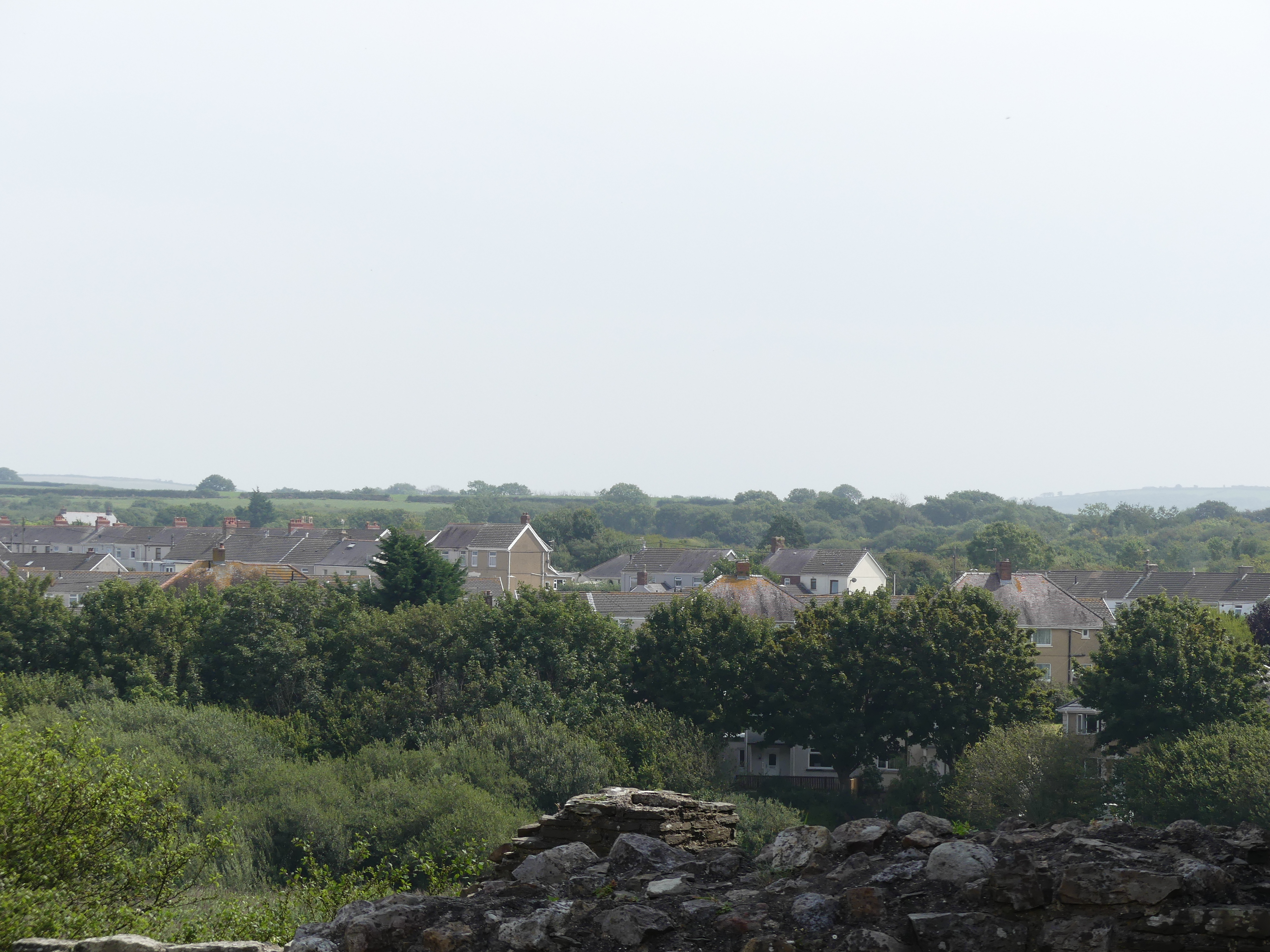
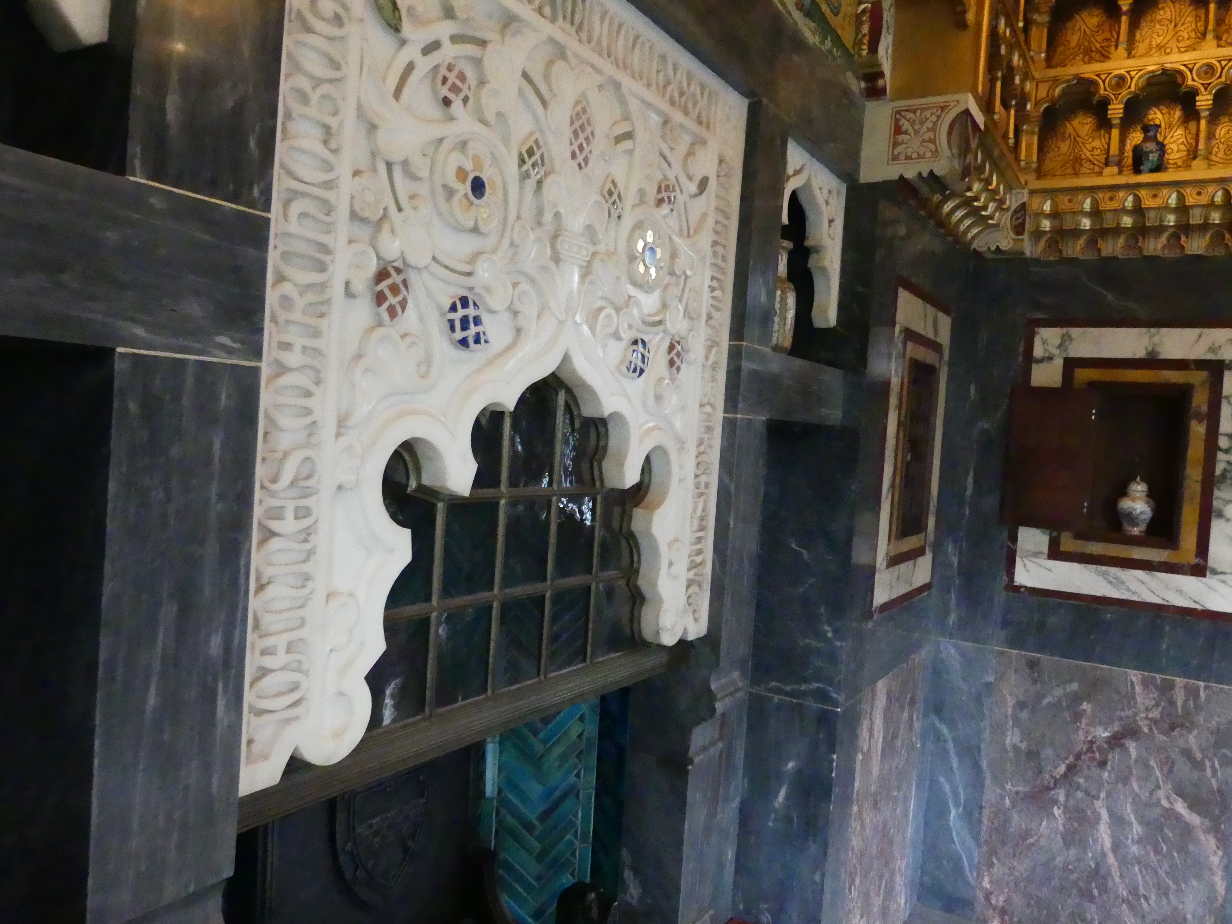
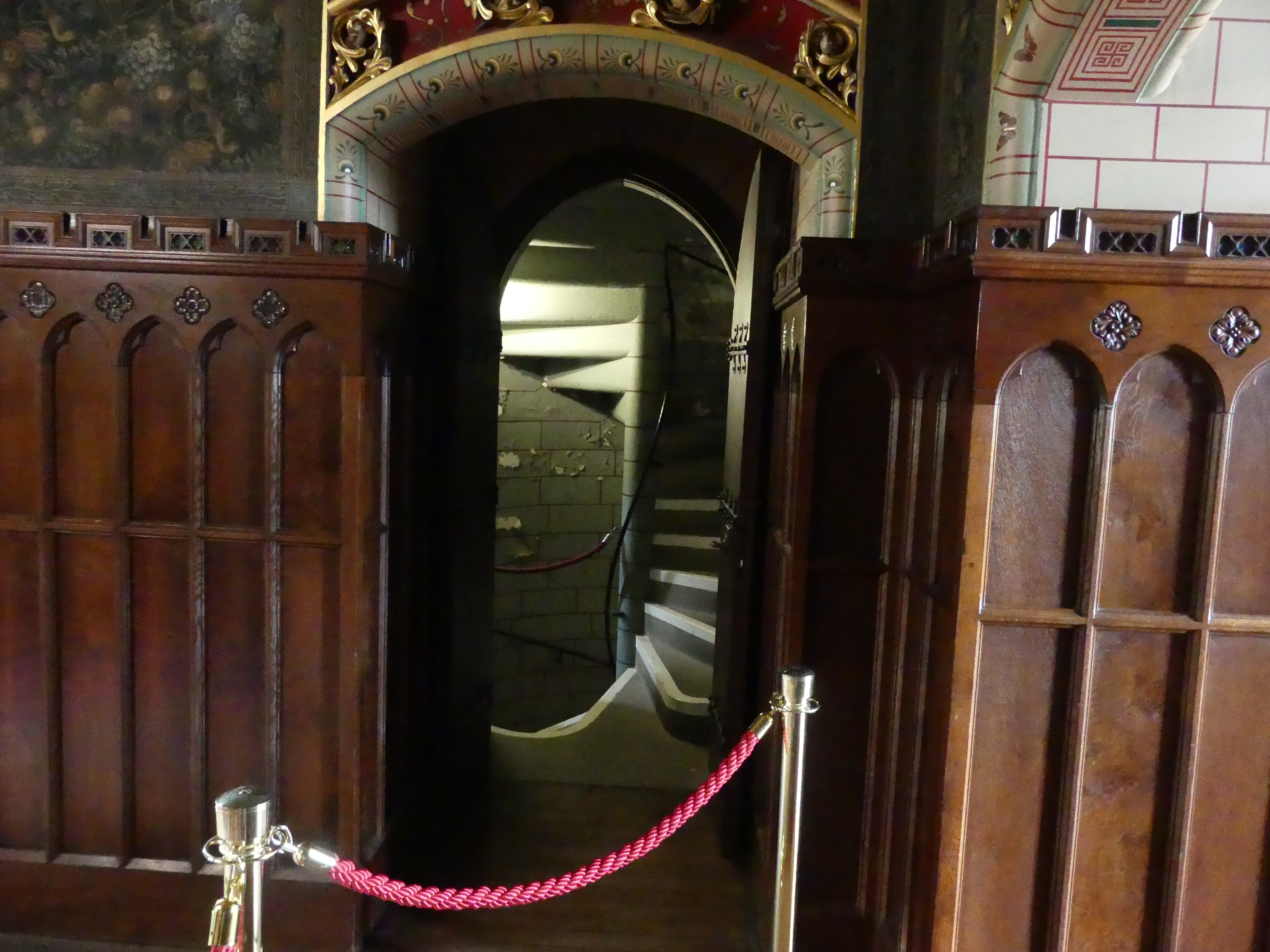
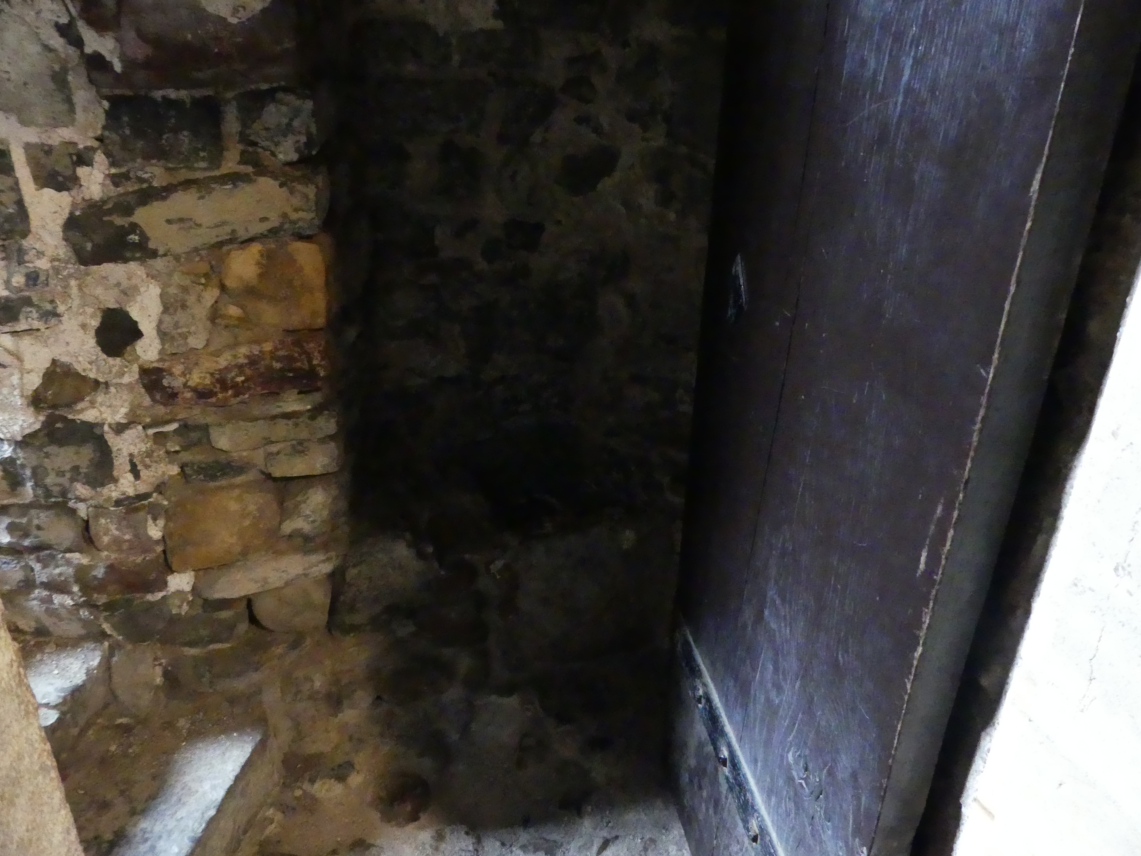
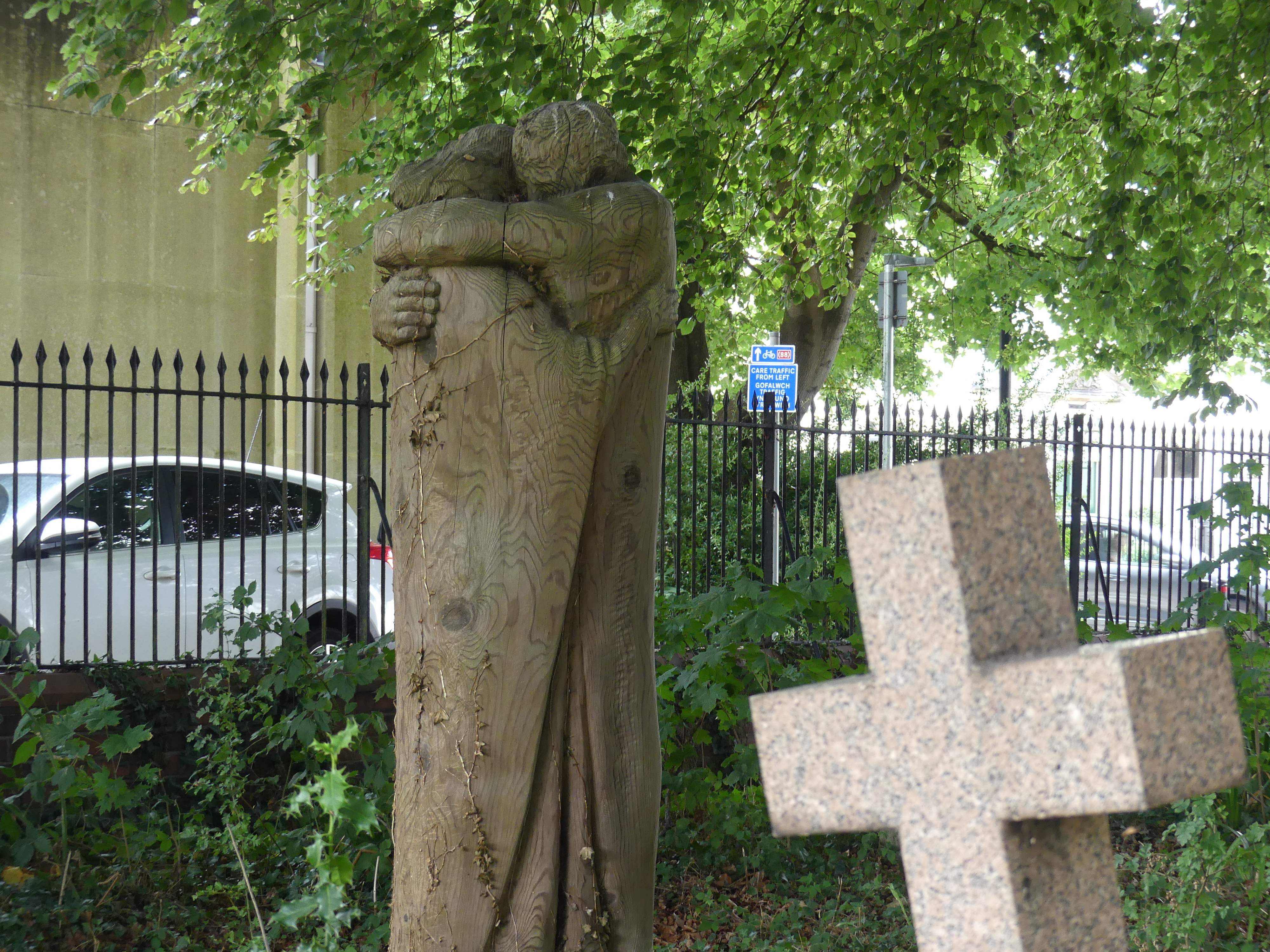
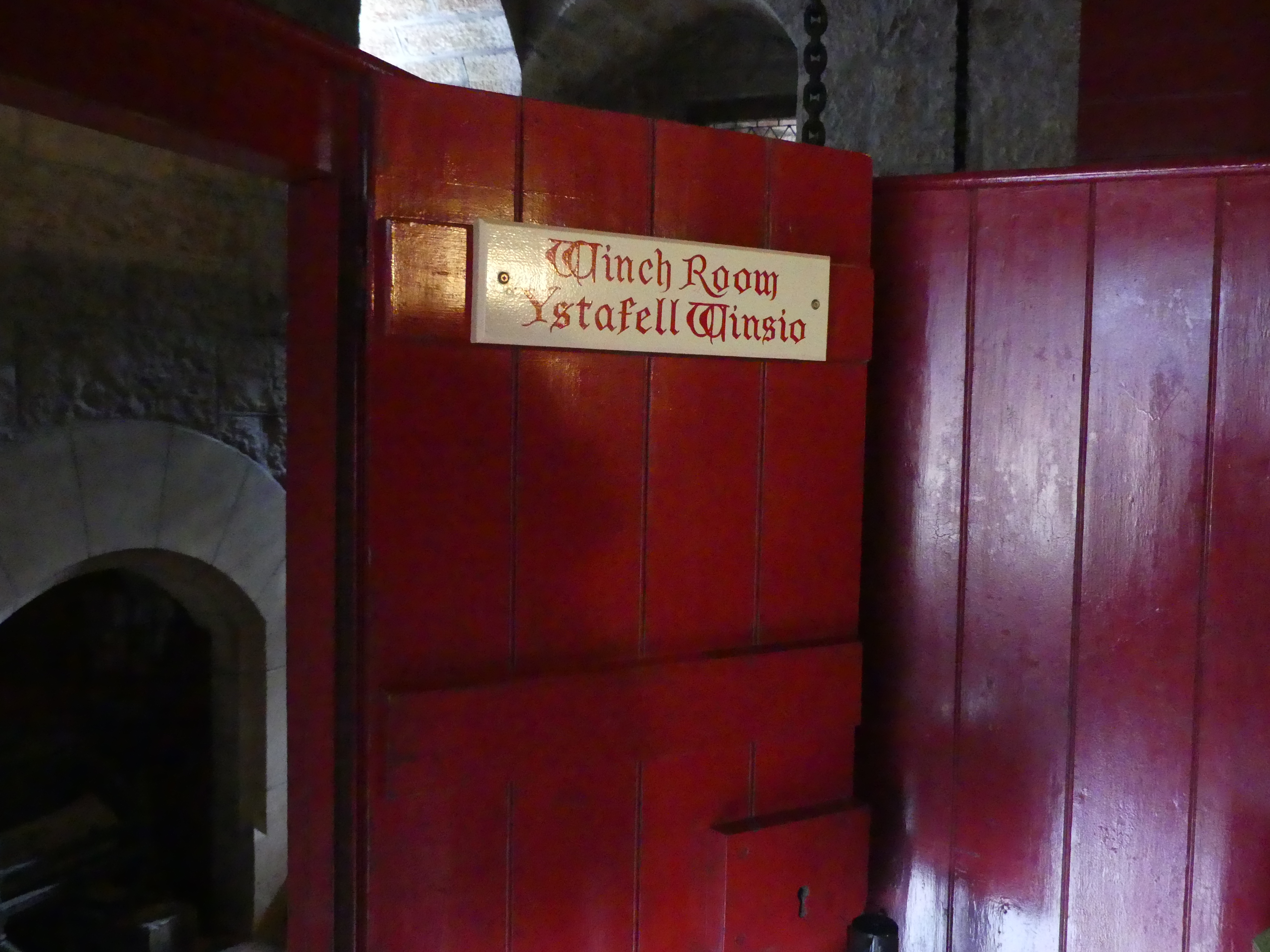
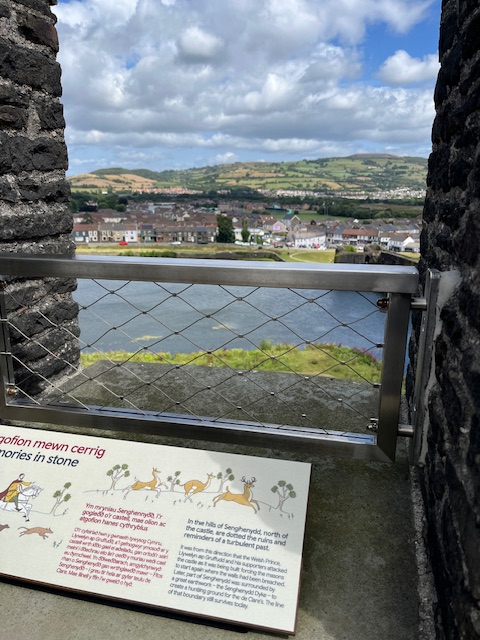
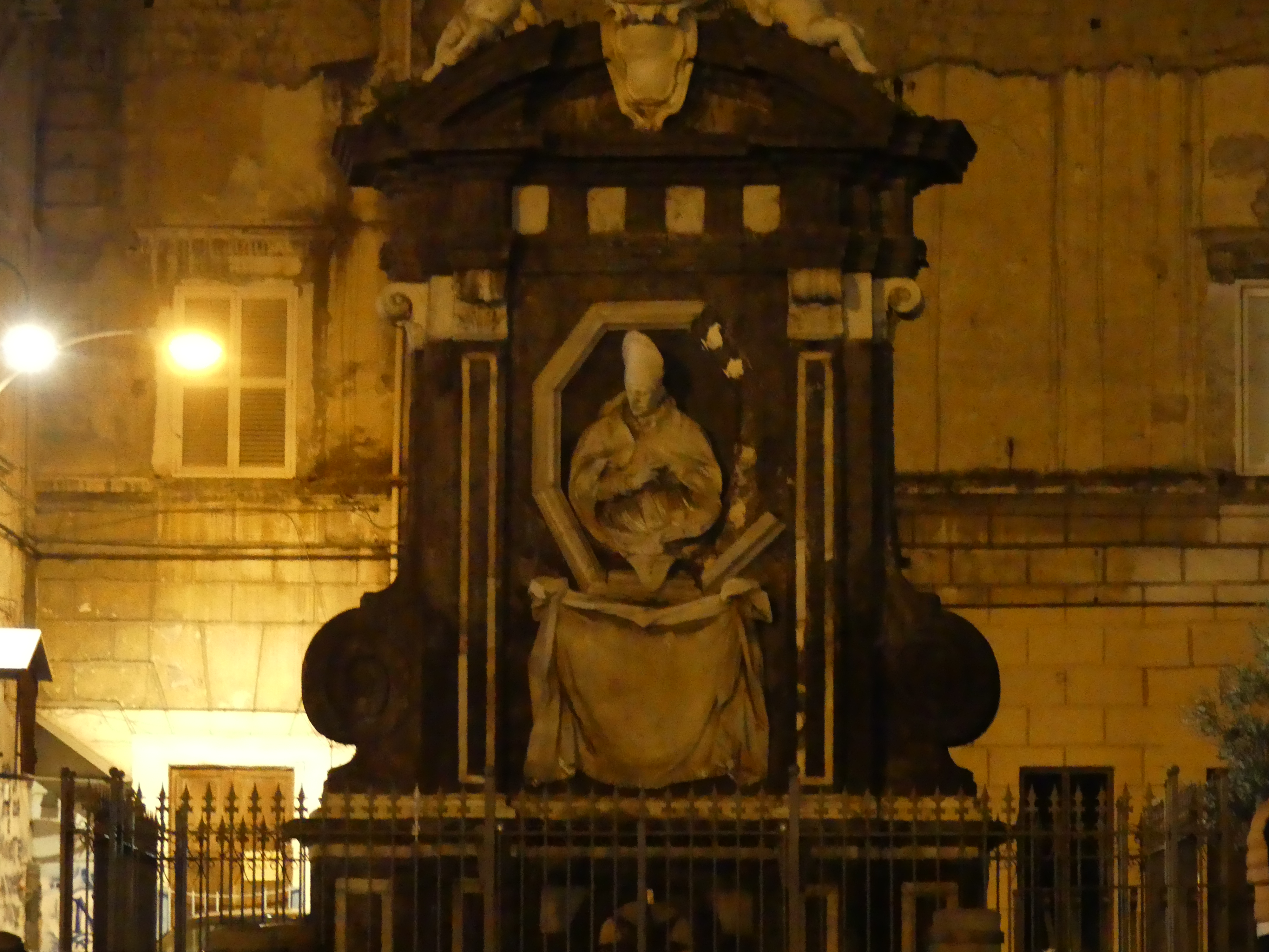
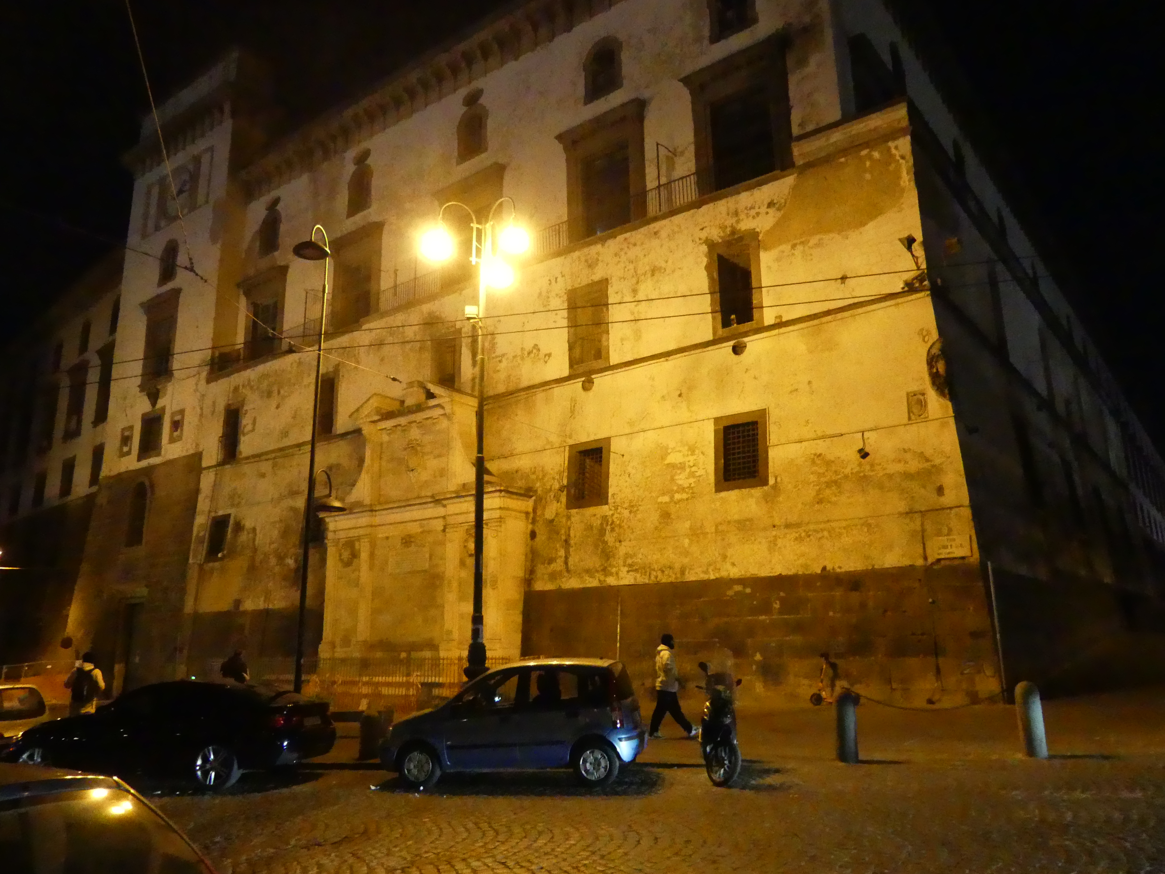
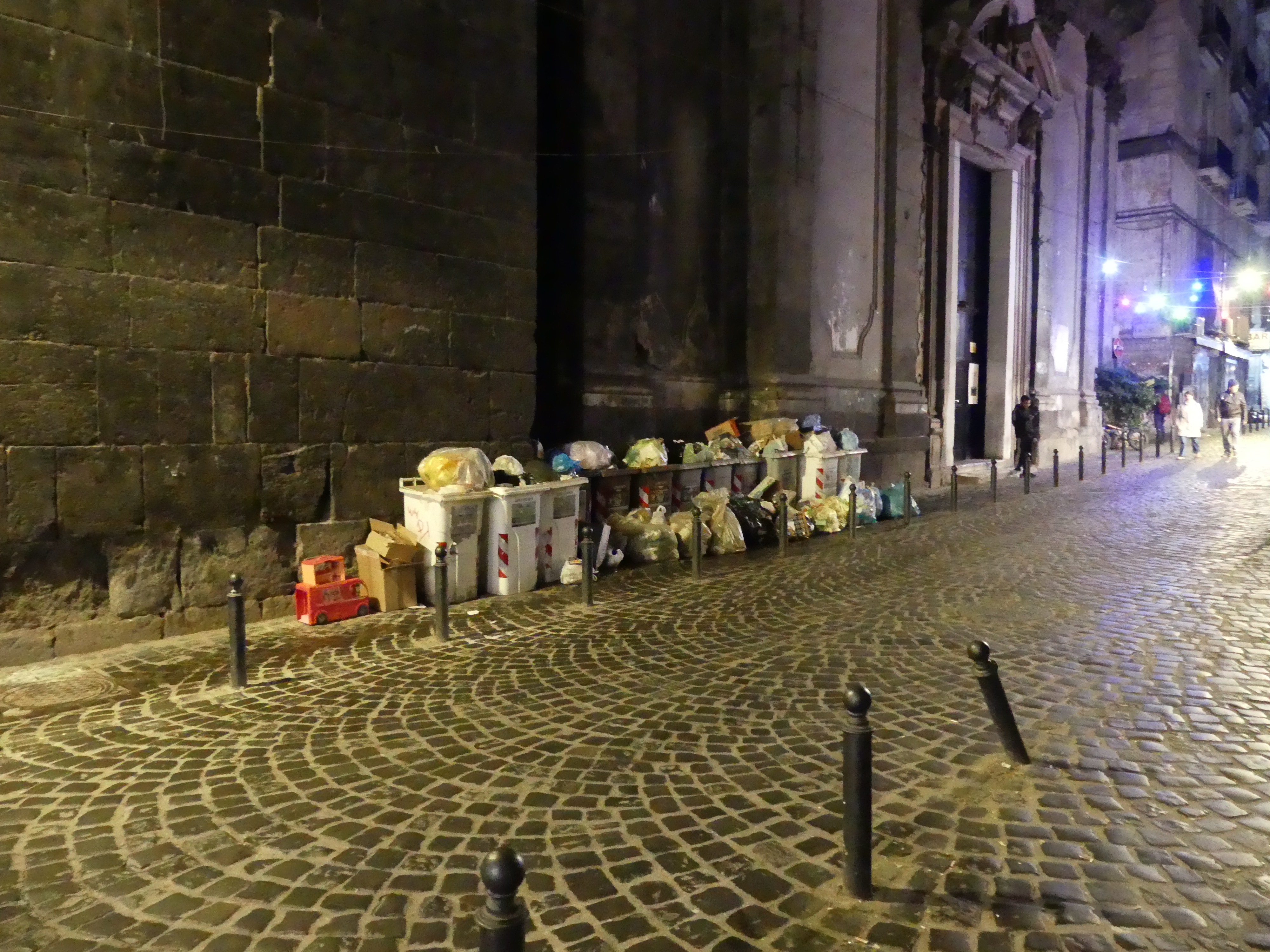
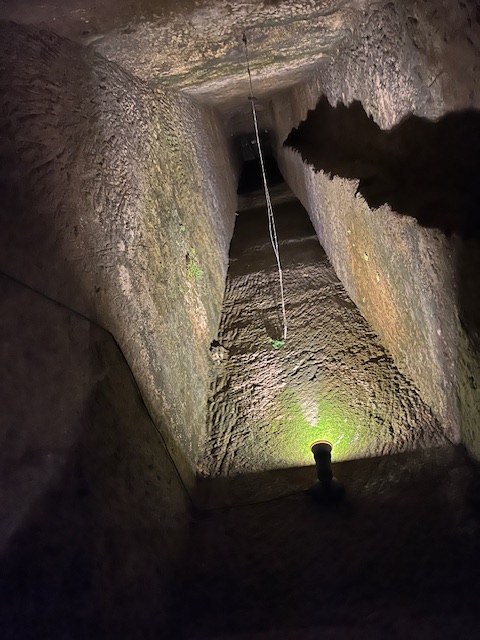
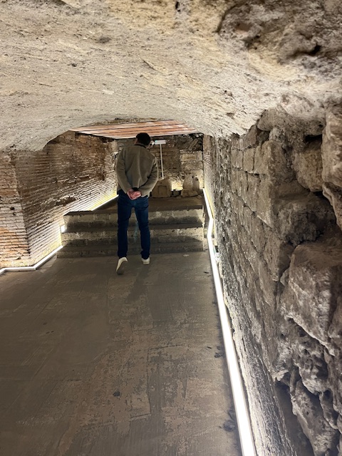
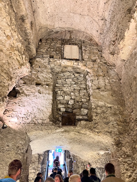
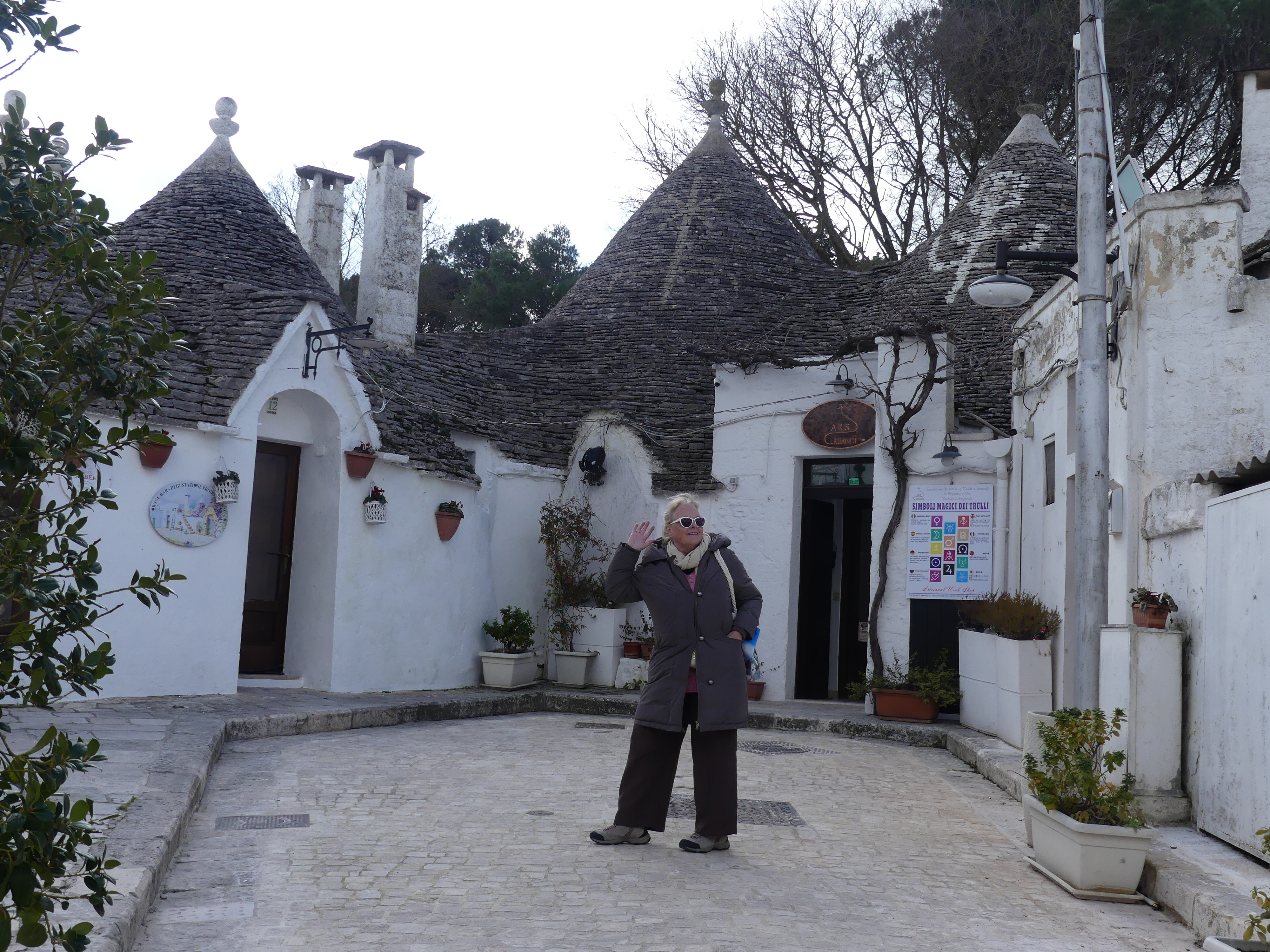
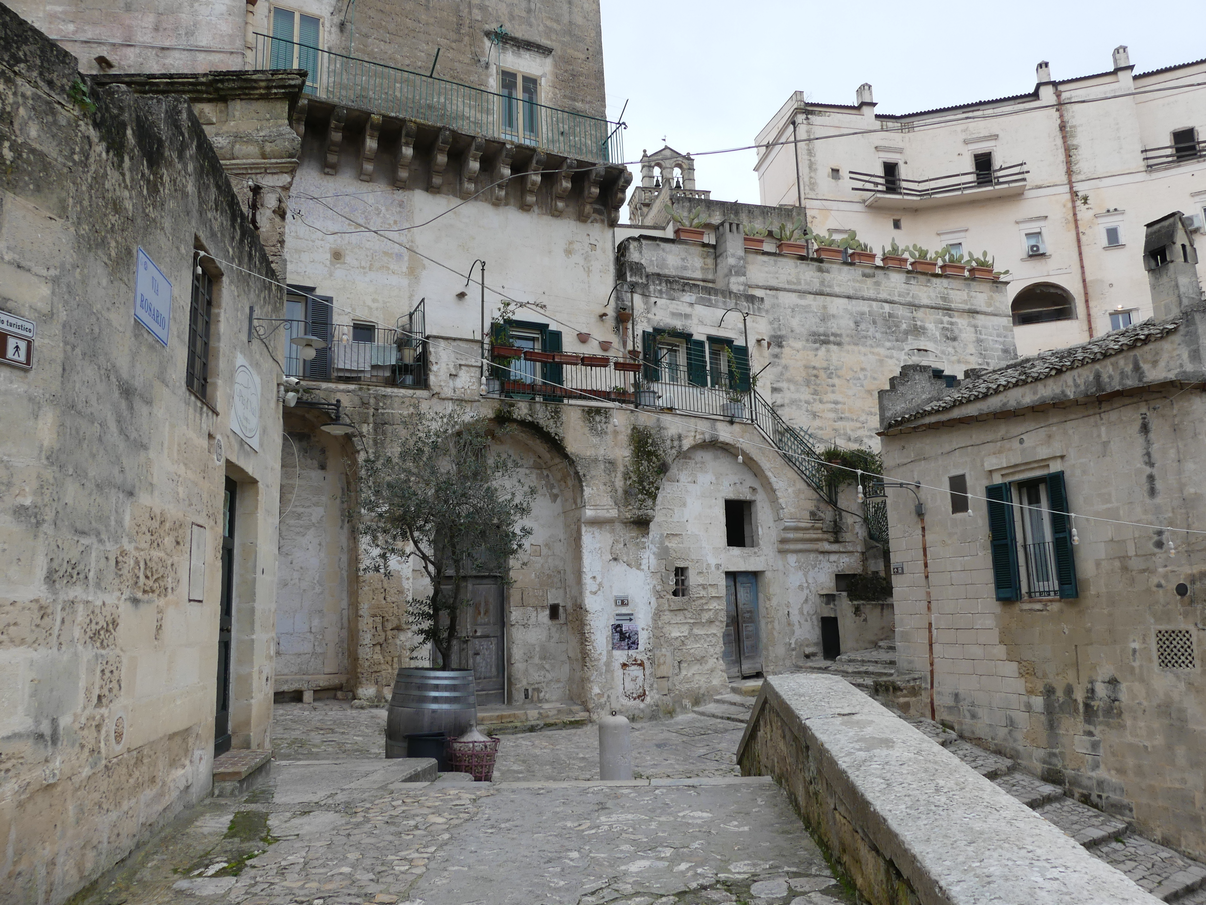
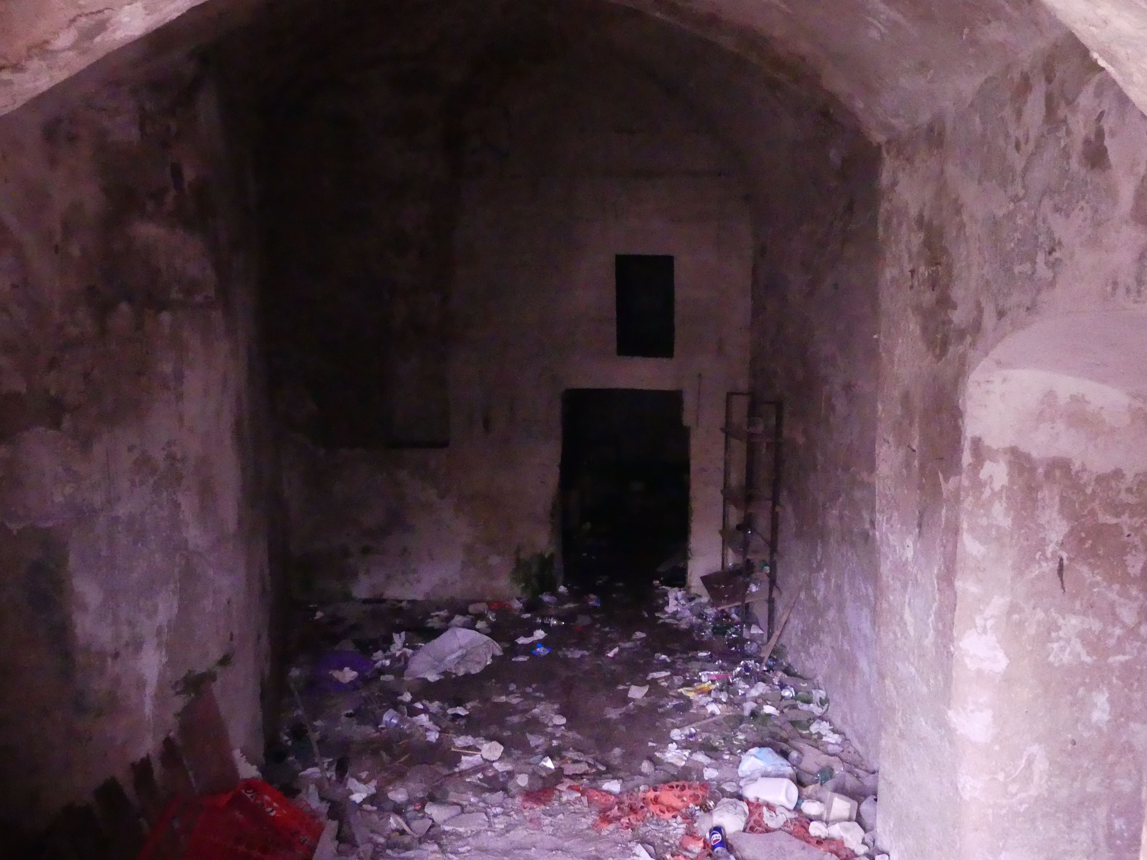
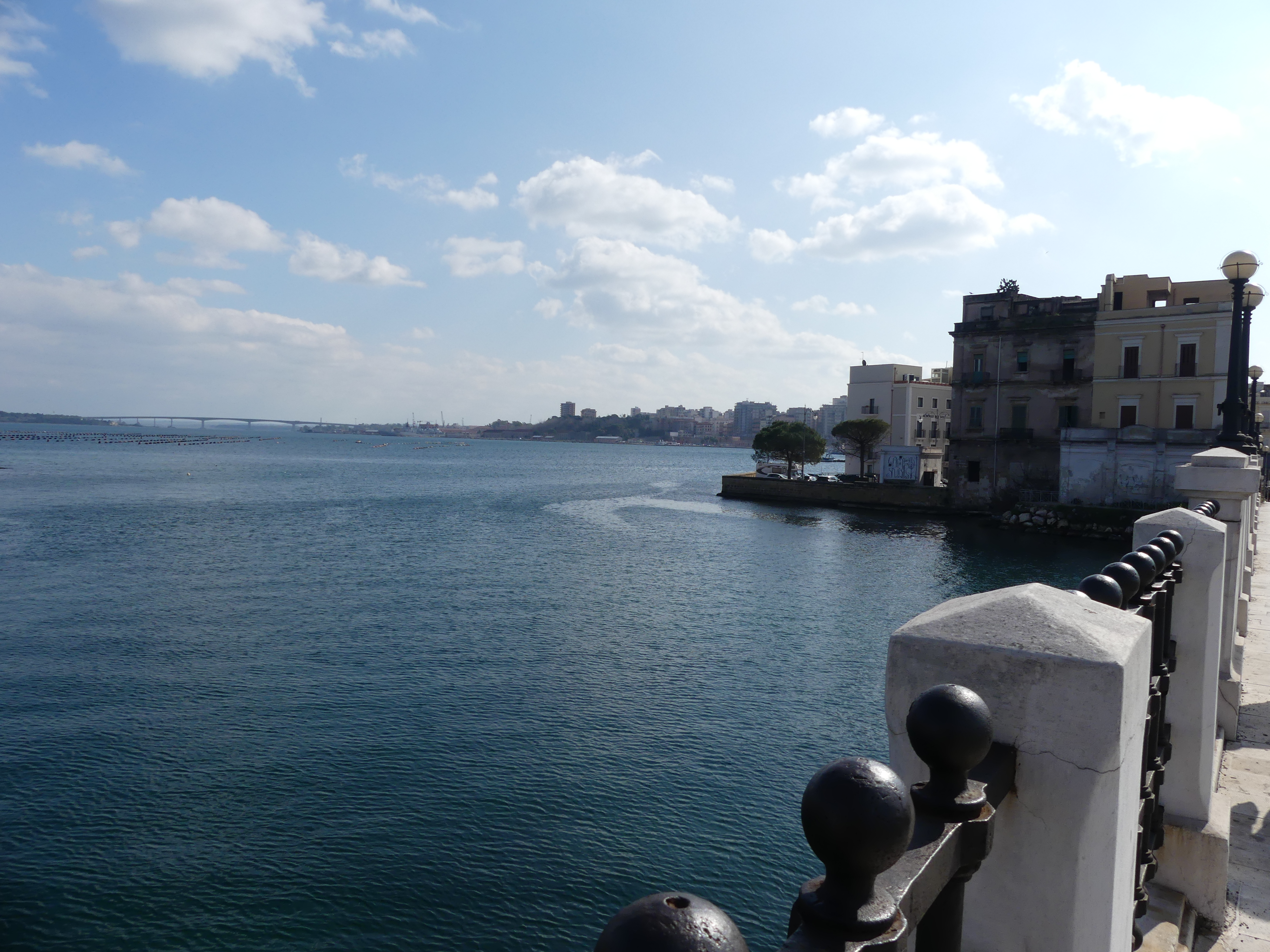
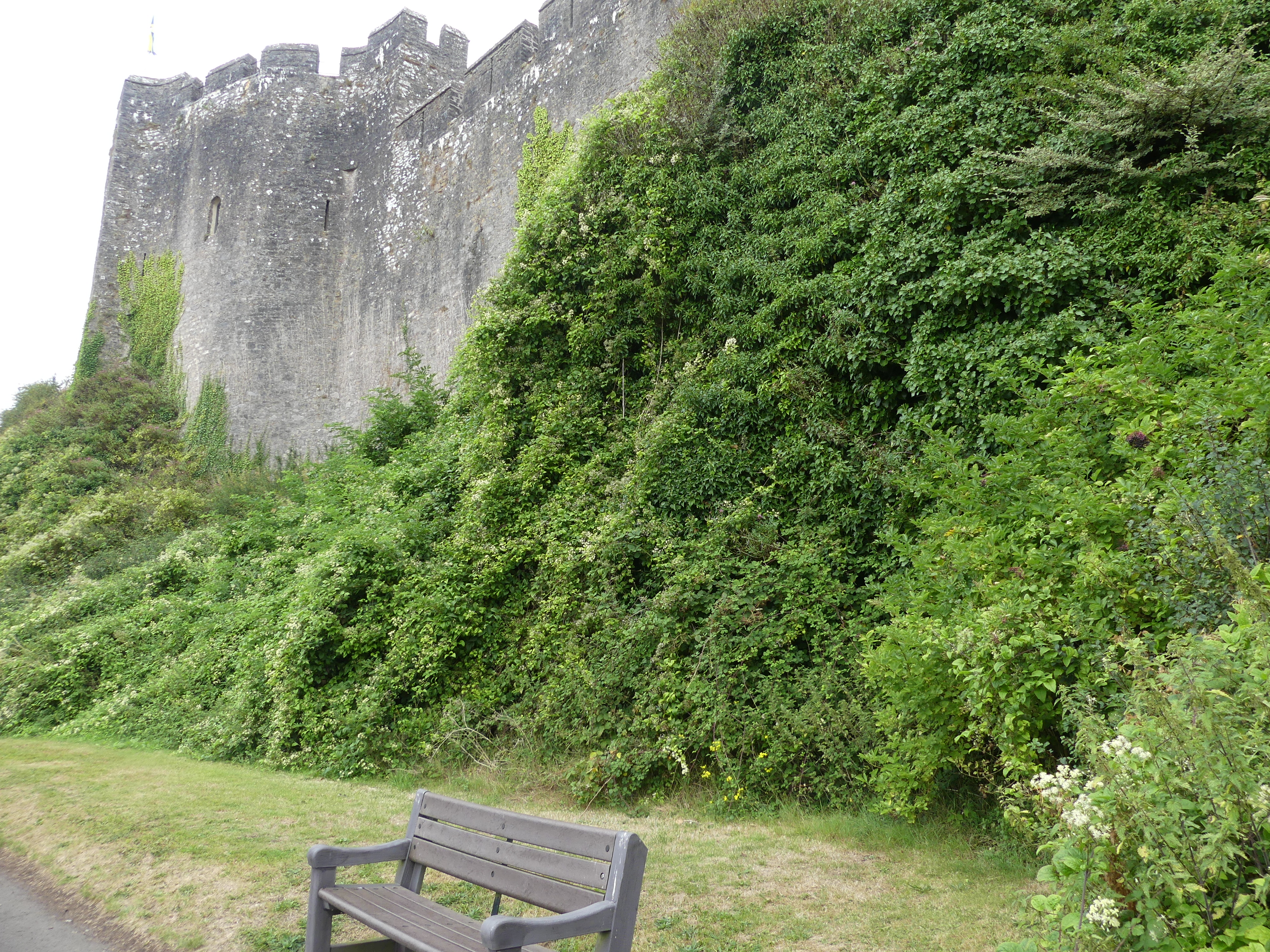
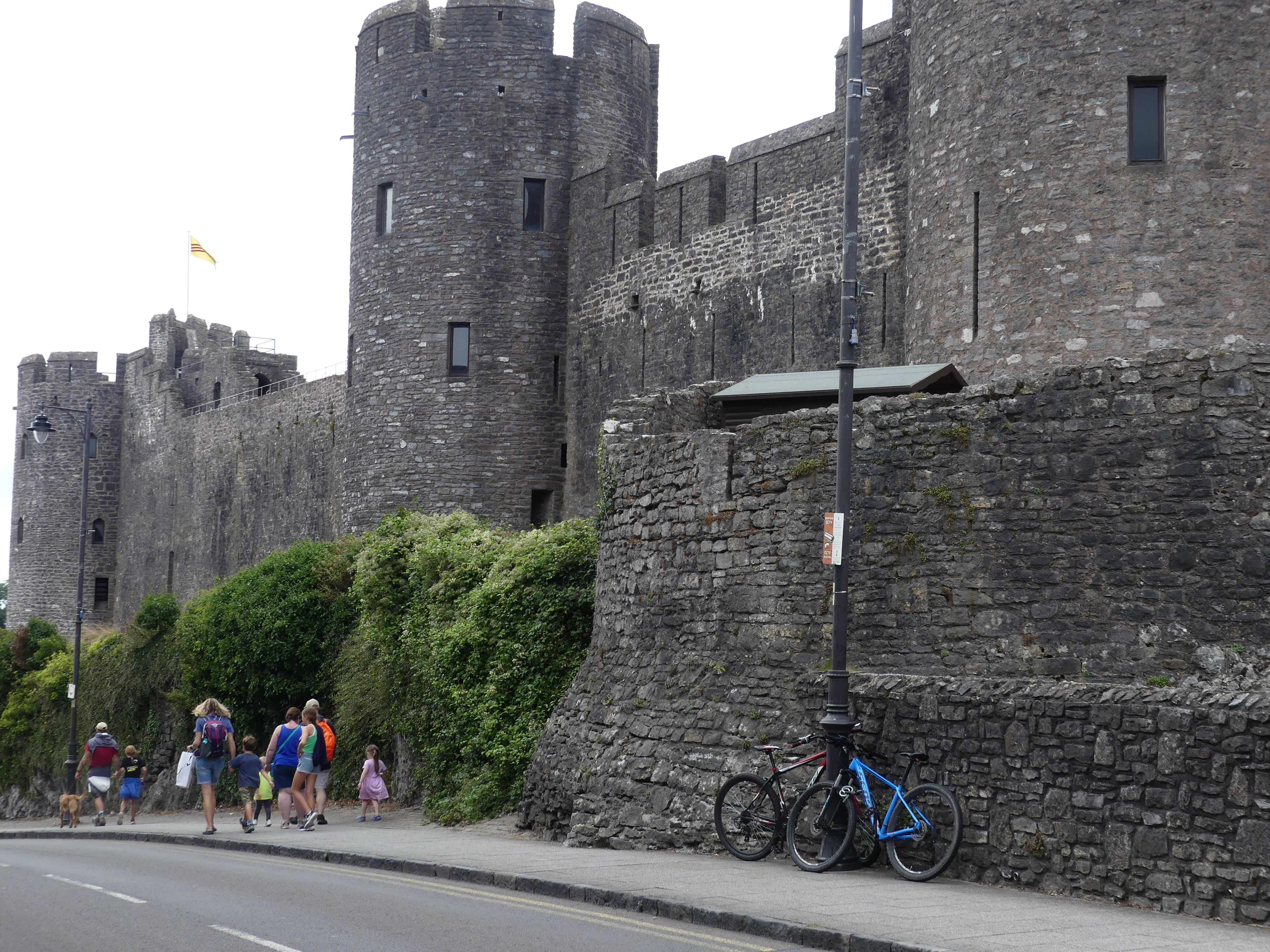
Pembroke Castle is literally around the corner from our accommodation. Kerry had had enough of castles and left me to do what ever I wanted. So I walked around the castle but when arriving at the entrance was daunted by how busy it was and I was feeling that I also had enough of castles. Below is my tour circumnavigating the castle which is the off the High St in Pembroke. The mounted knight is a memorial to William Marshall who served 5 Kings of England. The picture of the barred opening is the former access to the river – you can see this in the picture from 1880.

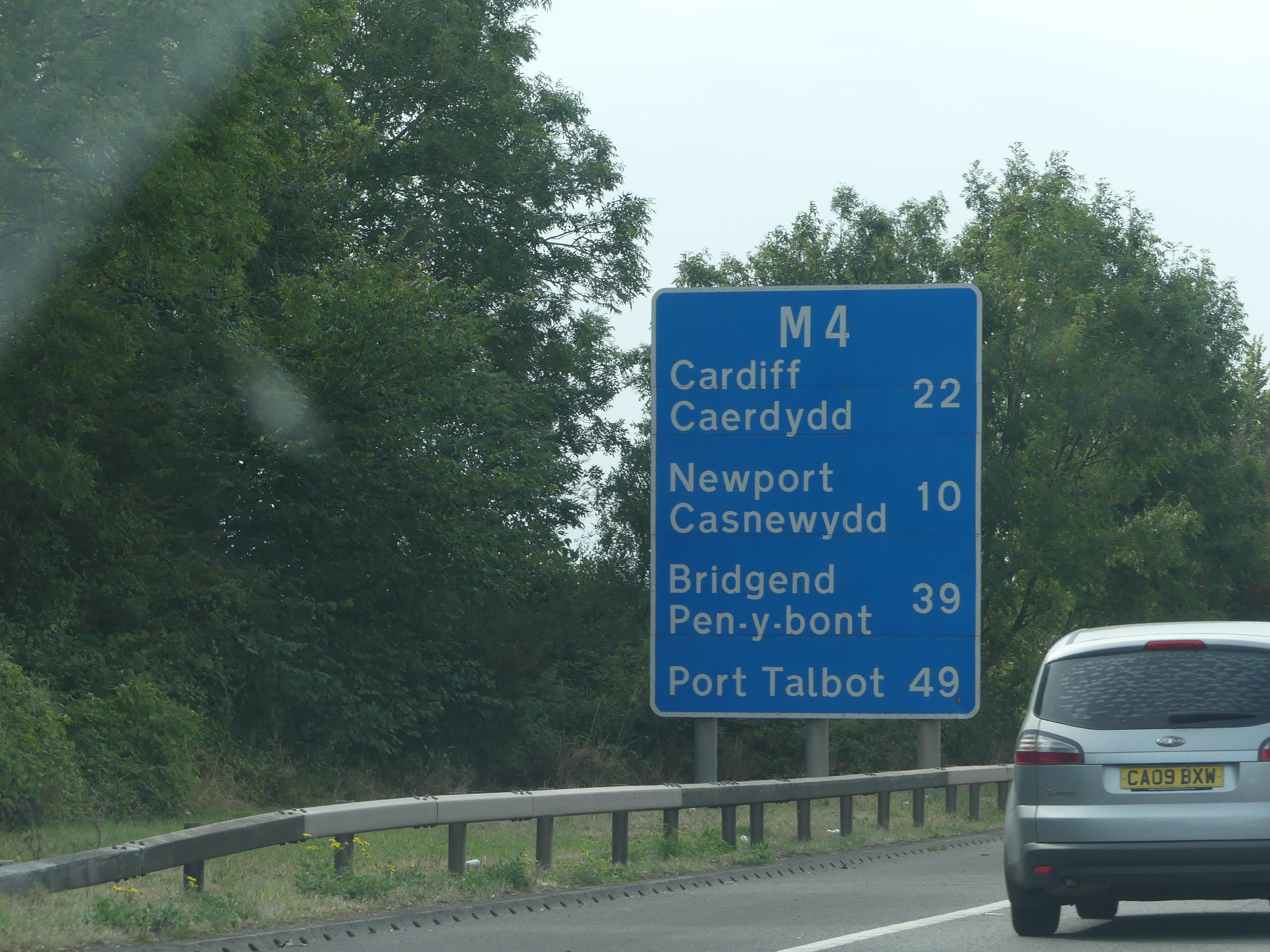
Our visit to Pembrokeshire was done and dusted so now we move onto Ebbw Vale and the Wye Valley which is towards the centre of Wales. Read on to see what we find in “THE RETIREES GO AROUND THE WORLD – CASTLE PEMBROKE to CRICKHOWELL (Ebbw Vale)”

THE RETIREES GO AROUND THE WORLD – CARDIFF to PEMBROKE WALES – WEOBLEY CASTLE and KIDWELLY CASTLE.

One of the things I enjoy is to move off the beaten track and find the strange, unusual and forgotten. This is what happened when we were traveling between Cardiff and Pembroke. We earmarked Swansea as a place to take a break on the drive. I cannot recall if Weobly Castle was planned or just happened. I also cannot recall whether it was on the Cadw free list but I think not as no-one was looking after this place to any degree. Anyway, we ended up pulling onto a side road and passed Parc V Blocs farm shop and onto a sheep farm.

The remains of Weobley Castle remaining upon the farm. As we entered the site a sign notified us that we had to go to the shop to order our lamb and pay admission to the castle. The shop was an attachment to the farmhouse and the castle ruins stood beyond the shop standing on the edge of a precipice running down to the flood plain of a river and the sea. The grazing sheep and cattle looked the size of toys. If this was an important place to have a castle, then it was well positioned. My photos show the view from the floor of the castle and generally around all that remains whilst also showing you where they slaughter and dress the sheep carcasses. It felt like we had discovered somewhere forgotten.

We returned to Parc V Bloc for lunch and wondered just who would visit this place. Despite its business description it was a small supermarket café functional hall and pet barn all in one. Outside in the grounds was playground equipment and picnic tables – all in all I even expected used cars and farm equipment but that is going too far.

Next stop was Kidwelly Castle as a break in the trip to Tenby and Pembroke. This one was on our Cadw 7-day ticket and as my photos show it largely ruins except when the Queen is on her throne. As we were leaving the ticket office/gift shop a warrior queen in a glass case stood proudly challenging all passersby and reminded us of Celestial Starfall festivals.

Keep reading – my next blog takes you to Pembrokeshire when THE RETIREES GO AROUND THE WORLD – CARDIFF to PEMBROKE WALES.

THE RETIREES GO AROUND THE WORLD – SUTTON HOO UK to CARDIFF WALES – CARDIFF CASTLE.

The journey from Sutton Hoo to Cardiff is about 4 hours if the Gods are kind. We had a short stopover

Finding the address of your B&B is a bit difficult but we found the GPS in the car extremely good using postcodes to find our goal. However, we never really got a good understanding of the functionality or how to properly use the search function – the space bar could not be found which is ok for post codes awful for an address. The entrance into Cardiff is across a grand bridge but you have to get used to everything being written in Welsh with English subtitles. I found this very off-putting, and I don’t know why – in Europe it is like that everywhere.

The Landlord had organised a parking permit for us which meant we could park anywhere in the street and Neville Street proved to be a major throughfare to the city centre. We ventured to catch a bus – 3 different routes run through Neville St. So when in doubt ask a stranger on the street. This stranger was very helpful walking us to the point where the city centre was at the end of the second street around the corner from our B&B. The castle wall of Cardiff Castle extends to encircle a gloriously wild park, and the former gatehouse has become a coffee shop – very twenty-first century. There are gray squirrels and standing stones and the western gate that is not used anymore.

The wall from the gatehouse to the castle is adorned with animal sculptures but at this time I only photographed the twin lions on a gate to another side entrance being used for a wedding. We planned a visit to the castle and this occasion was a general walk around to learn where we might find various things. The castle walls are intact and dominate this part of town. The following day we went on a more formal visit and bought tickets to go inside. The castle is still in use but not for its original defensive purposes but more of a museum. There is a memorial to all the Welsh regiments raised for King and Country from the Welsh population in one basement area. Very comprehensive and explanatory but equally underlining futility of war. There is a dedication to the 7 VC awarded to soldiers in the Boer War for instance. Along with “modern” memorabilia there is a remnant of the Roman occupation in the form of a wall uncovered in preparation of the basement for this military memorial. The inserted sculptures are modern in the form of Roman sculptures around the time of the construction of the wall.

After that sobering visit Kerry found a friend to share his seat whilst I went across to the most ancient part of the castle- the Norman Keep. The sheltered walkways on the walls of the castle have been reconstructed but where they once connected to the much later constructed residence they are not open into the house unless you pay for the tour. Before visiting the Keep, Kerry and I took in the rooms of the house that are open to visitors. They have been decorated in the style that might have adorned the house when first built.

Kerry returned to her seat with Paddington whilst I challenged myself with a walk up the stairs of the Norman Keep. Rough and uneven, the stairs were a challenge but no defribulator at the top to help me recover. My photos below take you through the remaining parts of the towers (including the long drop that passes for a loo) – and the scenery around the tower and its walls.

Below is the floor plan of sorts for the castle.

We had both had enough of castles for the day and took time to look around the “High St” of the old town and some of the street art, the church, some of the colourful pubs and a street named “Hayes” Street. On the way home I photographed the walls of the castle decorated with various non-indigenous animals.

Our first day concluded with a walk home and a good night’s rest. The following morning was a new adventure, and you will need to read on to learn about THE RETIREES GO AROUND THE WORLD – SUTTON HOO UK to CARDIFF WALES – CARDIFF CASTLE.

THE RETIREES GO AROUND THE WORLD – SUTTON HOO UK to CARDIFF WALES – CAERLEON.

We had heard about some Roman ruins just outside of Cardiff and the Museum – “Roman Legionary Museum”. We have visited Rome and roman ruins in Rome, Verona, Pizza and Cesi and Carsulae outside Terni Italy plus Hadrian’s Wall and Littlecote Roman Villa in Wiltshire, so we were not expecting to be surprised but we were.

The town is a pretty Welsh village. Entry is gained through a single lane bridge, and the main street is clean and interesting. After parking in front of the site of the Roman Bath House at the back of a very popular local pub, we strolled through the village waiting for the building to open.

The pictures below take you on that stroll. First is the Priory – now an accommodation hotel but retaining the features of the former Priory with a pair of hares in the back yard. There are some interest wood carvings of a forest gnome, a priory student in cloche and priory guardian. Then there is the pub, a reused telephone box to house a defibrillator, a pretty pub, and the museum entrance.

The site is the location of the main Roman legion and fort for the subjugation of the Welsh tribes. Life at the edge of the Roman Empire could be short, hard and dangerous so this fort provided the legionaries a place for rest and relaxation, and it was also their barracks. I have included two of the pages from a comic book containing images of the likely appearance of the building, the interior of the enclosed pools, and the garrison. The baths comprised the hot room (“caldarium”), the warm room (“tepidarium”) and the cold room (“frigidarium”) – you can see the English words in the Latin description.

The pictures of the bathes with imagery of soldiers relaxing and using the spa follow. Photos of the replicas displayed in the Exhibition Hall are below.

Our entry fee included a visit to the museum. I have included photos of some of the exhibits. The building materials surprised me – properly design pipes and building blocks. They also had the epithets or headstones of graves and cremations.  A stone casket. Partially restored tiles exhibited the beauty of the decorations.

We stopped at the Bull Inn for lunch and encountered Jeremy Clarkson and his farm products. Other things of interest appear in the following photos. St Cadocs’ Church and graveyard. The remains of the Roman amphitheatre and the carvings in the park. An annual event in the village produces these wonderful carvings.

Returning to Cardiff, Kerry, being ever thoughtful, thought she had found another castle – Castle Hensol. We used the GPS in our car and the postcodes for the destination to find everything and it worked perfectly, even on this occasion.  Time brings about change and so it was with Castle Hensol. It was now the centre piece of a gated residential development and golf course. The wine tasting that the advertising had promised had led us on a wild goose chase. After a lot of guessing we found our way only to be disappointed. We needed a booking.

That ends another chapter in our around the world adventure. So, watch out for my next blog on THE RETIREES GO AROUND THE WORLD – CARDIFF to PEMBROKE WALES WEOBLEY CASTLE and KIDWELLY CASTLE.

THE RETIREES GO AROUND THE WORLD – CARDIFF WALES – CASTELL COCH AND CAERPHILLY CASTLE

Castell Coch

Castell Coch is very near to Cardiff and the drive was pleasant without too many narrow roads. Having said that, as we neared the Castell the roads narrowed, and the bush encroached onto a narrow lane. A sharp left-hand turn and a choice of two lanes presented. Fortunately, we took the correct lane into the car park. The Castell is hidden above the carpark. A portaloo was the sentinel to the carpark, and our first red robin came to show us the way forward. The Castell is undergoing renovation to close leaks into the stonework of the castle which amazingly requires that the stonework be given 2 years to dry out as part of the renovation.

Castell Coch (Welsh for ‘red castle’) is a 19th-century Gothic Revival castle built above the village of Tongwynlais in Wales. The first castle on the site was built by the Normans after 1081 to protect the newly conquered town of Cardiff and control the route along the River Taff. In 1760, the castle ruins were acquired by John Stuart, 3rd Earl of Bute, as part of a marriage settlement that brought the family vast estates in South Wales. He turned it from castle to country house but rarely used it. In 1950 the 5th Marquess of Bute, placed it into the care of the state. It is now controlled by the Welsh heritage agency CADW. The surrounding Castell Coch beech woods contain rare plant species and unusual geological features and are protected as a Site of Special Scientific Interest.

The first picture shows the pleasant entrance to the castle. As you approach the castle, you see the former moat. No longer filled with water, it still stands as a barrier to enter the castle so a permanent draw bridge leads you into the castle. The castle is in the care of CADW the Welsh Government’s historic environment service which provides for the restoration and accessibility to these historic places. From the outside it is obvious that Cadw is doing its job. One part of the castle is clothed in a large sheet painted with images of the castle and a story on a large sign about the renovation. The walls of this section of the castle are being dried out. An entrance fee is payable, and the ticket office is on your right as you pass under the portcullis. Yes the castle still has it’s portcullis. The attendant is a pleasant Welsh lady who before taking our money tells us that instead of taking a ticket for this castle only we could buy a 3 day or 7-day pass and supports her statement with 2 brochures of the many places of interest that are cared for by CADW. It cost us a little over £50 for the 7-day pass and gave us a huge saving in respect of the future visits we planned to make.

With our self-guided tour, we roamed the Castell. Many of the rooms were filled with furniture from the past and gave us a good idea of the recent use of the place. The photos below follow our tour. Unusually they have kept and restored the chamber “the Winch Room” holding the machinery that operated the portcullis the draw bridge and the “murder hole”. The toilet has been modernised but remains in its original location such that the waste use to flow out over the castle walls. The Lady of the house had a bedroom in the top of one of the towers and was quite pleasant whist the Lord ‘s bedroom was one floor below. It held a single bed, a fireplace and was rudimentary. We joked about the labour of love climbing the stairs for nuptuals with the lady of the house.

The remaining castle that was open for viewing including the balconies circling the castle keep and the chapel, the keep, and the kitchen. I have included the brochure map showing the layout of the Castell (which appears to mean a non-fortified castle) and a photograph of the ruined state of the castle taken over by CADW.

There is no coffee shop at Castell Coch, so we returned to the car as we had heard been informed by the staff that there was a great café nearby. The directions were simply go back to the main road but turn hard left. We followed instructions and returned to the juncture of two laneways and turned hard left and found ourselves on a one-way path to a garden shed which has now been developed as the café. Very rough and rudimentary but it did the trick and even introduced us to a Welsh delicacy. After coffee we headed for Caerphilly Castle which was very nearby.

Caerphilly Castle

This castle is also controlled by CADW. Where Castell Coch had been in the bush/forest, Caerphilly Castle is a famous castle located in a modest size town. Parking is always the trick to visit a castle. How long are you going to need and how far have you to walk to reach it. In the pictures below I start with a view of part of the castle, followed by another view. It is immense. The moat is more a lake and the drawbridge shows how wide the moat is at its narrowest point. Inside is a secondary defensive wall. A make-believe dragon pit has been added to match myth with reality. One of these towers has been partly demolished by the Roundheads when they formed the Commonwealth in the 17th century.

The Castle has been decorated to tell the story of a queen of England married to her King at 13 and fifteen respectively and her surviving to give birth to 18 children and outliving her King and then surviving the aftermath of his death. For some reason my photos have not survived. A truly magnificent castle. We spent our time in the castle finishing with lunch on the deck of a hotel overlooking a magnificent view of the castle. Note in the picture on the left above that there is a “bloke” holding up the tumbling tower. It is in fact a prop and the tower is tilted by a bomb placed by the Roundheads Army which over ran the castle in the 17th century.

Attached is the Cadw brochure from our visit.

Our plan is to return home and rest up as we will have a big day tomorrow when THE RETIREES GO AROUND THE WORLD – SUTTON HOO UK to CARDIFF WALES – CAERLEON.

THE RETIREES GO AROUND THE WORLD – CARDIFF WALES – CARDIFF BAY BARRY ISLAND AND PENARTH.

To the south of Cardiff is a bay having the obvious name Cardiff Bay. We made our way around to Barry Island. It’s the middle of school break and the middle of summer – everyone should be at the beach. Well not in Cardiff. We took a walk around the township and the beaches were deserted and the carnival had not started. Oops we have arrived too early it doesn’t start till 10.00 am. Even so the weather is not inviting you onto the beach and the water is hardly more than a mill pond – not exciting at all. The beach huts are polished and painted but no body is around. There is a clever beach side kids climbing wall with one lad having a go but he is a bit small as yet.

The Bay played a part in the second World War and a demounted concreted base stands testament to the place where the telescope was replaced by a gun. We walk around the headland path and come across an automated lighthouse and it is the sentinel for Nellie Point. My late Mum was named Nellie and I felt a little chuffed that she had the same name as this Point. The path comes to a dead end where it ends in a cliff and a small beach. A passing local tells us there is a pathway on the other side of the beach, but the gradient is so steep that locals call it “death hill”.  So warned, we turn around and walk back. After collecting the car, we take a drive around to a different beach where Kerry pulls out our picnic thermos of coffee and some biscuits. This beach is covered in pebbles and has been severely eroded.

We decided to extend our trip to another beach side at Penarth to the east of the Bay. Lots more activity over here. Penarth is famous locally for its pier – the Brits love these piers. They also love oddly designed public baths. In the pictures below is what looks to be an odd house with a tower when in fact it is an odd public bath house – go figure. The beach is backed by some dramatic cliffs and steep walks up the hills. The pier is very long due to the shallow waters. You can see in my pictures a boat sitting in the boat channel and how far off the land they sit.

Emblazoned on the wall of the kiosk at the commencement of the pier is a memoriam to Miss Kathleen Thomas who braved the chill water in 1927 to swim from Penarth to Weston-Super-Mare on the English side of the Bristol Channel. The plaque suggests that no one else has beaten her time for the swim. I reckon its just too bloody cold.

The ice cream shop beckoned. So, ice cream in hand we weaved back to our car parked some distance from the pier and ended our beach side tour for the day. As we walk to the car we pass a passage where sheltered in the back is small cottage taking advantage of the seaside views.

Tomorrow we will commence our castle hunting with a visit to Castell Coch and Caerphilly Castle. Watch for THE RETIREES GO AROUND THE WORLD – CARDIFF WALES – CASTELL COCH AND CAERPHILLY CASTLE.

“THE RETIREES GO AROUND THE WORLD – BARI to NAPLES”

Naples

Full of vibrant culture, food, and history: Founded by Greeks in the first millennium BC, Naples is one of the oldest continuously inhabited urban areas in the world. Robert had returned to Cesi and we made our way to Naples by train. On arriving at the central railway station in Naples, Stazione di Napoli Centrale (Napoli Centrale), located in Piazza Giuseppe Garibaldi we set off in search of the hotel. It is the main rail terminus and station for Naples, 25 tracks, serving about 137,000 people per day. It was massive and intimidating just as Terminii in Rome was the first time.

Kerry piloted us out onto Piazza Giuseppe Garibaldi in search of our hotel, Hotel Vergilius Billia which I am certain is a Mormon hotel with open bibles placed strategically in the hotel. The Piazza is 4 city blocks long and 3 blocks wide with a subterranean passage below us. The hotel was difficult to find at first in Via Guiseppe Pica but ultimately proved to be quite central. Clean and quiet with breakfast included we were well settled.

Our plan here was to visit the old city and particularly visit the underground tunnels and cisterns built by the Greeks and Romans. After booking into our hotel, we visited the old town by night particularly the historic centre of the city in Via dei Tribunali. We crossed the piazza past a church and attached monastery past the walls of a castle and into Via dei Tribunali. The first thing we noticed was how dirty it is and how alive it is with people, scooters and cars down this narrow alley. In a doorway we found the tell-tale sign of a recent birth – a boy. Here is a selection of photos going to the old town and in the old town itself.

The following morning it was breakfast first before our big day in the old town. One of the first shops we encountered was the Italian Bunnings hardware store. A further surprise awaited us when we passed a theatre presenting Sonetti de Amleto (Sonnets of Hamlet). Shakespeare in Naples. The streets were narrow and the buildings dirty and tired sometimes decorated with street art or a chapel for worship.

But then we encountered Museo Donna Regina. The monumental complex of Donna Regina represents a unique example in the panorama of the historic centre of Naples. In this Franciscan monastic insula, there are preserved testimonies of the ancient convent and of the two original churches, the medieval one and the seventeenth-century together conceived as one, until the 1930 s, conceived as a single structure with a corridor that, like a sort of umbilical cord, united the buildings, in addition to the apses, the past and the present, allowing the Poor Clares to move without leaving the places of cloister.

Today, through the original architecture and decorations, we can find rare examples of the history of Neapolitan art and the Franciscan order. It also provides space for classical concerts. As we entered a grand piano was be carried down the front stairs by a tracked robot to be loaded onto a truck following a performance the previous night. If you wish to read more about this unique museum, then proceed to http://www.museodiocesanonapoli.com/il-complesso-museo-diocesano/.

Underneath Naples are several ancient Greco-Roman reservoirs dug out from the soft tufo stone on which, and from which, much of the city is built. Approximately one kilometre (0.62 miles) of the many kilometres of tunnels under the city can be visited from the Napoli Sotteranea, this system of tunnels and cisterns underlies most of the city and lies approximately 30 metres (98 ft) below ground level. During World War II, these tunnels were used as air-raid shelters, and there are inscriptions on the walls depicting the suffering endured by the refugees of that era. We were here to visit those tunnels. My photographs show us entering and following the stairs underground for a long way. God only know how they got a tank down here or why they would keep unexploded munitions down here. The pictures of the narrow tunnels are in fact passageways for water and very easy to get lost as I almost did. At the end of the tour, we exited to visit the remains of Nero’s lost theatre rediscovered after restoration of the reservoirs.

Some joker had prepared a frightening image of what awaits outside the reservoir. It was hot thirsty work down there This pop-up liquor shop had just the answer as we made our way home. Mauling mannequins seemed to have some appeal in Naples.

The surrounding area is an underground geothermal zone and this geothermal area is present generally from Mount Vesuvius beneath a wide area including Pompei, Herculaneum, and from the volcanic area of Campi Flegrei beneath Naples and over to Pozzuoli and the coastal Baia area. The resulting cavities beneath the city can now be divided up into several major categories Aqueducts and sewer tunnels; Rainwater cisterns, reservoirs and aqueduct diversionary channels; Caverns left from quarrying of tuff; the remains of Nero’s “lost” theatre; Greco-Roman businesses, such as the remains of an ancient forum that was preserved in a mud slide; Other voids from removal of sand and other types of materials; Interconnecting tunnels and passageways among caverns; Places of worship, including catacombs and pre-Christian hypogea (cult burial chambers);Major ancient and modern roadway tunnels, and rail and subway tunnels.

As commented about some walls being “decorated” with “street art” – we came across this portrait of a bishop – very impressive. The church however seemed to have walls collapsing into the chapel. As we made our way back to Hotel Vergilius Billia we took a different route came across an ancient gate of the city and disjointed buildings with openings and windows in odd places but still in use. Here are some photos of a narrow but long building and an ancient gate surrounded by merchants.

After having experienced the old city, we thought a visit to one of the nearby coastal towns would be interesting. We chose Sorrento and again used the train to get there. Hold onto your seat as my next blog is “THE RETIREES GO AROUND THE WORLD – NAPLES to SORRENTO”.

“THE RETIREES GO AROUND THE WORLD – BARI to ALBEROBELLO”

Alberobello

Our stay with Robert was coming to an end. After visiting Alberobello we will go to Naples and Robert will return to Cesi.

We left Bari station (obstructed by the fountain) as we were taking the bus (what! – where’s the train) for Alberobello (literally “beautiful tree”). It is a small town and commune of the Metropolitan City of Bari, Apulia. It has 10,237 inhabitants (2022) and is famous for its unique trullo buildings. The trulli of Alberobello have been designated as a UNESCO World Heritage Site since 1996 and Alberobello is one of I Borghi più belli d’Italia (“The most beautiful villages of Italy”).

The history of the trulli is linked to an edict of the 15th-century Kingdom of Naples that subjected every new settlement to a tribute. In 1481 a tribute imposed on the residents led to them building their dwellings out of dry stone, without using mortars, so that they could be configured as precarious buildings and easily demolished. Having to use only stones, the peasants found in the round form with self-supporting domed roof the simplest configuration. The roofs were embellished with decorative pinnacles representing the signature of the architect (master trullaro).

Our story starts with a picture of the fountain in front of the railway station in Bari from where we caught our bus to Alberobello. Upon arriving at the train station via the bus, we left the bus and walked through the modern town. The walk up the hill and down into the Piazza is shown in my photos below. The Municipio and the tourist map were two of the first features we reached. Clean and tidy, the people of Alberobello have great pride in the Town.

In the last photo above we have found the stairway into the Trulli village. The trulli homes are all uniformly coated in white. Some continue to be used as homes, but many are shops or B&Bs. We visited the Arie dell Artigianato, an artisan timber craftsman. Whilst inside the design for the roof had me puzzled as to how the trulli stand up but climbing through the ceilings was not permitted.

We walked through the key streets with Kerry taking in some shops until reaching a church, Parrocchia Sant’Antonio di Padova (Church of Saint Anthony of Padua) at the top of the hill of course built in 1927 in trulli style. Even the manse had trulli influences. From the top of the hill, we could see the two bell towers of the Saints Cosma & Damian’s church. We made our way down to the bottom of the hill and found our lunch restaurant but not in a true trulli building but a look alike. After lunch we ambled back through town visiting the Basilica of the Saints Cosma & Damian’s in the modern part of the town. The present structure of the church dates back to 1885, a work of Antonio Curri. Inside you can find the two wooden statues (1782 and 1784) and the reliquary containing some bones fragments of the Saints. The project led by architect Antonio Curri, was finished only in 1914. During the 26th and the 27th of September the celebration of the Saint’s city holiday, that summons a crowd of pilgrims from the nearby towns, and as tradition claims, they travel the entire route by foot. Note the papal keys over the entrance to the Basilica.

Our final day of the “train journey holiday” to Bari ended at the bus station outside the railway station at Alberobello where we joined the queue to catch the bus back to Bari. Really interesting place to visit and normally you can catch the train. We left the transportation for Robert to organize so I have no idea why we caught the bus.

We farewelled Robert thanking once again for his hospitality and best wishes with his B&B bookings. He is a great friend.

The next morning we boarded our train for Naples from Bari. The journey would take us from the west coast to the east coast with one change of train. The small towns we have been visiting will be in stark contrast to Naples for size but we were not ready for the dirtiness of the city. Read on with our travels when “THE RETIREES GO AROUND THE WORLD – BARI to NAPLES”.

“THE RETIREES GO AROUND THE WORLD – BARI to MATERA”

Matera

Robert wanted us to visit Matera as he thought it was so unique. The first unique thing was, it was accessible on a private rail line. Its station was beside the principal station in Bari but the line ran its own trains etc. So, a new railway experience – here is the train driver awaiting departure and on departing it soon became obvious we were going rural.

Before its integration into the modern Italian state, the city of Matera had experienced the rule of the Romans, Lombards, Arabs, Byzantine Greeks, Swabians, Angevins, Aragonese, and Bourbons. Matera is believed to have been settled since the Palaeolithic (10th millennium BC) times. This makes it potentially one of the oldest continually inhabited settlements in the world. Robert had two reasons to bring us here; to learn about and see the Sassi and for his own personal reasons that I cannot go into.

The train journey was through some impoverished looking rural countryside arriving at a modern station where the train turns around and goes back to Bari. Walking down to the old town we thought everything looked clean and reasonably modern, but it starts to change at the old well. Amid the town piazza, Piazza Vittorio Veneto was a pit to leading to Roman ruins and a viewing platform of the Sassi – we had no idea that this is what awaited us.

The ruins shown above are part of Roman settlement that has survived and beyond is the Sassi. The Sassi can be best viewed through a balcony which can be accessed through the ruins or through arches above the the ruins.

The view of this well of houses and streets stunned me but I had no idea what lay hidden amongst the houses, shops roads walkways and arcades. The Sassi are cave dwellings and consist of around twelve levels spanning the height of 380 m, connected by a network of paths, stairways, and courtyards (vicinati). The tripartite urban structure of Civita and the two Sassi, relatively isolated from each other, survived until the 16th century, when the centre of public life moved outside the walls to the Piazza Sedile in the open plain (the Piano) to the west, followed by the shift of the elite residences to the Piano from the 17th century onward. By the end of the 18th century, a physical class boundary separated the overcrowded Sassi of the peasants from the new spatial order of their social superiors in the Piano, and geographical elevation came to coincide with status more overtly than before, to the point where the two communities no longer interacted socially. Yet it was only at the turn of the 20th century that the Sassi were declared unfit for modern habitation, and the government relocation of all their inhabitants to new housing in the Piano followed between 1952 and the 1970. A new law in 1986 opened the path to restoration and reoccupation of the Sassi, for the benefit of the wealthy middle class. The recognition of the Sassi, labeled la città sotterranea (“the underground city”), together with the rupestrian churches across the Gravina as a UNESCO World Heritage Site in December 1993 has assisted in attracting tourism and accelerated the reclaiming of the site. In 2019, Matera was declared a European Capital of Culture from poverty and degradation to the flavour of the month.

Firstly, we went to the Roman ruins. Below the ruins are cisterns. Early dwellers invested tremendous energy in building cisterns and systems of water channels. The largest cistern has been found under Piazza Vittorio Veneto, the Palombaro Lungo which was built in 1832. With its solid pillars carved from the rock and a vault height of more than fifteen metres, it is a veritable water cathedral, which is navigable by boat. Like other cisterns in the town, it collected rainwater that was filtered and flowed in a controlled way to the Sassi. Kerry and I walked through marveling at the depth which the water could fill up to.

After exiting the cistern, we entered the Sassi through the ruins and commenced our decent into the Sassi which originated in a prehistoric troglodyte settlement, and these dwellings are thought to be among the first ever human settlements in what is now Italy. You will see in one picture bones have been used to support the rainwater gutters. I don’t know whether they are animal or human. We visited one of the dwellings open for tourist inspection. Inside the cave is the main bedroom, a loom, a place for the donkey (if you had one) and further down further space. Remember these were still in use in 1950. We left the cave to explore some more of the Sassi – there were some we did not want to explore. You will se Kerry and Robert viewing a cave once occupied and vacated in 1952. Close inspection was not possible by reason of the odour emanating from who knows what now occupies it.

 Amongst the jumble of buildings and at the bottom of the Sassi, we found an authentic Italian Restaurant Amore Crusco. The appealing landing was victim of the showers that followed us all day, but the interior was very pleasant and warm so here we enjoyed lunch. Everything that goes down must eventually come up so after lunch we clambered out of the Sassi and took in some of the newer parts above the Sassi. The pictures below are of our lunchtime repast. The climb back to the modern square knocked the wind out of Kerry and me after which I was ready for a nap.

Robert had personal reasons/plans for the evening in Matera, so being experienced train travelers, we caught the train home minus Robert. So our next trip was the last trip with Robert as our guide. We visit Alberobello, so be watching for “THE RETIREES GO AROUND THE WORLD – BARI to ALBEROBELLO”

“THE RETIREES GO AROUND THE WORLD – BARI to TARANTO”

TARANTO

Another town I had not anticipated visiting. Taranto is much further south than we planned traveling. It is a coastal city in Apulia, southern Italy. It is the capital of the province of Taranto, serving as an important commercial port as well as the main Italian naval base. Founded by Spartans in the 8th century BC during the period of Greek colonization – good to see the Spartans had finished fighting long enough to do something positive.

This was a longer journey and moved us out of the coastal areas of the Adriatic Sea to cross some long flat plains into an industrialized centre on the Mediterranean Sea.

The walk from the station to the old town was also longer than other towns. Taranto was clearly a much larger town. To get to the old town we had to cross a substantial bridge. Cactus seemed to be a popular roadside plant and was coming into flower.

Another church. This time atop a large staircase – Chiostro de san Domenico – plainly adorned but with a new twist on the stations of the cross. In the pictures below you can make out the plaque on the walls put forward the picture of the Crucifixion.

As we walked through the old town some of the passageways reduced to single file and some of the doors must have had some big hay wagons storing goods behind them. Here we encountered the practice of adorning the front door with bows celebrating the birth of a child blue for boys and pink for girls. In this case I think a little girl but they have forgotten to take an earlier birth “notice” down. We were to see this regularly in Naples. We also encountered the back street cafes – yes that’s it in the last photo. There is our fearless leader forever conscious of the WHS rules of being seen.

In our walk about we uncovered an Italian national monument Basilica Cattedrale san Calaldo. We were told that the primitive early Christian cathedral, attested since the 7th century, had to be placed outside the walls of the town and its location could probably be in the area where the Church of Carmine is now located, where a piece of the column on which Saint Peter is said to have celebrated the Holy Sacrifice is currently preserved. However, the church we see today was built by the Byzantines in the second half of the 10th century, following the sacking of the city by the Saracens in AD 927, when the Muslims definitively destroyed what remained of the ancient Greco-Roman city. The building contains some very interesting features and remains in use.

After leaving the gift shop (they must spoil it don’t they) we continued our walk about passing a florist with a novel presentation. The space inside was very tiny and this shopkeeper had utilized every inch of space including the back of the doors. It’s not yet Italian lunch time and the street cafes are empty. But judging by the number of tables in all sorts of spaces they expect a crowd. Then we found what the Byzantine Saracens left behind – a bit of the Greco- Roman ruins they missed in their sacking of the city. Across the road was the castle in use today for what appeared to be some para-military purpose and not permitting visitors. It had been constructed by the occupying Aragonese and still in use. I got cranky about that and the fact that I couldn’t take any photos inside. I was still receiving chemotherapy and tiredness brought on my bad temper. Kerry correctly pulled me away and I stomped off.

I moved on over another bridge and spotted this fishing vessel full of fish with trailing gulls. Fishing remains an important part of Taranto. Across another bridge (it dawned on me that we were on an island) and here is the HQ for Marina Militare.

Nearby we found a café for lunch. It fitted into a tiny space with some imaginative interior design and colour schemes – here is a photo of Robert leaving the bathroom bitching like hell about how small it was.

After a rather disappointing lunch (I still had no appetite due to my chemo) we continued our exploration following the main road around the island. The road took us to the sheltered harbour housing the fishing fleet and a rather tired section of the old town. Notably the church looked in good order.

We had circumnavigated the island containing the old town of Taranto and called it a day. I needed a nap so we made our way back to the train station, and I had my nap going back to Bari.

You may note that Robert has taken over the itinerary but we didn’t mind. He had a few more surprises for us so get ready for “THE RETIREES GO AROUND THE WORLD – BARI to MATERA” in my next blog.