

Star Date 2nd August 2024
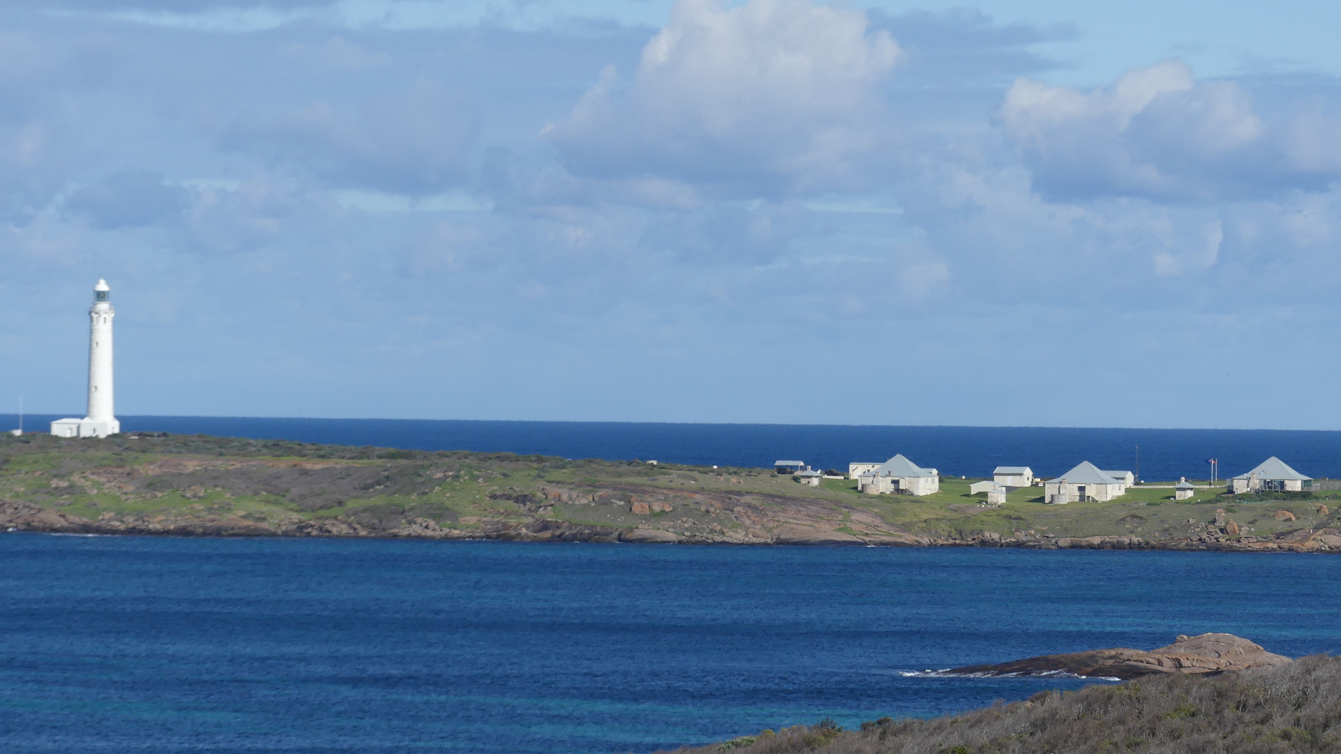
Our next destination was the Cape Leeuwin Lighthouse located on the headland of the most south-westerly point on the mainland Australia.
The light tower which is built of local stone was originally designed to show two lights – a higher white light and a lower red light. Although the foundations were completed, the lower light was never installed. It was opened with great ceremony in 1895. Until June 1982 the lens was rotated by a counter weight driving clockwork mechanism, and the beacon was a pressure kerosene mantle type. A radio navigation beacon was commissioned in 1955 and operated until 1992. The lighthouse was automated in 1982. The lighthouse, besides being a navigational aid, serves as an important automatic weather station. The lighthouse’s buildings and grounds are now vested in the local tourism body and the single (1960s) and double (1980s) communications towers that were north-west of the lighthouse, seen in older photographs of Cape Leeuwin, have been removed.
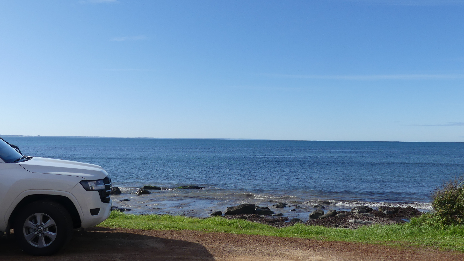
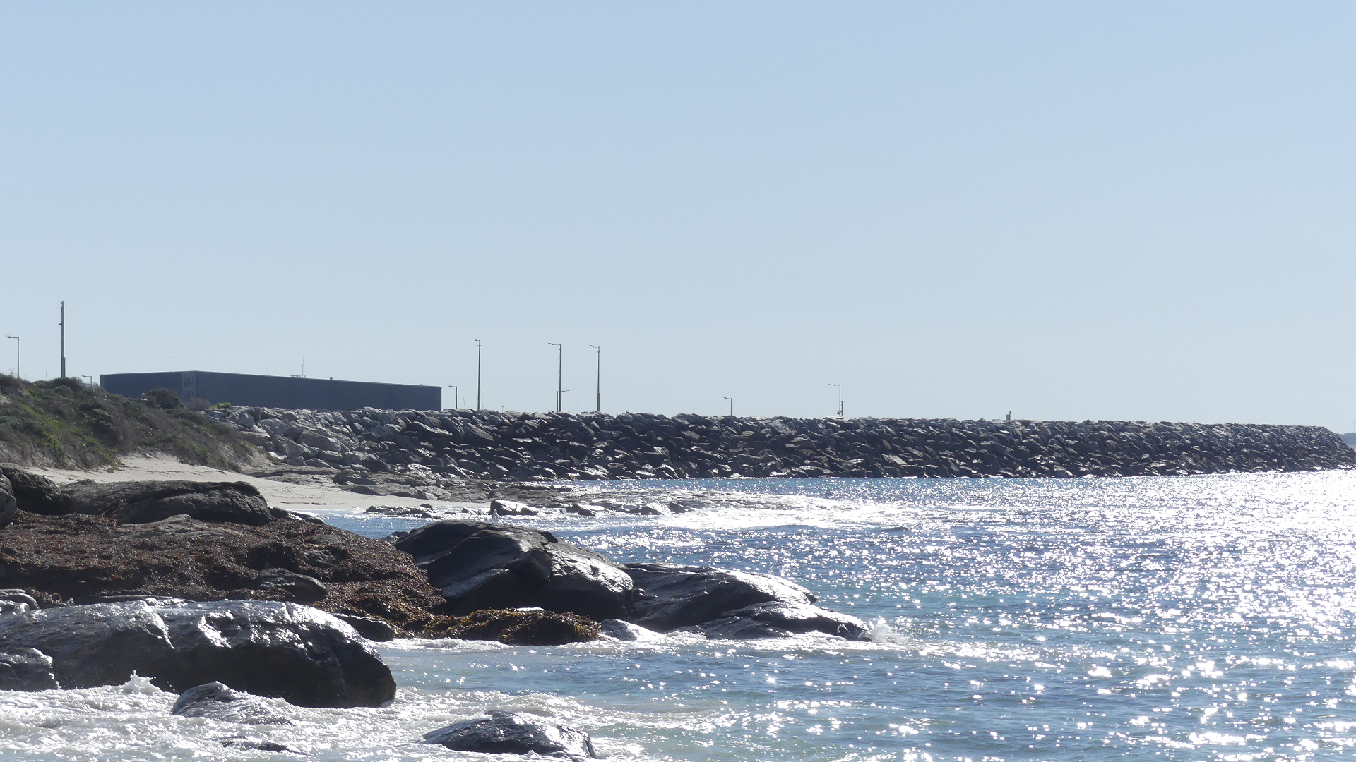
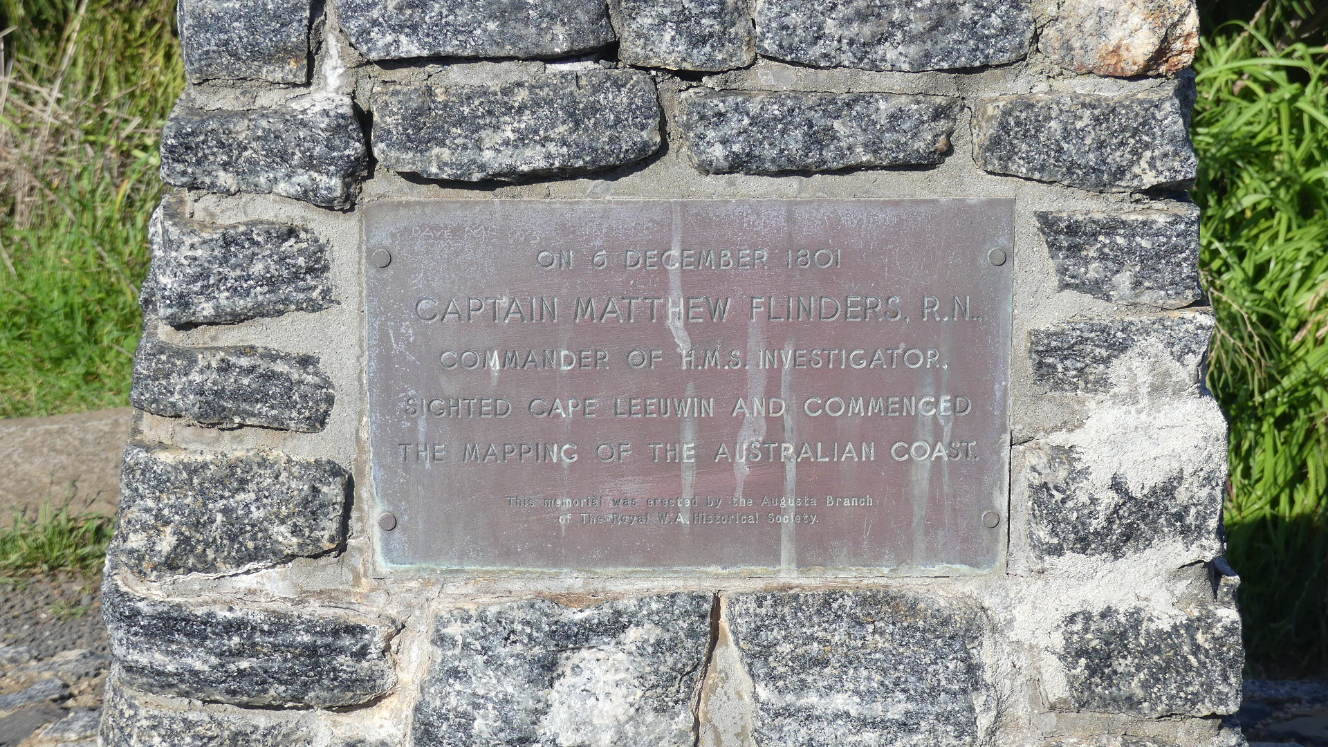
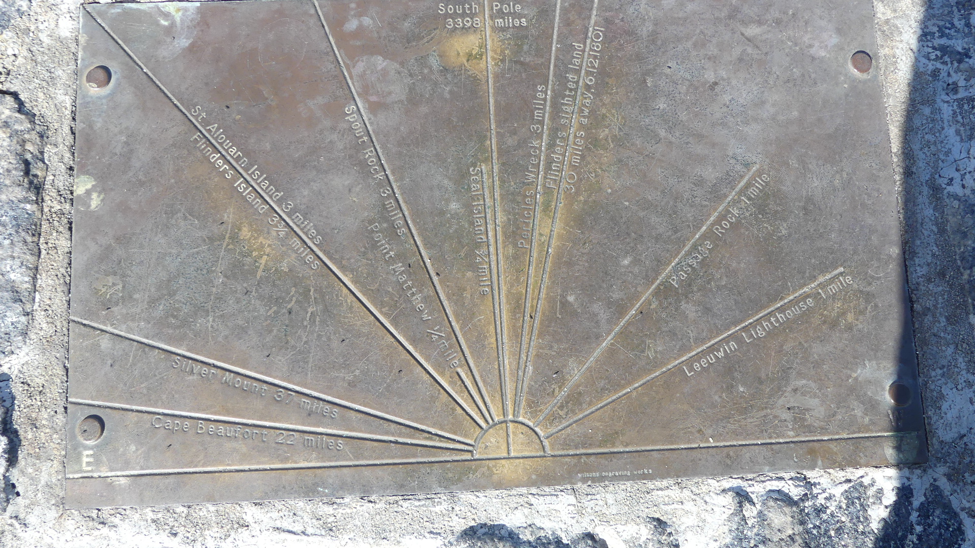
We approached the lighthouse from Augusta. The rock below commemorates the landing of the first settlers in 1830 from the Brig Emily Taylor . From that point you look out across a broad bay and behind us you can see the rock walls protecting the new marina. Immediately behind the memorial is a rock shelf decorated with the seaweed washed ashore. A bit further along is another memorial this time to Capt. Matthew Flinders RN aboard the HMS Investigator 6th December 1801 when he sighted Cape Leeuwin and commenced mapping the coast of Australia. Atop of the memorial are the features that can be sighted from this point such as the conjunction of the Indian Ocean and the Great Southern Ocean.
The reason we came this way – I don’t recall but the vista of the lighthouse emphasises the remoteness of this point. The light keepers house and other out buildings and water tanks can be seen on the right hand side of the photos. The entrance takes you into the coffee shop and gift shop and then you make your way through each of the following buildings with museums and artifacts all of which i think is to disguise how far you have to walk to get to the lighthouse. Finally we got to the reason for coming here today – to see the meeting of the two oceans


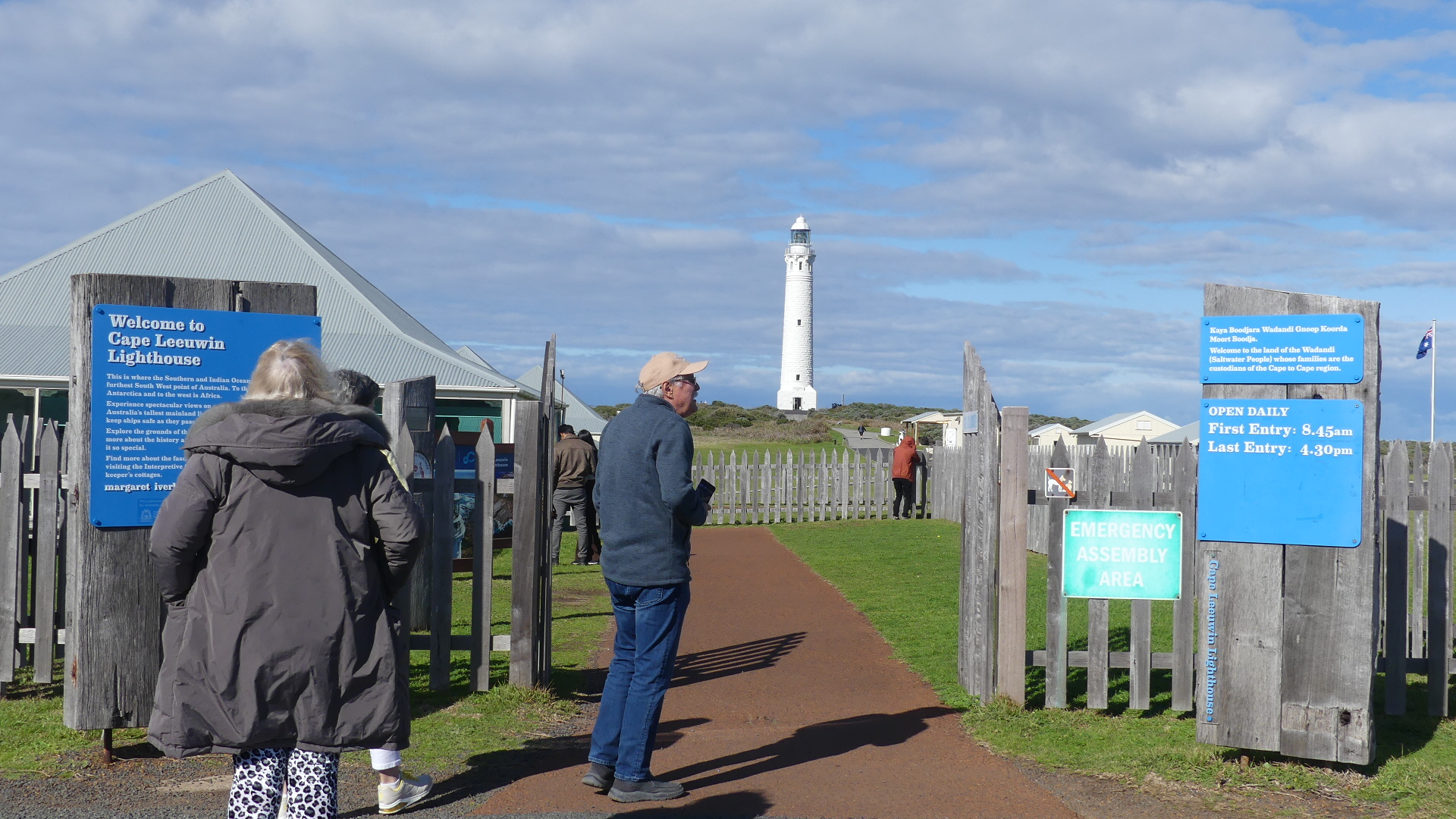

The climb to the viewing deck of the lighthouse consists of 176 steps. Enough said.
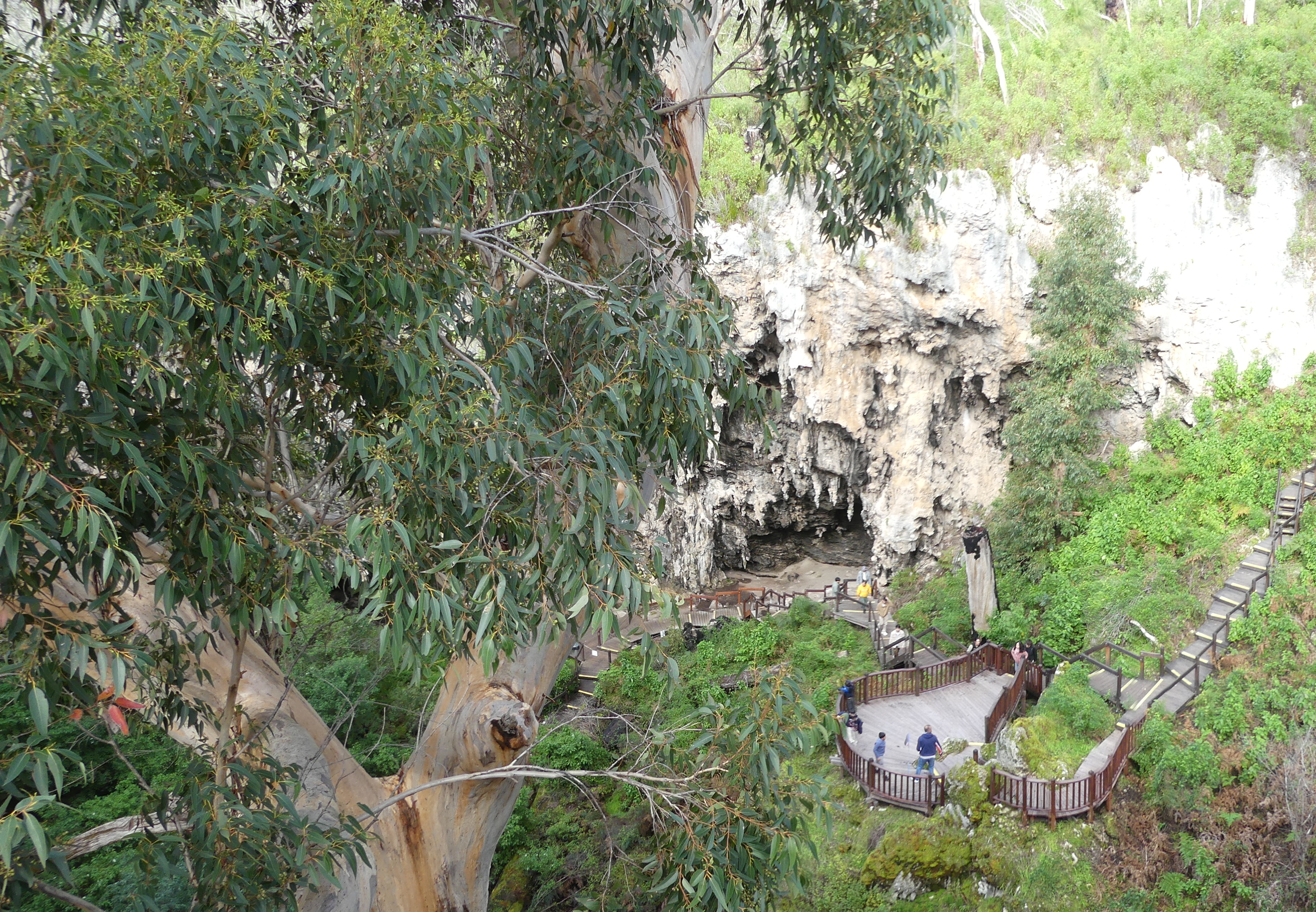
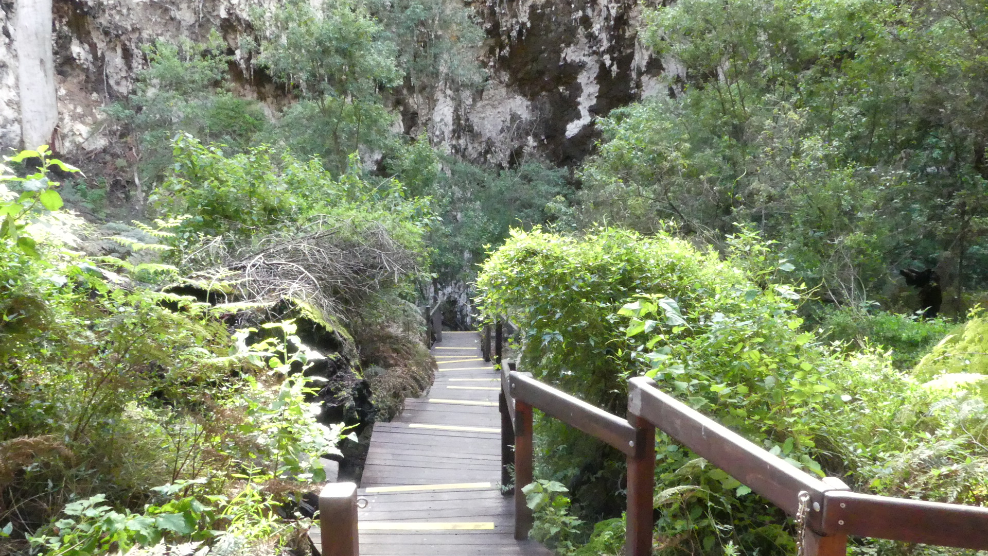
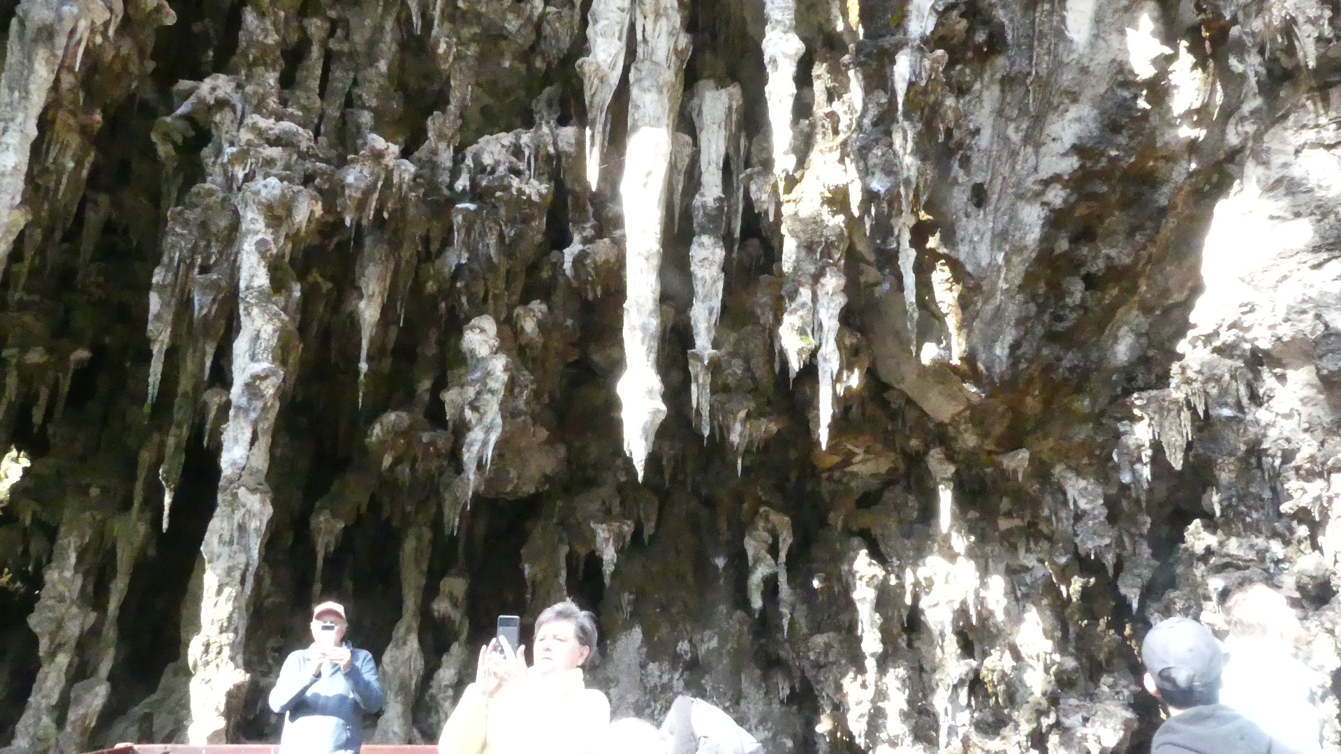
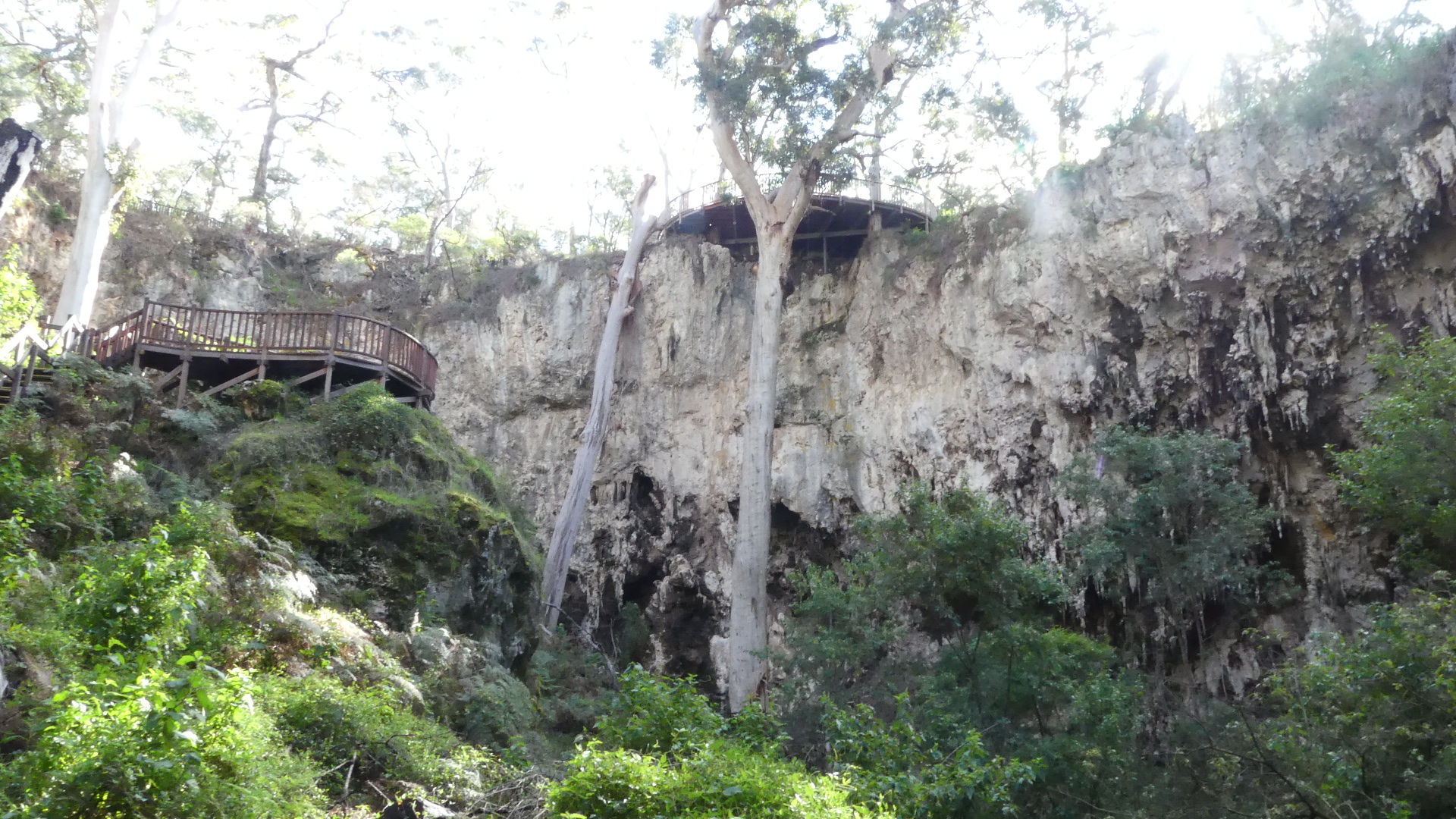
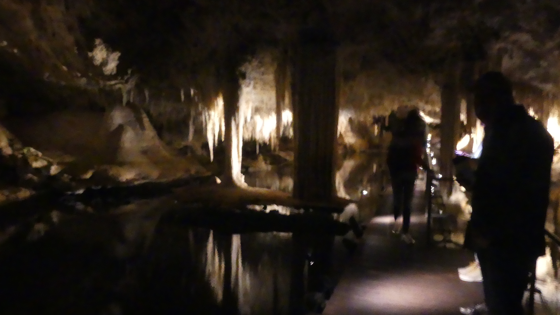
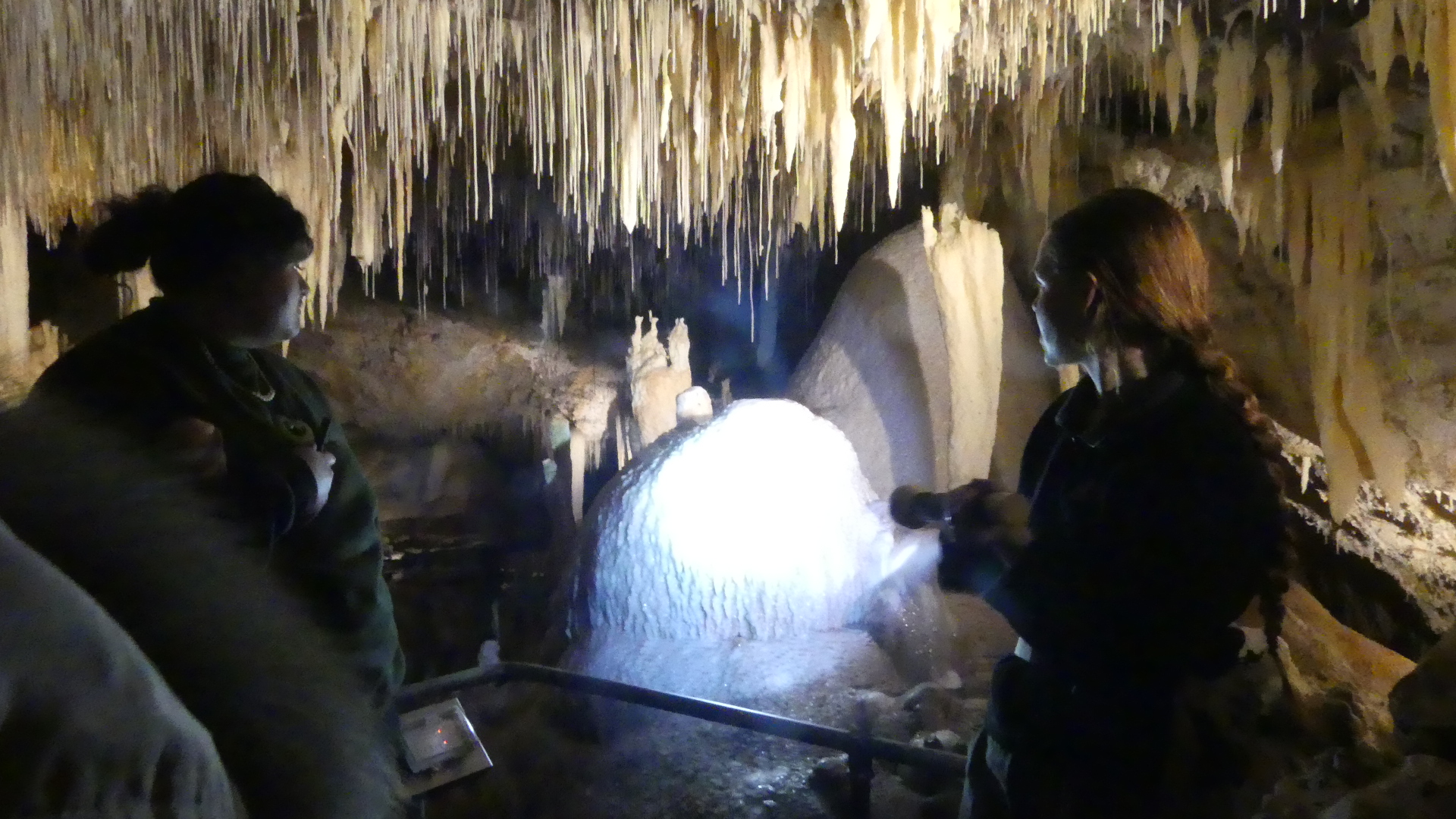
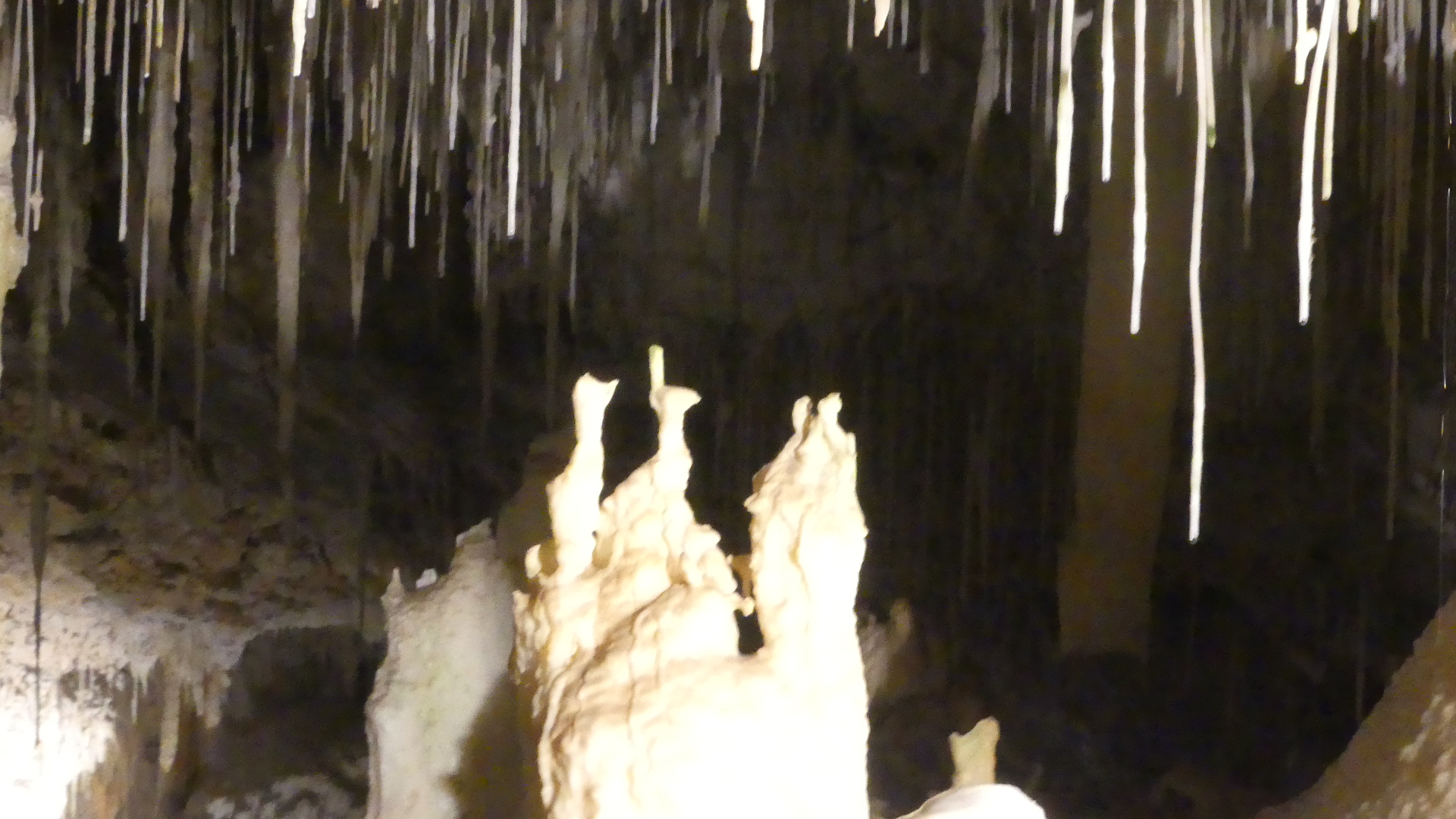
Returning north along Caves Rd we encountered the Lake Cave. It is a stunning crystal wonderland, situated deep beneath the earth. The entrance of the cave lies at the base of a spectacular sinkhole. Visitors descend a staircase through an ancient sinkhole called a doline, gazing up at the towering karri trees from the floor of the sunken forest. Inside the cave a tranquil lake reflects the delicate crystal formations that grow from the cave ceiling and dazzling crystal formations dominate the cave roof, while the unique ‘Suspended Table’ is perfectly reflected in the tranquil water below.
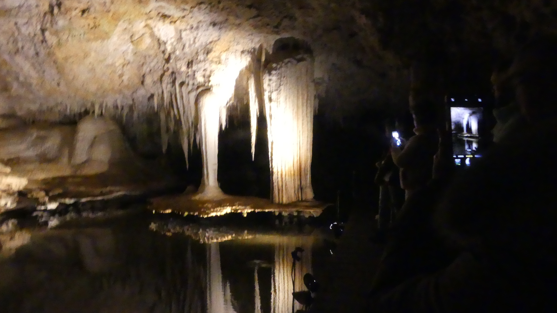
Droplets hang from the tips of straws and stalactites before dropping to the cave floor or into the lake creating ripples in the water’s reflections. The unique ‘Suspended Table’ formation, which weighs several tonnes and seems to defy gravity as it hovers above the clear lake water is one of the unique features within the cave. We took a guided. They say there is moderate physical exertion required to enter this cave. Don’t believe it for a minute – easy going down but when you make your way back up the staircase of the magnificent doline do it at your own pace.
Looking at the photos we start at the Visitors centre and from there you walk out onto a deck above a huge sinkhole – you have to see it to believe it. As you go down there are a number of changes in direction and this has alot to do with the return journey being exhausting. You will see a large rock lying on its side (from the left down photo 8) and this is a staligmite that collsaped during a recent bush fire almost sealing off the entrance to the cave. The photo to the right of the staligmite is the hole it came from. The inside the cave is like a fairyland. Photos 10 and 11 show you the suspended table formed by flood waters through the cave. The final photo #17 is the doorway to the tunnel that was drilled to release the flood water to preserve the cave.


Well we have visited many caves around the world, but we were about to encounter the worst return to the Visitors Centre – up the stairs. Well I don’t know how many stairs but both Kerry and I took at least half an hour to climb out of the hole and that was it for us that day. Dale and Zdravka patiently awaited our climb and I may have had a nanny nap going home. Tomorrow we will go north again to Busselton – no stairs.
