“THE RETIREES GO AROUND THE WORLD – DAY 9 SS NIEUW STATENDAM – Isle of Man“

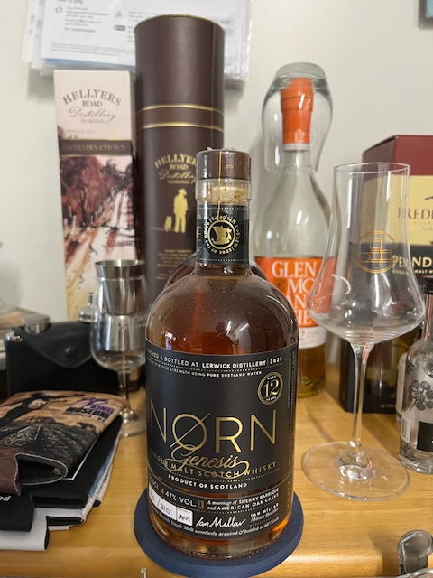
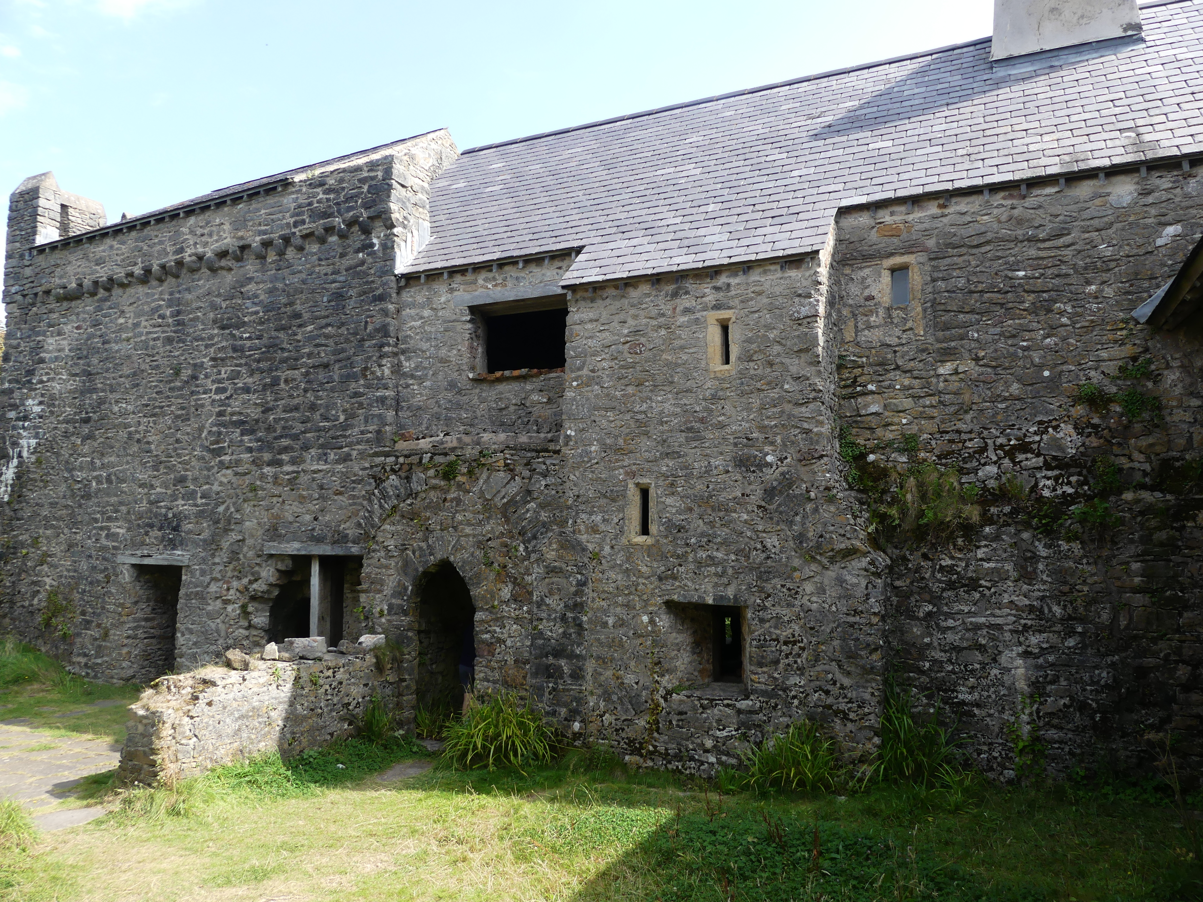
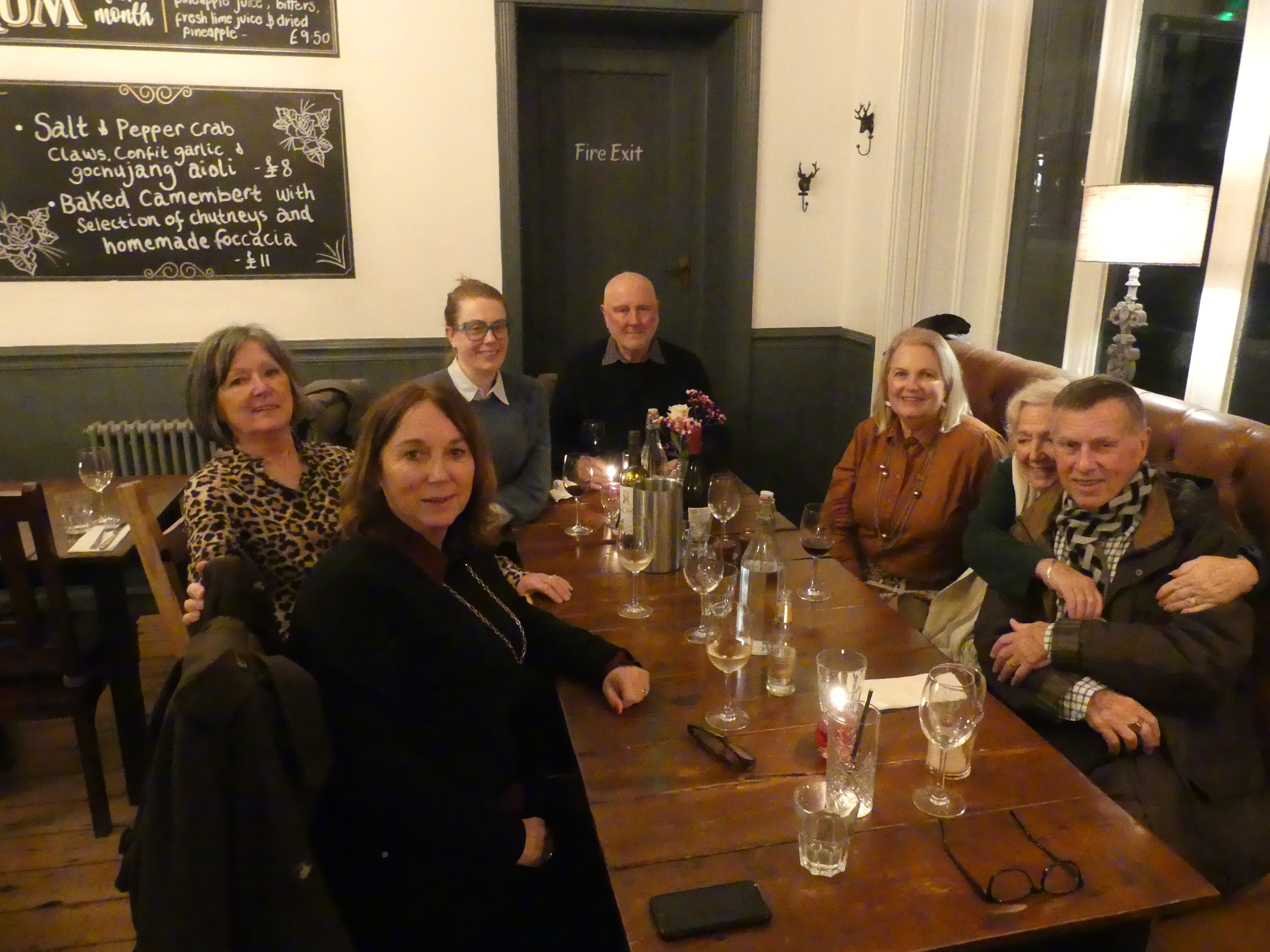
Thanks to Wikipedia here are a few facts I have learnt from my visit to the Isle of Man and reading Simon Winchester’s book on the Remains of Empire.

The Isle of Man (Manx: Mannin) is a self-governing British Crown Dependency in the Irish Sea, known for its Celtic and Viking heritage, rugged landscapes, and unique status as not being part of the UK but under the British Crown. It boasts its own parliament (Tynwald), laws, and distinct culture, symbolized by the three-legged triskelion and motto, “Whichever way you throw it, it will stand”. The capital is Douglas, and famous for the annual TT motorcycle race and its thriving finance sector. Crown Dependency, with internal self-governance; the UK handles defense and foreign relations. Head of State: King Charles III, holding the title Lord of Mann. Official Languages: English and Manx (Gaelic). Symbols: The Three Legs of Man (triskelion) and the motto Quocunque Jeceris Stabit (Wherever you throw it, it shall stand).

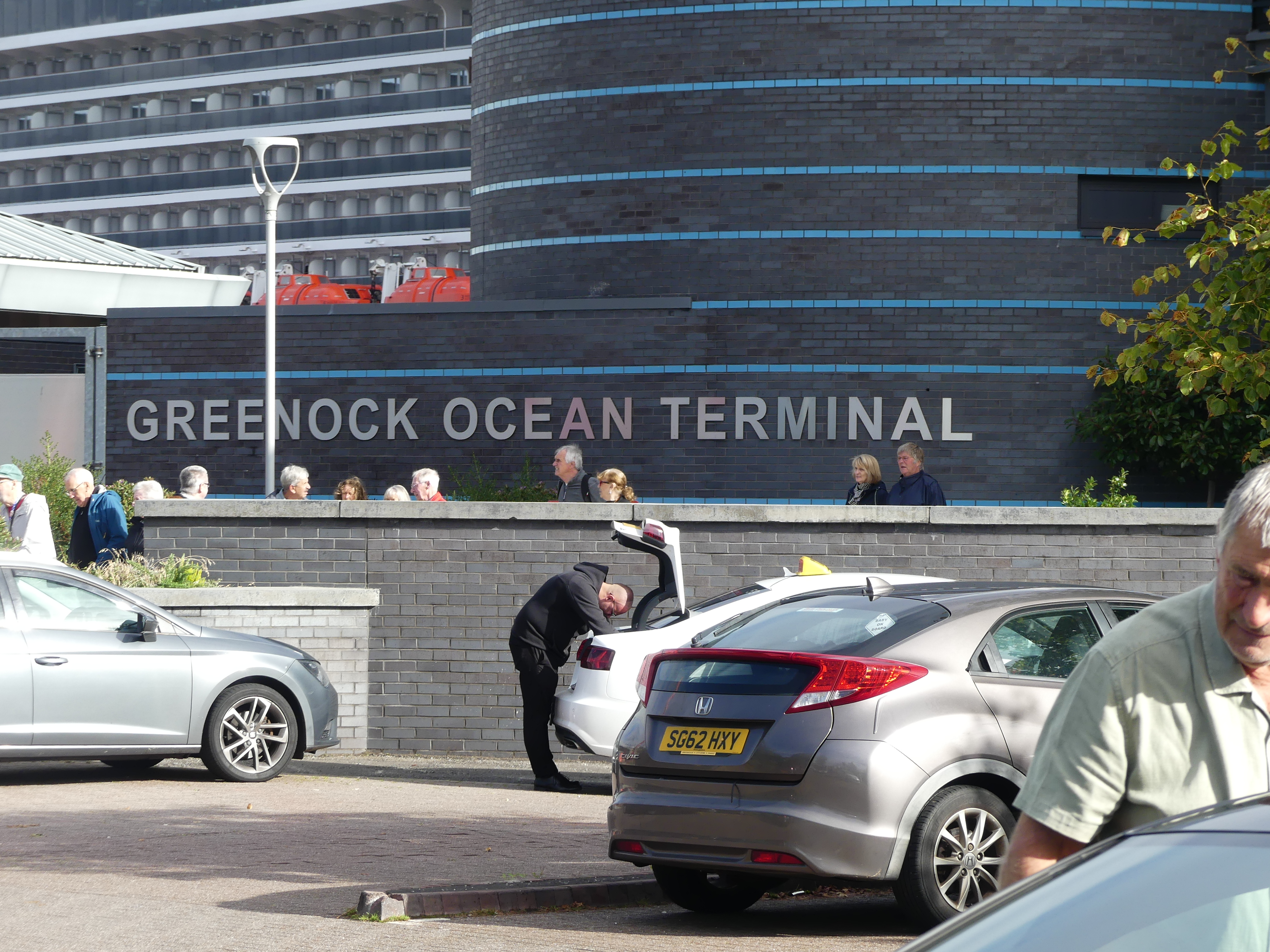
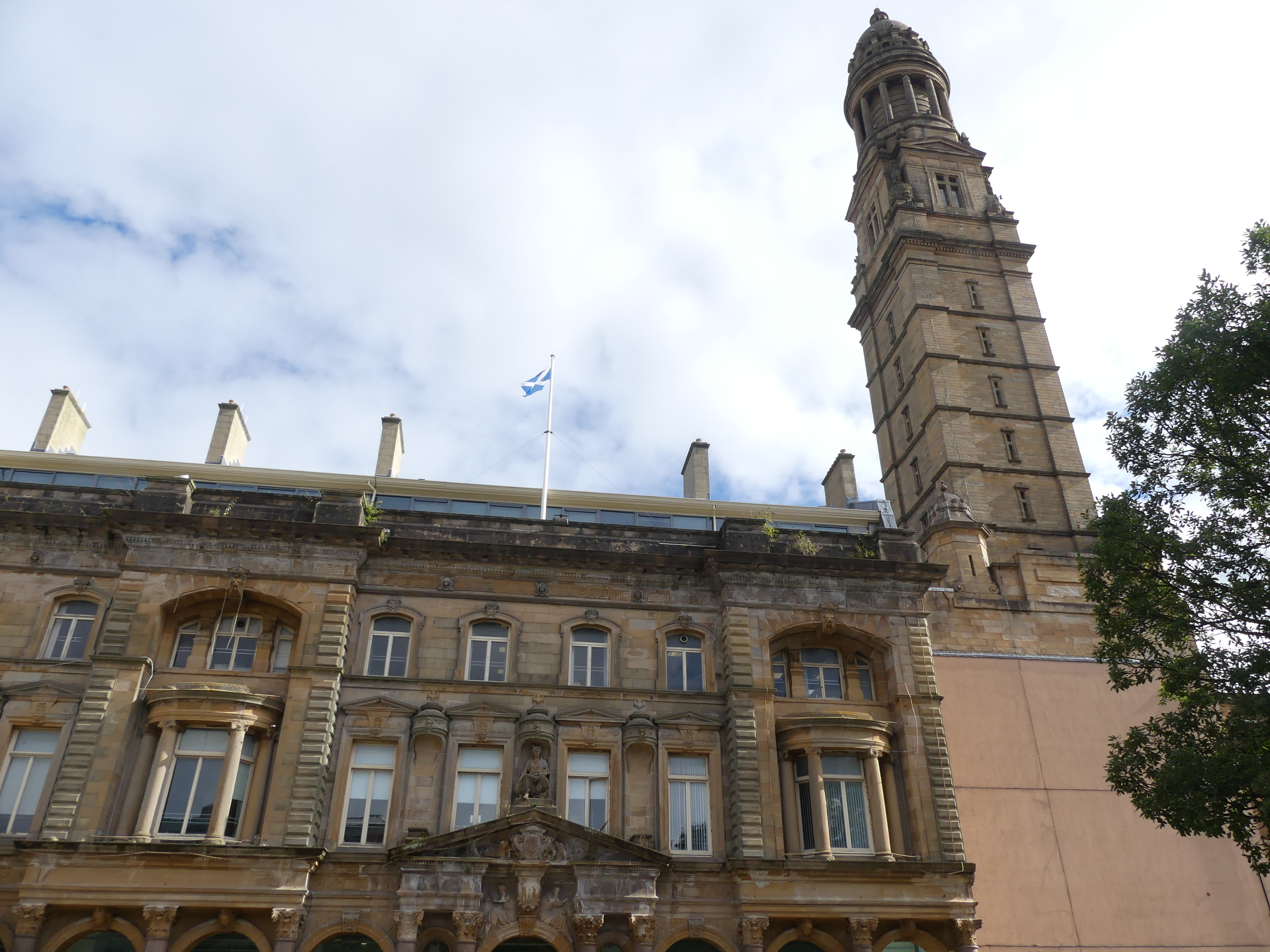
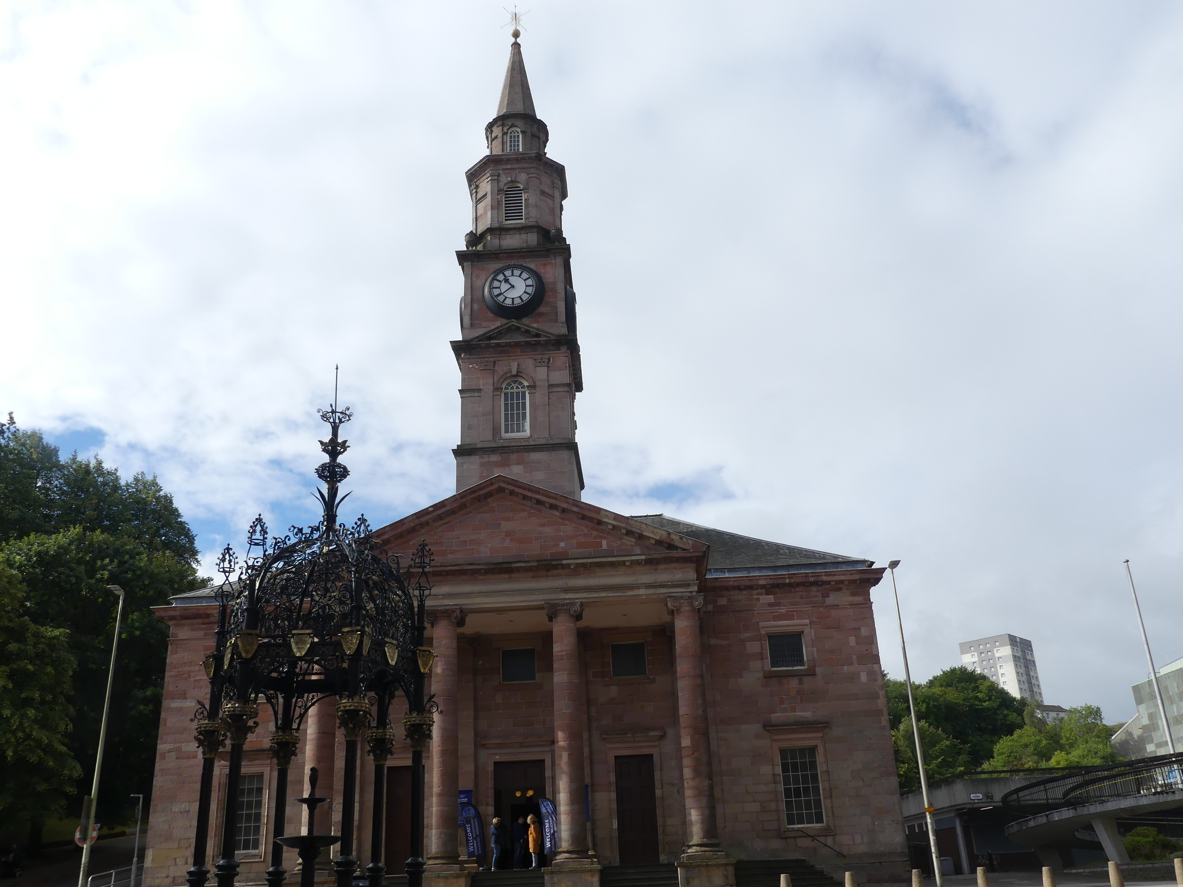
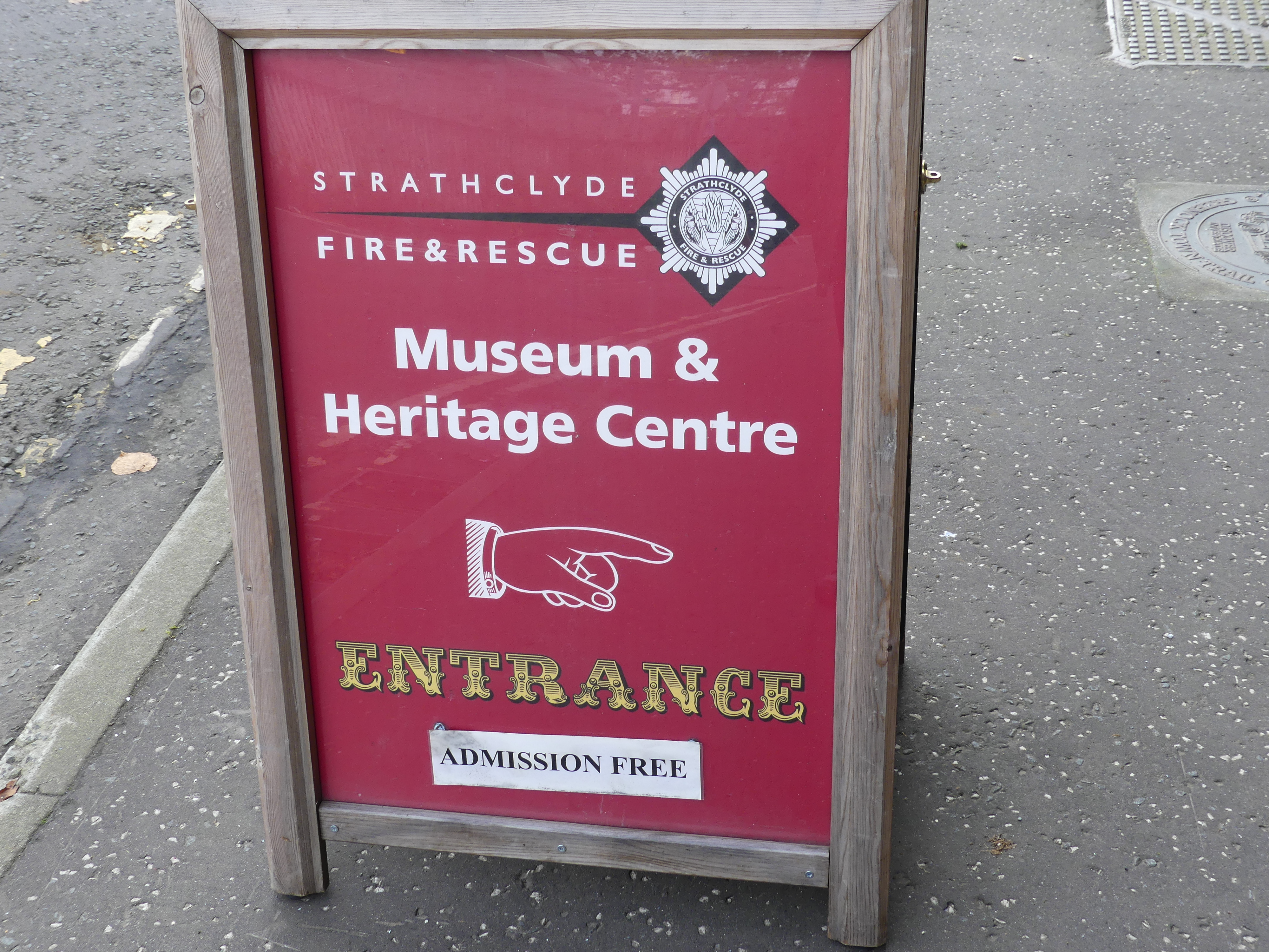
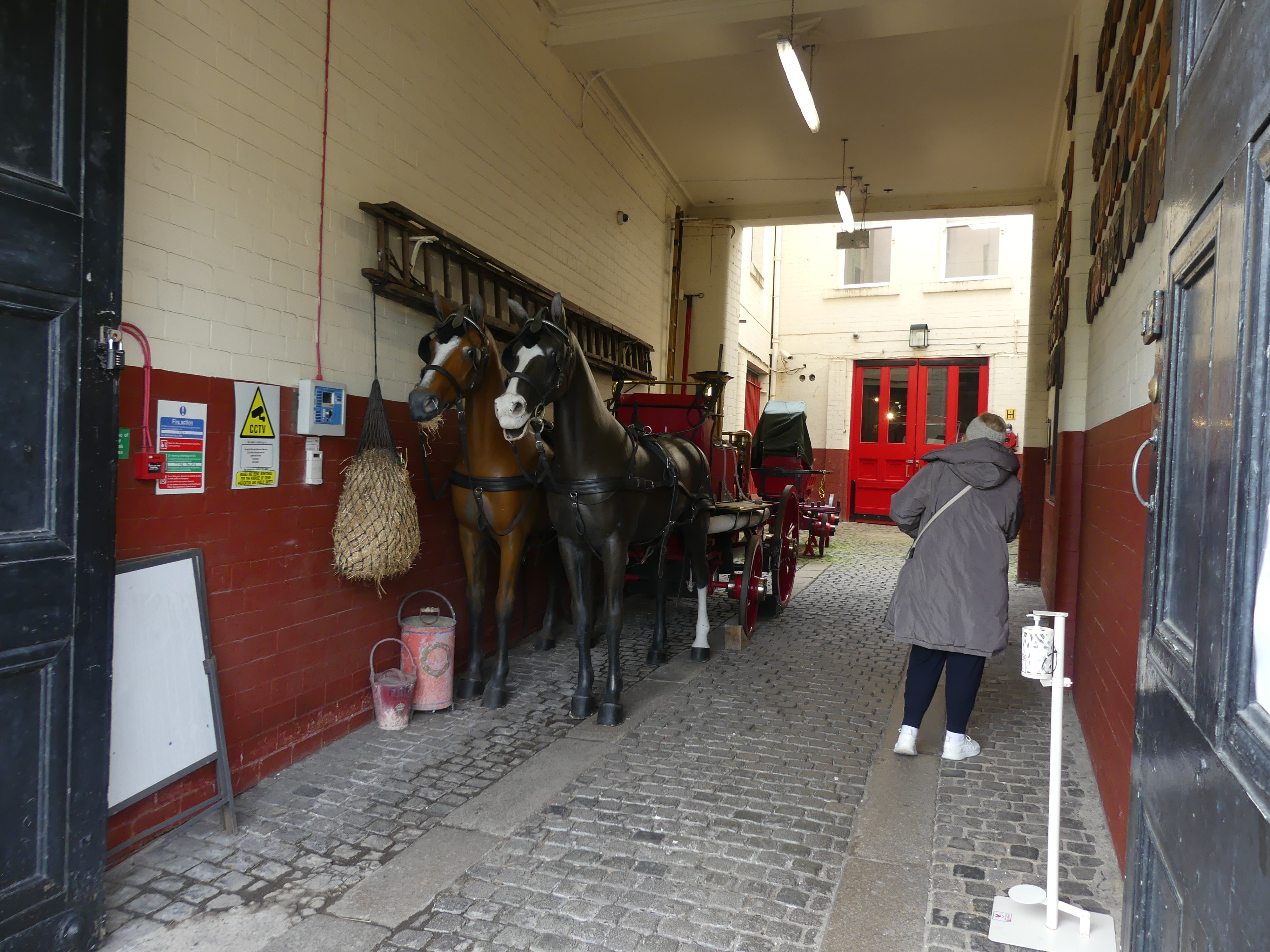
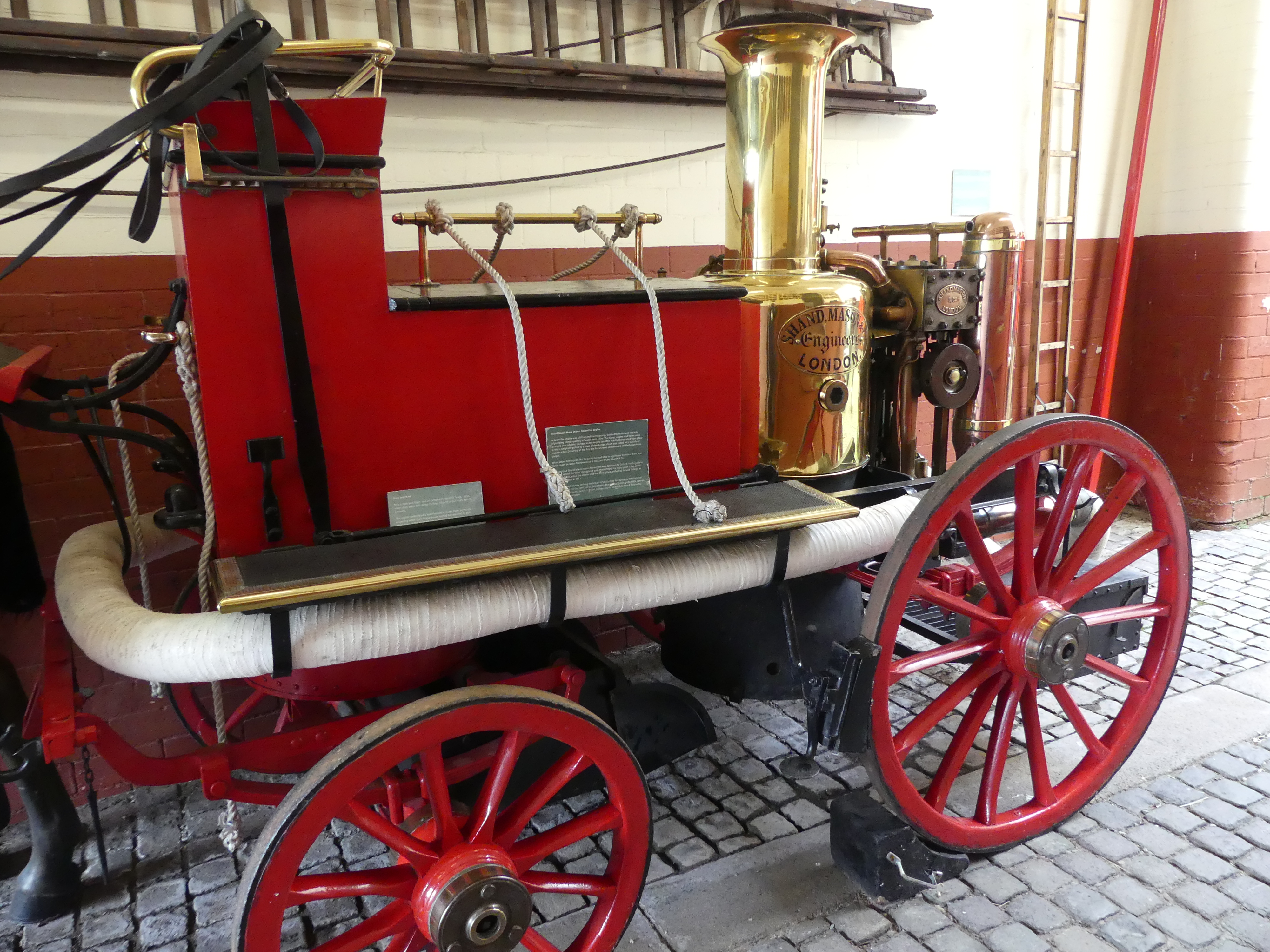
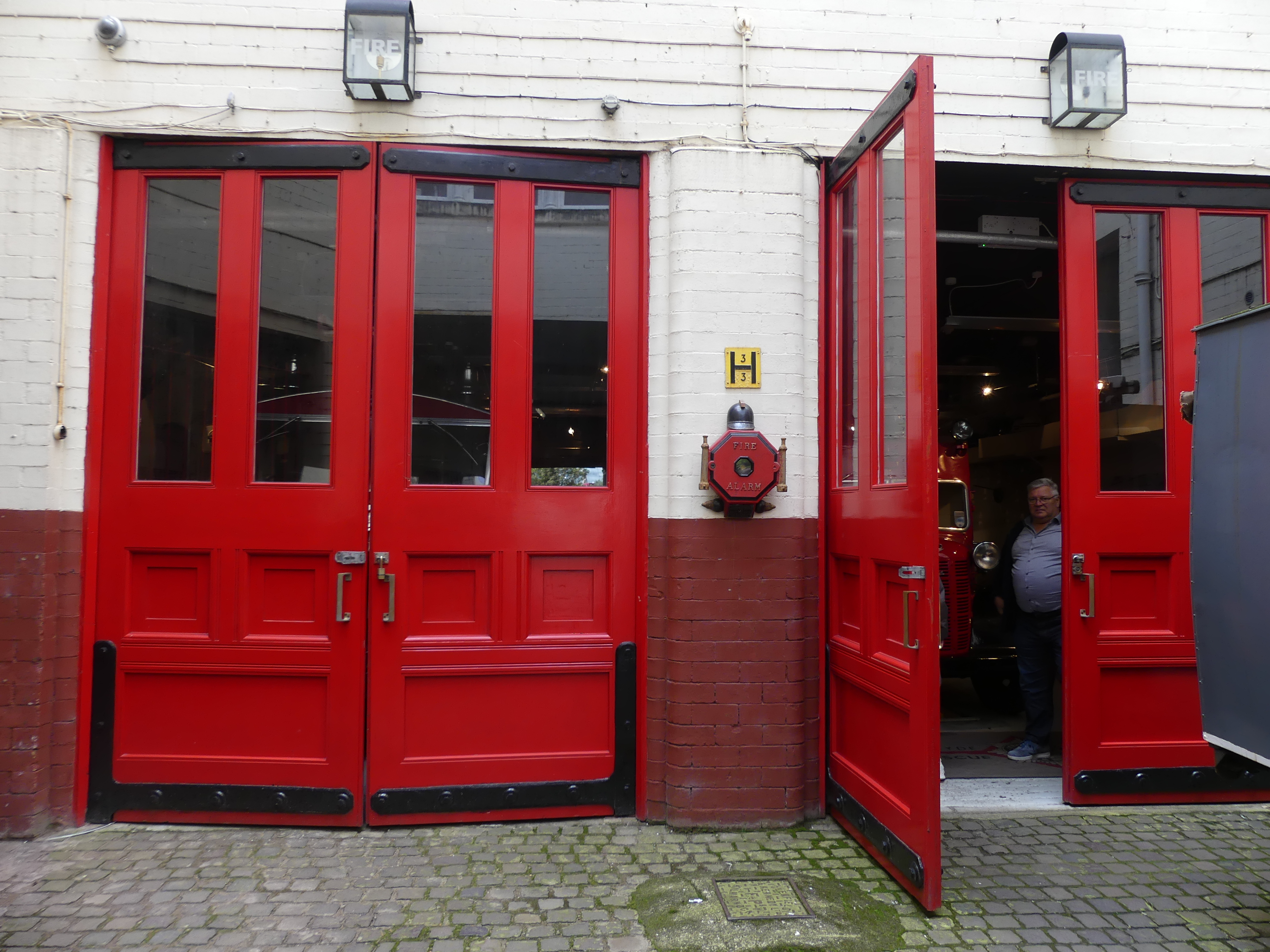
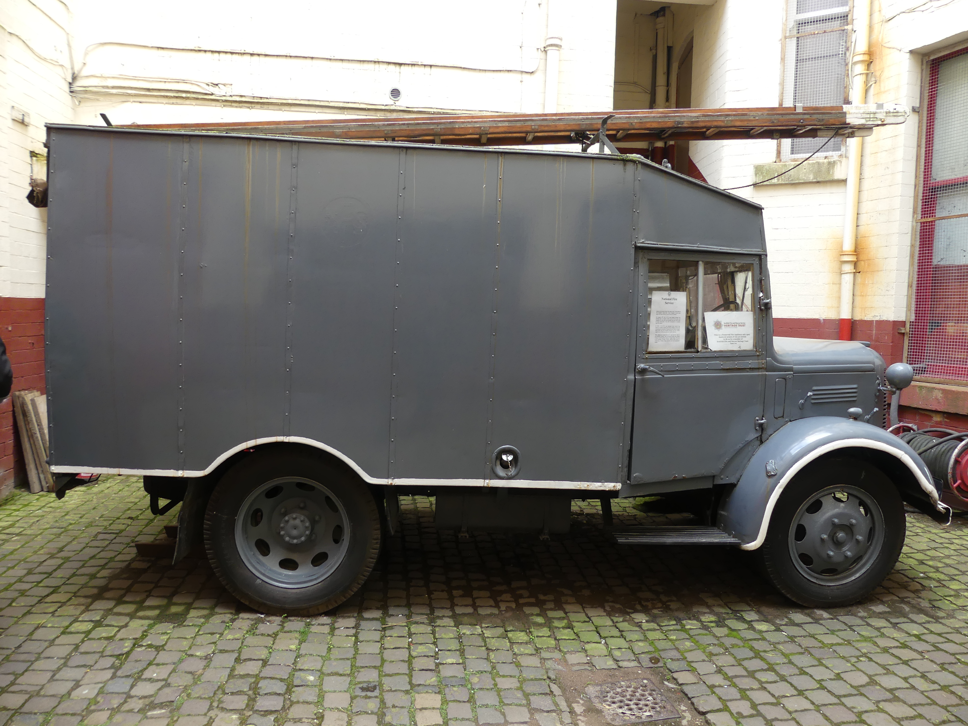
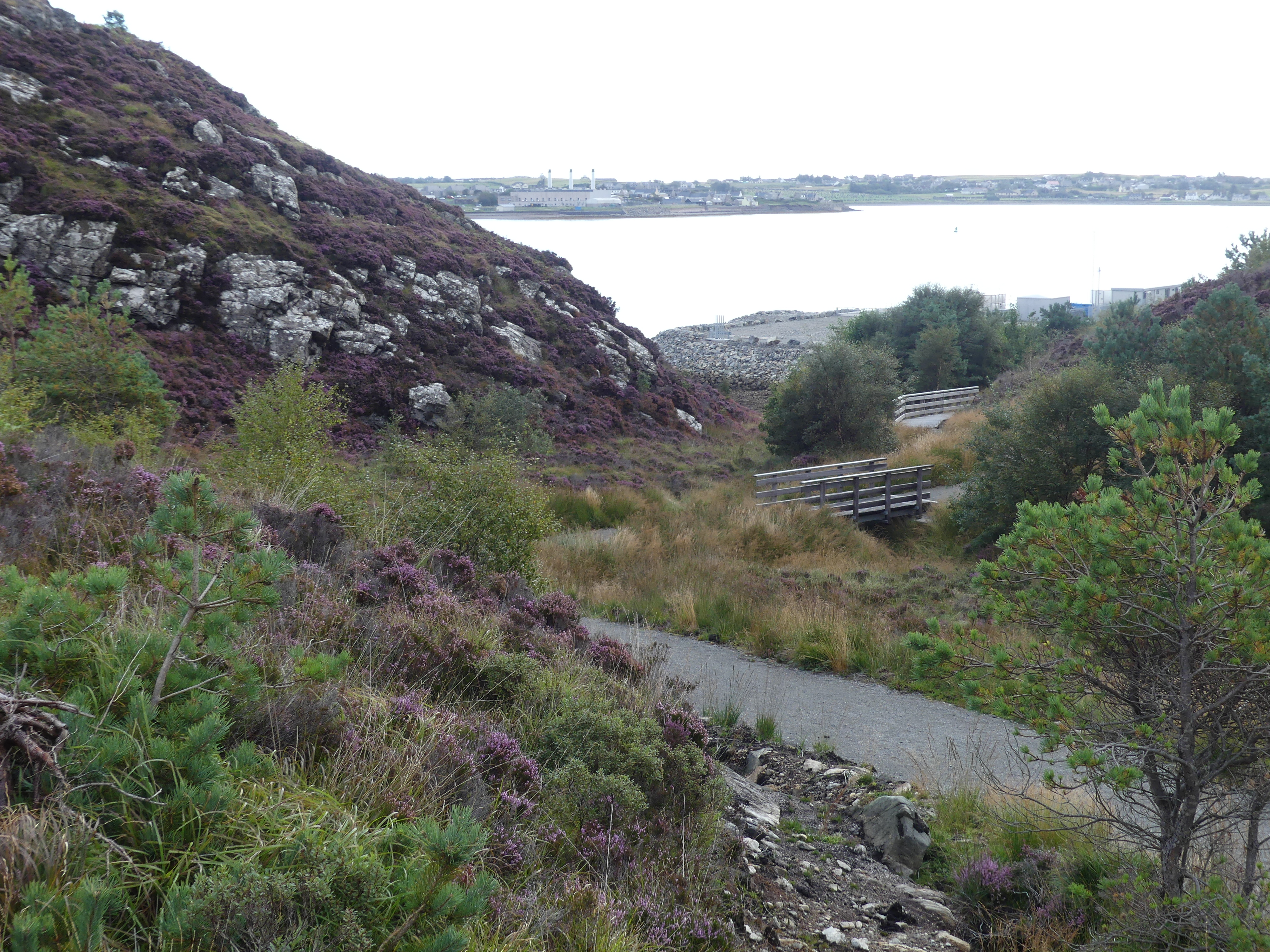
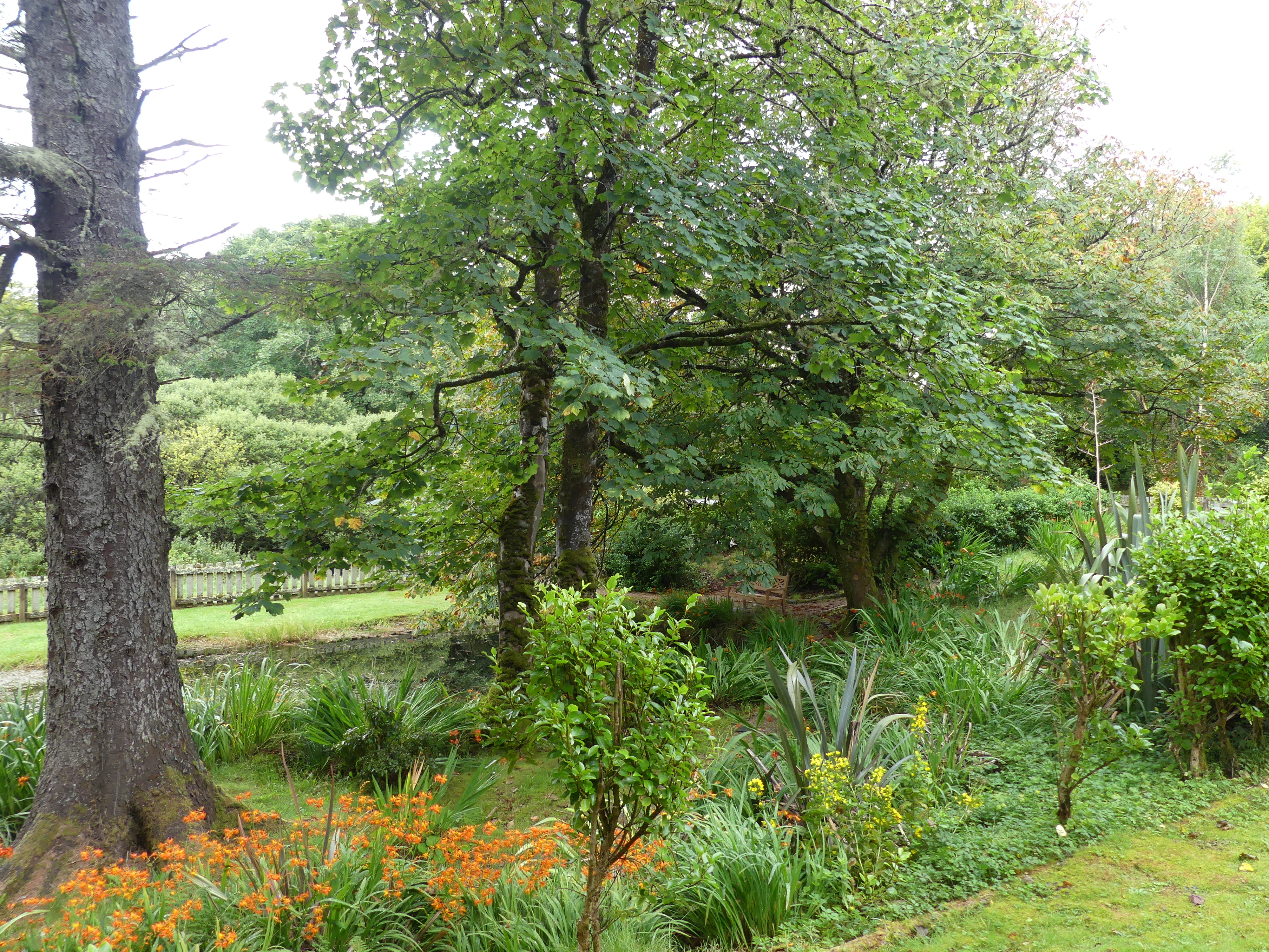
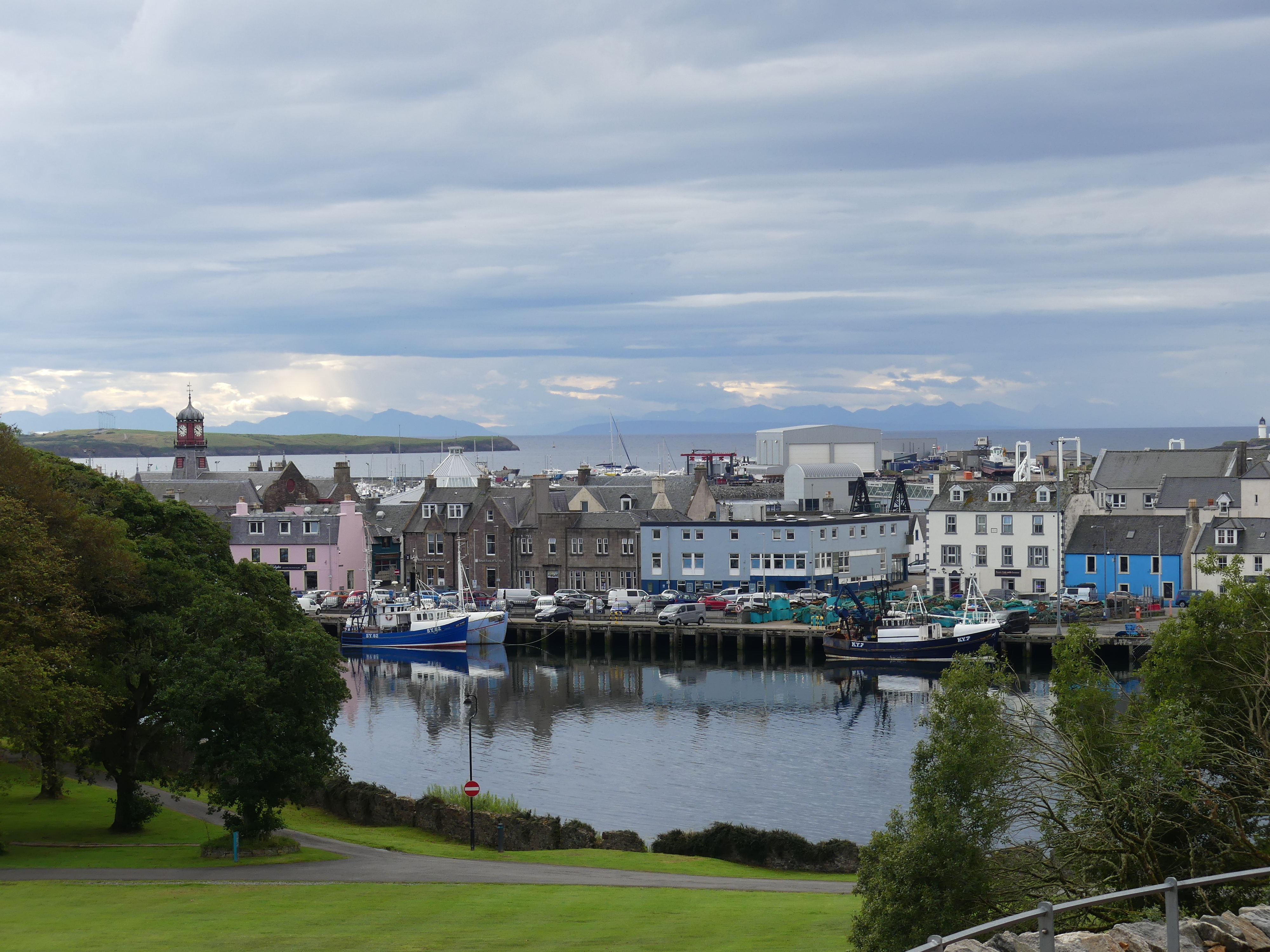
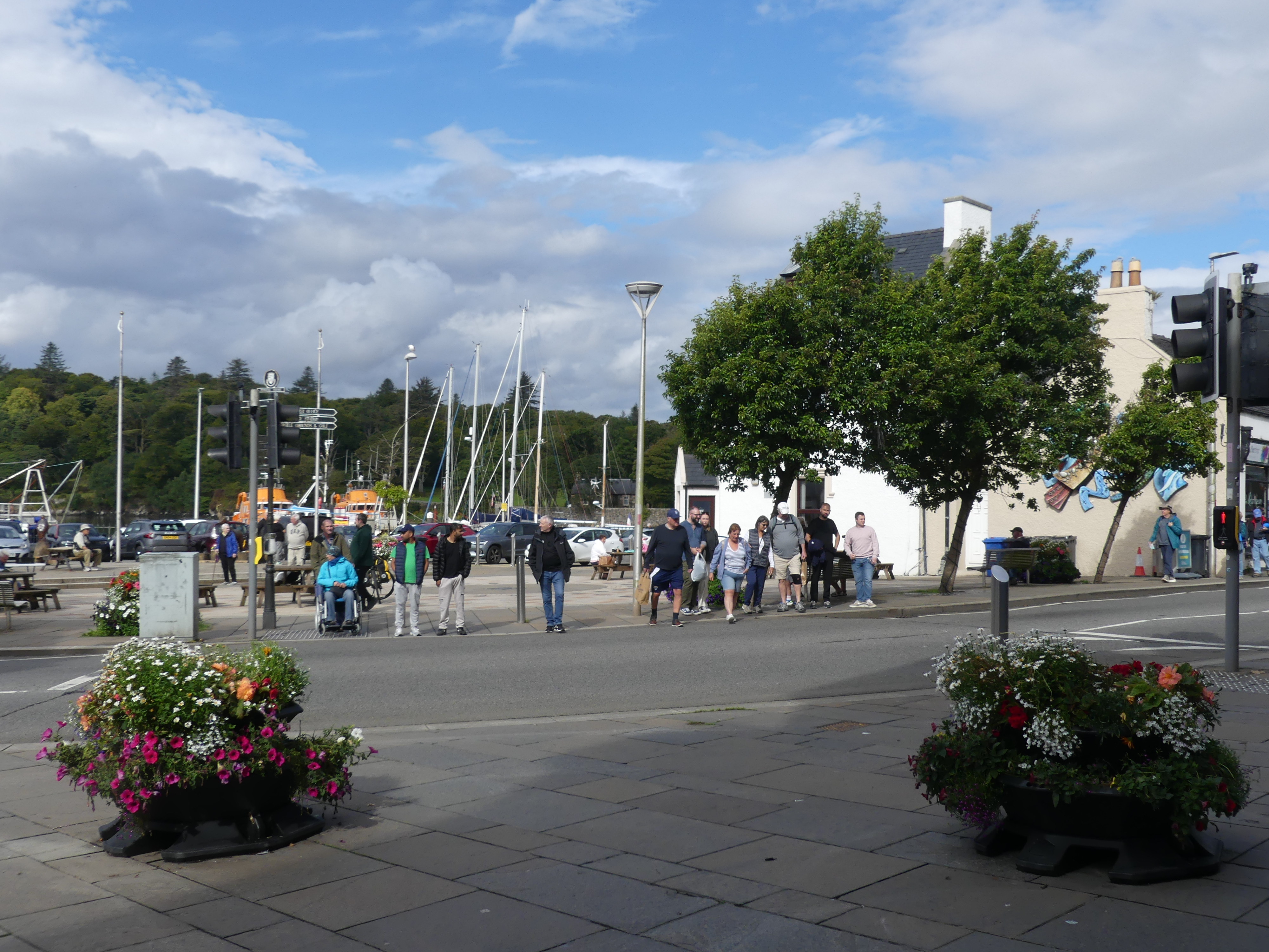
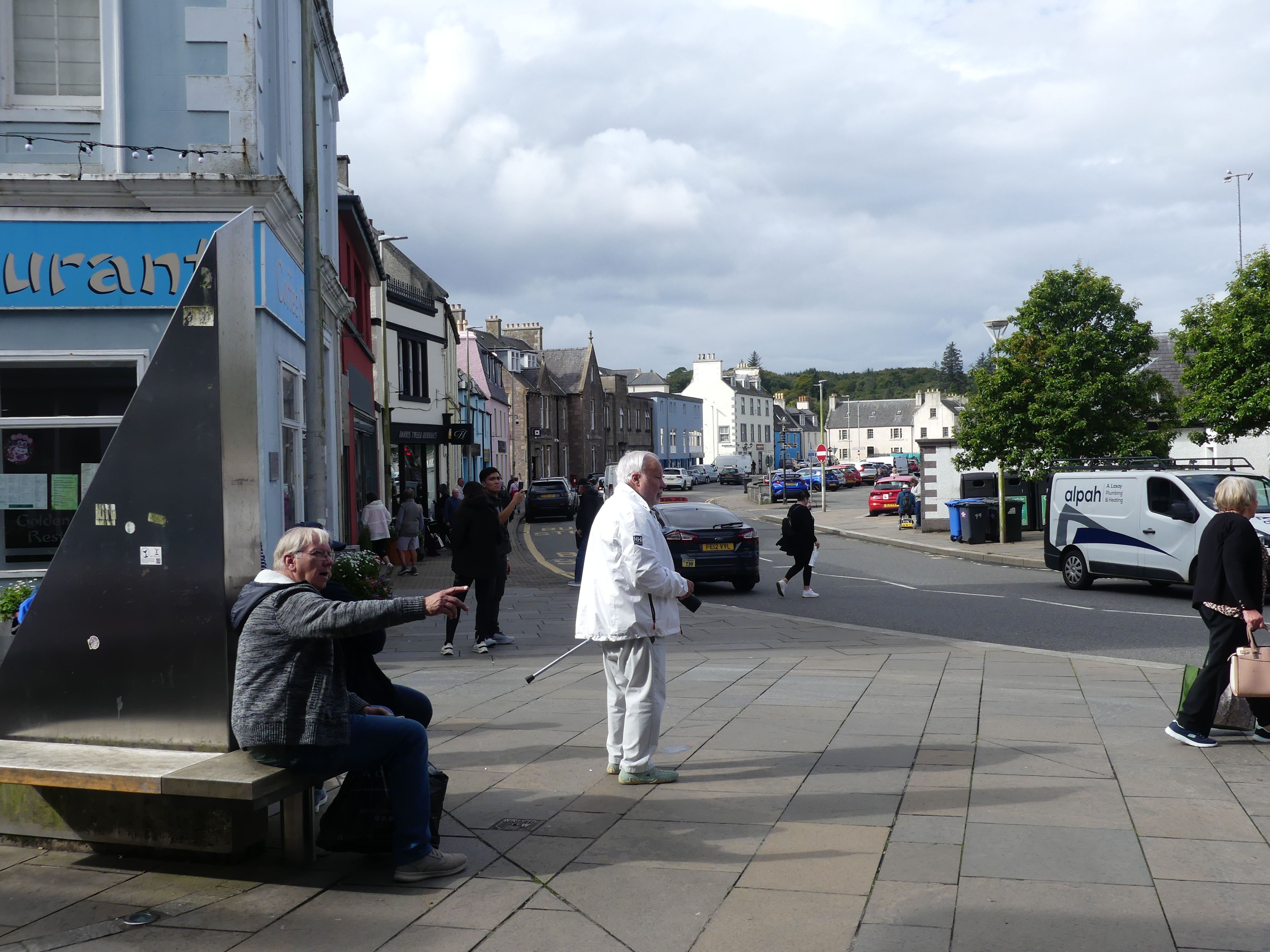
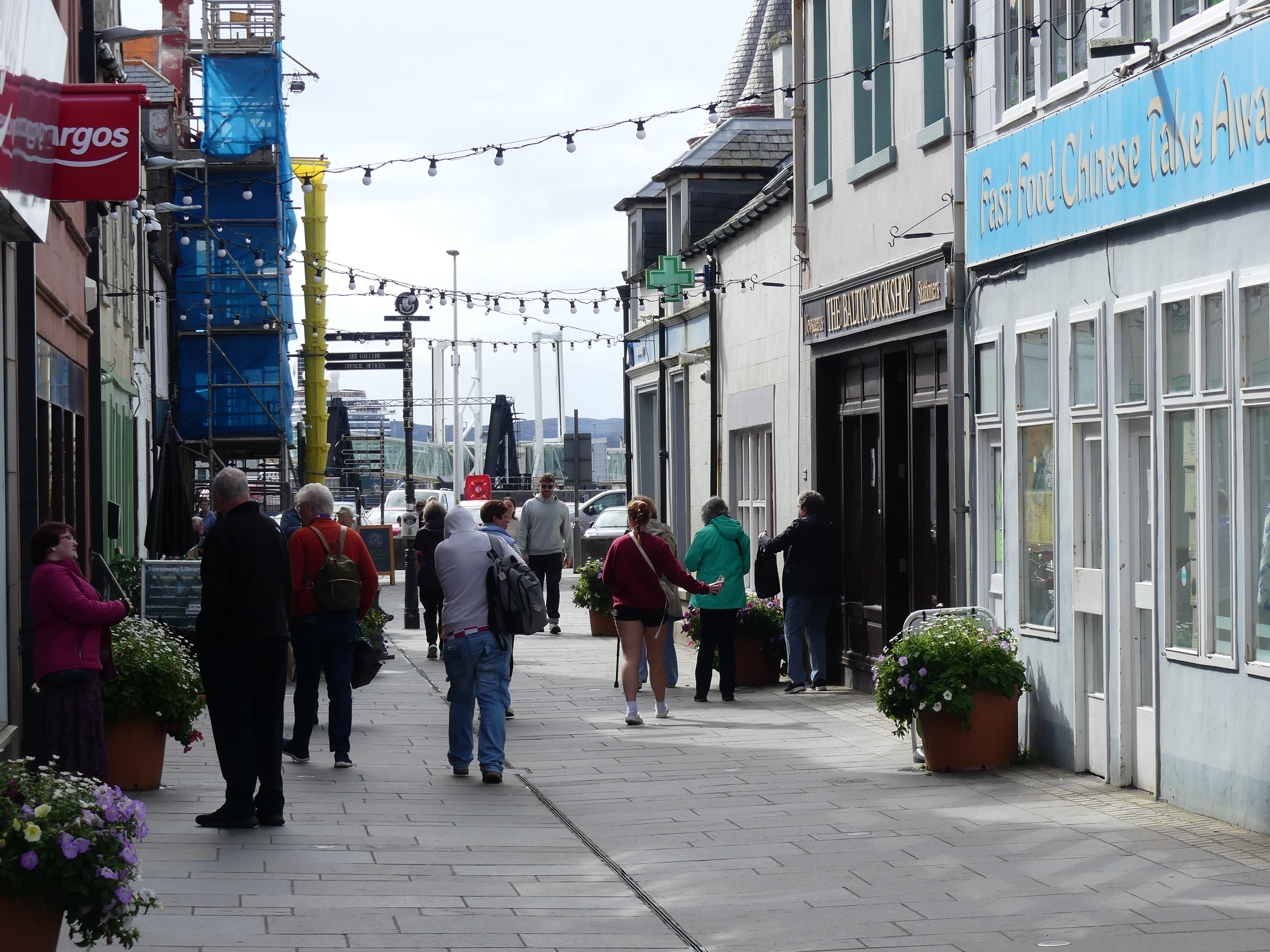
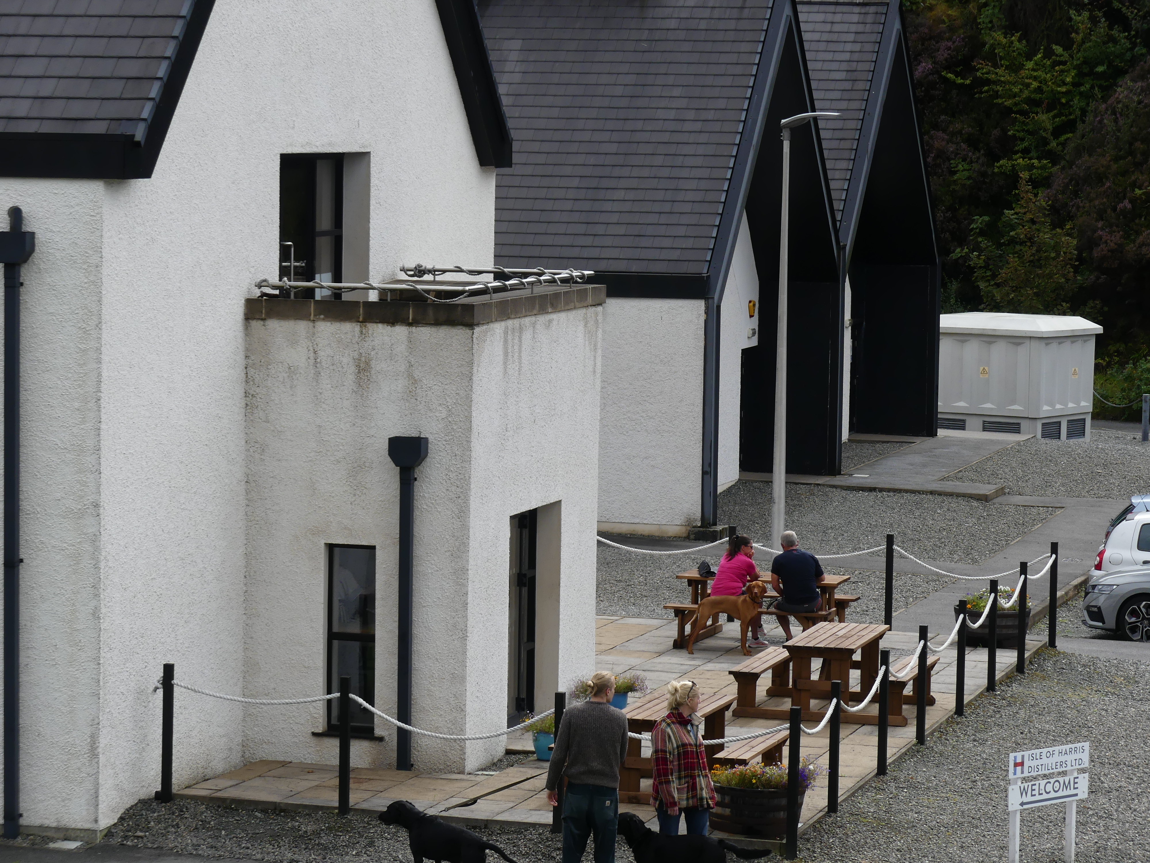
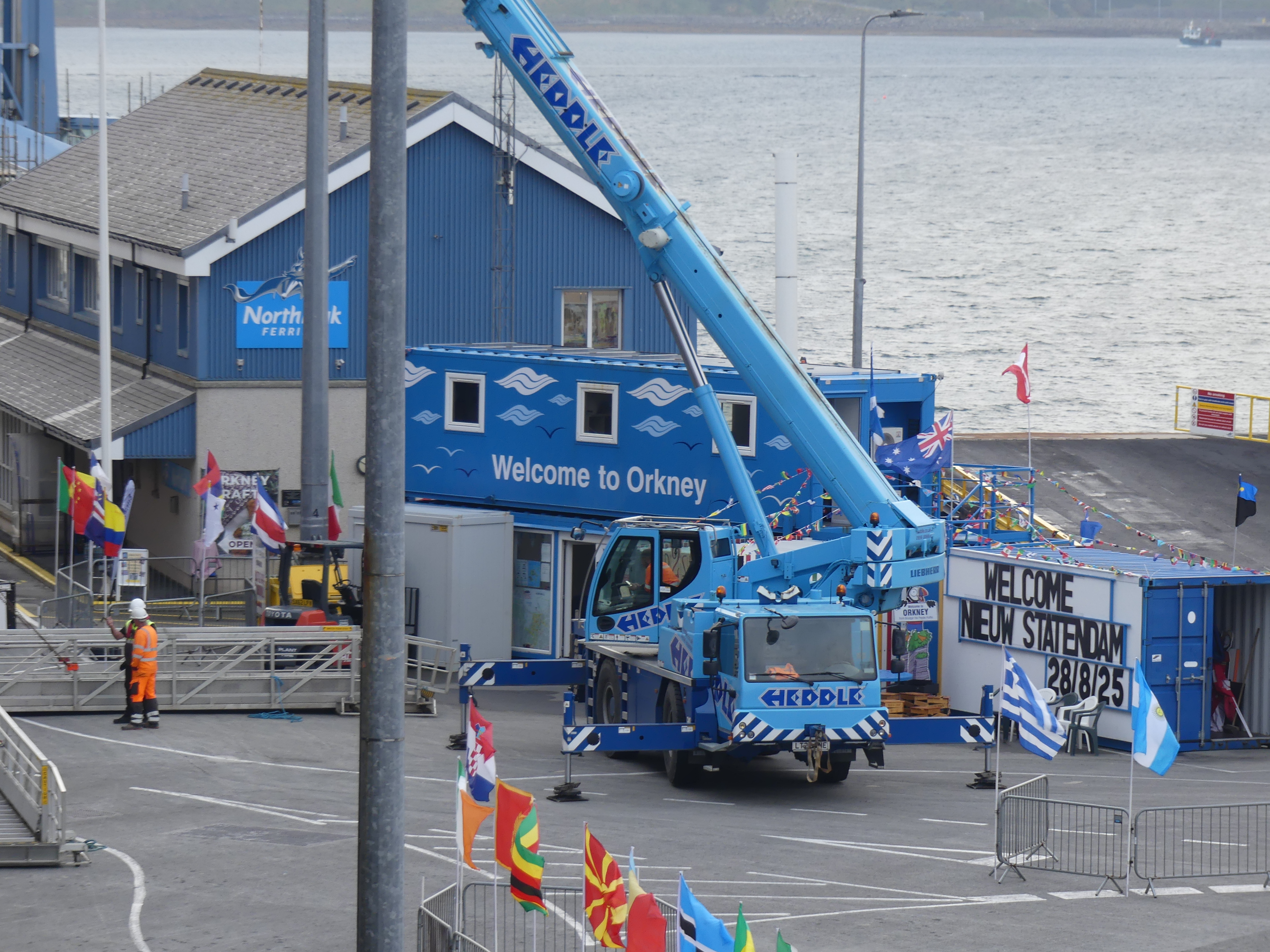
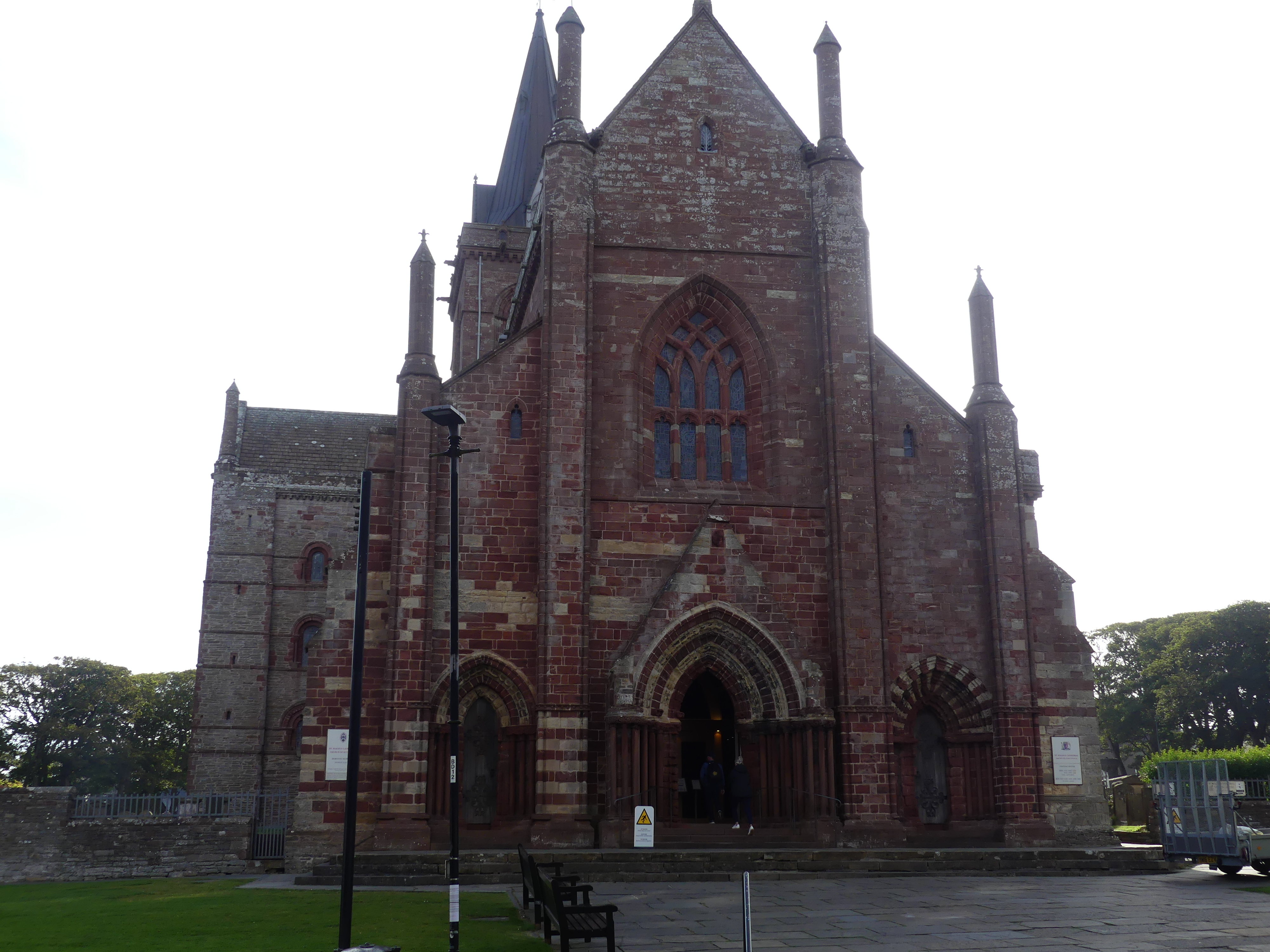
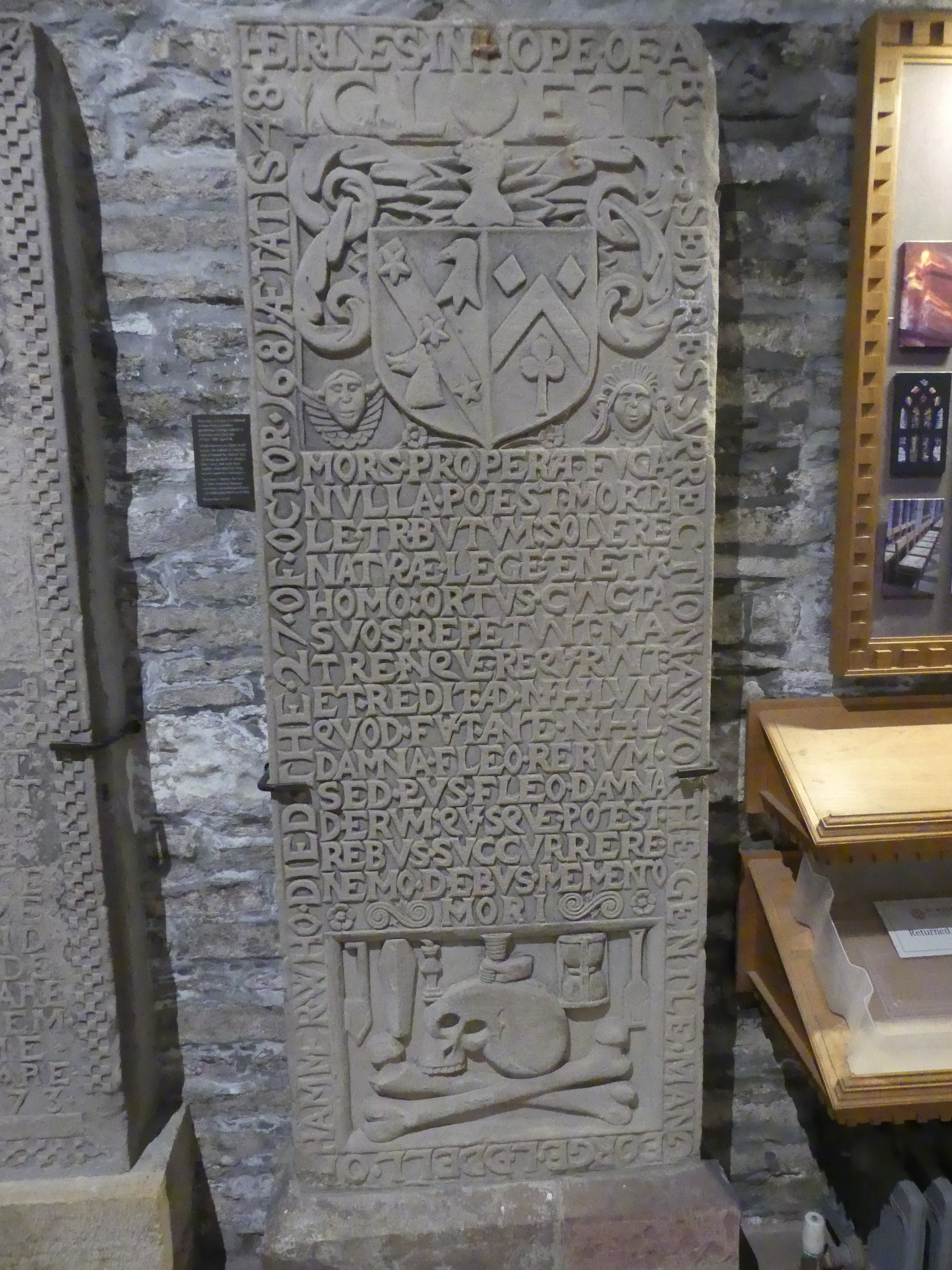
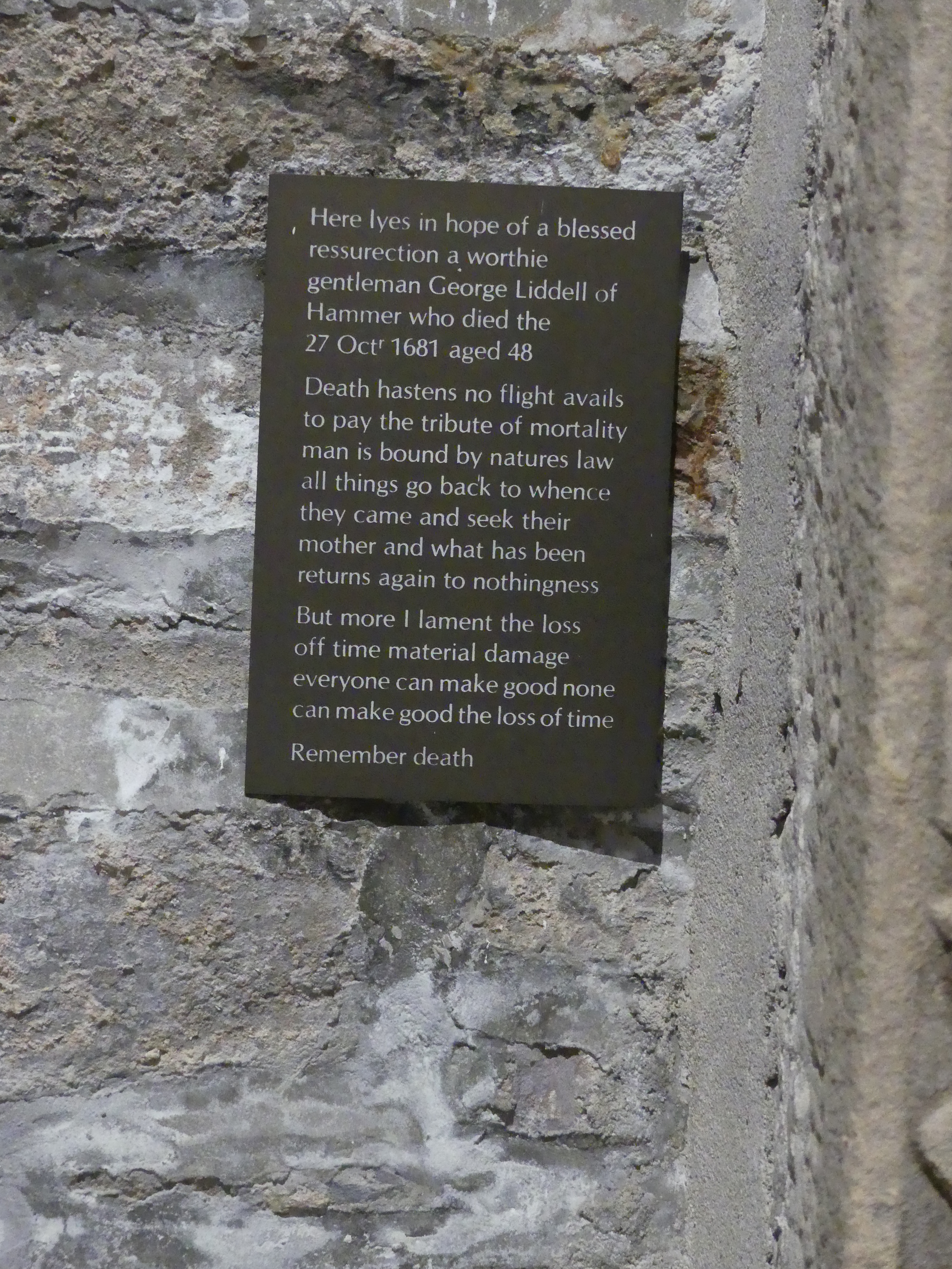
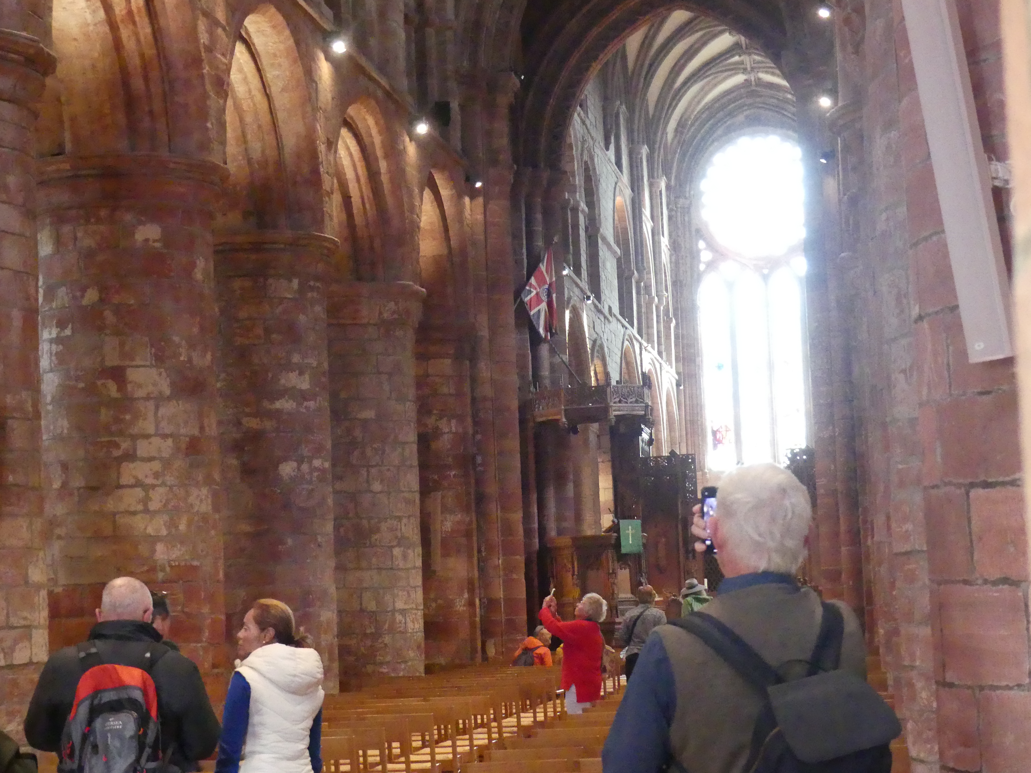
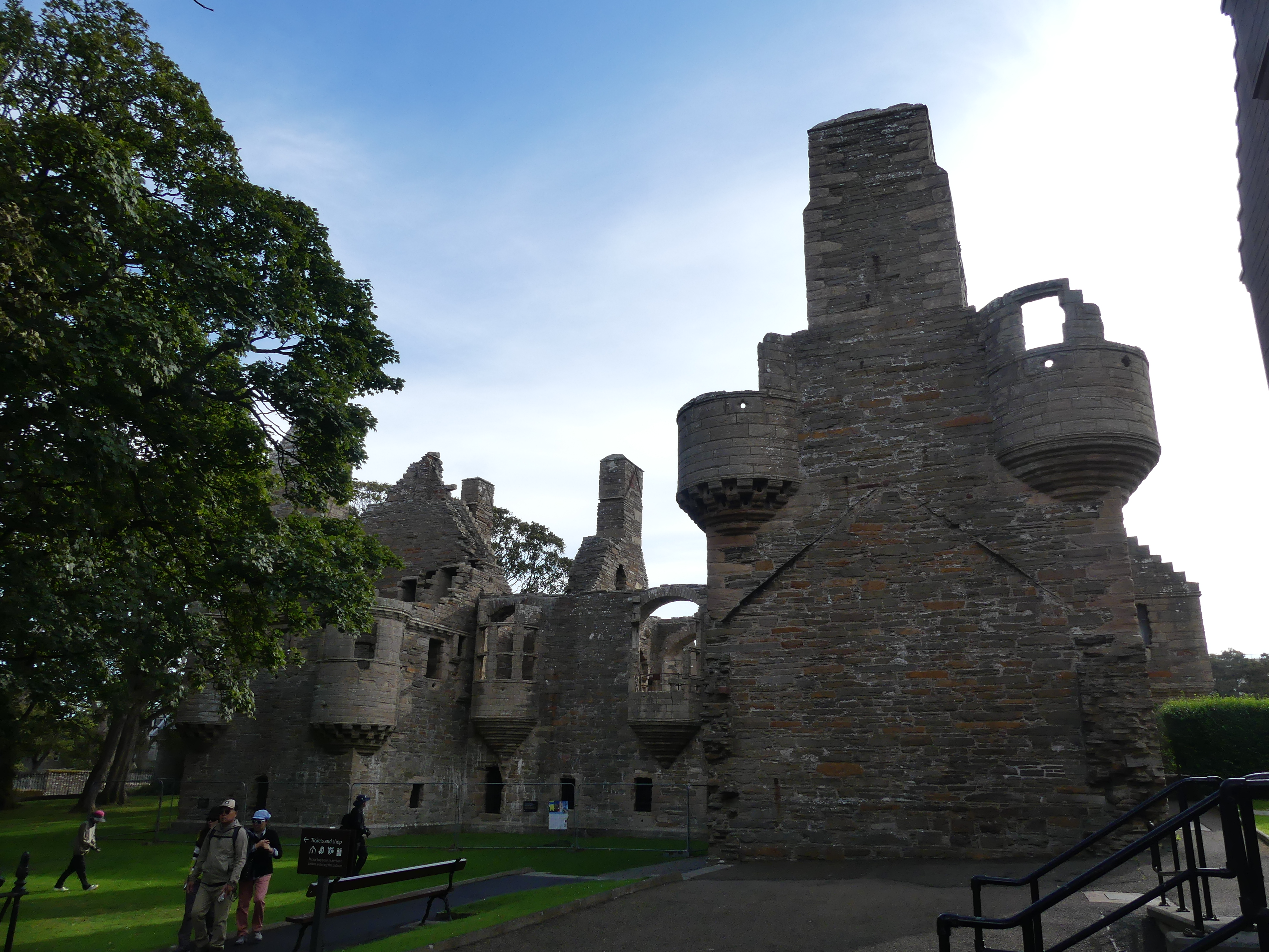
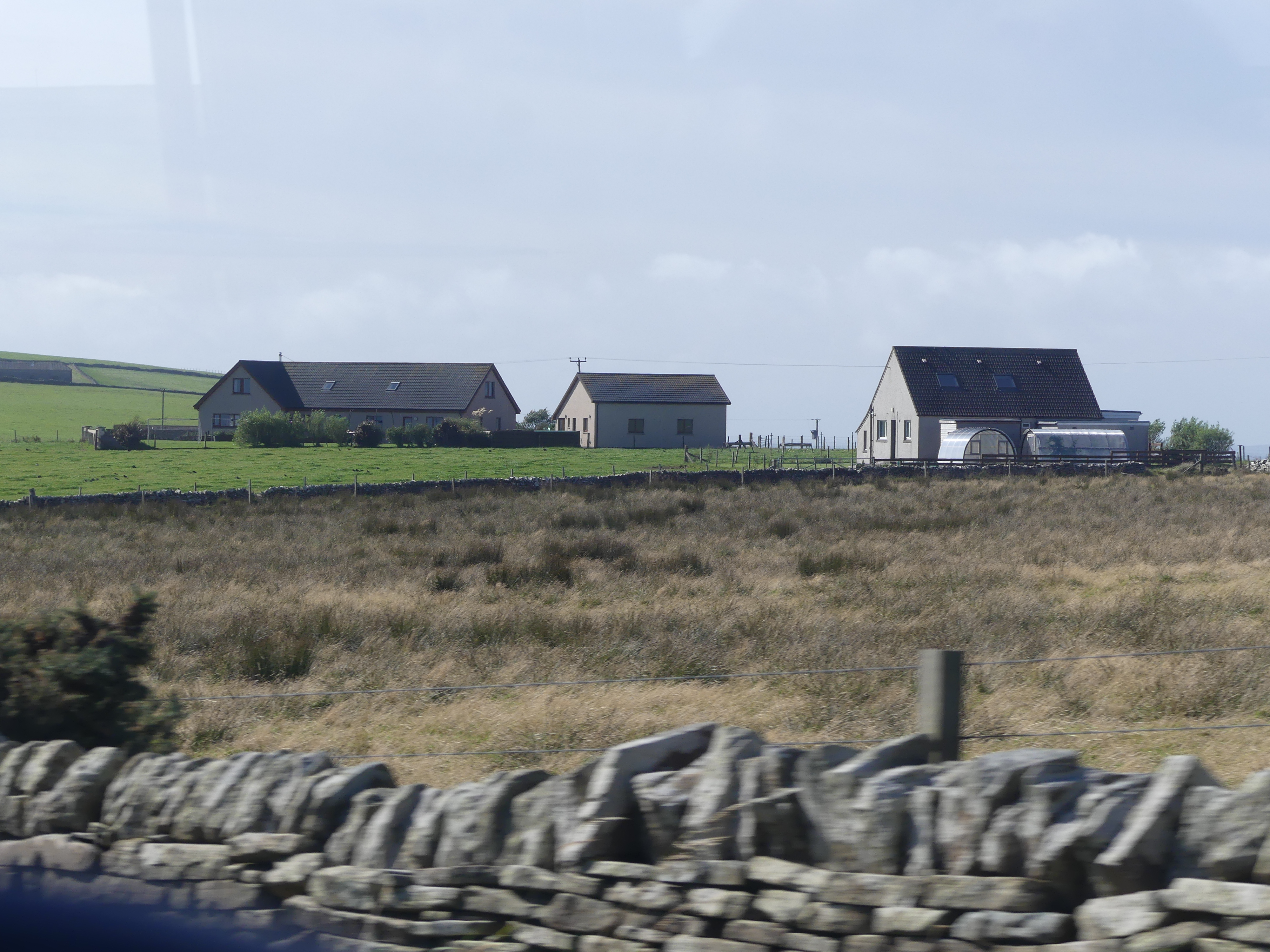
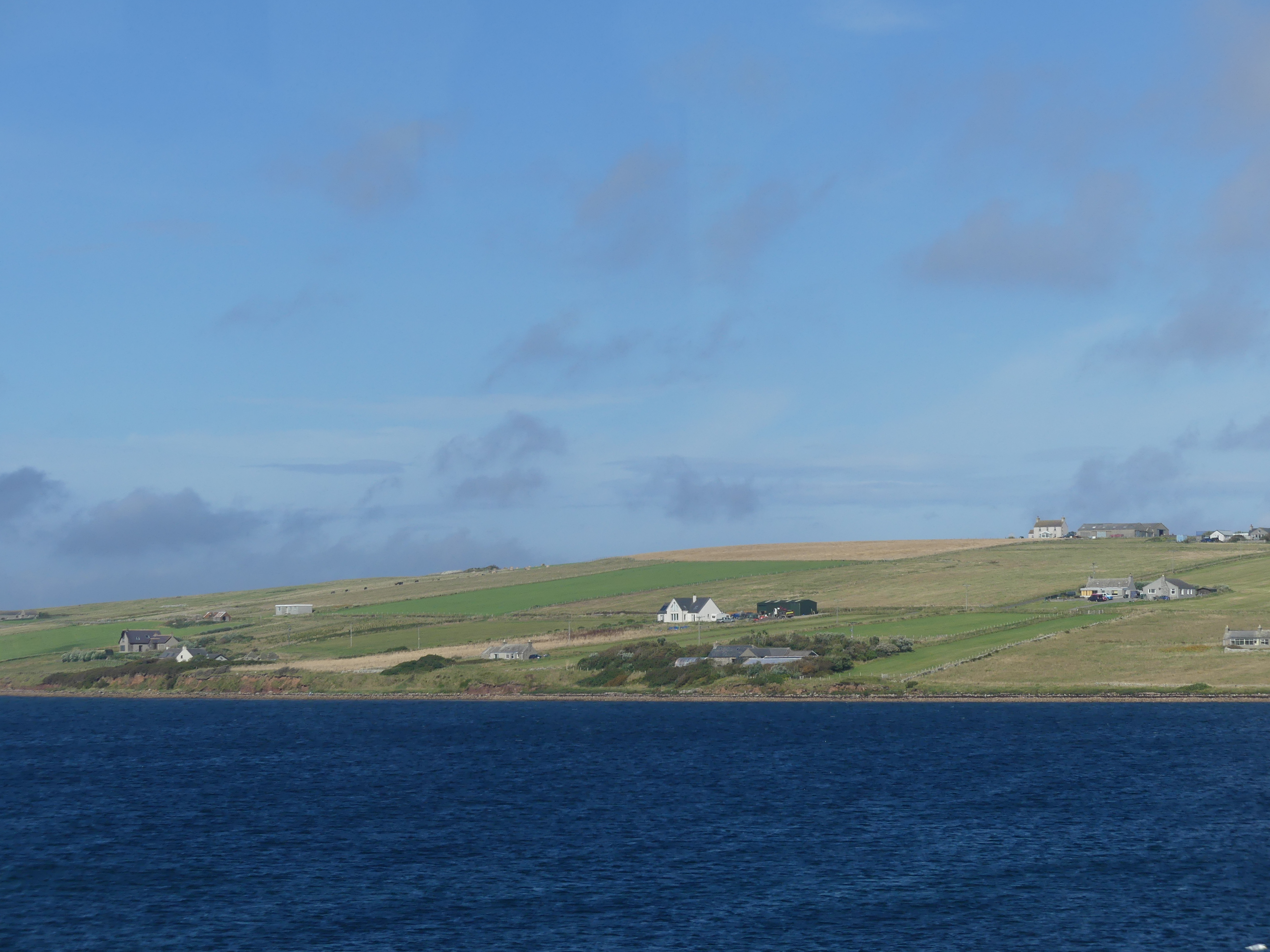
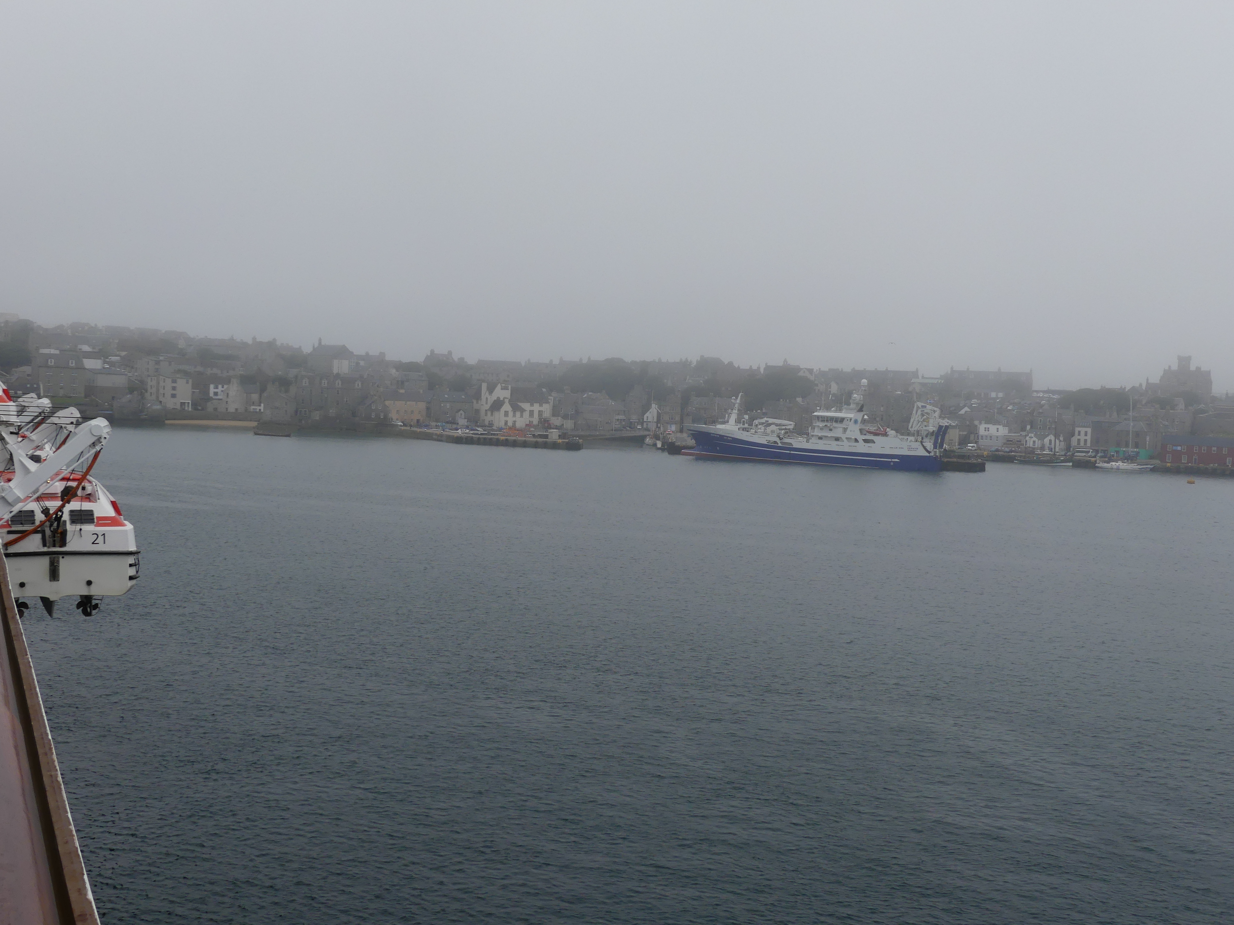
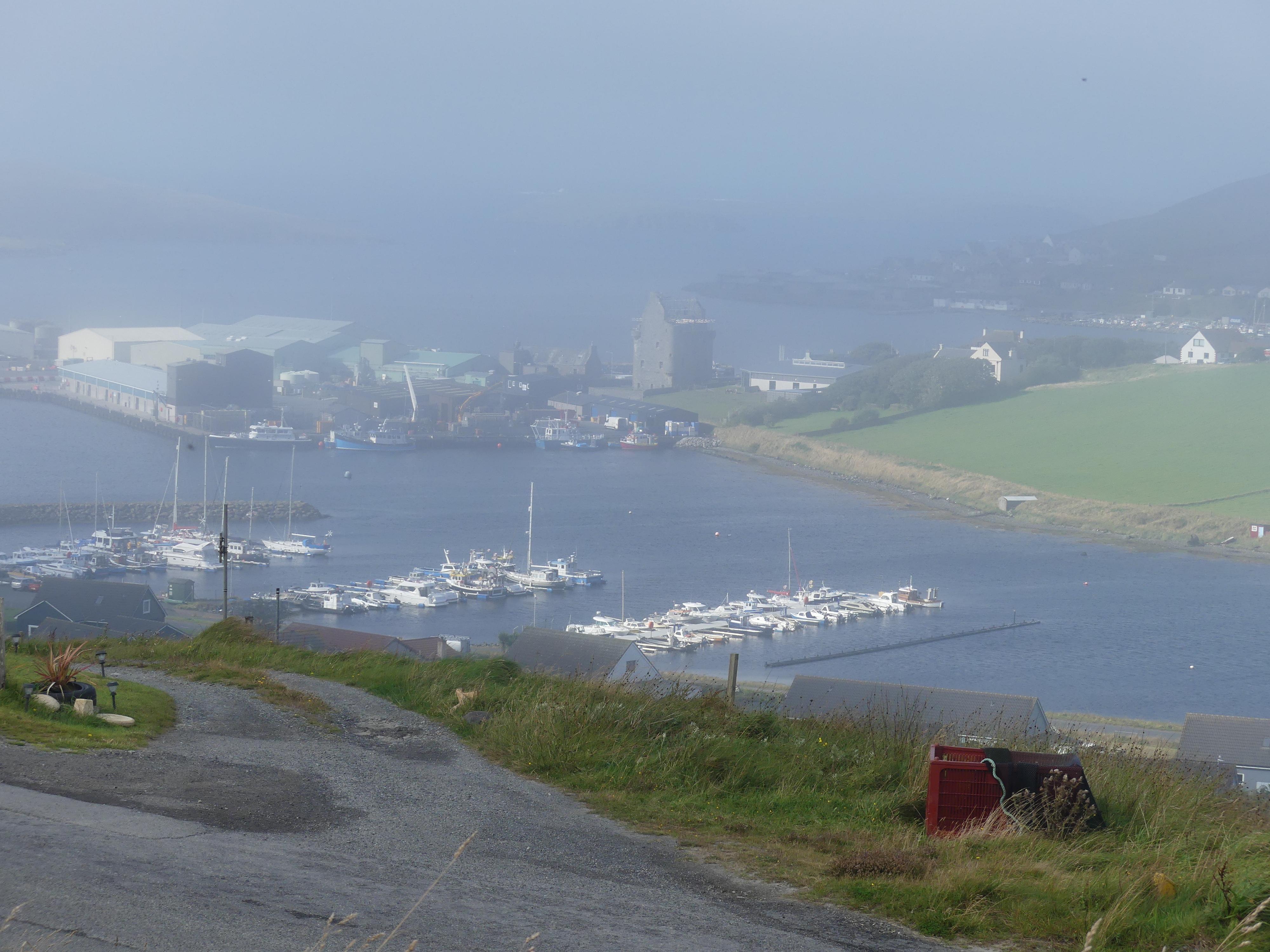
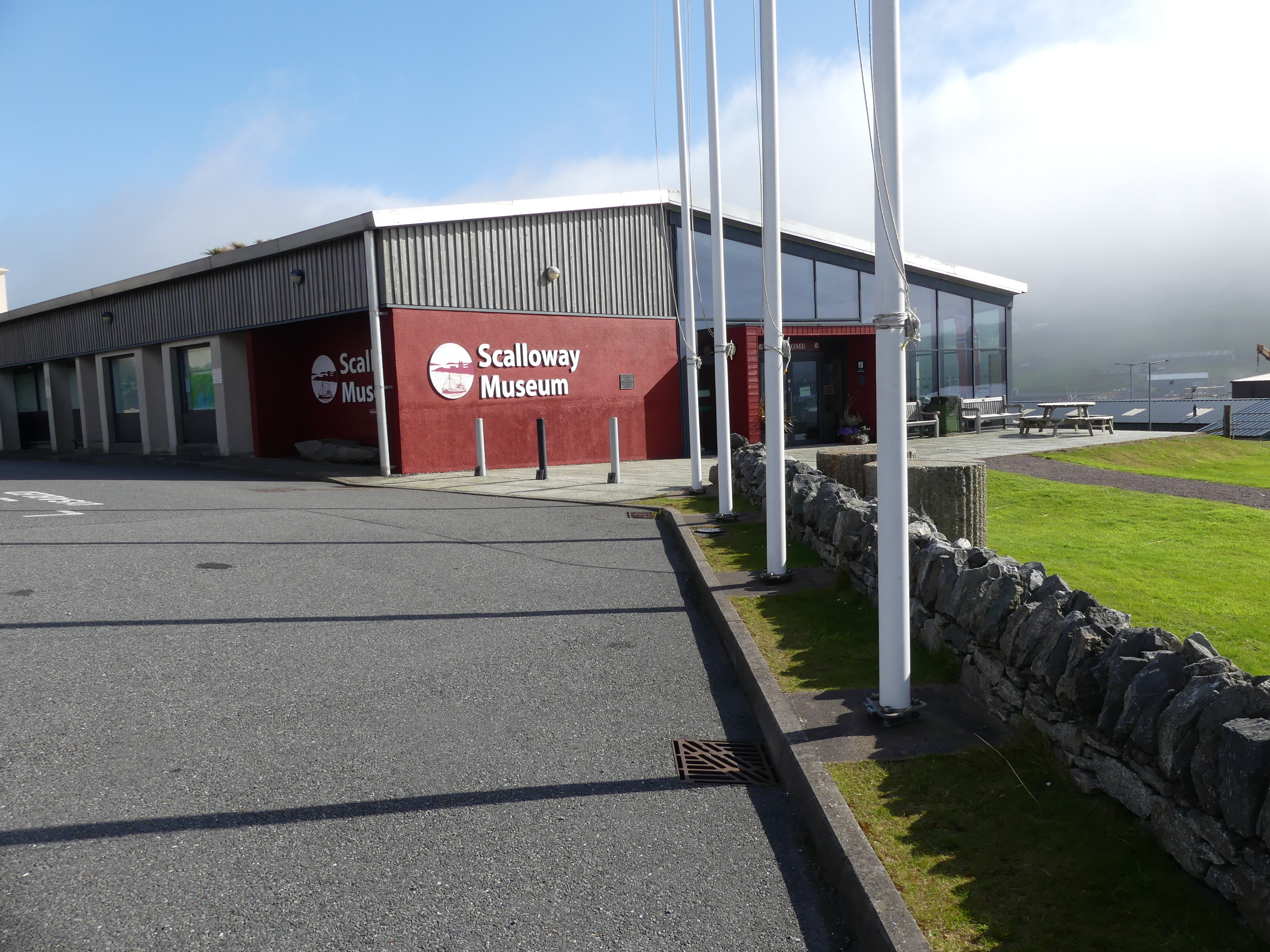
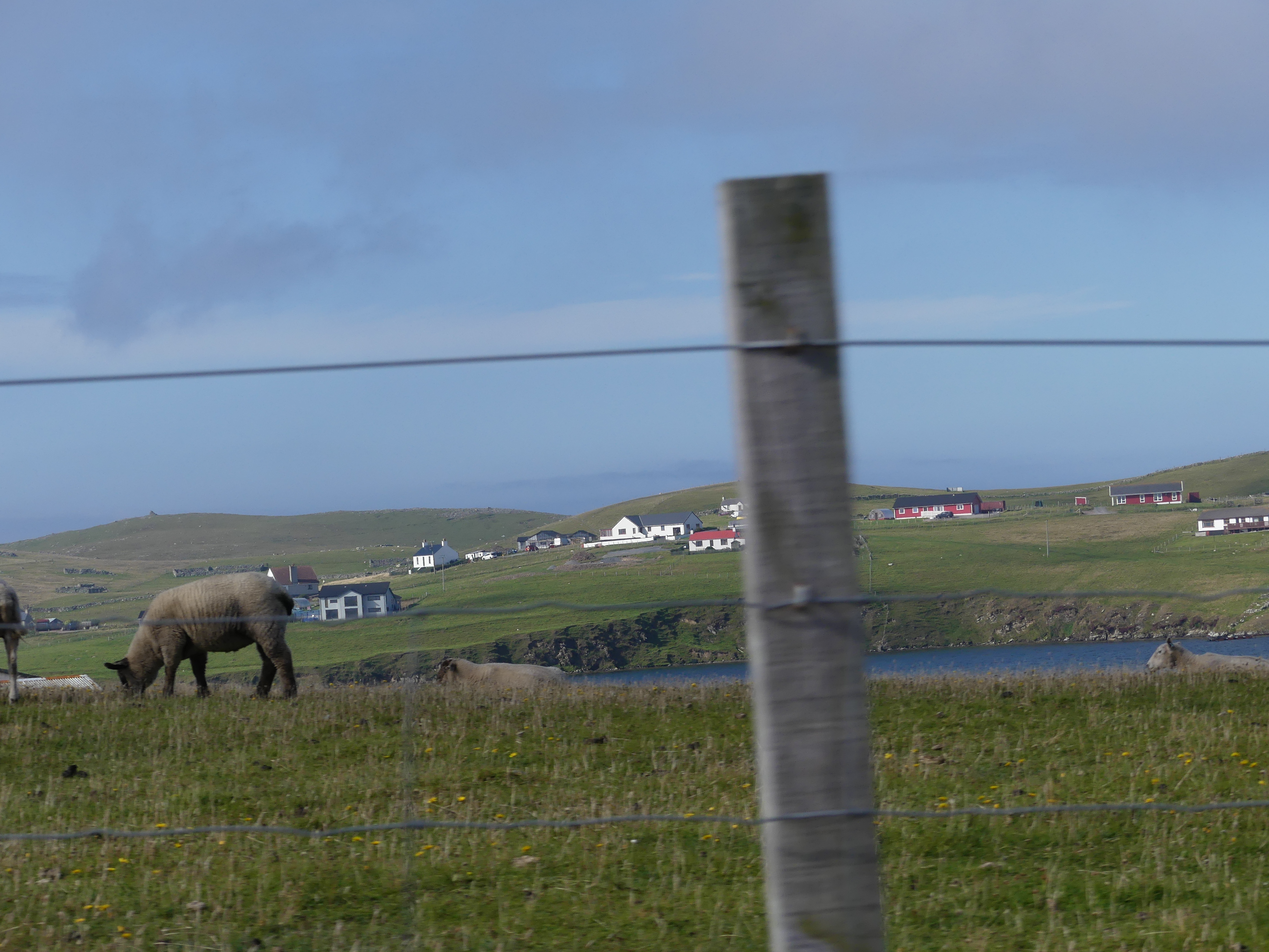
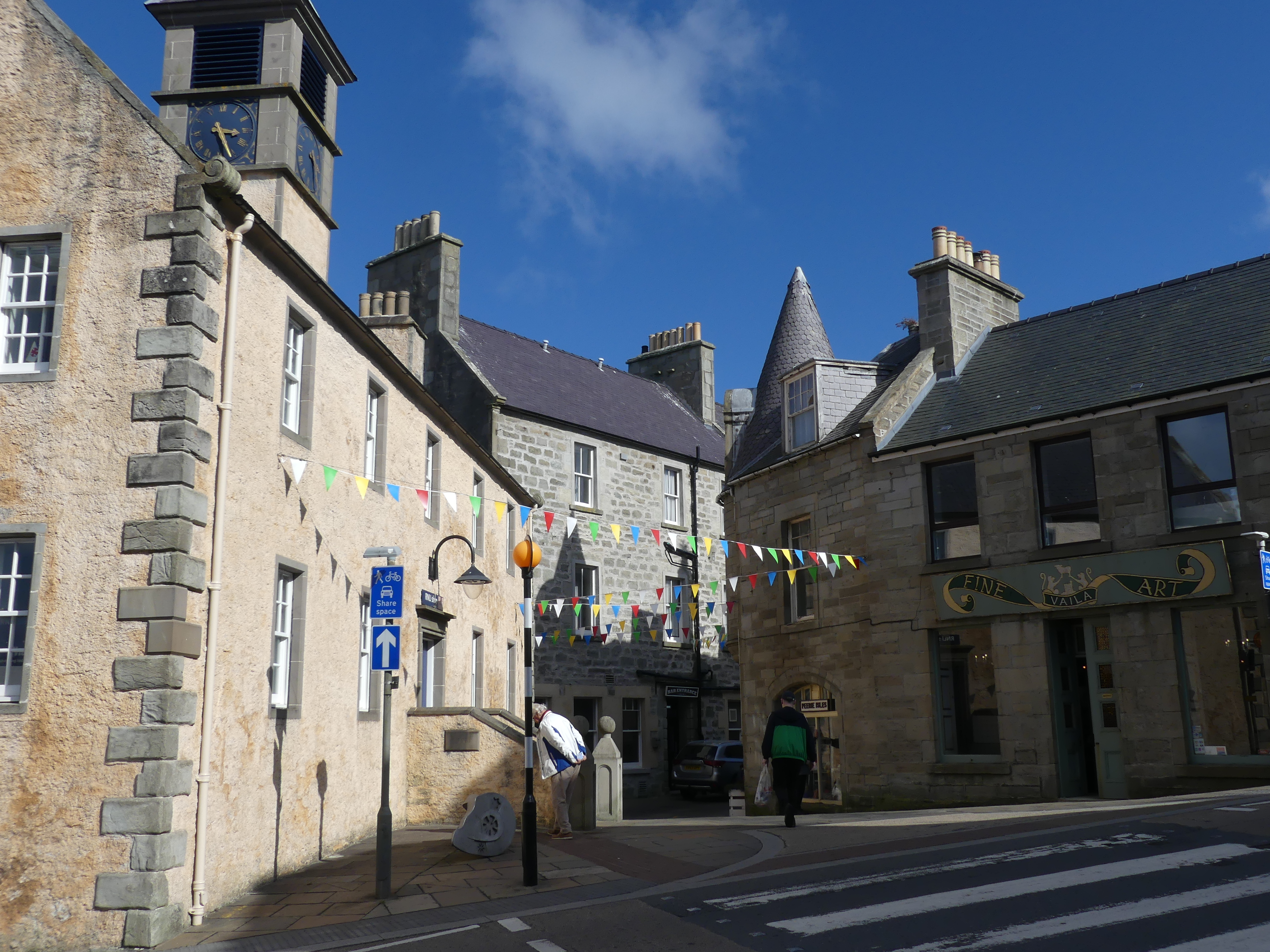
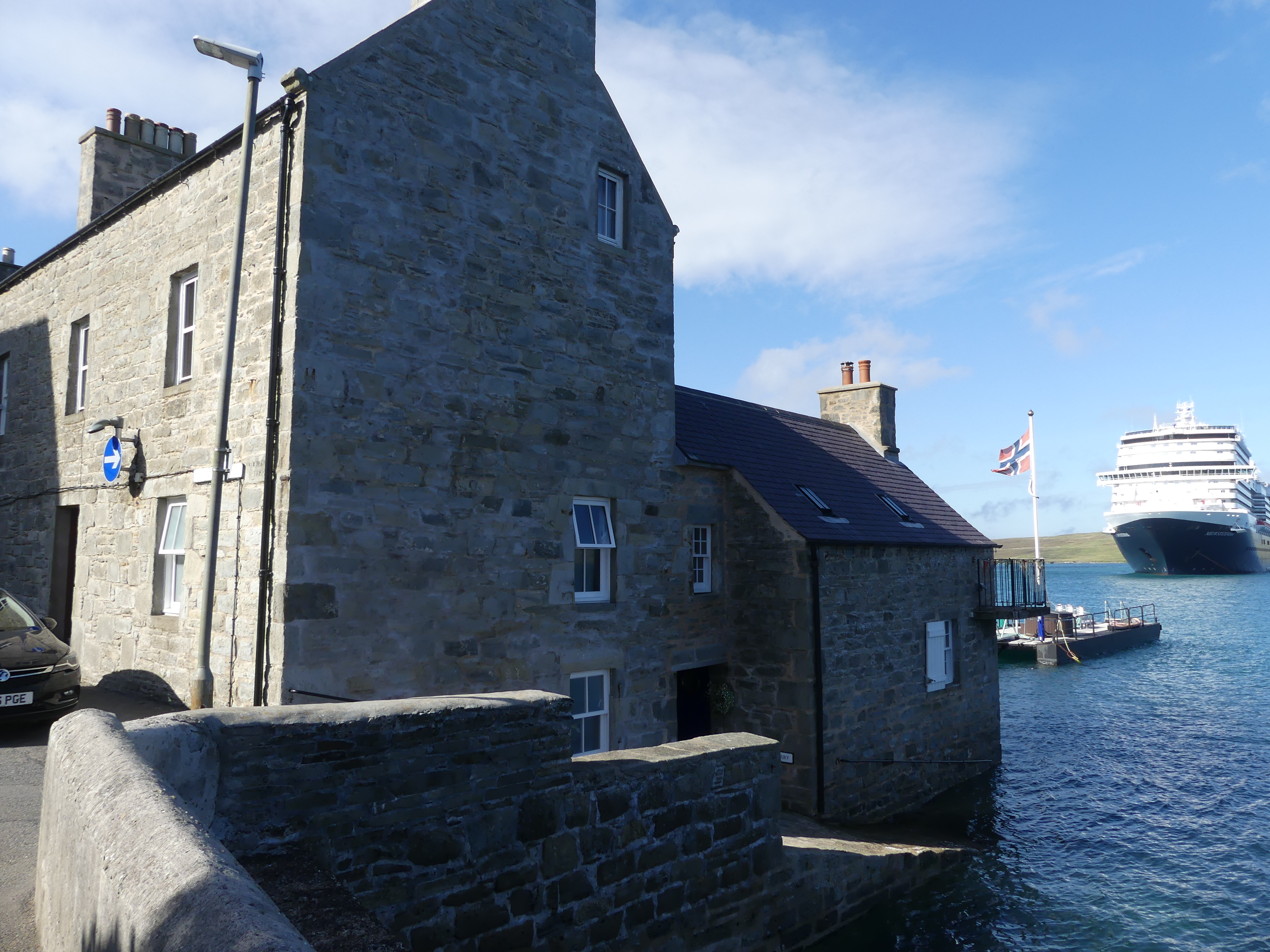
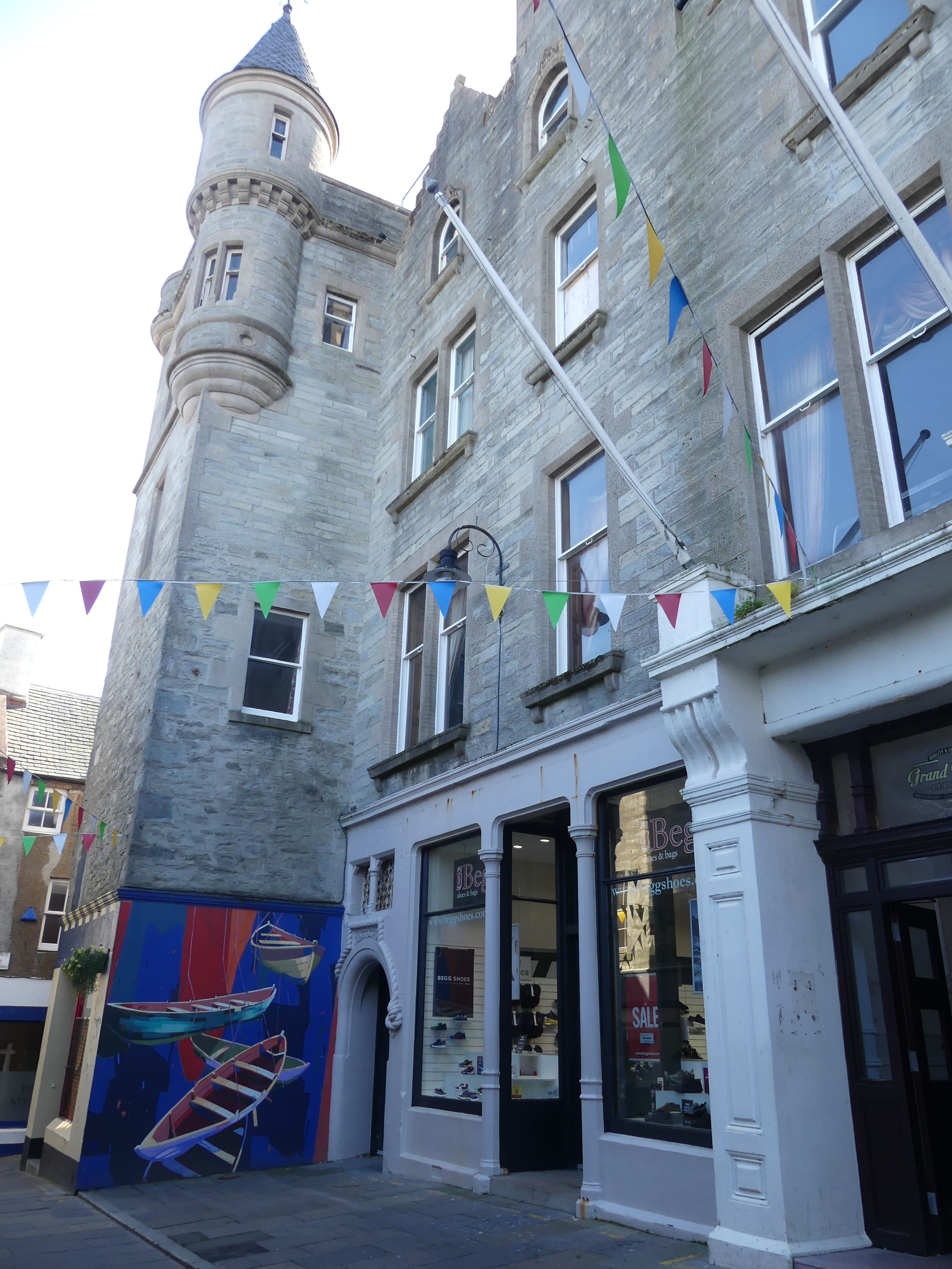
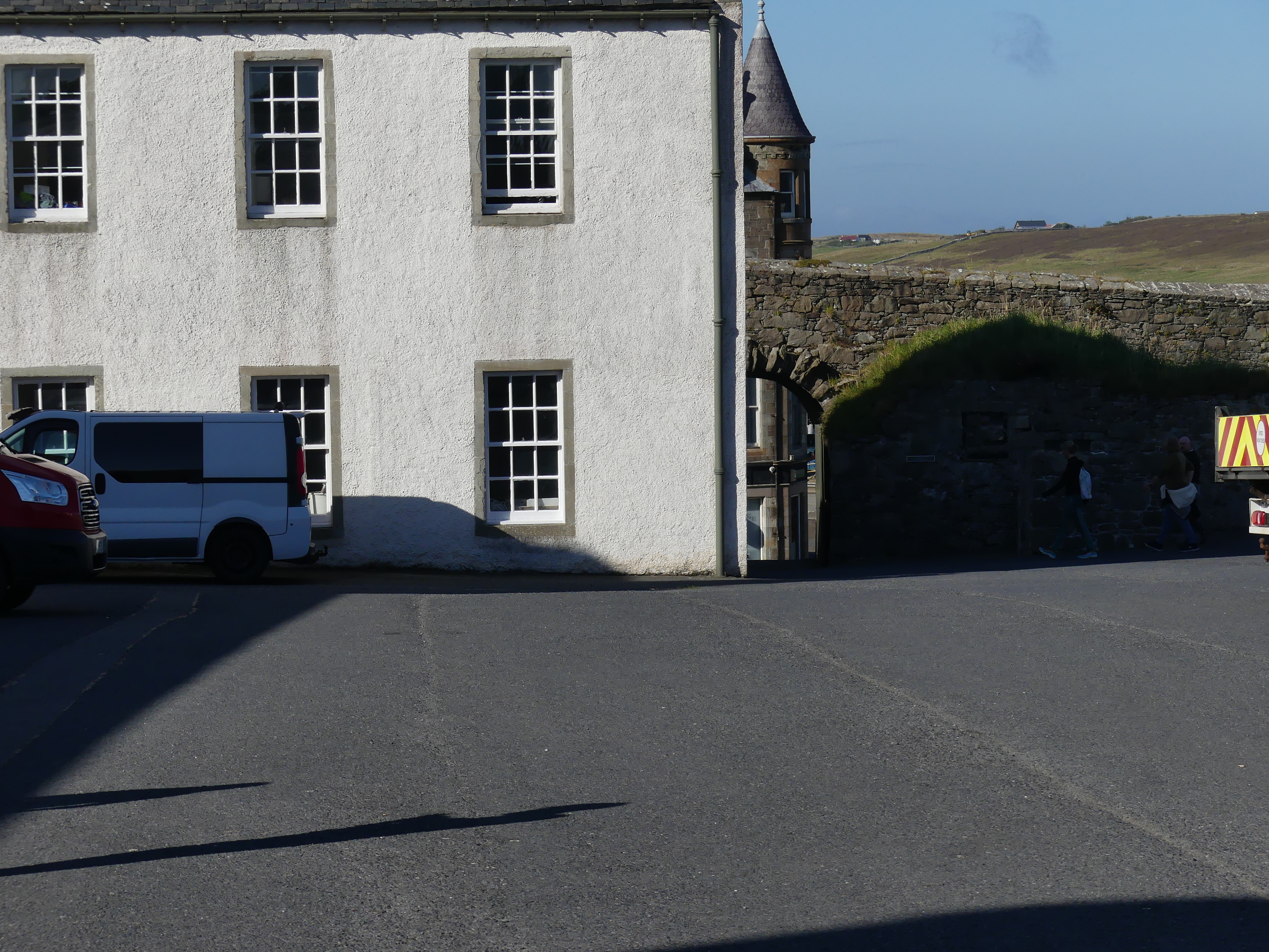
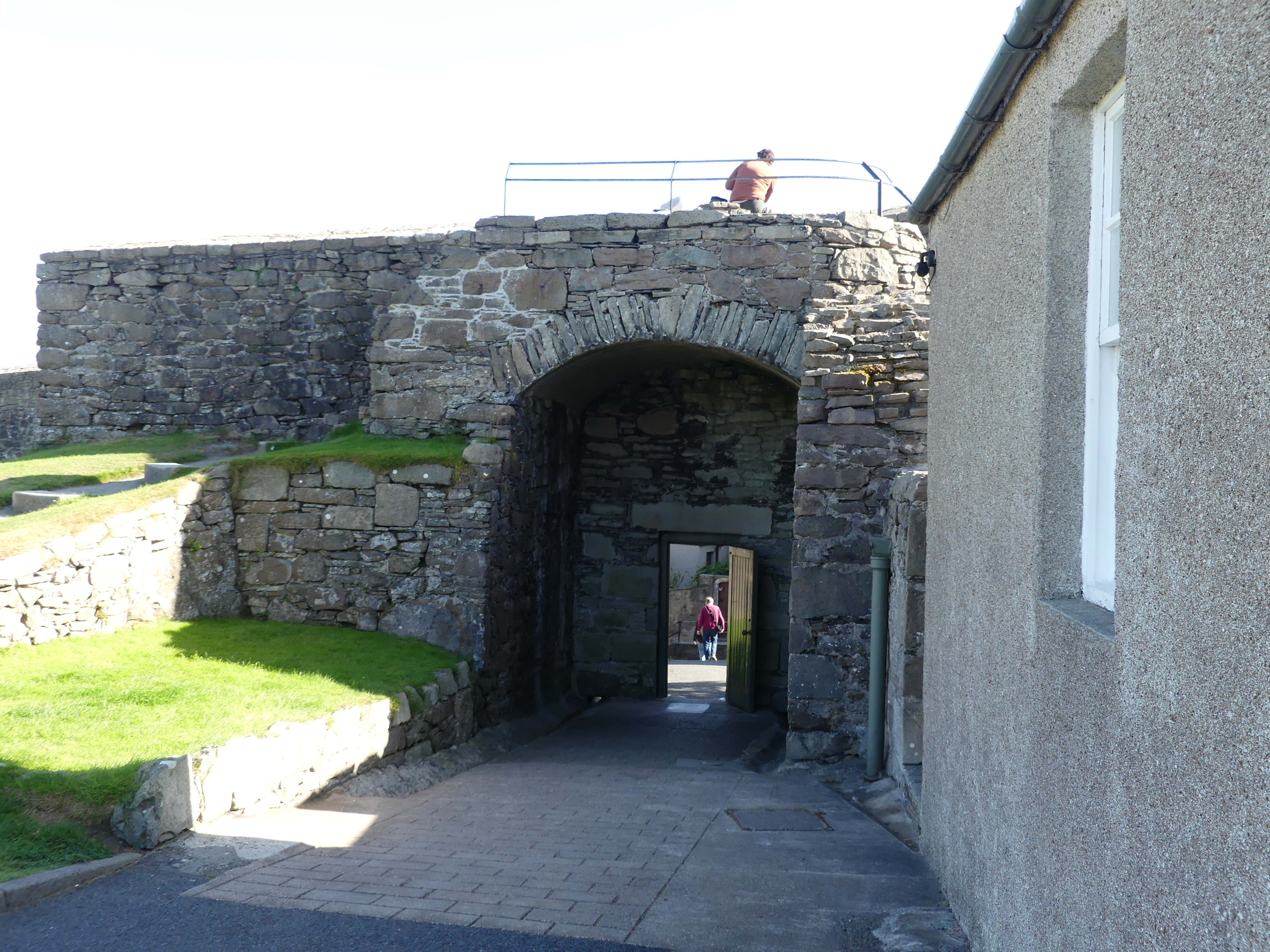
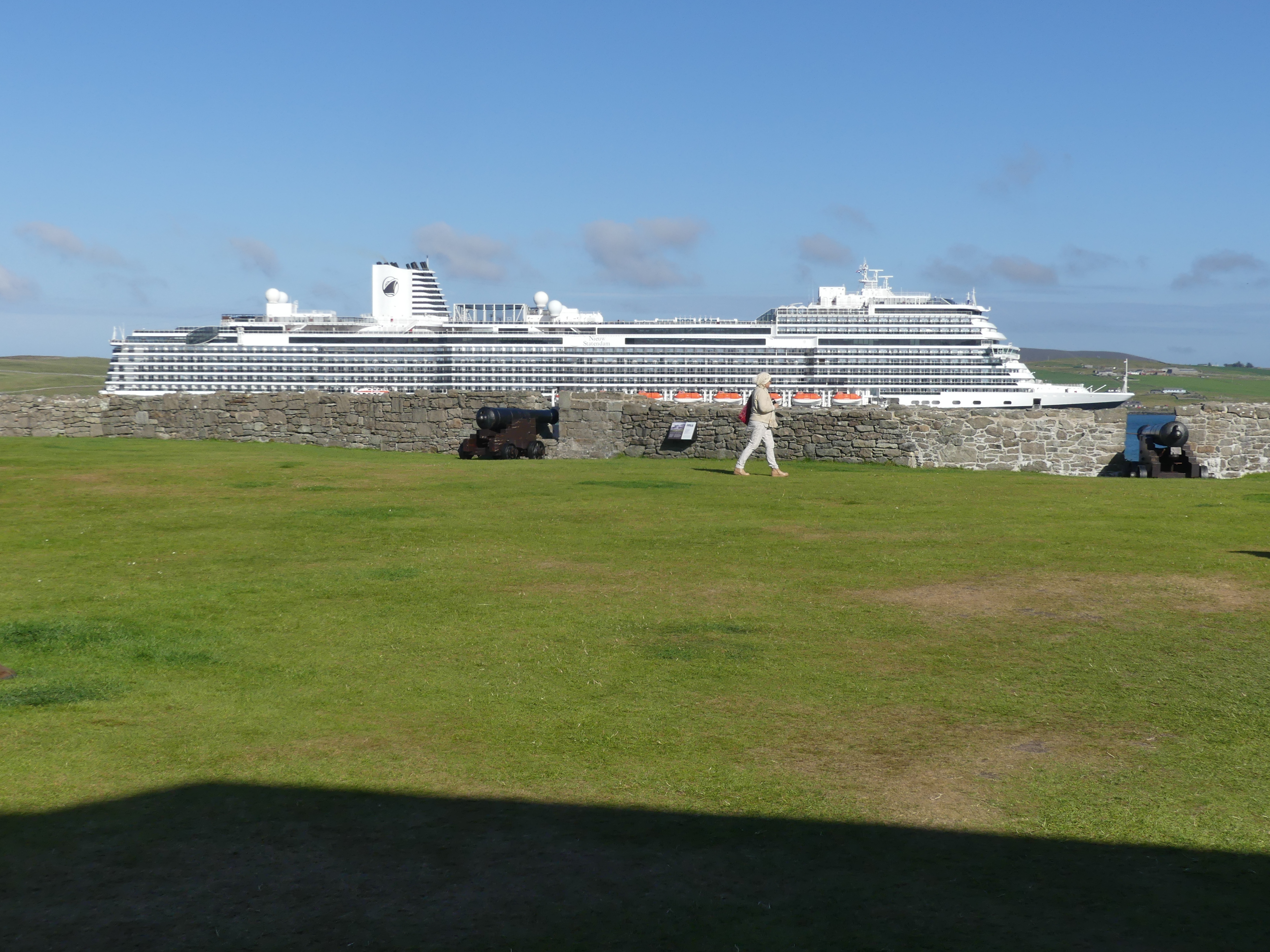
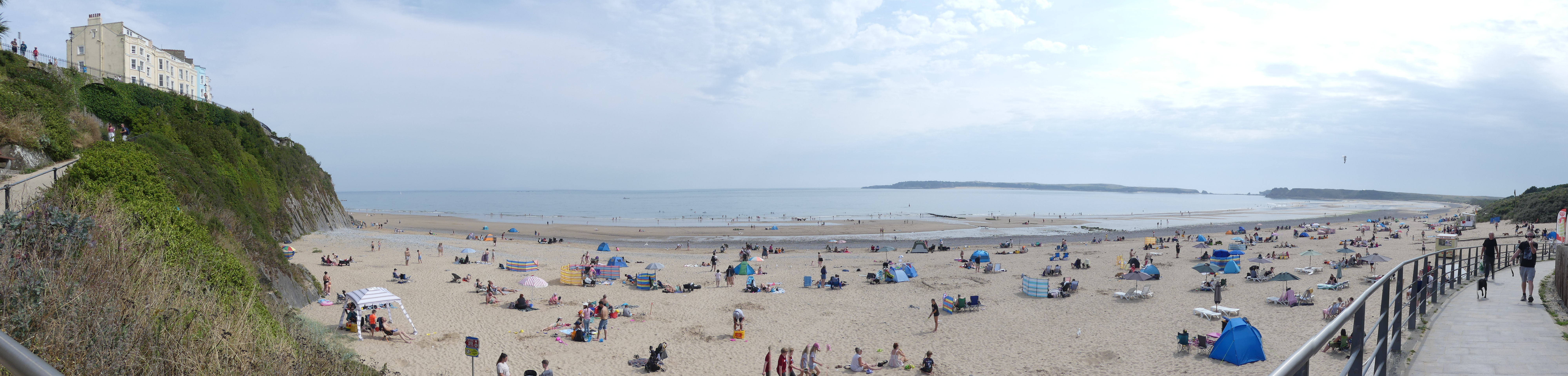
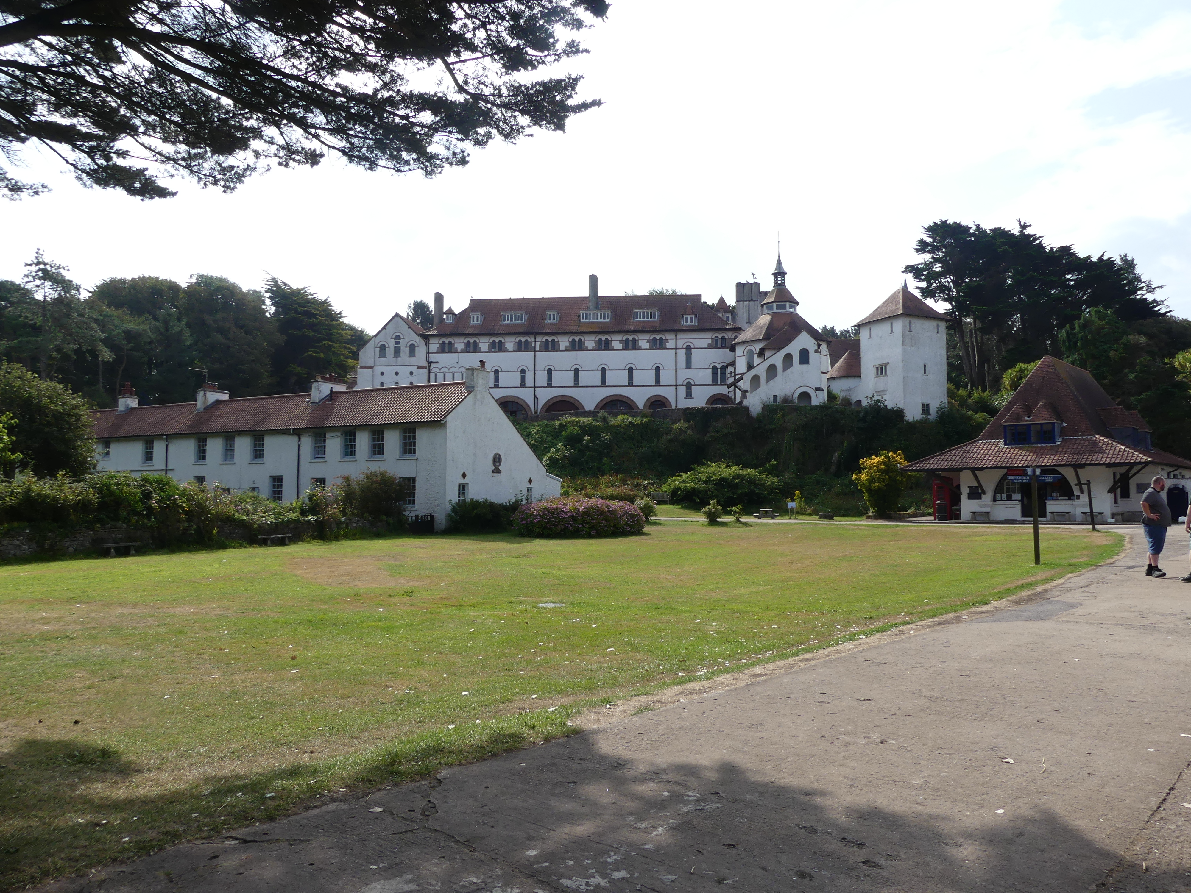
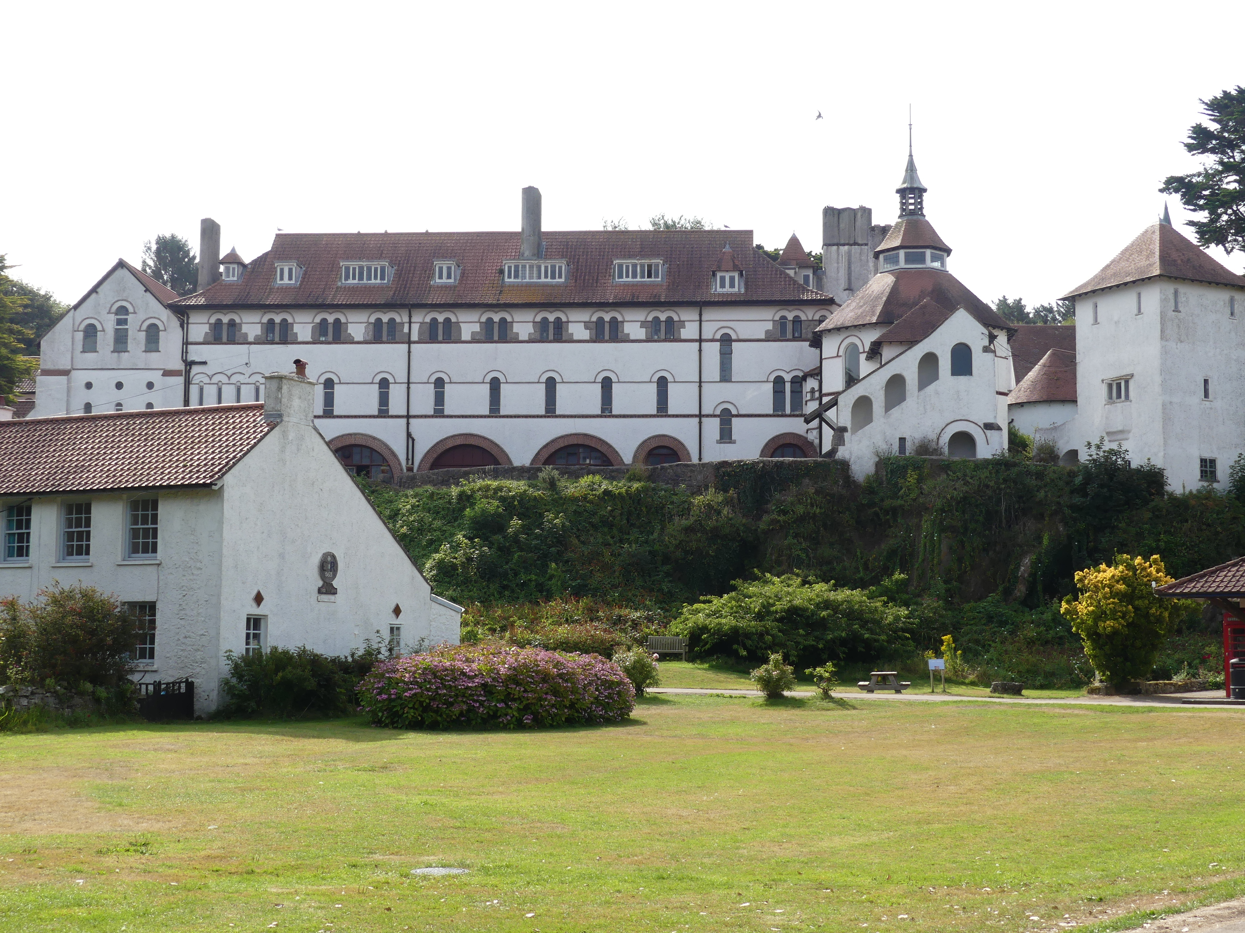
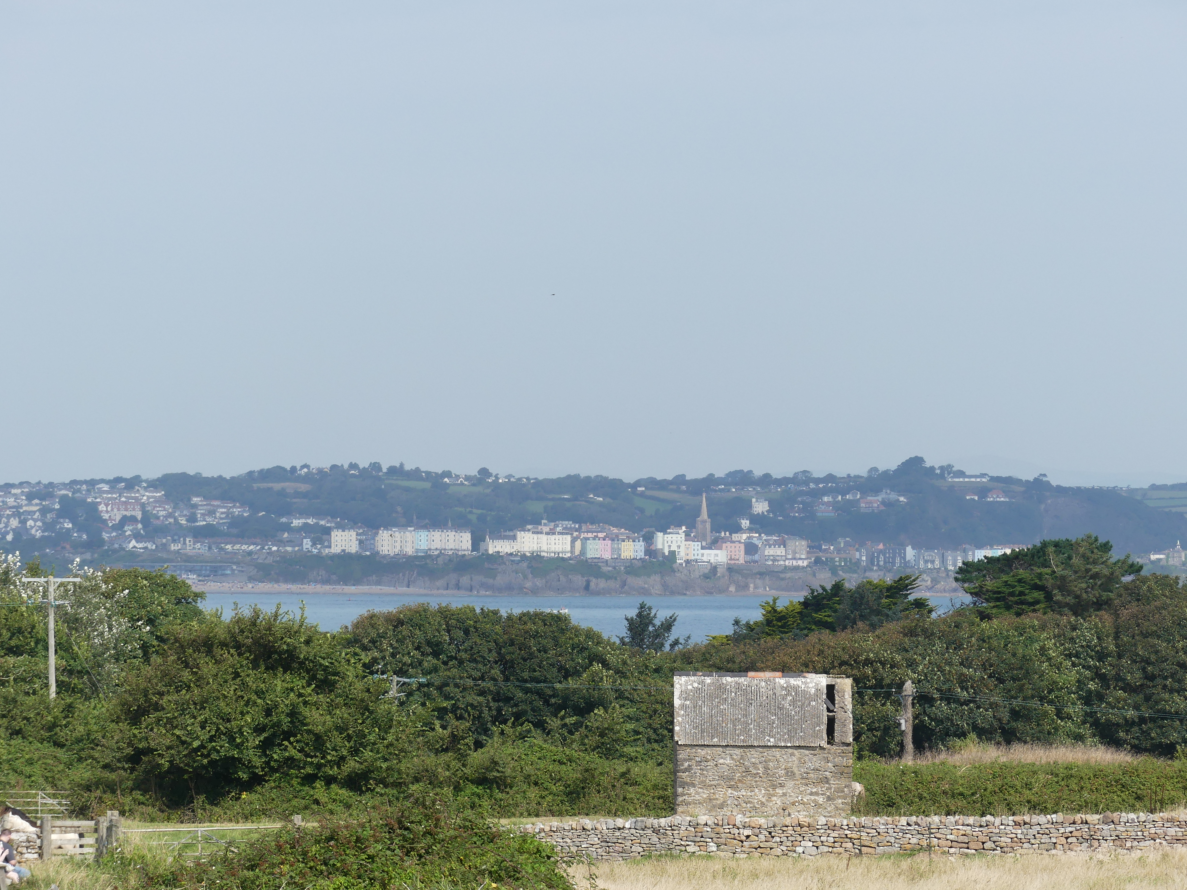
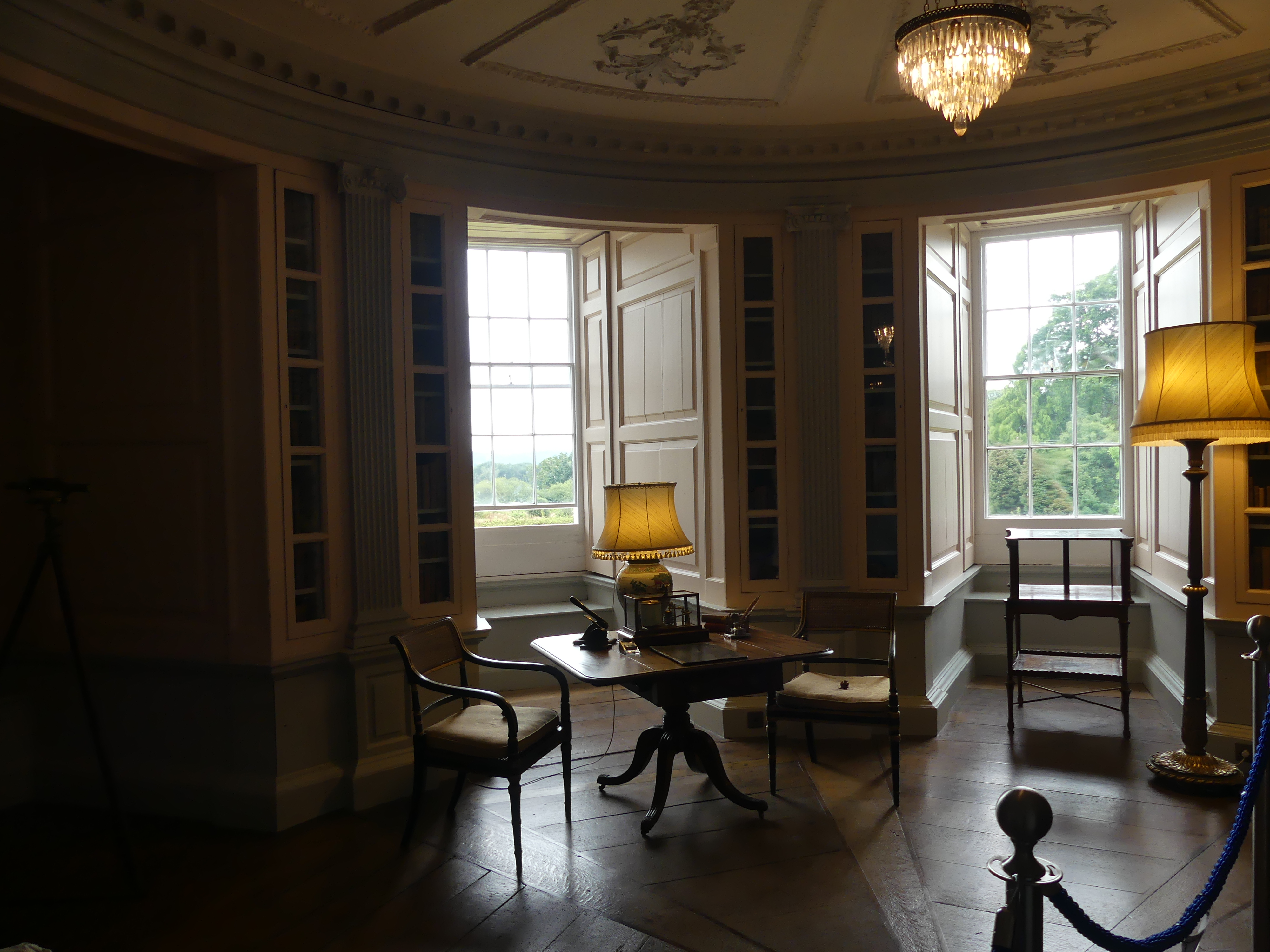
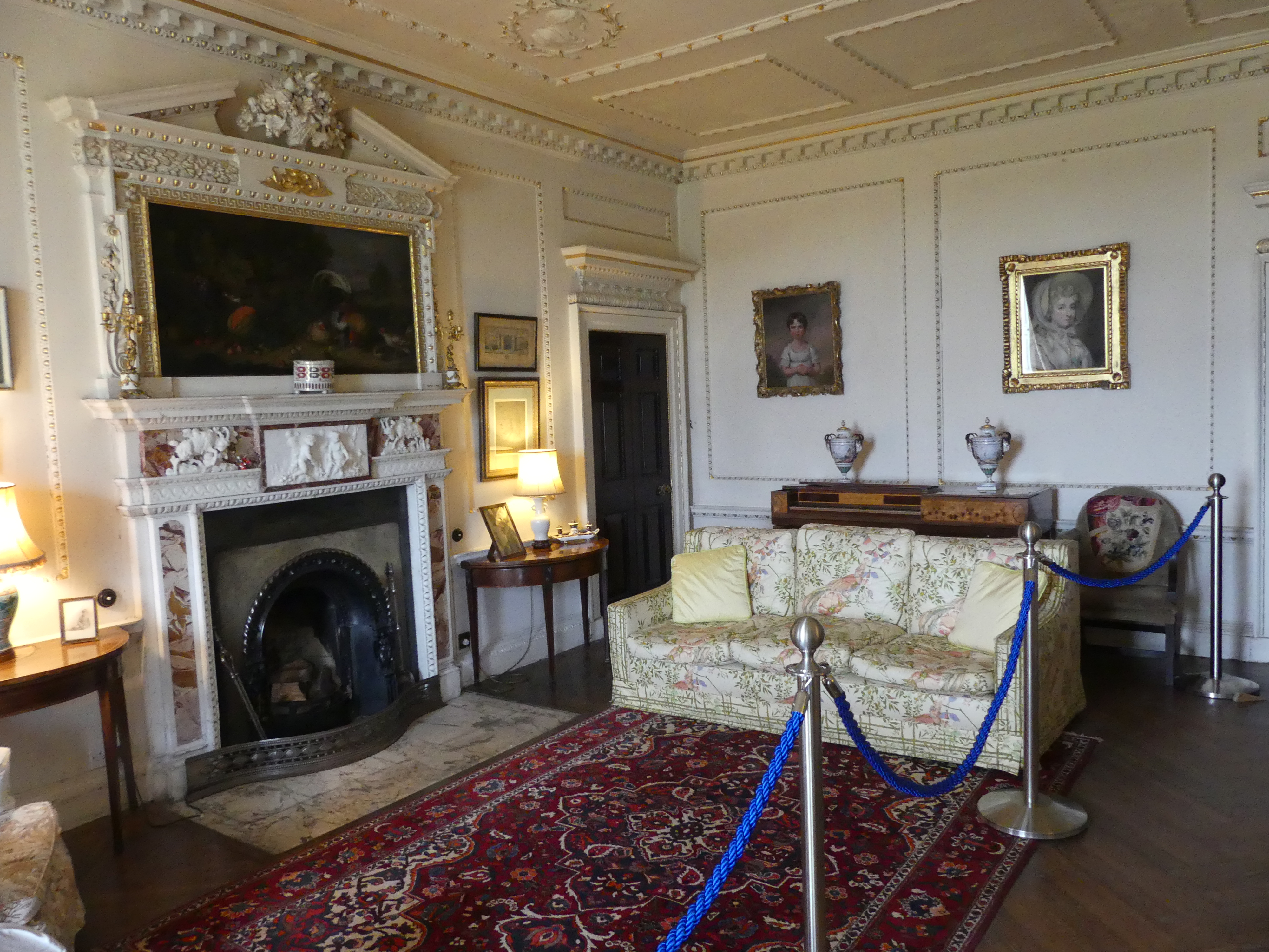
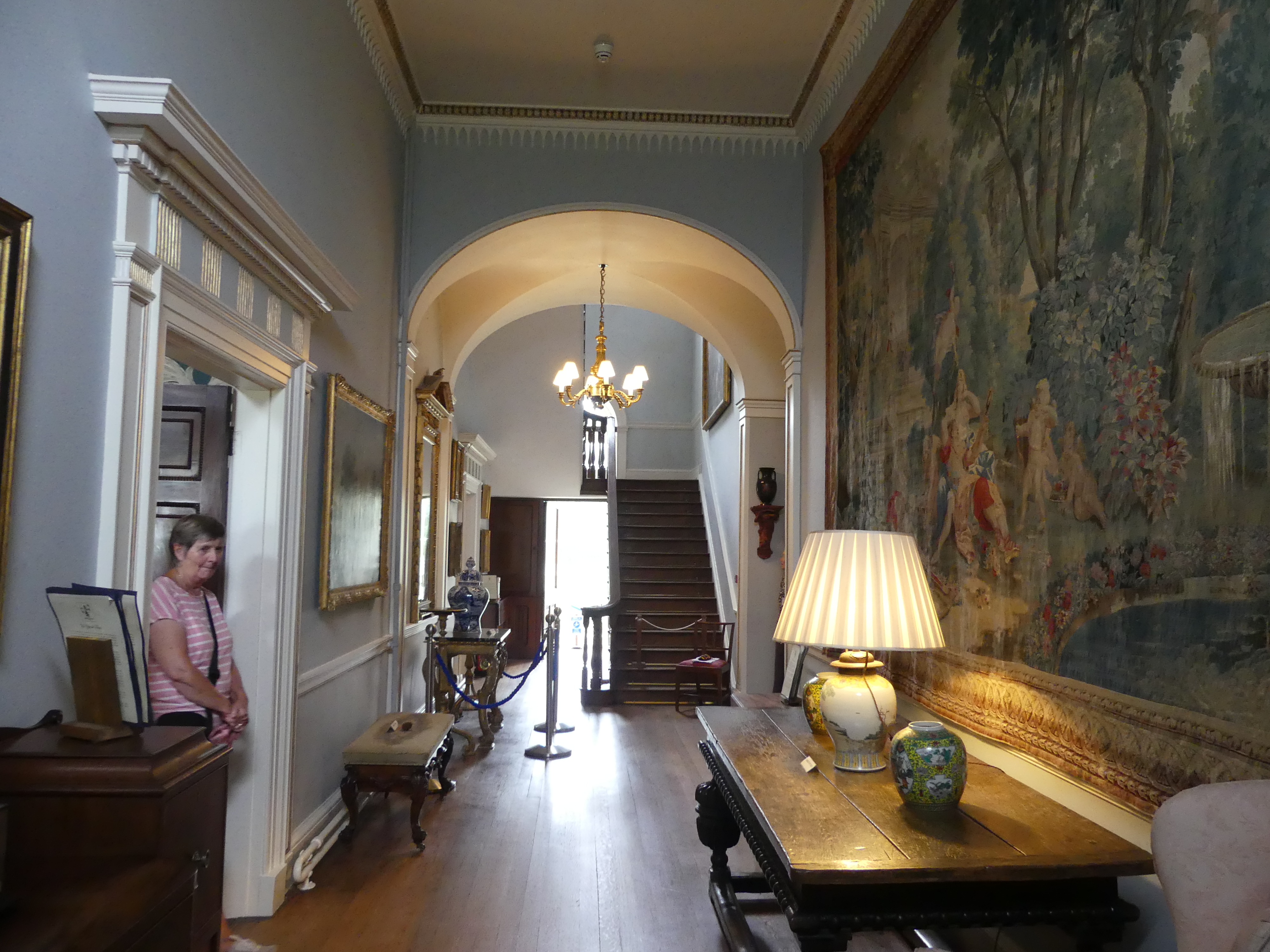
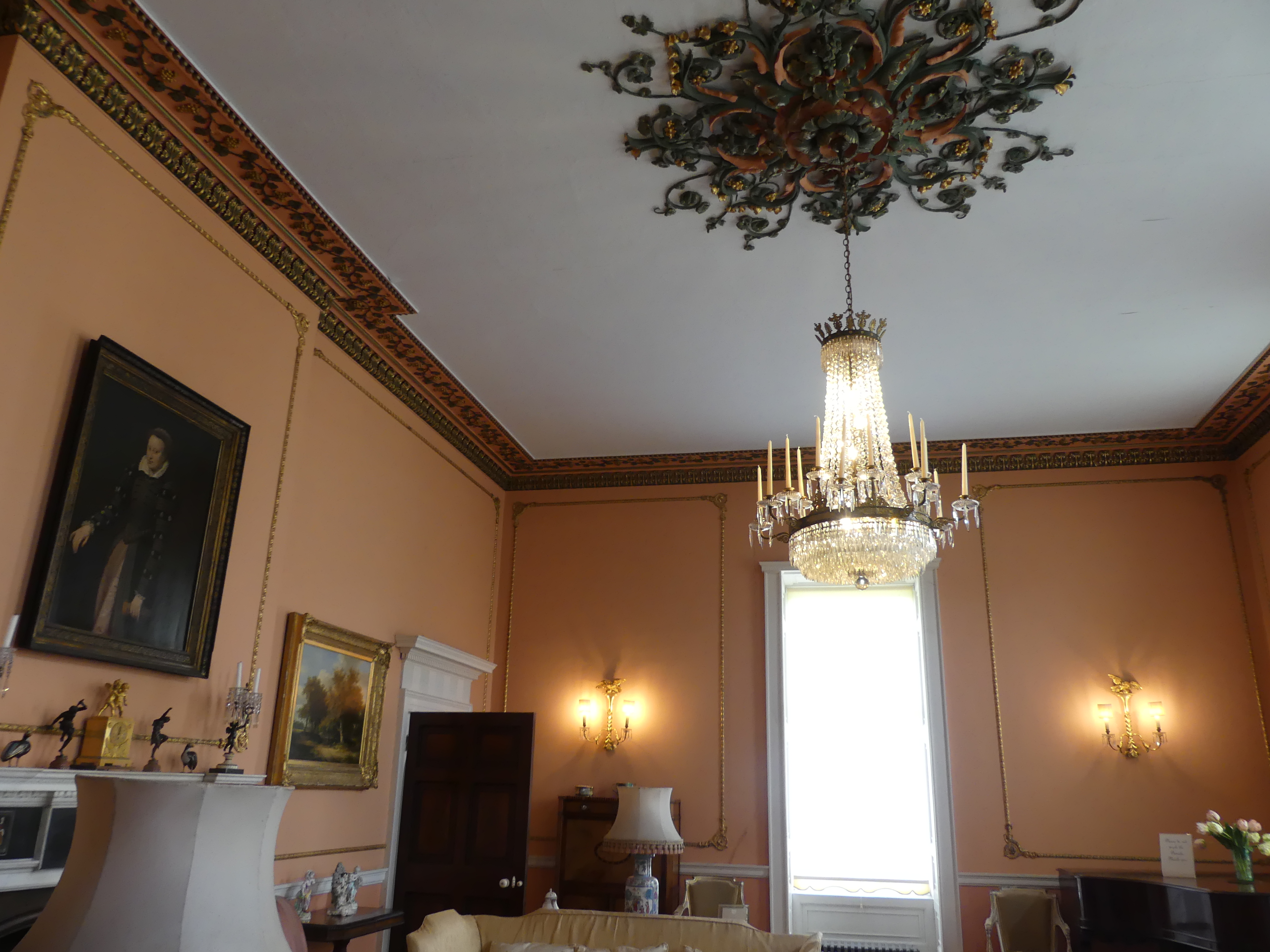
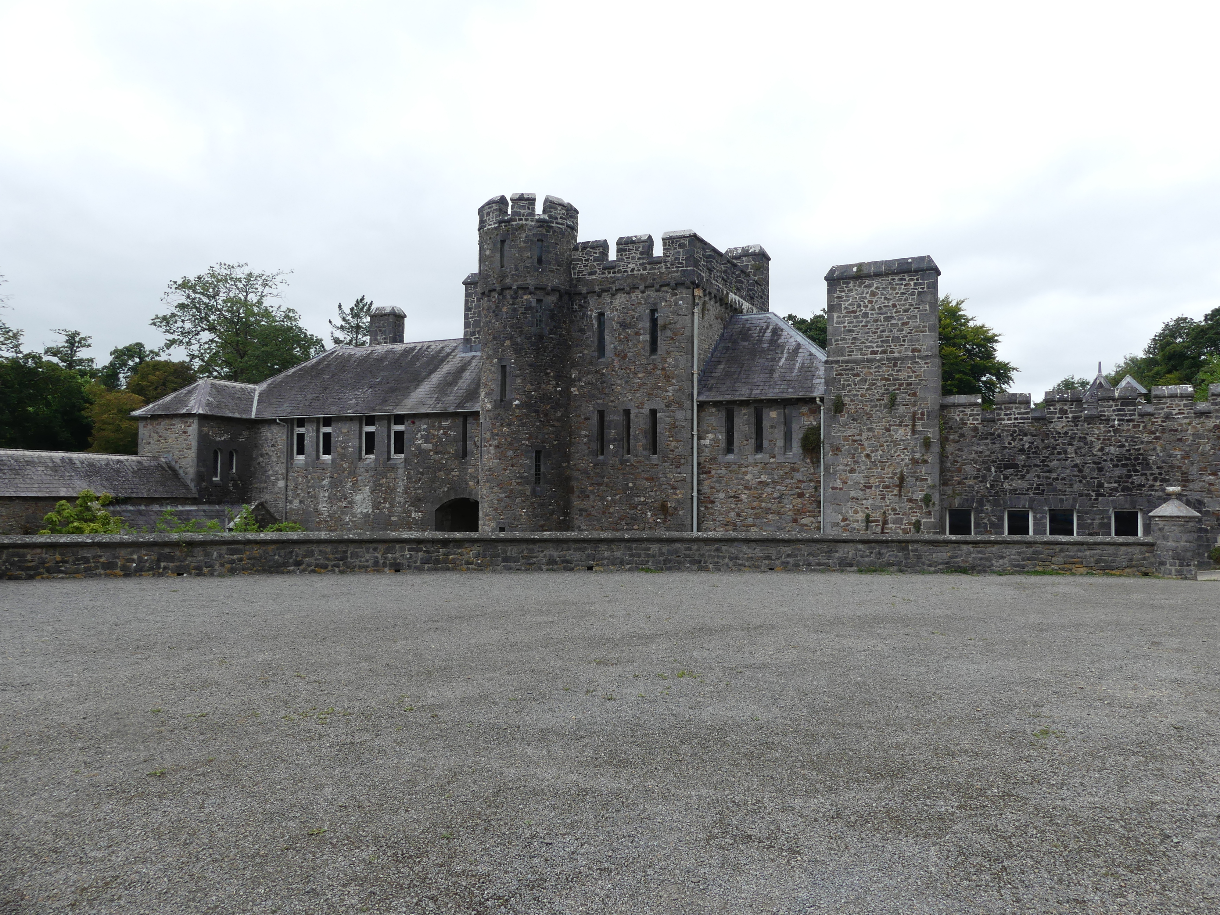
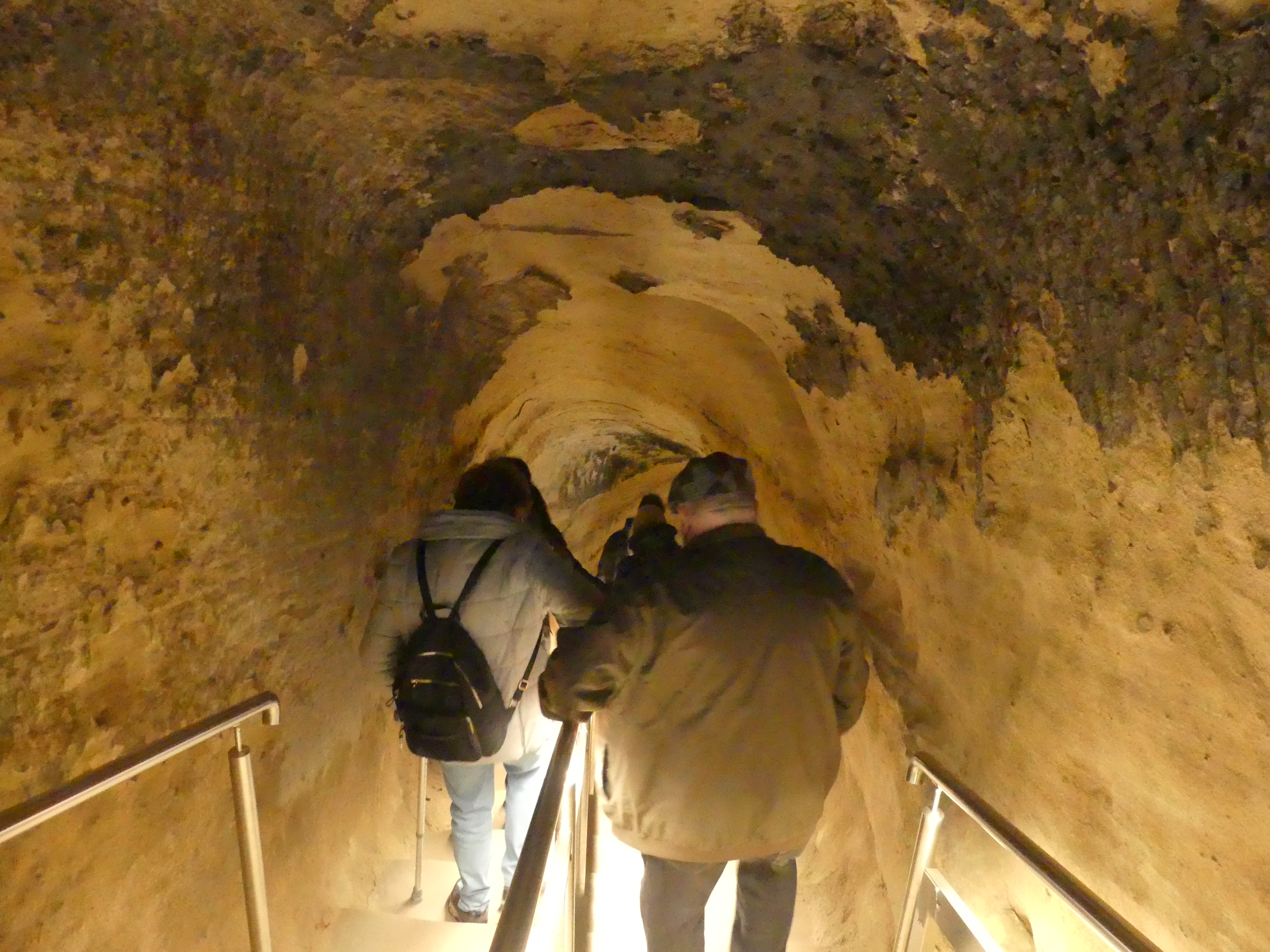
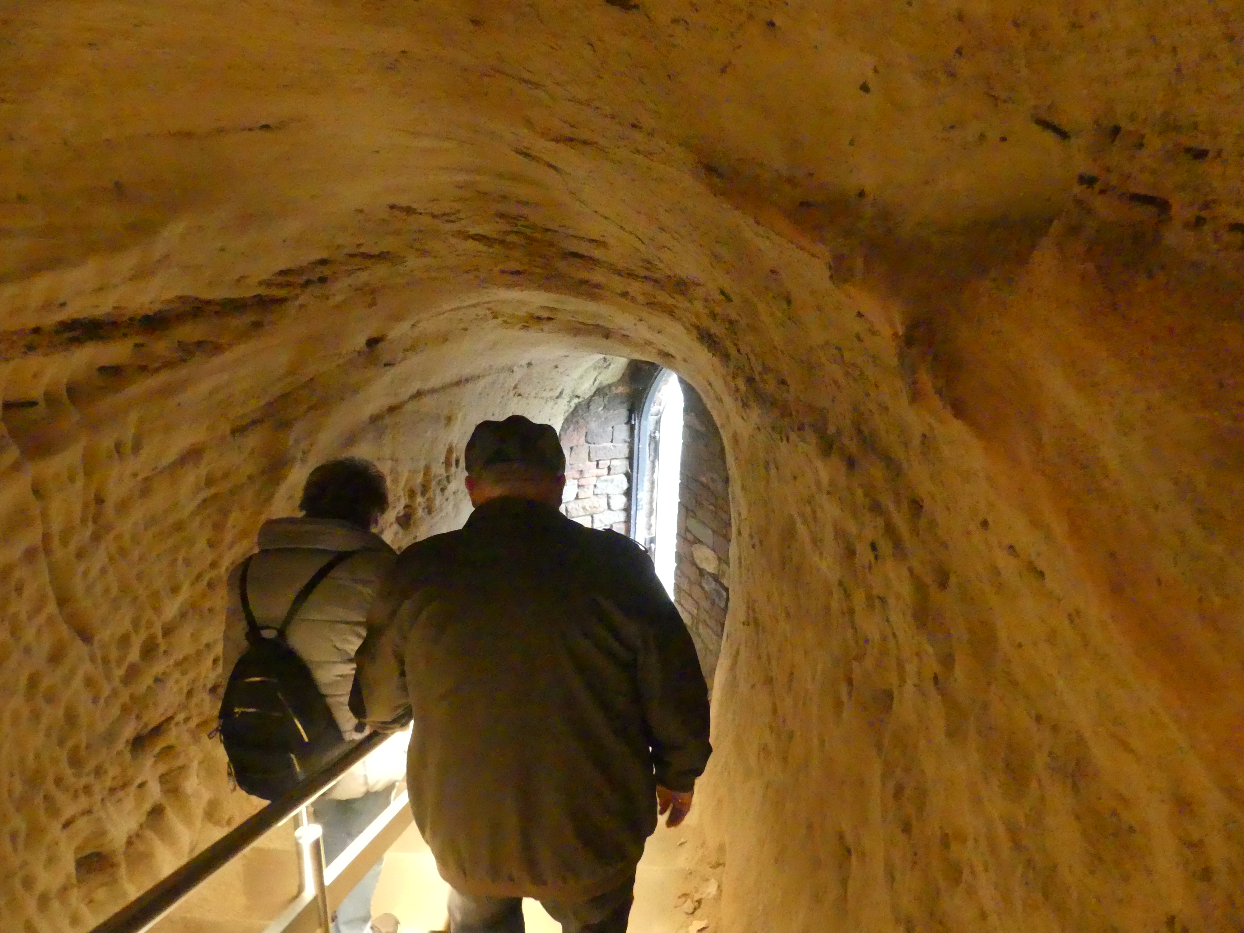
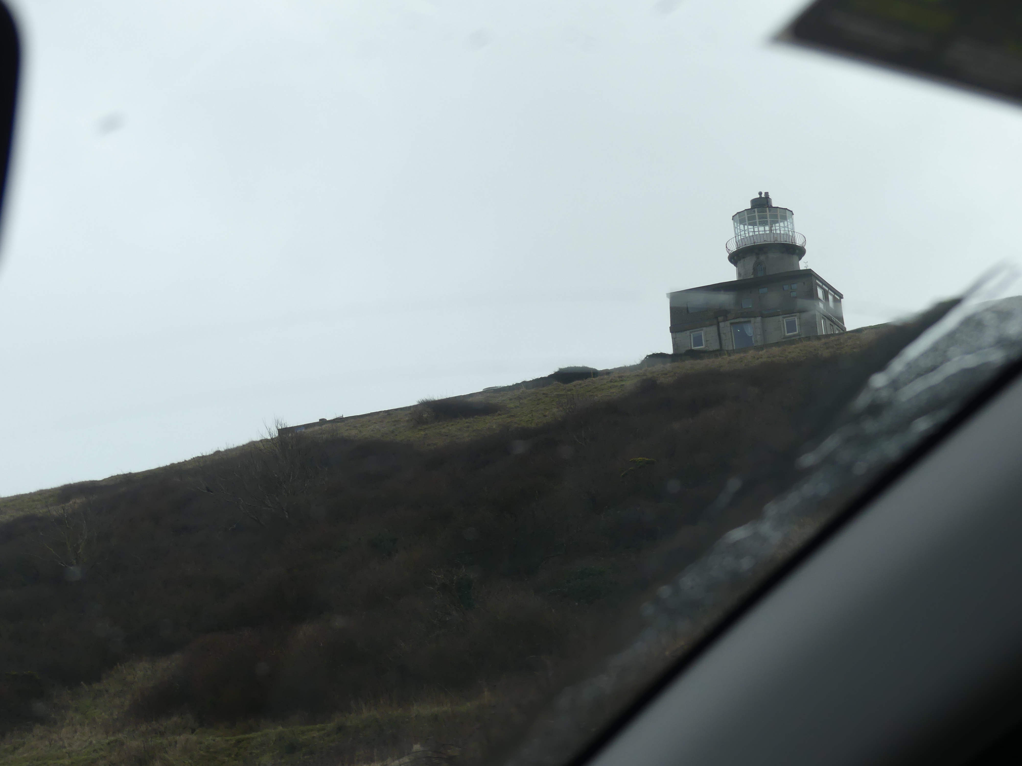
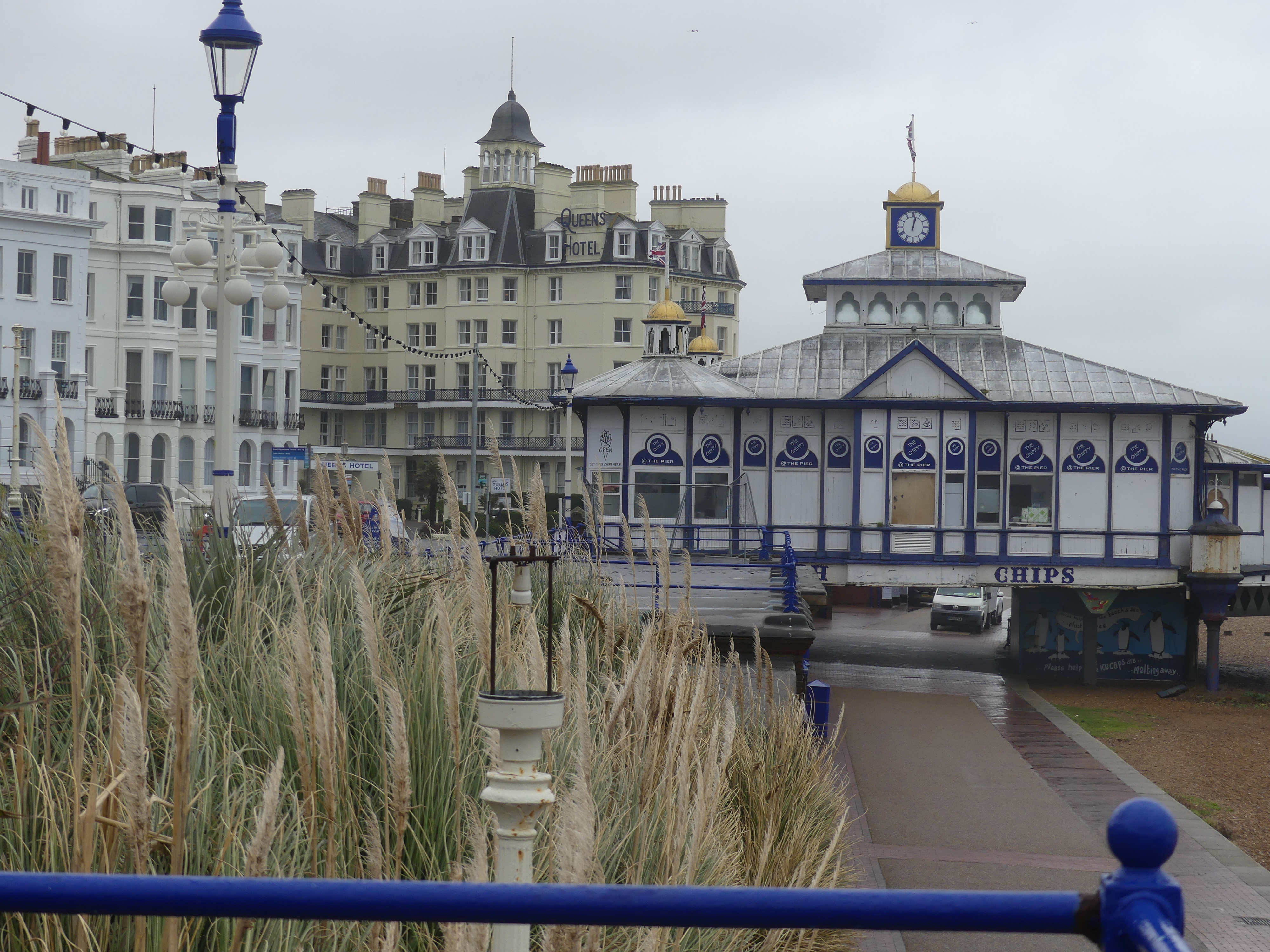
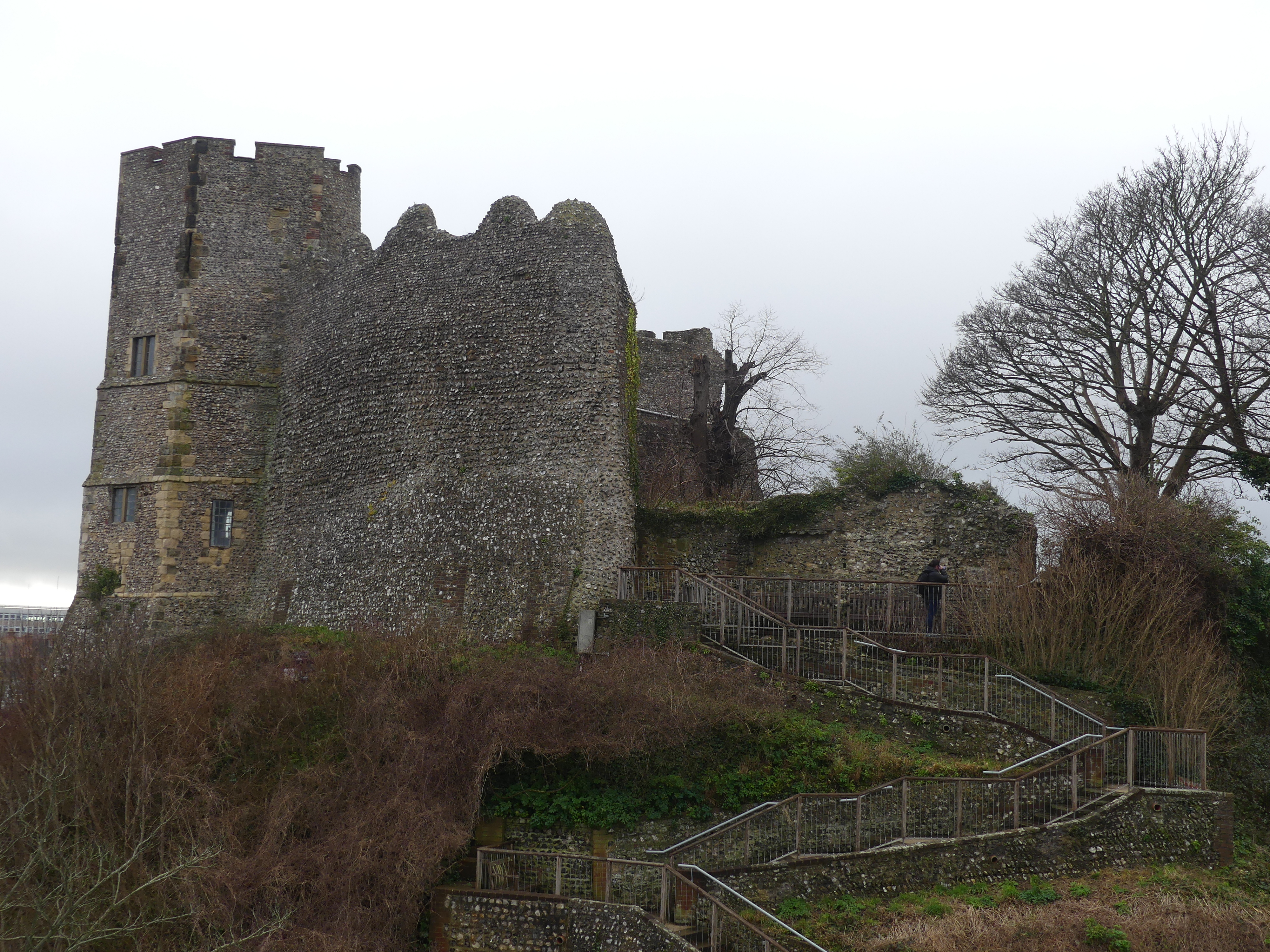
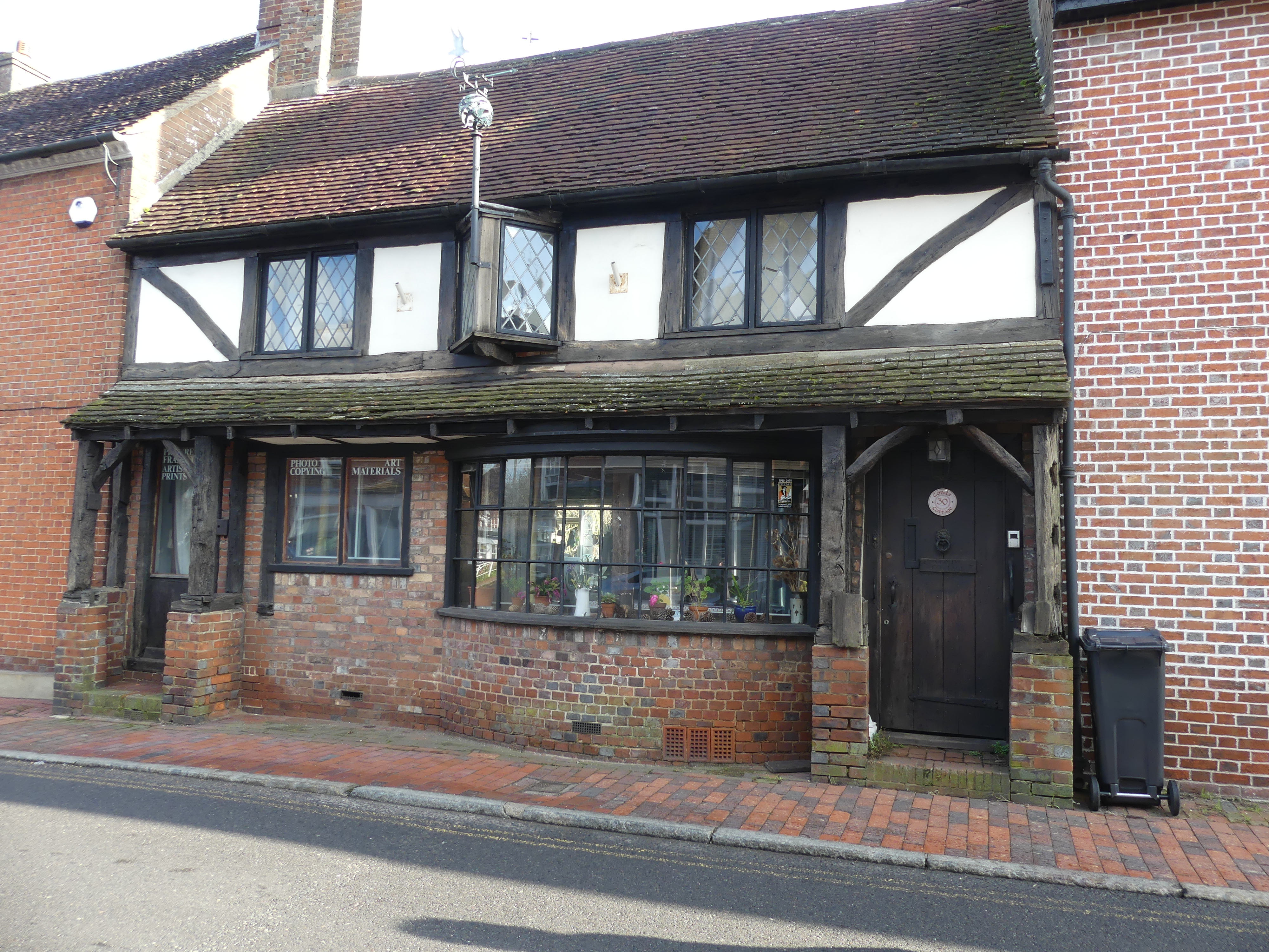
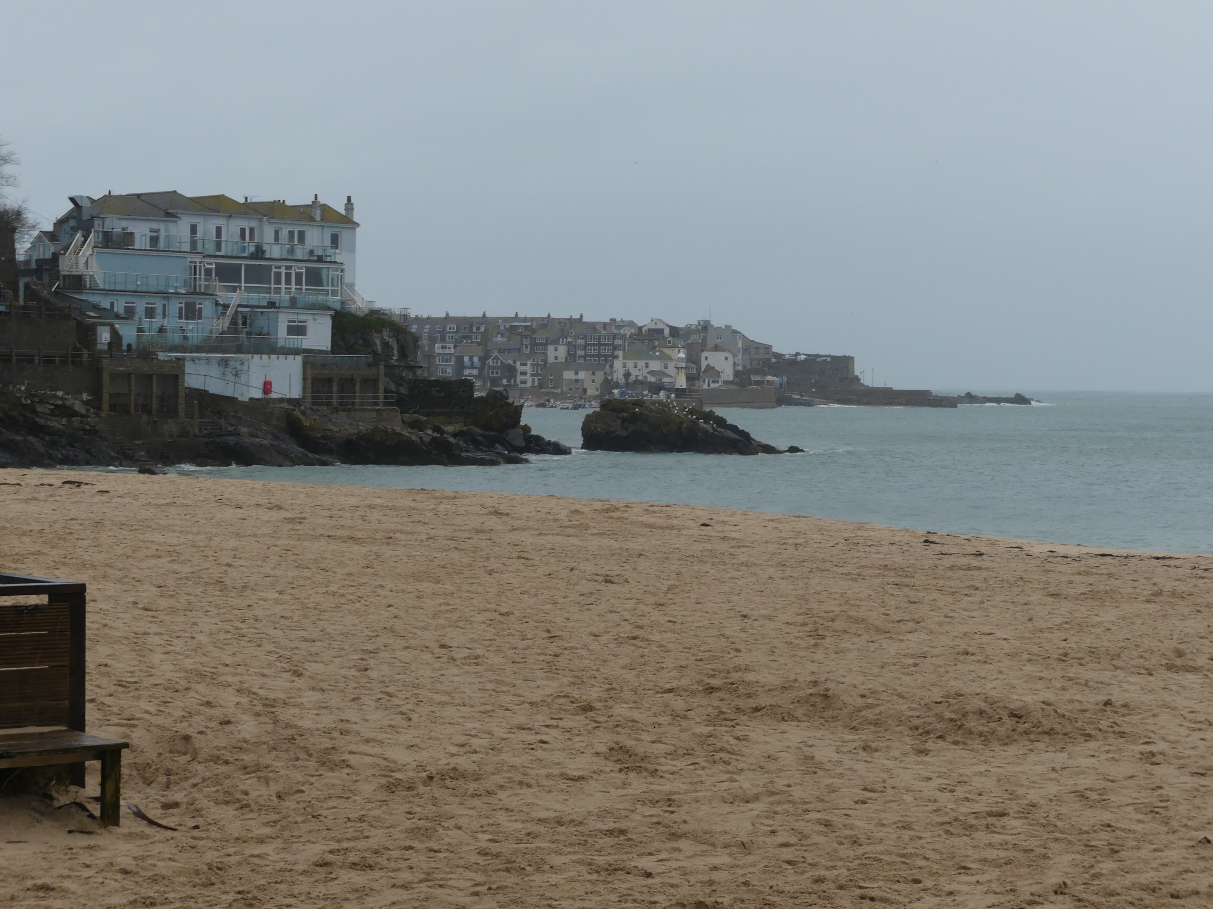
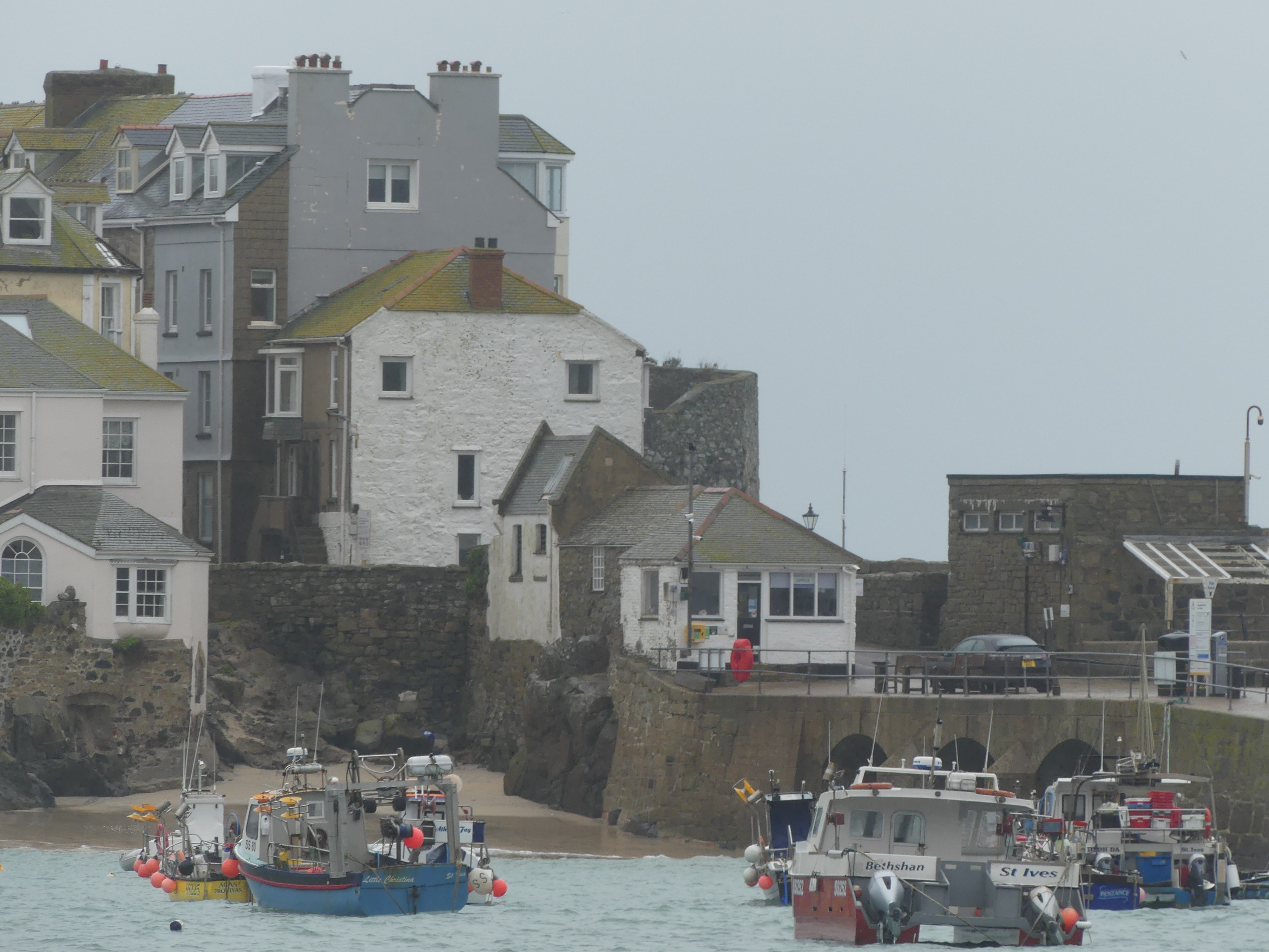
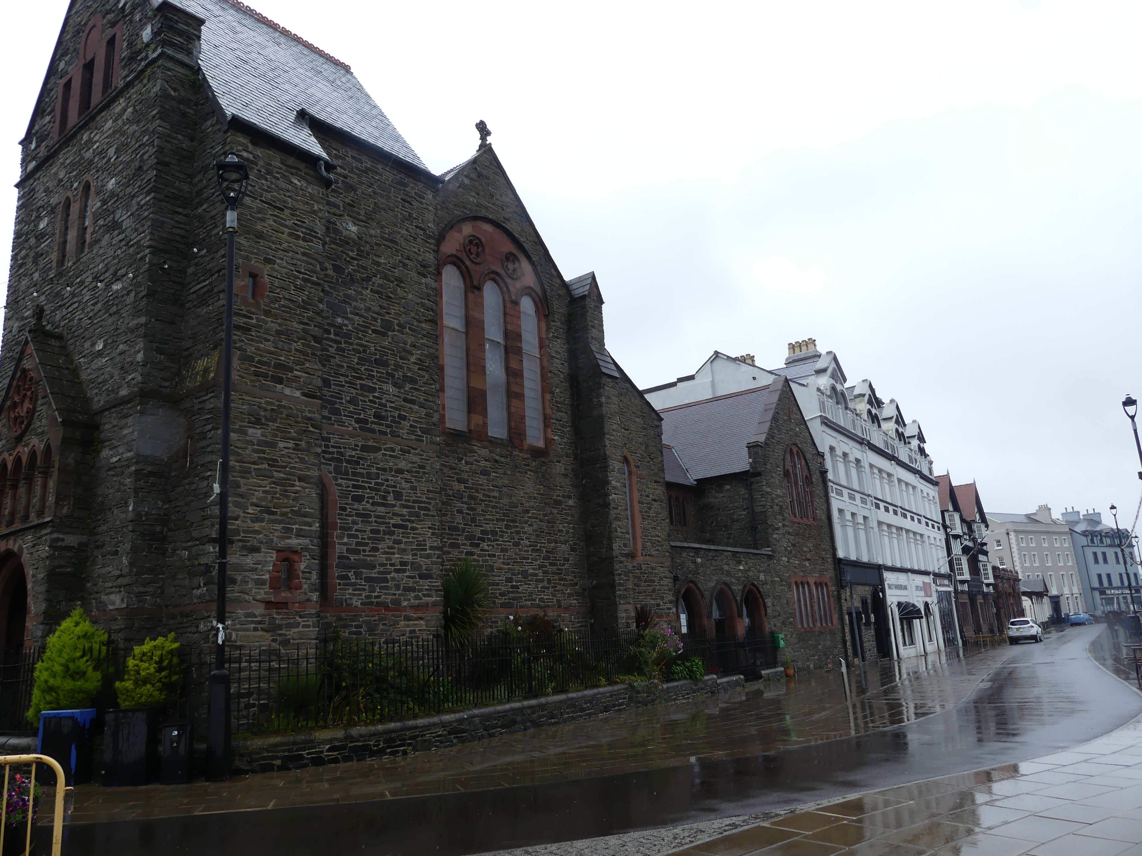
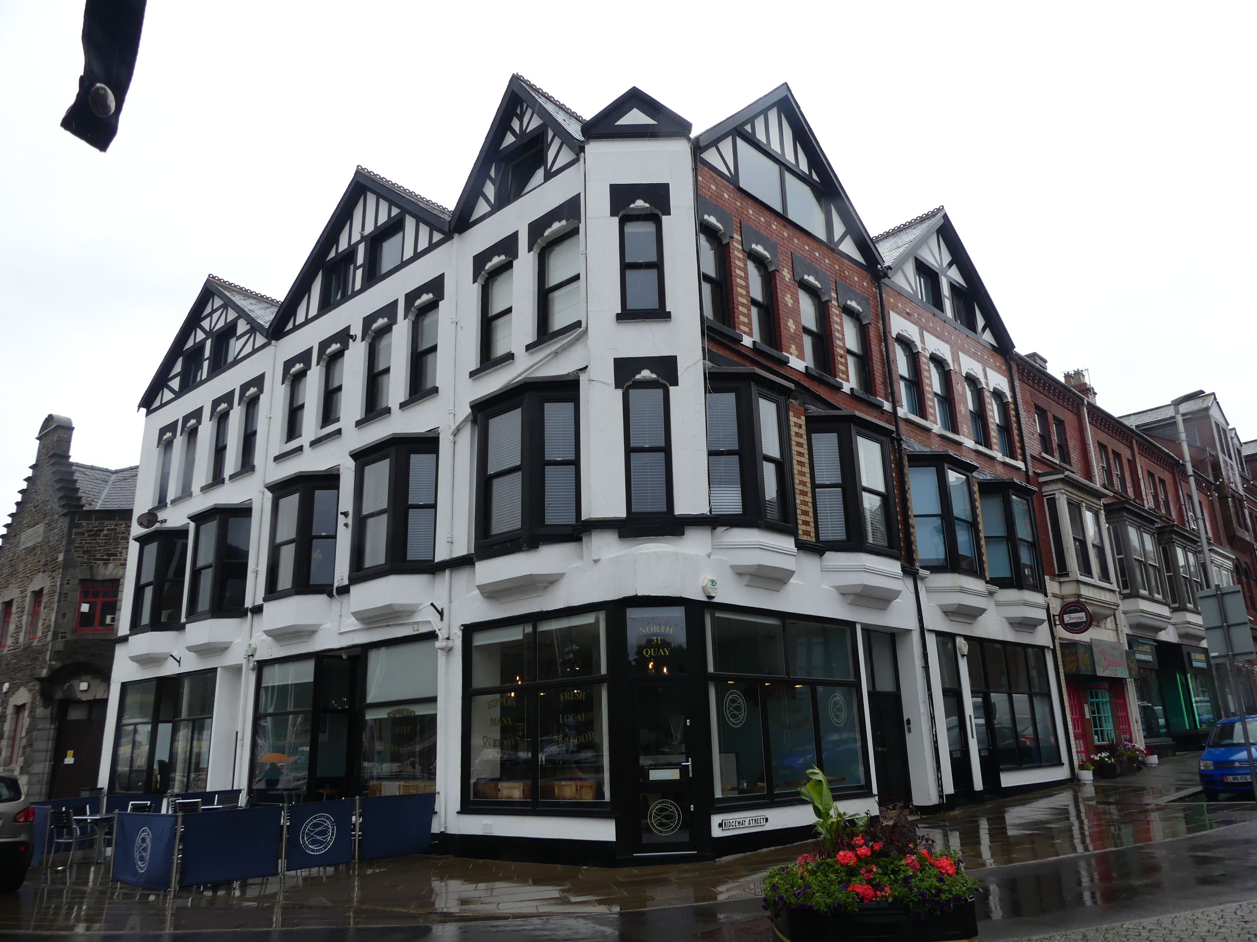
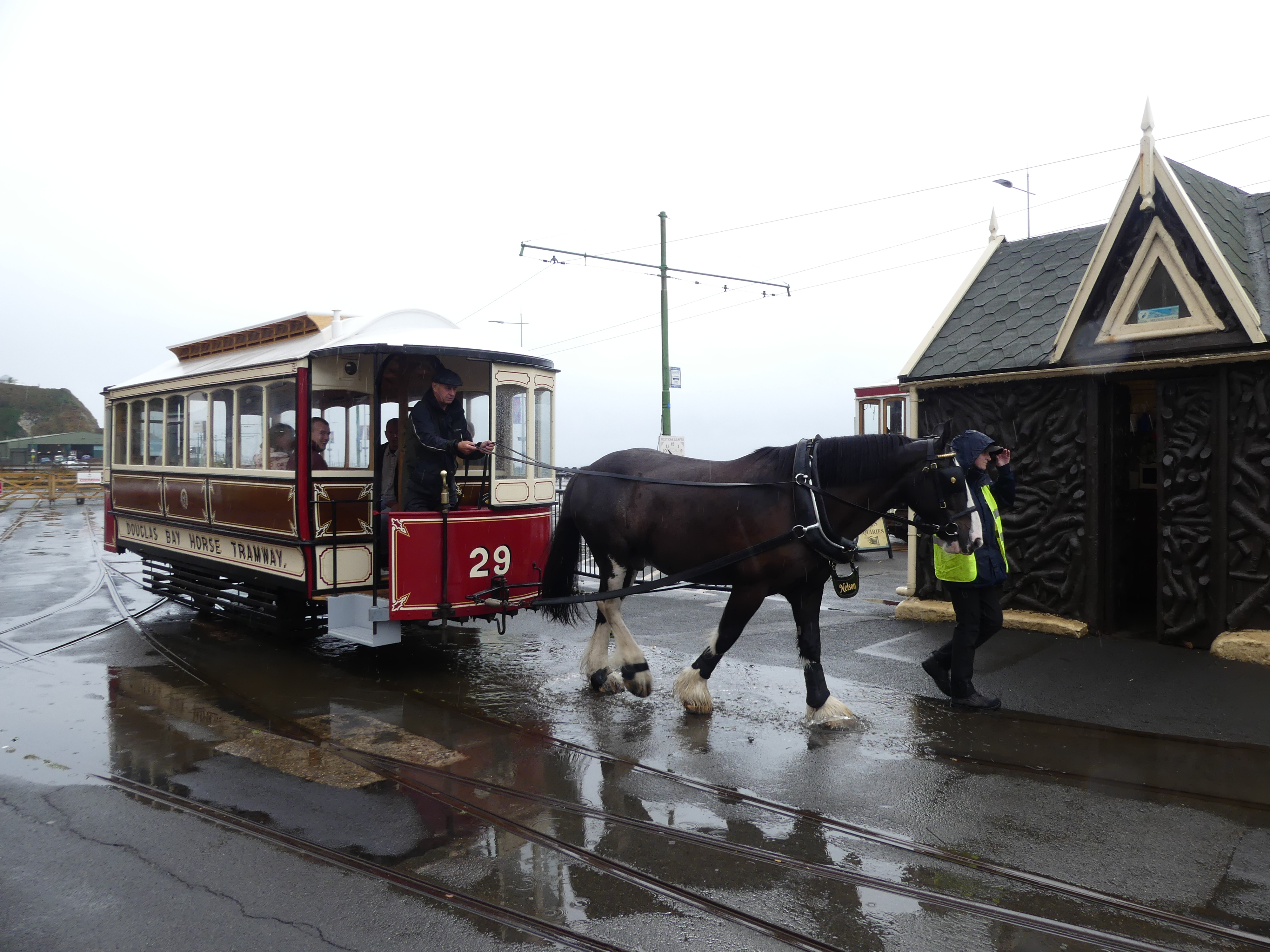
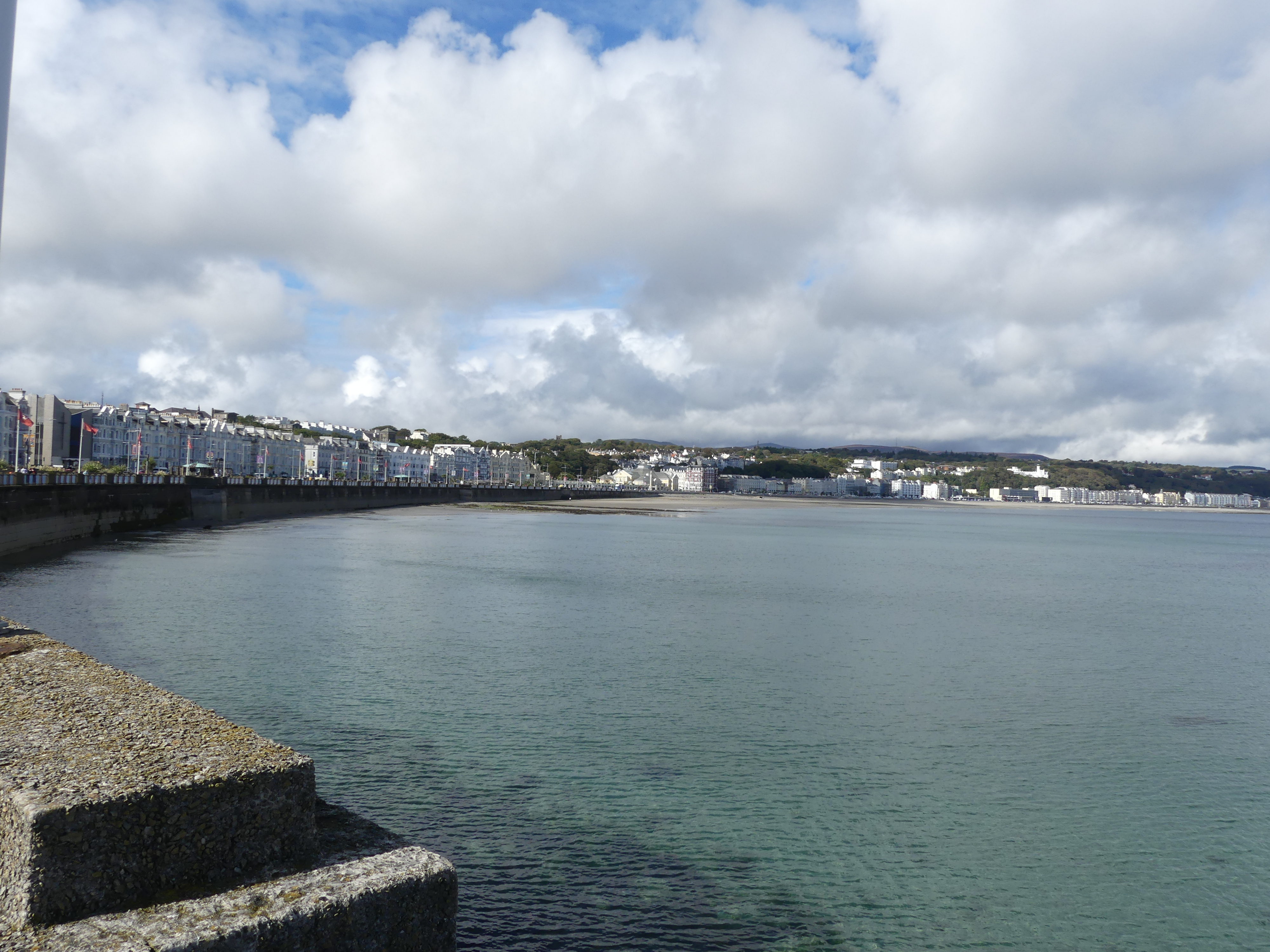
The capital is the city of Douglas. I have scanned and placed below part of the brochure from our visit and to help you understand the things we did. First after docking we made our way through the customs terminal for Man then worked our way around to the railway station planning to take a horse drawn tram then a train to Ramsey in the north.

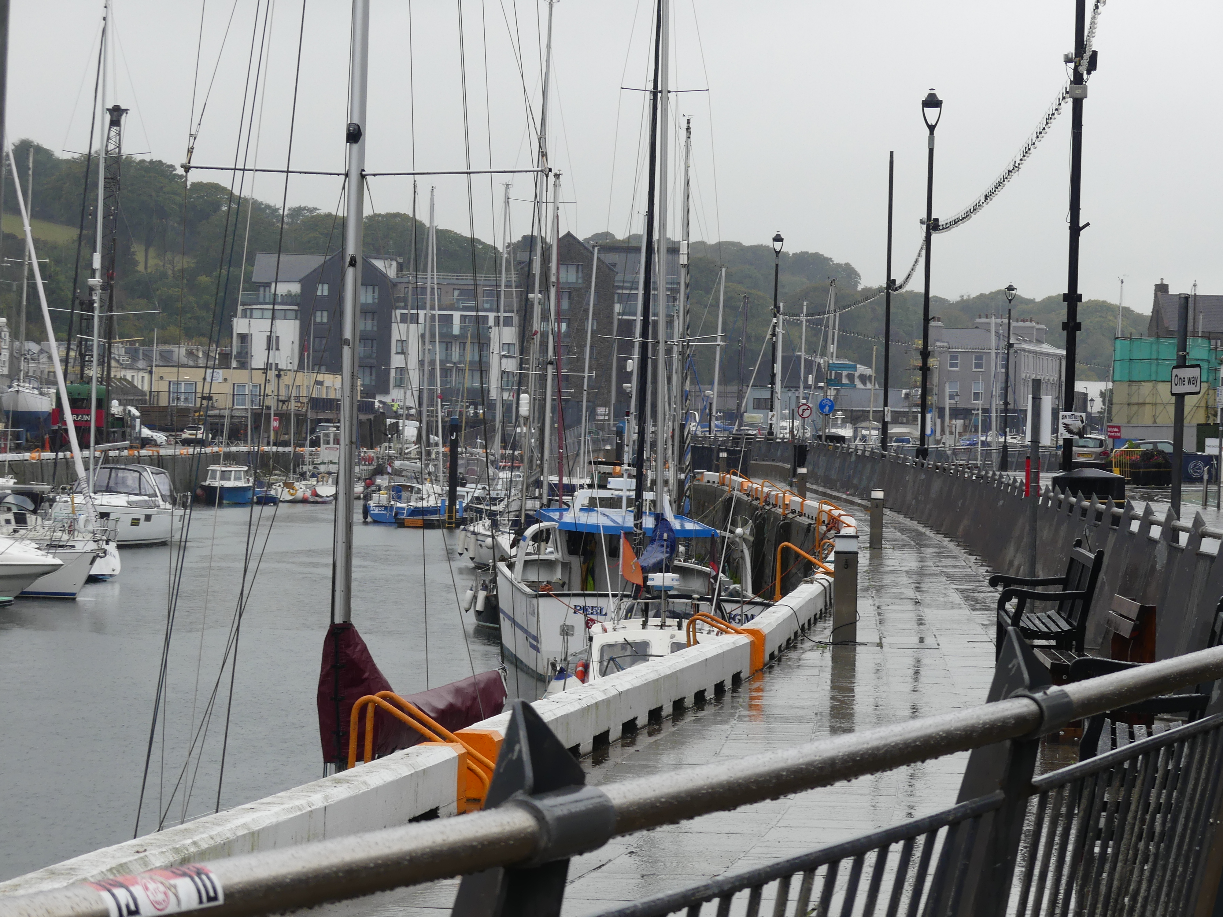
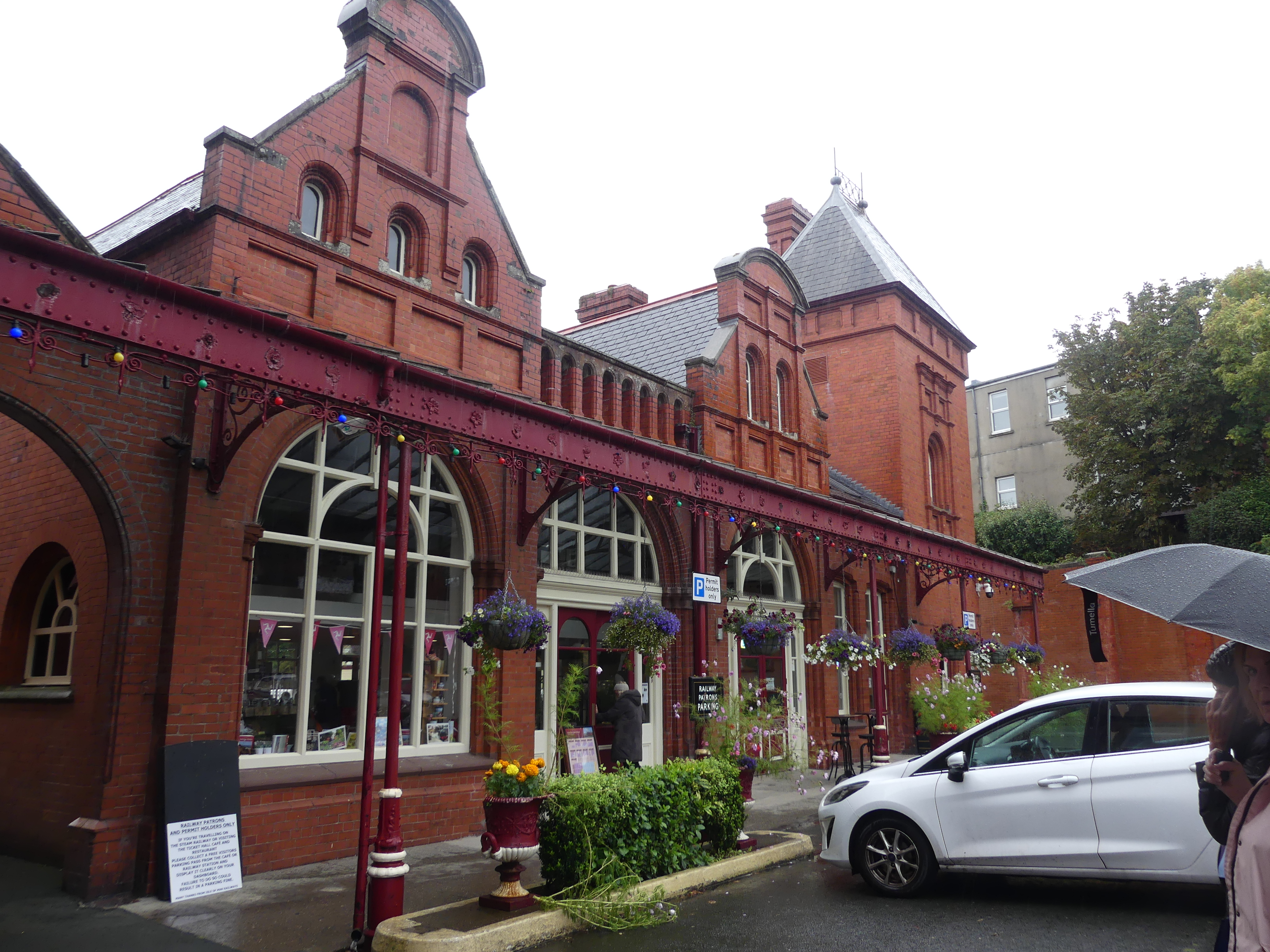
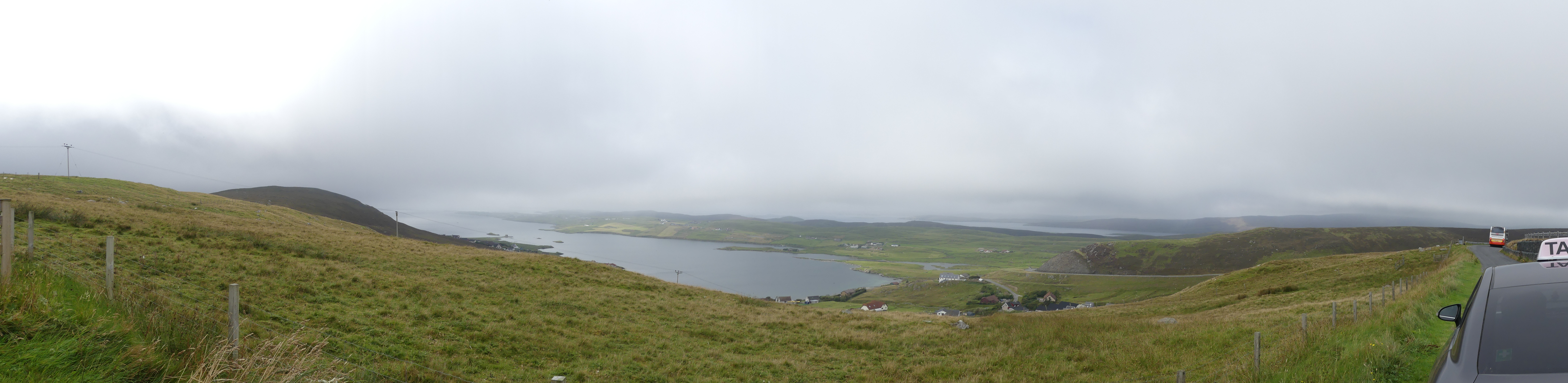
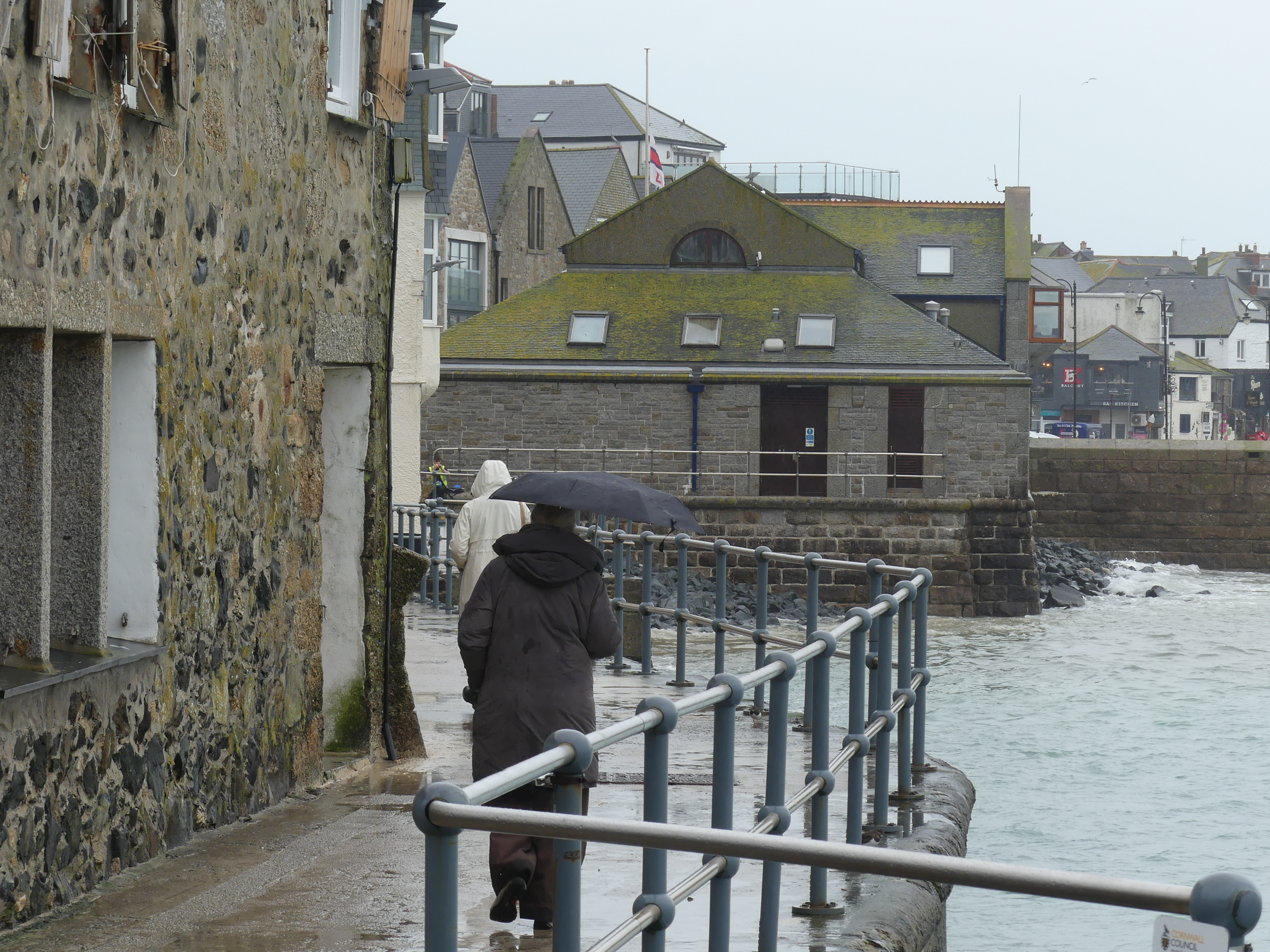
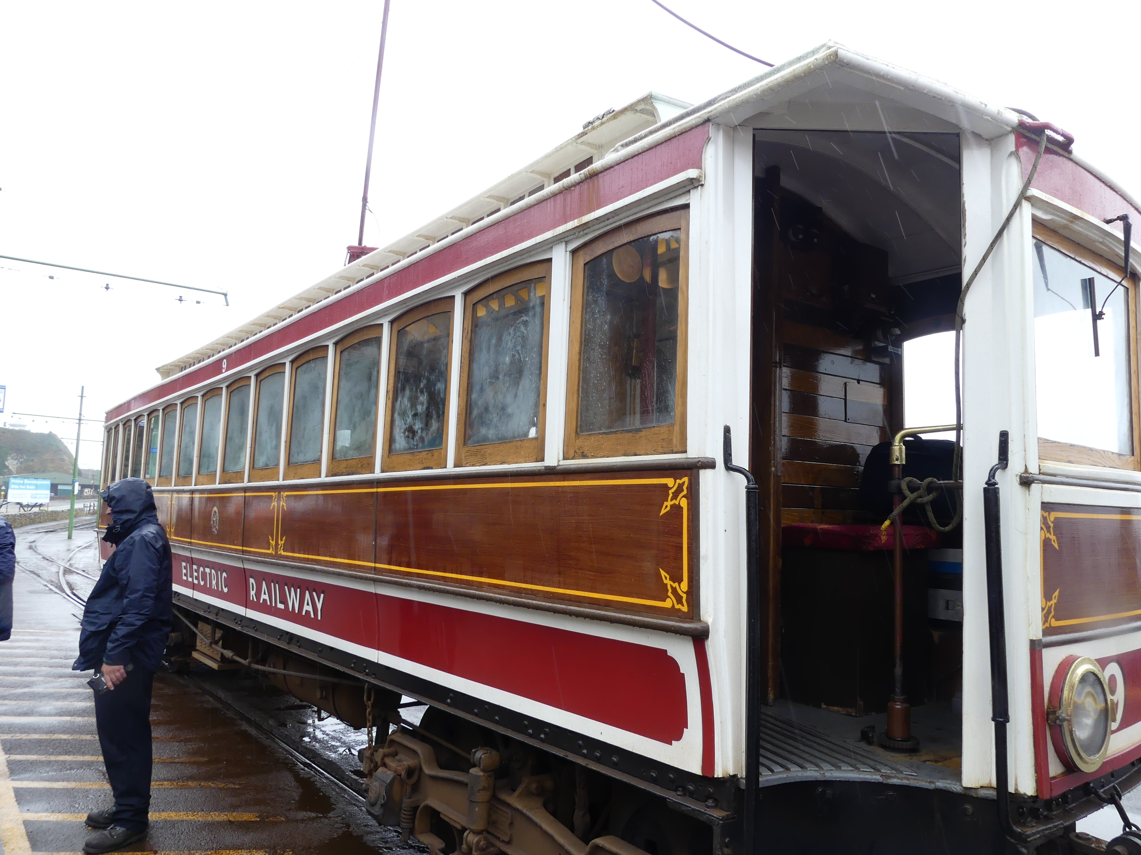
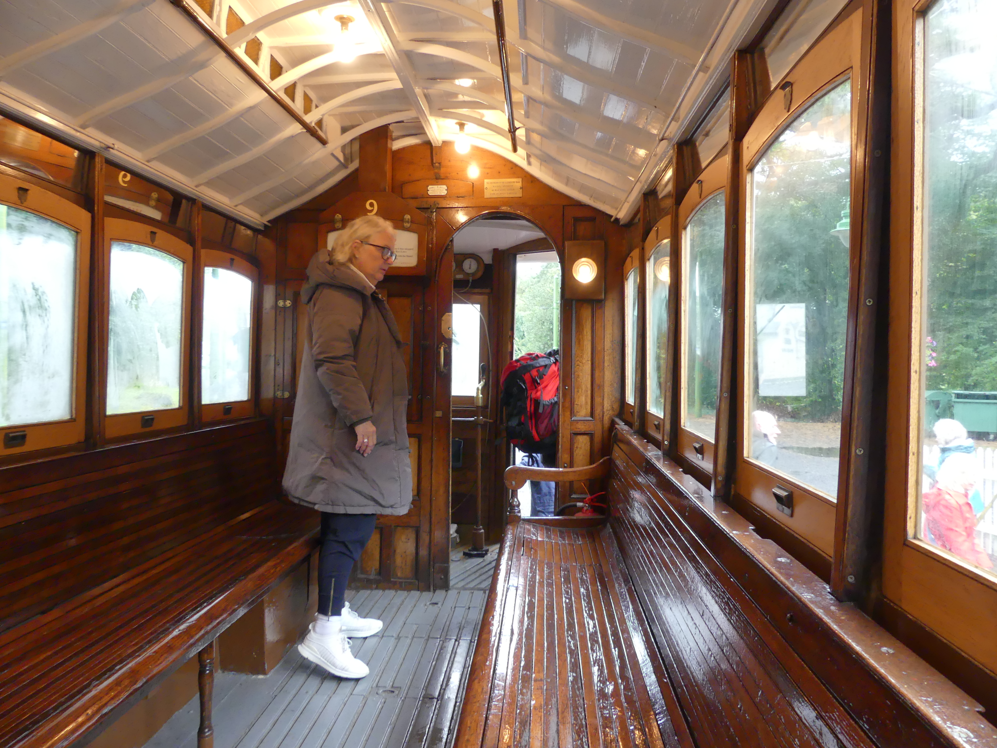
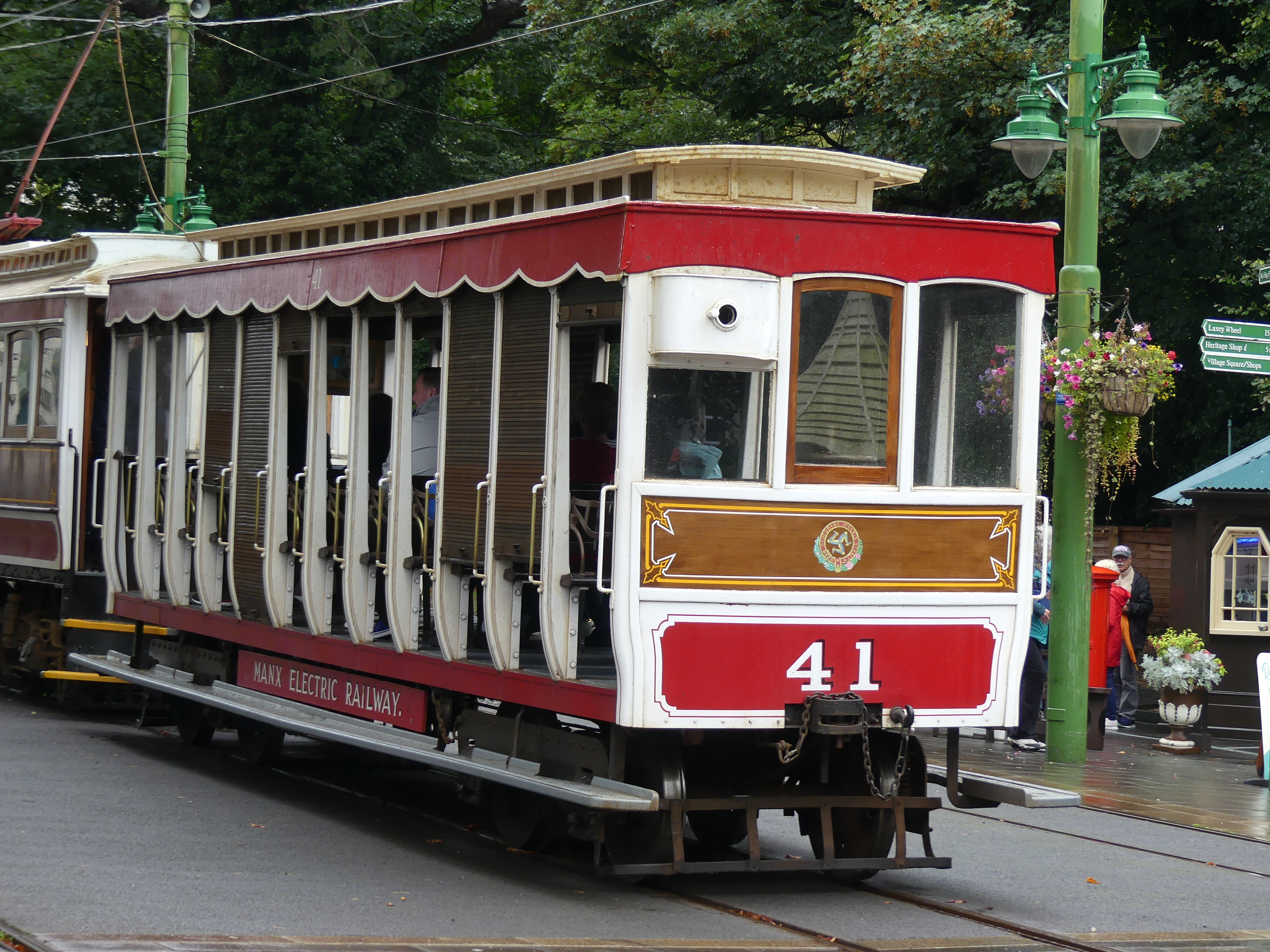
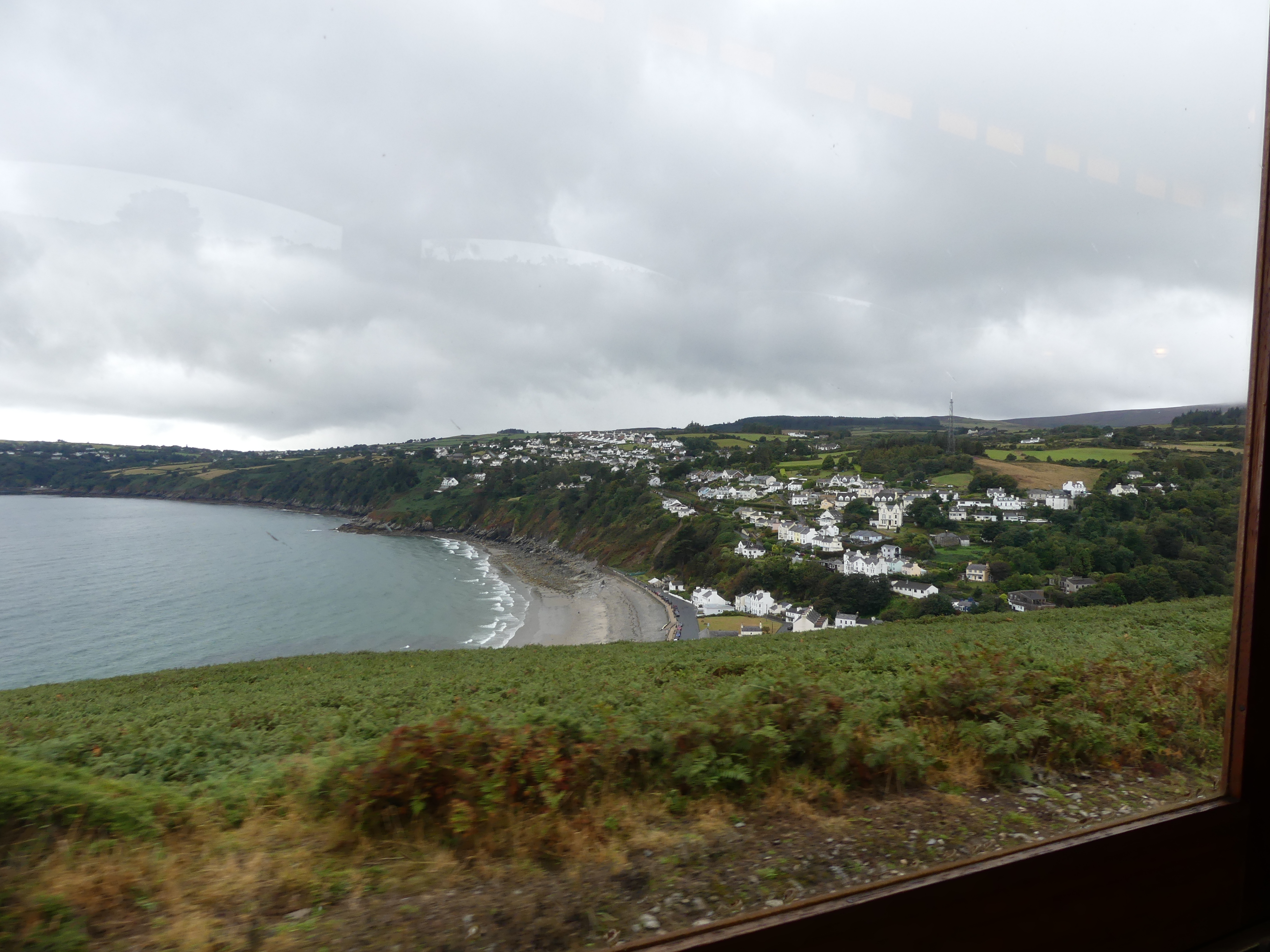
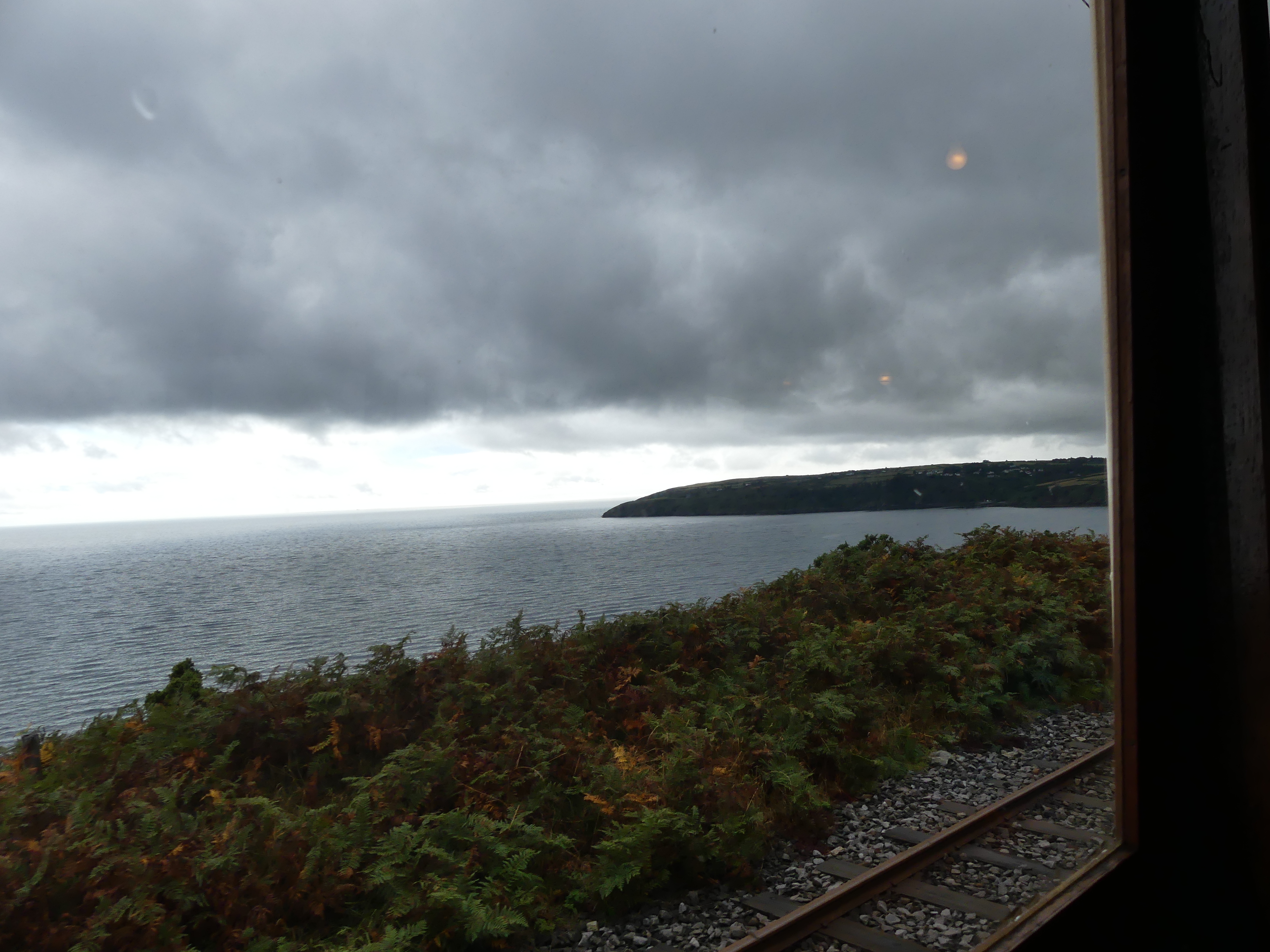
As you can see, it was not fair weather and we sheltered under a tiny umbrella. On arriving at the station disappointment awaited us – no trains. What we wanted was on the otherside of the city, so we hunted down a taxi and made our way to the horse drawn tram which would take us on the first part of our adventure. On arrival at the rail station we left the horse and carriage and transitioned to the Manx Electric Railway and then we had to make a decision – do we take to the Snaefell Mountain Railway or take the Manx Electric Railway to Ramsey. We decided to do both.

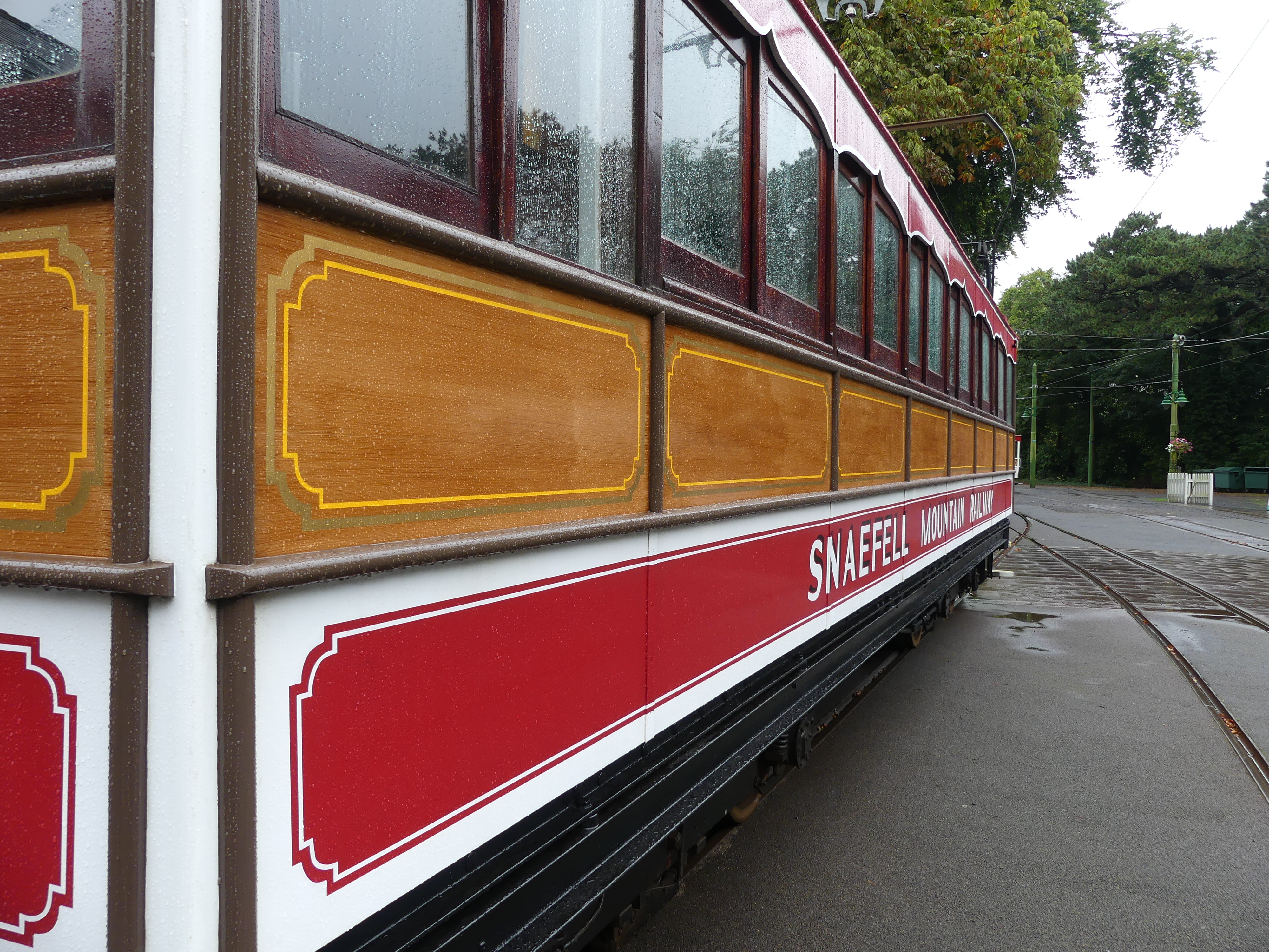
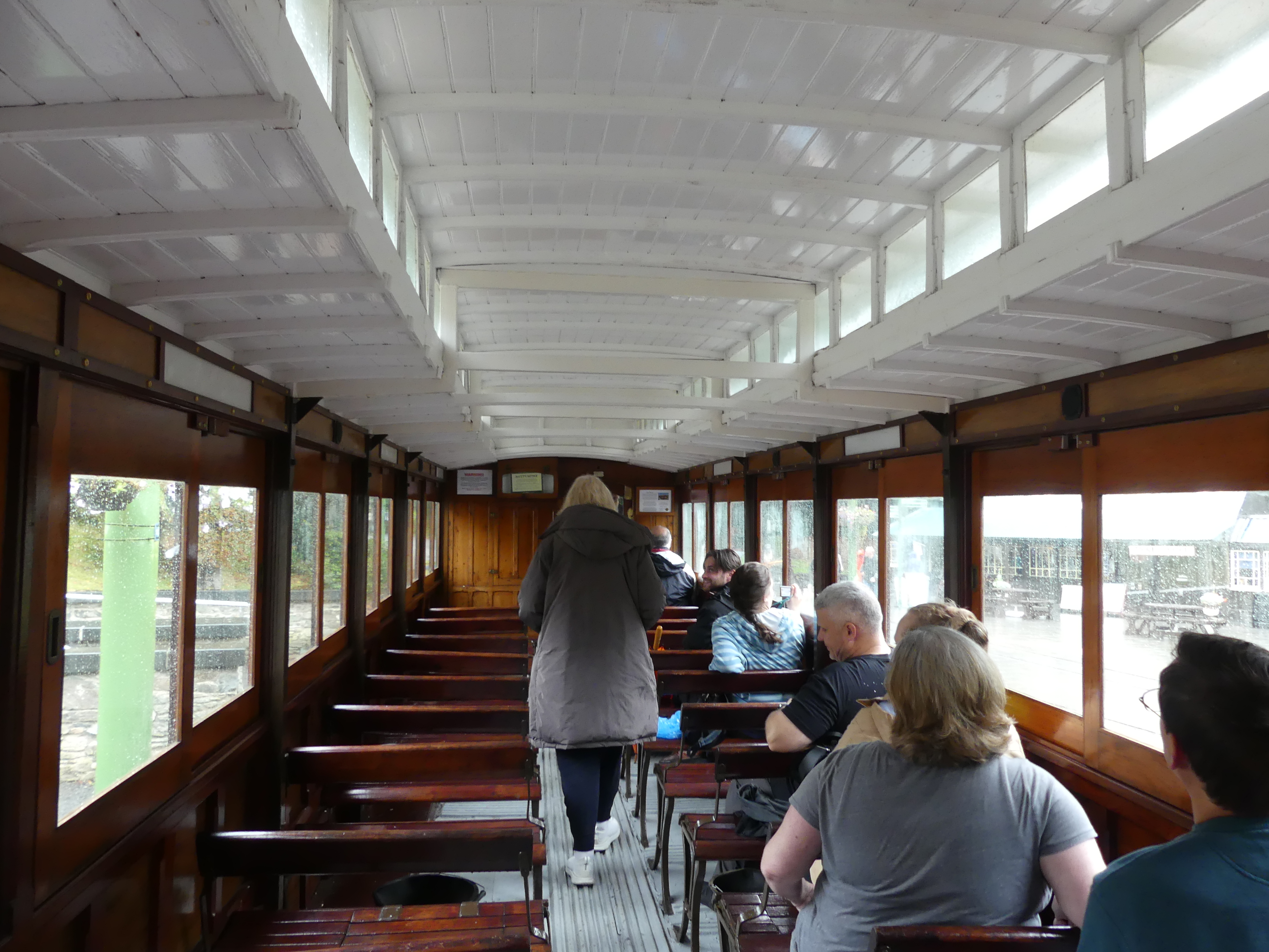
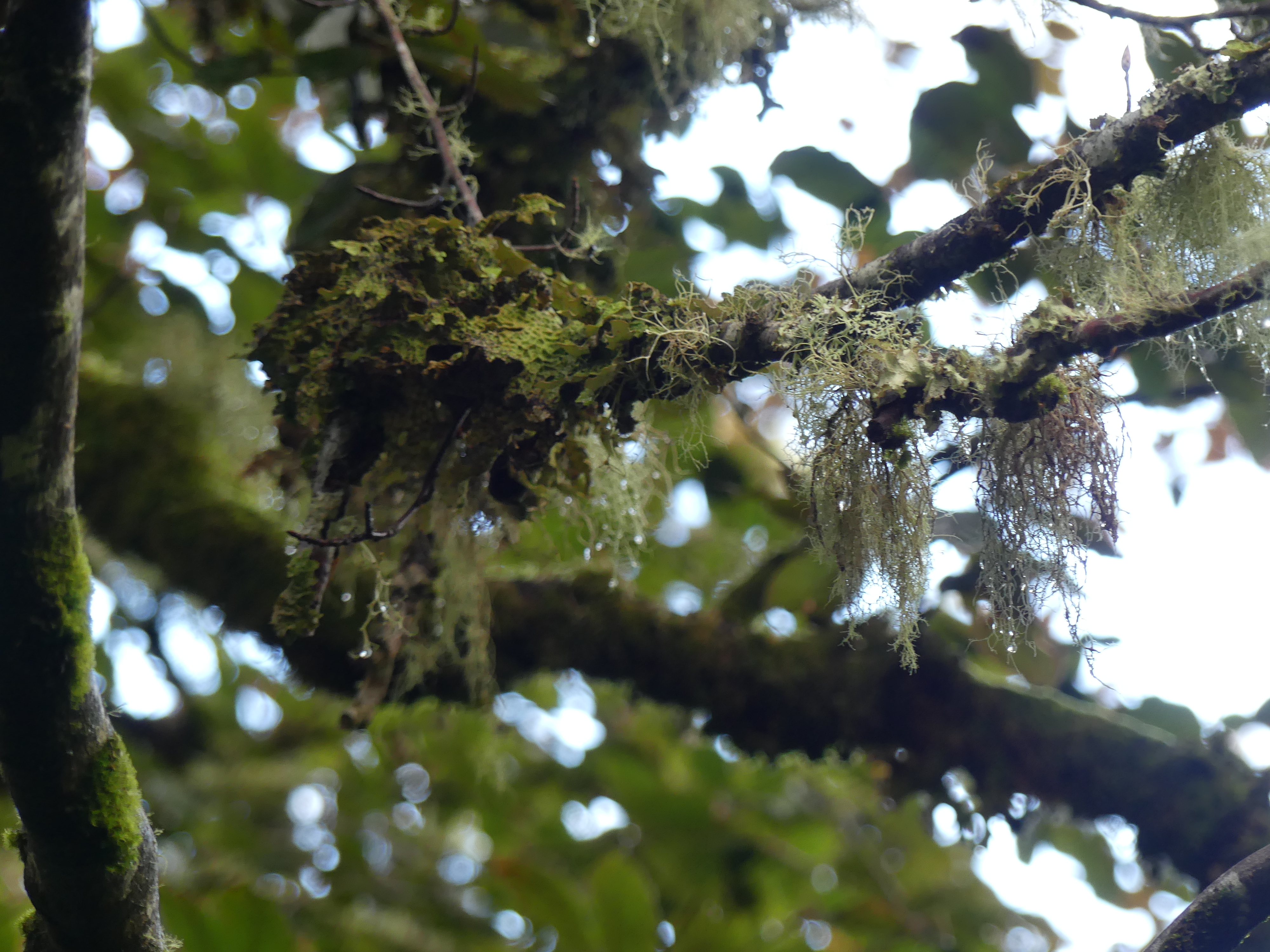
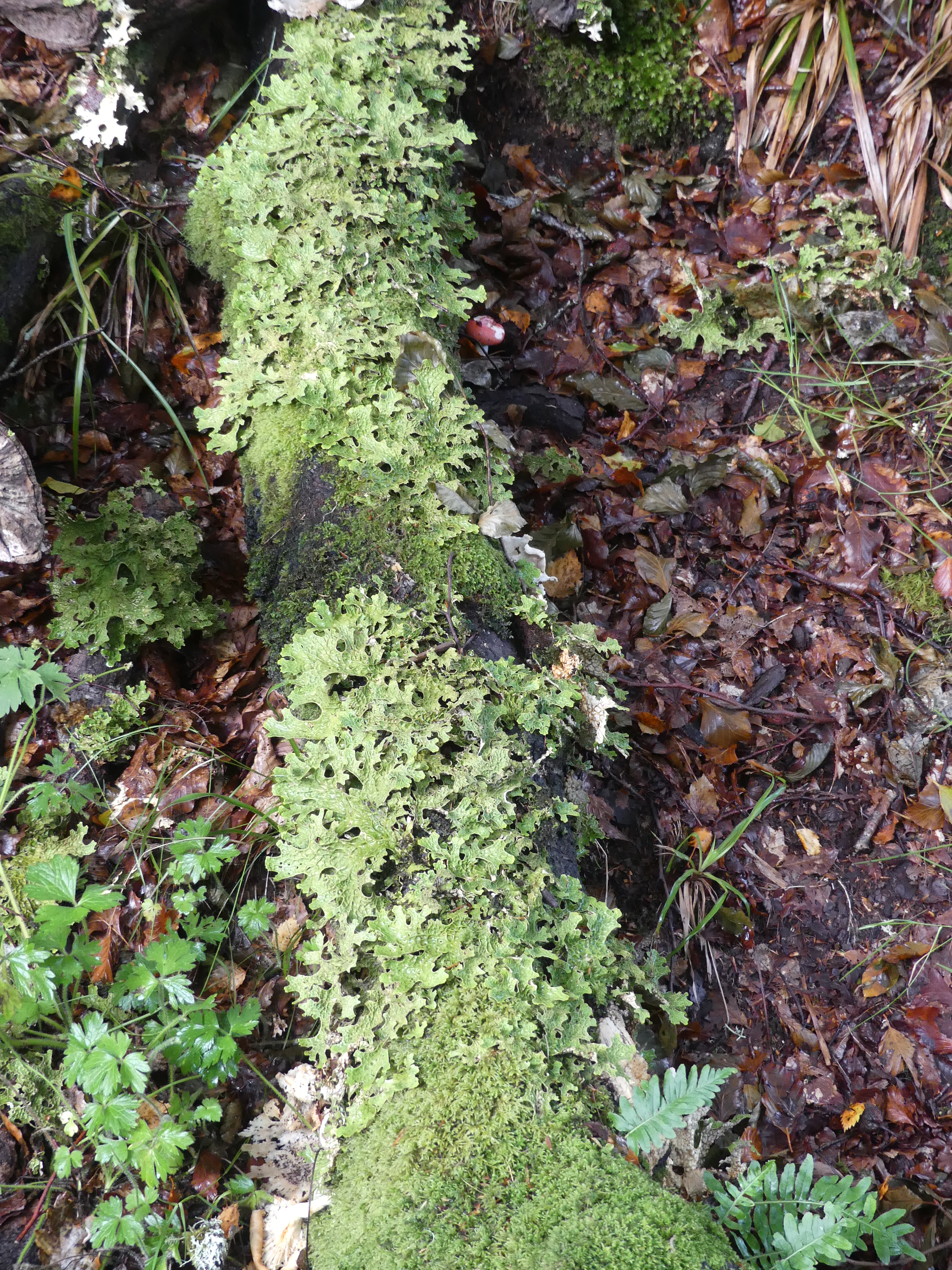
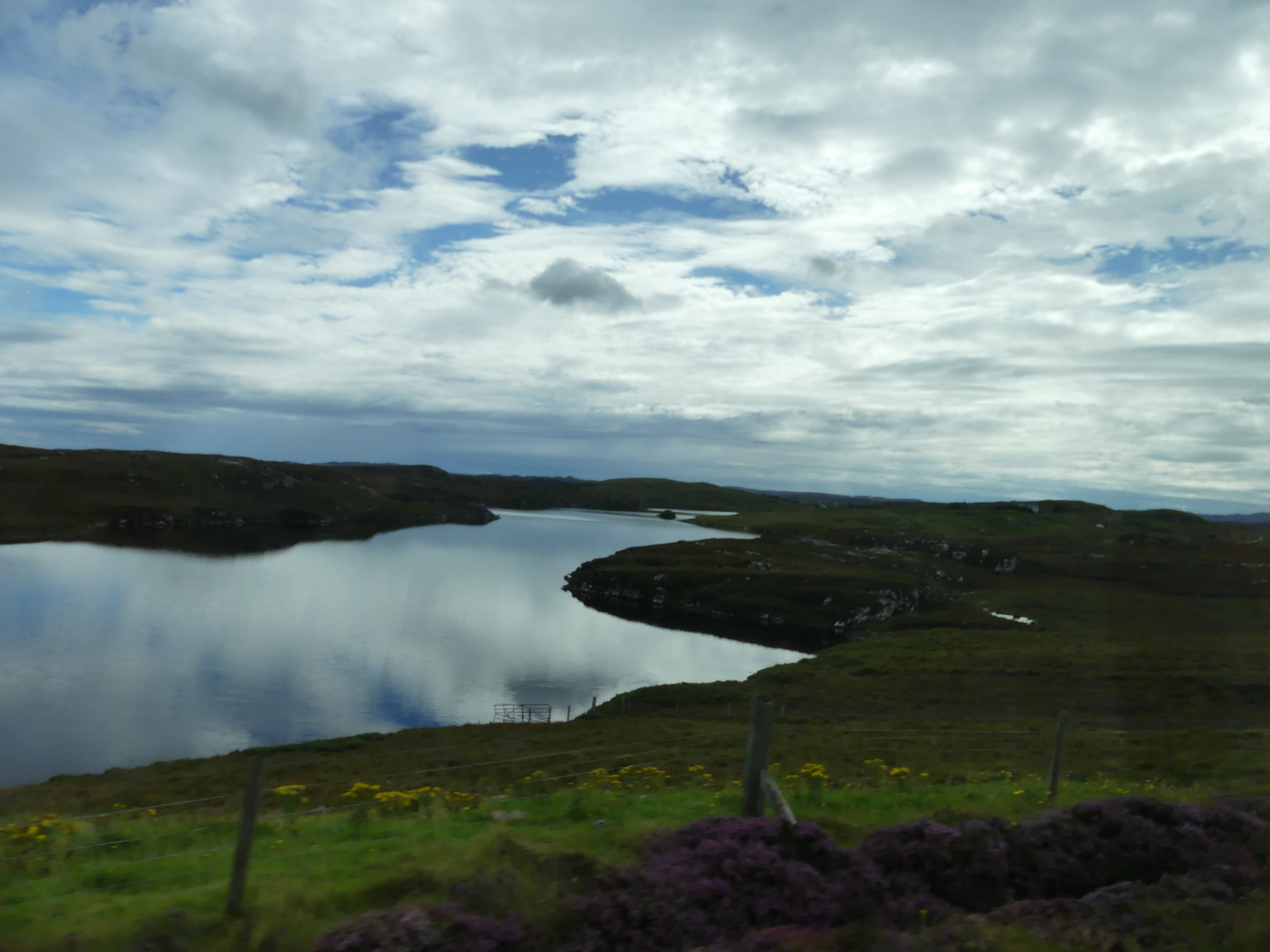
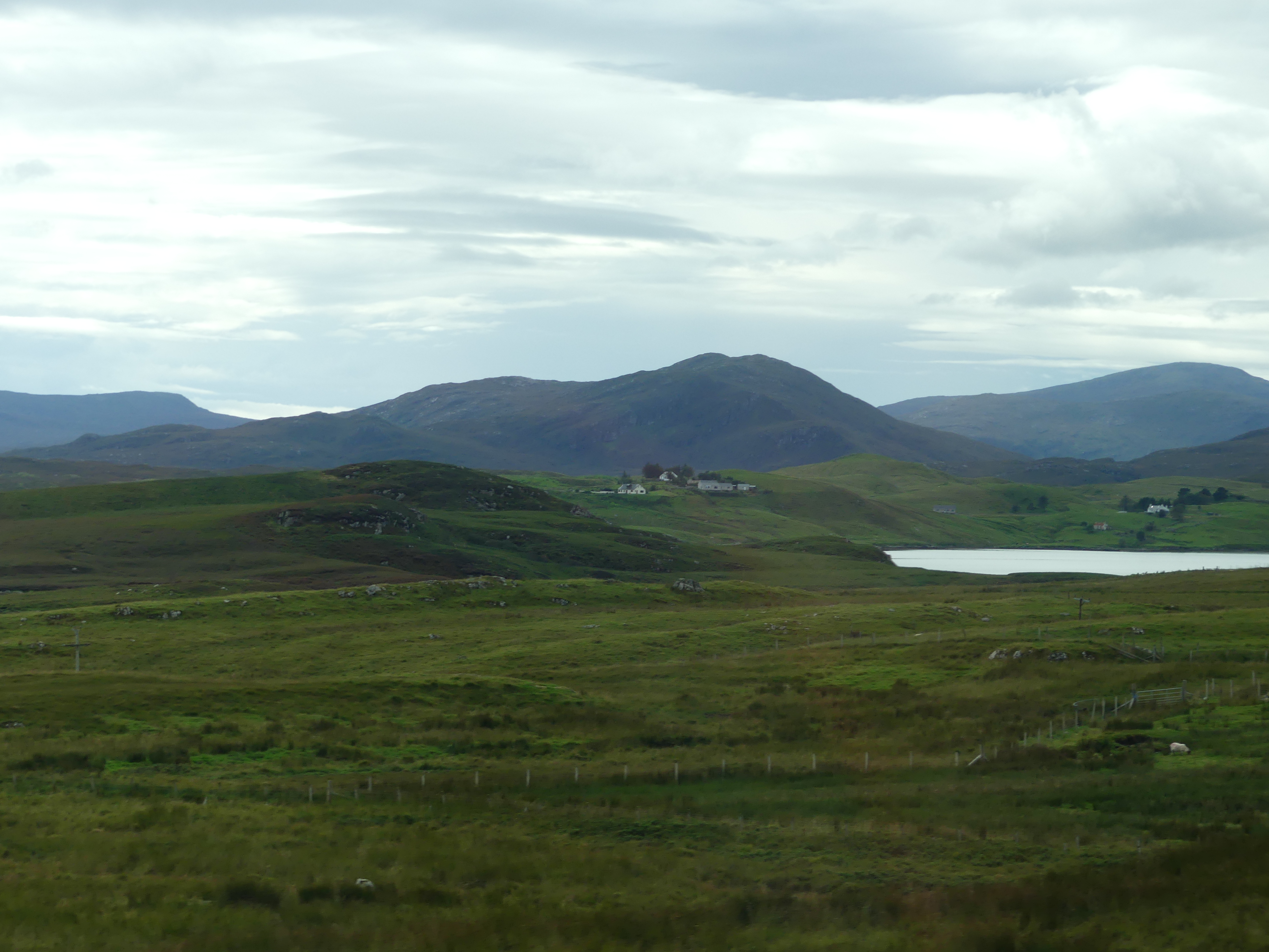
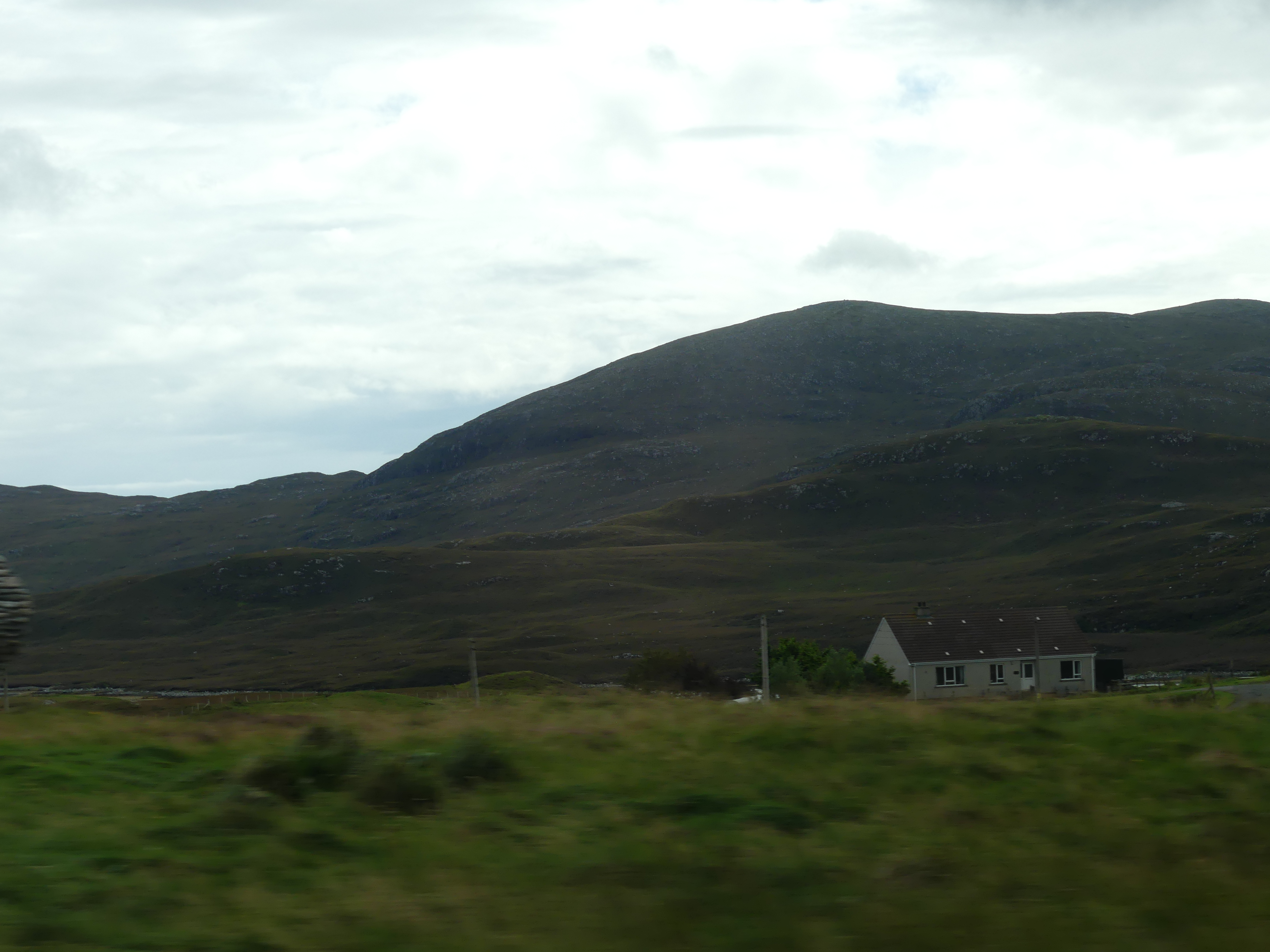
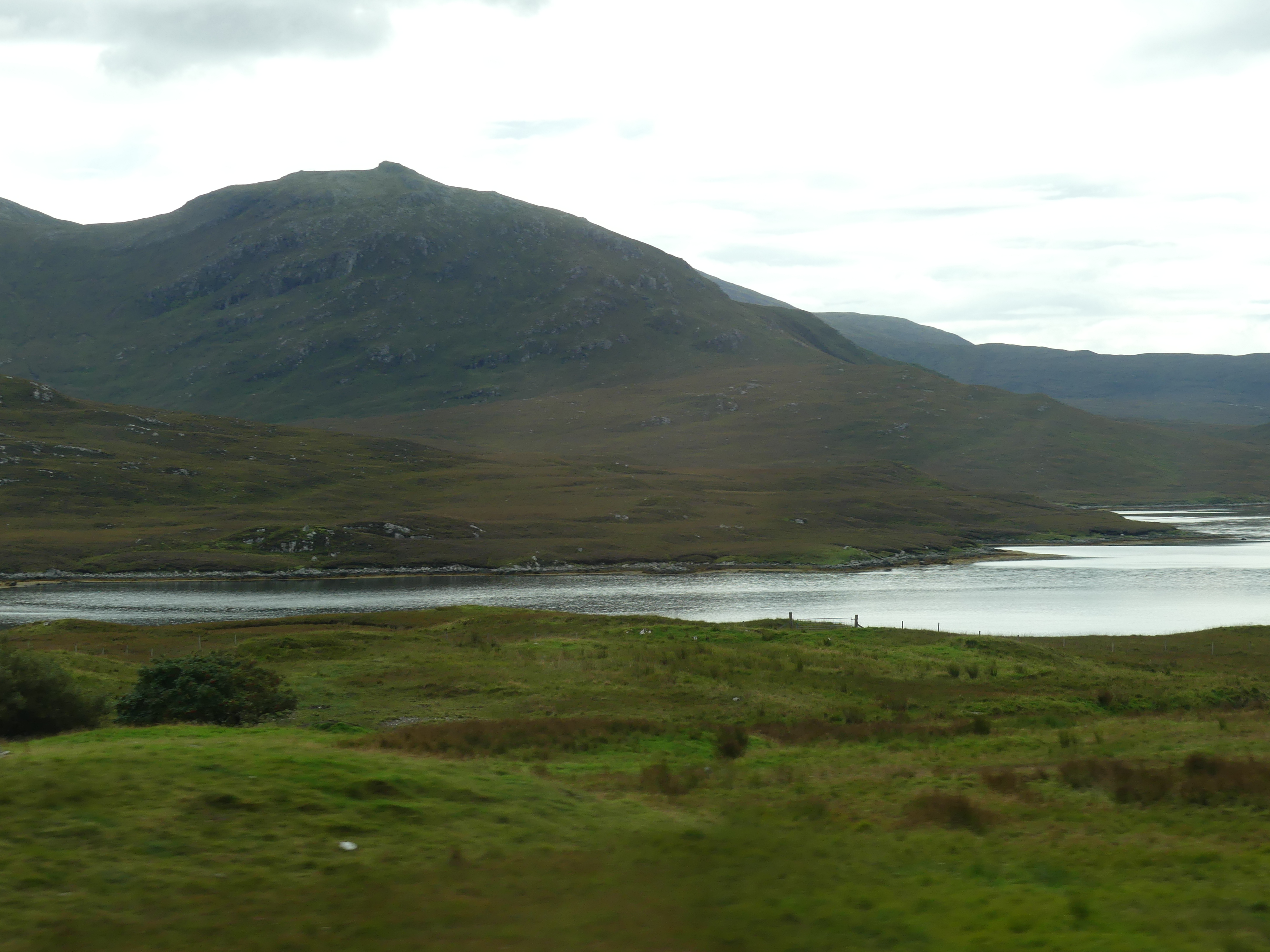
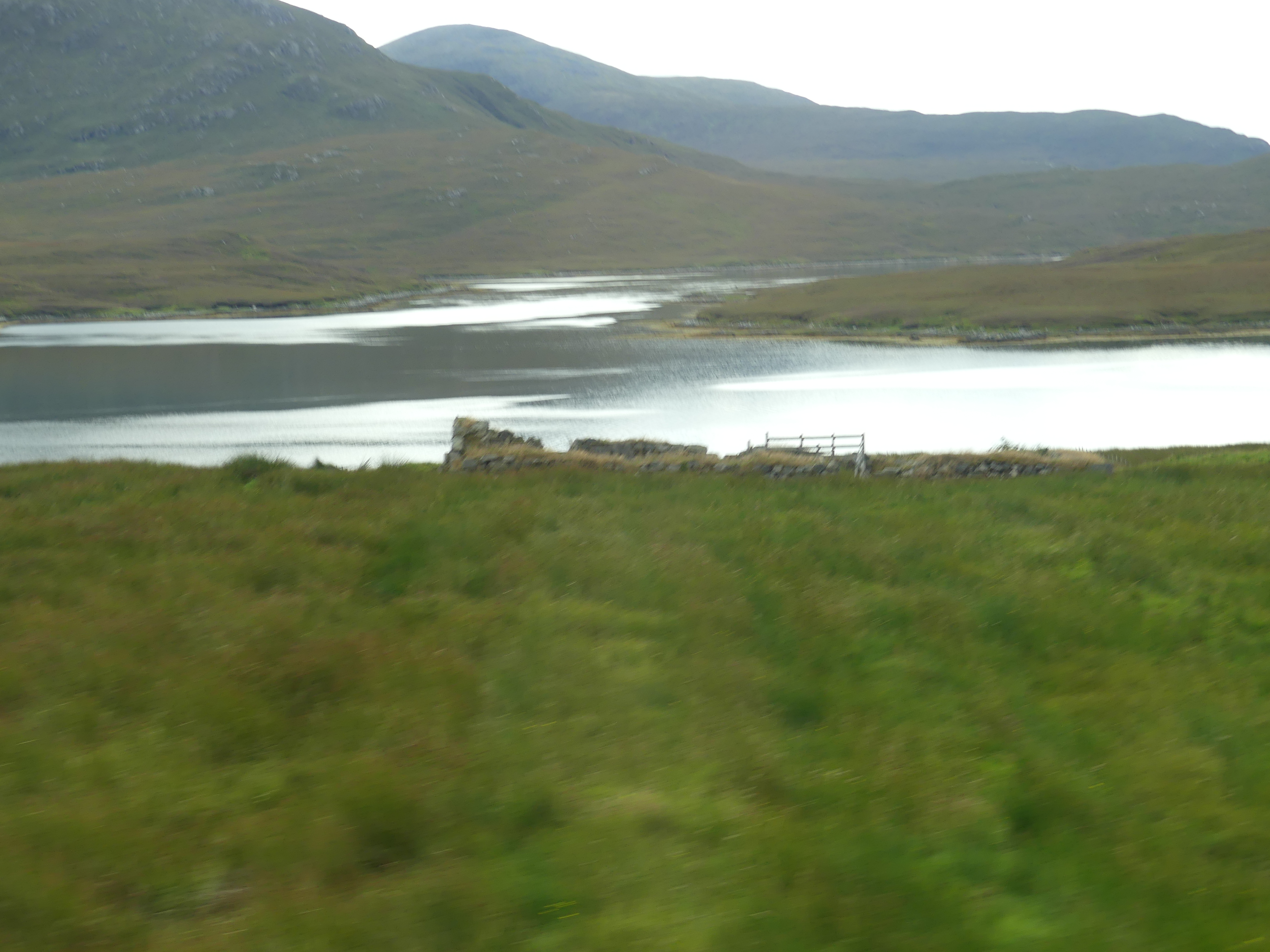
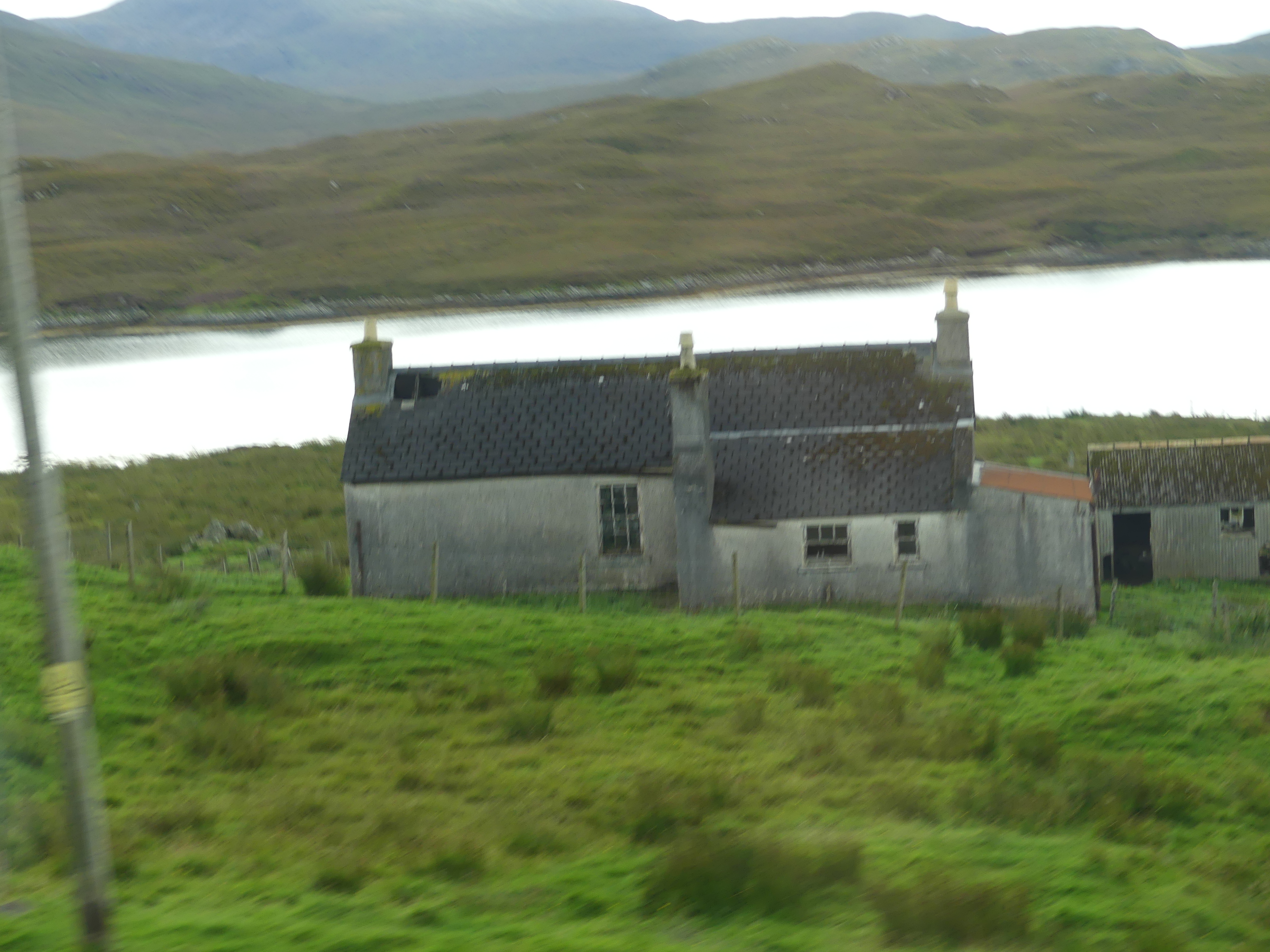
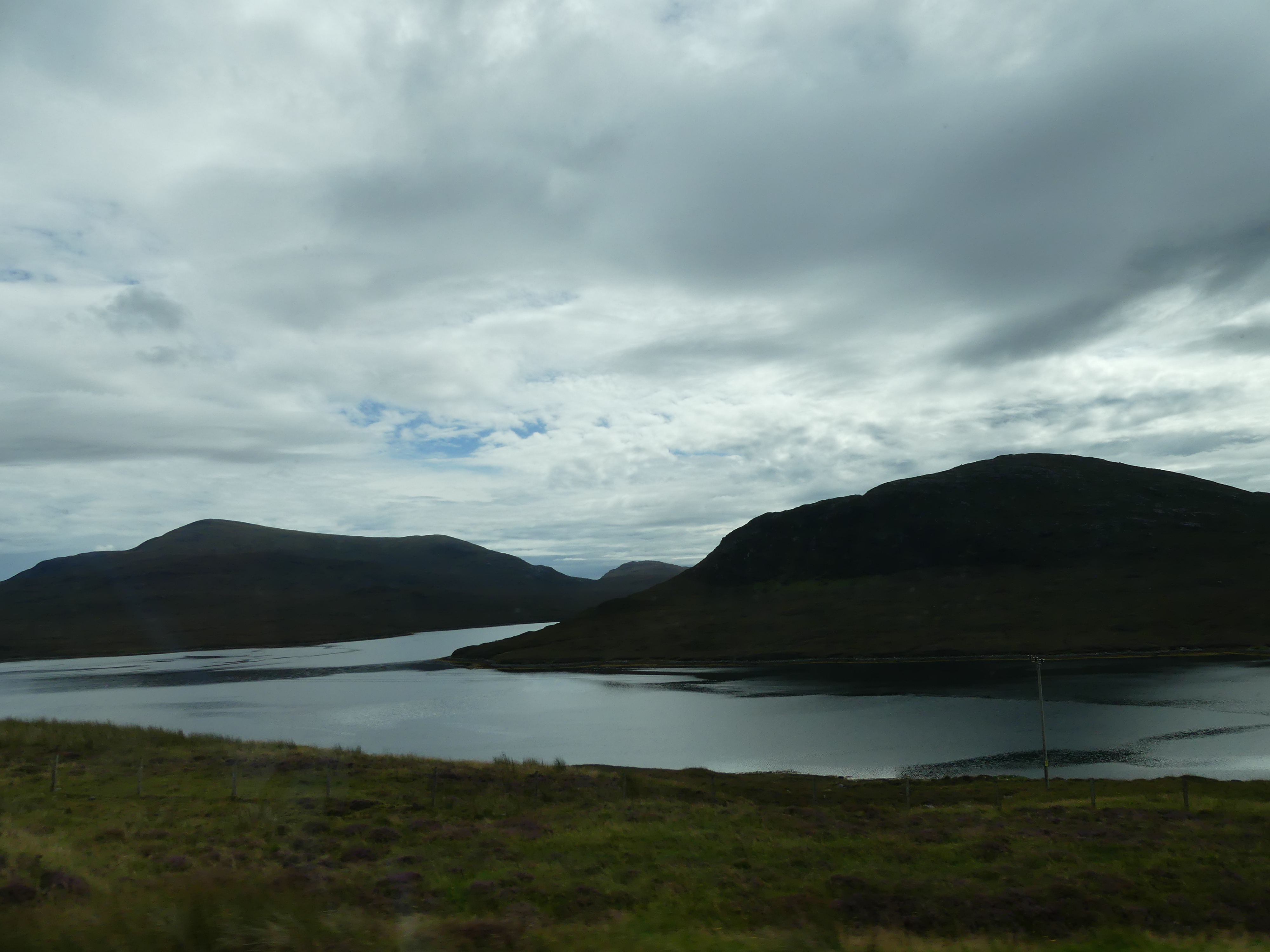
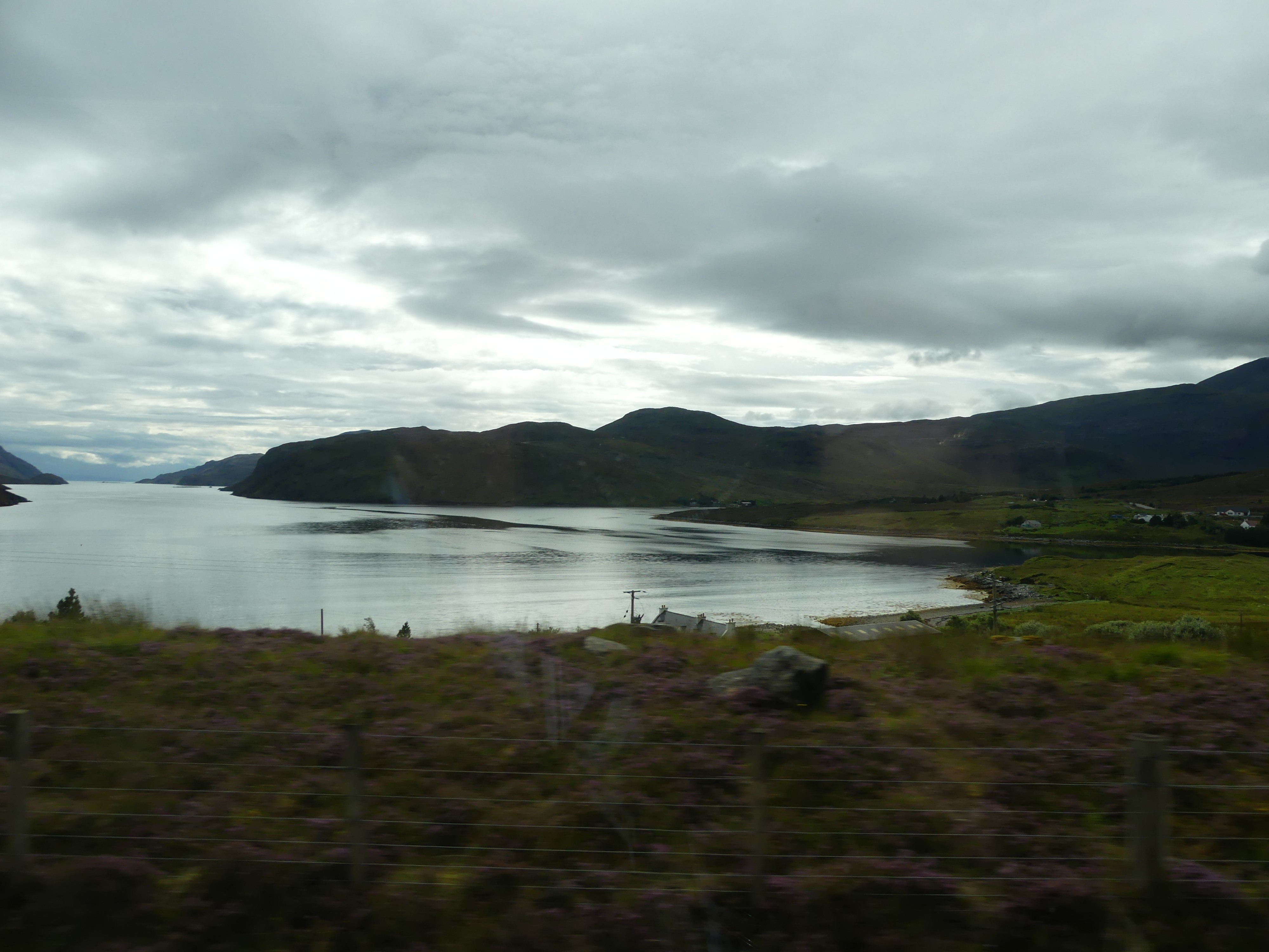
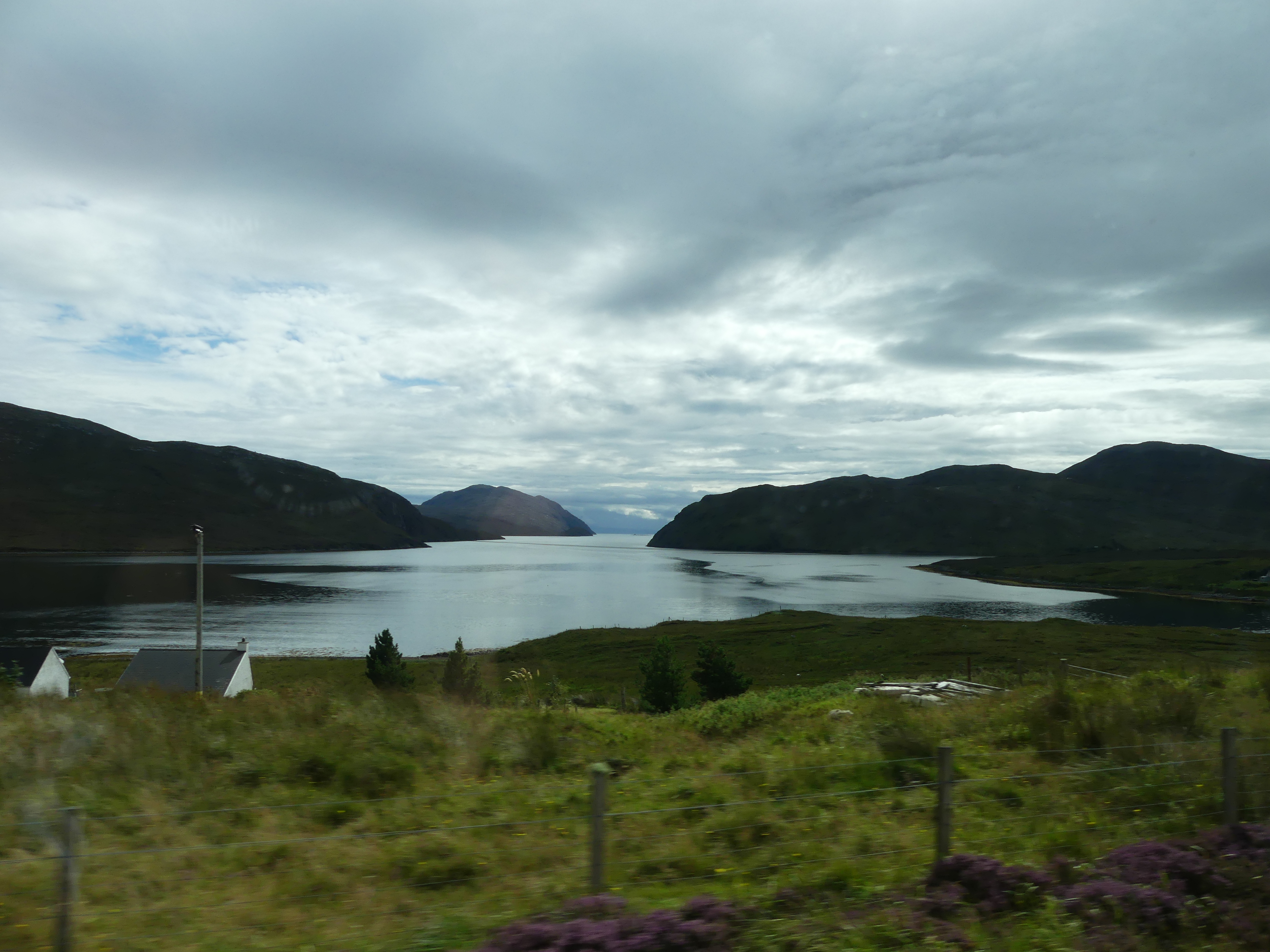
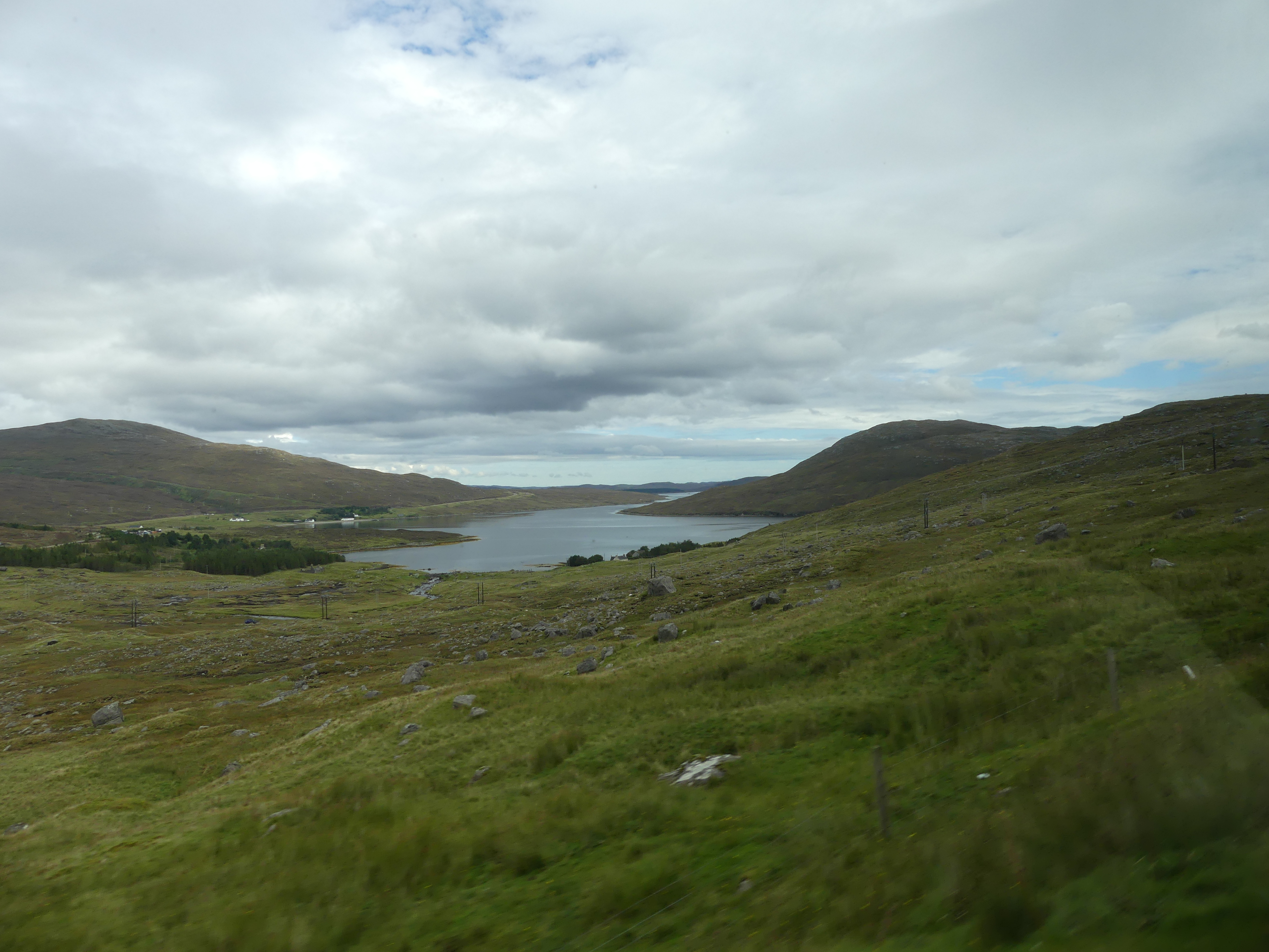
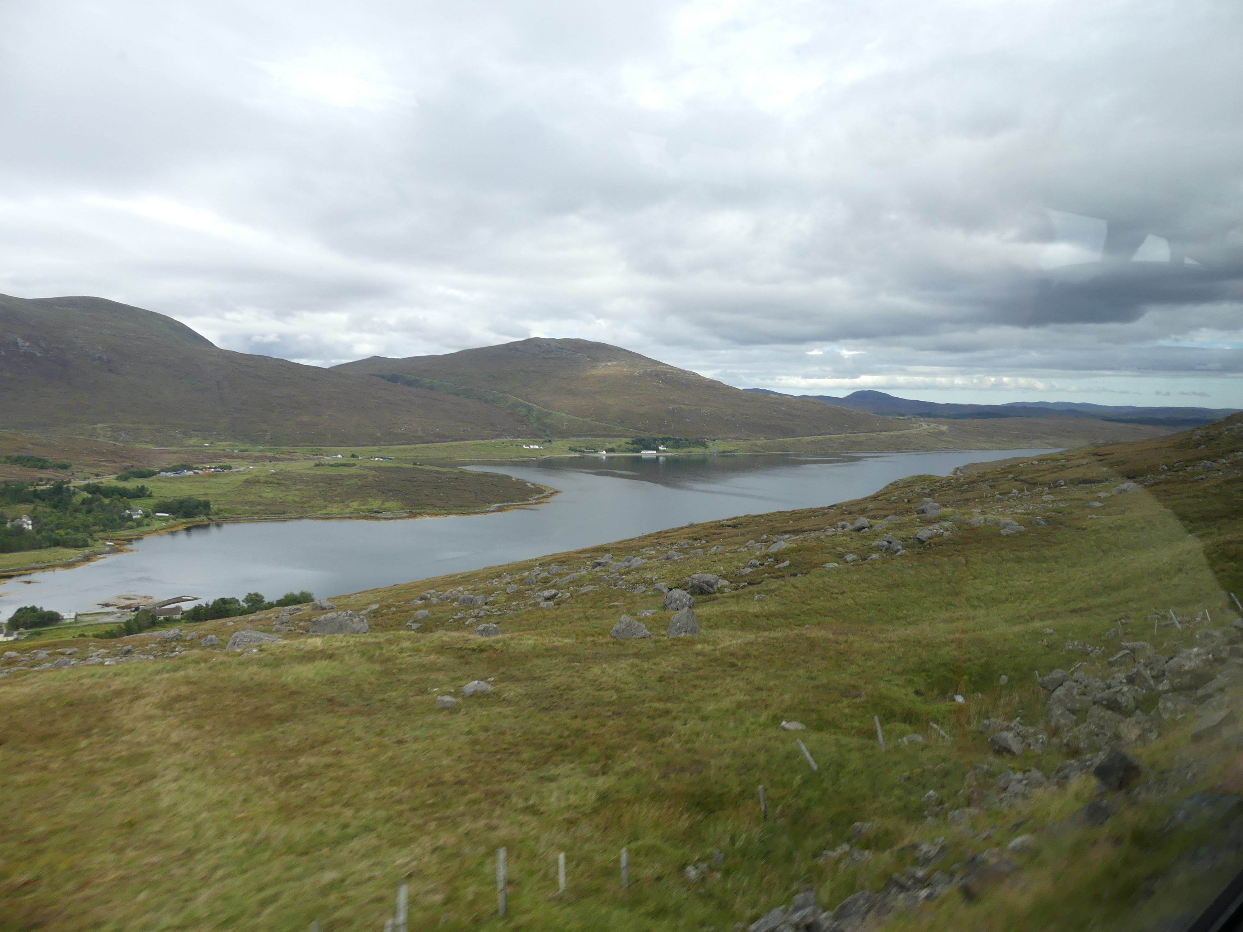
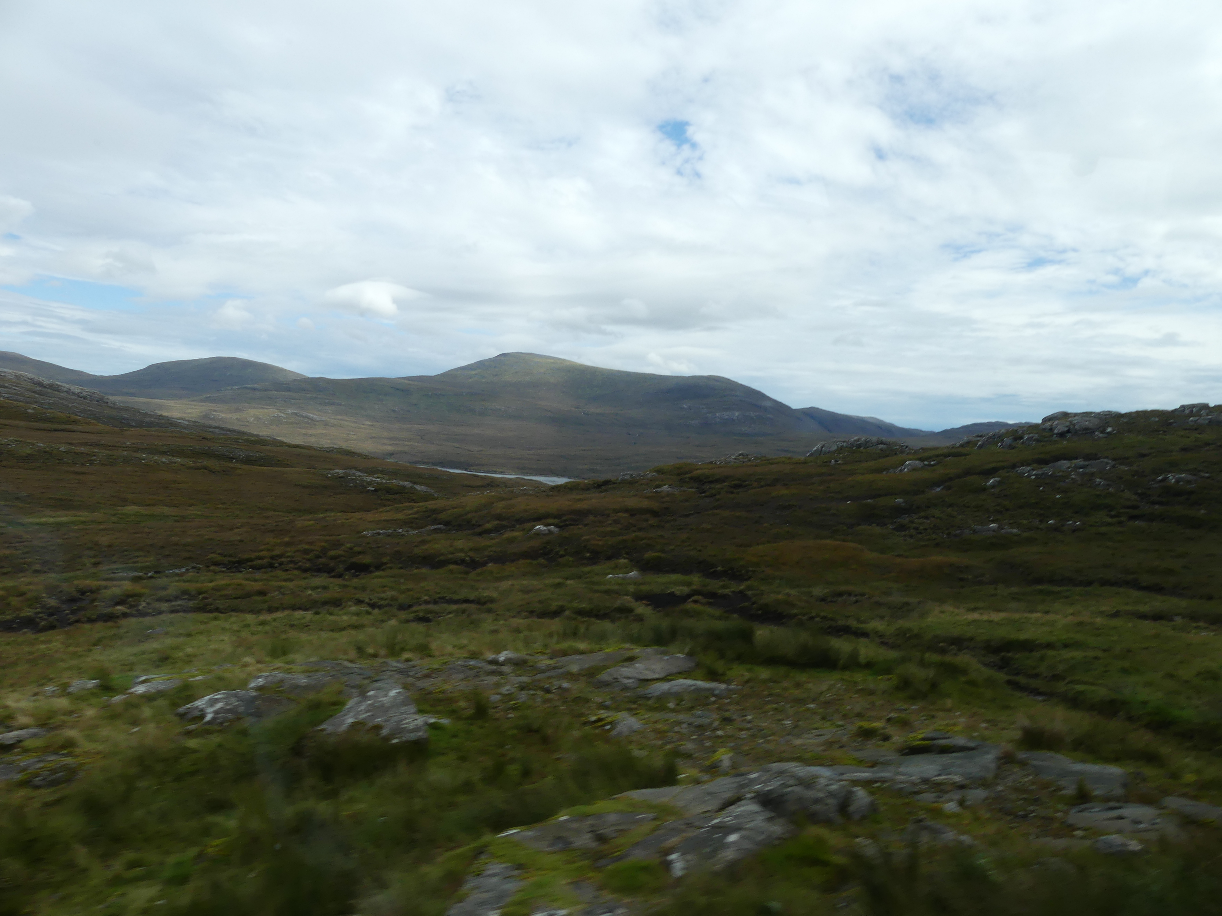
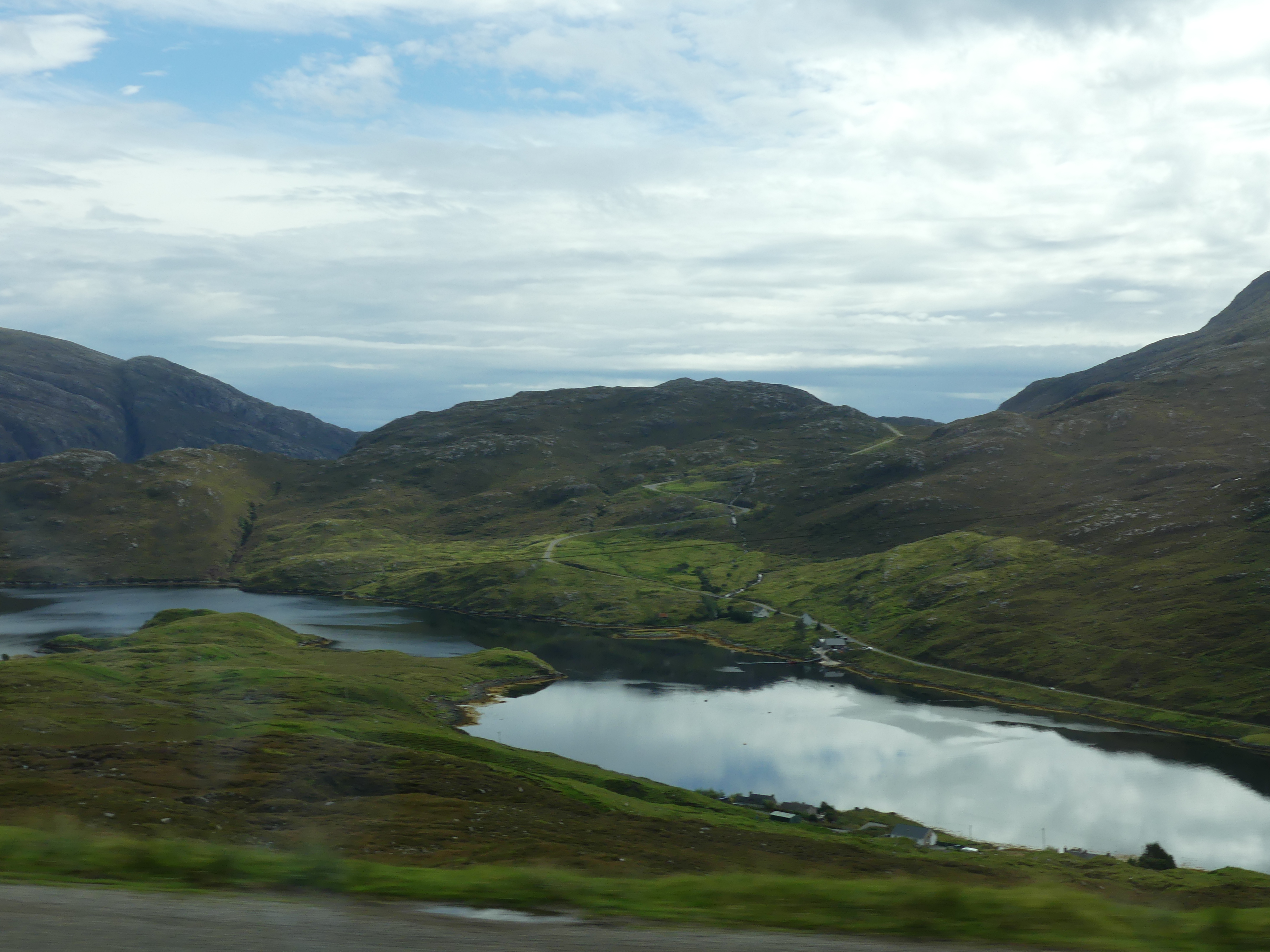
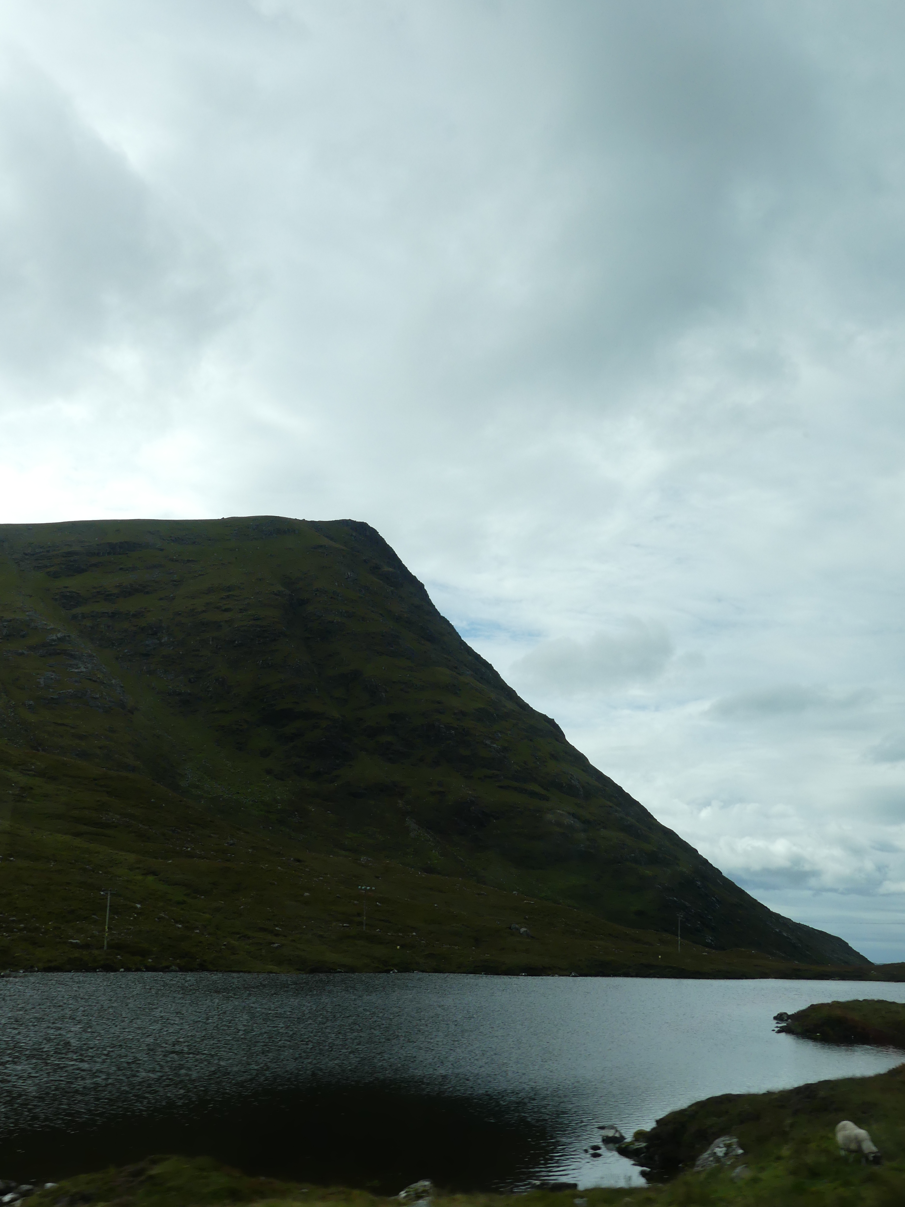
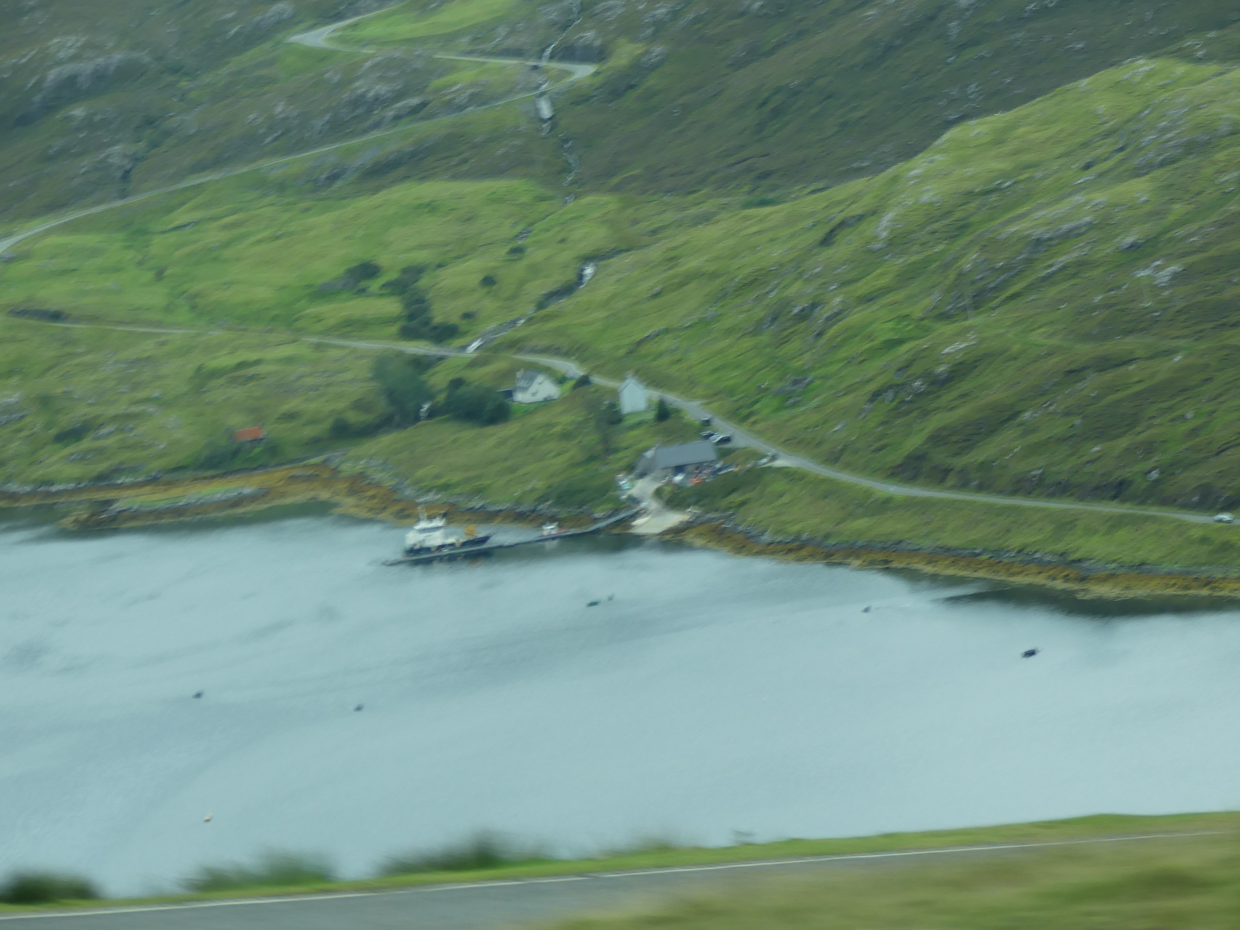
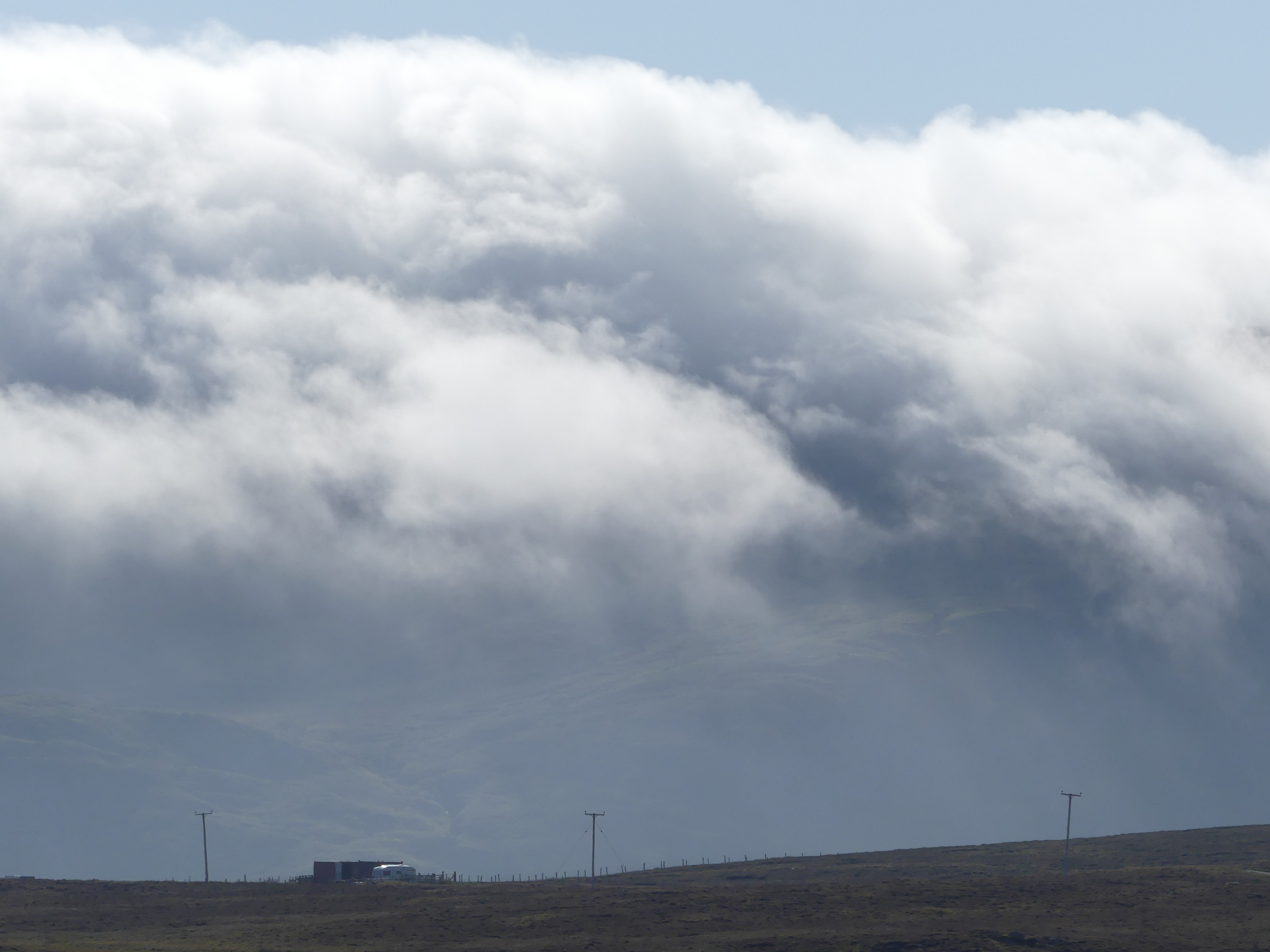
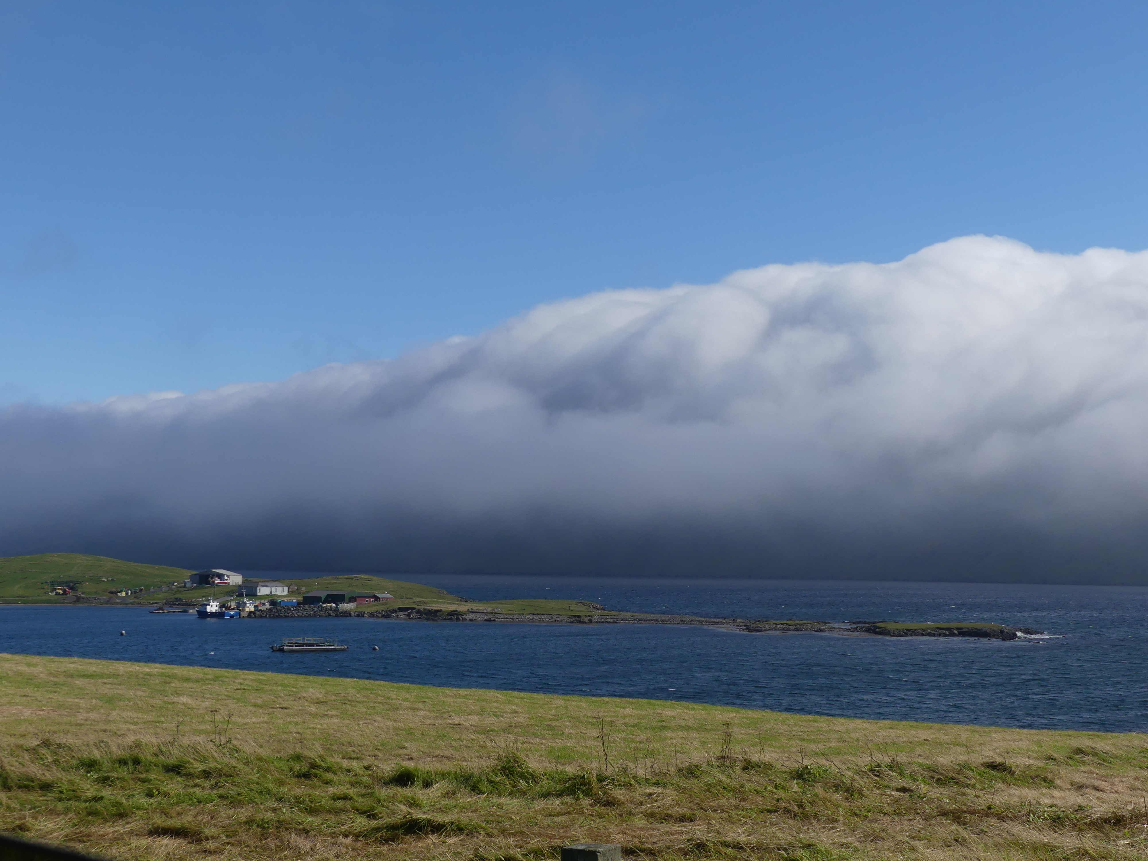
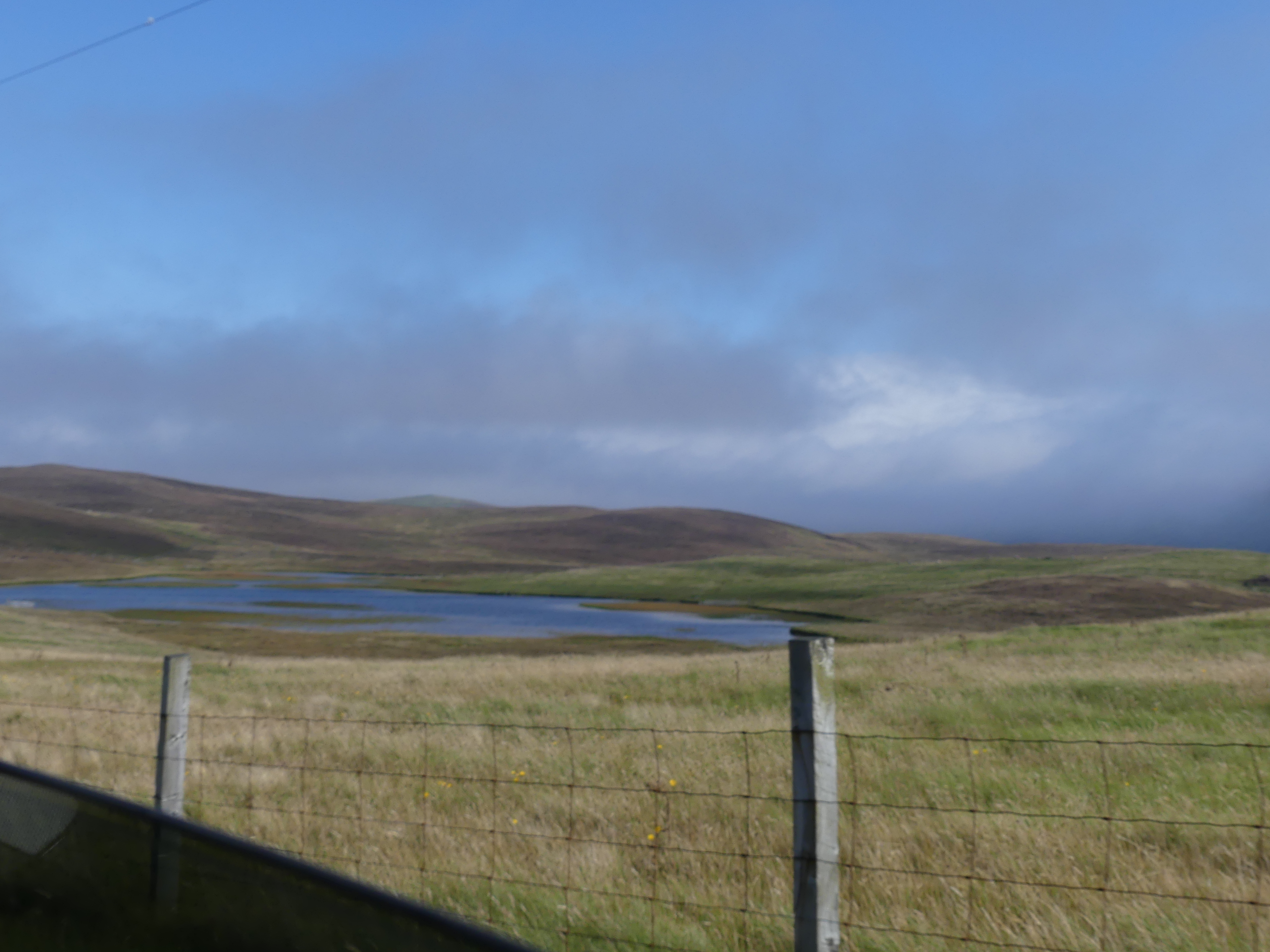
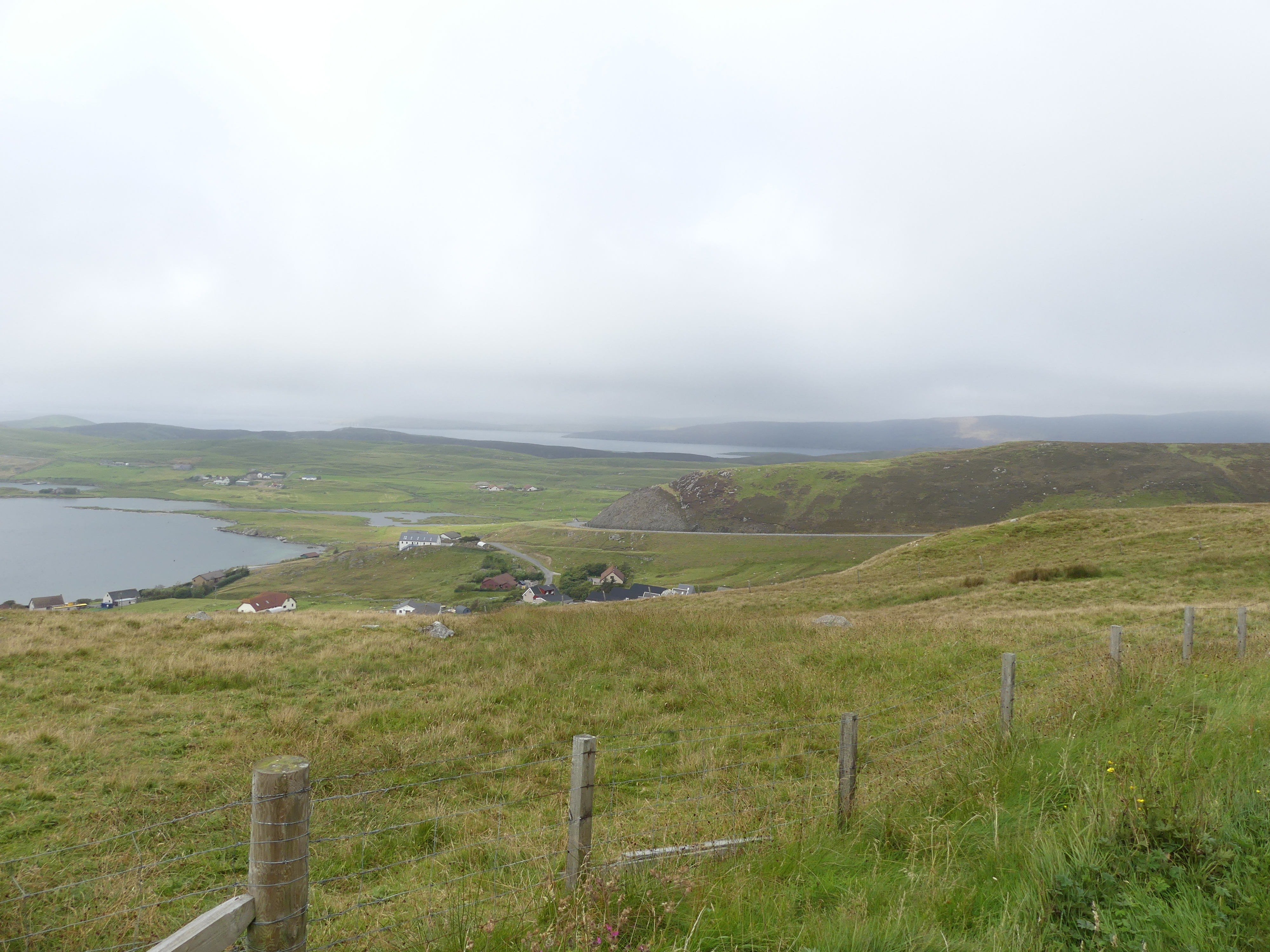
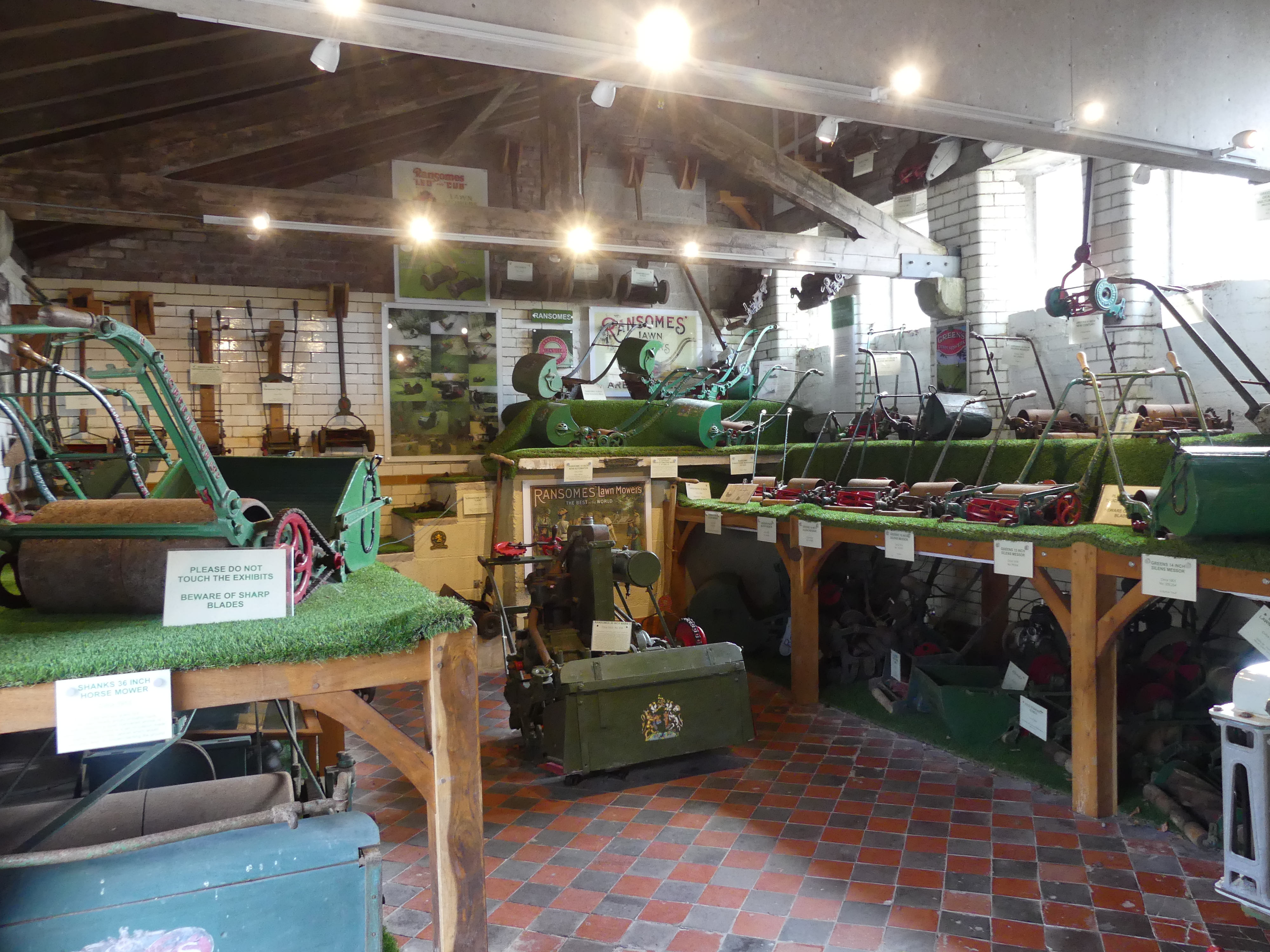
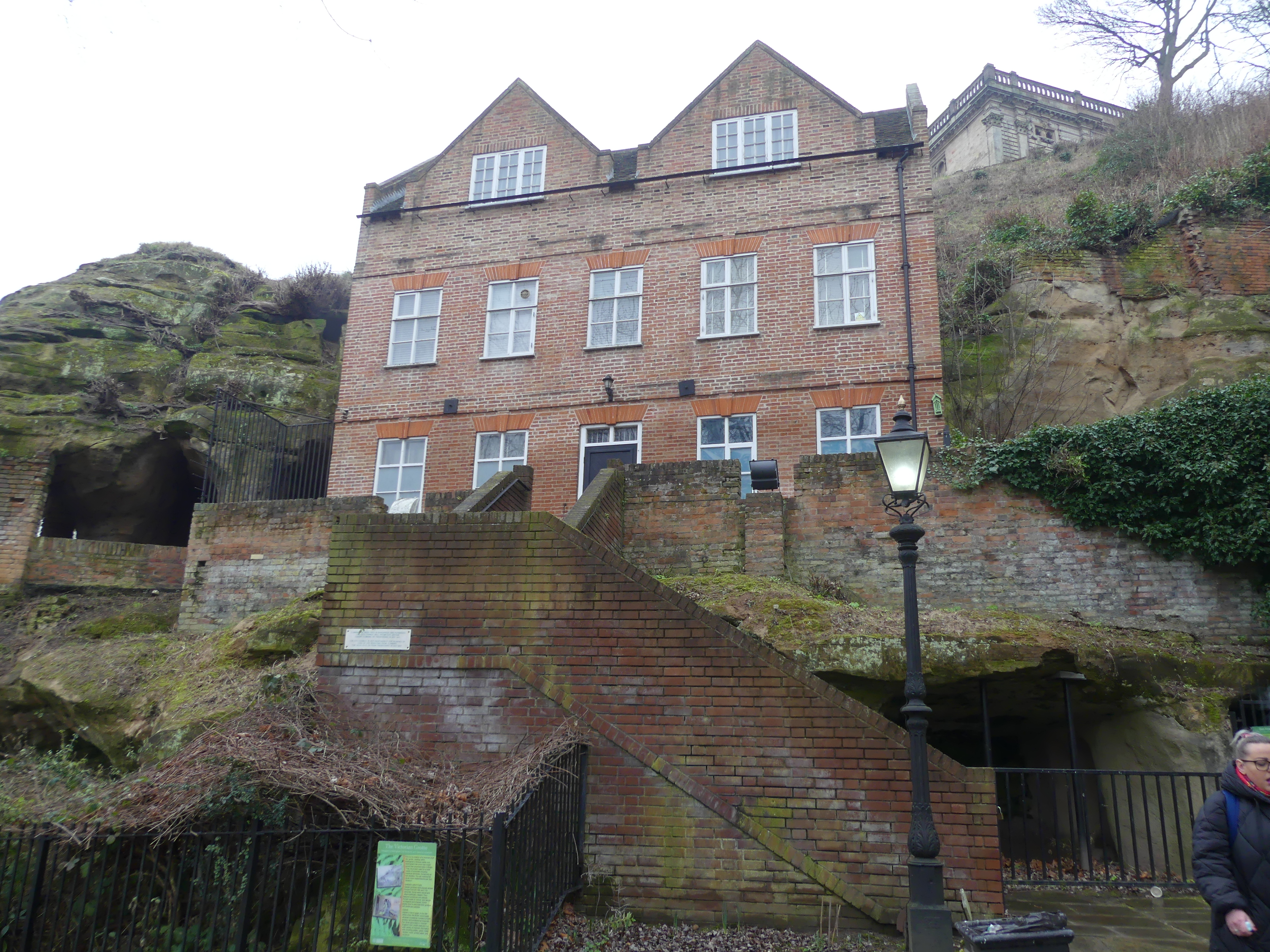
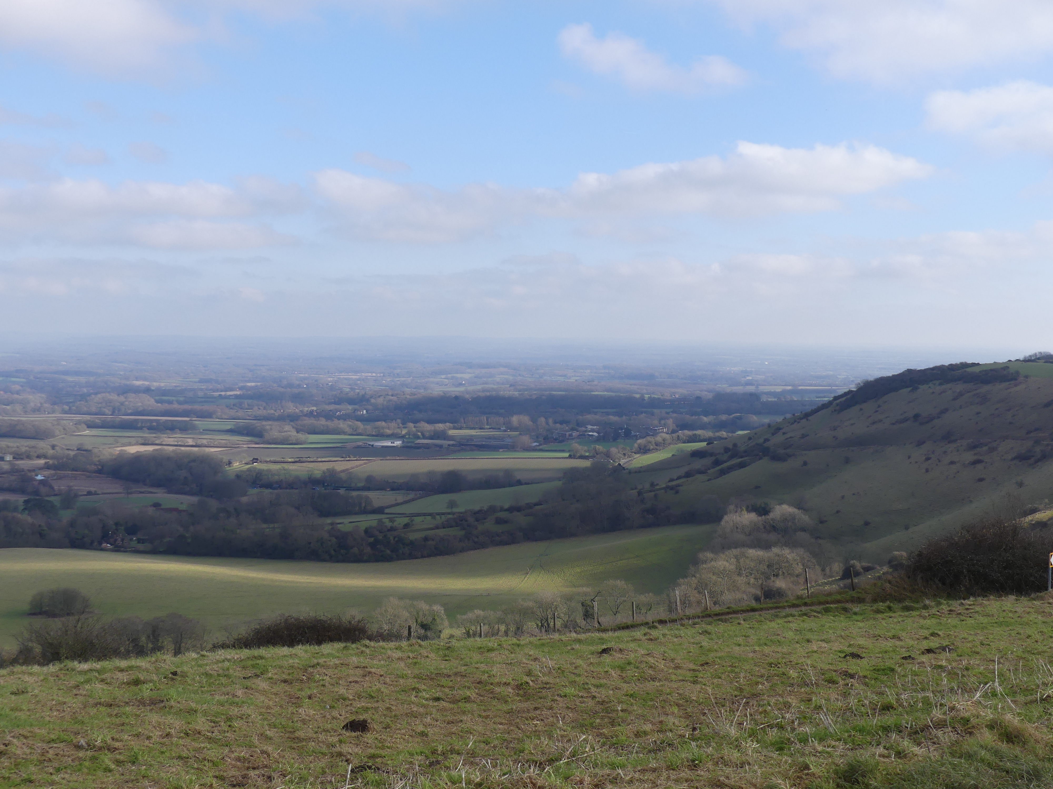
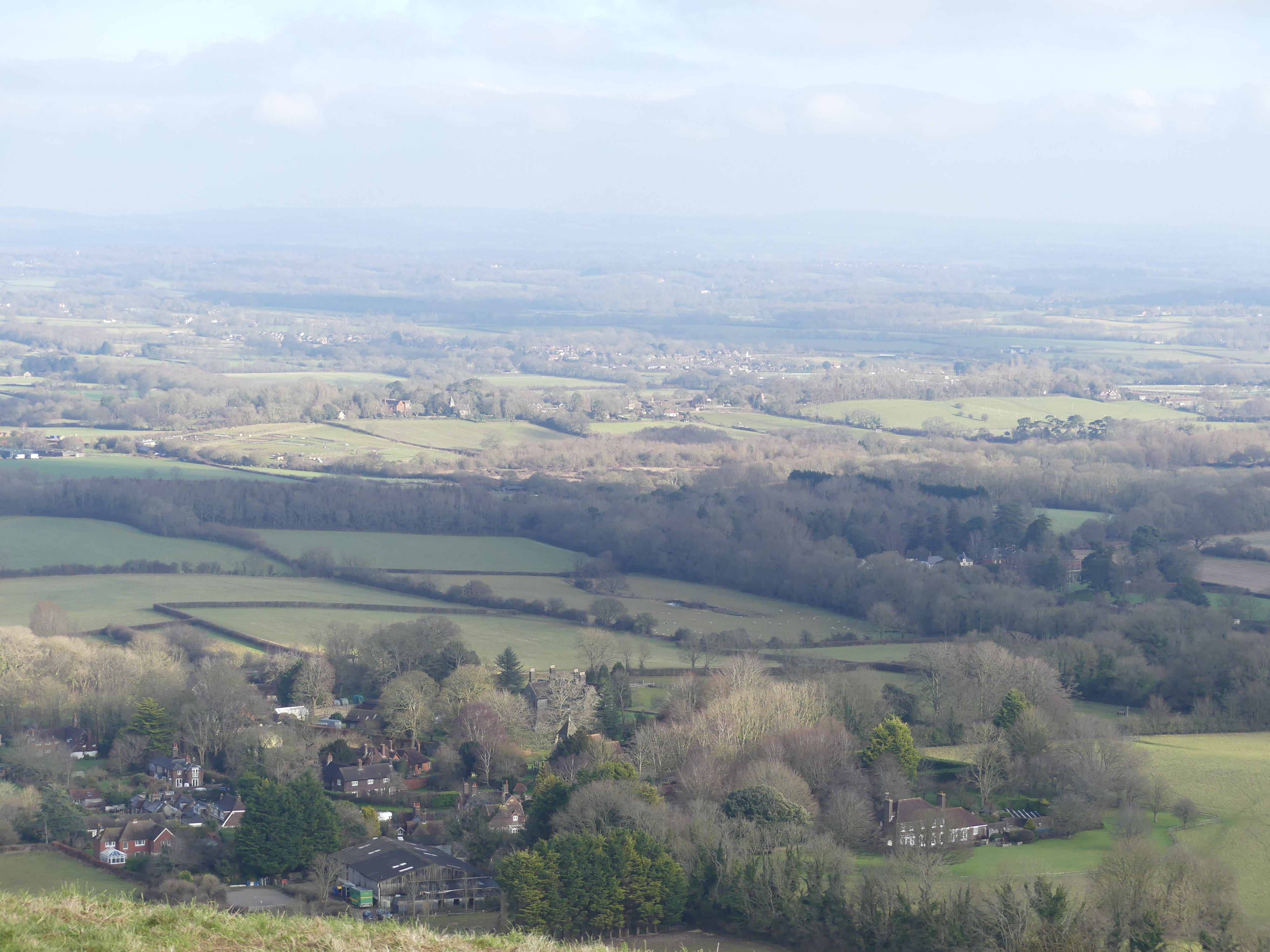
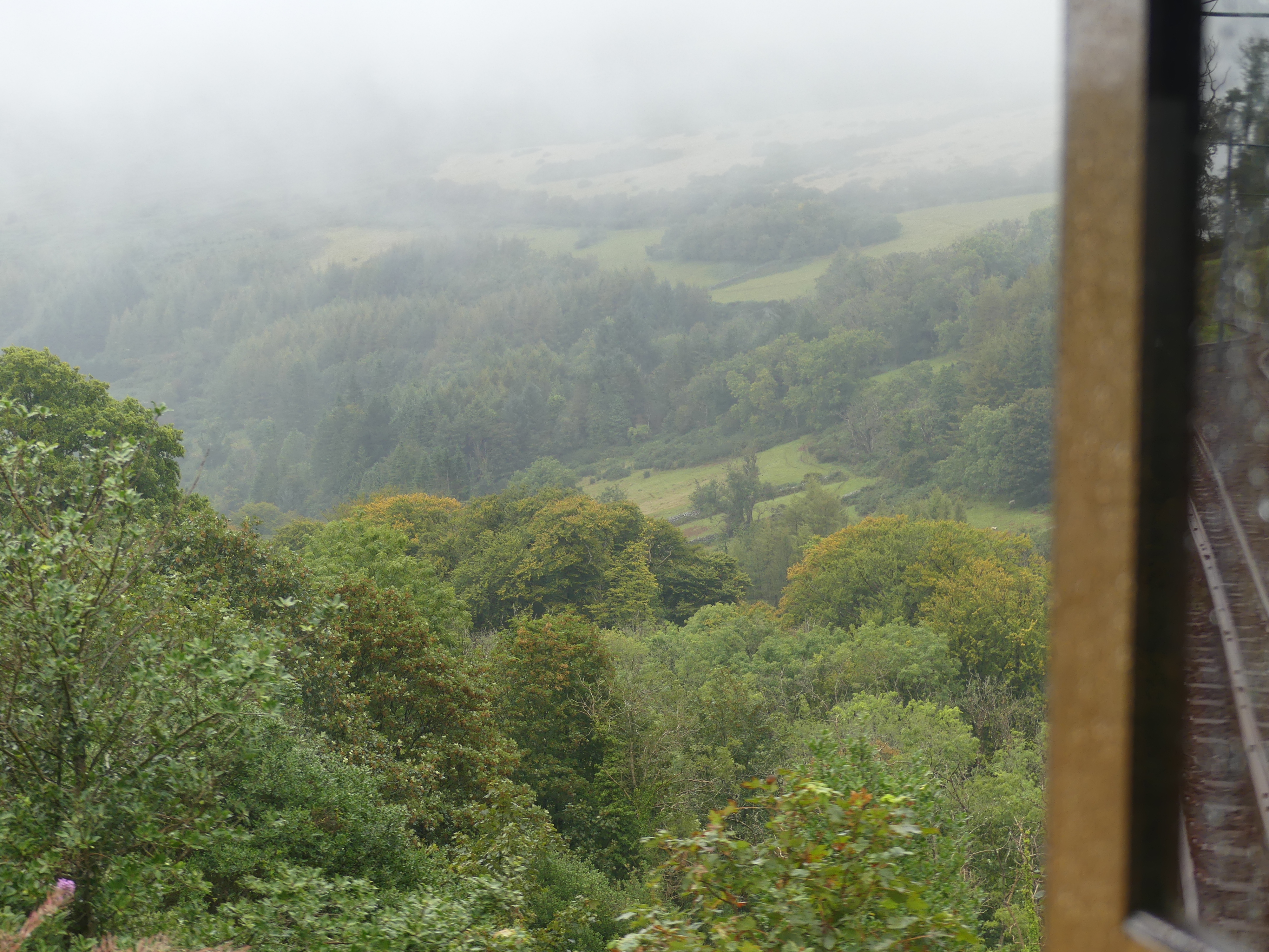
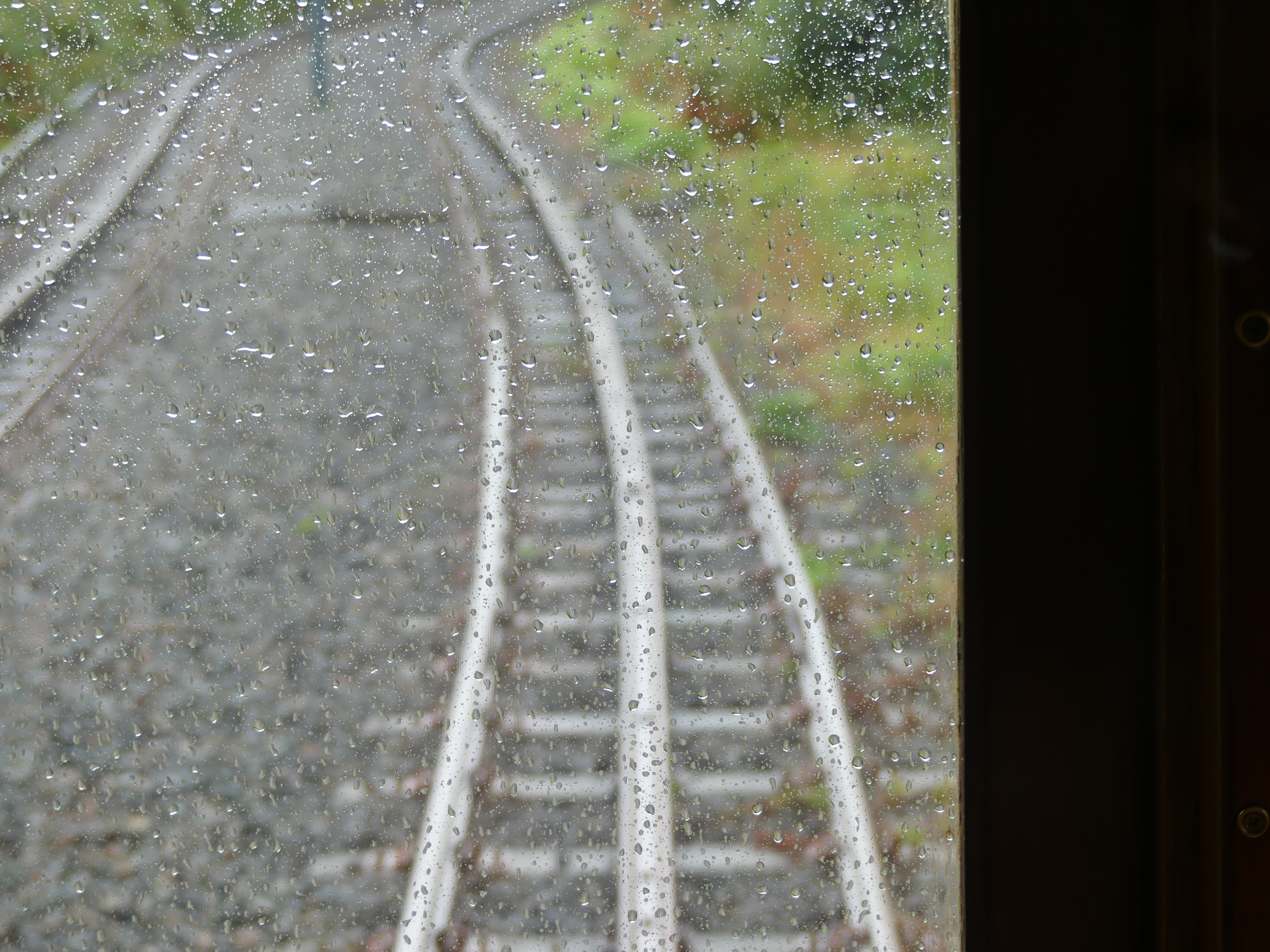
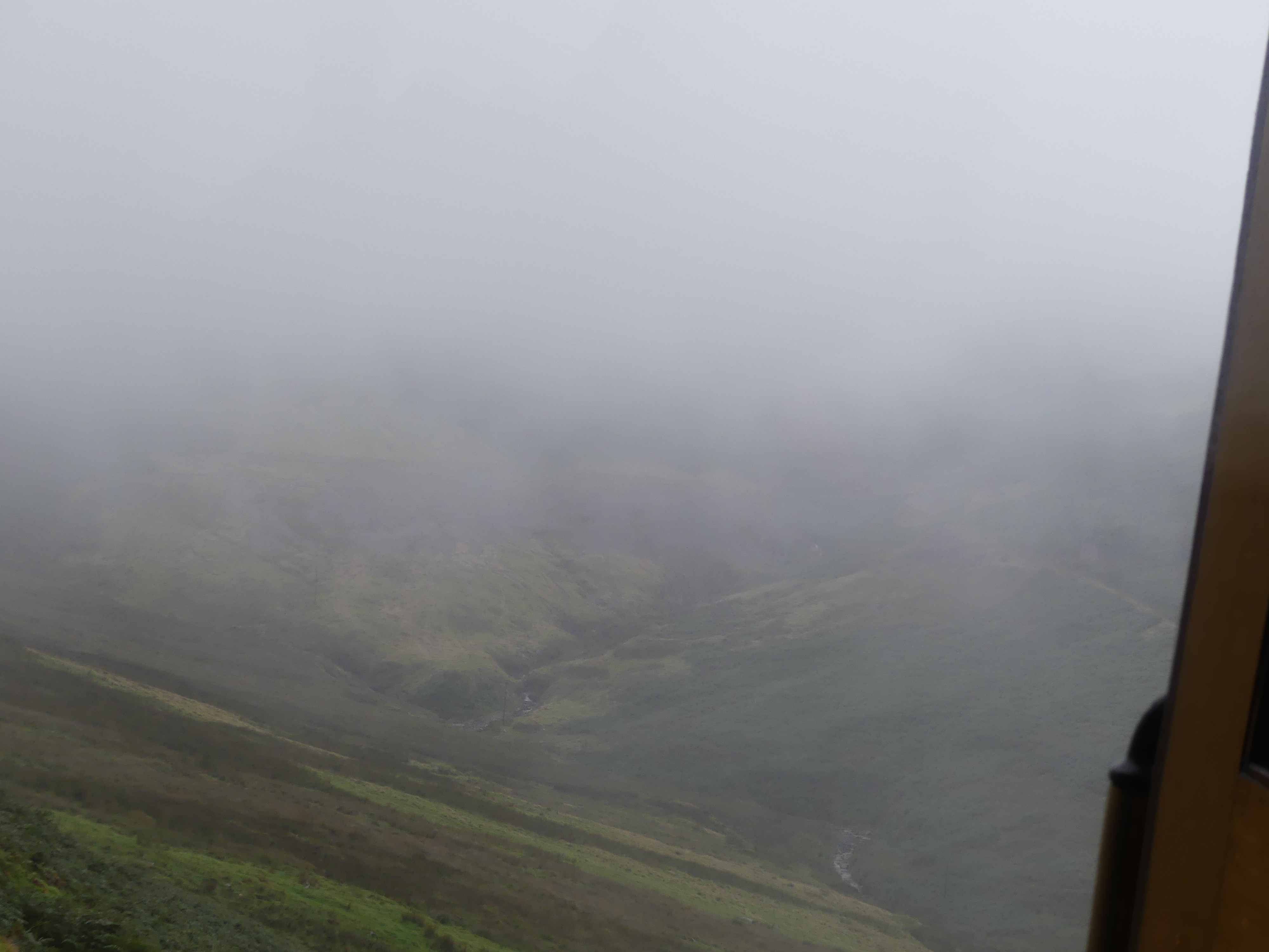
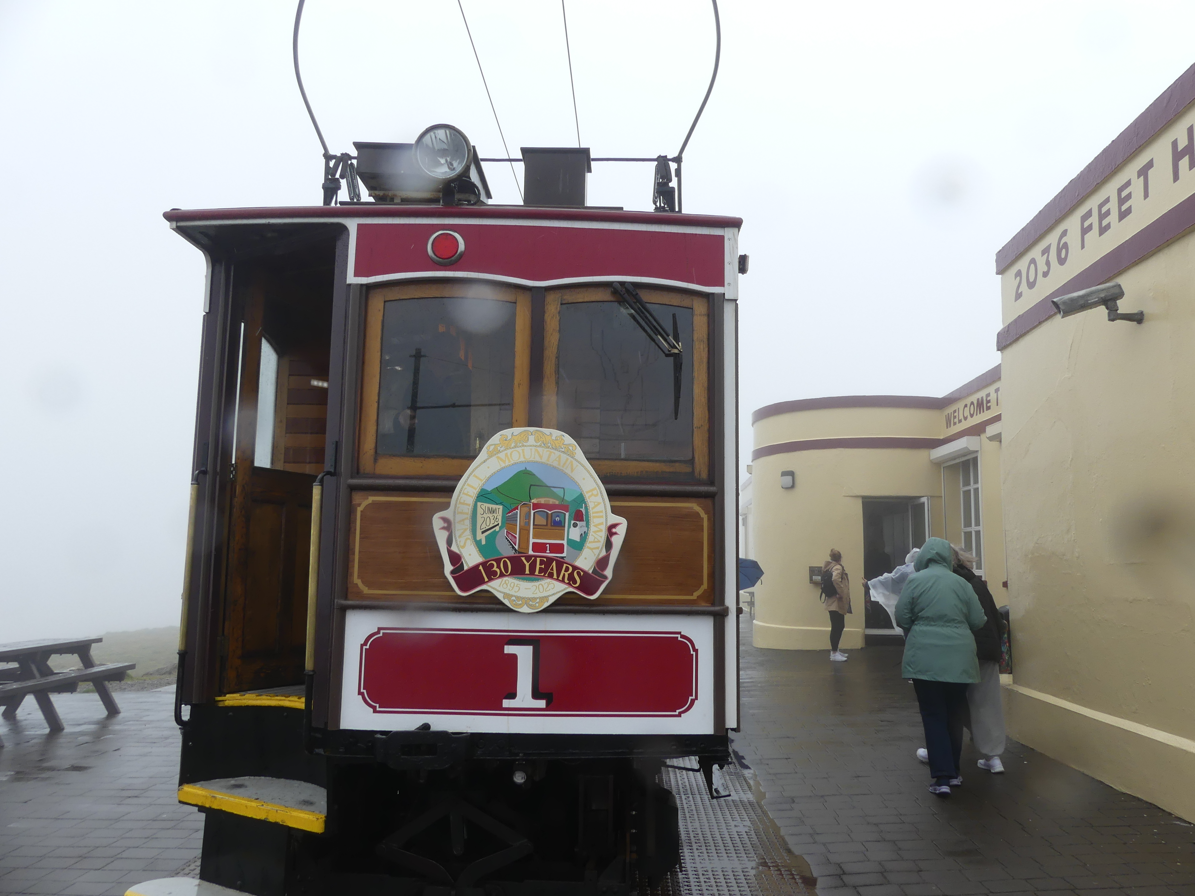
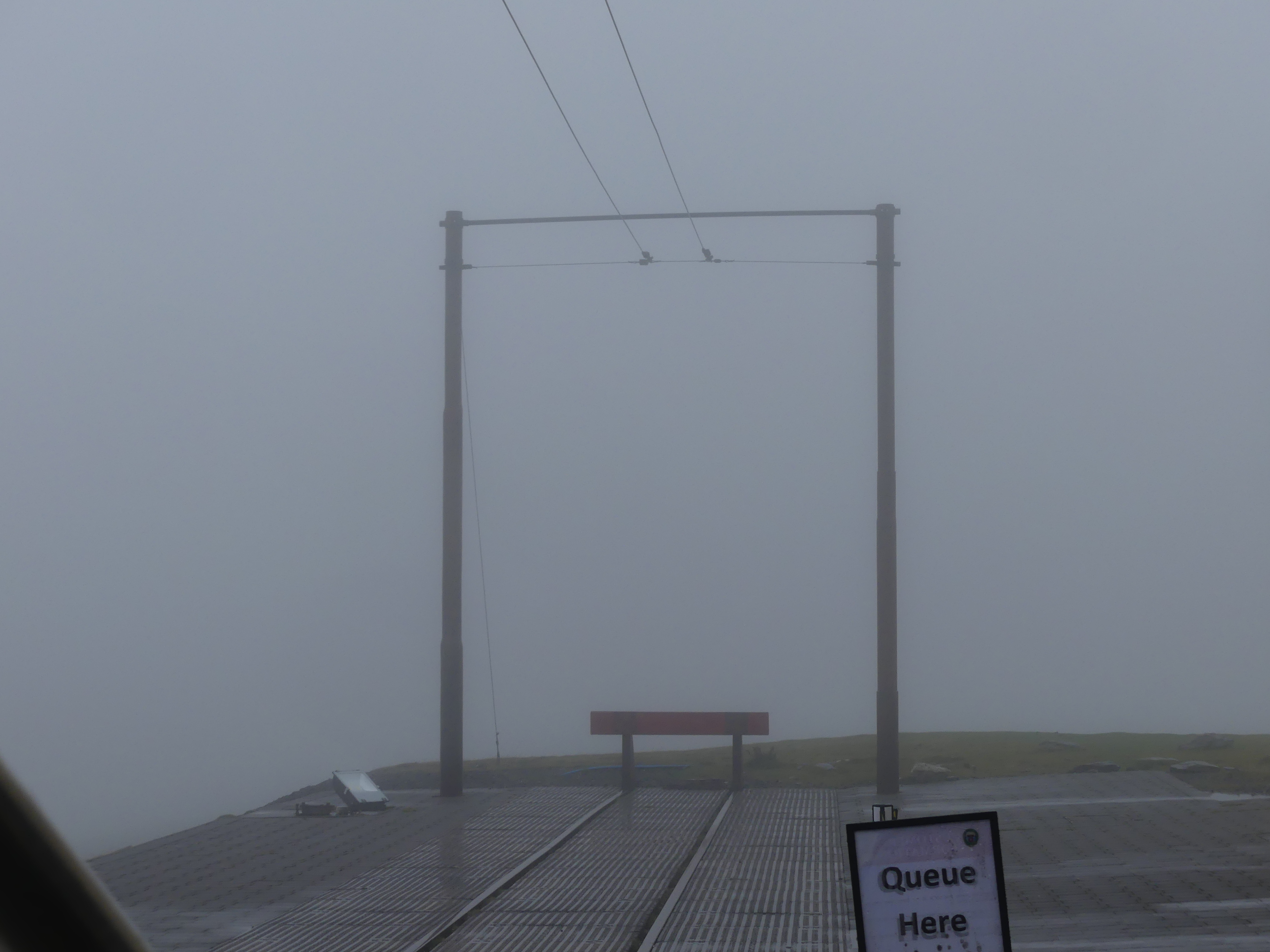
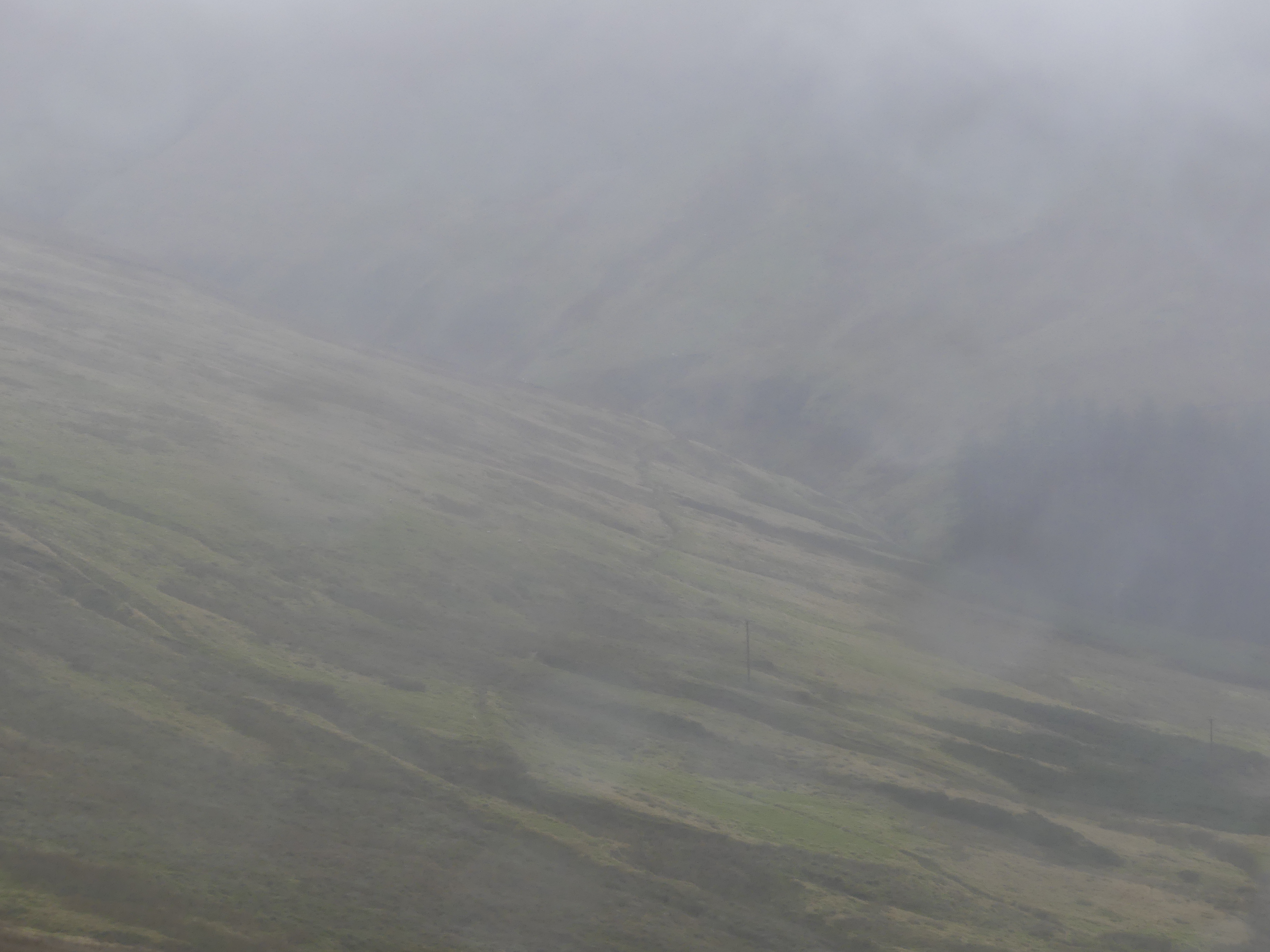
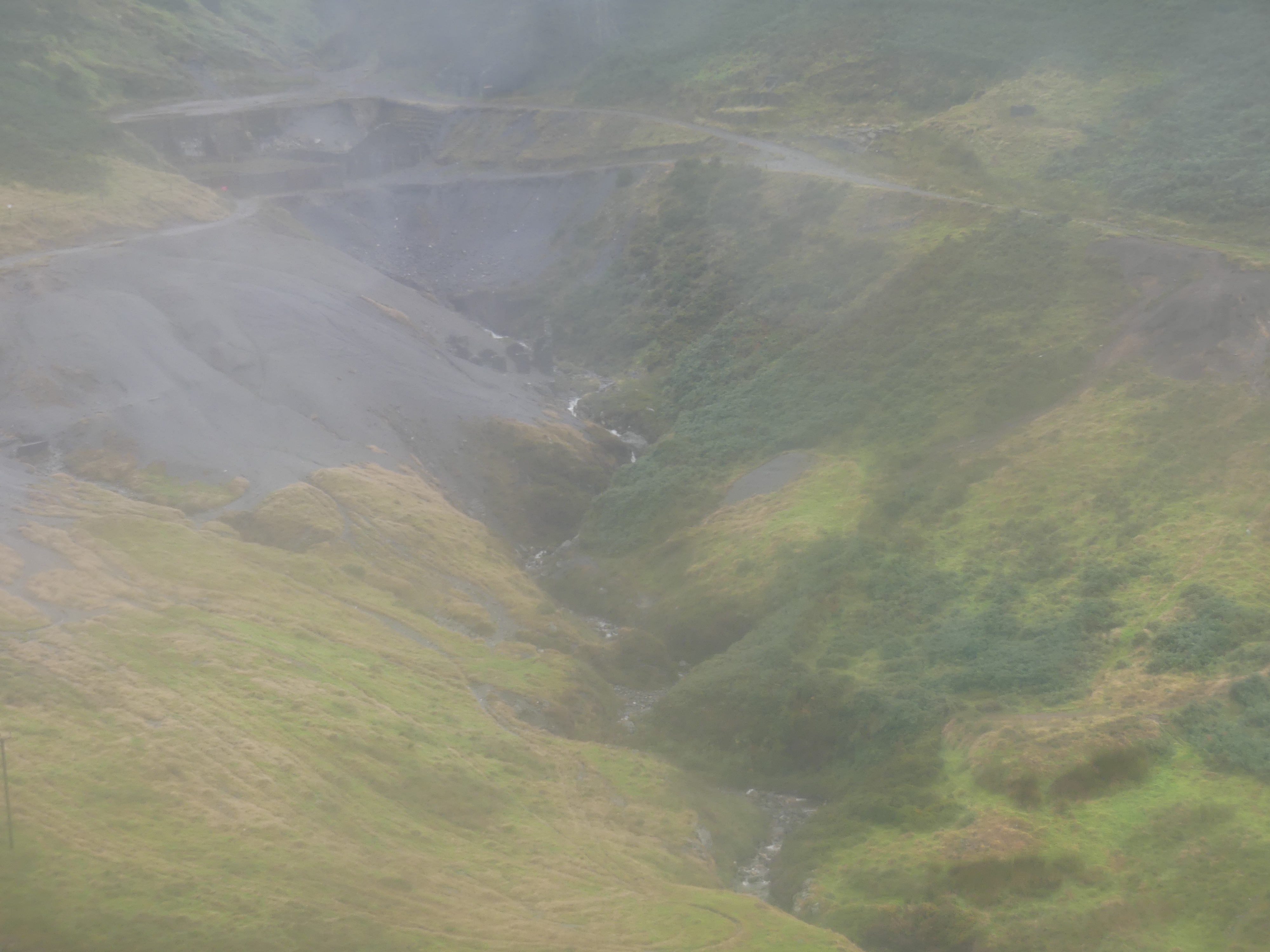
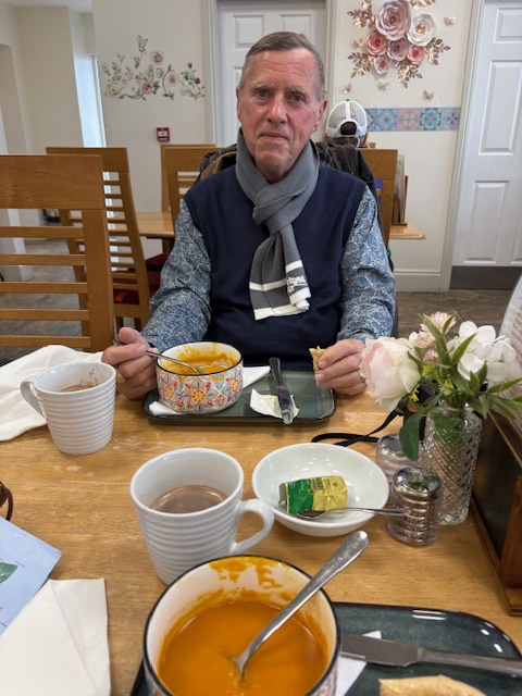
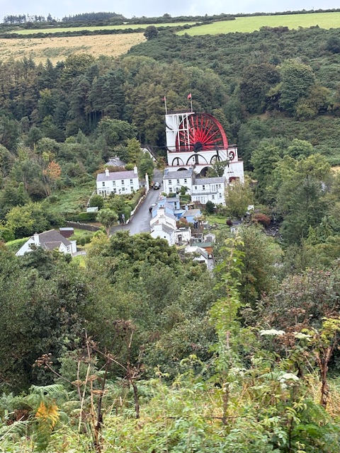
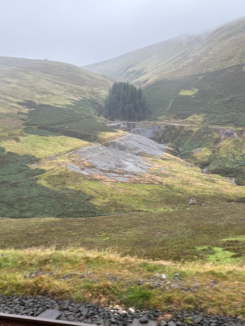
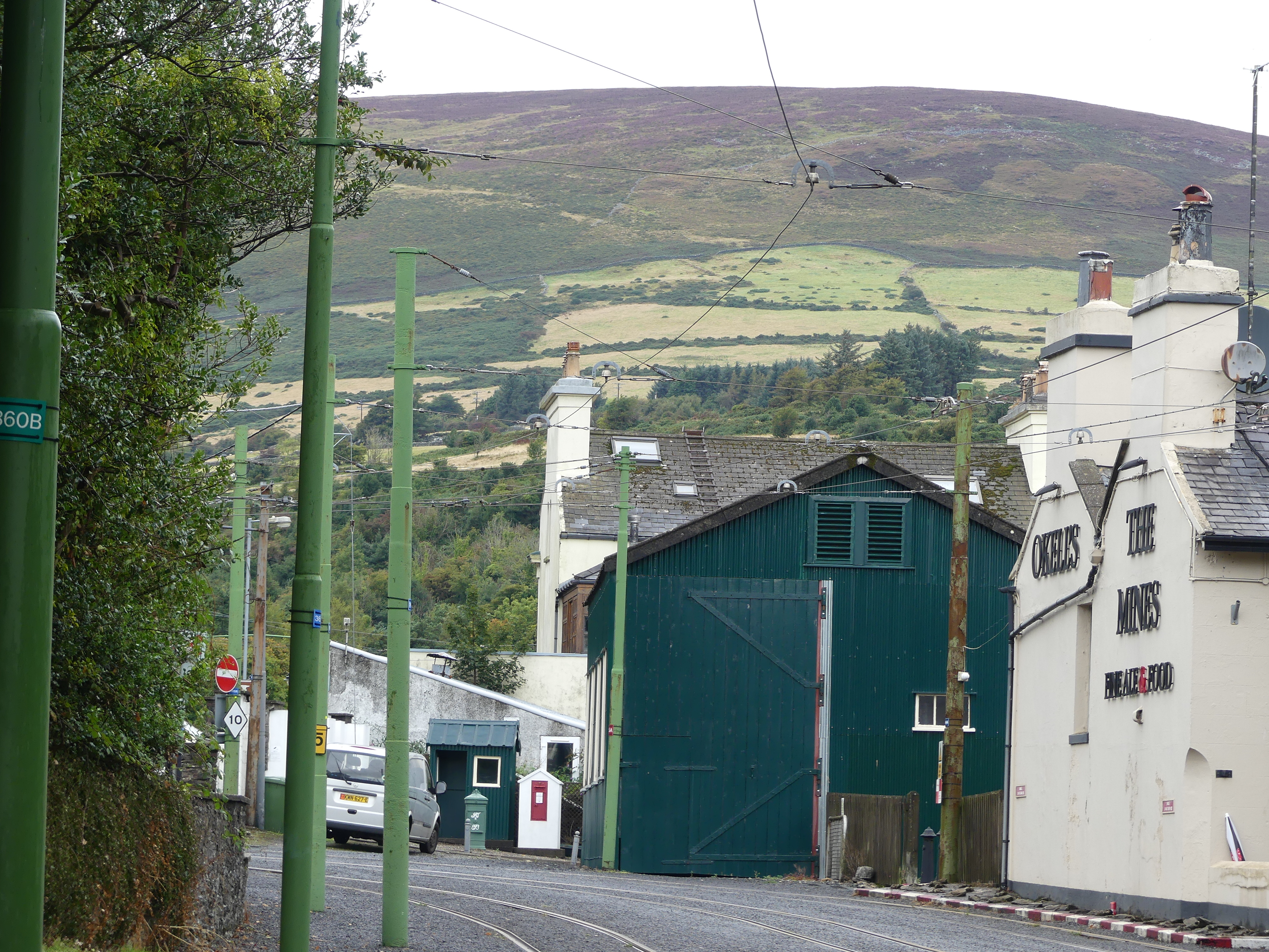
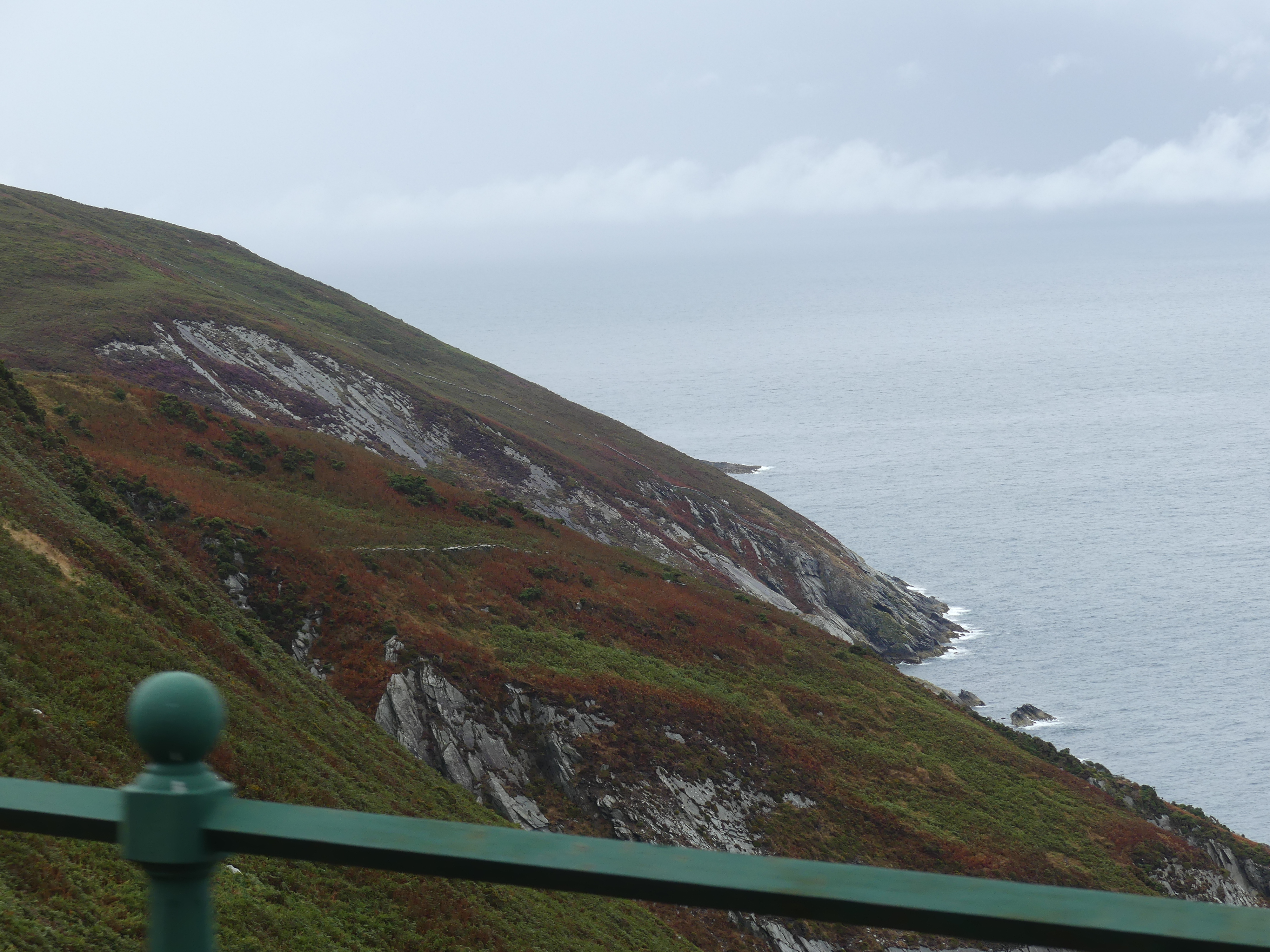
We boarded the Snaefell Mountain Train with its “third or centre line”. The summit of Snaefell, at 2,036 feet (621 m) above sea level is the highest point on the island. It connects with the Manx Electric Railway (MER) in Laxey. The line is 5 miles (8 km) long, is built to 3 ft 6 in (1,067 mm) gauge and uses a Fell Incline Railway System centre rail for braking on the steep gradients. Unfortunately the weather remain cloudy and damp and I gave up trying to take clear photos. That did not stop Kerry who took some good photos showing how miserable the weather was on the highest peak. The photos appear below. The first shows the Great Laxey Wheel which is the largest surviving original working waterwheel in the world. The remaining photos show the cloudy ride to the top, the third rail, the whiteout at the top and the cloudy return.

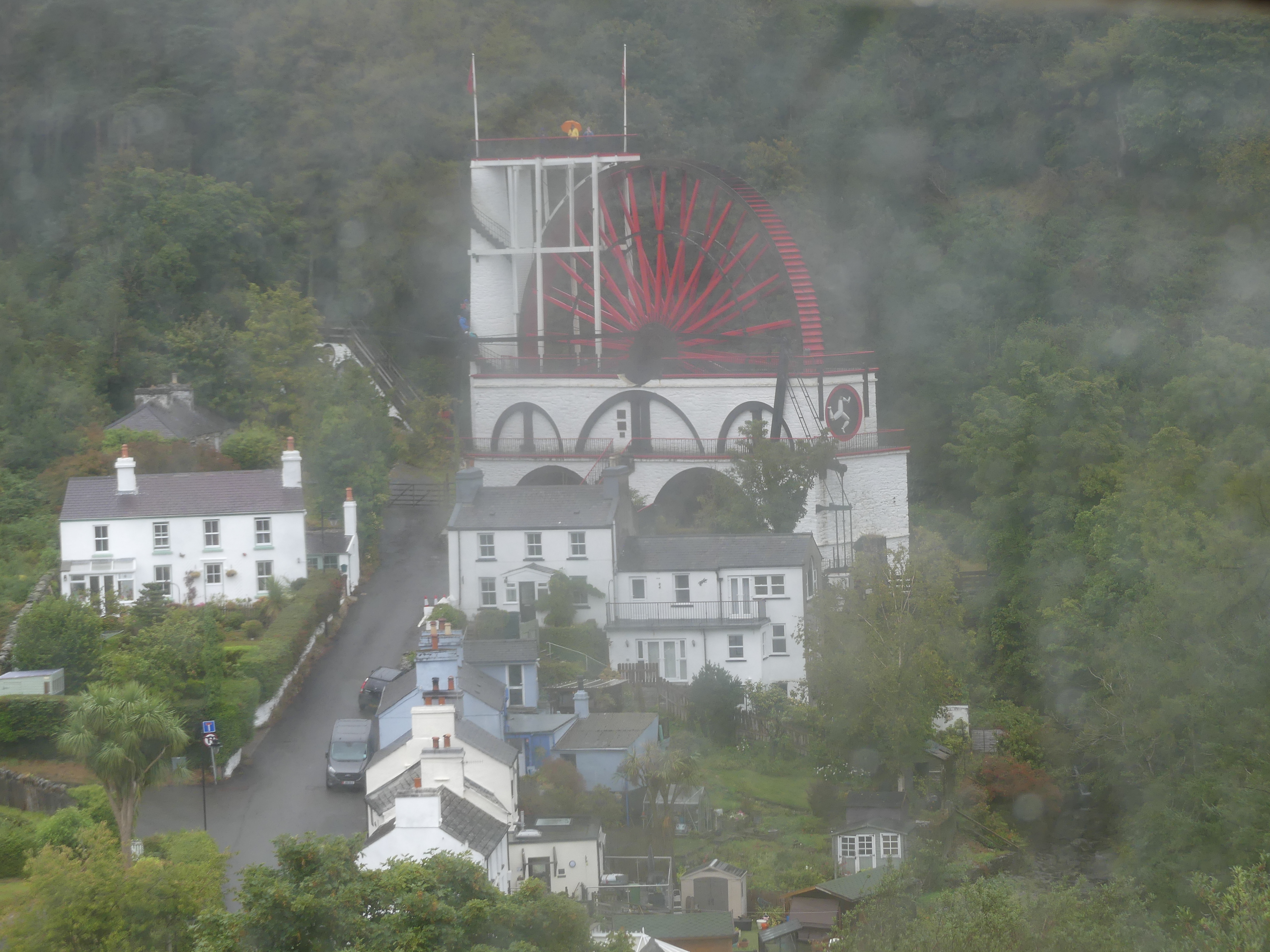
Kerry’s Photos: lunch atop Mt Snaefell, Laxey Water Wheel and vista from half way.

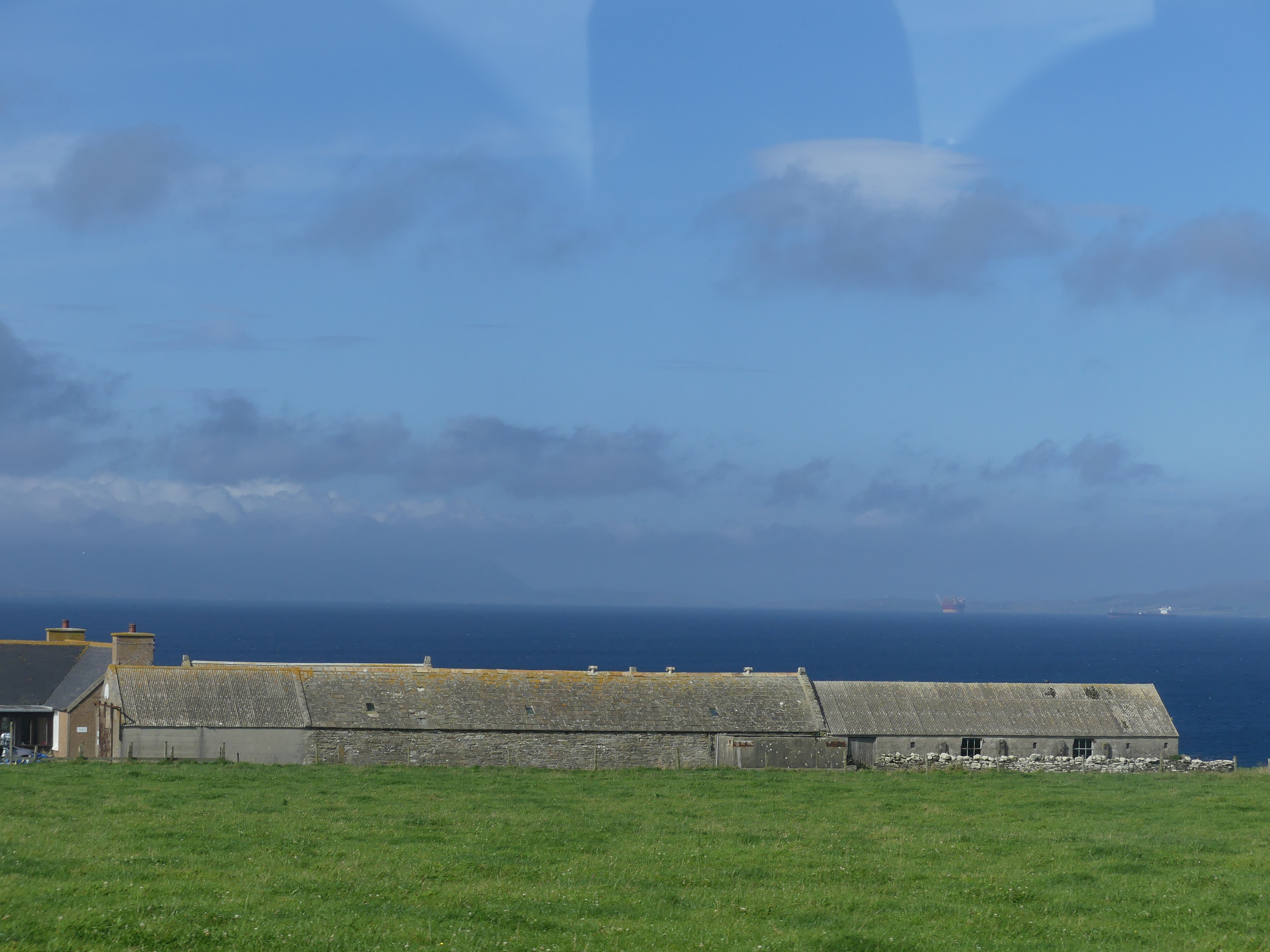
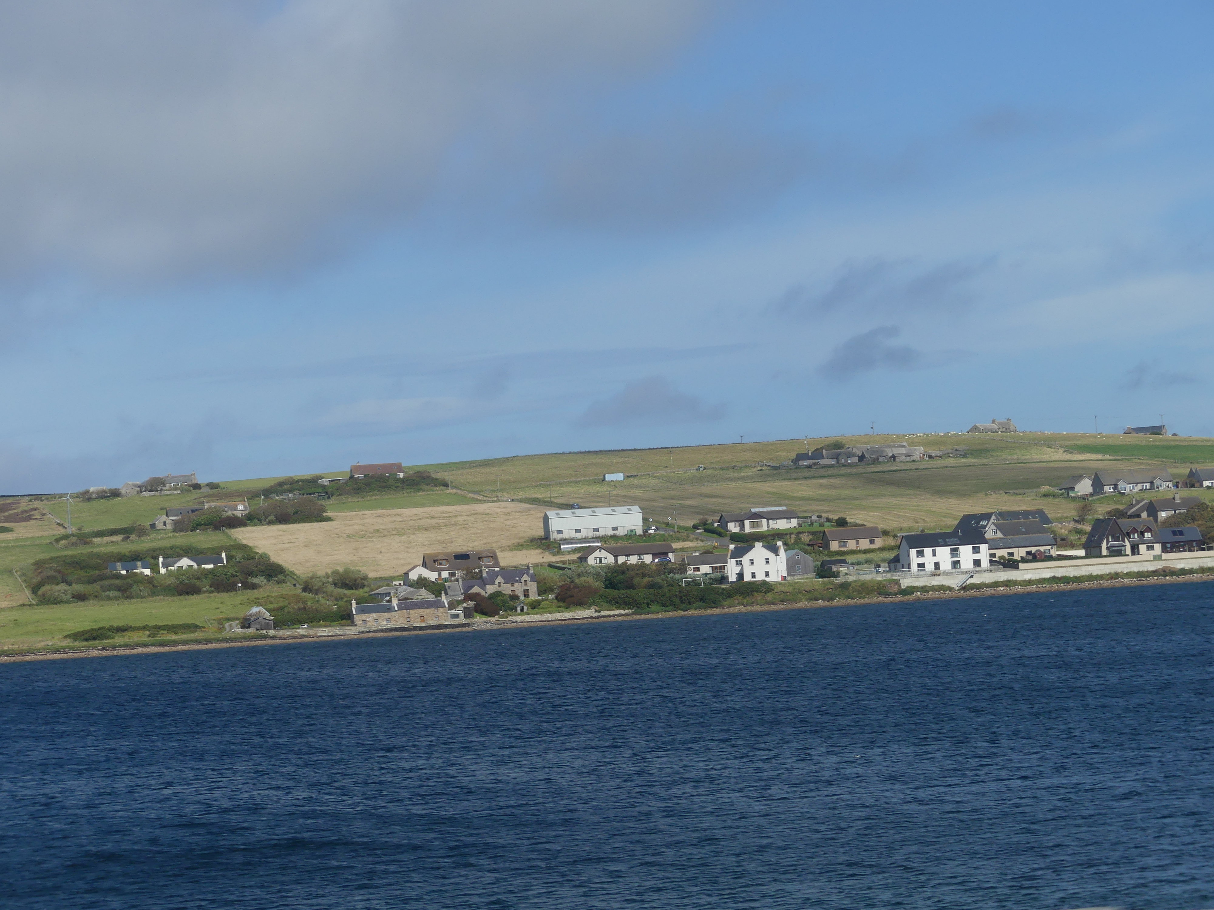
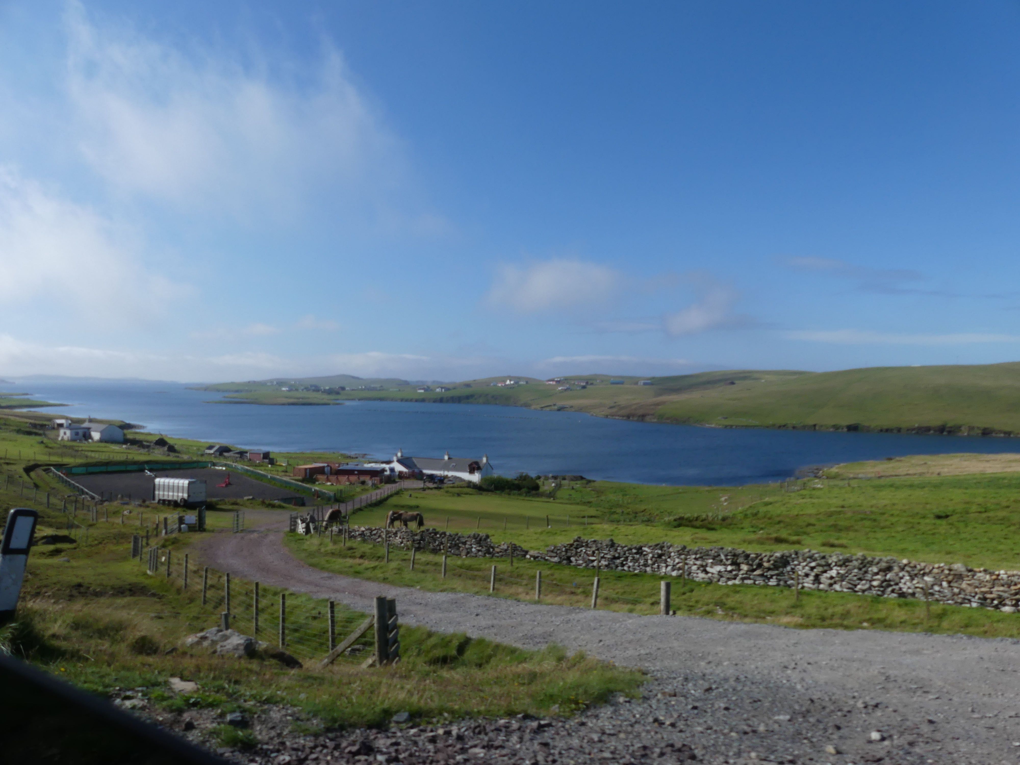
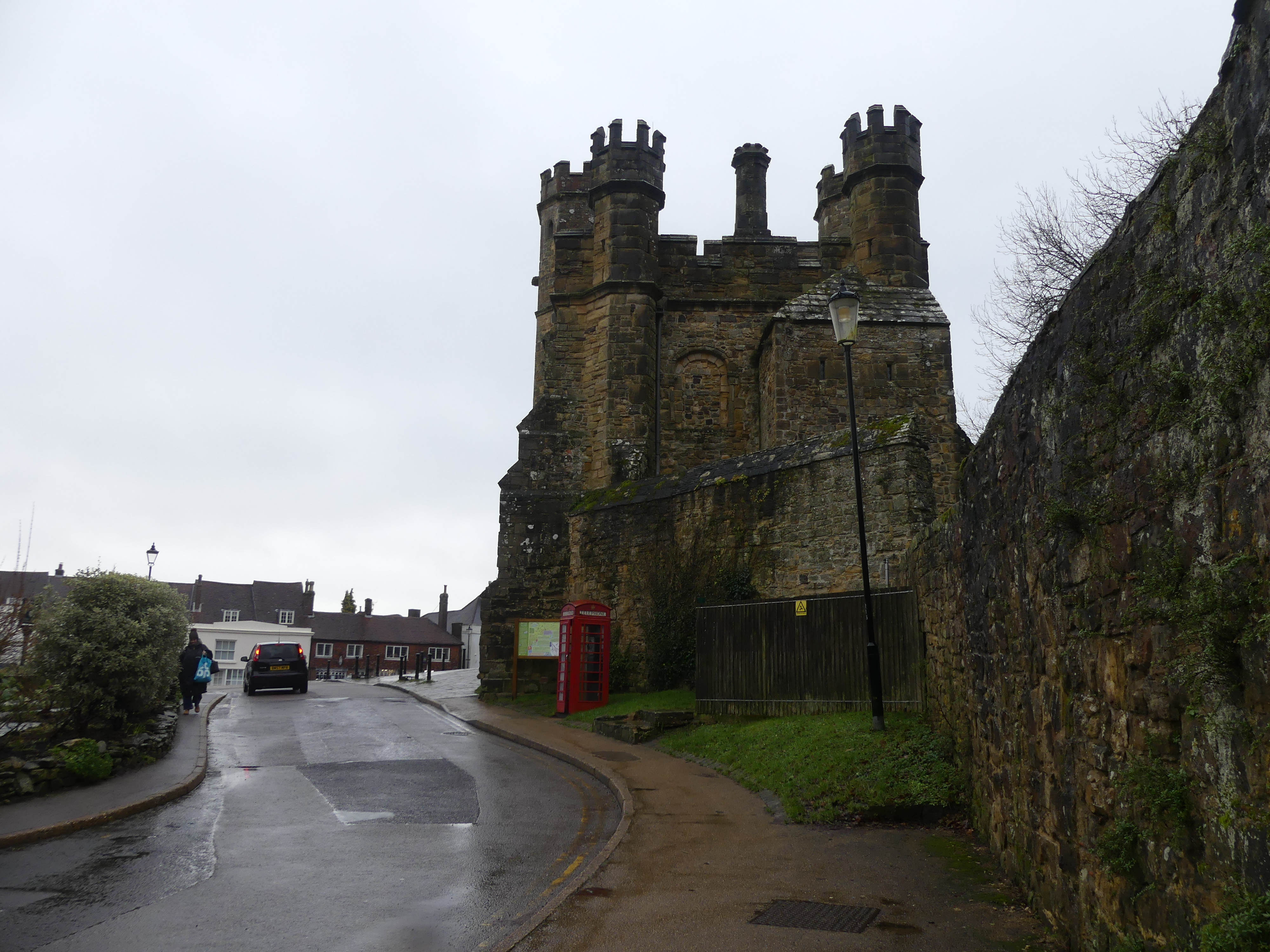
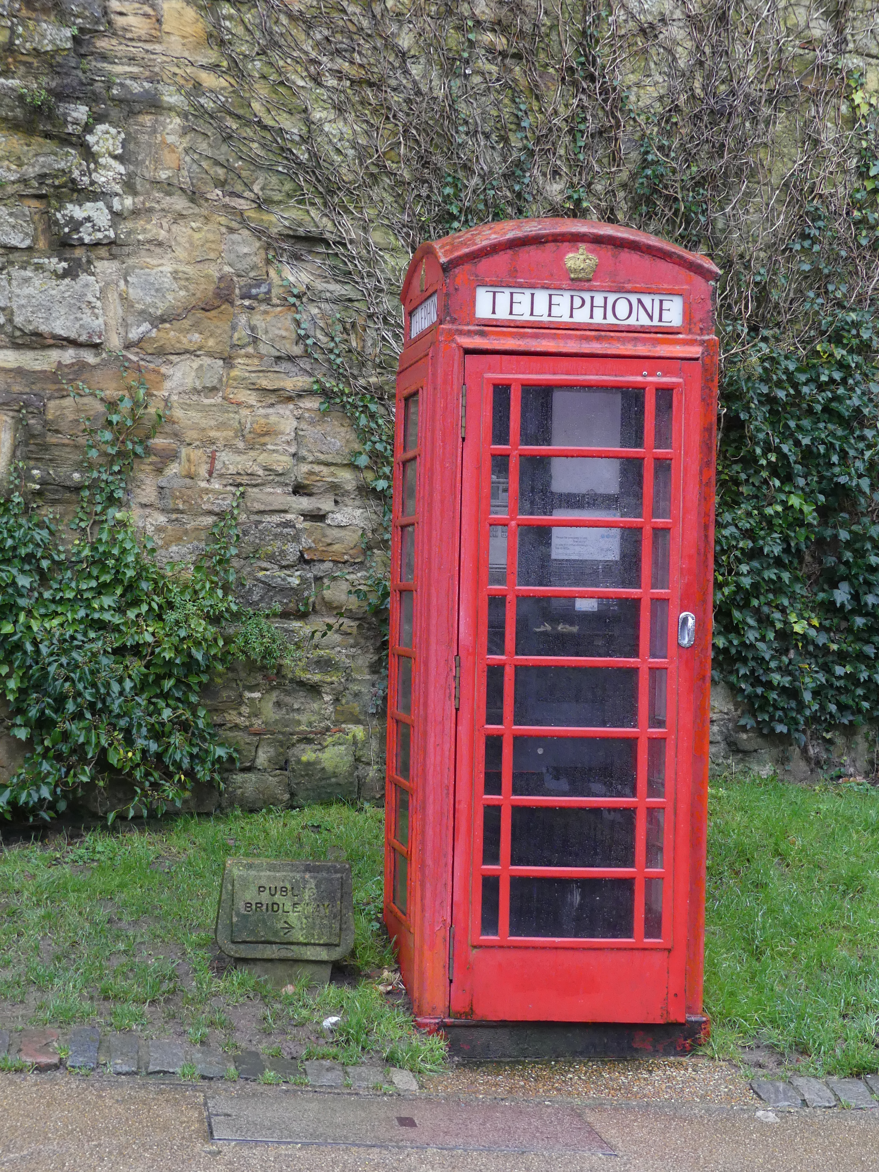
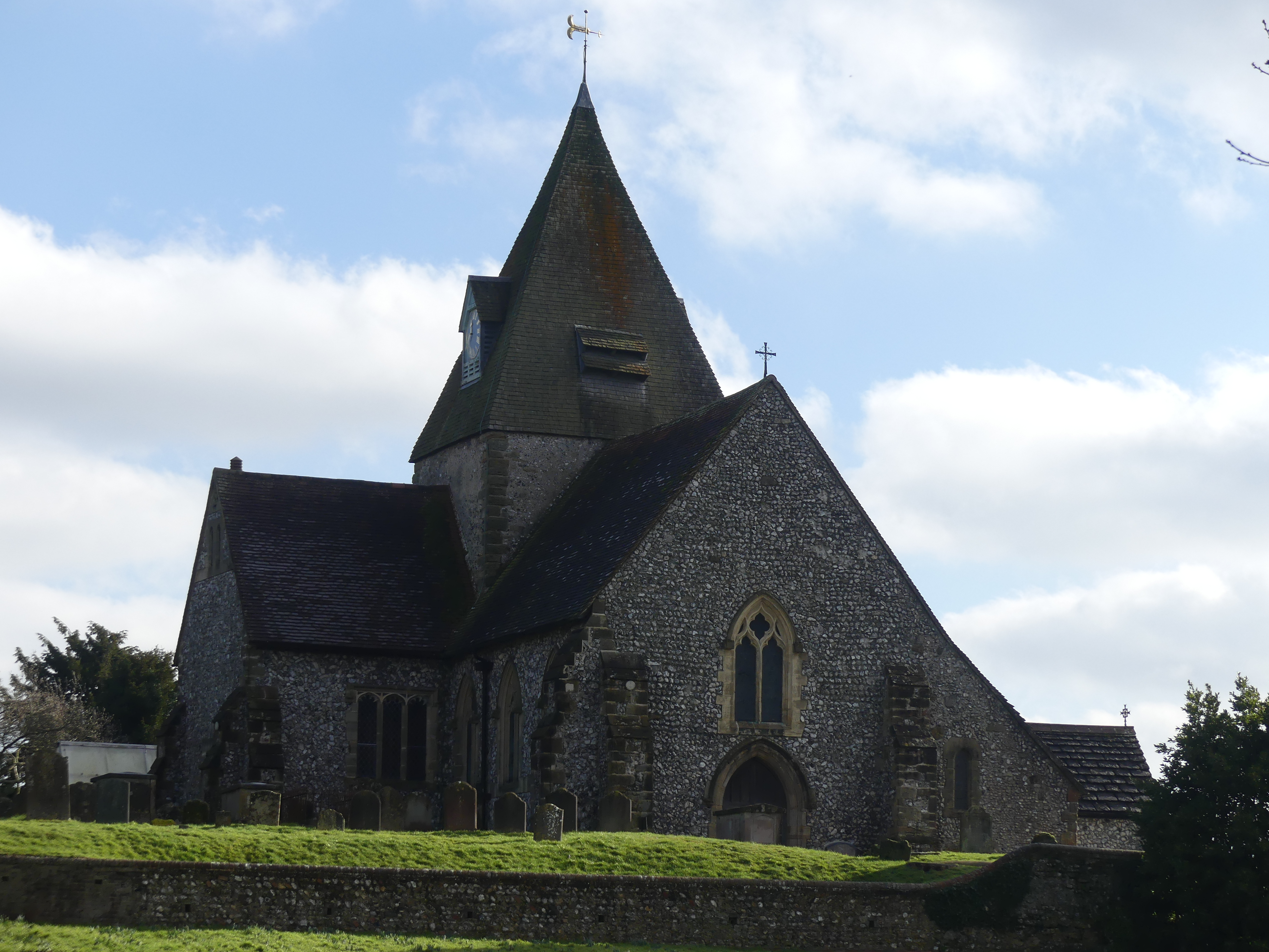
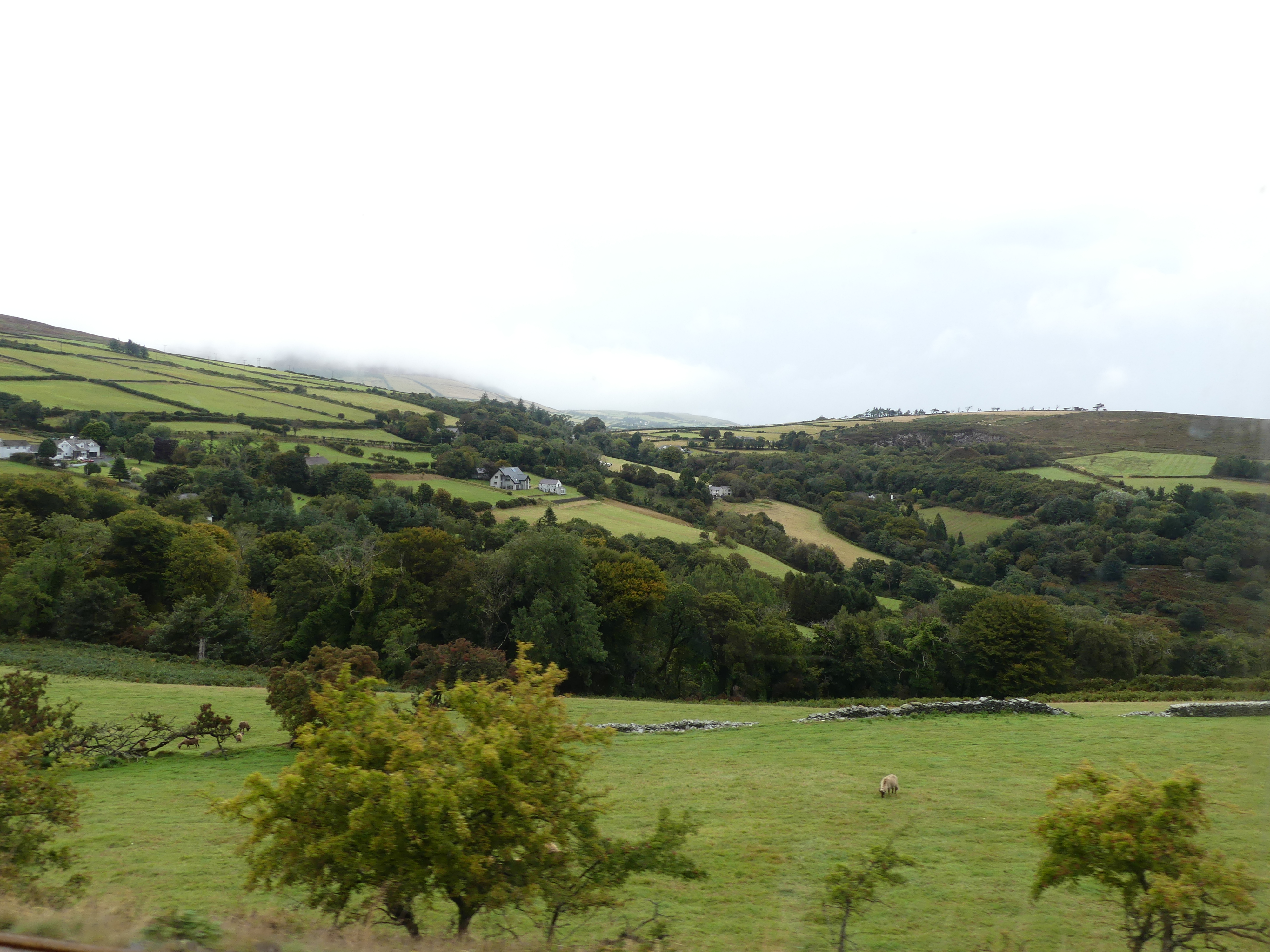
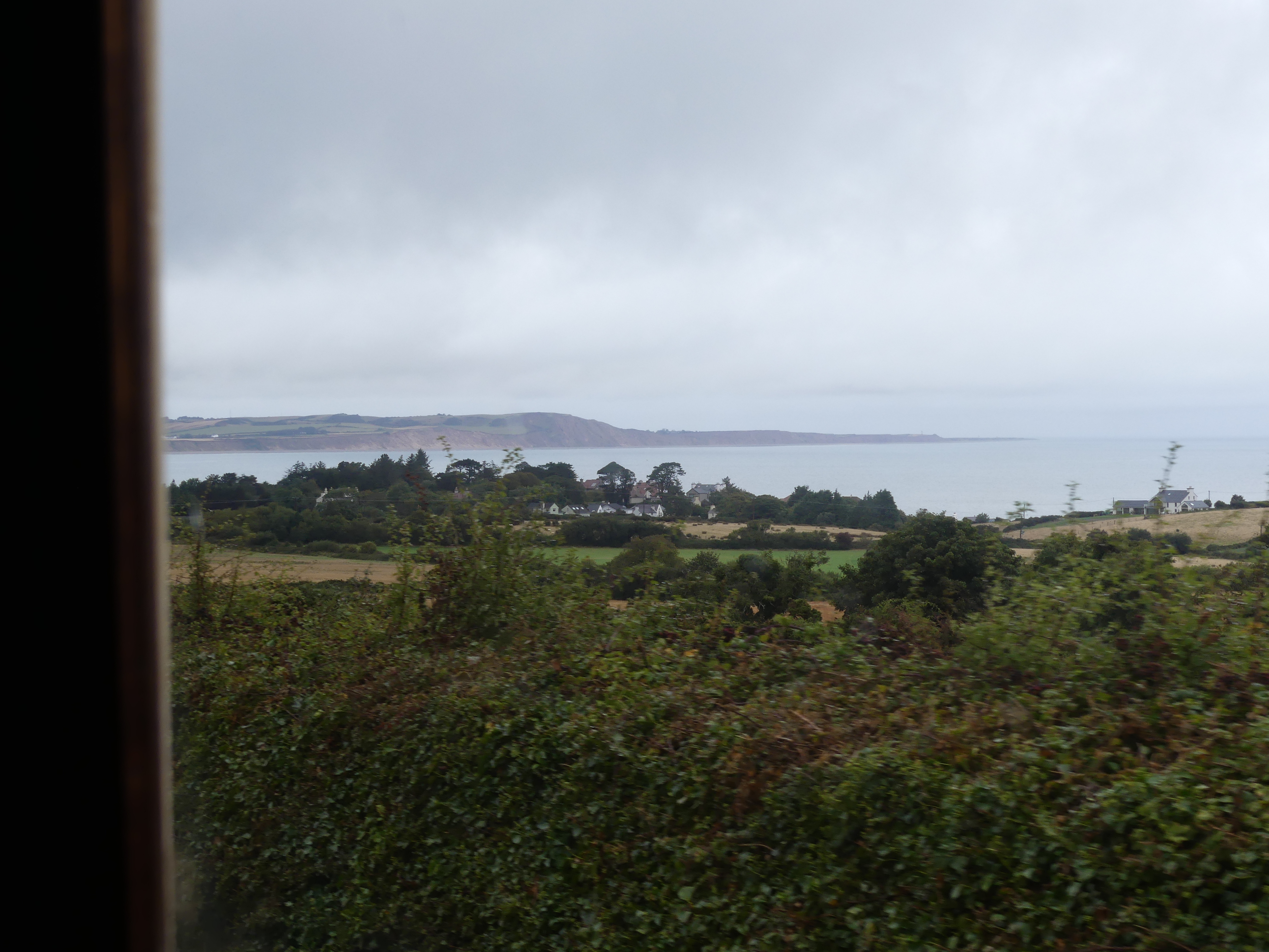
Back in Laxey we travelled onto Ramsay passing through a village having the name “Dreemskerry”. How cute is that?

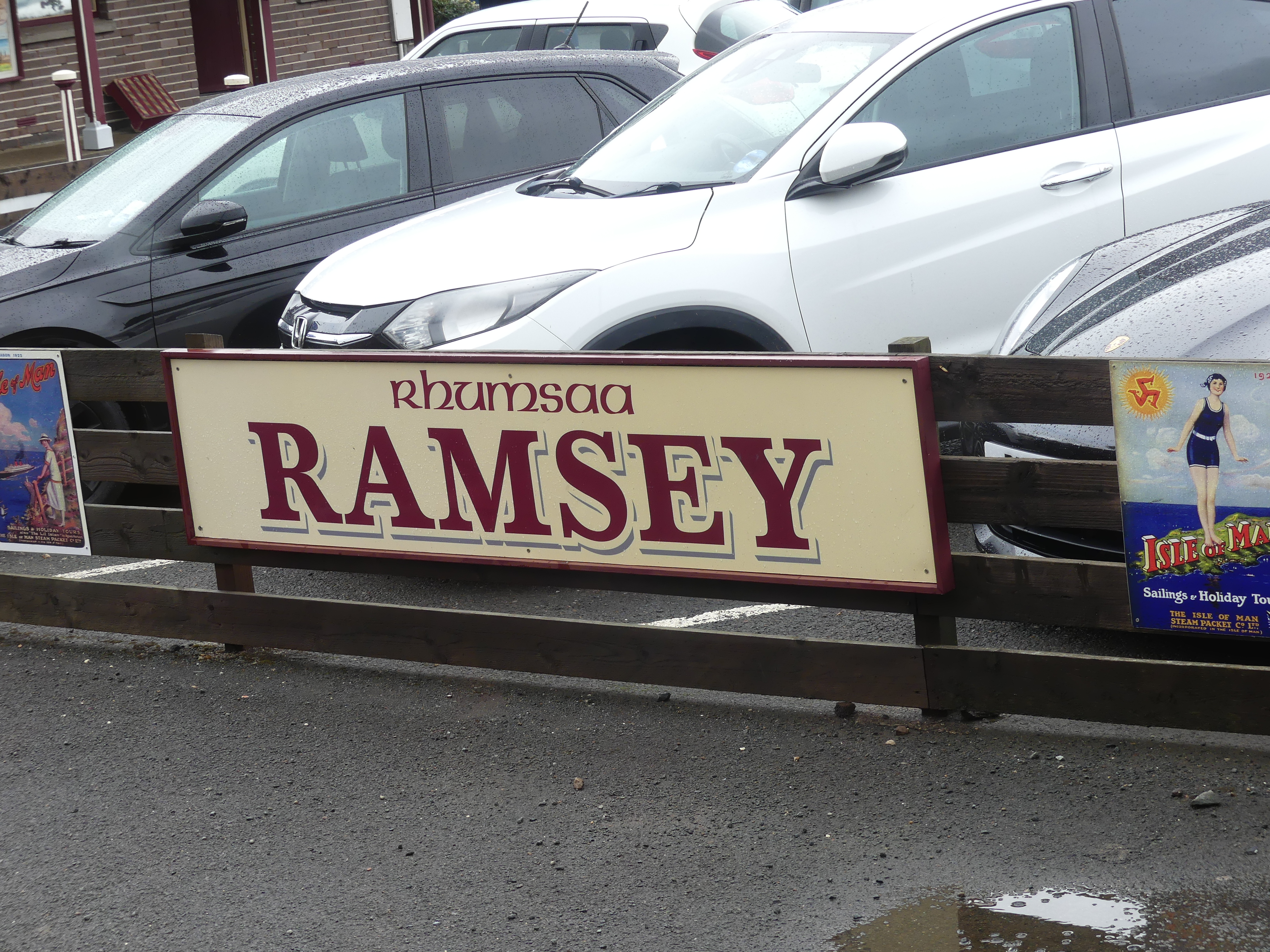
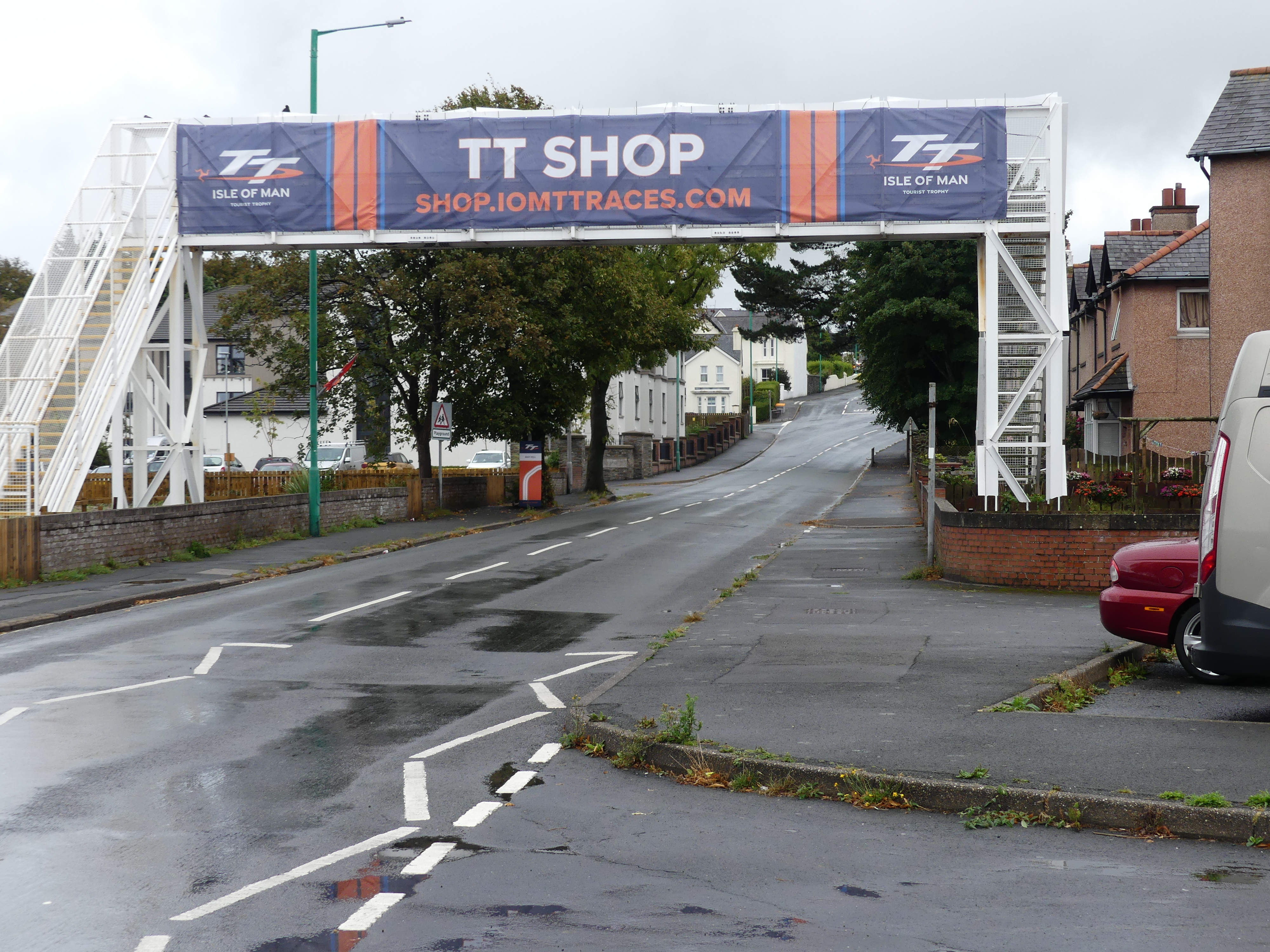
We arrivied in Ramsey and knew we would need to get back to Douglas if we were going to reboard the ship. We made our way to the Bus Station and there in the same street was evidence of the big event on Man – The Isle of Man TT or Tourist Trophy races. An annual motorcycle racing event held on the Isle of Man in May and June of mostly every year since its inaugural race in 1907. The two week event is sanctioned by the Auto Cycle Union, which also organises the event through its commercial arm known as Auto-Cycle Union Events Ltd. The Manx government owns the rights to, and promotes the event.

The Isle of Man TT is a series of time-trial format races, run on public roads closed for racing. The event consists of one week of practice and qualifying sessions, followed by one week of racing. The closed public roads form the Snaefell Mountain Course, a 37.73 mile route containing 219 turns that traverses through a mix of urban and rural areas. The event currently features 5 different classes of road racing, each competing in two races over the course of the racing week. Since the inaugural Isle of Man TT in 1907, the event has been held mostly every year since, with seasons being cancelled only due to war or disease outbreak. The TT has become part of the local culture and economy of the Isle of Man with more than 40,000 visitors annually traveling to the island for the event.

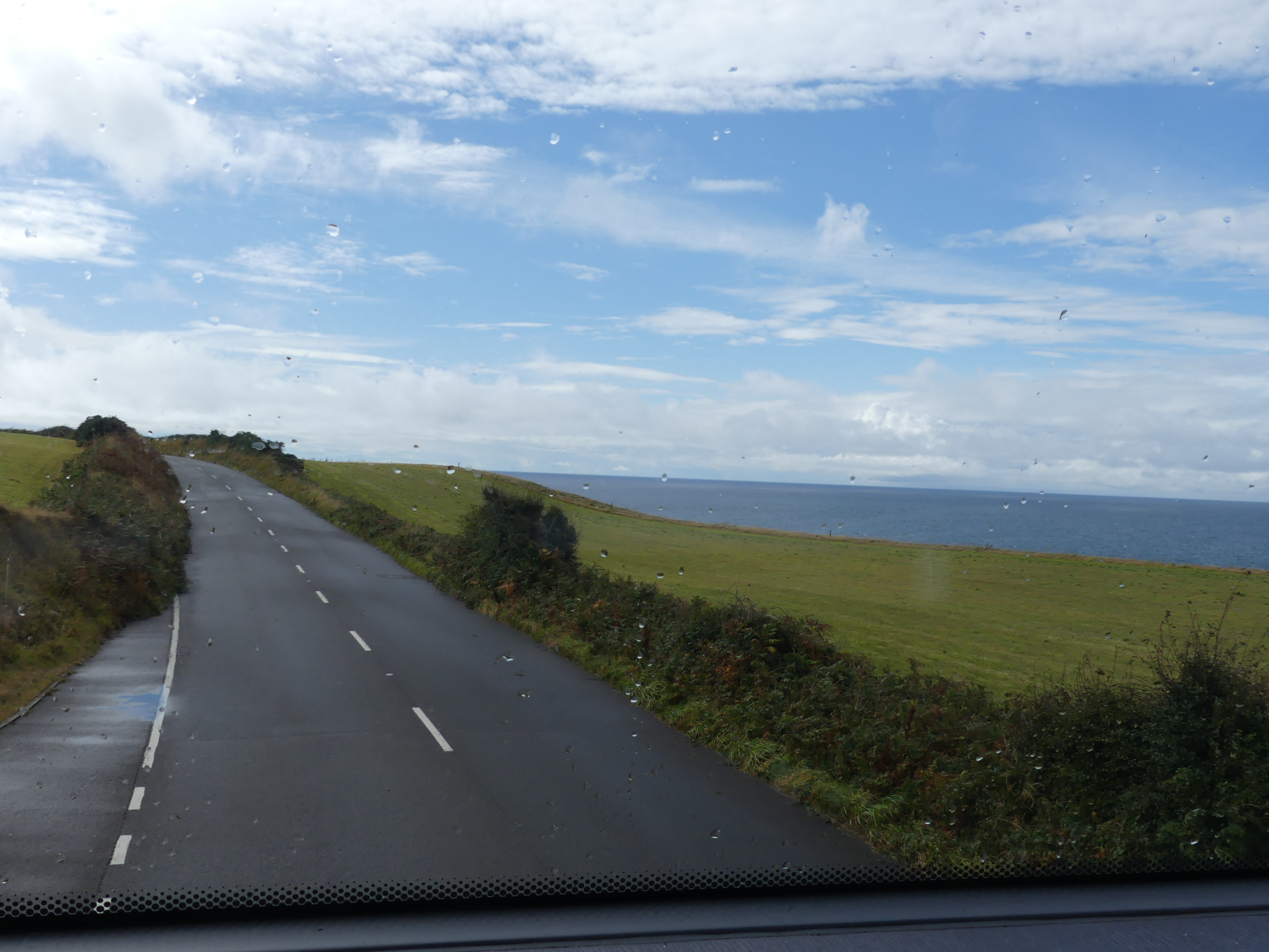
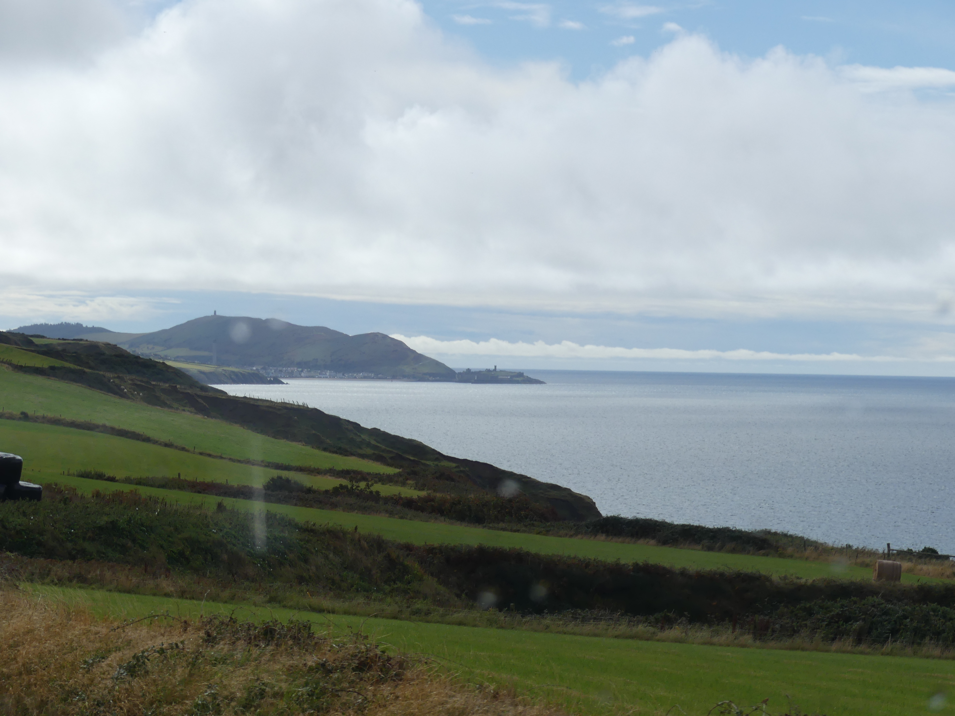
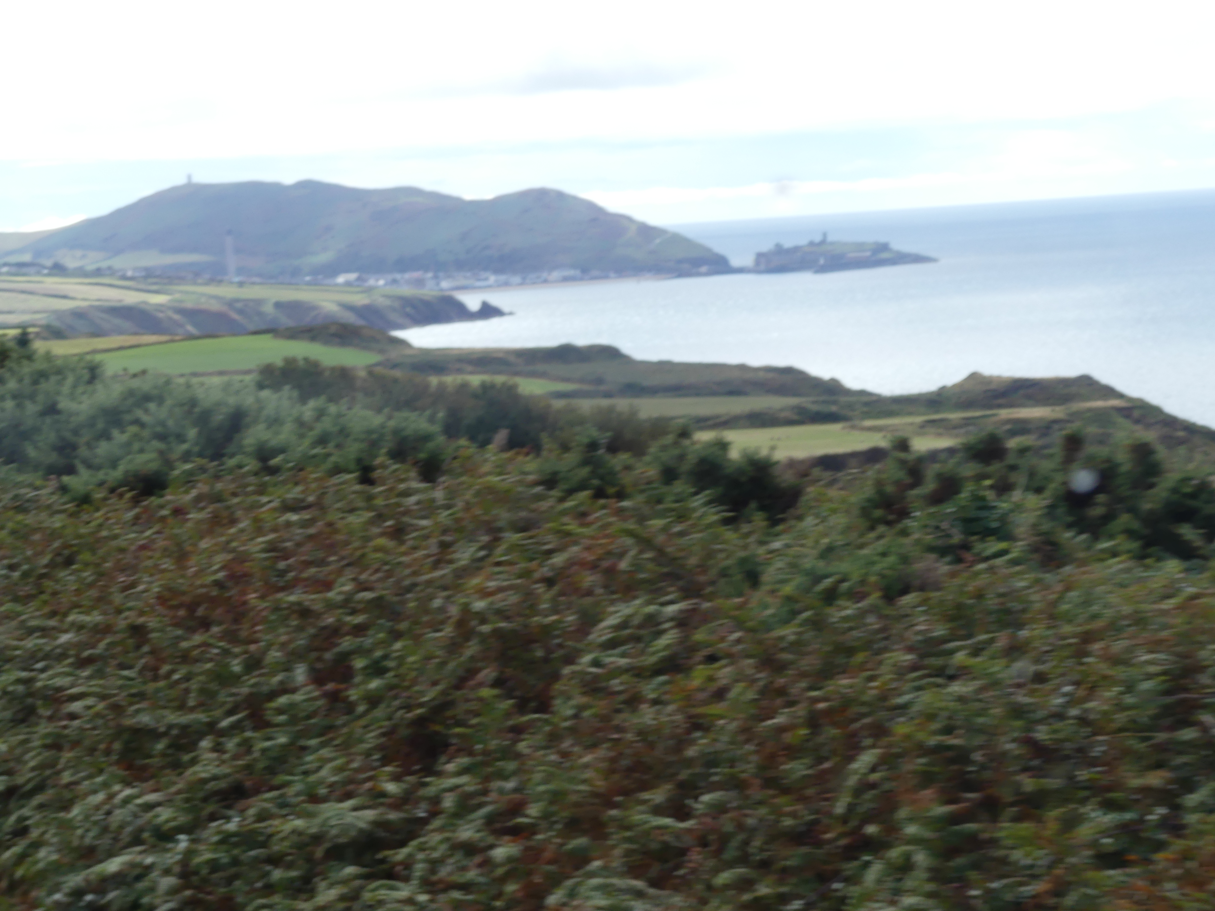
We caught the double decker bus returning to Douglas via Peel and chose to ride in the front seats upstairs – not a good chose. I think the driver was in training for the next TT event with the bus lurching down narrow country roads at excessive speed. There were a few occassions where I thought I was on a roller coaster. Of course we arrived in one piece and in time for me to buy the island T-shirt and then to catch the next tender to the ship.

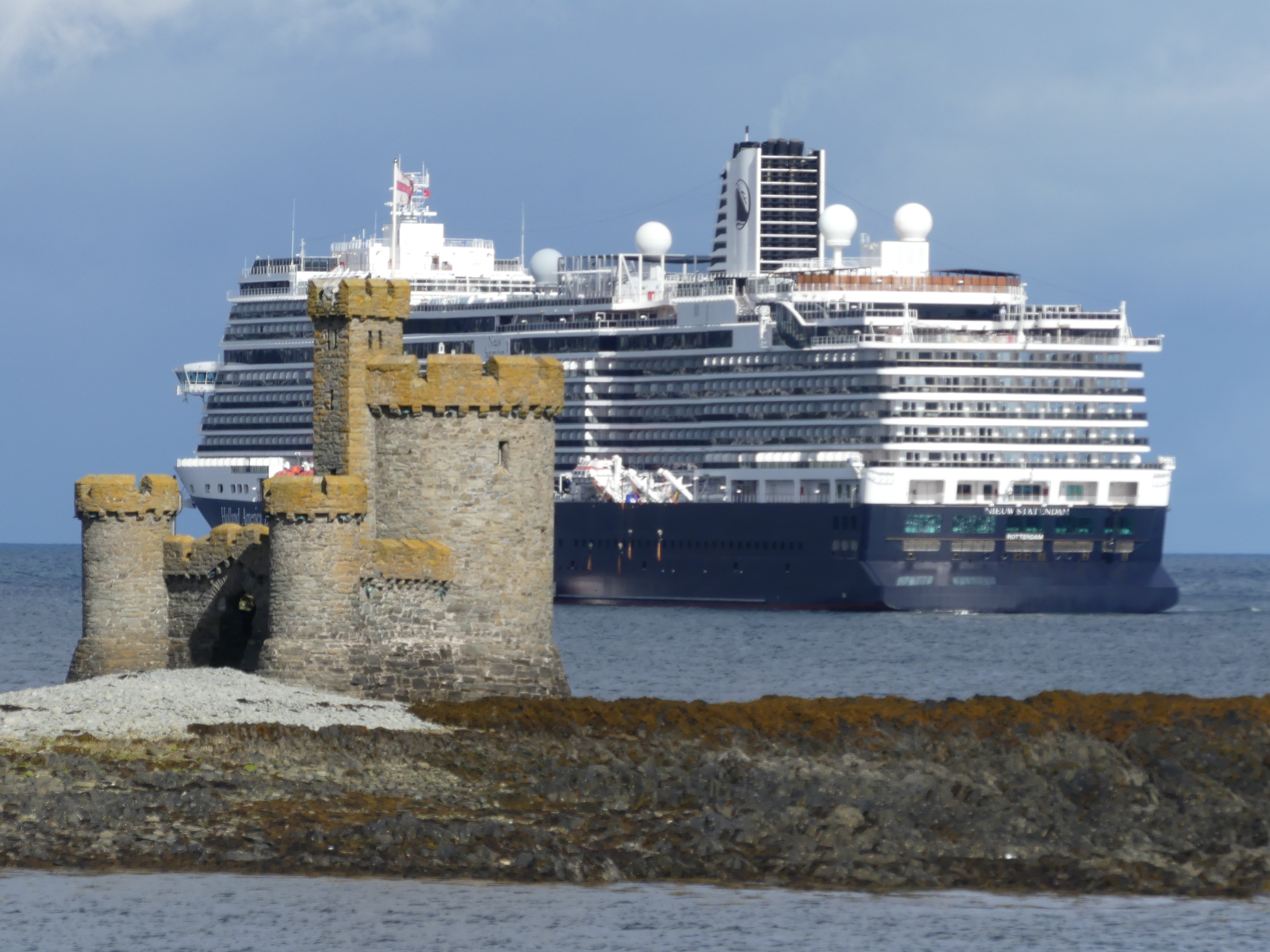
Another day of excitement but we were both worn out by the gripping of the rail in the bus. Tomorrow we sail west to Cork in the Republic of Ireland. We have been around Ireland both north and south so we would need to think of something to do that we have done. Read about what we discovered in my next blog “THE RETIREES GO AROUND THE WORLD – DAY 10 SS NIEUW STATENDAM – Cork Eire”

“THE RETIREES GO AROUND THE WORLD – DAY 8 SS NIEUW STATENDAM – Greenoch and Glasgow Scotland “

Leaving Liverpool we sailed north again to visit Glasgow but as all you geographers know Glasgow is not on the coast and our ship was far too large to be sailing up the wee little river (River Clyde) on which the city is located. No other explanation was given as to why we docked in Greenock which is on the western coast. What ever the reason we landed in Greenock. So I did a bit of research and this is what I found:

“Greenock is a town in Inverclyde, Scotland, located in the west central Lowlands of Scotland. The town is the administrative centre of Inverclyde Council. It is a former burgh within the historic county of Renfrewshire, and forms part of a contiguous urban area with Gourock to the west and Port Glasgow to the east.” Wikipedia

Still none the wiser we followed the crowd and disembarked. Later when we returned further research showed the reason why cruise ships docked at Greenock. “Strategically positioned along major maritime routes, it is a key stop for Northern European and British Isles cruise itineraries, offering travelers a perfect blend of cultural heritage and natural beauty.” Still didn’t help my understanding but we found a reason why all travellers should stop there. I’ll let you know shortly. The photos show the terminal which does nothing to help understand the attraction.

We walked from the ship toward the central business district. We passed a car missing its front wheel but didn’t know if it was well equipped thieves or someone without a spare tyre. After passing an Aldi supermarket we came to a major road crossing with an imposing statue on the other side of the road. It was “Ginger” a sculpture by Andy Scott designed to represent all the cart horses which pulled carts during the area’s great shipbuilding and maritime history. Inverclyde was once one of the most important shipbuilding ports in the world. When Greenock engineer James Watt wanted to describe the measure of power, he invented the term “horsepower” which is still used to this day. The name Ginger comes from an actual horse which drowned while transporting sugar on the quay at Albert Harbour in Greenock. A very emotive monument to the industry of Greenock.

We continued our exploration following the road to the CBD passing some very impressive buildings of the nineteenth century including one converted to a Weatherspoons Pub named “the James Watt Building”, the Town Hall and the square in front of the hall. The sculpture of workmen dragging a newly forged propeller again references the industrial history of the town. The harshness of the stone and mortar is softened by the wild flowers and grasses in the garden.

I cannot recall what drew us toward an A fold sign in Wallace Place but I’m glad it did. Here in the old Fire Station the Scottish Fire and Rescue Service Museum has been established by a Trust of the same name. It is a museum dedicated to the history of Scotland’s fire and rescue service. It houses a wide range of artefacts and stories from the service’s long history with displays on the history of firefighting, the development of fire safety in Scotland, and the history of the building. Many of the exhibits have been gathered from around Scotland as the station closed in 1960 before it was reopened as by the Strathclyde Fire & Rescue Museum 52 years later. The video story is fascinating and a must see should you visit it. My photos give you a snipet of what you will find.

I have also scanned the brochure on the museum and attached its 4 pages are here.

We spent most of our visit in this museum before returning to the ship. There must be a reason why such an interesting and important museum has been hidden away in Greenock and we only found it by accident. However that is the way I like it – something undiscovered brought to life in my blogs. Our travels then took us to the 4th Island “THE RETIREES GO AROUND THE WORLD – DAY 9 SS NIEUW STATENDAM – Isle of Mann “. A few interesting facts around this limb of the Empire so you will need to read on.

“THE RETIREES GO AROUND THE WORLD – DAY 5 SS NIEUW STATENDAM – Outer Hebredies – Isle of Lewis and Harris”

My research into the Outer Hebredies was rather limited. The known history of the archipeligo starts in the Mesolithic era leaving a diversity of important prehistoric sites. The Outer Hebrides, sometimes known as the Long Isle or Long Island (Scottish Gaelic: an t-Eilean Fada), is an island chain off the west coast of mainland Scotland. The islands form part of the archipelago of the Hebrides, separated from the Scottish mainland and from the Inner Hebrides by the waters of the Minch, the Little Minch, and the Sea of the Hebrides. The Outer Hebrides are considered to be the traditional heartland of the Gaelic language. Since 1998 the Council has used only the Gaelic form of its name, including in English language contexts. The council area is called Na h-Eileanan an Iar (‘the Western Isles’) and its council is Comhairle nan Eilean Siar (‘Council of the Western Isles’). There are 19 inhabited islands having an estimated population of 26,020 in 2024, and there are more than 50 substantial uninhabited islands.

The Romans appear to have had sporadic settlements on the islands but little other impact. The Western Isles became part of the Norse kingdom lasting for over 400 years. The ill-fated 1263 expedition of Haakon IV of Norway, resulted in the Outer Hebrides along with the Isle of Man, being yielded to the Kingdom of Scotland a result of the 1266 Treaty of Perth. The archaeological record of the Norse period is very limited with the best known find from this time being the Lewis chessmen, which date from the mid 12th century. With the Treaty of Union with England in 1707, the islands came under the control of Great Britain. Much of the land is now under local control, and commercial activity is based on tourism, crofting, fishing, and weaving.

When we awoke we were met by an austere vision of what we might expect in Stornoway. I have added the tourists Map of Stornoway which will make sense of my tale of exploration. The first photo is the barren “Deepwater terminal”. The absense of residences and human activity had us puzzled.

Map 1 shows the location of the terminal at which we had docked. At that time by means of gossip amongst the passengers, we learned that there was a path to follow through the woods to reach the town or there was the shuttle bus. We elected for the path. Map 2 shows you where the path ended. We walked through Castle Lews (which was closed for a private function) into the harbour of the town.

My photos of the walk through the woods to Castle Lews and then into Stornoway follow.

As we came to the end of the walk, we encountered people from the cruise boat visiting the castle and we became the bearers of the sad news that it was closed for a private function – glad we didn’t pay for that excursion. Crossing the bridge to enter the town we encountered a sculpture of a chessman one of the few Nordic reminders of the past. We strolled into town and found it to be a thriving village. With the back drop of the harbour and the Castle over the inlet it was romantic to walk the waterfront then head into the main street.

We moved into some of the semi-residential areas just on the edge of the town and discocered tha Harris Tweed weaver working in his shed (former garage attached to his house – not really a throw back to the shed outside the croft). And we found a reminder of home – the Foodbank office (Rotary obtains prepared meals for its Community Table in our Senior Citizens Hall kitchen with the meals being provided by FareShare at Morningside heated, packed and delivered by Rotary Brisbane South-East). We also found a memorial to soldiers lost in war and another stylish memorial chair as we saw in Kirkwell.

We also found the Sheriff Court and the bus station. We had decided that we would take the local bus over to the township of Harris. It was not difficult and they buses ran fairly regularly. Leaving Stornoway we passed the gate to the castle and soon we were into the countryside. Remote and wild, it took sometime to cross the island

Just as we were beginning to lose hope that we would get to the terminus, it happened – we arrived in North Harris. Perched on the side of a hill over an inlet the village of North Harris was celebrating with an Artisan Market. Set up in the community hall all the hand made crafts to be found on the island were on display. The first stall had wool not pulled into any shape but we had seen the off cuts in the Weavers shed. The stall holder told us she was having trouble obtaining the offcuts due to the decline in small weavers. As it happened I had picked up the business card for A. Harris Tweed Weaver in Stornoway and I passed it onto her. Not only was she grateful but couldn’t believe that a tourist knew more than she did on her subject. Other things of note were the inlet below, the war memorial perched on the very edge of the rock face of the inlet, the distillery and lighthouse below. Not a traffic light to be seen in the village.

Our bus had return to take us back to Stornoway and our ship to continue our adventure. The next port would be Belfast. We had spent sometime in Belfast a few years back when driving around Ireland (North and Eire) so we wondered what we might do. Lean about our decision when reading my next blog “THE RETIREES GO AROUND THE WORLD – DAY 6 SS NIEUW STATENDAM – Outer Hebredies – Belfast Northern Ireland”

“THE RETIREES GO AROUND THE WORLD – DAY 4 SS NIEUW STATENDAM – Orkney Isles”

Day 4 of our cruise (I am not counting the days at sea). We have arrive in Kirkwall Orkney Islands and moored at Kirkwall Pier. Something of the history of Kirkwall coming from Wikipedia tells us that “Kirkwall (Scots: Kirkwa, Kirkwaa, or Kirkwal; Norn: Kirkavå; Scottish Gaelic: Bàgh na h-Eaglaise) is the largest town in Orkney, an archipelago to the north of mainland Scotland. First mentioned in the Orkneyinga saga, it is today the location of the headquarters of the Orkney Islands Council and a transport hub with ferries to many locations. It is the centre of the St Magnus International Festival and is also a popular stopping off point for cruise ships. St Magnus Cathedral stands at the heart of the town.”

This did not help us with the deciding what we wanted to do with our limited time in Kirkwall. So we looked at the history of the town and Wikipedia provided the following “The town was first mentioned in the Orkneyinga saga in the year 1046, when it was recorded as the residence of Rögnvald Brusason, the Earl of Orkney …..

In 1486, King James III of Scotland elevated Kirkwall to the status of a royal burgh, and in time it would return a Burgh commissioner to the Parliament of Scotland. After Union with England it combined with other towns to form the Northern Burghs, sending a single MP to Parliament. In 1918, the Parliamentary Burgh of Kirkwall merged into Orkney and Shetland.” We made our way to the heart of the town and St Magnus Cathedral.

There is something like 9,000 people living in the Orkneys as at its last census. Tourism, particularly cruse ship tourism contributes to its economy and the Orcadians have been loyal Brits over the years. The street furniture portrayed a remembrance to fallen soldiers in a very useful memorial. Then there is St Magnus Cathedral. I have inserted our map that we used to guide our search and you will see that the Cathedral in “the heart of the town”.

The website for the Cathedral commences with these words “St Magnus Cathedral known as the ‘Light in the North’ was founded in 1137 by the Viking, Earl Rognvald, in honour of his uncle St Magnus who was martyred here in Orkney. The Cathedral belongs to the people of Orkney and its doors are open to all.” The Cathedral has been maintained utilising its interior to give the visitor its history through the headstones of the many people through the centuries brought to rest at the church. My pictures below walk you through the building.

Some of the raw nature of the materials used in building the cathedral portray a genuiness that many of the ostenatious churches we have seen didn’t. This is a church where people worship not a monument to the faith occupying the building. We had purchased a booklet entitled “Reminisciences of the Cahtedral Church of St Magnus since 1846 by an eye witness” the witness was Samuel Baikie. The researcher preparing the booklet was George Burgher and published between 1990 and 2001. In my pictures you will see the tombstone of William Balfour Baikie August 1825 and the booklet records the restorative work undertaken by Samuel. It contains a floor plan of the deceased remains laid to rest in the church as at 1769 and other restorations performed through to the publishing of the booklet.

The cathedral is in Broad St at the corner of Palace St. The name of the street suggested we would find more and we did. The Bishops Palace and the Sherriff Court. The Bishop’s Palace, Kirkwall is a 12th-century palace built at the same time as the adjacent St Magnus Cathedral. It housed the cathedral’s first bishop, William the Old of the Norwegian Catholic Church who took his authority from the Archbishop of Nidaros (Trondheim). The ruined structure now looks like a small castle. Originally, it is thought to have been like a typical Royal Norwegian palace, with a large rectangular hall above store rooms and a tower house as the Bishop’s private residence. Wikipedia shows the Bishop’s Palace, seen from St Magnus Cathedral tower and I have copied this photo to the collage of photos below.

We also encountered the Kirkwall Sheriff Court. The Sheriff Court in Kirkwall continues to serve as the main court for the Orkney Islands, dealing with complex matters that surpass the jurisdiction of the Justice of the Peace Court (for minor offenses) but aren’t severe enough for the High Court (murder, treason). We found the Cathedral coffee shop which included a film on the history of St Magnus, the Cathedral and the Bishops Palace. The coffee shop was a mixture of uses and the parish offices.

Refreshed we made our way to the bus station in Junction Rd intending to travel to a church constructed by WW2 Italian prisioners of war and onto St Margarets Hope on Ronaldsay. This was a local bus which provided transport for the islanders and tourists alike. My pictures below take you on the trip with us. The countryside has a likeness to Shetland – scattered stone farm houses and lots of sea views. By the time we arrived at the stop for the Italian Chapel, I was exhausted and the thought of an 800 metre walk to and from the chapel did not appeal. Preparing for this blog and researching the history of the chapel, I regret not making the time. Next time might be different. The POWs were not assisted in making the chapel but by 1943 the structure pictured below had been constructed.

We remained on the bus until it reached its terminus – St Margarets Hope. The village by the sea was a collection of houses plus the post office. My last photo is the Post Office/Convenience store/ Accommodation booking centre – you name it. With such an evocative name I was disappointed. There was some disagreement about the bus journey and whether we should stay aboard to travel on. Unfortunately we didn’t stay on (my fault). It is likely we would have gone onto Burwick on the southern point of Ronaldsay but the information we didn’t have was when would it return to Kirkwall and would it be in time to reboard our ship.

We returned to Kirkwall and then to the ship. I was ready for a nap. Although it felt as though we had done little in Kirkwall, I was very happy to lie down in the cabin and soon was dreaming of the adventure tomorrow. All will be revealed in “THE RETIREES GO AROUND THE WORLD – DAY 5 SS NIEUW STATENDAM – Outer Hebredies – Isle of Lewis and Harris”

“THE RETIREES GO AROUND THE WORLD – DAY 3 SS NIEUW STATENDAM – Shetland Isles.”

Wikipedia says:

“Murders are rare in the Shetland Islands, but high-profile cases have made headlines, notably the 2024 murder of Canadian Claire Leveque by her partner, Aren Pearson, and the 2019 murder of Tracey Walker (also known as Tracy Ann Walker) by Ross MacDougall and Dawn Smith….”

“These events highlight isolated violent crimes in the islands, contrasting with the generally low crime rates often associated with the region.”

“These are noted as extremely rare events, with police describing the 2019 case as only the third murder inquiry in 50 years.
Despite the fictionalized murders in the popular “Shetland” books and series, the islands are generally considered a very safe place to live with low crime rates.”

So this sets the scene for our visit to Lerwick capital of the Islands and located on the main island.

It was a cold and misty day on the east side of Mainland, Shetland and we were calling into Lerwick for the day. Lerwick is the main town and port of the Shetland archipelago, Scotland. Shetland’s only burgh, Lerwick had a population of about 7,000 residents in 2010. It is the northernmost major settlement within the United Kingdom. It is also the background in the BBC series Shetland.

The first settlement to be known as Lerwick was founded in the 17th century as a herring and white fish seaport to trade with the Dutch fishing fleet. Its collection of wooden huts was burned to the ground twice: once in the 17th century by the residents of Scalloway, then the capital of Shetland, who disapproved of the immoral and drunken activities of the assembled fishermen and sailors; again in 1702 by the French fleet. Fort Charlotte was built in the mid 17th century on Lerwick’s waterfront, and permanent stone-built buildings began to be erected around the fort and along the shoreline. Lerwick became capital of the Shetland Islands in 1708, taking over the function from Scalloway.

We had decided that we would take a taxi and view the burgh. So after the tenders dropped us off at Victoria Pier, we approached the first cab in the rank and organised a two hour taxi ride with a very amiable cab driver (but not a tour guide) for 120.00 quid.

We were hoping to see the wild Shetland ponies and our driver had a fair idea where to find them.

He then proceeded to drive us to Scalloway. Scalloway is the largest settlement on the west coast of the Mainland. The village had a population of roughly 900, at the 2011 census. Now a fishing port, until 1708 it was the capital of the Shetland Islands. Scalloway Castle is a tower house in Scalloway. The tower was built in 1600 by Patrick Stewart, 2nd Earl of Orkney, during his brief period as de facto ruler of Shetland. On arriving it was clear that the castle was no longer open to visitors. Driving into Scalloway we had a great view of the village and its harbour but it remained misty. The castle was bedecked with scaffolding and signs to not enter the premises. My pictures are below. Towards the rear of the castle was a museum but unfortunately not open this day. In the paddock at the rear of the museum a couple of “wild” ponies were grazing.

We left Scalloway to see more of the western side of the island. The weather was trying to clear but it was obvious that the eastern side was still overcast from the dense clouds shrouding the central hills. I will tell the story in pictures.

Our cab ride had come to an end with the car re-entering Lerwick and returning to the cab rank. On foot we started to explore the town. The old town was still very much the centre of town with Fort Charlotte at the northern end of the main road. The houses with Lodberries attached we quite evident and Jimmy Perez’s house and Lodberry is picture 4 below with our ship in the background.

We made our way to Fort Charlotte and learned of its chequered history and current use. Yes that is our ship in the background of picture 7. The first incarnation of the fort was built between 1652 and 1653 during the First Anglo-Dutch War. Little is known of the original structure and no trace of it has been found.

The second structure was built on the same site by Robert Mylne under the orders of Charles II at the start of the Second Anglo-Dutch War in 1665 at a cost of £28,000. It held off a Dutch fleet in 1667 which thought it was far more heavily manned and gunned than it actually was. In fact, the walls were unfinished and there were few guns. At the end of the war it was slighted when the government decided not to station a garrison in Lerwick, and it was unmanned when the Dutch burnt it in 1673 during the Third Anglo-Dutch War.

It was rebuilt in its current form in 1781 and named after Queen Charlotte, but has never seen service during hostilities since then. It housed a garrison during the Napoleonic Wars and was later a base for the Royal Naval Reserve. From 1837 to 1875 it was used as the town jail and courthouse and later a custom house and a coastguard station.

Land reclamation and structures erected in front of the fort mean that it no longer dominates the shoreline and the overall ground plan can only be seen from the air. Fort Charlotte is managed by Historic Environment Scotland, and is the base for 212 Highland Battery, part of Britain’s Army Reserve.

The photos in the last line include the former farm house across the bay, the houses beyond the fort walls and the natural stone wall with the bastion wall built atop of it and the main road below.

We continued our walk through the town. I had heard there was a distillery opening in the town and here was a chance I might stumble upon it. We walked past the car ferry to Bressay (picture below) and Kerry found the distillery. It was close to closing time and the sales girl explained quickly about their distiller and the fact that the distillery had not produced any scotch for retail sale as yet (the distilled brew must be in the cask for 3 years and a day before it is Scotch) but they could offer a tasting paddle of various other scotchs from around Speyside and the Highlands and a sample that their distiller had been working on at his previous distillery. The bottle label gives away the secret. Beautiful scotch but at 160 quid prohibitively expensive. Below is a picture of my 500 gram 12 year old numbered bottle of “Norn” scotch “a Speyside Single Malt secretively acquired and bottled at 60 degrees North” – Master Distiller Ian Millar.

As we returned to our ship we came upon a shop with a goat at its front door – yes a living breathing live goat. The goat belonged to two Shetlanders running an arts and crafts store and the goat was a pet. They we’re closing for the day so they opened the back door of their van and the goat climbed in and home they went. Its a long time since such a scene occurred in Queens St Brisbane but its an every day event in Commercial St., Lerwick’s main street.

Our day in Shetland had come to an end but I forgot to mention that I purchased a T-shirt emblazoned with Shetland ponies such that I would always remember my visit. At that time I also decided I would collect a T-shirt from each of the islands we visited – Orkneys, Outer Hebrides, and Isle of Mann. No, no photo of my T-shirt. But you may see me wearing in the streets of Brisbane. Til my next blog “THE RETIREES GO AROUND THE WORLD – DAY 4 SS NIEUW STATENDAM – Orkney Isles” – may you keep a fair wind at your back.

“THE RETIREES GO AROUND THE WORLD – DAY 2 SS NIEUW STATENDAM – Queensport & Edinburgh then Shetland Isles.”

The ship continued to rock and roll gently through the night. Kerry found this disturbing and I slept like a baby – except for the dig in the ribs from Kerry who wanted me to worry about the rolling with her. With the dawn we passed a number of oil platforms until we entered the harbour of Queensport. The ship was too big to dock at Queensport so the ship lowered the tenders and we travelled to the wharf to disembark. The pictures below are of the bridge across the Firth of Forth where the River Forth meets the North Sea, and famous for its three iconic bridges (Rail, Road, Queensferry Crossing) near Queensferry, serving as our entrance to Edinburgh. Some years ago we attended the Edinburgh festival and attended the Tatoo. We stayed at Fife taking the train across one the bridges (there only being two bridges at the time with third under construction) and the reunion with the bridge reminded us of that trip.

The ship provided a bus shuttle which we caught from the Ferry into Edinburgh. After sought out where we were, we made our way to Waterloo Place outside Princes Street Suites. A man in a uniform brandishing a placard advertising the Hop on Hop off bus stood under Prince Leopold’s Arch selling tickets. The arch built in 1819 to celebrate the visit of Leopold Prince of Saxe Courburg seemed out of place and there was no explanation as to the reason for it. My research shows that the arch marks the entry of Leopold into Edinburgh connecting Waterloo Place over the Old Calton Gorge, with the arch serving as a temporary triumphal gateway for the royal visit. A significant civic event at the time, though this Prince Leopold later became the first King of the Belgians. As we passed the arch we commenced the red line tour passing the Scott Monument. The Scott Monument is a Victorian Gothic monument to Scottish author Sir Walter Scott. It stands in Princes Street Gardens in Edinburgh, near Edinburgh Waverley Railway Station. In the distance you will see Edinburgh Castle. 

The Bus moves along the Royal Mile through the heart of Edinburgh’s Old Town, connecting the magnificent Edinburgh Castle, perched high on a base of volcanic rock, the Mile is overlooked by impressive, towering tenements, and into the Grassmarket. The Grassmarket is a historic, picturesque, cobbled square beneath Edinburgh Castle, famous for its lively atmosphere, independent shops, quirky pubs (like The Last Drop and Maggie Dickenson), diverse restaurants, and its past as a cattle market and site for public executions.

The Last Drop sits in Edinburgh’s Grassmarket district which was a small open space where local farmers brought their hay and other produce for sale. It was also the location of one of the main gallows in the city and crowds would flock in huge numbers to see the public executions. The Last Drop Tavern is located immediately next to the scene of public hangings which took place there back in the eighteenth century. Tenements once stood on the site, but these were rebuilt into the pub you see today using the old buildings’ original seventeenth century stone.

Maggie Dickensen Pub. Maggie Dickson was a fish hawker from Musselburgh and in 1723 she “fell pregnant” after a secret relationship with an innkeepers son in Kelso. The newborn baby died and Maggie decided it was best to conceal the body so the affair would not be discovered. However, the baby’s body was discovered and Maggie was found guilty of killing a child. She was returned to Edinburgh for execution, which took place in Grassmarket on September 2, 1724. Her friends and relatives took possession of her body, and placed it in a coffin and to be taken to Musselburgh for burial. The party paused en route for a drink and they noticed, the lid of the coffin began to move. Maggie was alive and well enough to walk the rest of the way to Mussleburgh the next day. She survived she was a “good friend” of the ropemaker and the early breaking of the rope allowed her survival. Having already been pronounced legally dead she could not be tried again and she lived another 40 years and known as Half-Hangit Maggie. She opened the pub in Grassmarket, and whenever there was a hanging going on outside, she would bring the accused a pint and say not to worry, she survived her own hanging.

Pictures of both establishments are above. Next stop was Calton Hill.

Calton Hill is a prominent, historic hill in central Edinburgh, famous for its iconic monuments, panoramic city views, and as a UNESCO World Heritage Site location. Key features include the unfinished National Monument (a Parthenon replica) and the City Observatory, offering stunning vistas of Edinburgh Castle, Arthur’s Seat, and the Firth of Forth. Moving on we passed Holyrood House, now overgrown with trees and then the Scottish Parliament Building seen below on the left. As we finished our tour we came across H & T Pawnbrokers. Very elaborate establishment – certainly no Steptoe and Sons there.

We returned to our shuttle bus stop after grabbing a sandwich at the Edinburgh Waverley Railway Station, tired from sitting in the bus – that still happens to me that I need a nap in the afternoon.

Our next adventure is “THE RETIREES GO AROUND THE WORLD – DAY 3 SS NIEUW STATENDAM – Shetland Isles.” We have both enjoyed the BBC drama of “Shetland” and I was anxious to see for my self how this small group of islands could have so many murders occurring on a daily basis.

THE RETIREES GO AROUND THE WORLD – CARDIFF TO CASTLE PEMBROKE.

The picture above is Pembroke Castle in 1880 and there is will be more about this castle below. I must admit that writing these blogs gets increasingly difficult. It’s not that the places are forgettable but rather there is so much to tell. The drive from Cardiff was divided into 3 parts with Tenby being the last leg before we struggled to find our lodgings in Pembroke. Our first sight of the beaches at Tenby was very encouraging but finding our accommodation was a task. We knew we were near the Pembroke Castle, but we couldn’t find the number in the street. Parking in these towns and villages always involved paying for a meter and here we had to park and find the property before we could drive to it. Once we had parked the car we walked down to the street where we had rented our lodging and low and behold a small cluster of even smaller flats was sitting under the hill on which the castle is located. It was small inside and close to a noisy road but it was for a few days only so we moved our car and found the key box but the code had been changed. Fortunately one of the neighbours was watering her garden and she helped us contact the owner and obtained the code. We had arrived. The property was about the size of a two car garage with a loft so not a lot of space.

When driving in through Tenby we decided we would visit Caldey Island you can see it in my first photo on the Horizon and the beaches the next day.

The following morning the tide was in so that was a good start, and we lined up to buy our tickets. We were warned that depending on when we returned, we may have to use the tractor. After noting this we did not think of it again as we thought it would affect us on the island – surprise surprise we were wrong. Below is a series of photos of the harbour and below that the crossing.

The island had been a retreat for Monks and a teaching facility but whilst this continues the island is now a retreat for everyone and we were not alone on the boat. My first photo below shows what the Monks have been doing in their spare time – decorative chairs for visitors and as you walk further onto the island you encounter the monastery, and the Monks quarters a café gift shop and post office. Whilst we had a coffee, I spotted some local wildlife – a partridge and her family running through he grasses on the edge of the open ground where the visitor could rest eat and drink their lunch. The tourist information informed us that there was a lighthouse on the island but not where it was located – its on the seaward side of the island on high cliffs. We were not certain that we would make the distance however halfway there were ruins of the monastery and by the time we had reached and looked through them we could see the lighthouse and thought “that’s not too far”. My pictures below show the ruins and the walk to the lighthouse the lighthouse and the general view of the seaward side of the island.

We spent a few hours on the island by which time the tide had turned. Although we had seen a tractor at the island ferry jetty it did not appear to be in operation. On the ride to the island, we had passed an island with ruins which appeared to be part of the castle ruins. On our return the tide had receded such that the island was now accessible on foot with people scaling all over the island and ruins, and the Boat Rescue volunteers boat shed was now on stilts. A tractor had pulled a portable landing down to the water and now we knew what it meant when they say, “the tractor will be in operation”. Our launch tied up to this mobile pier and all passengers clambered off onto the pier then the beach. There was a considerable stretch of beach to walk across to get to hard land. We followed the crowd across the beach up to the High Street in the town and there found a pub “Coach and Horses” with great ambiance and enjoyed lunch and a drink watching the beach goers and the shoppers going by.

Kerry had picked up a brochure for Picton Castle and Gardens and I had a desire to go to a Wales whiskey distillery – Penderyn whiskey distillery. Both sites were nearby so on the following day we tripped out to Penderyn Distillery and Picton Castle.

The castle may have once been a fortified castle but it has gradually changed to a manor house and gardens. The gardens are used by the castle owners as a garden centre, café and various other uses. My pictures start with the walled section enclosing the working buildings – the garden centre, book shop, café, the mower museum and the mortuary (the castle was used as a hospital during WW2 when they converted the butchers shop to the mortuary).

We strolled through the gardens. Relaxing and enjoyable the gardens were laid out in various areas starting with a pathway through the undergrowth for kids (even big kids) with the workers buildings prepared as they might have appeared at the beginning of the twentieth century. There is a fairy garden with 10 fairy houses for the children, and we found each one, I think. Amongst the fairy houses was the original ice house for the castle. This is an underground shelter where workmen would cut out the river ice and store the ice in the ice house so the family could have ice during the summer.

Behind the wall work area is the manor house. It has been decorated for the same period. The children’s toys have been retained and are presented in a museum in one to the towers of the house.

We had visited the whiskey distillery before going to Picton Castle and did the tour as they claimed to have a secret to produce the best whiskey. Penderyn is the name of the whiskey, and I have brought home three samples of the brew. The distillery is modern in its design because it is resurrected from an earlier distillery and modernised. We arrived before opening time and to our surprise there was a coffee van open for trade for visitors like us – it is a converted horse float. Once the distillery opened and we were allowed to look around I took some photos that appear below. The bottle with the clear liquid is the refined whiskey and this is placed in a used cask and the whiskey draws its colour from the cask. To be legally sold as whiskey it must be aged in barrels for 3 year and 1 day. As I stated I have brought some samples home. 

Pembroke Castle (Welsh: Castell Penfro) is a medieval castle in the centre of Pembroke, Pembrokeshire in Wales. The castle was the original family seat of the Earldom of Pembroke. A Grade I listed building since 1951, it underwent major restoration during the early 20th century.

In 1093, Arnulf of Montgomery built the first castle at the site when he fortified the promontory beside the Pembroke River during the Norman invasion of Wales. A century later, the castle was given by Richard I to William Marshal, who became one of the most powerful men in 12th-century Britain. He rebuilt Pembroke Castle in stone, creating most of the structure that remains today. The castle is open to the public and is the largest privately owned castle in Wales. Oliver Cromwell left the castle in ruins during the Civil War and it lay in ruins until 1880 when it was restored.

Pembroke Castle is literally around the corner from our accommodation. Kerry had had enough of castles and left me to do what ever I wanted. So I walked around the castle but when arriving at the entrance was daunted by how busy it was and I was feeling that I also had enough of castles. Below is my tour circumnavigating the castle which is the off the High St in Pembroke. The mounted knight is a memorial to William Marshall who served 5 Kings of England. The picture of the barred opening is the former access to the river – you can see this in the picture from 1880.

Our visit to Pembrokeshire was done and dusted so now we move onto Ebbw Vale and the Wye Valley which is towards the centre of Wales. Read on to see what we find in “THE RETIREES GO AROUND THE WORLD – CASTLE PEMBROKE to CRICKHOWELL (Ebbw Vale)”

THE RETIREES GO AROUND THE WORLD –CORNWALL UK/NOTINGHAM UK

Nottingham

Kerry continued the driving and returned the car to Green Motion, where we caught the shuttle to Heathrow terminal 3 and caught the National Bus to Nottingham. I thought the bus ride would be a bit nostalgic, but time has brought about change and the bus route had numerous stops at Luton, Luton Airport, Milton Keynes, Leicester before finally delivering us to Broadmarsh Bus Station in Nottingham. When we left Nottingham in 2015 the Bus Station was connected to an old shopping Centre called Broadmarsh but now the Centre is partially demolished a new Bus Station built and the skeleton of Broadmarsh is partially standing as thought awaiting a decision as to what’s next. We dragged our suitcases up the hill to the Ibis Hotel. The room was small but did the job. The reception was a combination of café and reception with the receptionist sitting amongst the shop customers – novel.

It was drizzling rain and cold, but we still ventured out to reacquaint ourselves with the city. Martin & Christine were due to visit us tomorrow and we had lined up how and when we would catch up. Dinner that night proved a bit different. We made for the restaurant that our friend Pam had shown us last visit but it was booked solid and the directed us to the neighbouring restaurant with the same result. Things were getting a bit desperate – we may need to get fish ‘n chips. We were both interested to find out what the place across the road offered – it is called “the Alchemist”. The interior was decorated with bottles and shelves like an old-style alchemist with images of a changing geometric designs projected on a wall making it a different style of venue. After a small selection of entrees, a glass of wine for Kerry and a Guinness for me we retired to bed. The bus trip had been tiring, and the hauling of the luggage tipped us over the edge of tiredness.

Nottingham Castle:

The following day at our arranged rendezvous we caught up with Martin and Christine. We had met on a river cruise from Cologne Fr. to Rüdesheim am Rhein Ger. and remained in contact since. They had traveled over from Manchester and stayed overnight at the Premier Inn in town, so we decided to go with my first choice of place to visit – Nottingham Castle.

On the way to the castle we called into the Town Hall. We were unable to look through the hall due to Council meetings being held there that day. So we moved onto the castle. We had been there previously so knew what to expect. Martin thought he was in for a full-on old castle experience. Not so. The castle had been demolished by the people of Nottingham after the restoration of the Charles the Second to the throne of England. The castle had the reputation of being impregnable hence Charles the First had used the castle as the place to raise his standard against the Roundheads starting the English Civil War. Once the War ended Cromwell ultimately took control of England and with the restoration, the people of Nottingham tore down the castle for fear that the castle may be used again as a power base in the midlands. Martin was disappointed to learn that the Duke of Norfolk had purchased the ruined site to build his country home which he continued to call “Nottingham Castle” which remains its name to the present. It is filled with artistic treasures and a memorial to the local regiment of the British Army “the Foresters”. Martin was not impressed with the castle but was taken with the memorial having served in the army in the military police.

Part of a visit to the castle is to visit the caves constructed to provide a hidden access to the castle and from the castle to the pub Ye Olde Trip to Jerusalem claimed as the oldest remaining in the UK from the 12th century.

The first 2 pictures are in Town Hall. Then follows the picture of “Nottingham Castle” and its gate. No photos are permitted inside the castle but the formidable gate gives a fair idea of what the castle may have looked like. Then follows the photos of the caves – the toy fox marks the way down. Of course the pathway has been prepared for today’s tourist but when it was used for its original purpose it would have been rough and ready. When you exit the caves you get a better idea of the nature of the development. At the foot of the hill is an array of the housing for the ordinary folk of the time close by the pub.

The second part of my plan – to visit the pub unraveled as after doing the tour of the caves we found the pub full to overflowing. Martin came to my rescue and suggested we go to the Navigation Hotel just nearby.

Visit to the Navigation Inn at Castle Lock Nottingham

There is a canal runs through Nottingham separating the old town from the newer part of town and the Navigation Hotel was a leftover from times when the canal was in commercial use. Old building charm with nostalgic decoration in the interior and no crowds. So, we settled in for some lunch and drinks finishing late in the afternoon. The picture below is part of the interior and outside is the canal. Martin and Christine had planned to return to Manchester the following day so after some sad farewells we retired to our hotel and later braved the cold to find a place for dinner. Somewhere during those two days Kerry made a call to Nick Smith the owner of the business supplying stretch fringing to Glitter and Dance. So it was arranged for the following day that we would have lunch with Nick and Selina at country manor outside the city.

Visit to Nick & Selina Smith

Nick had given Kerry the opportunity to open her business in the UK and though Glitter and Dance UK has not survived Nick has continued to supply stretch fringing to G & D. We called an Uber to take us to this destination nominated by Nick which he said was nearby. Like hell it was – we seemed to meander for miles through countryside until we suddenly turned left at an obscured turning, and we had arrived. It is an old Country Manor of some past minor gentry for the area now operating as a club style meeting place. There was a fixed menu and no choices which did not suit me at all but nothing to be done but soldier on. It was all very pleasant but expensive as I was unable to eat most of the meal. Nick and Selina ran us home to the city as it turned out they are living in Derby these days and they had to drive through Nottingham anyway.

Visit to Bob & Cilla, phone call to Pam and visit to RC Nottingham

It is now Monday. Kerry has organized for us to meet with Bob and Cilla later that morning and we have had a chat with Pam by phone. Pam has had some oral surgery and does not want visitors at present but she was able to inform us that she had resolved the trouble she had with the publisher of her first children’s book which problem had seemed to have depressed her the last few years.

I had been struggling with a cold the last week and I had now run out of antibiotic tablets that we had brought with us as a precaution. So, before we caught the bus to Attenborough, we had rung around some medical practices to get a new script with no luck. When we made it to Bob and Cilla’s house, we had a lovely catch up and were surprised by a visit from one of our fellow gardeners. We had met Cilla at the local church and our friendship had grown from there. One thing led to another about my health and Bob and Cilla were of considerable help with resolving the problem. They were both in good health and there is a chance we may catch up in NZ when they next visit their daughter and family.

After returning to the hotel, we prepared for our Rotary meeting at our other club – Rotary Club of Nottingham. We made our way to the meeting place and were greeted by a lot of old familiar faces and some new faces. It was like old times and a great surprise for many of the members. The Club remains robust and maintaining its membership.

Travel National Bus to Heathrow London – Depart London to Rome

Our return trip to Heathrow went as planned and we soon landed in Rome. Rome and the area around Terminii Station is now a familiar precinct so catching the train at Fumincino Airport to Terminii felt familiar even though it was 11.00 o’clock at night. Once at Terminii the short stroll to the front door of Dream Station was like coming home. We inserted the code and the big front door (no doubt once the doors to a forecourt in its early days) and now an obstacle track for guests coming to stay. Th elevator is big enough for two persons or 1 person and suitcase. Kerry went ahead and I followed next time round. So, we were now ready for bed in Rome.

So, until my next blog “THE RETIREES GO AROUND THE WORLD – “ROME, CESI, BARI, NAPLES and back to ROME” – keep on following our journey.

THE RETIREES GO AROUND THE WORLD – SAN FRANCISCO USA/BRIGHTON HOVE UK

The B&B (pictured above) was well located on the road that marked the exact boundary between the two towns (Brighton and Hove), and you would not have known the difference save for a sign on a building at the end of the road announcing the boundary. Upstairs It had two bedrooms both with an ensuite and downstairs a powder room kitchen lounge room and a dining table in the middle. Enough room for us but no garage. The missing garage came as quite a shock. The hiring of the car was based on the B&B having “private parking”. Our strategy was to spend the day traveling around and hope to find a space at night when it was free to park on the streets. Mick and Terri had joined us.

Mick had in his younger days worked in or owned a garage at the end of the street with a “lady of the night” working from the building across the road and the Robin Hood Pub on the opposite corner. The garage has gone, and the Lady has moved on but the pub was still there.

I had prepared an itinerary and planned to drag Terri and Mick around. Despite the itinerary we got side tracked on our way to Battle Abbey and Battlefield. We visited Beach Head and the suburbs of Eastbourne to allow Mick to catch up with an old friend. The wind was howling this day and sea mist blanked out the sun. The coastline is a continuation of the white cliffs of Dover and towered over the beach. It’s known for its dramatic, 531-foot (162-meter) high cliffs being the highest chalk cliffs in England and offers stunning views of the coastline and the English Channel. Beachy Head is part of the Seven Sisters Country Park. The visitor centre measures the distance from the edge of the cliffs to the centre and predicts that the centre will be lost over the cliff by 2050. We drove to the highest point and stepped out to take photos and were close to being blown away. The first picture is the visitors centre which will one day be in the sea as they lose a portion of the cliffs each year. The little lighthouse is further along the coast until you come to the highest point which is the last photo.

We moved on through Eastbourne to the town of Battle and parked behind Battle Abbey at the monastery car park. Terri had put the money in the meter and we moved onto the Abbey which was closed – it was Sunday. Disappointed we walked through the village and found somewhere warm for lunch. We paid no further attention to the parking meter until we received a rude email from the car hire people. We paid the administration fee but never received the fine – its in the mail. The first two pictures are Eastbourne Pier and its “shop” followed by the advertisement for a re-enactment of the battle on the carpark wall in Battle. The last picture is the phone box outside the Abbey from which King Harold rang home to tell his Queen he may be late for dinner. The battle with William in 1066 AD took place in this area.

With the Abbey closed our afternoon was free so we headed to Lewes and Lewes Castle and Museum of Sussex Archaeology. The town was buzzing, and the only parking space was the council car park near the river Ouse 500m away from the castle and museum. The castle is largely a ruin with a castle gate and some other buildings remaining. Still, it was very interesting. Lewes Castle is a medieval Norman castle originally called Bray Castle. it occupies a commanding position guarding the gap in the South Downs cut by the River Ouse and occupied by the towns of Lewes and Cliffe. It stands on a man-made mount just to the north of the high street in Lewes and is constructed from local limestone and flint blocks. The Barbican gate is mostly intact and can be accessed. The sign on the wall in the photo below tells the passerby that ten of the seventeen protestant martyrs were imprisoned in the vault below this building and burned at the stake a few metres from this site in 1555 to 1557.

This tour ended our day, and we returned to Hove to find a car space, a place to eat and a warm space to retire.

My niece Louise, who is presently managing the race days for Formula 1 Racing around the world, took time out of her busy schedule to come down by train to Hove and arrange for more of my relatives to meet us. Louise, Trish (Terri’s sister and my cousin) and her daughter Sarah arranged for dinner at the Connaught Hotel in the heart of Hove. We parked in the Aldi parking station and walked on to the Connaught Hotel – large and noisy hotel and a table of 7.

We also managed to fit in a visit to Ditchling a very small village with a lot of history. Even so the place was busy with visitors, and we ended up parking in a puddle in a dead-end lane – the only park we could find. It brought into the churchyard and as is typical of English churches we also passed through the cemetery finding a very quaint grave with its own font. Some of the buildings look to be from the Tudor era but the pub was warm and cozy. On the way to Ditchling we passed through some pretty country as you will see below. In the village itself the church stood out as the centre of the village and the buildings all to be very early or Georgian built.

After spending the morning in Ditchling we returned to Hove and the “Nevell” an old haunt for Mick and we met up with one of Terri’s sons for a drink and get together. The following day we continued our visits to beach side towns and the photos following show a mariners church where the sailors went to sea after visiting the church.

We had a lovely time renewing friendships meeting more of my father’s family in the UK and visiting new things in Brighton Hove. Our time in Brighton Hove had come to an end and we had the discussion as to when we might catch up again before we headed off to Truro in Cornwall. We had not visited places like Port Issac where Doc Martin had his practice (the TV show) and King Arthur’s alleged castle at Tintagel. The drive would take over 4.5 hours so we scheduled a stopover in Dorchester for a break and some lunch.

Read on in my next blog “THE RETIREES GO AROUND THE WORLD – BRIGHTON HOVE UK/ CORNWALL UK.