Wikipedia says:
“Murders are rare in the Shetland Islands, but high-profile cases have made headlines, notably the 2024 murder of Canadian Claire Leveque by her partner, Aren Pearson, and the 2019 murder of Tracey Walker (also known as Tracy Ann Walker) by Ross MacDougall and Dawn Smith….”
“These events highlight isolated violent crimes in the islands, contrasting with the generally low crime rates often associated with the region.”
“These are noted as extremely rare events, with police describing the 2019 case as only the third murder inquiry in 50 years.
Despite the fictionalized murders in the popular “Shetland” books and series, the islands are generally considered a very safe place to live with low crime rates.”
So this sets the scene for our visit to Lerwick capital of the Islands and located on the main island.
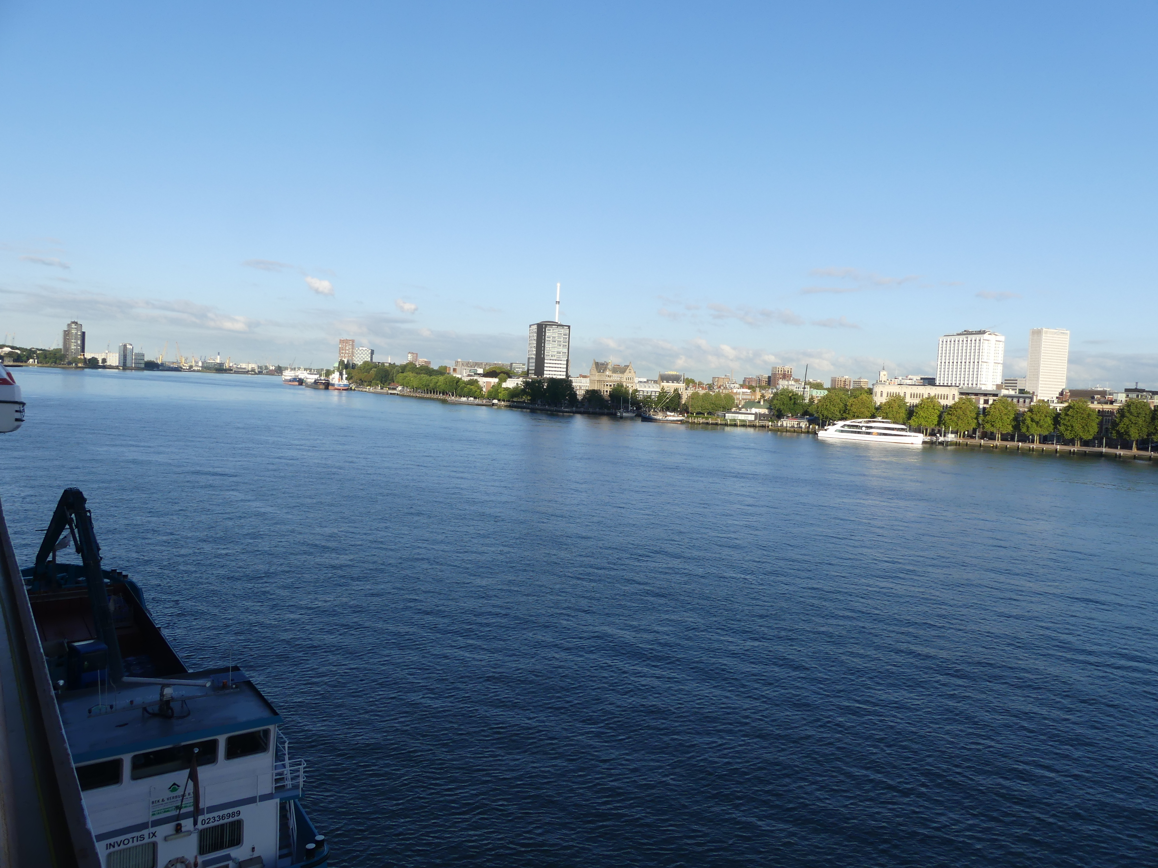
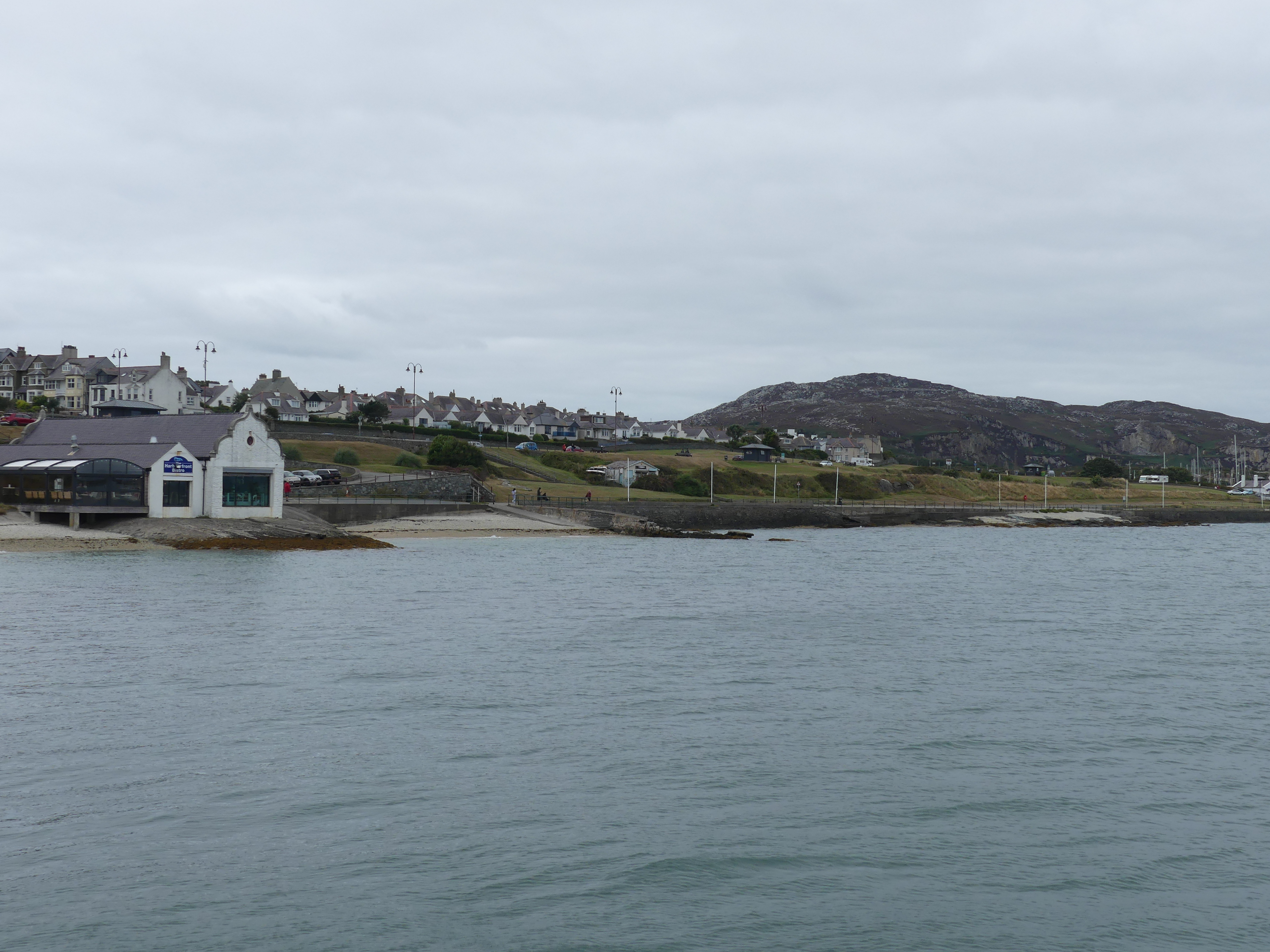
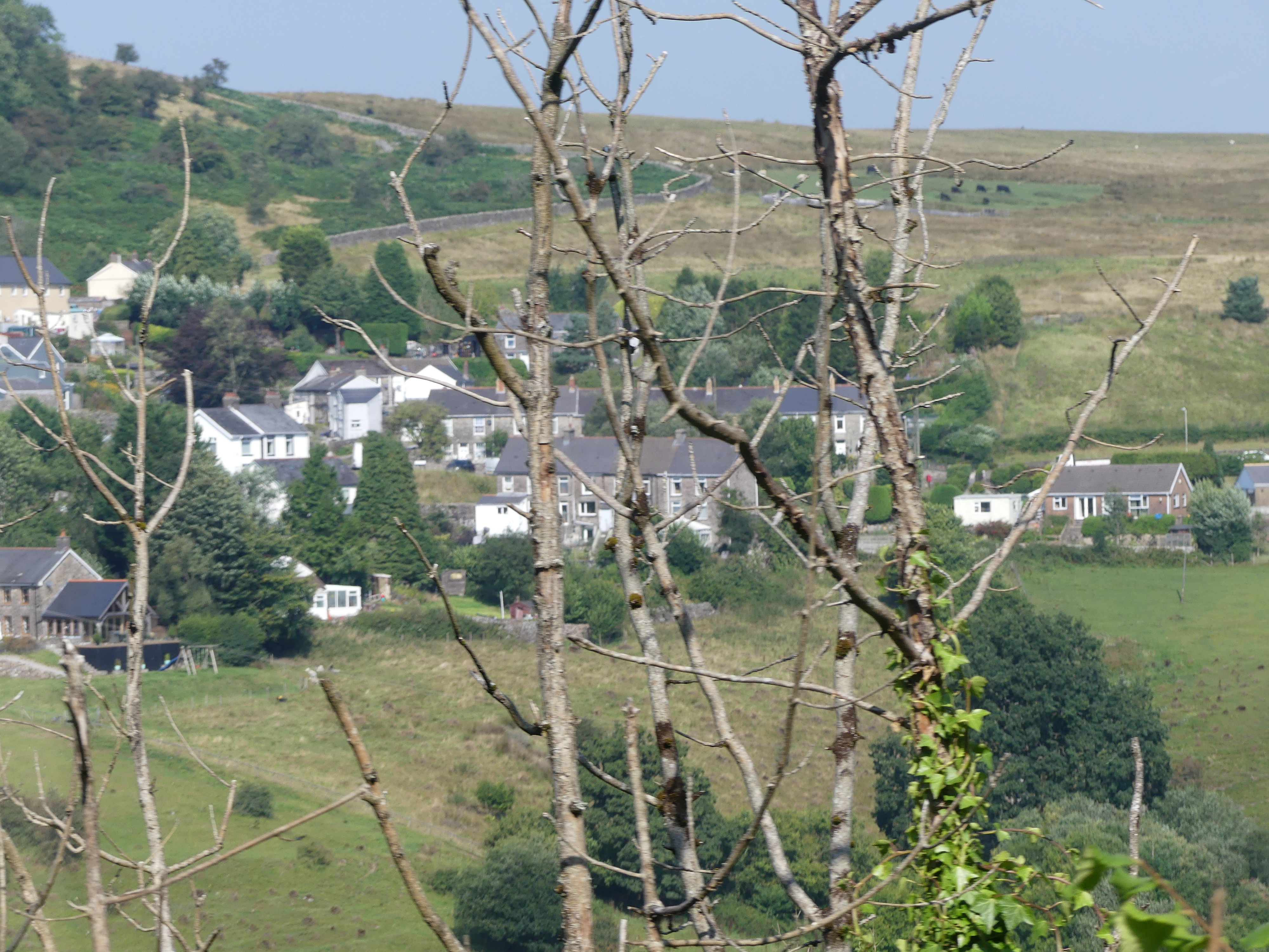
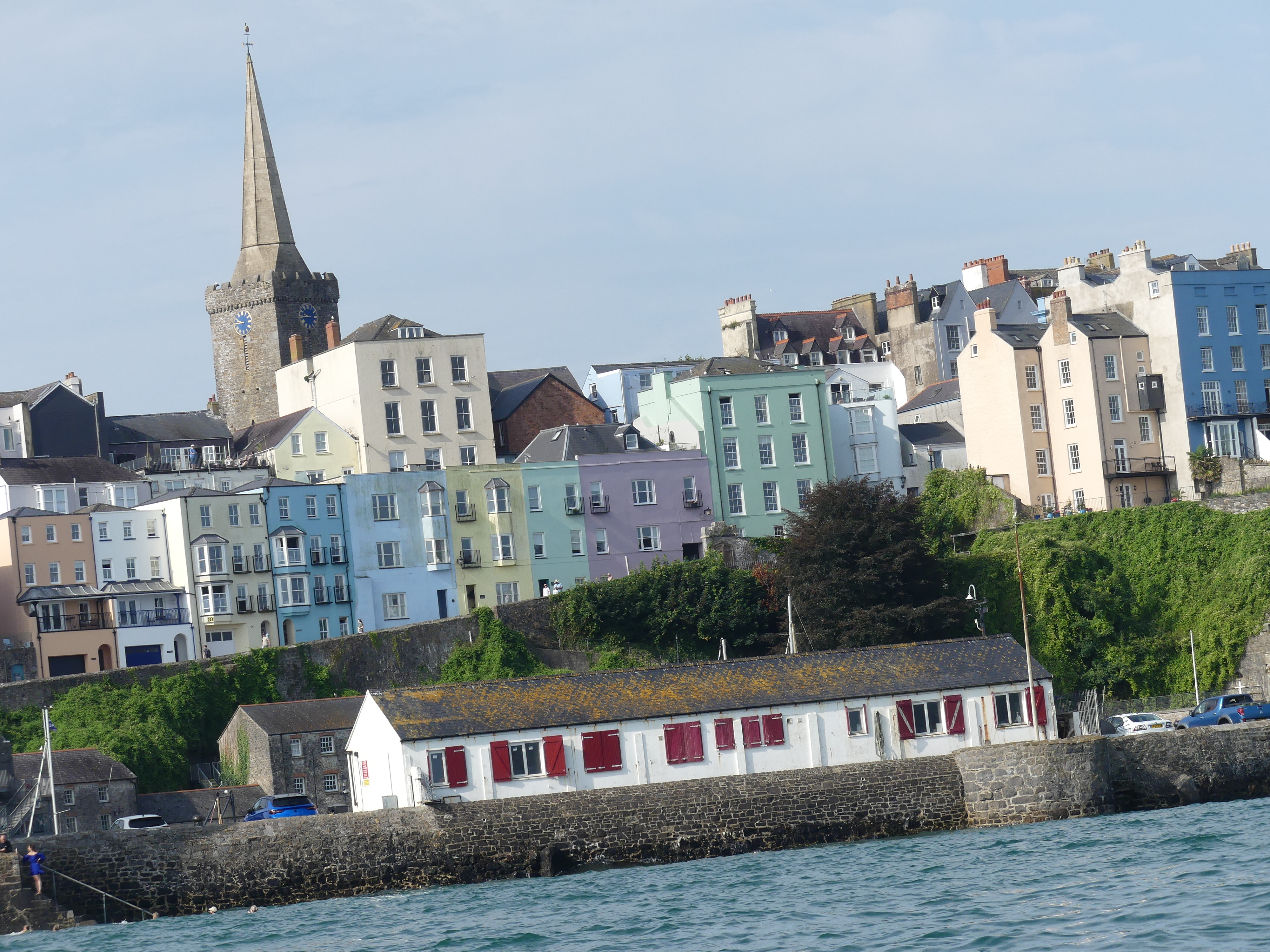
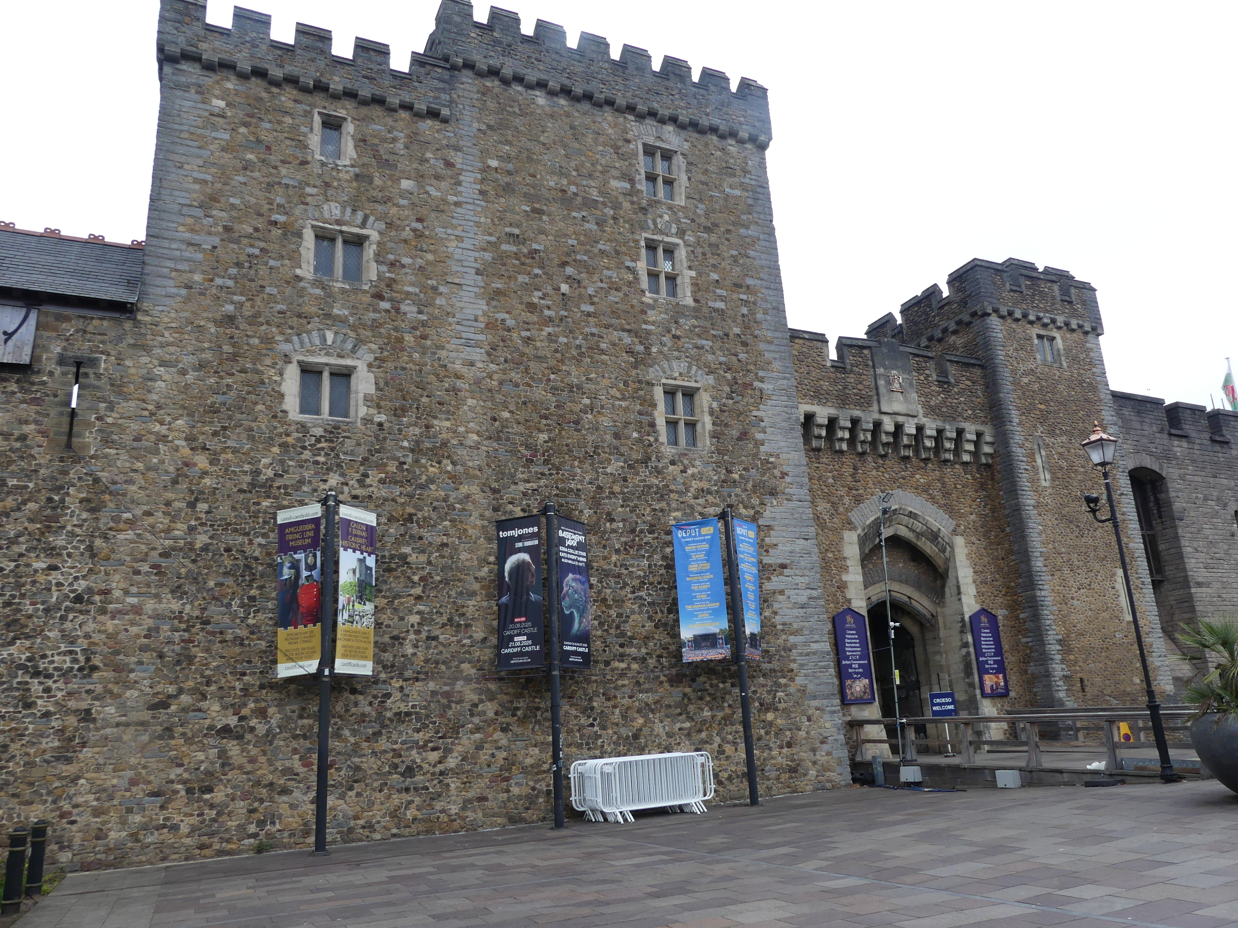
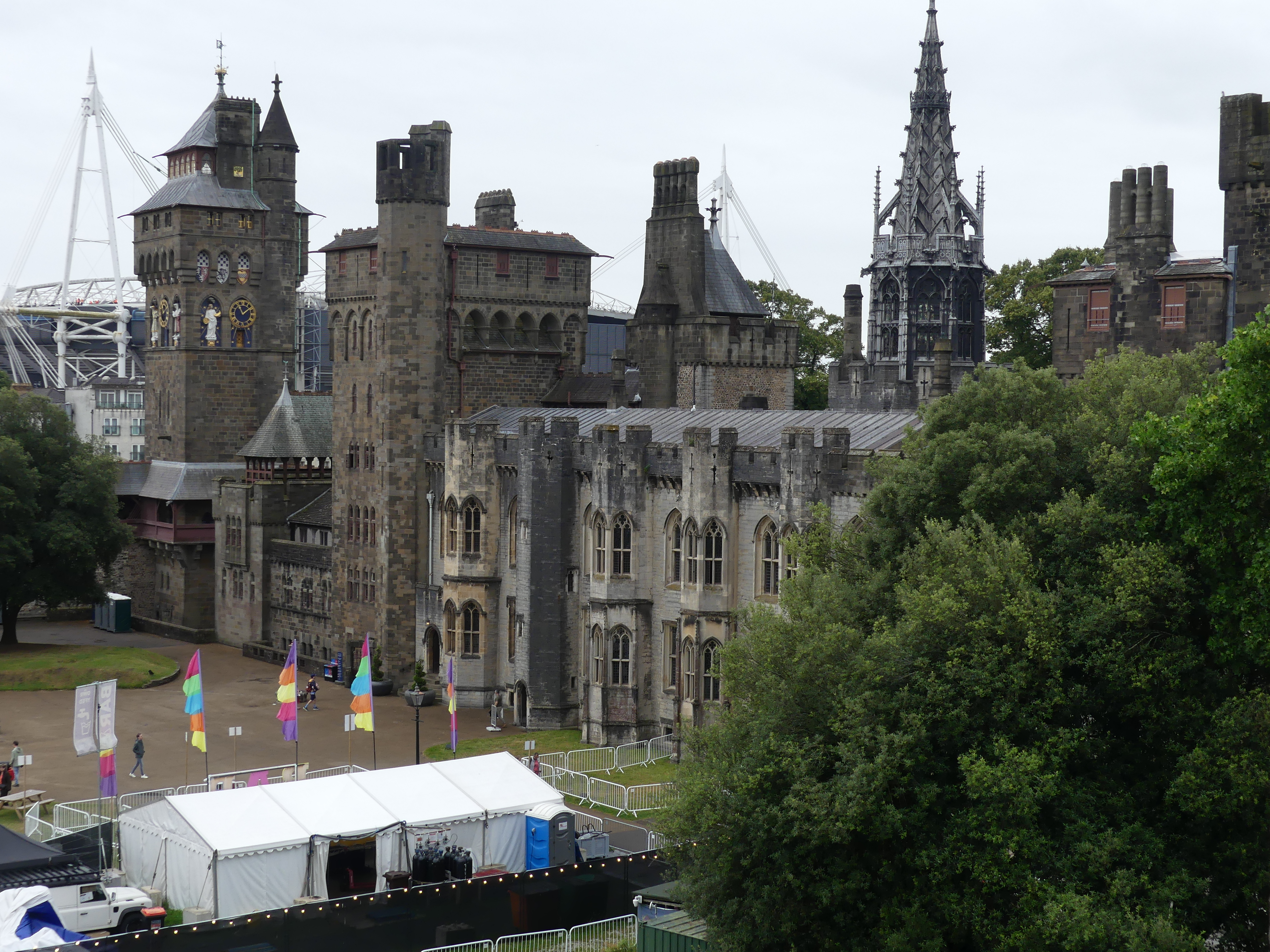
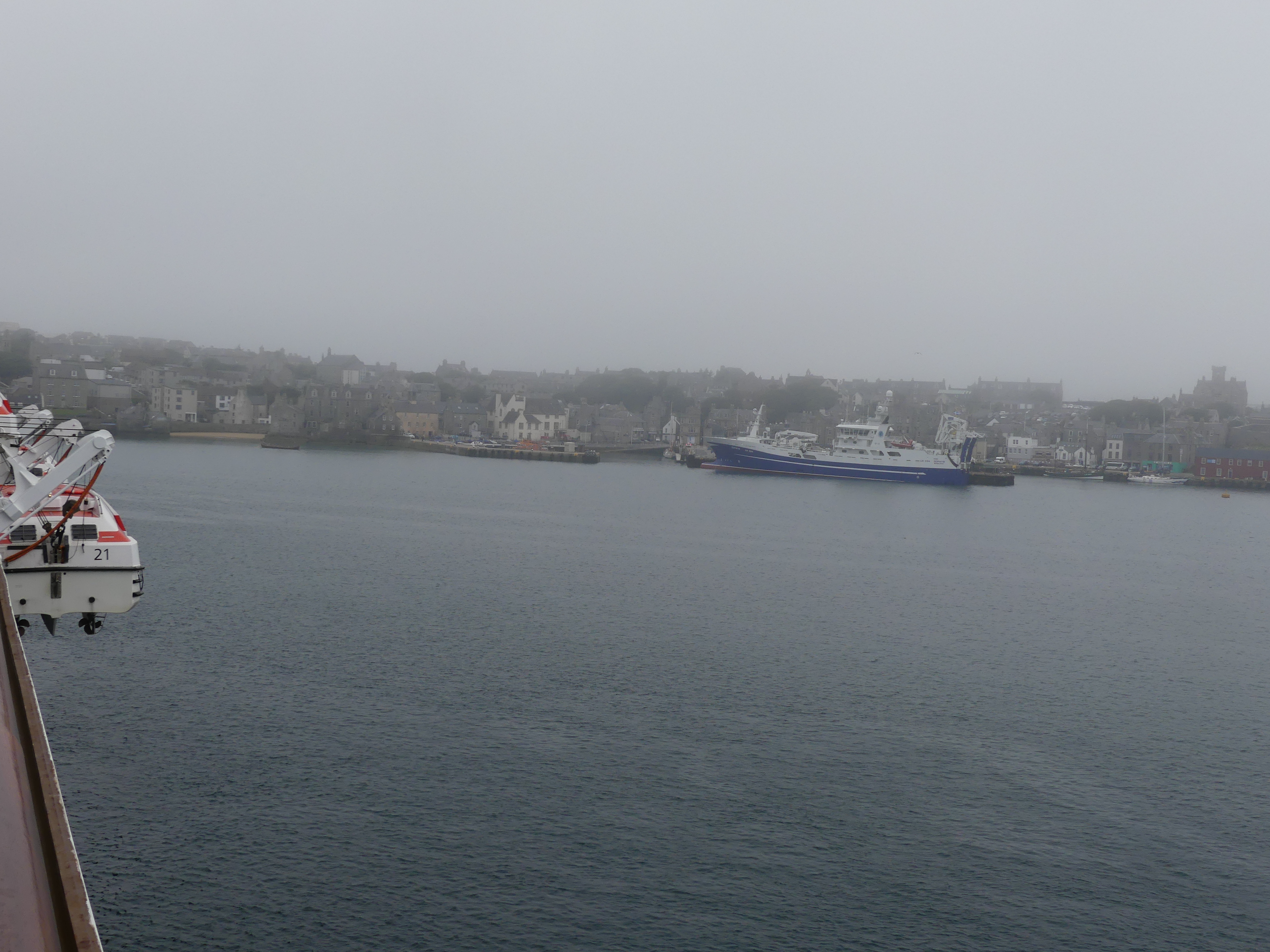
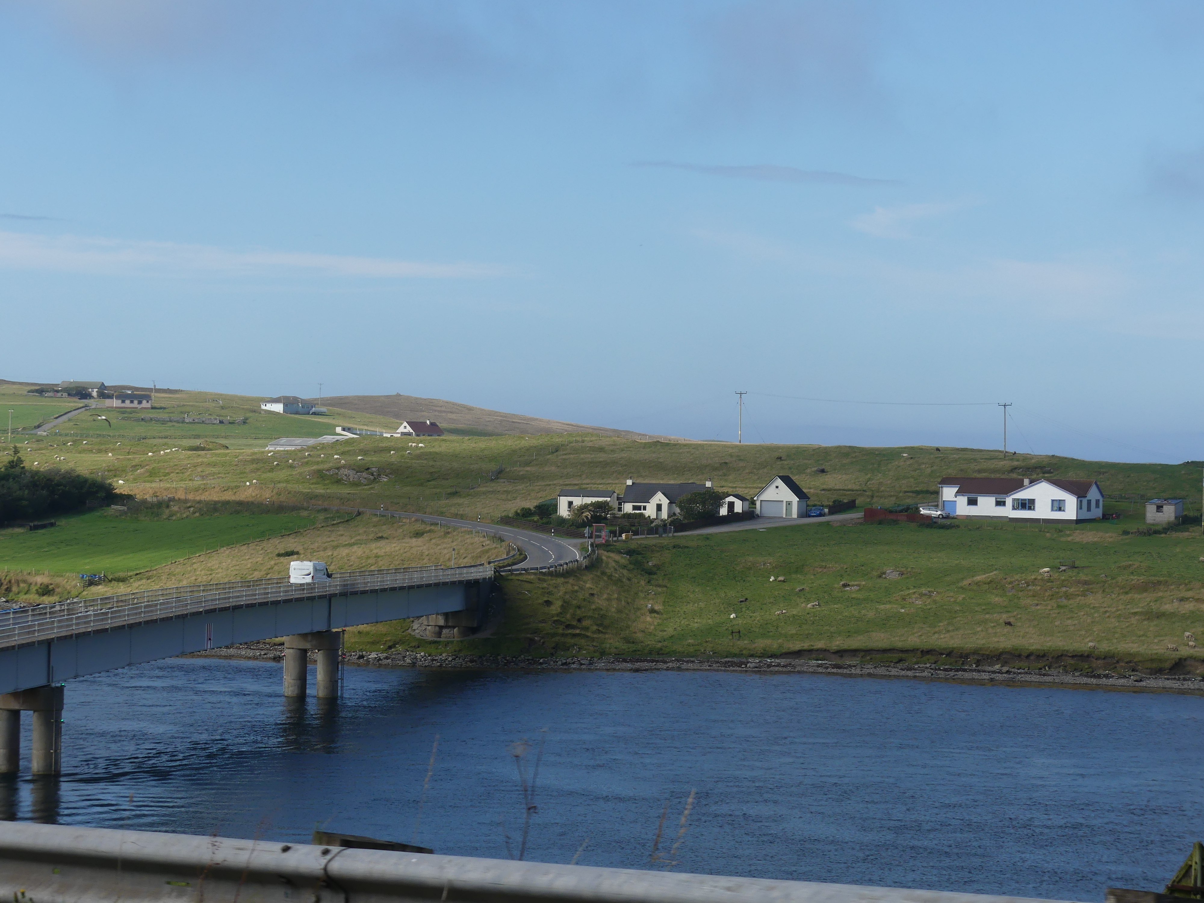
It was a cold and misty day on the east side of Mainland, Shetland and we were calling into Lerwick for the day. Lerwick is the main town and port of the Shetland archipelago, Scotland. Shetland’s only burgh, Lerwick had a population of about 7,000 residents in 2010. It is the northernmost major settlement within the United Kingdom. It is also the background in the BBC series Shetland.
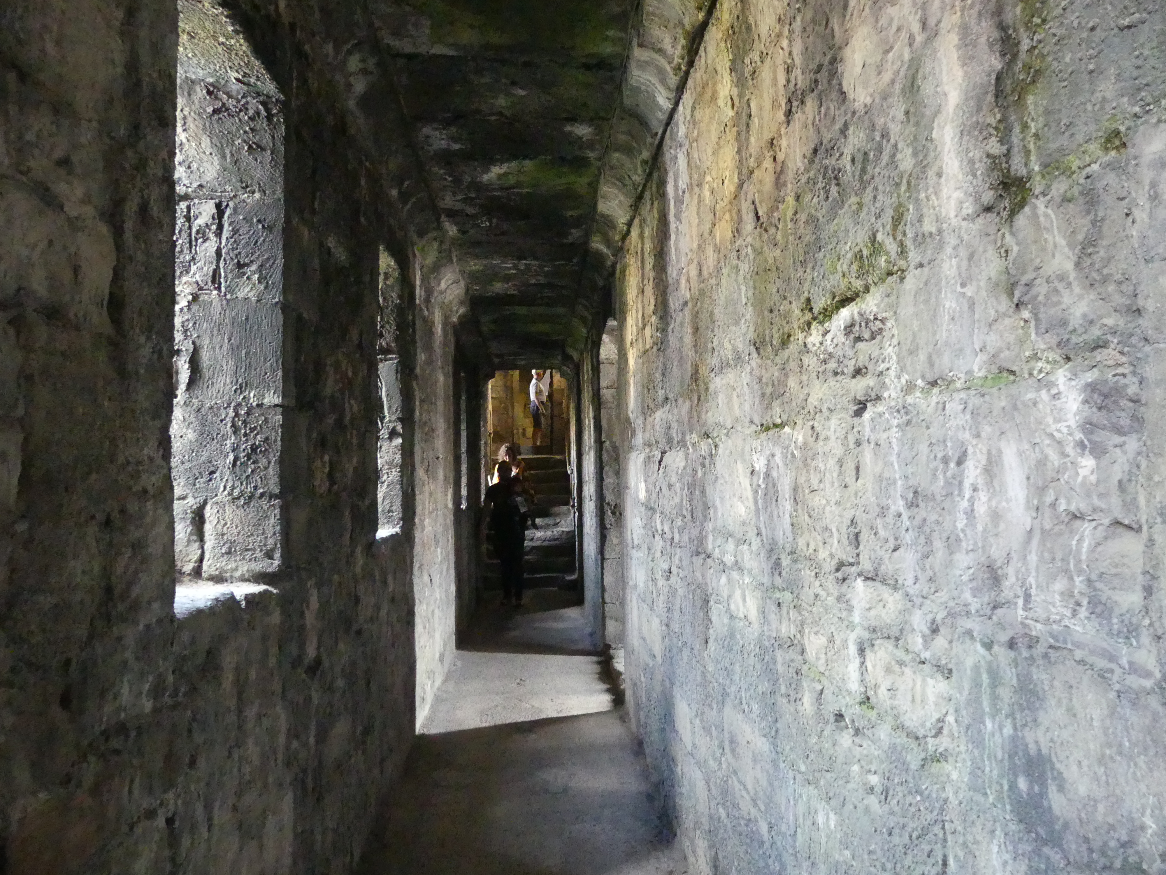
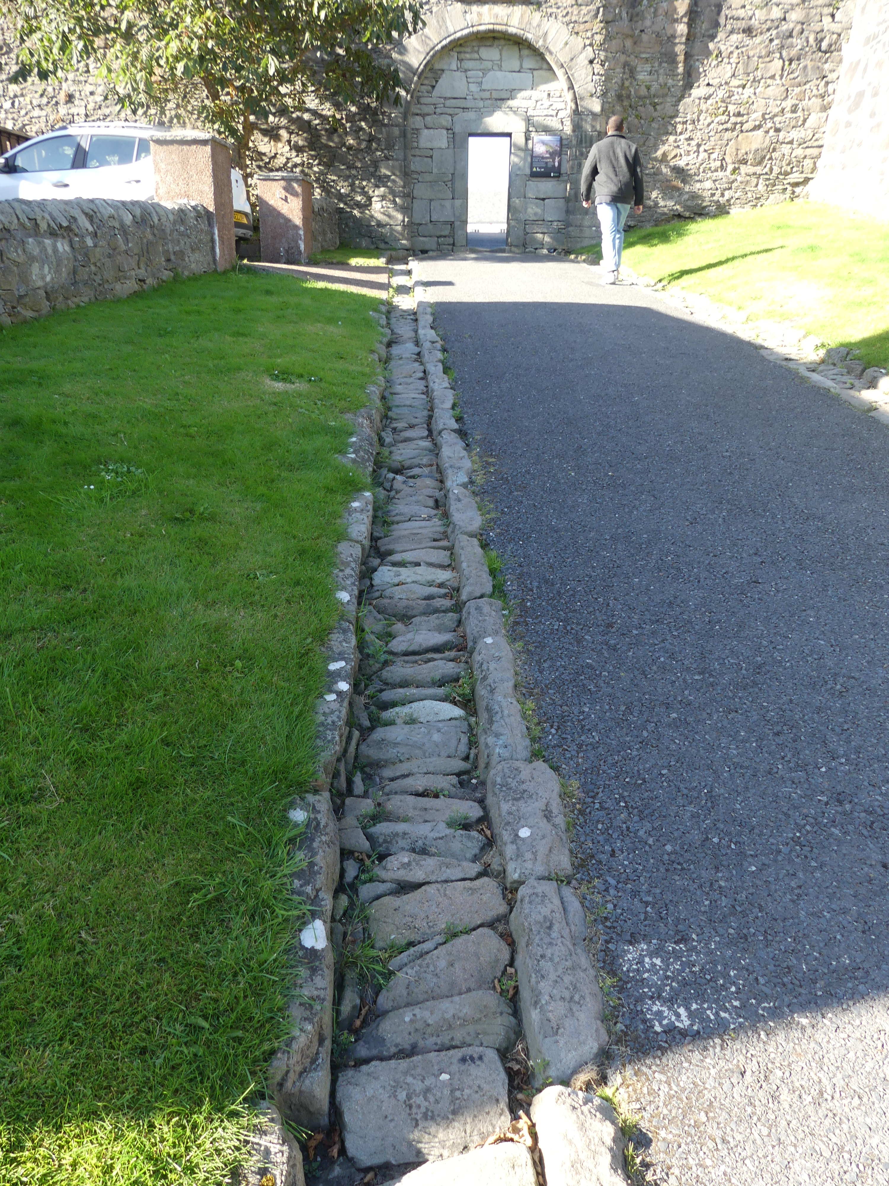
The first settlement to be known as Lerwick was founded in the 17th century as a herring and white fish seaport to trade with the Dutch fishing fleet. Its collection of wooden huts was burned to the ground twice: once in the 17th century by the residents of Scalloway, then the capital of Shetland, who disapproved of the immoral and drunken activities of the assembled fishermen and sailors; again in 1702 by the French fleet. Fort Charlotte was built in the mid 17th century on Lerwick’s waterfront, and permanent stone-built buildings began to be erected around the fort and along the shoreline. Lerwick became capital of the Shetland Islands in 1708, taking over the function from Scalloway.
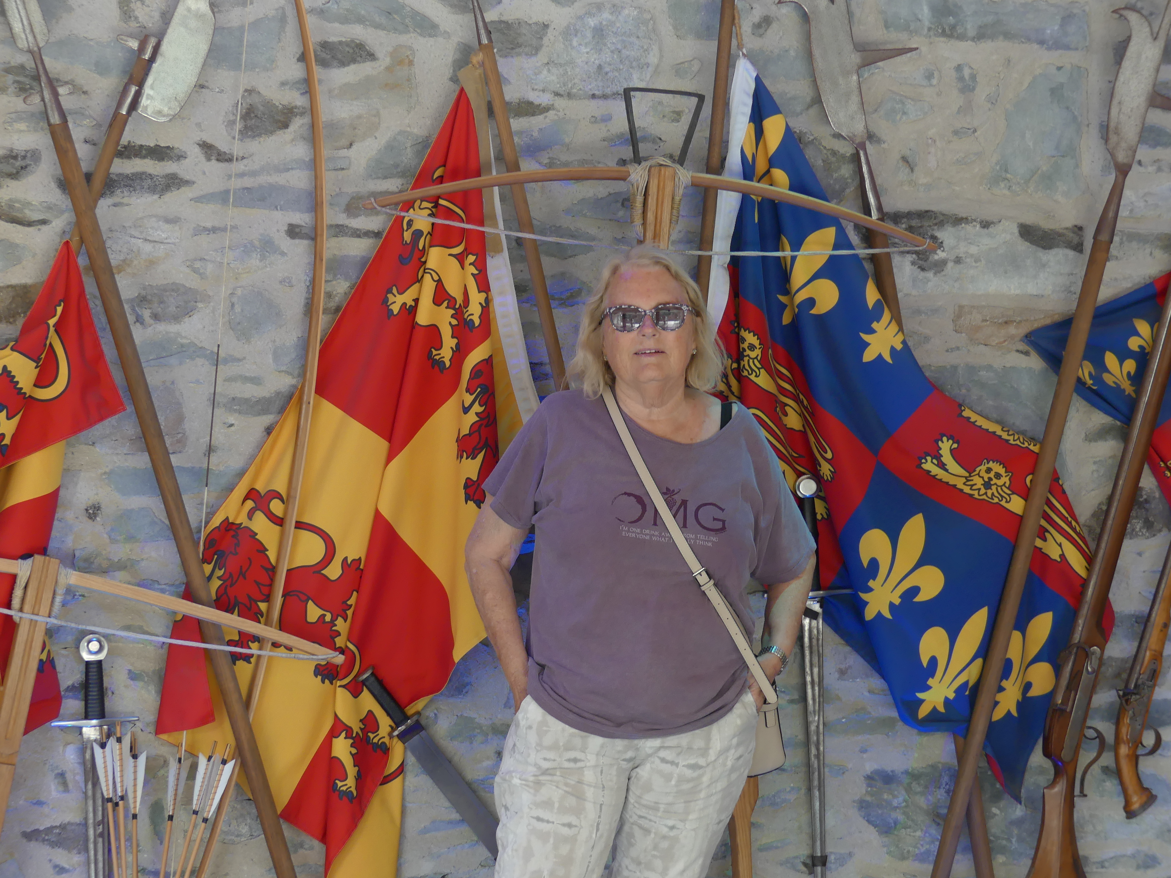
We had decided that we would take a taxi and view the burgh. So after the tenders dropped us off at Victoria Pier, we approached the first cab in the rank and organised a two hour taxi ride with a very amiable cab driver (but not a tour guide) for 120.00 quid.
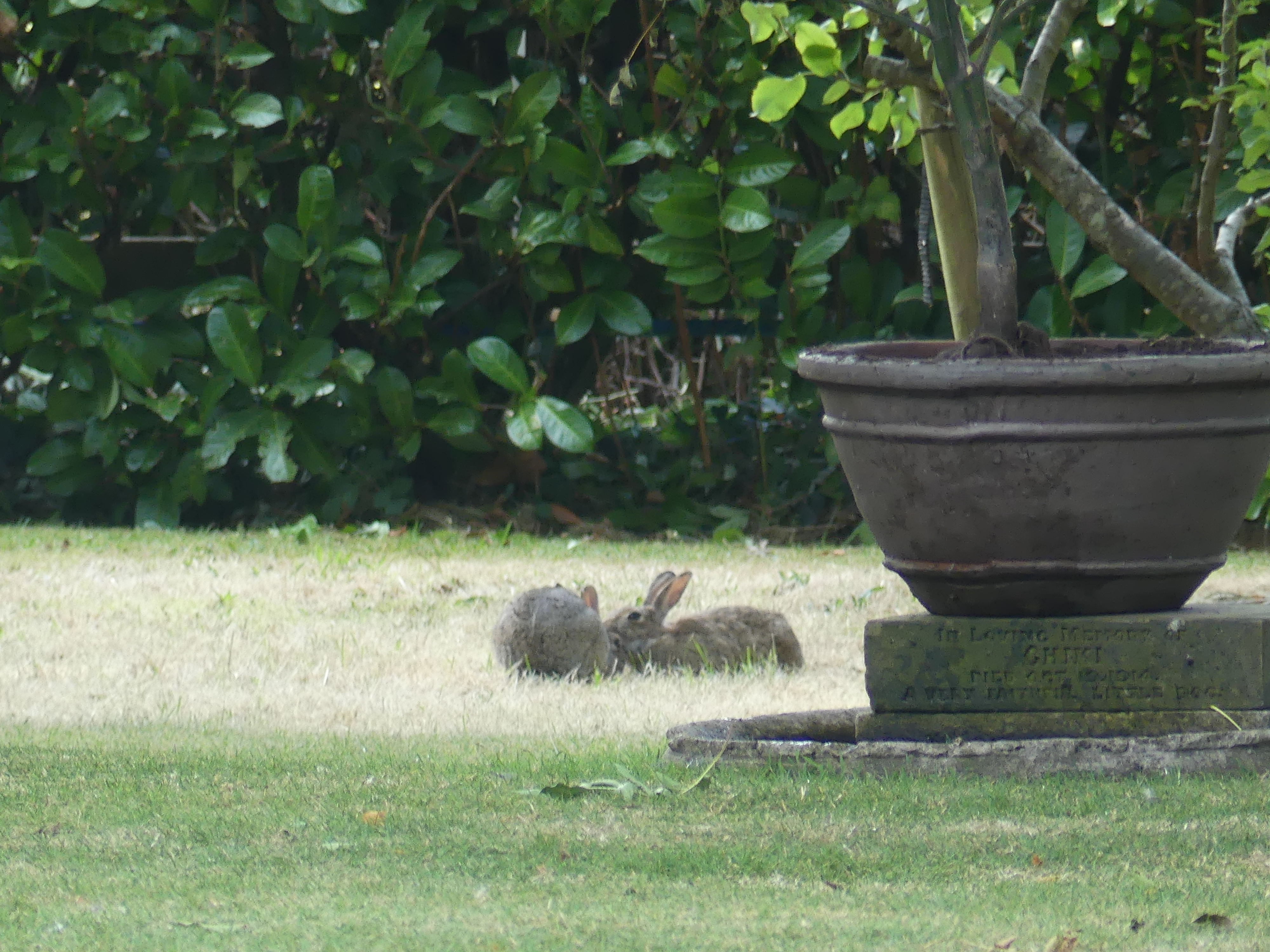
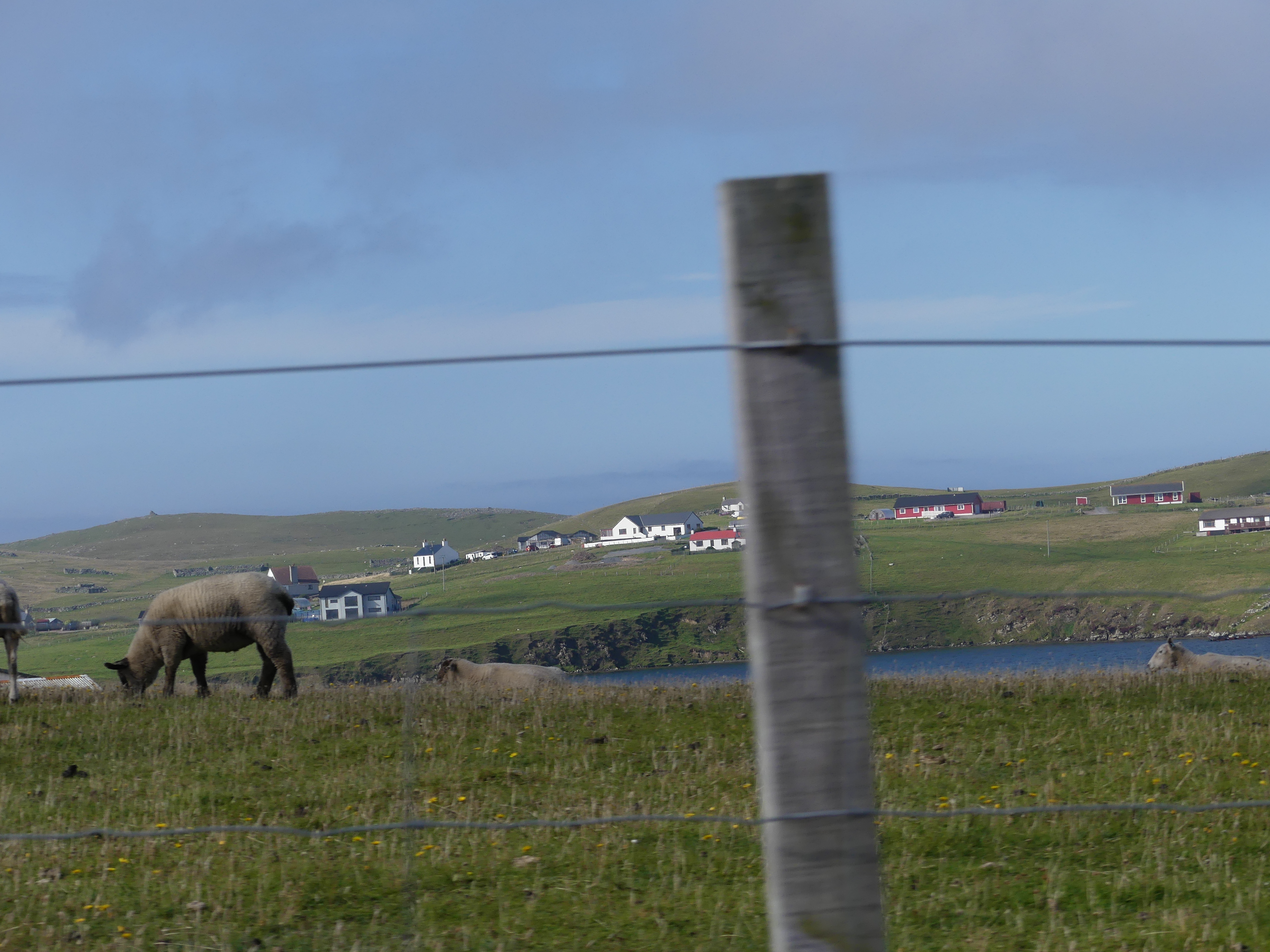
We were hoping to see the wild Shetland ponies and our driver had a fair idea where to find them.


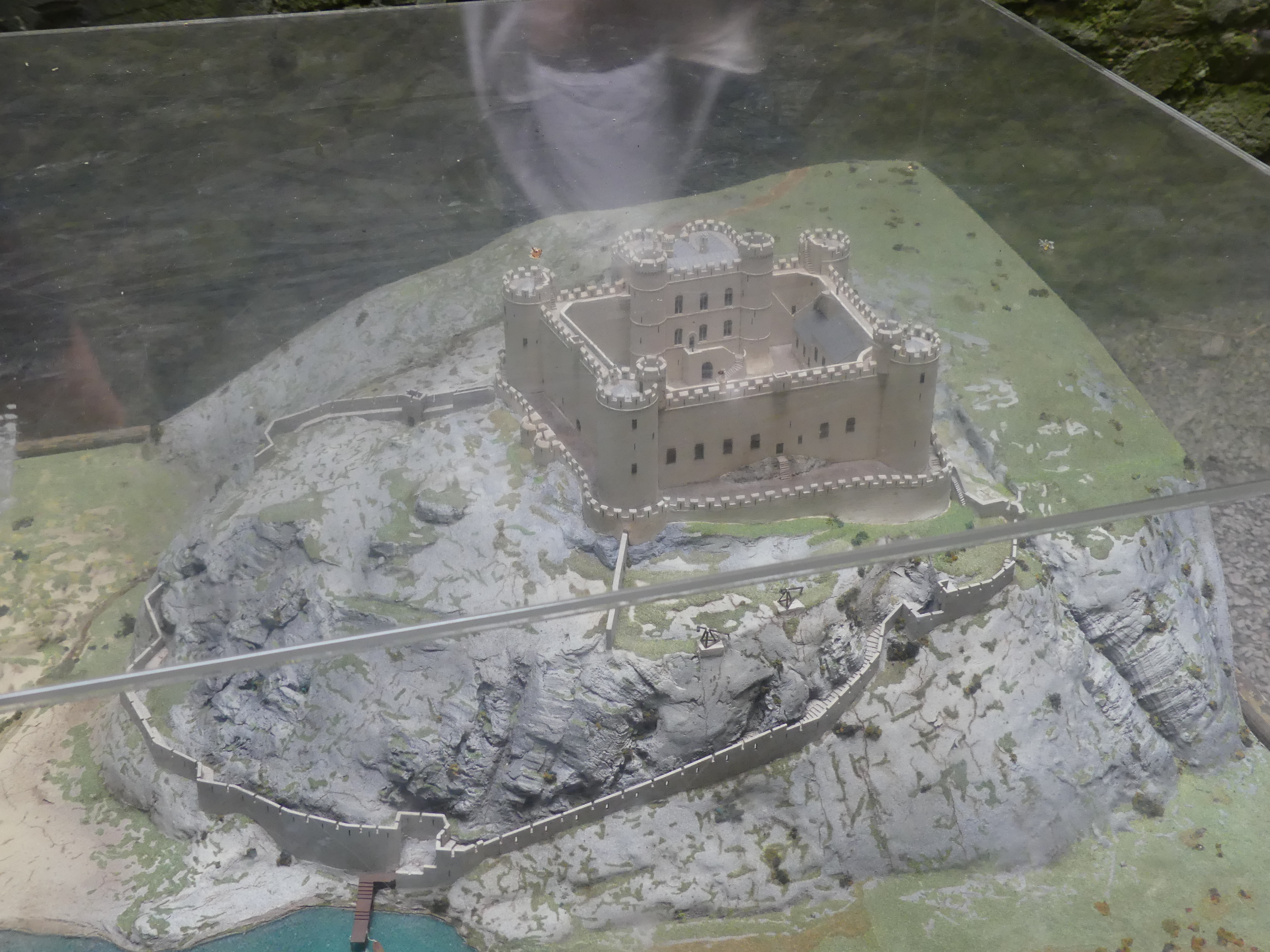
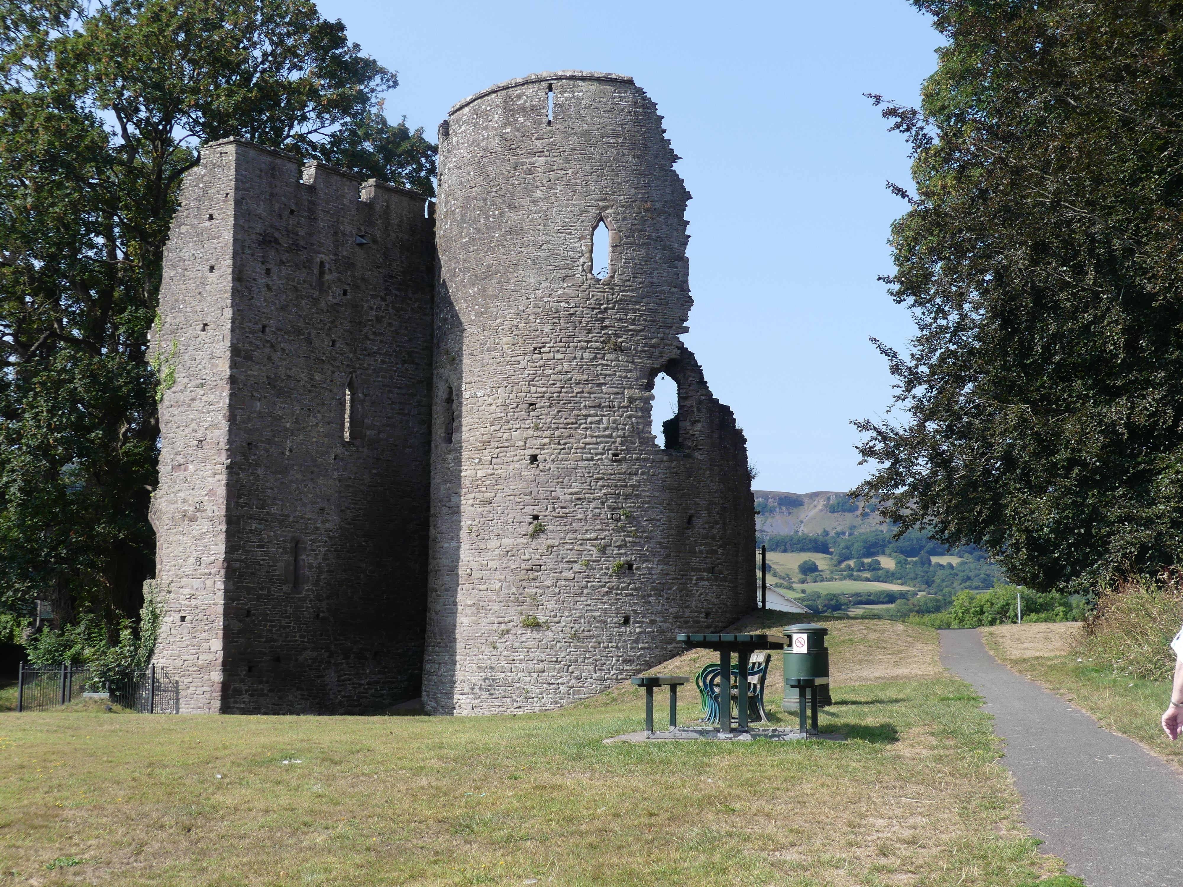
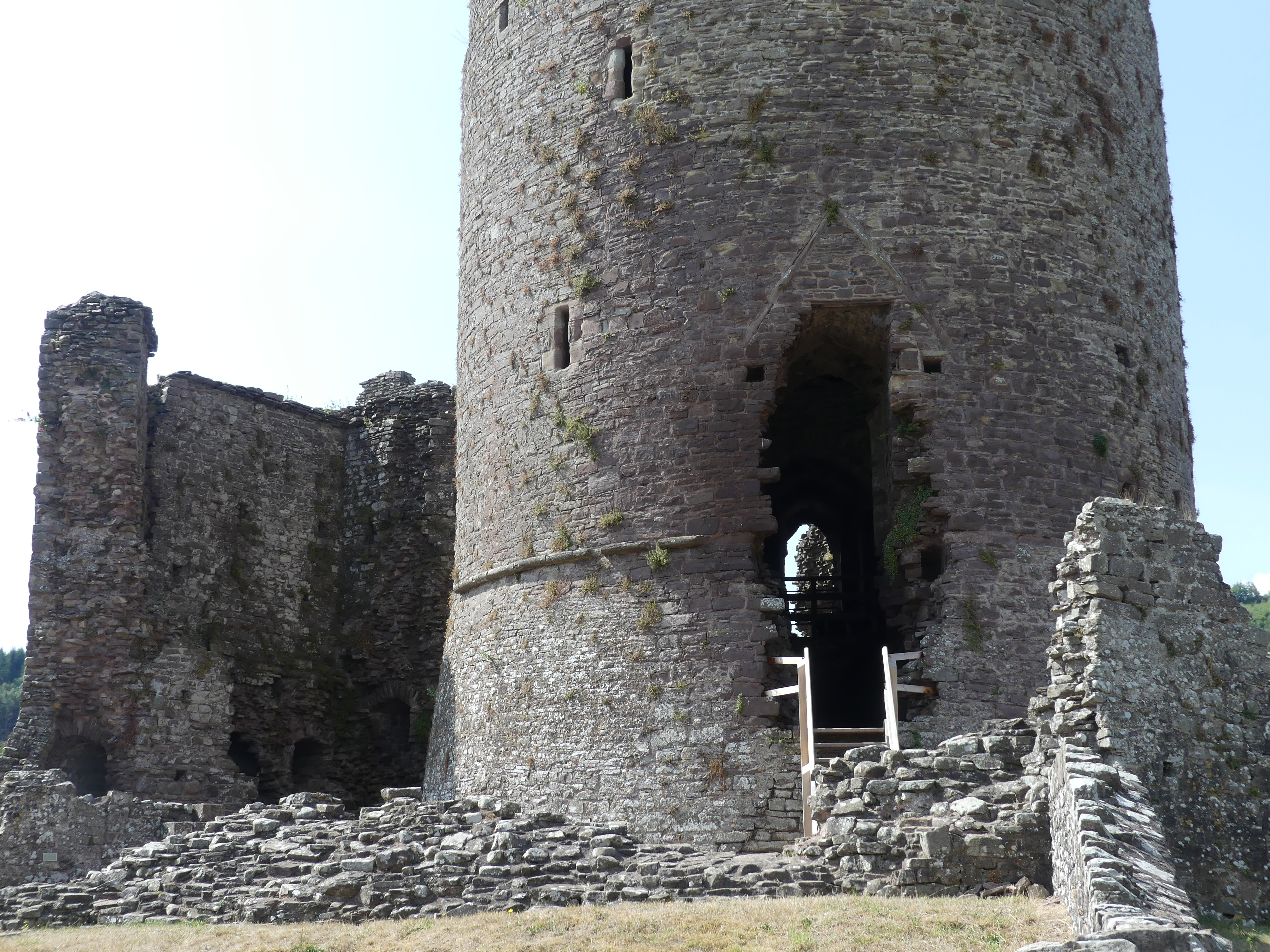
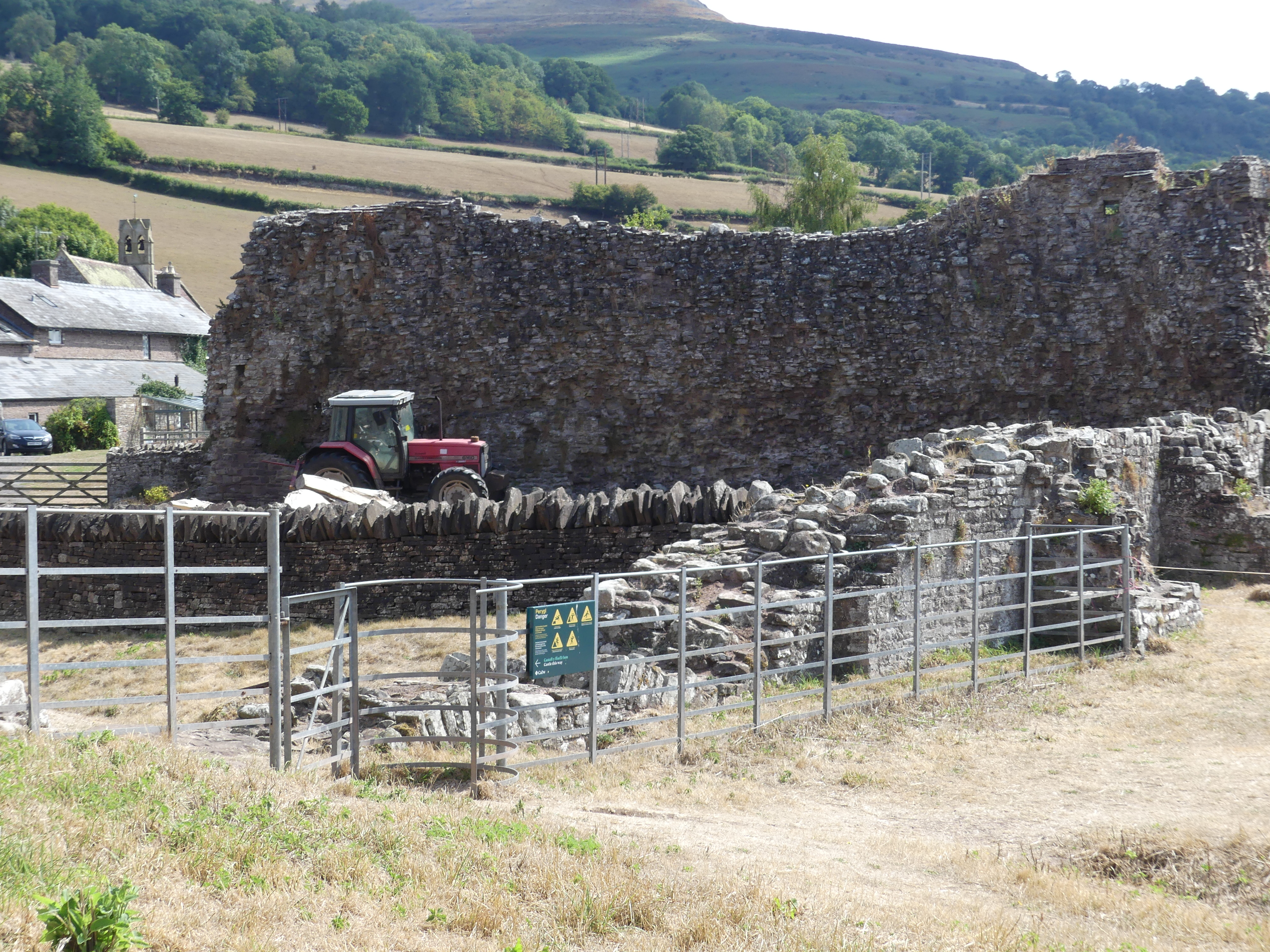
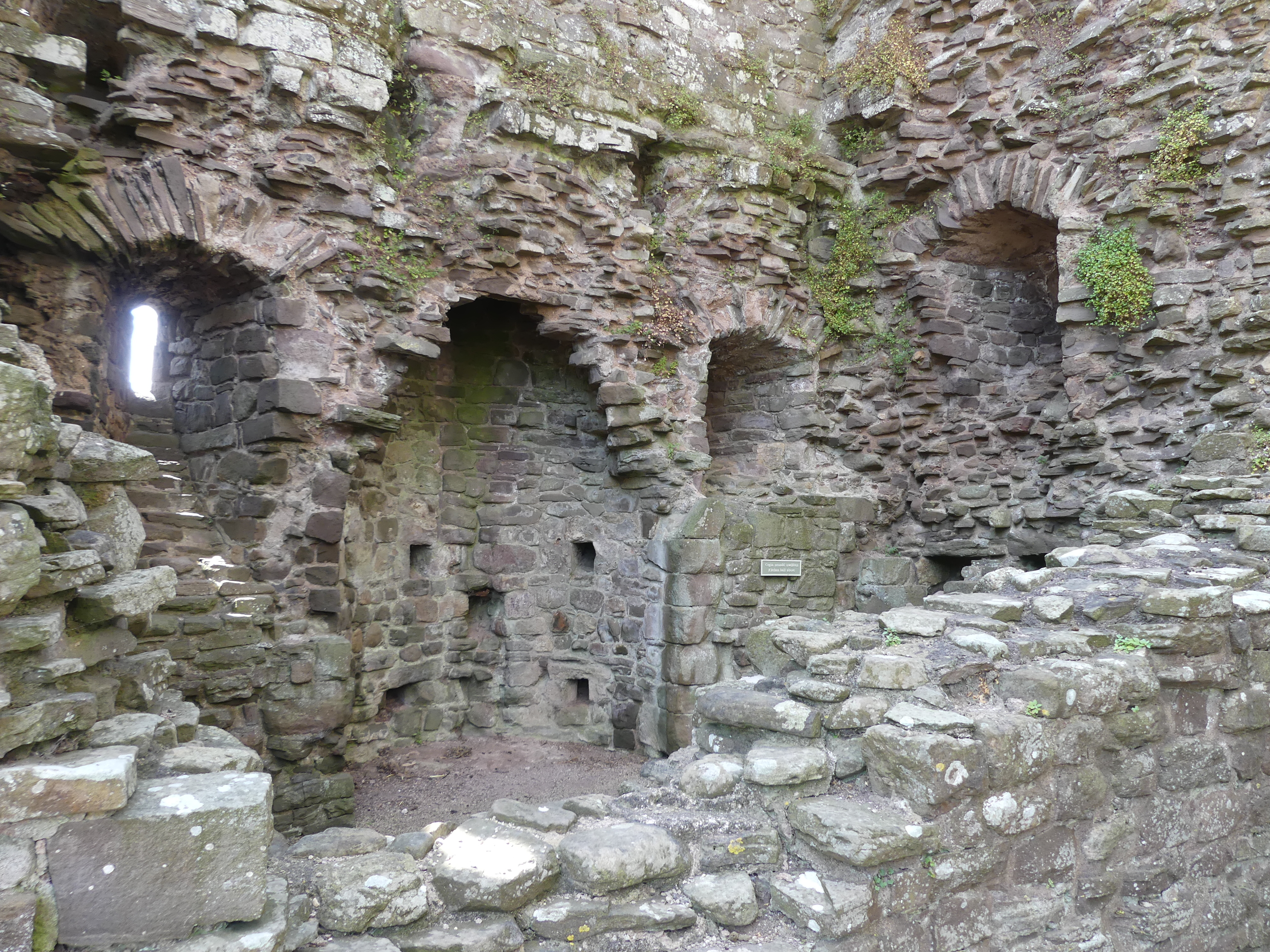
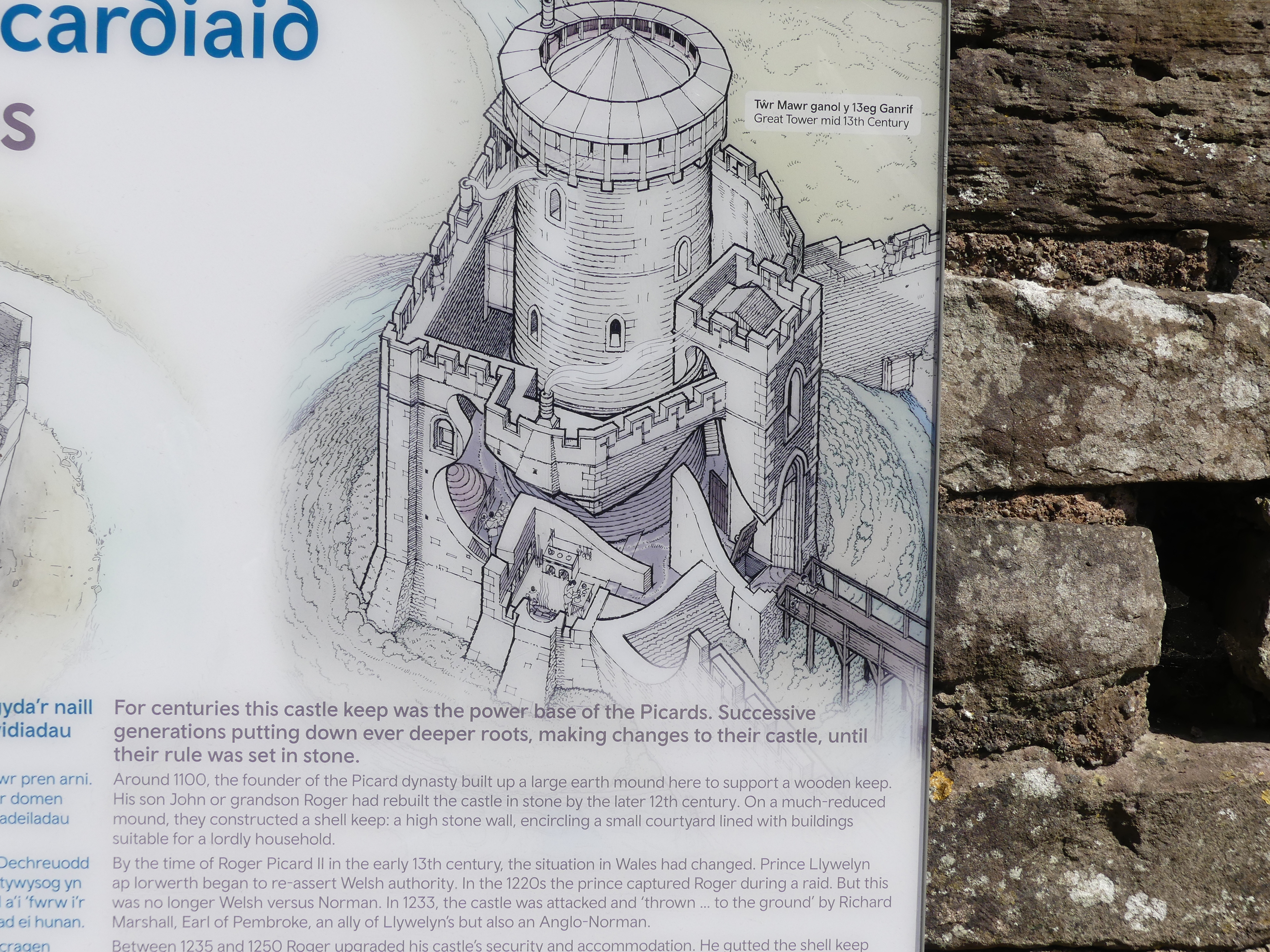
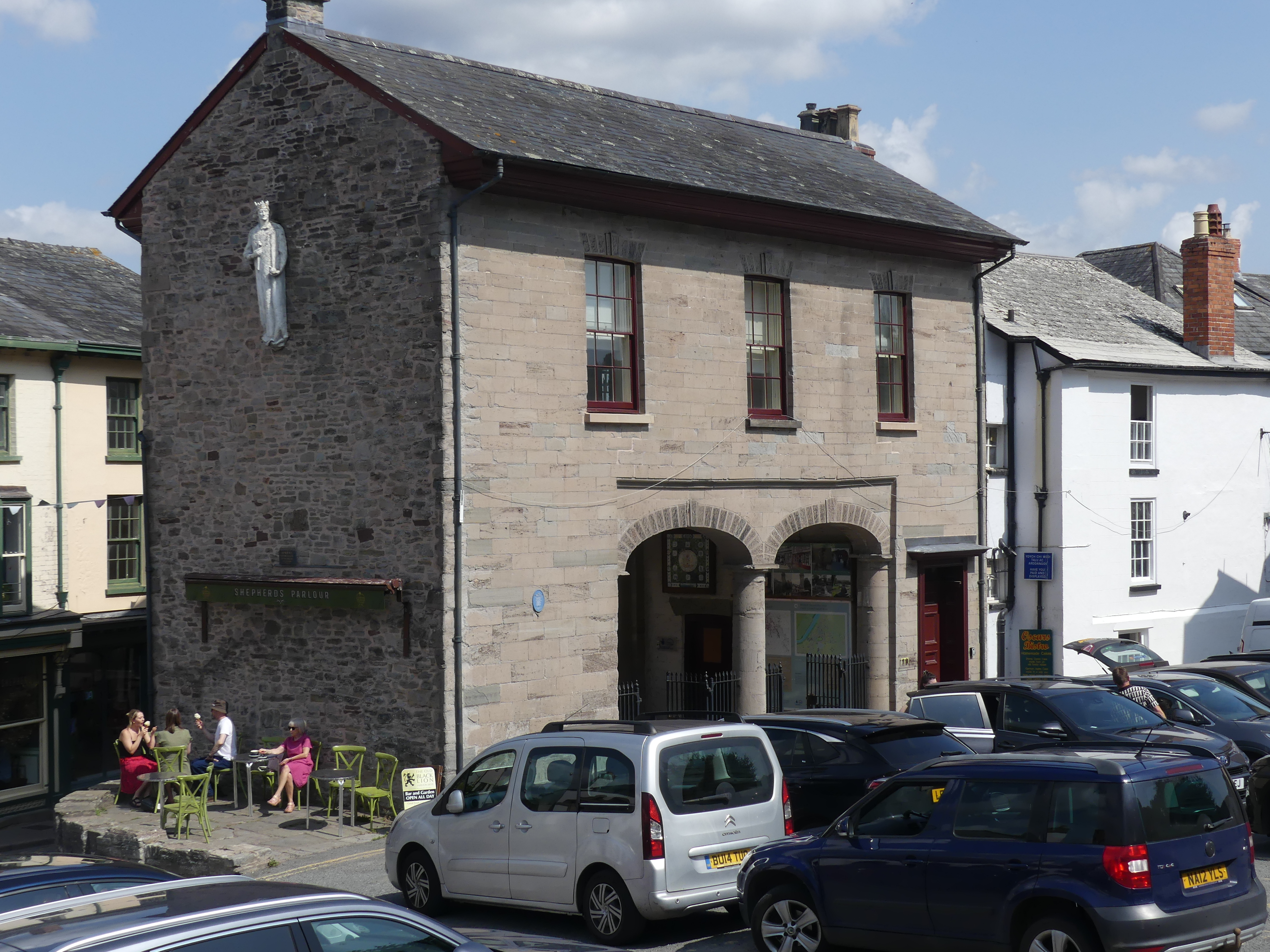
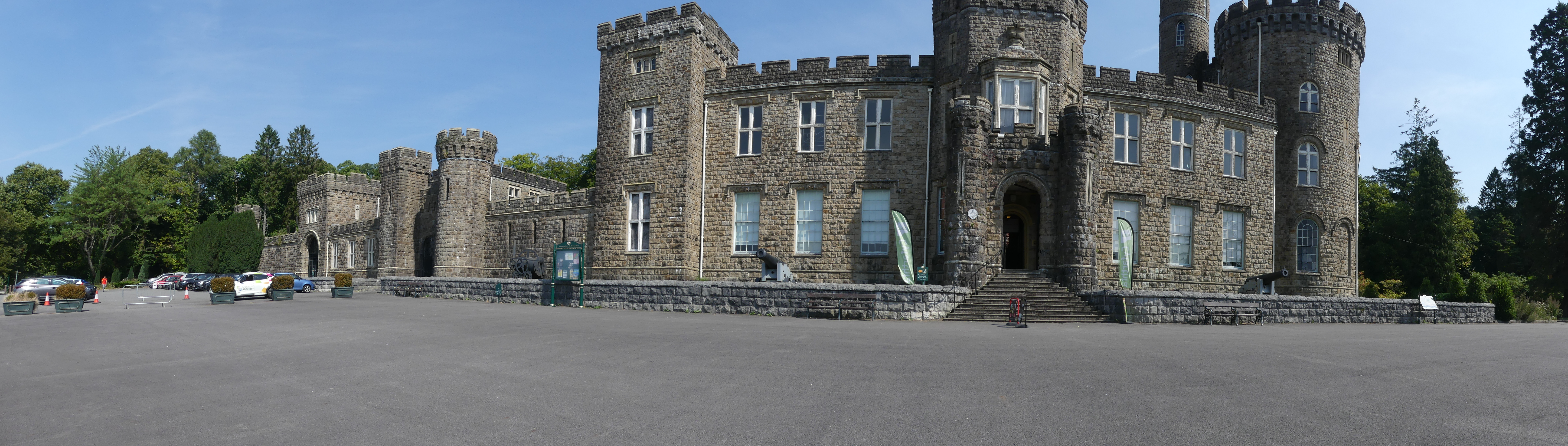
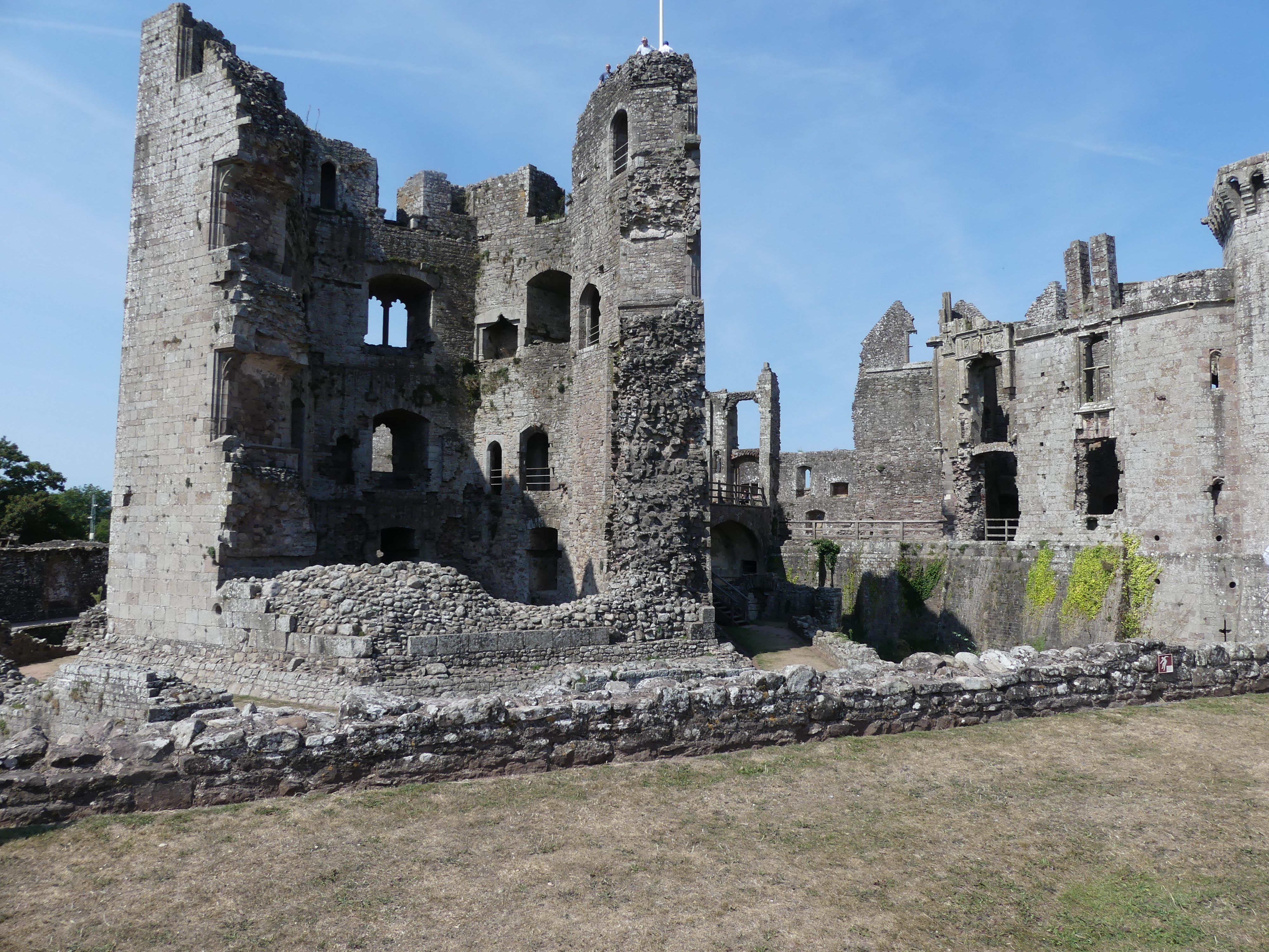
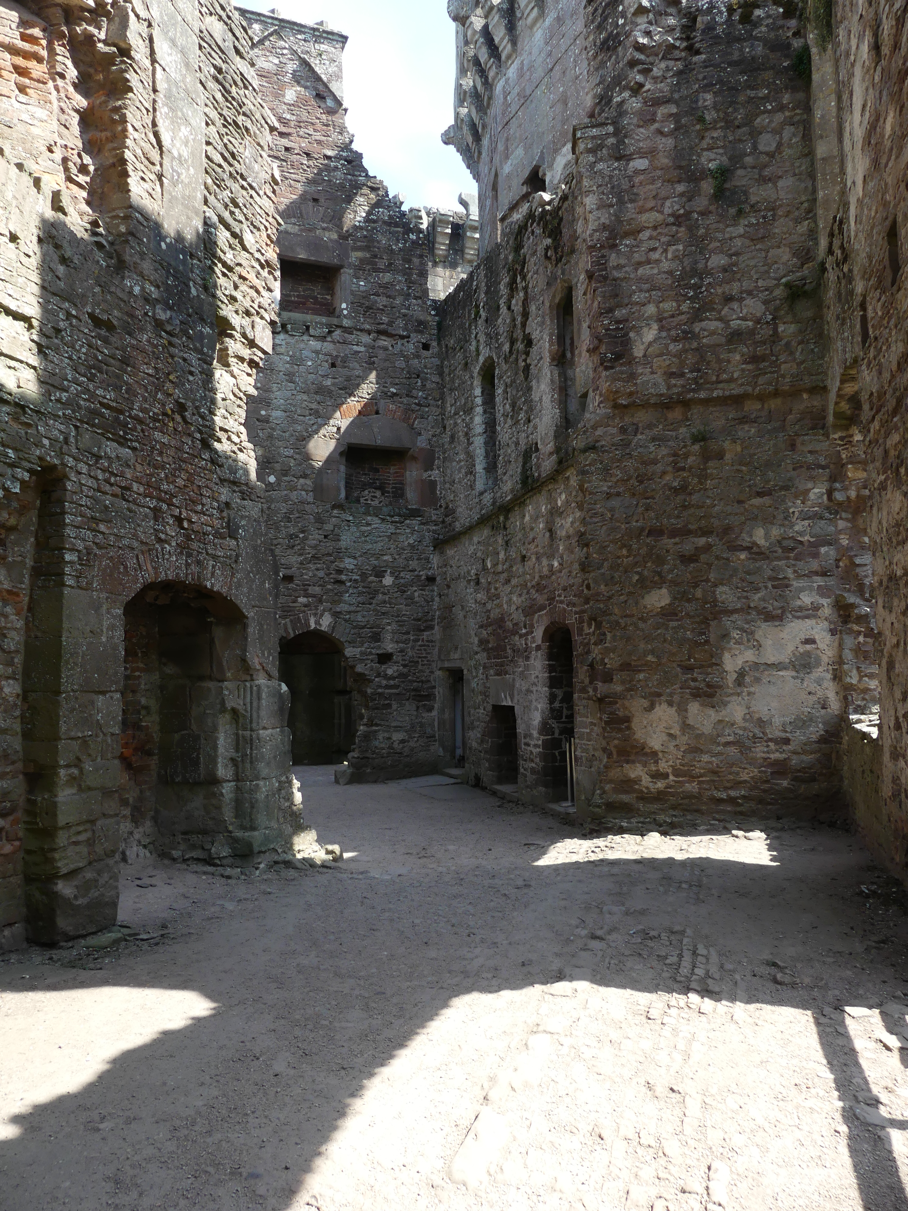
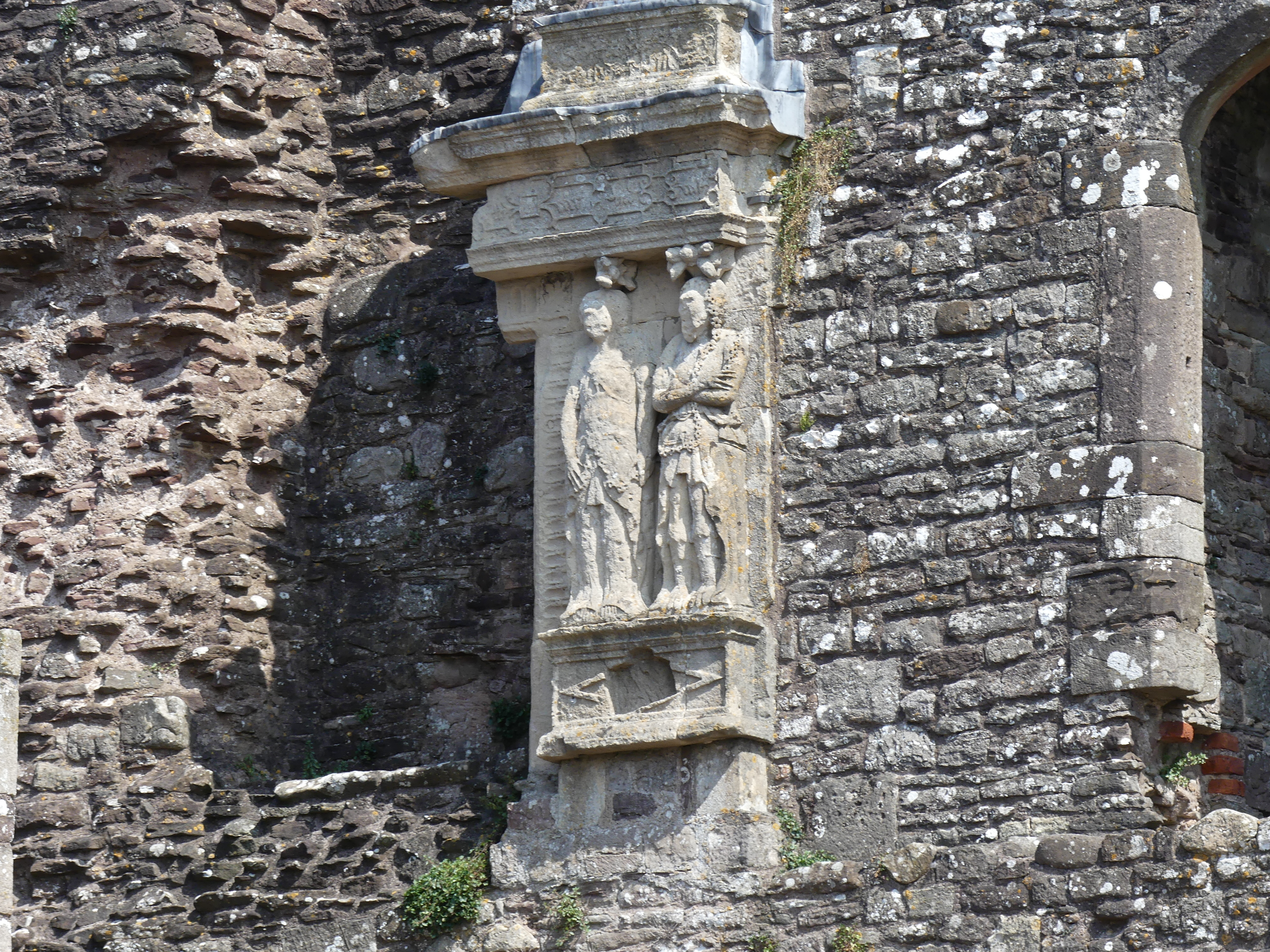
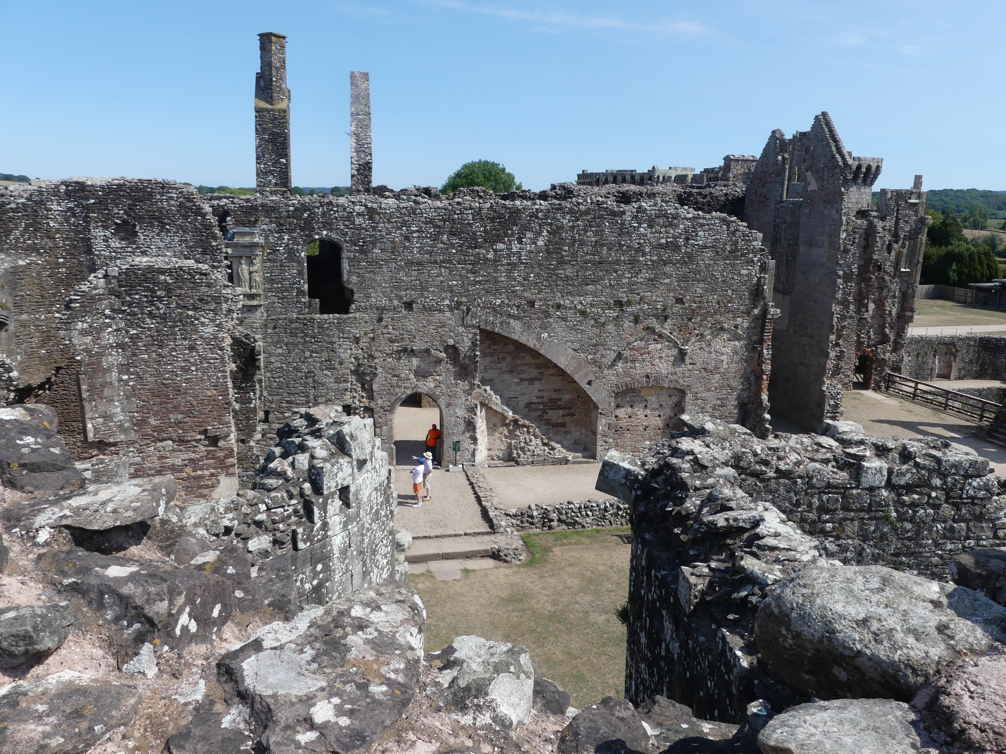
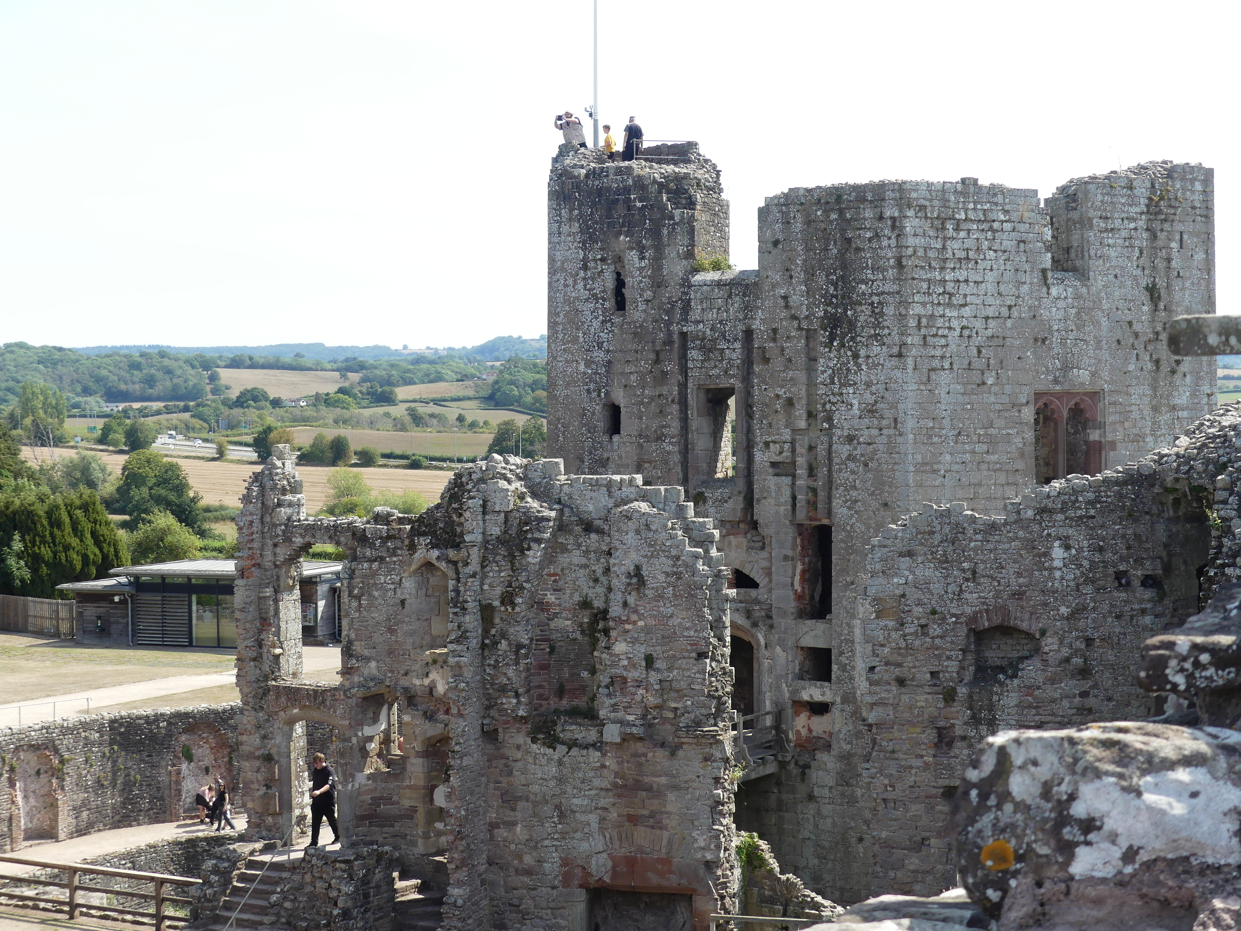
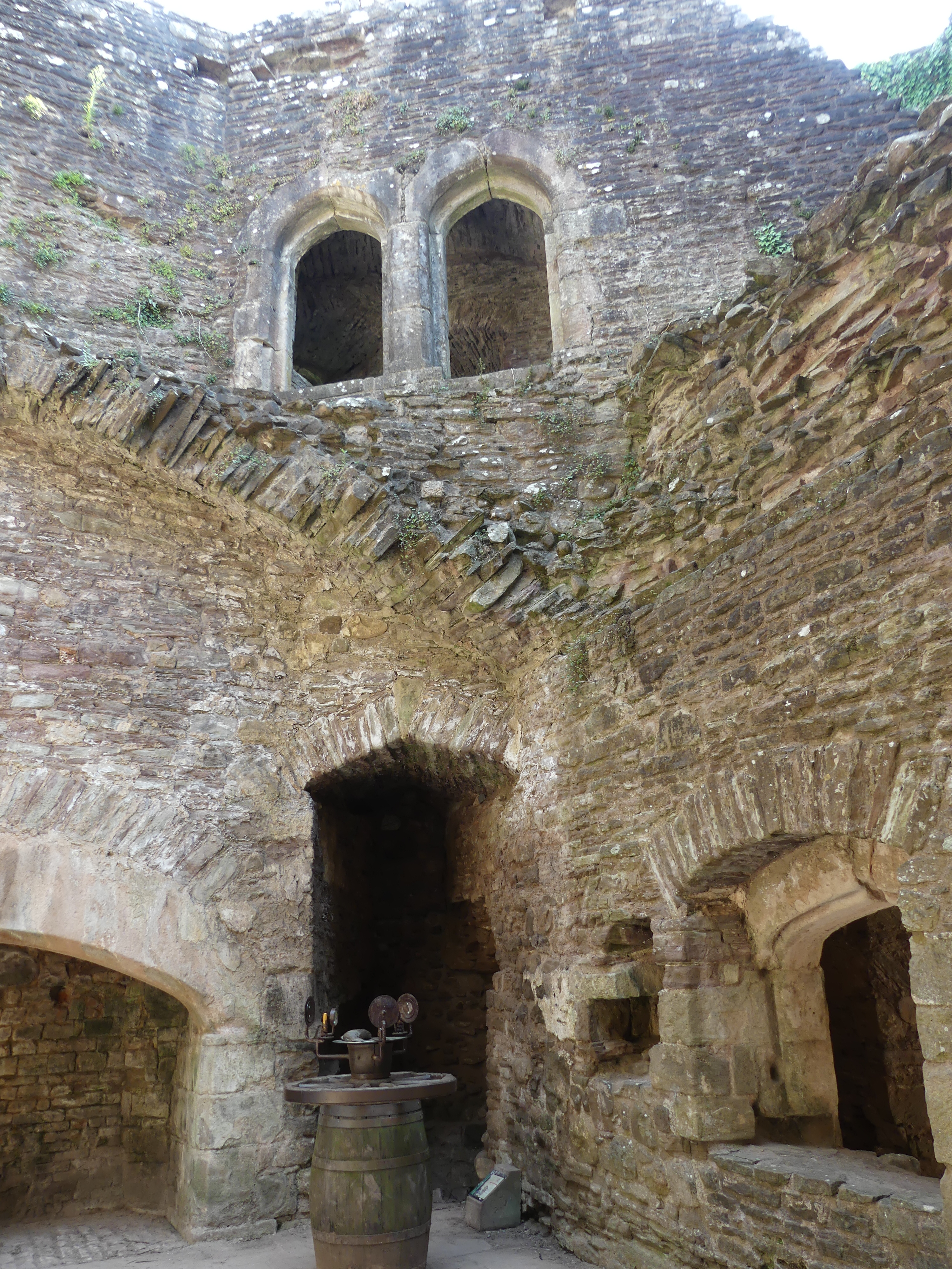
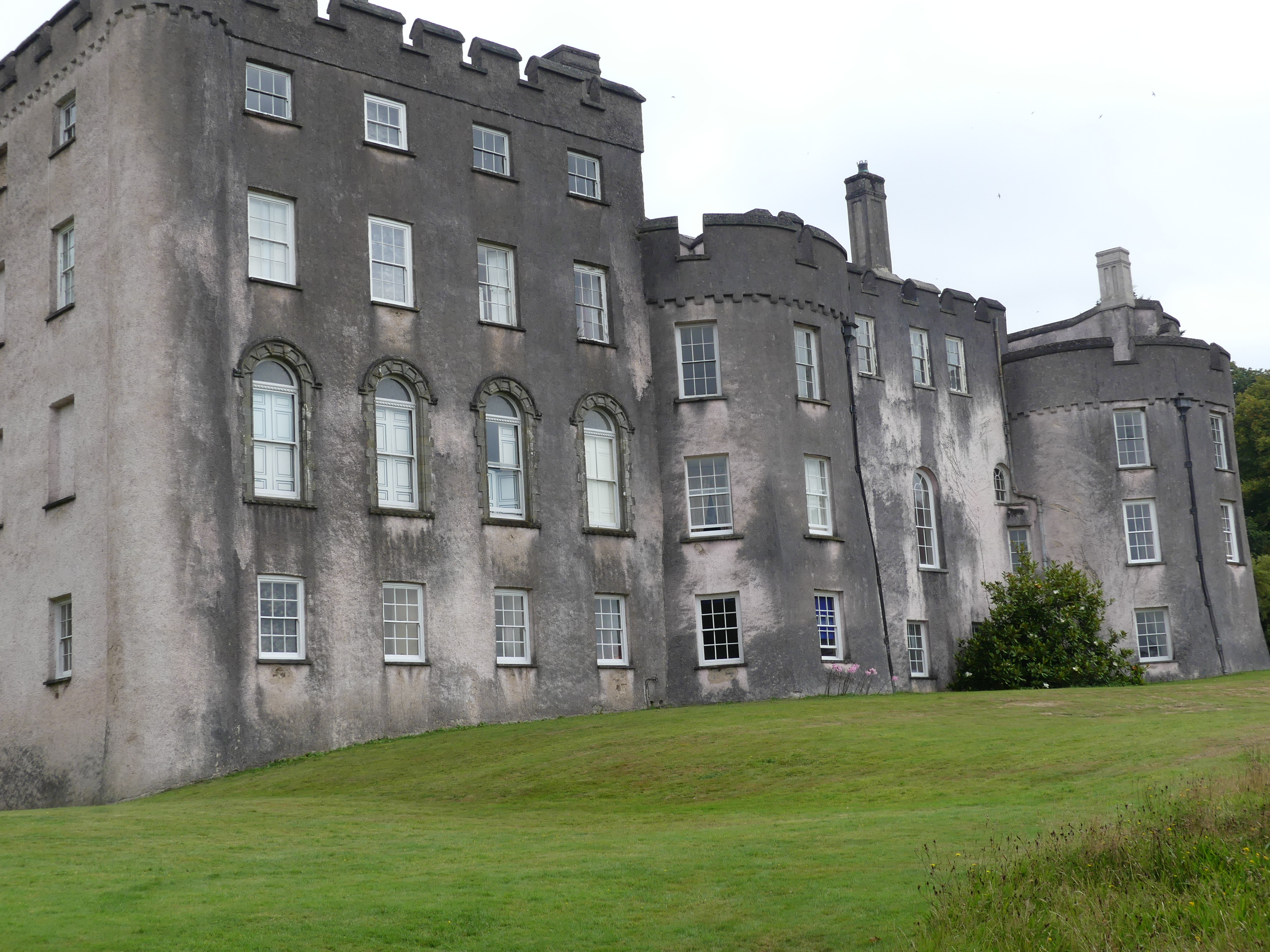
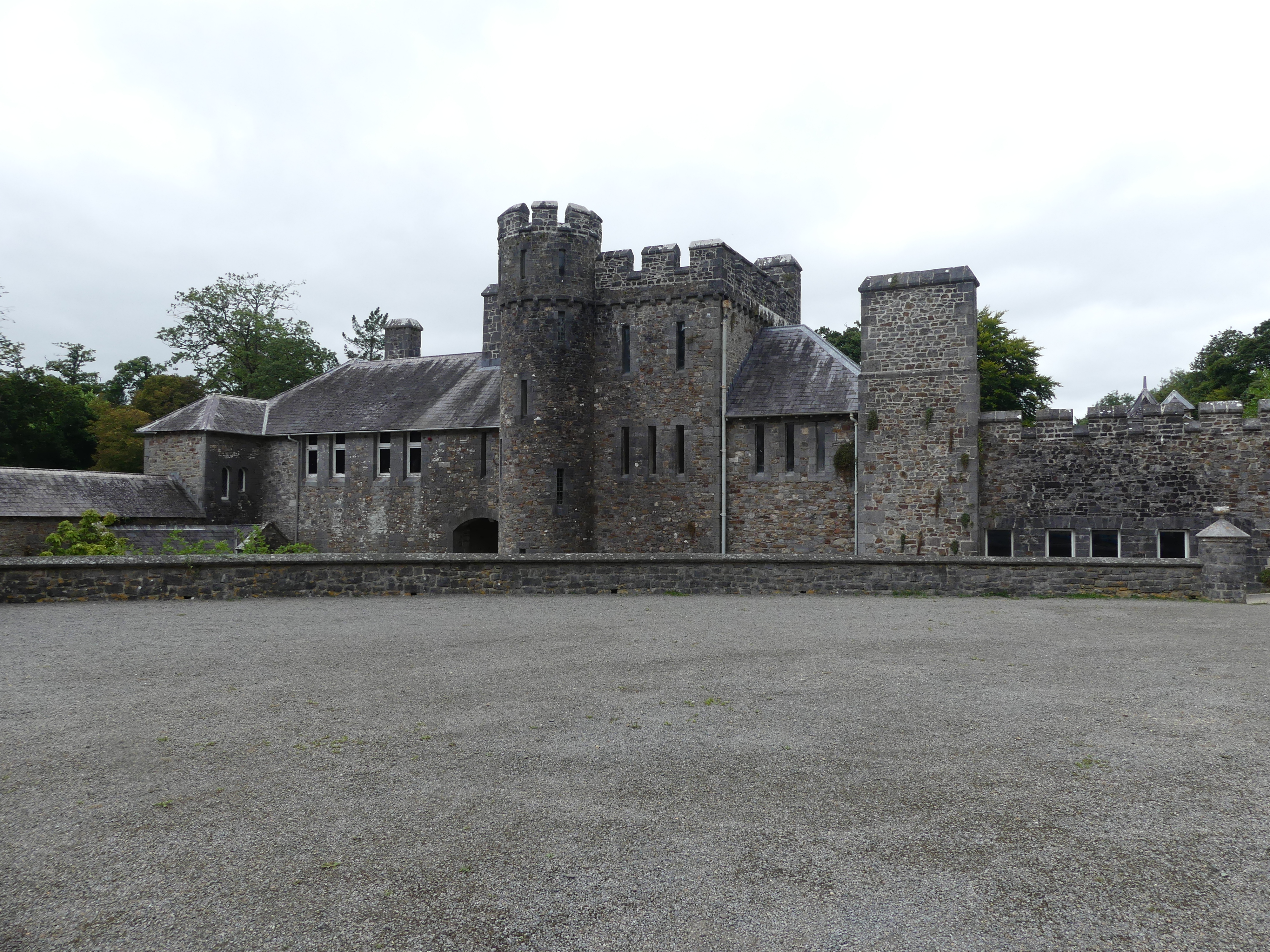
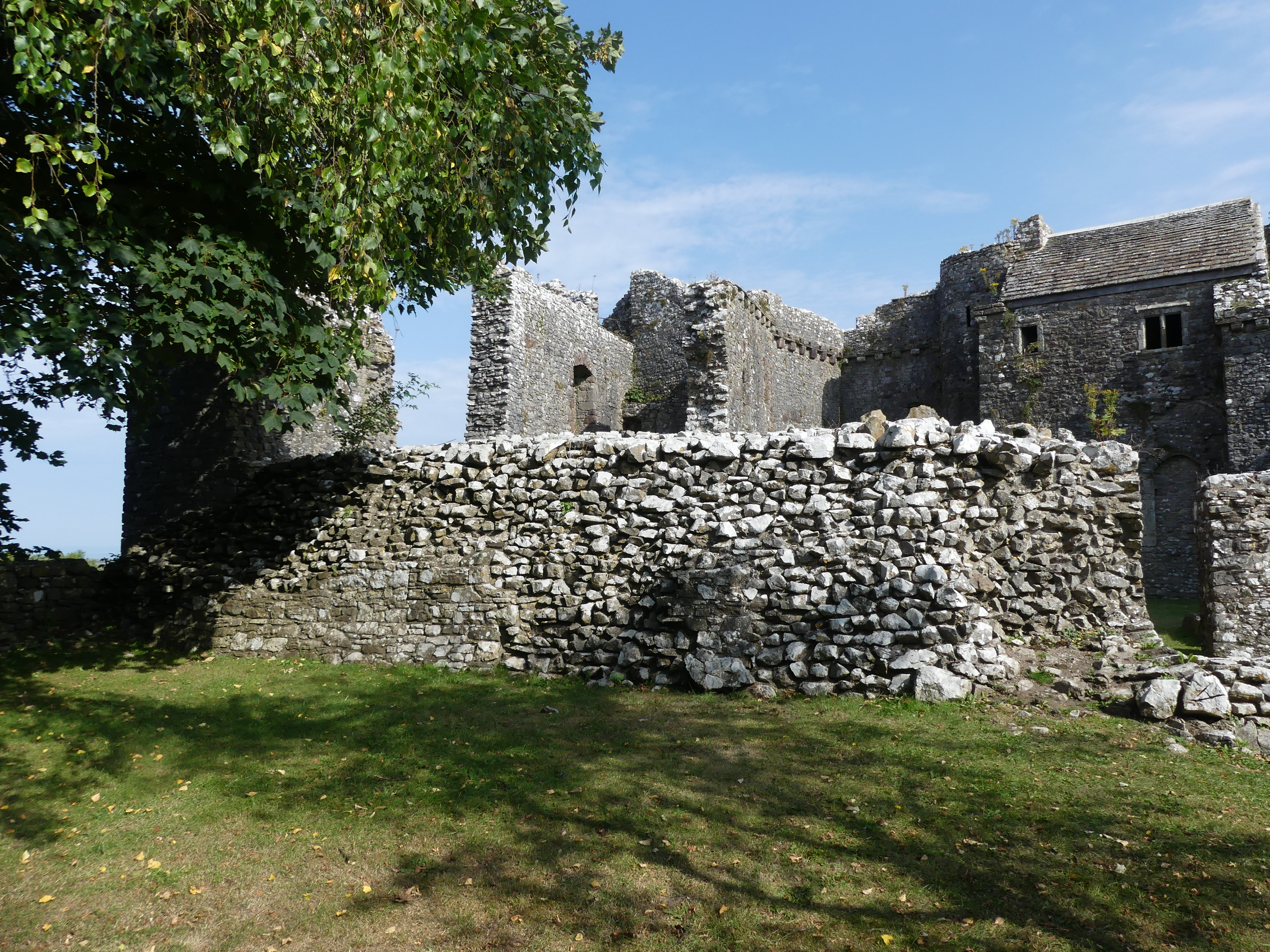
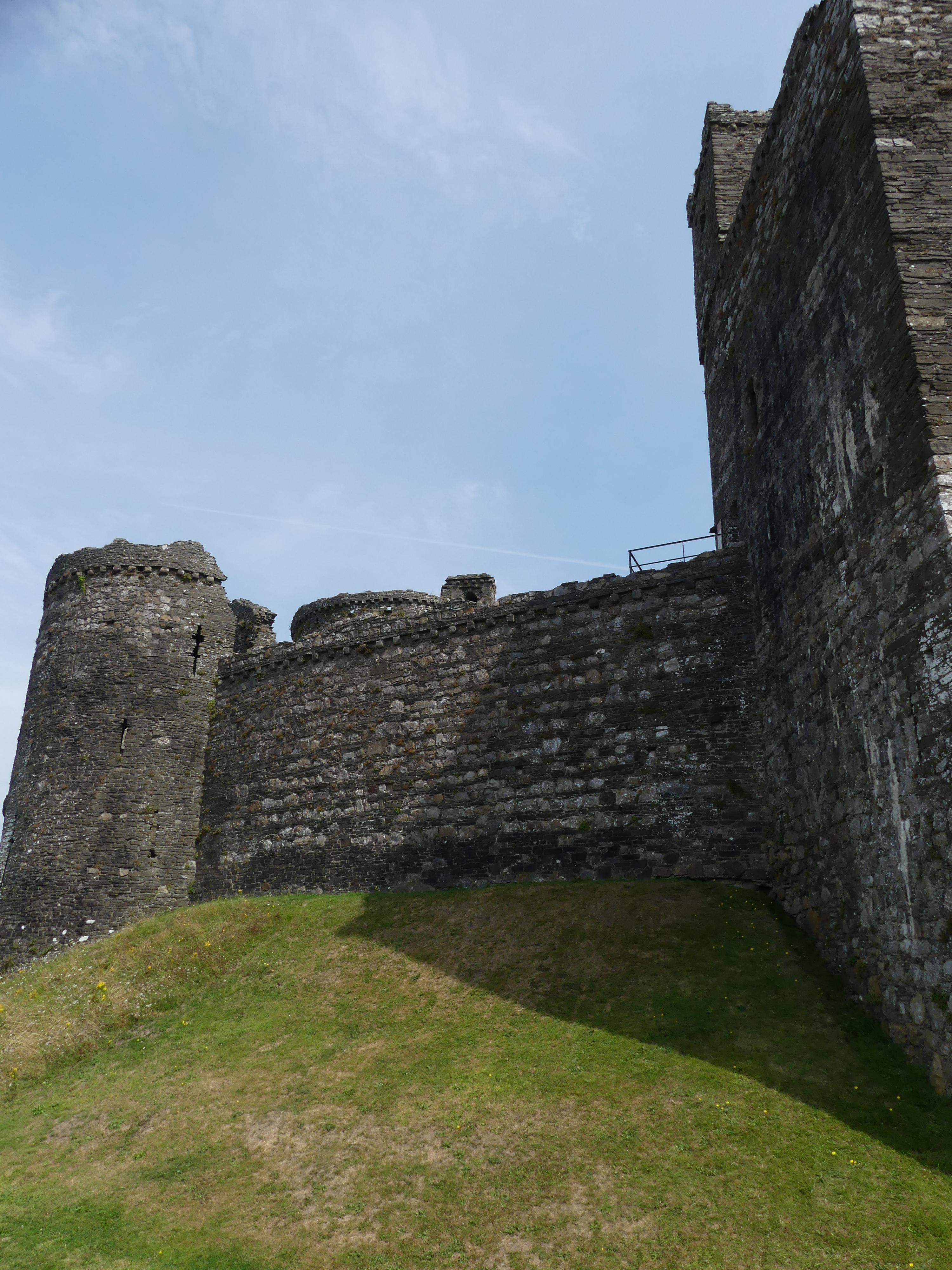
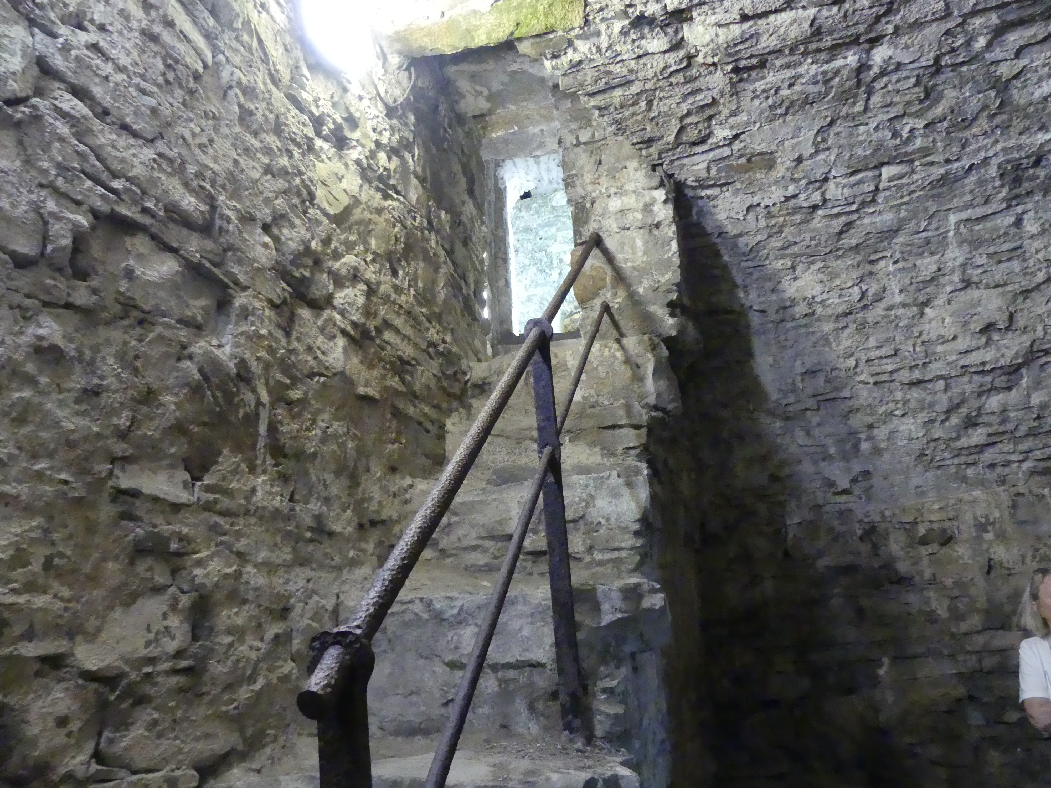
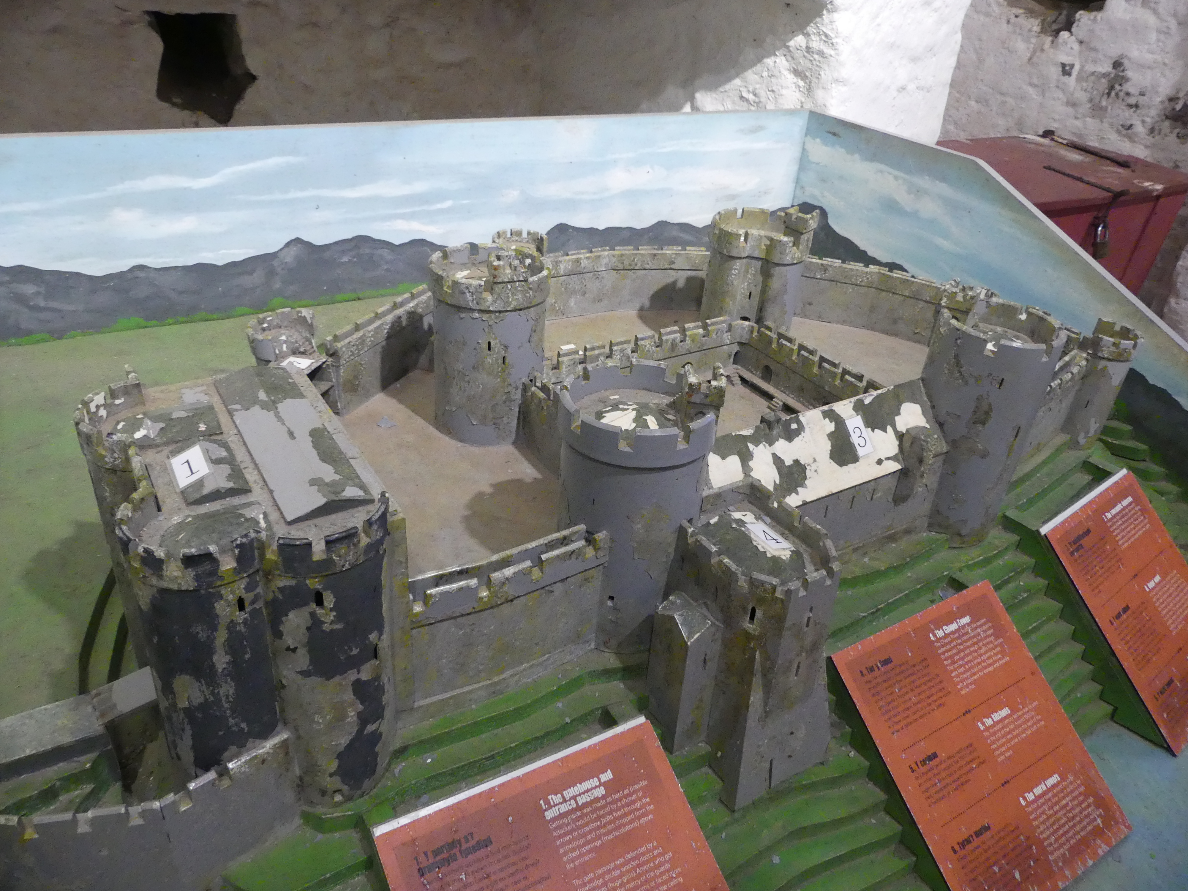
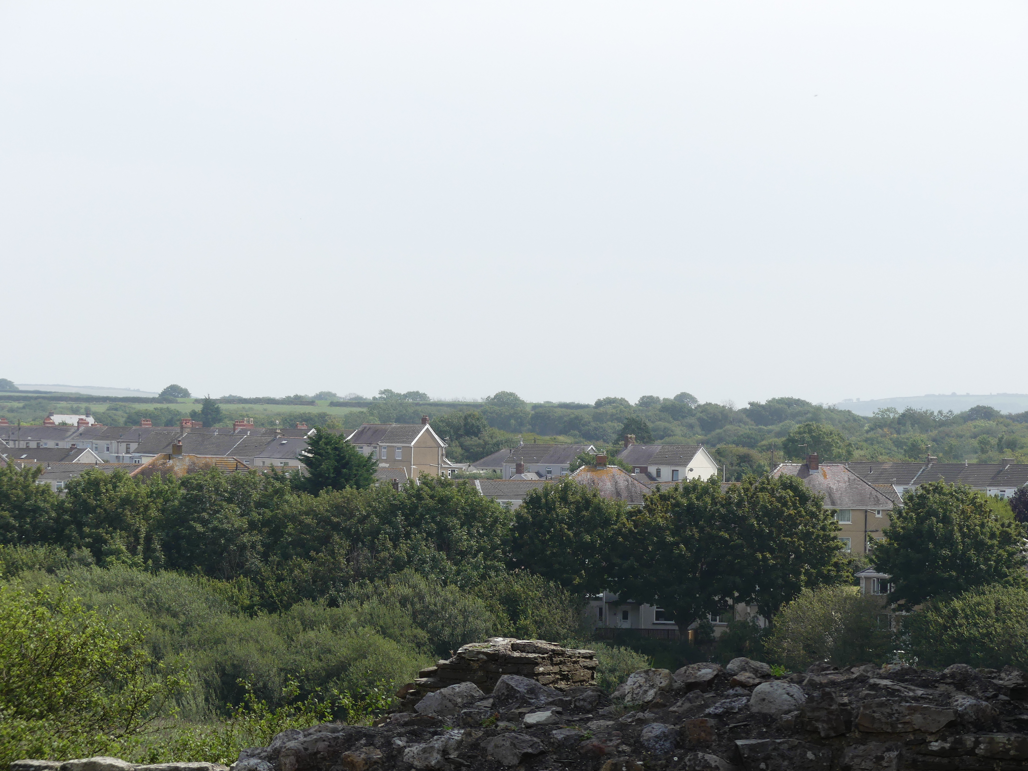
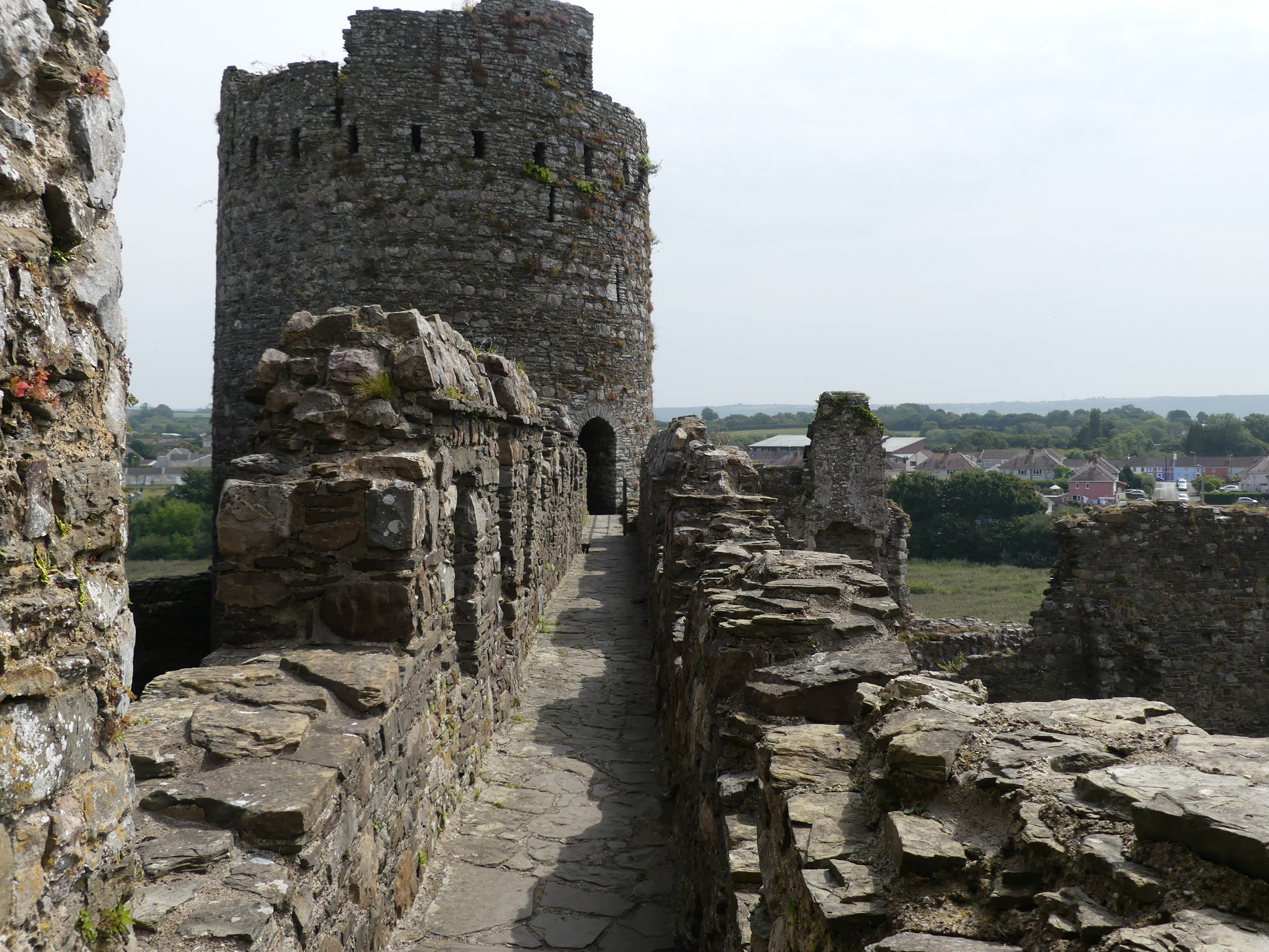
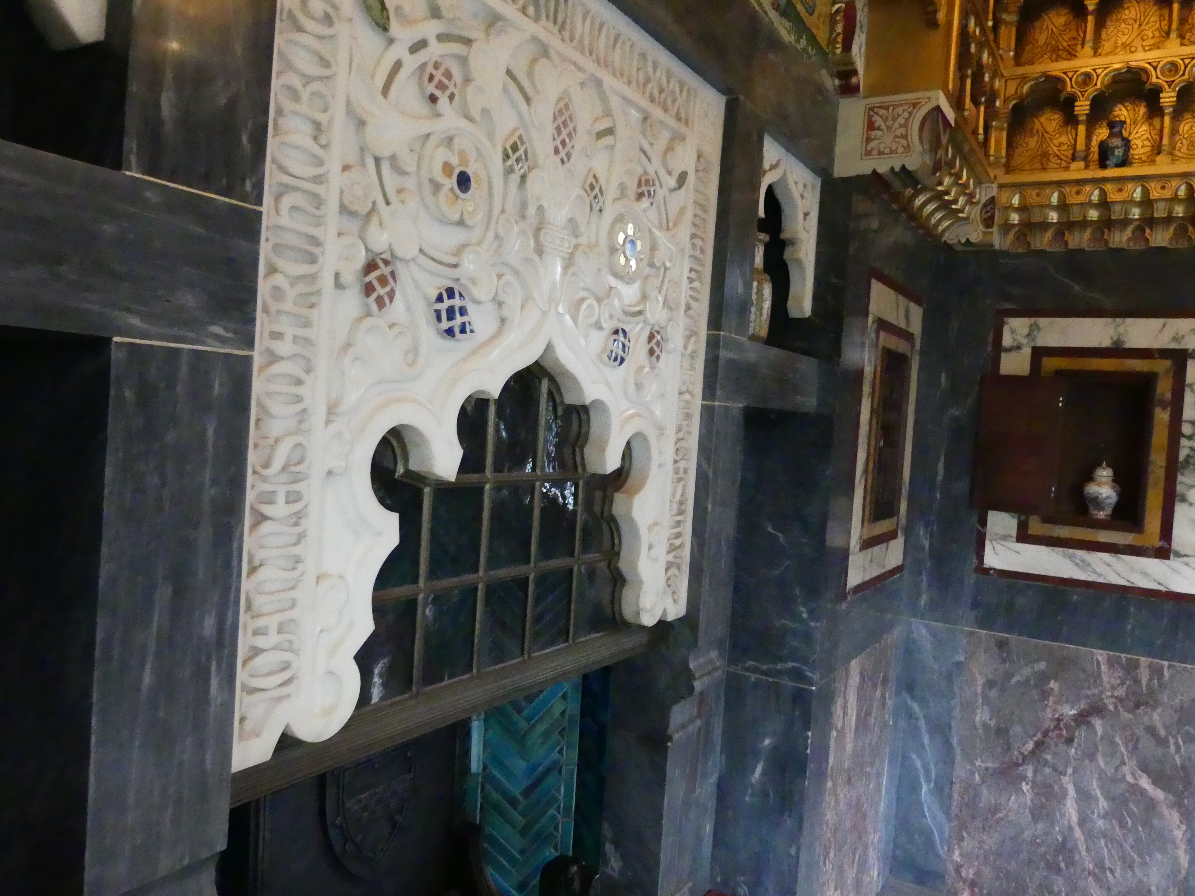
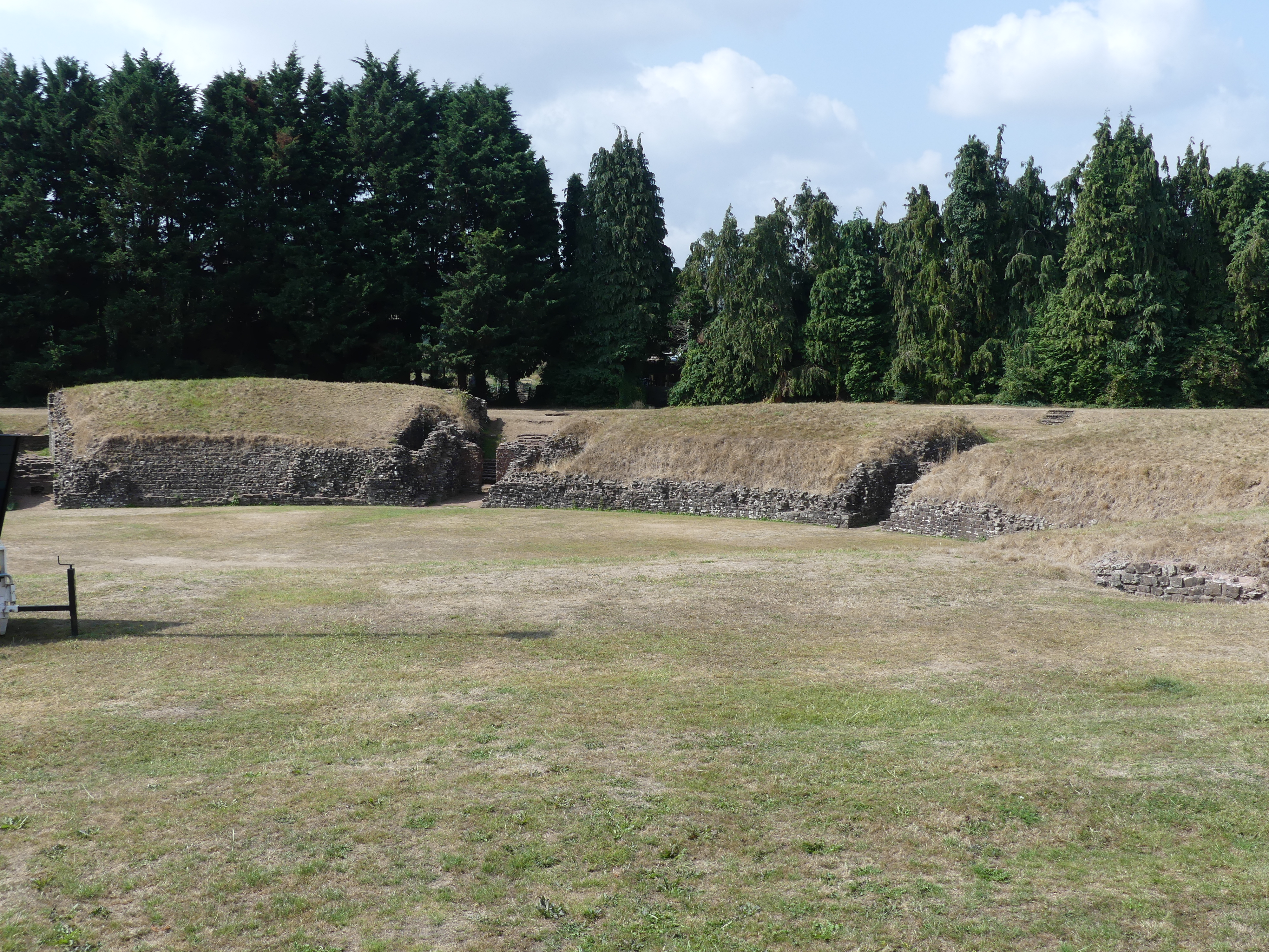
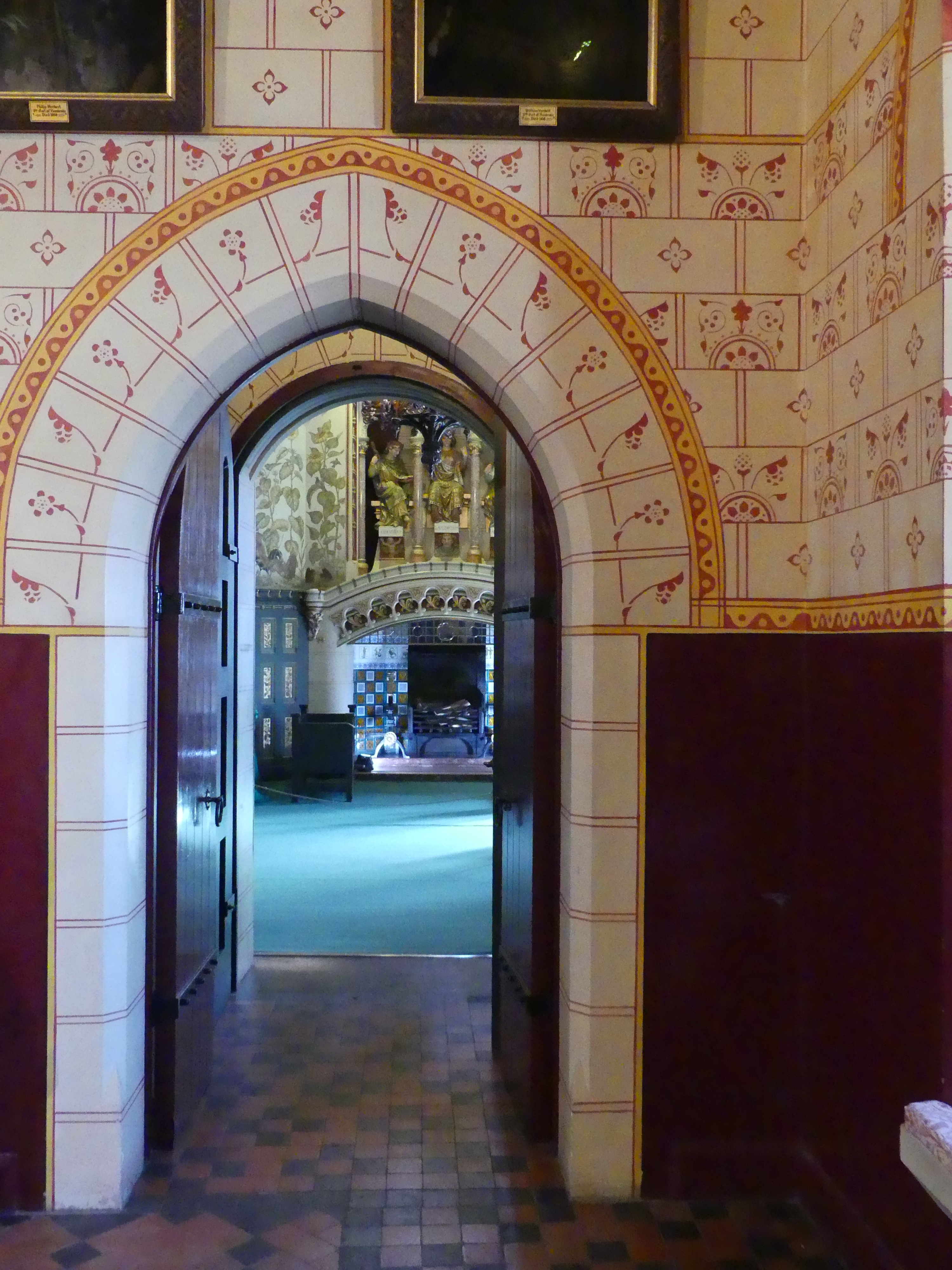
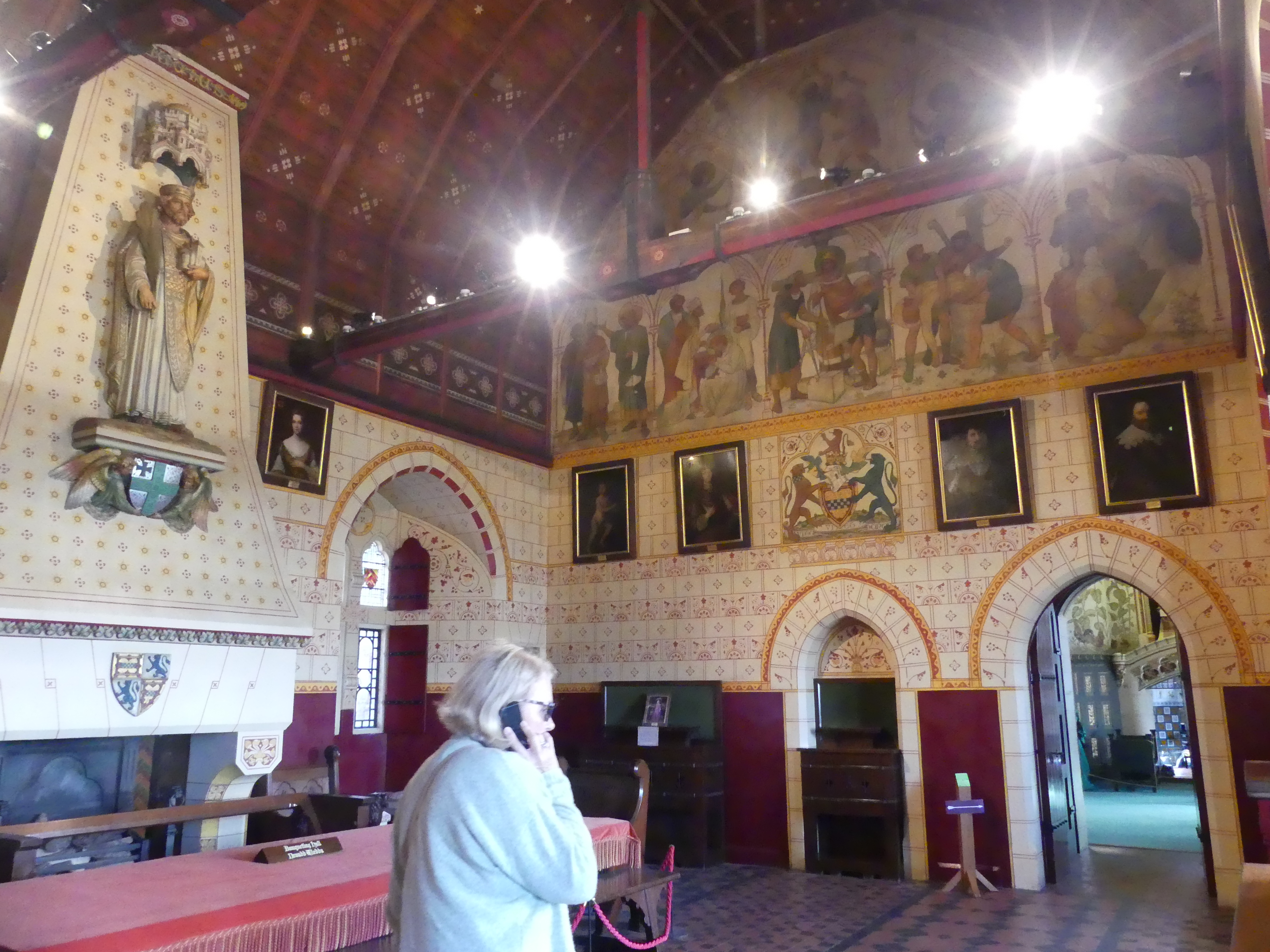
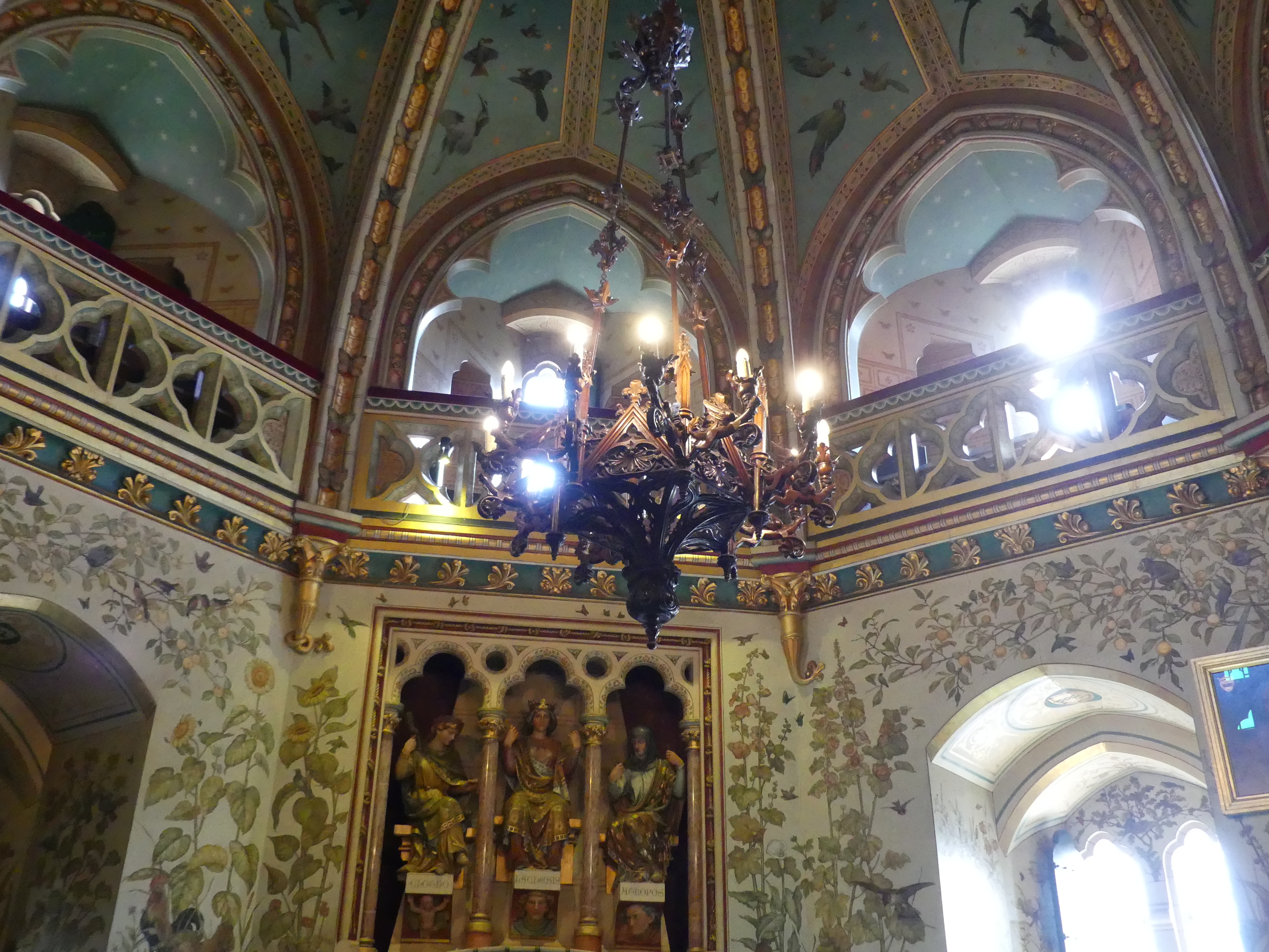
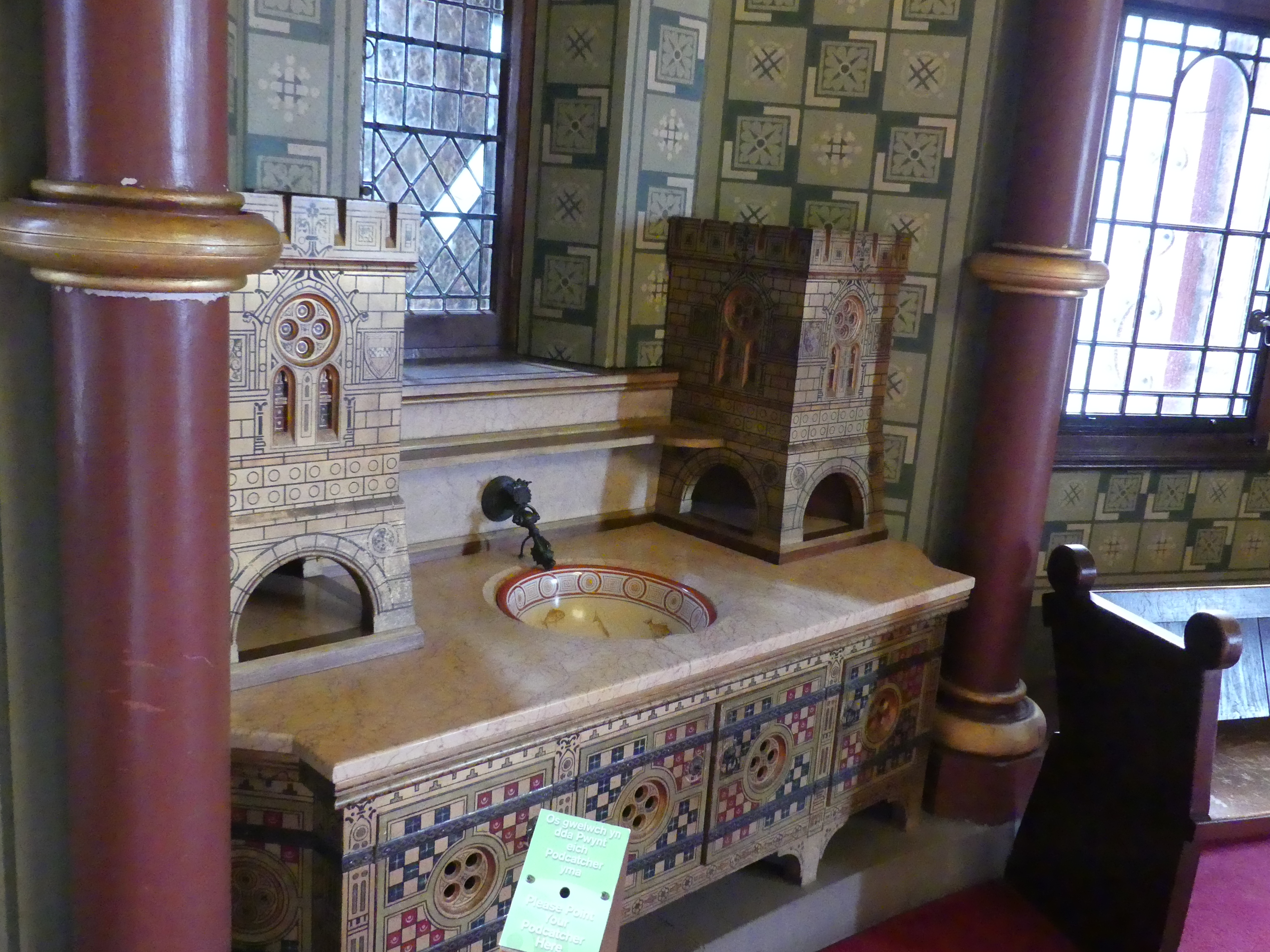
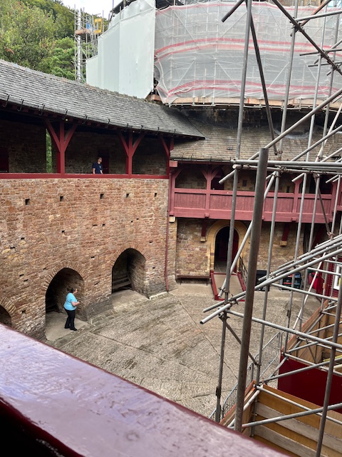
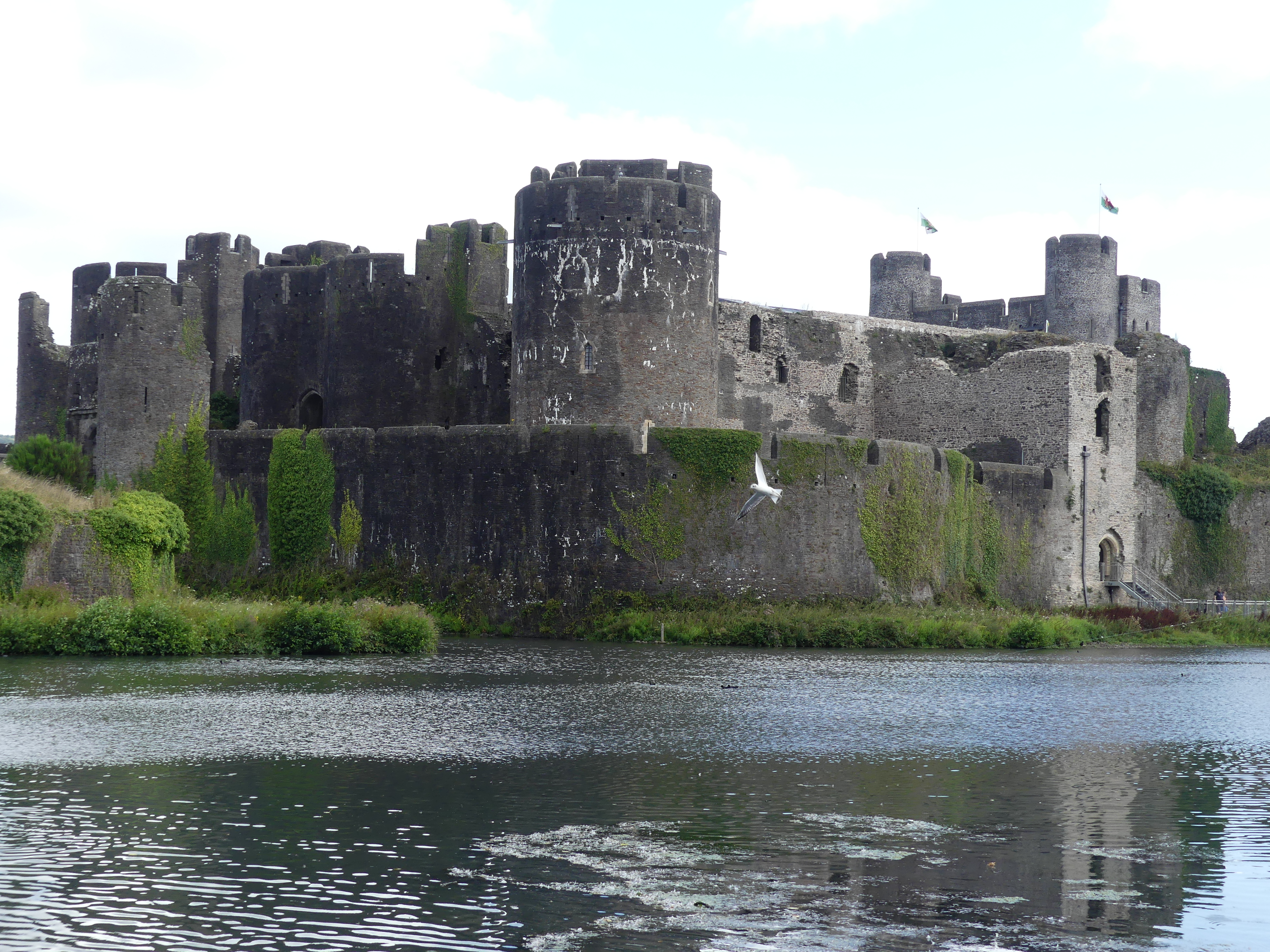
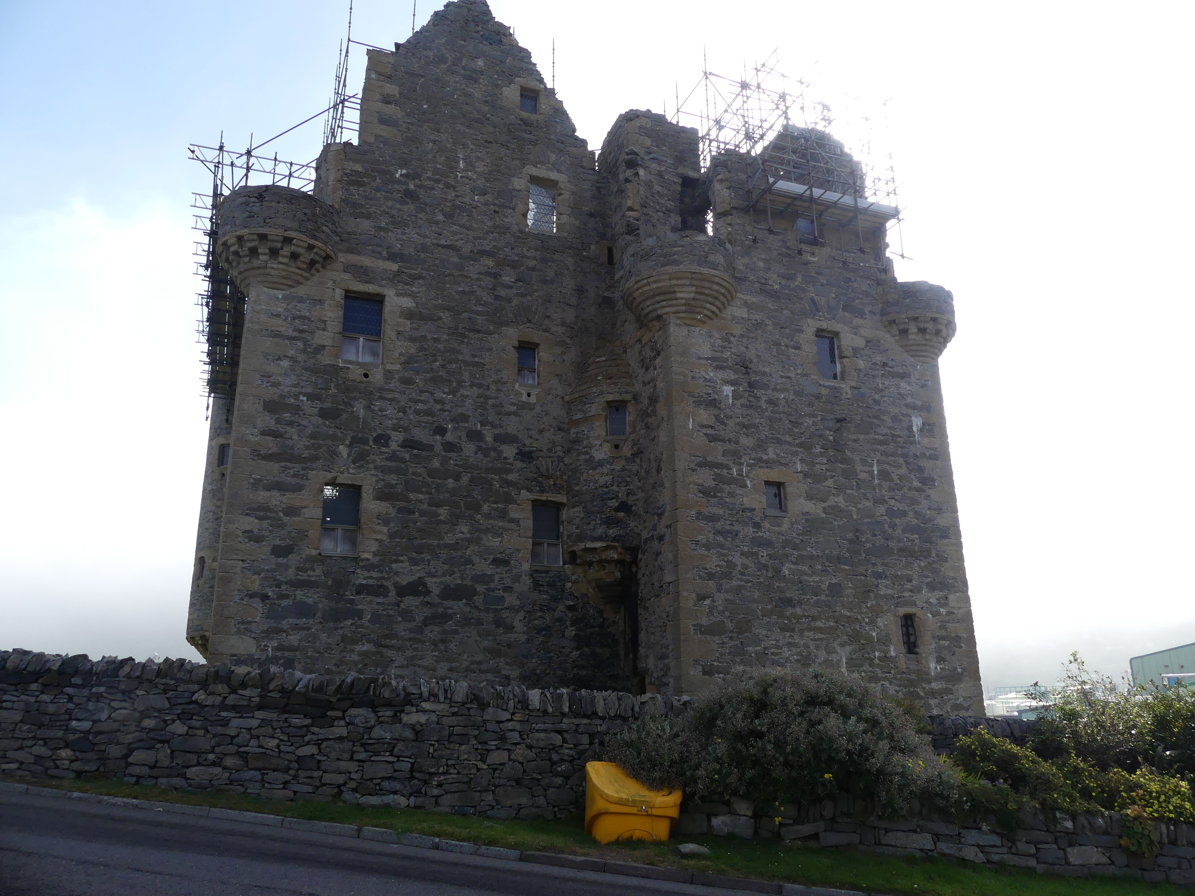
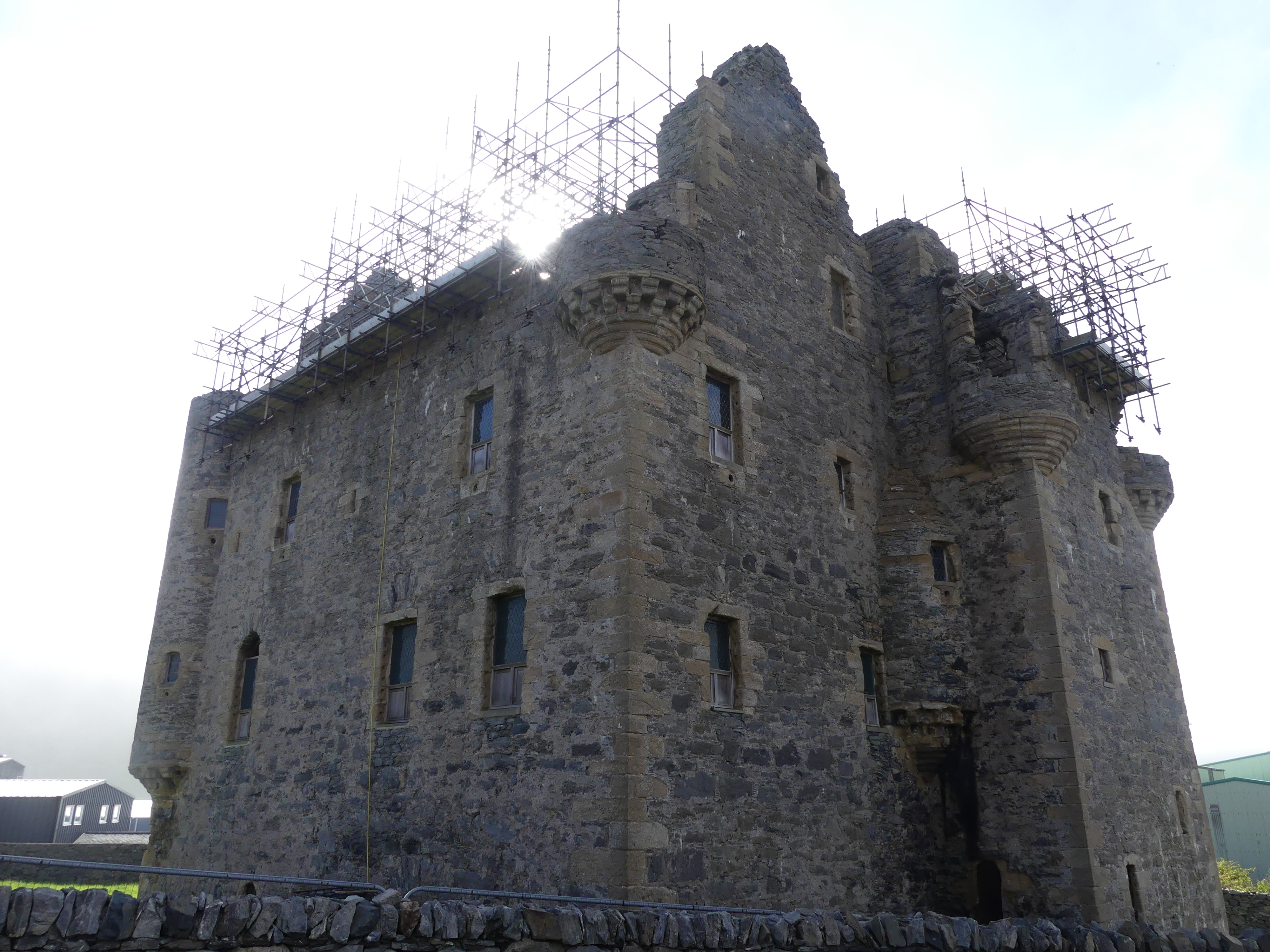
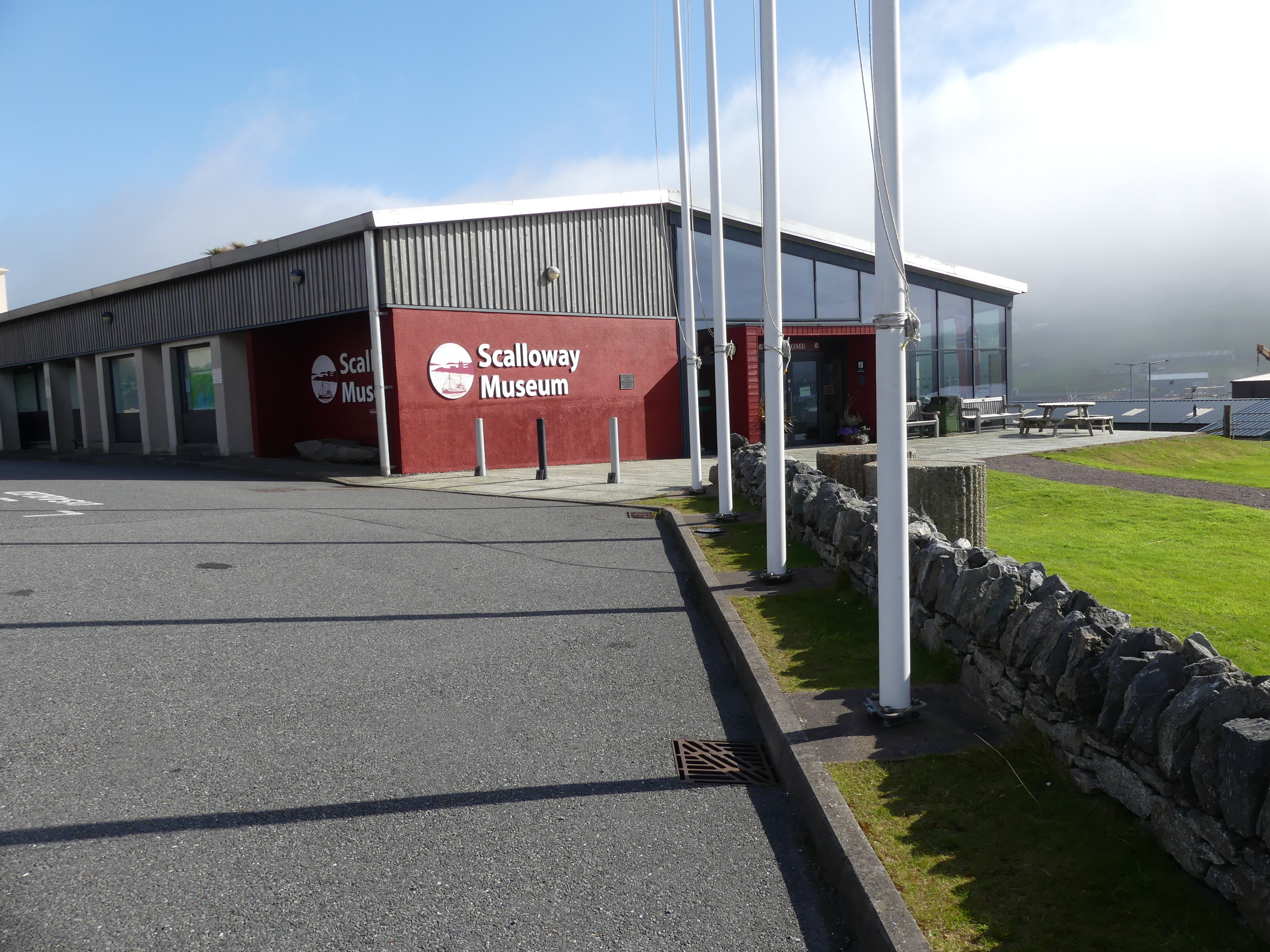
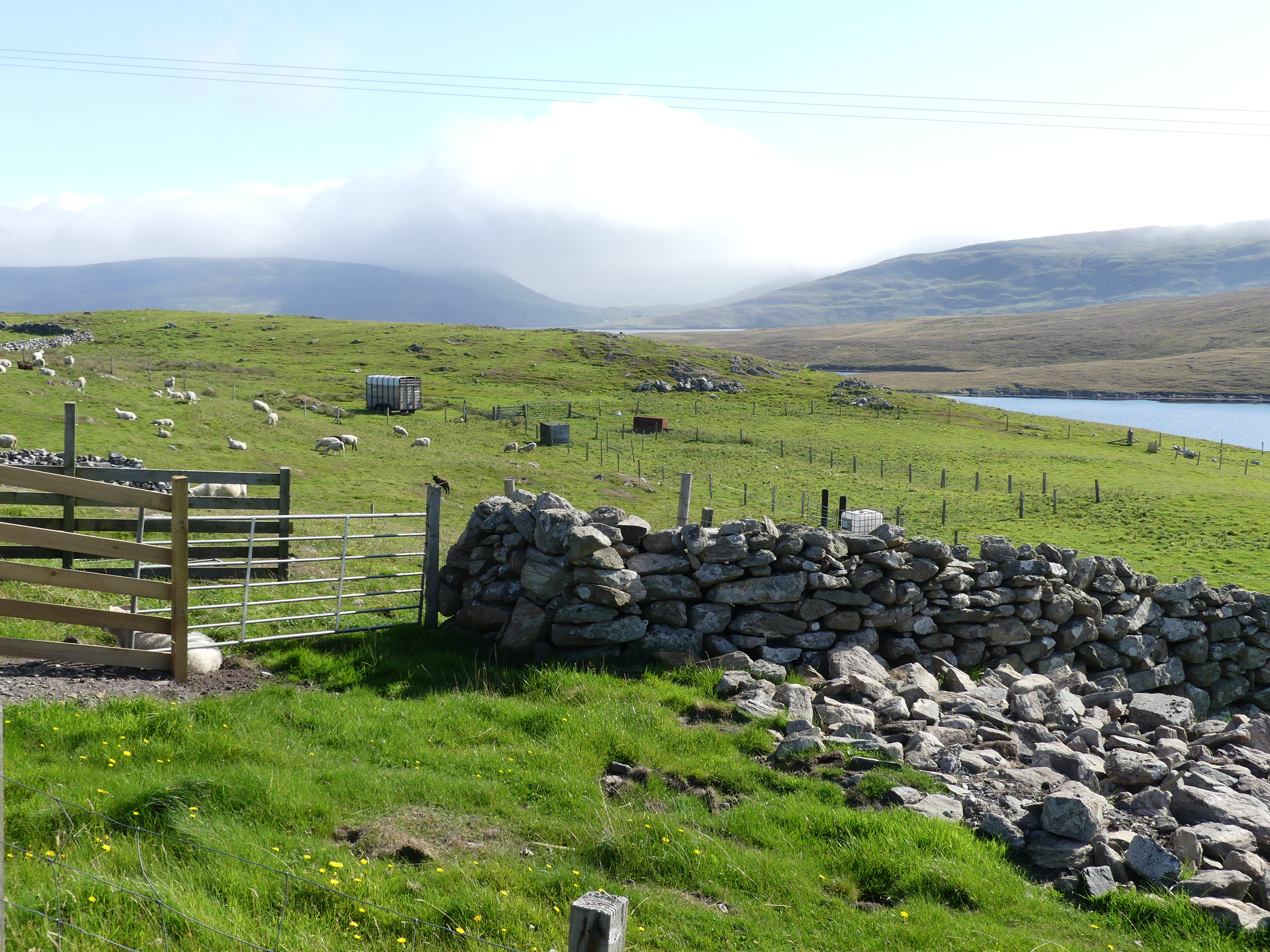
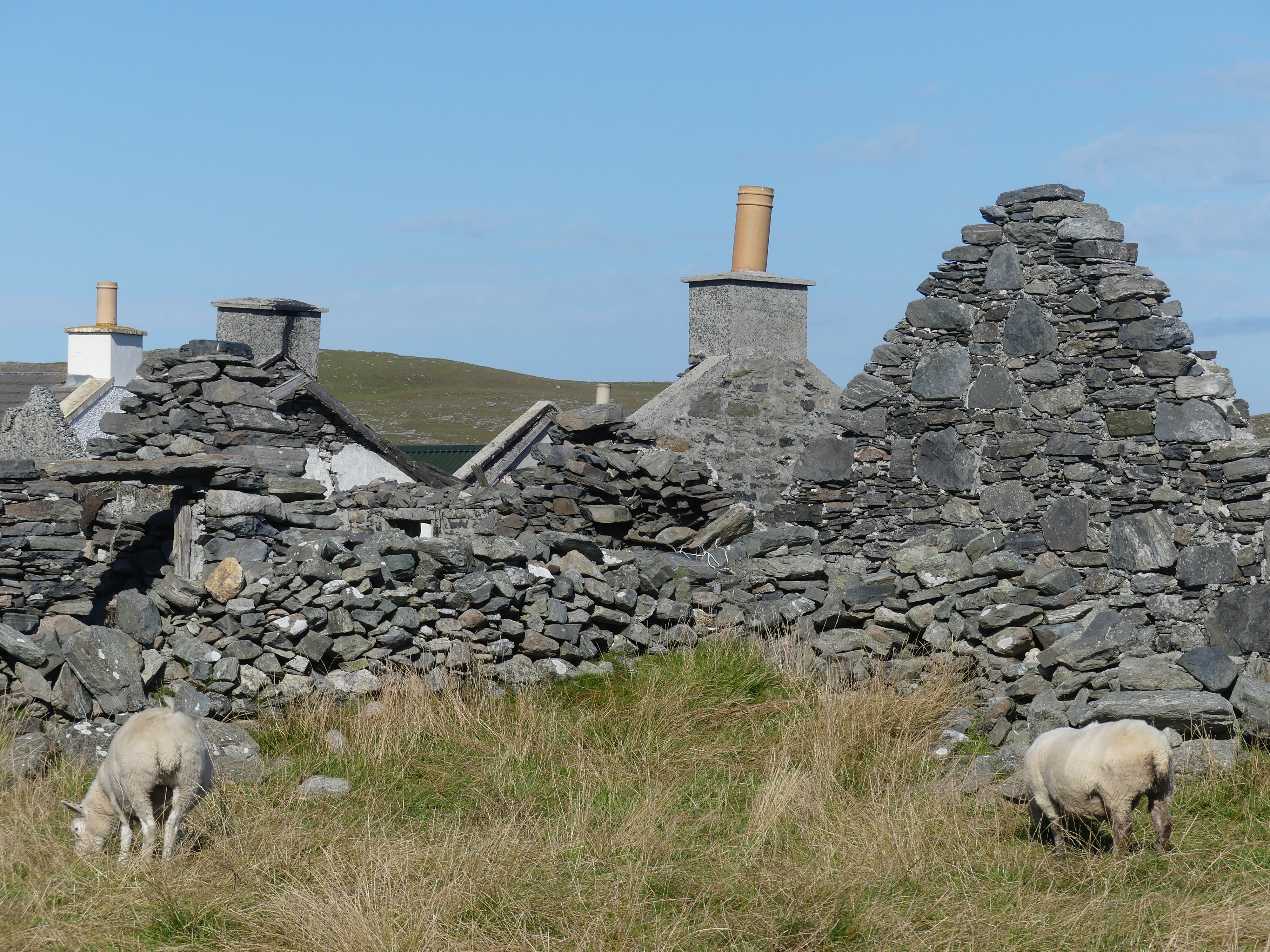
He then proceeded to drive us to Scalloway. Scalloway is the largest settlement on the west coast of the Mainland. The village had a population of roughly 900, at the 2011 census. Now a fishing port, until 1708 it was the capital of the Shetland Islands. Scalloway Castle is a tower house in Scalloway. The tower was built in 1600 by Patrick Stewart, 2nd Earl of Orkney, during his brief period as de facto ruler of Shetland. On arriving it was clear that the castle was no longer open to visitors. Driving into Scalloway we had a great view of the village and its harbour but it remained misty. The castle was bedecked with scaffolding and signs to not enter the premises. My pictures are below. Towards the rear of the castle was a museum but unfortunately not open this day. In the paddock at the rear of the museum a couple of “wild” ponies were grazing.
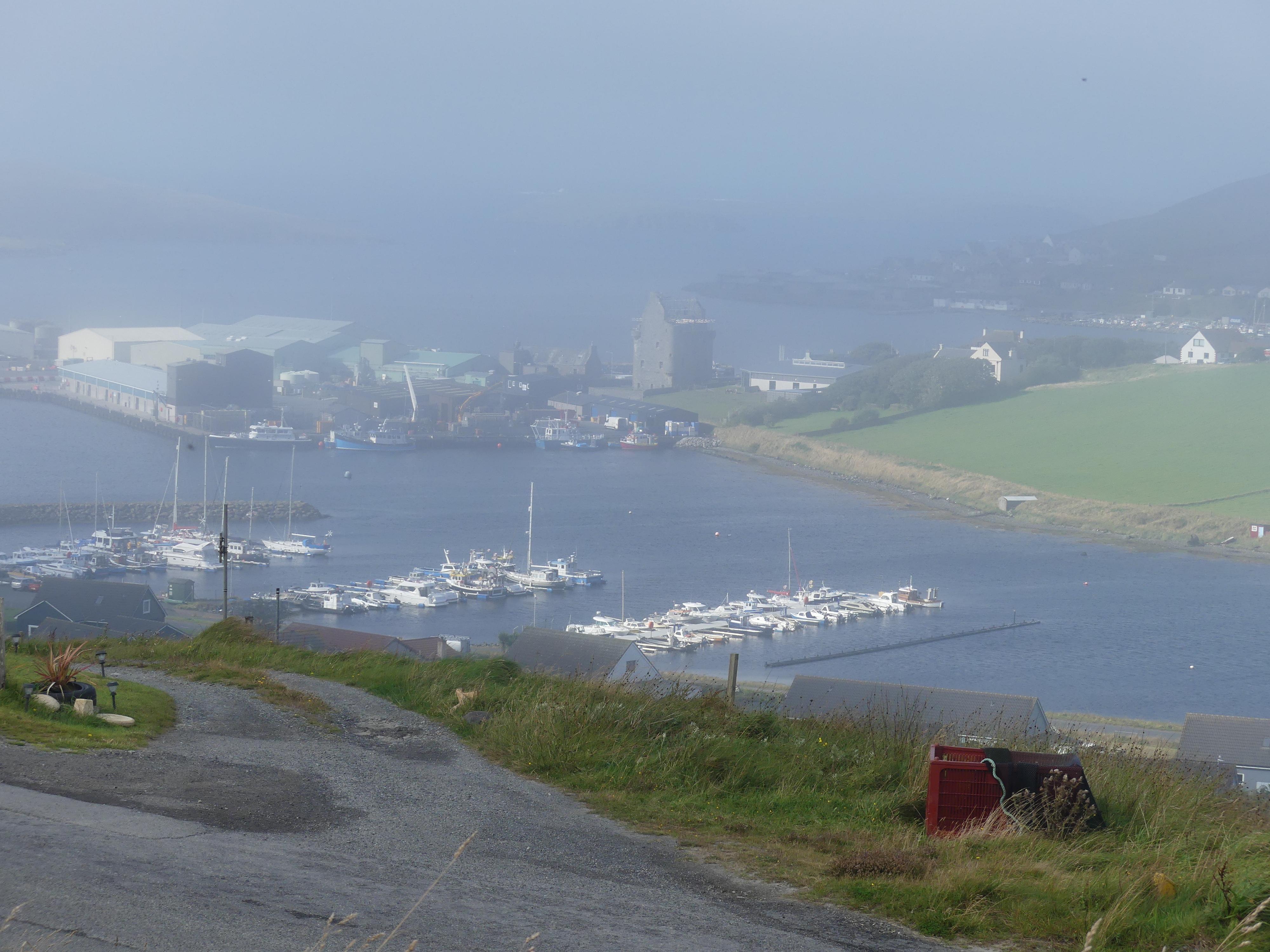

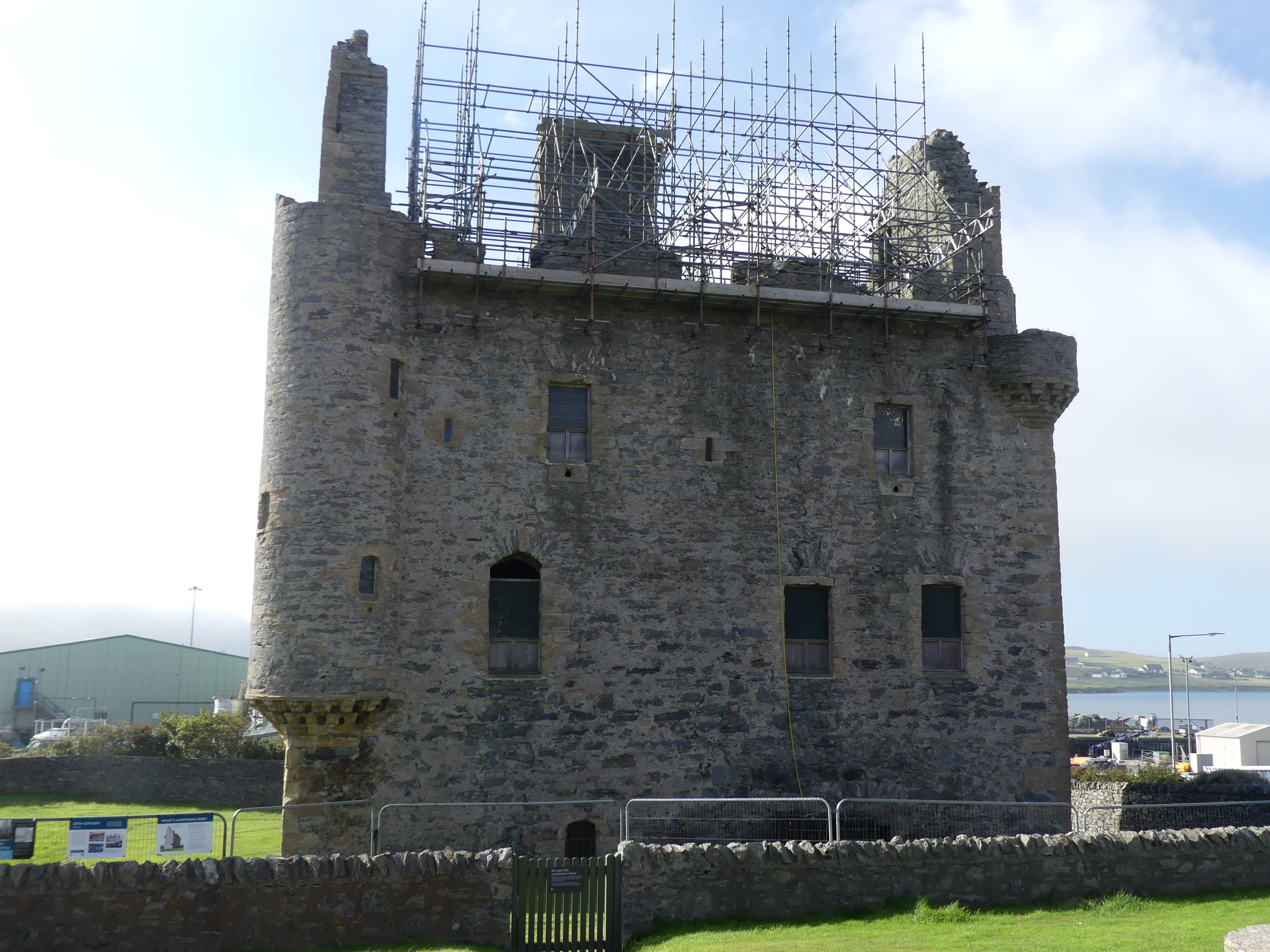
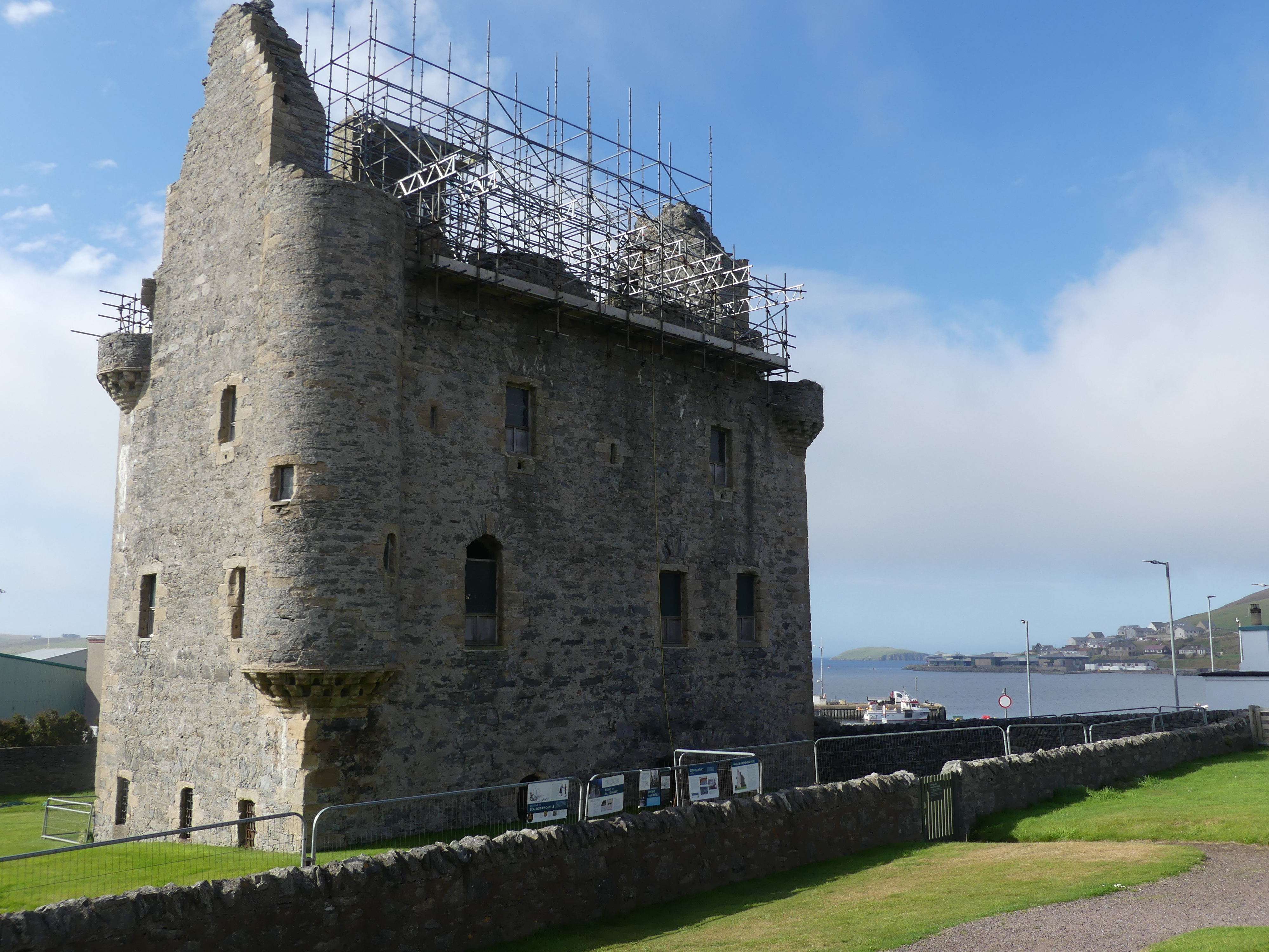

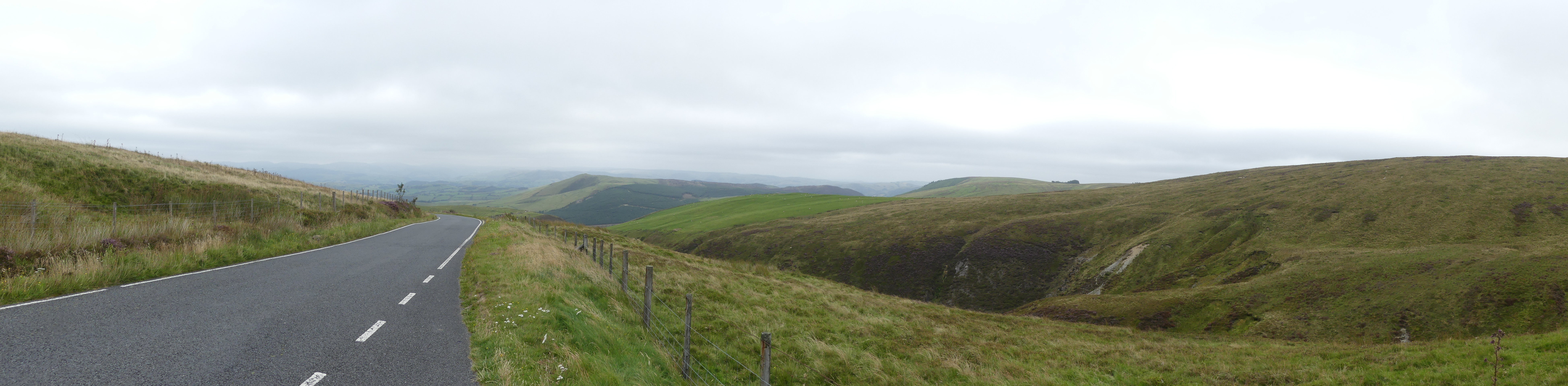
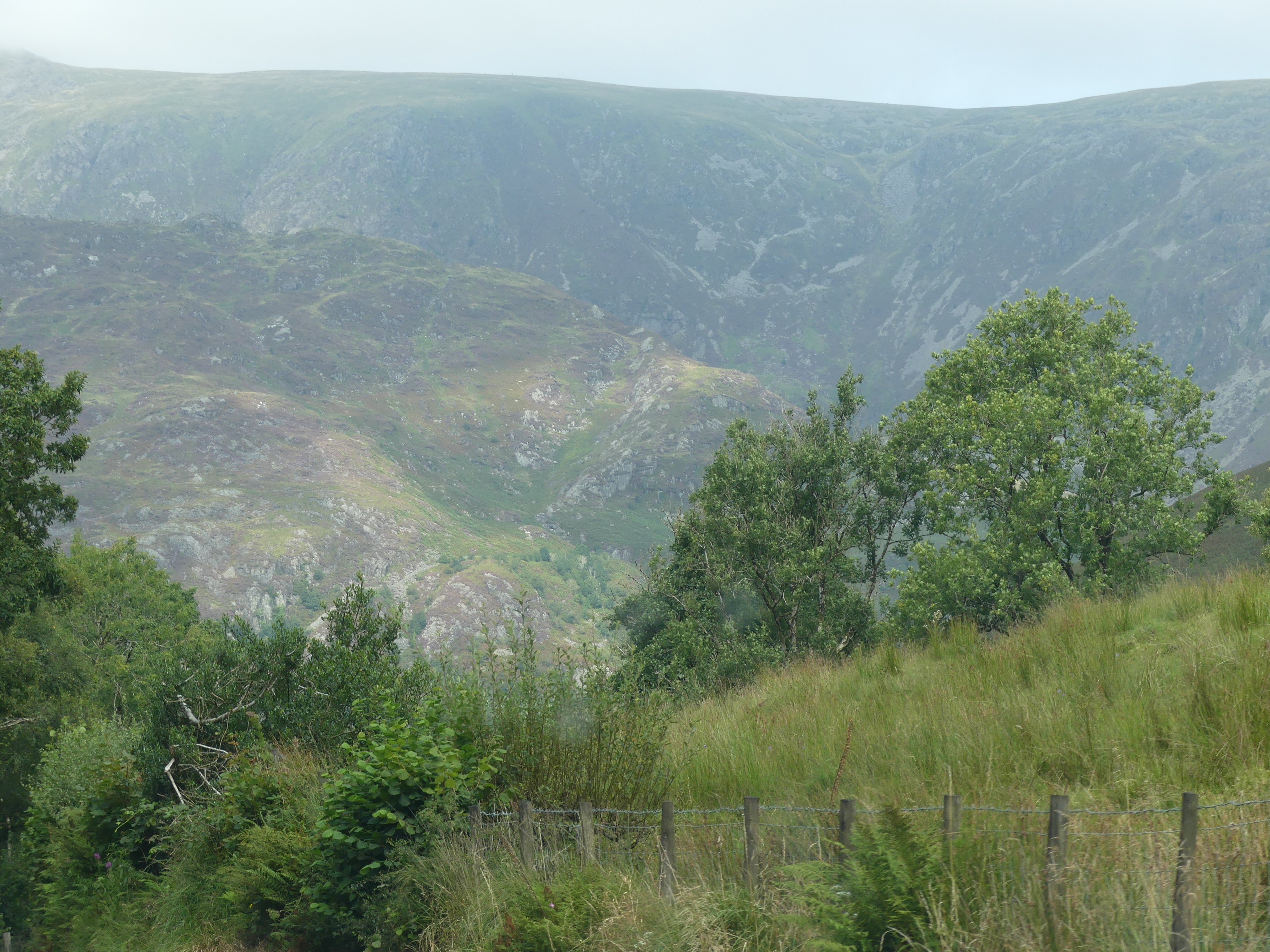
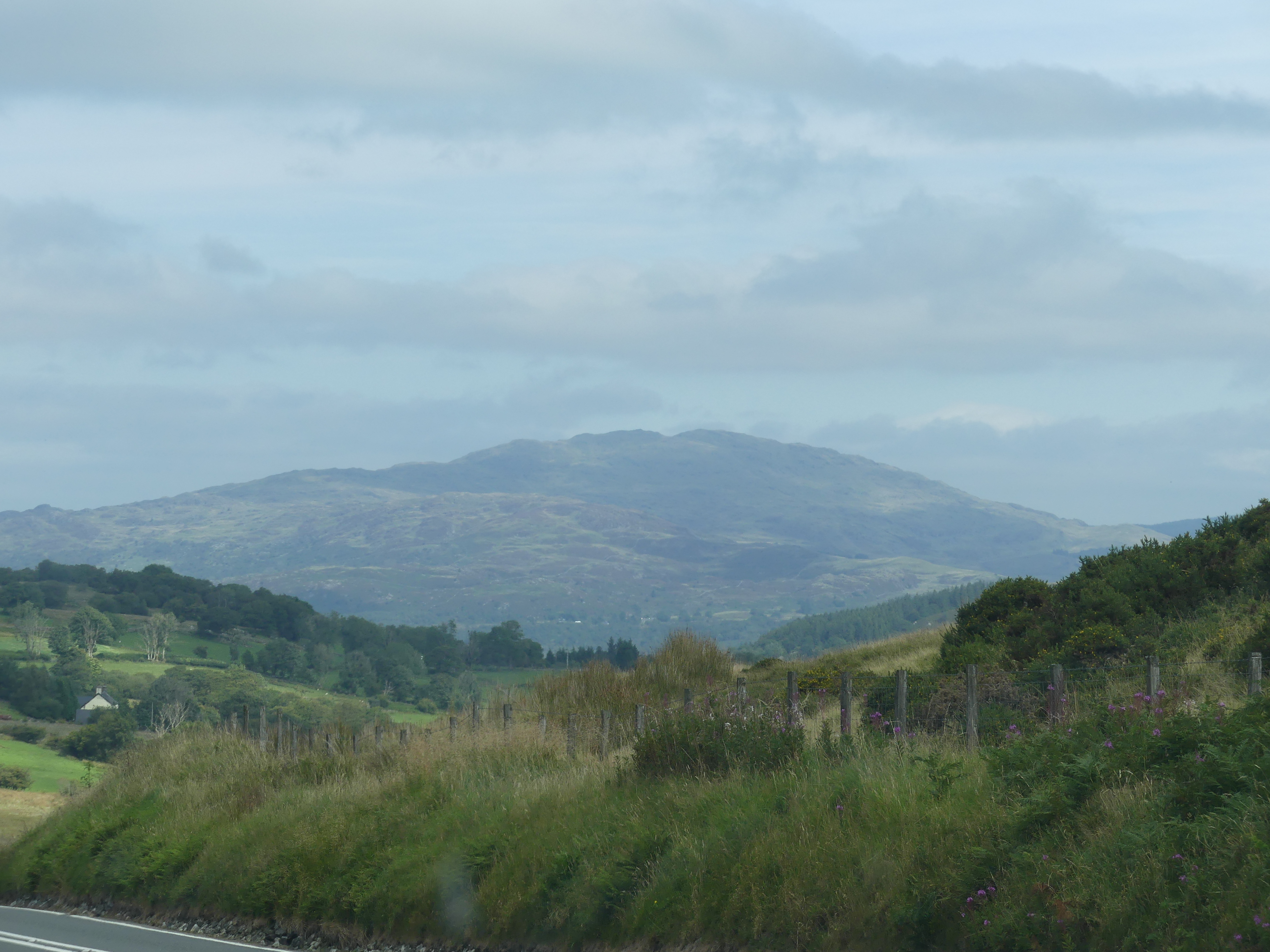
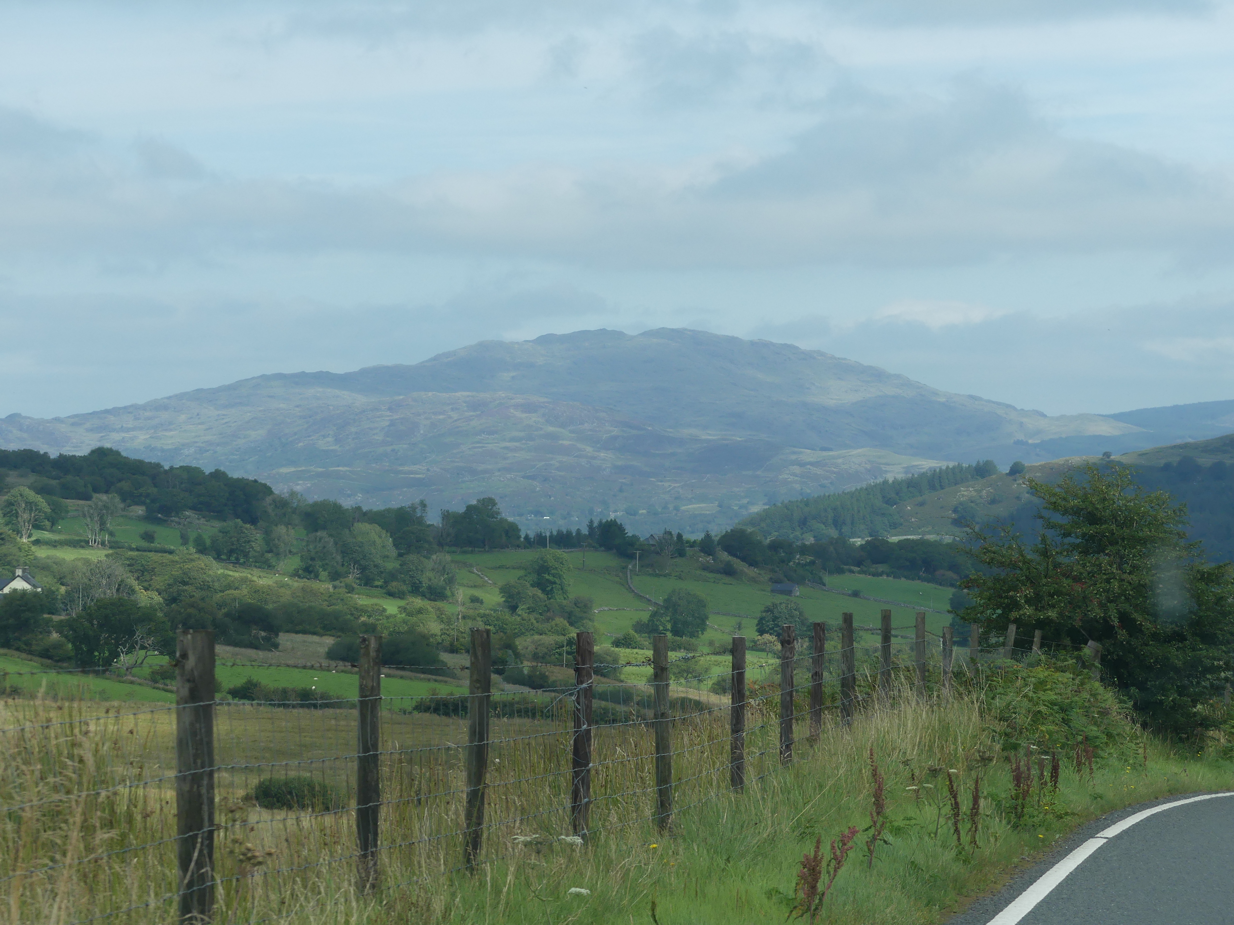
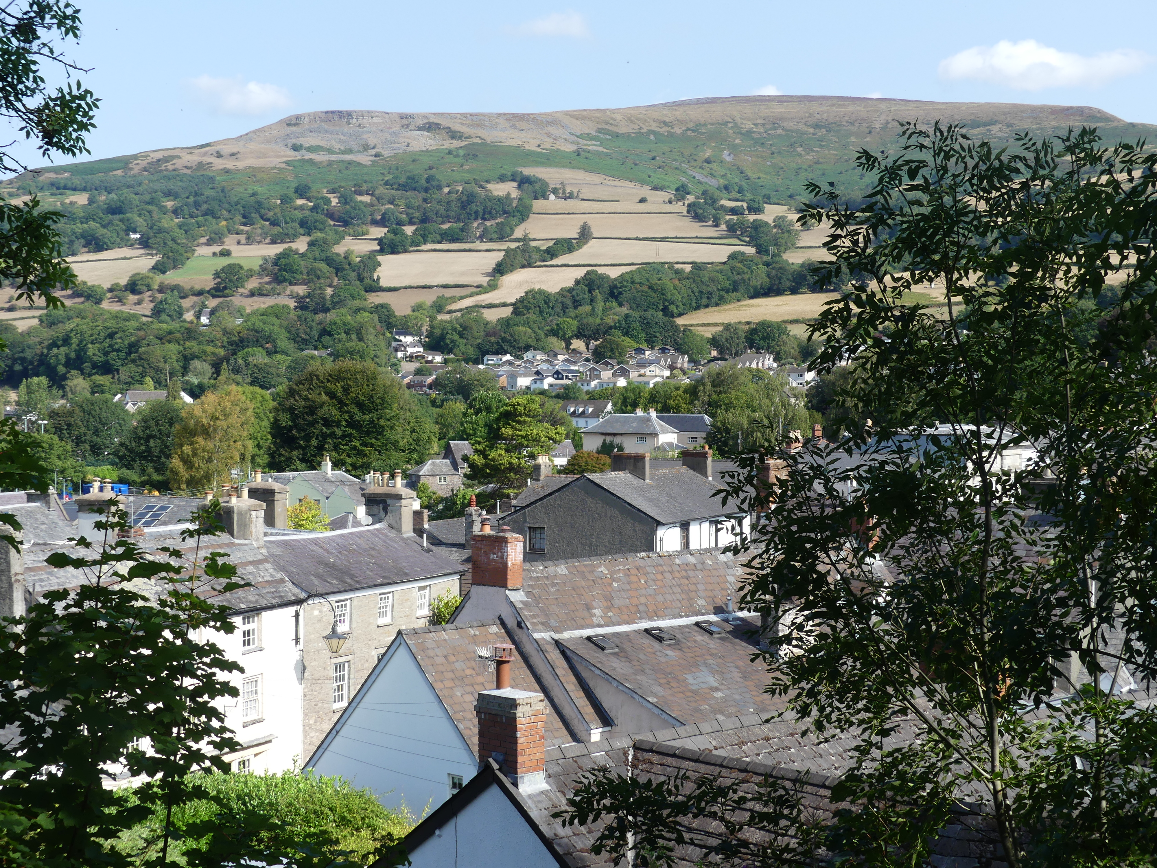
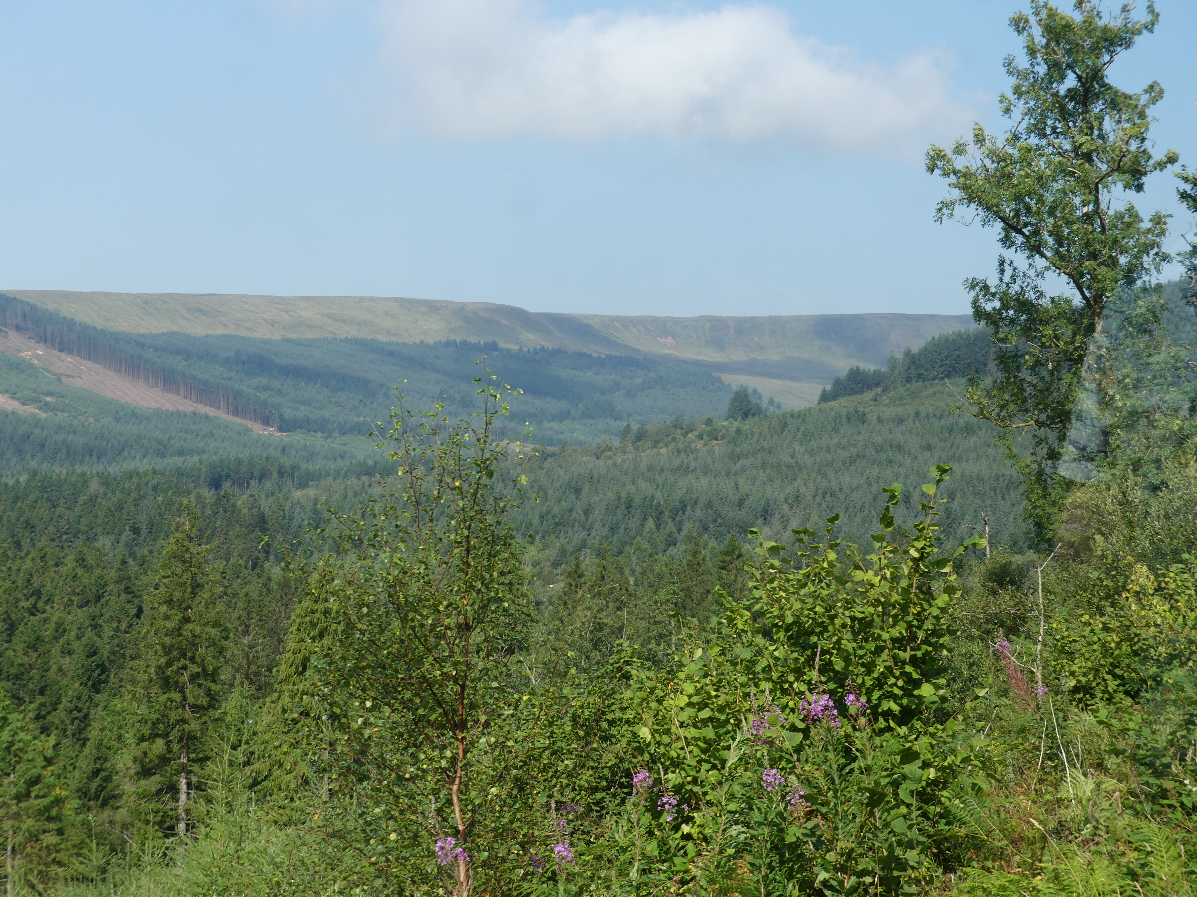
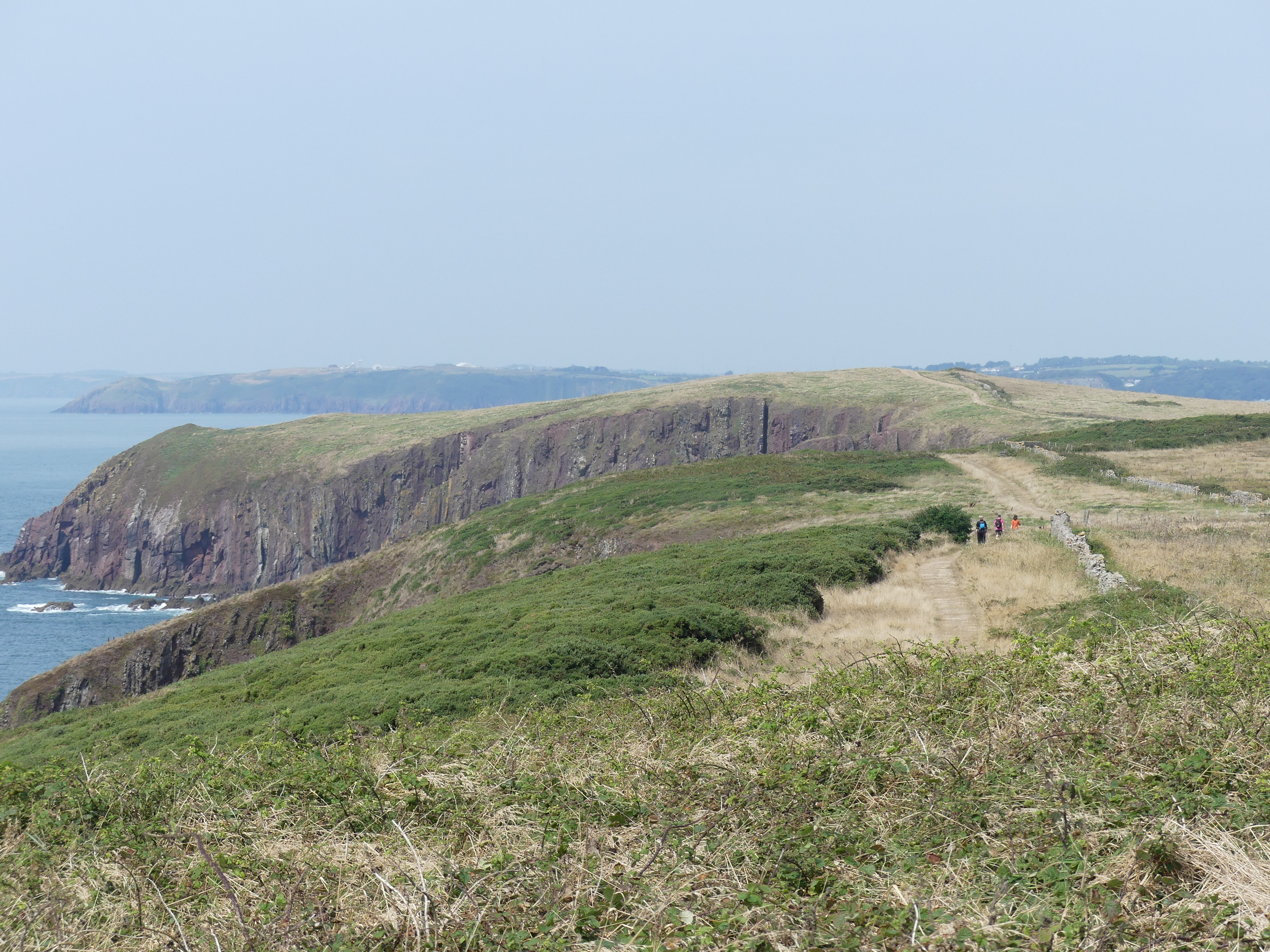
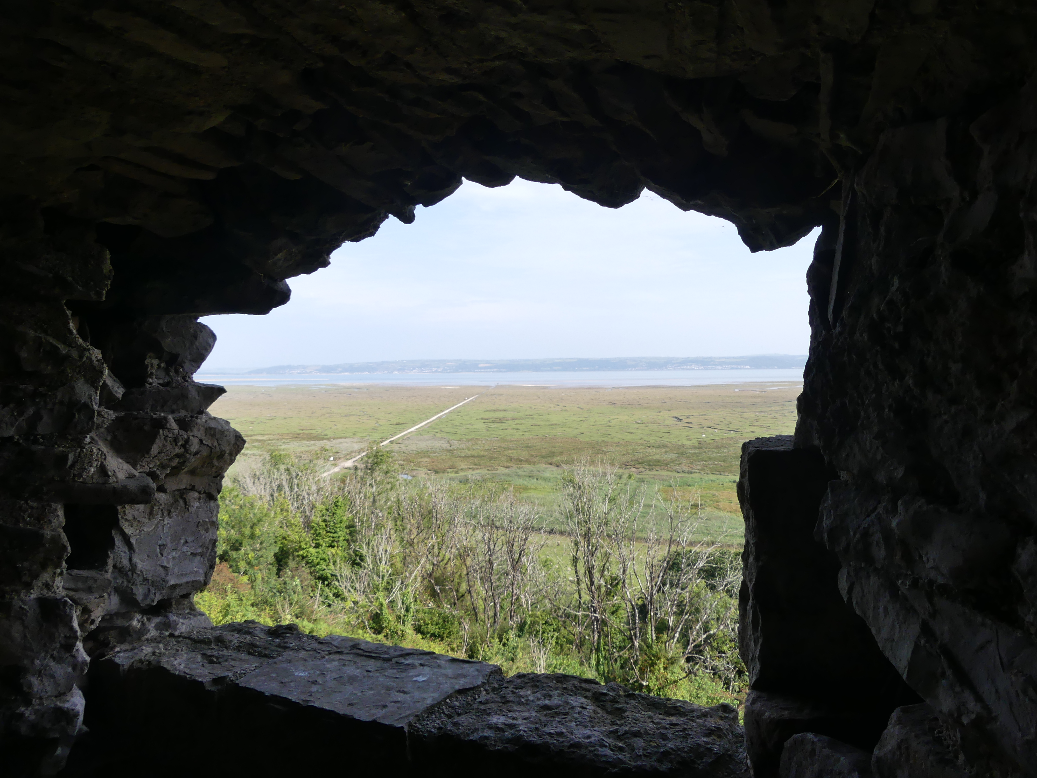
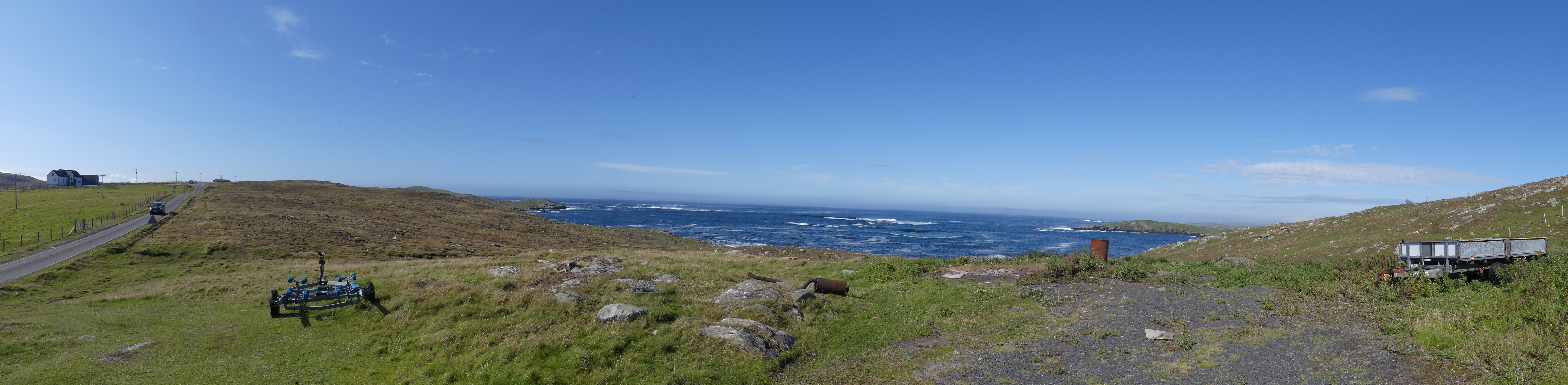
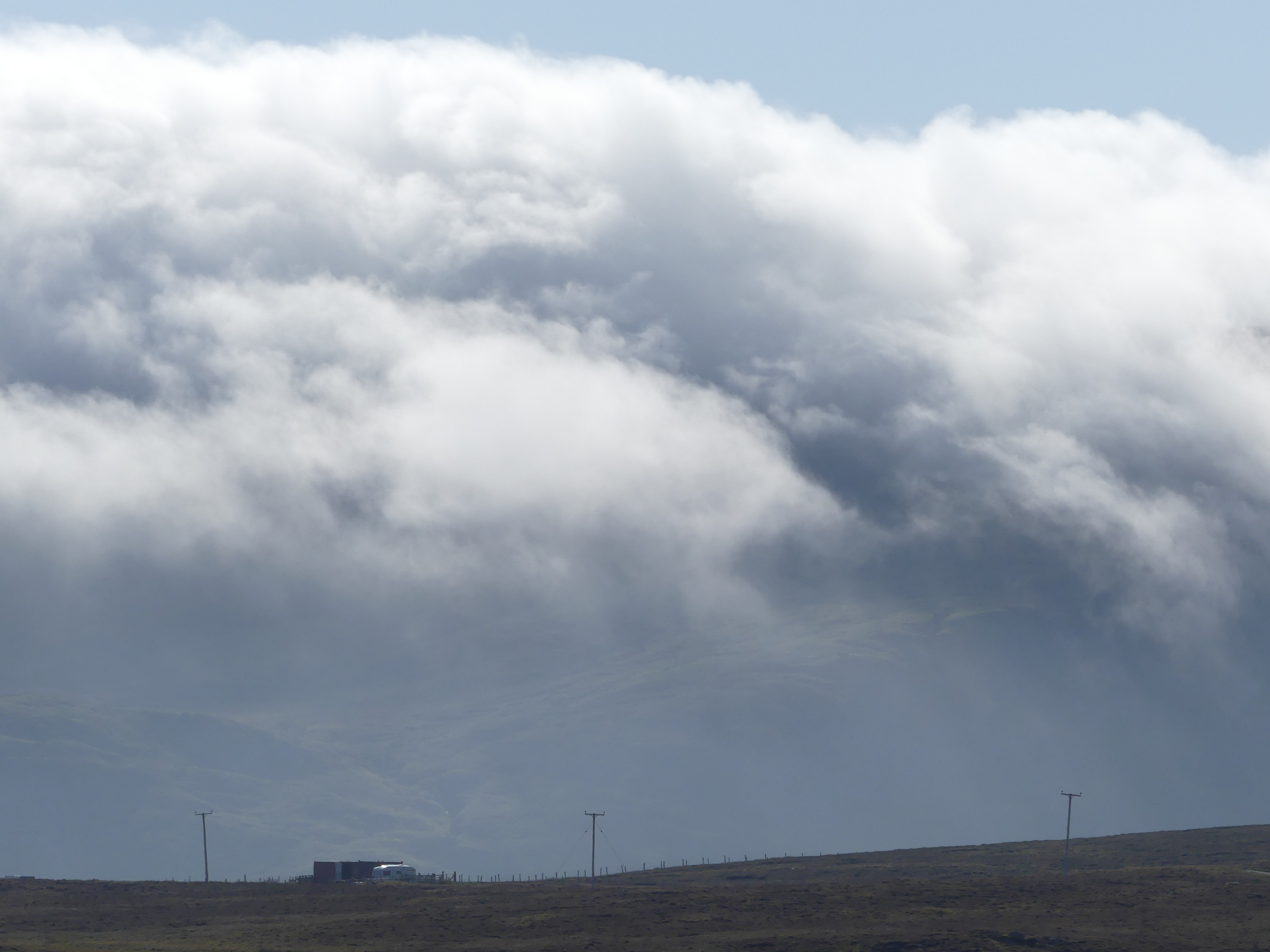
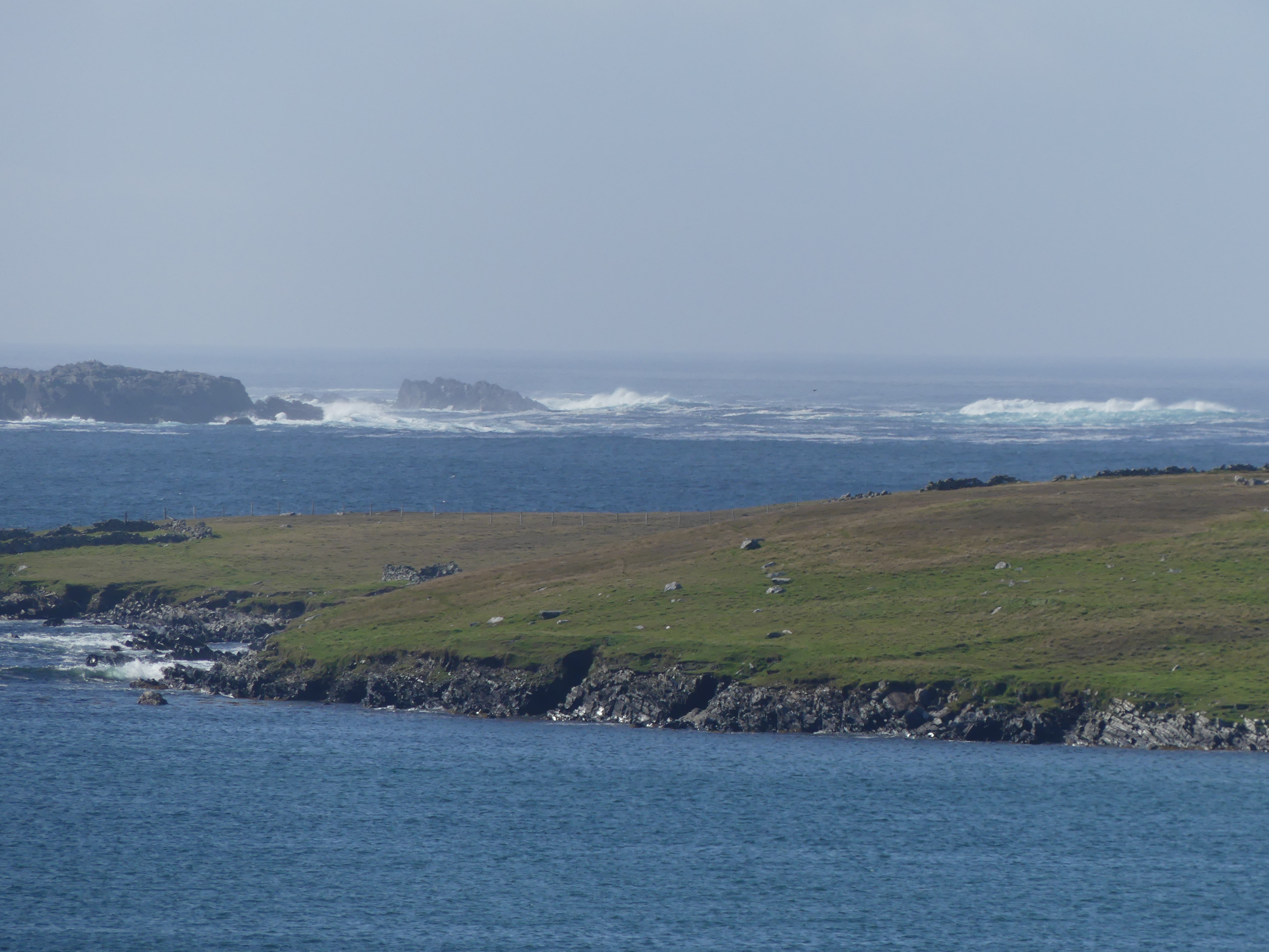
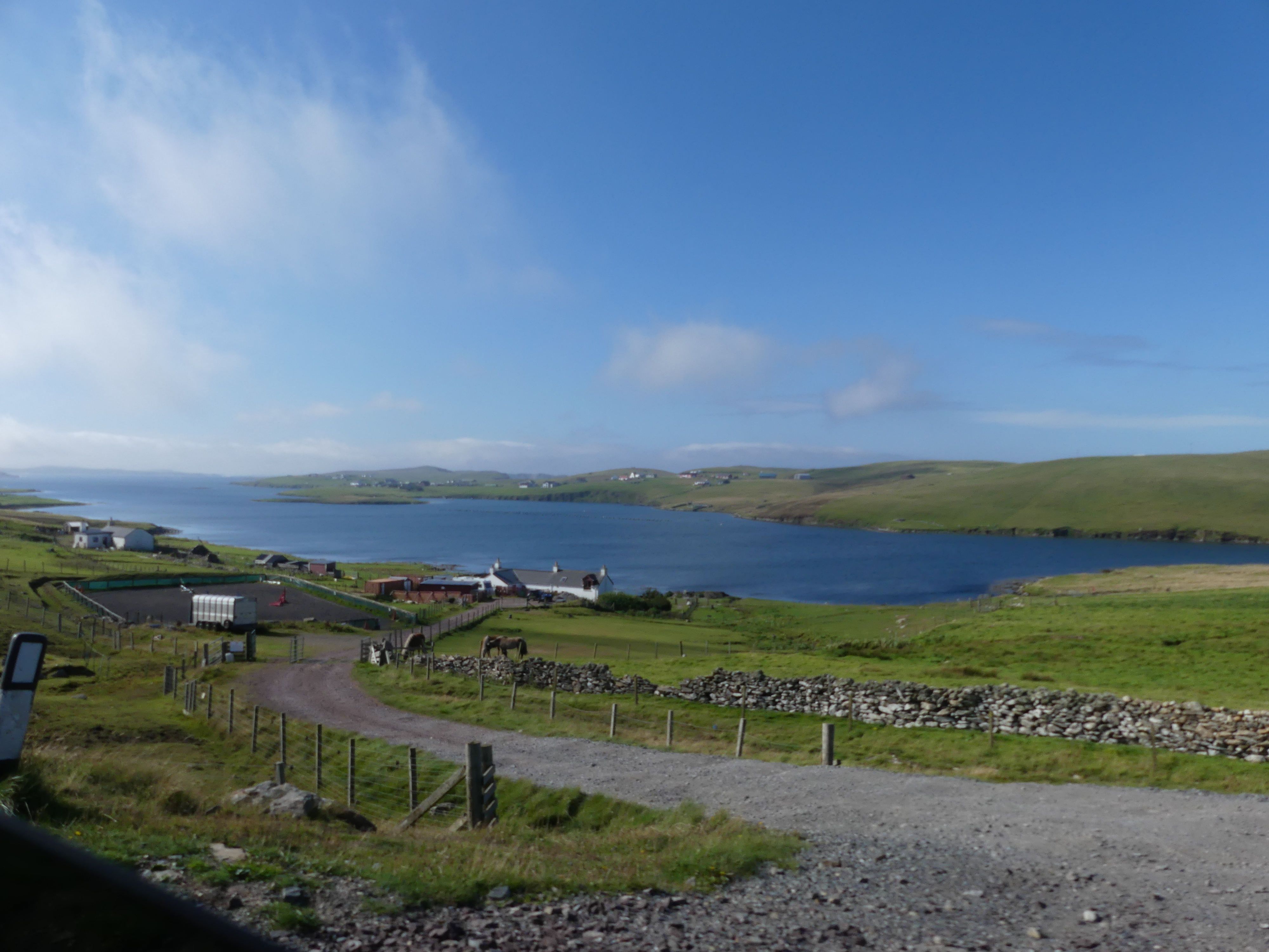
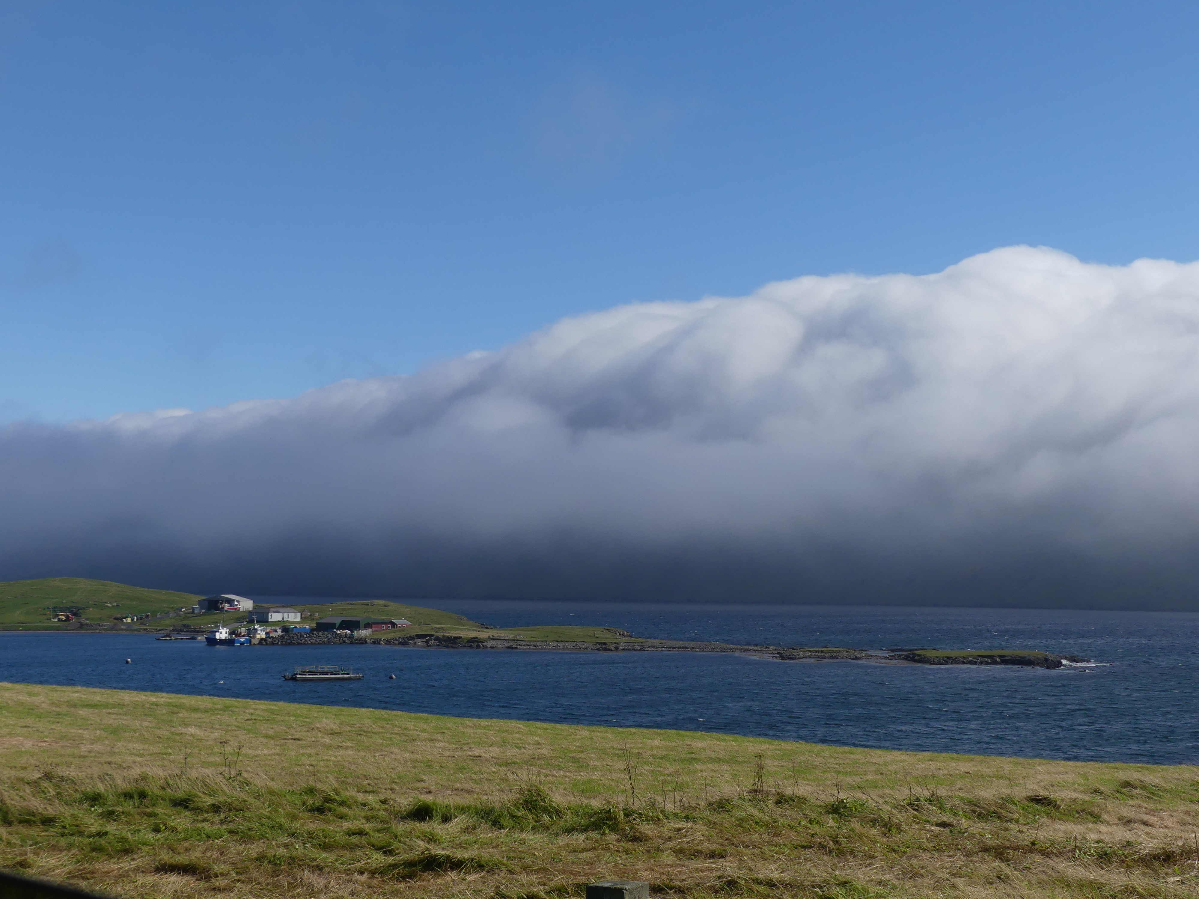
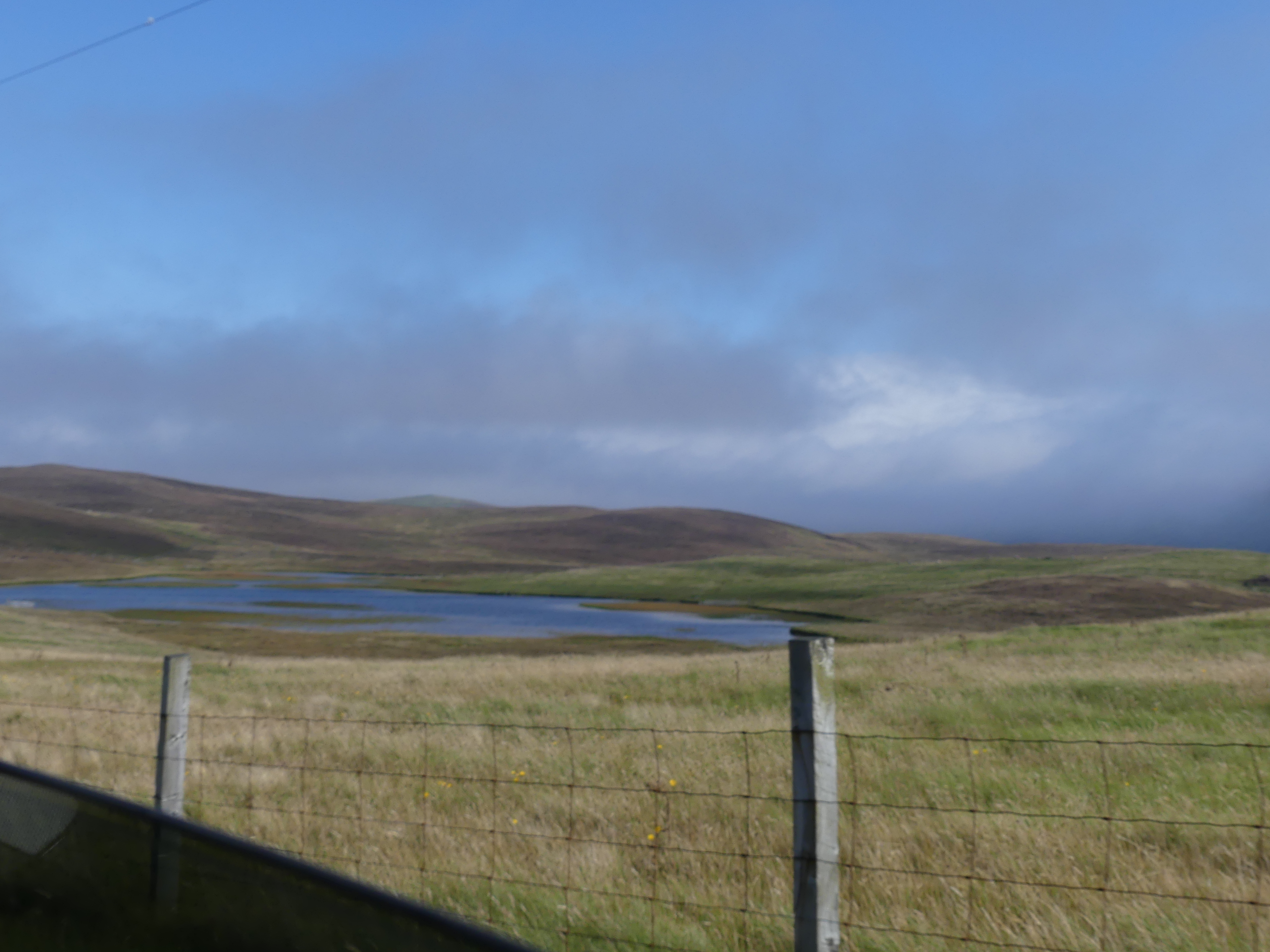
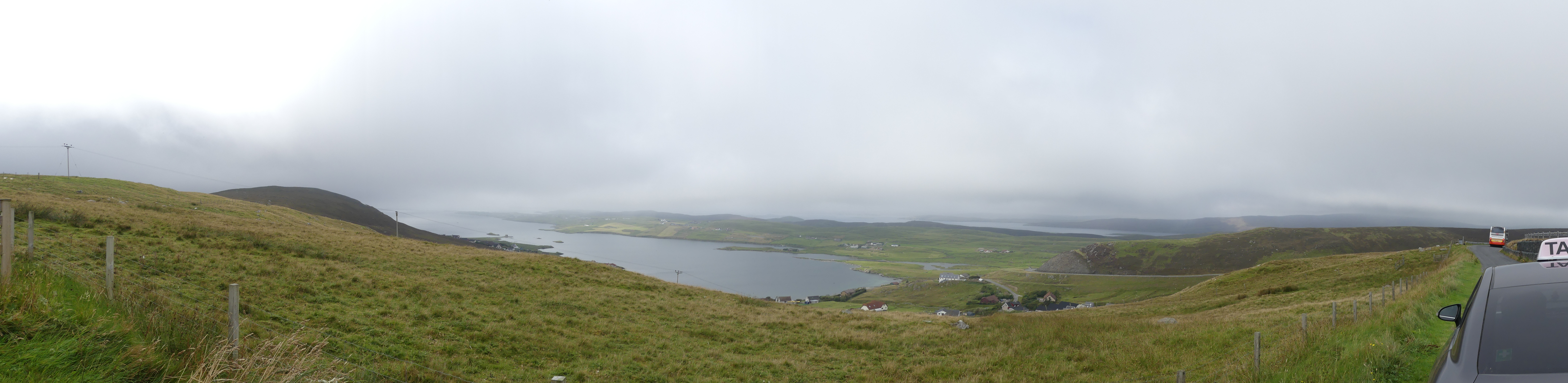
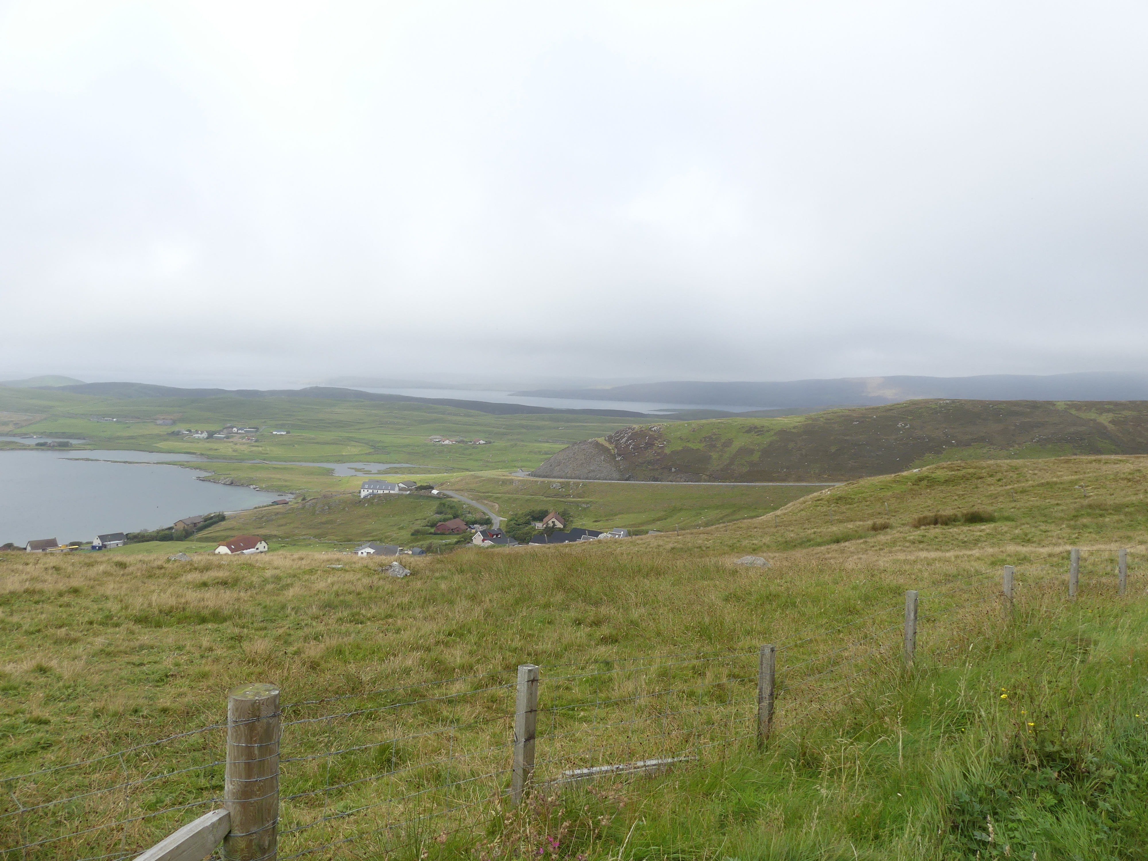
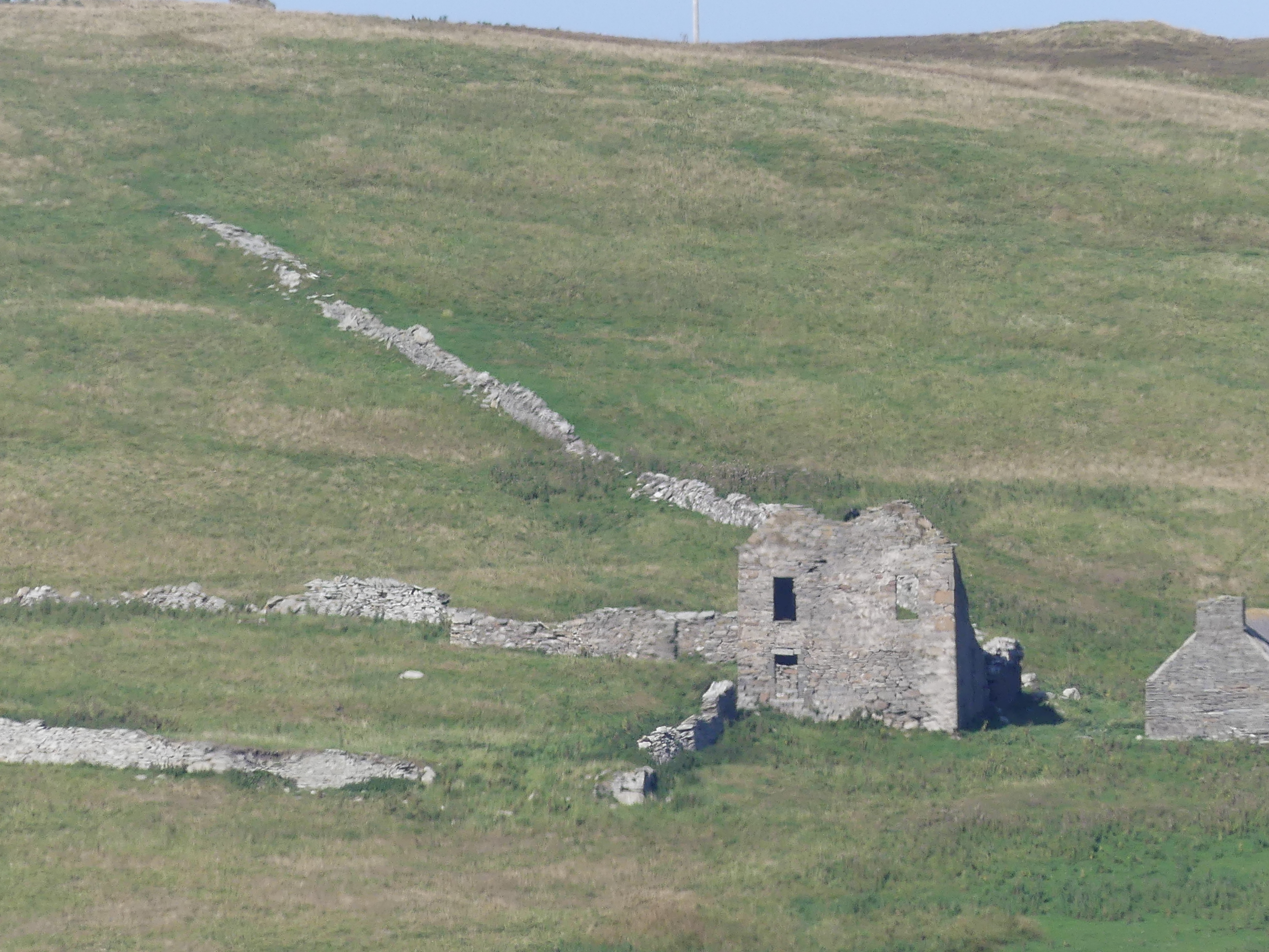
We left Scalloway to see more of the western side of the island. The weather was trying to clear but it was obvious that the eastern side was still overcast from the dense clouds shrouding the central hills. I will tell the story in pictures.


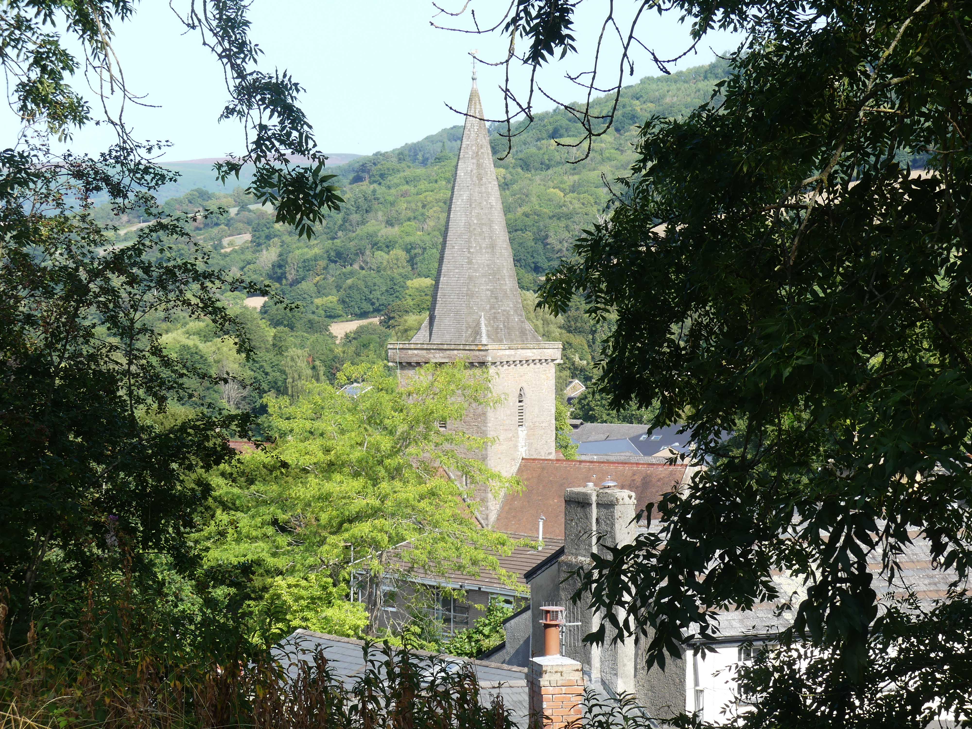
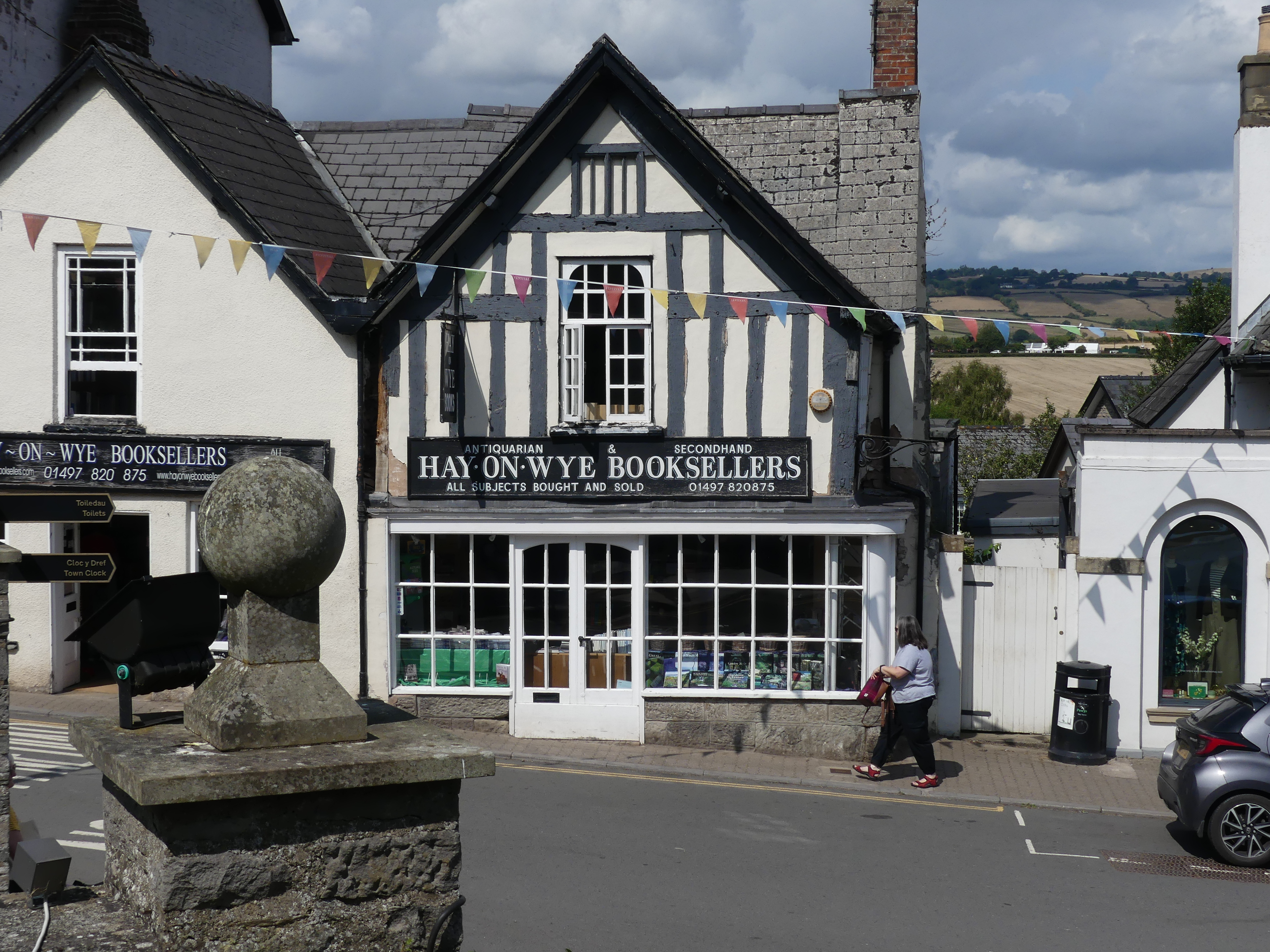
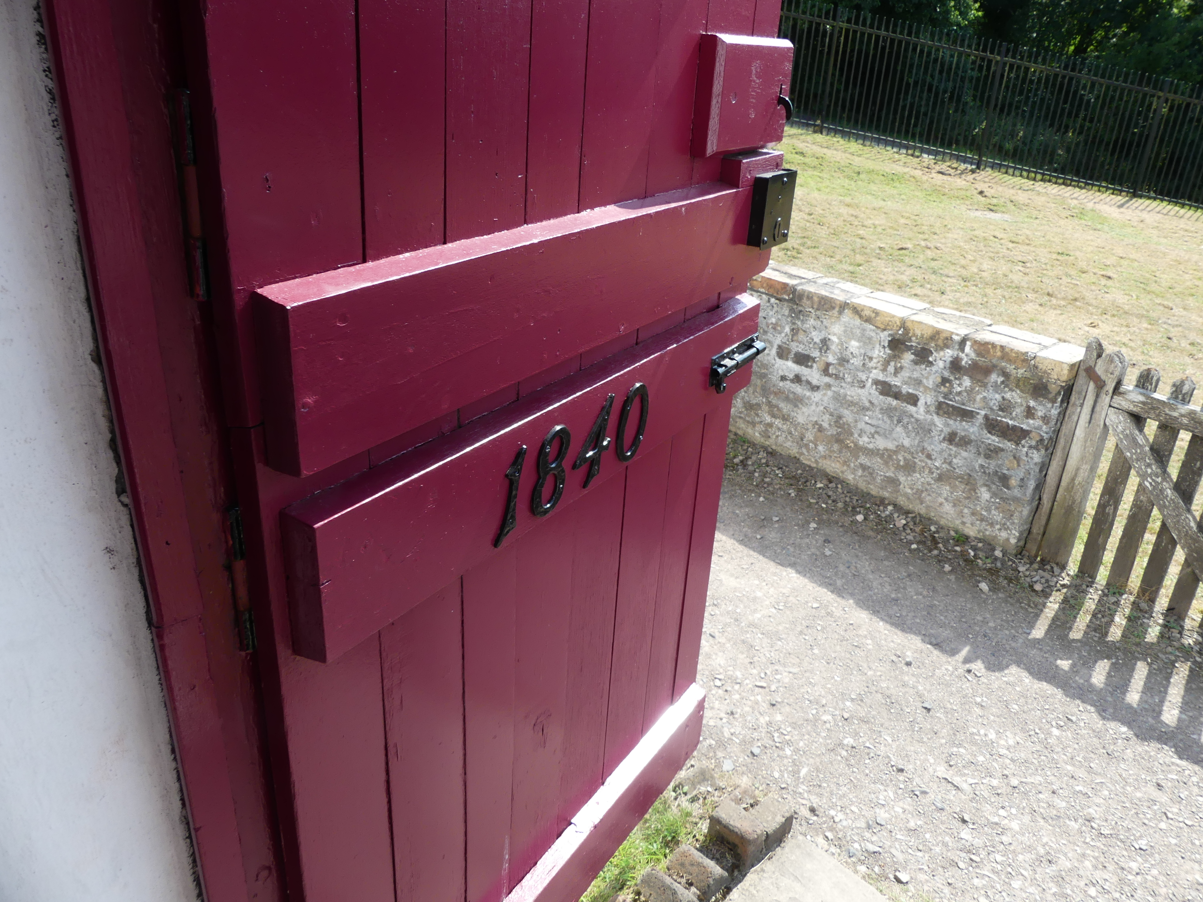
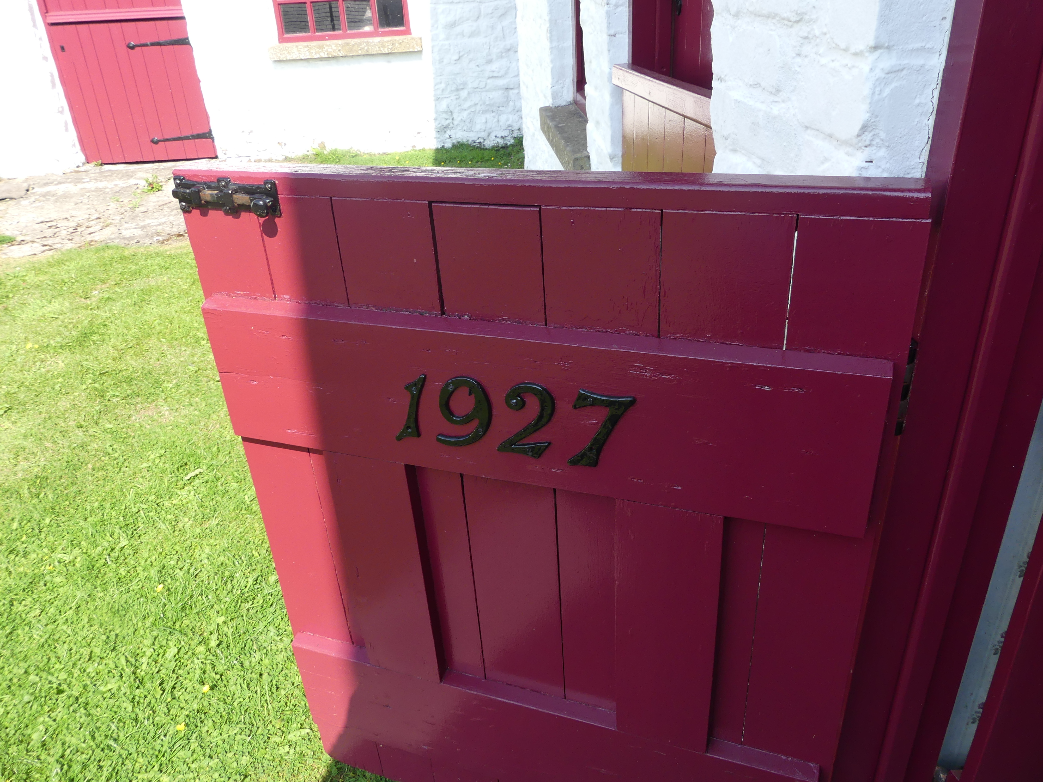
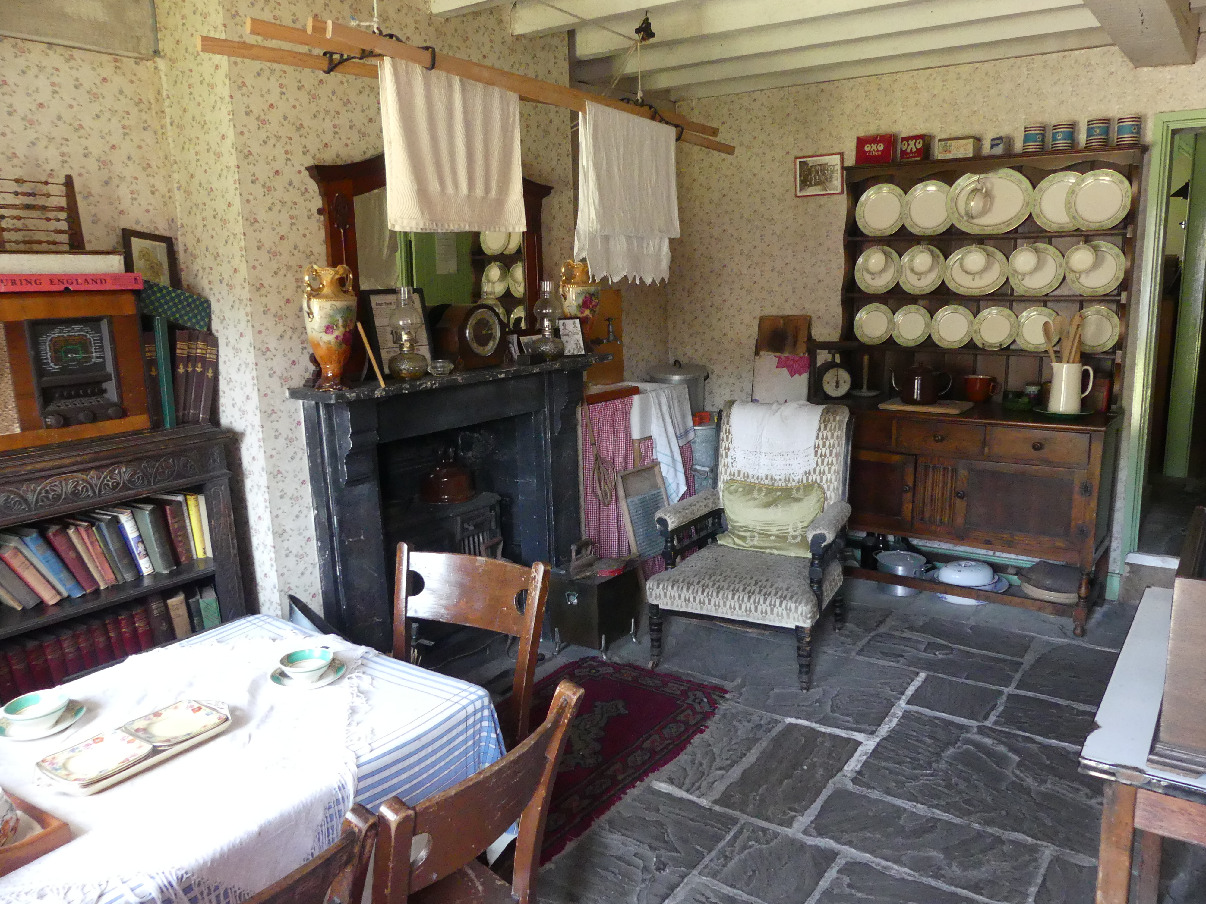
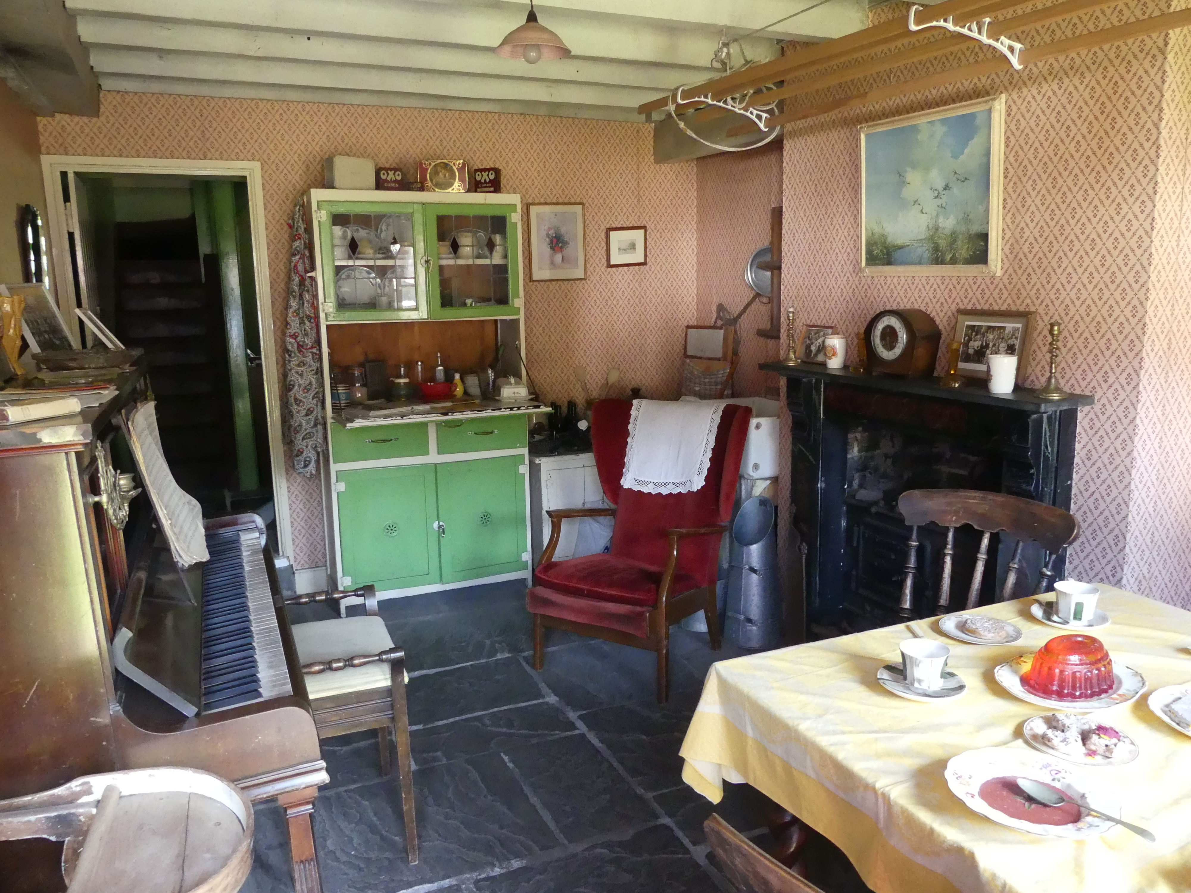
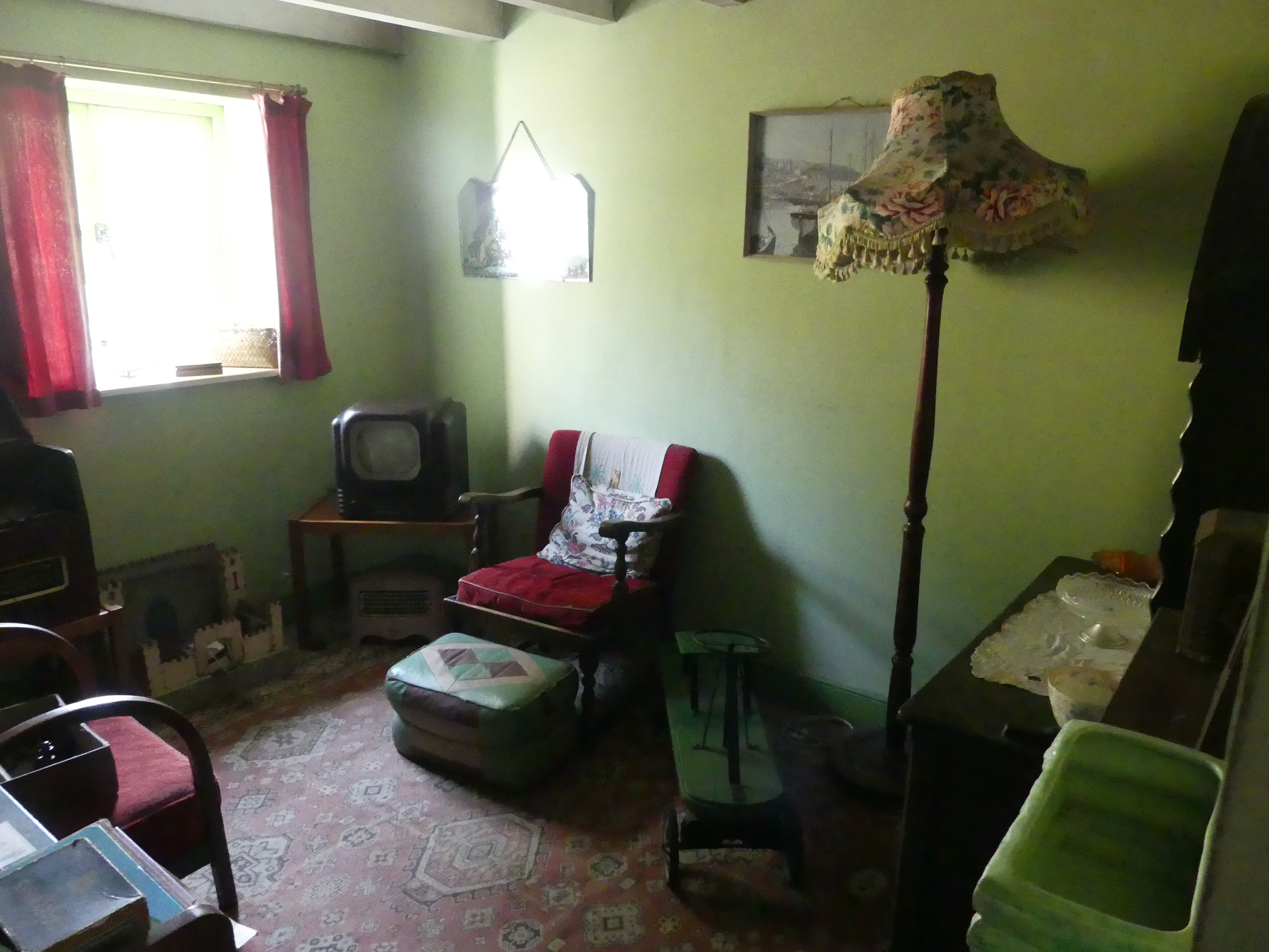
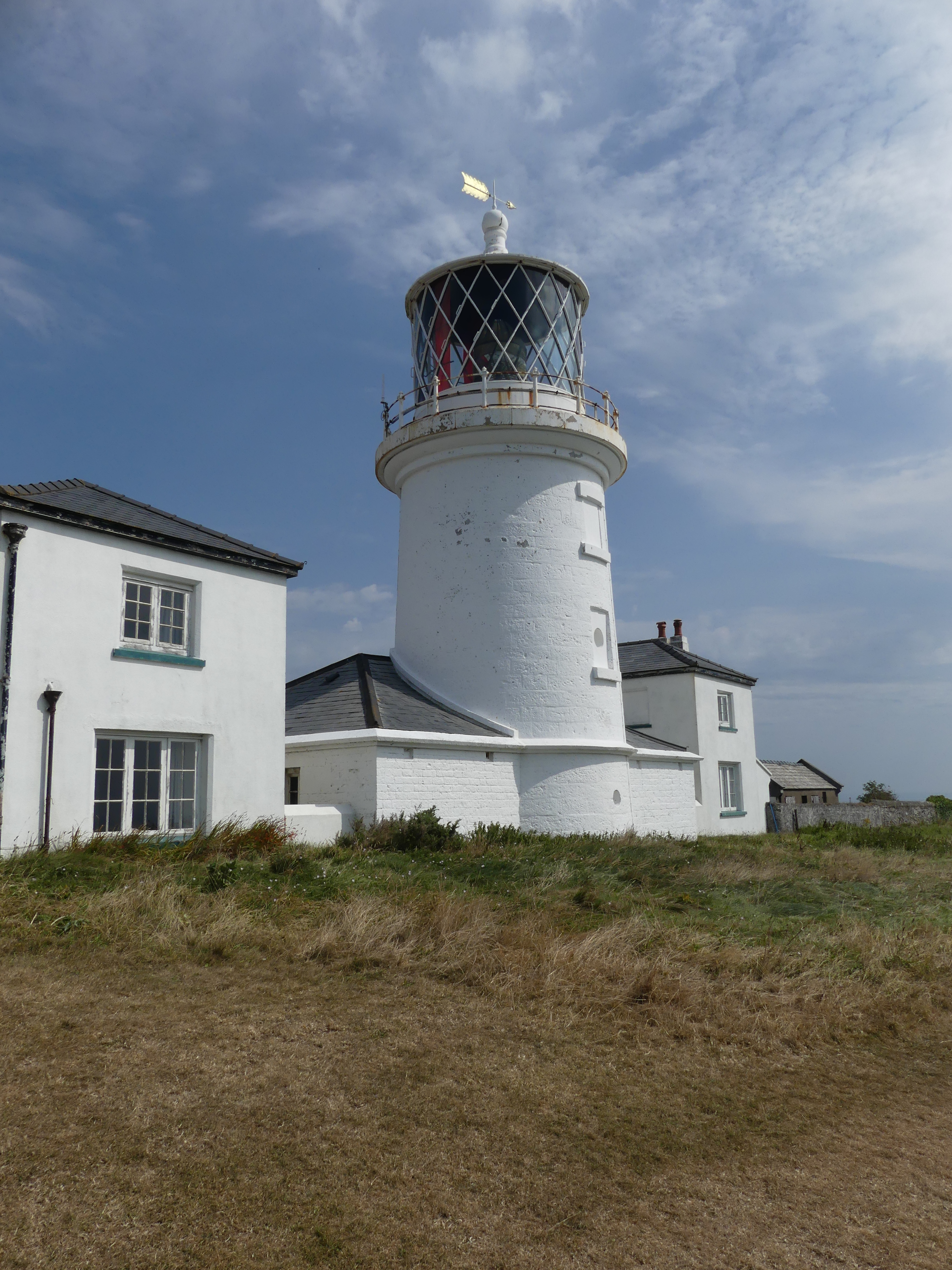
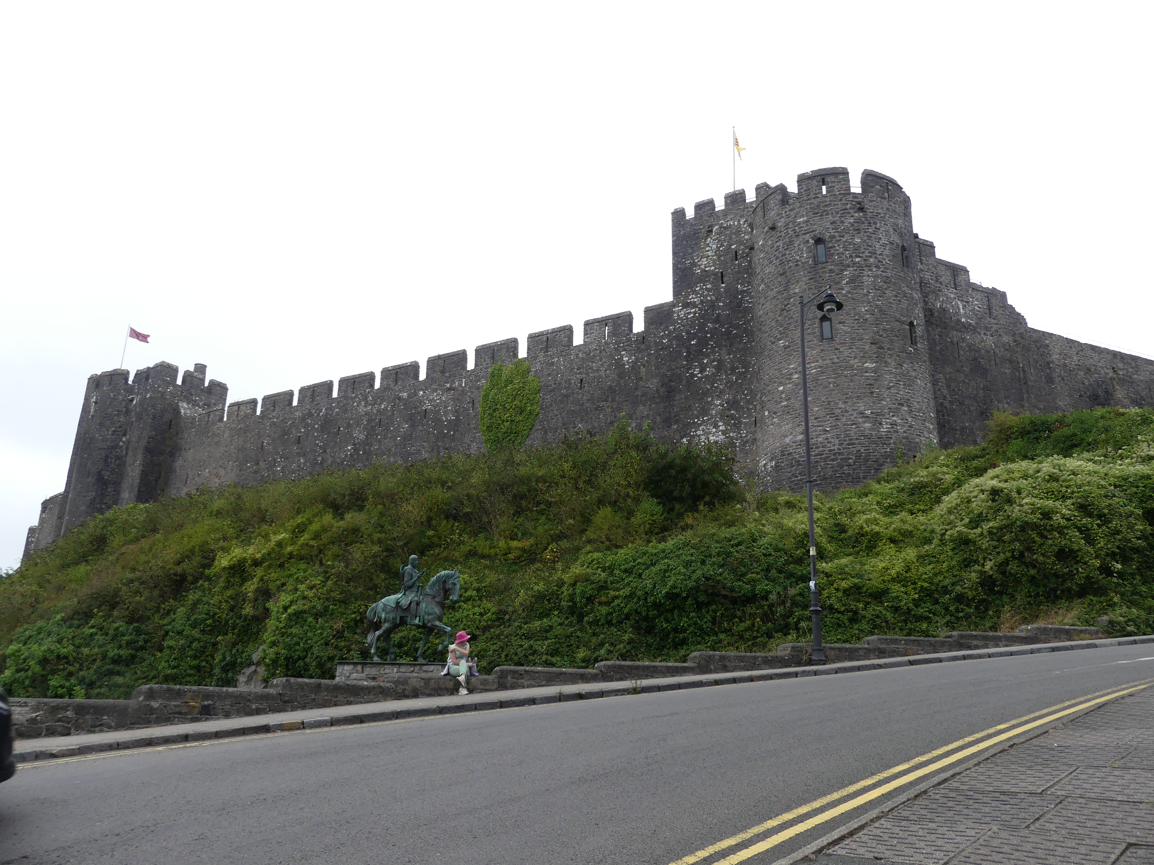
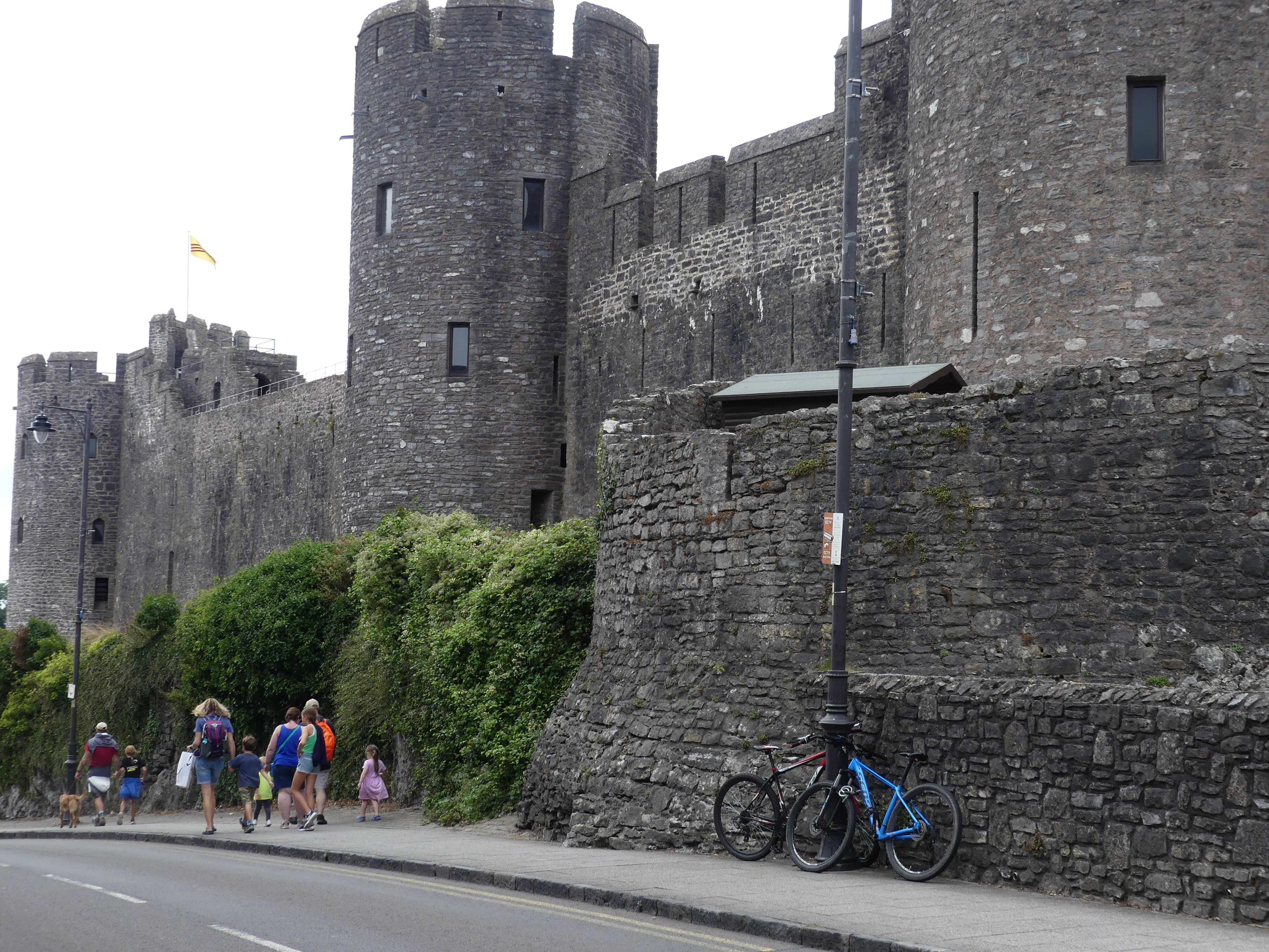
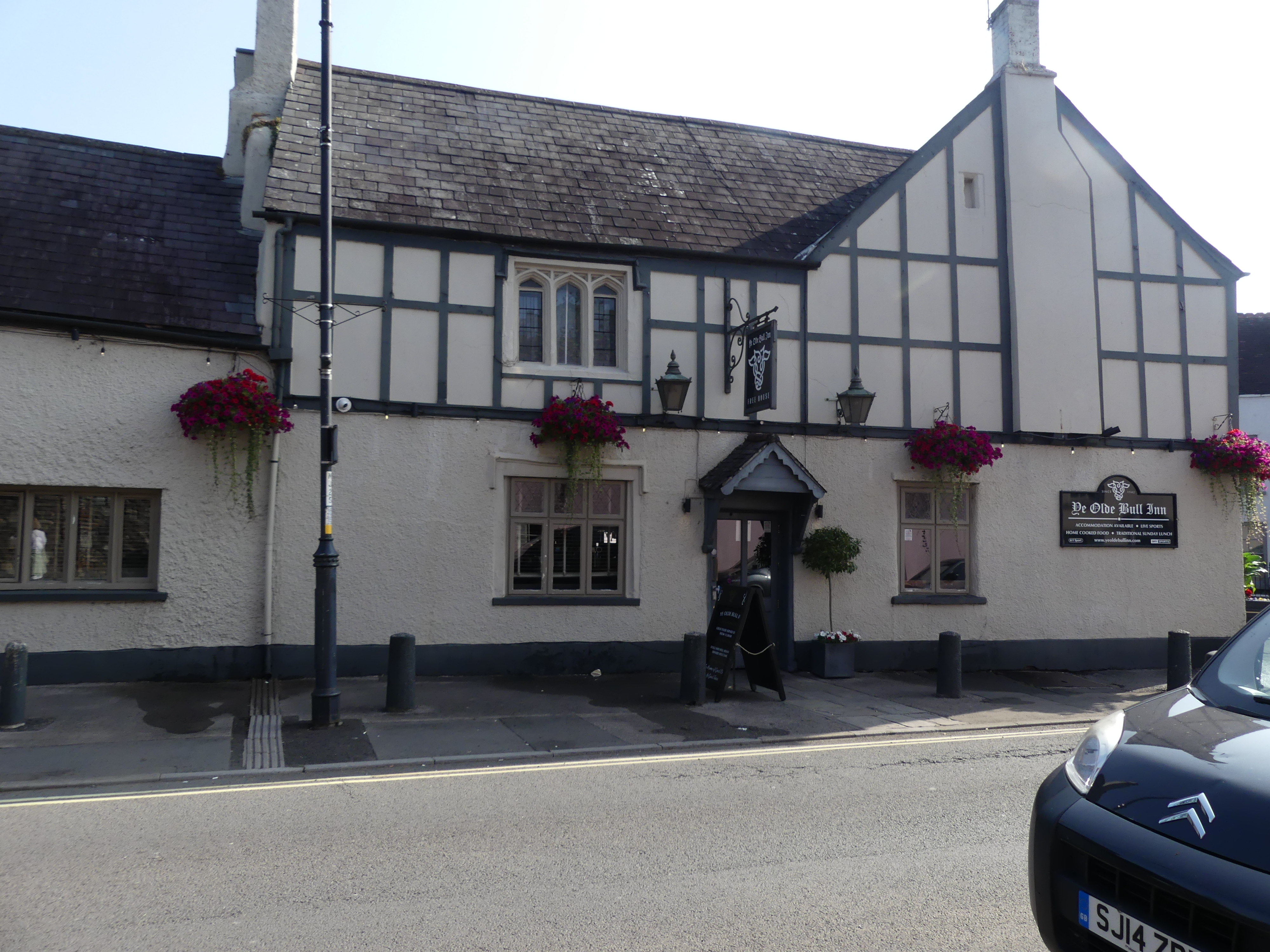
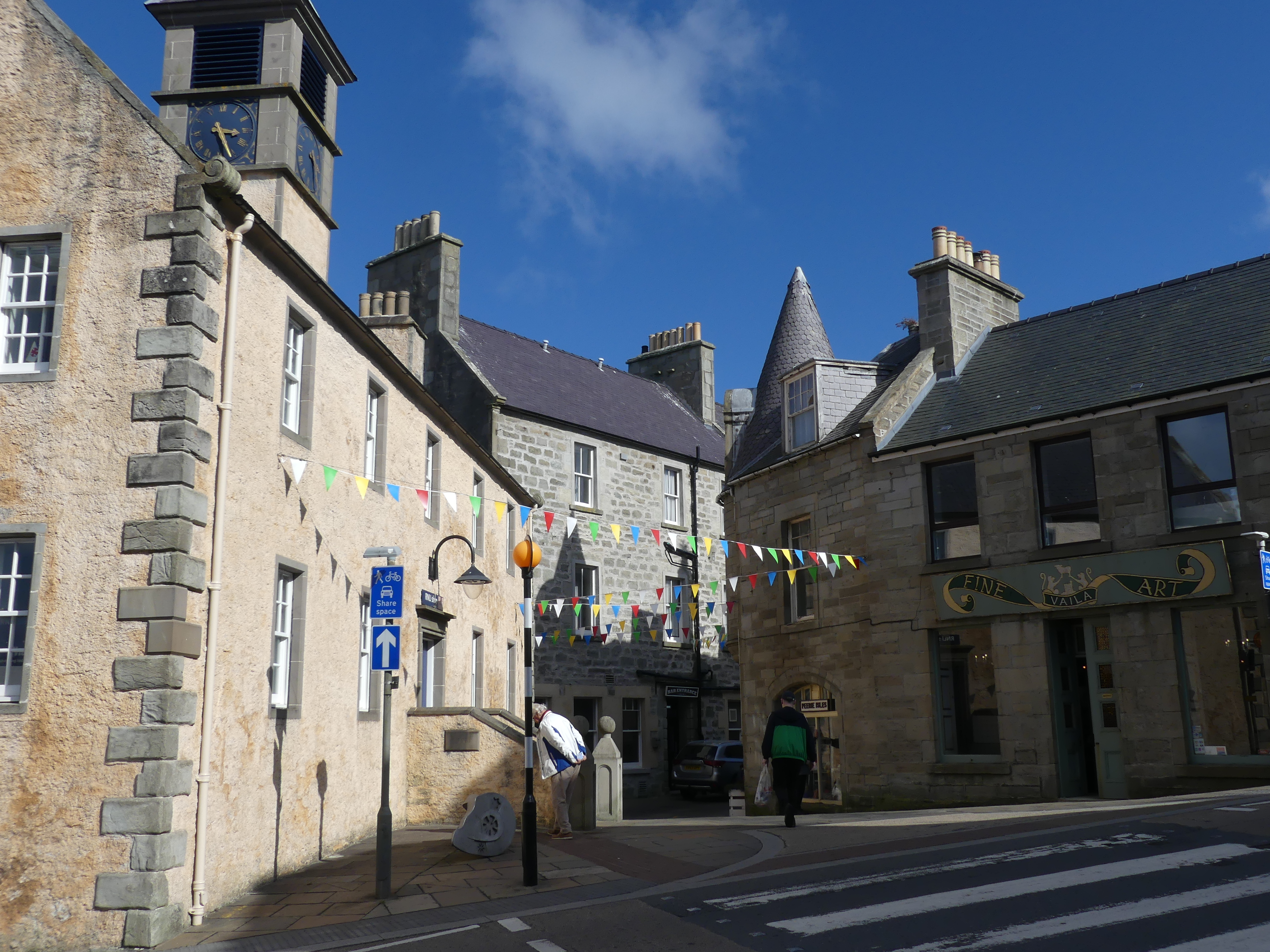
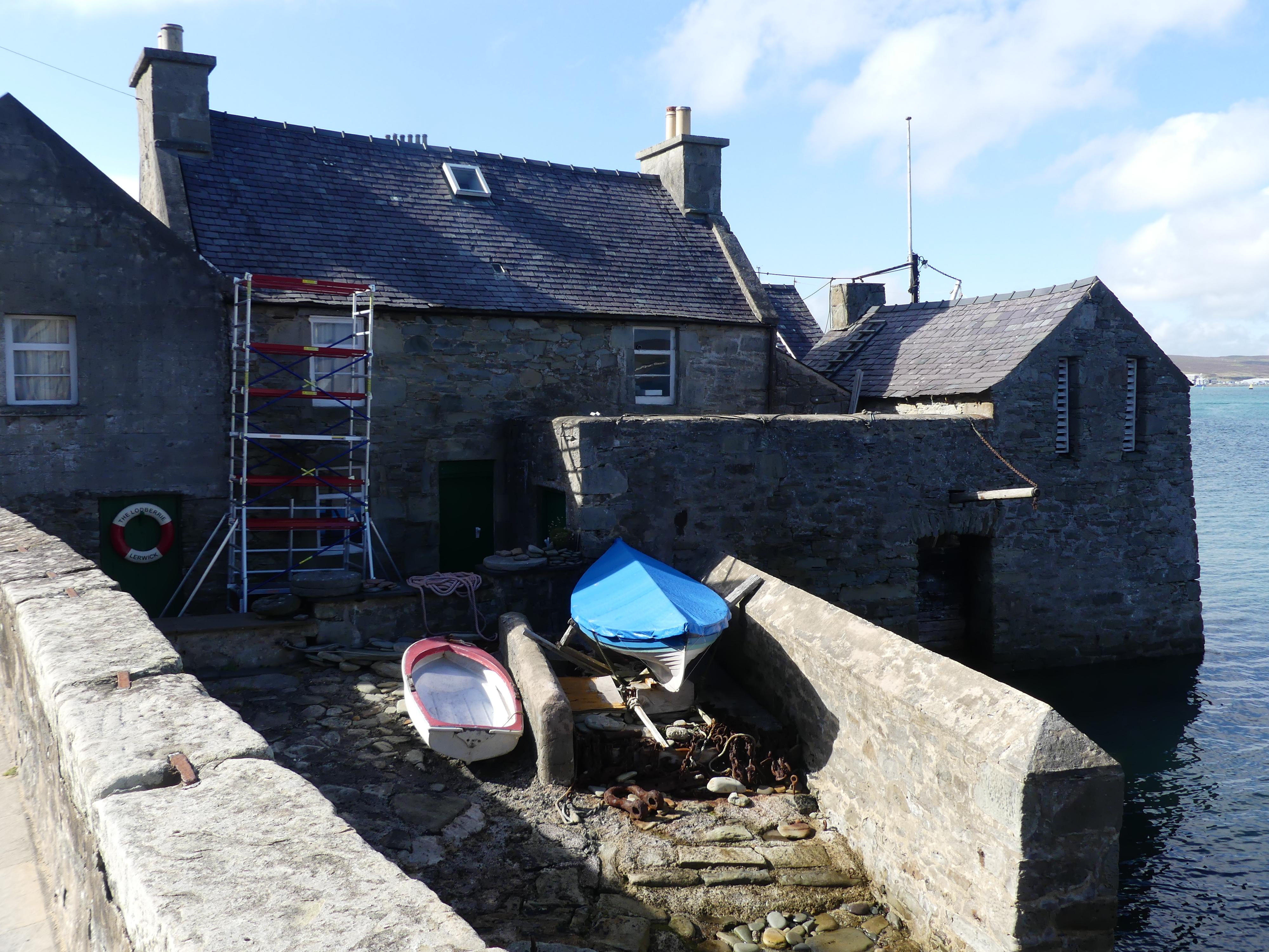
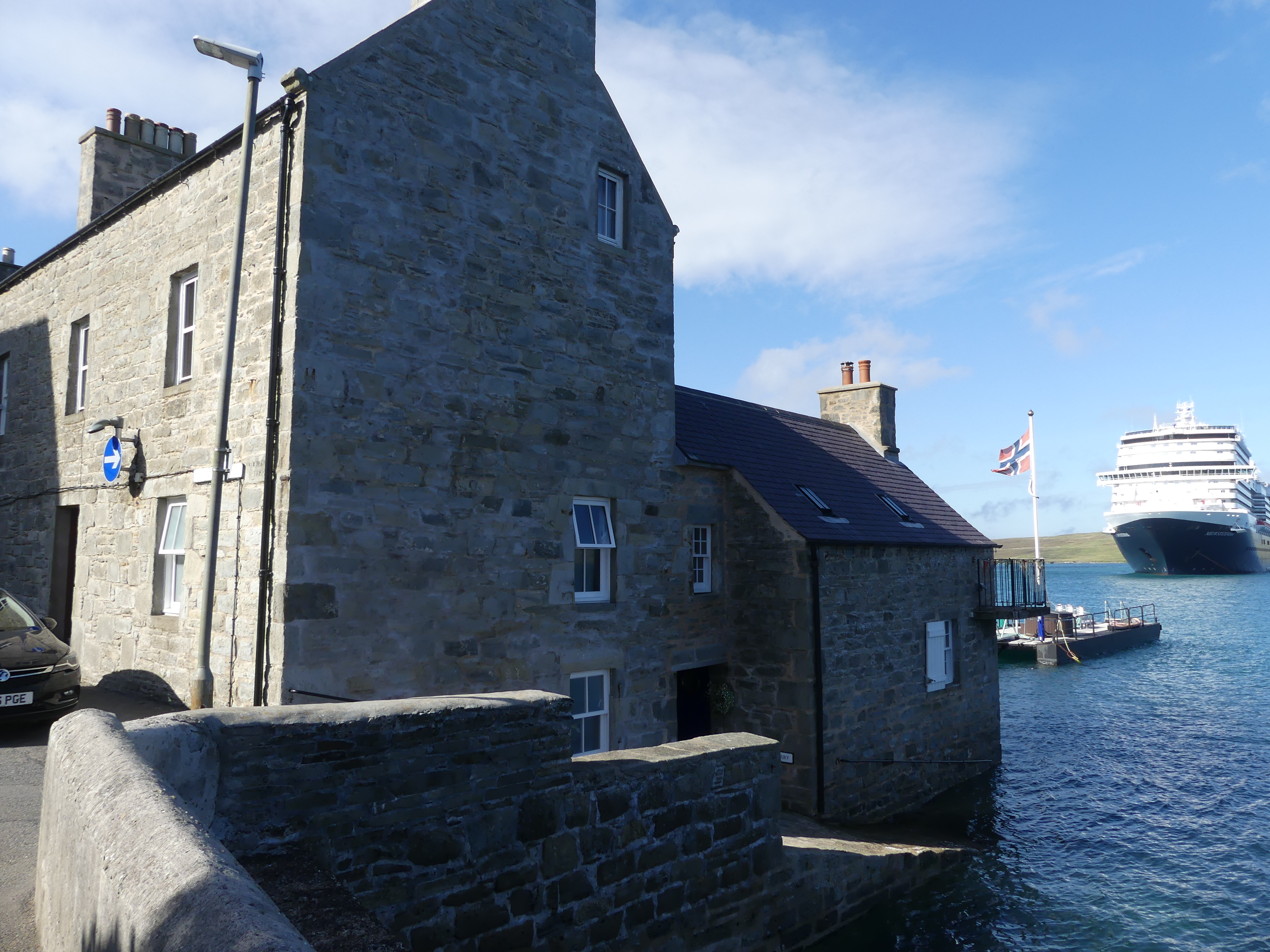
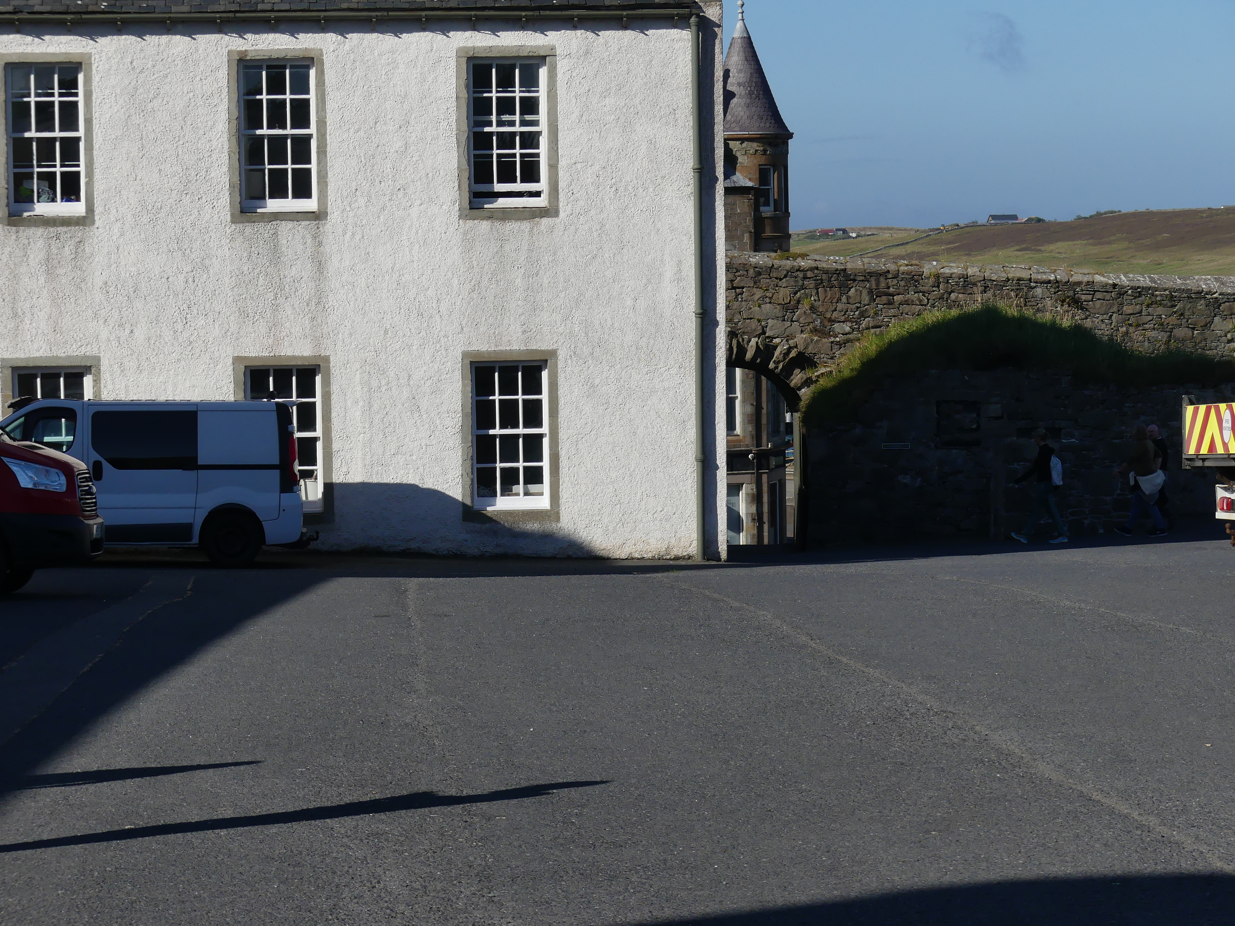
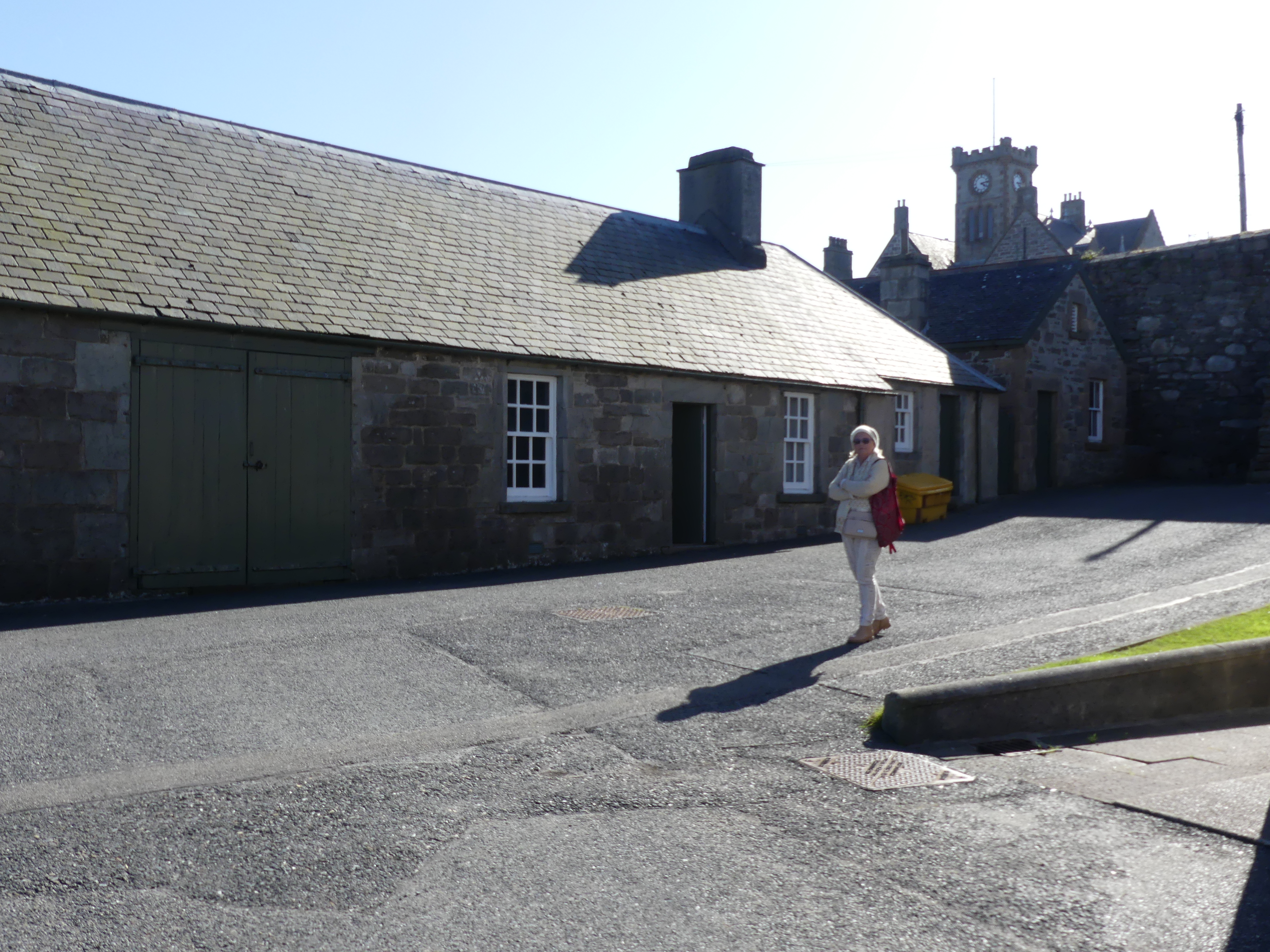
Our cab ride had come to an end with the car re-entering Lerwick and returning to the cab rank. On foot we started to explore the town. The old town was still very much the centre of town with Fort Charlotte at the northern end of the main road. The houses with Lodberries attached we quite evident and Jimmy Perez’s house and Lodberry is picture 4 below with our ship in the background.


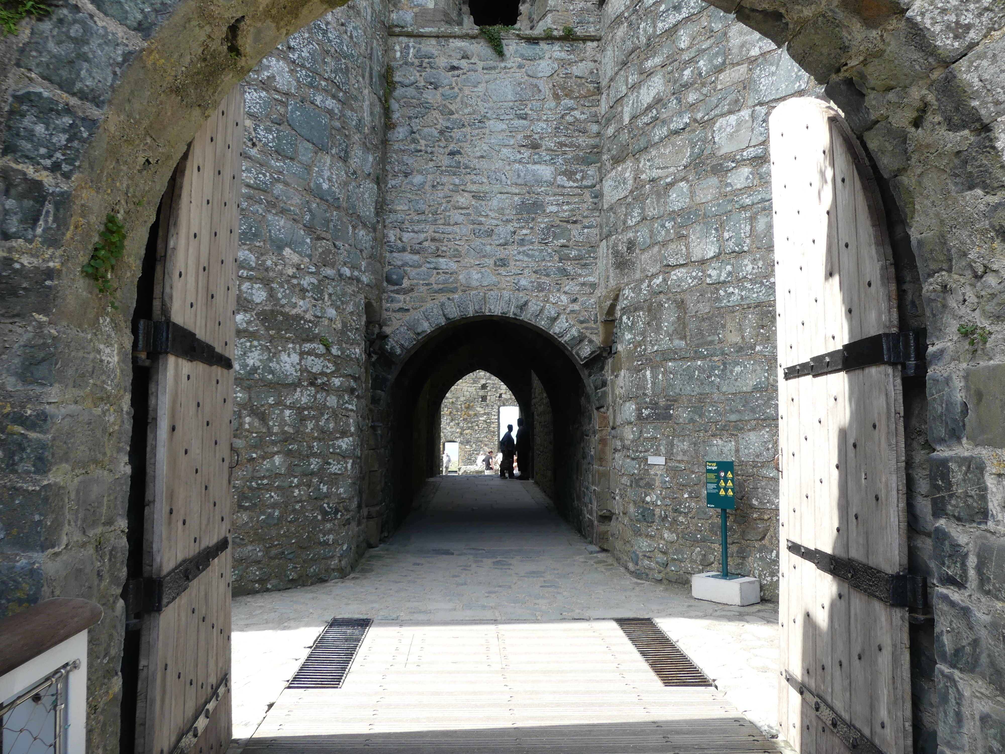
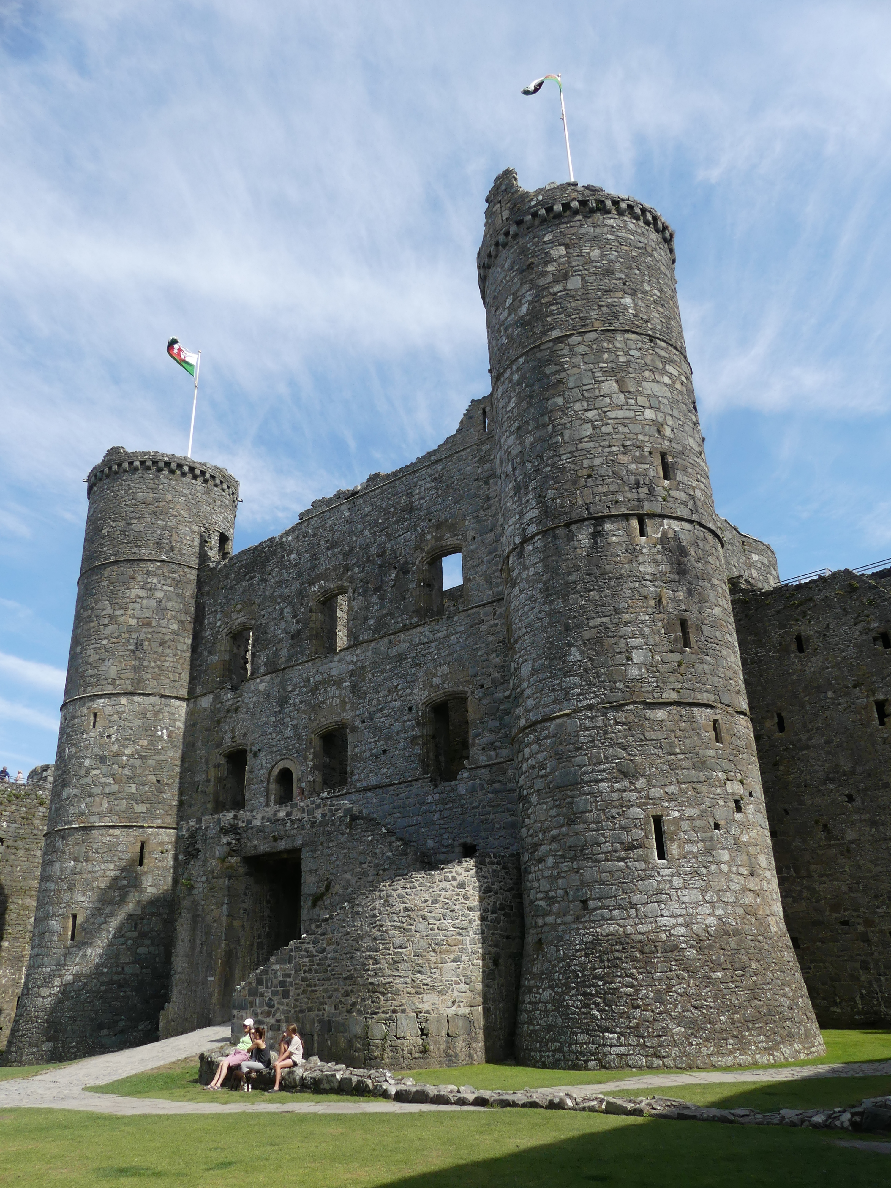
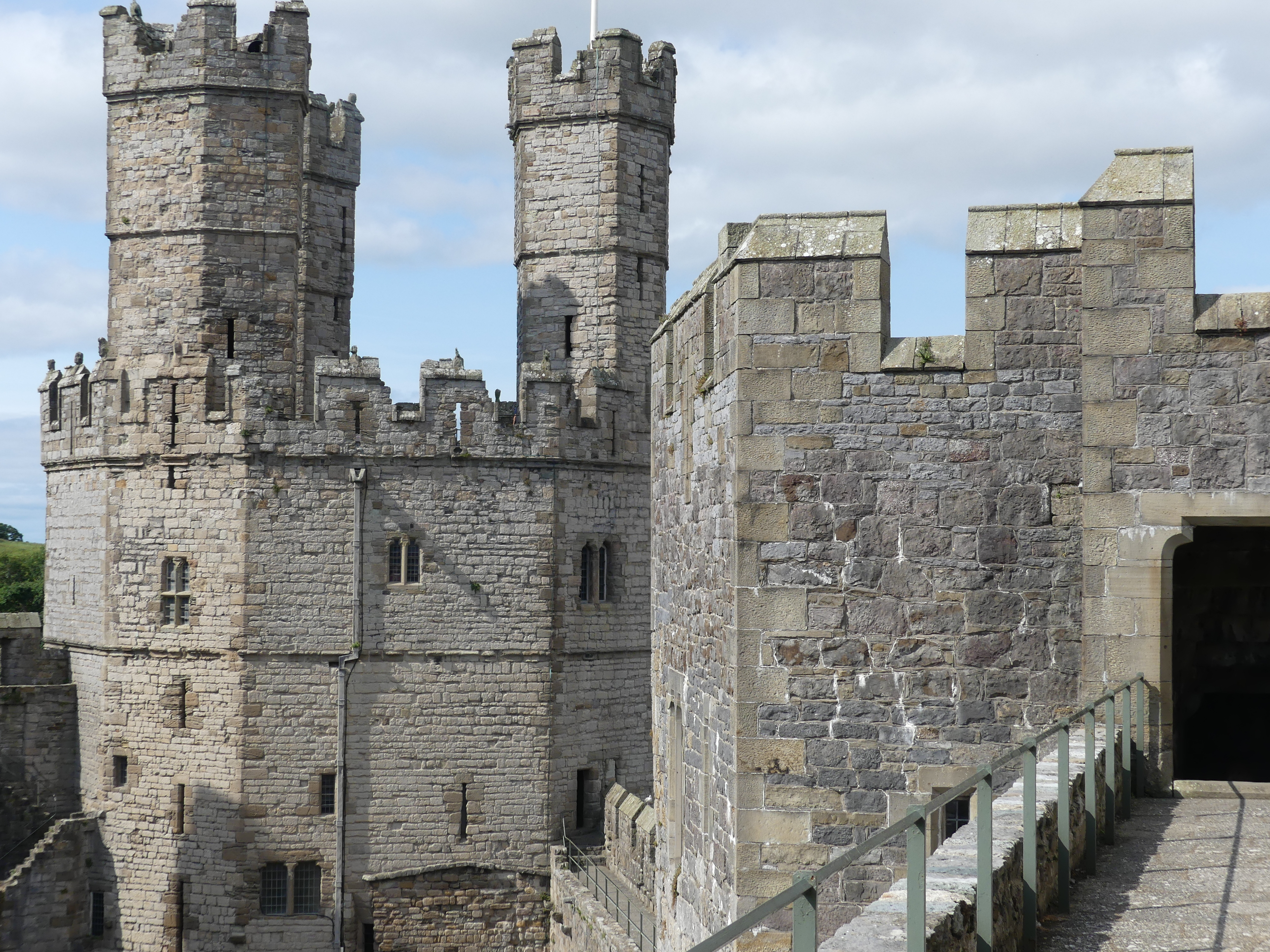
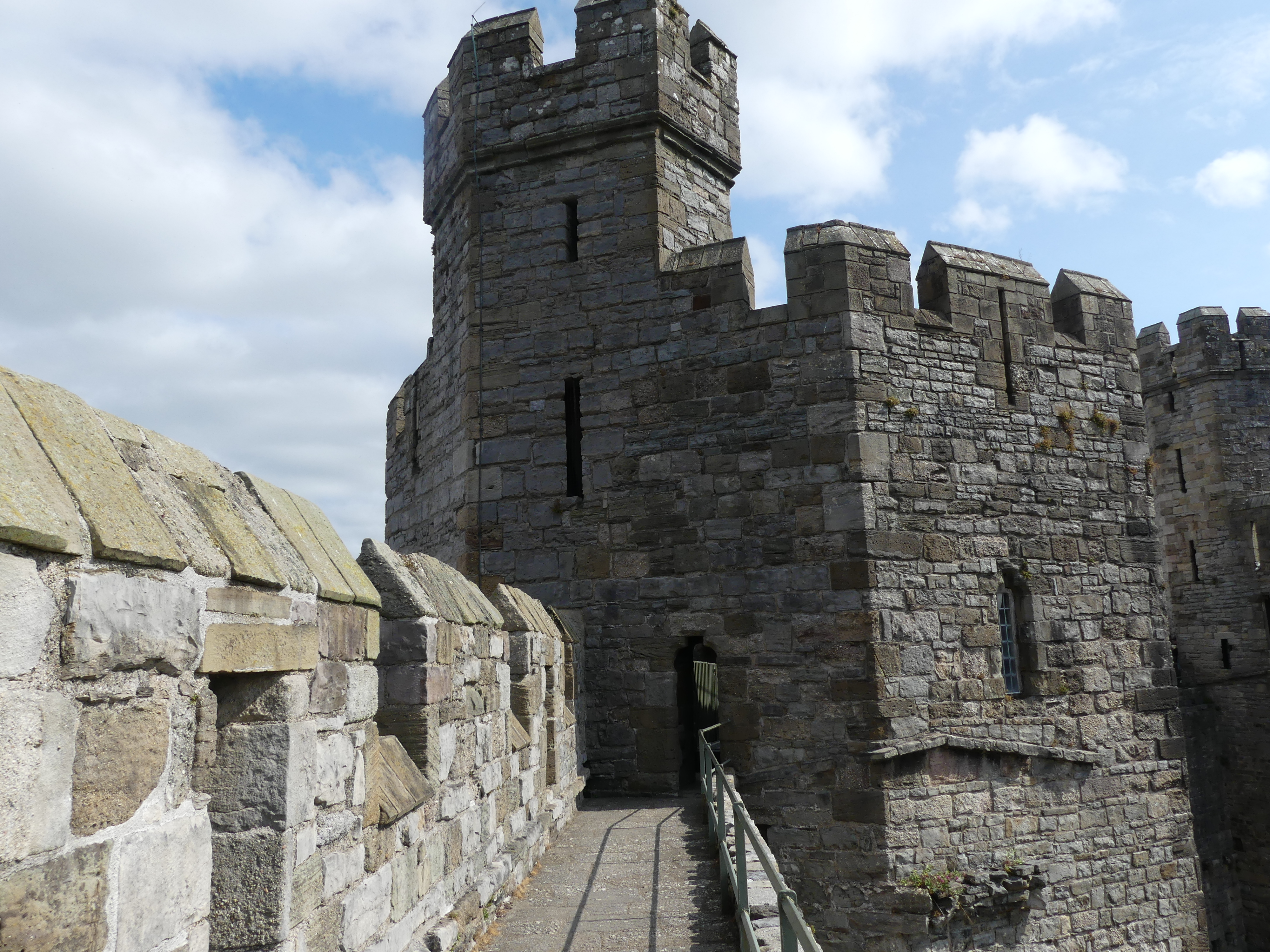
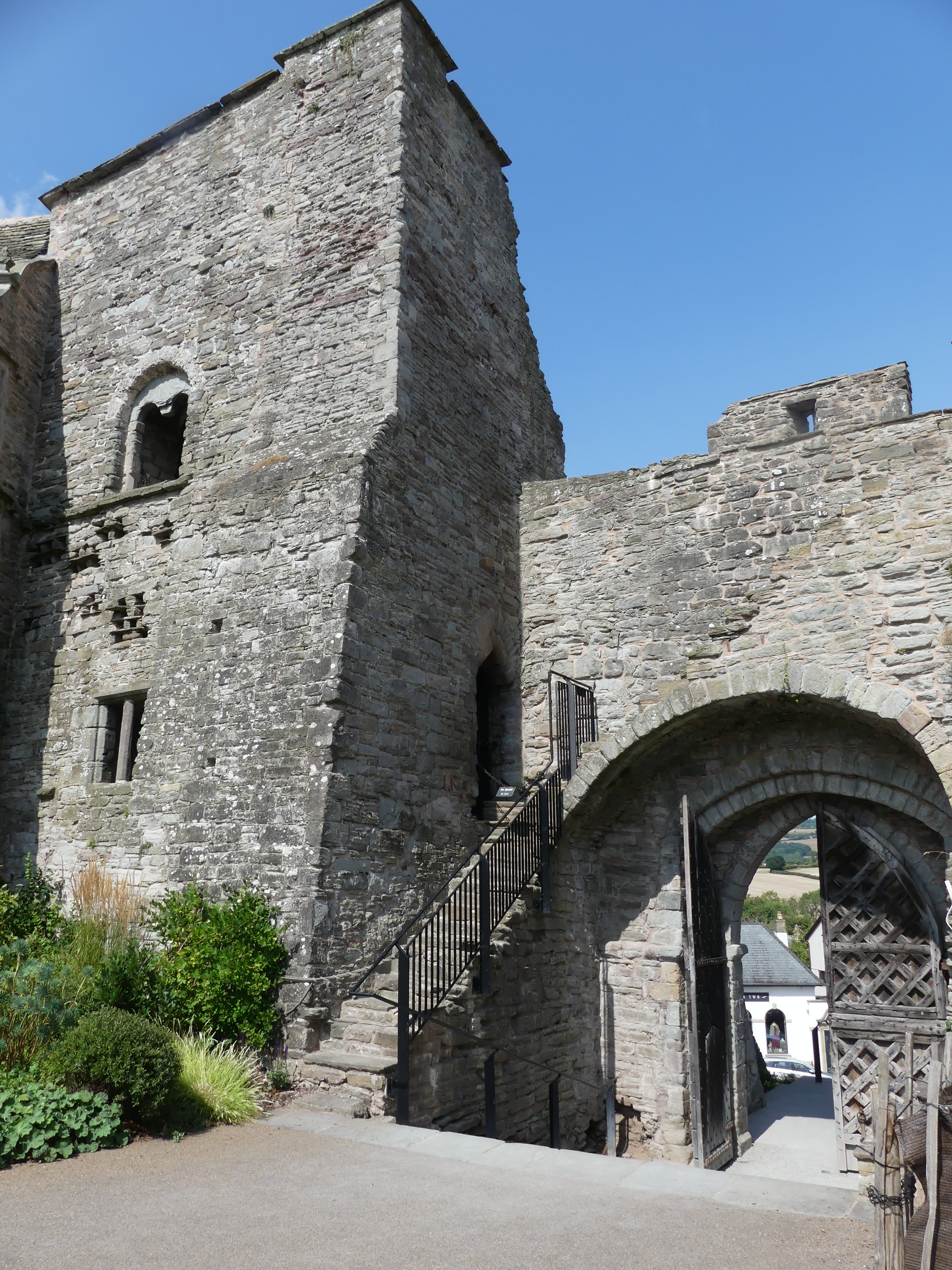
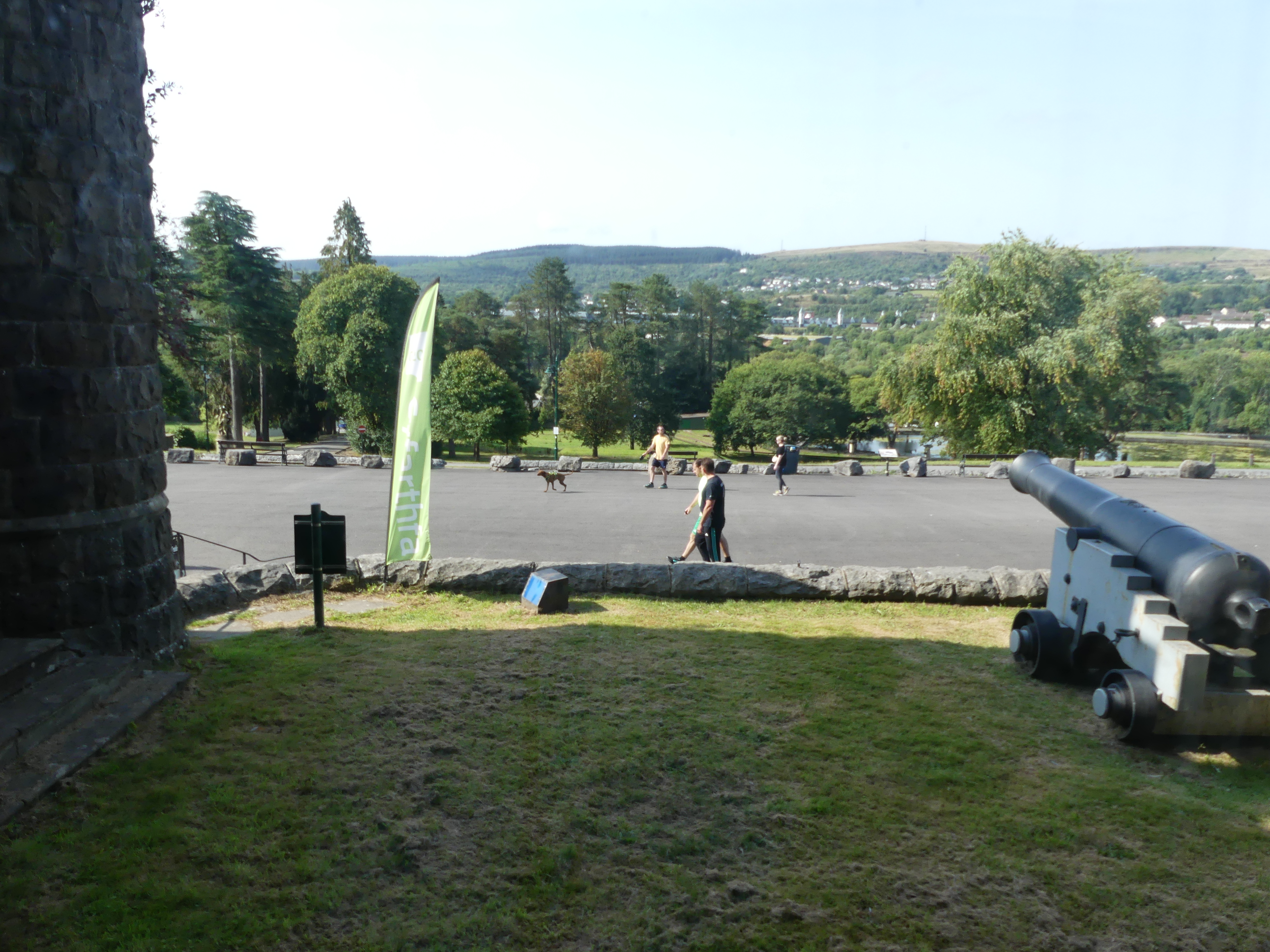
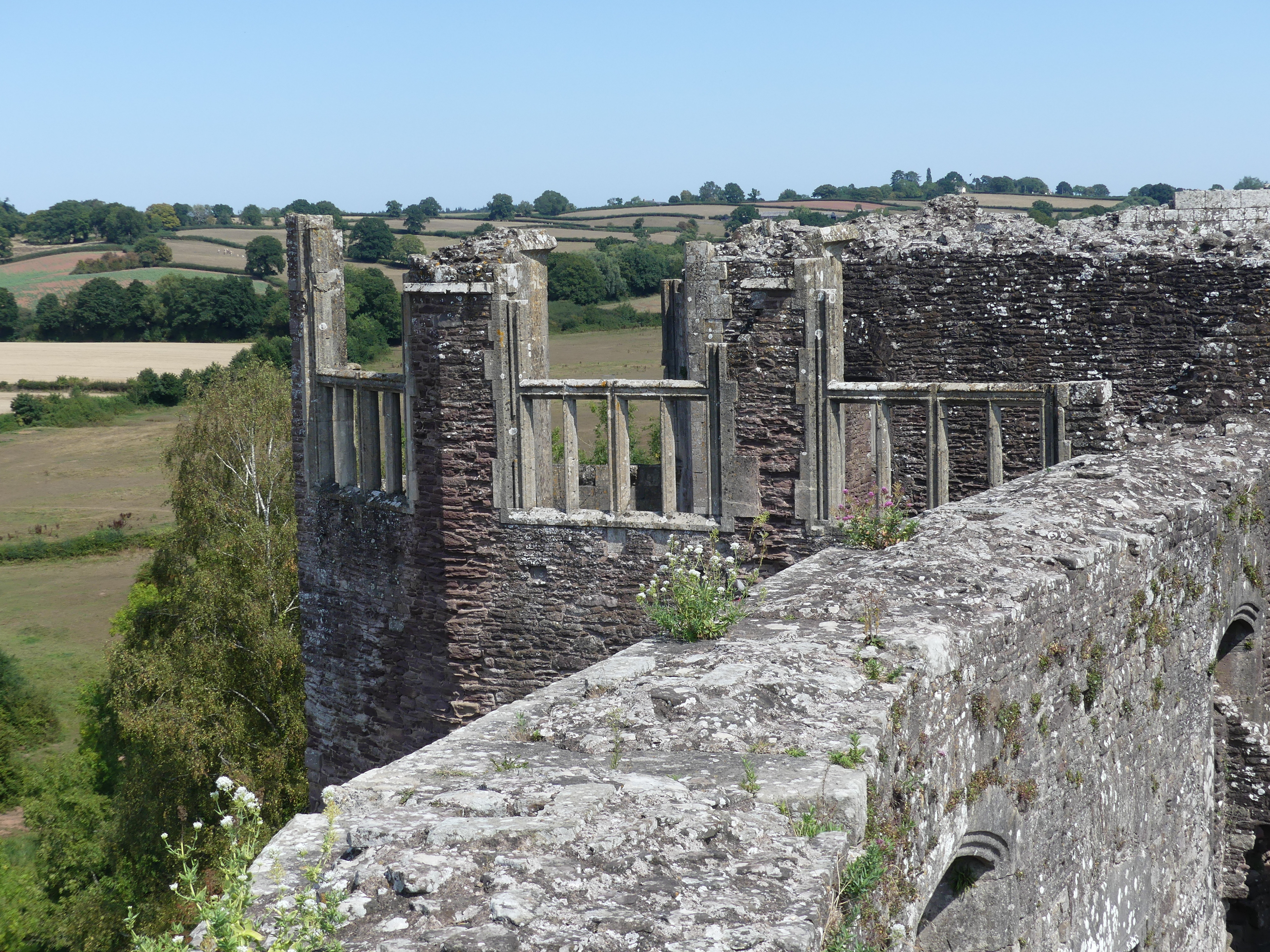
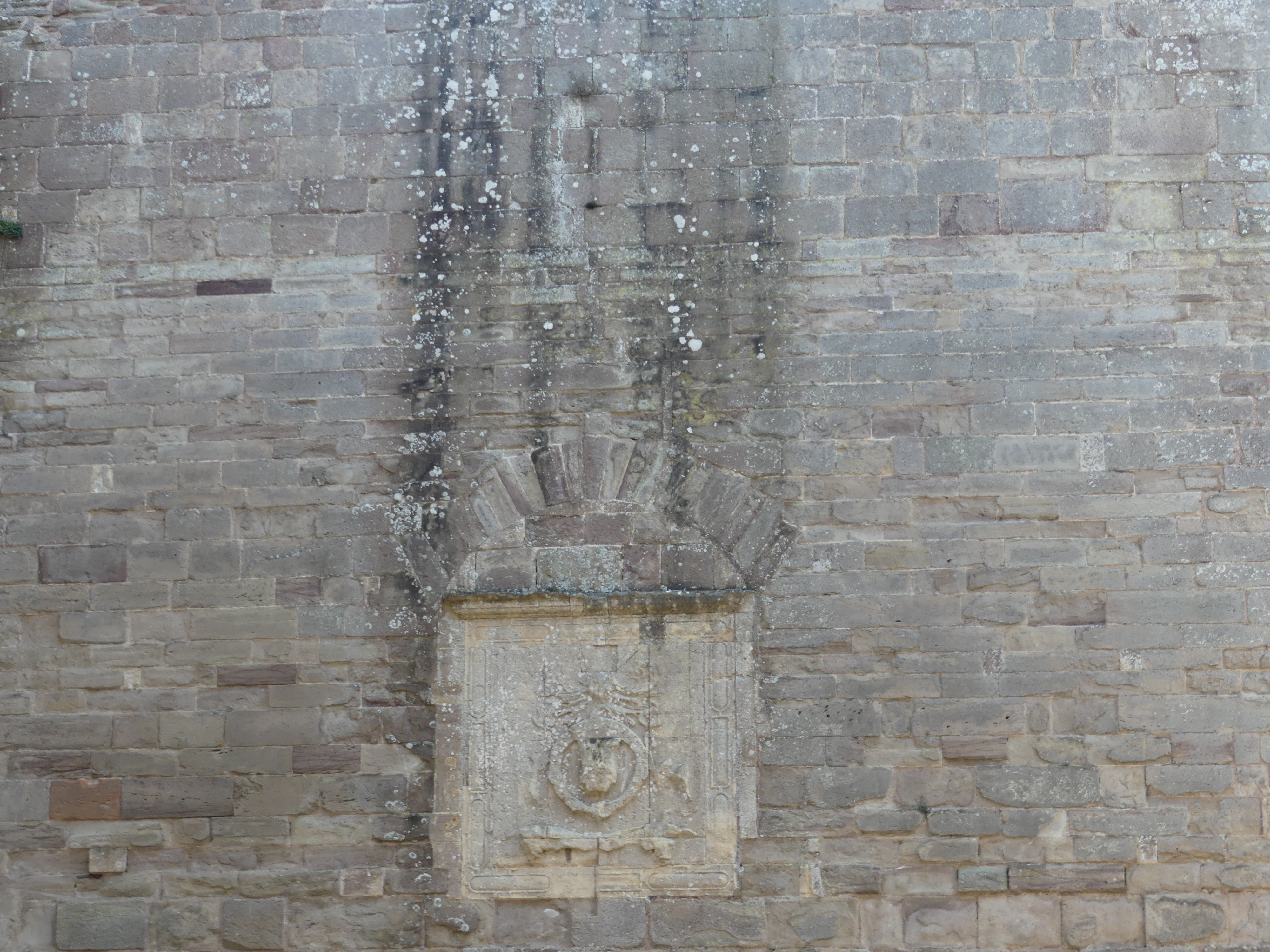
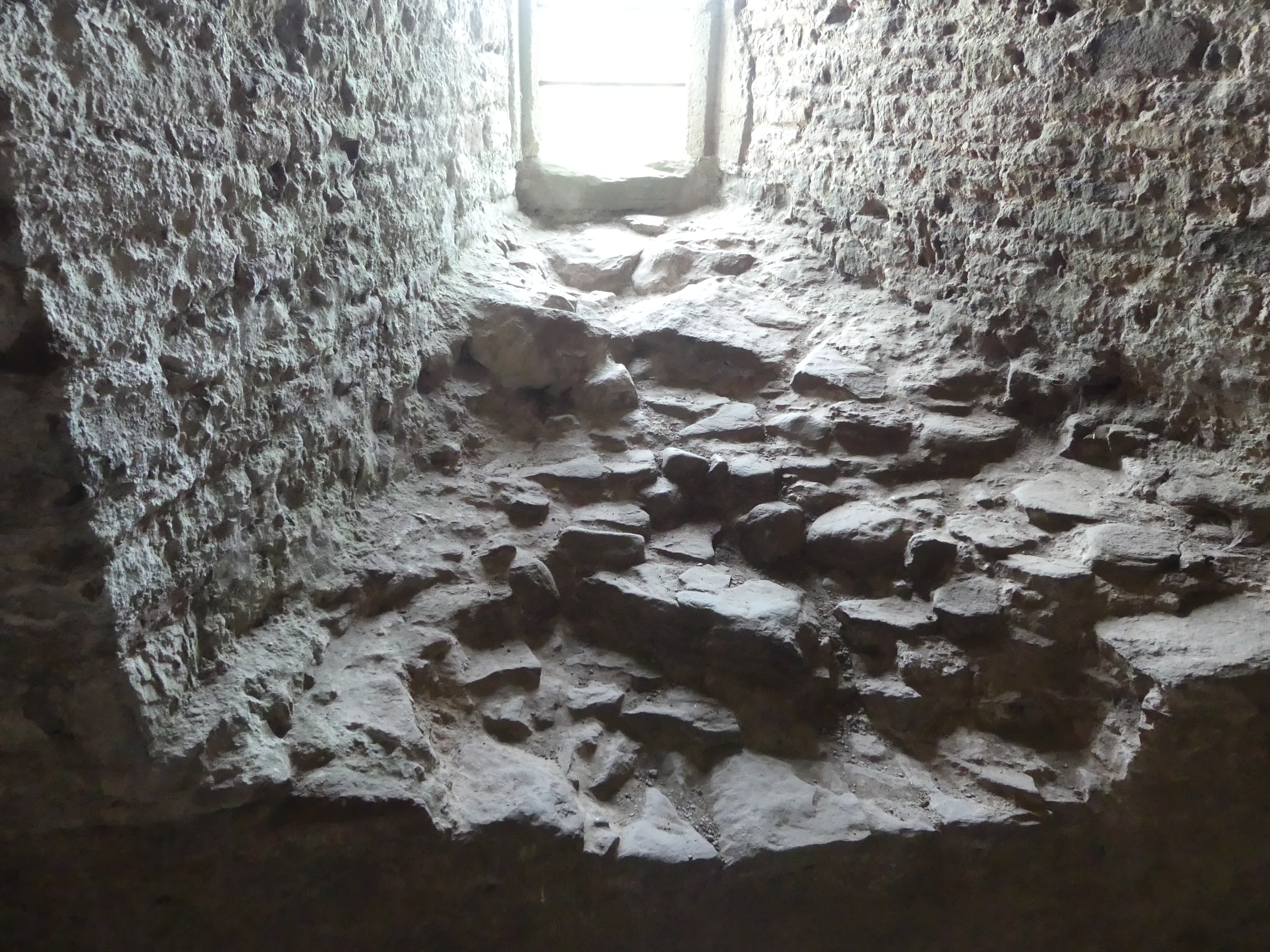
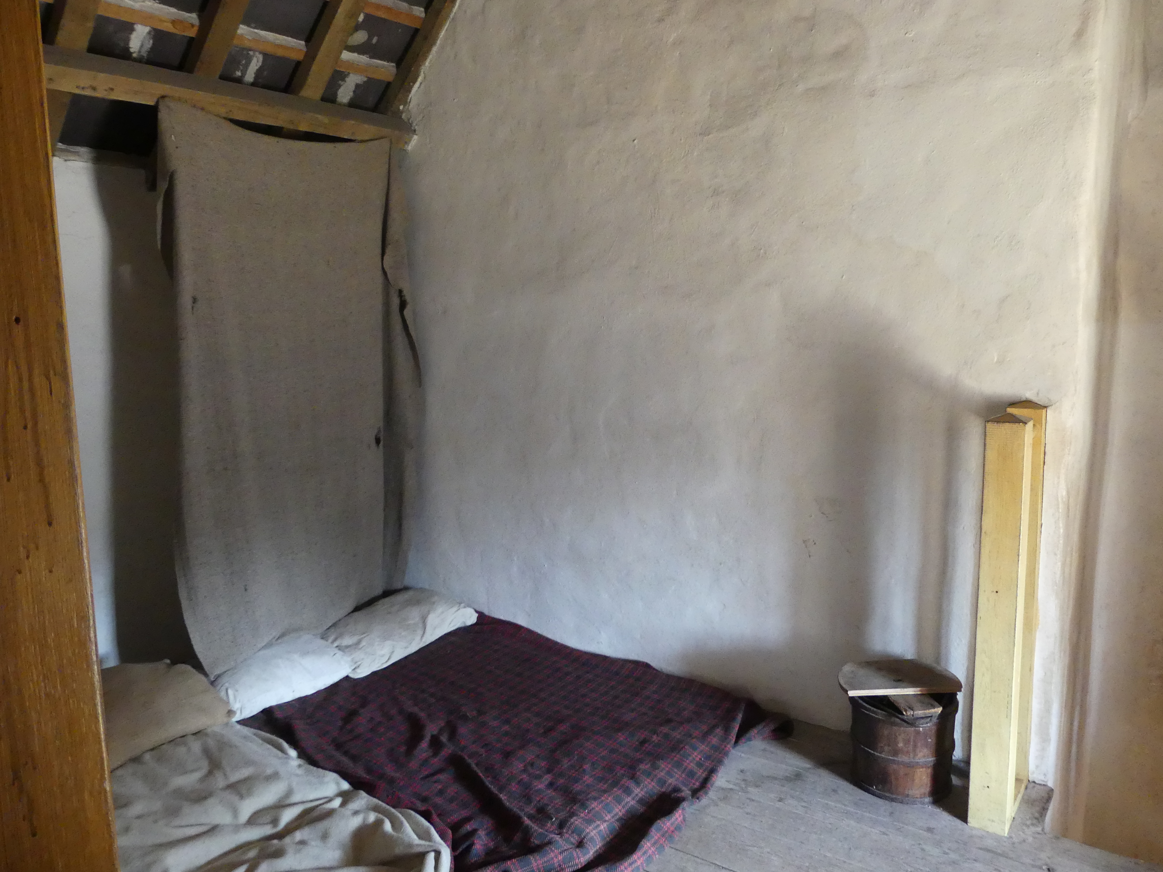
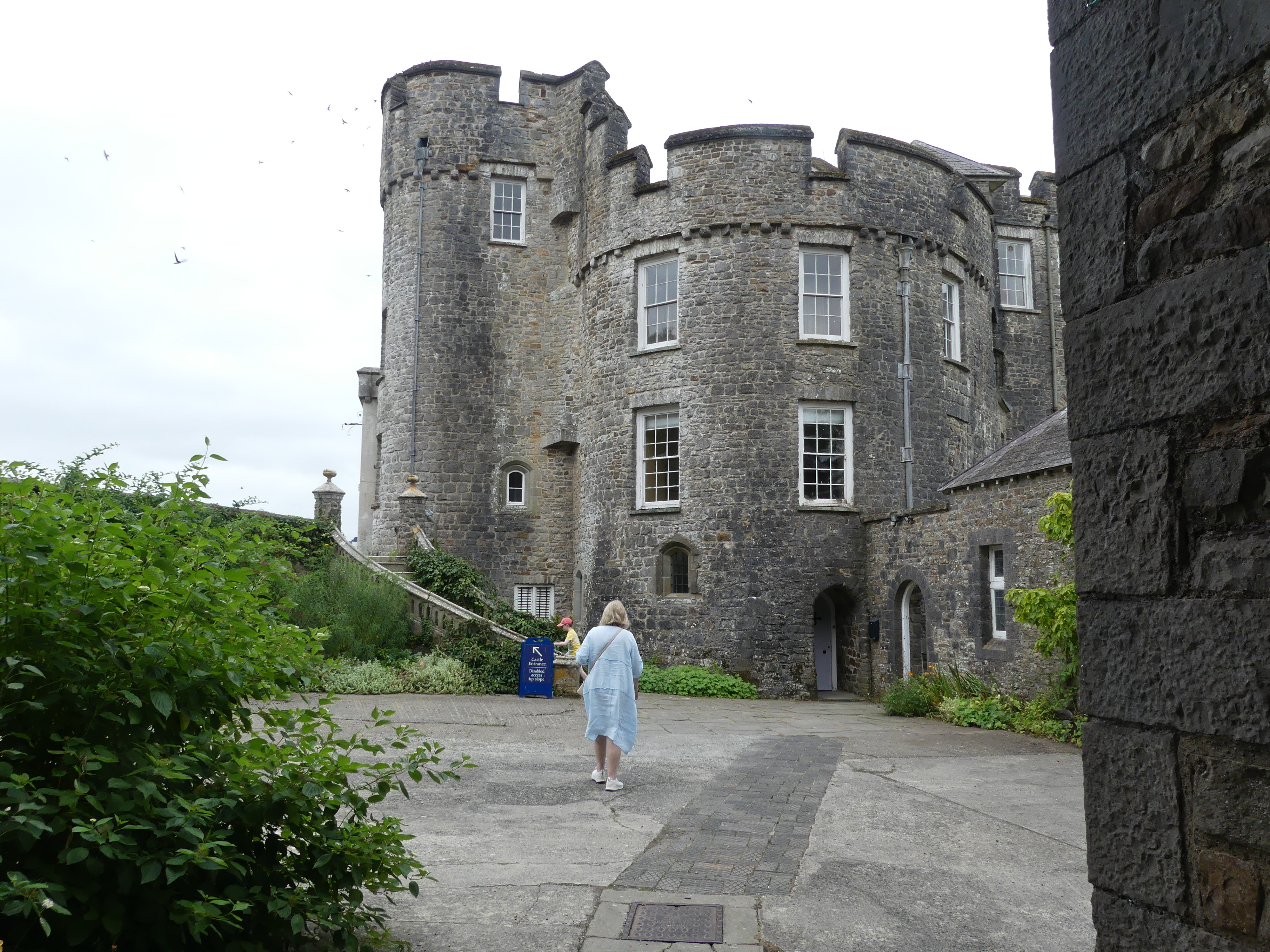
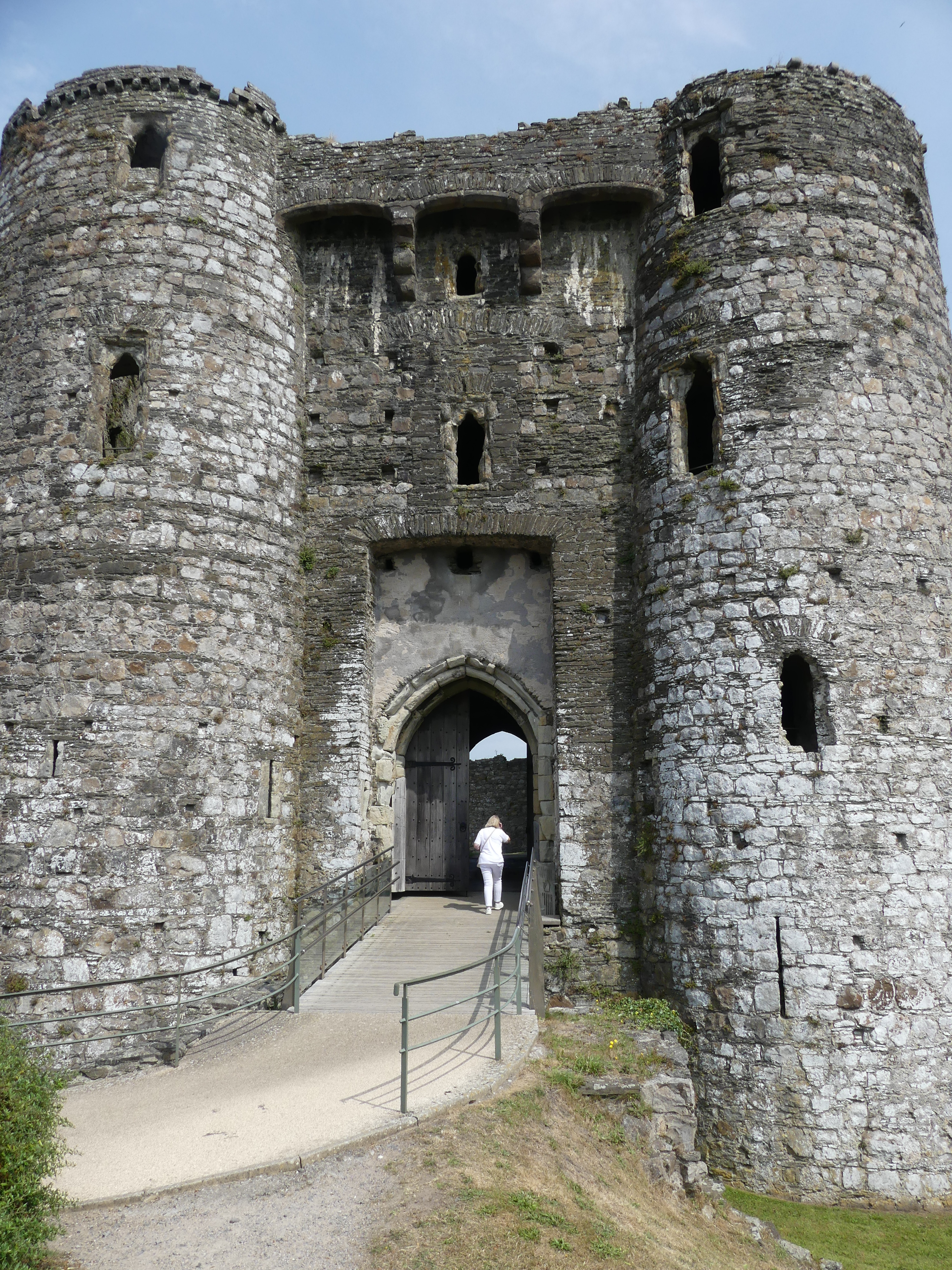
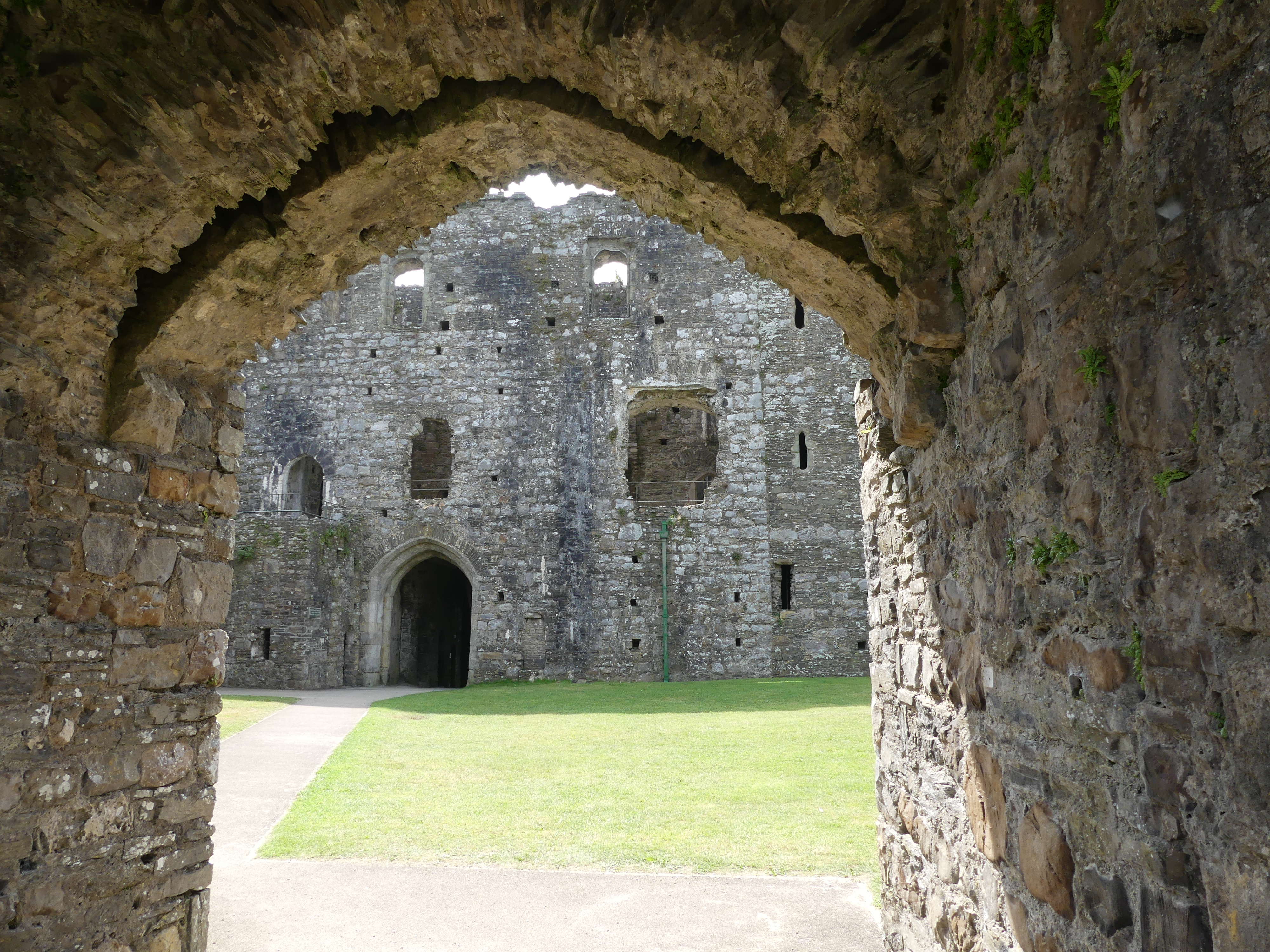
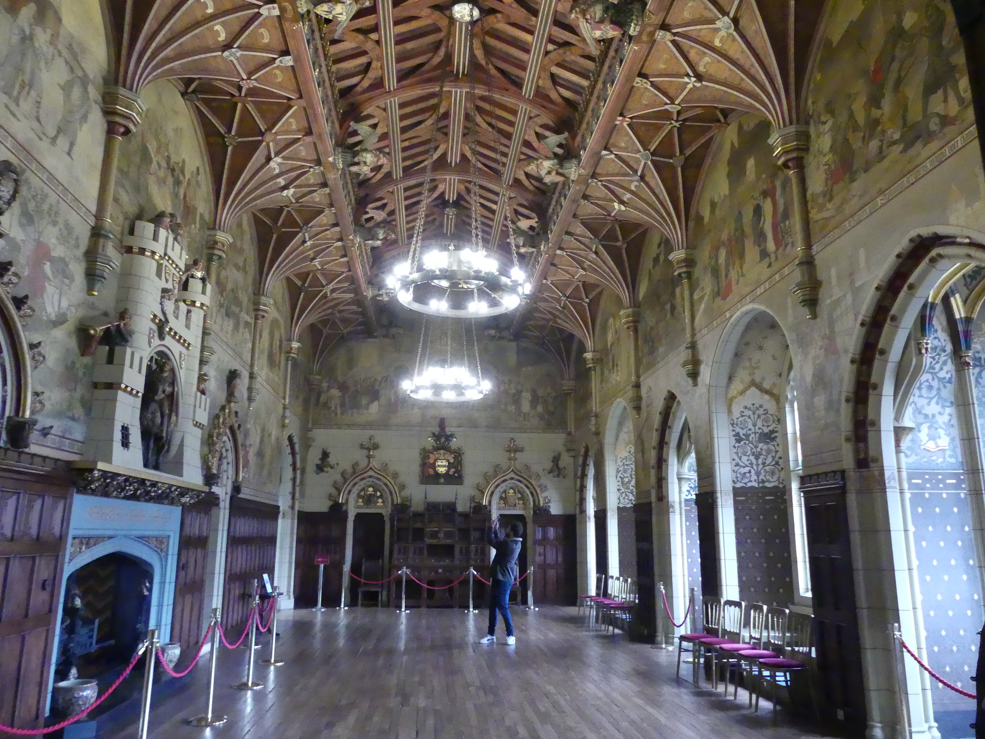
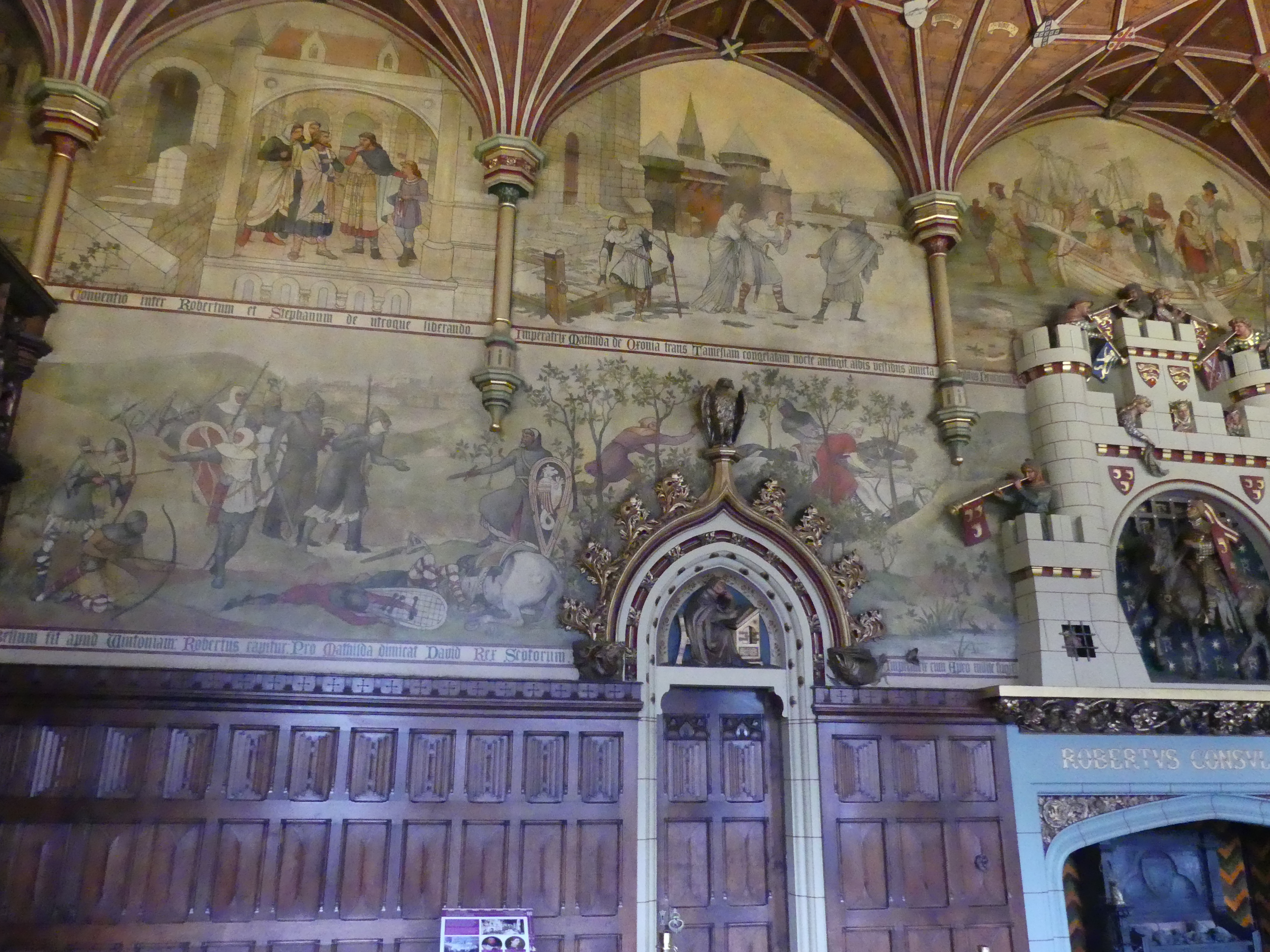
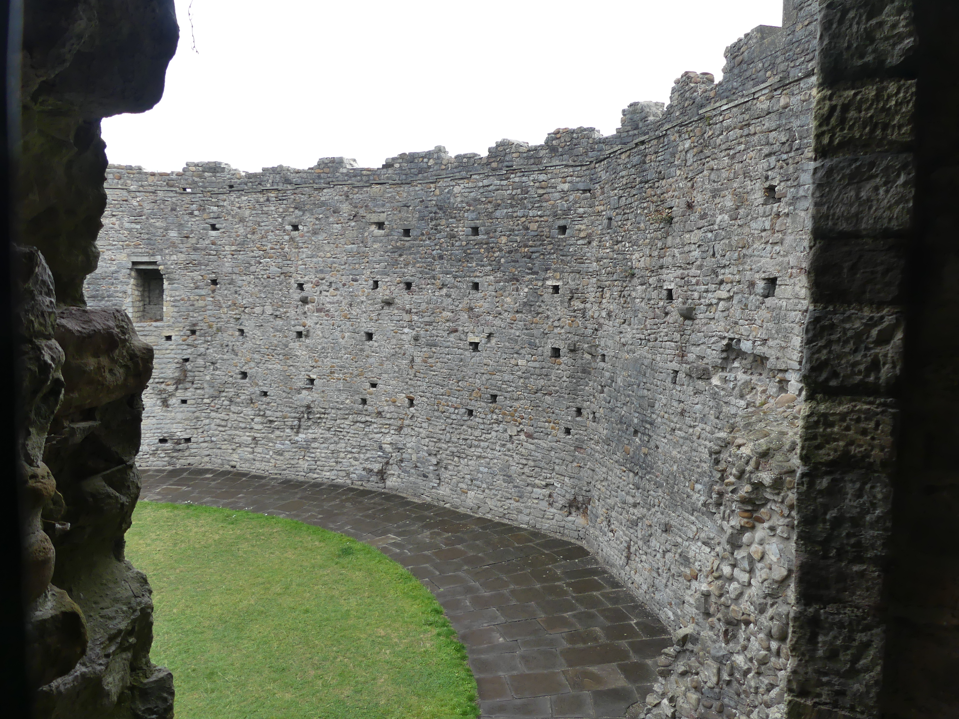
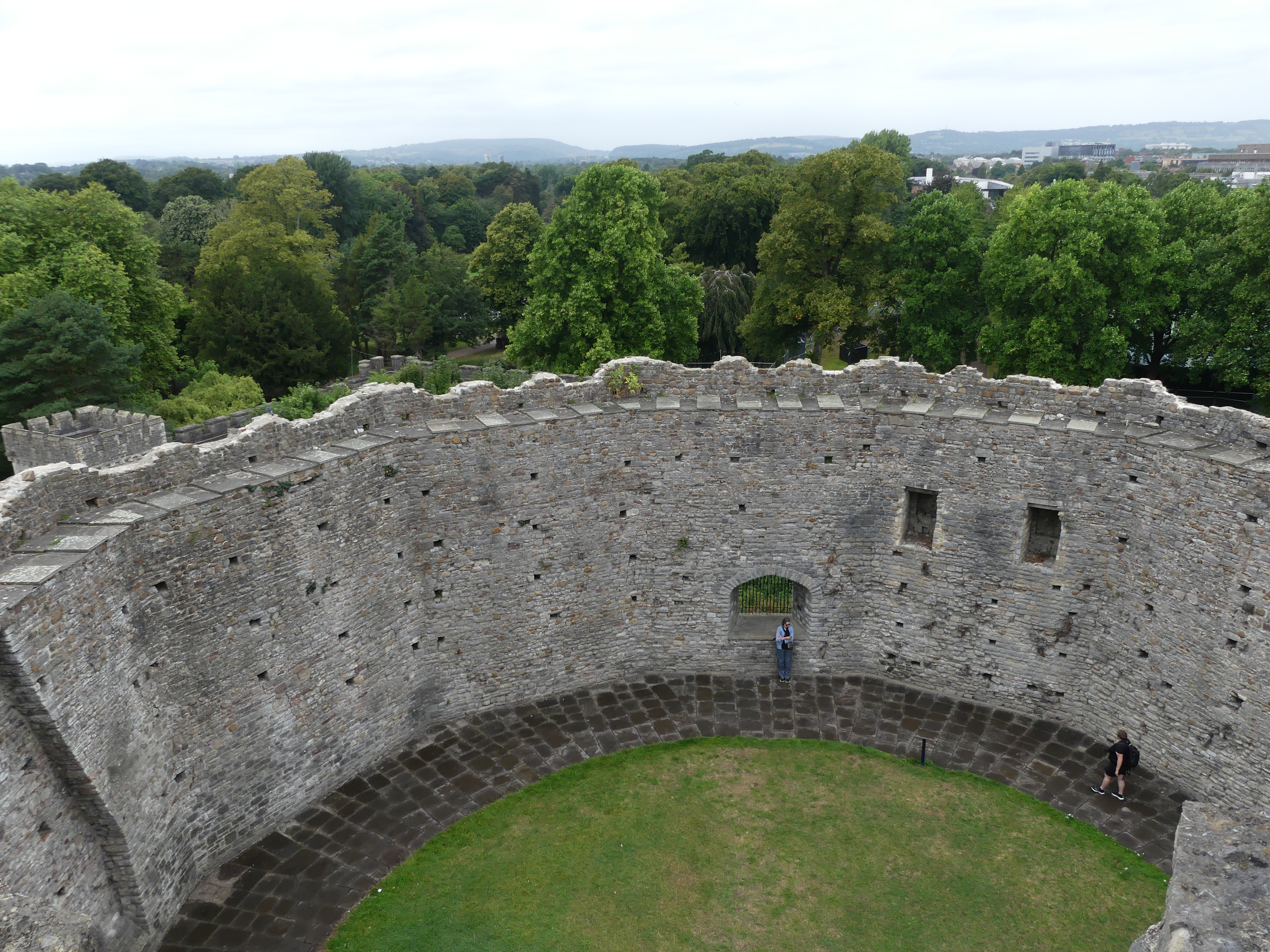
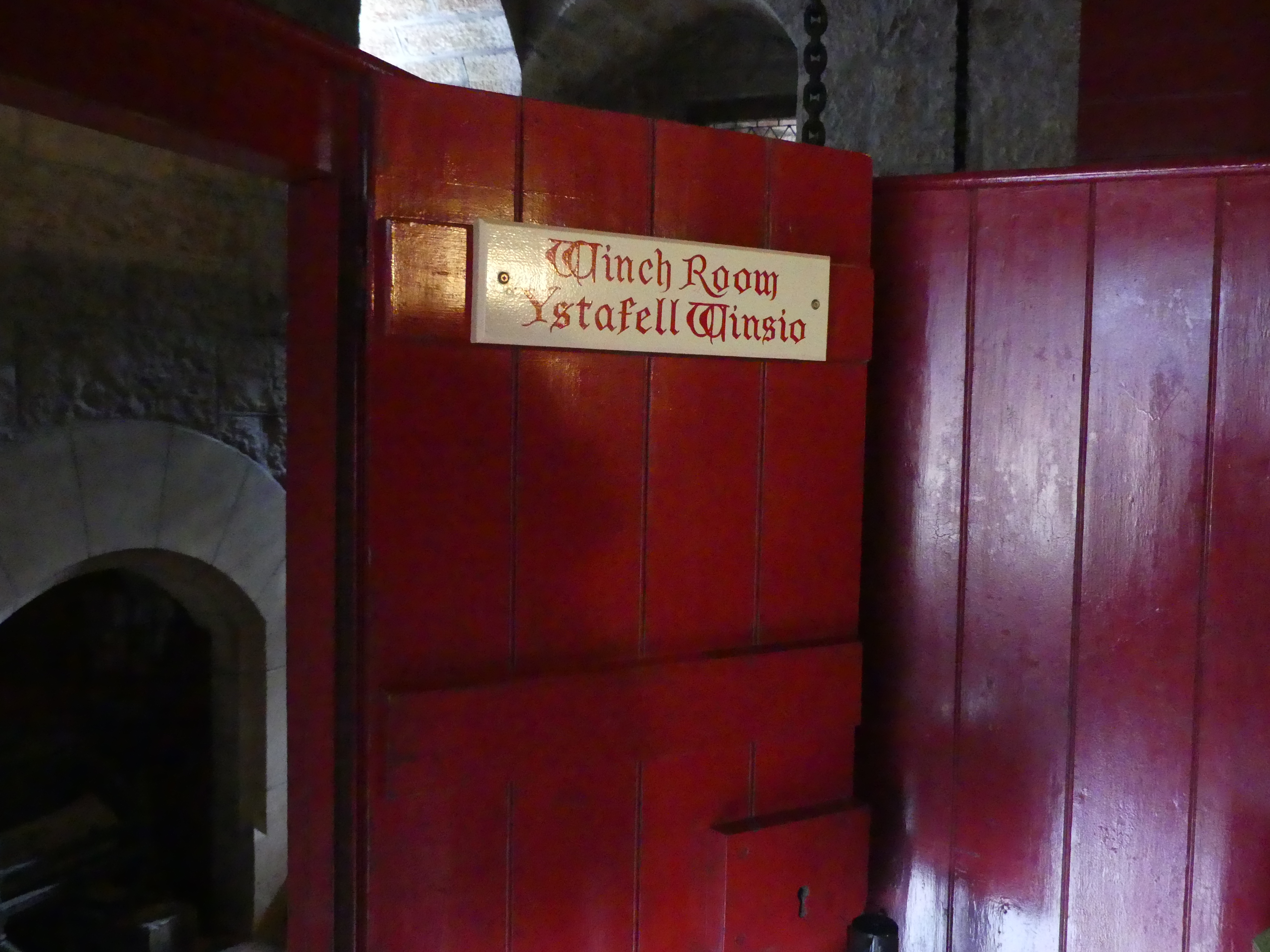
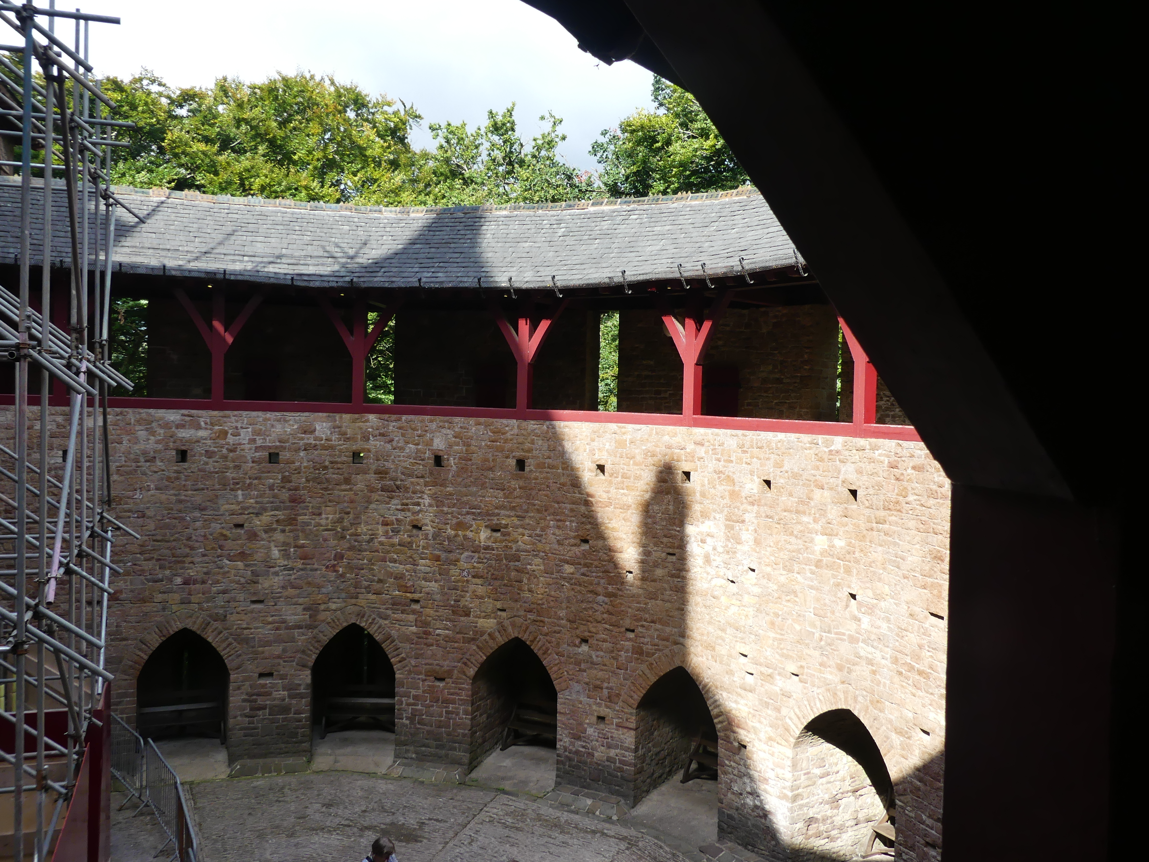
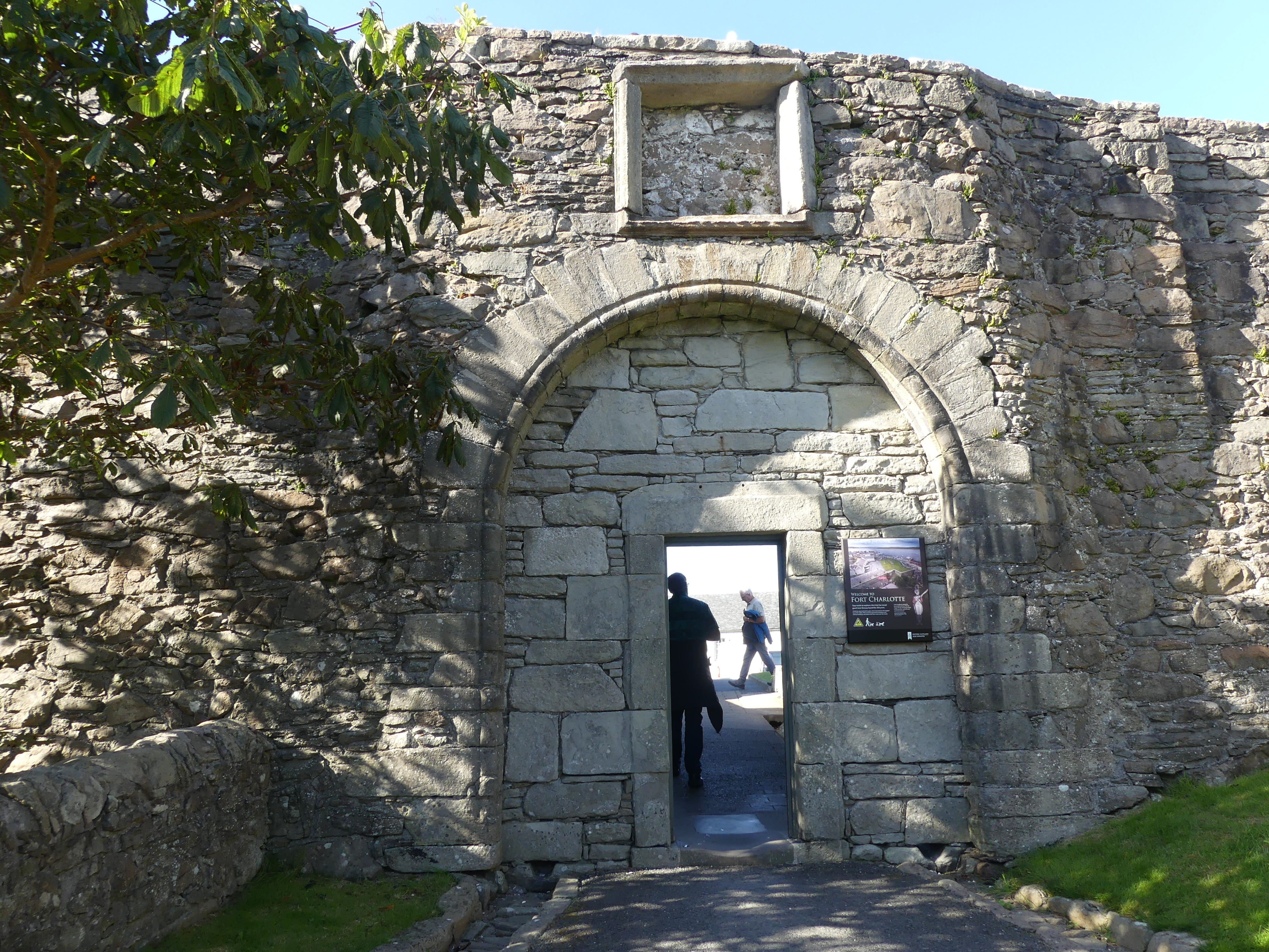
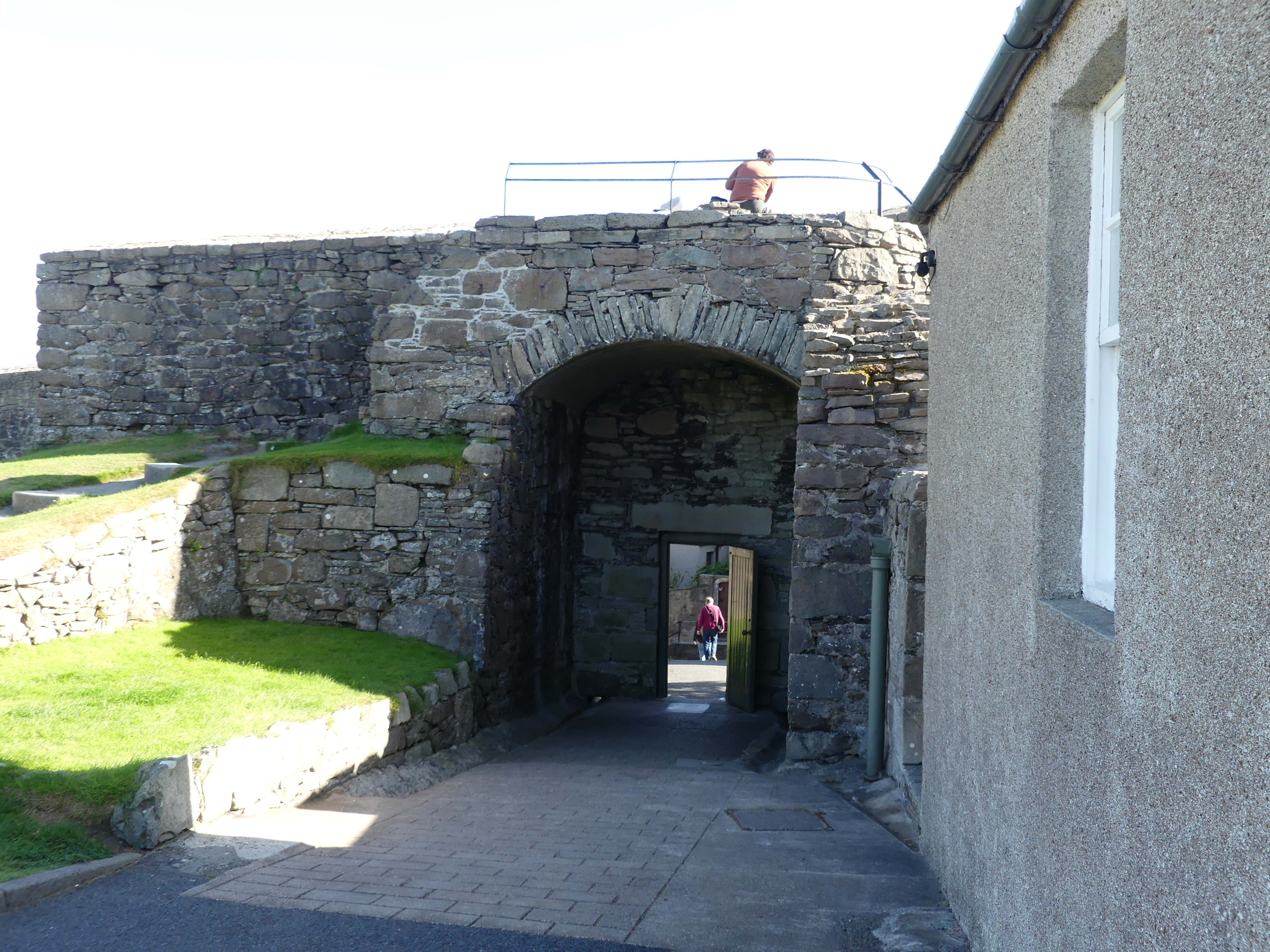
We made our way to Fort Charlotte and learned of its chequered history and current use. Yes that is our ship in the background of picture 7. The first incarnation of the fort was built between 1652 and 1653 during the First Anglo-Dutch War. Little is known of the original structure and no trace of it has been found.
The second structure was built on the same site by Robert Mylne under the orders of Charles II at the start of the Second Anglo-Dutch War in 1665 at a cost of £28,000. It held off a Dutch fleet in 1667 which thought it was far more heavily manned and gunned than it actually was. In fact, the walls were unfinished and there were few guns. At the end of the war it was slighted when the government decided not to station a garrison in Lerwick, and it was unmanned when the Dutch burnt it in 1673 during the Third Anglo-Dutch War.
It was rebuilt in its current form in 1781 and named after Queen Charlotte, but has never seen service during hostilities since then. It housed a garrison during the Napoleonic Wars and was later a base for the Royal Naval Reserve. From 1837 to 1875 it was used as the town jail and courthouse and later a custom house and a coastguard station.
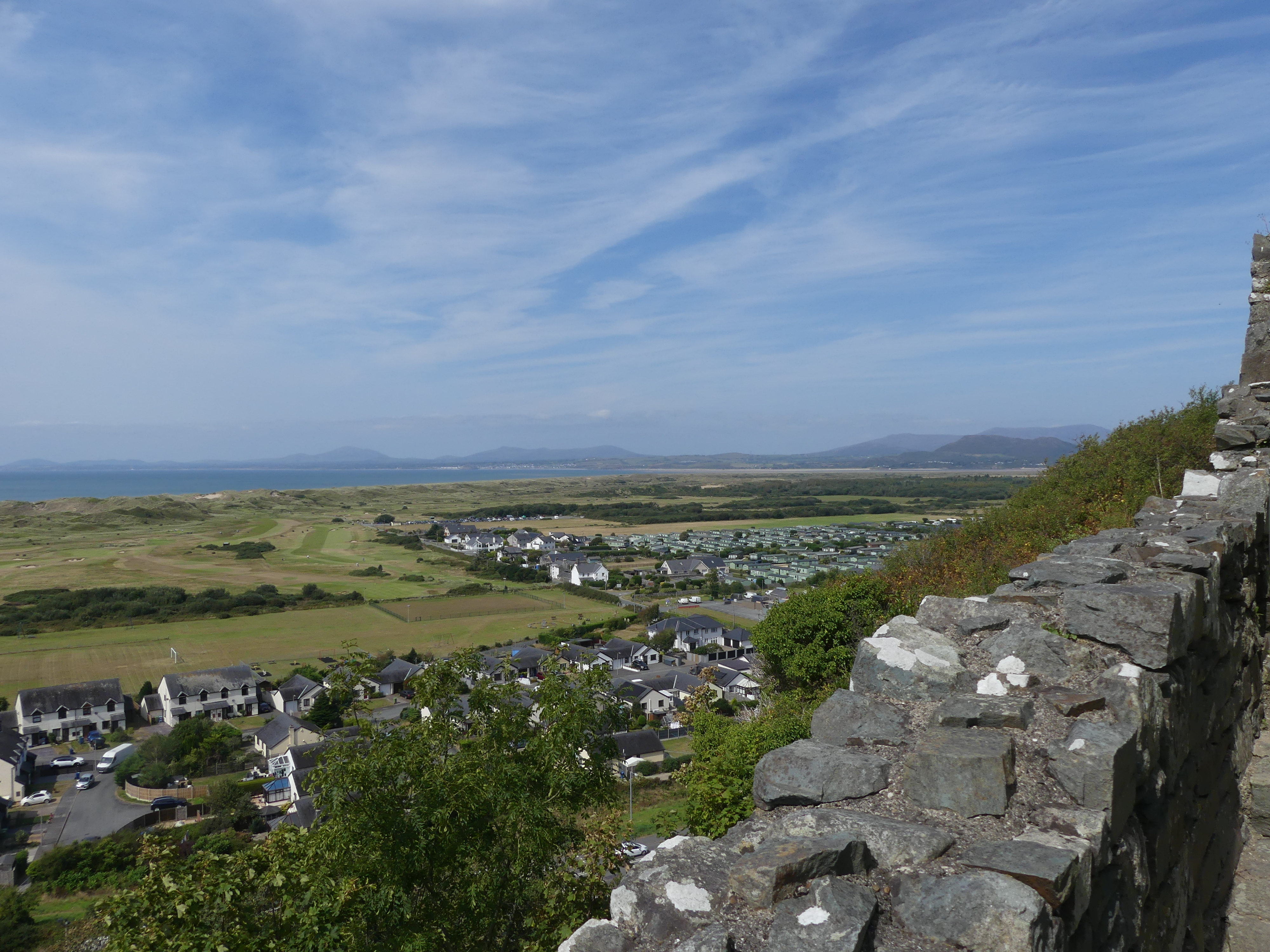
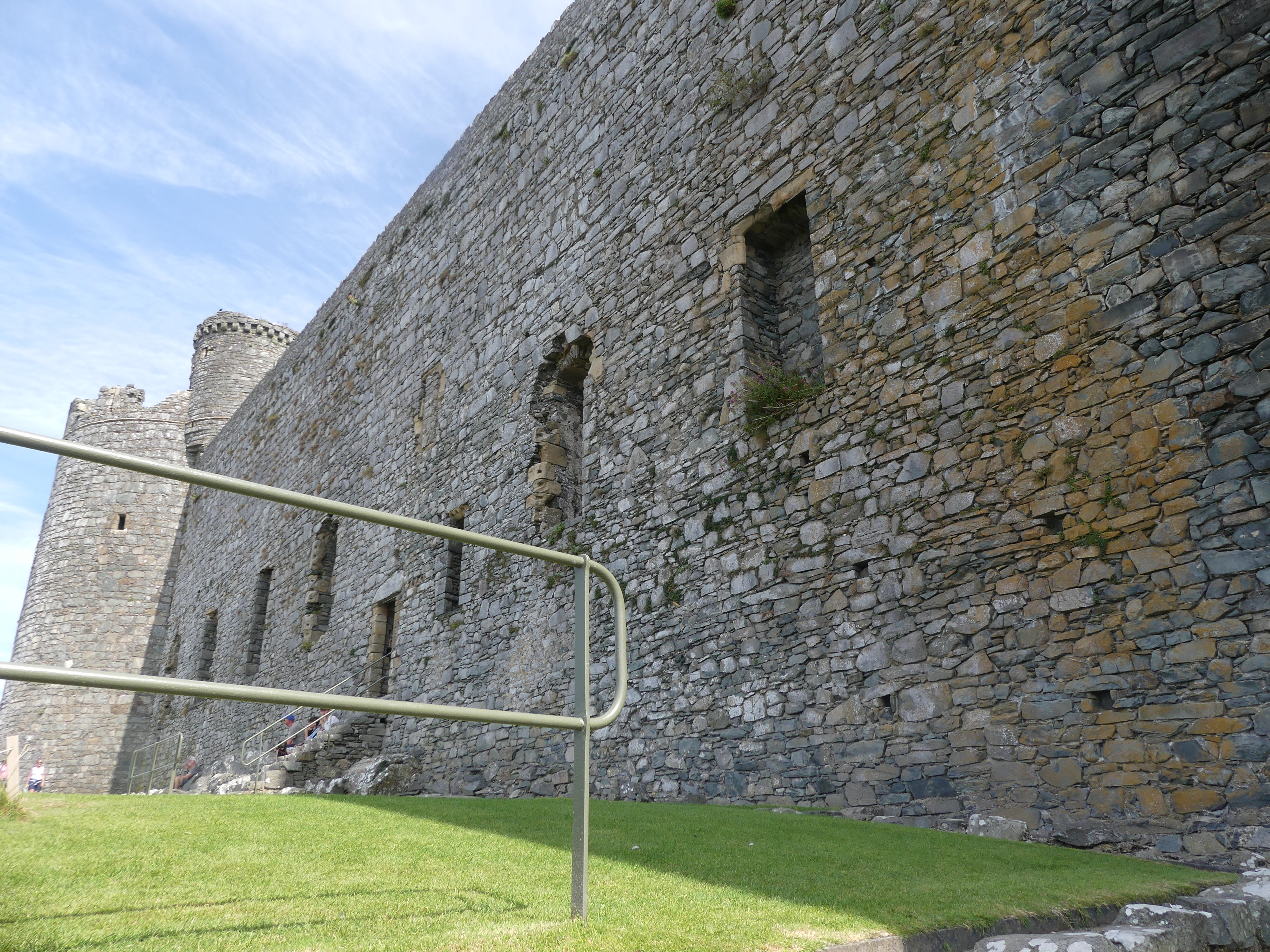
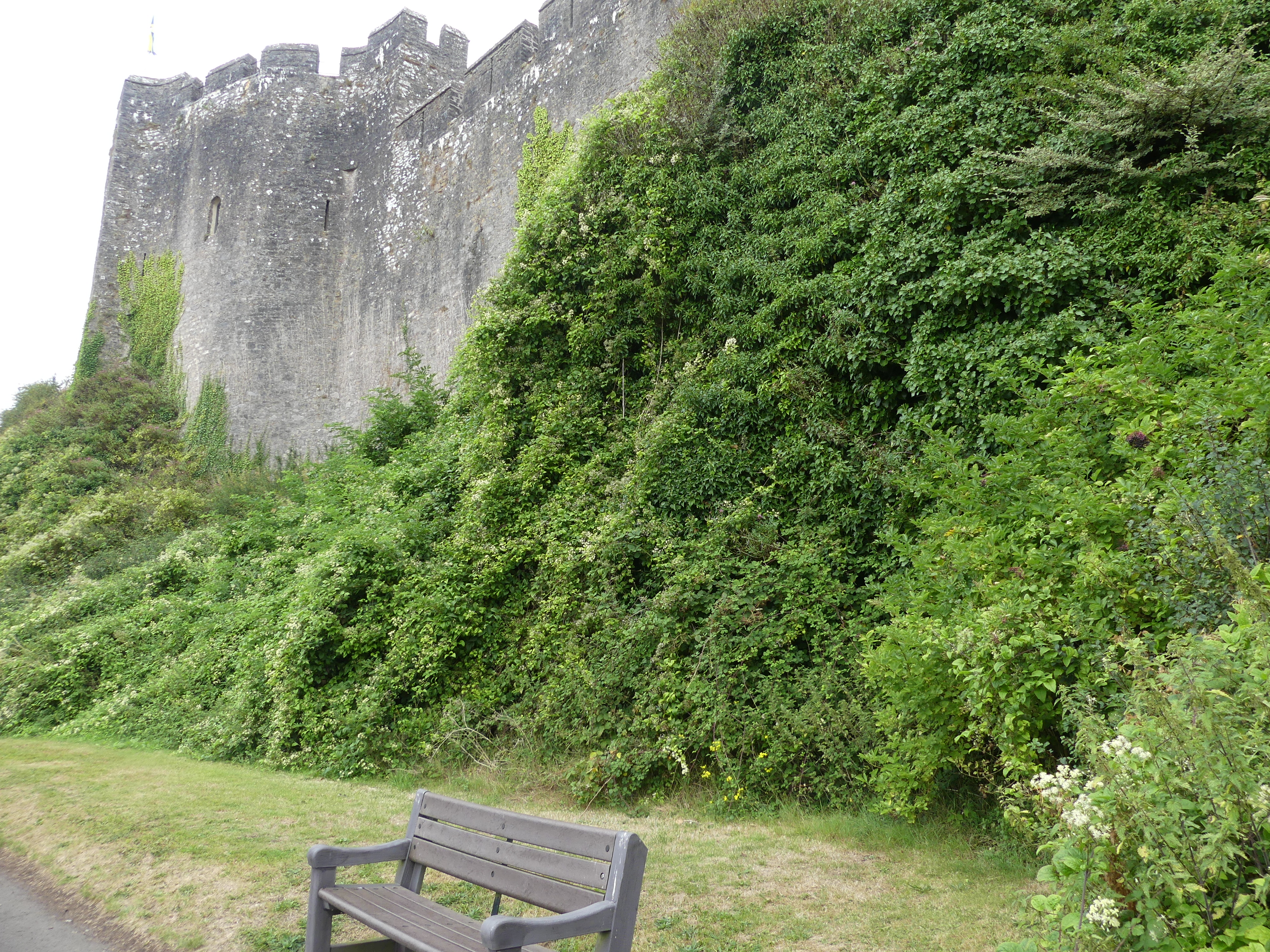
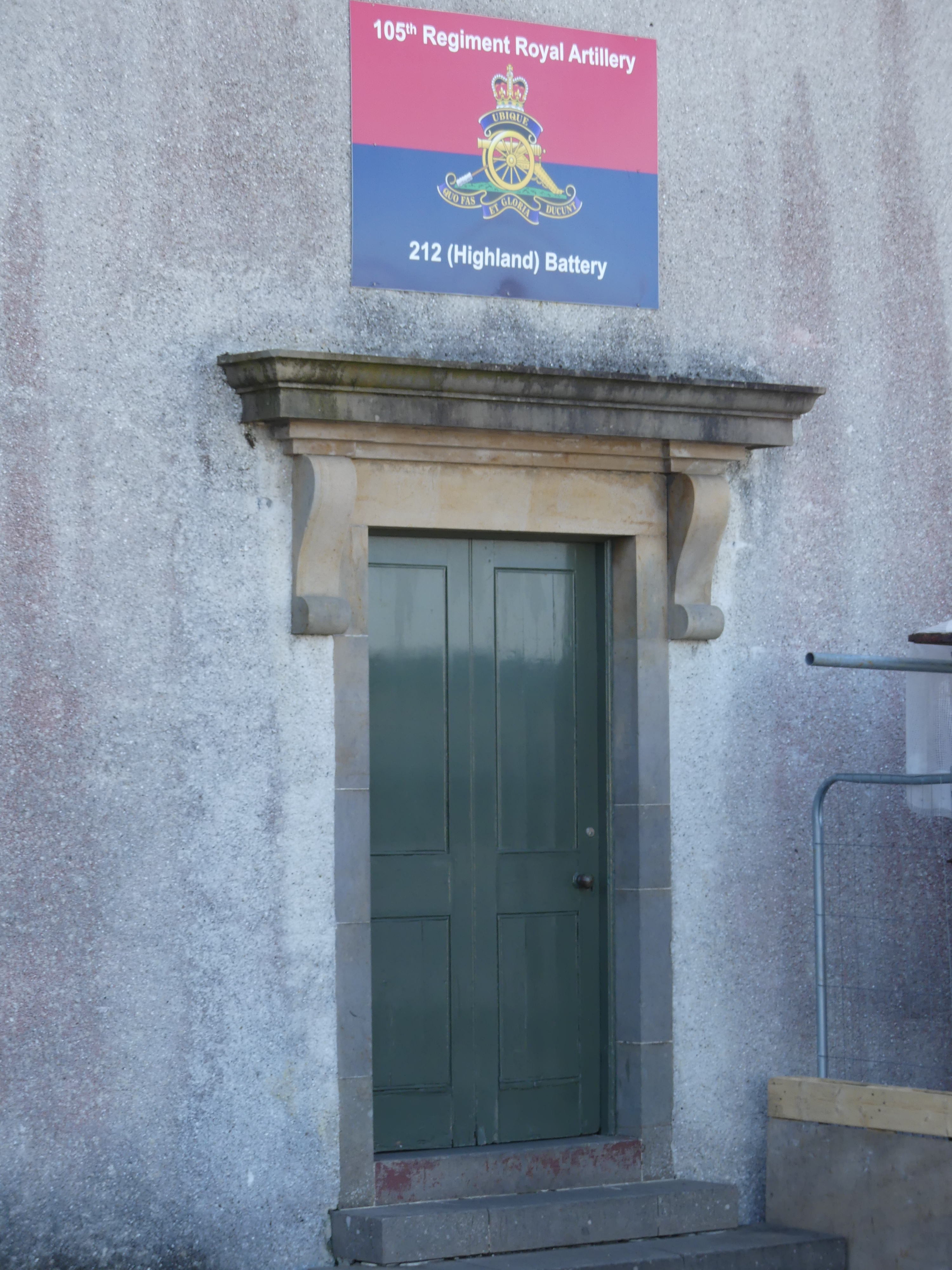
Land reclamation and structures erected in front of the fort mean that it no longer dominates the shoreline and the overall ground plan can only be seen from the air. Fort Charlotte is managed by Historic Environment Scotland, and is the base for 212 Highland Battery, part of Britain’s Army Reserve.
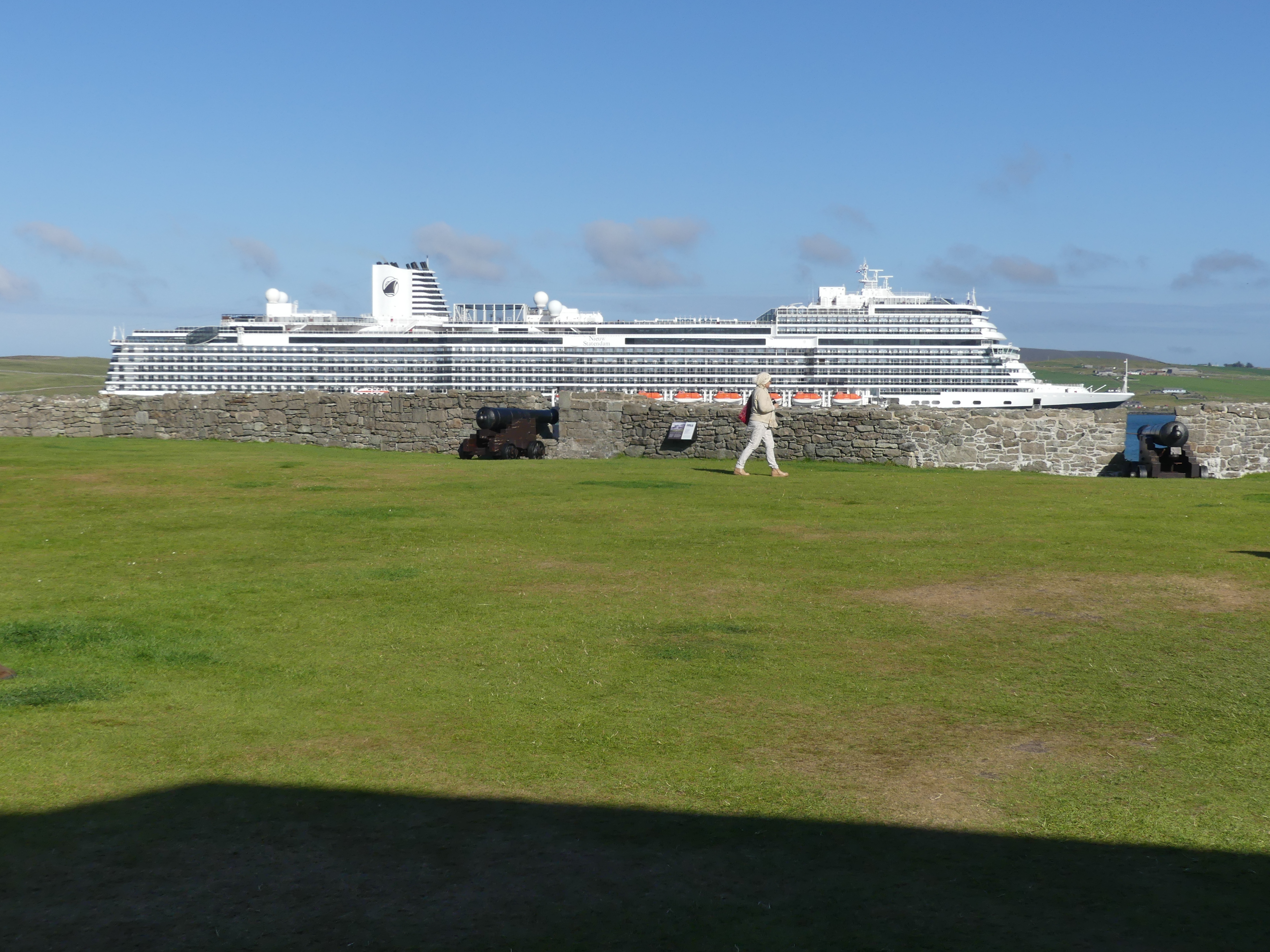
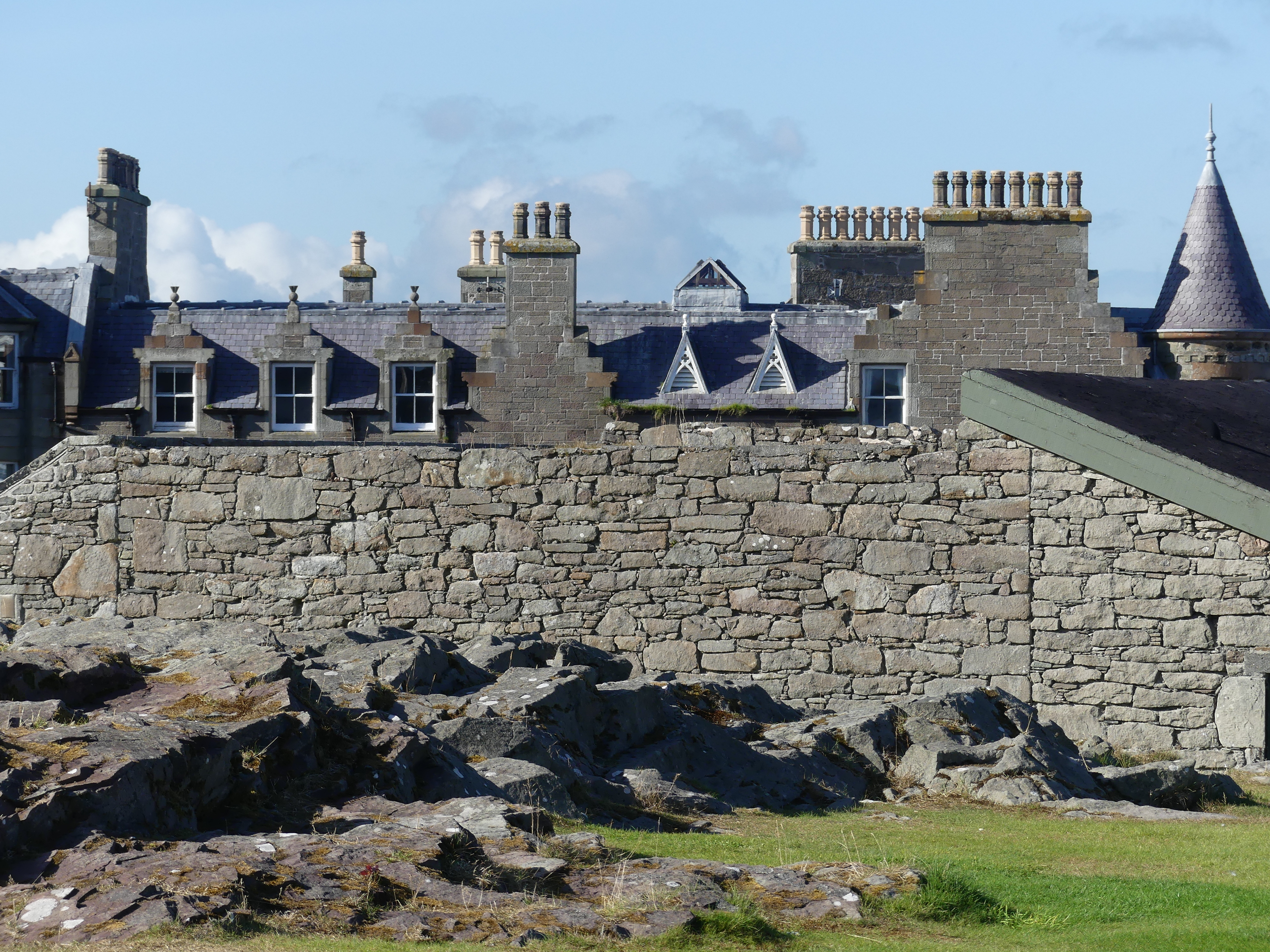
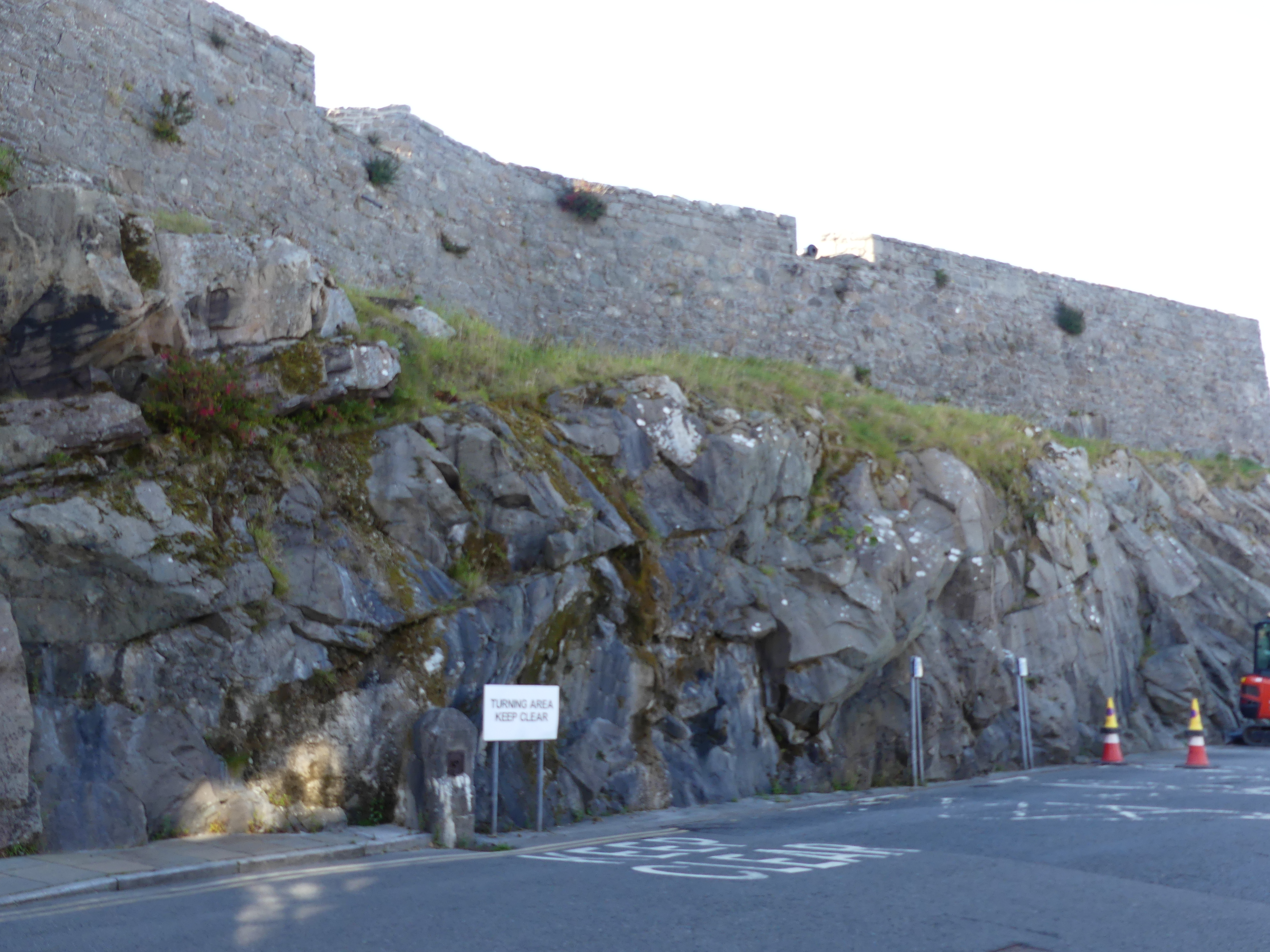
The photos in the last line include the former farm house across the bay, the houses beyond the fort walls and the natural stone wall with the bastion wall built atop of it and the main road below.
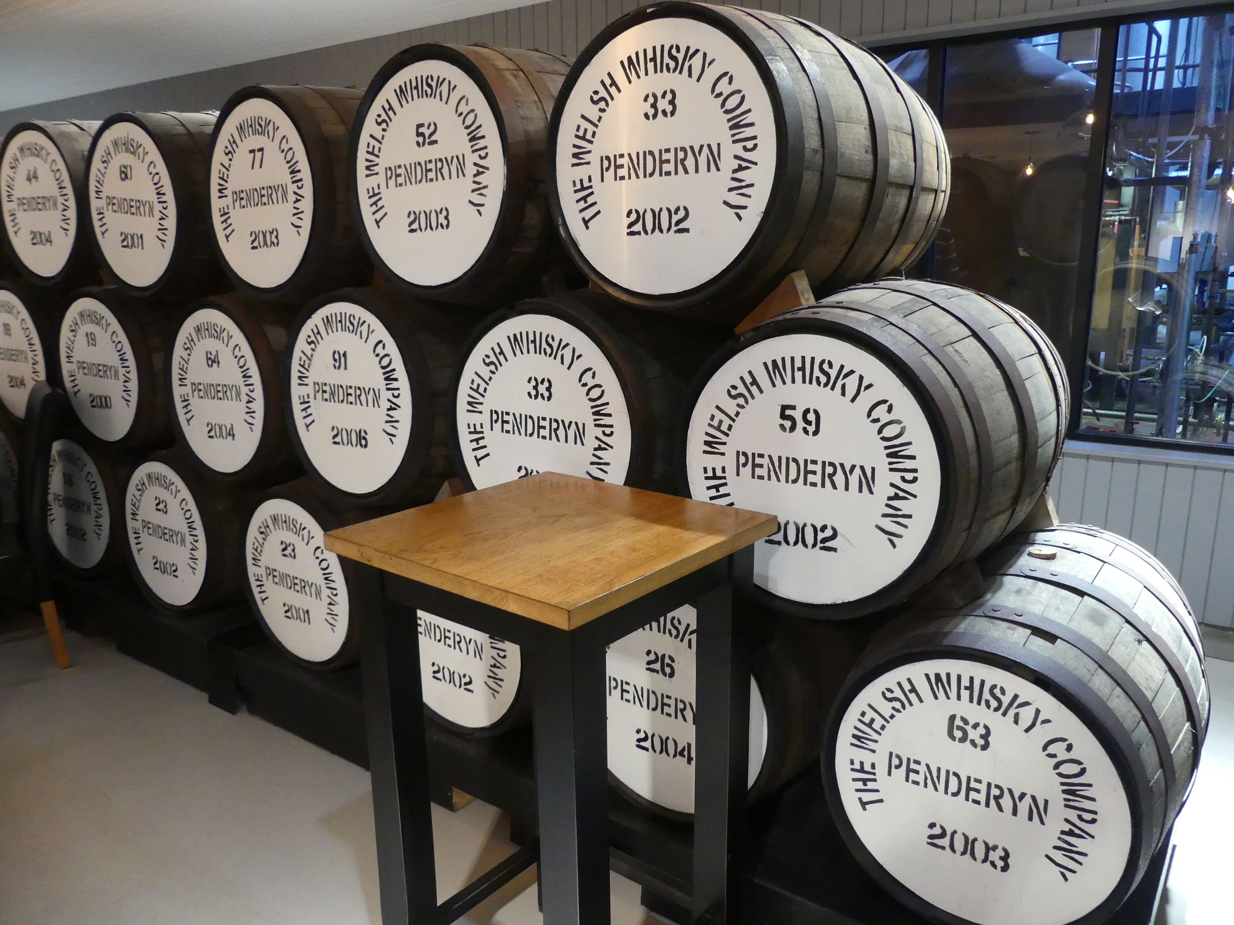
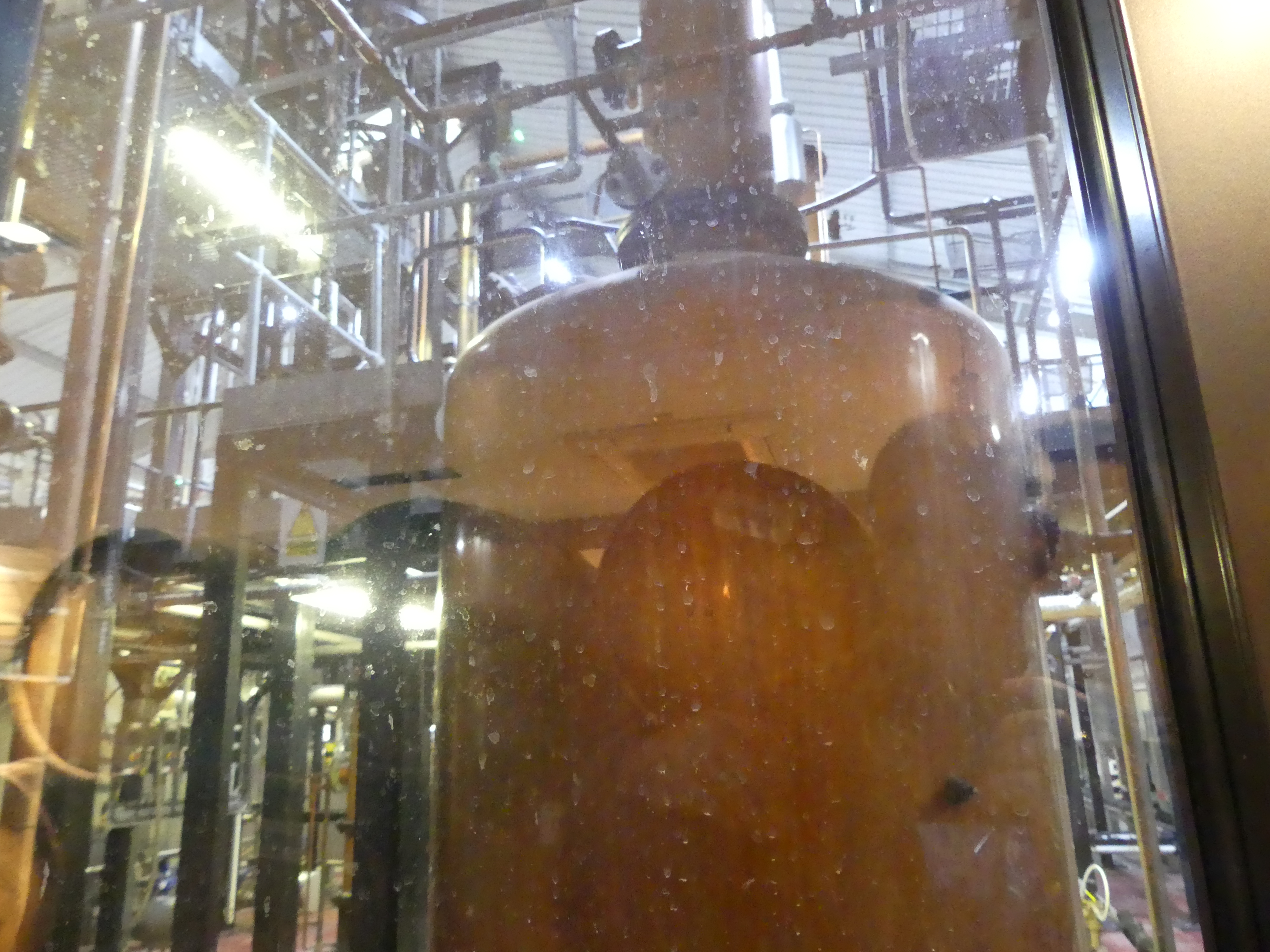
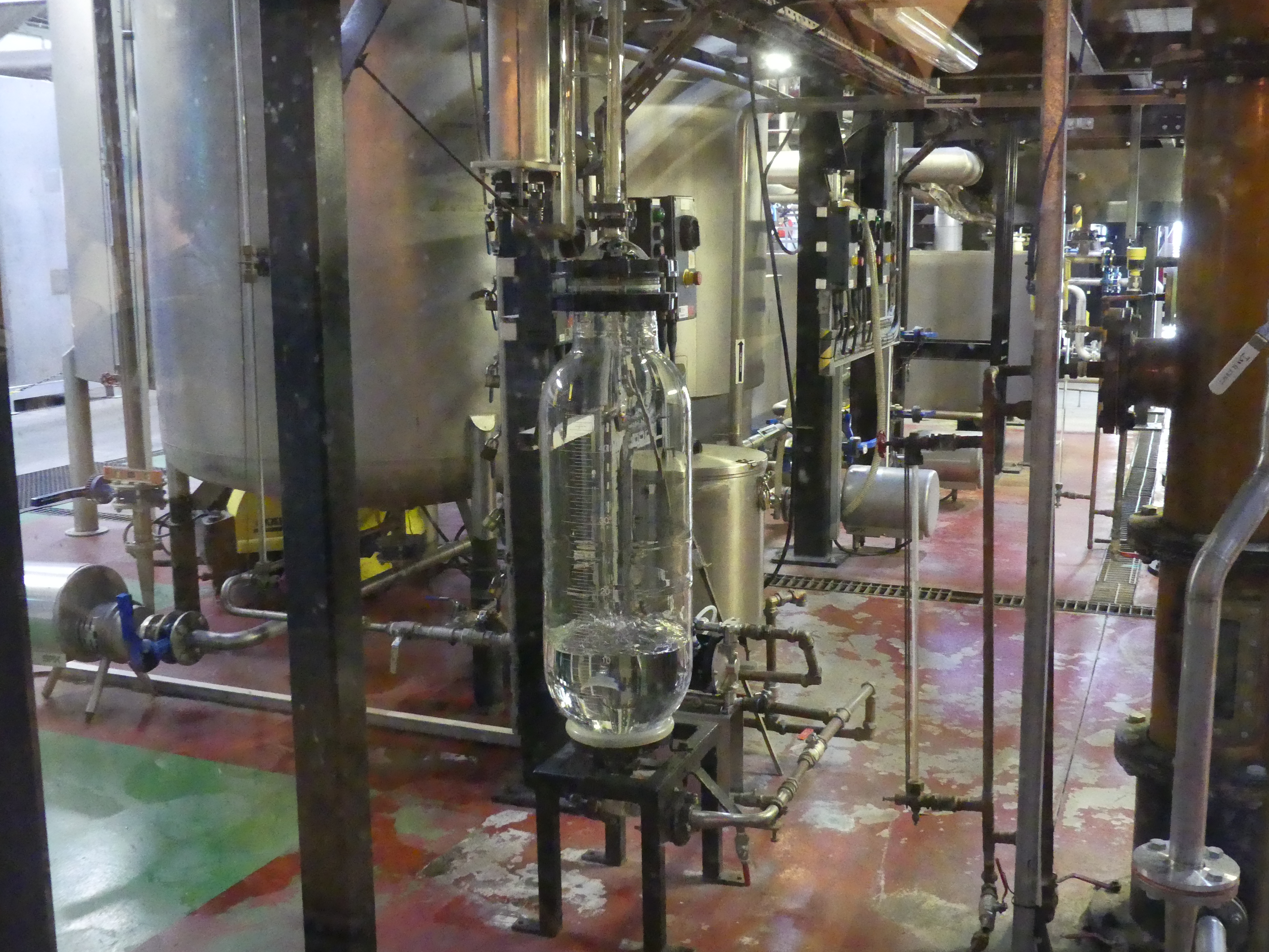
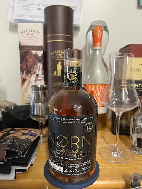
We continued our walk through the town. I had heard there was a distillery opening in the town and here was a chance I might stumble upon it. We walked past the car ferry to Bressay (picture below) and Kerry found the distillery. It was close to closing time and the sales girl explained quickly about their distiller and the fact that the distillery had not produced any scotch for retail sale as yet (the distilled brew must be in the cask for 3 years and a day before it is Scotch) but they could offer a tasting paddle of various other scotchs from around Speyside and the Highlands and a sample that their distiller had been working on at his previous distillery. The bottle label gives away the secret. Beautiful scotch but at 160 quid prohibitively expensive. Below is a picture of my 500 gram 12 year old numbered bottle of “Norn” scotch “a Speyside Single Malt secretively acquired and bottled at 60 degrees North” – Master Distiller Ian Millar.


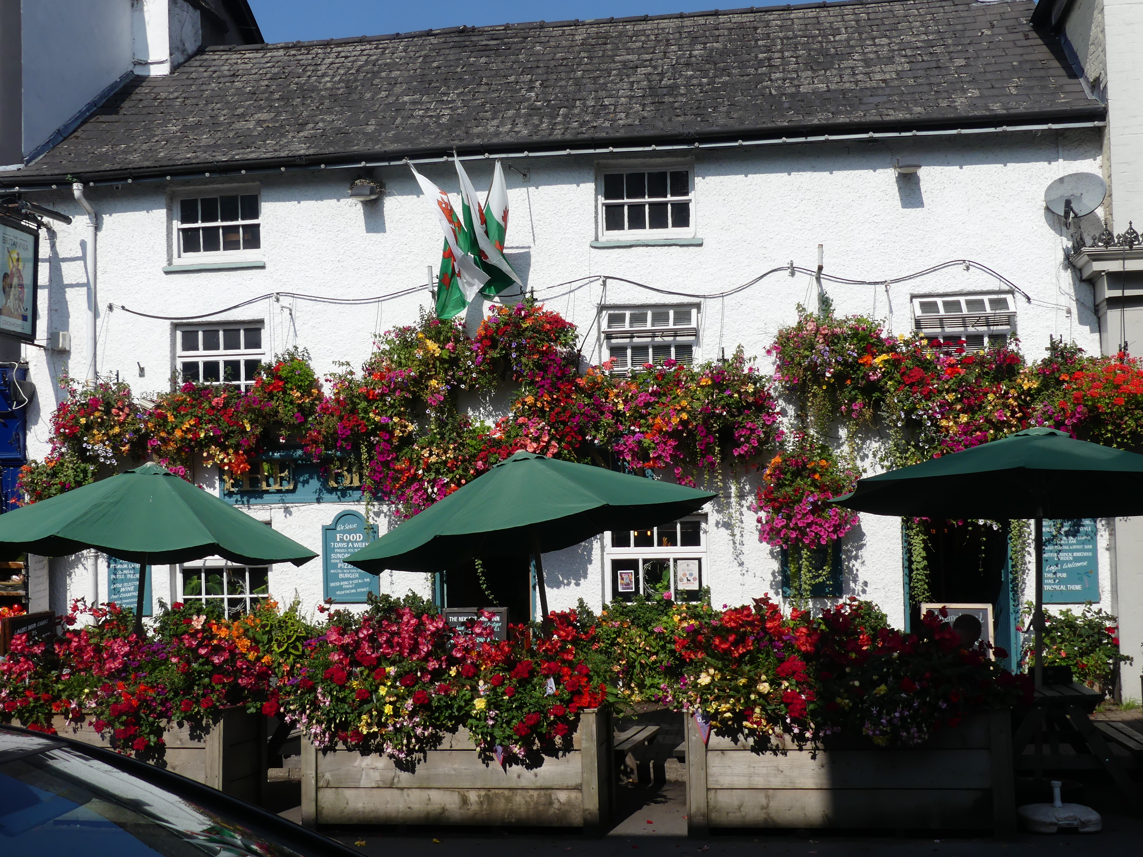
As we returned to our ship we came upon a shop with a goat at its front door – yes a living breathing live goat. The goat belonged to two Shetlanders running an arts and crafts store and the goat was a pet. They we’re closing for the day so they opened the back door of their van and the goat climbed in and home they went. Its a long time since such a scene occurred in Queens St Brisbane but its an every day event in Commercial St., Lerwick’s main street.
Our day in Shetland had come to an end but I forgot to mention that I purchased a T-shirt emblazoned with Shetland ponies such that I would always remember my visit. At that time I also decided I would collect a T-shirt from each of the islands we visited – Orkneys, Outer Hebrides, and Isle of Mann. No, no photo of my T-shirt. But you may see me wearing in the streets of Brisbane. Til my next blog “THE RETIREES GO AROUND THE WORLD – DAY 4 SS NIEUW STATENDAM – Orkney Isles” – may you keep a fair wind at your back.