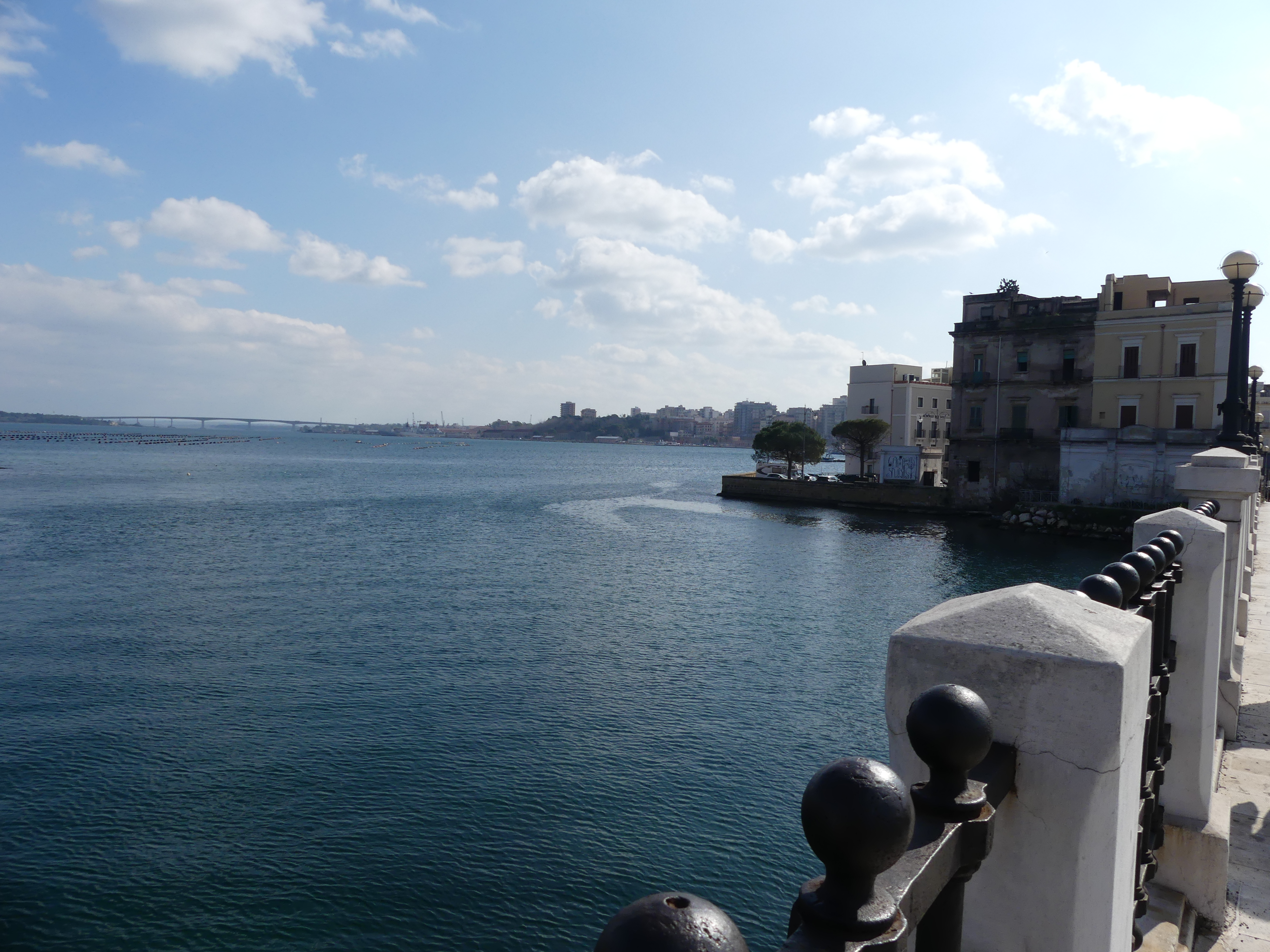
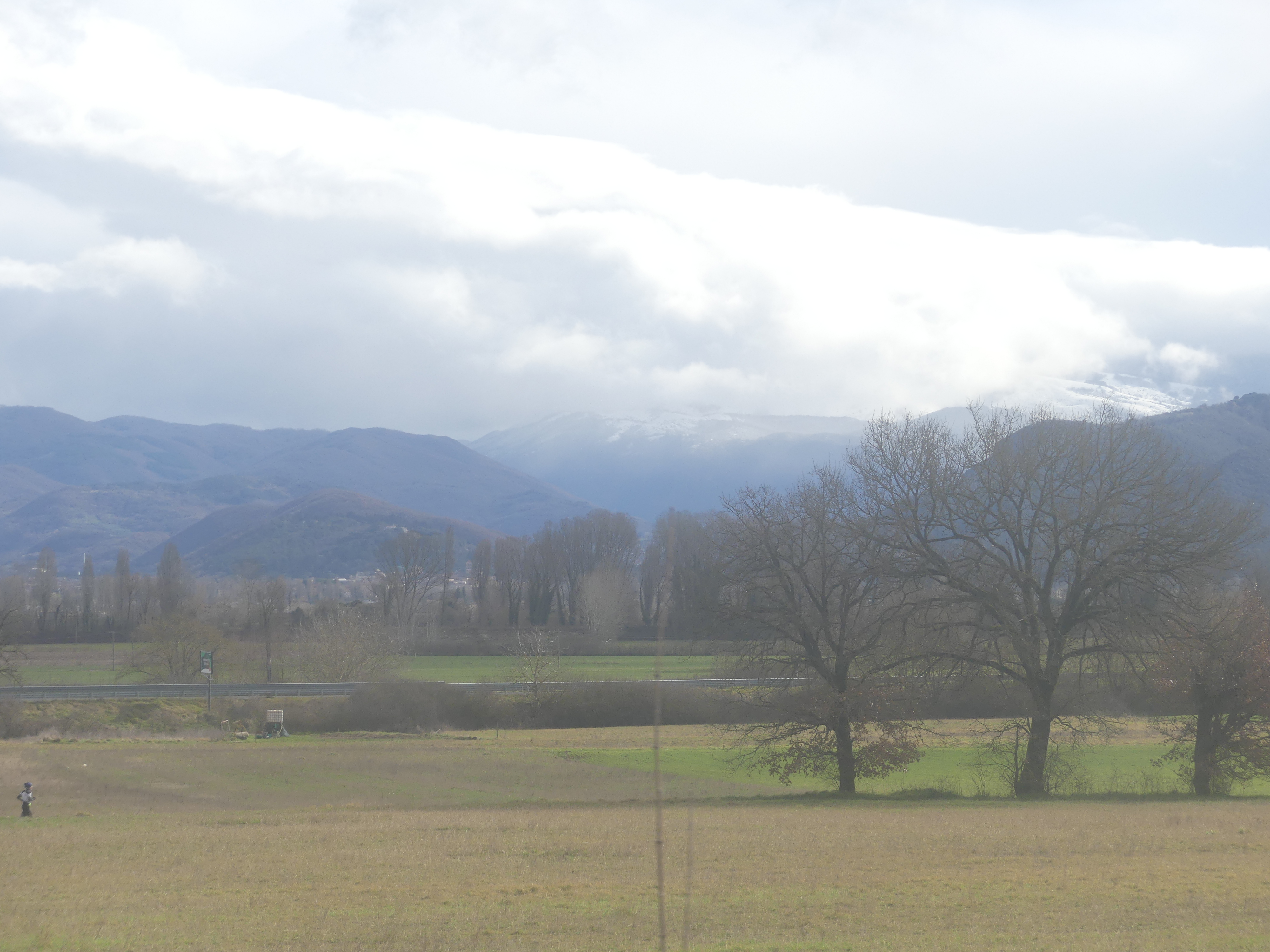
Naples
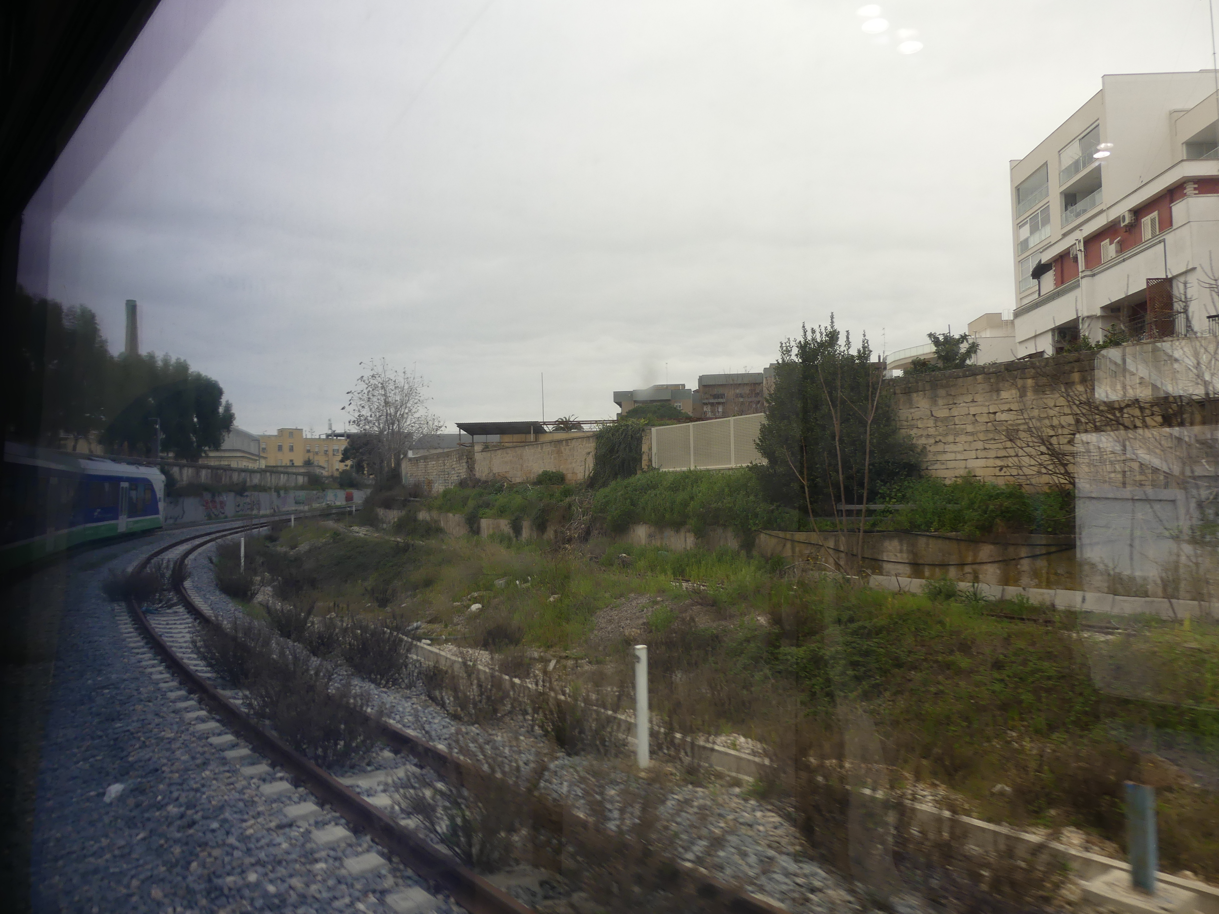
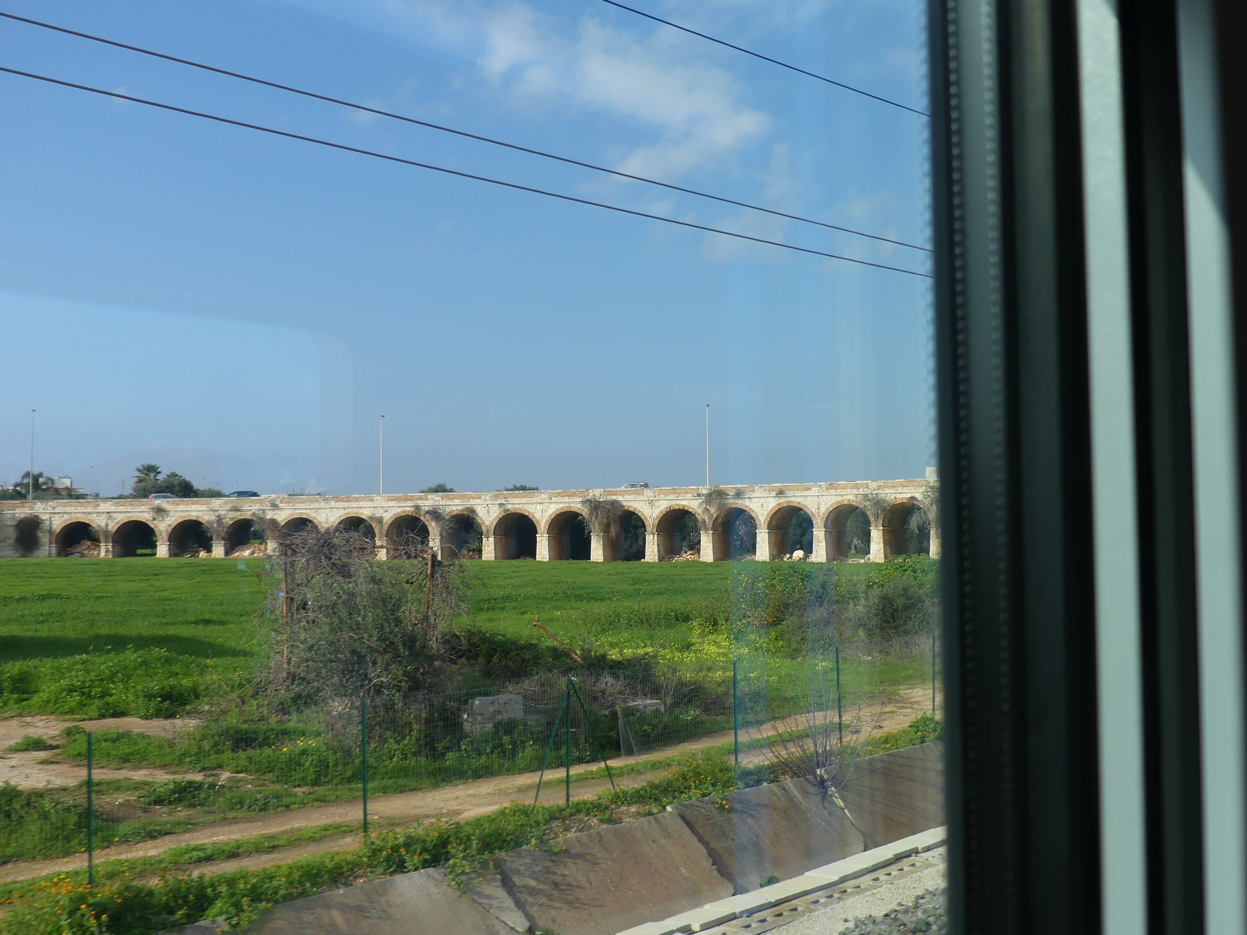
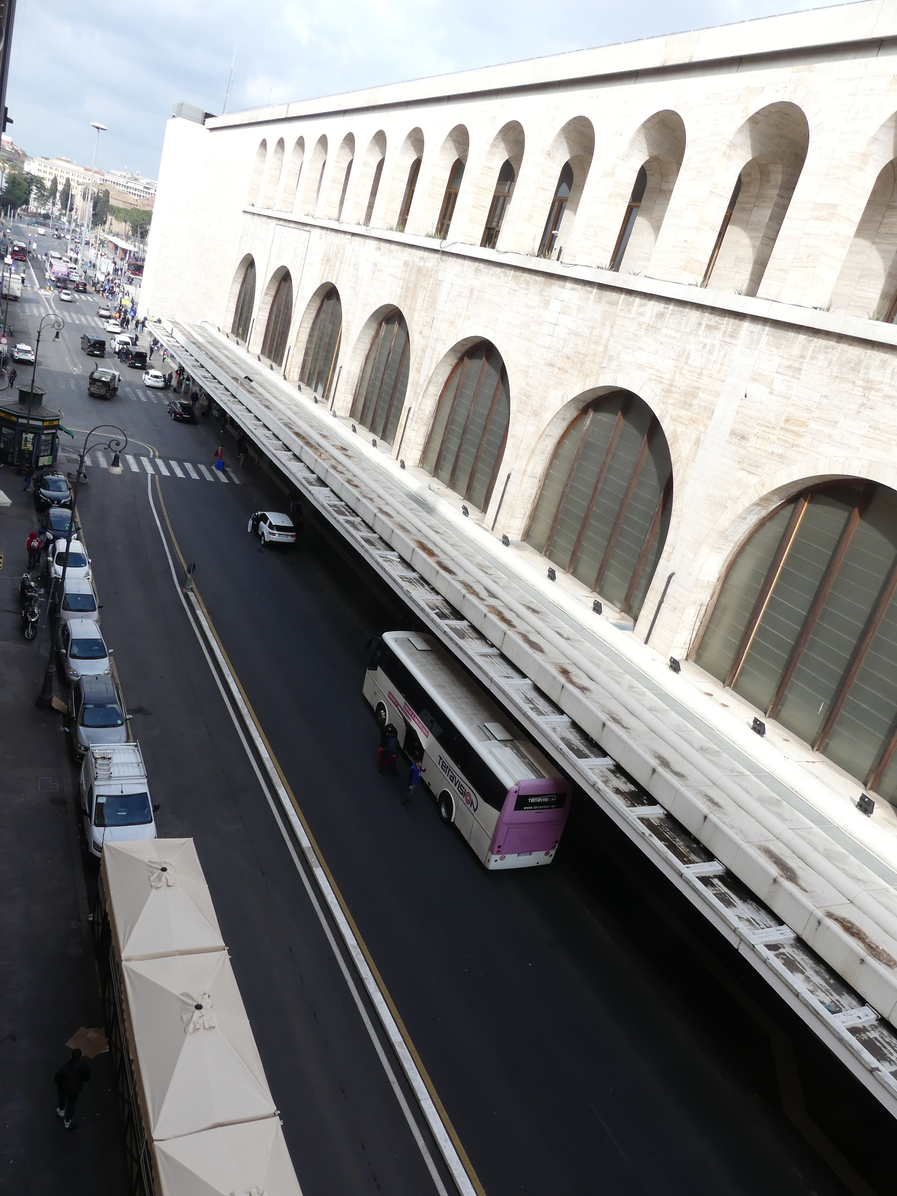
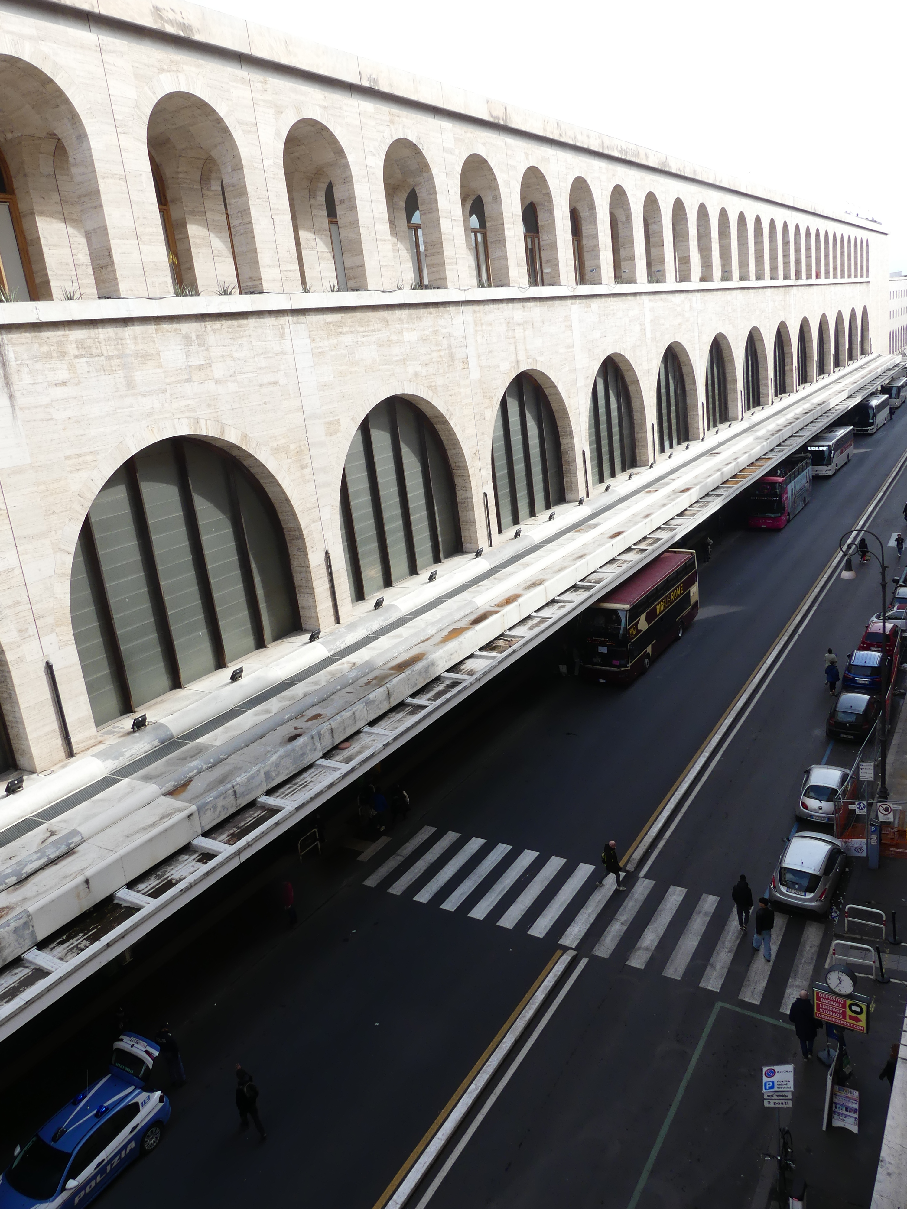
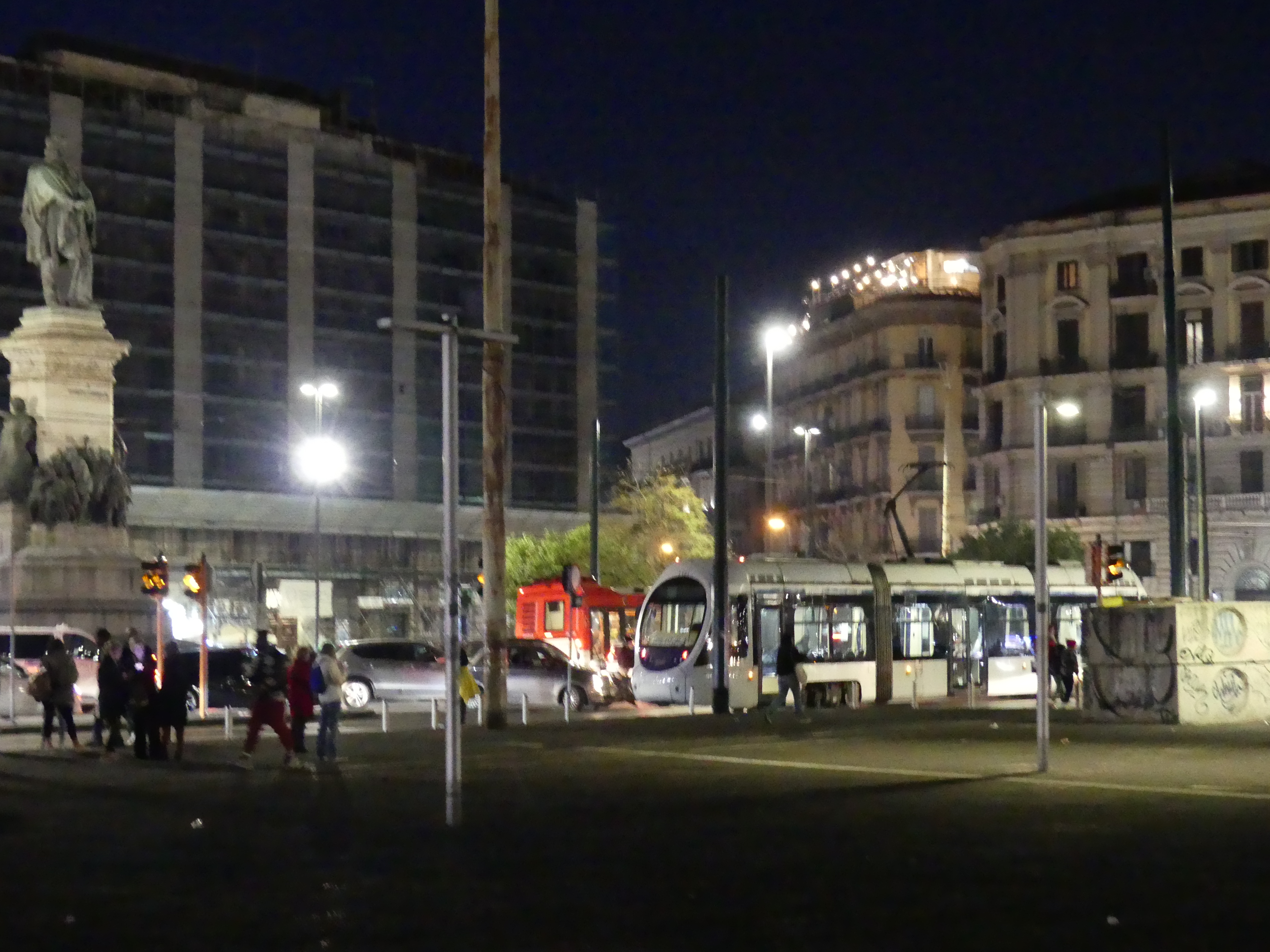
Full of vibrant culture, food, and history: Founded by Greeks in the first millennium BC, Naples is one of the oldest continuously inhabited urban areas in the world. Robert had returned to Cesi and we made our way to Naples by train. On arriving at the central railway station in Naples, Stazione di Napoli Centrale (Napoli Centrale), located in Piazza Giuseppe Garibaldi we set off in search of the hotel. It is the main rail terminus and station for Naples, 25 tracks, serving about 137,000 people per day. It was massive and intimidating just as Terminii in Rome was the first time.
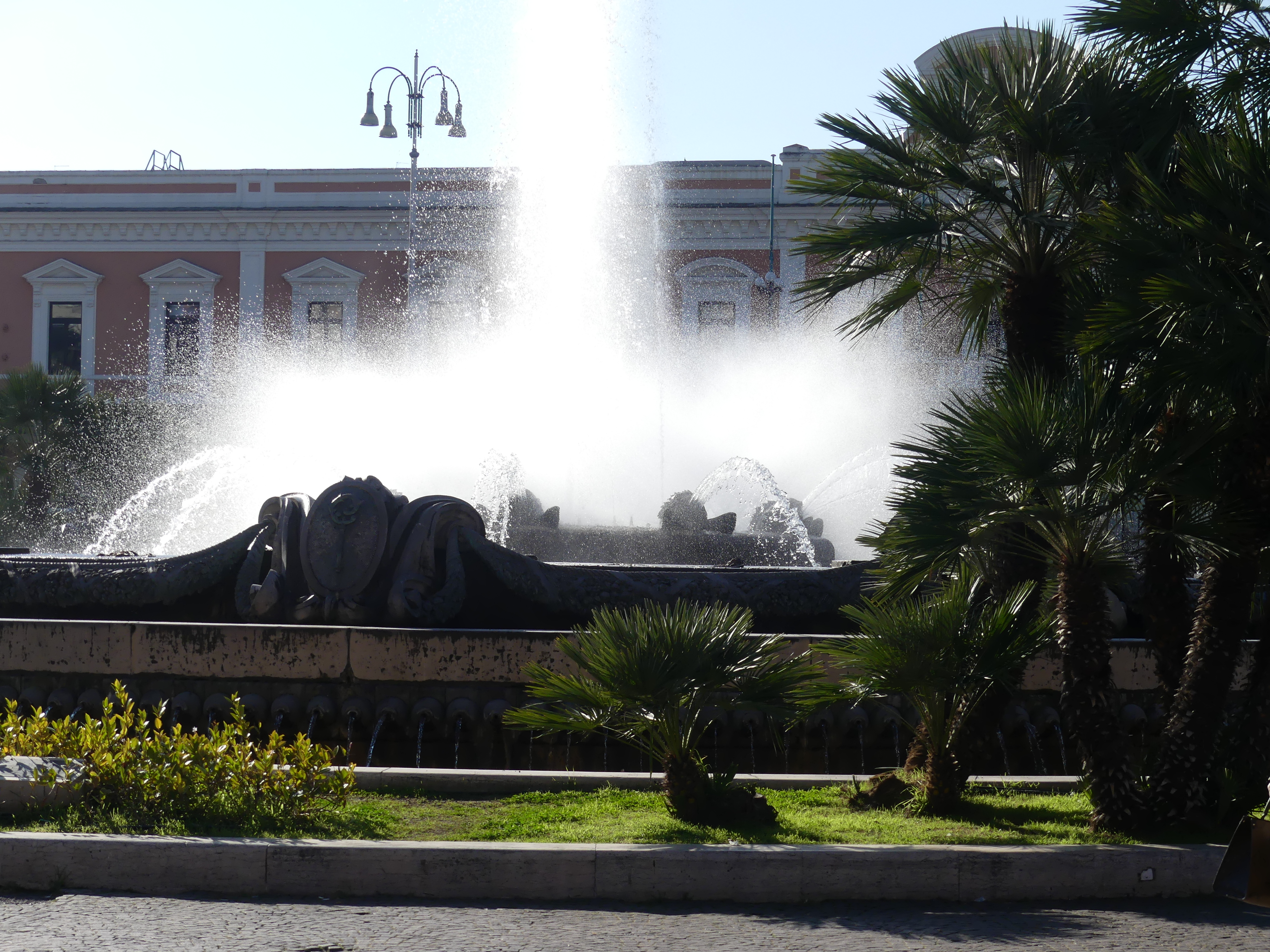
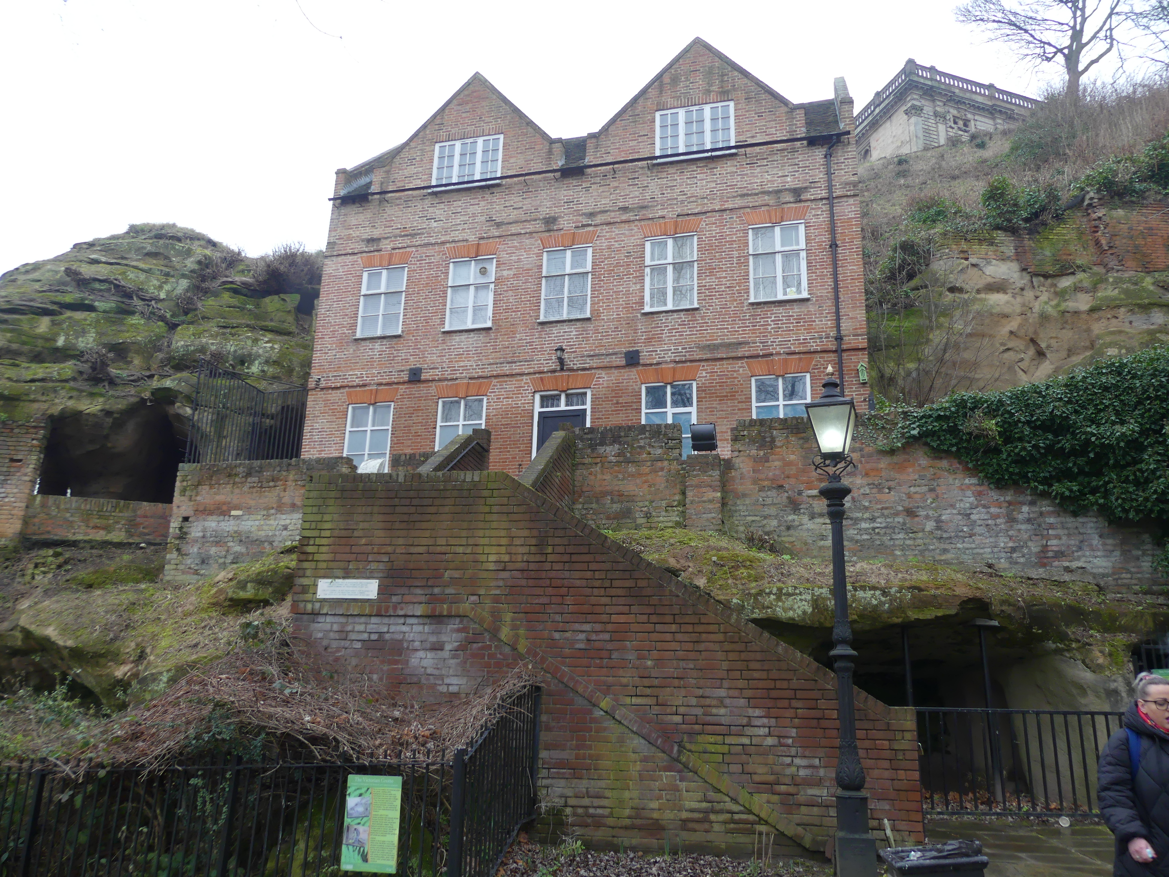
Kerry piloted us out onto Piazza Giuseppe Garibaldi in search of our hotel, Hotel Vergilius Billia which I am certain is a Mormon hotel with open bibles placed strategically in the hotel. The Piazza is 4 city blocks long and 3 blocks wide with a subterranean passage below us. The hotel was difficult to find at first in Via Guiseppe Pica but ultimately proved to be quite central. Clean and quiet with breakfast included we were well settled.
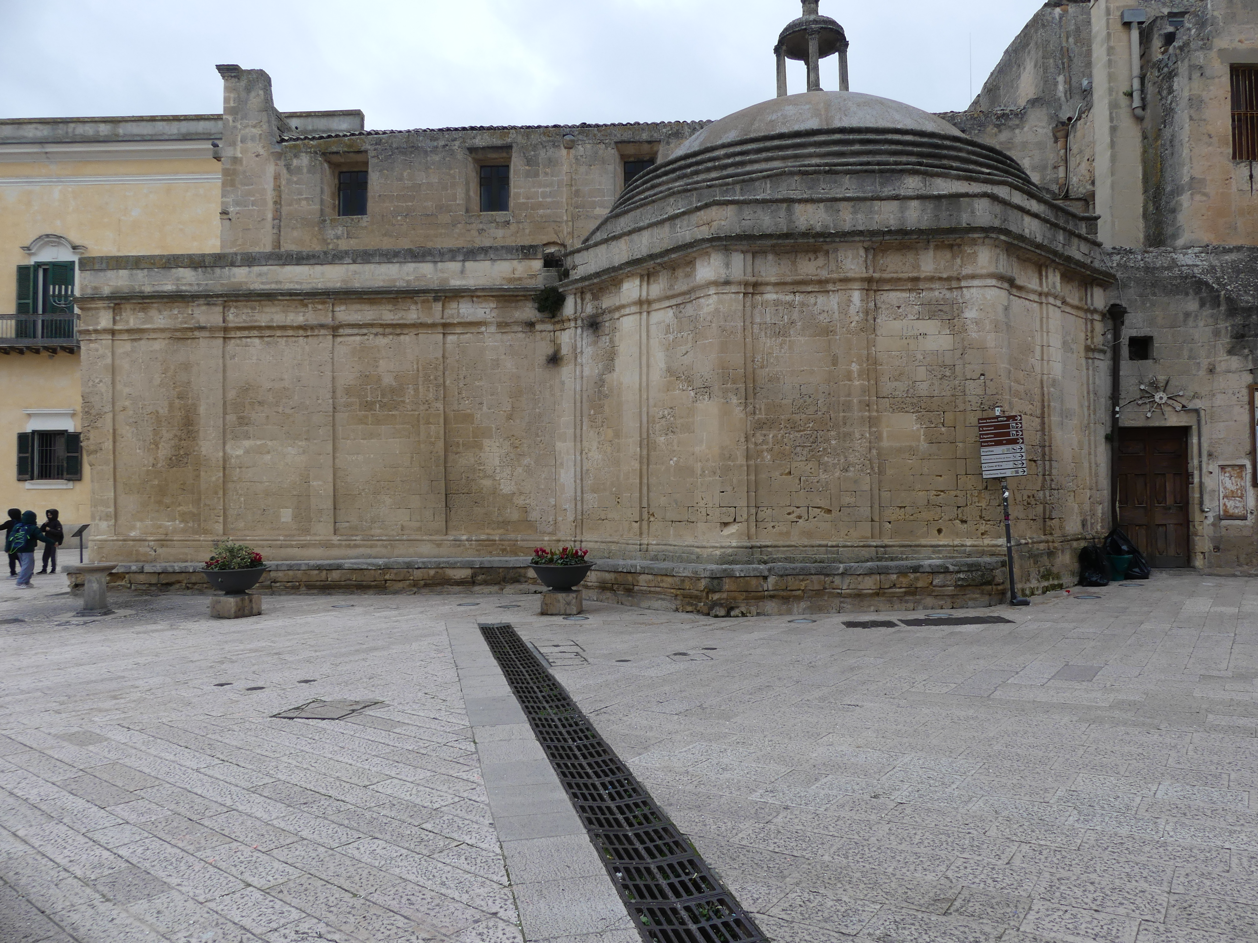
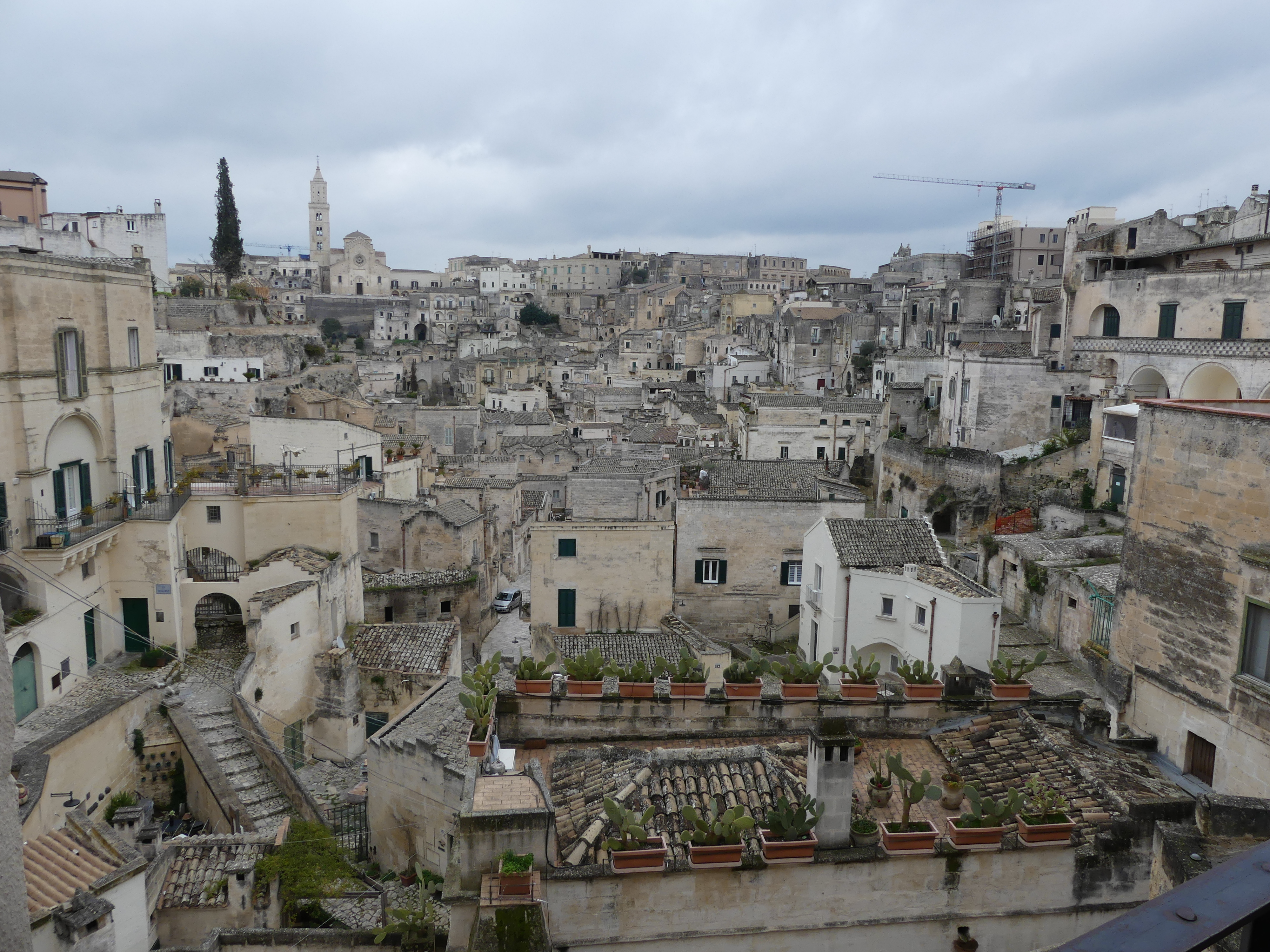
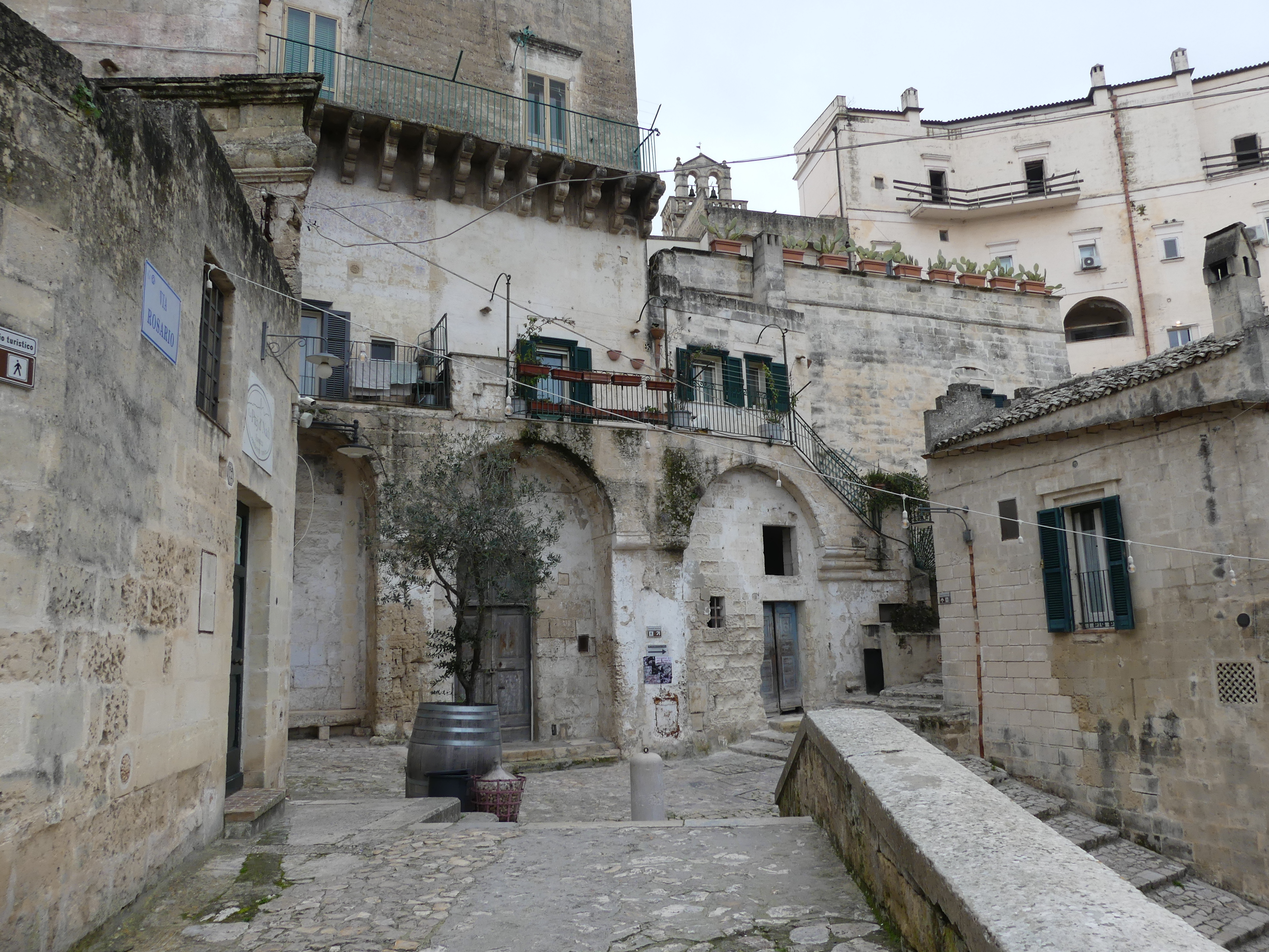
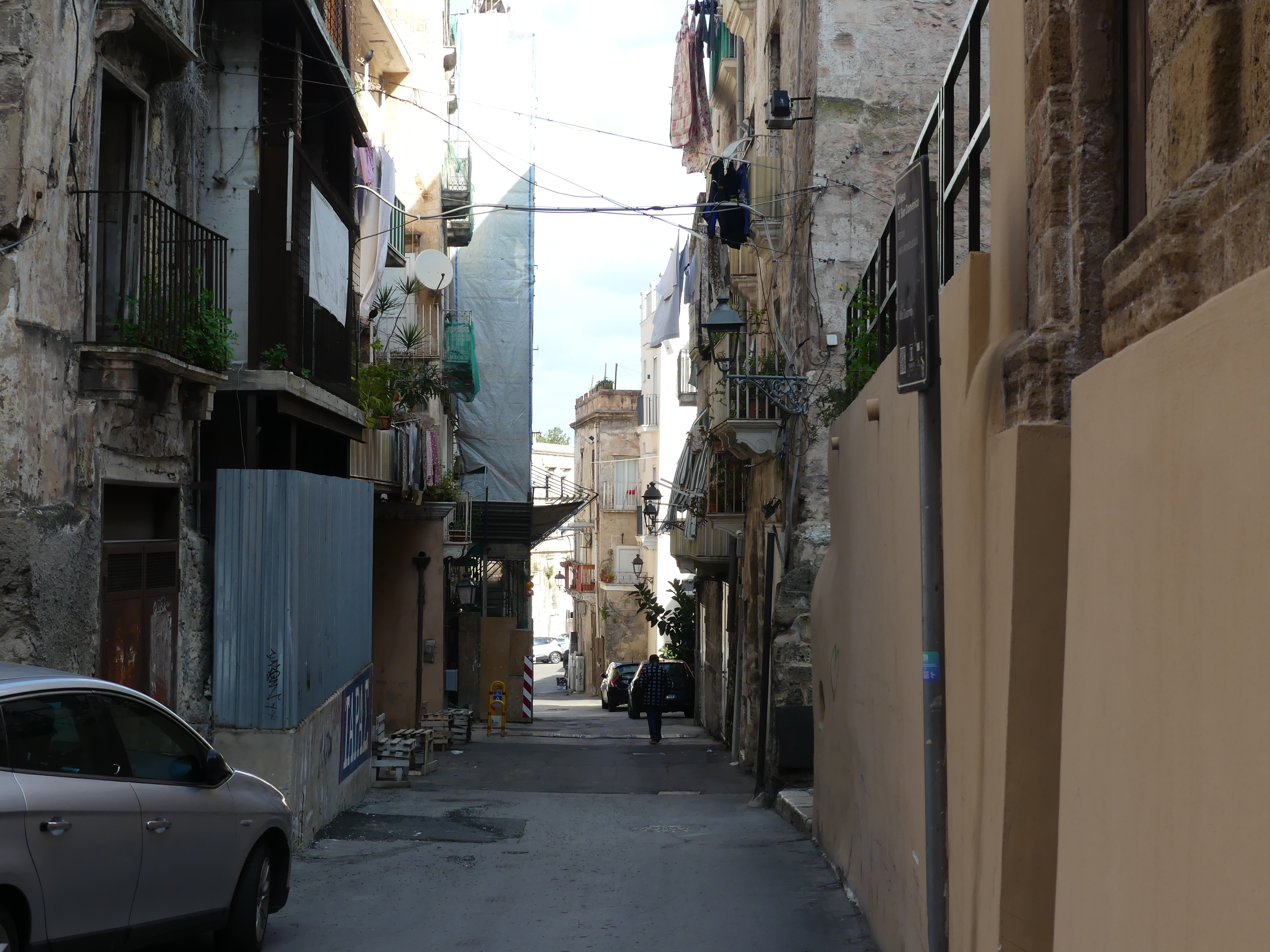
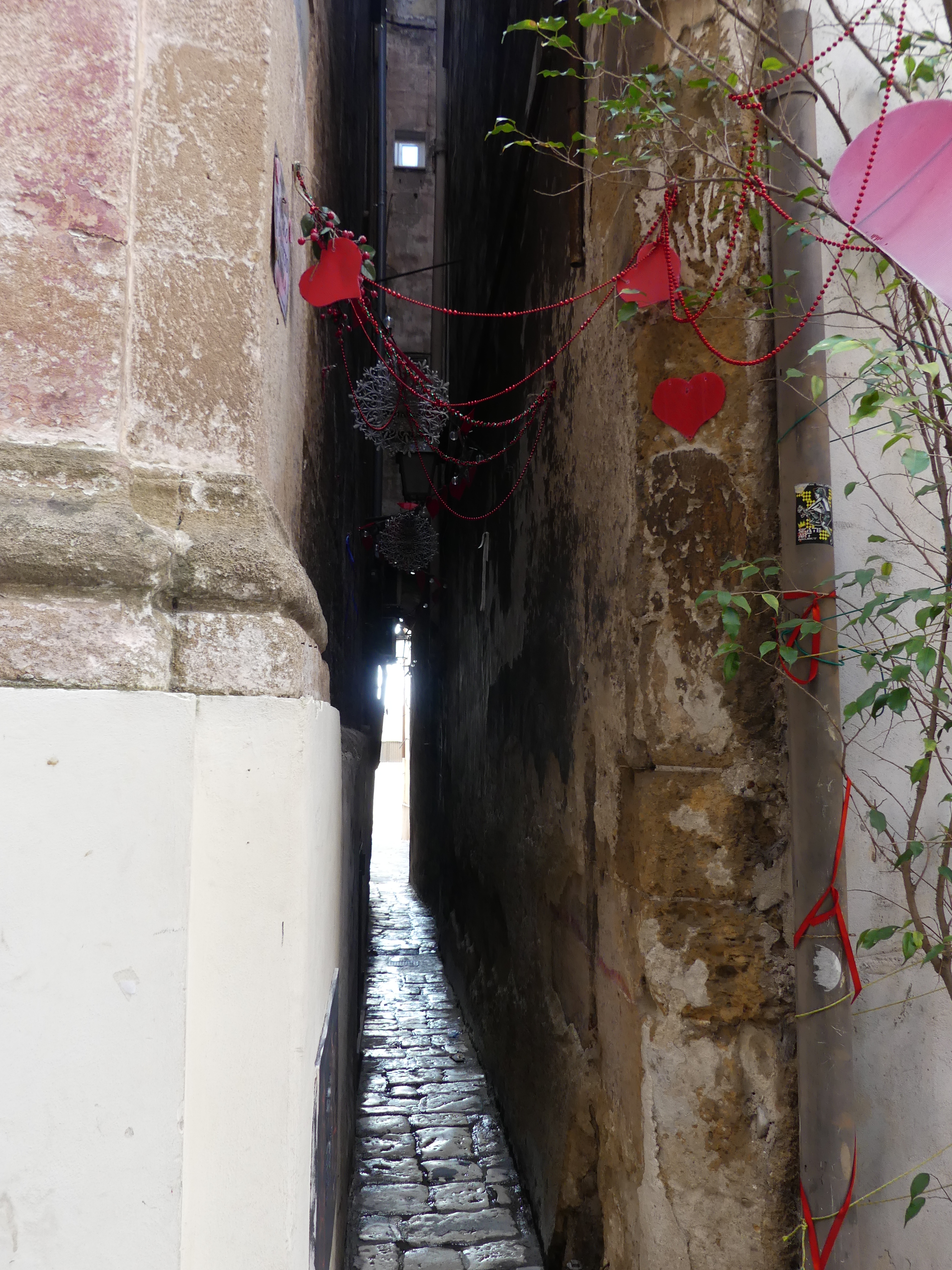
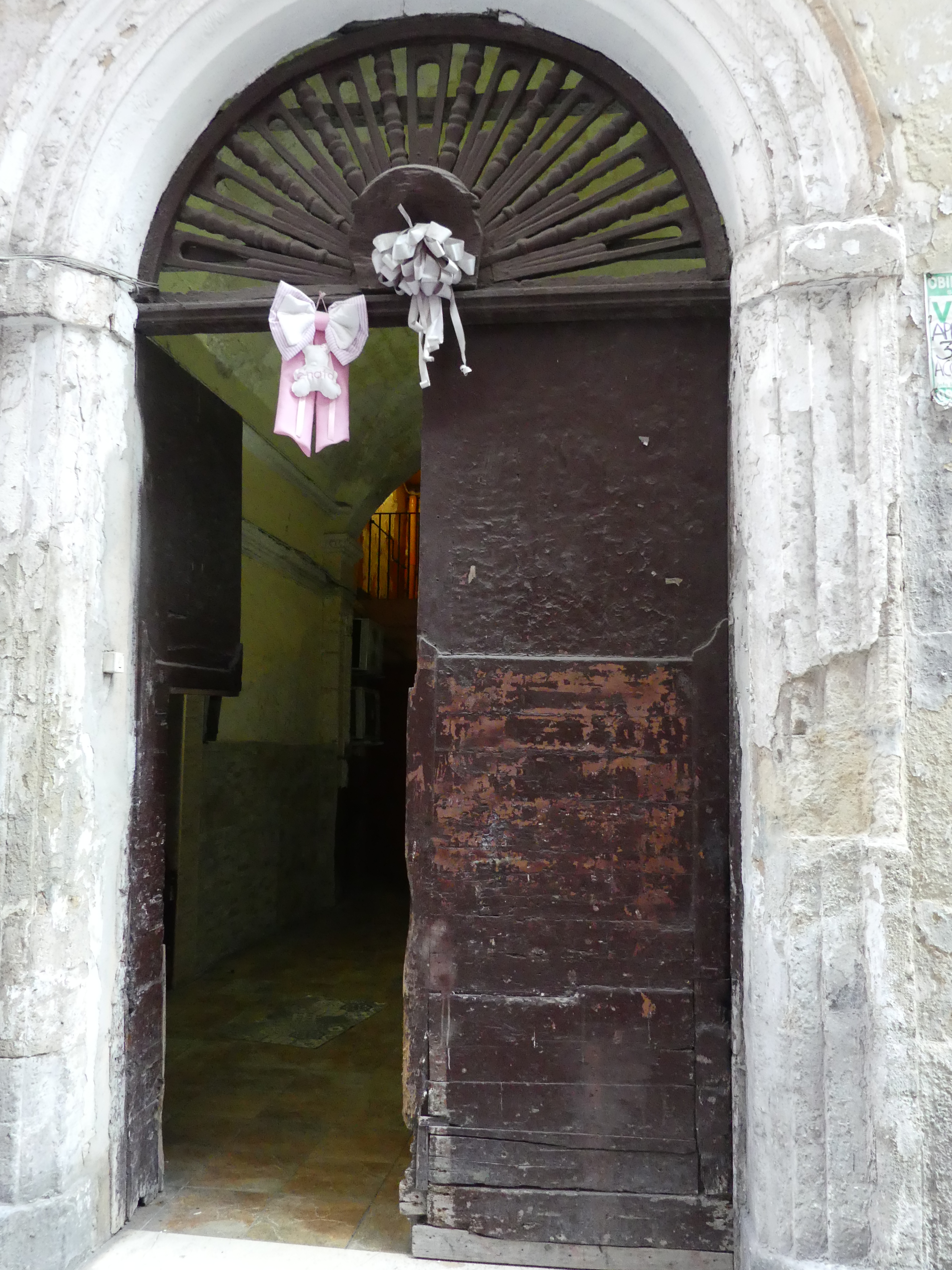
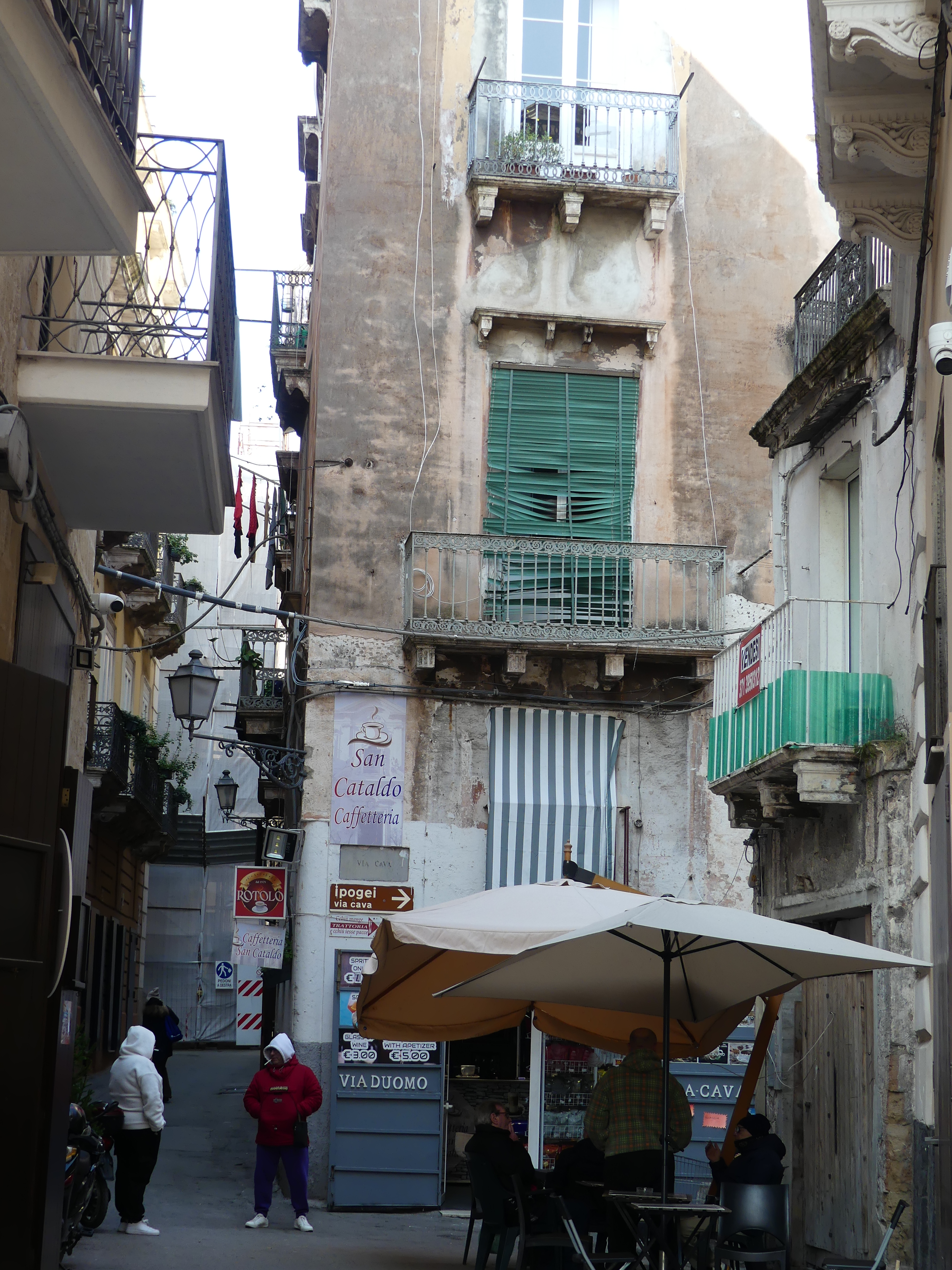
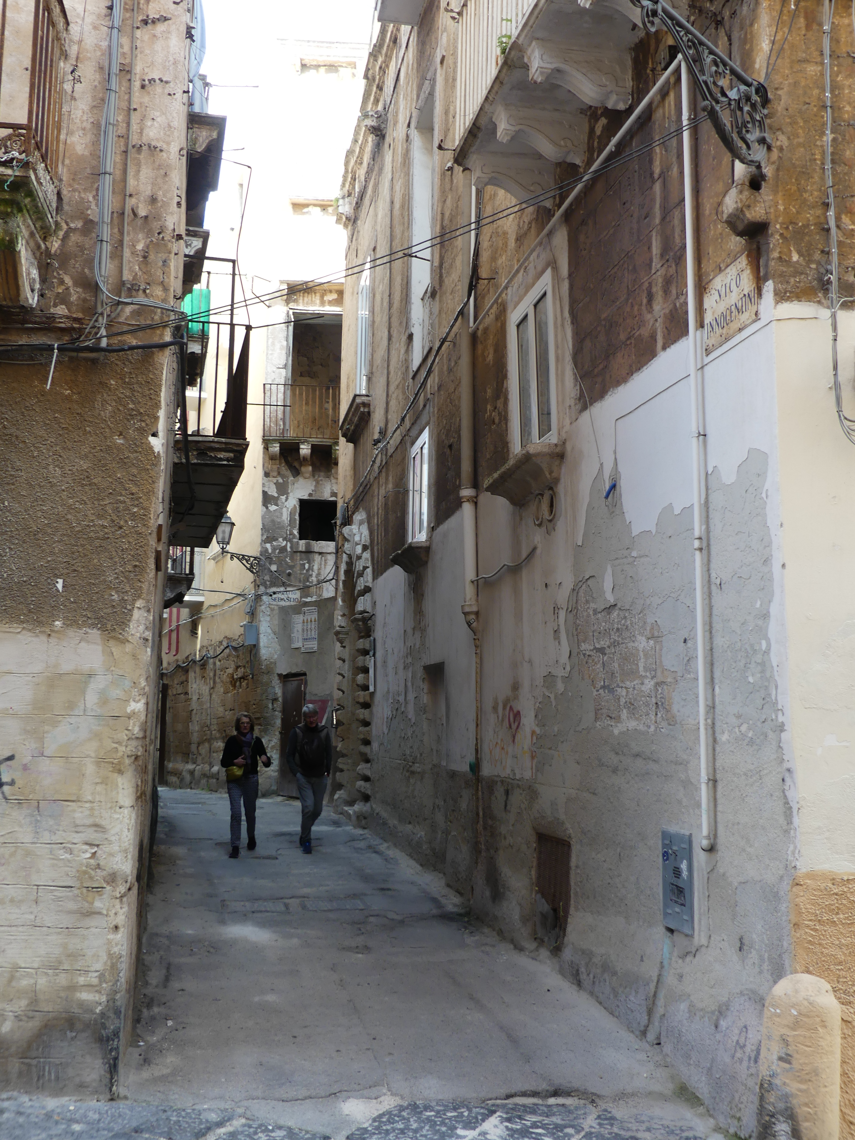
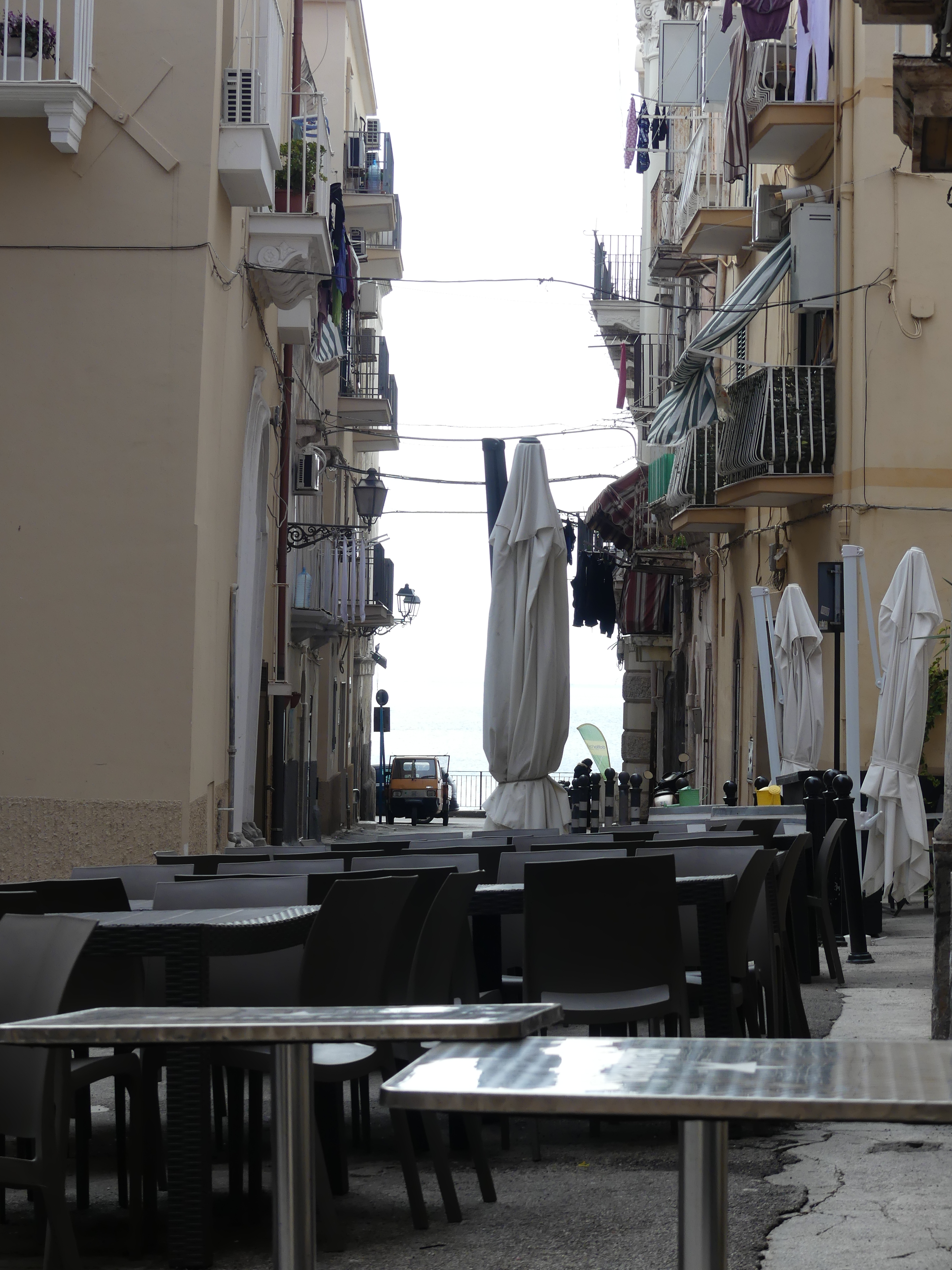
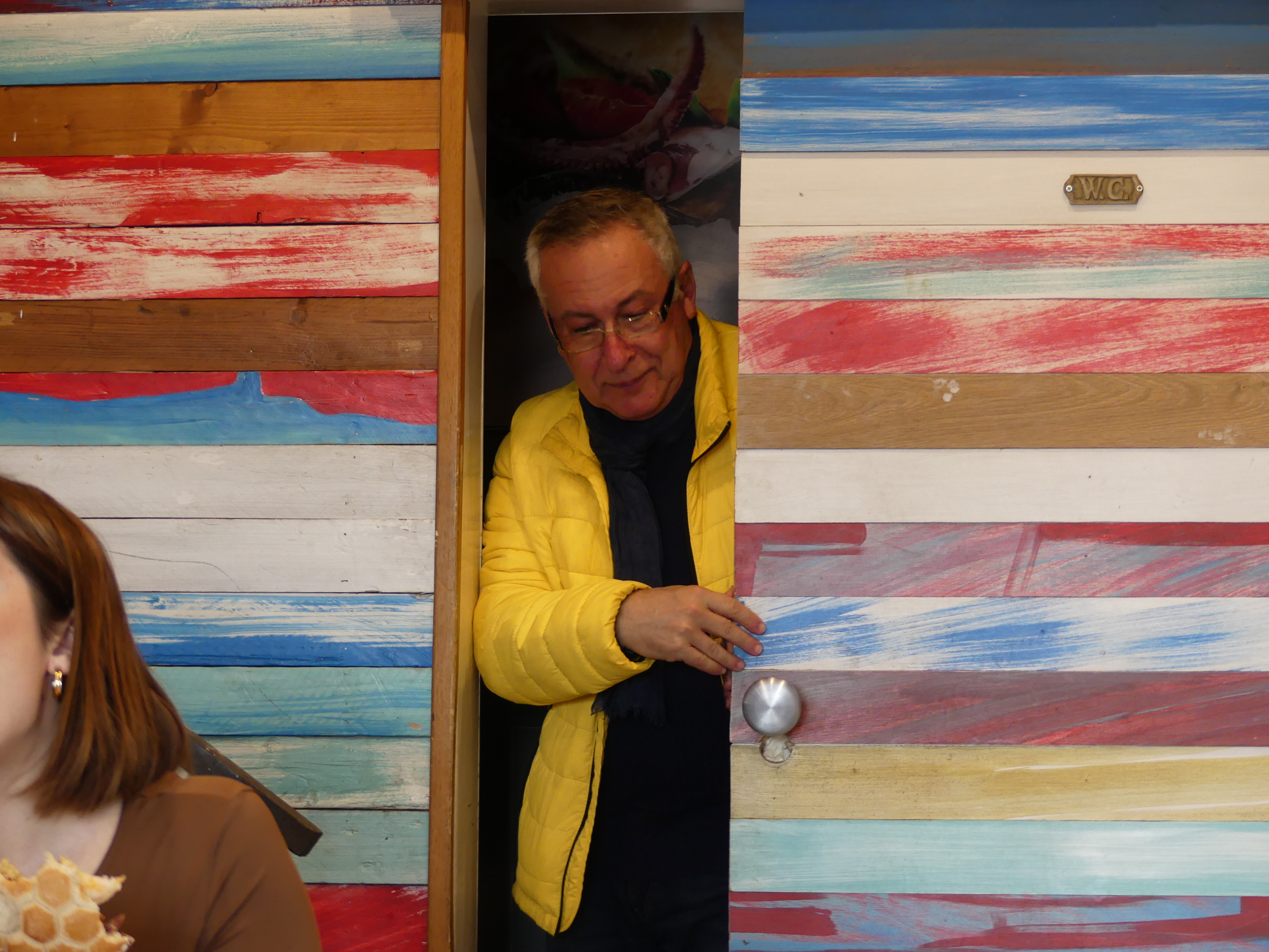
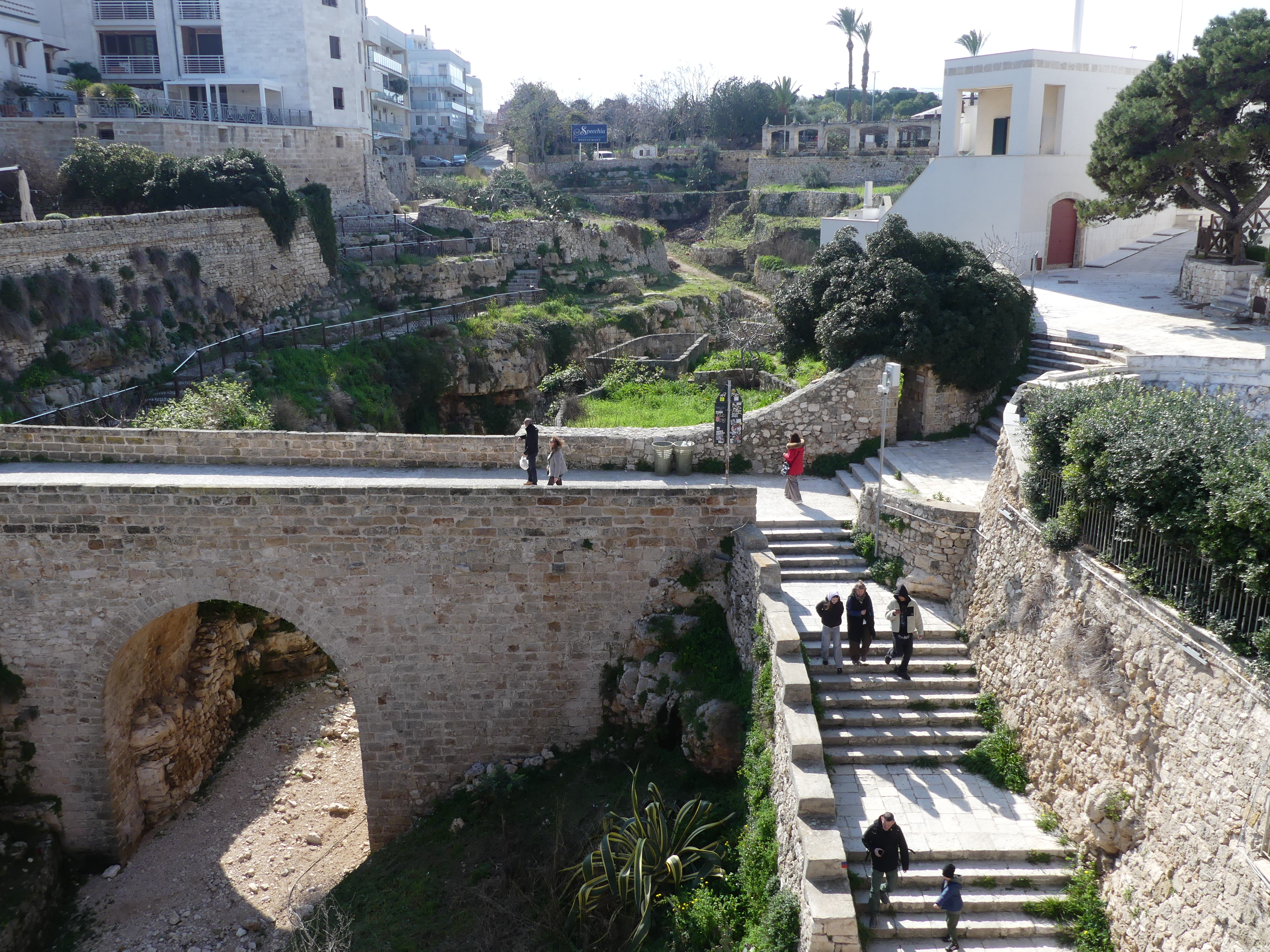
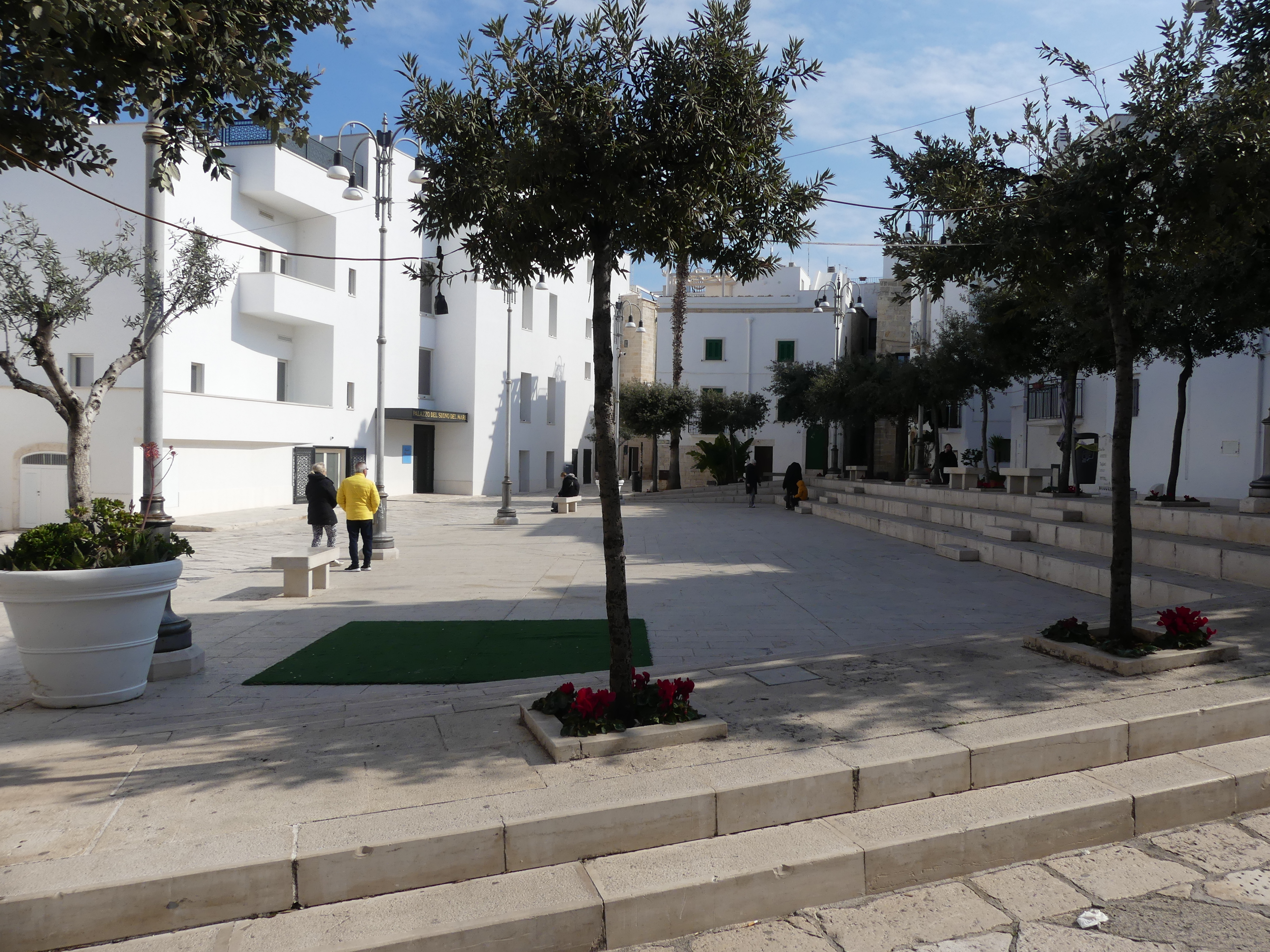
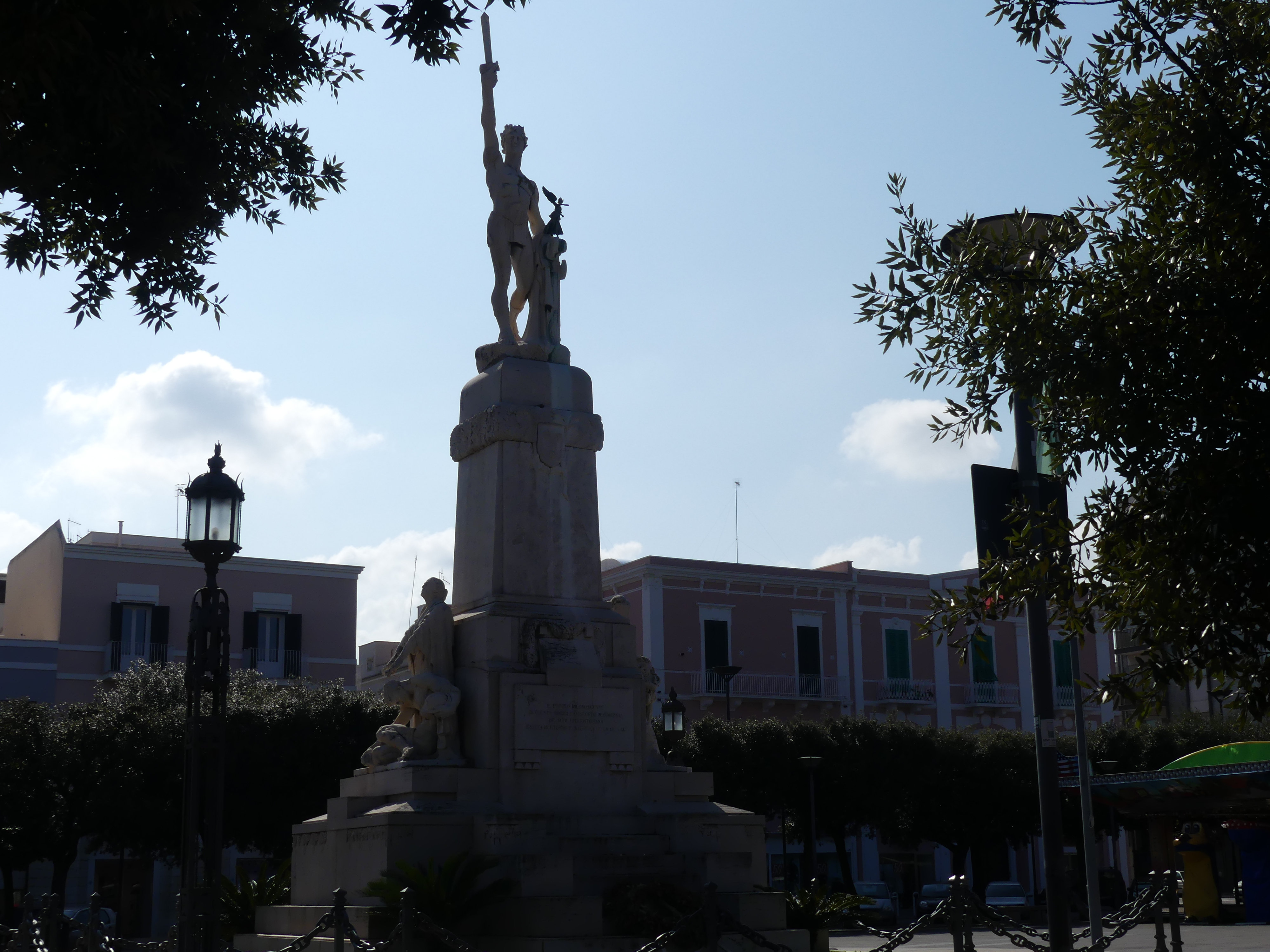
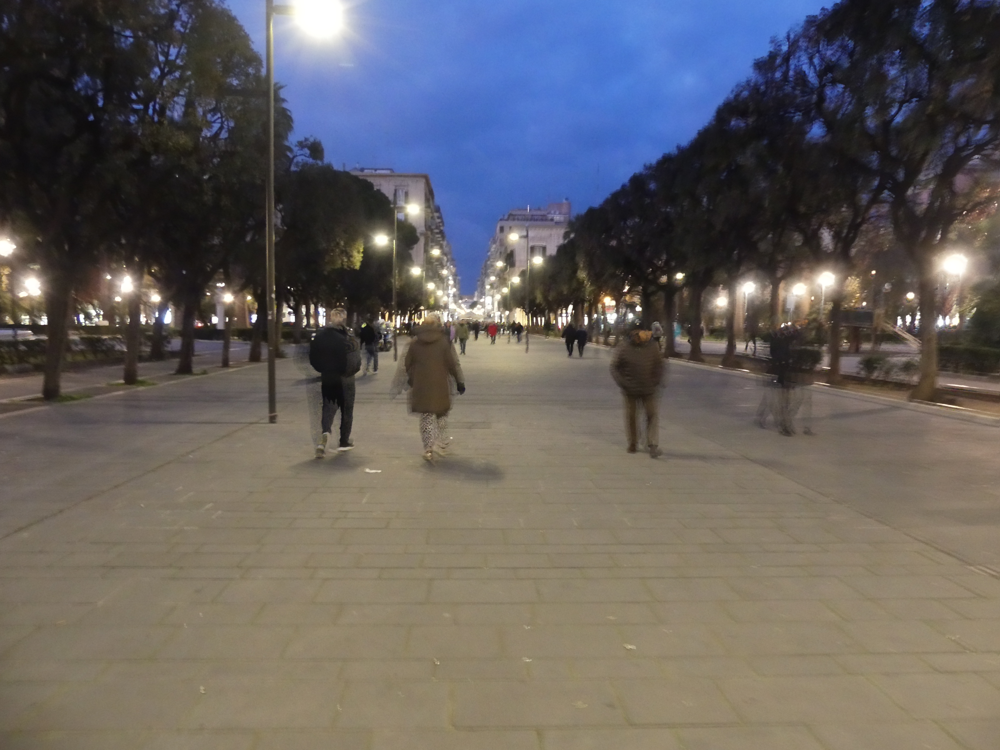
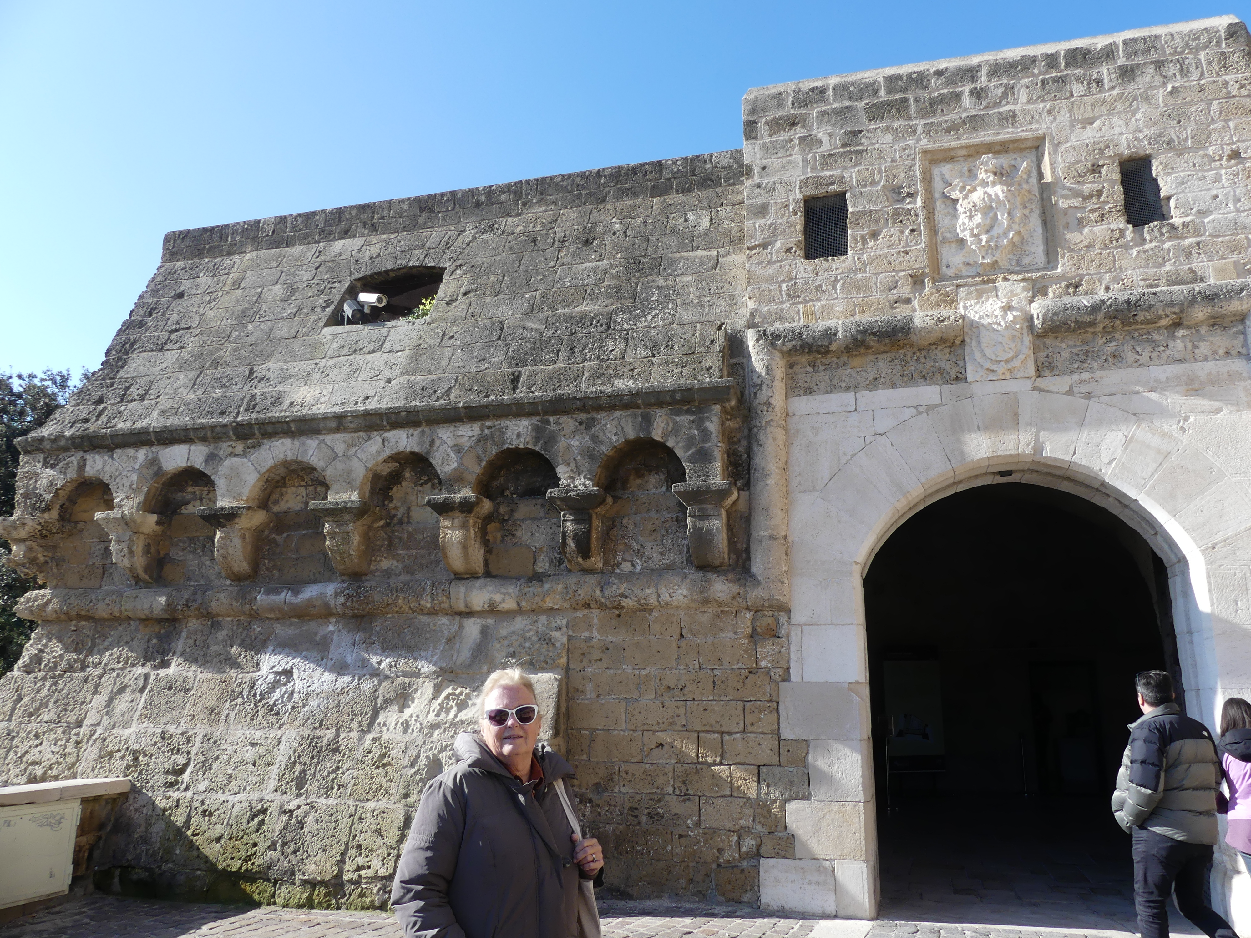
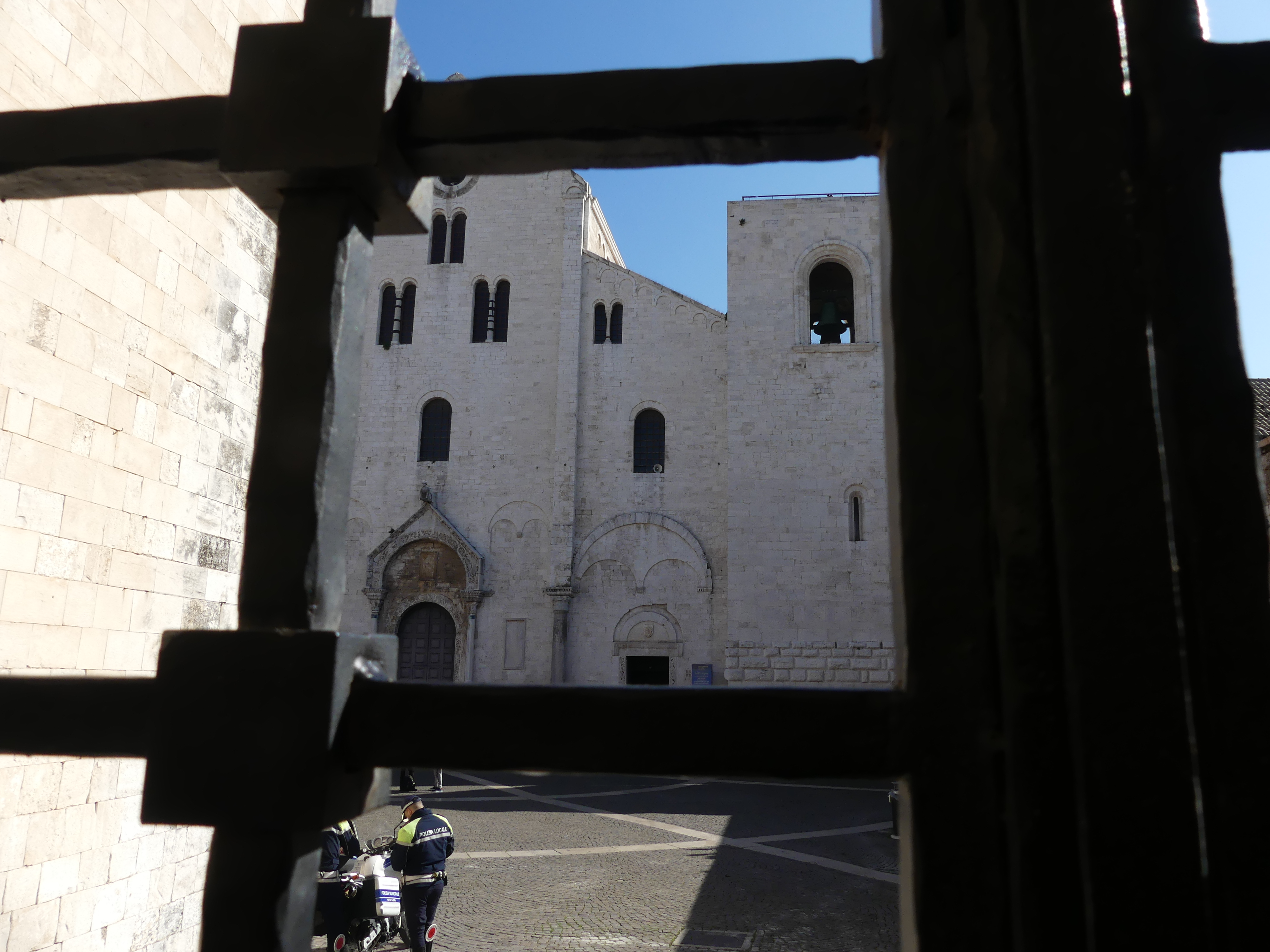
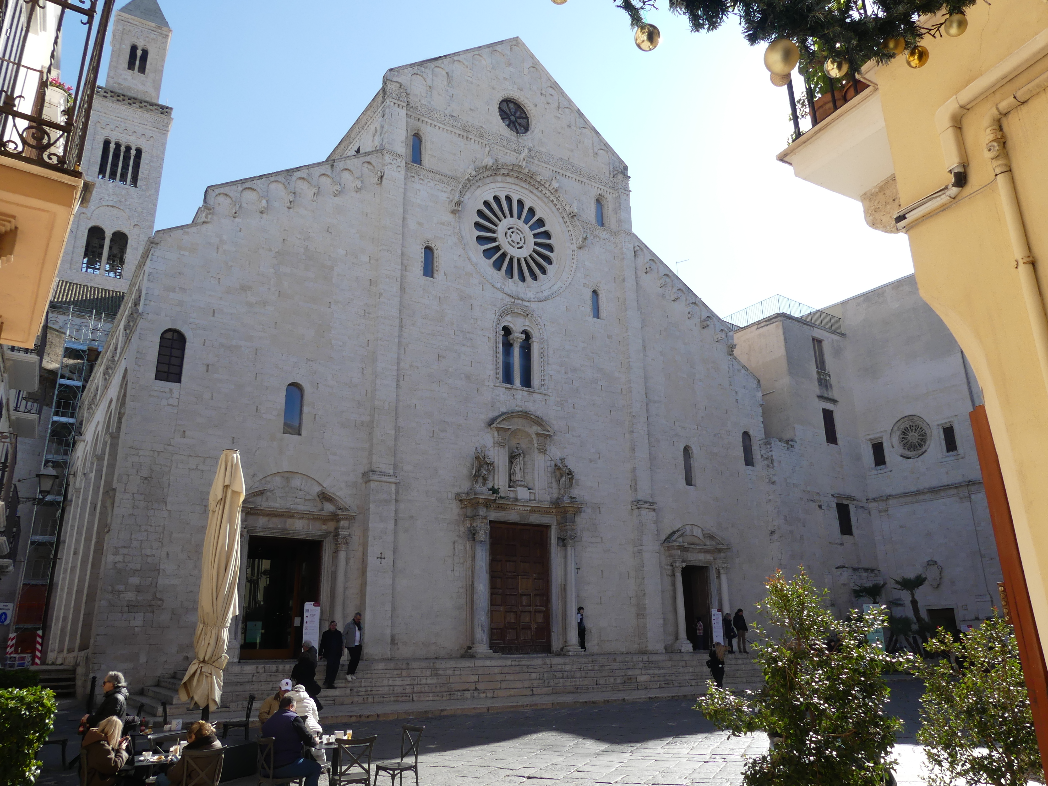
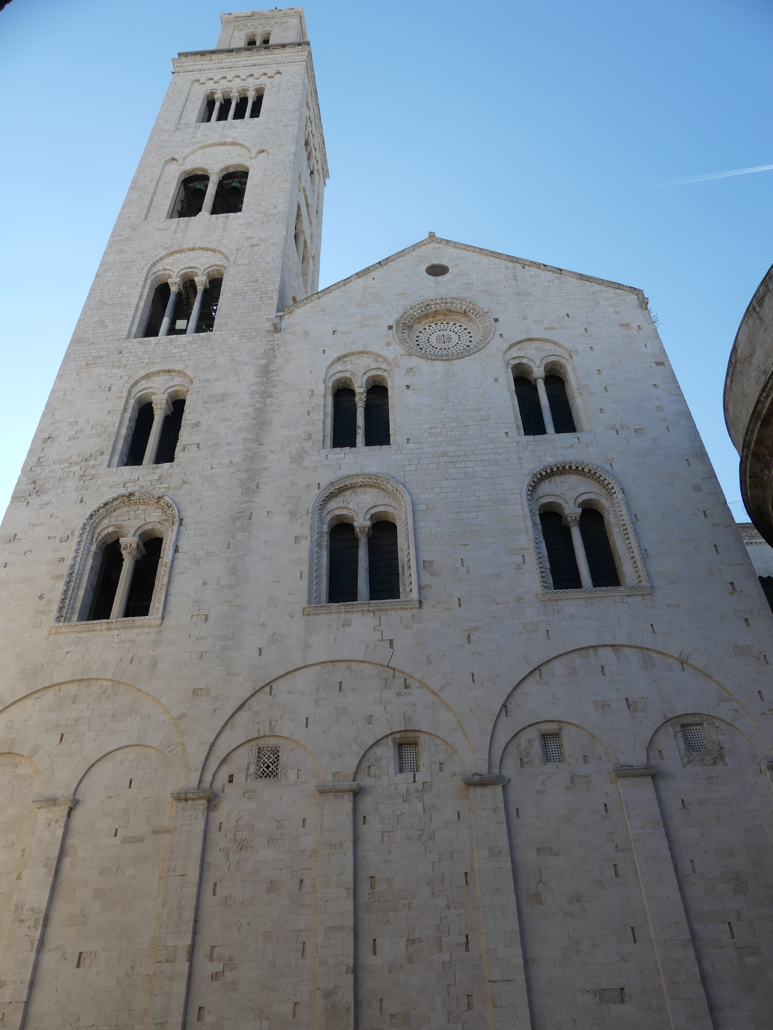
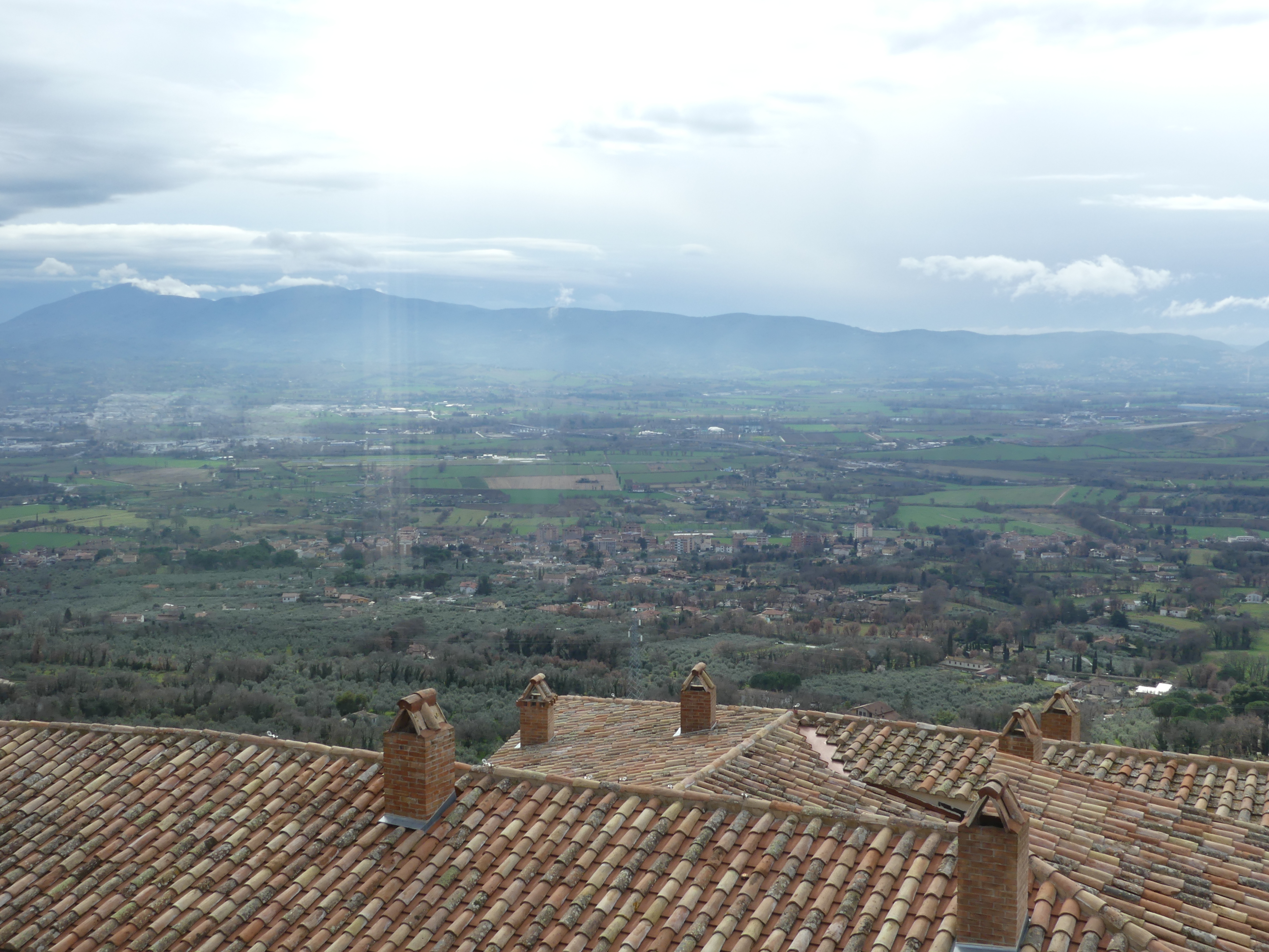
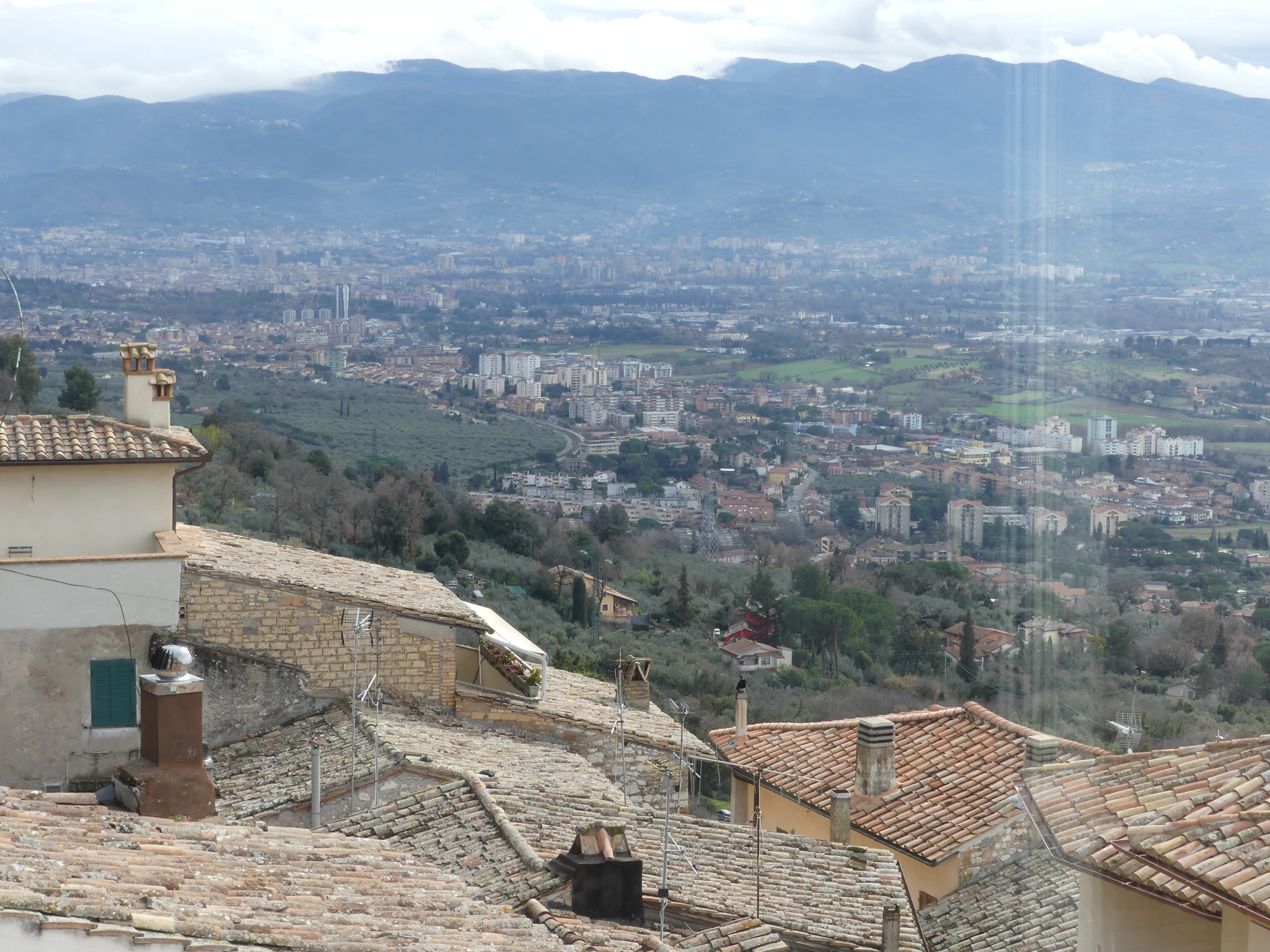
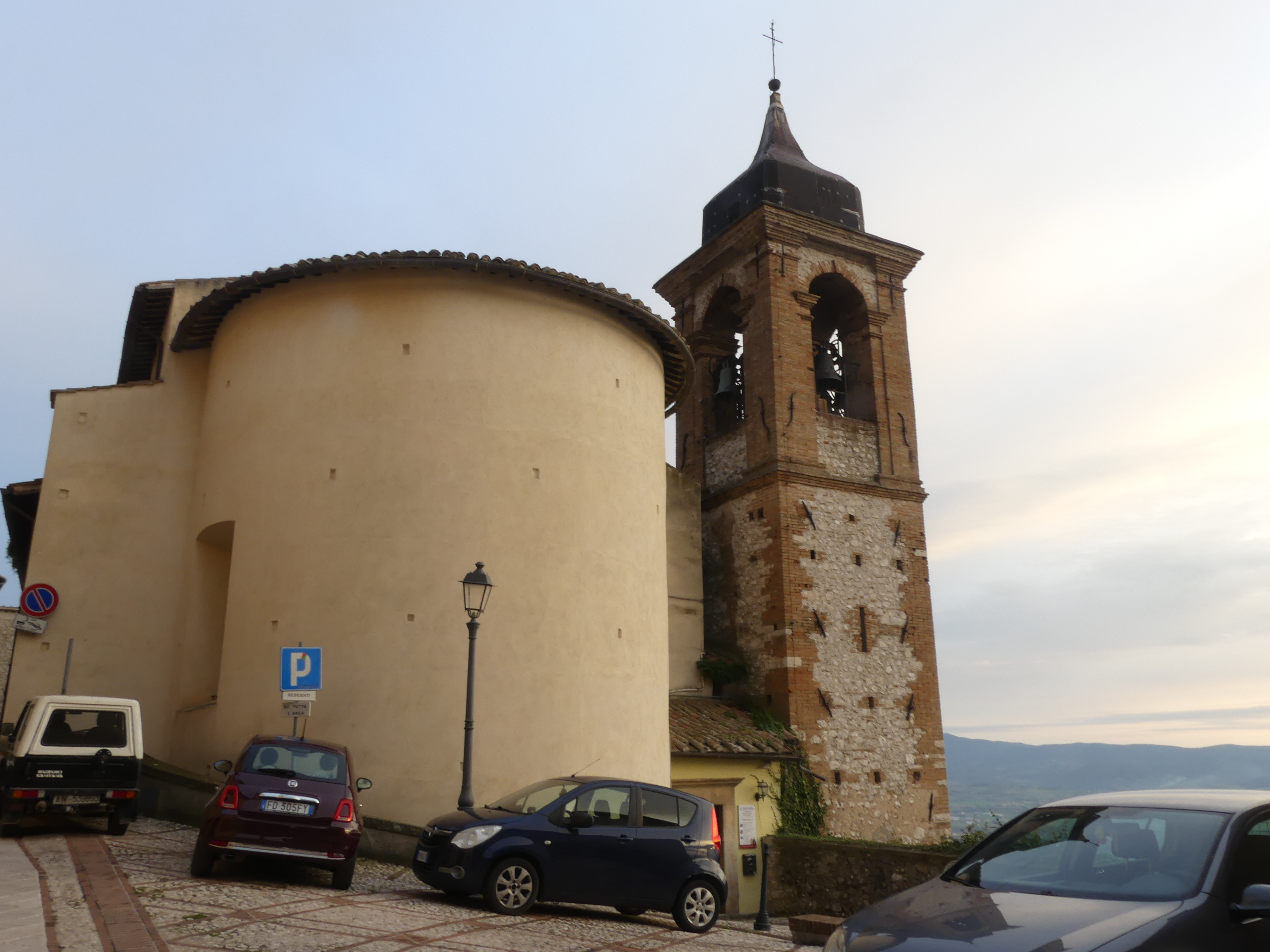
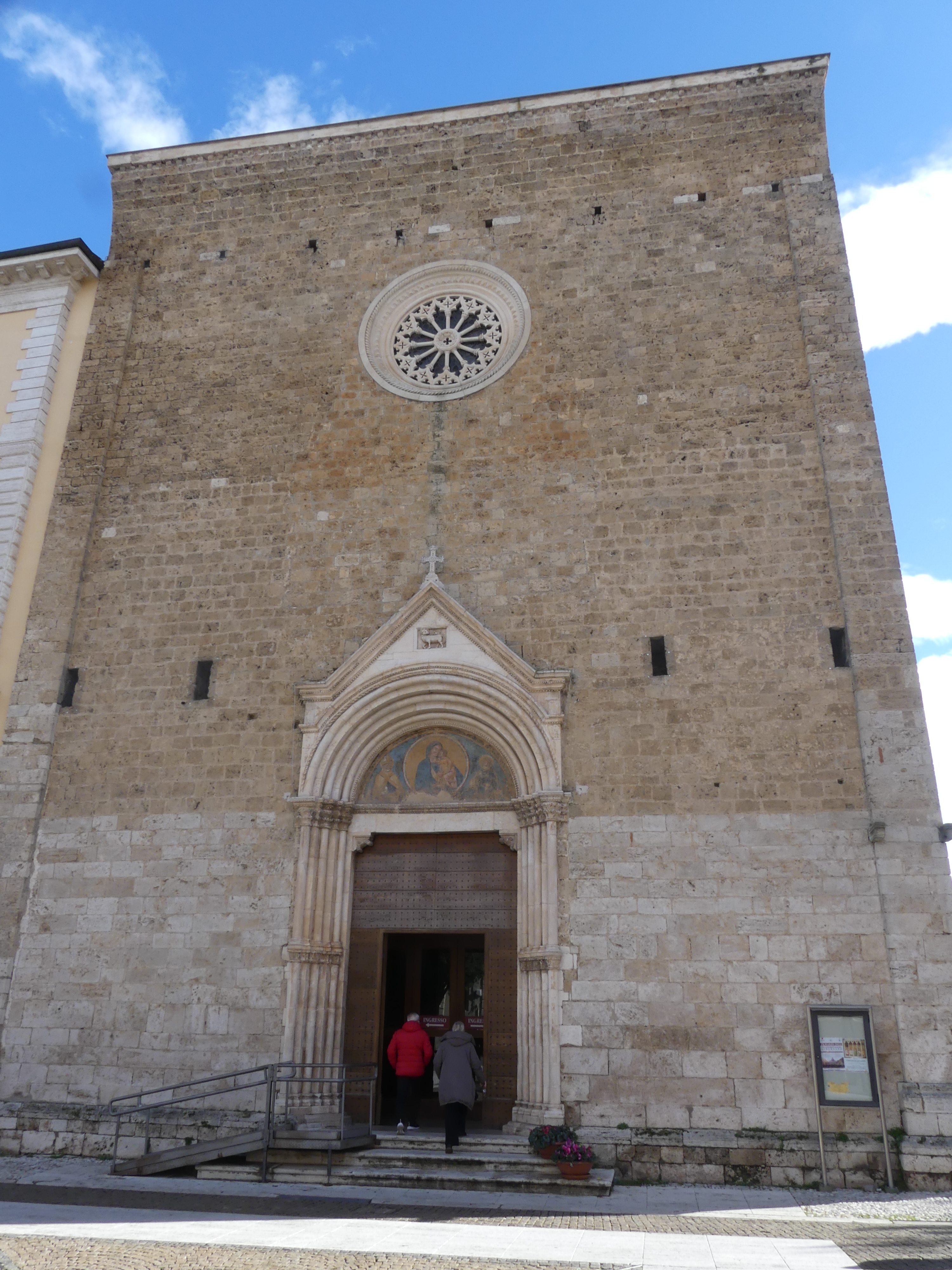
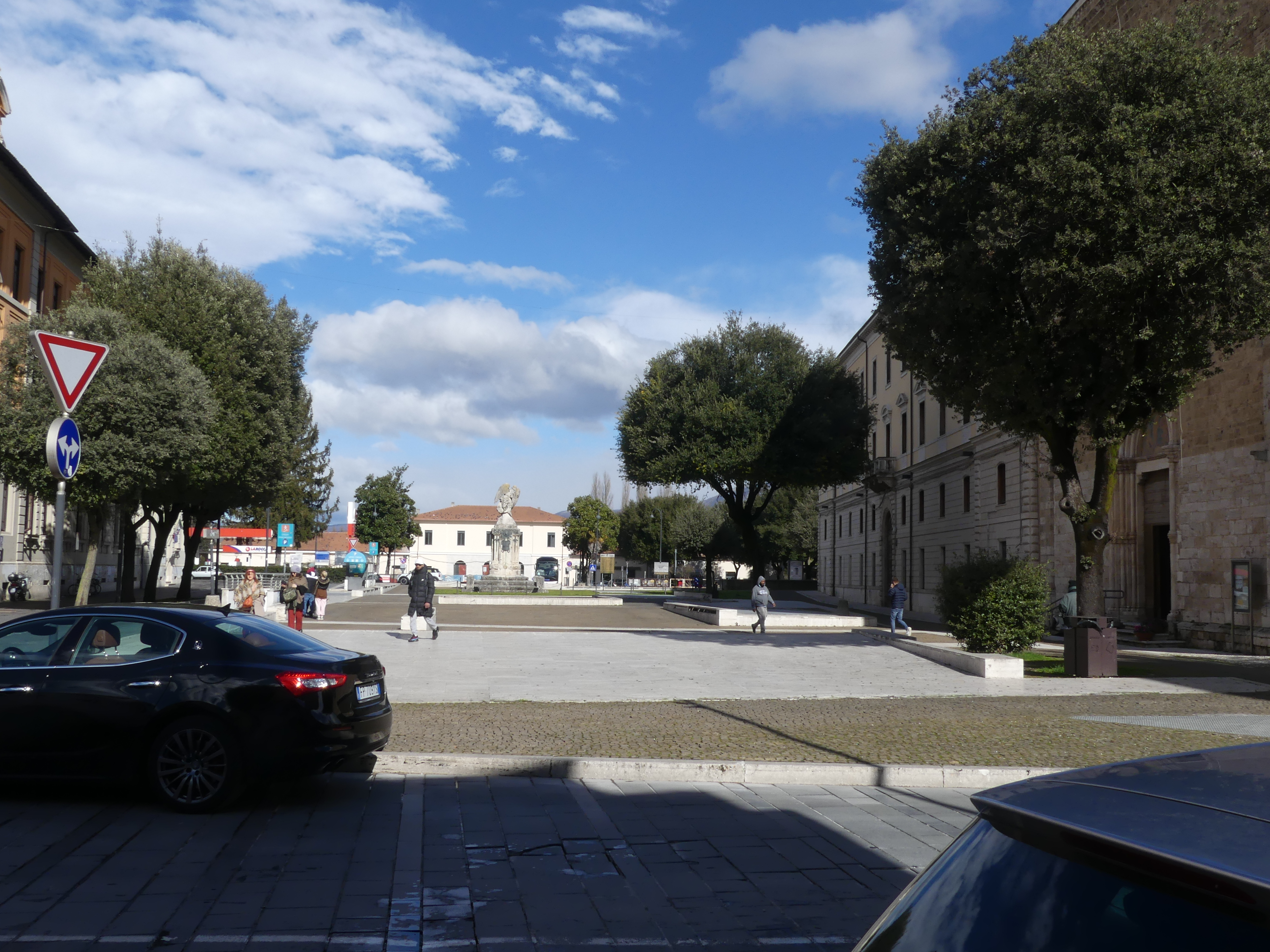
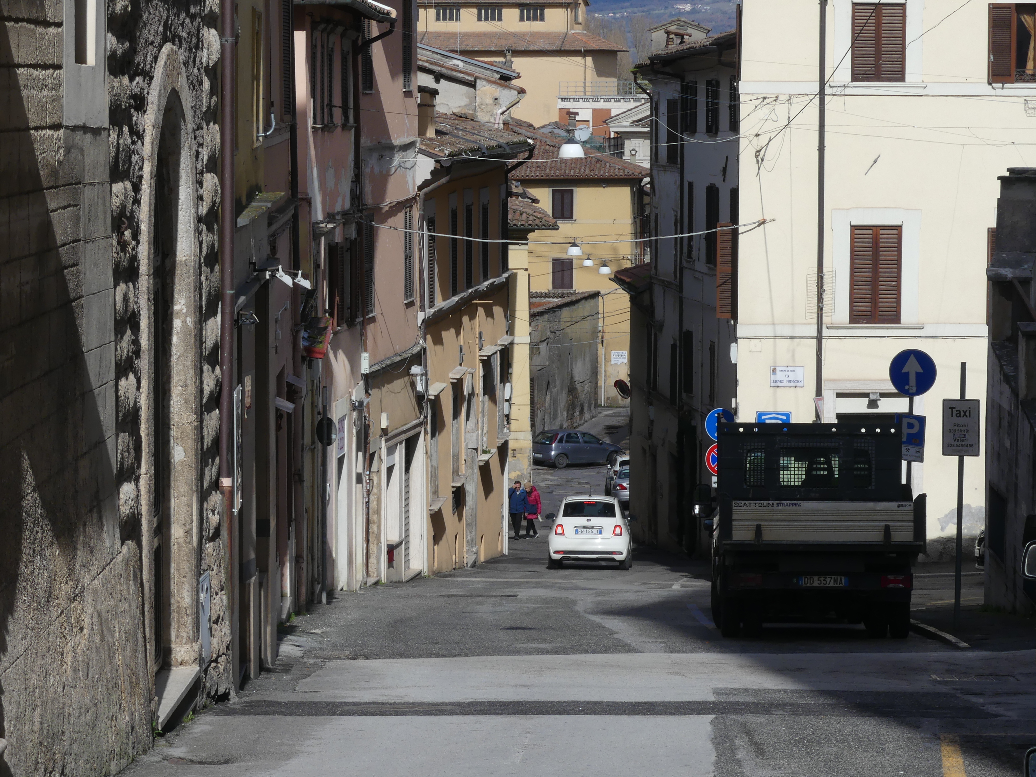
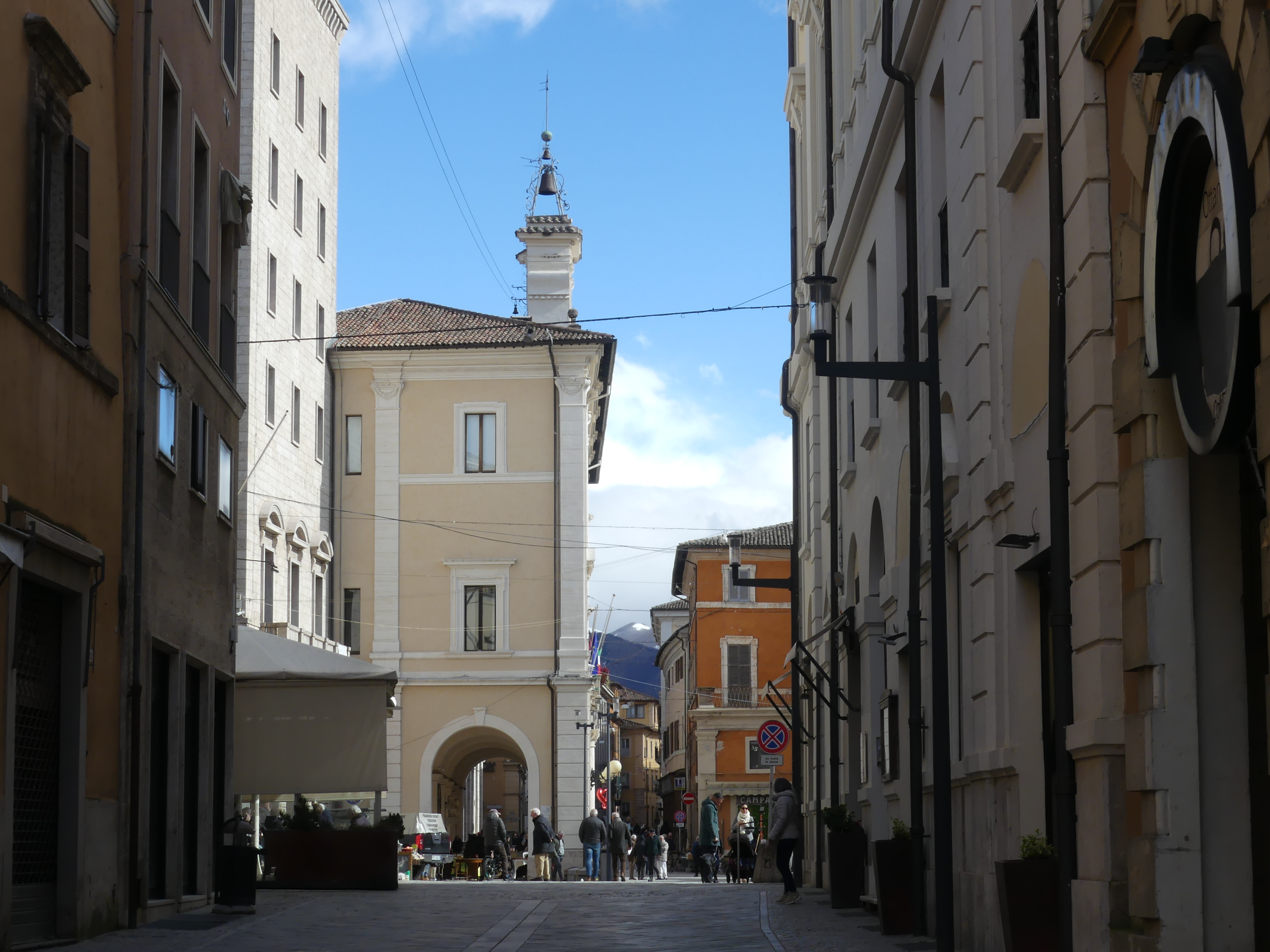
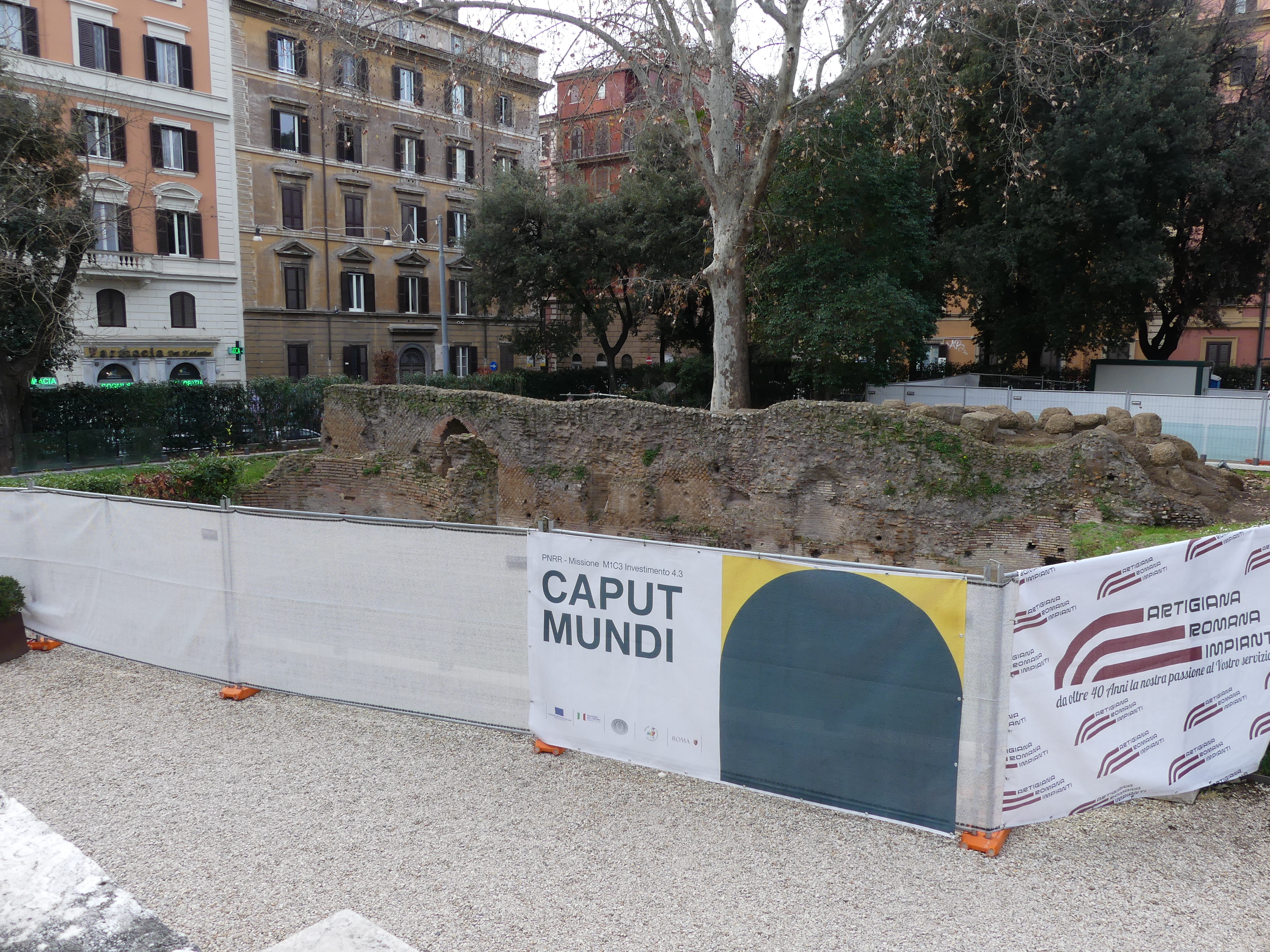
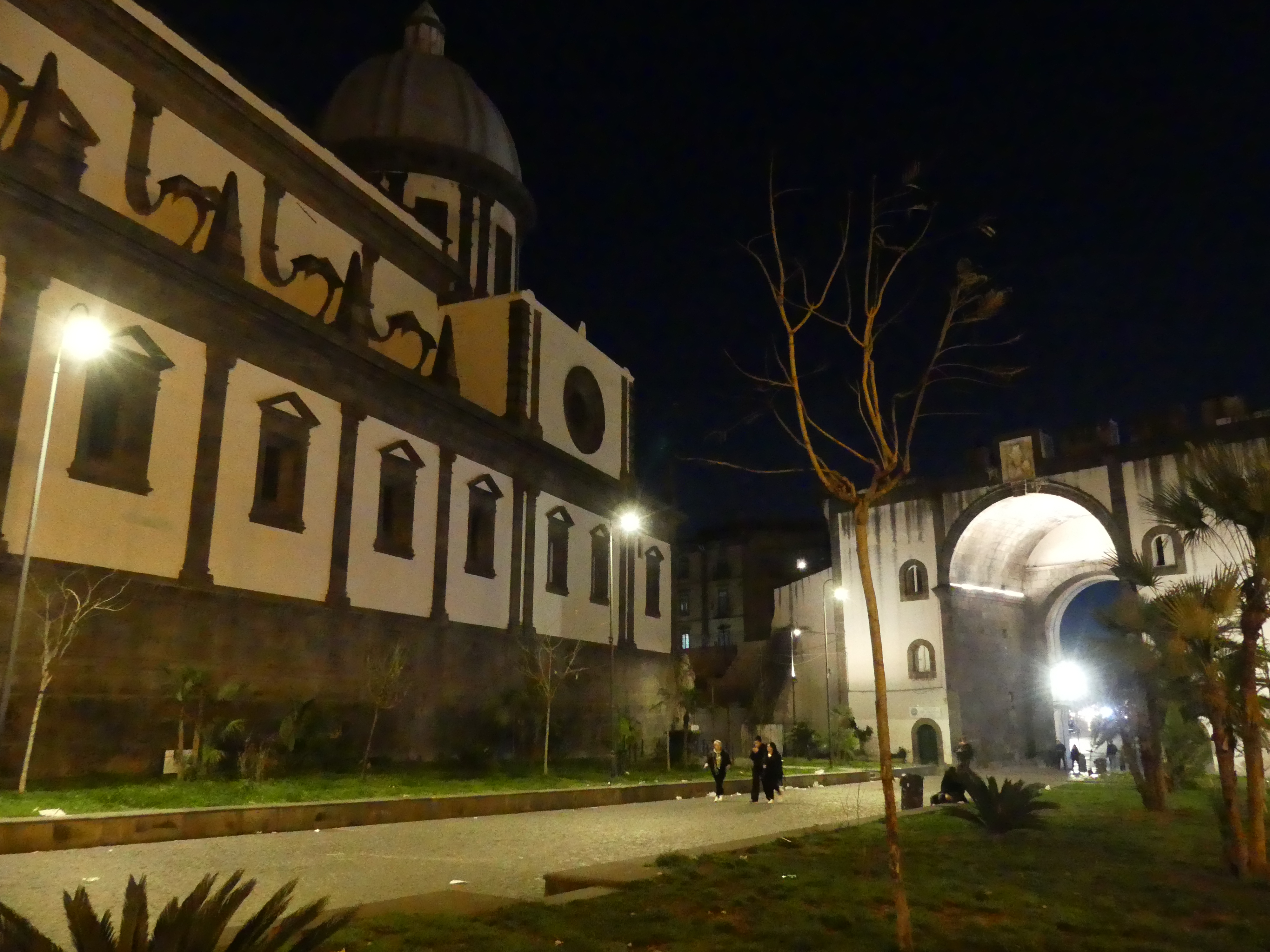
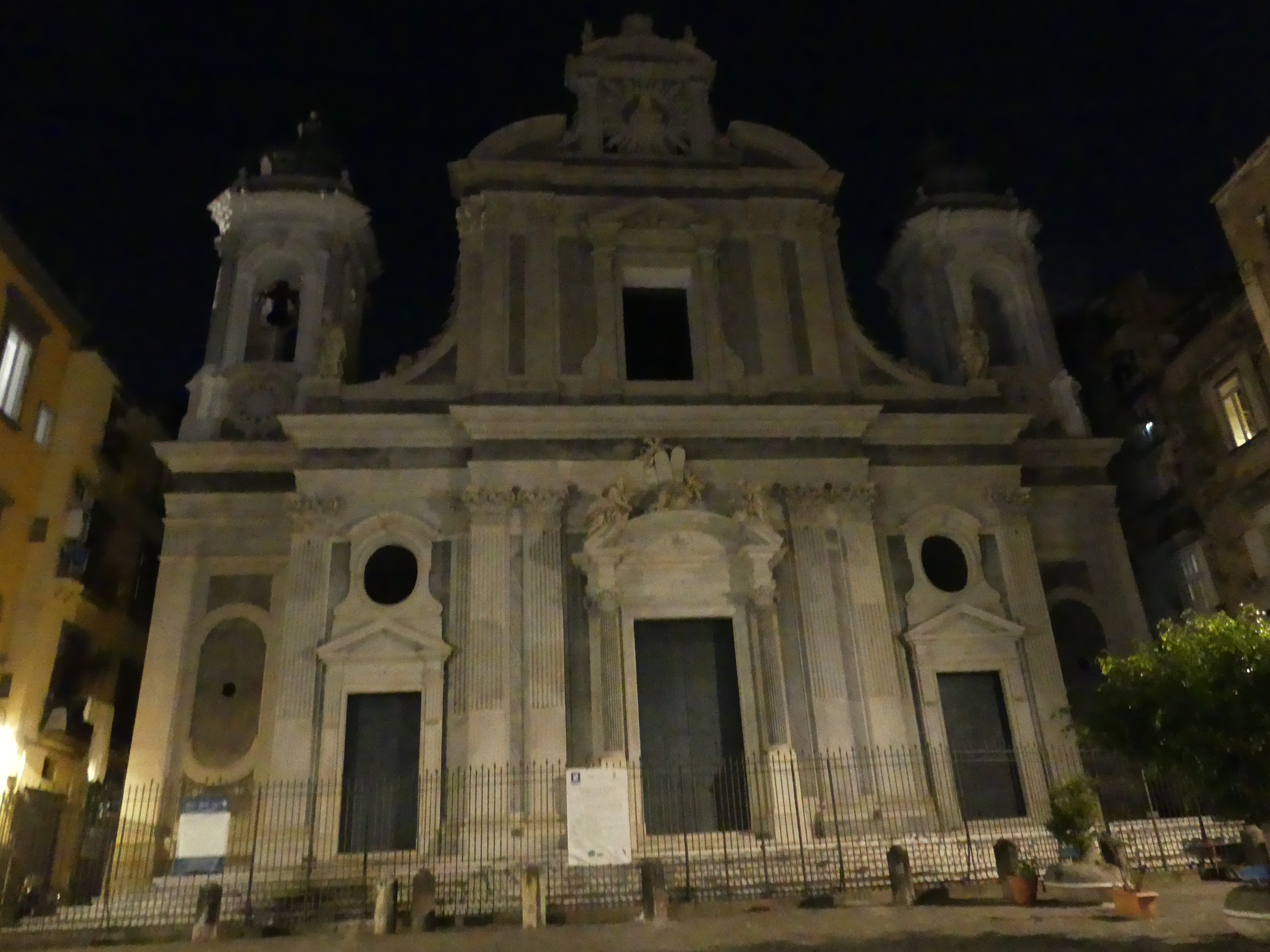
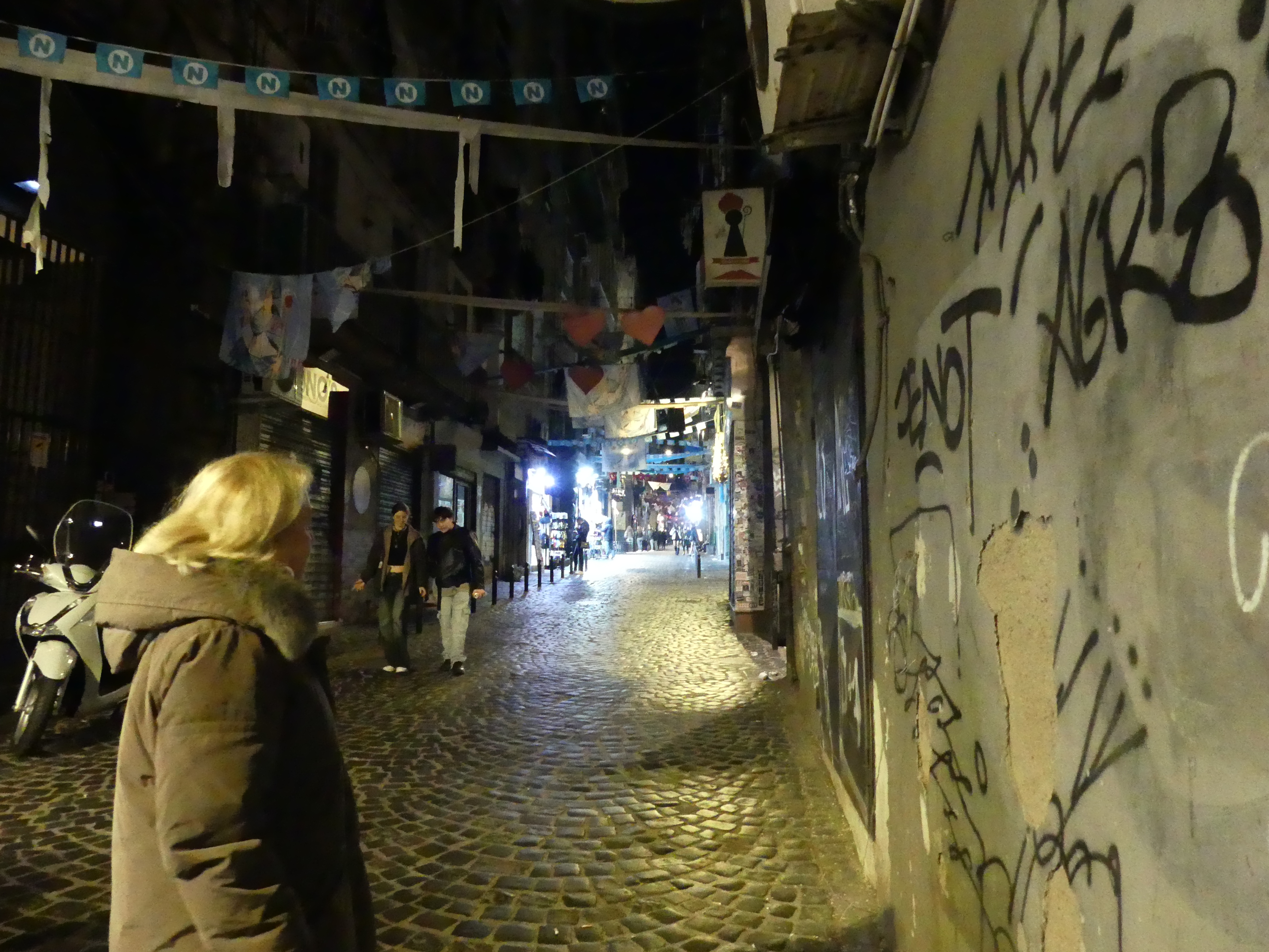
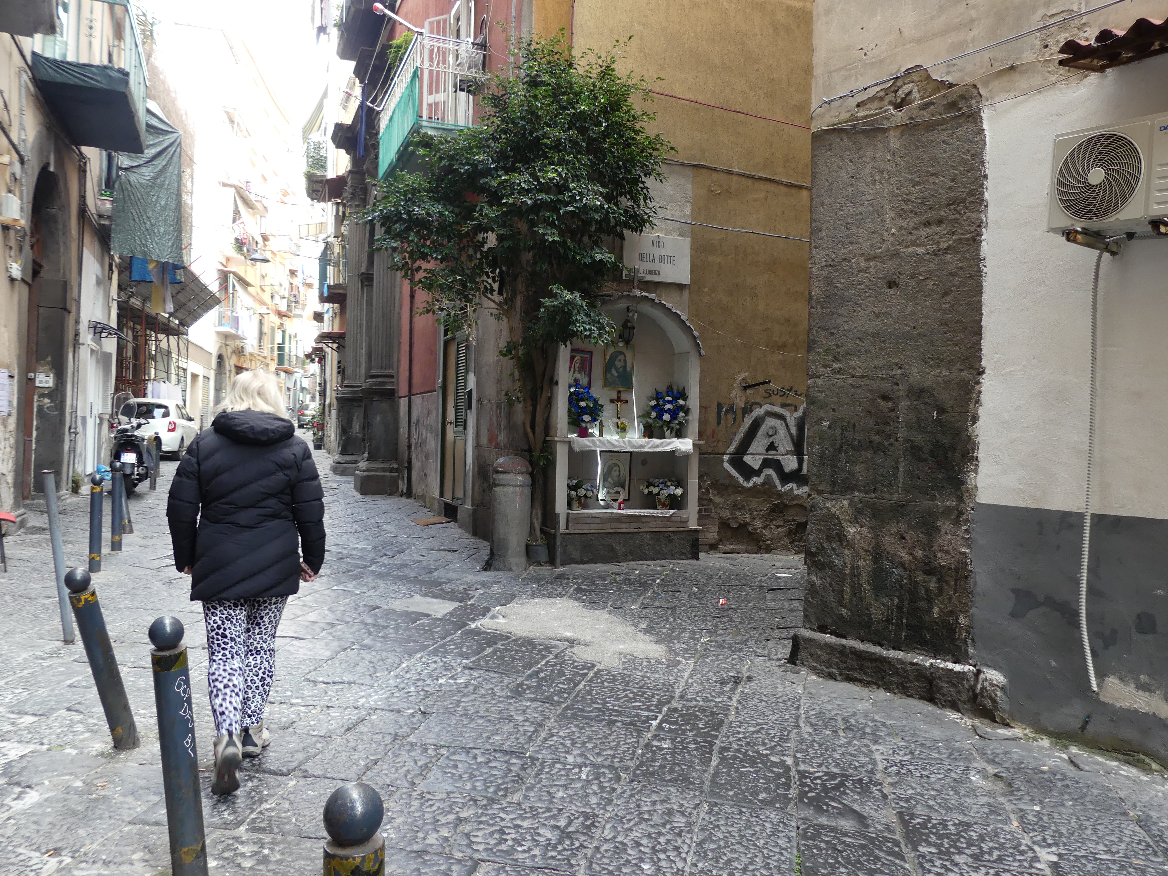
Our plan here was to visit the old city and particularly visit the underground tunnels and cisterns built by the Greeks and Romans. After booking into our hotel, we visited the old town by night particularly the historic centre of the city in Via dei Tribunali. We crossed the piazza past a church and attached monastery past the walls of a castle and into Via dei Tribunali. The first thing we noticed was how dirty it is and how alive it is with people, scooters and cars down this narrow alley. In a doorway we found the tell-tale sign of a recent birth – a boy. Here is a selection of photos going to the old town and in the old town itself.

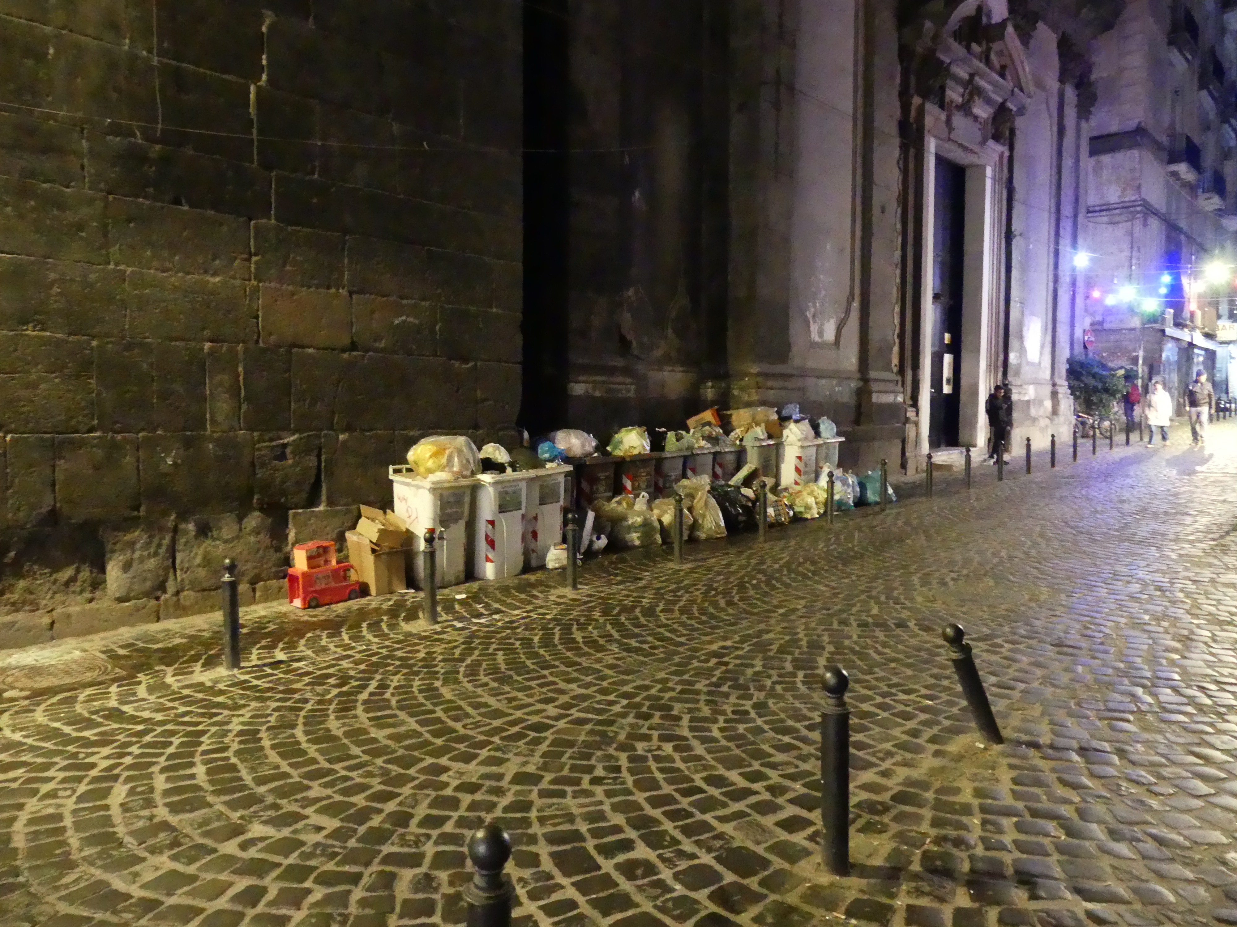
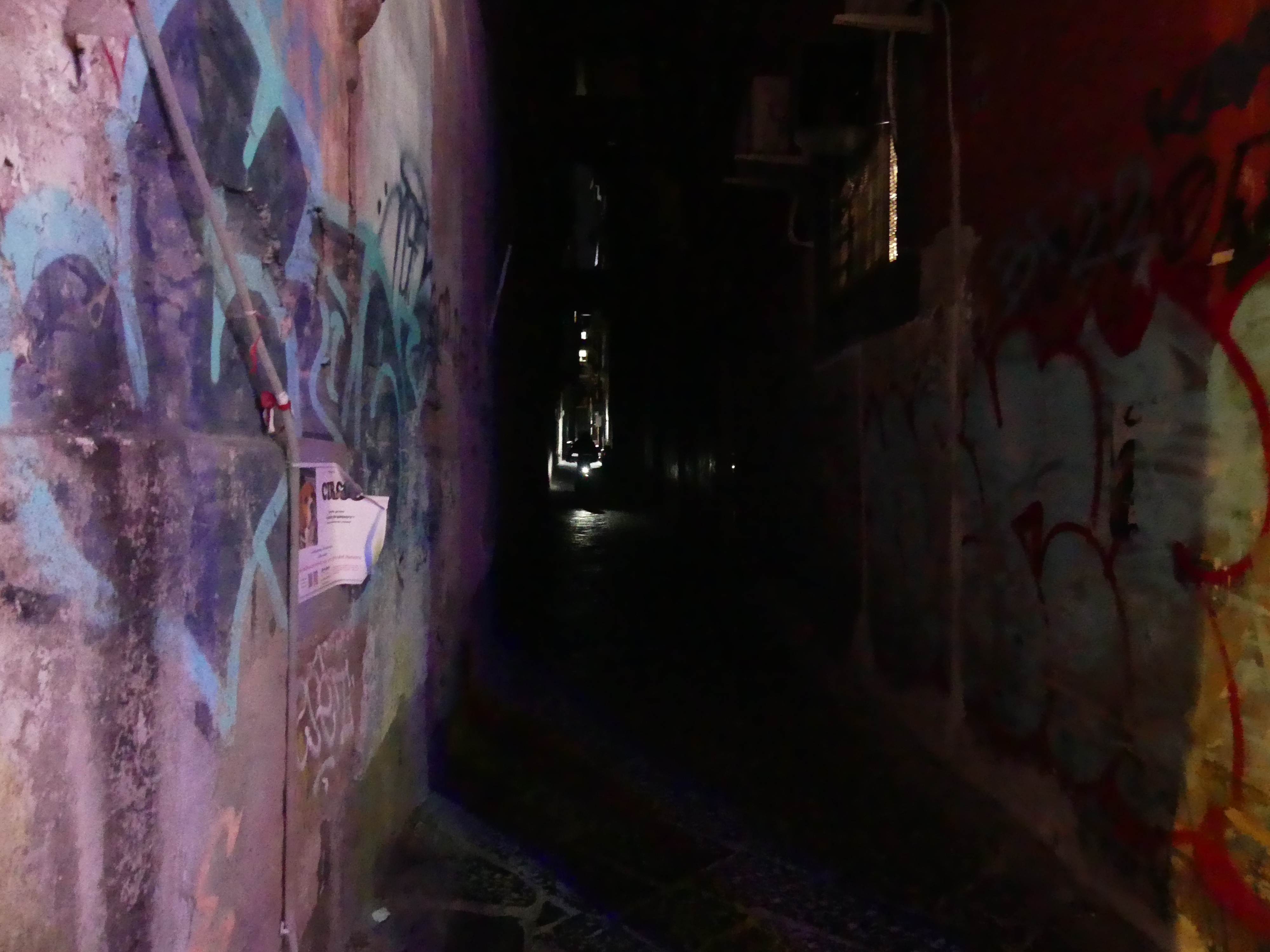


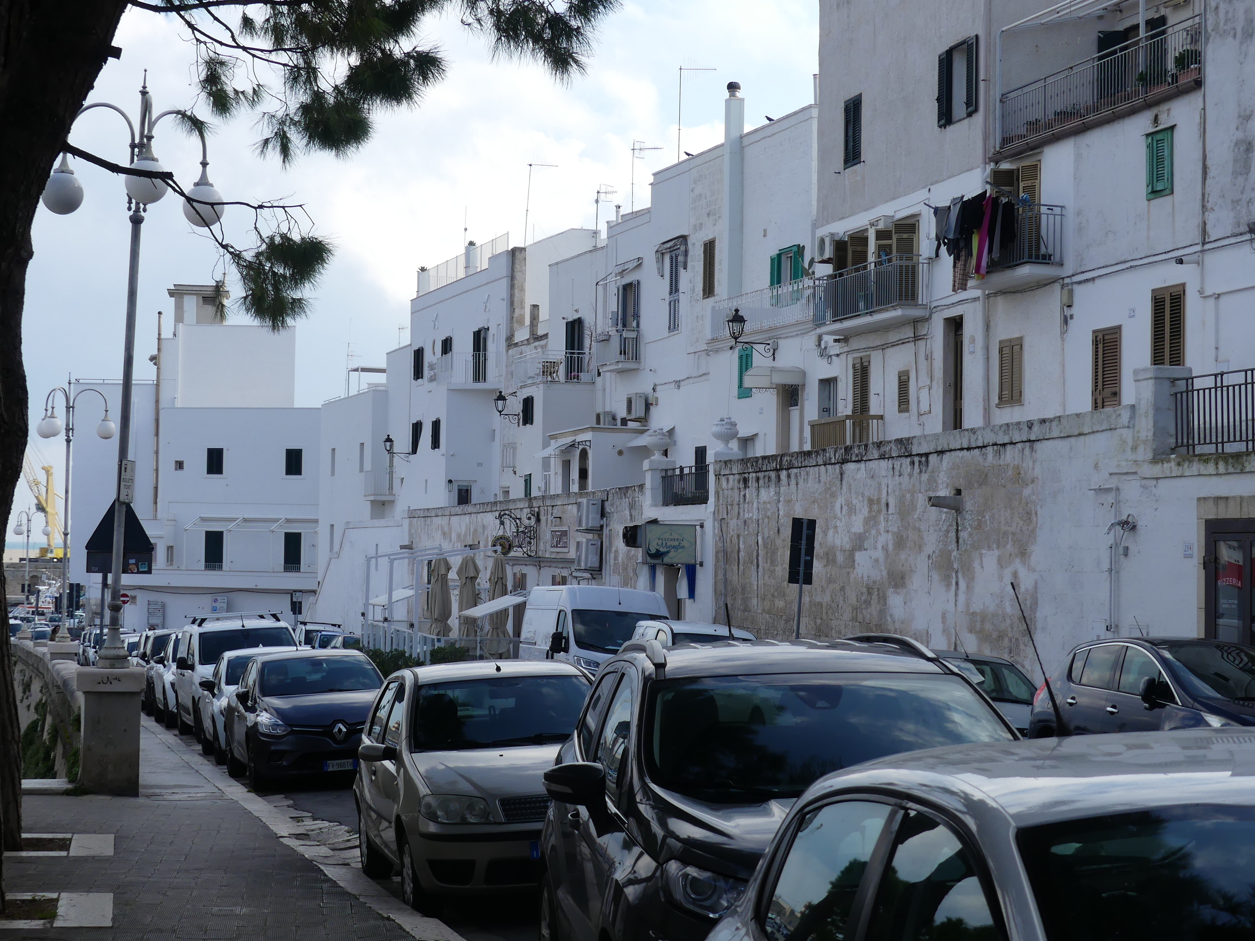
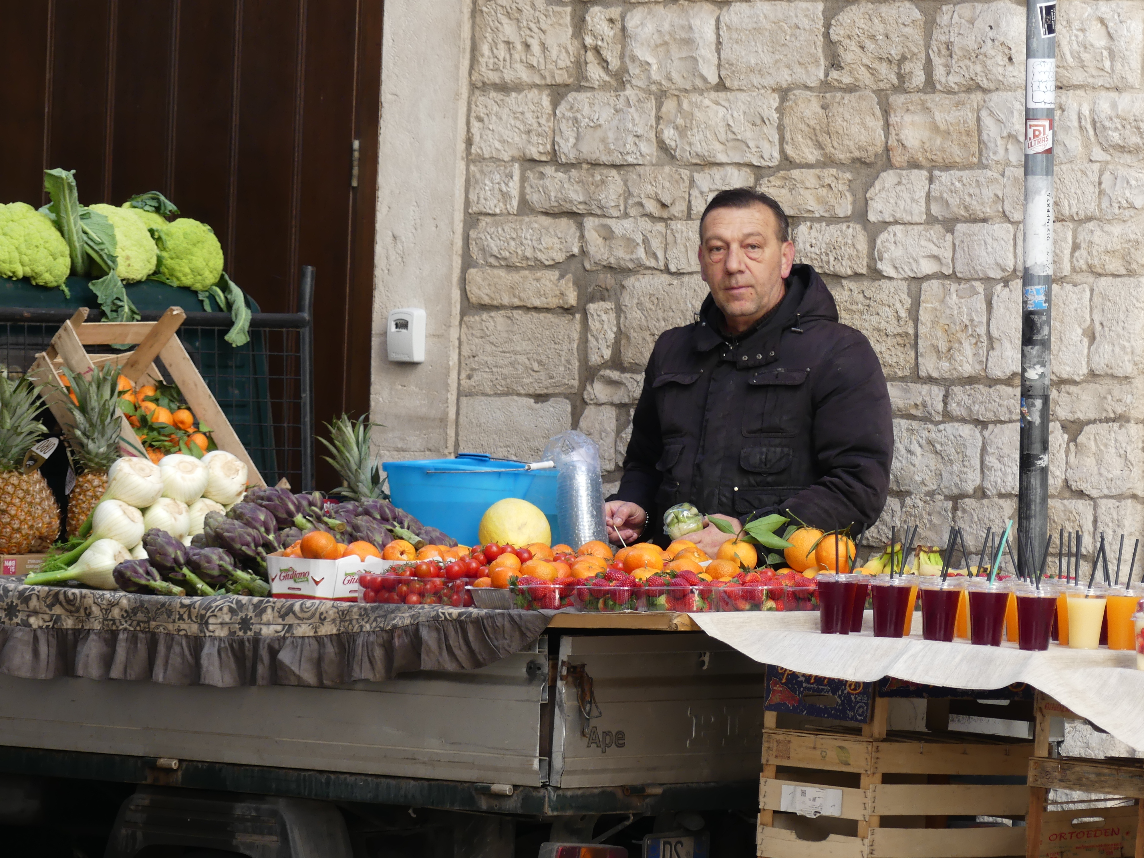
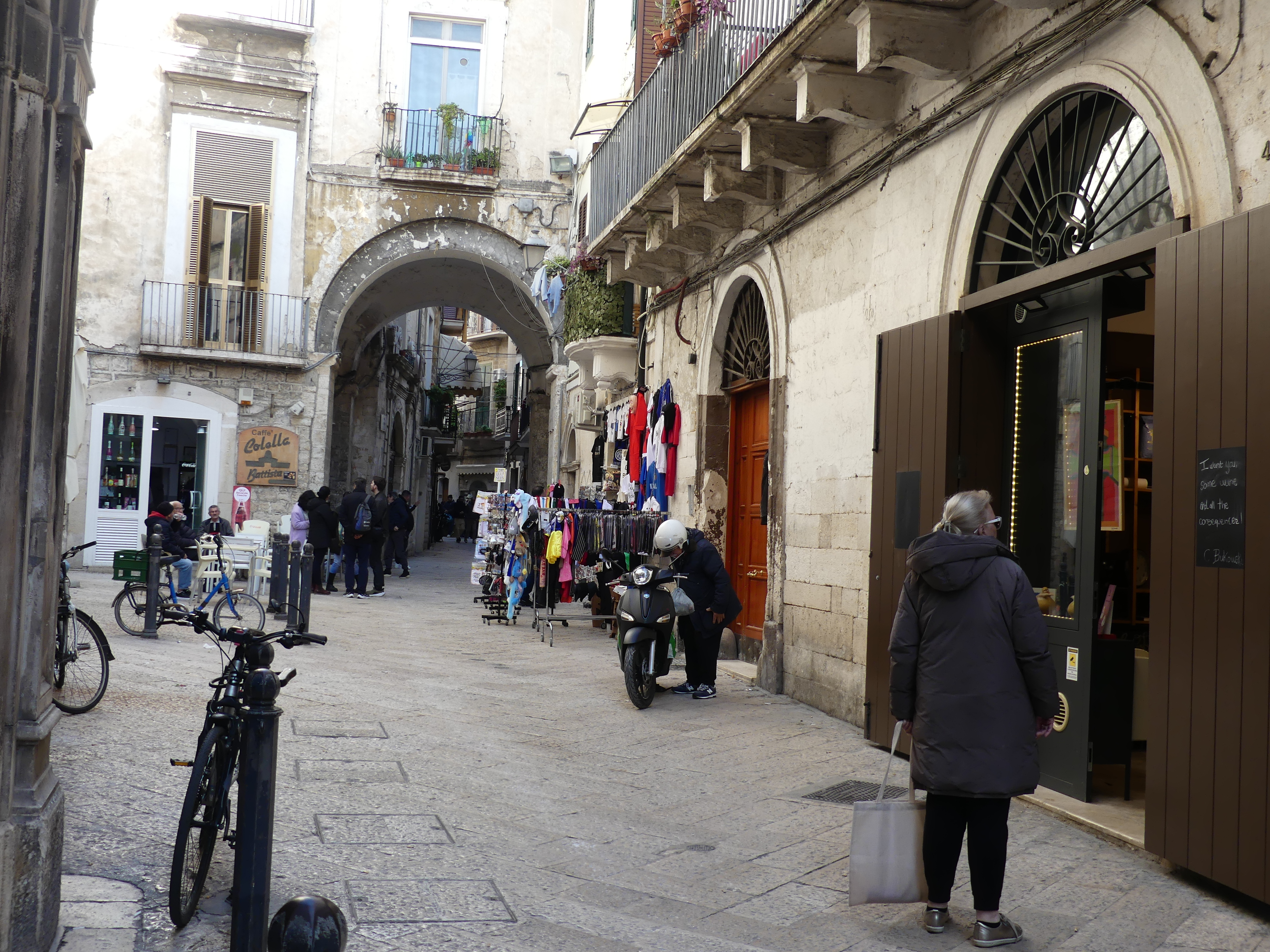
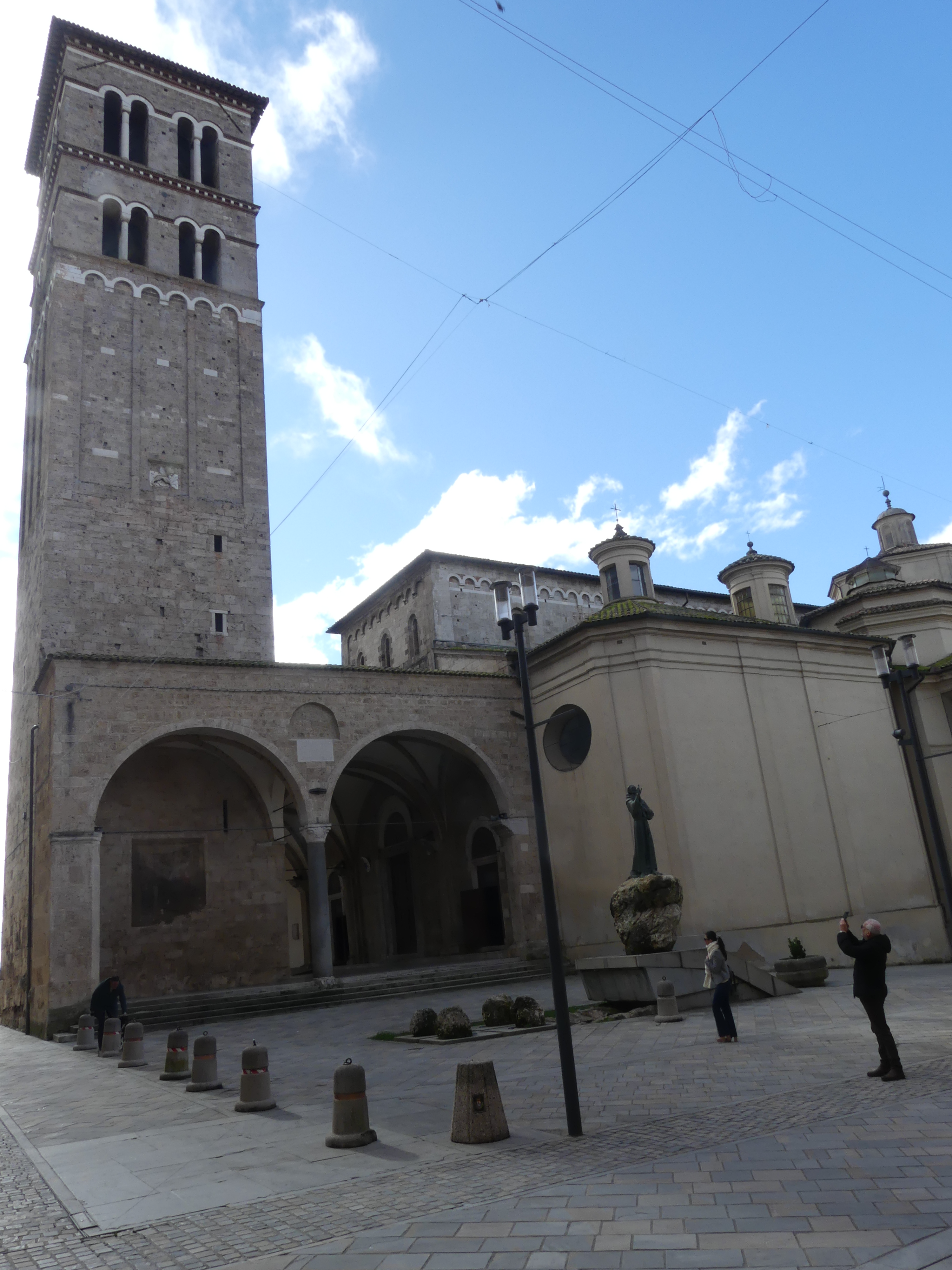
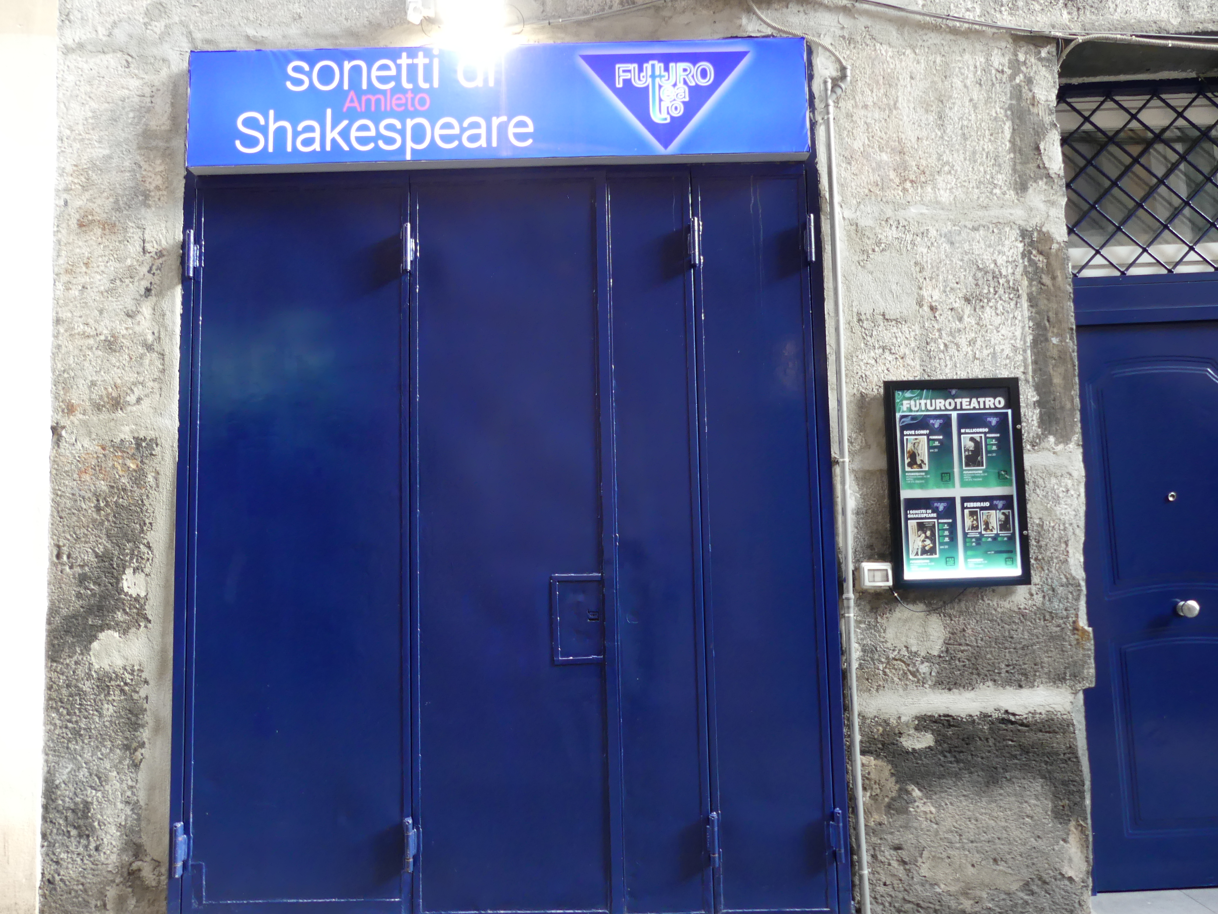
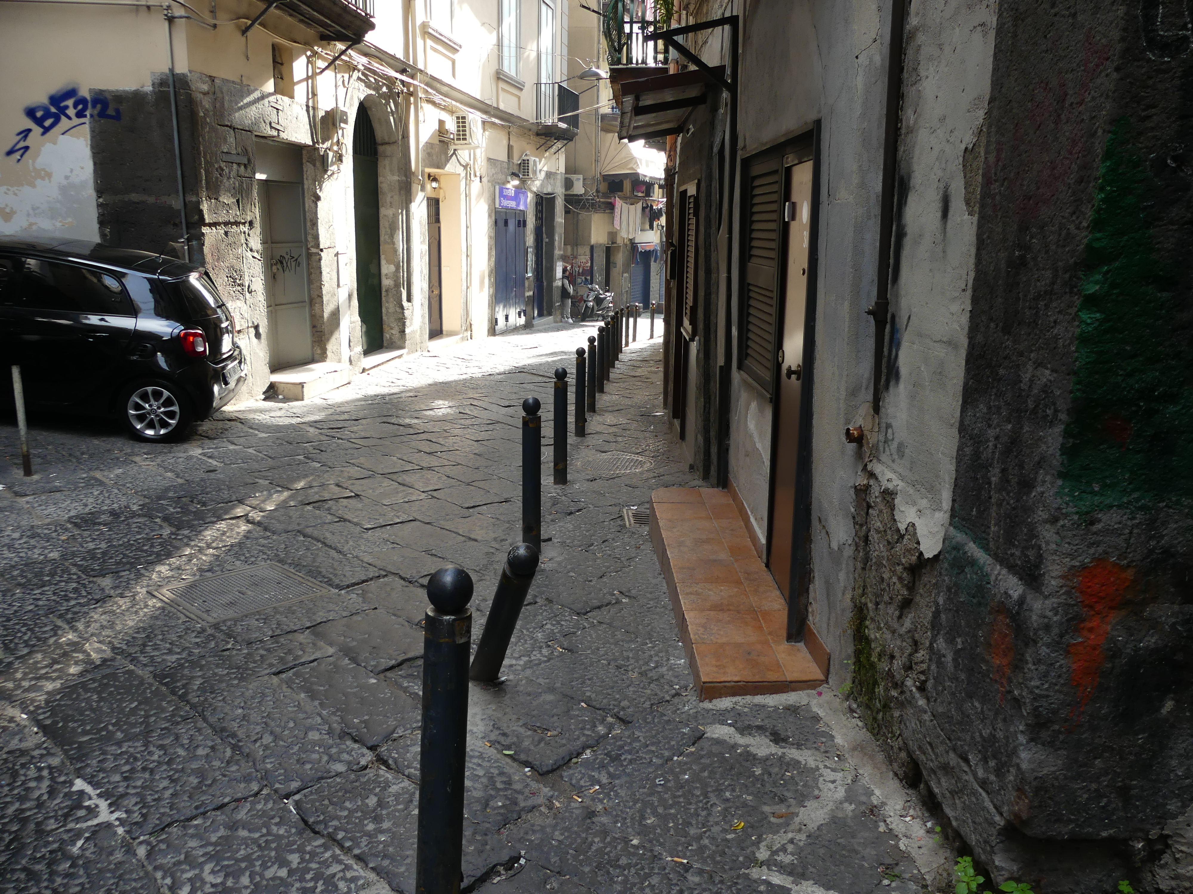
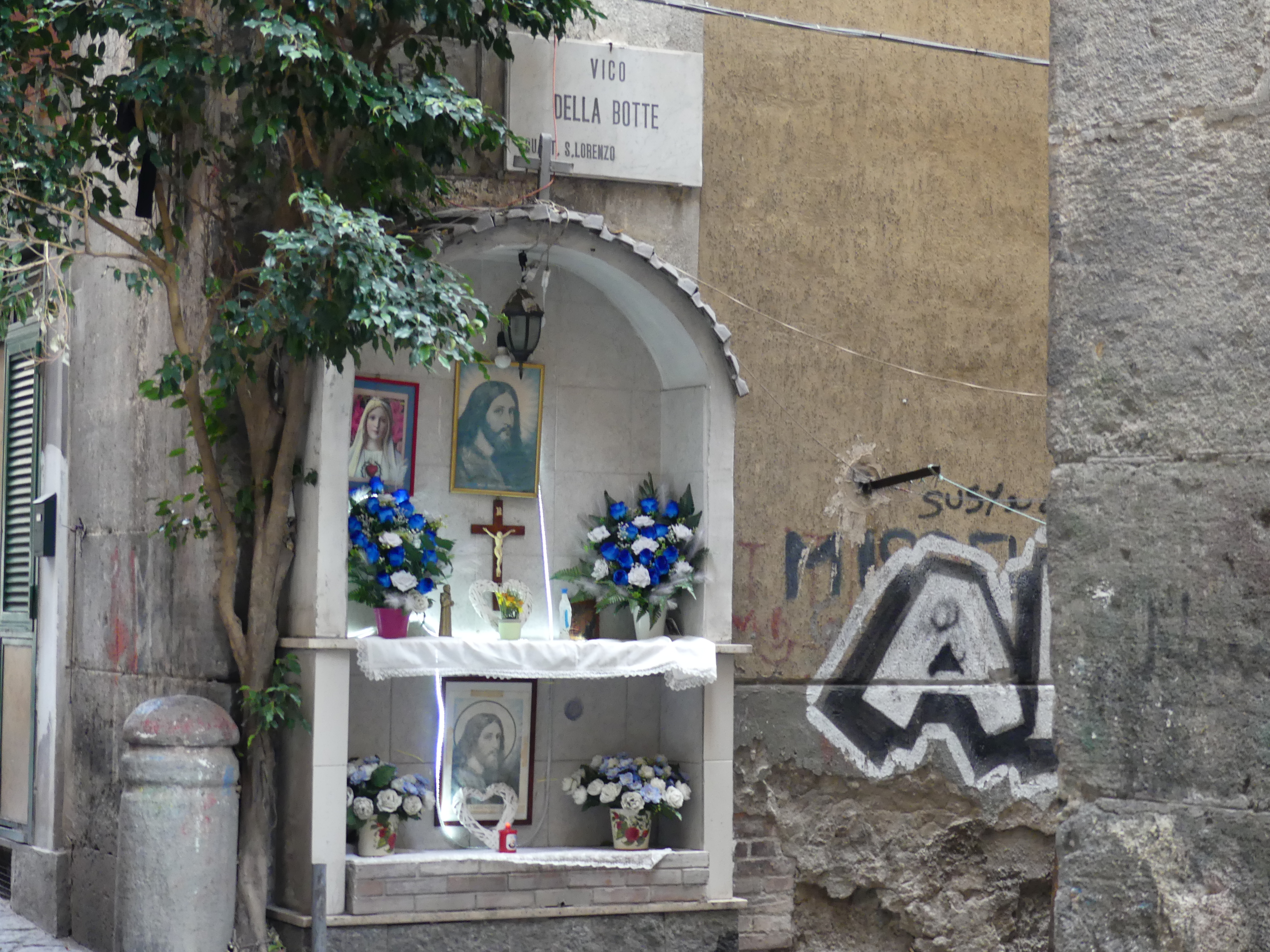
The following morning it was breakfast first before our big day in the old town. One of the first shops we encountered was the Italian Bunnings hardware store. A further surprise awaited us when we passed a theatre presenting Sonetti de Amleto (Sonnets of Hamlet). Shakespeare in Naples. The streets were narrow and the buildings dirty and tired sometimes decorated with street art or a chapel for worship.


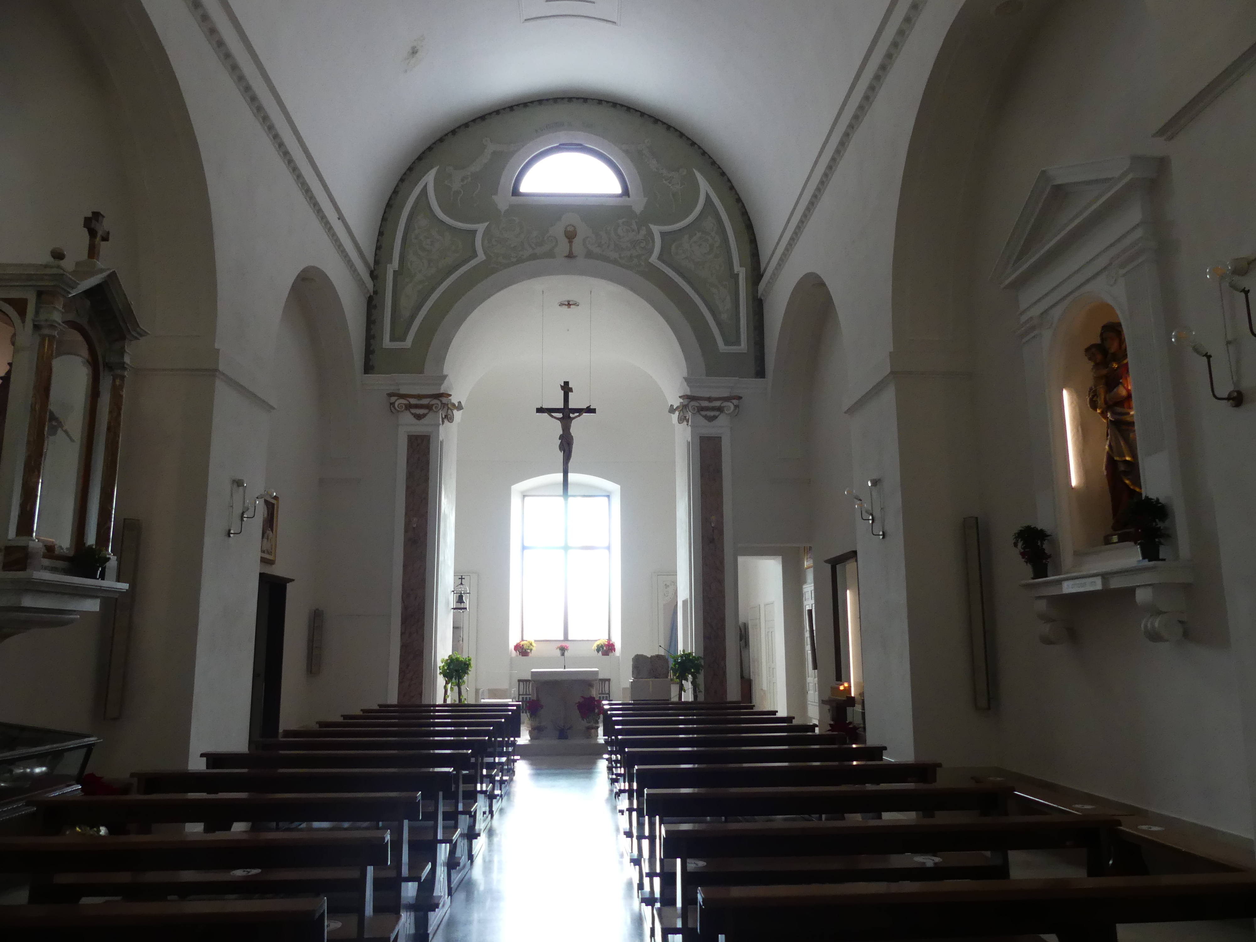
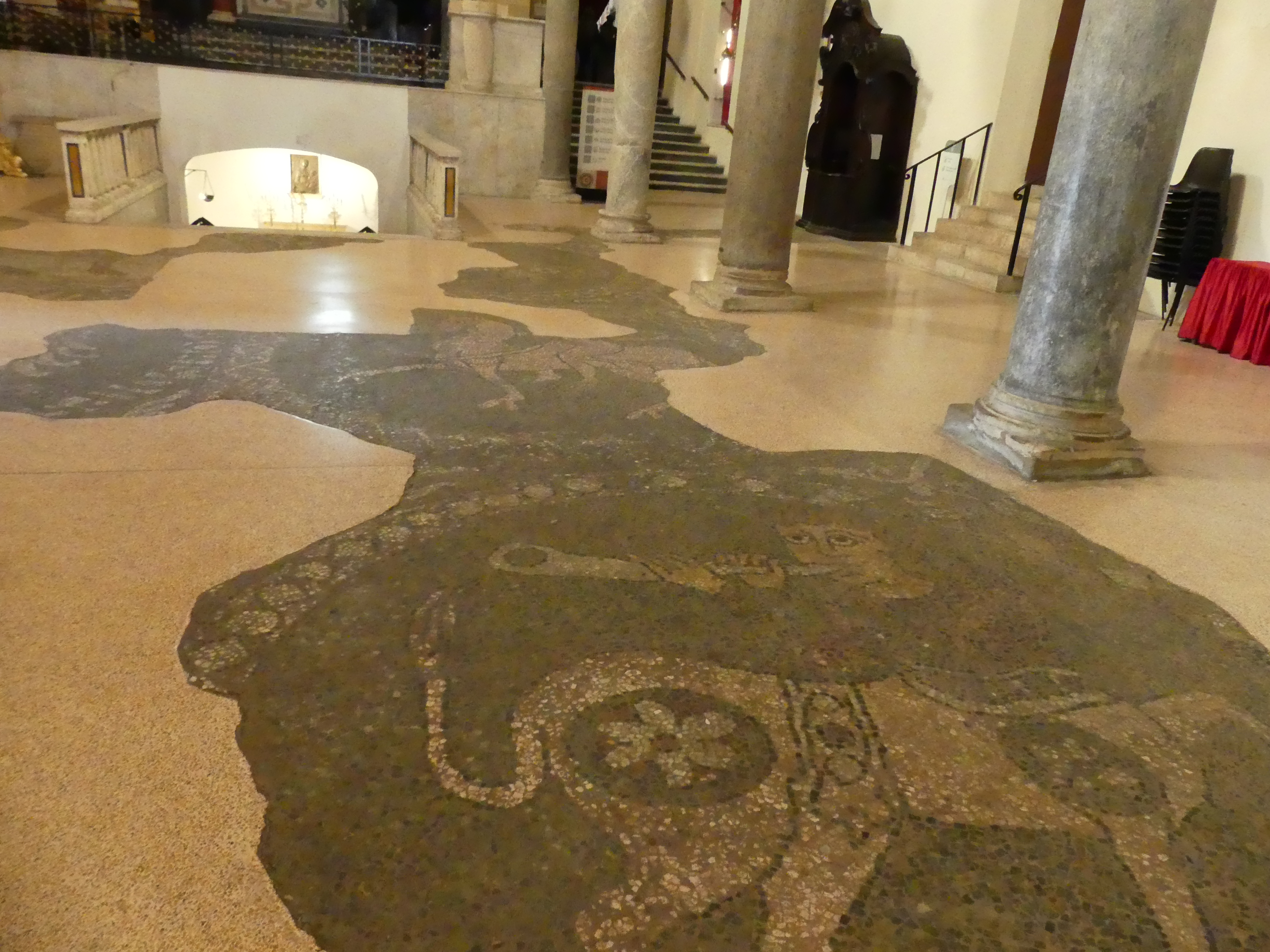
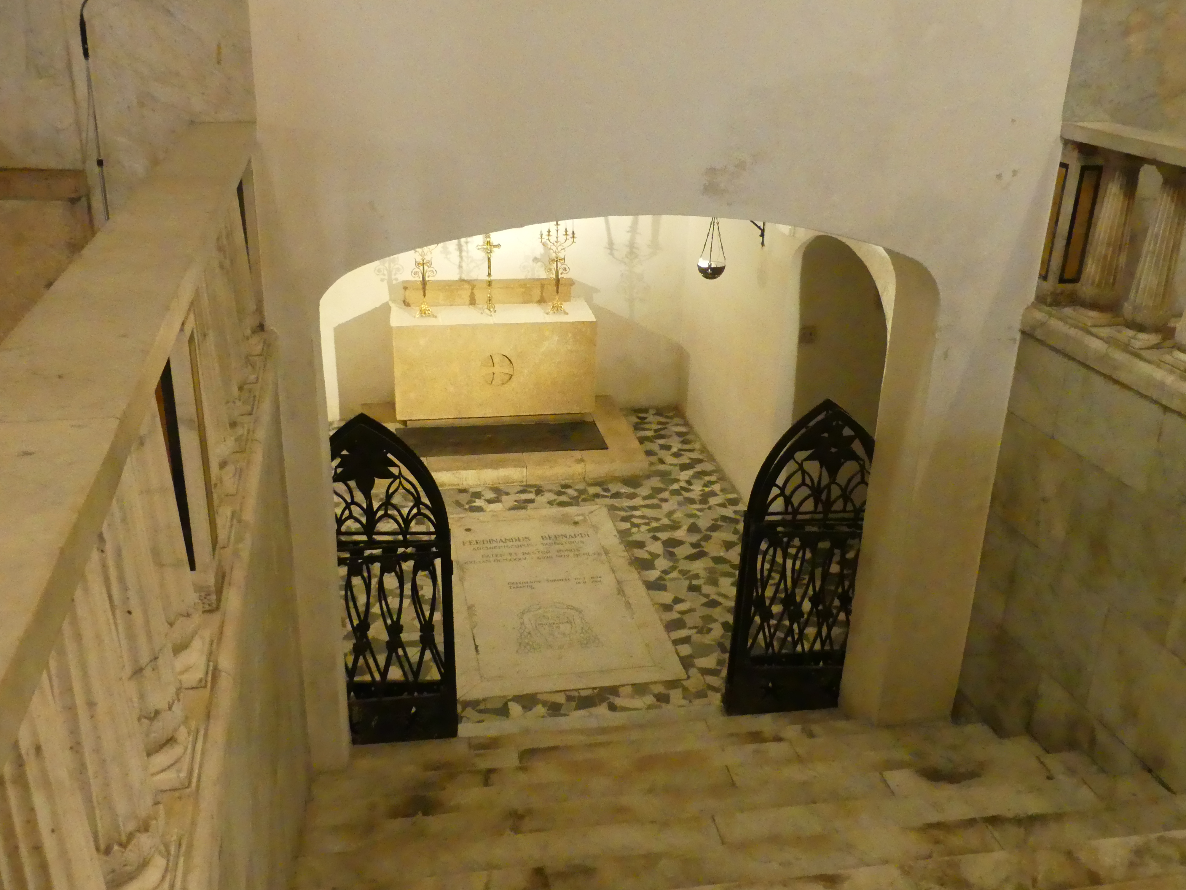
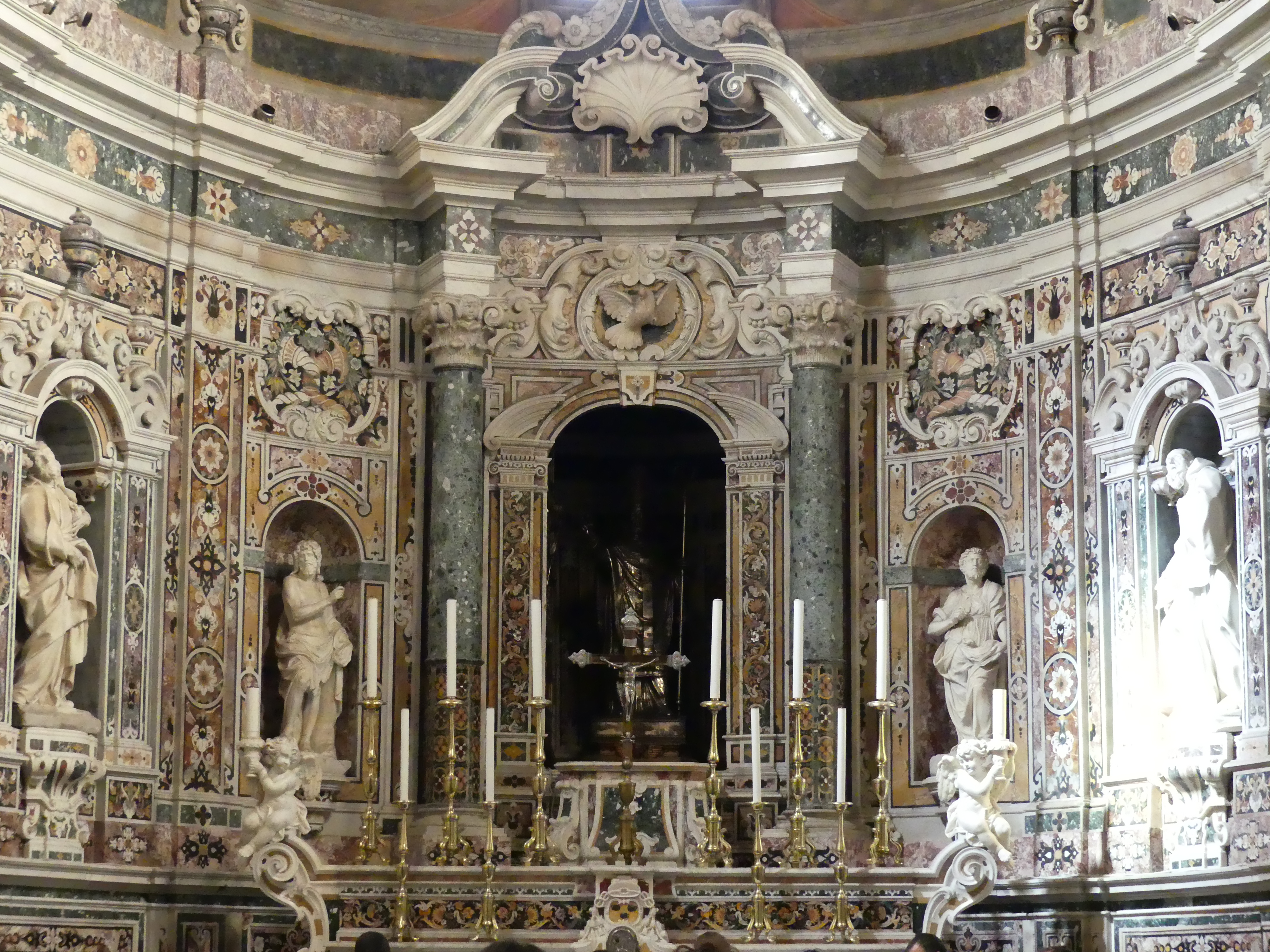
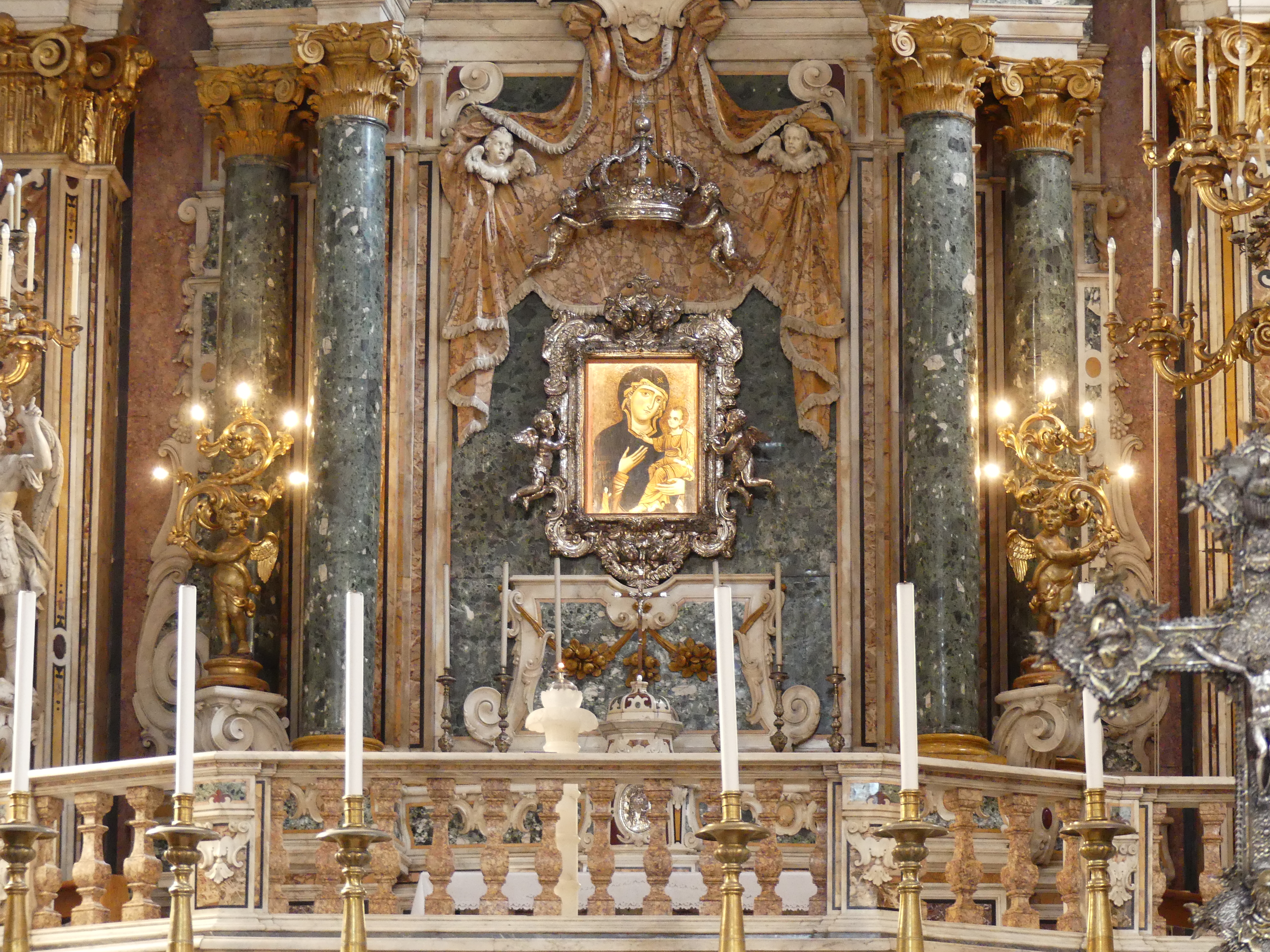
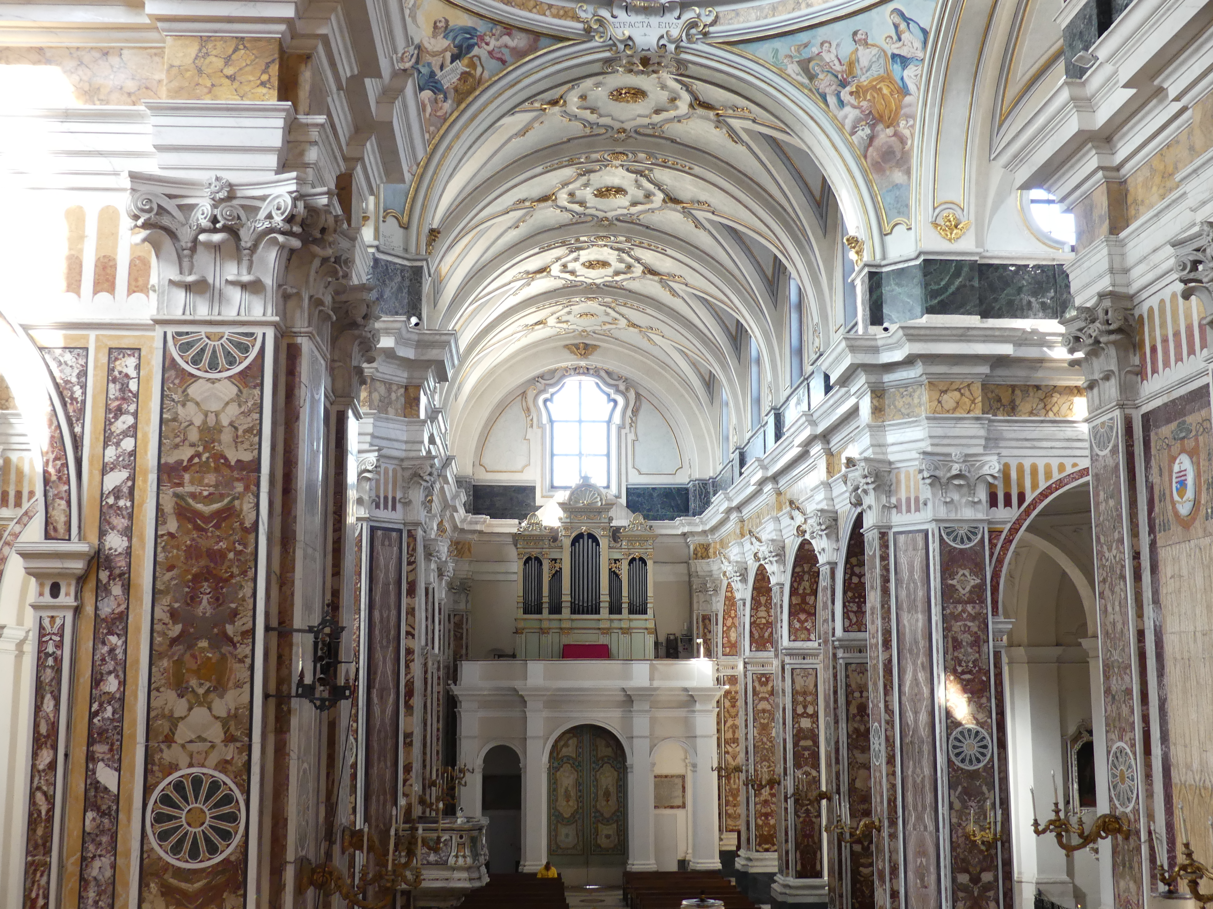
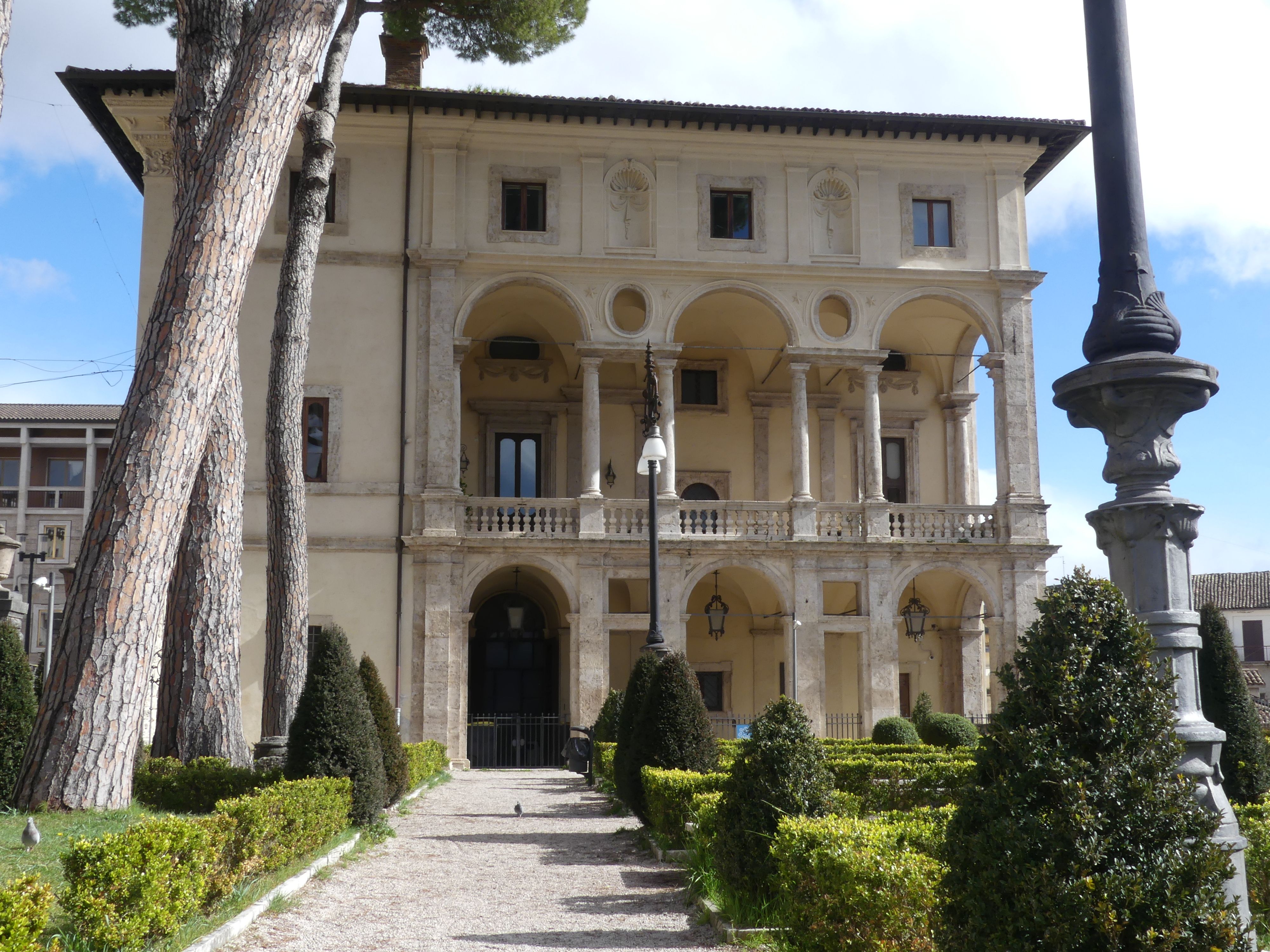
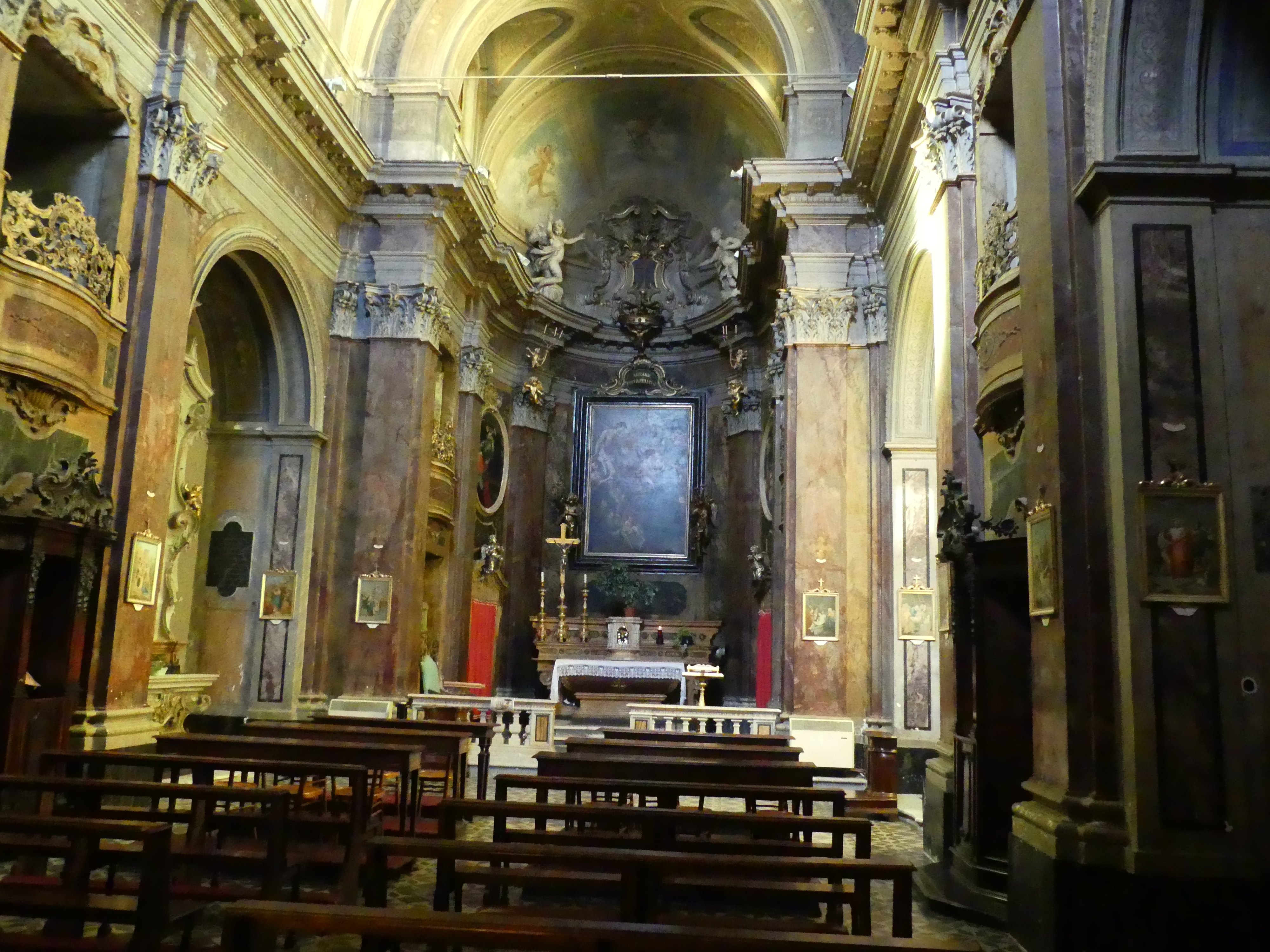
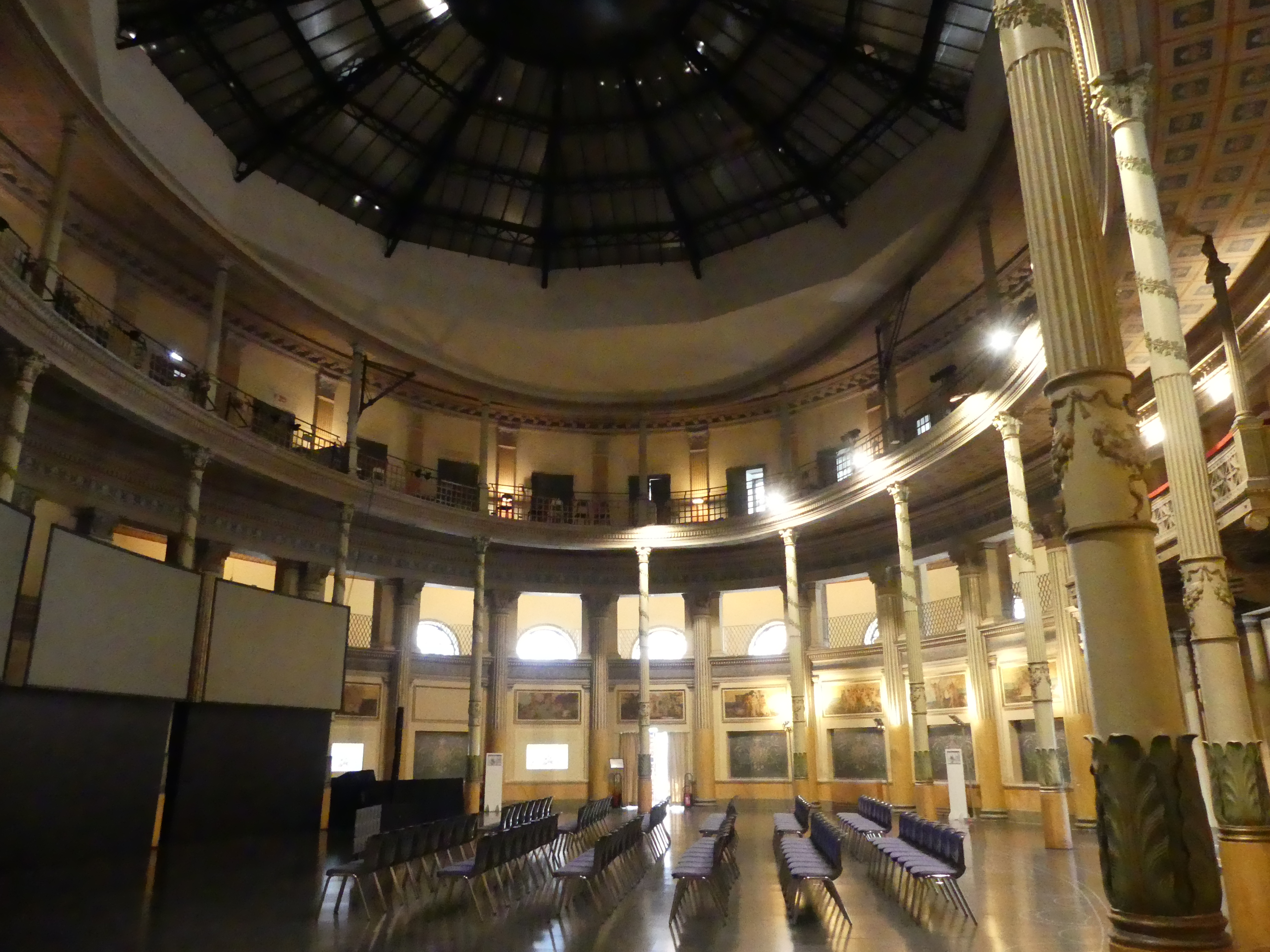
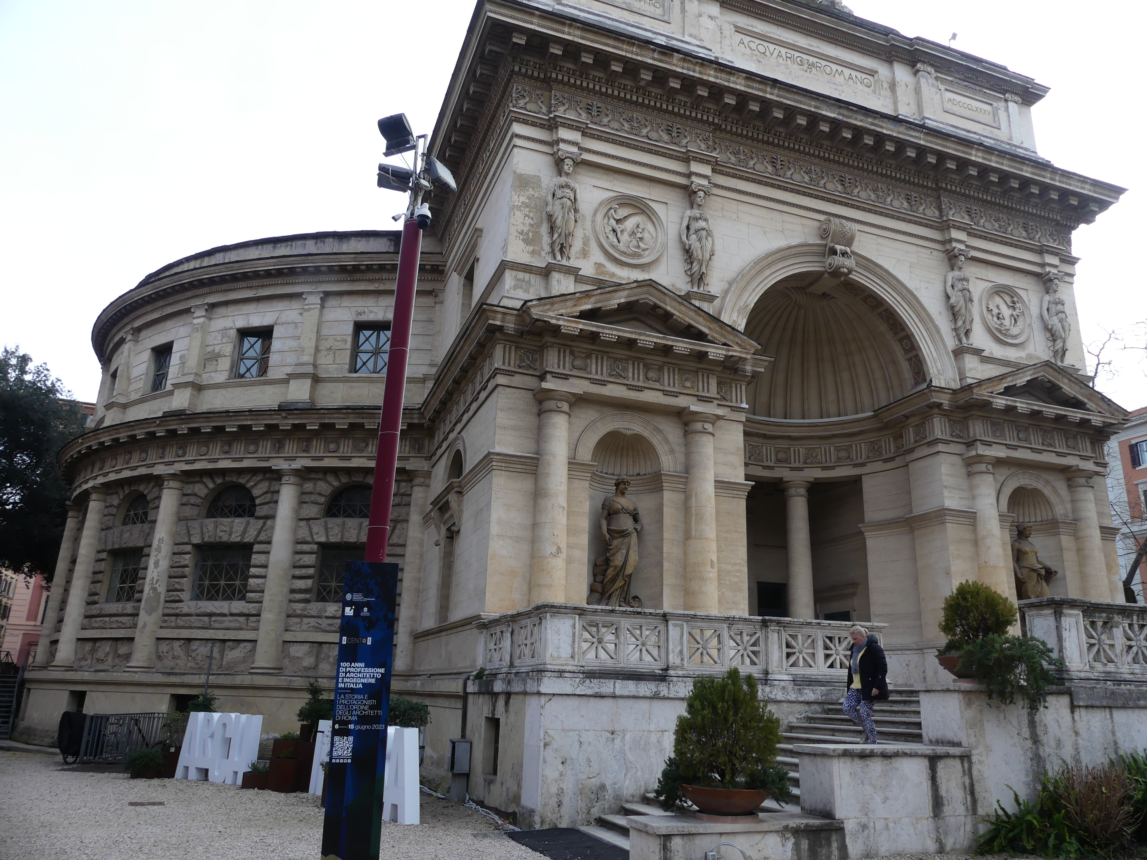
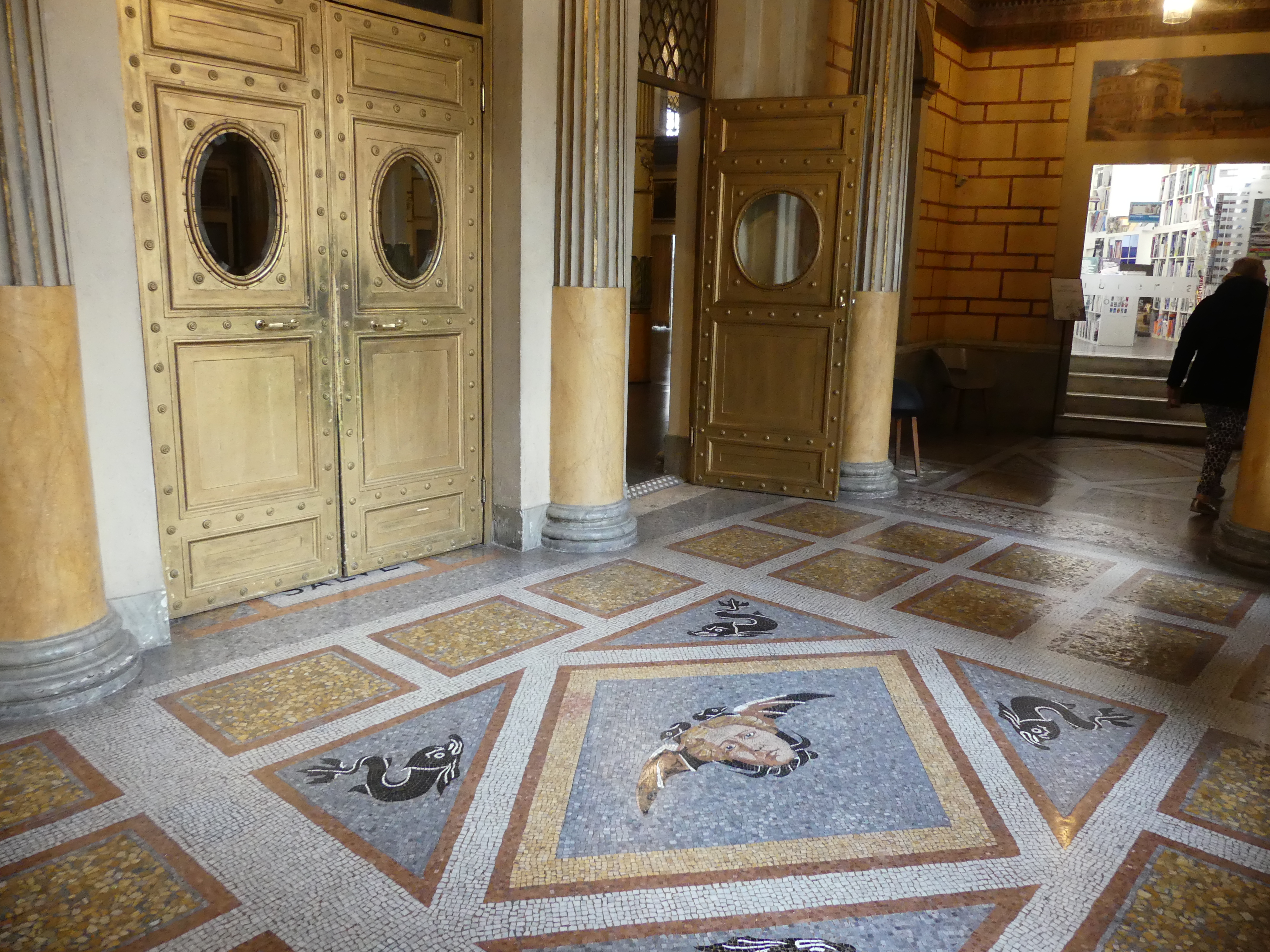
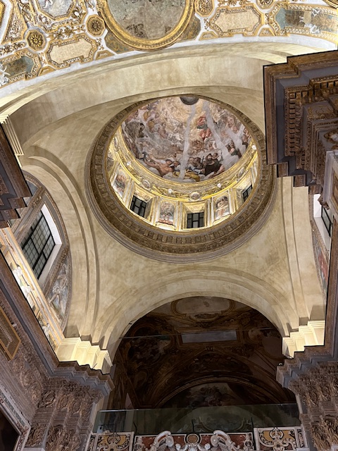
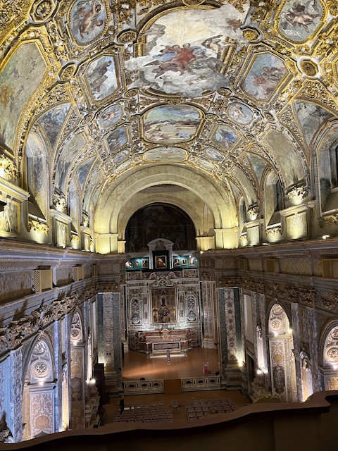
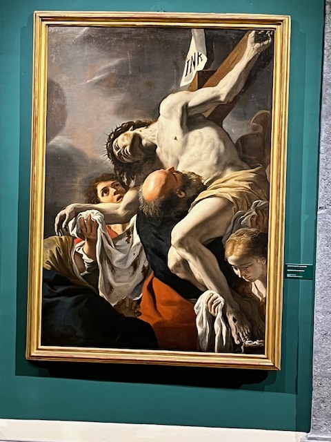
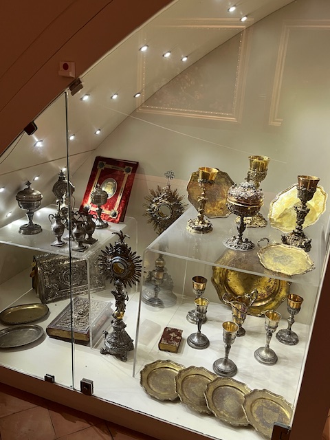
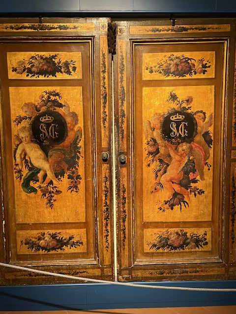
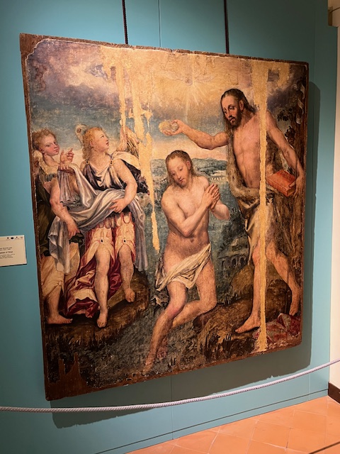
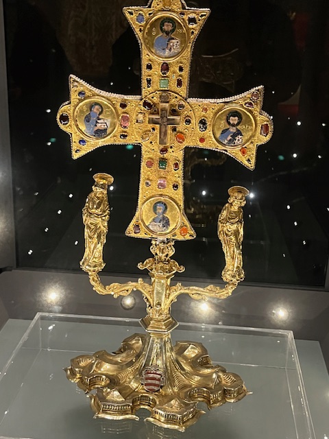
But then we encountered Museo Donna Regina. The monumental complex of Donna Regina represents a unique example in the panorama of the historic centre of Naples. In this Franciscan monastic insula, there are preserved testimonies of the ancient convent and of the two original churches, the medieval one and the seventeenth-century together conceived as one, until the 1930 s, conceived as a single structure with a corridor that, like a sort of umbilical cord, united the buildings, in addition to the apses, the past and the present, allowing the Poor Clares to move without leaving the places of cloister.
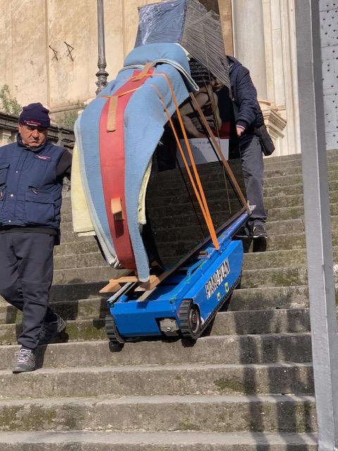
Today, through the original architecture and decorations, we can find rare examples of the history of Neapolitan art and the Franciscan order. It also provides space for classical concerts. As we entered a grand piano was be carried down the front stairs by a tracked robot to be loaded onto a truck following a performance the previous night. If you wish to read more about this unique museum, then proceed to http://www.museodiocesanonapoli.com/il-complesso-museo-diocesano/.


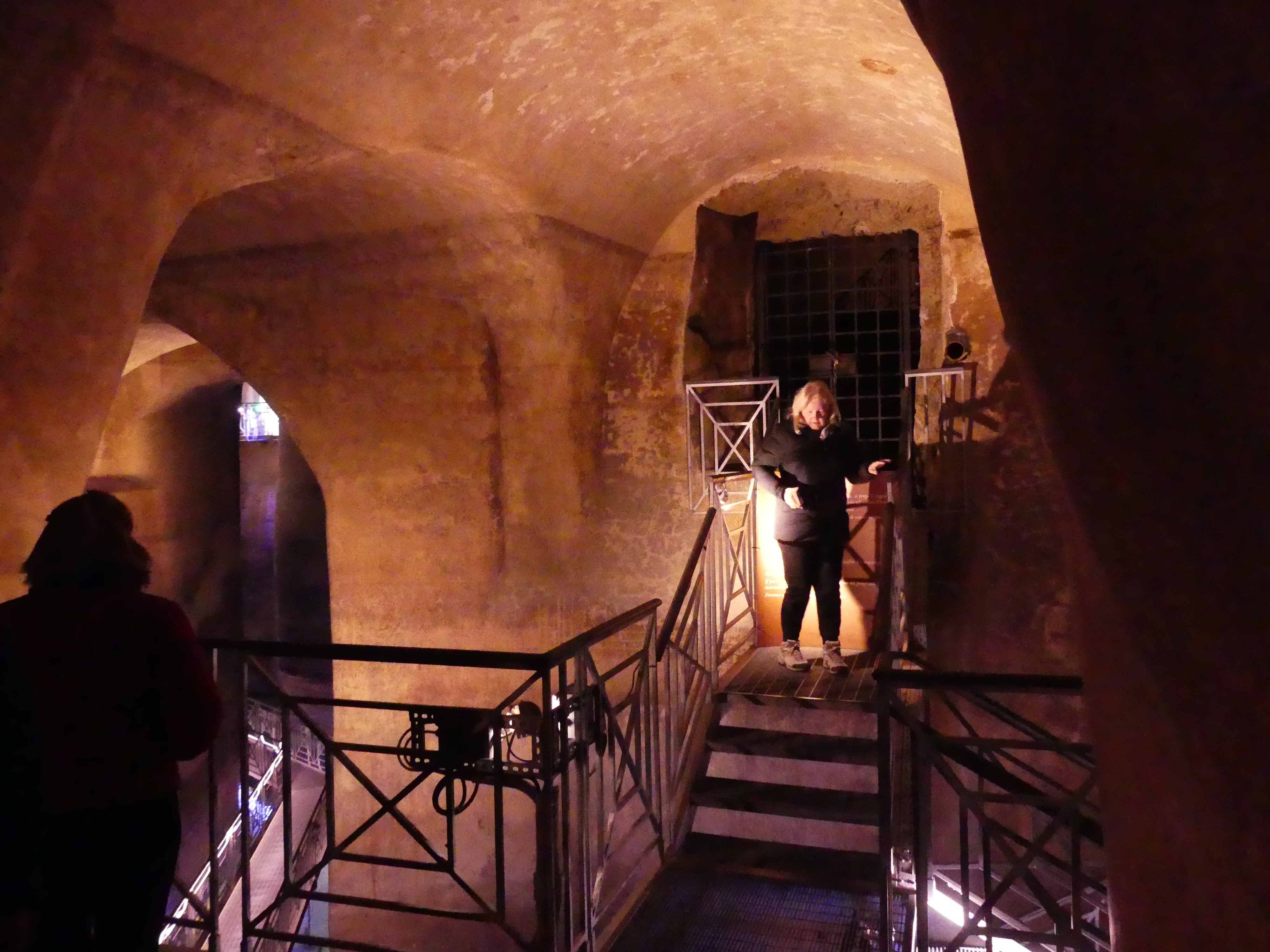
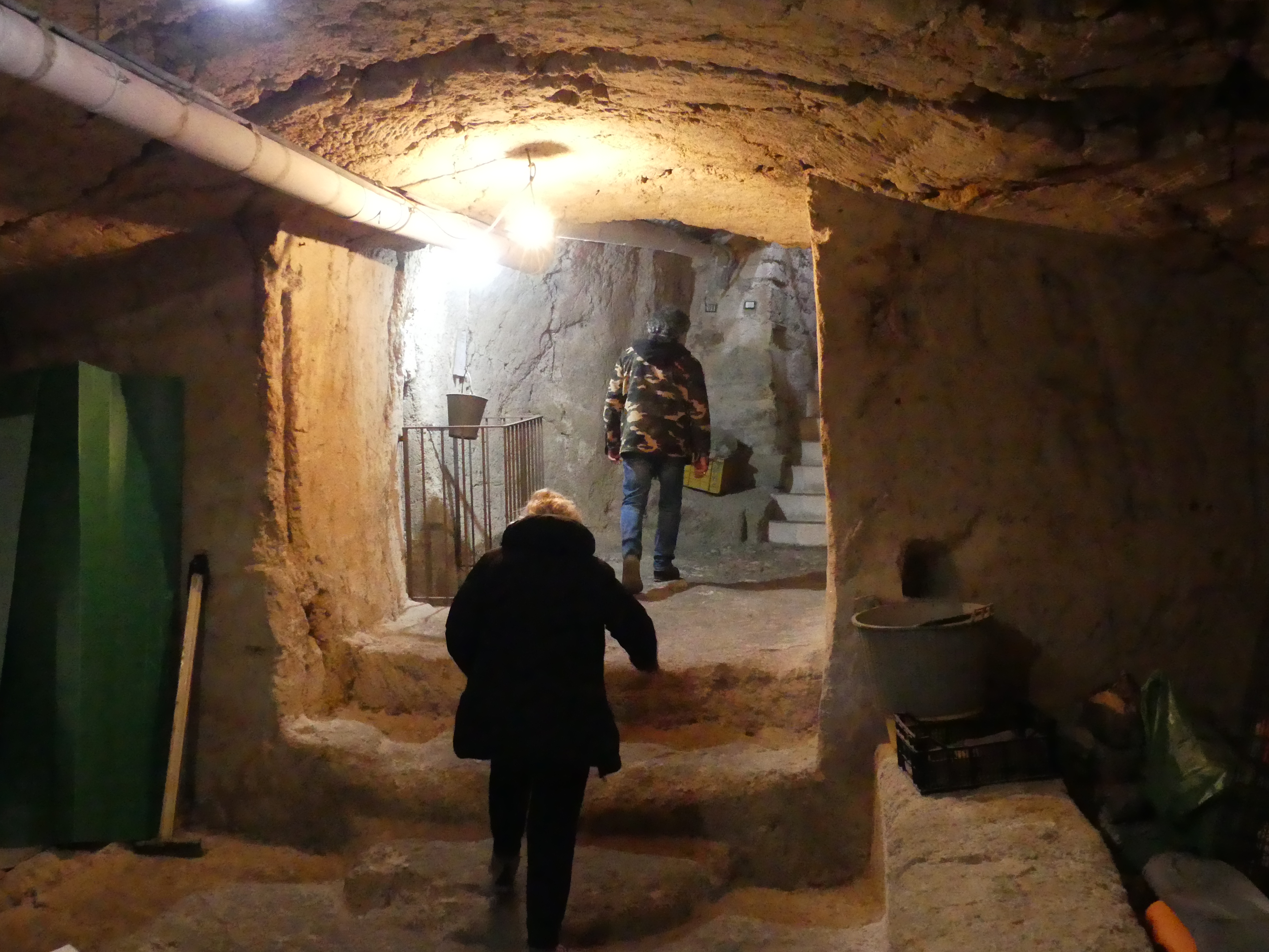
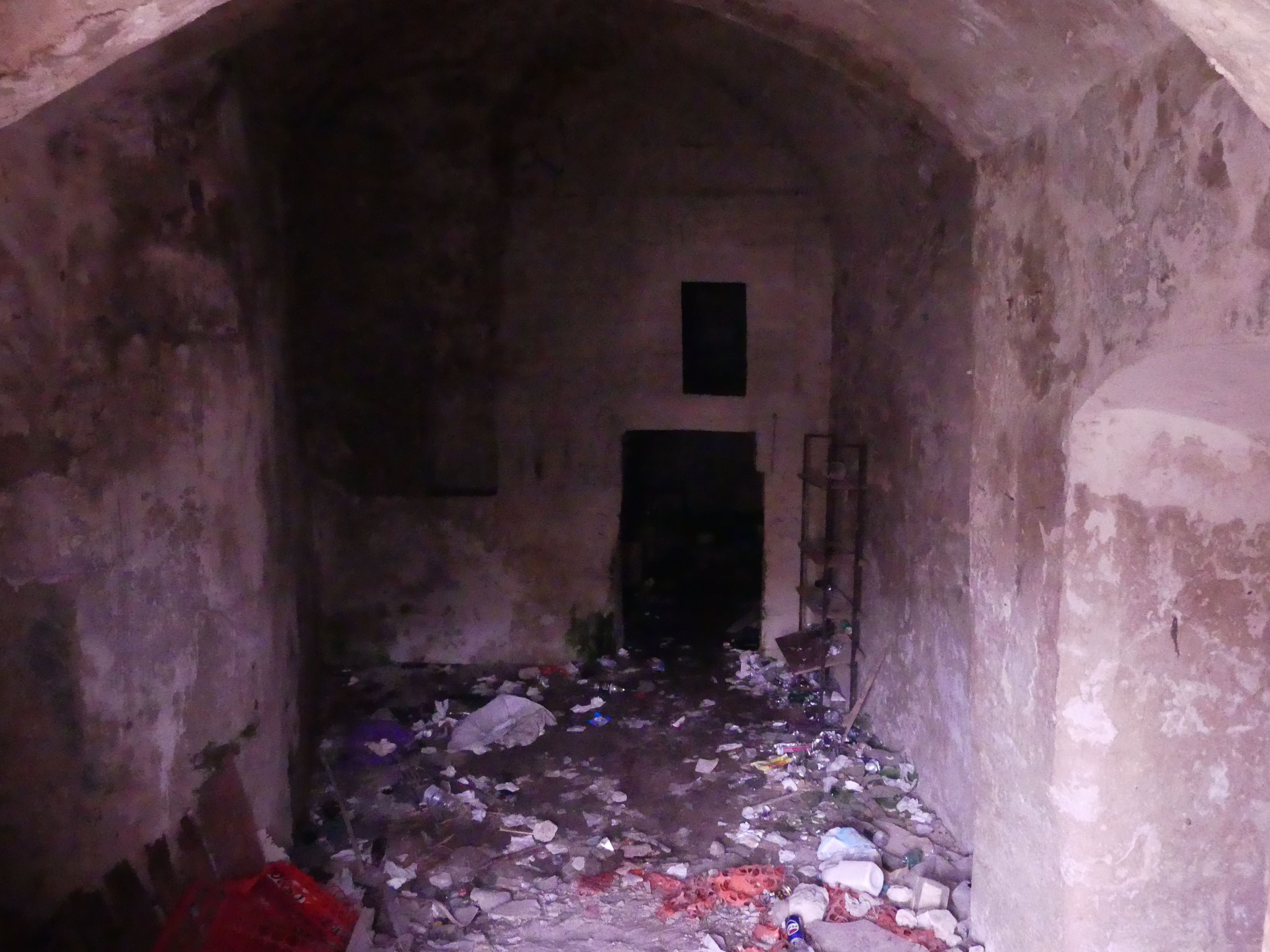
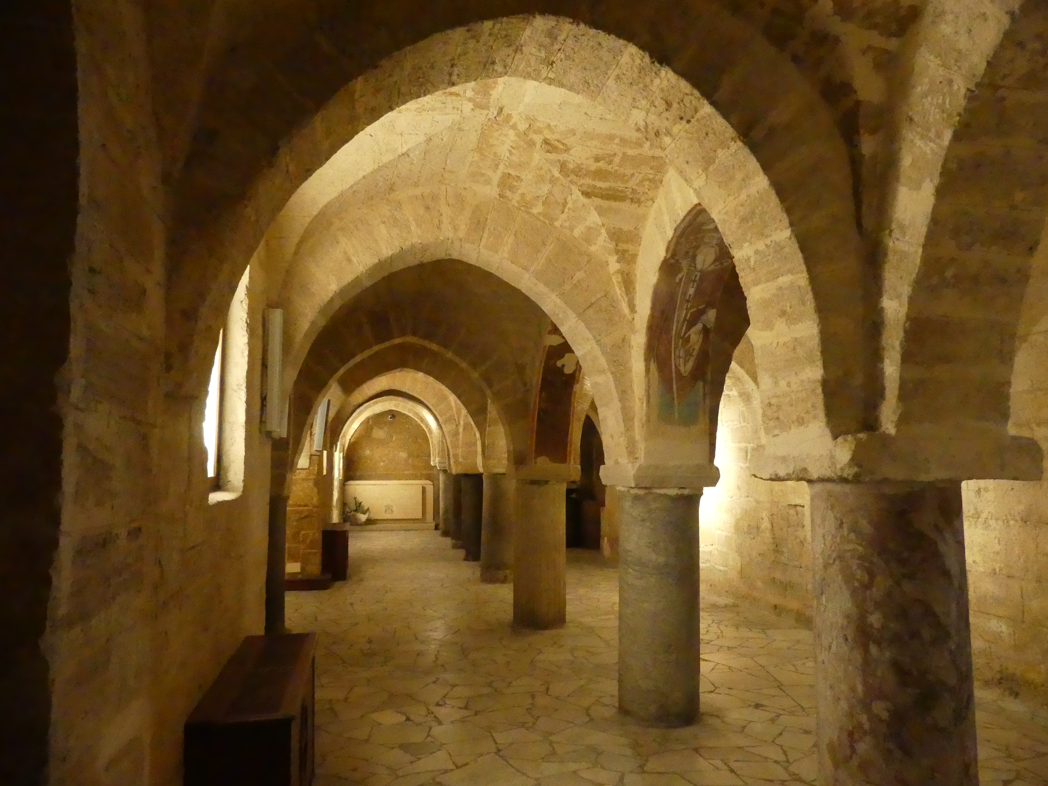
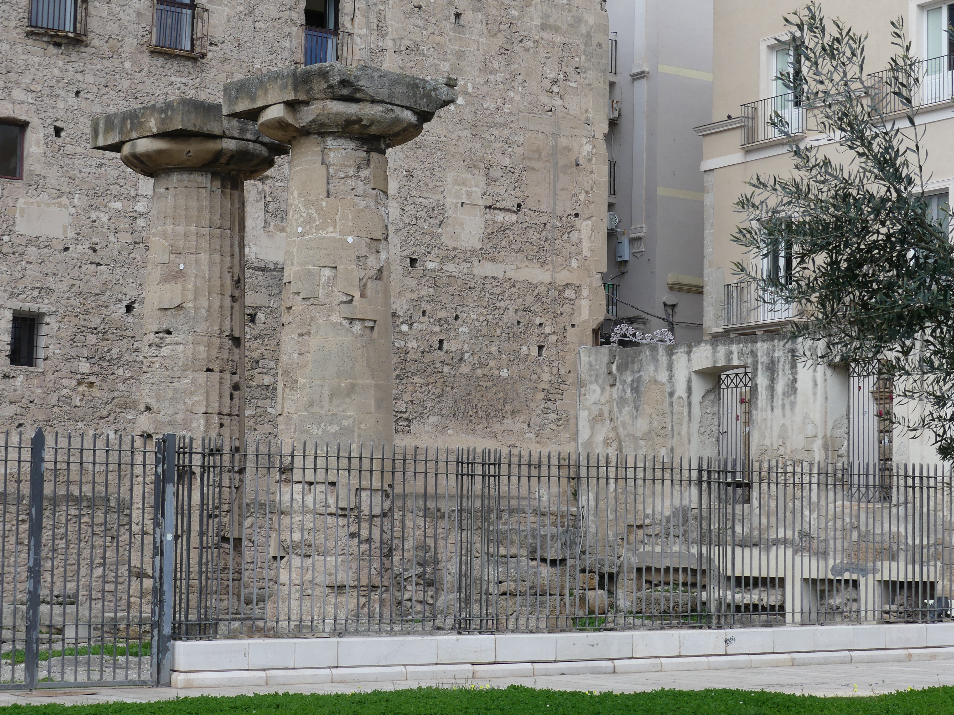
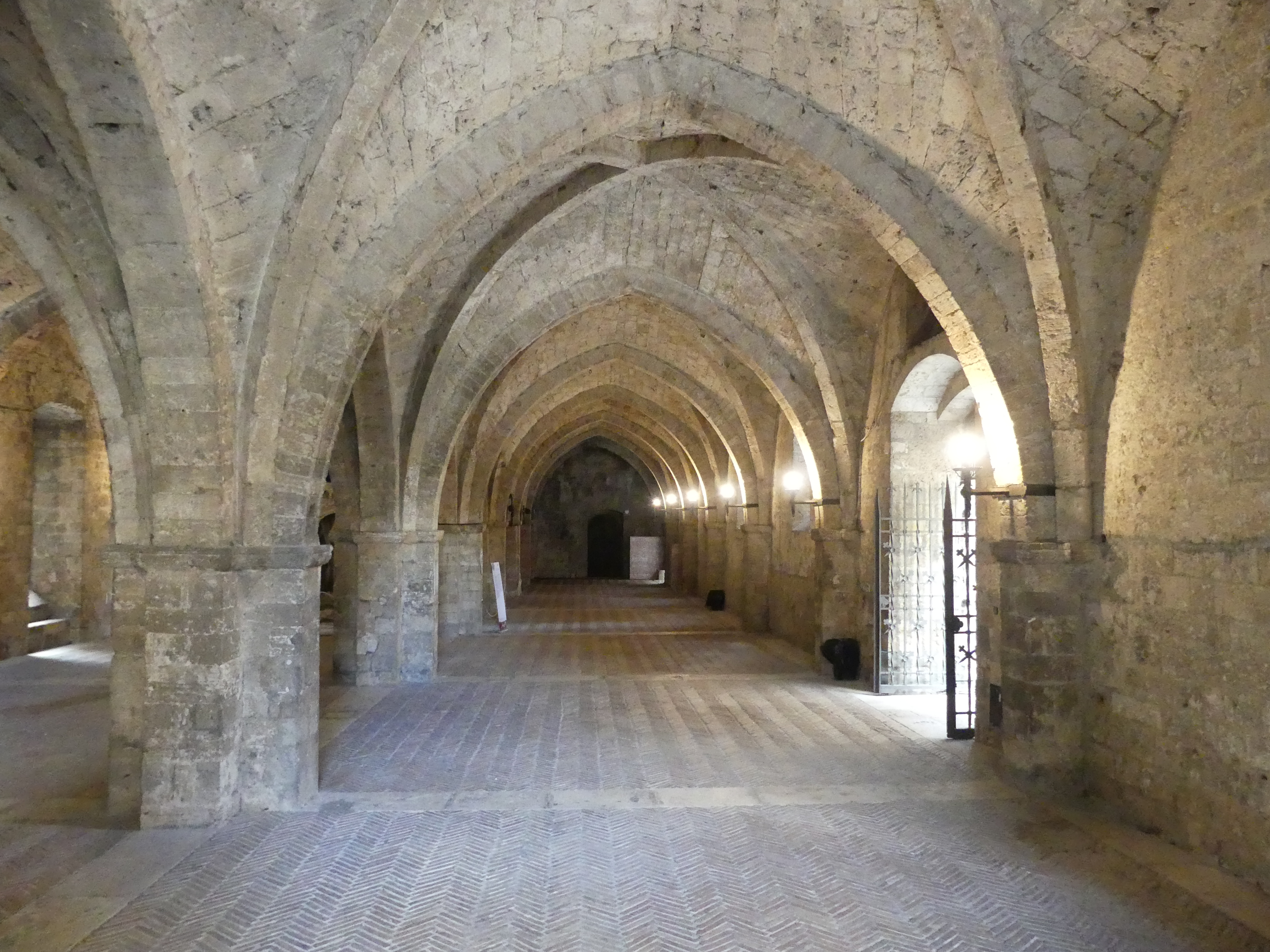
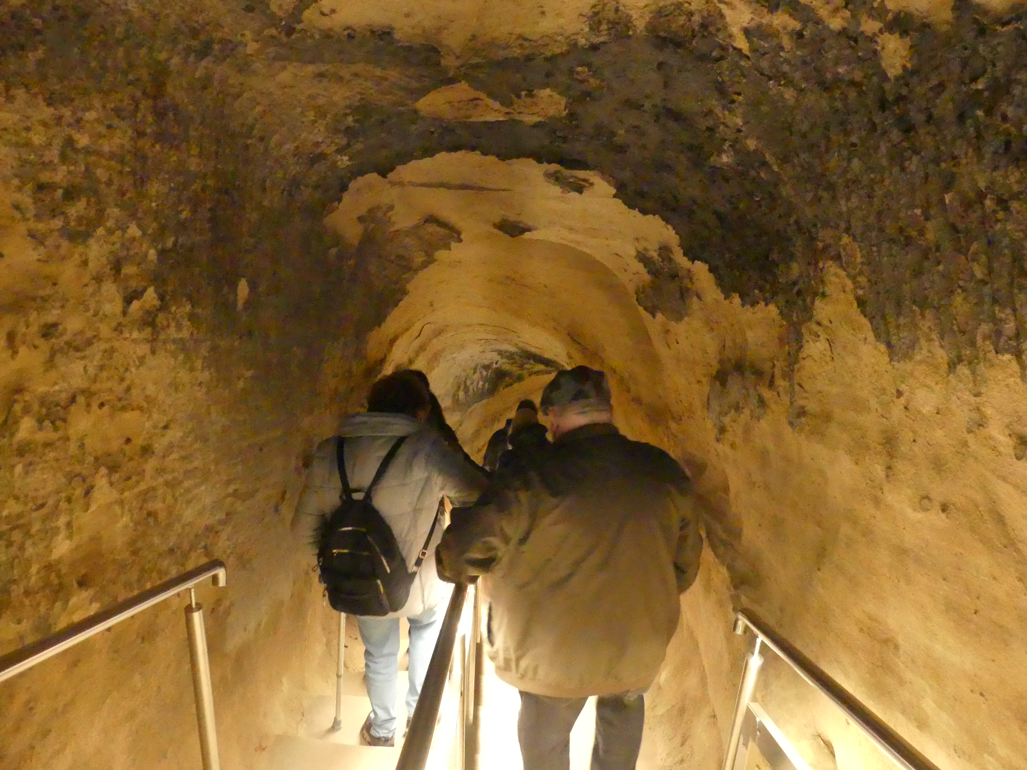
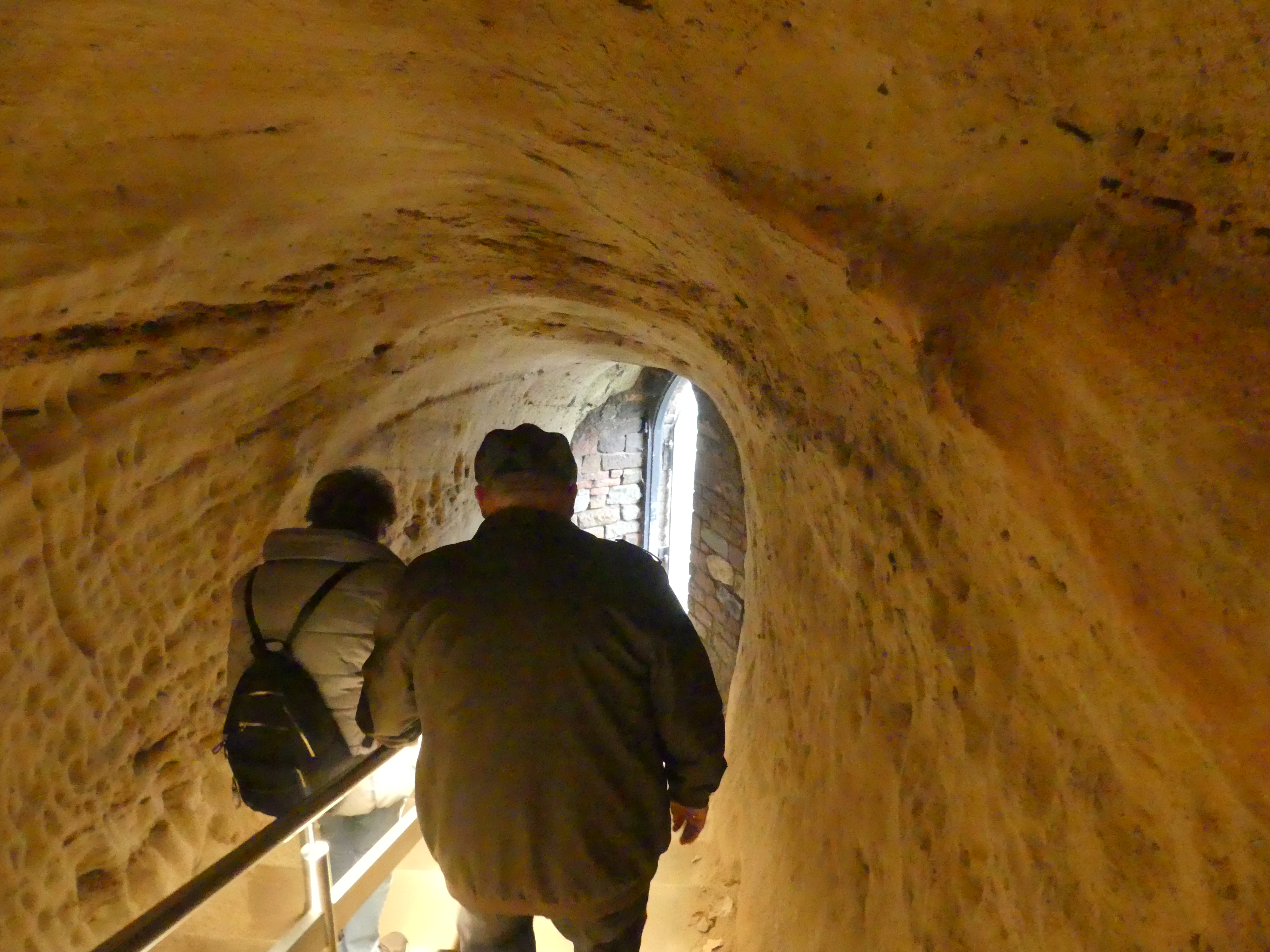
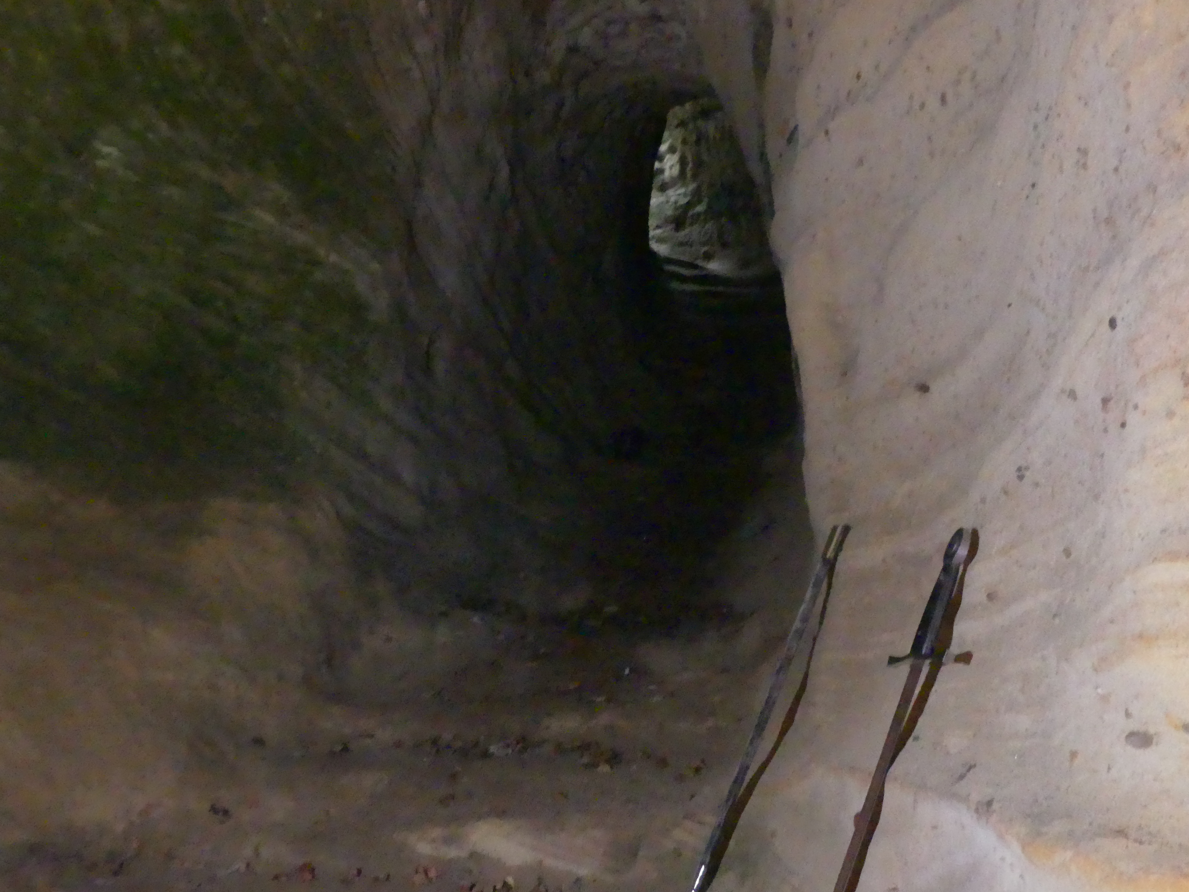
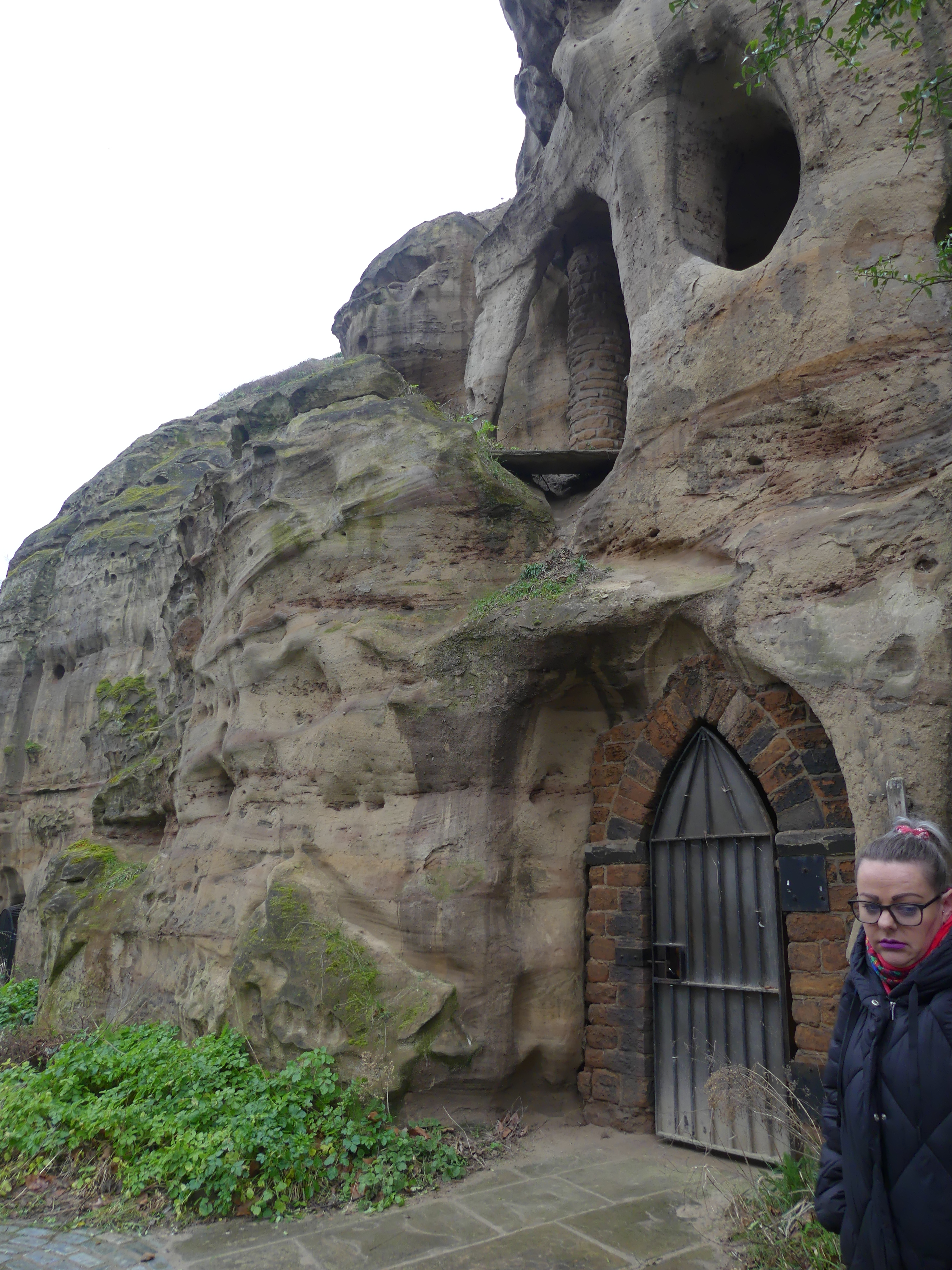
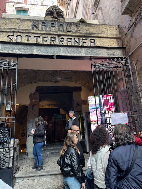
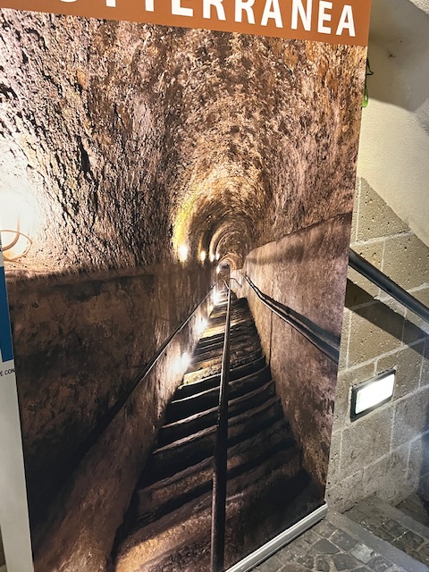
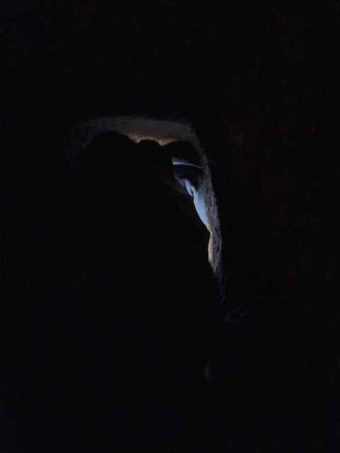
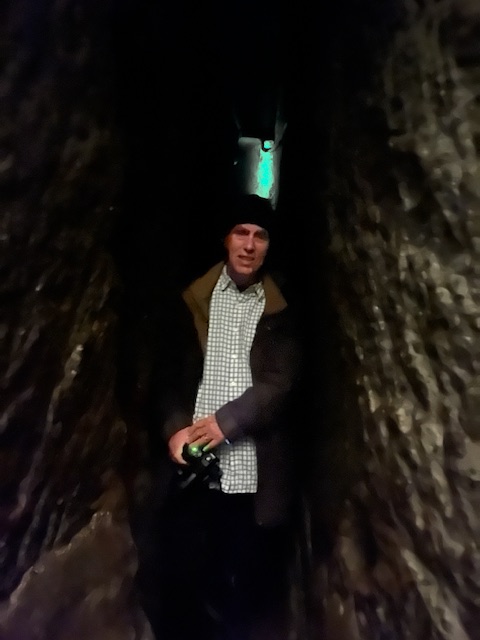
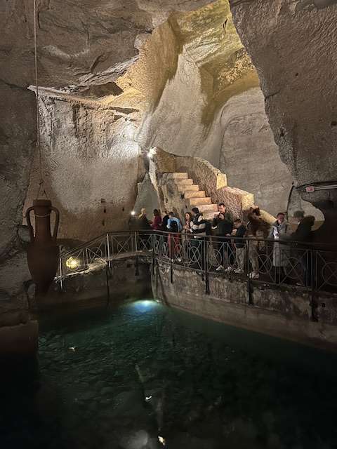
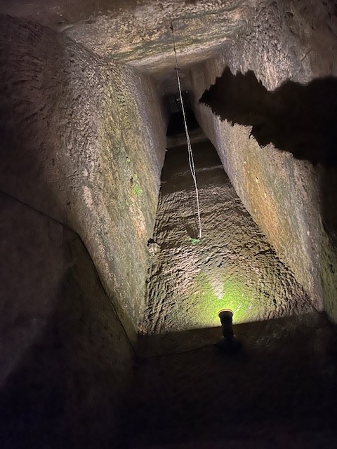
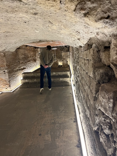
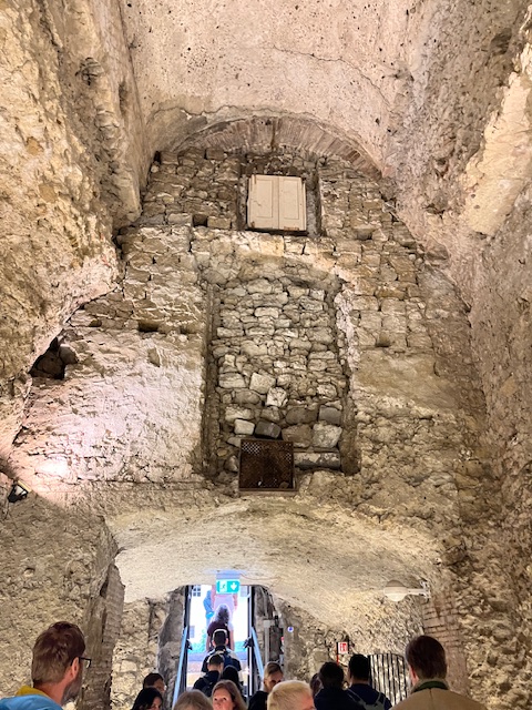
Underneath Naples are several ancient Greco-Roman reservoirs dug out from the soft tufo stone on which, and from which, much of the city is built. Approximately one kilometre (0.62 miles) of the many kilometres of tunnels under the city can be visited from the Napoli Sotteranea, this system of tunnels and cisterns underlies most of the city and lies approximately 30 metres (98 ft) below ground level. During World War II, these tunnels were used as air-raid shelters, and there are inscriptions on the walls depicting the suffering endured by the refugees of that era. We were here to visit those tunnels. My photographs show us entering and following the stairs underground for a long way. God only know how they got a tank down here or why they would keep unexploded munitions down here. The pictures of the narrow tunnels are in fact passageways for water and very easy to get lost as I almost did. At the end of the tour, we exited to visit the remains of Nero’s lost theatre rediscovered after restoration of the reservoirs.


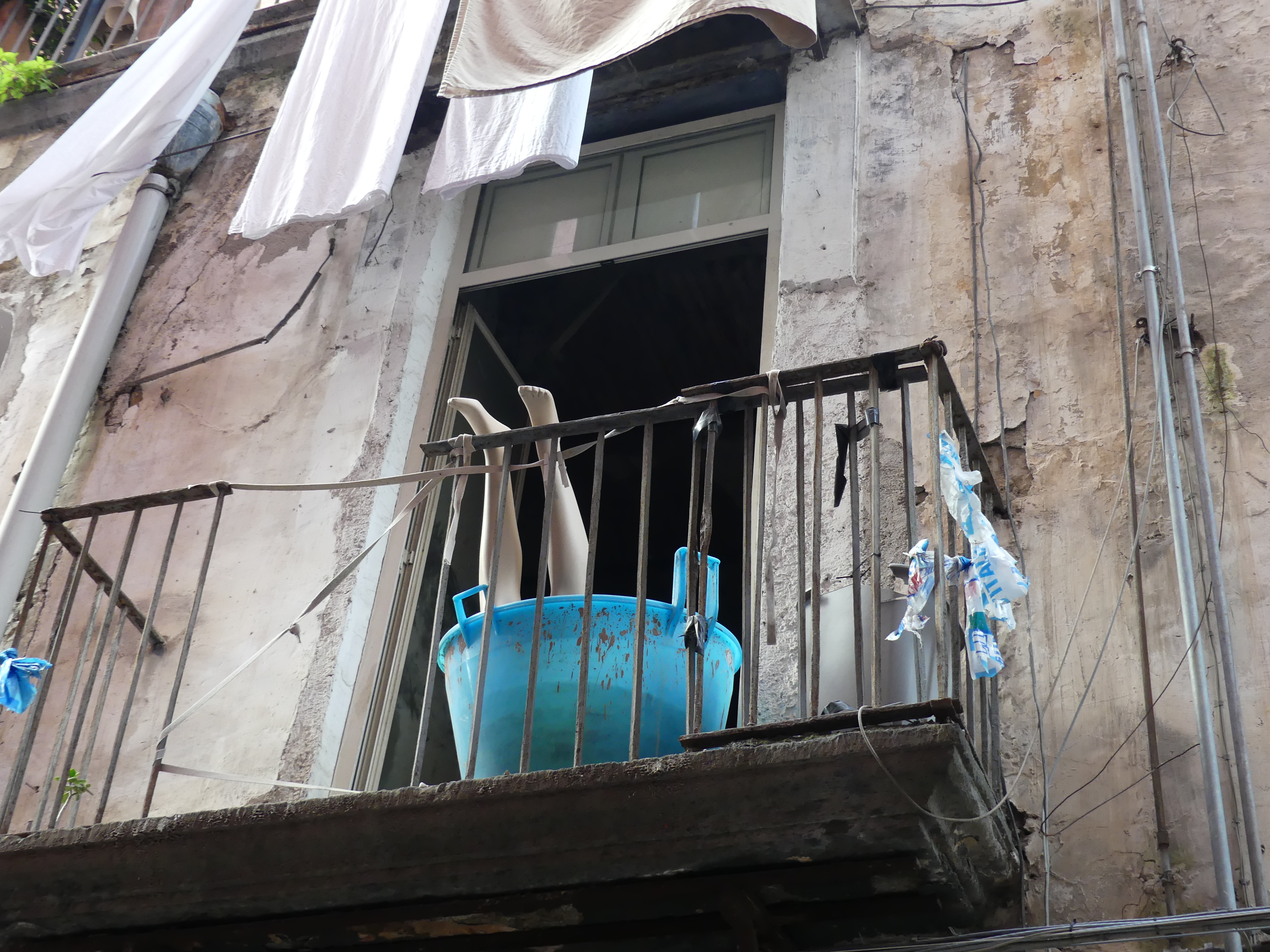
Some joker had prepared a frightening image of what awaits outside the reservoir. It was hot thirsty work down there This pop-up liquor shop had just the answer as we made our way home. Mauling mannequins seemed to have some appeal in Naples.


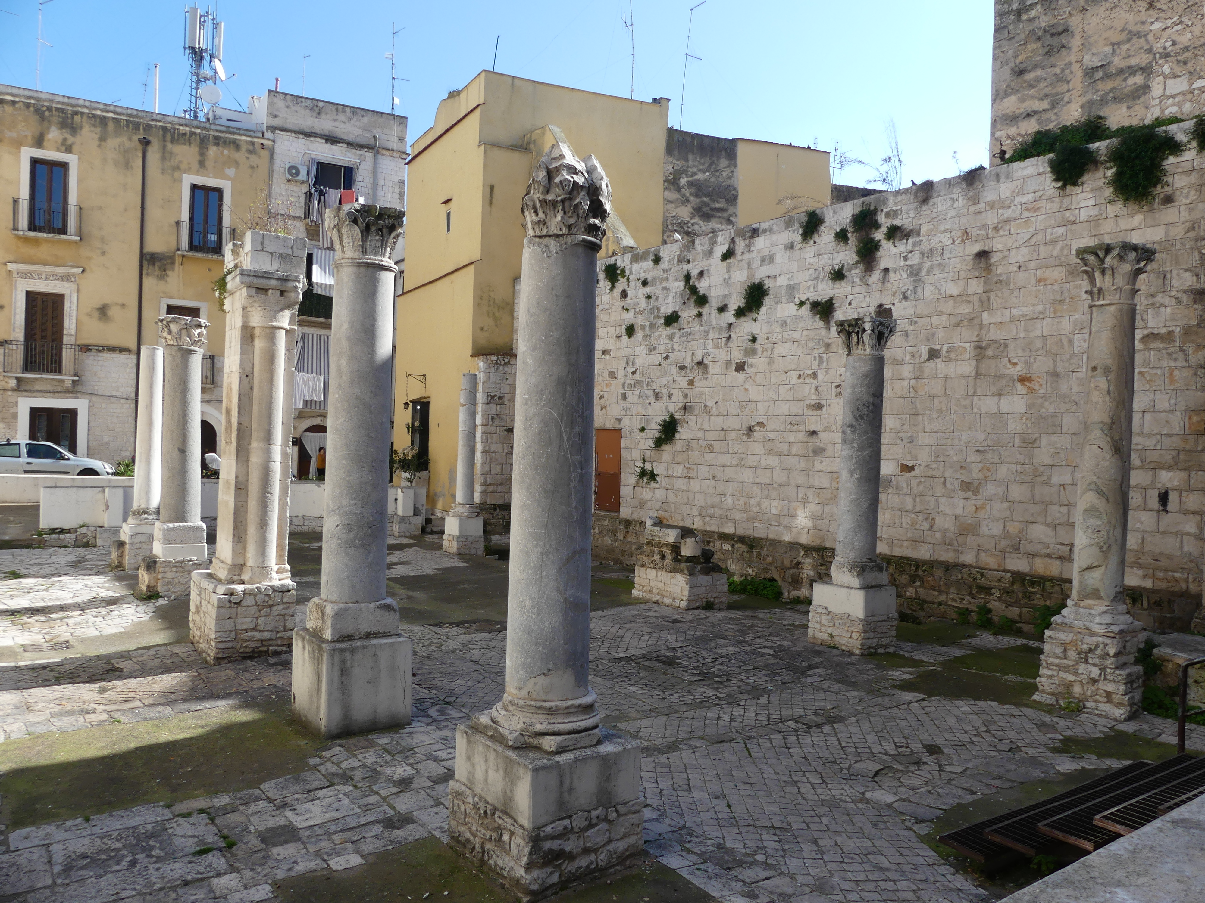
The surrounding area is an underground geothermal zone and this geothermal area is present generally from Mount Vesuvius beneath a wide area including Pompei, Herculaneum, and from the volcanic area of Campi Flegrei beneath Naples and over to Pozzuoli and the coastal Baia area. The resulting cavities beneath the city can now be divided up into several major categories Aqueducts and sewer tunnels; Rainwater cisterns, reservoirs and aqueduct diversionary channels; Caverns left from quarrying of tuff; the remains of Nero’s “lost” theatre; Greco-Roman businesses, such as the remains of an ancient forum that was preserved in a mud slide; Other voids from removal of sand and other types of materials; Interconnecting tunnels and passageways among caverns; Places of worship, including catacombs and pre-Christian hypogea (cult burial chambers);Major ancient and modern roadway tunnels, and rail and subway tunnels.
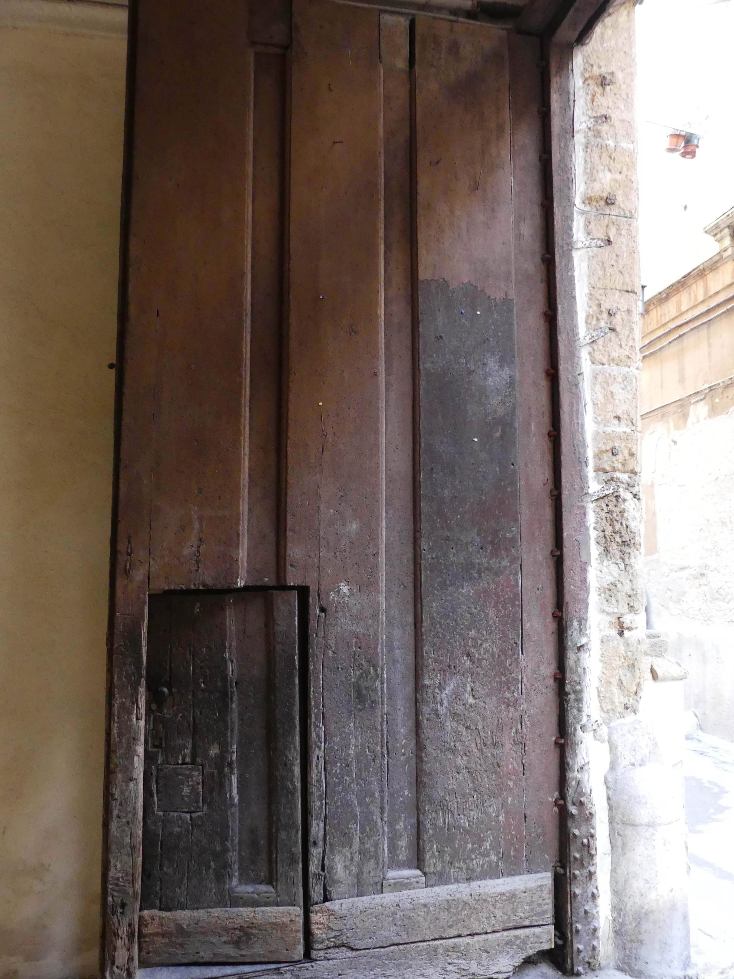
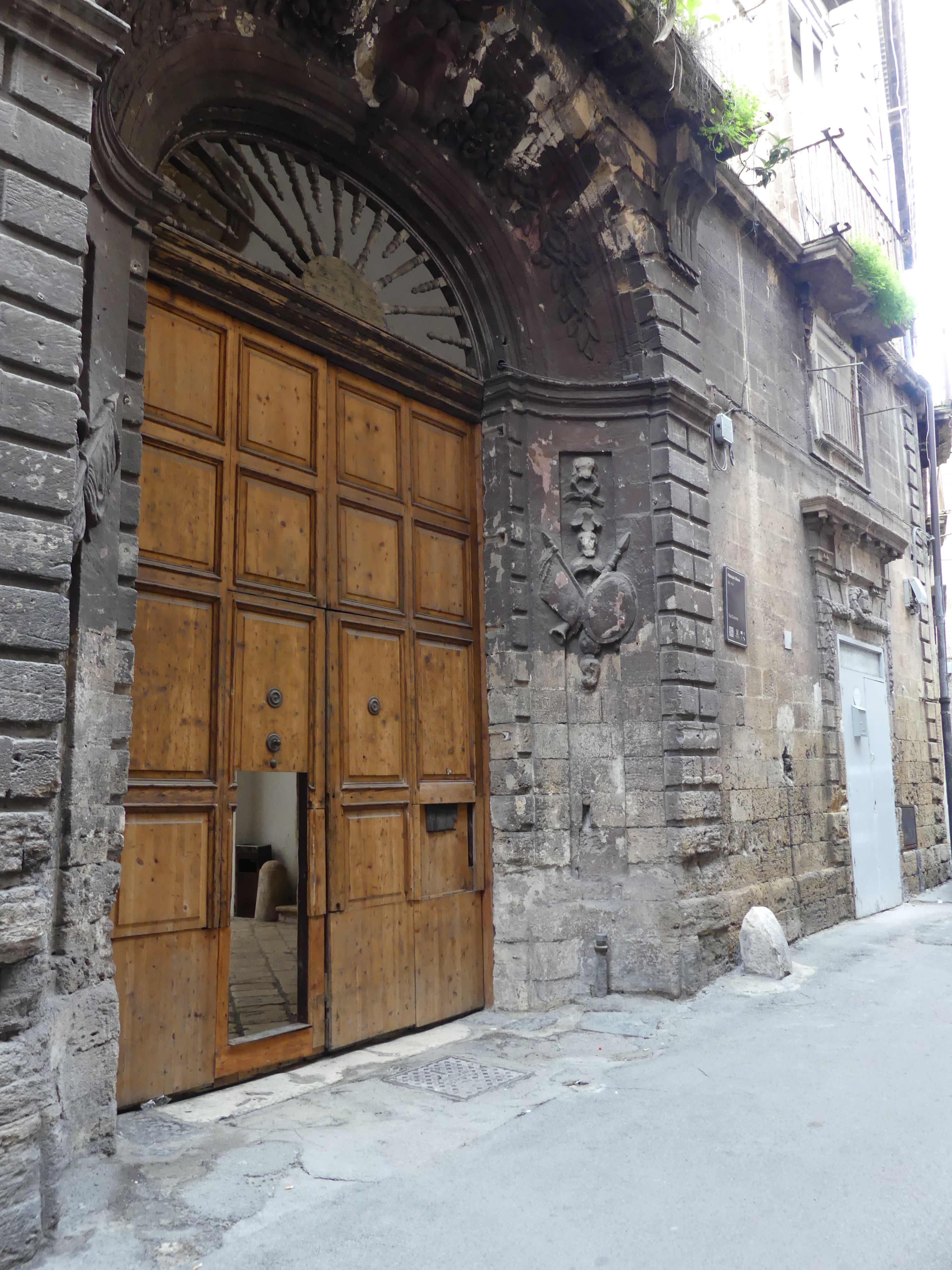
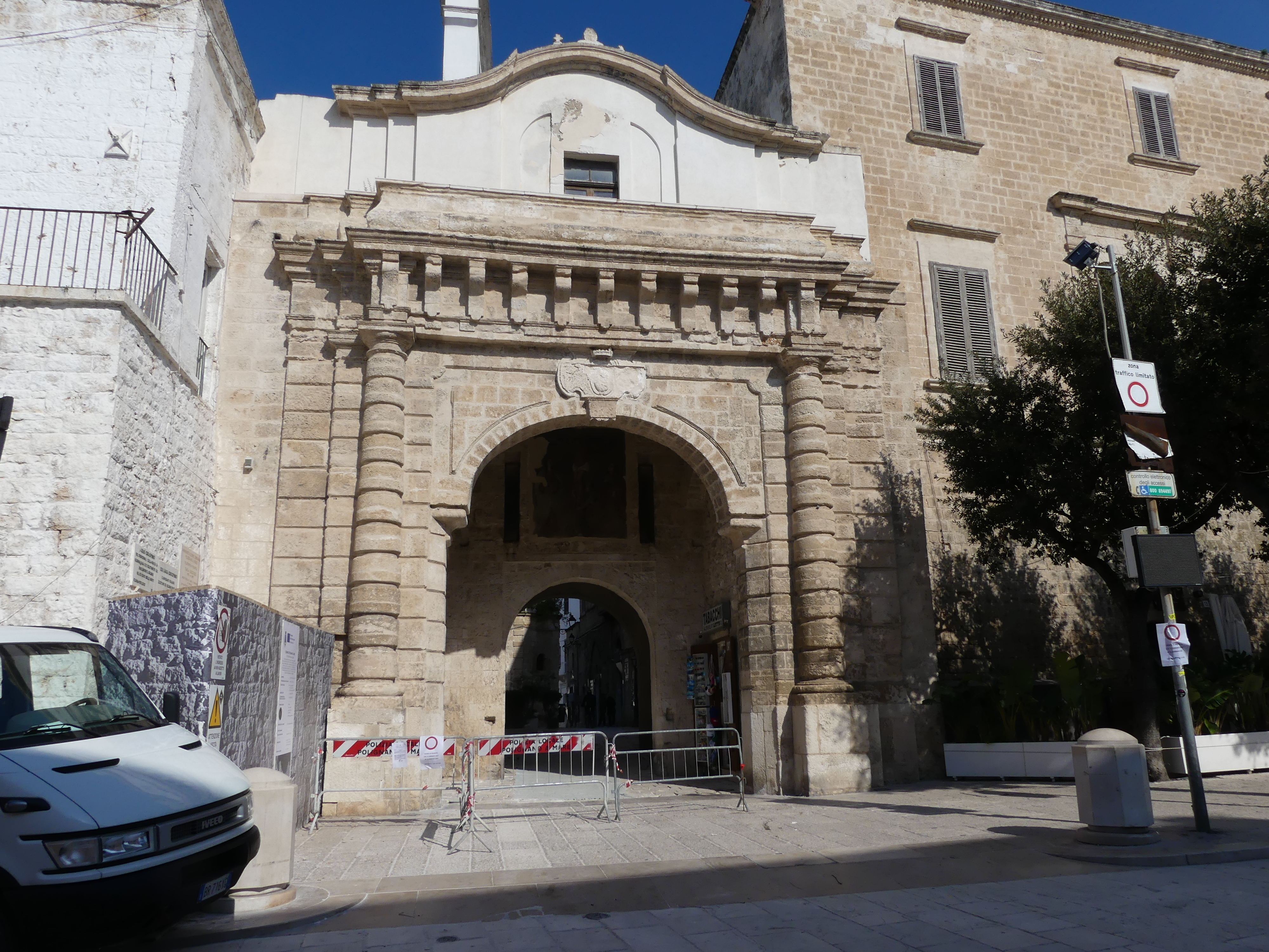
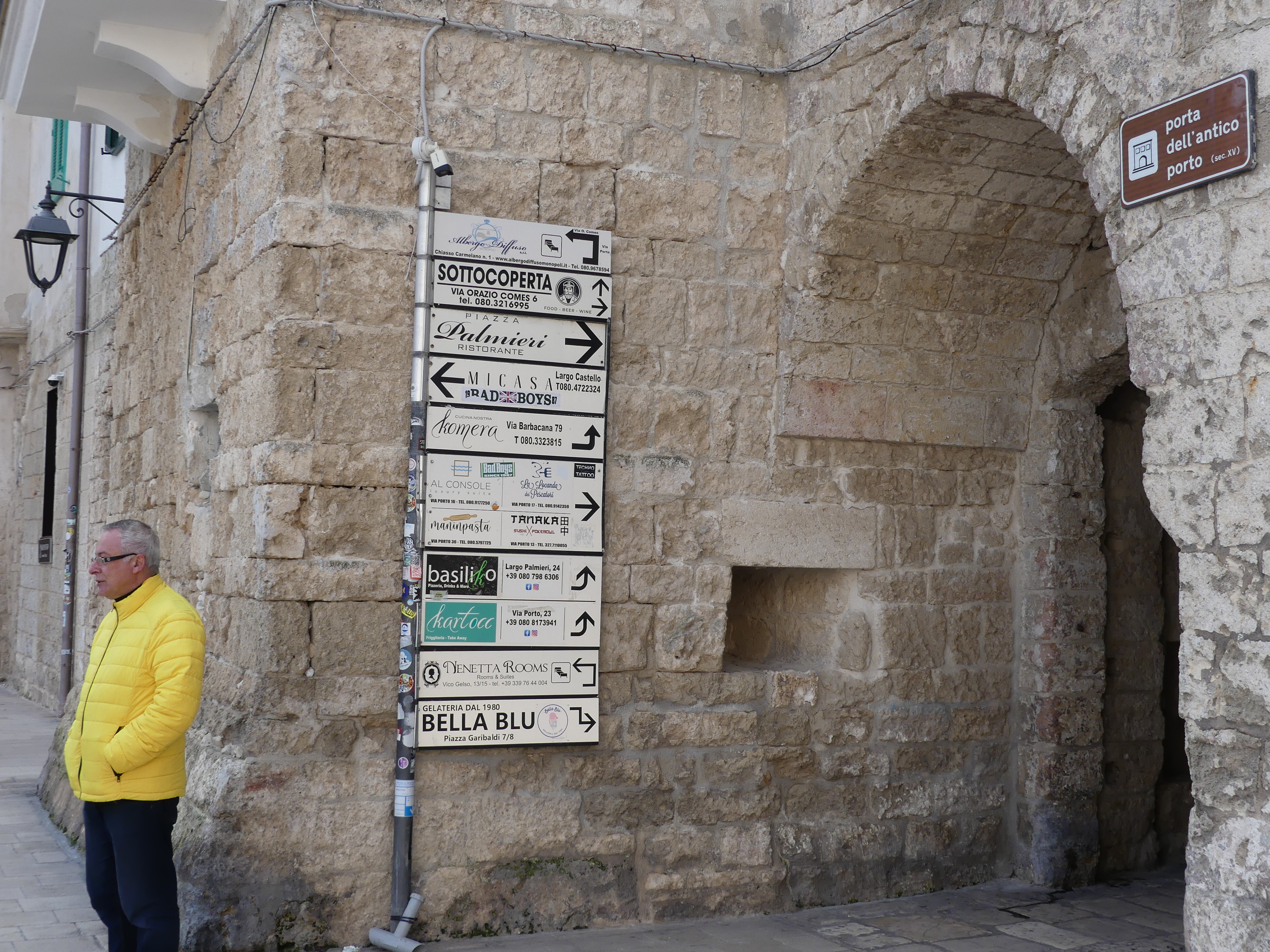
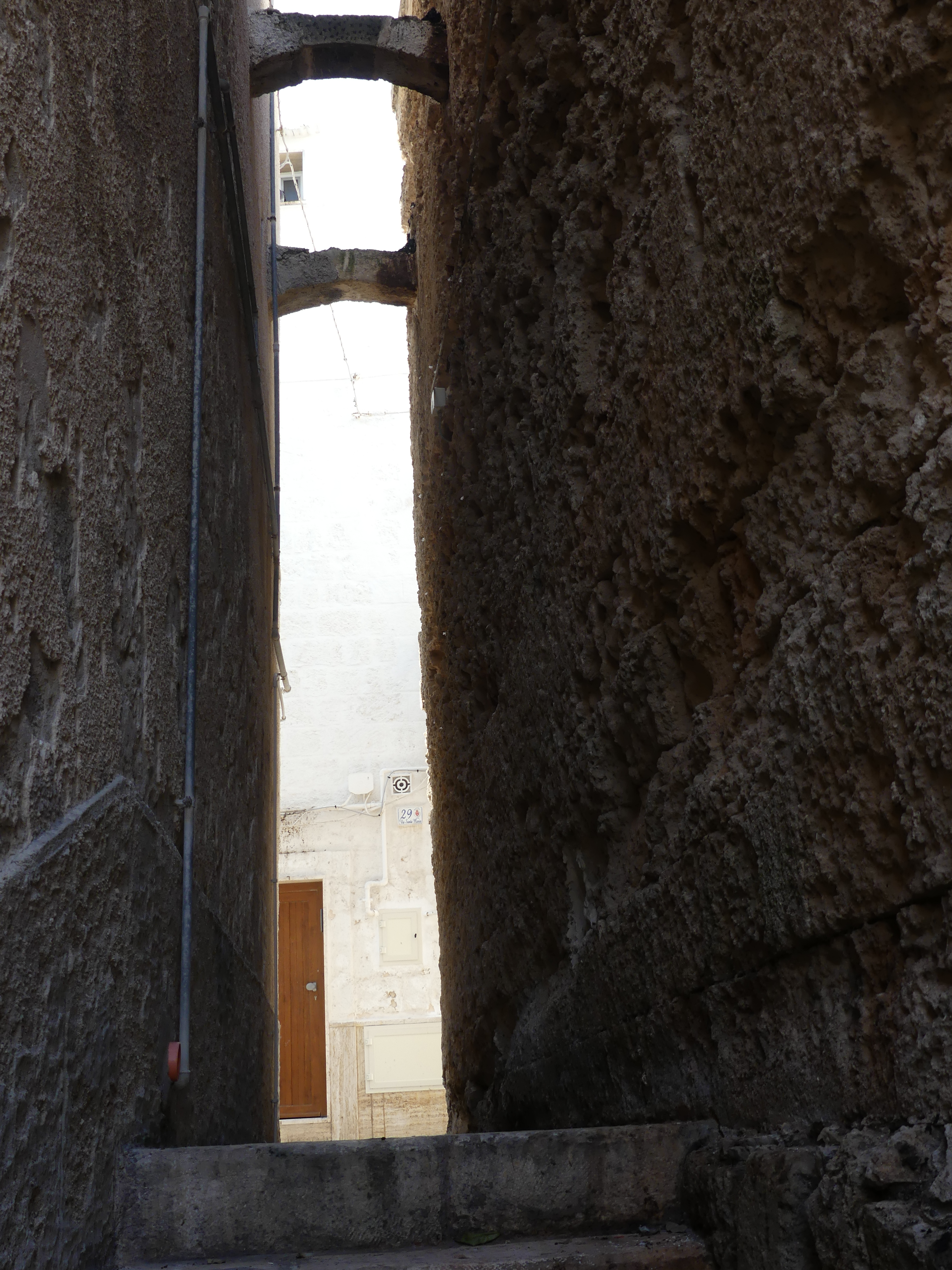
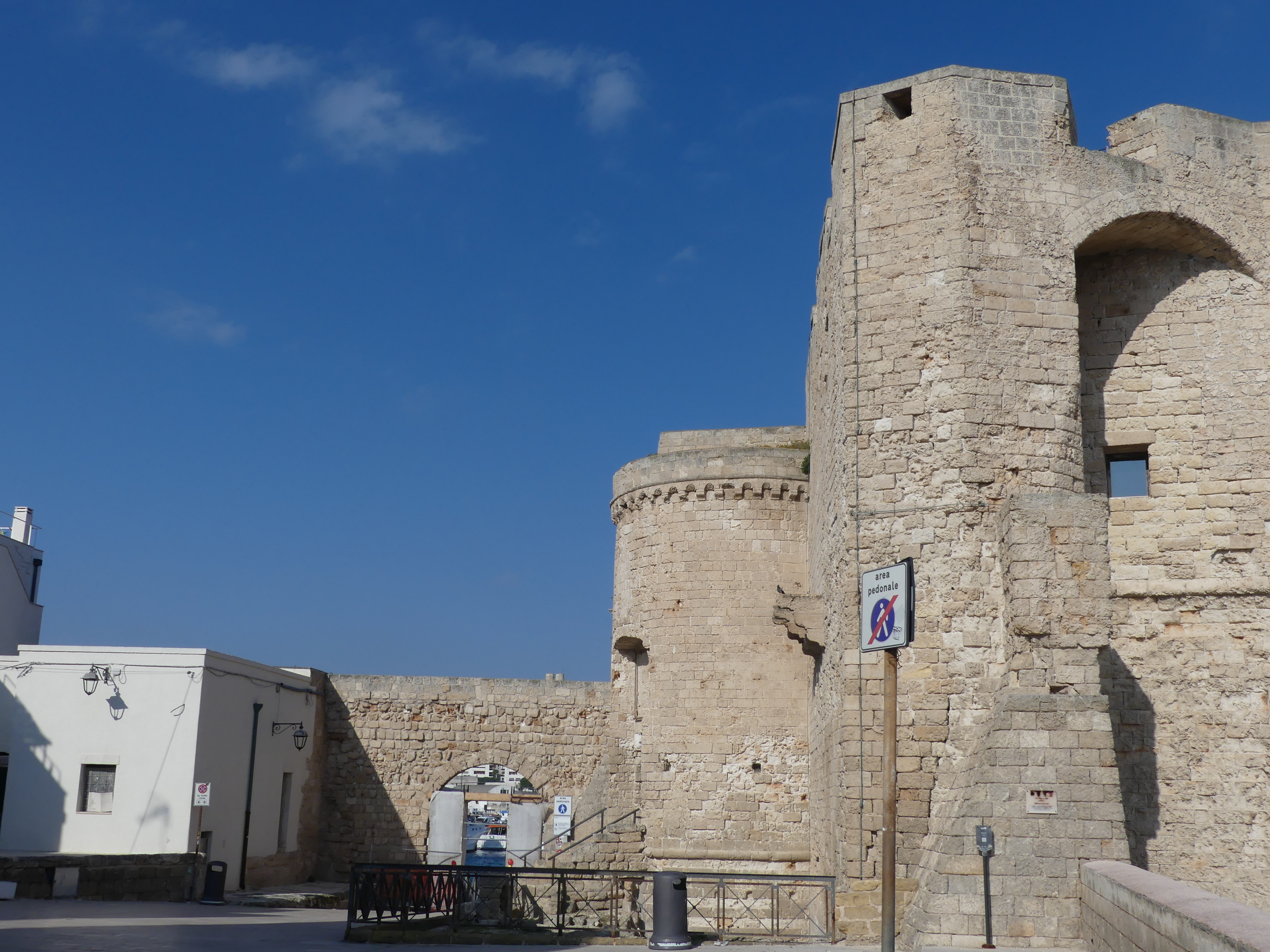
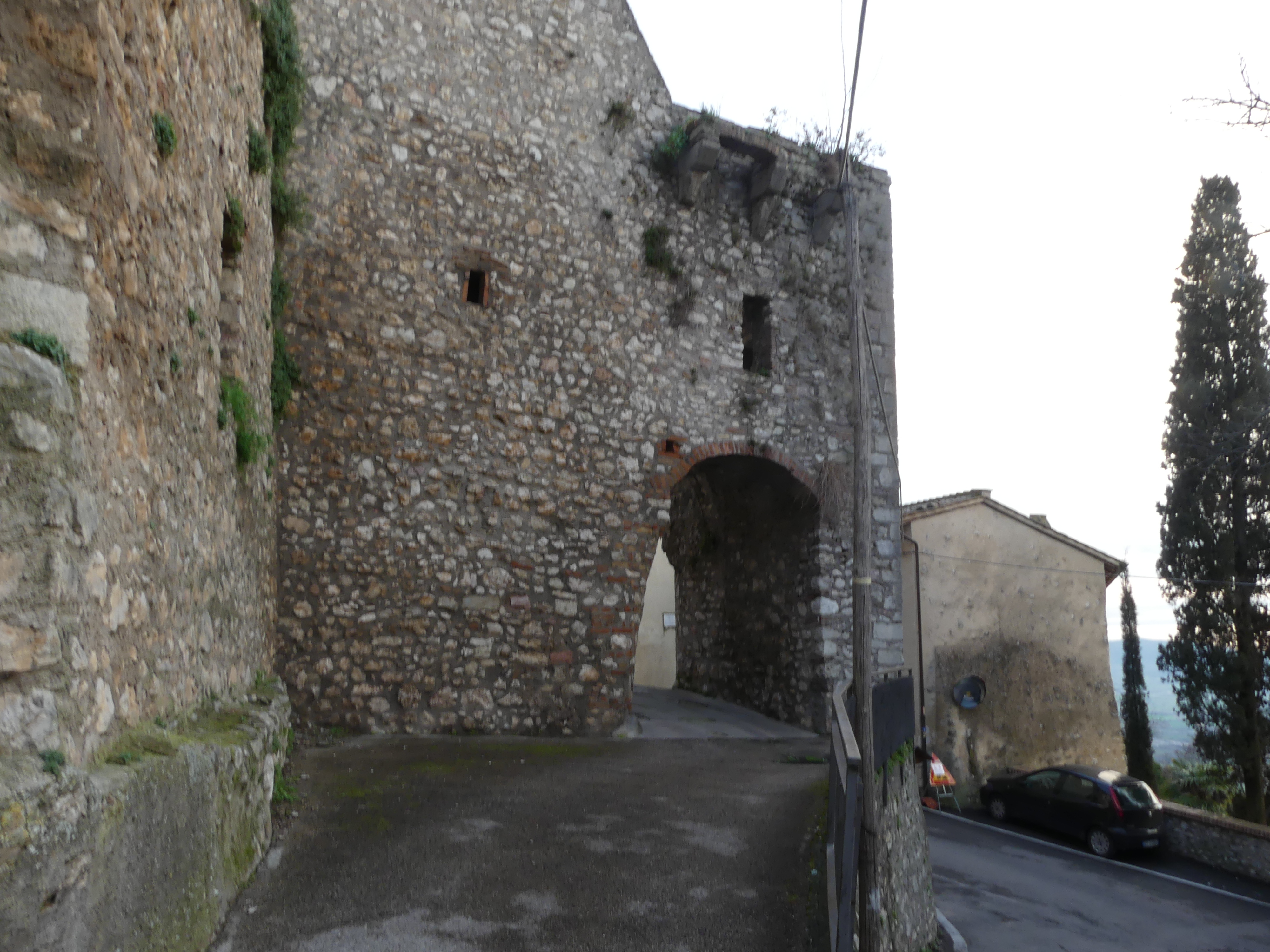
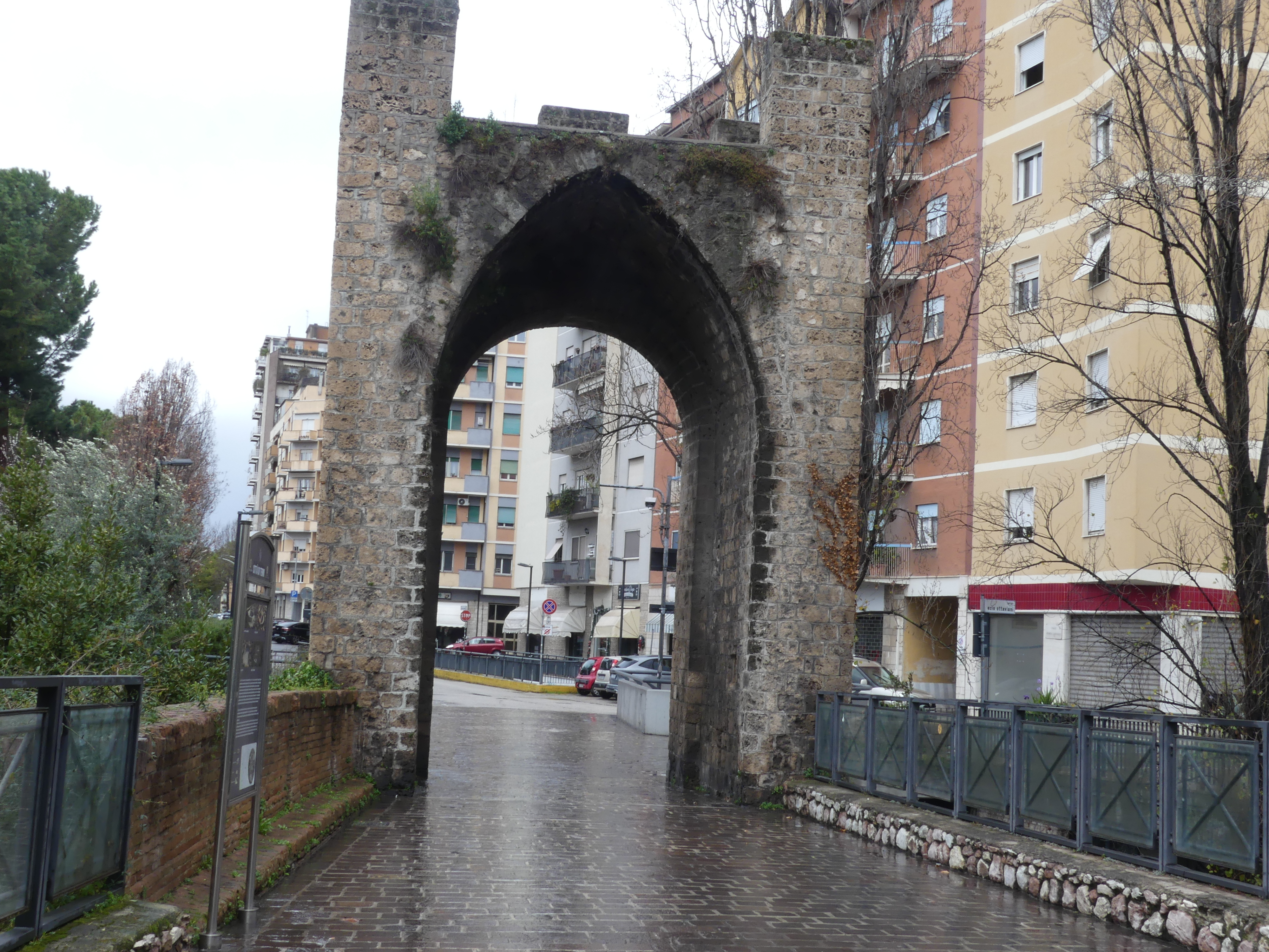
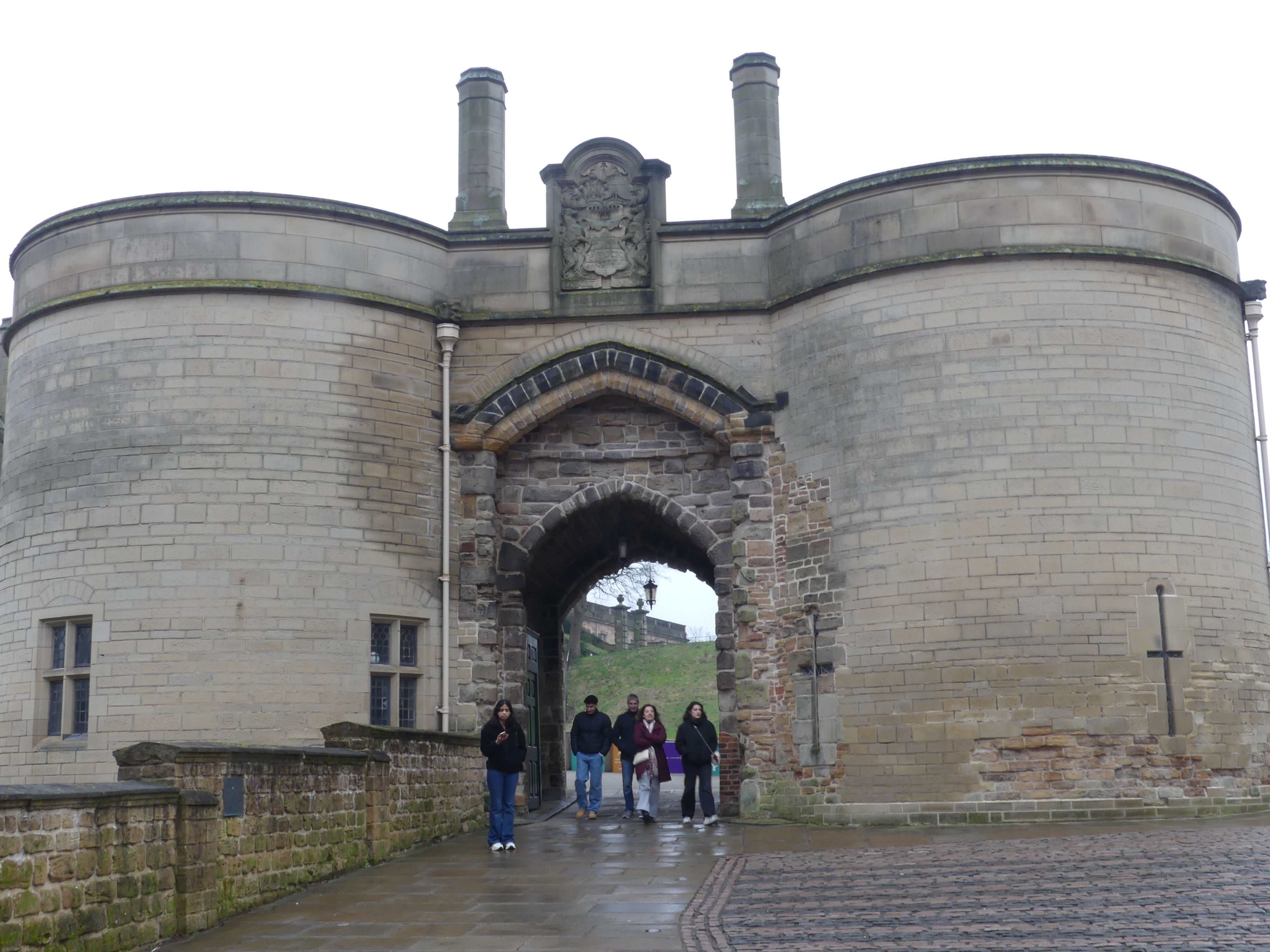
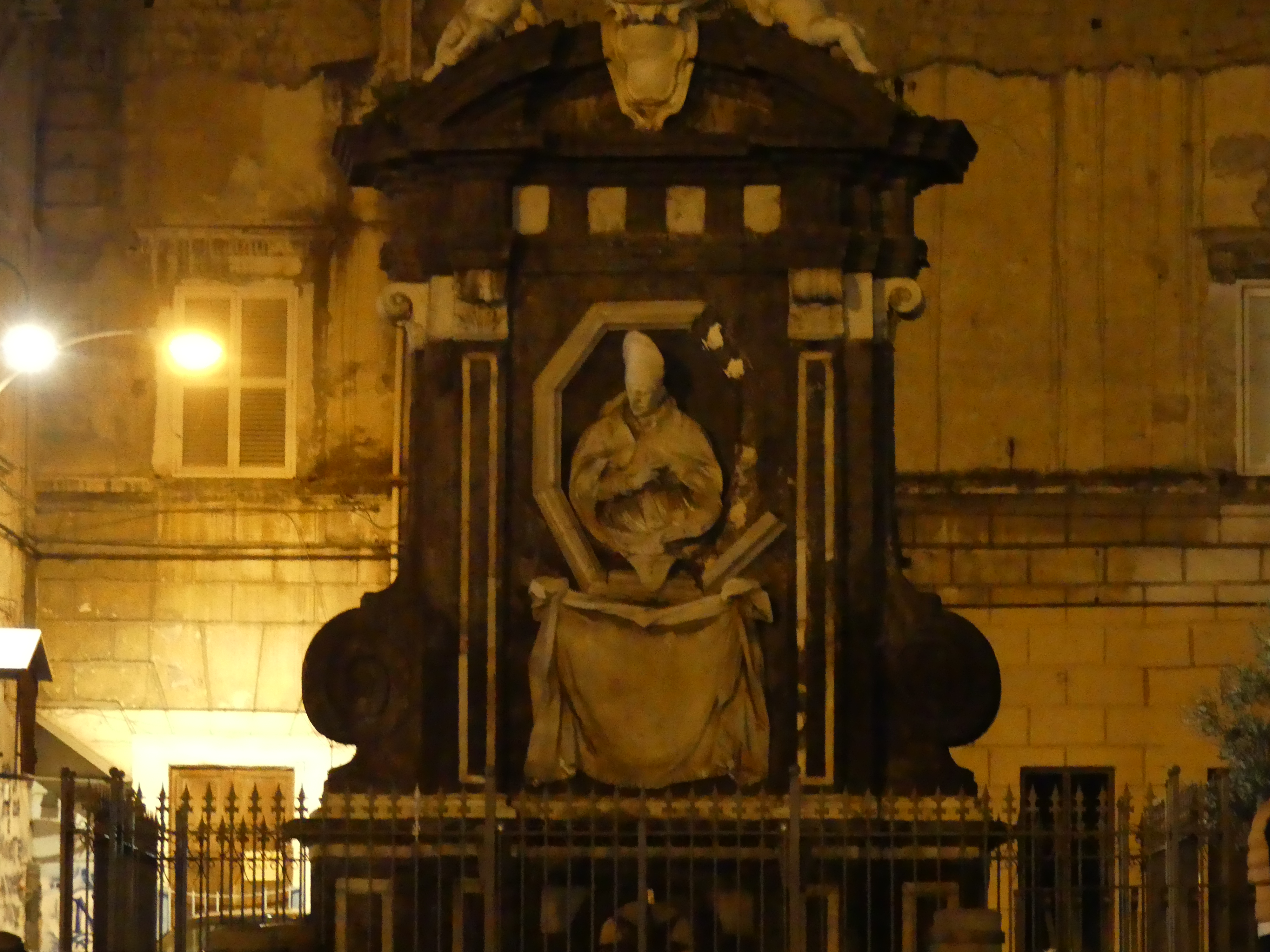
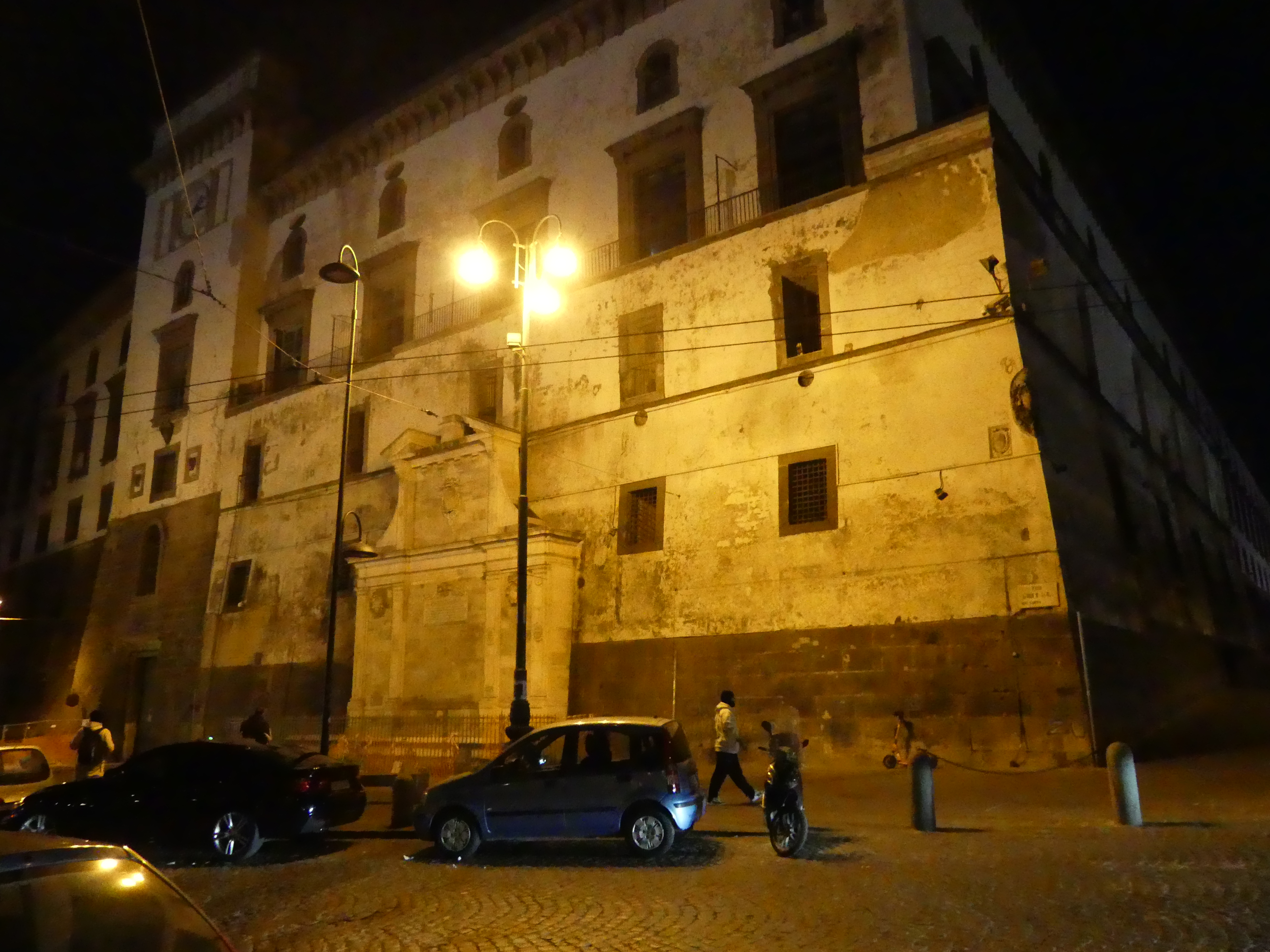
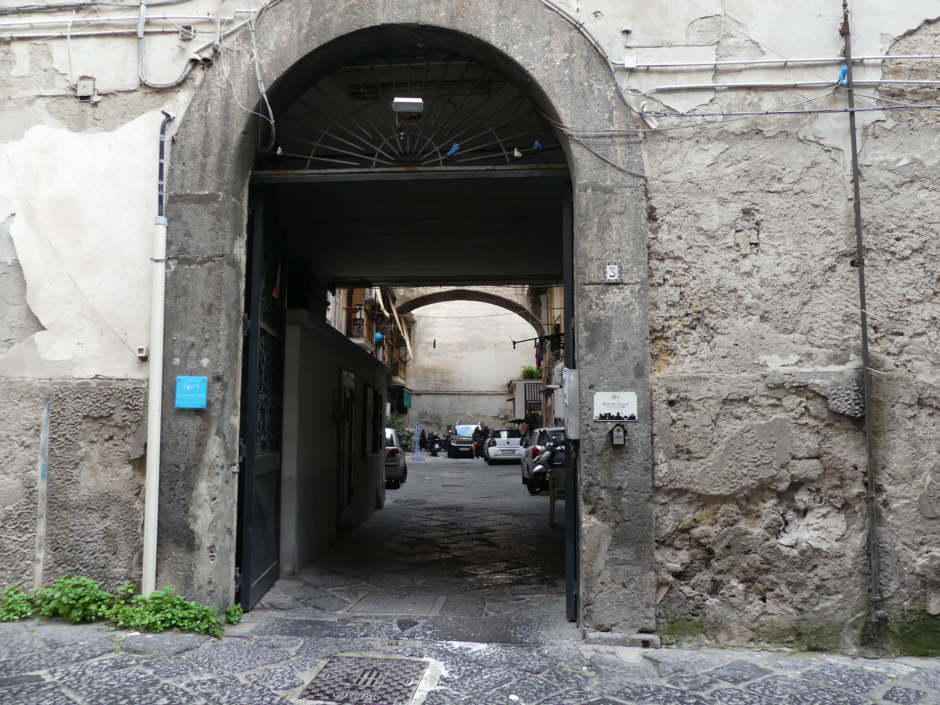
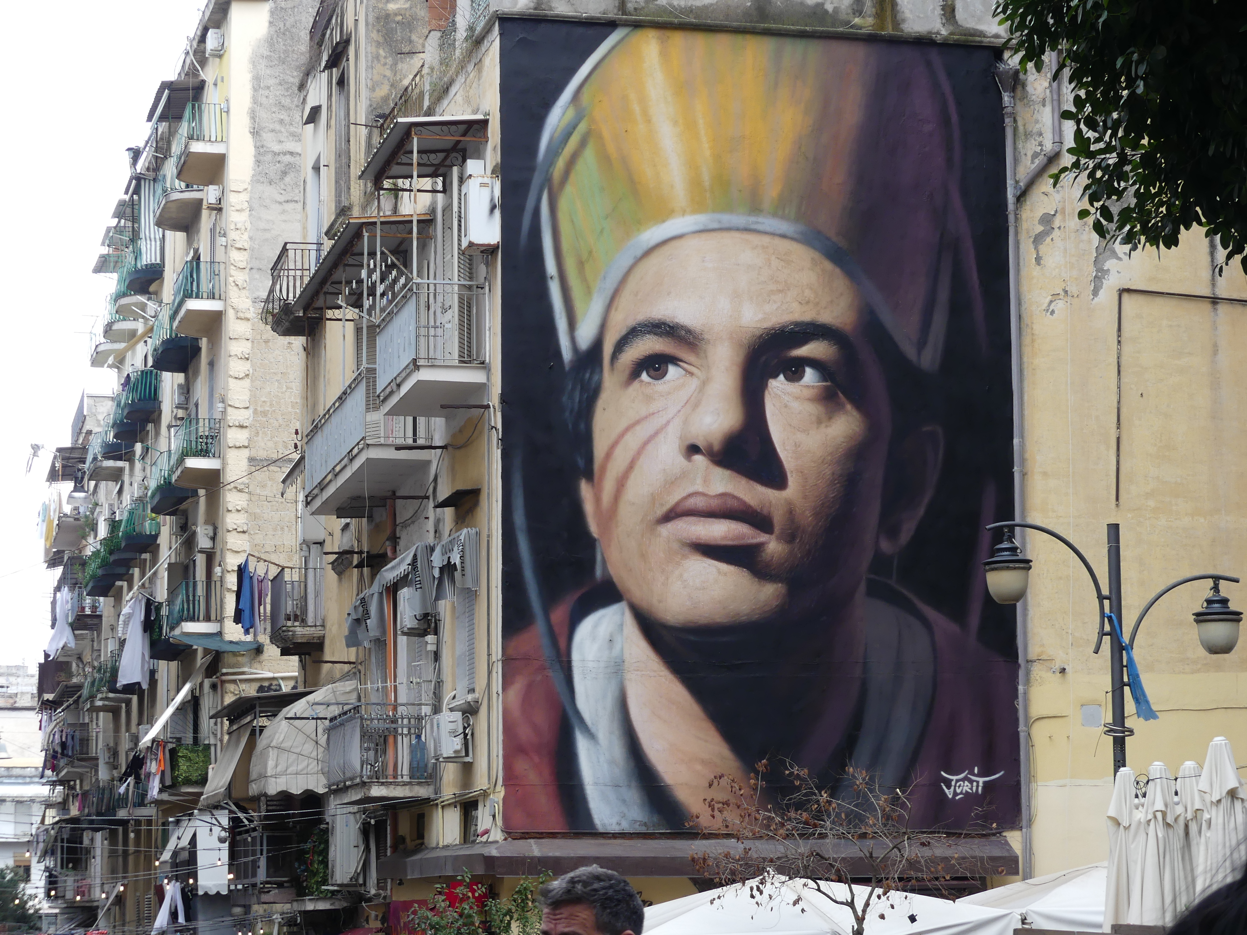
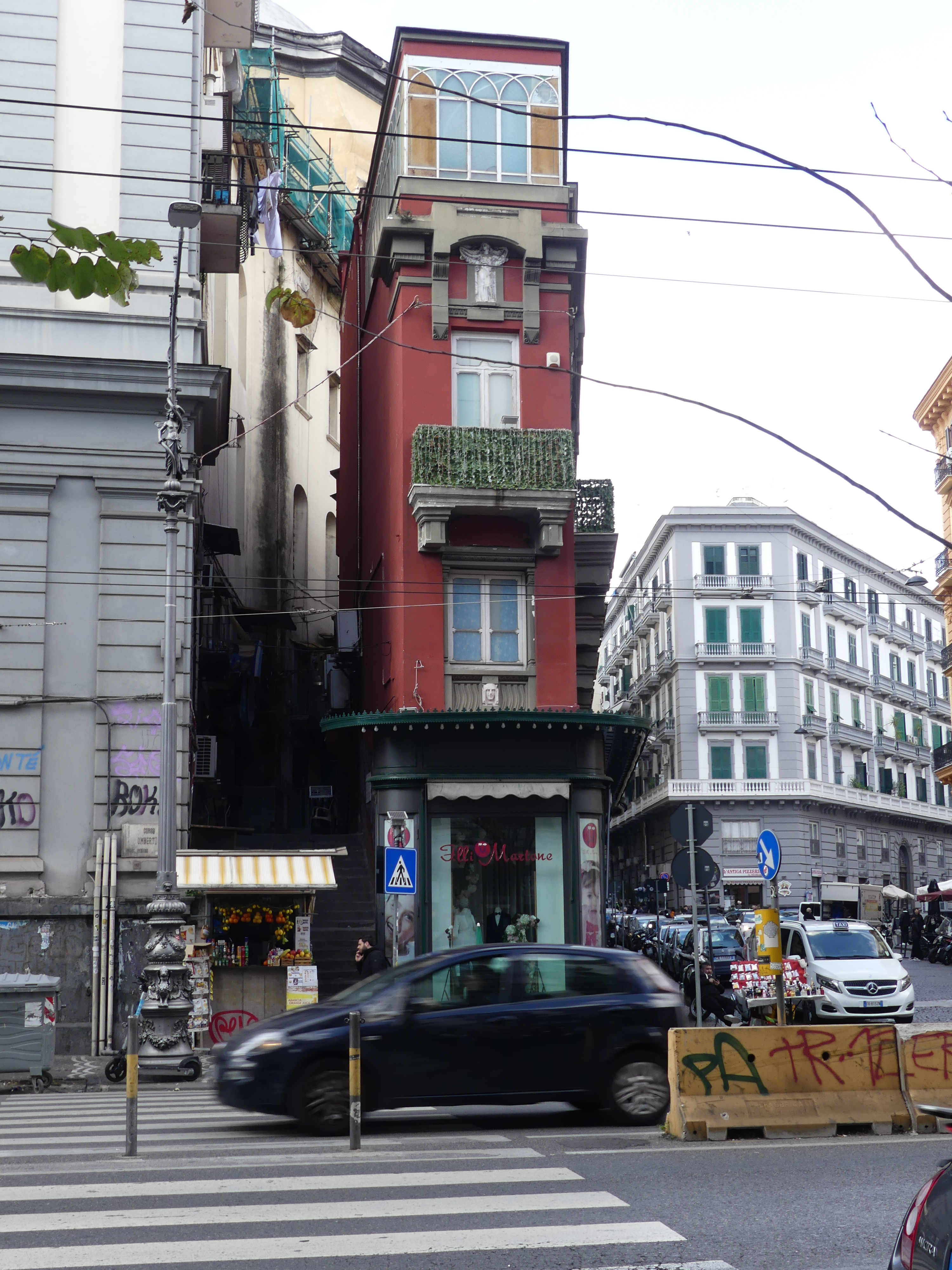
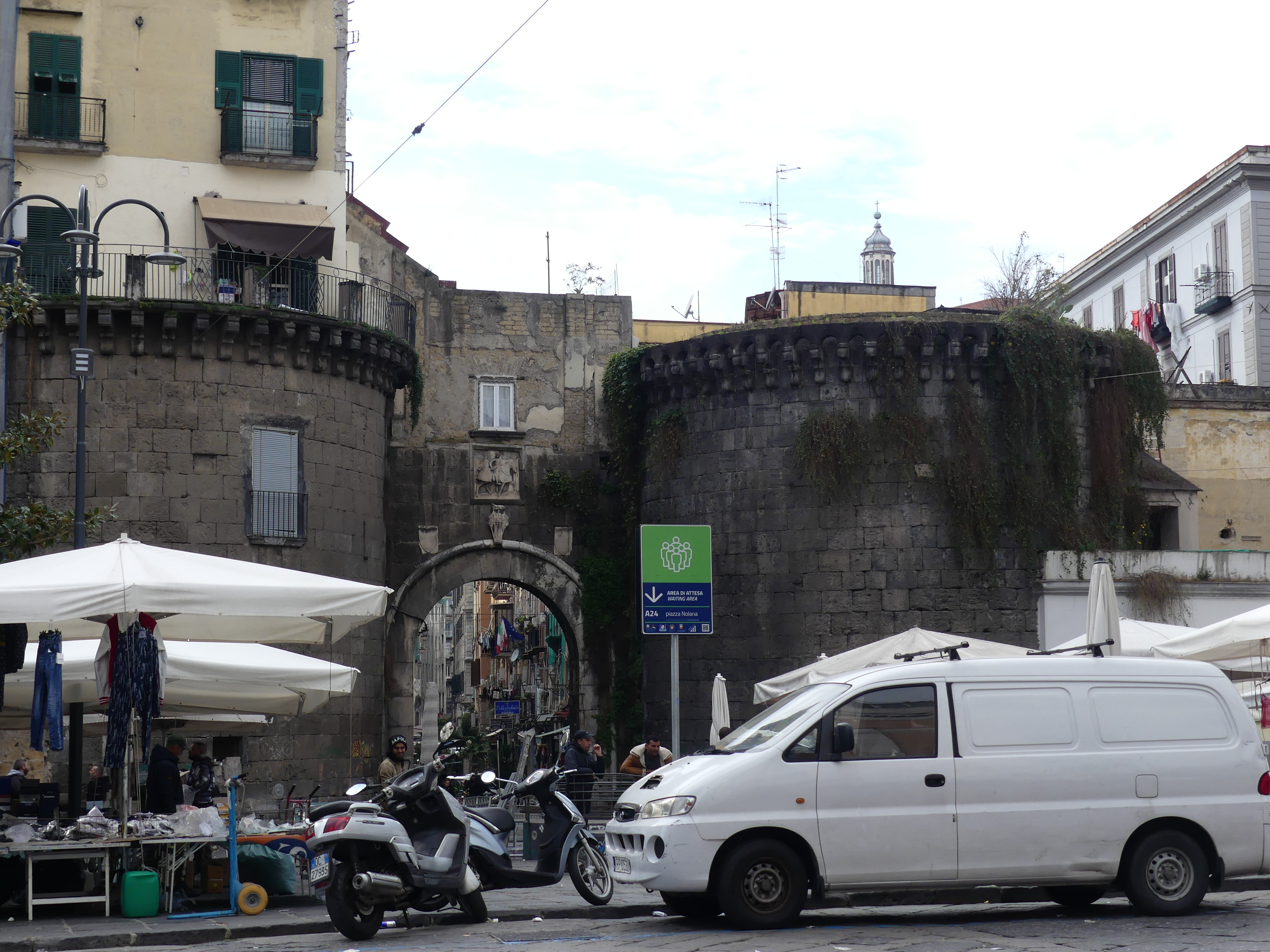
As commented about some walls being “decorated” with “street art” – we came across this portrait of a bishop – very impressive. The church however seemed to have walls collapsing into the chapel. As we made our way back to Hotel Vergilius Billia we took a different route came across an ancient gate of the city and disjointed buildings with openings and windows in odd places but still in use. Here are some photos of a narrow but long building and an ancient gate surrounded by merchants.


After having experienced the old city, we thought a visit to one of the nearby coastal towns would be interesting. We chose Sorrento and again used the train to get there. Hold onto your seat as my next blog is “THE RETIREES GO AROUND THE WORLD – NAPLES to SORRENTO”.