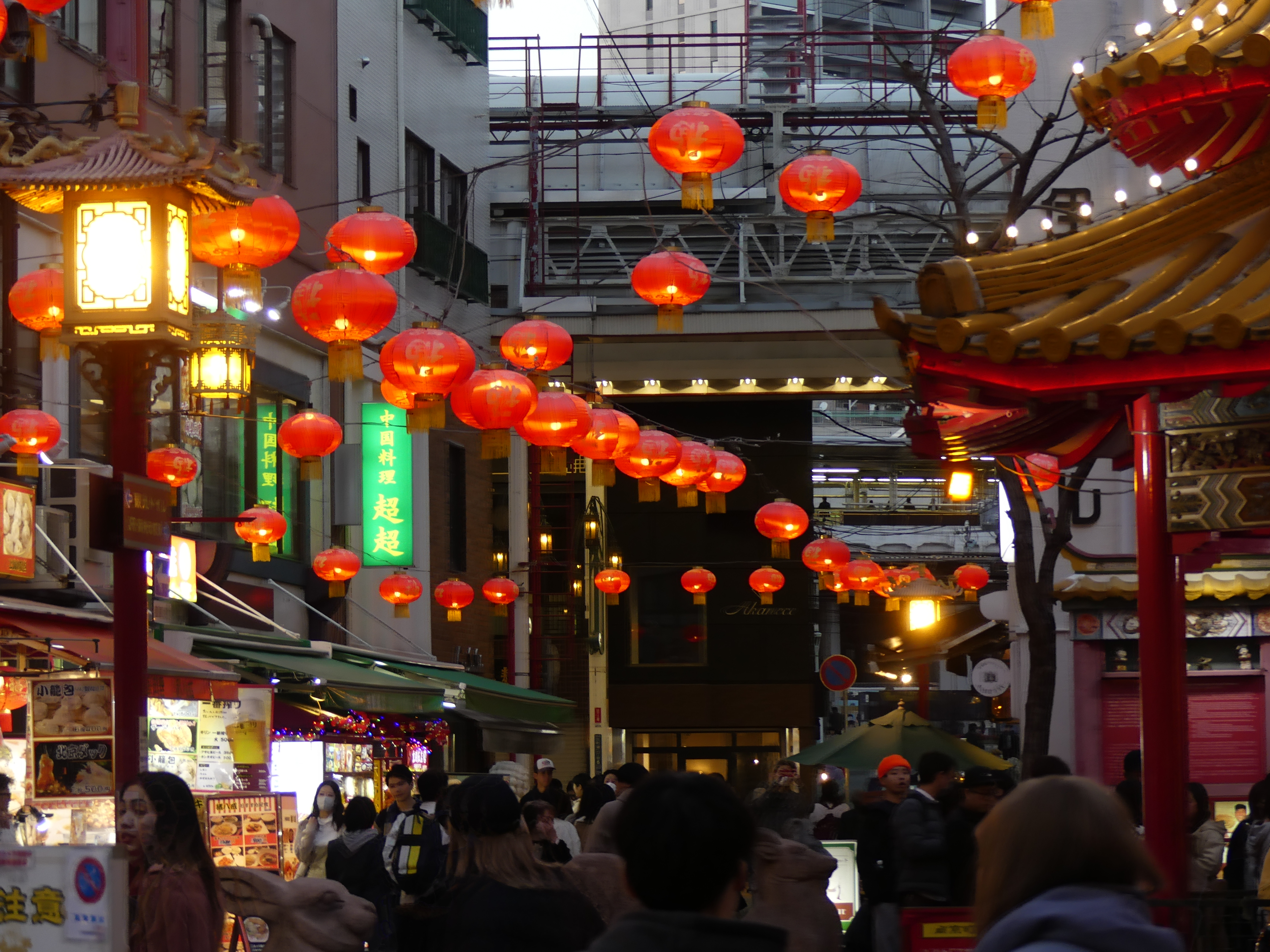
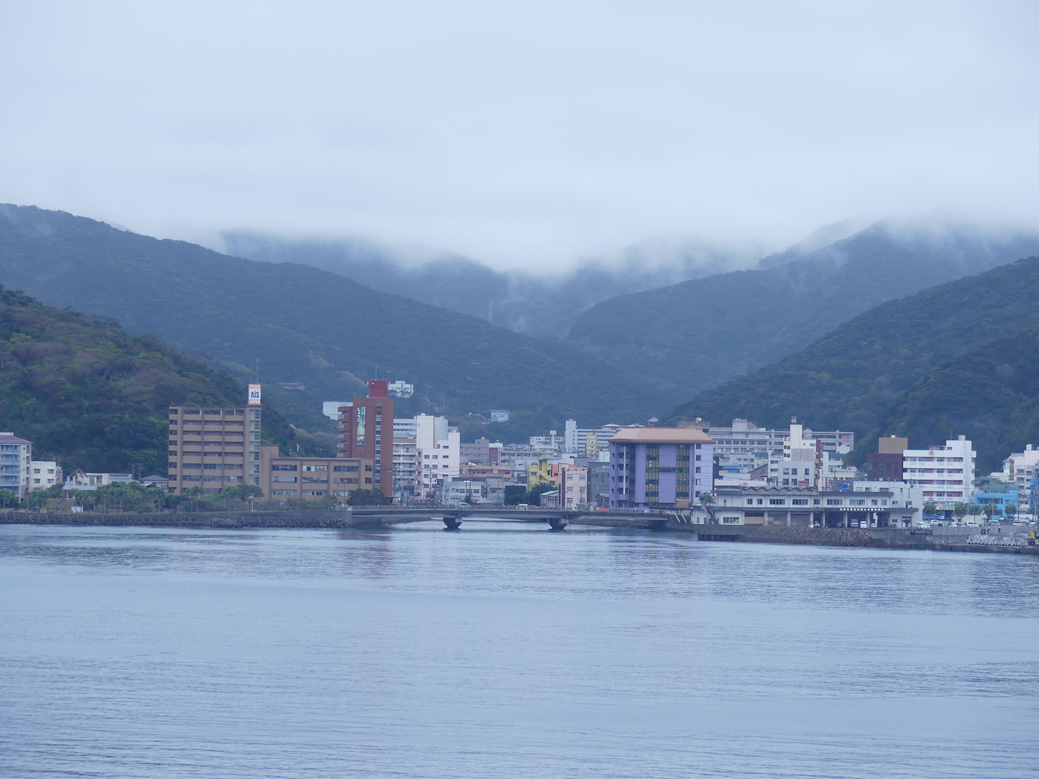
Day 6 Ishigaki, Ishigaki Island
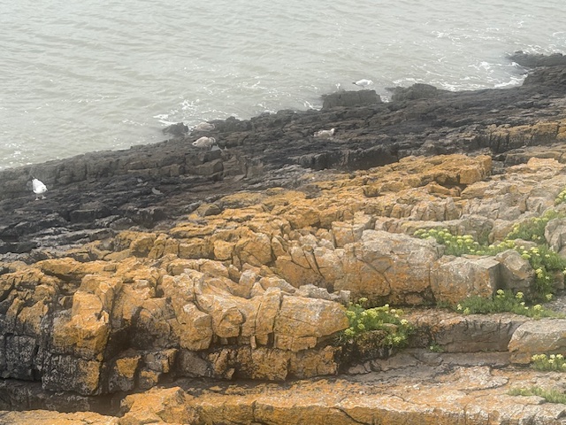
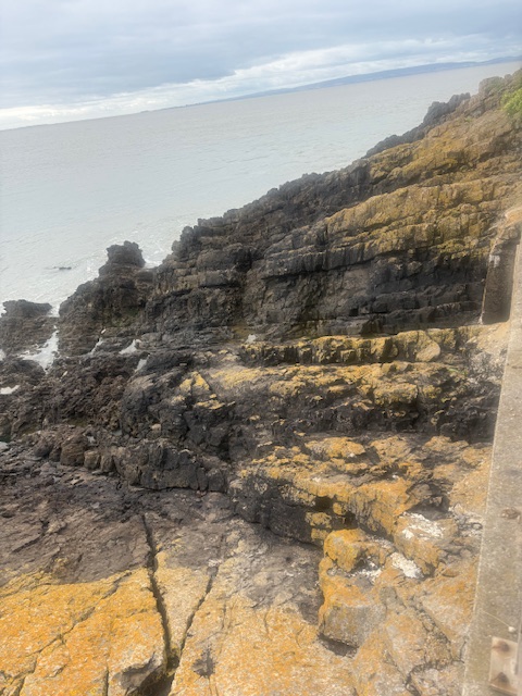
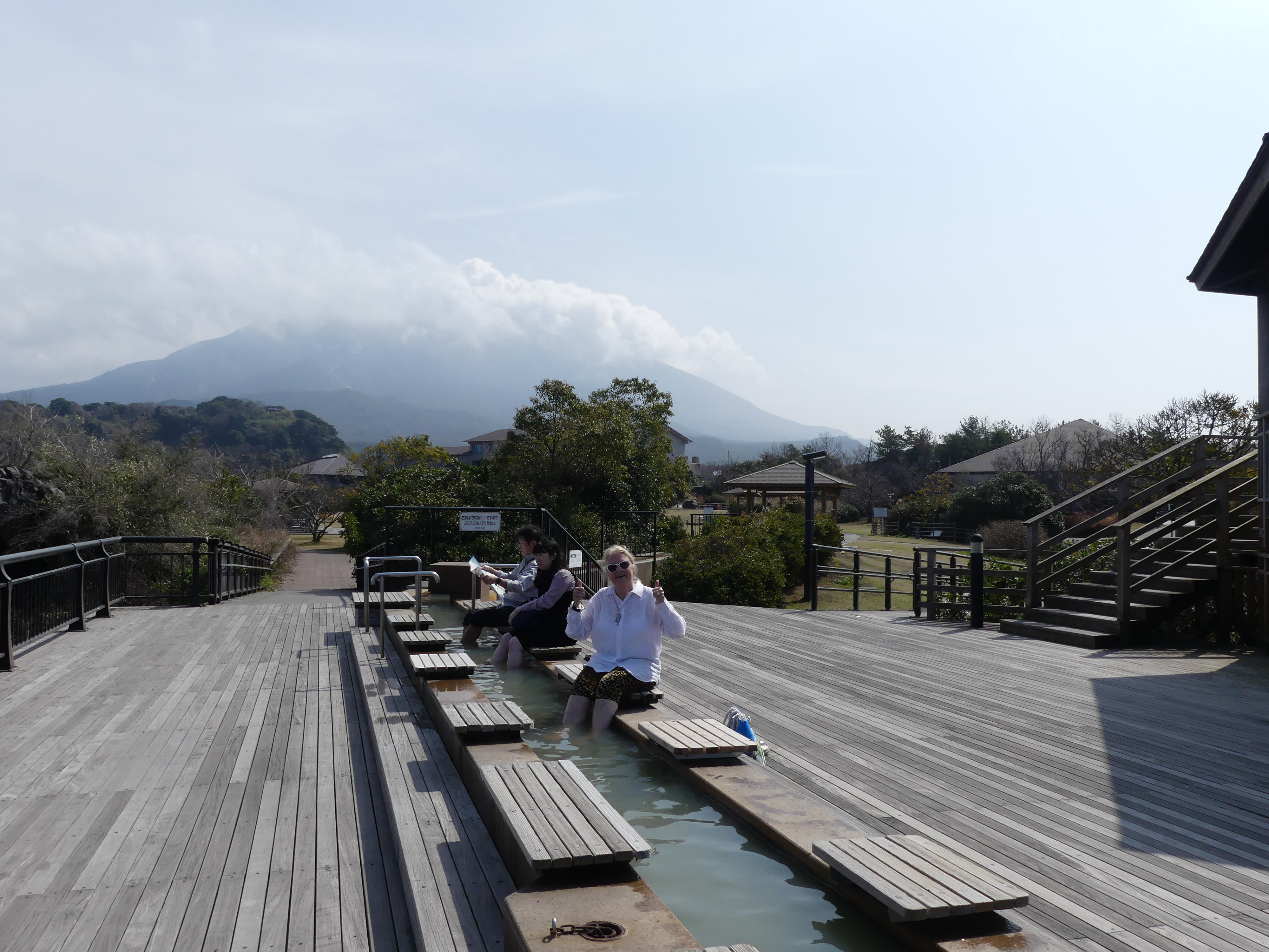
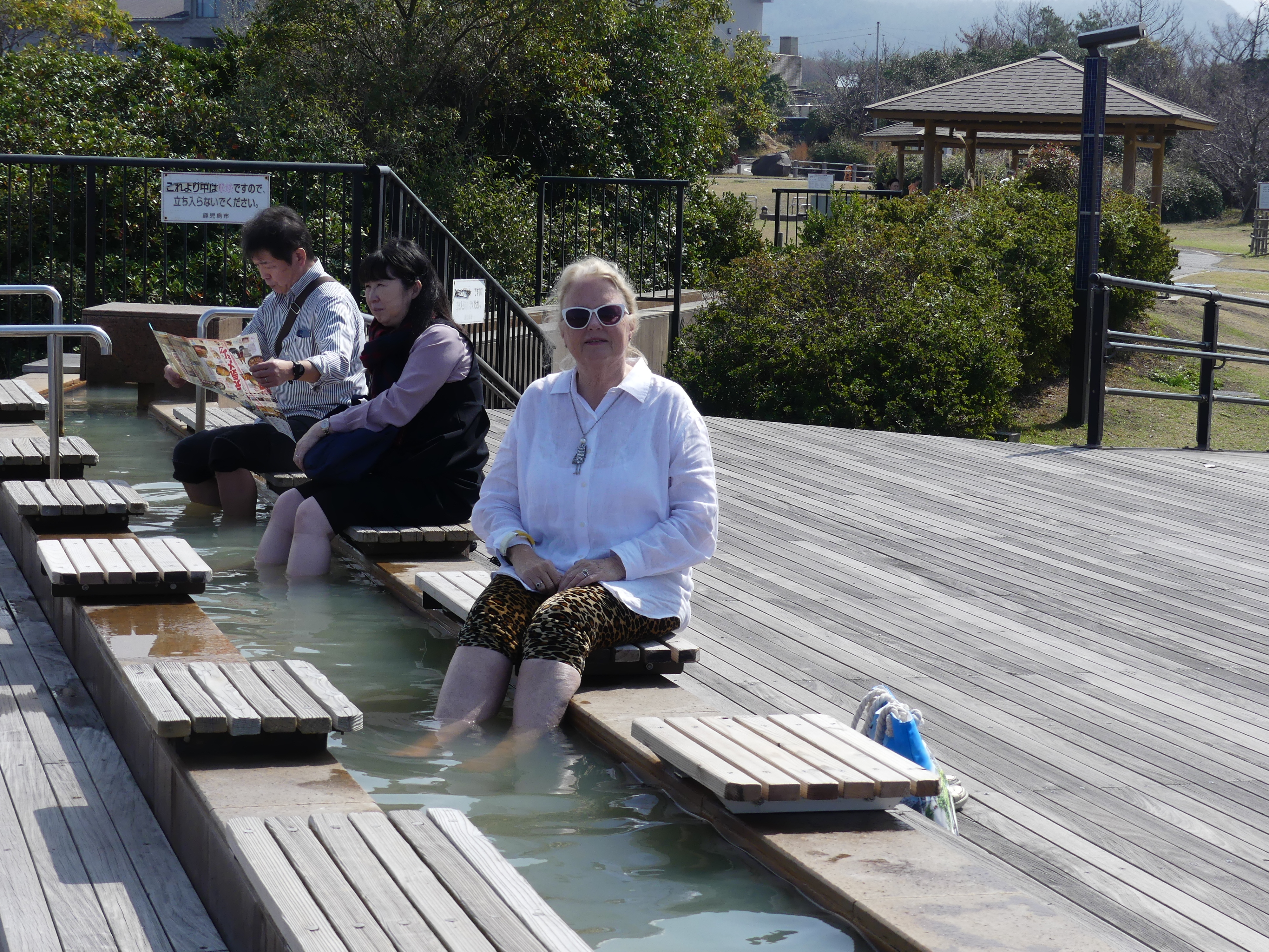
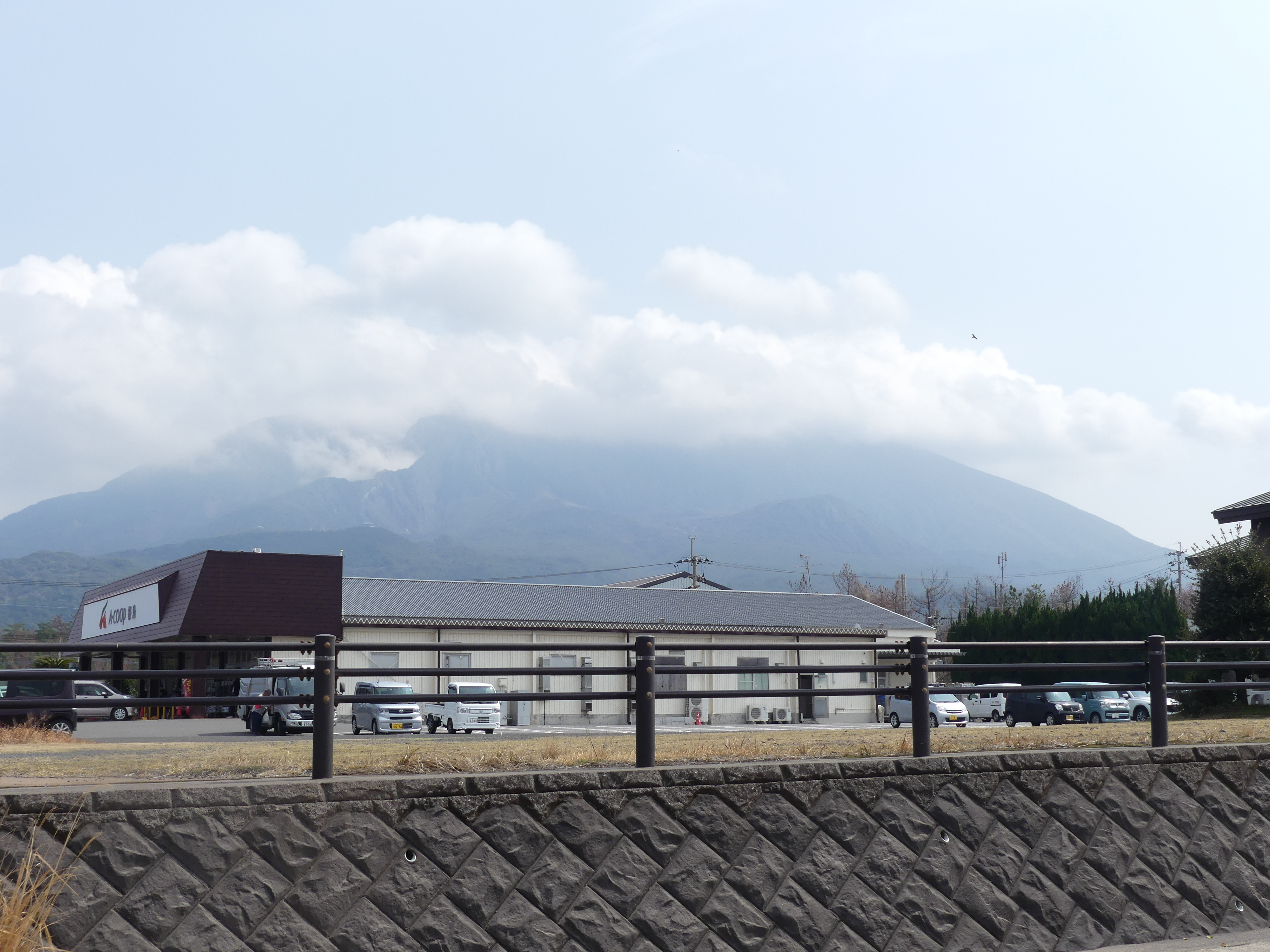
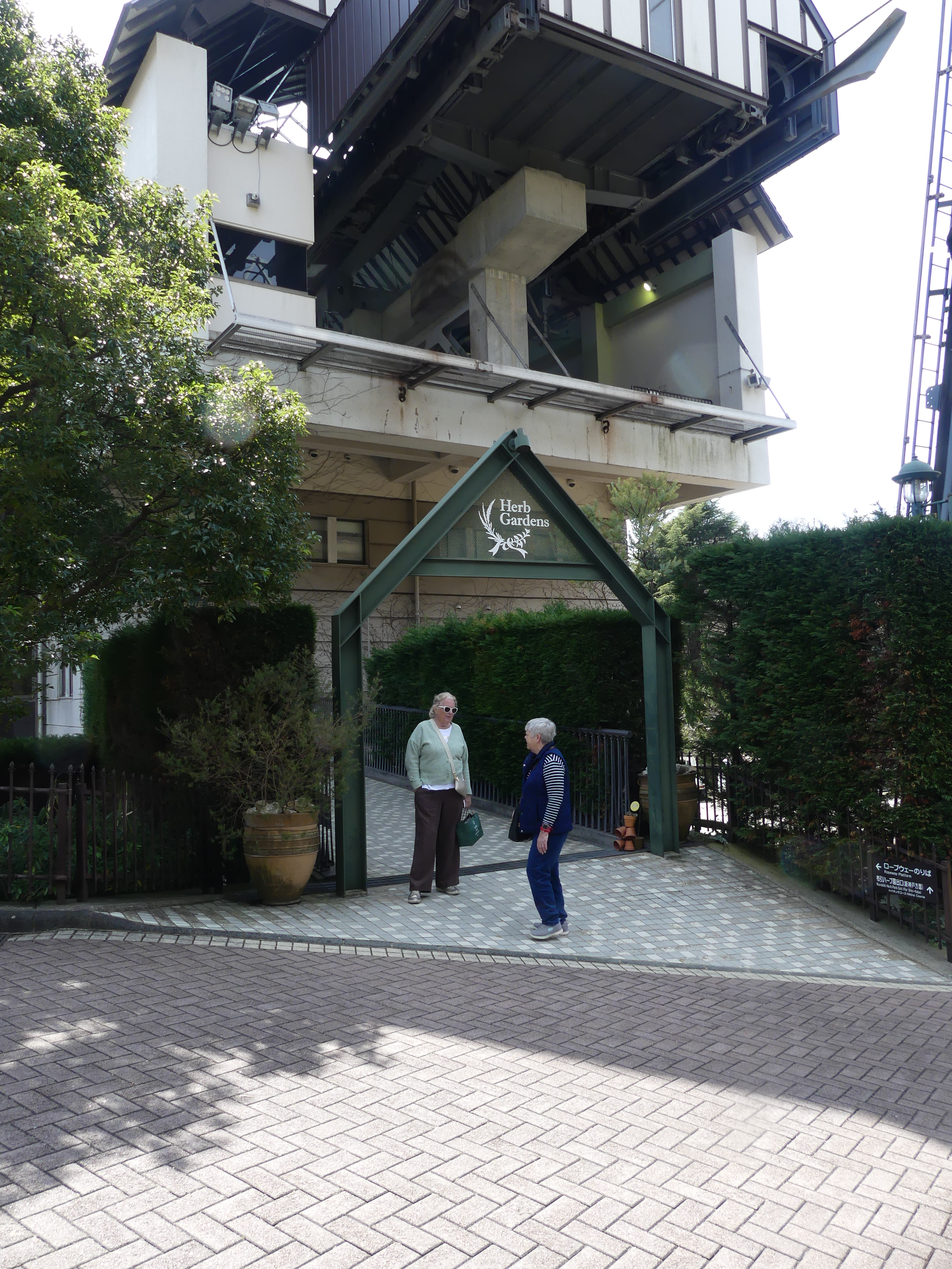
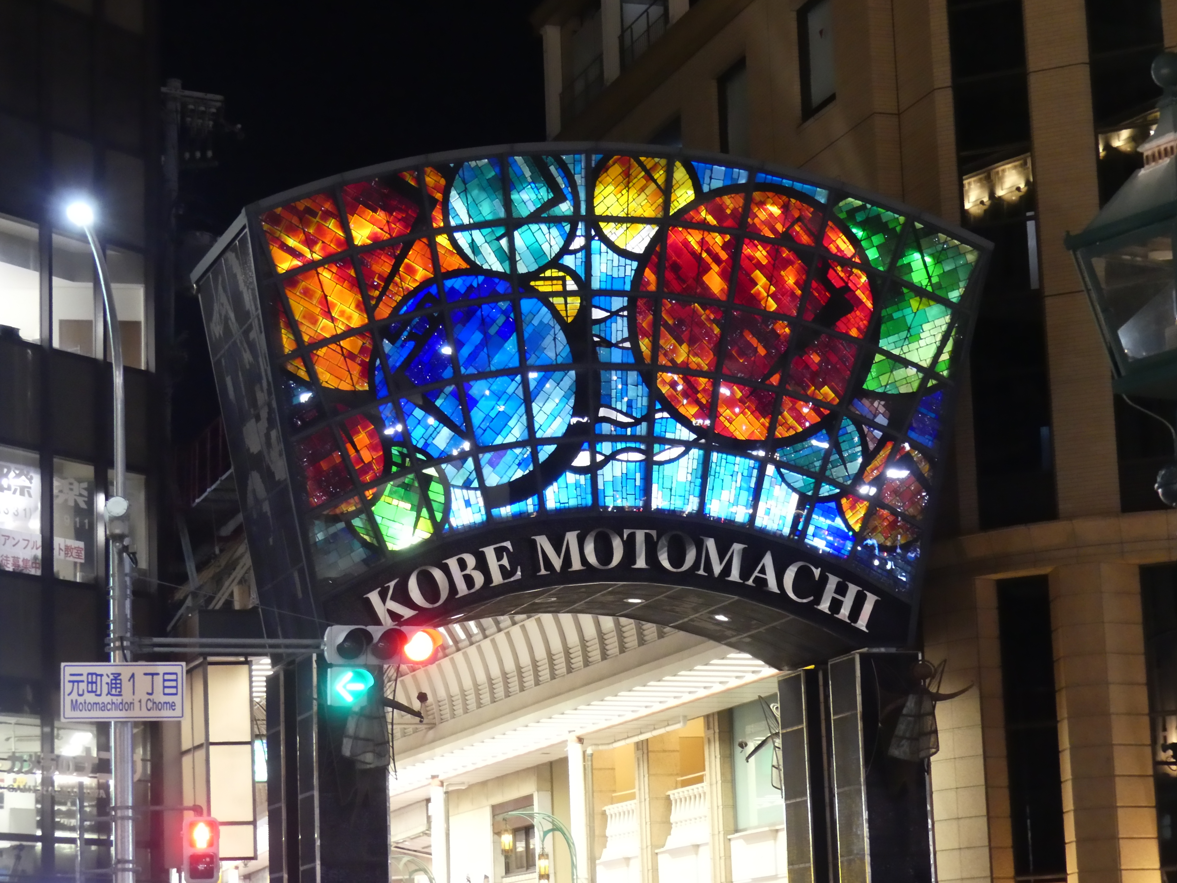
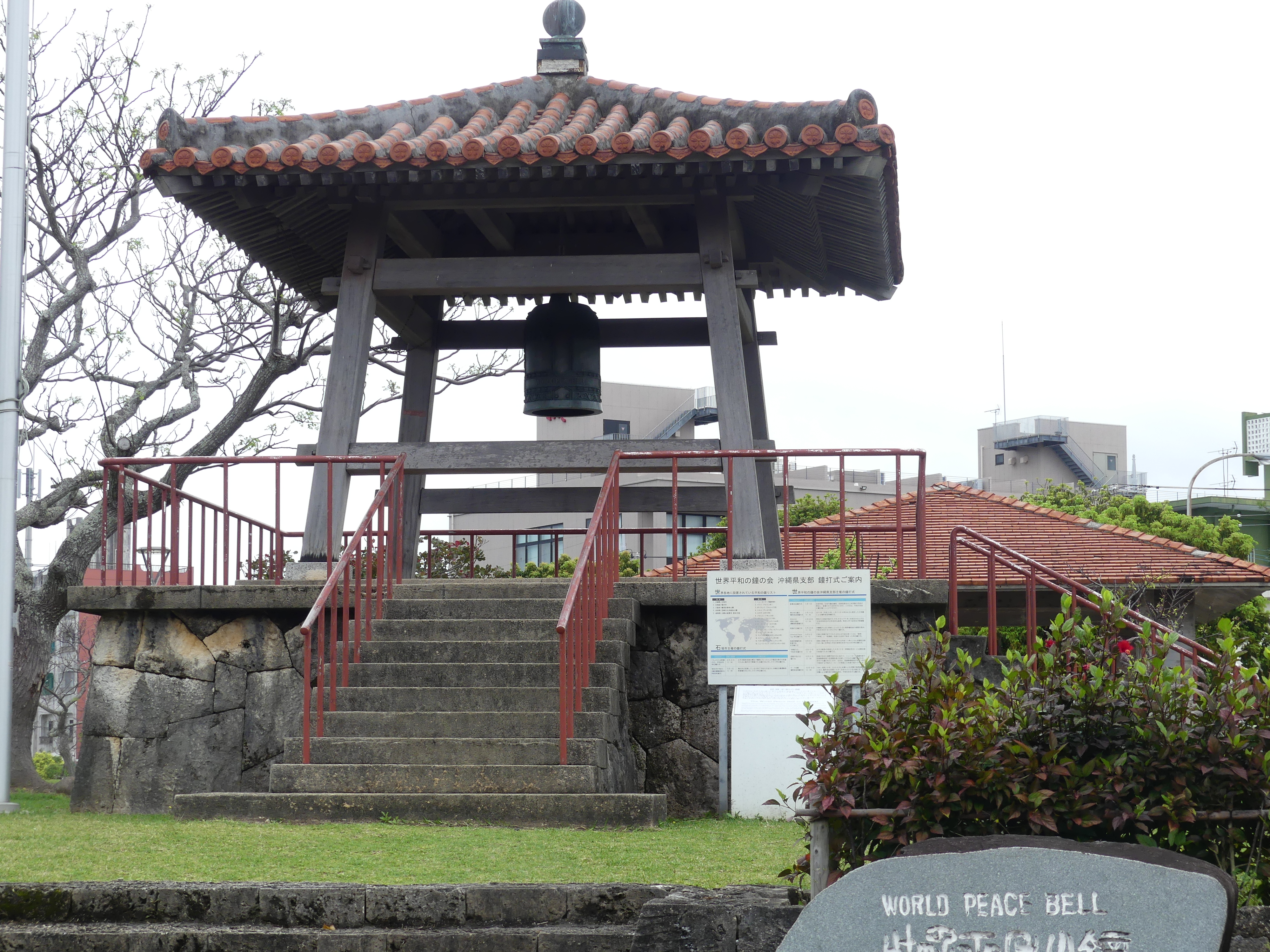
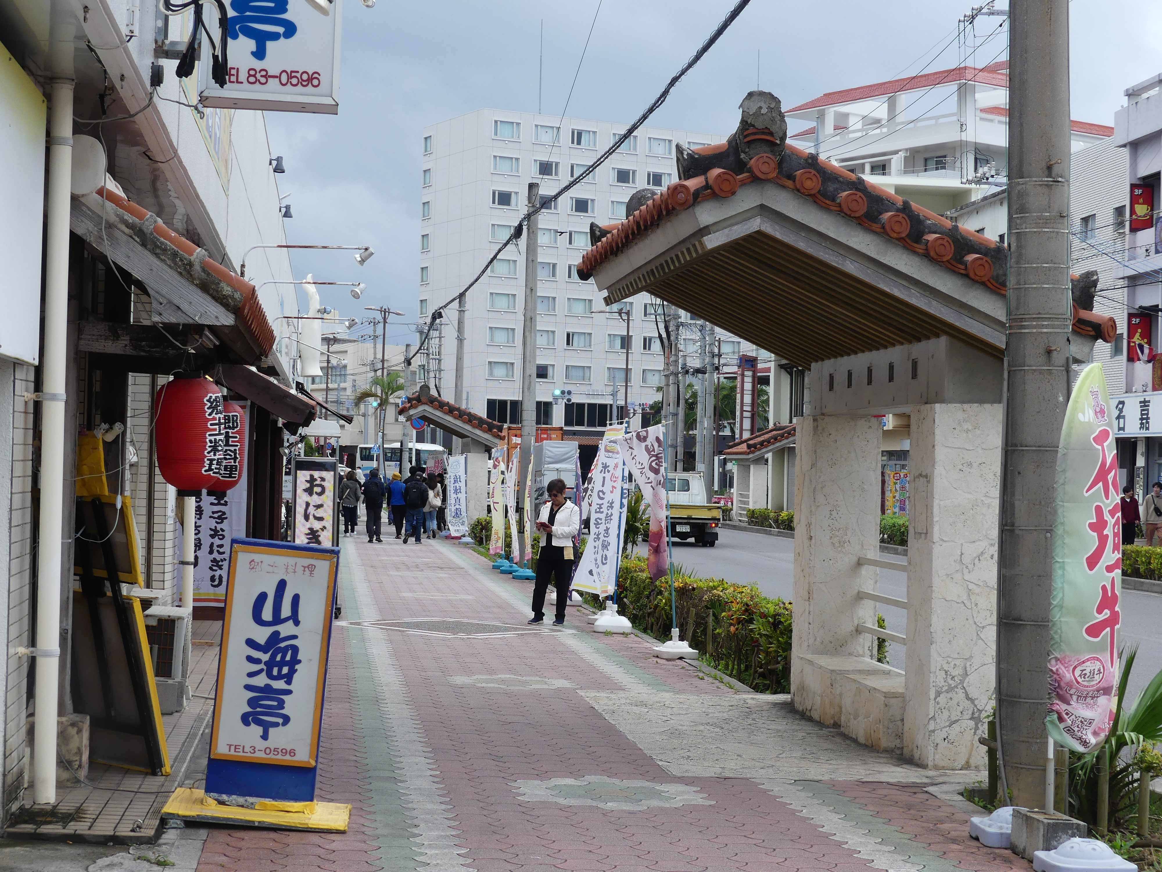
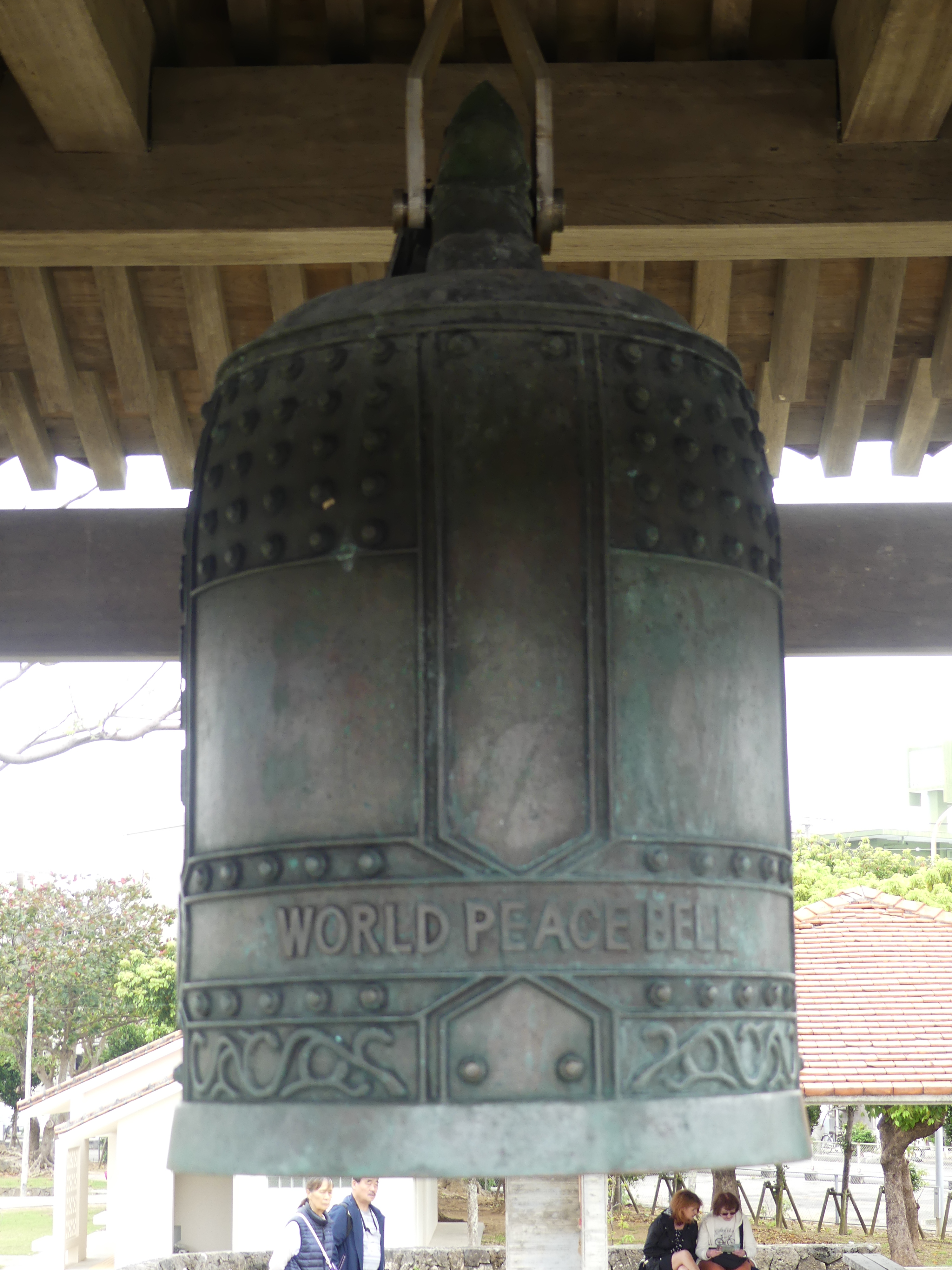
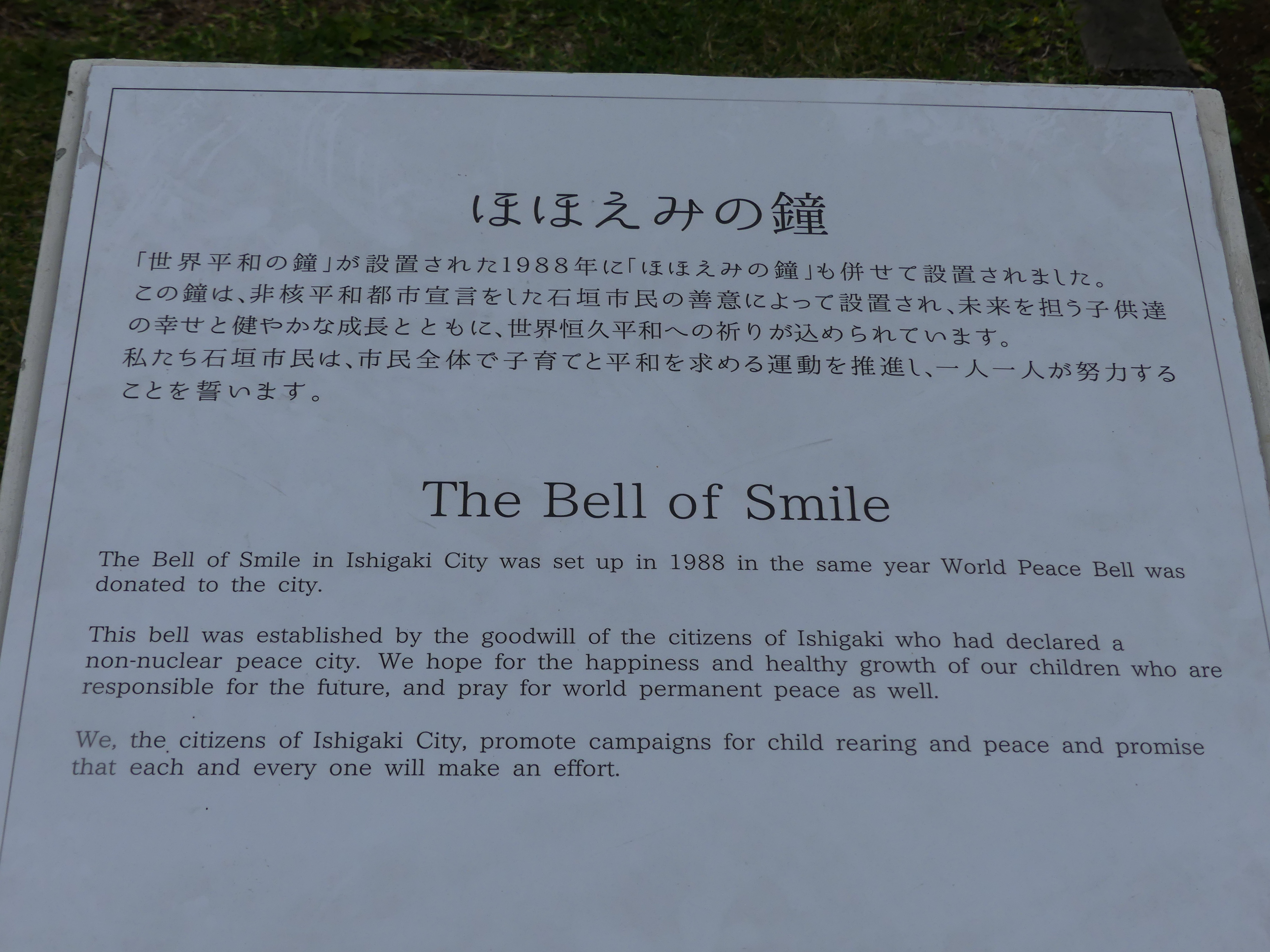
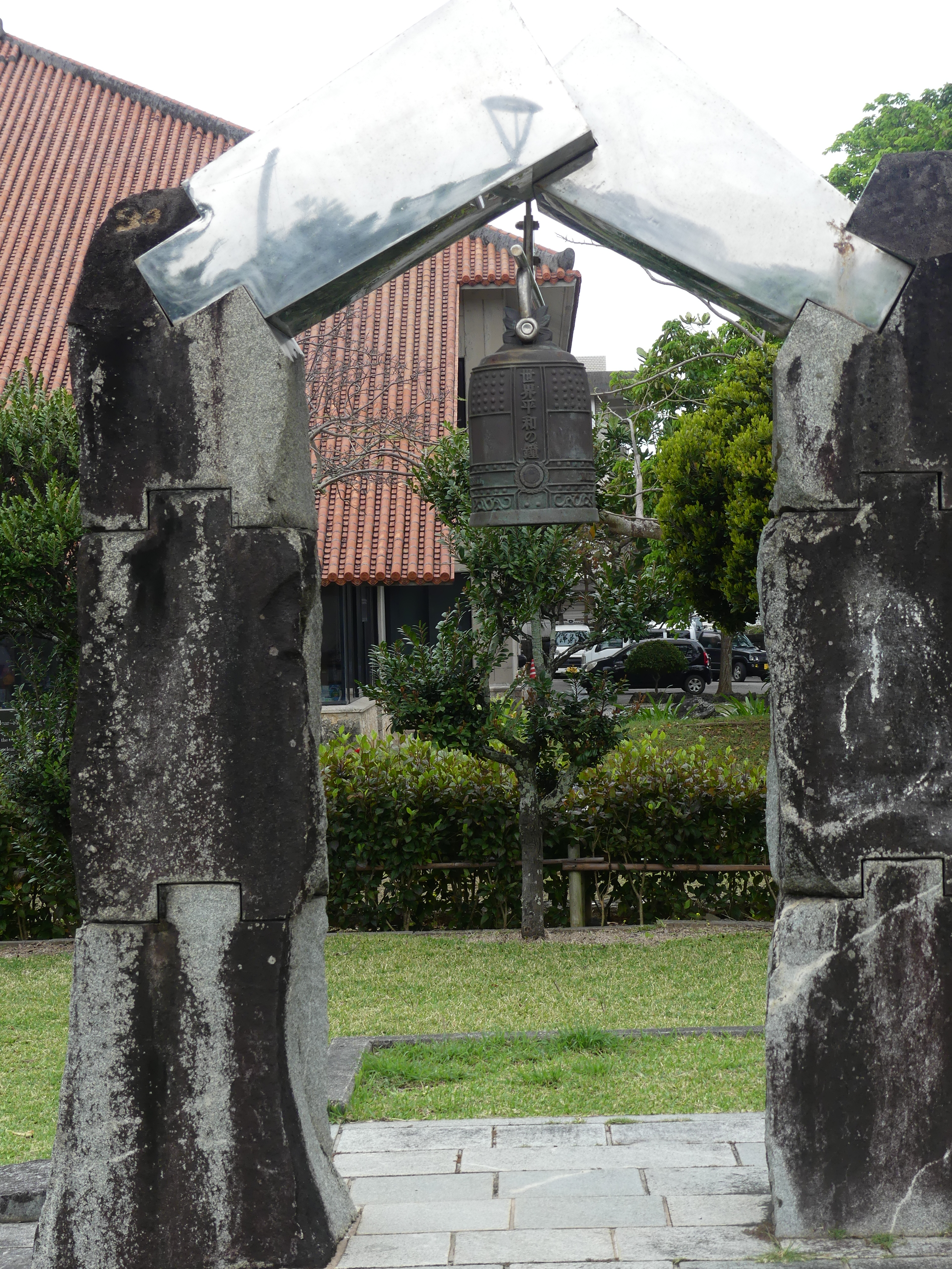
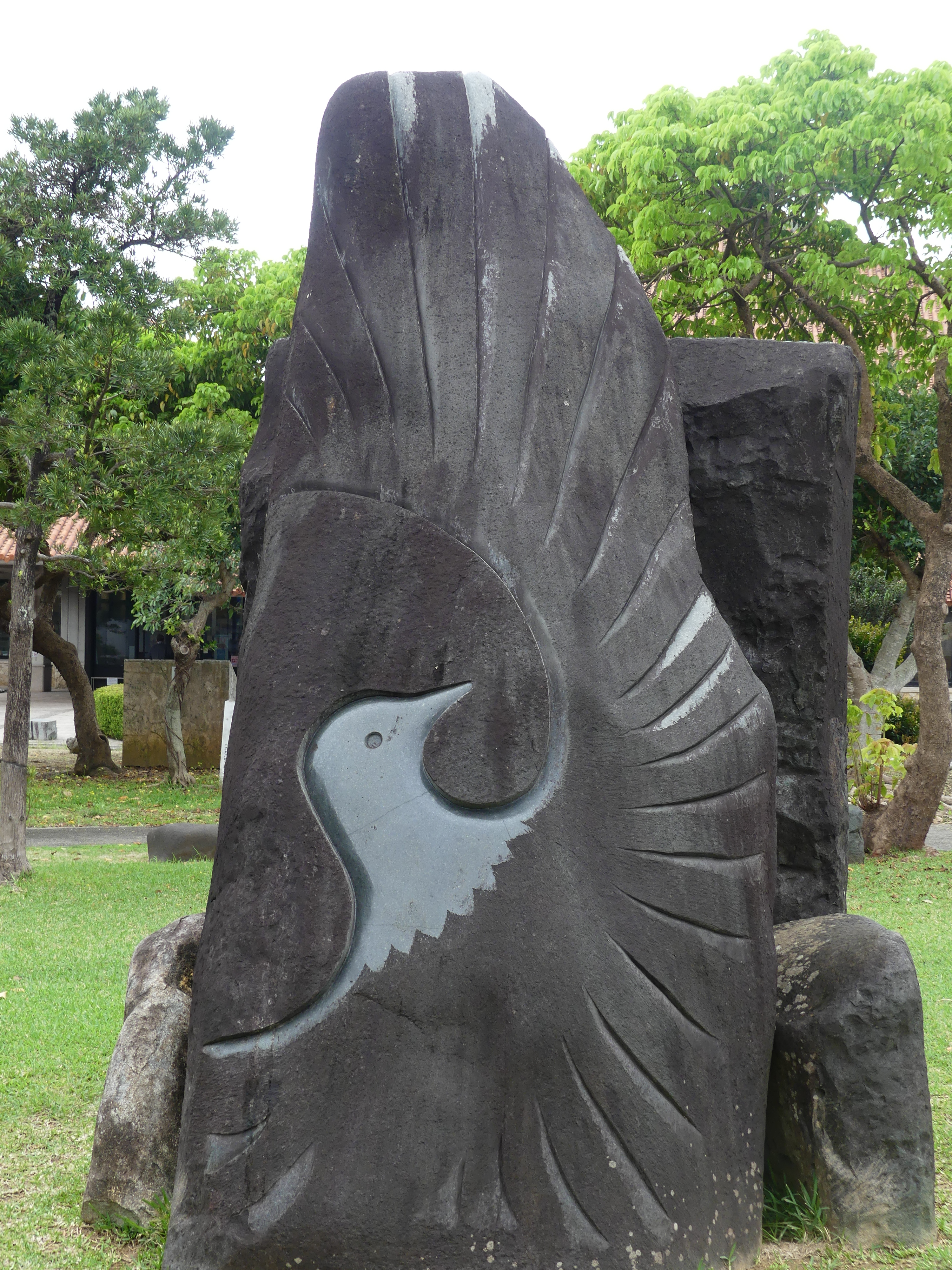
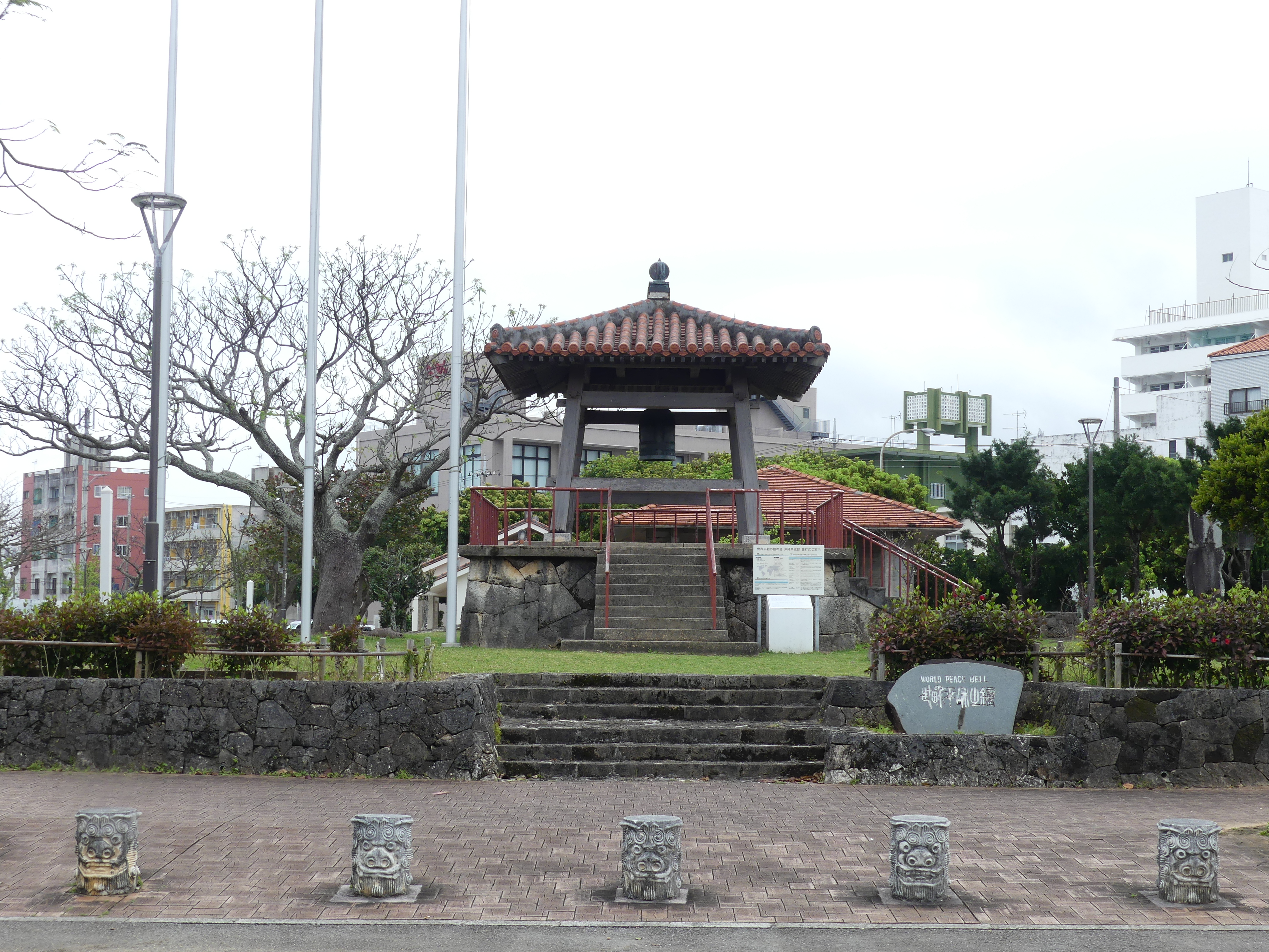
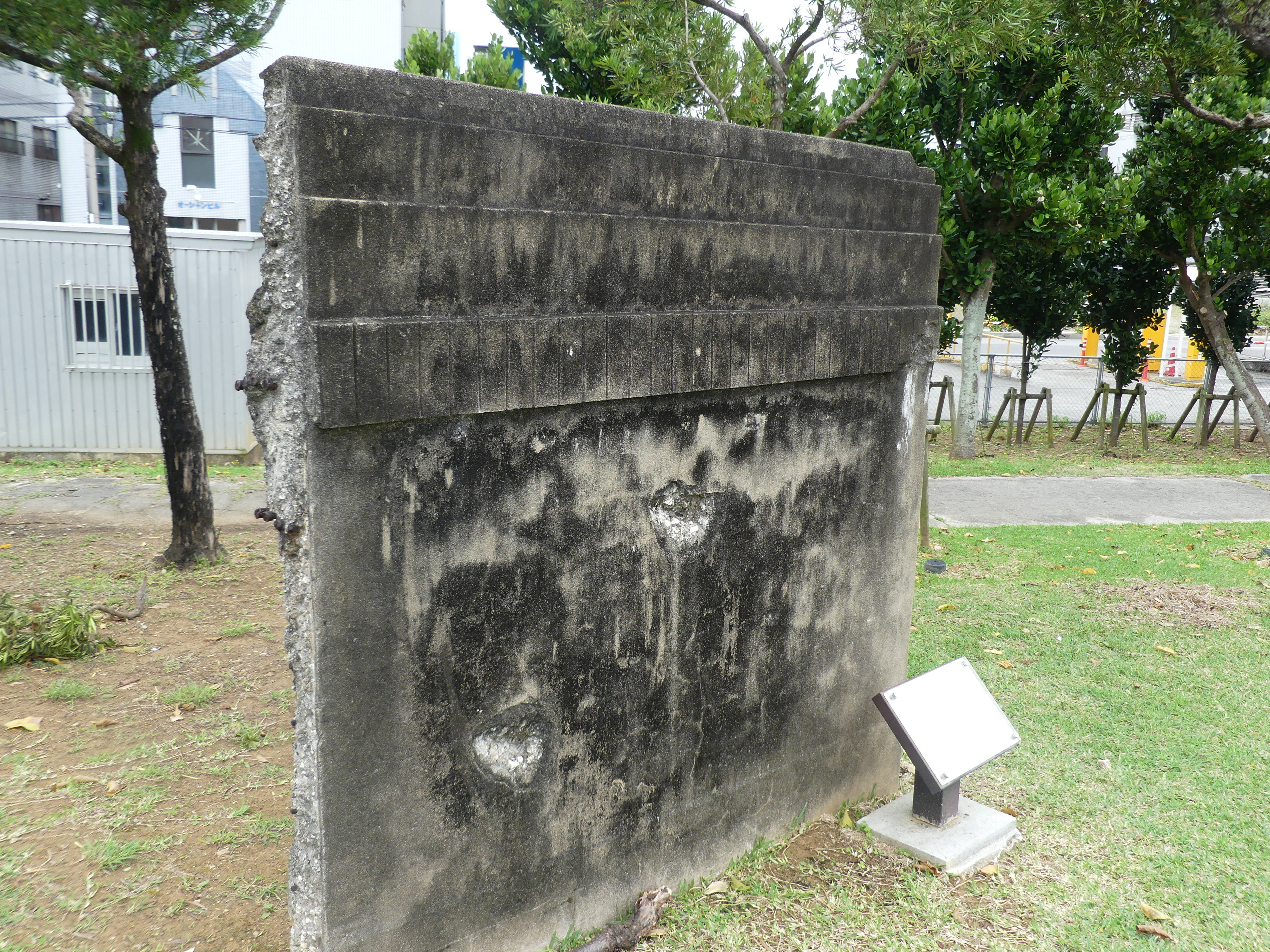
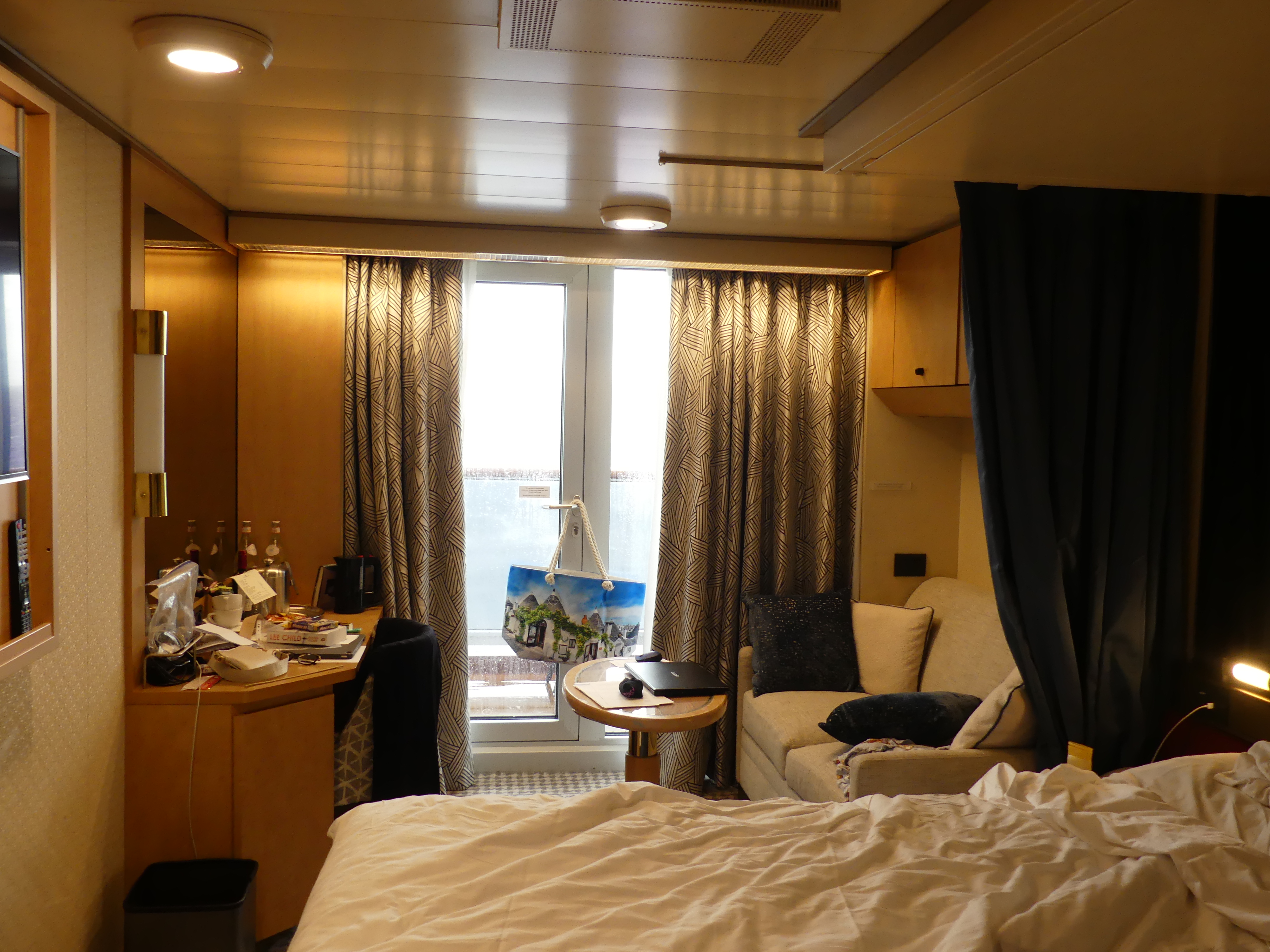
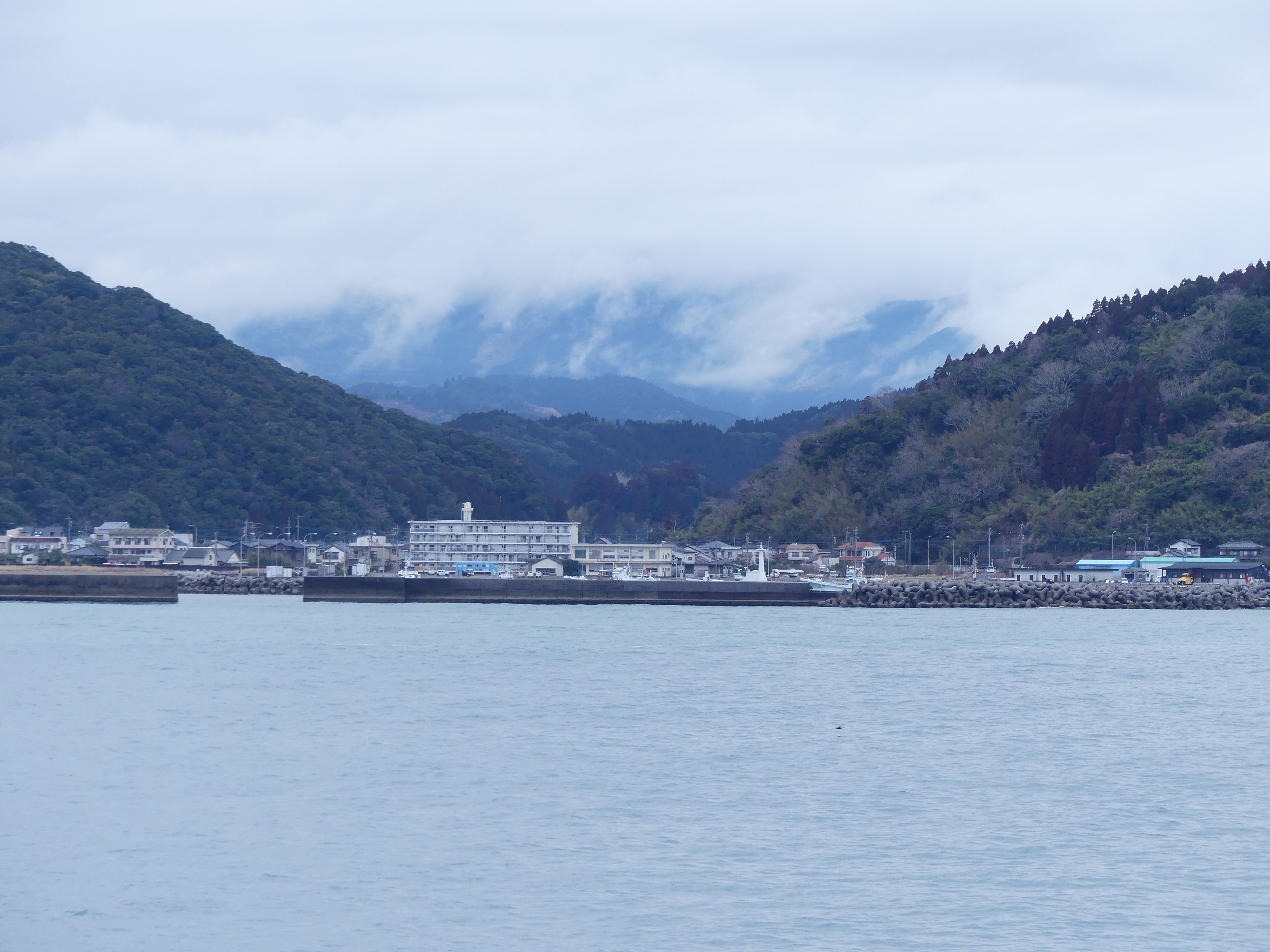
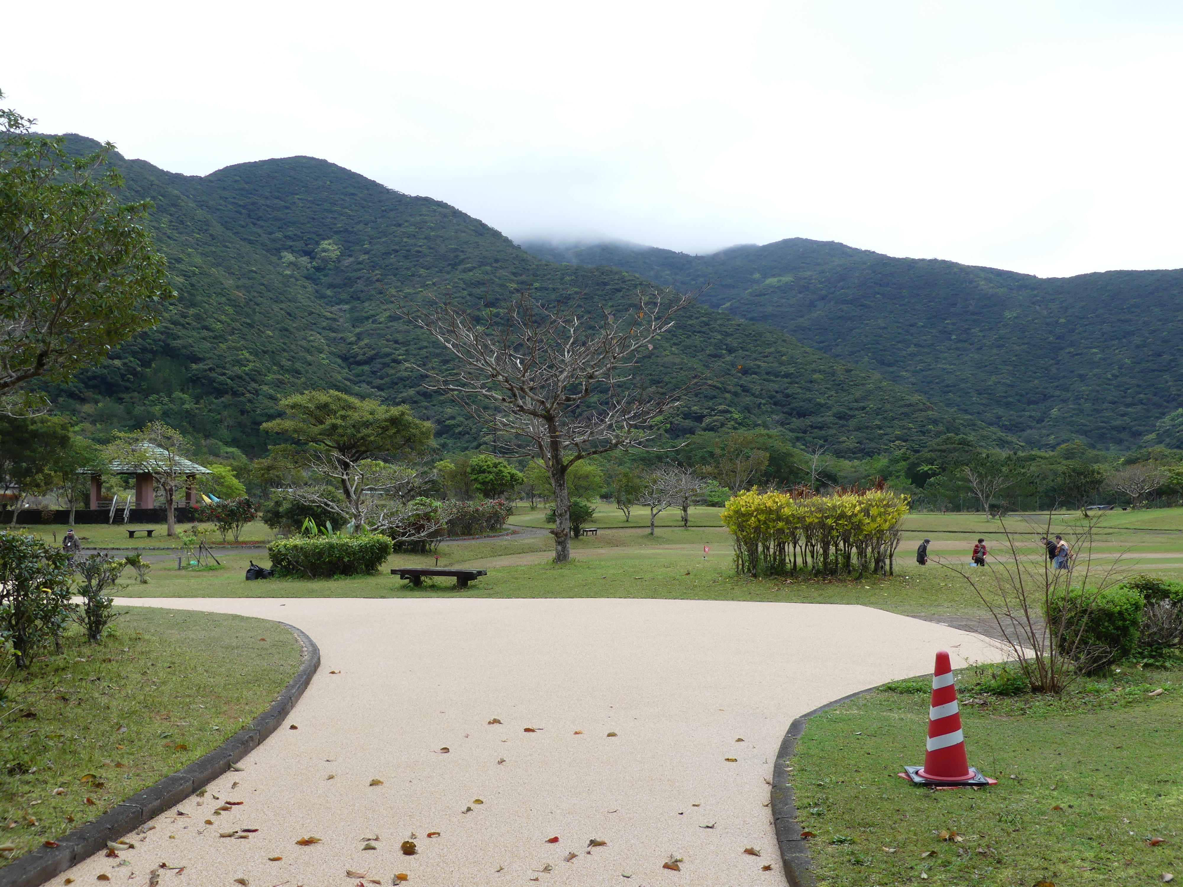
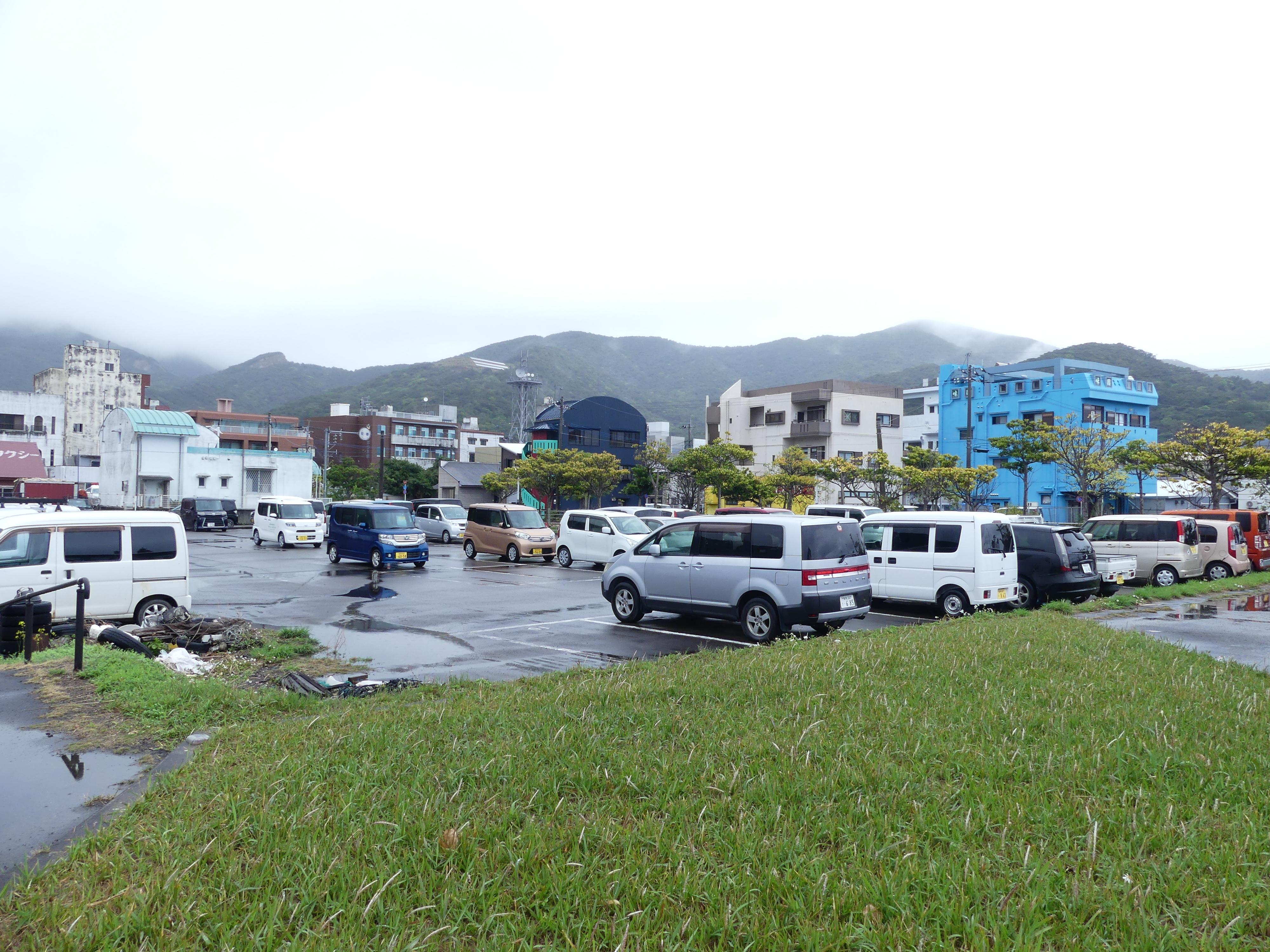
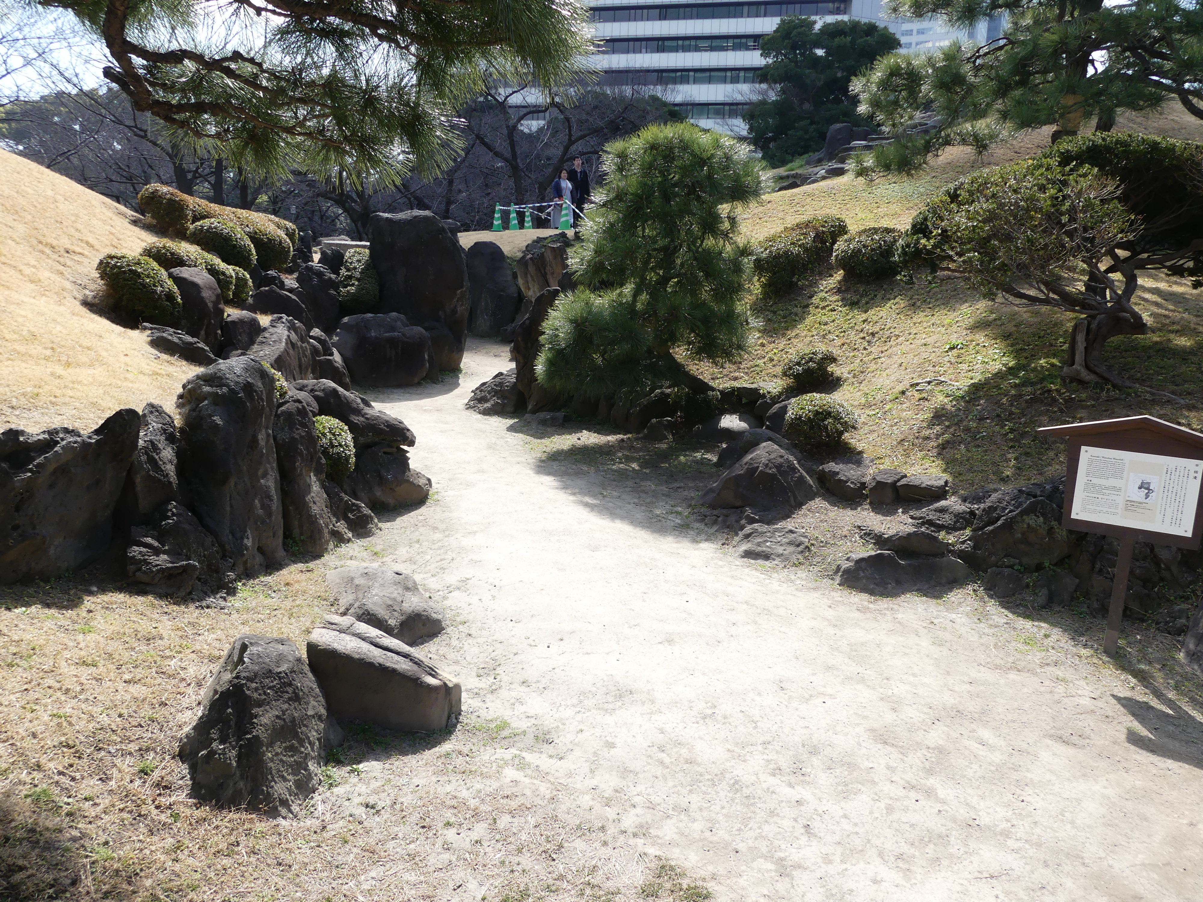
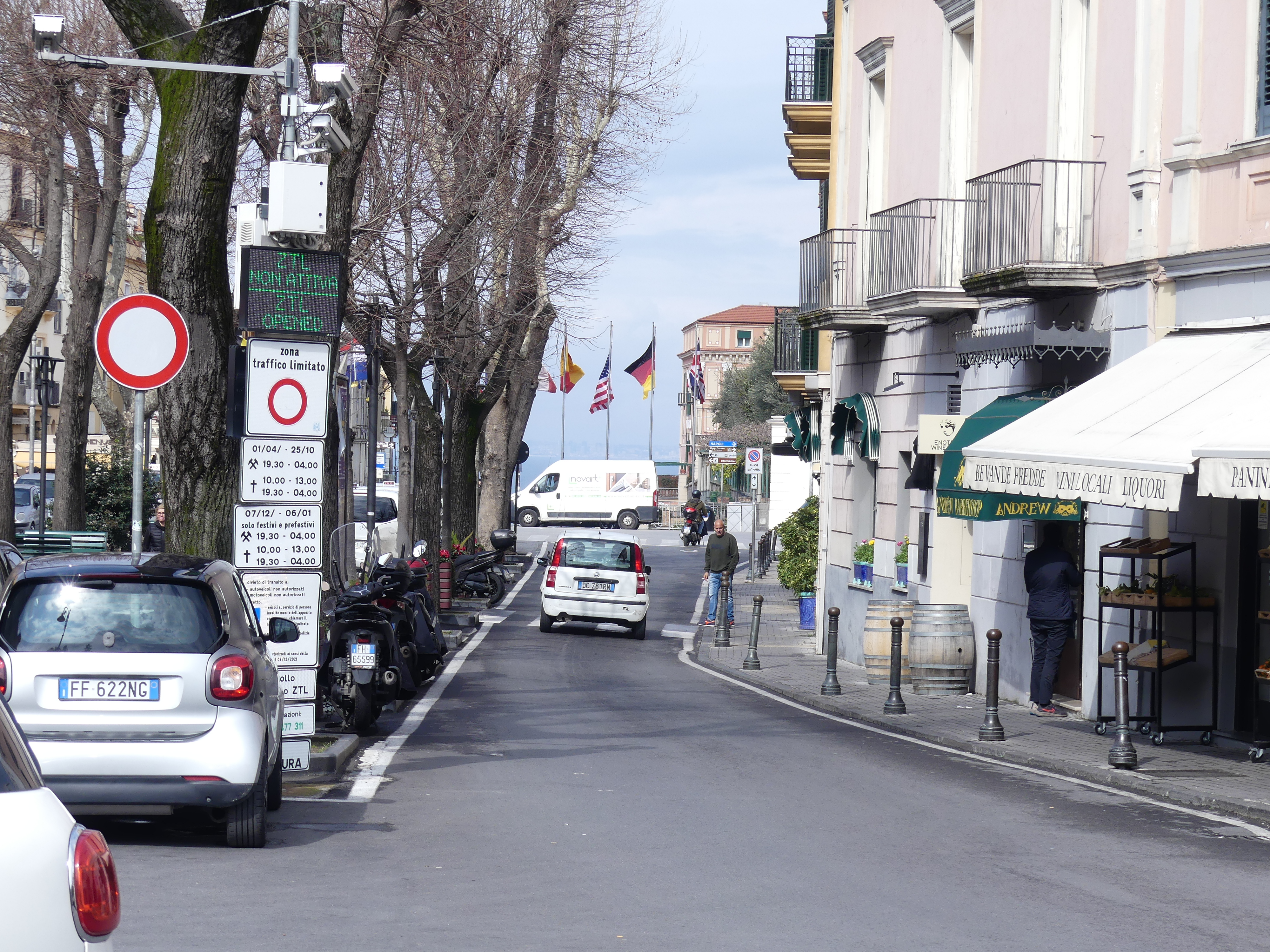
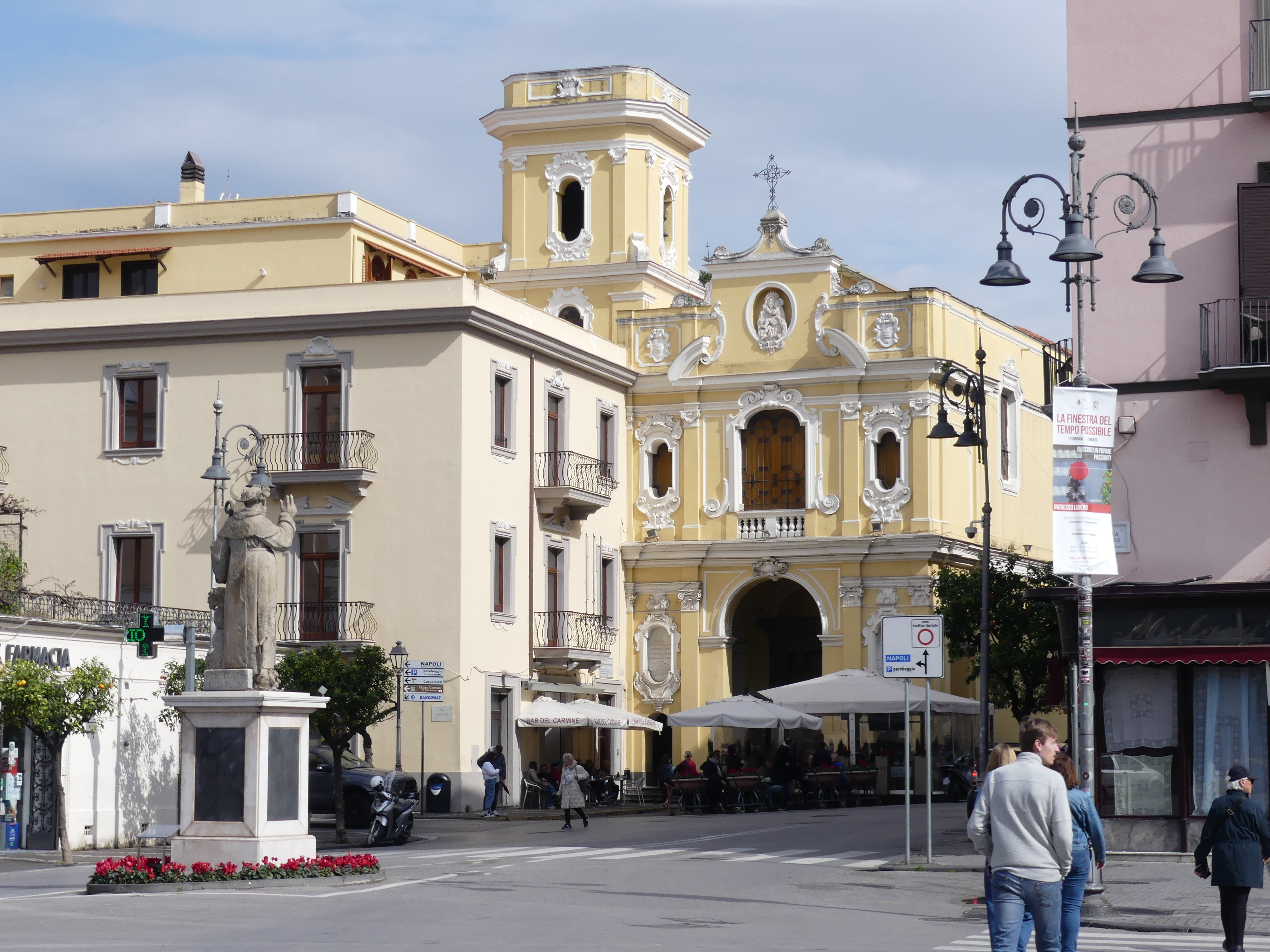
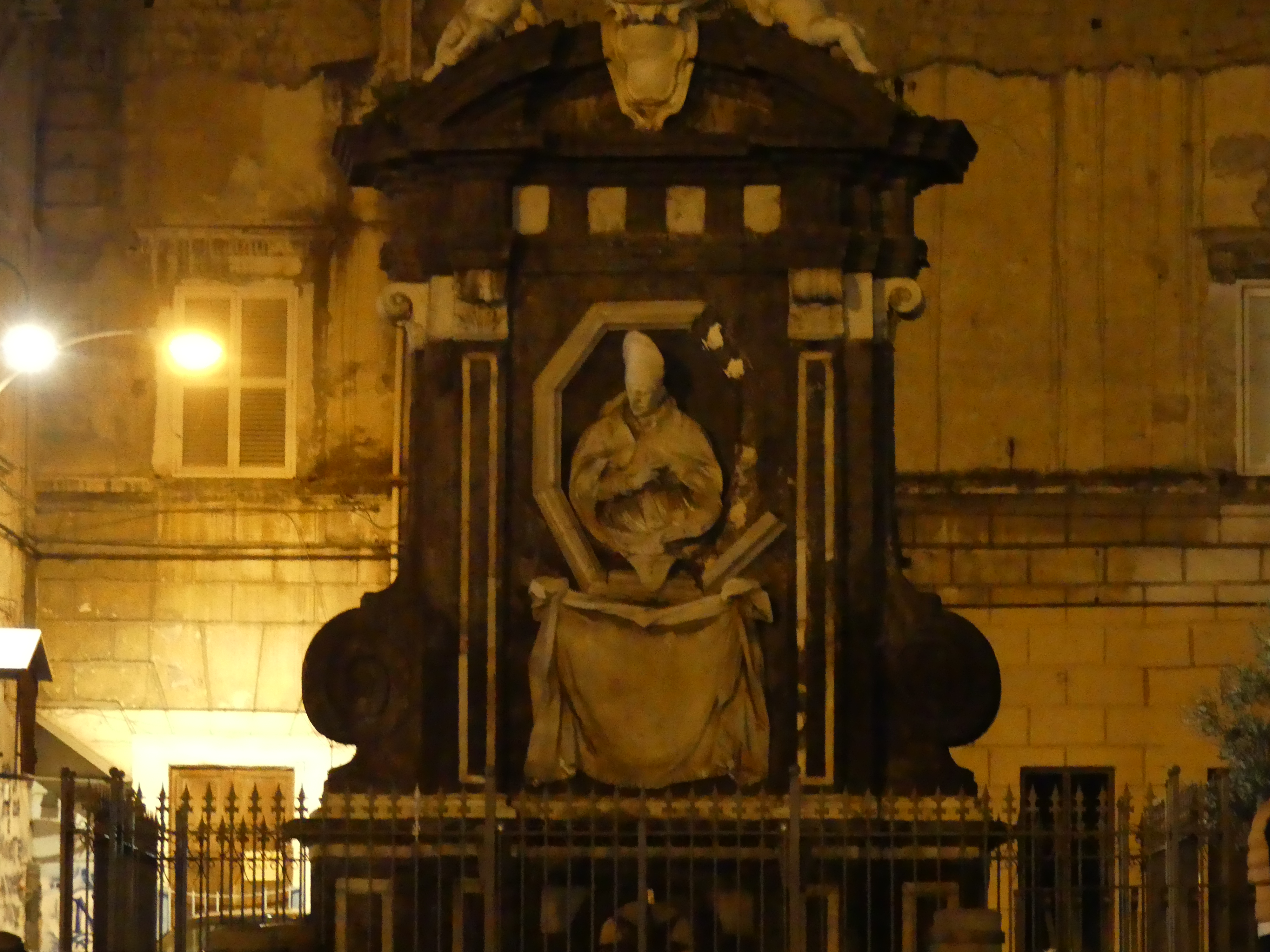
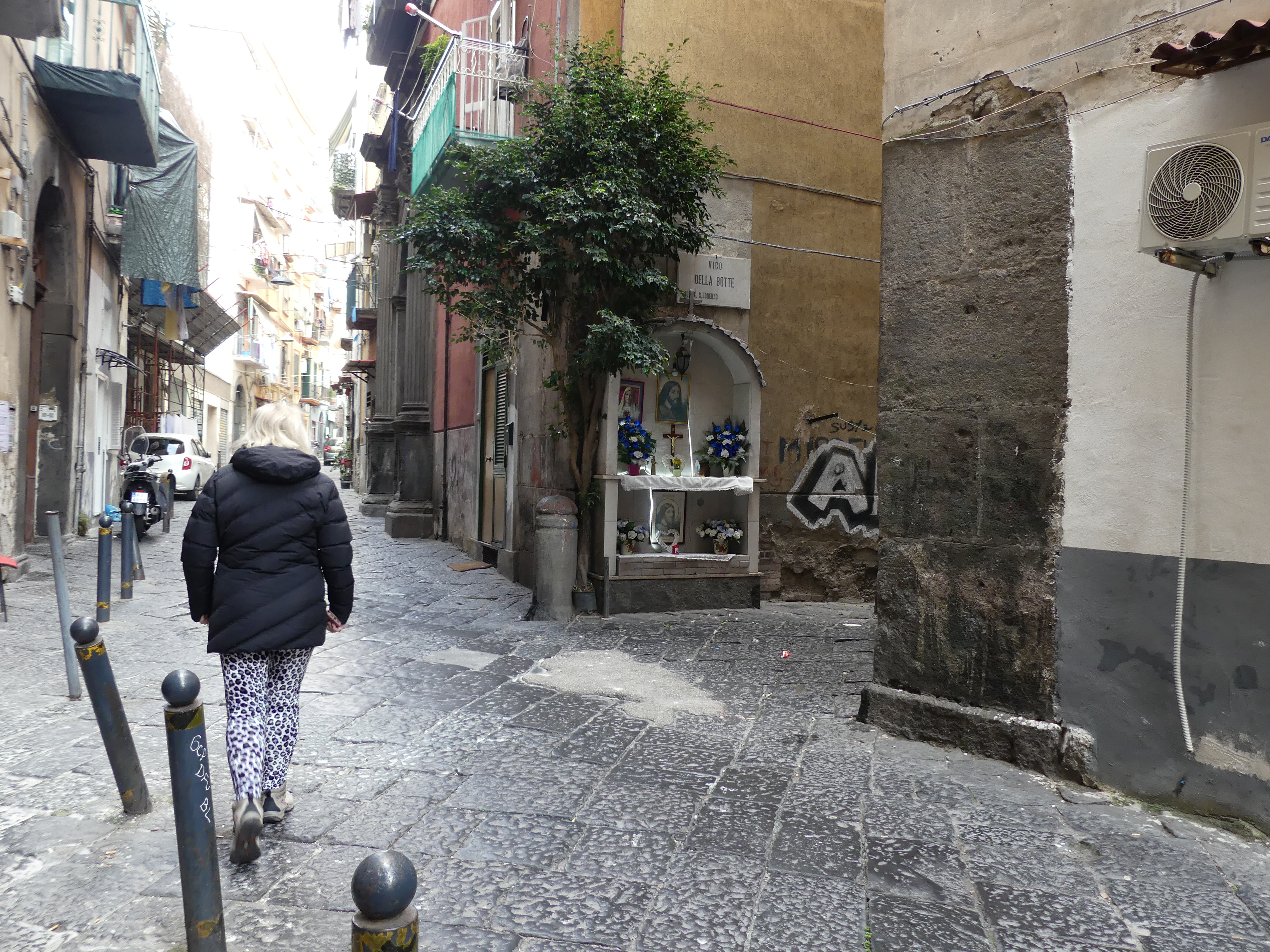
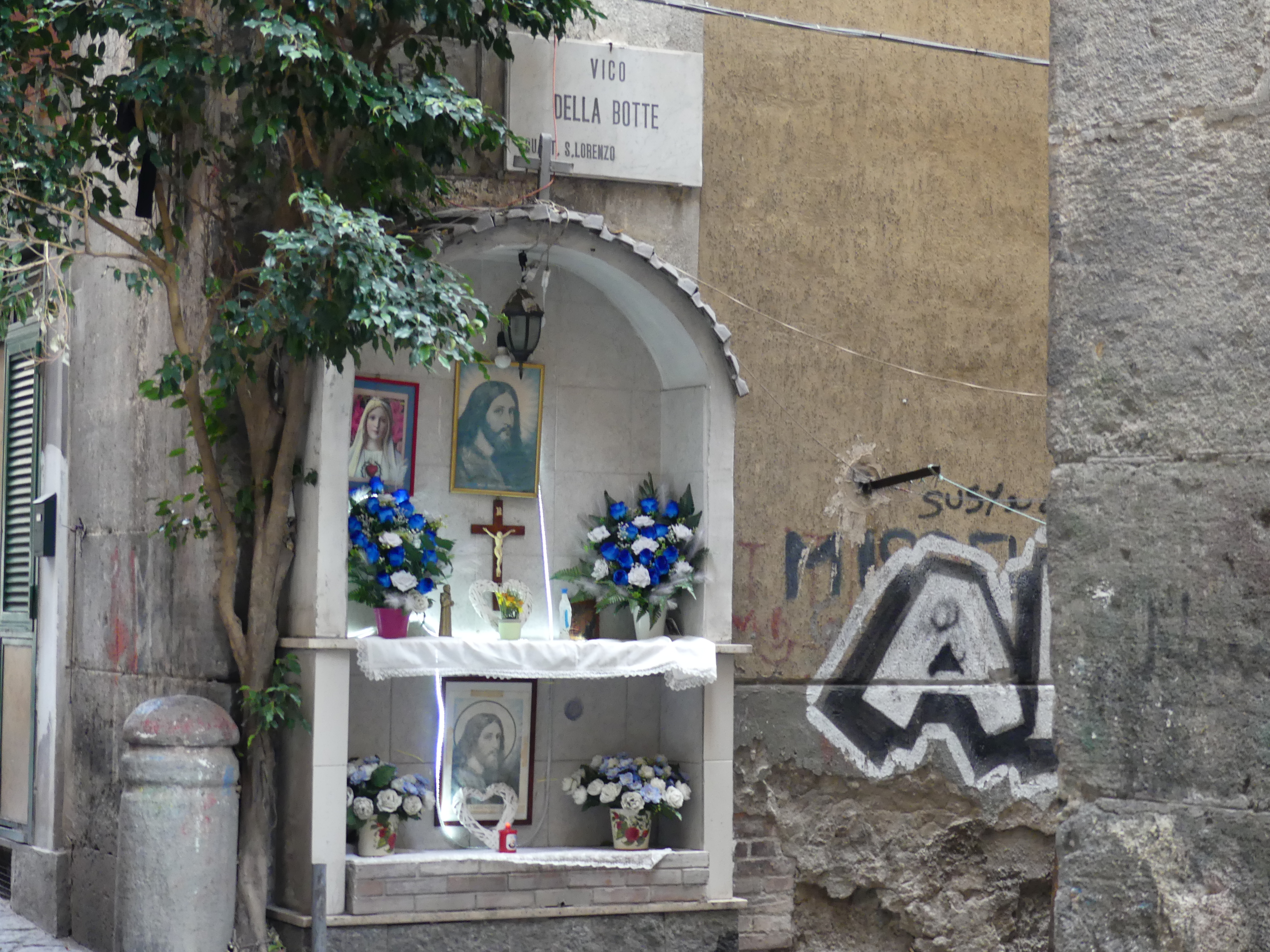
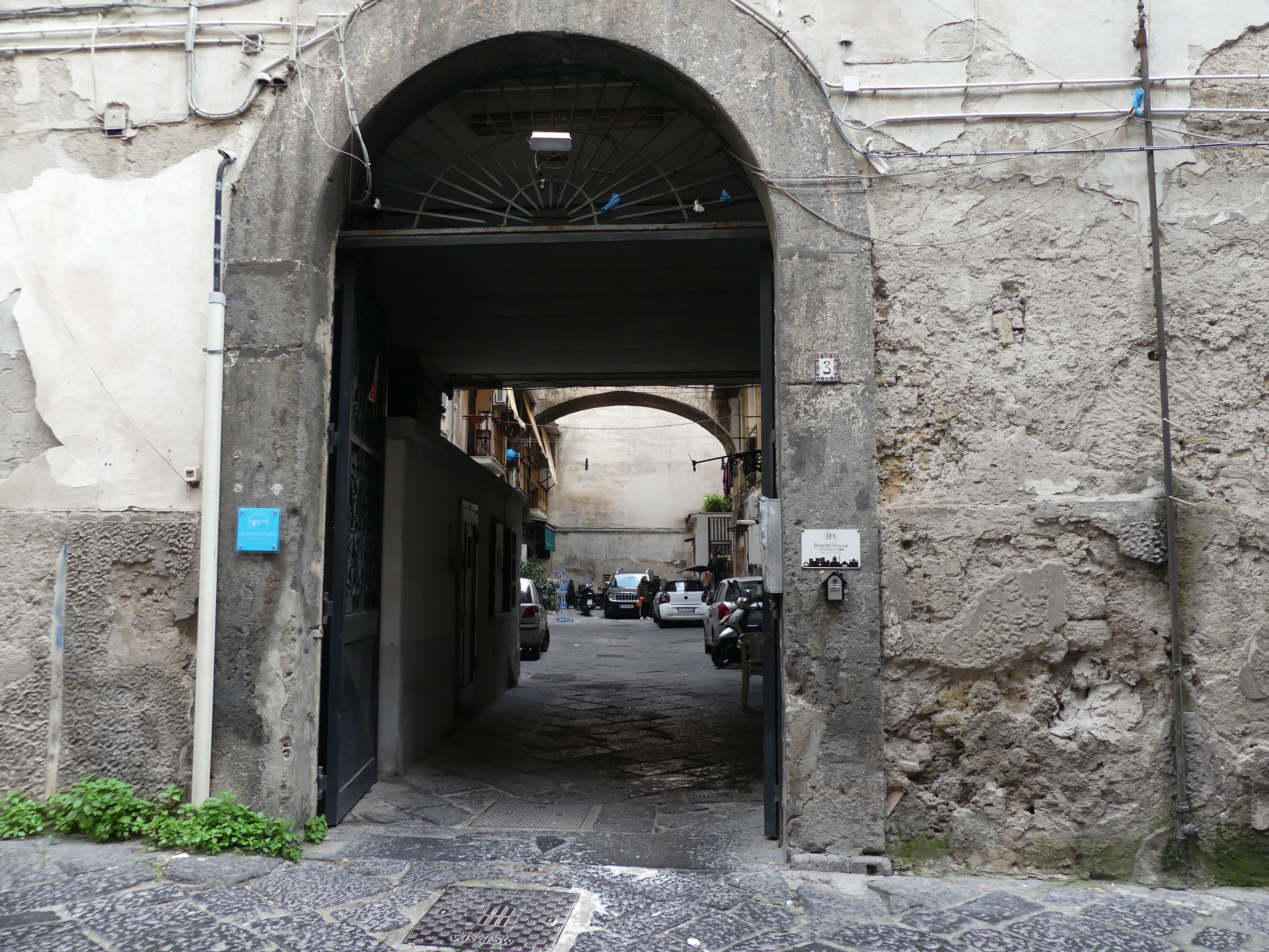
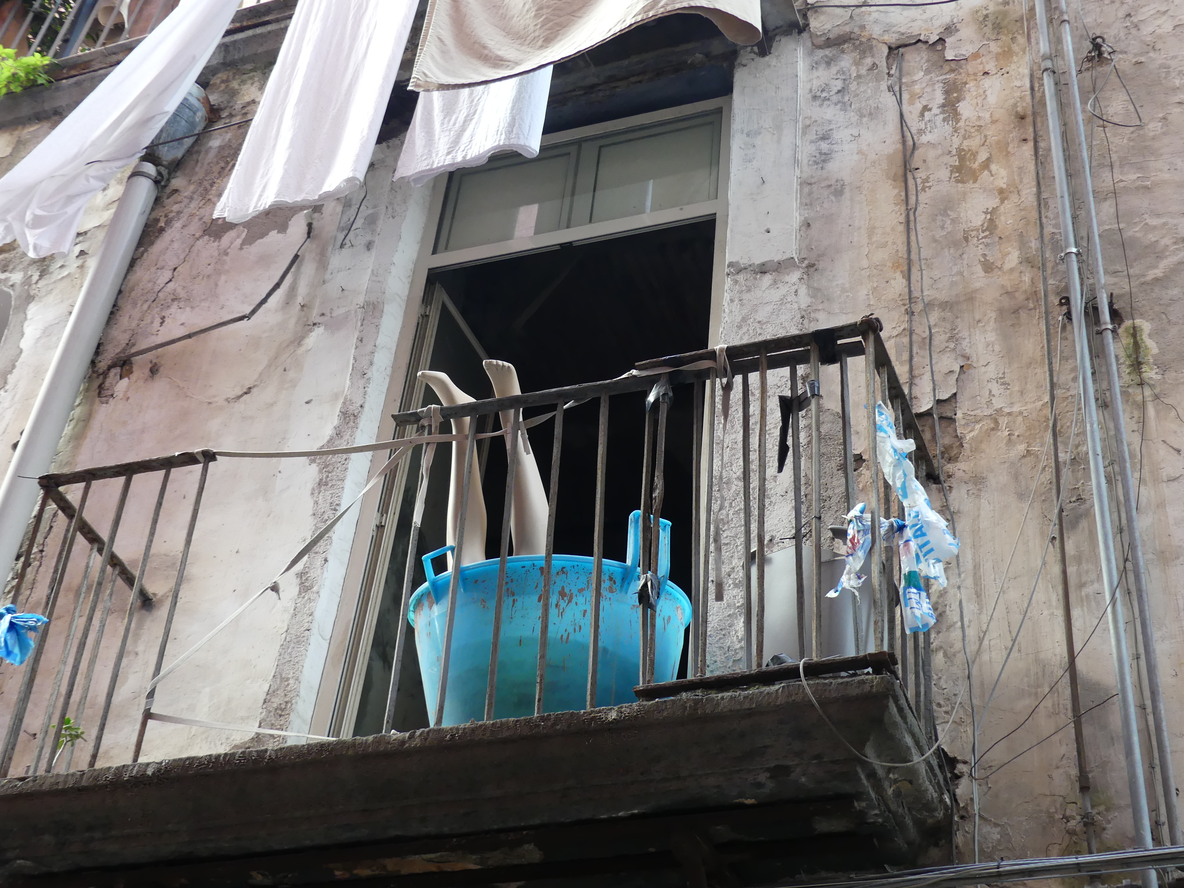
We had returned to the MS Noordam and set sail as the sun struggled with the rain. We continued in our south westerly course to Ishigaki Island. Located in Okinawa Prefecture, Ishigaki Island is the biggest and busiest of the Yaeyama Islands, located 400 kilometres southwest of Okinawa’s main island. The advertising for Ishigaki describes its greenery, city comforts, cozy stays, and its very own airport. We had not booked any excursions, but we did get off the ship and took the shuttle bus into the centre of town and strolled around. I have posted below my photos which include the peculiar bus stops in the main street, and the typical café in most towns (a selection of drinks from a drinks machine) whilst the purpose-built establishment is locked up behind. There was not a lot in the town to interest us until we got to a park (with the café) which had not rated a mention on the ship’s literature. Prominently positioned on the corner of the park was a shrine housing the World Peace Bell and beside it the Bell of Smile. I have included the inscription for the Bell of Smile. There is also a sculptured Dove of Peace, and a piece of a bullet riddled wall but without an inscription in English I am uncertain as to its origin or meaning. I am guessing it is a piece of the destroyed Okinawa which would account for the bloody big bullets someone was shooting at the wall.
I found it difficult to find interest in shopping and there seemed little else to do unless you wanted to get in a car/taxi and drive around to see beaches or astronomical observatories. So, after an hour or more we were back to the bus and returning to the air-conditioned ship with all its amenities. At 5.00 pm the gang plank was pulled up, and we were on our way to Hualien Taiwan.
Day 7 Hualien Taiwan
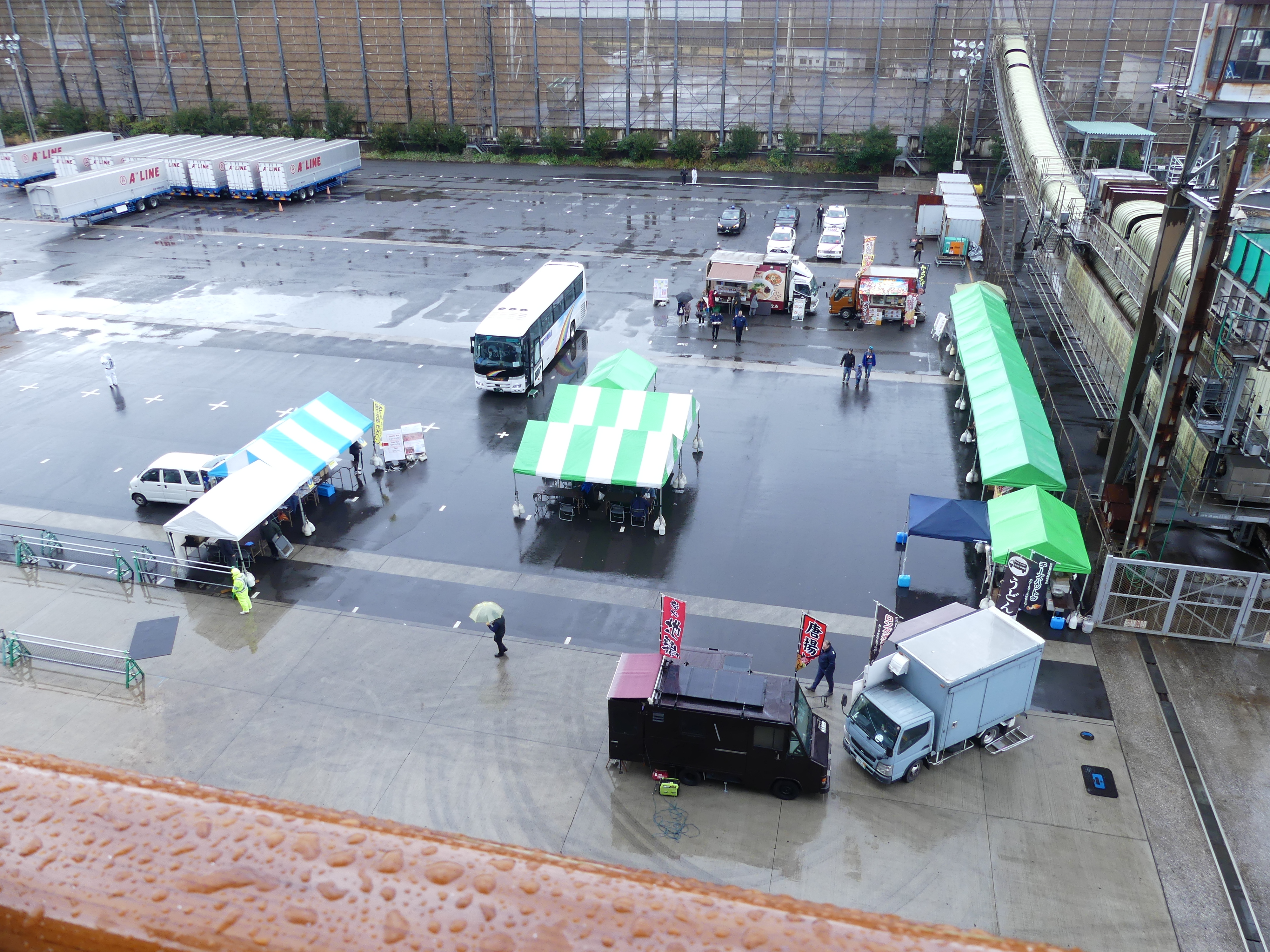
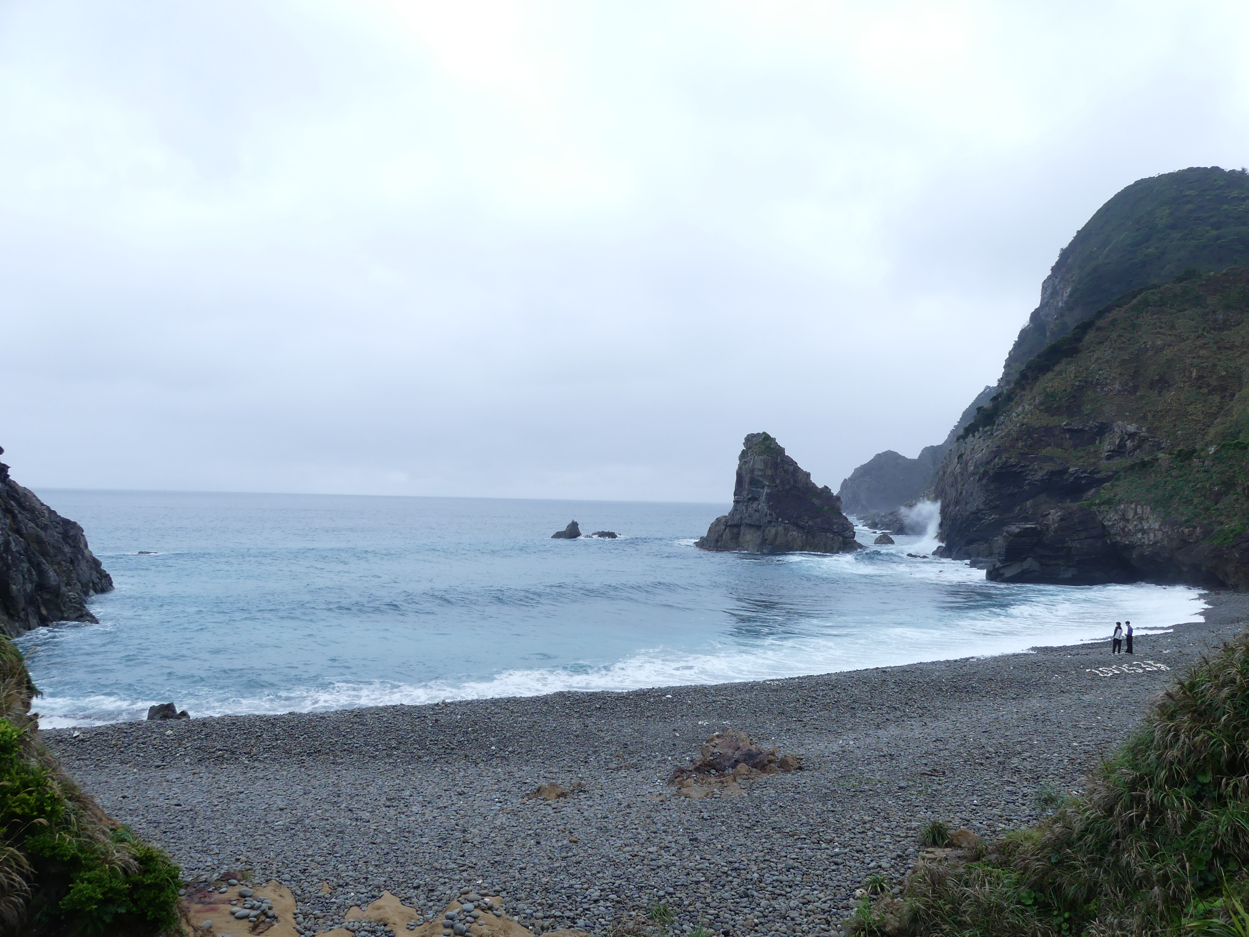
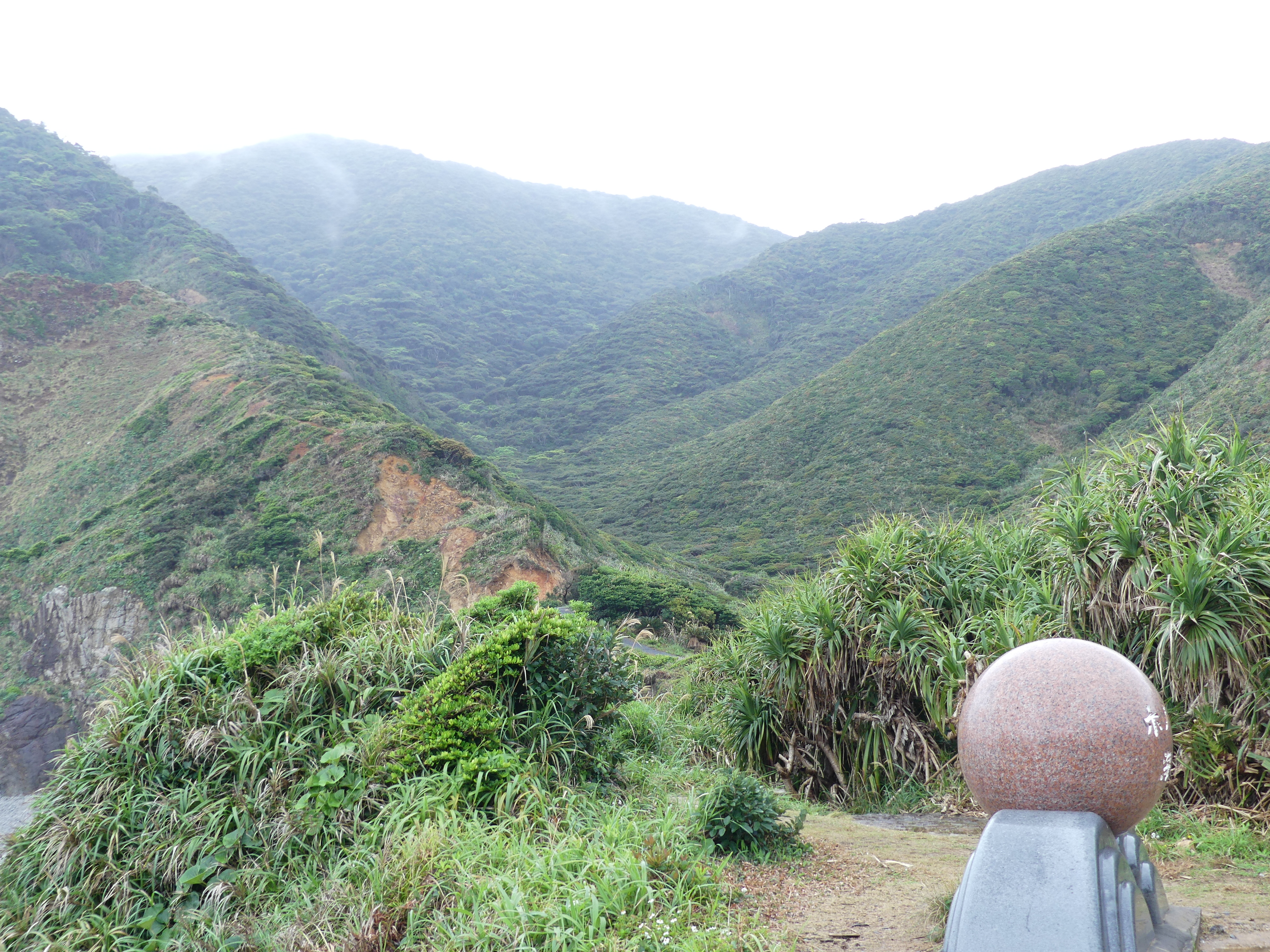
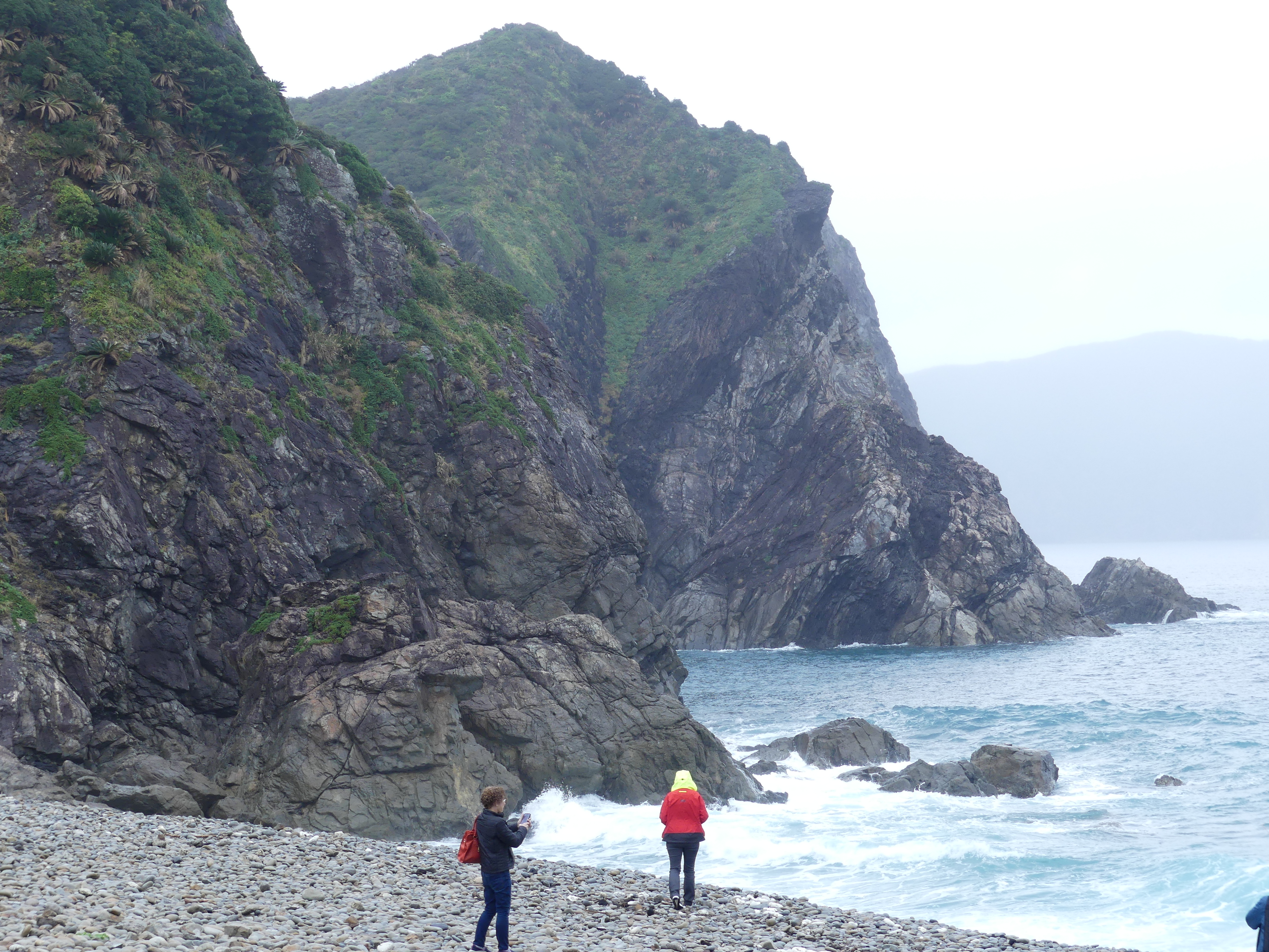
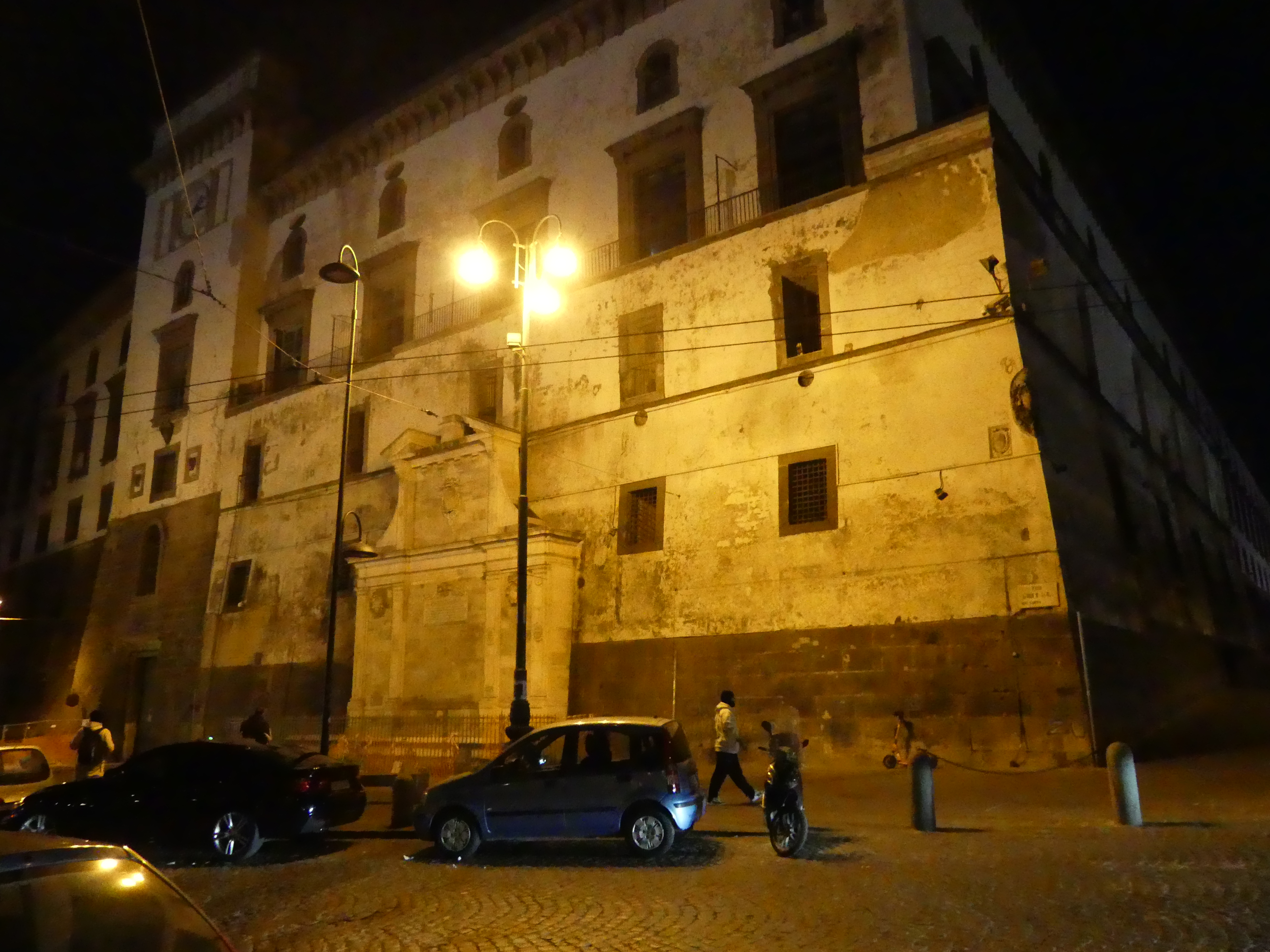
8.00 am the next day we were tying up at the dock at Hualien. This is Taiwan and immigration checks are necessary even if you are not leaving the ship. The Spaniards built mines for gold in Hualien in 1622. Permanent settlements began in 1851, when 2,200 Han Chinese farmers from Taipei arrived. Settlements in the area remained small by the start of Japanese rule. On 25 October 1945, Taiwan was handed over from Japan to the Republic of China under Kuomintang government. In January 1946, the incoming Kuomintang designated Hualien City a county-administered city of Hualien County and to be the county seat. On 3 April 2024, a major earthquake struck near Hualien.
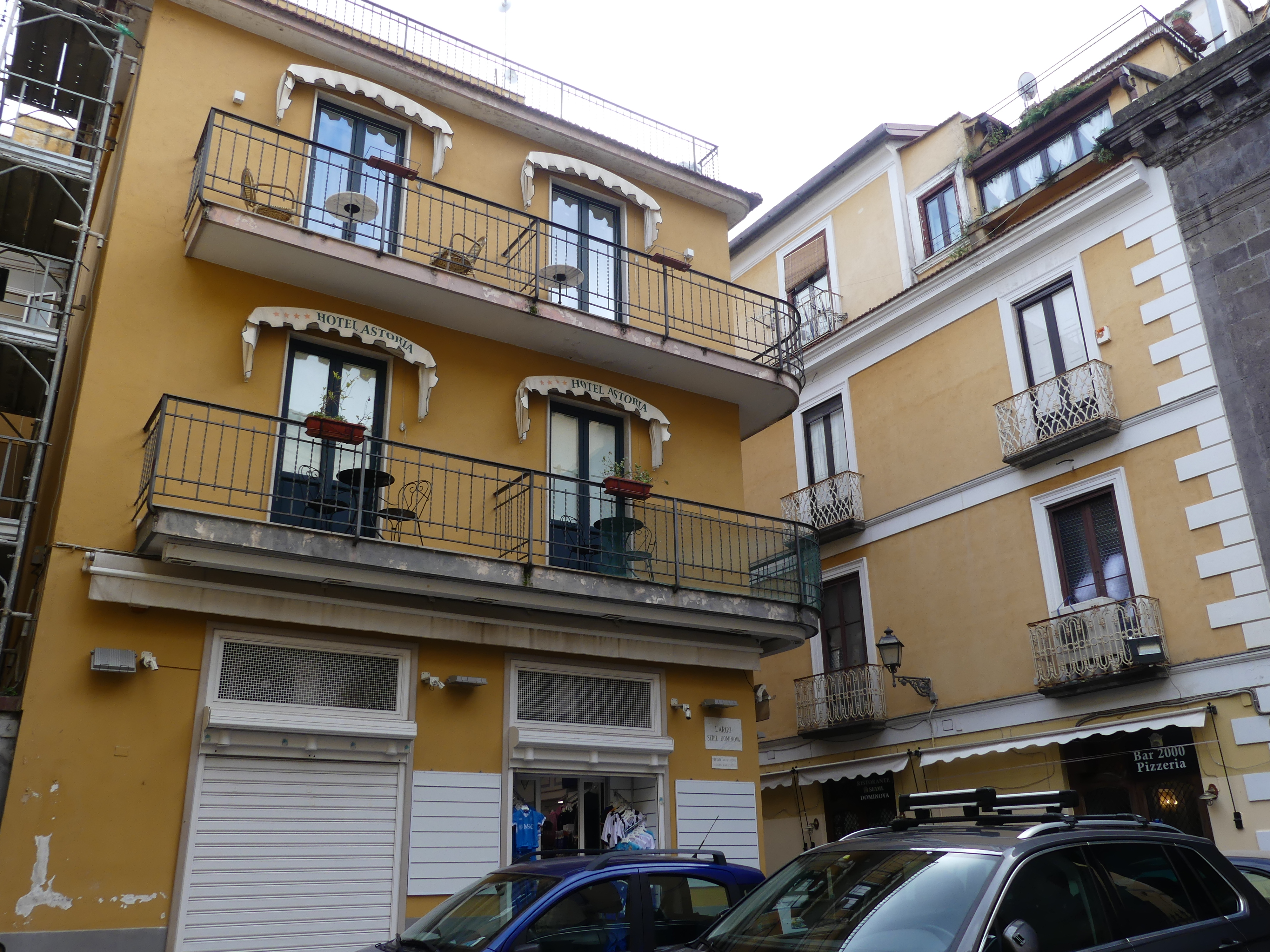
We had planned another walk about. We made it as far as a marketplace on the dock full of trinkets and things we did not need. After browsing through the markets, we changed our mind and returned to the ship and a good book. A rest day was in order.
Days 8 & 9 Port Keelung & Taipei Tawain
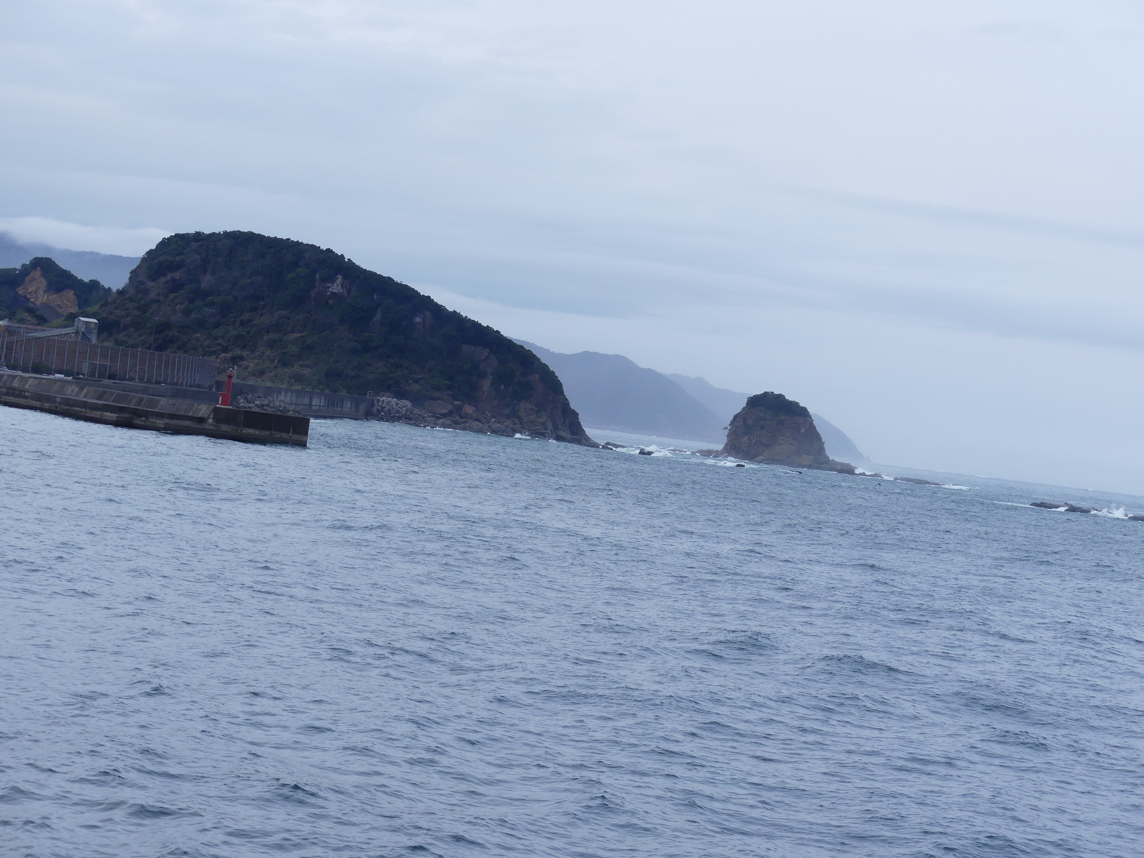
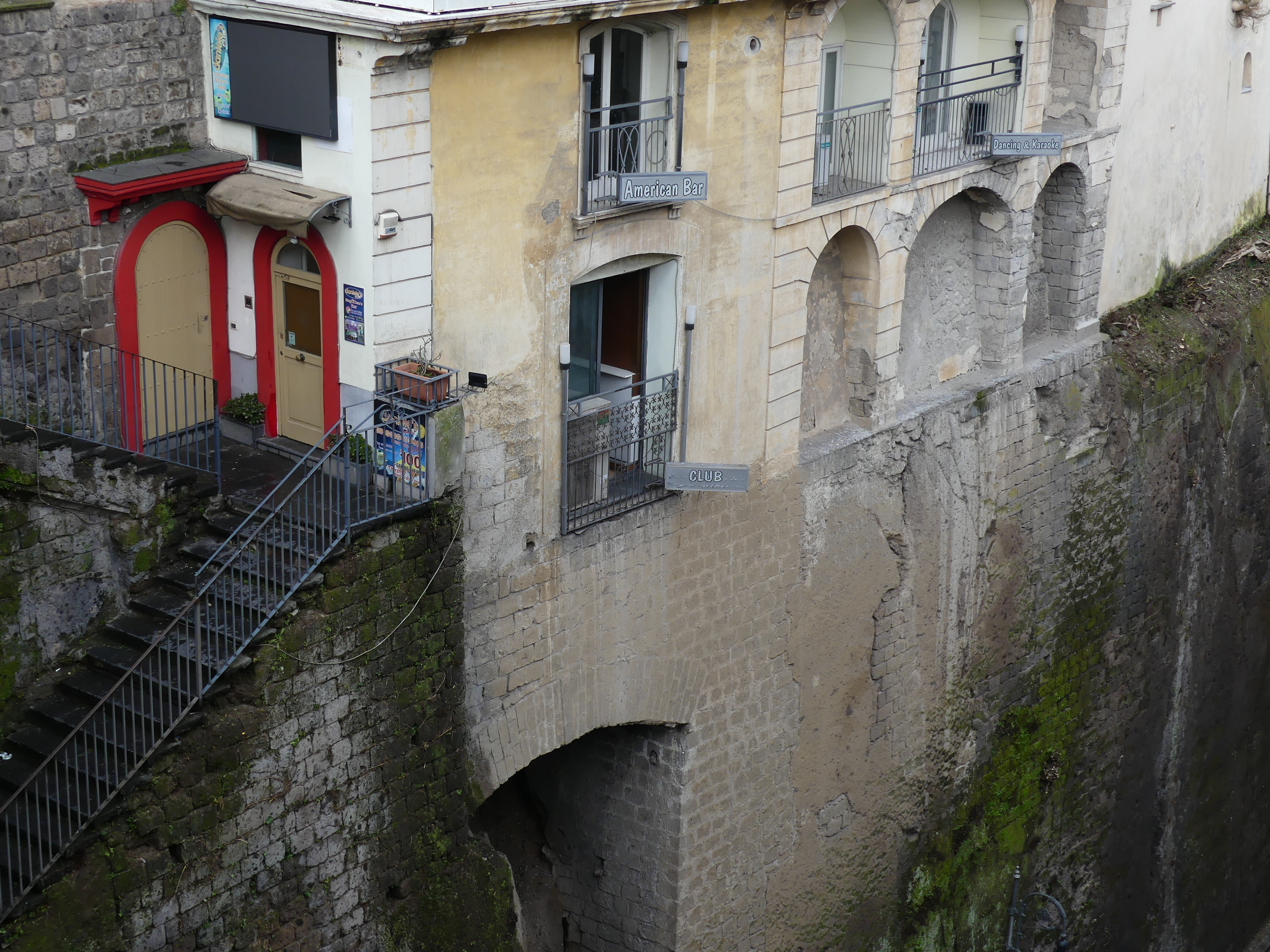
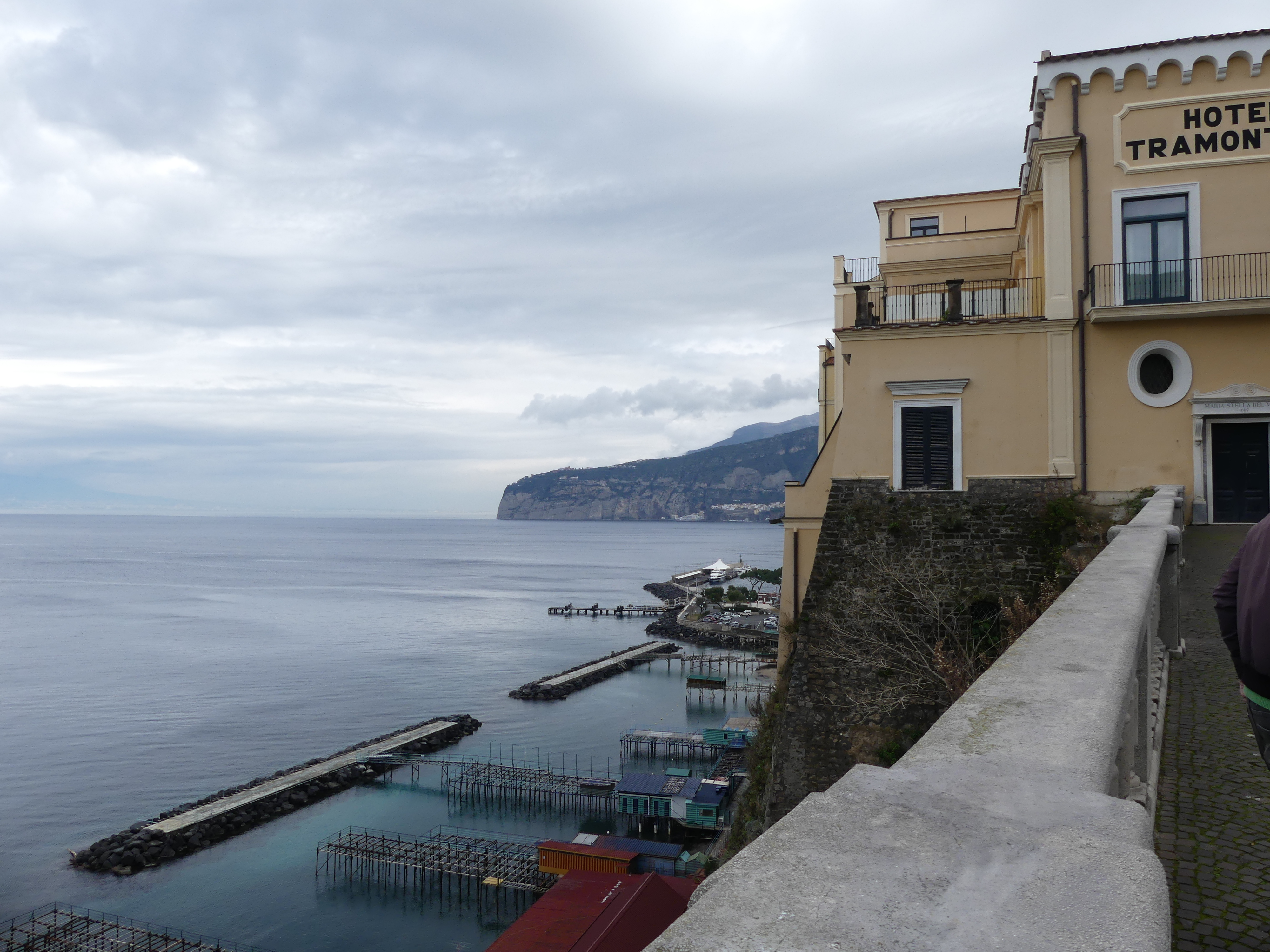
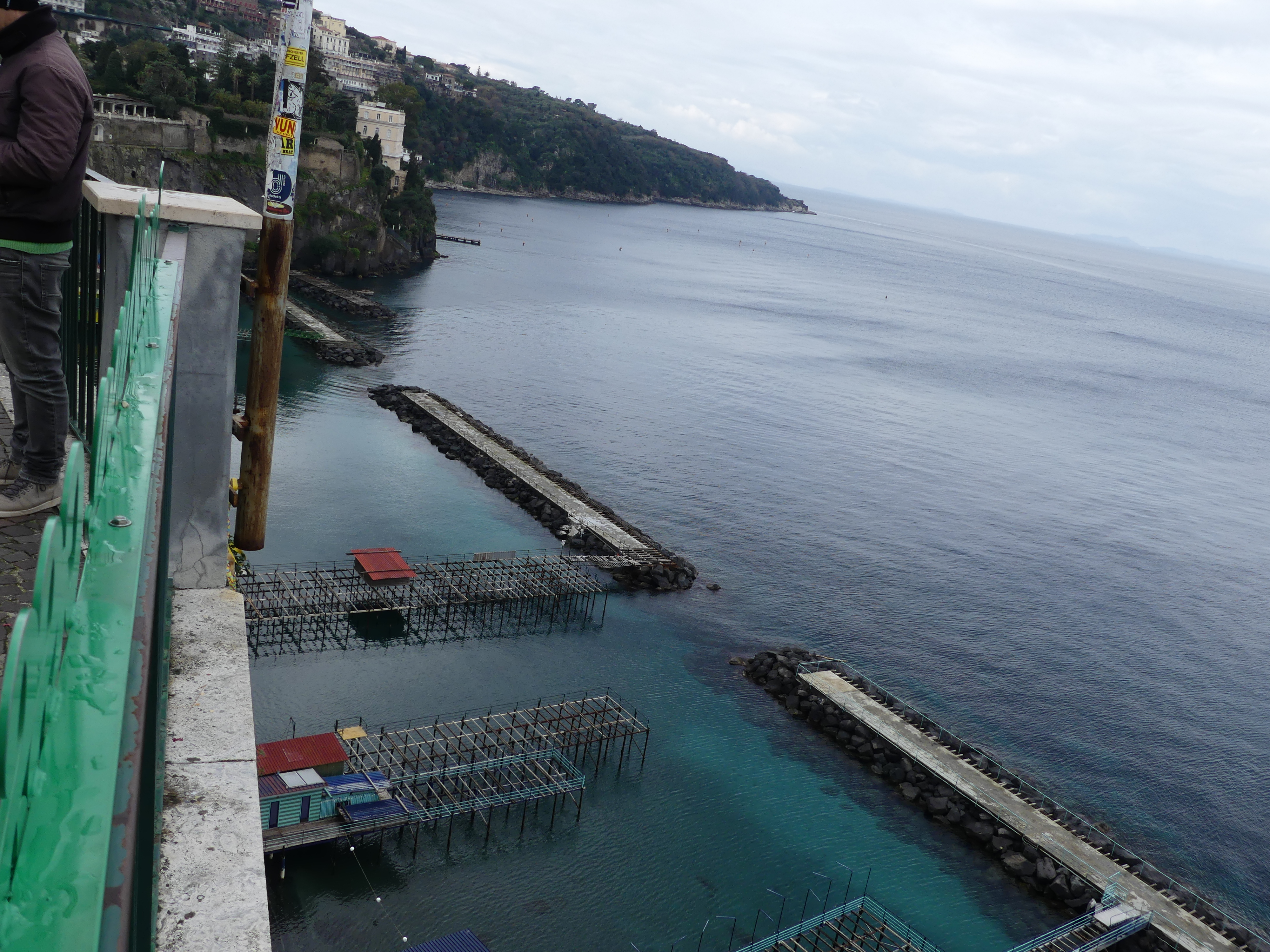
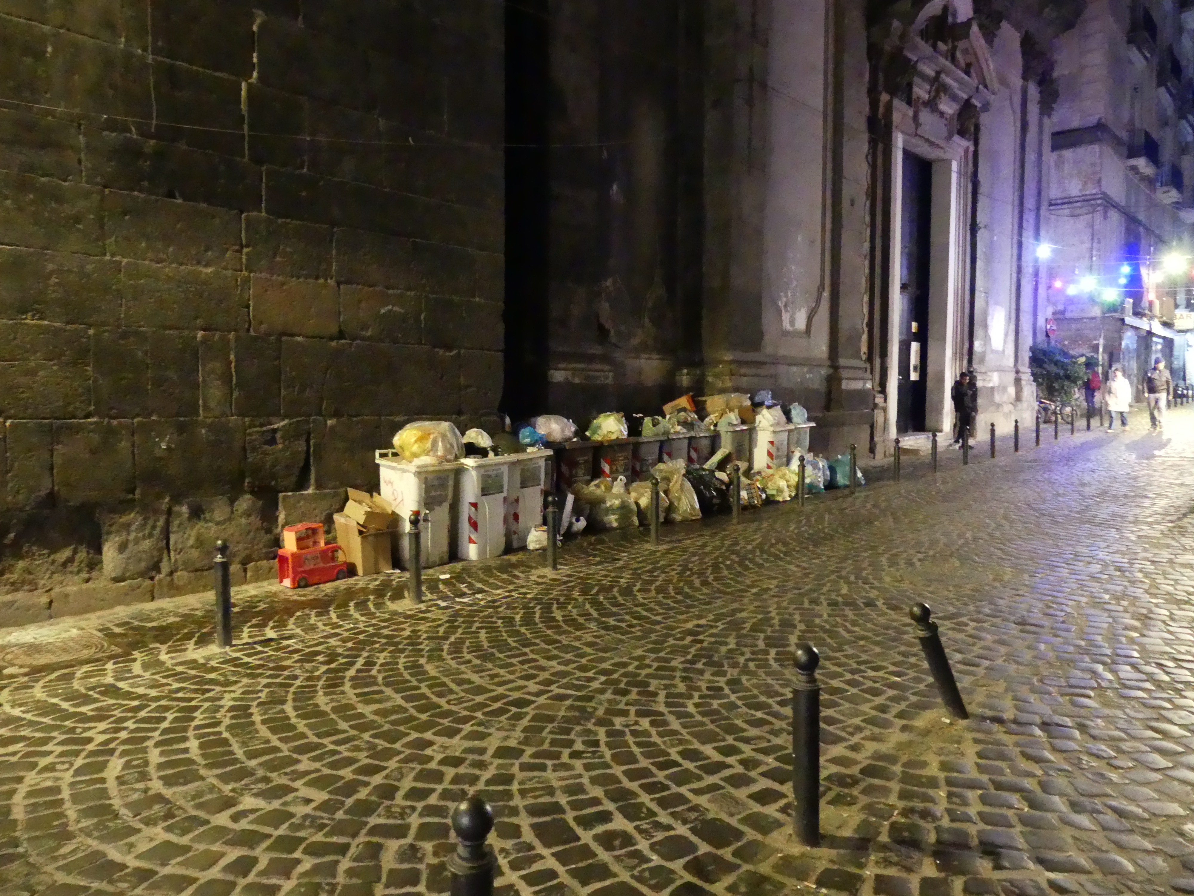
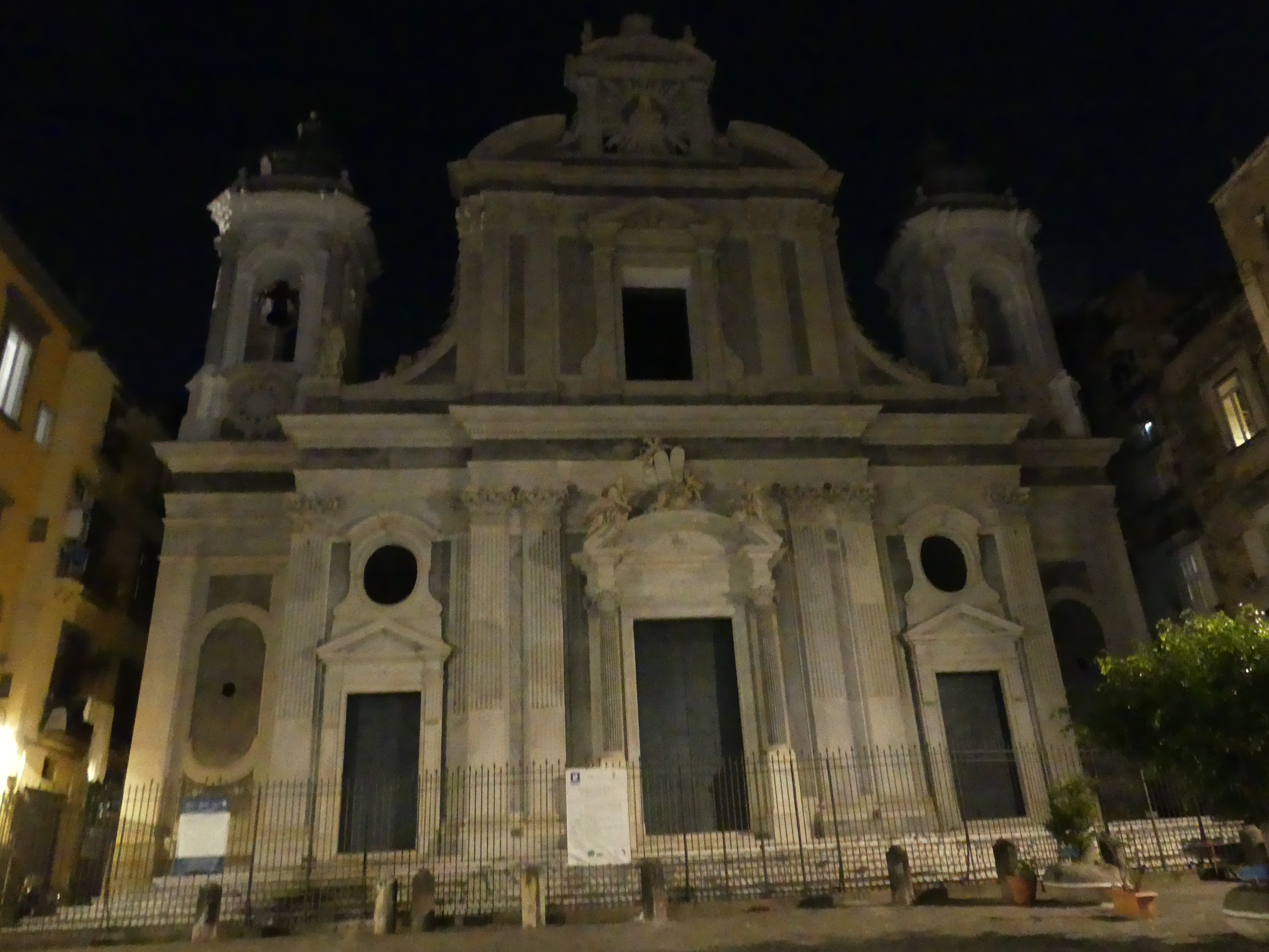
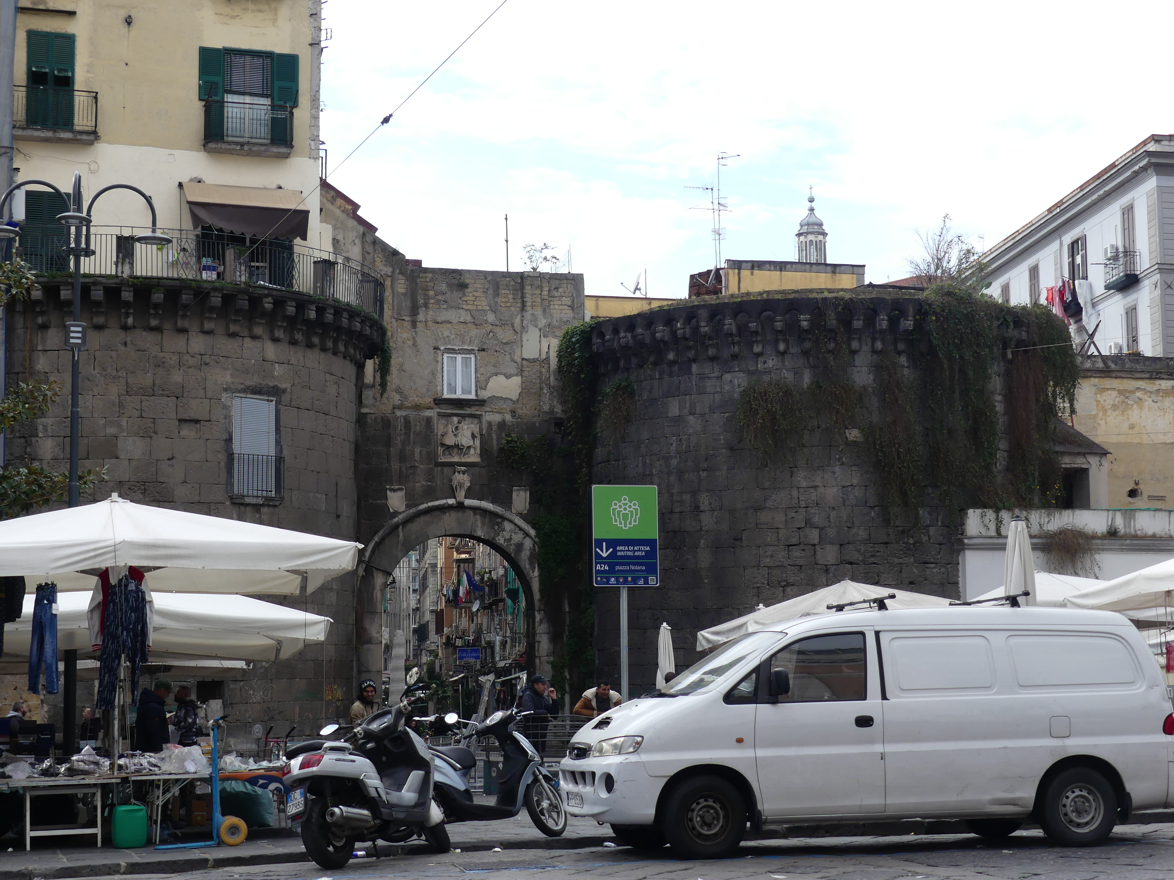
Port Keelung is the port for Taipei the capital of Tawain and officially known as Keelung City. It is a major port city in northeastern Taiwan. Keelung was first inhabited by the Ketagalan, a tribe of Taiwanese aborigine. The Spanish expedition to Tawain (formerly Formosa) in the early 17th century was its first contact with the West. By 1624 the Spanish had built San Salvador de Quelung, a fort in Keelung serving as an outpost of the Manila-based Spanish East Indies. The port changed hands a number of times with the Japanese occupying it in the late nineteenth century.
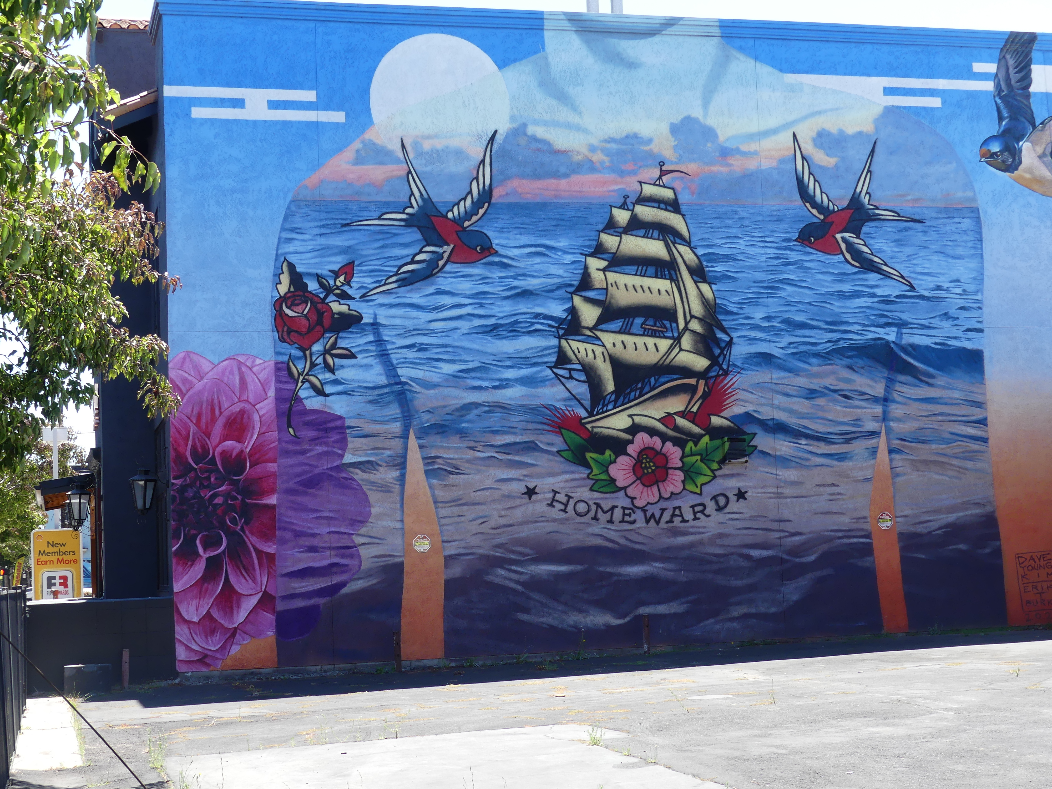
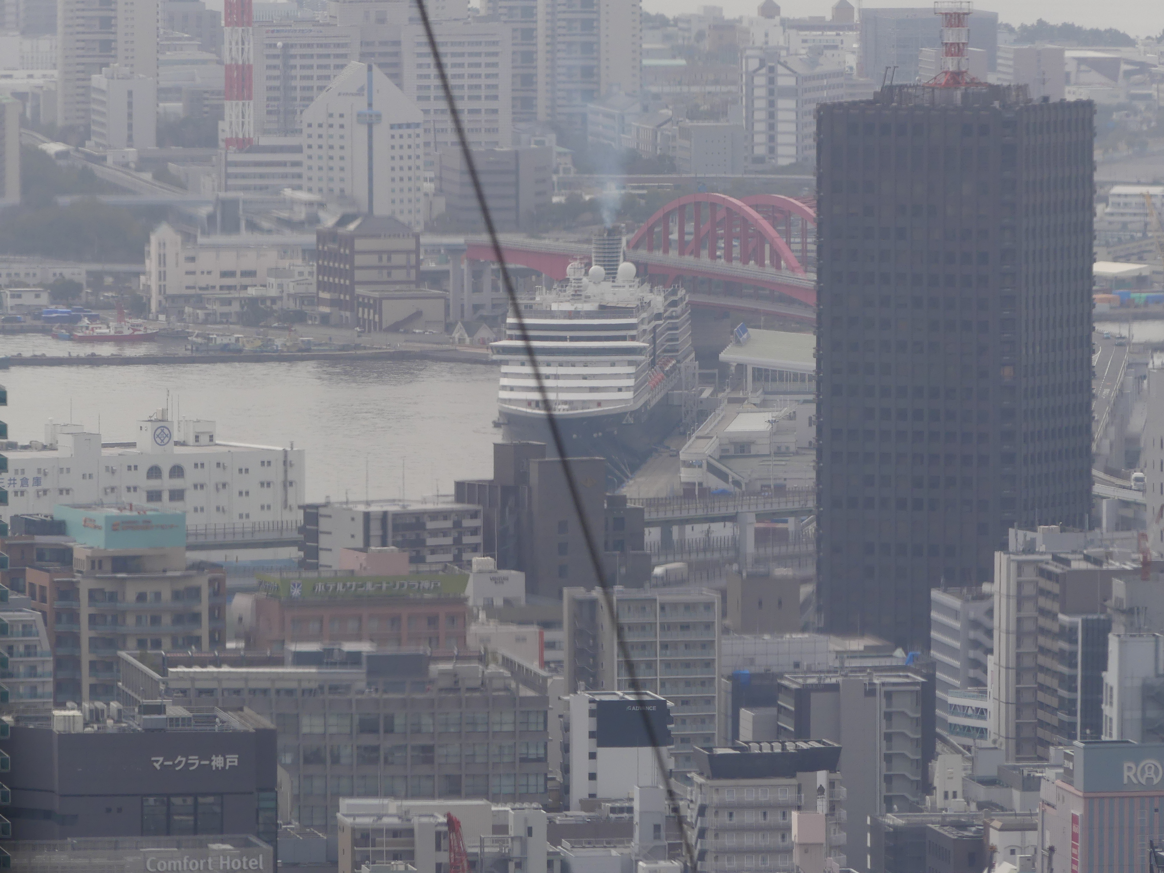
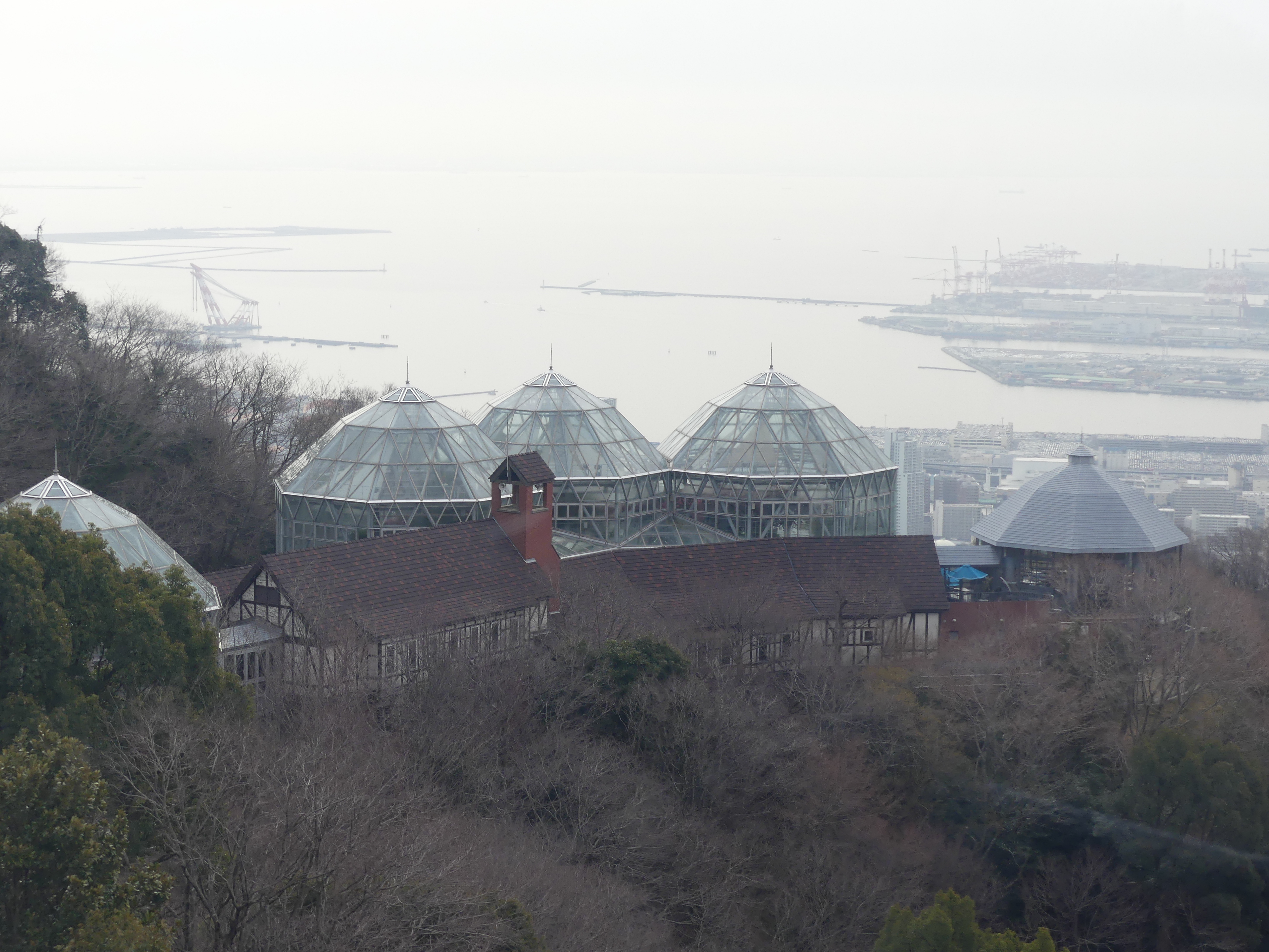
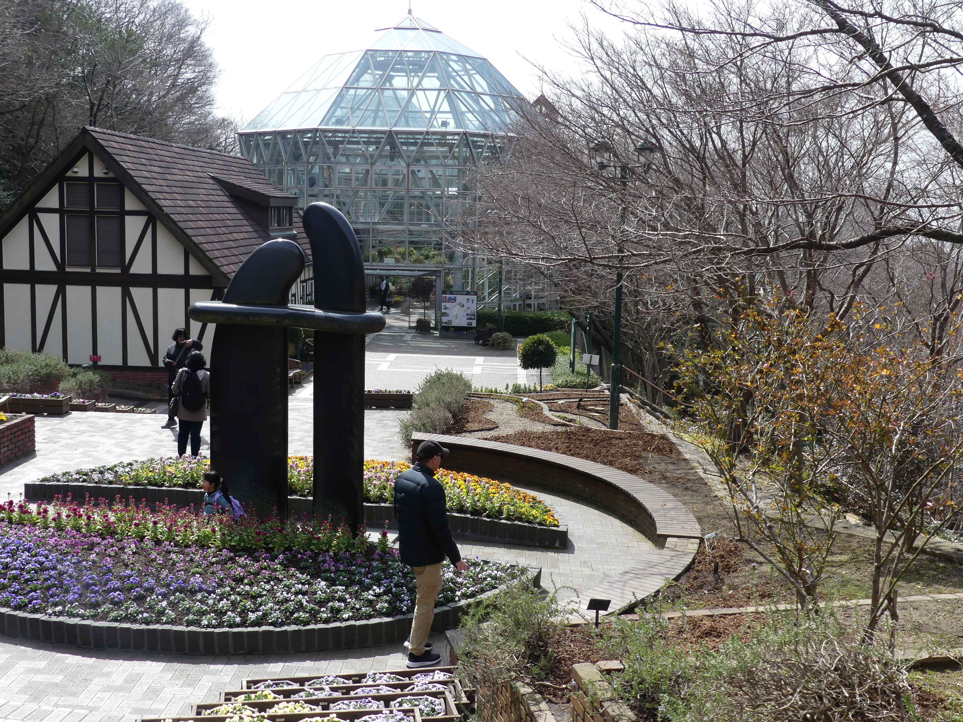
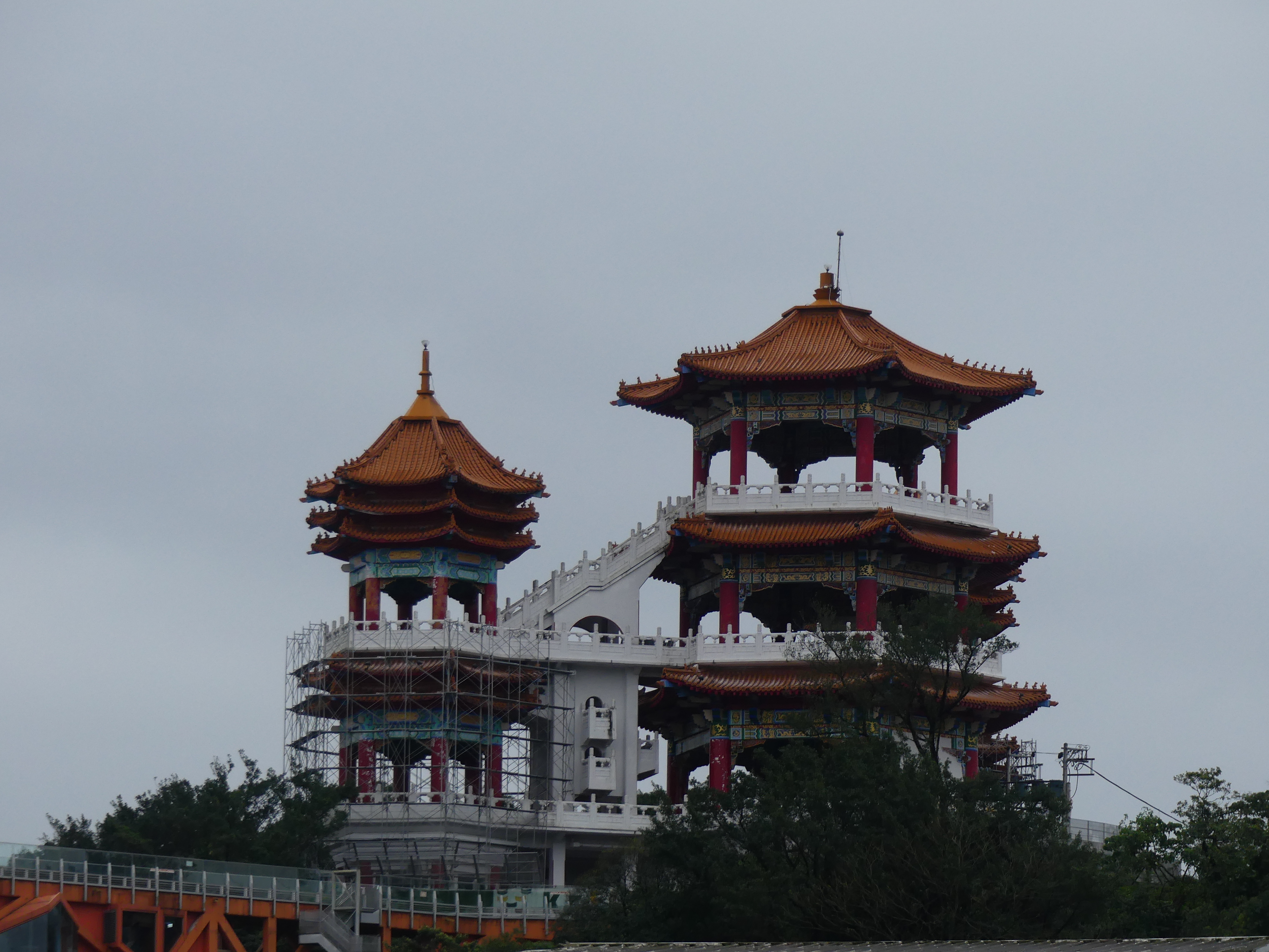
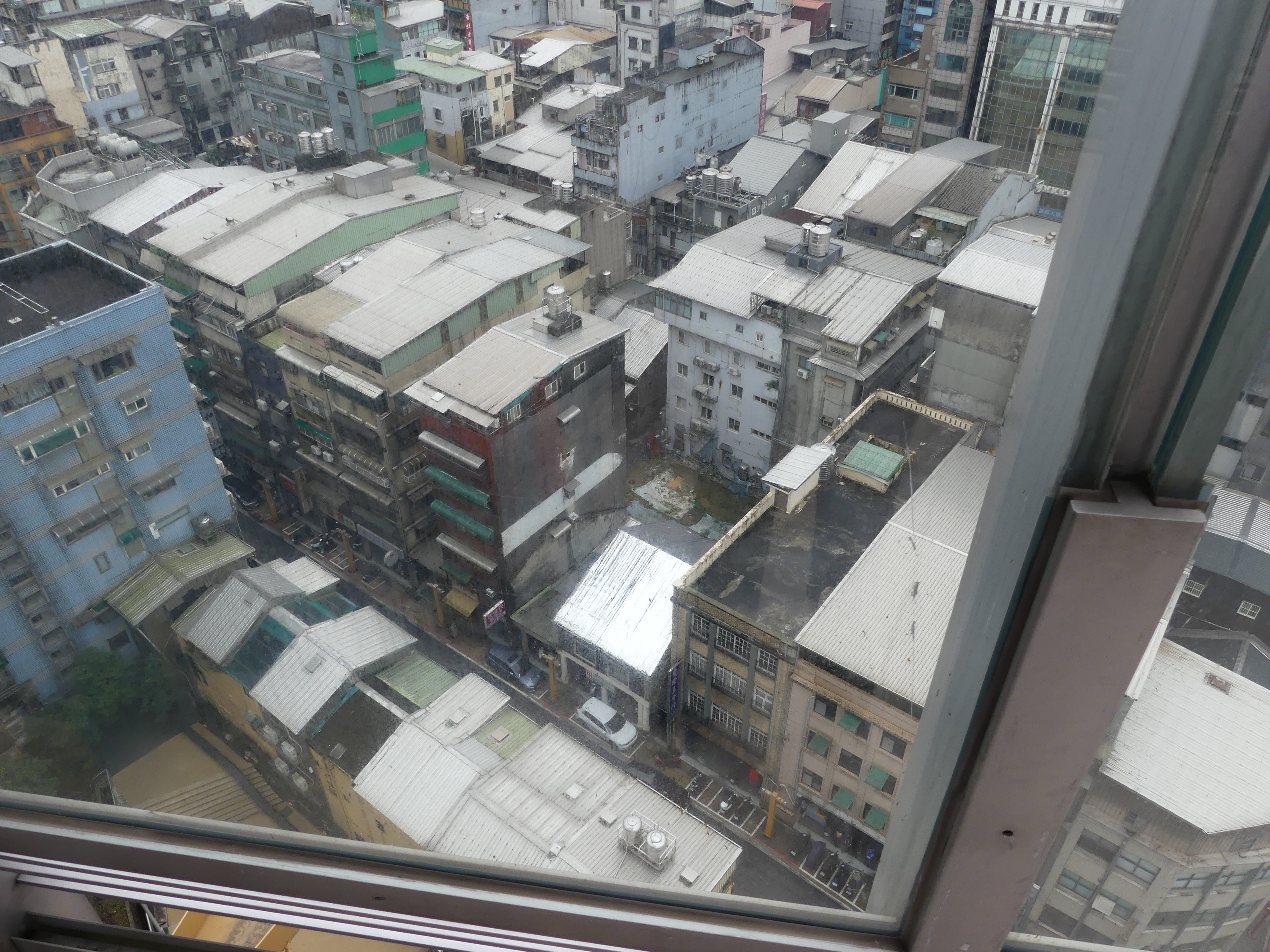
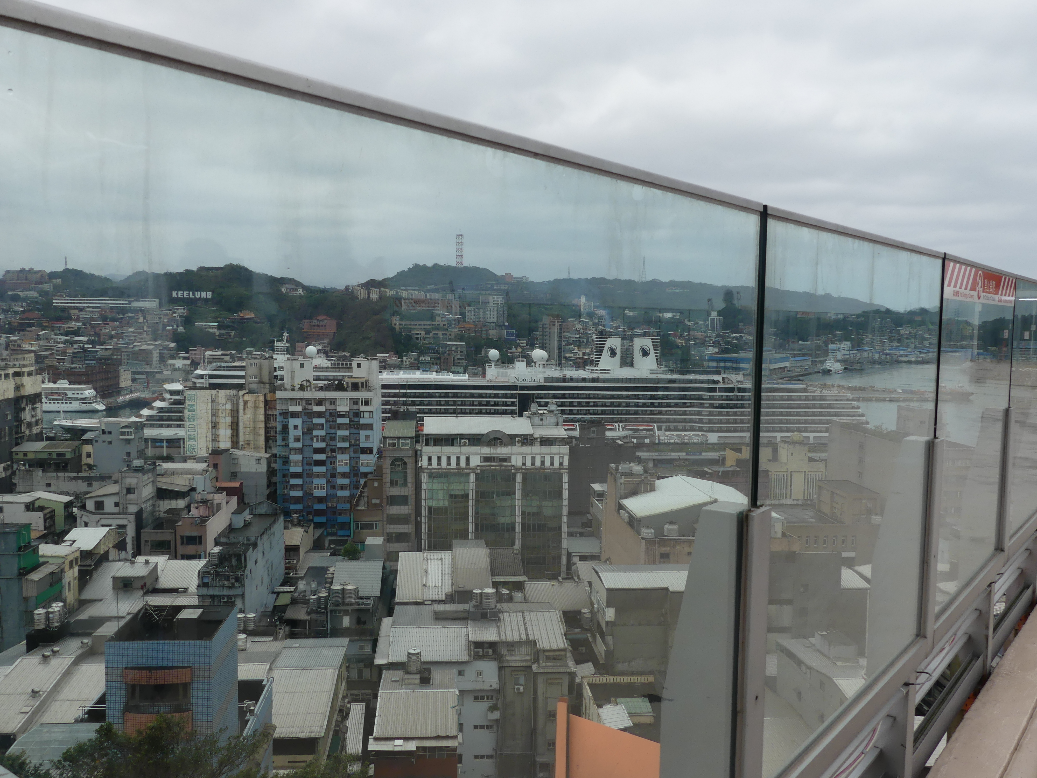
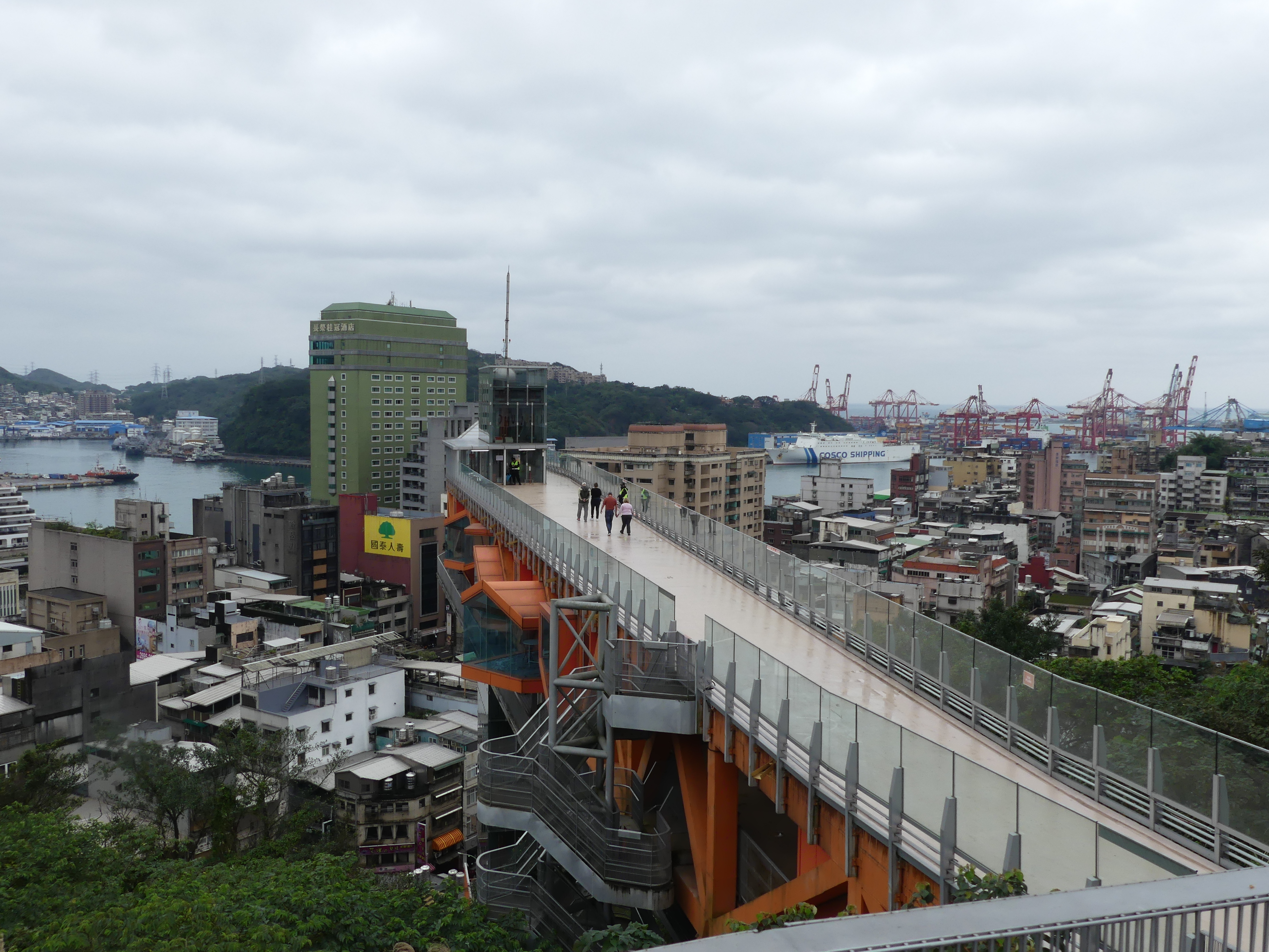
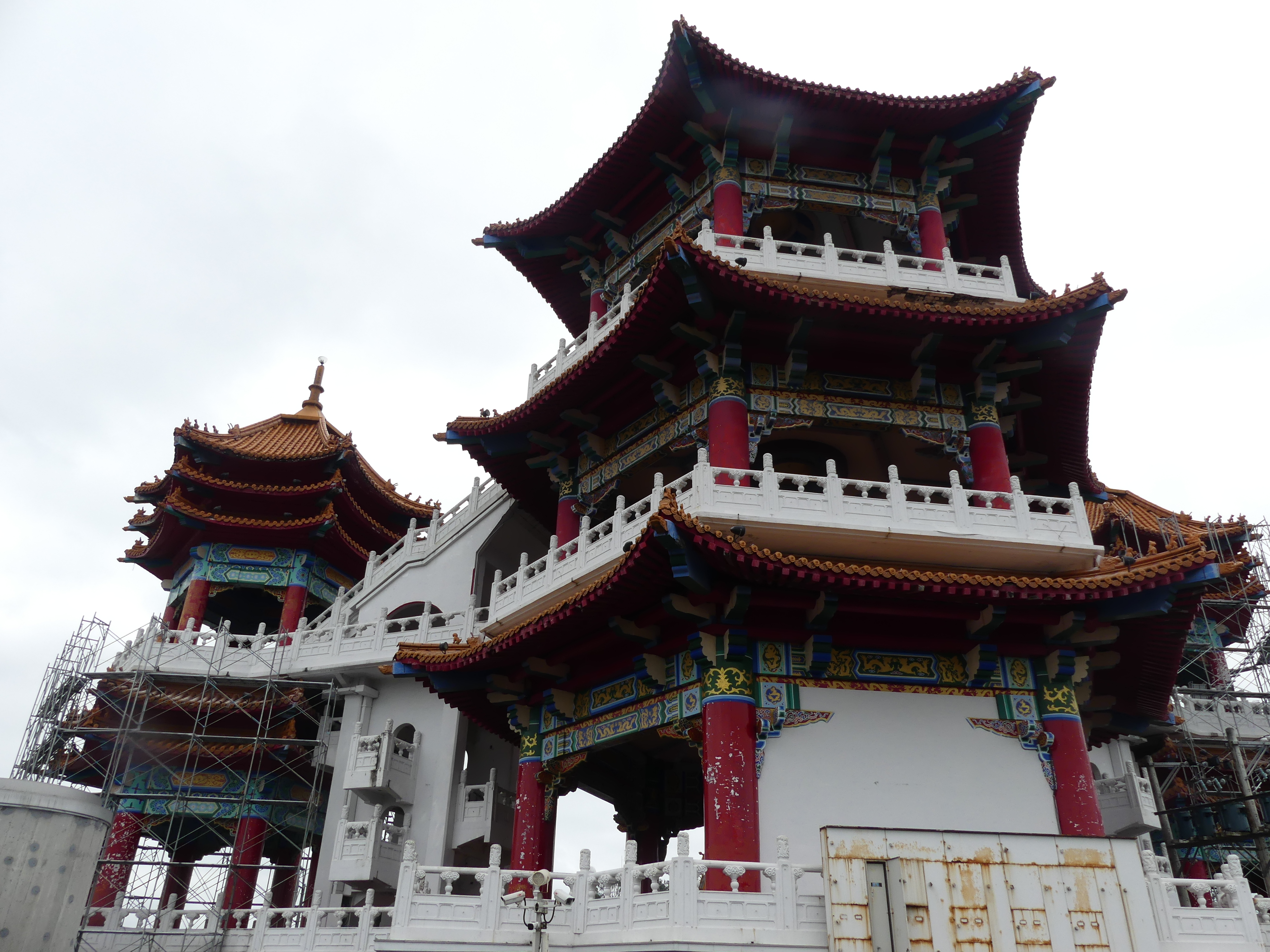
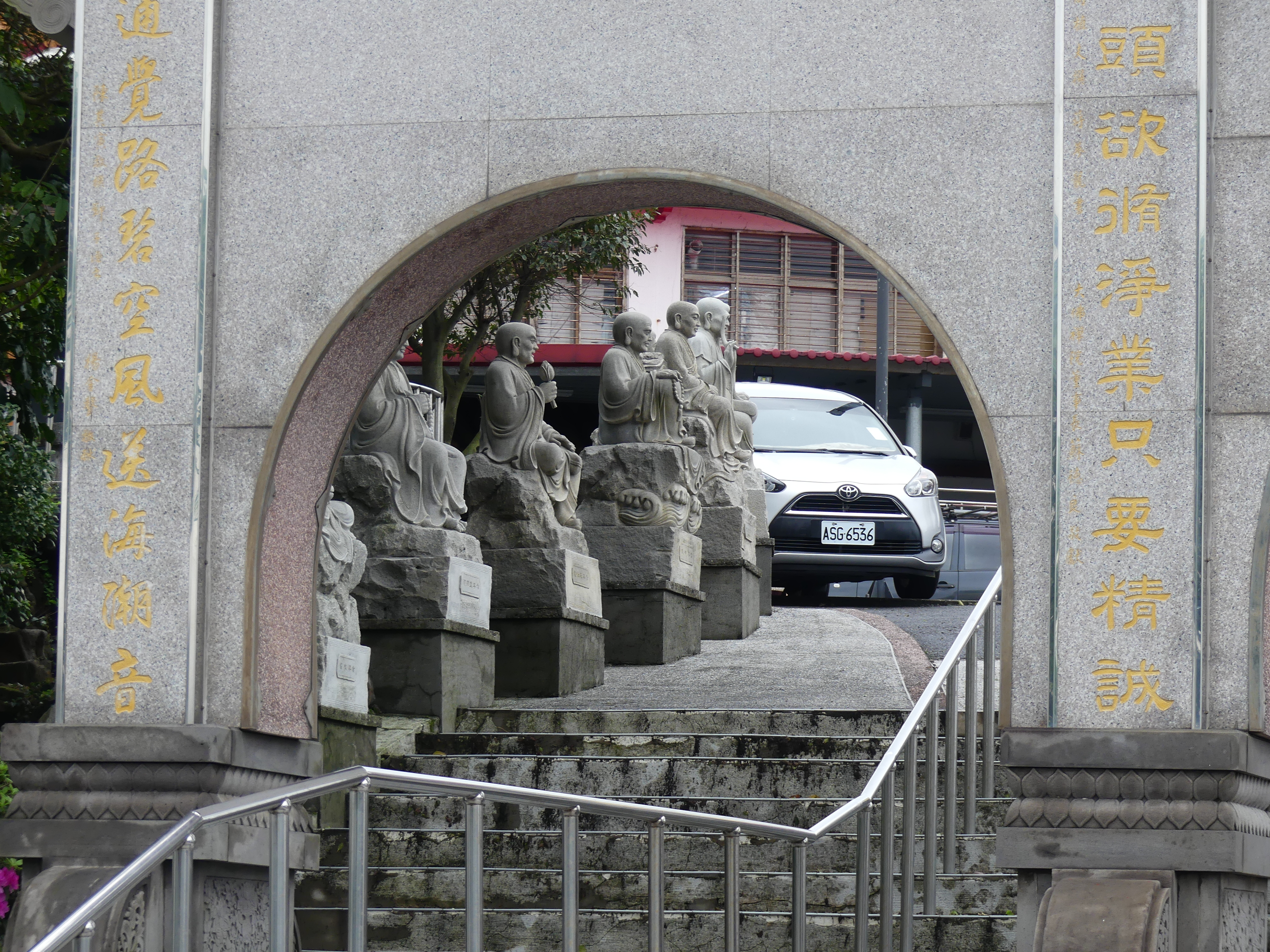
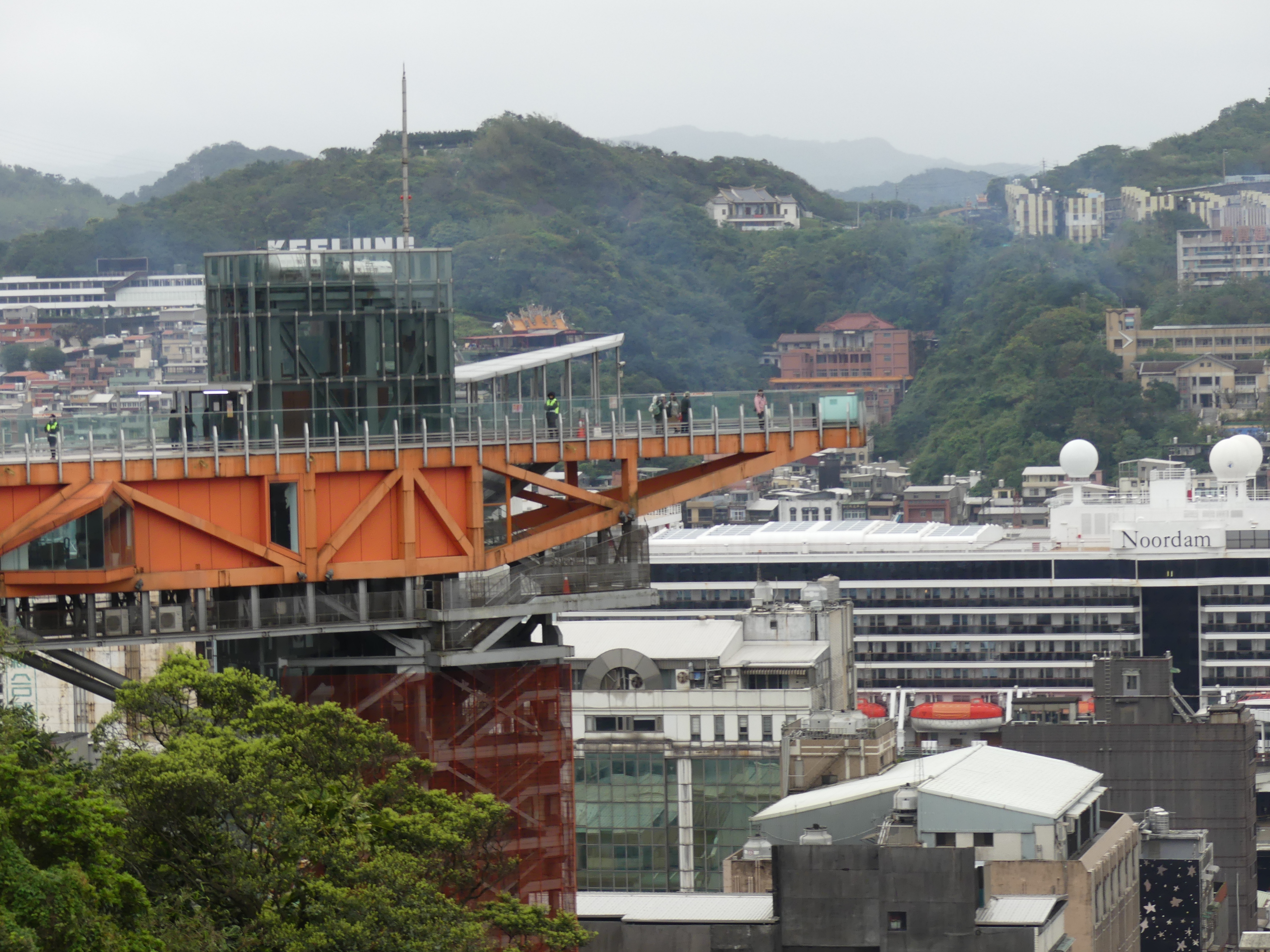
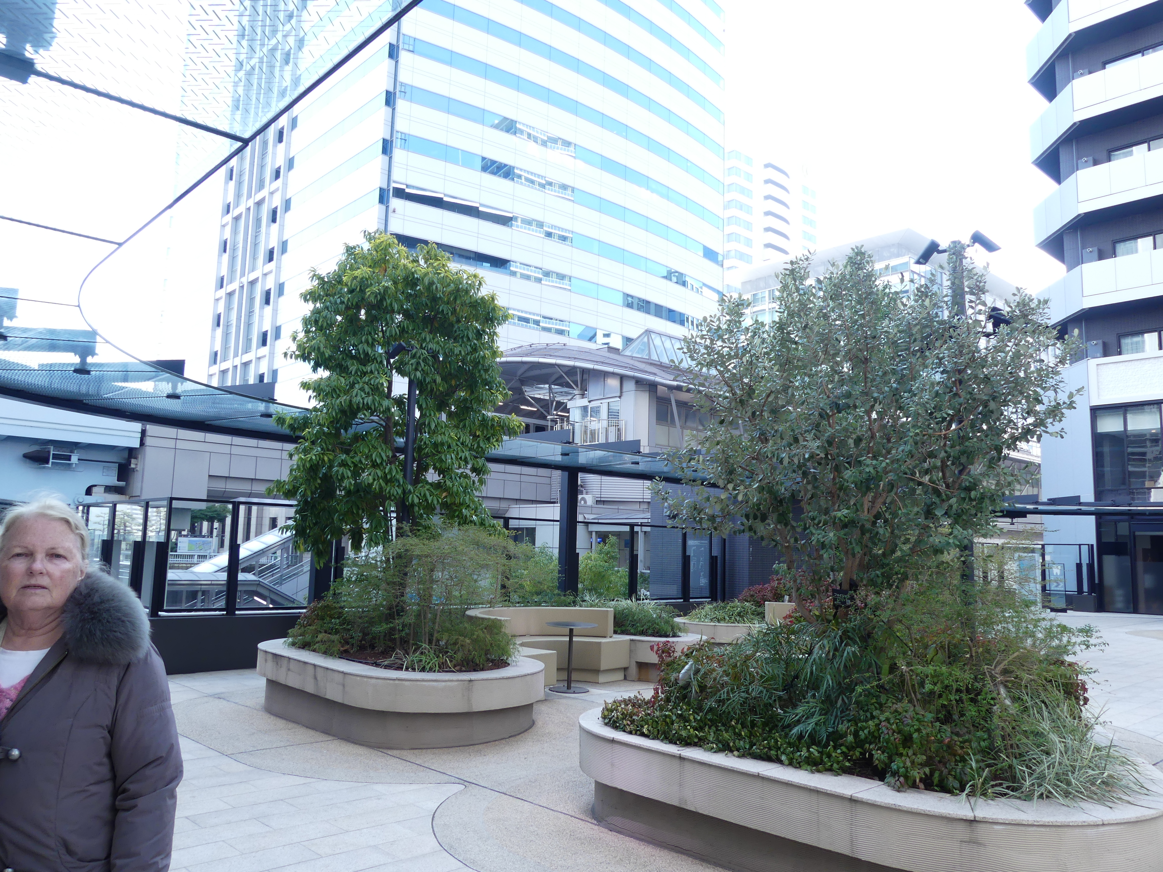
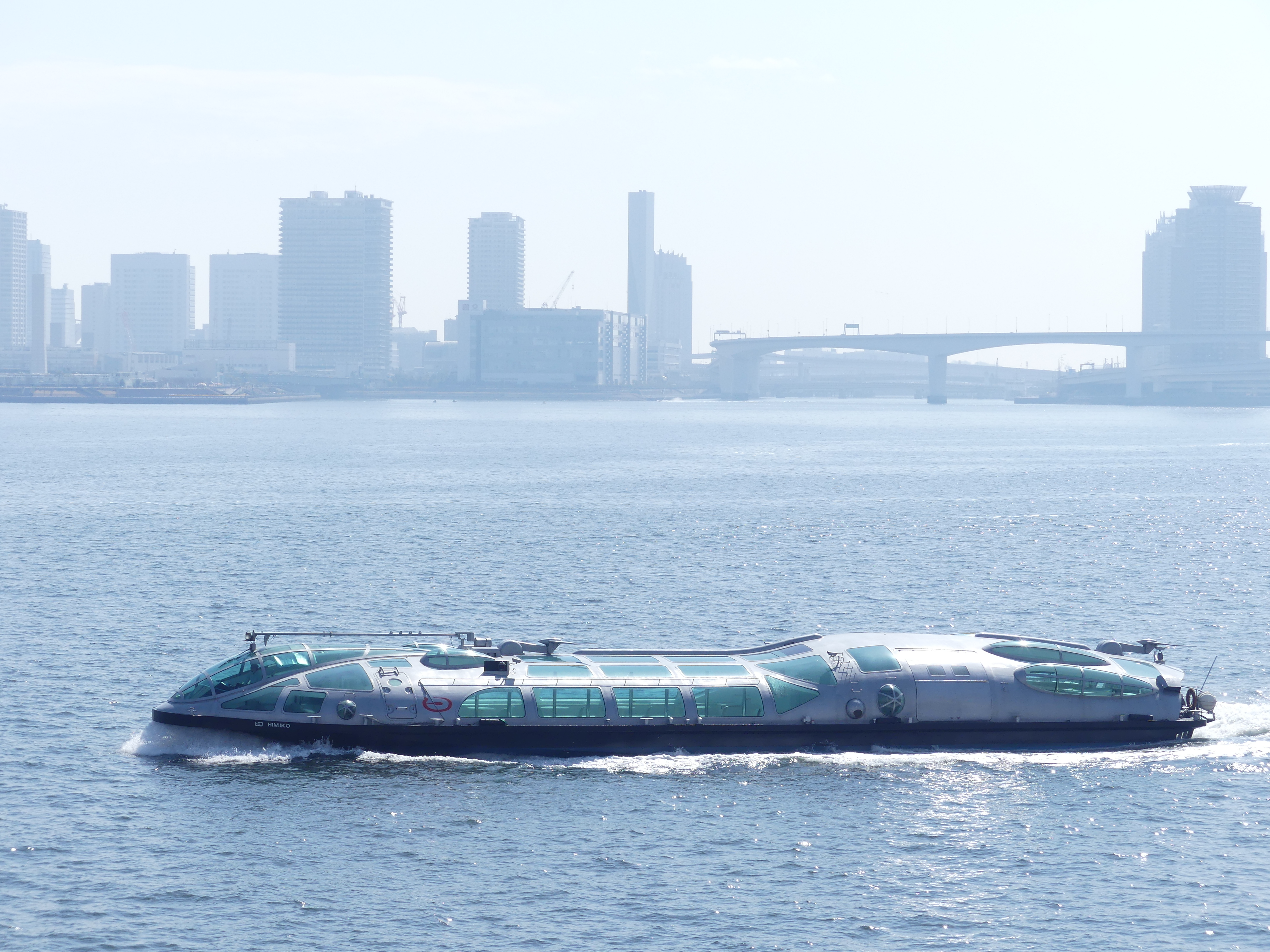
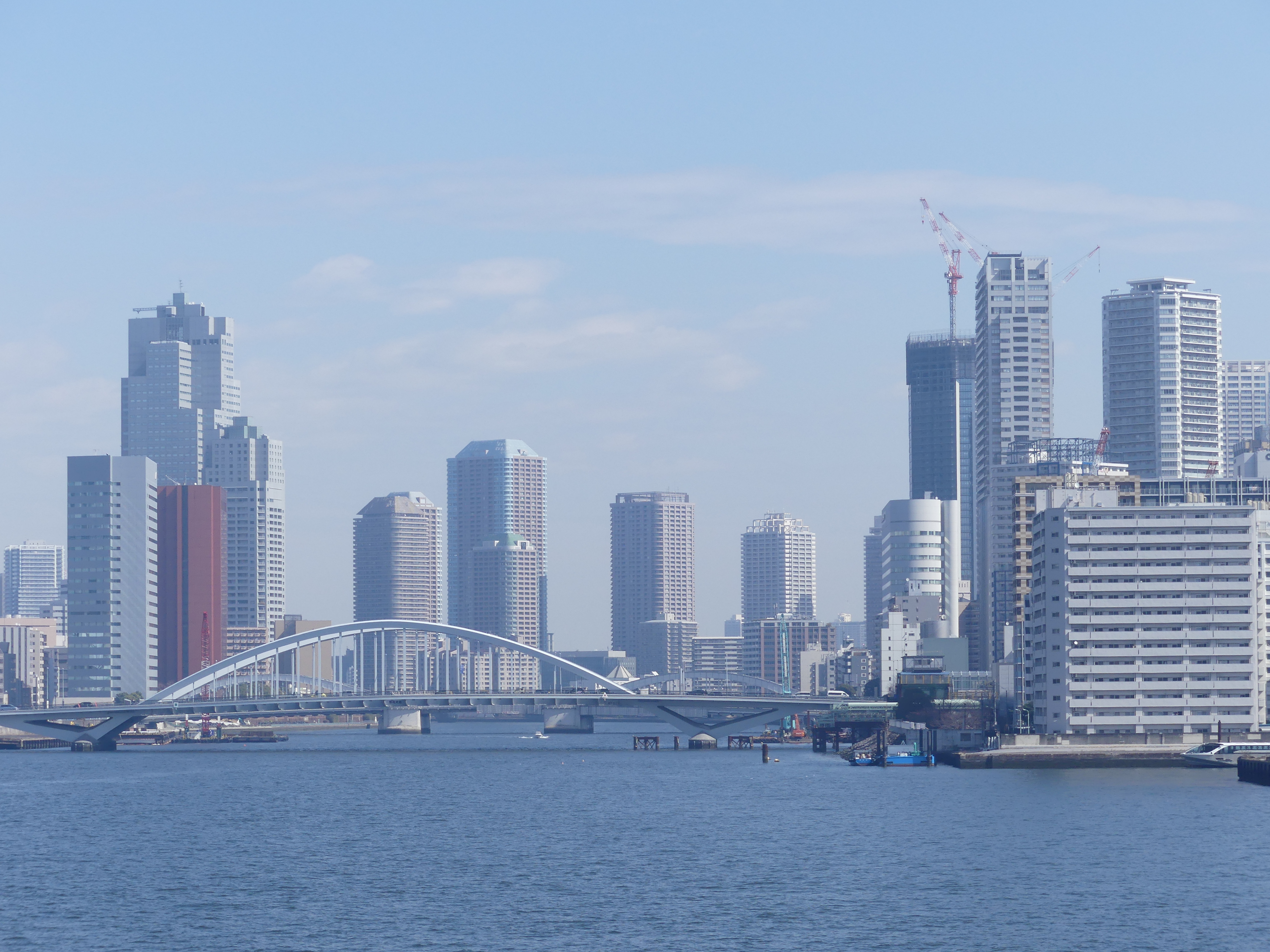
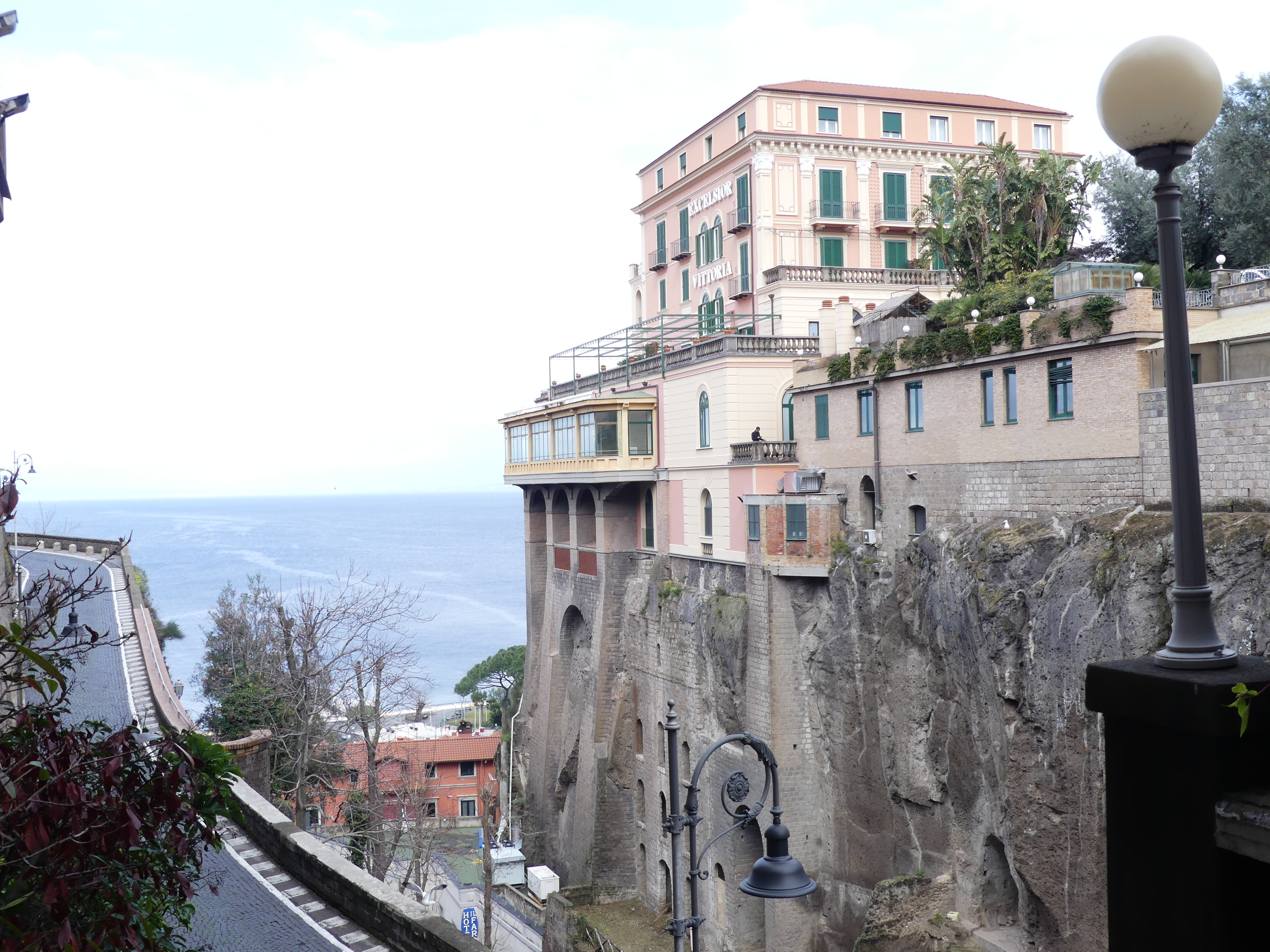
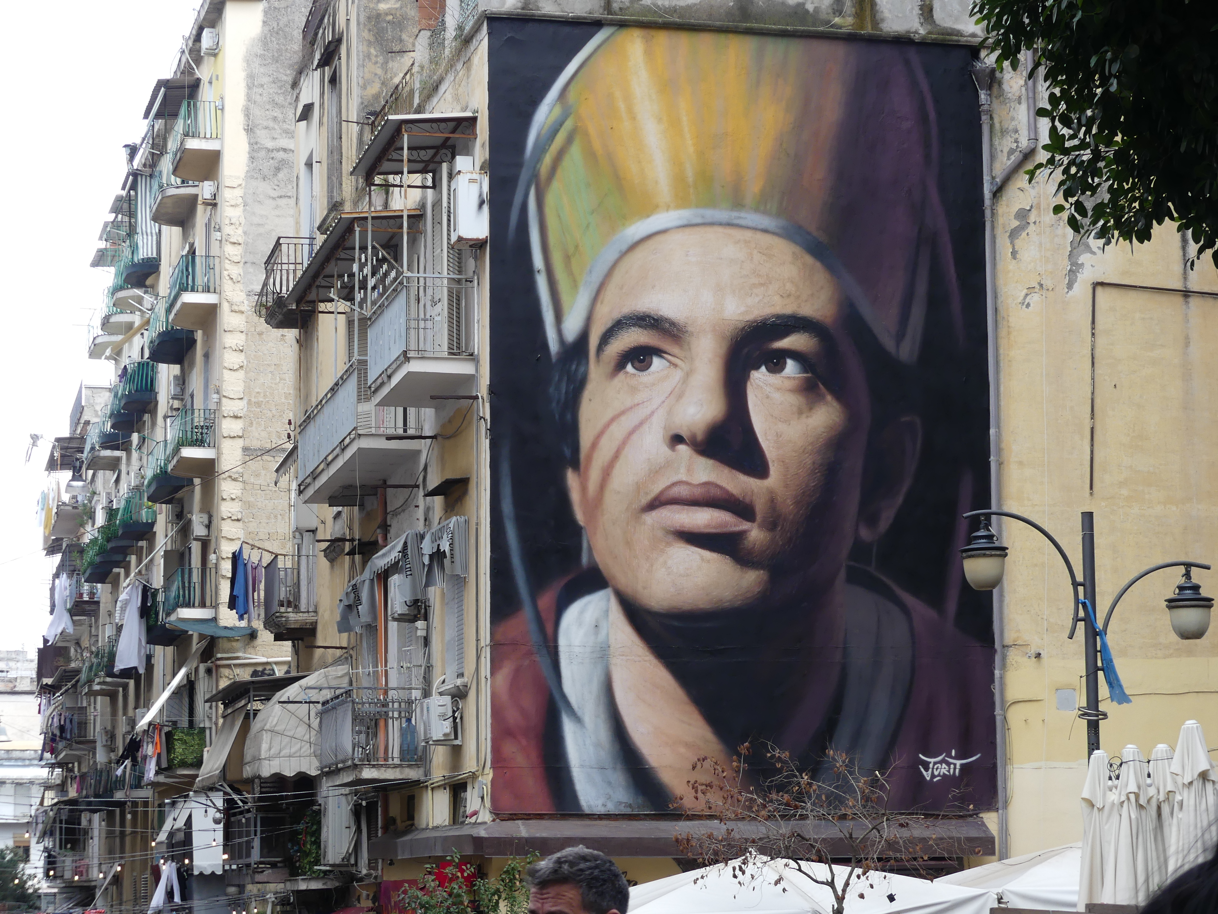
The dock and port was very busy and more sophisticated than any of the previous ports we had visited in the last few days and the view from the dock was a good introduction to the city. Immediately visible was the temple on the hill. We had not booked any excursions, so we disembarked and hit the road. We searched for the access we had been told about at the ship’s briefing on the Port and located the high tower shown in my photos. Fortunately there was a lift or we would still be climbing. Street art was quite commonplace where space permitted. I followed Kerry to the bottom of the tower and took photos of this remarkable viewing platform. The ship filled the picture to give you an idea of size. The temple could not be accessed due to maintenance, but it was still an impressive building.
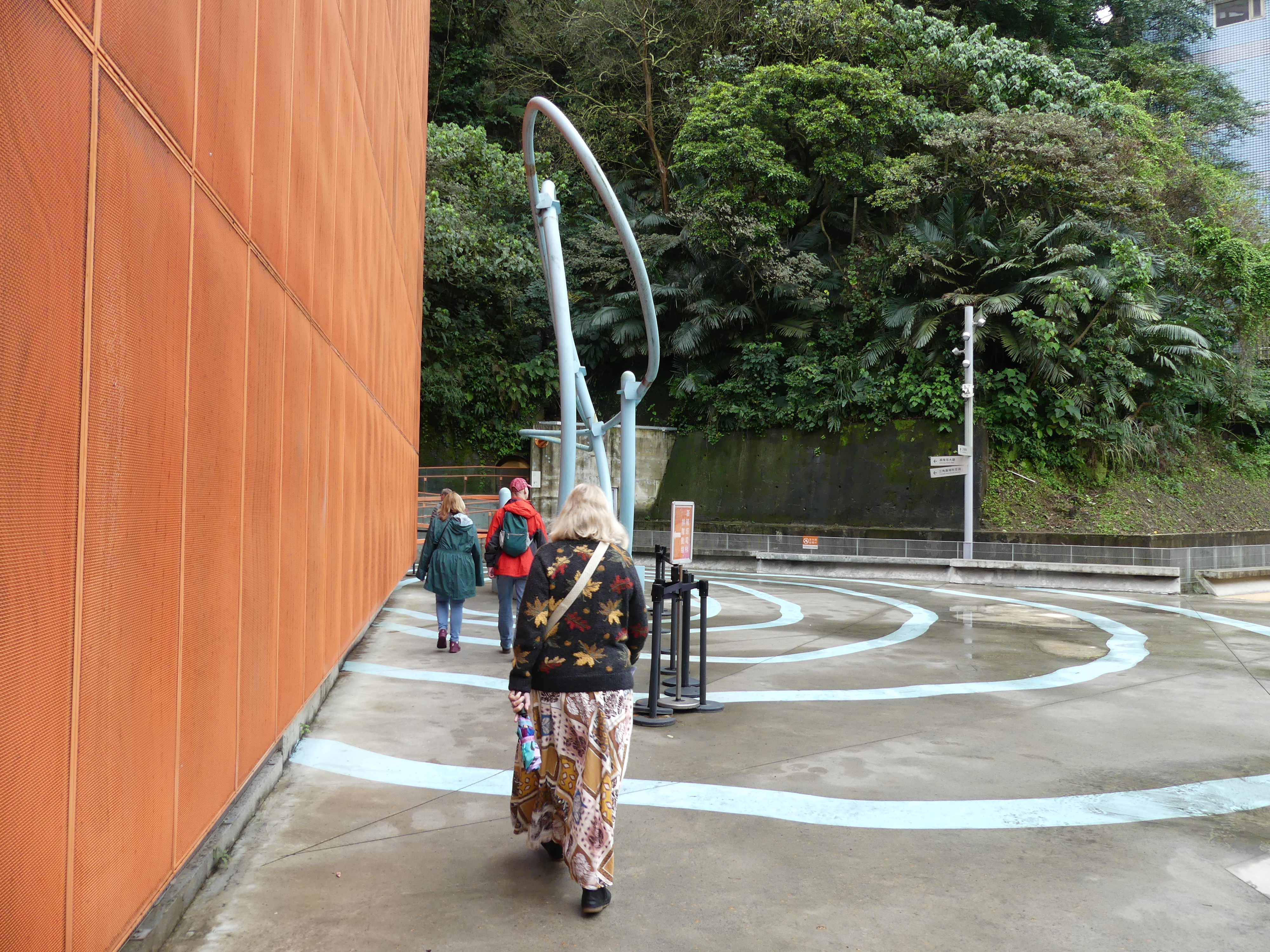
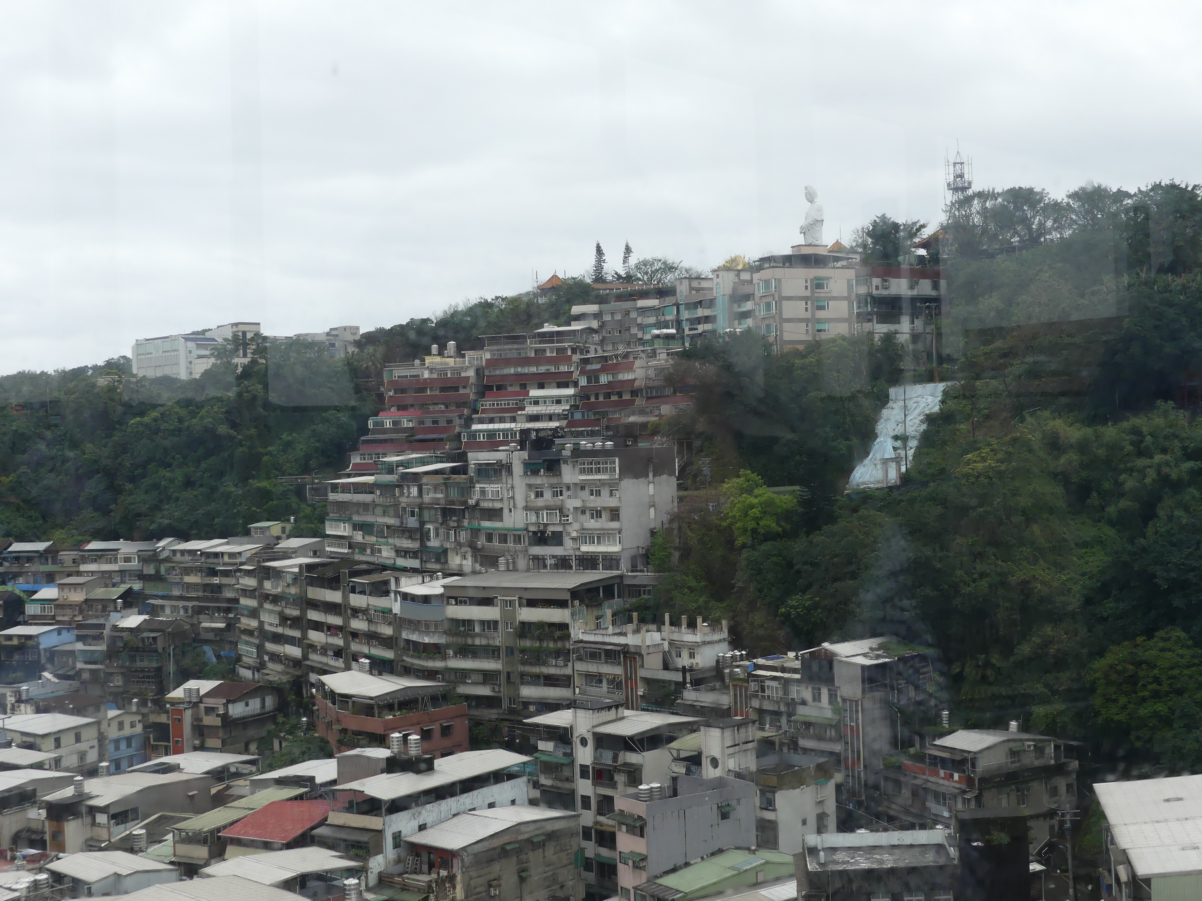
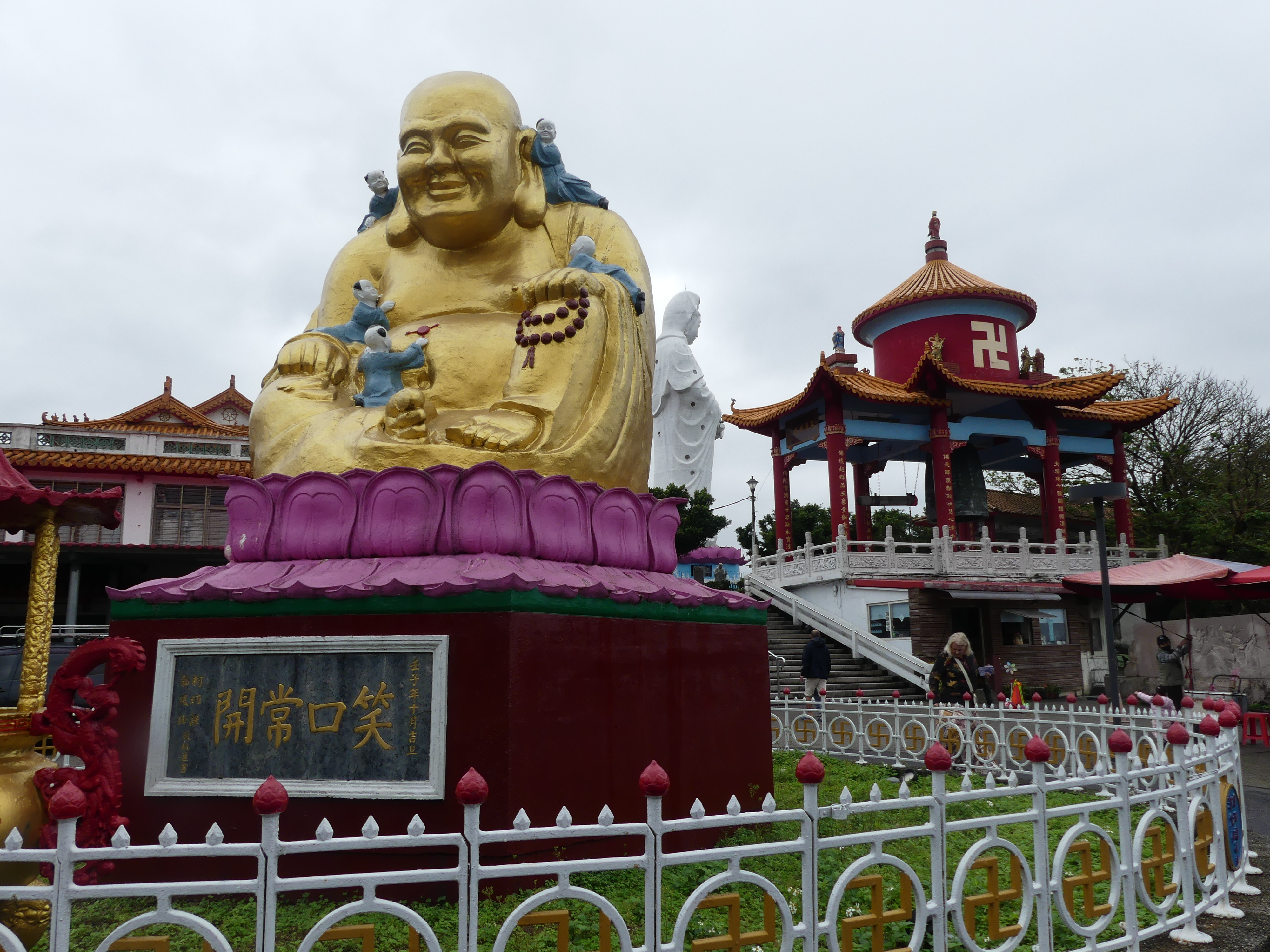
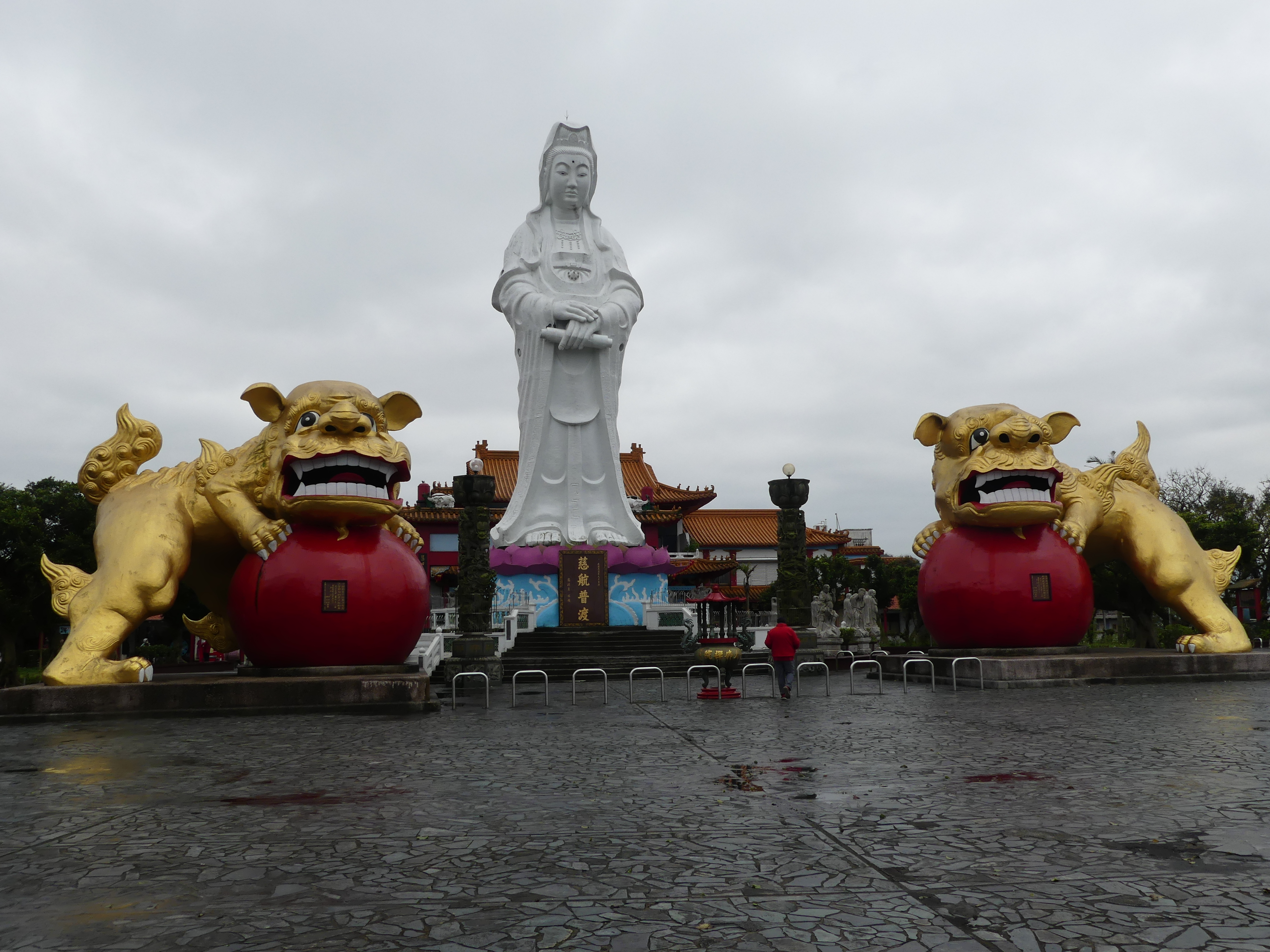
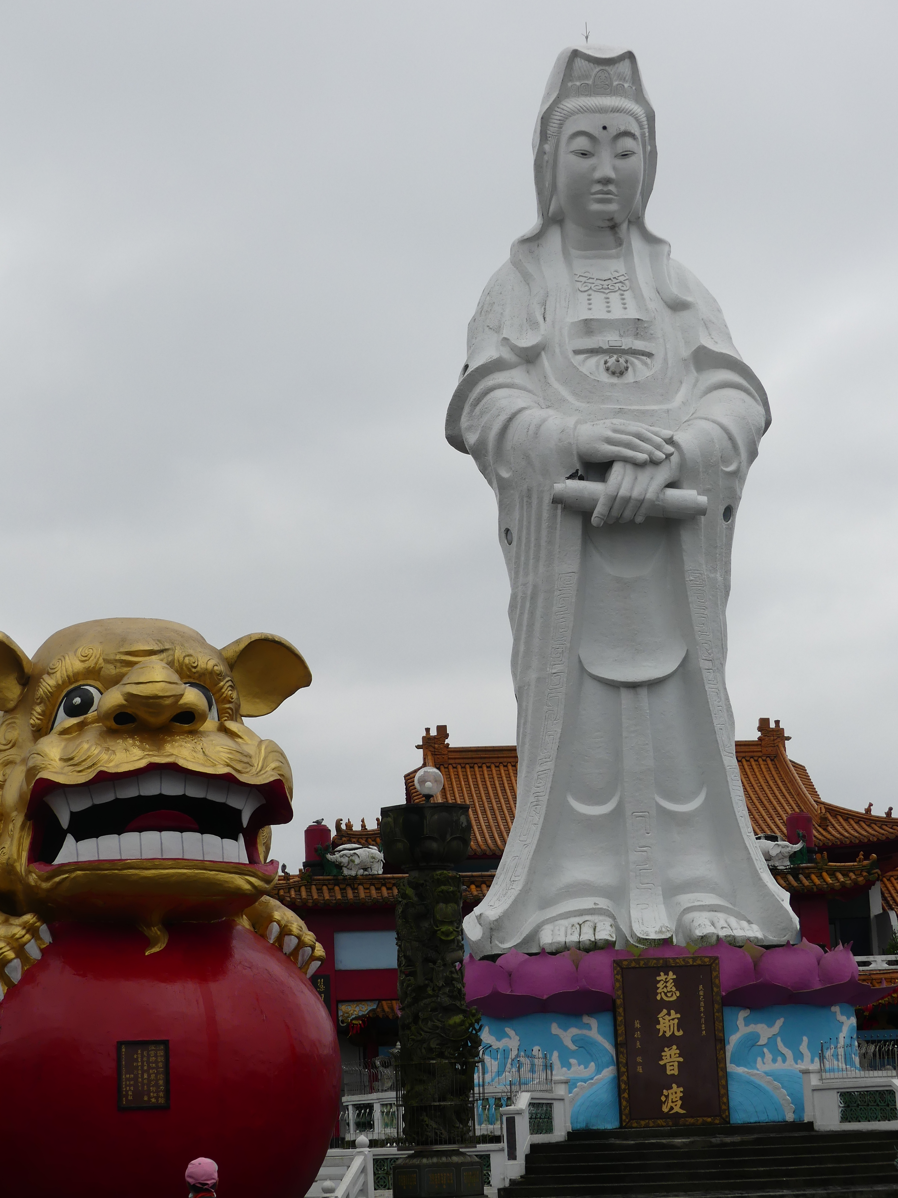
We had spotted the white Buddha and thought we could find our way to it. Along the way I was surprised we passed a lion donated to the community by Lions Club of Kobe Nada and Keelung Central. We came in a side entrance to the plaza and were greeted by a familiar symbol the swastika and surprised to see it – it clearly has other meanings. Co-Pilot informed me “In Japan, the swastika is a symbol with a long history, particularly in relation to Buddhism. The symbol, known as manji in Japanese, is traditionally used on maps to indicate Buddhist temples.” We had our first experience of using eastern toilets here as well as having the best view of the port right down to the silos on the other bank of the harbour. We exited through the front gate and walked downhill toward the temple again. There is a bridge connecting the temple with the White Buddha and from there I was able to photograph the temple viewing platform showing its construction. You will see the MS Noordam again and those silos on the other bank.
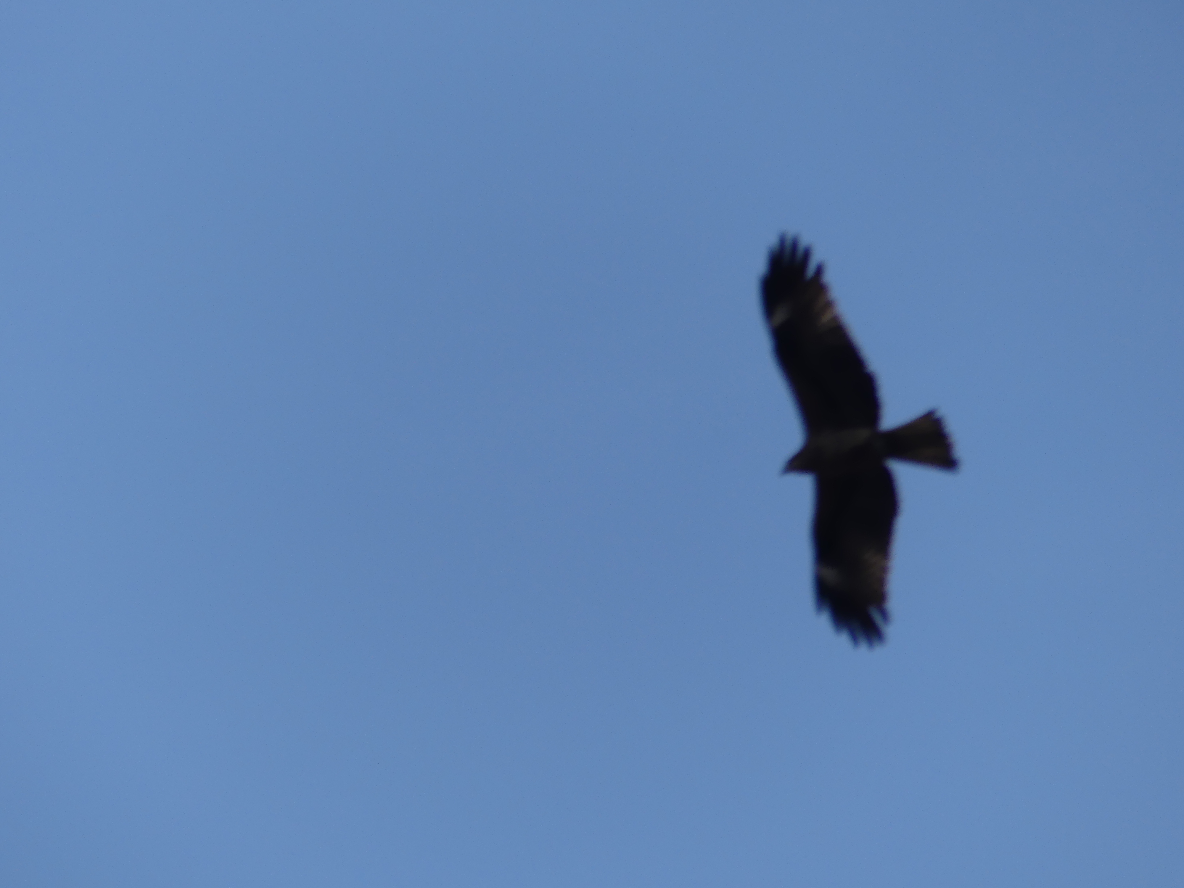
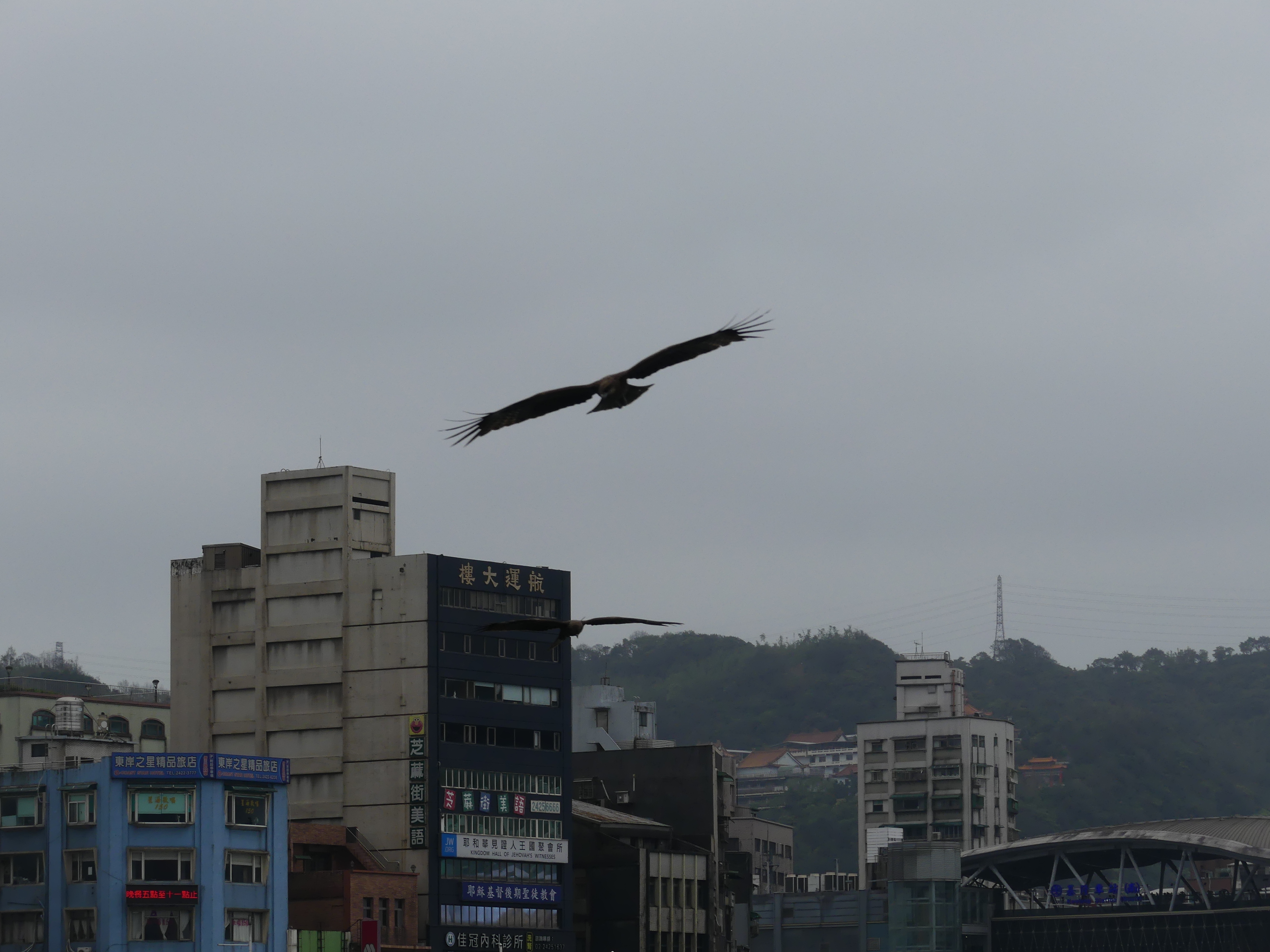
We walked through the back streets until encountering a canal with its decorated bridges, the mix of old and new and the scooters. I had noticed a large number of hawks/eagles circling over the harbour. They were circling to catch fish. Co-Pilot tells me that “Keelung is on a migration route for birds of prey, with many species passing through or stopping over, especially in spring and fall. While many raptors are migratory, some residents, like the Formosan Crested Goshawk, can be found in Keelung’s mountainous areas. Keelung is also known for having black kites, which are a type of raptor, and the city has even implemented fines for feeding them, recognizing their importance as a protected species.”
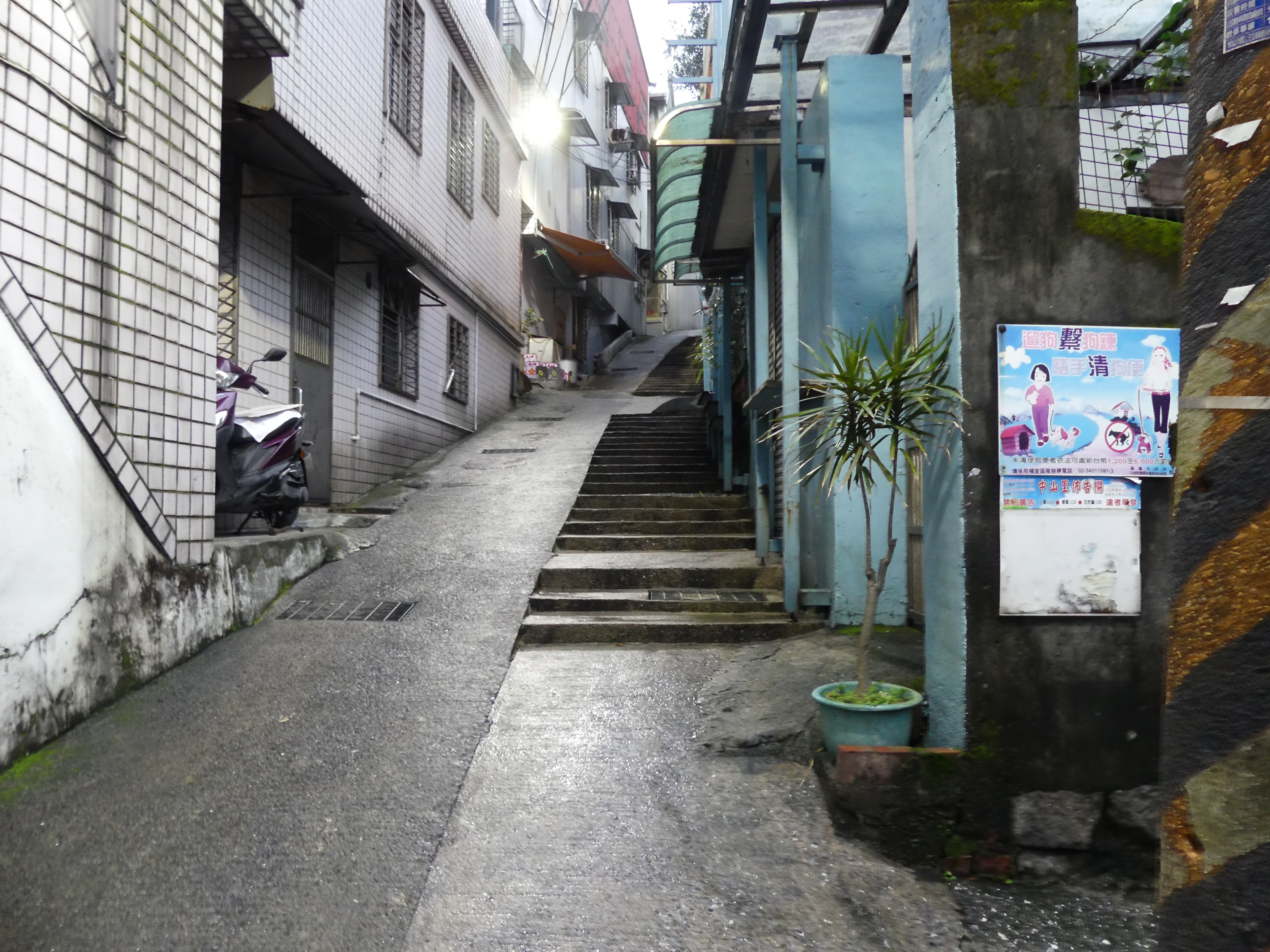
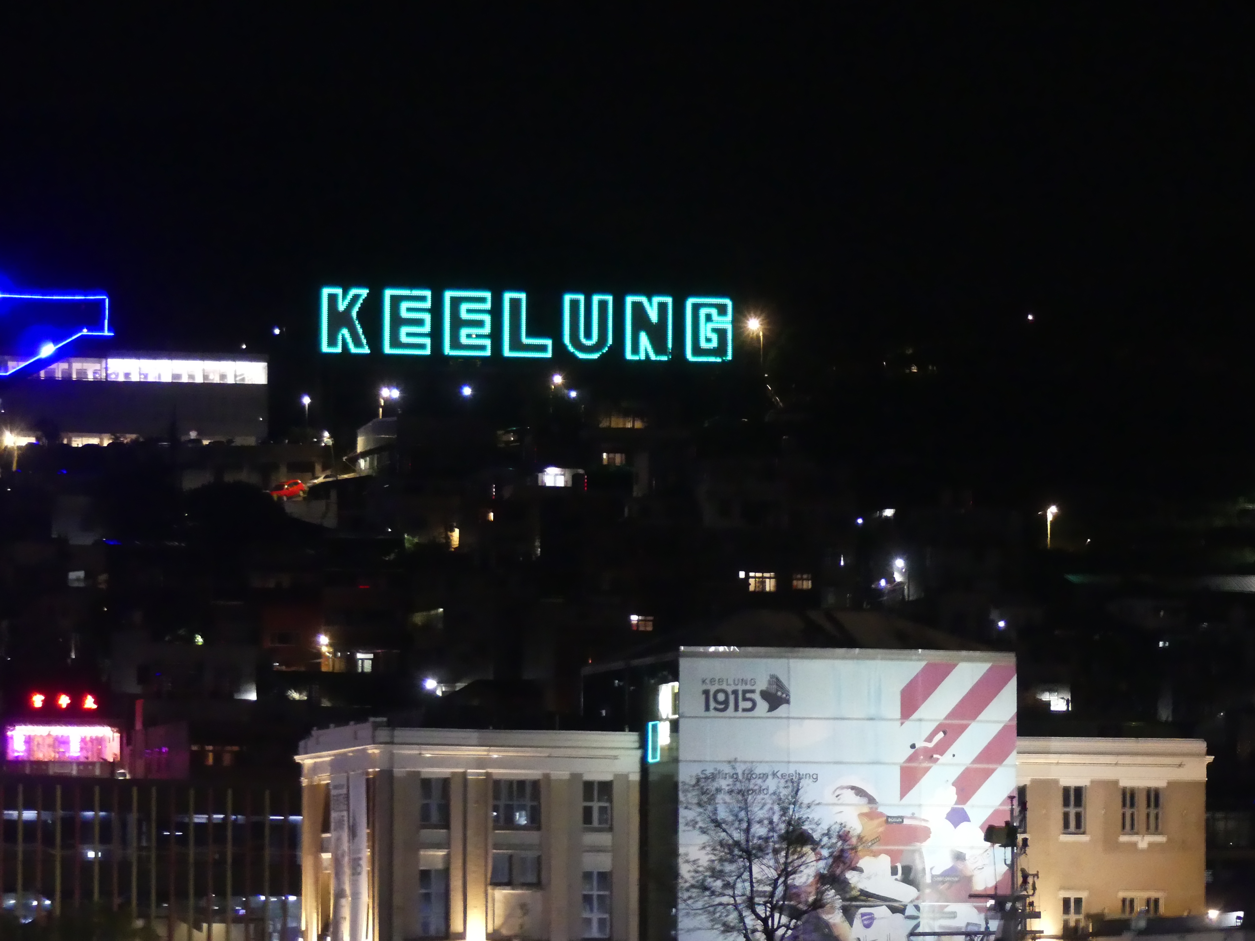
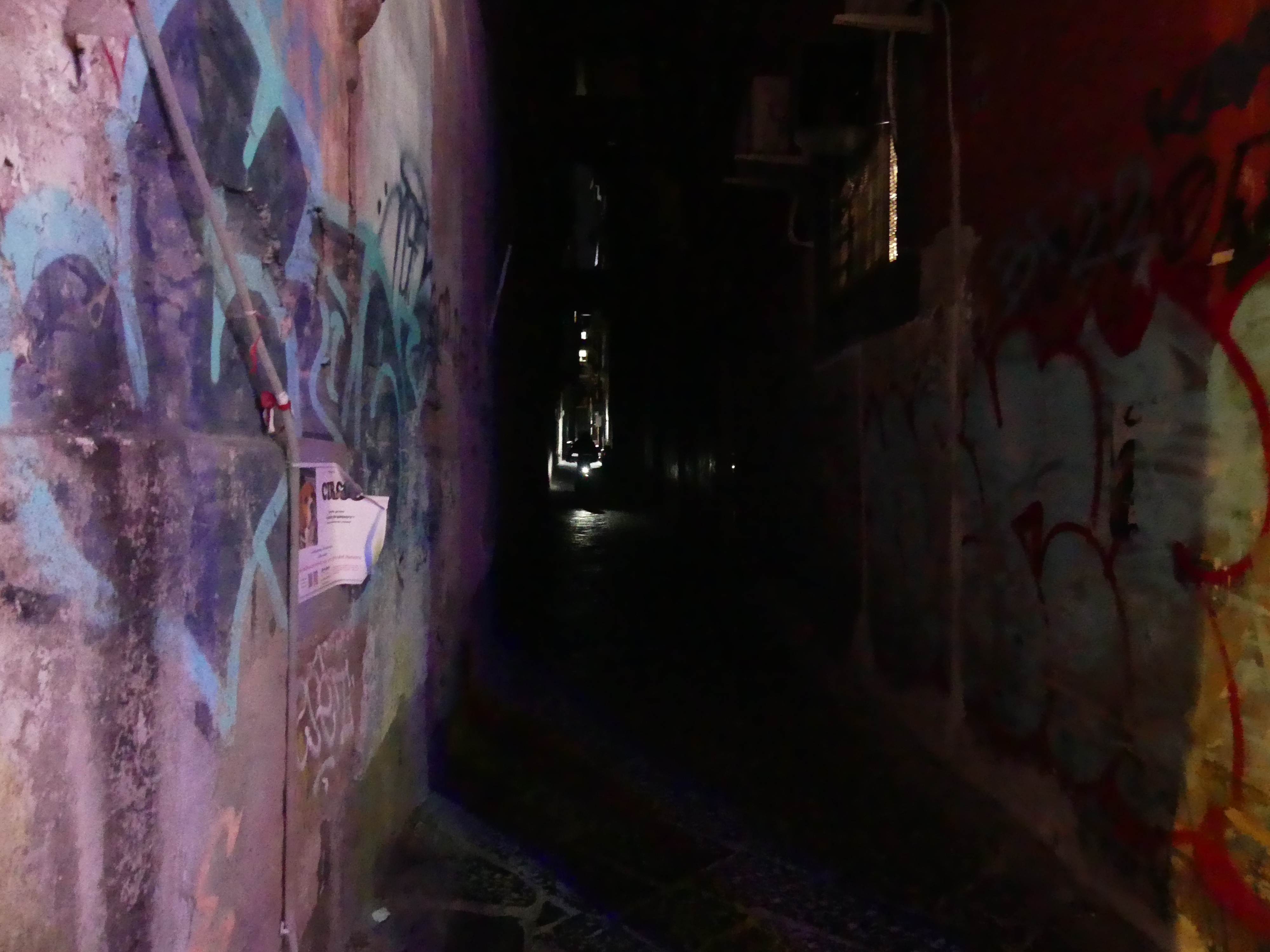
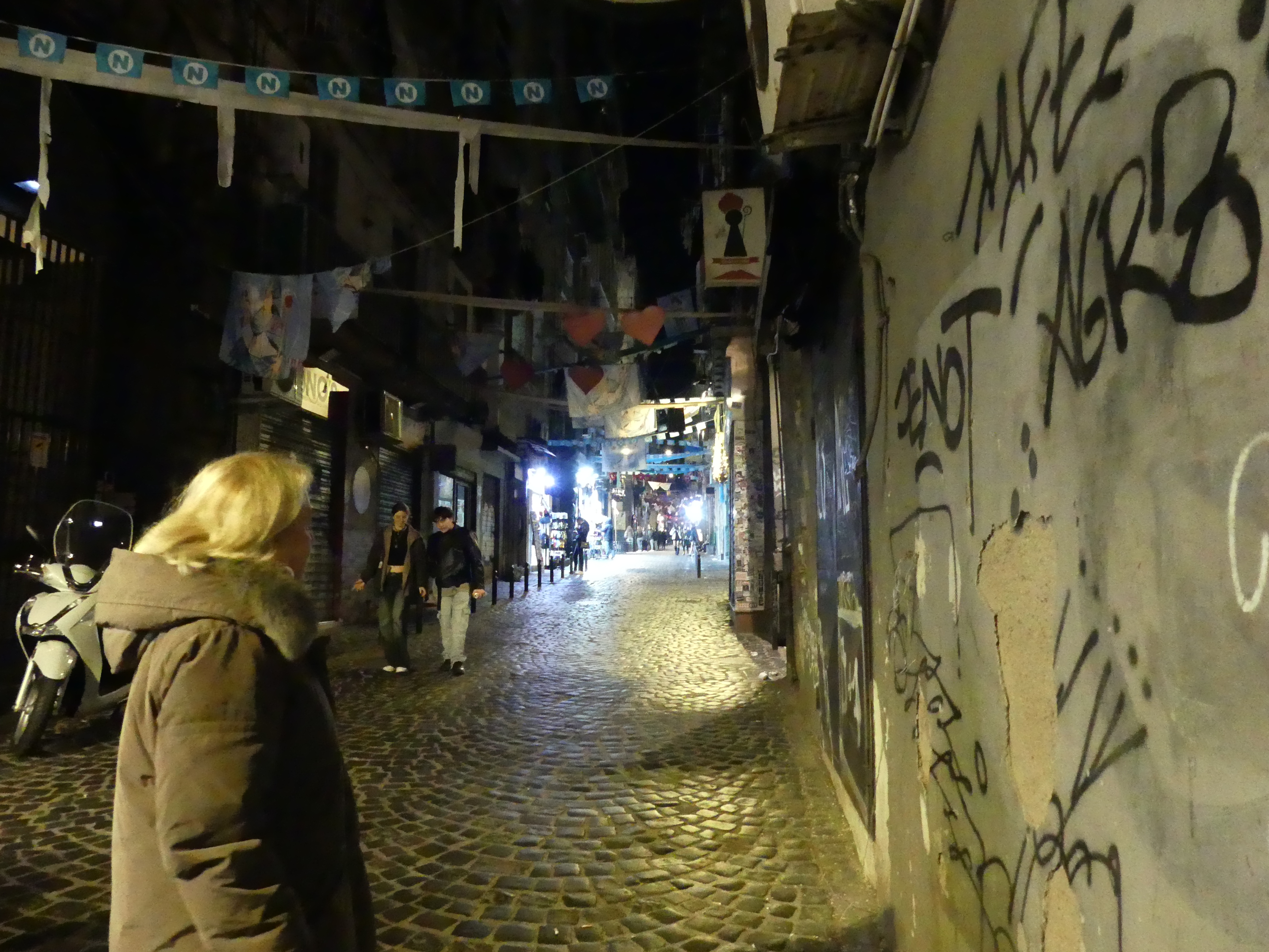
As the ship was stopping overnight, we decided to take in Keelung City by sunset. The idea was to visit the Hollywood style announcement of the city by night. Kerry was keen to visit the sign saying, “It’s just over there”. So just before sunset we set out to find our way on foot. I found a non-descript lane which basically said “this way” to take us up the hill. Now Kerry has the habit of counting stairs. She did so on this occasion also. Once she got to 200 stairs, I didn’t wish to think anything further about that. We passed houses with small shrines and open doors and damn scooters busily buzzing bottom to top, more Buddhist temples and finally a sign – we had arrived. You will see two photos of the sign “Keelung” below, one from beside the sign and the other from the streets below. Yes, we did that in the rain.
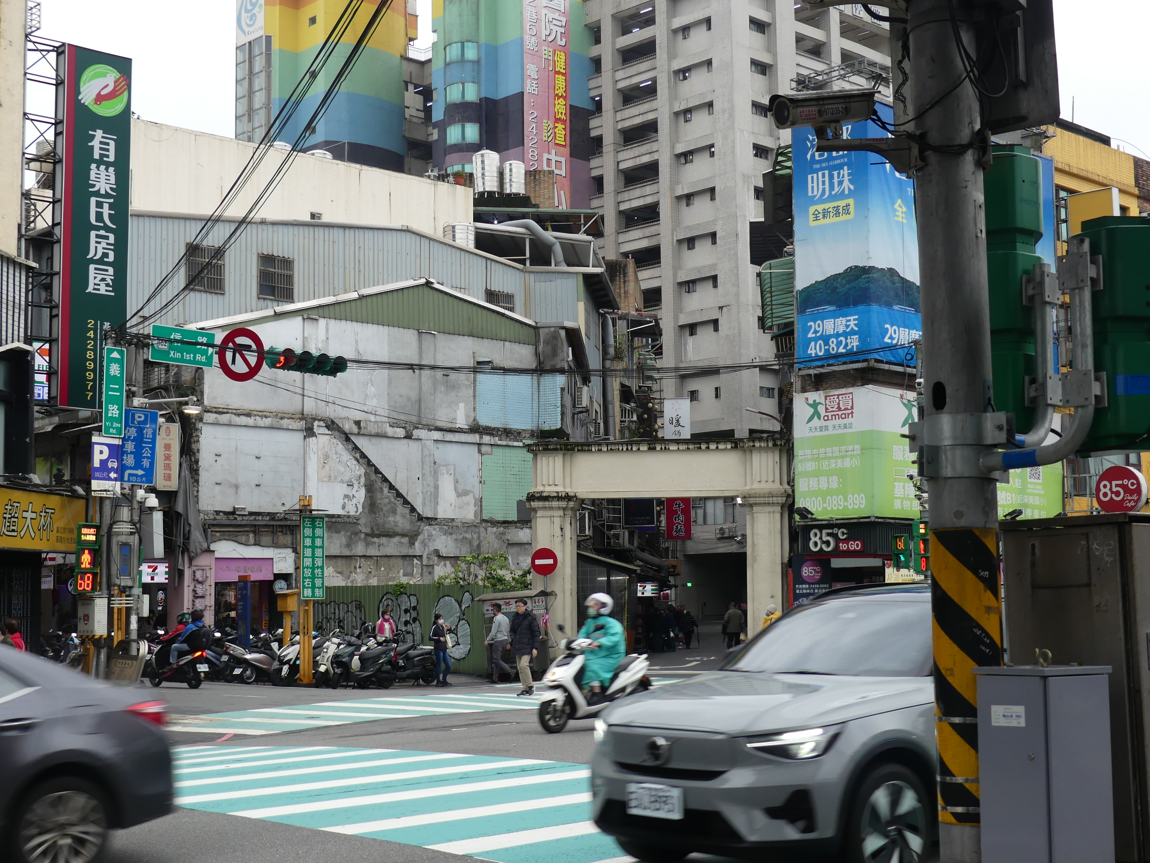
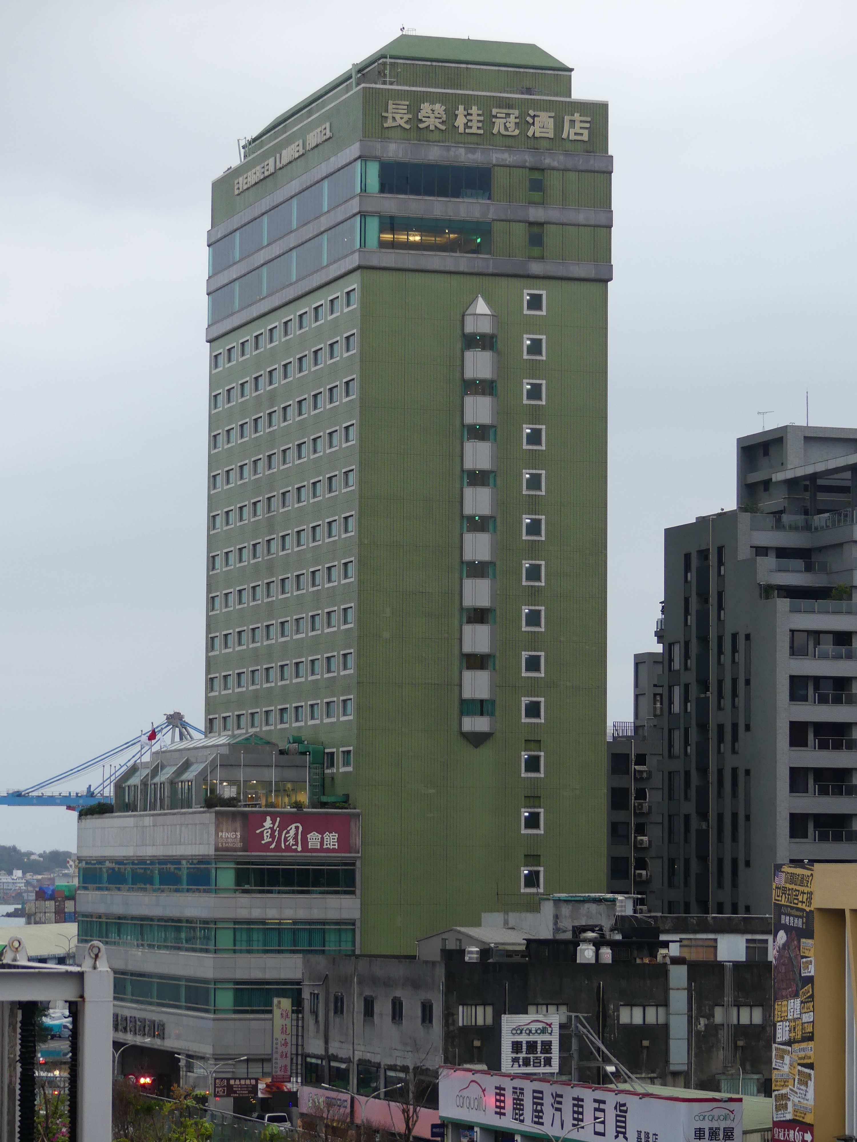
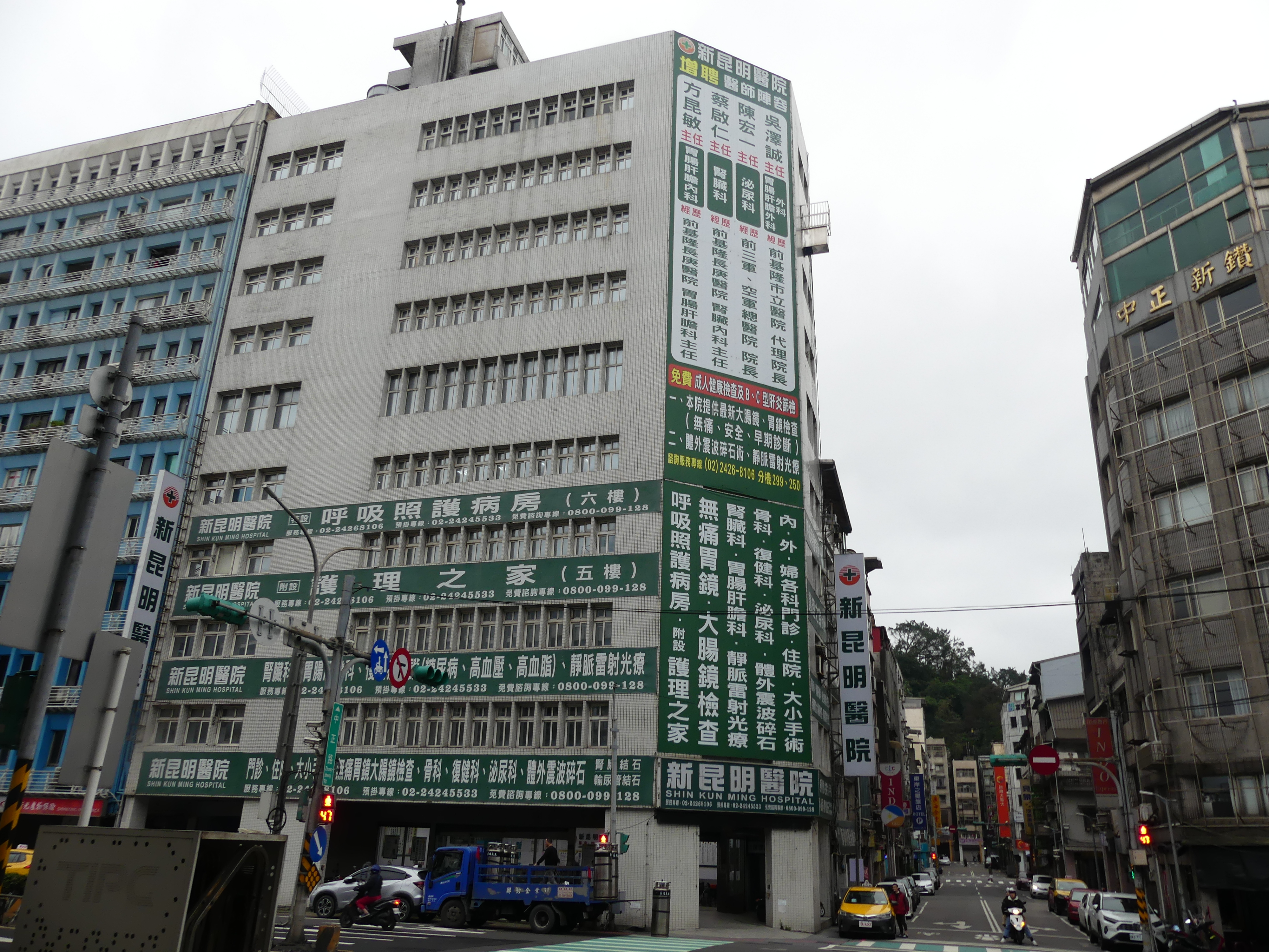
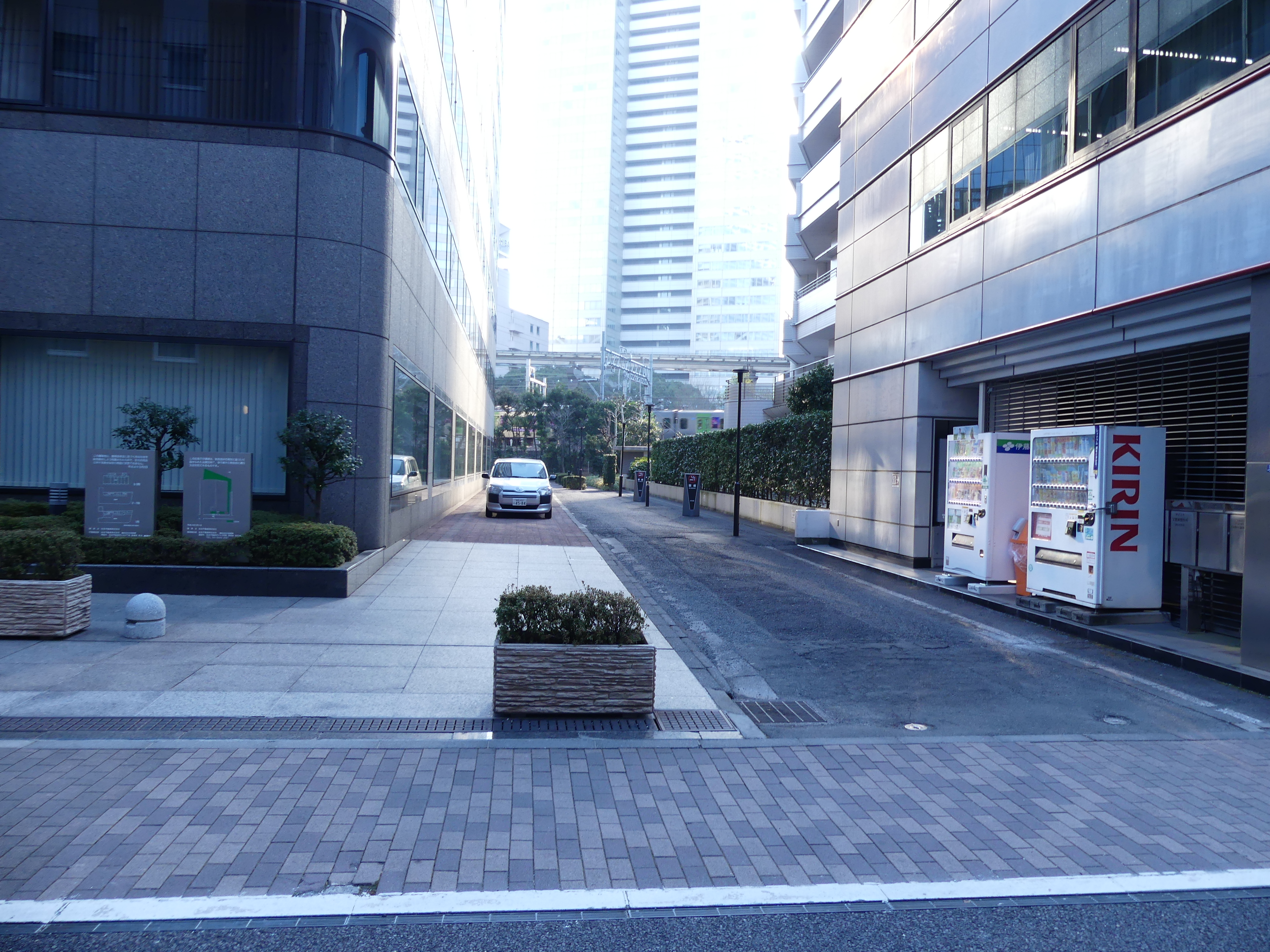
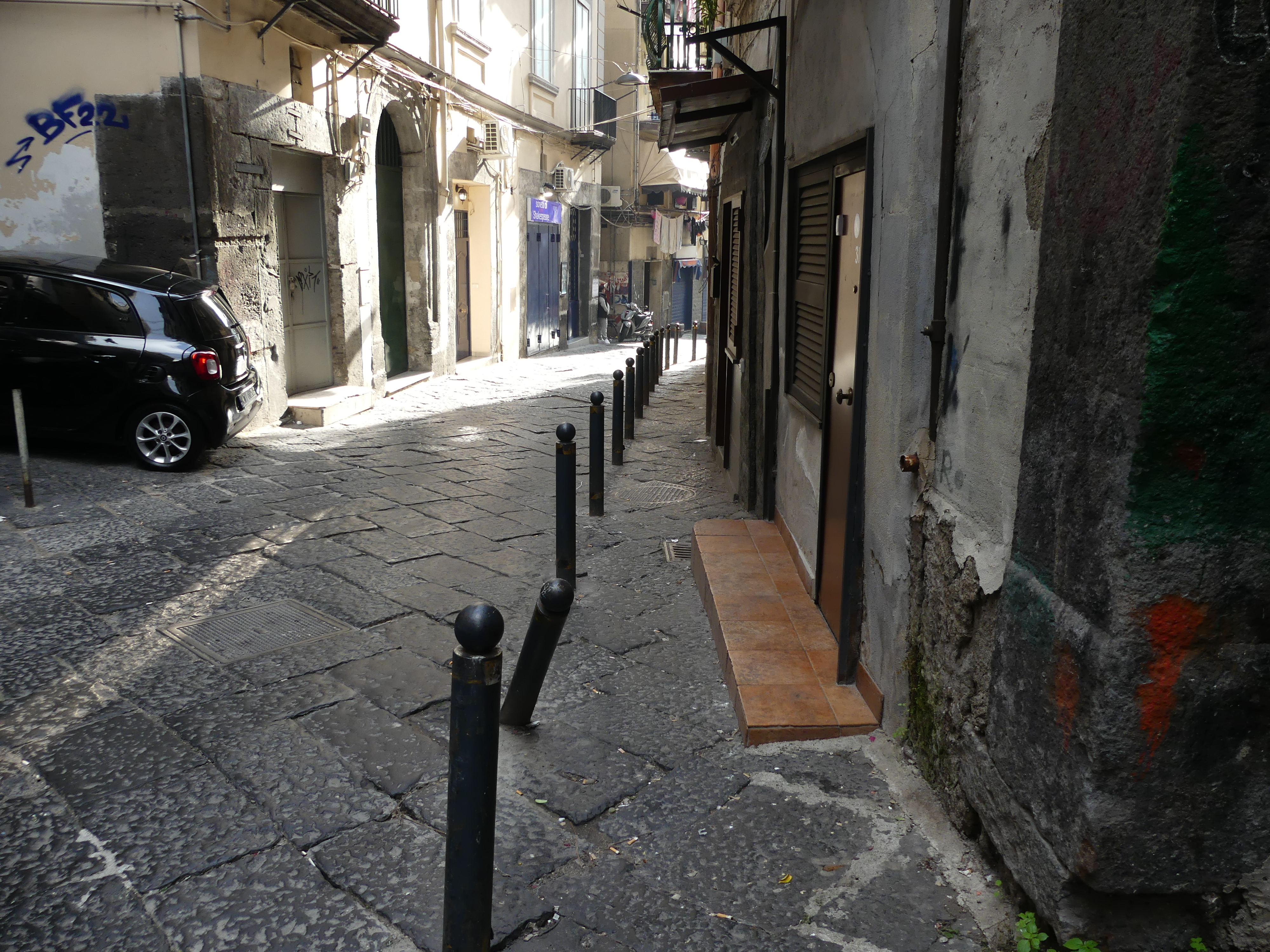
We made our way through the night market and the streets generally. The streets were so packed we were shouldering through the crowd. I was getting very tired by this time and Kerry kindly returned to the ship with me otherwise she would still be looking for me in that crowd. The next morning, I got a picture of Evergreen Hotel. Now we had flown with EVA airlines on many occasions. Evergreen is one of those Asian vertically integrated companies from airlines to hotels to transport and everything in between and here is one of the hotels. I also snapped a picture of a building which turned out to be a hospital – who would have guessed if you were not Taiwanese and where the hell do you park.
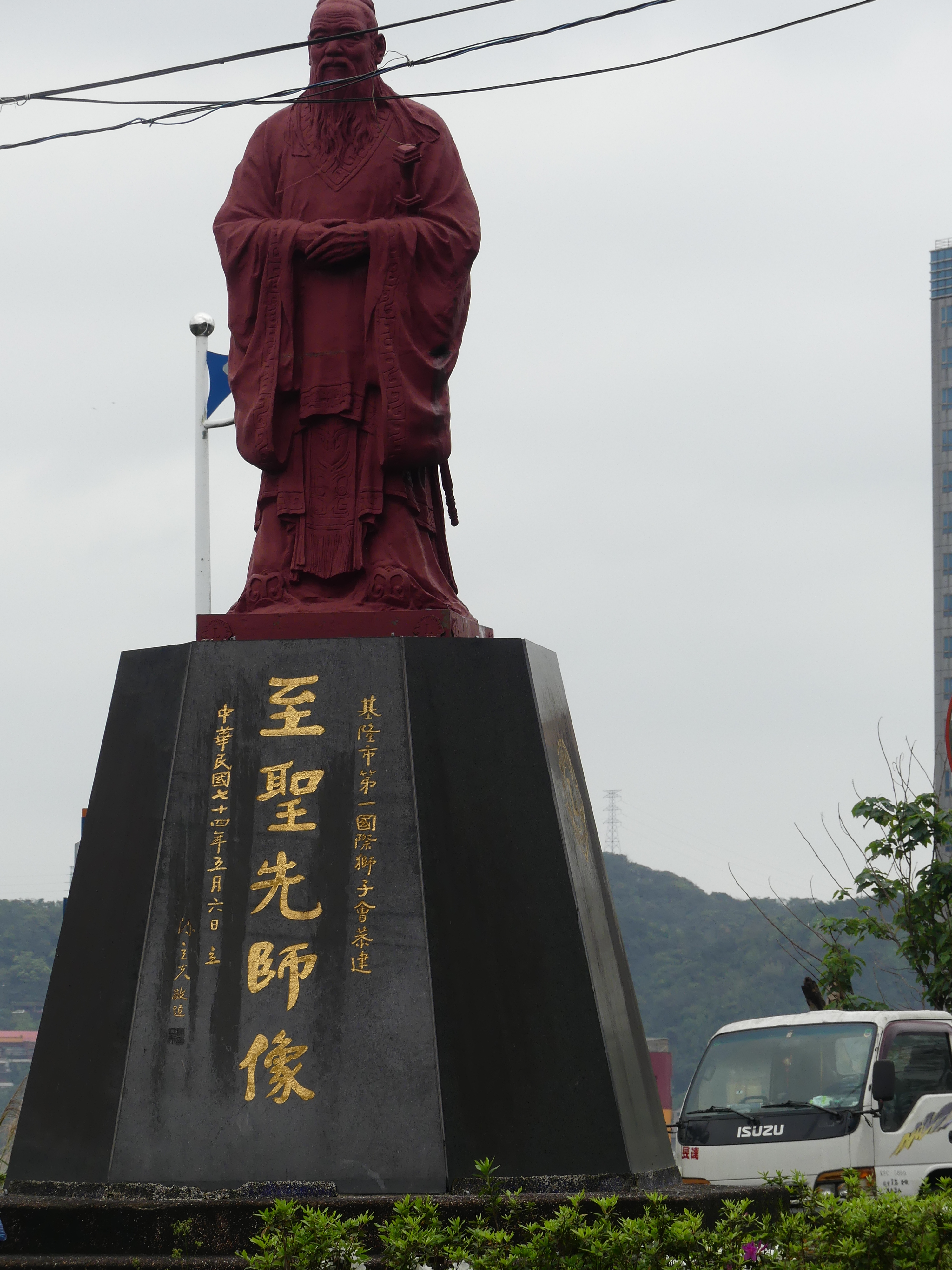
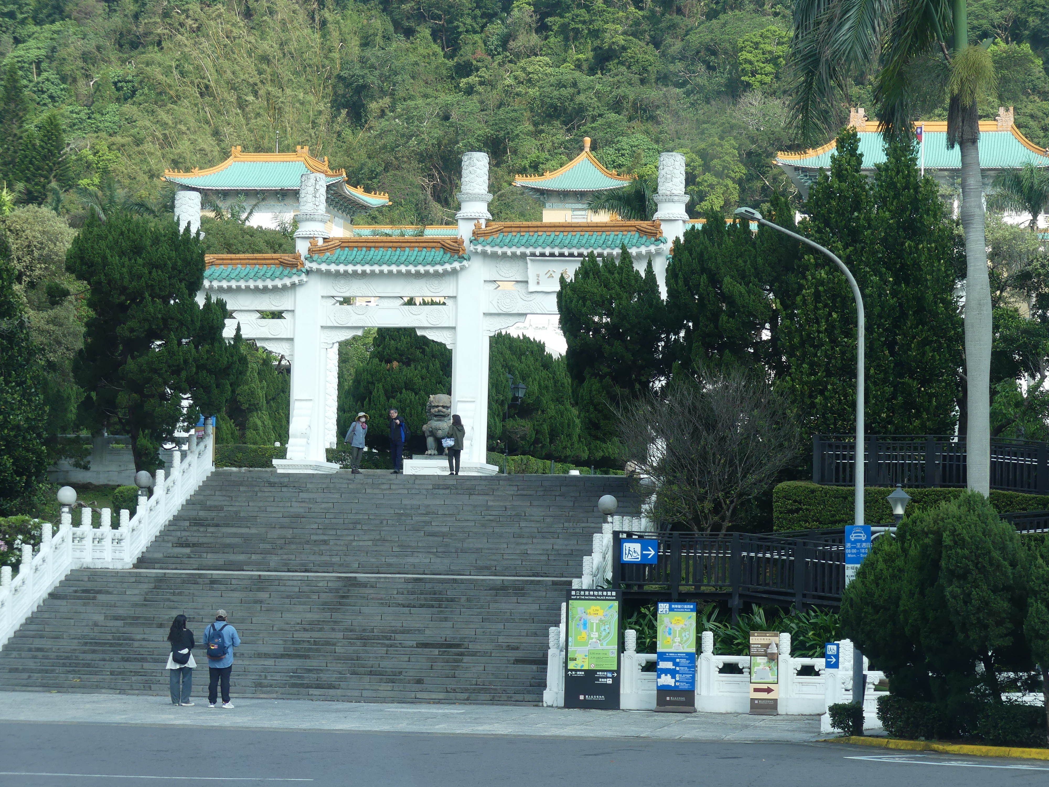
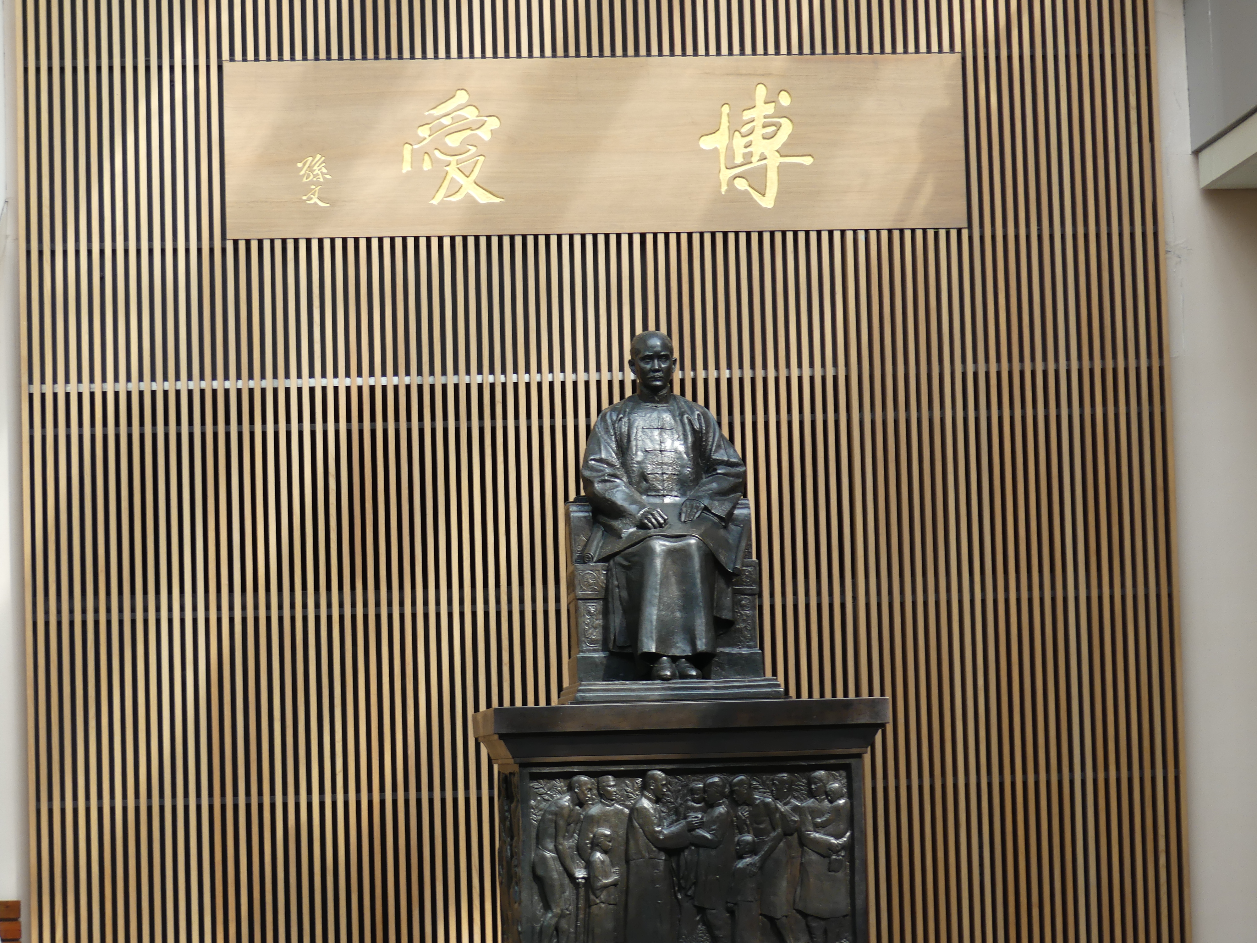
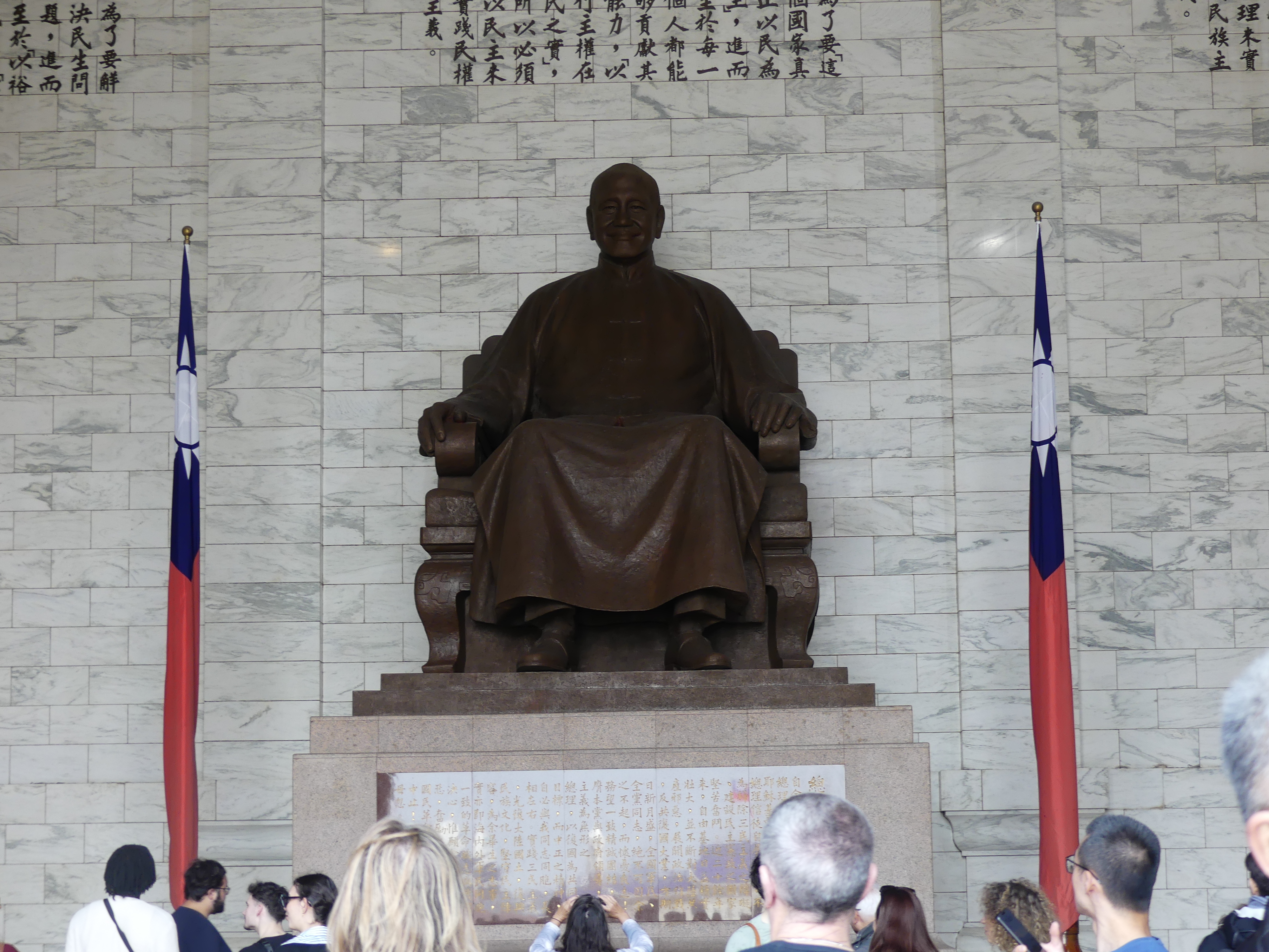
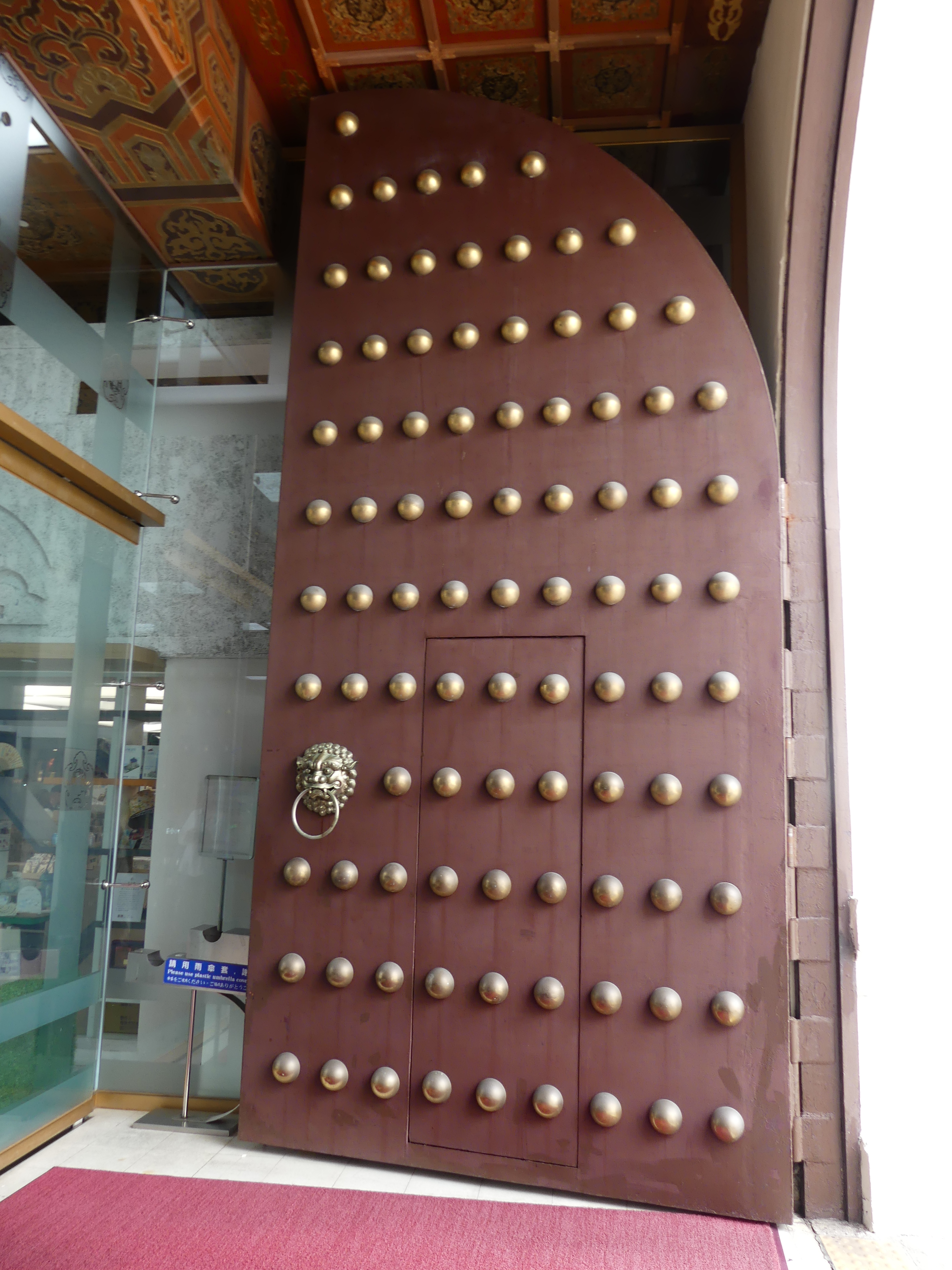
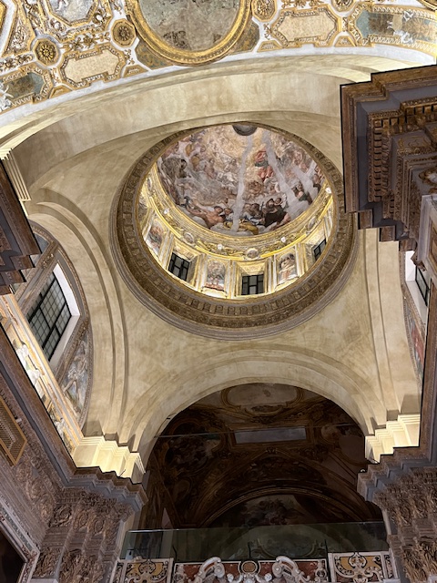
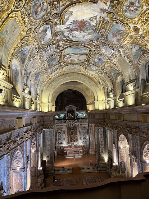
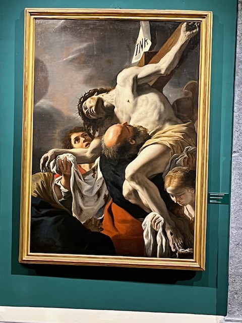
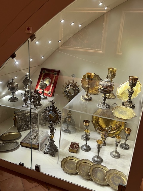
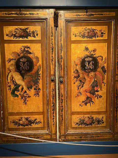
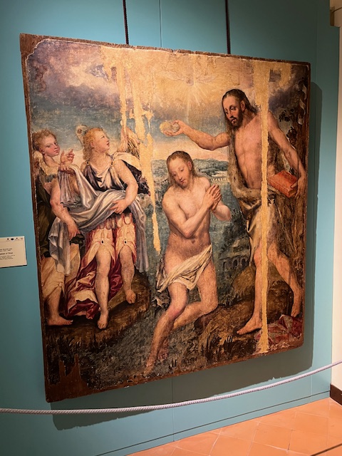
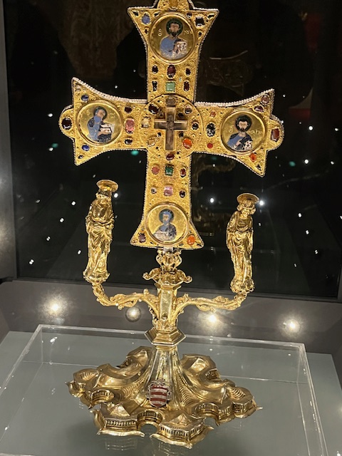
The following day we joined Barry and Sandi Rowland on the excursion of Taipei City Centre and Taipei 101, Chang Kai-Shek Memorial, National Palace Museum & Martyrs’ Shrine. We started with the National Palace Museum. After entering the museum, the great man greets us inside the front door.
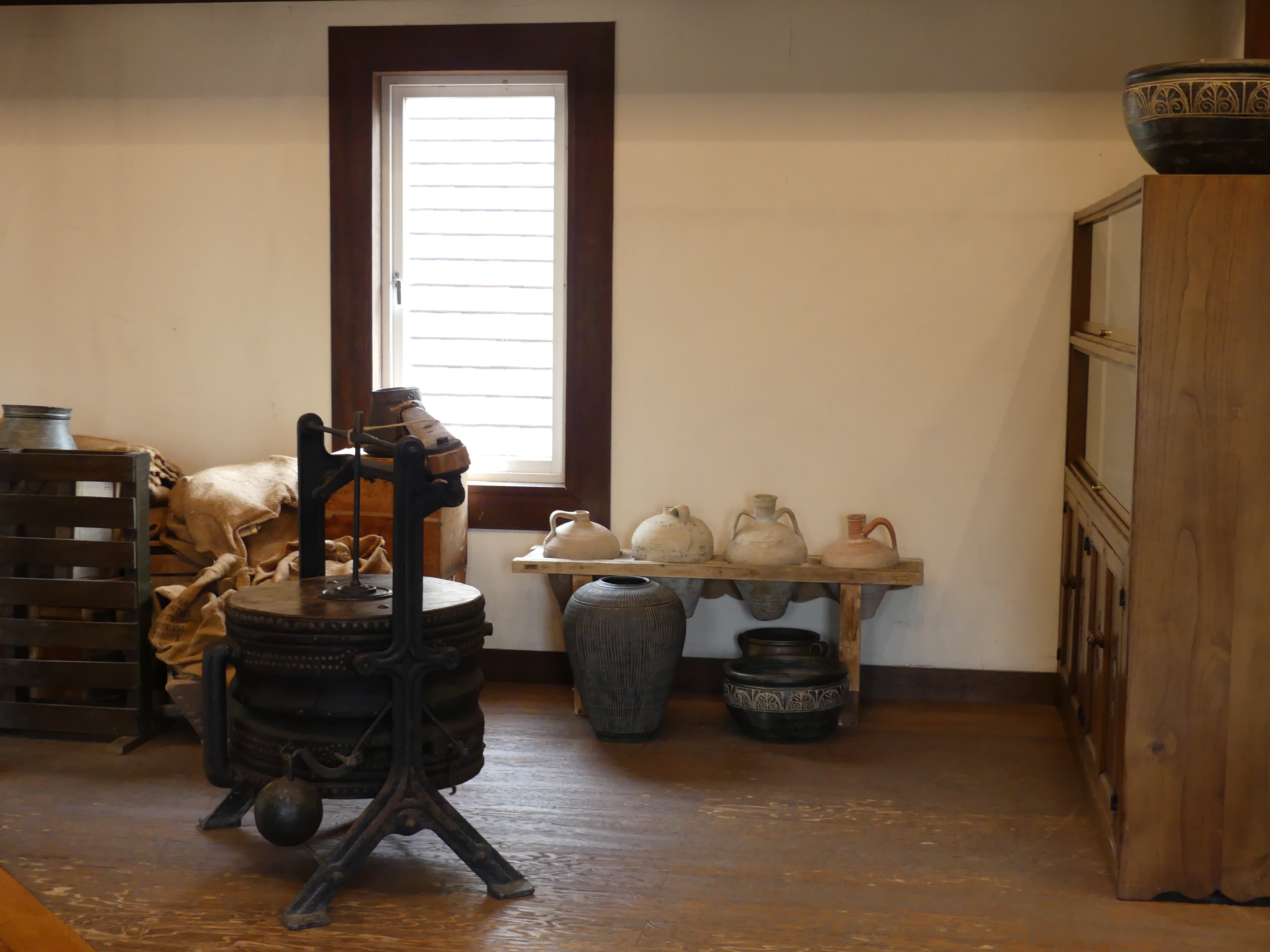
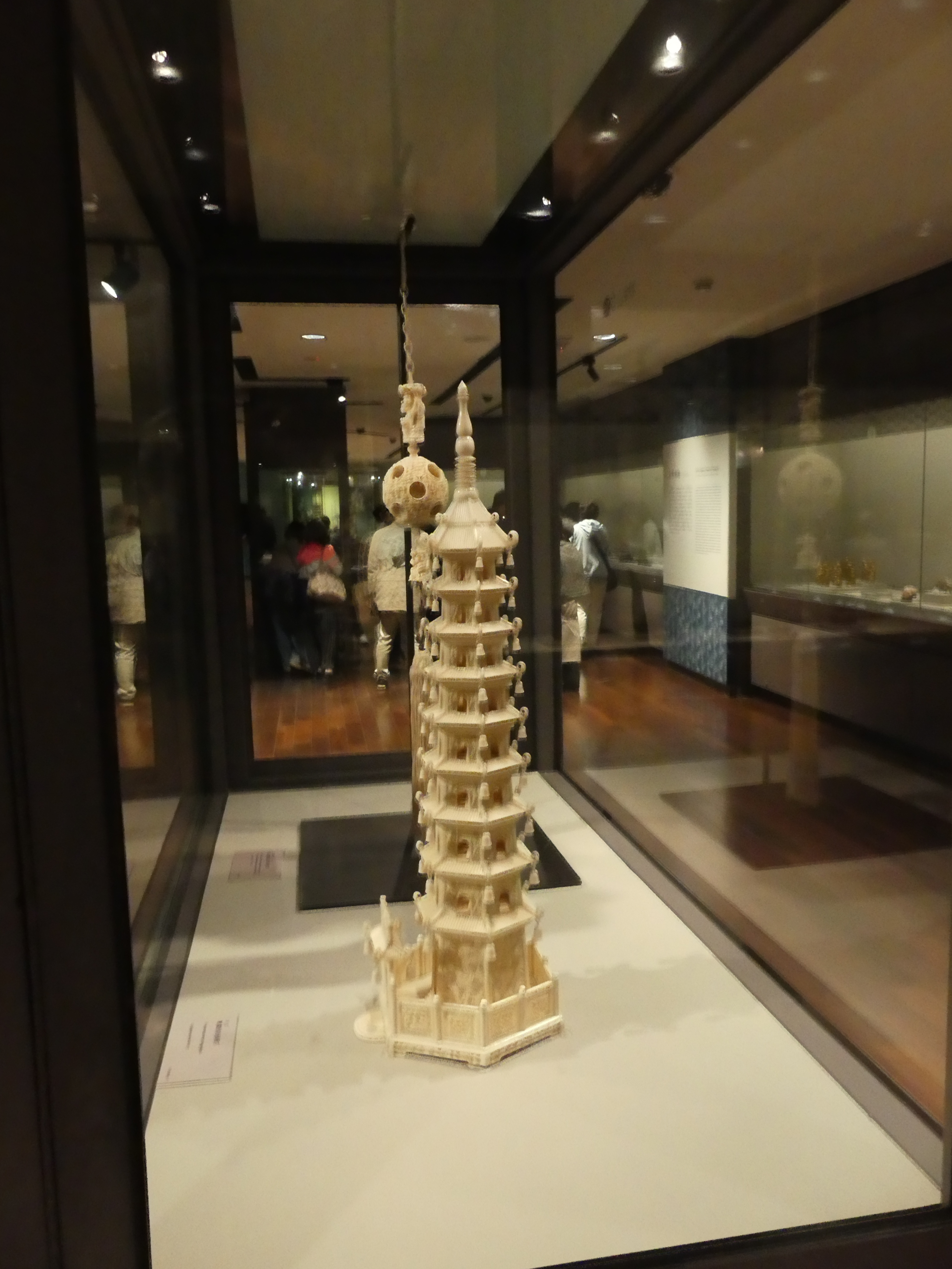
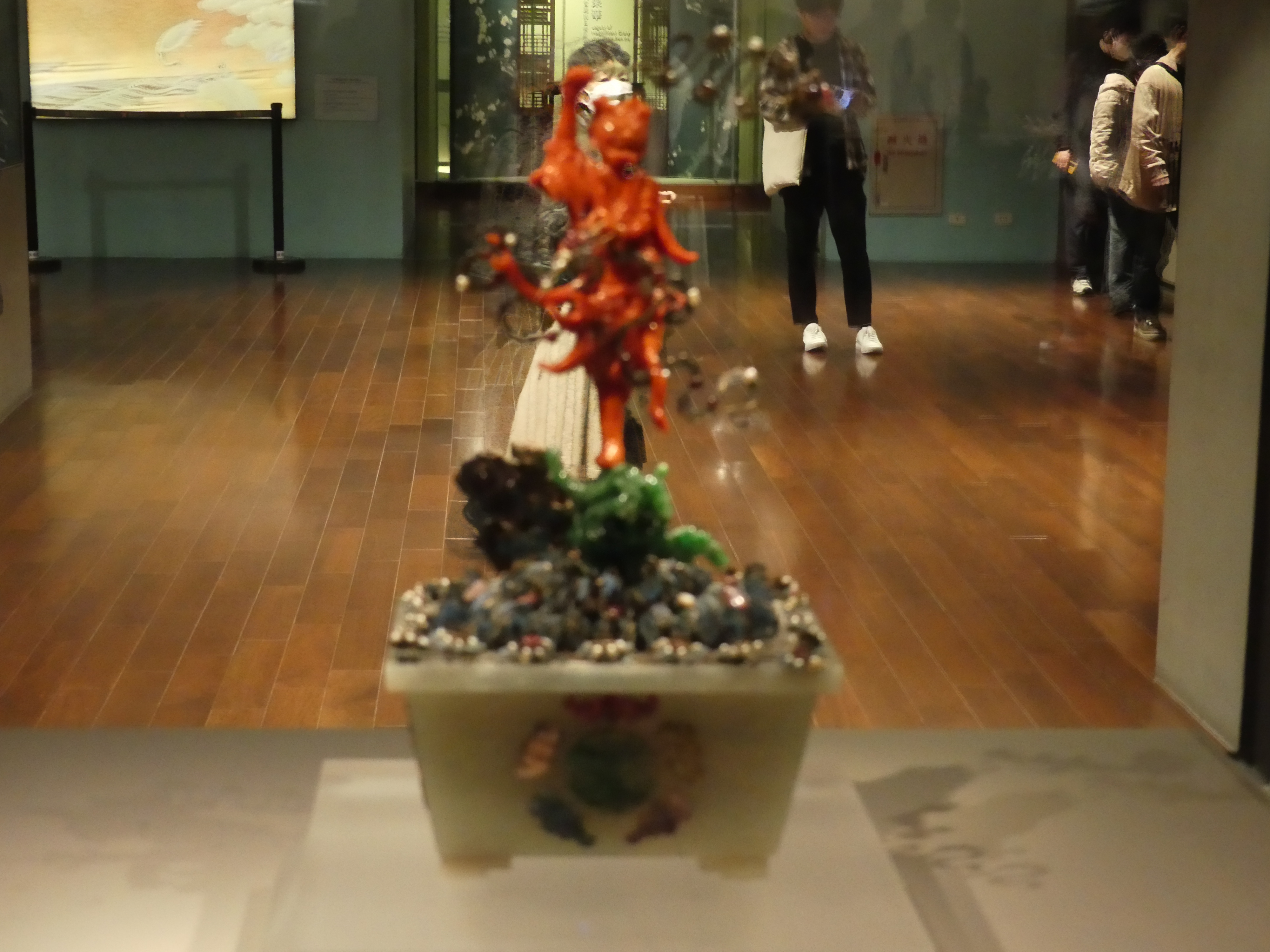
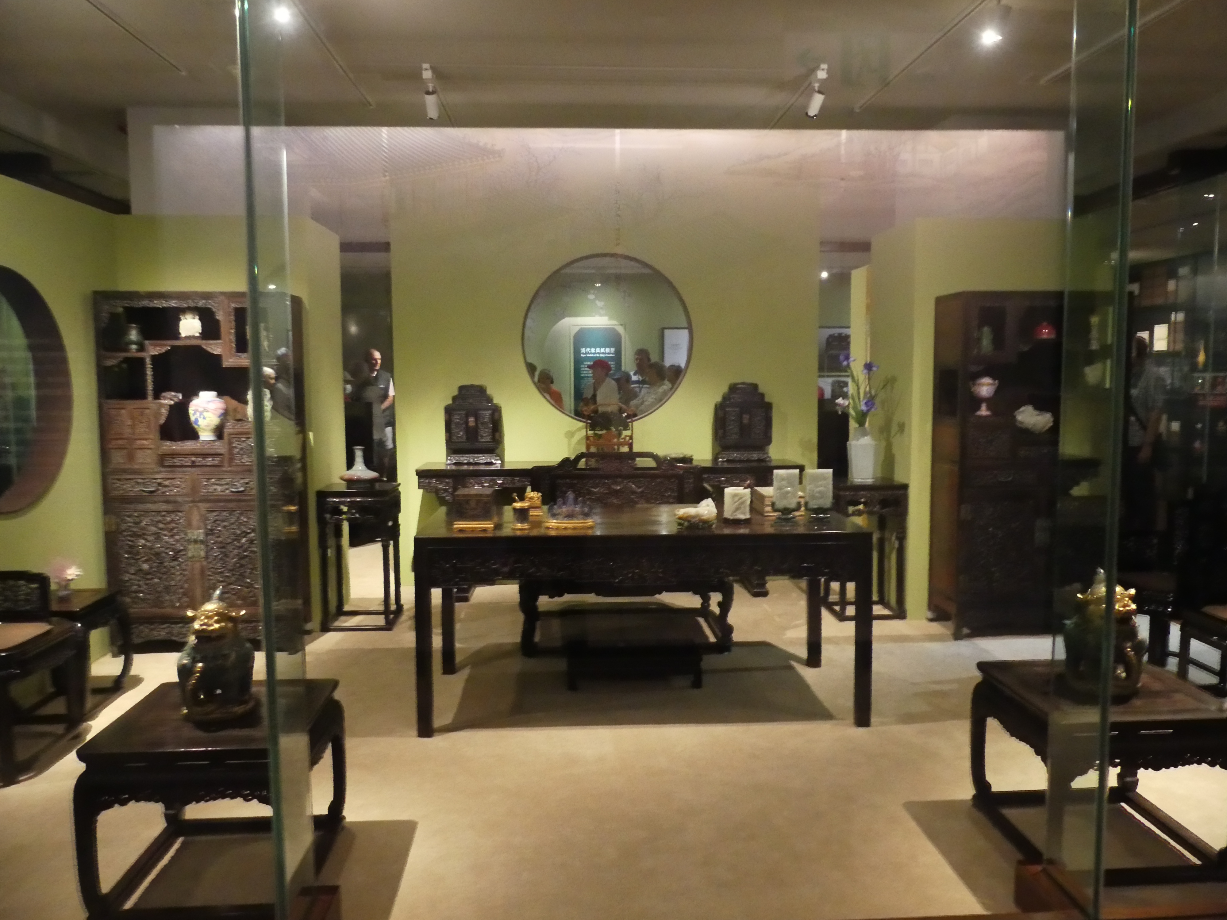
There is a lot of Chinese artifacts here and I have provided a few photos of what caught my eye. I suggest all of this was liberated from the Peoples Republic of China by Chang Kai Shek escaping with the nationalists army to the island of Formosa later renamed Taiwan.
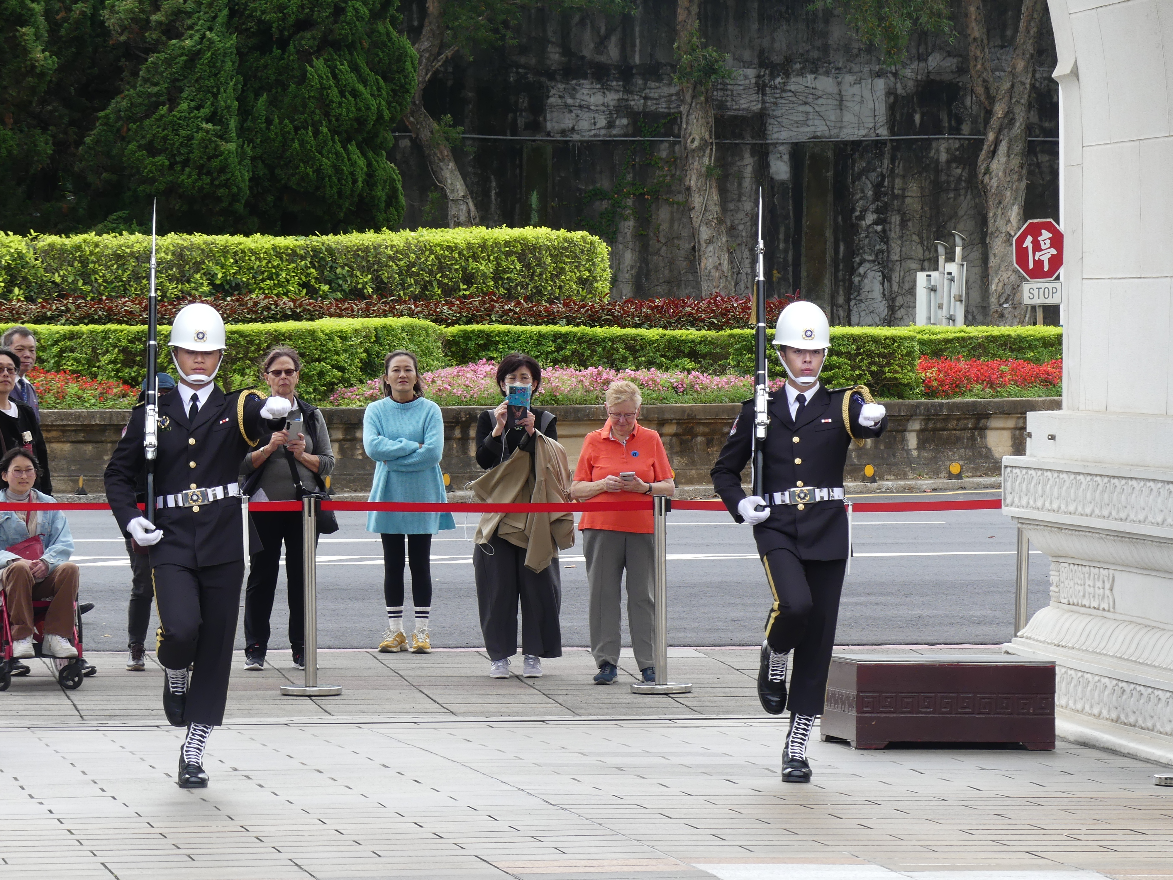
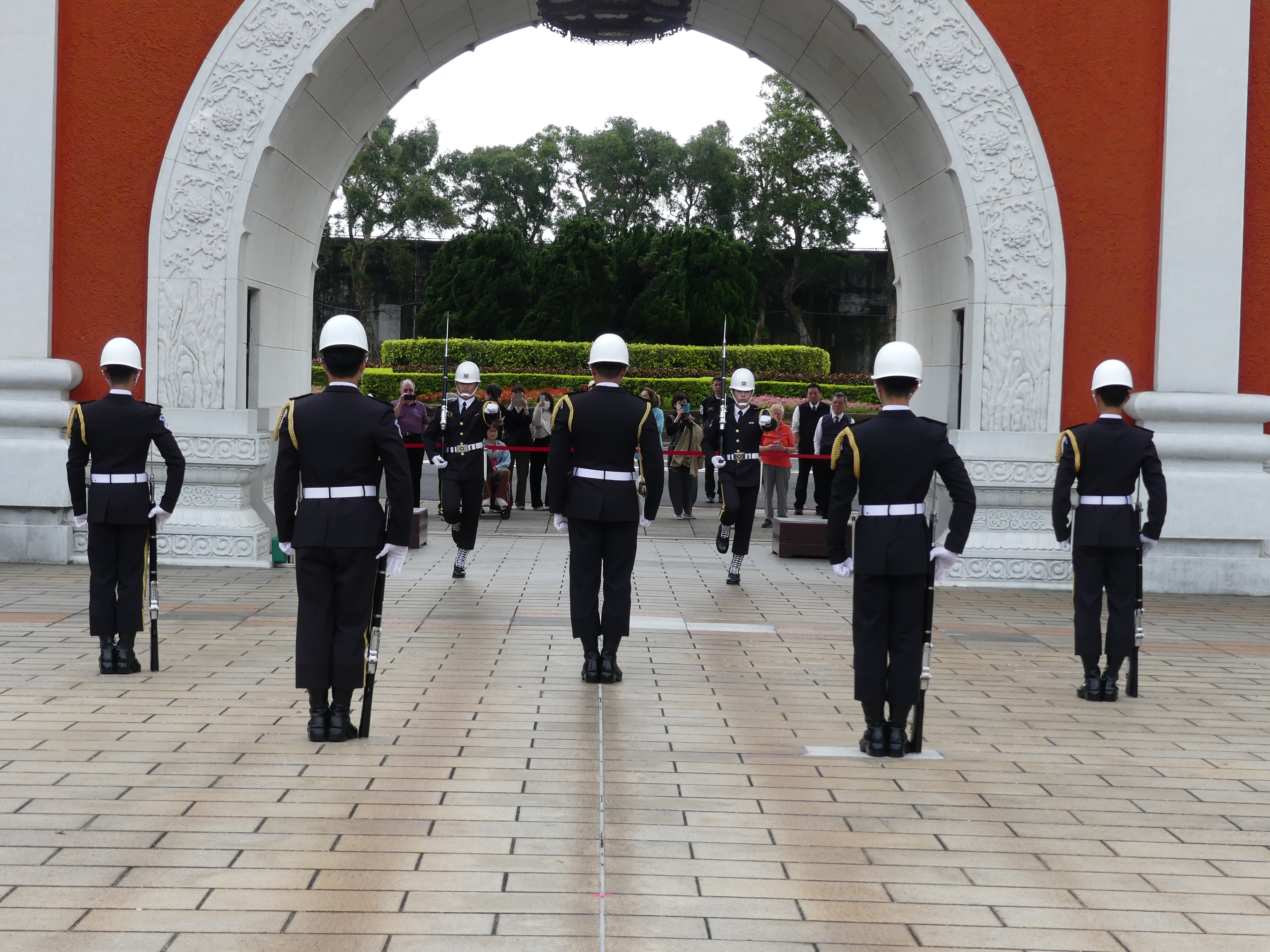
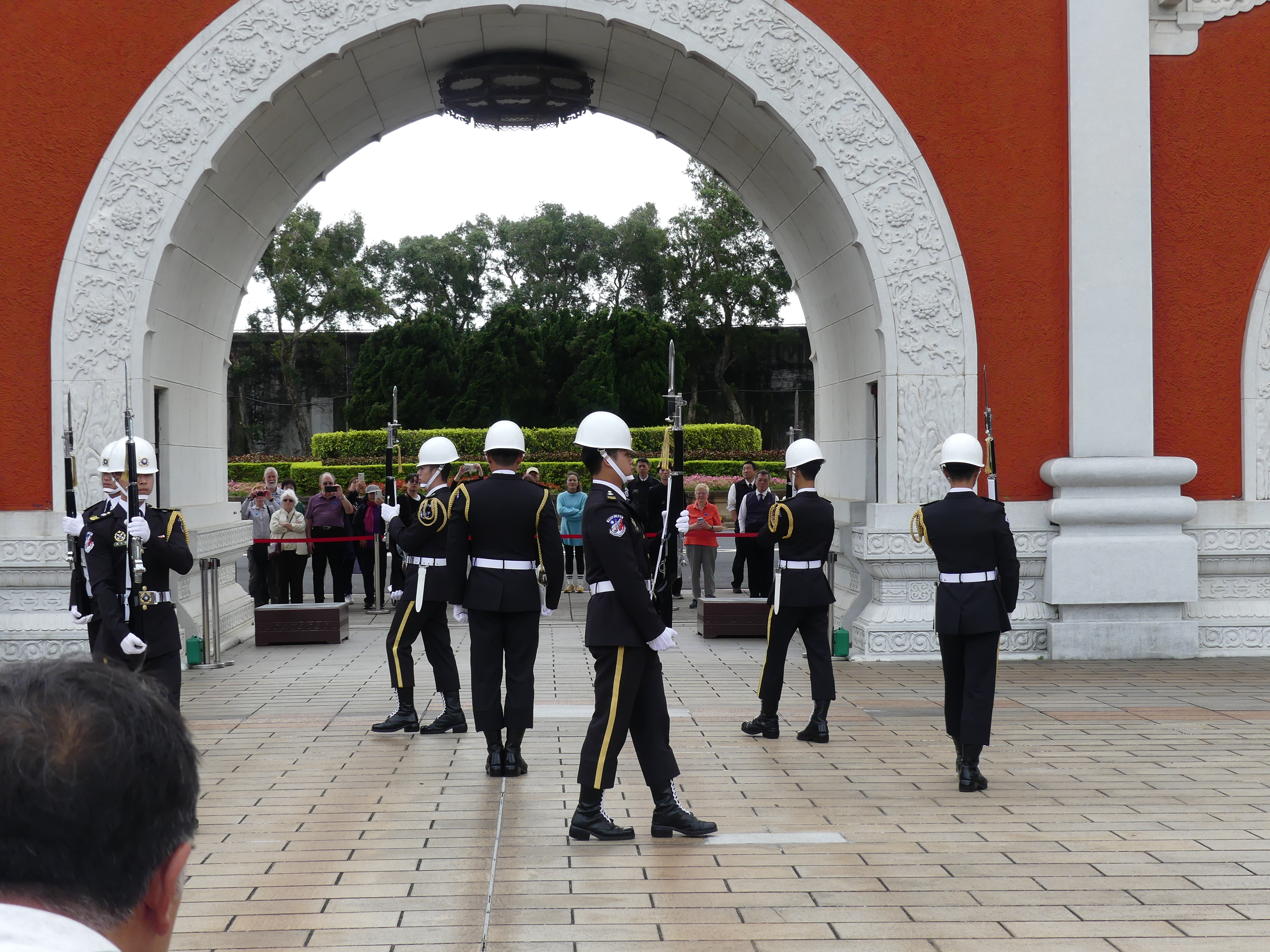
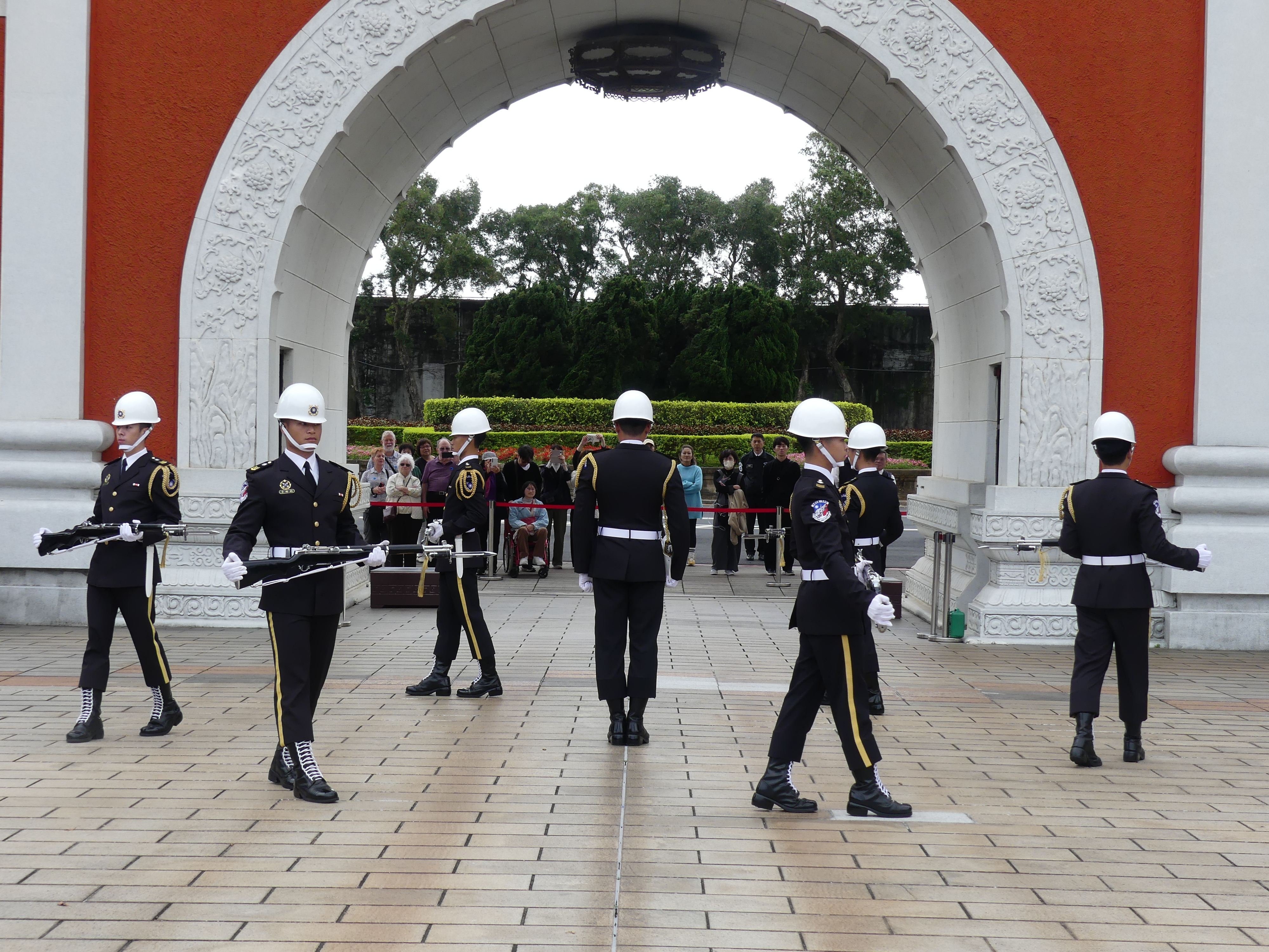
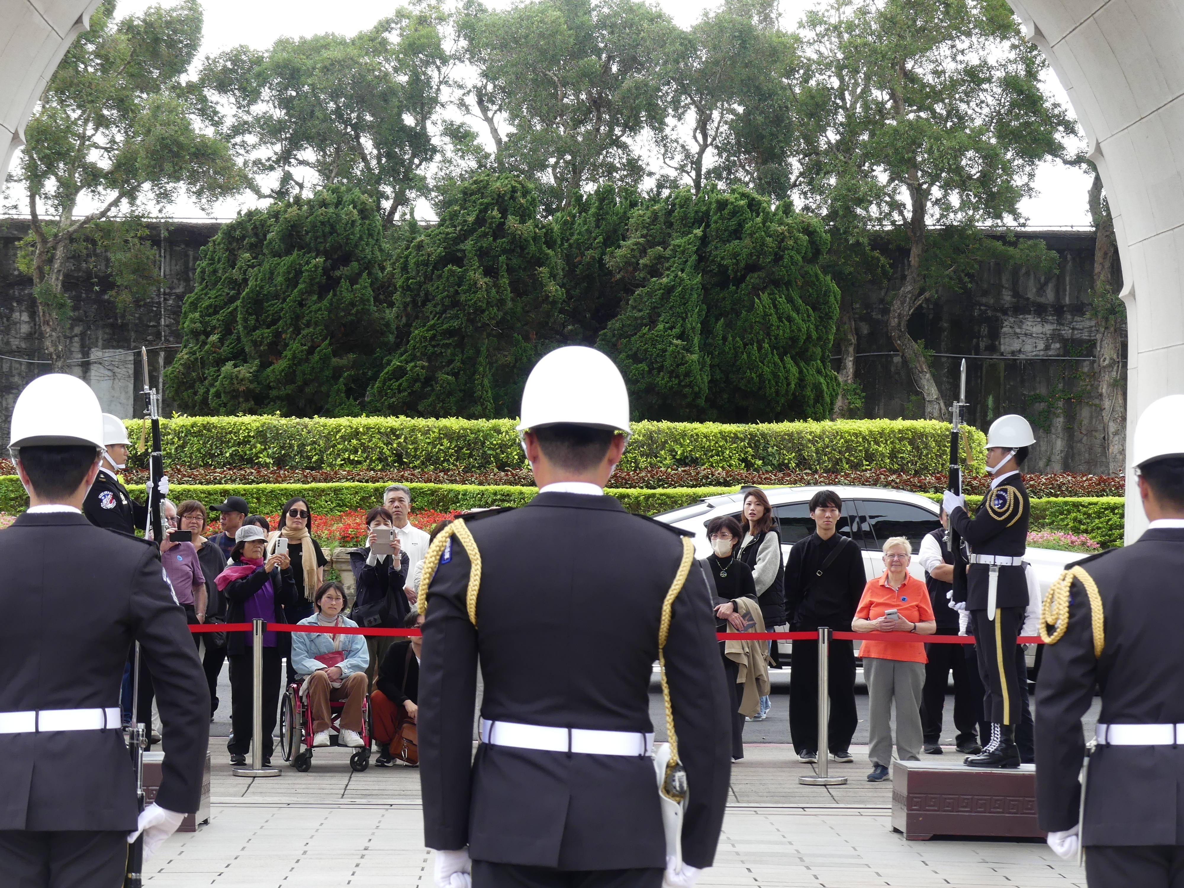
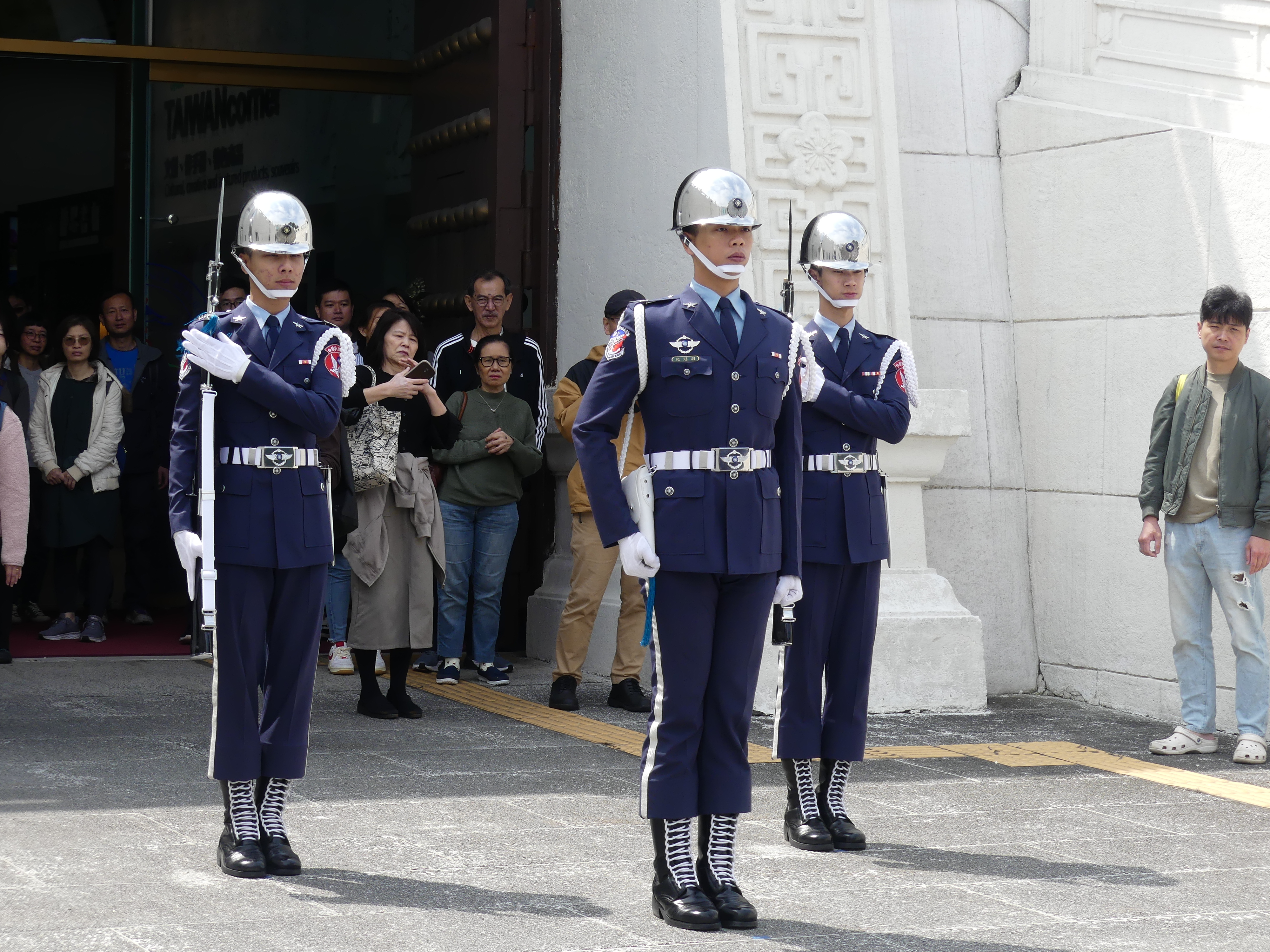
Back to the bus and next, we observed the changing of the guard.
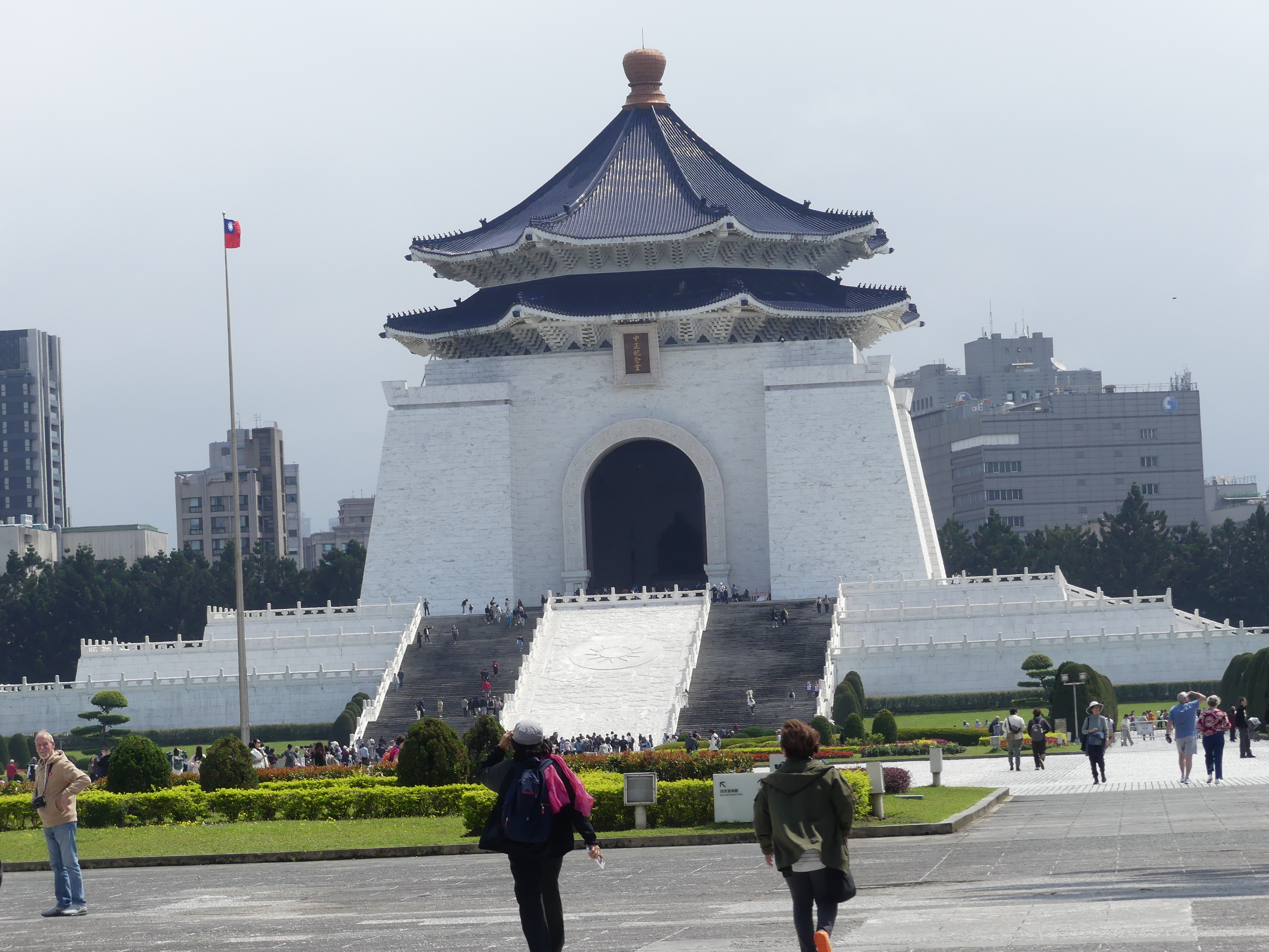
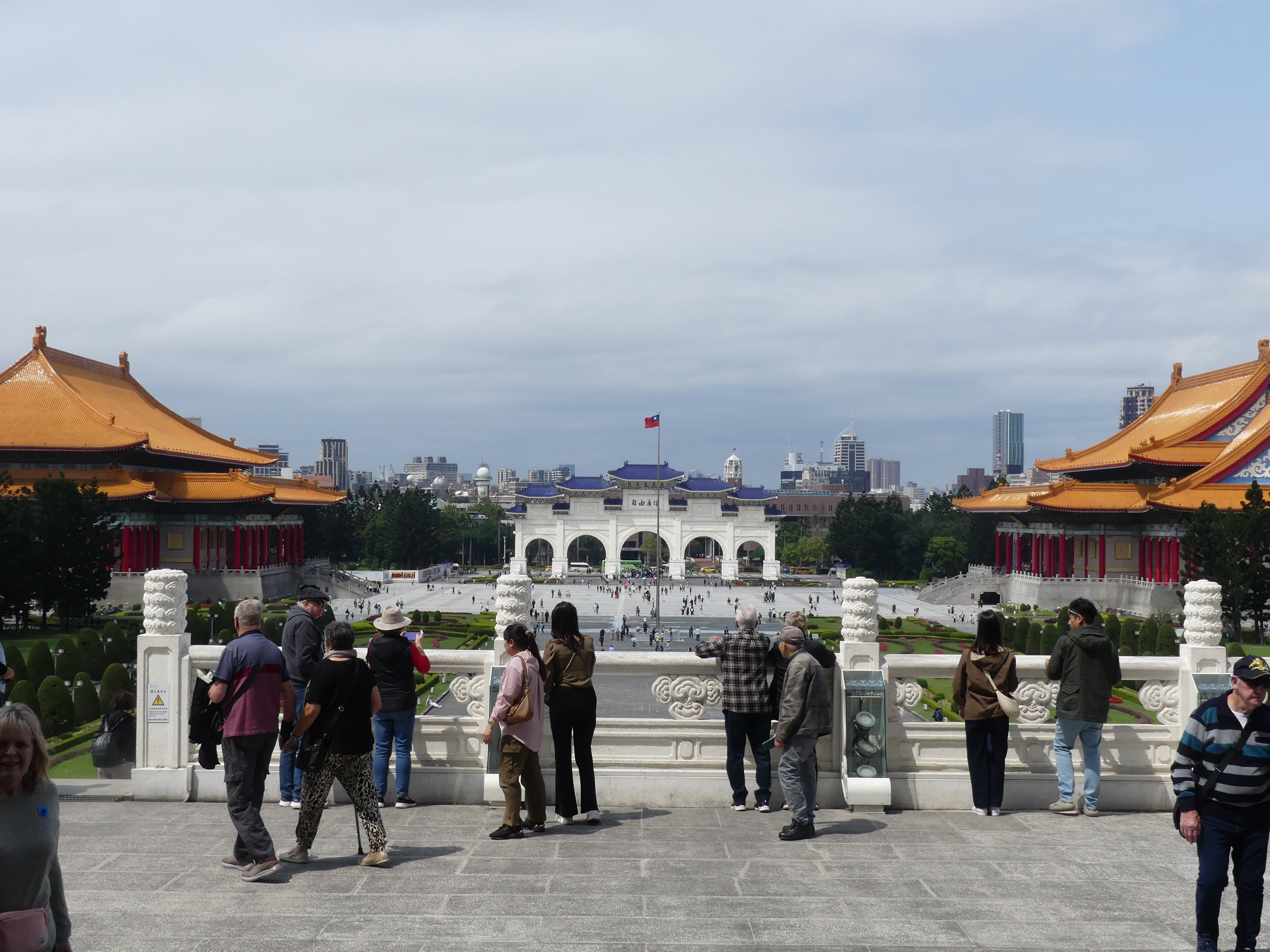
This was followed by the visit to the Chang Kai Shek Memorial & Martyrs Memorial where they also changed the guard. A grand plaza spread over acres of central Taipei with a huge monument to Chang Kai Shek. It included a Performing Arts pavilion and Museum and the Shrine.
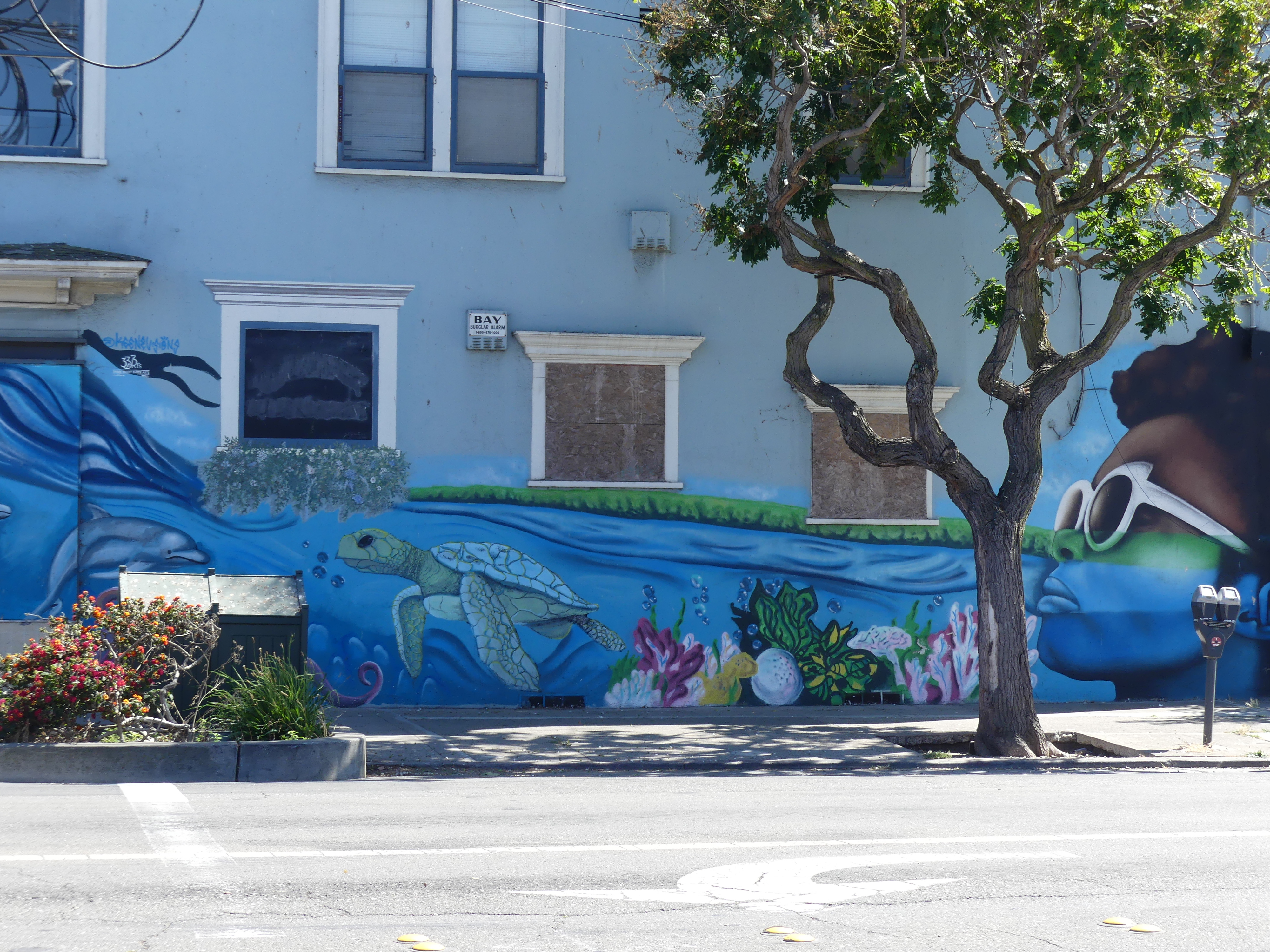
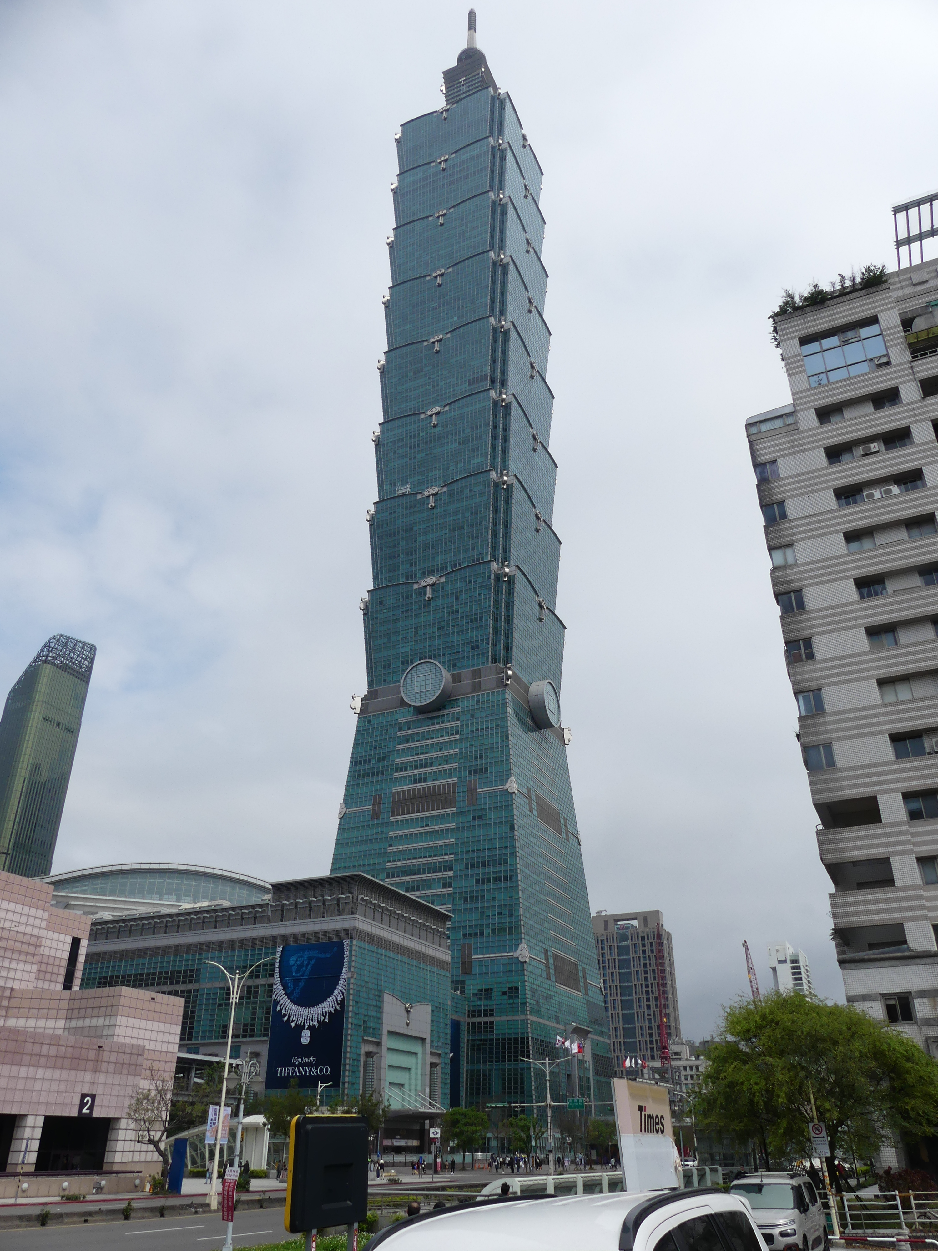
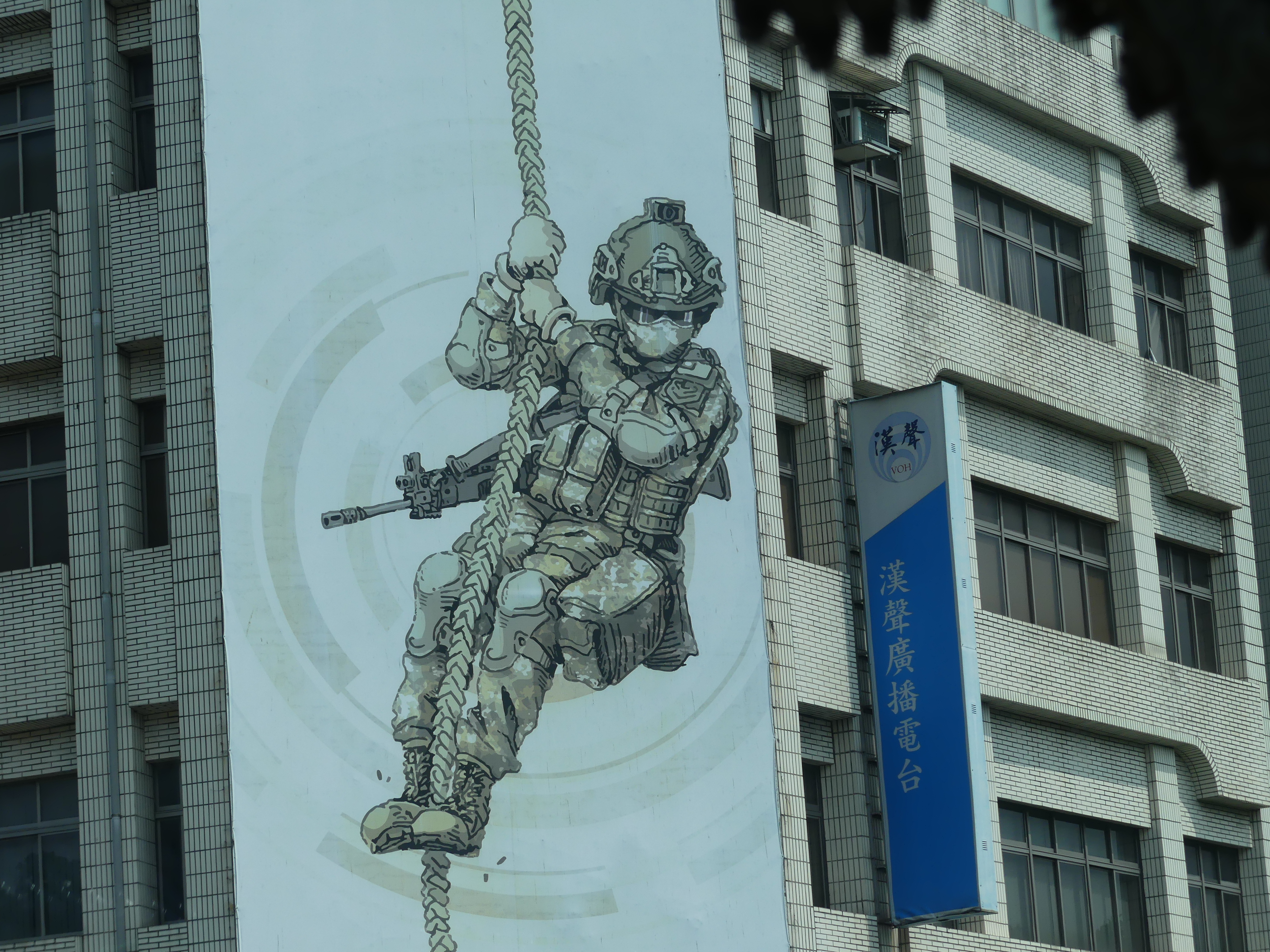
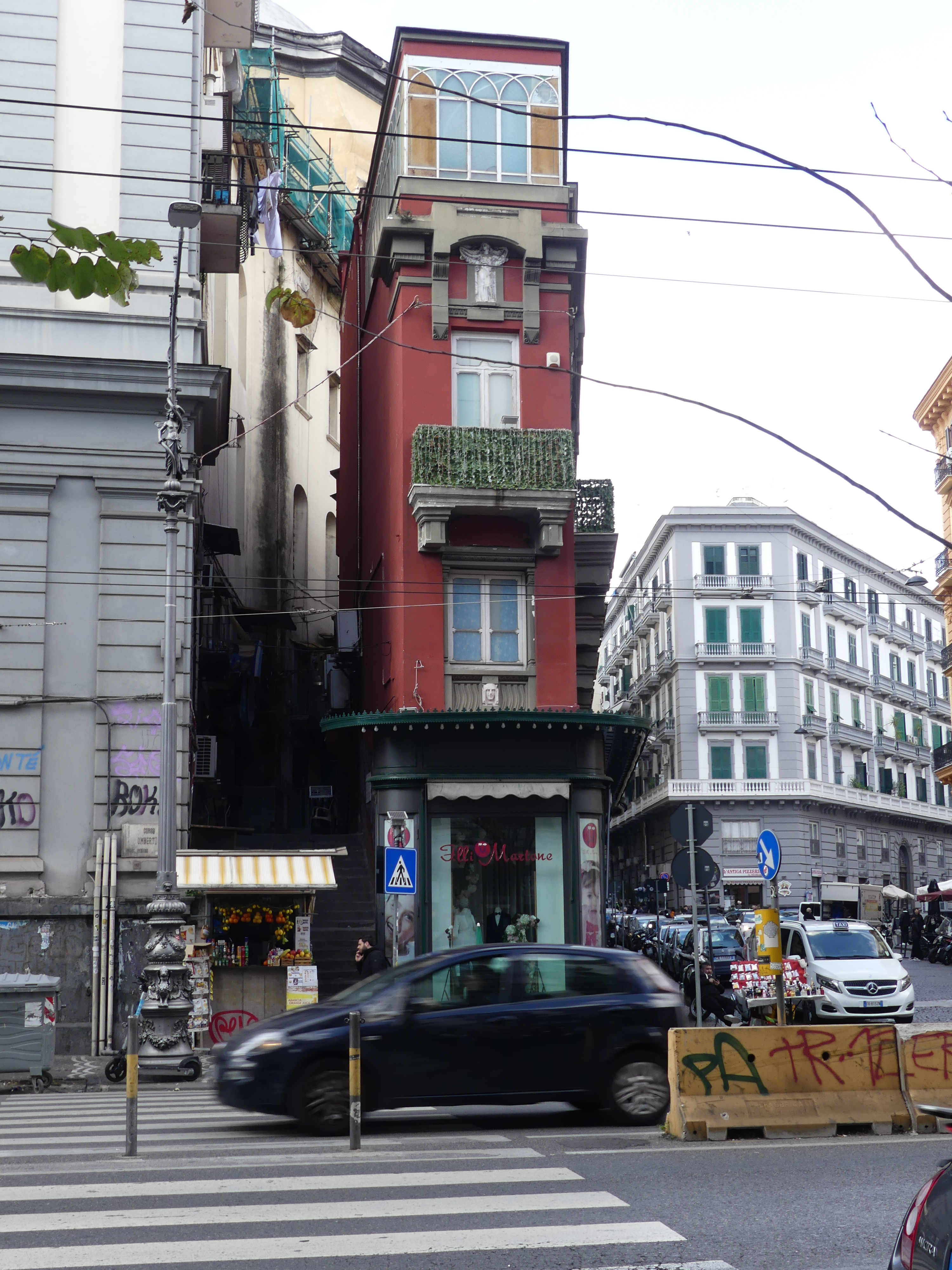
Finally, we visited Taipei 101 which was the world’s tallest building at one stage. The design based on the natural design of bamboo gives the building a different appearance. On the way I spotted this piece of street art also. Foretelling the future?
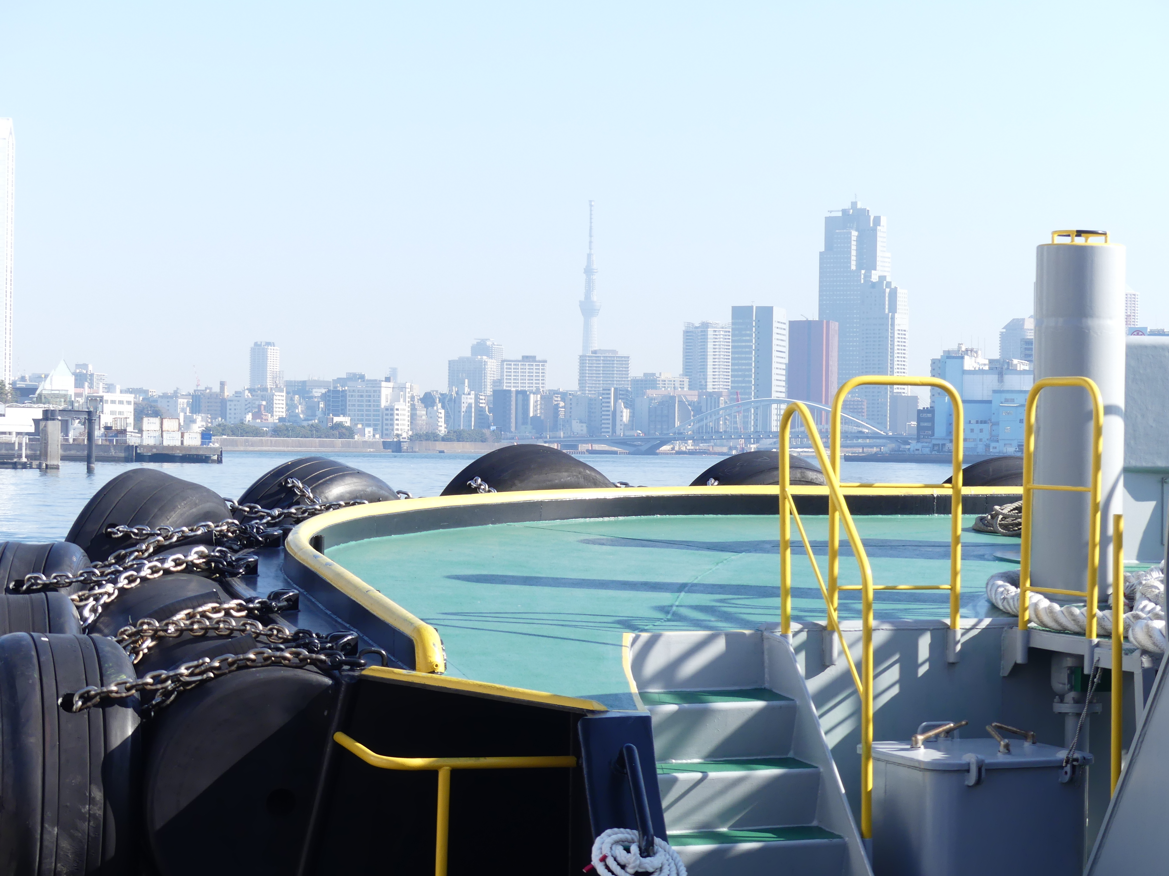
The bus returned us back to the ship as we depart tonight and are at sea until we reach Nagasaki.
Day 10 Port Nagasaki
We had booked the excursions to Ground Zero and Atomic Bomb Museum and Nagasaki Peace Park, & Atomic Bomb Museum. Barry and Sandi were on this tour with us, so we travelled together as you will see.
Founded by the Portuguese, the port of Nagasaki became the sole port used for trade with the Portuguese and Dutch during the 16th through to 19th centuries. Part of Nagasaki was home to a major Imperial Japanese Navy base during the First Sino-Japanese War and Russo-Japanese War. Near the end of World War II, the American atomic bombings of Hiroshima and Nagasaki made Nagasaki the second city in the world to experience a nuclear attack. The city was rebuilt.
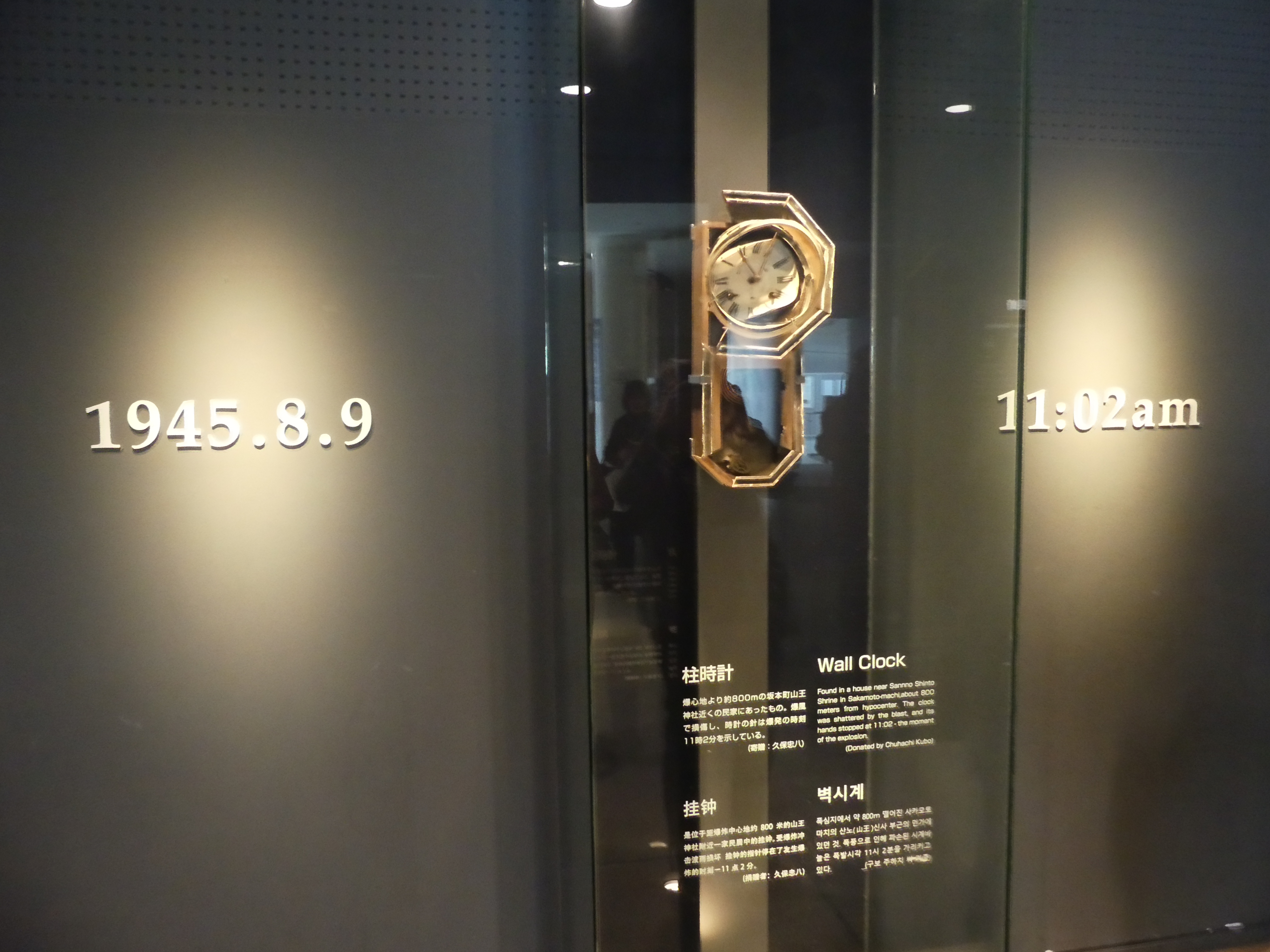
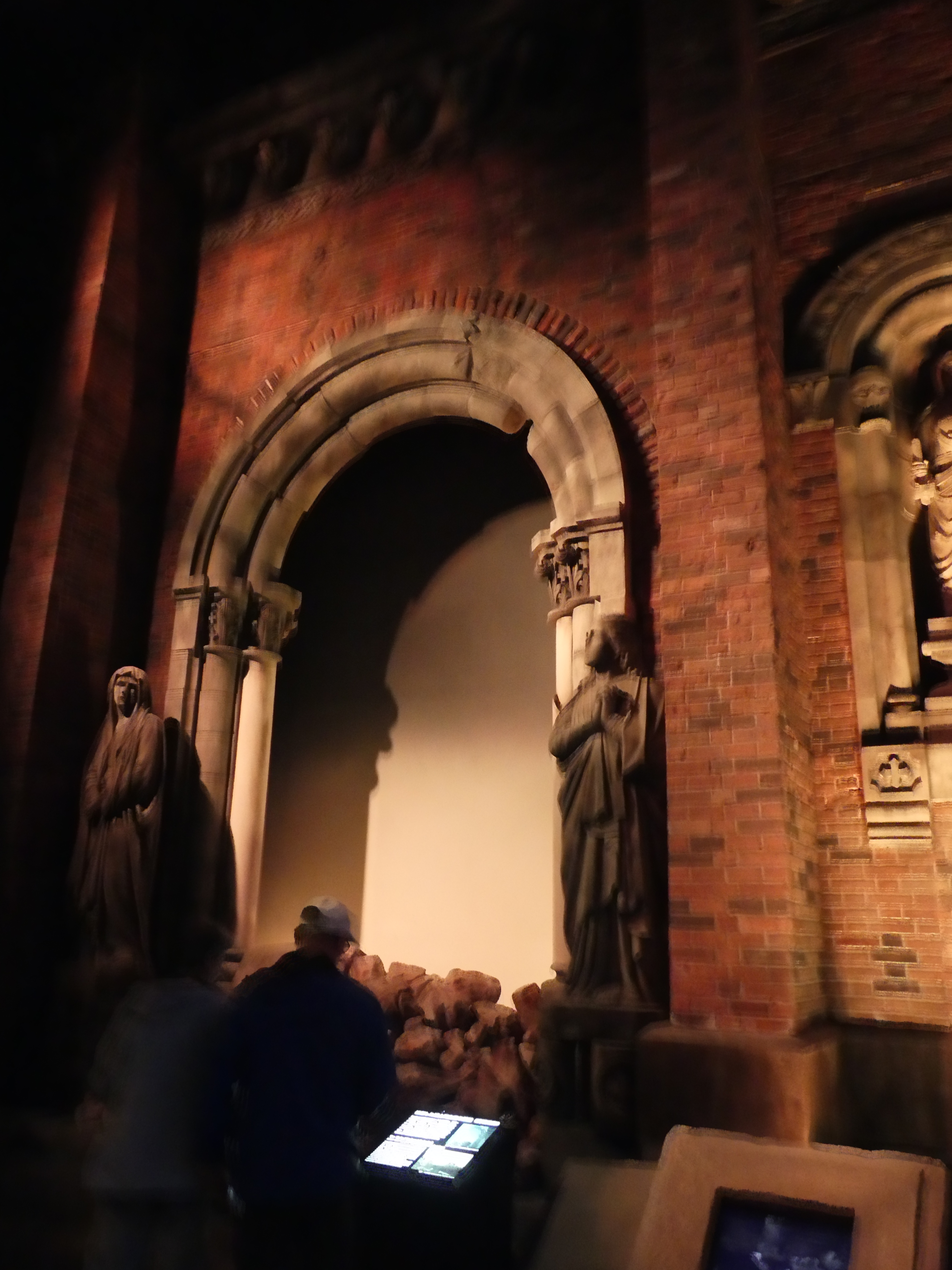
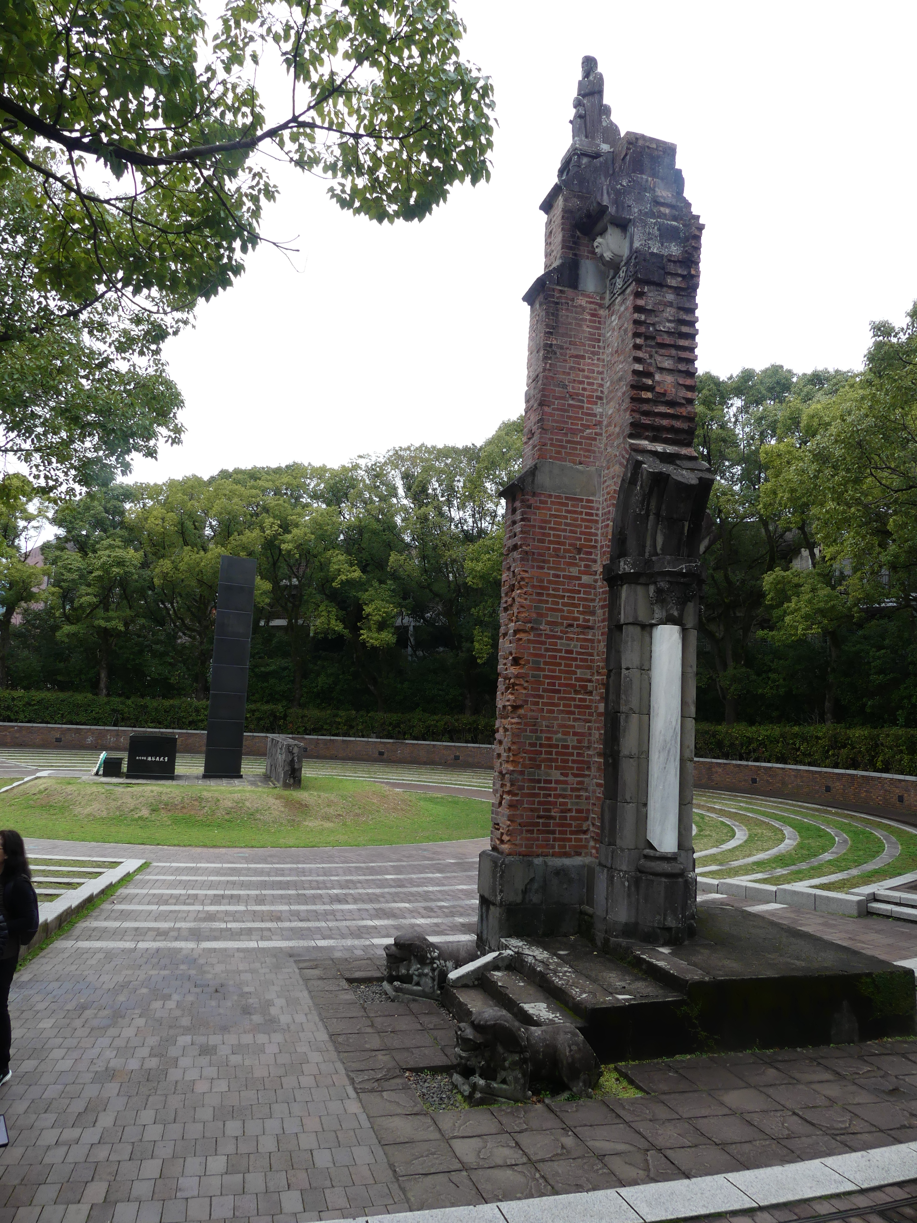
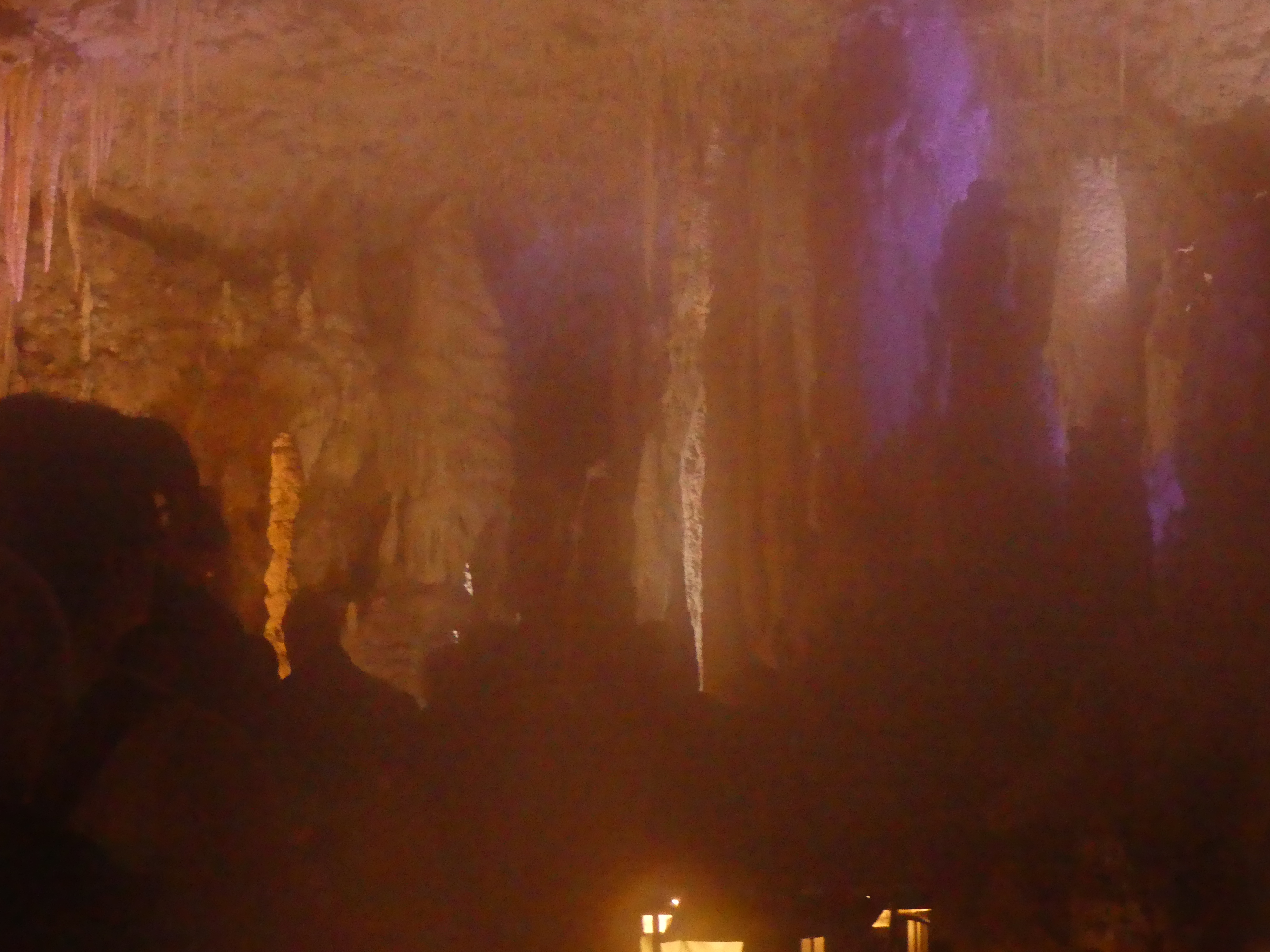
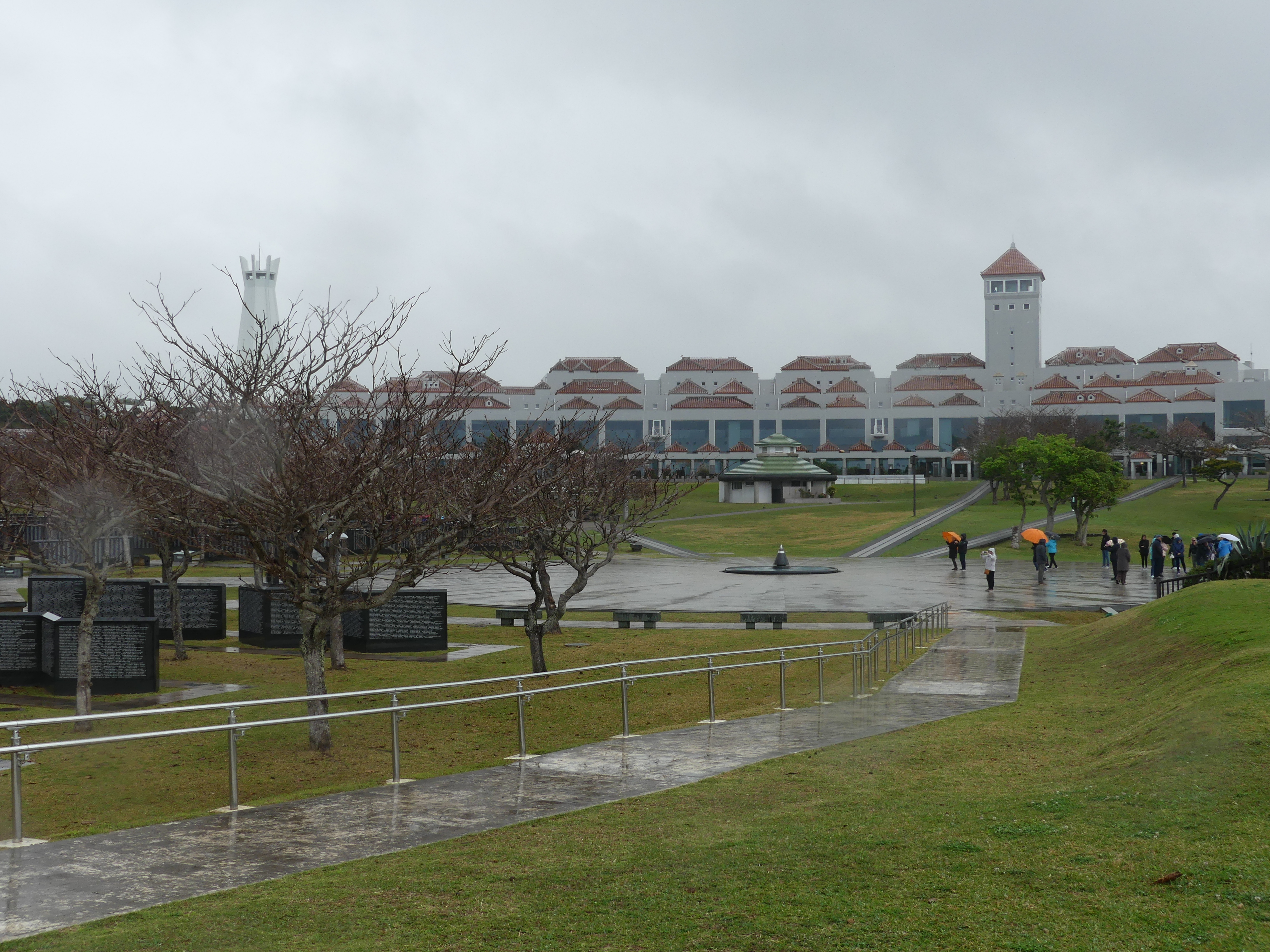
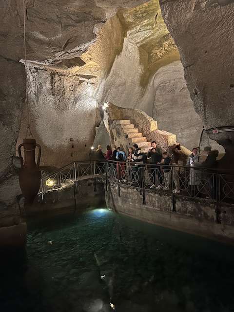
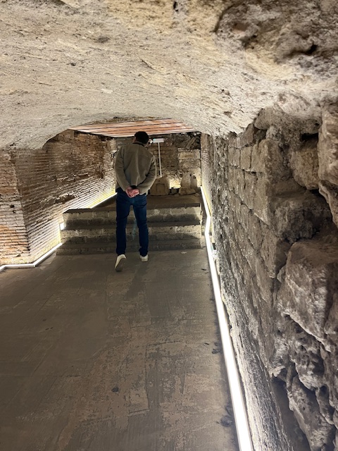
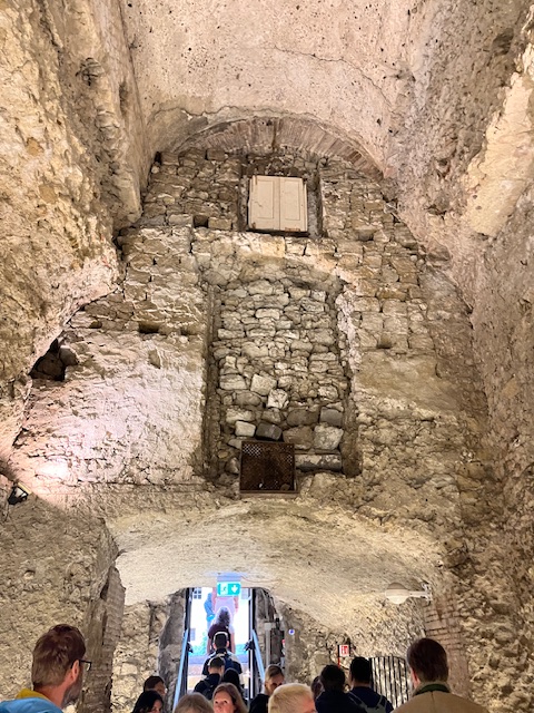
First excursion stop was Nagasaki Peace Park, & Atomic Bomb Museum. On arrival the bus parked in front of a large brick building with sculptures in front of it (my last picture below) but that is not what we came to visit – we walked past this building through a park of sorts into an underground shelter with a staircase following the walls to the bottom of the shelter – a bit like the Gugenheim Gallery in New York. This exhibition covers the devastation caused by the atomic bomb, the process that led to the dropping of the atomic bomb, and the history of nuclear weapons development. Permanent Exhibition Rooms show the city, scenery, and life of Nagasaki residents before the atomic bombing August 9, 1945. I have seen some of this material previously but the very first thing you see here is time standing still – the moment of the explosion in the form of a distorted clock found amongst some of the remains that had not been vapourised. There are the reconstructed remains of a Jesuit Church a remnant from Portuguese times and the photographic evidence of the remains in situ in 1945. I suggest a visit to https://nabmuseum.jp/ to see the remainder of the museum. The images are shocking as a result I lost the desire to photograph anything further.
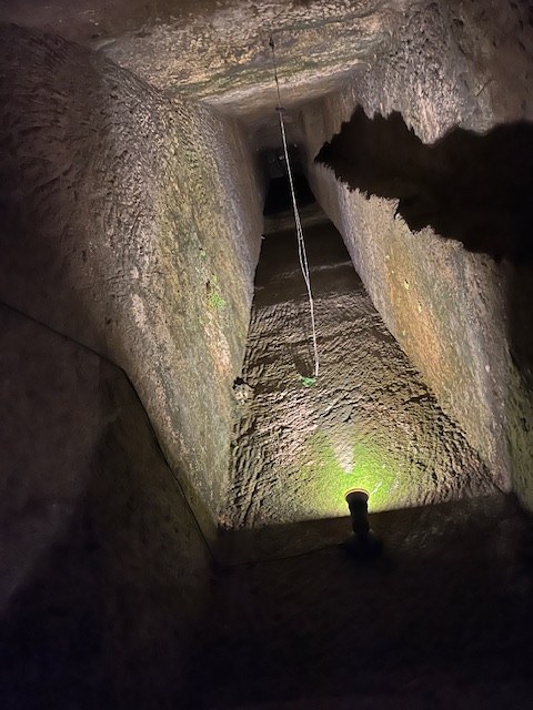
Our second stop was Ground Zero and Atomic Bomb Museum. I found this far less confronting but still devastating to grasp the enormity of the bombing. Nagasaki’s Ground Zero and the Atomic Bomb Museum are crucial sites for understanding the devastating impact of the atomic bomb dropped on Nagasaki on August 9, 1945. Ground Zero, marked by a black stone monolith and concentric circles, is the exact location where the bomb exploded. The hypocentre, or Ground Zero, is the point directly below the blast where the atomic bomb detonated.
Memorial Park:
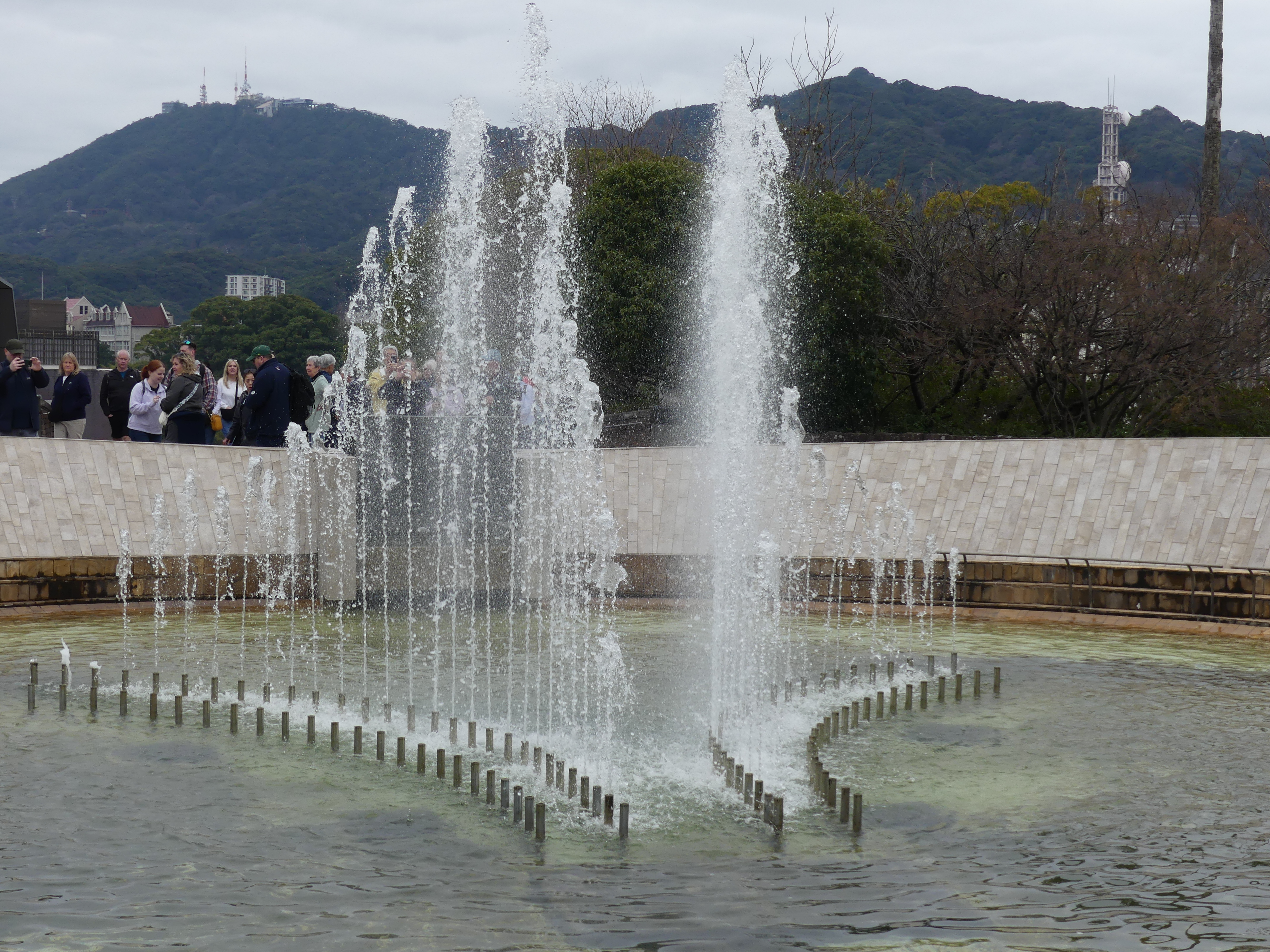
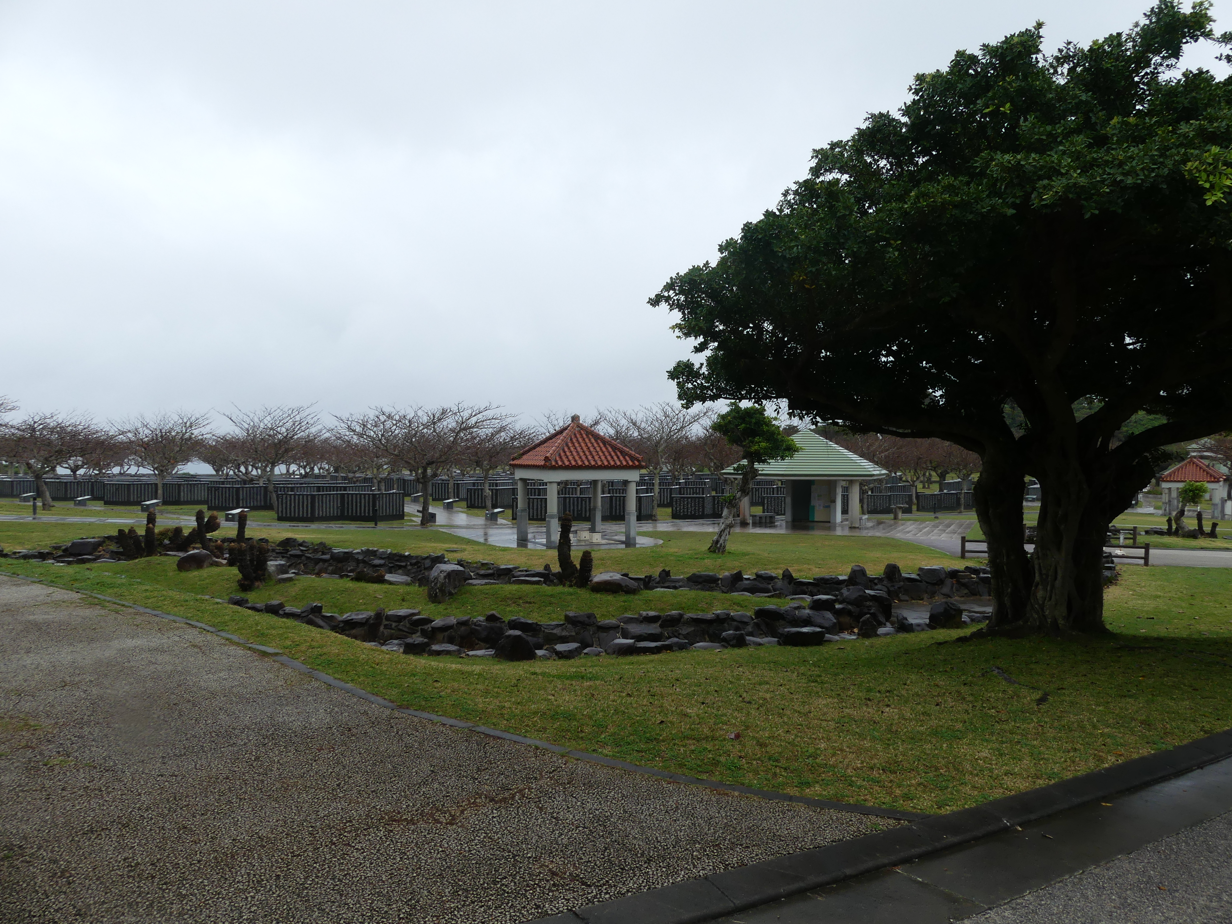
Ground Zero is located within Nagasaki Peace Park, a space dedicated to commemorating the victims and promoting peace. Urakami Cathedral Pillar: A damaged pillar from the Urakami Cathedral, which was destroyed by the bomb, stands nearby as a poignant reminder. To access this site, we had to pass through a park – Nagasaki Peace Park.
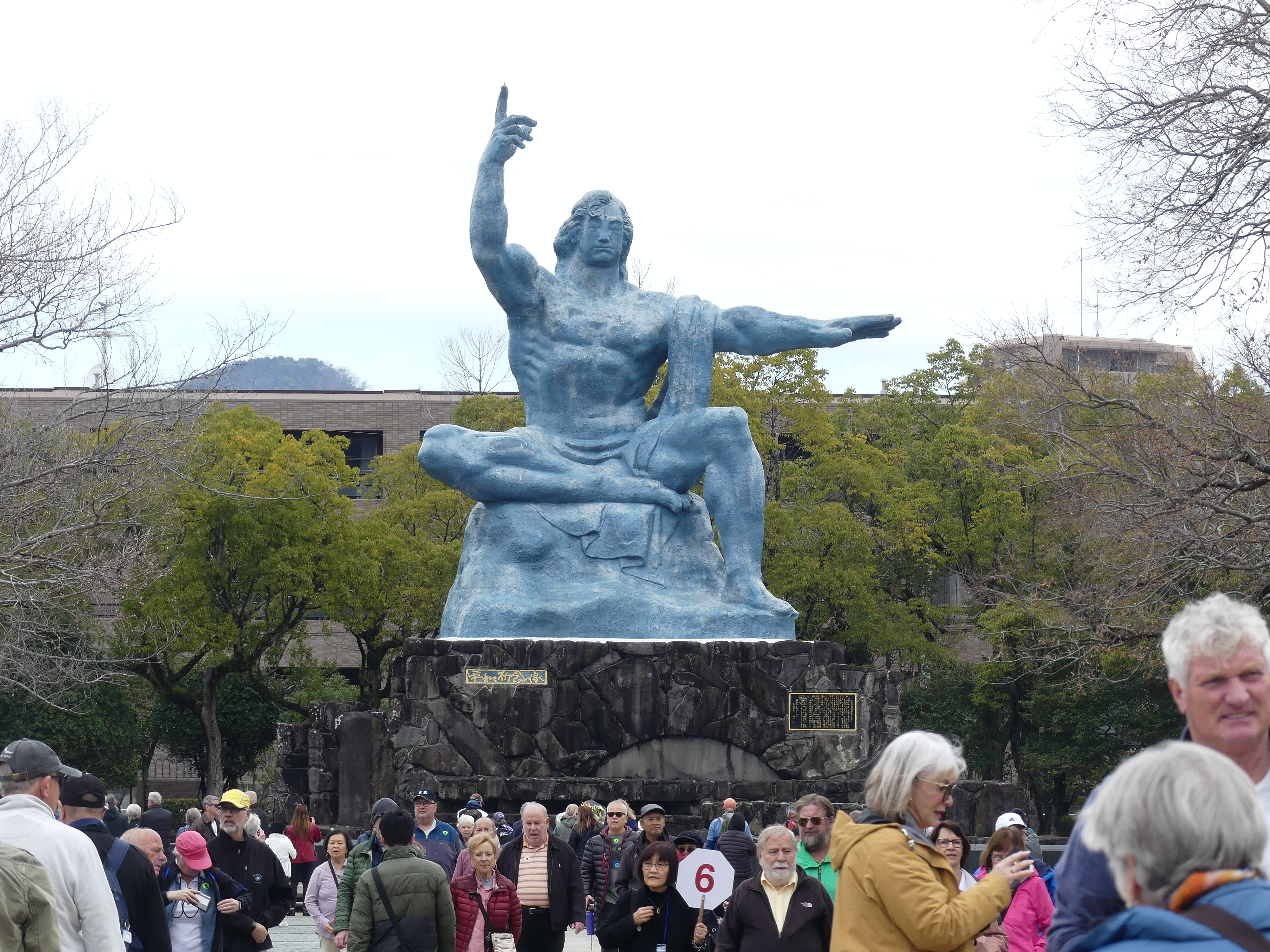
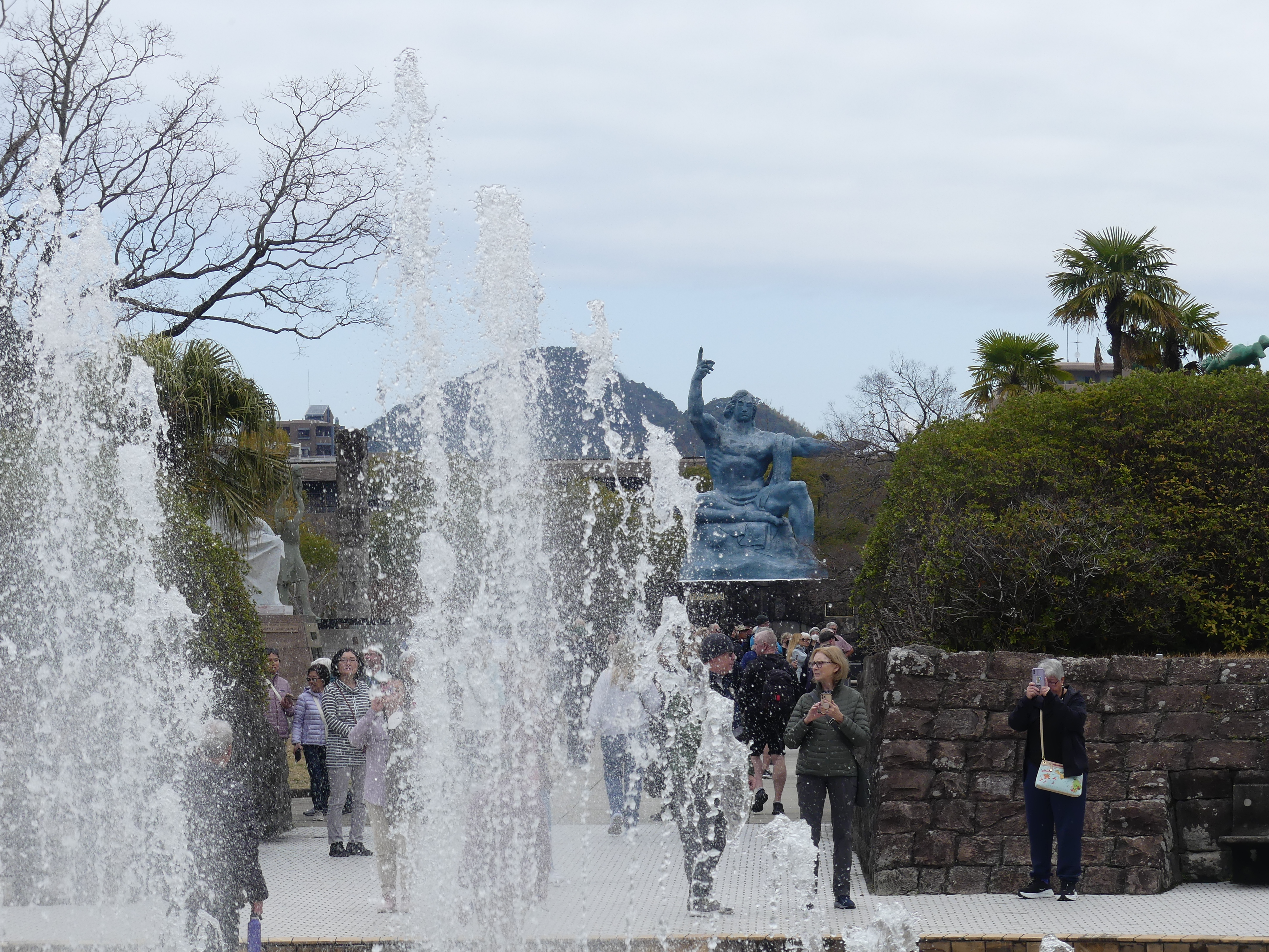
Established in 1955, and near to the hypocentre of the explosion the park’s north end has the 10-meter-tall Peace Statue created by sculptor Seibo Kitamura of Nagasaki Prefecture. The statue’s right-hand points to the threat of nuclear weapons while the extended left hand symbolizes eternal peace. The mild face symbolizes divine grace, and the gently closed eyes offer a prayer for the repose of the bomb victims’ souls. The folded right leg and extended left leg signify both meditation and the initiative to stand up and rescue the people of the world. The statue represents a mixture of western and eastern art, religion, and ideology. Installed in front of the statue is a black marble vault containing the names of the atomic bomb victims and survivors who died in subsequent years.
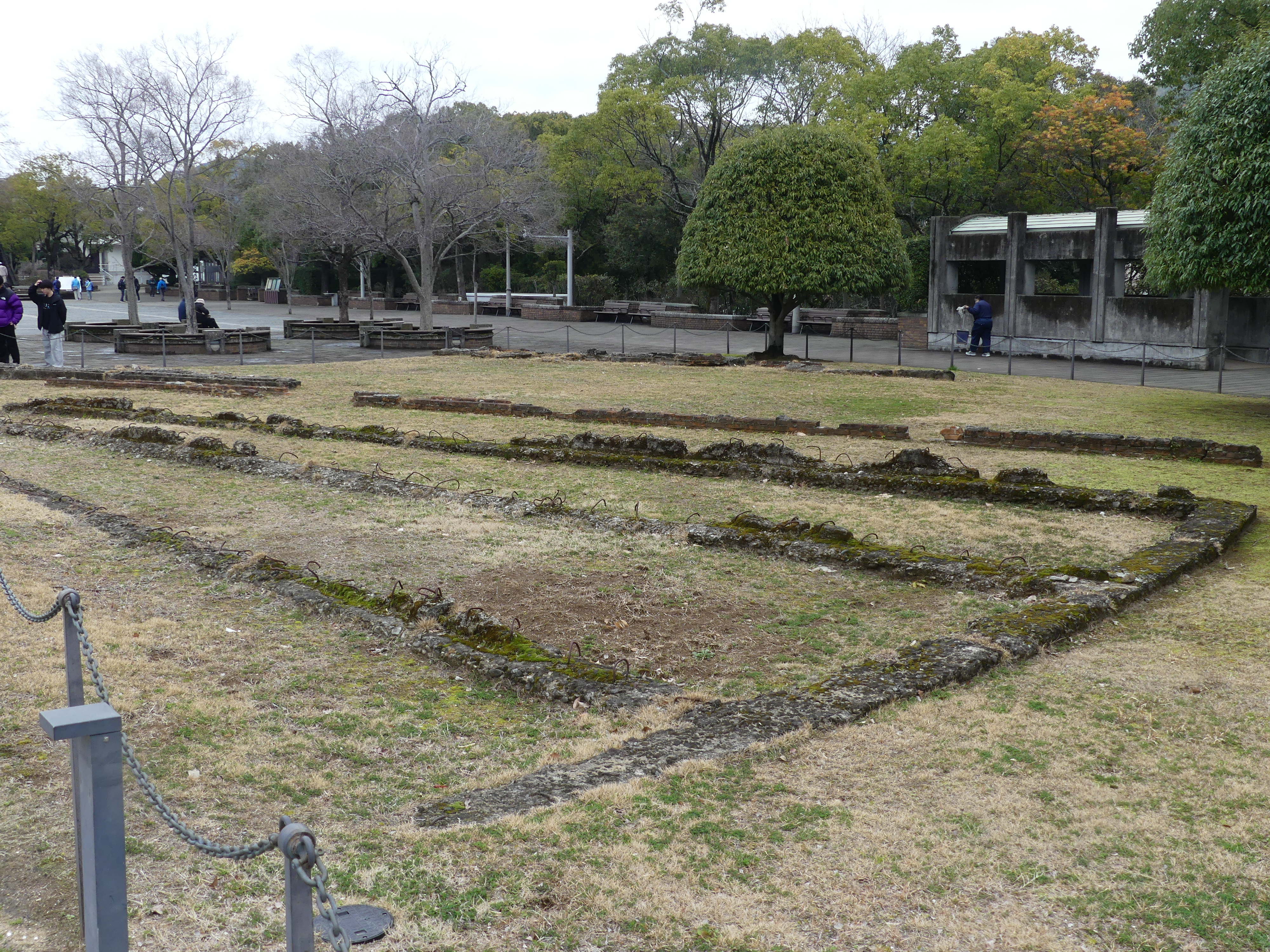
In 1978 the city of Nagasaki established a “Peace Symbols Zone” on both sides of the park and invited donations of monuments from different countries around the world. Beside these monuments lie the foundations of an obliterated building. The following monuments can be seen in the park:
“Cloak of Peace (Te Korowai Rangimarie)”, by Kingsley Baird from New Zealand, 2006.; the plaque reads: “The statue symbolizes consolation, protection, and solidarity. It also expresses ambivalence, reflecting conflicting interpretations of historical events.”
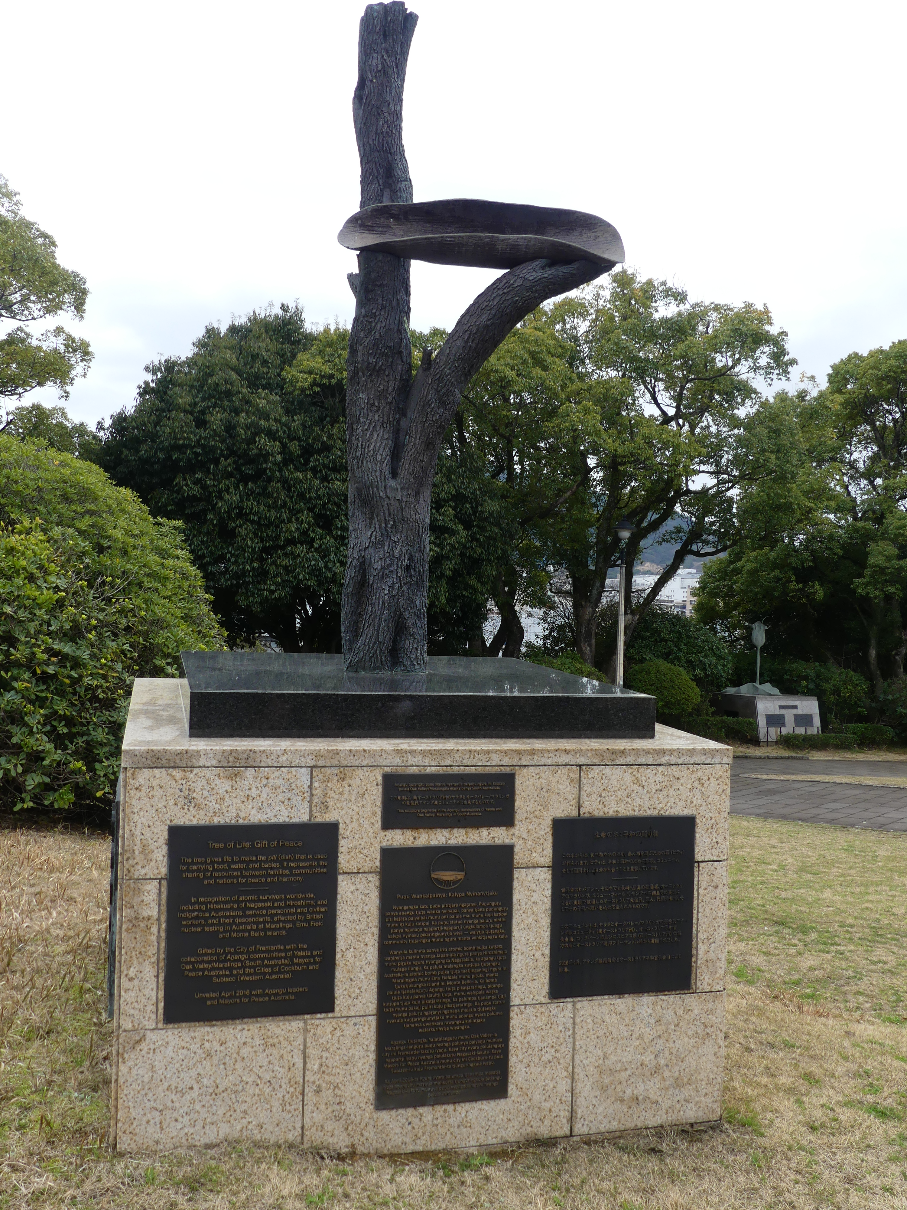
“Tree of Life: Gift of Peace” (Punu Wankalpainya: Kalypa Nyinanytjaku) from Australia, unveiled 18 April 2016; the sculpture of a bronze tree cradling a ceremonial piti (dish) originates in the Anangu communities of Yalata and Oak Valley/Maralinga in South Australia. The plaques which are in Pitjantjatjara, Japanese and English, read “The tree gives life to make the piti (dish) that is used for carrying food, water, and babies. It represents the sharing of resources between families, communities and nations for peace and harmony.” The sculpture also recognises atomic survivors worldwide.
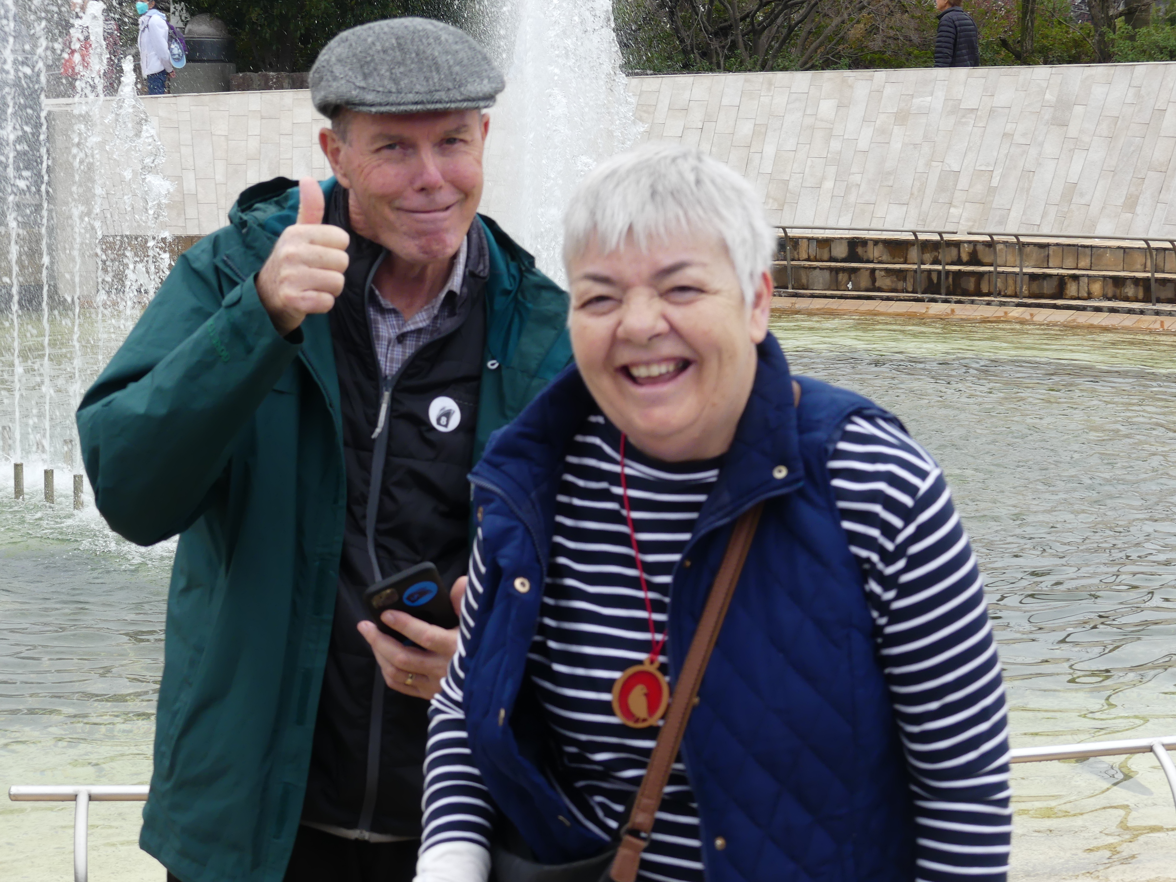
Amongst the memorials and fountains were beds of flowers seeming incongruous in that setting. To reach Ground Zero there is an escalator with a travelator incorporated in it. Very novel and practical. Well, I told you Barry and Sandi were there and here’s the proof.
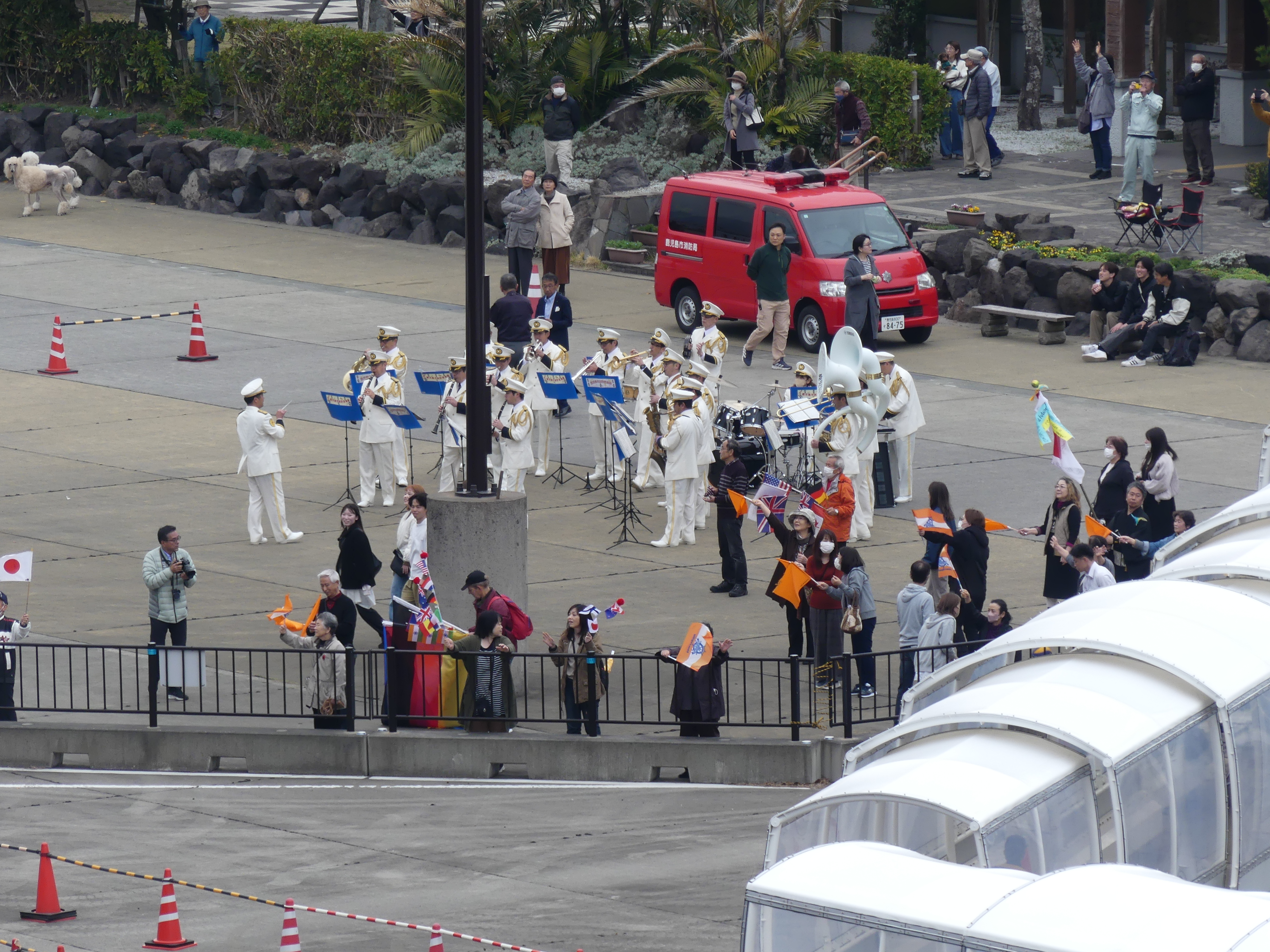
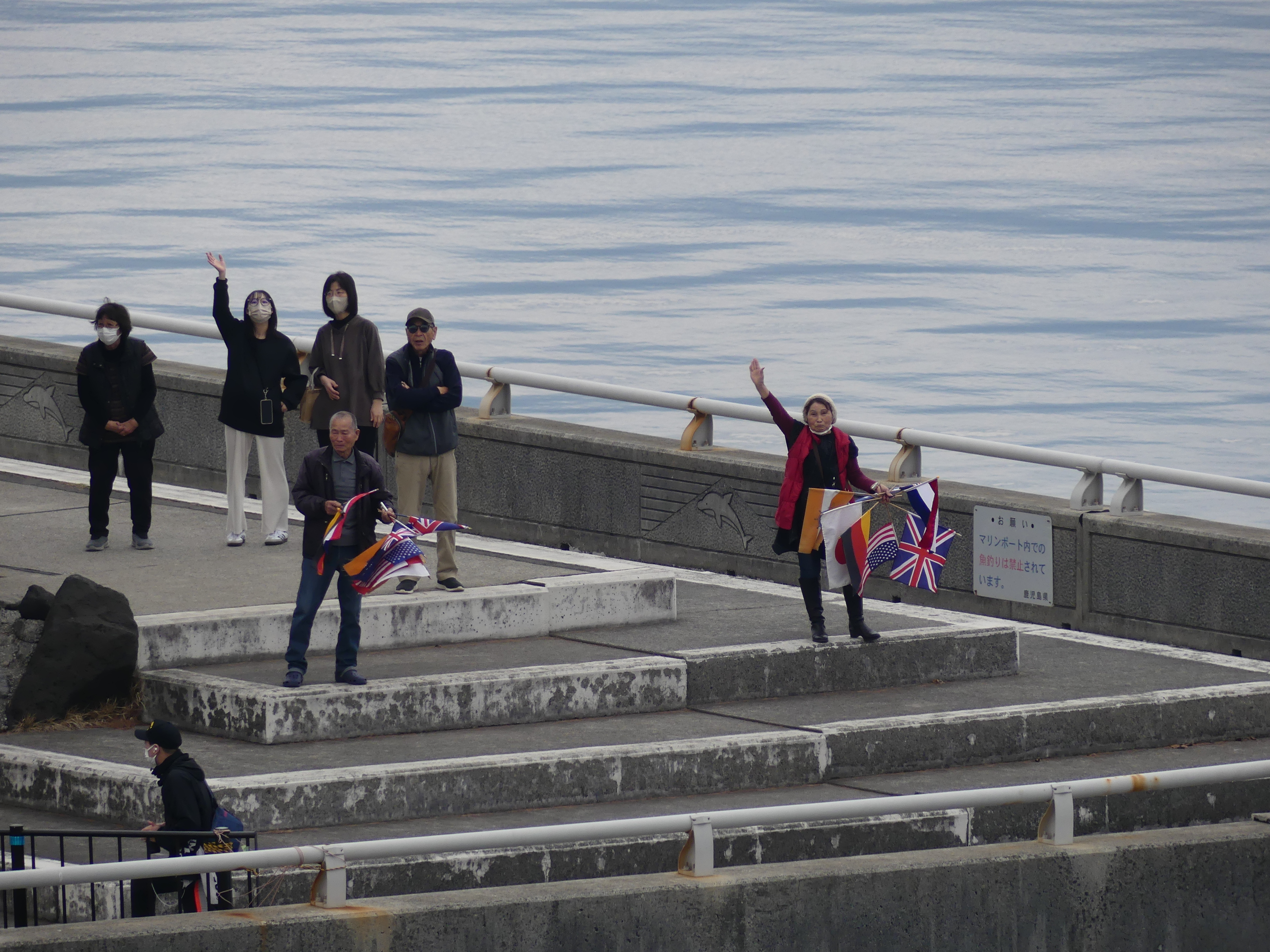
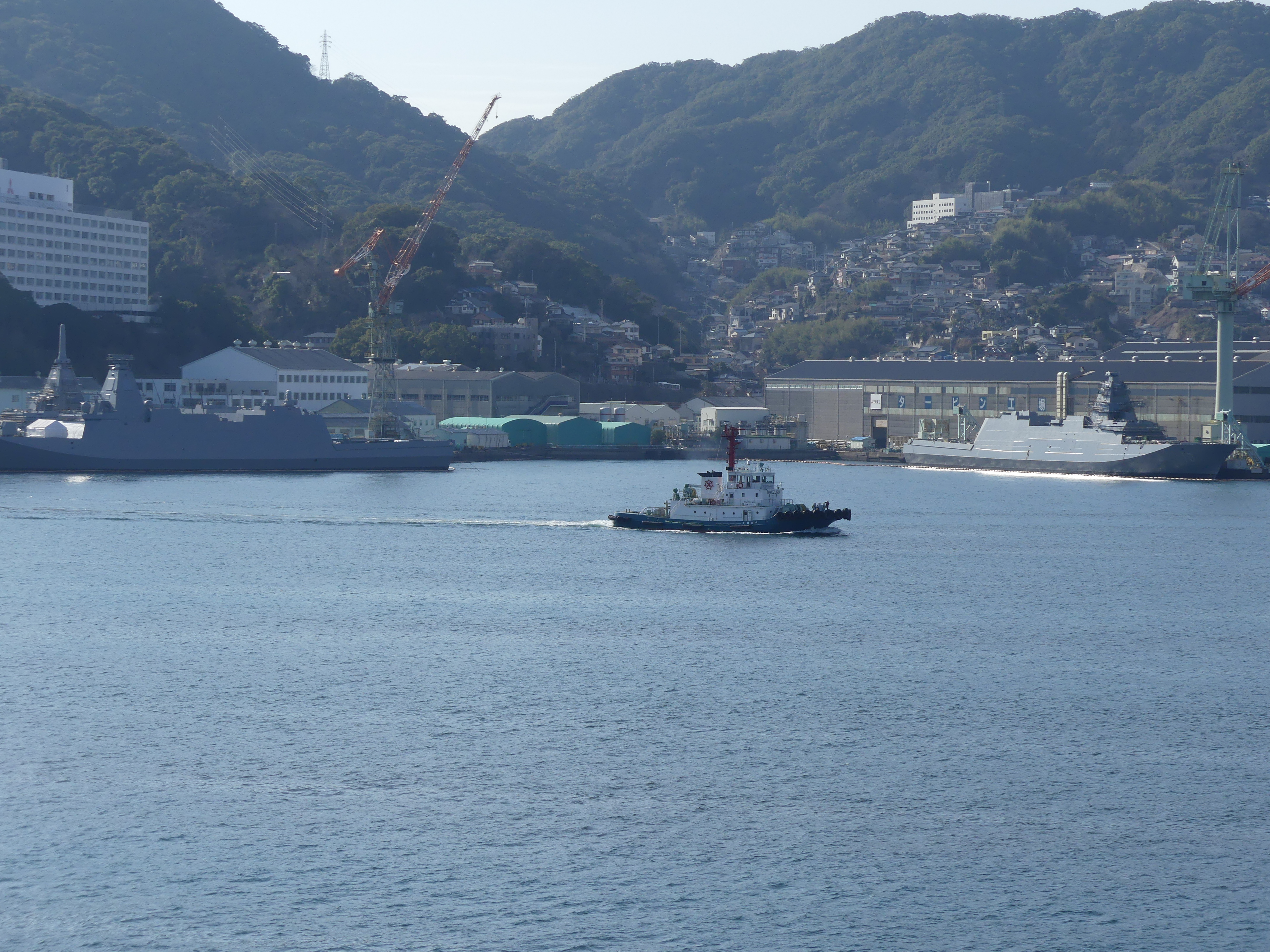
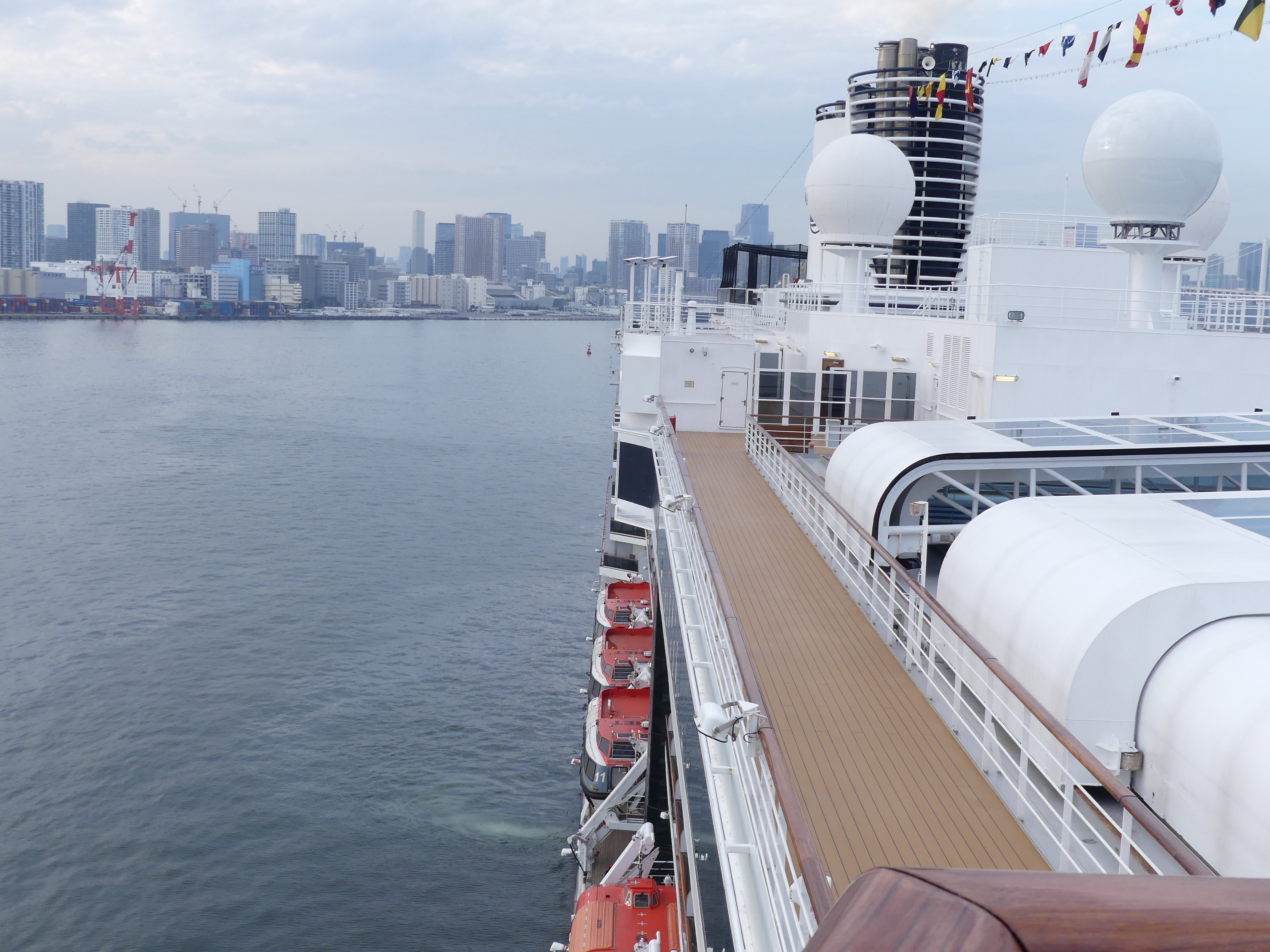
We returned to the ship and recovered with a walk around the deck. As we walked around the deck, we encountered another visitor in the harbour MS Norwegian Sky. I was fascinated by the black kites floating in the air over the harbour and we were joined by a lonely kite on our walk. As we circled around the ships deck some naval vessels hove into view. Despite the evidence we had witnessed today, we remain on guard not at peace.
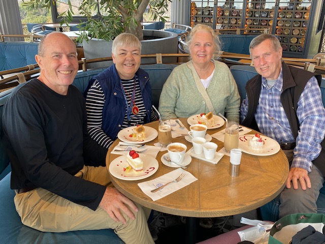
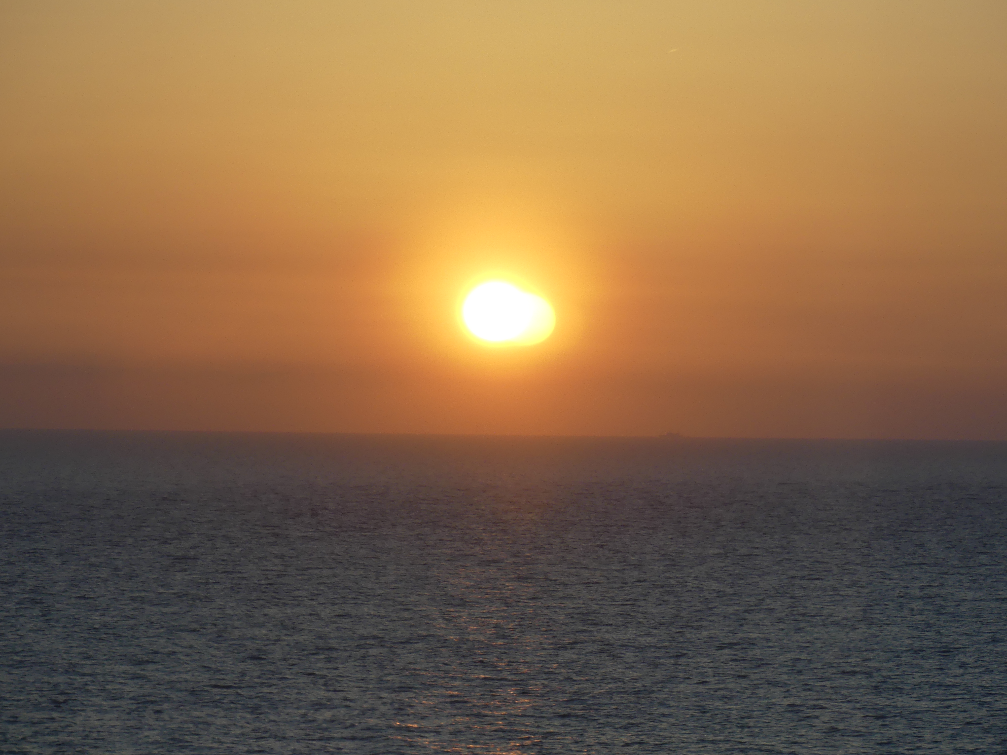
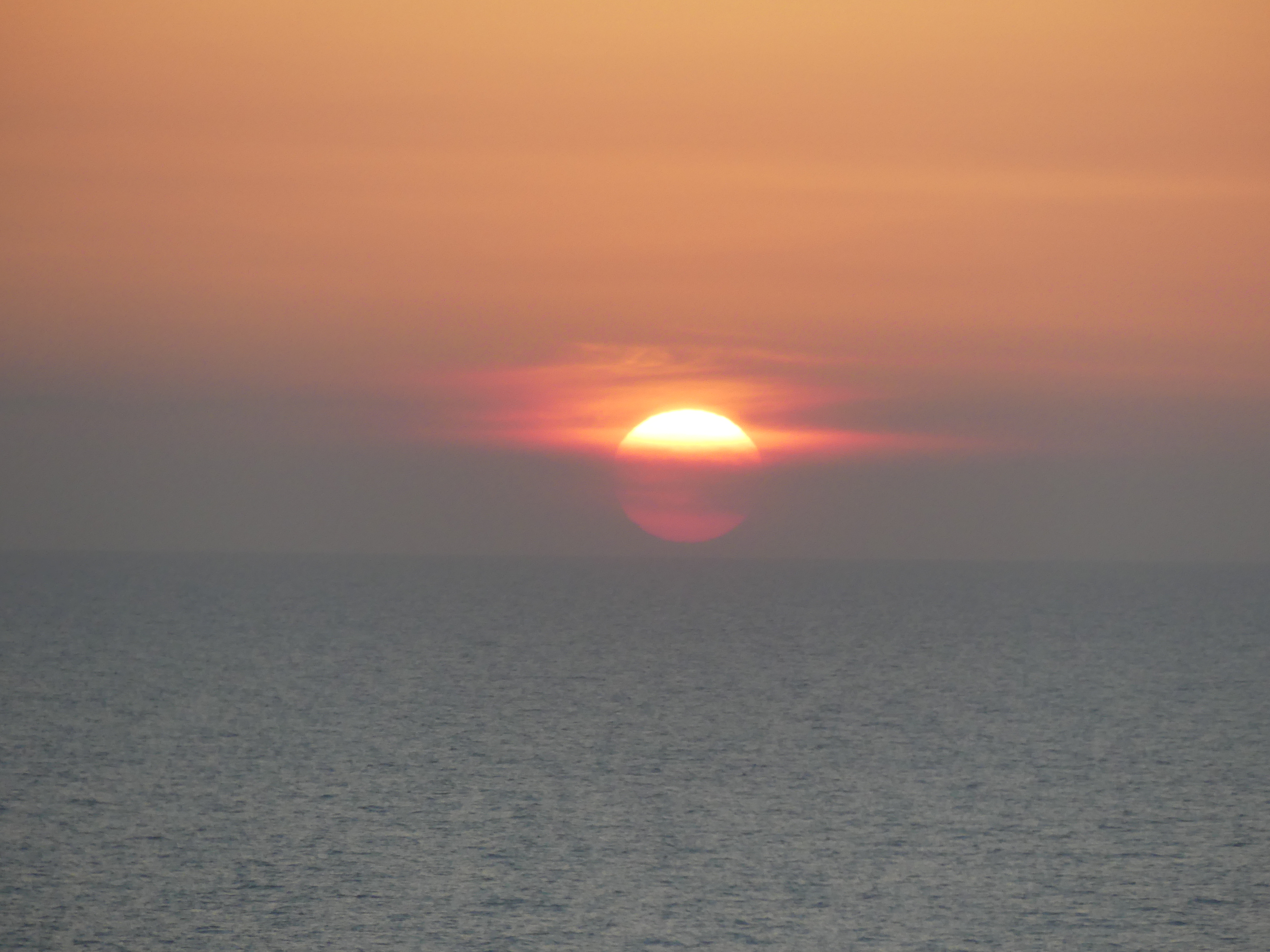
We regrouped with Barry and Sandi at the bar on deck 10 and giving views over the bow of our ship and concluded the day with our first clear sunset of the cruise.
We are nearing the end of our cruise. We are headed to Tokyo so our adventure will continue for a few more days. Watch out for “THE RETIREES GO AROUND THE WORLD – “TOKYO TO KAGOSHIMA, KOCHI, PORT KOBE & HOME”
Share this: Feel free to share