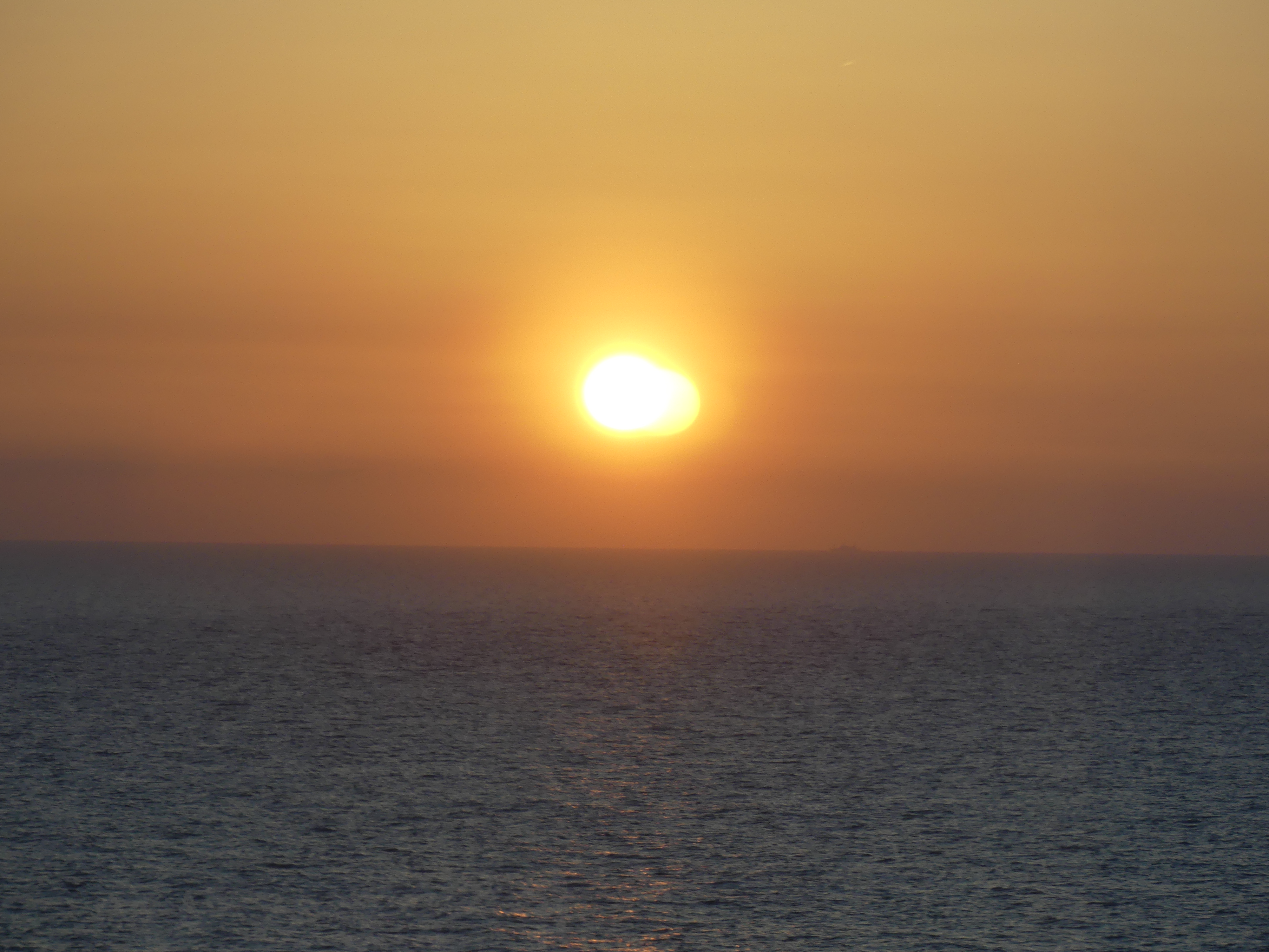
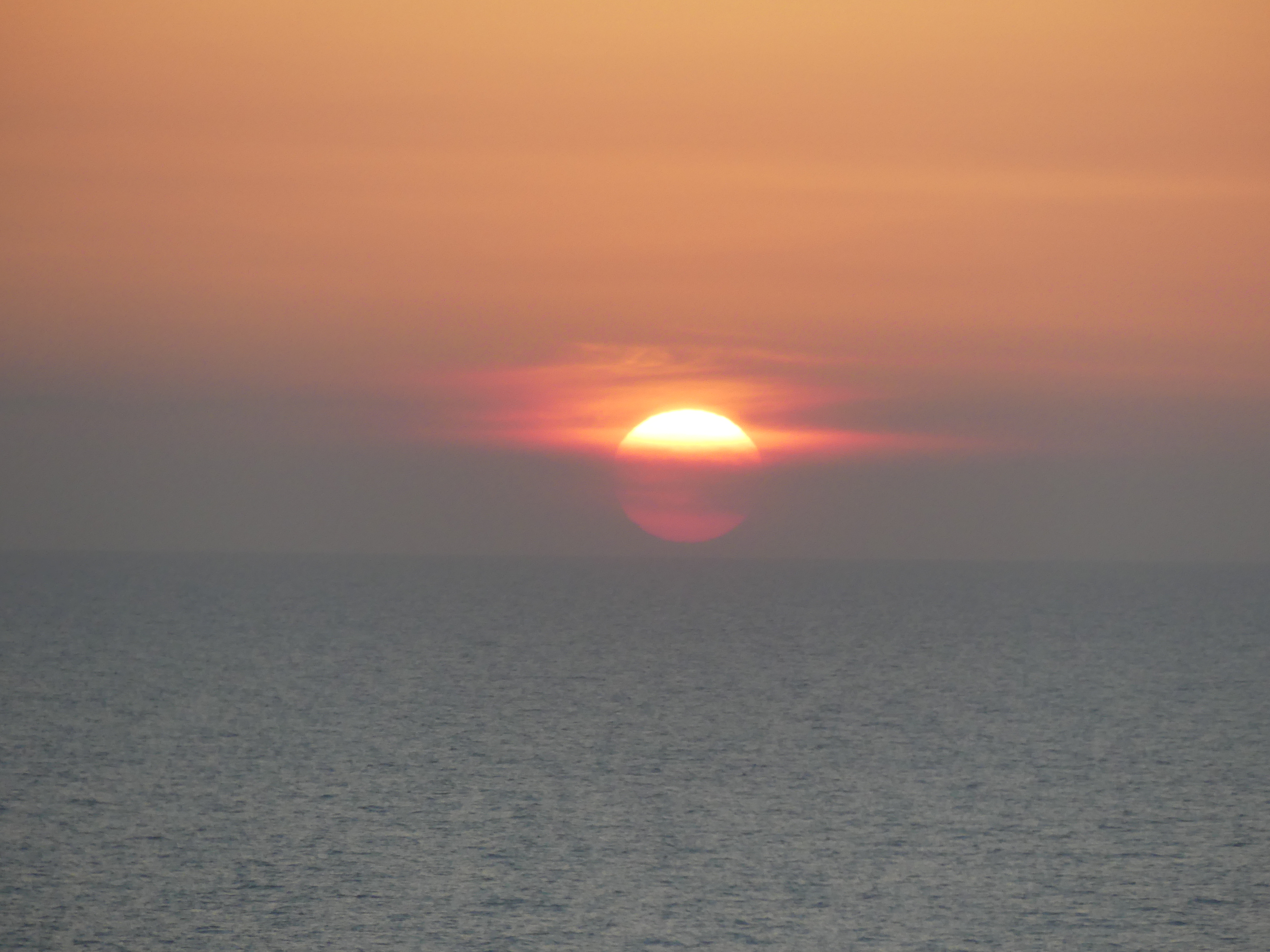
THE RETIREES GO AROUND THE WORLD – TOKYO TO ABURATASU, PORT NARE AND PORT NAHA OKINAWA

Days 1 & 2 At Sea

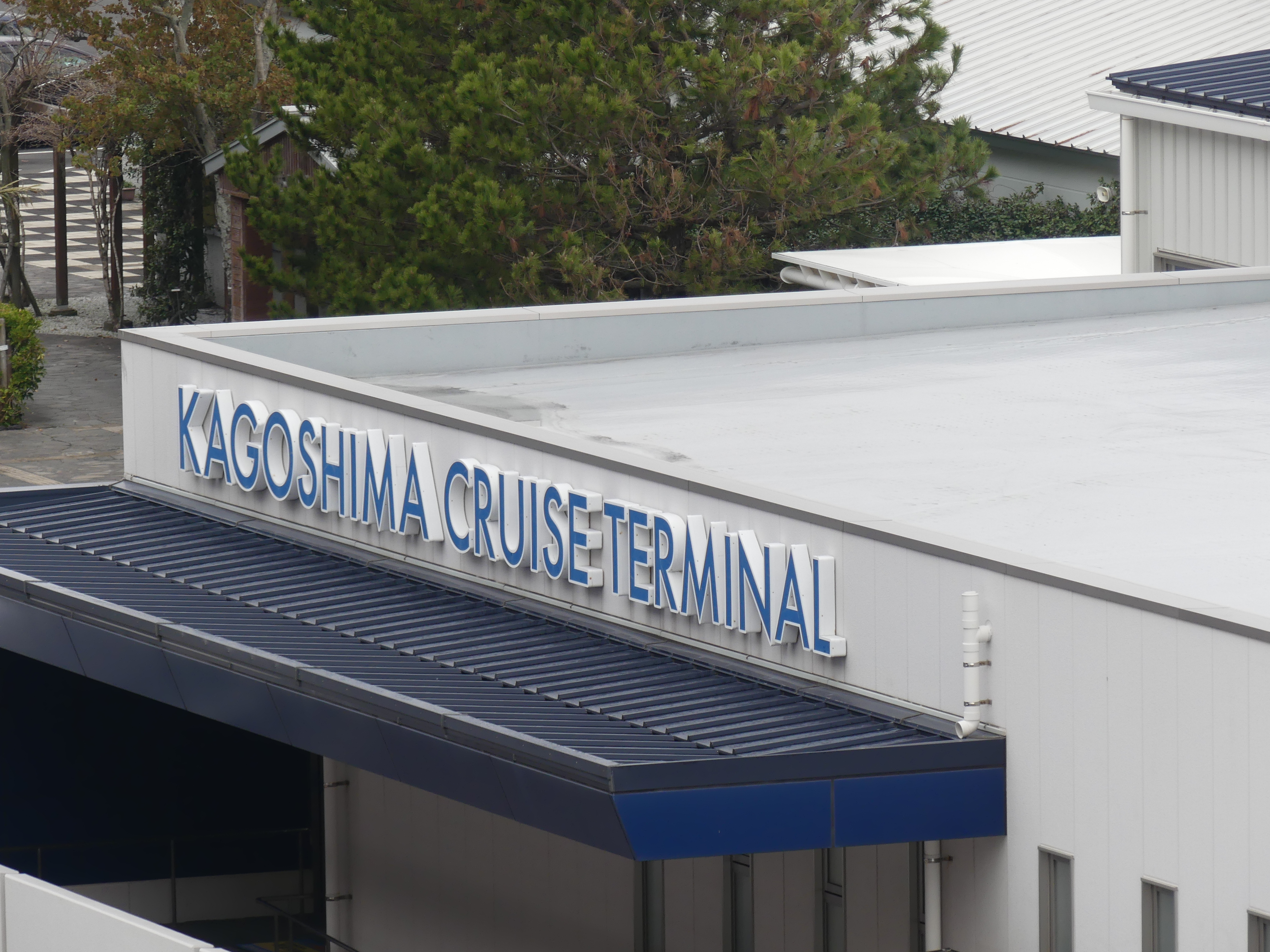
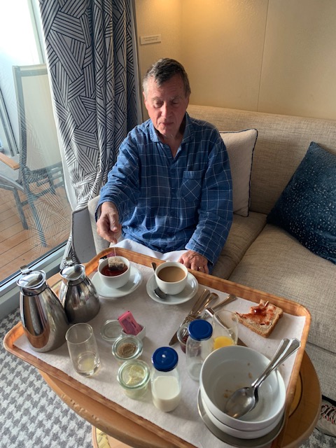
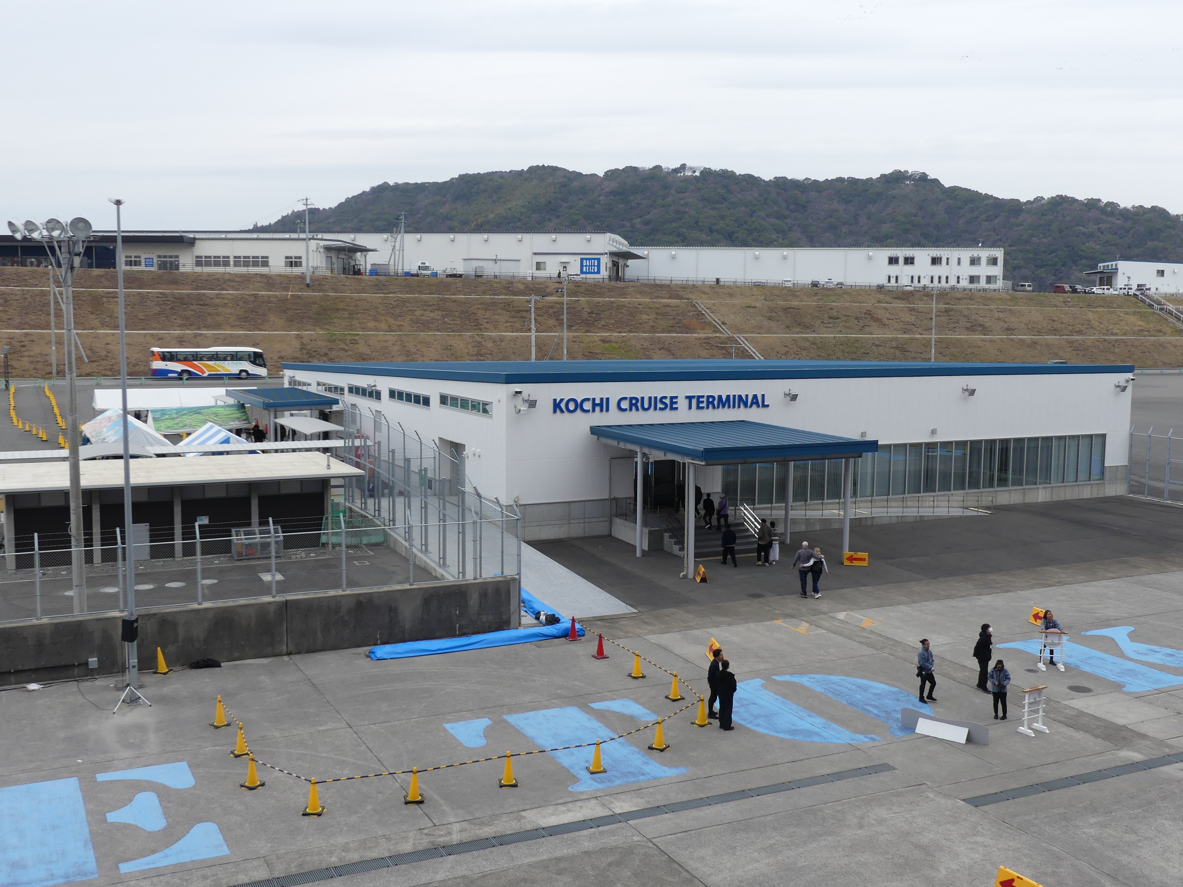
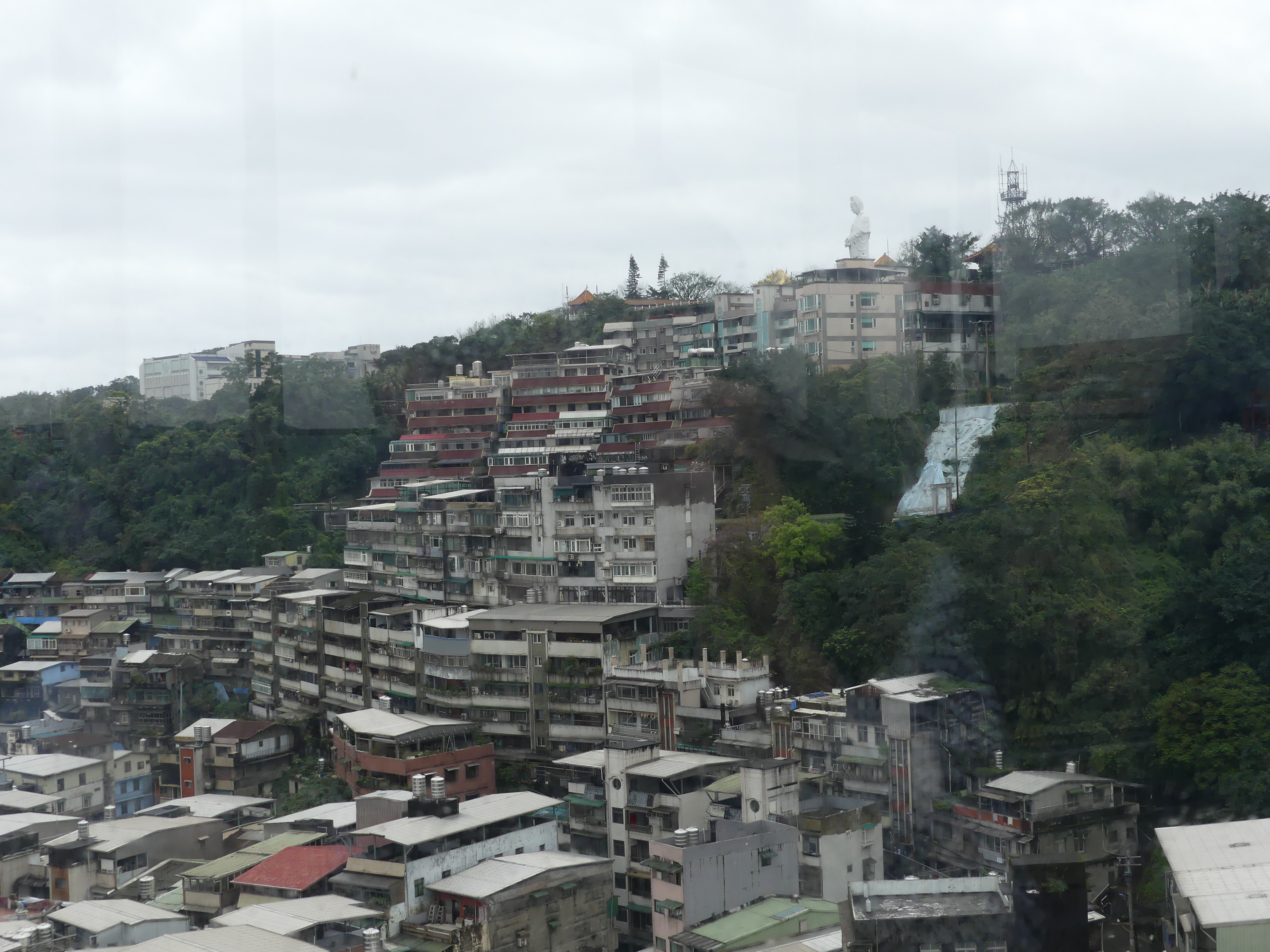
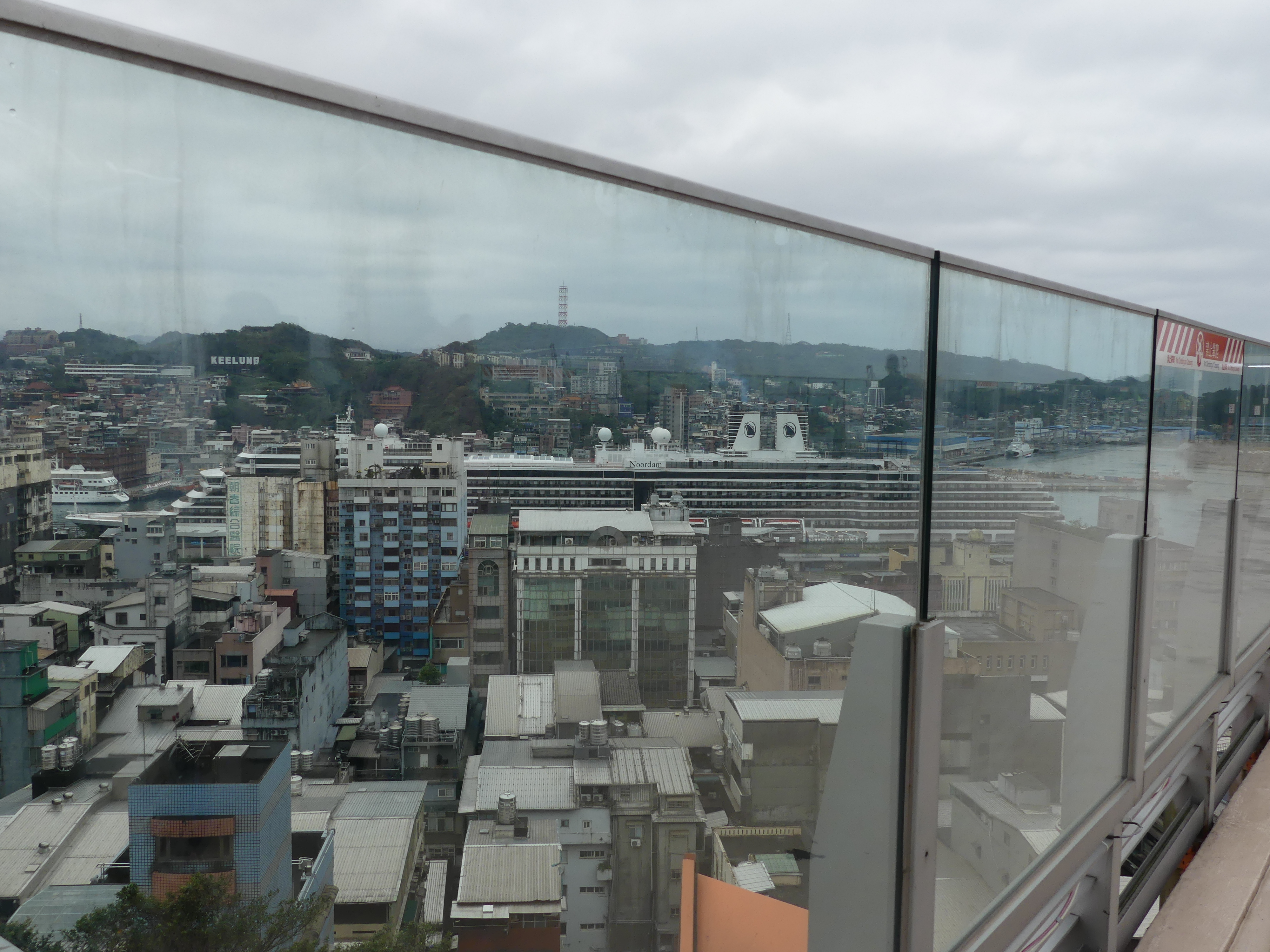
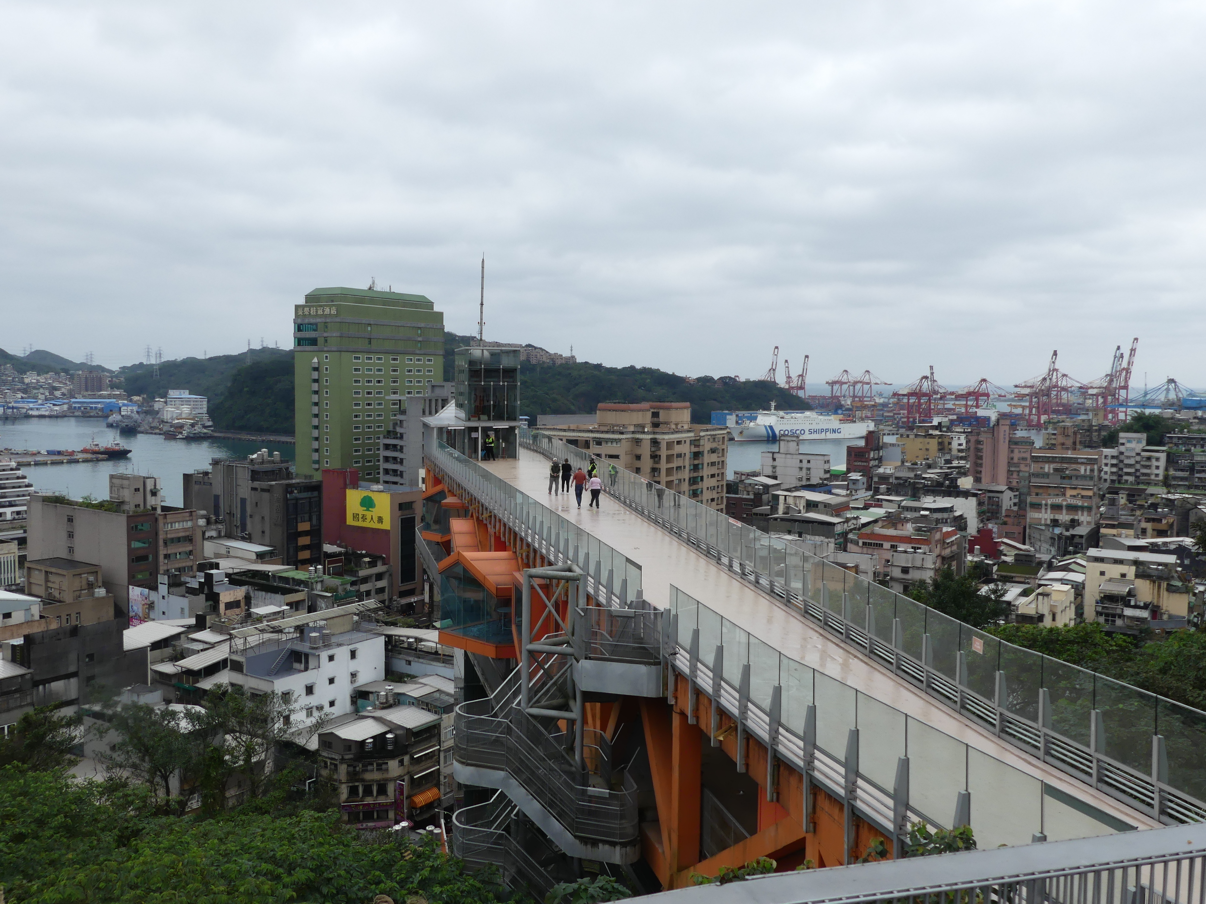
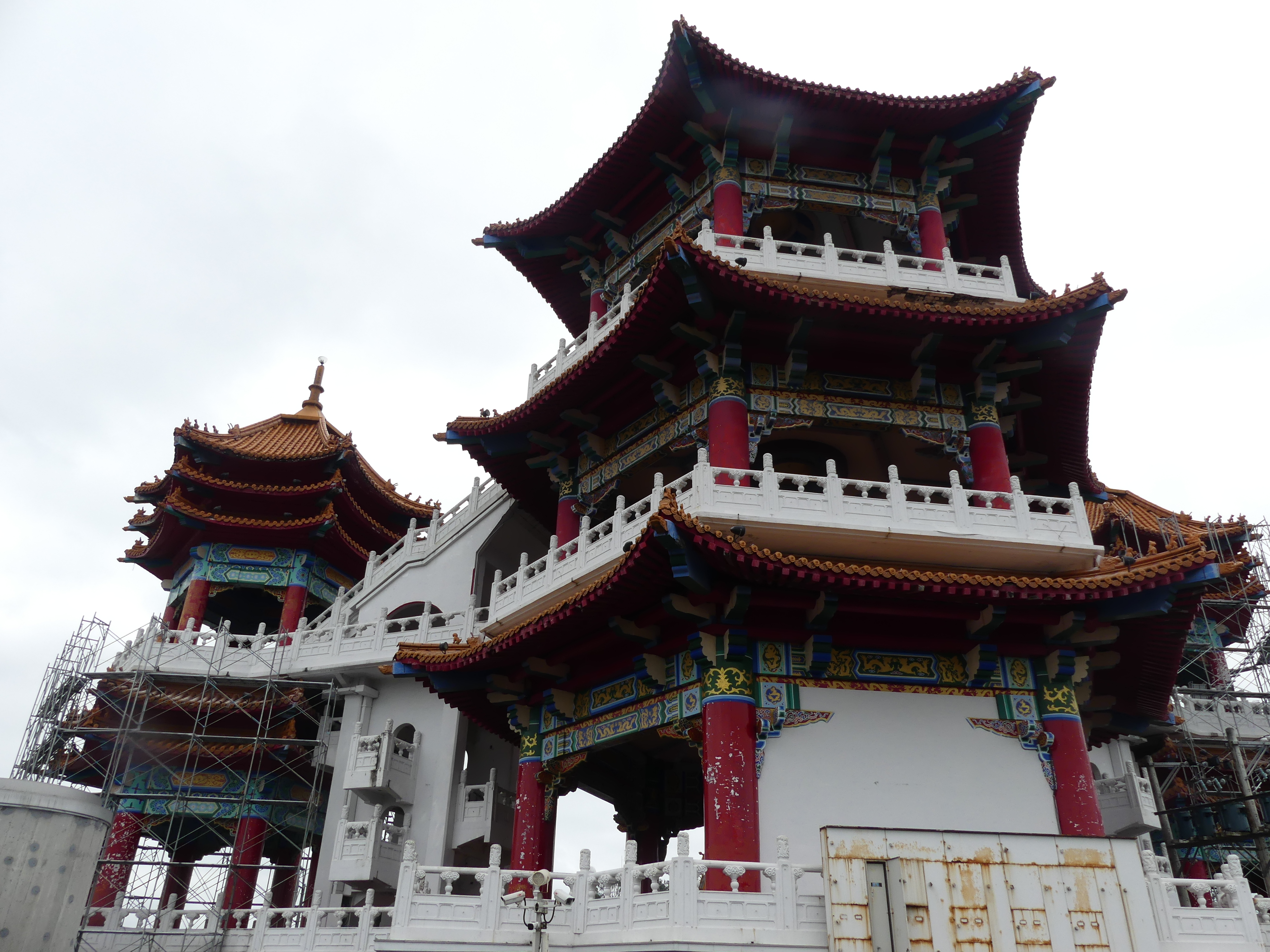
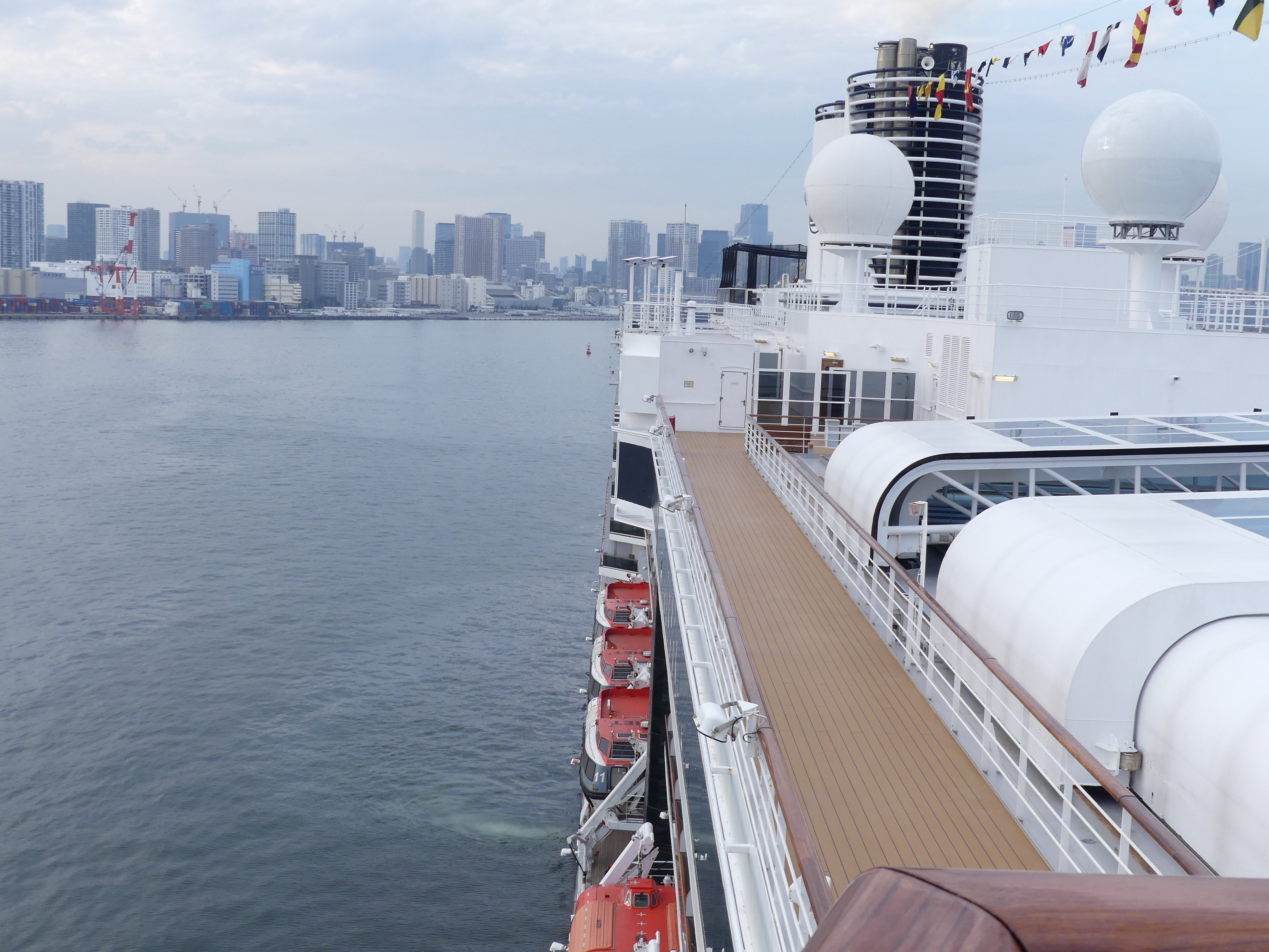
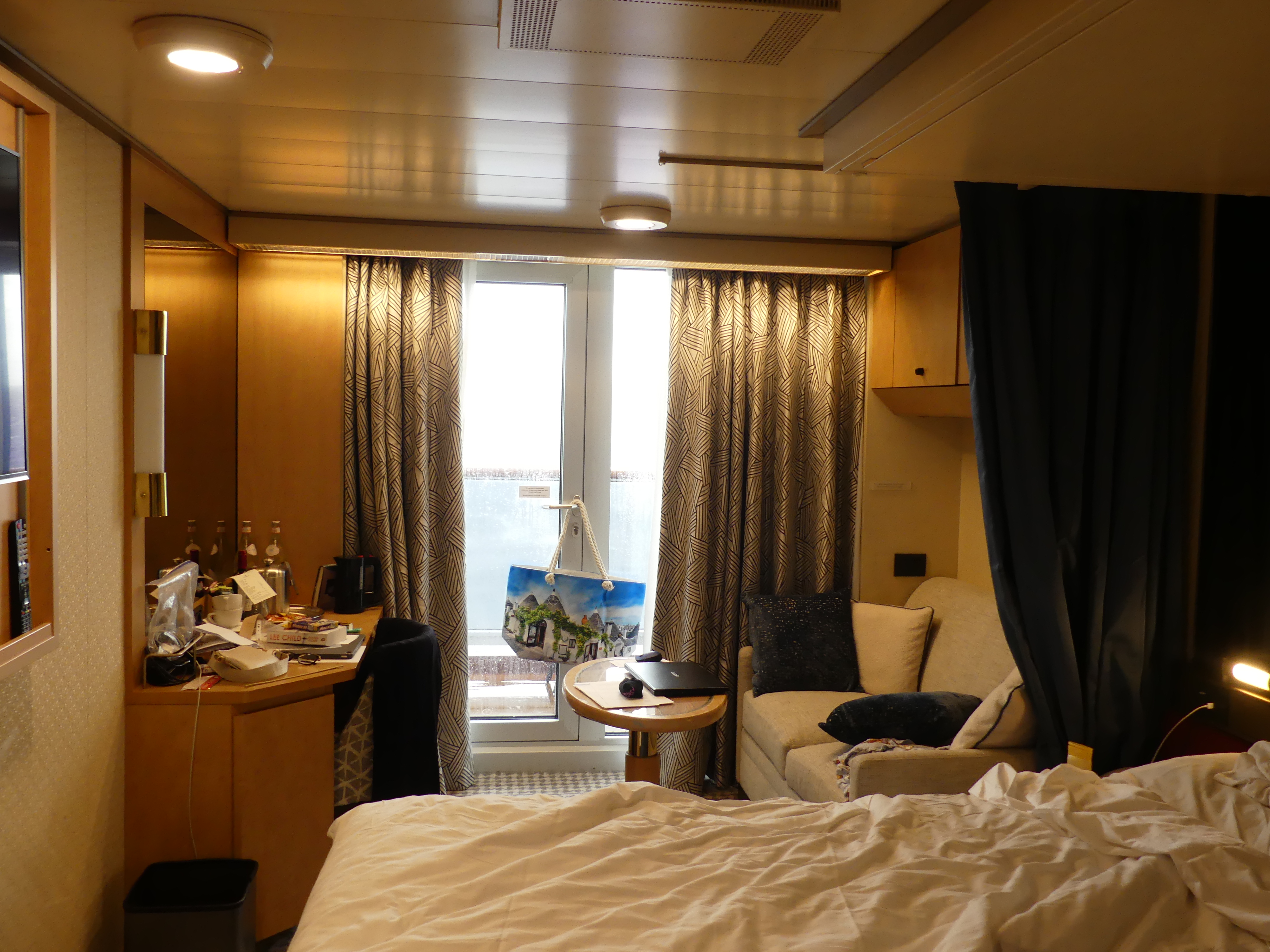
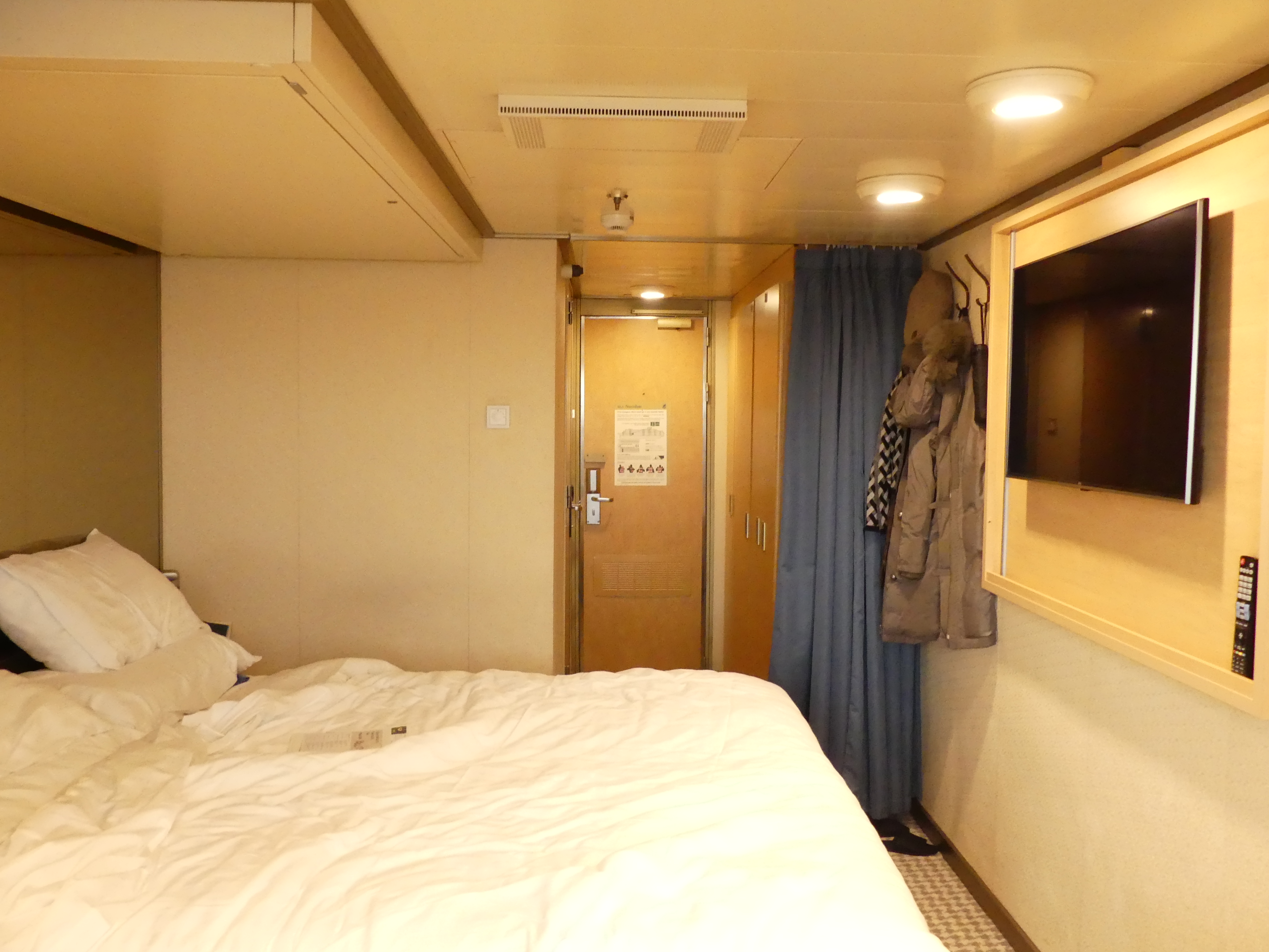
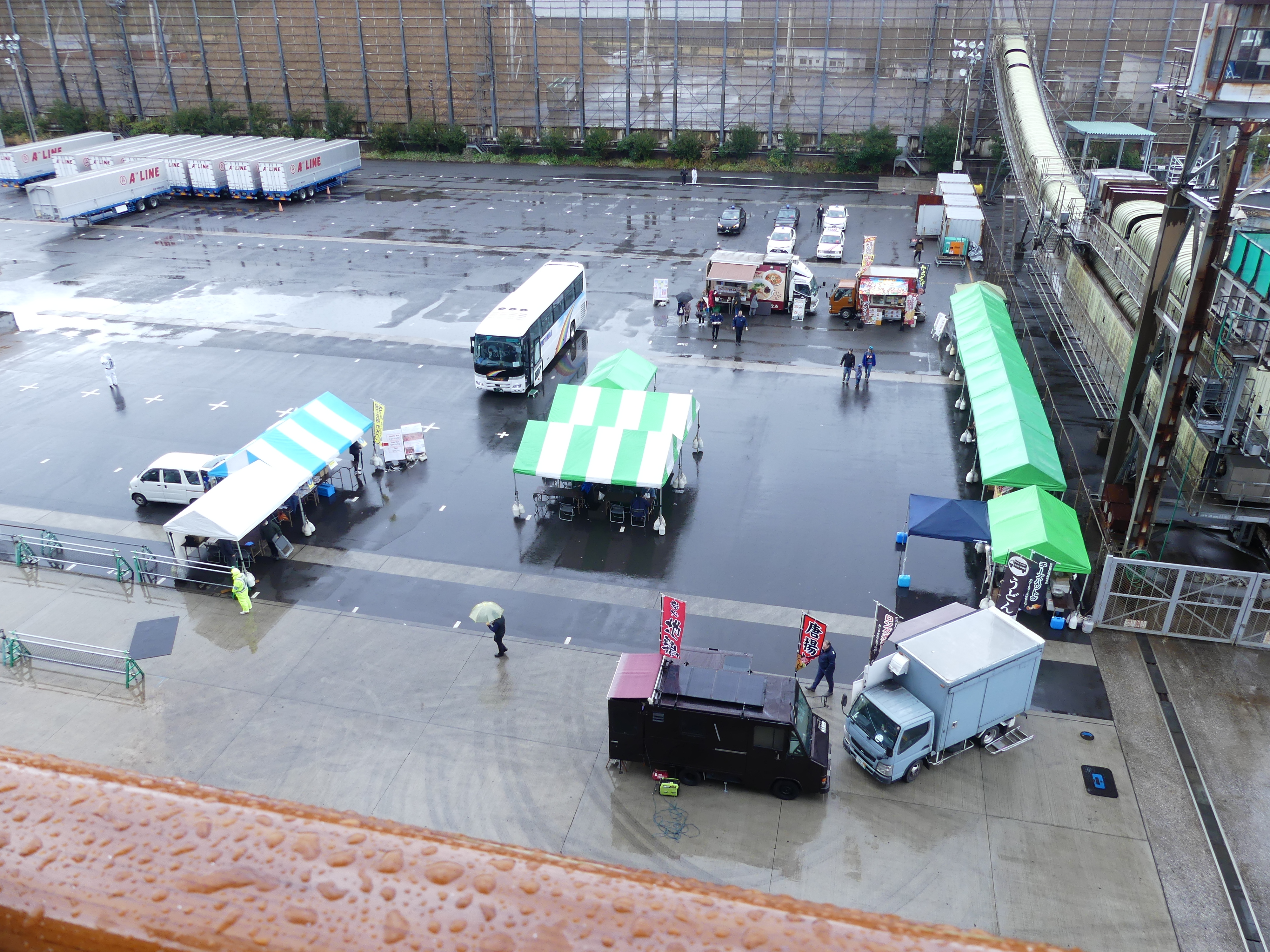
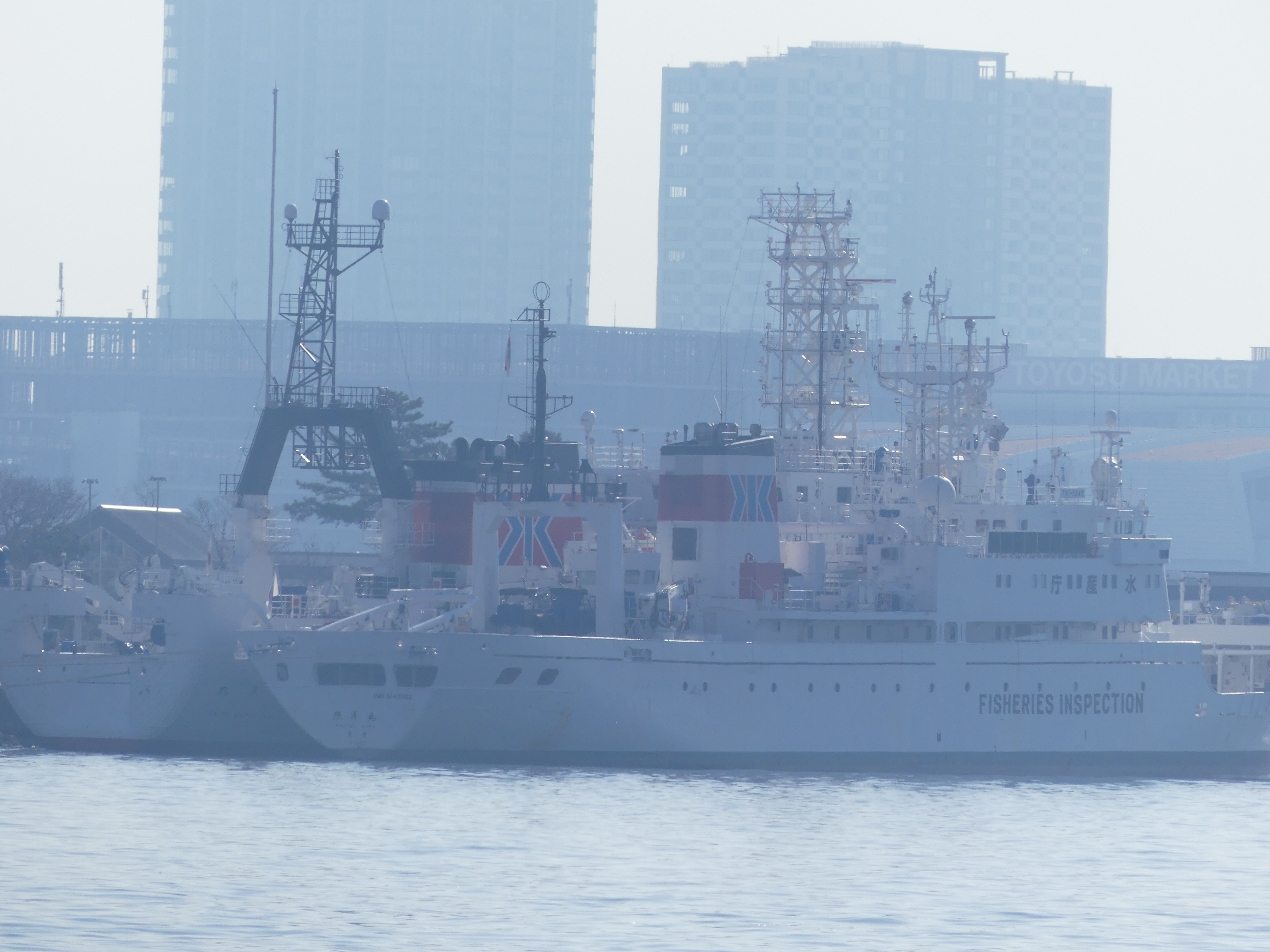
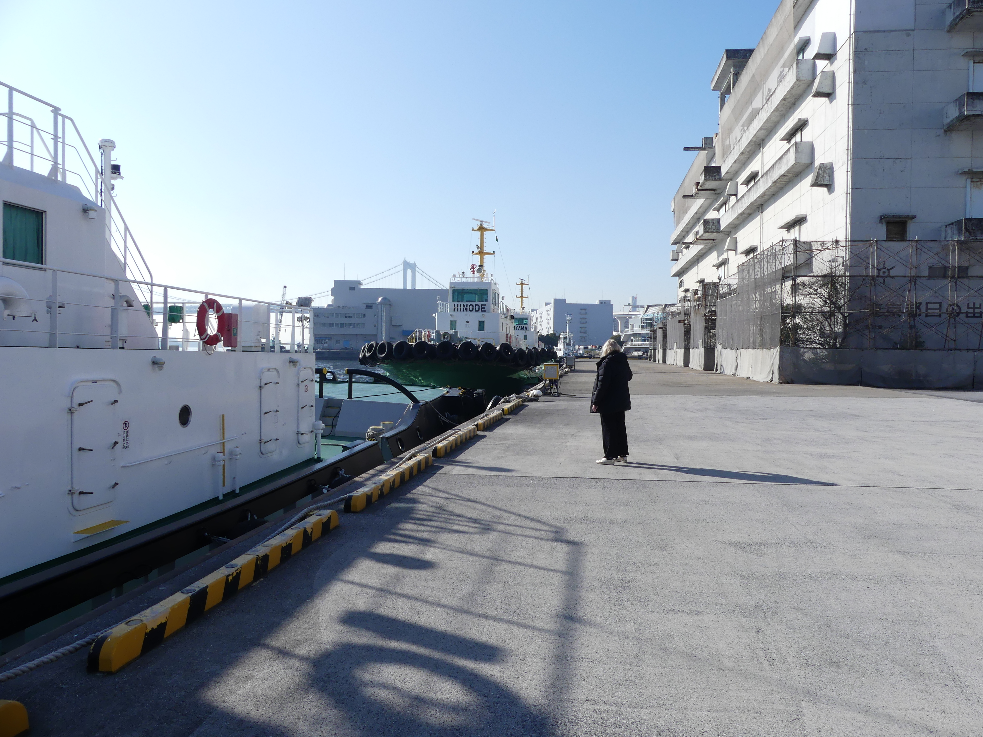
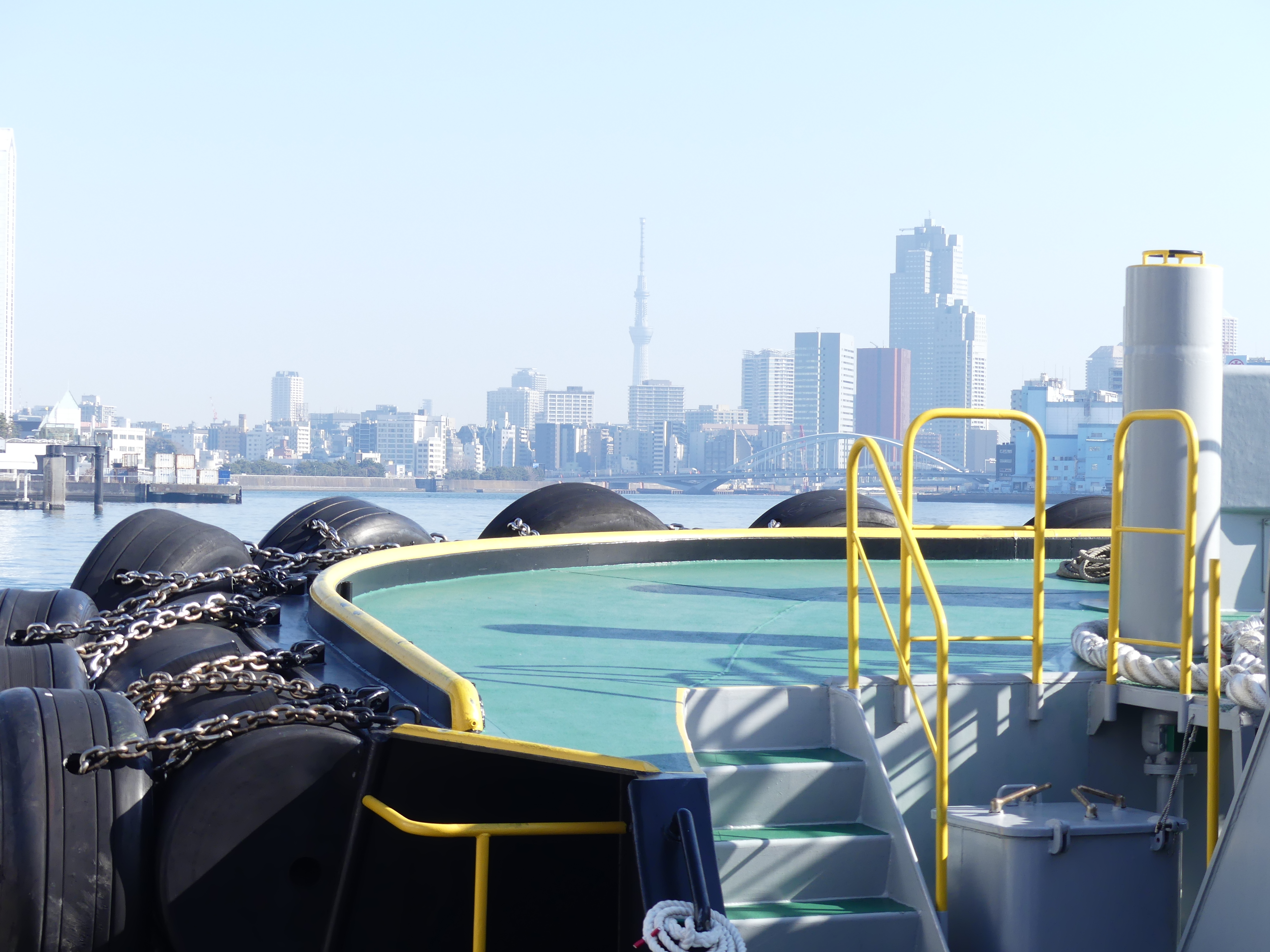
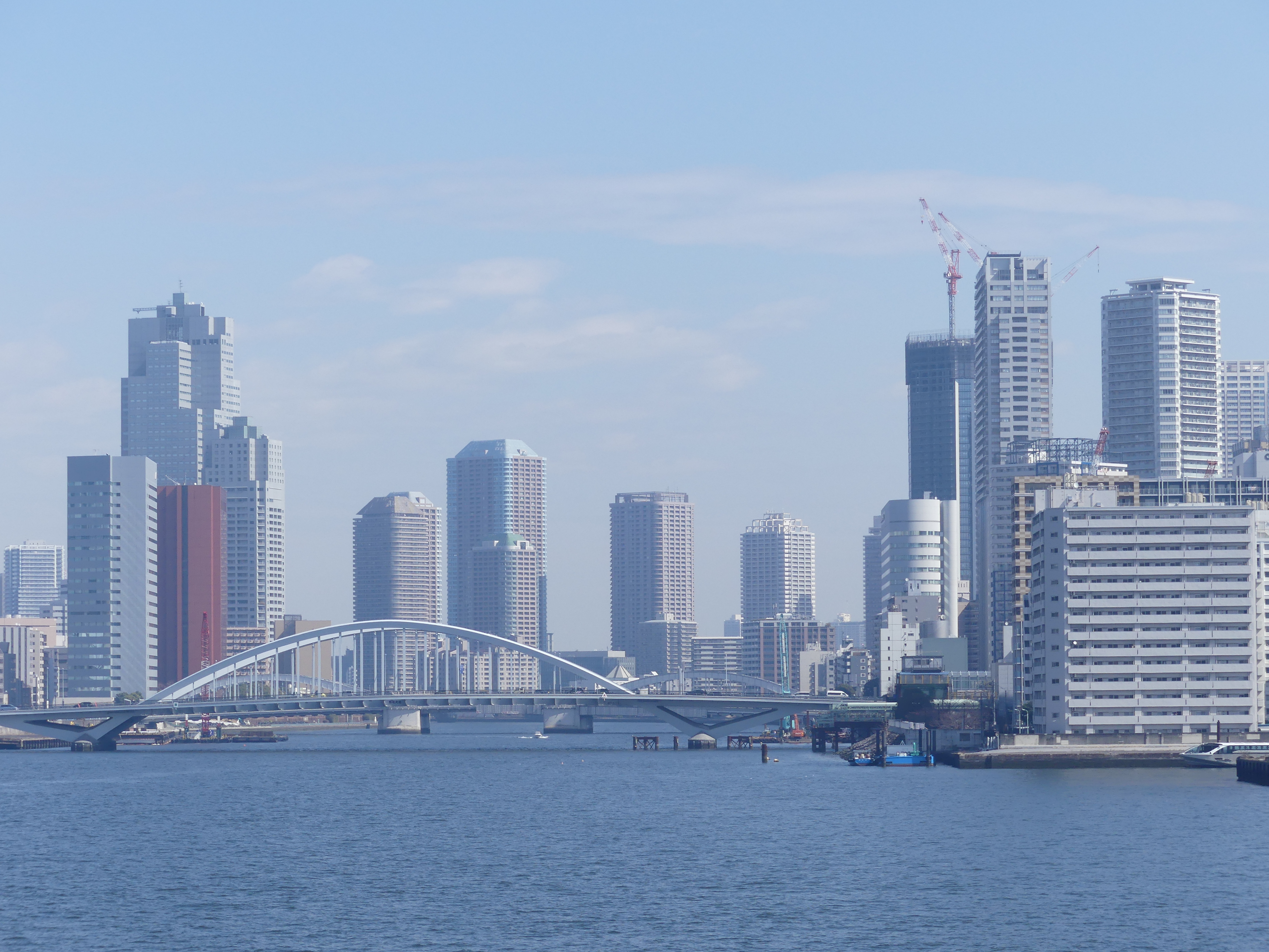
After the drama of finding the terminal, we cruised off that afternoon drinks in hand looking over the stern of the MS Noordam. The pictures below show the terminal, the crowd tucking into the welcoming drinks, some of the surrounding buildings and our stateroom. Later photos will give you a view of our deck but as you will note it was raining.

Day 3 Aburatsu

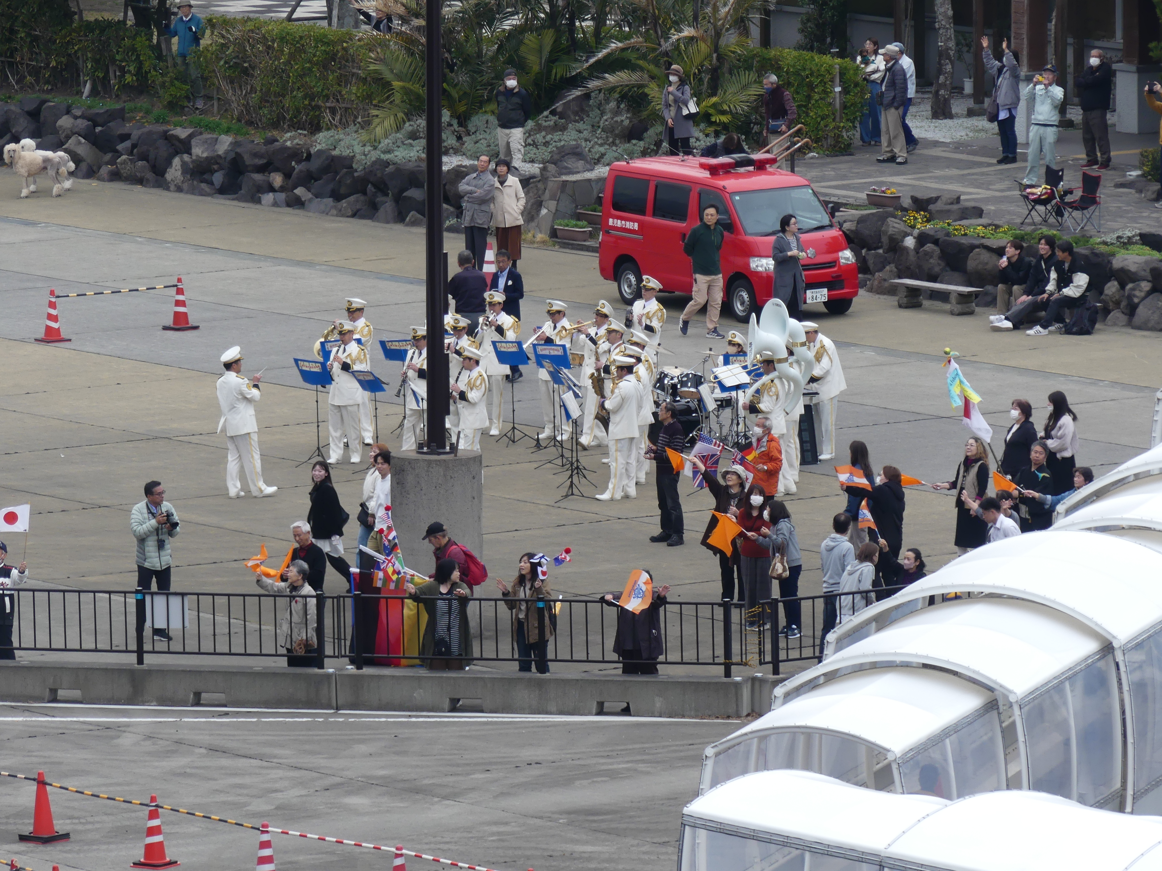
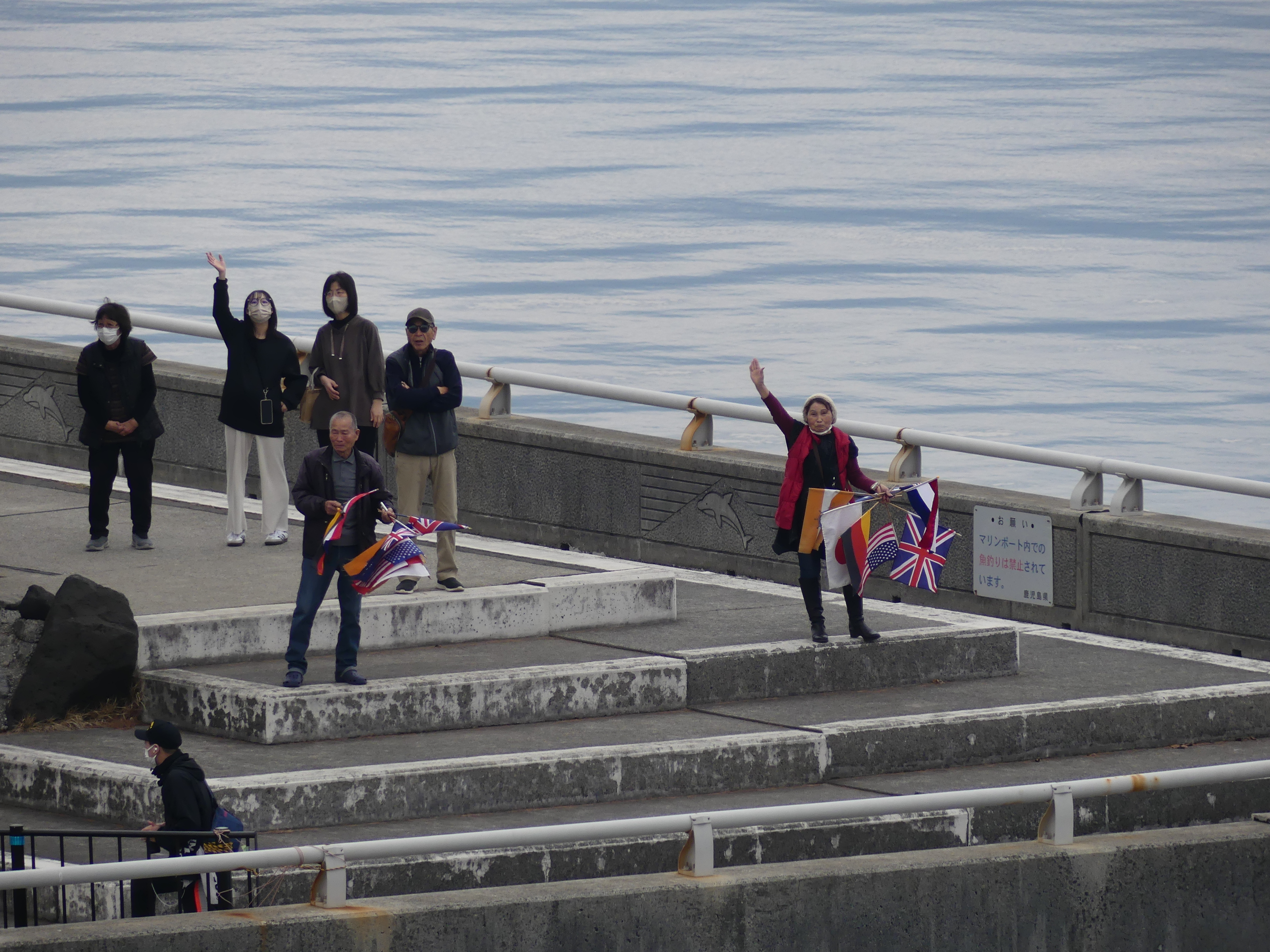
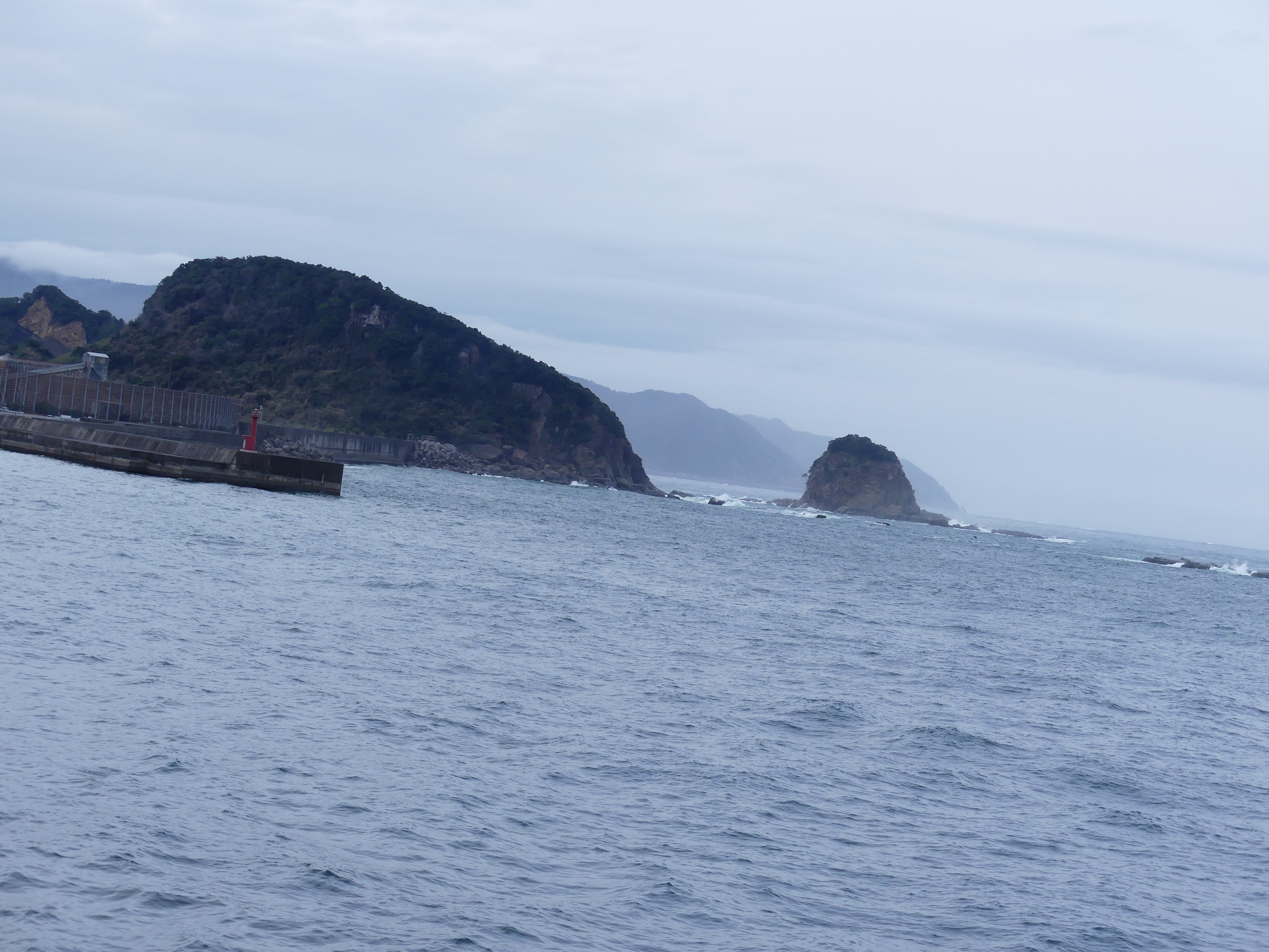
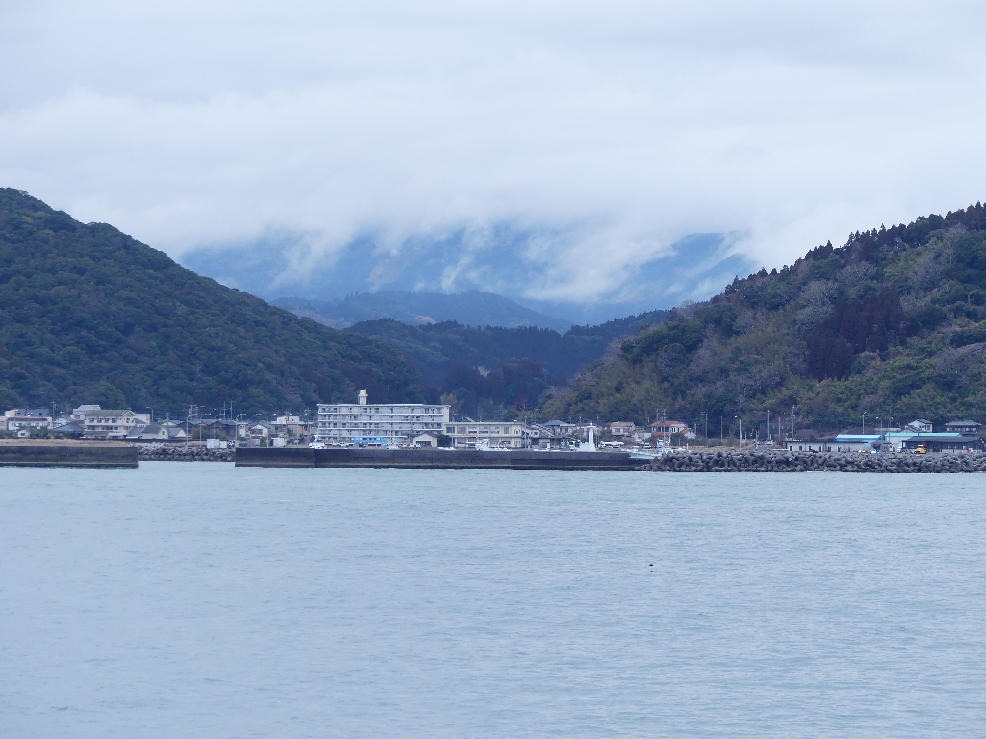
We were exhausted from rushing here and there. The tours/excursions did not excite us so we were not enticed to go ashore. The previous day and night had been choppy, and we decided it was great to just relax. The weather continued to be overcast and showery from time to time. So, we watched as several passengers filled the awaiting buses and thought of a good book and rest. Amongst the photos below you will see the harbour is fenced off by rocky outcrops and the channels out of the harbour had to be marked by lighthouses when the ship sailed.

Day 4 Port Naze

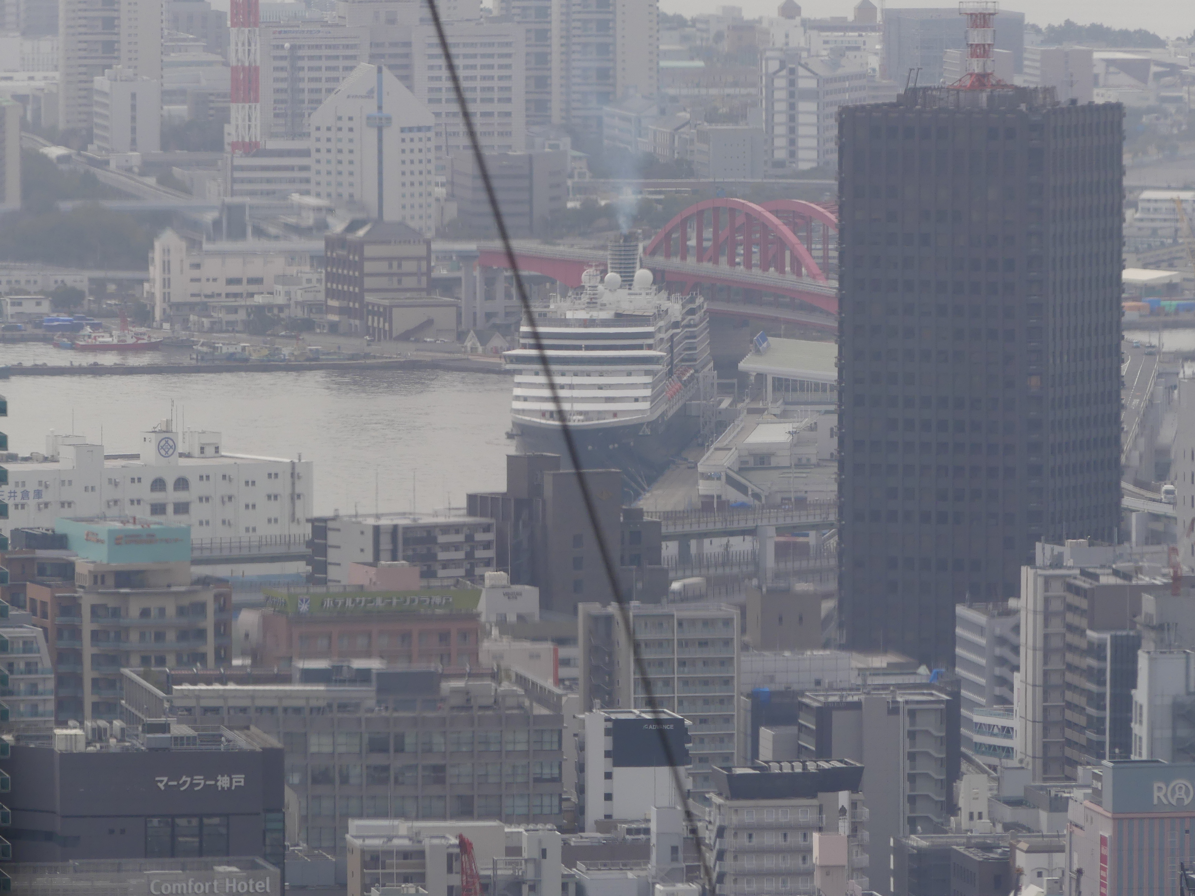
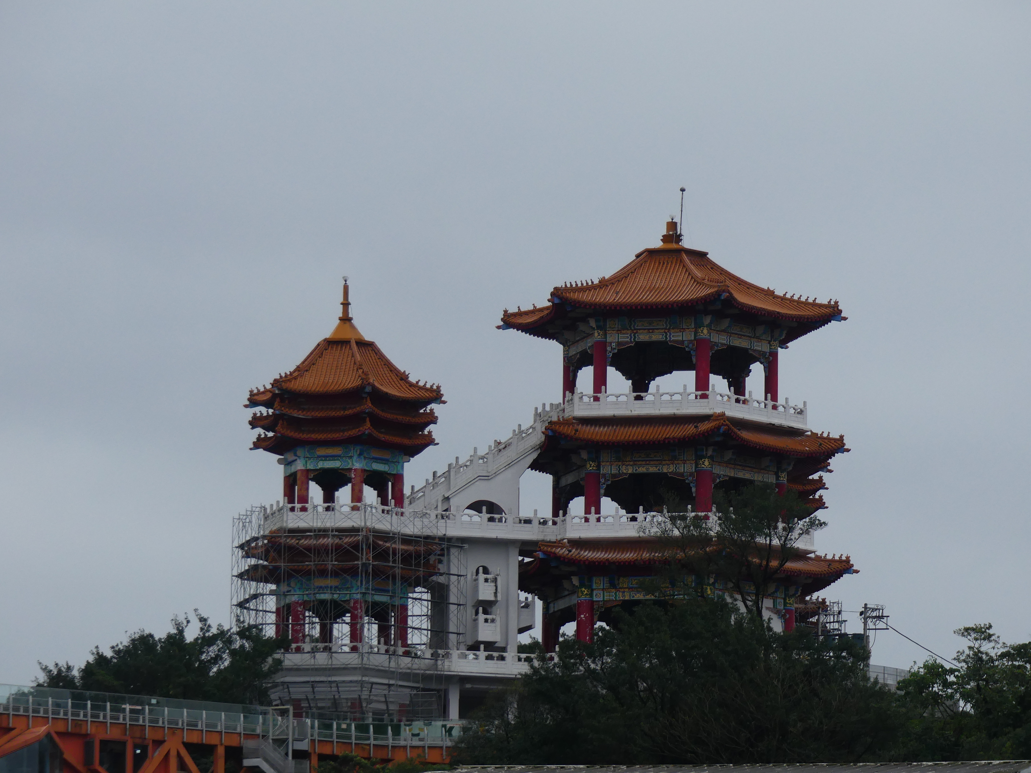
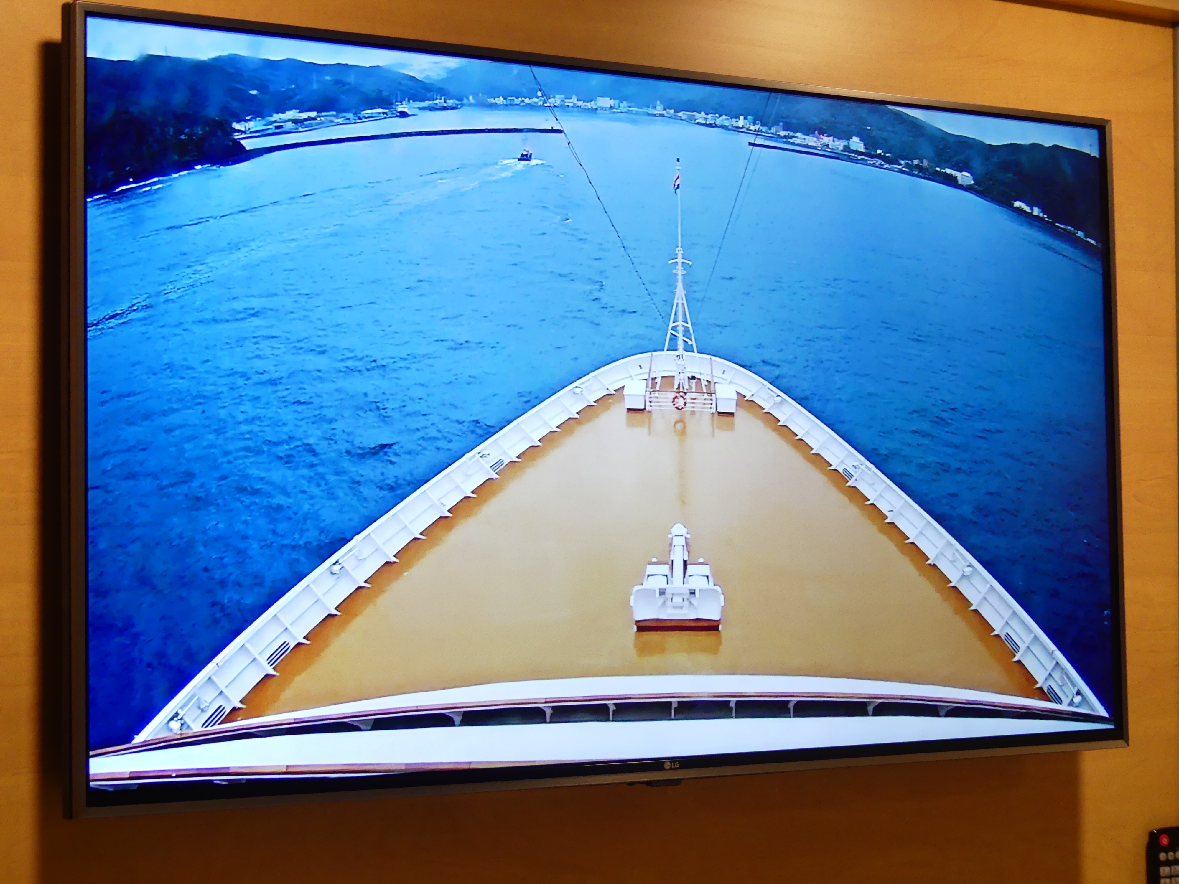
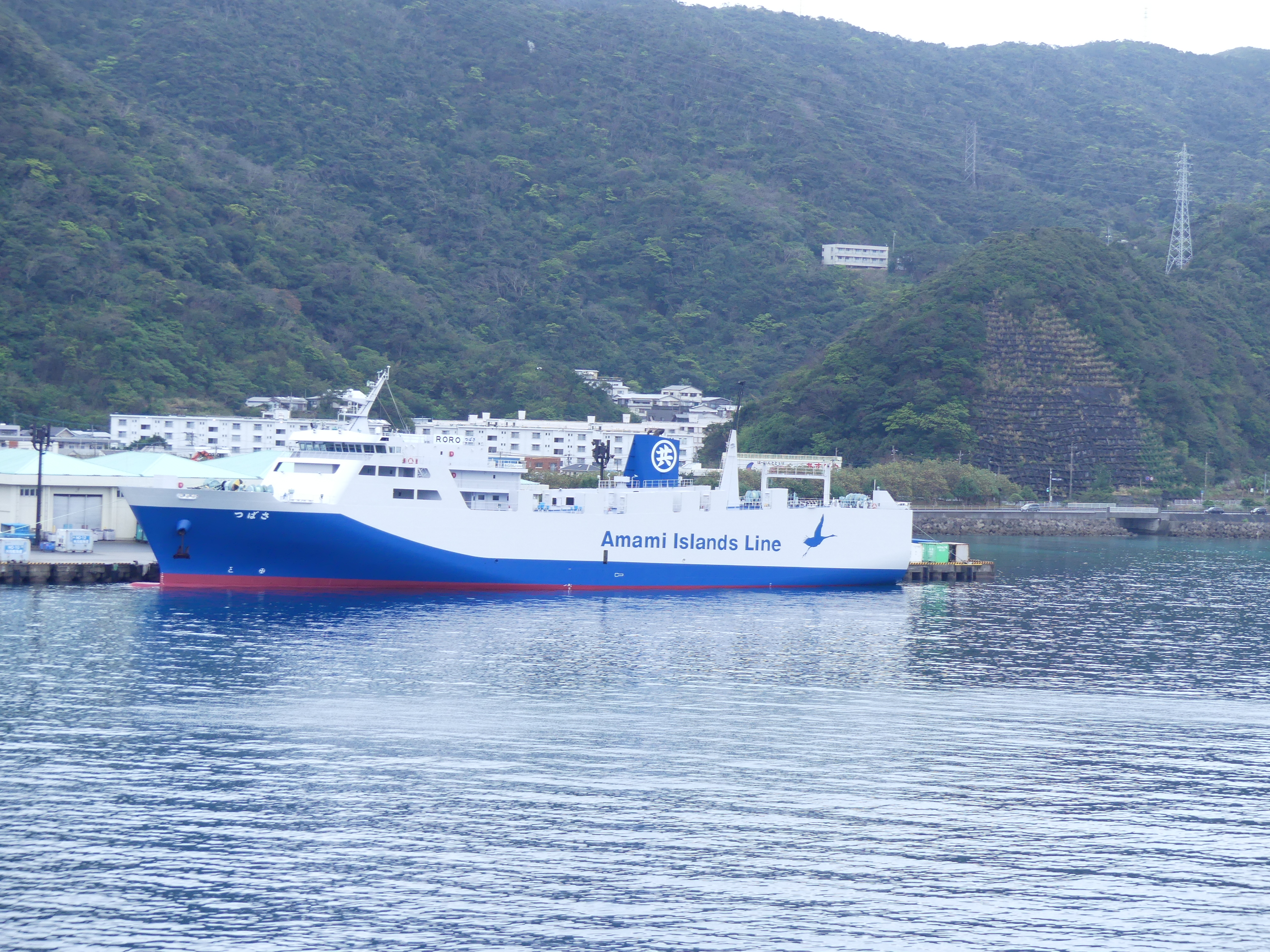
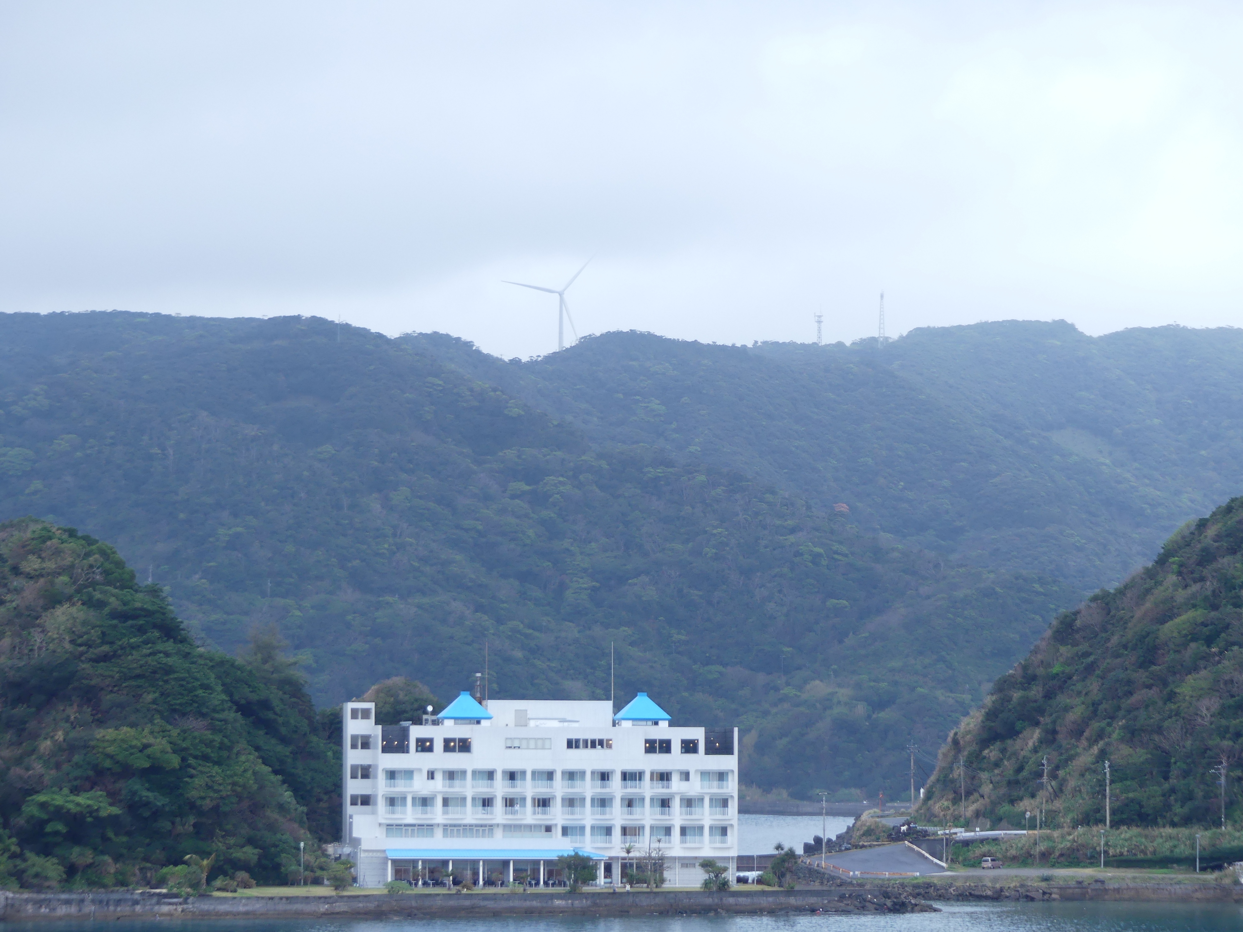
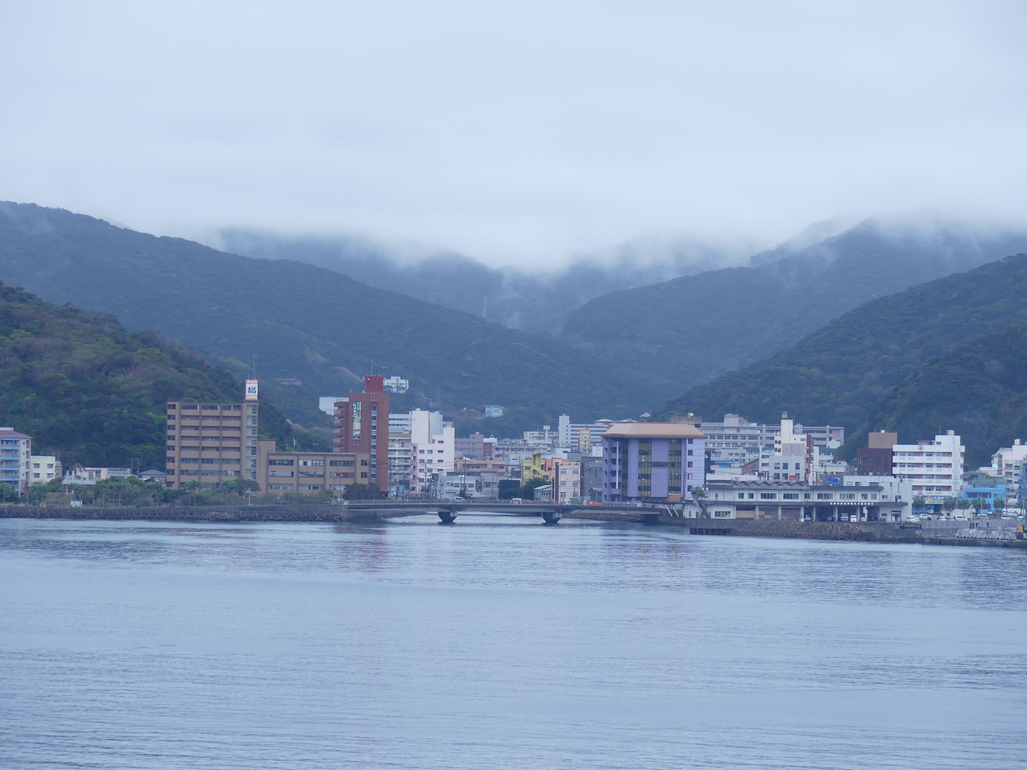
It was overcast once again. We had paid for one of the excursions, so we were wide awake watching the ship come into the dock and noting the heavy vegetation around the town. Our TV was connected to the ships bow camera, so we did not need to take a step outside to know its was still overcast. Once again there was a seawall to protect the harbour and a ferry service servicing the nearby islands. The town seemed about to be swallowed by the surrounding vegetation.

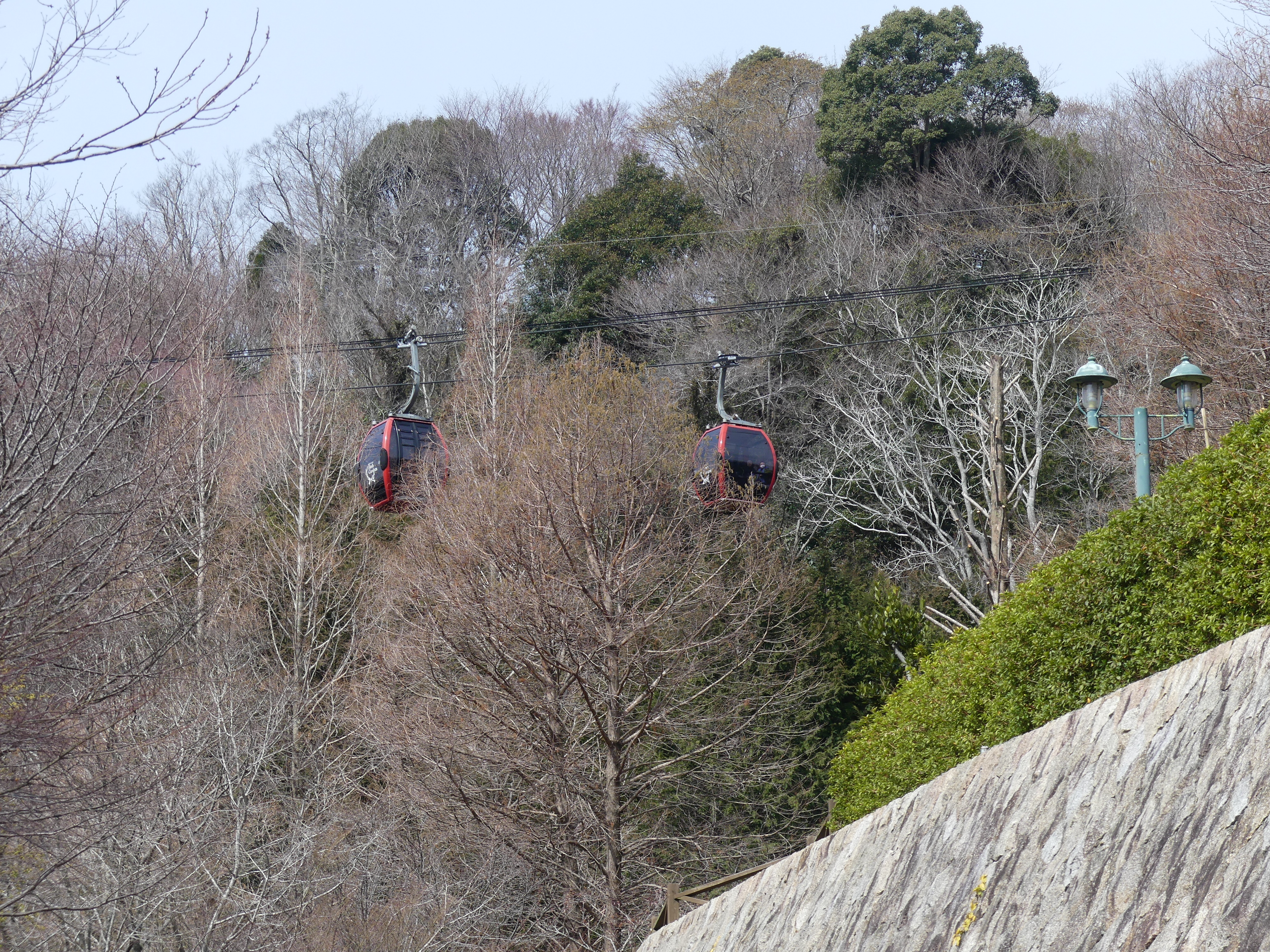
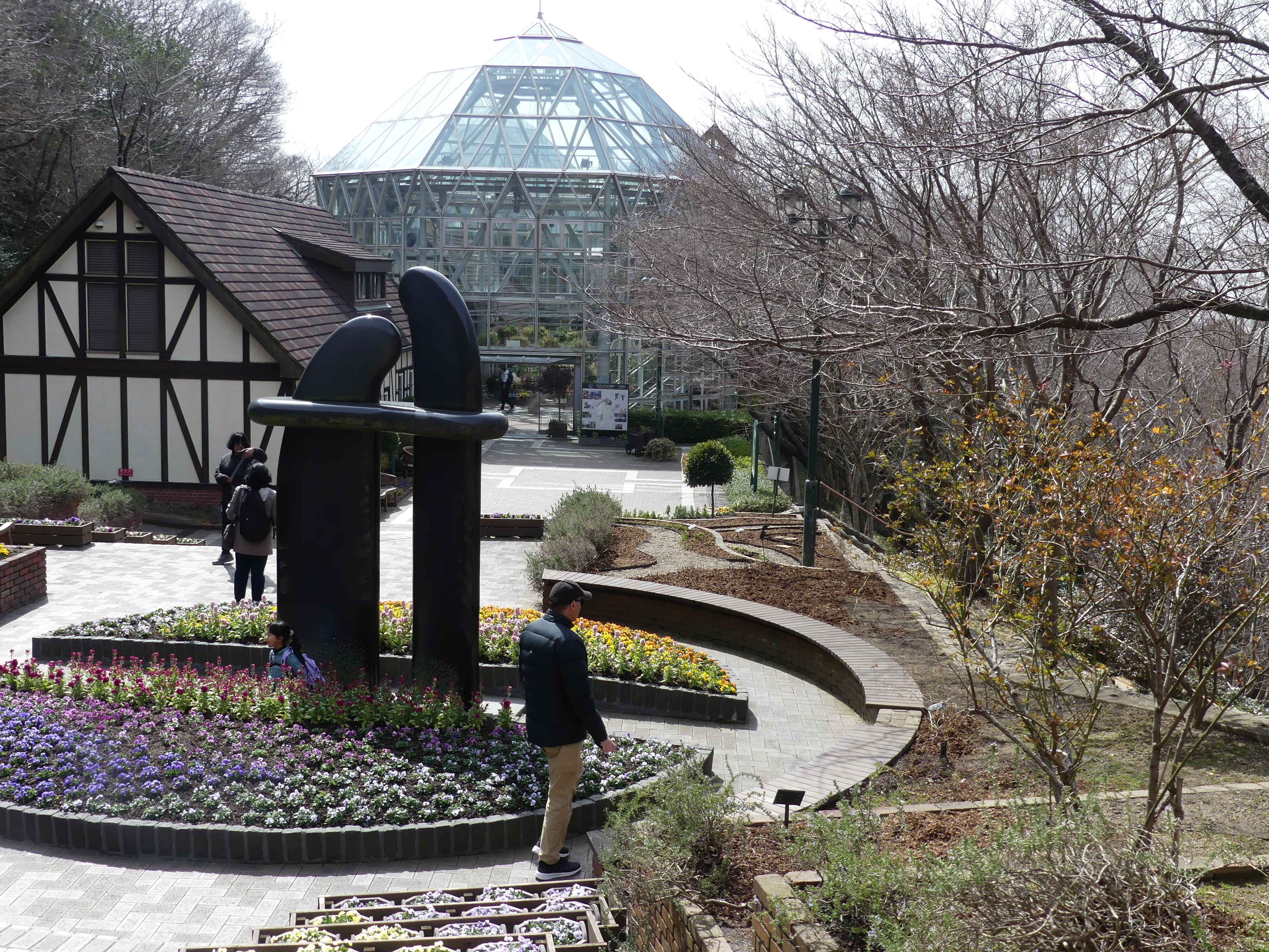
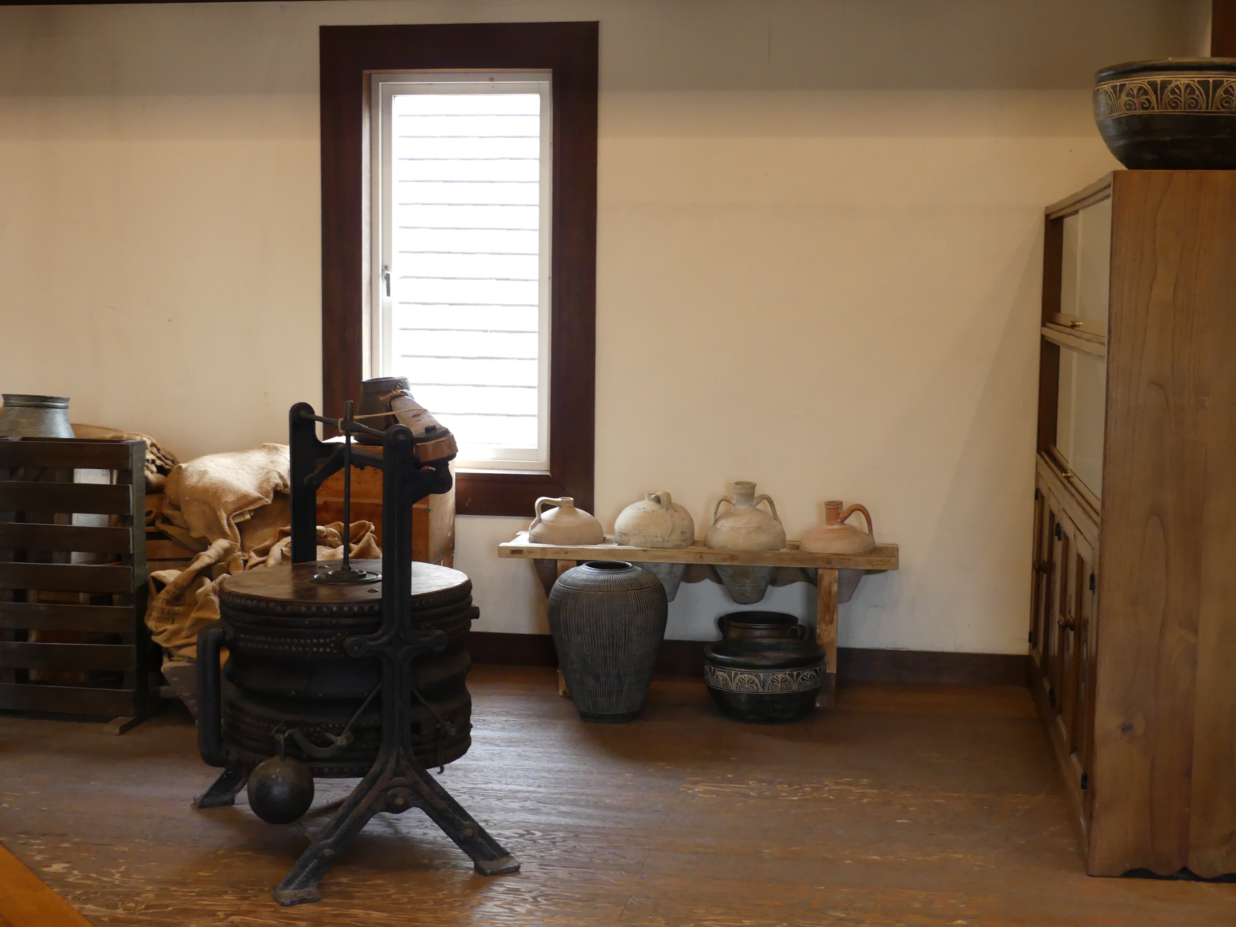
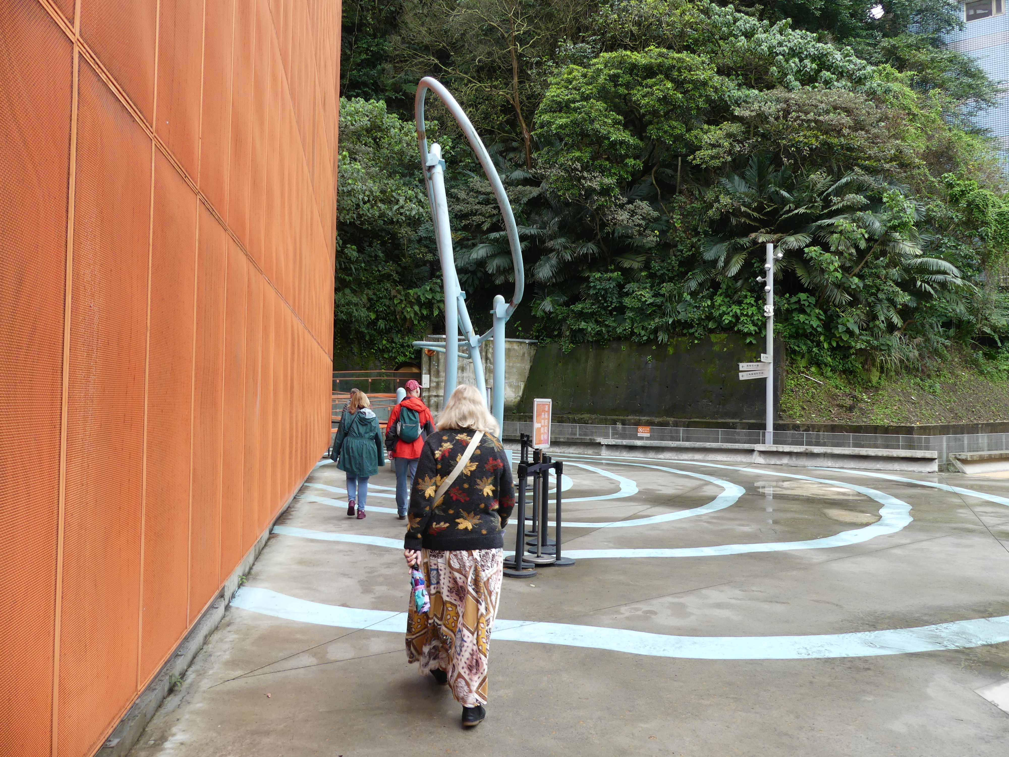
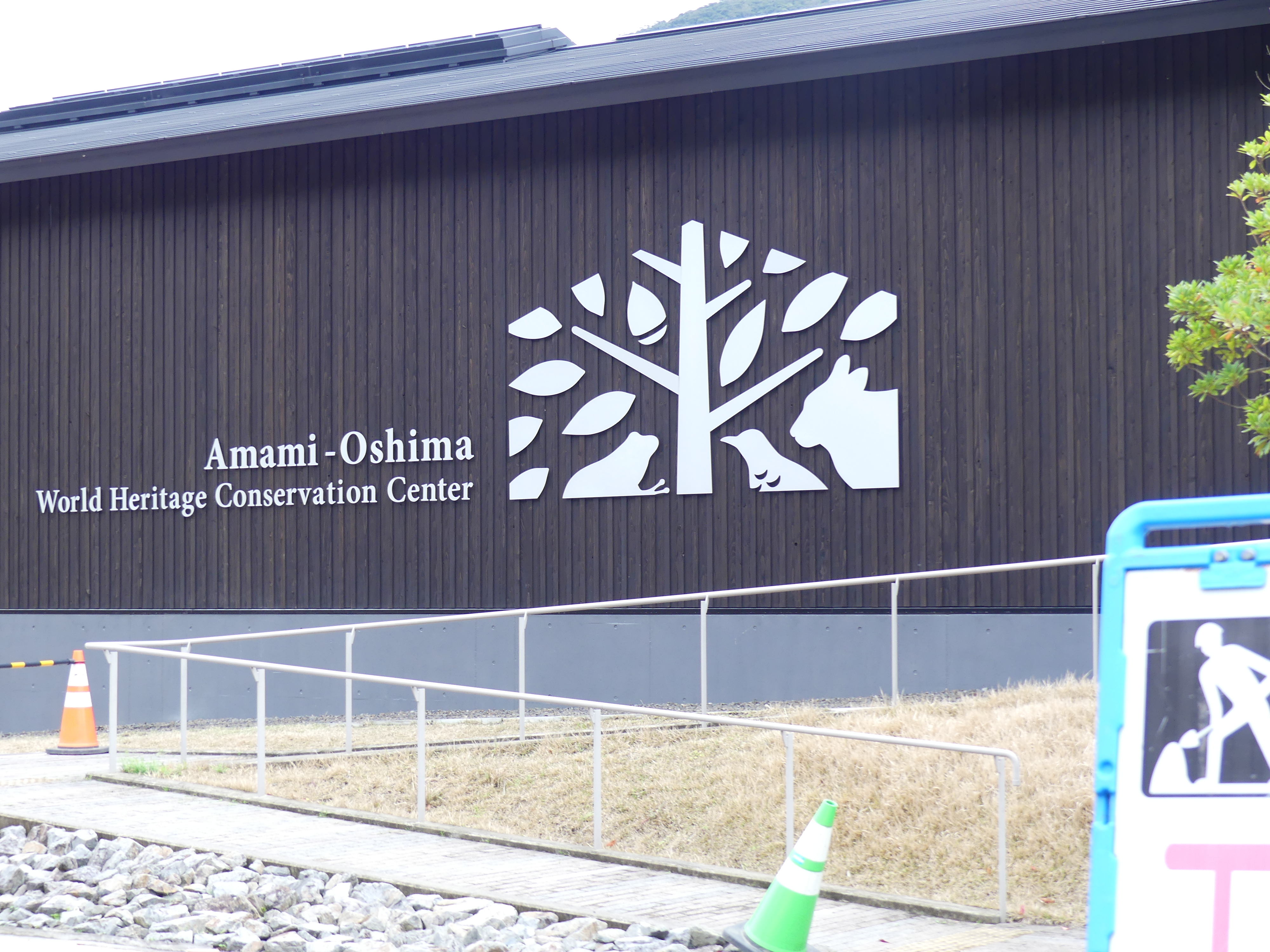
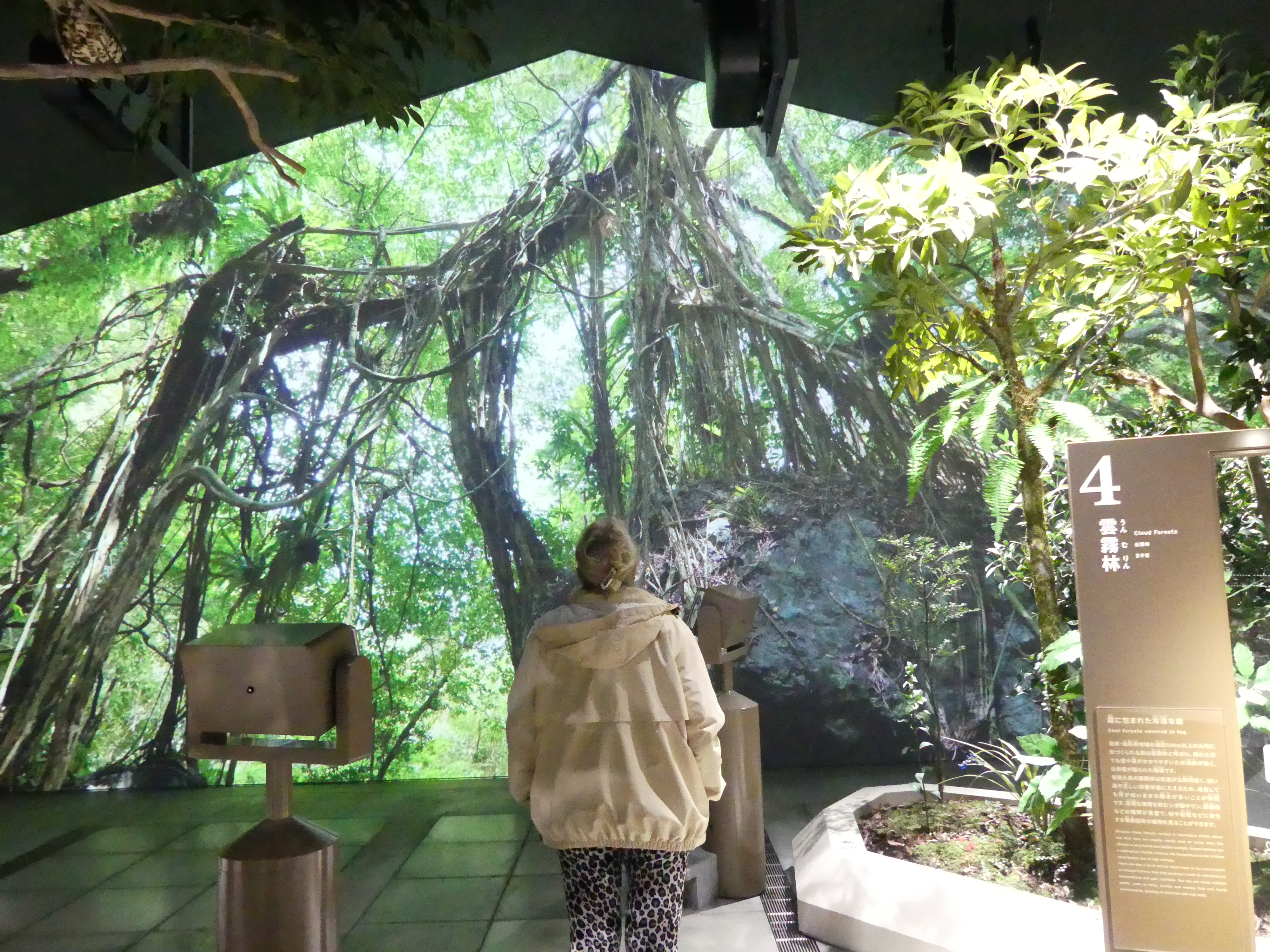
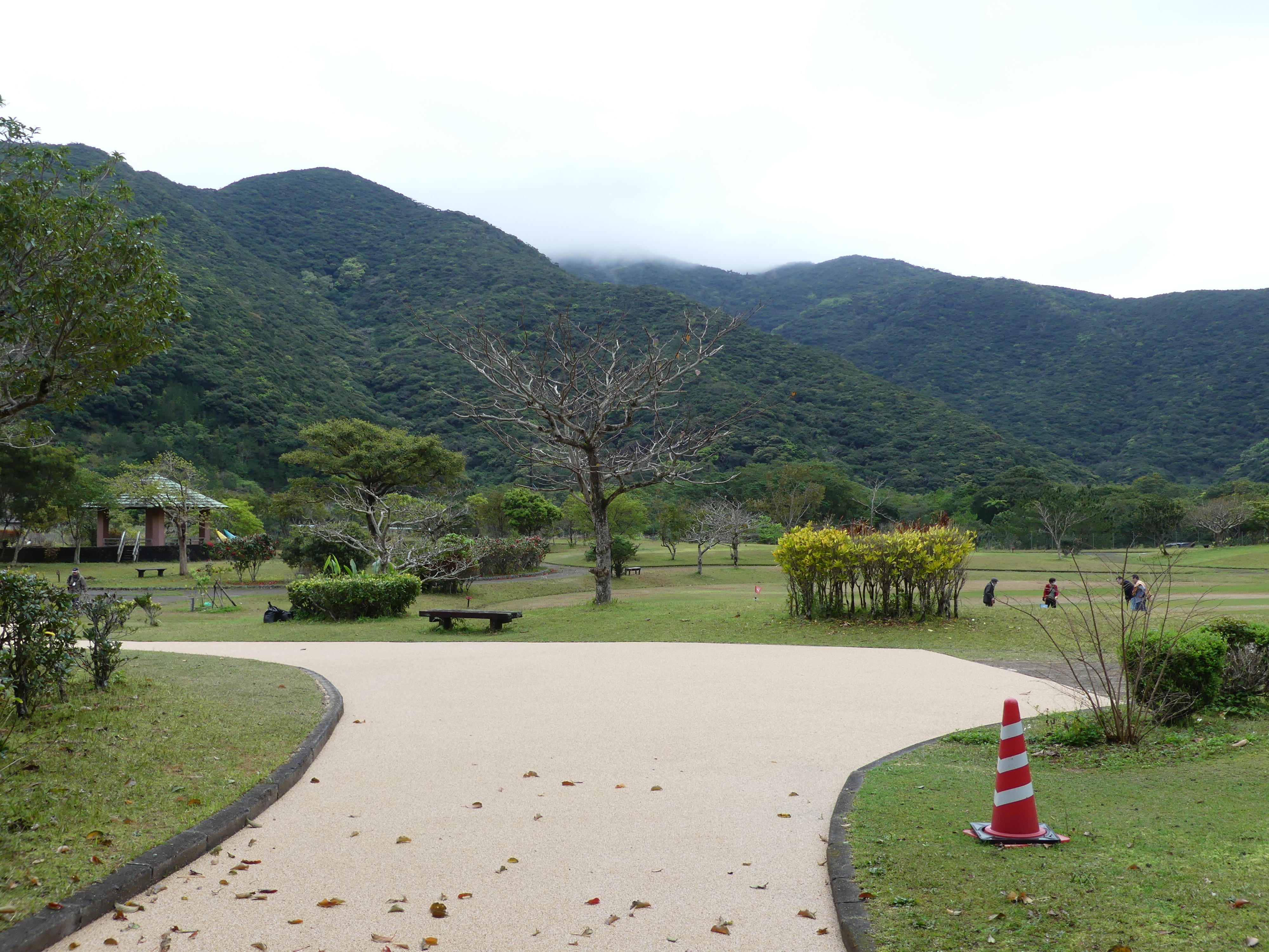
We boarded a bus and started our journey to the Amami – Oshima Conservation Reserve with its diverse flora and fauna of Amami Oshimas’ subtropical forests, from its labyrinthine mangroves to its widespread laurel forests. The exhibition room has life-sized dioramas of forest vegetation and rare animal species such as the Amami rabbit. The Amami rabbit is a relic species with short ears, dark fur, and hunched back only found on Amami Oshima and neighbouring Tokunoshima Island. Interestingly there is a golf course alongside the Centre.
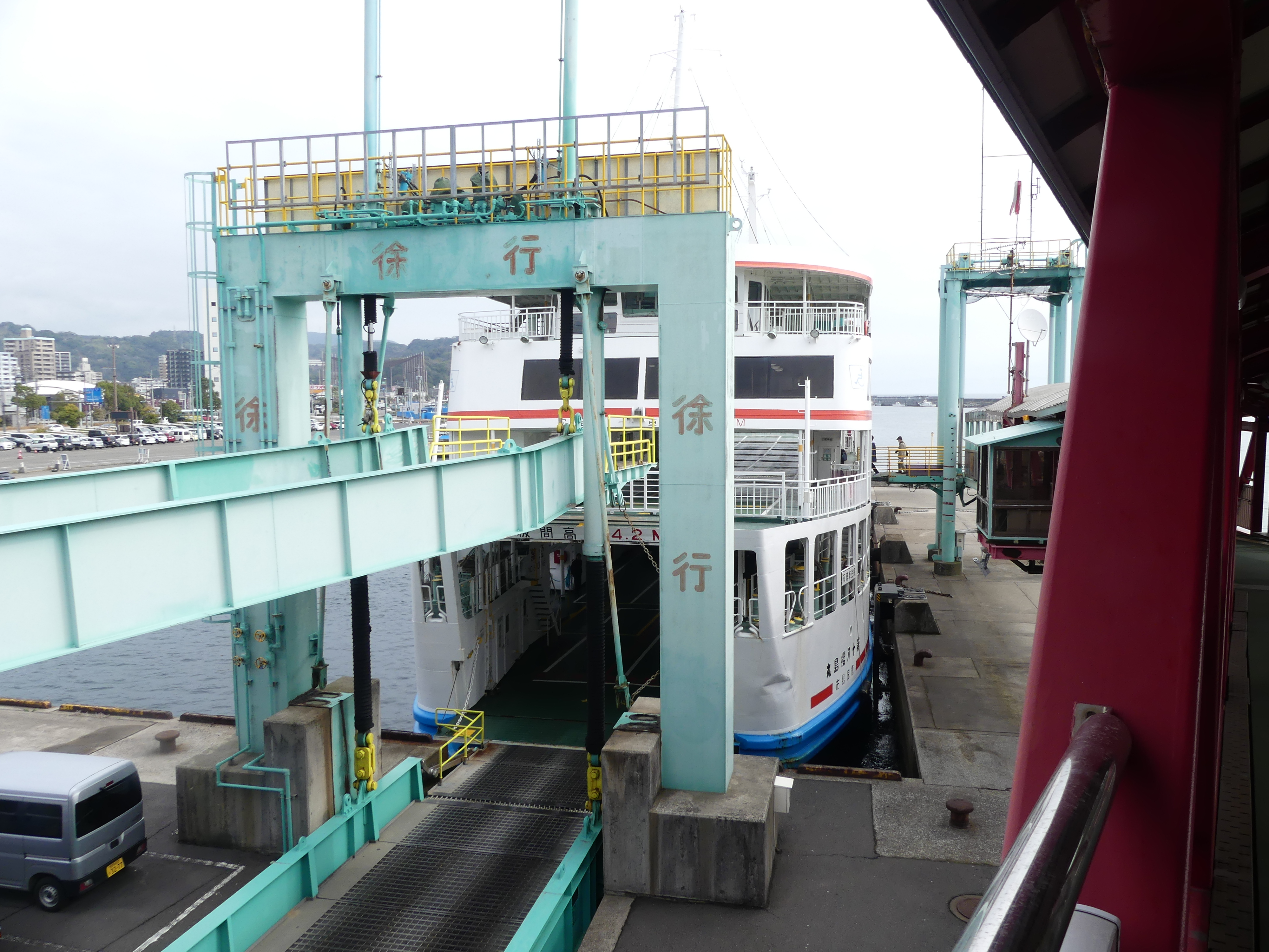
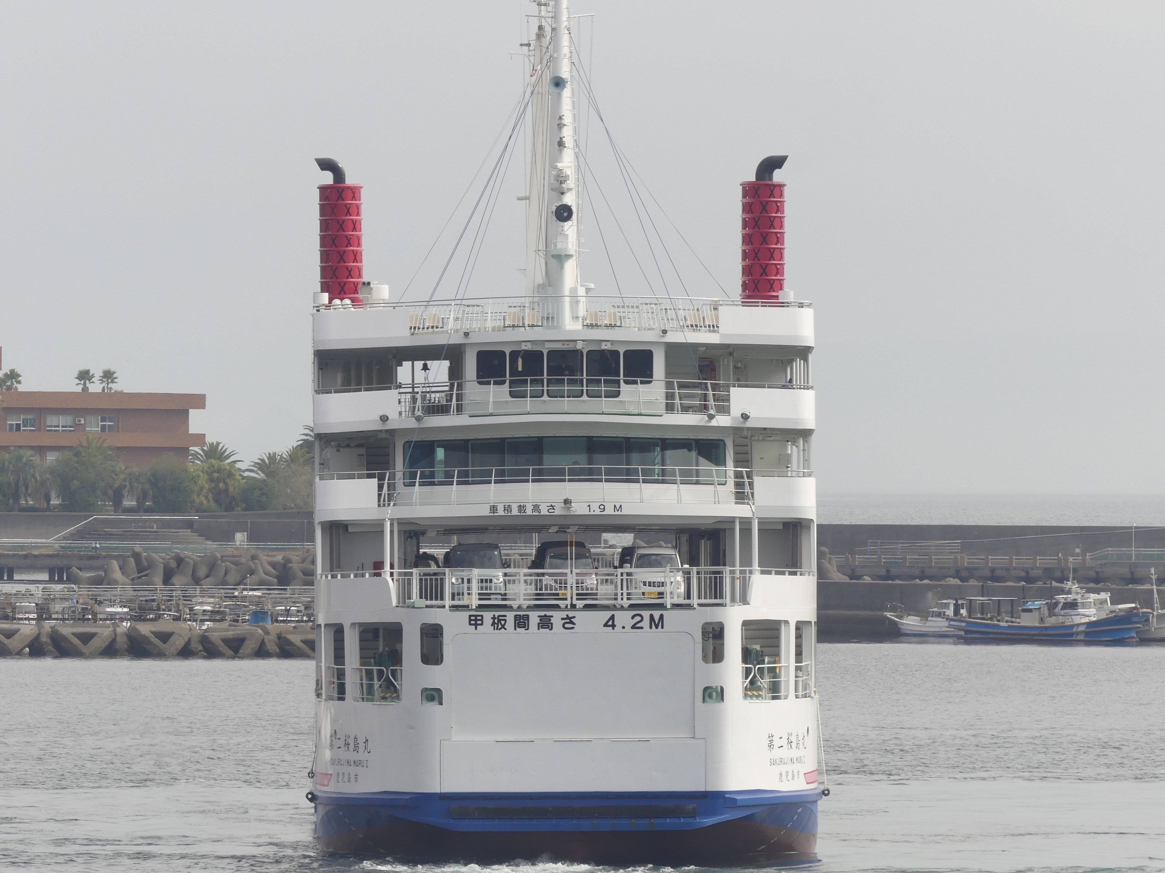
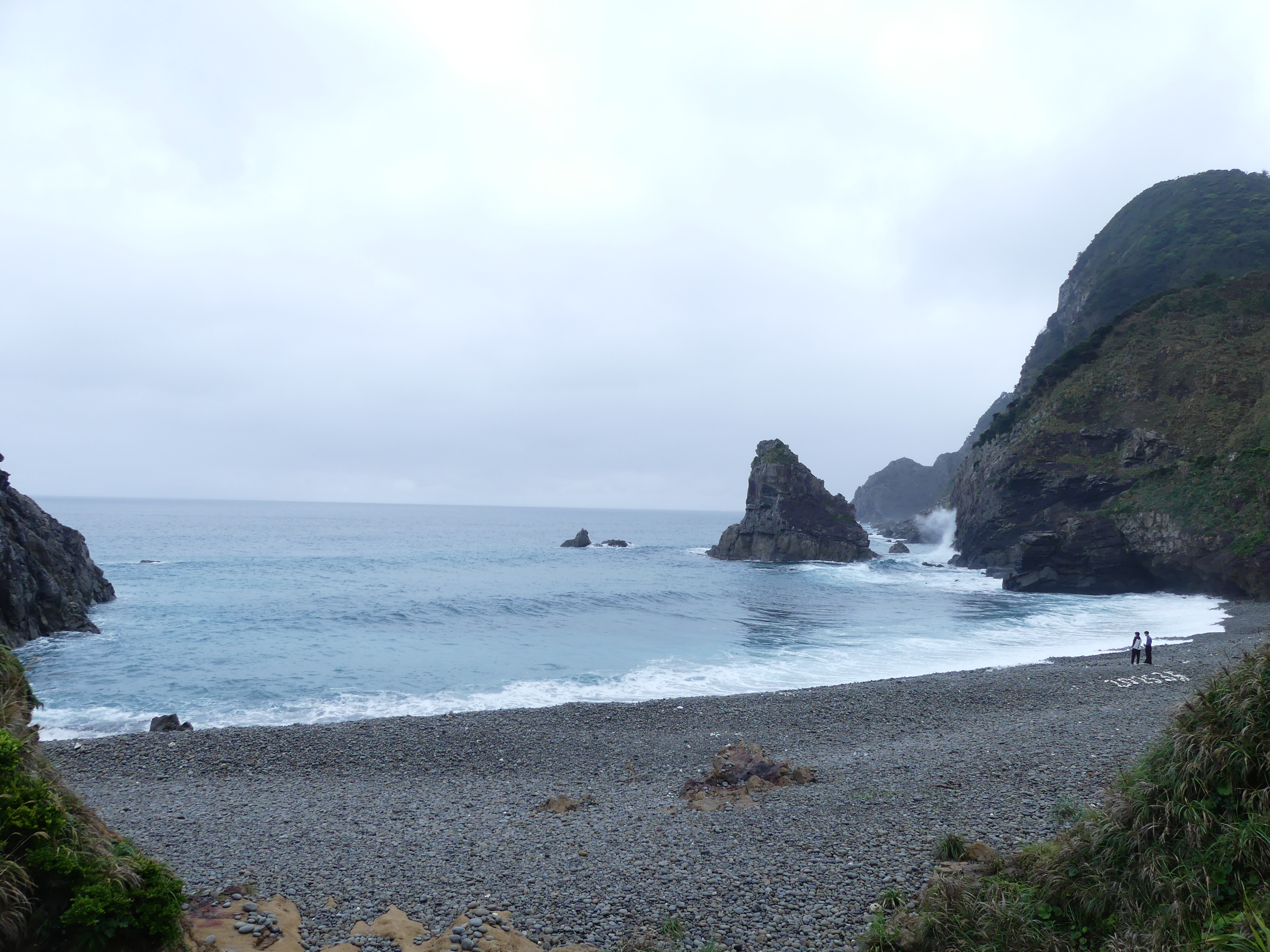
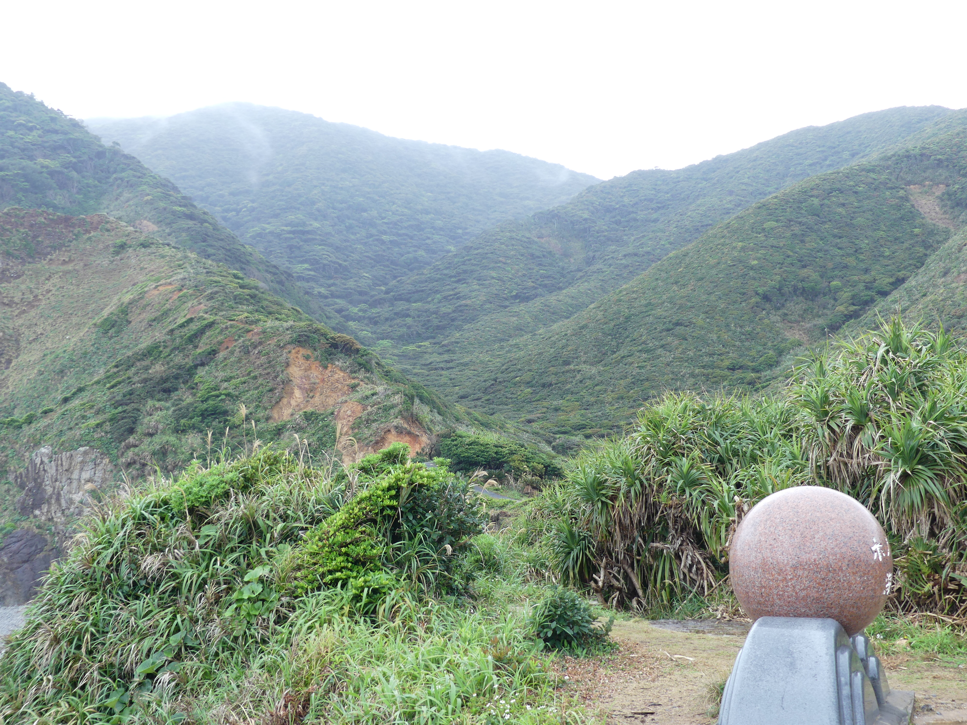
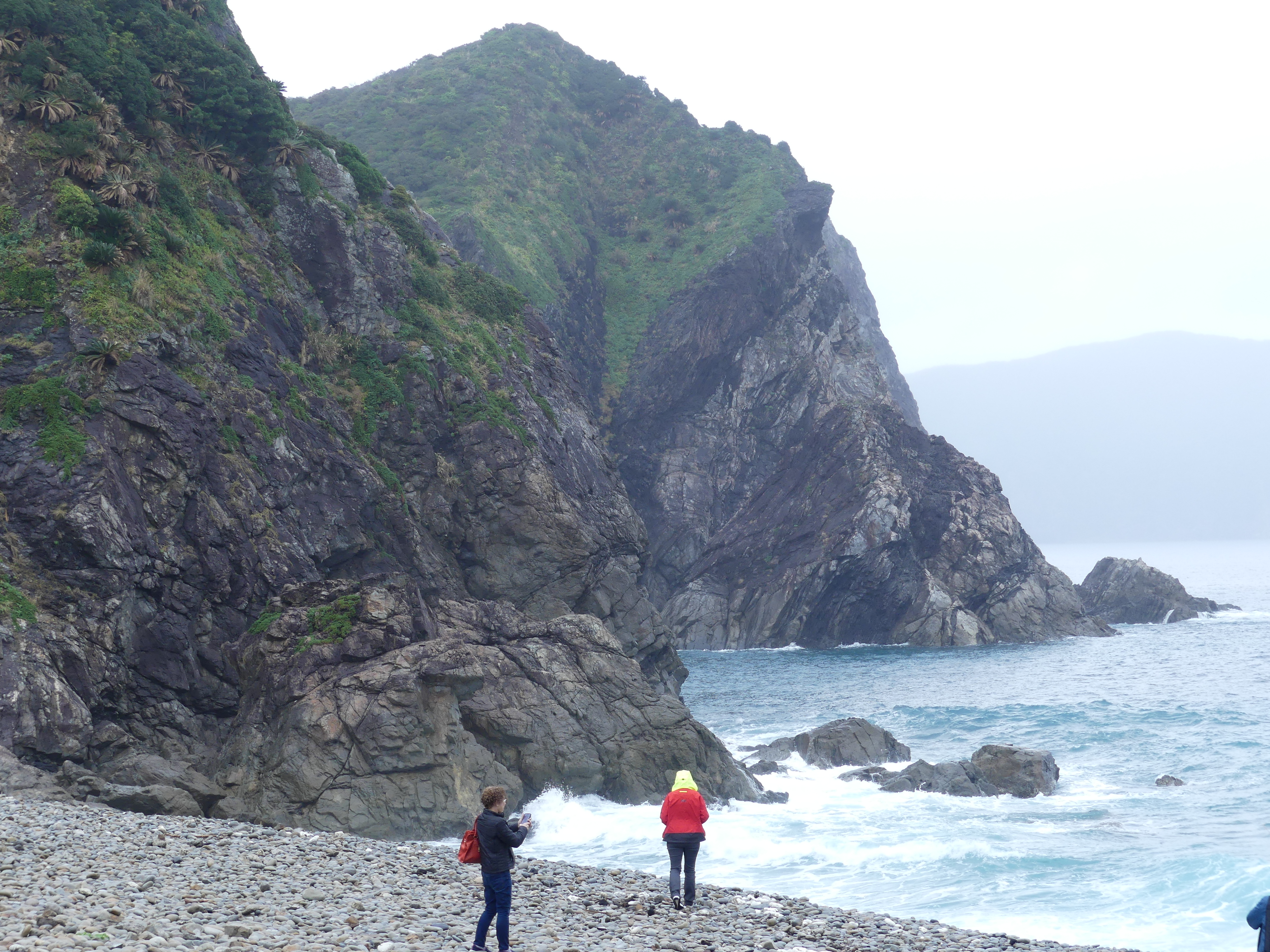
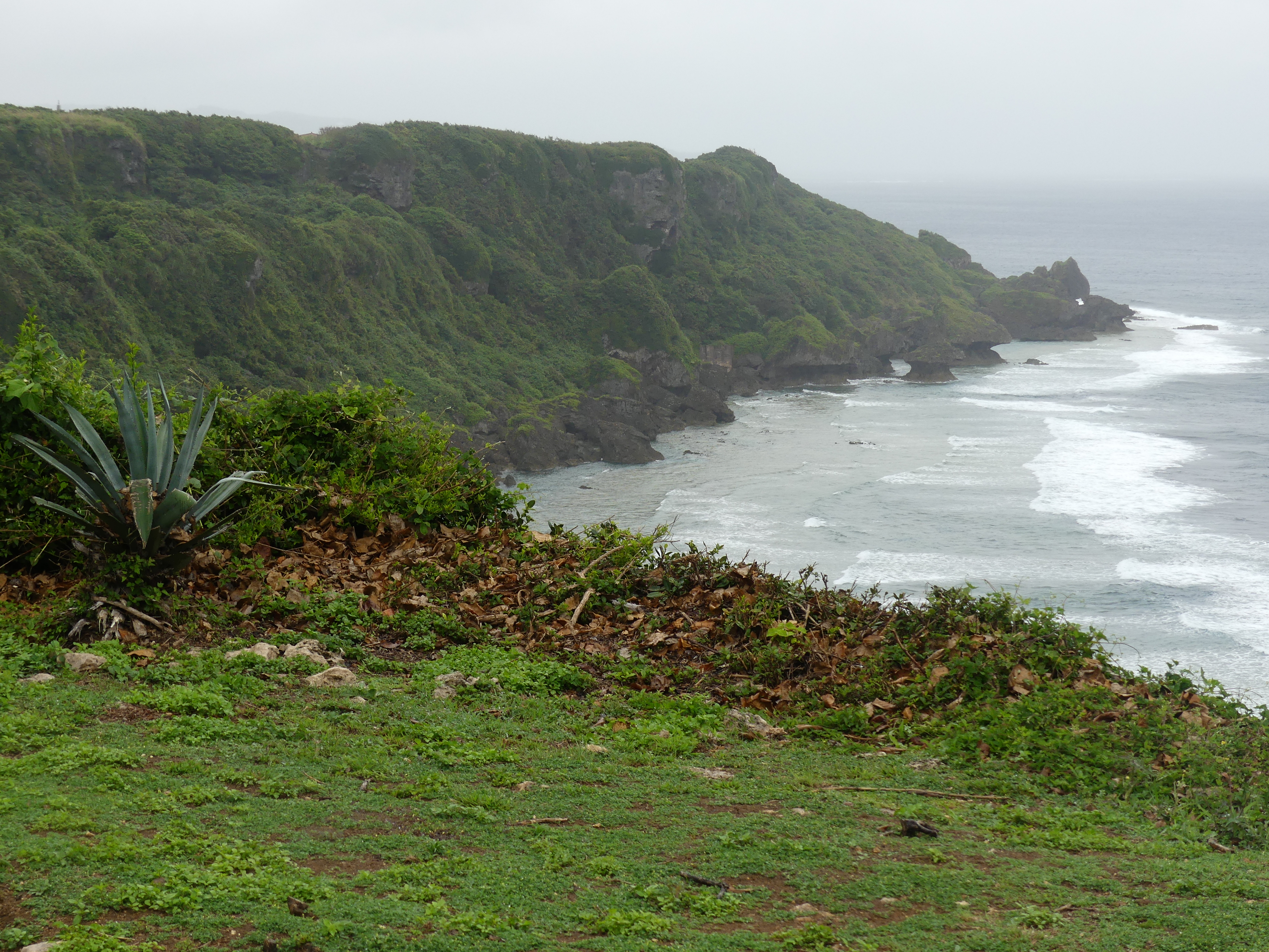
Next, we went to Honohoshi Beach. It showed the volcanic past of Japan and its islands. I think this is a stop to allow the glass bottom boat to deal with each wave of tourists as there was little of interest, but our tourist guide managed to keep talking.

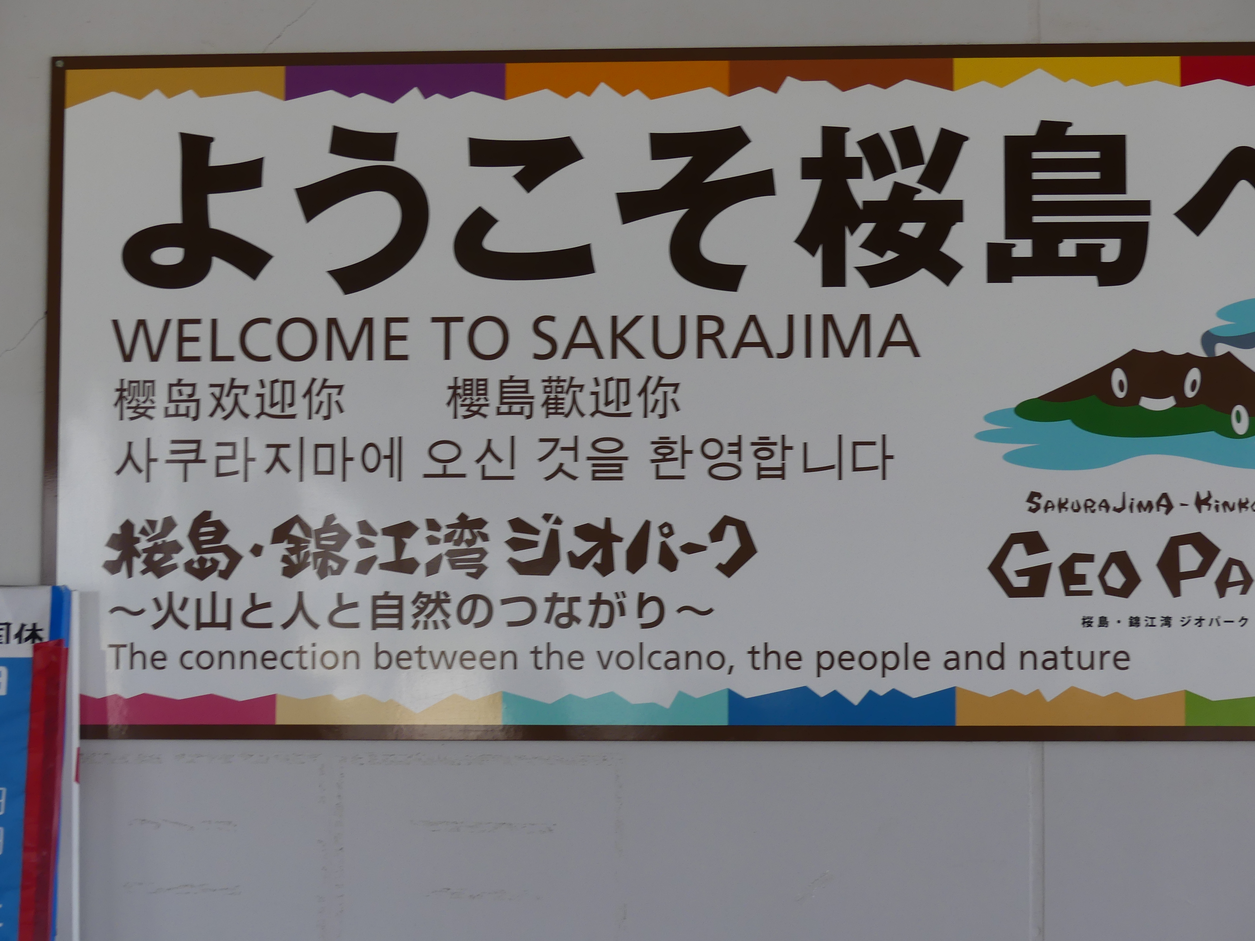
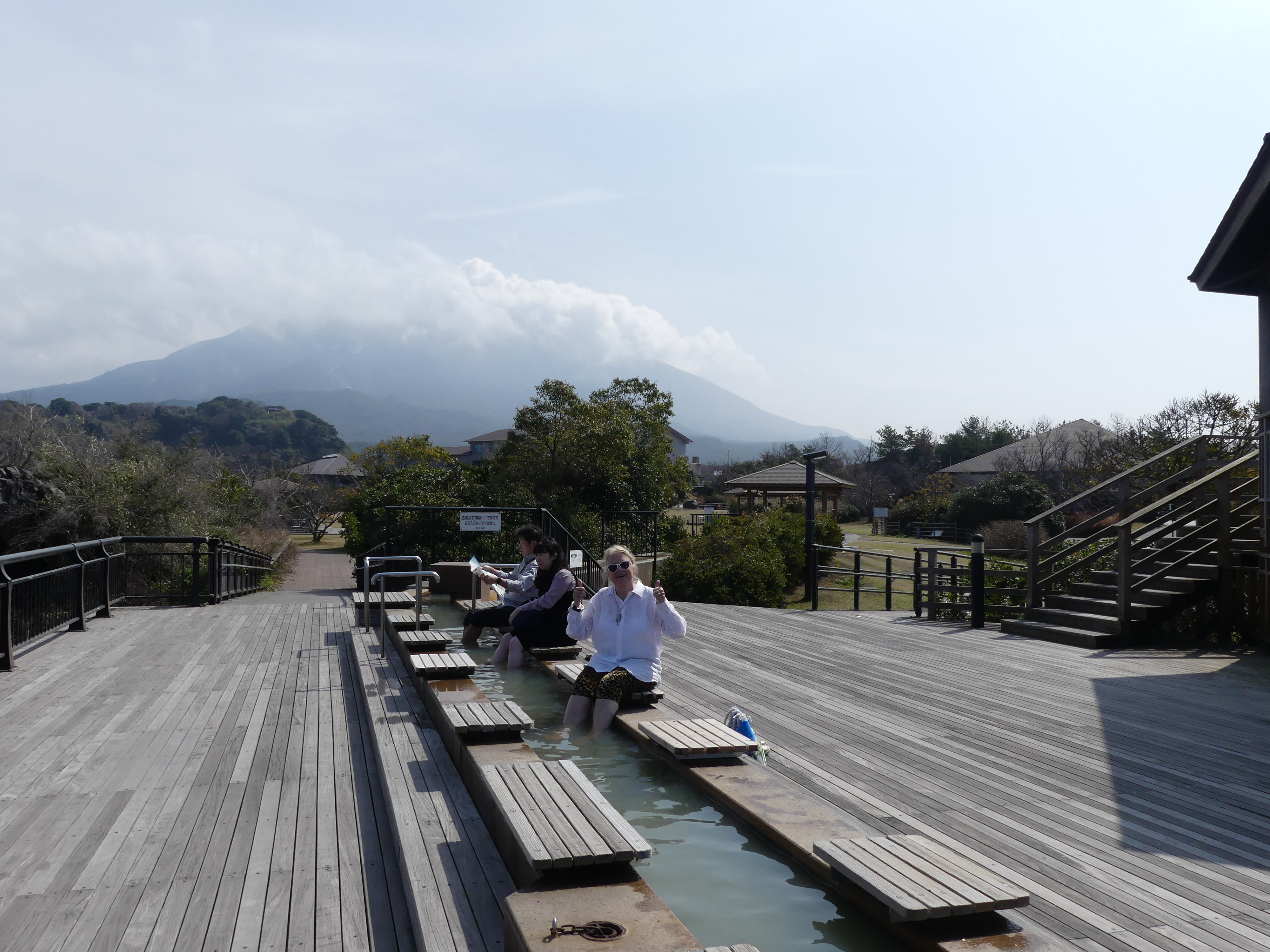
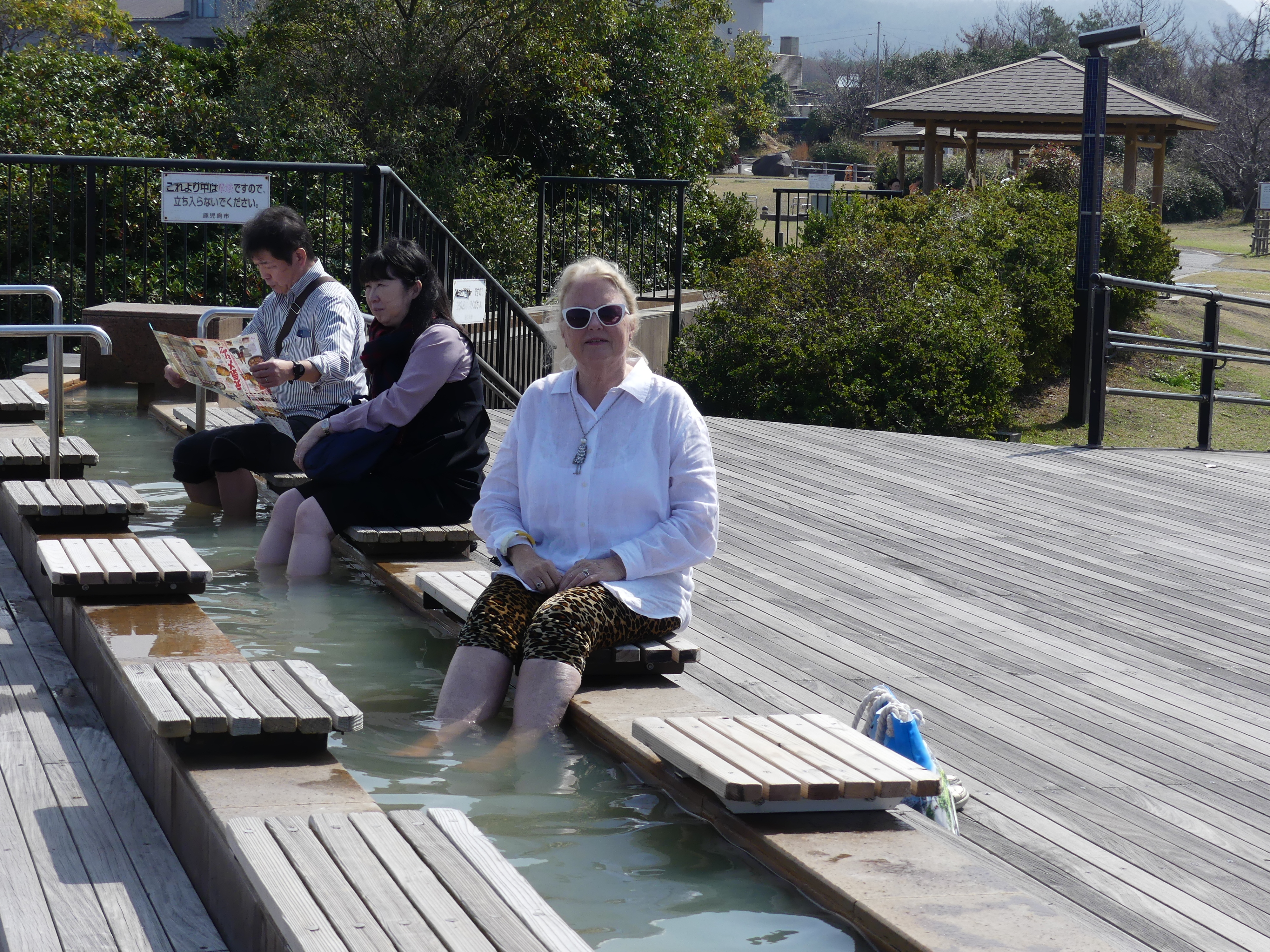
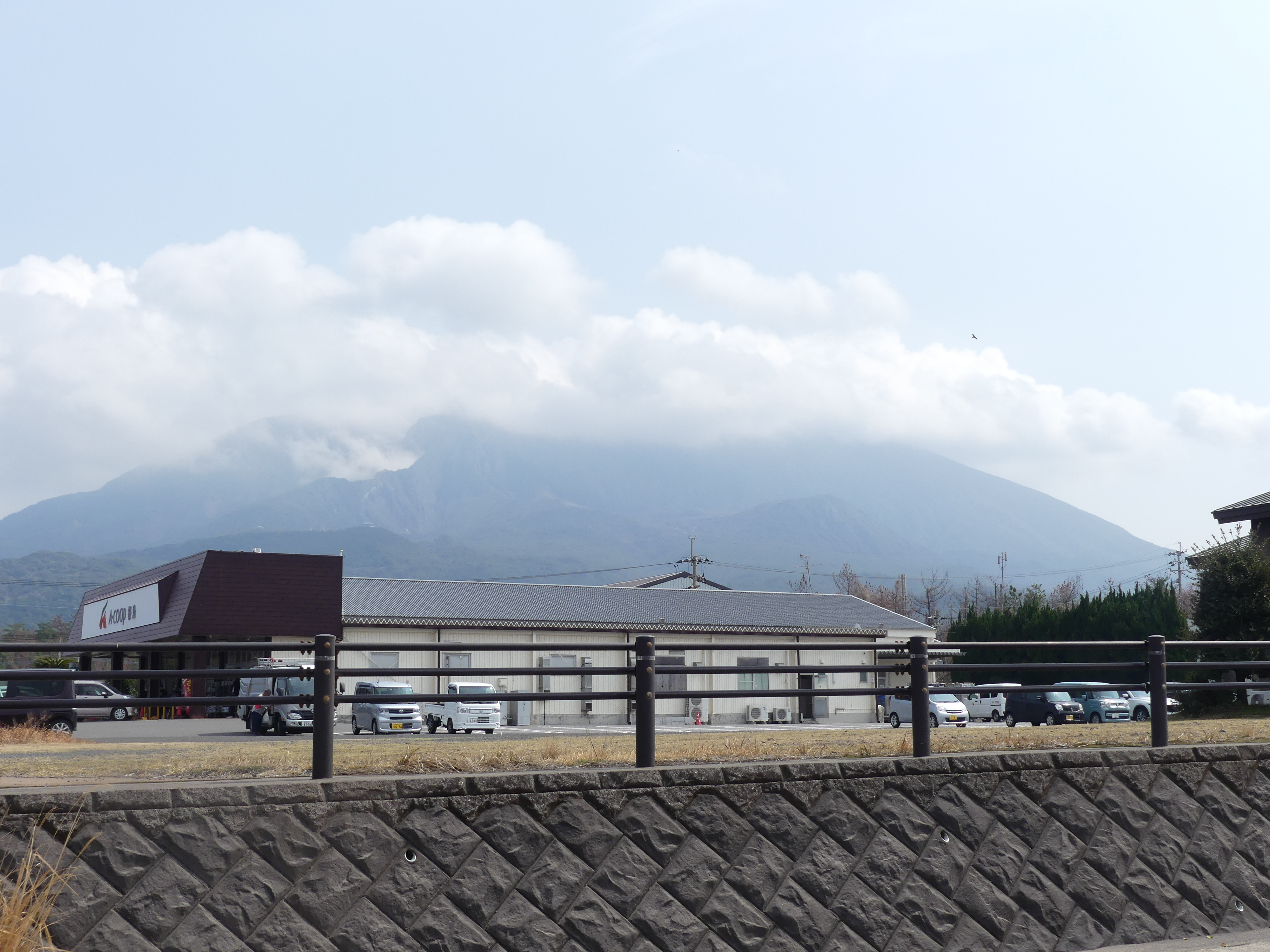
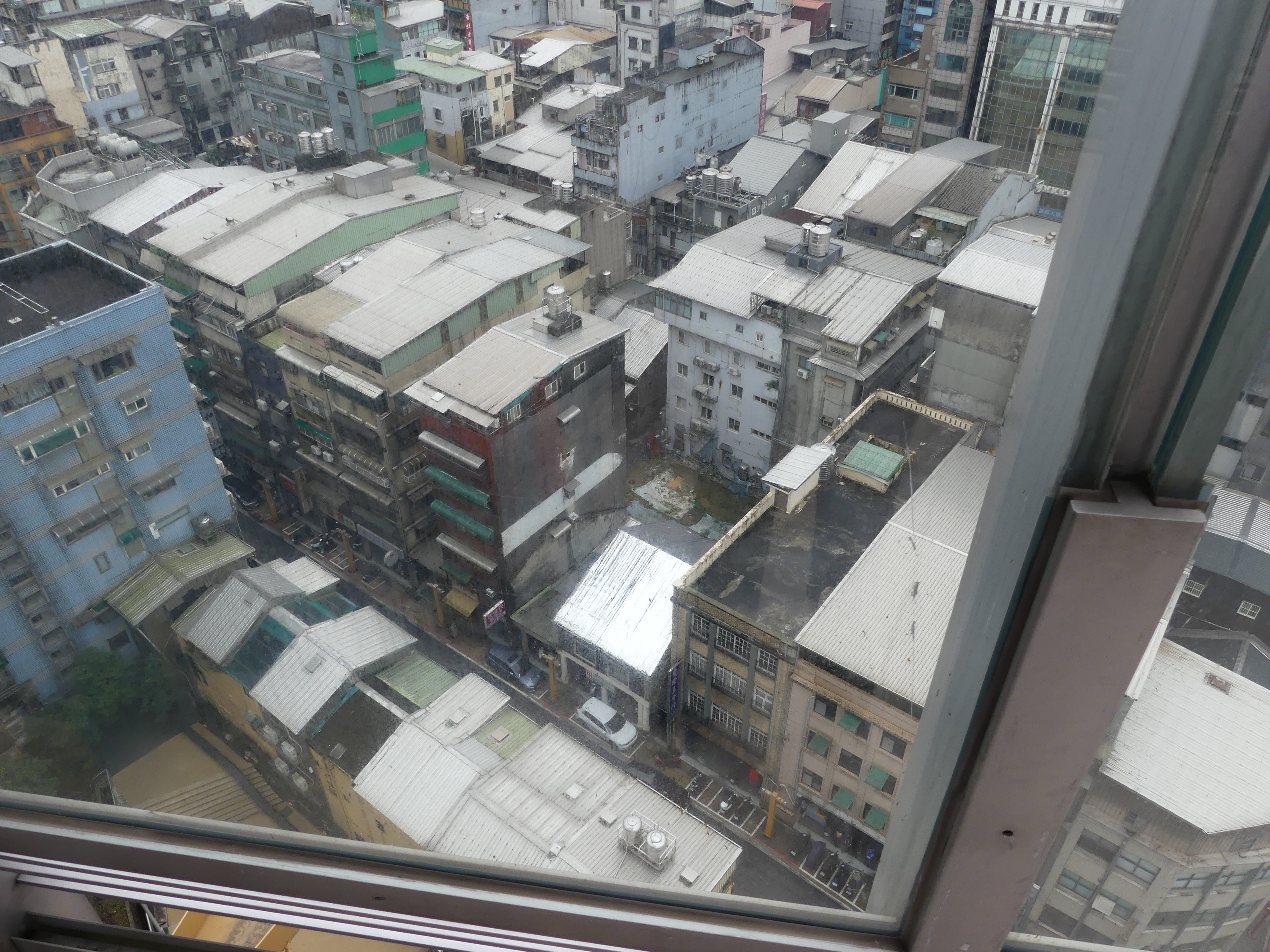
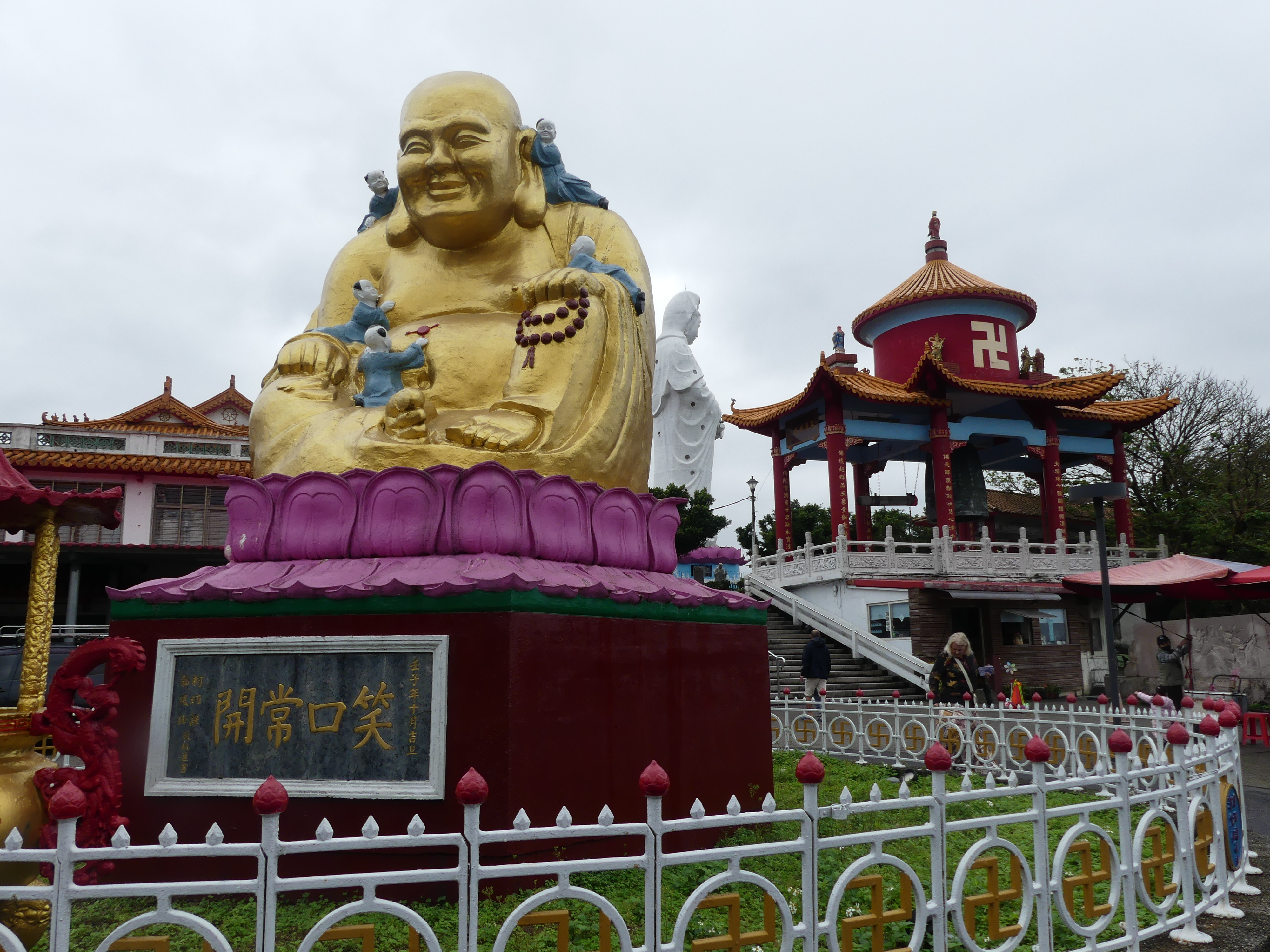
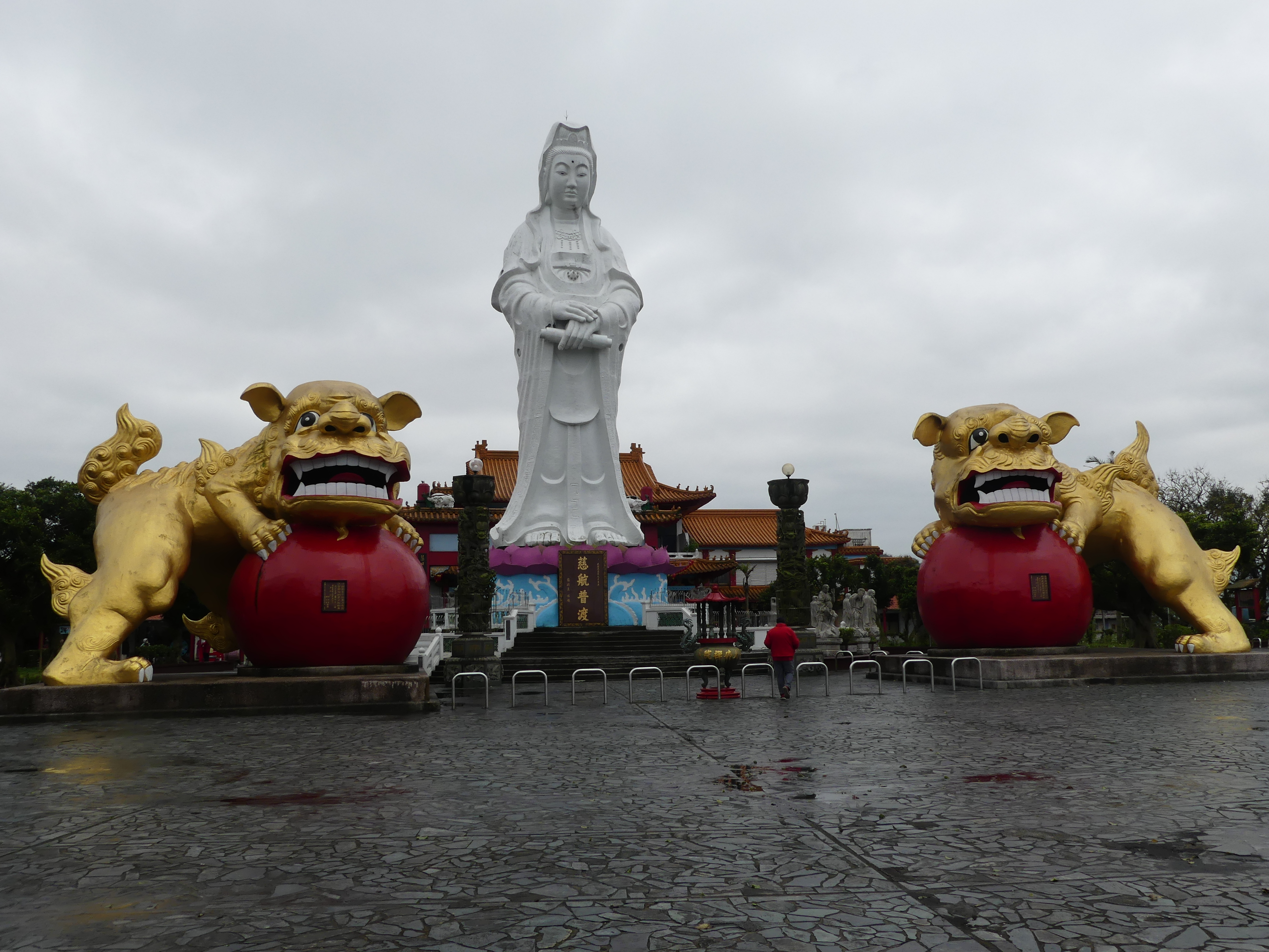
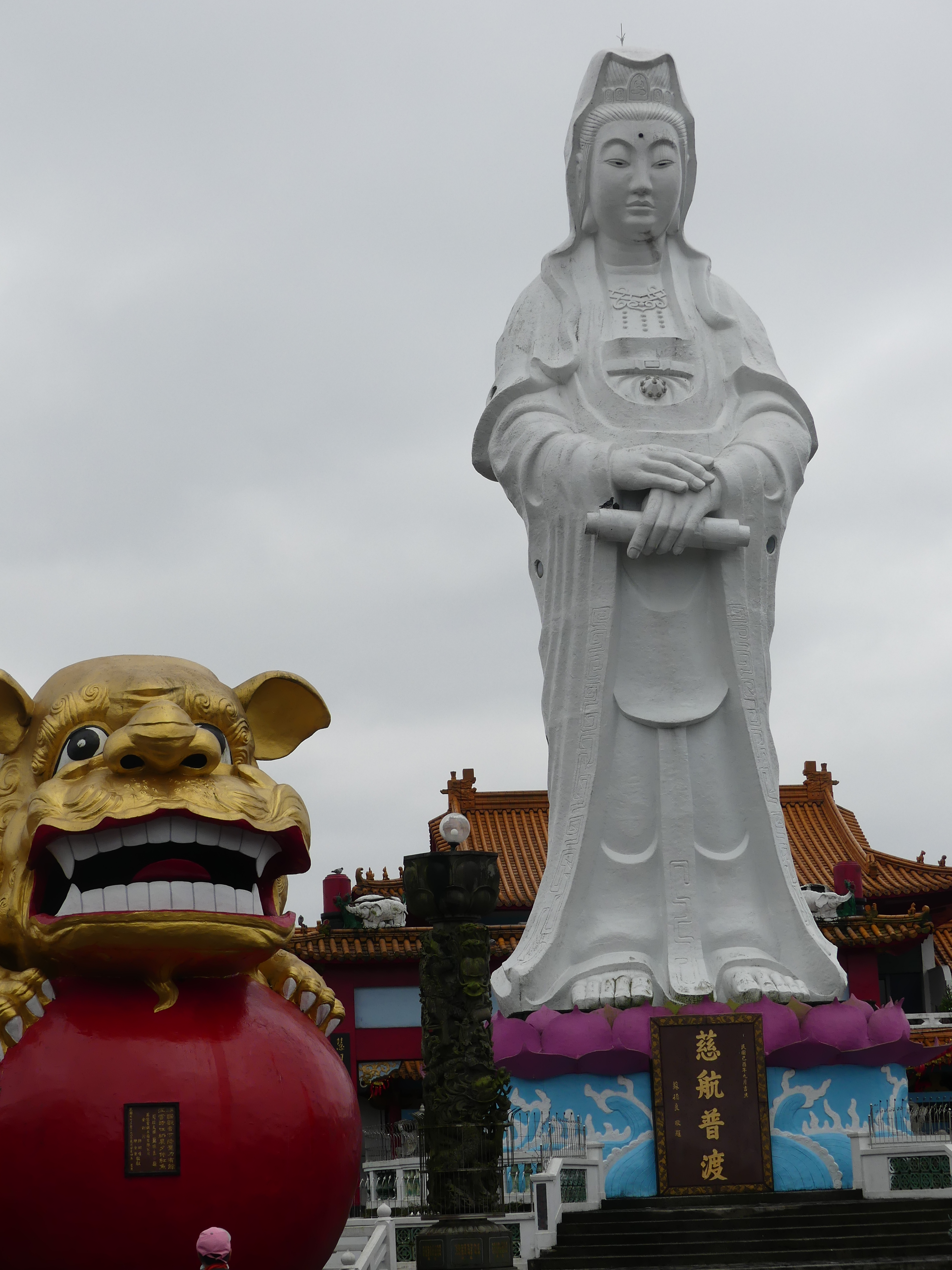
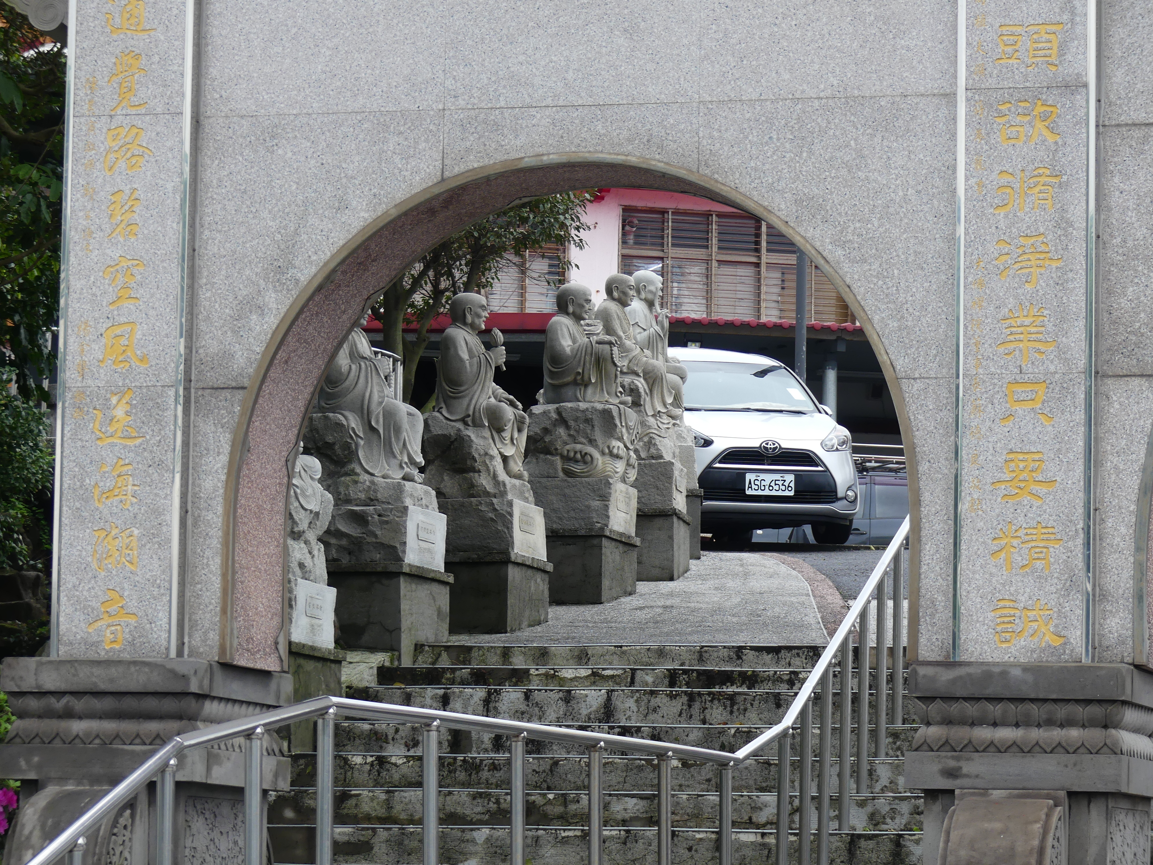
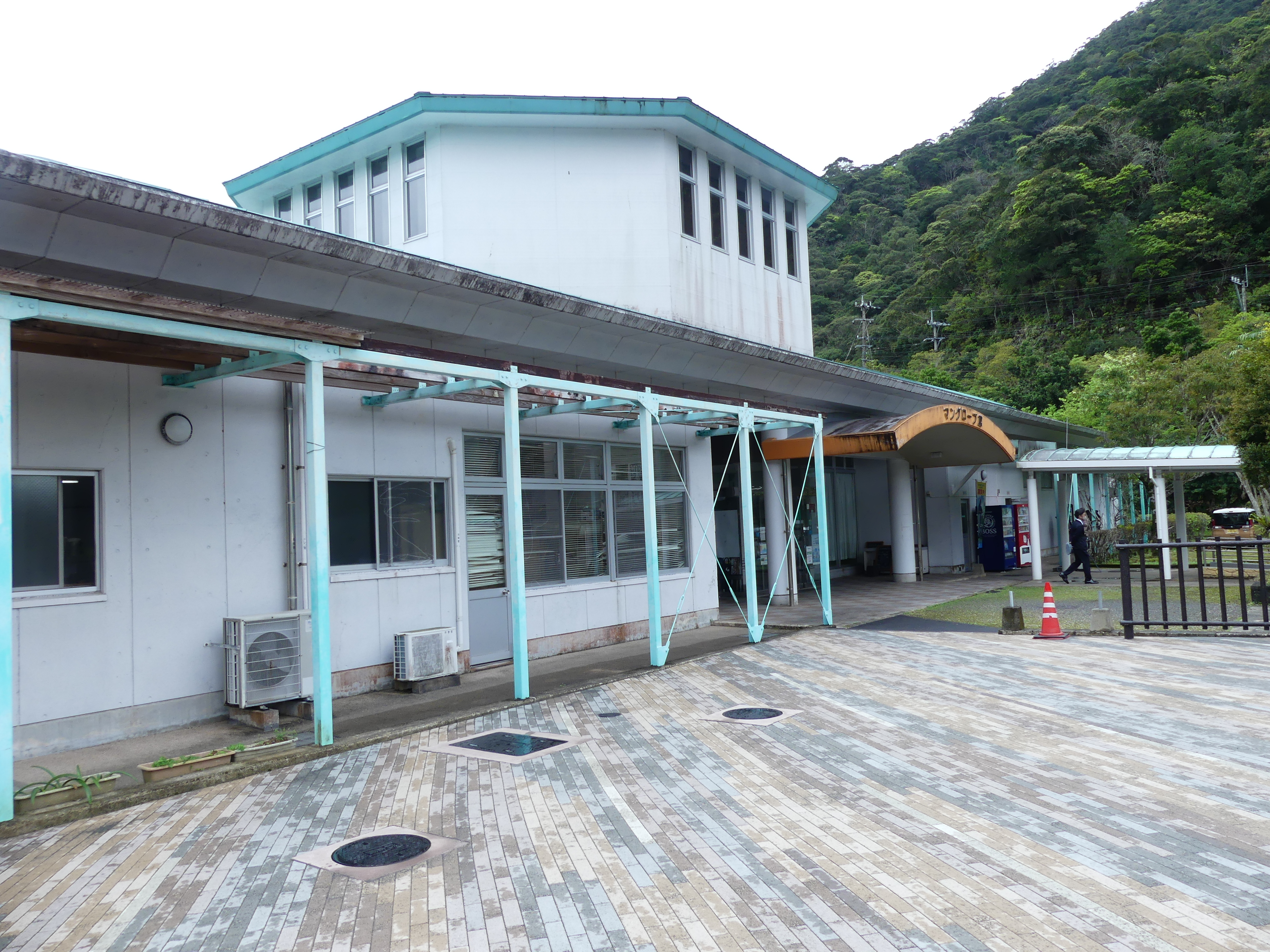
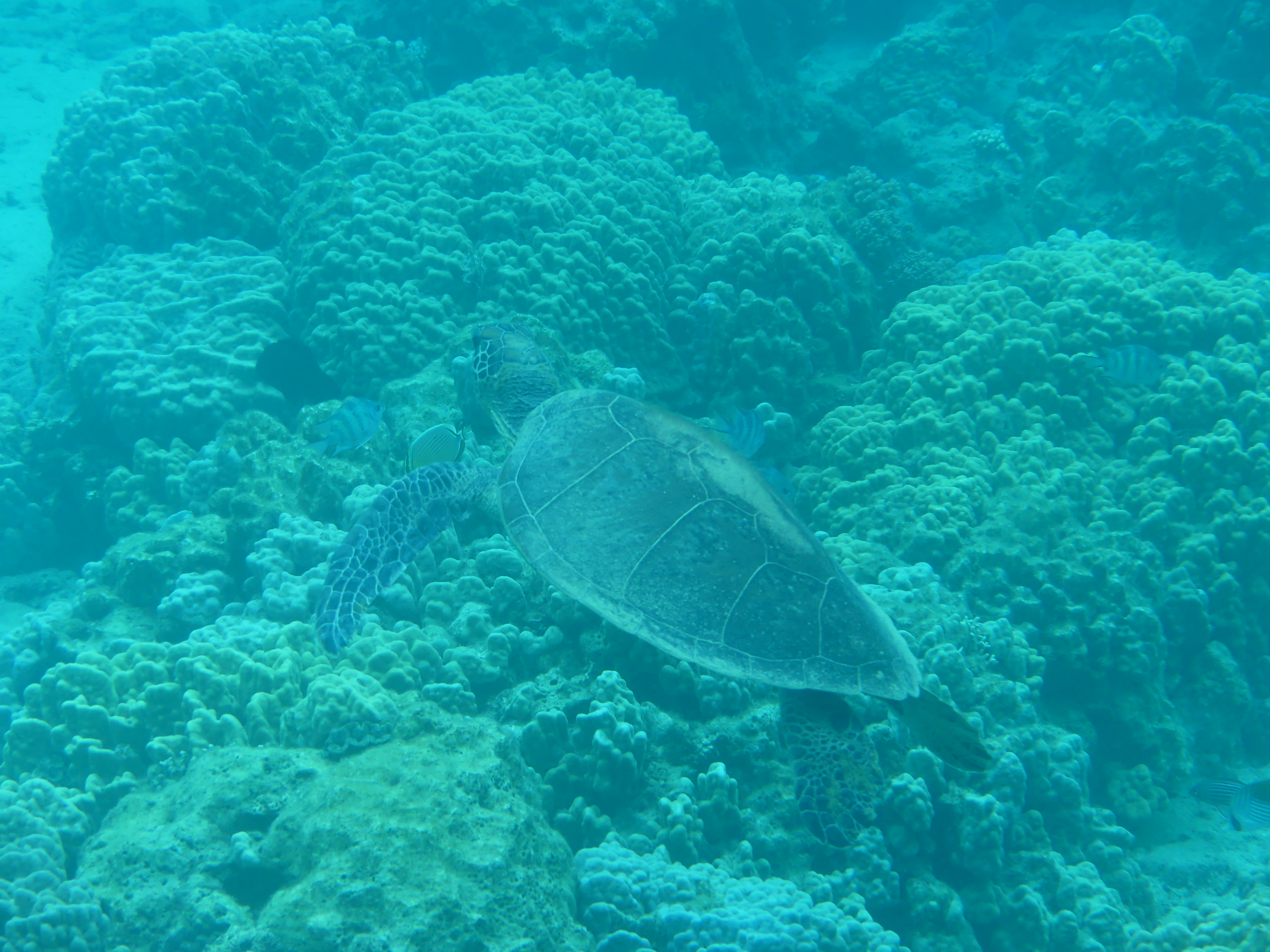
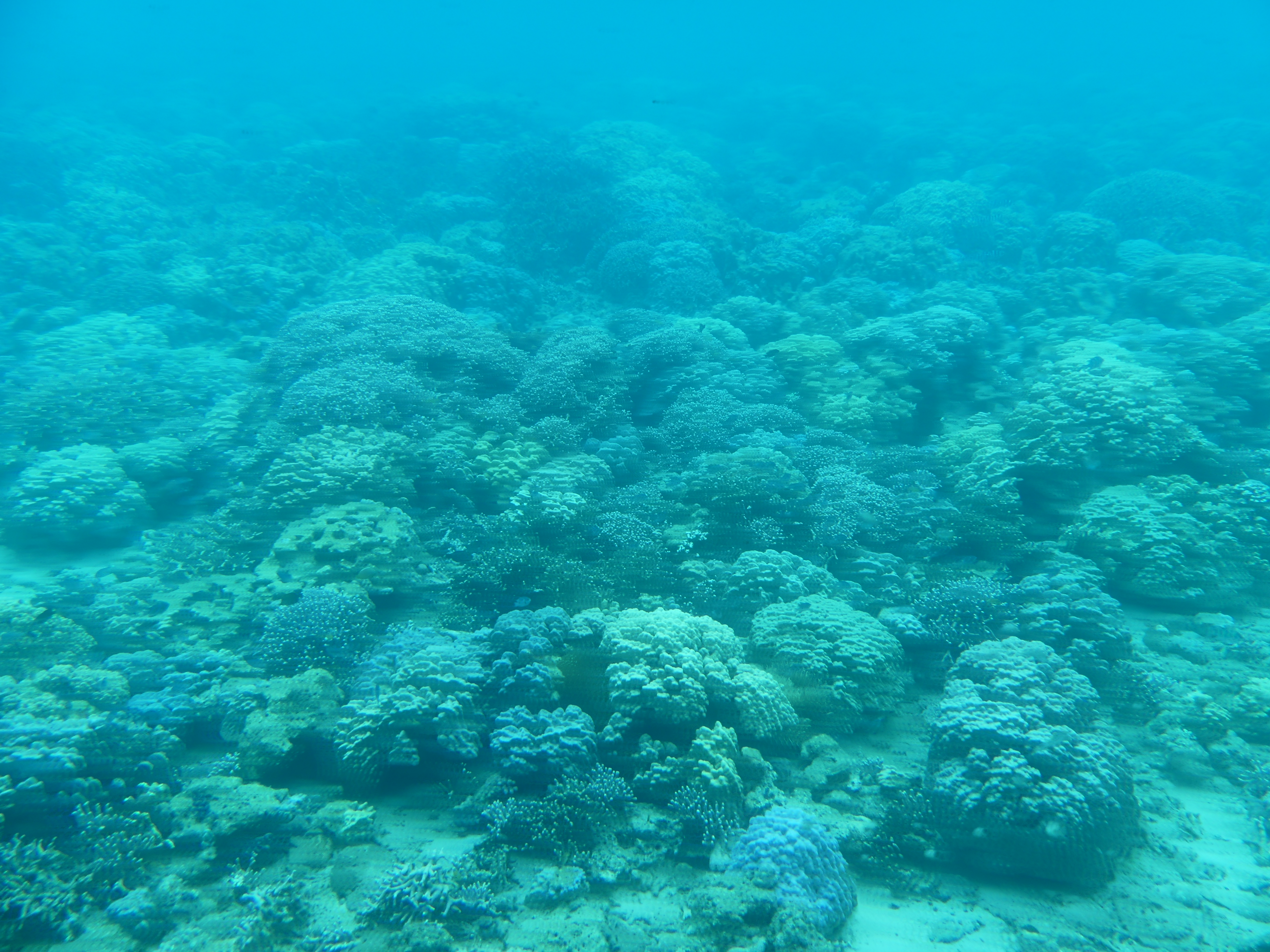
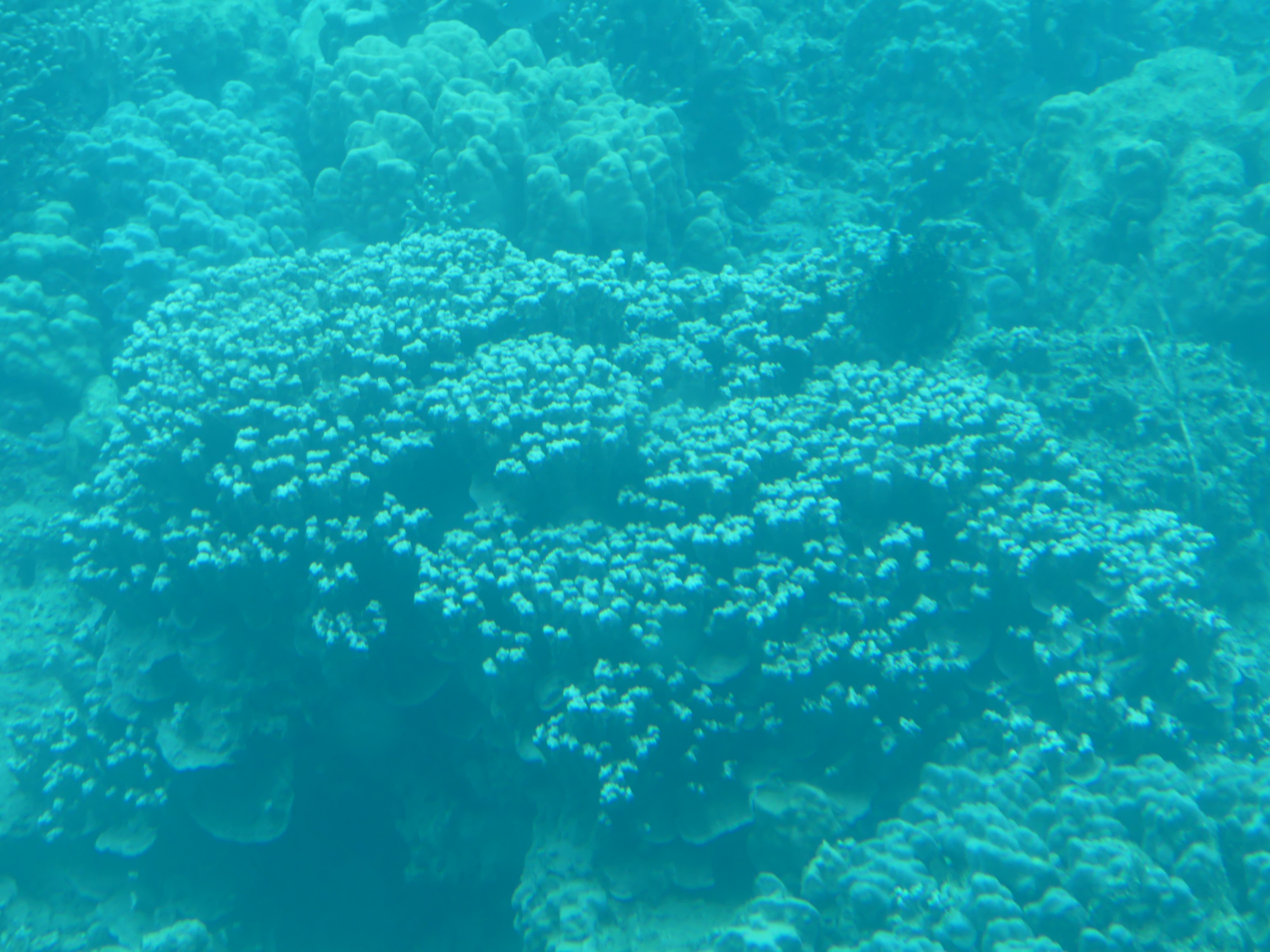
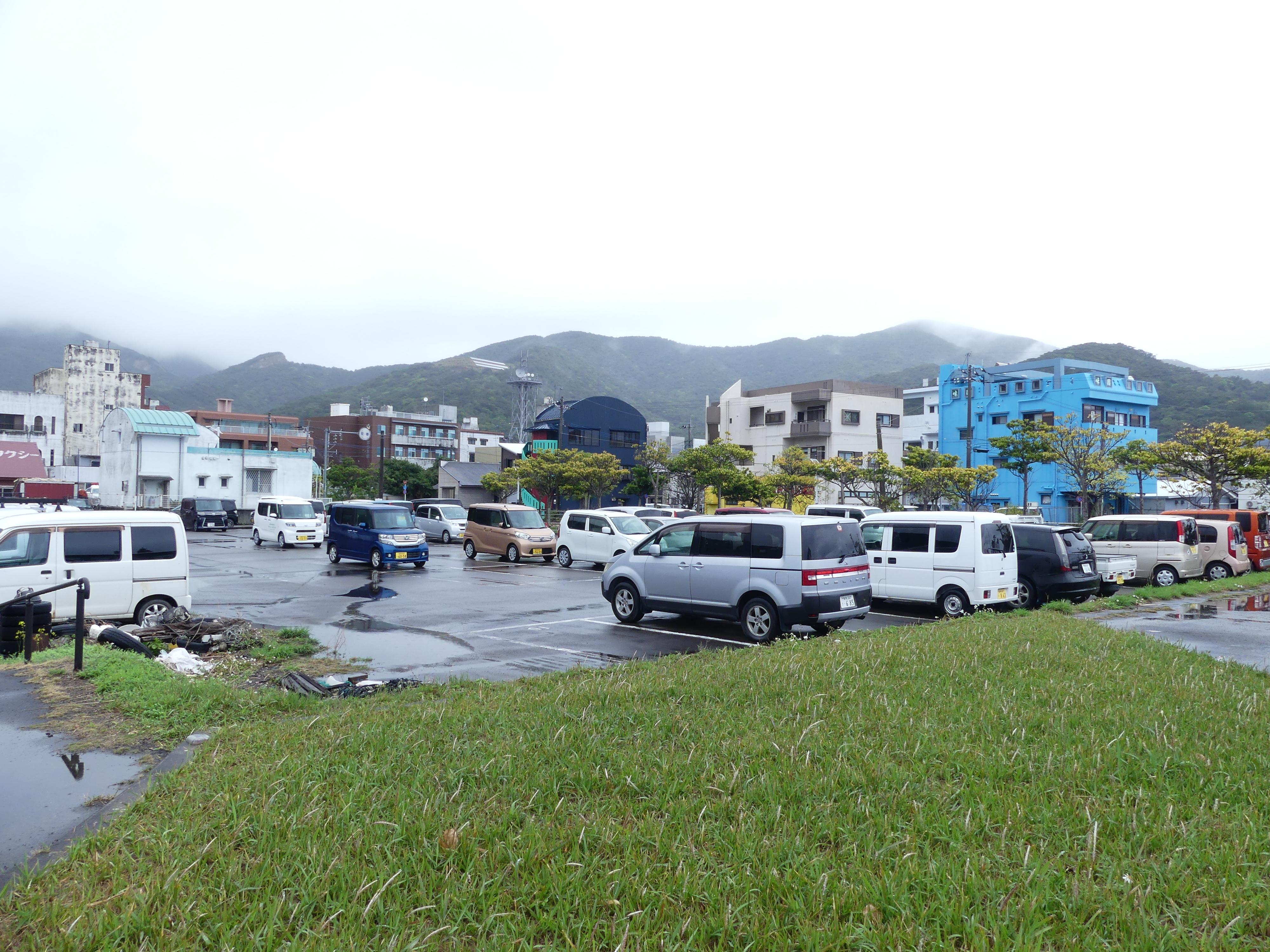
The reason that motivated me to take this excursion was the glass bottom boat and the reef viewing. Having been spoilt by the Great Barrier Reef, I could only be disappointed and I was. I have given you a selection of photos none of which are particularly good but that is just what it looked like. The final picture of the parking lot and the town centre give you an idea that this is nothing out of ordinary and little has changed over time. Perhaps the big surprise is how popular the square box car design is in all the island localities. They are everywhere we go.
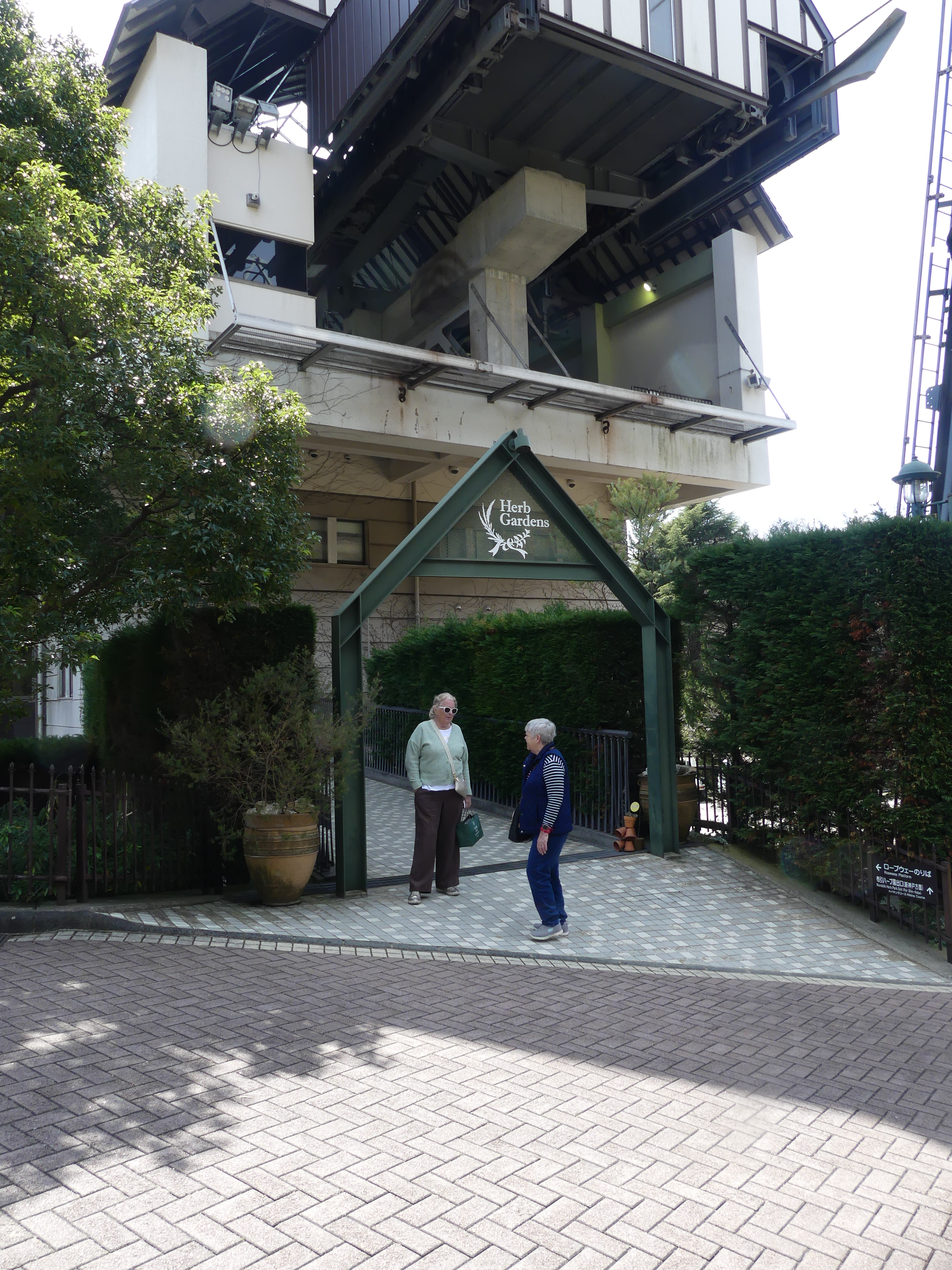
Day 5 Port Naha Okinawa

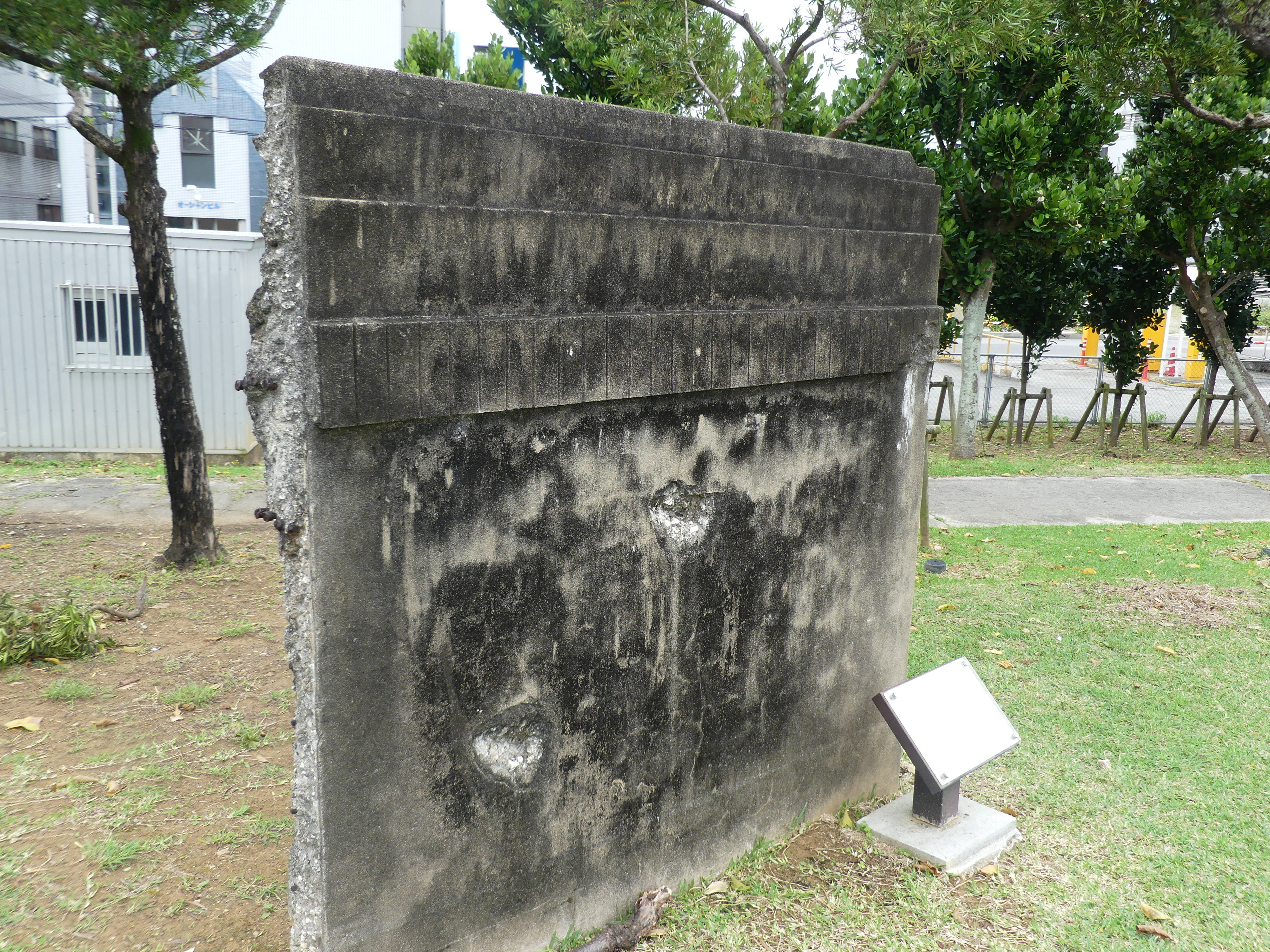
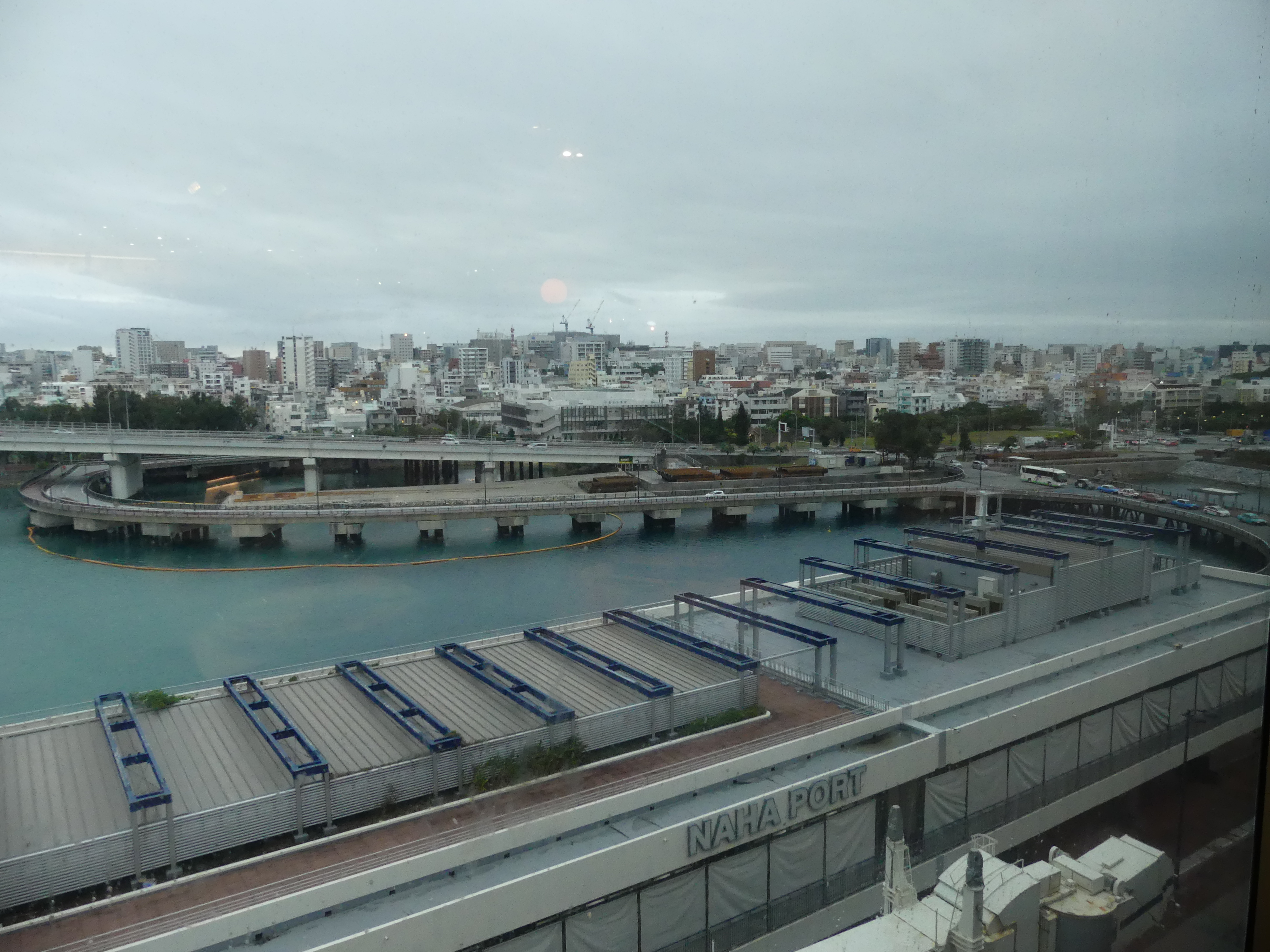
We docked at Port Naha. Naha is the capital and largest city of Okinawa, formerly ruled by the Ryukyu Kingdom from 1429 and unofficially annexed by Japan after the invasion of Ryukyu in 1609. Okinawa was officially founded in 1879 by the Empire of Japan after seven years as the Ryukyu Domain, the last domain of the Han system. Okinawa was occupied by the United States during the Allied occupation of Japan after World War II and was governed by the Military Government of the Ryukyu Islands from 1945 to 1950 and Civil Administration of the Ryukyu Islands from 1950 until the prefecture was returned to Japan in 1972. Okinawa comprises just 0.6 percent of Japan’s total land mass, but about 26,000 (75%) of United States Forces Japanese personnel are assigned to the prefecture; the continued U.S. military presence in Okinawa is controversial.

It is odd in my view that given this recent history and the continued occupation by the USA that Okinawa Peace Memorial has been established here. It was the scene of the decimation of the Japanese Army and civilian population so in that sense the memorial makes sense. The continuation of the occupation must irk the locals.

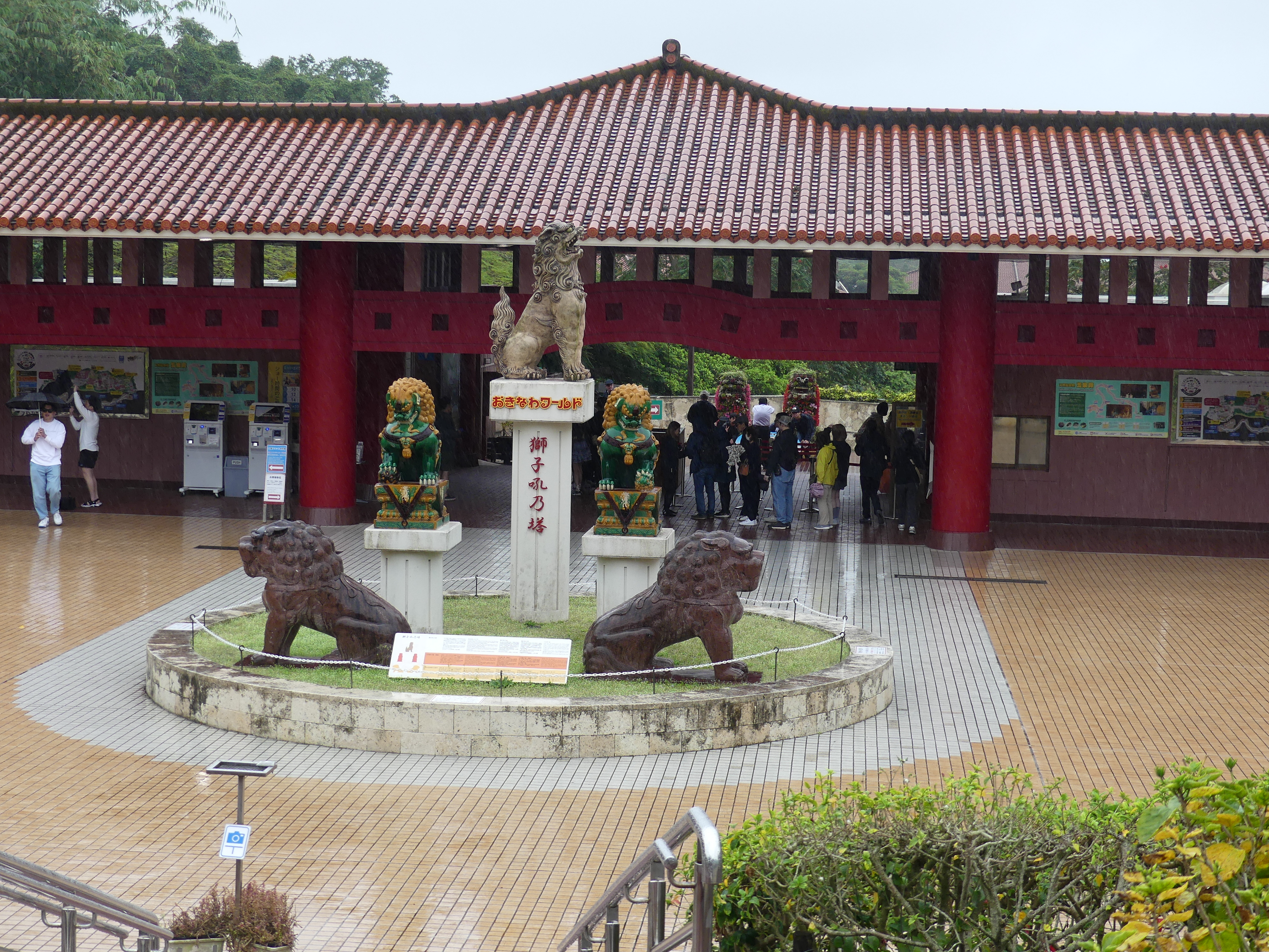
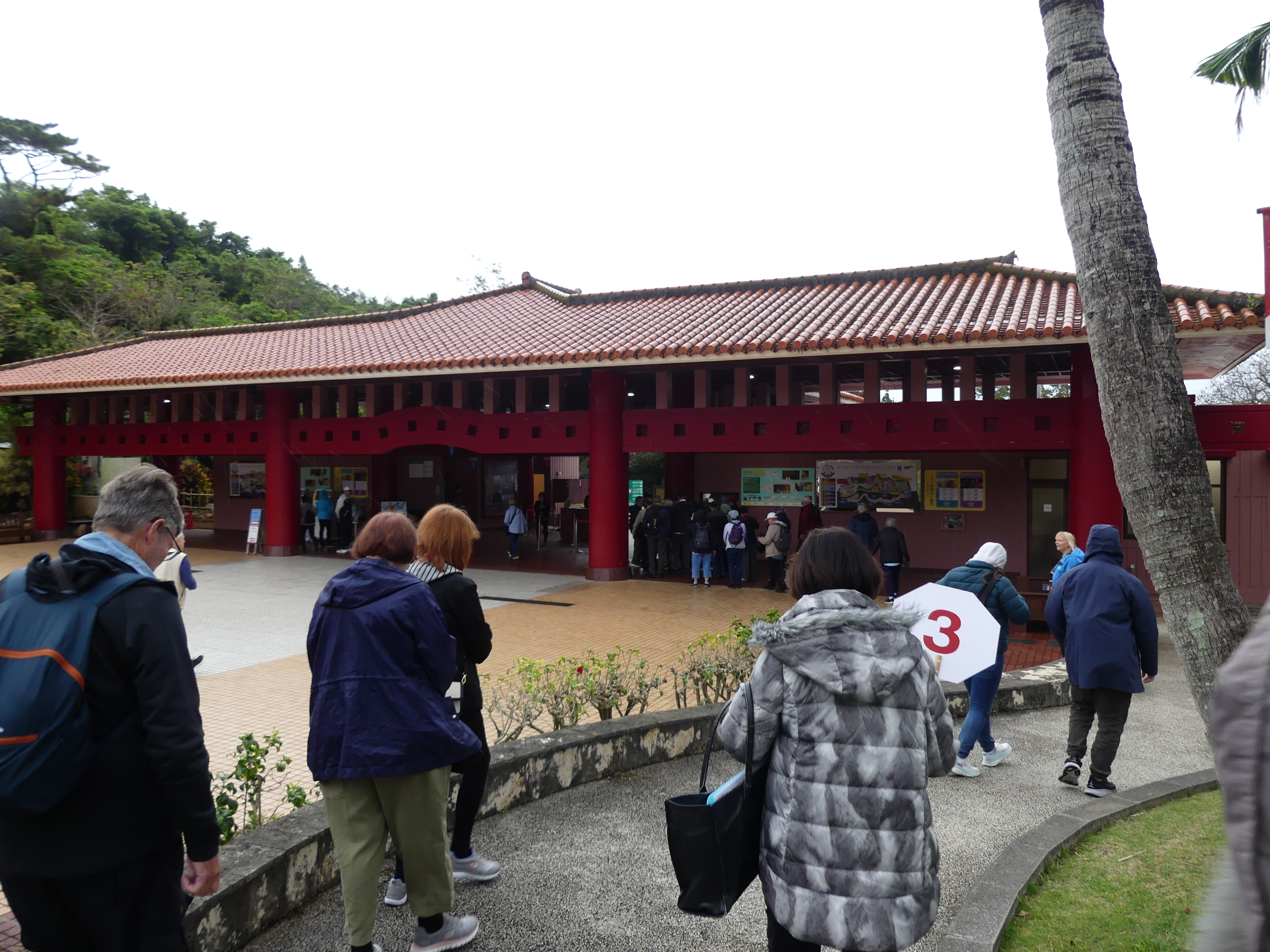
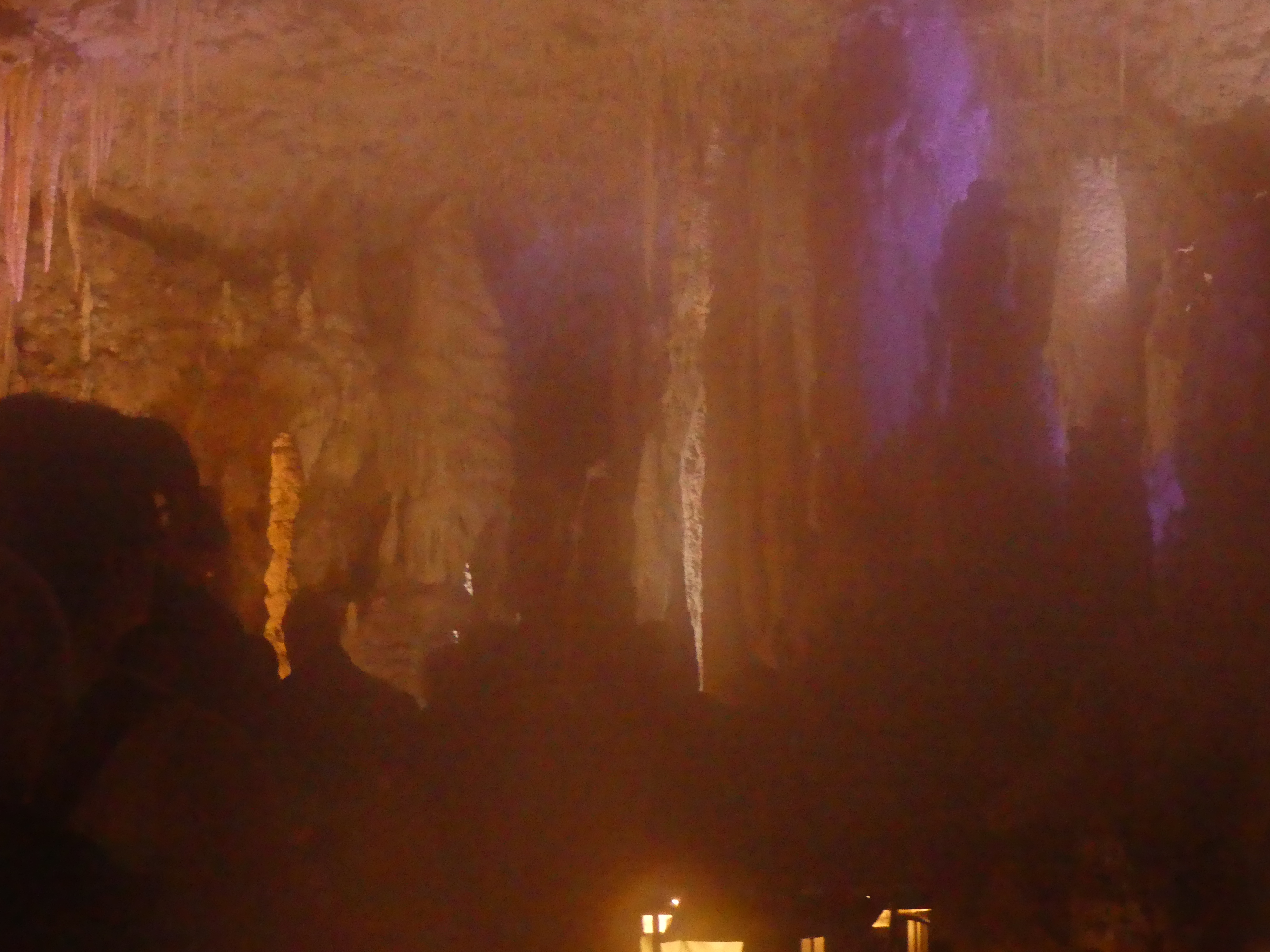
At the terminal we boarded a bus to Gyokusendo Cave, our first stop on the way to the Peace Memorial. Having seen many similar caves from Europe to England to Western Australia & Tasmania I was surprised at the interference with the natural features of the caves. From an artificial concrete entrance to chain sawing through stalagmite outcrops to create a path through the caves I was disappointed. Further the natural temperature seemed to be interfered with, and the lighting was poor. One thing I can applaud though is the escalator at the end of the walk through the cave. Our last cave experience in Margaret River WA there was more than 300 steps to climb out – not happy Jan.

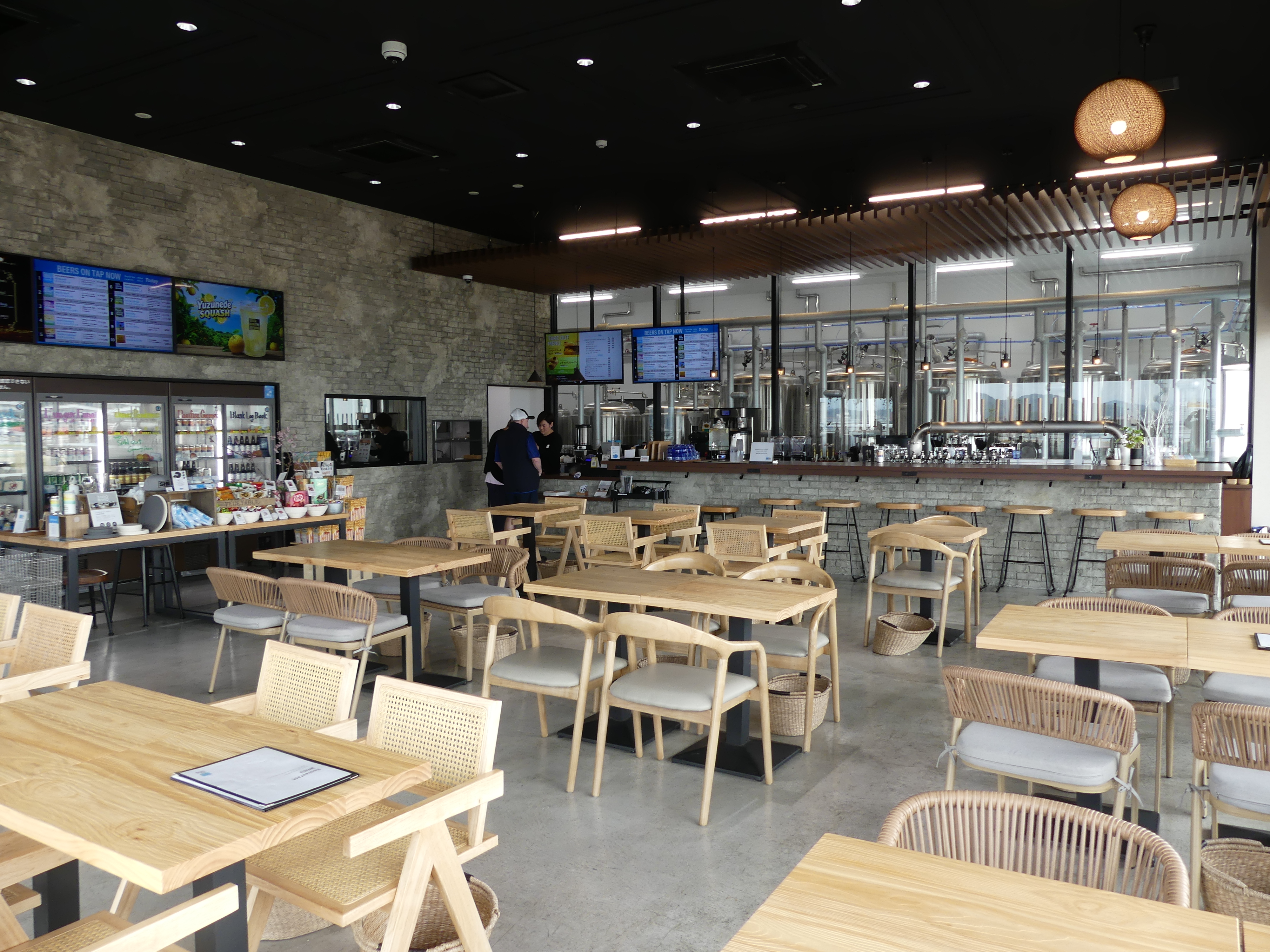
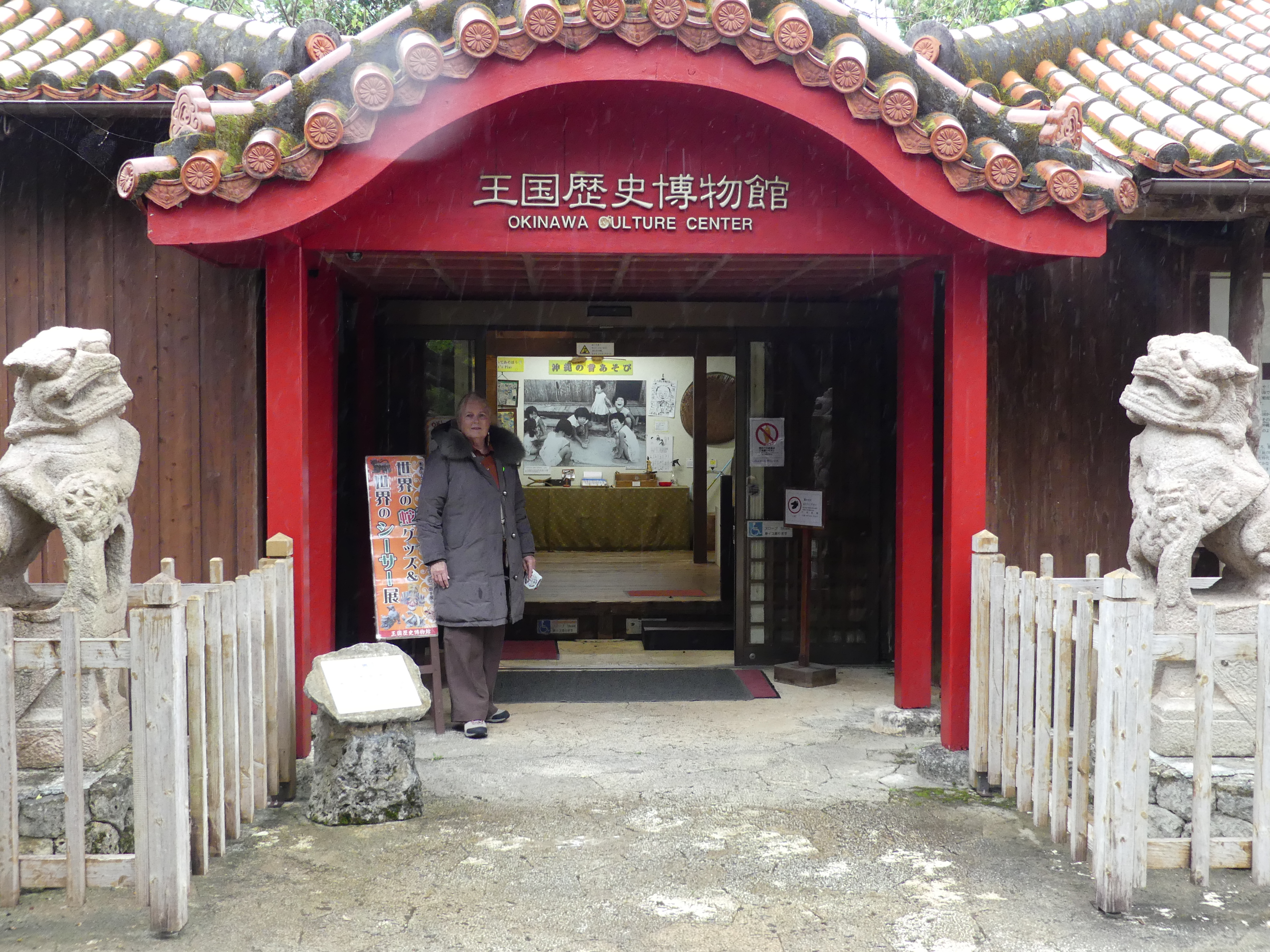
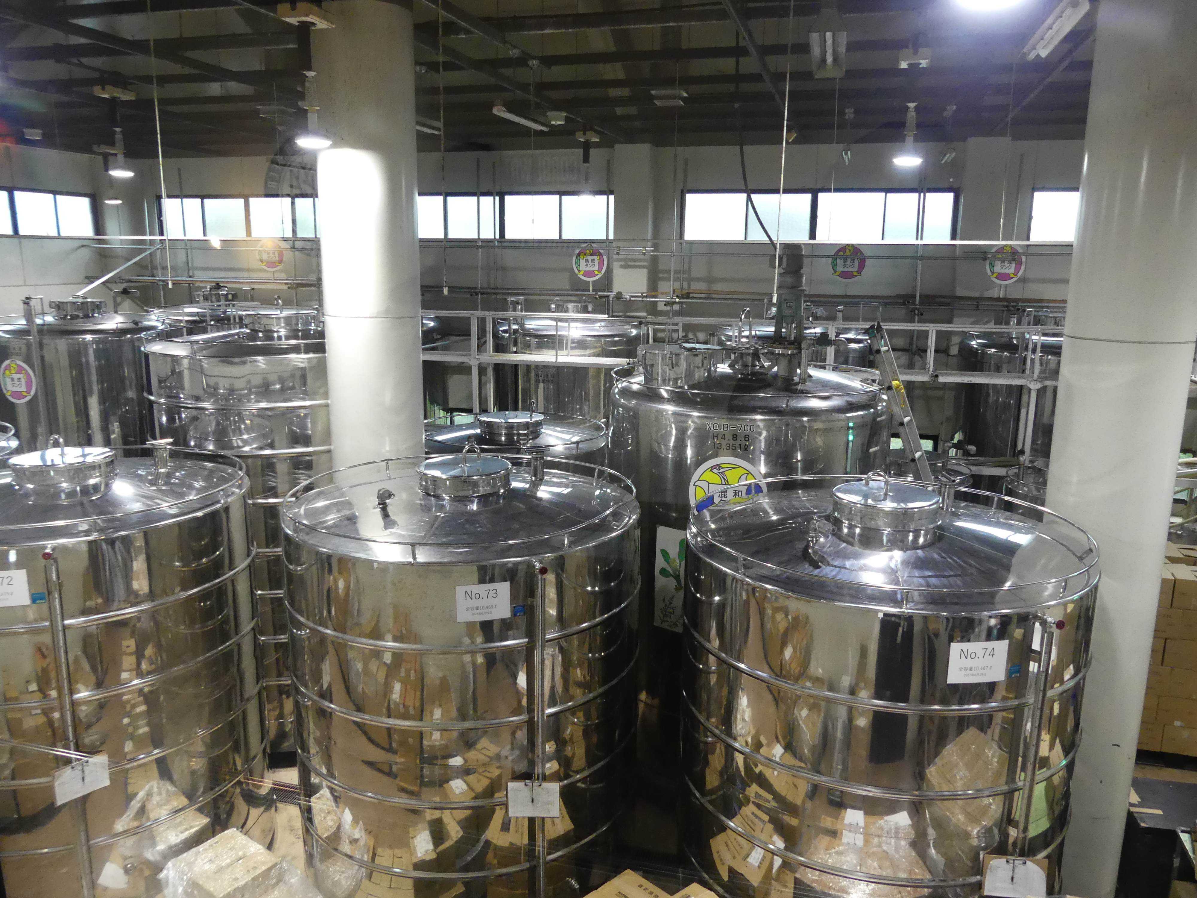
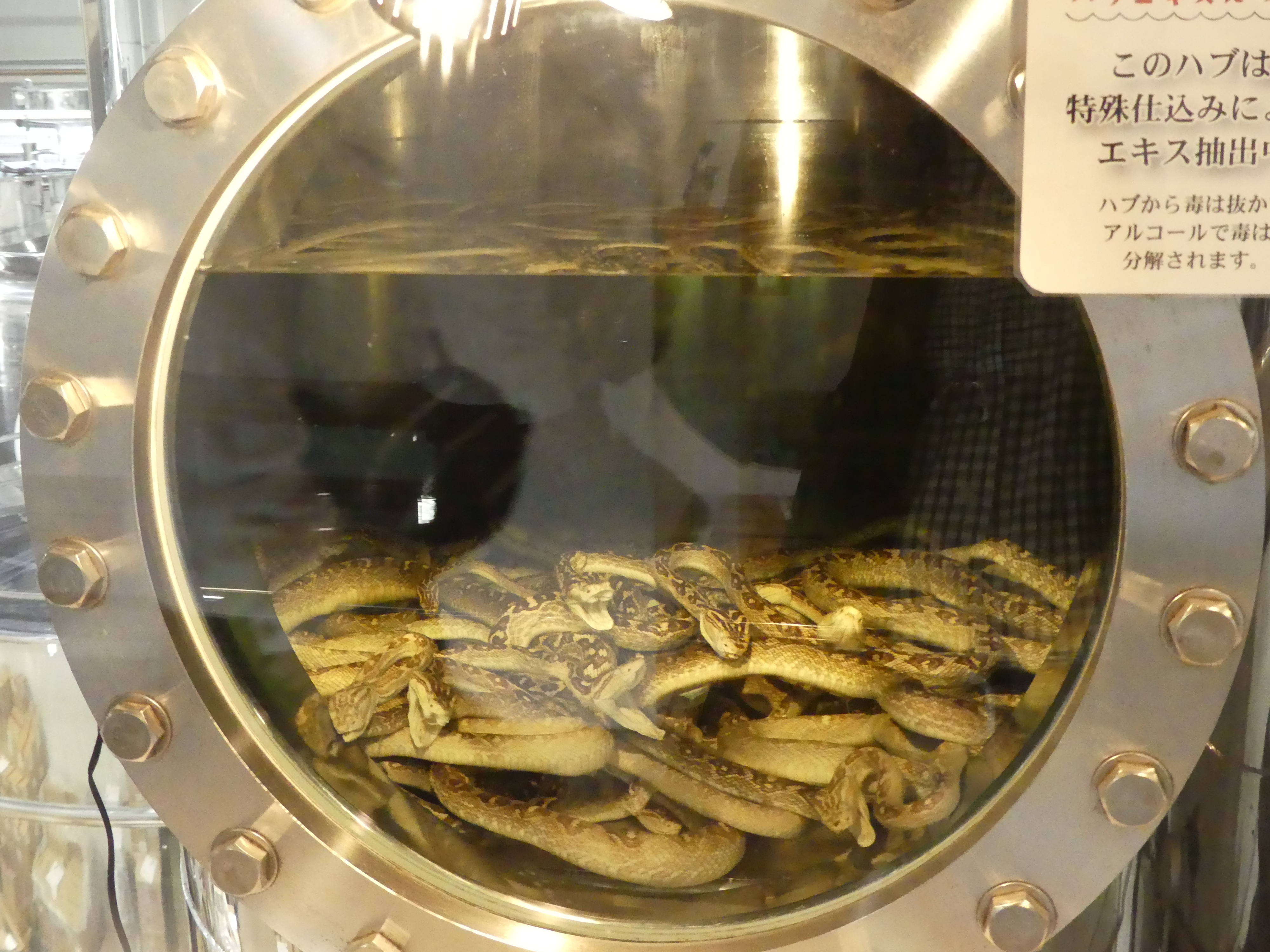
The caves are underneath what appears to be the recreation of an old Japanese village, and this was interesting. Open plan living with bamboo walls! There is also a culture centre. Remembering that Okinawa has not always been part of a united Japan it was interesting to view some of their differences. The Japanese have developed a reputation for beer making but there are some secrets to their difference. In this centre there is a modern mini brewery brewing beer with bite. The bite comes from the ingredients – snakes – no sale at the souvenir shop for me. We moved through the centre and back to the bus with a nasty taste in my mouth thinking about the snakes and then I thought the Mexicans put a worm in their Tequila – I don’t drink Tequila either.

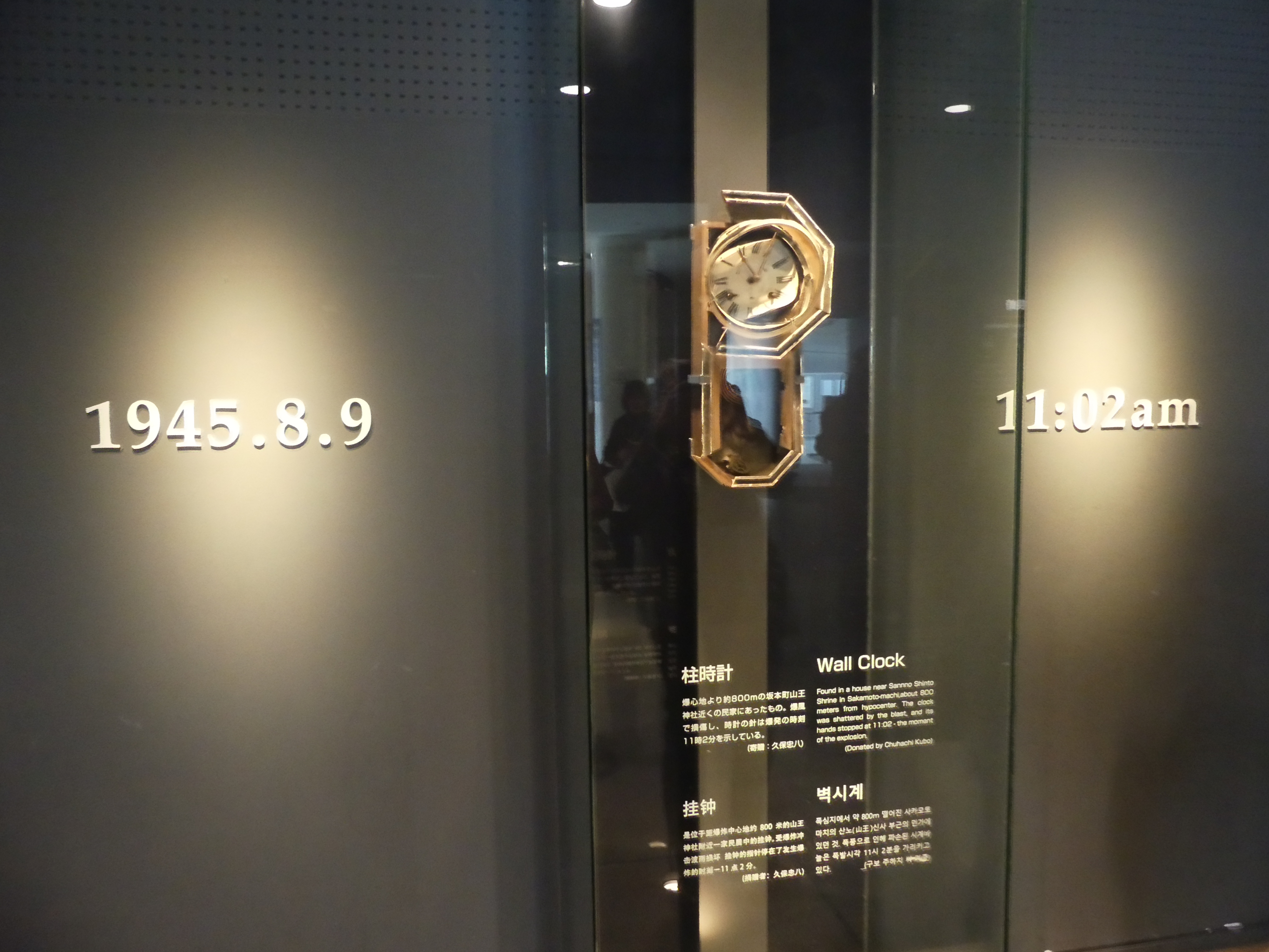
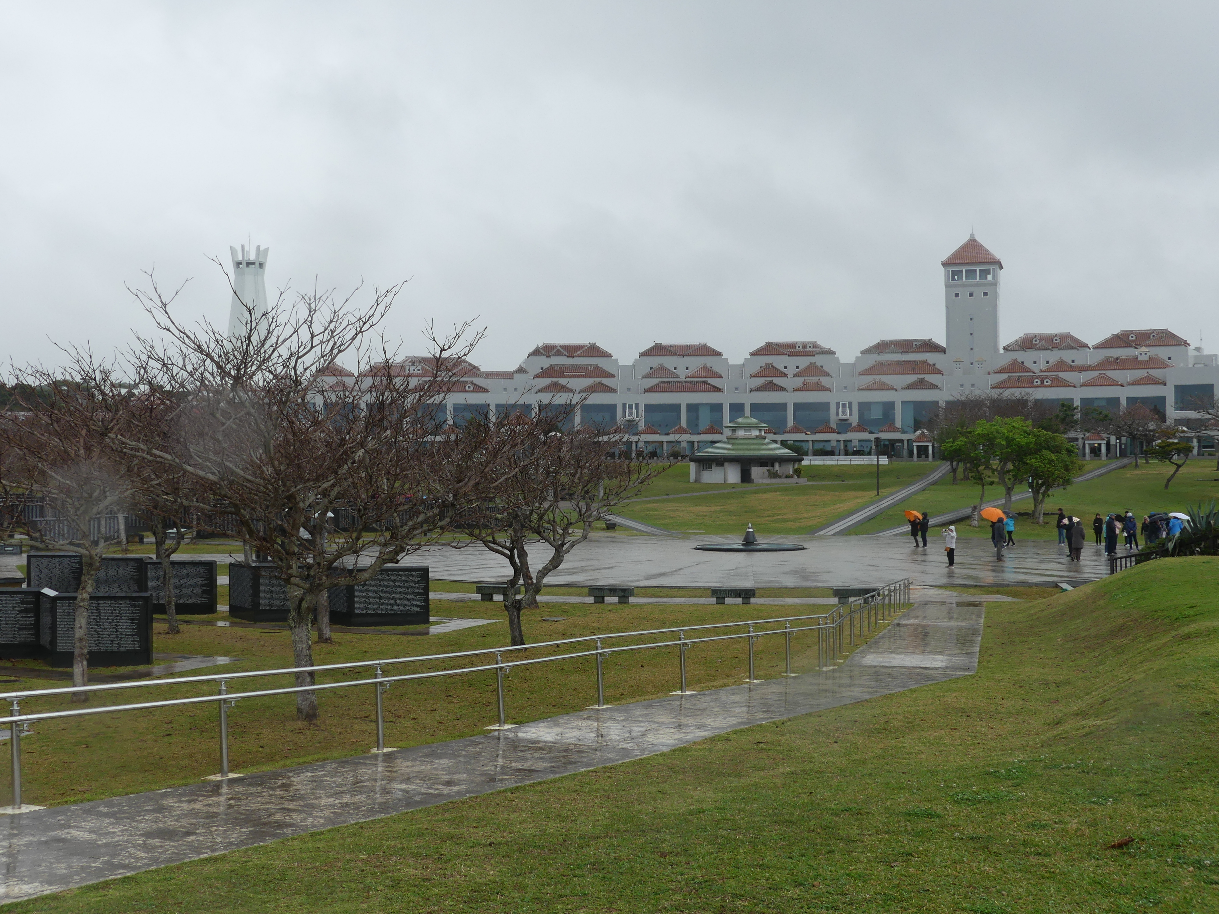
Our next stop was the Okinawa Prefecture Peace Memorial Museum. On April 1, 1945, the U.S. Army and Marine Corps launched an invasion of Okinawa with 185,000 troops. They were faced with fanatical resistance from the Japanese defenders. A third of Okinawa’s civilian population were killed during the ensuing fighting. The dead, of all nationalities, are commemorated at the Cornerstone of Peace. The Battle of Okinawa was a fierce battle lasting 3 months and killing more than 100,000 civilians and a similar number of soldiers followed by a USA administration for 27 years followed by the Treaty of Mutual Cooperation and Security between the United States and Japan, United States Forces Japan (USFJ) have maintained a large military presence. On May 15, 1972, the U.S. government returned the islands to Japan following the signing of the 1971 Okinawa Reversion Agreement. In 2006, some 8,000 U.S. Marines were removed from the island and relocated to Guam. The move to Marine Corps Base Camp Blaz was expected to be completed in 2023 but as of 1 January 2025 is still in process.

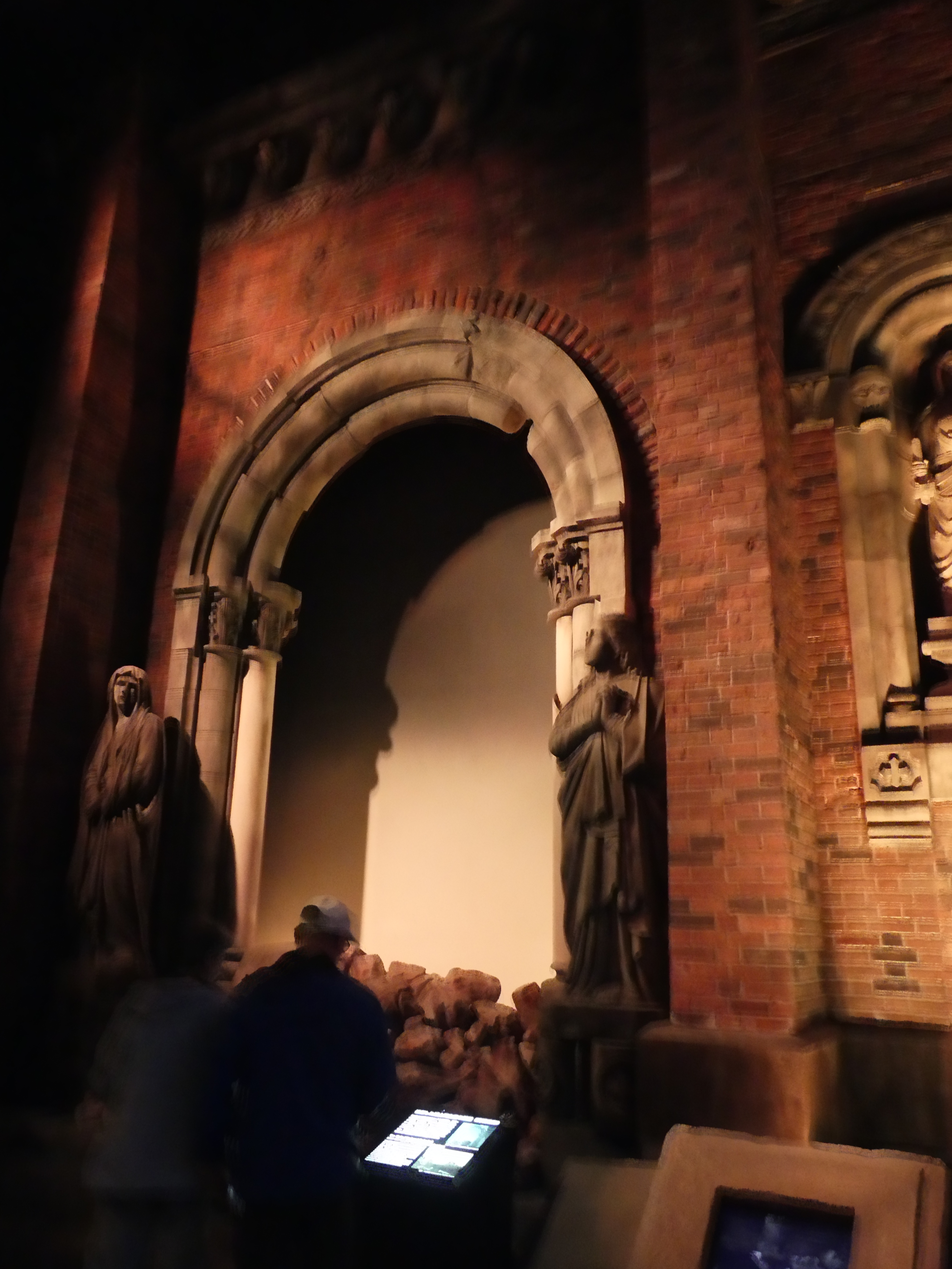
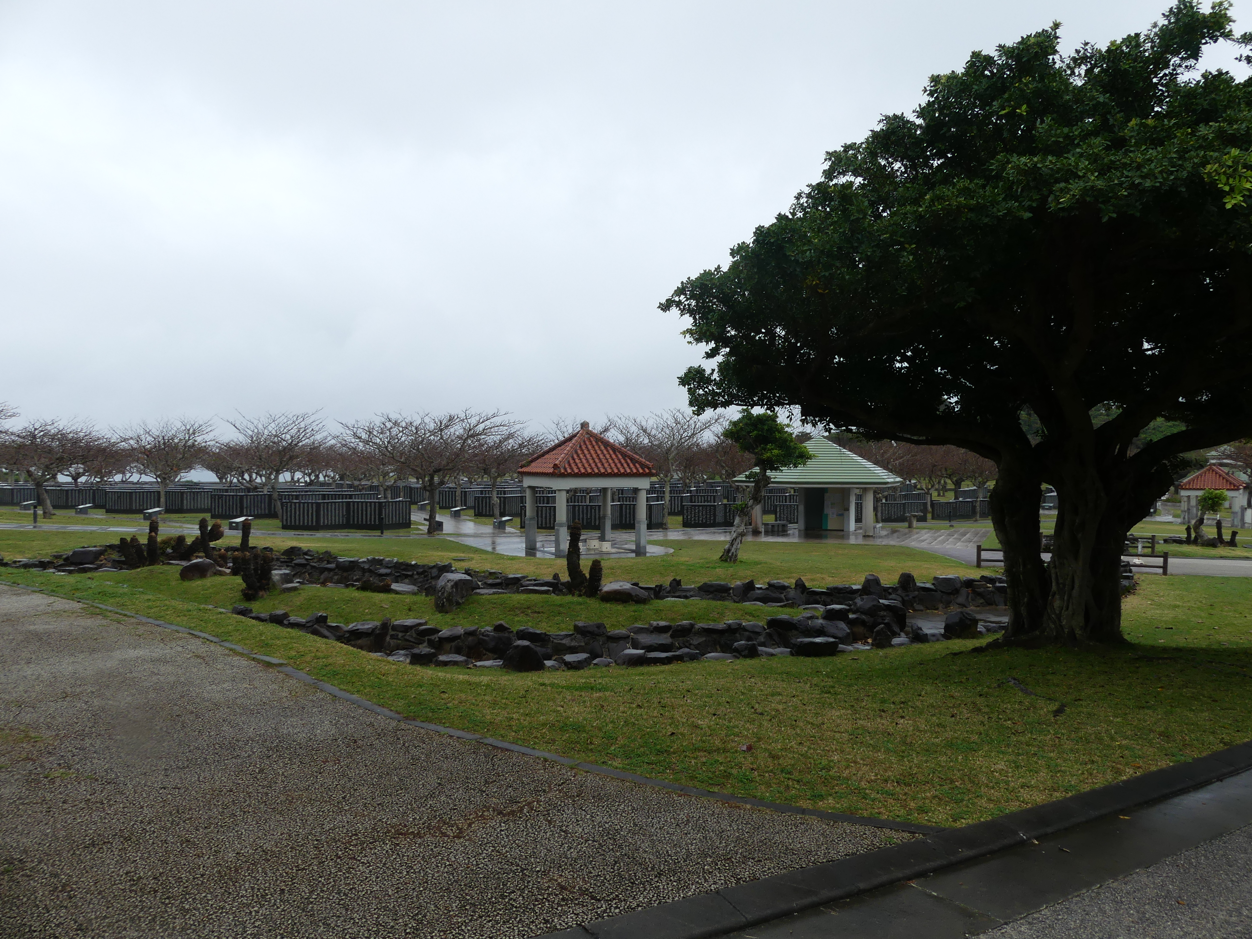
The memorial includes a teaching area for children occupying most of the ground floor whilst the upper level records the history of the Battle. I have posted below my photos of the memorial reciting the names of those killed, whether by action, starvation or suicide, on both sides of the conflict, the Cornerstone of Peace, its location by the sea and the Museum building. Has the investment caused anything to change?

It has been uplifting to see the aspirations of the survivors of the war, but the reality is war continues to lurk around Japan – North and South Korea remaining at loggerheads and China still determined to extinguish the Nationalists in Taiwan. We moved through the Peace Memorial, but I cannot help a feeling of helplessness that the memorial is in vain. Not a happy note to end on but we are glad to have had the privilege of visiting such an important memorial.

Keep reading and follow our path through the islands of Japan to Taiwan and return. The next chapter is “THE RETIREES GO AROUND THE WORLD – TOKYO TO ISHIGAKI JAPAN, HUALIEN TAIWAN, PORT KEELUNG & TAIPEI TAWAIN, & PORT NAGASAKI JAPAN”

“THE RETIREES GO AROUND THE WORLD – “ROME TO TOKYO”

TOKYO

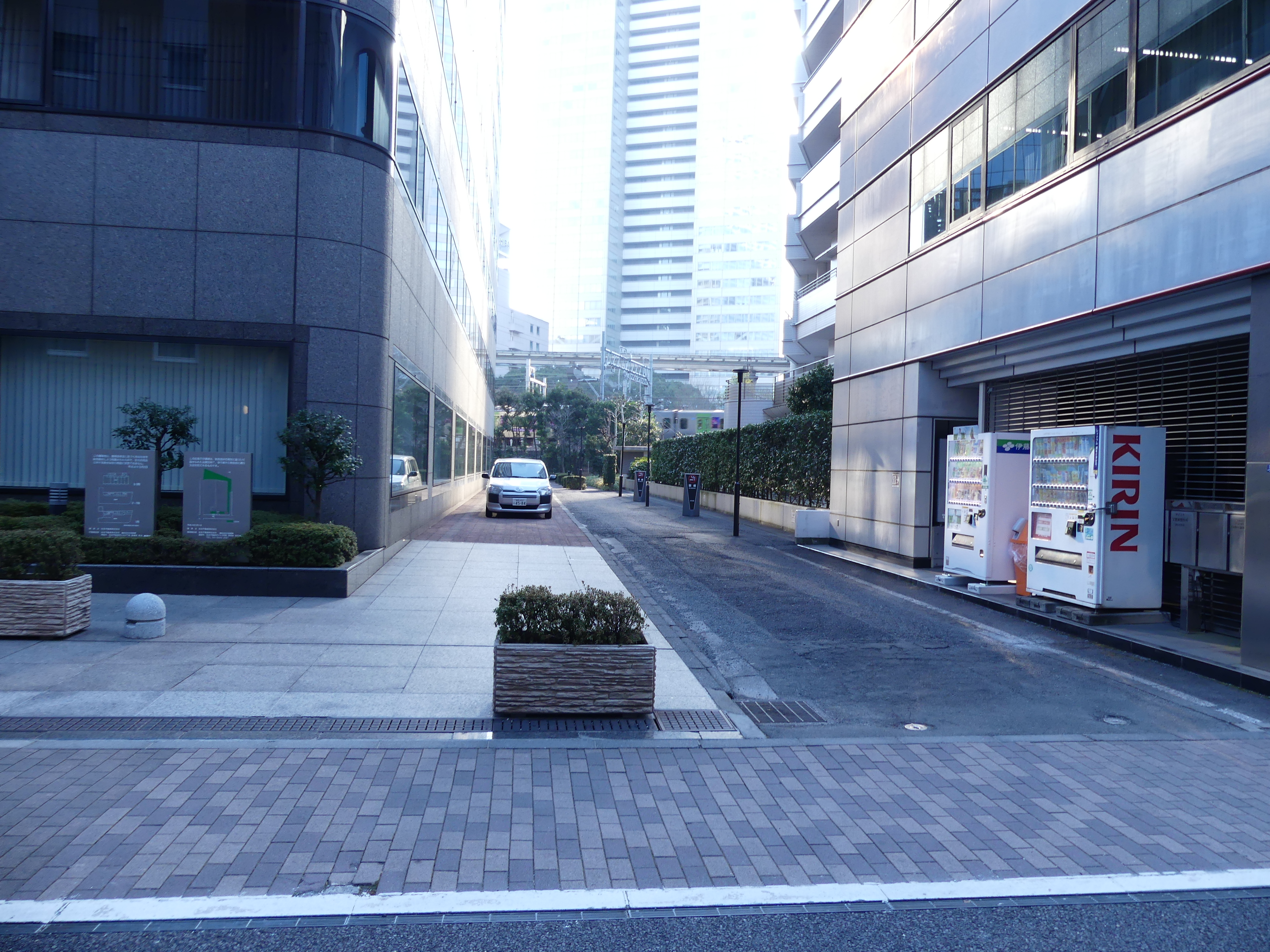
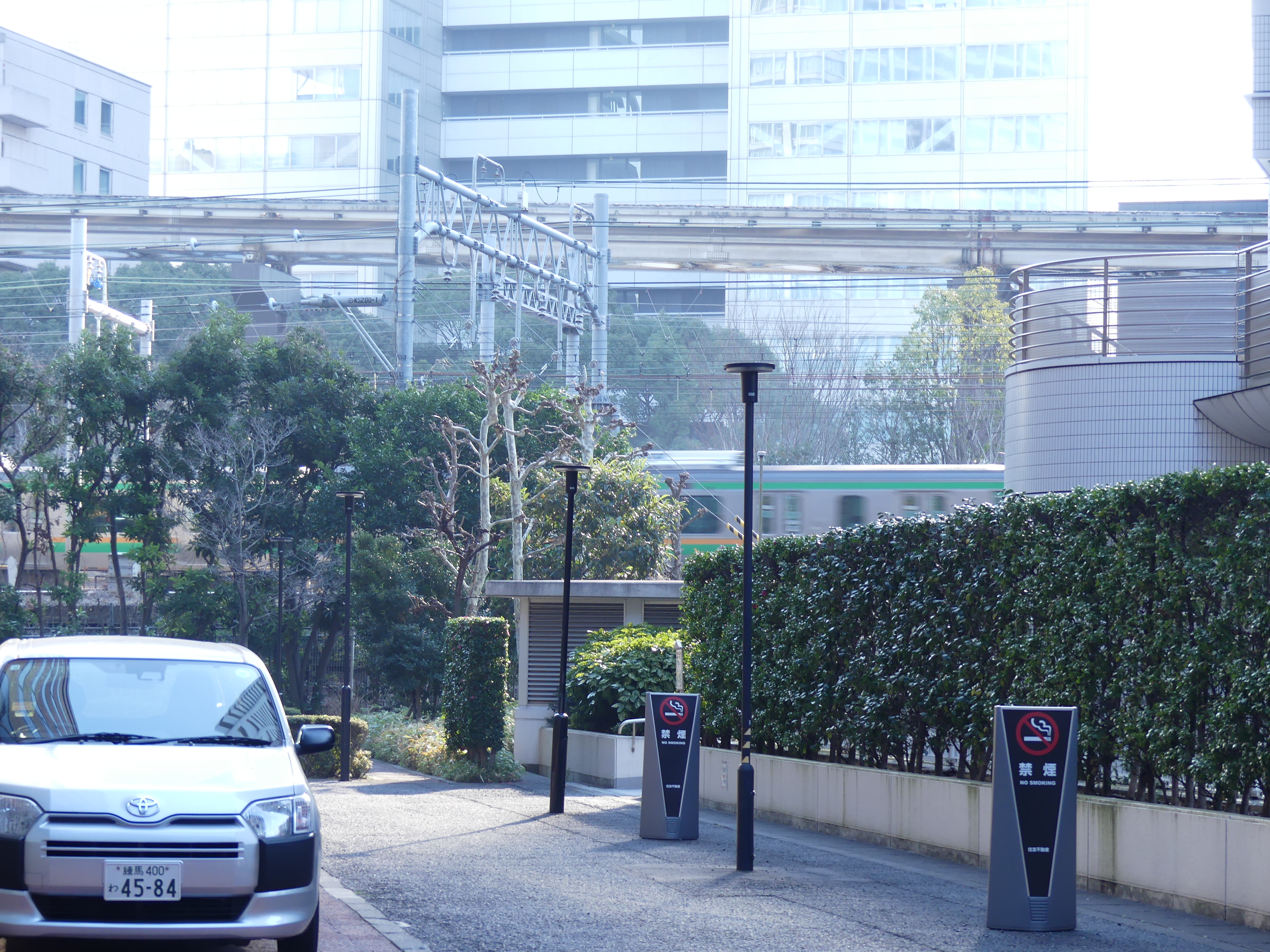
Our Finnair flight was unremarkable which is a good rating – no problems were encountered. So my first picture is our plane. We allowed ourselves two days in Tokyo to ensure we arrived in time to catch our ship. I think we made good use of our time there and we only saw what was immediately around our hotel, Hotel Villa Fontaine Tokyo – Hamamatsucho and what we saw on a trip into the centre of Tokyo. Our arrival was marred by our cab driver not having a clue where our hotel was located. Unknowingly his GPS took us to the rear staff entrance to the hotel which confused him and us but fortunately some locals on the street showed us the lane way to the front of the hotel. The second photo is the front of the hotel, and the following pictures show how close we were to the 3 levels of railway rushing around us. We noticed that several businesses had their own shrine for staff and passersby, and the first one below was immediately across the road from the hotel and alongside the Japanese version of a café – a drink dispenser. Note they also dispense Kirin Beer.

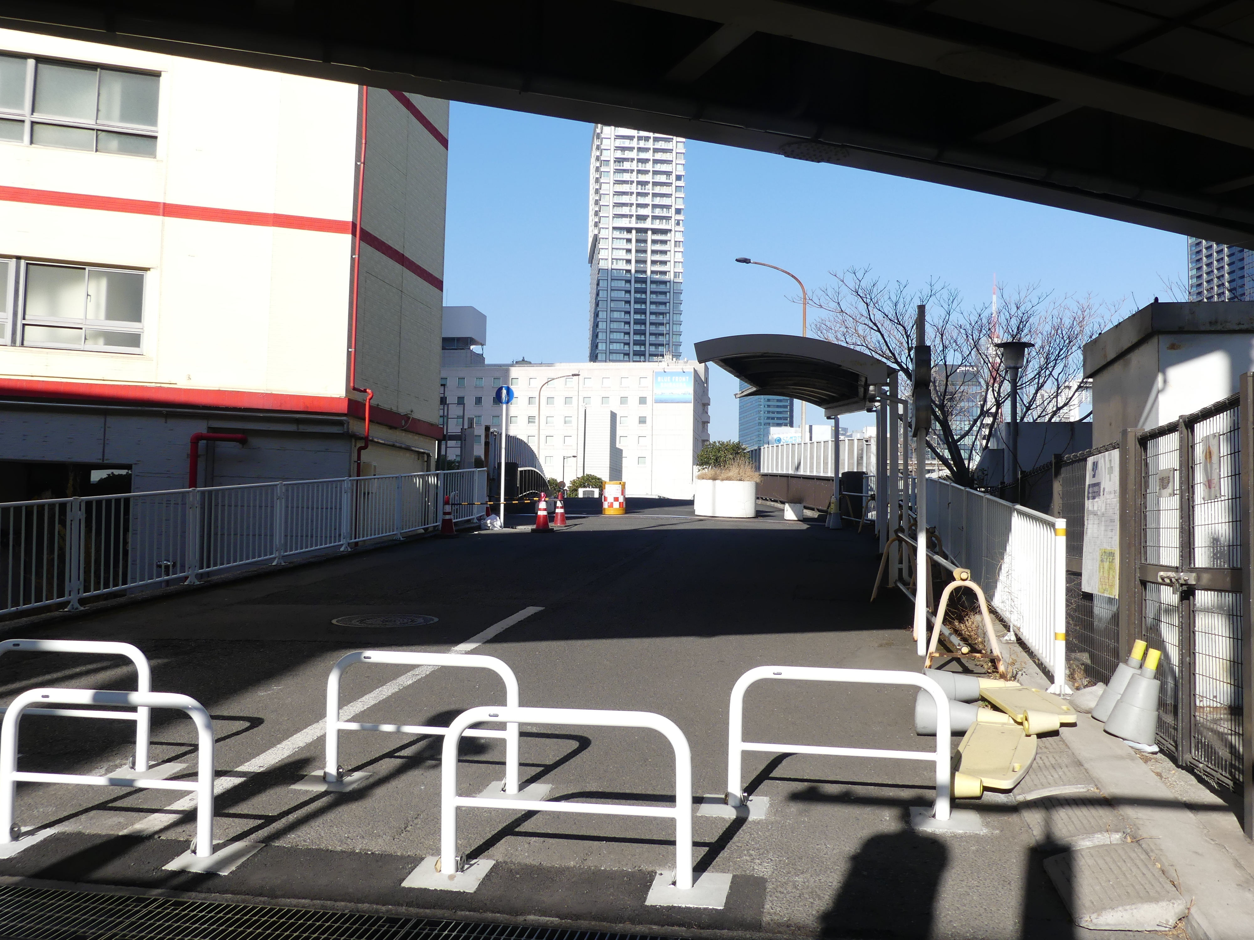
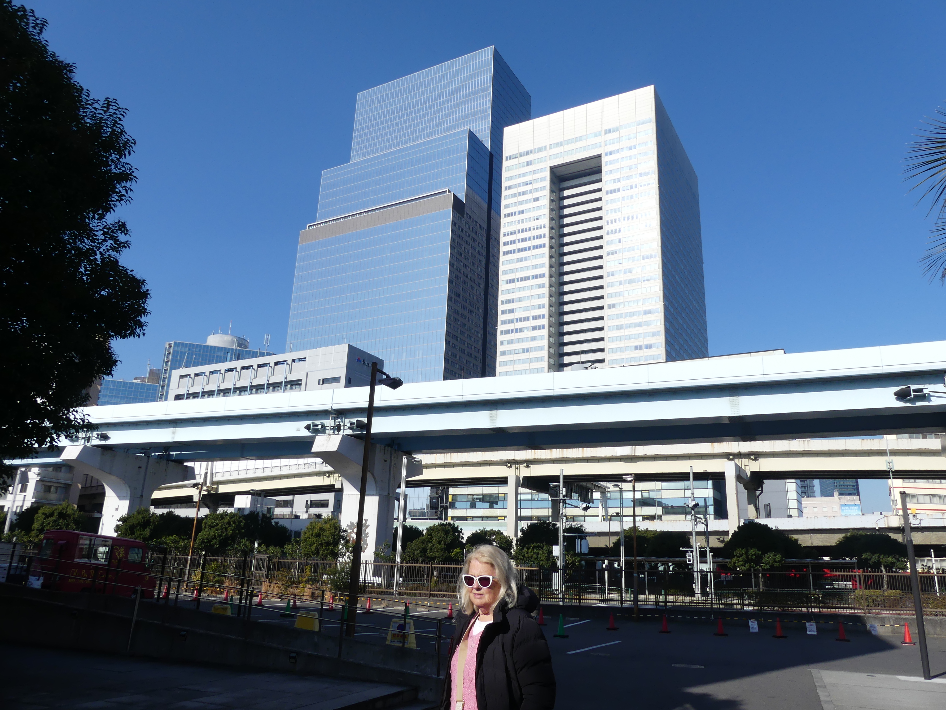
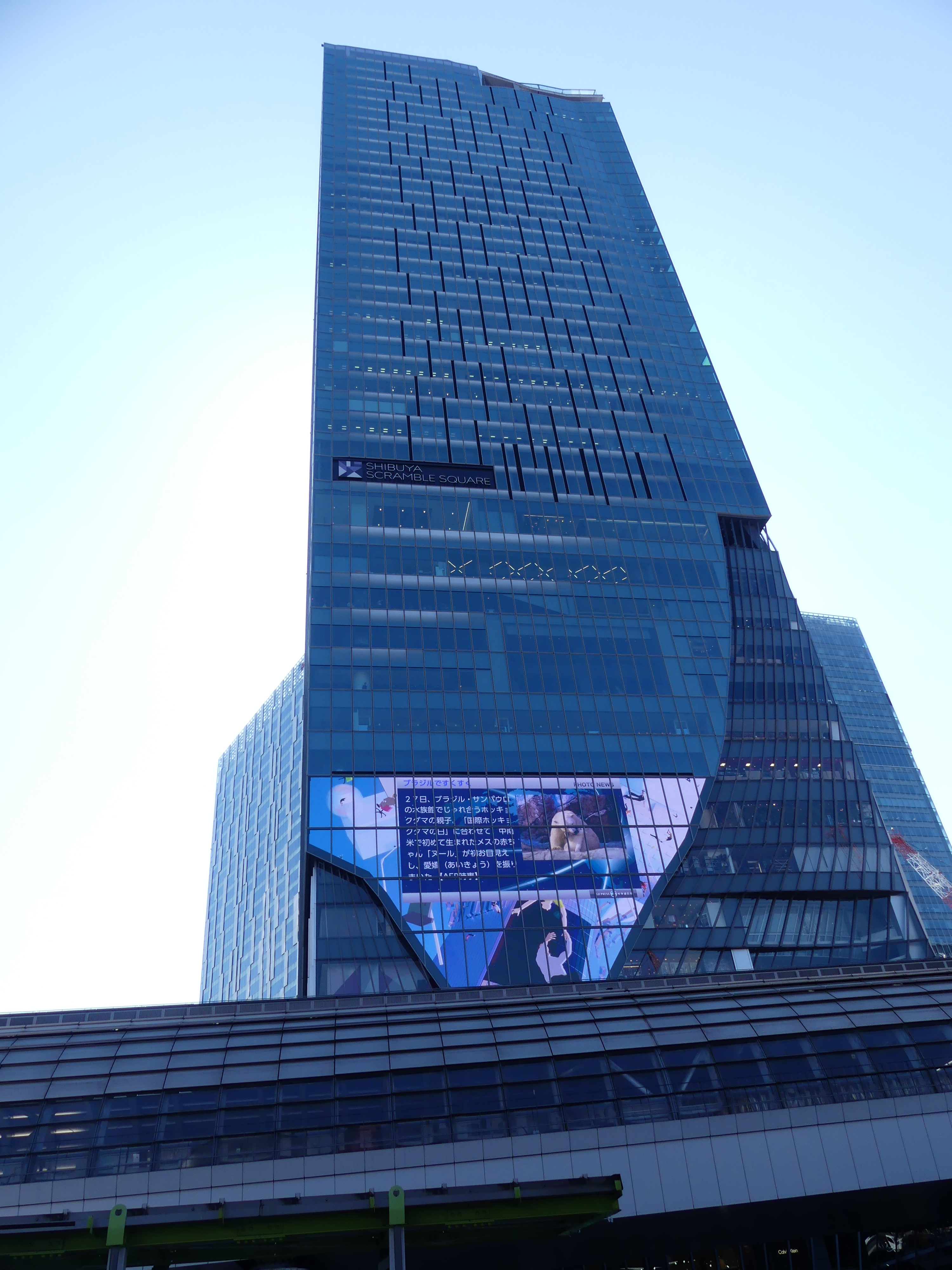
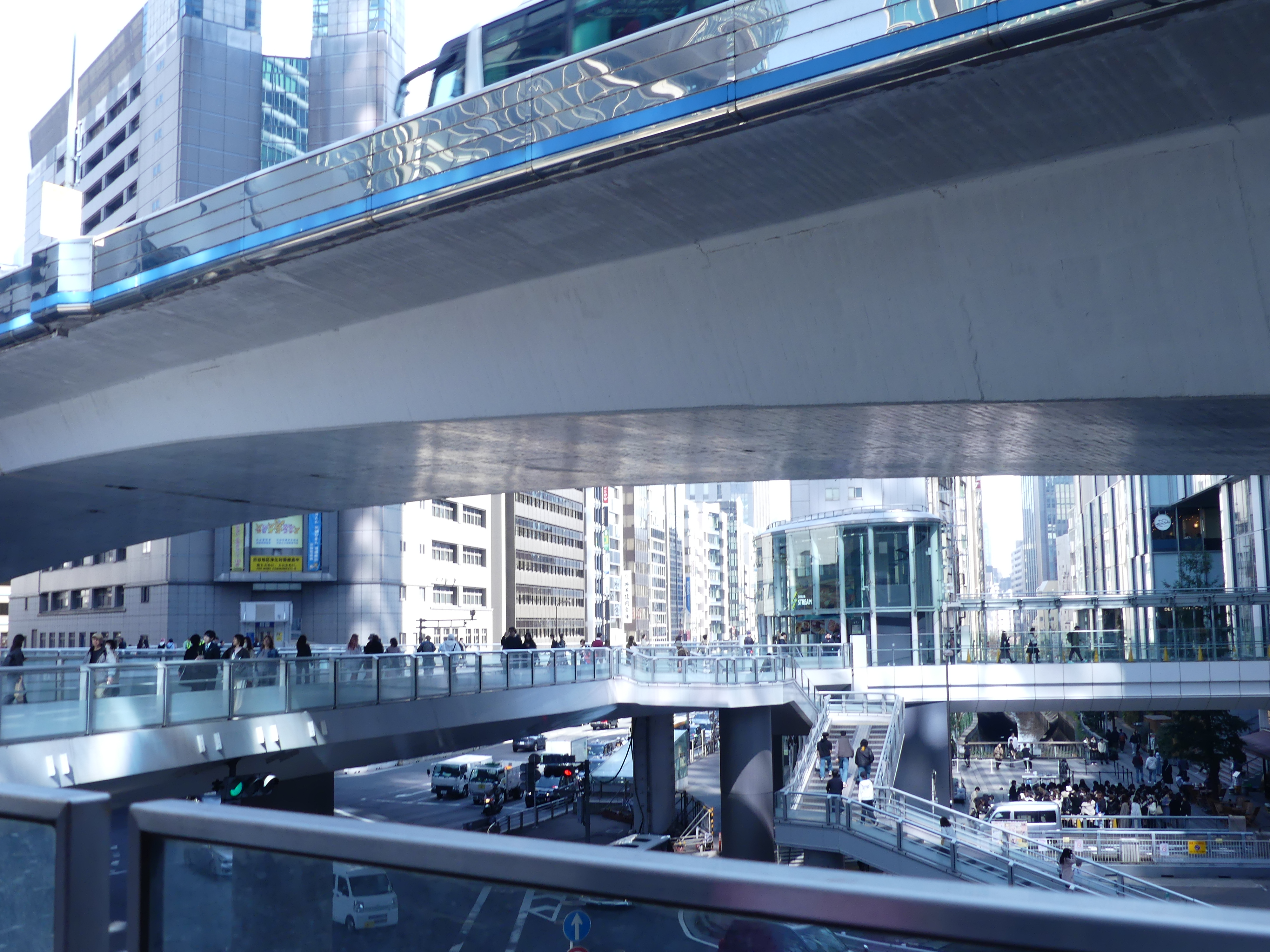
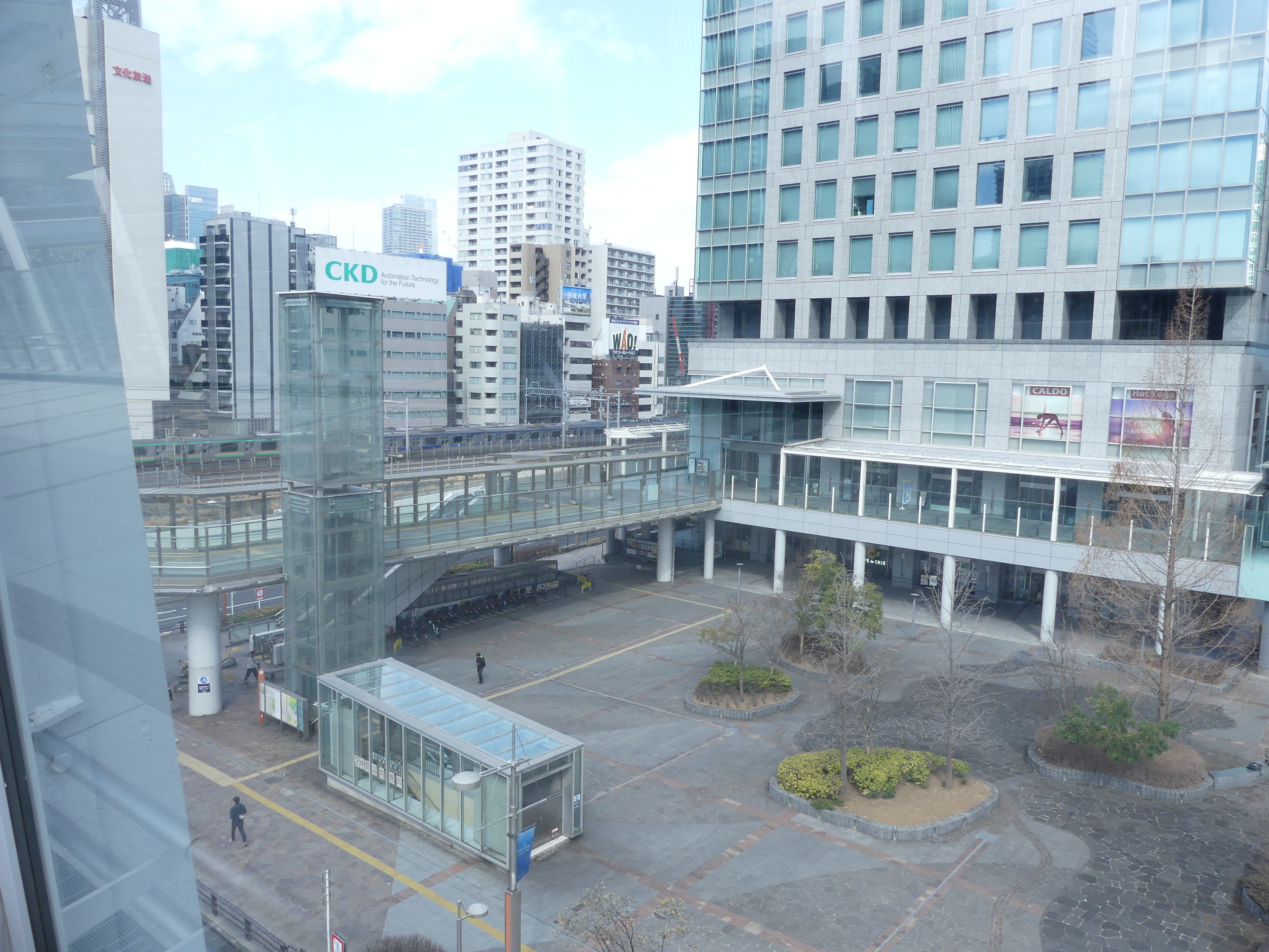
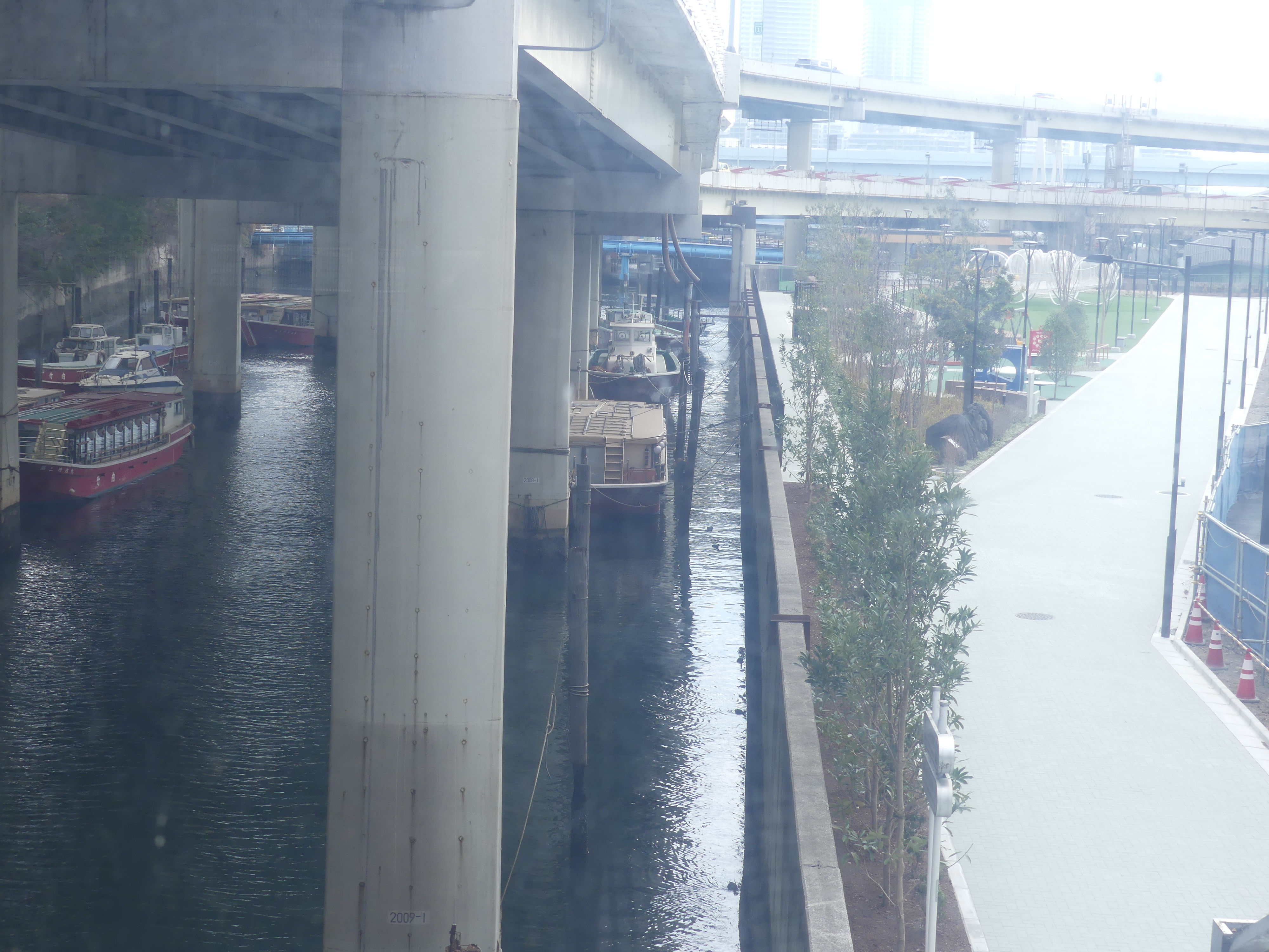
We obtained a tourist map from our hotel. We were checking the location of the dock for our departure on our cruise and became worried that the instructions as to the location of the dock for boarding our ship were somewhat vague – “Yokohama Dep. 4.00 pm”. Believing the dock was nearby, we took a walk to the waterfront. There was a considerable amount of renewal happening/being constructed underneath rail overpasses and vehicle expressways and in between the enormous city towers around us along the path to the waterfront. The photos below show the way in which the Japanese used all space available.

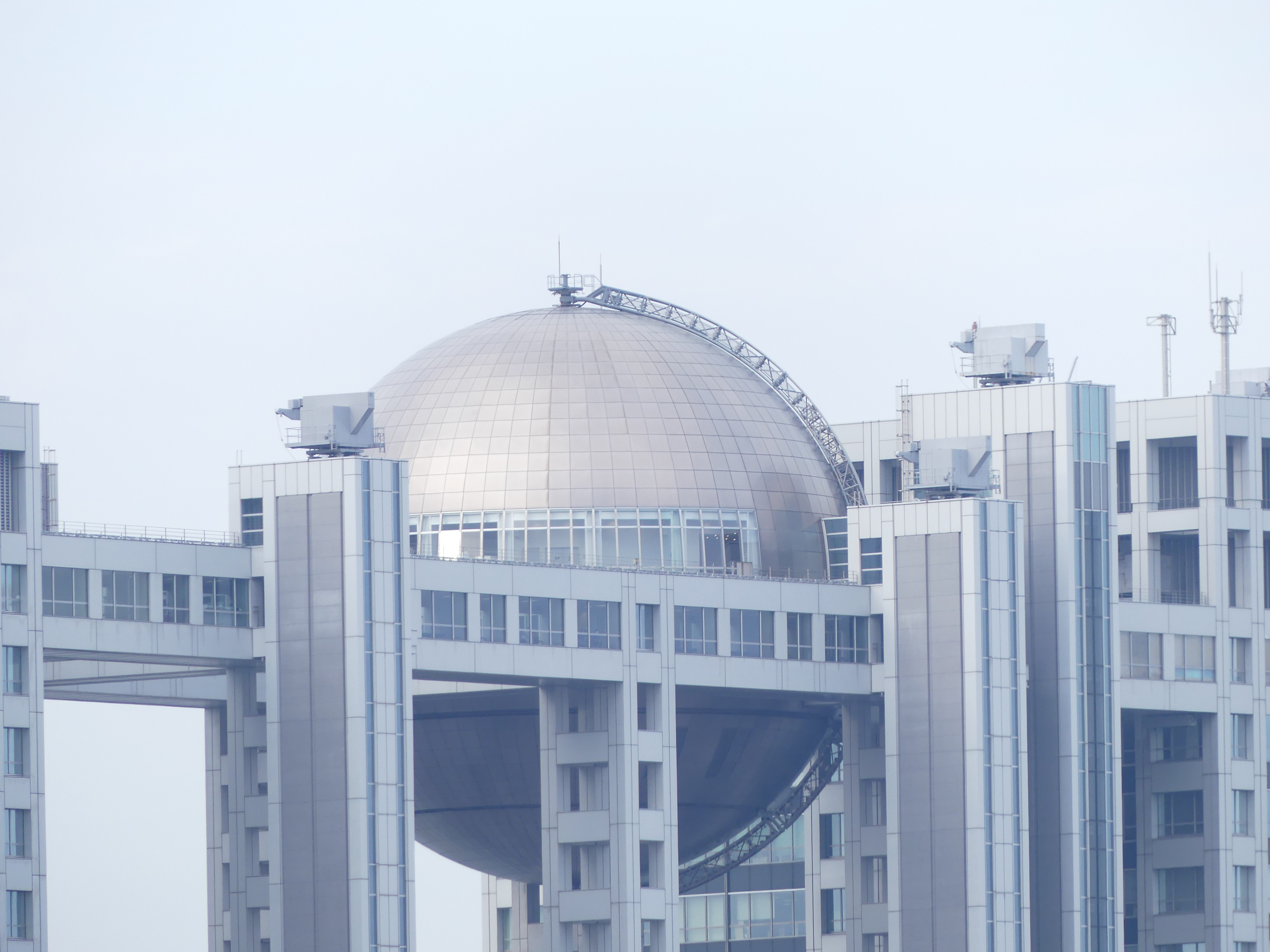
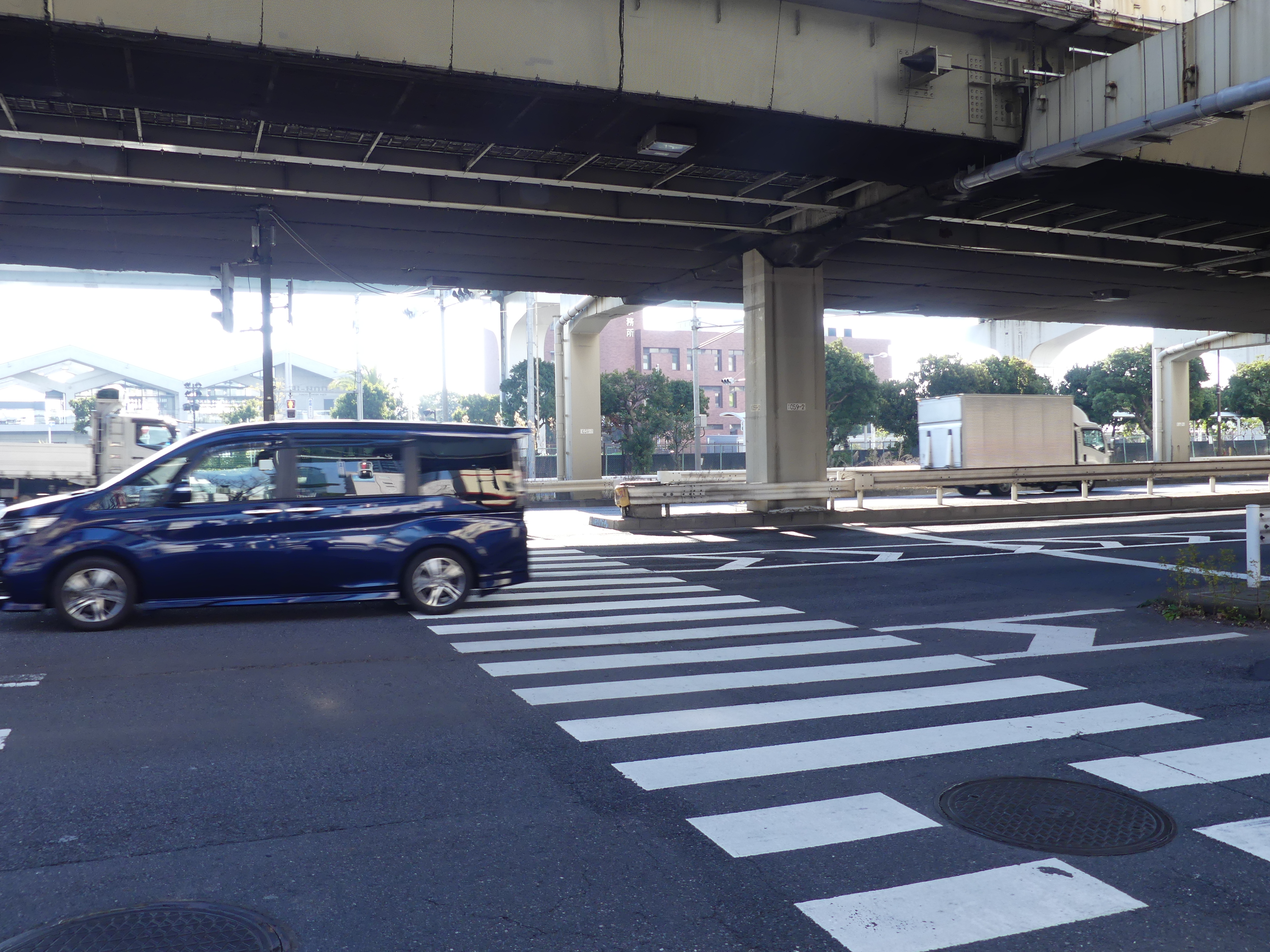
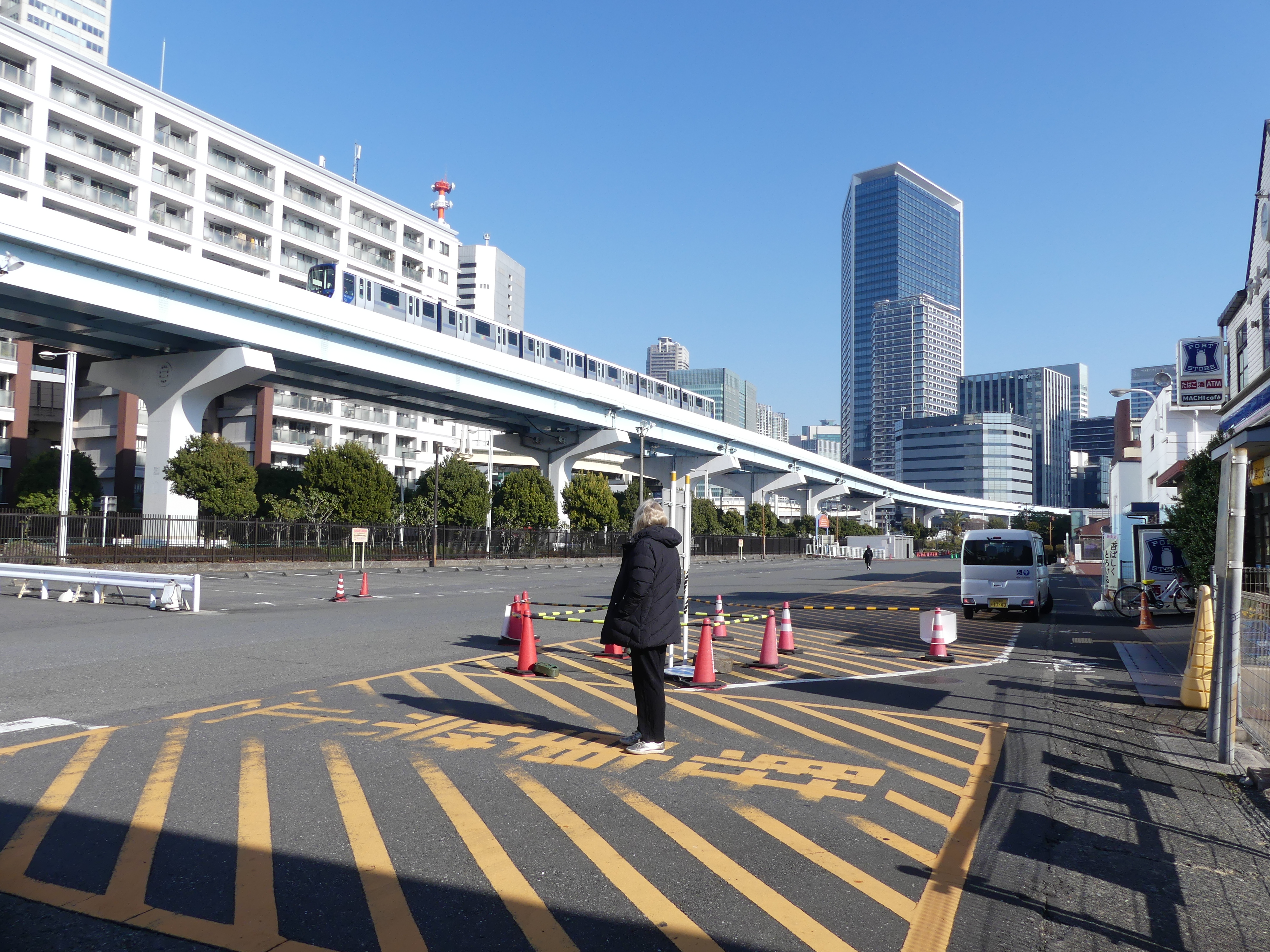
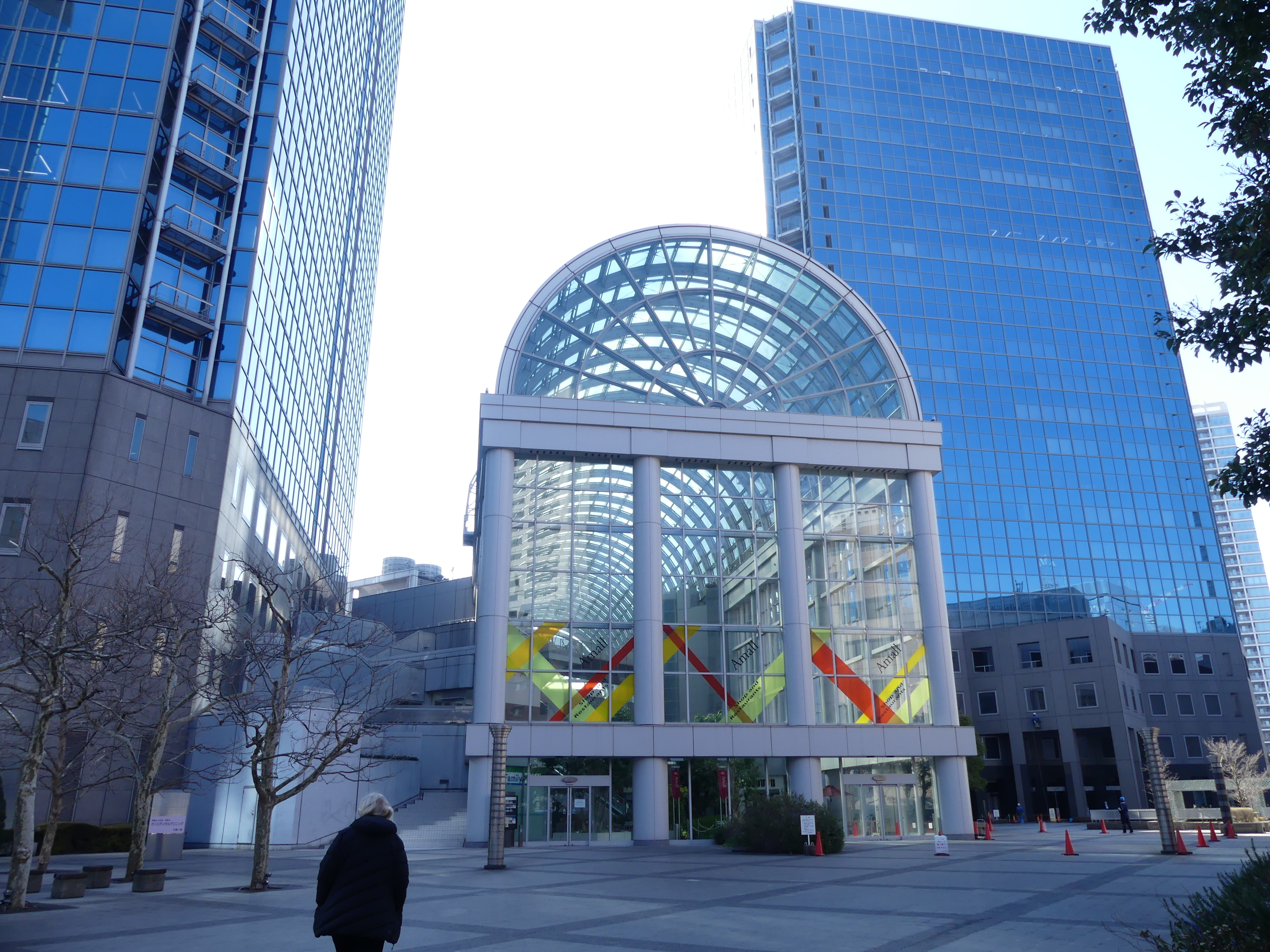
We made it to the dock but there was no sign of any ship terminal. Tugs and ferries but no cruise ships. We continued our search passing through wharf industries harbour side units and canals but no cruise ship terminal. Push bikes were popular even with the public transport available. As we returned to our hotel we were surprised by the architecture of one building: a domed area under an office tower. It proved to be a shopping centre at the base of an office block, but it seemed to be “dead” with no people activity inside the building. It seemed to be a cross between a plant hot house and a shopping centre. Not sure how successful it has been.

On returning to the hotel, we decided we would call our travel consultant and get the complete street address and directions for the dock. A very helpful consultant gave us an address (we were rather suspicious that the address said nothing of a terminal or dock number), but we felt assured that the instructions for the taxi would get us to our ship. Our concerns eased we took a ride by train into the city.

Tokyo has a rail ring road making it easy to get to the centre of town. We were looking for Tokyo’s highest building to get to the roof top for a grand view of the city and beyond – as the tourist literature promised. Getting to where we wanted to go was trouble free. Finding our destination from the train station not so easy. Passage ways, footpaths and aerial walk ways had us confused but we got there in the end. We found that building but to get to the roof top was ticket only access and all tickets for today were sold out. So, we took in the sites from ground level. That’s it 1st picture left to right.

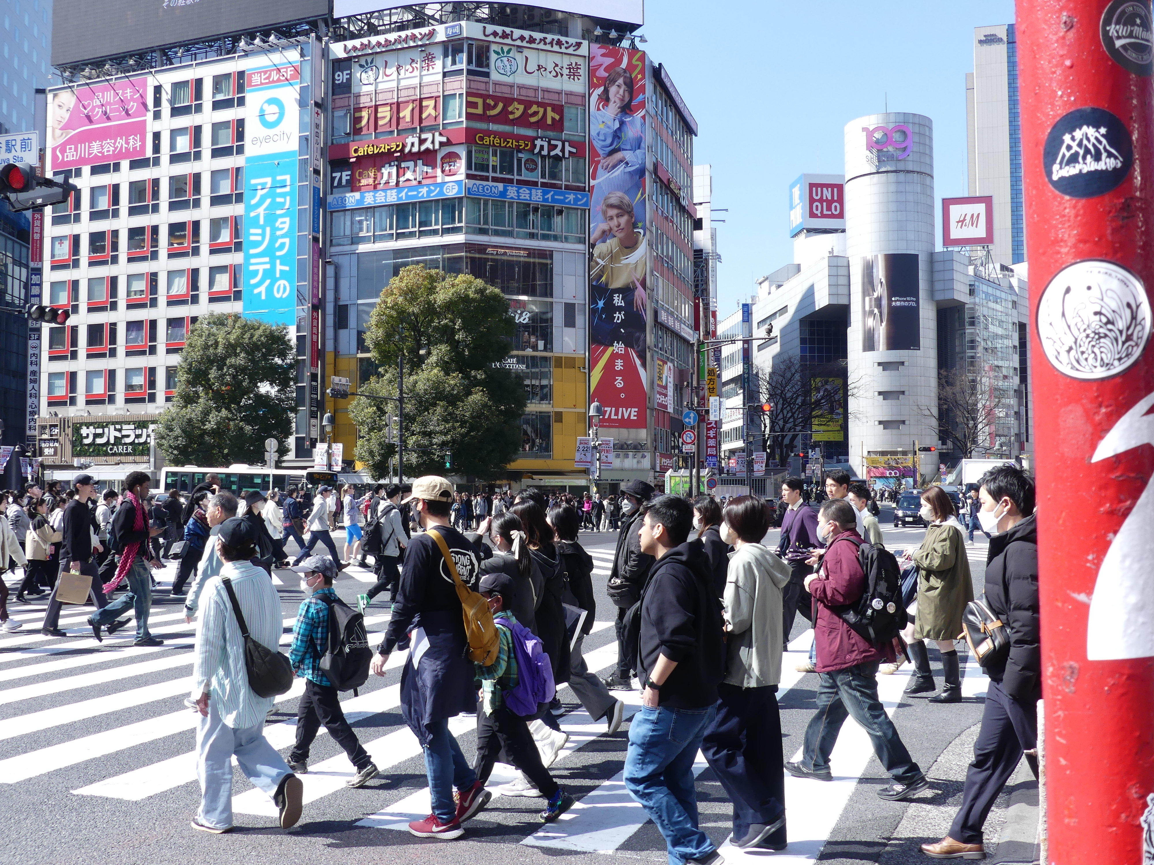
When walking to our station to catch the train we walked past an open garage containing go-carts. No idea what that was about and there was no signage in English to inform us. So we were very surprised when we encountered go – carts full of jubilant tourists came rolling past us in the centre of the city. I have provided a photo below then follows a photo of the world’s busiest pedestrian crossing. As well as street level pedestrians there are pedestrians aloft – yes 3 storeys above ground and connecting everything. It is hard to find anything old world Japanese, but we found it in a restaurant with shrines in its front yard – what must that land be worth!

We had a burger in Hungry Jacks (very Japanese) and decided to explore further passing over a canal with houseboats and a new stretch of pedestrian and bike pathway and gardens on our way back to the hotel. The following day – “sailing day” – Kerry had spotted a large garden space on our map within walking distance and we thought we had time to explore a bit more.

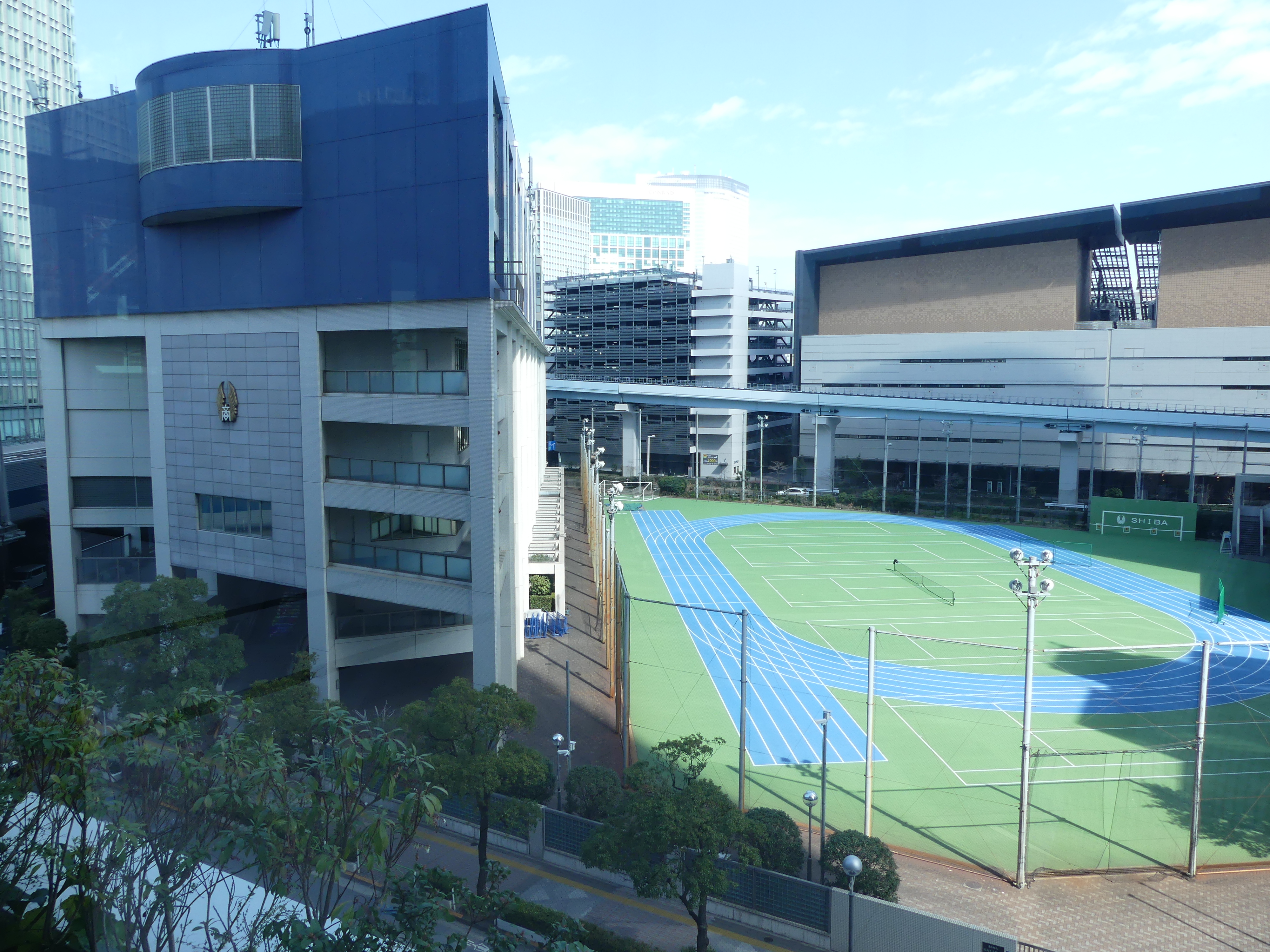
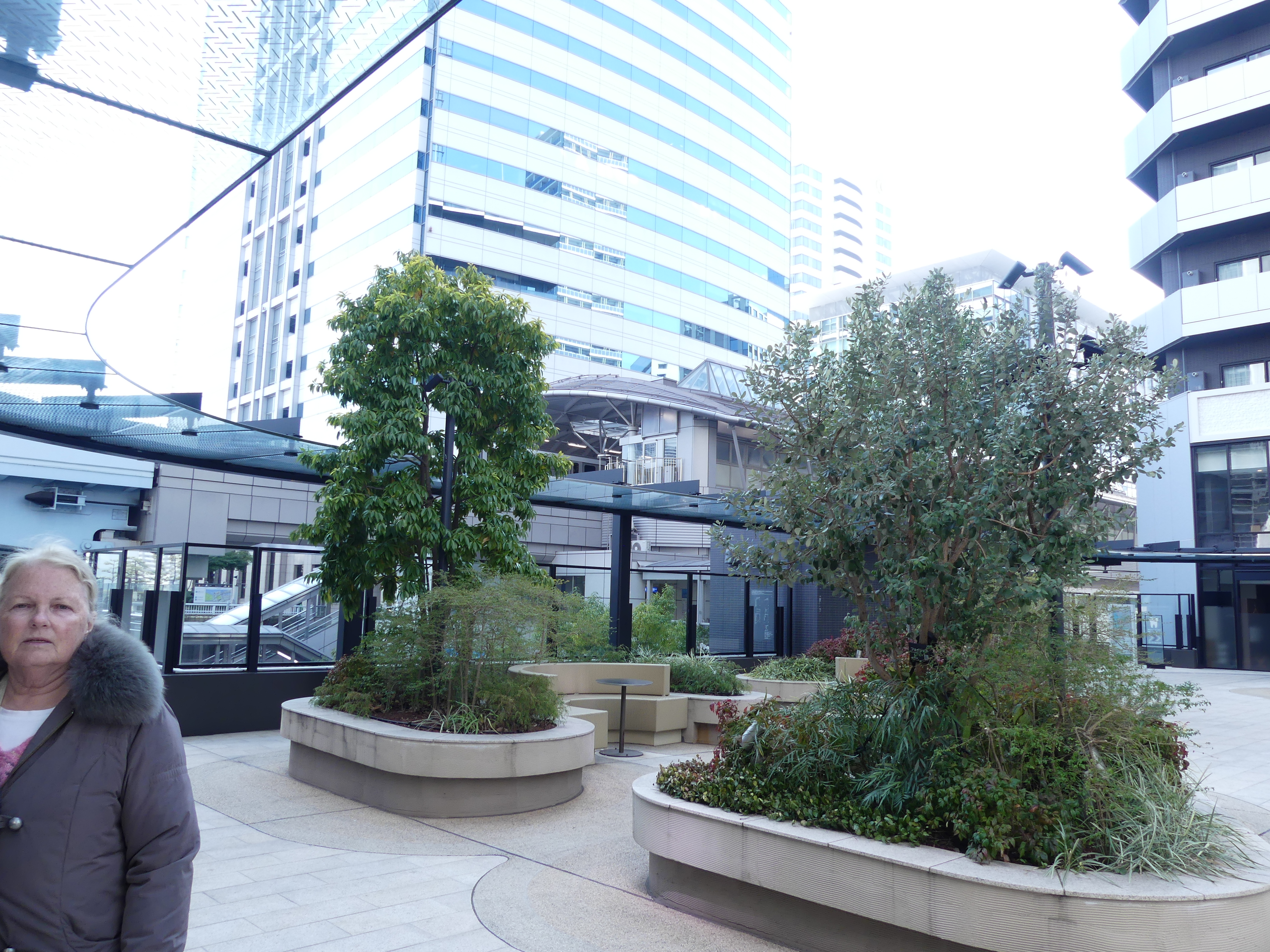
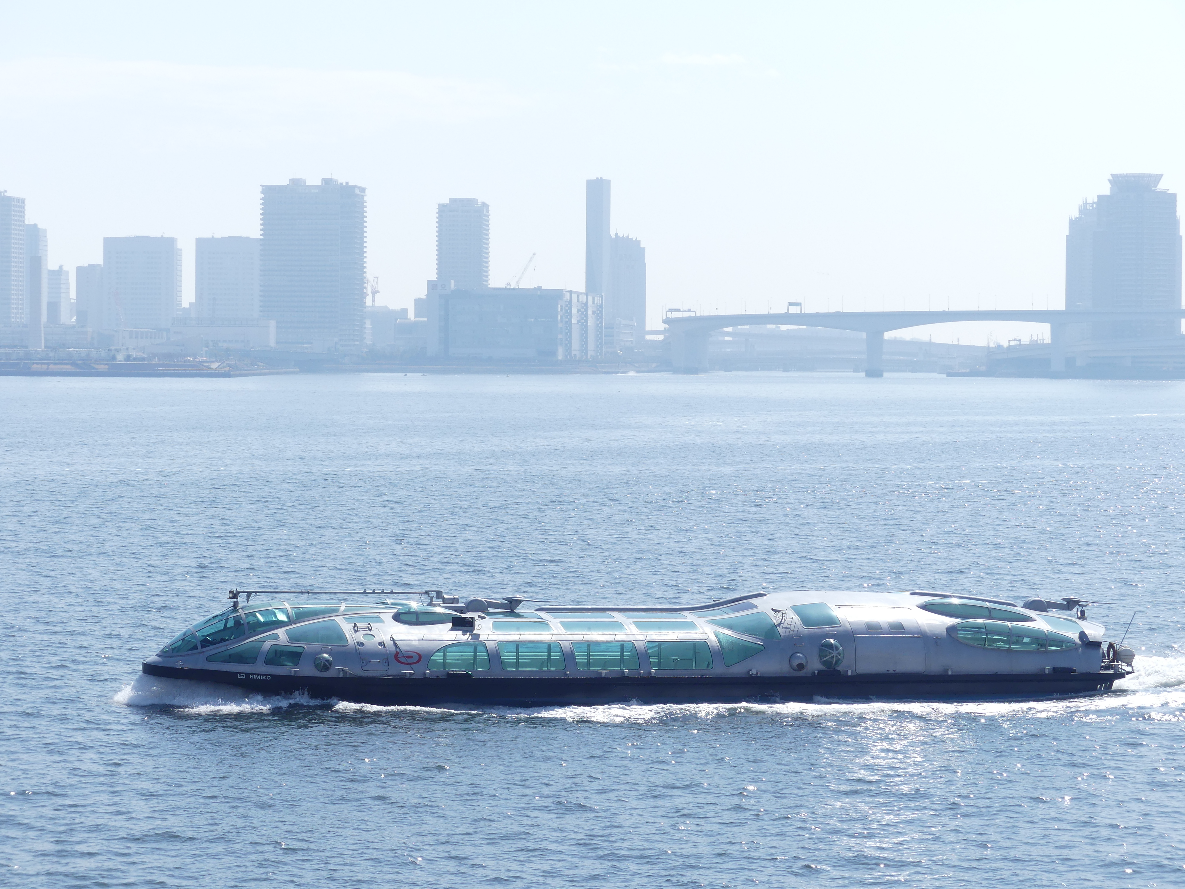
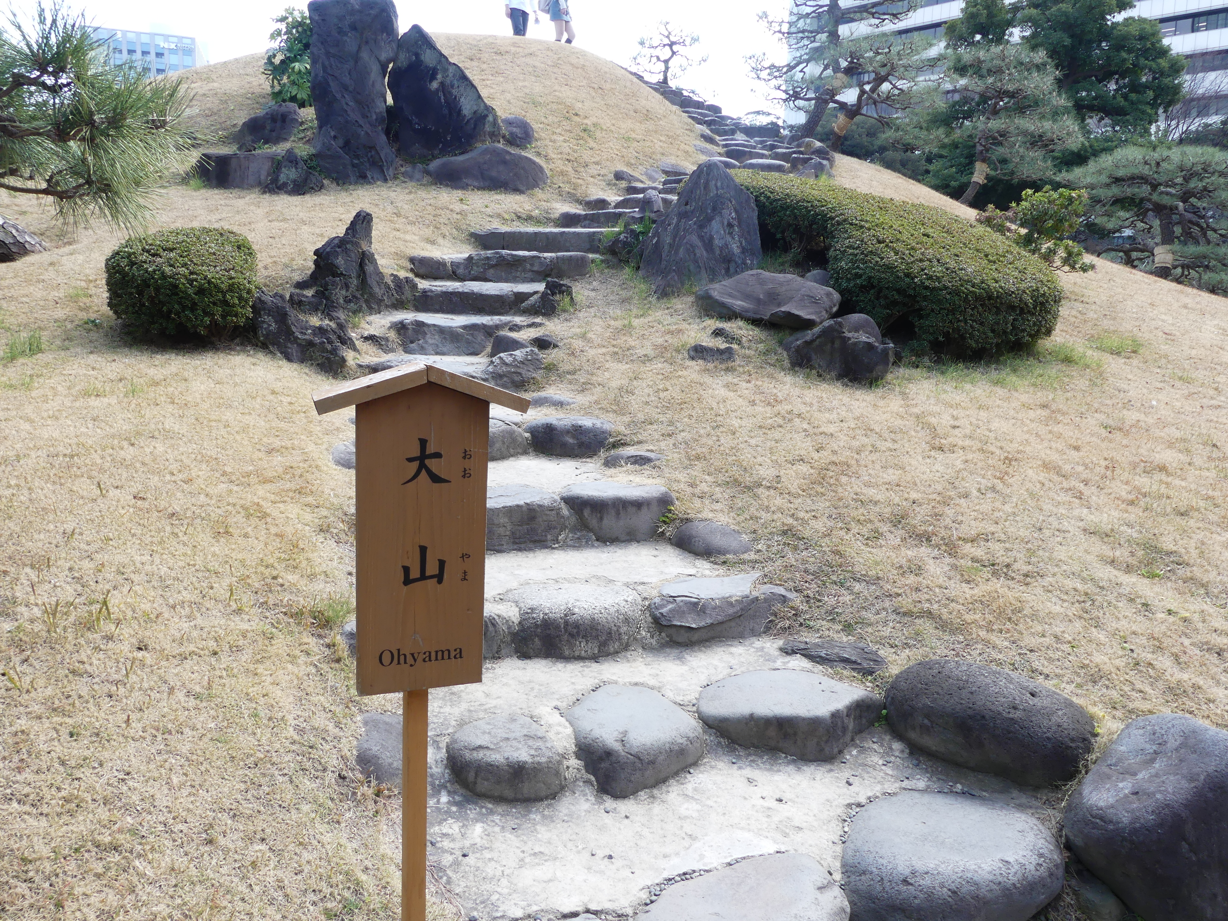
The pictures below start with a different form of shrine to the one across the road from our hotel – an upright tablet with two temple urns beside it – then surprisingly our first cherry blossom tree in full flower. The park seemed closed at every entrance, so we traveled to the walkway 3 levels above ground for the view of the park. More than a park it is a religious sanctuary set out in traditional Japanese style. As the park seemed closed, we went in the opposite direction towards the harbour. The pictures show you the grand scale of these walkways. We passed a high school and its sporting fields and ended up on the harbour boardwalk with ferry terminals spaced along it and ferries plying the harbour and trains passing by. The buildings around us towered above and I have taken some photos of some of the more impressive. I was even able to grab a picture of the look-a-like Eiffel tower – the last photo but its a long way off.

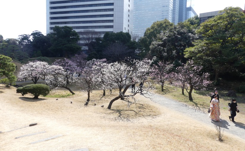
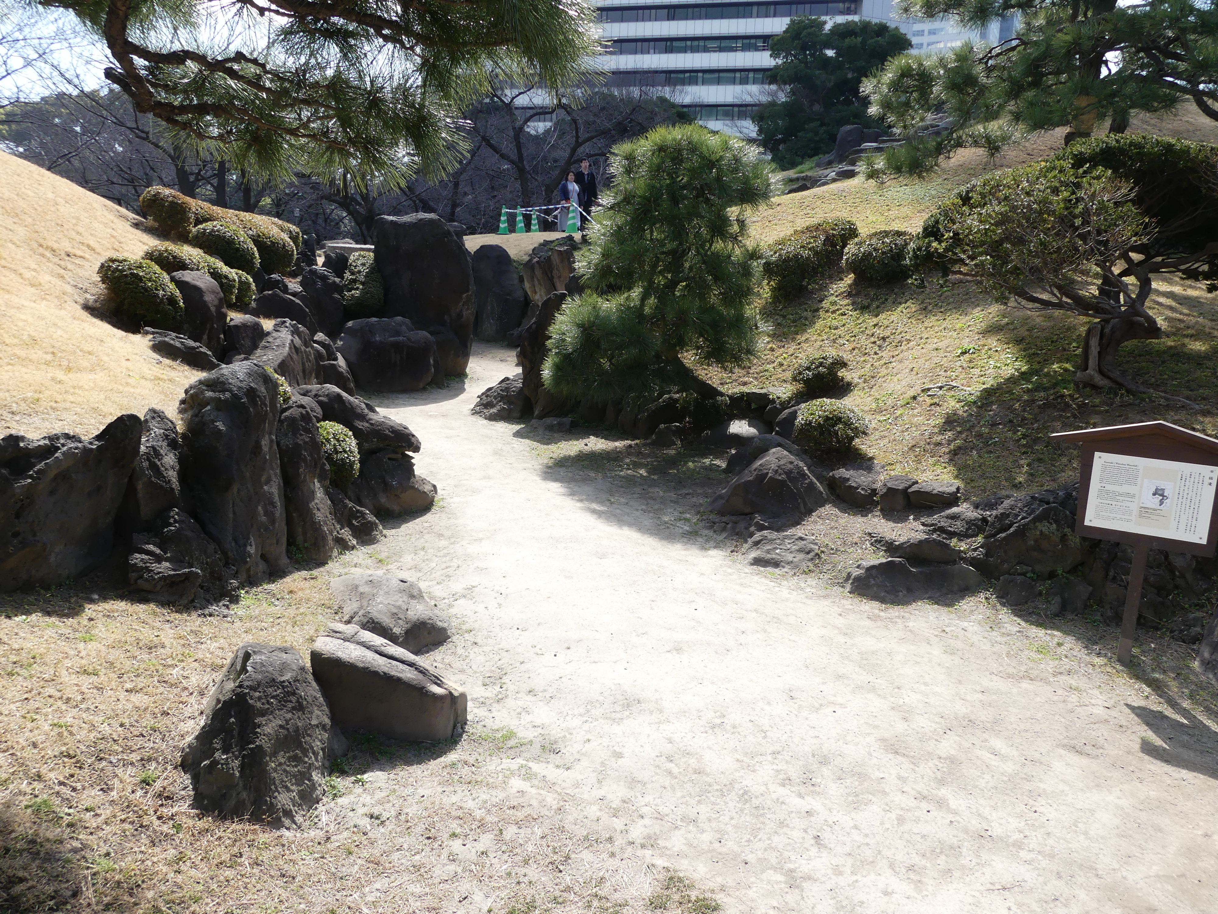
We turned around and went back to where we had come form. I cannot recall what made us walk to the opposite end of the walkway, but I am glad we did so as we found the entrance to the park – there is a fee to enter and that explains the closure of all the other entrances. The photos below show you around the gardens. We were now pressed for time so we did not get to every point but we saw the cherry blossom grove in full flower with a traditional bride walking through and an Australian lass enjoying the sunshine.

We made our way back to the hotel and collected our suitcases. The receptionist called the cab driver and handed to him our piece of paper with the address for the cruise terminal – we thought – but our concerns were well founded. The address was the HQ of Holland America lines in Tokyo and the cabbie had no English-speaking ability and was completely oblivious as to where the Tokyo International Cruise Terminal might be. We have not had the need for using our phone for translation so we were left to go to charades to tell the cabbie what to do. He wanted to put us and our luggage on the street, but we insisted that he find out where to go and to his credit he did that by questioning every parking centre and hotel security he could find and struck it lucky.

Meanwhile I was on the phone abusing (politely) the HAL staff to find out where the dock was. My efforts seemed to be languishing but then the cabbie turned a corner, and the vessel MS Noordam was at anchor at the Tokyo International Cruise Terminal. The cabbie thought that we would leave him alone if he dropped us off but we were still a kilometer from the ship so he endured found the road to the reception of the terminal gladly took my Yen 7,000 (should have been Yen 500 for a 15 minute trip but it was HAL fault for the misleading information – my complaint to HAL resulted in an apology and refund of the cab fare.)

Relieved we boarded the ship with a good story to remember this trip. However, we were soon to learn many other people had the same misfortune. We settled down and then we were shown to our stateroom, whilst we awaited our luggage there was some noisy bumping coming from the hall and I stuck my head out. The bloke in the adjoining cabin was bumping in with their luggage so I asked if he needed a hand, and an Aussie accent answered that he was right. This was Barry and his wife Sandi from Indooroopilly just arrived in their taxi from Yokohama – they had also been given a bum steer by HAL. From there and occasions where we shared a dinner table, we became acquainted and did quite a few things together. We still keep in touch with them – our next adventure was to be to Nudgee Beach but for reasons forgotten we ended up at Indooroopilly.

So the next and last leg of our adventure was about to commence. Read on as we relax on the high seas south of Japan to Taiwan and back again in my blog “THE RETIREES GO AROUND THE WORLD – “TOKYO TO ABURATASU, PORT NARE AND PORT NAHA OKINAWA”.

“THE RETIREES GO AROUND THE WORLD – NAPLES to SORRENTO”

SORRENTO

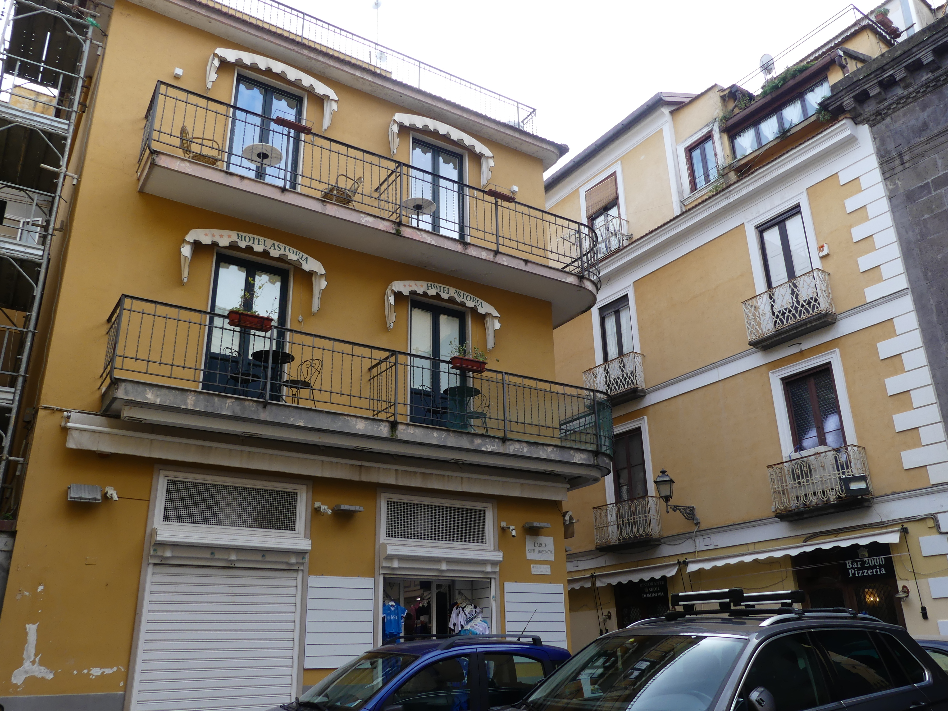
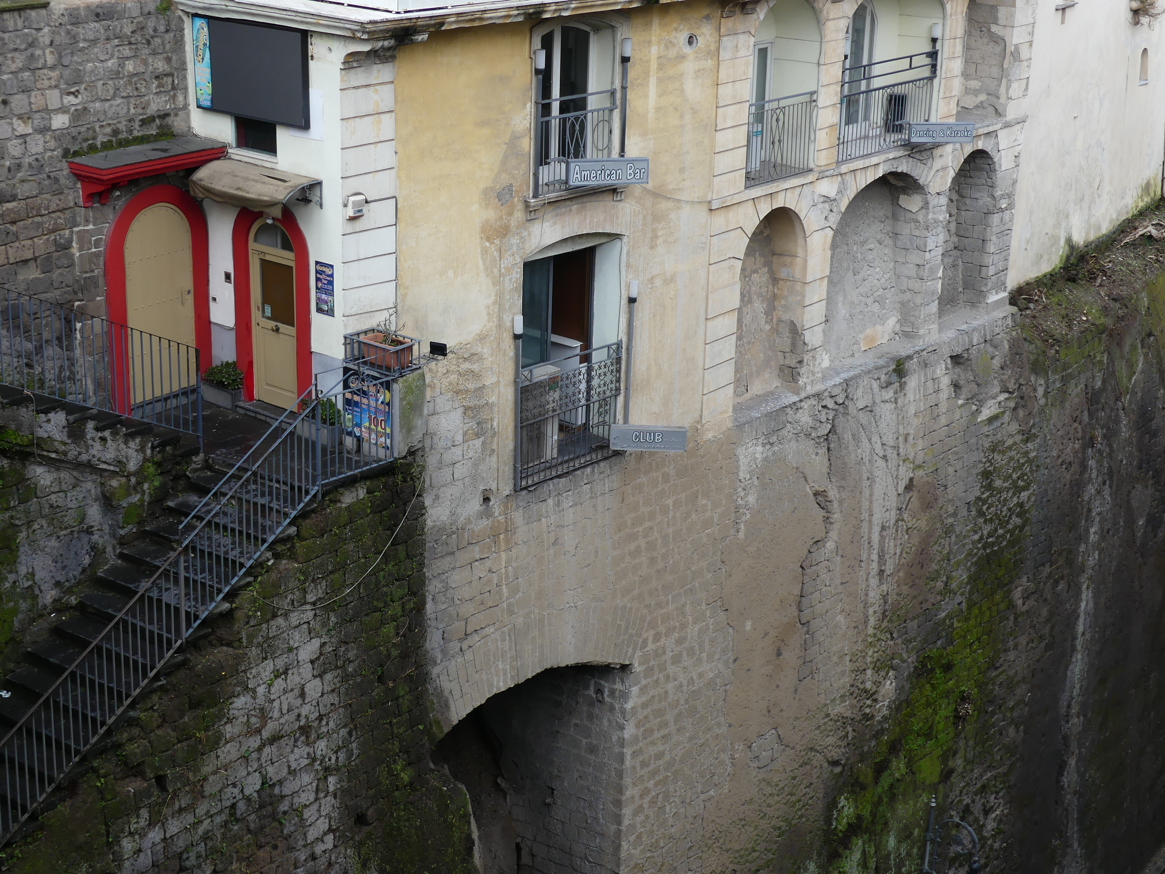
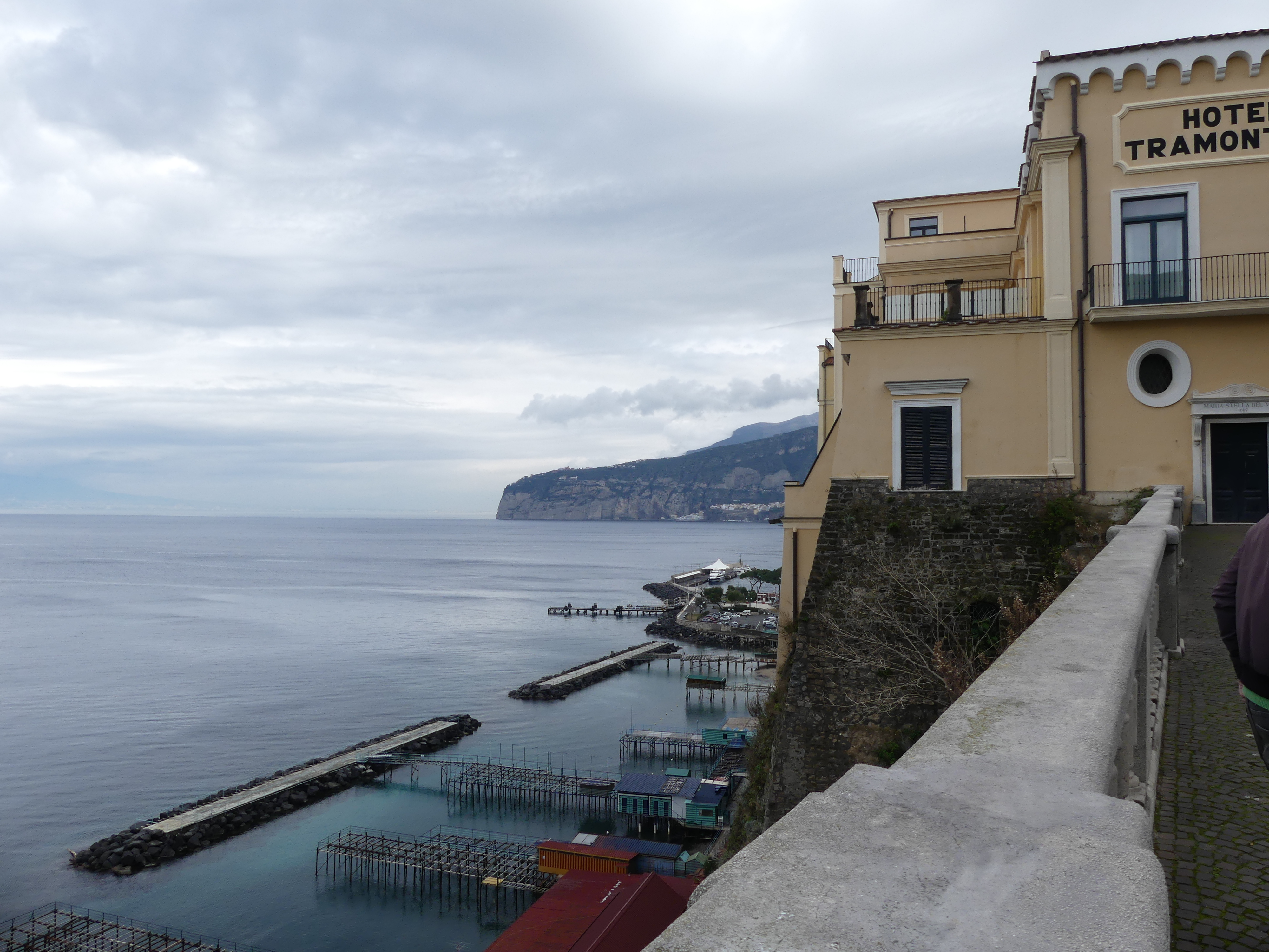
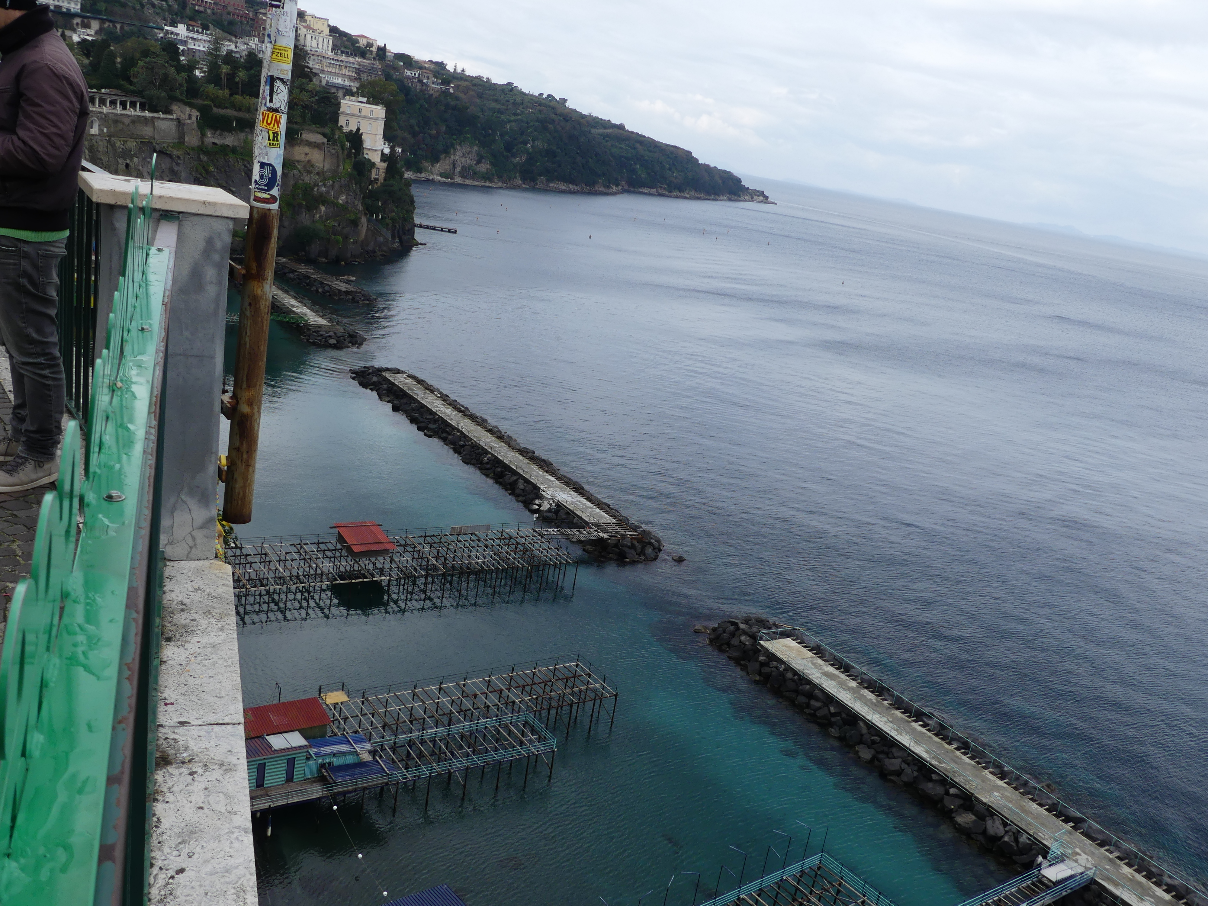
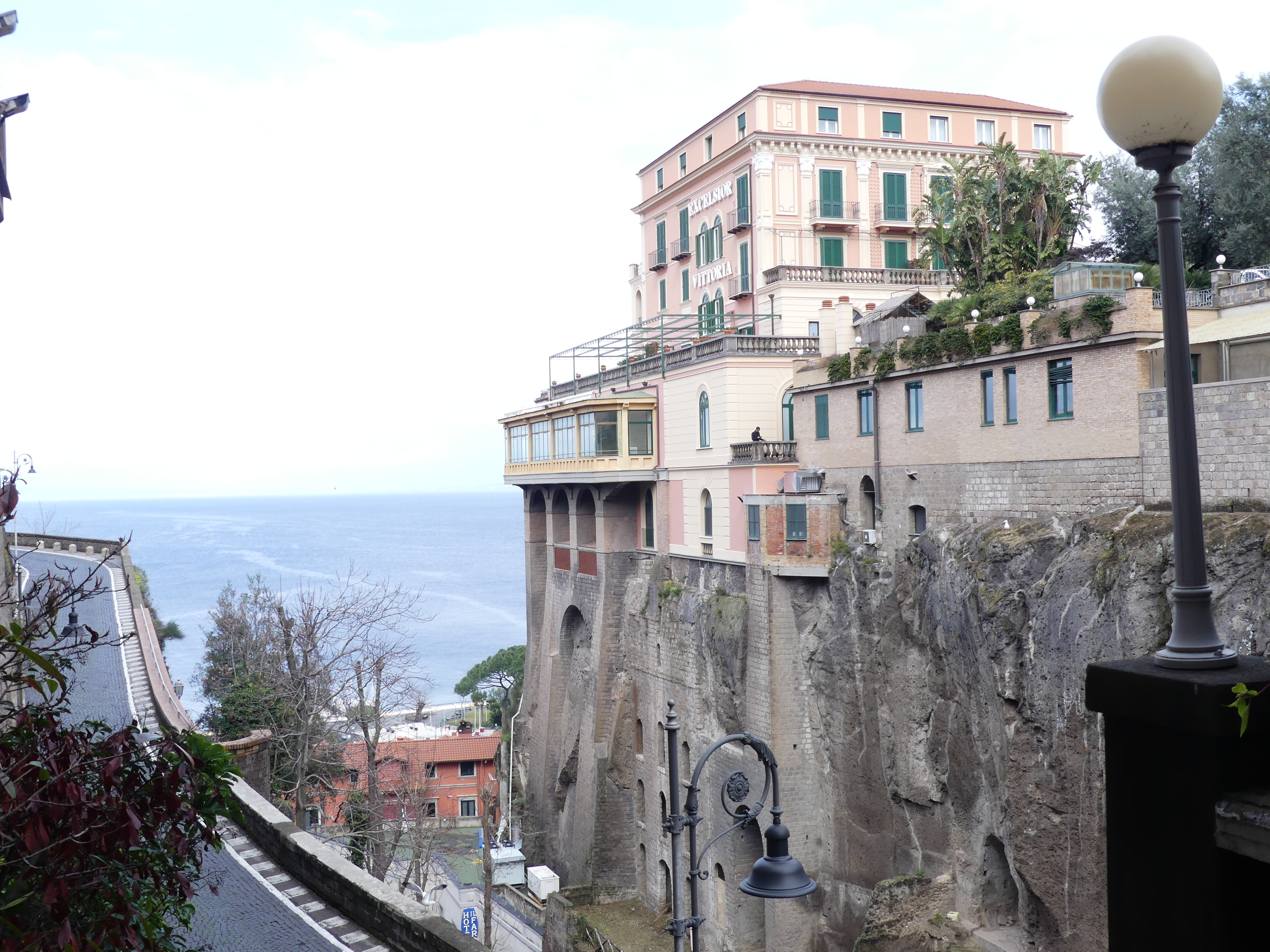
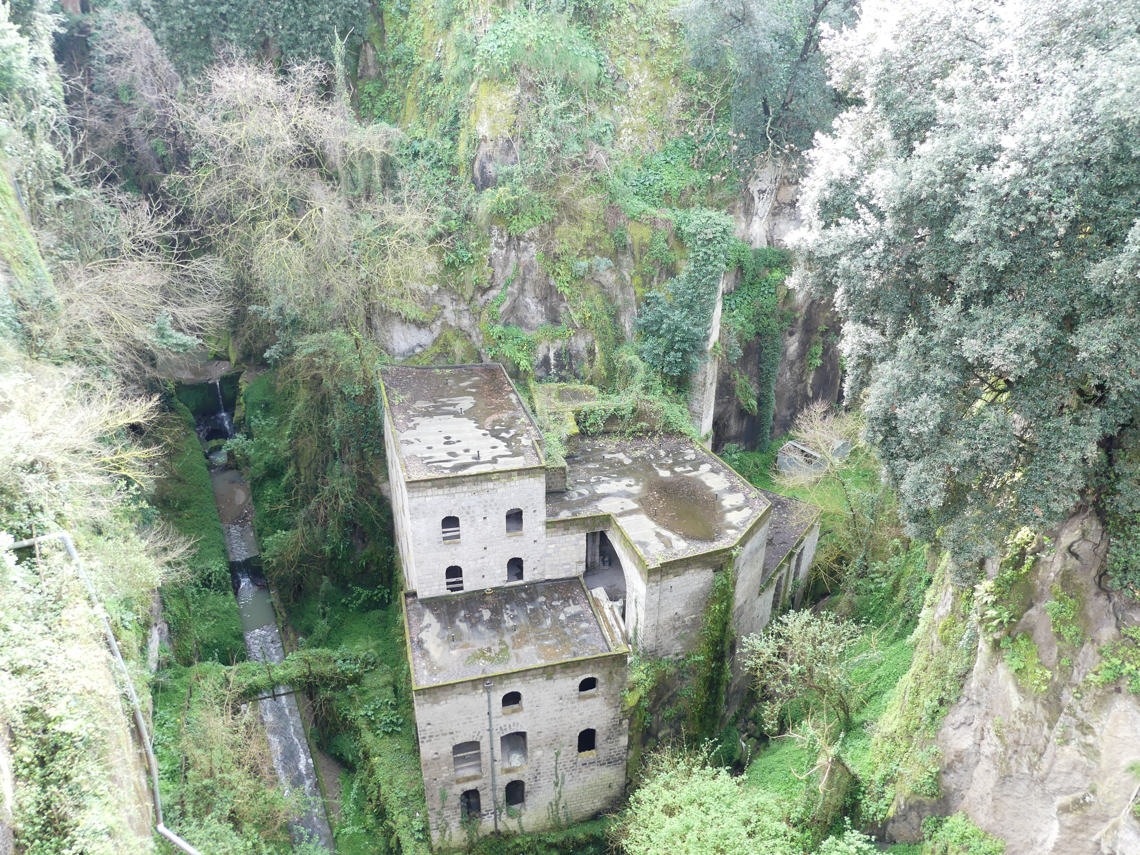
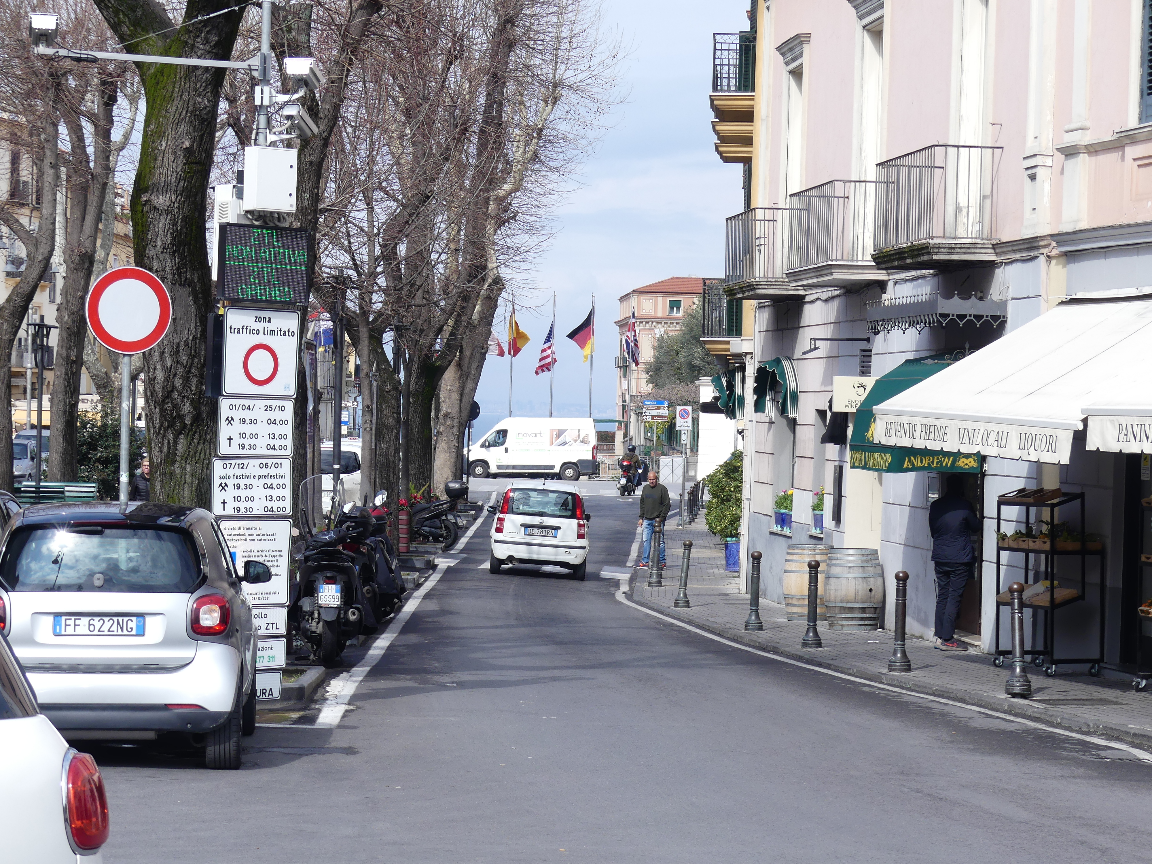
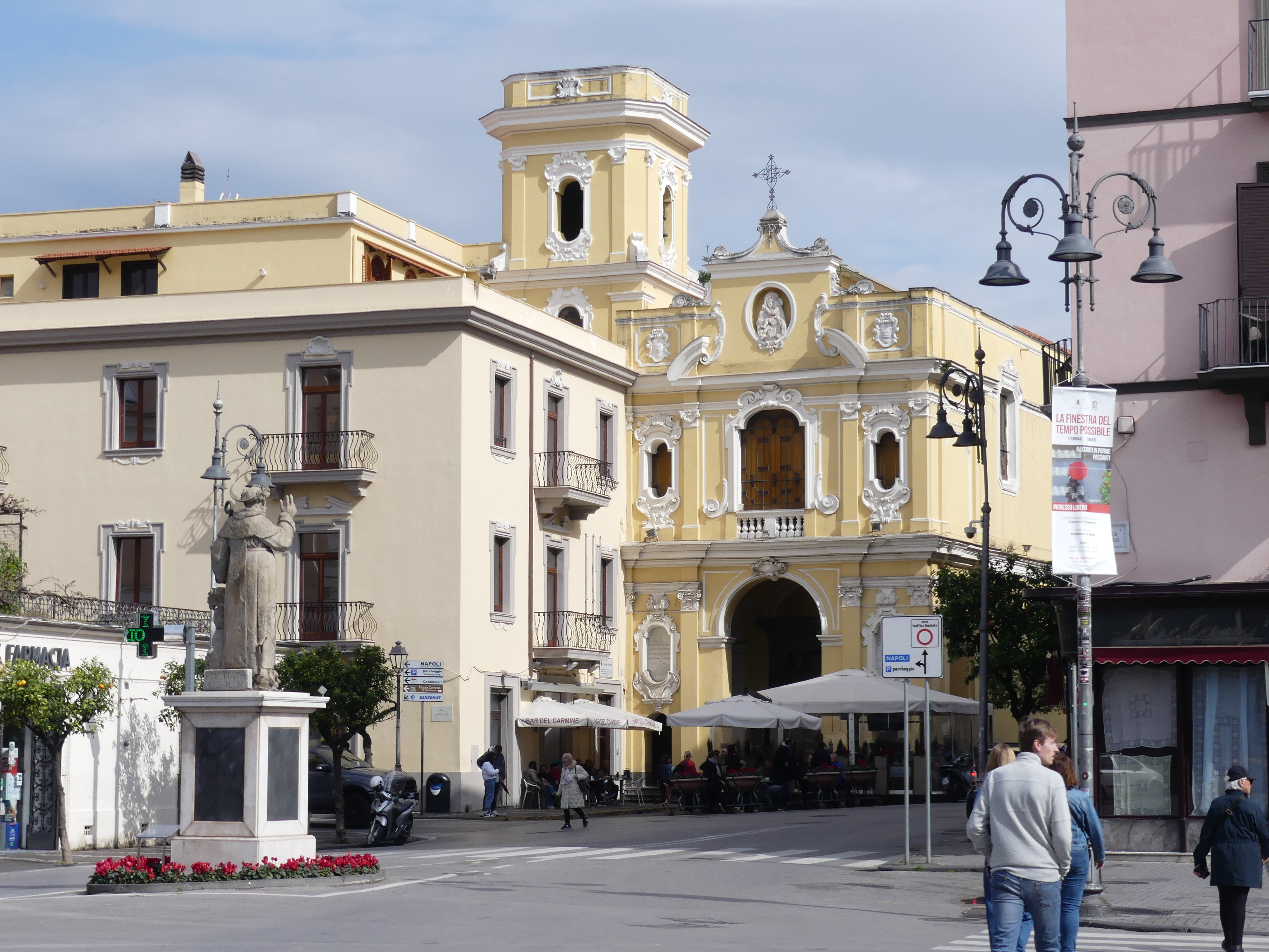
We decided to take another train trip this time along the coast to Sorrento, a resort town to the south. Arriving at the station/terminus for the train, we found a tour guide shop and picked up a map of the town and headed for the centre of town. At first it was unremarkable in its architecture and design until we came across a ravine passing through the town with buildings and roads straddling it and overlooking the Bay of Naples. Over the centuries of Sorrento’s establishment, it has been the subject of piracy, bombardment, and invasion, so it is no stranger to visitors to town.

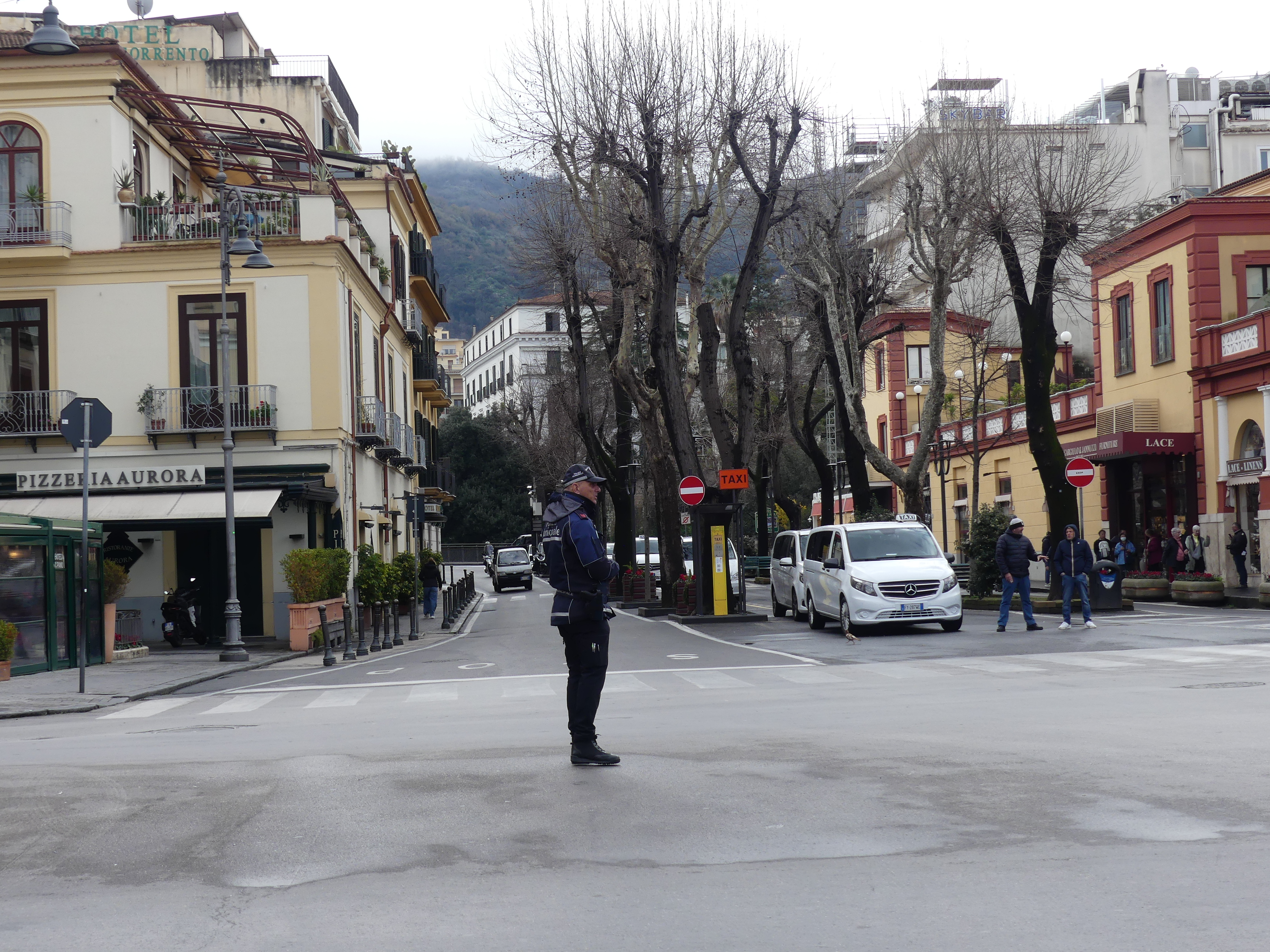
The “old town” is identified by narrow streets and loads of shops, and most were open despite it being winter and raining.

Sorrento became an archbishopric around 420 AD. After the fall of the Western Roman Empire, it was ruled by the Ostrogoths and then returned to the Eastern Empire. In 1035 the city was acquired by the Duchy of Naples, then it returned to Lombard hands but when defeated by Robert Guiscard, Sorrento entered the Norman sphere of influence: any residual independence was ended in 1137 when it was conquered and annexed to the Kingdom of Sicily. In the 19th century the economy of the city improved markedly, favoured by the development of agriculture, tourism and trade. In 1861 Sorrento was officially annexed to the new Kingdom of Italy. In the following years it confirmed and increased its status of one of the most renowned tourist destinations of Italy, a trend which continued into the 20th century.

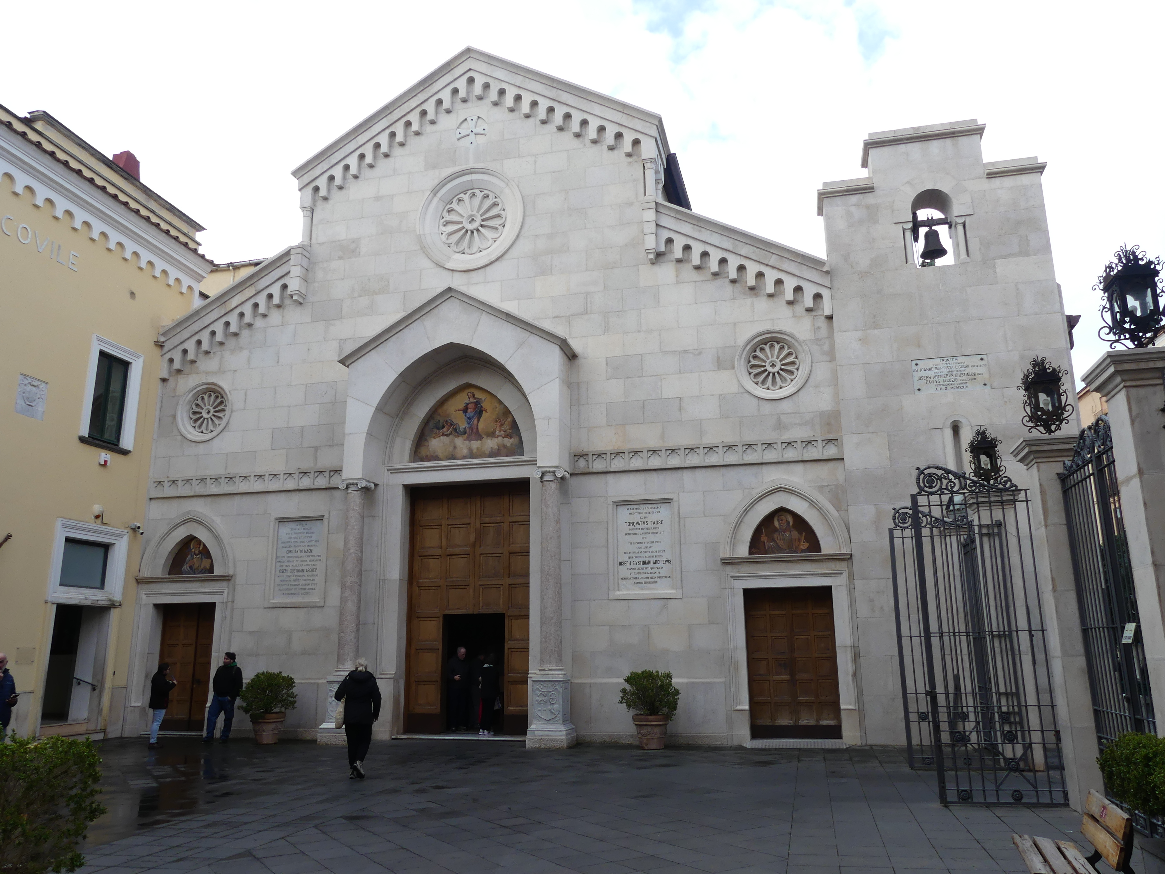
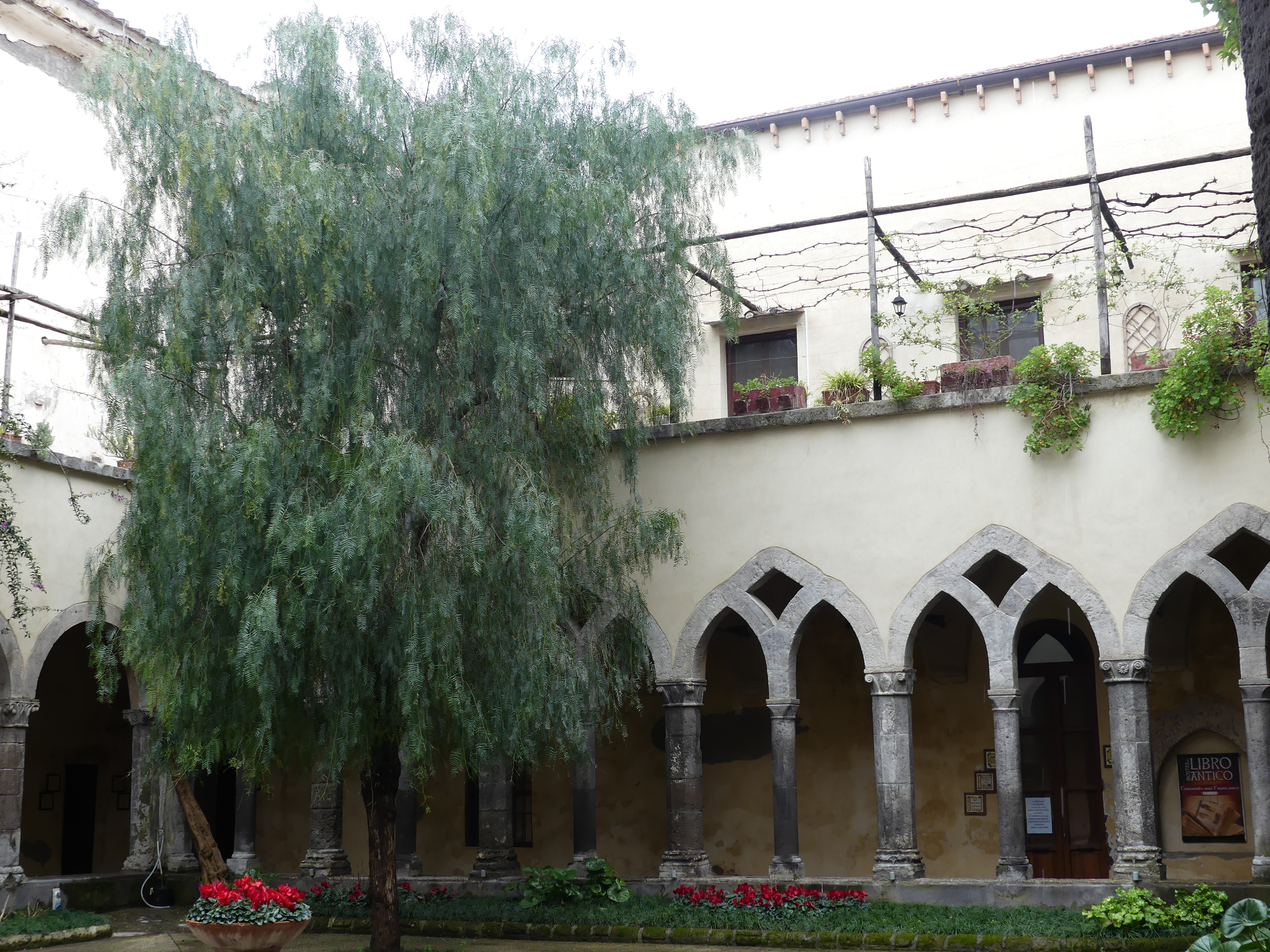
It had the usual lords and ladies running the place over the history of the town and the building below was the home of the last family ruling the town. Apart from Counts and Countesses, it was a Bishopric of the Catholic Church from 420 AD, and we found the cathedral and monastery nearby. The cathedral was ornate as demanded for a Bishopric, but it also contained the most unusual diorama of the birth of Christ – I always imagined the birth of Jesus as a quiet affair, a few sheep, a star and 3 old blokes bearing gifts. The diorama makes it look like Queen St on a Friday evening.It also had its main doors internally decorated with stations of the cross.

We walked through the town checking out the rift created by nature (actually the rift has always been there and people built on top of it) to the cliff side and views of the Bay of Naples/Tyrrhenian Sea and of course a cafe.

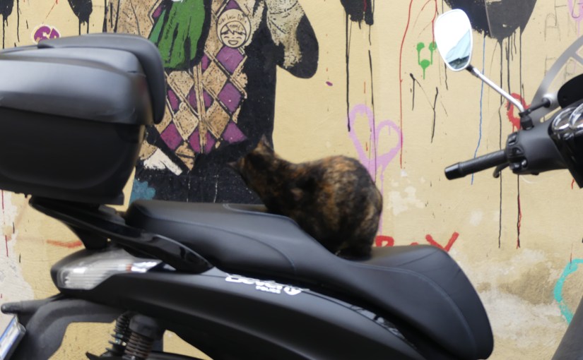
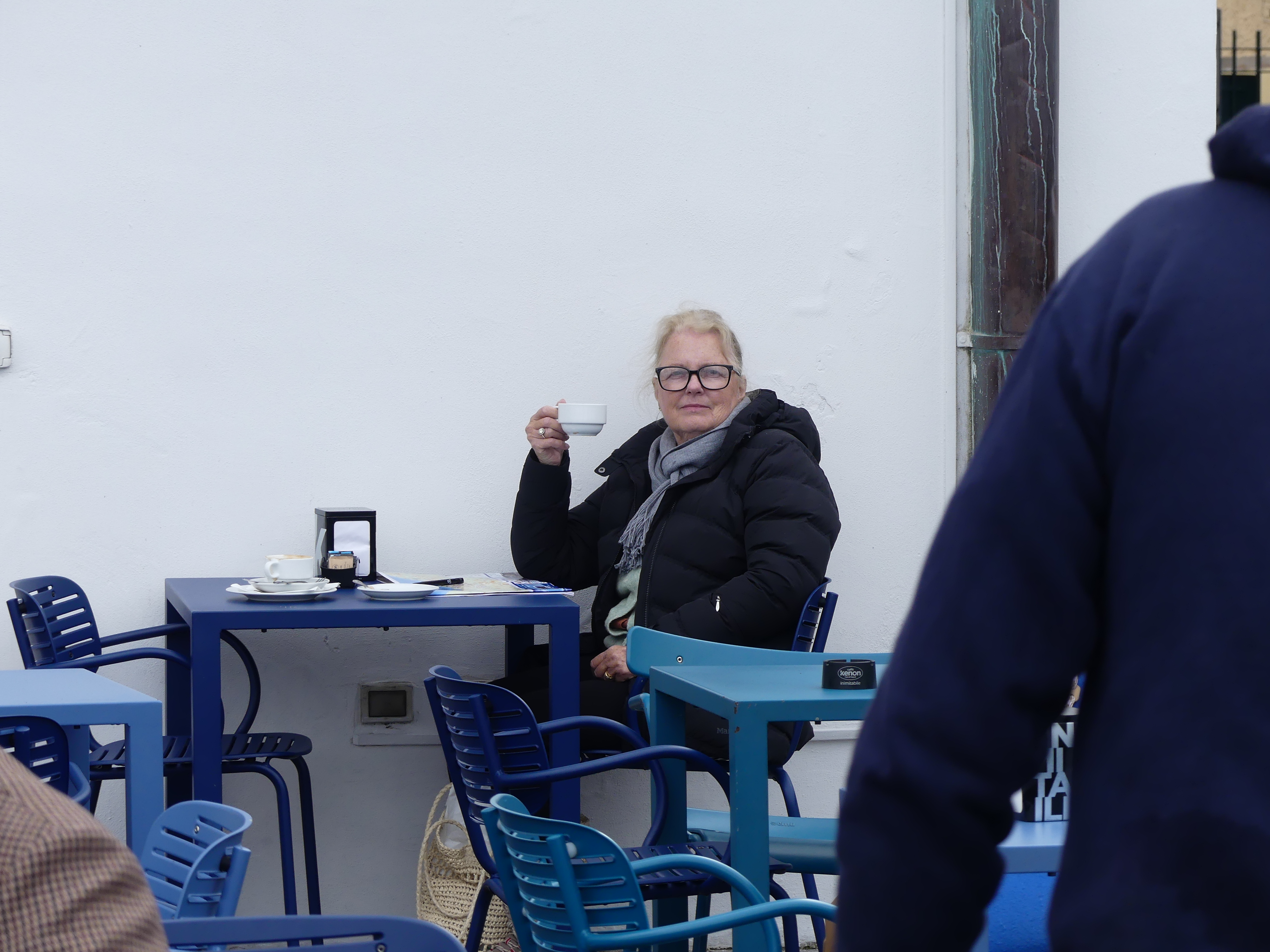
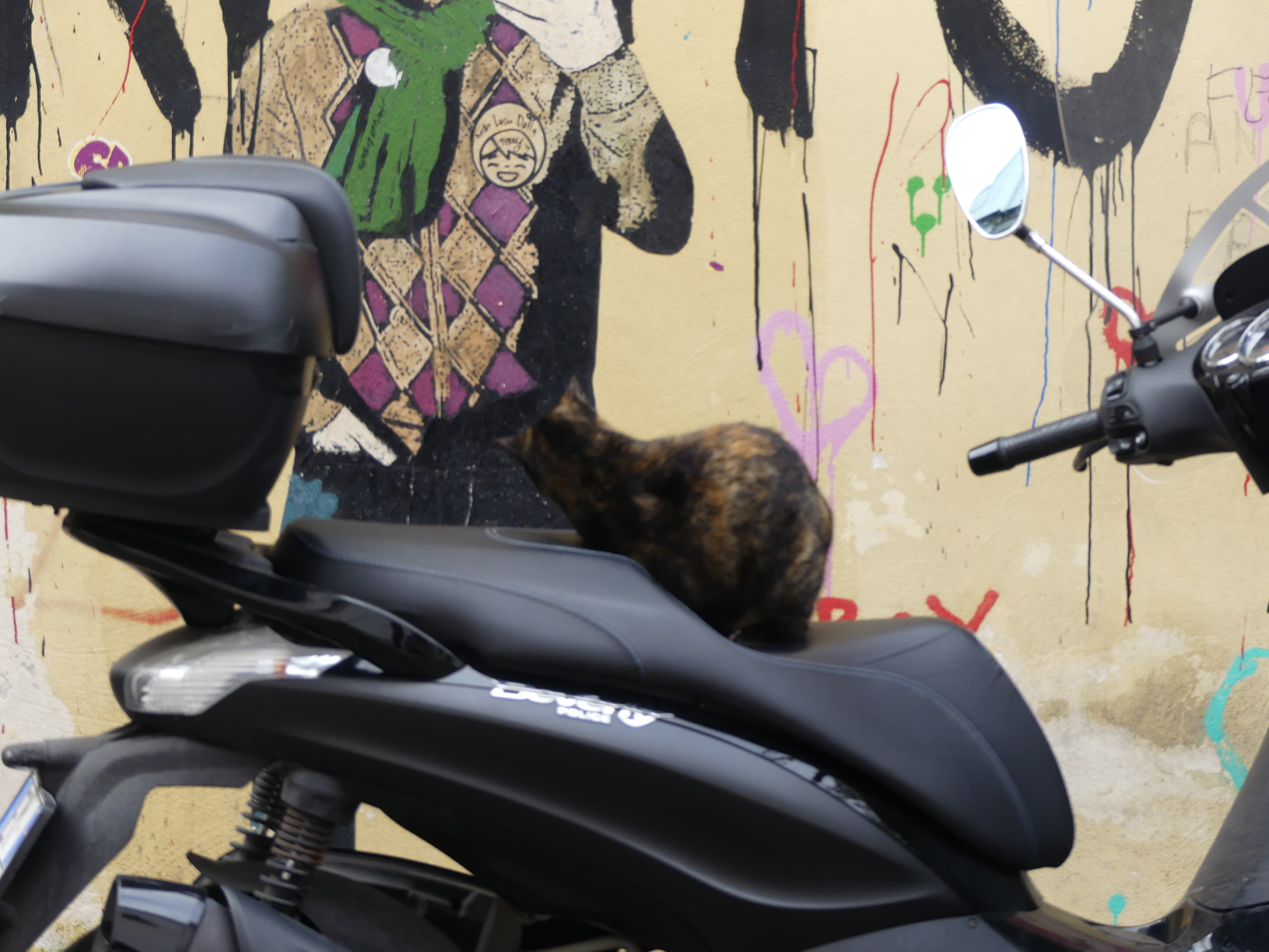
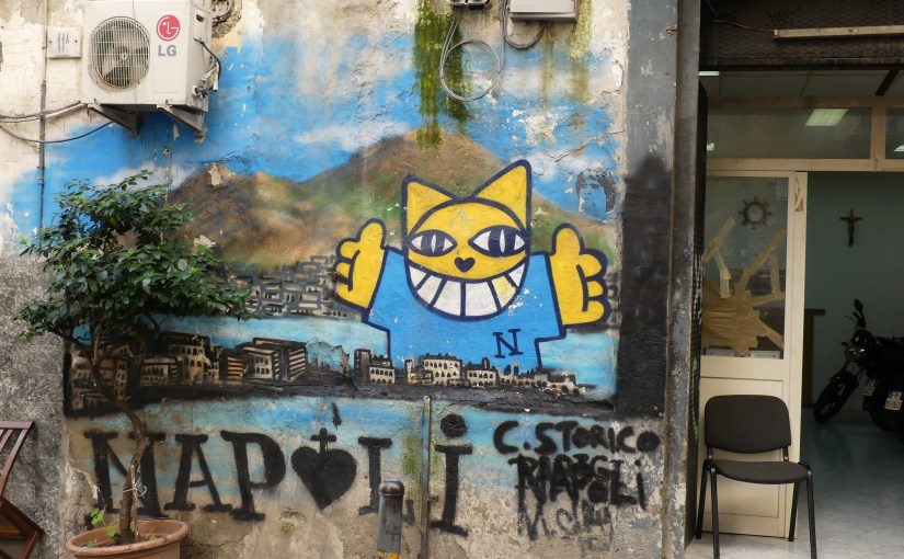
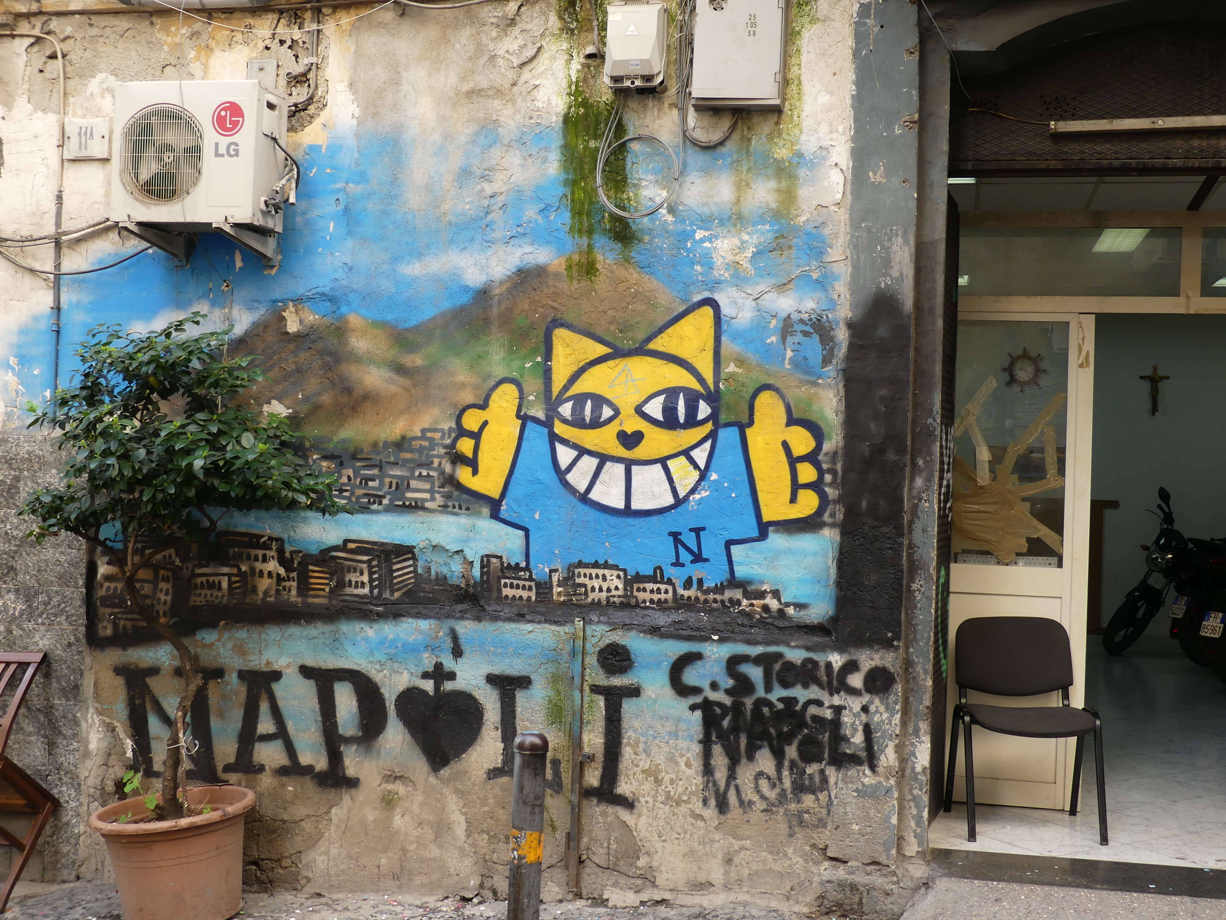
We continued our walkabout finding some street art (that bloody cat staring at the graffiti would not shift), a statue of a saint or is it “saintress” for the feminine, and a colourful square (you may notice the remnant of a scooter photo bombing my picture).

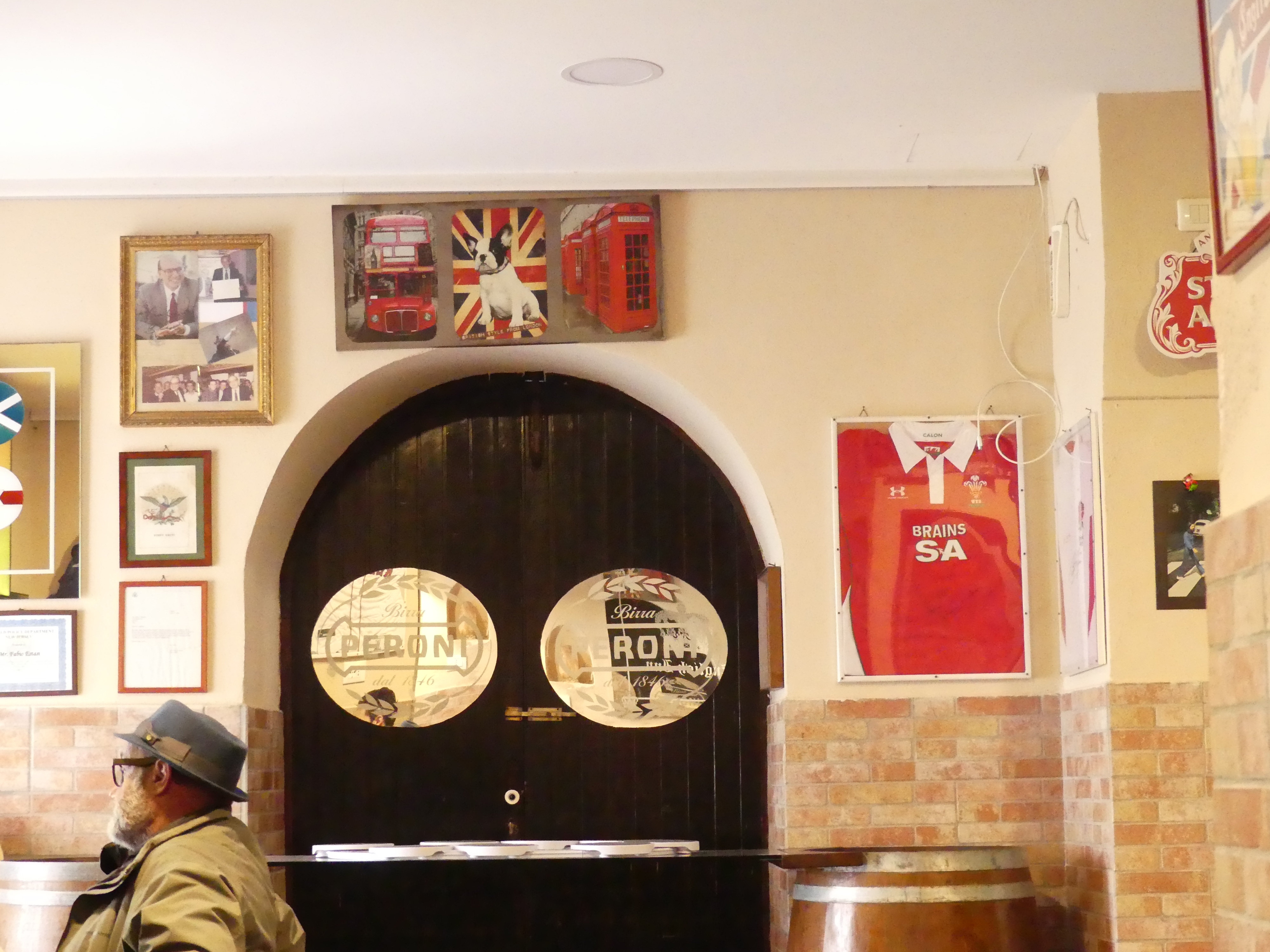
This walkabout took us to most parts of the village and ultimately to the only British pub in town, so we stopped for lunch. Queer isn’t it that there is a British pub in town and not one of the staff had any idea what it should look like or how to act. To be honest they didn’t have much of a clue about pubs and the waitress had never seen a British pub till she started work at this establishment and I told her, she hadn’t seen one yet, which puzzled her. Ah well, my appetite had not been good and the plain food passed off as British pub food was all I could handle. We left our waitress puzzling and returned to the train back to Naples.

It was time for a nap as we are yet to pack and we have to return to Naples for a Finnair flight to Tokyo tomorrow. My next blog will be entitled “THE RETIREES GO AROUND THE WORLD – NAPLES to ROME & Leonardo da Vinci–Fiumicino Airport THEN TOKYO”

“THE RETIREES GO AROUND THE WORLD – BARI to NAPLES”

Naples

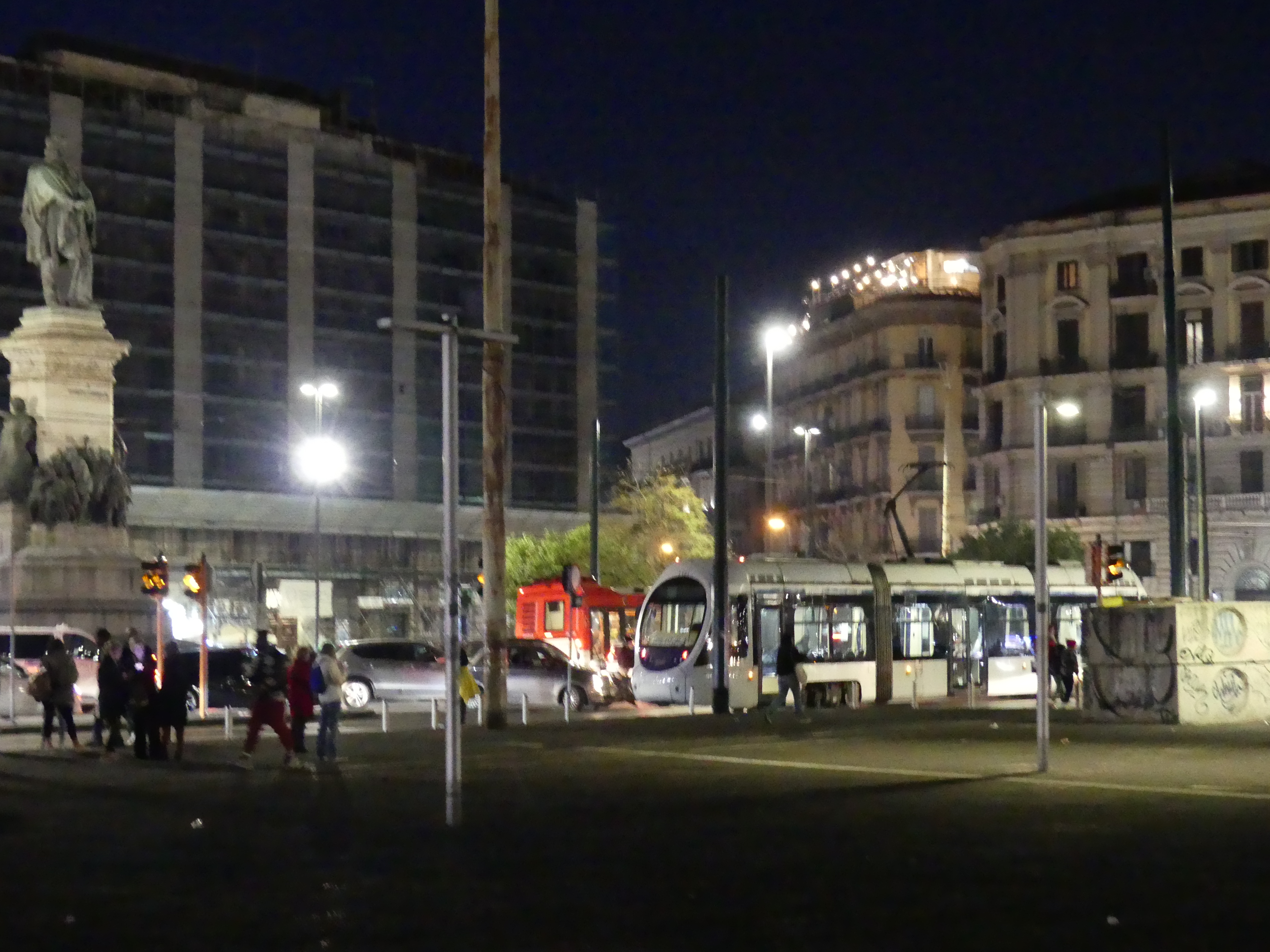
Full of vibrant culture, food, and history: Founded by Greeks in the first millennium BC, Naples is one of the oldest continuously inhabited urban areas in the world. Robert had returned to Cesi and we made our way to Naples by train. On arriving at the central railway station in Naples, Stazione di Napoli Centrale (Napoli Centrale), located in Piazza Giuseppe Garibaldi we set off in search of the hotel. It is the main rail terminus and station for Naples, 25 tracks, serving about 137,000 people per day. It was massive and intimidating just as Terminii in Rome was the first time.

Kerry piloted us out onto Piazza Giuseppe Garibaldi in search of our hotel, Hotel Vergilius Billia which I am certain is a Mormon hotel with open bibles placed strategically in the hotel. The Piazza is 4 city blocks long and 3 blocks wide with a subterranean passage below us. The hotel was difficult to find at first in Via Guiseppe Pica but ultimately proved to be quite central. Clean and quiet with breakfast included we were well settled.

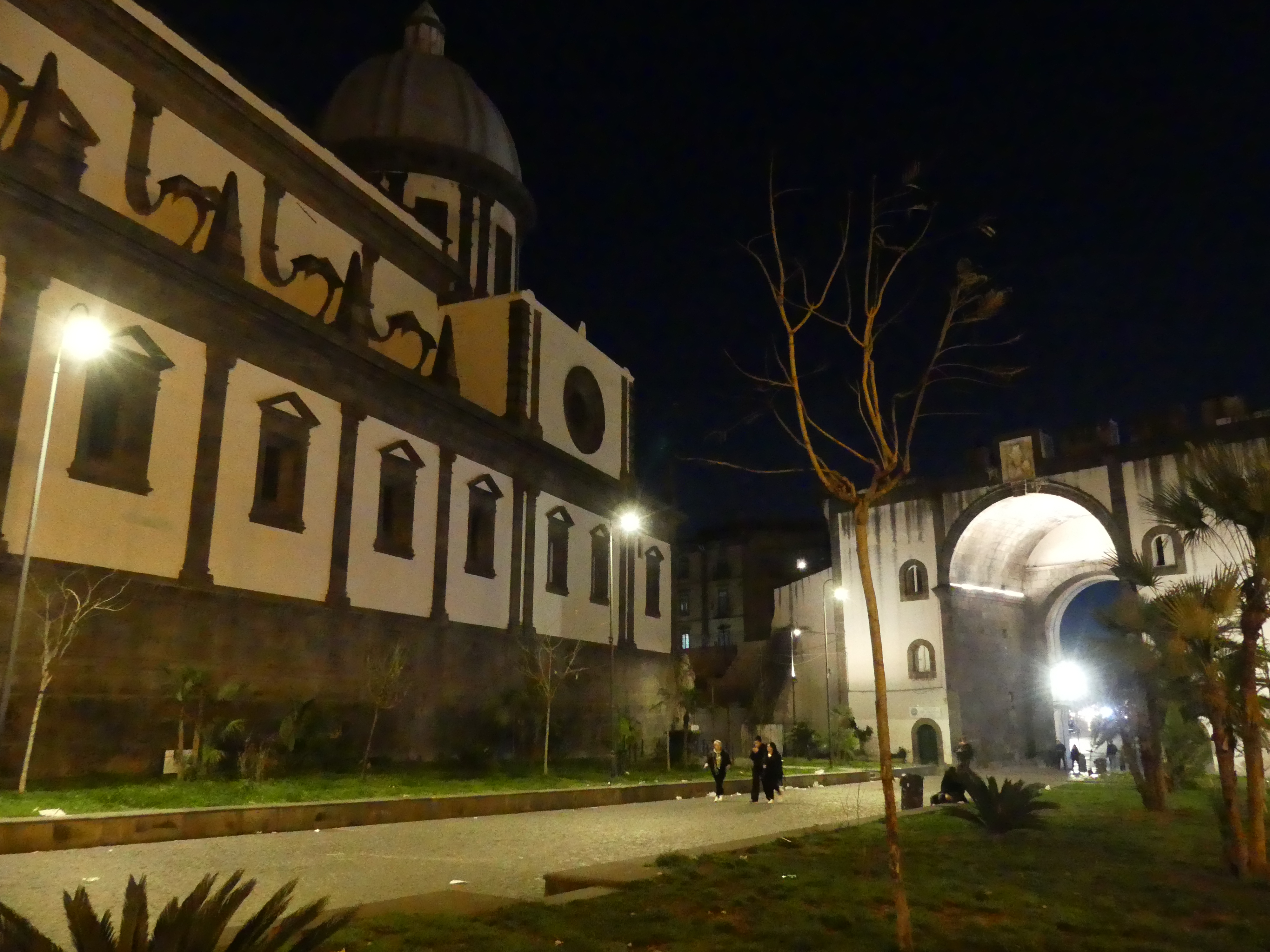
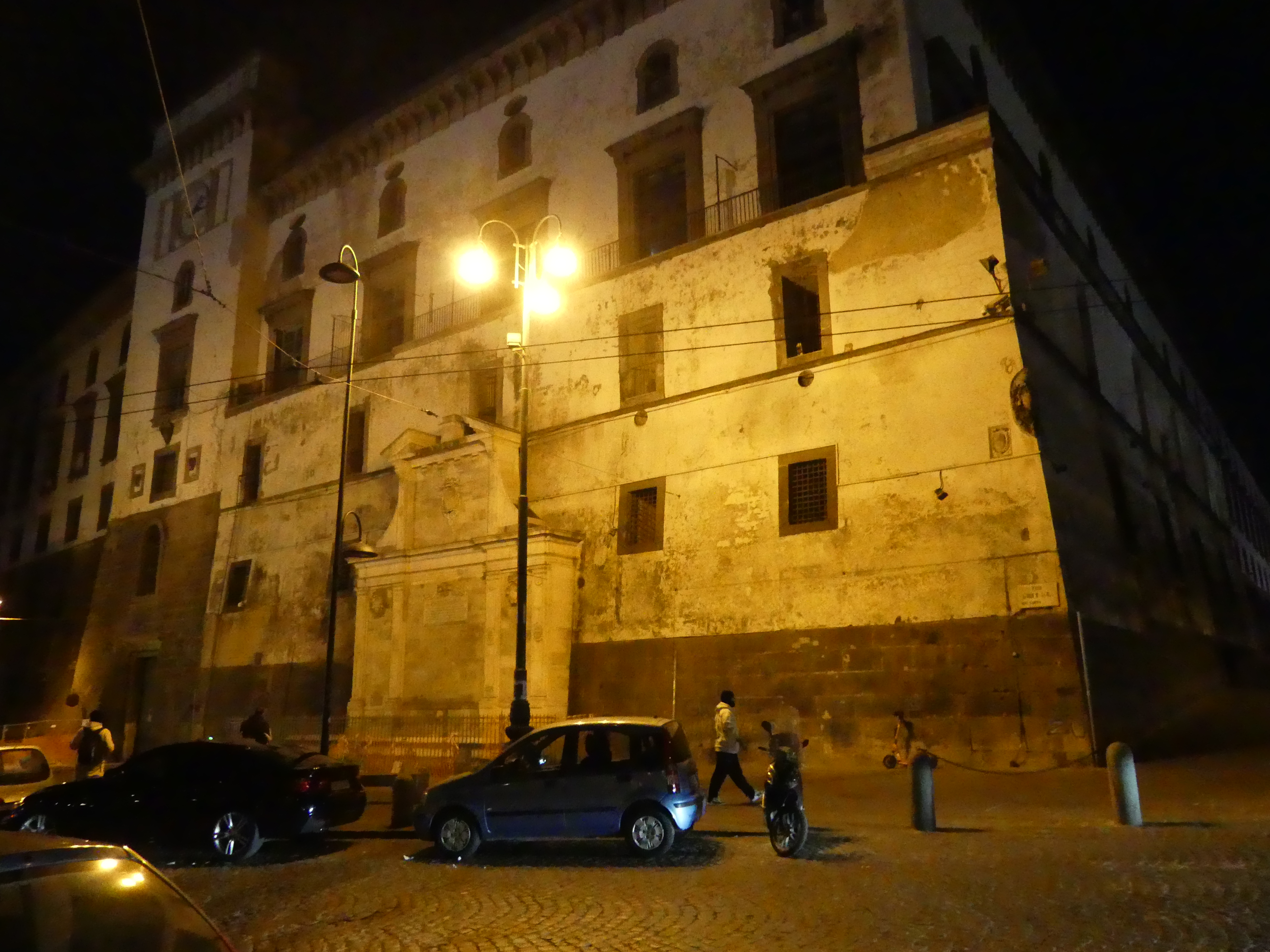
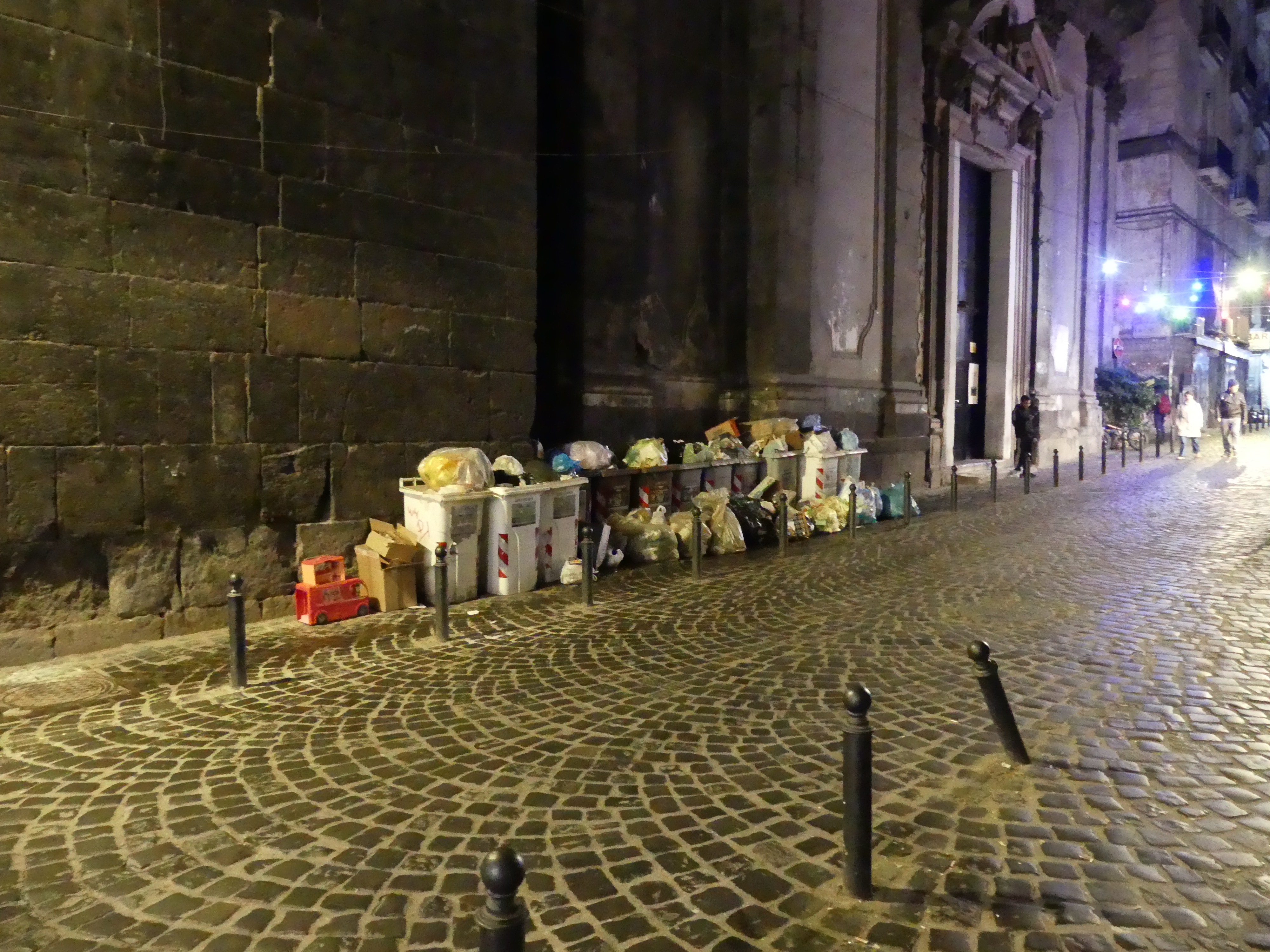
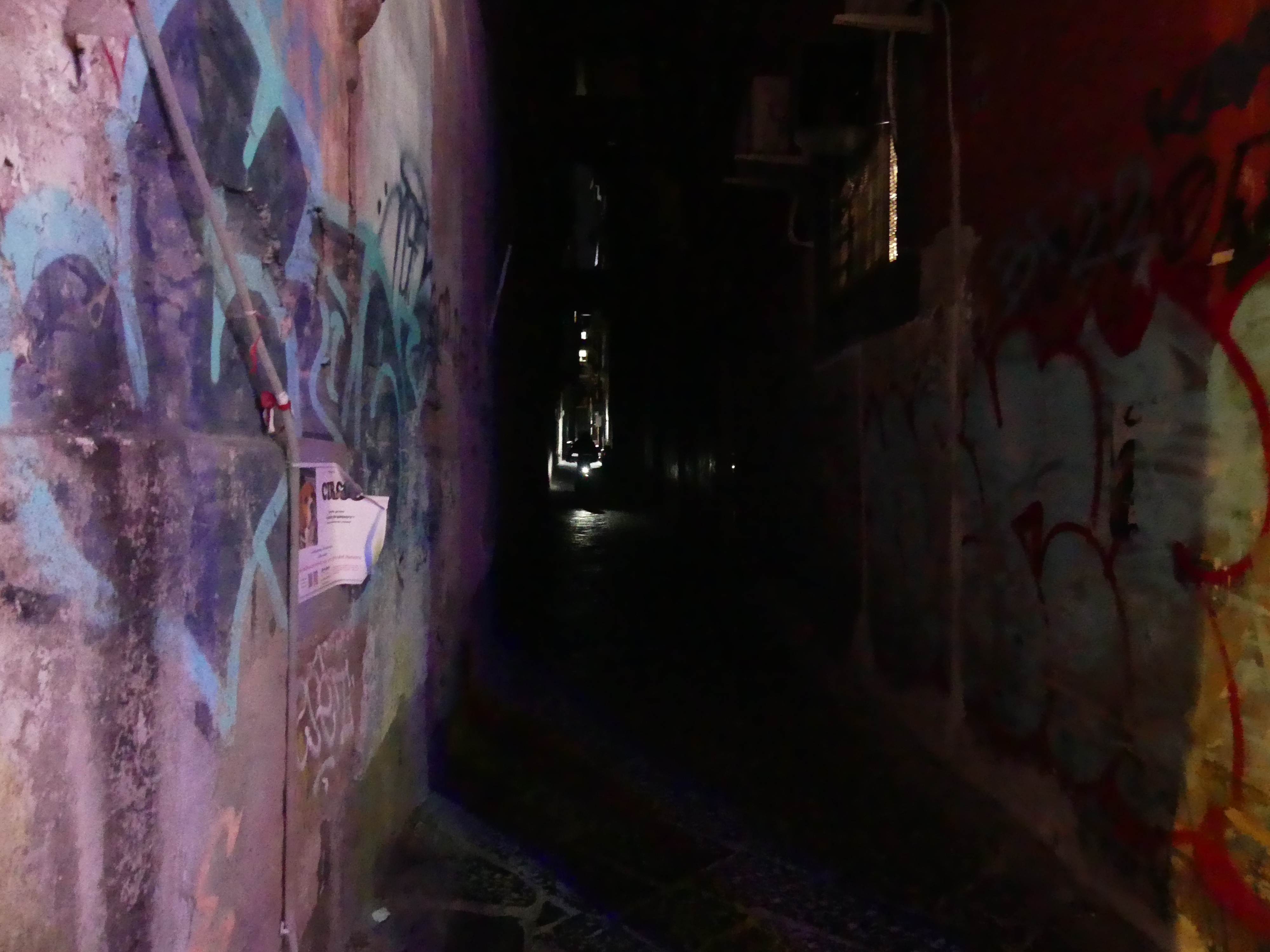
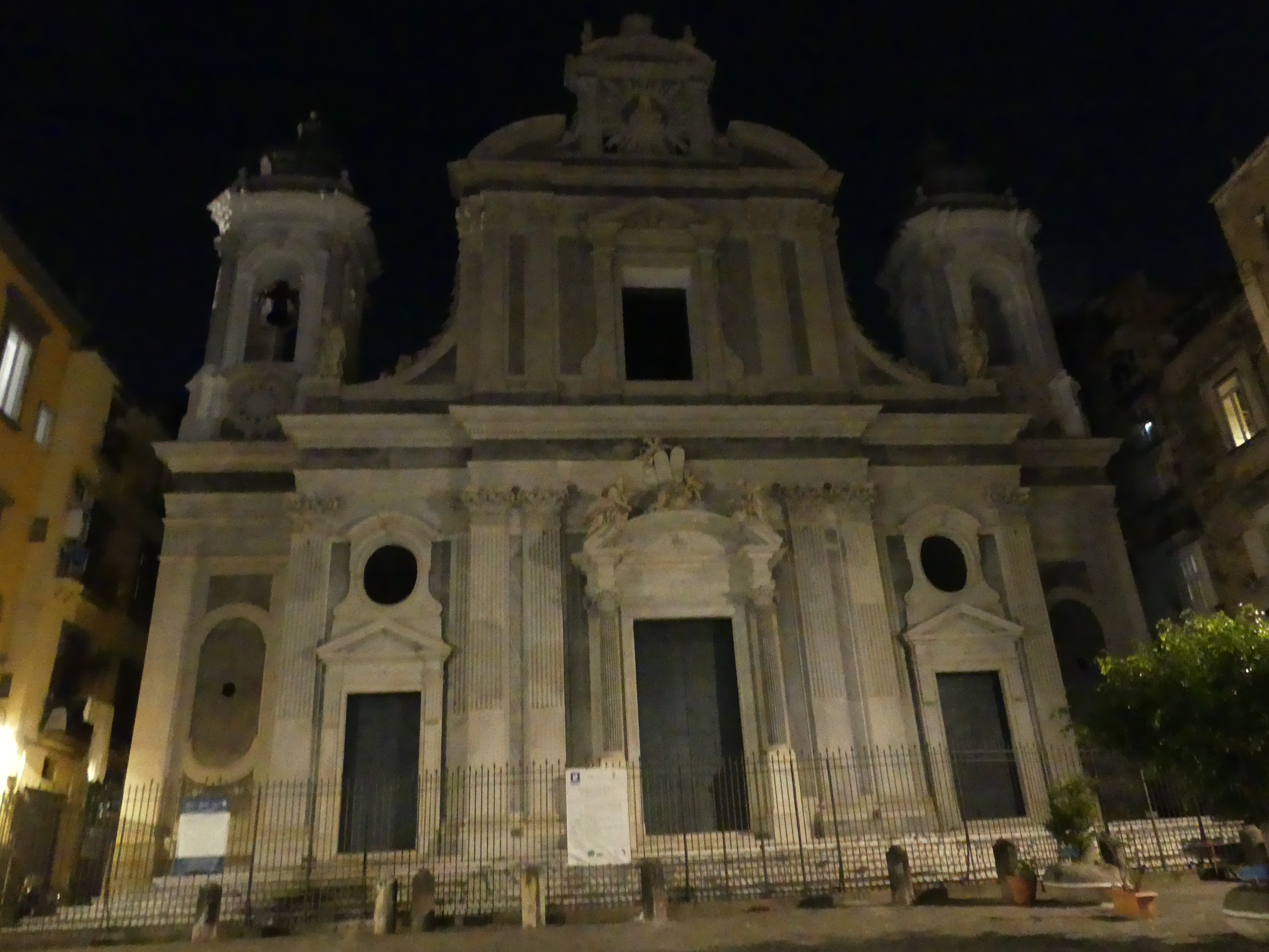
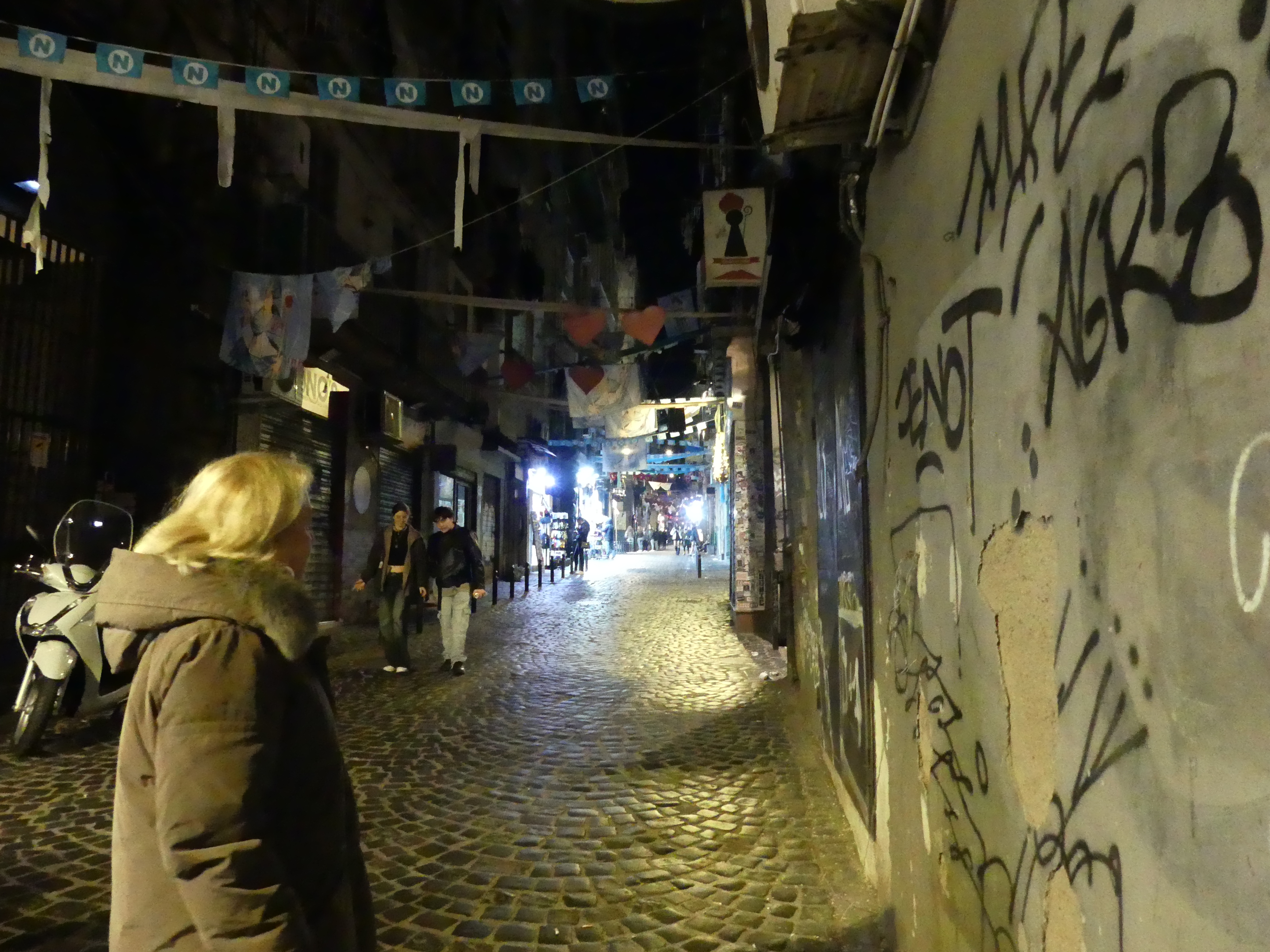
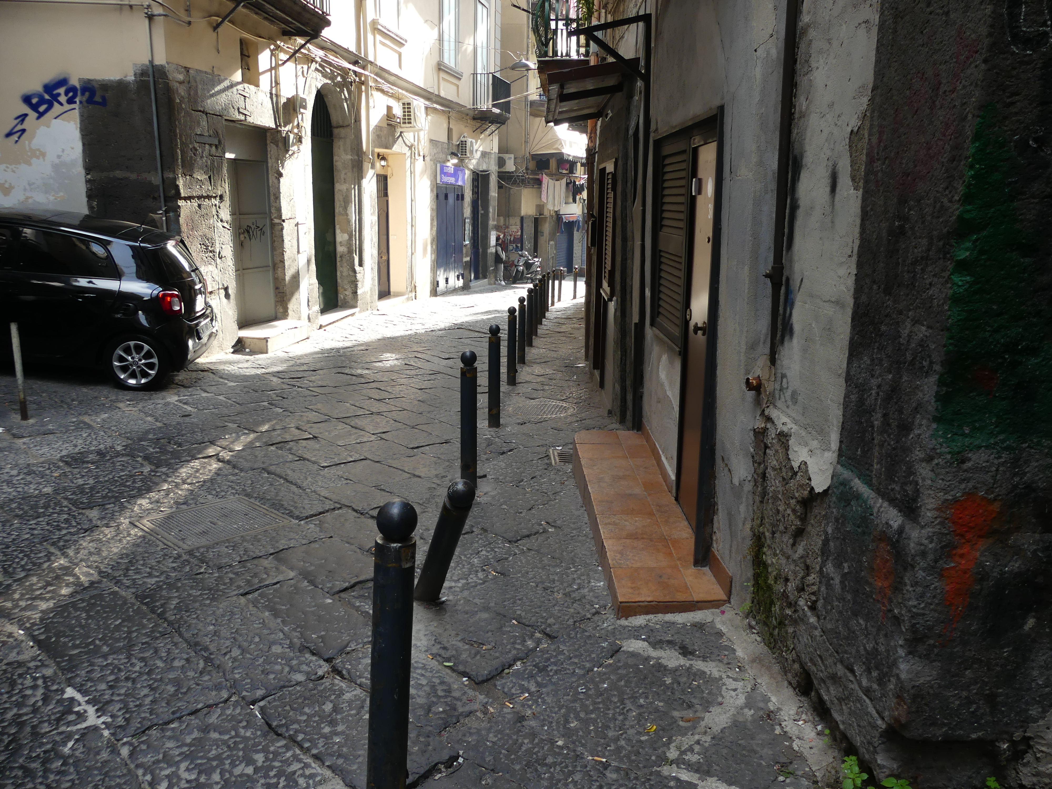
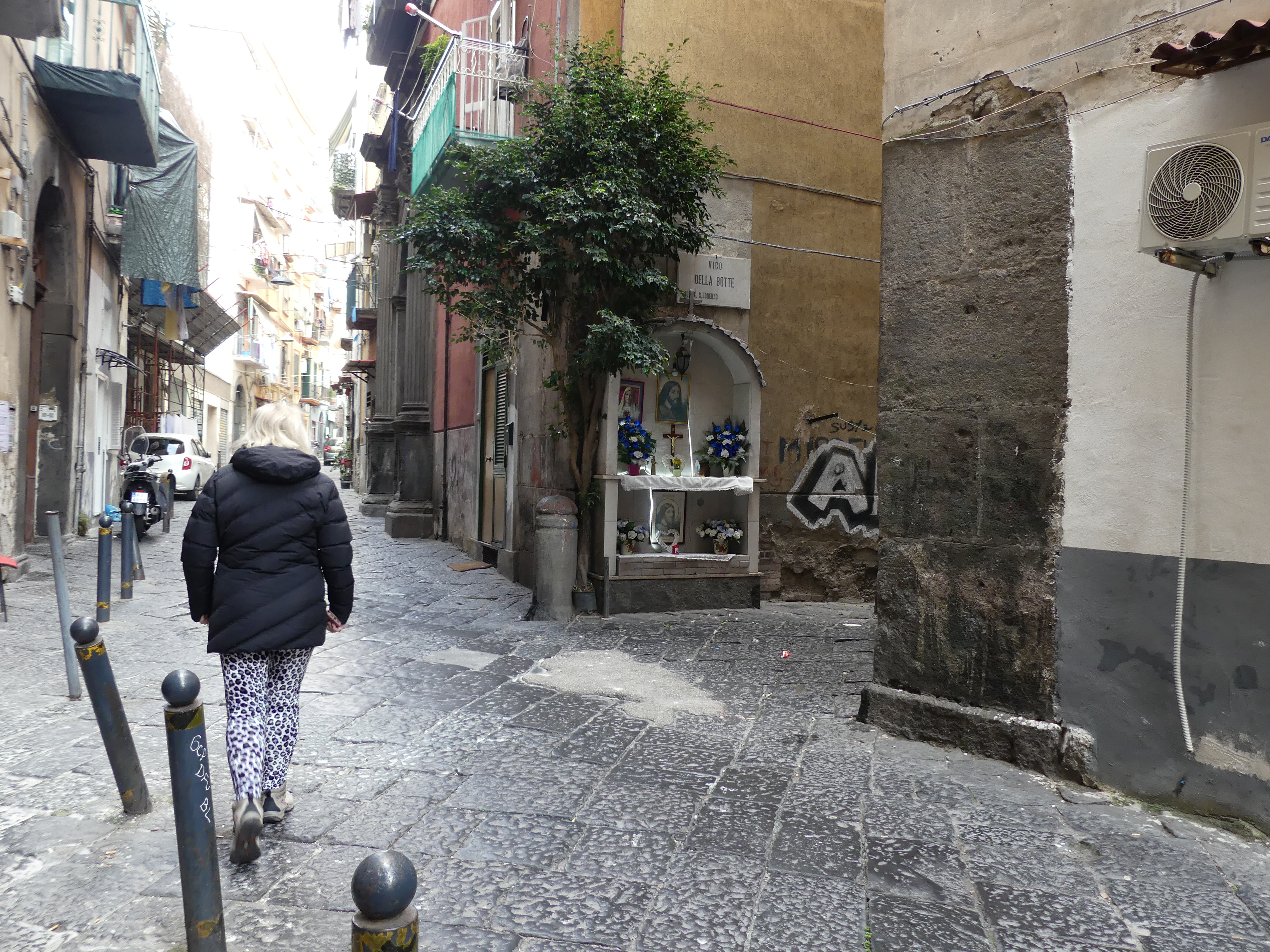
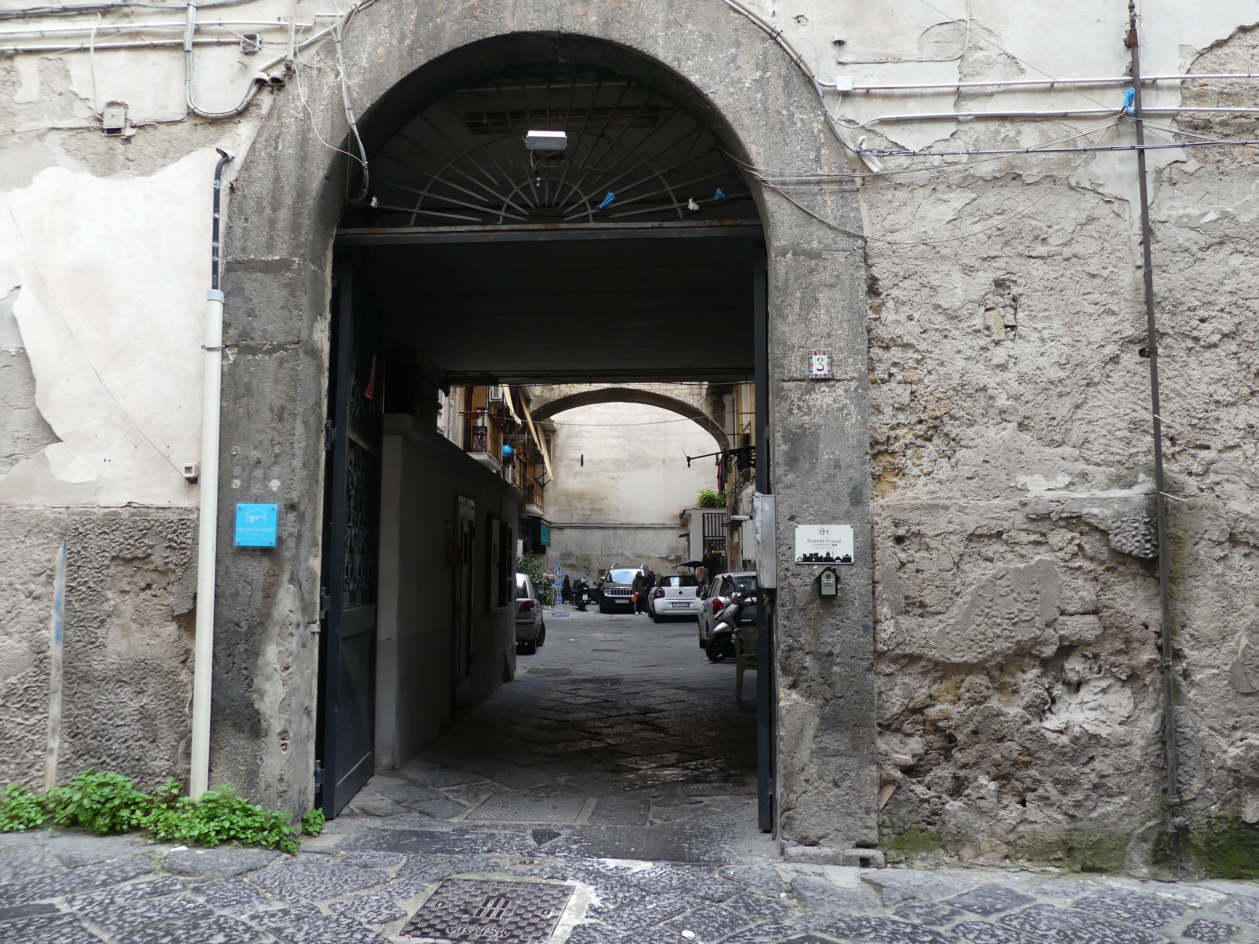
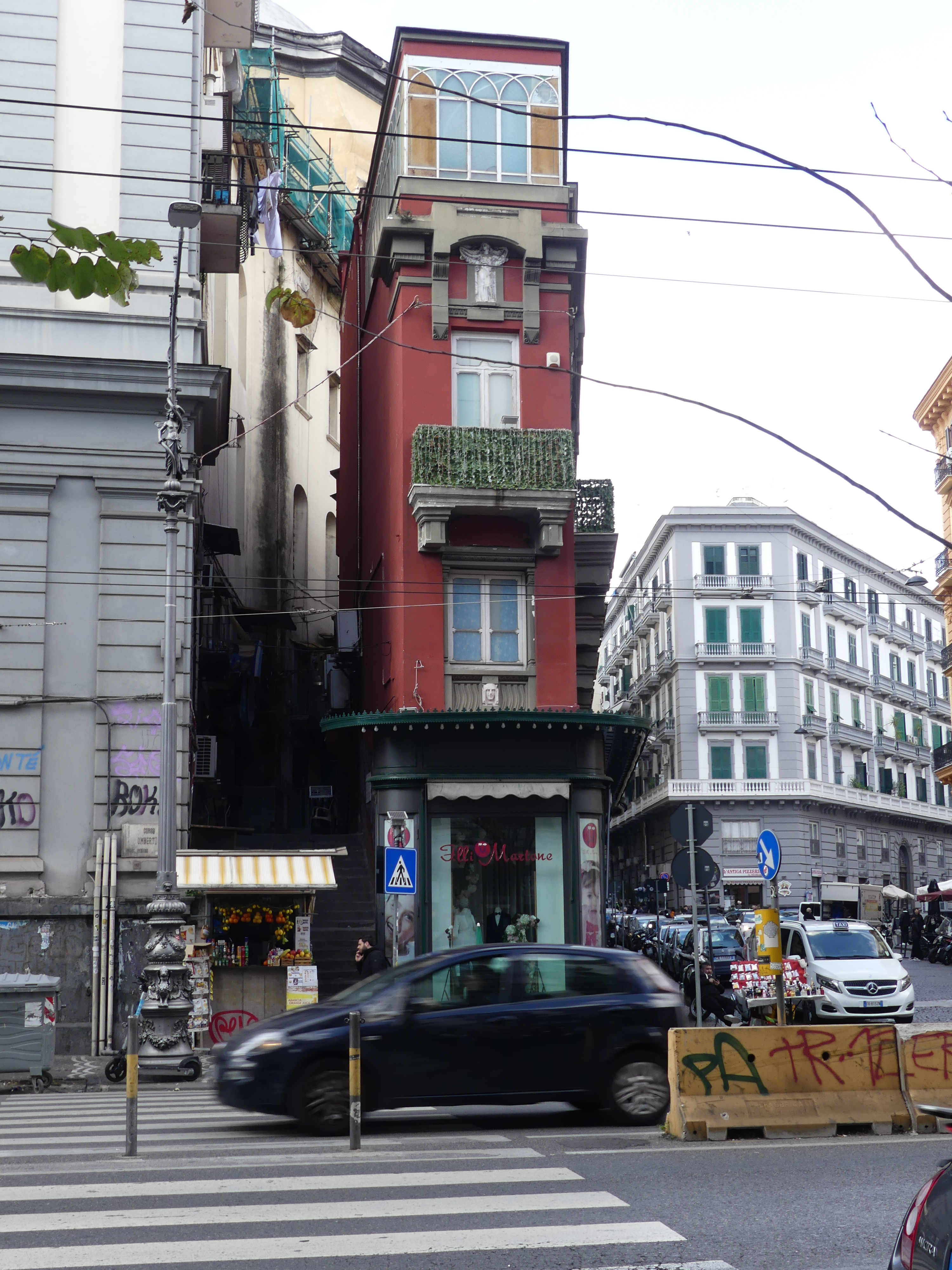
Our plan here was to visit the old city and particularly visit the underground tunnels and cisterns built by the Greeks and Romans. After booking into our hotel, we visited the old town by night particularly the historic centre of the city in Via dei Tribunali. We crossed the piazza past a church and attached monastery past the walls of a castle and into Via dei Tribunali. The first thing we noticed was how dirty it is and how alive it is with people, scooters and cars down this narrow alley. In a doorway we found the tell-tale sign of a recent birth – a boy. Here is a selection of photos going to the old town and in the old town itself.

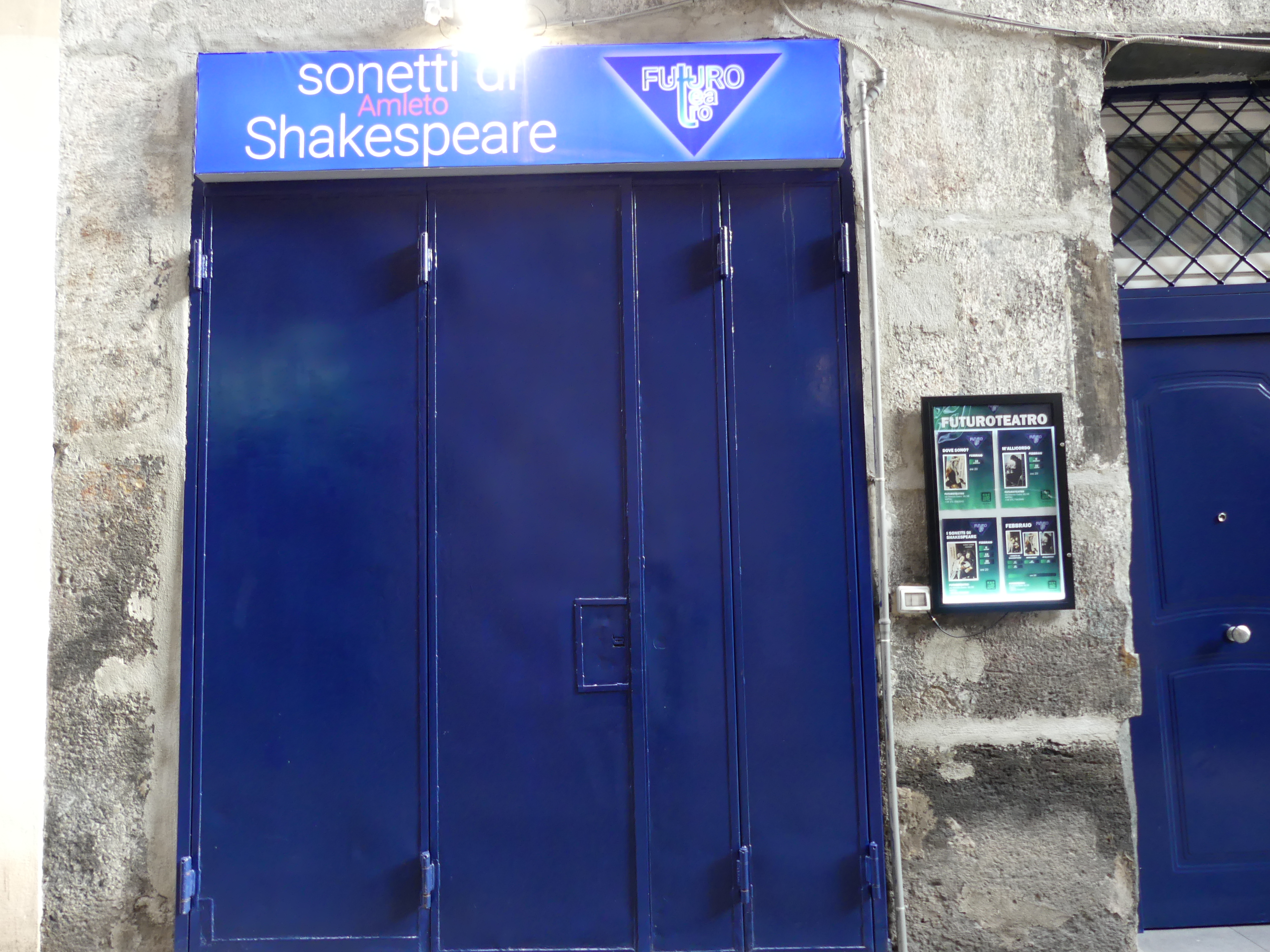
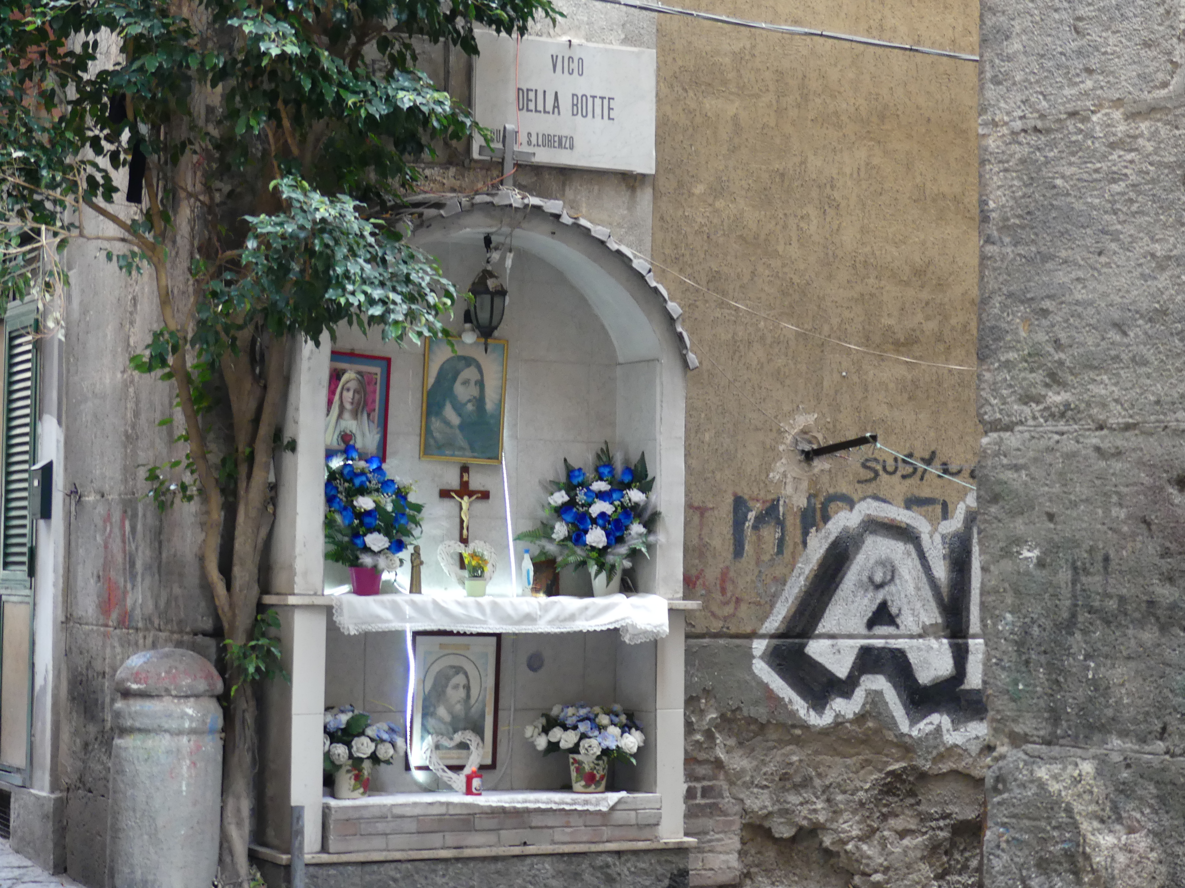
The following morning it was breakfast first before our big day in the old town. One of the first shops we encountered was the Italian Bunnings hardware store. A further surprise awaited us when we passed a theatre presenting Sonetti de Amleto (Sonnets of Hamlet). Shakespeare in Naples. The streets were narrow and the buildings dirty and tired sometimes decorated with street art or a chapel for worship.

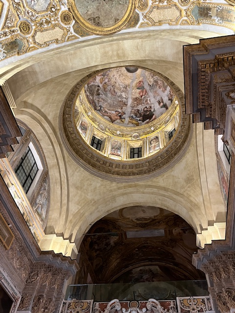
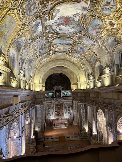
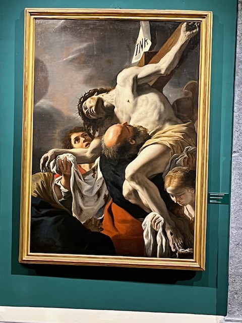
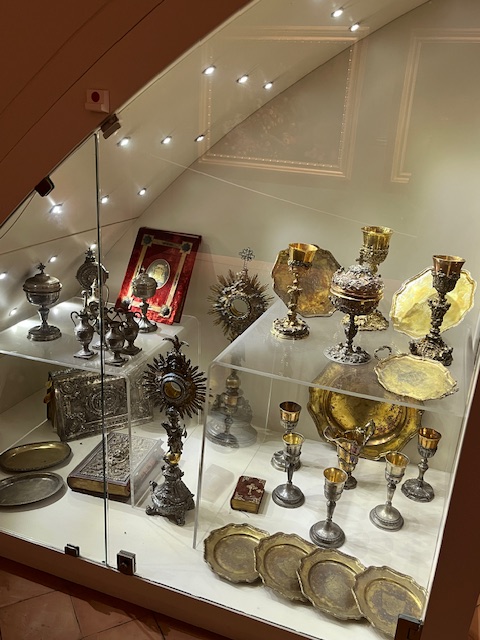
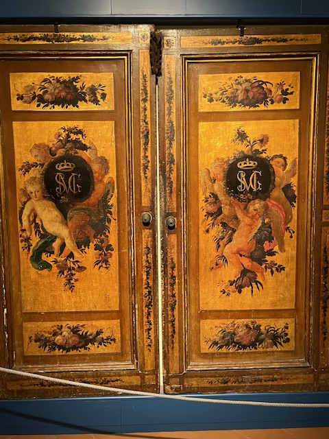
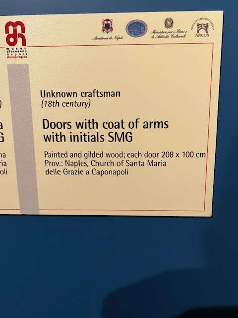
But then we encountered Museo Donna Regina. The monumental complex of Donna Regina represents a unique example in the panorama of the historic centre of Naples. In this Franciscan monastic insula, there are preserved testimonies of the ancient convent and of the two original churches, the medieval one and the seventeenth-century together conceived as one, until the 1930 s, conceived as a single structure with a corridor that, like a sort of umbilical cord, united the buildings, in addition to the apses, the past and the present, allowing the Poor Clares to move without leaving the places of cloister.

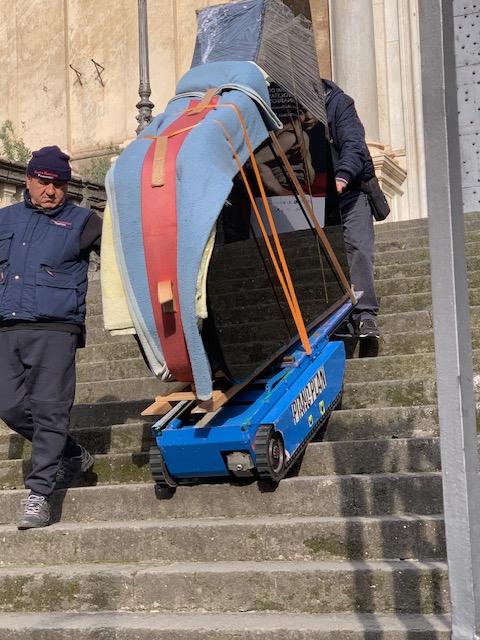
Today, through the original architecture and decorations, we can find rare examples of the history of Neapolitan art and the Franciscan order. It also provides space for classical concerts. As we entered a grand piano was be carried down the front stairs by a tracked robot to be loaded onto a truck following a performance the previous night. If you wish to read more about this unique museum, then proceed to http://www.museodiocesanonapoli.com/il-complesso-museo-diocesano/.

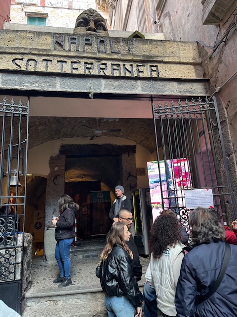
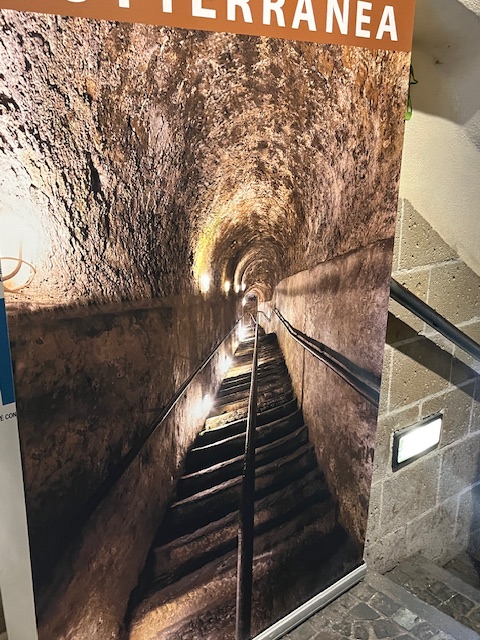
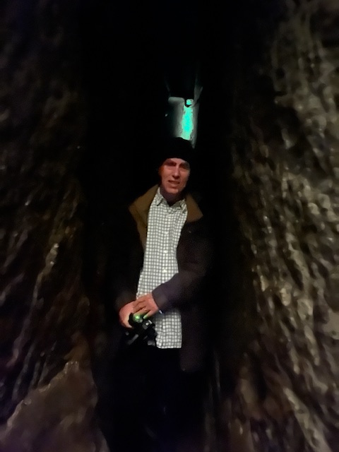
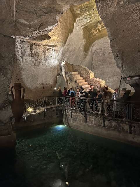
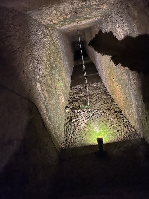
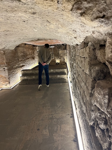
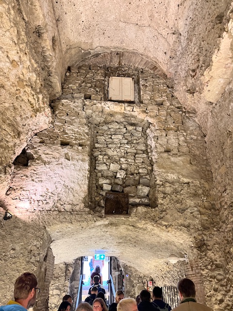
Underneath Naples are several ancient Greco-Roman reservoirs dug out from the soft tufo stone on which, and from which, much of the city is built. Approximately one kilometre (0.62 miles) of the many kilometres of tunnels under the city can be visited from the Napoli Sotteranea, this system of tunnels and cisterns underlies most of the city and lies approximately 30 metres (98 ft) below ground level. During World War II, these tunnels were used as air-raid shelters, and there are inscriptions on the walls depicting the suffering endured by the refugees of that era. We were here to visit those tunnels. My photographs show us entering and following the stairs underground for a long way. God only know how they got a tank down here or why they would keep unexploded munitions down here. The pictures of the narrow tunnels are in fact passageways for water and very easy to get lost as I almost did. At the end of the tour, we exited to visit the remains of Nero’s lost theatre rediscovered after restoration of the reservoirs.

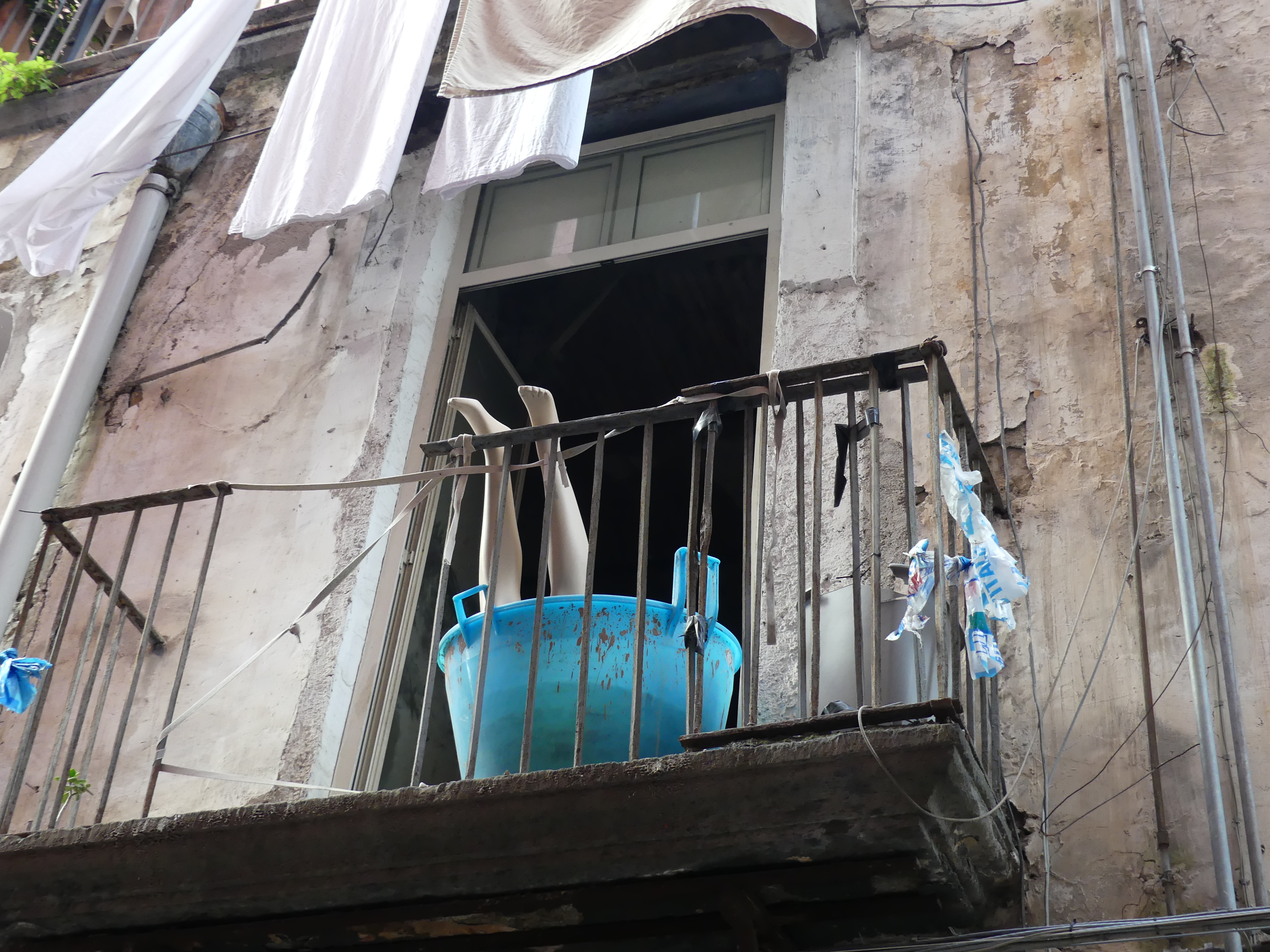
Some joker had prepared a frightening image of what awaits outside the reservoir. It was hot thirsty work down there This pop-up liquor shop had just the answer as we made our way home. Mauling mannequins seemed to have some appeal in Naples.

The surrounding area is an underground geothermal zone and this geothermal area is present generally from Mount Vesuvius beneath a wide area including Pompei, Herculaneum, and from the volcanic area of Campi Flegrei beneath Naples and over to Pozzuoli and the coastal Baia area. The resulting cavities beneath the city can now be divided up into several major categories Aqueducts and sewer tunnels; Rainwater cisterns, reservoirs and aqueduct diversionary channels; Caverns left from quarrying of tuff; the remains of Nero’s “lost” theatre; Greco-Roman businesses, such as the remains of an ancient forum that was preserved in a mud slide; Other voids from removal of sand and other types of materials; Interconnecting tunnels and passageways among caverns; Places of worship, including catacombs and pre-Christian hypogea (cult burial chambers);Major ancient and modern roadway tunnels, and rail and subway tunnels.

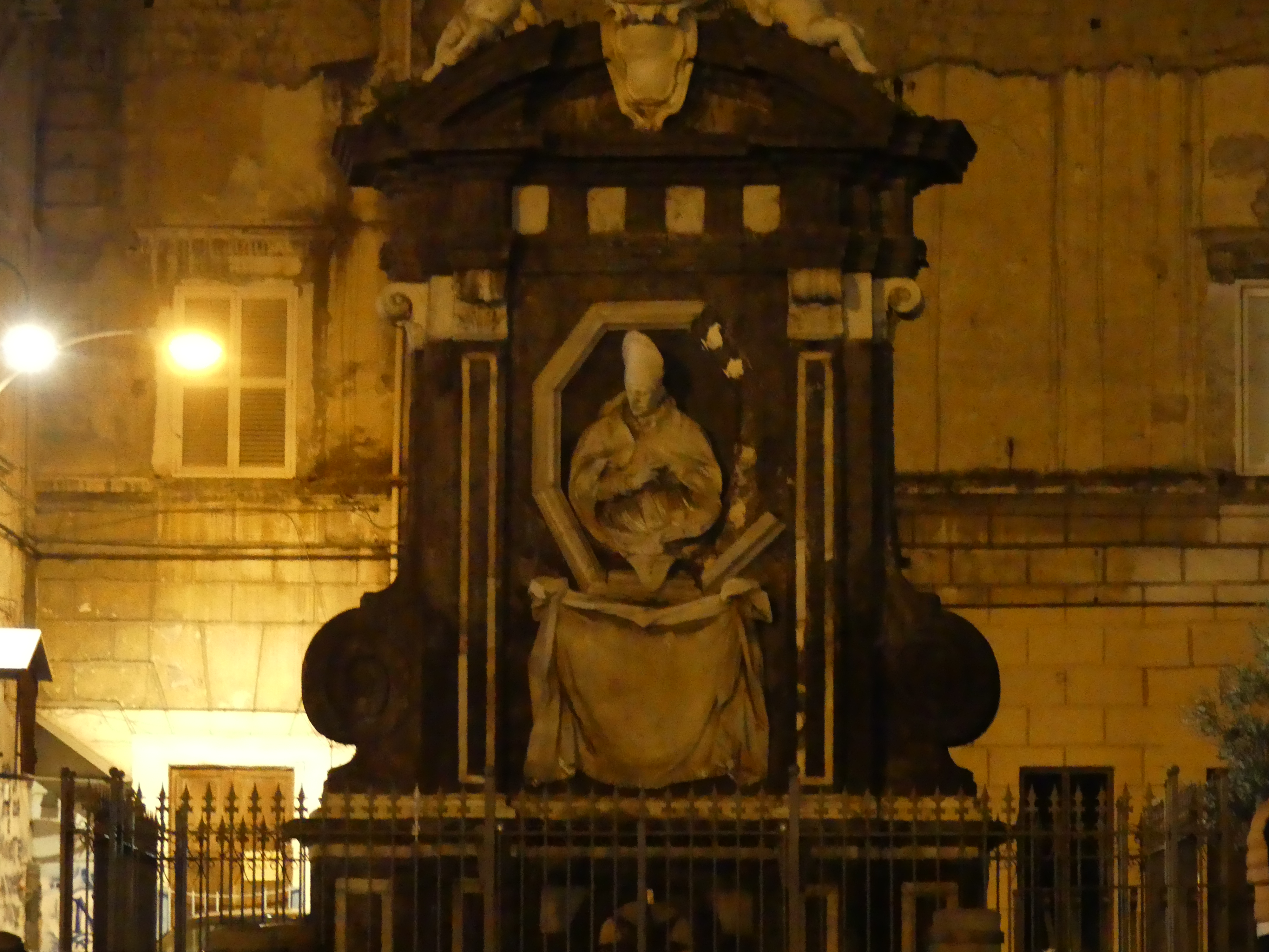
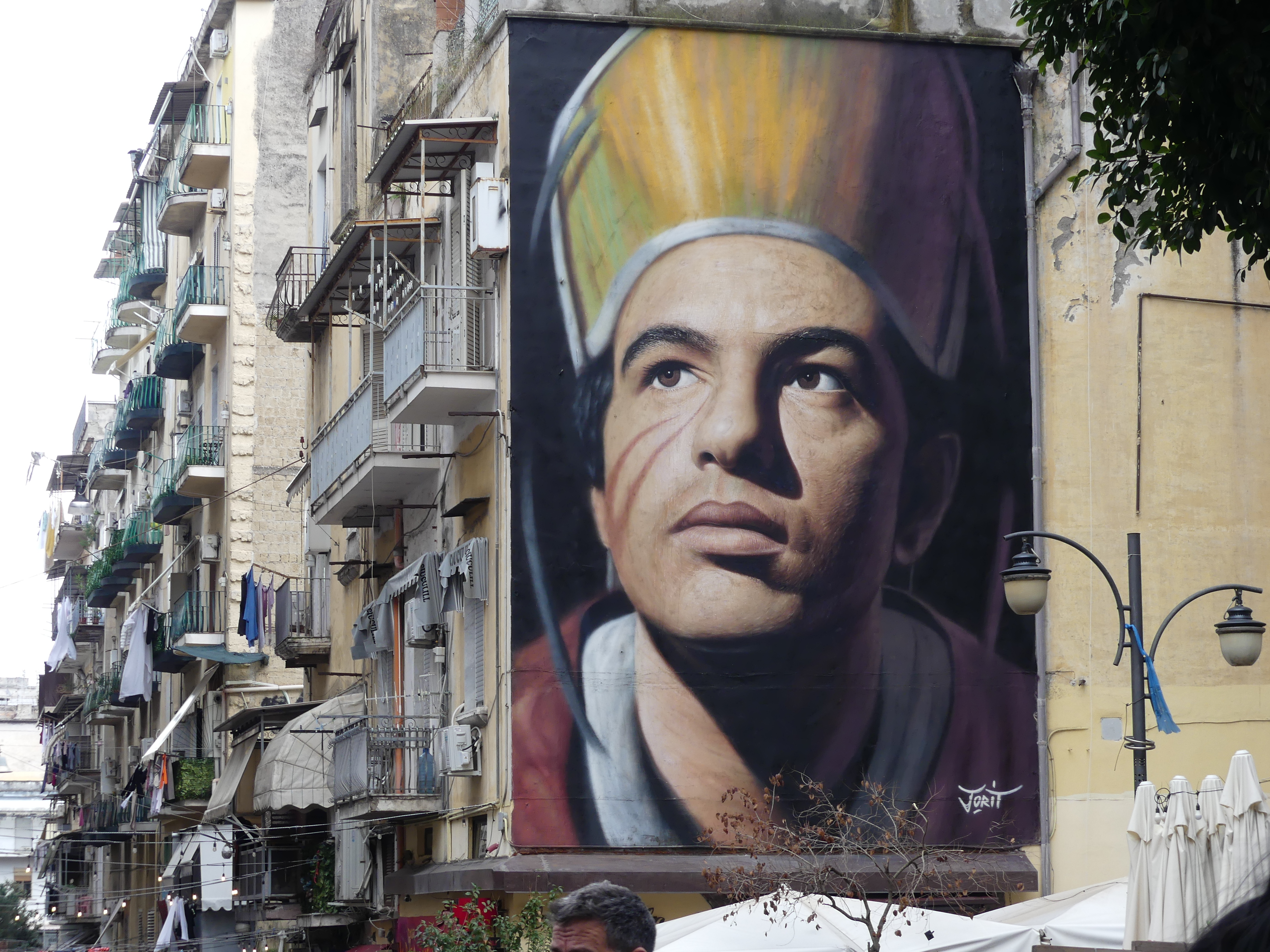
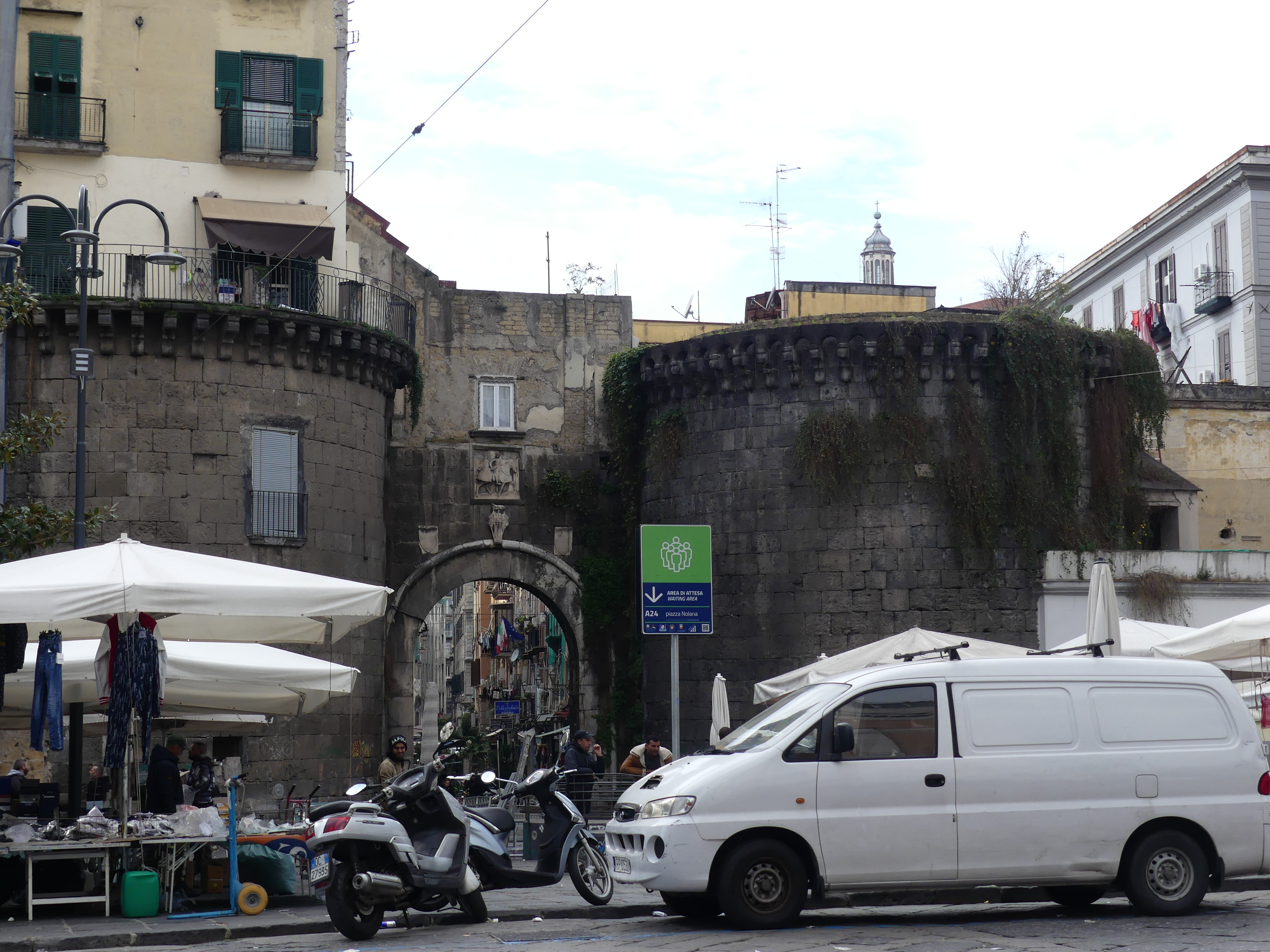
As commented about some walls being “decorated” with “street art” – we came across this portrait of a bishop – very impressive. The church however seemed to have walls collapsing into the chapel. As we made our way back to Hotel Vergilius Billia we took a different route came across an ancient gate of the city and disjointed buildings with openings and windows in odd places but still in use. Here are some photos of a narrow but long building and an ancient gate surrounded by merchants.

After having experienced the old city, we thought a visit to one of the nearby coastal towns would be interesting. We chose Sorrento and again used the train to get there. Hold onto your seat as my next blog is “THE RETIREES GO AROUND THE WORLD – NAPLES to SORRENTO”.

“THE RETIREES GO AROUND THE WORLD – BARI to ALBEROBELLO”

Alberobello

Our stay with Robert was coming to an end. After visiting Alberobello we will go to Naples and Robert will return to Cesi.

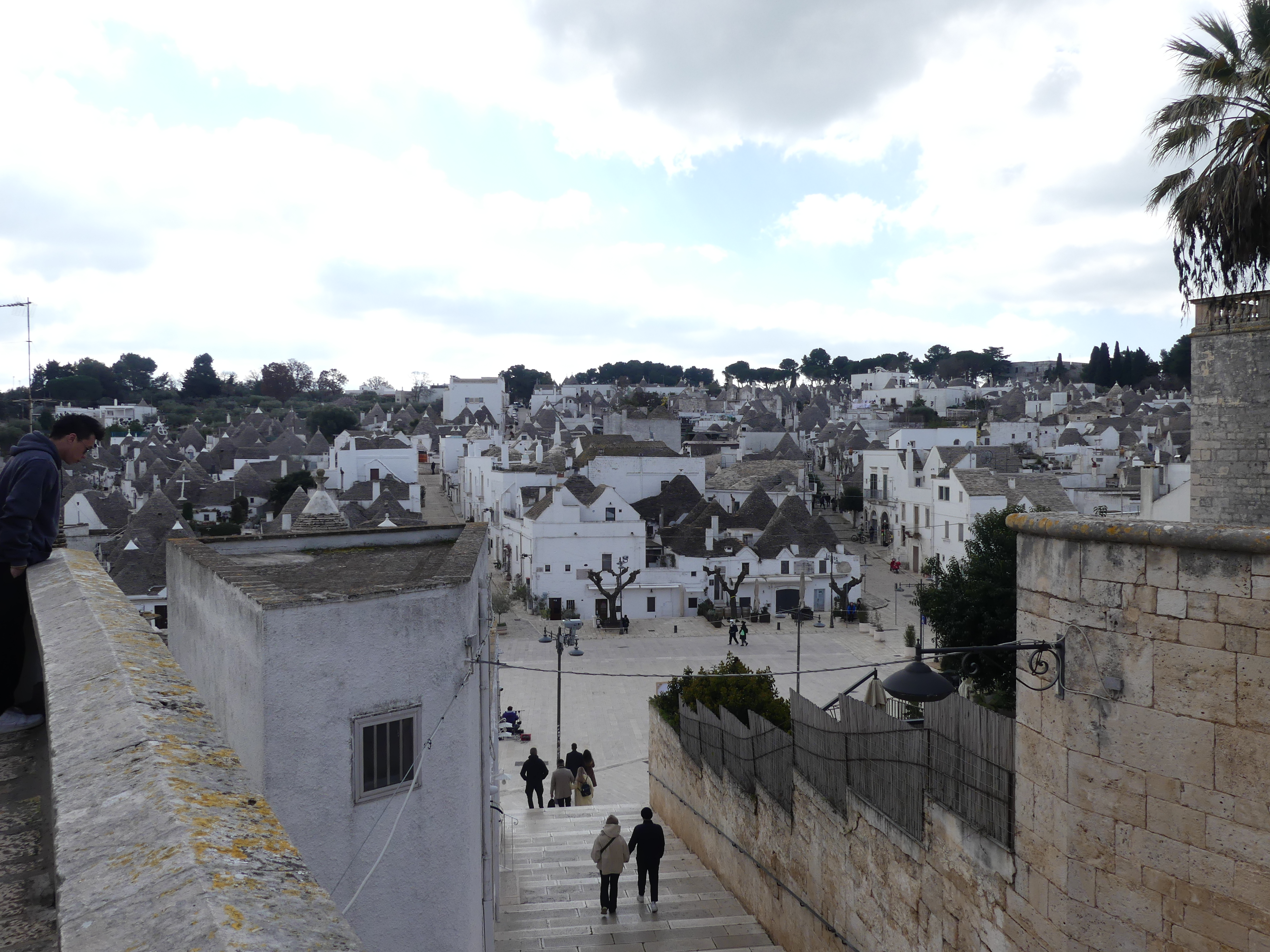
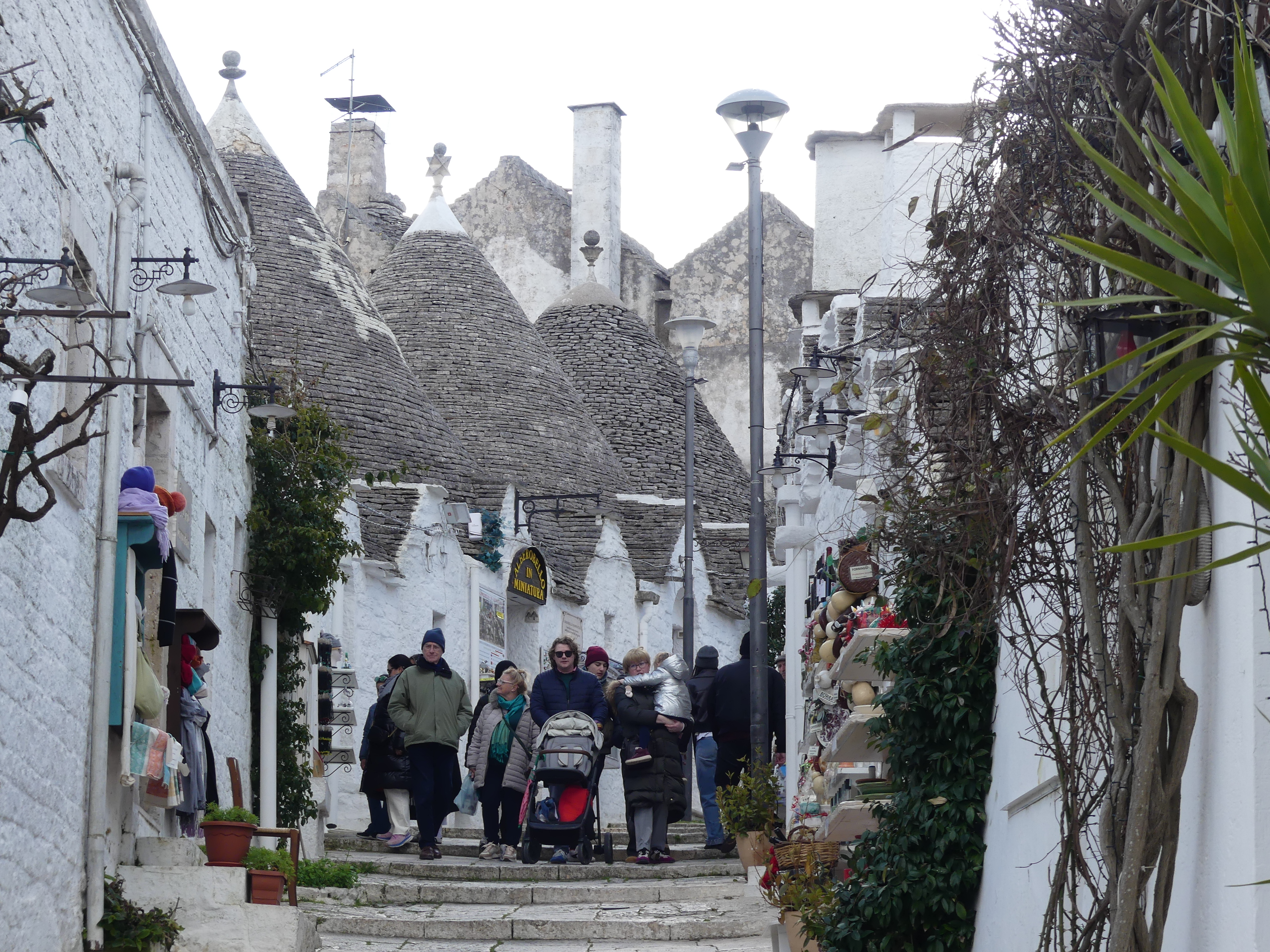
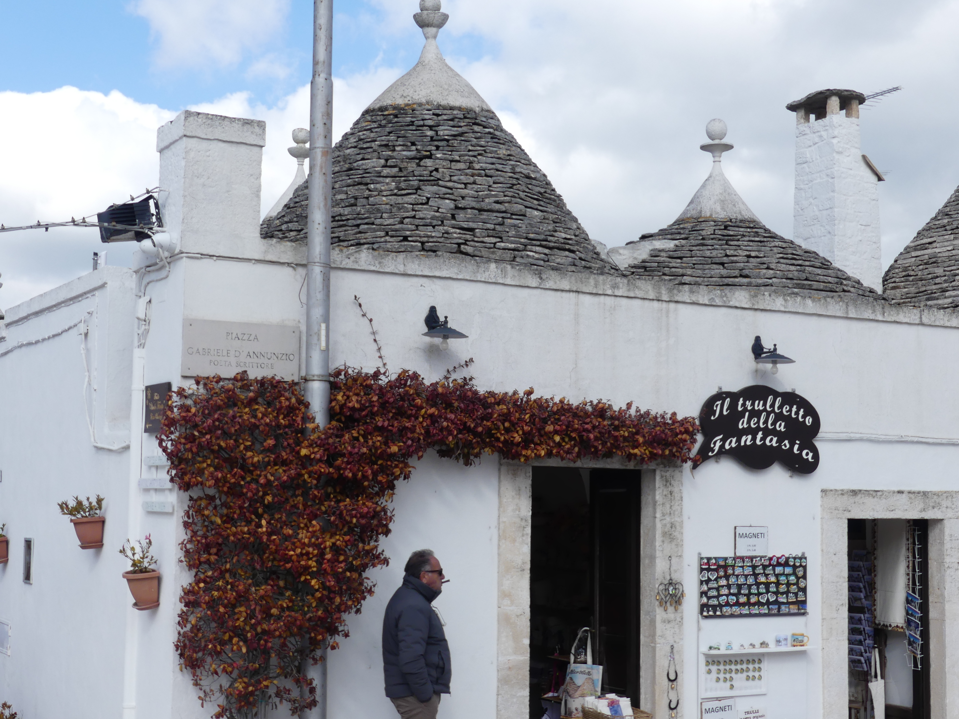
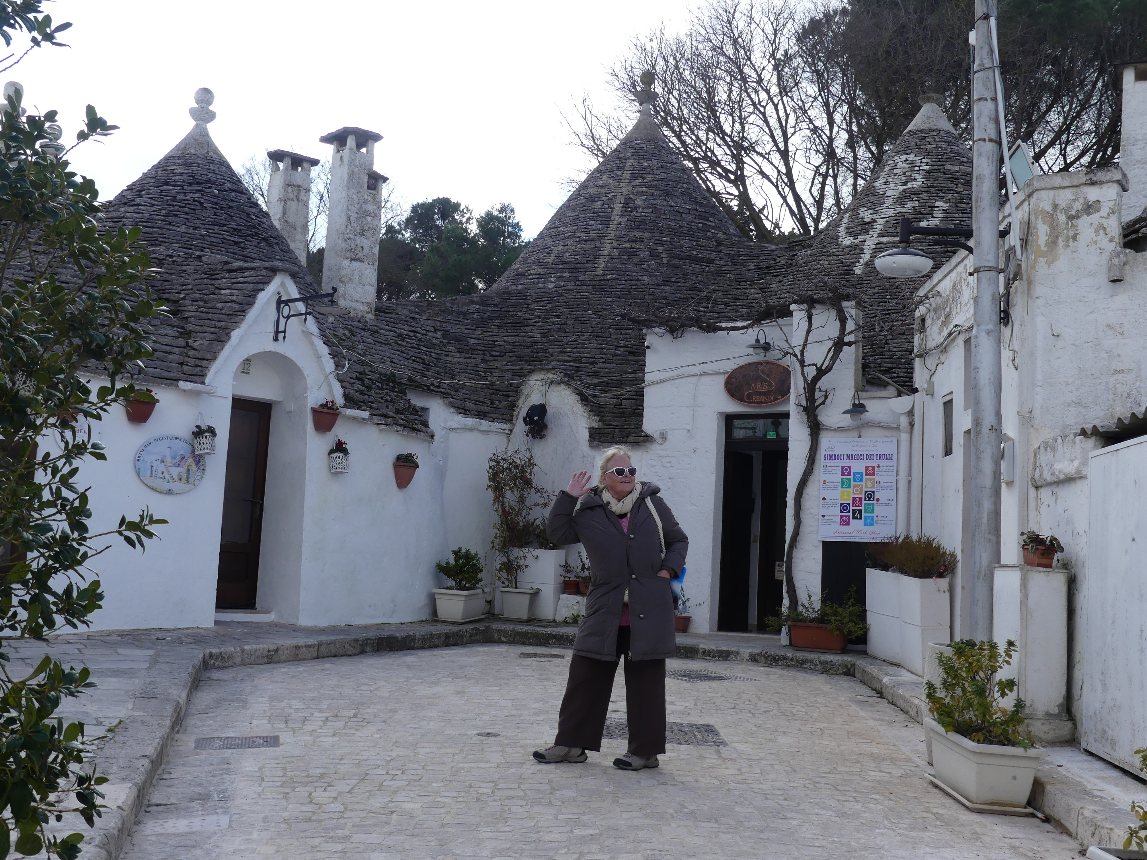
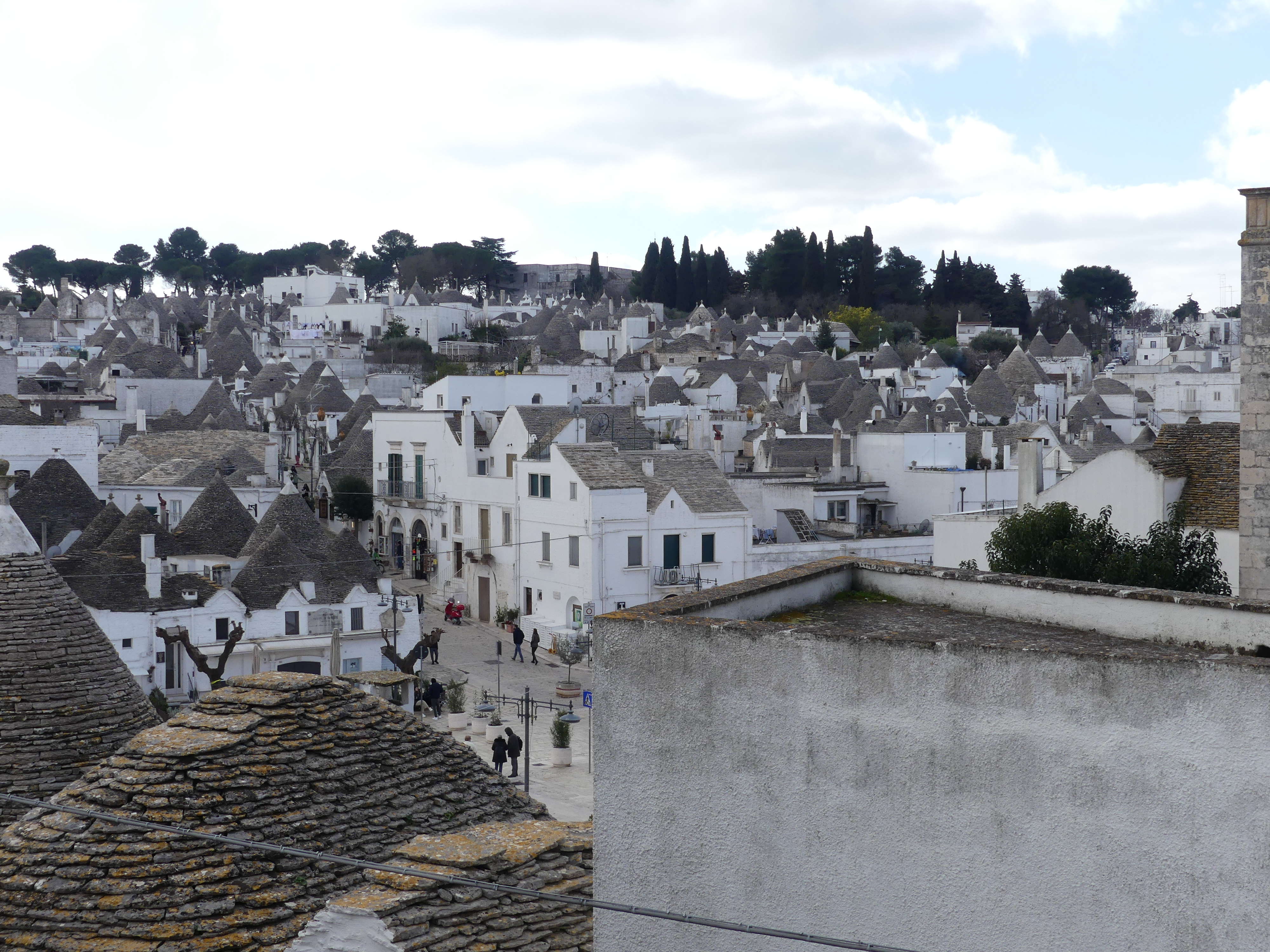
We left Bari station (obstructed by the fountain) as we were taking the bus (what! – where’s the train) for Alberobello (literally “beautiful tree”). It is a small town and commune of the Metropolitan City of Bari, Apulia. It has 10,237 inhabitants (2022) and is famous for its unique trullo buildings. The trulli of Alberobello have been designated as a UNESCO World Heritage Site since 1996 and Alberobello is one of I Borghi più belli d’Italia (“The most beautiful villages of Italy”).

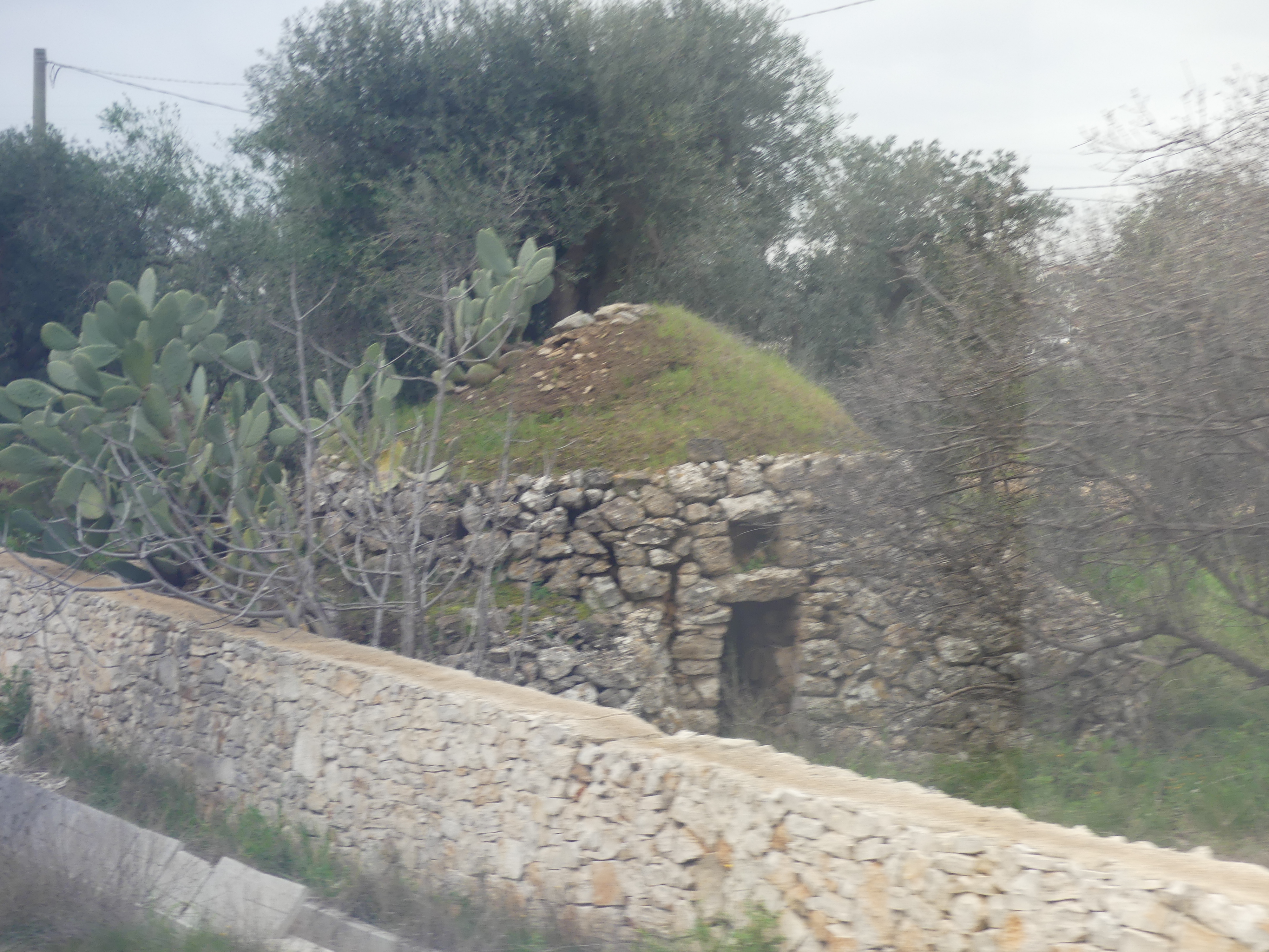
The history of the trulli is linked to an edict of the 15th-century Kingdom of Naples that subjected every new settlement to a tribute. In 1481 a tribute imposed on the residents led to them building their dwellings out of dry stone, without using mortars, so that they could be configured as precarious buildings and easily demolished. Having to use only stones, the peasants found in the round form with self-supporting domed roof the simplest configuration. The roofs were embellished with decorative pinnacles representing the signature of the architect (master trullaro).

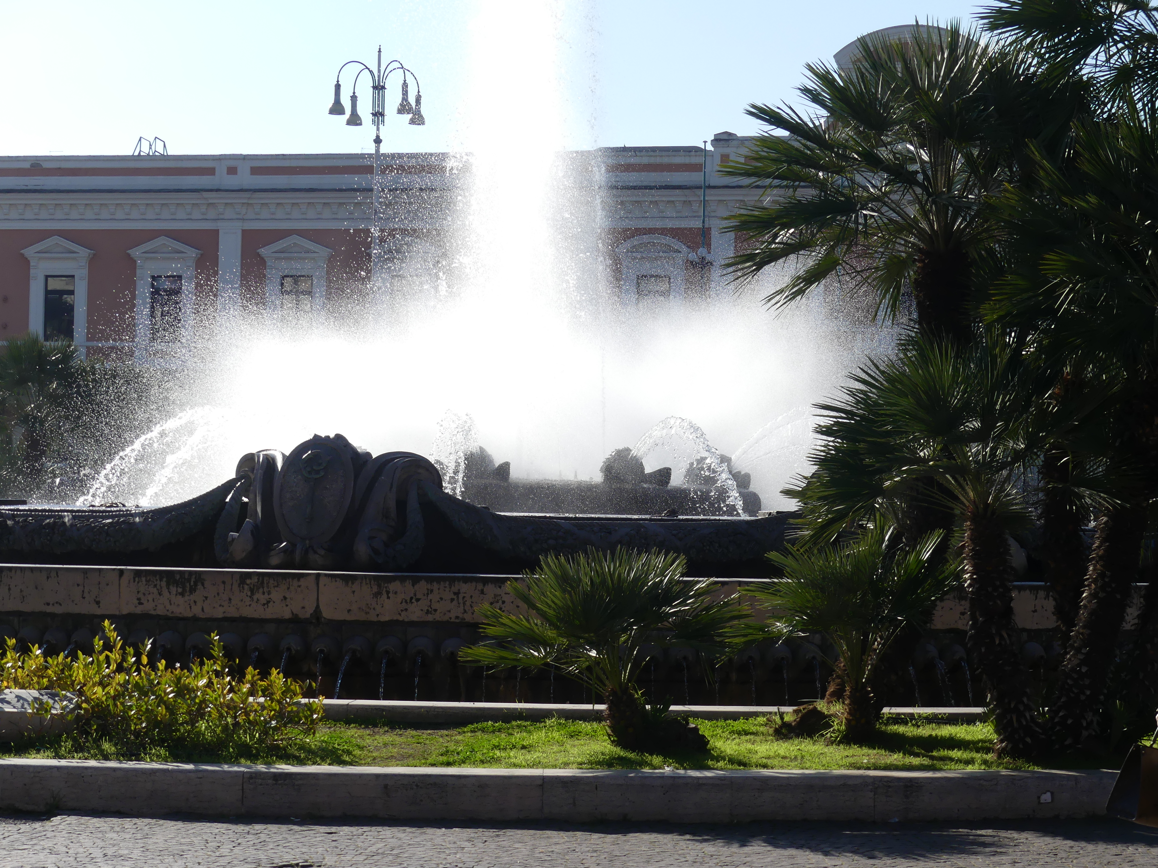
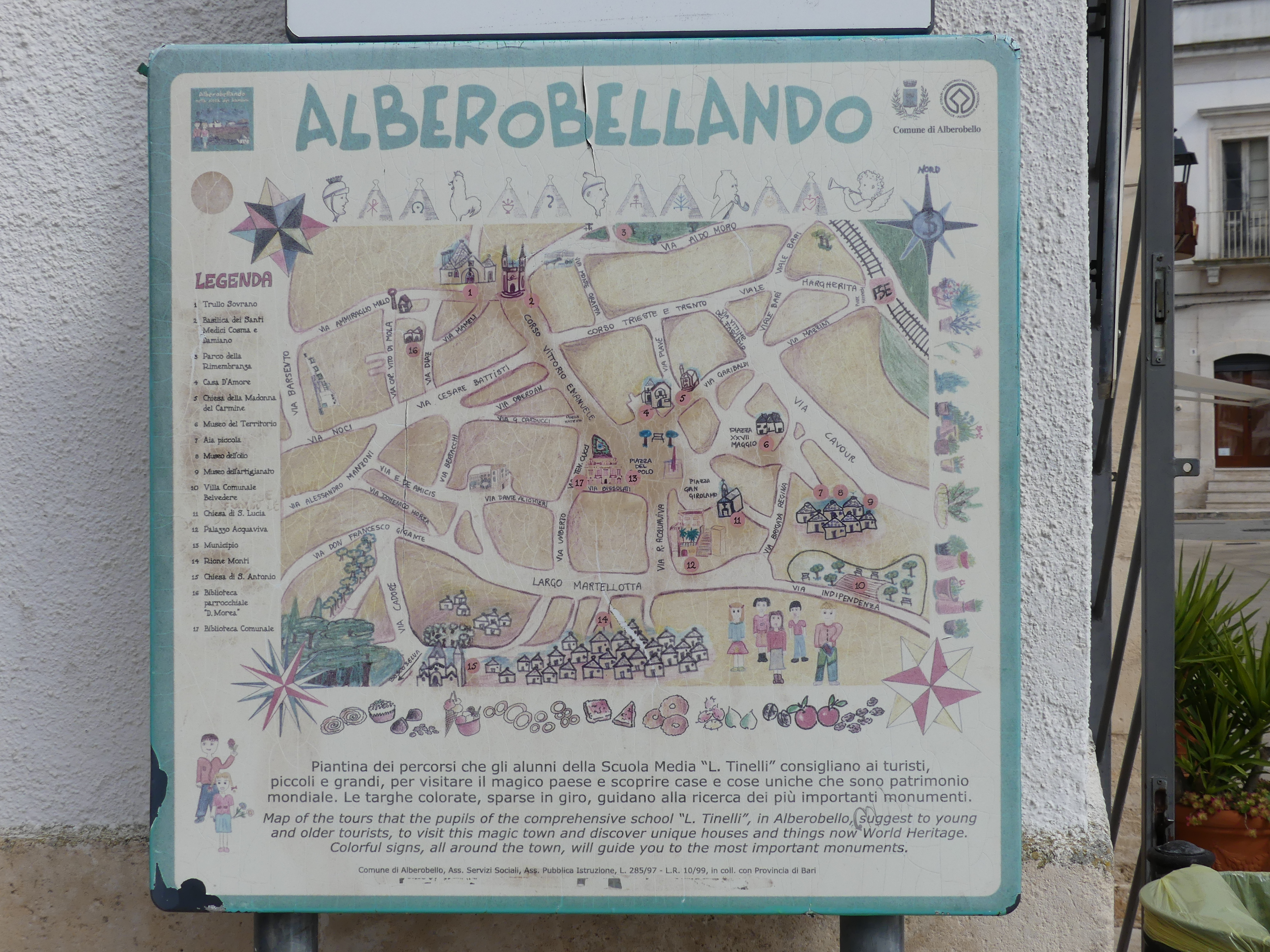
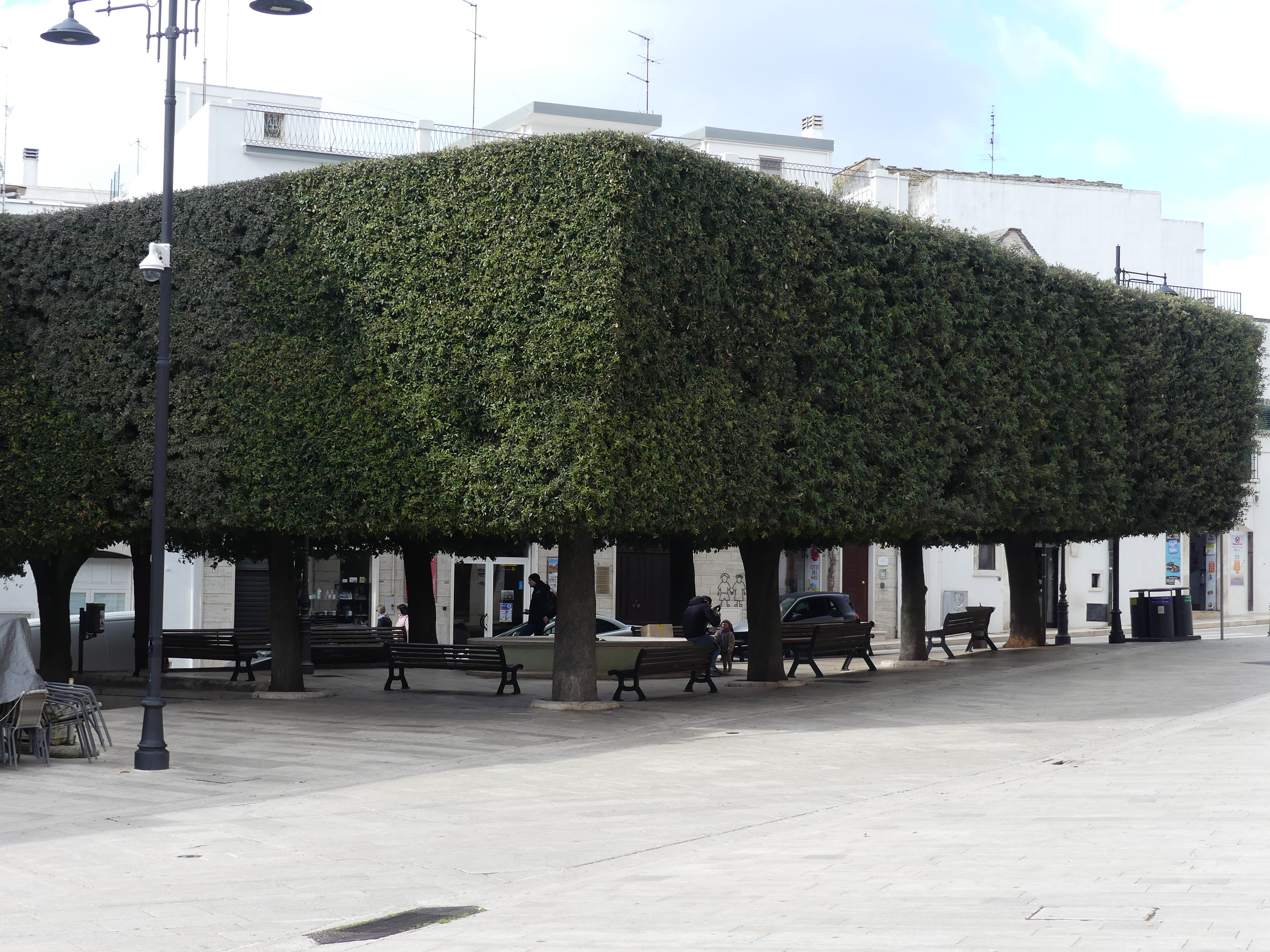
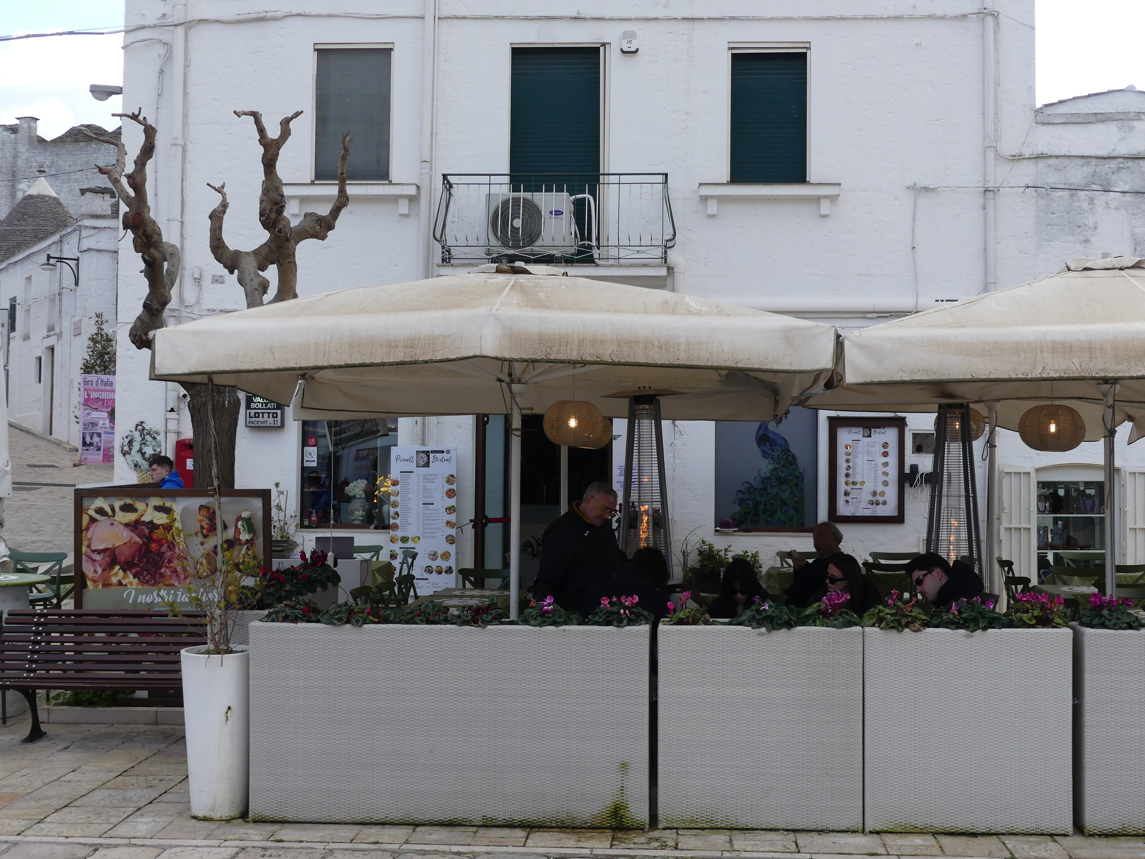
Our story starts with a picture of the fountain in front of the railway station in Bari from where we caught our bus to Alberobello. Upon arriving at the train station via the bus, we left the bus and walked through the modern town. The walk up the hill and down into the Piazza is shown in my photos below. The Municipio and the tourist map were two of the first features we reached. Clean and tidy, the people of Alberobello have great pride in the Town.

In the last photo above we have found the stairway into the Trulli village. The trulli homes are all uniformly coated in white. Some continue to be used as homes, but many are shops or B&Bs. We visited the Arie dell Artigianato, an artisan timber craftsman. Whilst inside the design for the roof had me puzzled as to how the trulli stand up but climbing through the ceilings was not permitted.

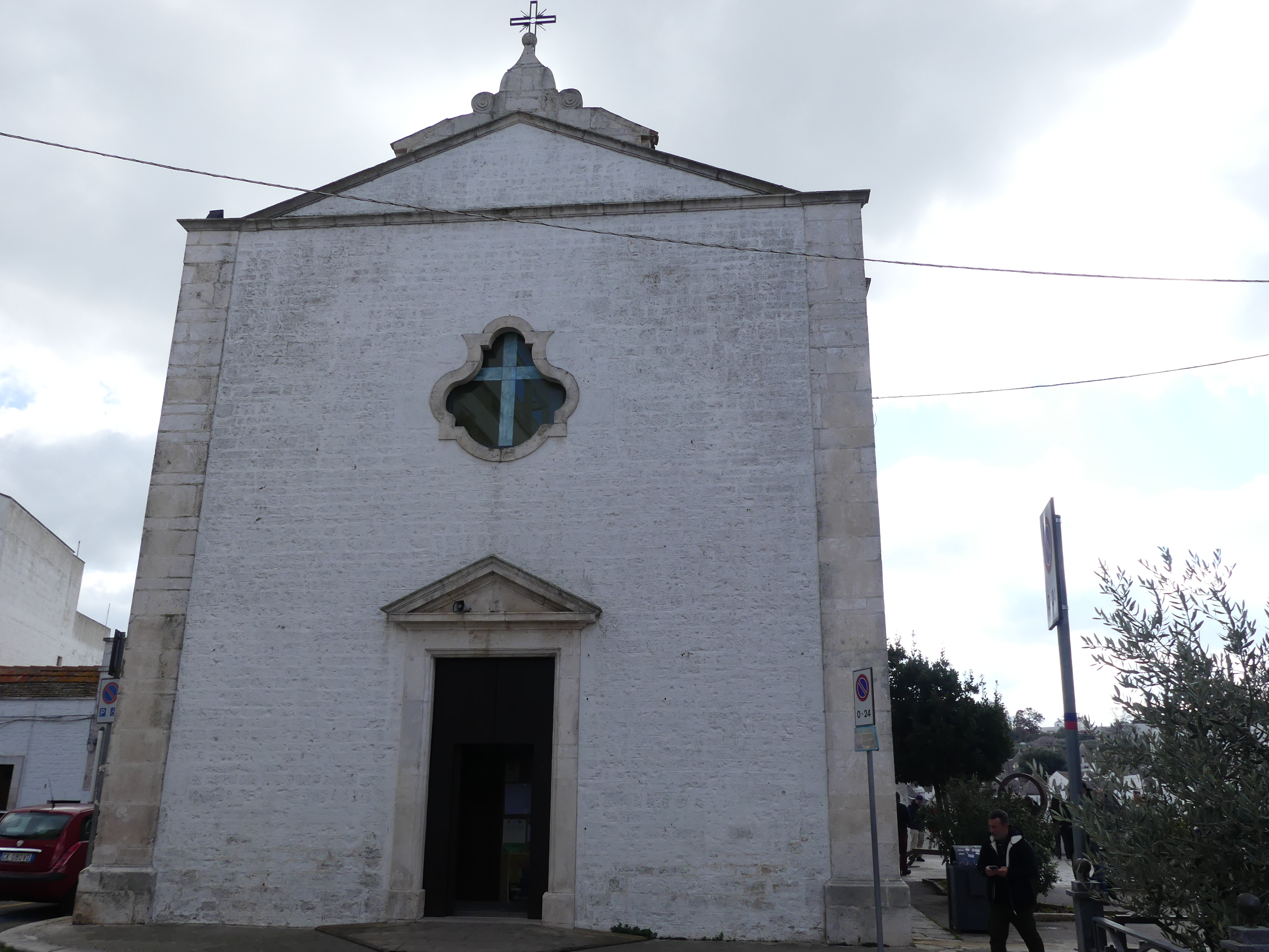
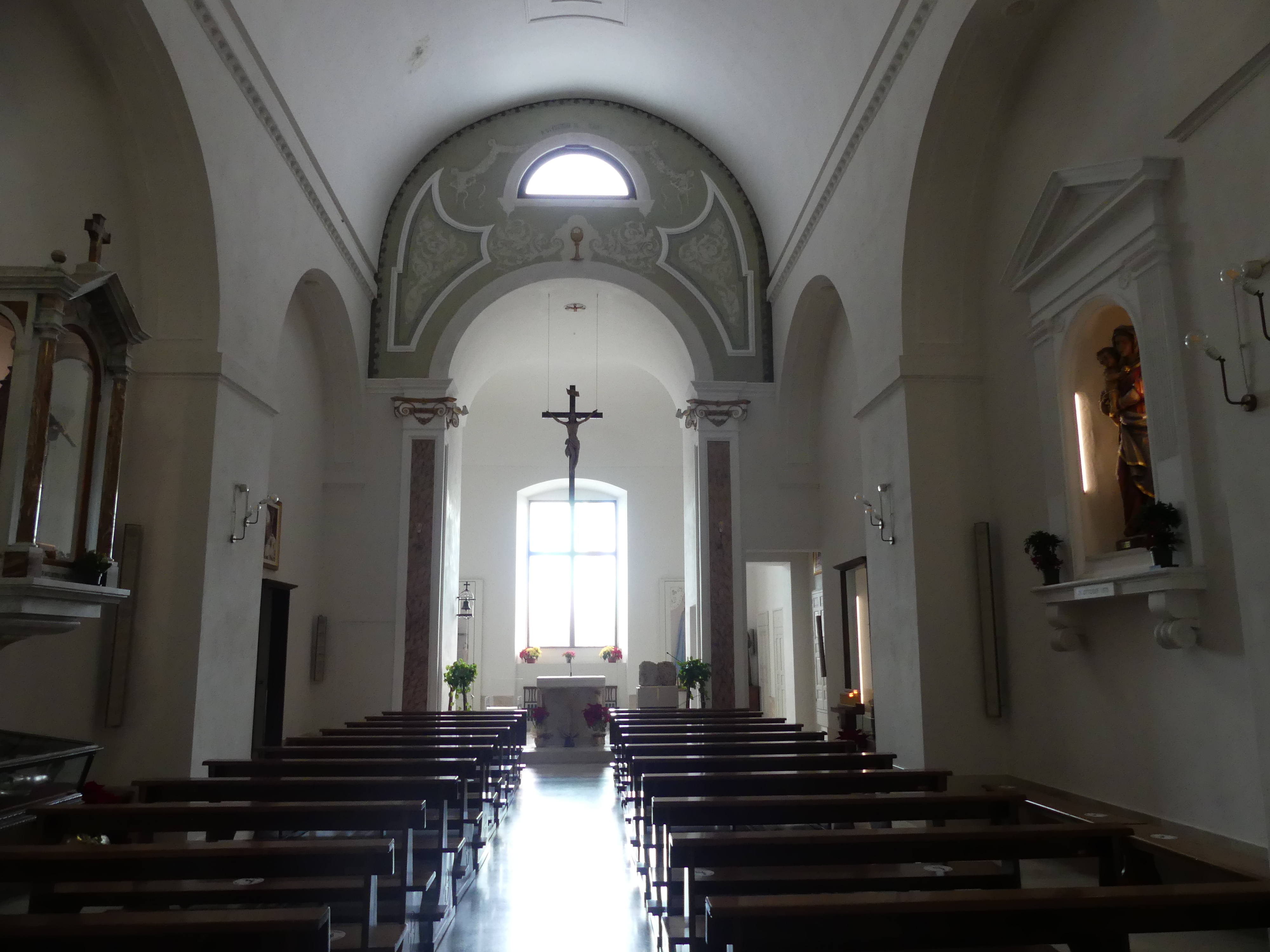
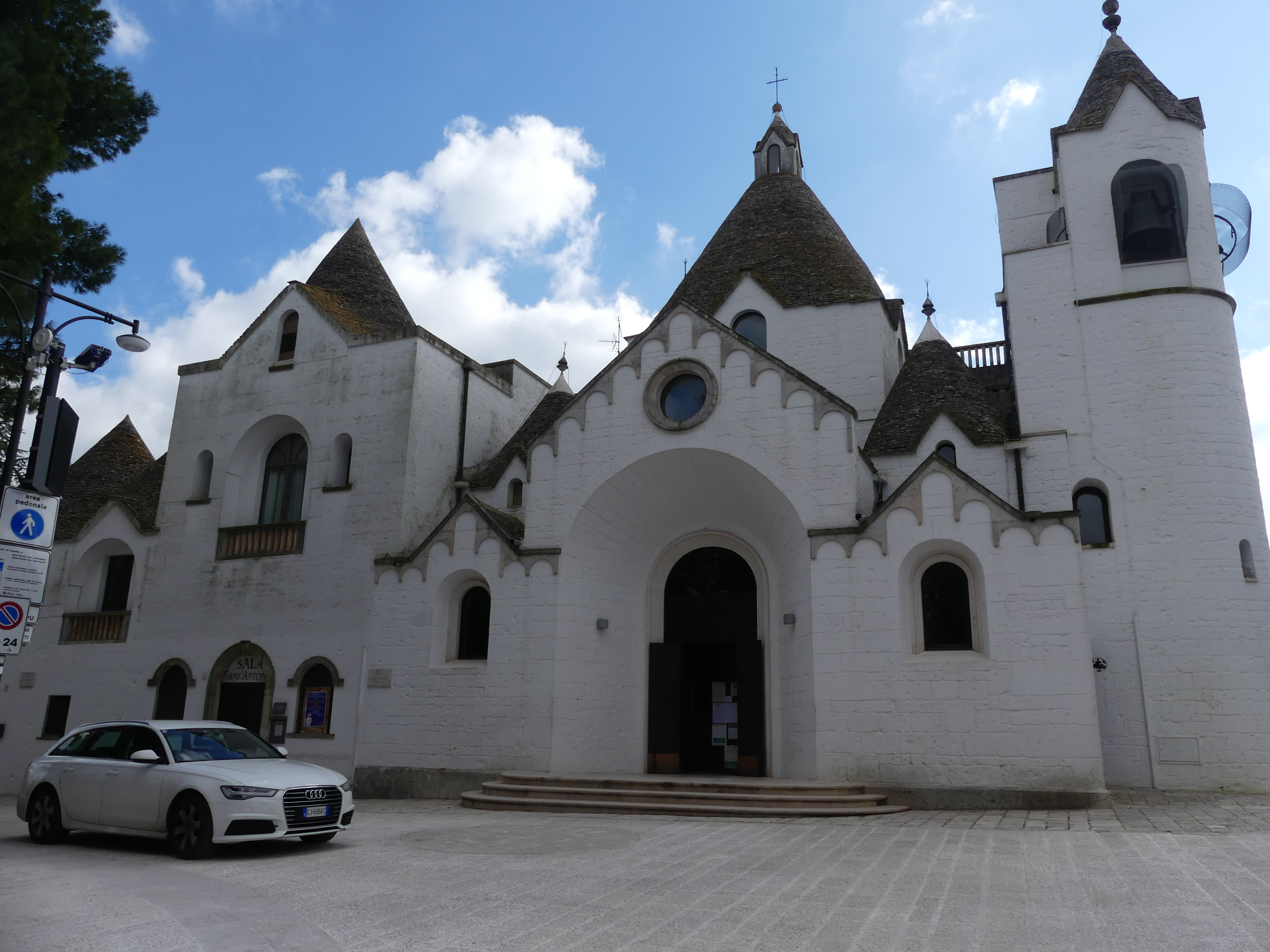
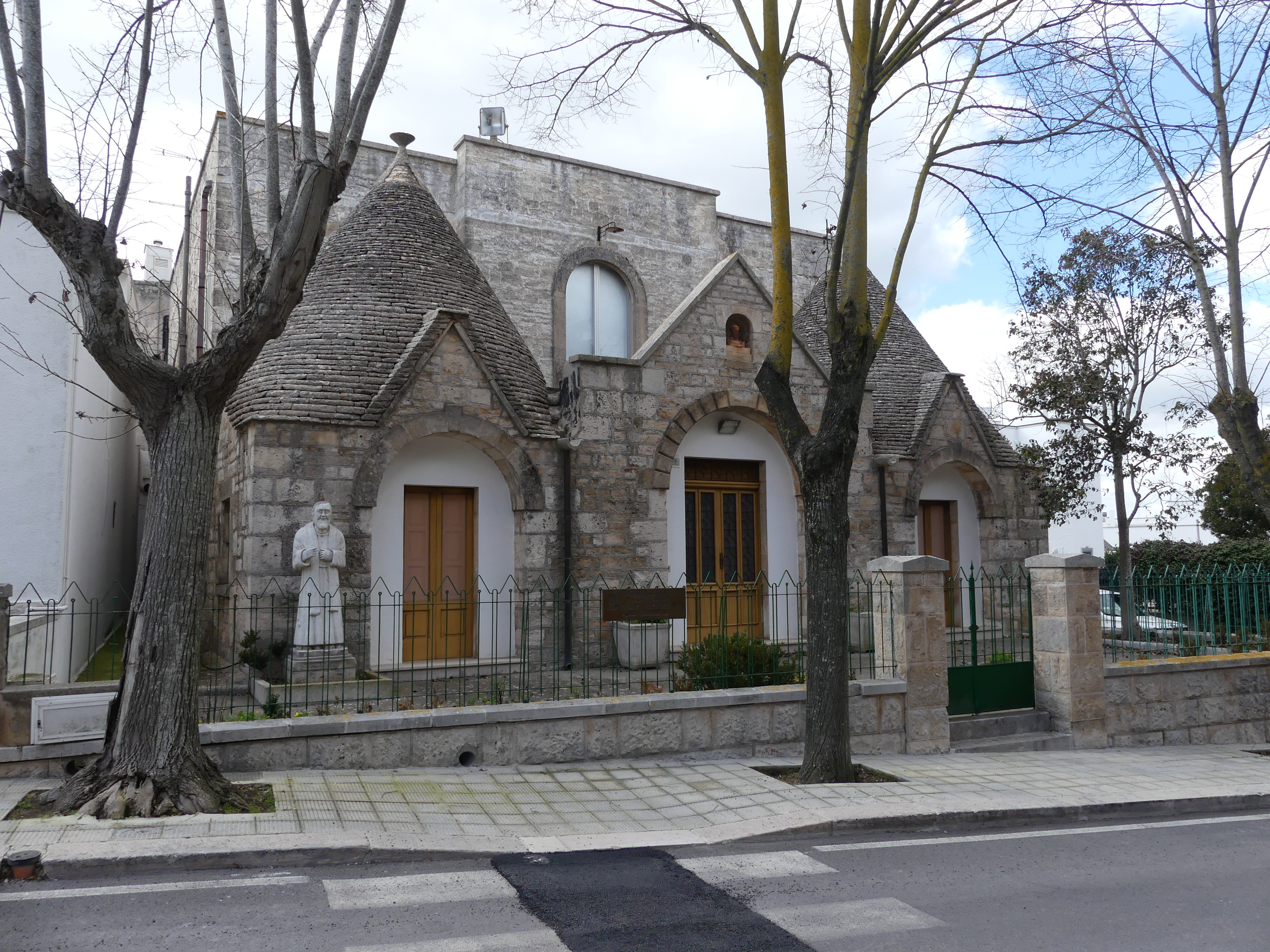
We walked through the key streets with Kerry taking in some shops until reaching a church, Parrocchia Sant’Antonio di Padova (Church of Saint Anthony of Padua) at the top of the hill of course built in 1927 in trulli style. Even the manse had trulli influences. From the top of the hill, we could see the two bell towers of the Saints Cosma & Damian’s church. We made our way down to the bottom of the hill and found our lunch restaurant but not in a true trulli building but a look alike. After lunch we ambled back through town visiting the Basilica of the Saints Cosma & Damian’s in the modern part of the town. The present structure of the church dates back to 1885, a work of Antonio Curri. Inside you can find the two wooden statues (1782 and 1784) and the reliquary containing some bones fragments of the Saints. The project led by architect Antonio Curri, was finished only in 1914. During the 26th and the 27th of September the celebration of the Saint’s city holiday, that summons a crowd of pilgrims from the nearby towns, and as tradition claims, they travel the entire route by foot. Note the papal keys over the entrance to the Basilica.

Our final day of the “train journey holiday” to Bari ended at the bus station outside the railway station at Alberobello where we joined the queue to catch the bus back to Bari. Really interesting place to visit and normally you can catch the train. We left the transportation for Robert to organize so I have no idea why we caught the bus.

We farewelled Robert thanking once again for his hospitality and best wishes with his B&B bookings. He is a great friend.

The next morning we boarded our train for Naples from Bari. The journey would take us from the west coast to the east coast with one change of train. The small towns we have been visiting will be in stark contrast to Naples for size but we were not ready for the dirtiness of the city. Read on with our travels when “THE RETIREES GO AROUND THE WORLD – BARI to NAPLES”.

“THE RETIREES GO AROUND THE WORLD – BARI to MATERA”

Matera

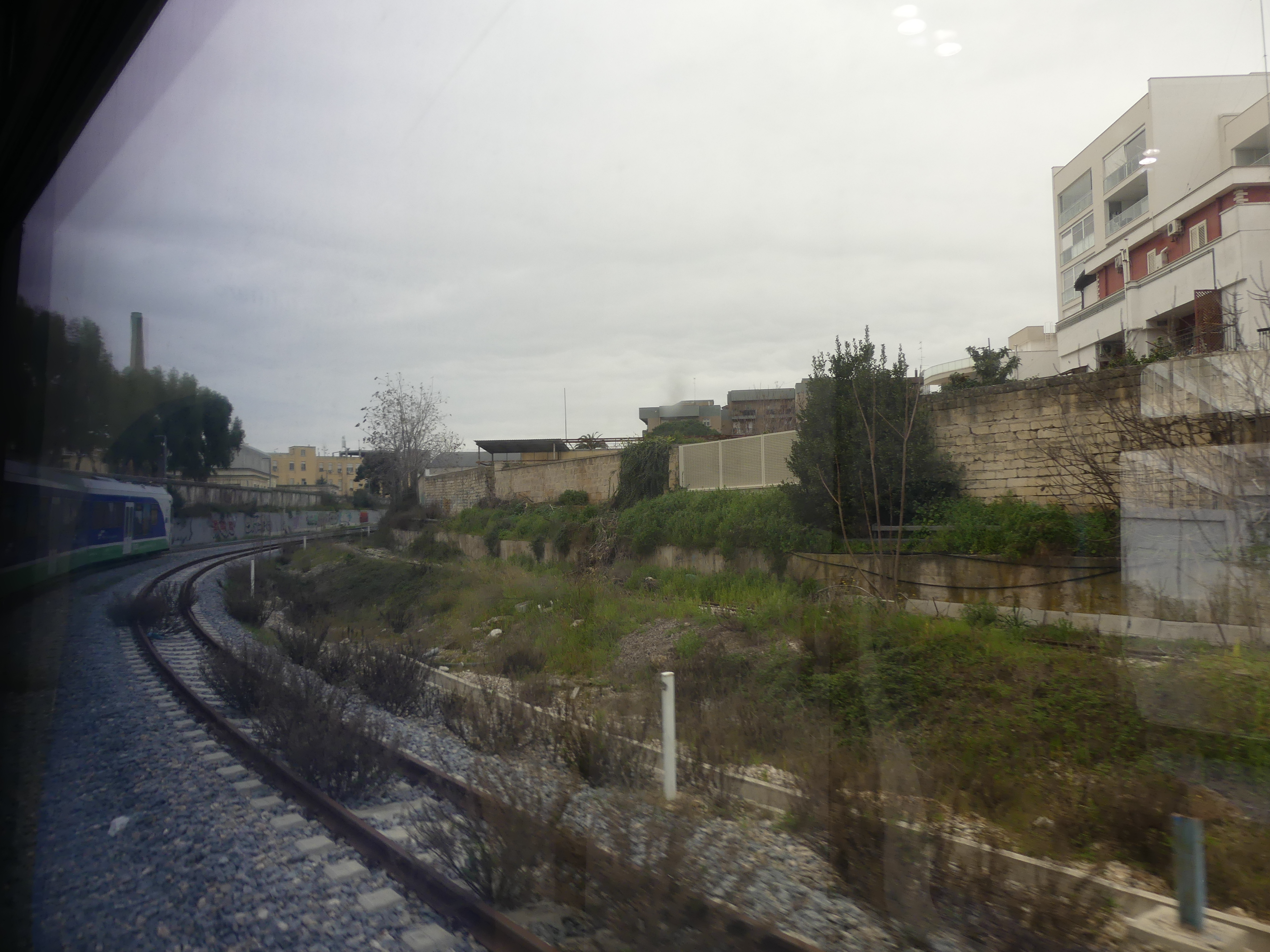
Robert wanted us to visit Matera as he thought it was so unique. The first unique thing was, it was accessible on a private rail line. Its station was beside the principal station in Bari but the line ran its own trains etc. So, a new railway experience – here is the train driver awaiting departure and on departing it soon became obvious we were going rural.

Before its integration into the modern Italian state, the city of Matera had experienced the rule of the Romans, Lombards, Arabs, Byzantine Greeks, Swabians, Angevins, Aragonese, and Bourbons. Matera is believed to have been settled since the Palaeolithic (10th millennium BC) times. This makes it potentially one of the oldest continually inhabited settlements in the world. Robert had two reasons to bring us here; to learn about and see the Sassi and for his own personal reasons that I cannot go into.

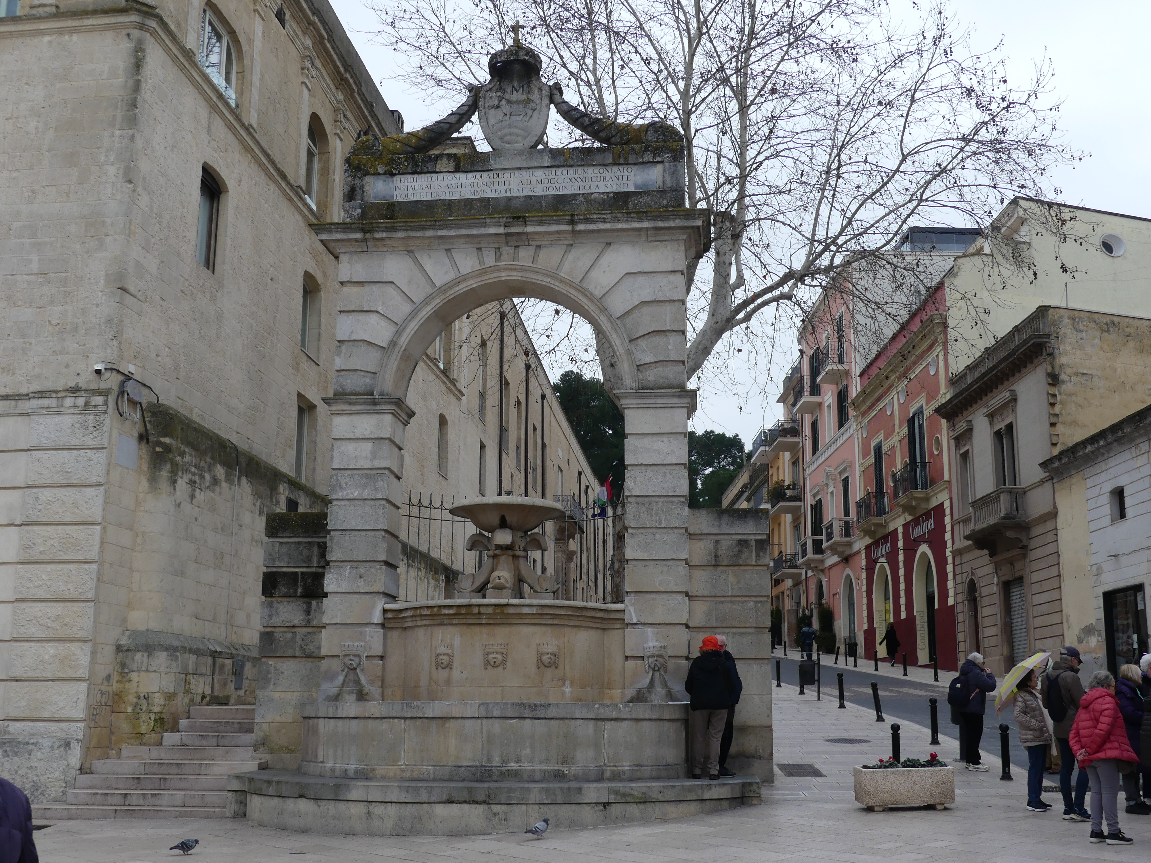
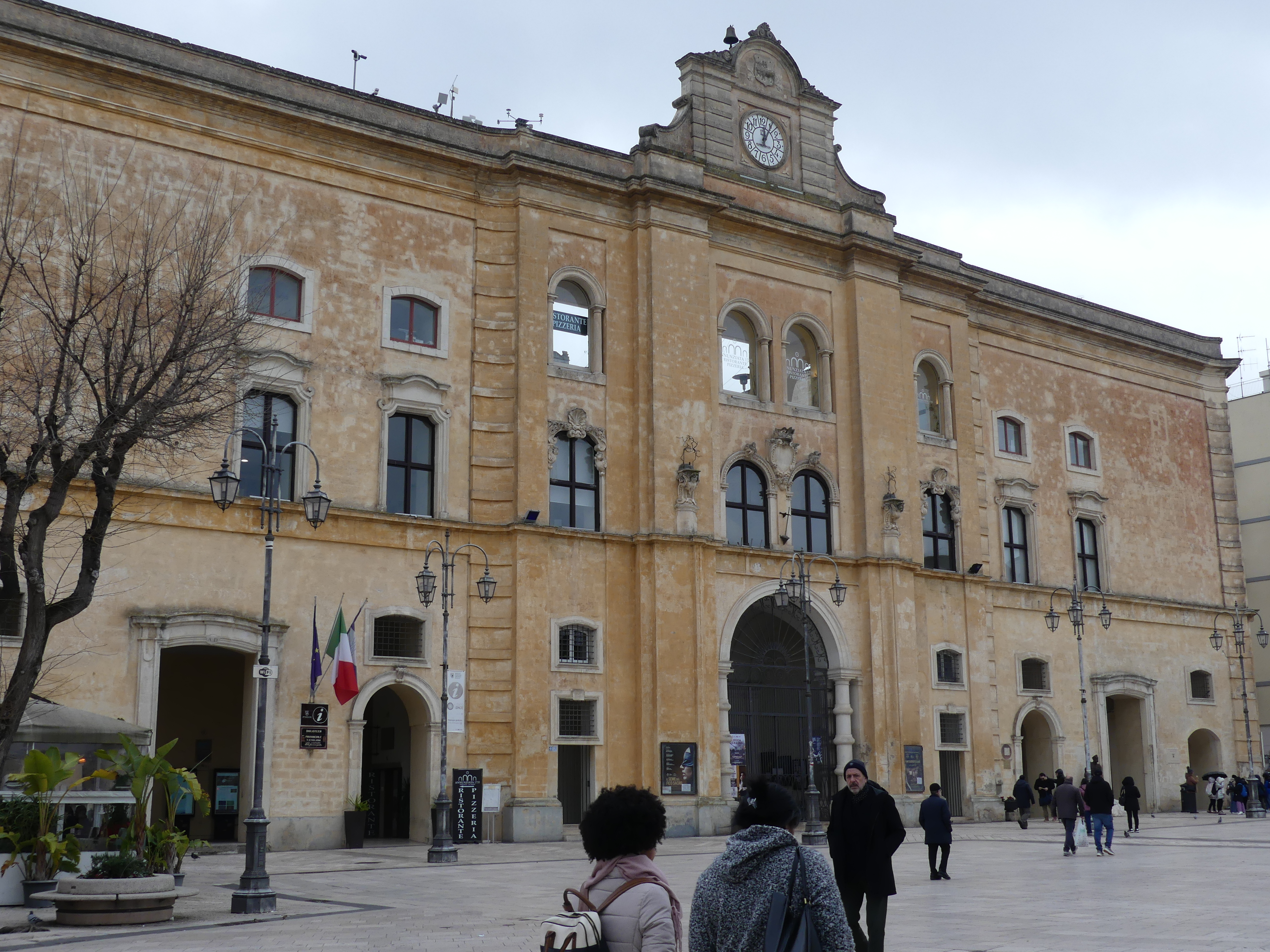
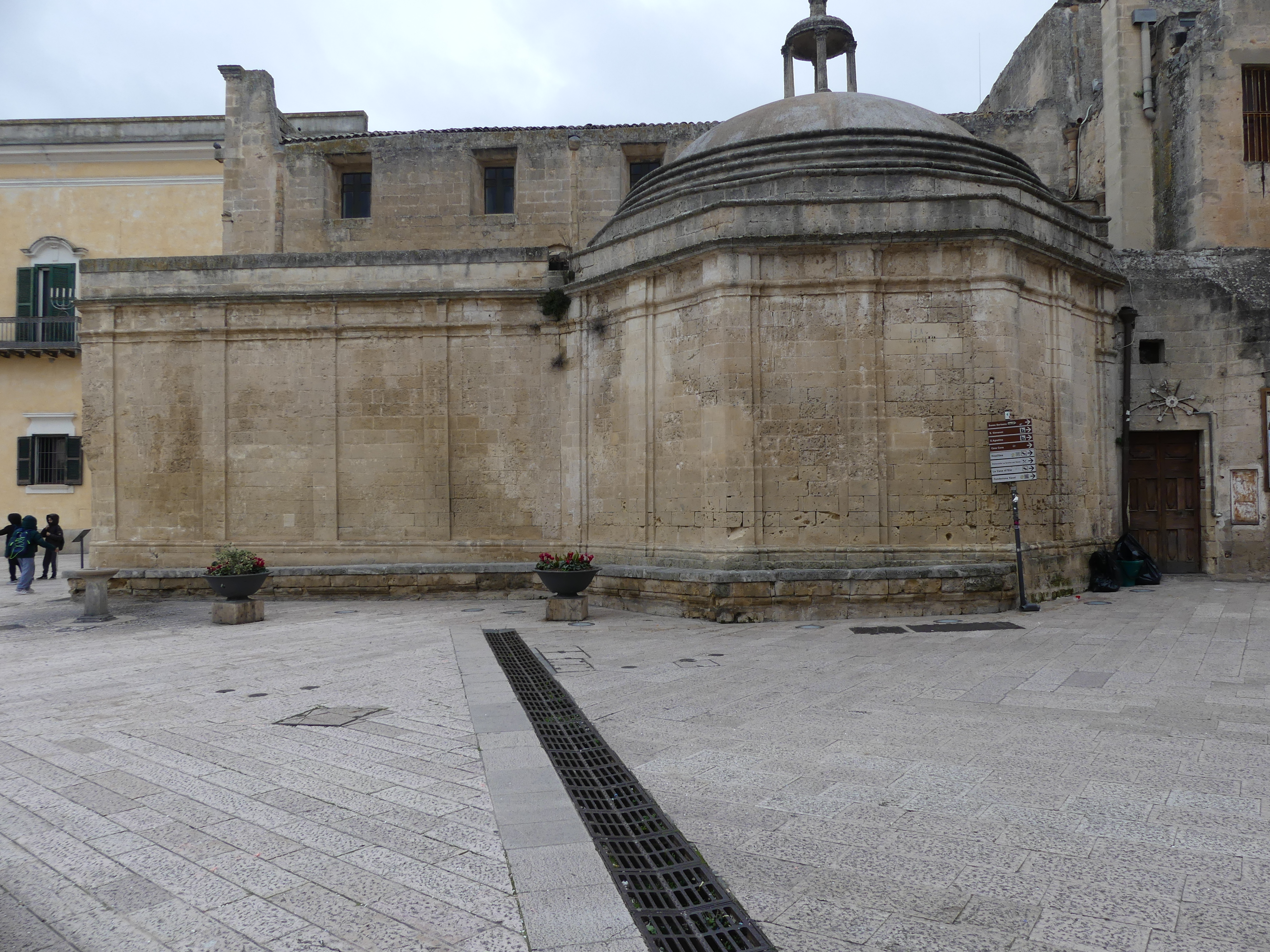
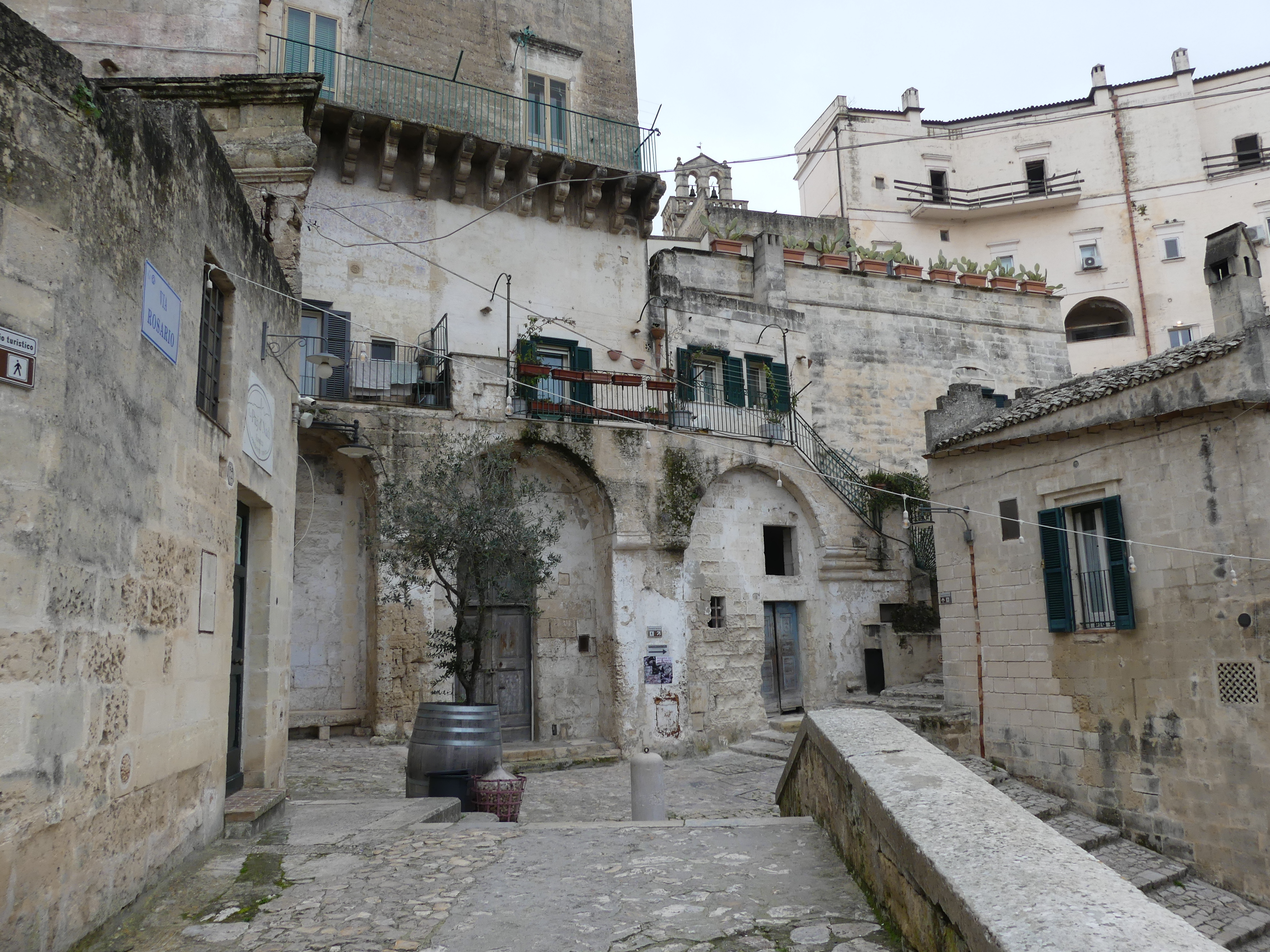
The train journey was through some impoverished looking rural countryside arriving at a modern station where the train turns around and goes back to Bari. Walking down to the old town we thought everything looked clean and reasonably modern, but it starts to change at the old well. Amid the town piazza, Piazza Vittorio Veneto was a pit to leading to Roman ruins and a viewing platform of the Sassi – we had no idea that this is what awaited us.

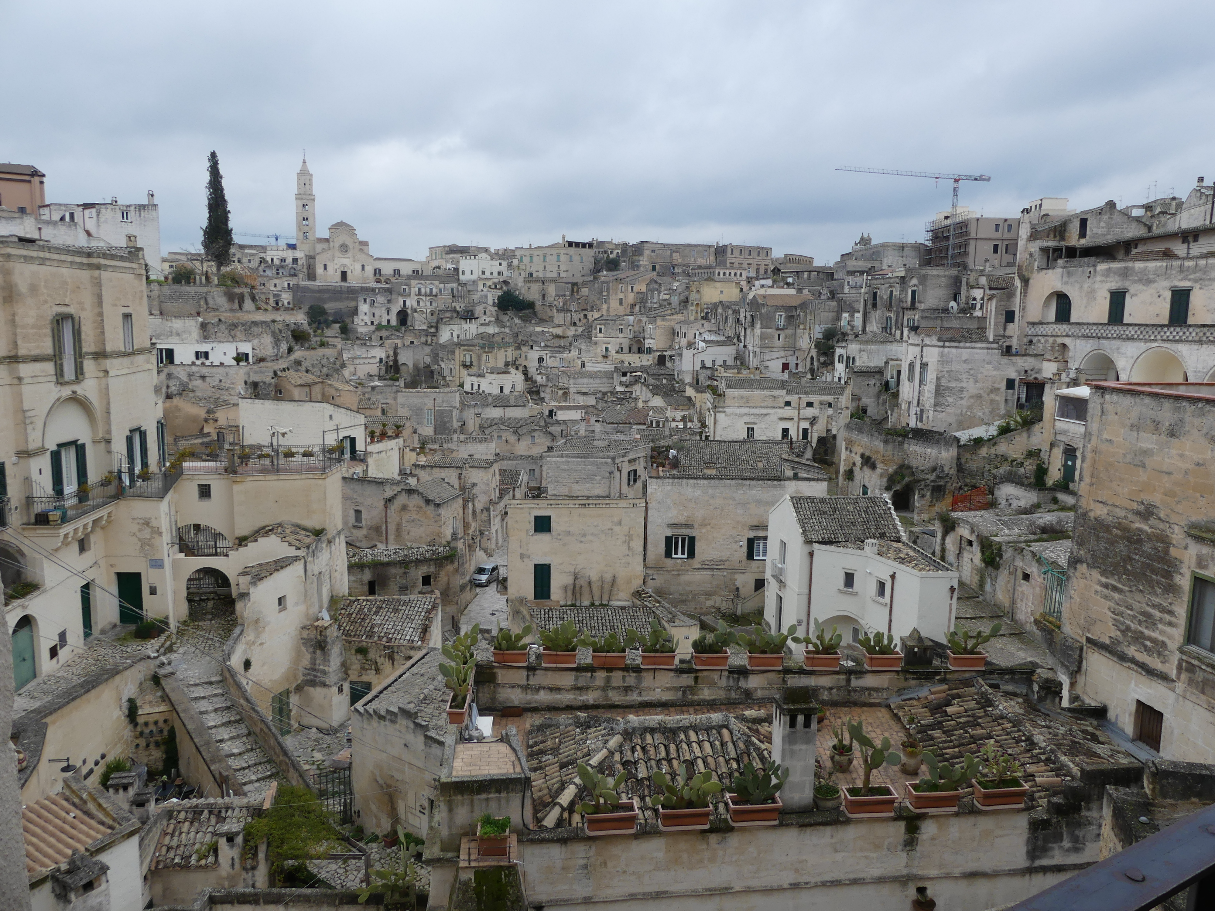
The ruins shown above are part of Roman settlement that has survived and beyond is the Sassi. The Sassi can be best viewed through a balcony which can be accessed through the ruins or through arches above the the ruins.

The view of this well of houses and streets stunned me but I had no idea what lay hidden amongst the houses, shops roads walkways and arcades. The Sassi are cave dwellings and consist of around twelve levels spanning the height of 380 m, connected by a network of paths, stairways, and courtyards (vicinati). The tripartite urban structure of Civita and the two Sassi, relatively isolated from each other, survived until the 16th century, when the centre of public life moved outside the walls to the Piazza Sedile in the open plain (the Piano) to the west, followed by the shift of the elite residences to the Piano from the 17th century onward. By the end of the 18th century, a physical class boundary separated the overcrowded Sassi of the peasants from the new spatial order of their social superiors in the Piano, and geographical elevation came to coincide with status more overtly than before, to the point where the two communities no longer interacted socially. Yet it was only at the turn of the 20th century that the Sassi were declared unfit for modern habitation, and the government relocation of all their inhabitants to new housing in the Piano followed between 1952 and the 1970. A new law in 1986 opened the path to restoration and reoccupation of the Sassi, for the benefit of the wealthy middle class. The recognition of the Sassi, labeled la città sotterranea (“the underground city”), together with the rupestrian churches across the Gravina as a UNESCO World Heritage Site in December 1993 has assisted in attracting tourism and accelerated the reclaiming of the site. In 2019, Matera was declared a European Capital of Culture from poverty and degradation to the flavour of the month.

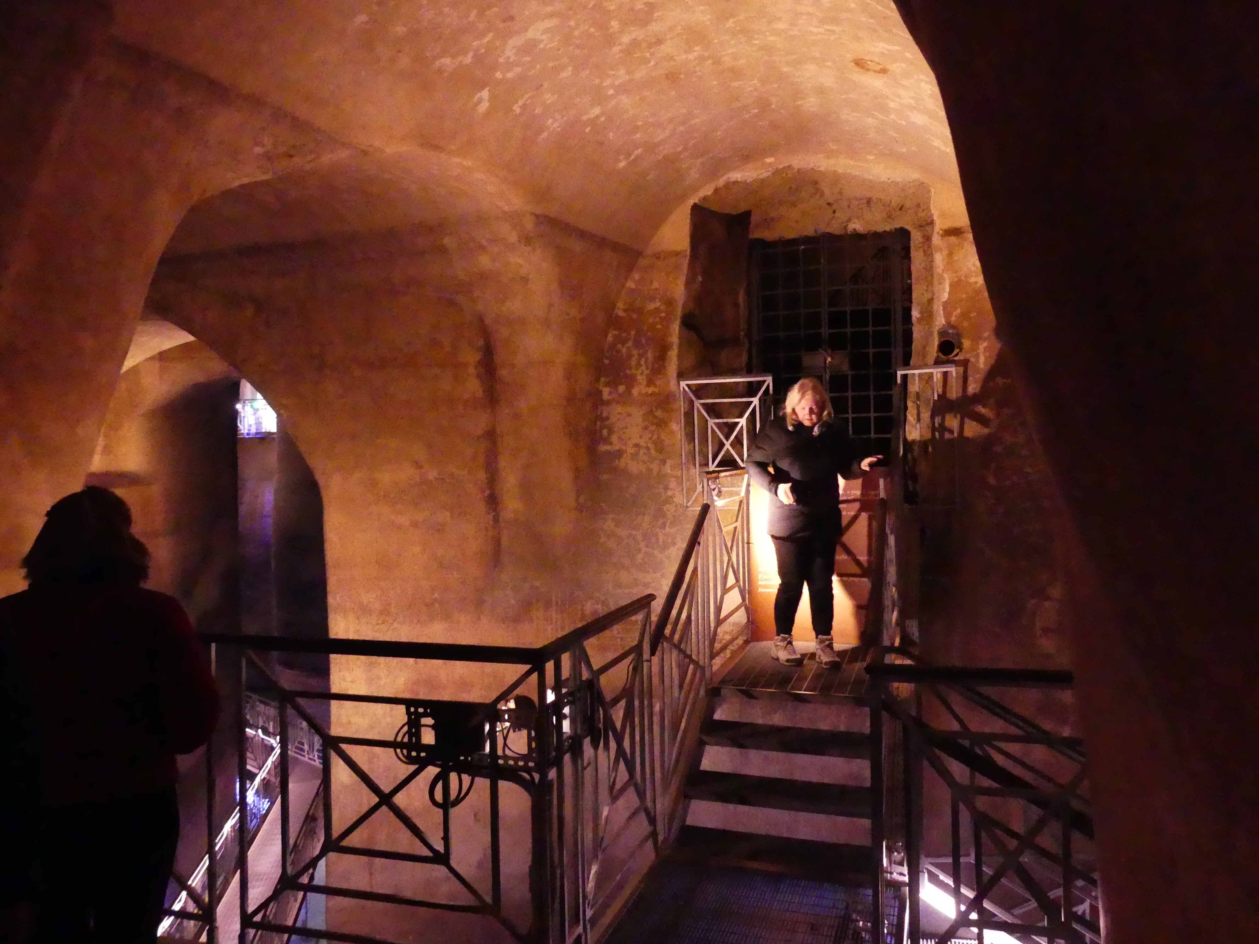
Firstly, we went to the Roman ruins. Below the ruins are cisterns. Early dwellers invested tremendous energy in building cisterns and systems of water channels. The largest cistern has been found under Piazza Vittorio Veneto, the Palombaro Lungo which was built in 1832. With its solid pillars carved from the rock and a vault height of more than fifteen metres, it is a veritable water cathedral, which is navigable by boat. Like other cisterns in the town, it collected rainwater that was filtered and flowed in a controlled way to the Sassi. Kerry and I walked through marveling at the depth which the water could fill up to.

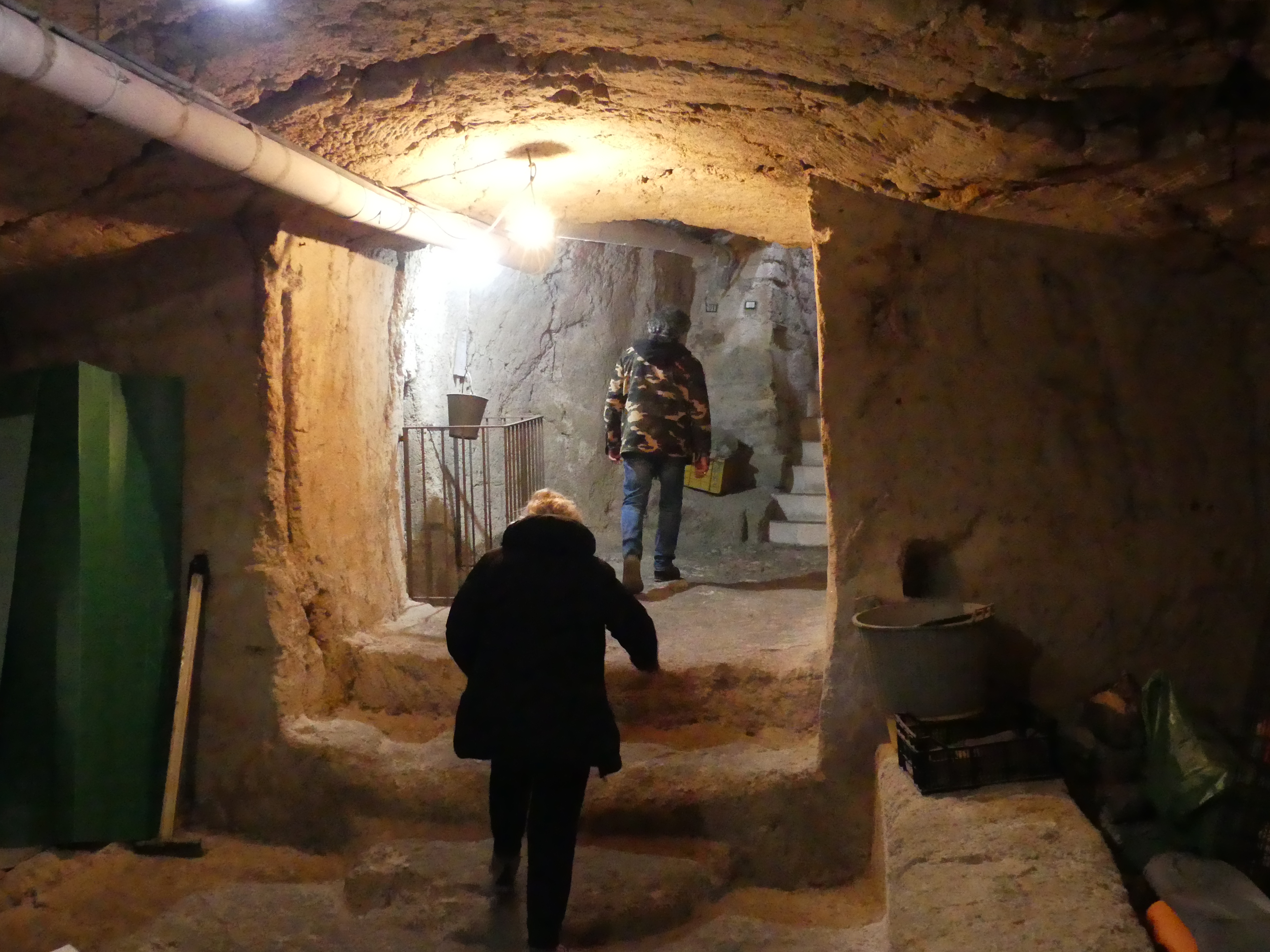
After exiting the cistern, we entered the Sassi through the ruins and commenced our decent into the Sassi which originated in a prehistoric troglodyte settlement, and these dwellings are thought to be among the first ever human settlements in what is now Italy. You will see in one picture bones have been used to support the rainwater gutters. I don’t know whether they are animal or human. We visited one of the dwellings open for tourist inspection. Inside the cave is the main bedroom, a loom, a place for the donkey (if you had one) and further down further space. Remember these were still in use in 1950. We left the cave to explore some more of the Sassi – there were some we did not want to explore. You will se Kerry and Robert viewing a cave once occupied and vacated in 1952. Close inspection was not possible by reason of the odour emanating from who knows what now occupies it.

 Amongst the jumble of buildings and at the bottom of the Sassi, we found an authentic Italian Restaurant Amore Crusco. The appealing landing was victim of the showers that followed us all day, but the interior was very pleasant and warm so here we enjoyed lunch. Everything that goes down must eventually come up so after lunch we clambered out of the Sassi and took in some of the newer parts above the Sassi. The pictures below are of our lunchtime repast. The climb back to the modern square knocked the wind out of Kerry and me after which I was ready for a nap.

Robert had personal reasons/plans for the evening in Matera, so being experienced train travelers, we caught the train home minus Robert. So our next trip was the last trip with Robert as our guide. We visit Alberobello, so be watching for “THE RETIREES GO AROUND THE WORLD – BARI to ALBEROBELLO”

“THE RETIREES GO AROUND THE WORLD – BARI to TARANTO”

TARANTO

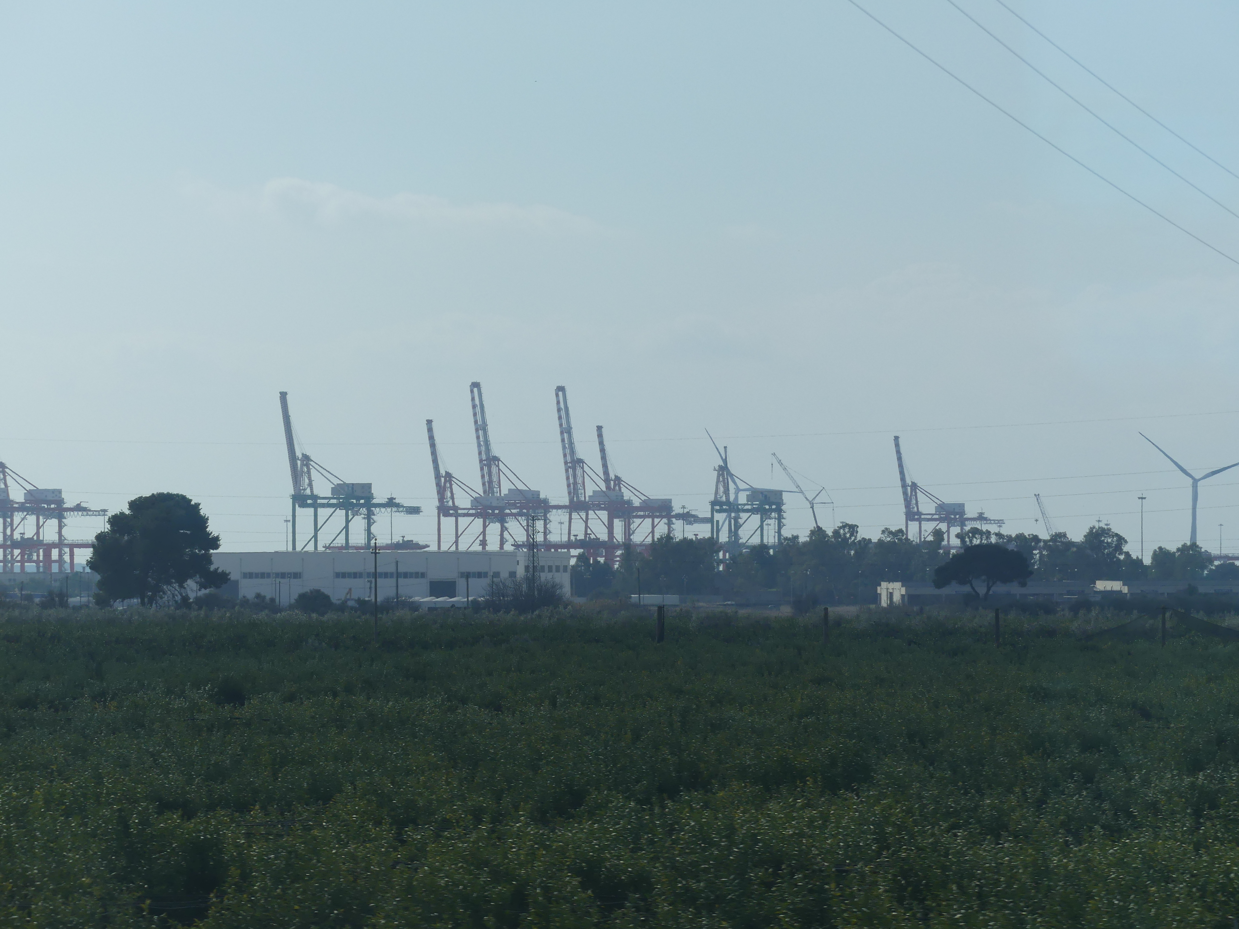
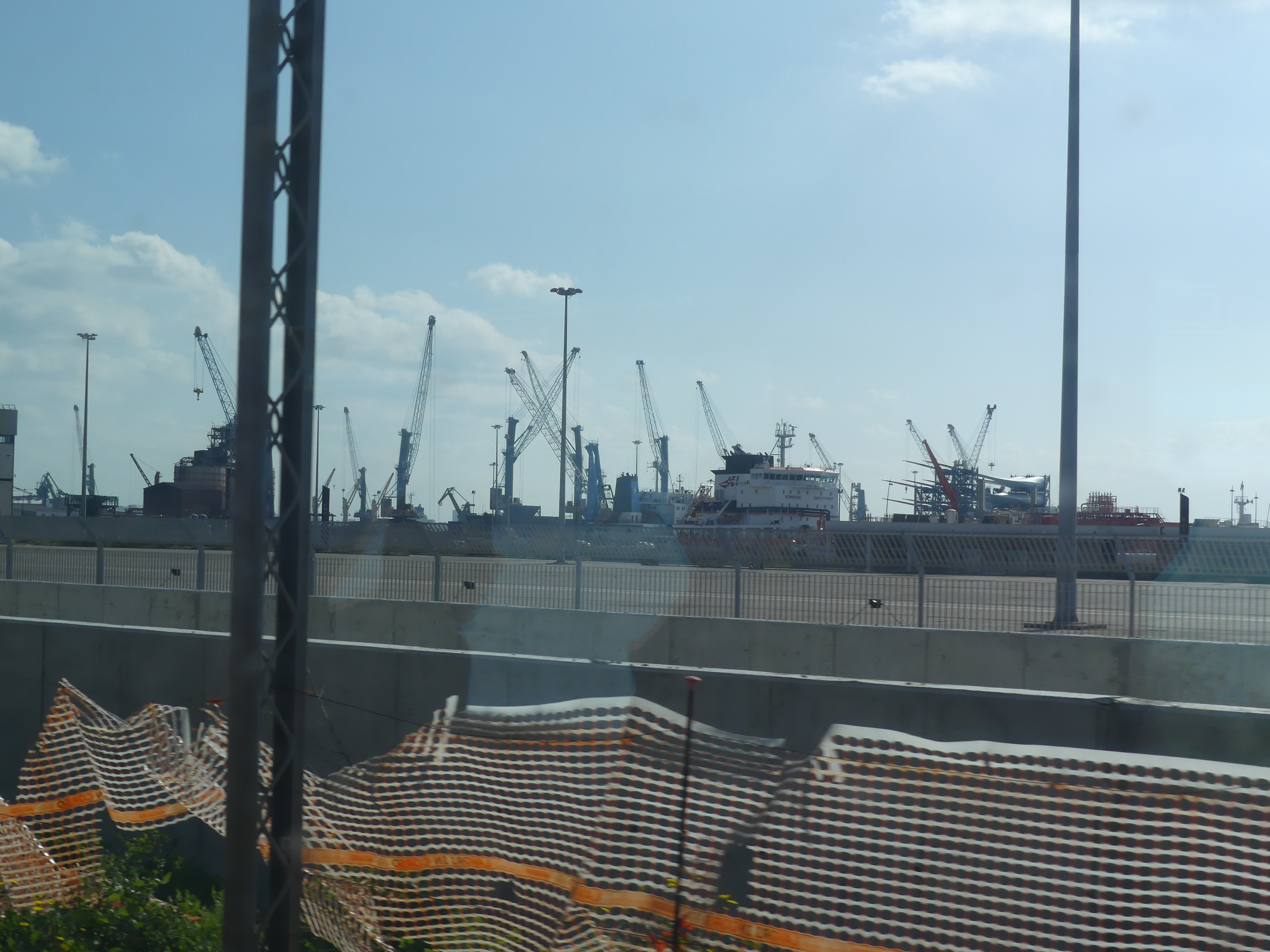
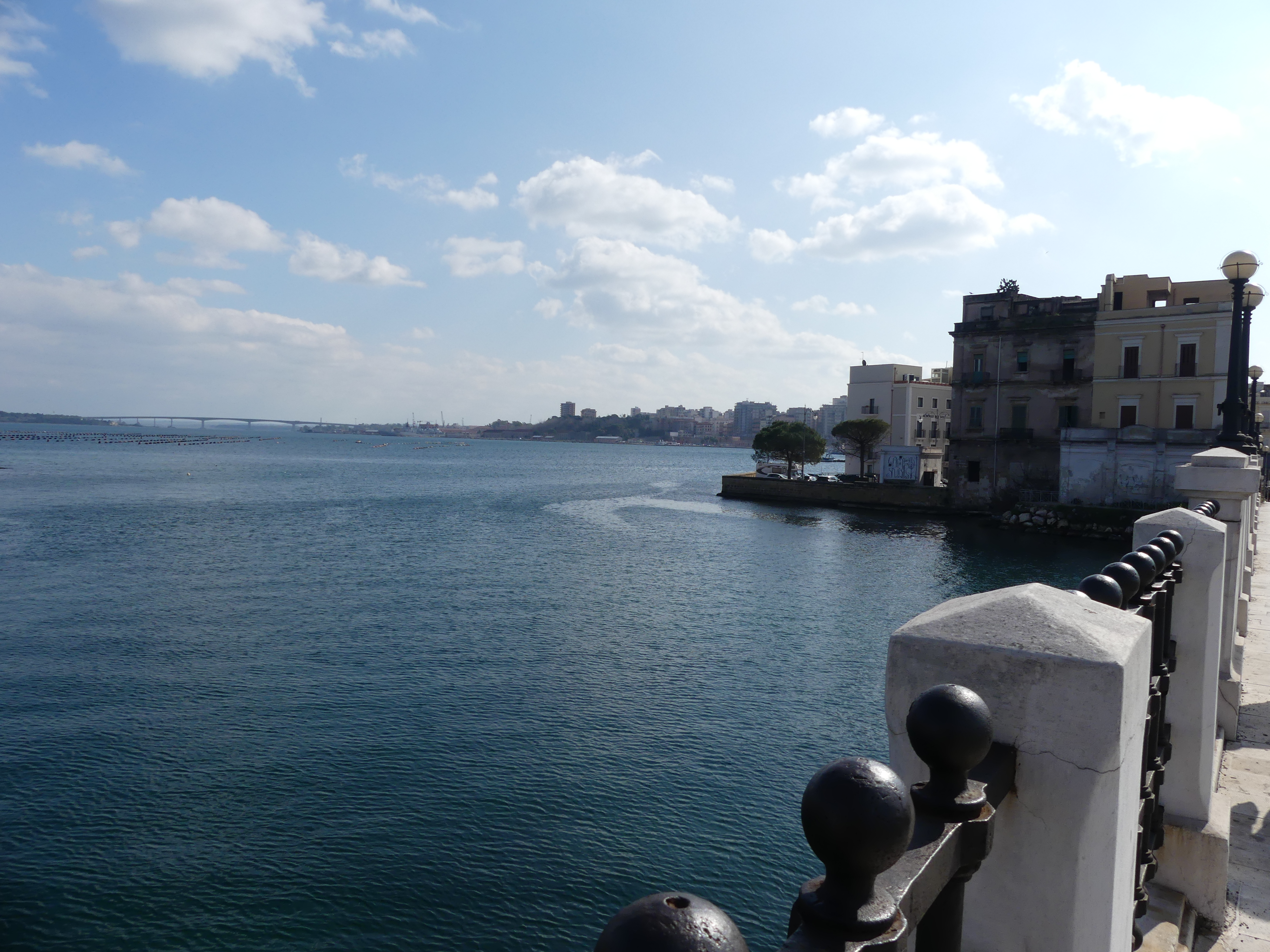
Another town I had not anticipated visiting. Taranto is much further south than we planned traveling. It is a coastal city in Apulia, southern Italy. It is the capital of the province of Taranto, serving as an important commercial port as well as the main Italian naval base. Founded by Spartans in the 8th century BC during the period of Greek colonization – good to see the Spartans had finished fighting long enough to do something positive.

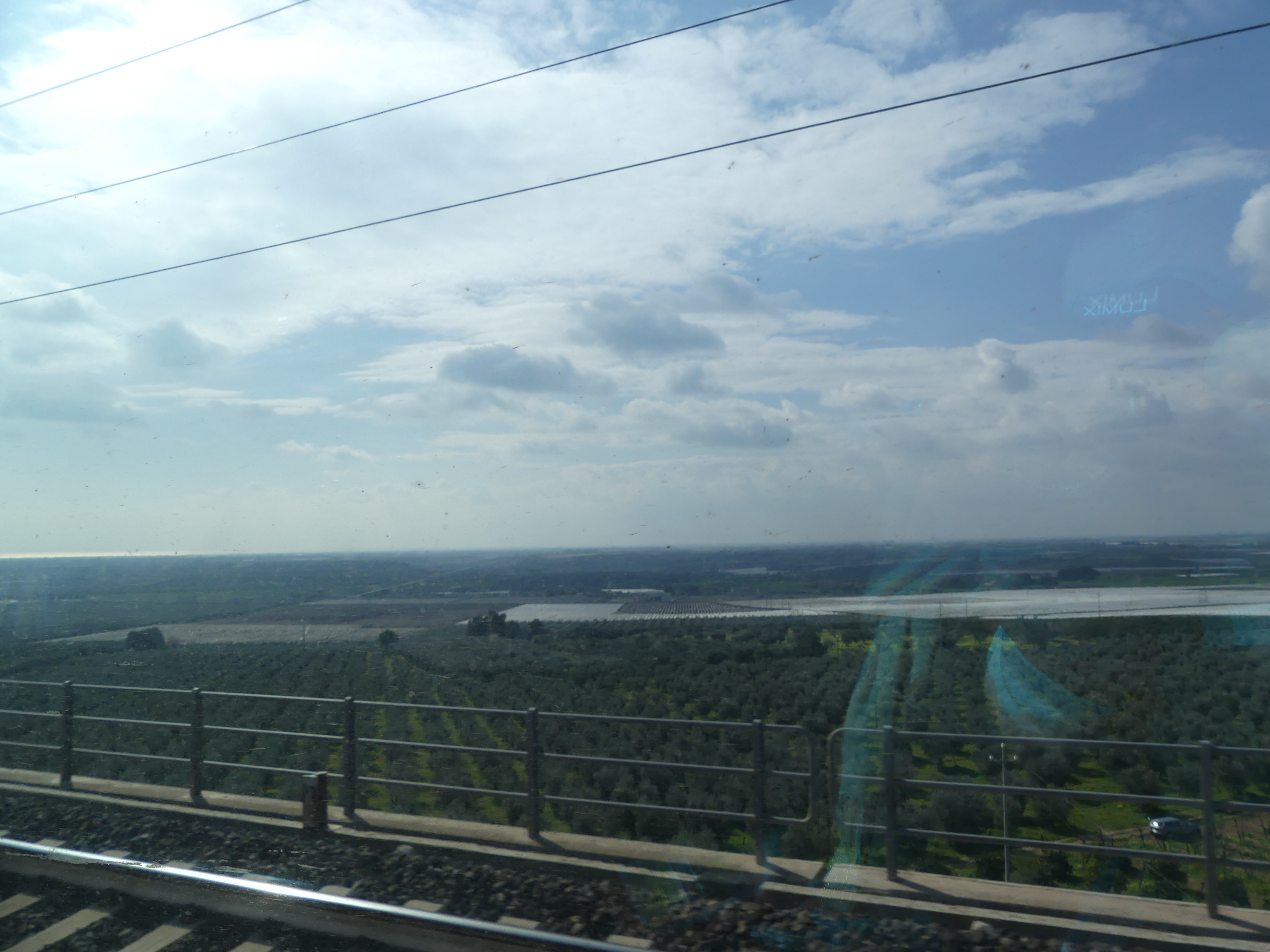
This was a longer journey and moved us out of the coastal areas of the Adriatic Sea to cross some long flat plains into an industrialized centre on the Mediterranean Sea.

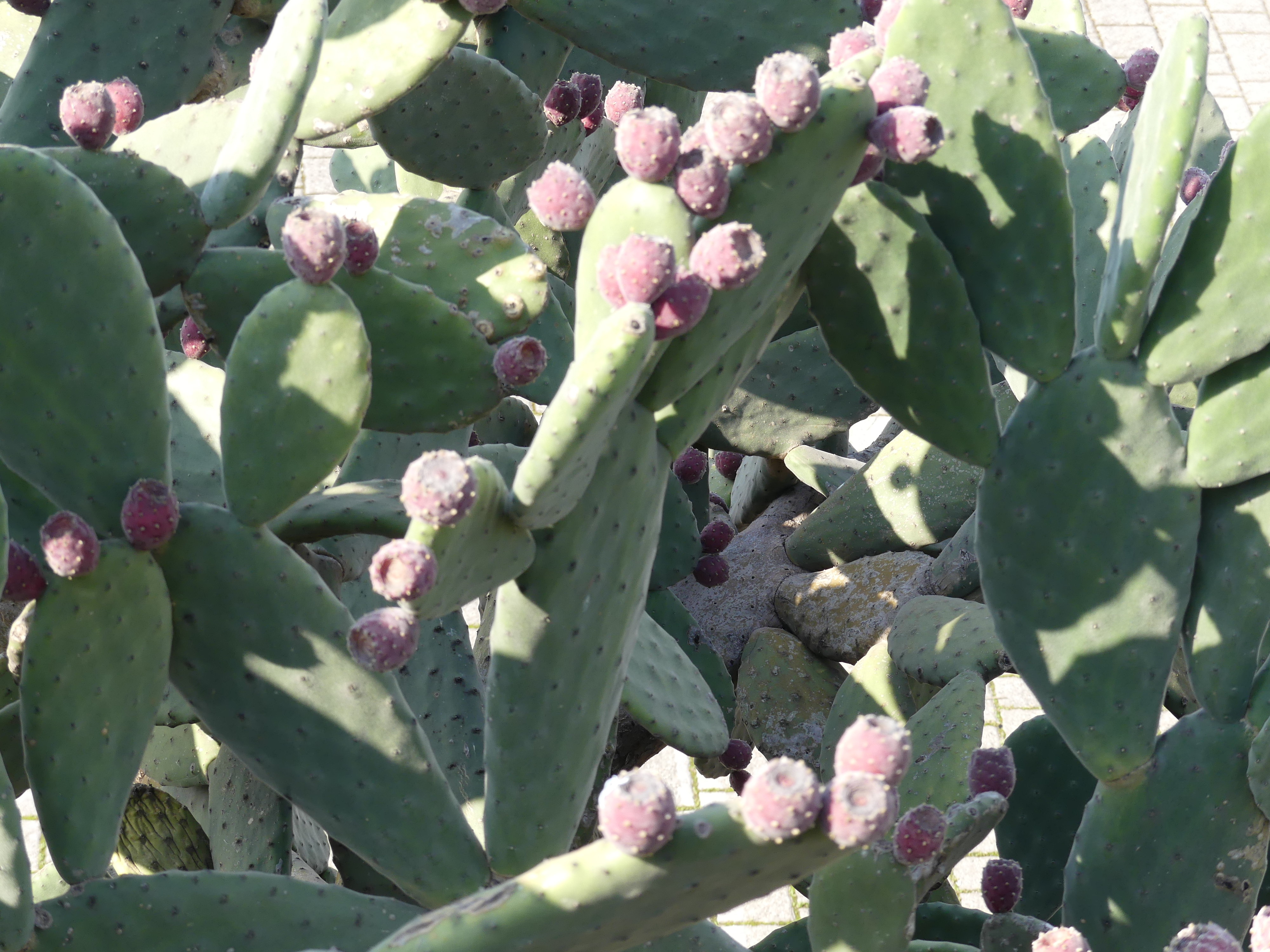
The walk from the station to the old town was also longer than other towns. Taranto was clearly a much larger town. To get to the old town we had to cross a substantial bridge. Cactus seemed to be a popular roadside plant and was coming into flower.

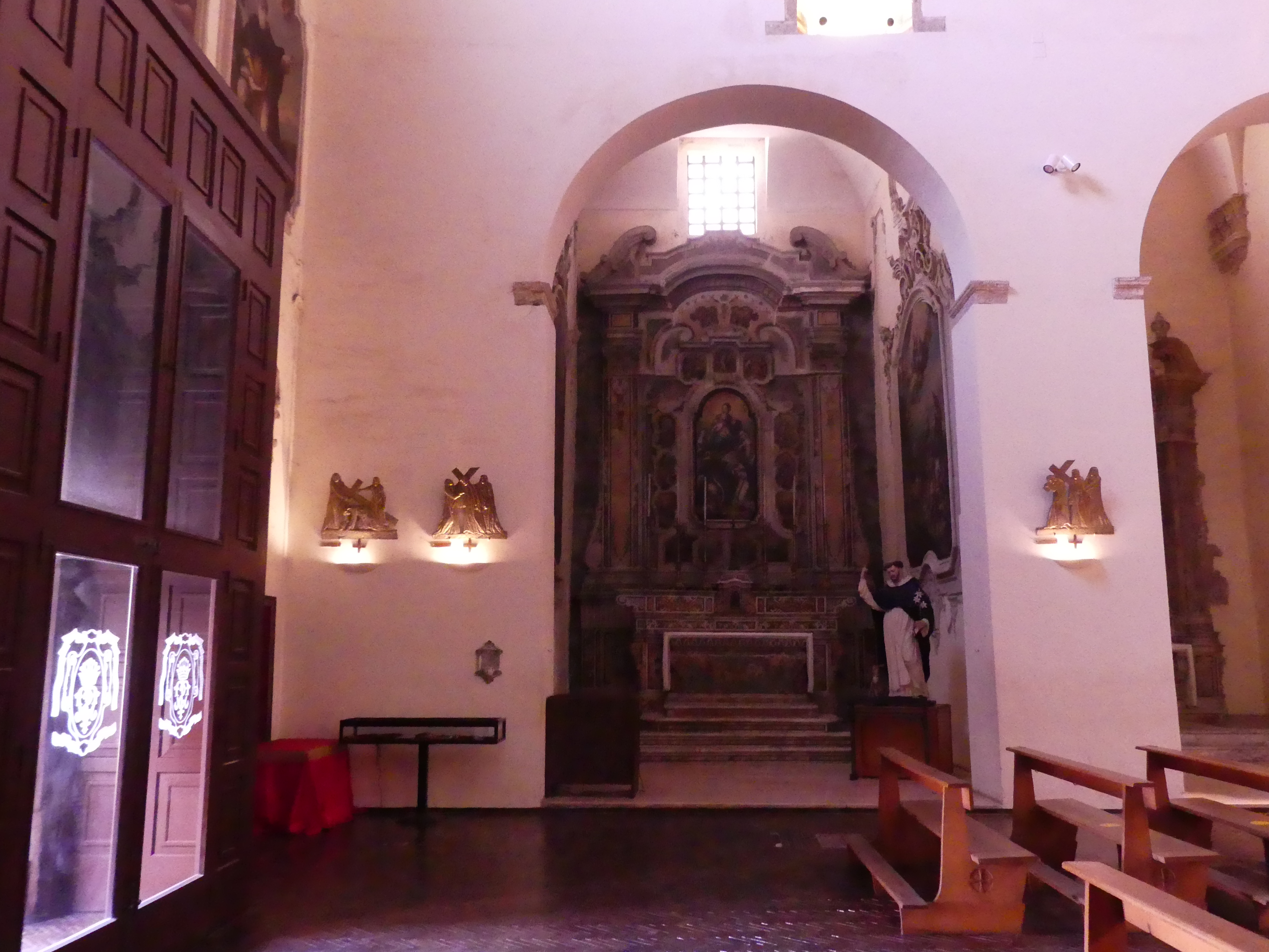
Another church. This time atop a large staircase – Chiostro de san Domenico – plainly adorned but with a new twist on the stations of the cross. In the pictures below you can make out the plaque on the walls put forward the picture of the Crucifixion.

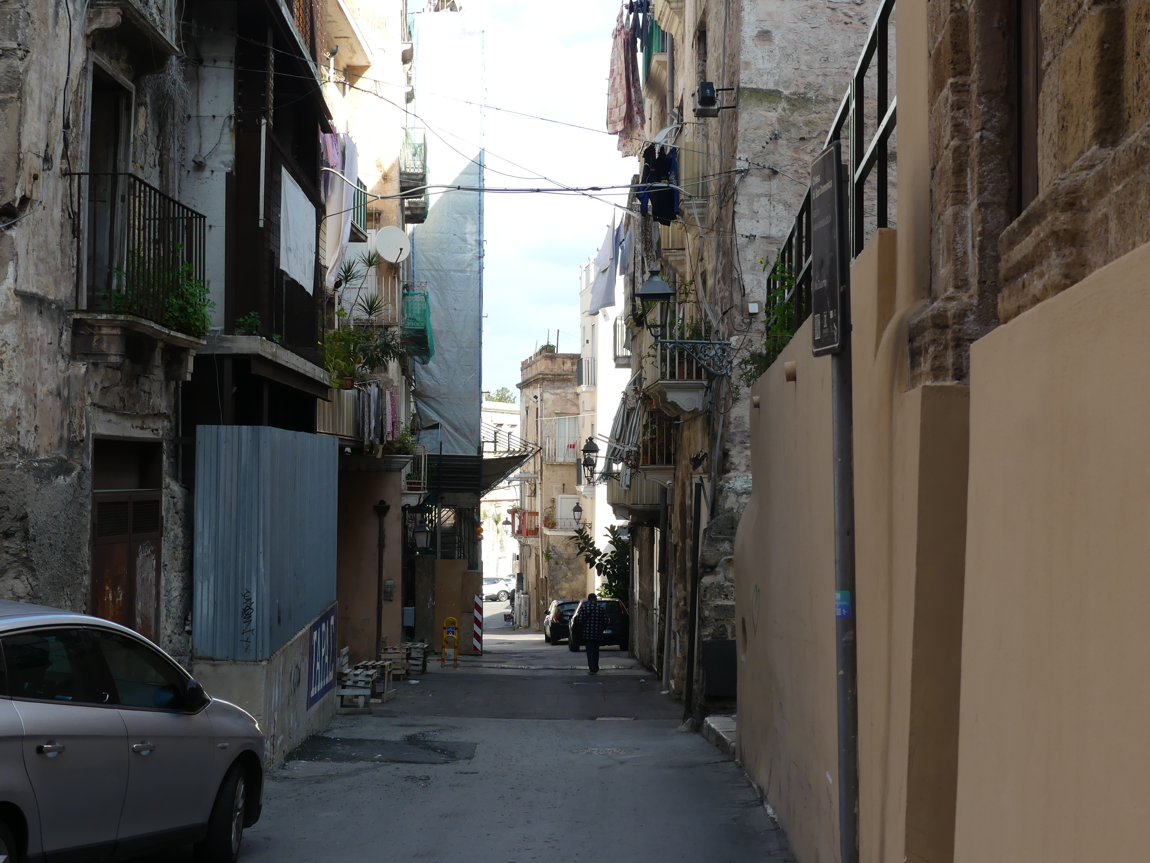
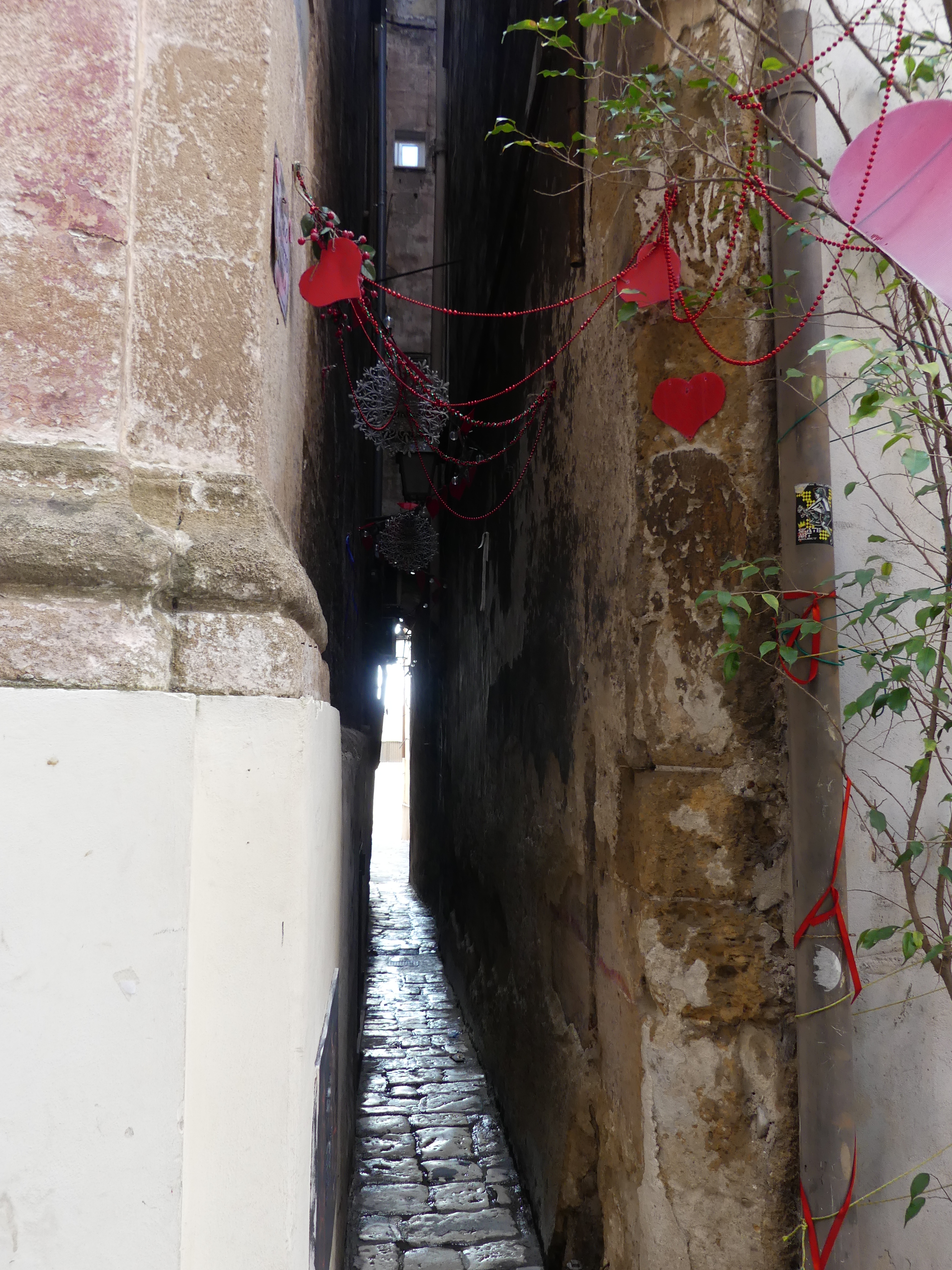
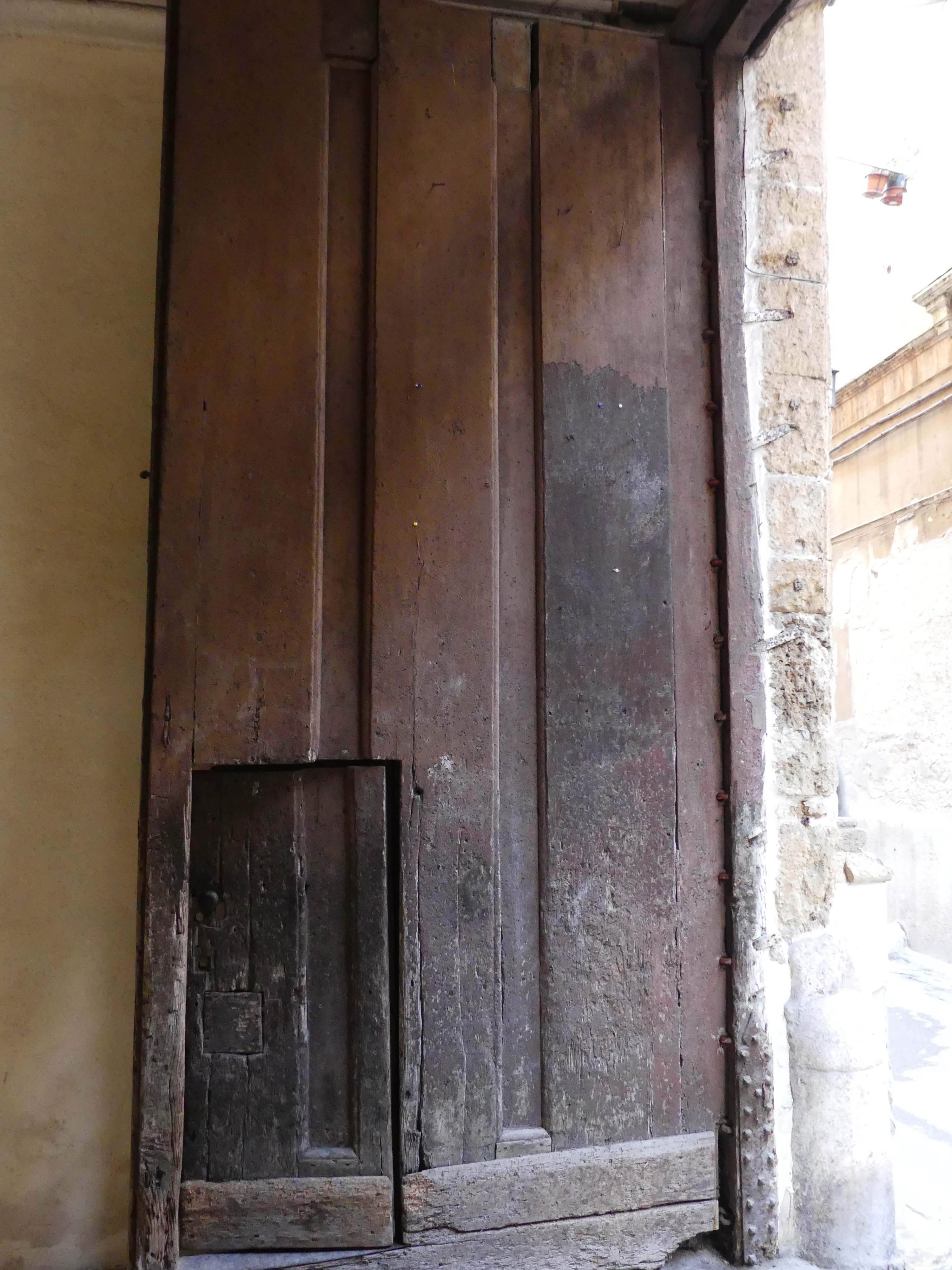
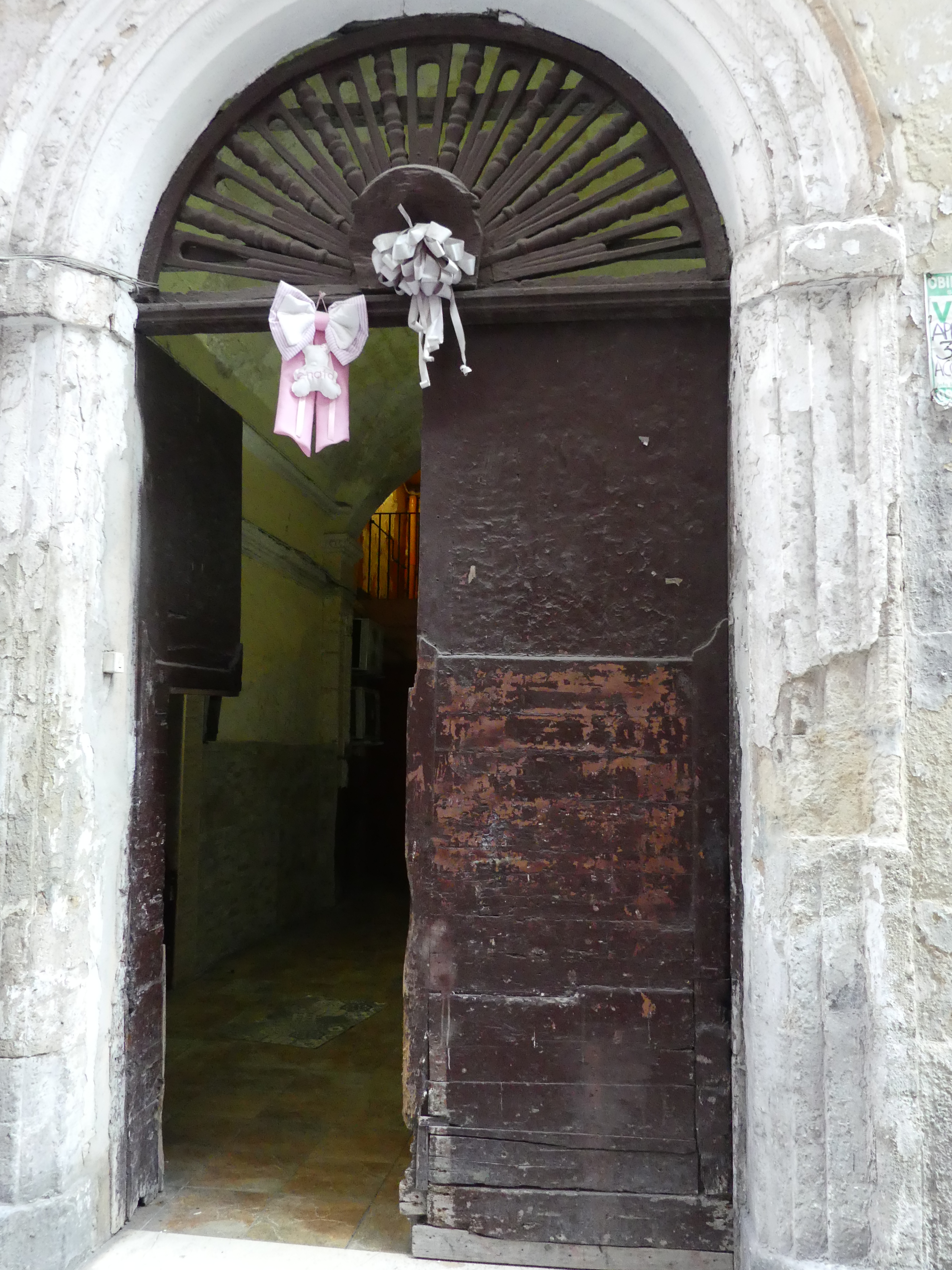
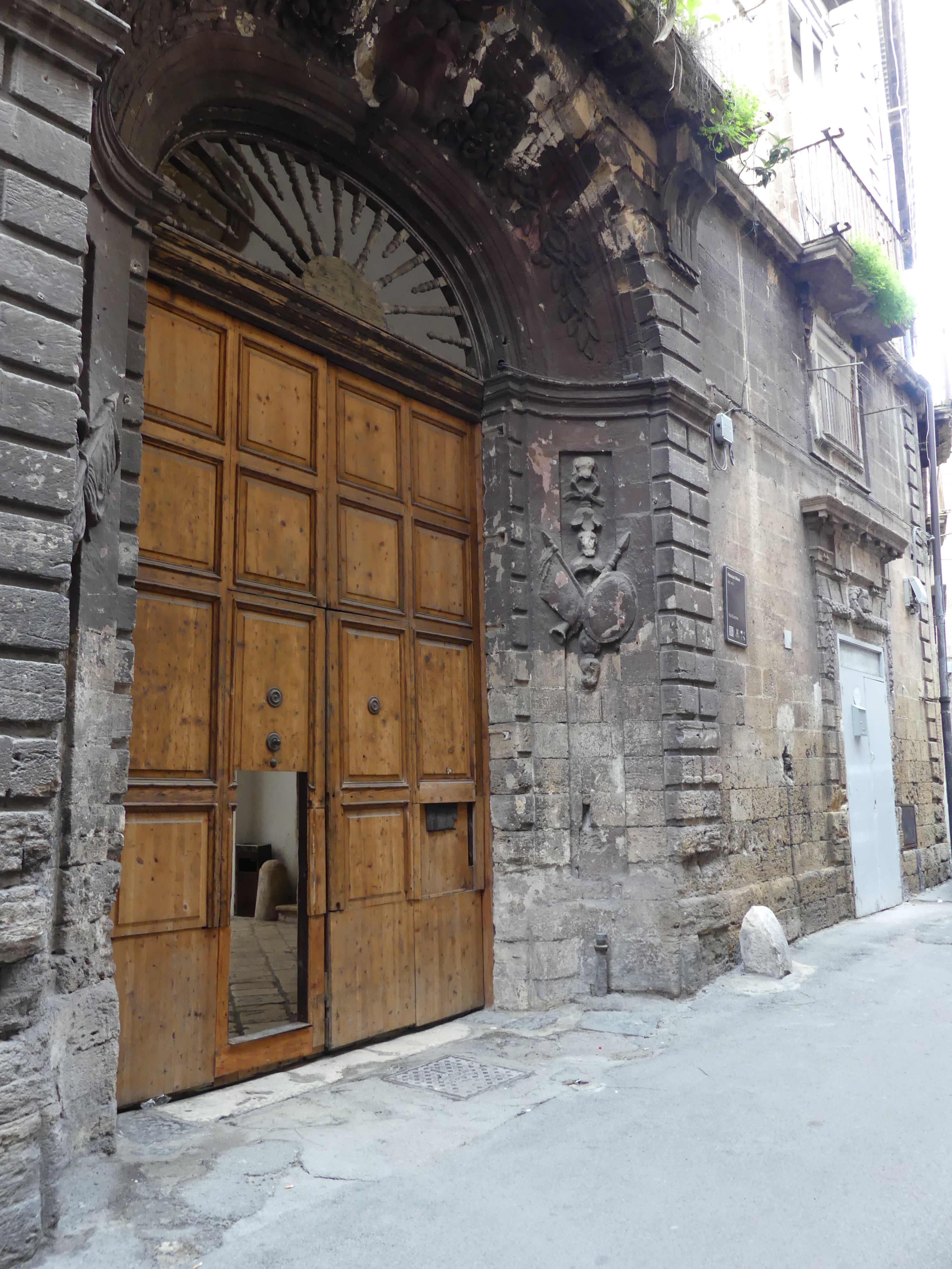
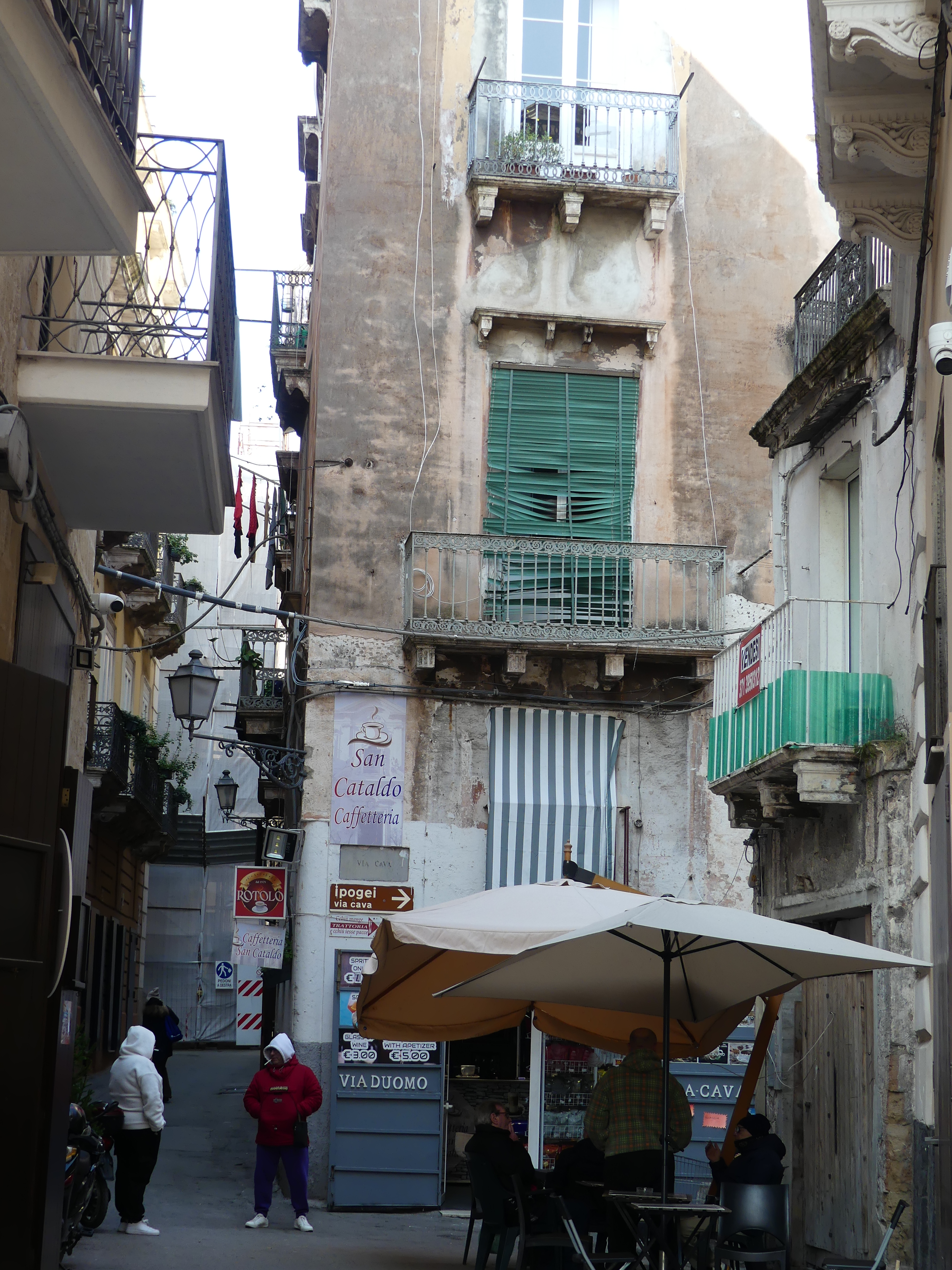
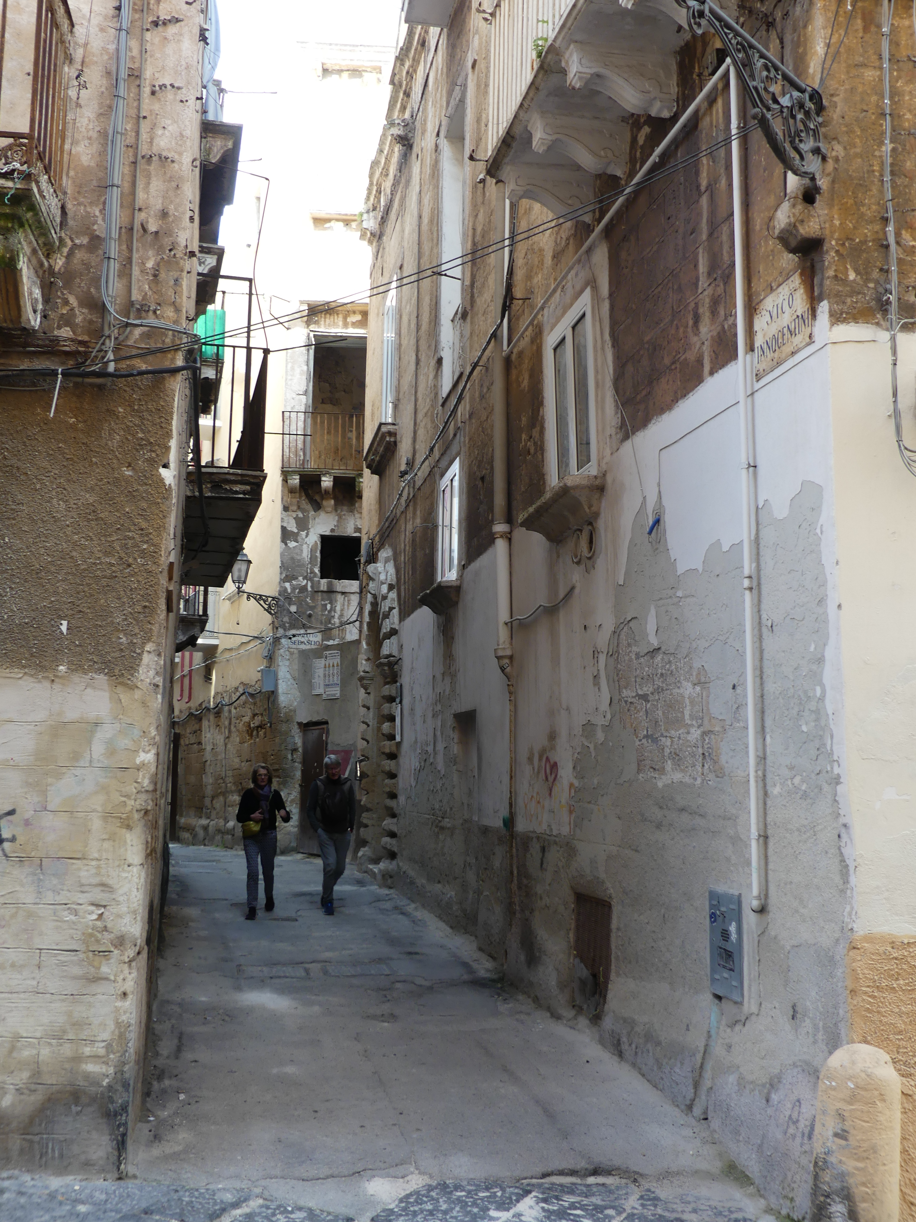
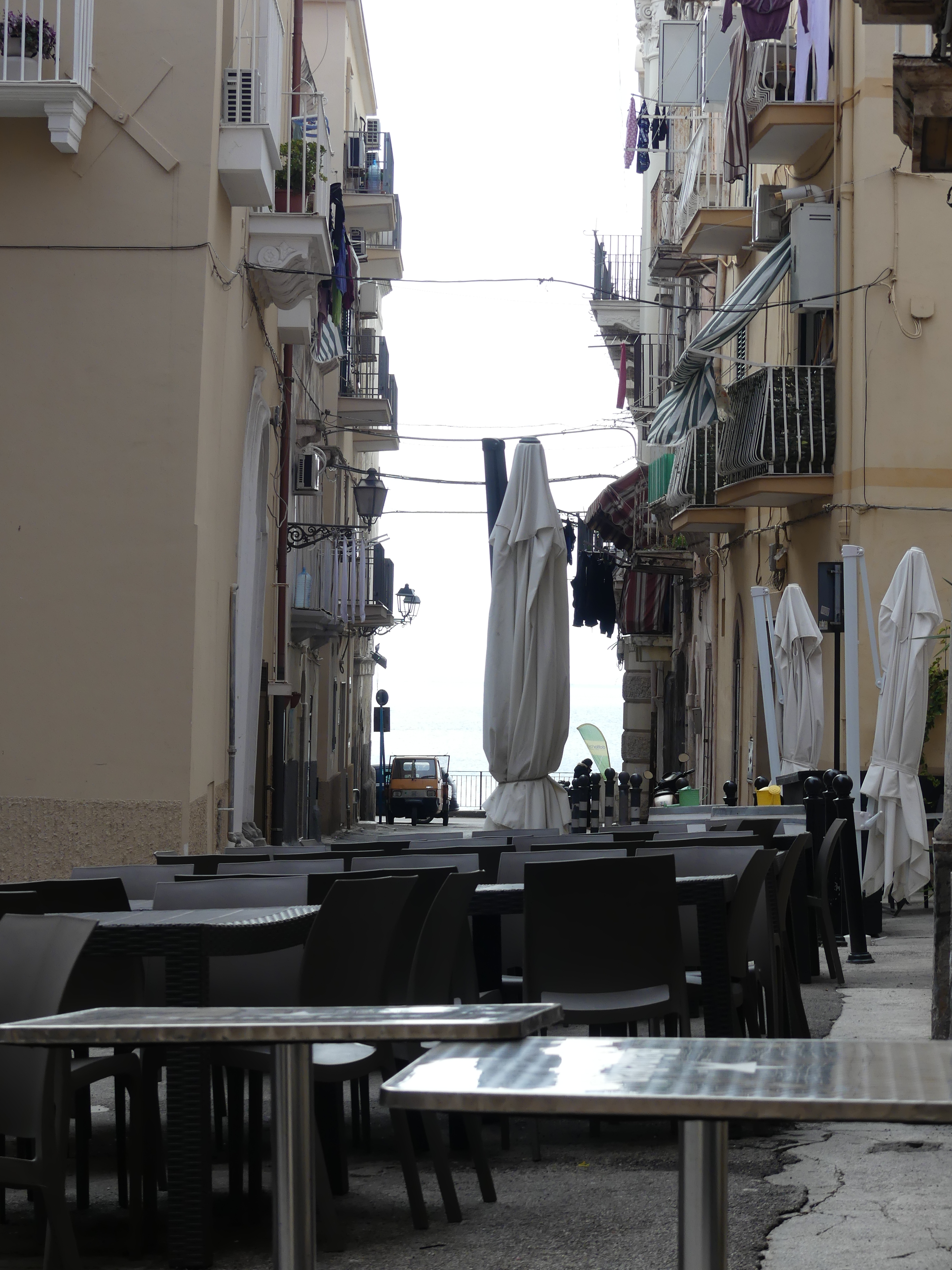
As we walked through the old town some of the passageways reduced to single file and some of the doors must have had some big hay wagons storing goods behind them. Here we encountered the practice of adorning the front door with bows celebrating the birth of a child blue for boys and pink for girls. In this case I think a little girl but they have forgotten to take an earlier birth “notice” down. We were to see this regularly in Naples. We also encountered the back street cafes – yes that’s it in the last photo. There is our fearless leader forever conscious of the WHS rules of being seen.

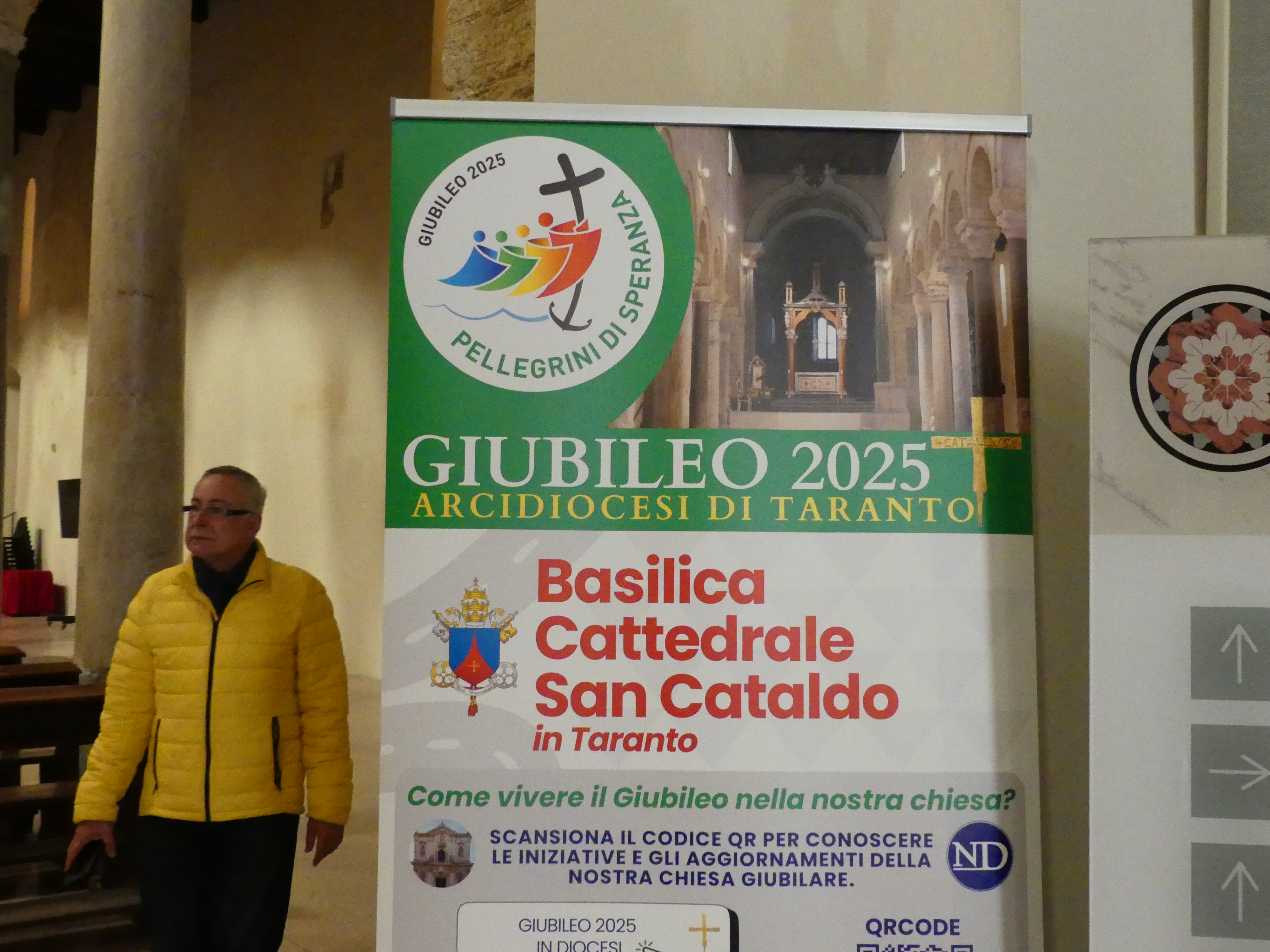
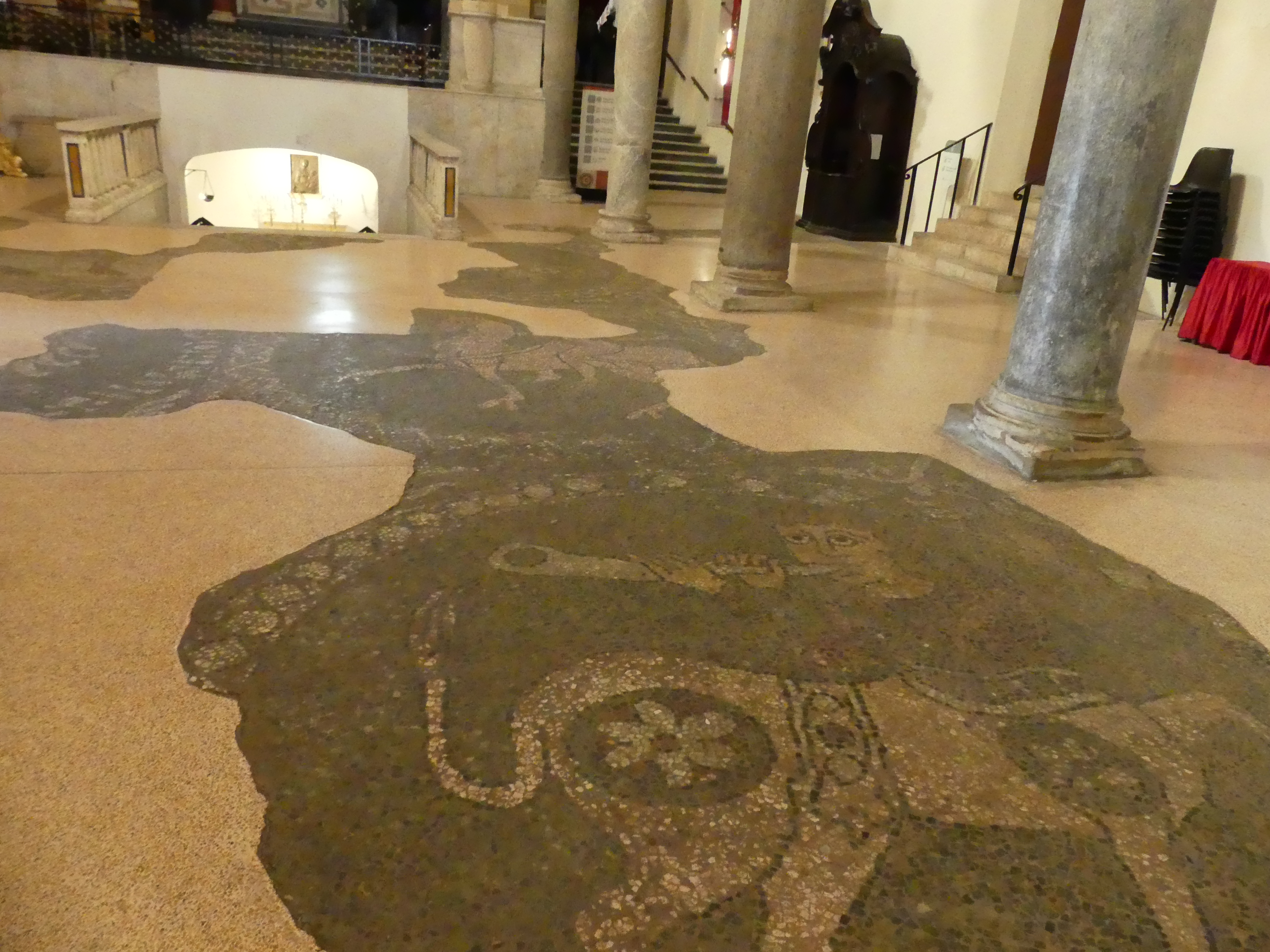
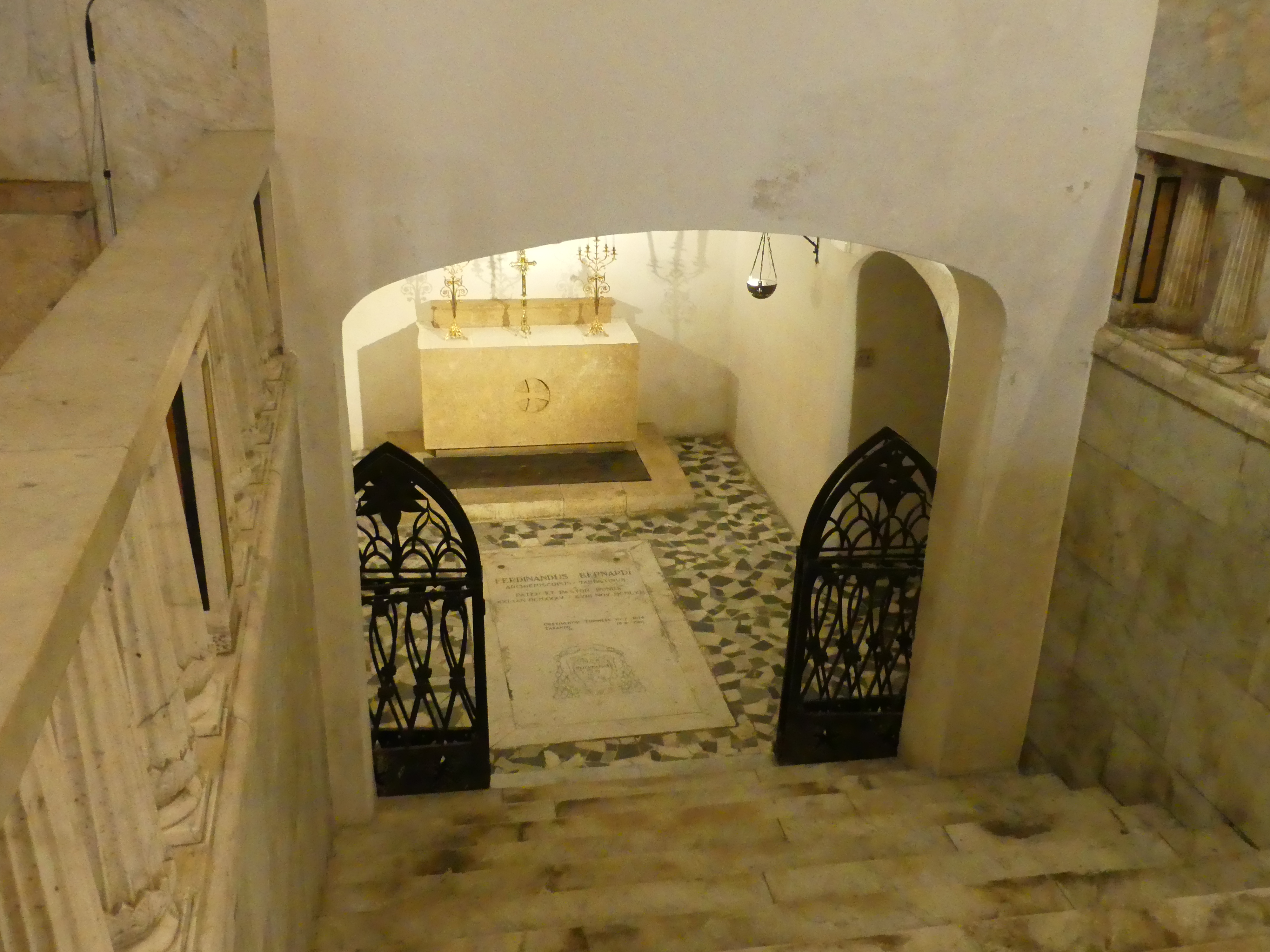
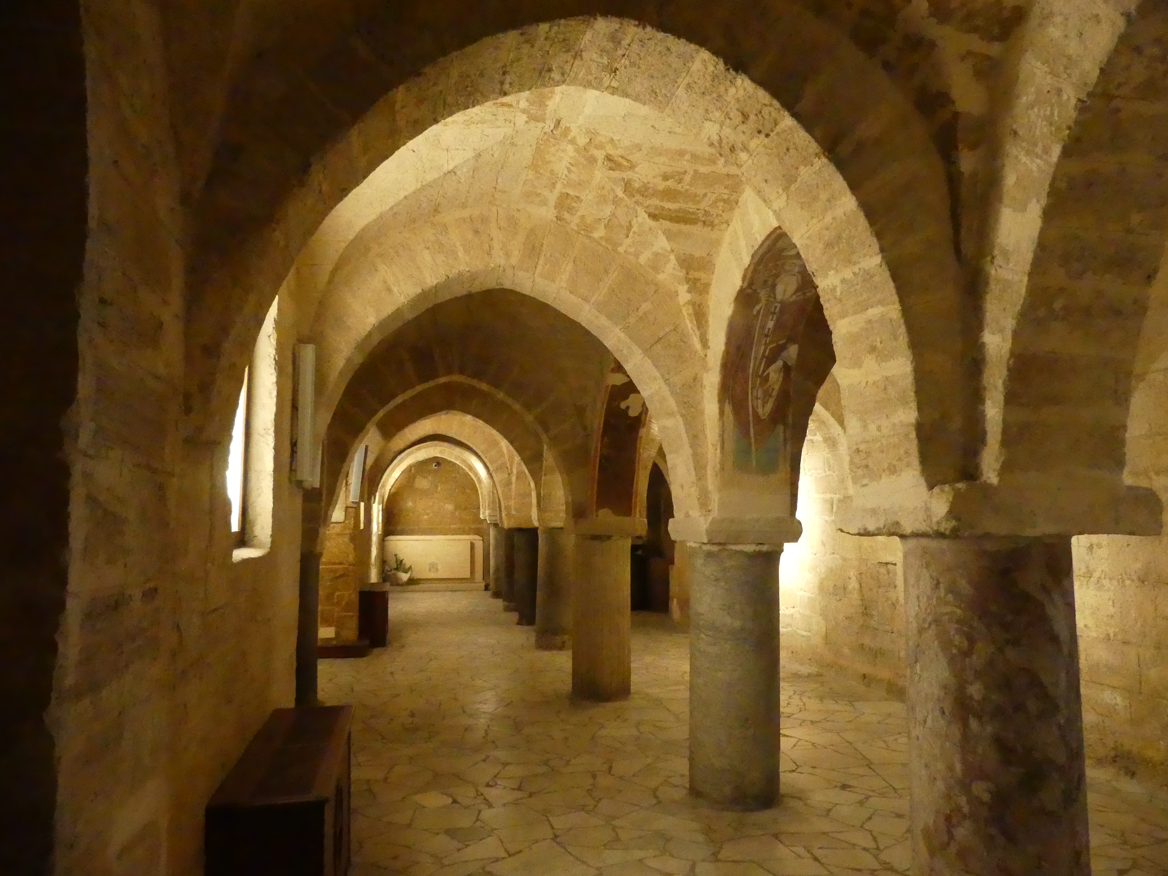
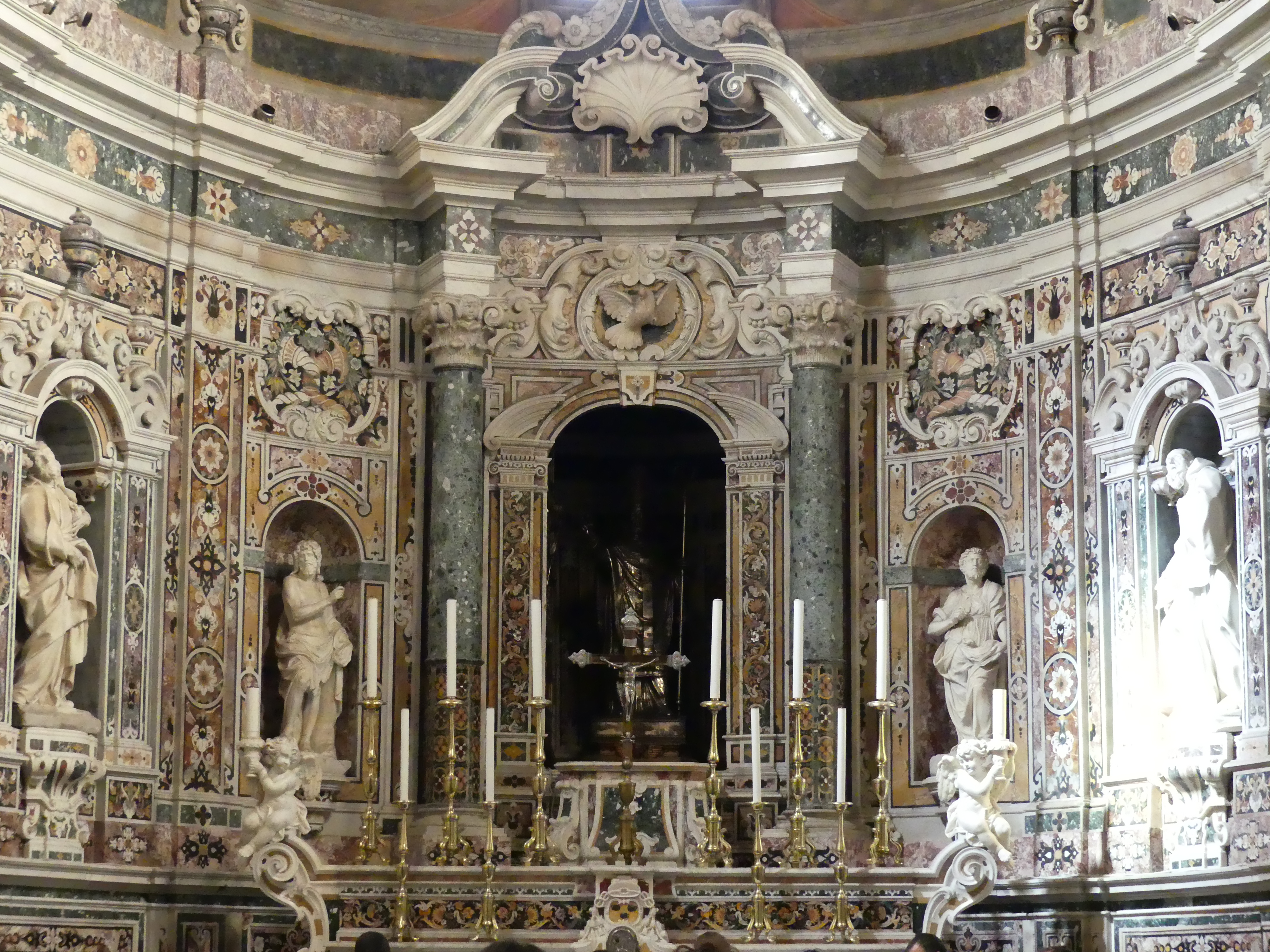
In our walk about we uncovered an Italian national monument Basilica Cattedrale san Calaldo. We were told that the primitive early Christian cathedral, attested since the 7th century, had to be placed outside the walls of the town and its location could probably be in the area where the Church of Carmine is now located, where a piece of the column on which Saint Peter is said to have celebrated the Holy Sacrifice is currently preserved. However, the church we see today was built by the Byzantines in the second half of the 10th century, following the sacking of the city by the Saracens in AD 927, when the Muslims definitively destroyed what remained of the ancient Greco-Roman city. The building contains some very interesting features and remains in use.

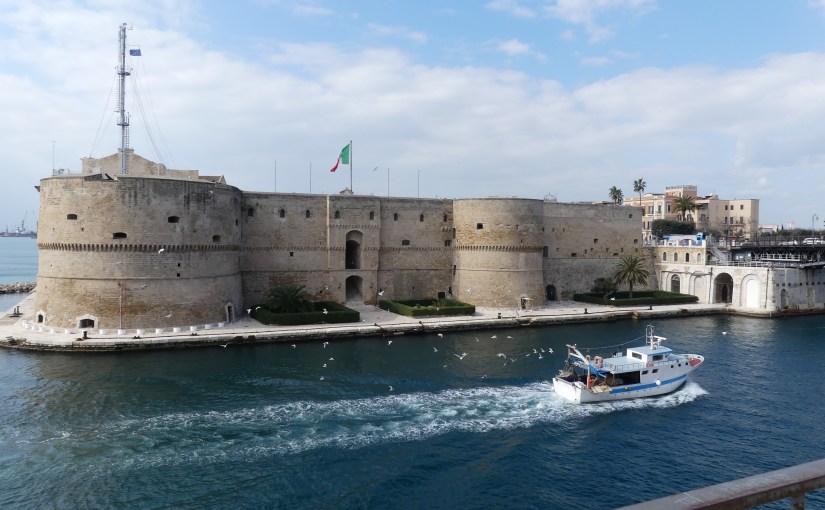
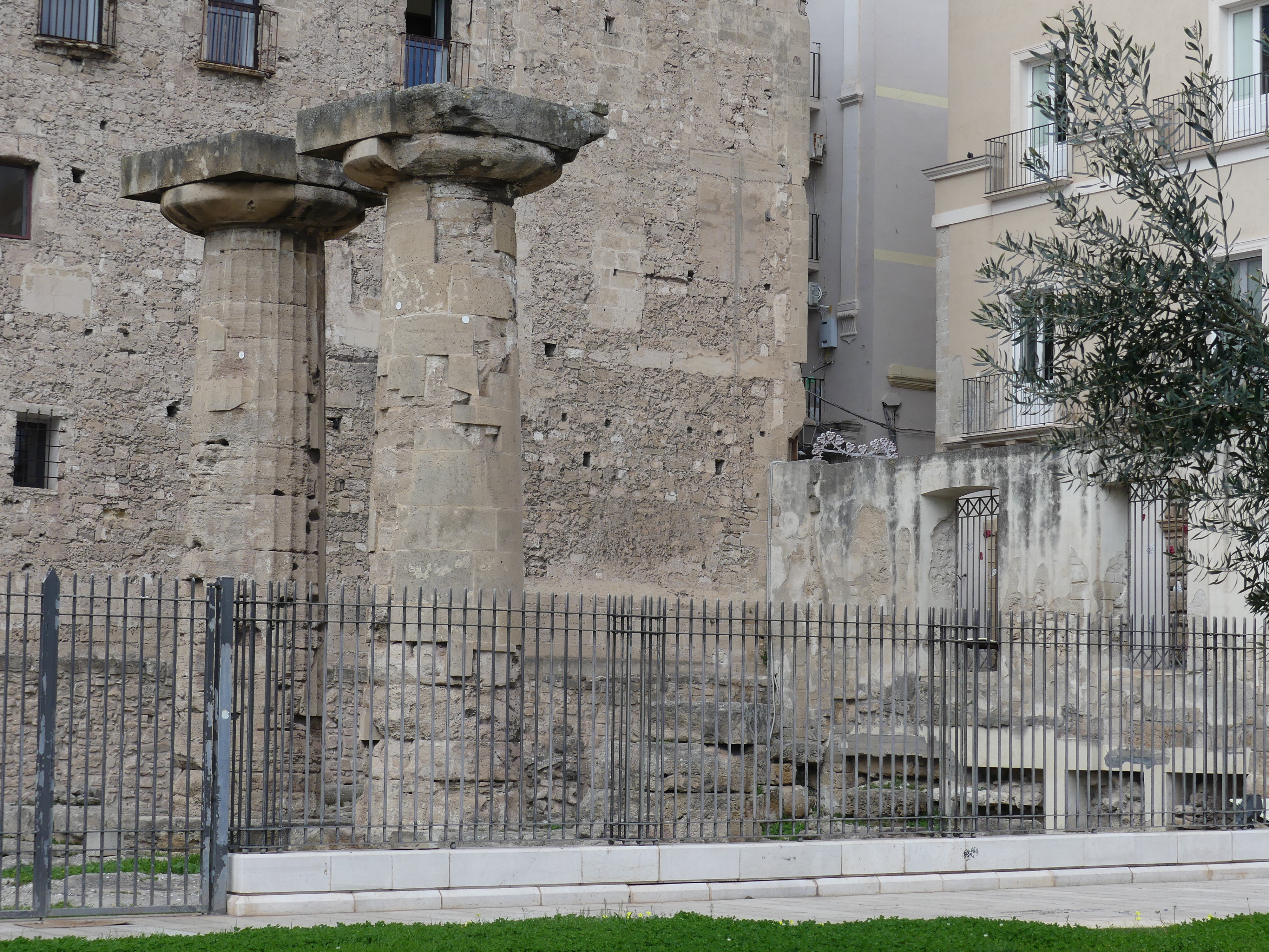
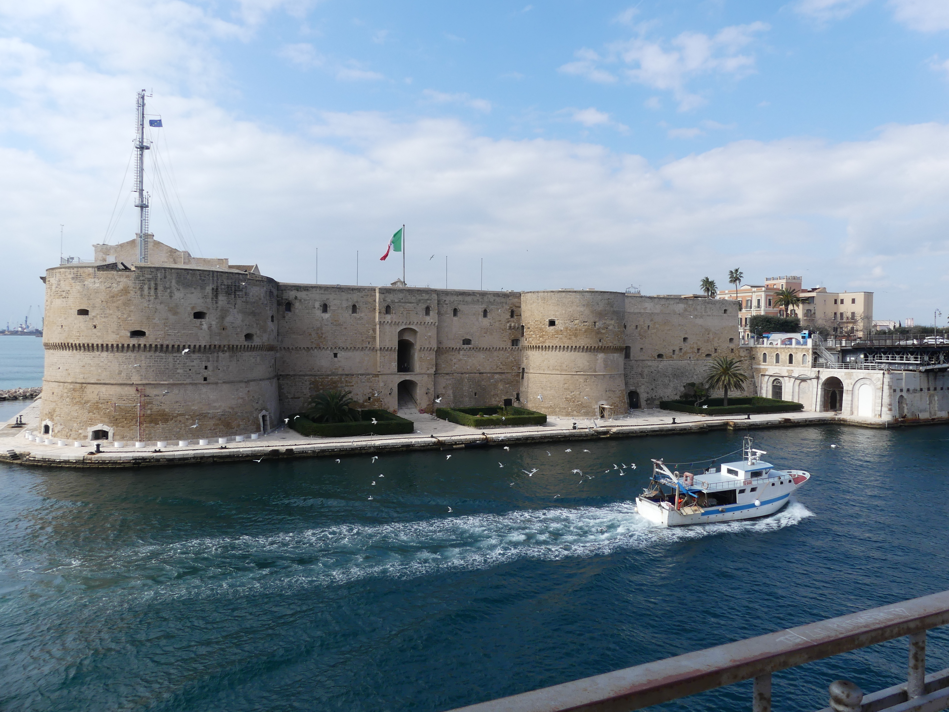
After leaving the gift shop (they must spoil it don’t they) we continued our walk about passing a florist with a novel presentation. The space inside was very tiny and this shopkeeper had utilized every inch of space including the back of the doors. It’s not yet Italian lunch time and the street cafes are empty. But judging by the number of tables in all sorts of spaces they expect a crowd. Then we found what the Byzantine Saracens left behind – a bit of the Greco- Roman ruins they missed in their sacking of the city. Across the road was the castle in use today for what appeared to be some para-military purpose and not permitting visitors. It had been constructed by the occupying Aragonese and still in use. I got cranky about that and the fact that I couldn’t take any photos inside. I was still receiving chemotherapy and tiredness brought on my bad temper. Kerry correctly pulled me away and I stomped off.

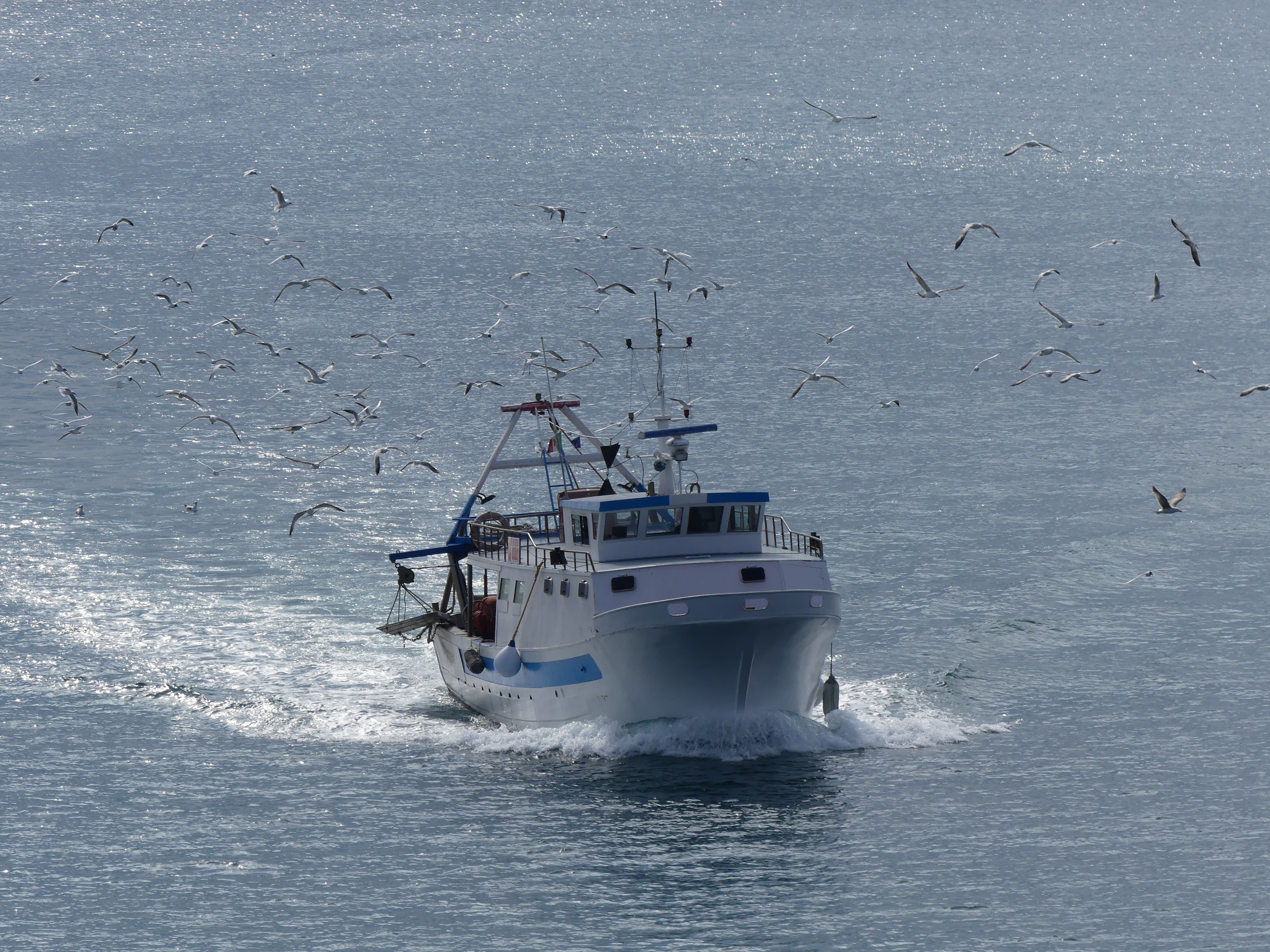
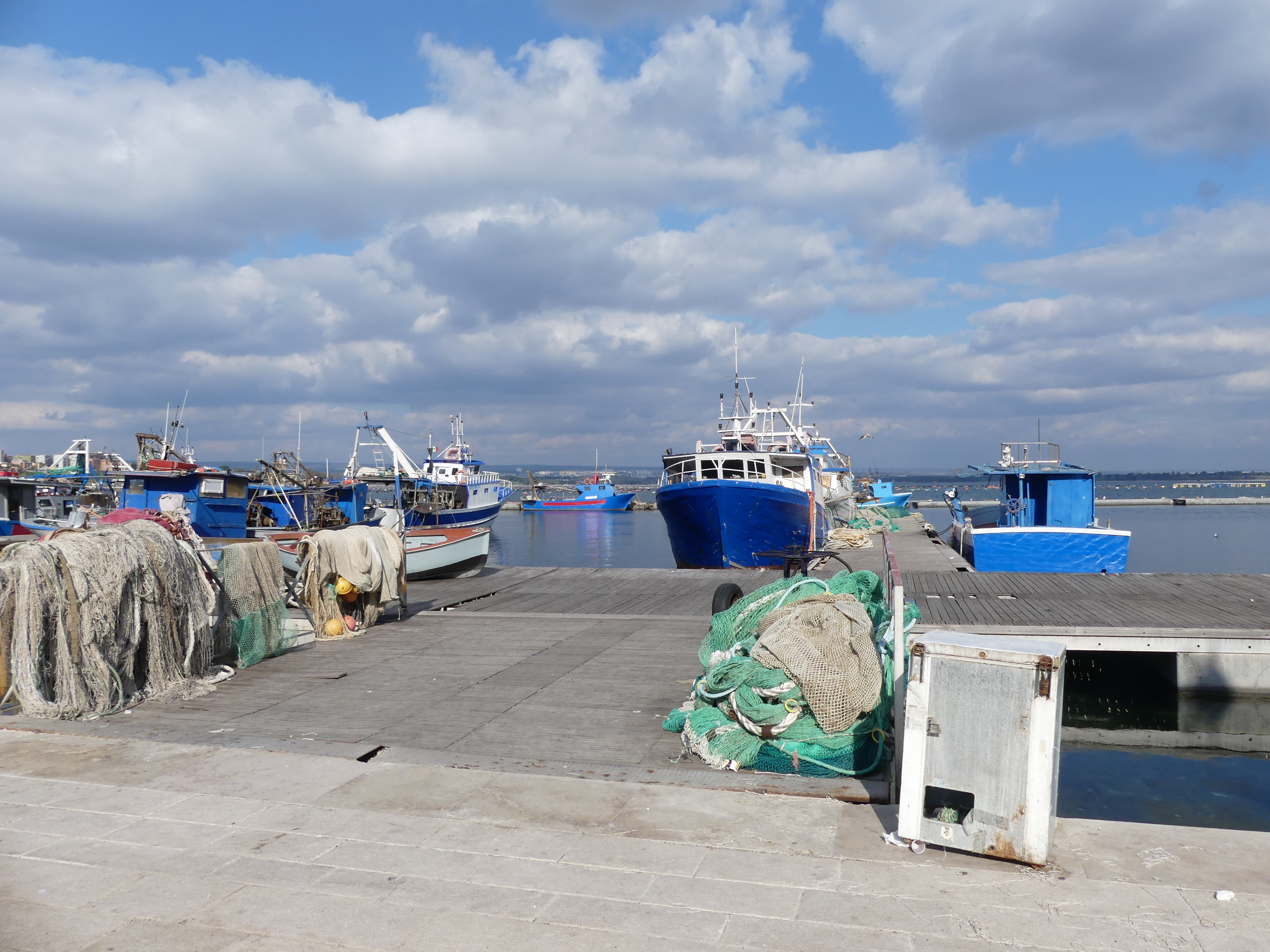
I moved on over another bridge and spotted this fishing vessel full of fish with trailing gulls. Fishing remains an important part of Taranto. Across another bridge (it dawned on me that we were on an island) and here is the HQ for Marina Militare.

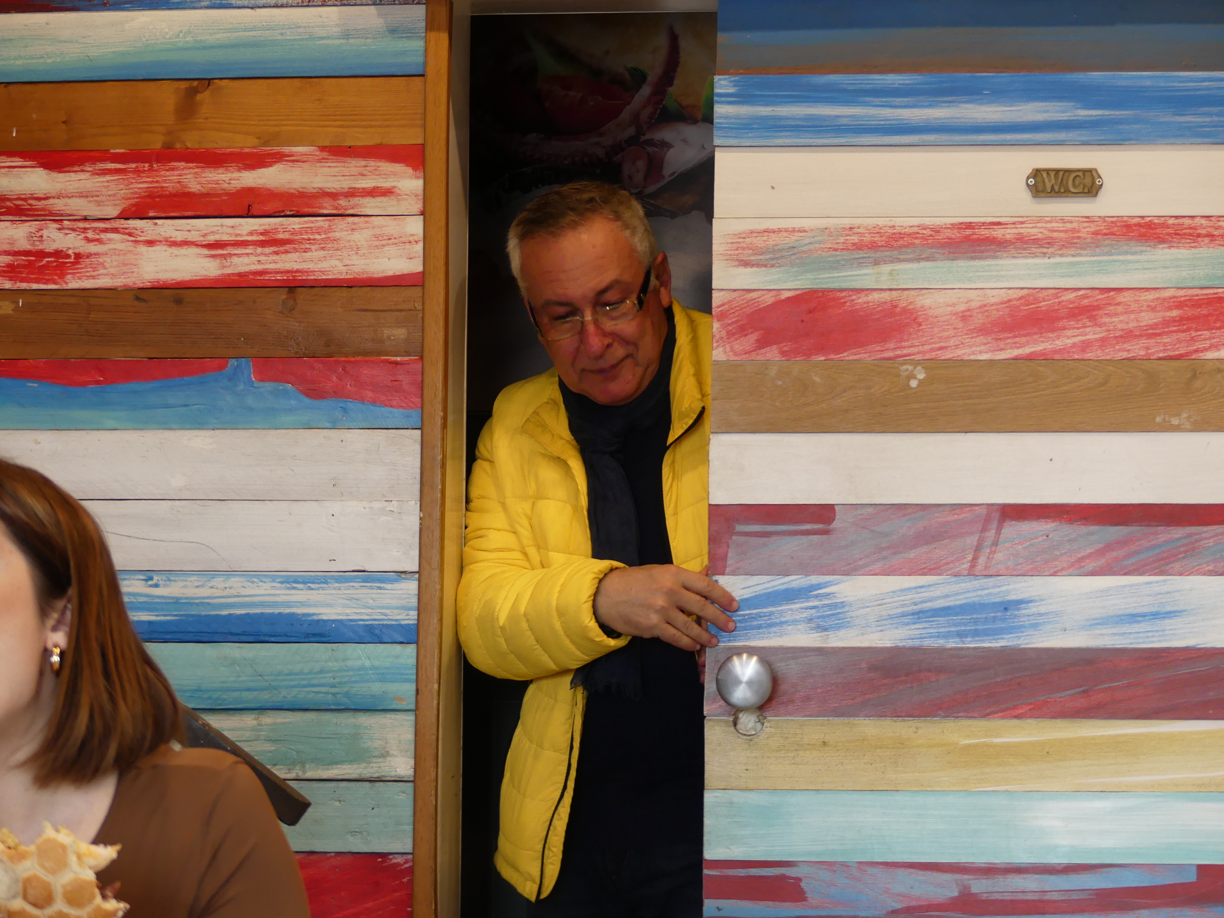
Nearby we found a café for lunch. It fitted into a tiny space with some imaginative interior design and colour schemes – here is a photo of Robert leaving the bathroom bitching like hell about how small it was.

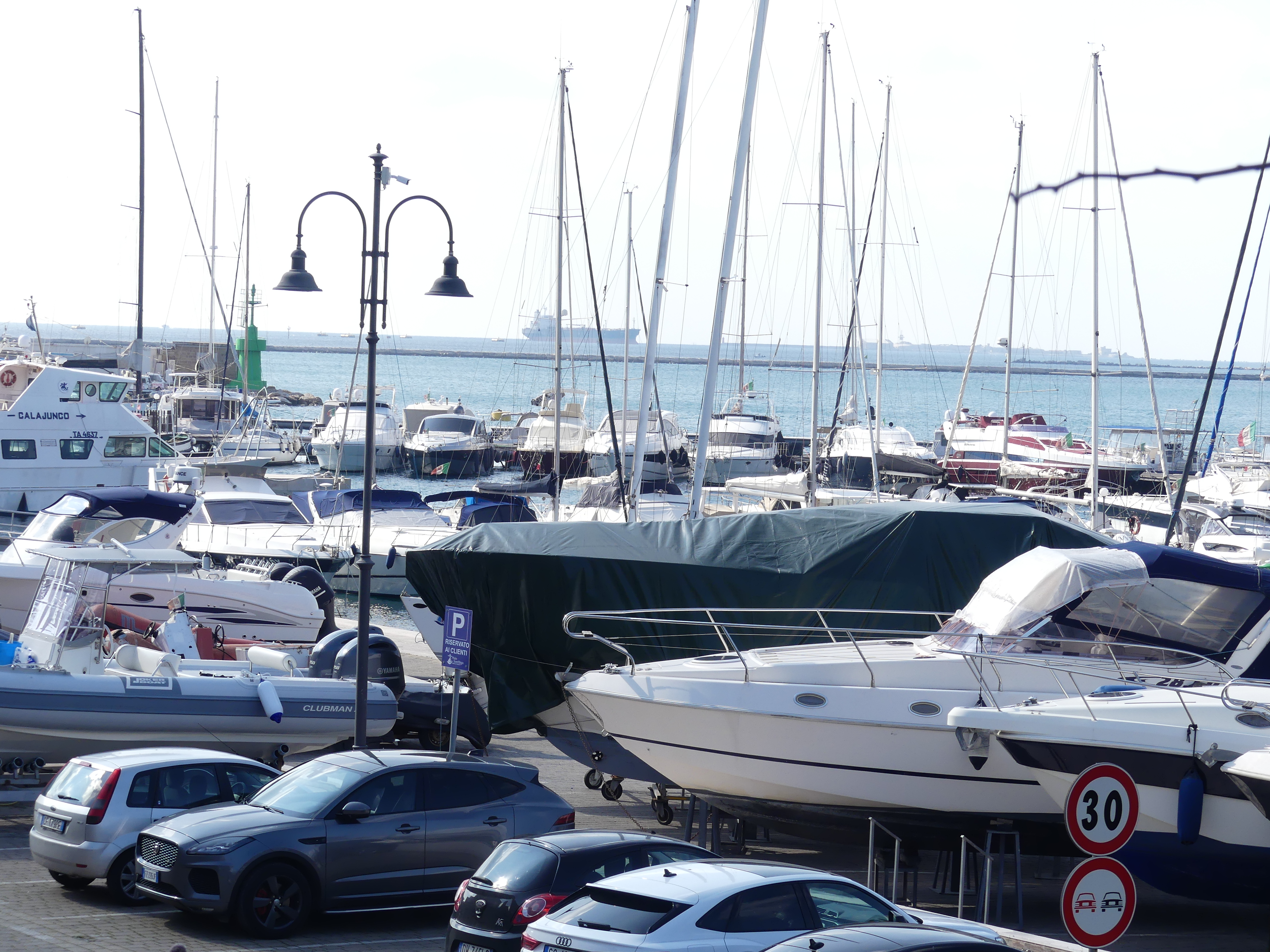
After a rather disappointing lunch (I still had no appetite due to my chemo) we continued our exploration following the main road around the island. The road took us to the sheltered harbour housing the fishing fleet and a rather tired section of the old town. Notably the church looked in good order.

We had circumnavigated the island containing the old town of Taranto and called it a day. I needed a nap so we made our way back to the train station, and I had my nap going back to Bari.

You may note that Robert has taken over the itinerary but we didn’t mind. He had a few more surprises for us so get ready for “THE RETIREES GO AROUND THE WORLD – BARI to MATERA” in my next blog.

“THE RETIREES GO AROUND THE WORLD – BARI TO POLIGNANO A MARE”

POLIGNANO A MARE

This town was one of the towns we wished to visit. Our research showed that it had many points of interest and it was on the itinerary prepared by Chat GPT. Irresistible wouldn’t you say. Robert thought so and agreed it was worth a visit. Our train was loaded with beach goers and we were concerned that we were going to be crowded out.

It is a town in the municipality of Metropolitan City of Bari, Puglia southern Italy, located on the Adriatic Sea. My research showed there is a tour of sea caves by boat that can be taken from the town. That interested me but as I have said before we were there in winter and out of season, so it was closed for the season. After arriving on the train there was a short walk to the city gate – oops it was closed also but then it’s not really in operation anymore.

The area has been settled since prehistoric times. It is believed to be the site of the ancient Greek city of Neapolis of Apulia. Thanks to its strategic position on the Adriatic Sea, it soon became a trade centre. The Byzantine Empire, in the 6th century, turned it into a municipal structure; subsequently, it was dominated by the Normans. Under the Aragonese crown, Polignano reached its peak in both economic and cultural terms.

Not to worry, the crowd who came on the train with us showed us the way into town and moved on quickly down the road until reaching a bridge showing exactly why people come to here – the breath taking vista out to sea, not the black cat on the rock ledge but rather the natural rock walls holding the town out of the sea. People do live here – notice the washing on the line and the altana on the roof (Italian roof top terraces). Everywhere in town brings you back to the coastline.

Excited by the movement above us we went back to the City gate and found a passage onto the rocky escarpment above us into the houses on the cliffs. The views were fantastic – all along the coastline houses and building clung to the cliff face, even into the inlet below. The sea caves were quite obvious but the tours were not running so further disappointment that we had chosen the wrong season. We had hoped to have lunch at a restaurant in the walls of the cliff face but it was closed of course for the winter season. You can see the entrance to the restaurant in the photos below. Still we were able to weave in and out of the passage ways all appearing to be alive with lights and decorations. We stopped for lunch after which I was weary and we decided to make our way back to the station.

In one of the piazzas, we discovered a memorial to the soldiers lost in WW1 & WW2 – not often have I seen these memorials in rural Italy. Kerry found one of the oldest olive trees we had seen so she gave it a hug for good luck.

The trip on the train to Bari was comfortable and I even had a nap – the photos don’t tell you how far we would walk through these towns and I can tell you I needed the nap. Tomorrow will be a very big day with a trip to Taranto in the very south of the Italian peninsula so be on the lookout for “THE RETIREES GO AROUND THE WORLD – BARI TO TARANTO”

“THE RETIREES GO AROUND THE WORLD – ” CESI and TERNI”

Cesi

Our trip continued the next day with a train ride to Terni and a stay with Robert in the village of Cesi an ancient village 400 metres above Terni. Things had changed in Cesi (Cesi formerly the site of Clusiolum) is dated back to 6th century BCE. A land slide had closed off the main road up the mountain, so the usual bus was not traveling the road but the ever resourceful Robert made other arrangements with a community bus to give us a lift from Terni to Cesi on the pretext I was an invalid and so my wearing the appropriate neck brace validated his story for the need of the community bus. Our plan was to spend about 5 days in and around Cesi and then to visit Bari and Naples by train with excursions by train to the villages nearby.

Robert has some of the most dramatic views of the valley below and to the mountains beyond. Even though it was overcast most days the view is extensive and includes the city (Terni) to country. The photos that follow speak for themselves.

Another change for Cesi is the restaurant that has opened in the village. Beside the church is a modern restaurant sharing the fabulous views and the tucker isn’t too bad at all. The price is affordable, and the ambiance is a mixture of ancient village and modern restaurant. Kerry (photo bombing again) enjoyed it particularly outside the restaurant the views of the valley and surrounds, and at nighttime the view from the restaurant.

On the face of the building across the road from the restaurant is an ancient Sundial. The Latin inscription reads “Hora fugit, ne tardes.” (“The hour flees, don’t be late.”). Very interesting even if you cannot tell the time using it. The one remaining church along side the restaurant is the only building still in use as a church with the other former places of worship now performing community duties.

There are a couple of sections of the old town walls, and the photo below shows the northern city gate. As we circulated around the village, other features are the church and its bell tower, the former town house and its verandas, and ooh Robert walking the dog (this is another change – the dog is pregnant and although not belonging to him he insists on walking and feeding it – it gave birth to its litter after we had left)

Terni

One morning we visited Terni and what remains of its old town. Because of its industrial past the British bombed the crap out of Terni during WW2 so to find pieces of its old town walls was very surprising. We found 2 remaining city gates and bits and pieces of the city walls. Kerry and I stopped for mid-morning coffee and there behind us is part of the old town in rubble and ruin.

Its market day in Terni. The markets are set up in the streets amongst the remaining old buildings of the old town and the rebuilt town replacements built after the end of WW2. Below are some market scenes. We found the State Archives (built as Palazzo Mazzincolli in 15th century), Palazzo del Governo (Town Hall) and the central church for the town.

We had sought Robert’s local knowledge on places to go in drafting our itinerary but Robert saw our itinerary as fluid. So our next trip was not on our itinerary. We took a train to L’Aquila. We caught the train through a valley bordered by high snow capped mountains in an old two carriage rail motor containing first class and second class (of course we rode in “first class”). We arrived and stumbled off into a pretty, and well organised and clean square with an old church with a relatively unadorned interior, but some old frescoes had been exposed to show its age. The design of all these old villages is that it sits atop a hill, and we found the hill.

Atop the hill was market day, and this seemed to be the reason we were here also (I suspect Robert had a rendezvous lined up). After the rather plain church in the square, here located in this small enclave of the old town was a huge church with its Nativity scene still on show. As we explored around the church (it was not open to tourists) we found what was on the other side of the hill – not such a small village. Then we discovered tucked away nearby was the “ordinary folks” chapel used by the residents with some interesting but not pretty décor. The priest had parked outside – a plastic Fiat. I couldn’t believe it, but it was the real deal just in plastic.

One of the shops offered a product that seemed out of place. So I obtained this photo that all is possible where ever you are.

The day had developed from cloudy to sunny although Kerry’s jumper tells you it still was not warm – pictured below is a wall leading to Roberts front door. The next photo is Kerry in the restaurant again after which we visited the rock fall on the entrance road. It appears to be cleared but some further work needs to be done with retaining the rest of the mountain – nice to know.

Our time in Cesi was up and tomorrow we have an early train to Bari via Rome – it’s a shorter train trip to return to Rome and travel across to the east coast to Bari than to go to Bari directly from Cesi – go figure. Look out for the next chapter and our adventures in THE RETIREES GO AROUND THE WORLD – “CESI to BARI”

“THE RETIREES GO AROUND THE WORLD – ROME to CESI”

ROME

I opened the window of our room. It was the 12th and it was Kerry’s birthday. In flooded sunlight and the structure containing the terminus known as “Terminii”. The photos below show the size of the station and the view from the courtyard of the building containing our B&B – the contrast between the front and the back is like a time ship – new and old.

Kerry had a birthday wish. She wished for a celebratory dinner and had chosen from the internet “La Terrazzade de Papi Roof Top Restaurant”. The restaurant is overlooking the roof tops of the city. That morning, we set out to find this place (booked online sight unseen) in preparation for the night. I hate using google maps to guide you to your chosen place – it always seems to play tricks on you like it’s a game. We ended up in a park Piazza Victorio, also known as Piazza Vittorio Emanuele II and we had never encountered it before. Wikipedia tells us that the piazza was built by Gaetano Koch shortly after the unification of Italy. It is the largest piazza in Rome (316 x 174 metres). In the centre of the piazza is a garden with the remains of a fountain built by Alexander Severus (so called Trophy of Marius), and the Porta Alchemica (Alchemist’s Portal or also called Magic Gate or Porta Magica), the entrance to Villa Palombara, former residence of the alchemist Marquis Palombara. It also contains Giardino Nicola Calipari, named after an Italian secret agent, killed accidentally by US soldiers in Iraq on 4 March 2005, in the phases immediately following the liberation of the journalist of Il Manifesto Giuliana Sgrena. I captured some of these features and post the photos below.

Back tracking from the piazza, we found the hotel with the roof top restaurant and checked out the shortest route home. The scenery was a grand mixture. Starting with Kerry photo bombing my picture of the grand church at the end of the street to the hotel passed the Porta Esqualina Gate and the Arch of Gallineus (The Arch of Gallienus is a name given to the Porta Esquilina, an ancient Roman arch in the Servian Wall of Rome). It was here that the ancient Roman roads Via Labicana and Via Tiburtina started. We saw the statue of Santa Maria Maggiore standing on a pinnacle in front of a grand Basilica constructed in her honour through to an architectural museum and conference centre (see Turismo Roma) again unseen by these eyes – very interesting and made us think of George Hazell an architect and former next-door neighbour for almost 20 years. I expect he would have enjoyed visiting the unique oval building.

In Piazza Manfredo Fanti, surrounded by a small garden, is the monumental building, inspired by classical architecture, for the construction of a fish farming establishment with an aquarium the Acquario Romano which has been restored as Casa dell’Architettura. In the garden, there is one of the most interesting sections of the Servian Walls, built around the 4th century BC to defend Rome.

There was a small café in one of the outer rings of the building where we had coffee and lunch. We then made our way to our Dream Station B & B, and I had an afternoon nap a legacy of my chemotherapy then we dressed for dinner.

We retraced our steps back to La Terrazzade de Papi. To access the roof top we followed a roundabout path of stairs and corridors to the roof – 7 to 8 stories above ground. The interior of this level was on level 7 and the exterior on level 8. It was still daylight, so we were afforded views from most points of the compass before witnessing the rising of the moon and the clouds then encircling and covering up the moon. In front of us was the statue of Santa Maria Maggiore in a Piazza to her honour tall enough we felt we could nearly touch it. Behind it was the Basilica also named after the saint. I believe this is the Basilica chosen by the late Pope Francis who was very much alive at this time.

We had no idea what to expect for dinner and were surprised when we were presented with two platters. It was like an Italian tapas with our choice of drinks. We nibbled away at the food and took selfies for Facebook from every reachable corner of the roof. Just the dream come true for Kerry’s birthday. To finish the evening we went inside to the restaurant for Tiramisu and coffee. We were the only ones in the restaurant except for one other patron sucking away on one of the many “hookahs” offered by the establishment.

A slow stroll back to our B&B and early to bed for the trip to Cesi tomorrow and a visit to Roberto’s villa. Keep reading and follow THE RETIREES GO AROUND THE WORLD – “ROME to CESI ” in Cesi.