Retired Australian Lawyer having worked representing the innocent and the not so innocent in Australia and some of the remote parts of the world and having travelled widely through Europe, Western Russia, Canada, USA, New Zealand, Thailand Malaysia Solomon Islands northern China, Hong Kong and the UAE
So now that I have the time I am writing about my travels present and past. Hope you enjoy exploring off the beaten track.
Wednesday Kerry and I started our first trip back to Europe since our anniversary trip to Rome and Lake Gondolfo in 2018. Covid intervened and we put our return trip on hold until now. For various reasons, some the restraints of anti-Covid policies and some personal, we determined to travel to Vienna then east to Bregenz for our 34th anniversary, then moving on to Switzerland, France and finishing in the UK.
So, 3rd August we left Brisbane flying QANTAS to Perth then to London Heathrow – what a shitty flight – 5 hours to Perth – a couple of hours there then, 18 hours to London. EIGHTEEN hours is far too long in an economy seat. We overnighted at the Holiday Inn Express Heathrow as we planned to fly to Vienna the following day. We can recommend this hotel for an overnight stay and onward journey. We tried to achieve too much in London after such a long flight and had to take a rain check on dinner with my niece Louise. However, we were chuffed about how well our arrangements were going, how manageable the crowds were, how trouble free everything had been but all that was about to change.
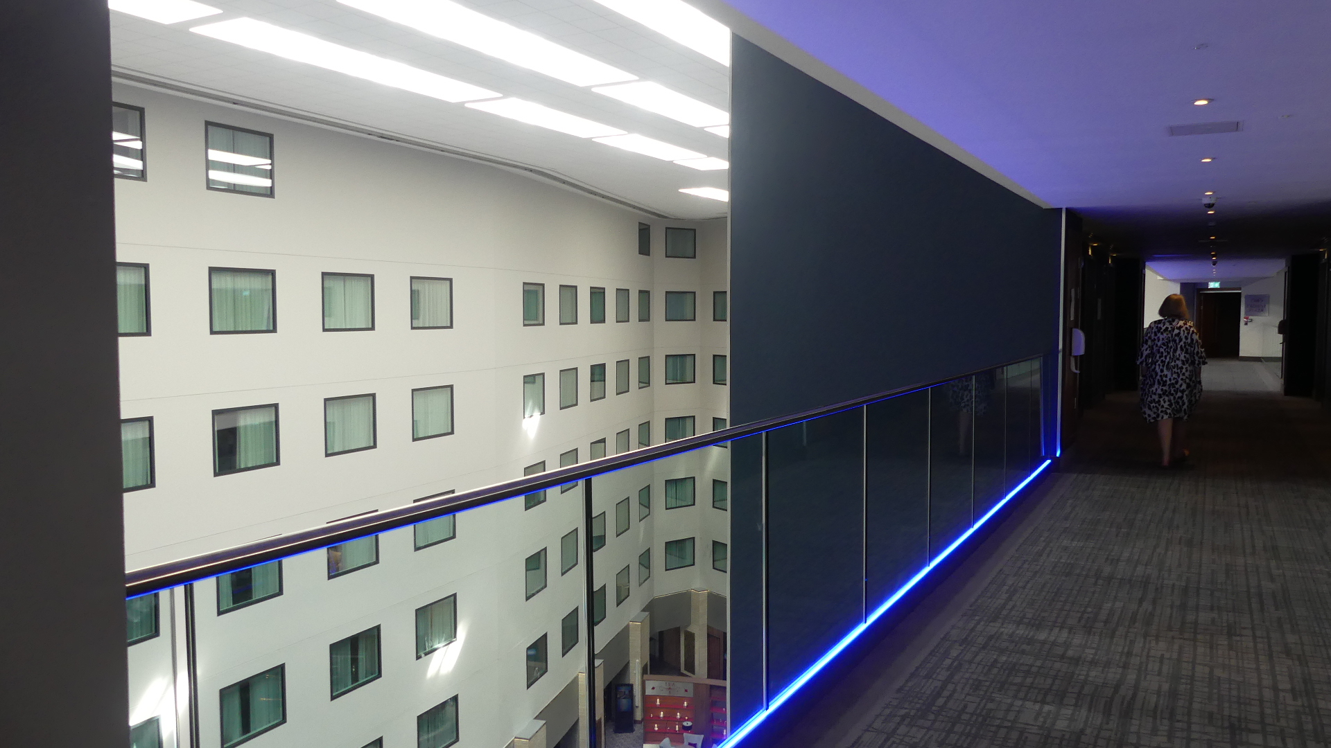
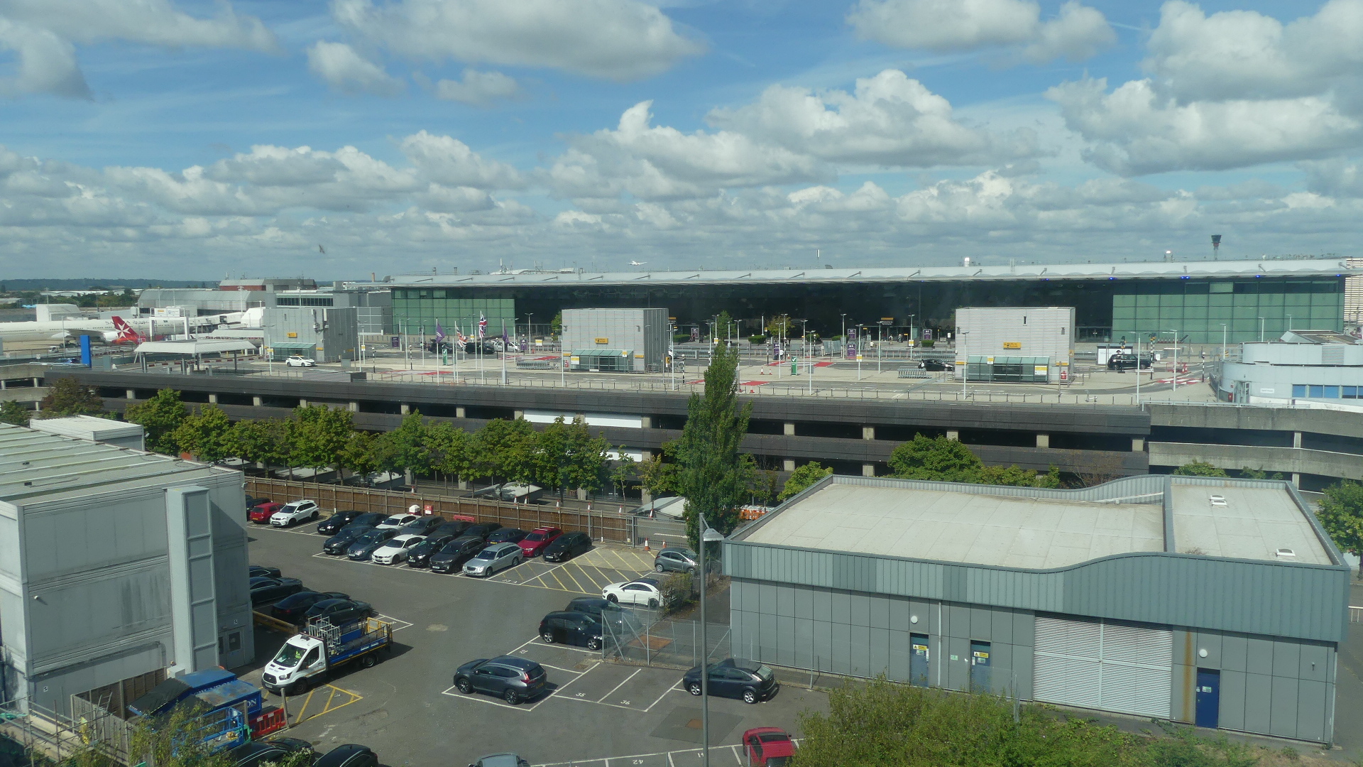
Photos of terminal 4 from our hotel room shows how close we are to the airport and from inside the hotel gives you an idea of the size of it.
Photos
Interior of the hotel and the view of Terminal 4
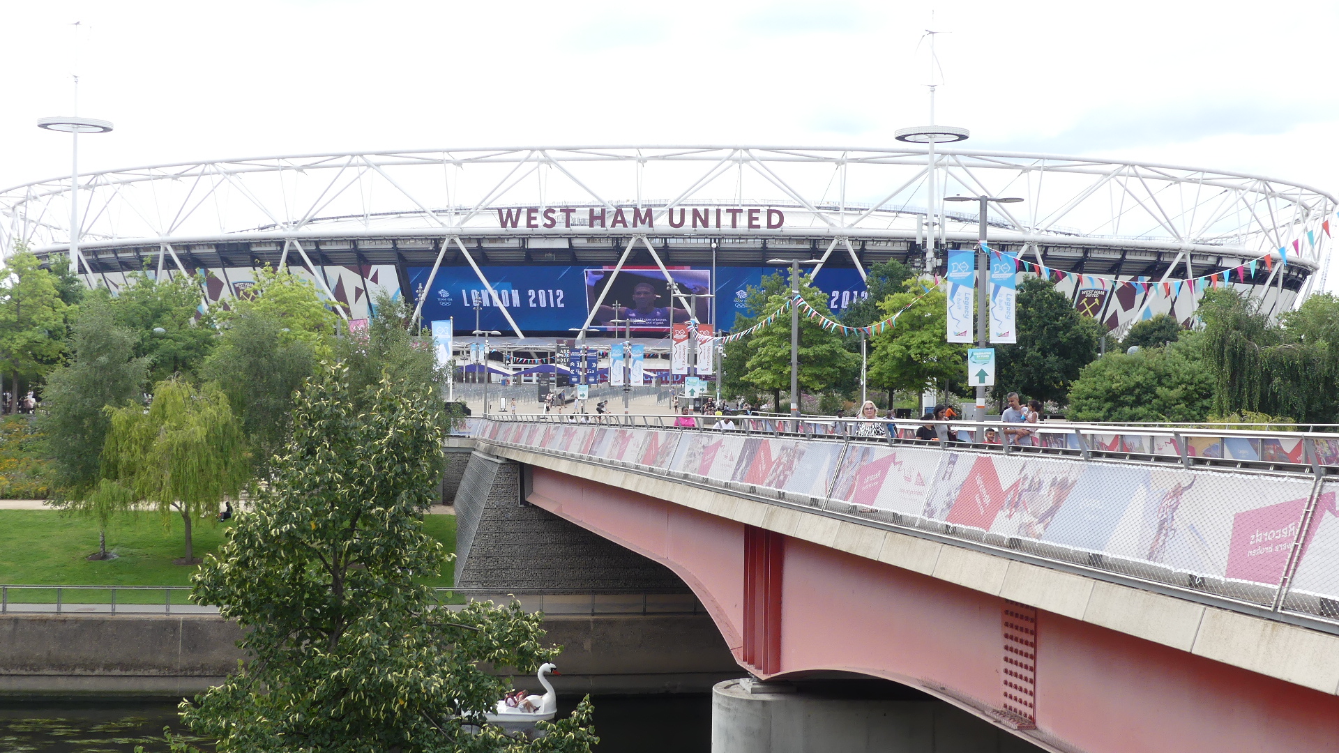
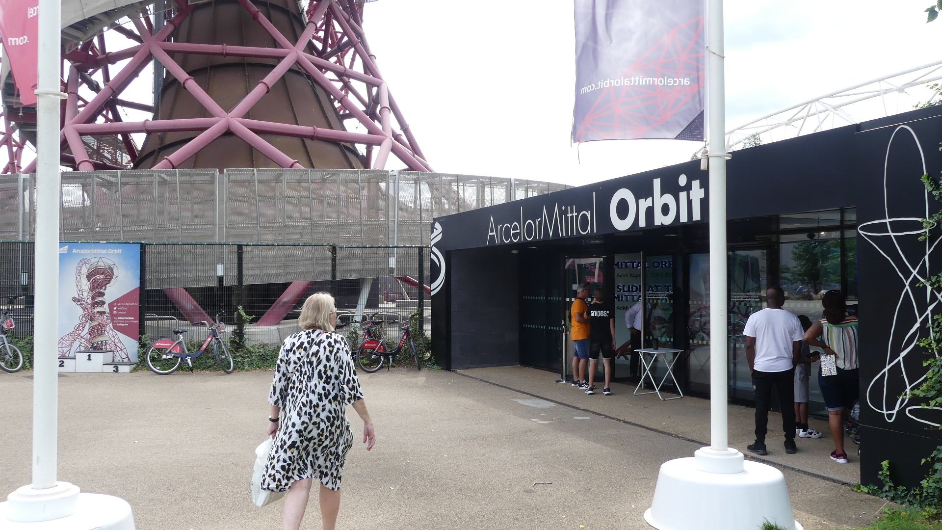
Whilst in London we travelled into London central and bought Kerry a new pair of runners at John Lewis Dept store and then caught the underground to Queen Elizabeth Olympic Park. There was a long walk from the station to the park which had been created for the 2012 Olympic Games. We had not been to these areas of London and we were quite impressed with the park.
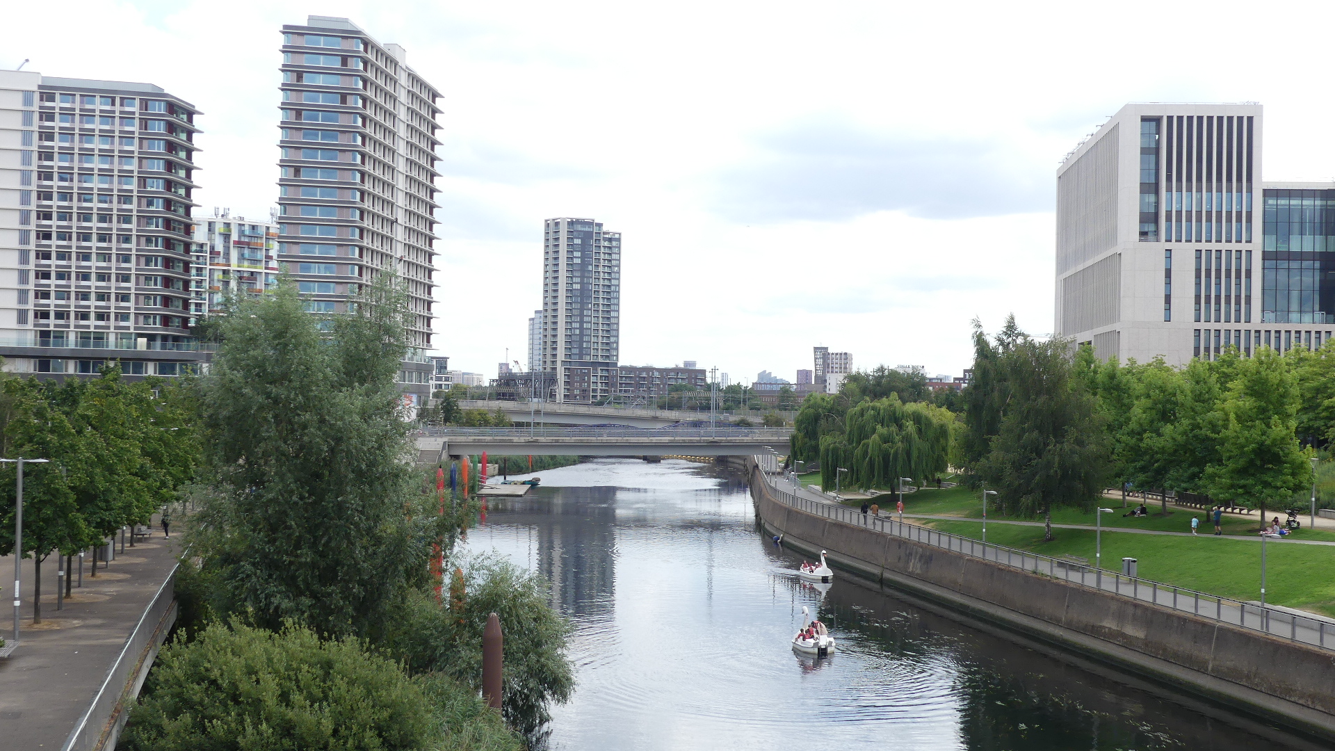
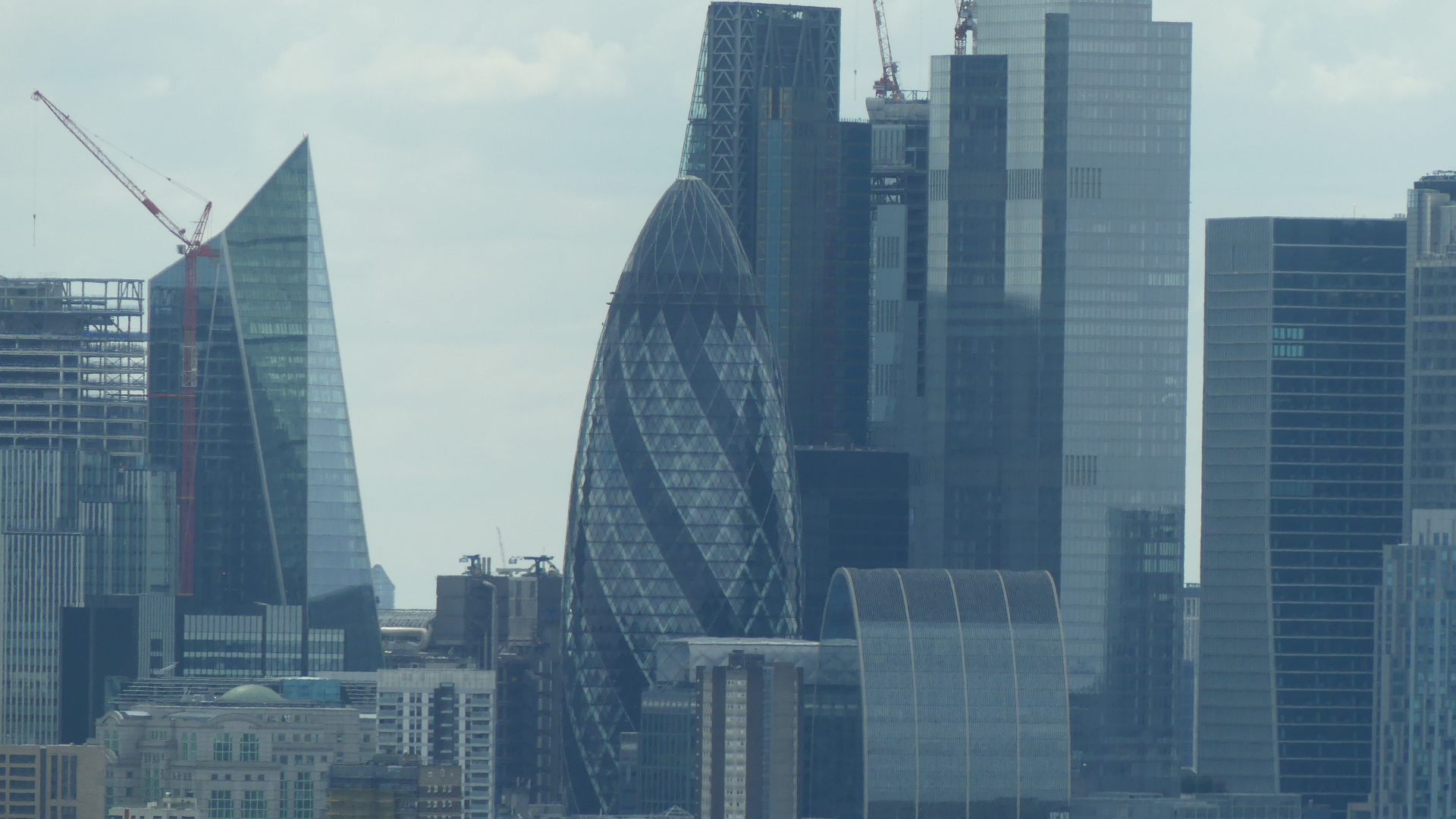
My photos of the big slide, West Ham United FC home stadium, the Olympic Games Swimming stadium the river where river events were held during the London Olympics, the park walk to the slide tower and random pictures from the tower are below. No we did not slide down (you have to pre-book) and besides it frightened the living day lights out of me just to walk down the400 odd stairs on the outside of the tower.
Photos
After walking down the tower the impact of the flight hit us and we dragged ourselves back to the hotel as we had to catch our plane to Vienna early next morning.
We had an uneventful trip back to Hobart where we spent quality time doing family things. Our time was just about up but one more trip was possible and we chose to grab a boat cruise from Adventure Bay #Adventure Bay on Bruny Is#Bruny Is to the Friars a rocky outcrop off Bruny Is, southern point Tasman Head. Advertised as a 3 hour wilderness cruise tickled our curiosity.
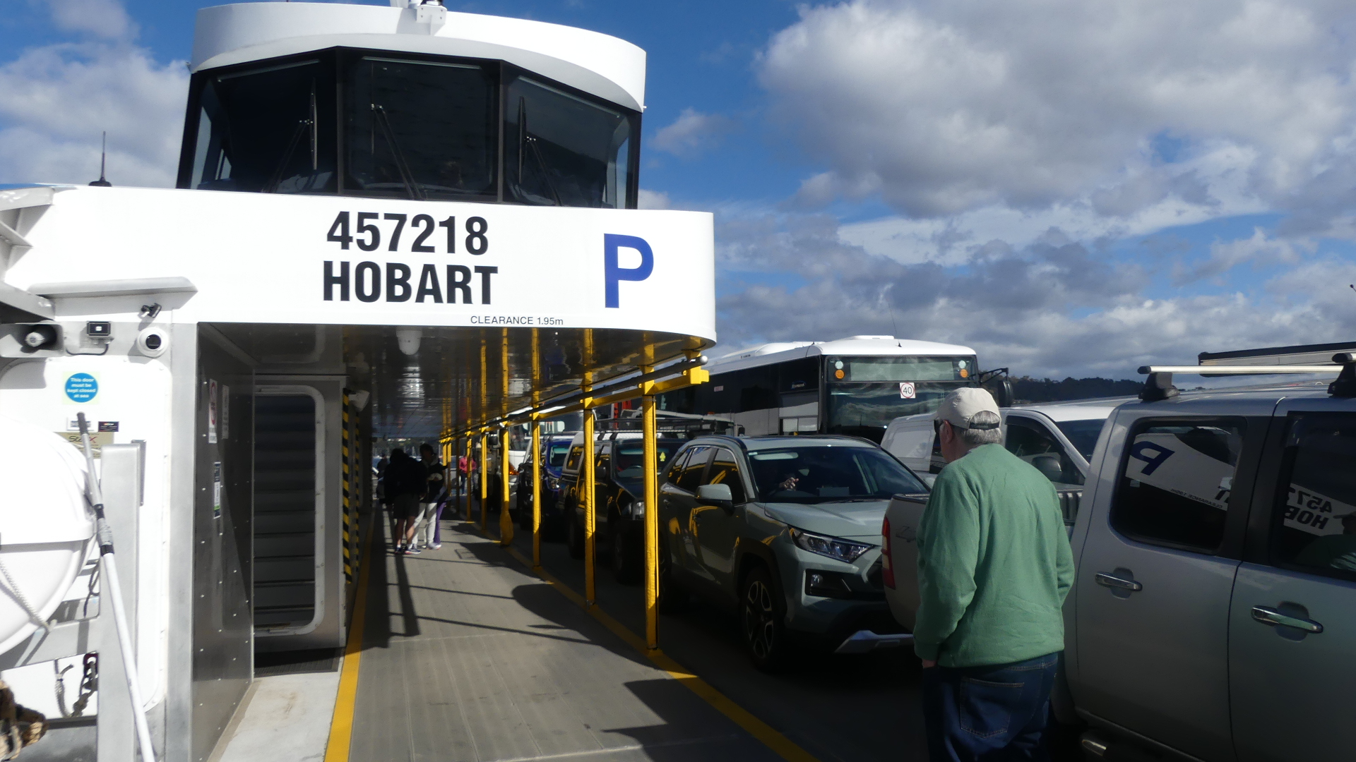
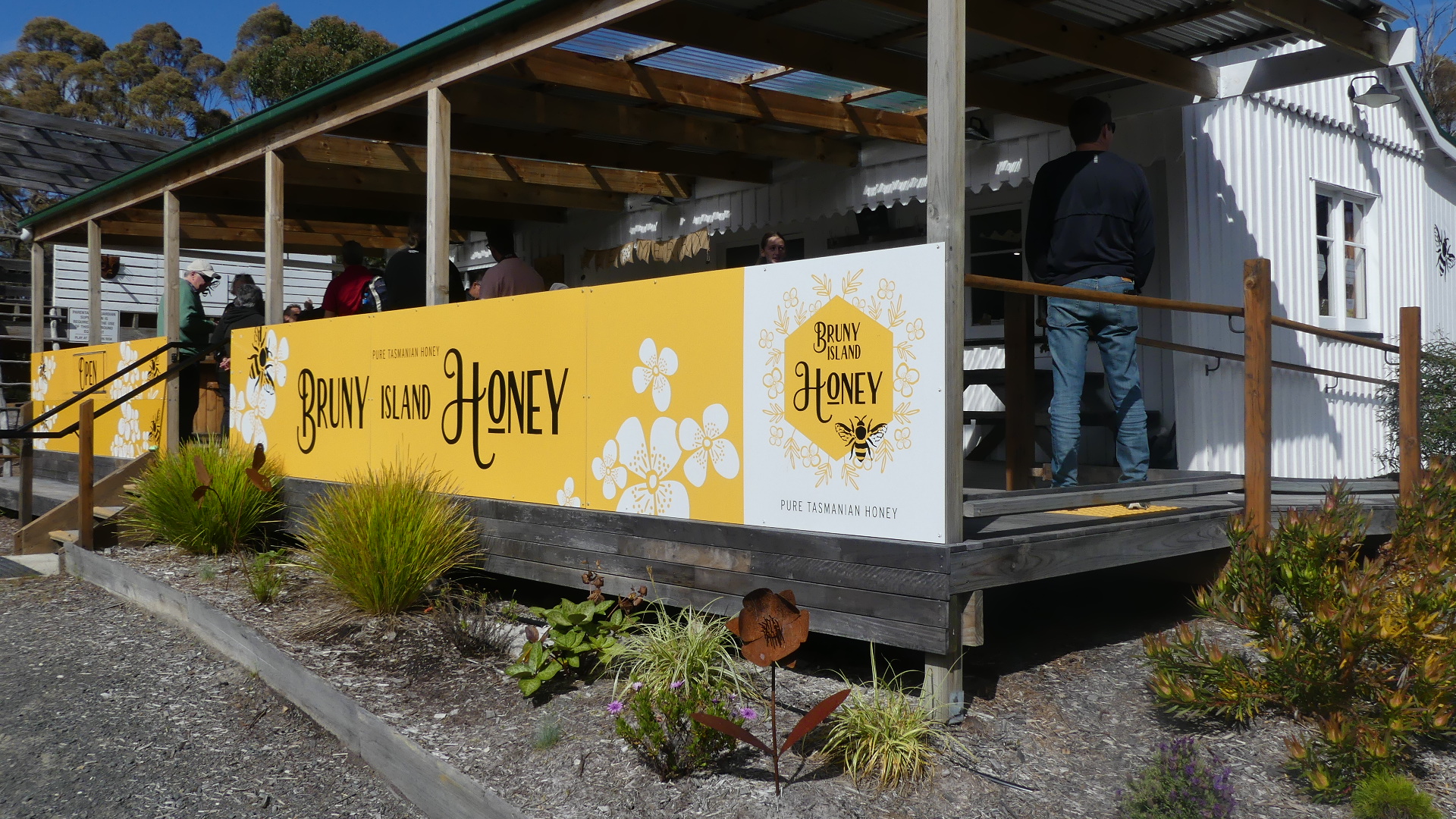
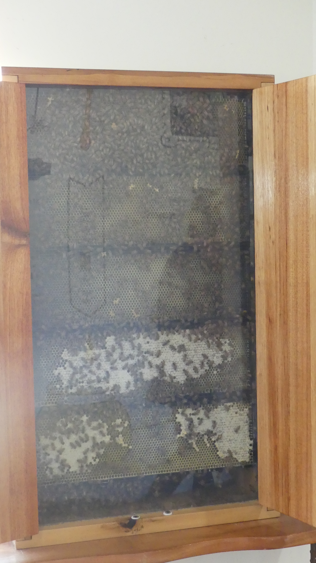
It started with a bus ride down to Kettering to board the car Ferry to cross to Roberts Point on Bruny Is then travel down Bruny Island Main Road to Bruny Island Honey – the sweetess spot on the island. I was taken with the display of bees entering the hive and Kerry was taken by the honey.
The crossing, the Sweet Spot, the bees, the buses, and other things
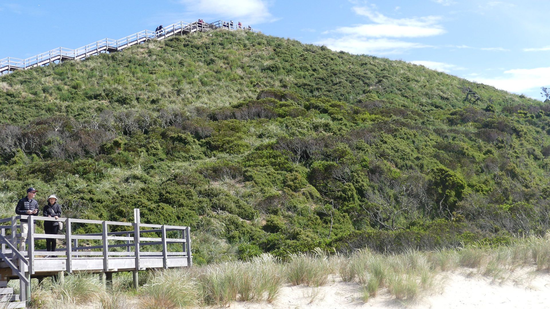
After being sweetened we travelled to the Neck (the isthmus joining north and south) where we visited Truganini Lookout #Truganini a timber stepped boardwalk which gives 360 degree views. Looks like hard work and it is.
Truganini Lookout
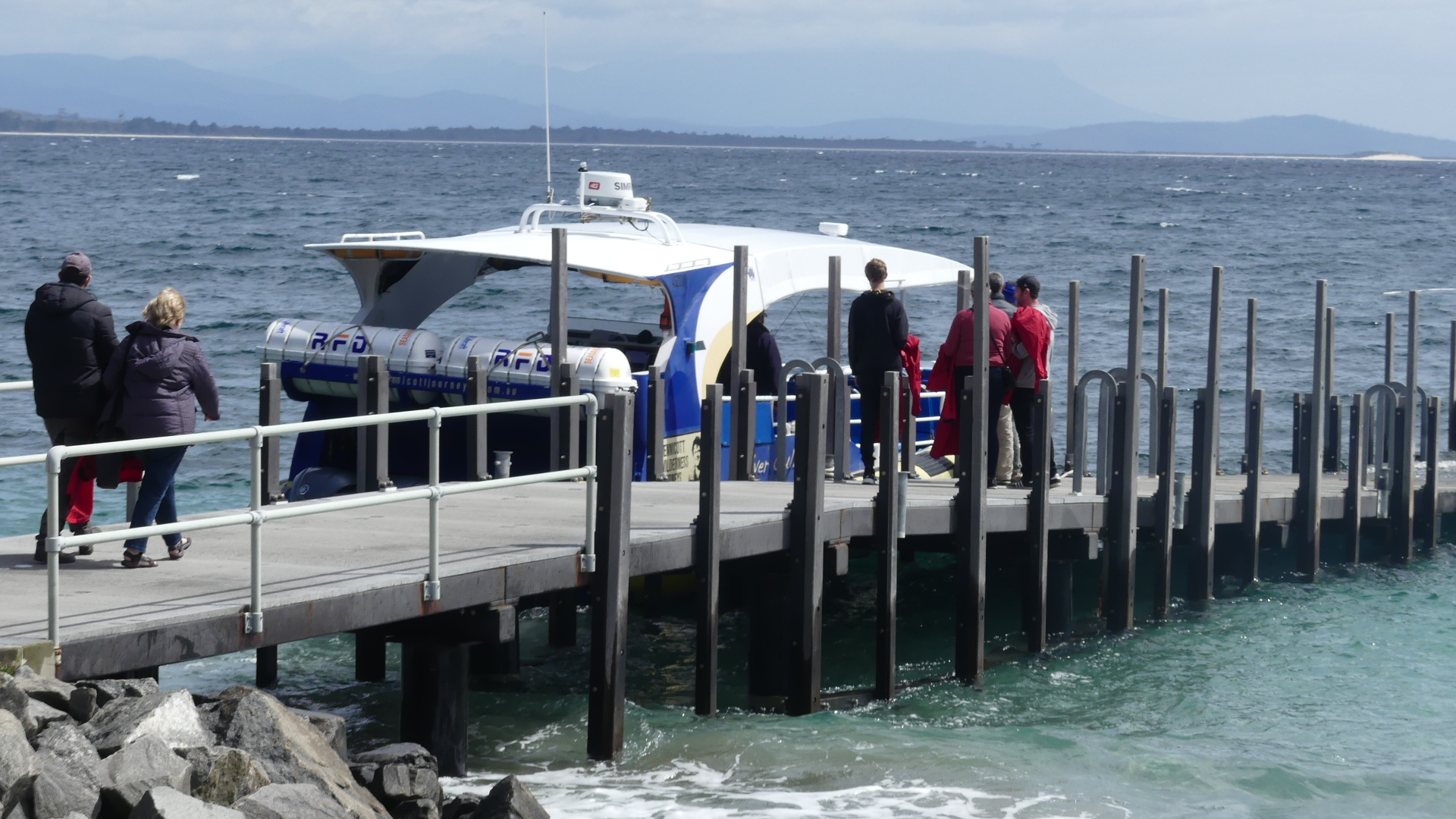
After recovering we rejoined the bus and ended up at Adventure Bay where we suited up for the ride.
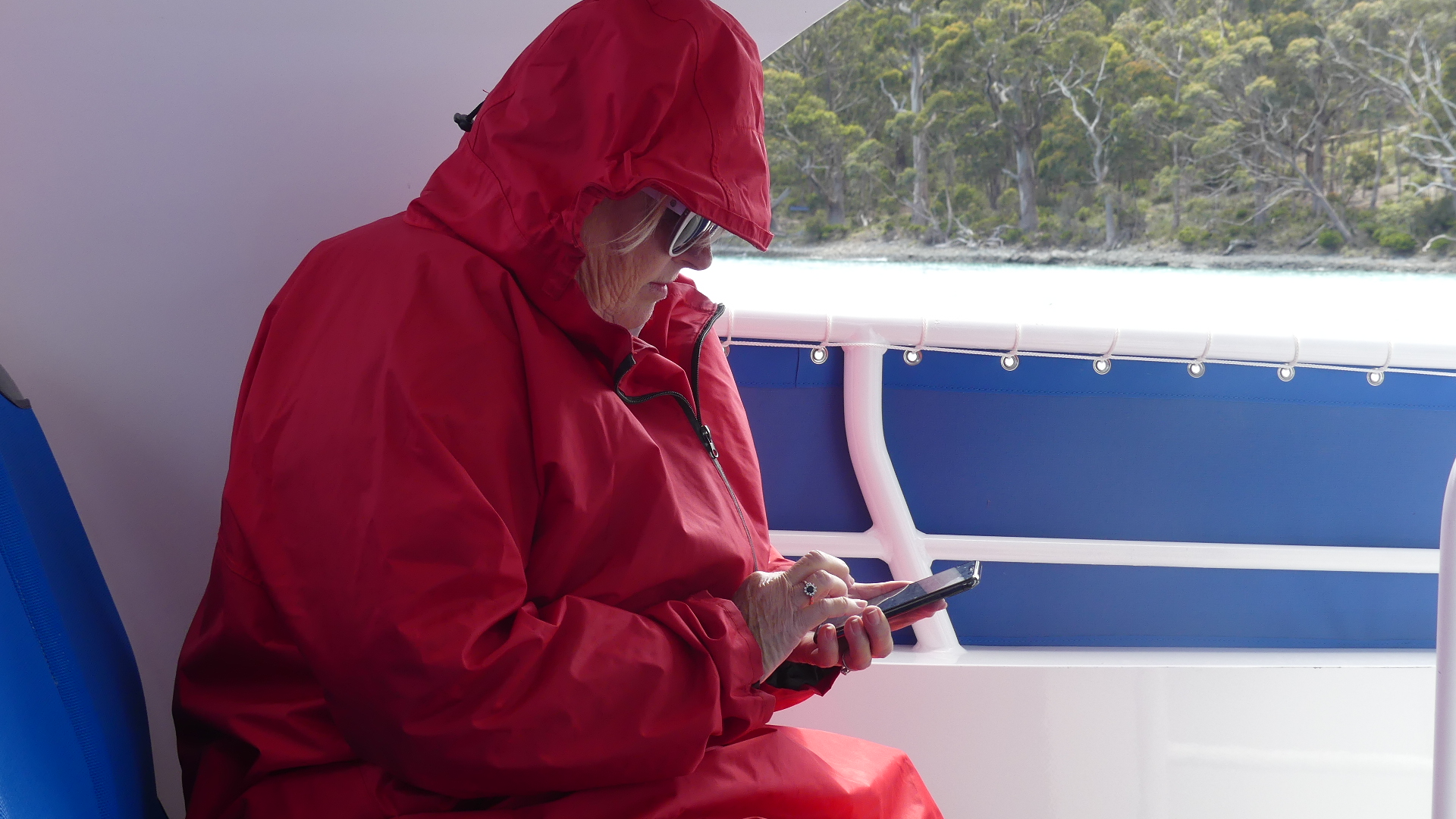
The boat, and the passengers
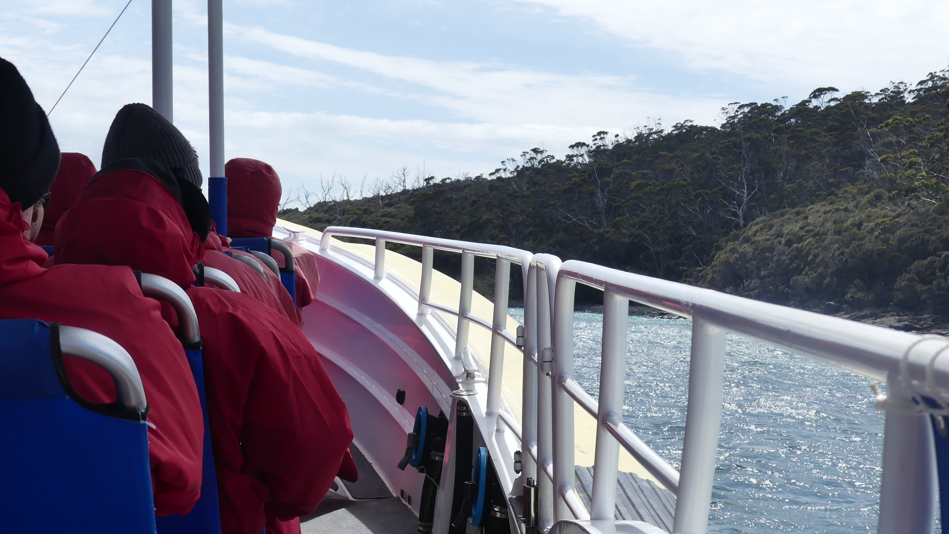
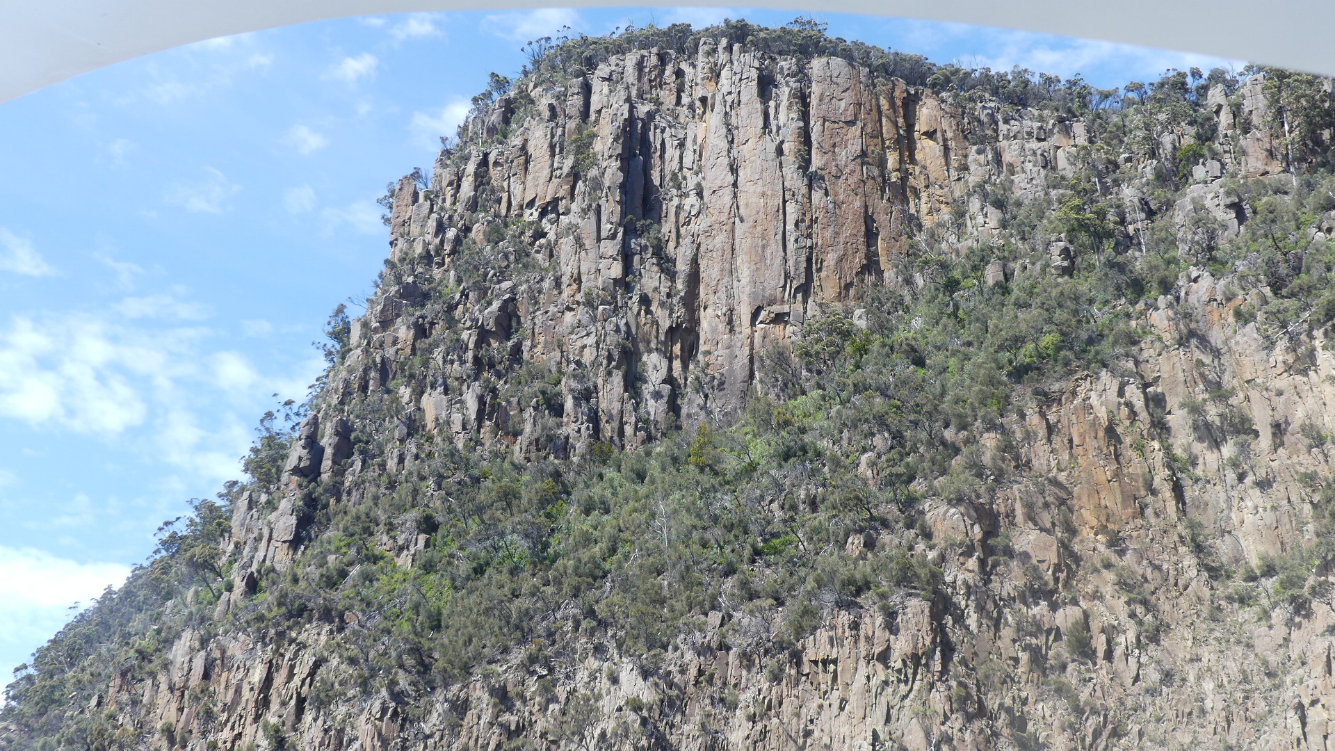
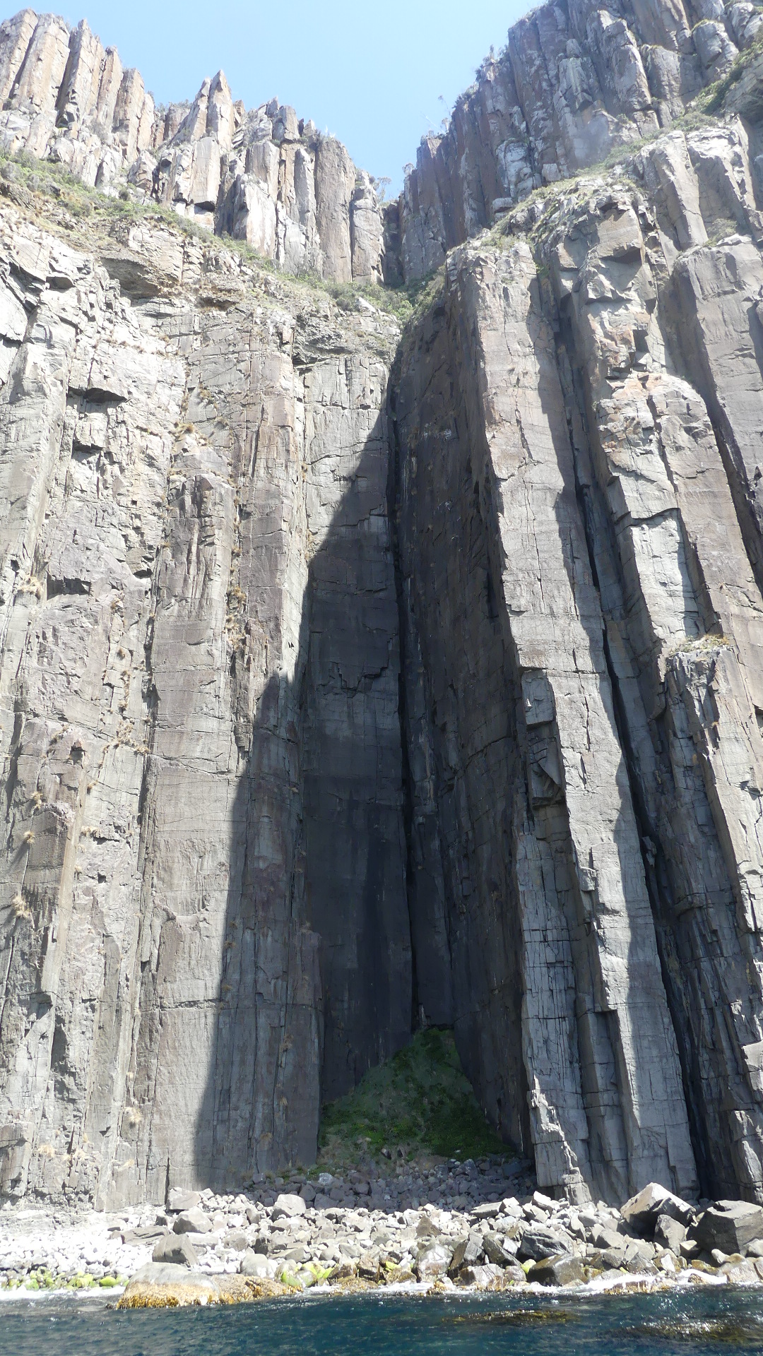
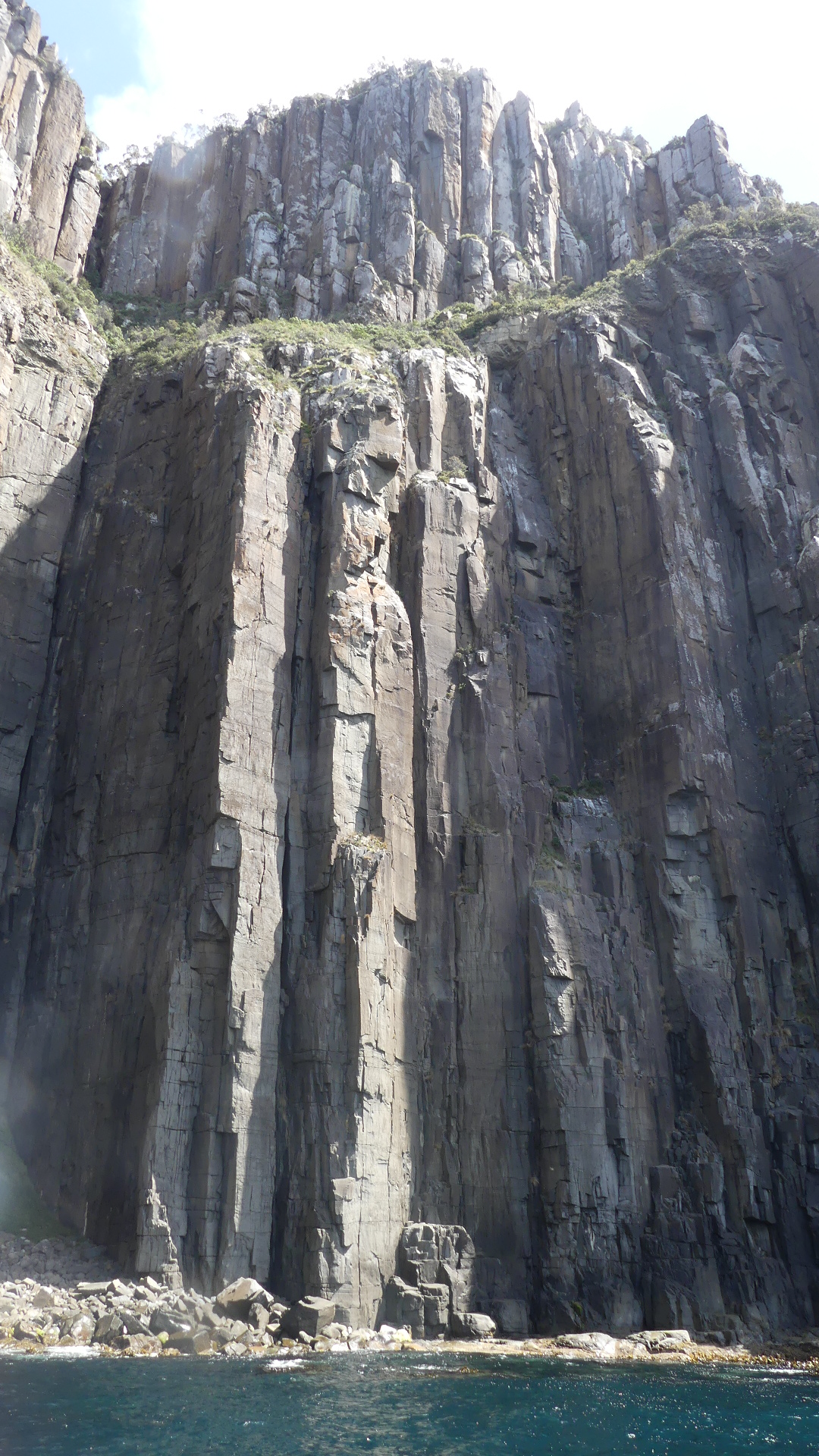
Wisely Kerry chose to sit at the transom of the boat. Despite the wind being strong the boat was often “flying” over the water. We went from the relative calm of Adventure Bay into the open Great Southern Ocean. We passed Penguin Island and sailed along the coast to Haulage Bay. Rugged and inhospitalable comes to mind.
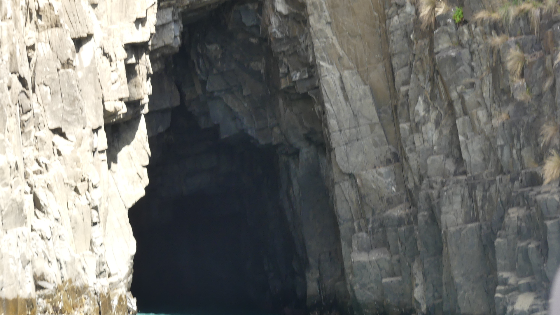
Rugged and inhospitable
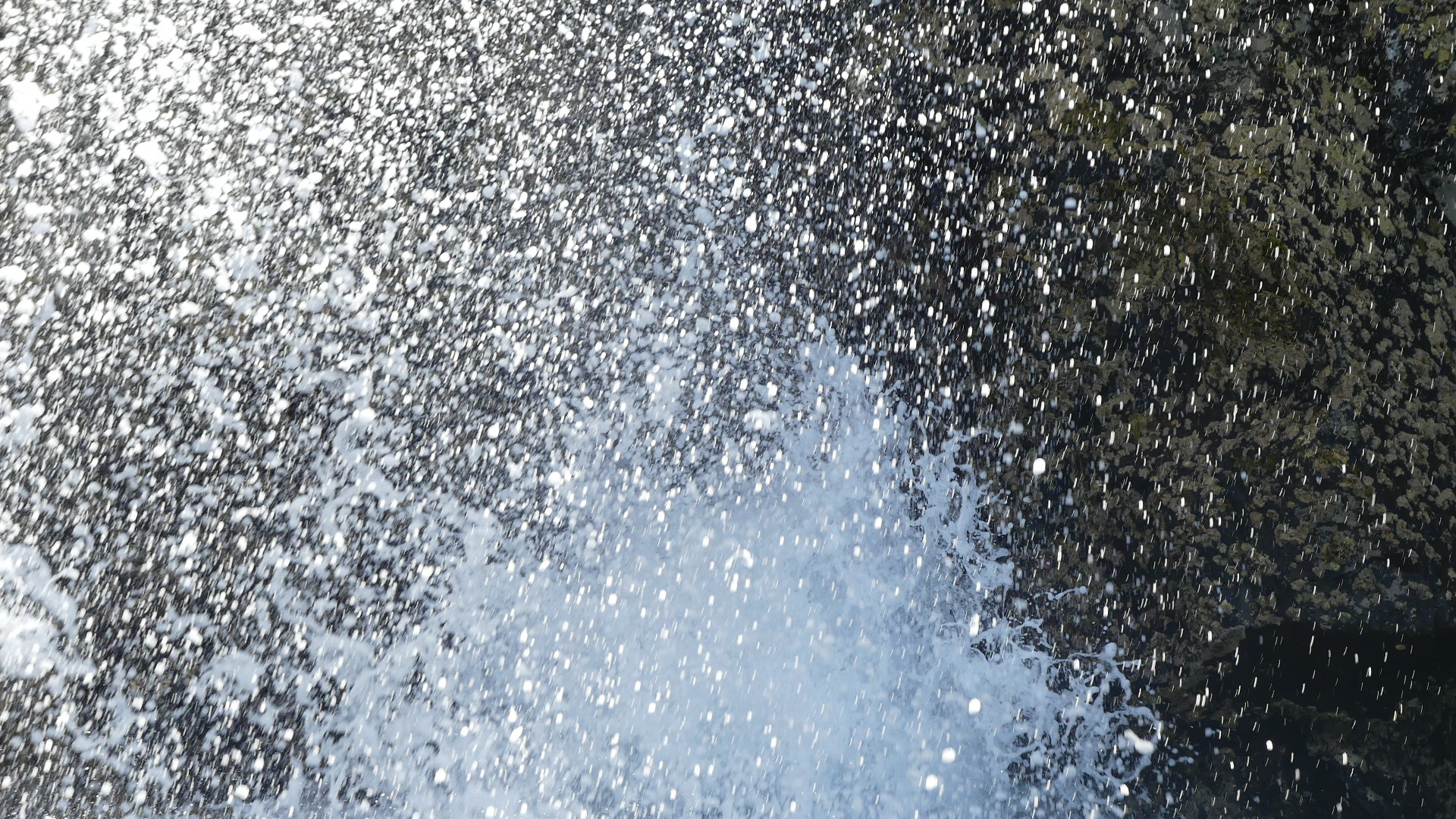
We were taking it easy travelling south so that we could take in the landscape and go pretty close to the rocky outcrops. We came across what looked like and underwater gas coming to the surface. As we drew closer we could see it was a blow hole spouting as the waves rushed in and out.
Bubbling below the surface then spouting skyward
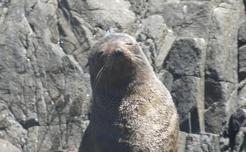
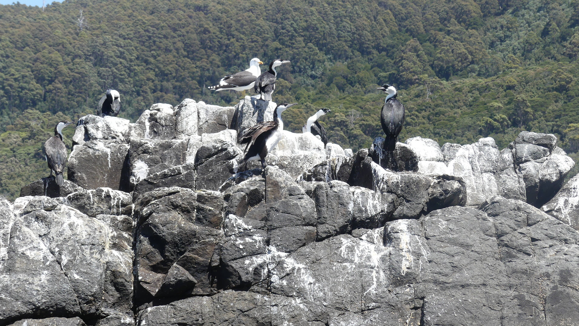
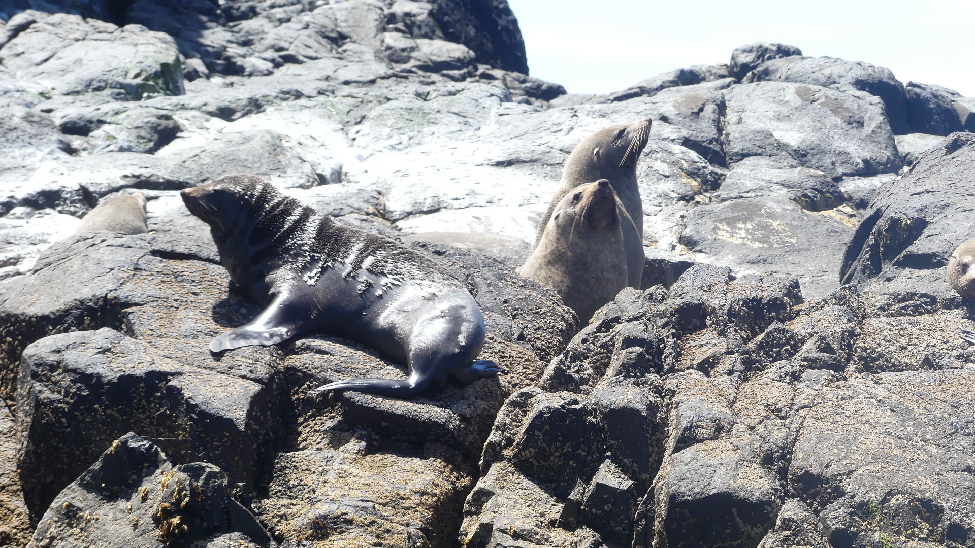
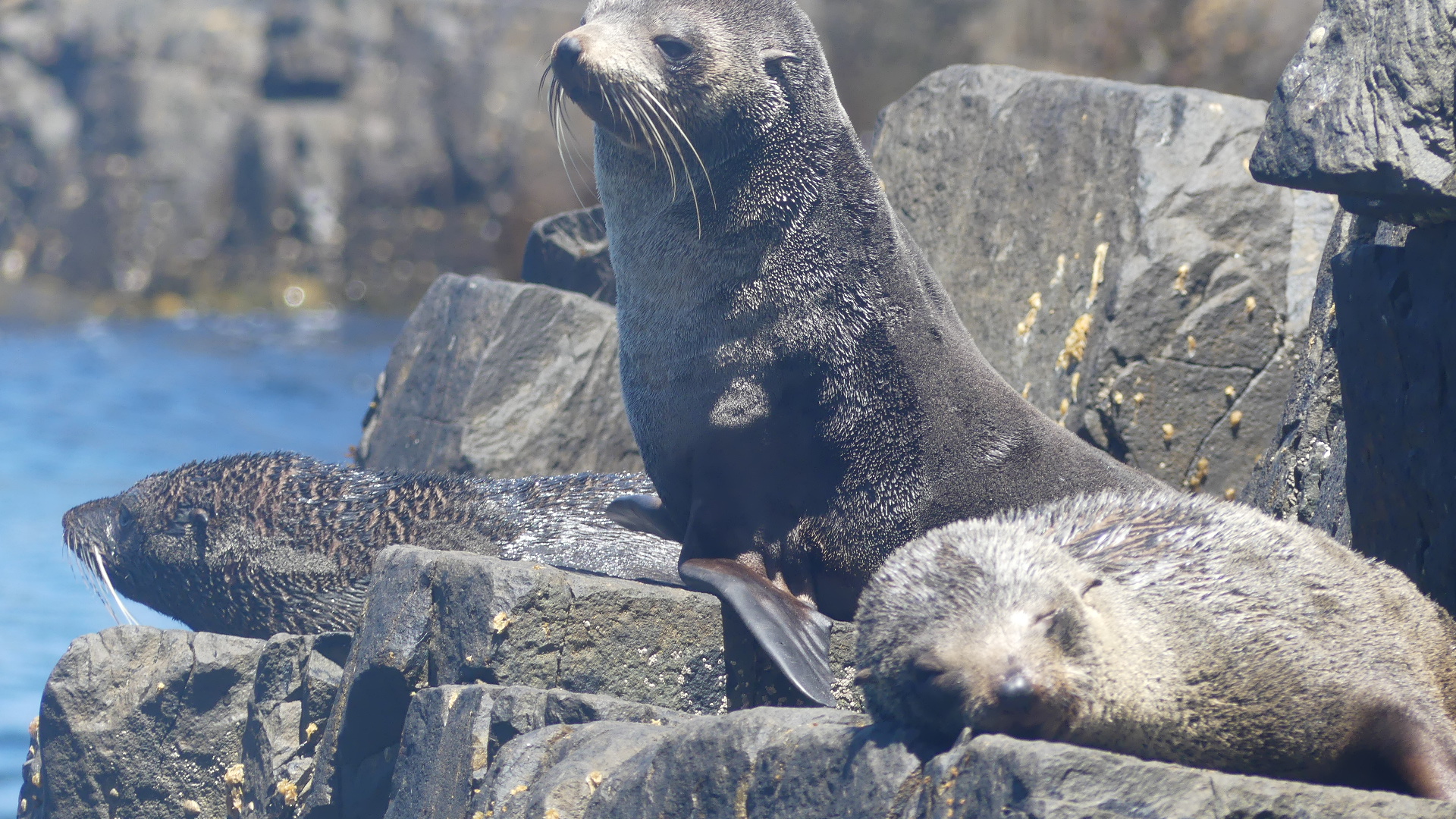
We moved onto Boreel Head, Bridge Rock and our southern most point the Friars where we encountered Fur Seals – lots of them.
Seals, seals and more seals – oh there are some NZ fur seals there to
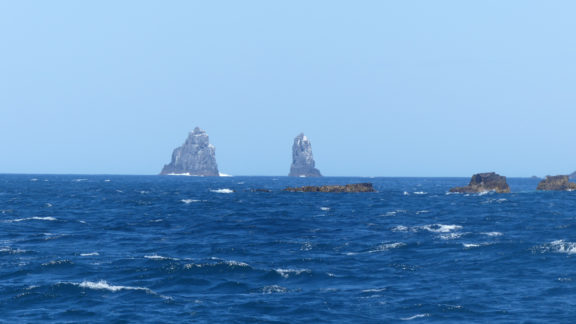
Thos two pinnacles in the distance are the Friars and once around those it was full throttle return trip – 4x250hp outboards jumped into action. No more skirting the coastline but skipping across the ocean like a stone. Smashing into the ocean some of the adventurous were now quite squimish and it was only the sighting of a gliding albatross that slowed us down – the skipper wanted to take a good look at him. As we rounded Fluted Cape there were many sighs of relief as we sailed more sedately into Adventure Bay and home port. To gain these fabulous photos for you I stood with the Skipper all the way around but I could not get any clear photos on the return due to sea spray washing the boat. So I was tired (from holding on for grim death) and welcomed the relative peace of sitting on the bus all the way to Hobart.
Having been to the coast we decided on our last day to go west into the hills behind St Helens and see what we could see.
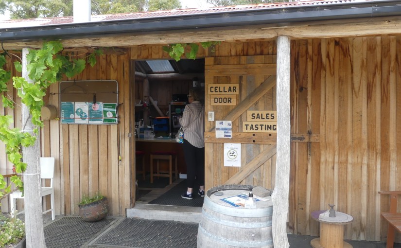
Yesterday we had seen a sign to Priory Ridge Wines and decided that looked a good place to go. So after a hill climb we came upon the winery and cellar door.
Located in the small settlement of Priory, and just 3kms from the town of St Helens Priory Ridge winery is a family owned boutique winery. We found our way to another shack this time representing the cellar door. The door was open but no one in sight. We looked here there and everywhere not a soul could be found. Puzzled we were about to get back in the car when Julie Llewellyn came across from the vines pushing a wheel barrow full of cuttings. She was surprised to see us just as we were to encounter her. We shared a laugh and Julie then wiped her brow washed her hands and welcomed us to Priory Ridge Wines Estate #Priory Ridge Wines Estate.
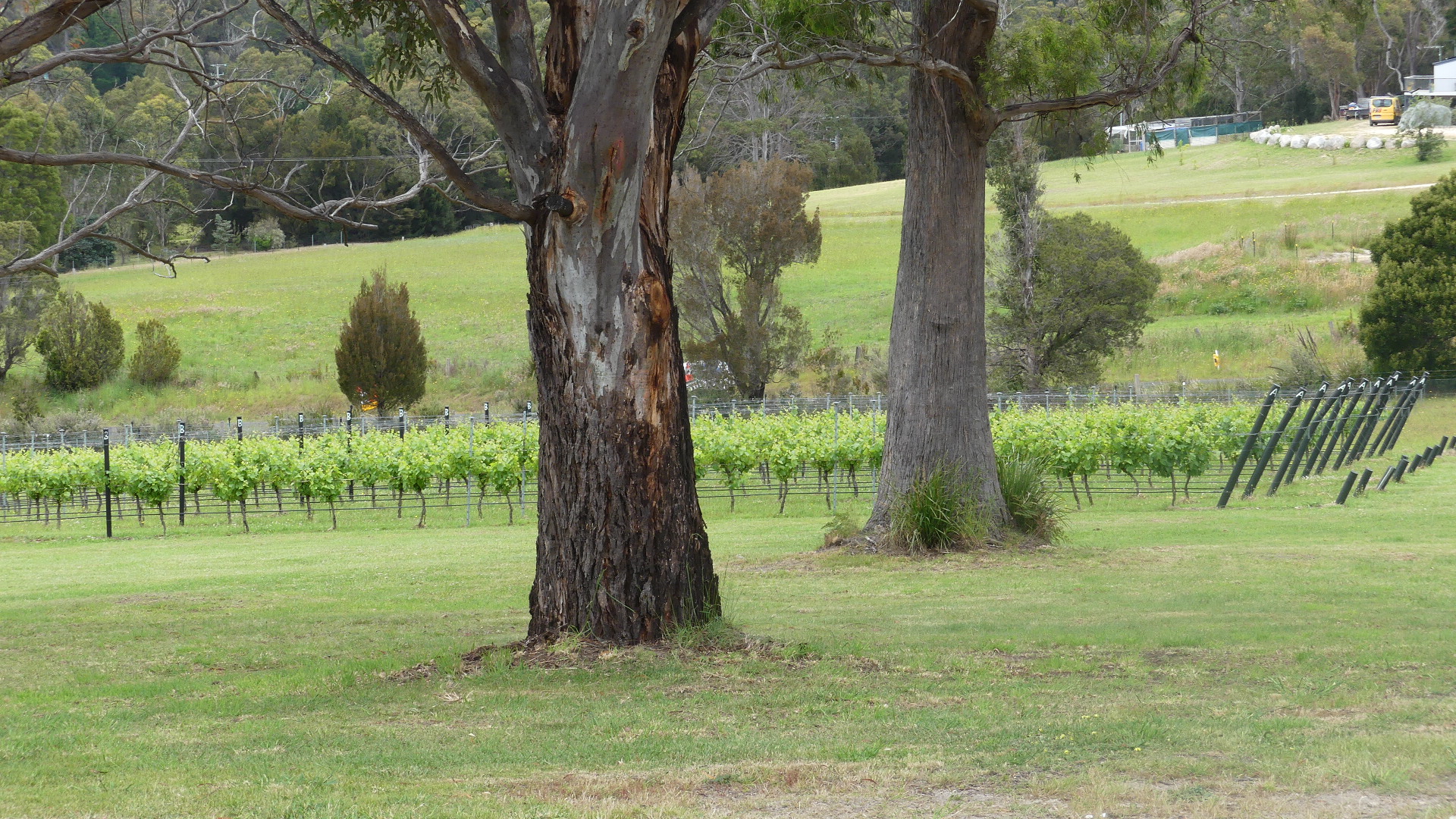
Julie explained that she and her husband David had developed the vineyard on 20 hectares with ideal north facing slopes to maximise sunlight. The soil is Devonian granite rich in mineral content, transferring a unique “terroir” to the wine. Formally known as Tarpot Farm, the property has been in the ownership of Julie’s family (Reid/Clifford) for over 120 years. Julie’s Great Grandparents settled at Priory in 1889 after migrating from England in 1880.
Before its conversion to grapes the property was mainly used to graze sheep as an adjunct to a much larger property, grazing sheep, cattle and some cropping. Priory Ridge has the George River as its Northern boundary and the vineyard draws its water from a small dam on the property.
The shed was full of electic bits and pieces as well as wines. Kerry found some labelled plastic glasses which she purchased for our picnic set and a memory of our visit. I am pretty sure we also purchased a bottle or two.
Arriving at the cellar door, searching for anyone, Julie arrives in the nick of time, and OMG what’s all this stuff.
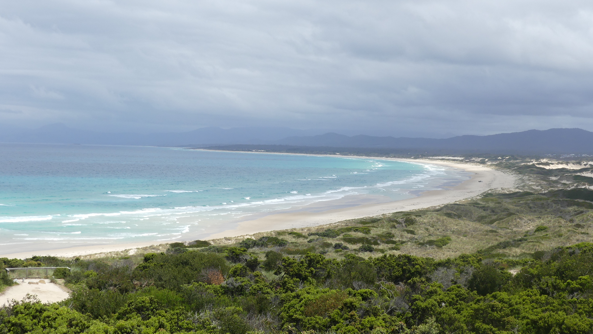
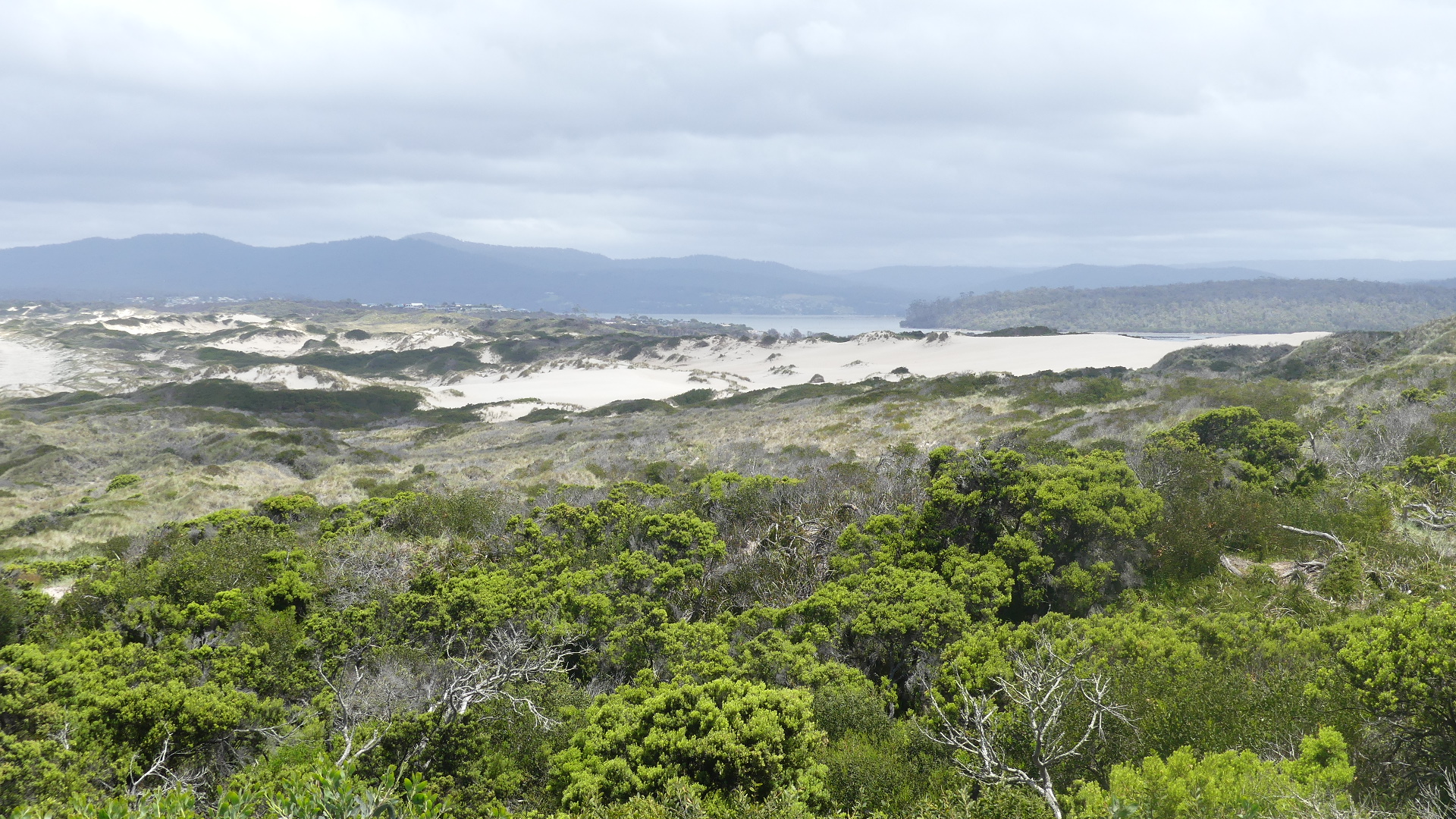
We spent some time at the winery but hunger finally tore us away. So we returned to St Helens for lunch and decided to visit the sandhills behind Steiglitz/Akoroa. We were winding down to return to Hobart tomorrow so we were not looking for too much activity but come on the fact that the word includes “hills” should have told us what to expect. So we drove up to the starting point for the walk through the sandhills. Beautiful views and a convincing argument that all we needed to do was look grab some photos and go home and put our feet up.
Sandhills to the right of me and sandhills to the left of me
That evening we packed and prepared to return to Hobart and our family. Our excursion to Tassie was coming to an end. A few days with the family and back to Brisbane and reality.
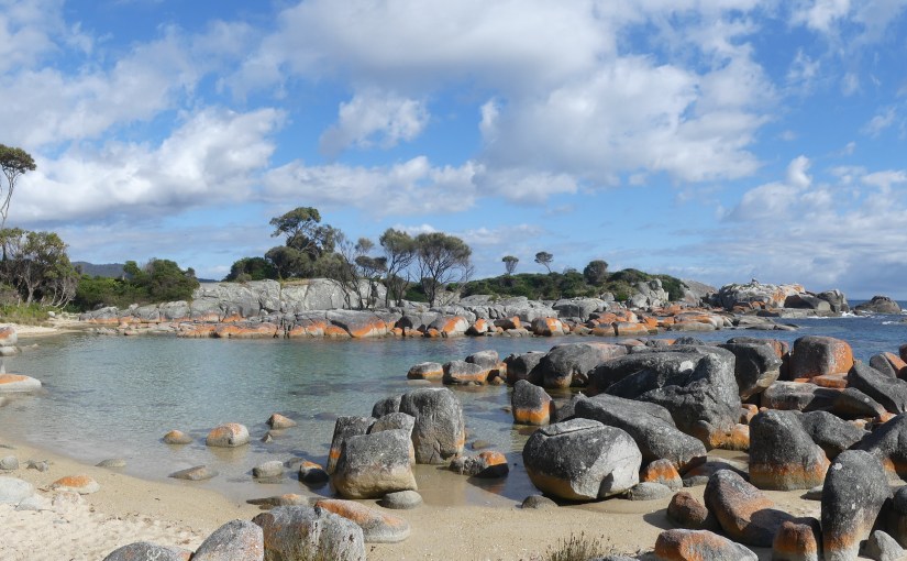
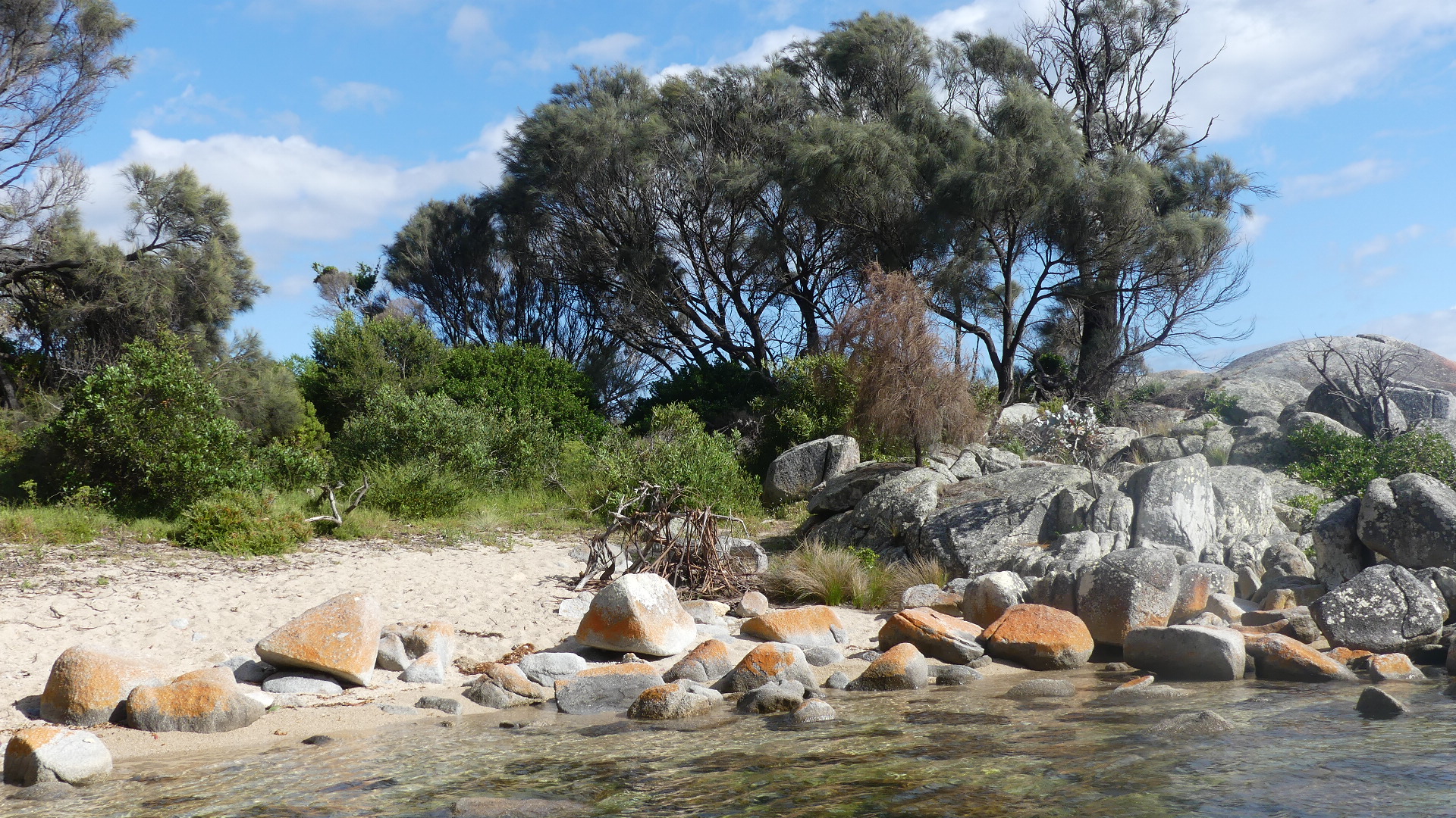
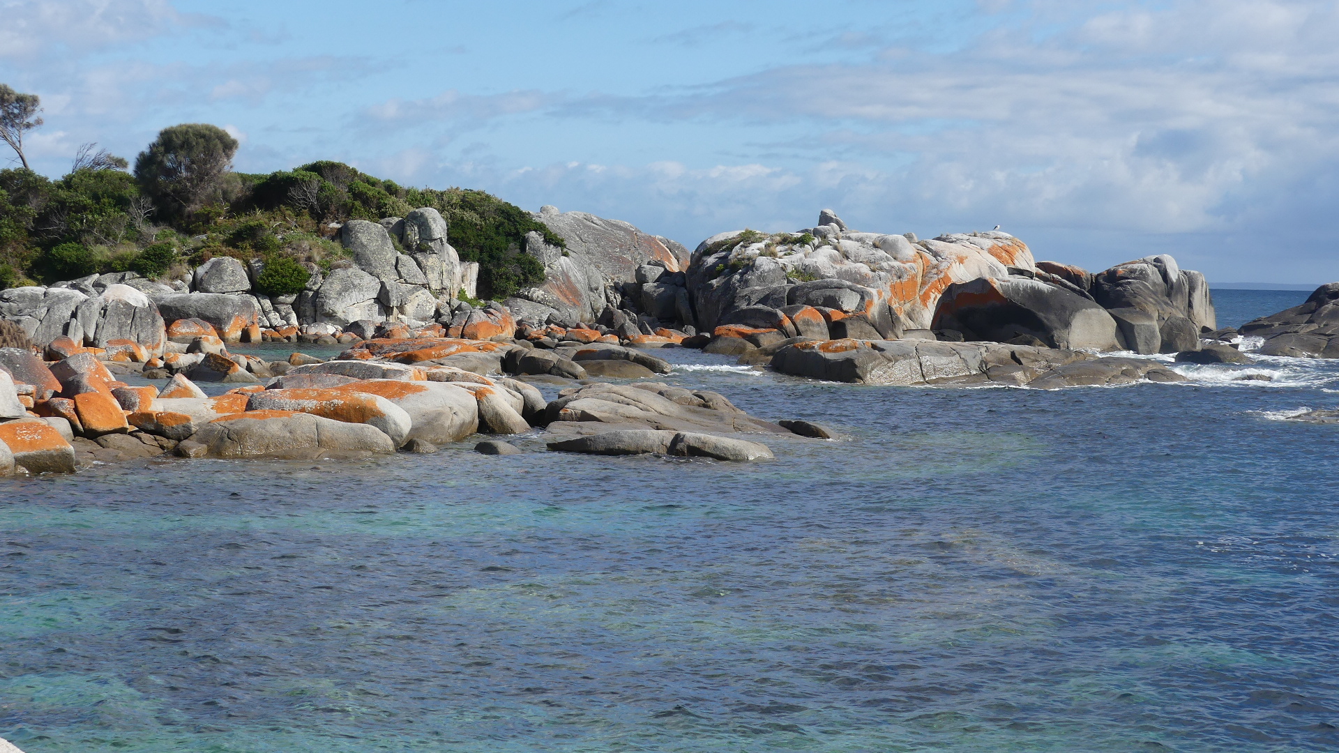
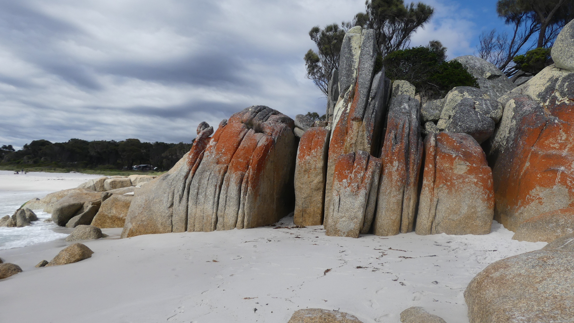
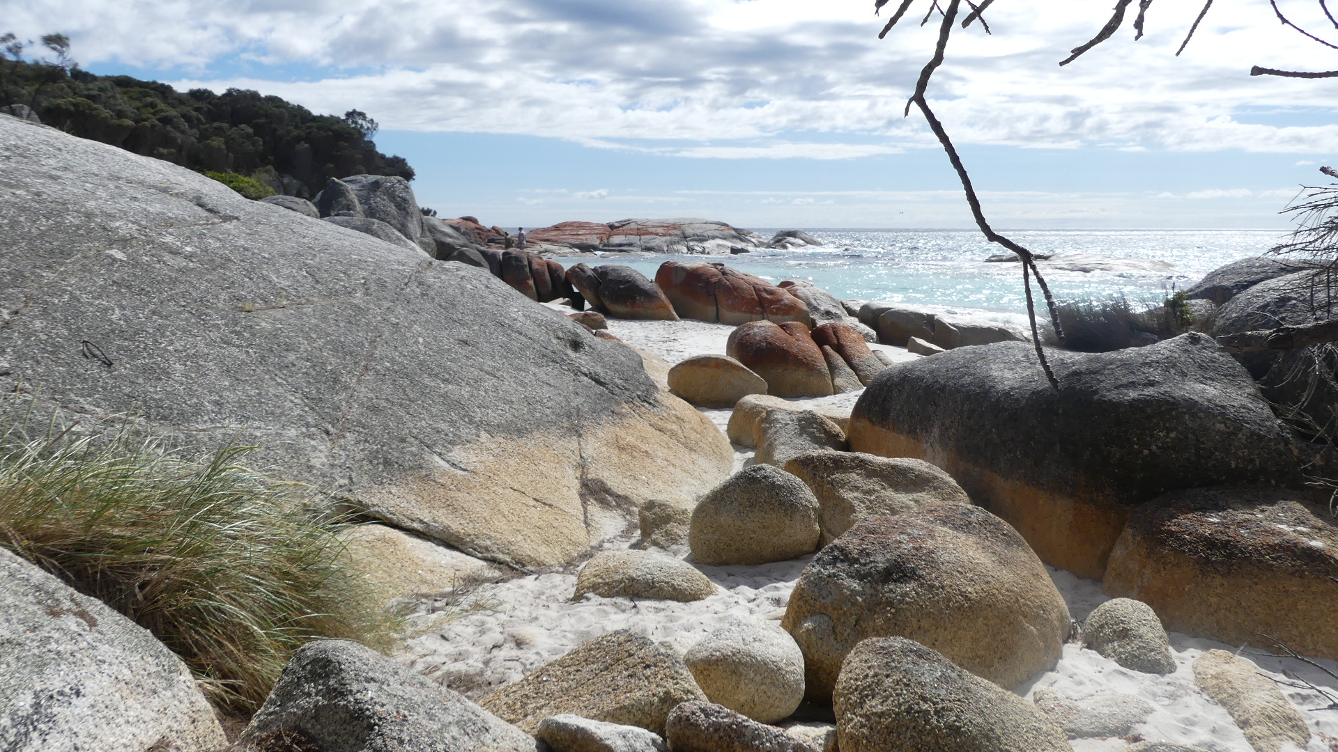
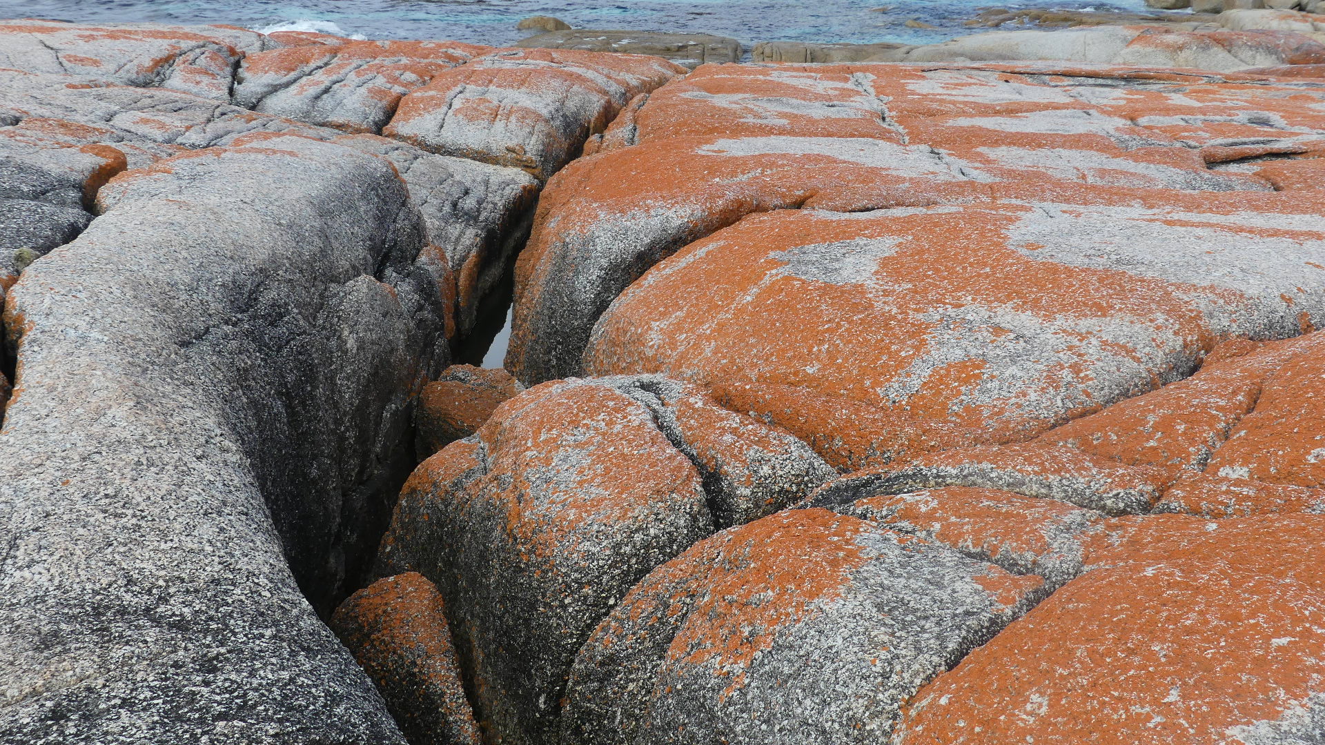
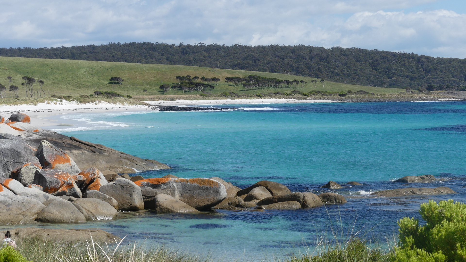
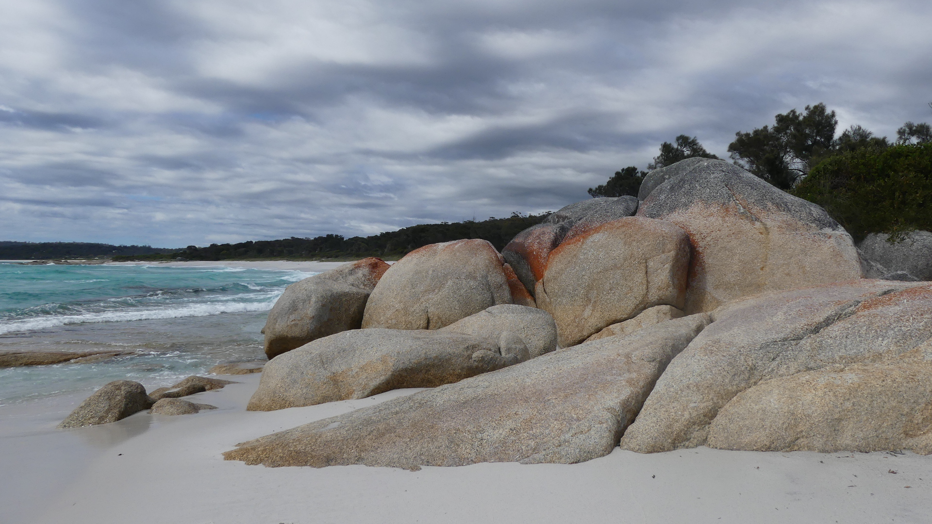
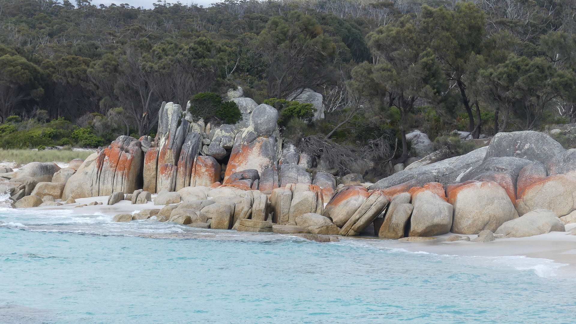
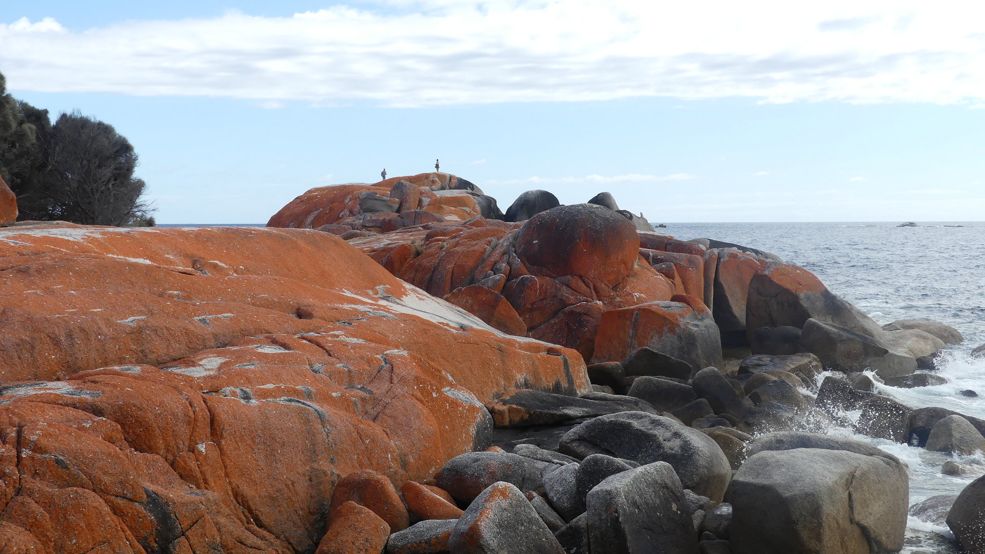
After our long day yesterday we got an early night keen to explore the Bay of Fires #Bay of Fires. The Bay of Fires is located on the northeastern coast of Tasmania. It includes a gorgeous coastline that stretches over 50 kilometres from Binalong Bay #Binalong Bay in the south to Eddystone Point #Eddystone Point in the north. The northern section of the bay is part of Mount William National Park # Mount William National Park; the southern end is a conservation area. The conservation area is divided into three sections, with Ansons Bay #Ansons Bay dividing the southern and northern ends. This popular conservation reserve is actually a string of breathtakingly beautiful beaches, interspersed by lagoons and rocky bluffs. Famous for the orange lichen-covered granite boulders, combined with the powder-white sand and turquoise waters, we wanted to see for ourselves and St Helens being the gateway to the Bay of Fires and Binalong Bay made an ideal starting point.
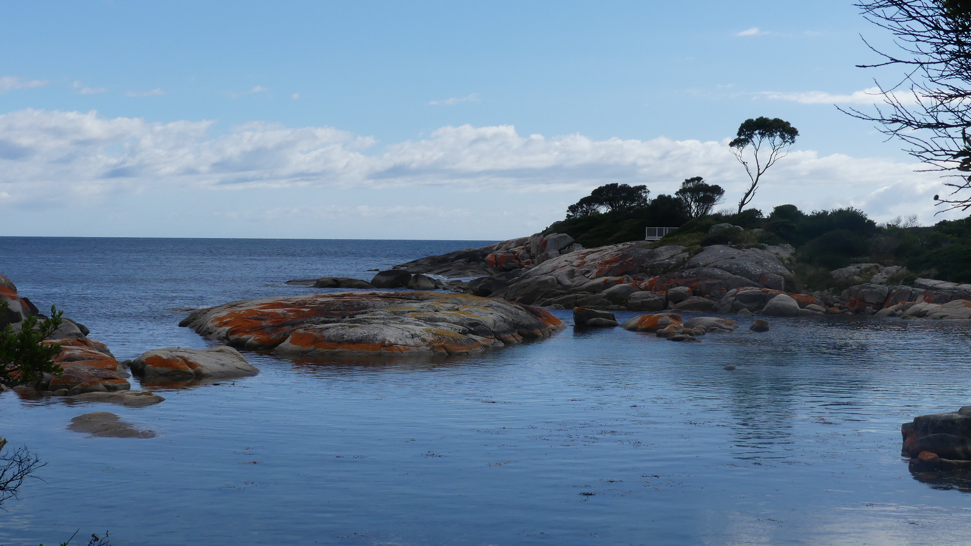
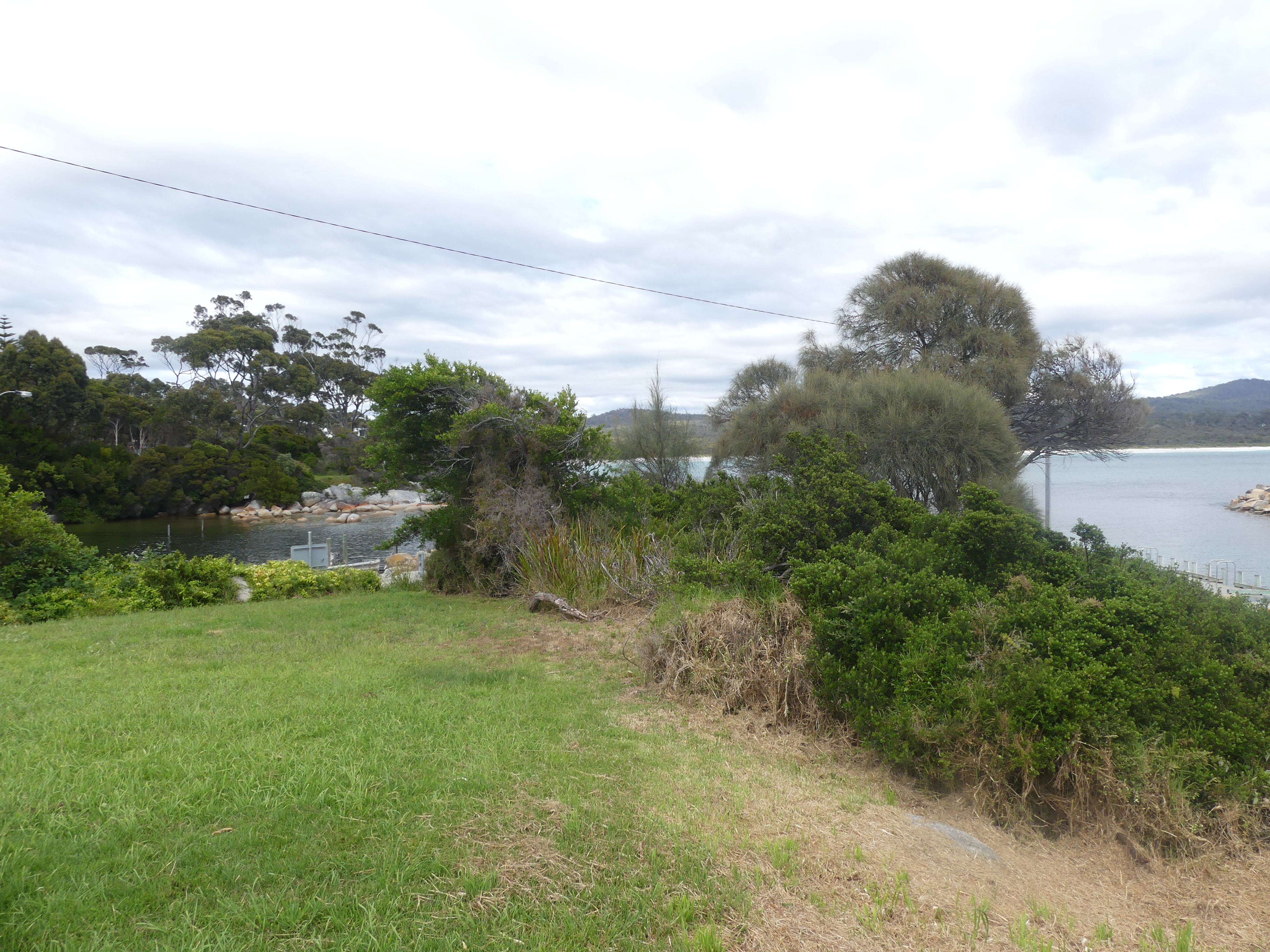
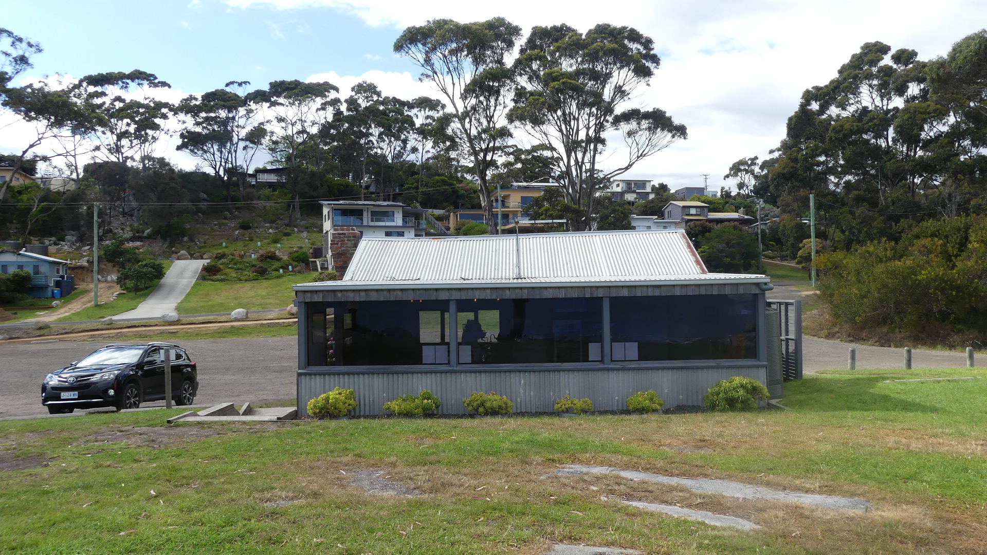
We drove out to the Tourist Information Centre at Akaroa #Akaroa where we were looking at booking a boat trip (Eco Tour) which is not really part of Binalong Bay but it gave us a taste of what was to come. We drove south across Medeas Cove following Treloggens Track to St Hellens Point past this timber and tin shed which we later found out was the Tourist Info Centre where you booked the Eco Tour. Out here we are in Burns Bay but the orange lichen-covered rocks were there to see. There were a few houses enjoying the serenity.
View from the road, some of the little coves, Kerry trekking to the next cove.
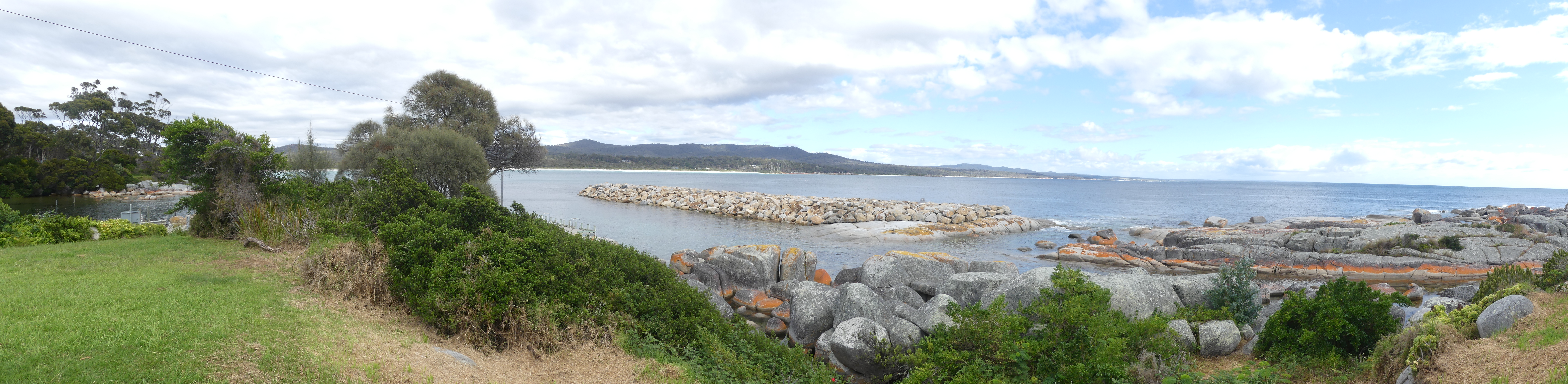
Driving back to St Hellens we pulled over at the tin and timber shed. Hello heres the Tourist Info Centre. Great little centre – here we could book boat tours (weekends only at the present so missed out there) and get maps and buy trinkets from local businesses. There was a coffee bar – hot water and instant coffee, and a range of sugary snacks and chips. No sale this time. But the view from the shack was a great panorama of the typical coast we would find. Did I mention that you could book a boat tour?
The tin and timber shed and the view over the bay
We then proceeded north back the way we came to the track along Binalong Bay. And this is what we saw –
Rocky outcrops covered in lichen, a rock that looks like a seal a live oyster in a crevise a gull looking for the oyster and lots of blue and turquoise water.
These few photos don’t do it justice. It was difficult for an over weight 65+ old to scramble over the rocks and through the bush but we were rewarded with some great scenes. The road was suitable for a passenger car and it is probably good that 4 wheel drives aren’t permitted to drive where ever they can. there was a caravan park somewhere in all that (outside the conservation area) and it looked popular but pretty raw.
After resting up getting up and packing up, we are on the move again driving over to St Helens #St Helens on the southern end of the Bay of Fires. We got a few hot tips on places to stop on the way over and one we found by ourselves.
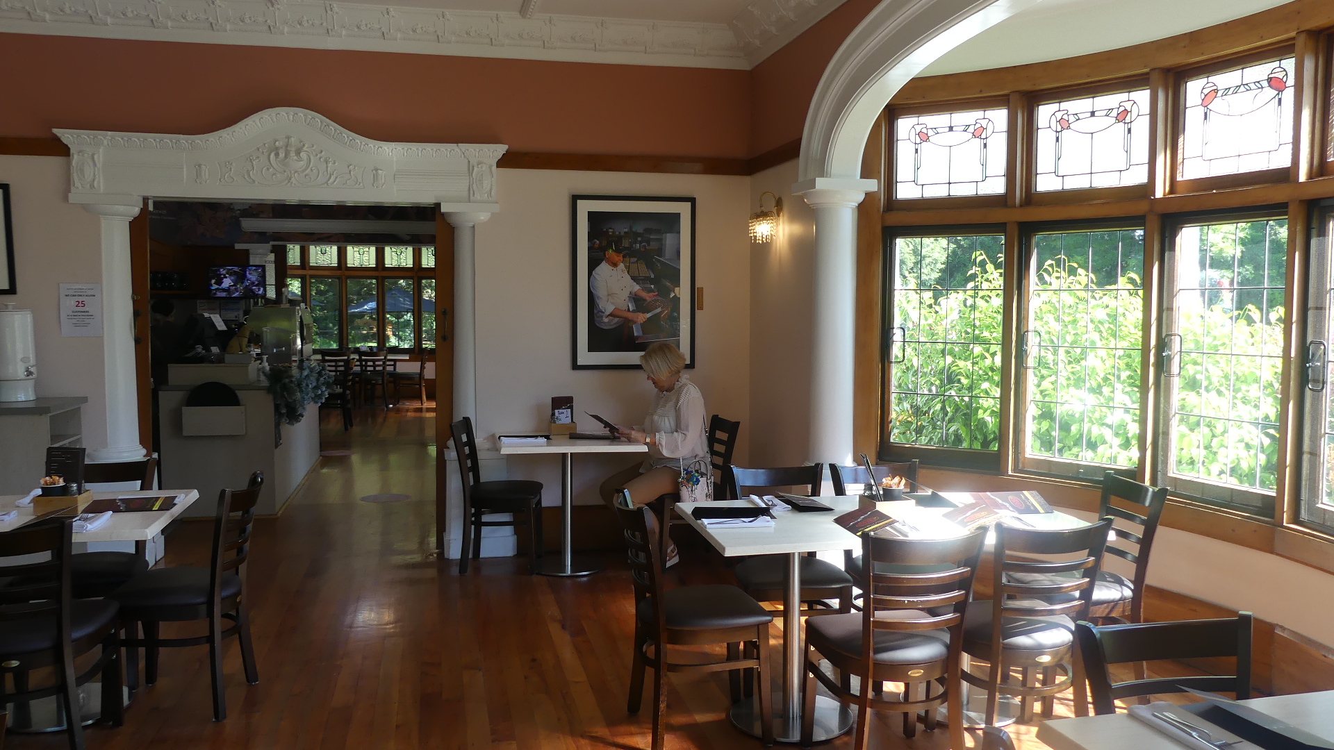
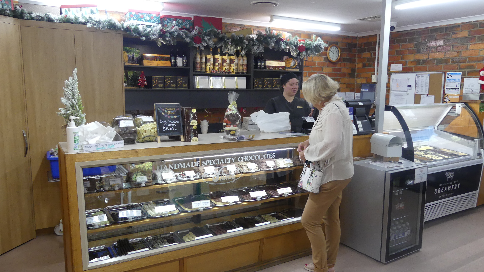
What would a country trip be without a renowned chocolate shop on the way. Introducing the House of Anvers # House of anvers and Anvers Choclate Factory cafe and museum. Situated in the former Wyndarra Lodge #Wyndarra Lodge 9025 Bass Highway Latrobe, the House of Anvers is a factory a cafe a museum and a gift shop. Bass Highway is a pretty busy little road so keeping an eye out for signs and avoiding getting the bloke behind running up your bum made getting there a bit interesting. Wyndarra Lodge (now the House of Anvers) is a 1928 bungalow style building set in parkland right on the Bass Highway between Devonport & Latrobe. Acquired by Anvers in 2002 it was and is ideally suited to transfer the chocolate factory into and showcase the products and the stroy of chocolate. After making a dash across the oncoming traffic and arriving at the Lodge we were firstly taken with the large rose bushes dripping with flowers and the bungalow style how looking as though it was still in the 1920’s. First thing was a cup of hot Belgian chocolate in the lavious cafe then a visit to the mueum and a sticky beck at the chocolate makers but lastly a visit to the choclate shop. Not a place to visit on a keto diet.
Wyndarra Lodge, the cafe, red roses, the museum the choclate makers and the shop and some more roses
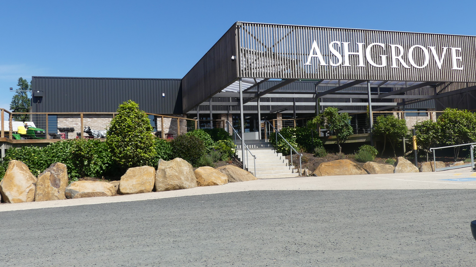
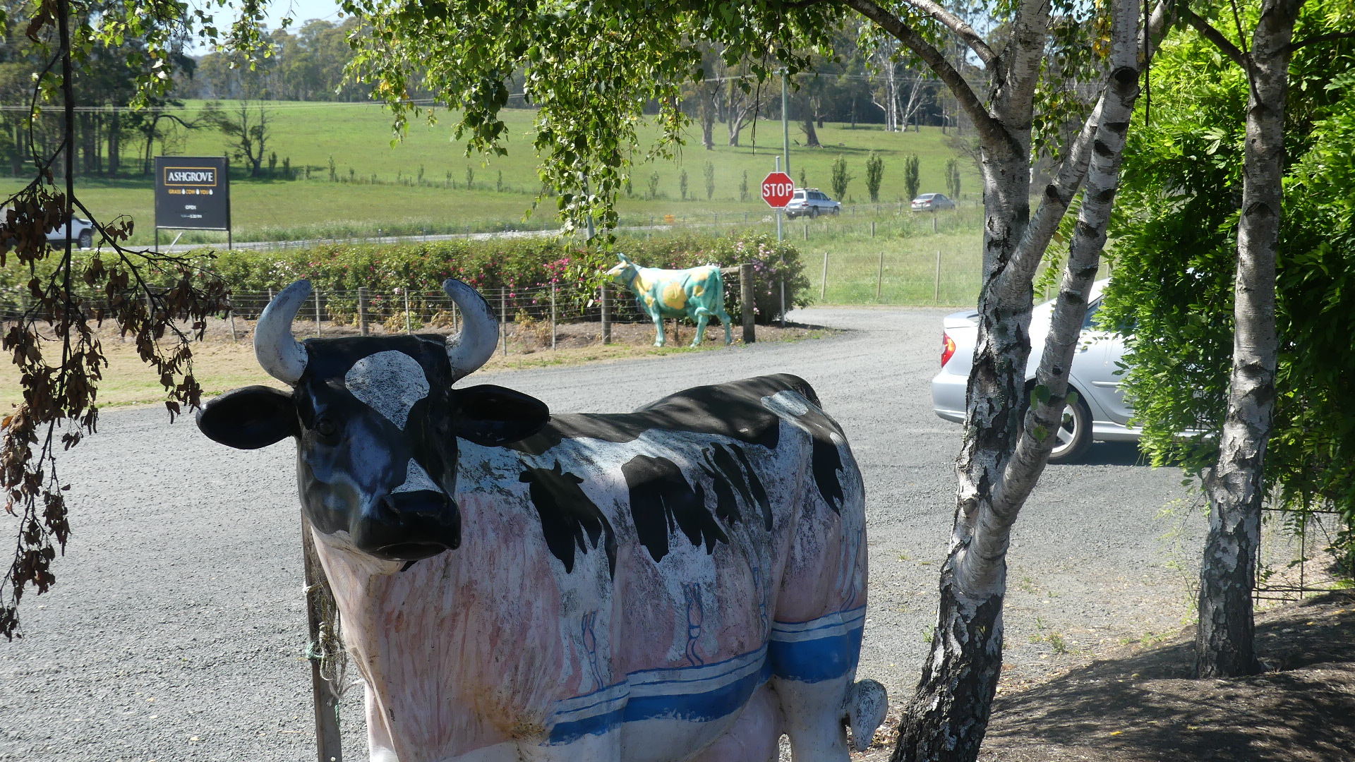
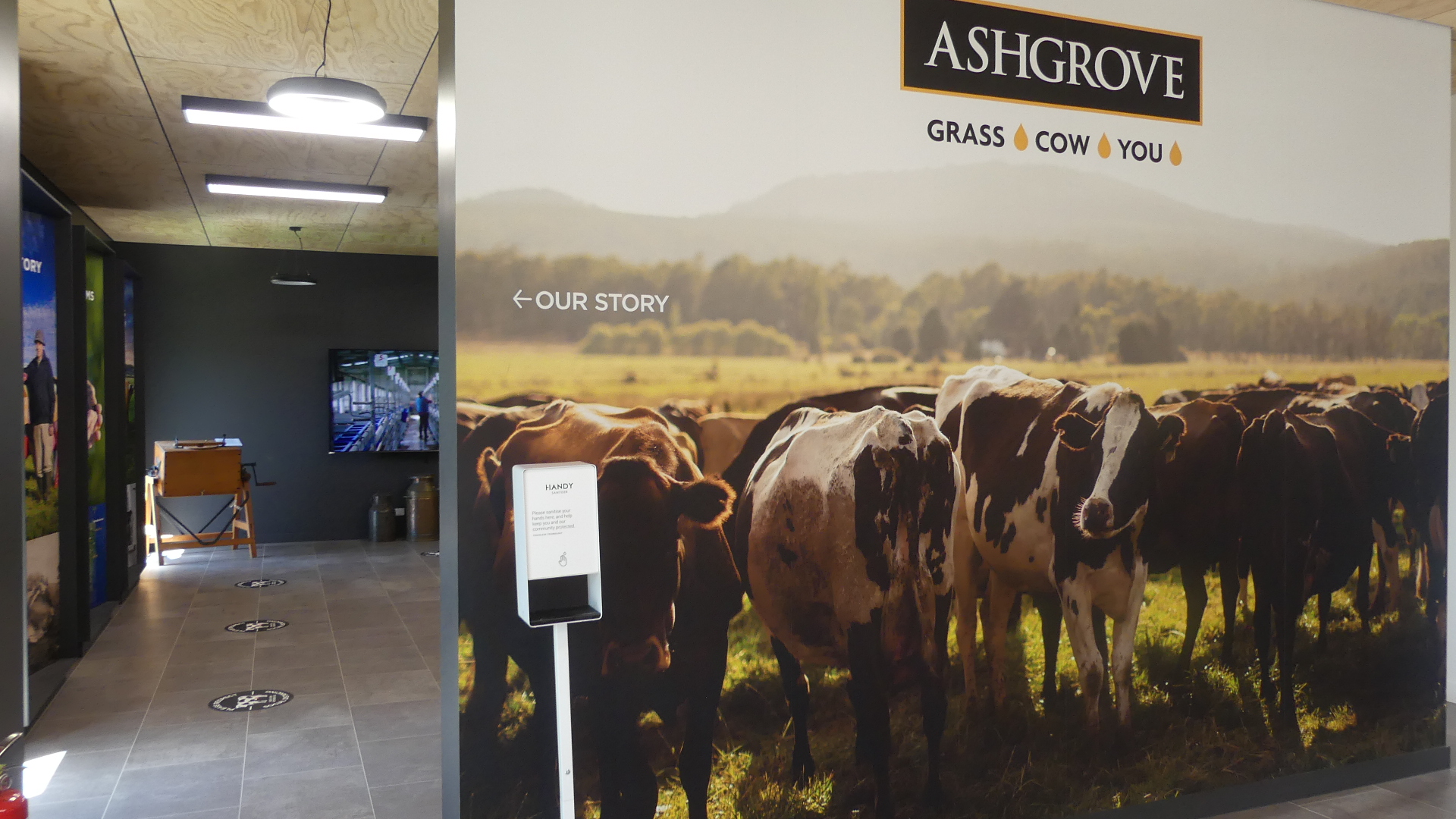
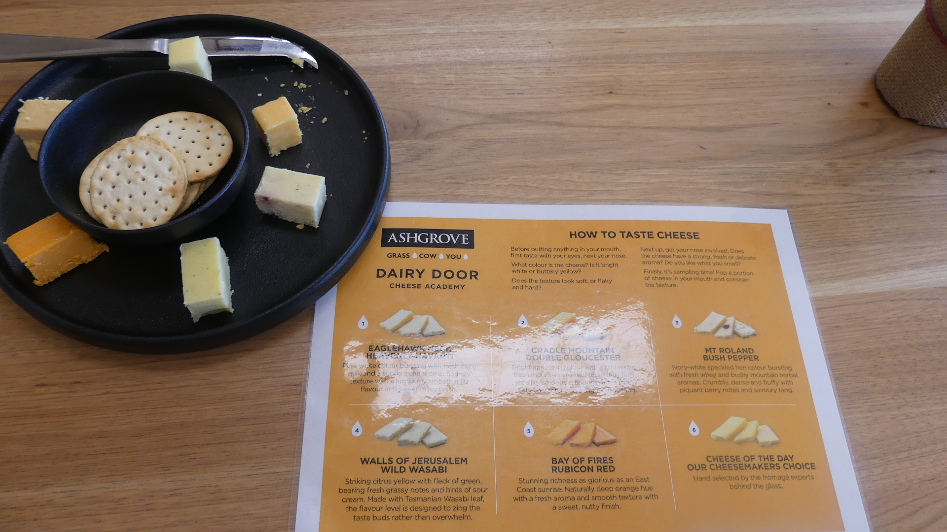
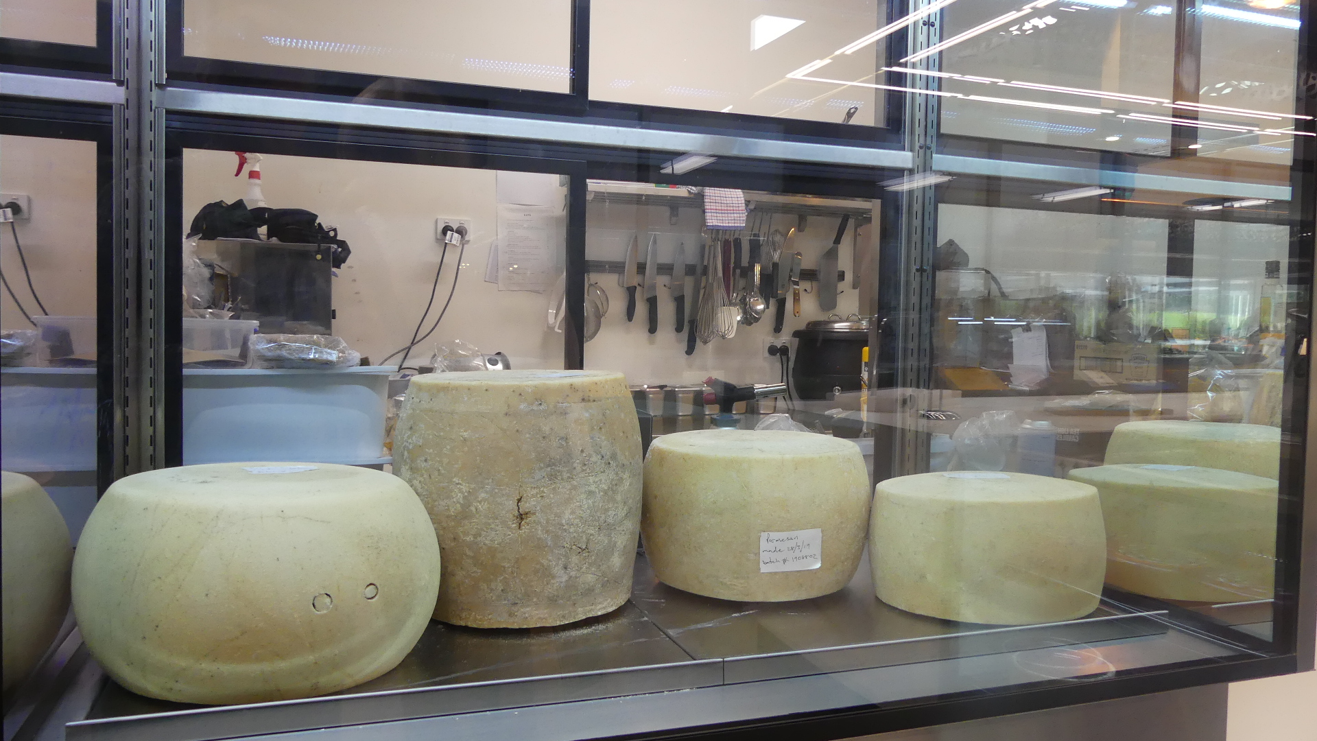
Now we could have remained longer but our travel schedule prohibited lingering stays at choclate shops. We moved on until we saw some cows beside the road and spotted the signs to Ashgrove Dairy #Ashgrove Dairy – not where you would buy a pint of milk. All of these cows are fake, the milking herd obviously is some where else probably not as flash as this. We decided we would have a cheese platter for lunch and this was just the place for it. We toured through the museum of milking past the pasturising into the gift shop – oops too far. lets go back to the selction of cheese and the tables of tourists chomping on cheese. I still drool when I see the rounds of parmesan and blue vein cheeses. Of course we had to pass through the gift shop and we gather a few more bits to satisfy that calcium craving.
Those cows, the tourist trap, another cow, more cows in the museum, oops there that chocloate shop again, our cheese platter the dining hall, and more cheeses.
Now its quite a long trip from Wynyard to St Helens and we needed petrol and we were approximately in the middle of Tasmania on a highway with no apart fueling stops. Oh what a minute there’s one. Of course there had to be a truck stop nearby and as we pull in around the back we see the truckers trucks in the back yard – a rough sort of lay over for 18 wheelers and above. The “diner” was a trucker’s dream – every style of deep fried something imaginable and fresh sandwiches too. There were washrooms but I guesses each driver would sleep in the back of the truck. After refueling (the car too) we wandered amongst the trucks toward a strange looking brick wall that seemed out of place – and there it was Tassie Truckies Memorial Wall #Tassie Truckies Memorial Wall. I had not seen this before and there was a small grave there as well which looked like a child of one of the truckers – the grave was not inscribed so we will never know.
The Tassie Truckers Memorial and what appeared to be some niches for ashes.
We moved onto to St Helens which was a winding trip through the hills before dropping down to the coast. And there I must leave it. We found our apartment and washed off the dirt of the road and settled in for the night. The resort was beside a marsh and the noise of the marsh sang us to sleep. The day had been long but a few Anvers losengers helped us to relax. tomorrow its the Bay of Fires.
The sun is up around 5.00am even with daylight saving so no time for slacking off or sleeping in. Breakfast is a simple toast and cup of coffee so that we can get on the road. Today we are going east to Burnie # Burnie (formerly known as Emu Valley # Emu Valley ).
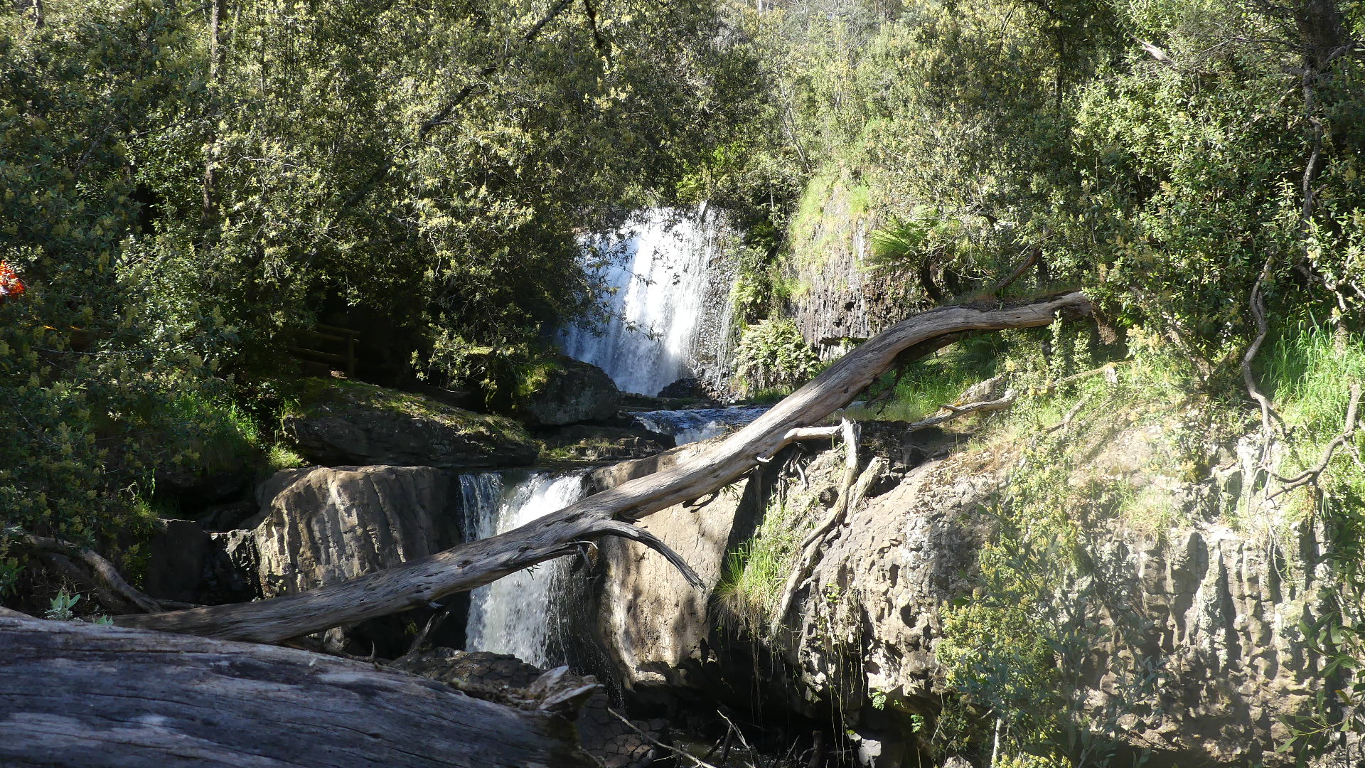
Leaving Wynyard we encounter Cam River Reserve #Cam River Reserve. Its mid week and there is no one around so we drive to the top of the park area to see the waterfalls that make this a special place to visit. The track commences with a long stair case into the valley. After some trek down the stair case we come across the Cam River and the top falls (as opposed to the other falls below it). Perhaps not as spectacular as other falls we have visited but unique in that it looks like a curtain decorating the rock wall over which it flows and pleasantly refreshing – although not hot it has been humid in Tassie and the spray from the waterfall hangs in the air dampening your face as you approach.
Cam River Waterfall at the top of the falls
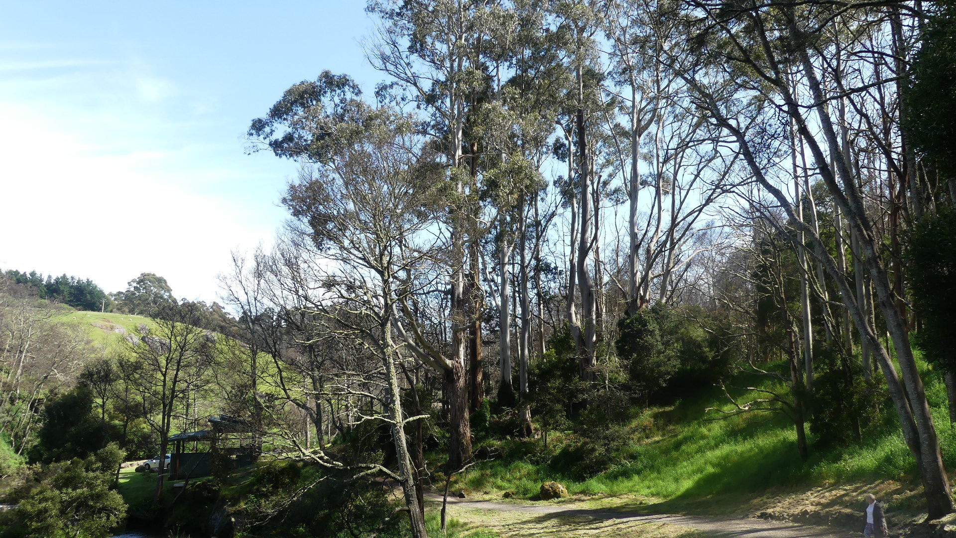
The path follows the river as it flows through a rather narrow valley filled with lush undergrowth and very tall gum trees. As the path takes us lower into the valley we get a better view of the falls appearing as a curtain of water tambling over the sheer rock face. I tried to improve our picture taking vantage by walking out on a ledge and obtained two for one.
The main falls and the lower fals with the main falls in the background
We went back to the track and soon found ourselves amongst the tall trees we had seen as we entered the Reserve. It is down here where the river slows and spreads out that the swimming hole appears and the usual recreation facilities like the loo can be found. It was far too cold for swimming so we returned to the car heading to the Emu Valley Rhododendron Garden #Emu Valley Rhododendron Garden. This means walking up the hill to the car and getting an overal view of the valley.
Just around the corner is the swimming hole and the view of where we have come from
You may recall that Burnie was originally named by the settlers as Emu Valley. Althought the township has changed its name Emu Valley still appears on the maps of north west Tasmania.
The garden is not far from the reserve aolong the valley giving it its name. The Emu Valley Rhododendron Garden was conceived by three men and their passion for the genus Rhododendron in 1981. In the begining the site was a scrub and blackberry infested hillside. Emu Valley Rhododendron Garden (EVRG) is a private garden, owned by it’s members, which has acquired significant international acclaim in recent years.
The garden is divided into various spaces identifying each part of the world in which rhododendrons grow in the wild, and each was named accordingly. Plants which originated anywhere from the icy Himalayas to tropical New Guinea and across the Pacific to the Americas adapted willingly to their new hillside home in Emu Valley. Subject to seasonal variations, the huge large-leafed rhododendrons flower during August and September. This is followed by the main flowering period which peaks in mid October and finishes in December. Vireya rhododendrons flower all year. Autumn colours shown by the deciduous companion plants are spectacular during April and May. The Garden covers 11 hectares with over 24,000 plants already planted, and plans for future development embracing many more.
We spent hours wandering through the various gardens – I don’t know whether we were amazed or just lost. Of course there are other plants – companion plants -throughout. The work to maintain this garden and keep it looking like a garden rather than bush must take an army of volunteers.
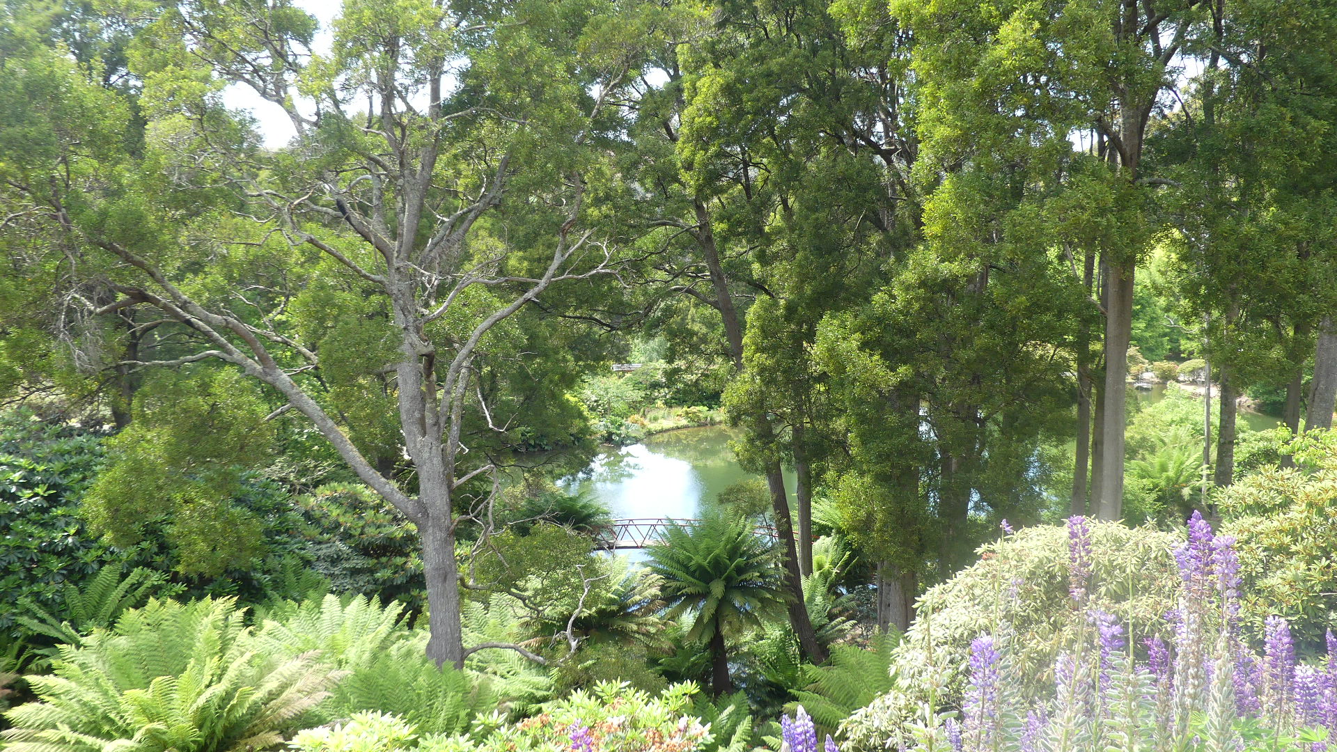
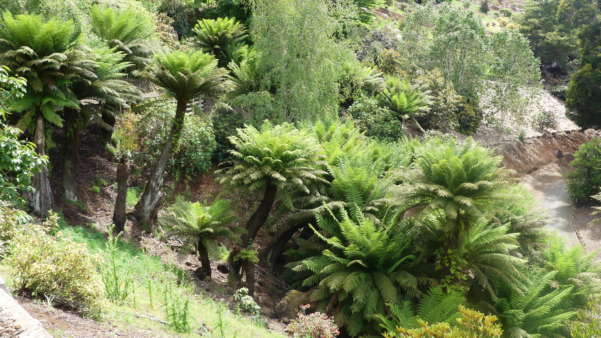
Some of the features of this magnificent garden.
The day turned warmer than anticipated so by the time we had trekked through the garden we needed to recuperate with an ice cream under a tree.
The next place to visit was Hellyers Rd Distillery. Now we had visited the Spirit Store on Bruny Island last time we were in Tassy and I had bought a bottle of the peat smoked Helleyers Rd whisky. Good for Xmas plum pudding and not much more I am afraid. So our visit to the distillery was with apprehension on my part.
Located at 153 Old Surrey Road on the quiet hilltop of Havenview in Burnie, the distillery sits on the original Hellyers Road that once crept through the Emu Valley. A breath-taking landscape on Tasmania’s northwest coast – a corner of the world more accustomed to building things, growing things and milking things the site had been a dairy farm.
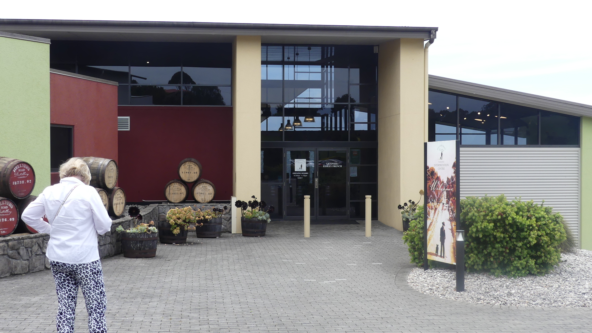
Trying to find the cellar door was a little challenging with this impressive cellar door (see below) being hidden behind some very ordinary industrial sheds. The Building is on the summit and stretching away below are lush green fields leading to the timbered tree tops and ploughed fields on the surrounding hills. Inside the cellar door is a well presented cafe with views of the surrounding hills and a bottle shop presenting an array of local produce and the whisky. The visitor centre brochure advertised tours of the distillery and despite my opinion on the quality of the whisky we decided to join the next tour.
After a short wait a well dressed middle to late aged man walked up to us and introduced himself as the general manager of the distillery and announced that due to staff shortages he was taking the 2.00 o’clock tour – and that was just us. He asked if we ahd tasted the brand and I told him my opinion. He was not surprised and agreed they had not got that product right but promised a surprise when we got to the tasting room.
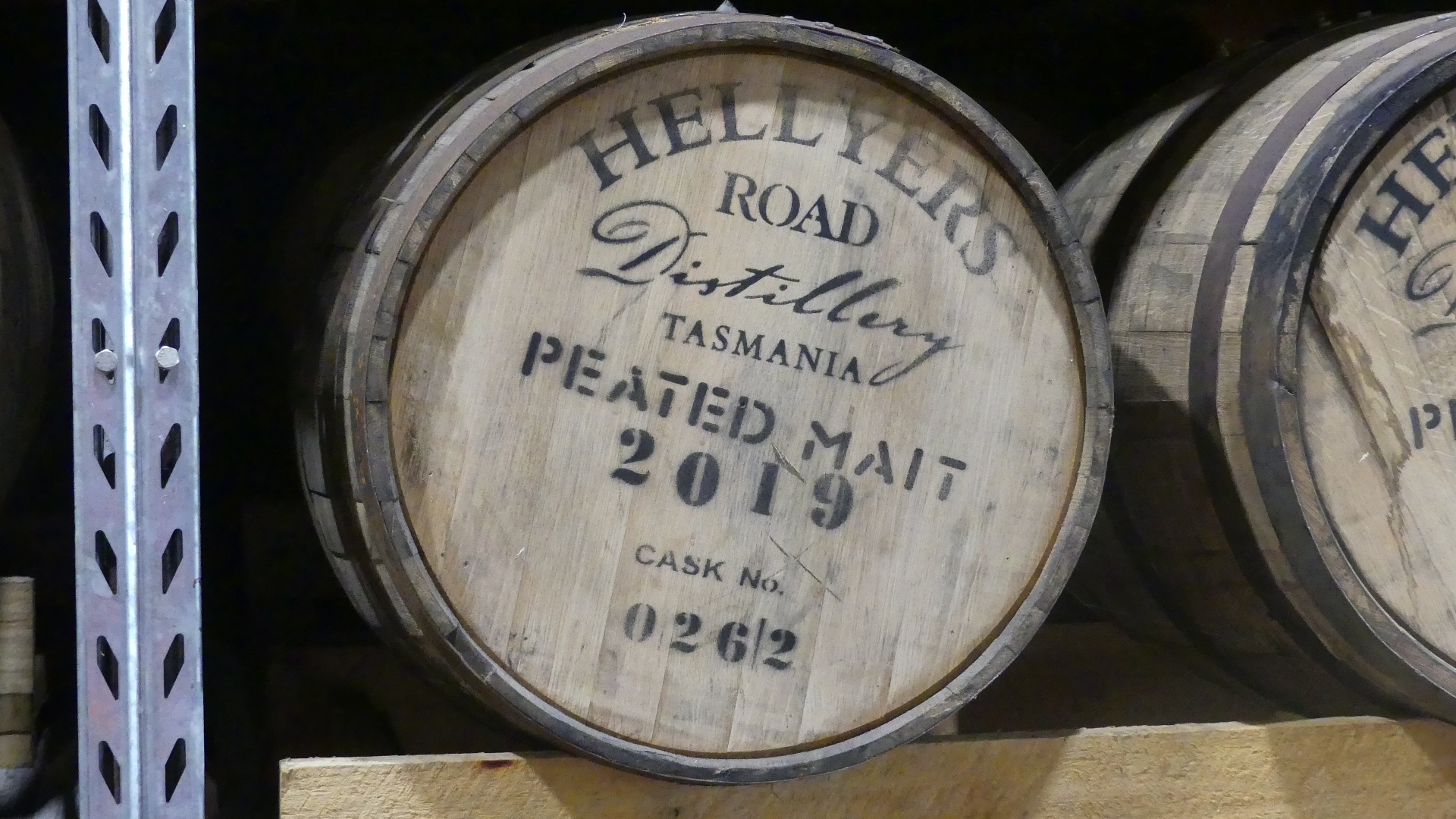
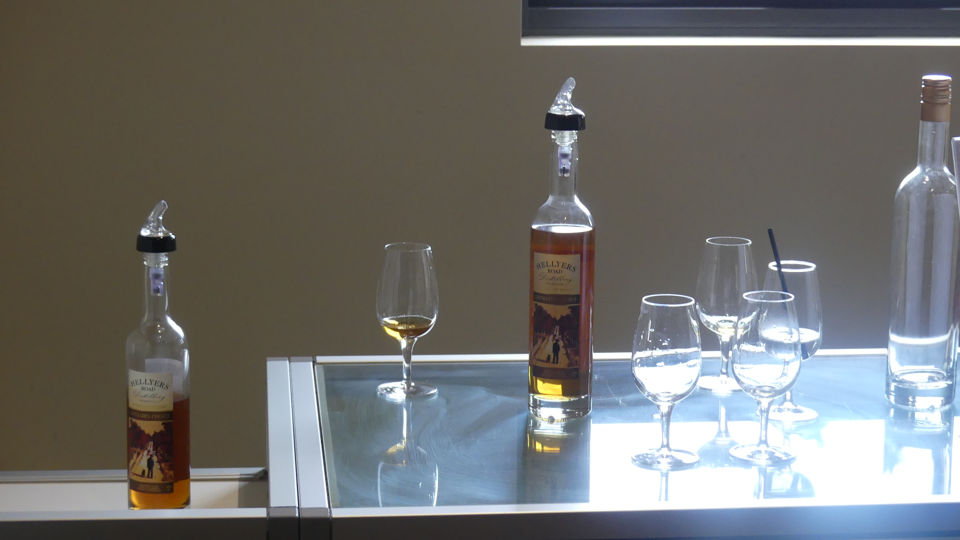
We went to the barrel room (not ordinarily on the tour) where they still held some of the first whisky they had distilled. He explained that the company that owned the distillery had orginally been a dairy company and they decided to diversify and that was the reason why they had a whisky cream product. At the tasting room he produced a barrel which was a blend of 10 of their oldest whiskeys making the finest of its kind (or so he said) and to taste it he was pretty spot on. We tasted a number of wishkies matured in various type of cask and a ten year old single malt and I was impressed by the single malt. So after the tour we visited the shop and purchased the bottle into which I poured the whisky from the old barrel. This is a numbered bottle and only 500ml but it was an experience bottling my own whisky and sealing the cork in the bottle with hot wax. I also bought a bottle of the ten years old for my drinking pleasure and a whisky cream for Kerry’s drinking pleasure. there not much of the whisky cream left I might say.
The cellar door, the barrel room, the distillery and the tasing room
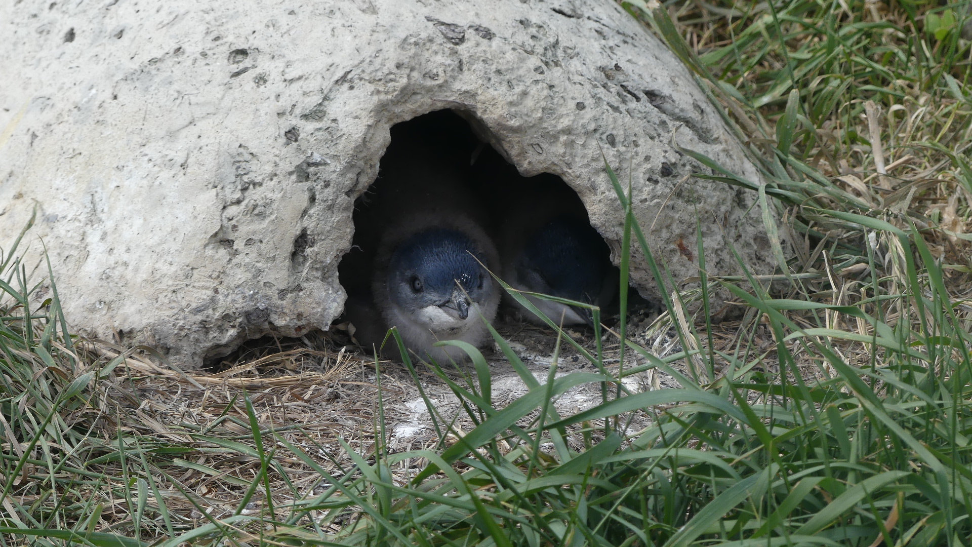
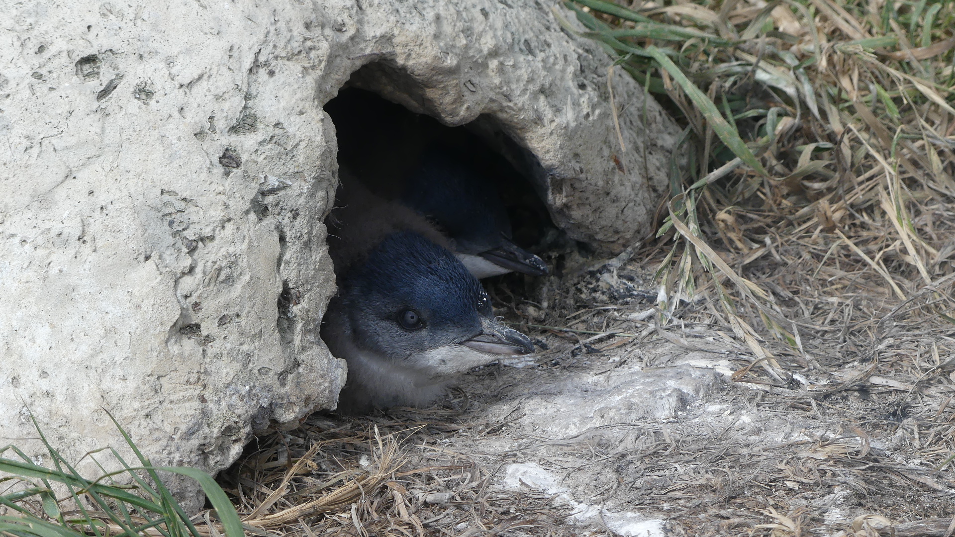
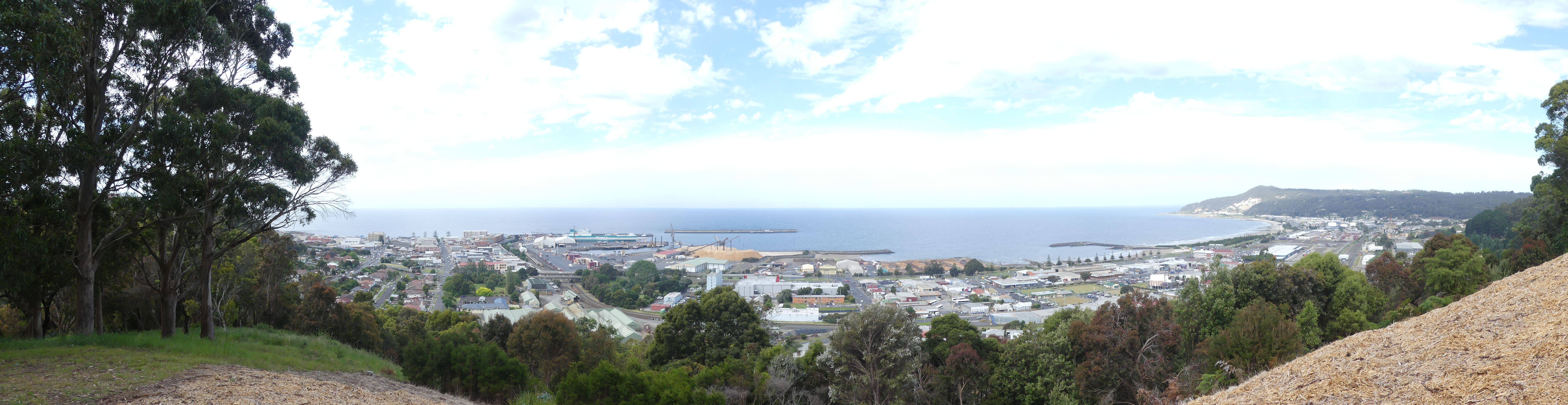
We finally got to Burnie. Viewed from the hills behind it, it is very well established and quite large. We drove down to the town to find a very industrial town and port. It was late in the afternoon so we decided to go for a stroll along the foreshore and then onto the penguin rookery beside the University of Tasmania #University of Tasmania campus on the waterfront just on the edge of Burnie CBD. These are the typical little penguins that inhabit Port Phillip and they live almost in the town itself coming and going with the tides. We watched two of them hiding in their man made burrows for some time but it was too hot for much activity from the little guys even at 7.00pm so we found a pub along the foreshore for dinner. Not a meal to write home about but it did the trick and we felt our bed calling.
The foreshore with its metal octupuses, the little penguins in their man made shelters, and the view of Burnie and its harbour from the hills.
Its daylight saving in Tassie so when we arrived in Wynyard the Sun was still shining and the residents of Wynyard #wynyard were in the streets doing their shopping and what have you. Masks were the popular fashion accessory and remembering to put the damn thing on was still a chore. We found our accomodation. A bit tricky though. Its river front and yet just below the main street of the town. The motel extends to the carpark beside a wharf from which a municipal park follows the river as it curves back into the mountains. It was a pleasant surprise. Our accomdation was an old motel freshened up and given a modern appearance with the best view in town. From our room we could look over the river and with a craning of the neck see the mouth and river bar.
The motel area included two “shipping container houses” #shipping container house. I have included pictures below. I just loved the innovation but apart from being impressed I cannot tell you much more as they were locked up but clearly occupied.
the Waterfront Motel Wynyard #Waterfront Motelthe Inglis River and barthe wharfthe Inglis River bank parkShipping Container House #shipping container house
After registering and moving our gear into our room we decided on a walk down the main street – Goldie Street. Now we were staying at 1 Goldie Street. To get to that address coming from the east you have to crossover Goldie St and duck down onto the lower part of Goldie St disconnected from Goldie St the centre of town. So see what I mean about tricky.
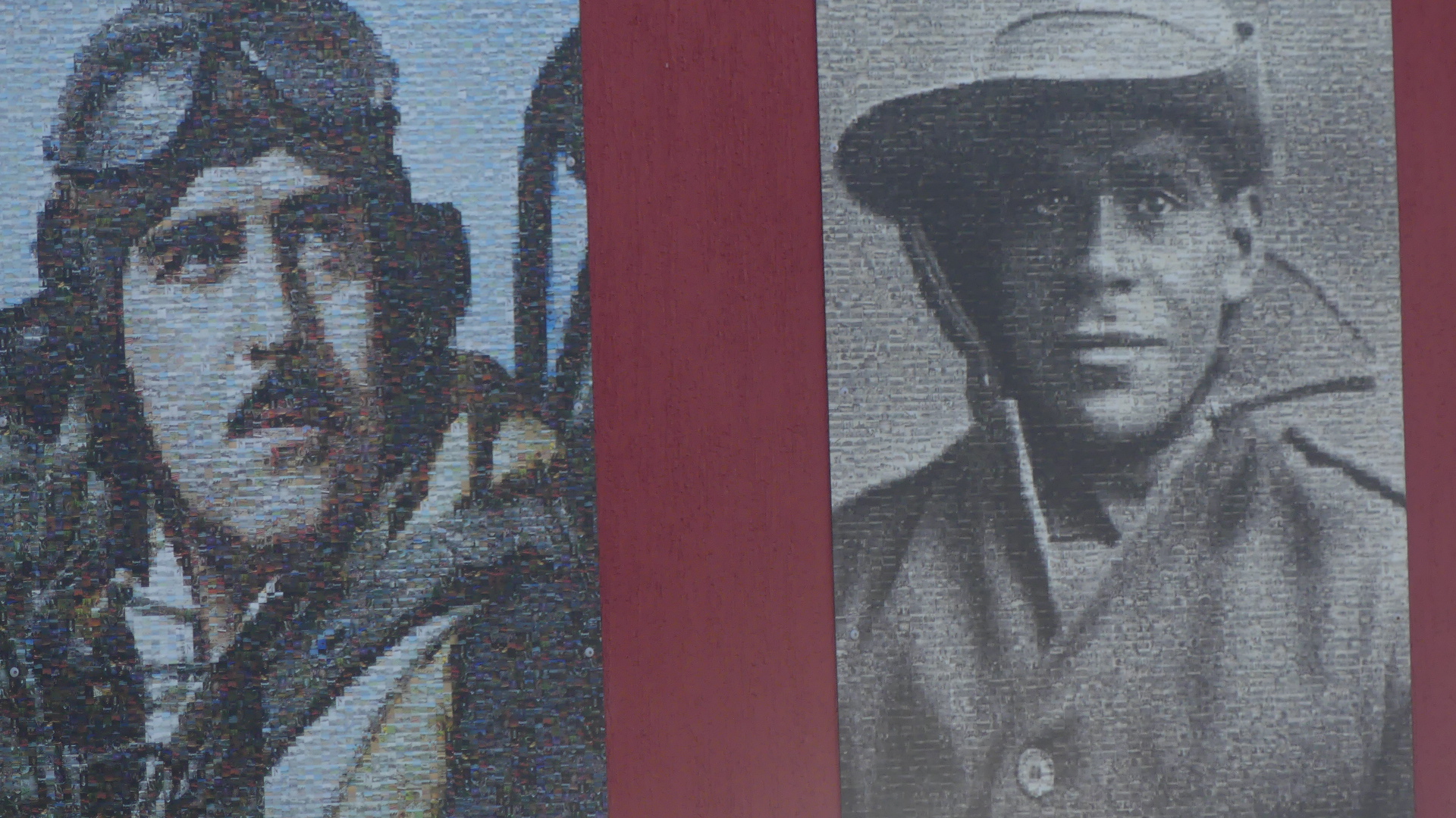
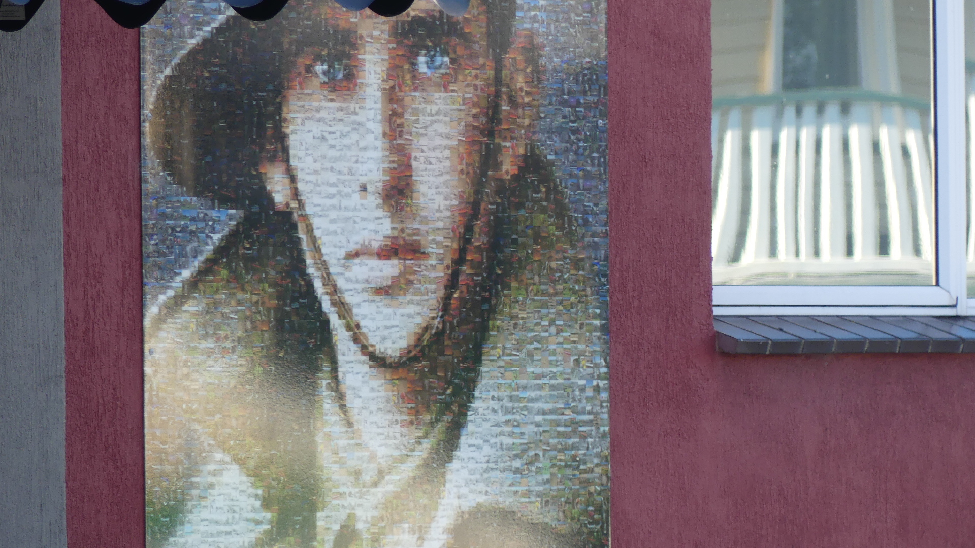
We very quickly encountered the RSL (Returned Servicemans Club for Wynyard) #RSL Wynyard and its moving display of images made up of smaller images of servicemen and women.
We found the Woolies and bought something for our evening meal. Although the trip was not overly long in distance we had spent all the daylight hours travelling and needed some sleep so with the sun going down around 8.30pm we decided we would take our rest also.
Next morning – Up bright eyed and bushy tailed the next morning we planned our day. First we would go to Table Cape Lighthouse.
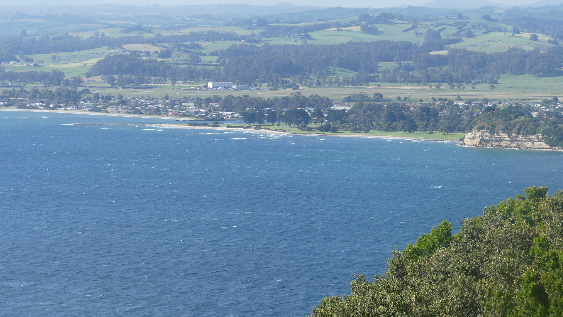
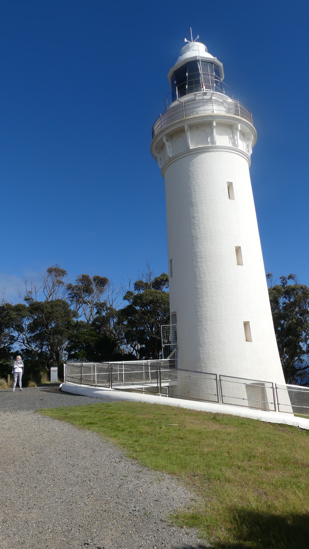
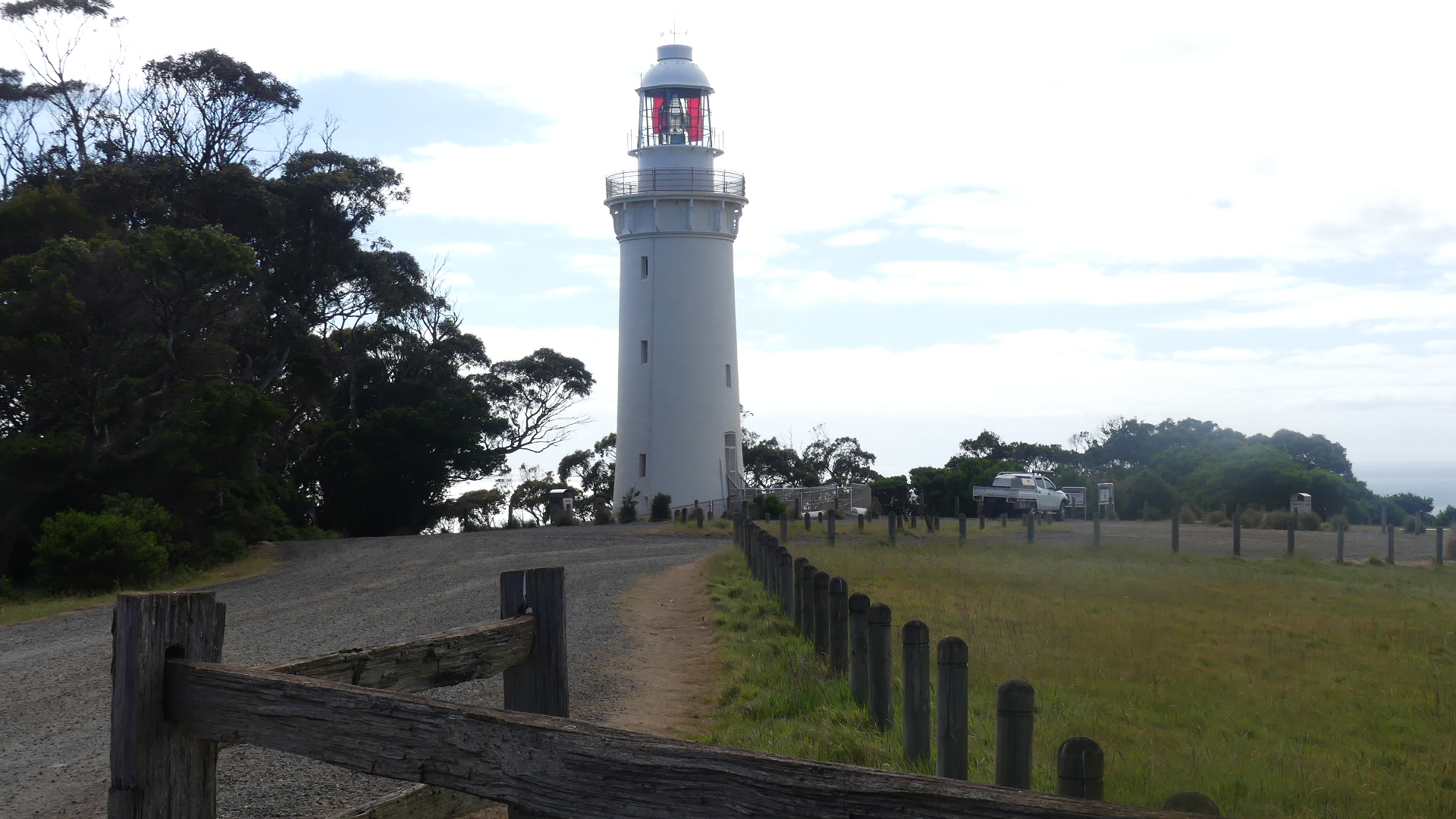
The magnificent plateau of Table Cape is by far Wynyard’s most remarkable natural wonder. Sitting at 180 metres high, ‘The Cape’ – as locals refer to it – dominates the Wynyard coastline and offers spectacular views of Tasmania’s coast and agricultural farmlands. As you drive to the top of the remains of a 12 million-year-old volcano you’ll reach a viewing platform where, on a clear day, you can see George Town’s Low Head and mountain ranges over 175 kilometres away. Take a short stroll along the cliff-top walking track to the Table Cape Lighthouse #Table Cape Lighthouse, the only operating lighthouse open (seasonally) for tours in mainland Tasmania.
Table Cape is also home to the Table Cape Tulip Farm where acres of patchwork fields explode with colour each spring. We must have missed this display by that much – there were no blooms to be seen.
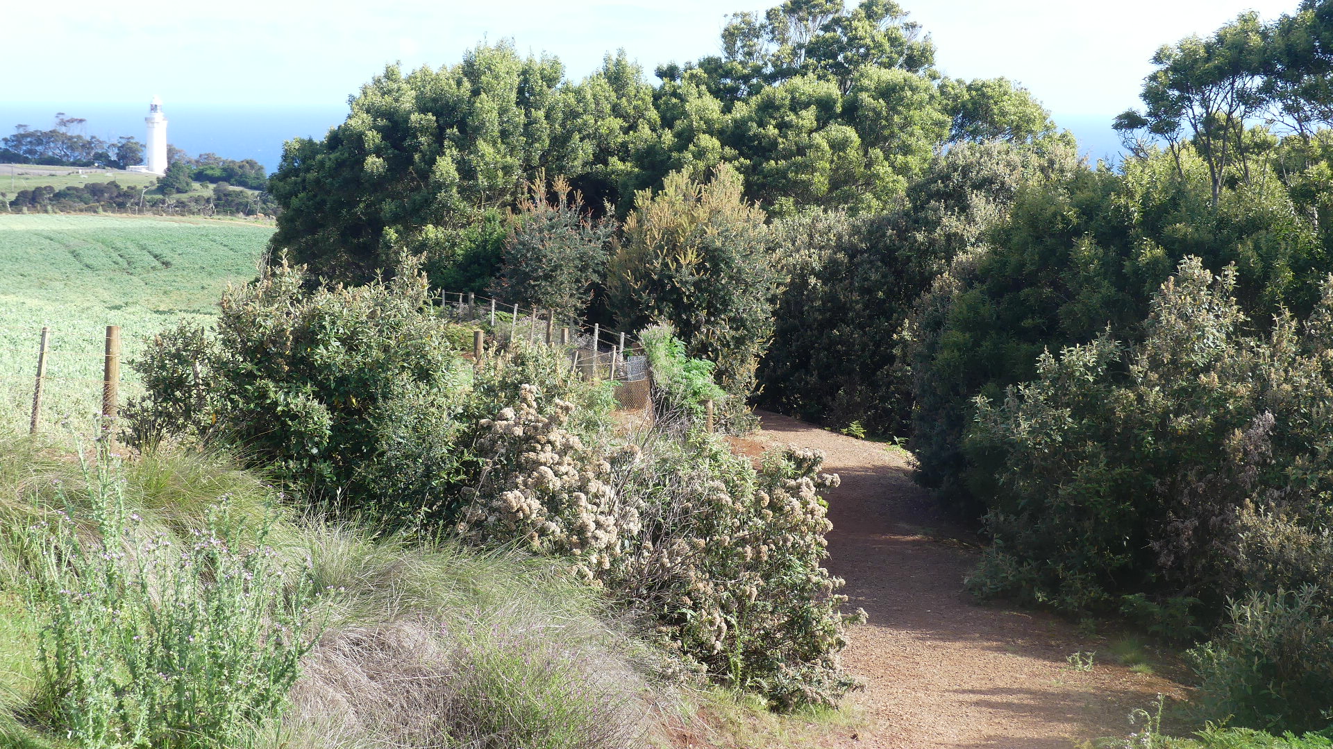
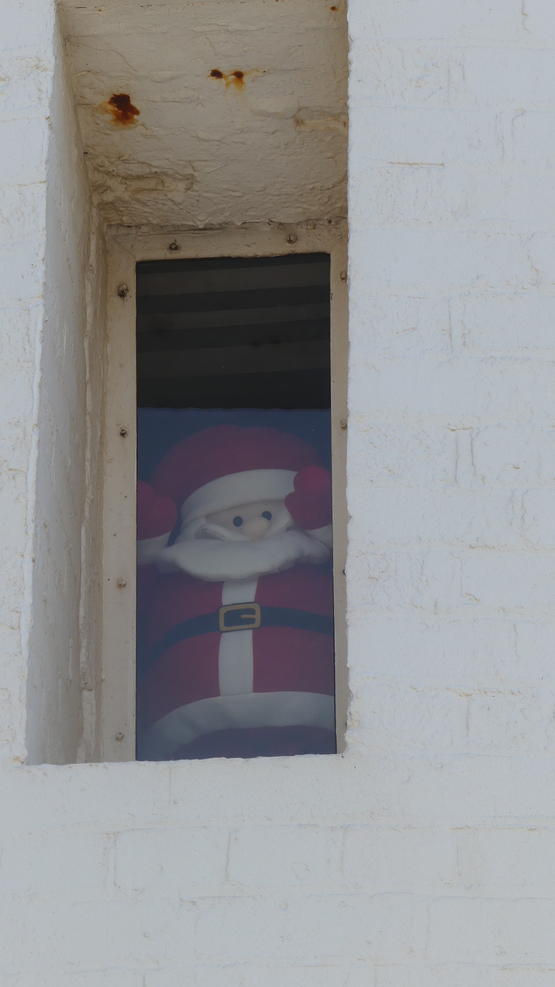
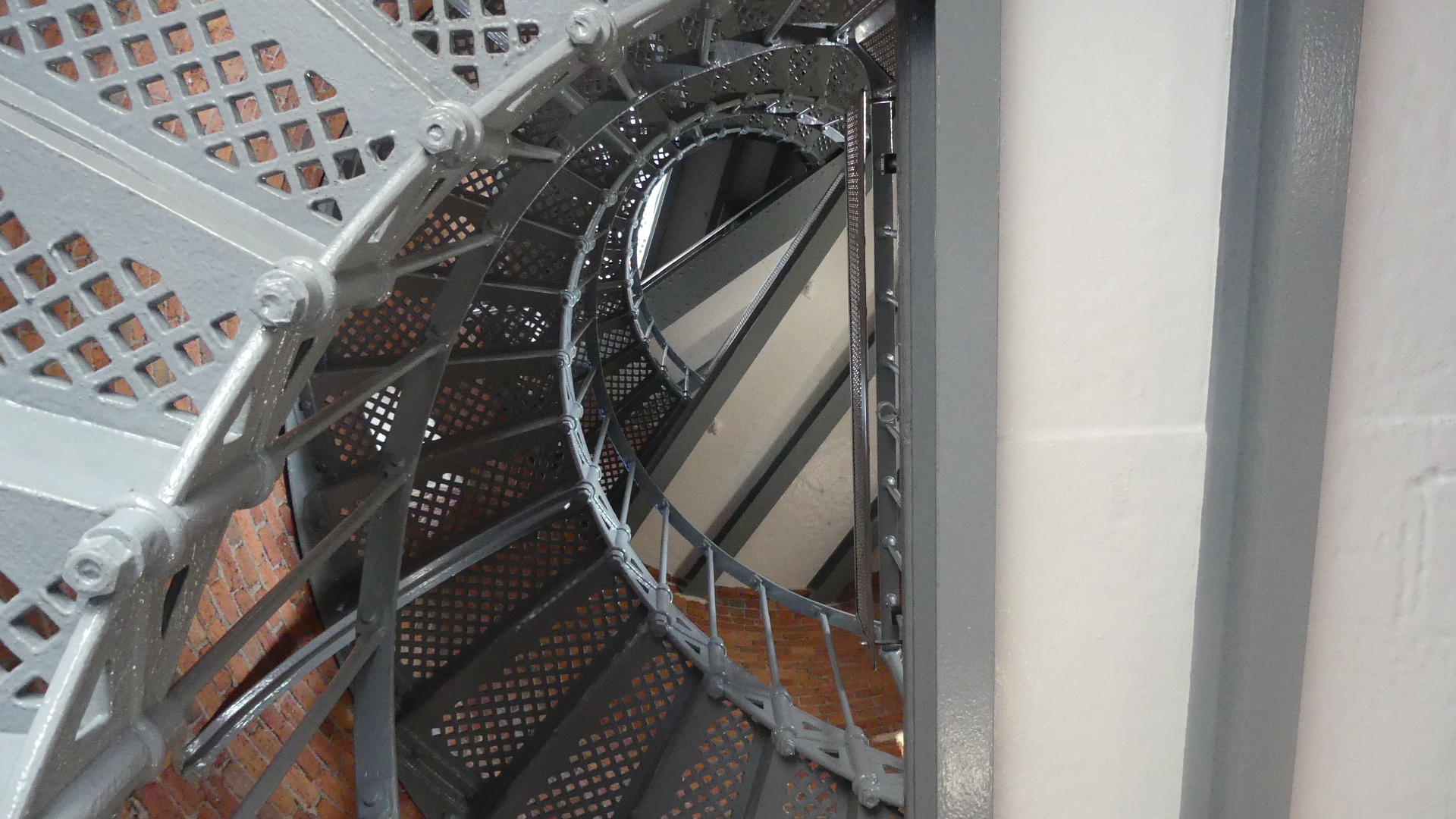
As for seasonal openings of the lighthouse, we encountered the seasonal maintenance team. Being a friendly Tasweigen he invited us to step inside the thresshold and view the interior. Staring up to the light in the top of the lighthouse you wonder about the effort of carrying the lamp oil to the top before electric power replaced the lantern and the tough life for the lighthouse keeper and the family beofre civilisation surrounded it – the solitude and the harshness of life is brought home by the grave of a child just by the gate into the lighthouse keep.
The Cape, the view from the Cape, the bush track to the Cape, and the infants grave
The drive to the lighthouse today is a pleasant cruise along bitumened road through fields which would normally be filled with tulips but even without the flowers this was extremely beautiful, traffic free and pastoral. Some of the vistas were remarkable.
Views from the drive through the coastal road from the Cape to the freeway near Boat Harbour and Boat Harbour Beach.
Our destination now was Stanley # Stanley and the “Nut” #the Nut.
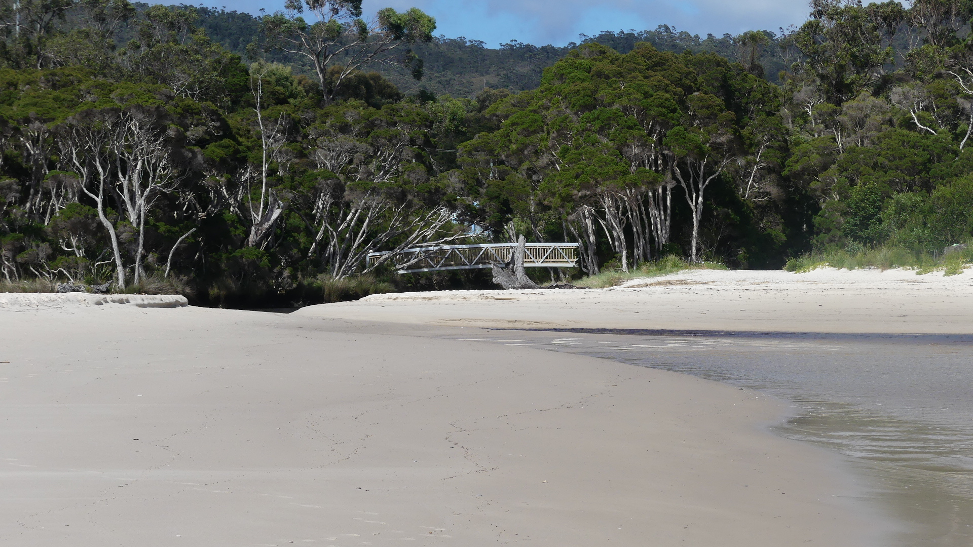
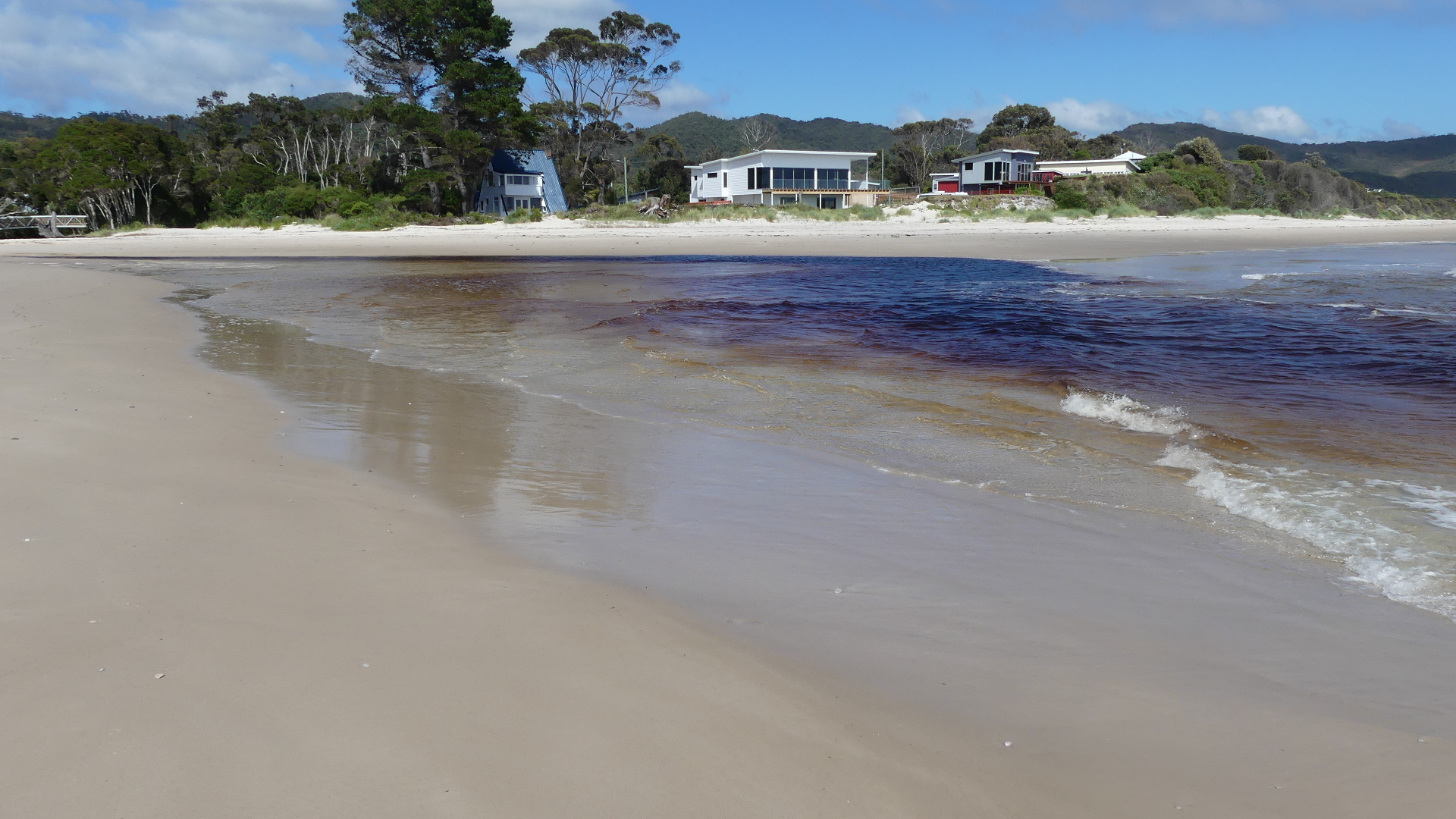
We decided to leave the highway at Boat Harbour and go to Sisters Beach just to have a look. This stop had been pointed out to us as a “must see”. After leaving the freeway and following the winding track along the coast we came to Sisters Beach #sisters beach both a locality and small town located in the Waratah-Wynyard municipality. This road is the old horse trail known as the Postman’s Track that once formed the only connection between Emu Bay now Burnie and the Van Diemens Land outpost of Stanley. According to local publicity it has a beach of white sand, approximately three kilometres in length. However the prevalence of the giant banksia (the only place in Tasmania where they occur) has darkend the water flowing from the creek onto the beach. Not exactly white sand. The community is widely spread with a cafe/ shop on the approach to the beach.
Inky coloured water running onto Sisters Beach.
We stopped for a morning coffee and despite the store looking as though it was running out of supplies we found a fenced off garden off the cafe which had a pleaseant outlook and seemed to be awaiting the arrival of all the expected visitors like us except there was only us. Sad.
After contributing to the local economy, we made our way to Stanley and its famous “Nut”.
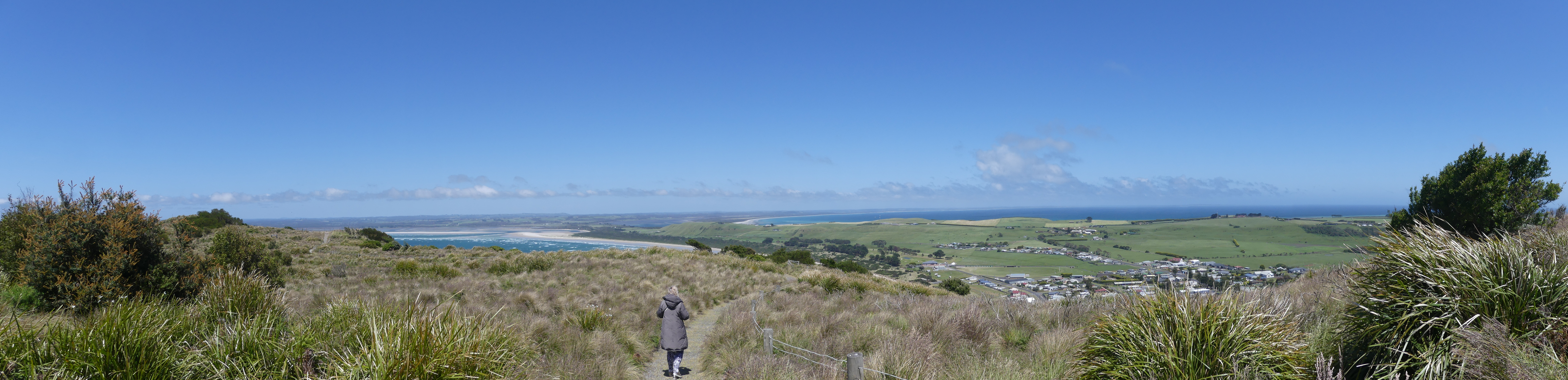
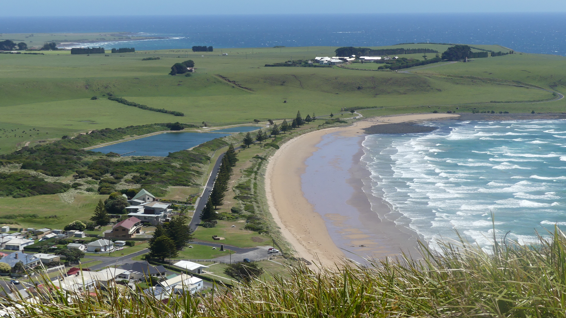
Stanley is located at the eastern end of a peninsula thrusting into Bass Strait and overlooking Sawyer bay to the east and Seven Mile beach to the west. The Nut is a name commonly given to a volcanic plug rising behind Stanley. It has an elevation of 143 metres (469 ft) above sea level. The Nut was first recorded as being observed by George Bass and Matthew Flinders when they circumnavigated Tasmania in the sloop Norfolk. It is made of fragments of basaltic volcanic rock from a volcano which was active approx 25-70 million years ago.
The origins of its name are speculated to be from the Tasmanian Aboriginal name, “munatrik” (moo-nut-re-ker), or because explosives were unable to dent it during the construction of a breakwater (a “hard nut to crack”). The areas around the Nut are culturally significant to the local Tarkine Aboriginal people because of stone formations, middens, quarries and artefact scattered near the area. Stanley itself is an unusual village/town in that there presently seems no reason for it being there.
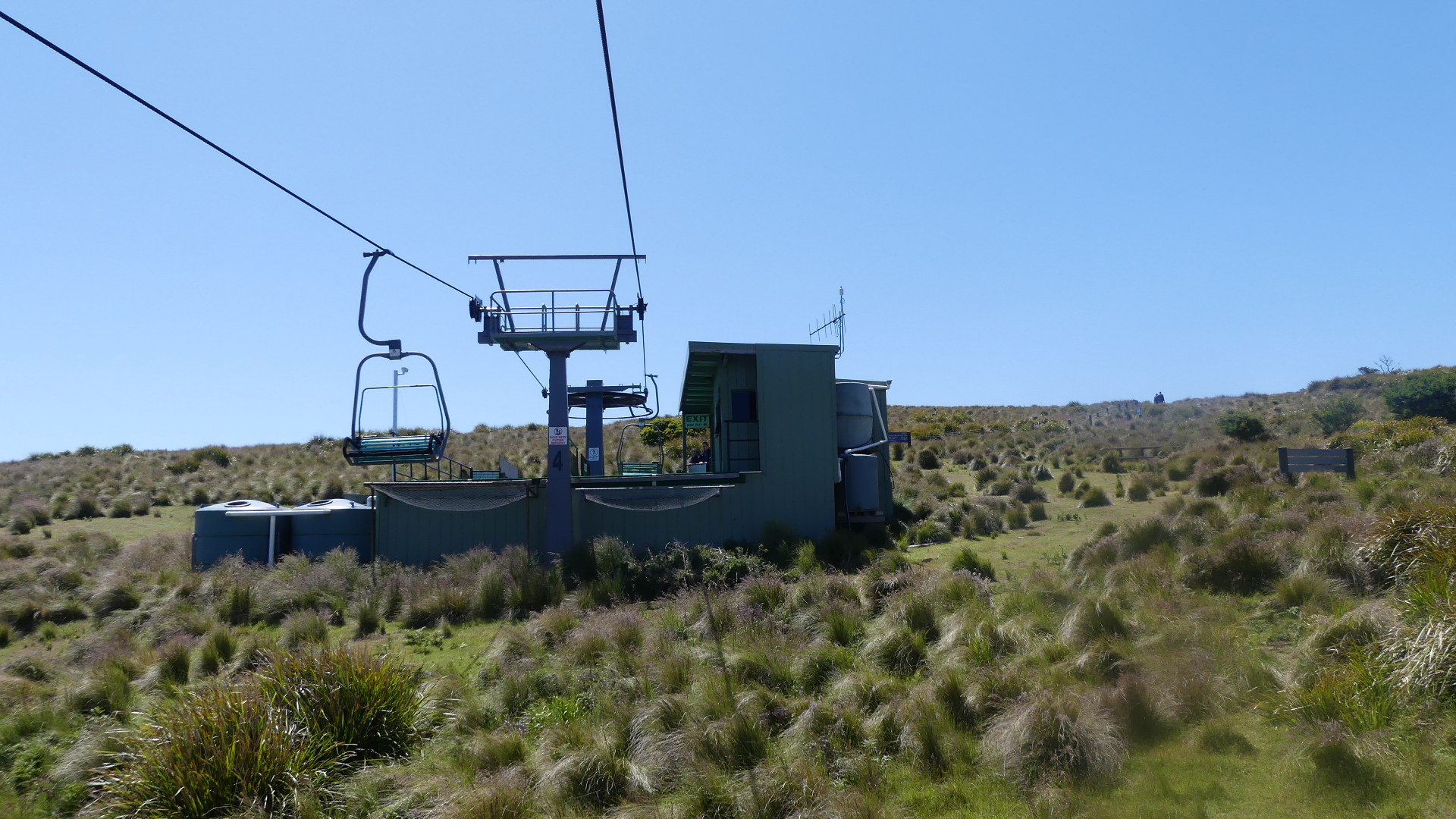
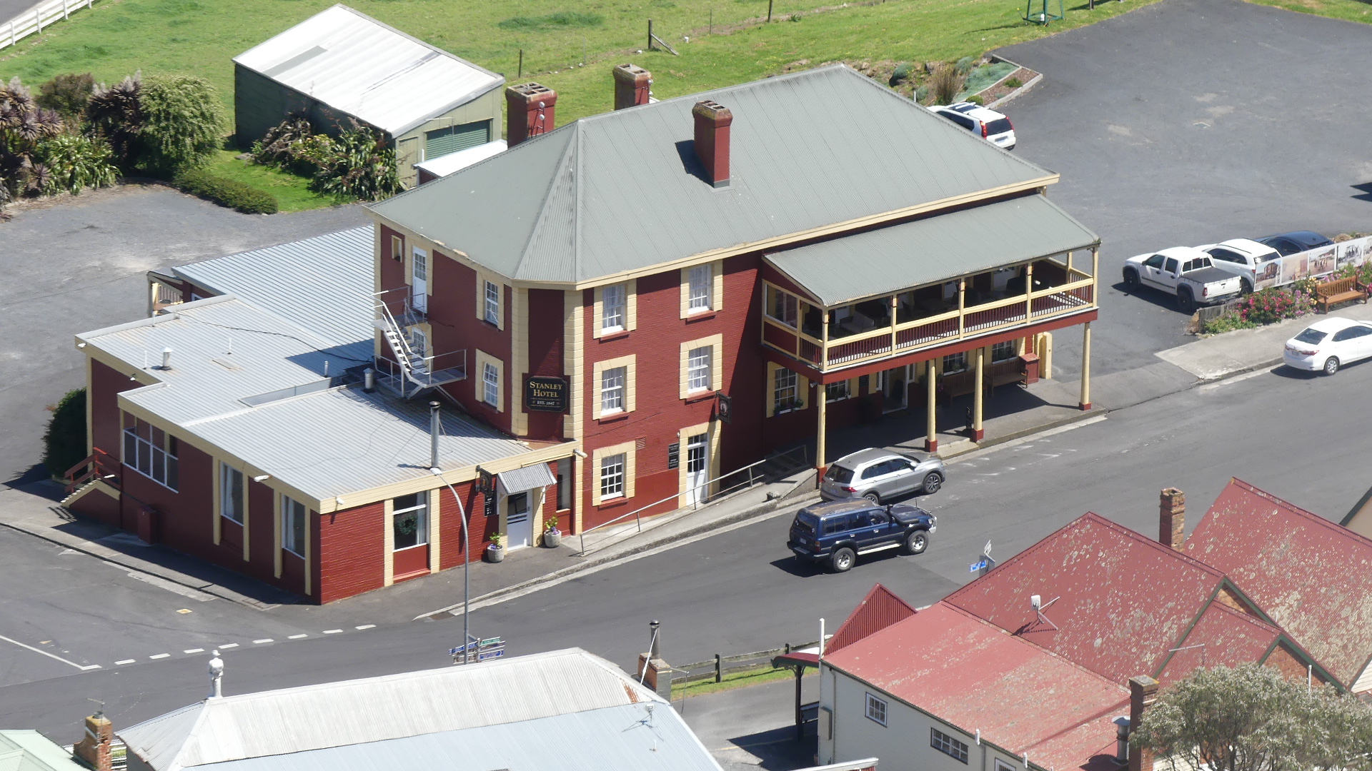
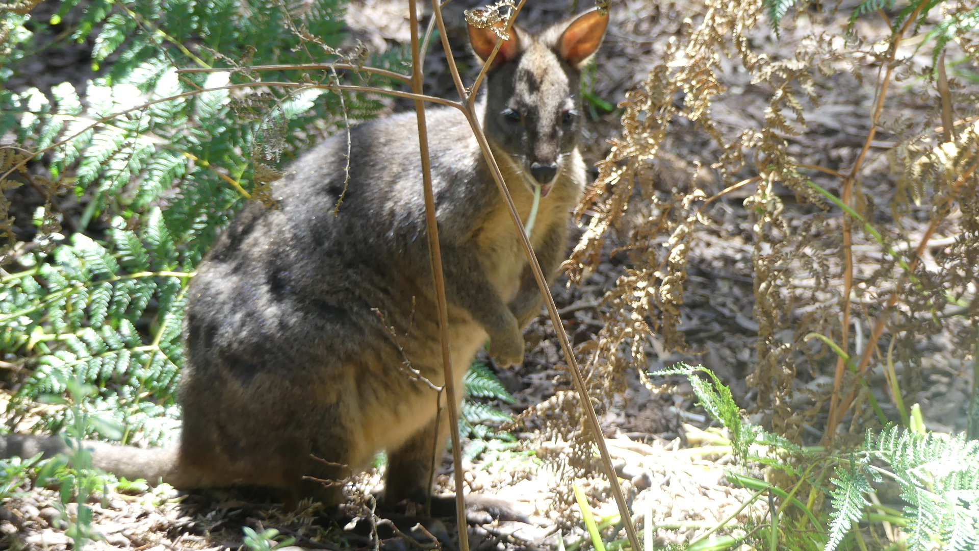
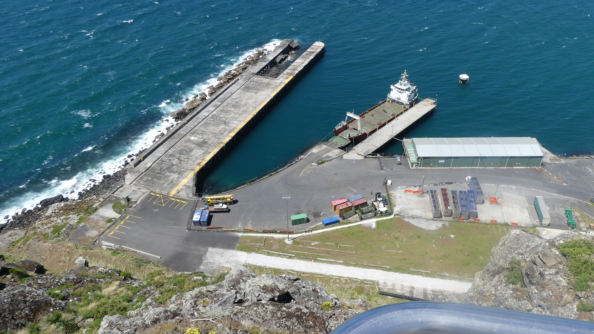
A port opened in 1827 and the first school opened in 1841. There was a short-lived bay whaling station in operation on the fore-shore in the 1830s. Stanley officially became a town in 1842 and by 1843 more than 8,000 acres had been sold or leased to almost 70 people. The Post Office opened on 1 July 1845 and was known as Circular Head post office until 1882. In 1880 the first coach service between Stanley and Burnie was established. In 1936 a submarine telephone cable from Apollo Bay to Stanley provided the first telephone to Tasmania from the mainland. Today Stanley is a tourist destination and the main fishing port on the north-west coast of Tasmania. We made the journey up the Nut and observed the port. The trip up can be undertaken on foot (rather arduous) or by chairlift (our preference). The walk around the Nut was at times very windy and quite cool and at other times shaded and seculded. We encountered a friendly wallaby #wallaby or maybe it was a paddymelon #paddymelon along the way
We have finished our walk across and around the Nut and can understand it attraction. One of the things that people go to Stanley for is its crayfish. Its lunchtime and after our walk we have the appetite for crayfish. Below the Nut is Hursey’s Seafoods #Hursey’s Seafood. We ordered the Crayfish for Kerry and unfortunately there was little more than a mouthful of crayfish. So ended the day trip to Stanley and we returned home to dream of what tomorrow will bring.
Tassie is not a big place by Australian standards so the idea that we would drive from Ferntree in the South to Wynyard #wynyard in the north west on the northern coast of Tasmania was not adventurous by any means. There are various ways to go and our gps chose to travel through Richmond up the B31 north until we joined the Midland Highway around Oatland. After Campbelltown we veered toward Delorraine as we had spotted the Mole Creek Caves as a place to visit.
Leaving after breakfast we made good time to Longford a village a little west of Perth (Tasmania not WA). We found a shady tree in a spacious park to eat our pies purchased from the local Bakery. A neat and tidy town but we were on a mission to get to the caves.
#longfordtasmania
After our break we continued the journey to Delorraine and then onto Mole Creek and the Mole Creek Karst National Park where we hoped to visit Marakoopa and/or Kings Solomon’s Caves. We had rung in advance and knew we had to get to Marakoopa before 3.00pm otherwise we would have to go to King Solomon Mines Cave. We missed out on seeing Marakoopa by the smallest of margins but we were able to purchase our ticket for King Solomon Mines and secure our entry. It is a 15 minute drive between the two so we were getting a little anxious.
After a rather quick trip through the narrow roads of the park, Kerry dropped me off to run to the ticket office and make sure they did not leave without us. The Cave is at the end of a 200m walk and I am not a practised 200m runner so, I struck off into the bush and as I moved through on the path a feeling of deja vous came over me. An iron statue straight in front of me seemed so familiar but Kerry later assured me we have not been here before. I remain puzzled. However I made the distance and saved our spot. It turned out there was no one else booked to go on the tour so we got a very personal tour.
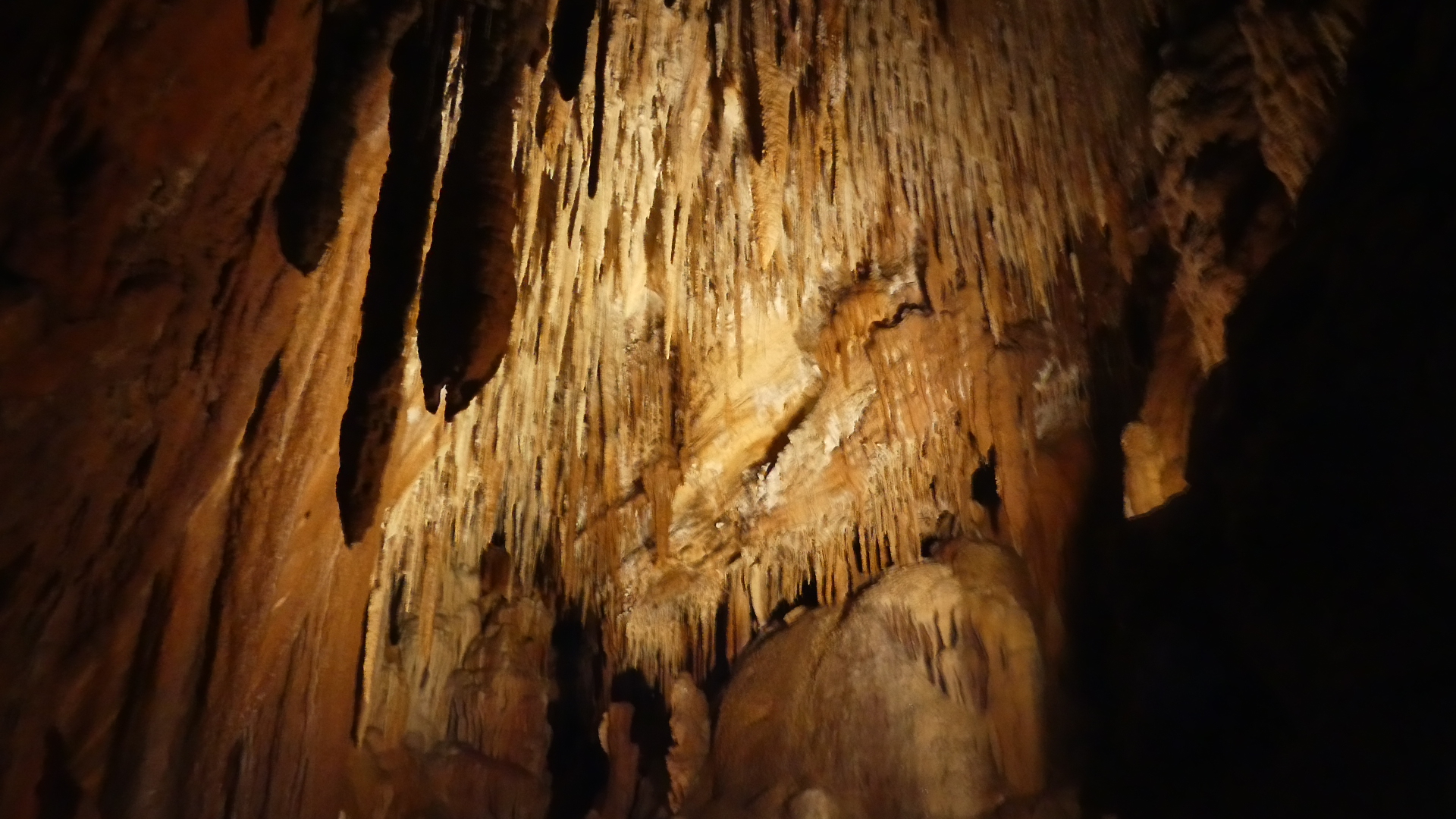
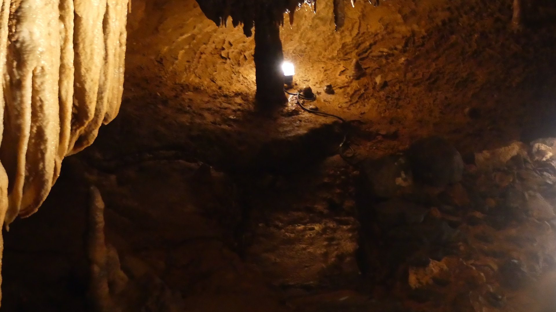
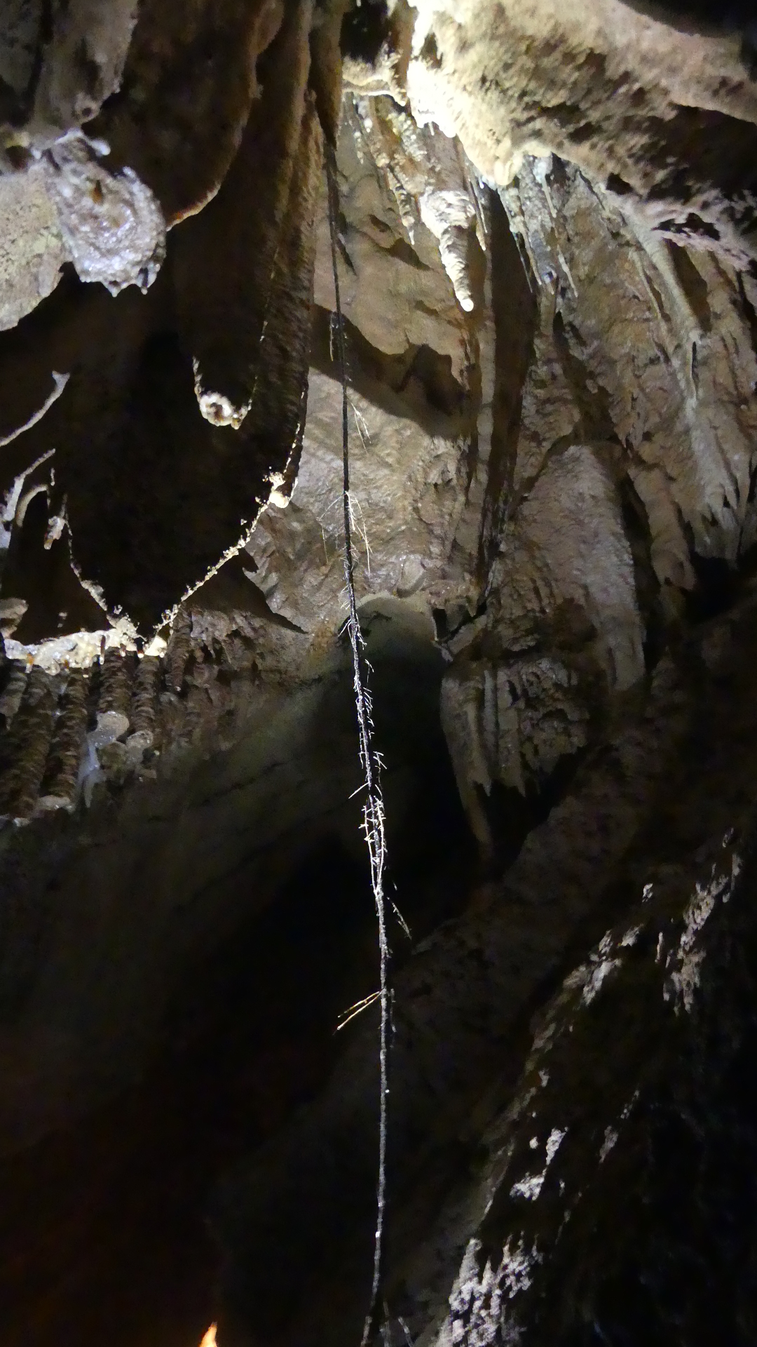
At the end of the path is a timber walkway leading into a reception area and the ticket office guarding the entry to the caves. Richard was waiting in the office for our arrival and once Kerry had caught up he gave us the safety drill and then opened the wire gate to the cave entrance. King Solomons Cave is a highly decorated limestone cave. This is a small and compact cave of lavish colours and a huge variety of formations with sparking calcite crystals decorating the chambers. Our guide has worked in the caves for 18 years and has a serious speleological bent as he does this for recreation also. He told us that the cave system is very close to the ground above it so much so that it was discovered by a farmer looking for his lost dog. The dog had fallen into the cave. It is only 500m long but very narrow in places and there are instances of tree roots making their way through the ceiling to the cave floor.
Just brilliant – the cave is splendid but I would not cope if the lights went out. The tour last 45 mins but I think we got an hour. So it is now 4.30pm and we have to find our accomodation. According to our map Wynyard is due north so when we exit we find our nearest road due north which takes us through the mountains for about an hour before we can see anything resembling Bass Strait.
Our family has become very dispersed – our youngest and his family having taken up residence in Hobart Tasmania. #HobartTasmania The Covid restrictions have prevented us from travelling particularly to visit our family so with a lessening of restrictions in November and December 2021, we returned to Hobart and Paul’s home.
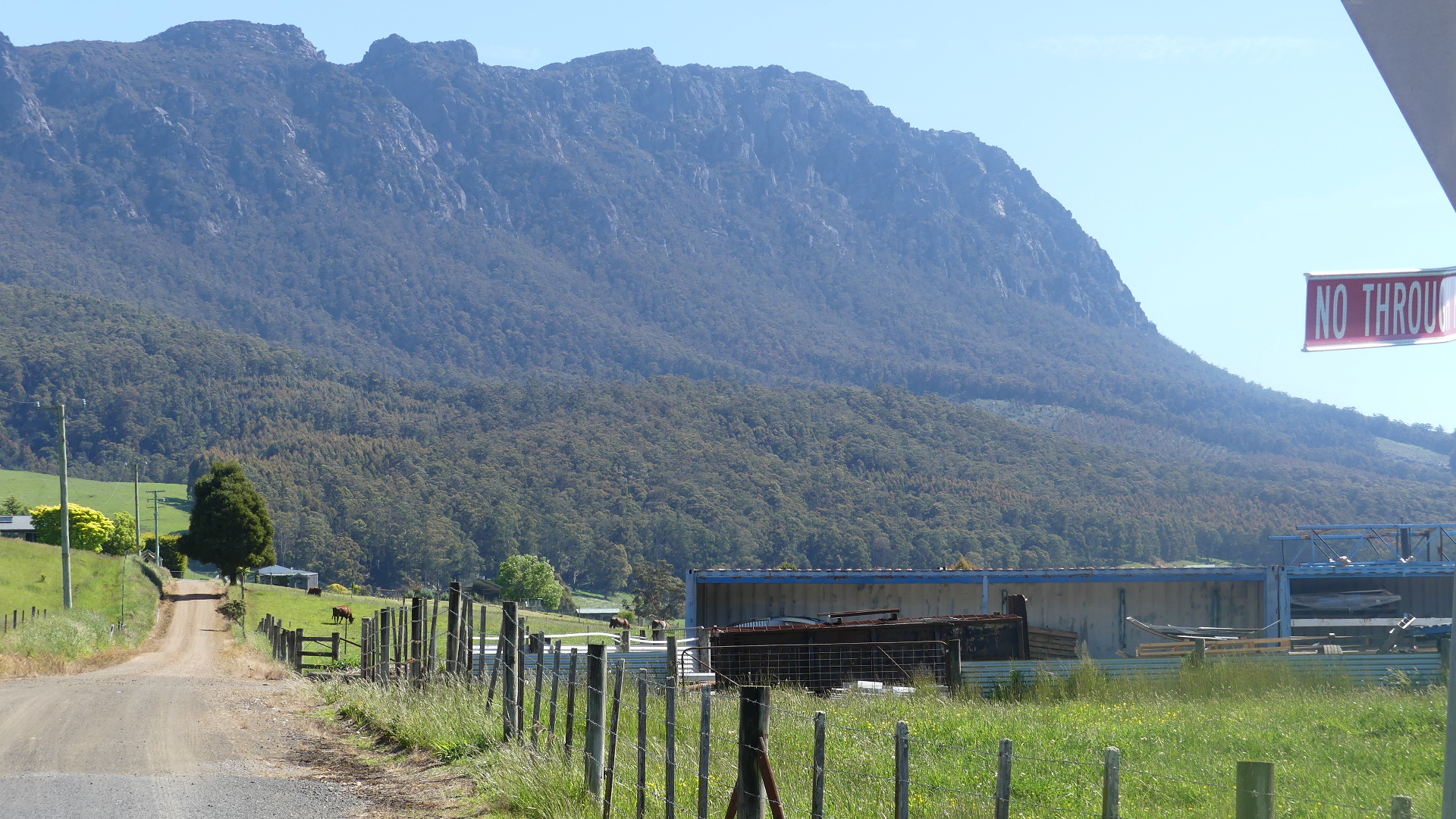
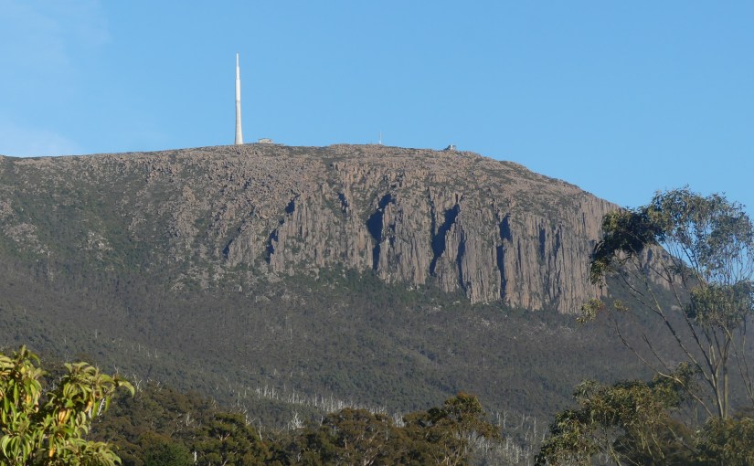
Living below the summit of Mt Wellington (pictured above) they have a charming semi rural property with fabulous views but close proximity to Hobart and its surrounds. We stayed with them for a few days during which we took in the sites before visiting the north and north east of Tasmania.
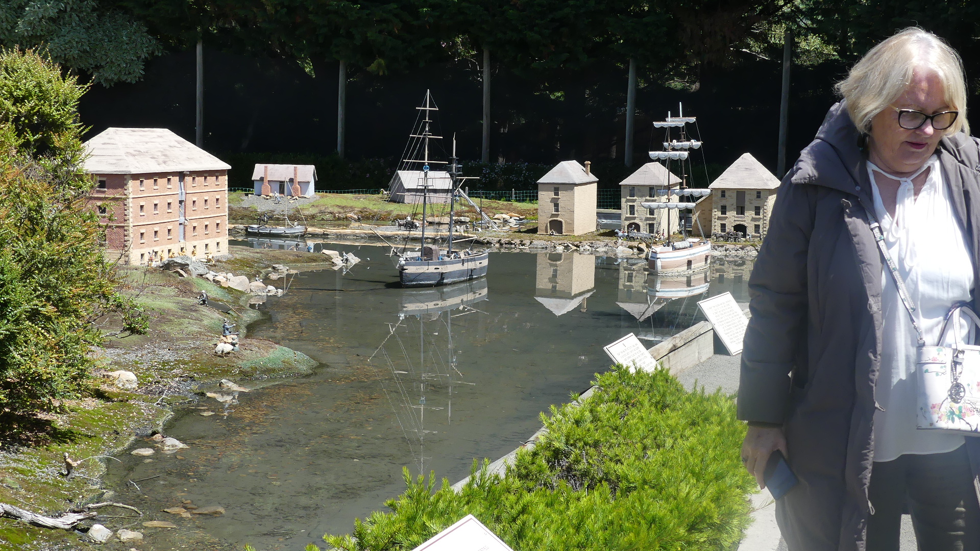
One of the places we visited was the historic village of Richmond about 25 km north-east of Hobart, in the Coal River region. Richmond’s most famous landmark is the Richmond Bridge, built in 1823 to 1825, around the time of the town’s first settlement. It is Australia’s oldest bridge still in use. The town was initially part of the route between Hobart and Port Arthur. Present-day Richmond is best known as being preserved as it was at that time. It is a vibrant tourist town, with many of the sandstone structures still standing. But we had come with the intent to see the model village of Hobart Town circa 1820 – OLD HOBART TOWN.
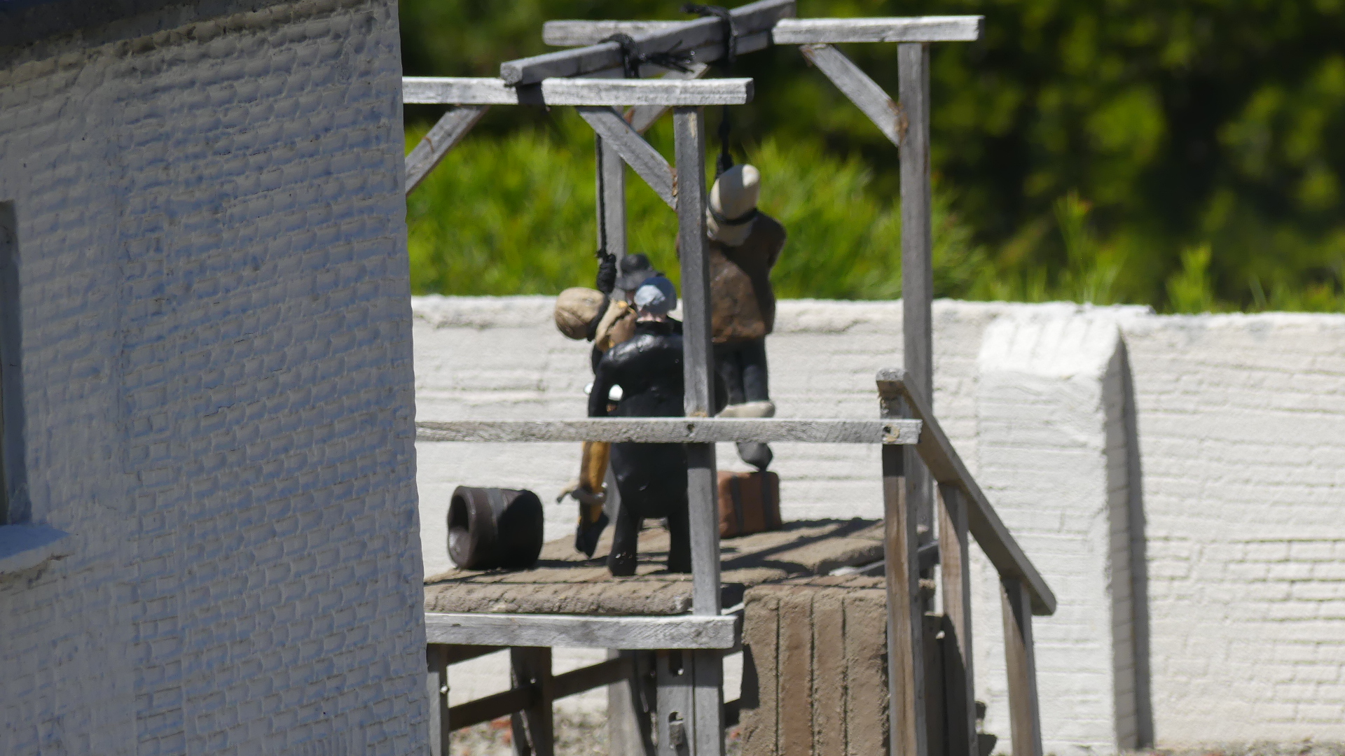
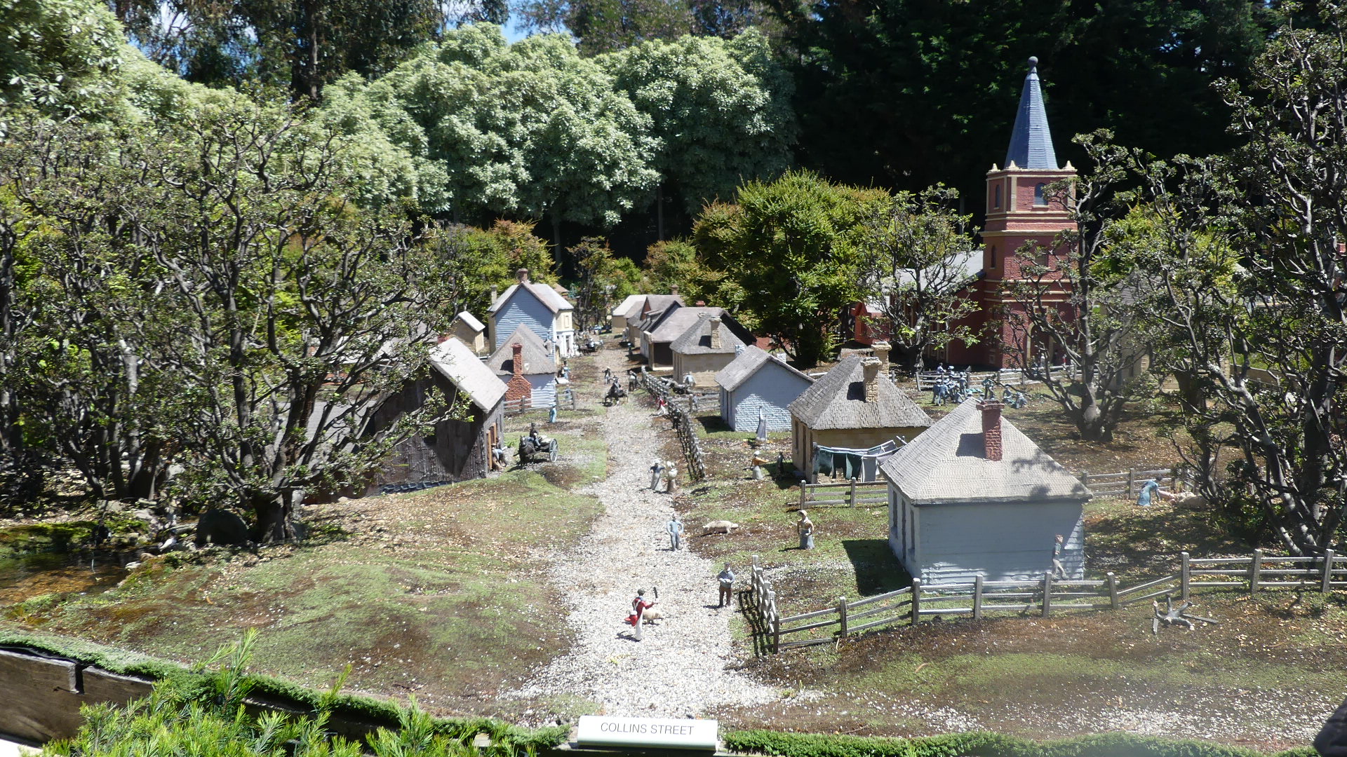
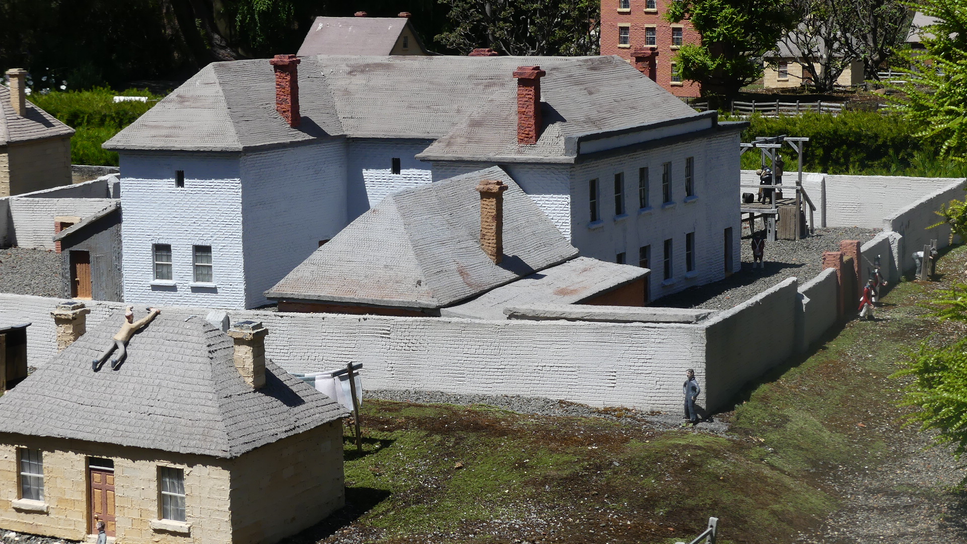
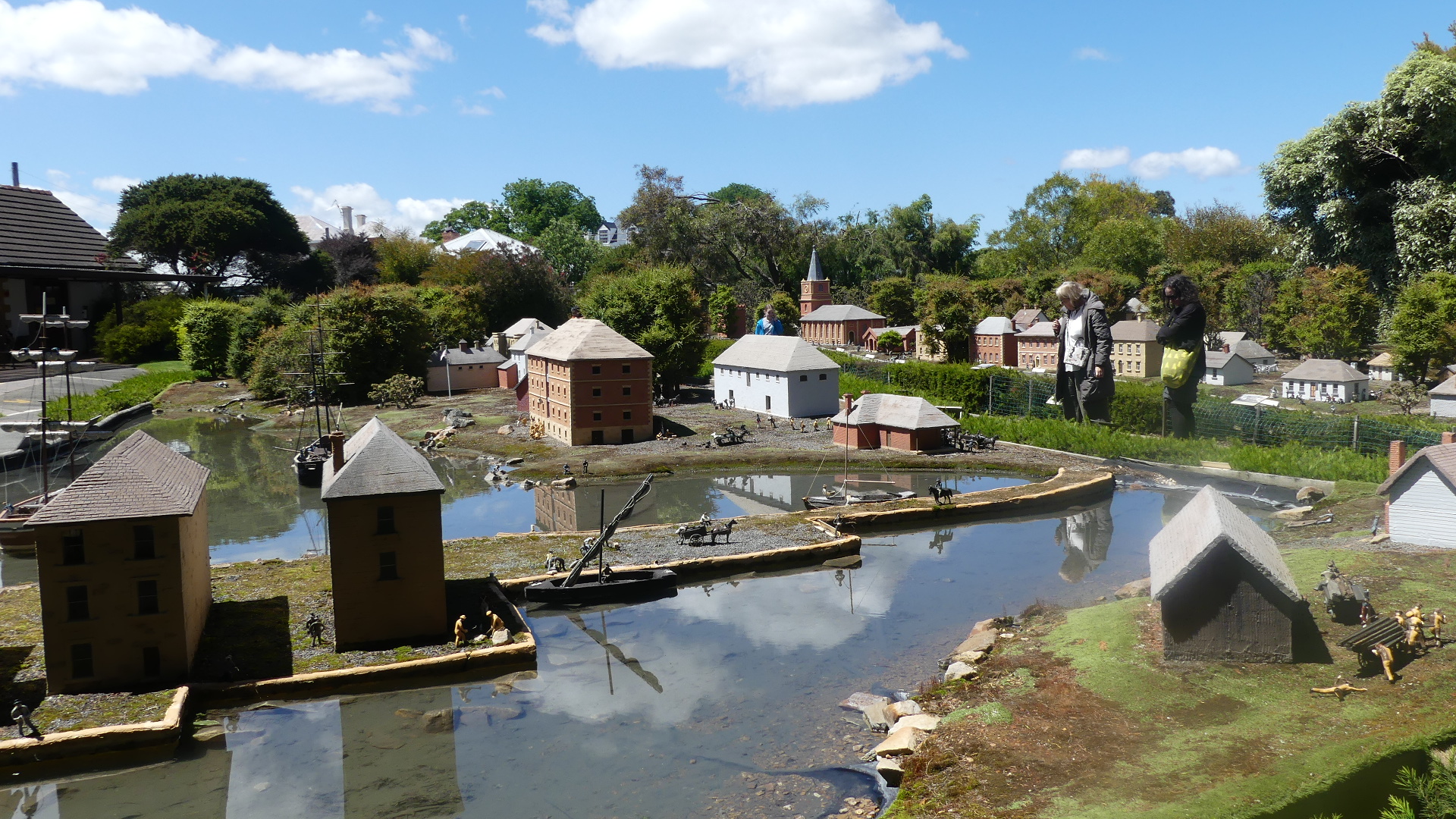
At the end of a driveway off the main street is this model correct in every detail (or so they say) – minuature in scale it is like a picture of the town one hour of one day over 200 years ago. Individually handcrafted with passion by Andrew and John Quick over a three year period, the authentic model village has been reconstructed from original plans and it gives a unique glimpse into the tough life of Australia’s convict past. I was taken back by the detail which included an interpretation of life for the inhabitants the harshness of that life including executions on the gallows and flogging with a cat-of-nine-tails. The Hope and Anchor pub shown in the pictures below still exisits but I am not certain that it is the original building or in the original location.
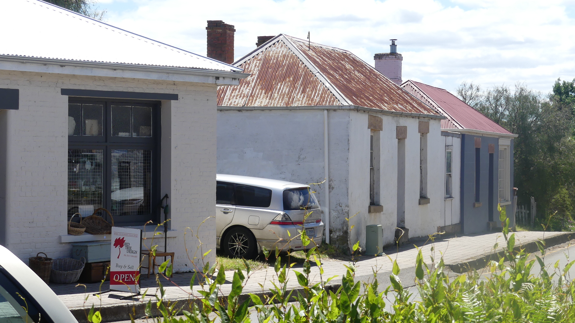
We then strolled through Richmond seeking the historic bridge and some of the original sandstone buildings.
#richmondtasmania#richmondbridge#richmondtasmania
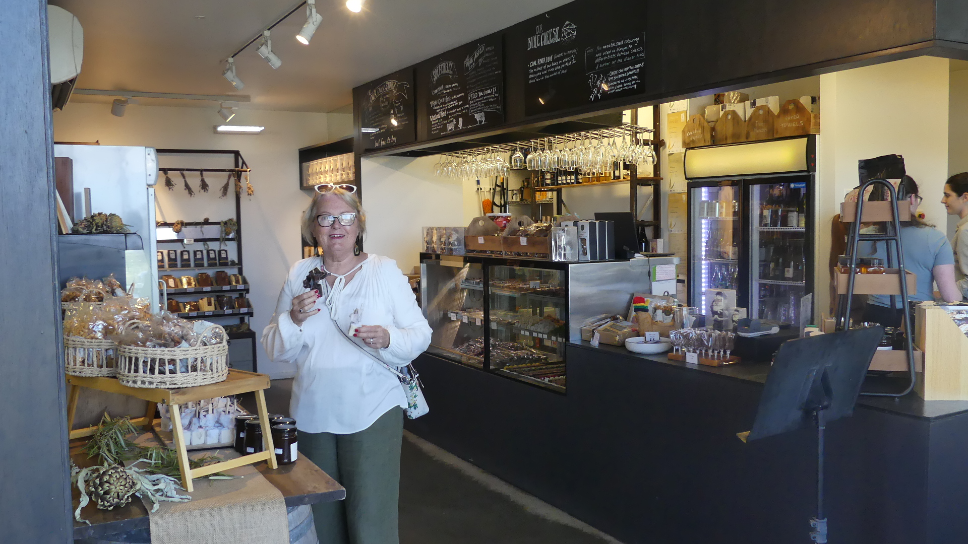
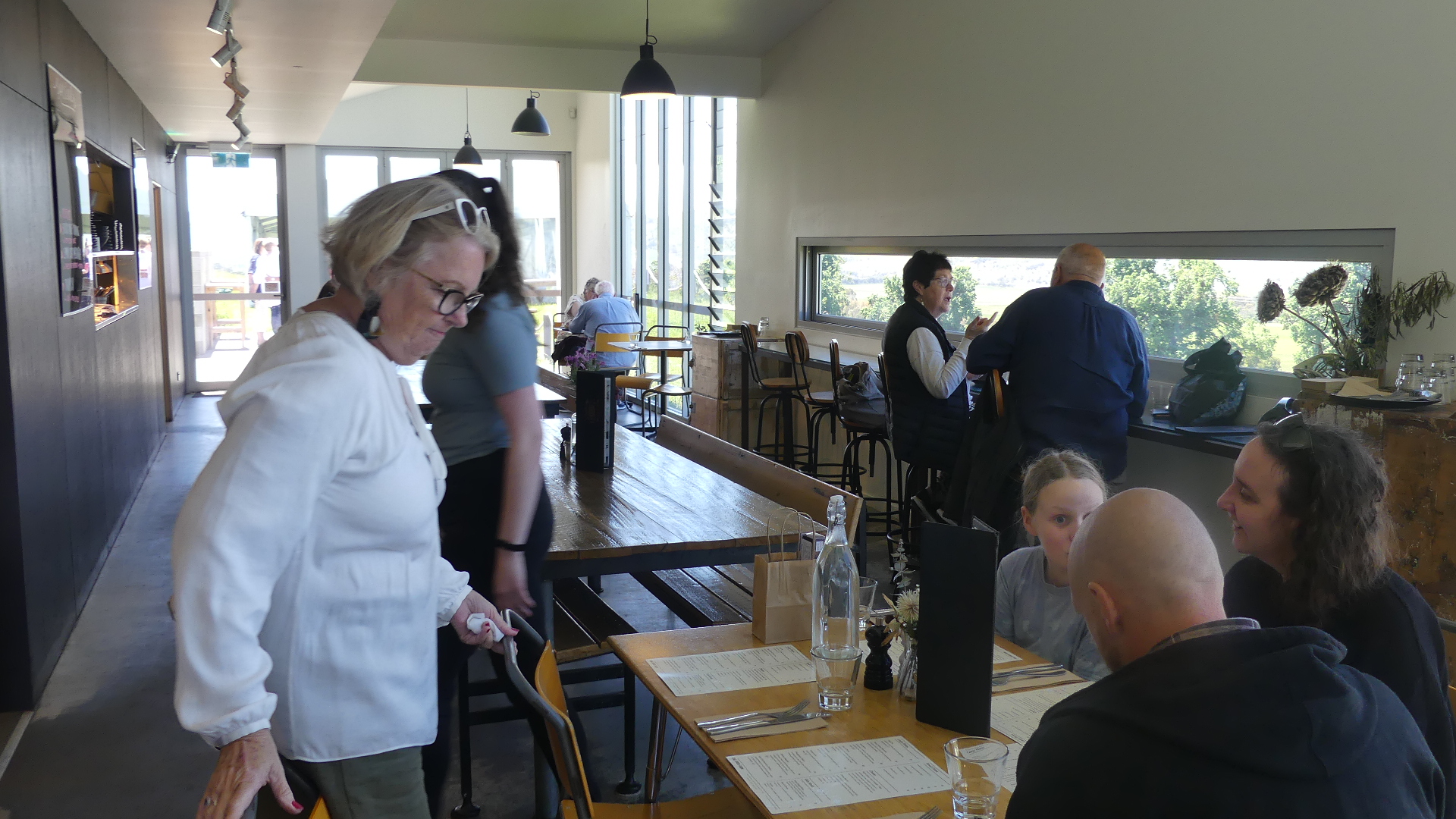
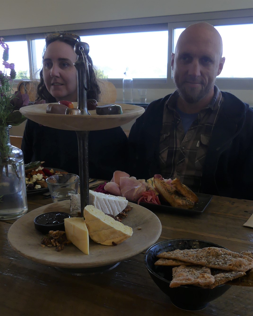
After returning to the car we travelled further into Coal River Valley and onto our lunch venue Coal River Farm. A family run business owned by Daniel and Melanie Leesong with an urge to celebrate Tasmania’s world class produce they opened the doors at Coal River Farm. They have developed a reputation for cheese and chocolate in the form of a high tea and that is what we were there for.
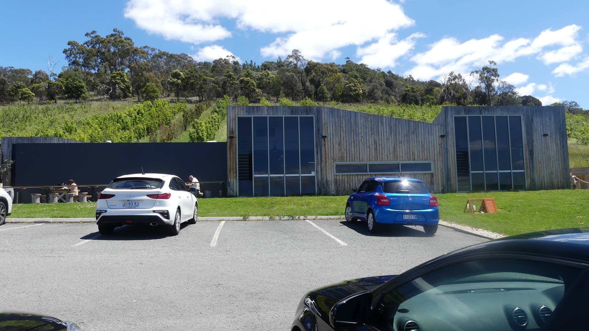
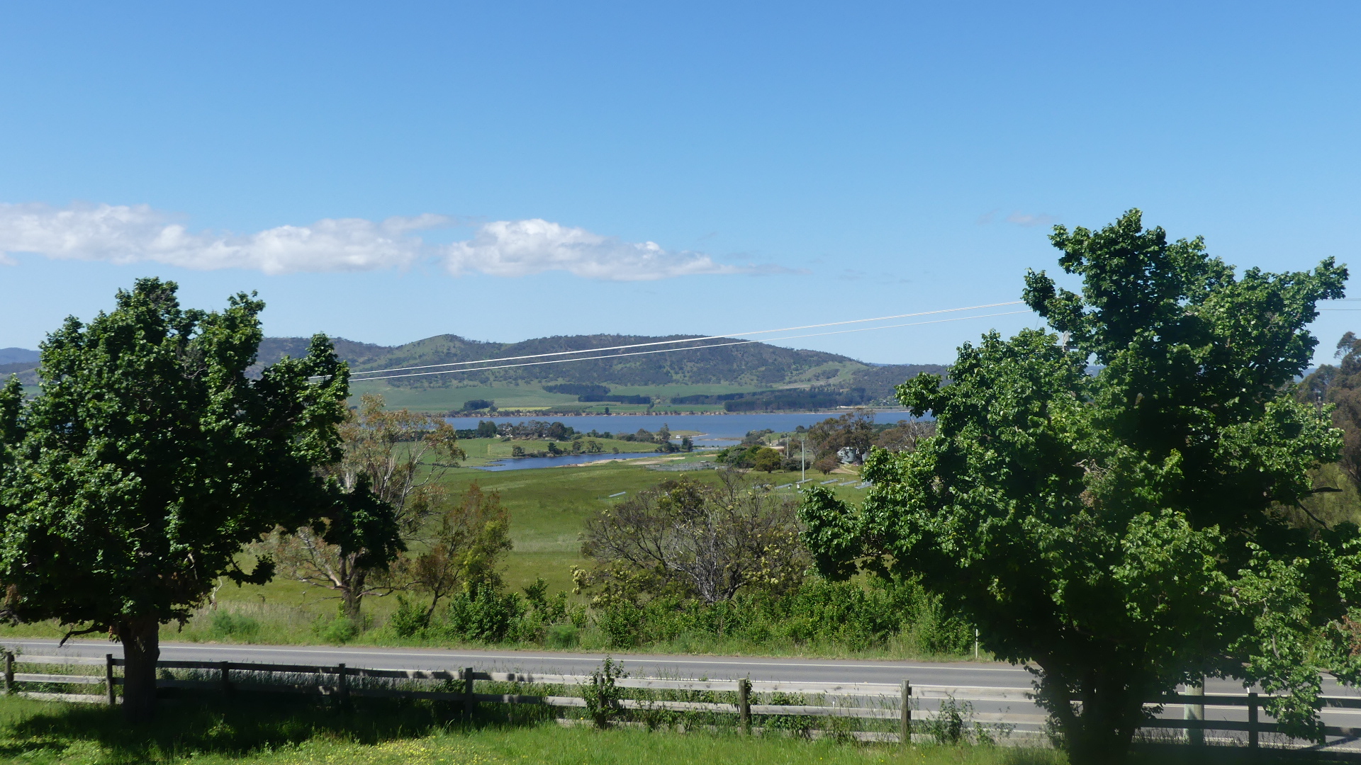
A modern building greets you set in a picutresque part of the valley and the building makes every attempt to allow you to observe your surrounds. Inside you pass a window onto the chocolate maker pouring his moulds and then are forced to walk past each and every kind of chocolate until you reach the dining room with its cheese fridge and choclate dispalys. The menu includes other fresh produce but we were there for cheese and chocolates. Delicious! Satisfied we went to return to our car and the trip home but our grandaughter Lola became sidetracked by a lonesome goat hungry for the greener grass outside his enclosure. After the goat became distracted by other visitors we escaped to the car and home.
#coalriverfarm
The next few days were spent catching up with our family in Tassie before we headed north.
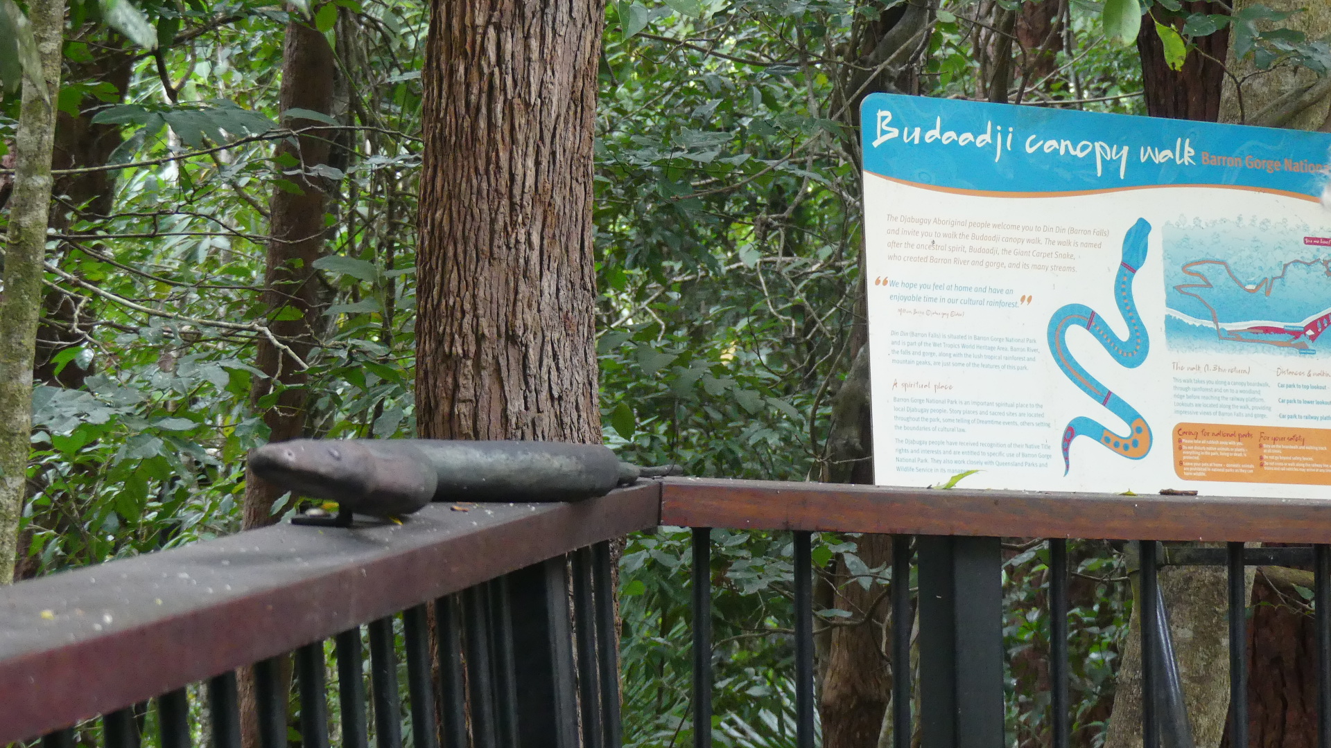
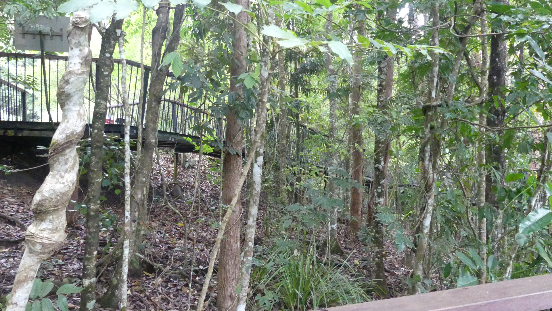
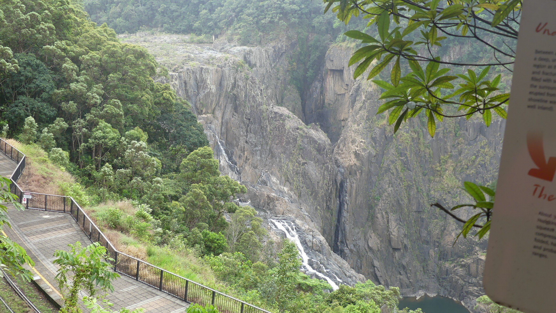
Fresh from our adventure to Port Douglas we decided to go west to the Tablelands in the hills behind Cairns. The route takes us up through Kuranda so on the way we visited the Barron river Falls. We have not had any significant rain and the dam on the river is not releasing much water so the falls weren’t that spectacular. What was spectacular was the walkway making the journey easy and accessible. The artwork along the way is novel and in keeping with the surrounds which is beautiful but humid and hot.
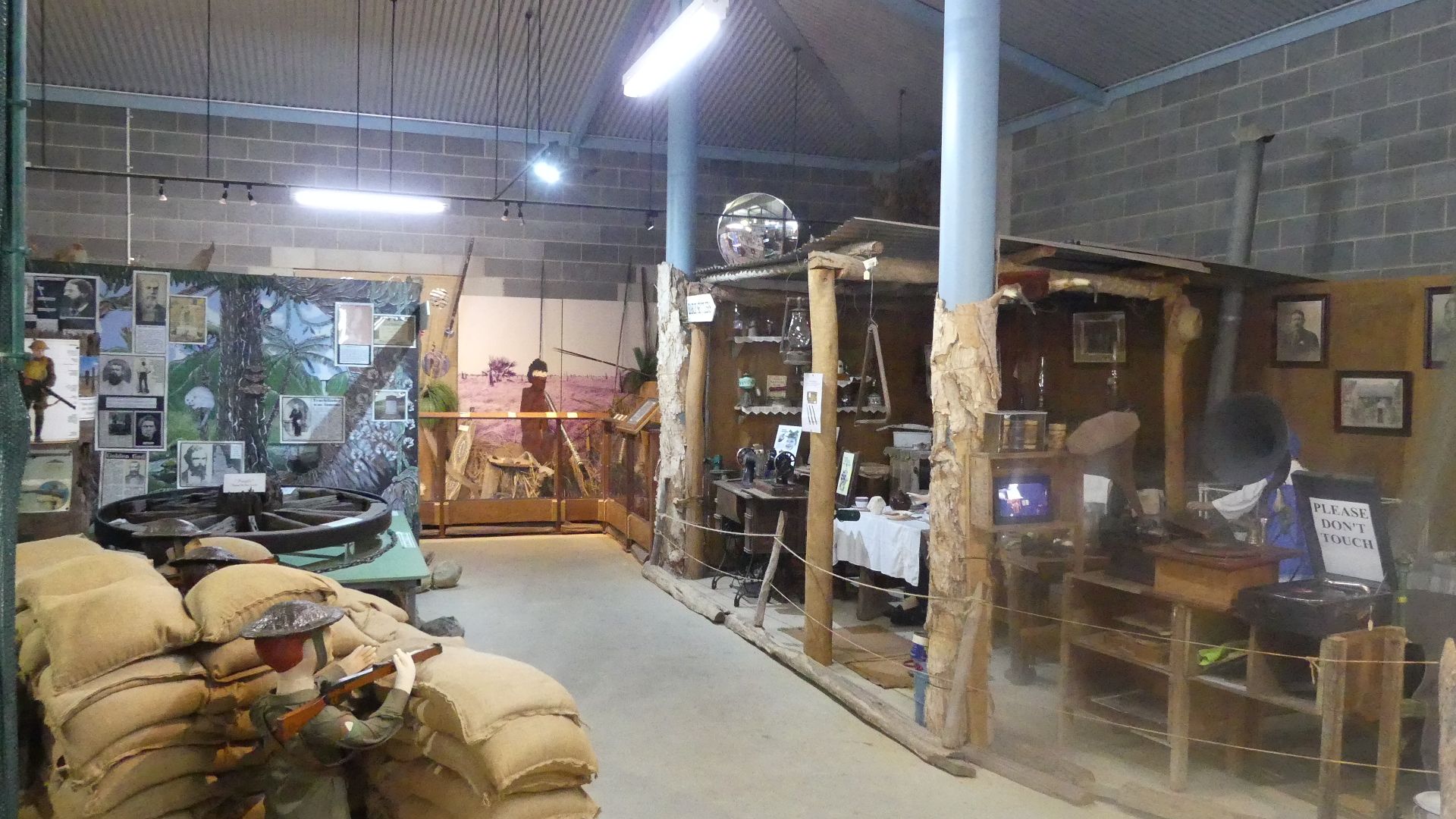
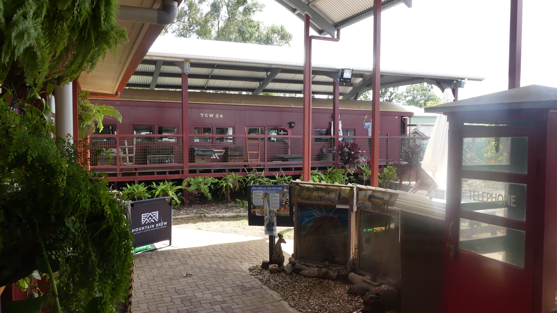
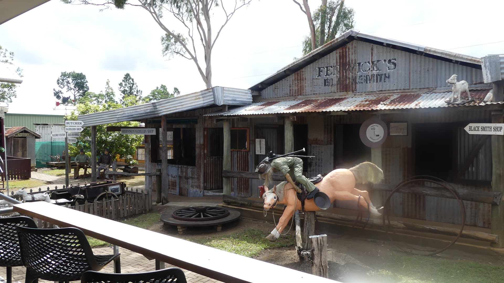
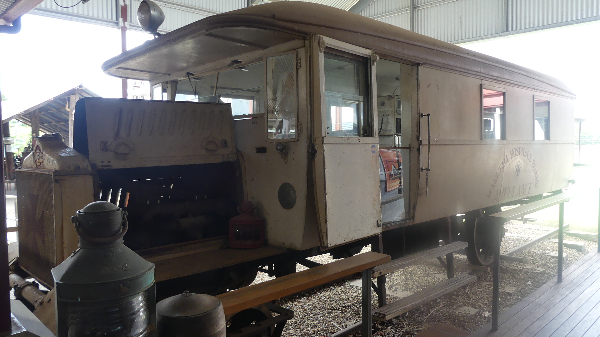
The next town is Mareeba where we found the local tourism centre to be a real surprise packet. Set in parkland along with other community buildings, there is a museum on indigenous life, a collection of historic items and coffee shop to entertain visitors as well as the helpful local volunteers giving advice on points of interest on the Tableland. I had noted there were some “ghost towns” west of Herberton and we enquired about the roads and whether our little Skoda might survive the journey. In usual Australian understatement “the roads were sealed all the way except for a little bit at the end after Watsonville”. So we had a cuppa and a scone, viewed the museum, the historic railway ambulance and the buildings before availing ourselves of the amenities as we expected there would be nothing but nature to provide for us from hereon in.
Along the way a little surprise greeted us. Windmills; the modern version for power generation.
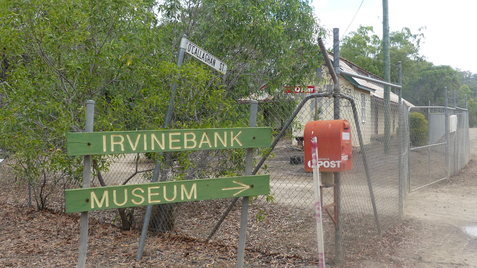
Of course the road was sealed until Watsonville but there it turned to dirt for the remainder of the trip to Irvinebank. If Watsonville is a ghost town then they are very untidy ghosts. After Watsonville there is another ghost town Bakerville and it literally was not there, gone, kerput, nothing there but the old town sign. After bumping along a fairly well used dirt road we made it to Irvinebank. What a fascinating place this is. Irvinebank, is now a rural village but formerly it was a mining and tin-smelting town, and it is 80 km south-west of Cairns.
In 1880 the Great Northern tin discovery was made at Herberton, 25 km east of Irvinebank. Two years later three prospectors, James Gibb, Andrew Thompson and James McDonald, found promising tin lodes in the catchment of the Gibbs and McDonald Creeks, in the vicinity of the future Irvinebank. The Glen Smelting Company in Herberton, managed by John Moffat, acquired several of the tin shows in Gibbs Creek in 1883.
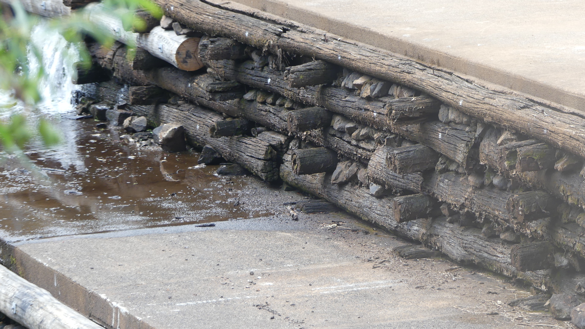
In 1883-84 Glen Smelting opened a battery and smelters at Gibbs Creek, renaming it Irvinebank. John Moffat was born in a small village on the Irvine River in Ayrshire, Scotland, and he built Loudoun House (his residence) and the Loudoun Mill, both named in memory of Loudoun Parish, Ayrshire. A fairly complete little town emerged in a couple of years: Tait’s Hotel, a general store, a draper, a butcher, a baker, a primary school (1886), a school of arts and Catholic and Methodist churches. Moffat’s house overlooked a large timber-walled weir across Gibbs Creek. Moffat gained a benevolent ascendency over the Irvinebank community by willingly taking privately mined ore for his Loudoun mill, encouraging efficient and uninterrupted production by promptly paying his suppliers.
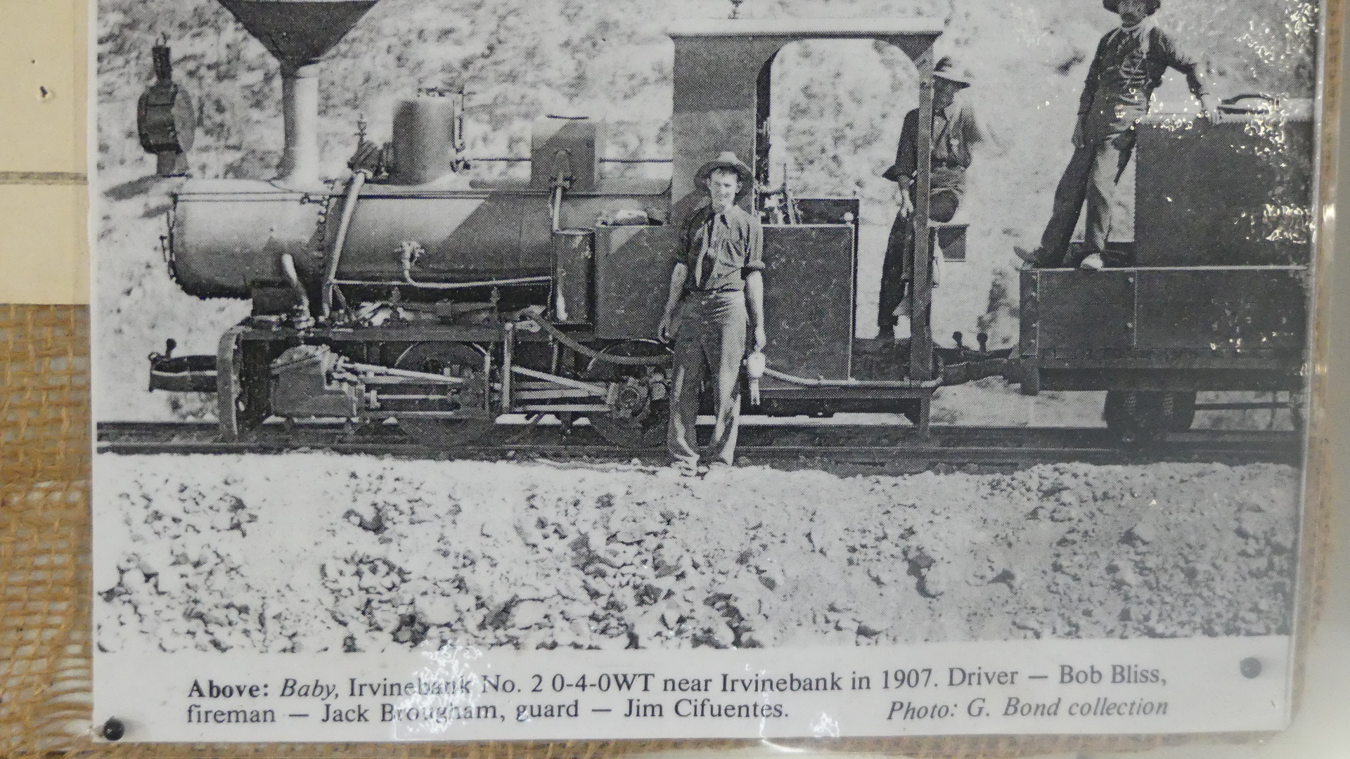
Moffat also owned the Stannery Hills mine, 15 km north of Irvinebank, and acquired a controlling interest in the immensely rich Vulcan mine discovered in 1888 at Irvinebank. In 1902 a tramway was built from Stannery Hills to the Mareeba-Chillagoe railway line, and in 1907 the tramway was extended to Irvinebank. The extension was costly, and put a strain on Moffat’s finances, coinciding with a fall in metal prices. The Irvinebank mining industry underwent retrenchments after Moffat’s retirement in 1912. In 1919 the battery, smelter and tramway were sold to the Queensland Government as a State enterprise.
At the peak of Irvinebank’s prosperity it had two brass bands, a busy social centre in the school of arts/public hall (1901), a large primary school and a well fitted out hospital. Ivinebank was the administrative centre of Walsh Shire from about 1902 until the shire was absorbed by Mareeba Shire in 1932. The local doctor had an astronomical observatory and a skating rink under his house. His death from influenza in 1919 symbolised the coming of decline of Irvinebank throughout the next two decades. The tramline was closed in 1936 and the lines pulled up for reuse in 1941.
Much of the township and industrial areas are heritage-listed, although privately owned. In 2004 an owner removed artefacts and architectural fittings, but police action secured their return.
Irvinebank has a tavern/motel, a primary school and the Loudoun House museum. The former State treatment works, former Queensland National Bank building and the Vulcan tin mine, 1.5 km west of Irvinebank, are on the Australian heritage register. The School of Arts and Loudoun House are on the Queensland heritage register. The annual John Moffat festival was revived in 2005, coinciding with the opening of the John Moffat gardens on Gibbs Creek.
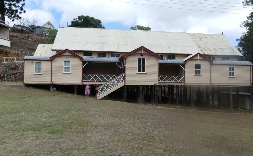
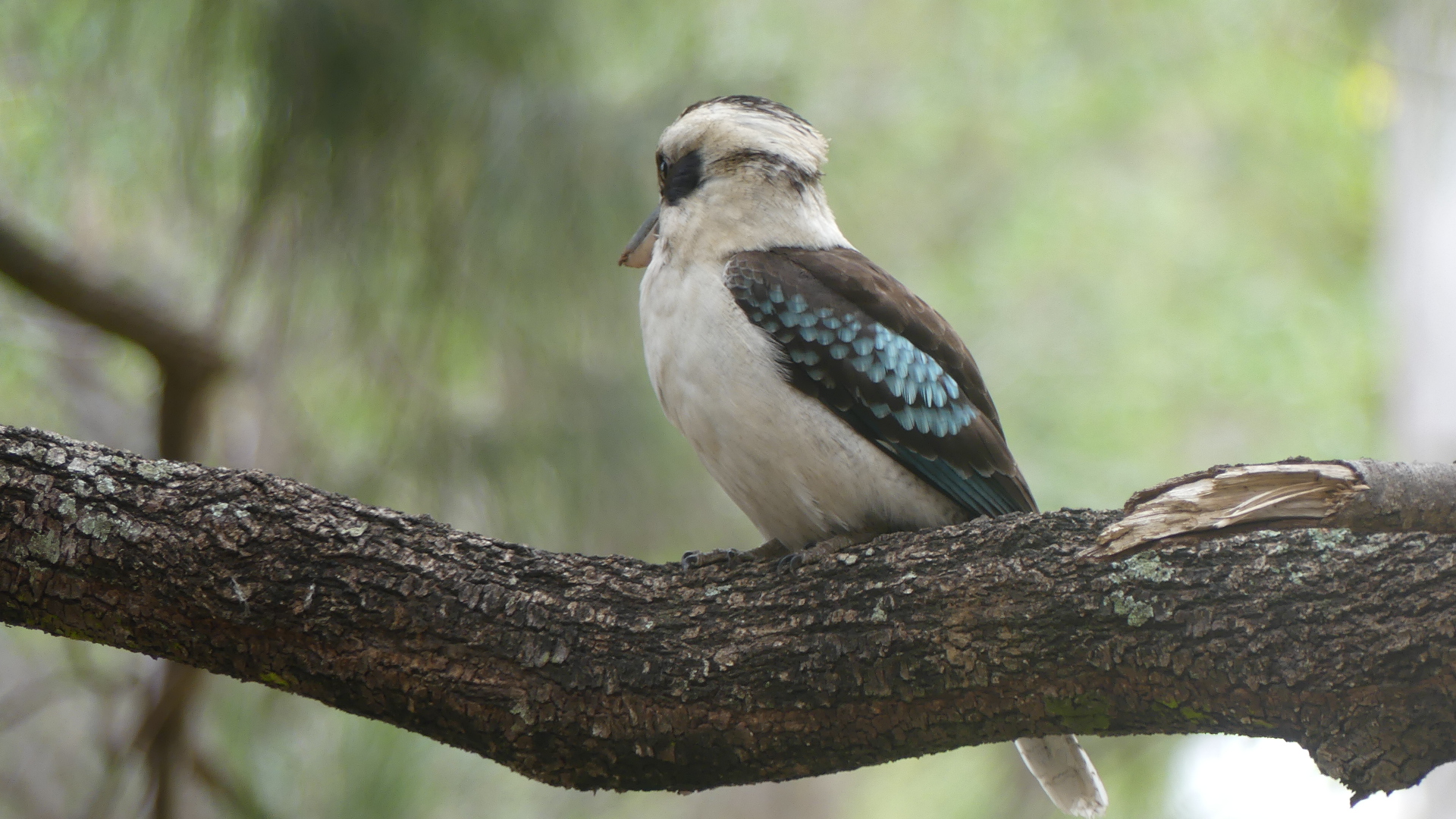
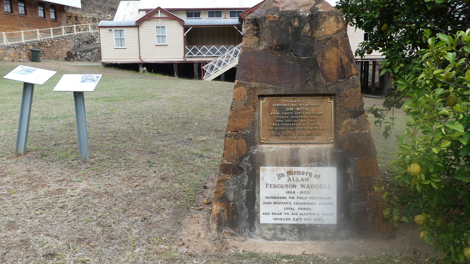
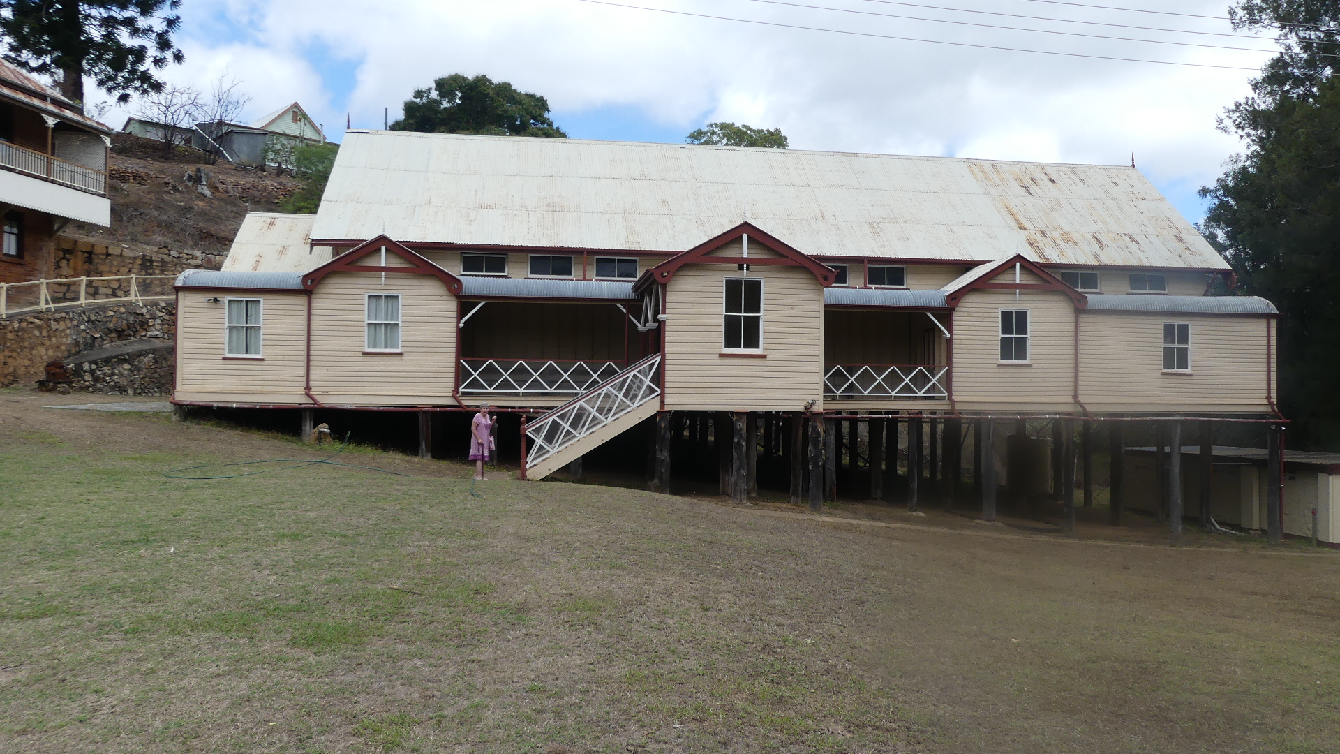
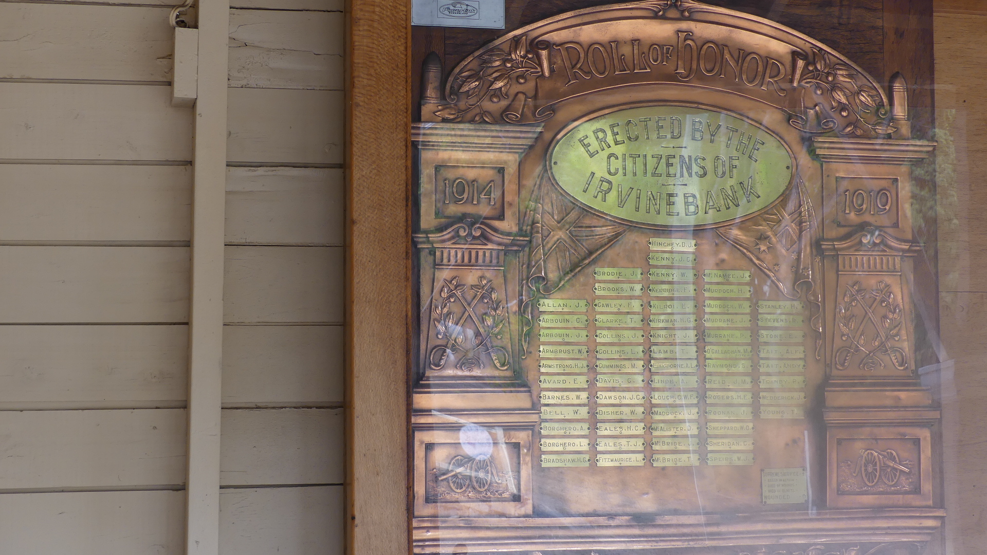
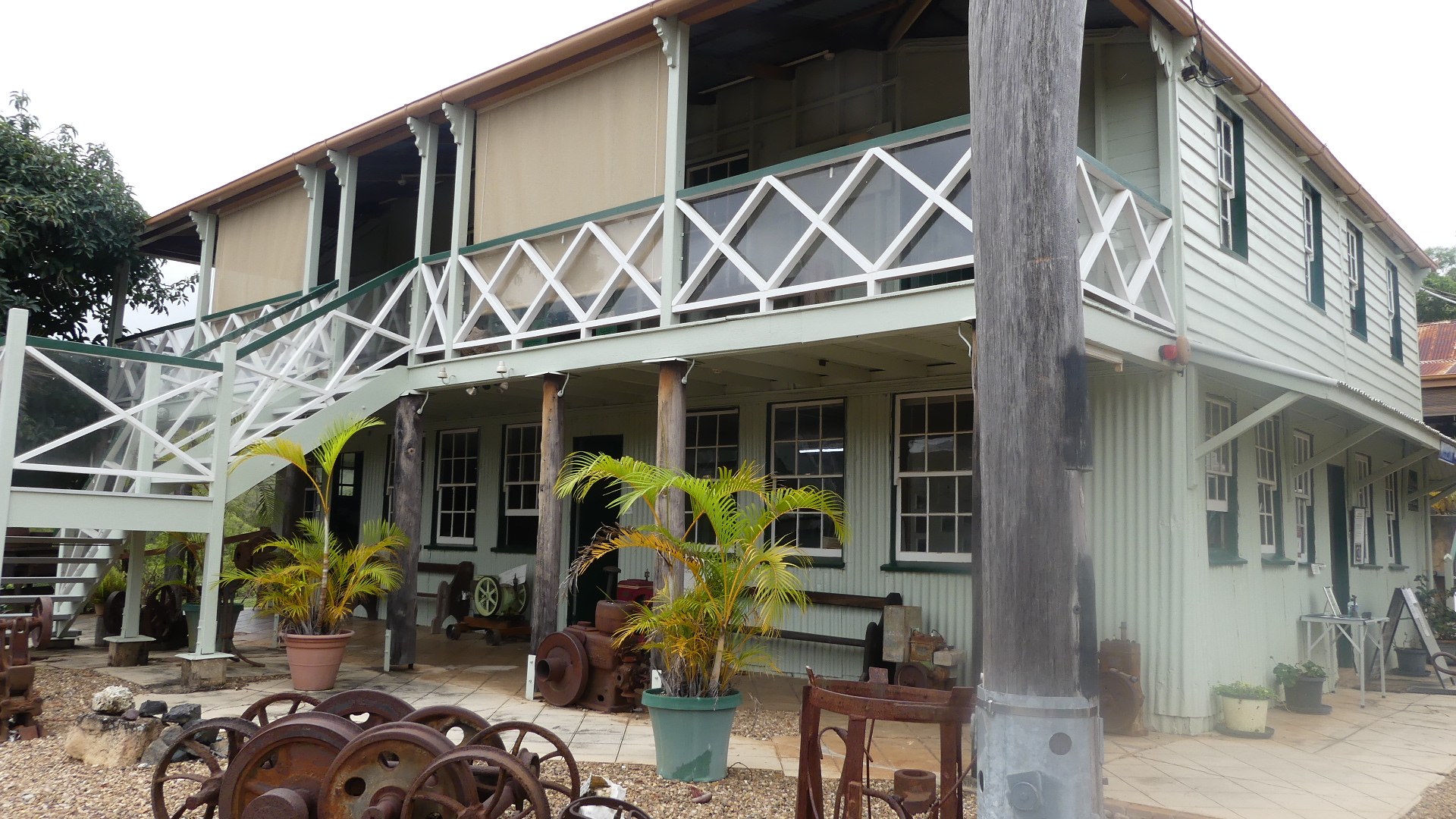
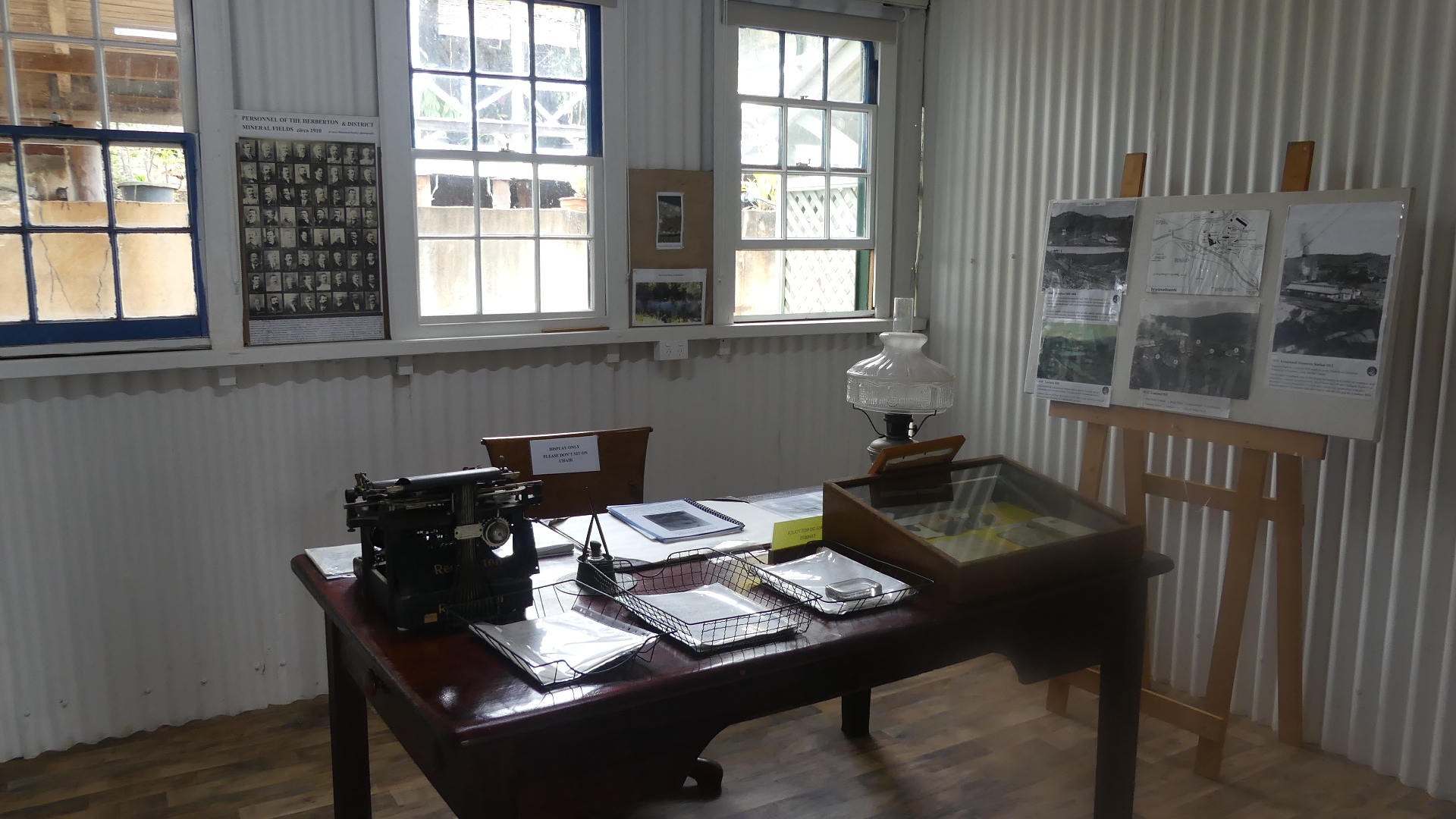
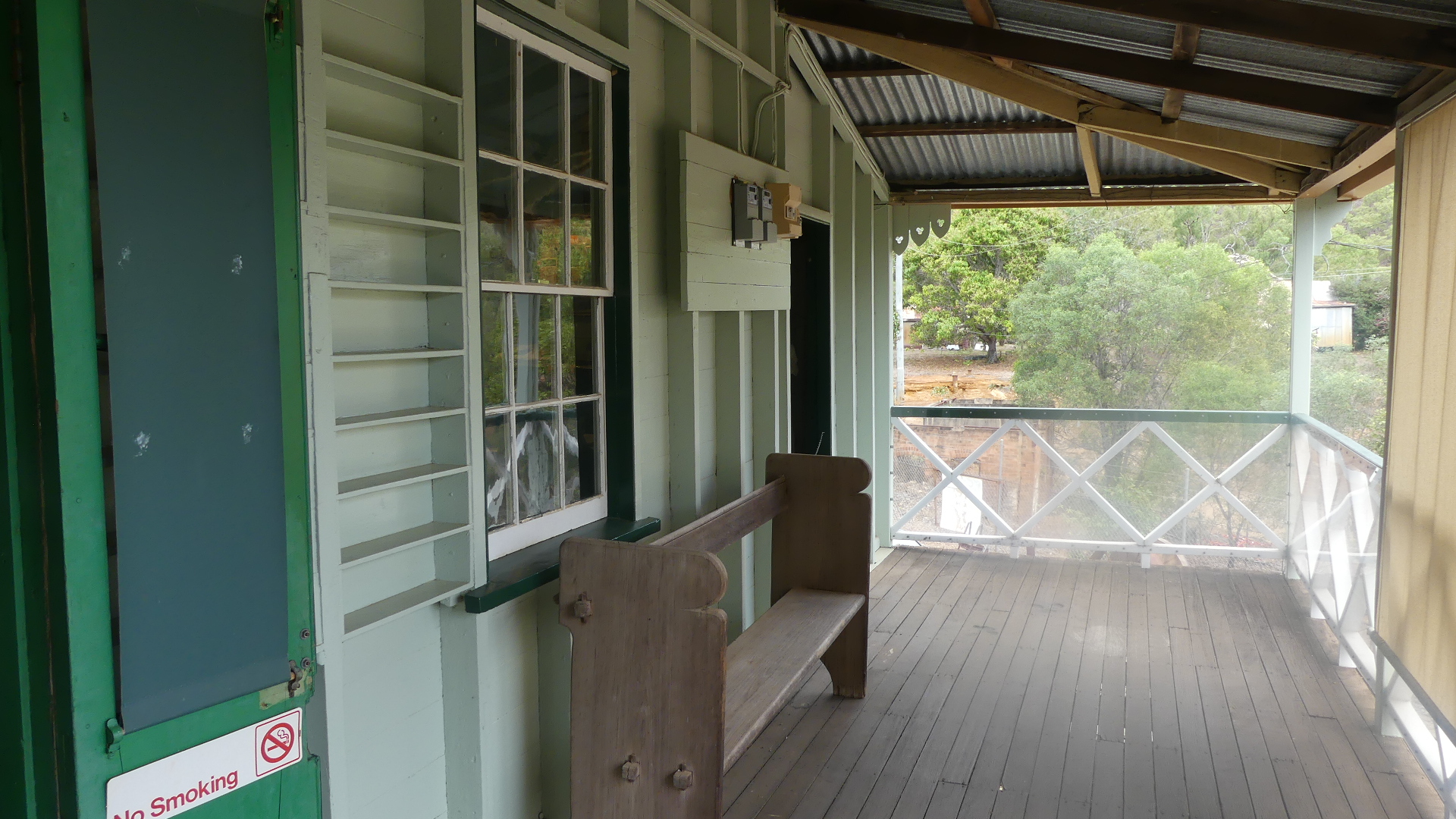
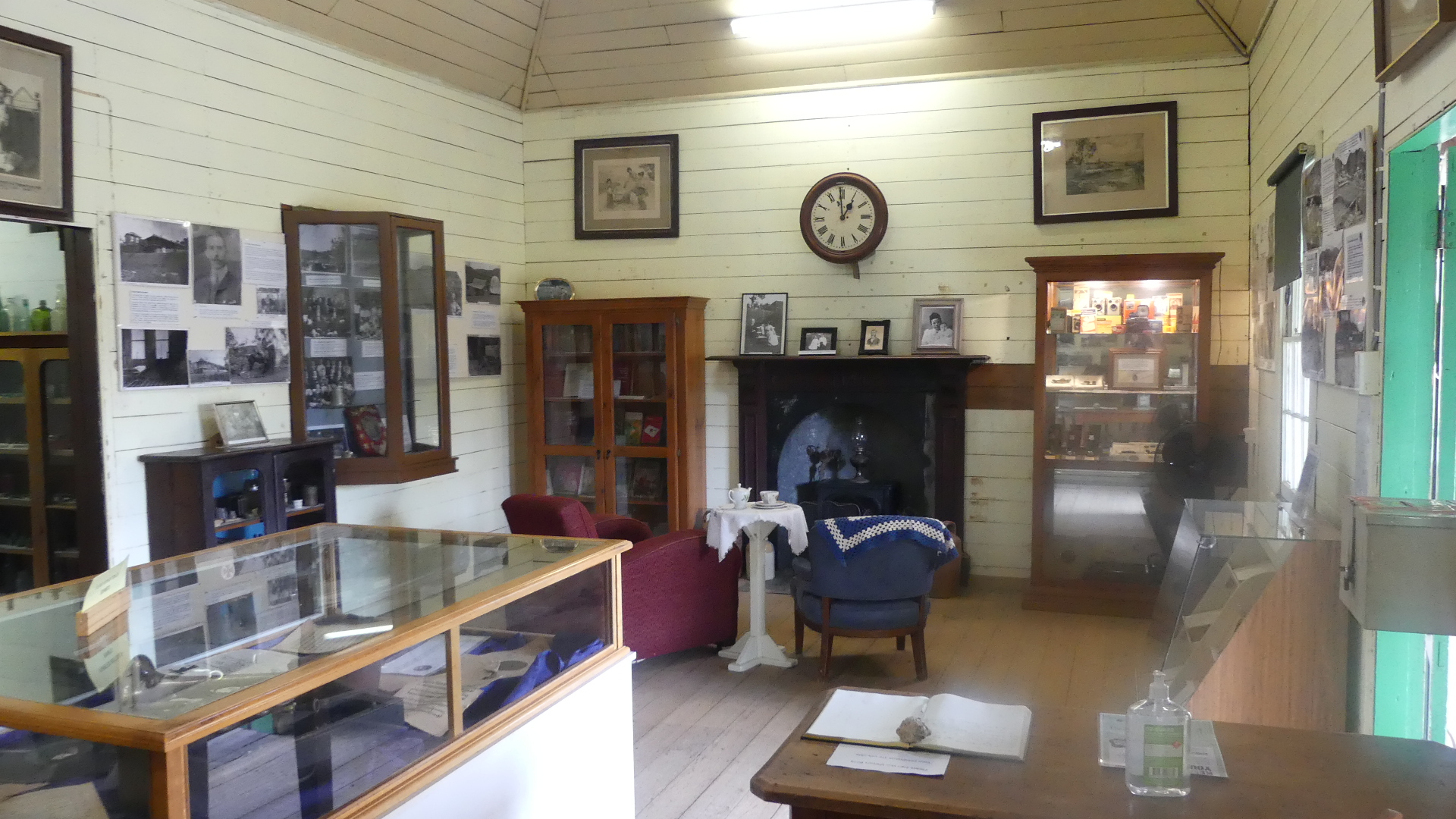
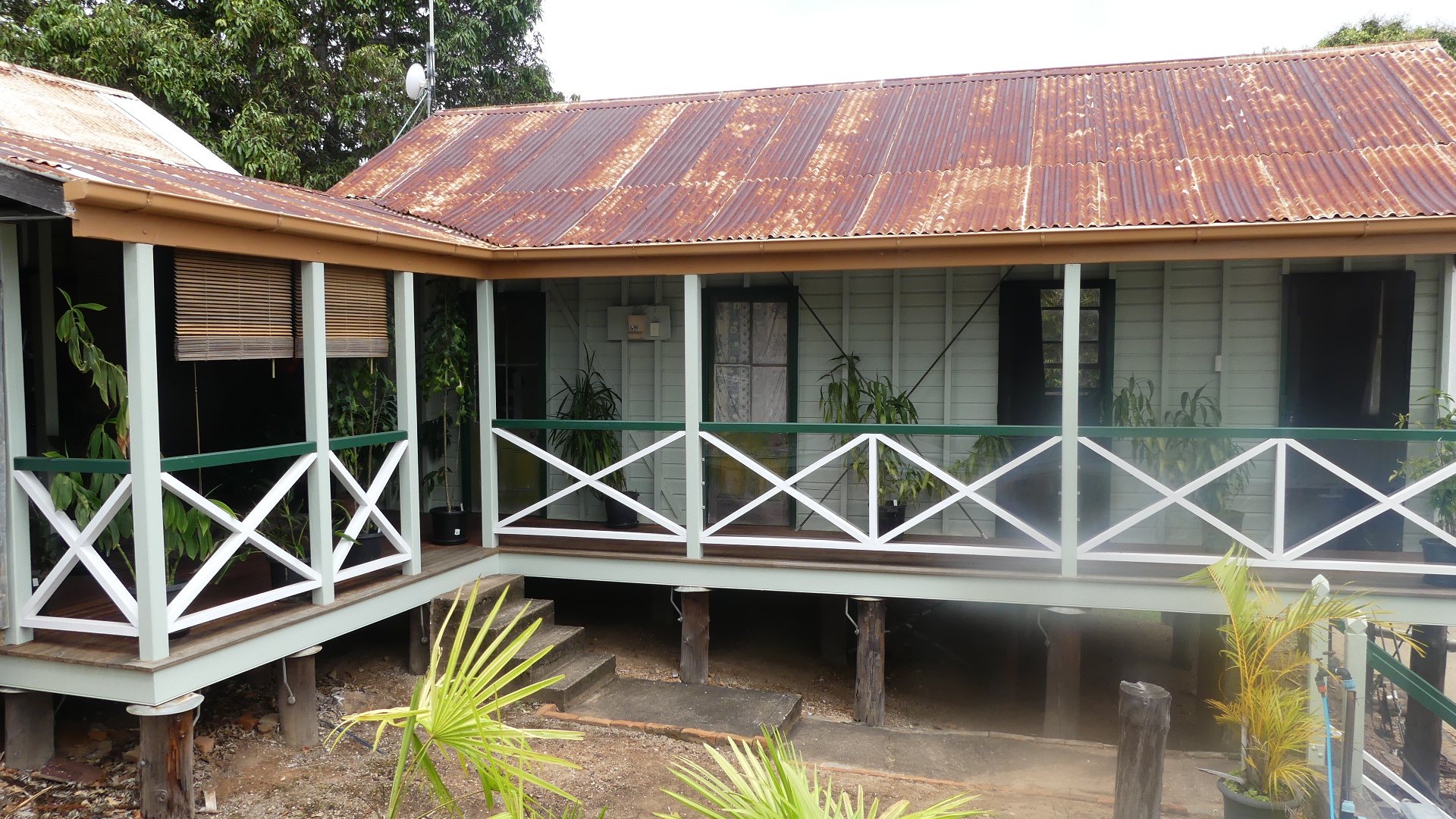
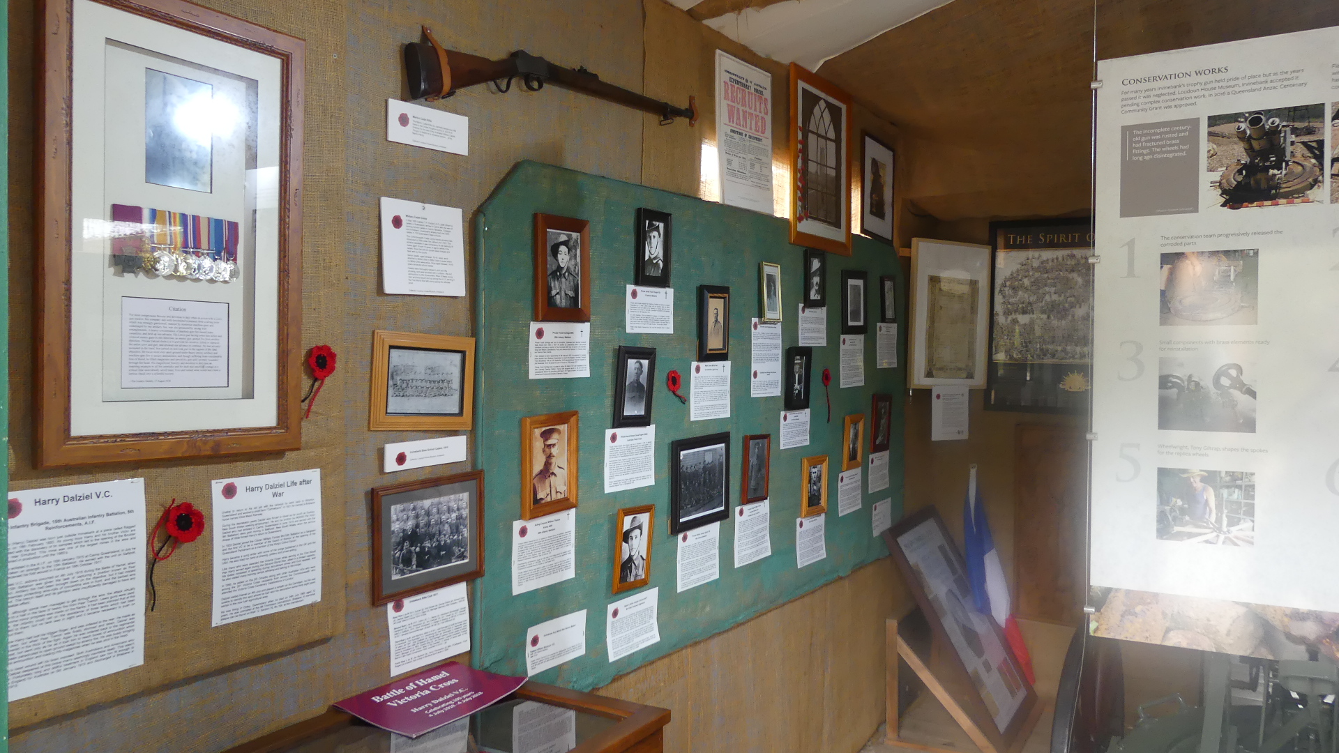
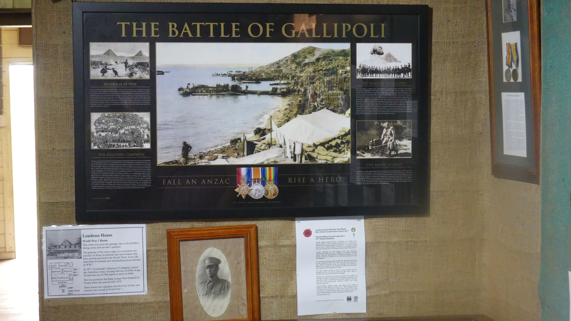
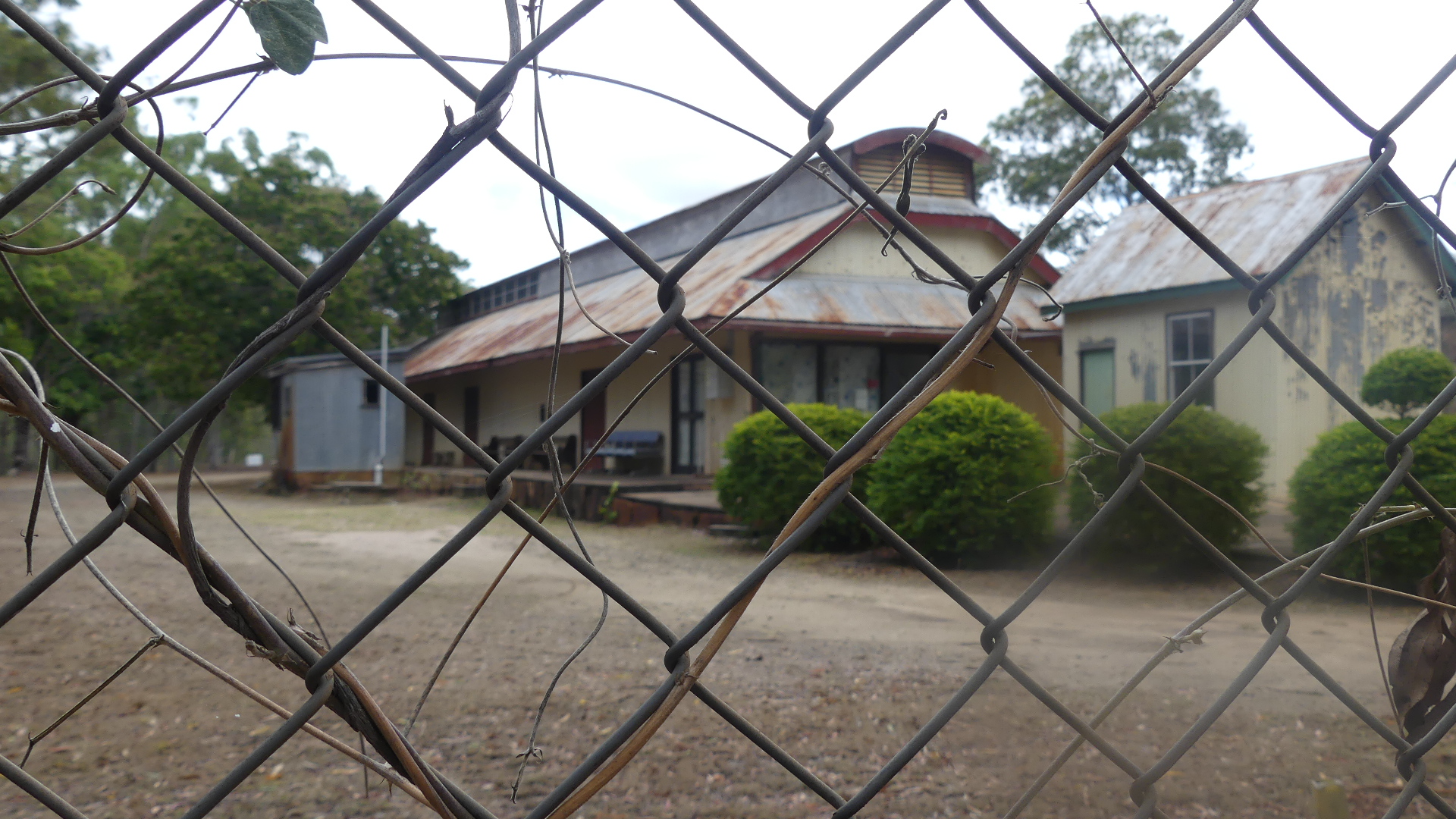
The whole town is a museum. When we finally arrived we parked beside Ibis Creek. The town amenities block is between the creek the School of Arts and the caravan park and it was a credit to the towns people. Kookaburras sat in the trees over the creek and greeted us. to our left and up the hill a bit there is a weatherboard highset School of Arts building along with the shrine in memory of John Moffat in front of the School of Arts. Going further up the hill is the Queensland National Bank building. Built from brick it is the only surviving brick building in town. The bank closed on 30th April 1923. On the top of the hill is the old Tramway Station and a short section of the tramway line. The Station is a corrugated iron building which housed the loco and carriages to cart the smeltered tin to market. We visited Loudoun House museum.The house is the former residence of John Moffat and now houses a phenomenal collection of memorabilia of the mining history and life in Irvinebank. It includes a “shrine” to fallen soldiers and would occuppy any avid historian for hours. The house is the oldest high-set timber and corrugated iron house in far north Queensland.
The last photo above shows the main house and the servants quarters which now house the caretaker.
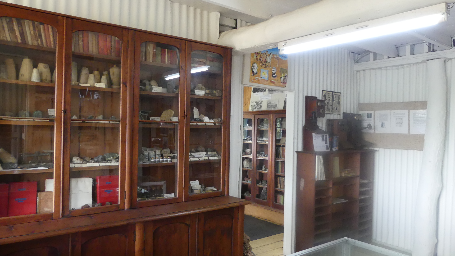
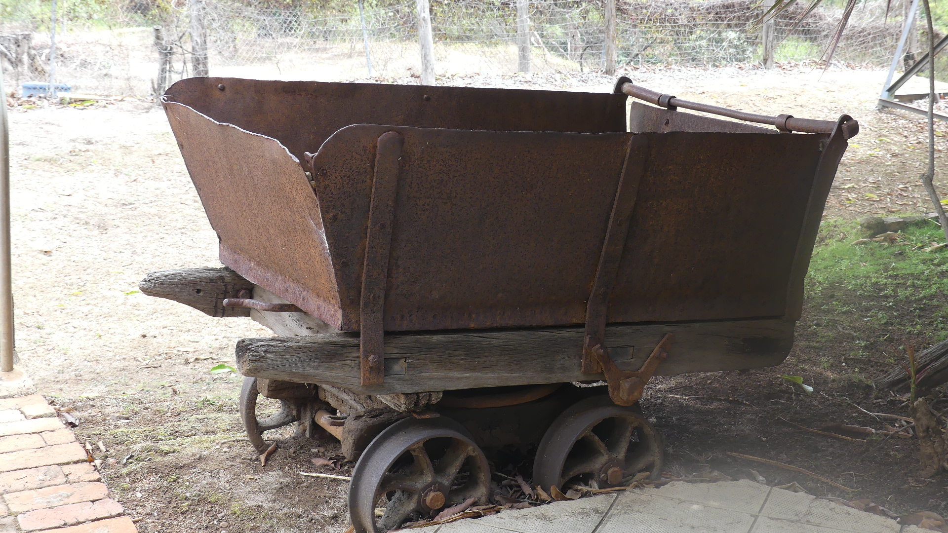
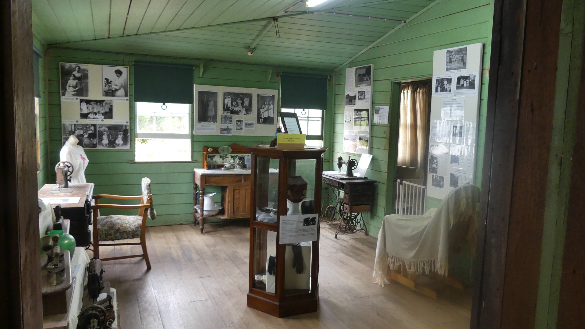
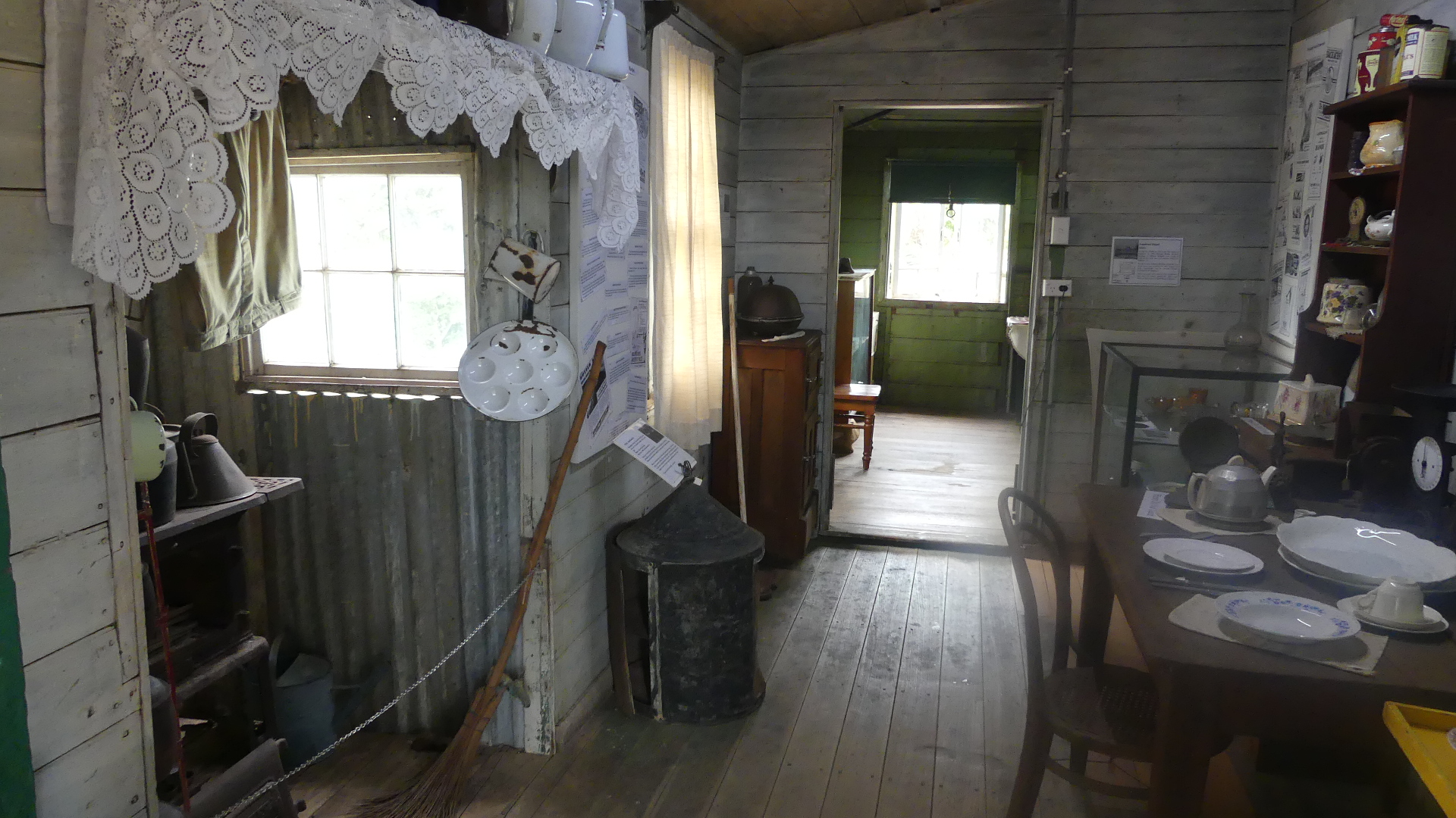
In the downstairs areas the items on display are too numerous to describe so I will just give you a selection of my pictures.
I then moved upstairs into the living areas of the home. Again a museum of social history unfolds.
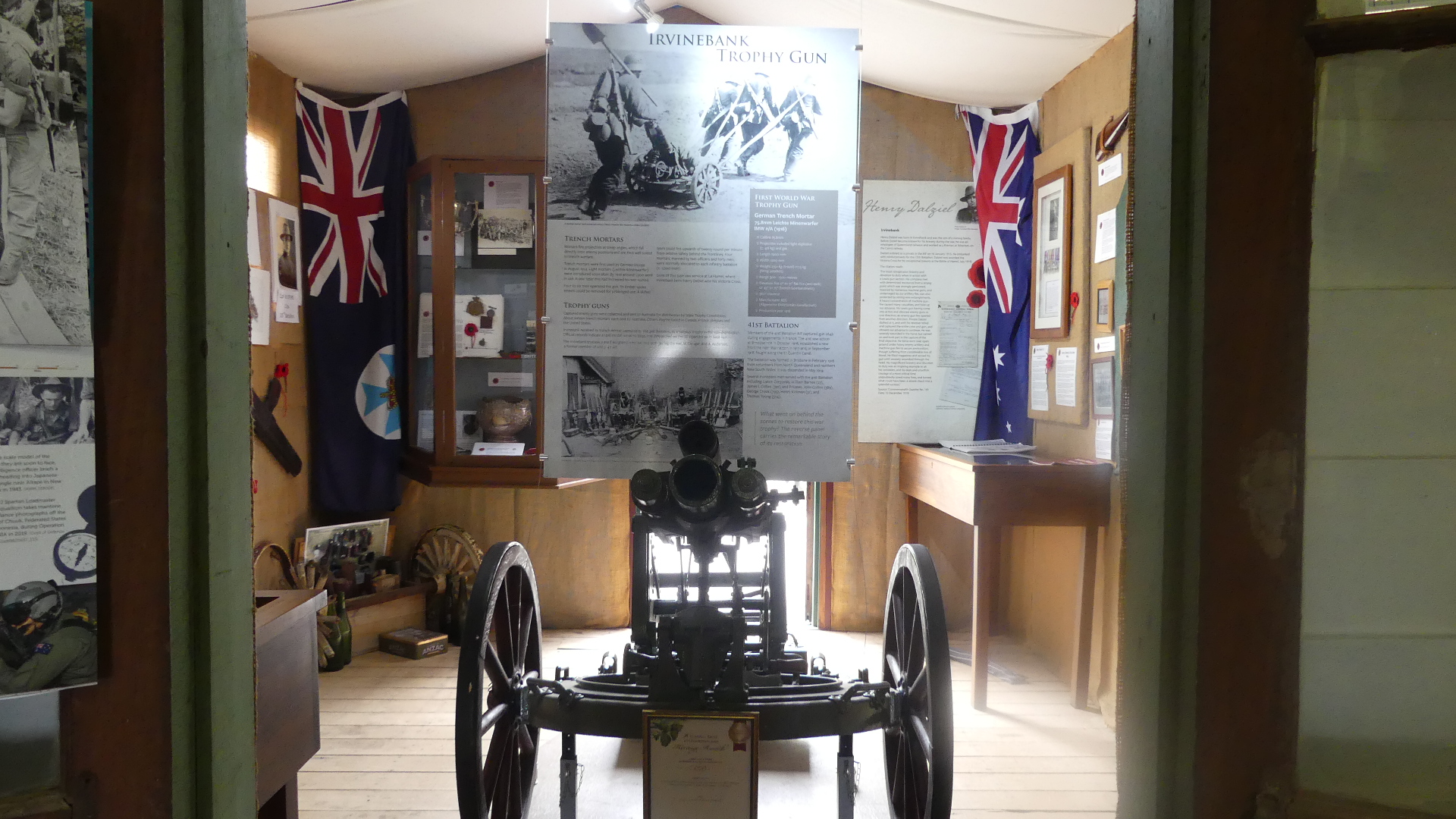
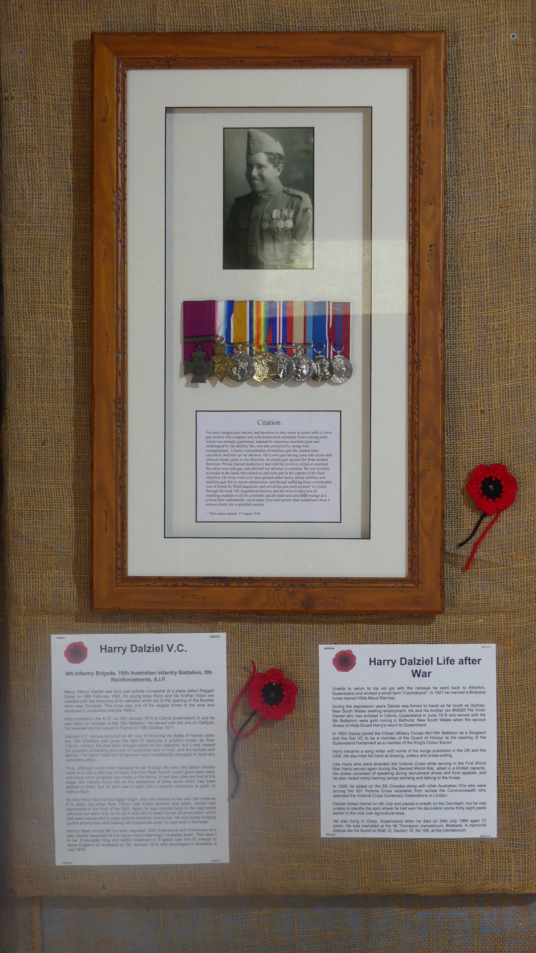
As I said there is a “shrine ” to the servicemen and women of WW1 and in particular a memorial to Harry Dalzeil VC. If you read nothing else read about Harry below.
Henry Dalziel (1893-1965), soldier, locomotive fireman and farmer, was born on 18 February 1893 at Irvinebank, Queensland, son of James Dalziel, miner, and his wife Eliza Maggie, née McMillan, both of whom were native-born. He was educated at Irvinebank and became a fireman on the Cairns-Atherton railway.
Dalziel enlisted as a private in the Australian Imperial Force on 16 January 1915 (all the A.I.F. (Australian Imperial Force) were volunteers) and embarked with reinforcements for the 15th Battalion. Joining his unit at Gallipoli in July, he served in the battle of Sari Bair in August and was eventually evacuated with his battalion to Egypt. On 31 May 1916 he sailed for France, going into the line at Bois Grenier and from July serving on the Somme, at Pozières and Mouquet Farm. In 1917 Dalziel saw action at Gueudecourt, Lagnicourt, Bullecourt and Messines before being wounded by shrapnel at Polygon Wood on 16 October. He resumed duty on 7 June 1918, first as a driver and then as a gunner.
For valour during the battle of Hamel on 4 July Dalziel won the thousandth Victoria Cross awarded. When his battalion’s advance met with strong resistance from a heavily armed enemy garrison at Pear Trench, Dalziel as second member of a Lewis-gun team helped his partner to silence machine-gun fire. When fire opened up from another post he dashed forward and, with his revolver, killed or captured the crew and gun, thus allowing the advance to proceed. During this action the tip of his trigger-finger was shot away; he was ordered to the rear, but instead continued to serve his gun in the final storming of Pear Trench. Although again ordered back to the aid-post he began taking ammunition up to the front line, continuing to do so until he was shot in the head. Dalziel’s wound was so severe that his skull was smashed and the brain exposed. He received extensive medical treatment in England before returning to Australia in January 1919. Dalziel died of a stroke on 24 July 1965 at the Repatriation General Hospital, Greenslopes, Brisbane, and was cremated with military honours.
His commander was the Australian, Lieutenant General John Monash. Monash led the Australians at Hamel in what was called THE AUSTRALIANS’ FINEST VICTORY. Monash was given full charge of this completely Australian Force of 7,500 men. Some Americans who had recently arrived in France took part in the battle. The Battle of Hamel was the Turning Point of WW1, where two V.C.s were awarded. The other to Thomas (Jack) Axford.
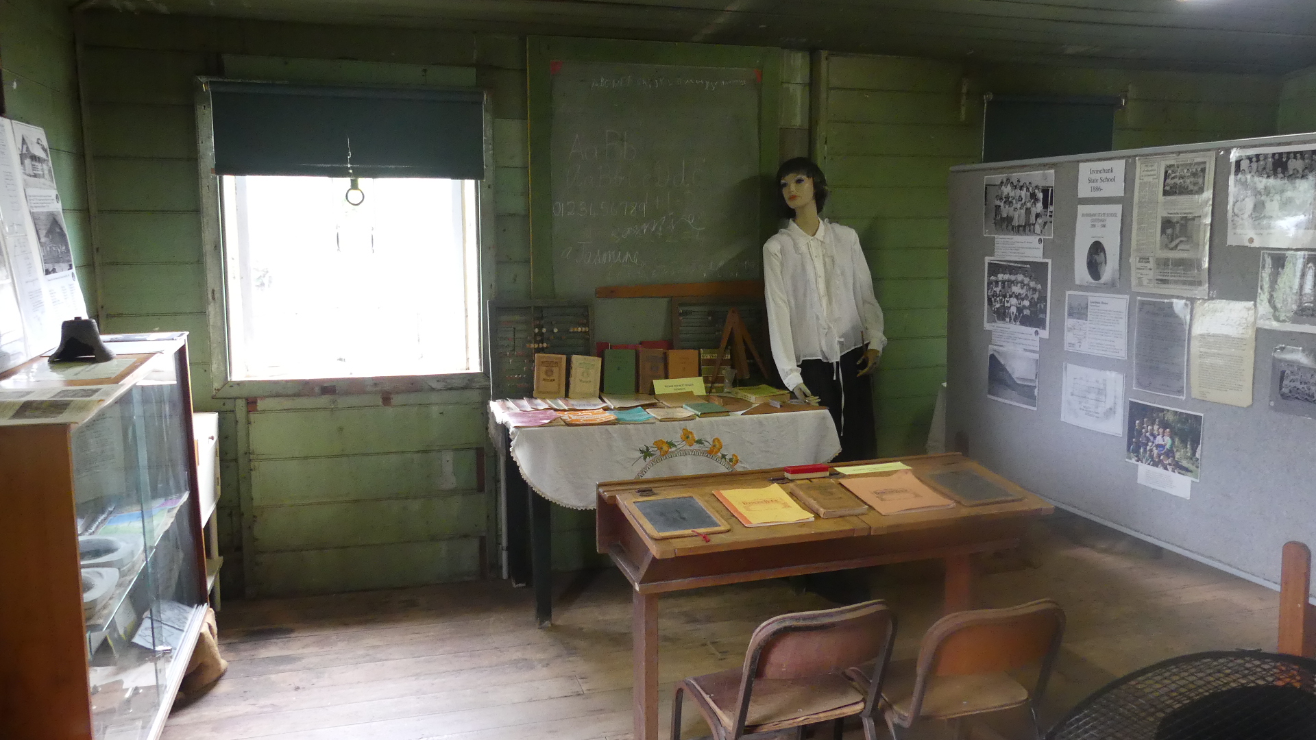
Continuing the visit to the museum you see that it had been a school and a day surgery as well;
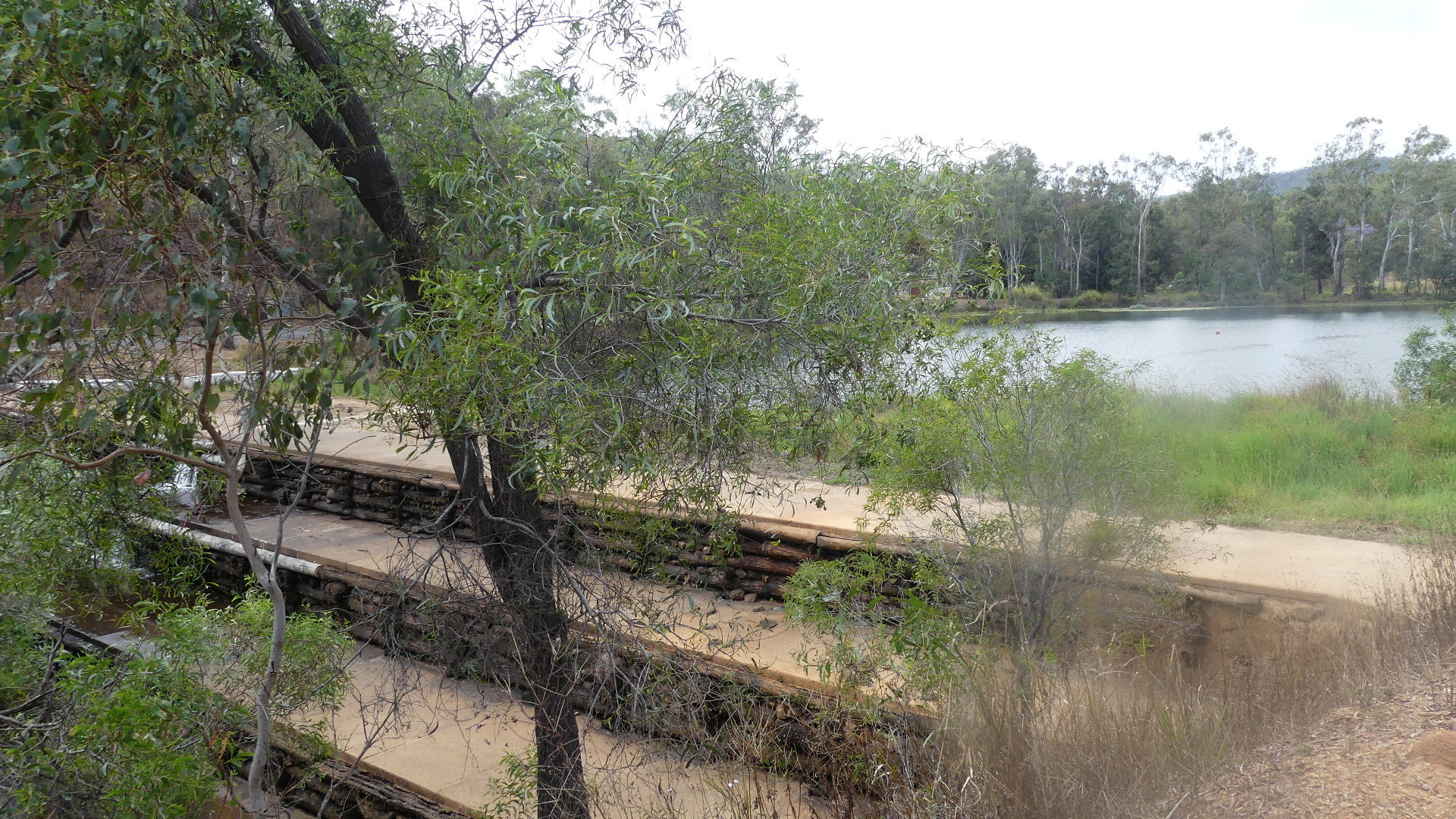
We continued our tour around the town. The log wall dam was remarkable and that night the TE news carried a story about how that wall had some maintenance the week before we visited.
I was very surprised to find Irvinebank and history of Queensland unknown to me. Far from being a ghost town this is a living memory, remarkable in its history and great that it survives to feature the life and times of the community. As we drove home we continued to remark on thigs we had discovered.