Retired Australian Lawyer having worked representing the innocent and the not so innocent in Australia and some of the remote parts of the world and having travelled widely through Europe, Western Russia, Canada, USA, New Zealand, Thailand Malaysia Solomon Islands northern China, Hong Kong and the UAE
So now that I have the time I am writing about my travels present and past. Hope you enjoy exploring off the beaten track.
Its August and our anniversary plans are in disarray. New South Wales is in lock down our theatre show cancelled and no plan B. So we divert our attention north where travel is permitted and choose Cairns as it is as far away from Sydney as a commercial flight could take us. Kerry has promised to let her girlfriend Sally know when next we are travelling and Sally wants to come along. We book accomodation at Palm Cove about 20 mins drive north from Cairns airport where we pick up our economy car – a small Skoda. Our apartment will not be ready until 2.00pm and its 8.30am. The weather has not been kind, its grey and there is rain in the air not quite falling though so its humid.
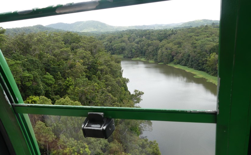
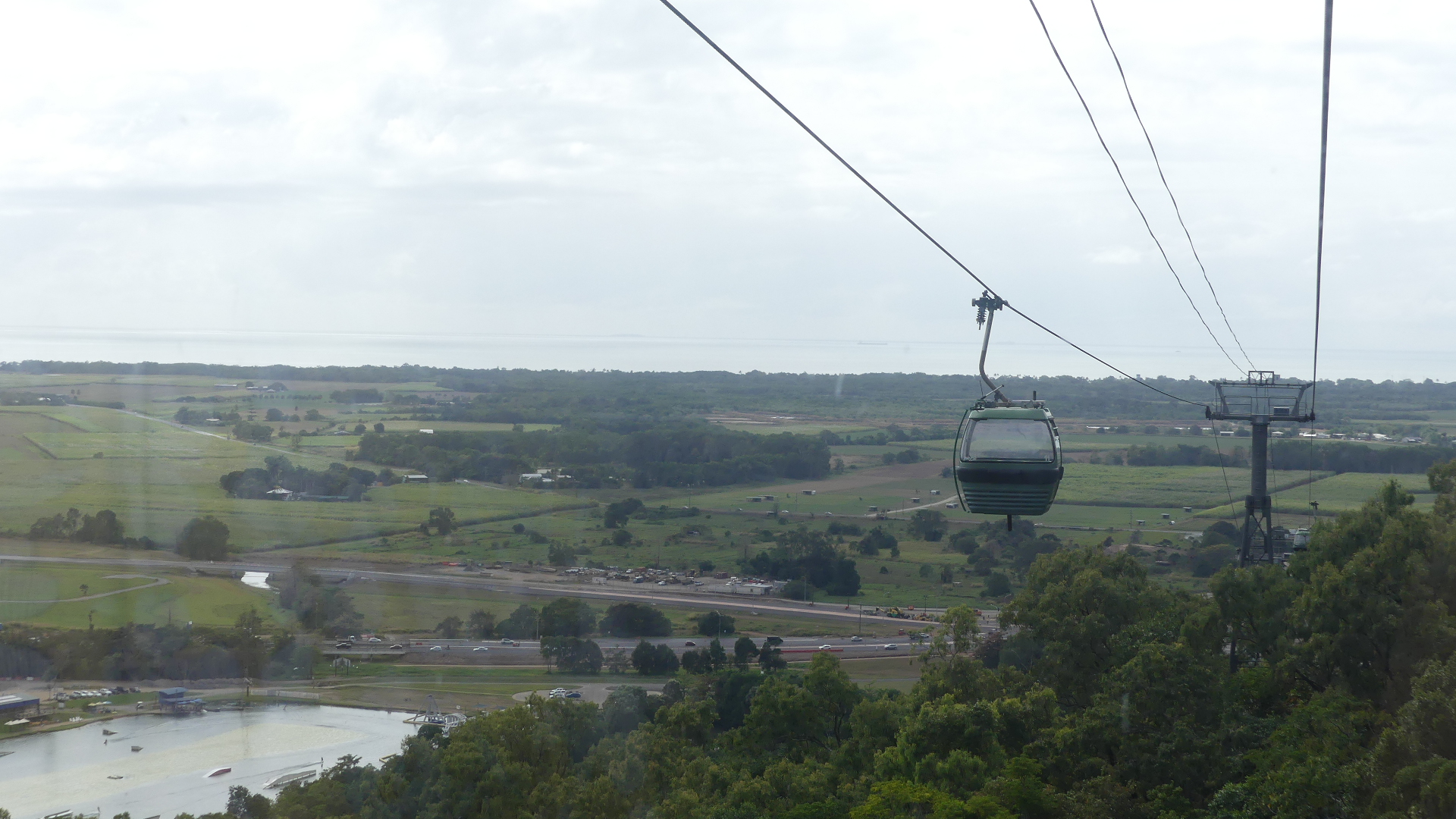
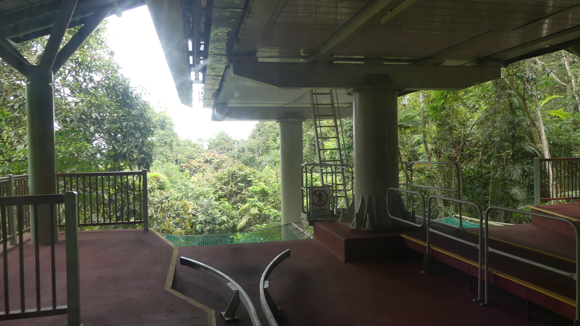
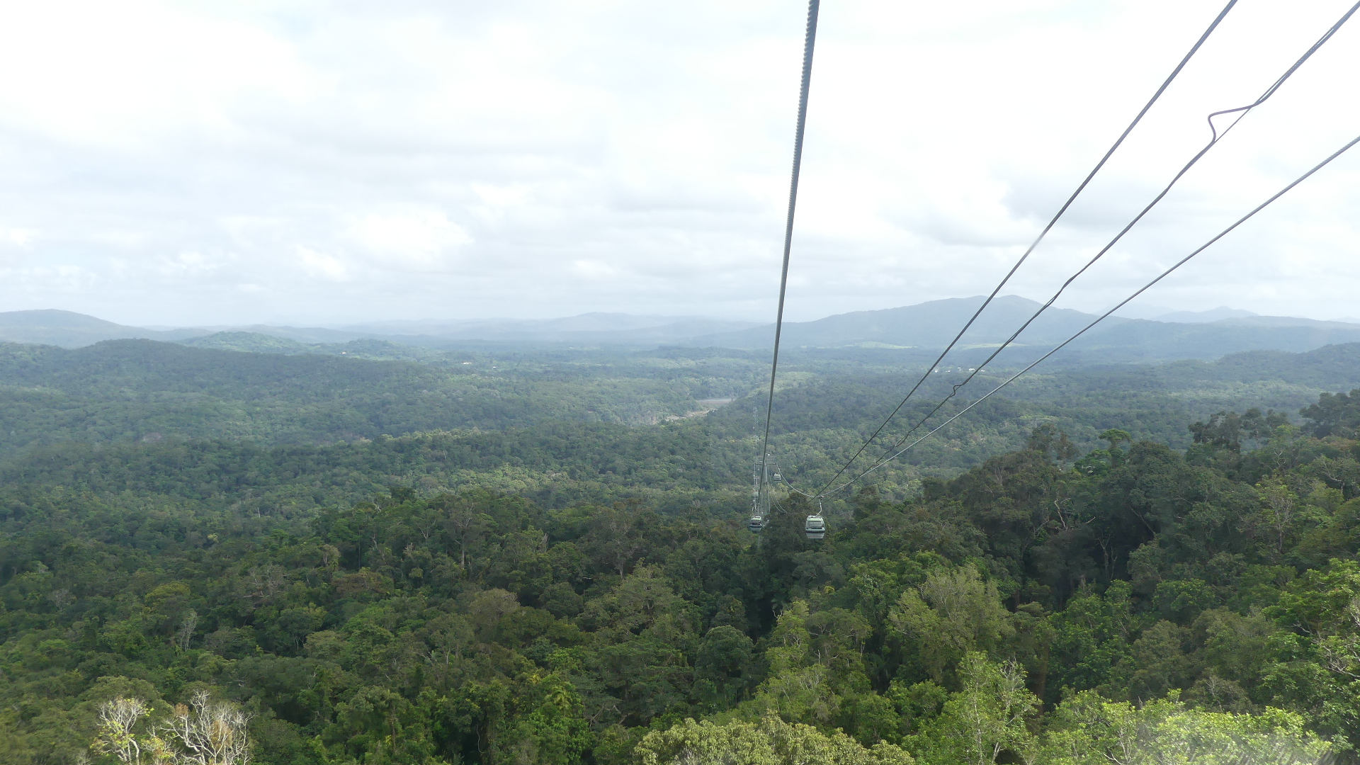
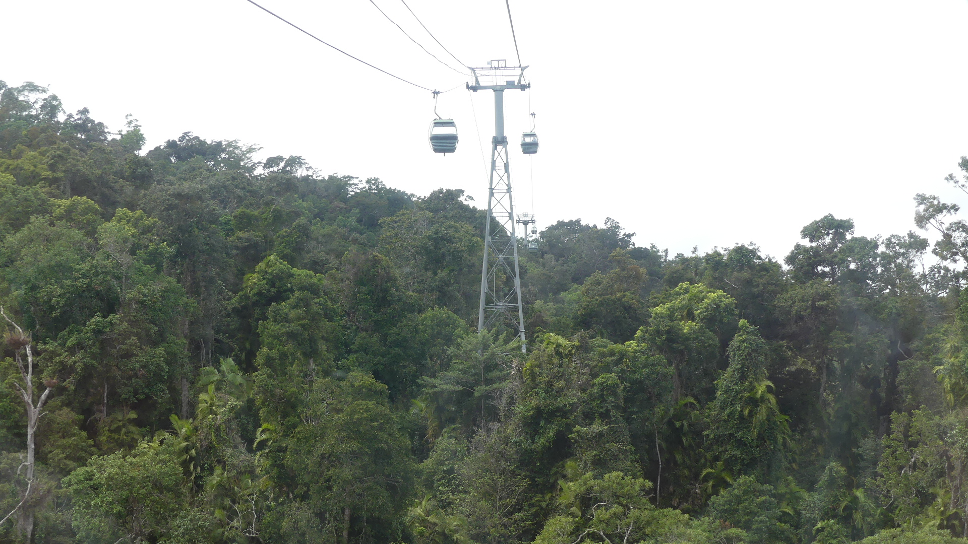
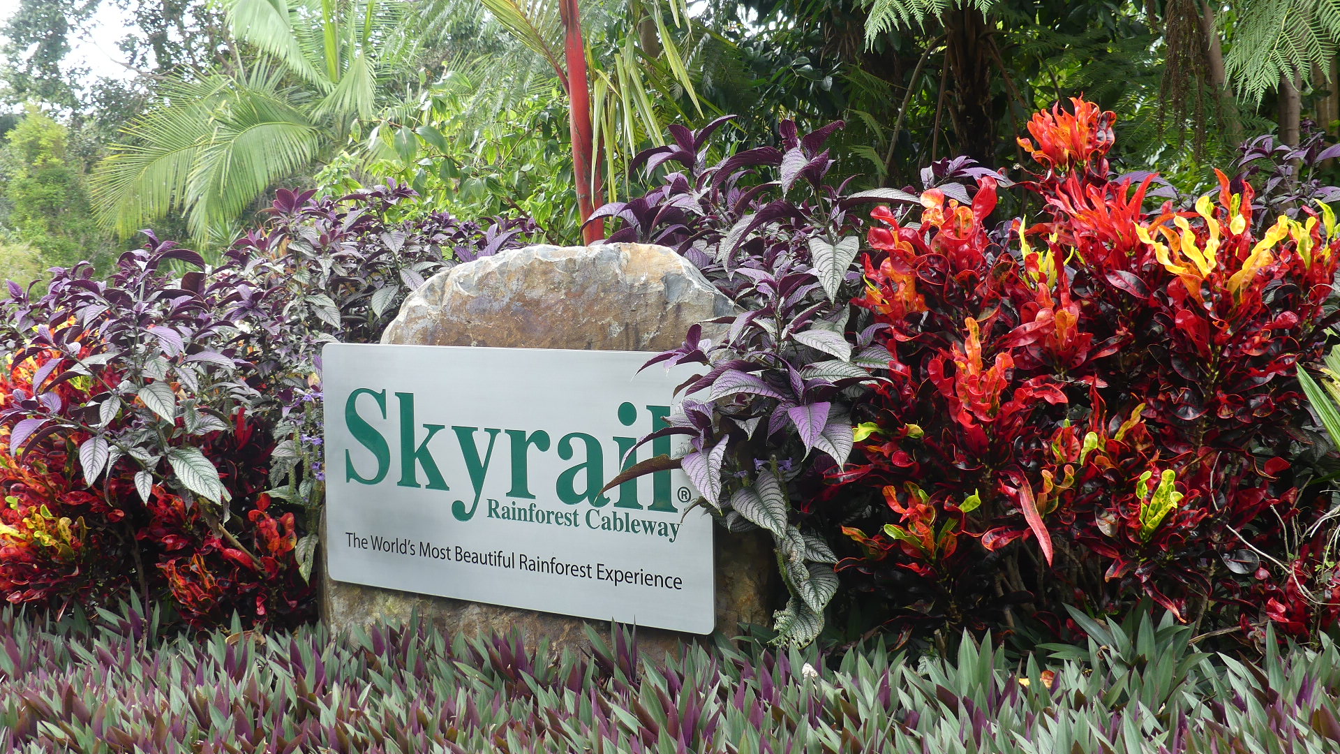
We drive north with the idea that we will take the Sky Rail to Kuranda for the morning and return by bus. We had booked the passage on the Sky Rail but arrived so early that there was concern we would have to wait in the coffee shop. Covid has devasted Cairns and its tourism. There were none of the usual crowds pushing and shoving and we walked straight on to the next cable car. The trip to Kuranda carries you up a steep slope draped in forest with views back to the coast. Yorkey’s Knob is clearly visible and the canefields spread north and beyond.
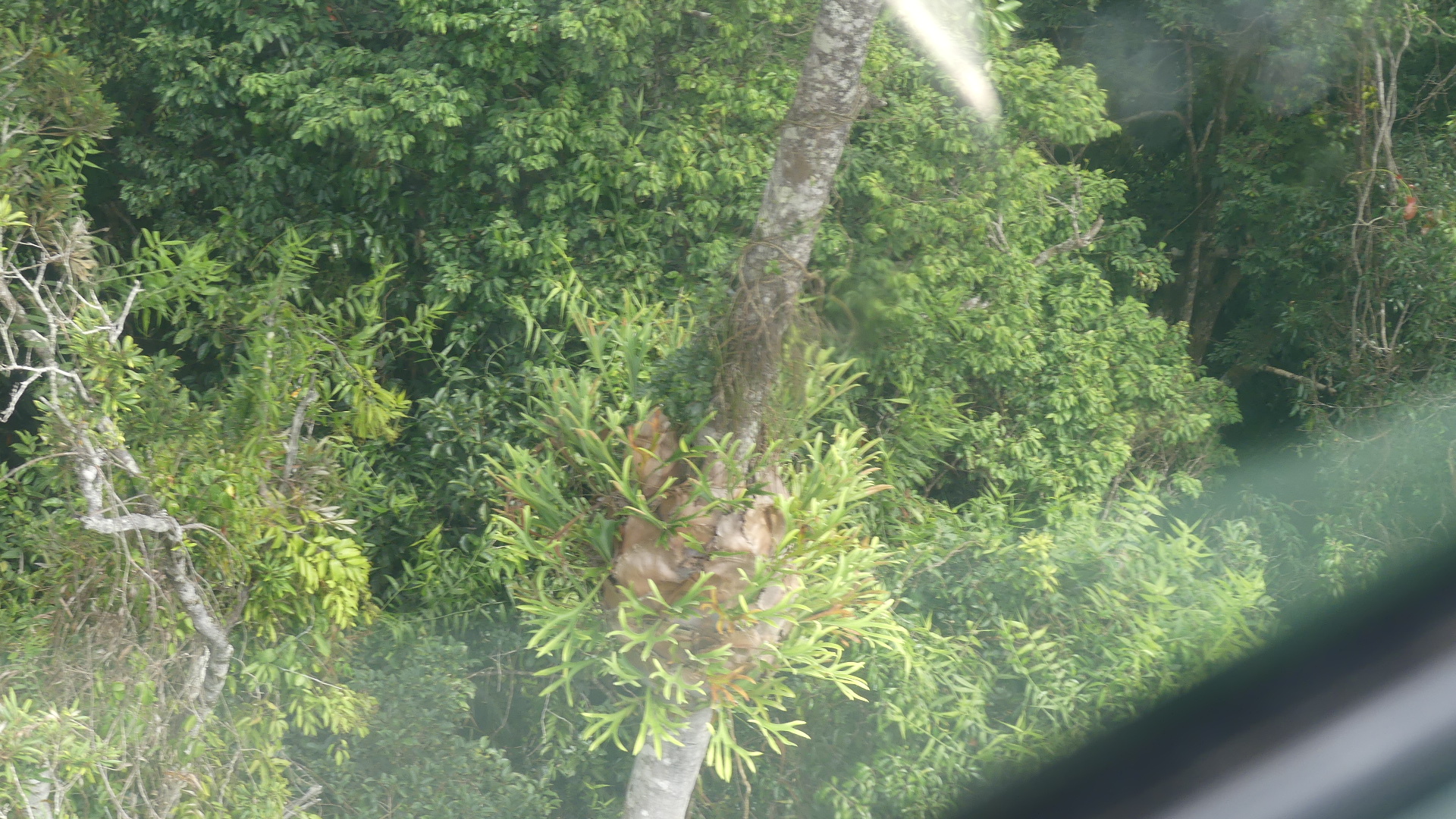
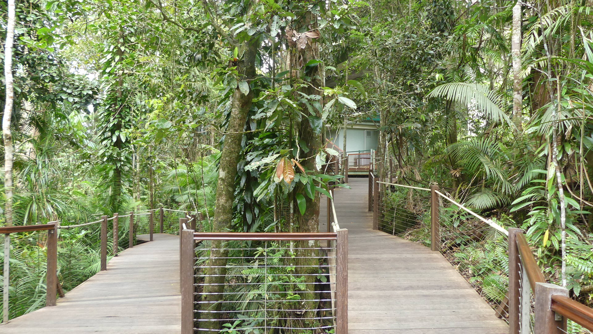
Leaving the coast behind the humidity builds as we passed way above the floor of the forest with crows nest ferns and staghorn/elkhorn ferns adorning the trees. There is stop on the way and we dismount to have a look. A timber walkway takes us around the forest and past giant red cedars and a view of the valey which is astounding.
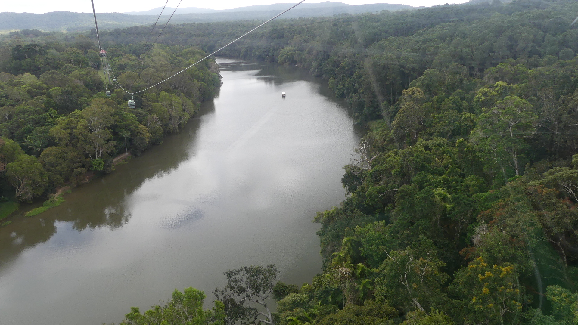
The path to Kuranda is cross by Barron Gorge and the Barron River. As we approach the gorge I notice that the Kuranda train has positioned itself for the passengers to take photos of the gorge and that the train is a diesel not the traditional steam train. It is still humid and spots of rain appear on the windows. The station pulls into view and Kuranda awaits.
As we come towards the platform a camera takes a photo of us so as we move towoard the gift shop we are greetes by the image of the three of us smiling into the camera lens. Despite my doing my best to disuade Kerry from buying the souvenir photo, we walk out with our memento. Whilst in the shop we learn there is no bus on Sundays that returns us to the Sky Rail station below. I visit the Rail station to enquire about the return journey (the station is beside the Sky Rail station) and we decide to take the Sky Rail back. The train returns to Cairns and the return journy on the Sky Rail is half the price of the single journey on the train.
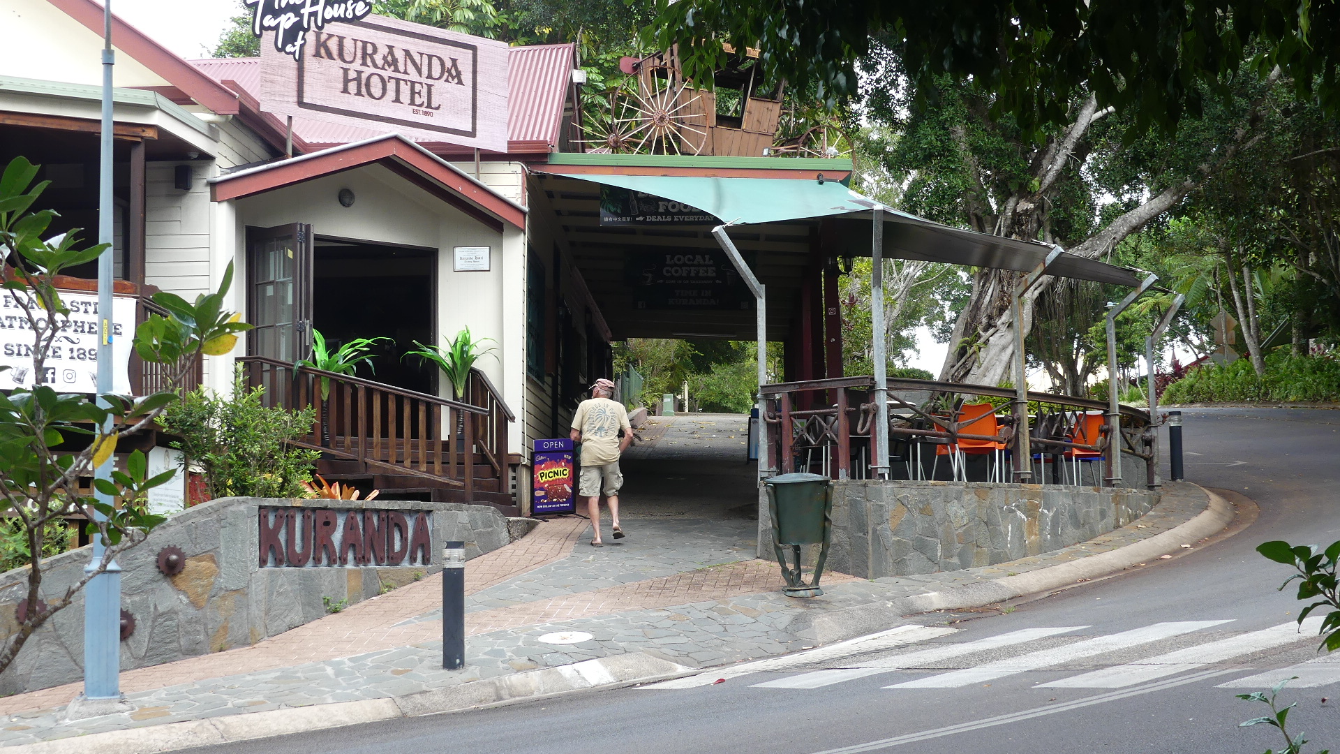
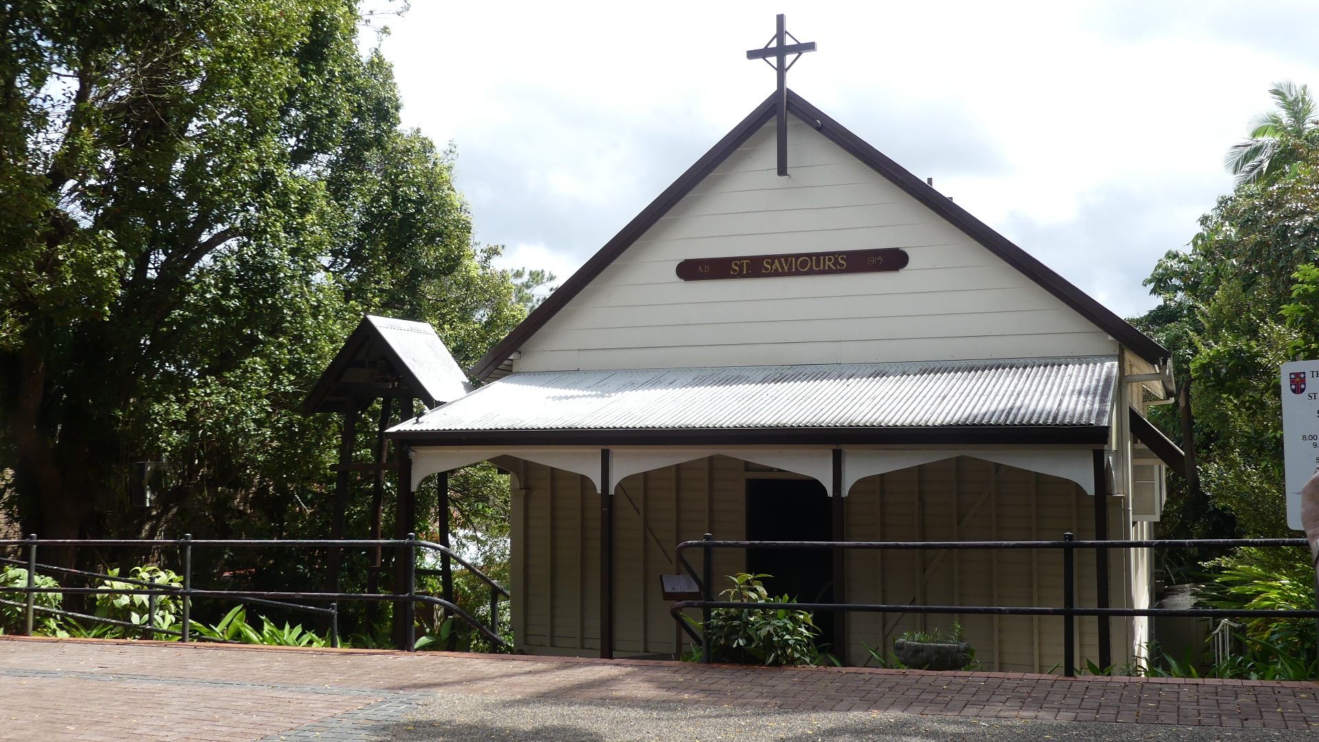
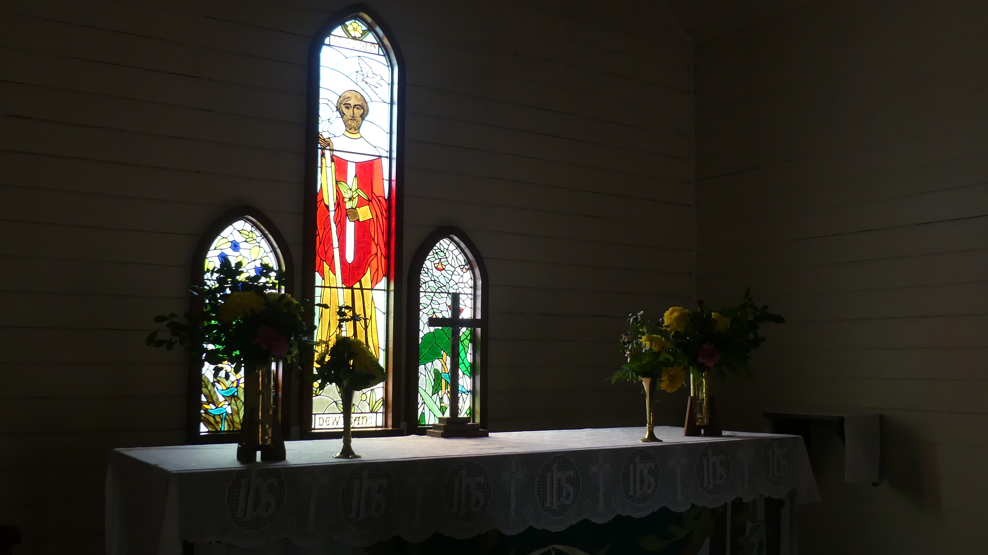
As I said tourism is dead and no more evident than a walk past vacant shops in Kuranda. Kuranda always seemed to be like a giant gift shop for tourists and with no tourists the small businesses are closed down everywhere. A single troubadour is performing on the street, didgerdoo in hand and outstretched hat for the scheckles from the tourists. Essentially we walked the street, stopped at the church which is an extrordinary example of a bush church, and had a coffee in a local shop. We could walk unmolested as there were so few visitors.
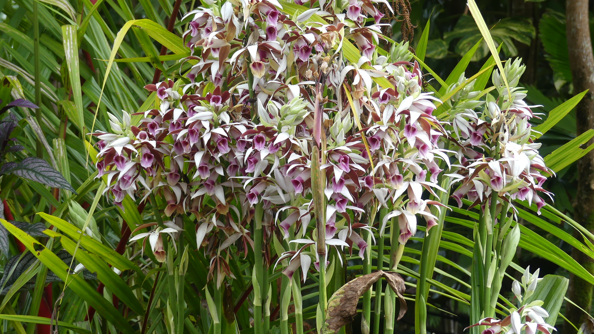
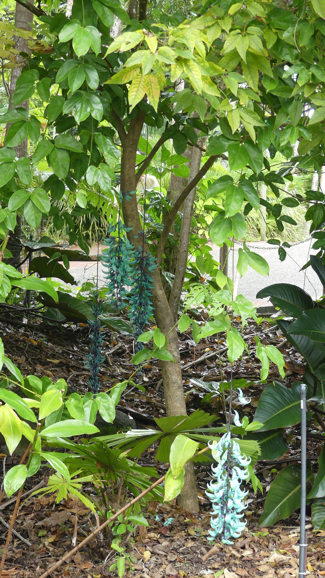
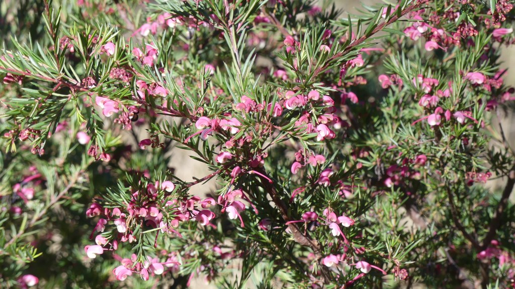
So we return to the Sky Rail passing some unusual bushes. The return trip was uneventful and our hire car awaited our return. Palm Cove next stop.
After a night of board games and a sound sleep, I was a bit slower out of bed. It is the coldest day of this winter and there is even speculation that there will be snow – not a common occurrence in Queensland. We rustle up breakfast and toss ideas around about the points of interest to visit today. Into the mix comes discussion about the very scented bath and hand foam provided by the Cottages management. It is a local product made by Washpool and it has an outlet in Ballandean. We visited Rod’s Dad’s grave yesterday and it was clean and no maintenance required but we continued to notice every dam was full to overflowing so we thought we would visit Storm King Dam which had not ever been full and even was declared empty during the recent drought leaving Stanthorpe dependant on trucks to deliver potable water to town. A variety of cellar doors were discussed as was the various routes. Finally, the picnic to empty the fridge of all the food we had brought along. So we hit the road. First stop Storm King Dam.
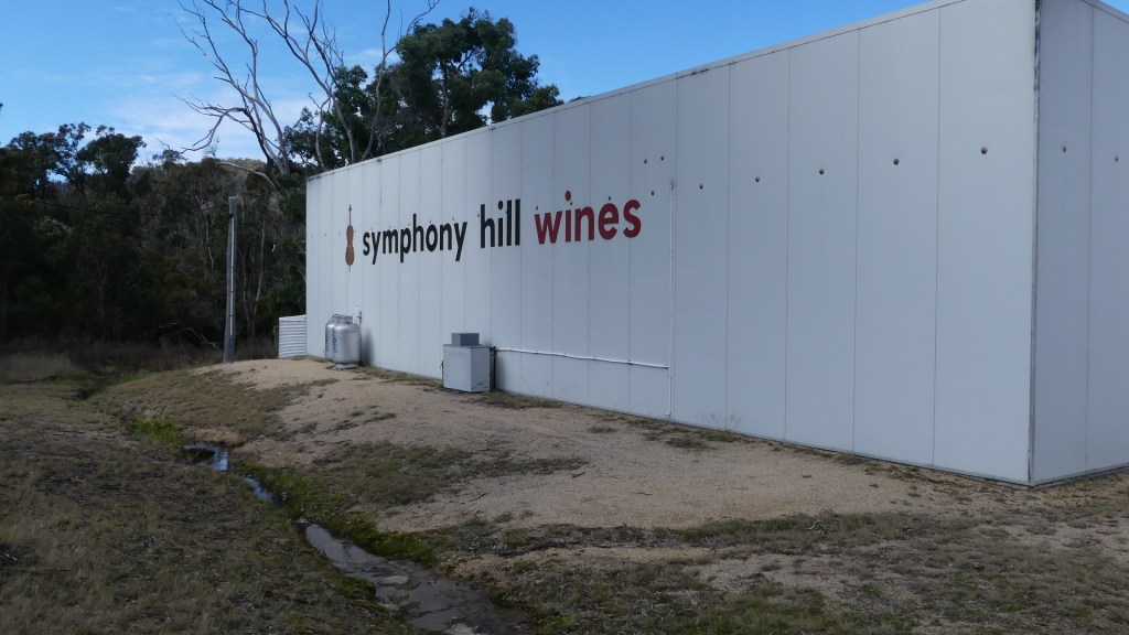
We continued south to Symphony Wines cellar door. There we had our first tasting of the morning (it must be after 4.00pm some where in the world). This vineyard claims that it has had 3 of its wines served by Qantas in its business class and first-class cabins so it must be alright. Whilst the others chatted and sipped and sniffed, I took a tour around the exterior but as I returned, I noticed a group coming from the cellar with water bottles filled with wine. Very strange but when I enquired I was informed that they were samples prepared by the Symphony Wines winemaker using grapes from another vineyard. It appears it is not uncommon for smaller vineyards to contract the winemaker of the larger vineyards to make their wines. Overall good quality and we will be sampling more through our membership of their club.
After Symphony we took to the road and travelled further south to Ballandean. Remember that soap discussed over breakfast well we found their “cellar door”. Wow the moment we went through the door we were assailed by a storm of fragrances. Not really my cup of tea but the girls found it alluring purchasing a cornucopia of rubs scrubs and shampoos. As we left the wind rose and there was a wetness in the air – not snow possibly sleet definitely sprinkling rain. The temperature must have been in the low single digits, but the wind dropped it further. Our picnic looked doomed to be back at the cottage.
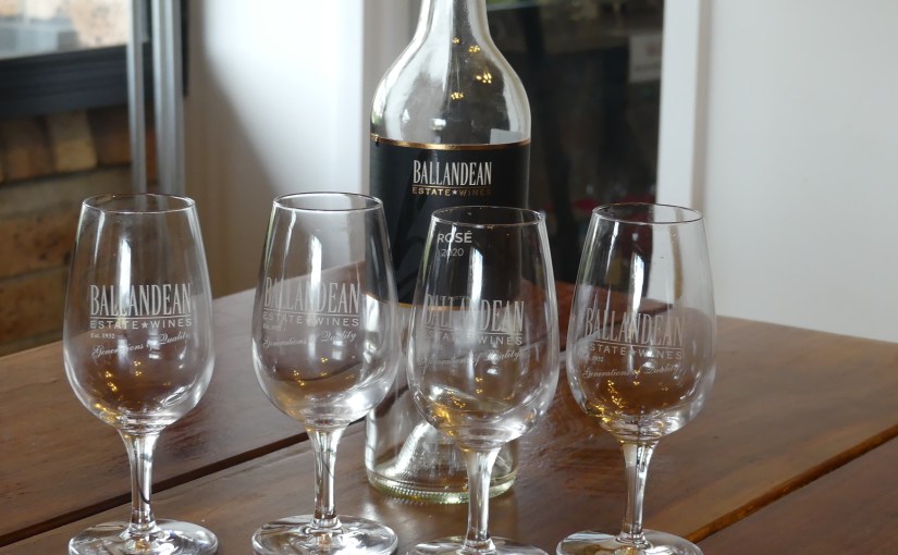
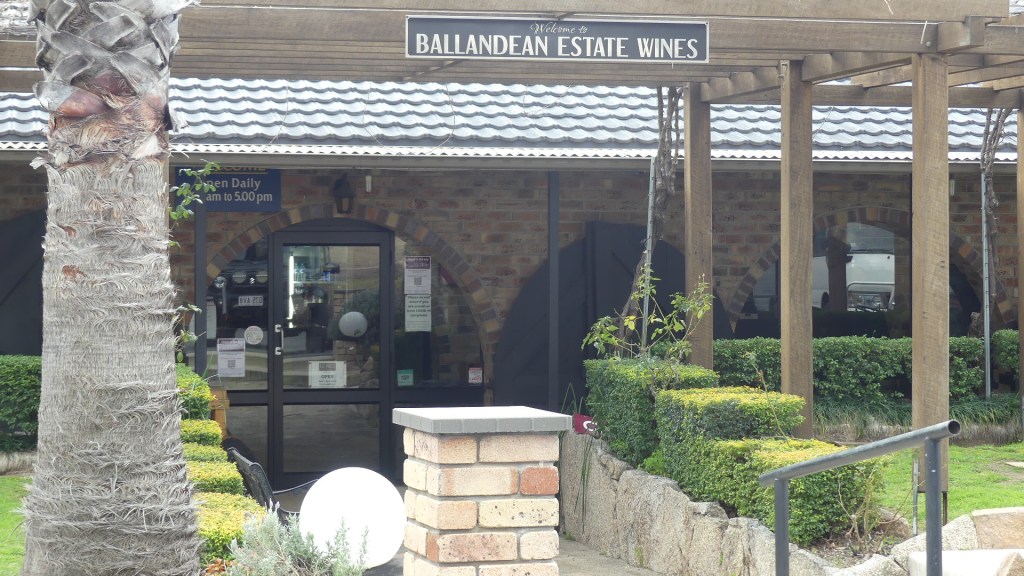
Rod was of two minds about visiting the Puglisi family at their family vineyard “Ballandean Wines” but in the end he thought it polite to call in. Lucky for us he did. We were all greeted like long lost family and allowed to use their members room for our picnic. We were recommended to drink their new season Rose which we did and were delighted with. As the afternoon rolled on and the wind howled so the wine continued to flow in the form of a tasting this and that leaving us with a desire to join their club also. By the time the tasting was winding up I needed some fresh air and a comfort break.
We left the cellar door and made our way back to the cottage. The wind was chilling and the thought of a roaring fire and a glass of wine relaxing before that fire was too enticing. We stayed in for the evening occupying ourselves with more cards and board games. Some where through the evening we finished of more of the acquired food and went to bed with very happy bellies. We are going home tomorrow but there is no hurry to leave this oasis. We discuss what we might do on Stanthorpe’s coldest day whilst travelling home – where else but the Xmas shop. So after a hearty breakfast and packing the car – we were supposed to being taking home less not more so the packing took longer than planned.
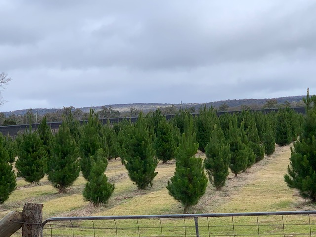
As we travelled north-east to Brisbane, we kept a lookout for the Xmas shop. Just before Applethorpe we cross the rail lines and then we head into what appears to be bush but Google maps assures us it is just around the corner when voila there is the gate to acres of pine trees all the perfect house size trees and in the middle a pen of deer and the Xmas shop. What a surprise here in the wilderness is a depot for the most discerning Xmas trinket shopper. Most important they serve hot Belgian chocolate. We leave behind a bit more cash – helping the local economy before farewelling Xmas to December where it belongs.
The travel home is uneventful. We collect our car and by late afternoon we are settled into our slippers in front of the telly. All in all, I was surprised what was on offer in Stanthorpe. I will be doing it again shortly.
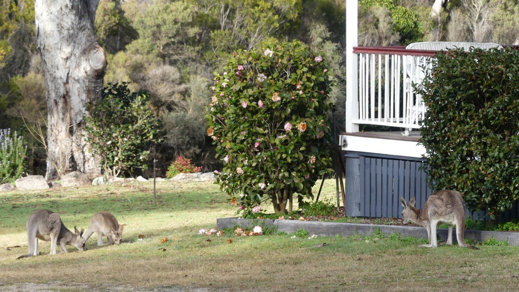
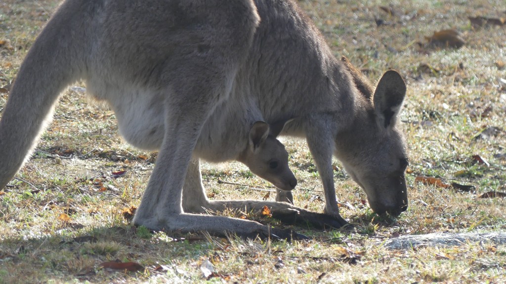
I had attempted to view the night sky before retiring to my dreams and was thwarted by clouds blown across a dark sky. Morning came quietly with a cold breeze and more clouds. Even so I was keen to get out and start our break by finding the track into Stanthorpe so camera in hand and dressed for a chilly morning I left our cottage and surprised a mob of wallabies contentedly grazing on the lawns around the cottages. The female was carrying a joey who wisely remained tucked up in the pouch.
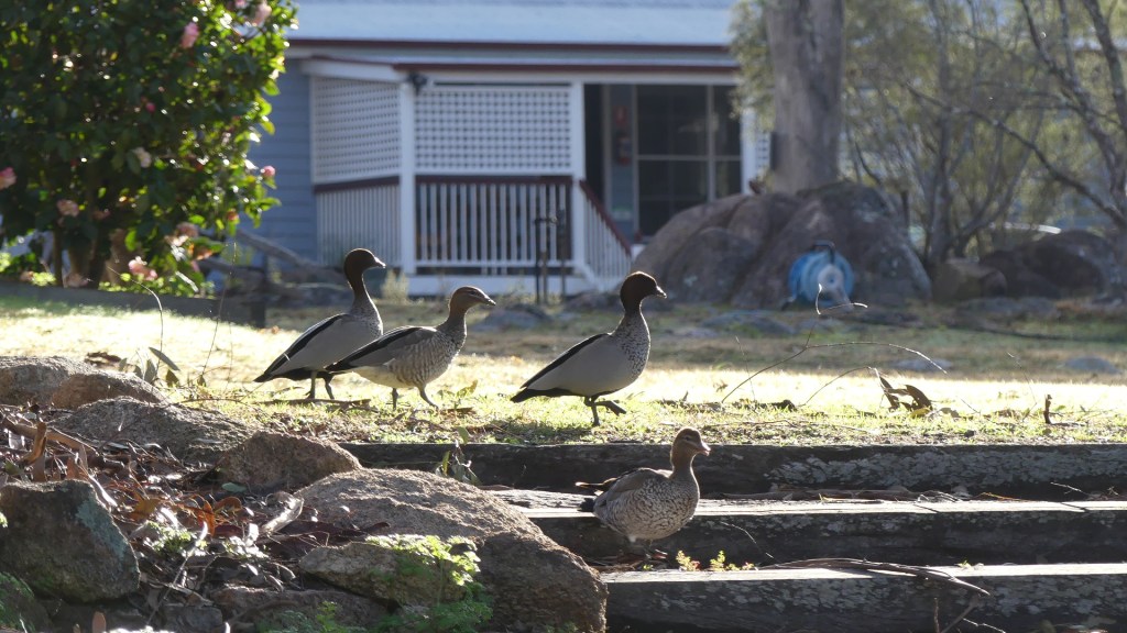
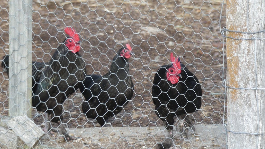
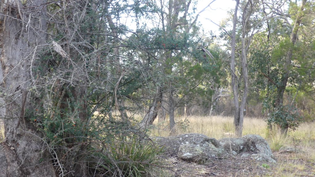
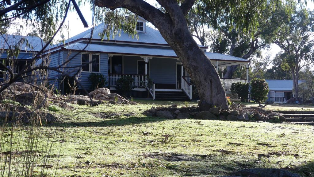
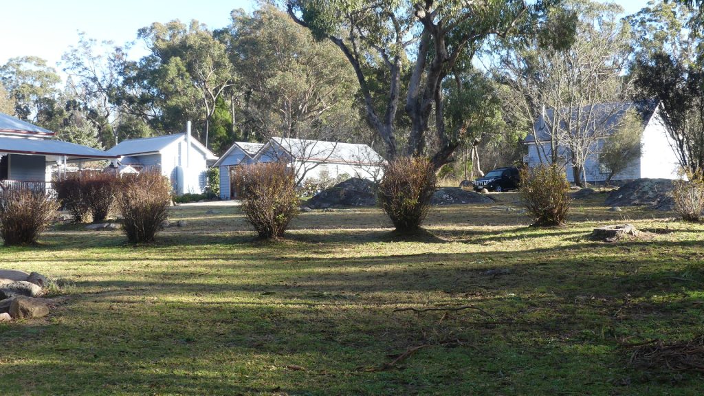
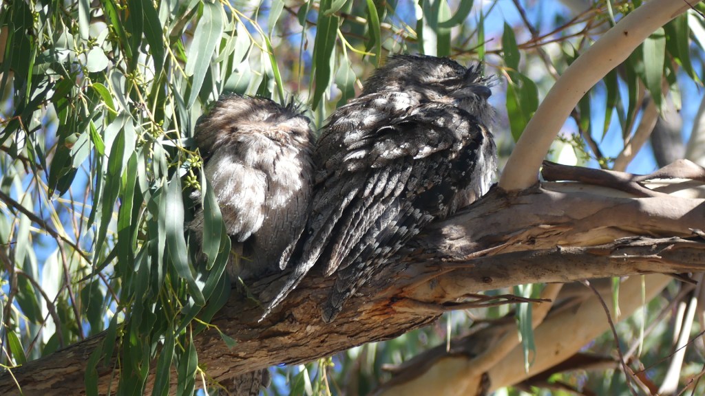
Beyond the mob was the original house and a grand old house it is. There were 4 other cottages, but no one was moving about save the wallabies and the wood ducks. Even the Tawny Frogmouth remained tucked up in bed. After moving around the house joey decided to check out the visitors and popped his head out and looked around. I found the track to the bridge and along the way I meet the chooks who thought I was coming with their morning feed. Stanthorpe is famous for its granite outcrops. Even though the temperature was in single digits, the freshness of the morning and softness of the sun playing on the bush and rocks, was a fabulous vista to start the day.
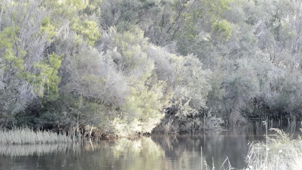
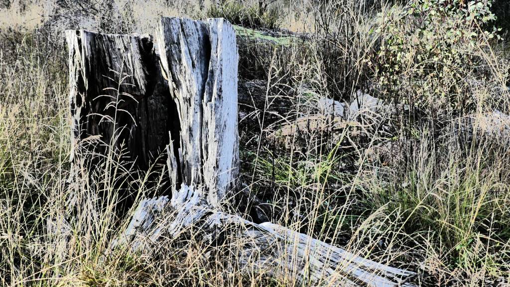
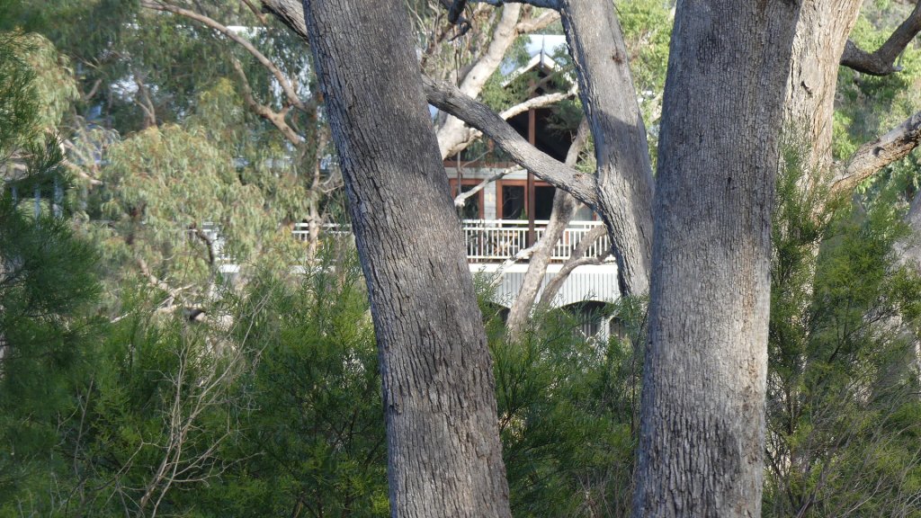
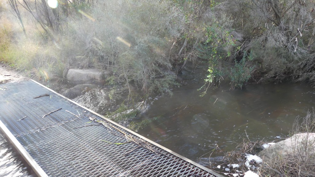
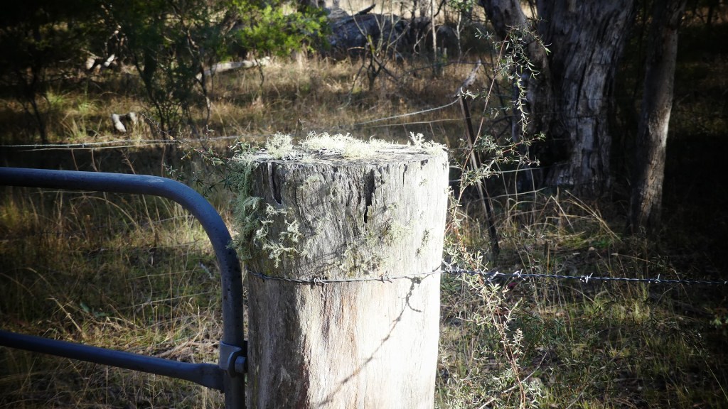
I followed the track to the bridge and crossed over. Last night our neighbour had told us that it was a wet ride across the creek and now I could see the reason why. Recent rain had filled ponds along the bank and the track to Stanthorpe was impassable. The neighbours house “the Lodge” was high up on the bank above me but the crossing was wet and muddy. So, I turned around and returned to the cottage. This is what I saw walking there and back.
After breakfast we started our exploration. I wanted to visit the “soldier settlements” granted to WW1 soldiers to start again after the horror of the battlefields of France. Many of the villages were named after those battlefields. The programme continued for WW2 veterans, but mostly they were not successful farmers and not much remains of these settlements. On the way we passed Castle Glen cellar door. Built to appear to be a castle it is tired and tacky and we did not stay long.
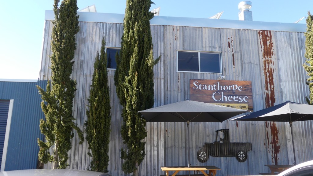
Besides we were close to Stanthorpe Cheese. A repurposed shed the cheese factory makes a range of soft and hard cheeses and has tasting room. In addition, they have a range of country product from chutneys to jams. The tasting ranged over 8 different cheeses accompanied by pastes and chutneys. We came away with a bag full for the cold nights with a glass of wine. Five stars of taste.
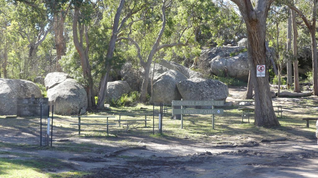
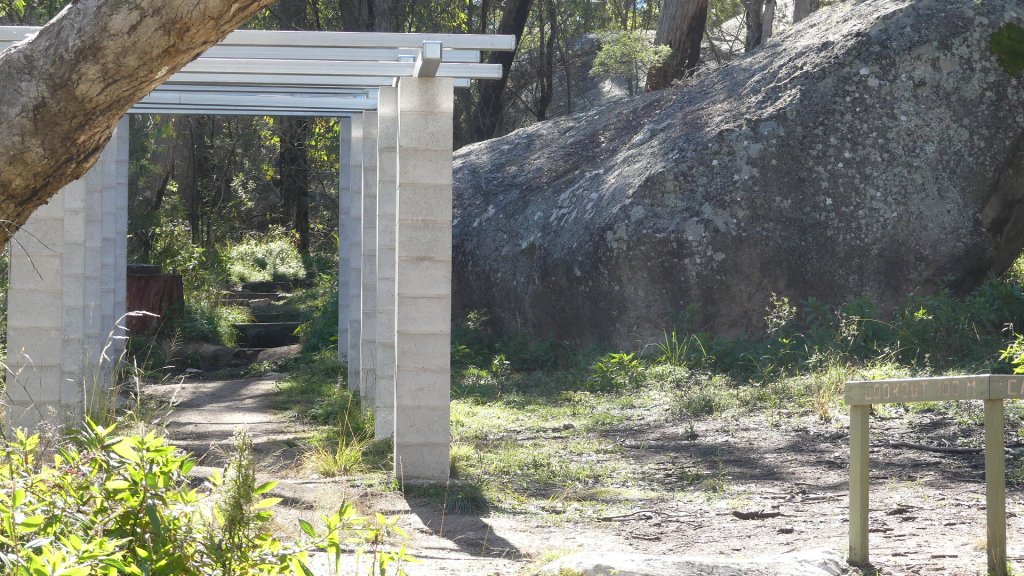
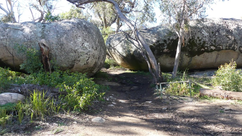
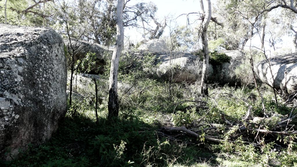
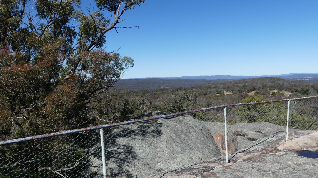
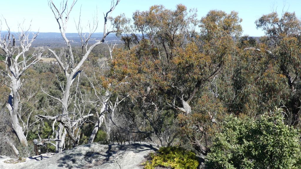
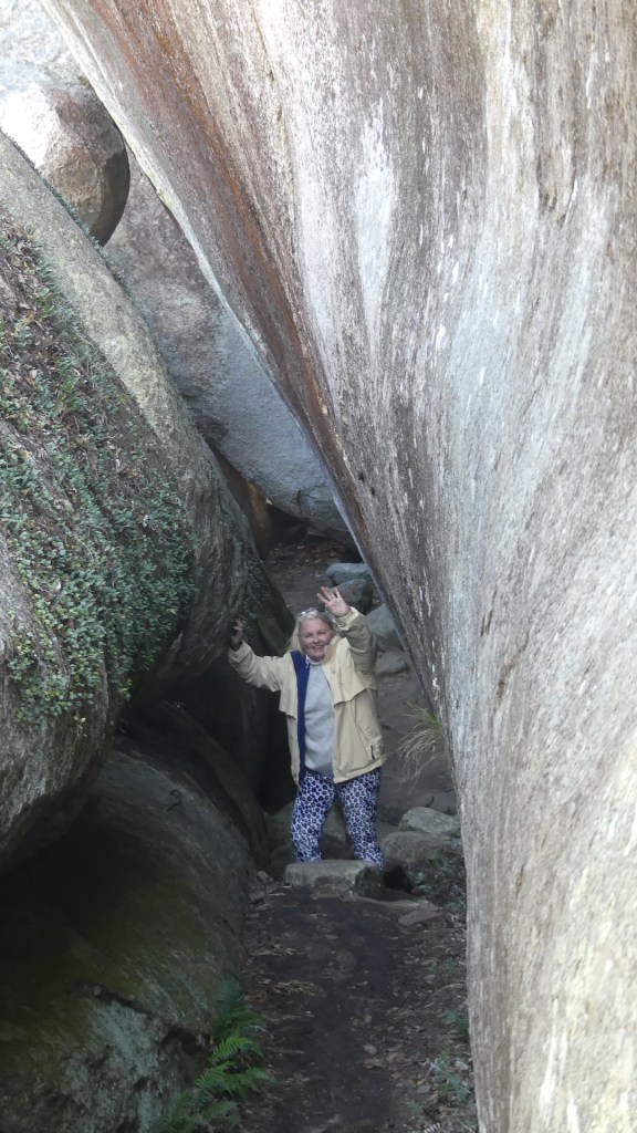
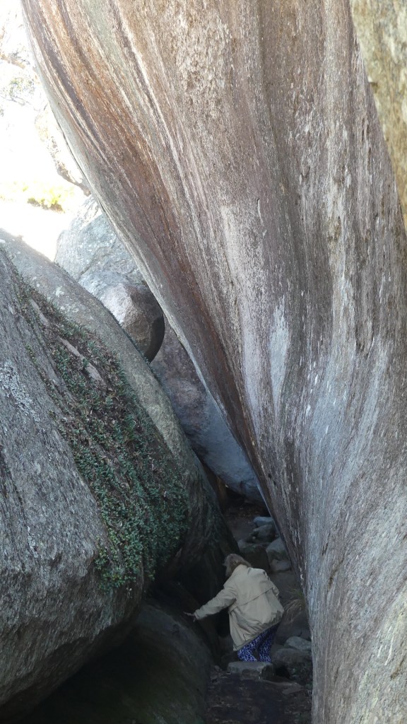
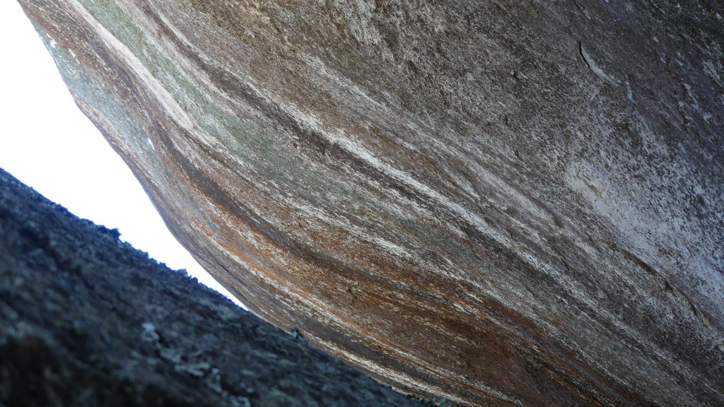
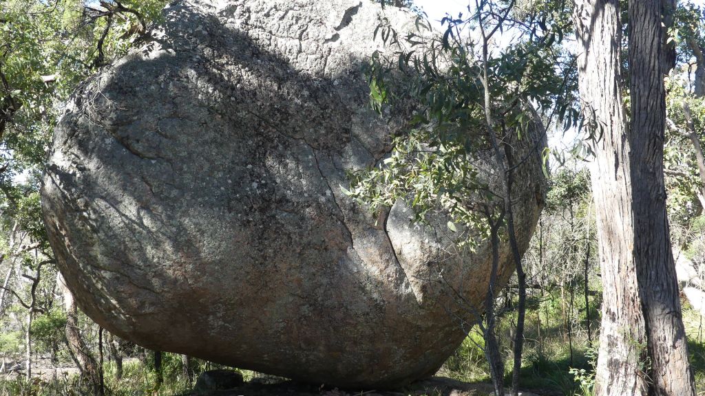
We had read about Donnelly’s Castle as being a must do. It is off the beaten track but certainly lived up to the reports. it’s not actually a ‘castle’. This quiet spot is a wonderland of giant granite boulders and walking amongst the boulders you can explore into cave-like entrances and narrow crevices.
Donnelly’s Castle is famously the site used by bushranger ‘Captain Thunderbolt’ as his hideout. Thunderbolt was the longest roaming bushranger in Australian history and it’s no surprise he managed to elude authorities here, because as you wander over, under and through the network of boulders, you feel you’re hidden away from the world! There’s also an exciting lookout sited on the top of one of the granite outcrops. Be careful returning down that boulder as the potential to slip and fall is very real.
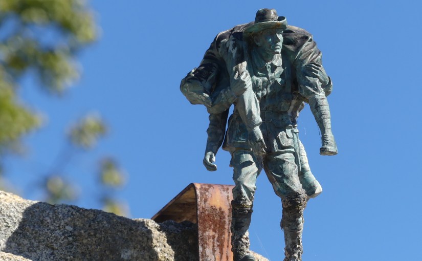
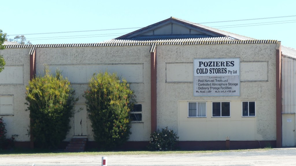
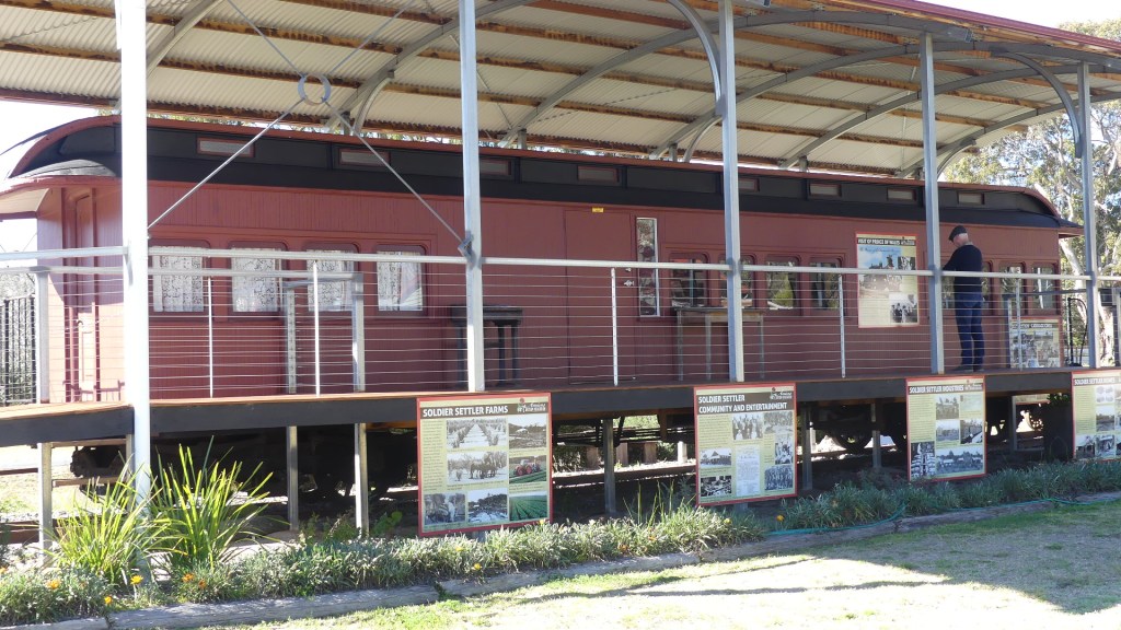
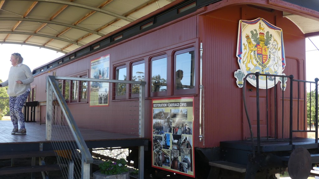
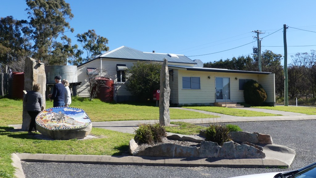
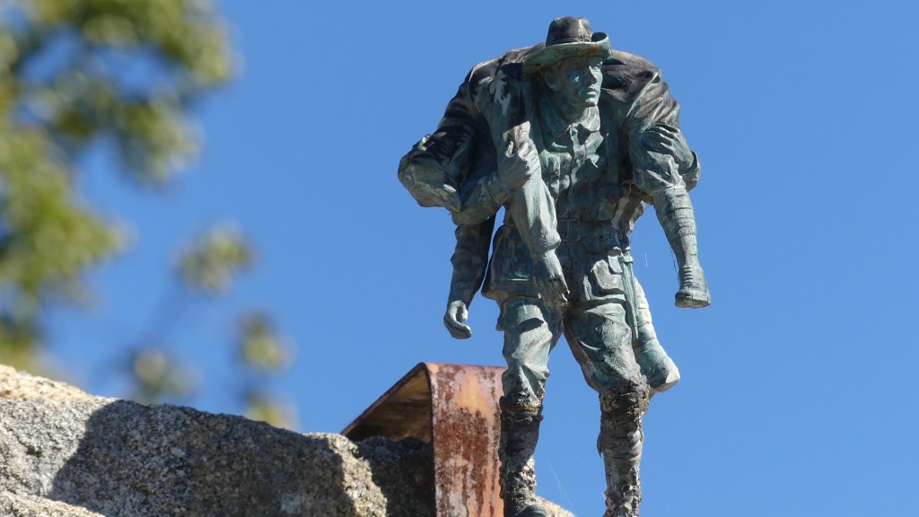
From Donnelly’s castle you drive across Amiens Rd to Pozieres – the name of the town in the midst of an infamous battle of WW1. The only thing to tell you this was once a village is the telephone box outside the closed post office and the cold stores. From there we followed Amiens Rd pass Messines into Amiens where we found the Amiens Legacy Centre and township maps. This fabulous memorial tells the story of soldier settlements and the villages, the visit by the Prince of Wales in 1922 and the restored carriage now converted to the museum. It is humbling to see the conditions for returned service men and their families to start a new life. There is also the story of the tin miners who established Stanthorpe. Returning towards Stanthorpe we came to the remnants of Amiens and the memorial to the servicemen from the area who served and did not return plus the story of the soldier settlements.
Photo
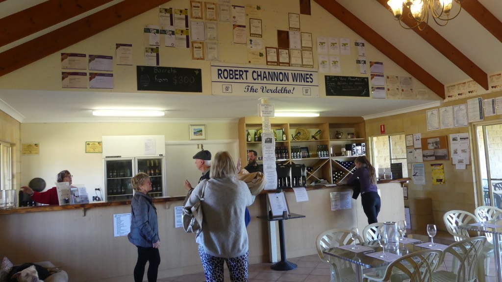
We then returned to Bapaume but we could not find any evidence of the village. We then went on to Robert Channon Wines cellar door. Robert is famous as the man with the name which Moet & Chandon thought a threat and demanded he stop using his name. The nearly 20 acres of vineyards at Robert Channon Wines produce approximately 50 to 60 tonnes of grapes each year. The relatively small size of the vineyard and tonnage is typical of the boutique size of the dozens of wineries across Granite Belt Wine Country. The grapes they grow are Verdelho, Pinot Gris and Chardonnay and red varieties are: Pinot Noir, Shiraz and Cabernet Sauvignon. We left the vineyard weighed down with more wine.
Photos
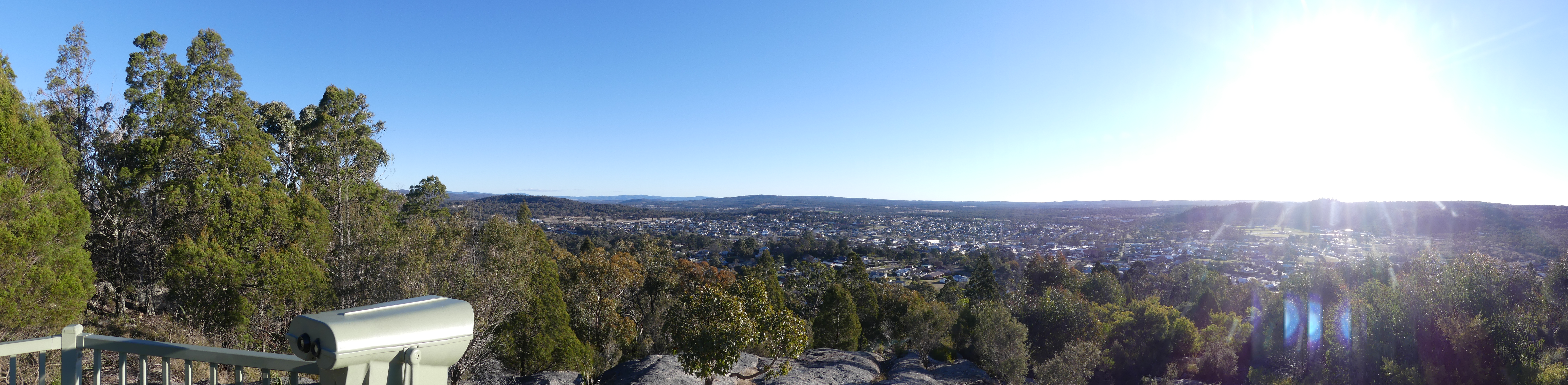
It’s been a long day so we head home stopping off at Mt Marlay for an all over view of the town. Then we arrive at the cottage, start the fire, get out the nibbles cards and wine. The wind has risen and the temperature drops but not to worry we are warm and cosy in side the cottage.
It’s a bright Friday morning. We meet up with Rod and Kerry Hayes for our annual wine weekend, but all is different – its not May and its not somewhere exotic. Typically, we travel to a new wine district within Australia or overseas but this year we are limited to wine districts within Queensland. Typically, it is May because Queensland has a May long weekend whilst the rest of Australia is still at work. Covid and government health regulations make it different, so we are travelling in July to Stanthorpe on the New England Highway near the New South Wales border 223 kilometres (139 mi) from Brisbane via Warwick, and 811 m above sea level 3 hours away by car.
Rod spent part of his early life in Stanthorpe, and it was home for his mother and father until his death. For Rod there was the important task of checking on his father’s grave for any repair and tidying up.
The land within the boundaries of Stanthorpe is primarily used for urban purposes: housing, recreational, commercial and industrial with some undeveloped land on the hillier slopes. Crops grown in the surrounding area include vegetables, apples, grapes and stone fruit. Wine is also produced in the area, and sheep and cattle grazing is also prevalent. Mount Marlay is to the north-east of the town and rises to 918 metres (3,012 ft).
Prior to white settlement, The Kambuwal were the first settlers with their territory stretching from the western scarp of the Great Dividing Range and their eastern flank ended around Stanthorpe. Stanthorpe was founded by tin miners. People came from many countries to mine tin from 1872. Prior to 1872 the area was known as ‘Quart Pot Creek’ but from then for a time, the area was the largest alluvial tin mining and mineral field in Queensland. A more suitable name was sought by the town fathers. Stanthorpe literally means ‘tintown’, as Stannum is Latin for ‘tin’ and thorpe is Middle English for ‘village’.
When the tin prices fell, many miners turned to farming. The subtropical highland climate was suitable for growing cool climate fruits and vegetables. Grapes were first planted here in the 1860s with encouragement from the local Catholic parish priest to produce altar wine. The railway reached Stanthorpe in May 1881.
Following the First World War, Stanthorpe was a major resettlement area for soldiers recovering from mustard gas exposure. Many of these Soldier Settlers took up the land leased to them in the areas around Stanthorpe which now bear the names of First World War battlefields.
Stanthorpe is also famous for its granite outcrops which abound and present headaches for large agricultural concerns. Its also famous as the coldest place in Queensland. So we are headed for Diamondvale – weekend accommodation for the grey nomads of south east Queensland.
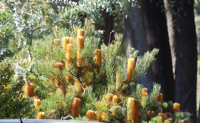
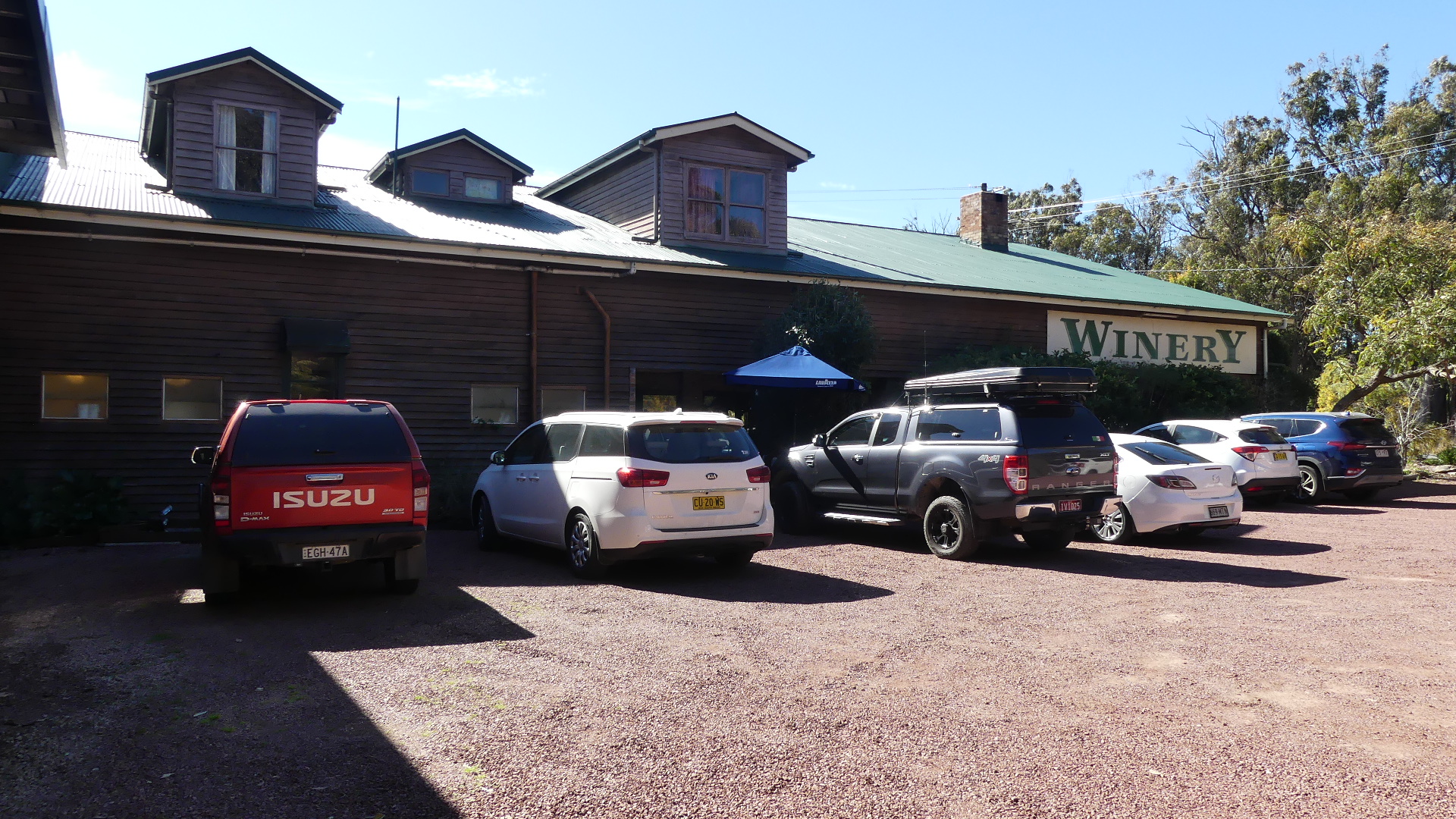
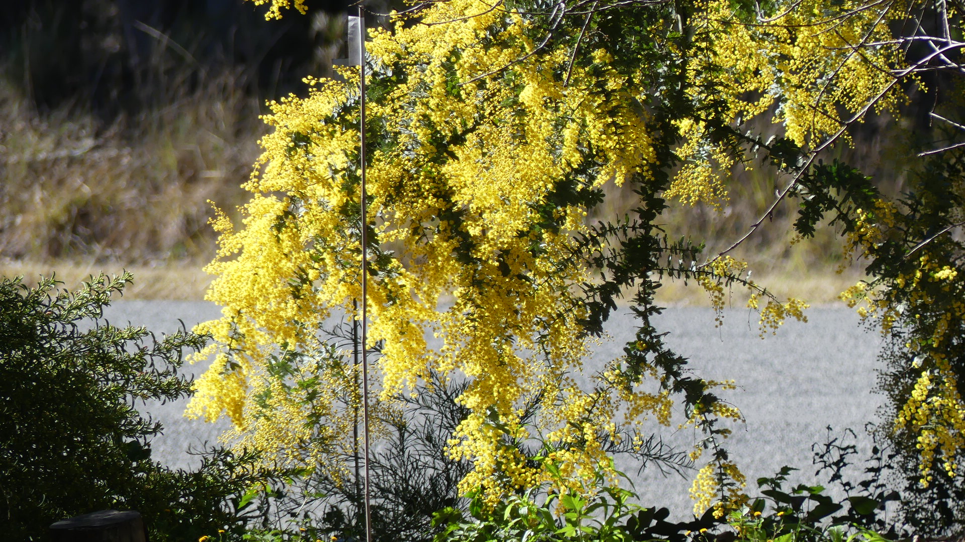
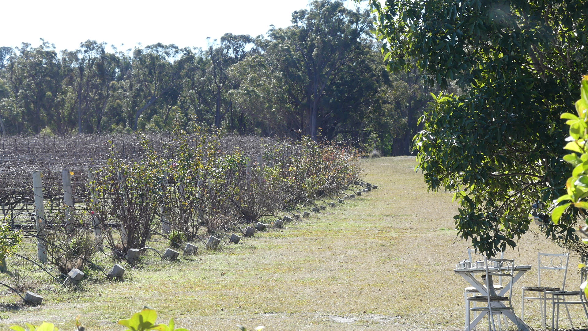
Travelling by car you must cross the cattle grid which bounces the passengers awake. Our first stop is at Heritage Wines cellar door set amongst its grape vines in the village of Cottonvale just past the cattle grid. The cellar door is attached to the machinery to make the wine in a barn style building. Inside is a large fireplace in the centre of the dining space and people in festive garb are nosily celebrating Xmas in July. Opposite the fireplace and the diners is the wine tasting bar but with the event in the dining room tastings move onto the enclosed verandah. Sun streams in and the glass keeps the chill winds out. The verandah is very busy with visitors but it is very pleasant to look across the vineyard tasting the bounty of the fruit. We can see a table setting under a tree with the empty glasses abandoned no doubt because of the wind. The bottle brush is in full flower as is the wattle.
Heritage wines Cellar door, Wattle, The “tastings” bar, The vineyard and the table
After topping up our wine stocks we left Heritage Wines travelling along the old Stanthorpe road into the township and out to Diamondvale Cottages. Our cottage boasted two bedrooms with ensuite, kitchen dining and lounge, air-conditioning and timber stove. Quart Pot Creek meanders past the cottages which are also home to a mob of Wallabies, wood ducks and Tawny Frogmouth.
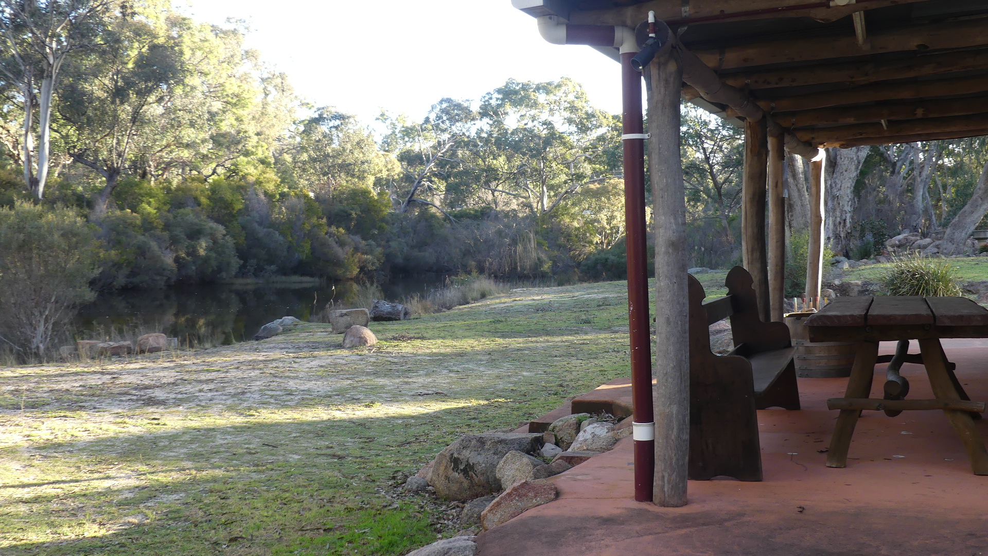
We checked out our surrounds and met the mob. There is a slab hut setup as the catering hut for outdoor functions overlooking Quart Pot Creek. Our cottage has a small porch off each bedroom. The bush was starting to settle for the evening and the temperature dropping.
Our wine weekends also incorporate our card evenings. So after settling in, starting the fire, and preparing the smorgasbord of things to pick at whilst polaying cards, the cards are shuffled and we are in for the evening as the wind outside howls and the temperature plumets. Tomorrow will be Queensland’s coldest day for 2021.
All tap and showering water is provided from rain water tanks and Stanthorpe was going through a rainy period after a very concerning period of drought when the Storm King dam was so low Stanthorpe was transporting water to the township. So, when the tap water turned brown and spluttered out of the taps, we suspected the tank had run dry. Our host was travelling to the Sunshine Coast some 4 hours away, so she arranged a neighbour to visit and troubleshoot the problem. He concurred with our view the tank was dry, so he diverted the water from the main tank, so we were saved.
During this chilling interlude (the back door was open to that howling wind) we learned from the neighbour that there is a bridge across the creek leading to a path following the creek down into Stanthorpe township. I decided to check it out tomorrow. After cards we stoked up the fire and retired to bed. Looking forward to a big day tomorrow.
Good news we will fly home tomorrow via Qantas – good old Qantas to the rescue. Some further good news a local Kingfisher has stopped for a rest in the yard below us. The neighbours who arrived Wednesday and are here for bird watching and getting very excited of portents to come.
So, time for a swim at Emily Beach, a walk to Lone Pine, a walk through the Pitcairn Islanders Village (which is closed of course), and various other things to fill our day.
Emily Beach is the preferred swimming beach for the Island. Sheltered with a sandy beach and tucked up in front of the Polynesian ruins and beside Kingston, it is the choice of most locals. The school ran a carnival that day and all the kids appeared excited – a day off school at the beach. The water was nice and clear, the sand a little more course than the Gold Coast and shallow with out wave action because of the bordering stone benches stopping the waves.
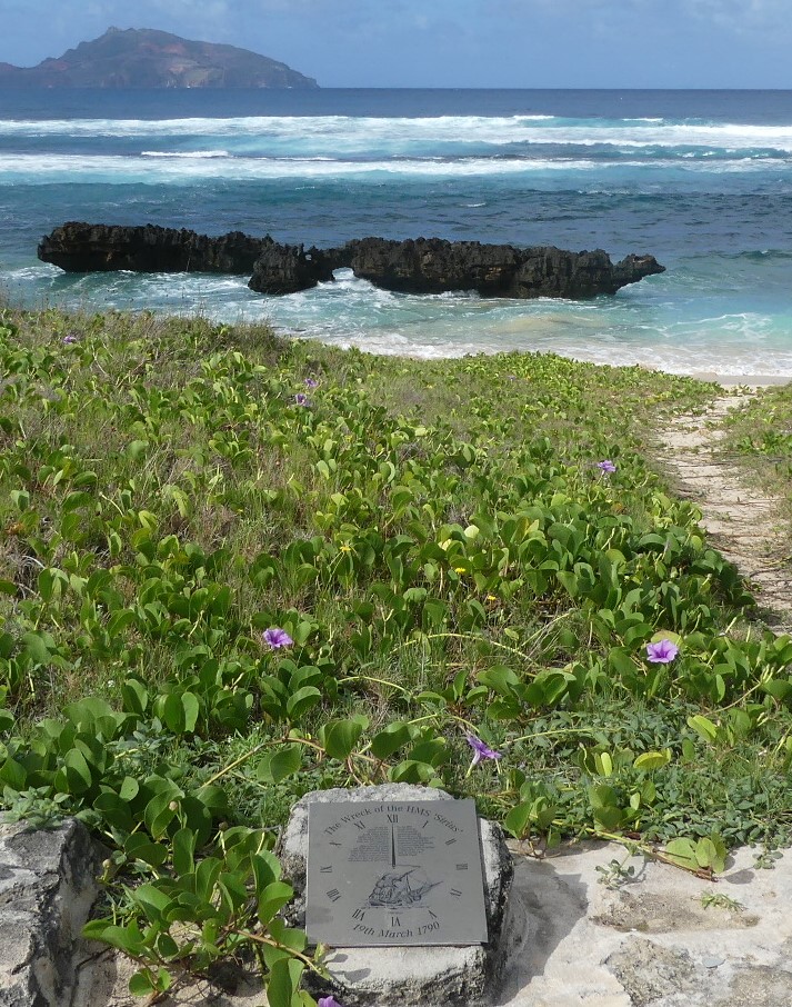
Beside the beach the headland reaches out to Nepean Island and beyond Phillip Island both uninhabited. On this headland is a lone pine tree and hence the name nothing to do with the Dardanelles and the WW1 campaign at Gallipoli. On the other side of Emily Bay is Slaughter Bay and the Sirius monument. HMS Sirius was the flagship of the First Fleet, which set out from Portsmouth, England, in 1787 to establish the first European colony in New South Wales. In 1790, the ship was wrecked on the reef, south east of Kingston Pier, in Slaughter Bay, Norfolk Island and this monument identifies the spot.
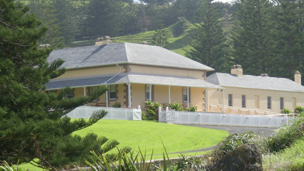
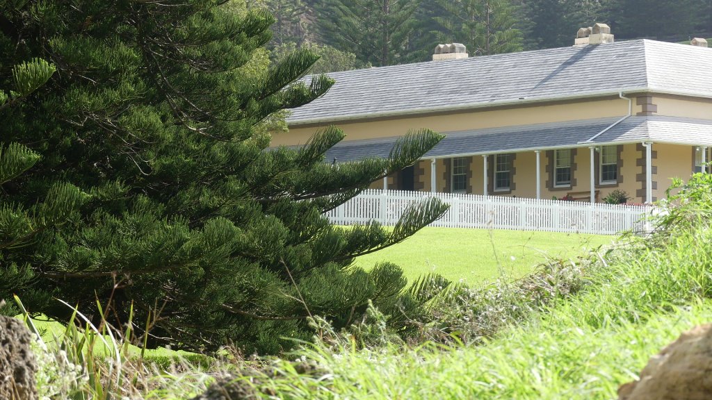
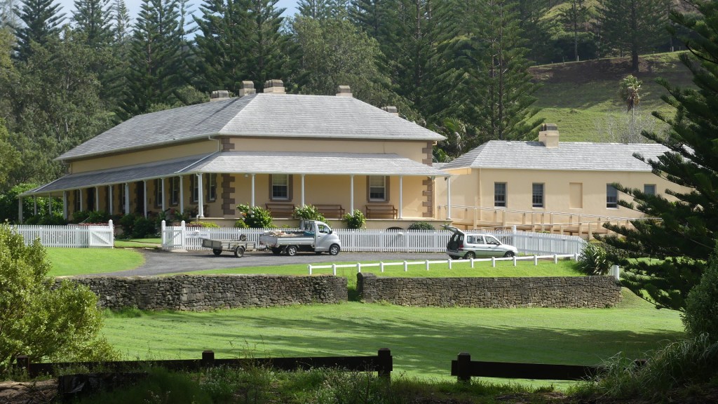
Behind the monument is Norfolk Island’s historic Government House—built in 1829 and handsomely restored—is generally not open to the public. It is now the Administrator’s residence. Whilst we are down this way we go to Bloody Bridge and check on the progress of the baby Tropic Bird. Its doing really well.
Photos
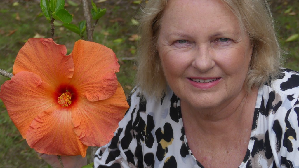
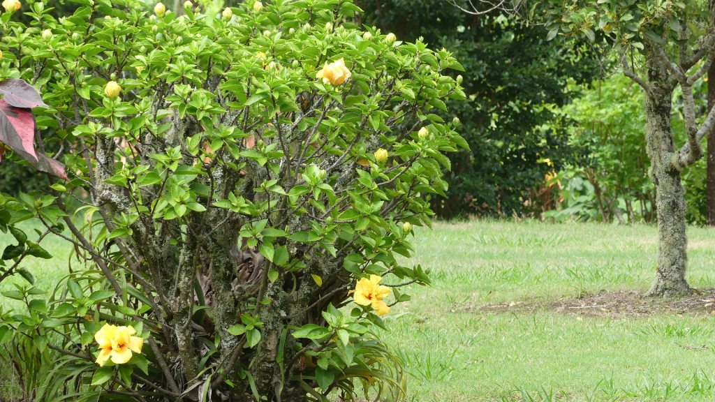
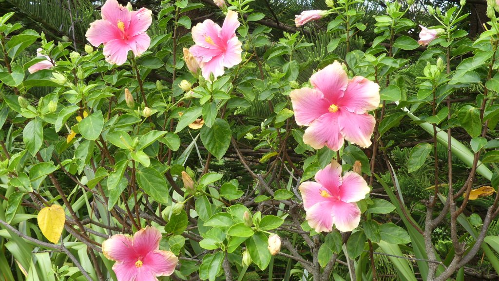
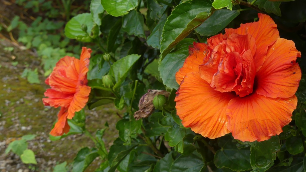
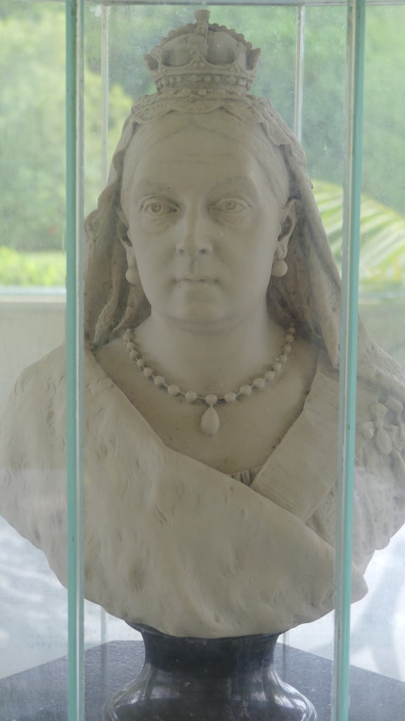
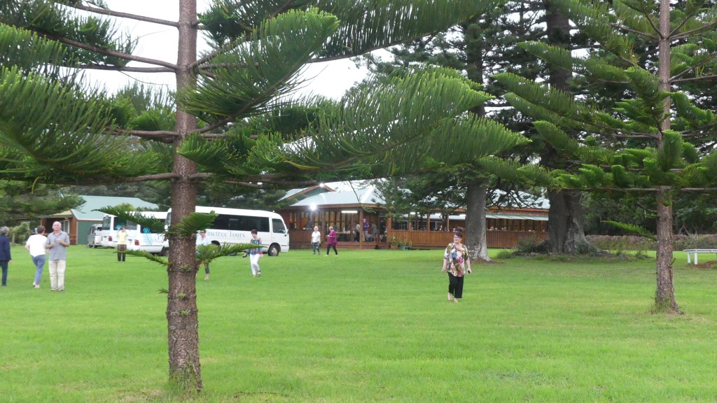
We drive around to the Pitcairn Islander Historic Village principally to see if we can get lunch at this restaurant that never seemed to be open and when it did, we could not get a table. It was not open, so we walked through Queen Victoria’s Gardens adjoining the restaurant and then to the Village which was also closed but we were taken by the colourful and large hibiscus bushes.
Photos
The day is coming to an end, so we look at the map to see where we have not been. Marsh’s Rd at Ball Bay stands out. We determine to check on the red tail tropic bird at the foot of the huge pine tree on our way there and sure enough he’s there and growing quickly.
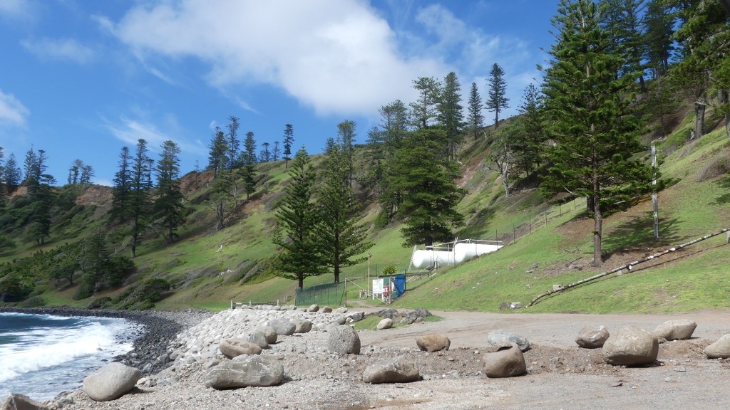
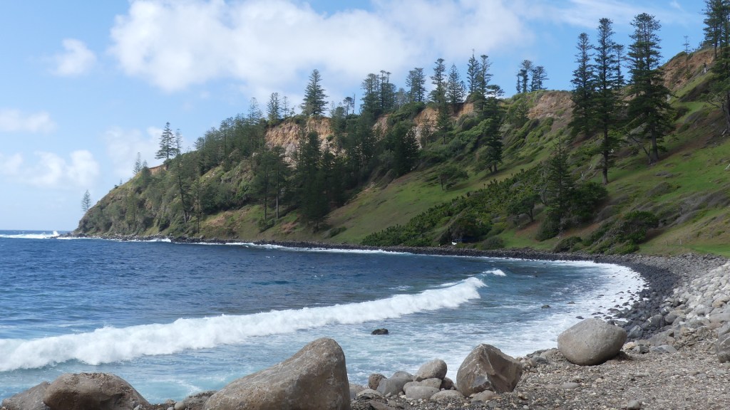
The map does not identify anything significant at Ball Bay, but we have time to kill and drive to Ball Bay. Here we find the port where petroleum is brought to shore, not by a pier or a tender but by an underwater pipe pumped directly into tanks on shore.
Photos
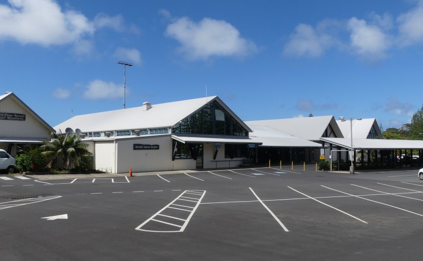
Farewell to Norfolk from the terminal. We enjoyed the break, and it was something I had on my bucket list to do. I am certain I would return but the slowness of life on the island would not suit Kerry at all.
What experiences await us today? A bus trip to Hundred Acre reserve then Ona Cliffe (we were there last night), breakfast, a bus trip to Captain Cook monument, bus trip back to Taylor’s Road and then what? You will have to wait and see.
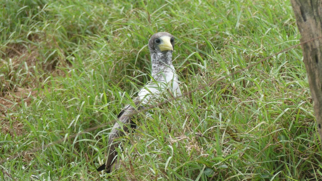
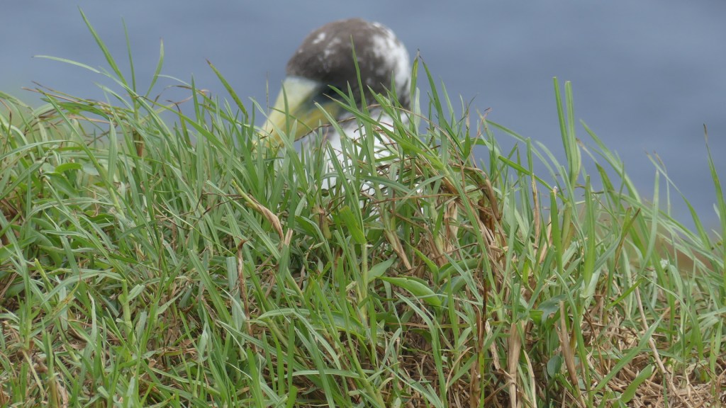
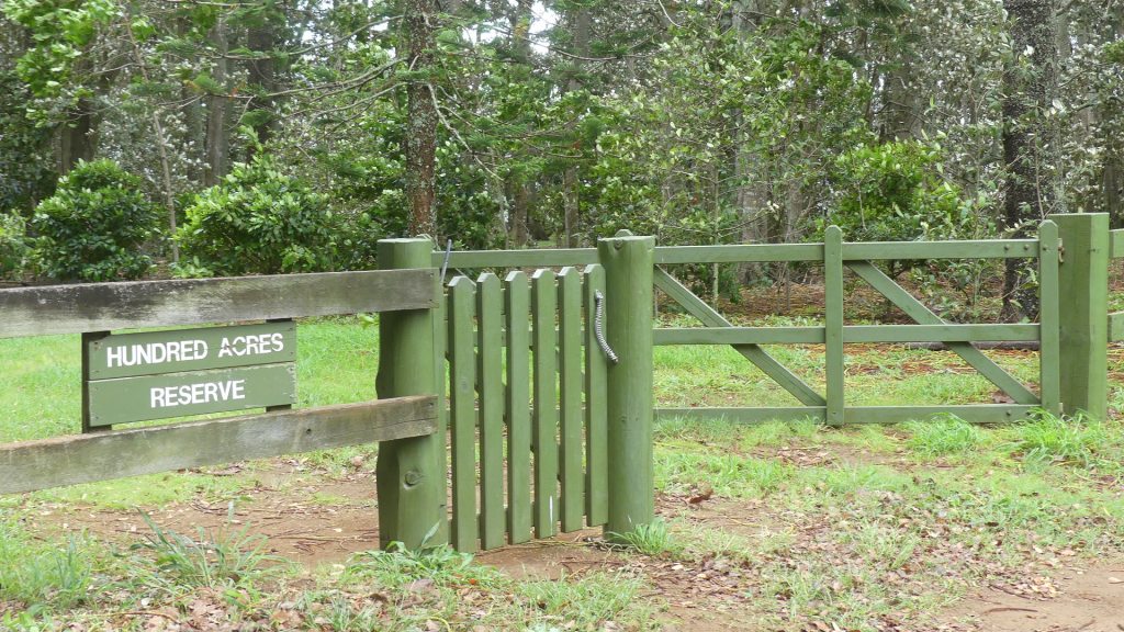
Hundred Acre Reserve – we entered it by the alternate entrance as though the driver knew we had been here before. We made our way down to the point called Rocky Point and there we found Boobie chicks sitting in their nests waiting for Mum or Dad to come home with breakfast. Completely unafraid they sat there as we trundled past. The track on this side was not as wet as the previous occasion we visited but still we had to scrape the mud off as we reboarded the bus. Then off to breakfast and I was more taken by the breakfast catering vehicle than the breakfast, so I grabbed some photos. I also explored a little further and came across an enclosure for groups when the tourists are running hot presumably.
Photos
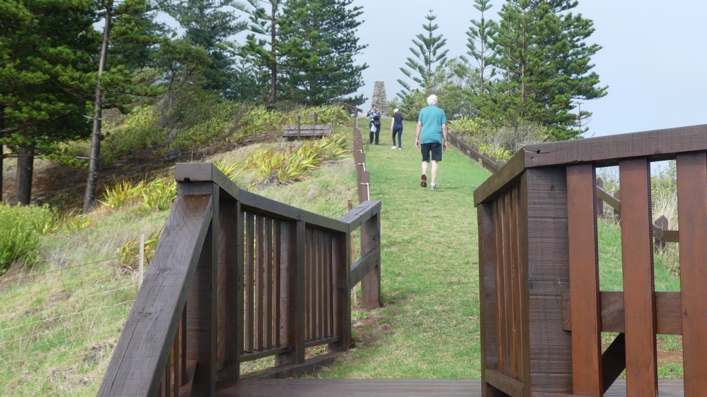
Then onto to the bus and we travel to the north-west of the island a few miles east from Howe Point where we saw the flying wedge tailed shearwater. After the bus lets us alight we are greeted by a stunning vista looking west to Point Howe. We then walk due north to the monument. It a rudimentary stone cairn with a plaque on it. The plaque tells us this is his second voyage of discovery. This voyage was designed to circumnavigate the globe as far south as possible to finally determine whether there was any great southern landmass, or Terra Australis. In the course of the voyage, he visited Easter Island, the Marquesas, Tahiti, the Society Islands, Niue, the Tonga Islands, the New Hebrides, New Caledonia, Norfolk Island, Palmerston Island, South Sandwich Islands, and South Georgia, many of which he named in the process.
Photos
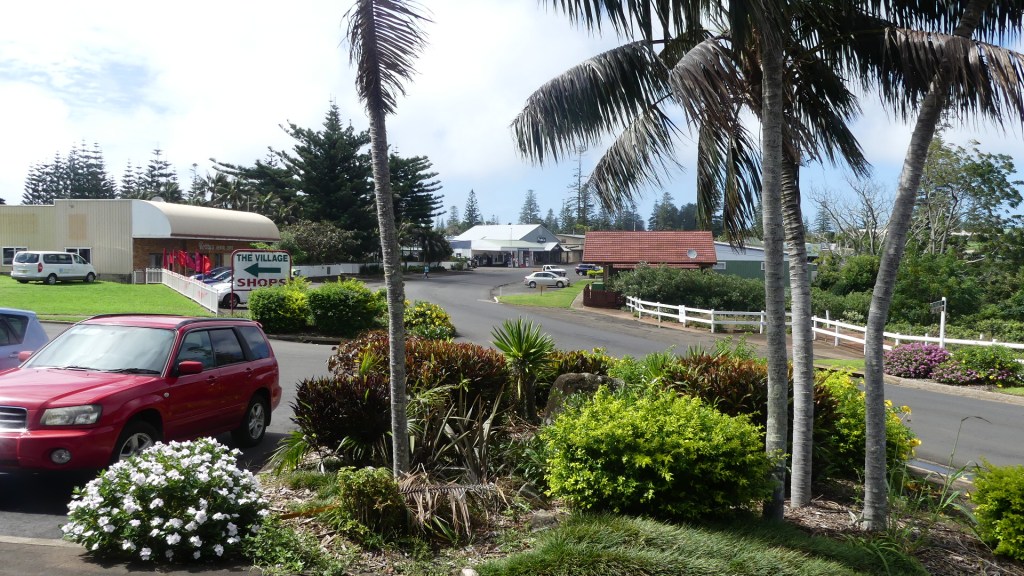
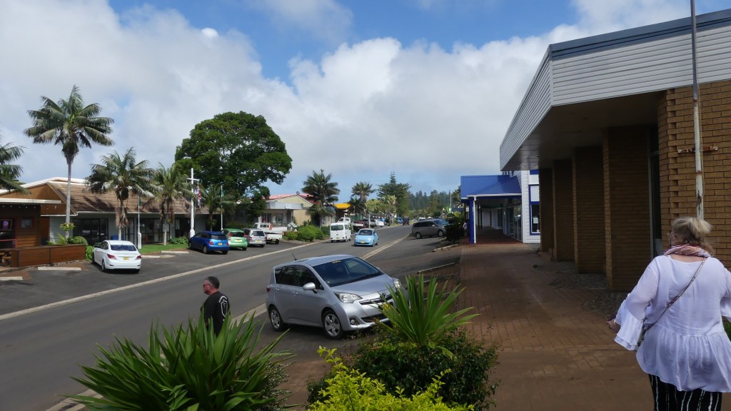
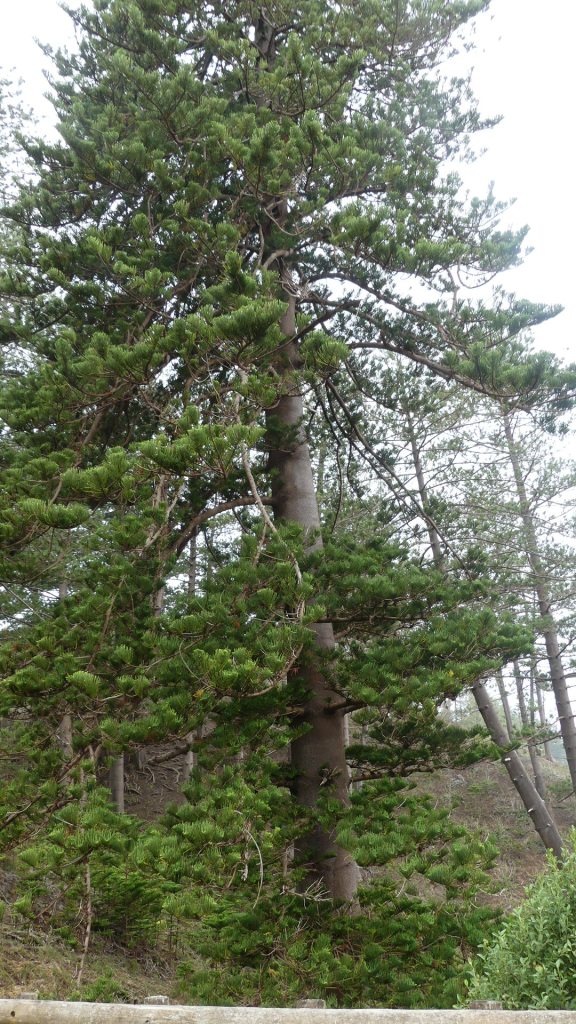
My photos also show Moo-oo Stone, Green Pool stone and Cathedral Rock. As we climb back to the bus we pass some pine trees draped in grandpa’s whiskers. This is quite a regular sight but often difficult to photograph. We board the bus and head for Burnt Pine central which is the name of the centre of the Island and where you will find the shops. My photos give you an idea of the “cbd” Norfolk Island. Whilst we were shopping Kerry put down her bag with her phone credit cards cash but not her passport. It was not until we went to a café for lunch that she found it was missing. After a lot of searching and help from locals (including placing an ad on the local radio) Kerry decided she would go to the Police station and report it missing with no expectations. Well, there she found it. Some unknown local had handed it in – joy oh joy! It may not be the most exciting or professional tourism spot on the globe, but it would have to have the most honest residents.
Photos
Whilst we were at breakfast there was a Covid outbreak in NZ and flights home were cancelled – de je vu! So, we have any day in paradise.
It was still windy, raining intermittently and grey overhead. We had planned to visit St Barnabas Chapel and then go on to the craft market. So, we went to church for the Sunday mass to see the church again and mix a little with the locals after church. Bindi was helping out on the morning tea.
The foundation stone was laid in November 1875, but the building was not completed until June 1880. The mission church, St Barnabas Chapel, was built as a memorial to Bishop Patterson who was killed by natives in the Solomon Islands in 1871. The chapel is simply beautiful. The four windows in the apse depict the four evangelists, the seats are carved and inlaid with Christian symbols in mother-o’-pearl, polished black and white marble paves the broad aisle leading to the sanctuary, which naturally is the most beautiful portion of the chapel, with its coloured marble floor, and glittering mosaic reredos screened with richly-carved wood. In the centre is a massive silver cross that has been made out of Bishop Patterson’s own table-silver, and this is flanked by silver candlesticks and vases of flowers.
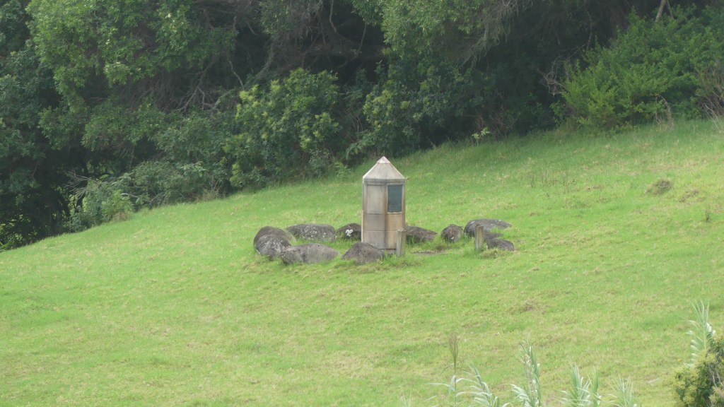
After the mass we walked across to the hall where Bindi was serving coffee and cake. We collected our coffee and cake and started to mingle. We were mixing very well, until we were joined by a tall, stooped man who seemed to make everyone else fade away. He started to espouse the benefits of Christianity and we realised he was the local “bible basher”. Still, we enjoyed experiencing a Sunday mass Norfolk Island style. Our photos show some of the architecture and stained glass of St Barnabas Chapel which seemed very out of keeping with the rest of the Island’s architecture. In the fields surrounding the church was a monument which we were told marked the original church graveyard and the modern graveyard was within the church grounds.
The Chapel,the marbled aisle, stained glass, the original cemetery and the tree obscuring the toilets
Our plans to go to the craft market changed. We decided to do some independent touring. The highest point on the island is Mt Bates at 321m above sea level and there is a walk to the peak from the 2nd highest point Mt Pitt. So, we started today with a drive downtown then up Grassy Rd onto Mt Pitt Rd to the peak 320m above sea level.
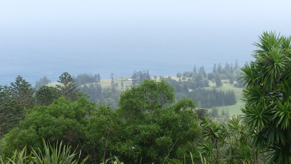
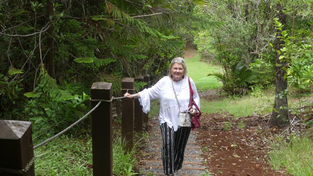
Our walk of 500m will give us a view to the north of the island. At the peak of Pitt there is a grassy knoll with picnic table and a vehicle round-about circling the grassy knoll. To the east is the track to Mt Bates. Shaded by the abundant growth along the track Kerry spotted butterflies and spent some time trying to photograph them. The walk was quite easy and relaxing. From here you could see the runway of the airport houses and ocean.
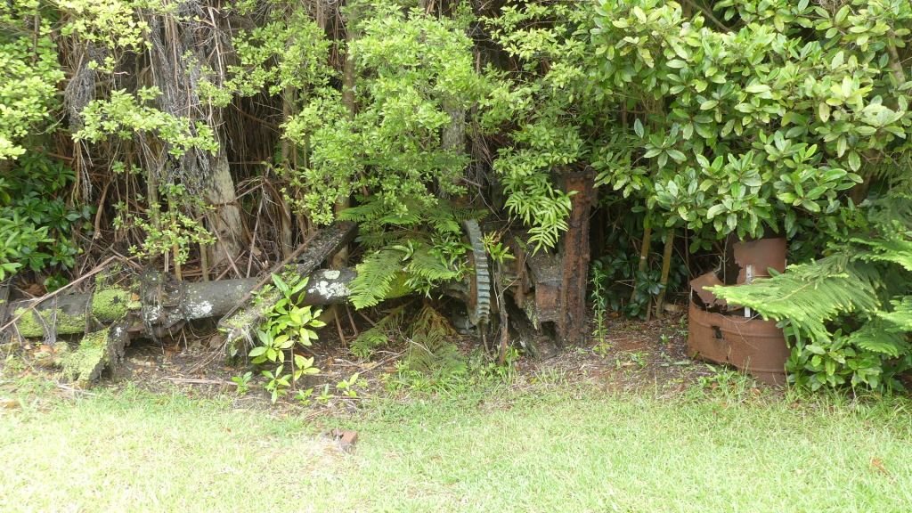
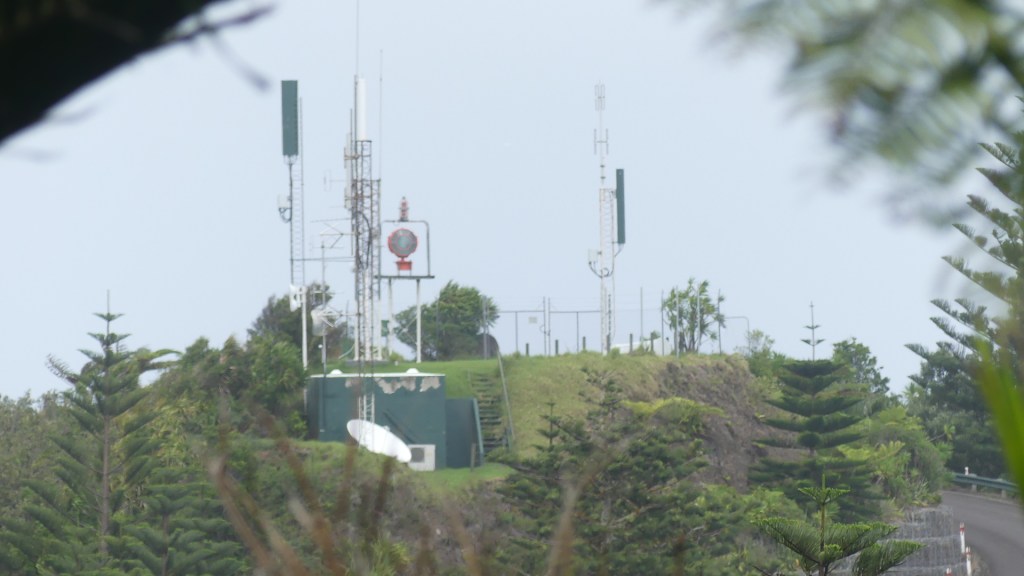
During WW II a radar station was set up on Mt Bates. There is little to tell the tale, but you can go and view the cement slab on which the radar shack once stood and observe a derelict piece of machinery which played some role in the operation. Then you climb to the peak of Mt Bates where there is another grassy observation platform from which you can observe the modern telecommunication dishes on Mt Pitt, the ocean and some houses. Nothing really remarkable. There are a number of paths leading away from the peak to who knows where, so we elected to return by the route whence we came. As we returned, we pass some tourists like us taking a stroll from Pitt to Bates. These are the only people we will see on the walk. We arrive at Pitt get in the car just as the rain commenced to fall, look at one another and ask what now. Before revealing the next adventure, here are my photos.
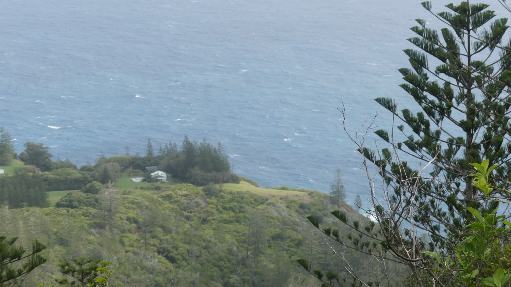
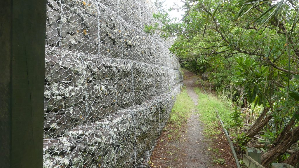
From the top of Mt Pitt, follow the walking track, pass the remenents of the radar station, to the top of Mt Bates and view the radio towers on Mt Pitt then walk back (having a little rest) passed the wall of caged rocks and back to Mt Pitt.
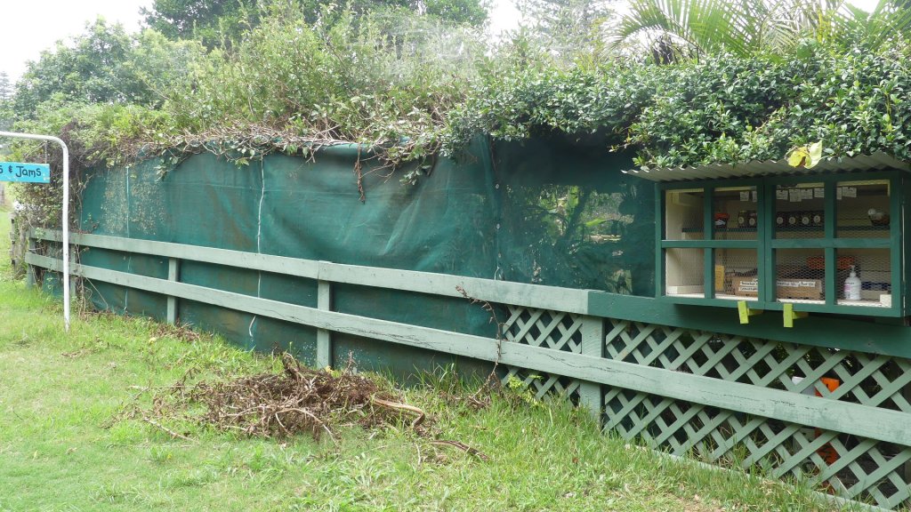
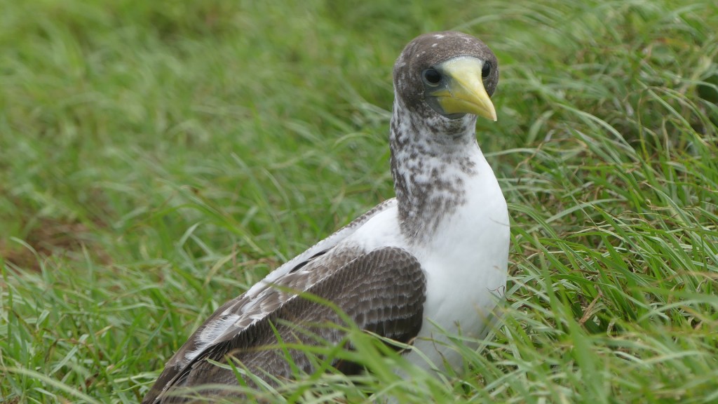
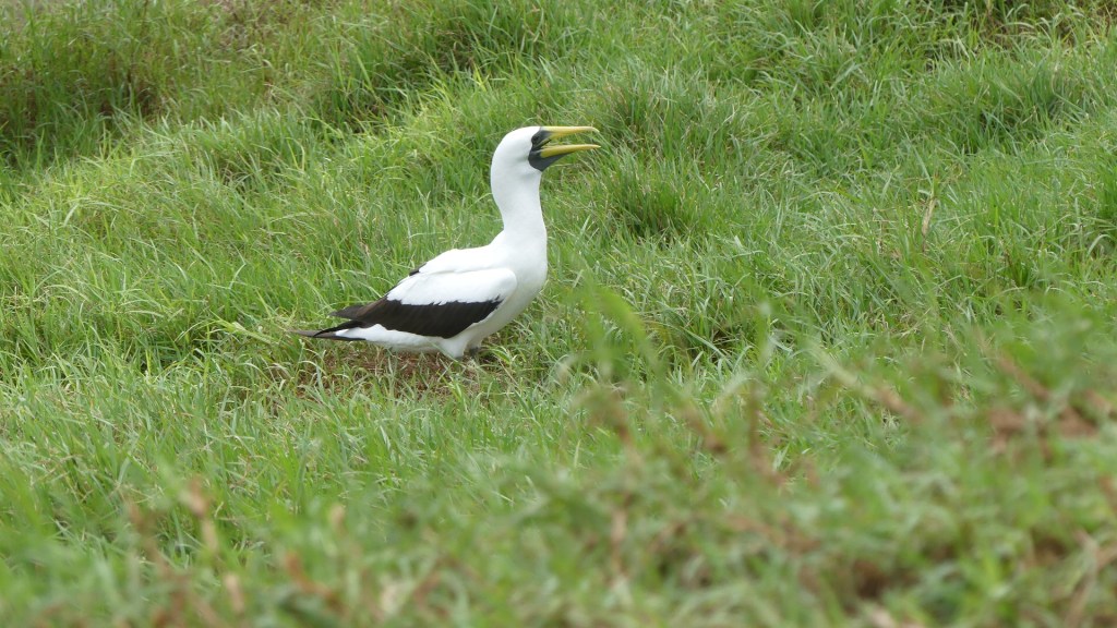
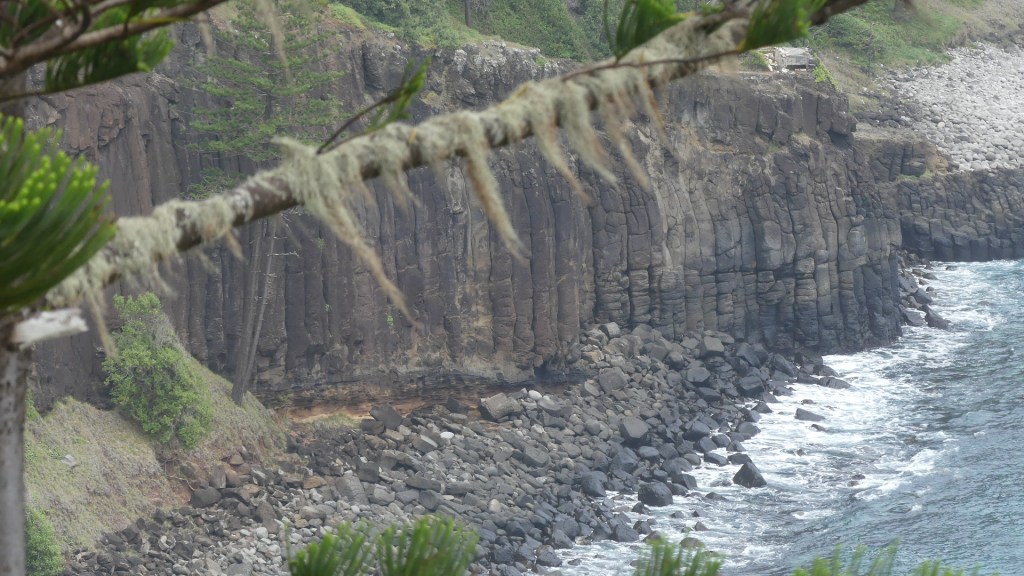
We decided we would look at the north west of the island so we drove along Mt Pitt Rd into Mission Rd and partway along spotted a local “honesty stop” offering local honey jams and fruits. We both immediately thought of suggesting this style of selling to Mrs Hayes for all her surplus jams and pickles. I cannot recall what we bought probably local honey and pushed on to Ona Cliffe taking a righthand turn to Anson Bay Rd. I am pretty sure this was the first time we spotted the Sunset Bar at Puppies’s Point. It was closed at the time but we noted the opening hours and the owner spotted us taking a booking for the following evening. We pulled in at the park overlooking Anson Bay and moved onto the Gun Club. There are two establishments side by side – the pistol club and the clay target club – both perched on Anson Point home to a Masked Booby colony. There is a fence on the cliff edge to keep people and cattle from falling in the many Booby holes where they nest. The birds were not frightened by people and I was able to get very close to them. They are quite a large bird and certainly seem to have worked out how to share its habitat with Sapiens.
The honesty box, Anson bay, the wall of Anson Bay, the Booby nests and the occupants and the opposite wall of Anson Bay
We drove on to Point Howe following the wind and standing in a howling gale we spotted a wedged tail shearwater. Watch the ocean at sunset and you may sight a shearwater floating on the water or on the air currents before coming ashore just after nightfall. Known to the locals as ‘ghost birds’, you can hear their moaning calls echoing across the island at night. Shearwaters cover vast distances during their annual migration, travelling as far as 300 km a day on their way to Norfolk to breed.
Photos of Anson Point and Point Howe
We visited Cottage Pottery at the very end of Anson Road opposite Fisherman’s Lane before heading back to the Sunset Bar. Cottage Pottery and Art Gallery is in the backyard of a house on one of the remoter parts of the Island, but it is not the backyard pottery shop. The proprietor Steve Ryves told us that they were noted for producing high fired stoneware and porcelain. Steve is the potter and Alison paints and makes jewellery. Their work is exhibited in a gallery attached to the pottery. As you enter there is a pen of kids (goats). It turns out that their daughter has the main herd and produces goats cheese of some quality and renown on the Island. We promised ourselves we would find her farm as she does tastings but alas it was not to be.
The Sunset Bar near Puppies Point is a relaxed outdoor licensed venue providing full bar facilities with tasty platters (both hot and cold),exotic cocktails, stunning sea views and Great music and vibe. It looks like a house on a large block until opening hours when the locals and tourists book to visit for dinner as the sun sets. The trio on guitars entertained us but all looked familiar – I think one was our bus driver on one occasion.
We sat with a couple who managed one of the accommodation resorts on the island shared a few drinks and something to eat but it was all a bit tame. They had not advertised that they were opening so they only attracted the locals (on purpose is my guess), it was overcast, and the sunset was obscured – so there were a few reasons it was a bit flat and quiet. After driving home, we decided it would be a good night to read a book at the unit.
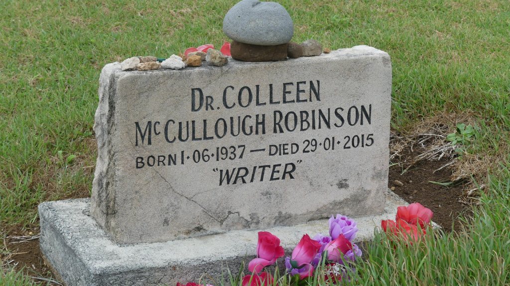
Having visited Colleen McCullough’s home and confirming that she was buried in the cemetery at Kingston, we thought we had better go and look again because we had missed it. It did not take long to find it when we knew that it was supposed to be there. A rather underwhelming headstone for probably the most internationally famous person on the Island but perhaps says something of the person or that her husband was a cheap arse and didn’t want to pay for anything elaborate or they wanted to avoid fans flocking to the cemetery or …. I could go on, but I won’t. We don’t know why, and it probably doesn’t matter to Colleen one bit. However, we did find the elaborate headstone for a local entertainer no one outside of Norfolk has heard of and good for him in death he has made his mark.
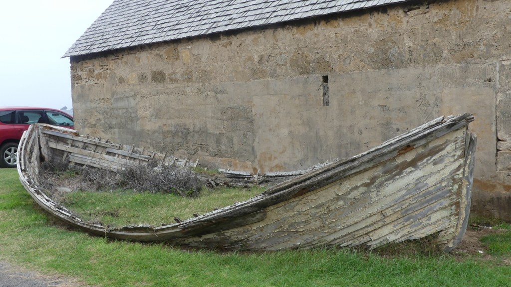
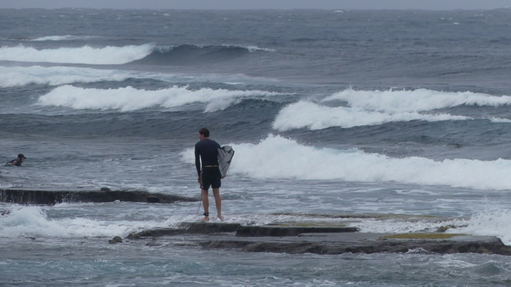
While we were down in Kingston, we thought we may as well investigate the ruins of the second settlement. And there were plenty of ruins. Traditional long boats, usually towed by motorised launches lie about some beyond repair. These are the boats used top unload cargo from visiting cargo ships that are visiting less and less. There are two jetties one on the southern side and the other on the north and neither big enough or in water deep enough to receive containerized ships and the world of loading into tenders is fast disappearing. Wild weather also prevents the delivery of cargo, so it is not surprising that the shelves in the supermarket are very scant of product.
Photos
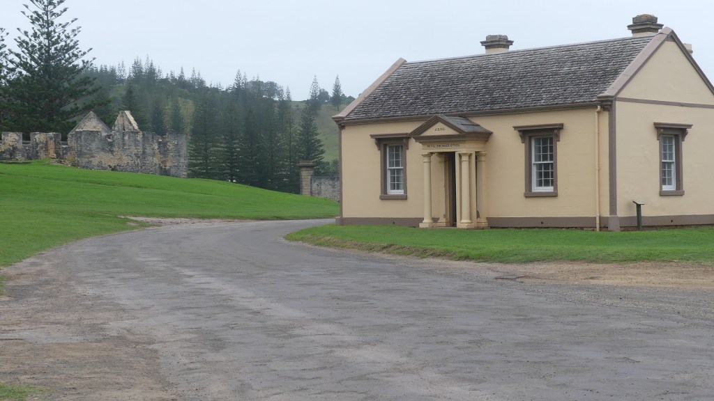
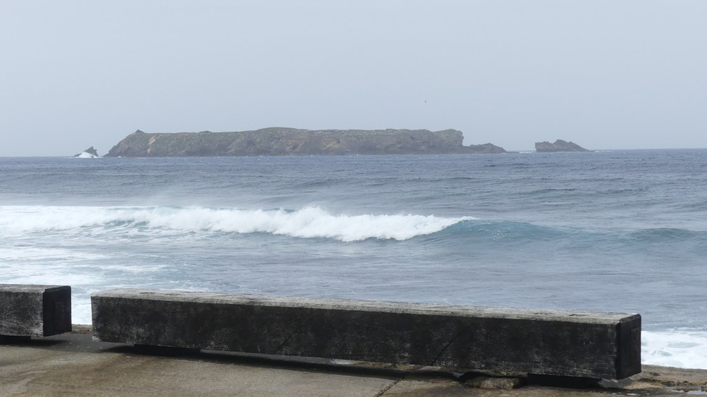
Kingston and its relic buildings are to be found around the southern jetty. You can see the fringing reefs and understand why no ships of any size want to try and unload or load cargo here. Thank God for the aerodrome otherwise the Island would have to become self-sustaining. I have pictured some of the buildings and the reefs and rock shelves that are a barrier to big vessels.
Although the introductory tour had taken us to the northern jetty Cascade Pier we wanted to go back now that we had a better understanding of the operations of the pier. It is due north along Middlegate Road past the school and down Cascade Road to an open bay with far less natural shelter than Kingston Pier. From the conversations with locals we knew the Australian Government had at the islanders request extended the pier and fitted the large blue crane and the smaller boat crane to the pier but they all complained they installed the crane the wrong way round with the larger crane being almost useless in its present position. From what I could see on an average day with a strong wind and drizzly rain the whole pier was useless. We later found the point where petroleum products we offloaded and what a difference in strategy and design suggesting they really want the petrol but not so much anything else.
Photos
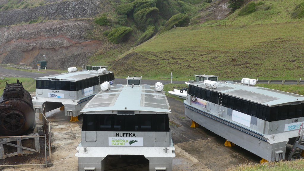
The only remanent I could see of the old whaling station is the rusted boiler you can see in my photos above. Beside them is some more Australian taxpayers’ largesse in the form of ferries to bring the cruise passengers ashore but where are the cruise liners?
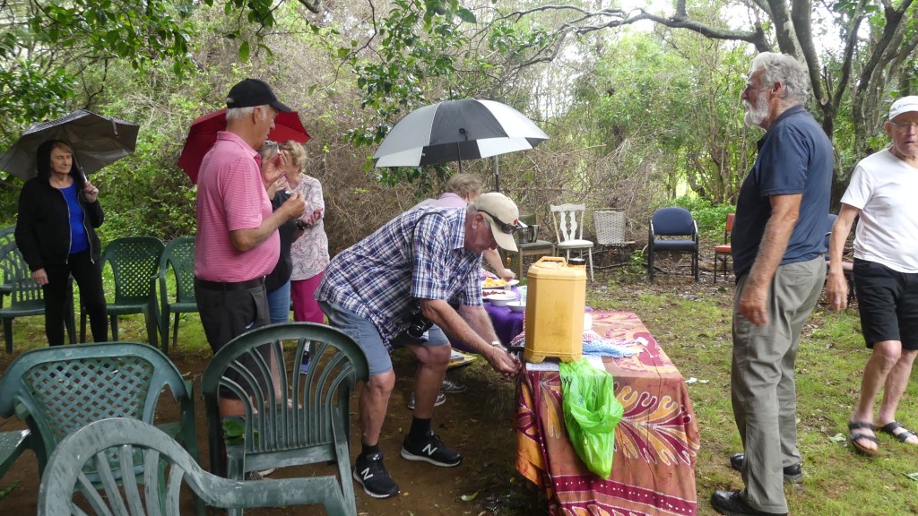
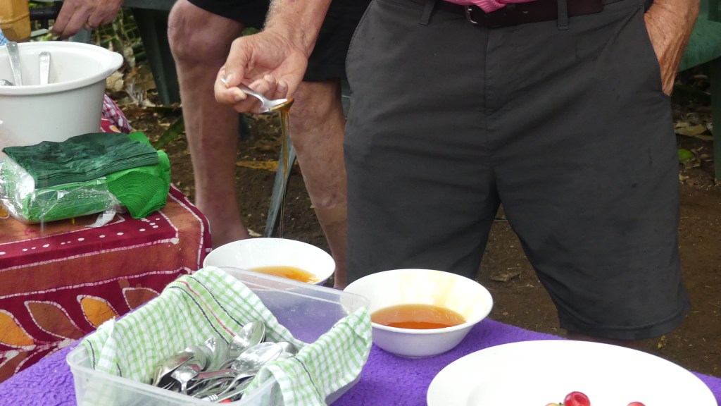
We had booked a tour called “Tastes of Norfolk” where we visit a farm or two and try the local produce. Well there was some excuse about the farms not able to be visited so we were going to the Sunset Bar where we would have a chat eat some food from their kitchen and drink some grog. Actually, that is probably a fairer representation of the locals than of the “Tastes of Norfolk” and its farms. However, we did get to visit the Beehives of a local beekeeper. All aboard the bus and up the road to the Hundred Acre Reserve and just beside the reserve is the home of the bus driver who took us to Colleen McCullough’s house, and he has a few hives and he gives us a talk about beekeeping, his fruit trees his ducks – you get the feeling this tour business is a home industry.
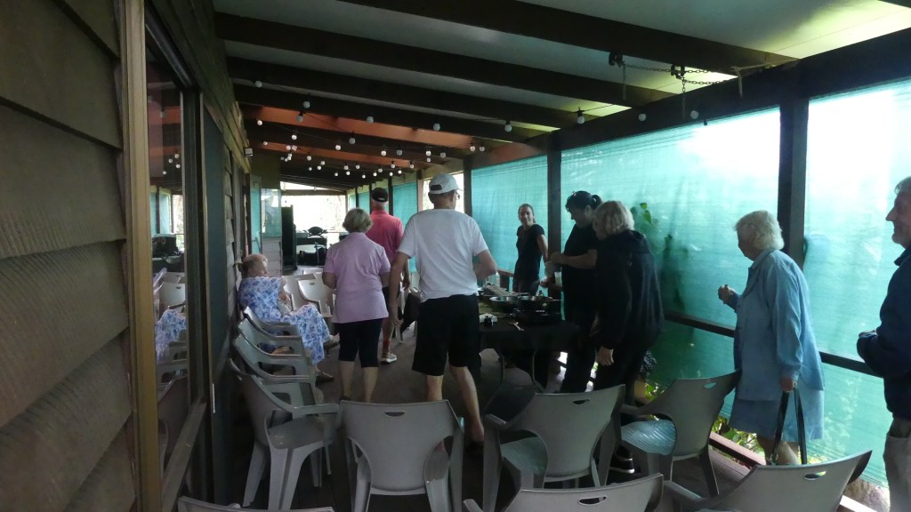
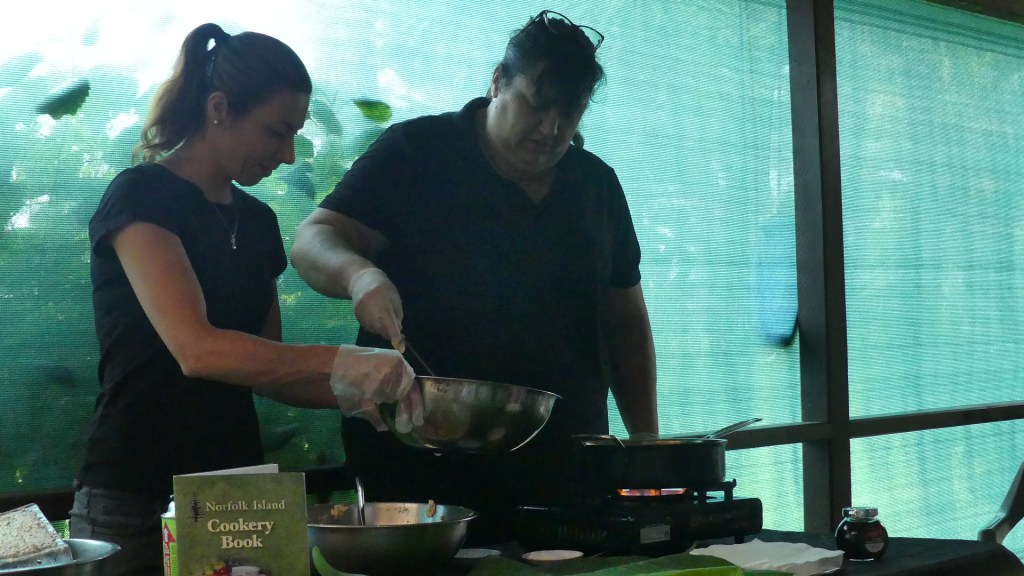
The final leg of the tour is the green banana cooking. Back on the bus we drive to another home and there on the verandah is a propane burner and some green bananas a young lass clearly of Tahitian extraction and the local Norfolk Is cookbook of all the secret recipes. So we learned that you grate the green bananas make a batter and mix spoonsful in the batter and drop them into the propane heated boiling oil and voila green banana fritters. After this we return to Baunti base and head for home exhausted from so much activity. We will have to prepare ourselves for the famous Fish Fry tonight.
Photos
We had an afternoon siesta back in the bedroom of our apartment before heading back to Taylor’s Road HQ of Pine Tree tours where we catch buses to Ona Cliffe once again. Whilst at the booking office we are told about a change of plans. Tomorrow we go on a cliff top walk to the Captain Cook monument near Moo-oo Stone. Not anymore, the wet weather has forced the cancellation, but we will have a walk in the Hundred Acres reserve, breakfast at Ona Cliffe and bus it to the memorial.
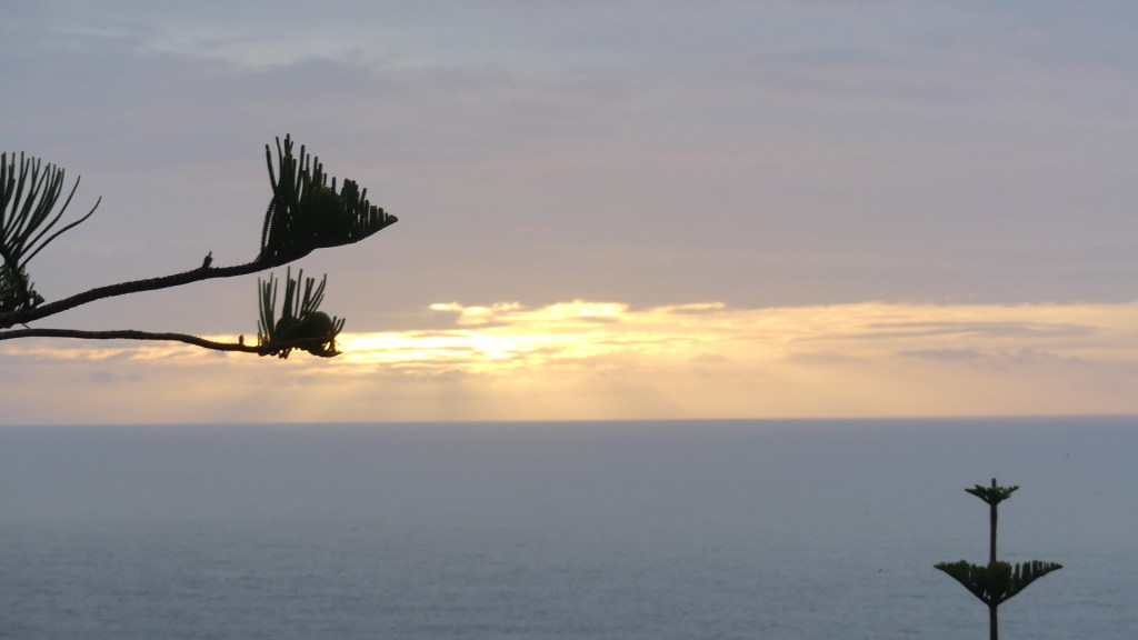
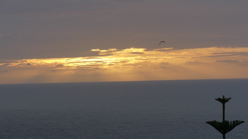
So off we head for the fish fry. The photos of the bedroom and the fish fry are below but there is nothing good to say about the fish or the fry but the sunset was interesting.
We had a bit of a mix up this morning. We found out yesterday that our tour of Colleen McCullough’s home was on Monday not Tuesday. So, a little bit of re-organising and we were doing the house tour with a walk through 100 acres reserve and then Two Chimney Winery and a Progressive dinner.
Colleen McCullough was born in 1937 in Wellington, in the Central West region of New South Wales, of an Irish father and a New Zealander part-Māori mother.
Before her tertiary education, McCullough earned a living as a teacher, librarian and journalist. In her first year of medical studies at the University of Sydney she suffered dermatitis from surgical soap and was told to abandon her dreams of becoming a medical doctor. Instead, she switched to neuroscience and worked at Royal North Shore Hospital in Sydney.
In 1963, McCullough moved for four years to the United Kingdom; at the Great Ormond Street Hospital in London, she met the chairman of the neurology department at Yale University who offered her a research associate job at Yale. She spent 10 years (April 1967 to 1976) researching and teaching in the Department of Neurology at the Yale Medical School in New Haven, Connecticut, United States. While at Yale she wrote her first two books. One of these, The Thorn Birds, became an international bestseller and one of the best-selling books in history, with sales of over 30 million copies worldwide.
The success of these books enabled her to give up her medical-scientific career and she settled for the isolation of Norfolk Island. McCullough died on 29 January 2015, at the age of 77, in the Norfolk Island Hospital. She was buried in a traditional Norfolk Island funeral ceremony at the Emily Bay cemetery on the island.
She left her estate which included a house and gave her husband the right to occupy the house for his life I believe. She met her husband, Ric Robinson on Norfolk and married in April 1984. He may have been a naughty boy or so a rumour I heard form the locals has it.
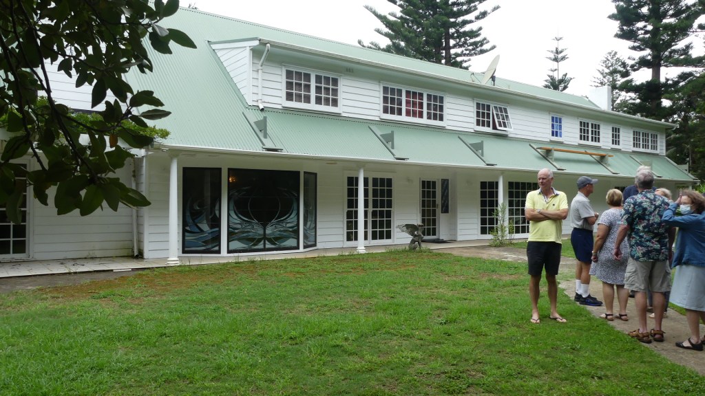
I guess by Norfolk Island standards the house may be a glamourous house. I found it ordinary from the exterior, eclectic in some of its interior and ostentatious in some rooms. Our guide was the housekeeper who seemed to be bored with showing tourists through her house. There was fine glass ware in the dining room but it remined me of the displays in DJs, there was expensive wall papers and expensive looking Asian furniture, but it did not tell me about the author until we got to her office and library. A plain working office and an extensive library of old research books which we could not enter but only observe from the door. The bookcases lined the walls and then were set up in rows. I doubt there was anything other than books and bookcases in the room. There is a covered patio where ferns in baskets hang from the ceiling annoyingly low amongst which also hung Tiffany stained glass lamp shades. We congregated on the patio seating in the available chairs and basically looked at the ferns, the lamp shades and each other for what must have been 30 mins. Our guide answered random questions with short, clipped responses then suddenly arose and led us from the patio through other rooms. I found it weird.
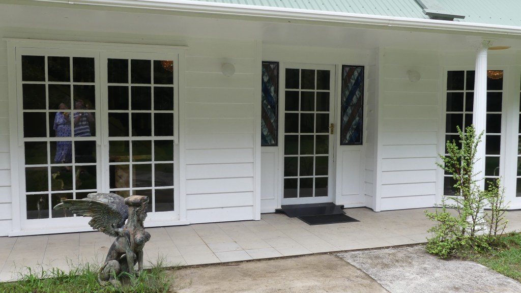
Finally, we left the house to go to the summer house/gift shop where over-priced copies of her books were on sale. Then we boarded the bus to return to the Baunti Tours office. No photos of the interior of the house were permitted but I got a few of the exterior and surrounds which follow.
Colleen McCullough’s house on Norfolk.
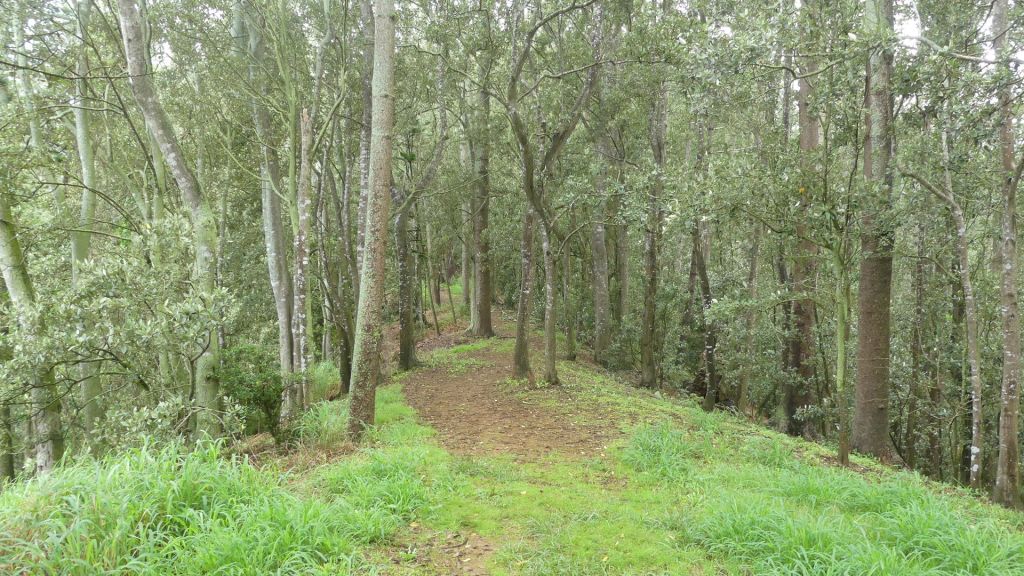
We filled in the rest of our time with a walk through the Hundred Acre reserve. Given the wet weather we should have known better as we had to scrap our shoes to be rid of the mud from the walk. The reserve is not natural species, but a former farm replanted mainly with Norfolk pine. A walking track through Hundred Acres Reserve leads to Rocky Point. Home to an observation post during World War II, it’s now a favoured fishing spot among locals. From the cliffs we could see the seabirds as they sweep and soar against the backdrop of the wave-lashed coastline. In the distance, the rocky outline of Phillip Island is visible. However, we were always on edge fearful of slipping in the mud or falling into a Boobie nesting hole.
The most remarkable thing was the avenue of Moreton Bay figs planted along the road passing the reserve. Enormous trees with huge root systems forming a beautiful esplanade of trees. My photos show these trees and their size.
Photos
From there we travelled to the other side of the island to visit the islands only winery – Two Chimneys Winery in Two Chimneys Rd. The tasting room looks like a house with vines in a small vineyard on 3 sides. When we entered there was another couple already tasting the large variety of wines on offer. Yes, I was surprised there was a large variety as there was not much more than ½ acre of vines. Rod was behind the tasting bar so I asked him about the winery.
In May 2002, Roderick, Noelene and Sarlae Buffett McAlpine explored the opportunity of establishing a Boutique Vineyard on the eastern side of Norfolk Island. In 2003 they planted their first vines on family (Buffett) land at Steeles Point and commenced “Two Chimneys Wines”. The vineyard enjoys a soft maritime climate and volcanic basalt soils. The vineyard consists of five varietals, Chardonnay, Semillion, Verdelho, Merlot, and Chambourcin. The property is part of the original grant of land to the Buffet family following their arrival as one of the Pitcairners in 1856. The Winery/Cellar Door was officially opened on 13 July 2006. The building is Norfolk Island style and constructed throughout with Norfolk Island Pine. The Cellar Door opens onto large verandahs that overlook the vines.
After tasting a few of the white wines on offer the truth emerged. Many of the grapes used come from the Hunter region outside Newcastle Australia, which Rod uses to create nearly all of their wines and has it bottled there as well and shipped to Norfolk. Only the Chambourcin grapes is mould resistant which is why they only make the Chambourcin on Norfolk. So I tried the Chambourcin and its not too bad. After about 1 hour there and with no sign of any other customers we said farewell to Rod taking a bottle of very expensive Chambourcin with us.
Photos
That evening we were booked for the progressive dinner. Now amongst friends this concept works nicely so long as you have a dedicated dickhead to drive you from location to location. I was interested to see how this concept was going to operate in a group of 40 strangers visiting 3 different homes for a three-course dinner.
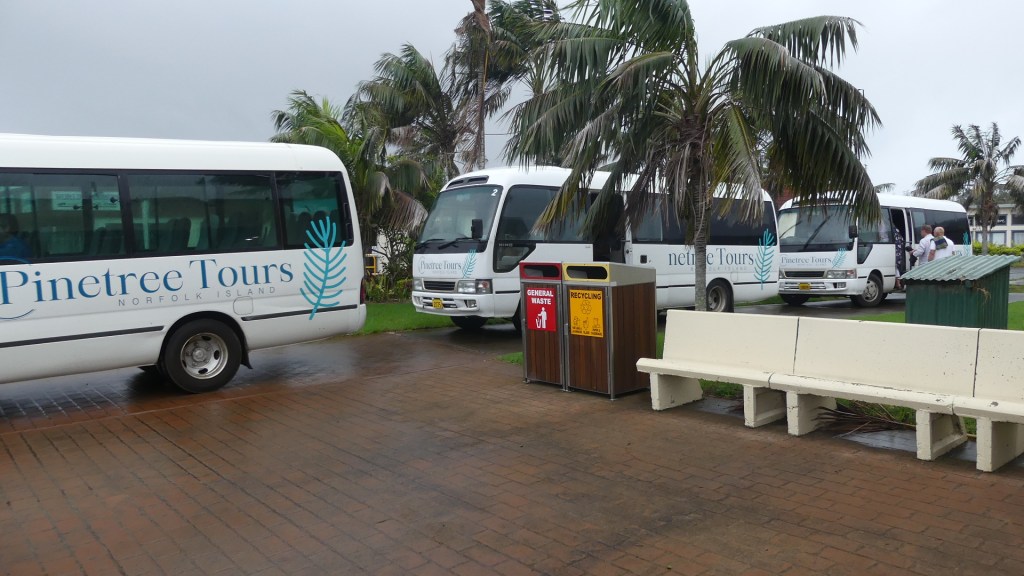
It all started with three buses. We met at Taylors Rd across from the Pine Tree tours office and randomly bundled into one of the three coaches. Coach 1 went one way coach 2 another and coach 3 (our bus) went another way again to pick up guests who had paid that bit extra to get picked up from their accommodation. The we met up with Coach 2 again in Queen Elizabeth Avenue to both travel to Collins Head Rd. Each of the three homes was in this Rd so Coach 1 stopped at home 1, Coach 2 stopped at home 2 etcetera. Then Coach 1 stopped at home two for mains and then home 3 for dessert and so on for each coach.
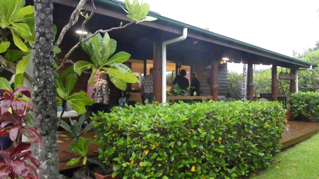
So logistically it should work. However, these are family homes, and they are not designed for accommodating and cooking for 20 people. So they were uncomfortably small and the meals were very homely. As with all homes some are delightful and others, they are less than desirable, and the meals were the same. An unforgettable night and not in a good way. Would I do it again – No! But you have to try it just for the experience.
We were supposed to get up early and go to the farmers market as there is scant fruit and vegetables available at the supermarkets. Plenty of beef though. They graze in paddocks and on the road verges all over the island. The verges are considered “common” similar to the English system of common land and all over the island cattle graze there, give birth there and some are slaughtered there before being taken to the butcher’s shop. We were told that there was a vet in attendance to ensure the animal was killed efficiently humanely and compassionately but it is an event that school kids may witness going to school or to home. We did not witness this nor did we arise to get to the farmers markets but instead we revisited the Banyan tree and then the cemetery.
In 1824 the British government instructed the Governor of New South Wales, Thomas Brisbane, to occupy Norfolk Island as a place to send “the worst description of convicts”. The convicts detained have long been assumed to be hardcore recidivists, men transported to Australia who committed fresh colonial crimes for which they were sentenced to death but were spared the gallows on condition of life at Norfolk Island. However, a 2011 study of 6458 Norfolk Island convicts, has demonstrated that the reality was that more than half were detained at Norfolk Island without ever receiving a colonial conviction, and only 15% had been reprieved from a death sentence. The overwhelming majority of convicts sent to Norfolk Island had committed non-violent property offences, and the average length of detention there was three years. Norfolk Island went through periods of unrest with convicts staging a number of uprisings and mutinies between 1826 and 1846. The British Government began to wind down the second penal settlement after 1847, and the last convicts were removed to Tasmania in May 1855.
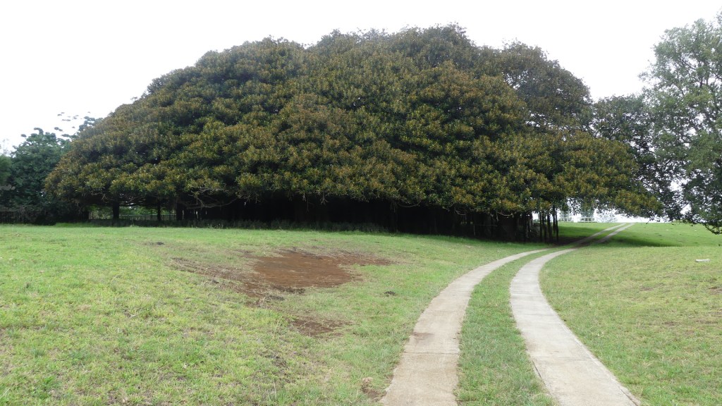
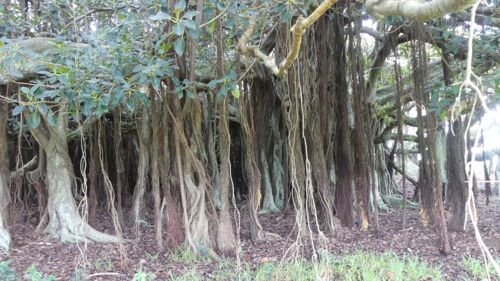
We returned to the Banyan tree in Rooty Hill Rd. The tree is a native of India and brought to this island by immigrants. An enormous tree it needs a paddock to spread through. It is located on private property, so we were wary about entering until the neighbour across the road assured us that it was ok to enter. After taking a few pictures which appear in this blog we went to the cemetery.
That Banyan Tree
We started our visit to the cemetery with a stop at Bloody Bridge. On our tour we had seen a baby Redtailed Tropic bird in the nest and at the foot of a Norfolk Pine, so we wanted to see if it was still there. The tropic bird is distinguished by it’s single long red tail feather. Yes, the chick was still there. Apart from feral cats and the rats brought to the islands by the Pacific Islanders, there are no predators on Norfolk.
Red Tail Tropic Bird chick and the tree above it
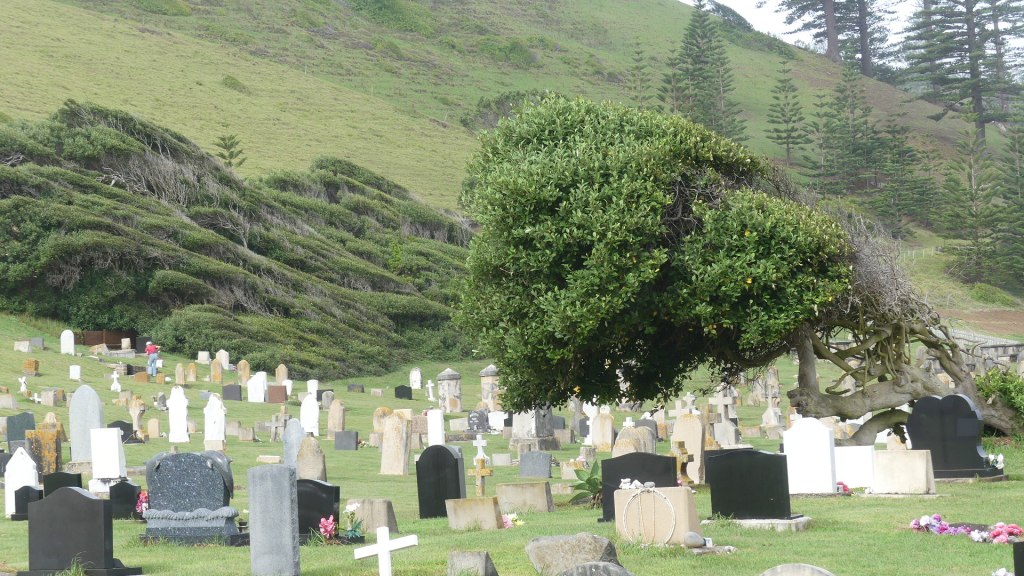
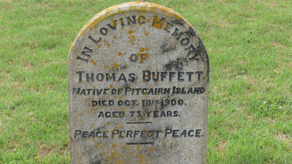
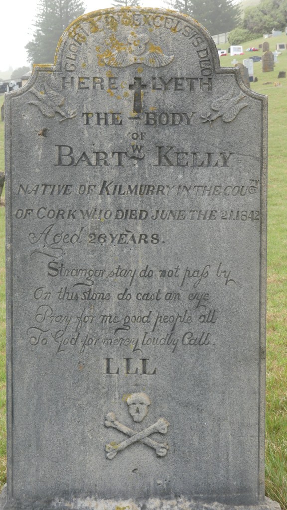
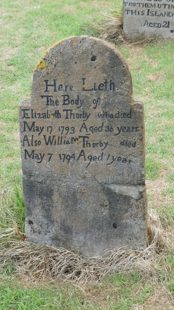
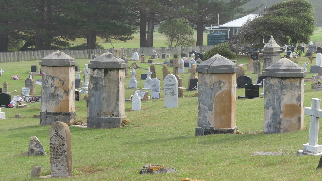
The cemetery contains headstones of military officers, convicts, Pitcairners and Norfolkers the unknown and the famous like Colleen McCullough. Battered by the south easterly winds to the sounds of the crashing of the waves, headstones from 1793 to the present can be found. Many are defaced by the wind so who knows the earliest date on the oldest headstone. I have uploaded my photos so that you can read the headstones for yourself. Here is the history of the island. Note the trees bowed to the wind or are they reading the headstones for themselves?
Bloody Bridge and the road to the Island cemetery and the headstones
The civilian settlement of free settlers began on 8 June 1856, when the descendants of the Tahitians and the HMS Bounty mutineers, including those of Fletcher Christian, were resettled from the Pitcairn Islands, which had become too small for their growing population. On 3 May 1856, 193 people had left Pitcairn Islands aboard the HMS Morayshire. On 8 June, 194 people arrived, a baby having been born in transit. The Pitcairners occupied many of the buildings remaining from the penal settlements, and gradually established traditional farming and whaling industries on the island. Although some families decided to return to Pitcairn in 1858 and 1863, the island’s population continued to grow. They accepted additional settlers, who often arrived on whaling vessels.
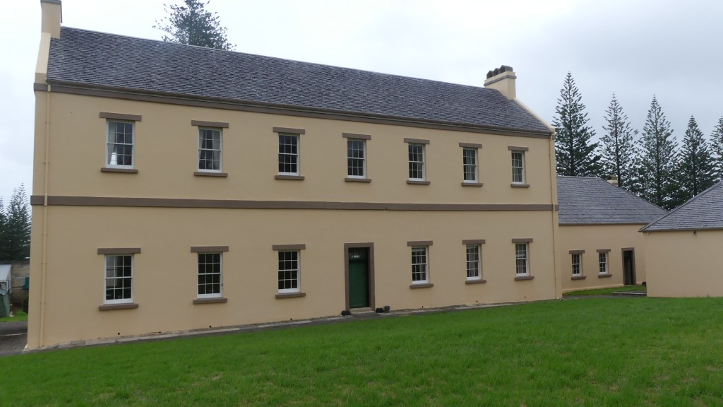
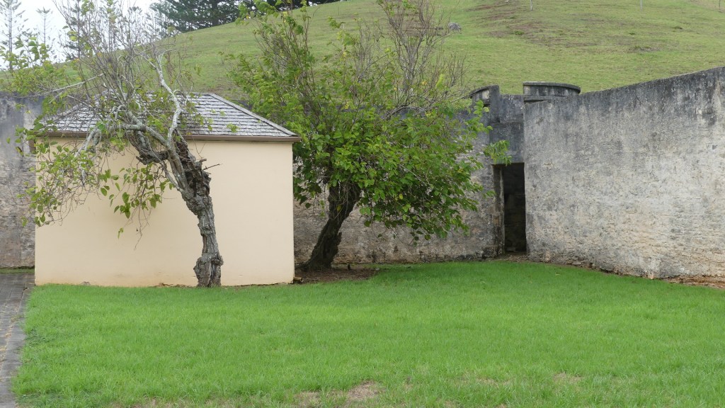
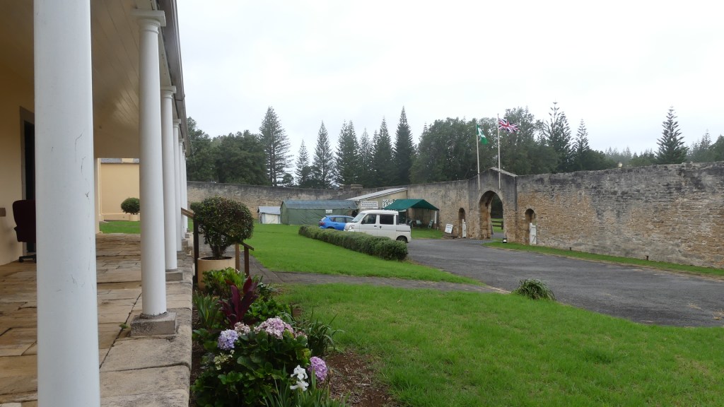
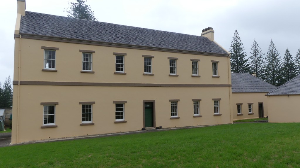
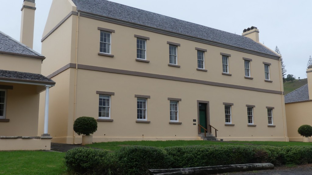
After visiting the cemetery, we drove along Quality Row to the first of the two garrison buildings. This building is now used for the Court and the elected Council. A controversy has arisen with Australia dismissing the Norfolk Island Council and appointing an Administrator.
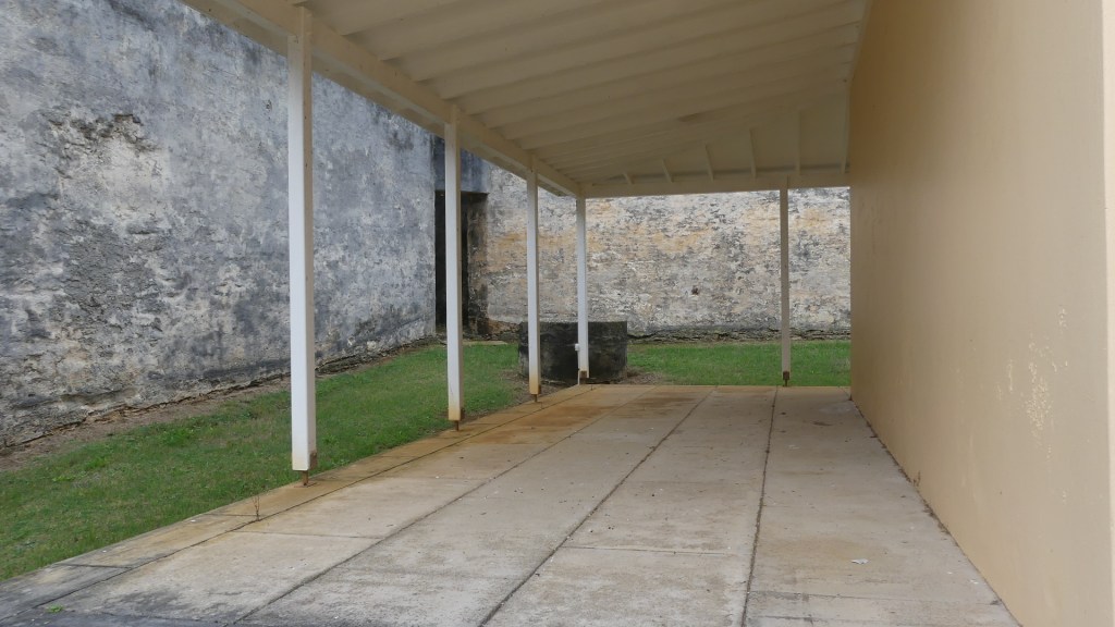
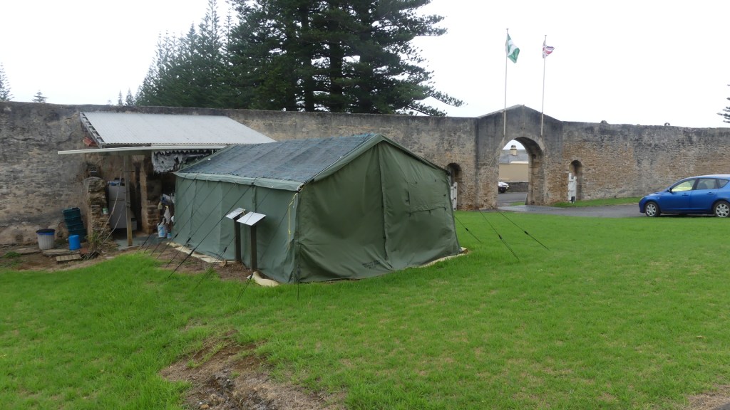
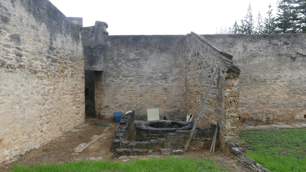
Kerry entered the garrison and ran into Bindi a Norfolk Islander manning the tent embassy inside the garrison, protesting Australia’s interference and protesting for independence for Norfolk Island. Kerry and Bindi seemed to have an immediate connection and when Bindi mentioned coffee they adjourned to the tent for gossip and coffee. I was left to scout around the buildings which I did, and my photo record is uploaded below.
The garrison complex now containing the tent embassy the courts and the council plus the grounds of their revolution
Norfolk Island was the subject of several experiments in administration during the century. It began in the nineteenth century as part of the Colony of New South Wales. On 29 September 1844, Norfolk Island was transferred from the Colony of New South Wales to the Colony of Van Diemen’s Land. On 1 November 1856 Norfolk Island was separated from the Colony of Tasmania (formerly Van Diemen’s Land) and constituted as a “distinct and separate Settlement, the affairs of which should until further Order in that behalf by Her Majesty be administered by a Governor to be for that purpose appointed”. The Governor of New South Wales was constituted as the Governor of Norfolk Island.
On 19 March 1897 the office of the Governor of Norfolk Island was abolished and responsibility for the administration of Norfolk Island was vested in the Governor of the Colony of New South Wales. Yet, the island was not made a part of New South Wales and remained separate. The Colony of New South Wales ceased to exist upon the establishment of the Commonwealth of Australia on 1 January 1901, and from that date responsibility for the administration of Norfolk Island was vested in the Governor of the State of New South Wales.
The Parliament of the Commonwealth of Australia accepted the territory by the Norfolk Island Act 1913 (Cth), subject to British agreement; British agreement was expressed on 30 March 1914, in a UK Order in Council made pursuant to the Australian Waste Lands Act 1855 (Imp). A proclamation by the Governor-General of Australia on 17 June 1914 gave effect to the Act and the Order as from 1 July 1914. So, Norfolk Island became subject to administration by Australia.
During World War II, the island became a key airbase and refuelling depot between Australia and New Zealand, and New Zealand and the Solomon Islands. The airstrip was constructed by Australian, New Zealand and the United States servicemen during 1942. The island proved too remote to come under attack during the war and NZ Service personal left the island in February 1944.
In 1979, Norfolk Island was granted limited self-government by Australia, under which the island elected a government that ran most of the island’s affairs. Financial problems and a reduction in tourism led to Norfolk Island’s administration appealing to the Australian federal government for assistance in 2010. In return, the islanders were to pay income tax for the first time but would be eligible for greater welfare benefits. An agreement was finally signed in Canberra on 12 March 2015 to replace self-government with a local council and comprehensive reforms for Norfolk Island, the Norfolk Island Legislative Assembly was abolished, with the territory becoming run by an Administrator and an advisory council. The action was justified on the grounds it was necessary “to address issues of sustainability which have arisen from the model of self-government requiring Norfolk Island to deliver local, state and federal functions since 1979” From that date, most Australian Commonwealth laws were extended to Norfolk Island. This means that taxation, social security, immigration, customs and health arrangements apply on the same basis as in mainland Australia.
Elections for a new Regional Council were held on 28 May 2016, with the new council taking office on 1 July 2016. But a majority of Norfolk Islanders (68% of voters) objected to the Australian plan to make changes to Norfolk Island without first consulting them.
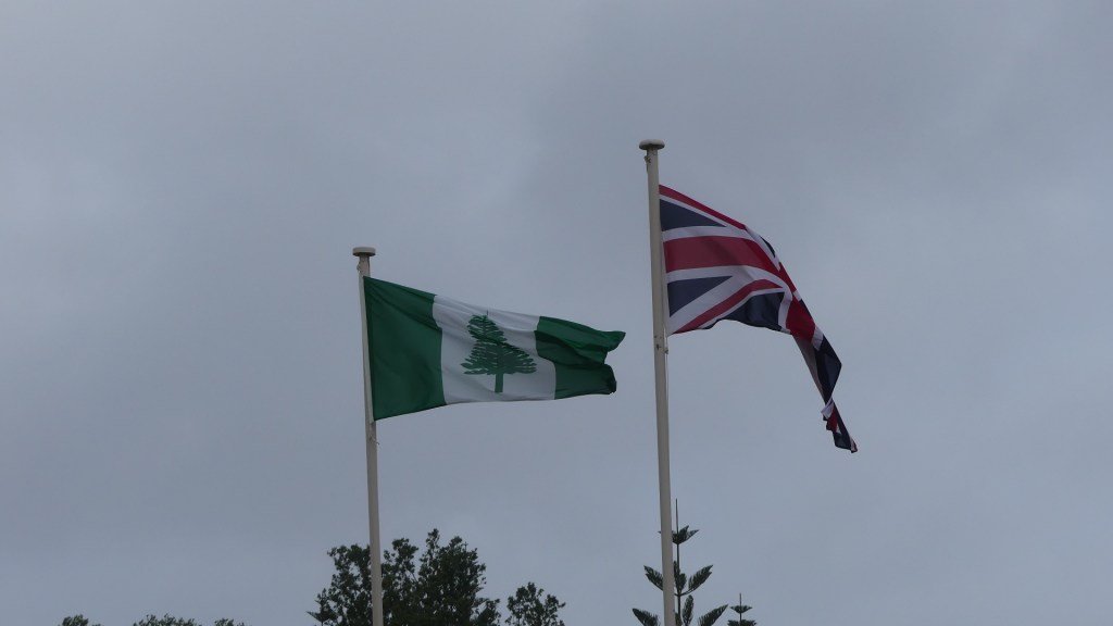
There is opposition to the reforms, led by Norfolk Island People for Democracy Inc., an association appealing to the United Nations to include the island on its list of “non-self-governing territories”. There has also been movement to join New Zealand since the autonomy reforms. Bindi is one of them. Note my photos show the UK flag flies over the gate of the garrison just above the protest sign for independence.
Our day ended with dinner at the Bowls Club in Taylors Rd. It is a busy place and there always seems to be a competition happening. Visiting bowls clubs seem to be drawn here. Simple pub type fare along with a cold drink – very satisfying. Kerry struck up a friendship with another elderly couple who joined us for dinner and who we then bumped into everywhere else on the island. Did I tell you it’s a small place.



























































































































 glendon1954